Trails in Italy
25,219 hiking trails, each with its route, climb, walking time and grade.
All trails, page 190 of 526
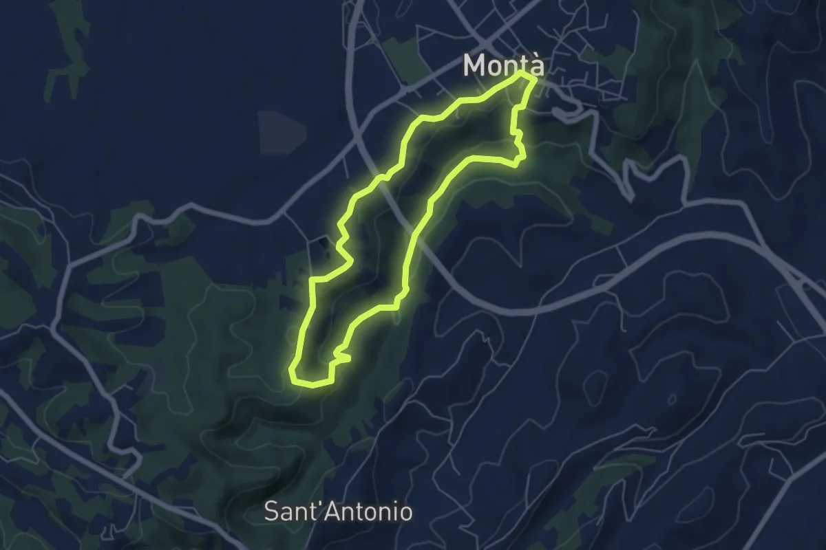
Easy · Trail
Sentiero Religioso
5.3 km · ↑ 137 m · 1 h 37 min
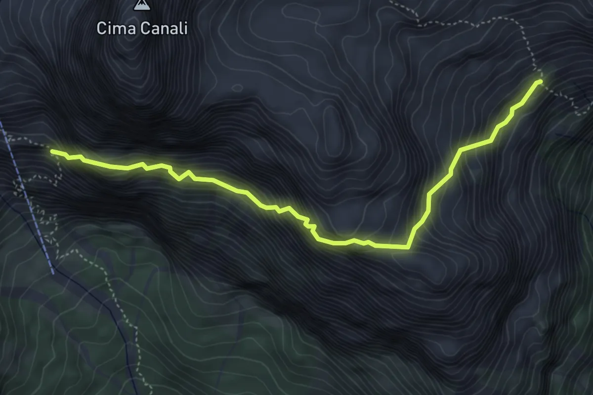
Expert · Trail
Sentiero Riccardo Simon
5.1 km · ↑ 889 m · 3 h 8 min
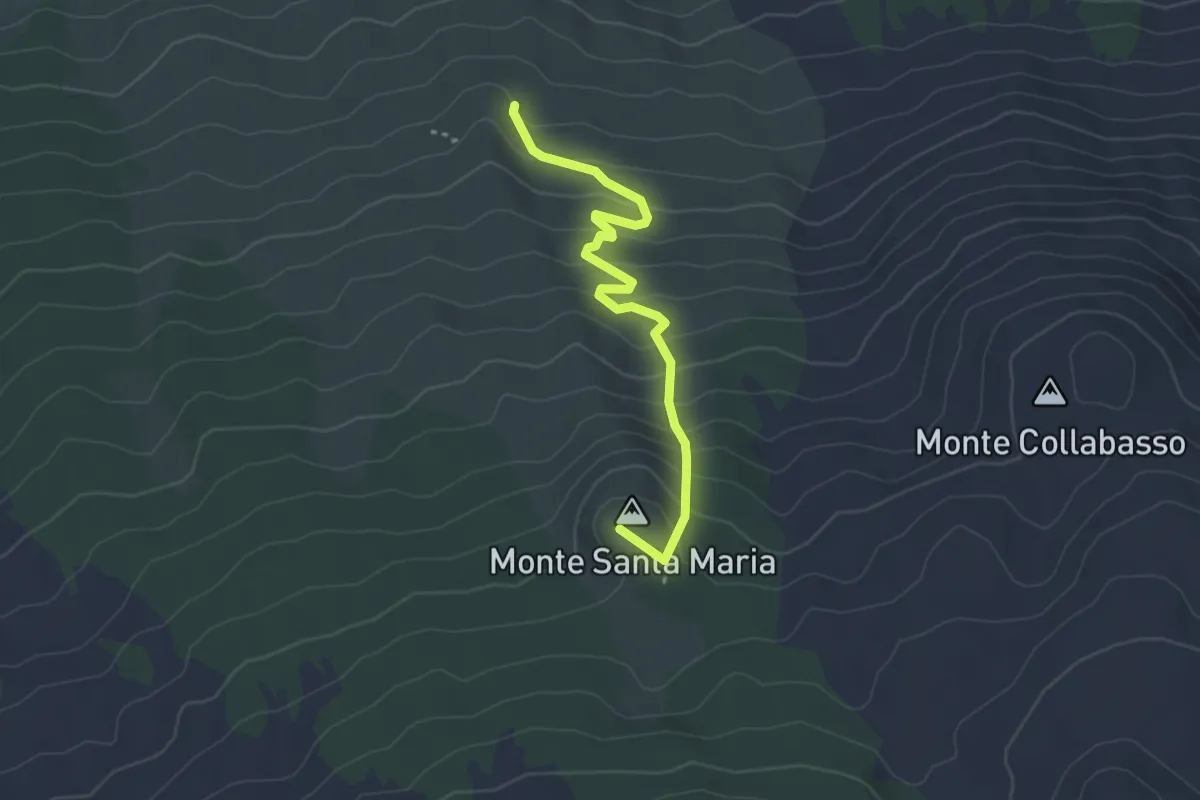
Easy · Summit
Sentiero Rifugio di Santa Maria
3.9 km · ↑ 270 m · 1 h 30 min
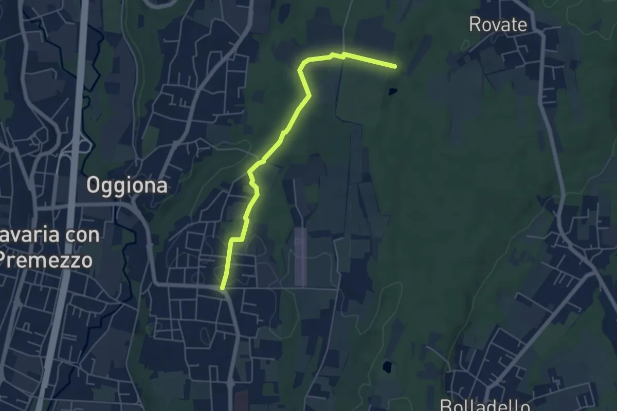
Easy · Trail
Sentiero Rio Freddo
4.9 km · ↑ 36 m · 1 h 15 min
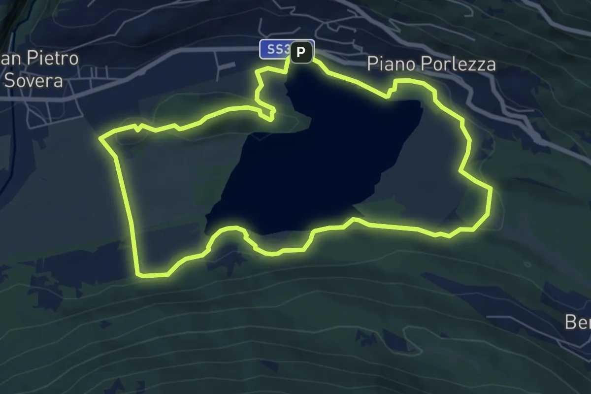
Easy · Trail
Sentiero Riserva lago del Piano
6.6 km · ↑ 124 m · 1 h 55 min
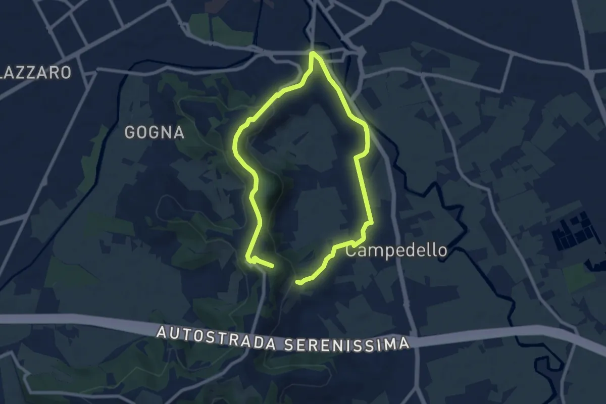
Easy · Trail
Sentiero Risorgimentale Vicentino
5.7 km · ↑ 173 m · 1 h 47 min
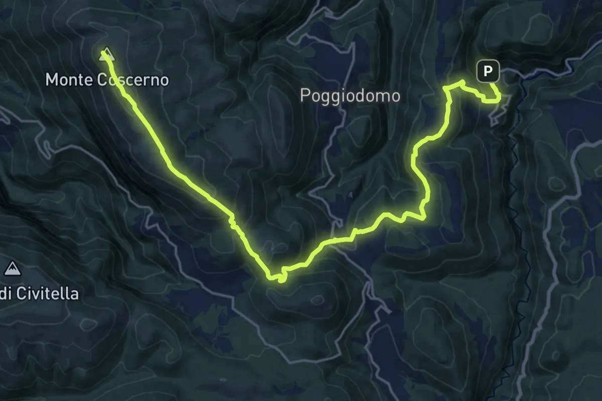
Demanding · Summit
Sentiero Ritiano
24.6 km · ↑ 1270 m · 8 h 33 min
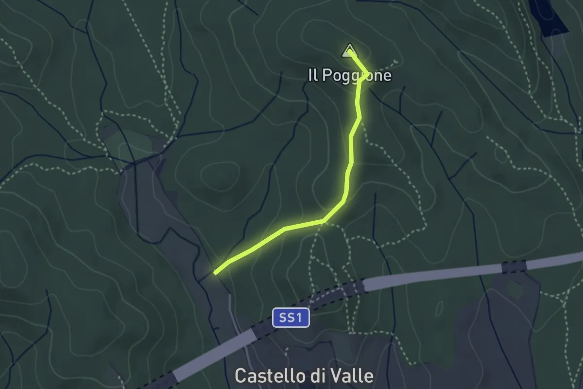
Easy · Summit
Sentiero ritrovato
2.9 km · ↑ 125 m · 57 min
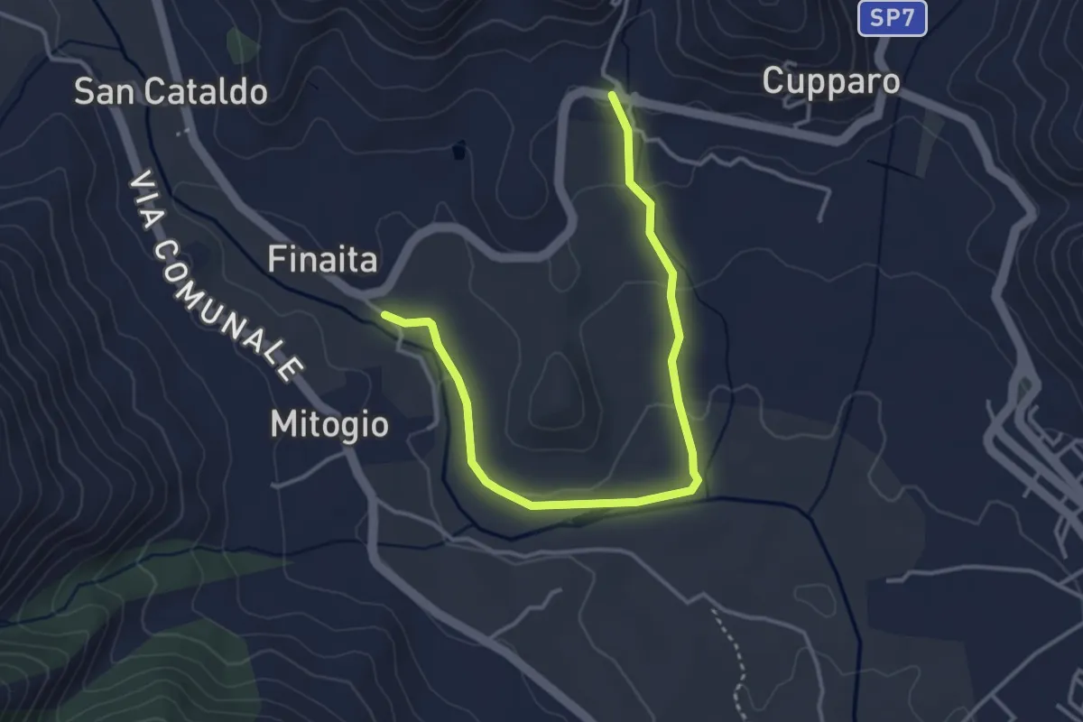
Easy · Trail
Sentiero Rive dell'Alcantara
4.6 km · ↑ 85 m · 1 h 16 min
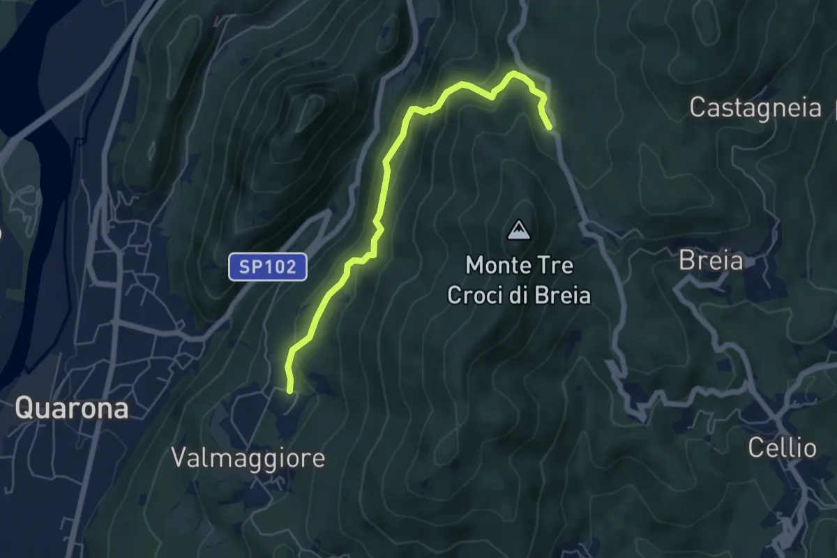
Medium · Trail
Sentiero Roberto Carmagnola
5.4 km · ↑ 380 m · 2 h 5 min
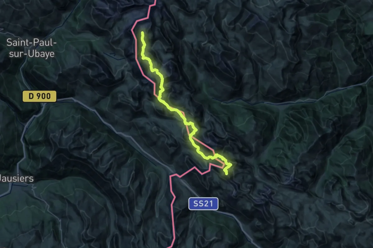
Expert · Summit
Sentiero Roberto Cavallero
40.2 km · ↑ 3018 m · 16 h 2 min
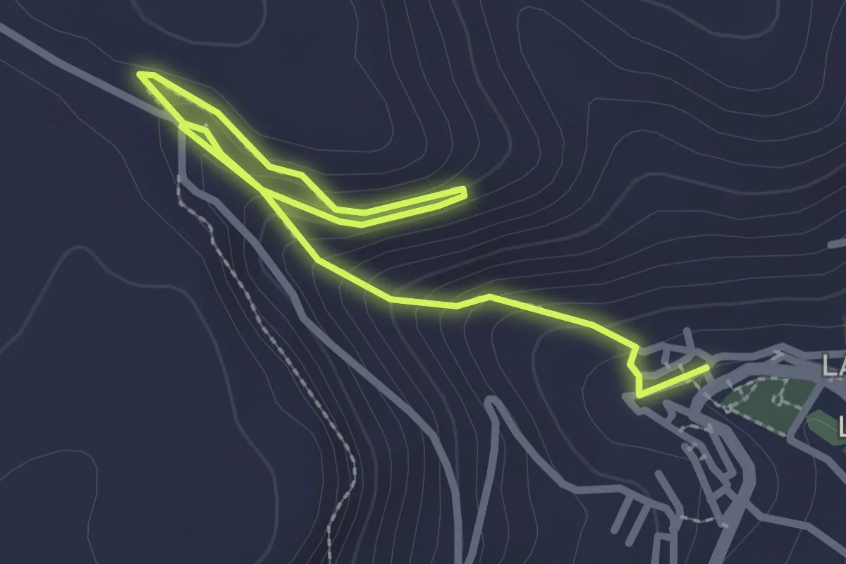
Medium · Trail
Sentiero Rocca Manna
3.7 km · ↑ 206 m · 1 h 19 min
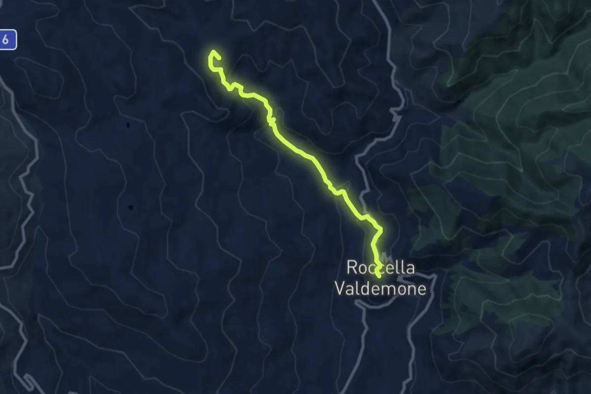
Medium · Summit
Sentiero Roccella Cascata Angara Palazzolo
8.6 km · ↑ 409 m · 2 h 55 min
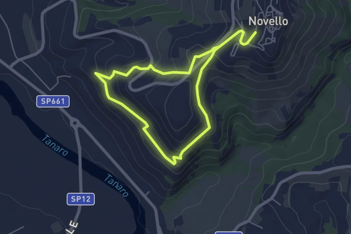
Easy · Trail
Sentiero Rocche di San Nicola
3.7 km · ↑ 136 m · 1 h 14 min
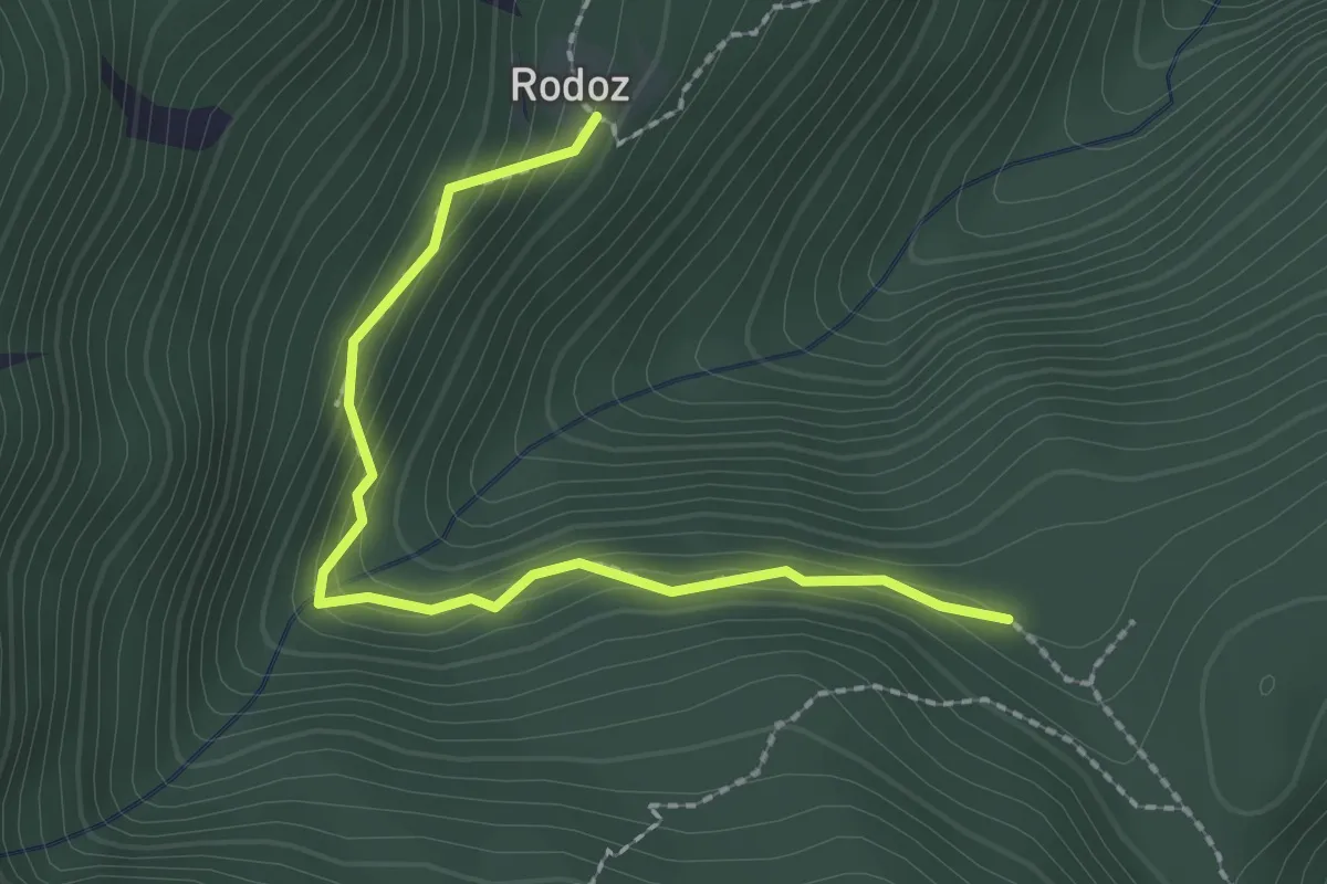
Medium · Trail
Sentiero Rodoz Brusoncle
2.3 km · ↑ 161 m · 54 min
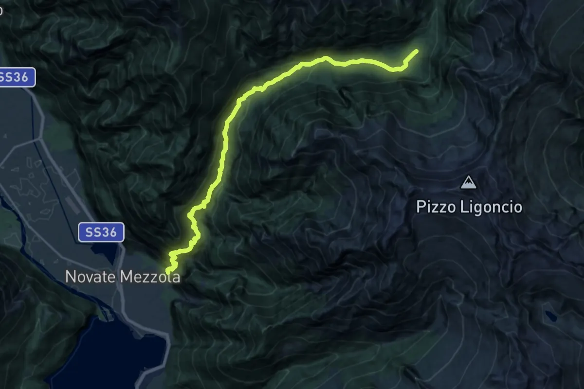
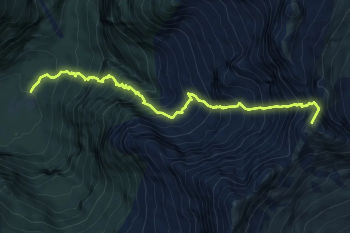
Demanding · Cabin
Sentiero Roma - Tappa 1
10.2 km · ↑ 1287 m · 4 h 51 min
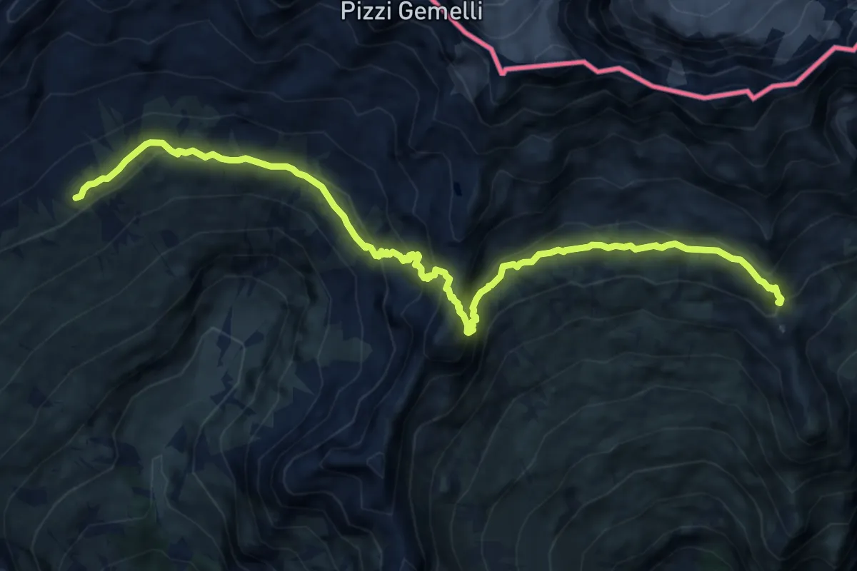
Expert · Summit
Sentiero Roma - Tappa 2
8.0 km · ↑ 1374 m · 4 h 52 min
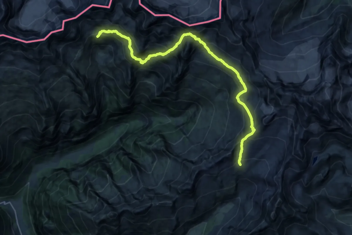
Demanding · Summit
Sentiero Roma - Tappa 3
12.4 km · ↑ 905 m · 4 h 54 min
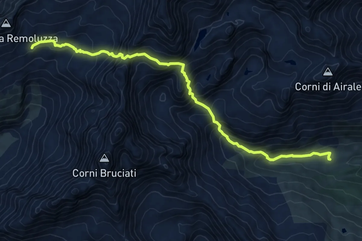
Expert · Cabin
Sentiero Roma - Tappa 4
10.1 km · ↑ 1225 m · 5 h 6 min
Expert · Cabin
Sentiero Roma - Tappa 5
11.2 km · ↑ 1112 m · 5 h 3 min
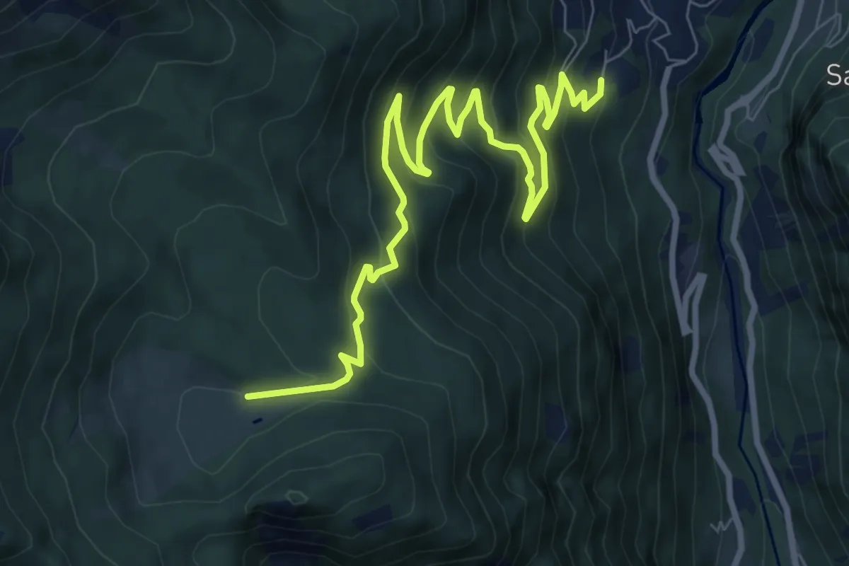
Medium · Trail
Sentiero Roma-Tappa 6
9.9 km · ↑ 649 m · 3 h 44 min
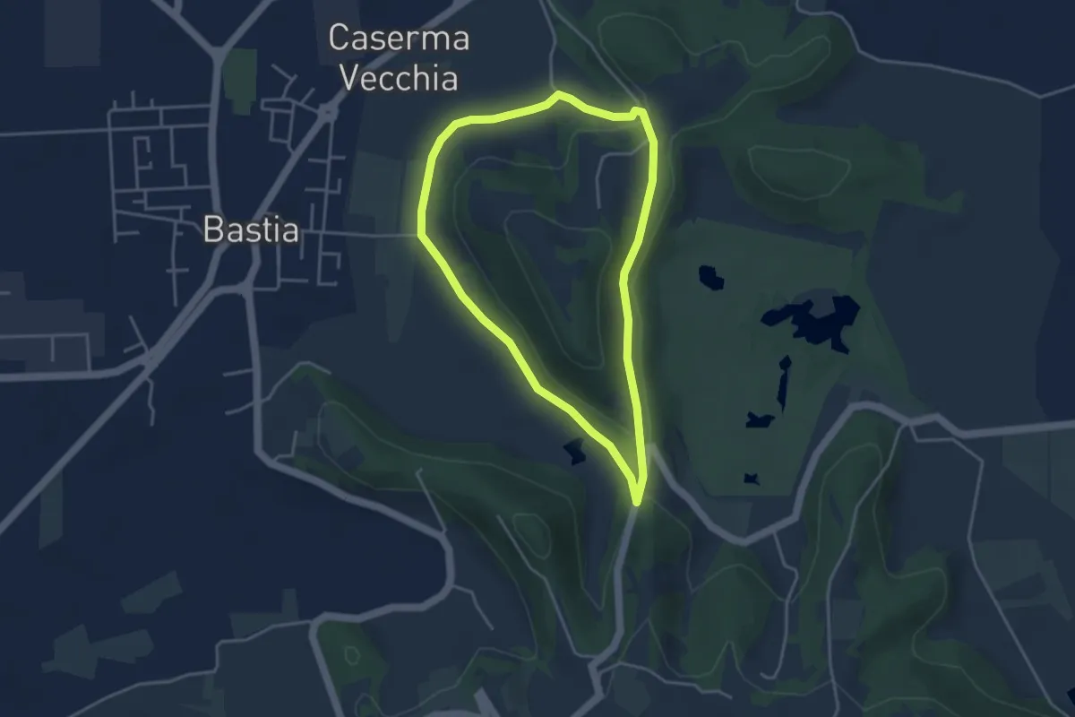
Easy · Trail
Sentiero Rosa dei Colli
3.6 km · ↑ 71 m · 1 h 3 min
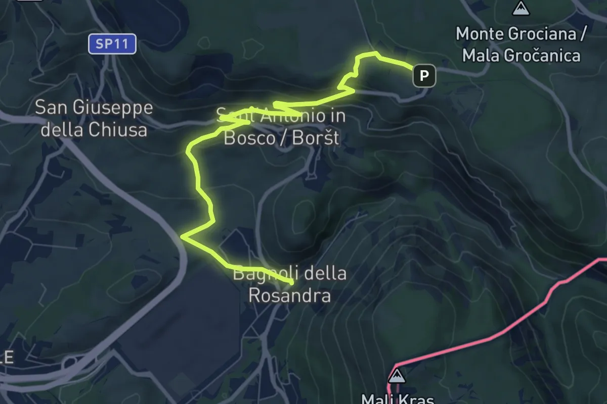
Medium · Trail
Sentiero Rose d'inverno
9.3 km · ↑ 342 m · 2 h 57 min
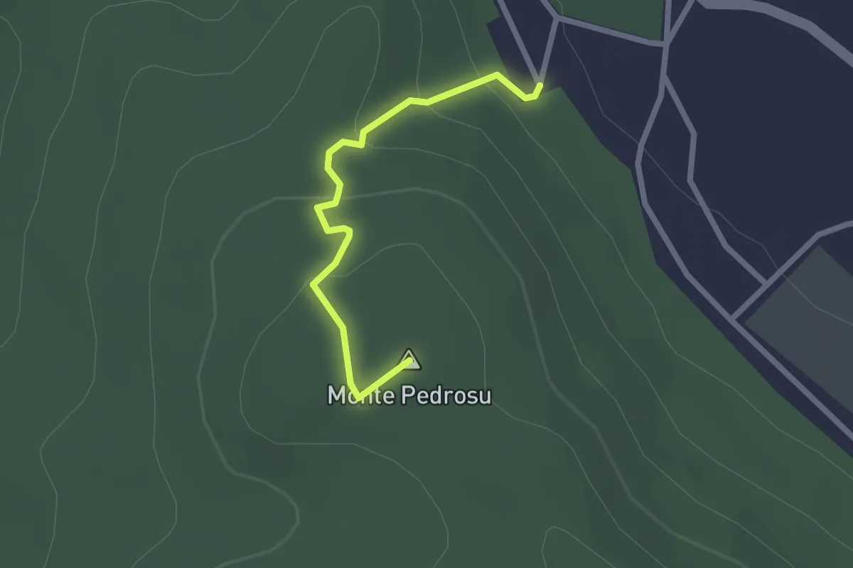
Easy · Summit
Sentiero rosso
2.3 km · ↑ 103 m · 45 min
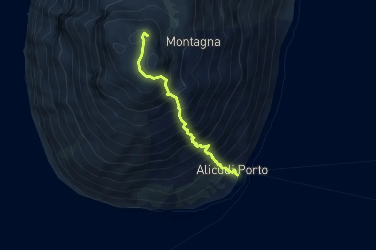
Medium · Summit
Sentiero Rosso
4.1 km · ↑ 646 m · 2 h 22 min
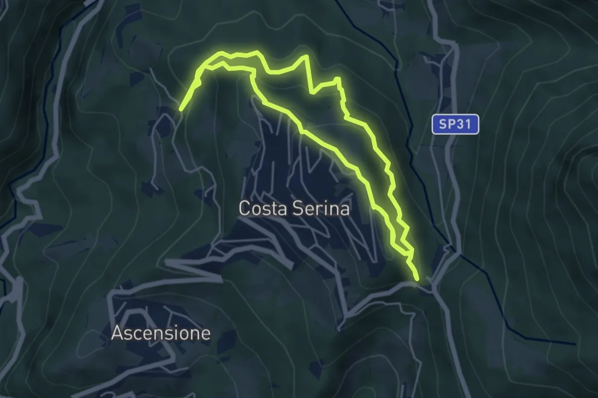
Medium · Trail
Sentiero Rosso
4.6 km · ↑ 352 m · 1 h 54 min
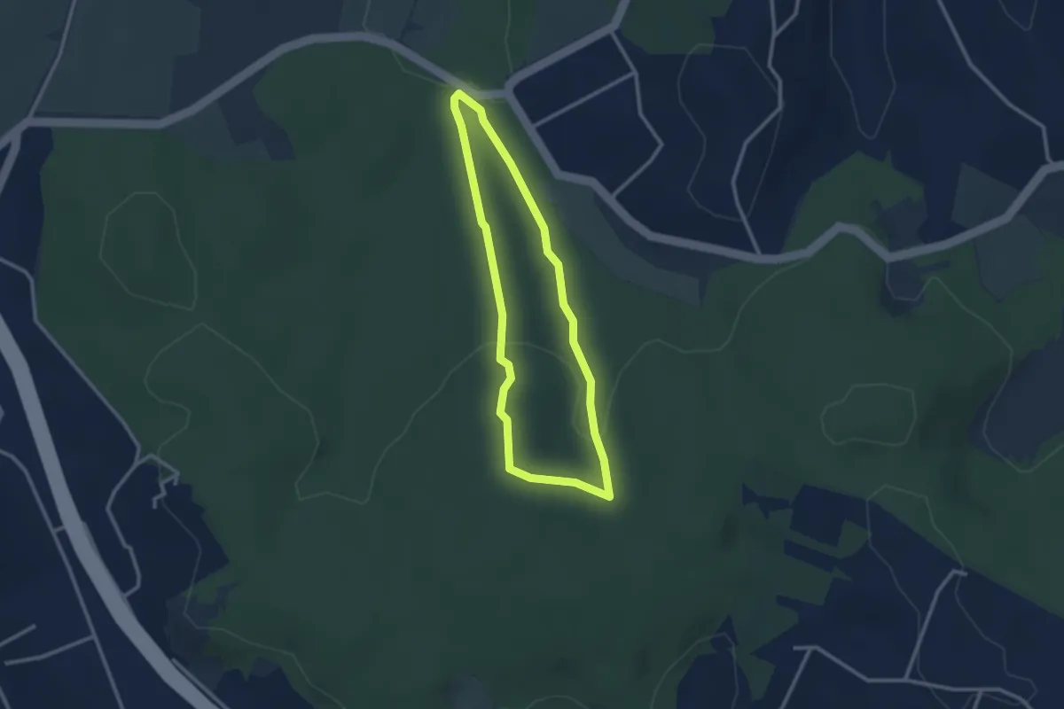
Easy · Trail
Sentiero Rosso (parte 2)
2.6 km · ↑ 73 m · 48 min
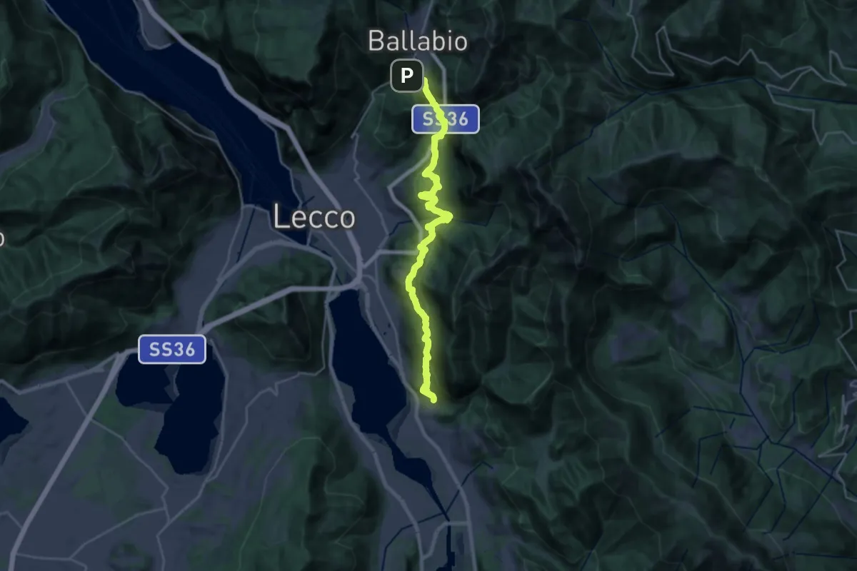
Medium · Trail
Sentiero Rotary
12.6 km · ↑ 780 m · 4 h 40 min
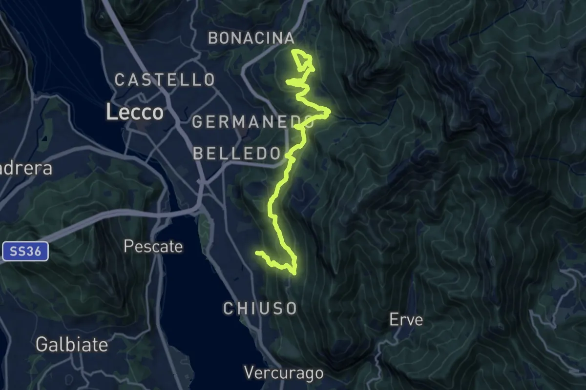
Demanding · Trail
Sentiero Rotary Lecco
16.4 km · ↑ 849 m · 5 h 43 min
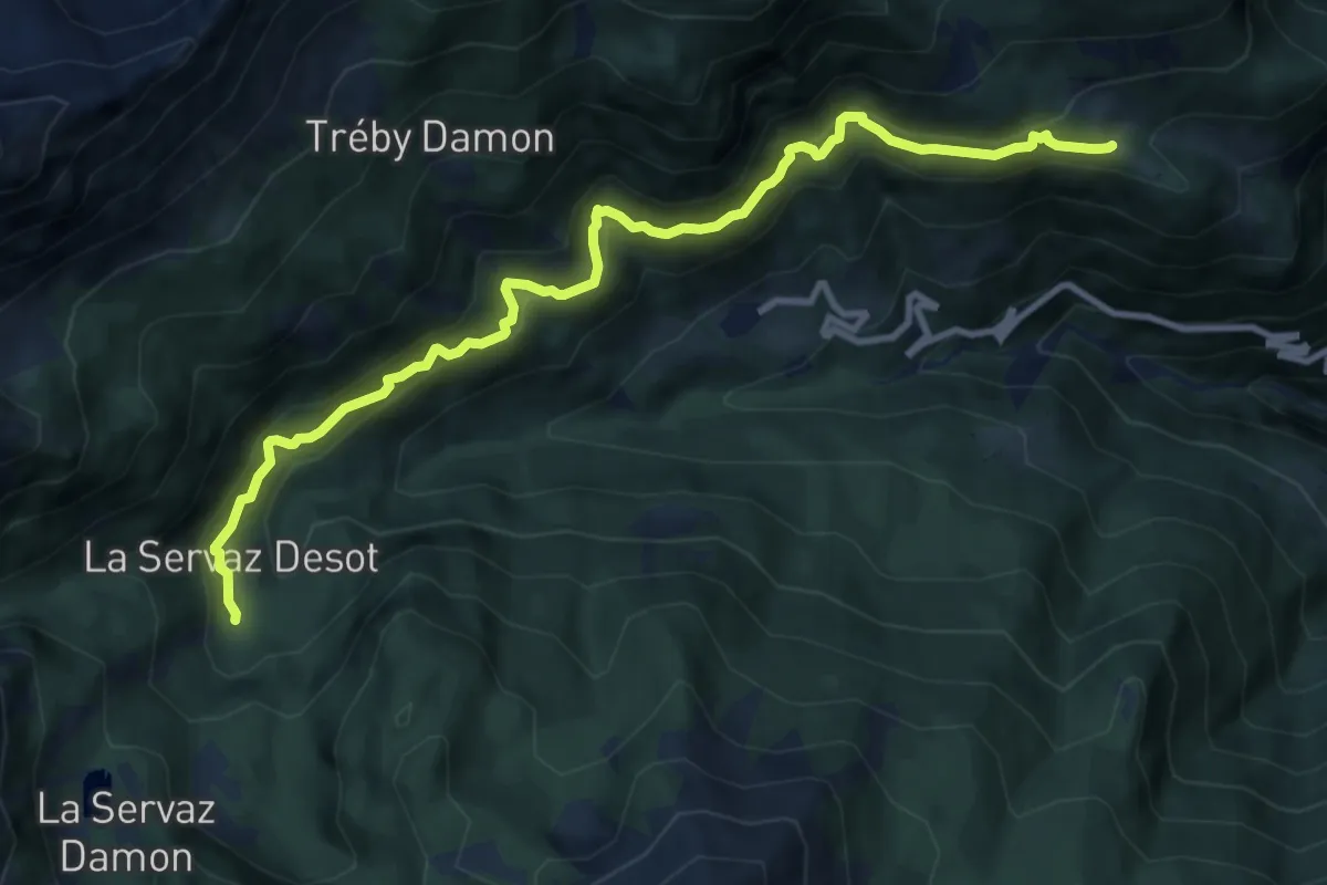
Medium · Trail
Sentiero Ru de Chevrère et Montjovet
11.0 km · ↑ 784 m · 4 h 18 min
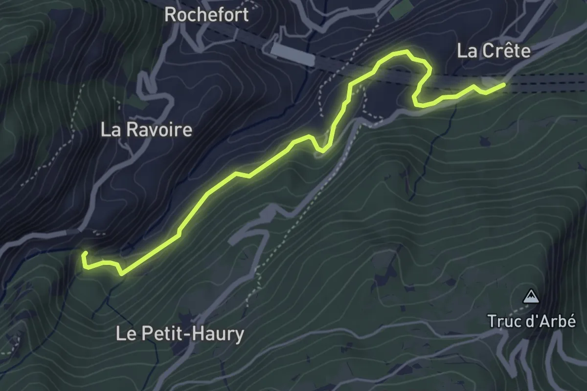
Demanding · Trail
Sentiero Ru de l'Eau Sourde
5.2 km · ↑ 306 m · 1 h 54 min
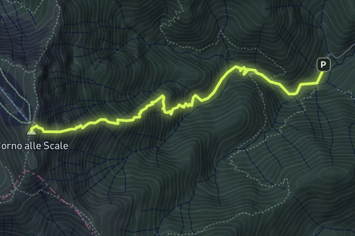
Demanding · Summit
Sentiero "Ruffo" del Poggio di Mezzo
6.2 km · ↑ 1014 m · 3 h 39 min
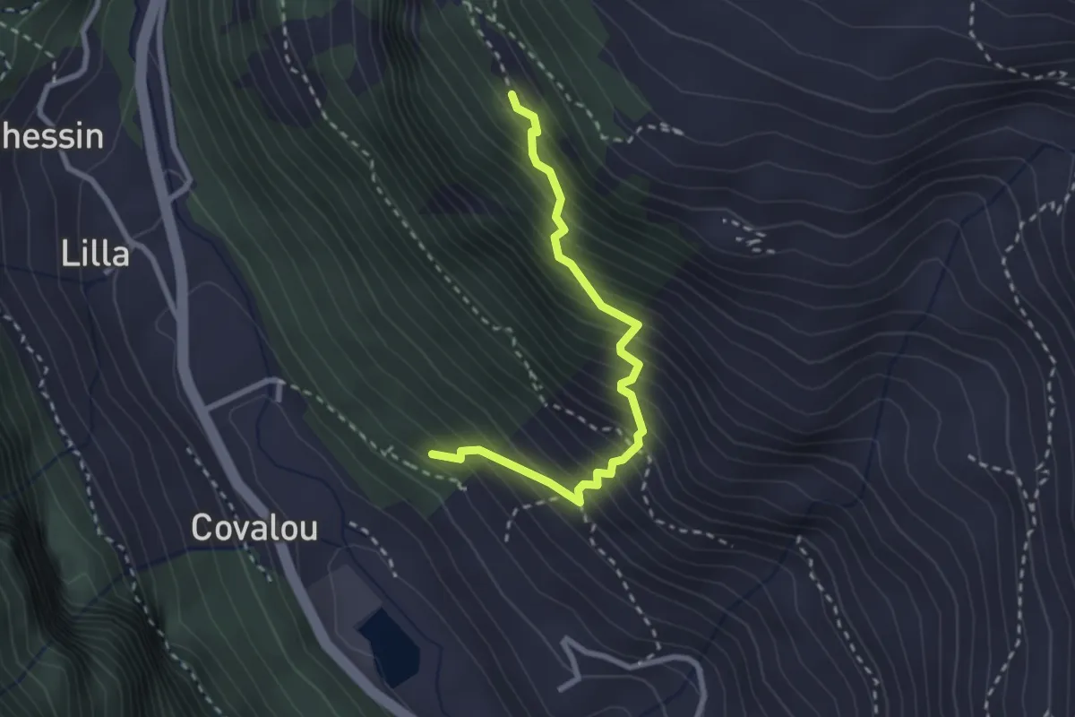
Medium · Trail
Sentiero Ru Gagneurs Devies
2.6 km · ↑ 439 m · 1 h 35 min
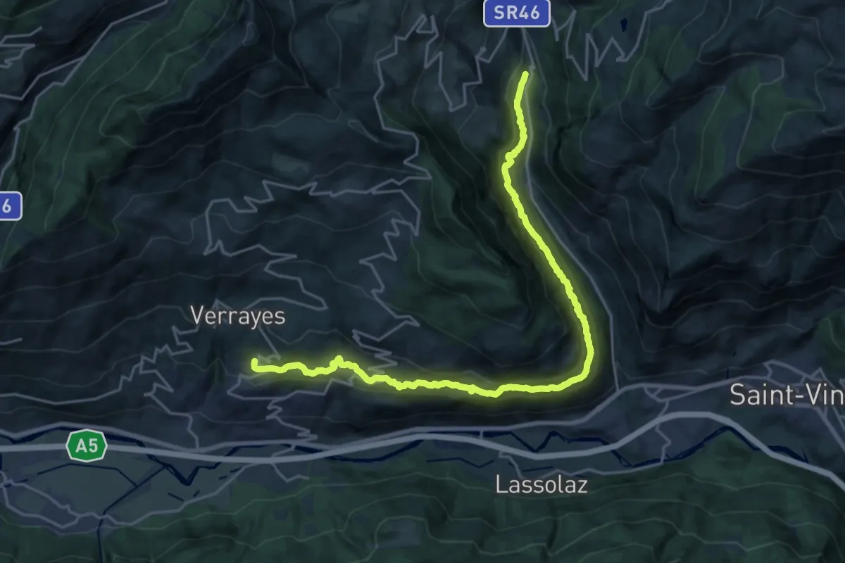
Medium · Trail
Sentiero Ru Marseiller
11.6 km · ↑ 686 m · 4 h 26 min
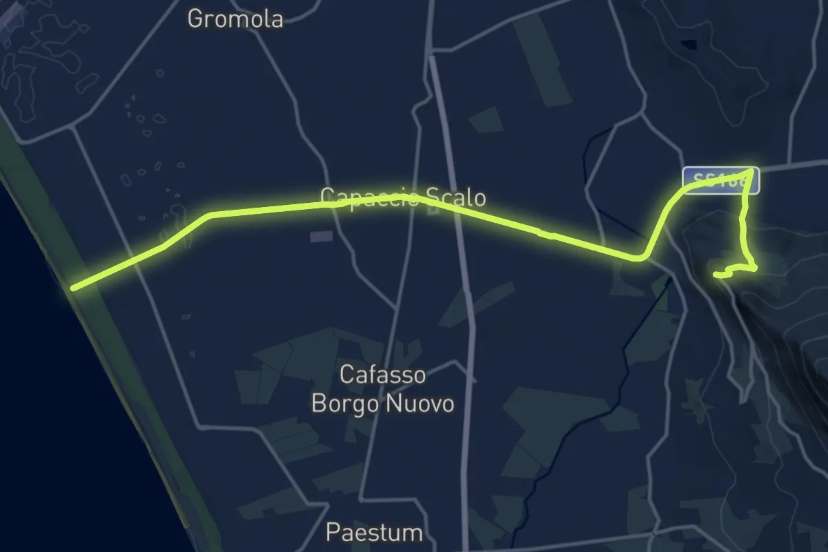
Demanding · Trail
Sentiero S1 di Capaccio Paestum
19.3 km · ↑ 264 m · 5 h 7 min
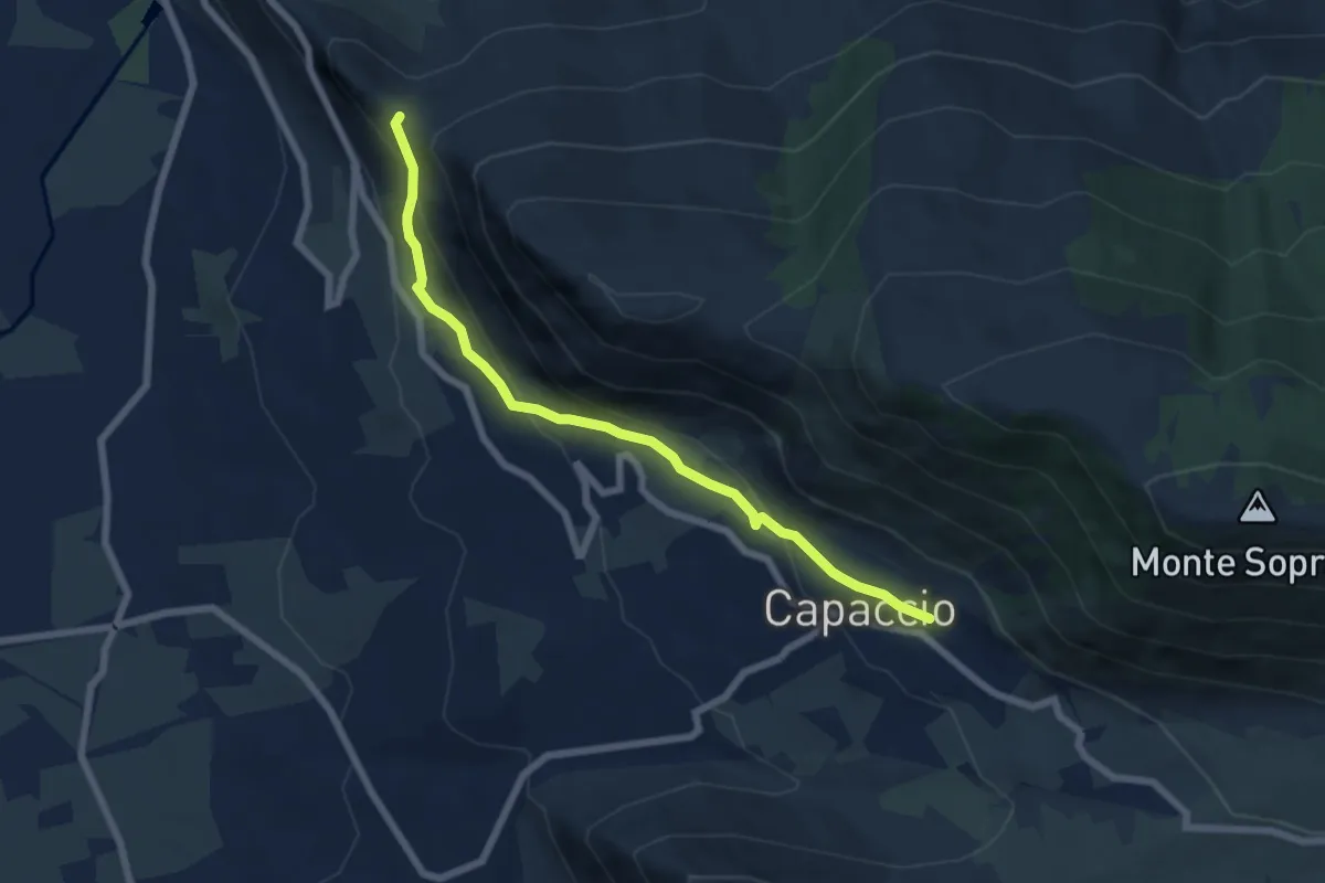
Medium · Trail
Sentiero S4 di Capaccio Paestum
7.3 km · ↑ 345 m · 2 h 28 min
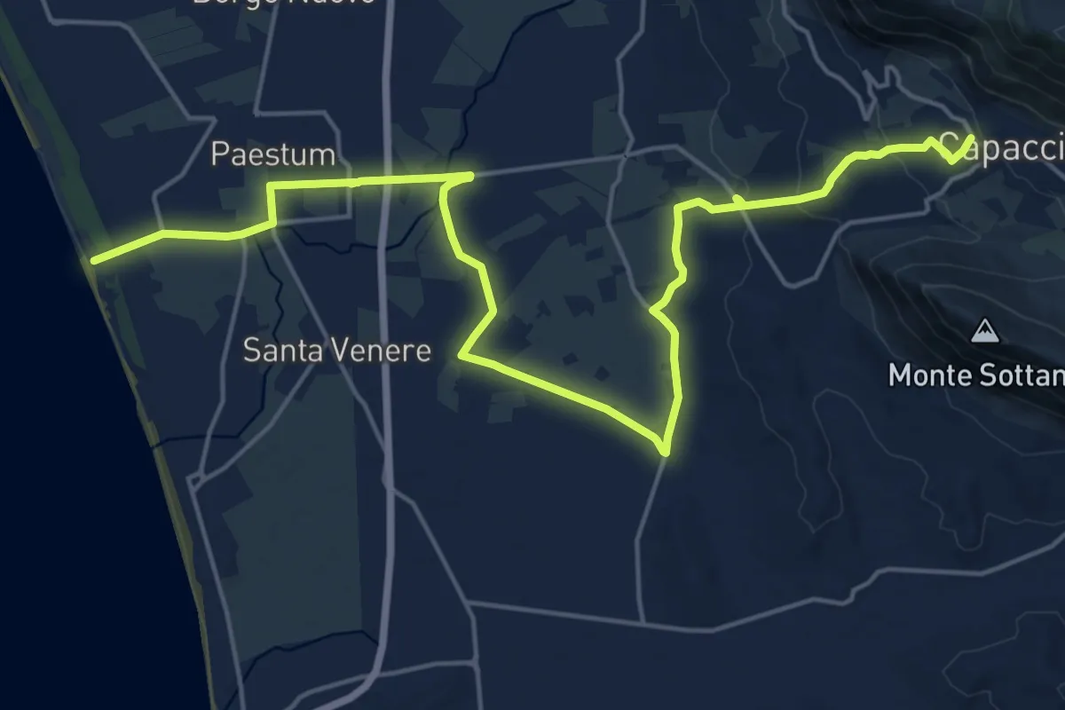
Demanding · Trail
Sentiero S5 di Capaccio Paestum
25.6 km · ↑ 400 m · 6 h 55 min
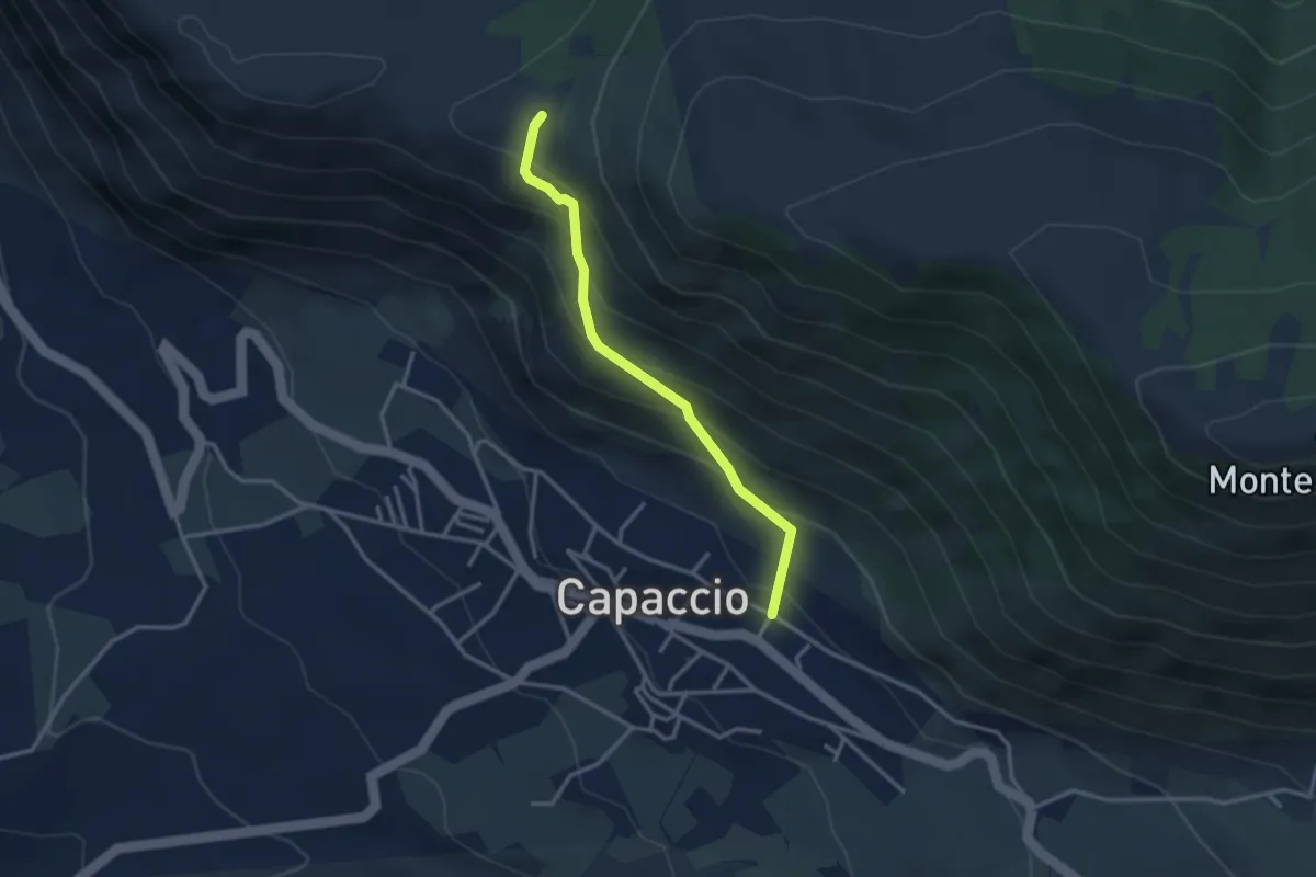
Medium · Trail
Sentiero S7 di Capaccio Paestum
3.2 km · ↑ 279 m · 1 h 22 min
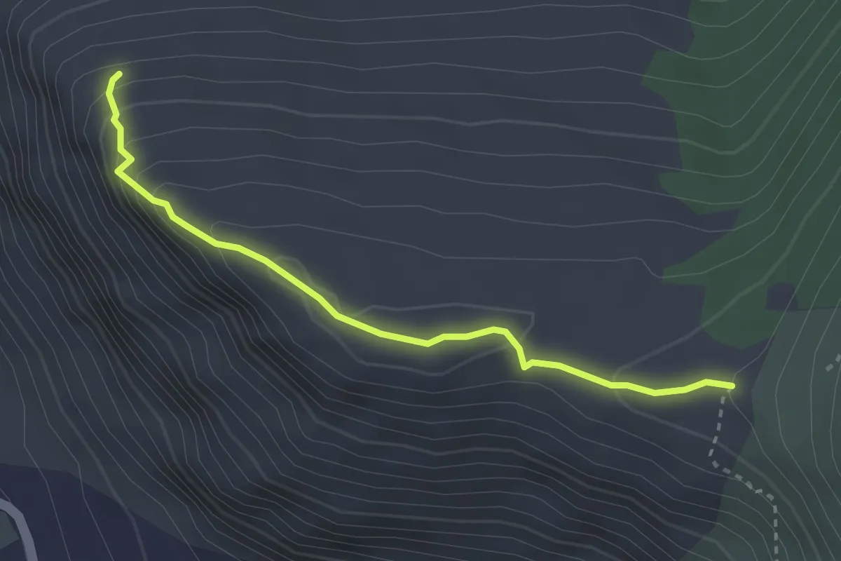
Demanding · Trail
Sentiero S8 di Capaccio Paestum
3.3 km · ↑ 199 m · 1 h 13 min
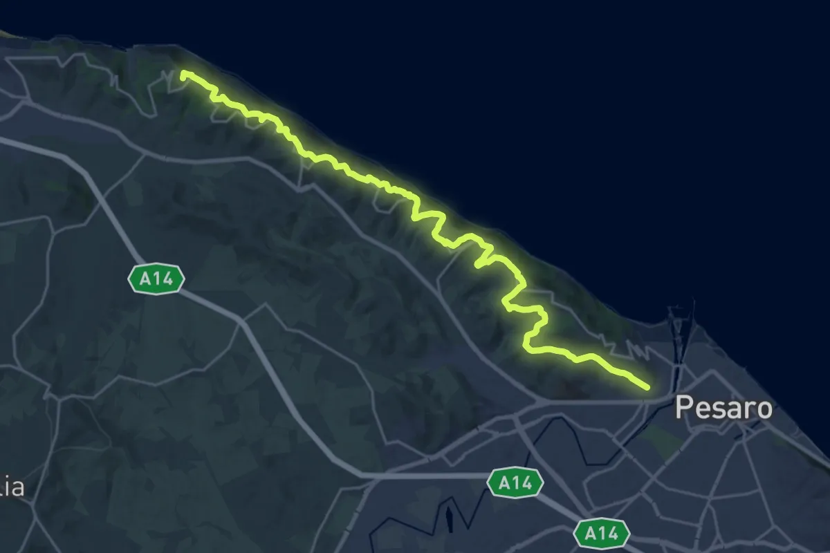
Demanding · Summit
Sentiero San Bartolo
27.2 km · ↑ 1000 m · 8 h 35 min
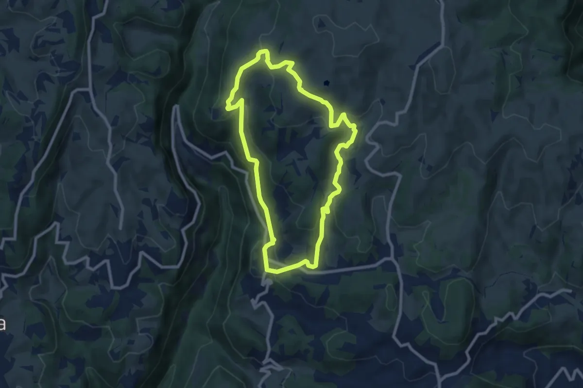
Easy · Trail
Sentiero San Francesco
6.9 km · ↑ 302 m · 2 h 23 min
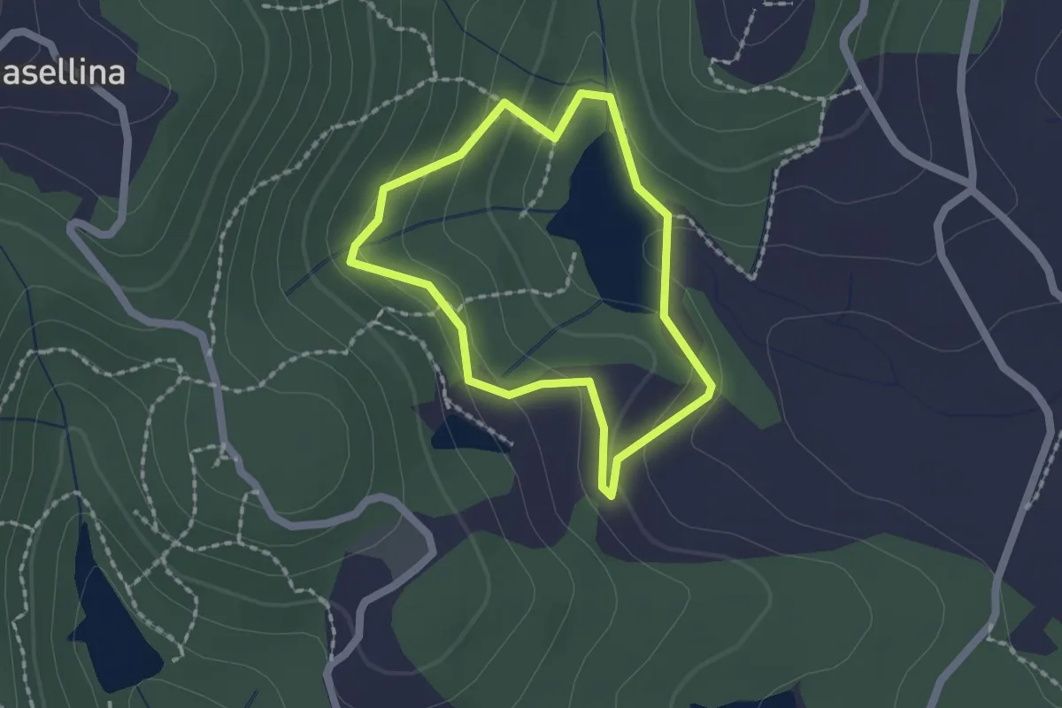
Easy · Trail
Sentiero San Martino
1.6 km · ↑ 66 m · 32 min
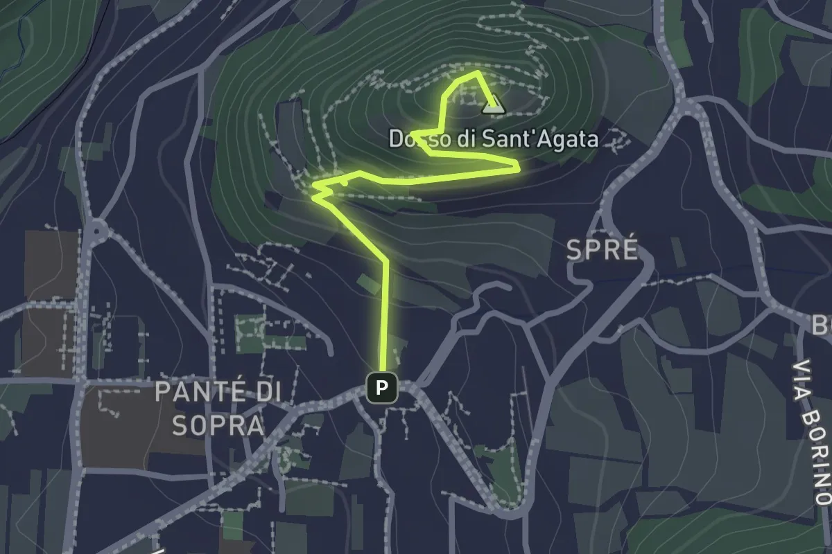
Medium · Summit
Sentiero Sant'Agata
2.3 km · ↑ 157 m · 52 min
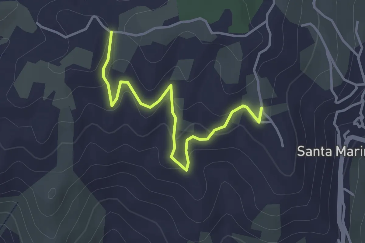
Easy · Trail
Sentiero Santa Marina - Madonna del Monte
3.6 km · ↑ 175 m · 1 h 13 min
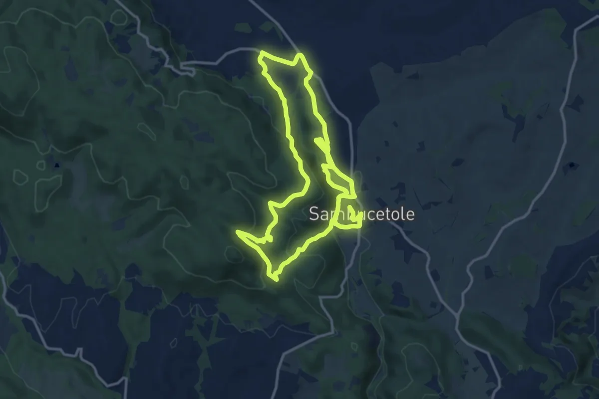
Demanding · Trail
Sentiero Sant'Angelo
25.2 km · ↑ 804 m · 7 h 41 min
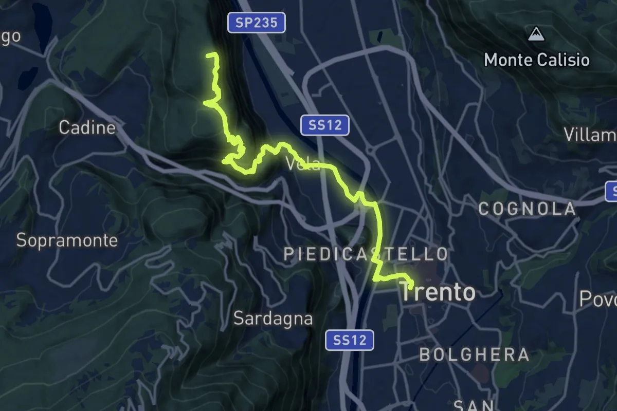
Demanding · Summit
Sentiero San Vili alto - Tappa 1
16.0 km · ↑ 786 m · 5 h 29 min
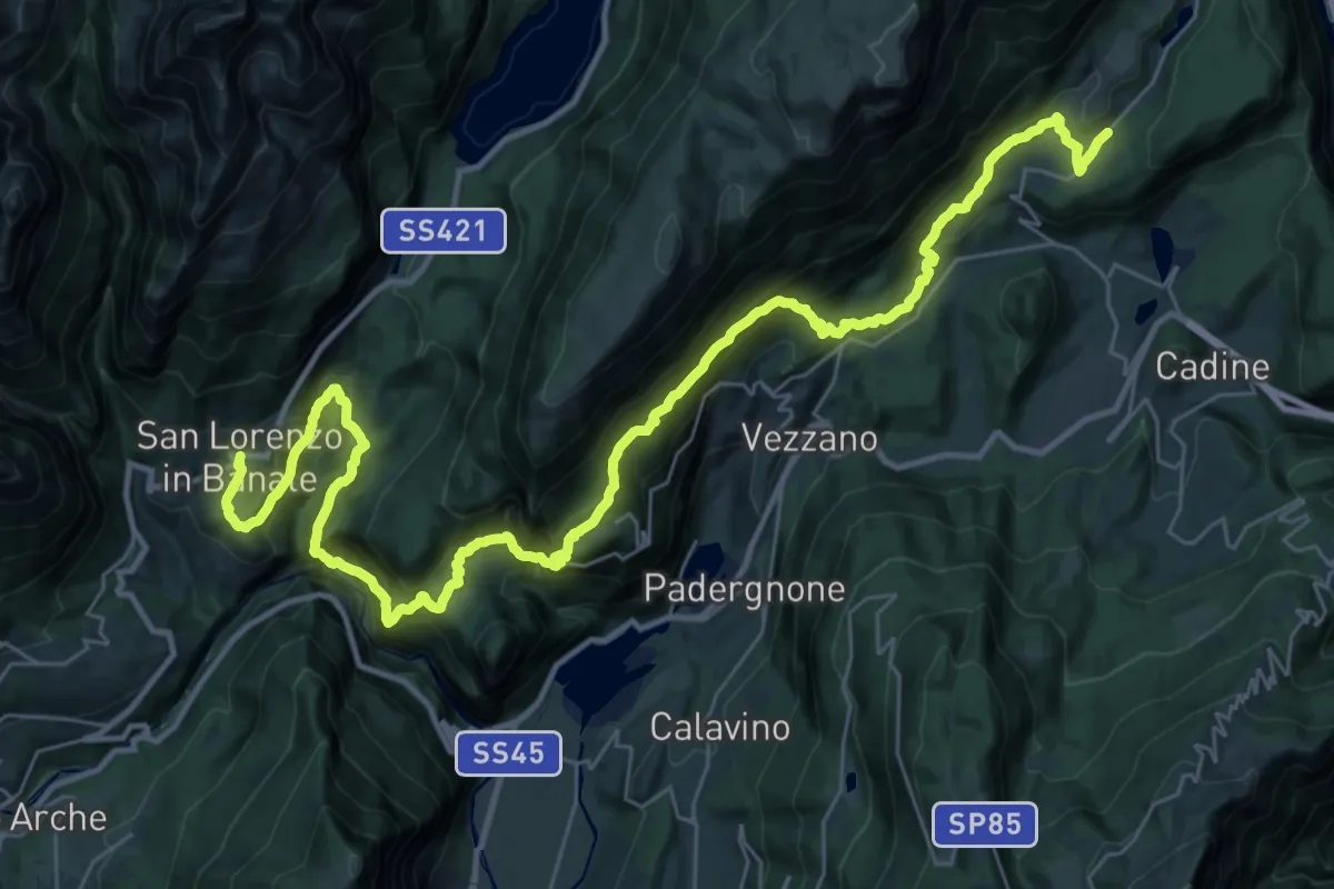
Demanding · Trail
Sentiero San Vili alto - Tappa 2
22.2 km · ↑ 1648 m · 9 h 7 min
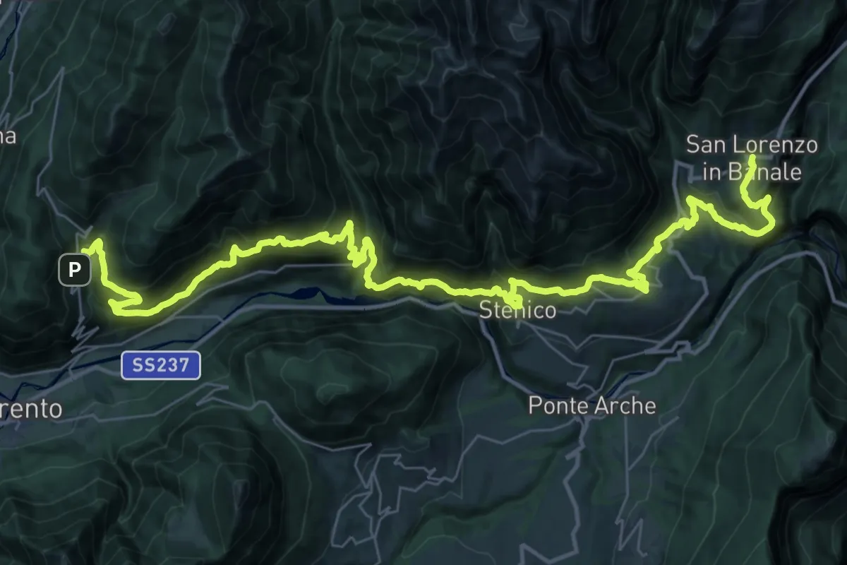
Demanding · Trail
Sentiero San Vili alto - Tappa 3
24.4 km · ↑ 1481 m · 9 h 25 min