Trails in Italy
25,219 hiking trails, each with its route, climb, walking time and grade.
All trails, page 191 of 526
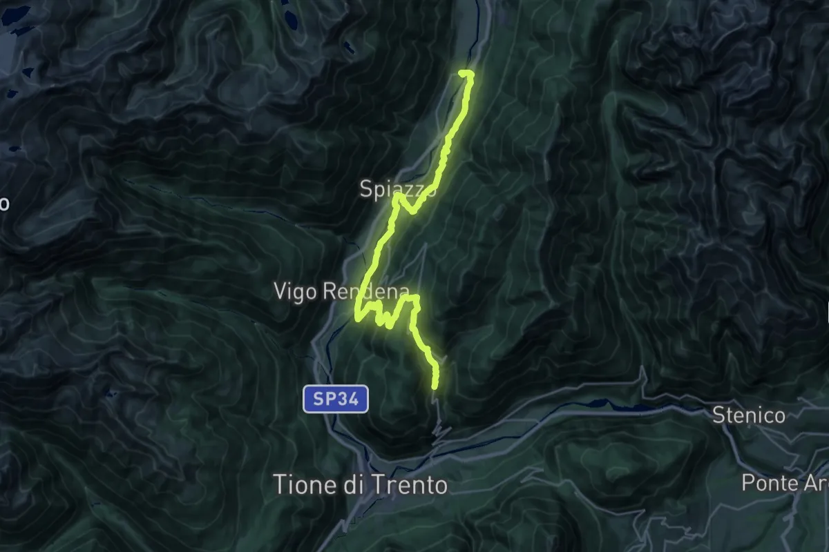
Demanding · Trail
Sentiero San Vili alto - Tappa 4
14.6 km · ↑ 948 m · 5 h 34 min
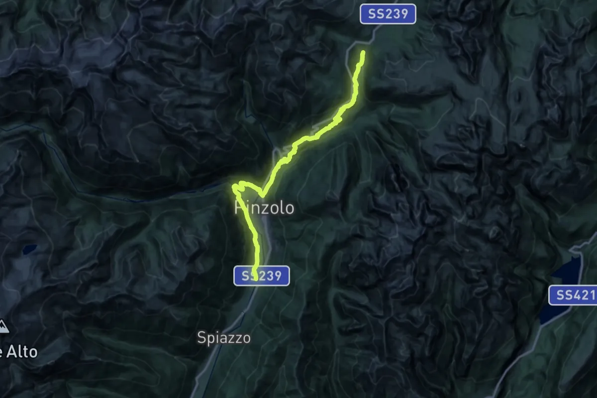
Demanding · Trail
Sentiero San Vili alto - Tappa 5
18.7 km · ↑ 1063 m · 6 h 35 min
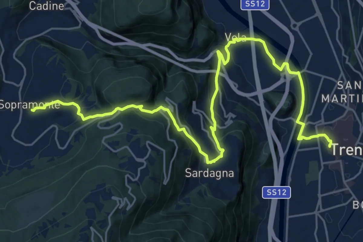
Demanding · Trail
Sentiero San Vili basso - Tappa 1
19.7 km · ↑ 823 m · 6 h 26 min
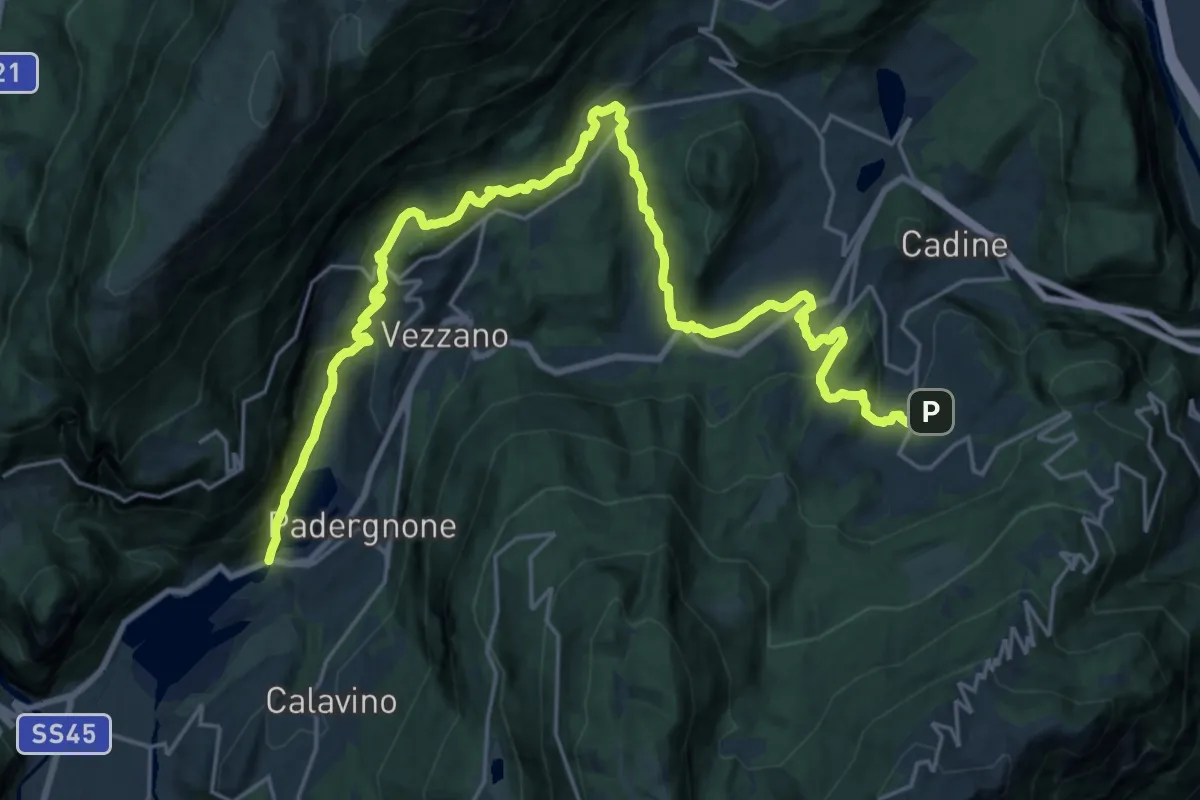
Medium · Trail
Sentiero San Vili basso - Tappa 2
14.2 km · ↑ 379 m · 4 h 33 min
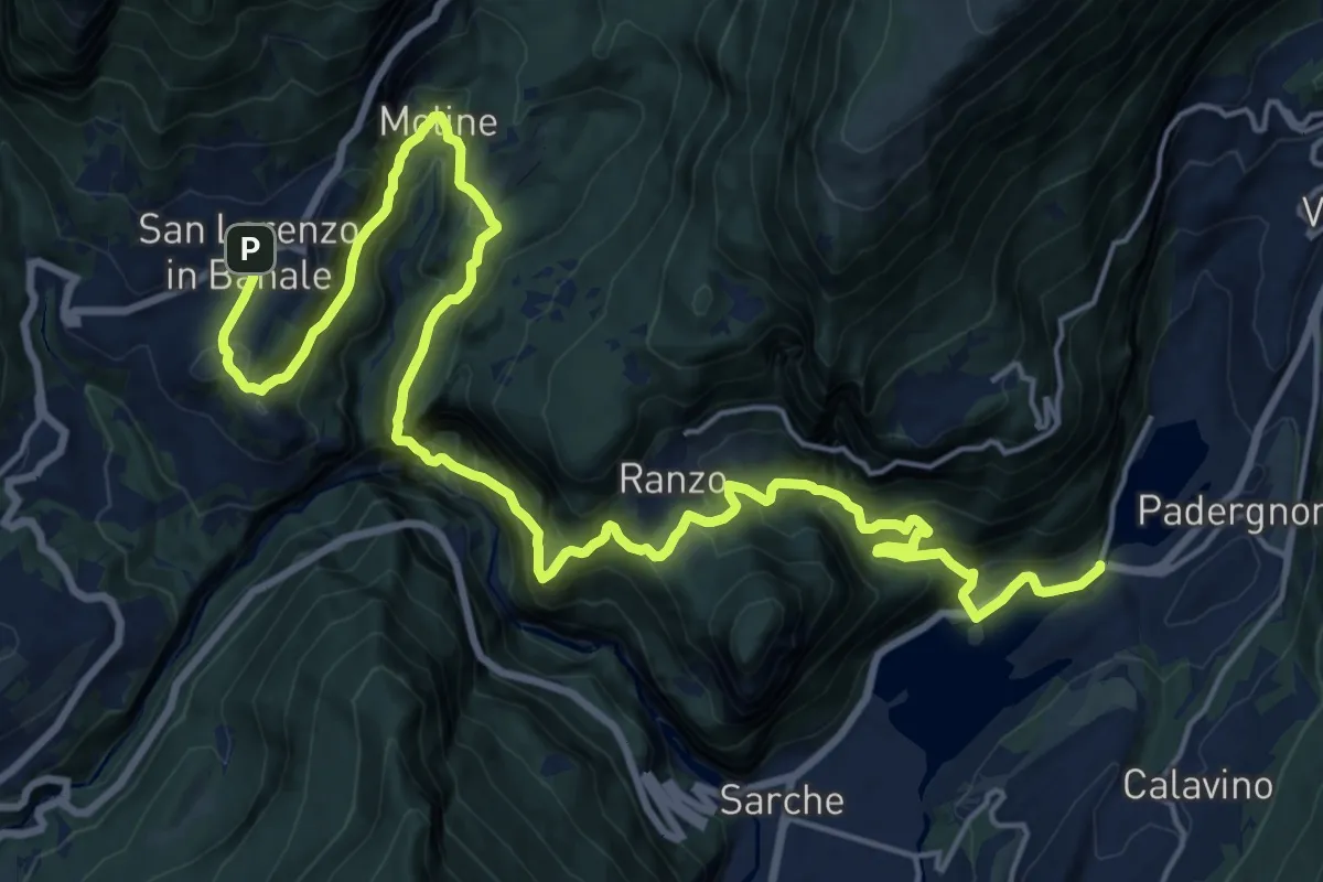
Demanding · Trail
Sentiero San Vili basso - Tappa 3
12.8 km · ↑ 724 m · 5 h
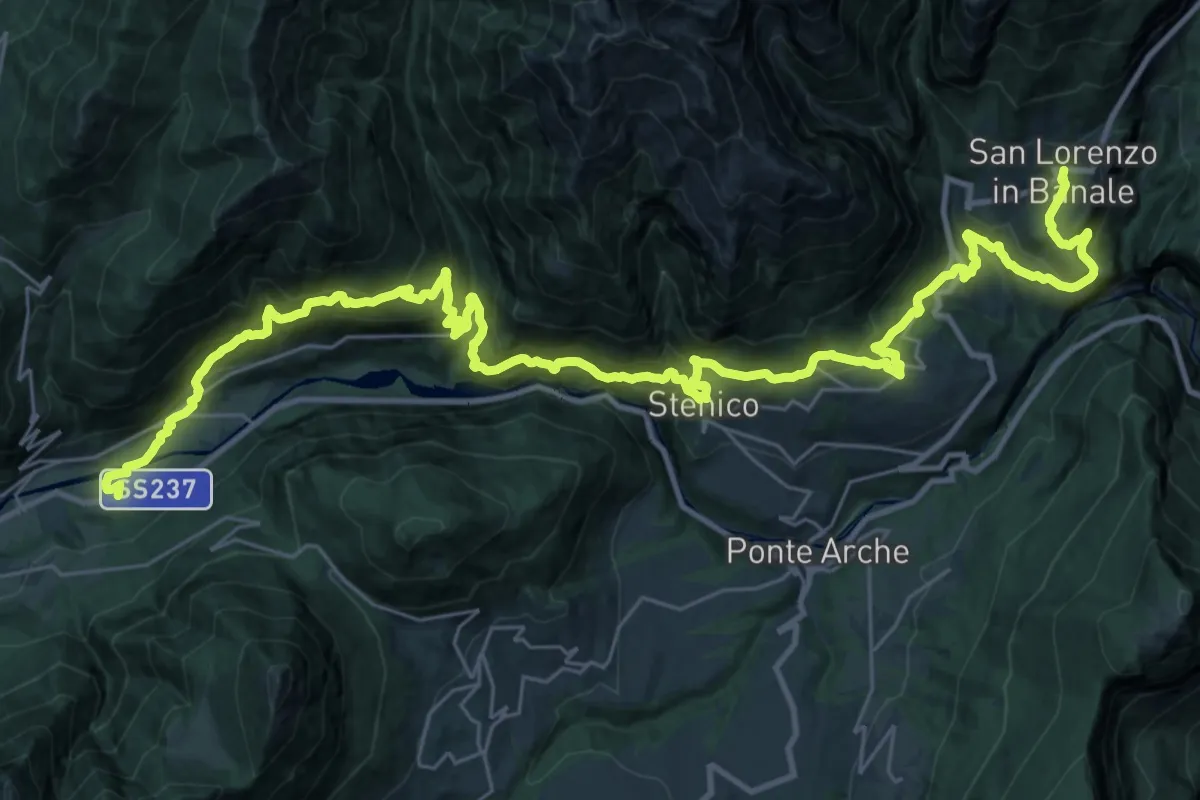
Demanding · Trail
Sentiero San Vili basso - Tappa 4
22.1 km · ↑ 1490 m · 8 h 39 min
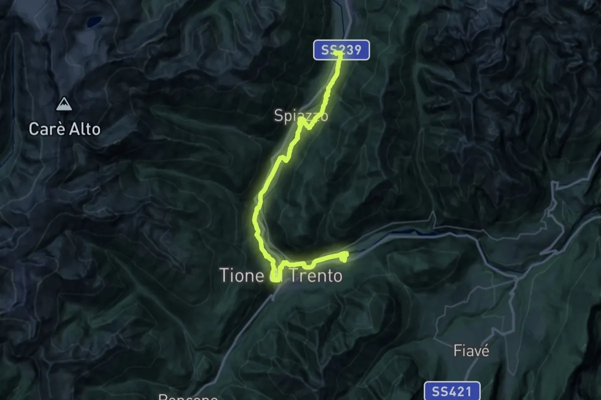
Demanding · Trail
Sentiero San Vili basso - Tappa 5
19.7 km · ↑ 592 m · 6 h 6 min
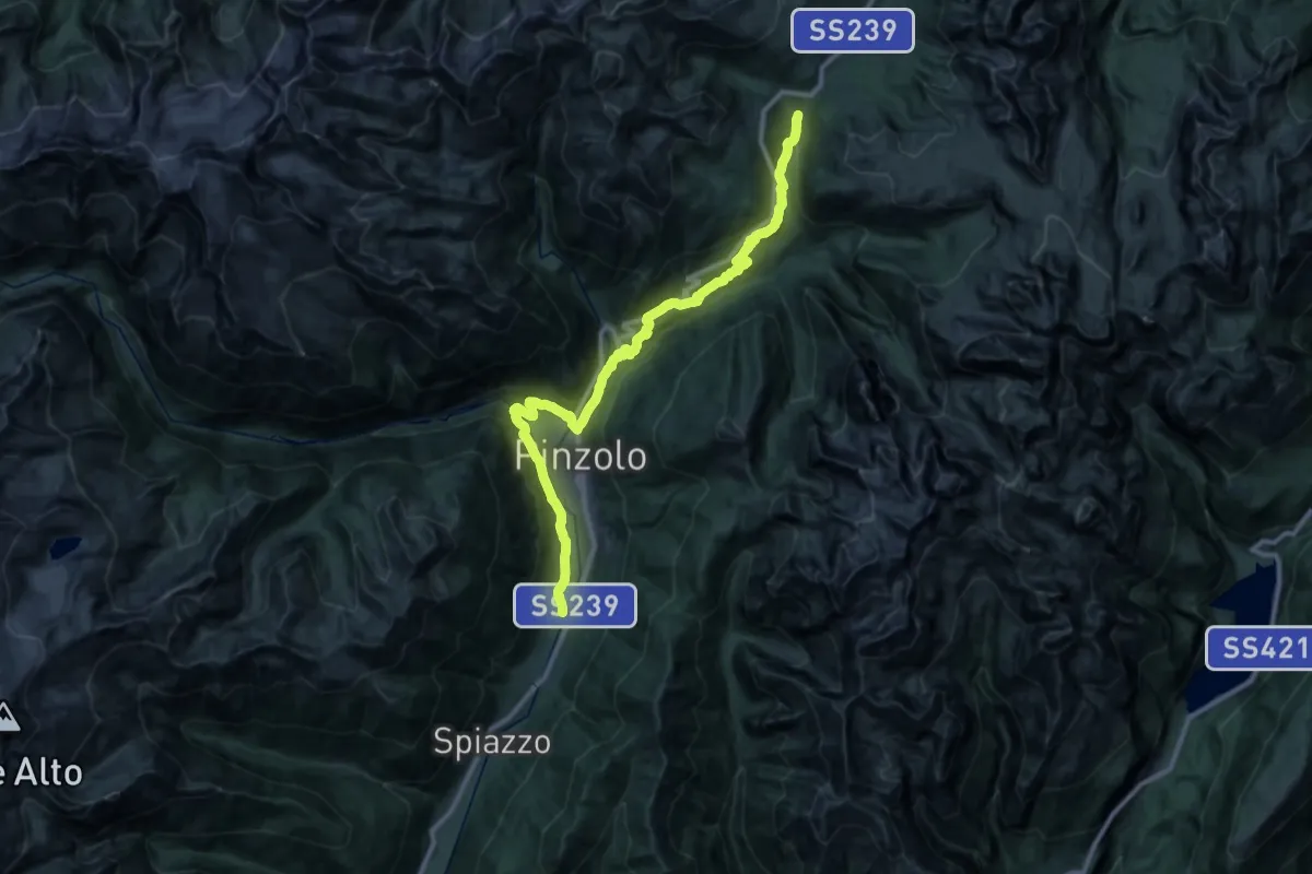
Demanding · Trail
Sentiero San Vili basso - Tappa 6
18.7 km · ↑ 1063 m · 6 h 35 min
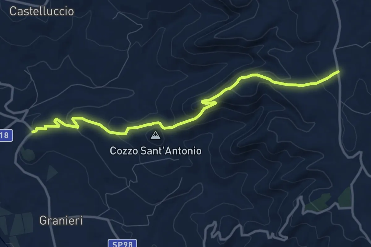
Medium · Trail
Sentiero Sarculla - Granieri
10.8 km · ↑ 383 m · 3 h 22 min
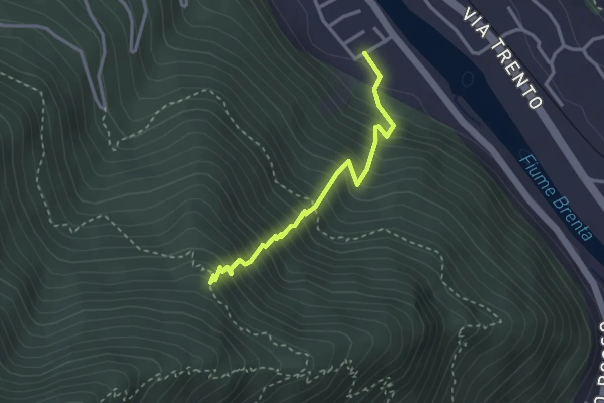
Medium · Trail
Sentiero Sbarramento
2.5 km · ↑ 517 m · 1 h 43 min
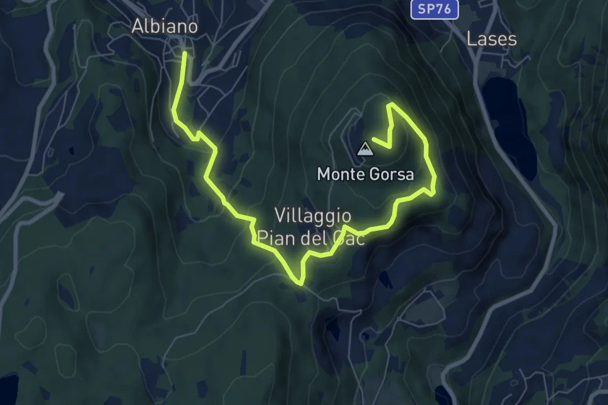
Medium · Summit
Sentiero schivabrighe per Fornas
8.4 km · ↑ 446 m · 2 h 57 min
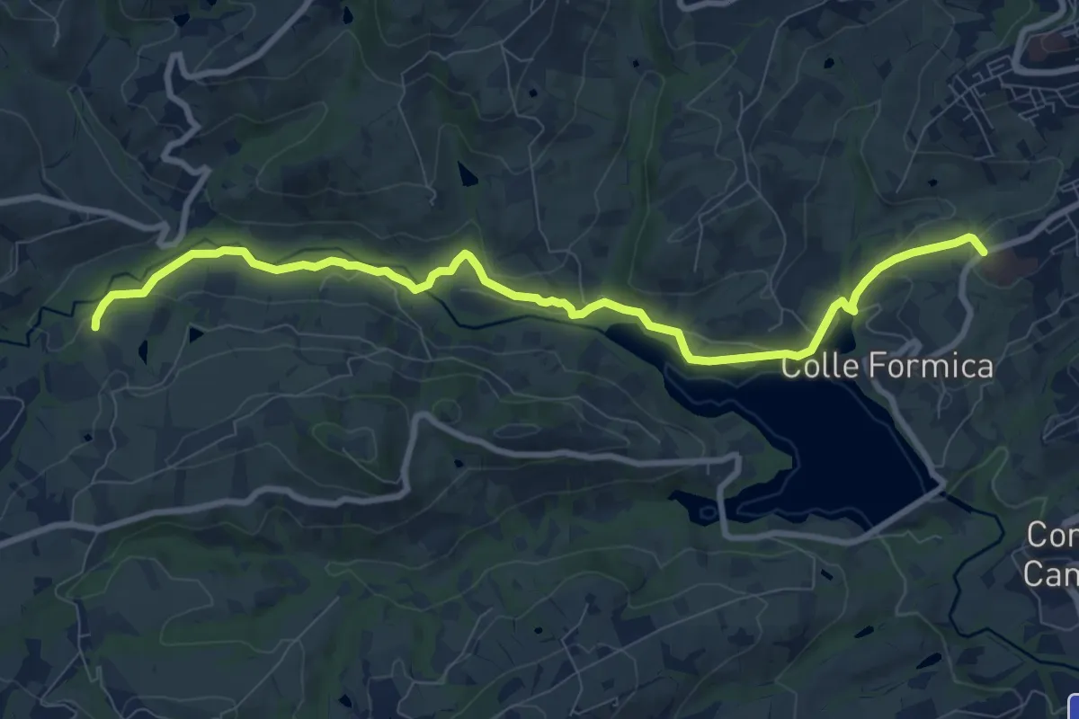
Medium · Trail
Sentiero Serafino Razzi
10.6 km · ↑ 198 m · 2 h 55 min
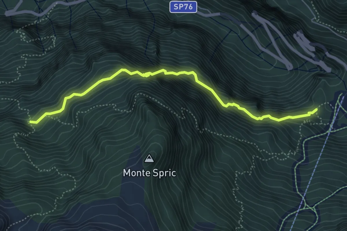
Expert · Cabin
Sentiero Sereno
5.3 km · ↑ 747 m · 2 h 52 min
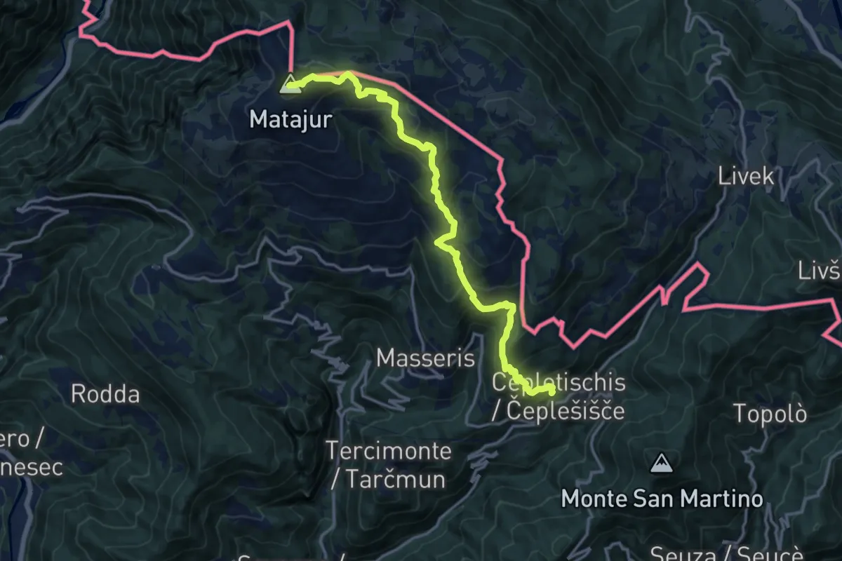
Demanding · Summit
Sentiero "Sergio Muzzolini"
14.3 km · ↑ 1060 m · 5 h 41 min
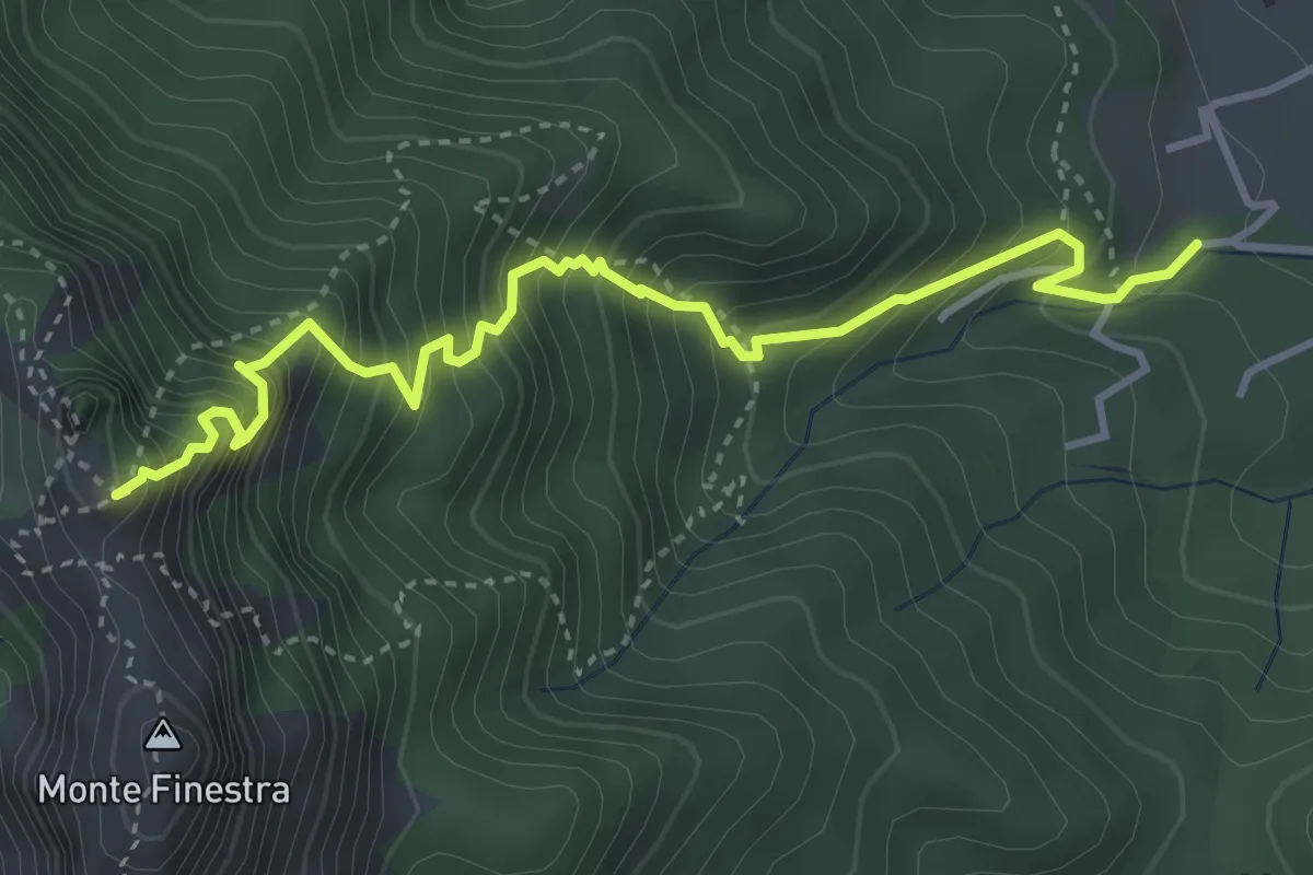
Medium · Summit
Sentiero Sergio Rosa
4.7 km · ↑ 741 m · 2 h 42 min
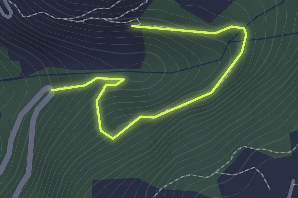
Demanding · Trail
Sentiero Sifone di Herin
2.2 km · ↑ 178 m · 55 min
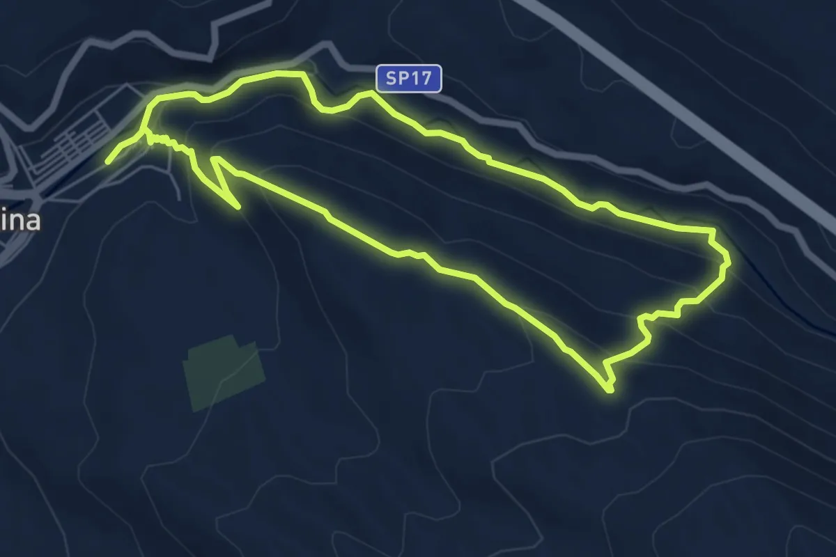
Easy · Trail
Sentiero Silone
5.9 km · ↑ 273 m · 2 h 3 min
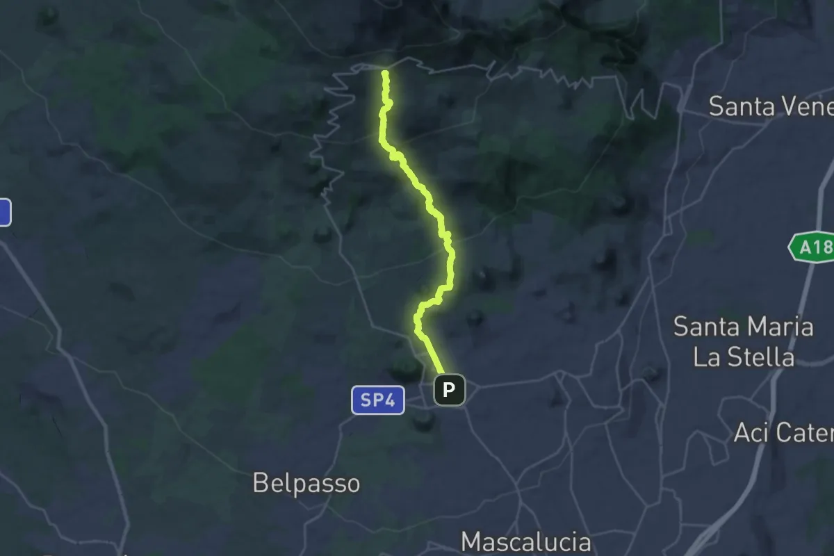
Demanding · Summit
Sentiero Silvestri
25.3 km · ↑ 1224 m · 8 h 37 min
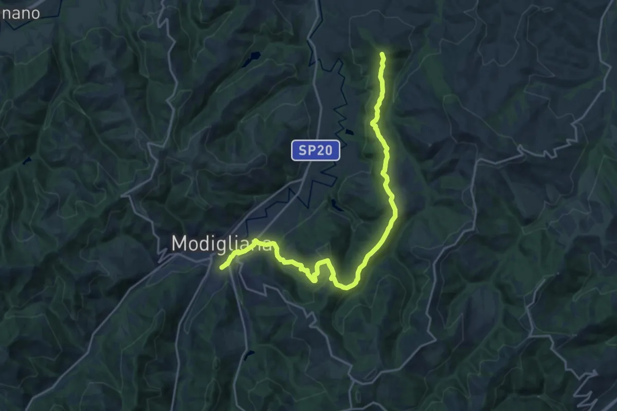
Demanding · Trail
Sentiero Silvestro Lega
20.3 km · ↑ 673 m · 6 h 15 min
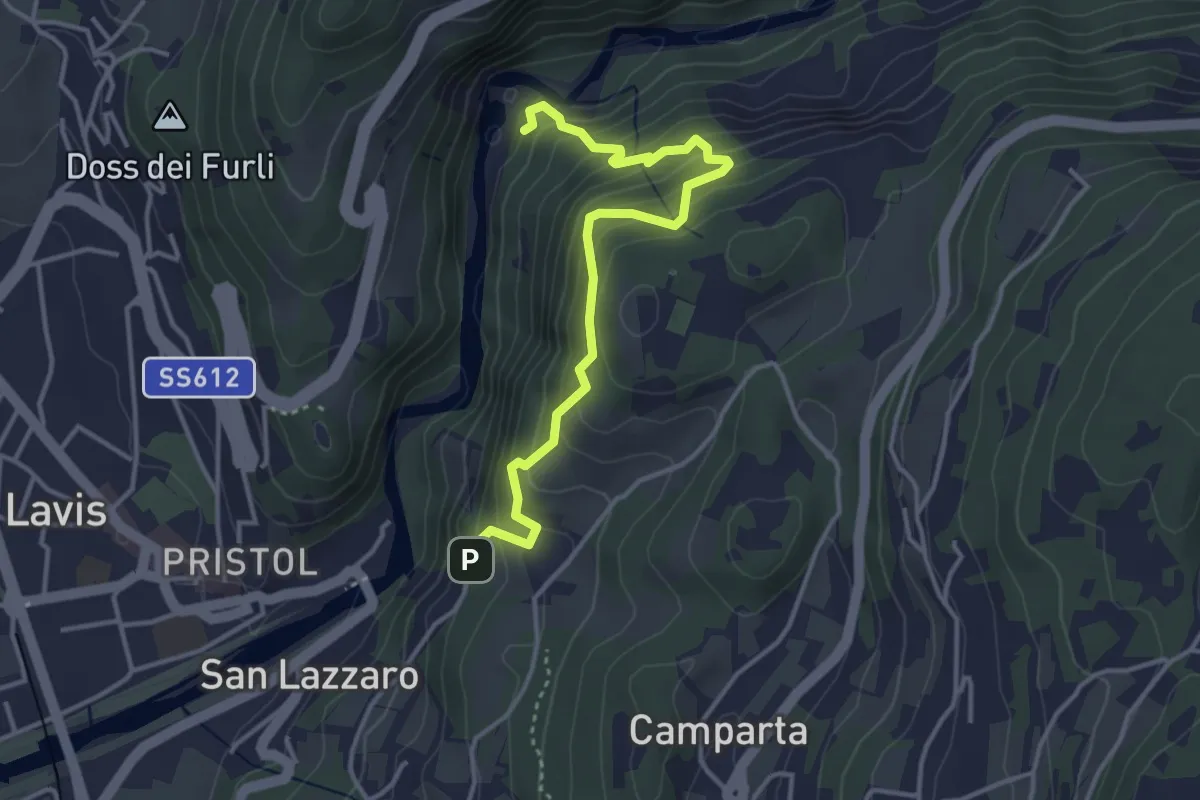
Medium · Trail
Sentiero sinistra Avisio
3.9 km · ↑ 420 m · 1 h 50 min
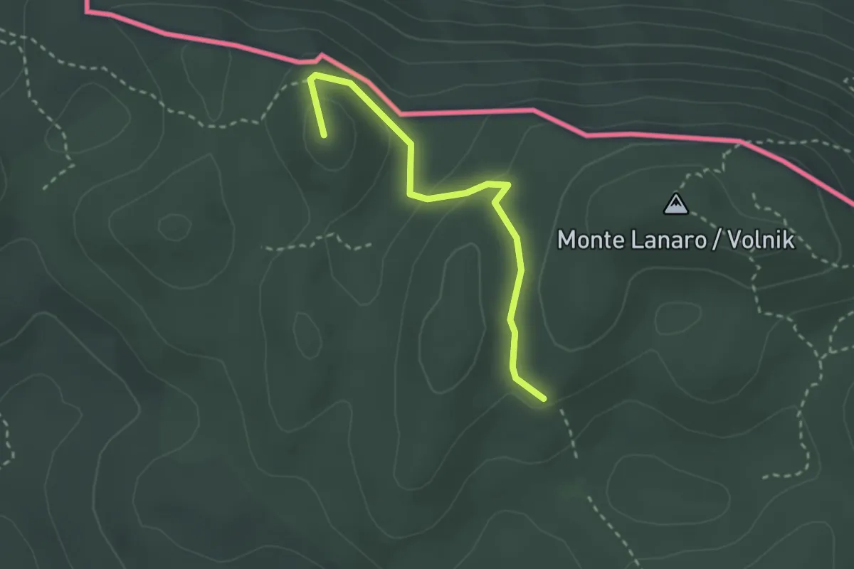
Easy · Summit
sentiero Skabar
2.6 km · ↑ 61 m · 44 min
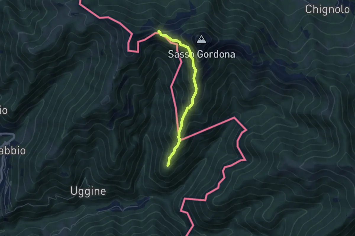
Medium · Cabin
Sentiero Smeraldo
4.6 km · ↑ 415 m · 2 h
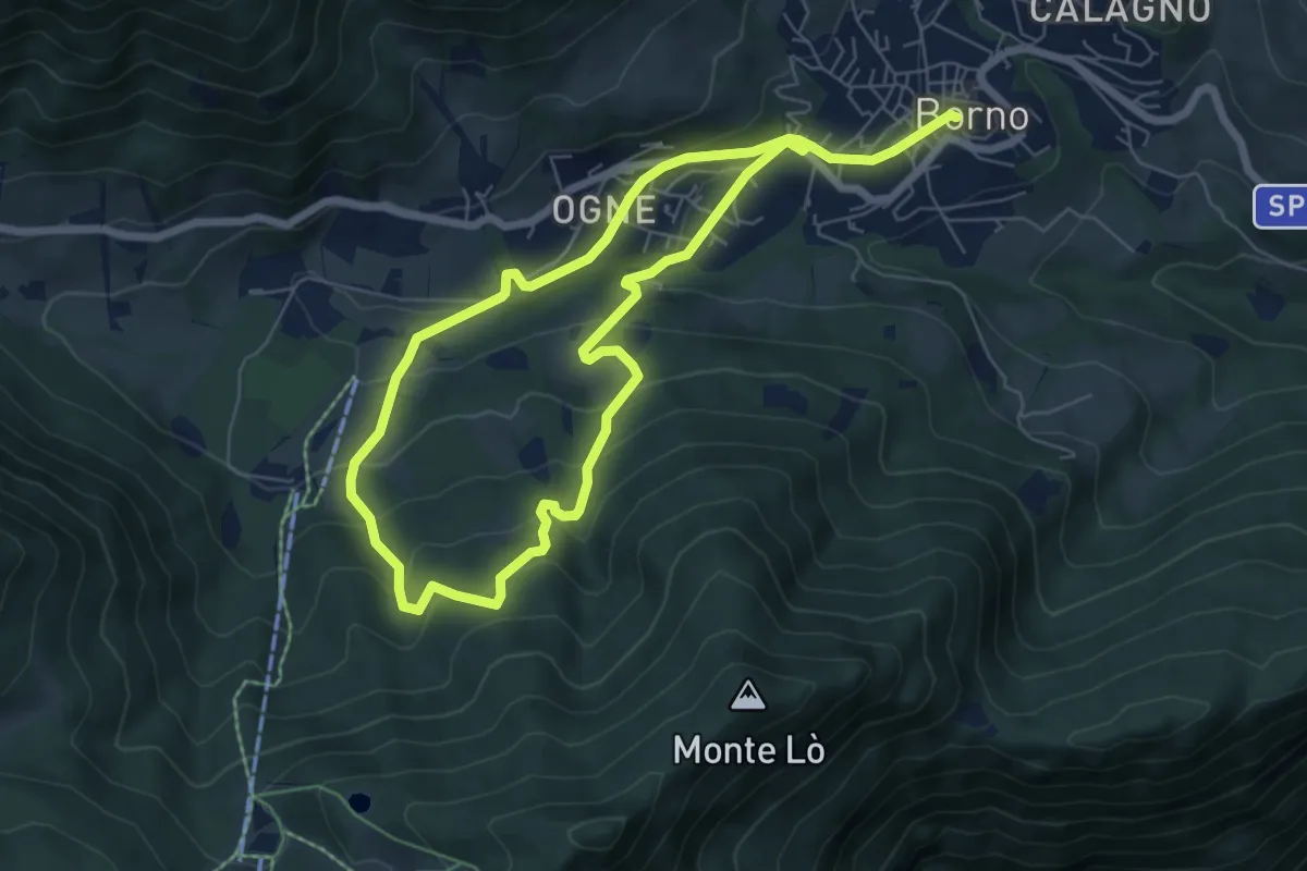
Easy · Trail
Sentiero sogno Presolana
5.8 km · ↑ 316 m · 2 h 8 min
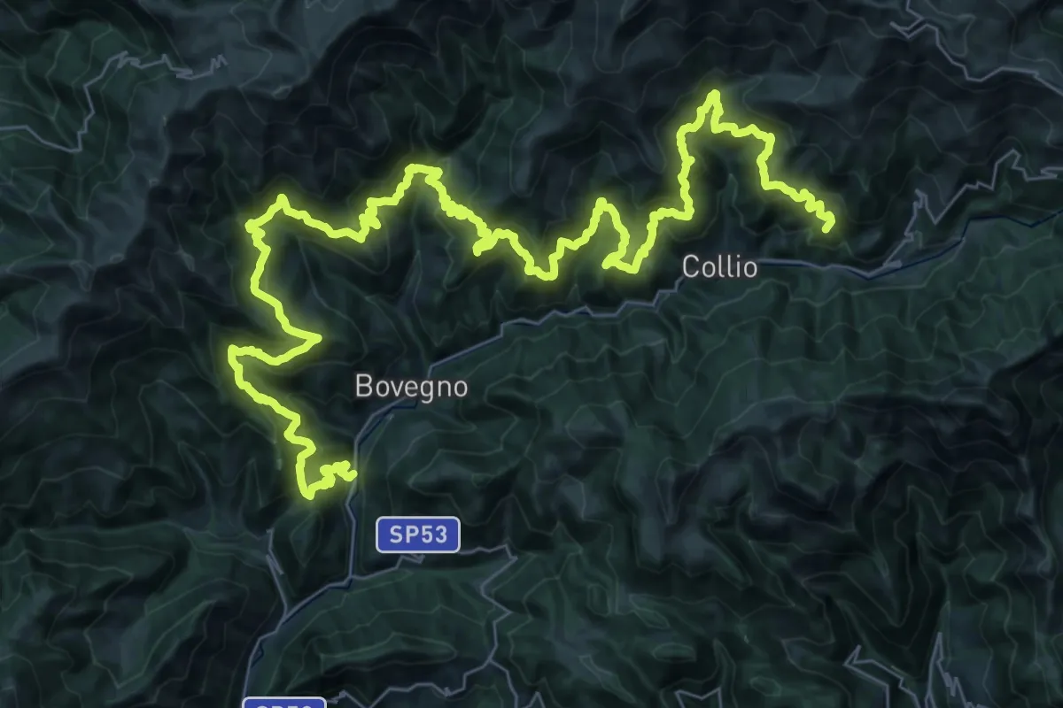
Demanding · Summit
Sentiero Solivo Alta Valle Trompia
59.2 km · ↑ 4432 m · 23 h 36 min
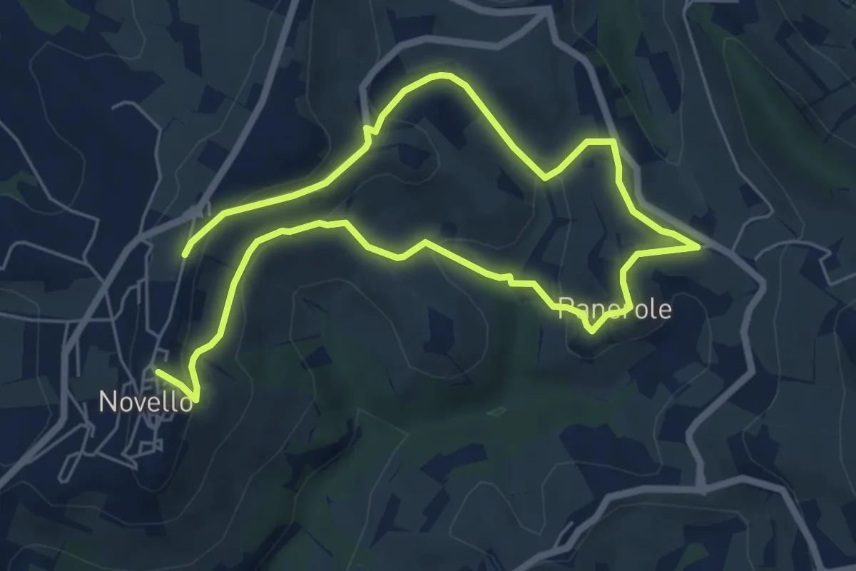
Medium · Trail
Sentiero Sol Levante
9.7 km · ↑ 321 m · 2 h 59 min
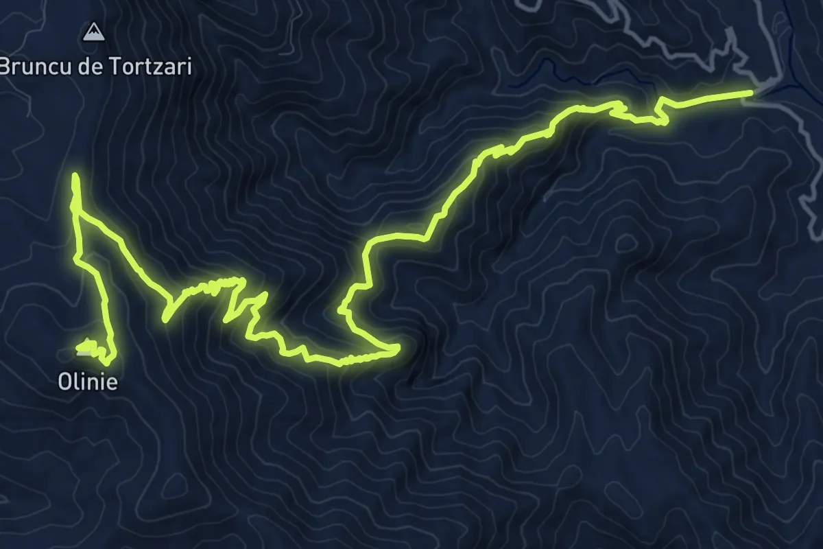
Demanding · Summit
Sentiero Sorberine
23.5 km · ↑ 1666 m · 9 h 9 min
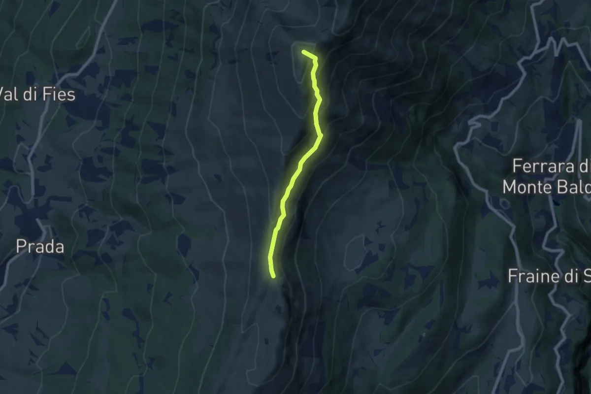
Medium · Summit
Sentiero Sorgente
5.5 km · ↑ 426 m · 2 h 14 min
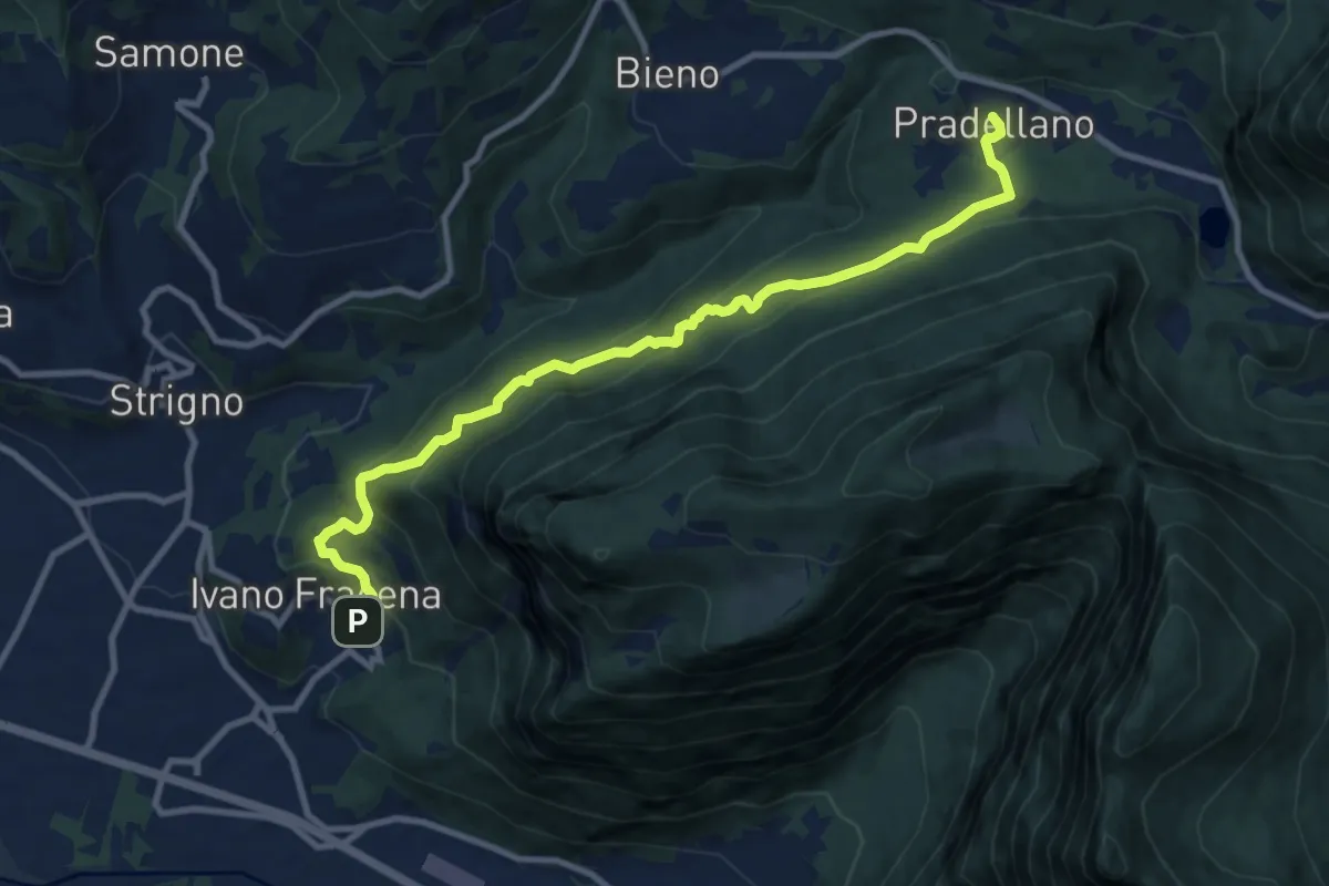
Medium · Trail
Sentiero Sorgente Acqua schiava
10.7 km · ↑ 612 m · 3 h 52 min
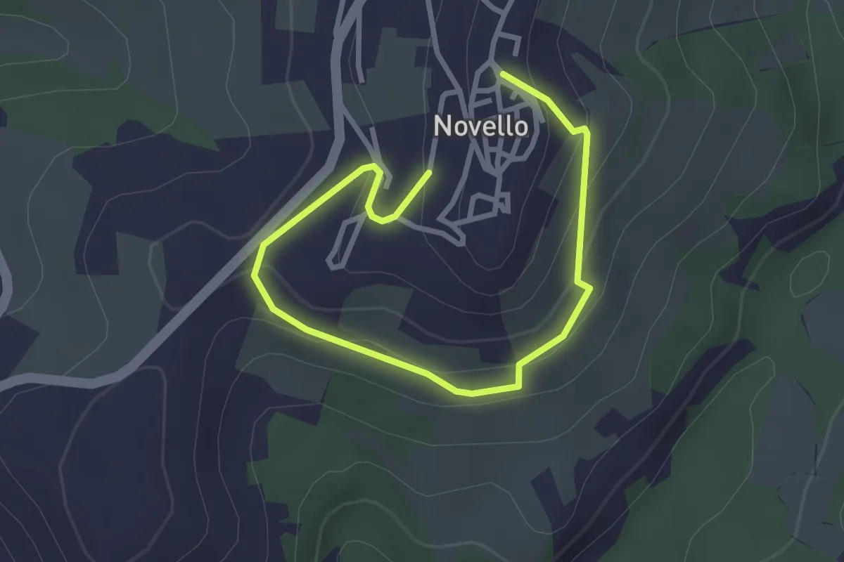
Easy · Trail
Sentiero Sotto Castello
3.7 km · ↑ 165 m · 1 h 14 min
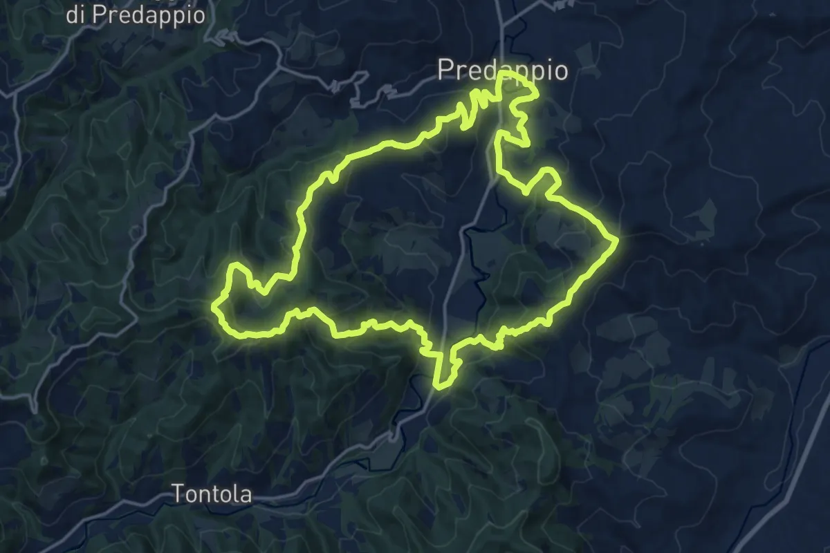
Demanding · Trail
Sentiero Speranza
18.9 km · ↑ 830 m · 6 h 32 min
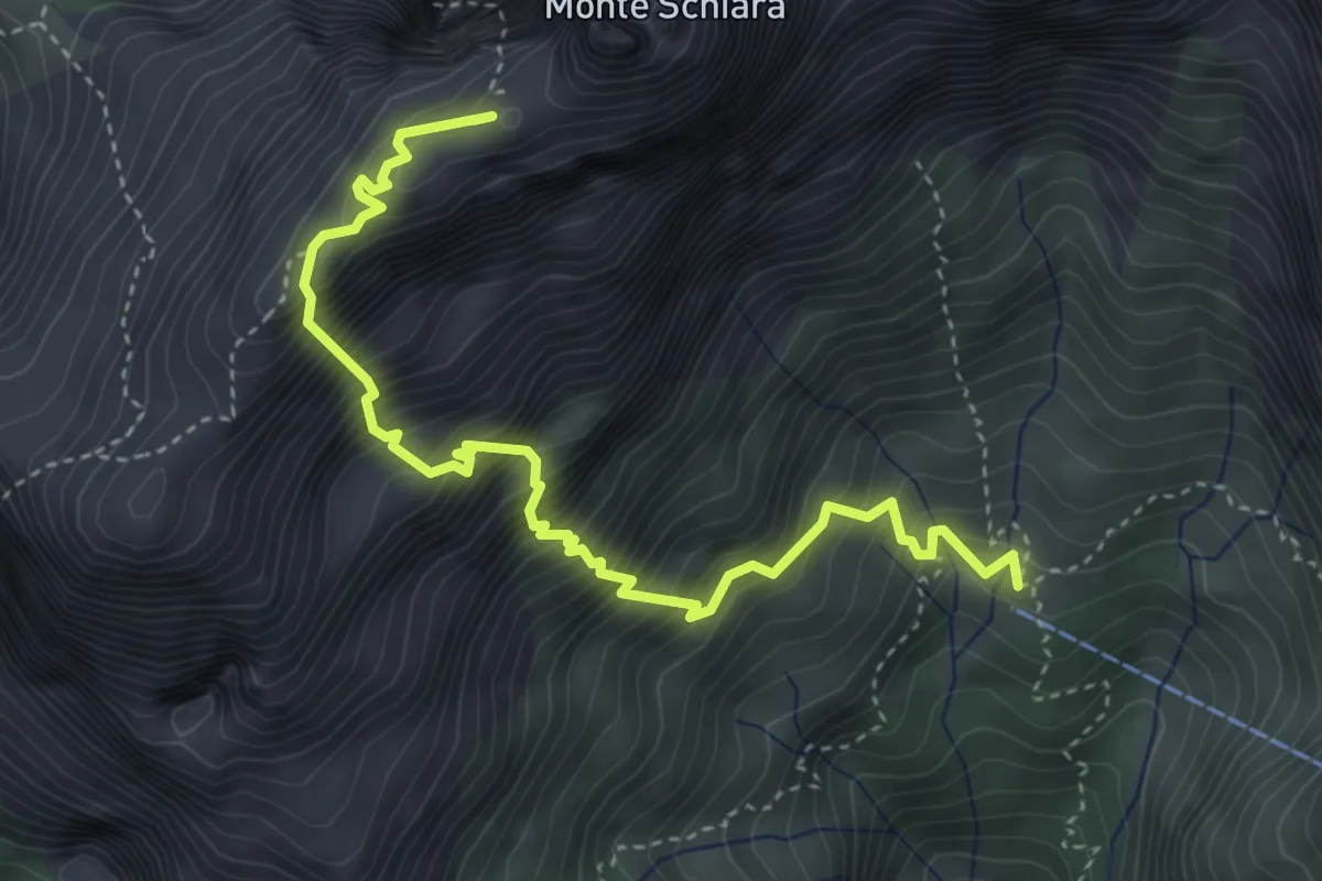
Demanding · Summit
Sentiero Sperti
4.6 km · ↑ 1029 m · 3 h 19 min
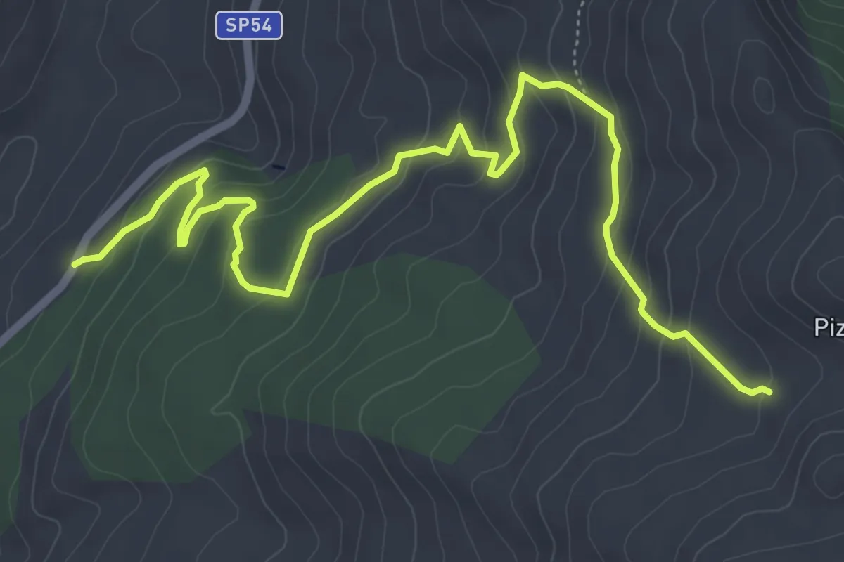
Medium · Trail
Sentiero Stagno Gorgonero – Piano Catarineci
8.0 km · ↑ 386 m · 2 h 44 min
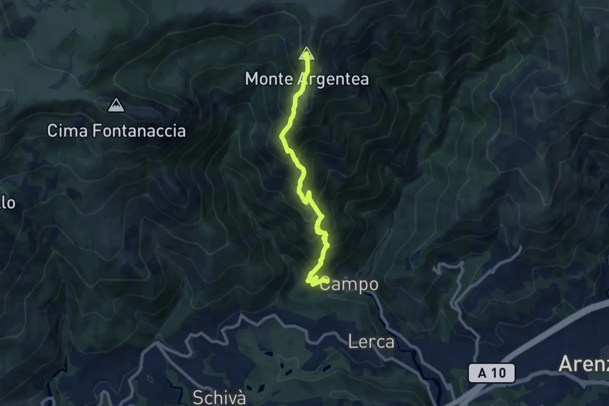
Demanding · Summit
Sentiero Stella Bianca (Case Soprane - Monte Argentea)
7.8 km · ↑ 965 m · 3 h 55 min
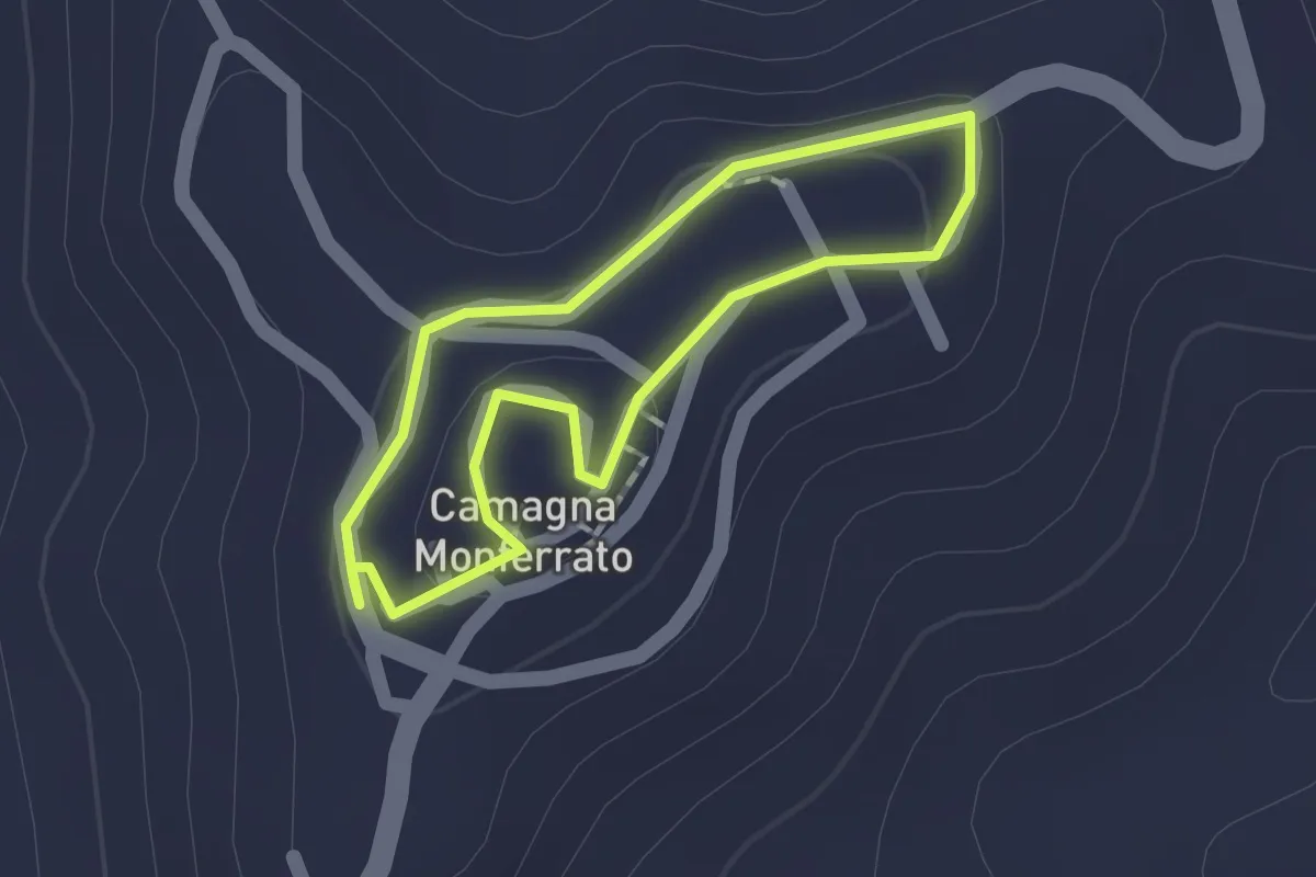
Easy · Trail
Sentiero Storico
1.2 km · ↑ 22 m · 21 min
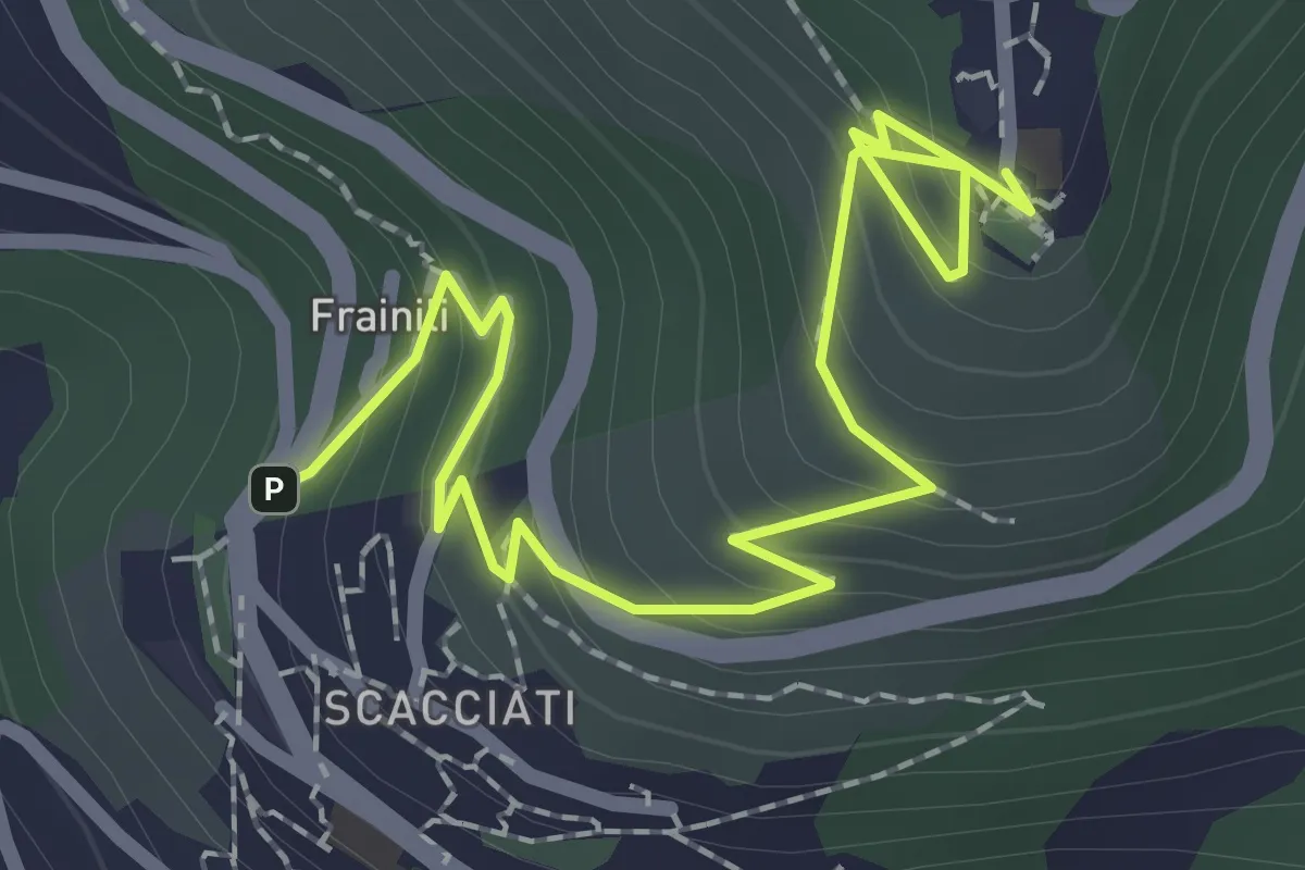
Medium · Trail
Sentiero Storico Formale - La Costa
3.0 km · ↑ 216 m · 1 h 11 min
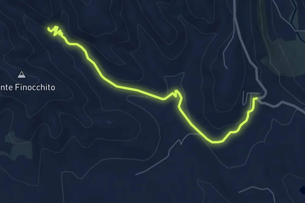
Easy · Trail
Sentiero storico Monte Finocchito
7.1 km · ↑ 198 m · 2 h 7 min
Medium · Trail
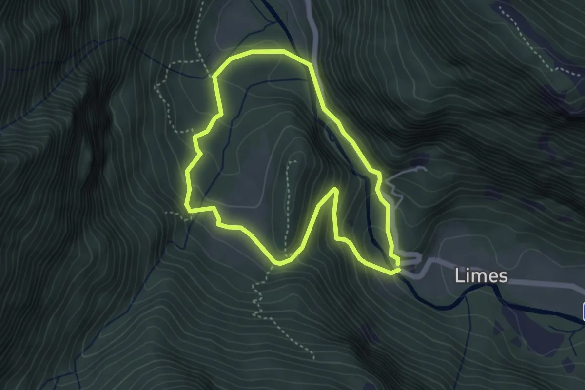
Sentiero Storico Naturalistico di Pracul
3.5 km · ↑ 205 m · 1 h 20 min
Medium · Trail
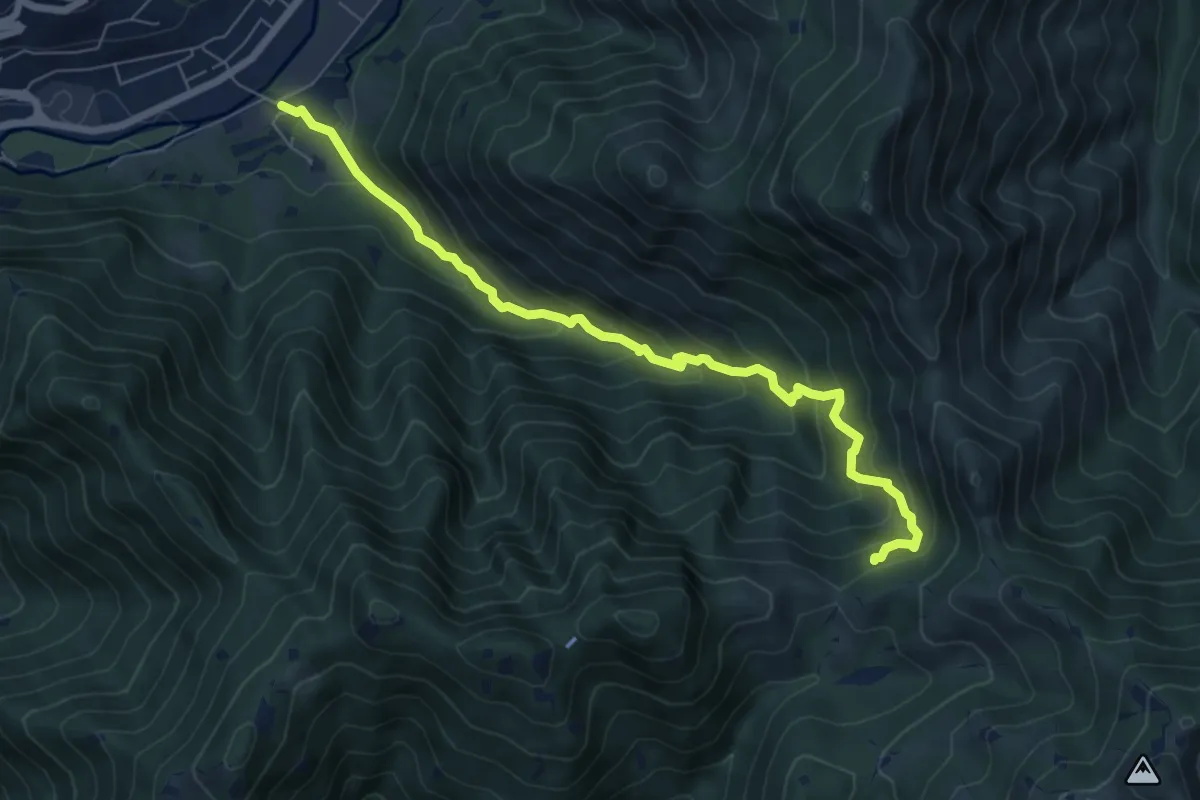
Sentiero storico naturalistico Valle di Vandeno
7.2 km · ↑ 684 m · 3 h 11 min
Easy · Trail
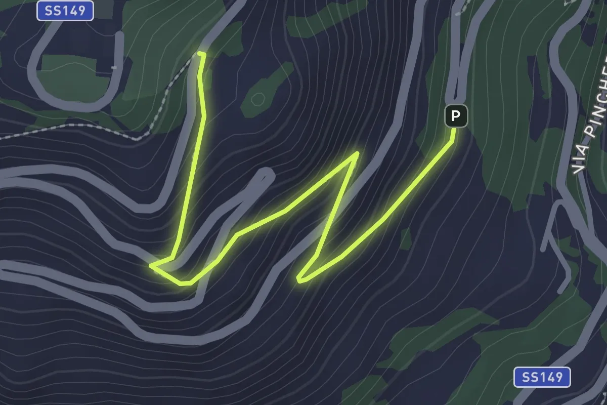
Sentiero storico per Montecassino
3.1 km · ↑ 239 m · 1 h 16 min
Demanding · Trail
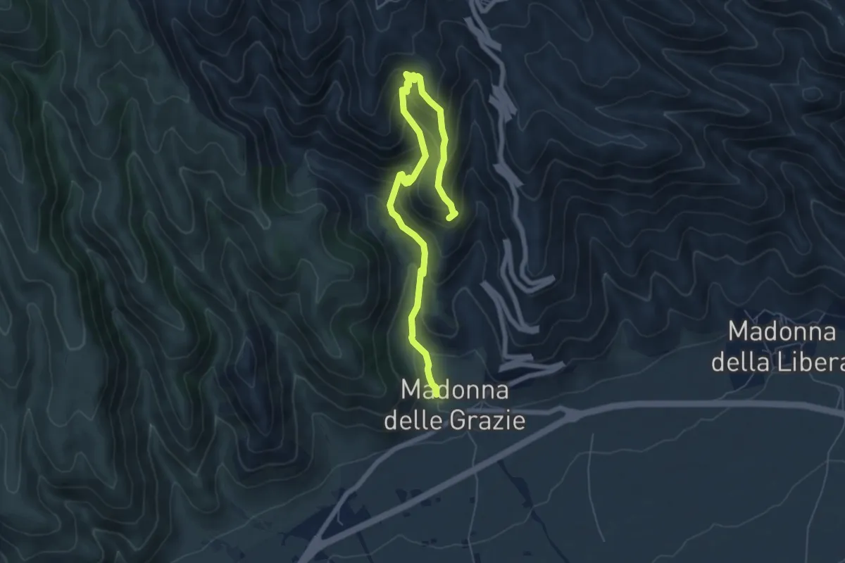
Sentiero storico Scannamogliera - Scala Santa
7.8 km · ↑ 656 m · 3 h 16 min
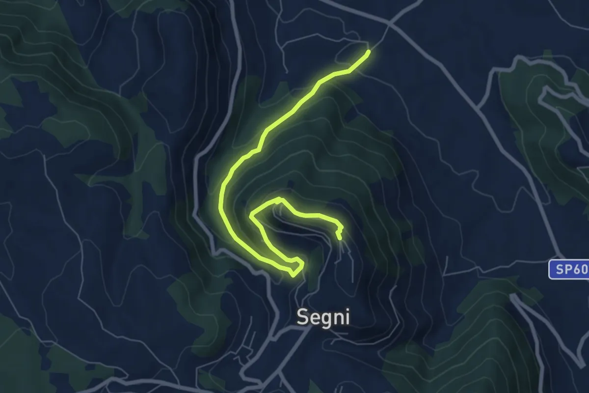
Medium · Trail
Sentiero Storico via della Mola
8.0 km · ↑ 422 m · 2 h 49 min
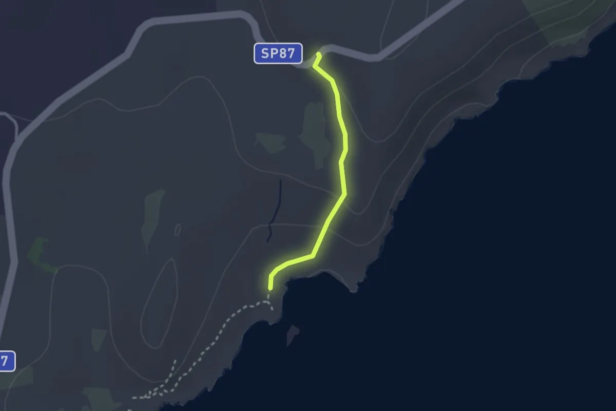
Easy · Trail
Sentiero Storlacina
2.2 km · ↑ 64 m · 39 min
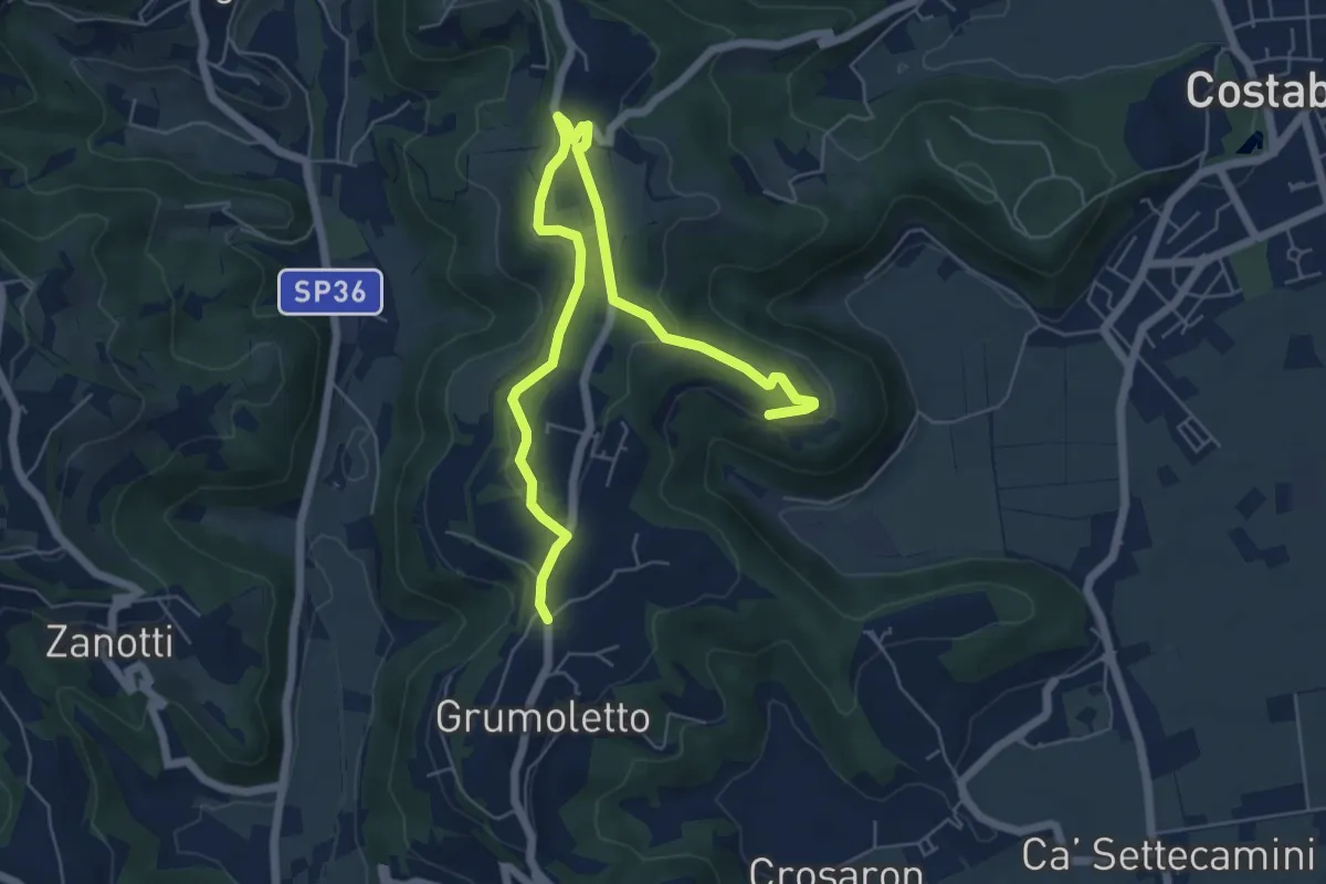
Easy · Trail
Sentiero Strada False
7.5 km · ↑ 173 m · 2 h 9 min
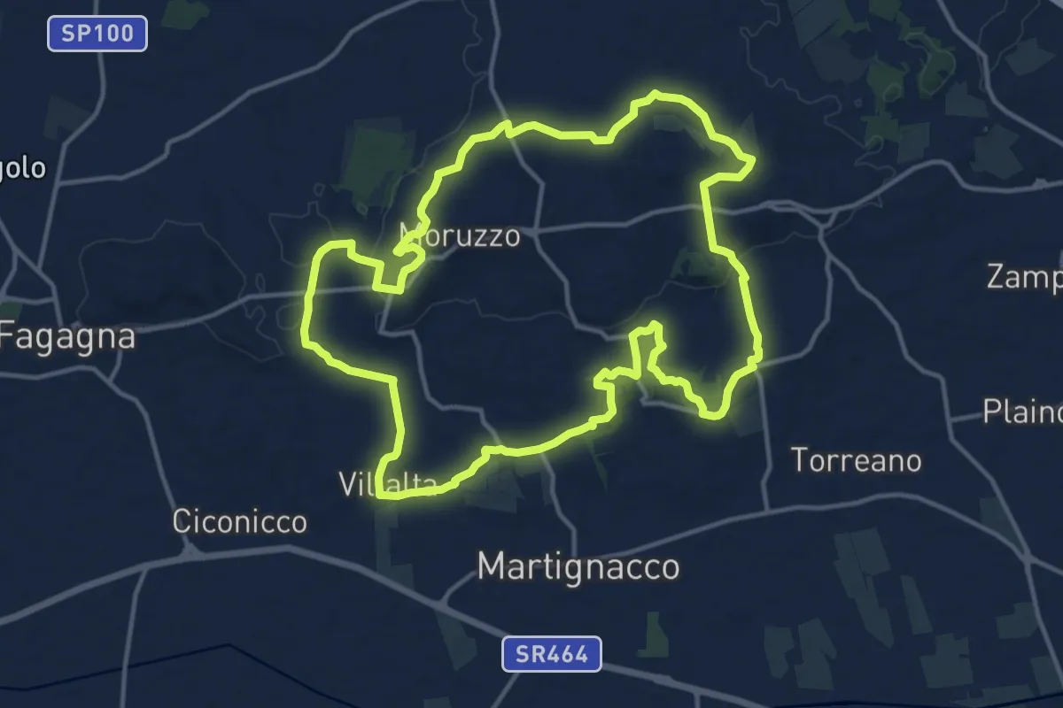
Medium · Trail
Sentiero Stringher Tacoli
14.6 km · ↑ 198 m · 4 h 5 min
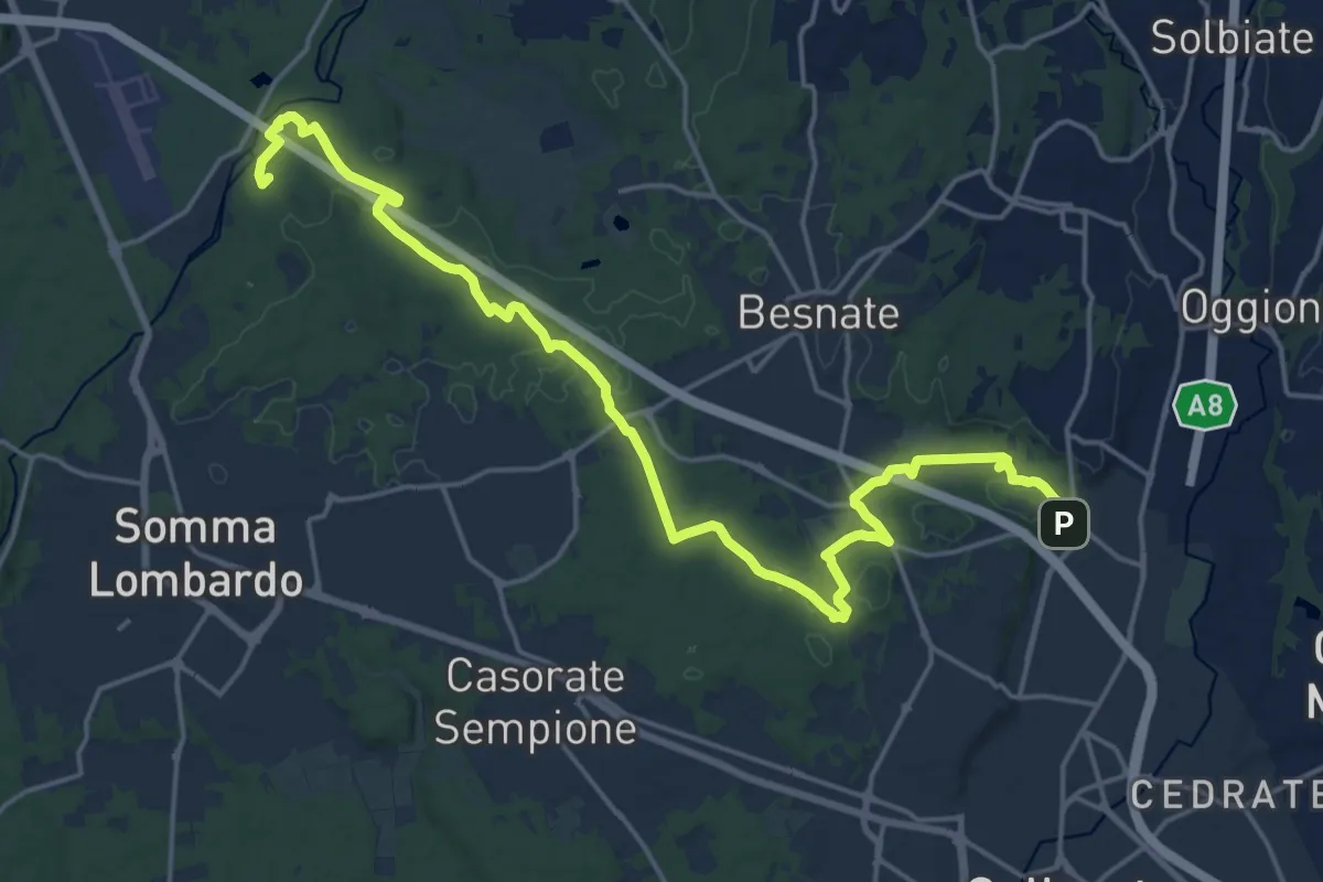
Demanding · Summit
Sentiero Strona
22.8 km · ↑ 292 m · 6 h
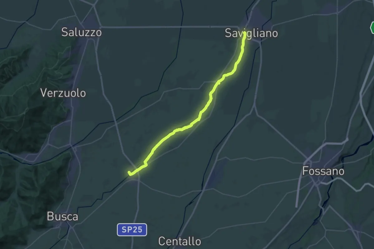
Demanding · Trail
Sentiero sul Maira - Argine Destro
32.1 km · ↑ 114 m · 7 h 50 min
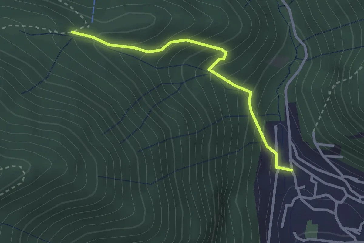
Easy · Trail
Sentiero Tamon - variante per Capanna Mara
2.5 km · ↑ 283 m · 1 h 13 min
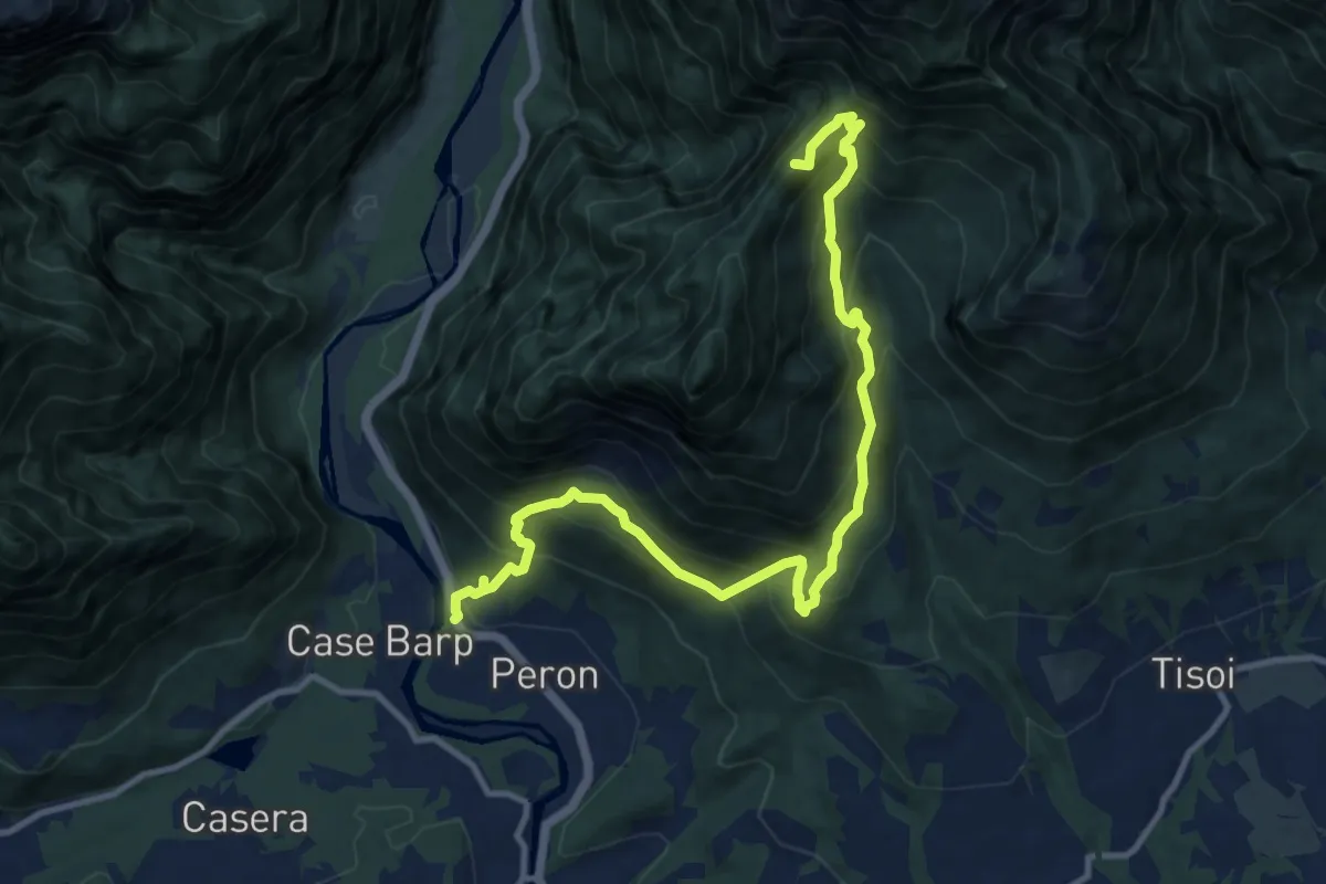
Demanding · Summit
Sentiero tematico delle chiesette pedemontane
12.8 km · ↑ 1120 m · 5 h 27 min