Trails in Italy
25,219 hiking trails, each with its route, climb, walking time and grade.
All trails, page 192 of 526
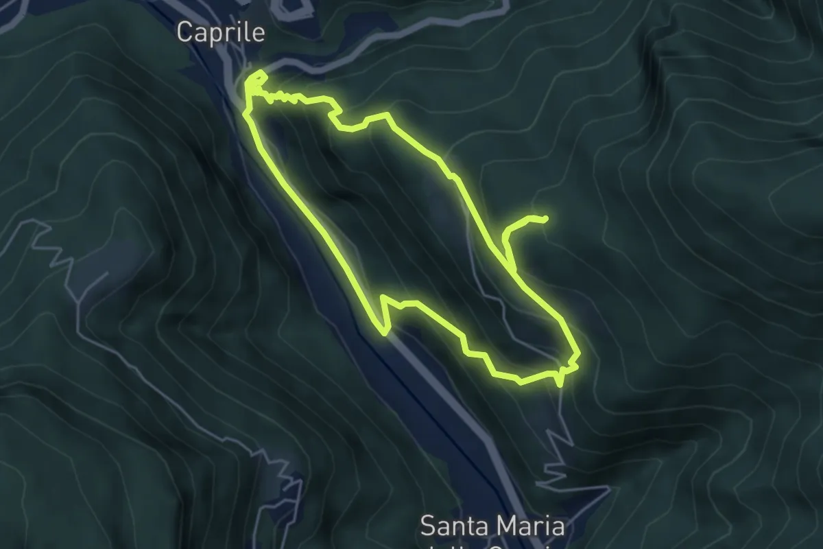
Medium · Trail
Sentiero Tematico Giosuè Carducci
4.7 km · ↑ 396 m · 2 h 2 min
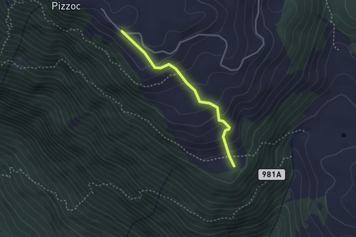
Easy · Summit
Sentiero Tenente Berry
2.6 km · ↑ 224 m · 1 h 7 min
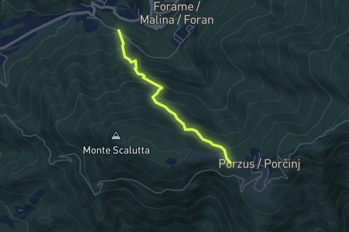
Medium · Trail
Sentiero Teresa Dush
3.8 km · ↑ 414 m · 1 h 47 min
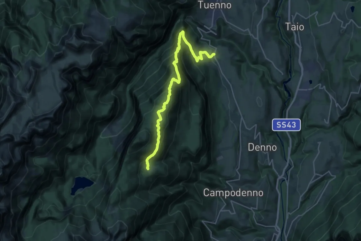
Demanding · Trail
Sentiero Terres
20.3 km · ↑ 1360 m · 7 h 45 min
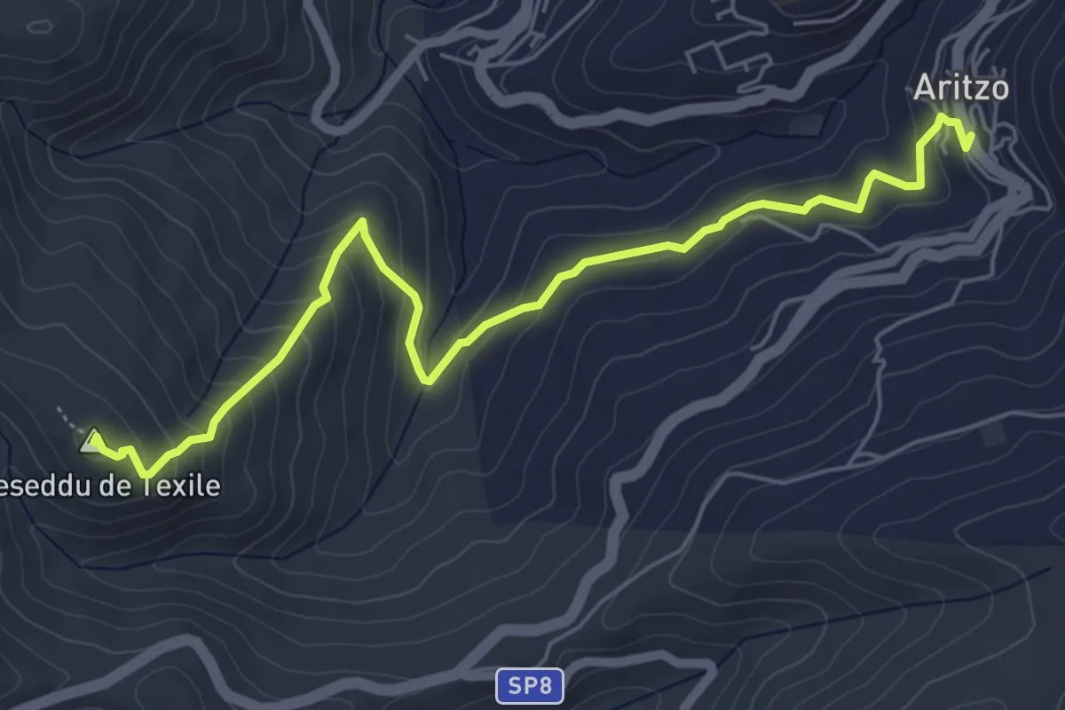
Medium · Summit
Sentiero Texile
7.1 km · ↑ 382 m · 2 h 30 min
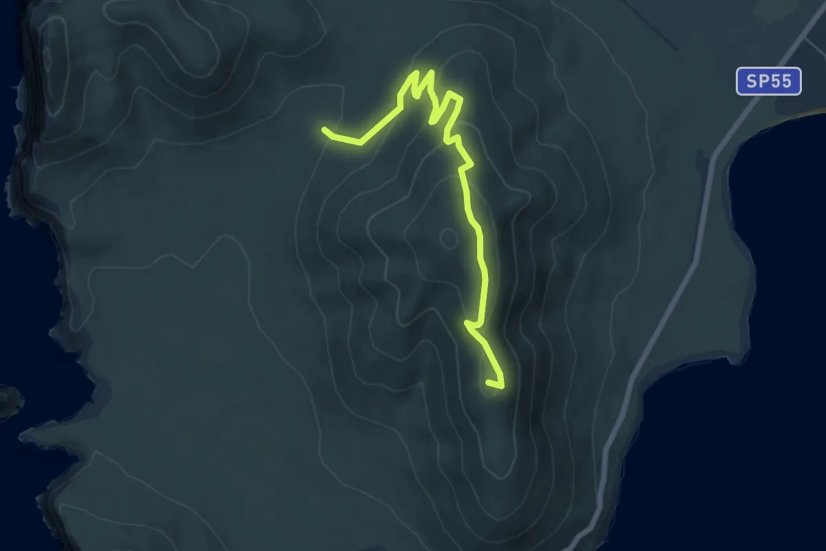
Easy · Summit
sentiero timidone rosso
6.9 km · ↑ 294 m · 2 h 16 min
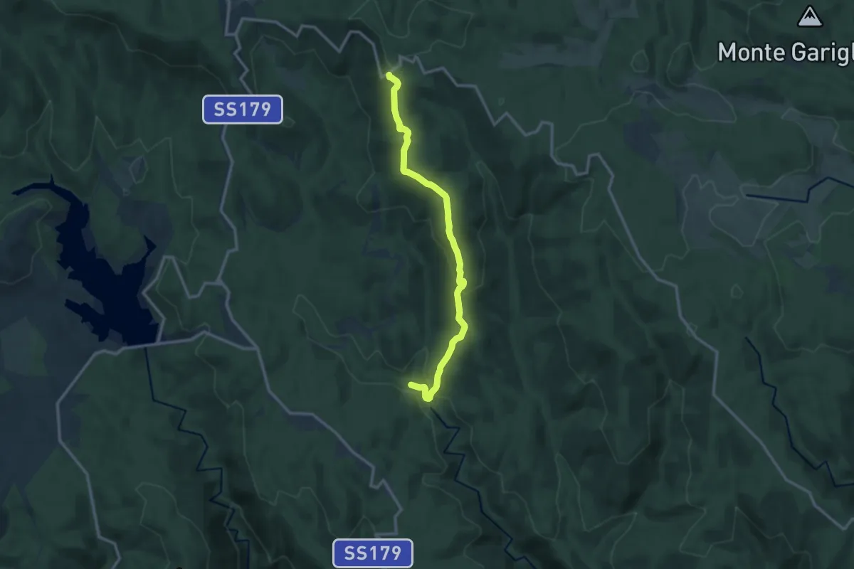
Medium · Trail
Sentiero Timpone Morello
12.7 km · ↑ 495 m · 4 h 4 min
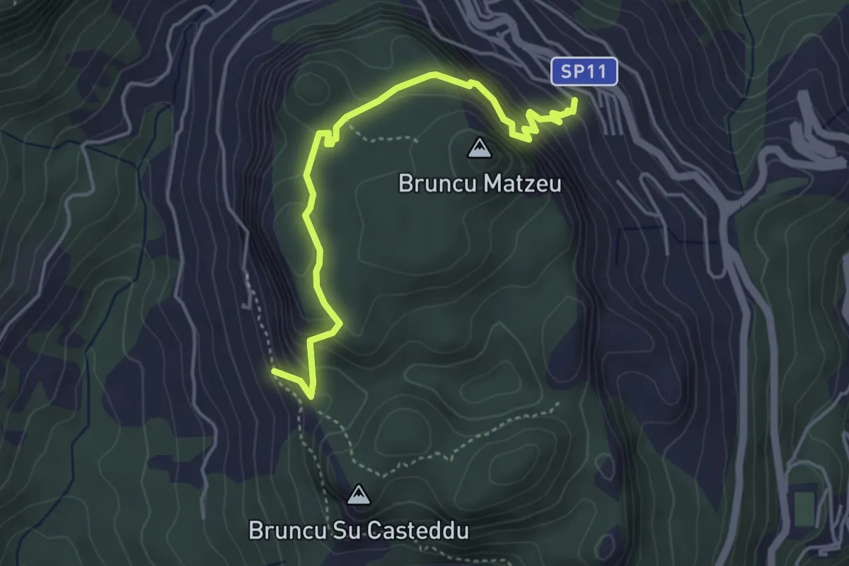
Easy · Summit
Sentiero Tisiddu
2.4 km · ↑ 183 m · 1 h 1 min
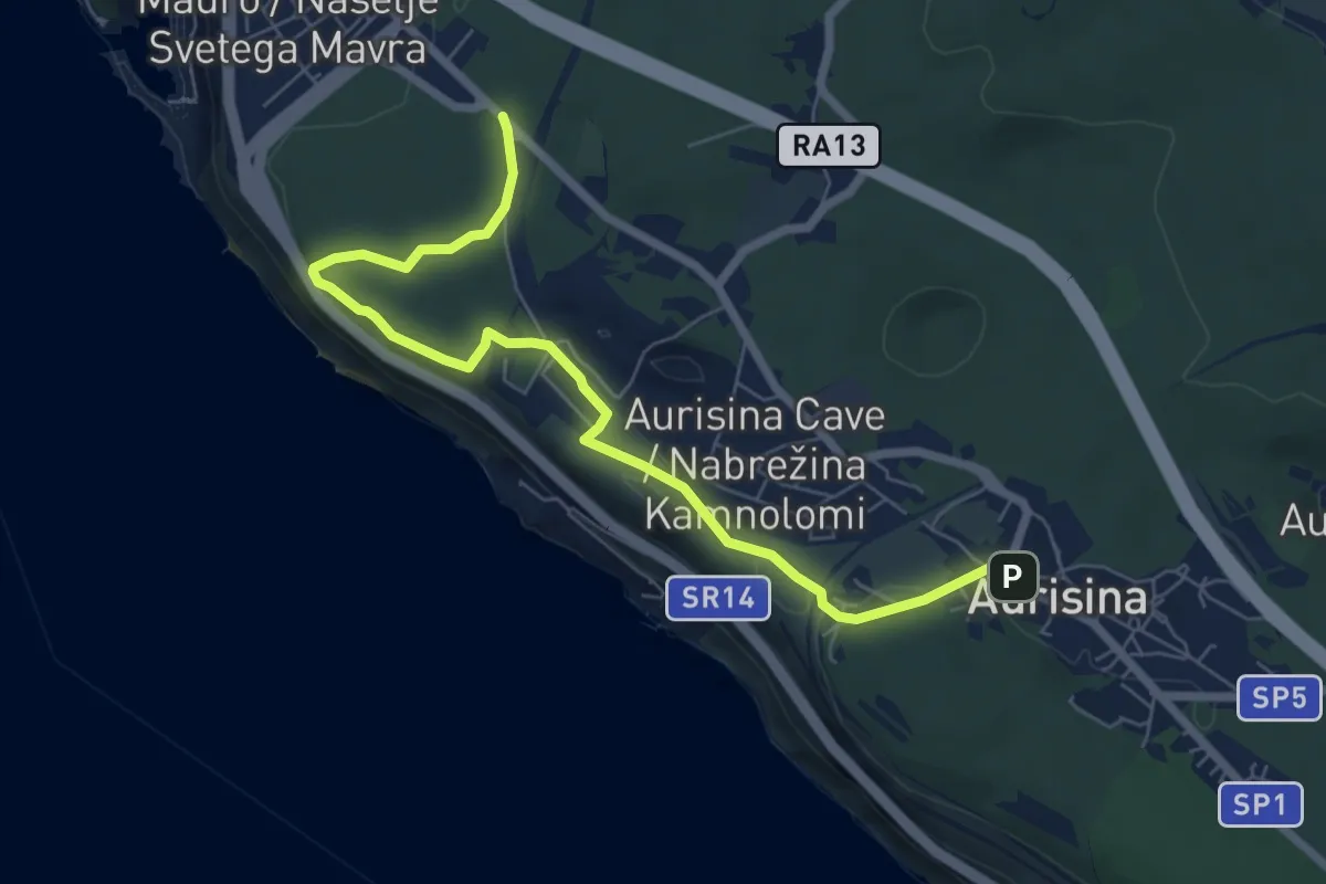
Easy · Trail
Sentiero Tiziana Weiss
7.4 km · ↑ 103 m · 1 h 58 min
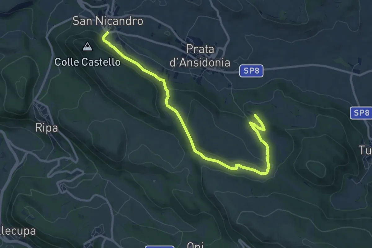
Medium · Trail
Sentiero Tommaso Fasciani
10.1 km · ↑ 176 m · 2 h 47 min
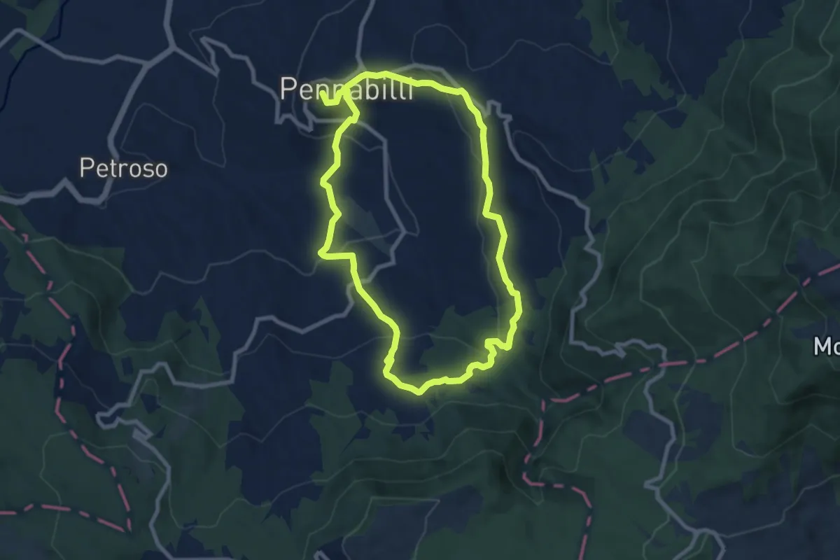
Easy · Trail
Sentiero Tonino Guerra
8.0 km · ↑ 300 m · 2 h 39 min
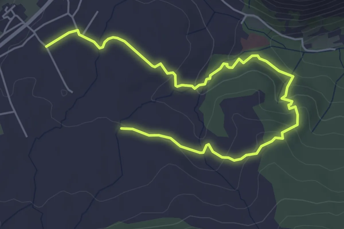
Easy · Trail
Sentiero Torrente Ciummiento
3.7 km · ↑ 107 m · 1 h 9 min
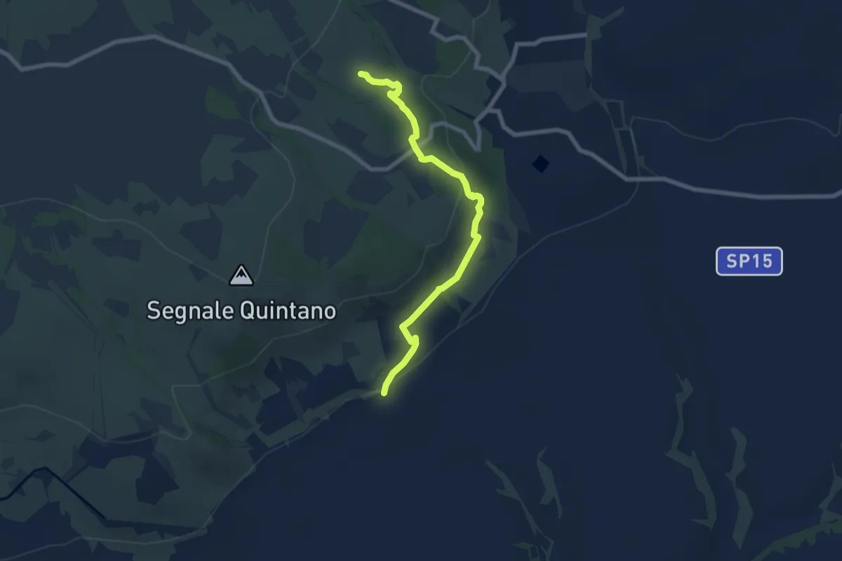
Easy · Trail
Sentiero Torrente Dimenticato
7.5 km · ↑ 201 m · 2 h 12 min
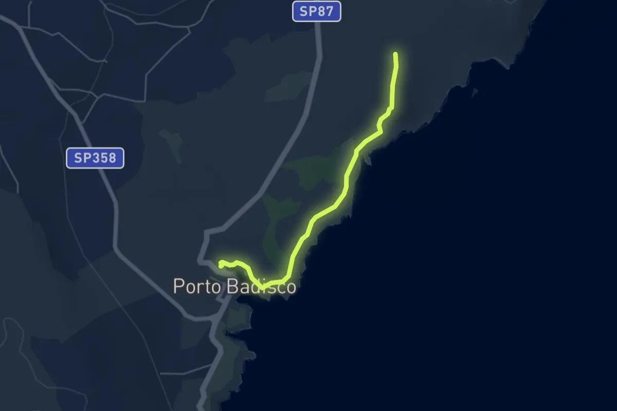
Easy · Trail
Sentiero Torre Sant'Emiliano - P.to Badisco
5.0 km · ↑ 47 m · 1 h 16 min
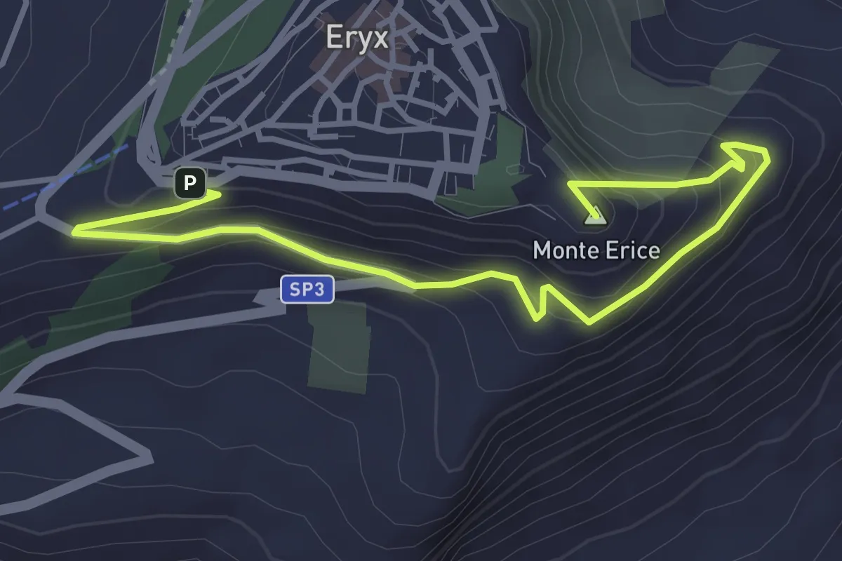
Medium · Summit
Sentiero Torretta Pepoli
4.9 km · ↑ 332 m · 1 h 52 min
Demanding · Summit
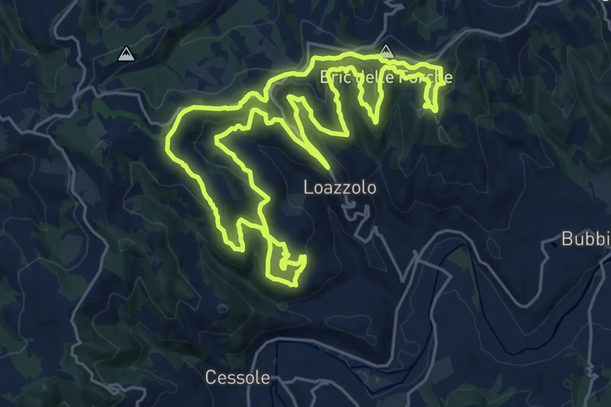
SENTIERO tra BOSCHI e VIGNE del "LOAZZOLO D.O.C."
18.1 km · ↑ 766 m · 6 h 11 min
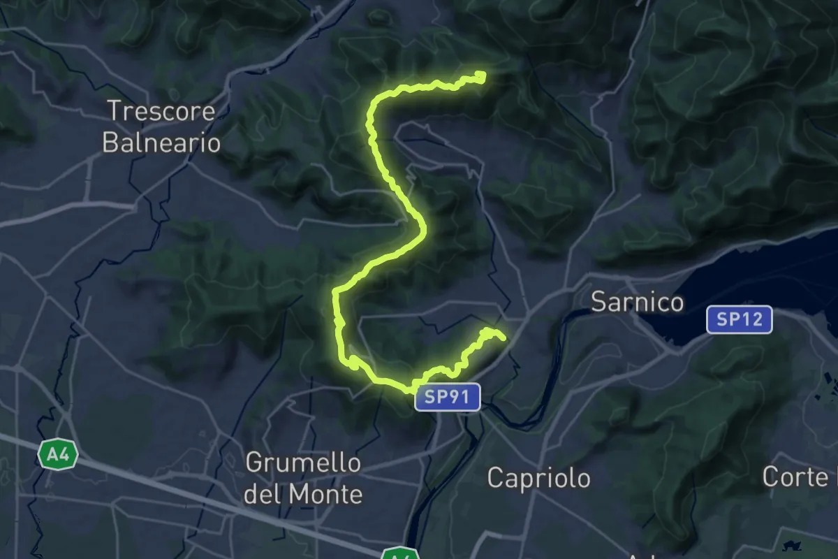
Demanding · Summit
Sentiero tra i monti e il lago - Tappa 1
28.2 km · ↑ 1238 m · 9 h 20 min
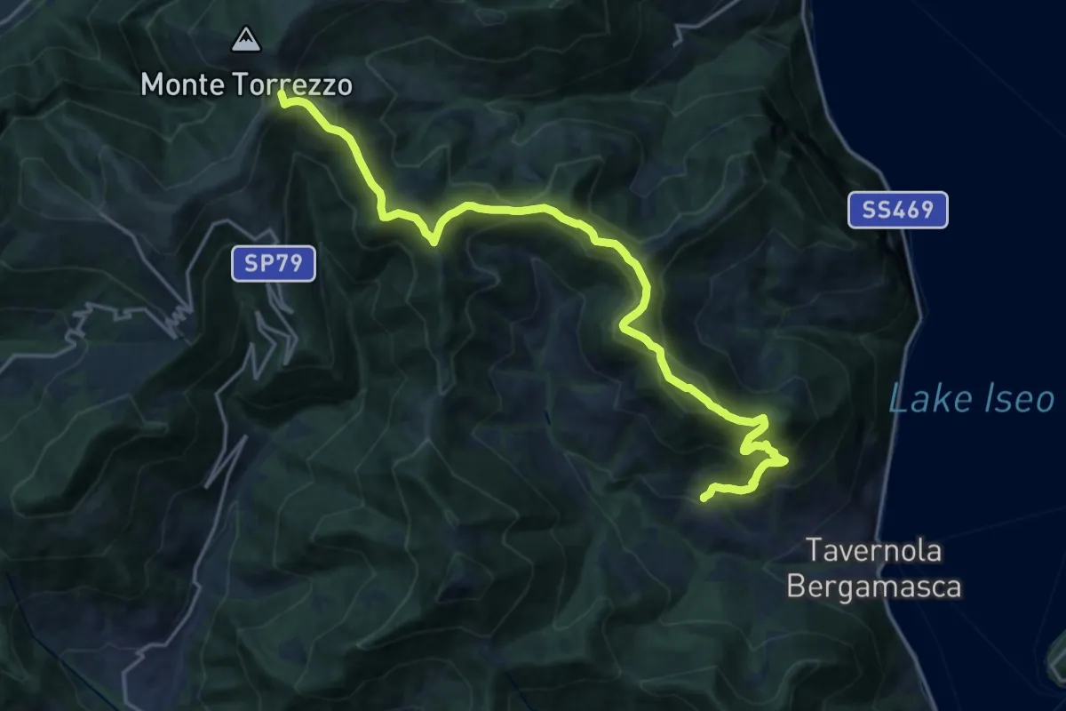
Demanding · Summit
Sentiero tra i monti e il lago - Tappa 2
22.7 km · ↑ 1237 m · 8 h 2 min
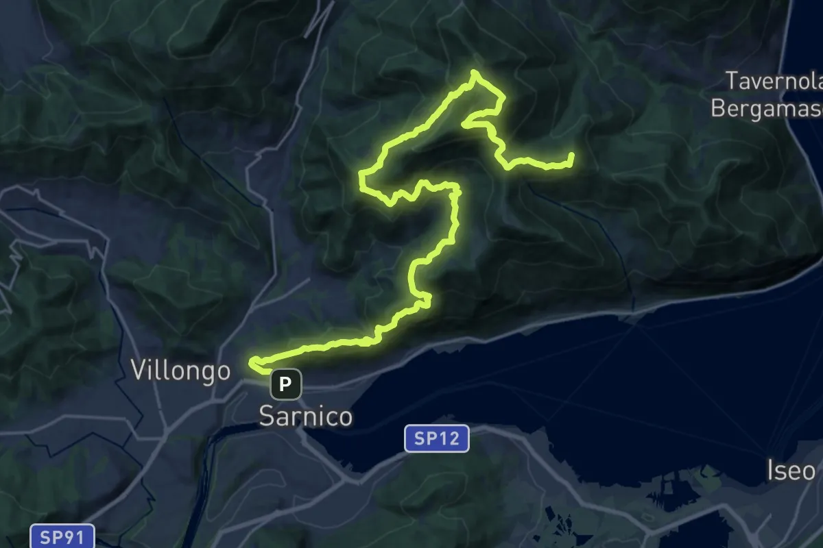
Demanding · Summit
Sentiero tra i monti e il lago - Tappa 3
29.0 km · ↑ 2260 m · 11 h 44 min
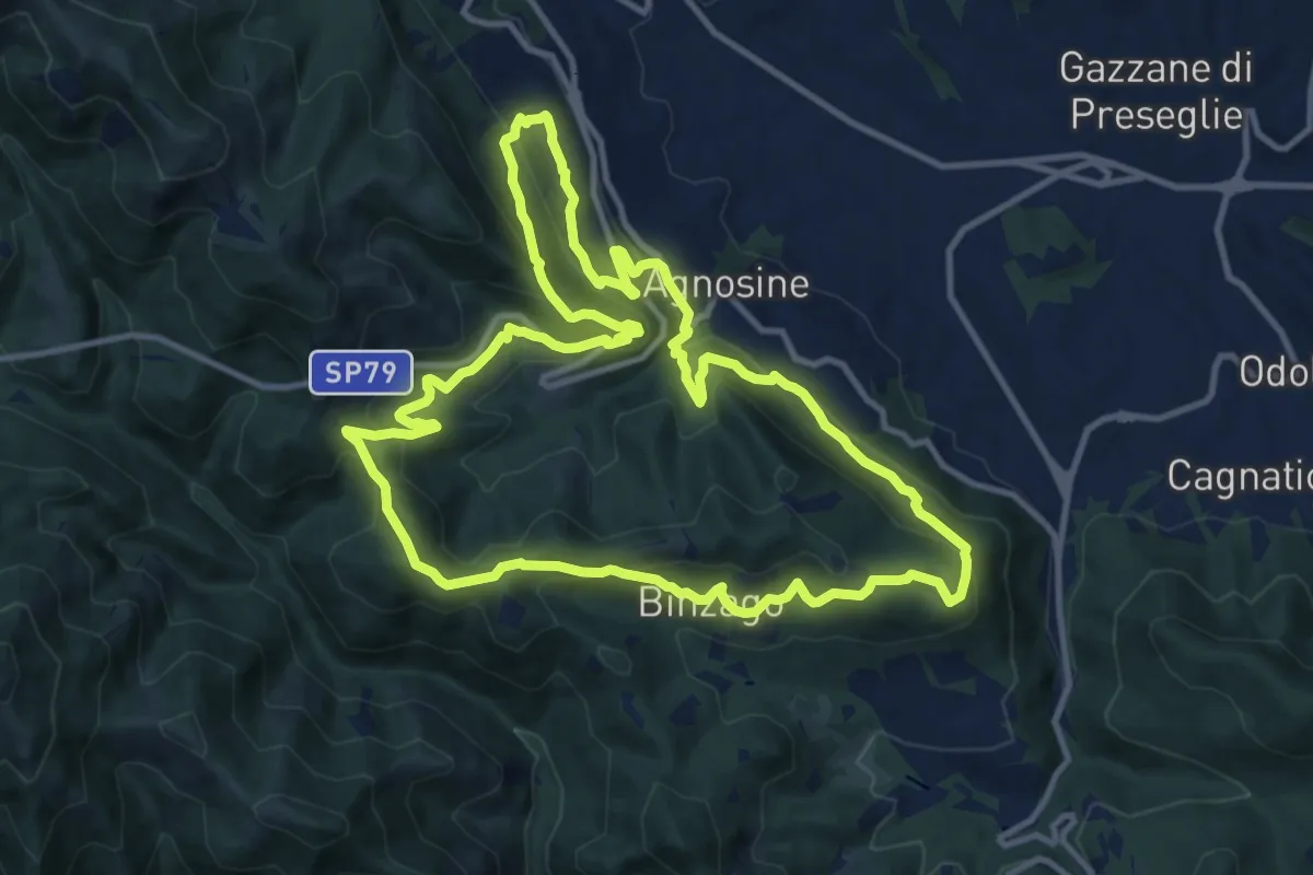
Medium · Summit
Sentiero Tranquillo Bianchi e Caduti per la Libertà di Lumezzane - Tronco A
12.3 km · ↑ 658 m · 4 h 31 min
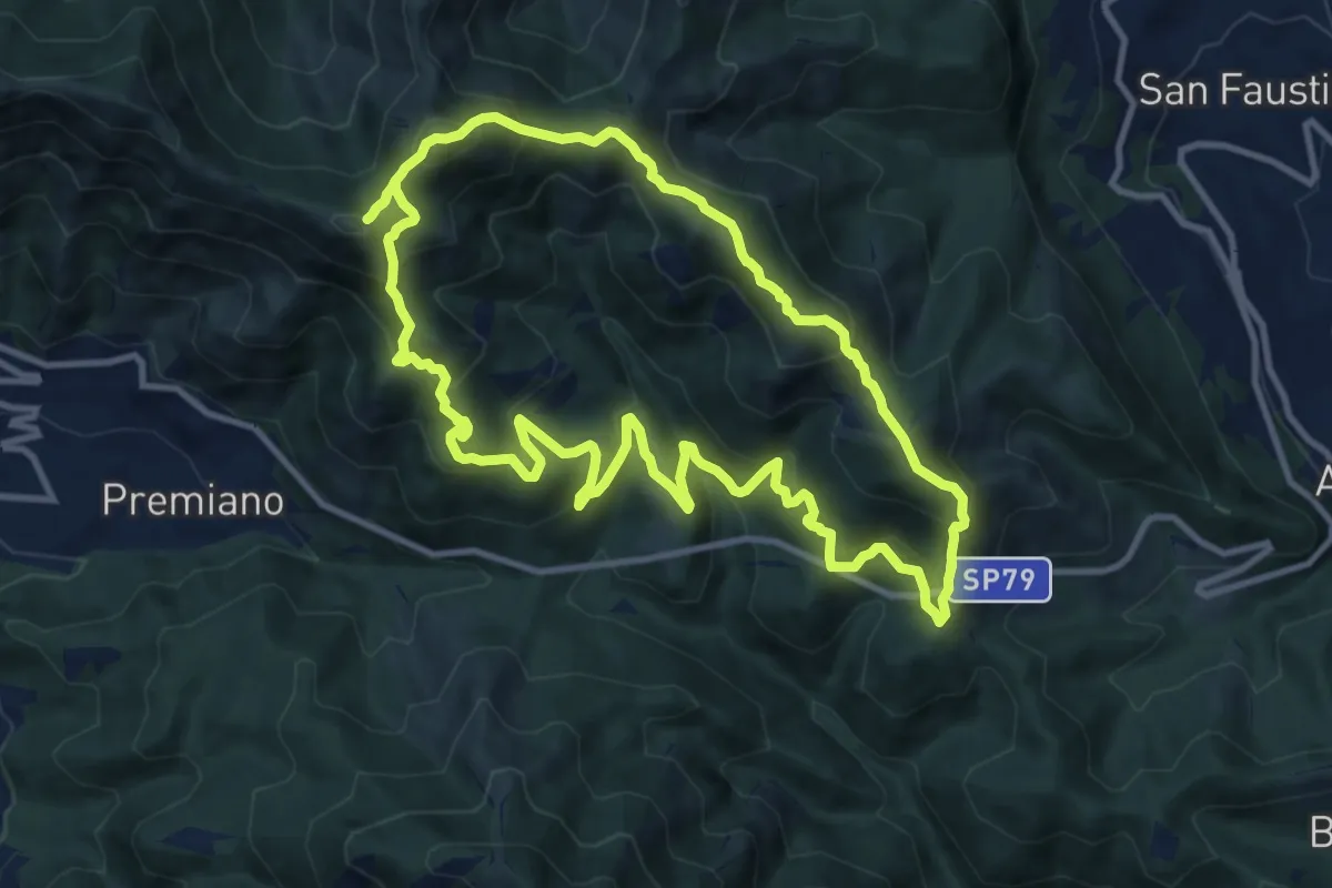
Demanding · Summit
Sentiero Tranquillo Bianchi e Caduti per la Libertà di Lumezzane - Tronco B
10.9 km · ↑ 840 m · 4 h 33 min
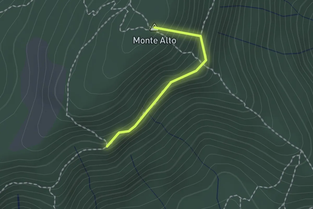
Easy · Summit
Sentiero Traversante
1.3 km · ↑ 126 m · 35 min
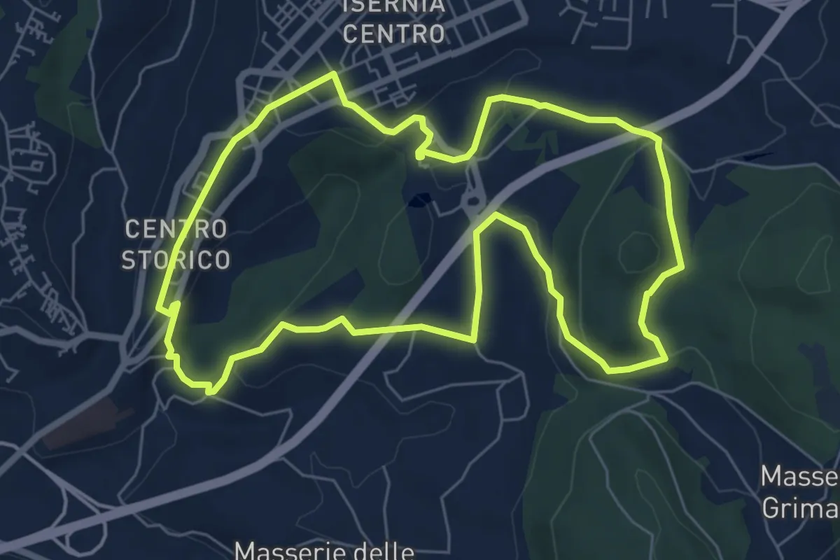
Easy · Trail
Sentiero Trekking Italia - Tappa 1
7.0 km · ↑ 204 m · 2 h 11 min
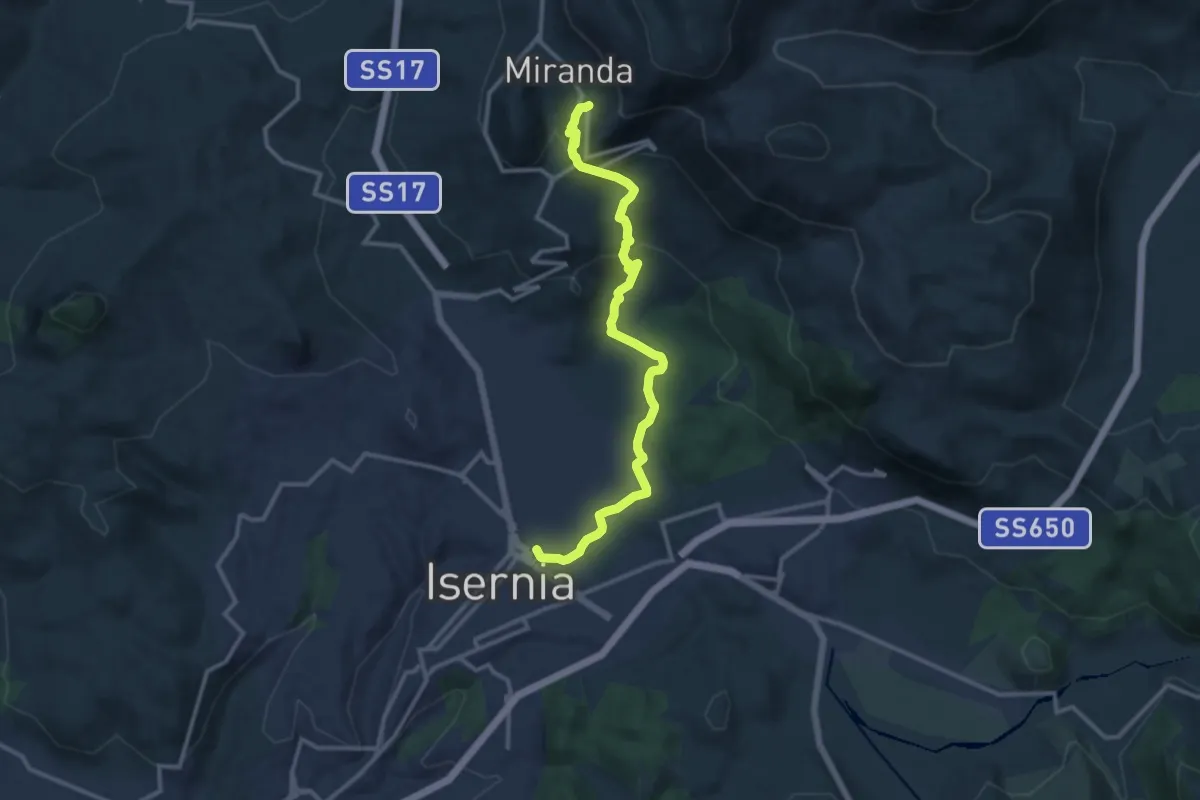
Medium · Trail
Sentiero Trekking Italia - Tappa 10
13.8 km · ↑ 523 m · 4 h 24 min
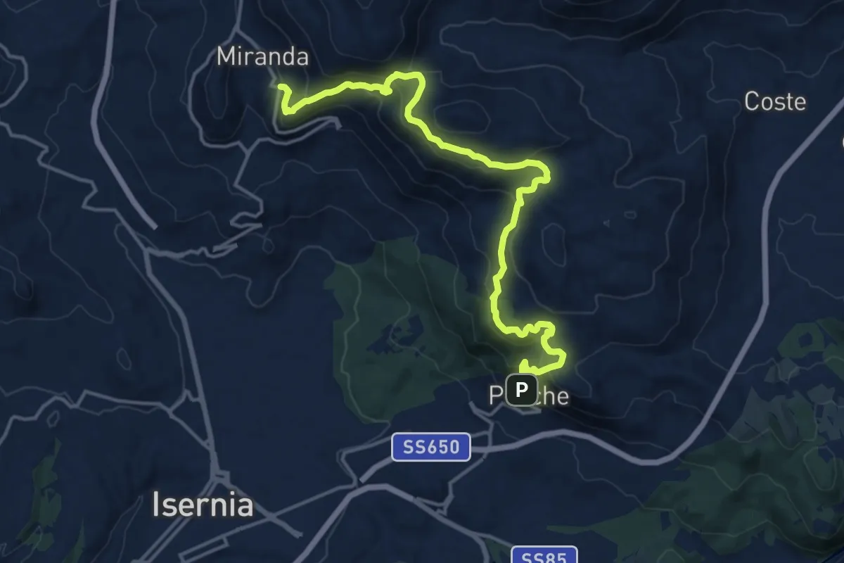
Demanding · Trail
Sentiero Trekking Italia - Tappa 2
18.6 km · ↑ 907 m · 6 h 21 min
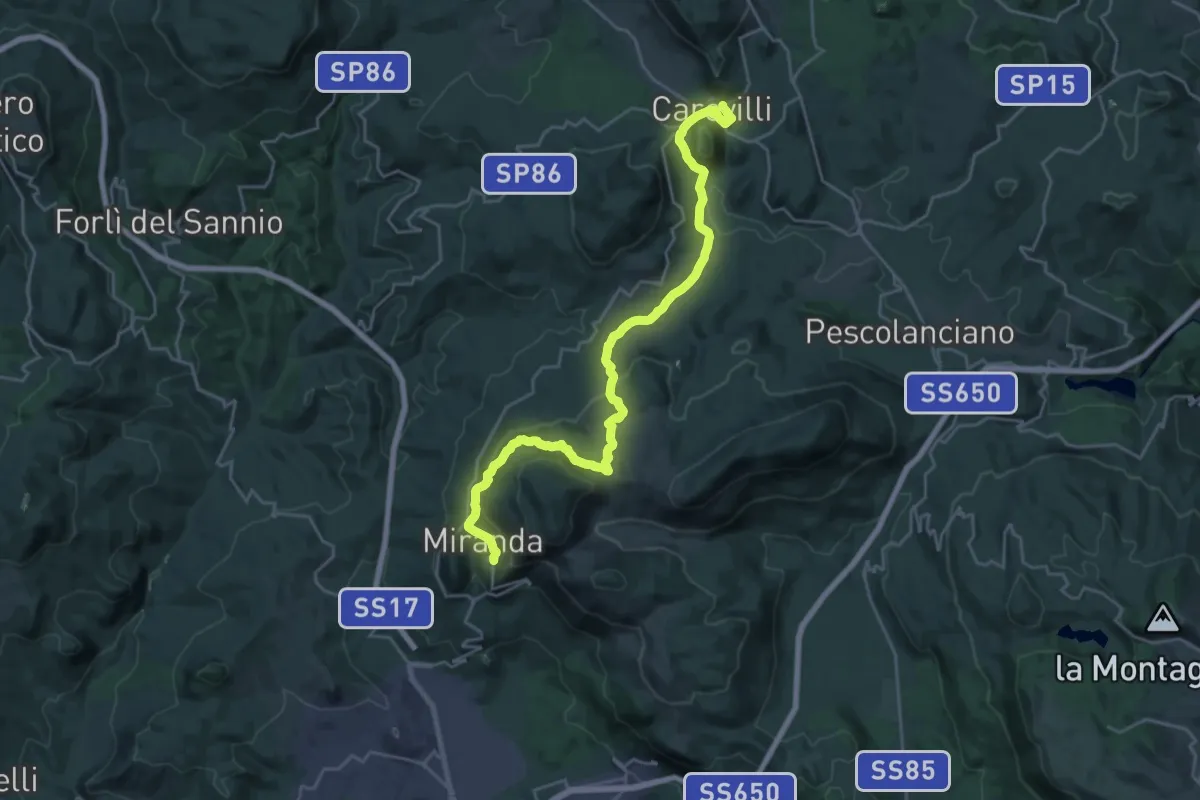
Medium · Trail
Sentiero Trekking Italia - Tappa 3
13.9 km · ↑ 411 m · 4 h 23 min
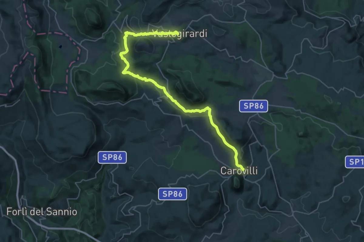
Medium · Trail
Sentiero Trekking Italia - Tappa 4
14.3 km · ↑ 563 m · 4 h 39 min
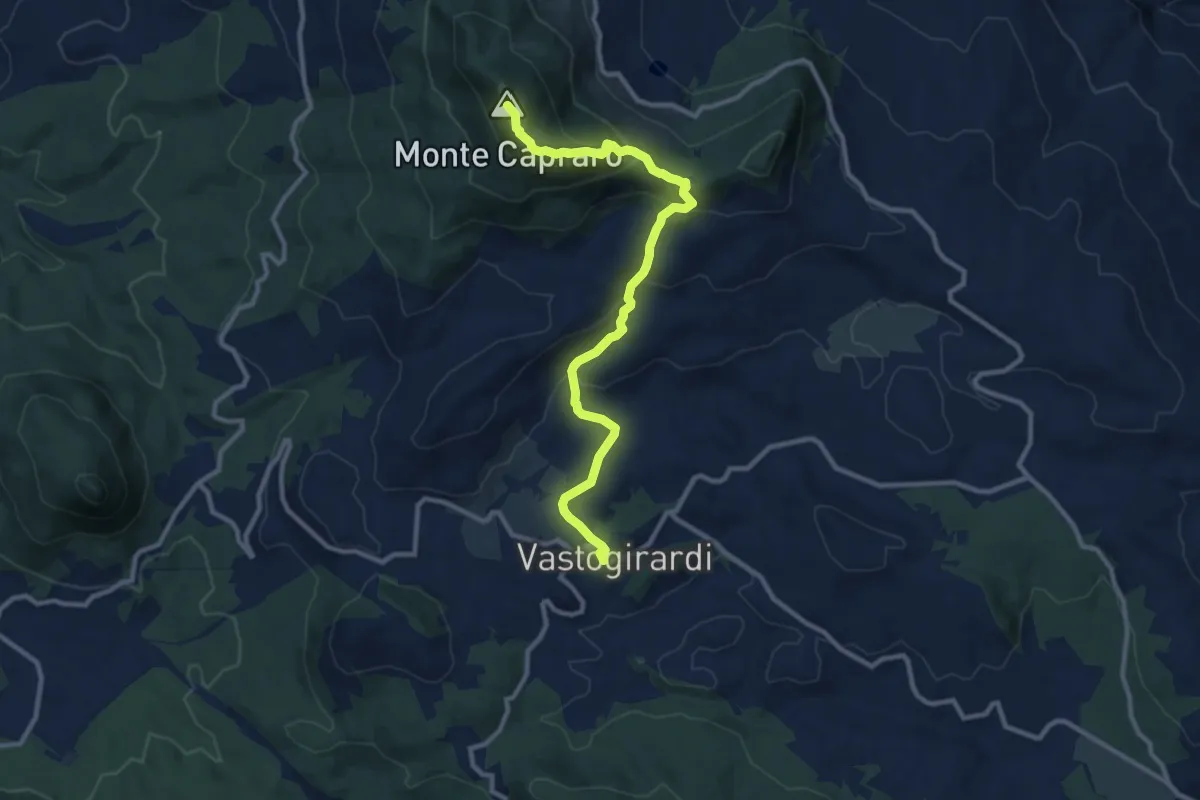
Medium · Summit
Sentiero Trekking Italia - Tappa 5
11.7 km · ↑ 591 m · 4 h 2 min
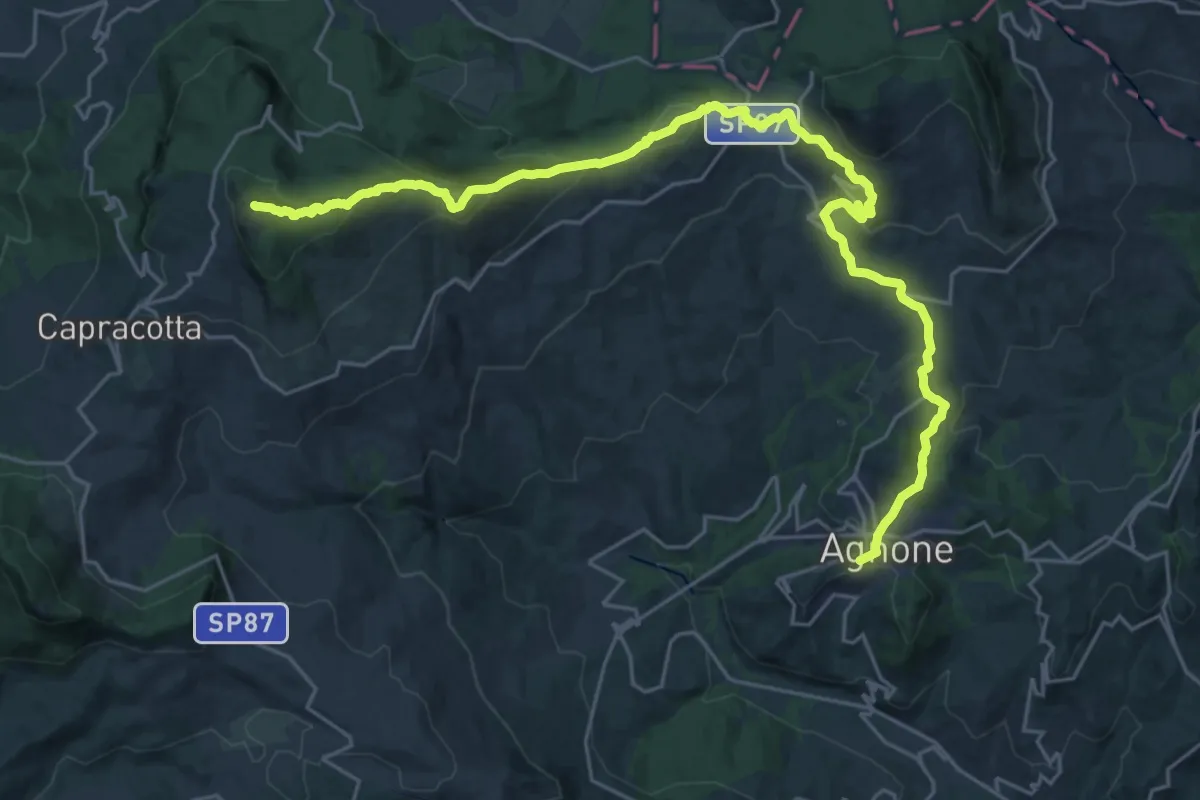
Demanding · Summit
Sentiero Trekking Italia - Tappa 6
32.2 km · ↑ 1444 m · 10 h 44 min
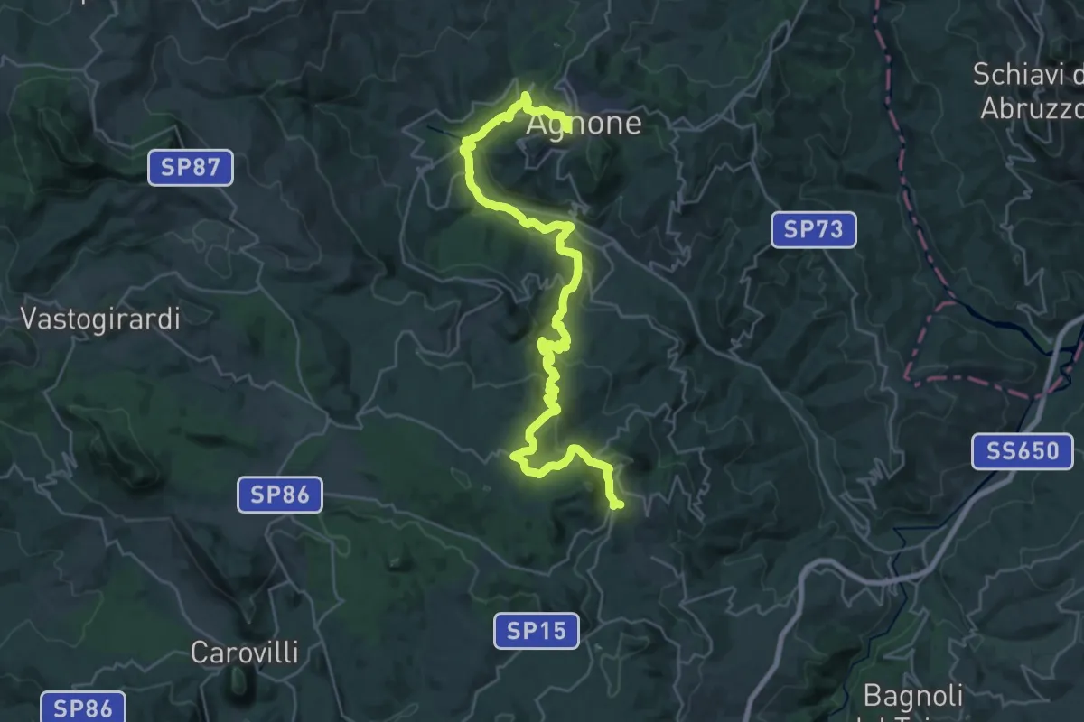
Medium · Trail
Sentiero Trekking Italia - Tappa 7
17.8 km · ↑ 691 m · 5 h 52 min
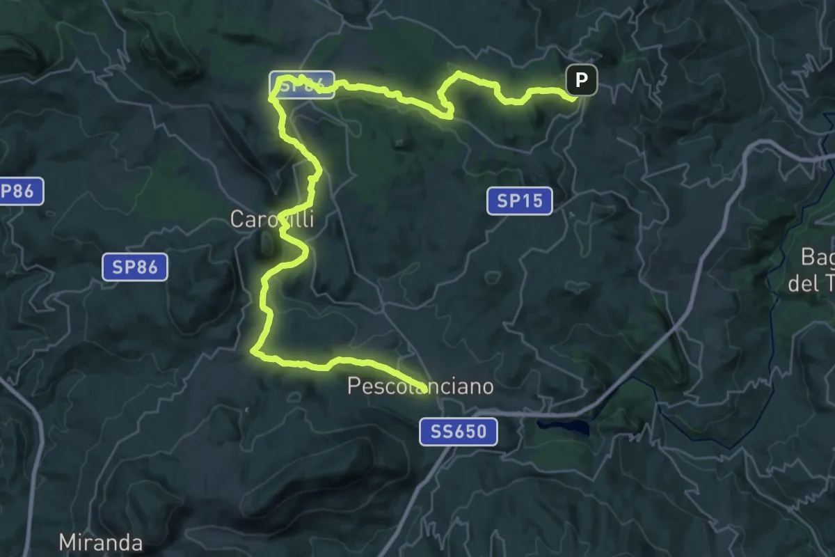
Demanding · Trail
Sentiero Trekking Italia - Tappa 8
23.4 km · ↑ 455 m · 6 h 57 min
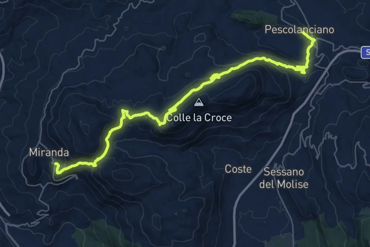
Medium · Trail
Sentiero Trekking Italia - Tappa 9
13.7 km · ↑ 649 m · 4 h 47 min
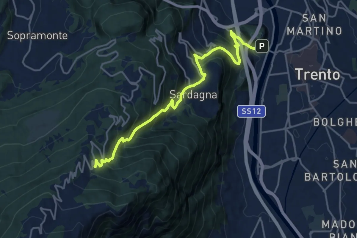
Demanding · Trail
Sentiero Trento nostra e via direttissima
12.6 km · ↑ 1084 m · 5 h 20 min
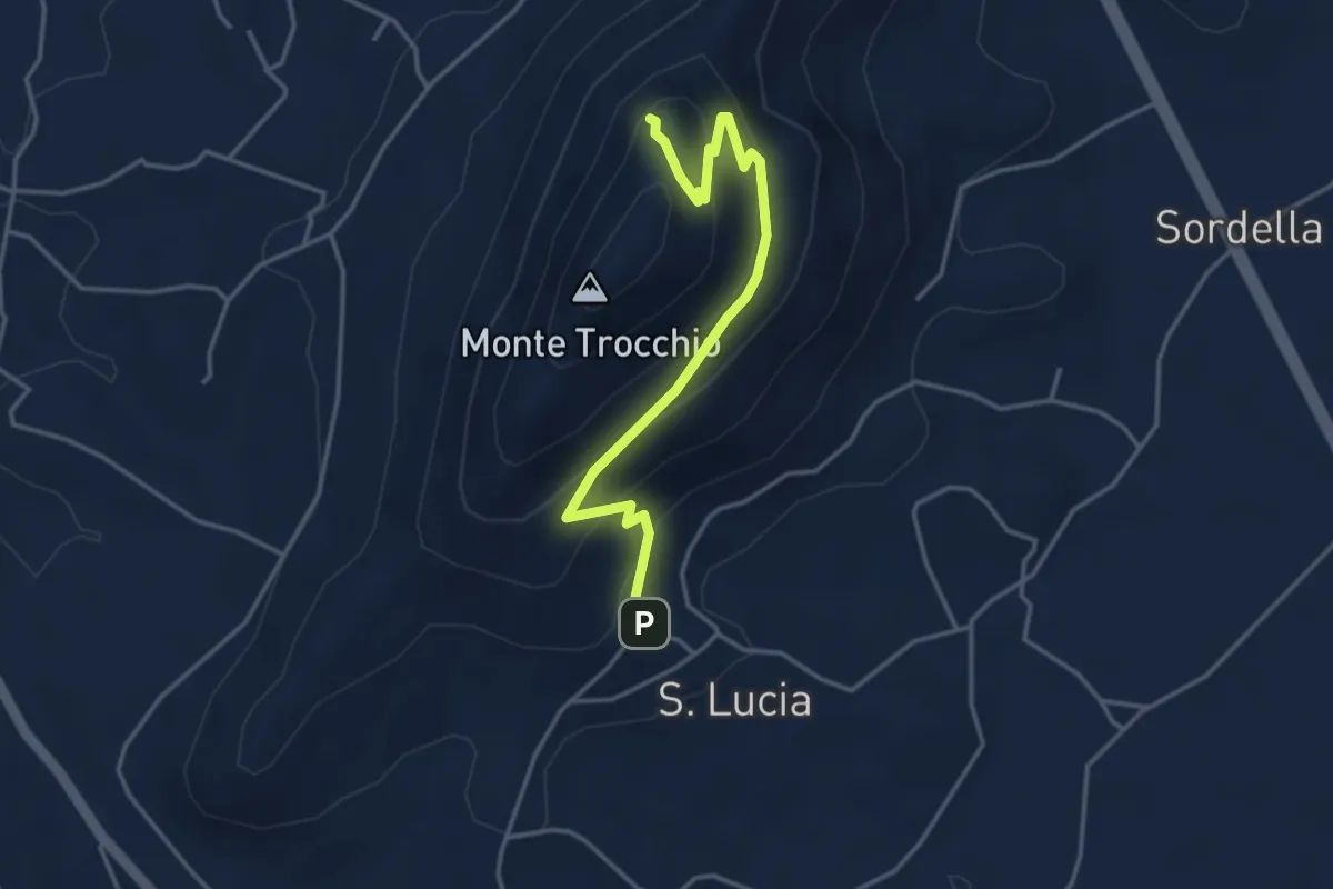
Easy · Trail
Sentiero Trocchio
4.3 km · ↑ 274 m · 1 h 37 min
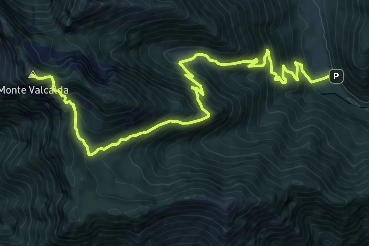
Demanding · Summit
Sentiero Ursula Nagel
15.4 km · ↑ 1201 m · 6 h 15 min
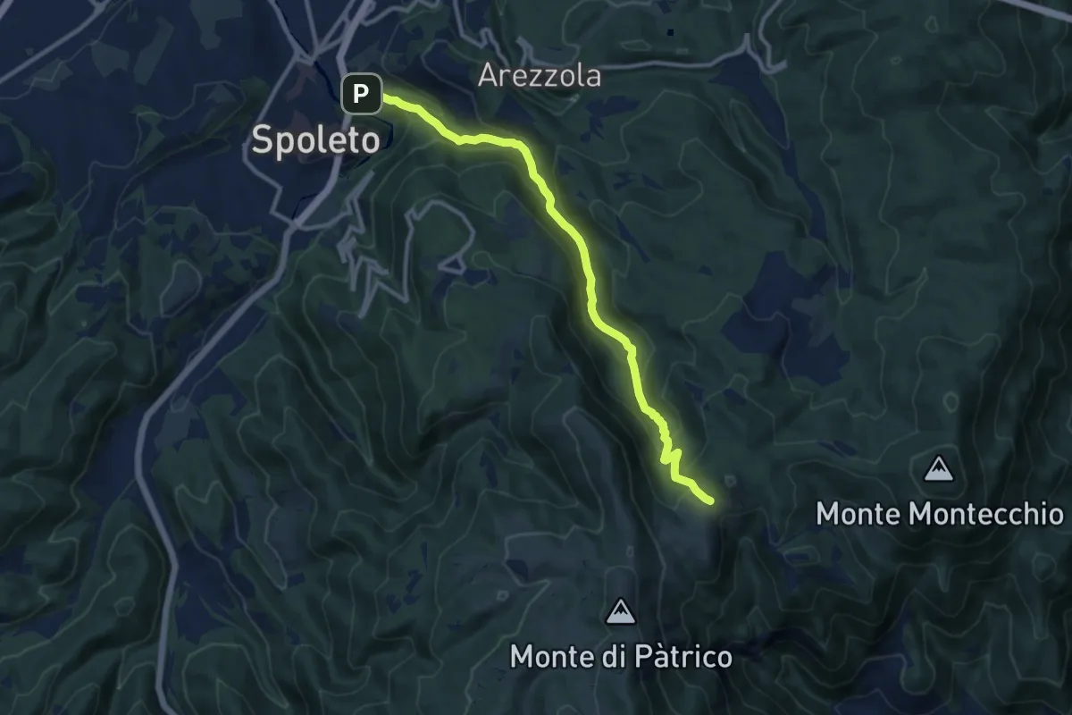
Medium · Trail
Sentiero Valcieca
11.1 km · ↑ 616 m · 3 h 58 min
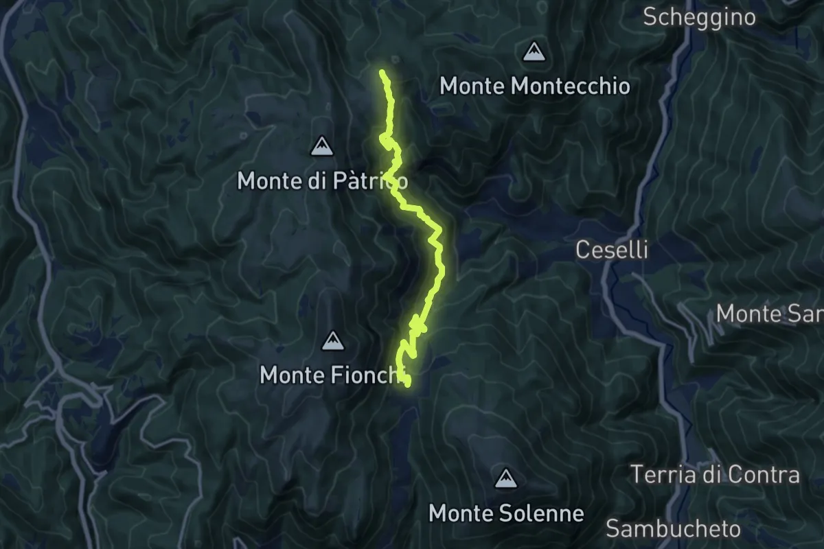
Demanding · Trail
Sentiero Valcieca
13.2 km · ↑ 1072 m · 5 h 26 min
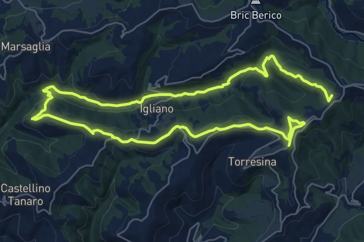
Demanding · Summit
Sentiero Val Cusina
29.9 km · ↑ 870 m · 8 h 57 min
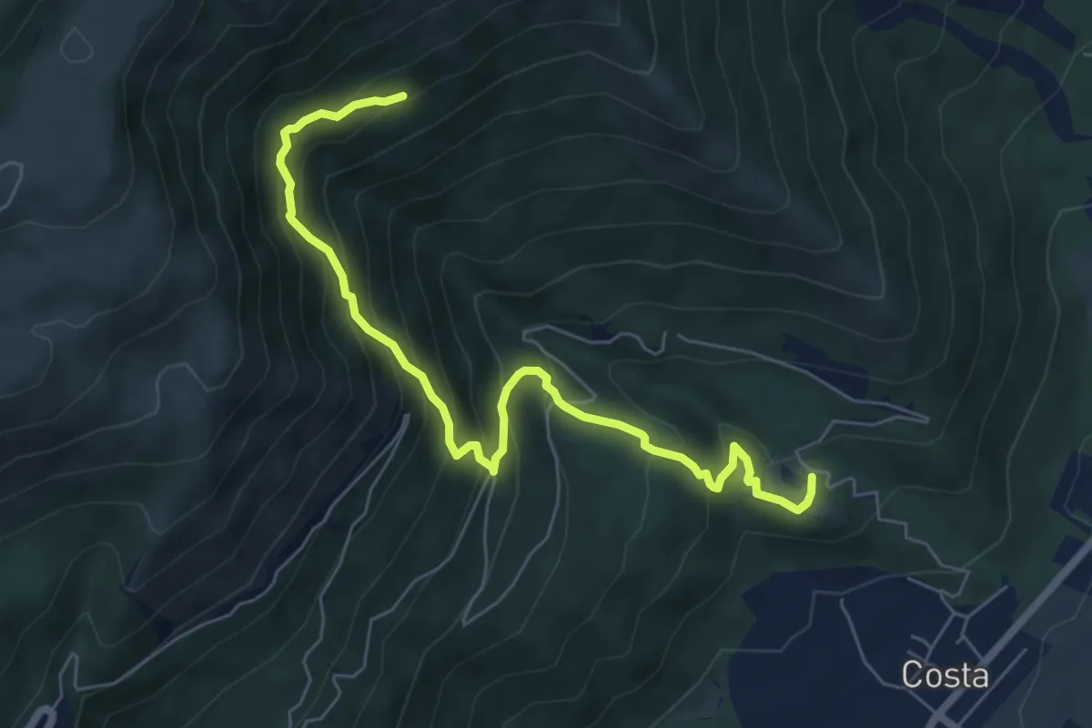
Medium · Trail
Sentiero Val D'Aga
7.0 km · ↑ 629 m · 3 h 1 min
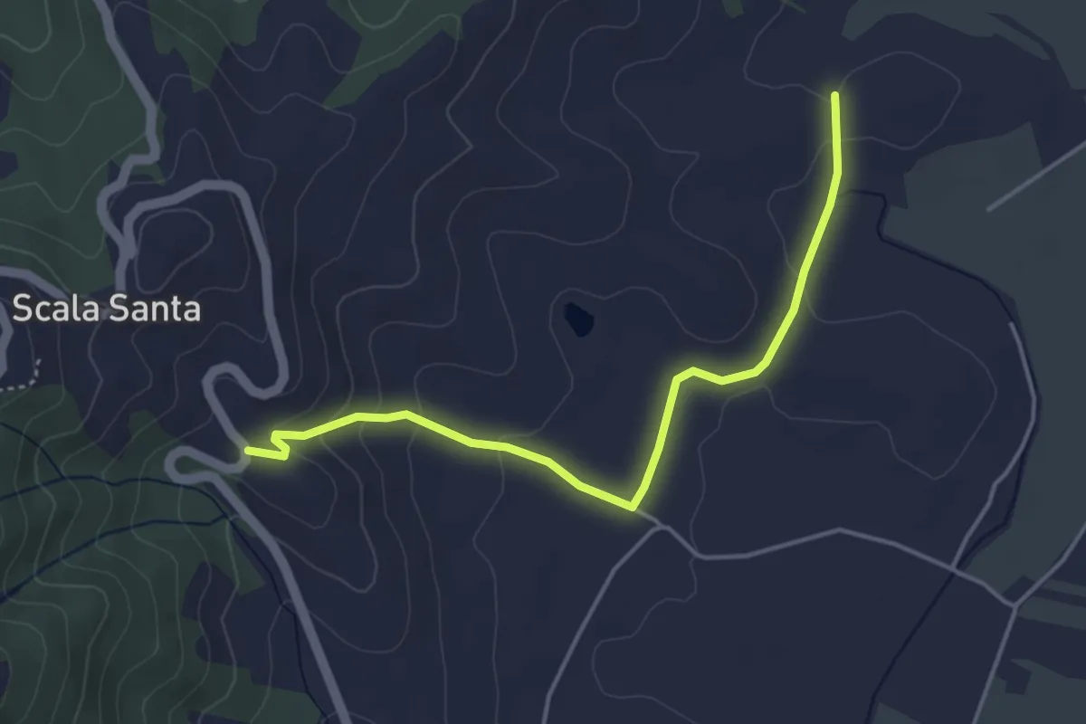
Easy · Trail
Sentiero Val di Campo
4.5 km · ↑ 116 m · 1 h 19 min
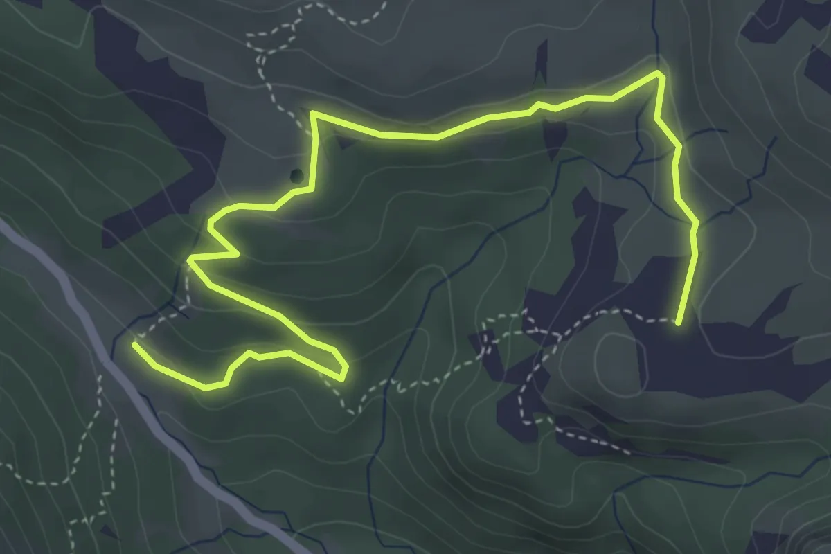
Easy · Cabin
Sentiero Val Dolce
5.3 km · ↑ 208 m · 1 h 43 min
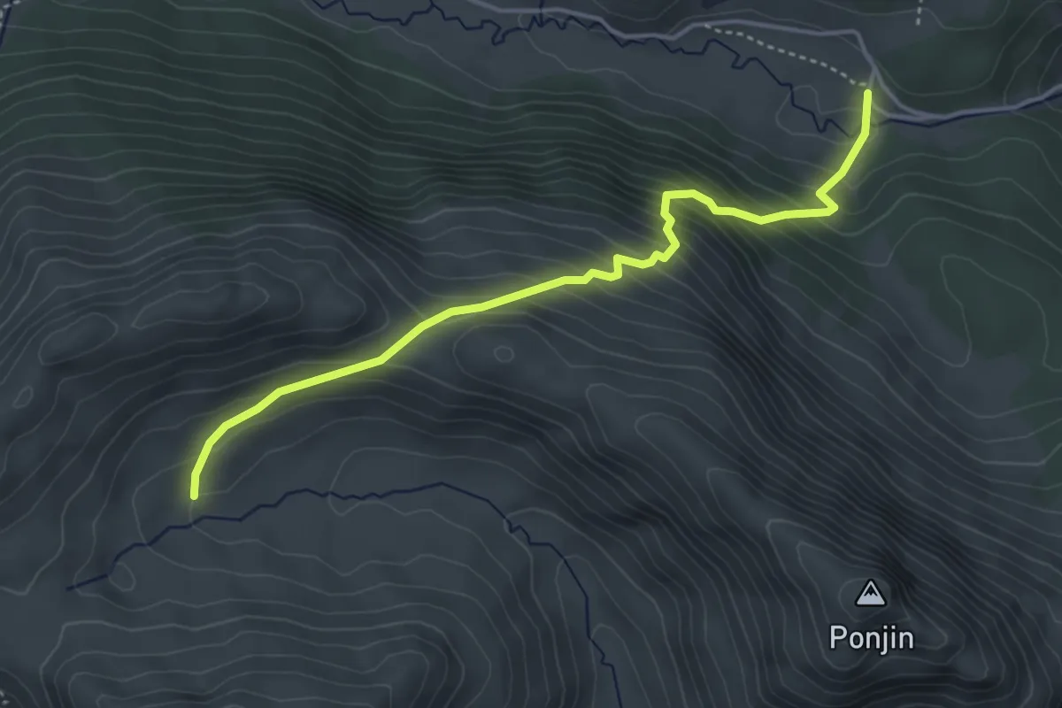
Medium · Cabin
Sentiero Val Duron - Val di Dona
4.3 km · ↑ 440 m · 1 h 58 min
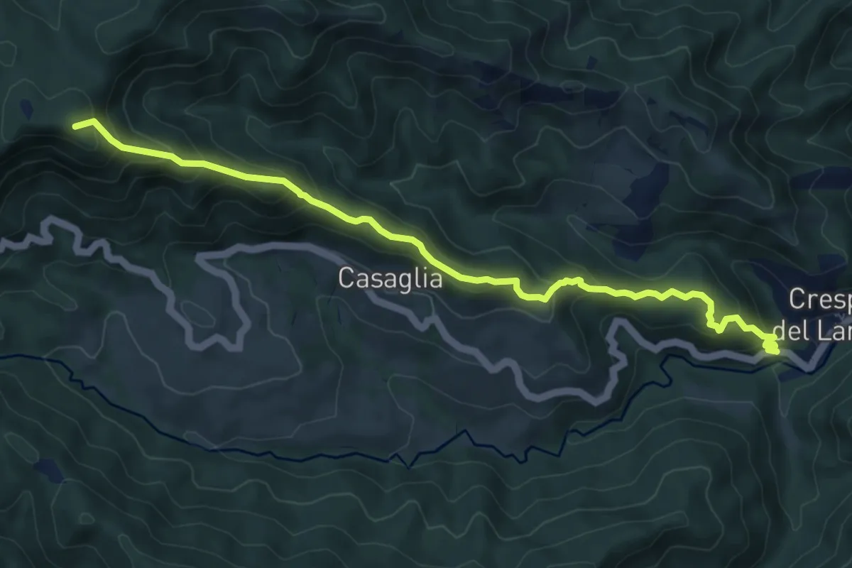
Medium · Summit
Sentiero Valentino Callini
8.5 km · ↑ 610 m · 3 h 19 min
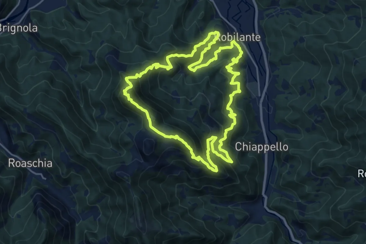
Demanding · Trail
Sentiero Valerio Tassone
15.1 km · ↑ 1137 m · 6 h 14 min
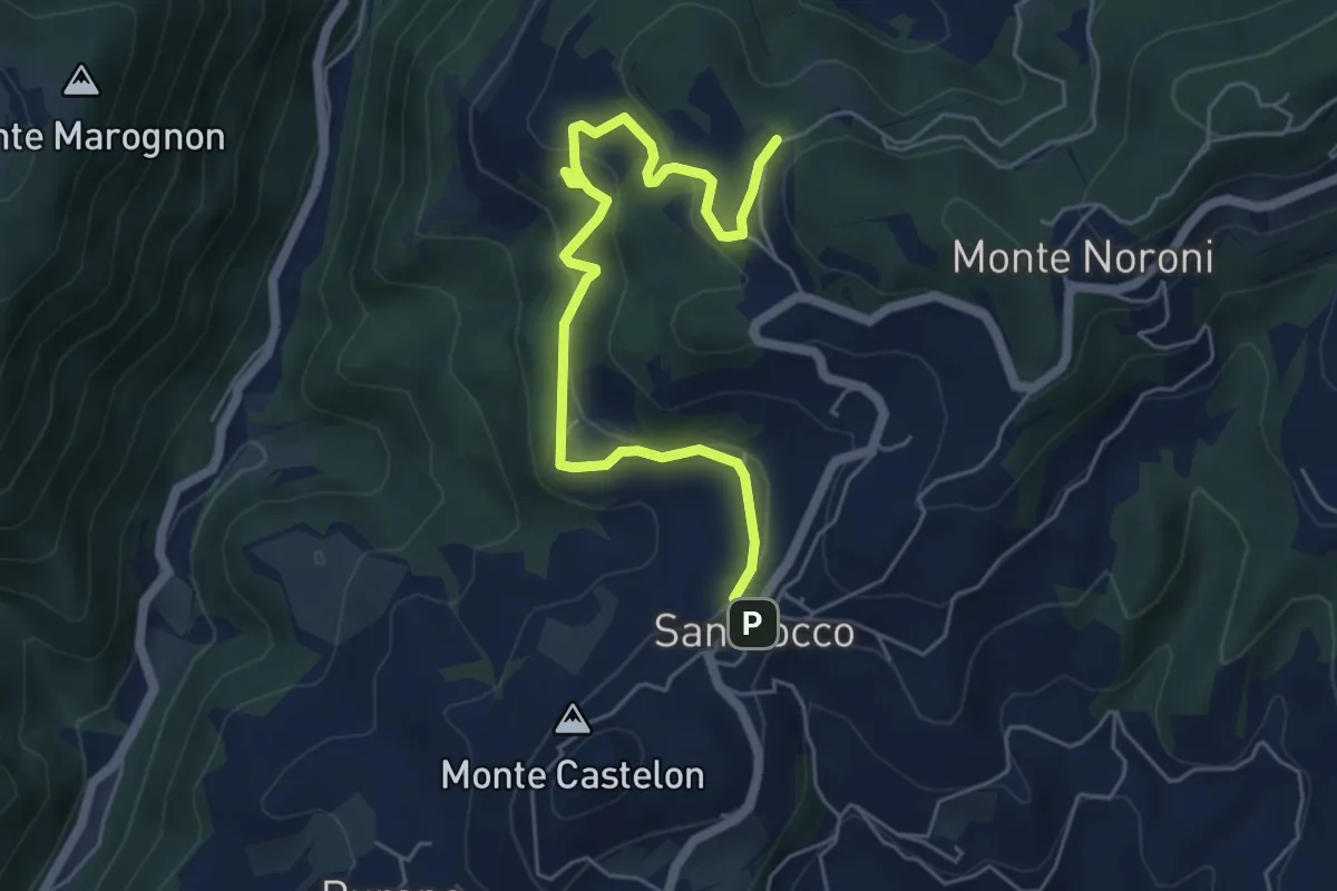
Easy · Trail
Sentiero Valgatara - Cà Nova di San Rocco di Marano di Valpolicella
6.2 km · ↑ 243 m · 1 h 59 min
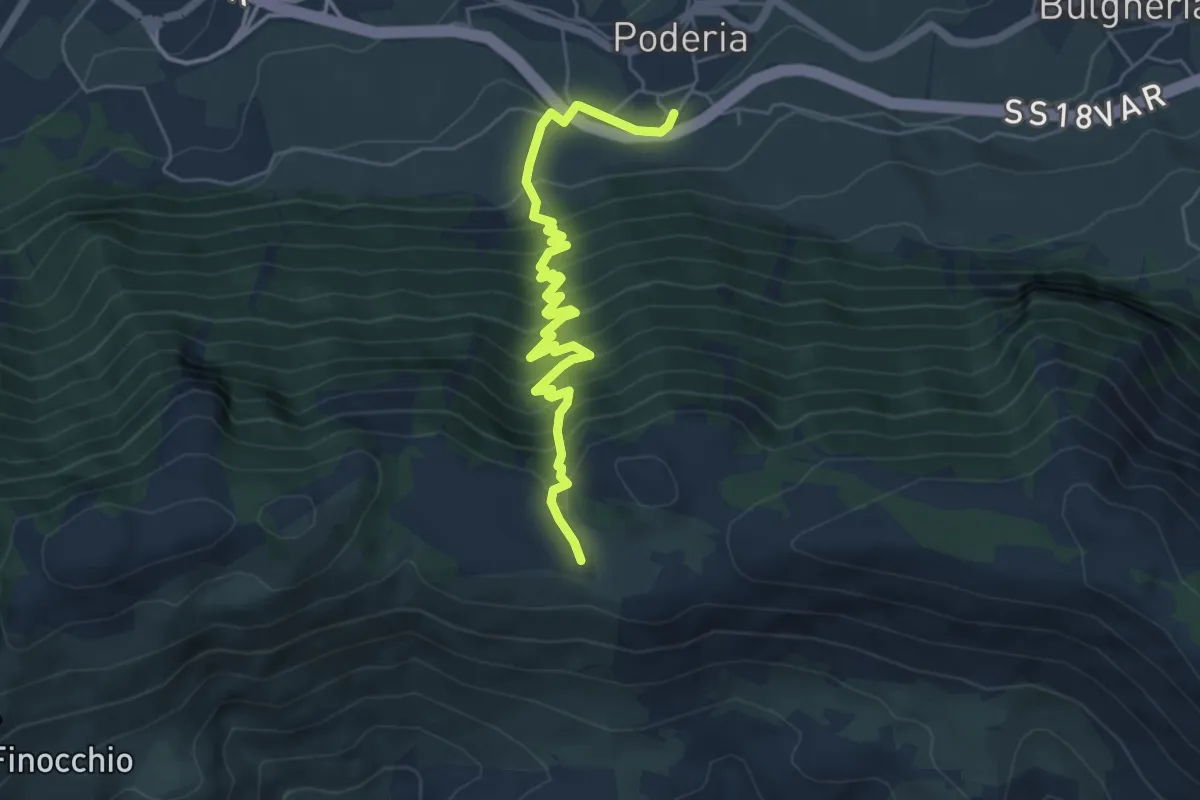
Medium · Trail
Sentiero Valle Cupa
6.5 km · ↑ 646 m · 2 h 57 min
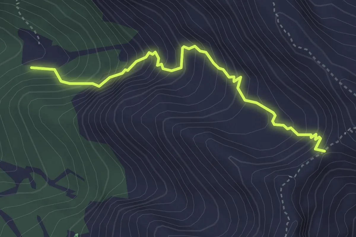
Medium · Cabin
sentiero Valle degli Angeli
3.8 km · ↑ 512 m · 2 h 1 min
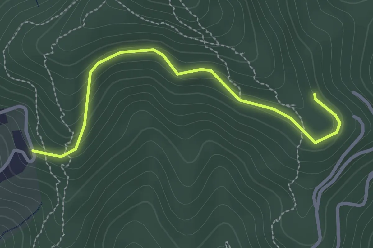
Easy · Trail
Sentiero Valle delle cannucce
2.8 km · ↑ 145 m · 58 min