Trails in Italy
25,219 hiking trails, each with its route, climb, walking time and grade.
All trails, page 193 of 526
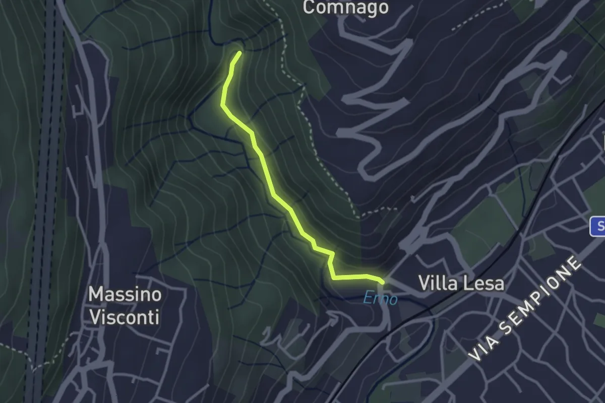
Easy · Trail
Sentiero Valle dell'Erno
2.4 km · ↑ 86 m · 45 min
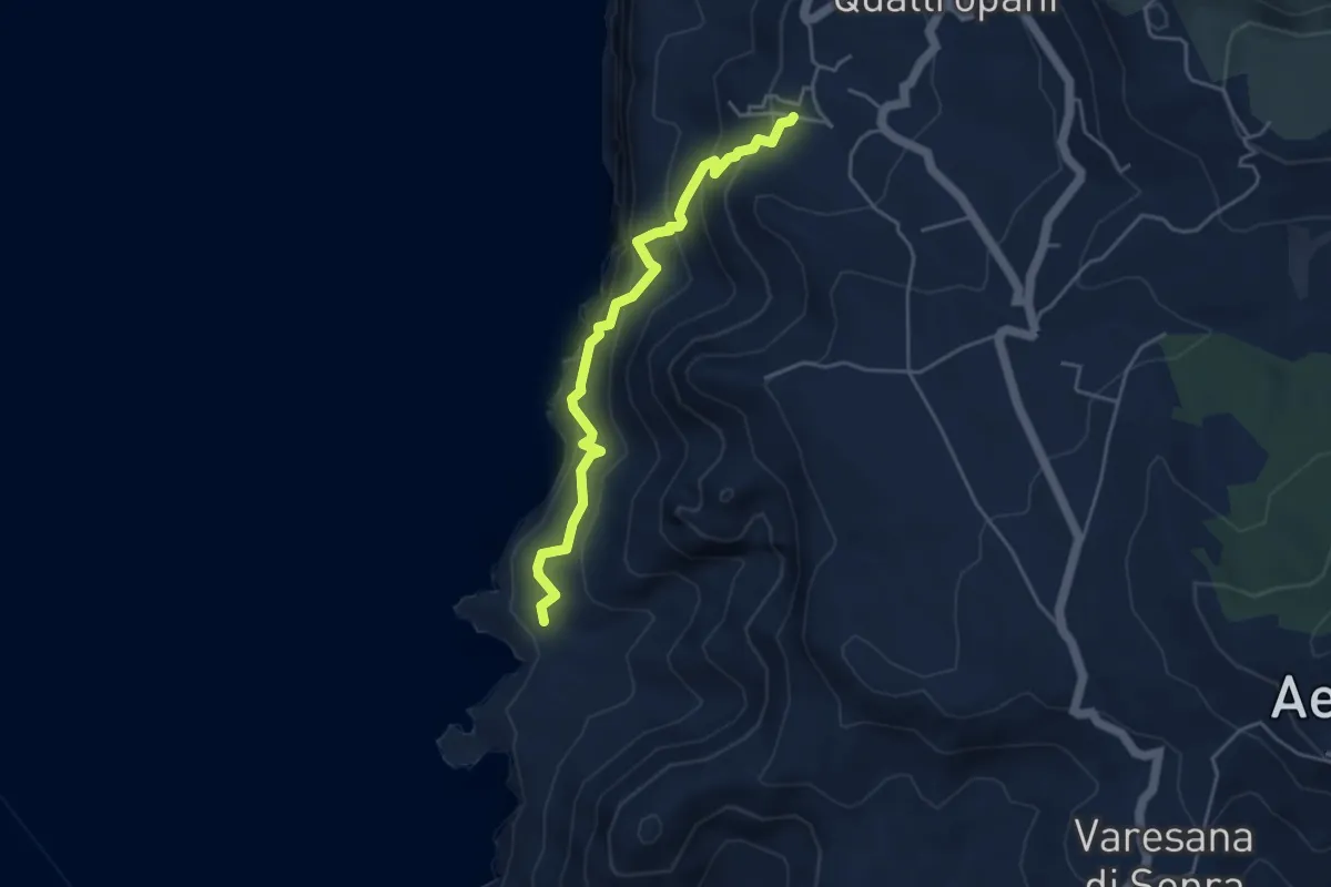
Demanding · Trail
Sentiero Valle Pera
4.9 km · ↑ 400 m · 2 h 1 min
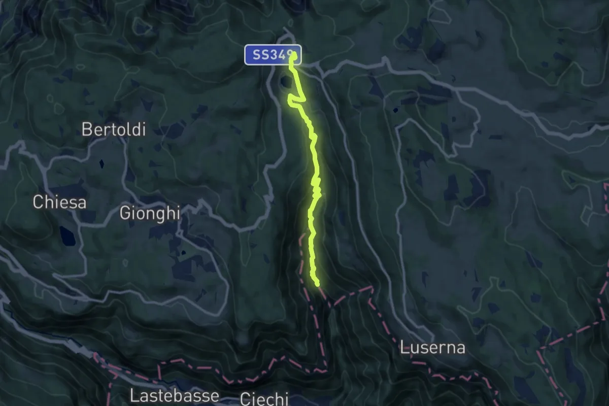
Medium · Trail
Sentiero Valle Rio Torto
9.5 km · ↑ 479 m · 3 h 17 min
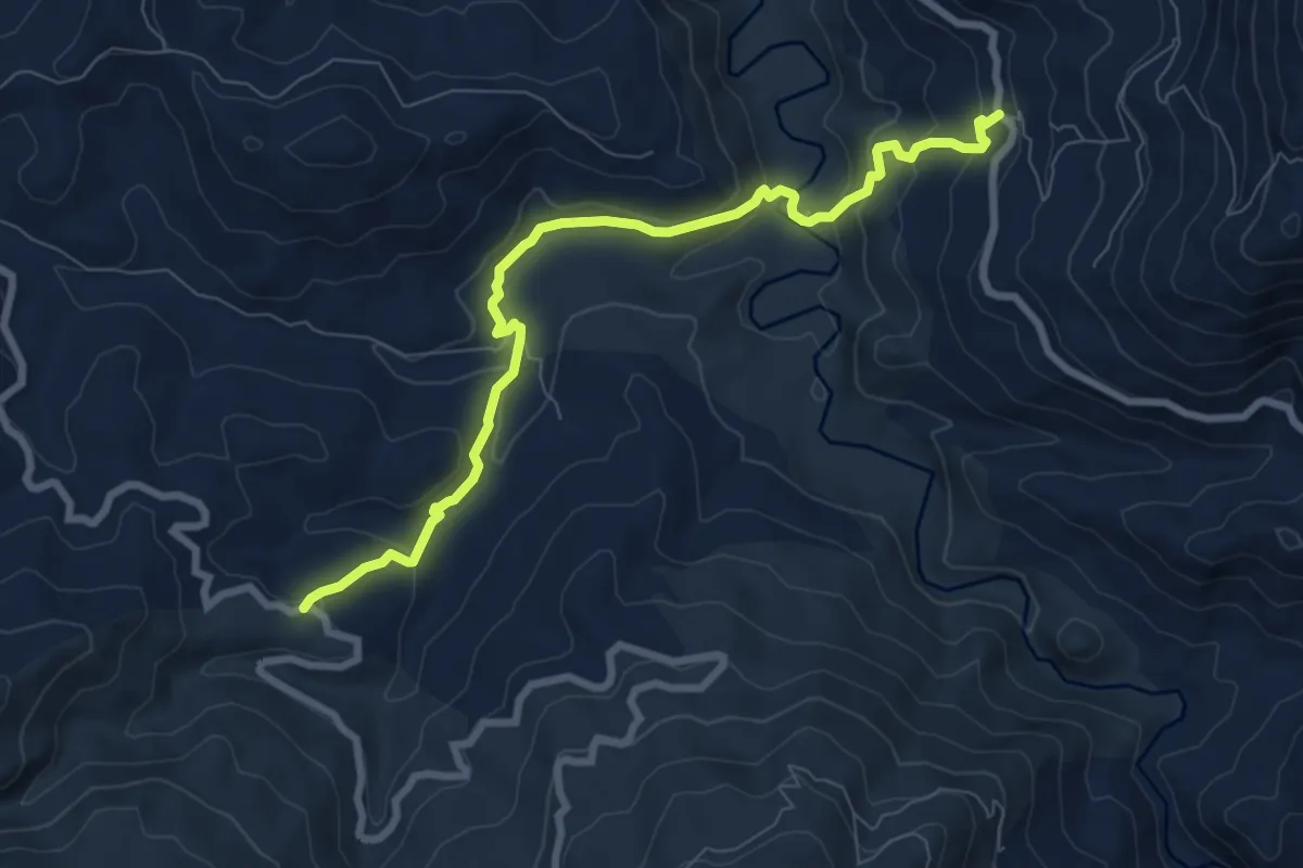
Medium · Trail
Sentiero Vallone dei Molini (San Mauro Castelverde)
9.5 km · ↑ 453 m · 3 h 13 min
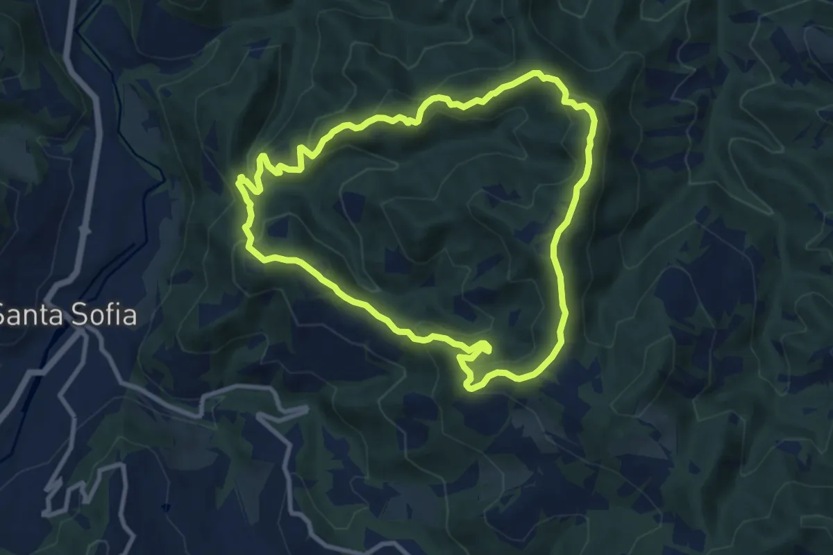
Medium · Trail
Sentiero Vallone - Riotorto
8.8 km · ↑ 514 m · 3 h 18 min
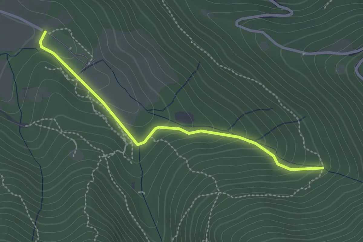
Easy · Trail
Sentiero Val Persane
2.6 km · ↑ 152 m · 57 min
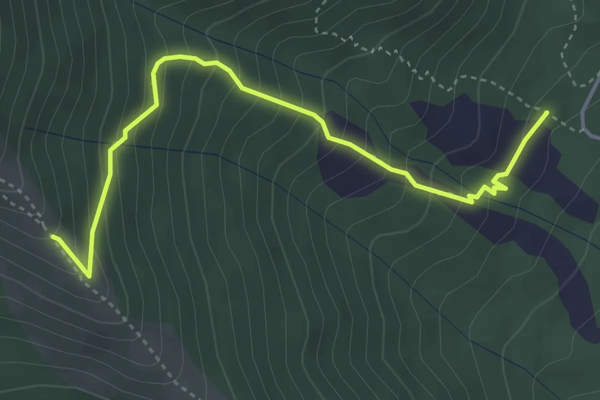
Medium · Trail
Sentiero Val Storta
4.0 km · ↑ 416 m · 1 h 51 min
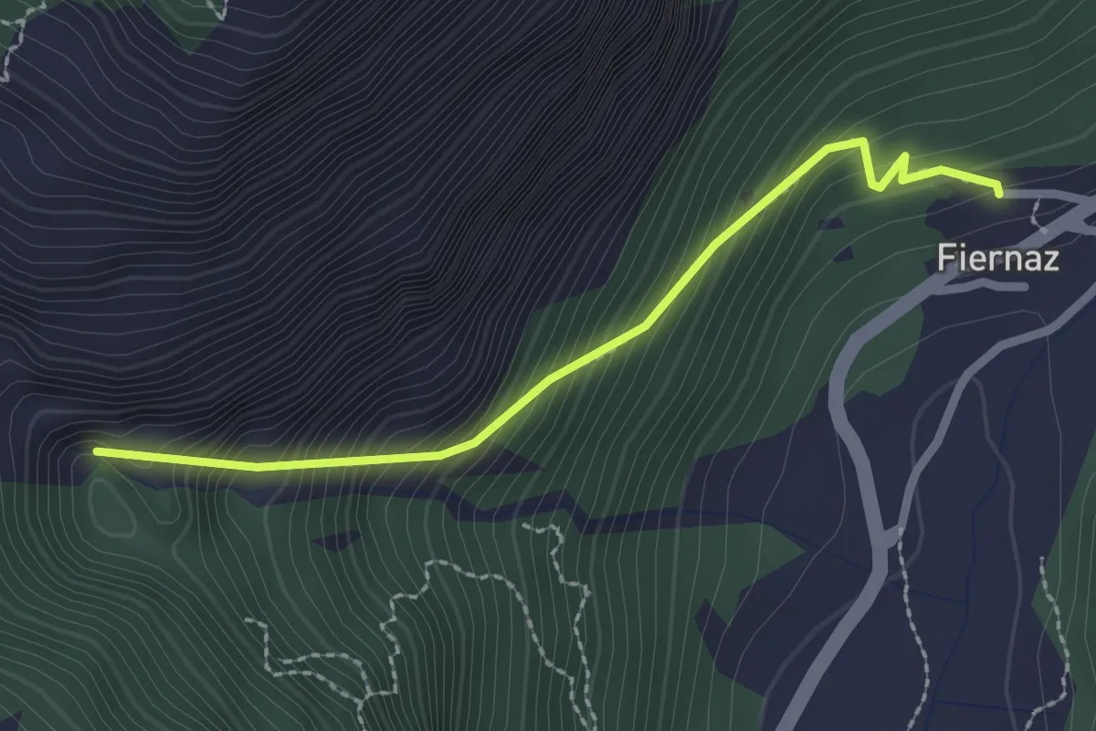
Medium · Trail
Sentiero Vasca di Carico Sifone di Fiernaz
2.3 km · ↑ 373 m · 1 h 22 min
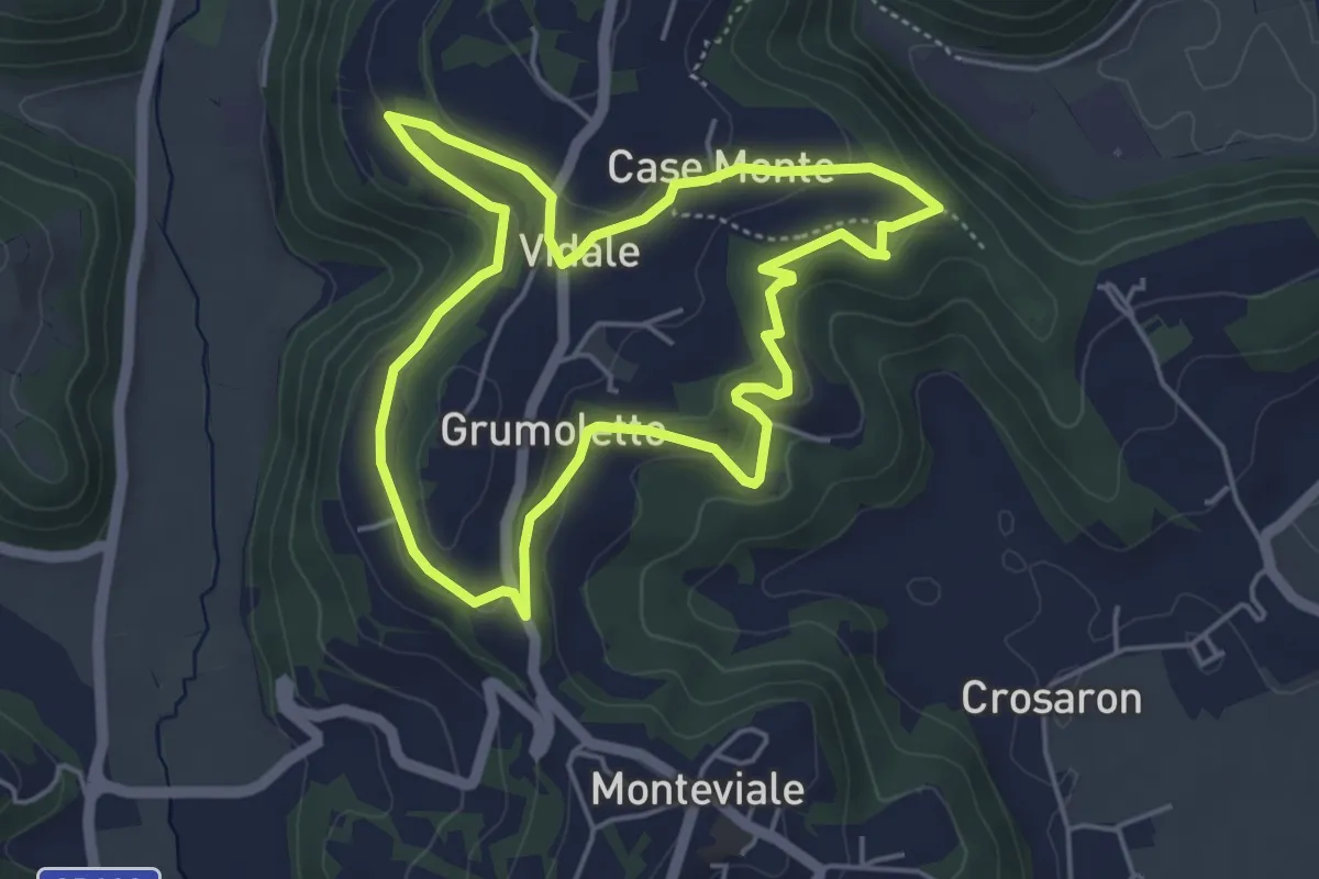
Easy · Trail
Sentiero Vegrolongo - della Sorgente - dell'Ornaro
4.6 km · ↑ 141 m · 1 h 27 min
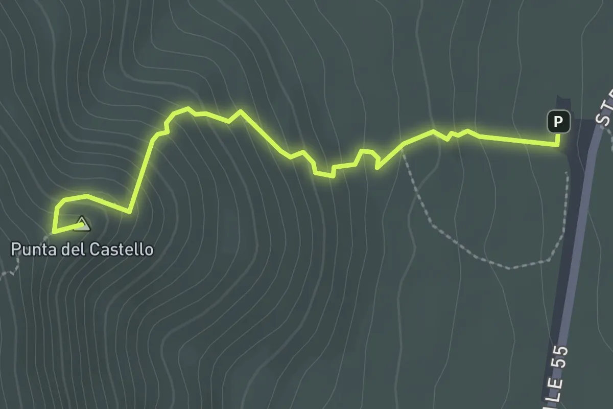
Medium · Summit
sentiero verde
3.0 km · ↑ 256 m · 1 h 15 min
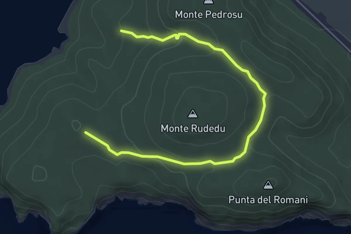
Easy · Trail
Sentiero verde
6.1 km · ↑ 144 m · 1 h 45 min
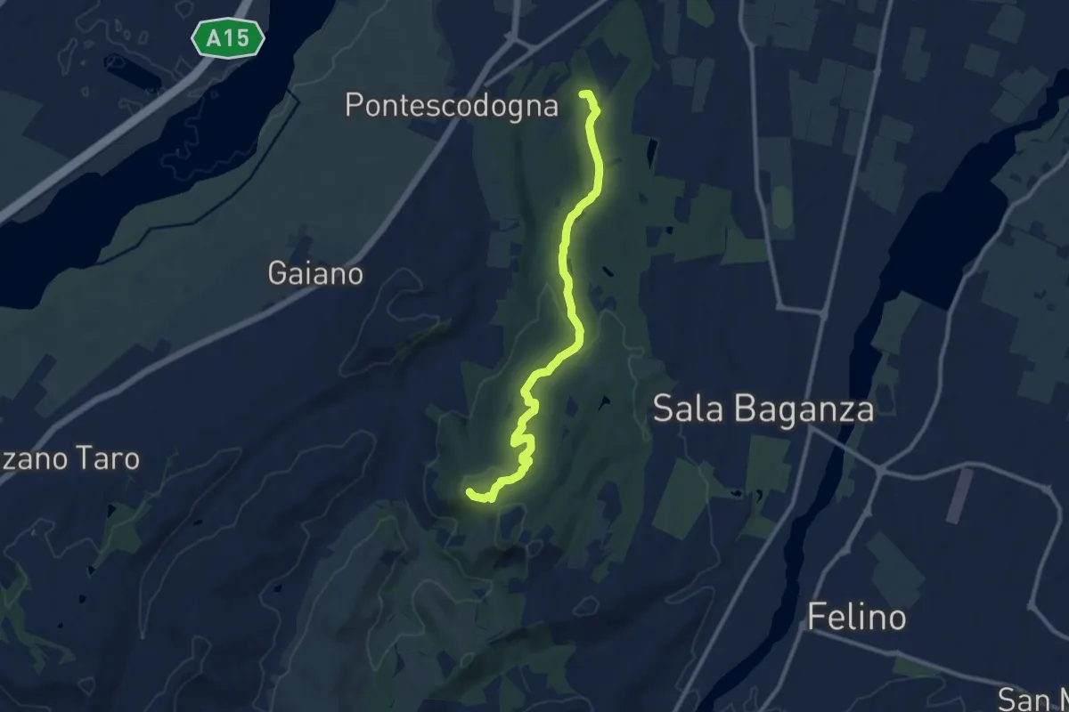
Medium · Summit
Sentiero Verde
10.3 km · ↑ 258 m · 3 h
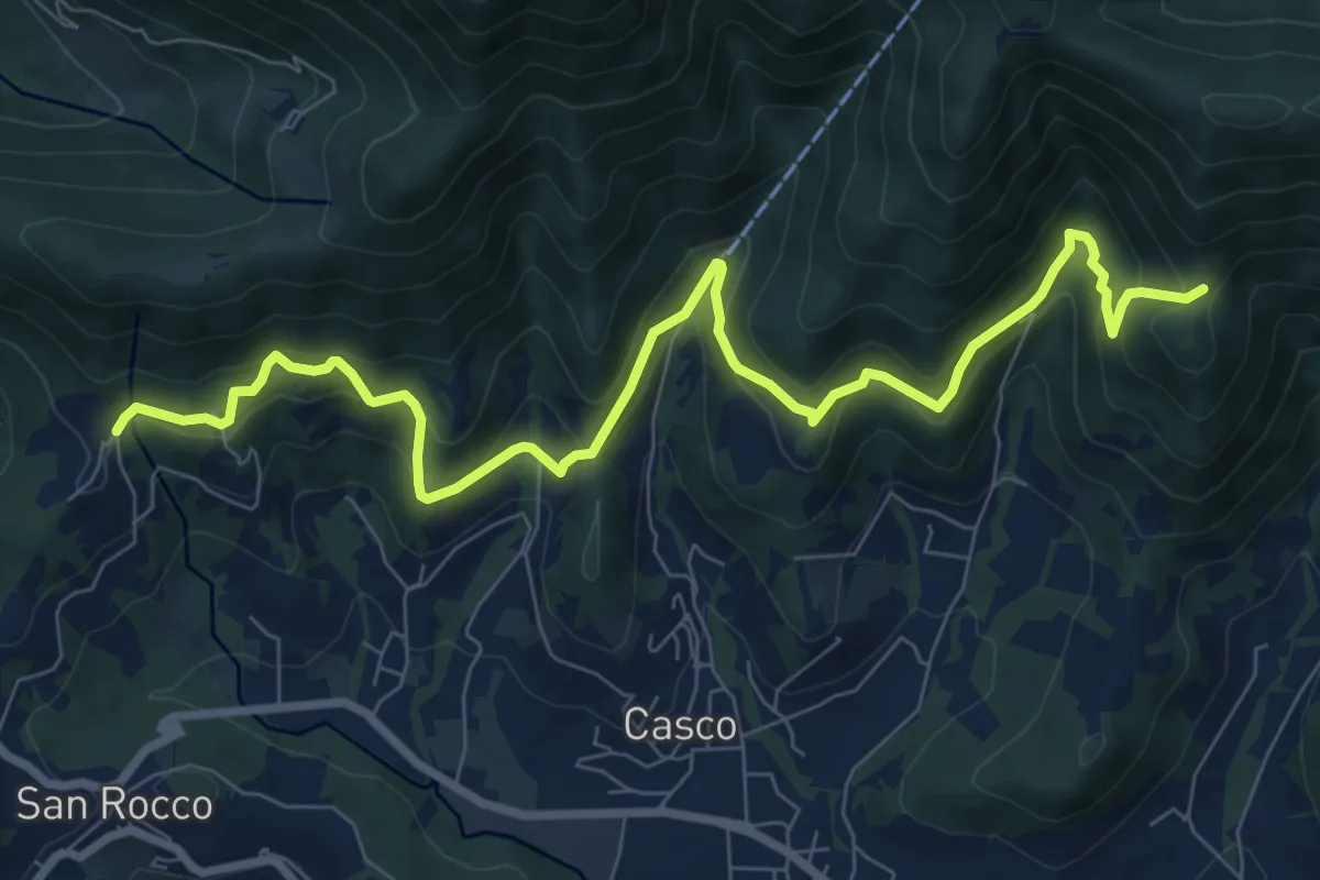
Medium · Trail
Sentiero Verde
10.0 km · ↑ 617 m · 3 h 42 min
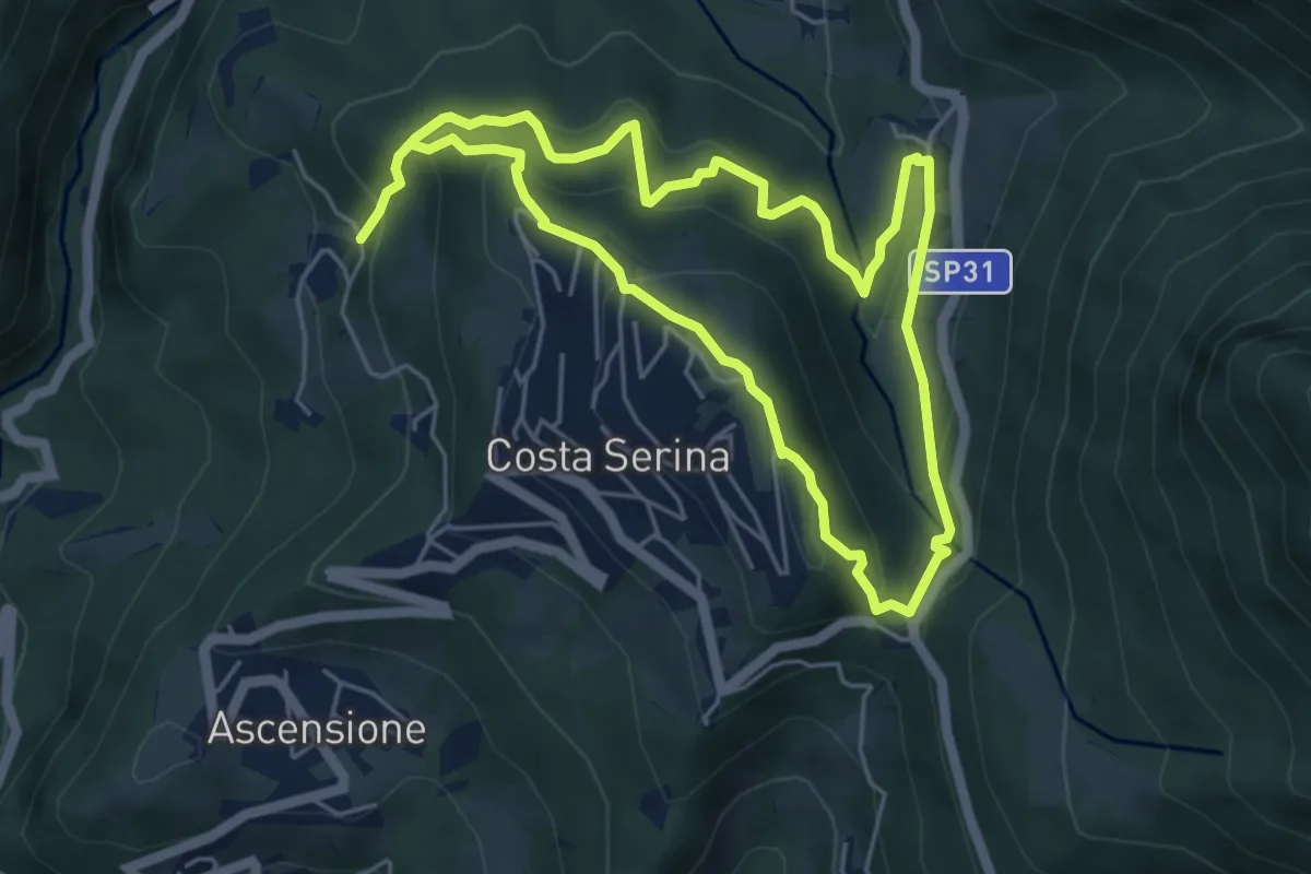
Medium · Trail
Sentiero Verde
4.9 km · ↑ 329 m · 1 h 58 min
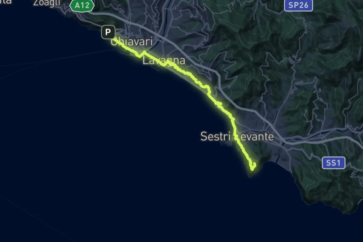
Expert · Summit
Sentiero Verdeazzurro
28.8 km · ↑ 937 m · 8 h 50 min
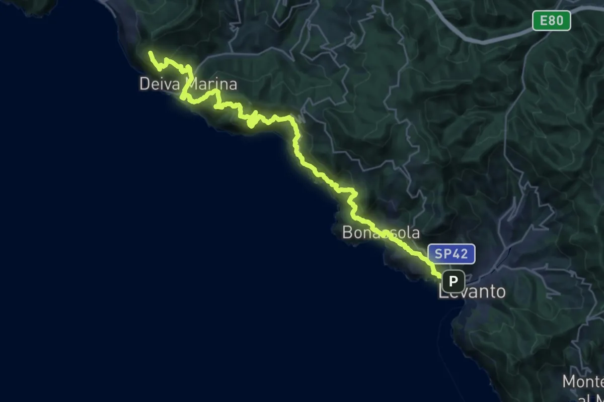
Demanding · Trail
Sentiero Verde Azzurro: Levanto - Deiva Marina
15.8 km · ↑ 1343 m · 6 h 42 min
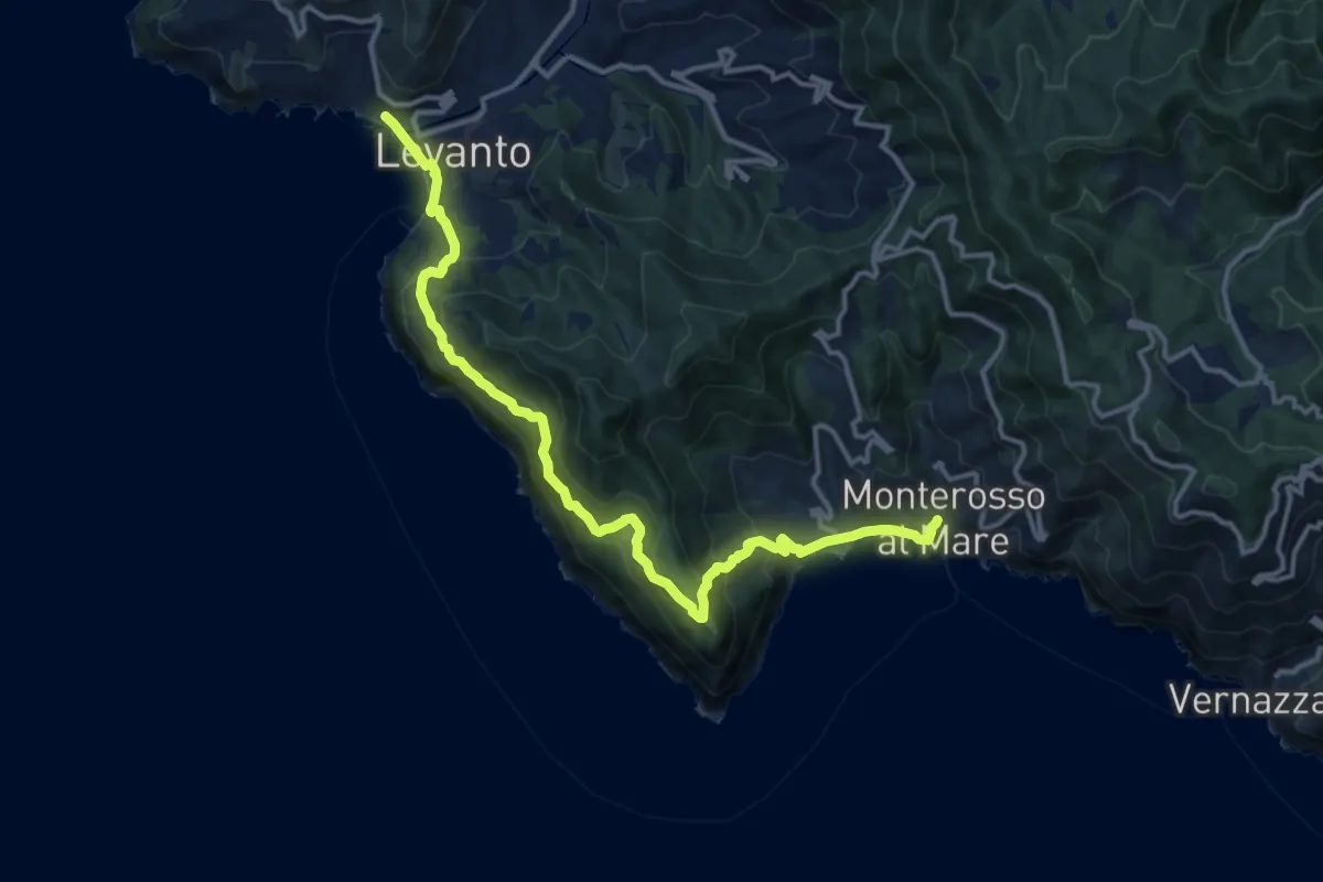
Demanding · Trail
Sentiero Verde Azzurro: Monterosso (Fegina) - Levanto
15.4 km · ↑ 951 m · 5 h 41 min
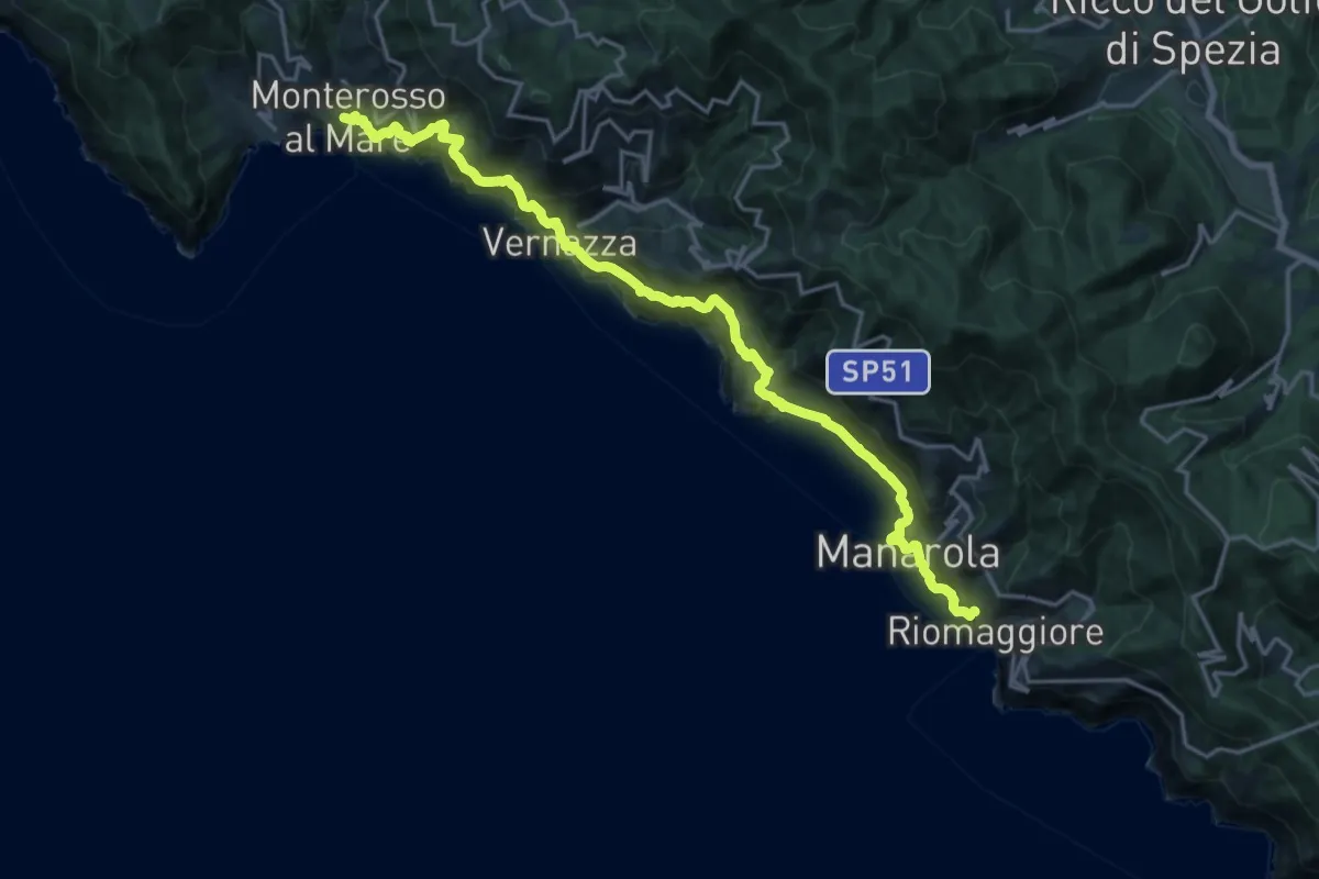
Demanding · Trail
Sentiero Verde Azzurro: Riomaggiore - Monterosso
10.9 km · ↑ 903 m · 4 h 41 min
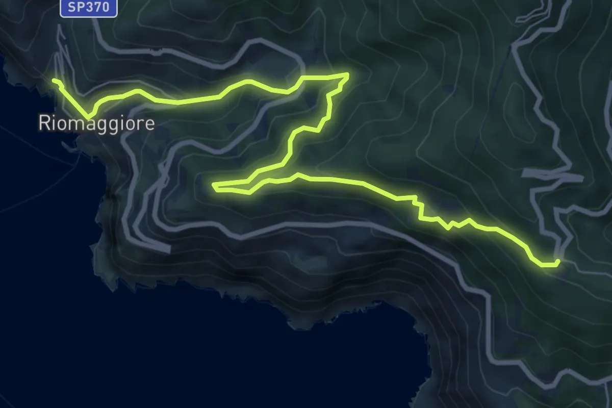
Medium · Trail
Sentiero Verde Azzurro: Telegrafo - Montenero - Riomaggiore
9.2 km · ↑ 682 m · 3 h 39 min
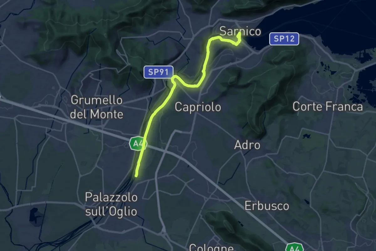
Demanding · Trail
Sentiero Verde dell'Oglio
21.0 km · ↑ 299 m · 5 h 36 min
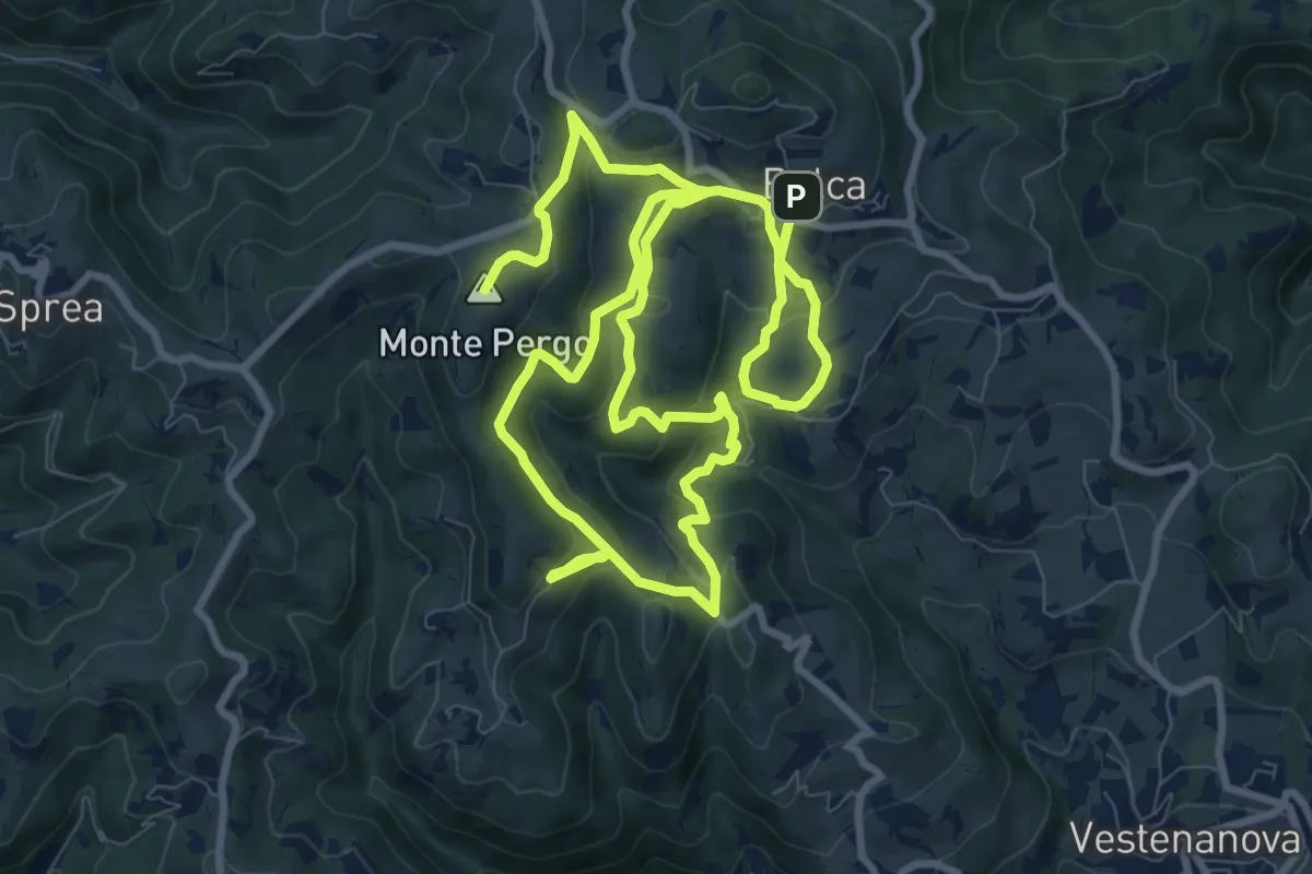
Demanding · Summit
Sentiero Verde - Monte Pergo
18.9 km · ↑ 827 m · 6 h 16 min
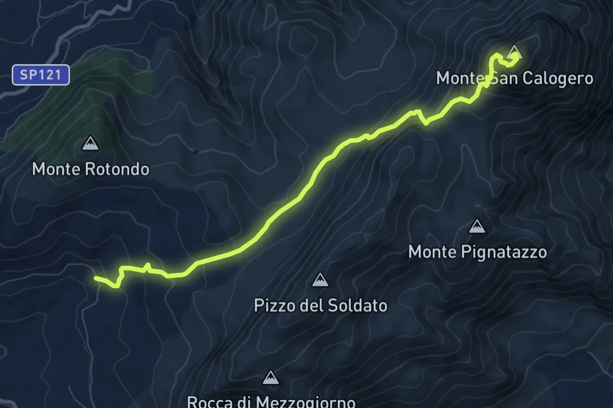
Demanding · Summit
Sentiero Vetta San Calogero - Giuseppe Geraci
10.5 km · ↑ 758 m · 4 h 7 min
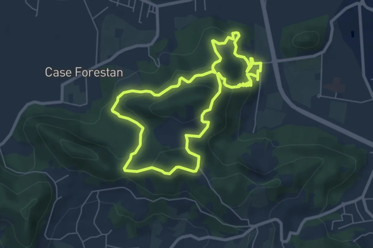
Easy · Summit
Sentiero Villa Draghi
5.4 km · ↑ 319 m · 2 h 2 min
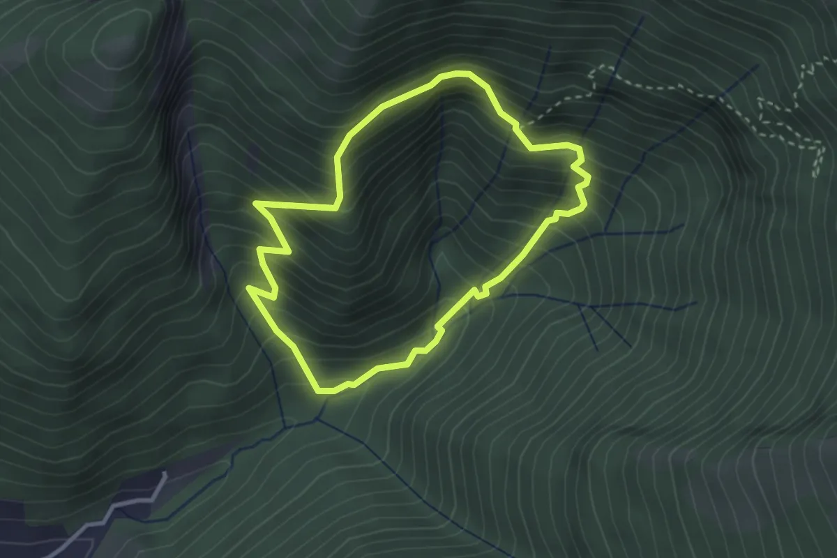
Demanding · Trail
Sentiero Vinci
2.8 km · ↑ 357 m · 1 h 28 min
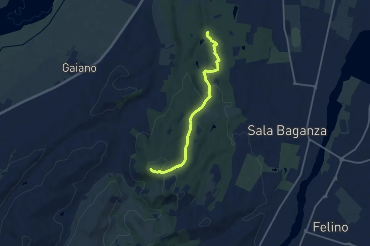
Medium · Summit
Sentiero viola
8.1 km · ↑ 169 m · 2 h 16 min
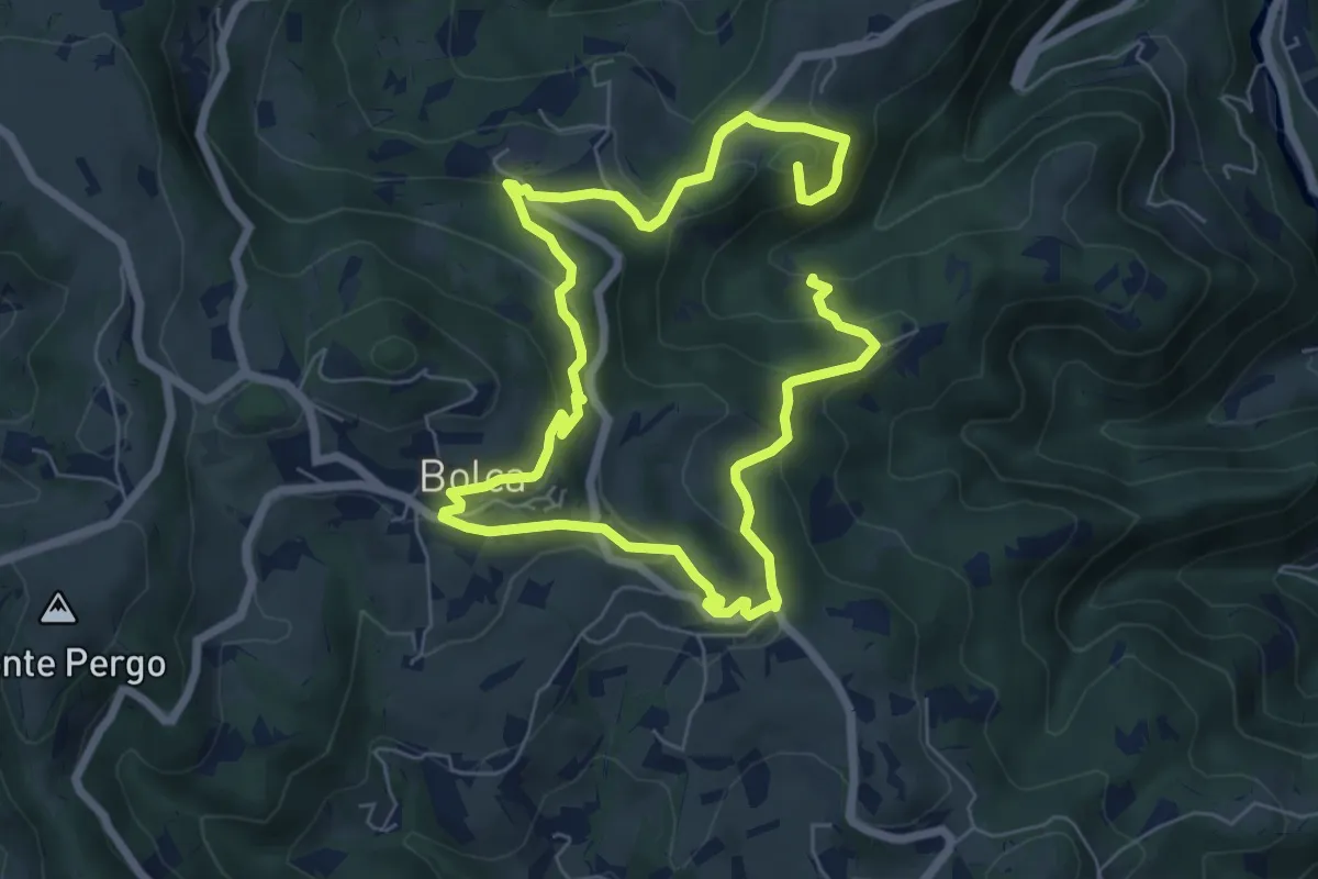
Medium · Summit
Sentiero Viola alla Pessàra
7.0 km · ↑ 355 m · 2 h 31 min
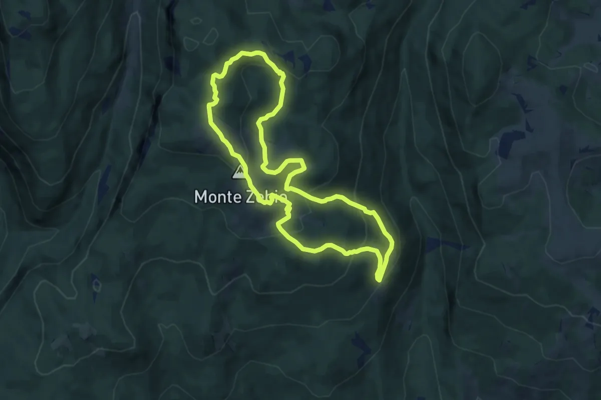
Medium · Summit
Sentiero “Vittorio Corà” al Monte Zebio
8.2 km · ↑ 398 m · 2 h 54 min
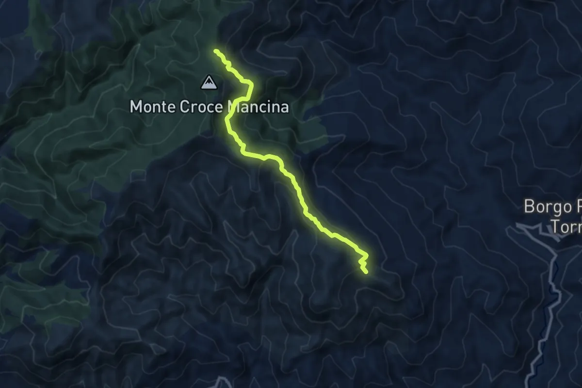
Medium · Trail
Sentiero Voturi
10.1 km · ↑ 493 m · 3 h 27 min
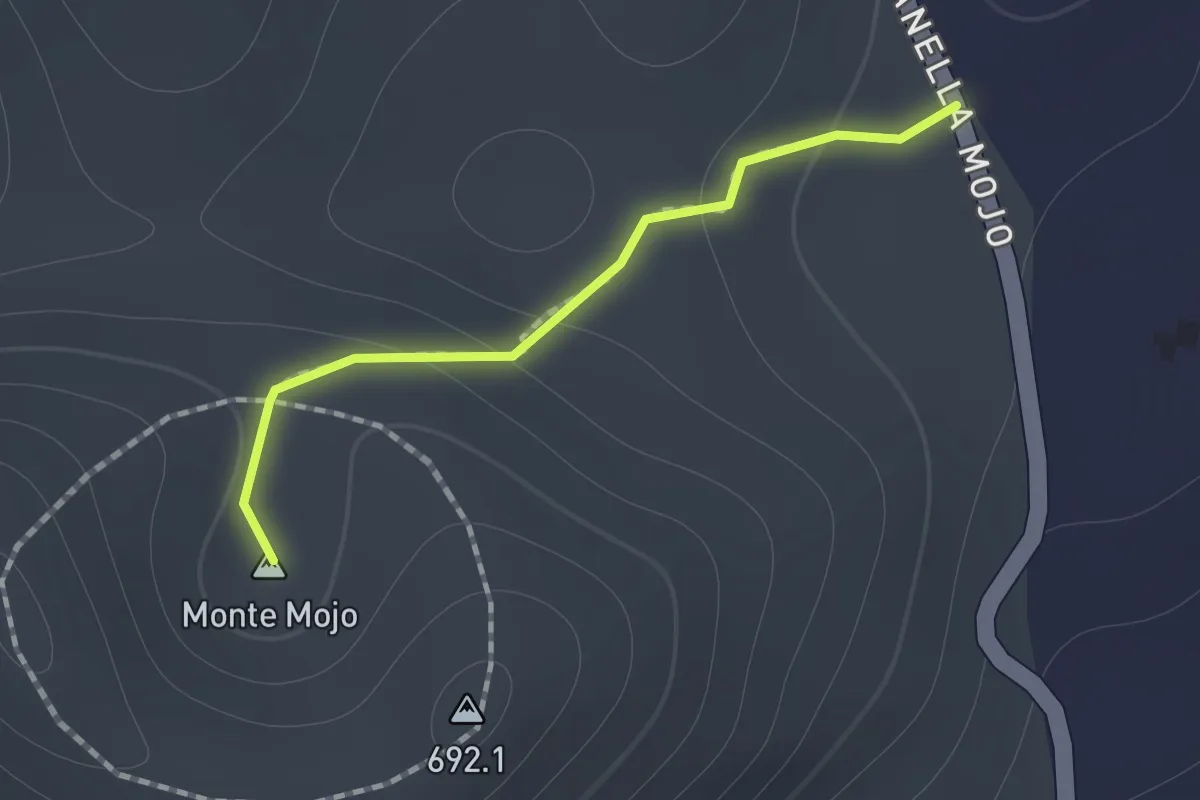
Medium · Summit
Sentiero Vulcanetto di Moio
1.0 km · ↑ 49 m · 21 min
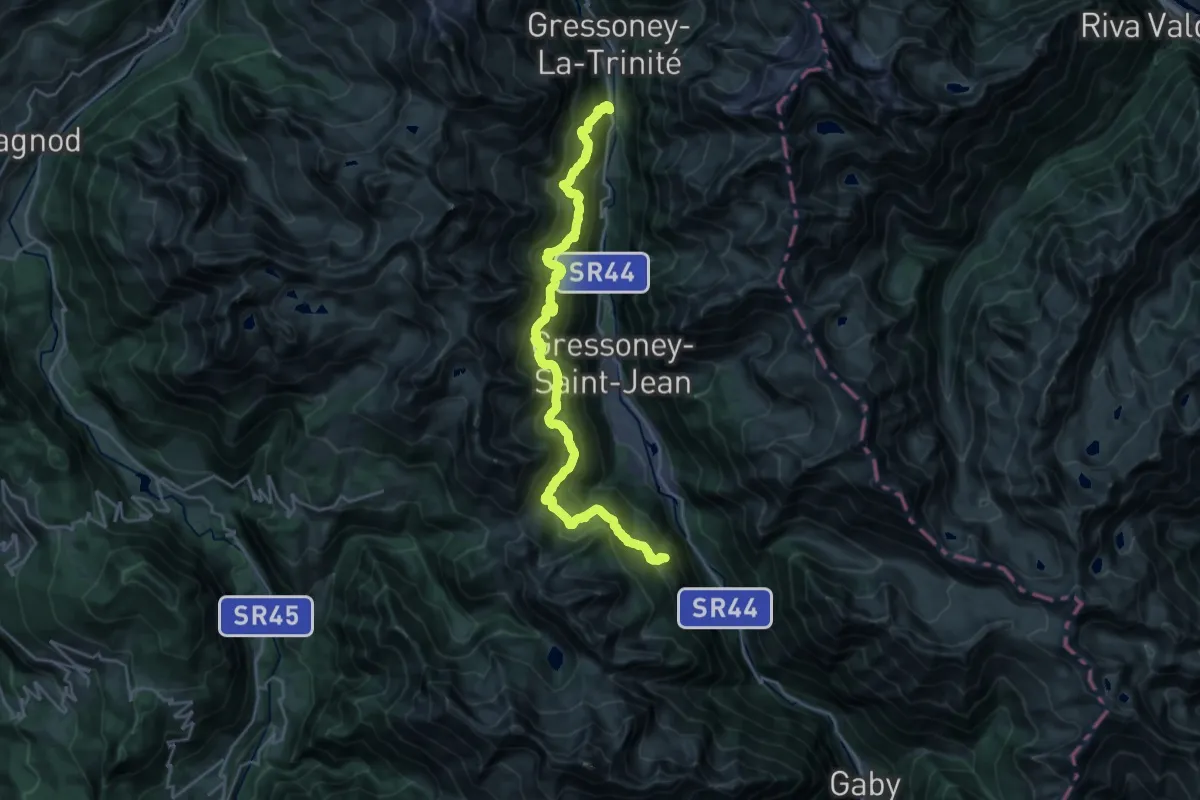
Demanding · Trail
Sentiero Walser
12.8 km · ↑ 1117 m · 5 h 41 min
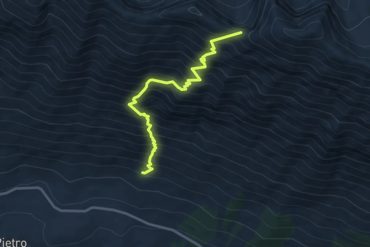
Demanding · Trail
Sentiero Woityla
6.3 km · ↑ 875 m · 3 h 24 min
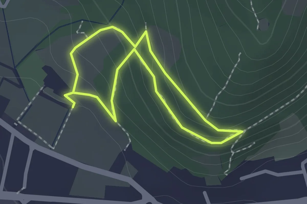
Easy · Trail
Sentiero Zanardelli percorso alto
1.5 km · ↑ 68 m · 32 min
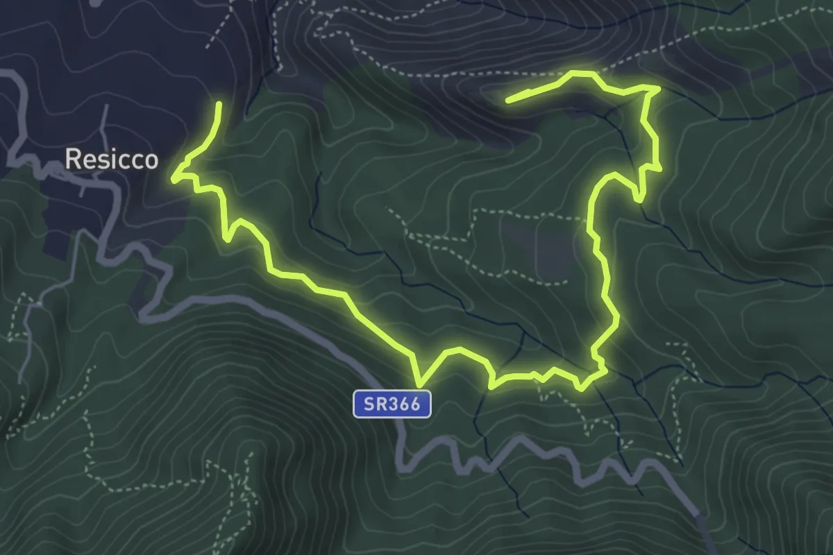
Medium · Summit
Sentiero Zappino
8.3 km · ↑ 441 m · 2 h 55 min
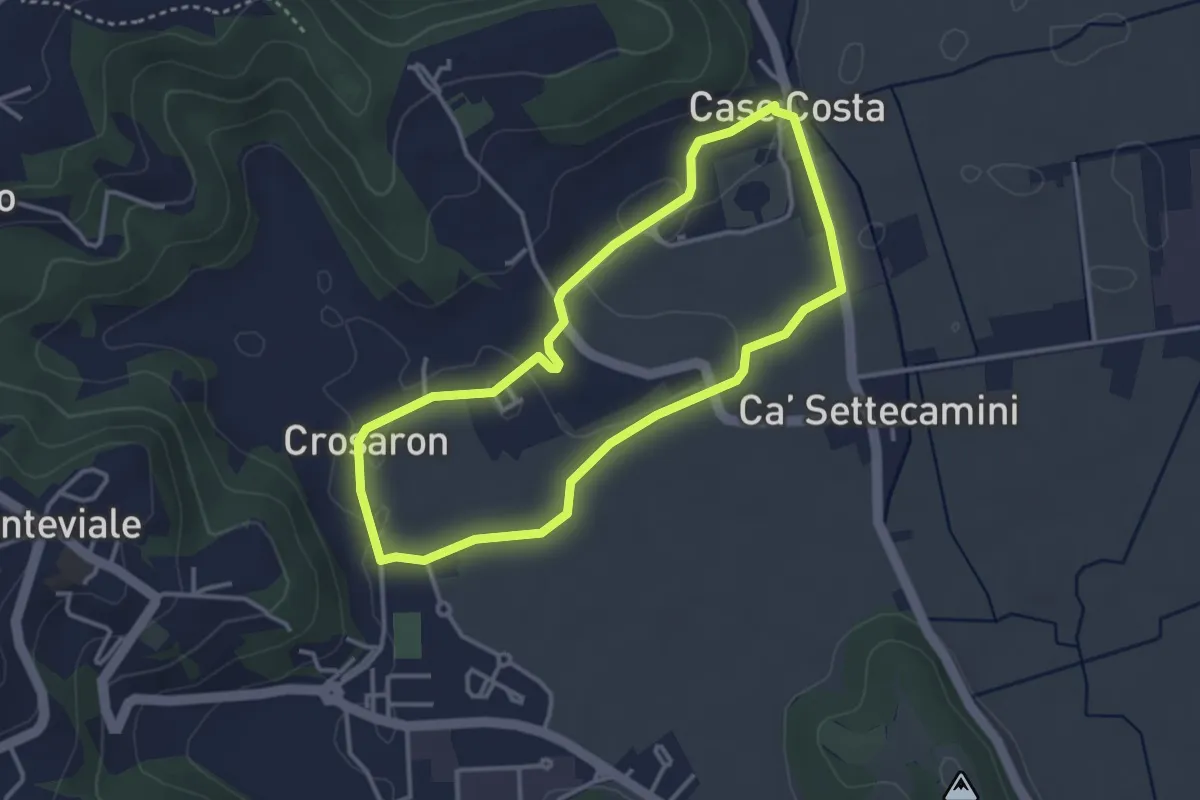
Easy · Trail
Sentiero Zuccheriei - delle Are
3.3 km · ↑ 20 m · 52 min
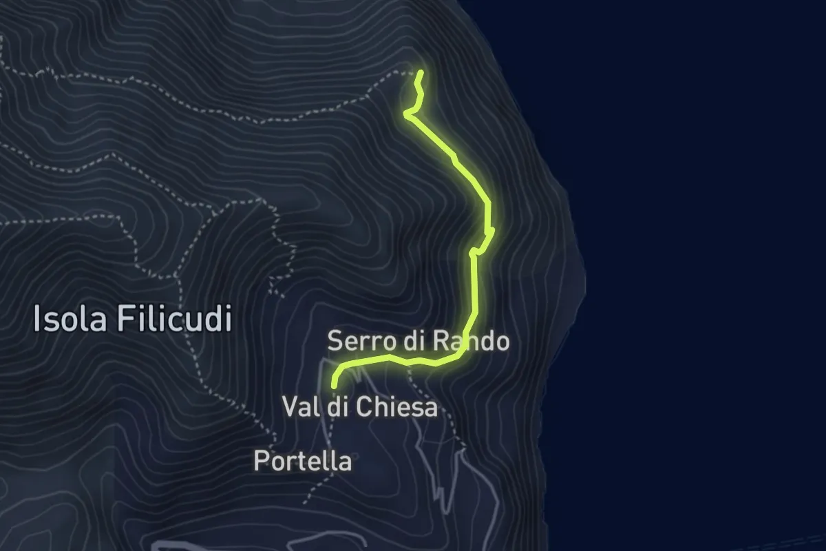
Medium · Trail
Sentiero Zucco Grande
3.5 km · ↑ 227 m · 1 h 19 min
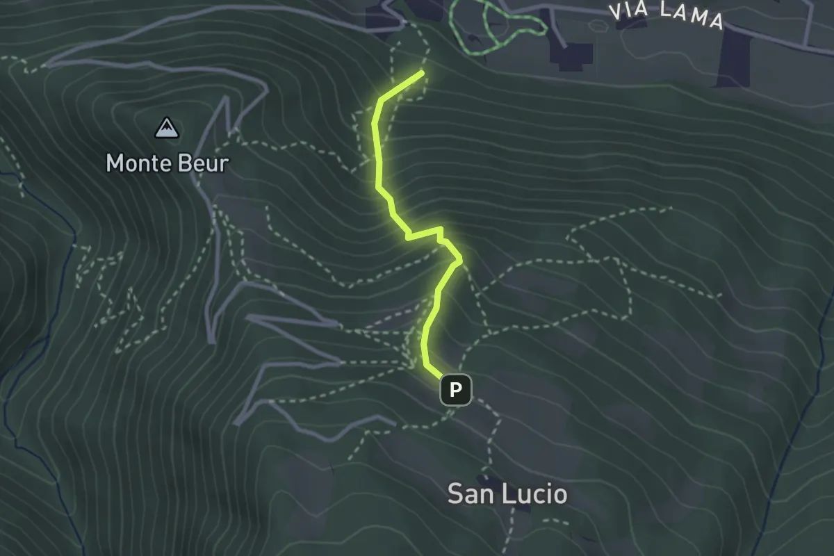
Medium · Trail
Sentiero Zuccone
2.1 km · ↑ 362 m · 1 h 17 min
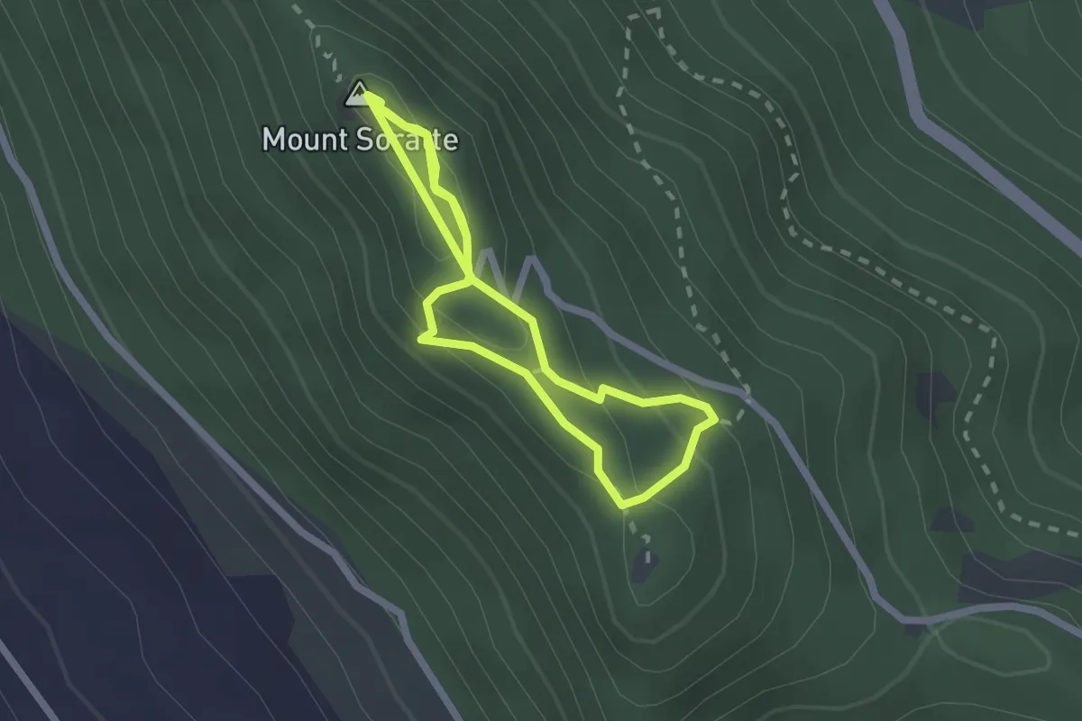
Medium · Summit
Sentiro degli Eremi
2.1 km · ↑ 102 m · 43 min
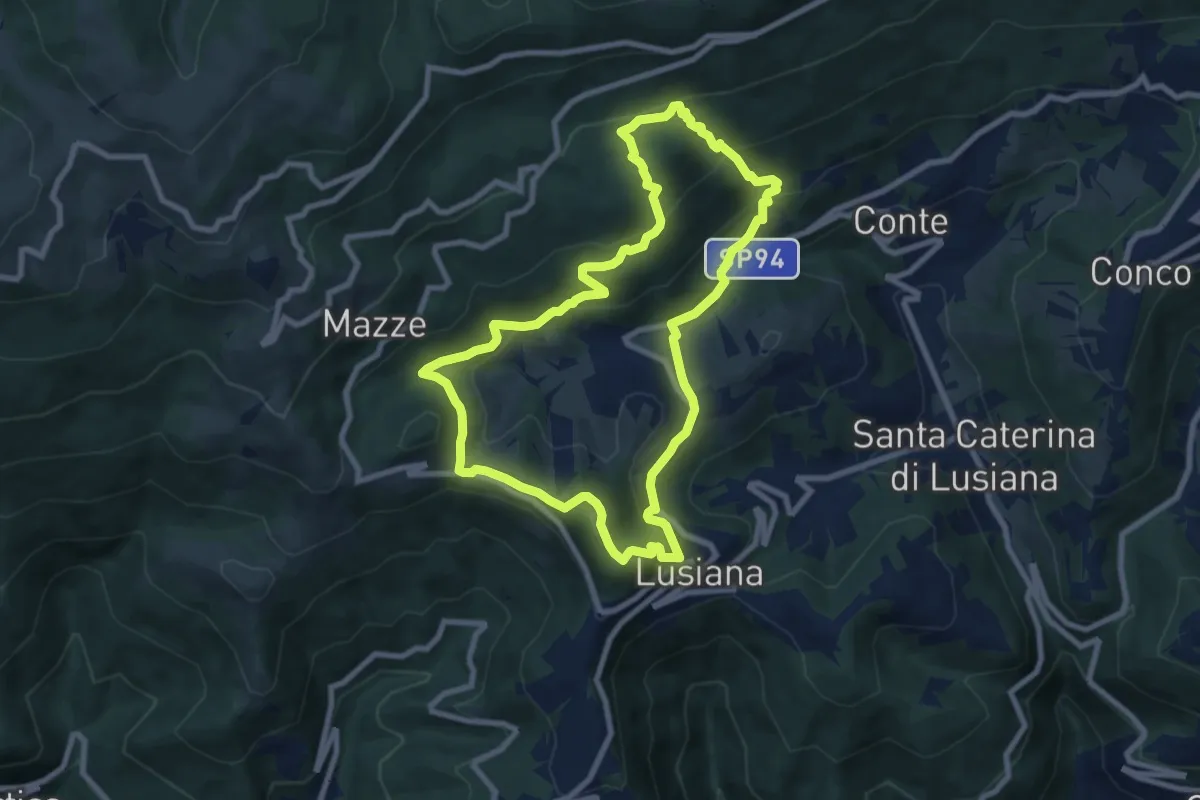
Medium · Summit
Sentiro delle Calcare
8.3 km · ↑ 424 m · 2 h 59 min
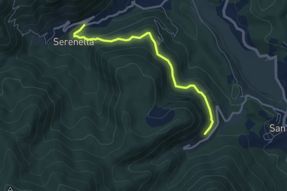
Medium · Trail
Serenella - M.na dell'Agostina – Quaratica
5.7 km · ↑ 248 m · 1 h 53 min
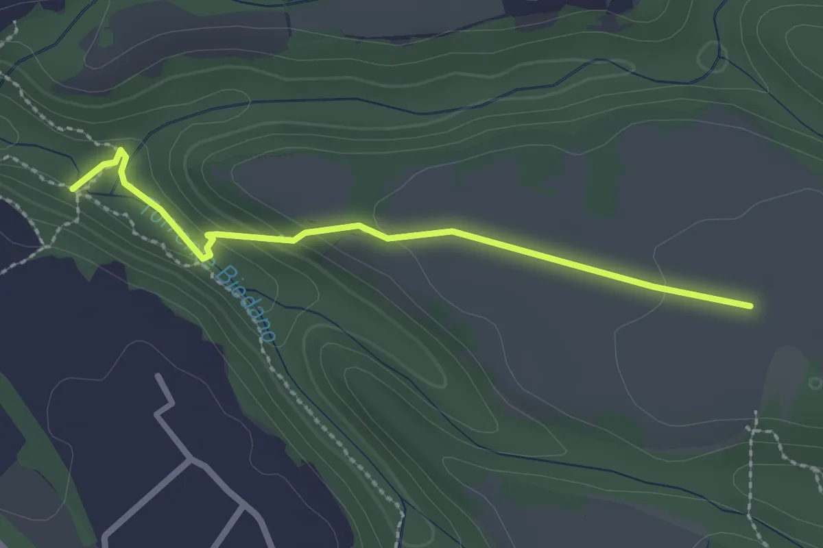
Easy · Trail
Serignano-Forra Biedano seconda mola
2.5 km · ↑ 62 m · 43 min
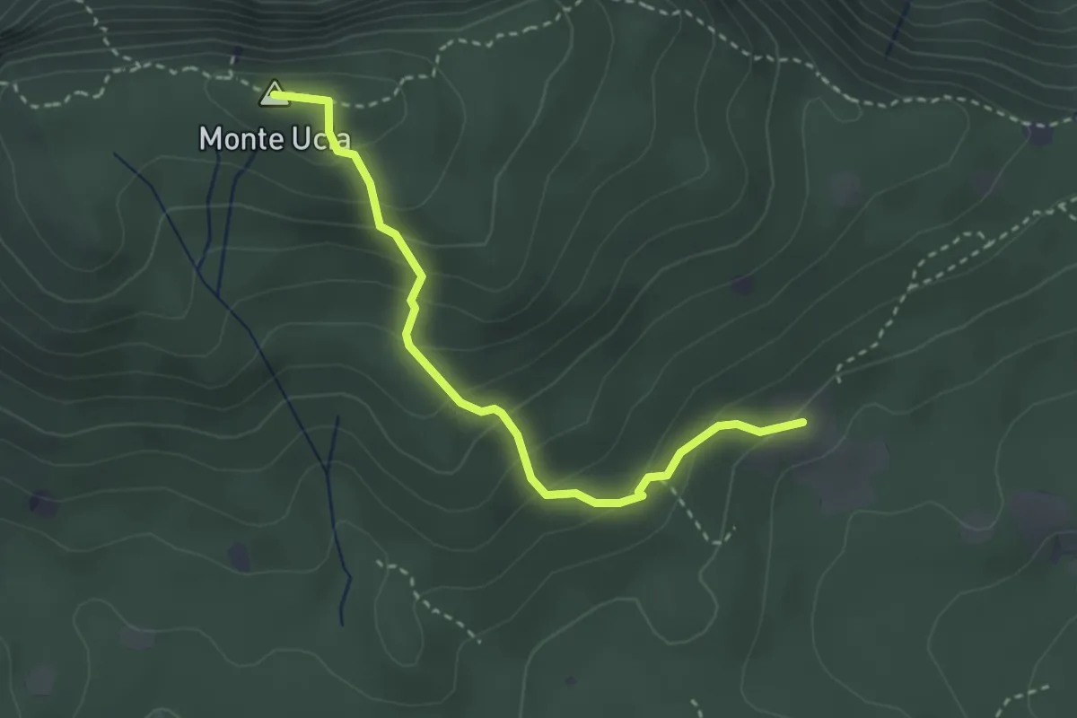
Easy · Summit
Serle (Cascina del Comune) - Corna di Caino
3.1 km · ↑ 265 m · 1 h 19 min
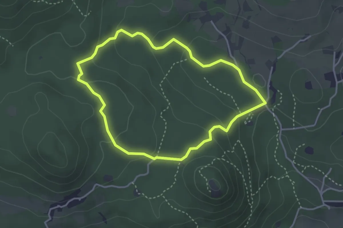
Easy · Trail
Serle (Grotta della Carbonella) - Büs de la Pocia
3.2 km · ↑ 108 m · 1 h 2 min
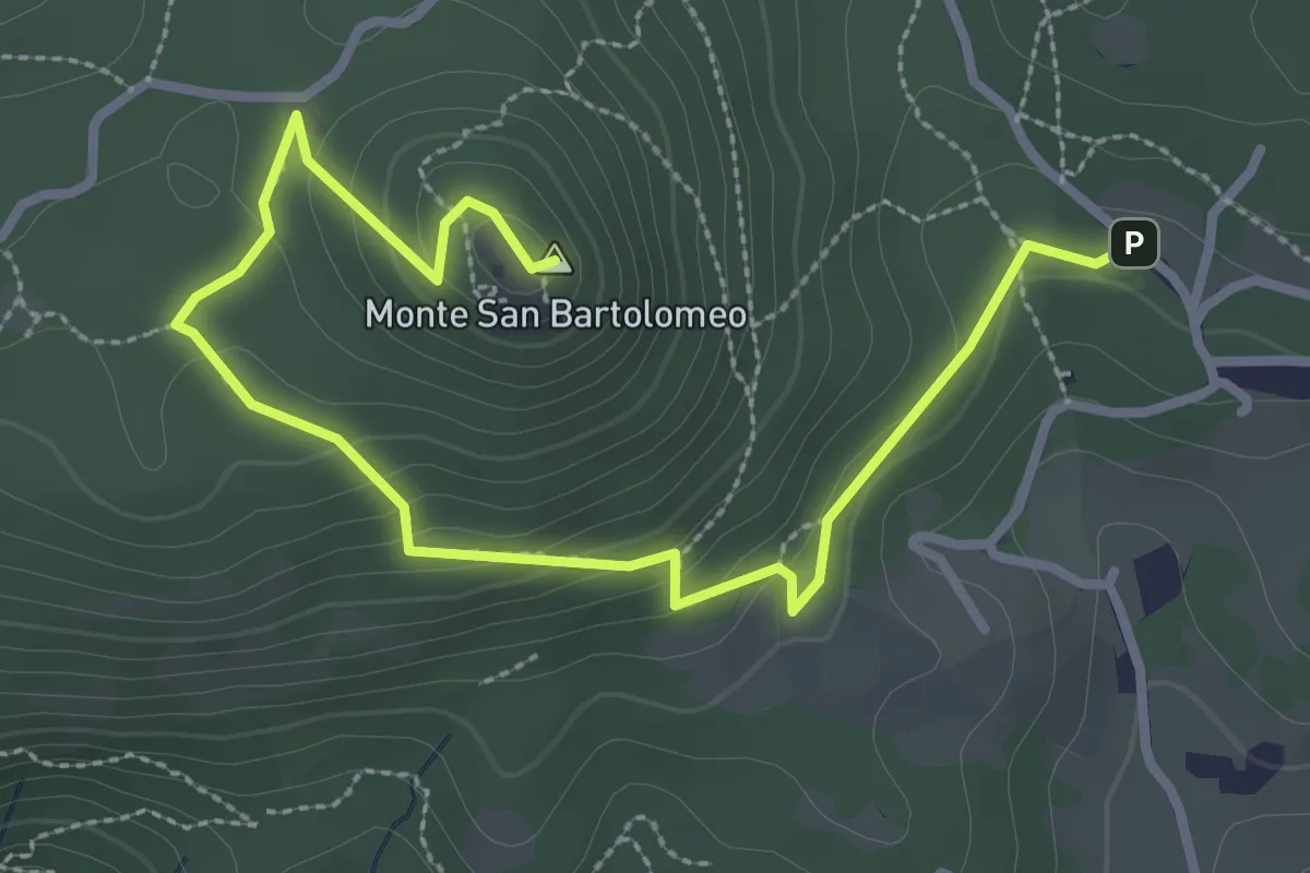
Medium · Summit
Serle (Parcheggio dei Fanti) - Monastero di San Bartolomeo
3.9 km · ↑ 164 m · 1 h 16 min
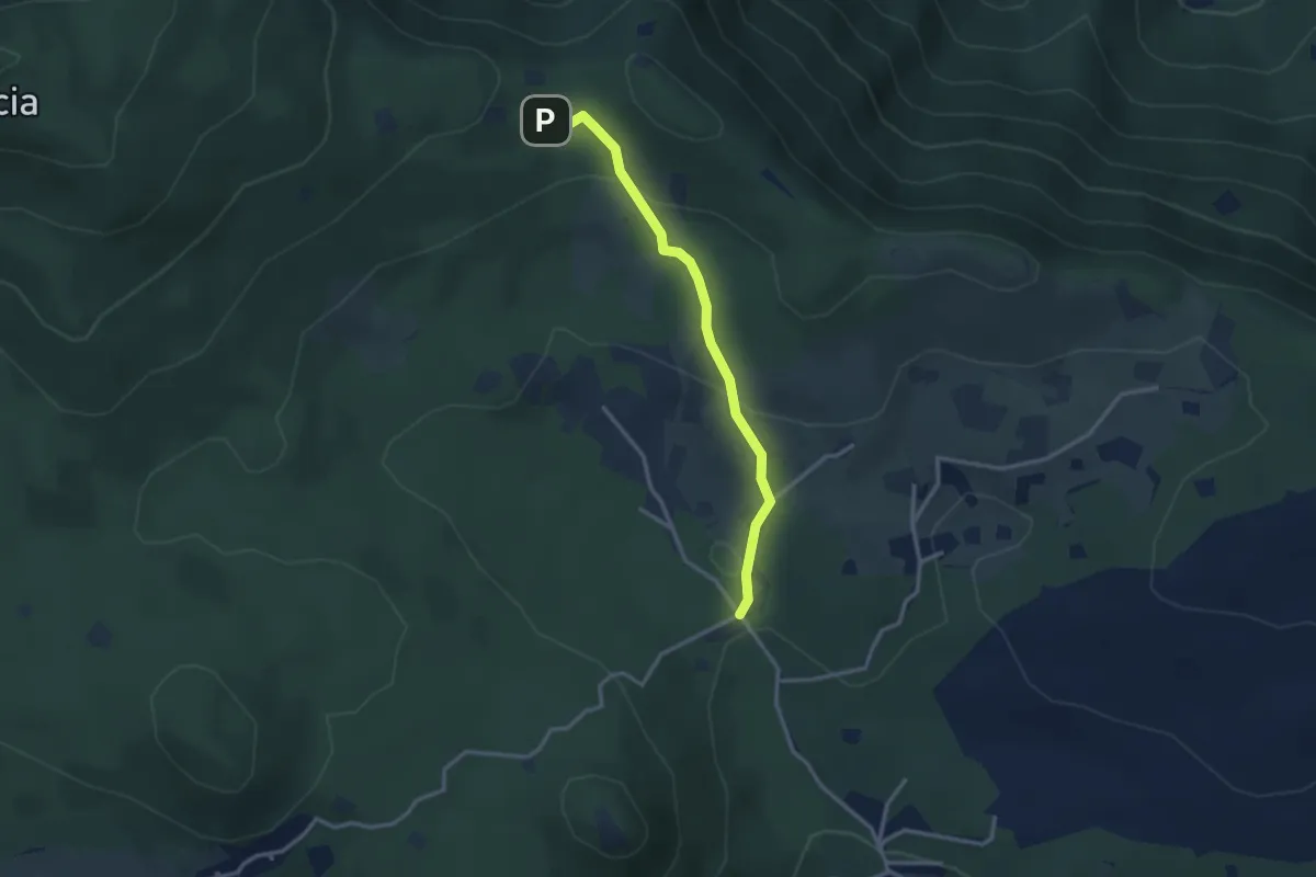
Easy · Cabin
Serle (Rifugio Alpini di Serle) - Monte Ucia - Corna di Caino
2.9 km · ↑ 122 m · 57 min
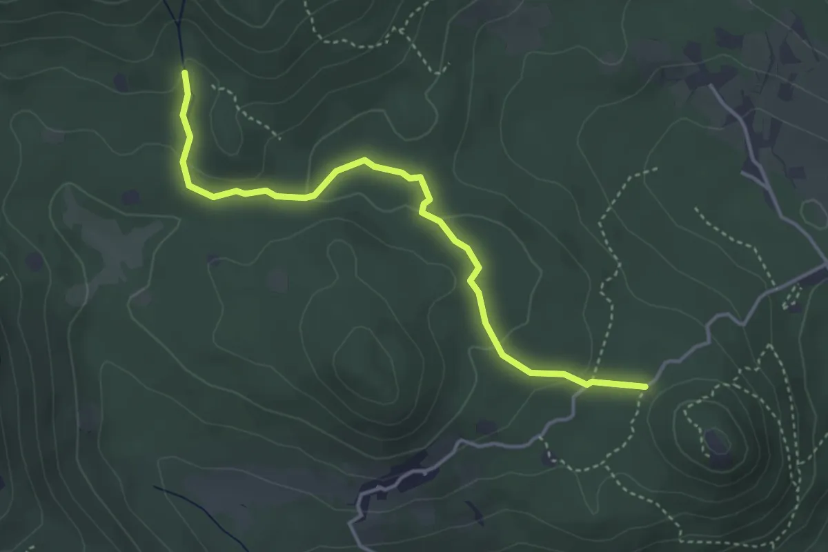
Easy · Trail
Serle (Santuario di San Bartolomeo) - Monte Ucia
4.1 km · ↑ 120 m · 1 h 13 min
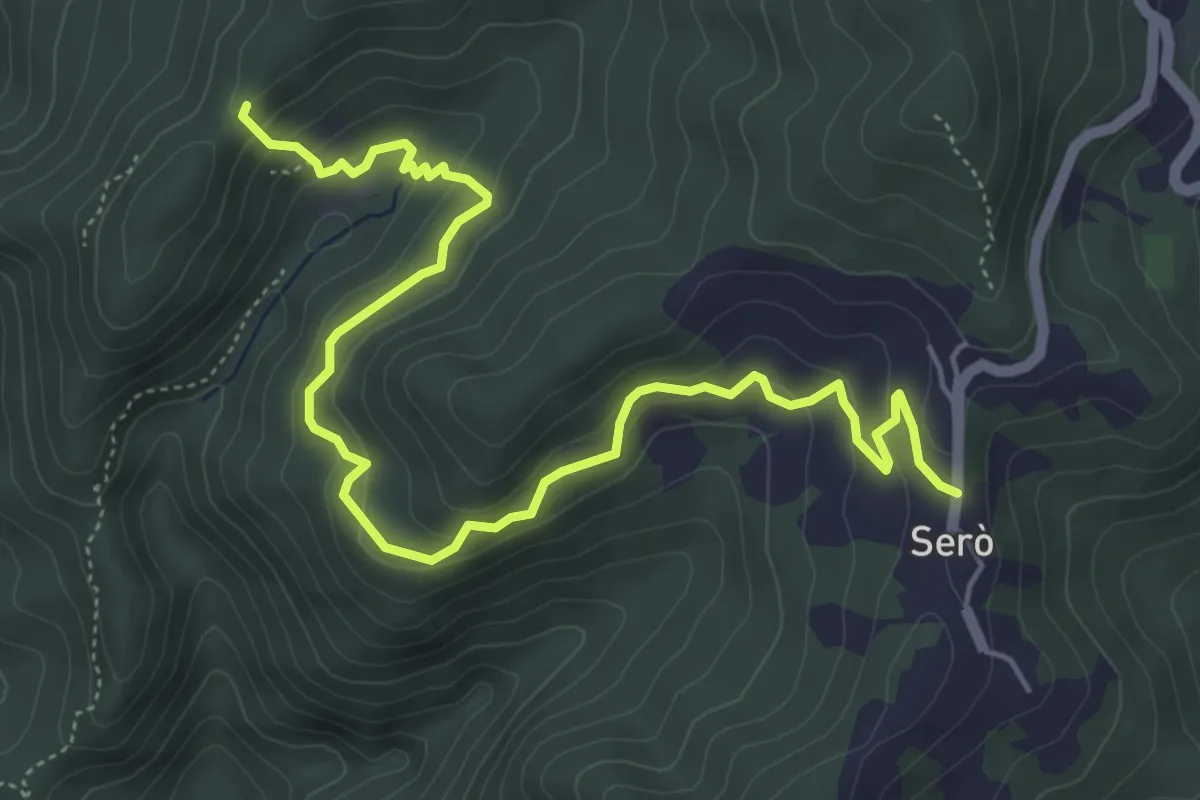
Demanding · Trail
Serò - Bedulla - Case Taramaschi (Collegamento 141 – 142)
6.6 km · ↑ 364 m · 2 h 21 min
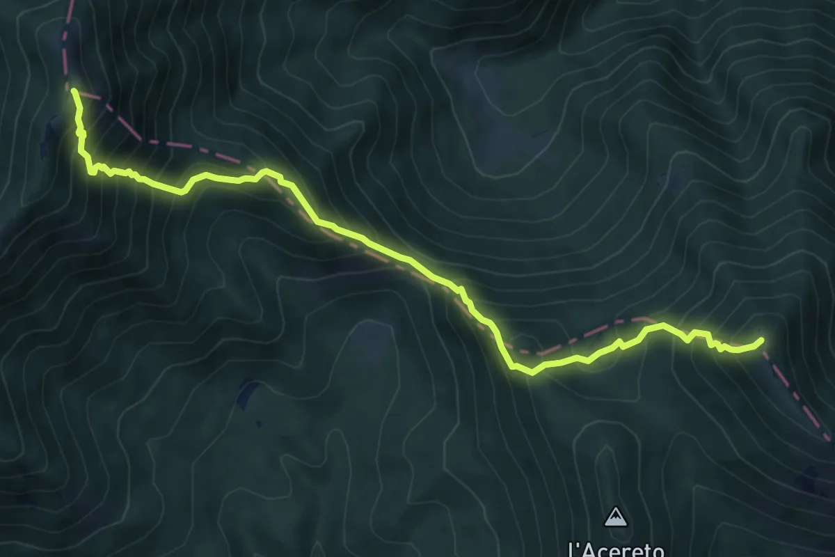
Demanding · Summit
Serra Alta - Le Fosse - Linguaggio della Forca - Serra Comune
9.3 km · ↑ 1172 m · 4 h 44 min
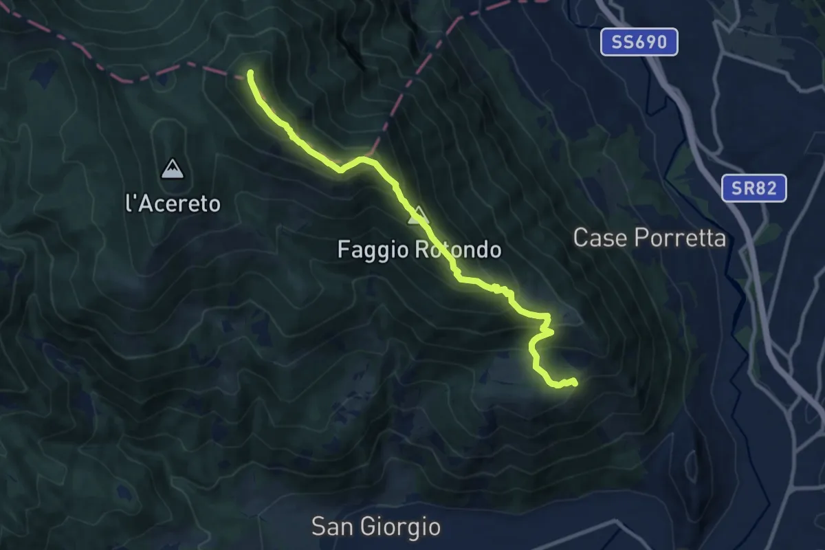
Demanding · Summit
Serra Alta, via di cresta da Piazza San Rocco
10.7 km · ↑ 893 m · 4 h 28 min