Trails in Italy
25,219 hiking trails, each with its route, climb, walking time and grade.
All trails, page 194 of 526
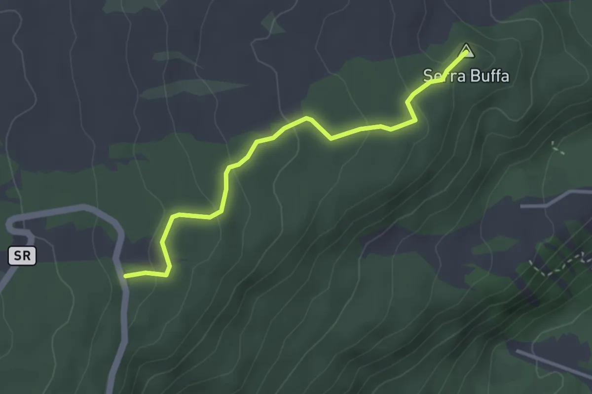
Easy · Summit
Serra Buffa Giarrita
3.5 km · ↑ 131 m · 1 h 6 min
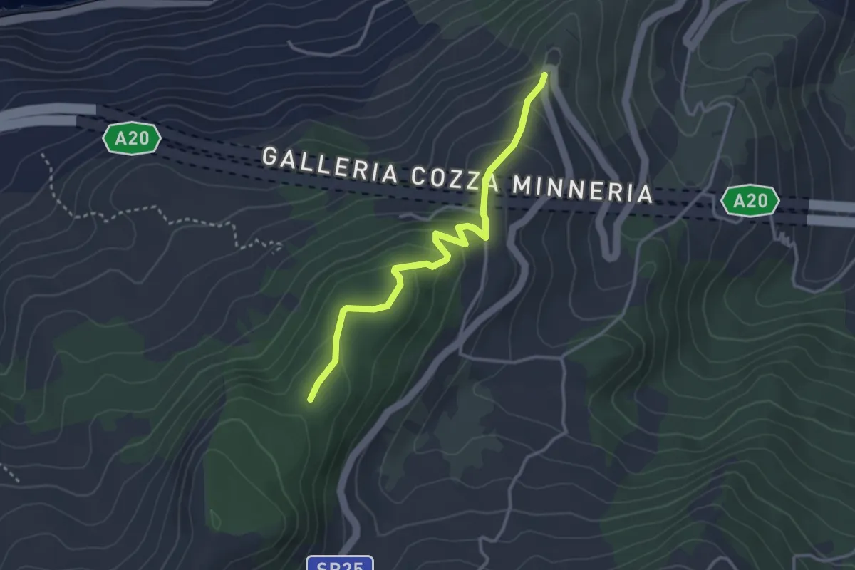
Easy · Trail
Serradaino
3.6 km · ↑ 204 m · 1 h 17 min
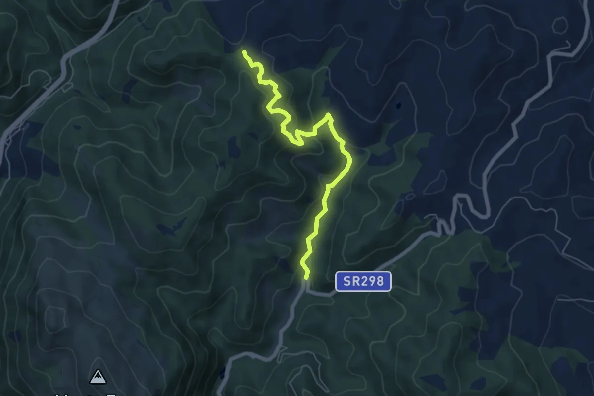
Medium · Trail
Serra Grande
5.9 km · ↑ 320 m · 2 h 5 min
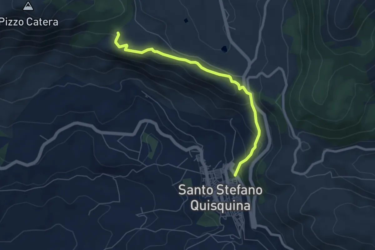
Easy · Trail
Serra Mannerazze e Portella Cicala
6.7 km · ↑ 256 m · 2 h 8 min
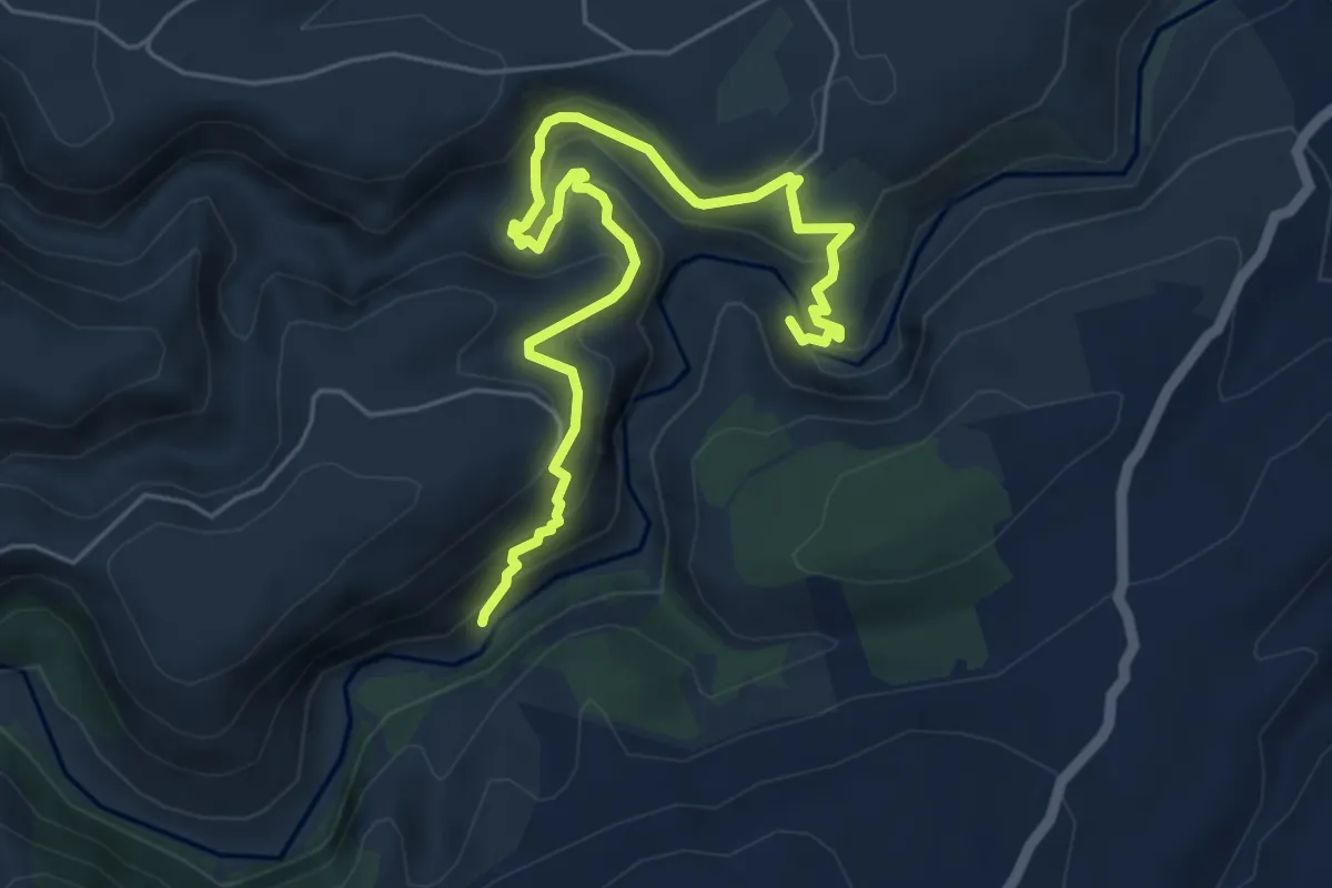
Medium · Trail
Serramenzana
7.4 km · ↑ 471 m · 2 h 46 min
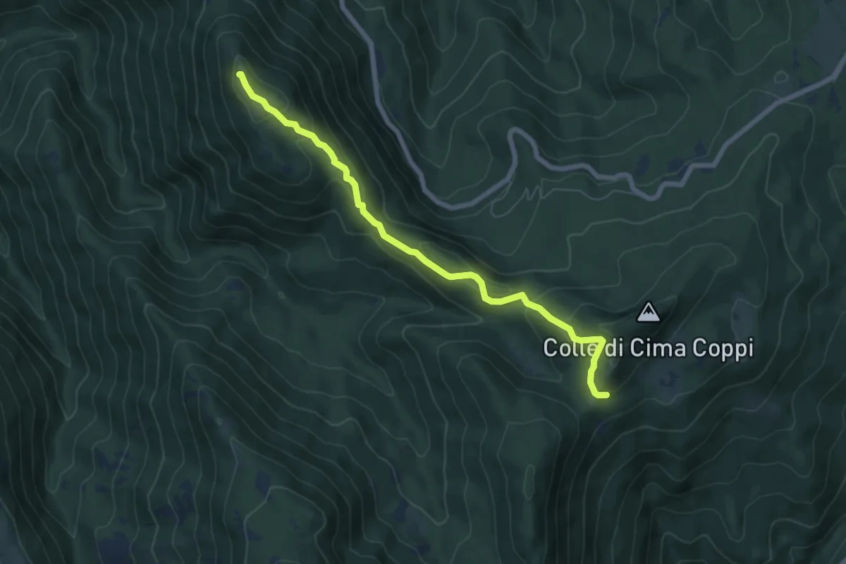
Medium · Summit
Serrapopolo-Casale Bruciato
6.8 km · ↑ 367 m · 2 h 25 min
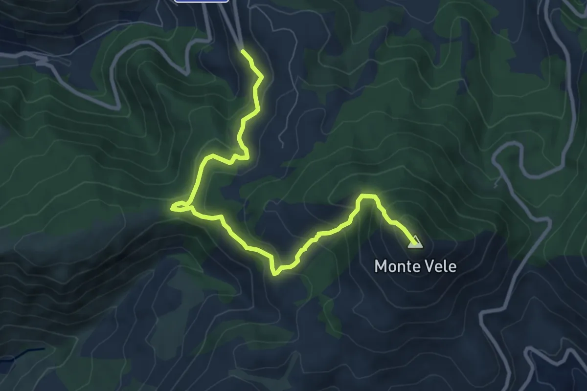
Medium · Summit
Serra Saglione-Monte Vele
8.8 km · ↑ 598 m · 3 h 23 min
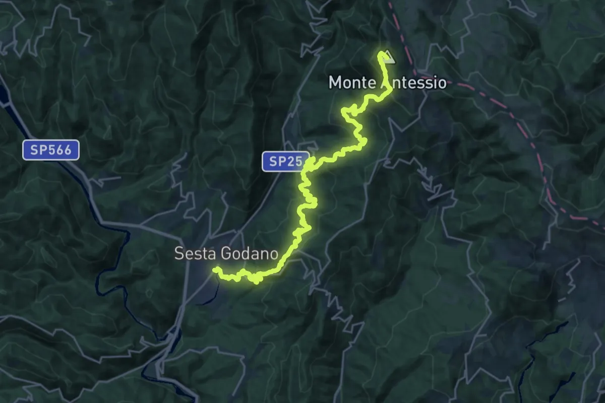
Demanding · Summit
Sesta Godano - Godano - Pignona - Antessio - Monte Antessio (Bivio AVML)
25.9 km · ↑ 1782 m · 9 h 59 min
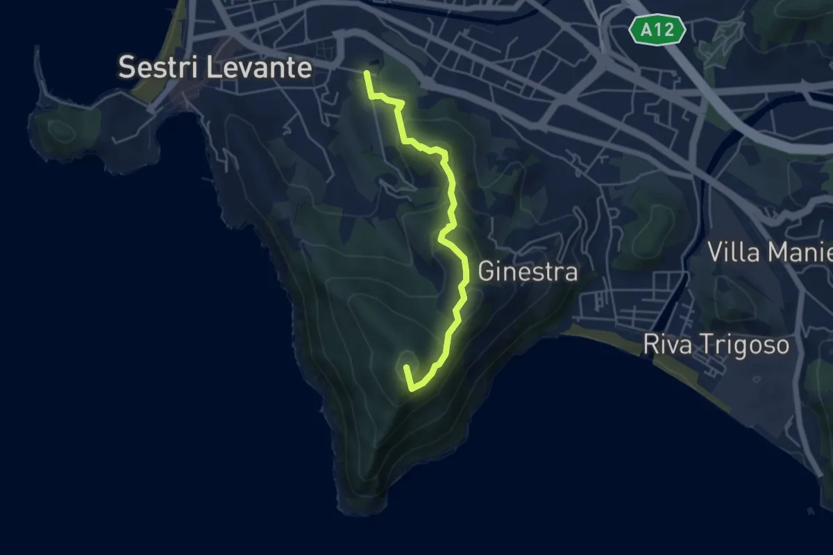
Medium · Summit
Sestri Levante - Cappelletta Sacra Famiglia - Punta Manara
4.4 km · ↑ 262 m · 1 h 37 min
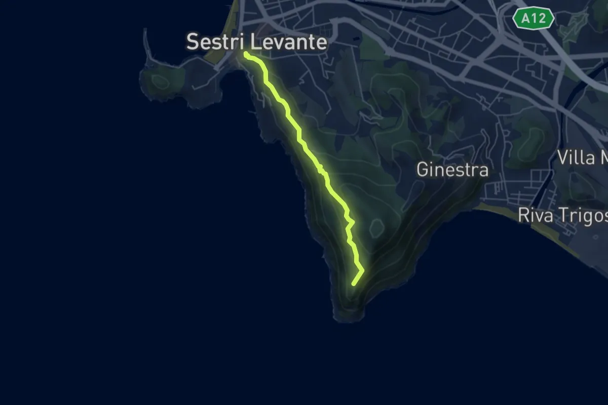
Medium · Trail
Sestri Levante - Casa Mandrella - Punta Manara
4.5 km · ↑ 278 m · 1 h 40 min
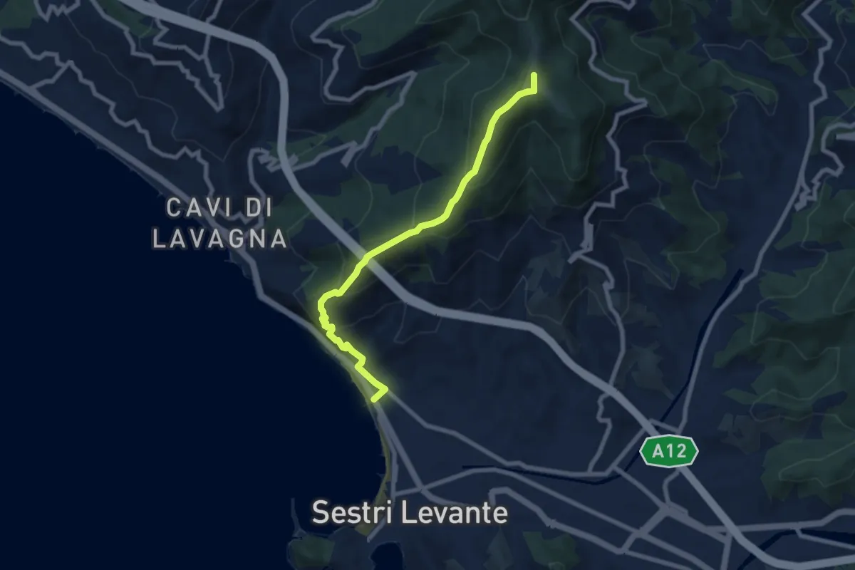
Medium · Summit
Sestri Levante - Monte Costello
7.3 km · ↑ 516 m · 2 h 50 min
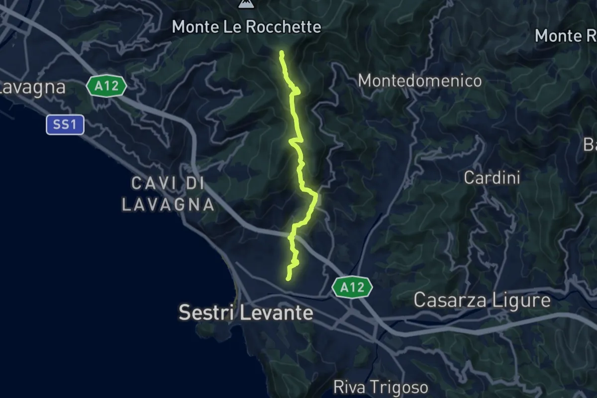
Medium · Summit
Sestri Levante - San Bernardo - Monte Capenardo
10.9 km · ↑ 774 m · 4 h 14 min
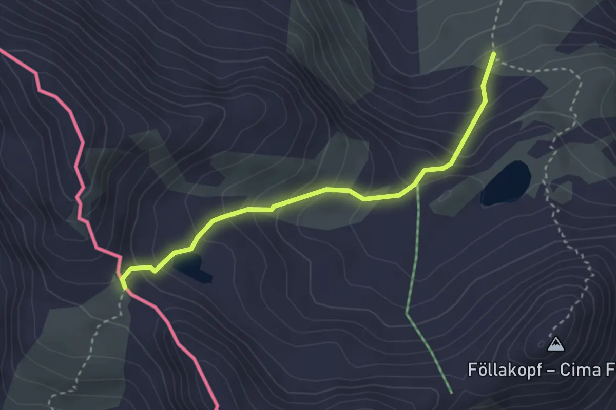
Easy · Trail
Sesvennahütte - Fuorcla Sesvenna
2.9 km · ↑ 296 m · 1 h 19 min
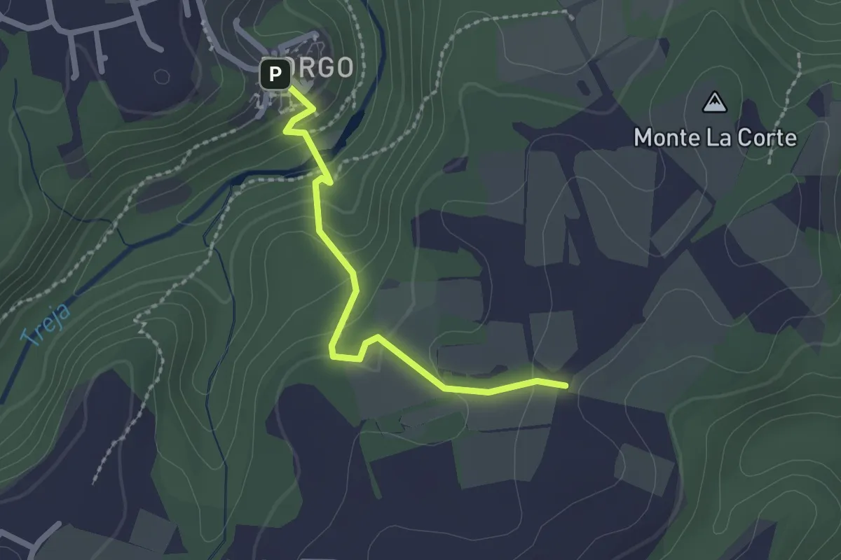
Easy · Trail
Settecannelle
2.1 km · ↑ 114 m · 45 min
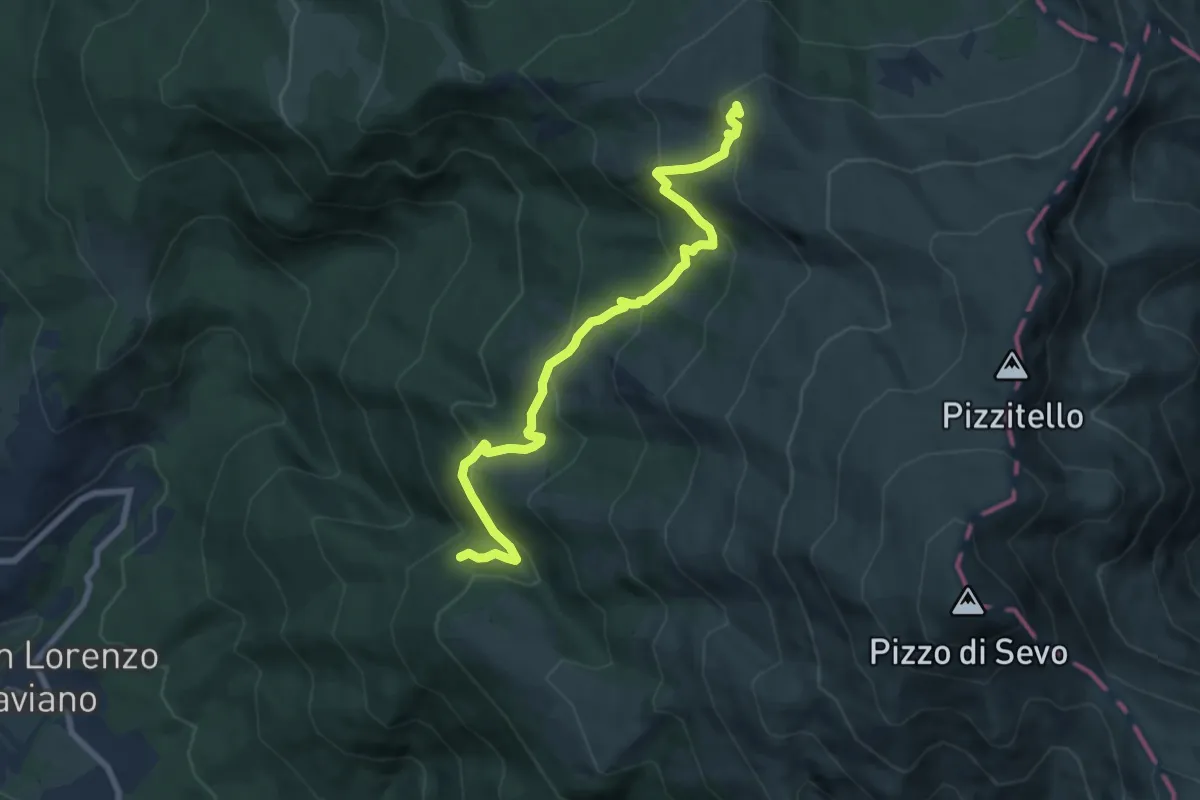
Medium · Trail
Settefonti - Il Sorbo - Stazzi di San Lorenzo - Pizzo di Sevo
8.7 km · ↑ 519 m · 3 h 10 min
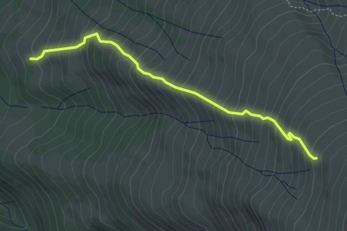
Medium · Trail
Settefonti - Quota 2157 di Pizzo d Sevo
4.4 km · ↑ 622 m · 2 h 24 min
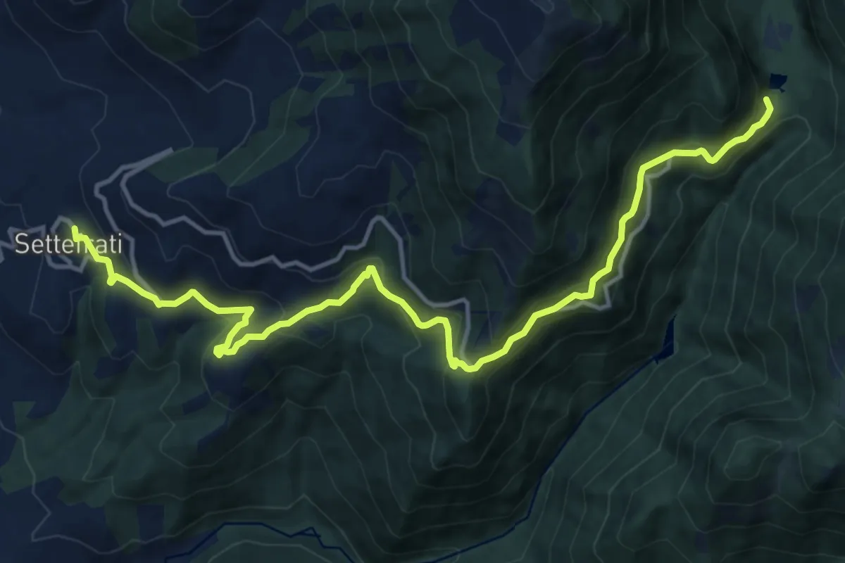
Demanding · Trail
Settefrati - Madonna di Canneto
15.5 km · ↑ 919 m · 5 h 39 min
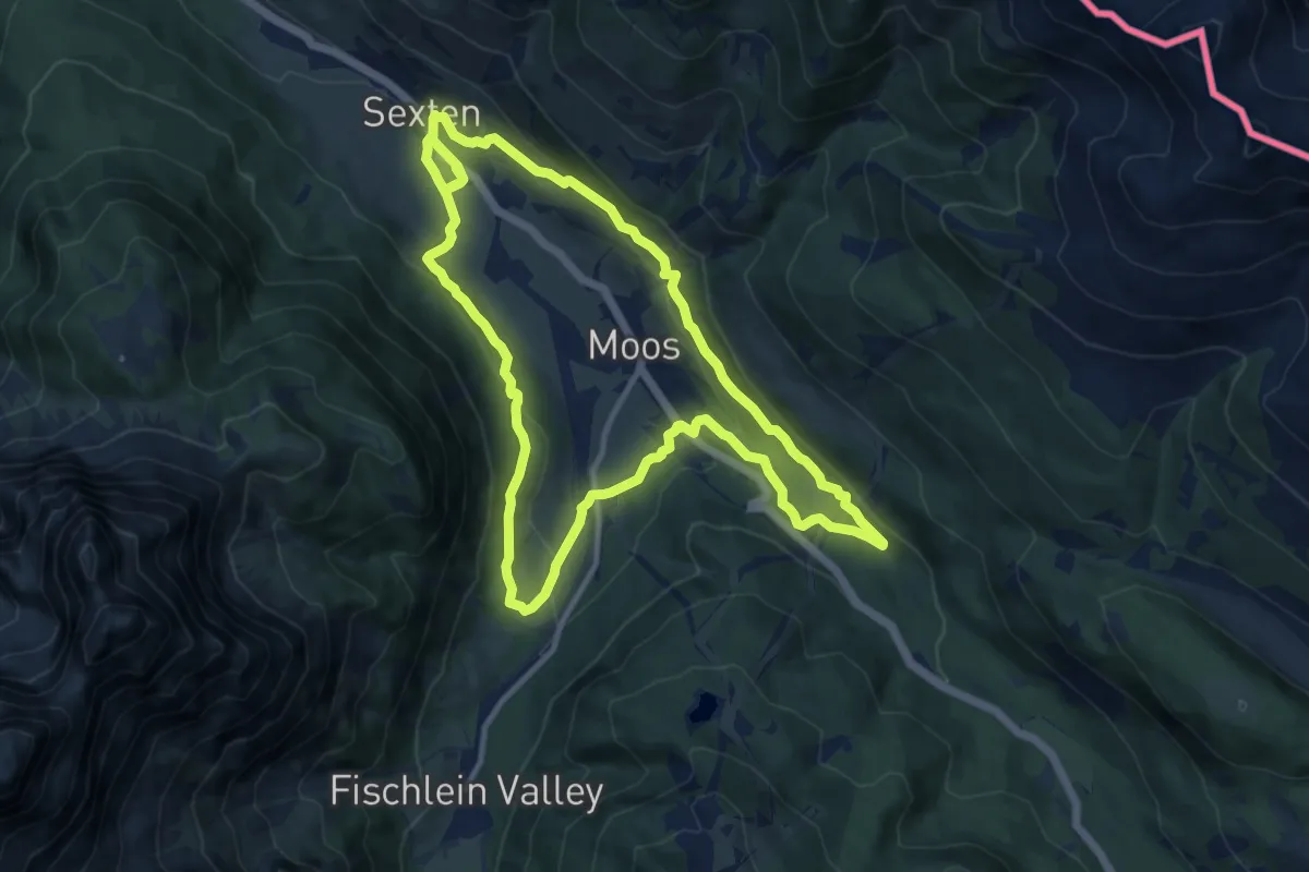
Medium · Trail
Sextener Rundweg
11.4 km · ↑ 371 m · 3 h 38 min
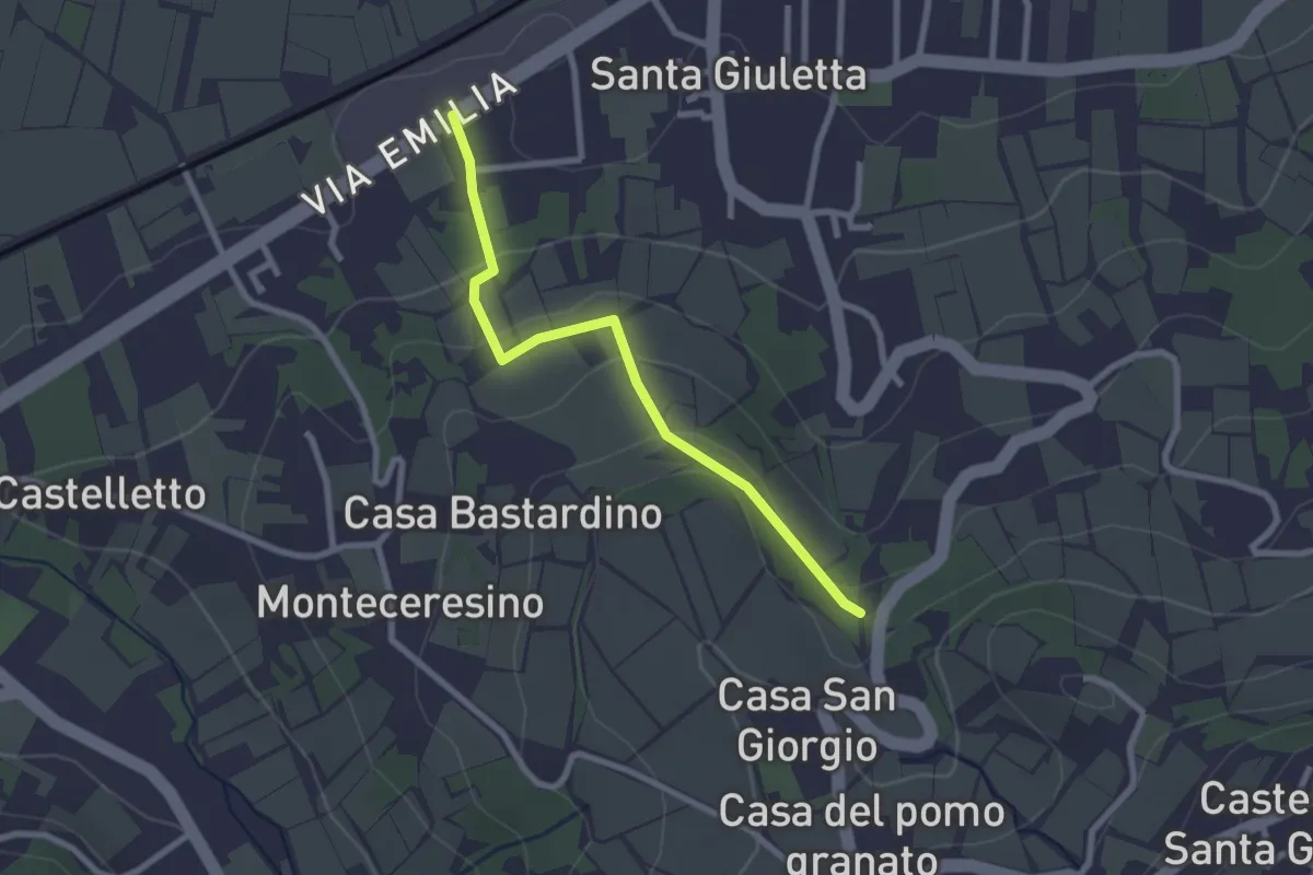
Easy · Trail
S.Giuletta-Casa Fontana
2.5 km · ↑ 85 m · 46 min
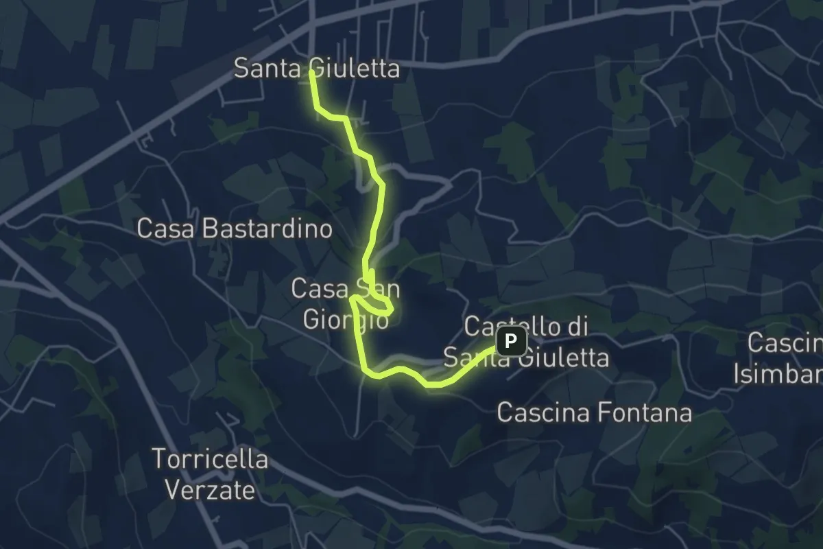
Easy · Trail
S.Giuletta-Frazione Castello
5.1 km · ↑ 210 m · 1 h 40 min
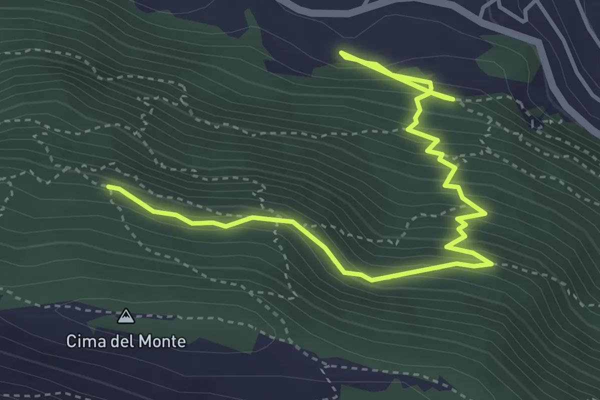
Medium · Trail
Sgurgola
5.2 km · ↑ 504 m · 2 h 20 min
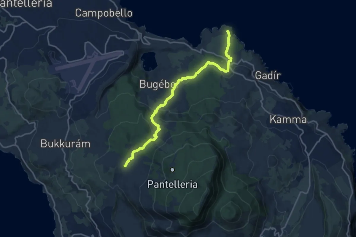
Medium · Trail
Sibá - Bugéber - Punta Spadíllo
13.7 km · ↑ 382 m · 4 h 3 min
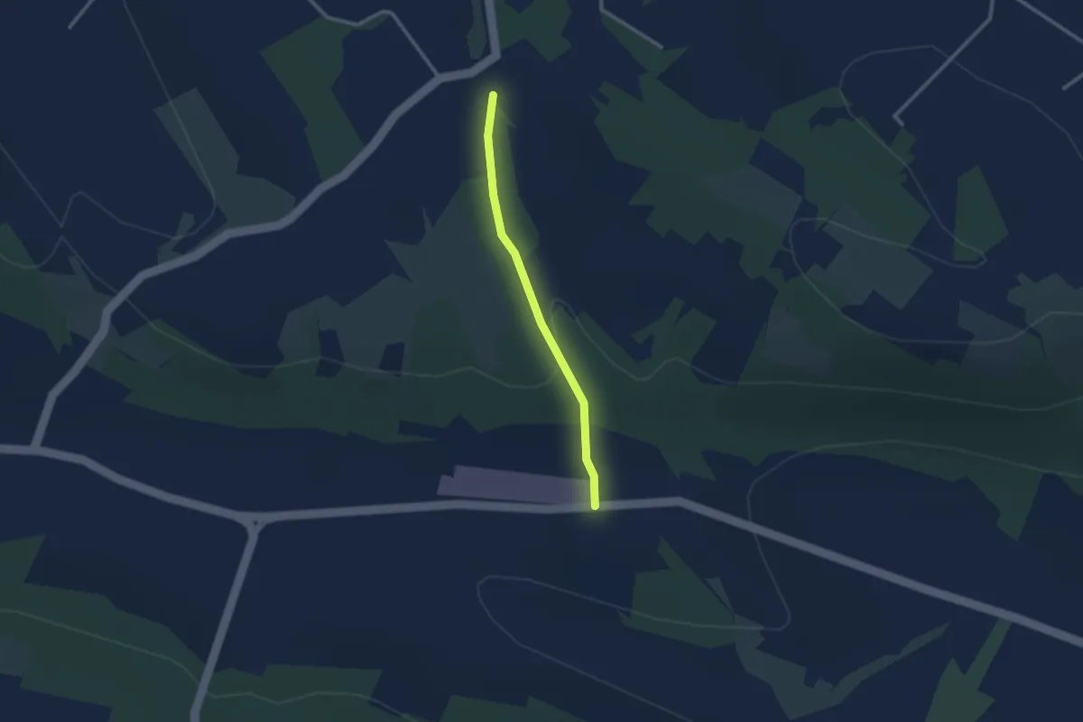
Easy · Trail
SIC 11
2.5 km · ↑ 45 m · 42 min
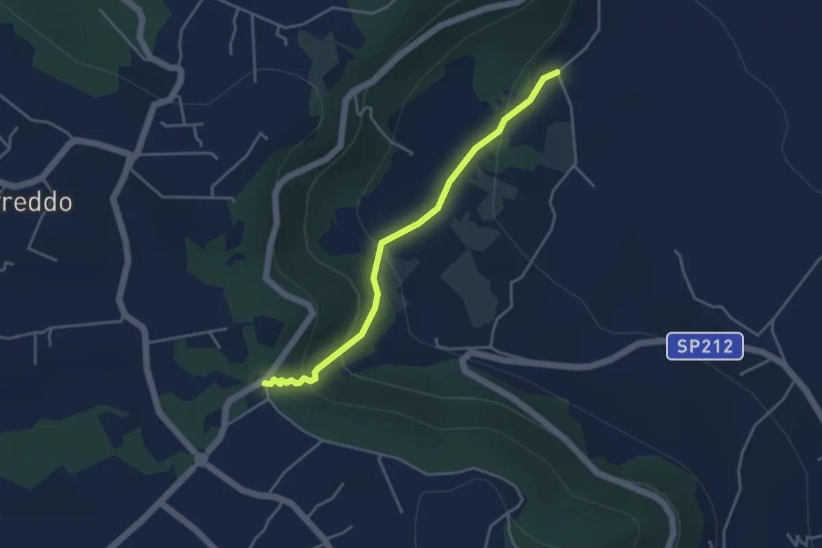
Easy · Trail
SIC 2
3.8 km · ↑ 194 m · 1 h 19 min
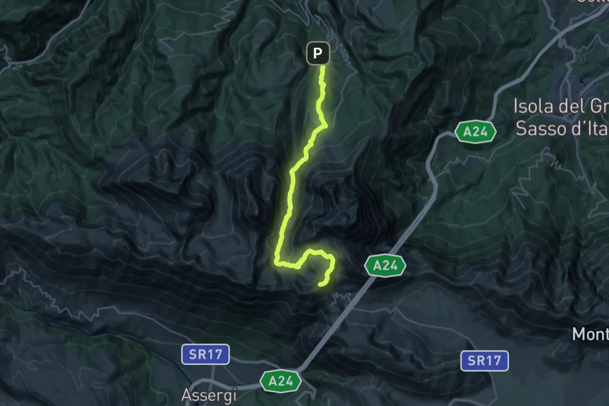
Demanding · Summit
SICAI Ciclo
24.7 km · ↑ 1649 m · 9 h 24 min
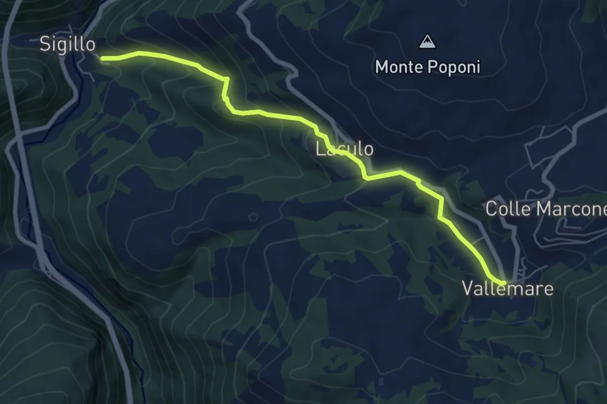
Medium · Trail
Sigillo-Vallemare
6.6 km · ↑ 415 m · 2 h 27 min
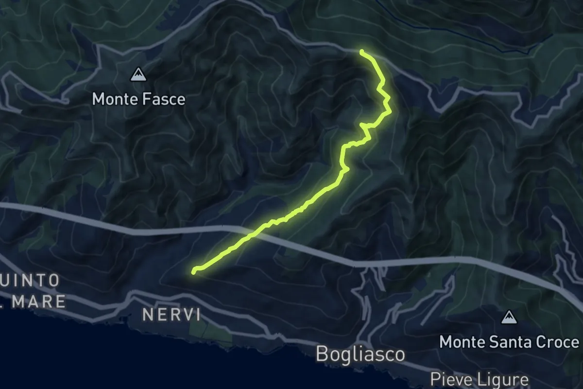
Medium · Trail
S. Ilario - Monte Fasce
9.2 km · ↑ 650 m · 3 h 34 min
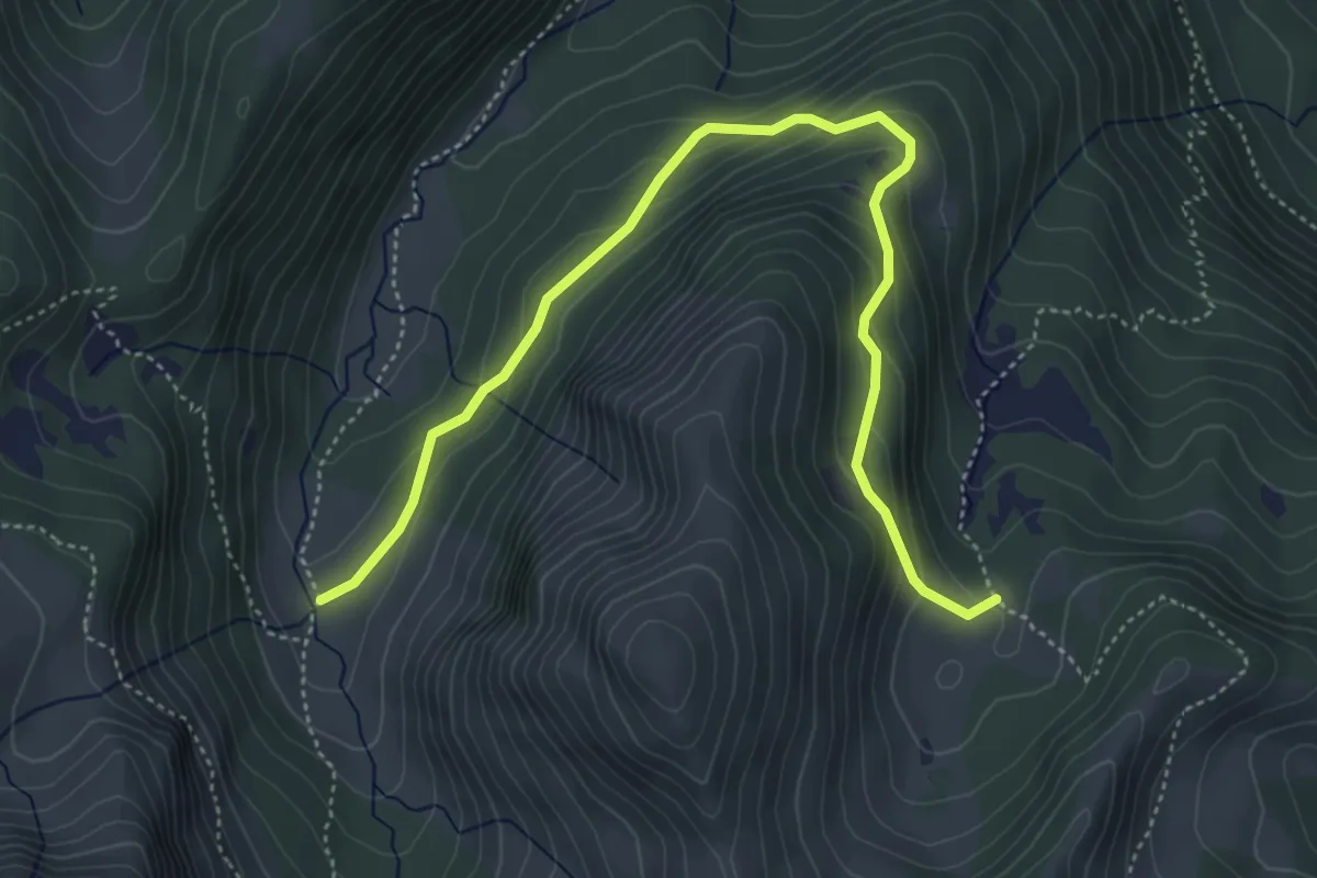
Medium · Trail
Silter di Val Gabbia-Malga Val Bresciana
5.6 km · ↑ 346 m · 2 h 4 min
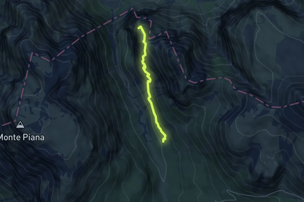
Medium · Summit
Silvano De Romedi
3.6 km · ↑ 261 m · 1 h 25 min
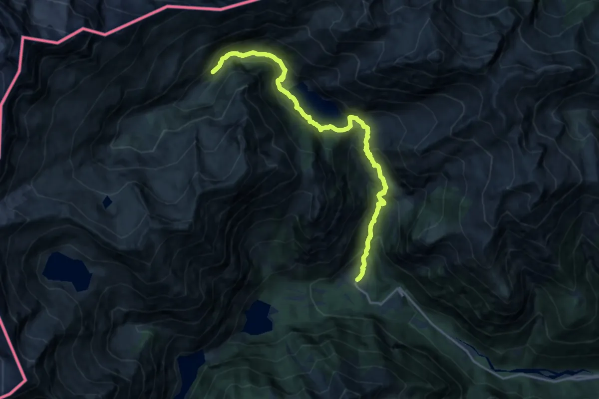
Demanding · Trail
Simplon Fletschhorn Trekking
16.2 km · ↑ 1065 m · 6 h 8 min
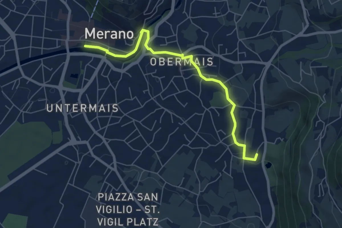
Easy · Trail
Sissiweg - Sentiero Sissi
6.0 km · ↑ 135 m · 1 h 42 min
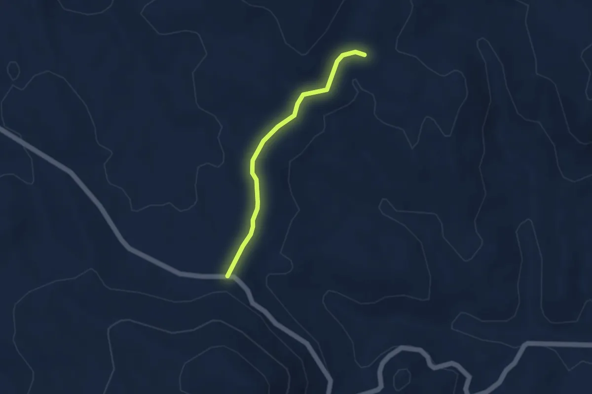
Easy · Trail
S'isteddu
3.2 km · ↑ 27 m · 49 min
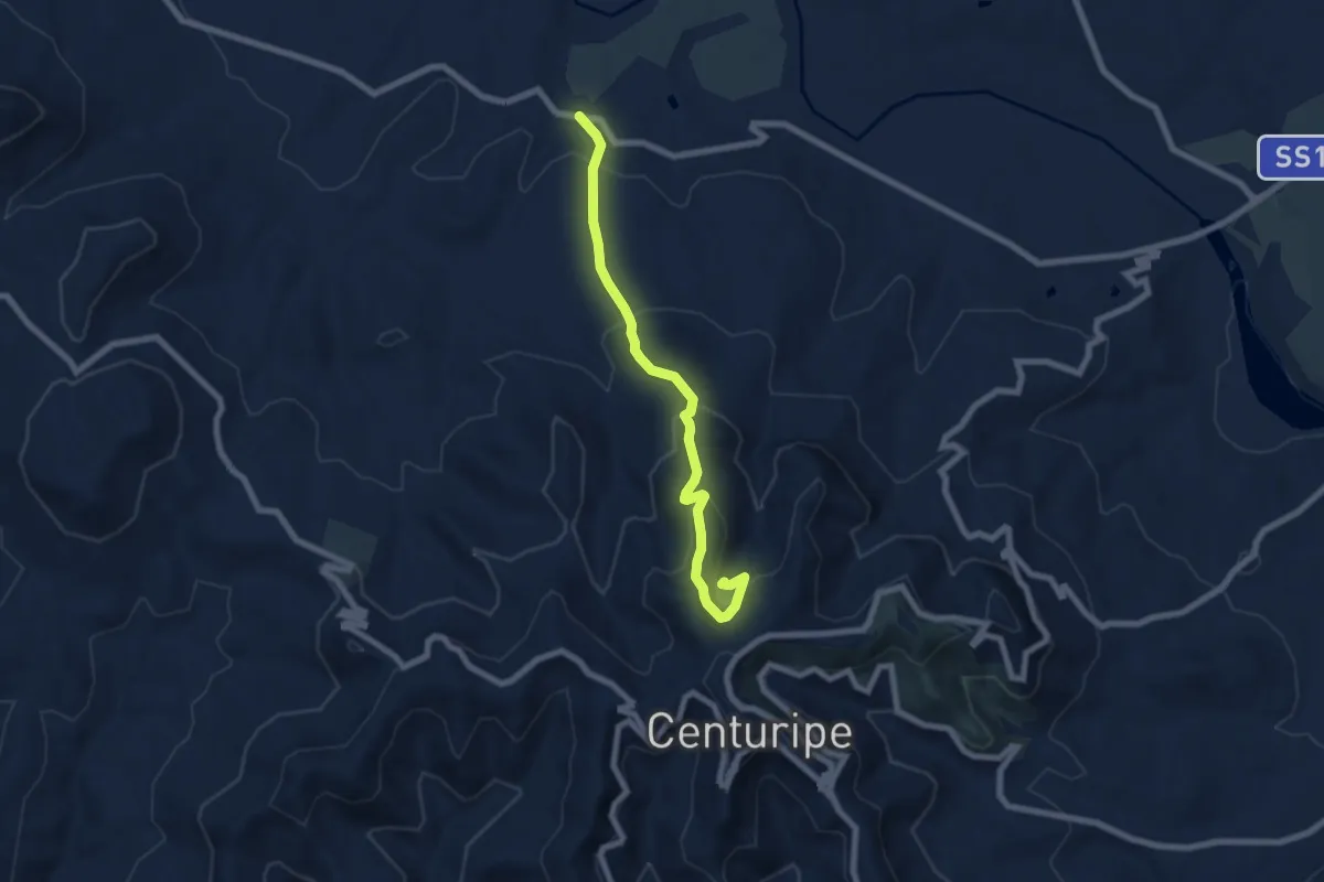
Medium · Trail
Sisto
7.9 km · ↑ 422 m · 2 h 47 min
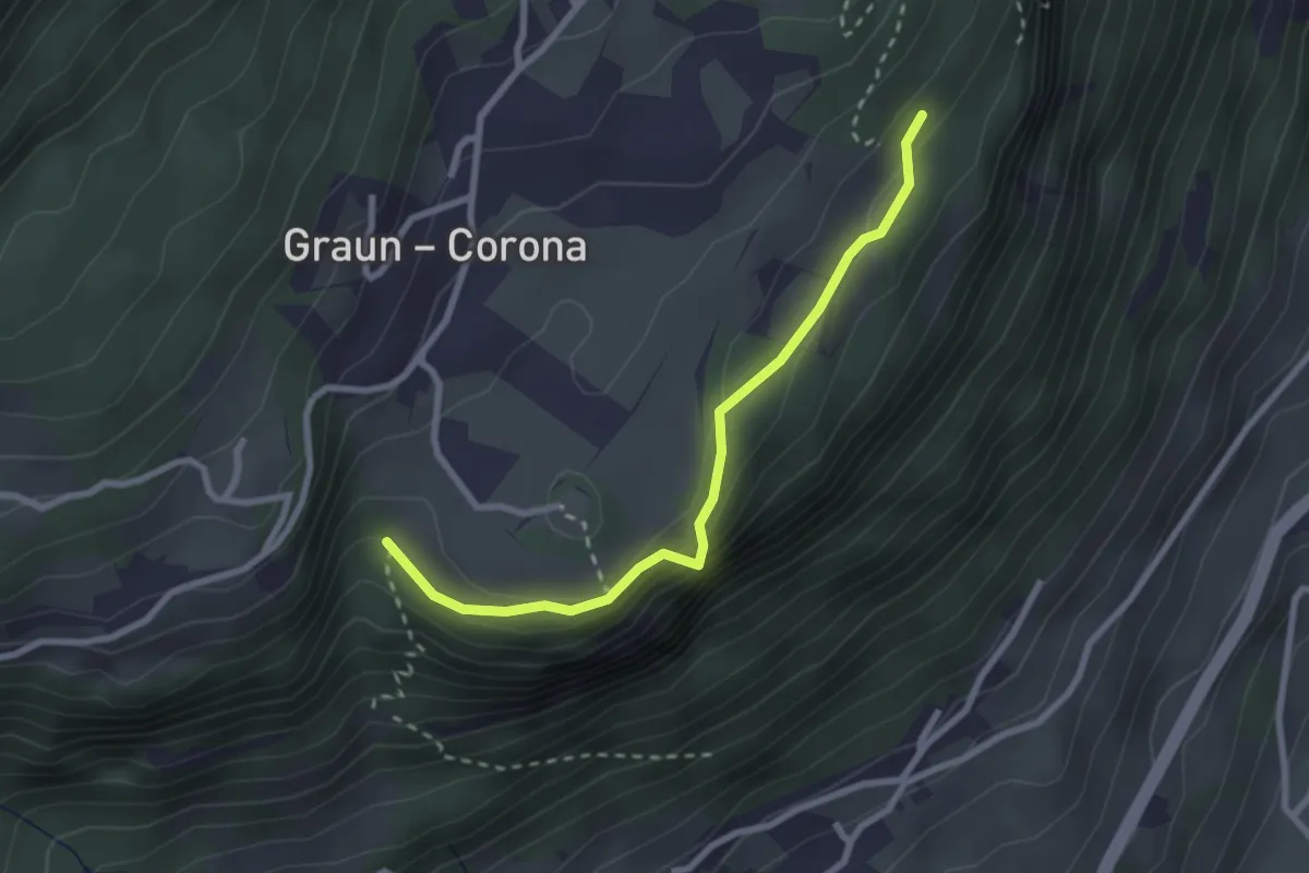
Easy · Trail
Sitzkofelweg
2.6 km · ↑ 96 m · 49 min
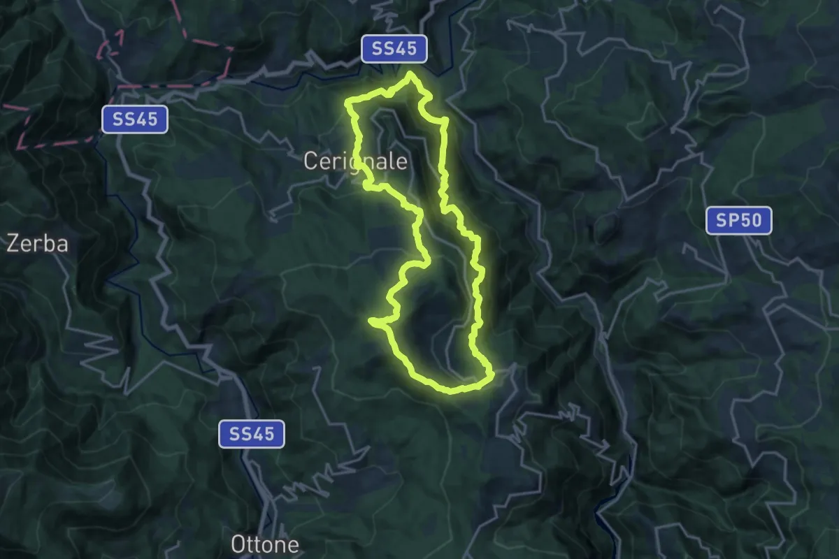
Demanding · Summit
SL14 – Il sentiero di Gaspare
15.9 km · ↑ 1136 m · 6 h 25 min
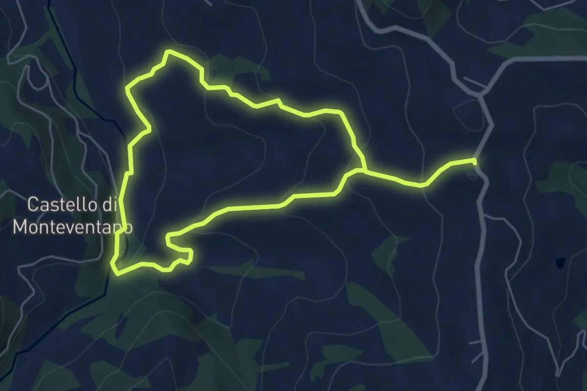
Medium · Trail
SL18 – Il sentiero del Valoroso
9.9 km · ↑ 469 m · 3 h 21 min
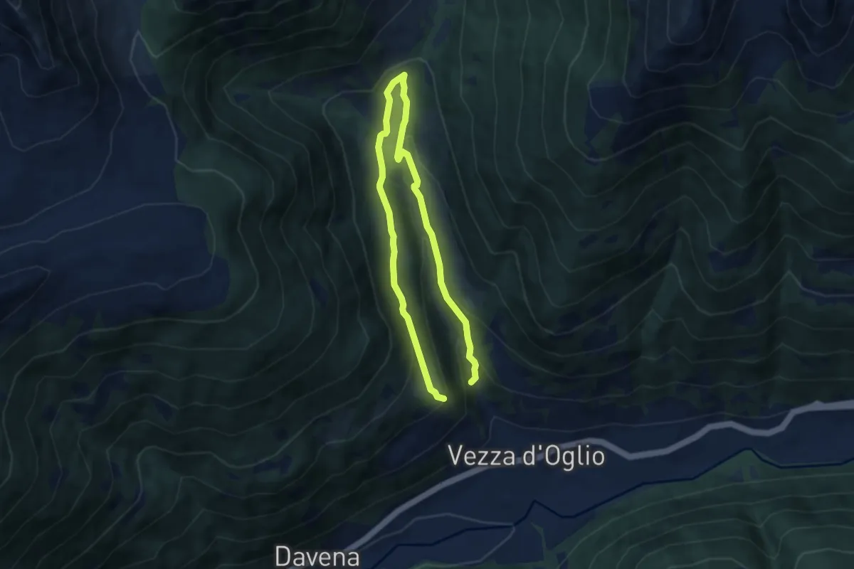
Easy · Trail
Slaàse
5.2 km · ↑ 201 m · 1 h 48 min
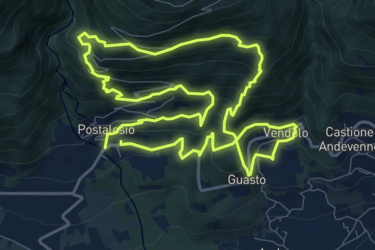
Demanding · Trail
Slalom alle piramidi 2015
8.3 km · ↑ 709 m · 3 h 36 min
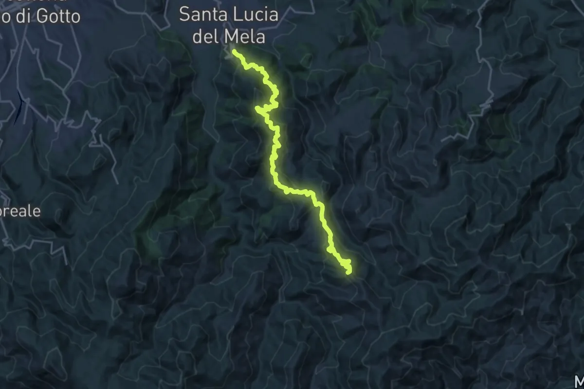
Demanding · Summit
S. Lucia del Mela Pizzo Croce
21.9 km · ↑ 1640 m · 8 h 44 min
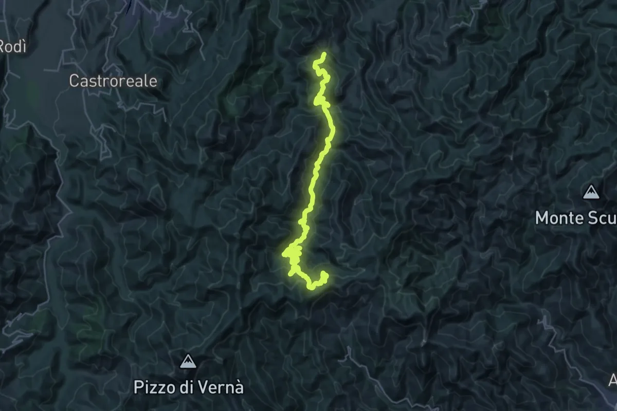
Demanding · Trail
S. Lucia del mela Postoleone
16.4 km · ↑ 1120 m · 6 h 19 min
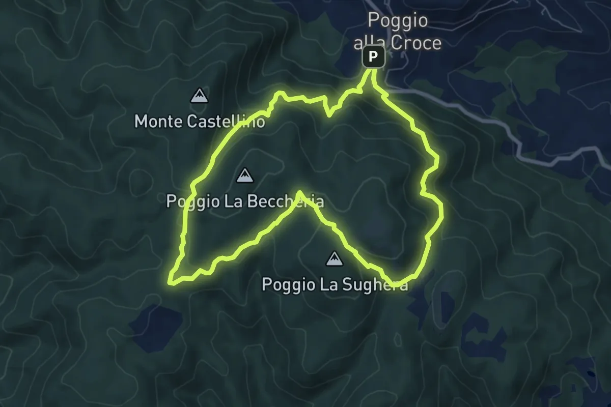
Demanding · Summit
SM1 Sentiero della Memoria Monti Scalari e Pian d'Albero
7.5 km · ↑ 394 m · 2 h 43 min
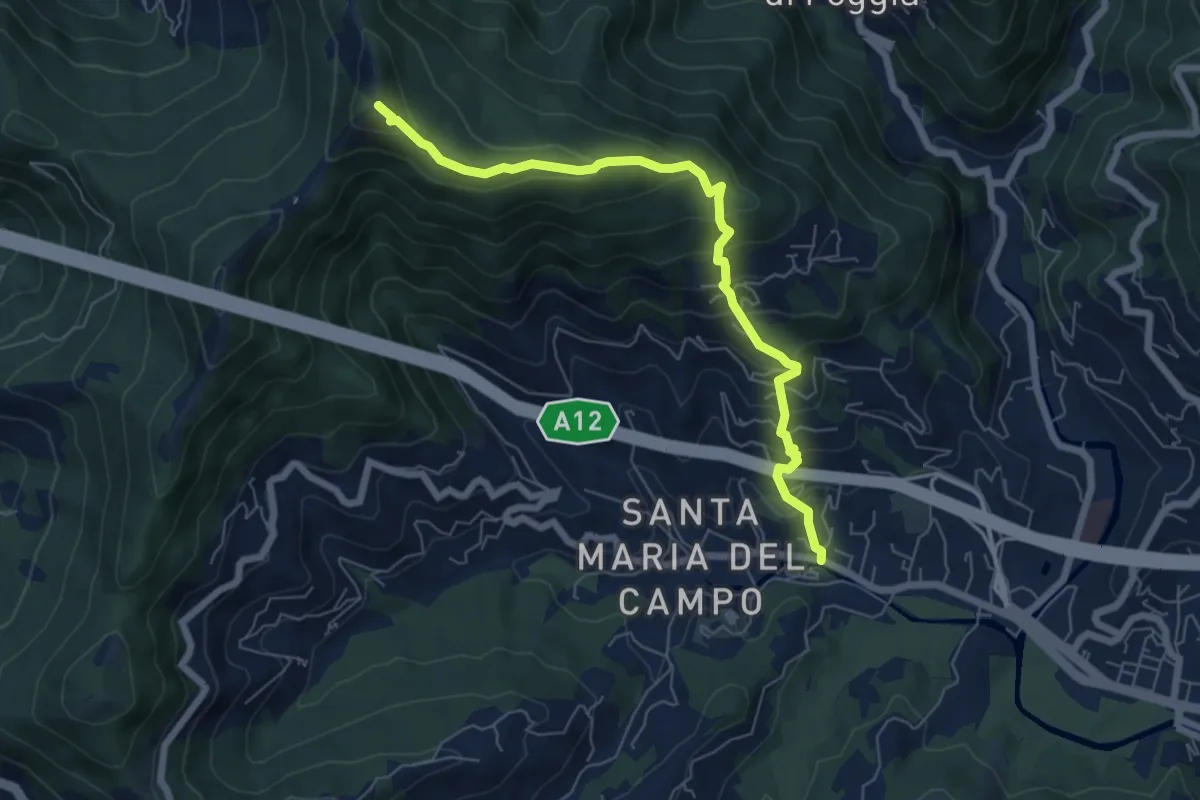
Medium · Summit
S. Maria del Campo - Santuario di Caravaggio
6.8 km · ↑ 559 m · 2 h 49 min
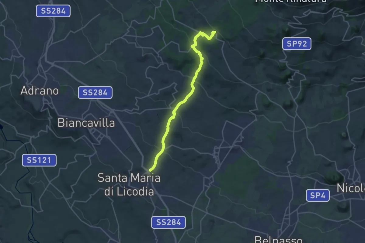
Demanding · Trail
S.Maria di Licodia - Sentiero 705 piano Mirio
20.8 km · ↑ 884 m · 6 h 49 min
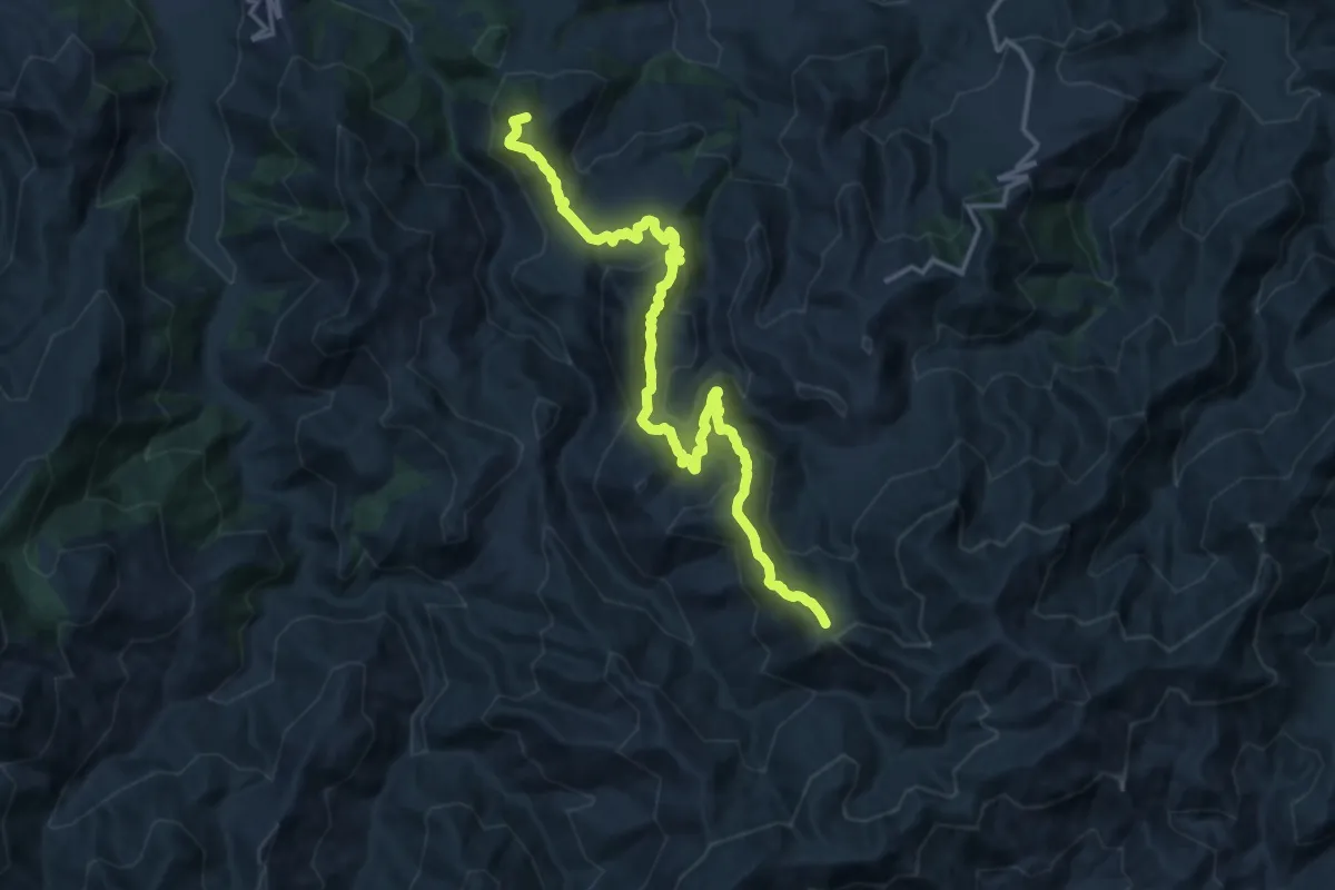
Demanding · Summit
S. Maria sentiero Italia
18.3 km · ↑ 1140 m · 6 h 47 min
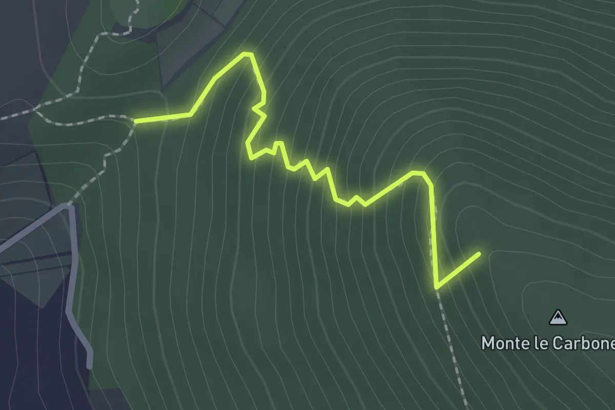
Easy · Summit
S. Nicola-Castiglione
2.1 km · ↑ 217 m · 58 min
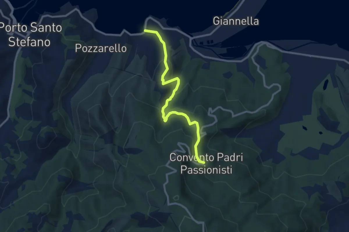
Medium · Trail
Soda - Convento dei Passionisti
7.7 km · ↑ 526 m · 2 h 57 min
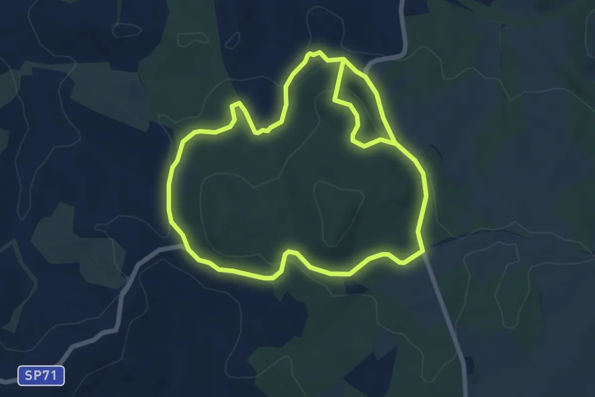
Easy · Trail
Sodoma
5.8 km · ↑ 105 m · 1 h 41 min
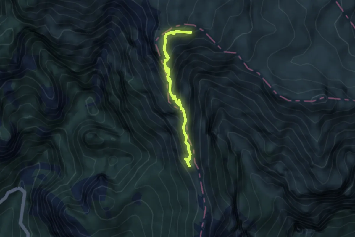
Demanding · Summit
Soglio dell'Incudine
4.1 km · ↑ 386 m · 1 h 48 min