Trails in Italy
25,219 hiking trails, each with its route, climb, walking time and grade.
All trails, page 196 of 526
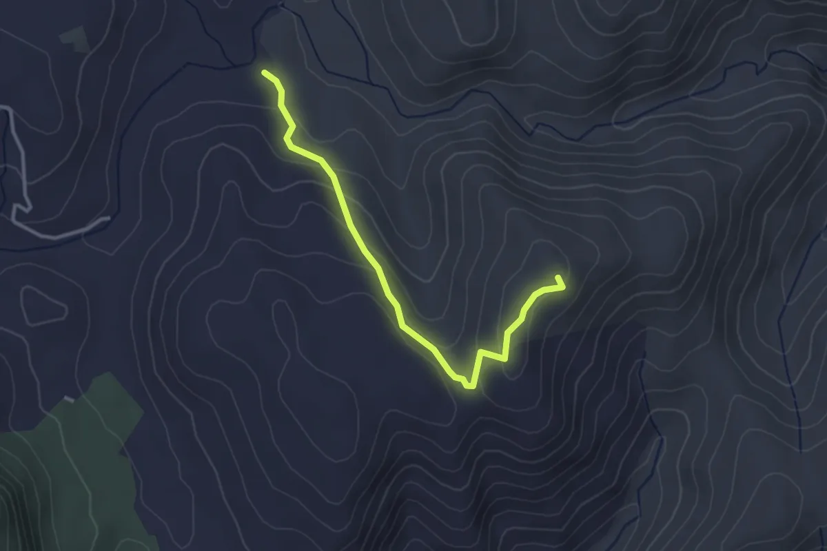
Easy · Summit
S'Ortu Becciu - Serbestu
3.5 km · ↑ 145 m · 1 h 9 min
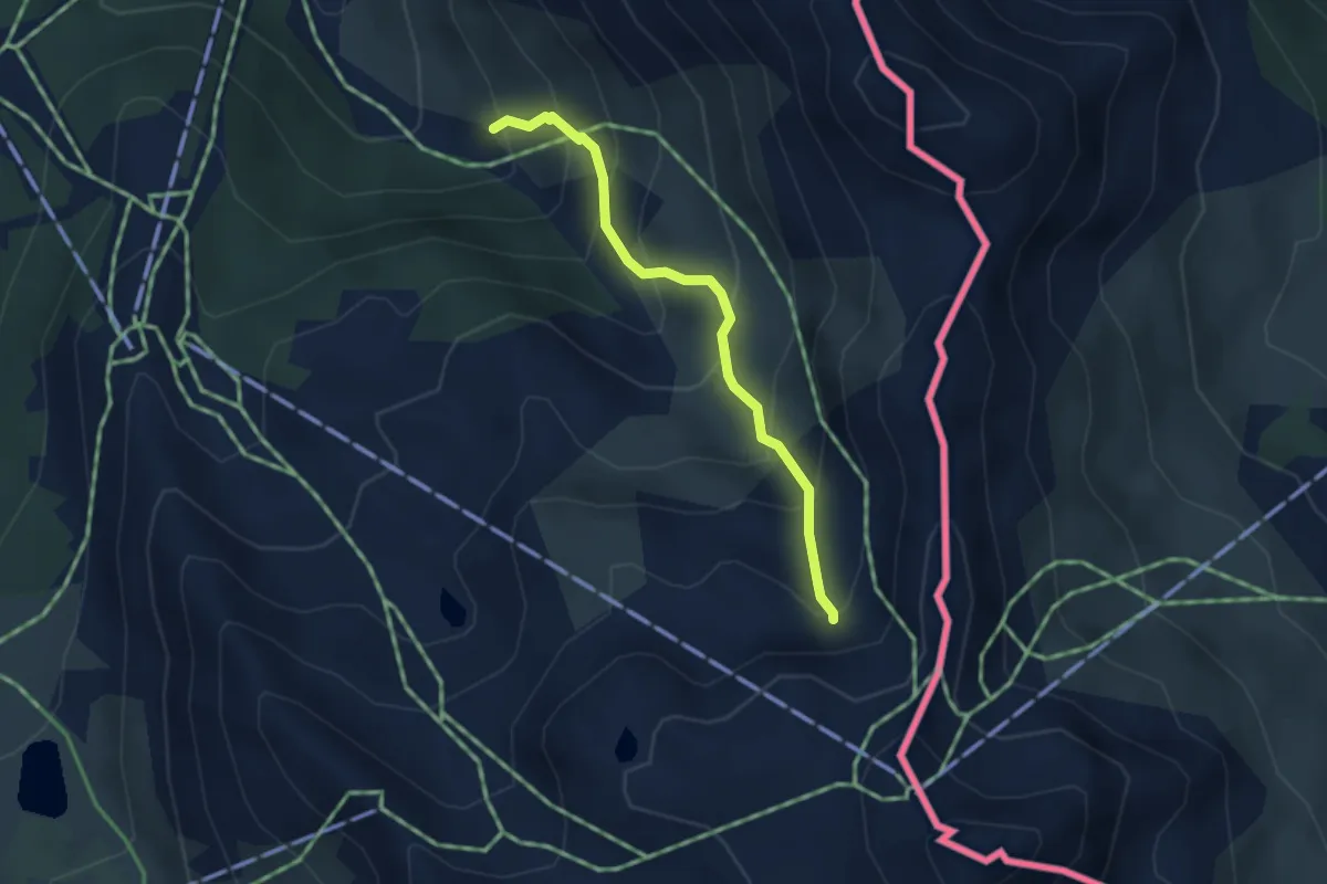
Medium · Trail
Sources de la Doire - Sous la Plane
3.0 km · ↑ 379 m · 1 h 32 min
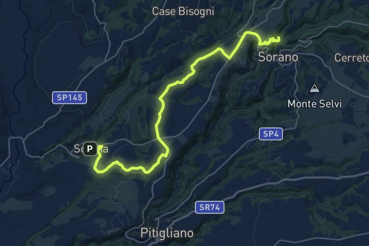
Demanding · Summit
Sovana - Sorano
22.5 km · ↑ 464 m · 6 h 19 min
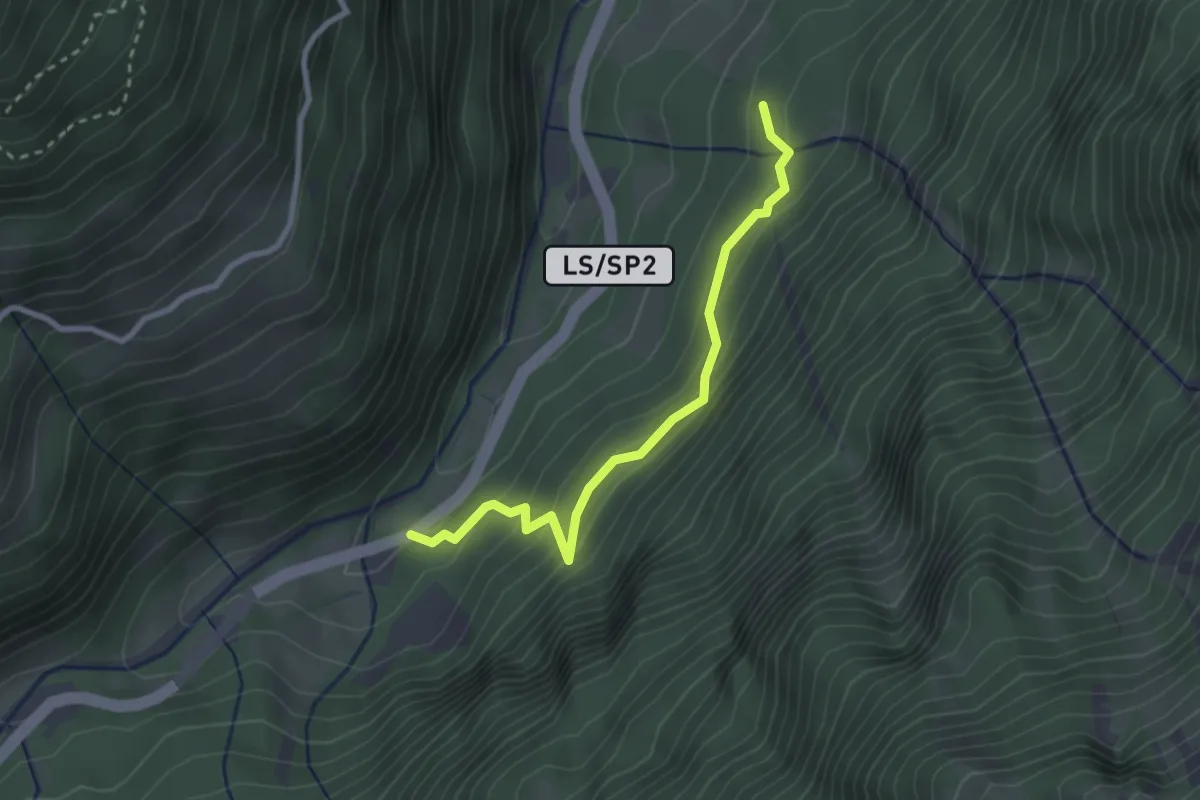
Easy · Trail
Soywaalweg
2.6 km · ↑ 257 m · 1 h 11 min
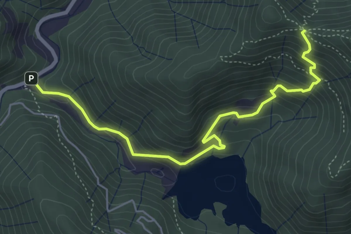
Medium · Trail
SP13 (Ponte Ledde) - Case Fontane - Valico di Monte Bano
5.4 km · ↑ 409 m · 2 h 10 min
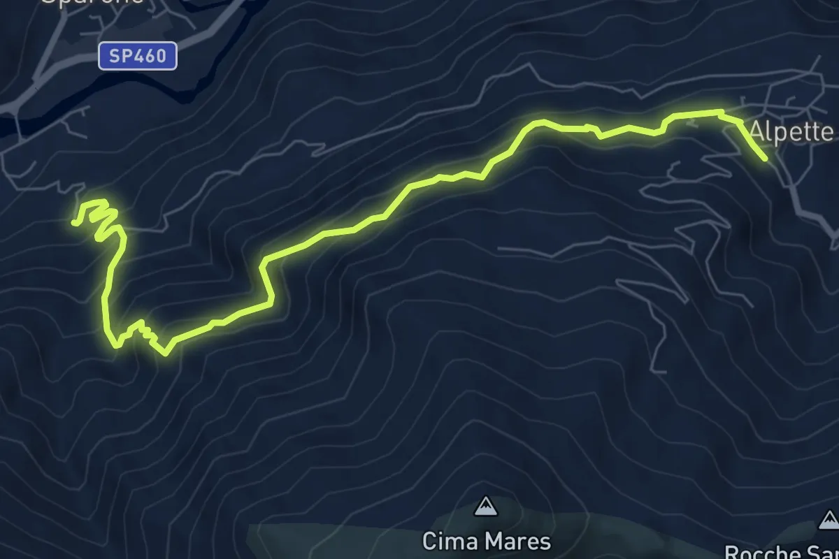
Medium · Trail
Sparone, Borgata Bisdonio (Bivio 503) - Alpette (Bivio 501)
9.0 km · ↑ 746 m · 3 h 44 min
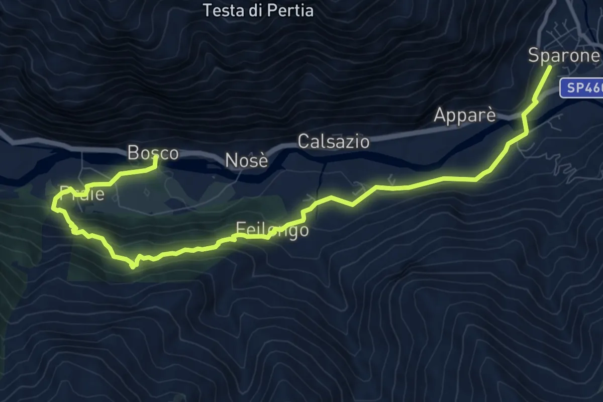
Medium · Trail
Sparone - Feilongo - Bosco
12.2 km · ↑ 618 m · 4 h 13 min
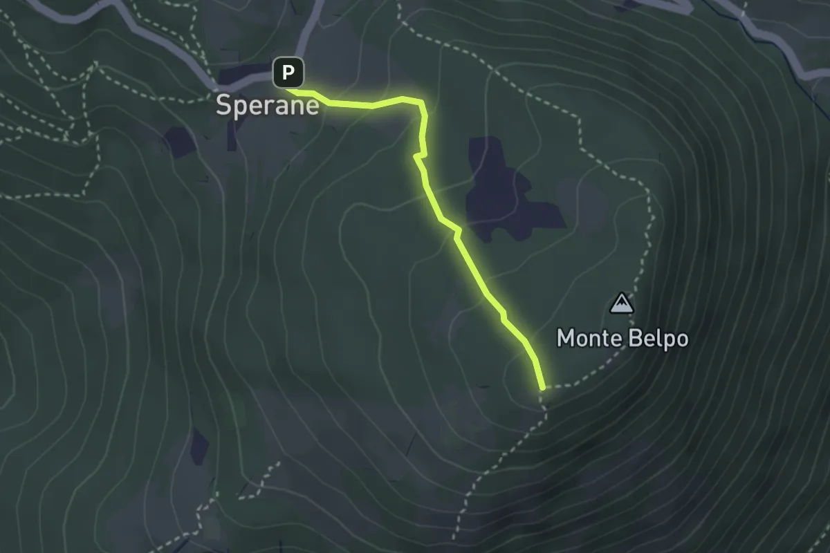
Easy · Trail
Sperane - Crocetta Monte Belpo
2.5 km · ↑ 133 m · 53 min
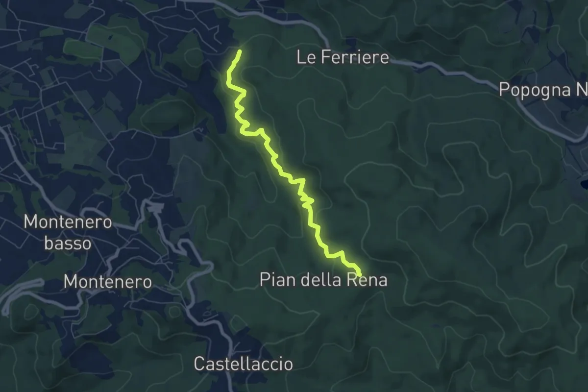
Easy · Trail
Sperticaia
6.8 km · ↑ 301 m · 2 h 15 min
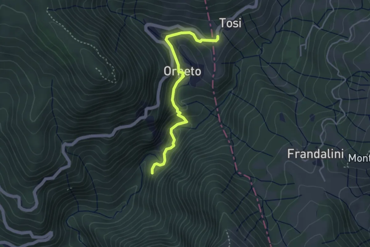
Easy · Trail
Spiaggie – Orneto – Costa dei Tosi
3.5 km · ↑ 171 m · 1 h 12 min
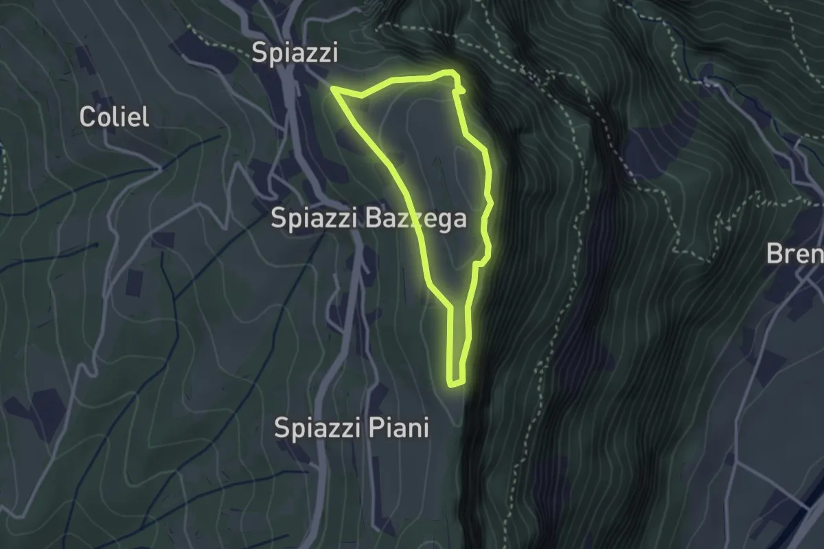
Easy · Summit
Spiazzi Trincee del Monte Cimo
2.4 km · ↑ 144 m · 54 min
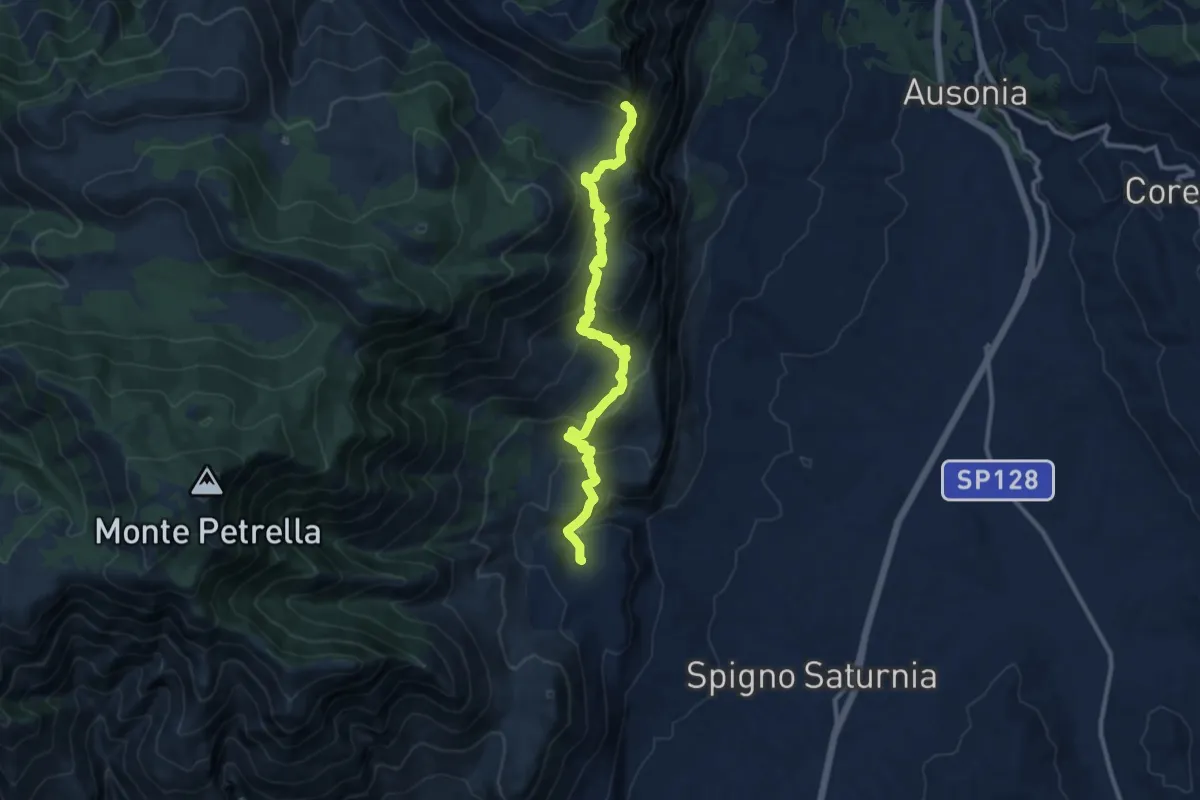
Demanding · Trail
Spigno Saturnia Vecchio-Monte Fammera
12.5 km · ↑ 729 m · 4 h 32 min
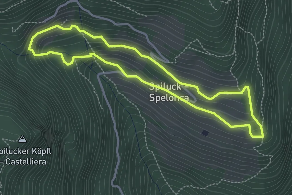
Easy · Trail
Spilucker Rundweg - Sentiero circolare Spelonca
2.7 km · ↑ 166 m · 1 h 1 min
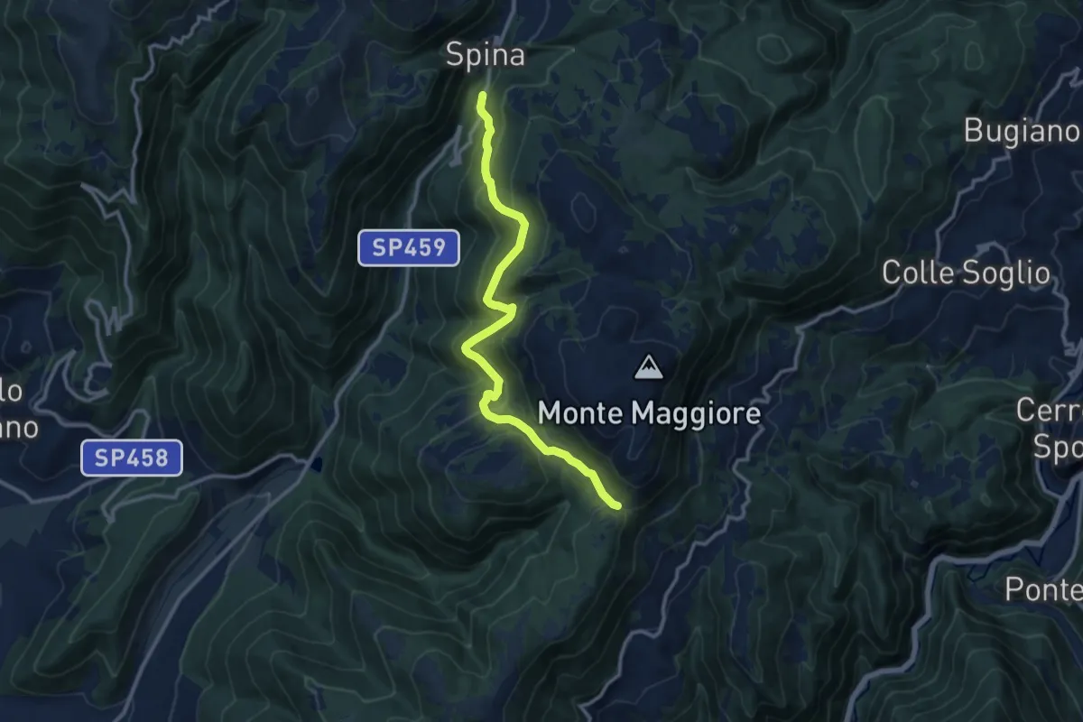
Medium · Trail
Spina Nuova - Acera - Passo Cattivo
12.2 km · ↑ 638 m · 4 h 15 min
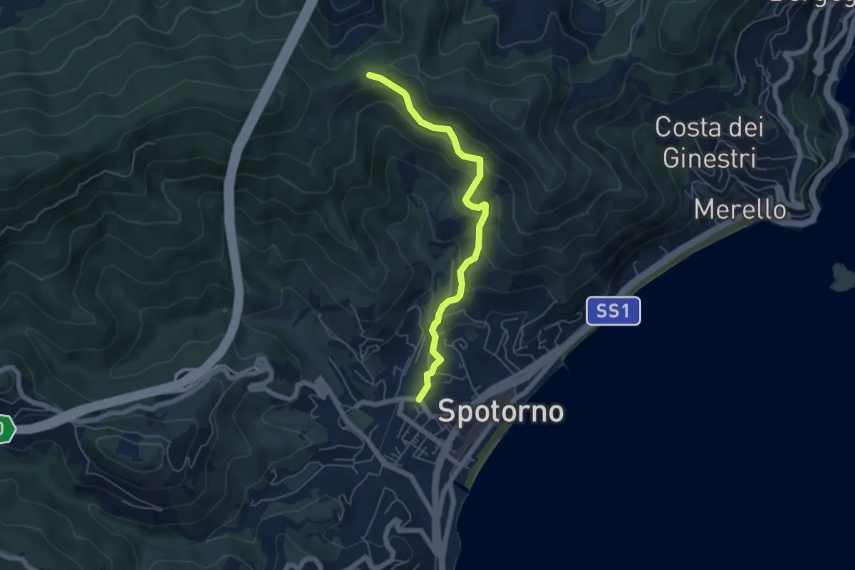
Medium · Trail
Spotorno - Passo Stretto
5.3 km · ↑ 344 m · 2 h
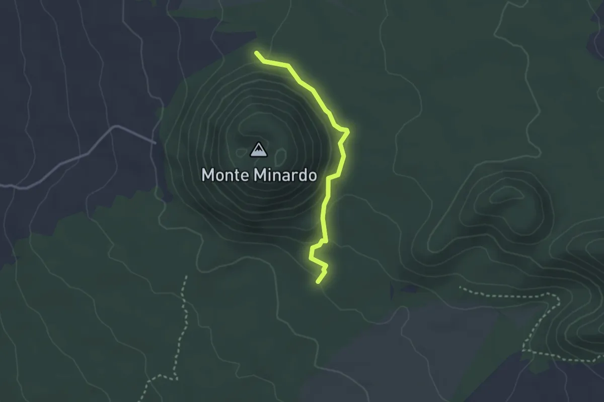
Easy · Trail
Squadriglia Scout Antilopi
2.9 km · ↑ 110 m · 56 min
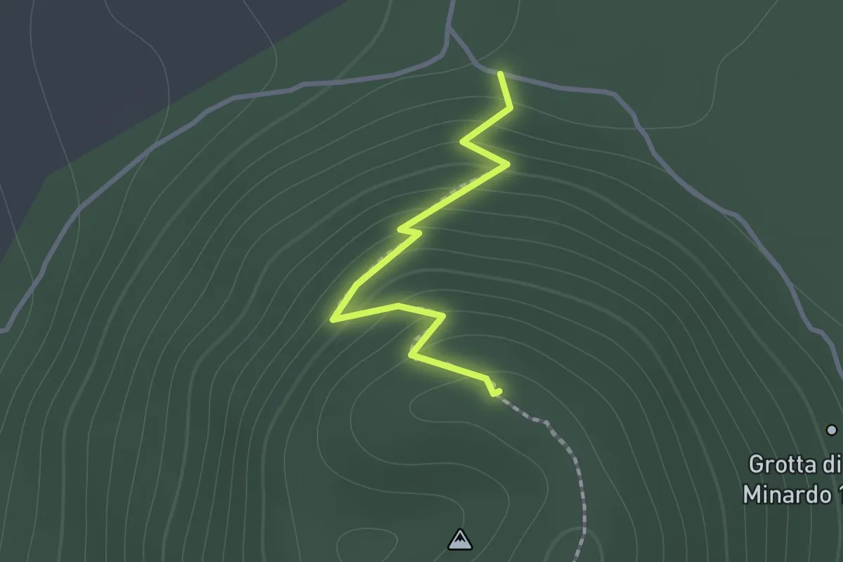
Easy · Summit
Squadriglia Scout Leoni
1.2 km · ↑ 109 m · 31 min
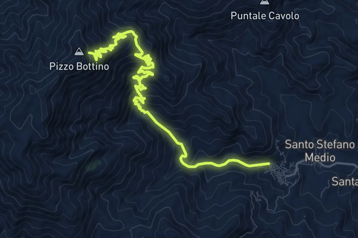
Demanding · Trail
S. Stefano Briga Bottino
15.7 km · ↑ 1132 m · 6 h 9 min
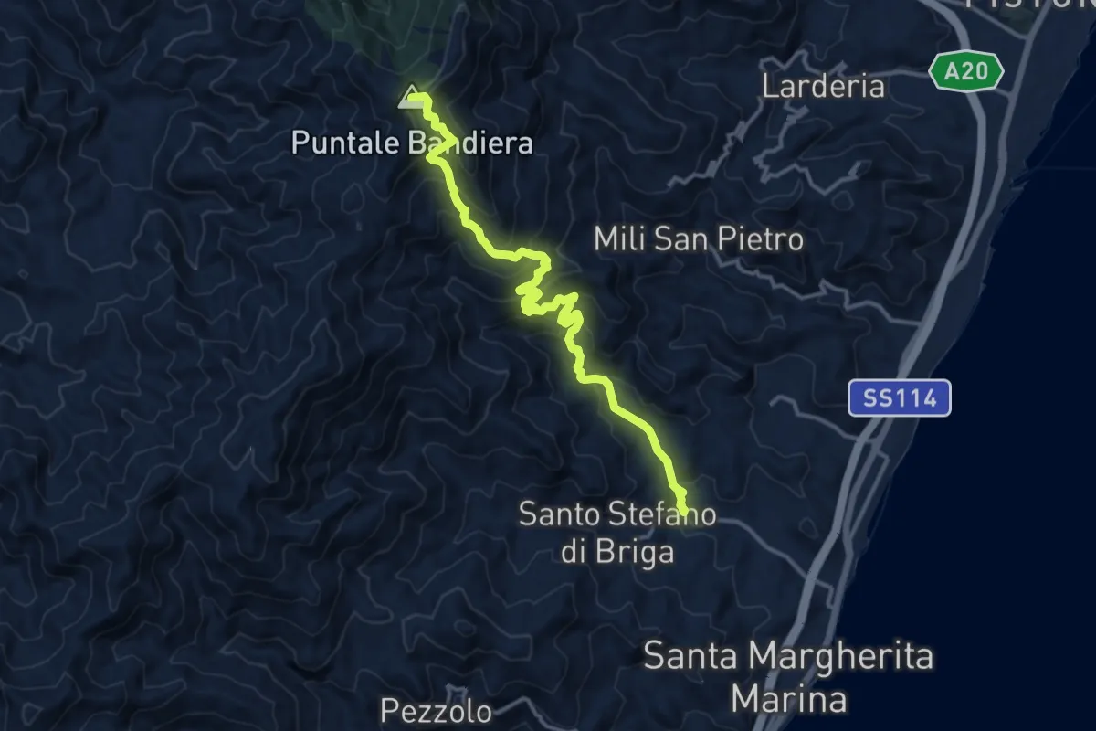
Demanding · Summit
S. Stefano Medio Maressa
16.2 km · ↑ 1172 m · 6 h 22 min
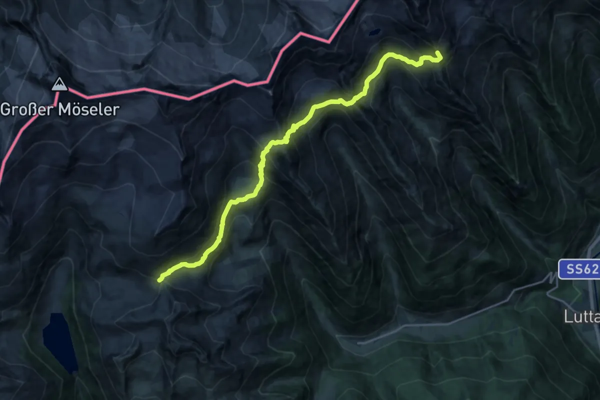
Demanding · Summit
Stabeler Höhenweg
18.3 km · ↑ 1585 m · 7 h 46 min
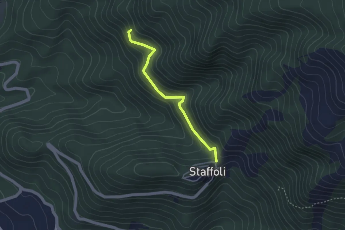
Easy · Trail
Staffoli-Grotta di San Nicola
3.1 km · ↑ 221 m · 1 h 13 min
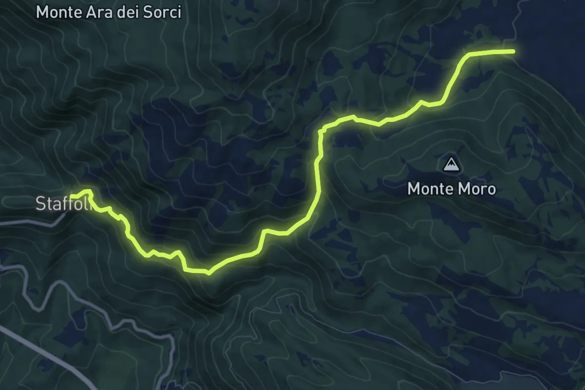
Medium · Trail
Staffoli-Lago della Petrella
11.9 km · ↑ 708 m · 4 h 21 min
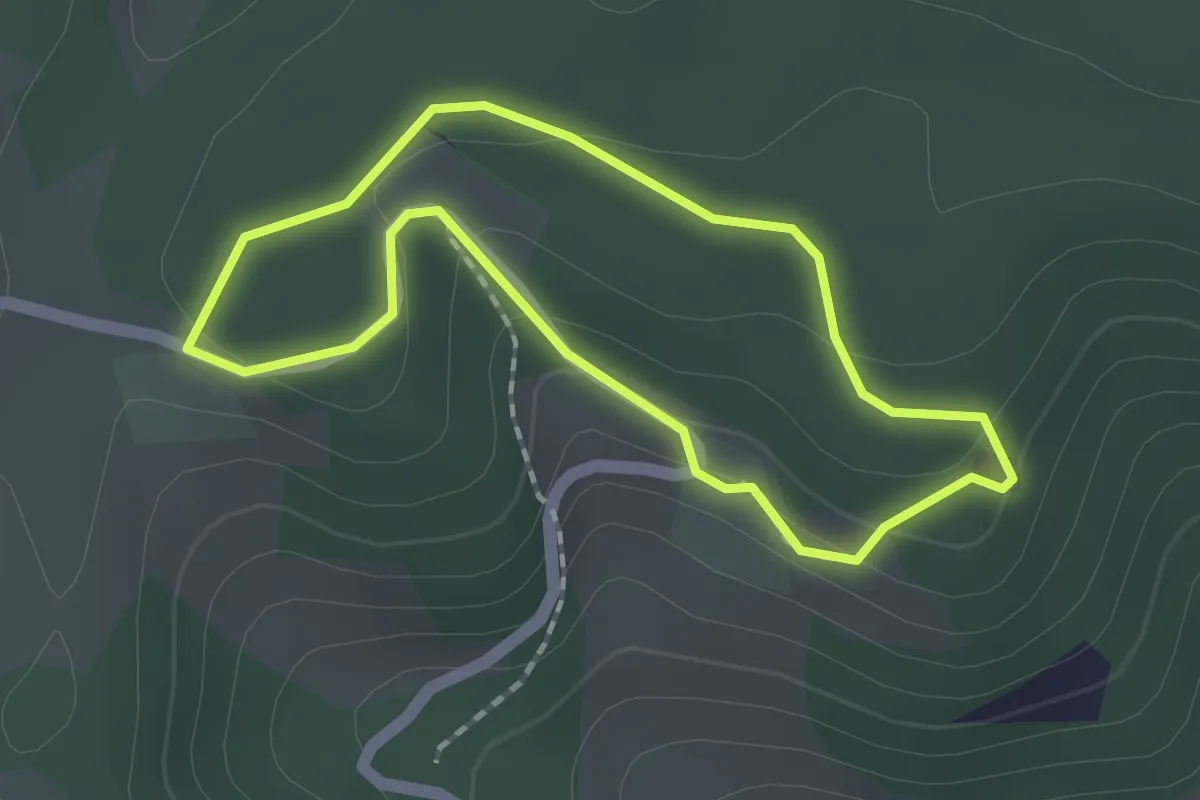
Easy · Trail
St. Agatha Rundweg
1.5 km · ↑ 44 m · 28 min
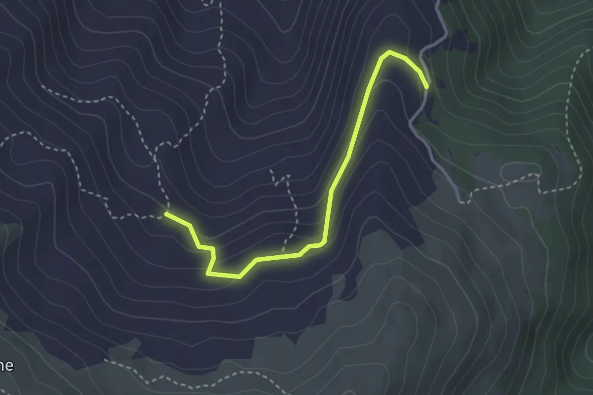
Easy · Cabin
Stalle Salogni - Rifugio Orsi
3.1 km · ↑ 158 m · 1 h 4 min
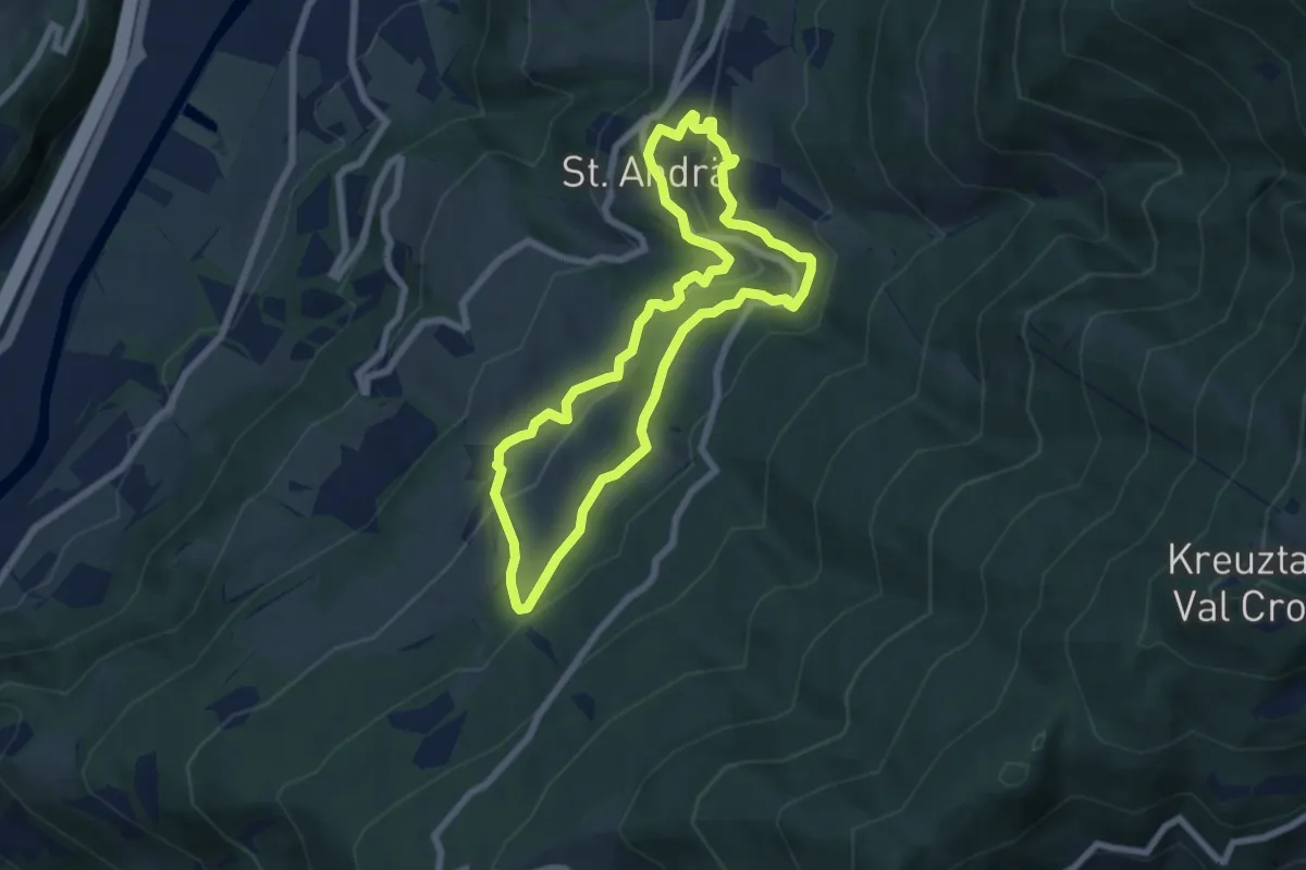
Easy · Trail
St.-Andrä-Rundweg
6.3 km · ↑ 294 m · 2 h 12 min
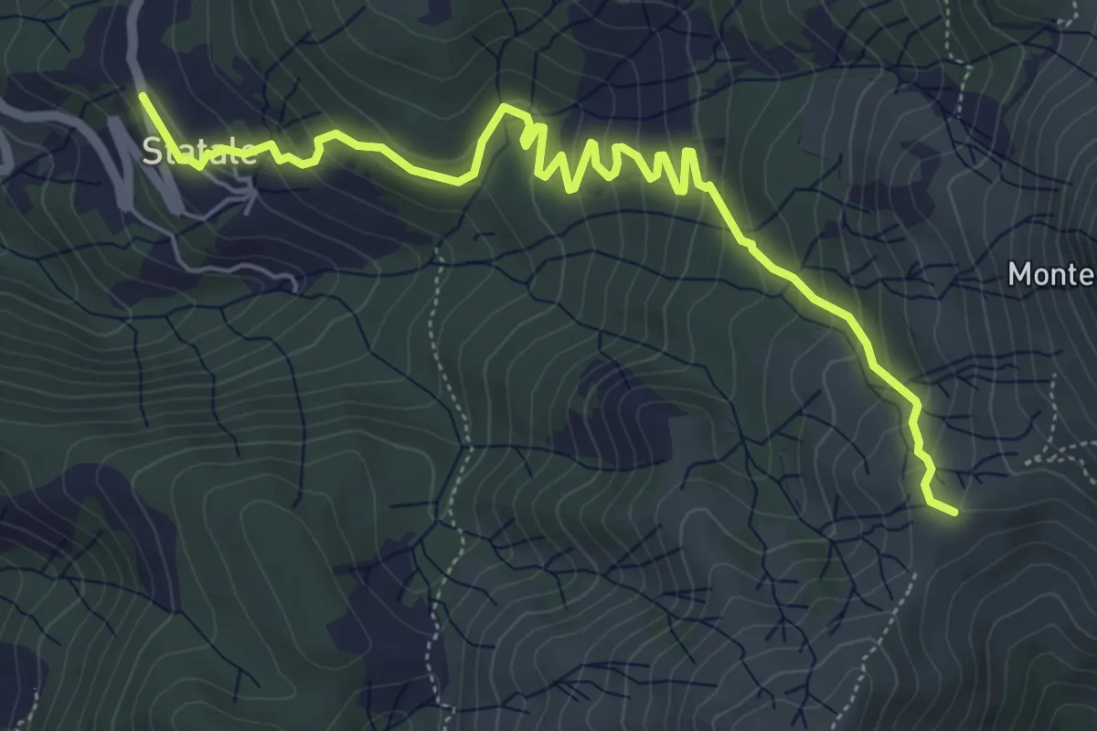
Medium · Trail
Statale - Coletta - Passo Broccheie
6.9 km · ↑ 401 m · 2 h 29 min
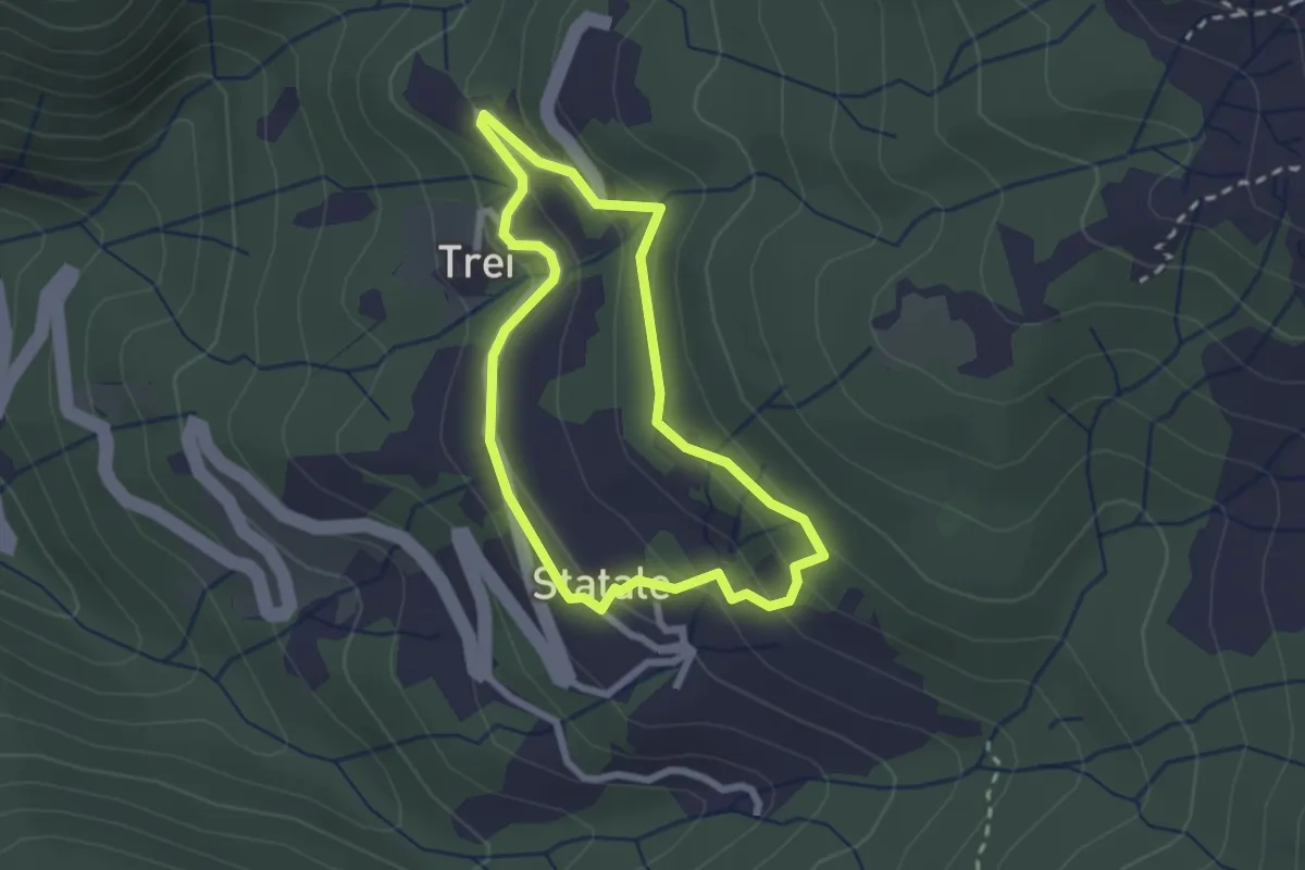
Easy · Trail
Statale - Coletta - Trei - Statale
2.2 km · ↑ 114 m · 48 min
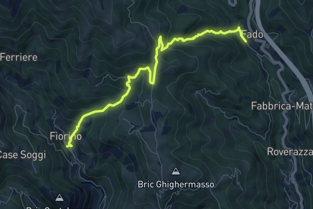
Demanding · Trail
Stazione di Mele-Canellona-Fiorino
7.8 km · ↑ 606 m · 3 h 10 min
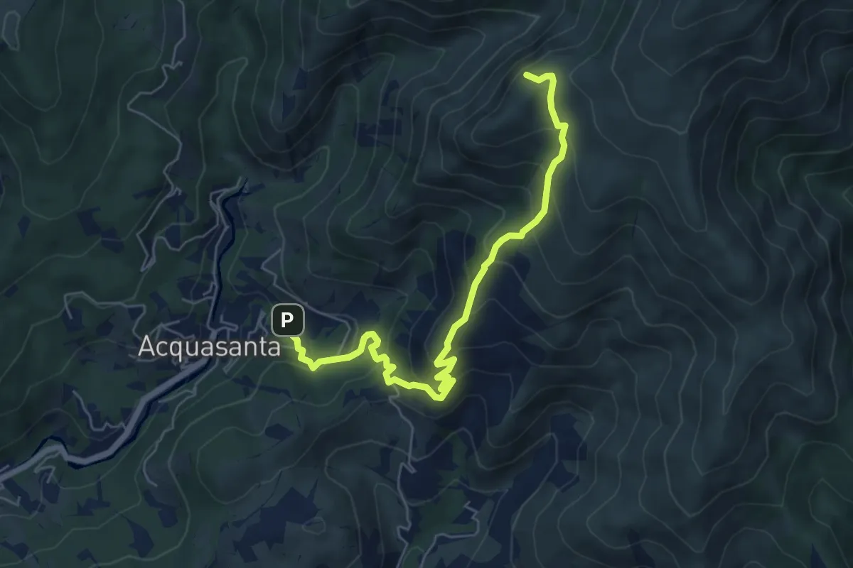
Medium · Summit
Stazione FS Acquasanta - Cappellina Baiarda
6.6 km · ↑ 619 m · 2 h 54 min
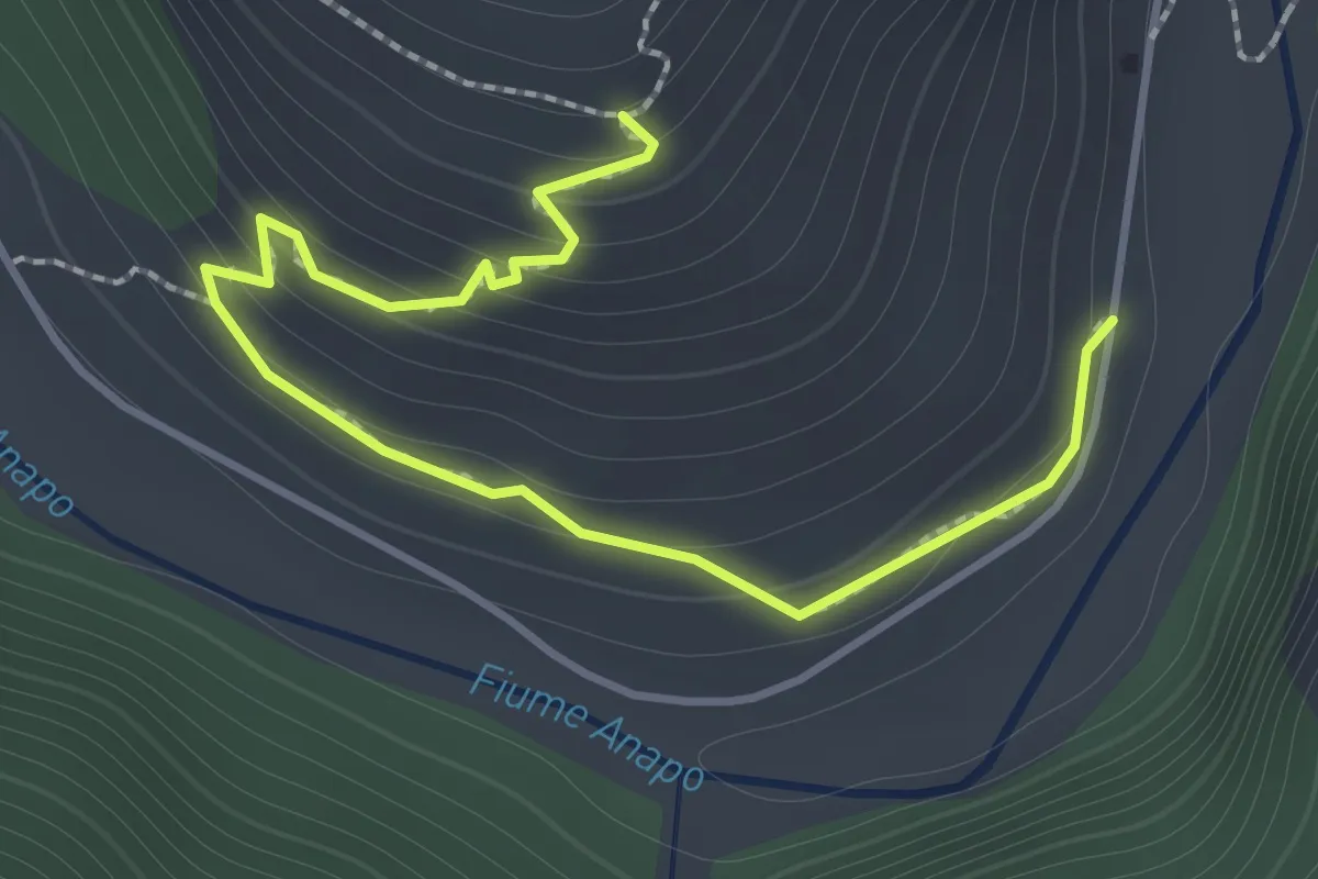
Medium · Trail
Stazione Pantalica
2.0 km · ↑ 122 m · 44 min
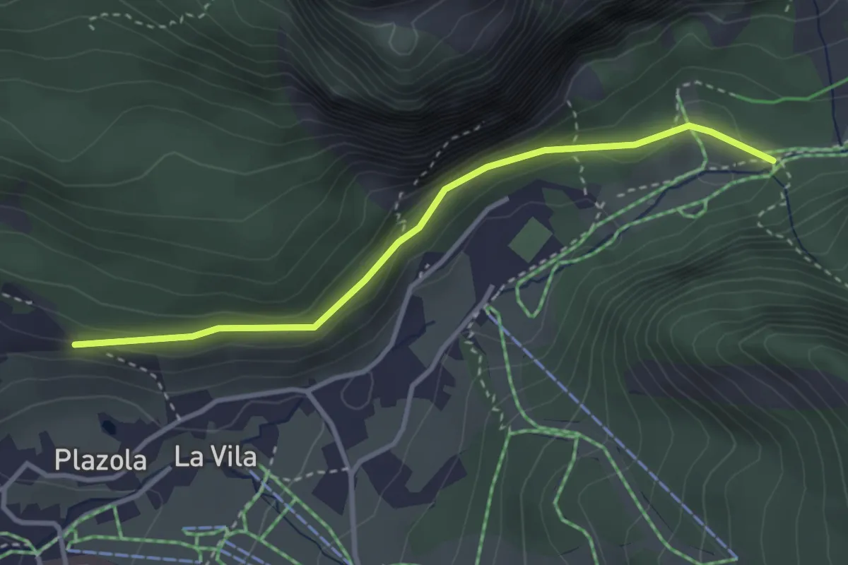
Easy · Trail
Stazions de Val - Kreuzweg
3.2 km · ↑ 131 m · 1 h 2 min
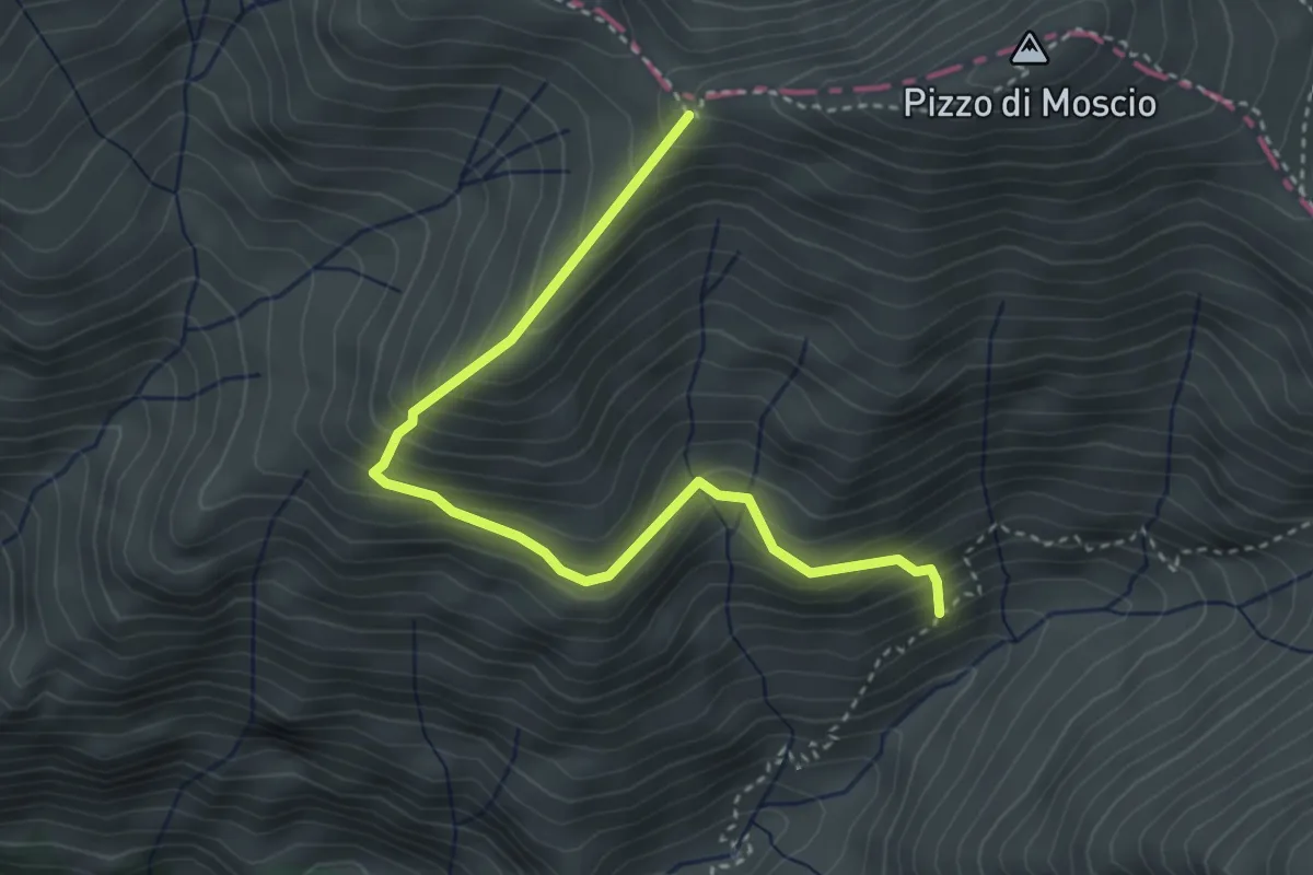
Medium · Trail
Stazzo Padula - Colle Picchero - anticima (301) di Pizzo di Moscio
4.1 km · ↑ 408 m · 1 h 51 min
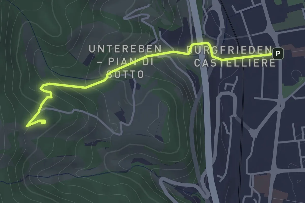
Easy · Trail
St.-Cyrillus-Weg - Itinerario S. Cirillo
3.5 km · ↑ 264 m · 1 h 24 min
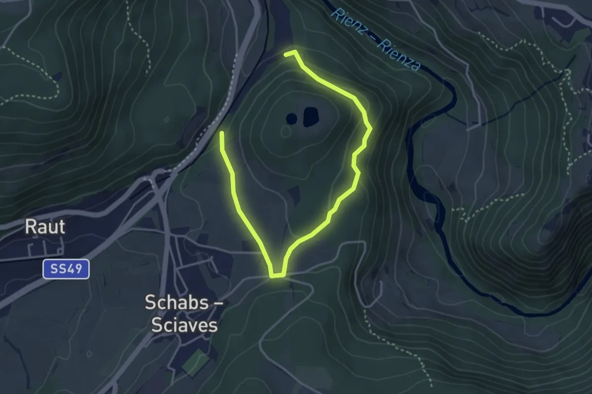
Easy · Trail
Steger-Bühel-Runde
2.1 km · ↑ 84 m · 41 min
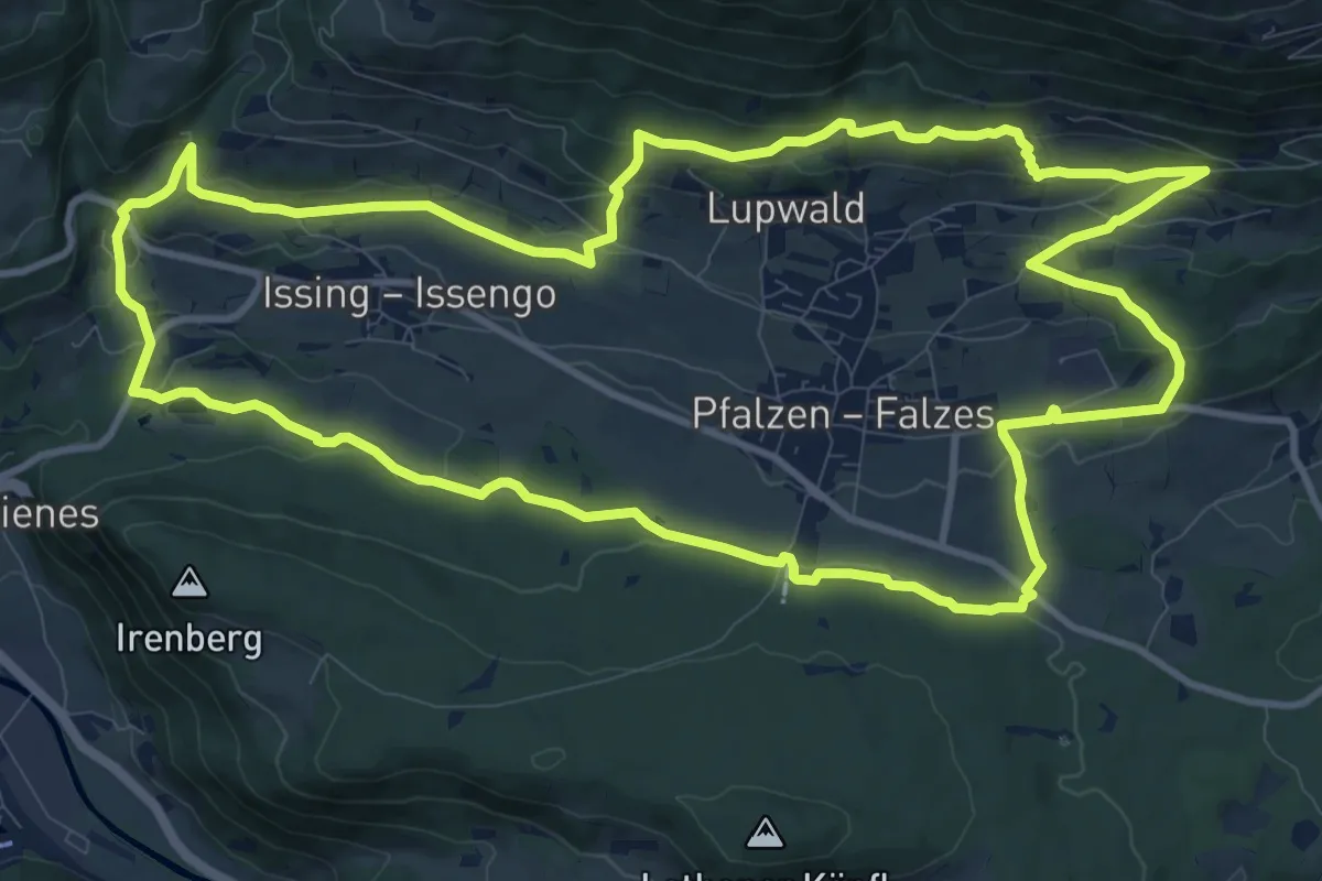
Medium · Trail
Steine erzählen
12.7 km · ↑ 379 m · 3 h 59 min
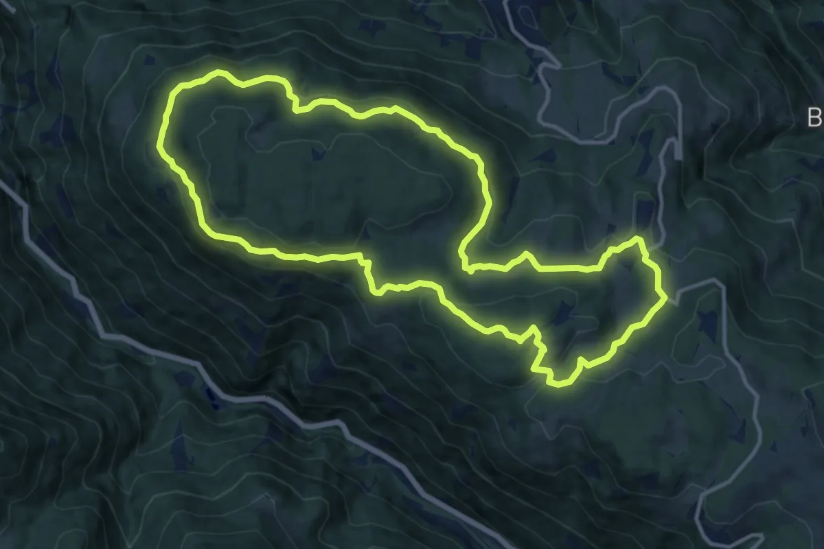
Medium · Summit
Steinegger Höhenweg
12.3 km · ↑ 388 m · 3 h 55 min
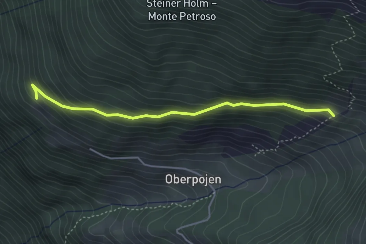
Easy · Trail
Steinerwegele
3.5 km · ↑ 265 m · 1 h 25 min
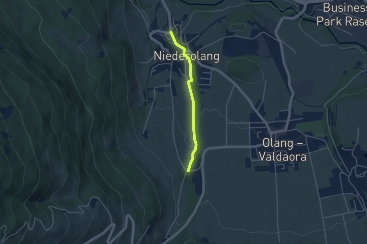
Easy · Trail
Steinmeile
2.9 km · ↑ 80 m · 52 min
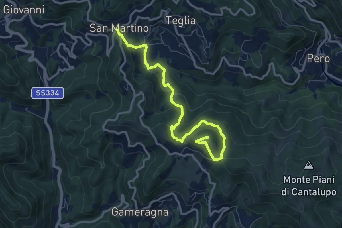
Medium · Summit
Stella San Martino - Bric delle Forche
8.2 km · ↑ 473 m · 2 h 58 min
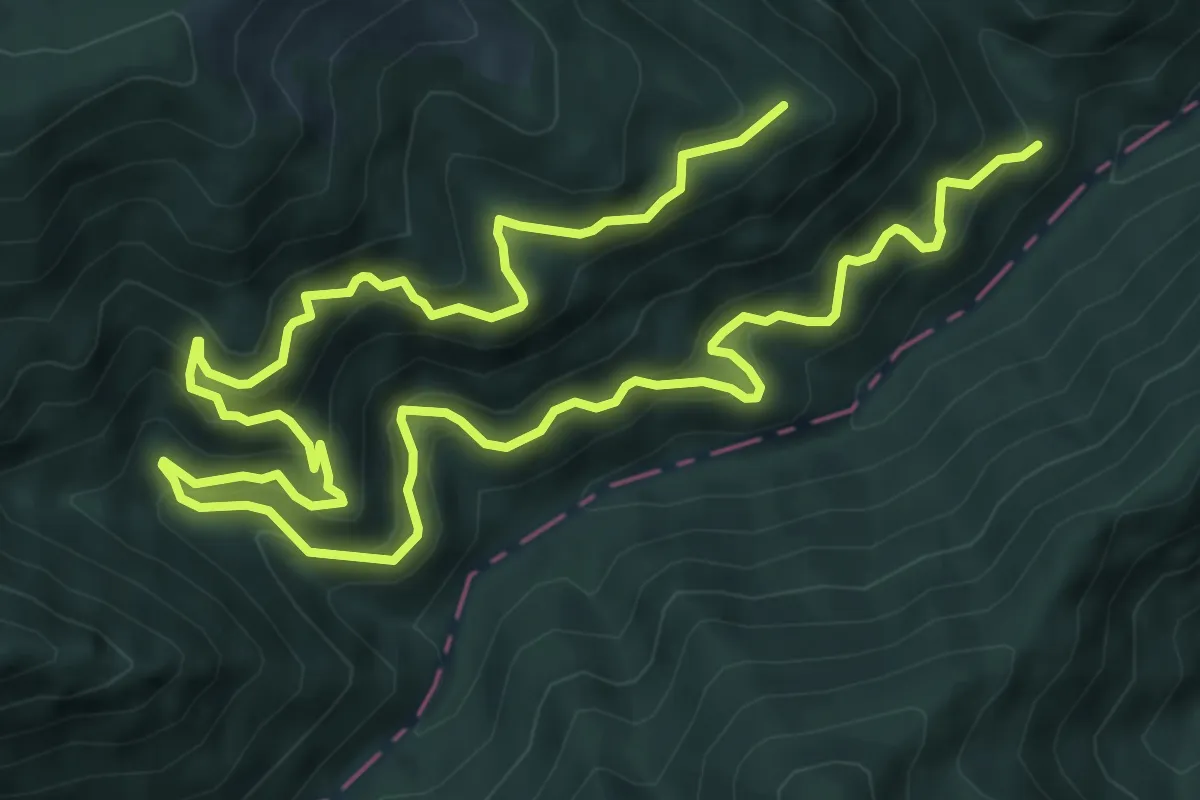
Demanding · Trail
Sterrata di San Gerbone
13.5 km · ↑ 1091 m · 5 h 32 min
Medium · Trail
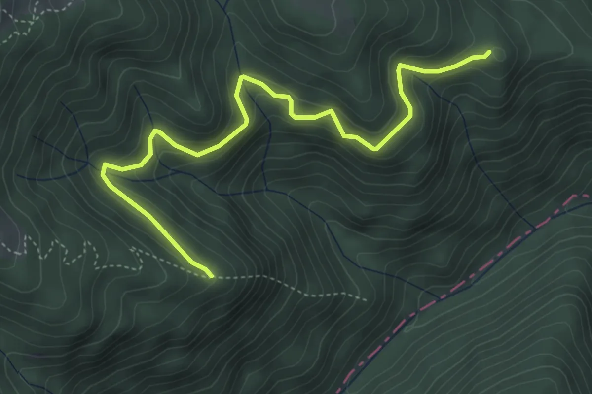
Sterrata - Maularo Collefrattale
5.4 km · ↑ 393 m · 2 h 8 min
Demanding · Trail
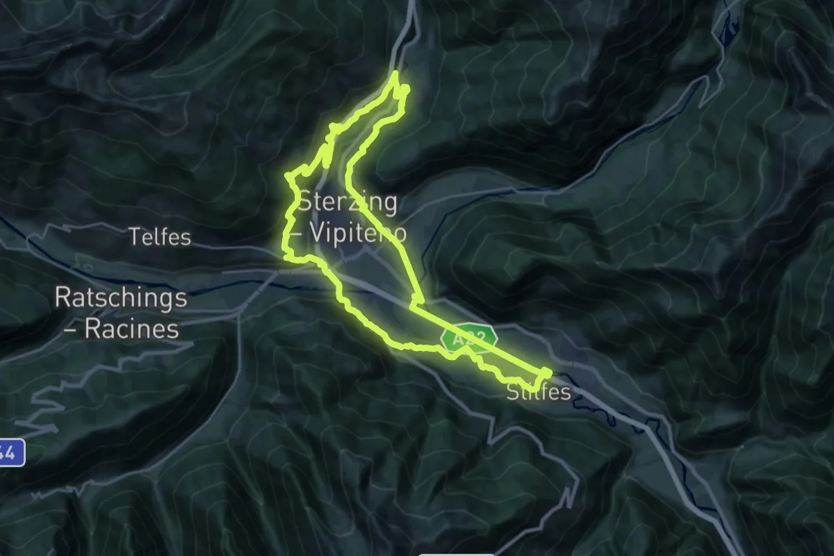
Sterzinger Rundweg
22.1 km · ↑ 574 m · 6 h 46 min
Medium · Trail
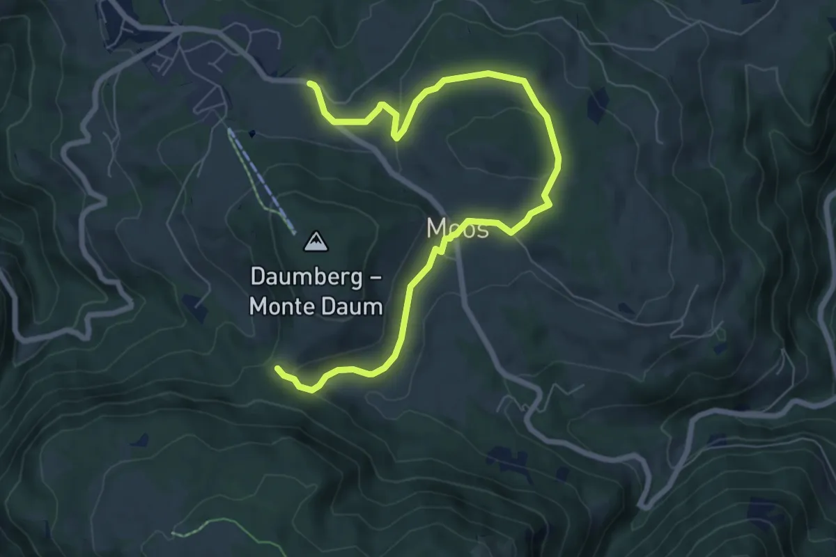
St. Helena Weg
8.2 km · ↑ 175 m · 2 h 19 min
Medium · Trail
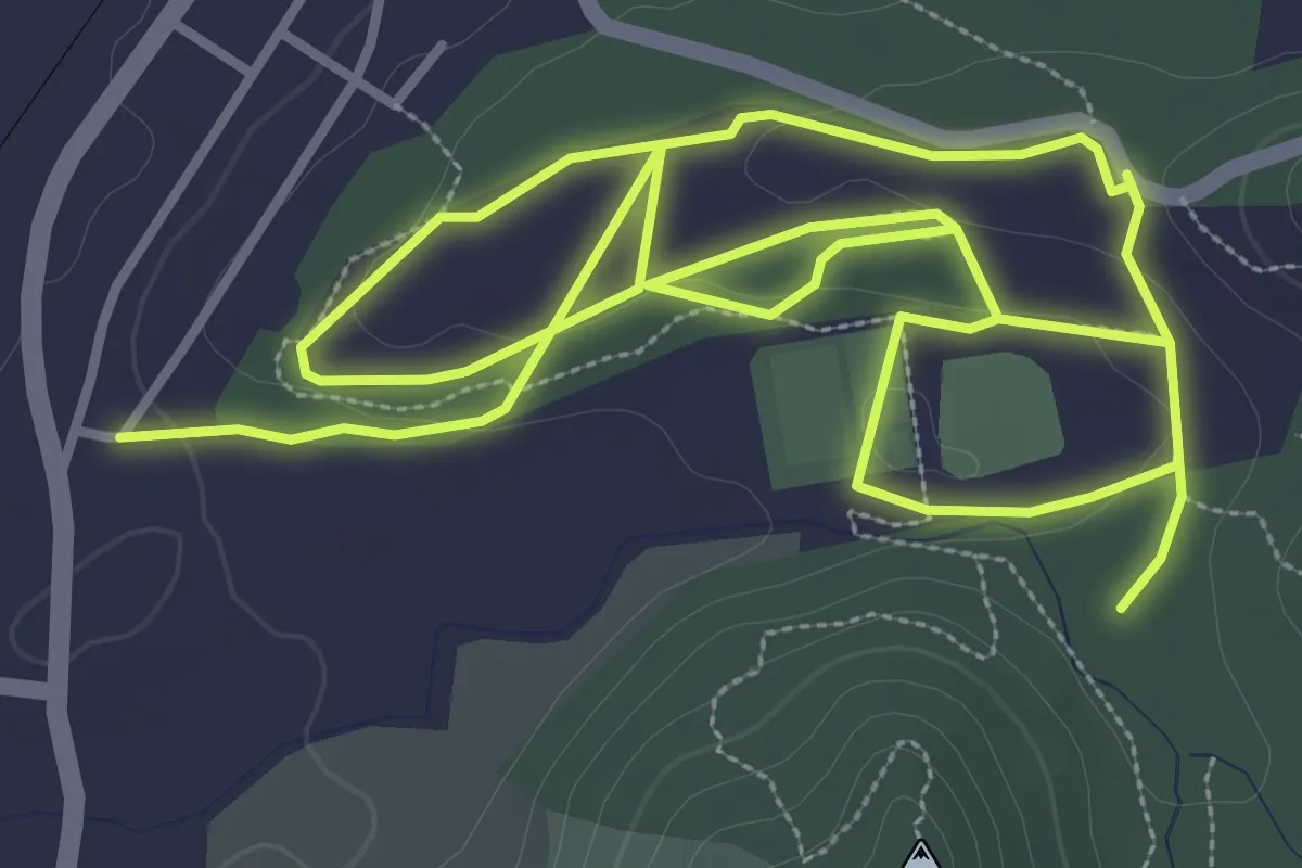
Sticciano Nordik Walking
8.5 km · ↑ 124 m · 2 h 17 min
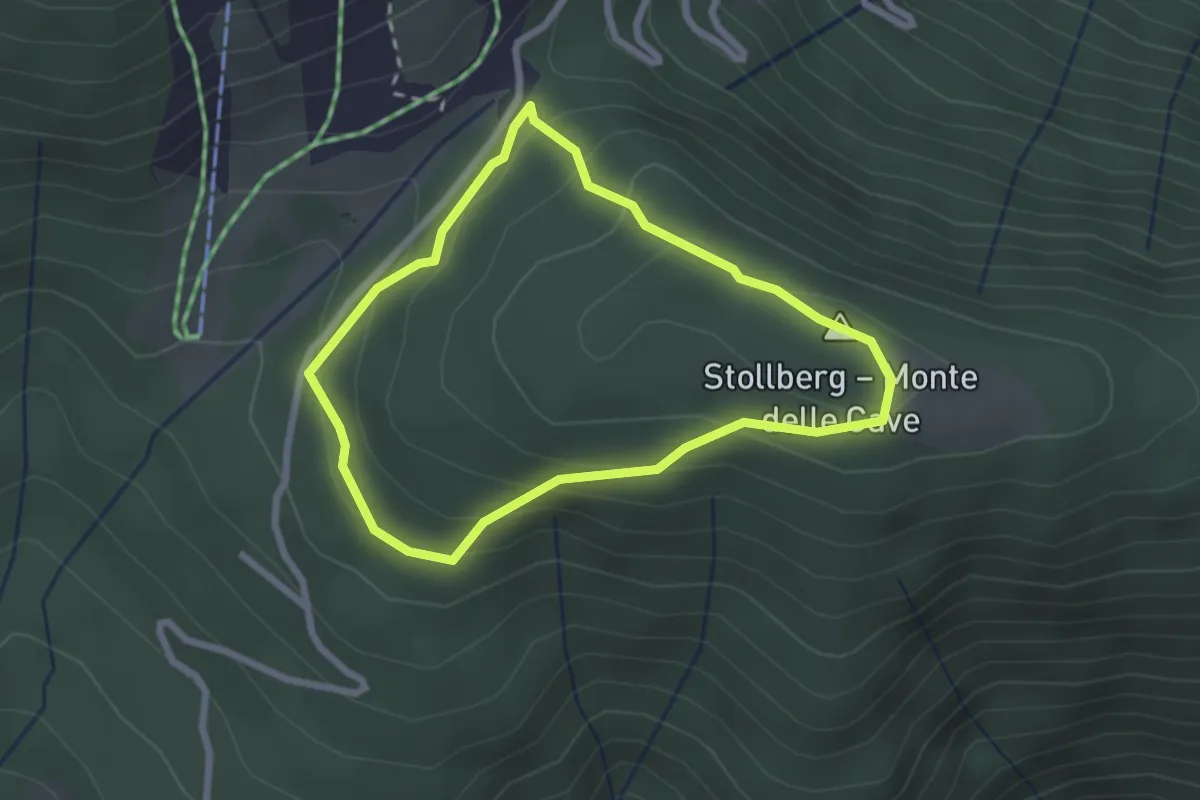
Easy · Summit
Stollrundweg
2.2 km · ↑ 100 m · 46 min
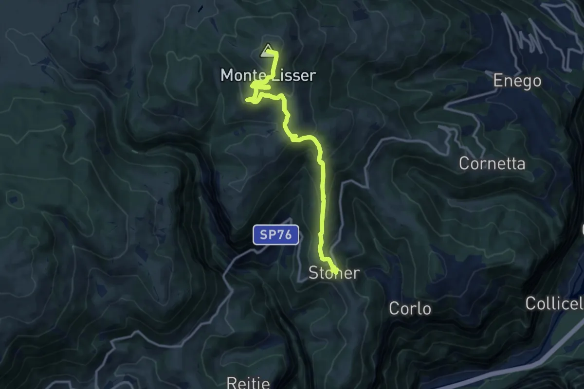
Medium · Summit
Stoner - Lisser
11.2 km · ↑ 664 m · 4 h 5 min
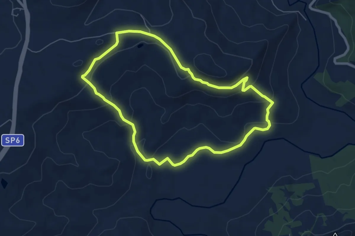
Demanding · Summit
Stornello
6.5 km · ↑ 239 m · 2 h 9 min
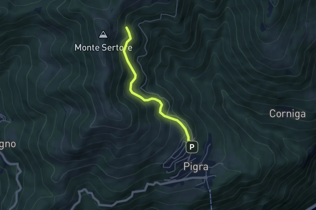
Medium · Trail
Strada ai Monti
3.7 km · ↑ 355 m · 1 h 39 min