Trails in Italy
25,219 hiking trails, each with its route, climb, walking time and grade.
All trails, page 197 of 526
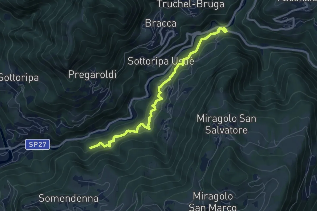
Medium · Trail
Strada Birocciabile
7.0 km · ↑ 458 m · 2 h 39 min
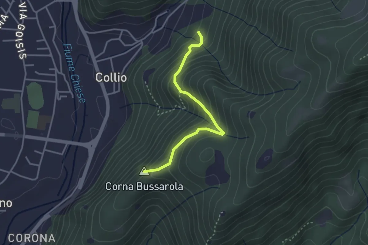
Medium · Summit
Strada Comunale del Pizzocolo
2.9 km · ↑ 319 m · 1 h 23 min
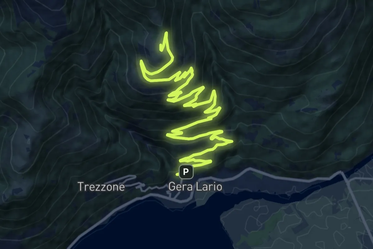
Demanding · Trail
Strada da Gera a Montemezzo
24.1 km · ↑ 990 m · 7 h 51 min
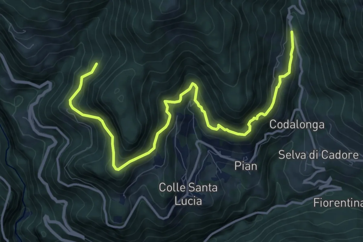
Demanding · Trail
Strada da la Vena
12.0 km · ↑ 806 m · 4 h 35 min
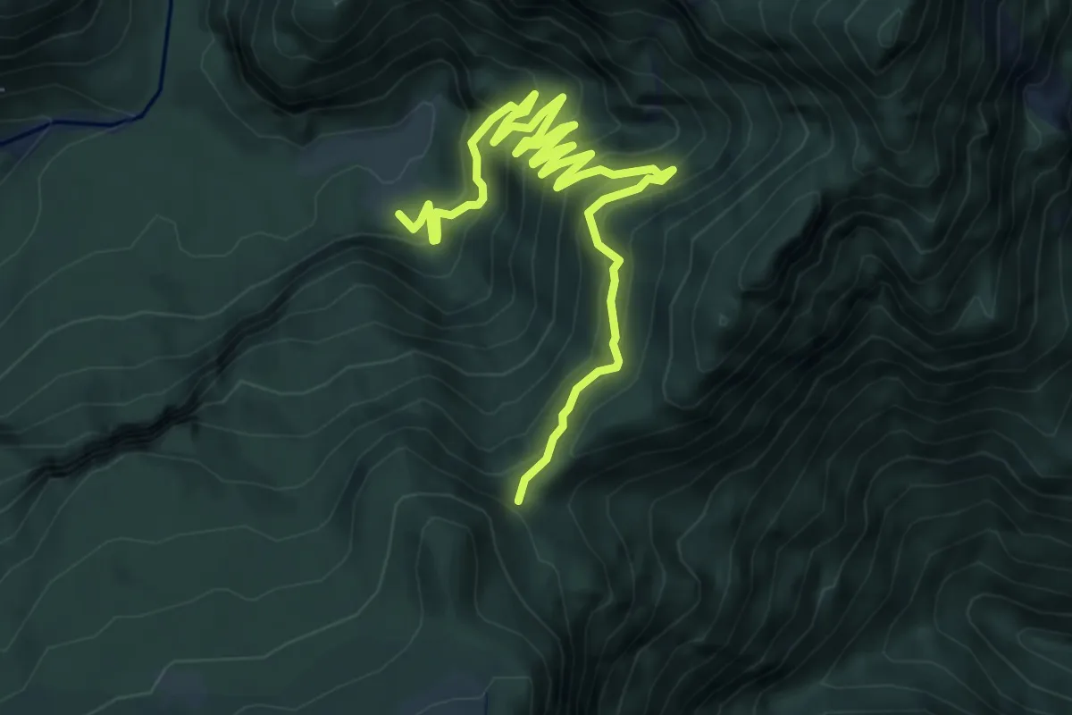
Demanding · Trail
Strada degli alpini
8.5 km · ↑ 831 m · 3 h 49 min
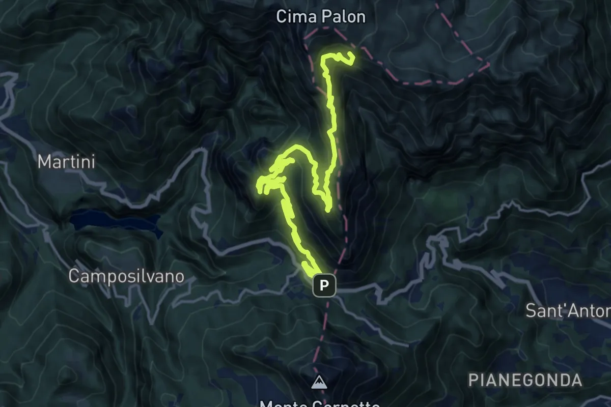
Demanding · Summit
Strada degli Eroi
19.0 km · ↑ 1321 m · 7 h 20 min
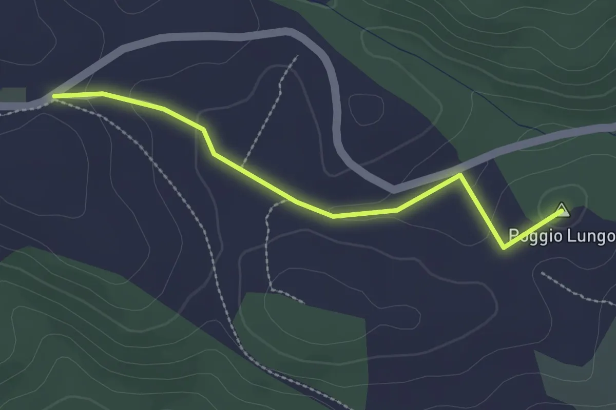
Easy · Summit
strada degli Orti
2.6 km · ↑ 60 m · 45 min
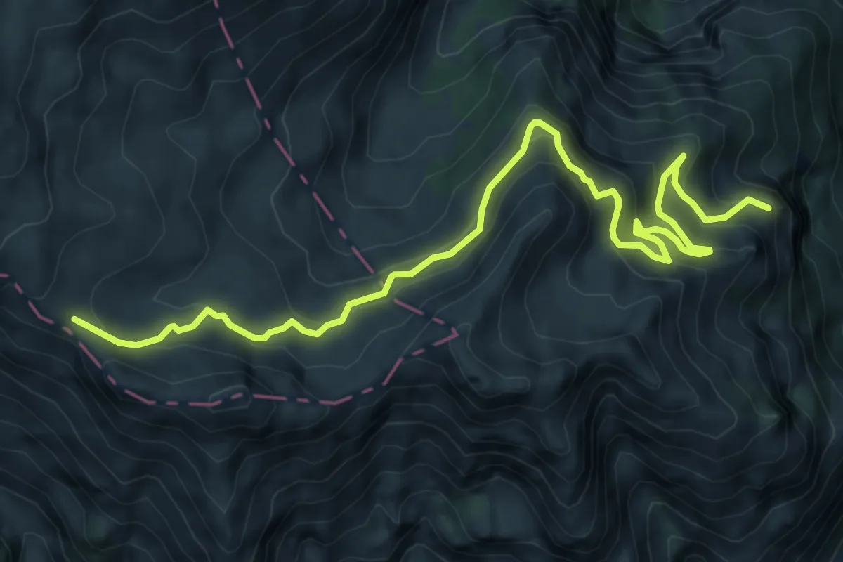
Demanding · Summit
Strada degli Scarubbi
9.2 km · ↑ 818 m · 3 h 56 min
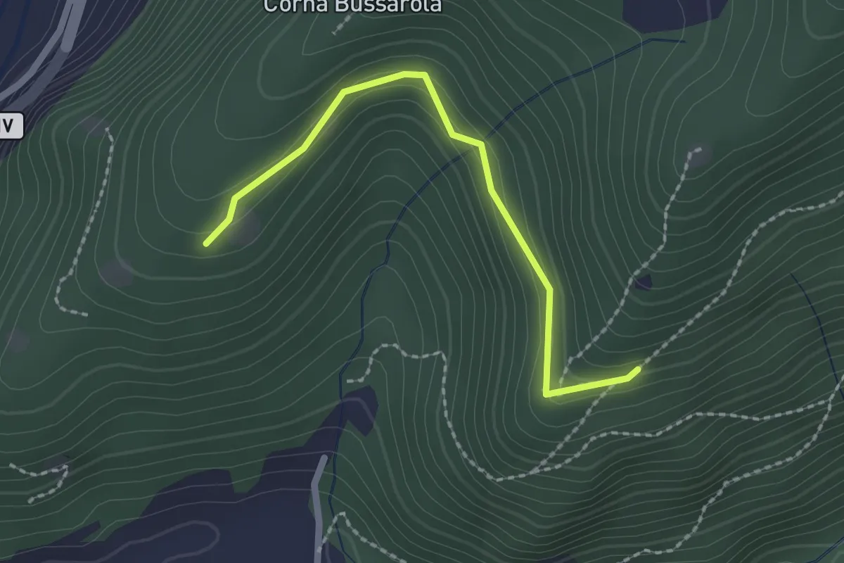
Easy · Trail
Strada degli Spinadei
2.1 km · ↑ 126 m · 46 min
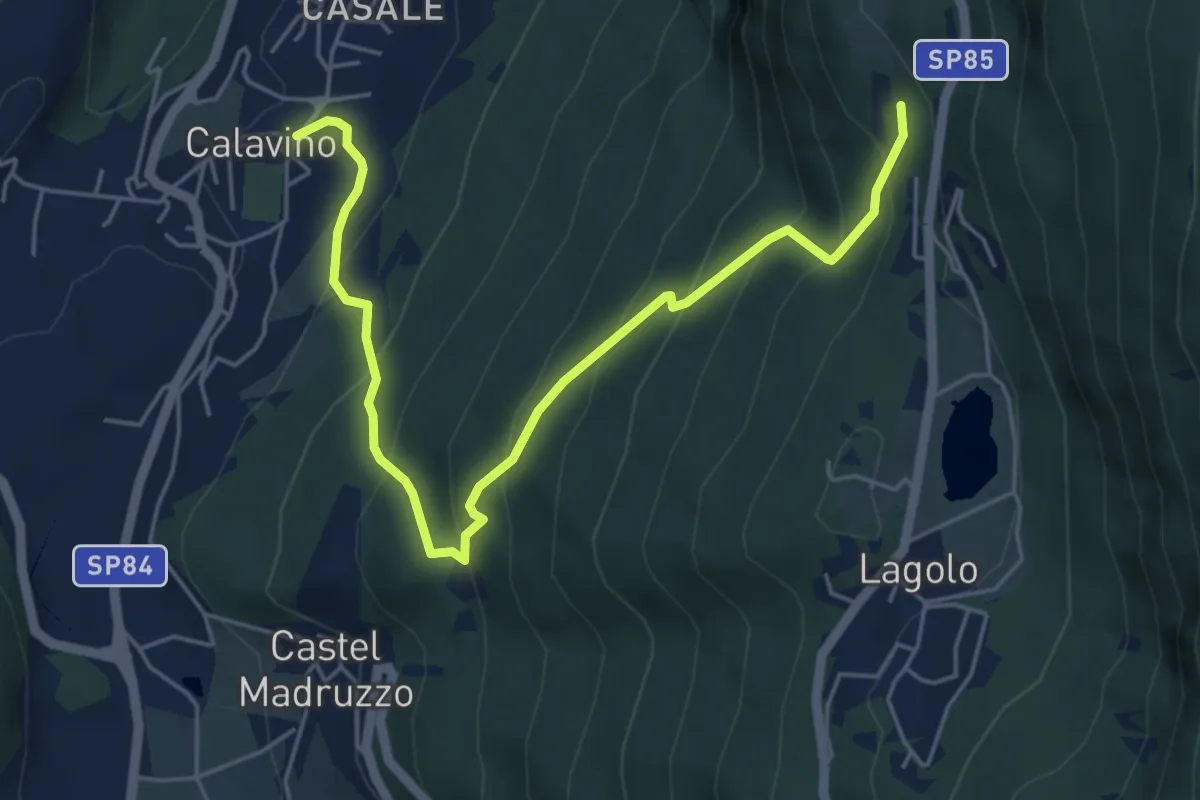
Medium · Trail
Strada dei Brozi
6.0 km · ↑ 533 m · 2 h 34 min
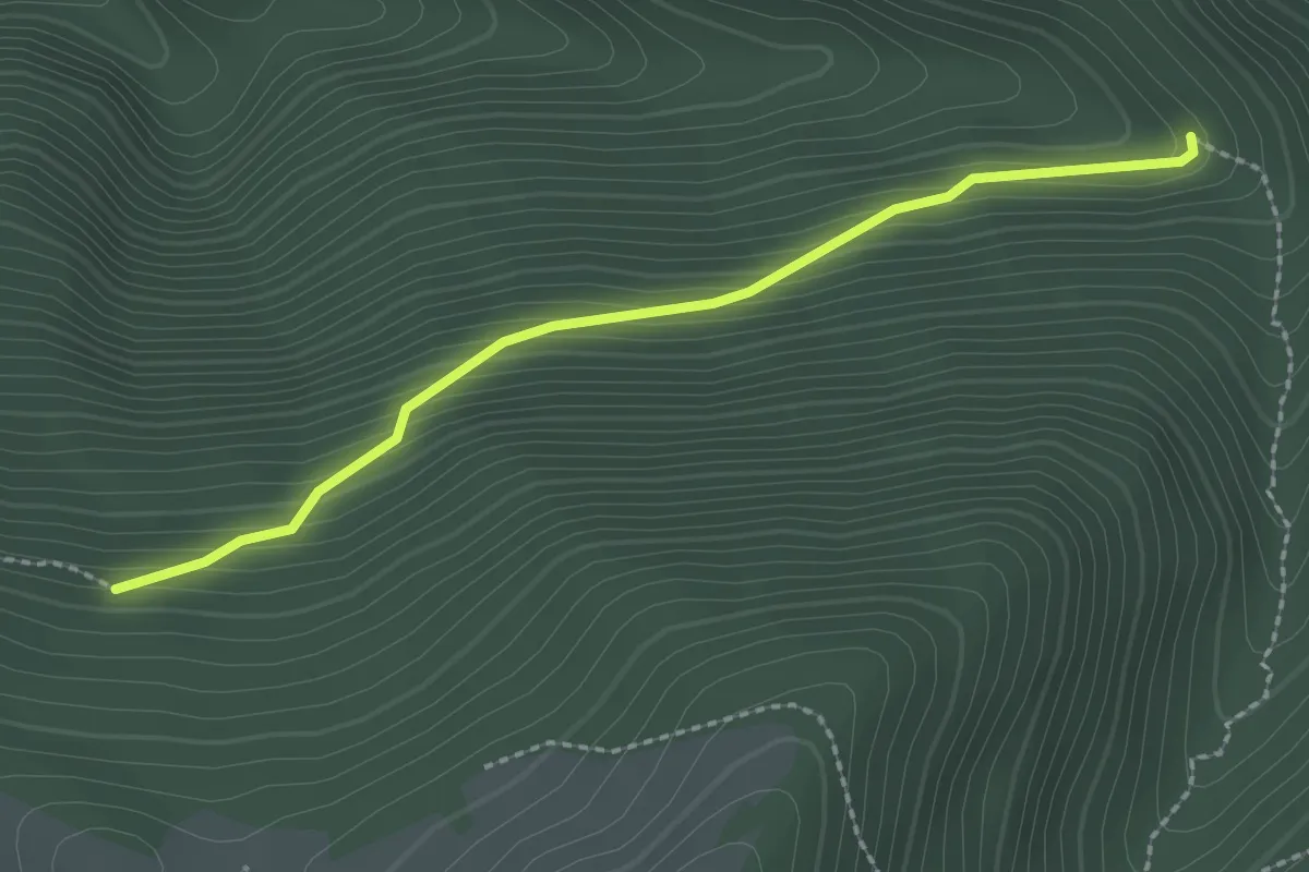
Easy · Trail
Strada dei Nacchi
2.4 km · ↑ 214 m · 1 h 2 min
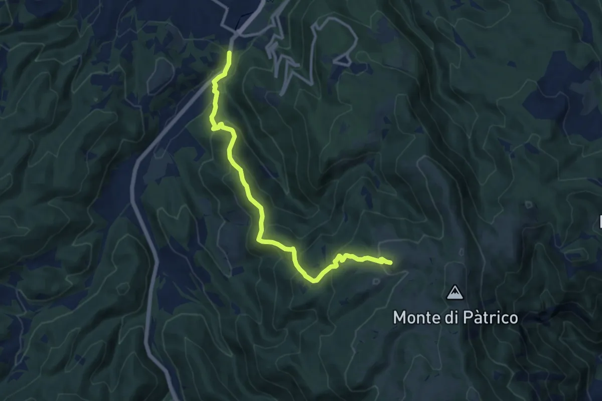
Medium · Trail
Strada dei Patricani
10.9 km · ↑ 673 m · 4 h 2 min
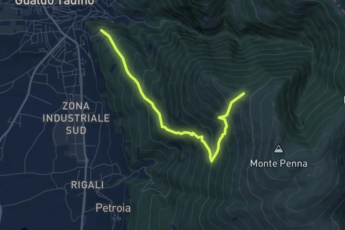
Medium · Trail
Strada dei Renacci
8.3 km · ↑ 713 m · 3 h 30 min
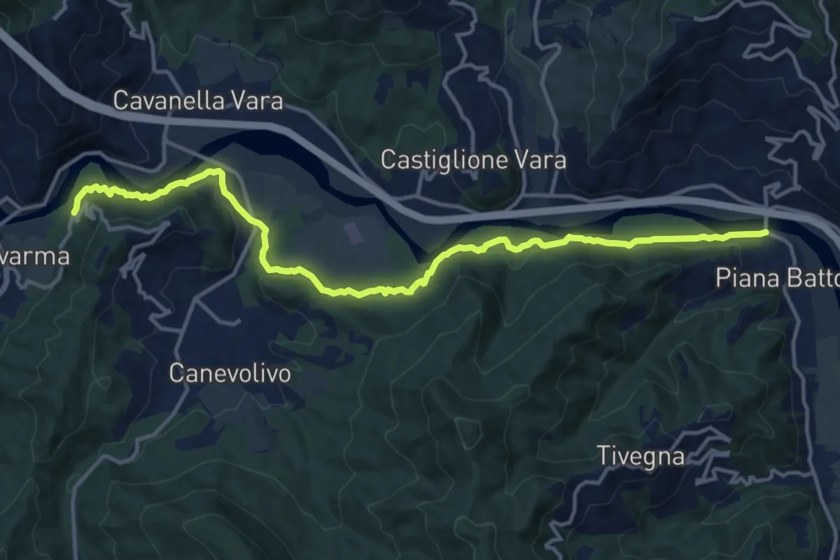
Medium · Trail
Strada dei Tedeschi
14.7 km · ↑ 401 m · 4 h 20 min
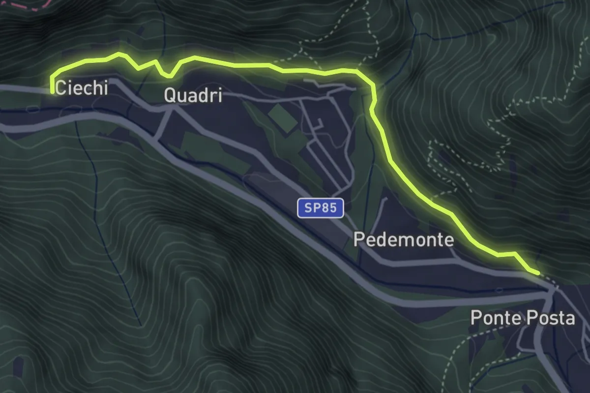
Medium · Trail
Strada de la Riva
4.7 km · ↑ 233 m · 1 h 38 min
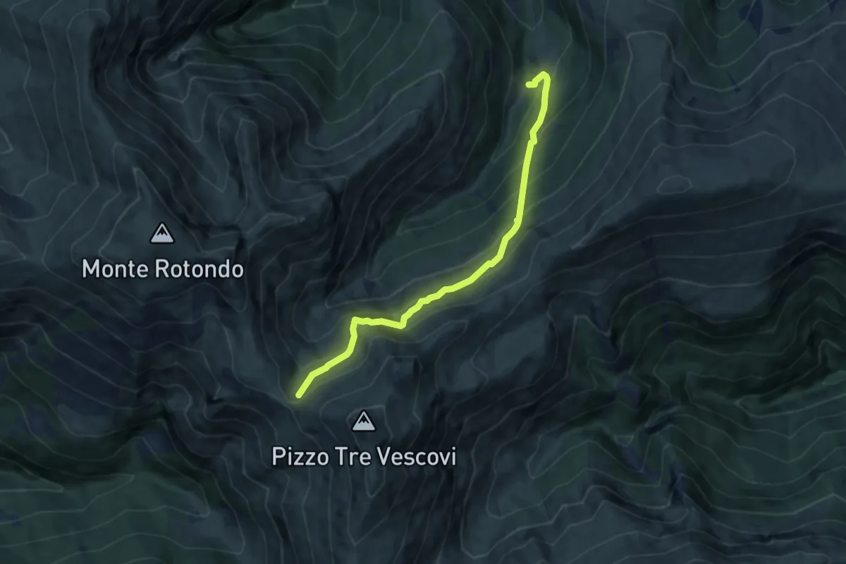
Medium · Trail
Strada del Fargno
8.3 km · ↑ 789 m · 3 h 41 min
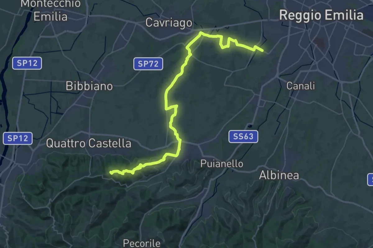
Demanding · Summit
Strada della Biodiversità
36.3 km · ↑ 425 m · 9 h 30 min
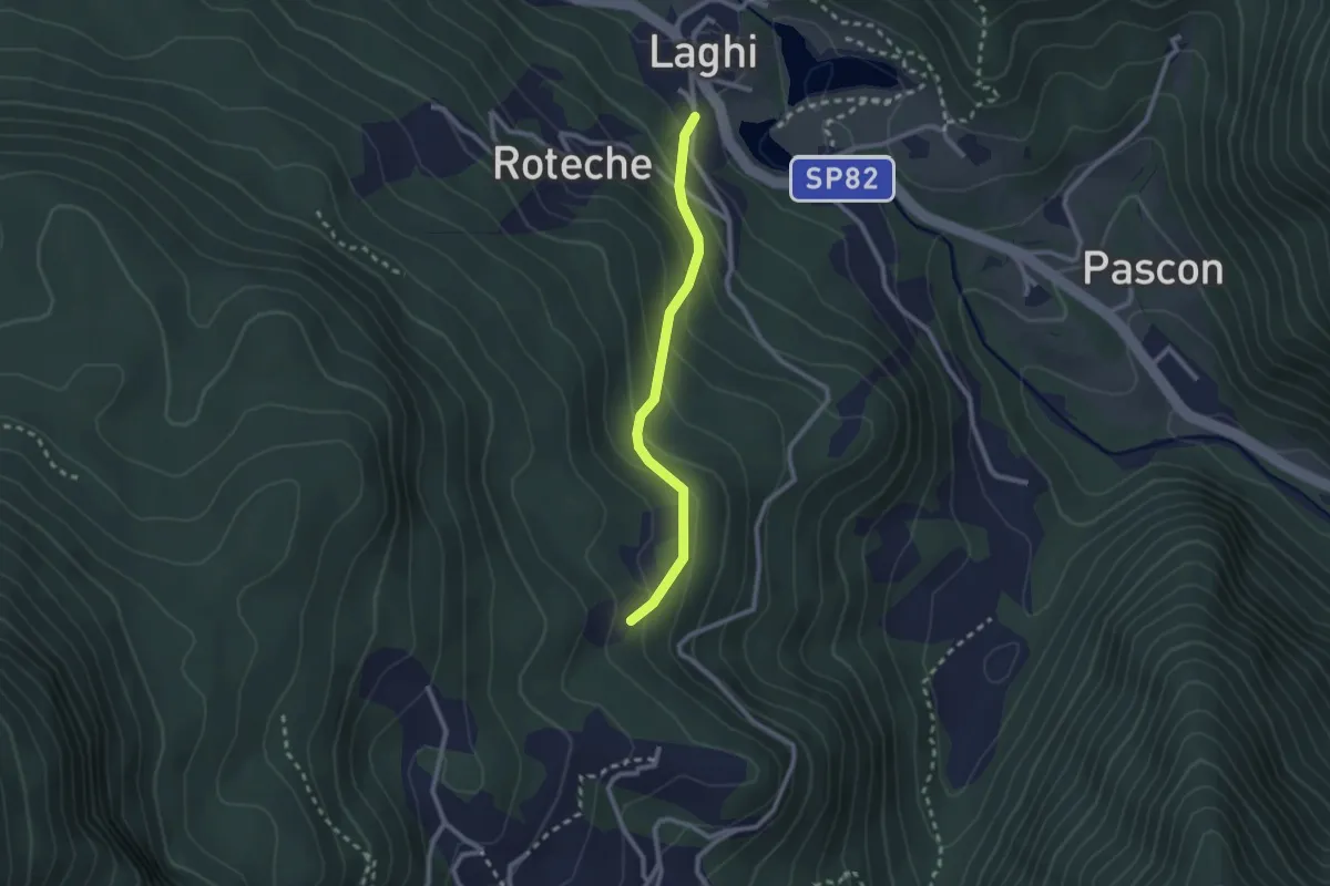
Medium · Trail
Strada della Cenega
2.2 km · ↑ 180 m · 55 min
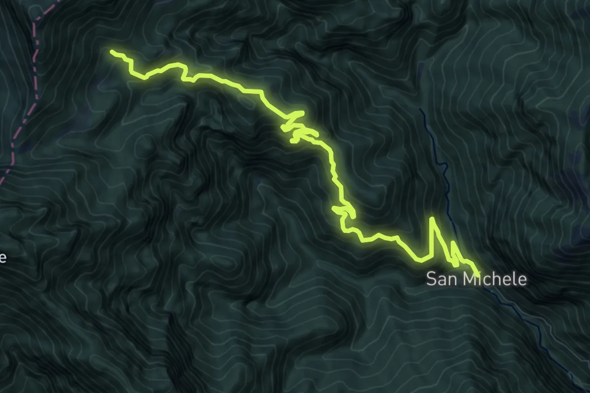
Demanding · Trail
Strada della Costa Monte di Mezzo
13.8 km · ↑ 1222 m · 5 h 54 min
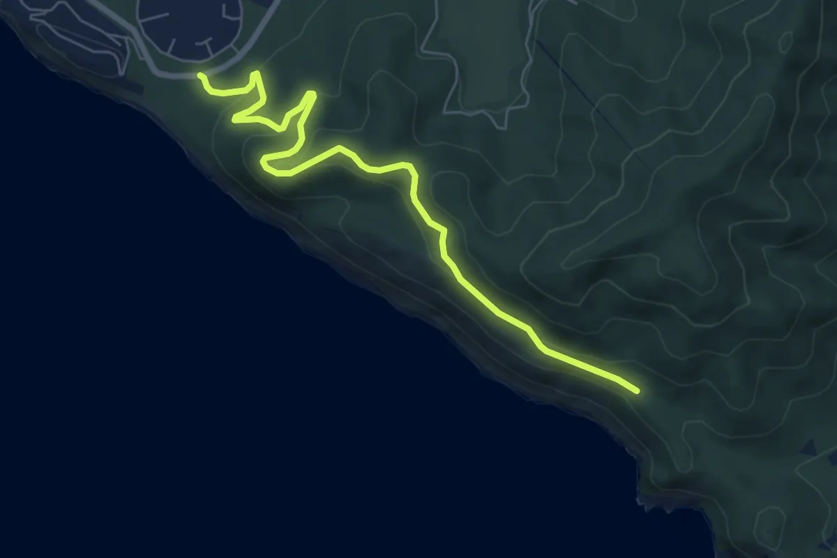
Easy · Trail
Strada della dogana
7.4 km · ↑ 276 m · 2 h 20 min
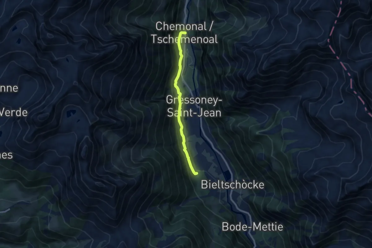
Easy · Trail
Strada della Regina
6.8 km · ↑ 243 m · 2 h 8 min
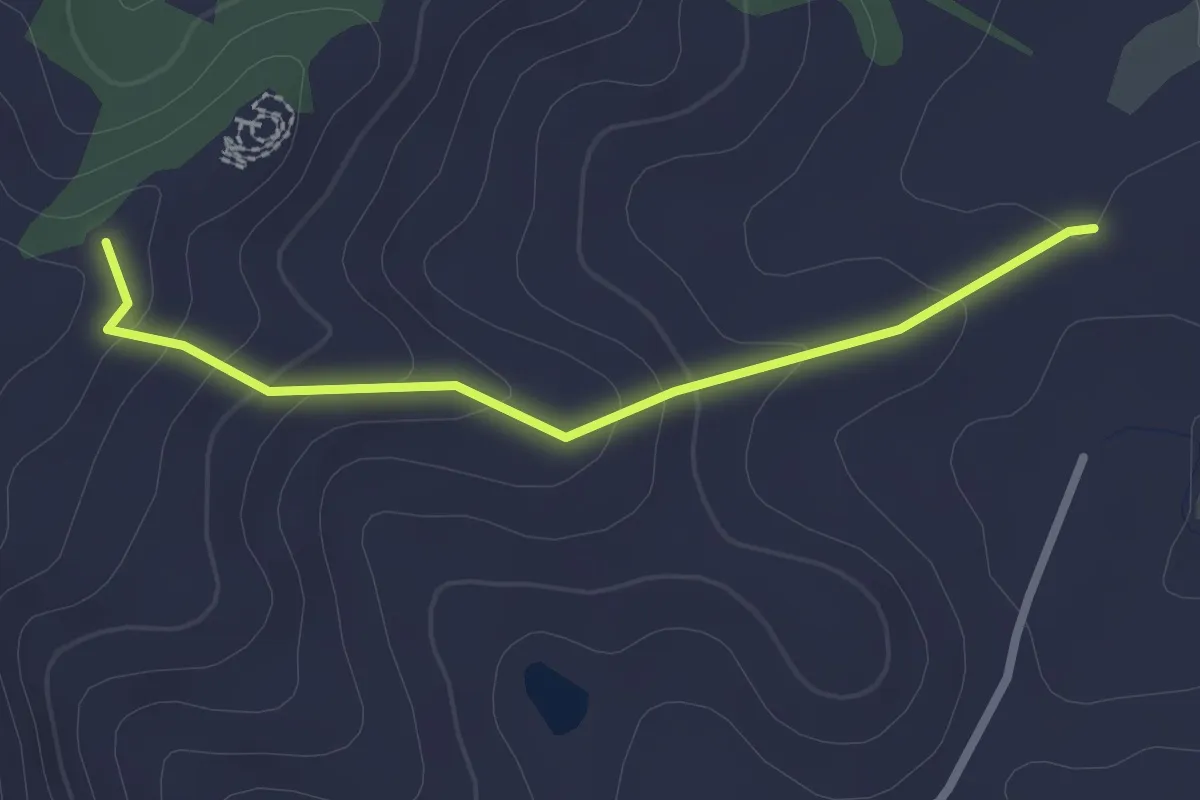
Easy · Trail
Strada della Sagrona
2.6 km · ↑ 109 m · 51 min
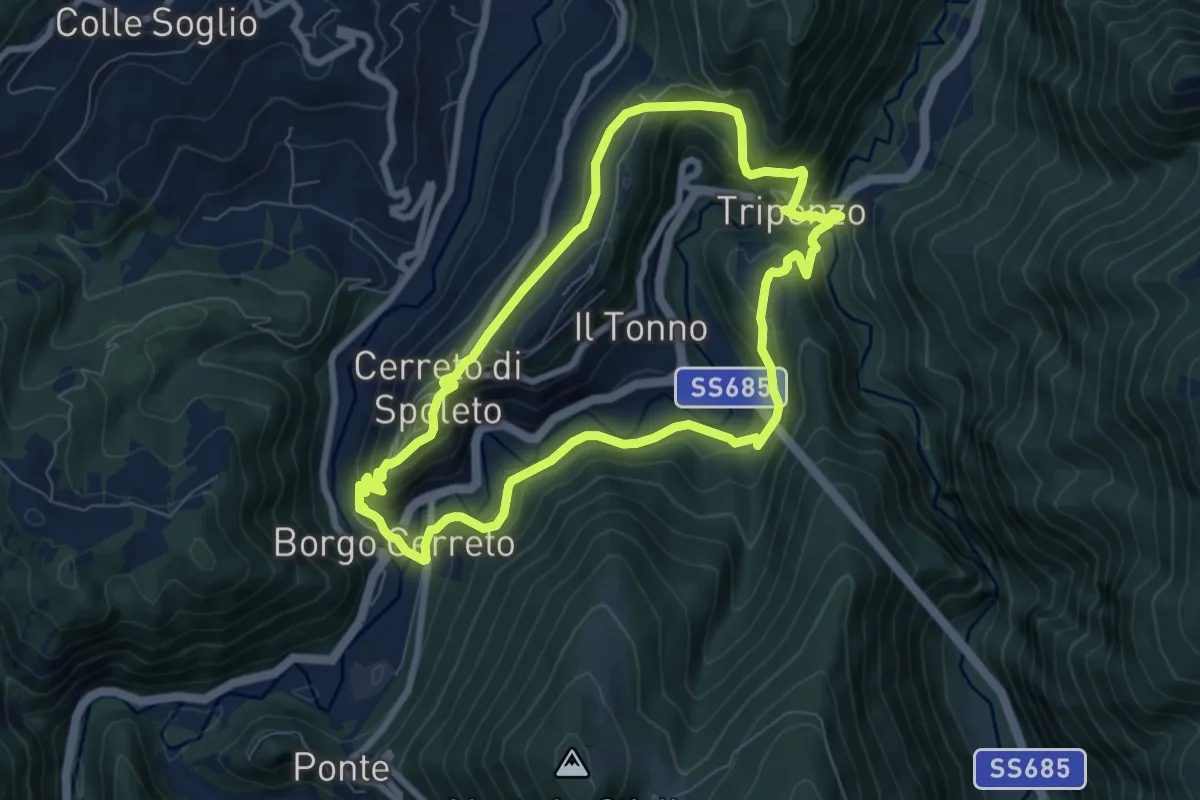
Medium · Trail
Strada della Salute
7.7 km · ↑ 331 m · 2 h 38 min
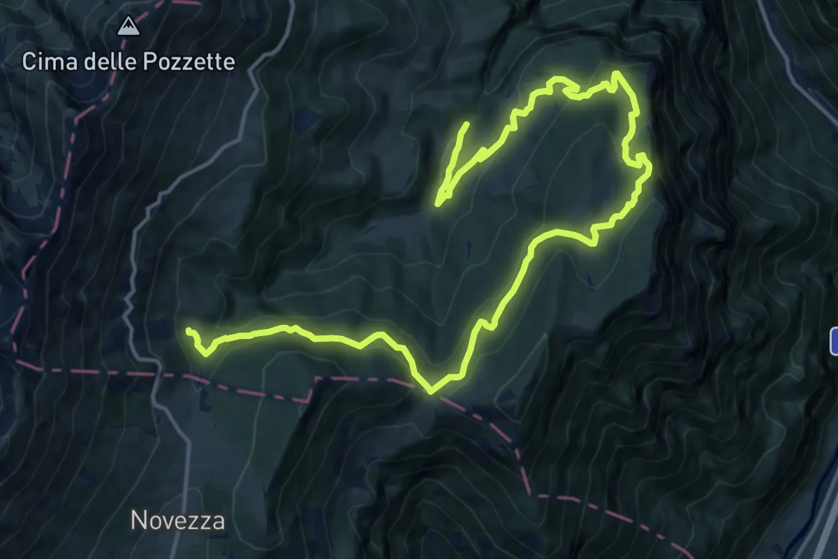
Demanding · Trail
Strada della Selva e Sentiero degli Archetti
19.3 km · ↑ 889 m · 6 h 30 min
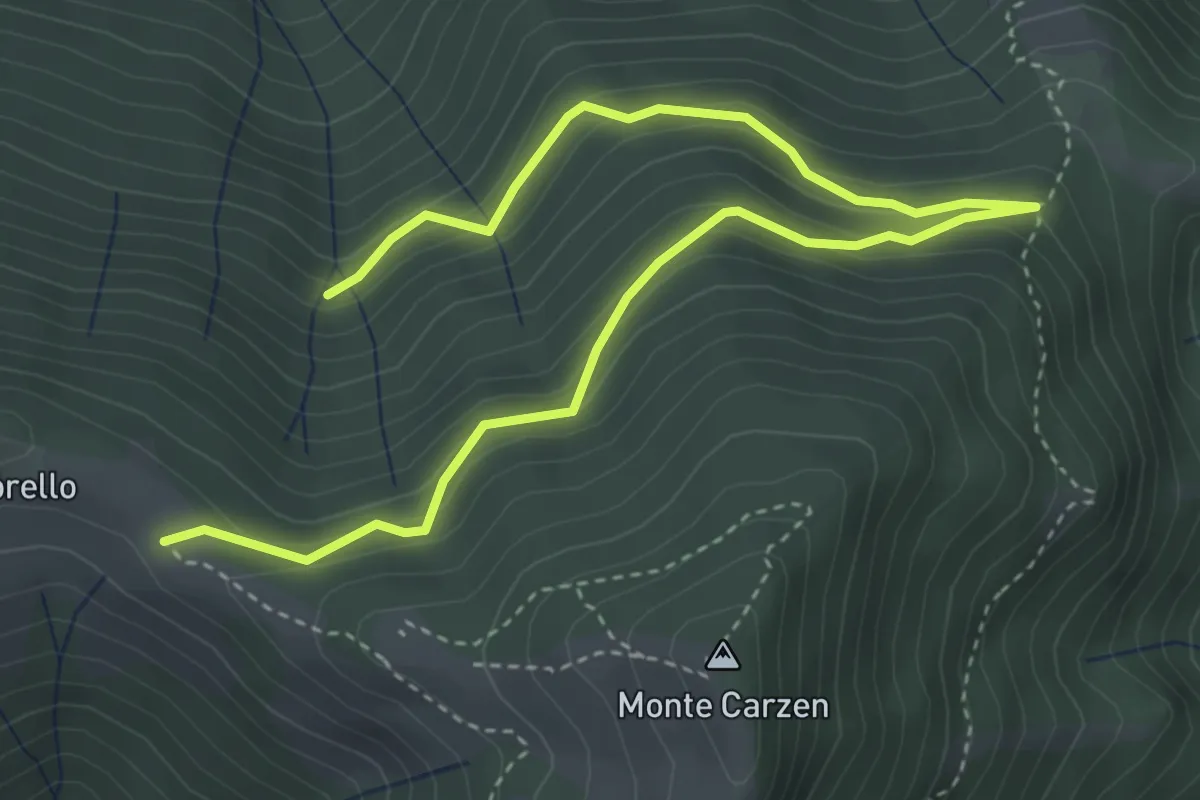
Medium · Trail
Strada della Spinafa
5.4 km · ↑ 379 m · 2 h 5 min
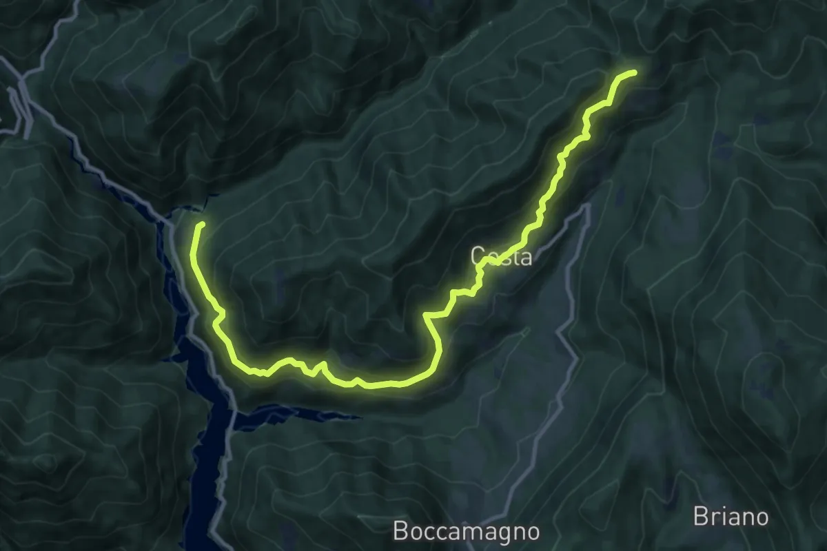
Demanding · Trail
Strada della Traplina e di Paolone
13.4 km · ↑ 1048 m · 5 h 26 min
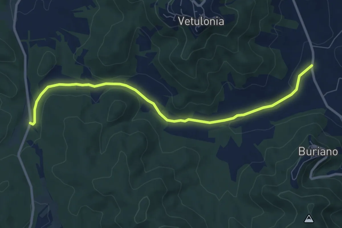
Easy · Trail
Strada della Valle
7.9 km · ↑ 73 m · 2 h 2 min
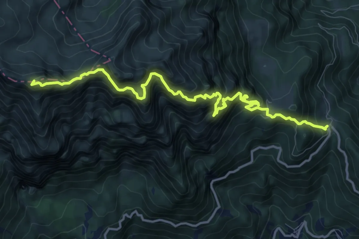
Demanding · Summit
Strada delle 52 gallerie
11.6 km · ↑ 1773 m · 6 h 35 min
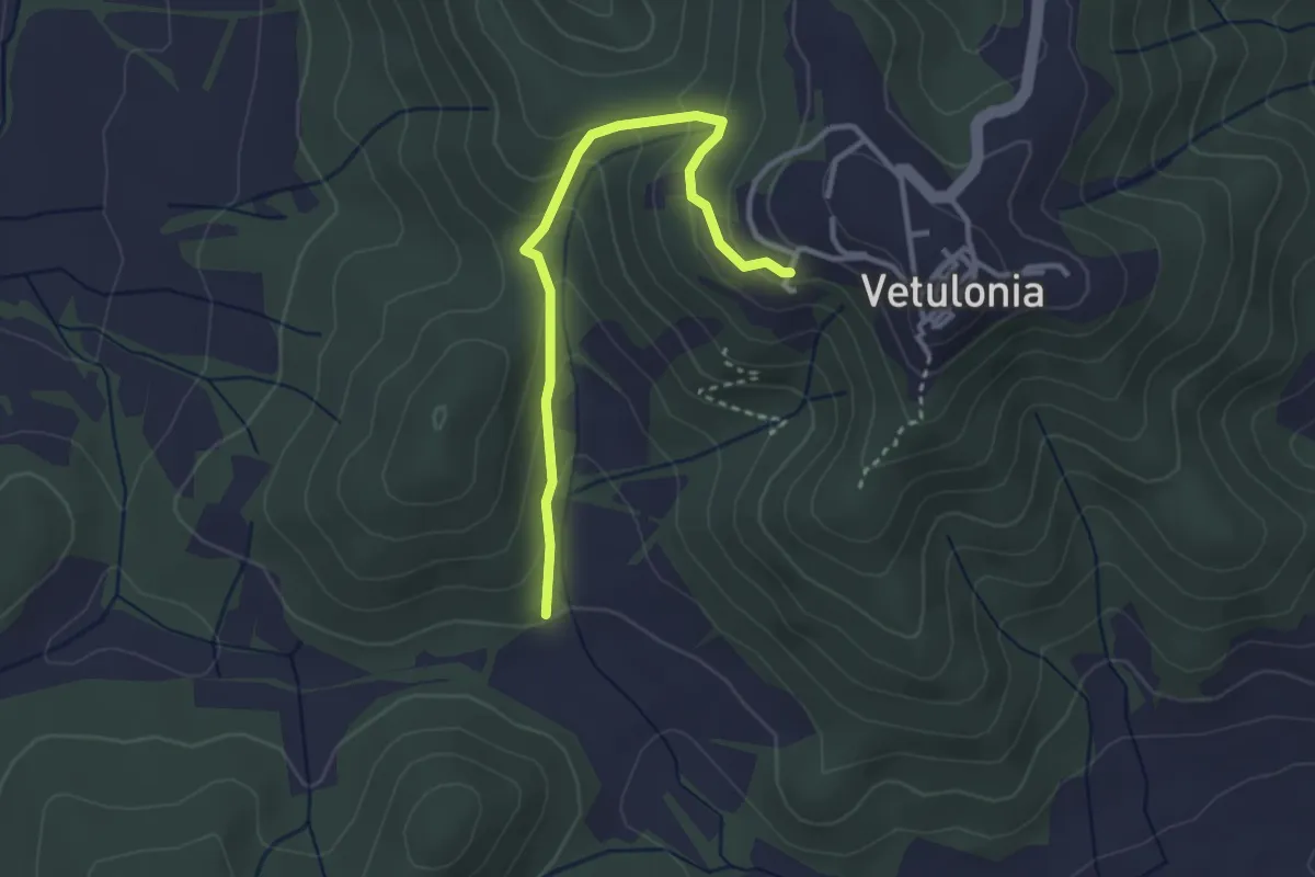
Easy · Trail
Strada delle Capannacce
3.3 km · ↑ 203 m · 1 h 13 min
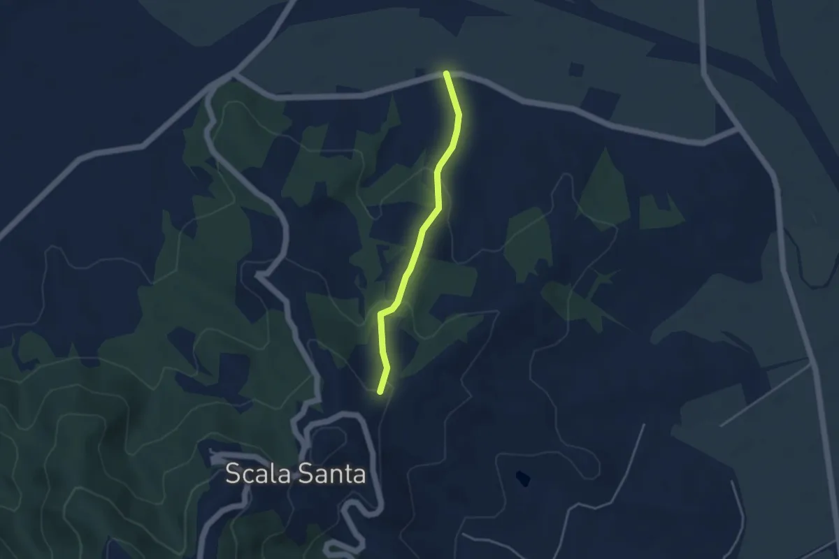
Easy · Trail
Strada delle Casette
3.3 km · ↑ 137 m · 1 h 5 min
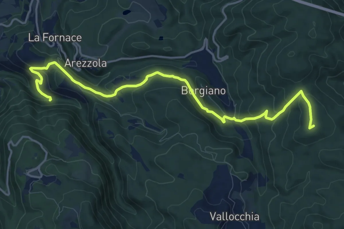
Medium · Summit
Strada delle Ferriere
13.4 km · ↑ 545 m · 4 h 20 min
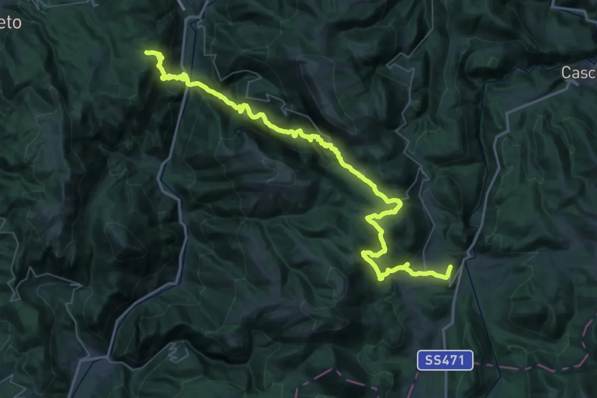
Demanding · Trail
Strada delle Ferriere
24.2 km · ↑ 1318 m · 8 h 51 min
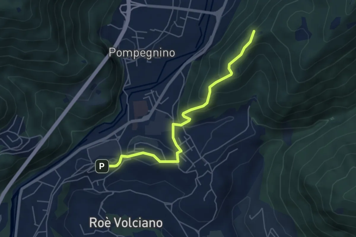
Easy · Summit
Strada delle Guine
5.0 km · ↑ 260 m · 1 h 45 min
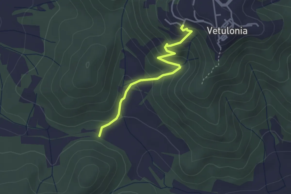
Easy · Trail
Strada delle Lavacchie
3.1 km · ↑ 193 m · 1 h 9 min
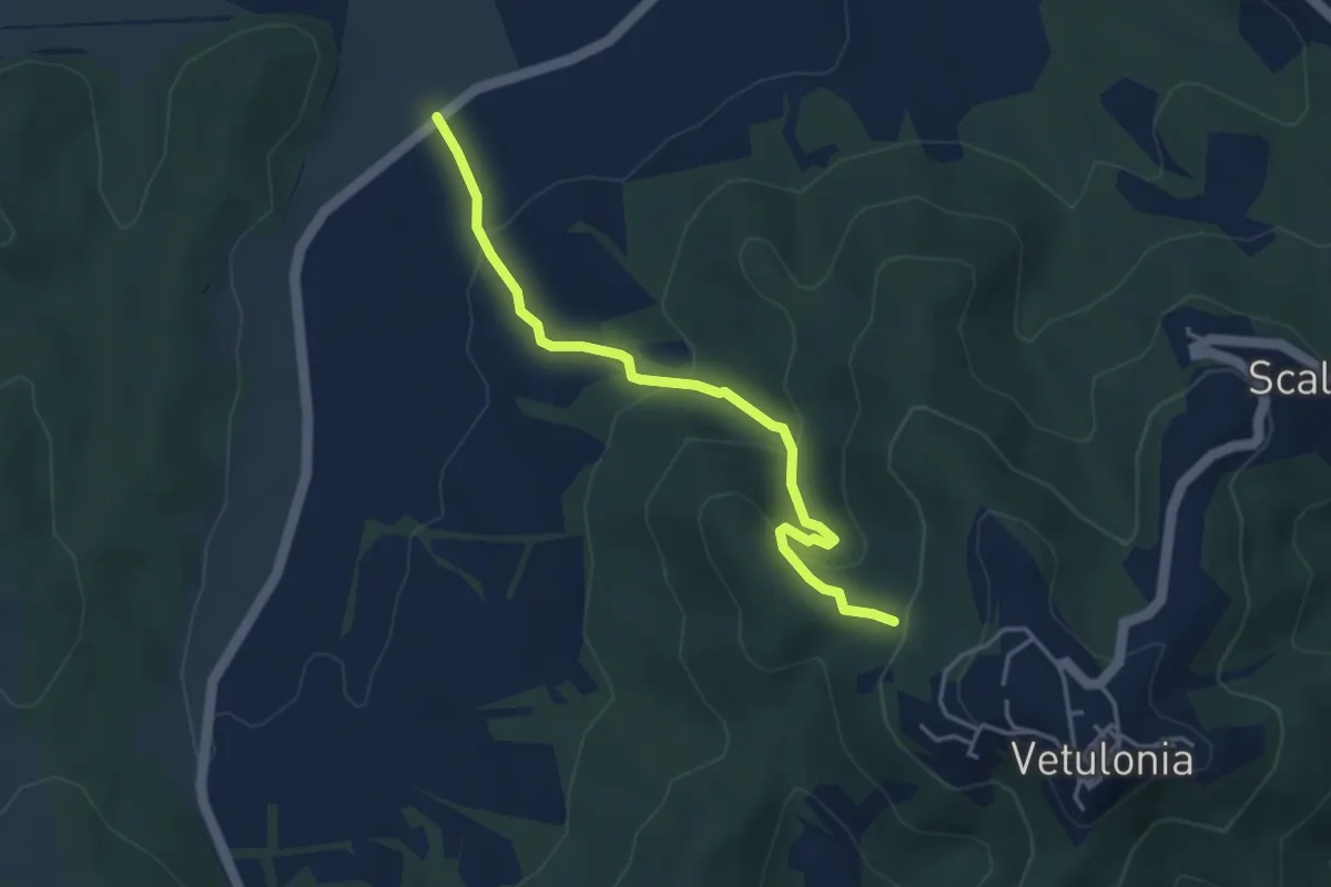
Easy · Trail
Strada delle Vigne
4.2 km · ↑ 209 m · 1 h 27 min
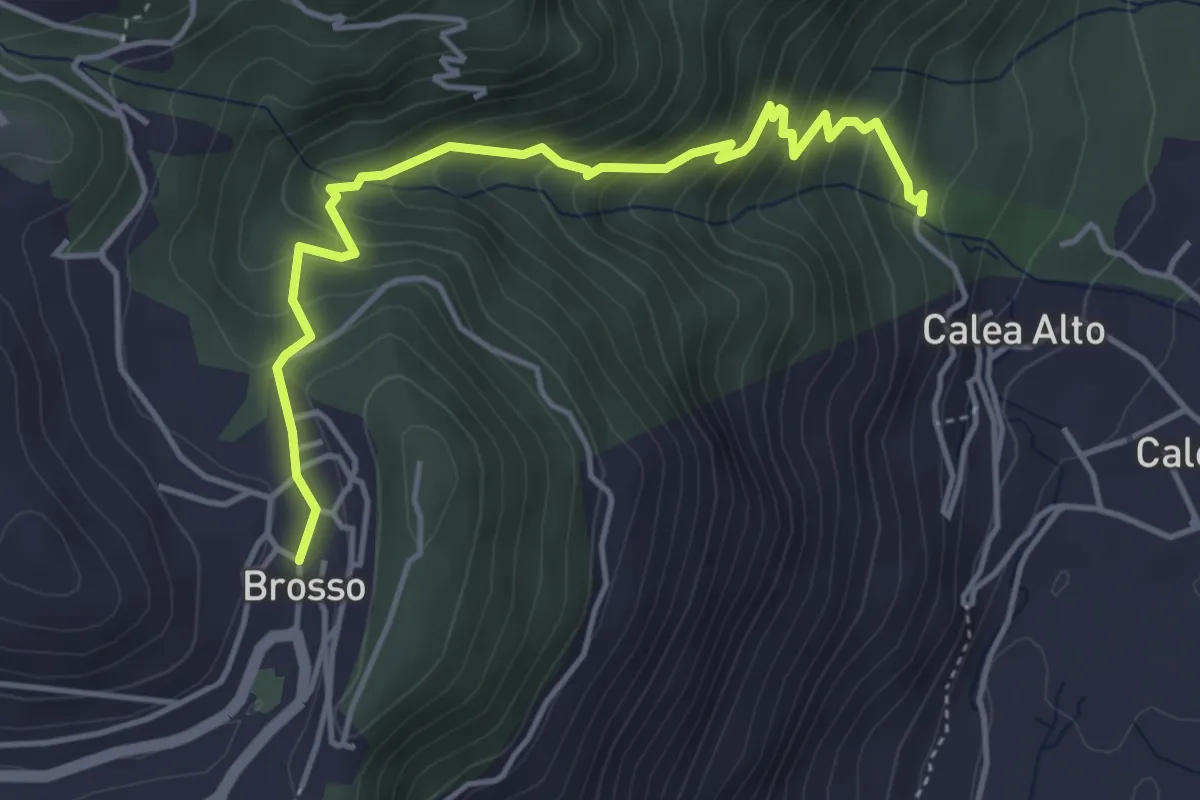
Medium · Trail
Strada delle Vote
4.7 km · ↑ 400 m · 1 h 59 min
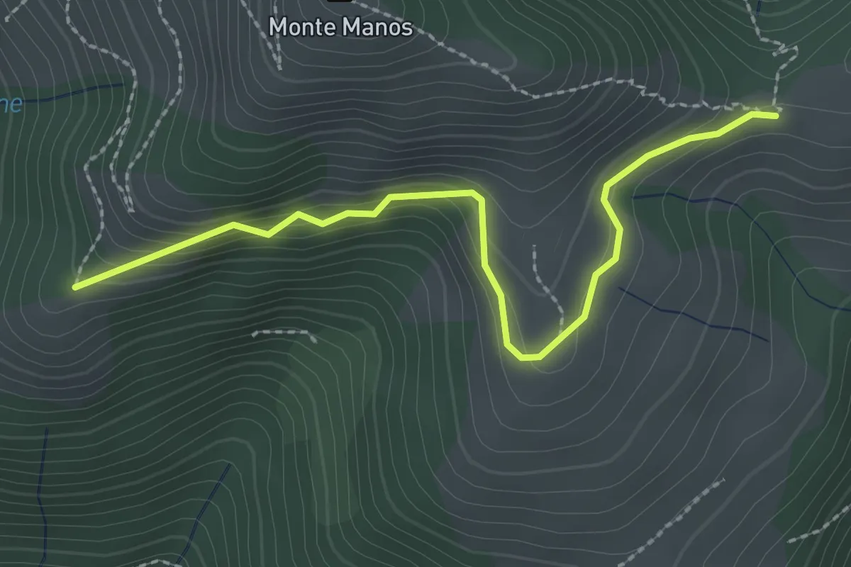
Easy · Trail
Strada del Manos
2.5 km · ↑ 155 m · 56 min
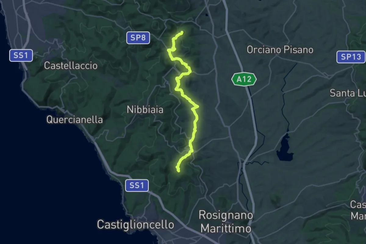
Demanding · Summit
Strada del Mille
24.2 km · ↑ 740 m · 7 h 19 min
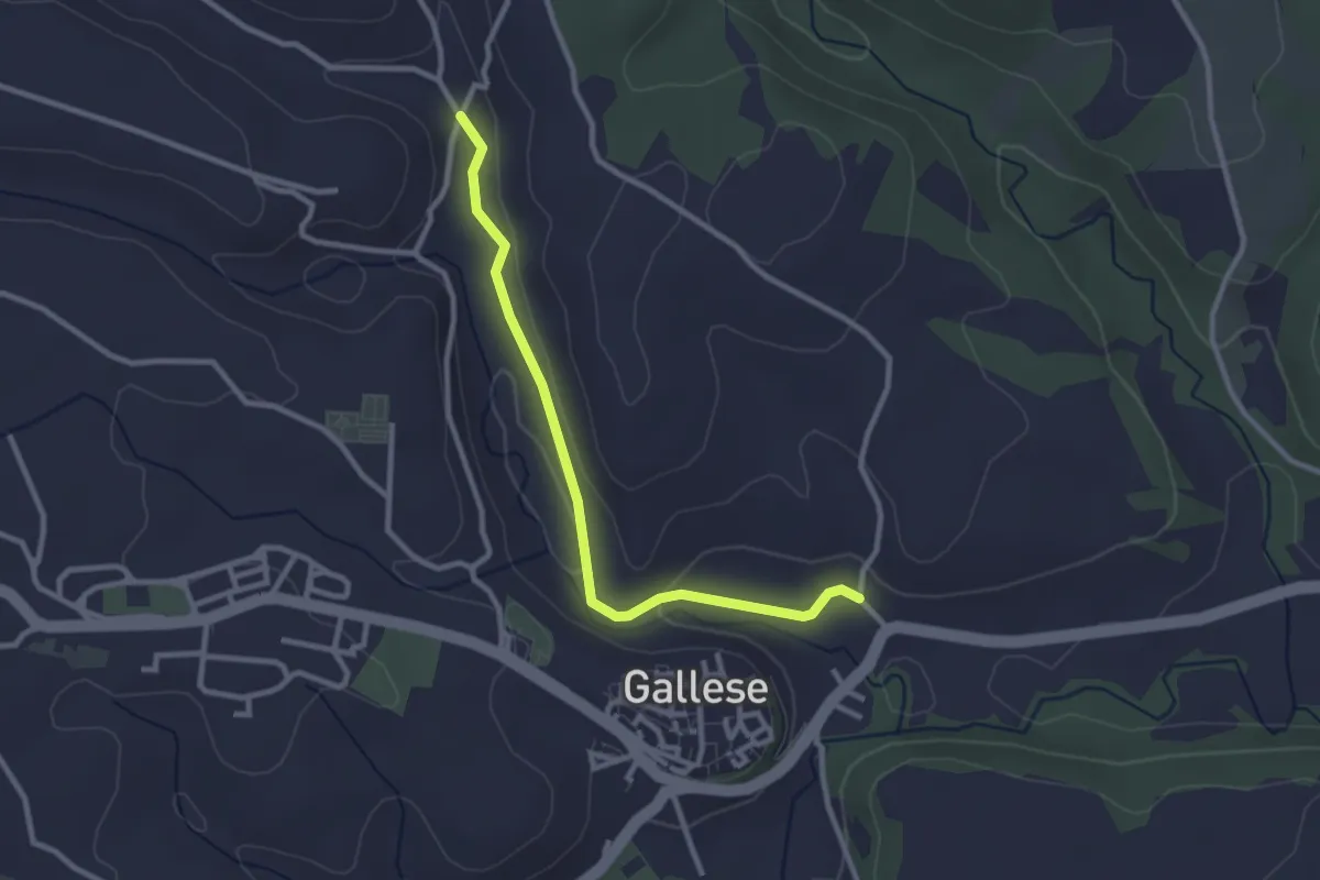
Easy · Trail
Strada del Pappagallo
3.0 km · ↑ 35 m · 47 min
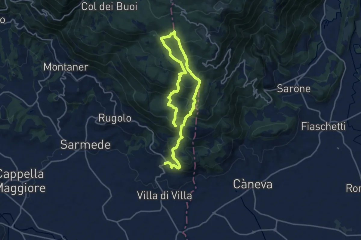
Demanding · Summit
Strada del Patriarca
18.4 km · ↑ 1210 m · 6 h 58 min
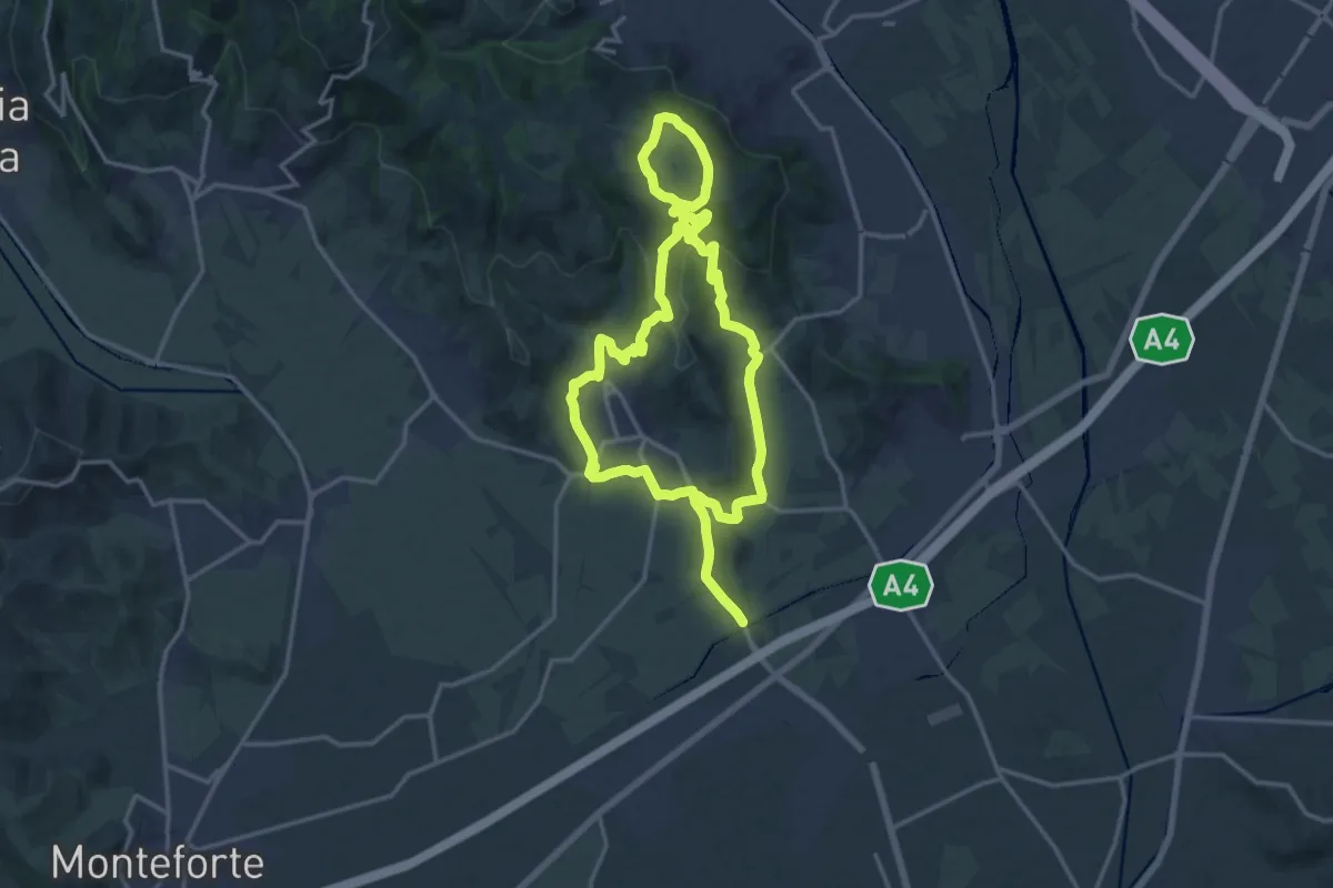
Medium · Trail
Strada del Recioto e dei vini di Gambellara
14.5 km · ↑ 364 m · 4 h 25 min
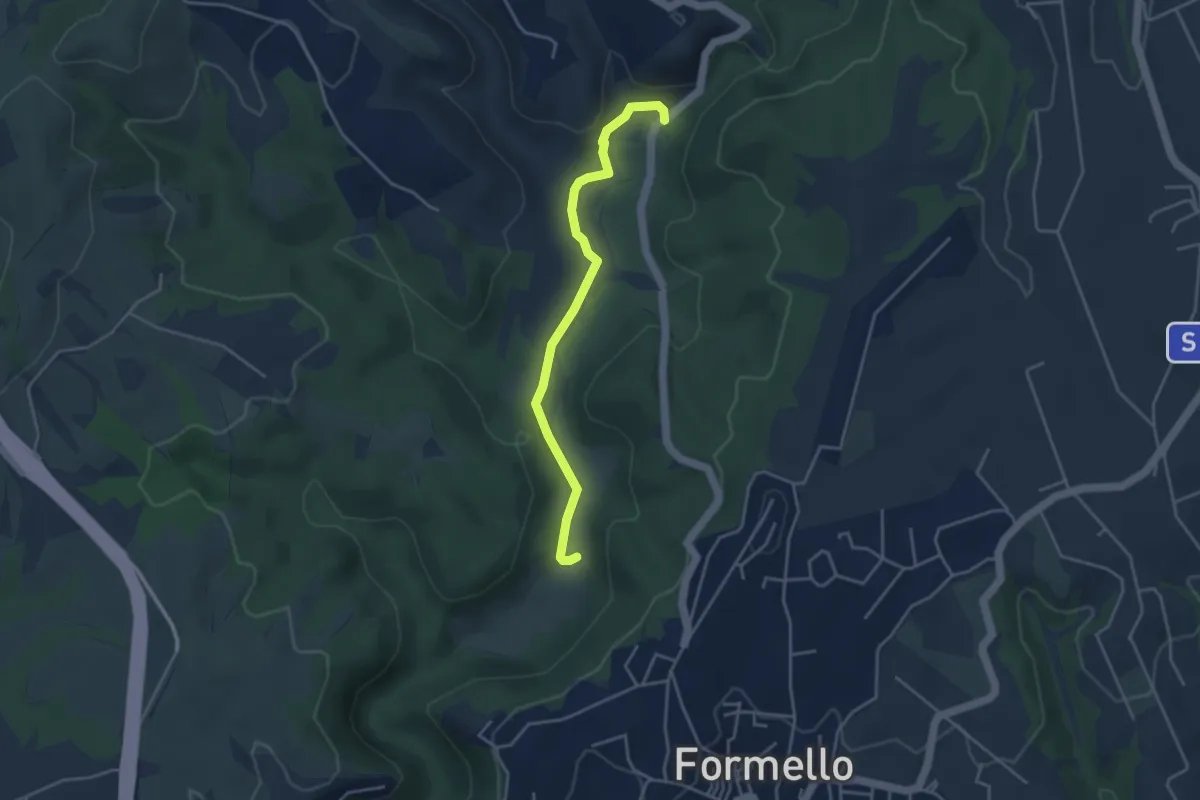
Easy · Trail
Strada del Sorbo- Collina ARSIAL
4.1 km · ↑ 32 m · 1 h 2 min
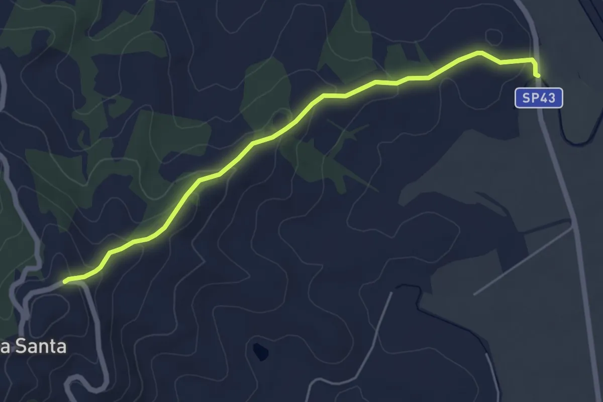
Easy · Trail
Strada di Badia Vecchia
5.1 km · ↑ 182 m · 1 h 36 min
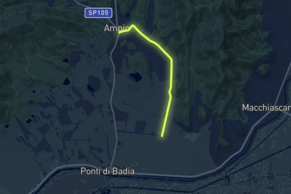
Medium · Trail
Strada di Cacciagrande
8.2 km · ↑ 81 m · 2 h 7 min
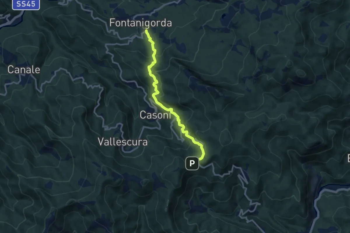
Medium · Trail
Strada di Chiavari
8.8 km · ↑ 584 m · 3 h 21 min
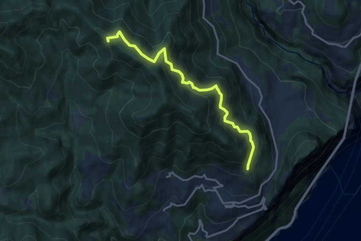
Medium · Trail
Strada di Cima di Traval
8.4 km · ↑ 735 m · 3 h 35 min
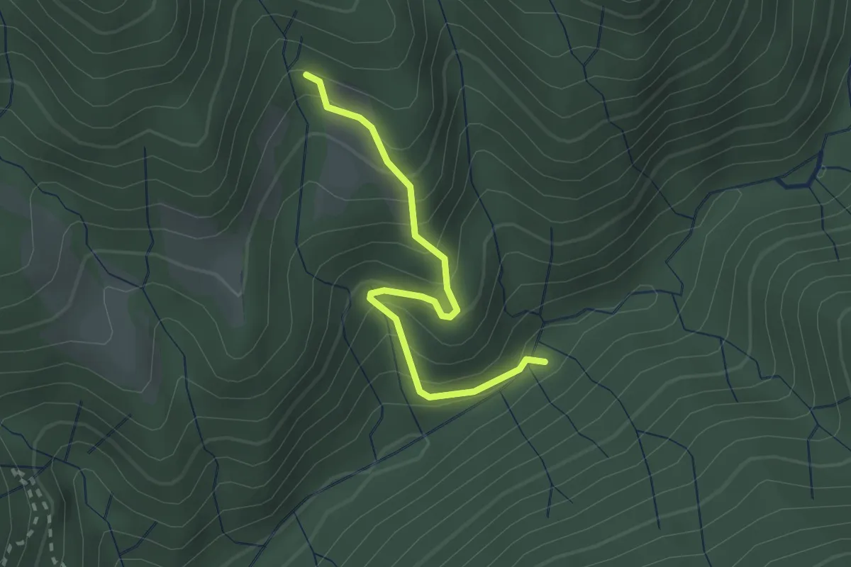
Easy · Trail
Strada di Corsenich
2.3 km · ↑ 275 m · 1 h 9 min
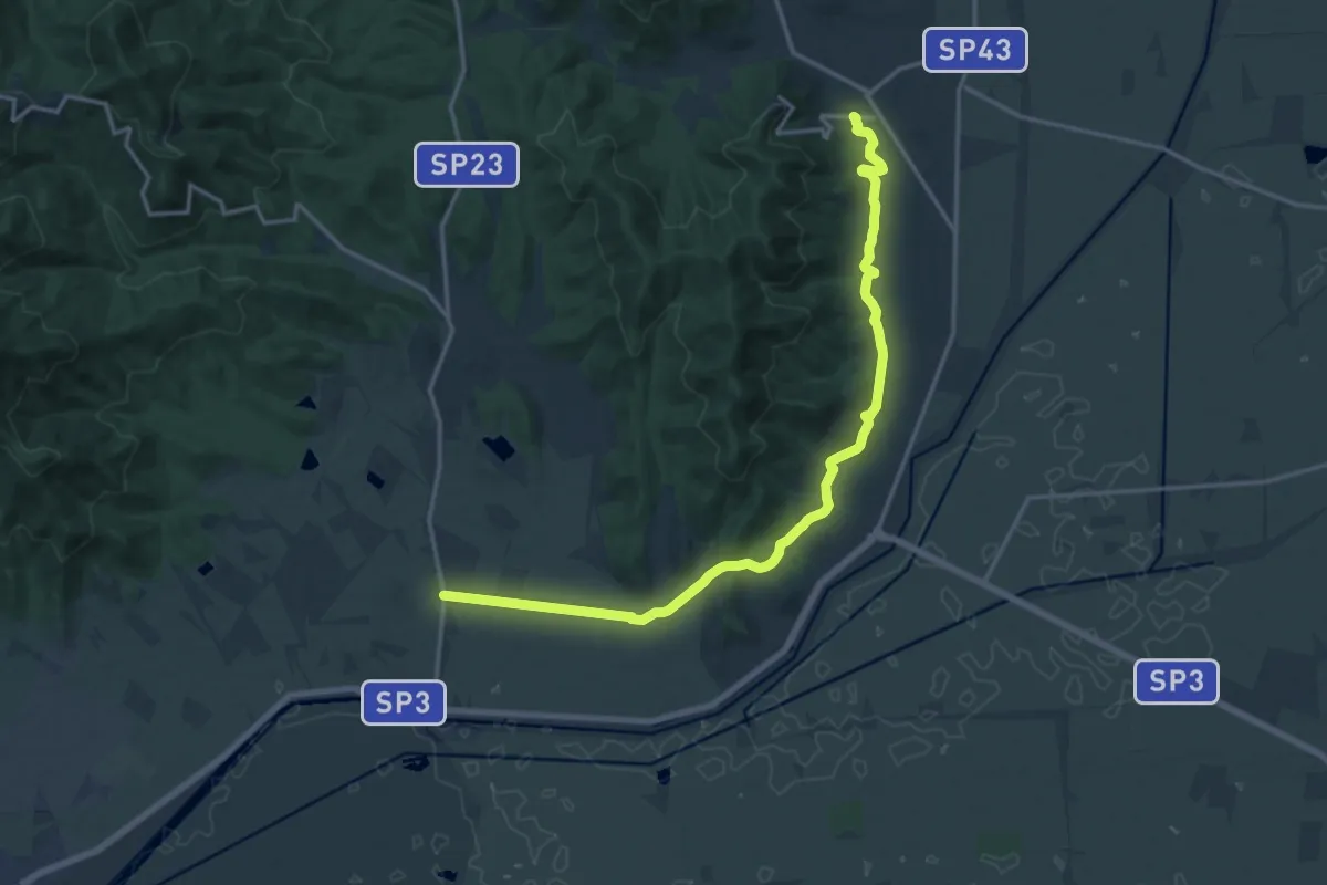
Demanding · Trail
Strada di Macchiascandona
19.0 km · ↑ 210 m · 4 h 57 min