Trails in Italy
25,219 hiking trails, each with its route, climb, walking time and grade.
All trails, page 198 of 526
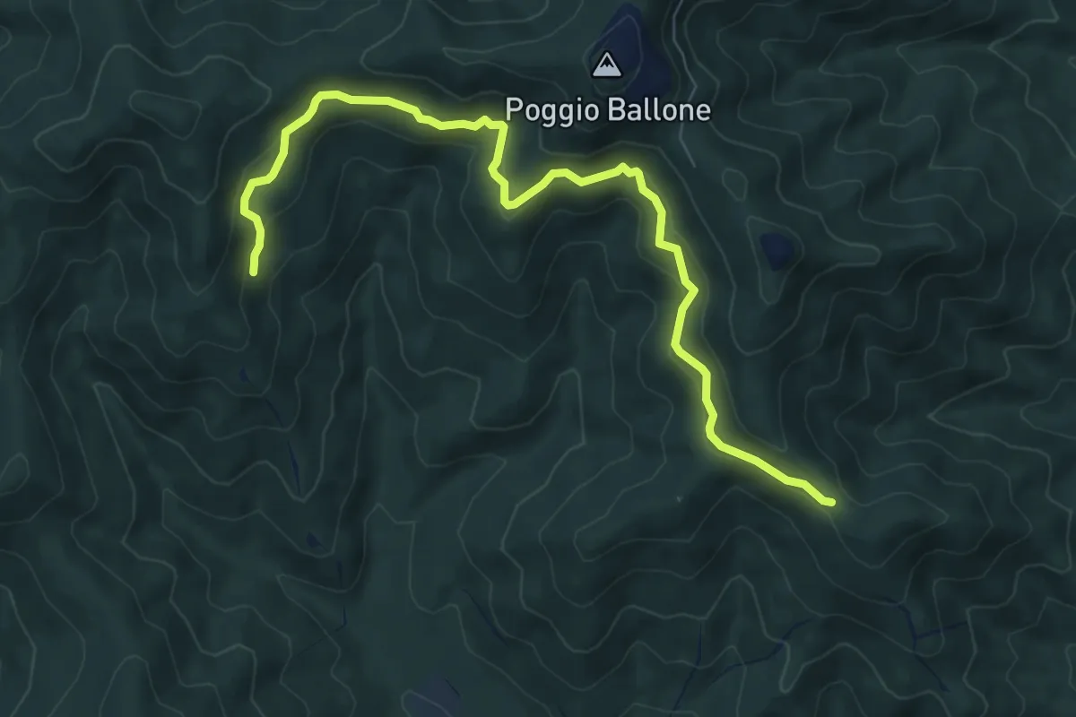
Medium · Trail
Strada di Mezzo
9.1 km · ↑ 390 m · 2 h 59 min
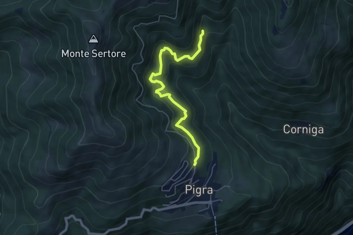
Medium · Trail
Strada di Mezzo
4.9 km · ↑ 465 m · 2 h 9 min
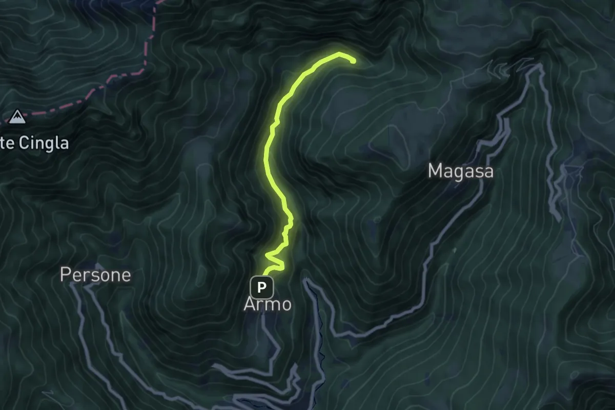
Medium · Trail
Strada di Ponte Franato
5.7 km · ↑ 393 m · 2 h 12 min
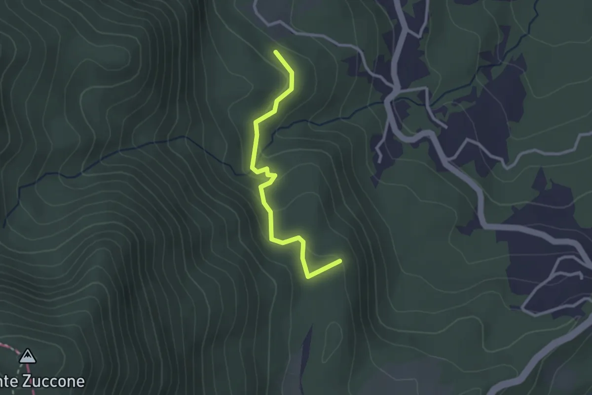
Easy · Summit
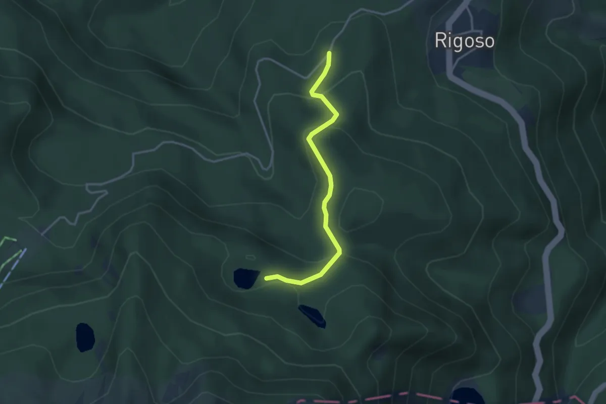
"Strada di Pratolungo" - Iareto - Pratolungo
2.5 km · ↑ 98 m · 49 min
Easy · Trail
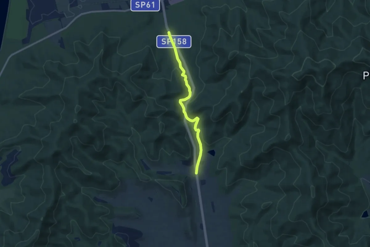
Strada di Prato Spilla - Lago Verdarolo
3.1 km · ↑ 178 m · 1 h 7 min
Easy · Trail
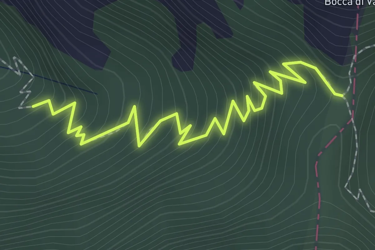
Strada di Punta Ala
7.6 km · ↑ 220 m · 2 h 16 min
Medium · Trail
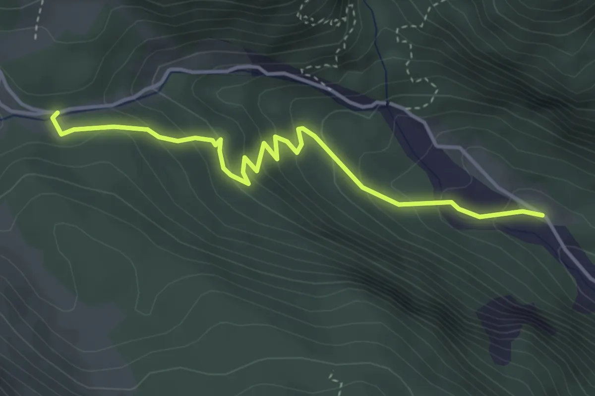
Strada di Valle
2.7 km · ↑ 274 m · 1 h 14 min
Easy · Trail
Strada forestale Pian de Rucenaes
3.9 km · ↑ 257 m · 1 h 29 min
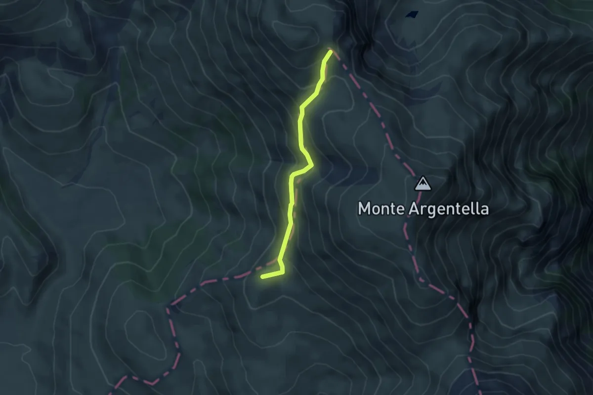
Medium · Summit
Strada Imperiale
3.9 km · ↑ 291 m · 1 h 33 min
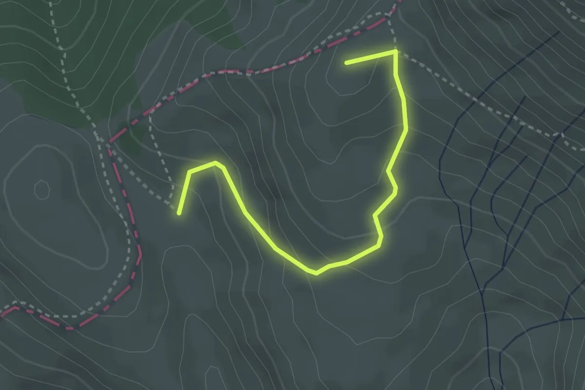
Medium · Summit
Strada Imperiale
3.2 km · ↑ 211 m · 1 h 13 min
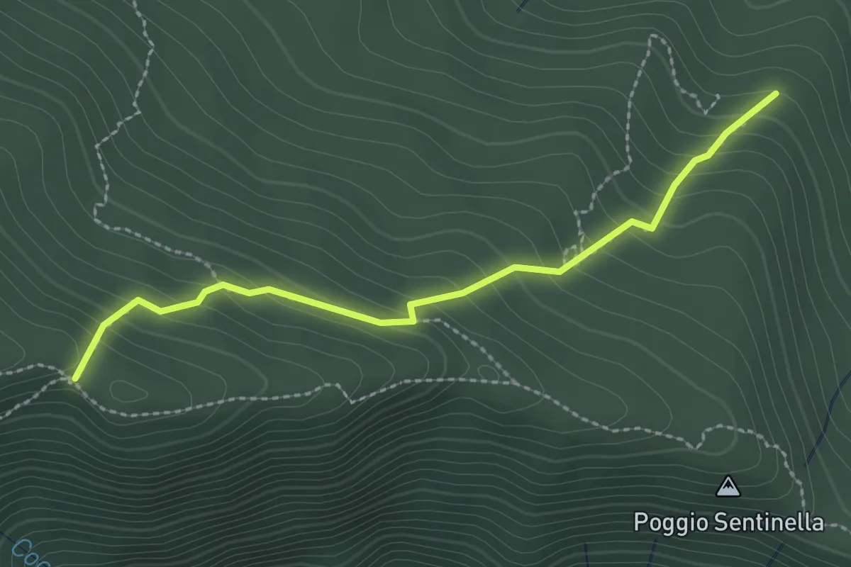
Easy · Trail
Strada Laghicciolo - Traverseto
2.5 km · ↑ 242 m · 1 h 7 min
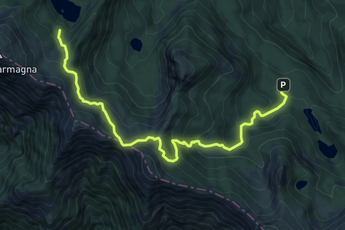
Medium · Trail
Strada Lagoni-Capanne di Badignana-Passo delle Guadine-Pineta Lago Santo
11.1 km · ↑ 599 m · 3 h 55 min
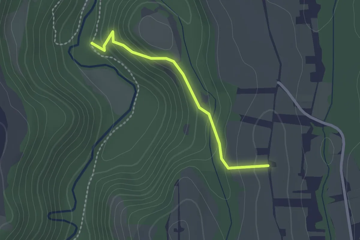
Easy · Trail
Strada la Valle
2.0 km · ↑ 116 m · 43 min
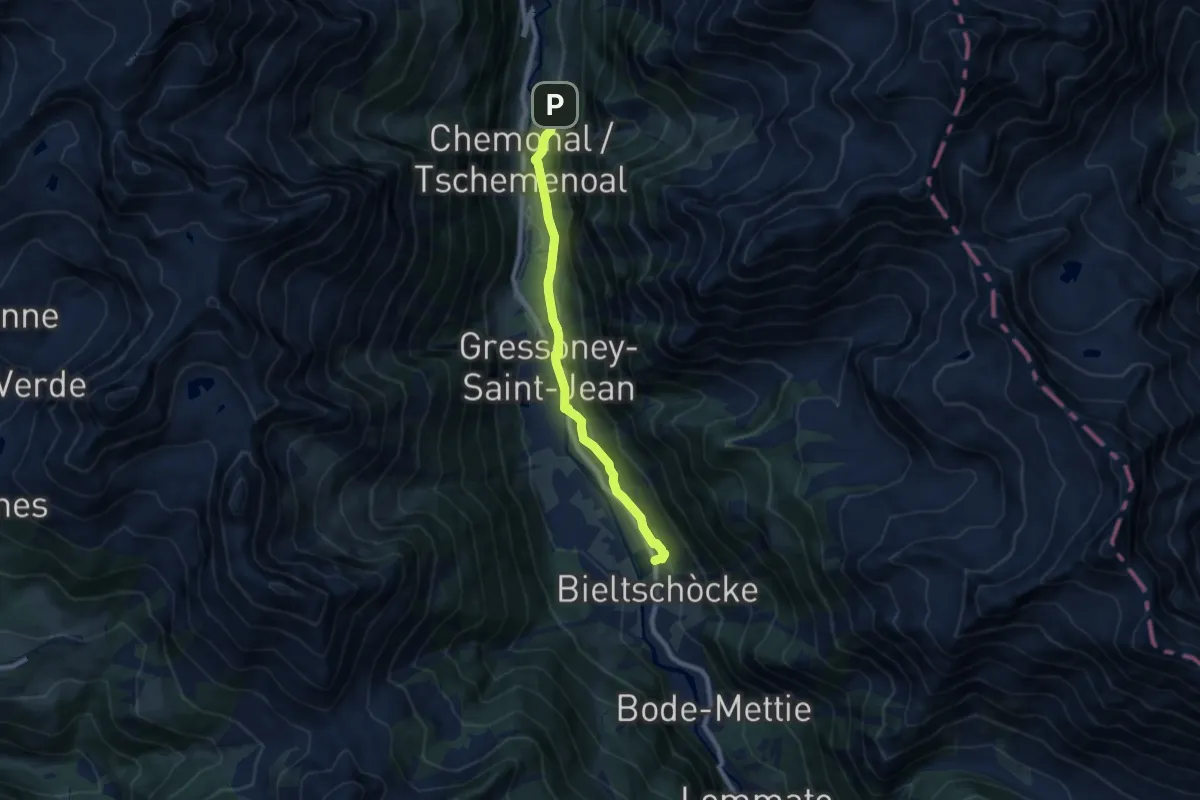
Medium · Trail
Strada Lombarda
8.0 km · ↑ 169 m · 2 h 15 min
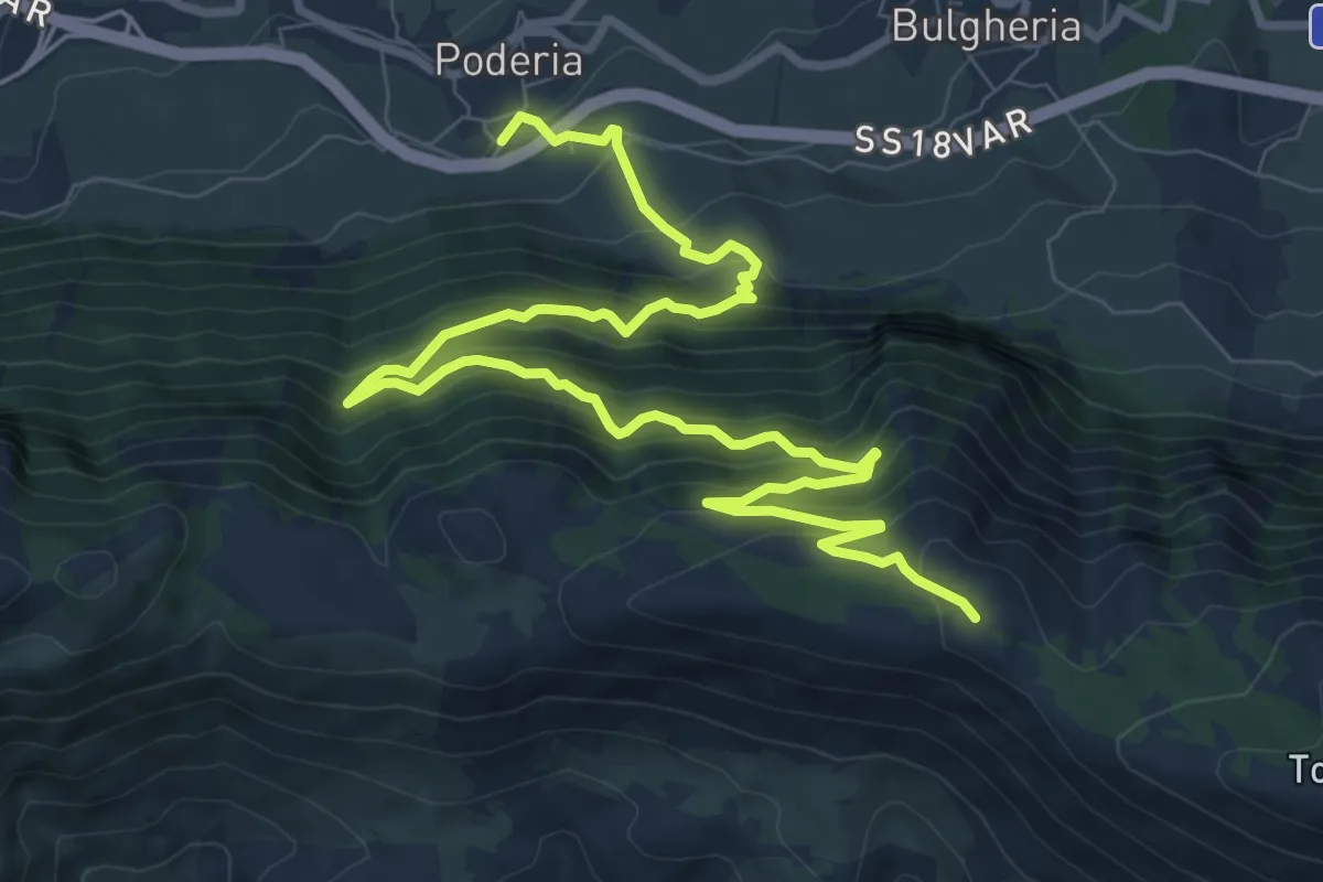
Demanding · Trail
Strada Macera
13.3 km · ↑ 1109 m · 5 h 33 min
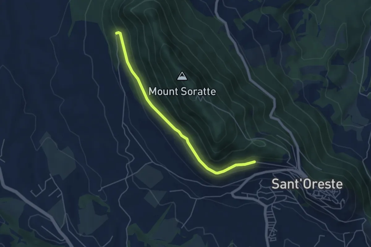
Easy · Trail
Strada Militare
4.9 km · ↑ 100 m · 1 h 22 min
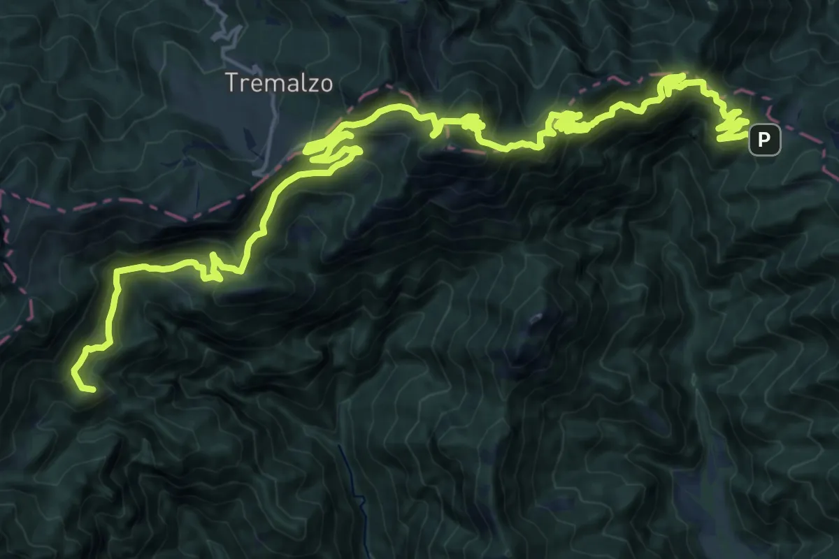
Demanding · Summit
Strada militare di Lorina
30.6 km · ↑ 2053 m · 11 h 41 min
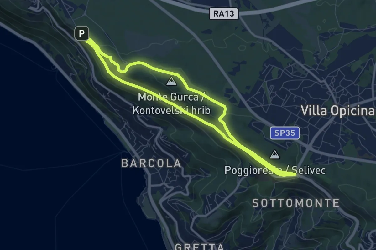
Medium · Summit
Strada Napoleonica
7.9 km · ↑ 150 m · 2 h 17 min
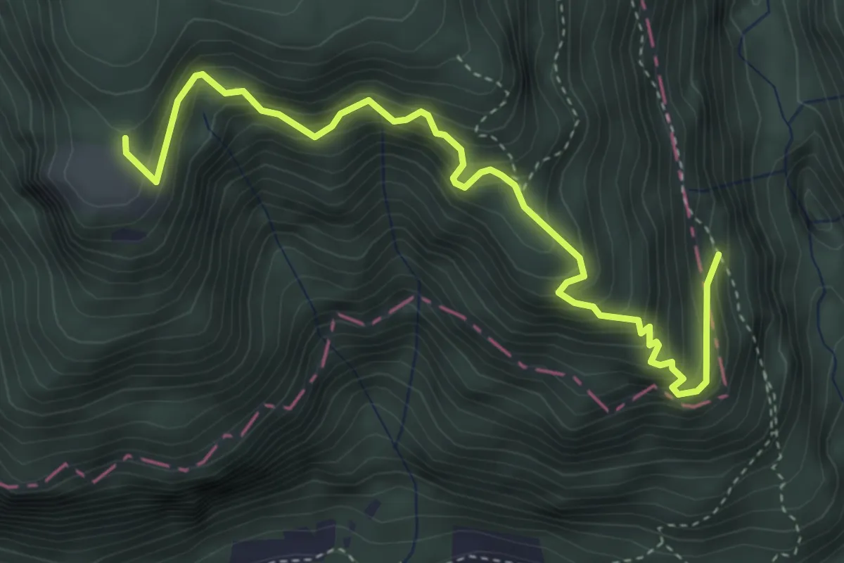
Medium · Trail
Strada nuova, sentiero di Fondo Grande, sentiero delle Scalette
4.7 km · ↑ 589 m · 2 h 23 min
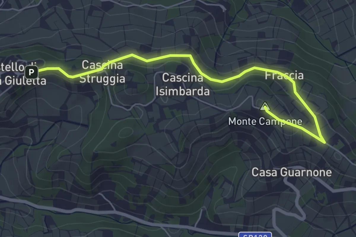
Easy · Summit
Strada panoramica Castello-Cinque strade
5.8 km · ↑ 142 m · 1 h 40 min
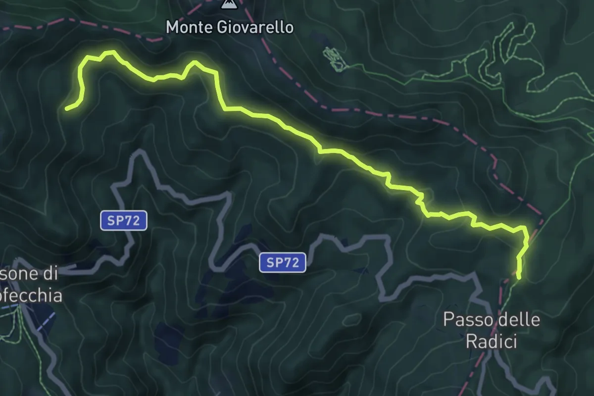
Medium · Trail
Strada Passo delle Forbici - Passo delle Radici
9.8 km · ↑ 418 m · 3 h 14 min
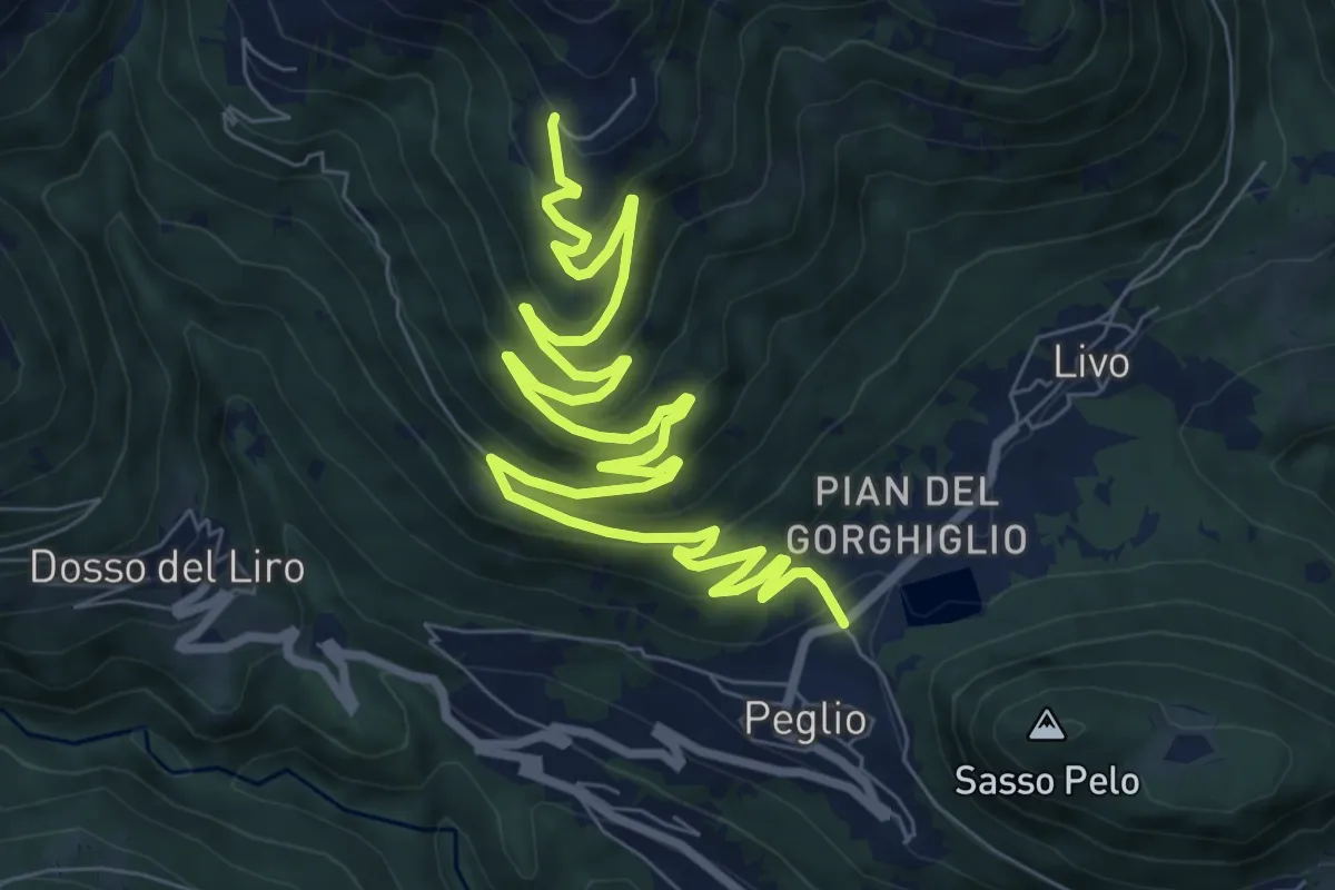
Medium · Trail
Strada per Bodone
11.8 km · ↑ 536 m · 3 h 57 min
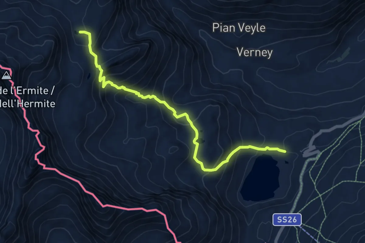
Demanding · Trail
Strada Piccolo San Bernardo (parch.Lac Verney) - Lacs de la Pointe Rousse
8.5 km · ↑ 628 m · 3 h 22 min
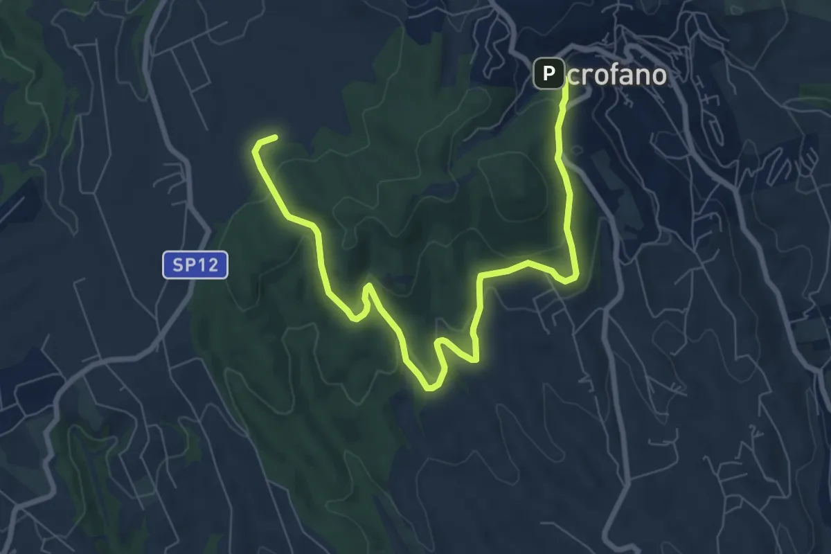
Medium · Trail
Strada Prima Porta-Monte Quadraro
9.7 km · ↑ 325 m · 3 h
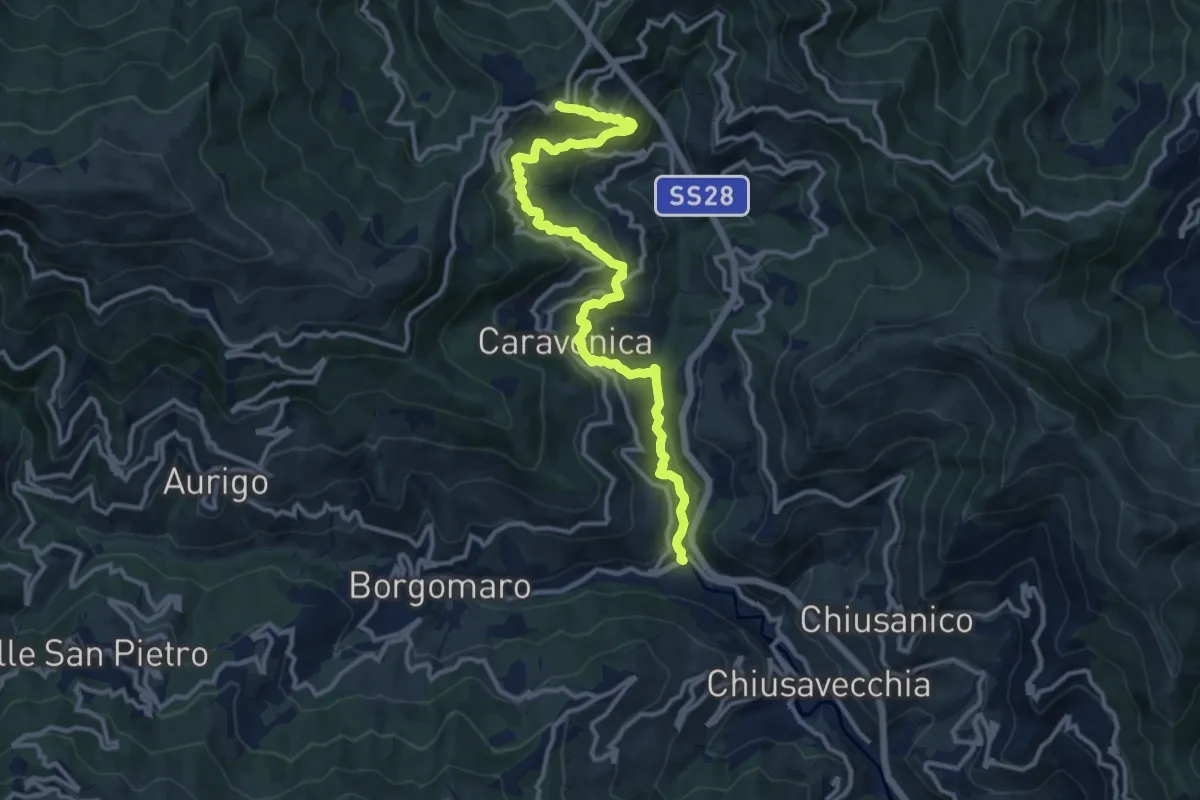
Demanding · Trail
Strada Reale
14.3 km · ↑ 811 m · 5 h 8 min
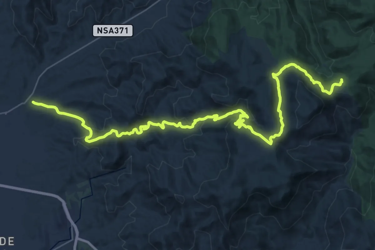
Demanding · Summit
Strada Reale Sa Bia Sarrabesa
36.6 km · ↑ 1196 m · 11 h 13 min
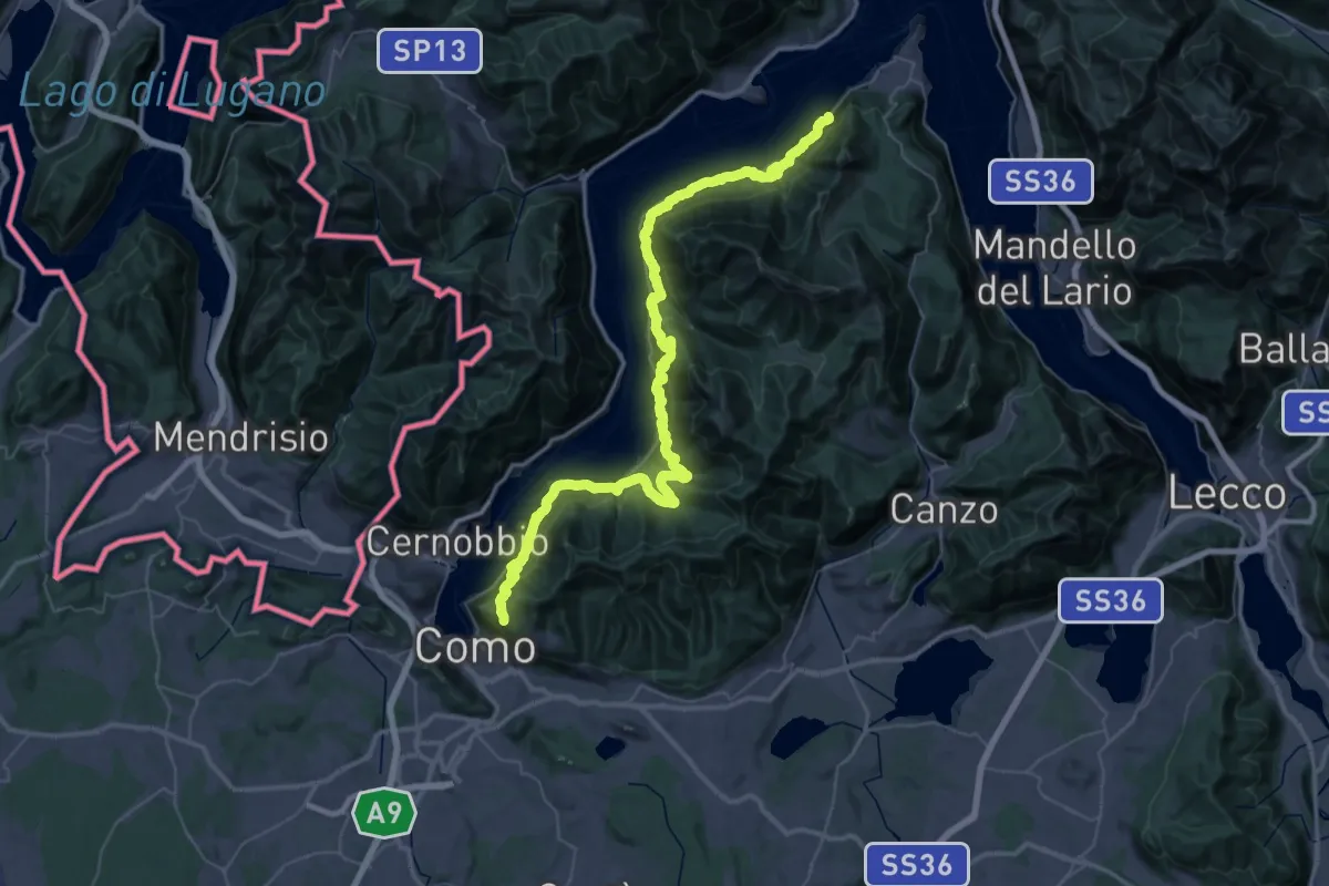
Demanding · Trail
Strada Regia
31.5 km · ↑ 2491 m · 13 h 4 min
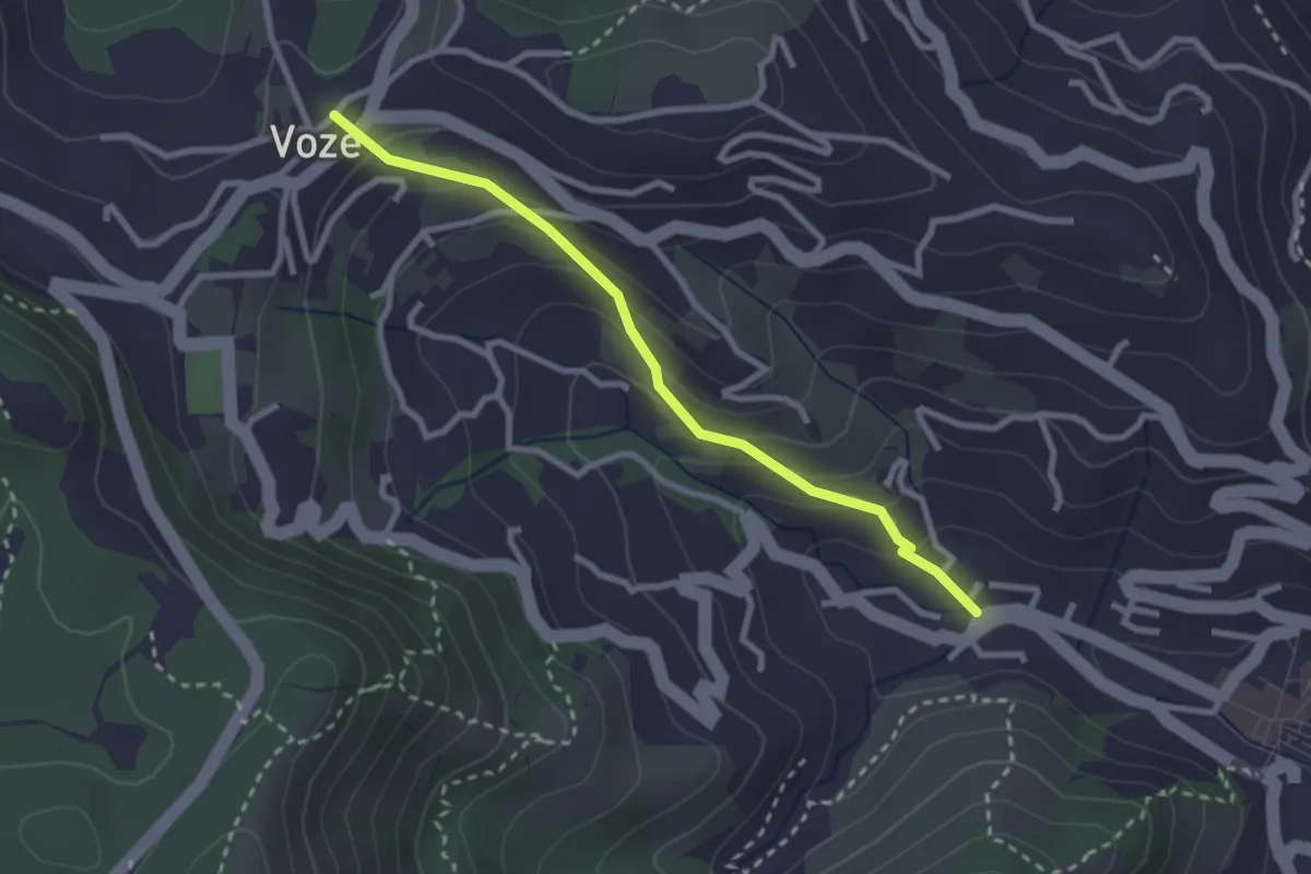
Easy · Trail
Strada Romana Noli - Voze
2.7 km · ↑ 171 m · 1 h 1 min
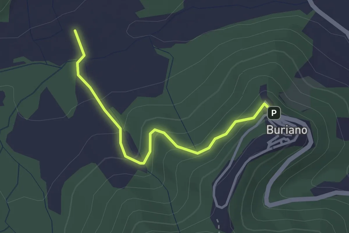
Easy · Trail
Strada Scarlino-Buriano
2.9 km · ↑ 170 m · 1 h 4 min
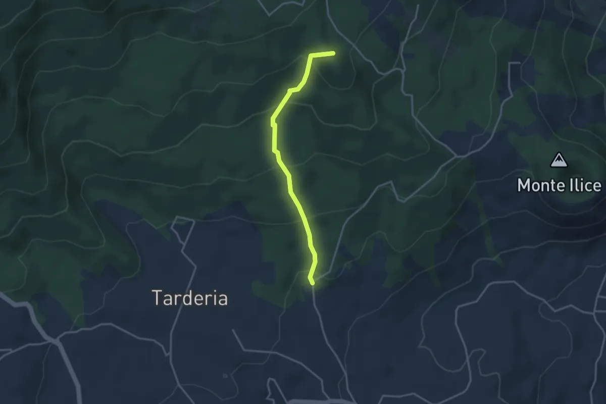
Medium · Summit
Strada Sciddichenti
3.3 km · ↑ 228 m · 1 h 17 min
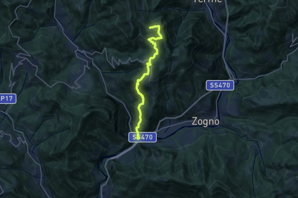
Demanding · Trail
Strada Taverna
13.8 km · ↑ 1035 m · 5 h 30 min
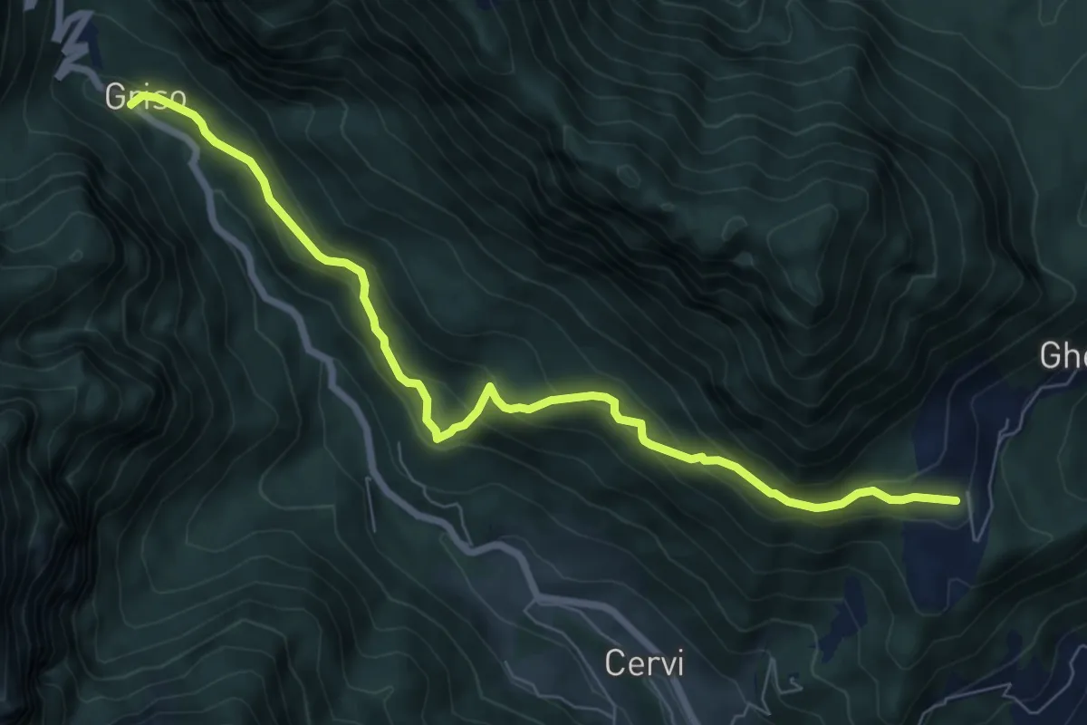
Medium · Trail
Strada Tedesca
7.9 km · ↑ 510 m · 2 h 59 min
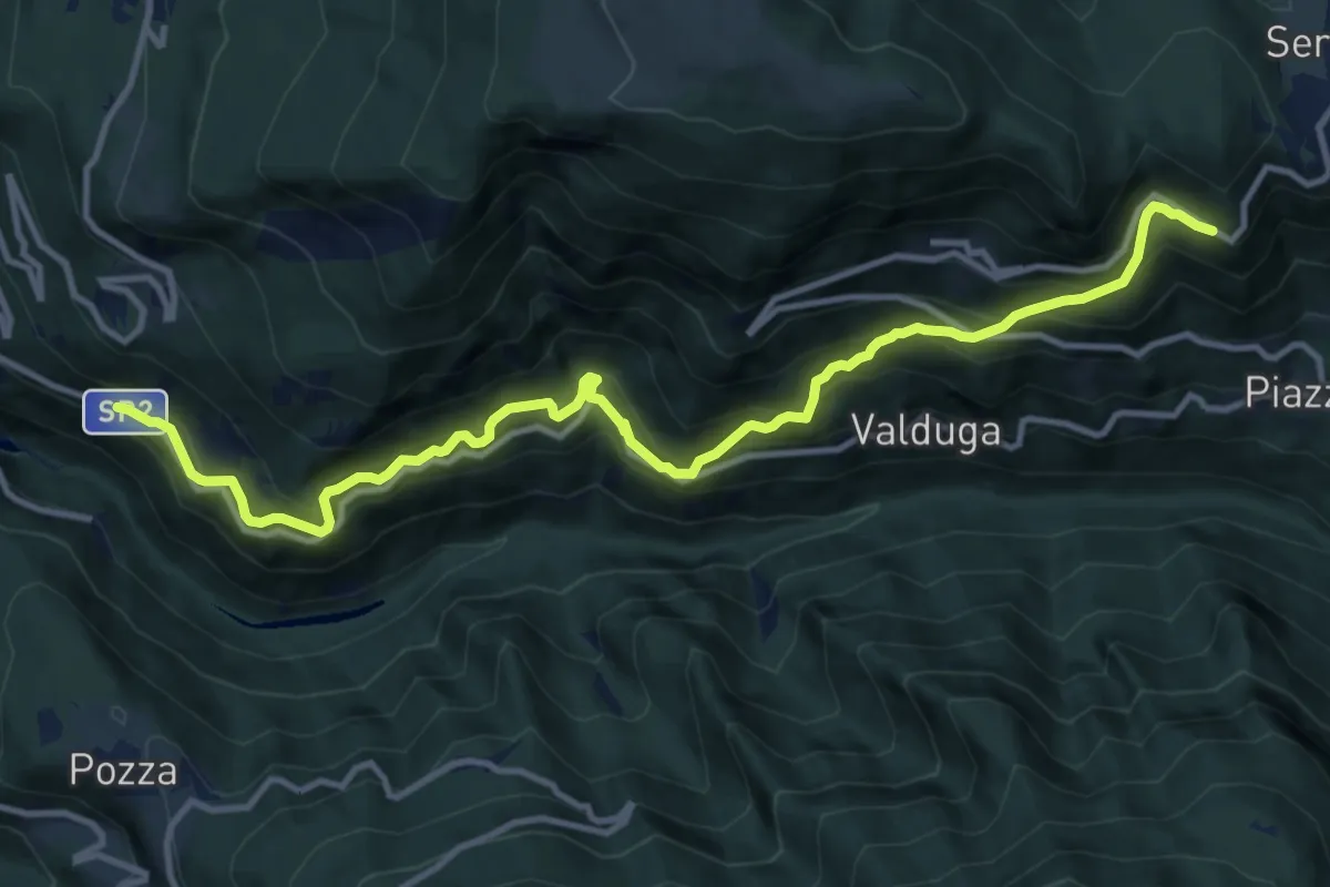
Demanding · Trail
Strada Vecia Terragnolo
13.3 km · ↑ 1189 m · 5 h 43 min
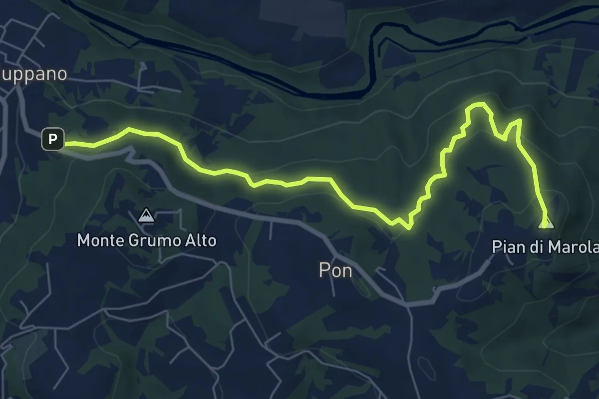
Medium · Summit
Strada Vicinale della Fonda
7.3 km · ↑ 288 m · 2 h 21 min
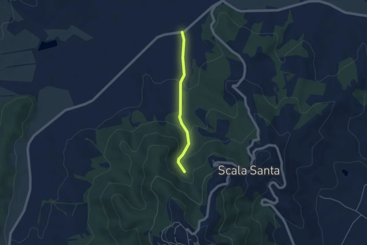
Easy · Trail
Strada Vicinale delle Case
3.4 km · ↑ 148 m · 1 h 7 min
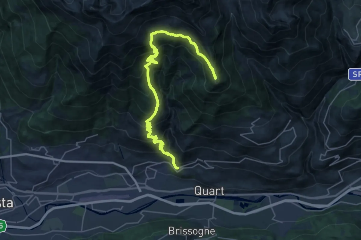
Demanding · Summit
Stradina Chateau de Quart - Croce di Fana
23.1 km · ↑ 1929 m · 9 h 39 min
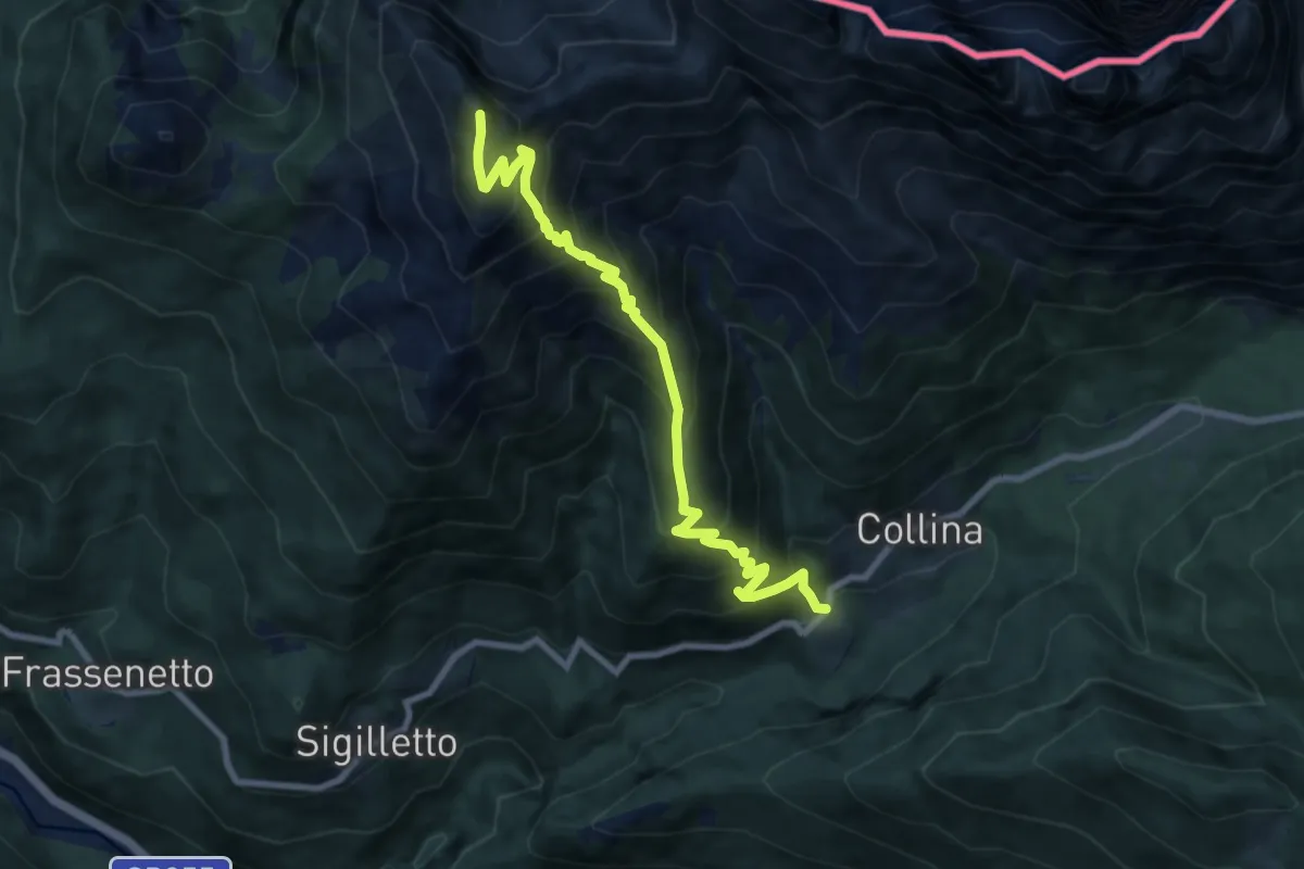
Demanding · Summit
Strado dai Soldats
8.8 km · ↑ 1061 m · 4 h 23 min
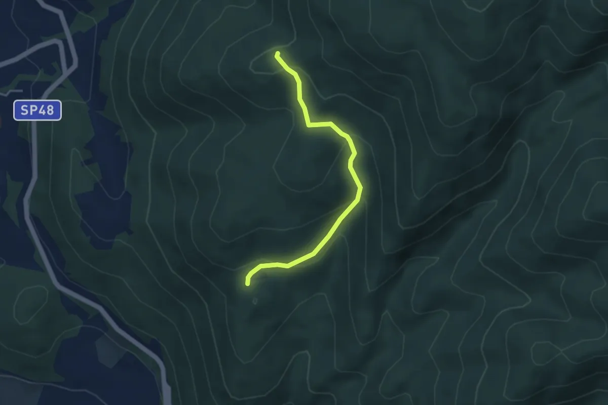
Easy · Trail
Streppara-Campo Nente
3.7 km · ↑ 156 m · 1 h 13 min
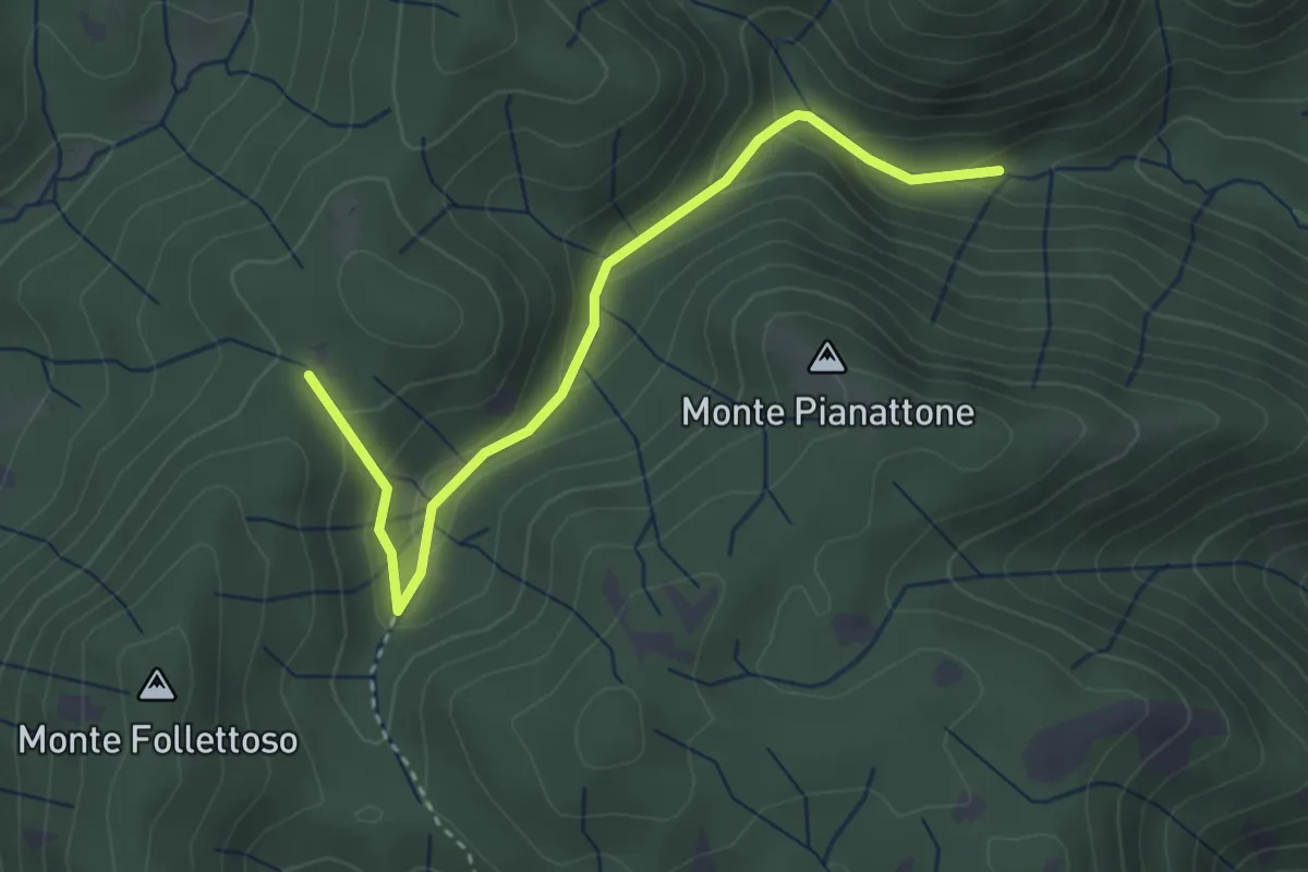
Easy · Trail
Stretta Vallicina
3.6 km · ↑ 167 m · 1 h 13 min
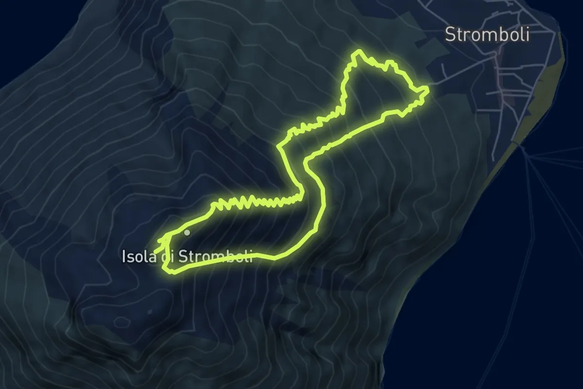
Demanding · Summit
Stromboli Volcano trail
6.8 km · ↑ 808 m · 3 h 28 min
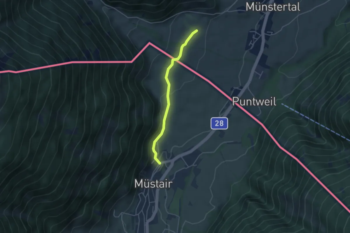
Easy · Trail
Stundenweg
3.4 km · ↑ 90 m · 1 h
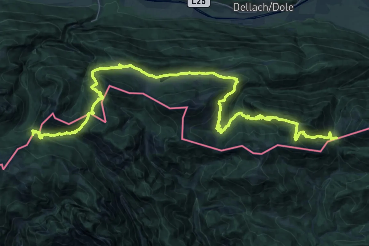
Demanding · Summit
Südalpenweg 03 - Etappe 19
43.3 km · ↑ 1899 m · 14 h 20 min
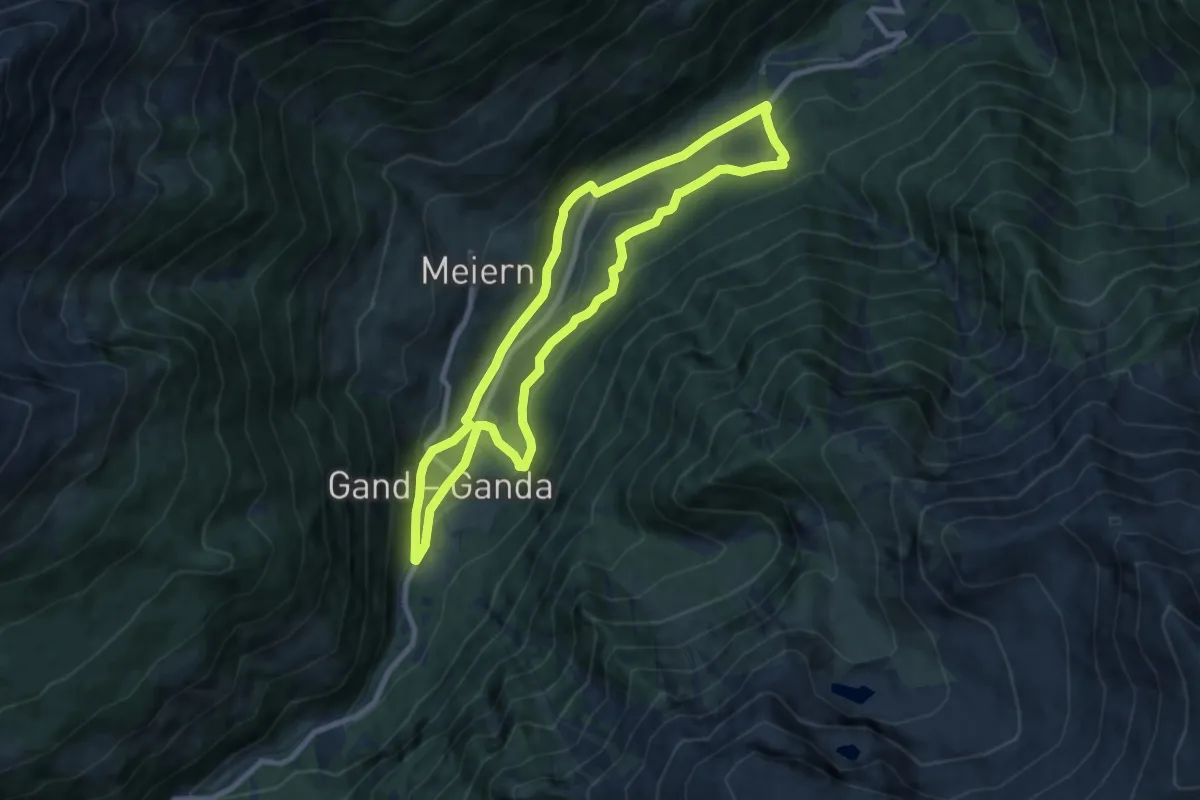
Medium · Trail
Südtiroler Erdbeer-Weg - Sentiero altoatesino delle fragole
8.1 km · ↑ 349 m · 2 h 48 min
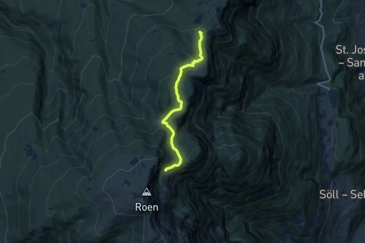
Medium · Summit
Südtirols Süden 3767
7.3 km · ↑ 302 m · 2 h 23 min
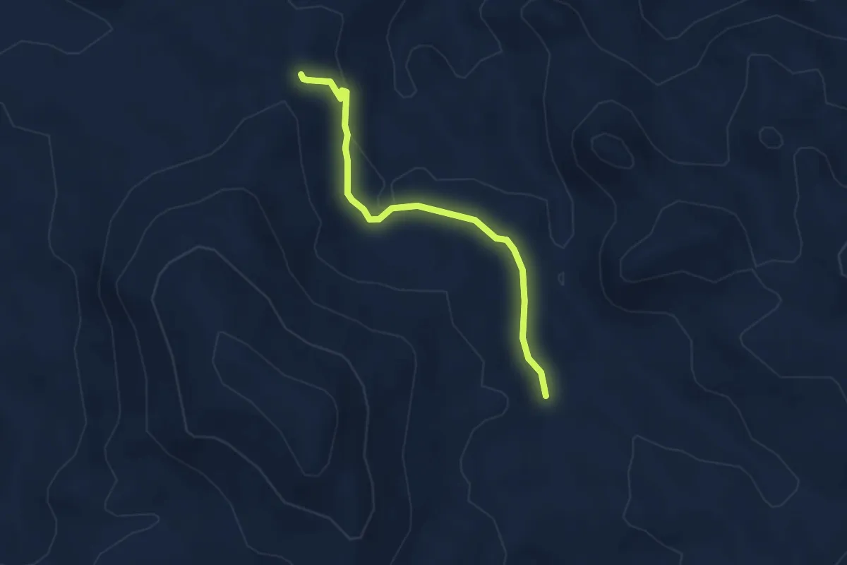
Easy · Trail
Su Fustiarbu
3.7 km · ↑ 68 m · 1 h 1 min
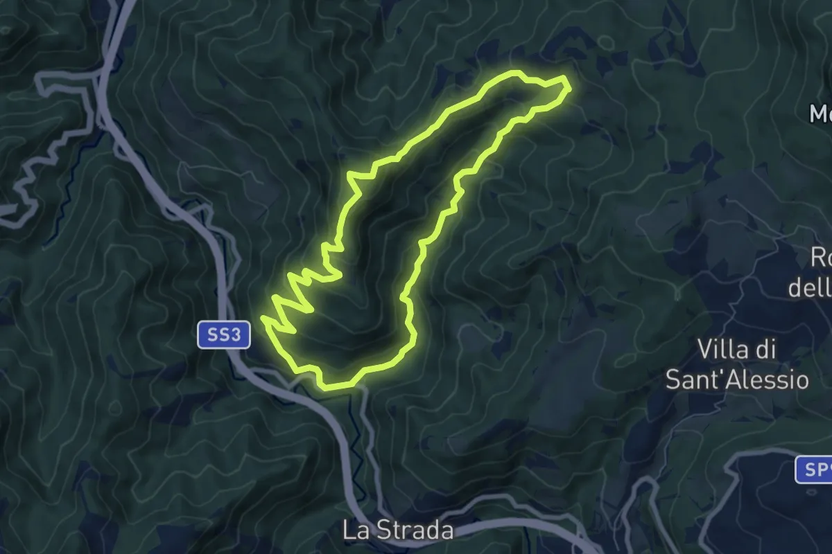
Medium · Summit
Sui pascoli del M.Comero fra Bruschete e Pian delle Riti
7.5 km · ↑ 430 m · 2 h 49 min
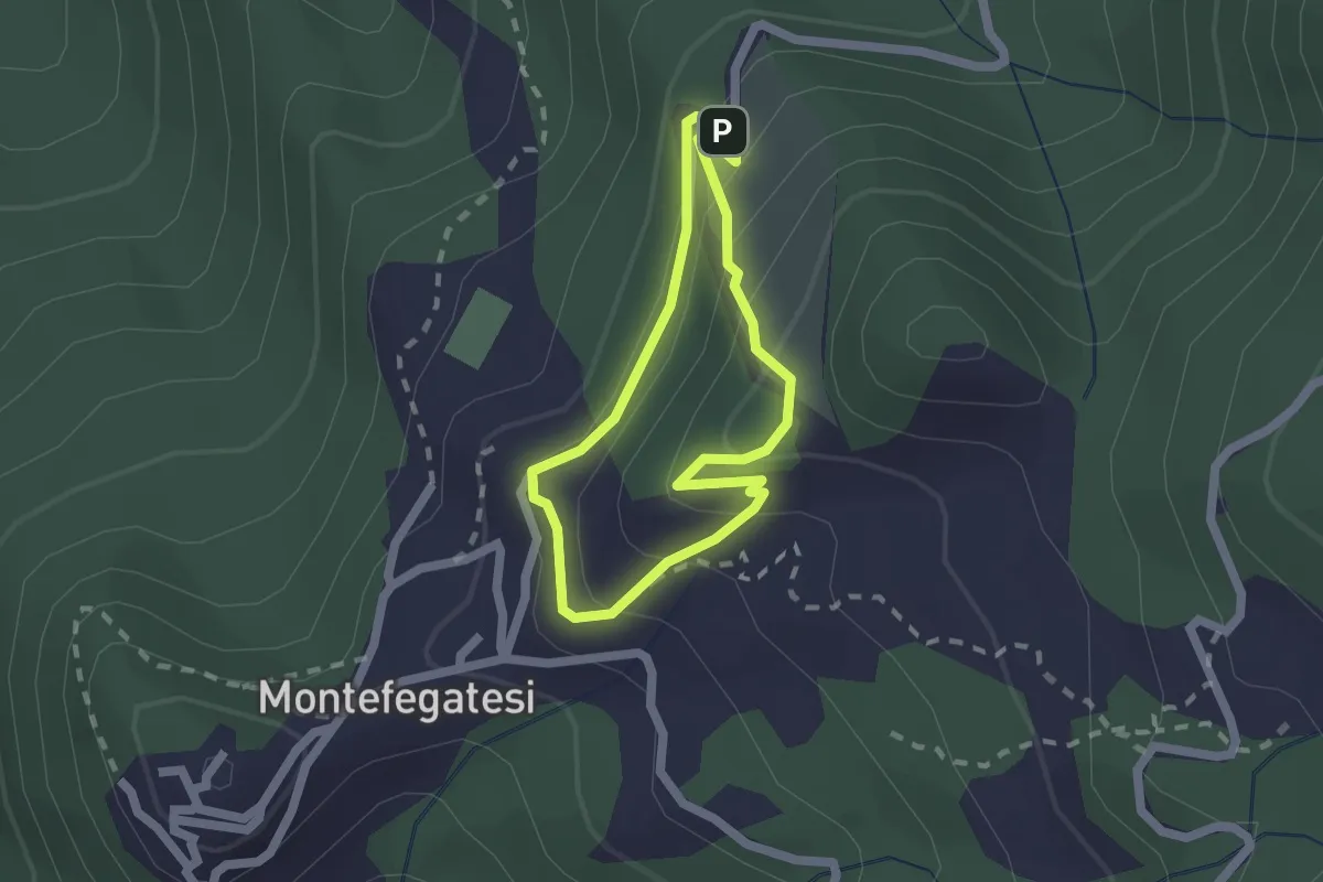
Easy · Trail
Sui Passi di Cesare
1.6 km · ↑ 144 m · 43 min
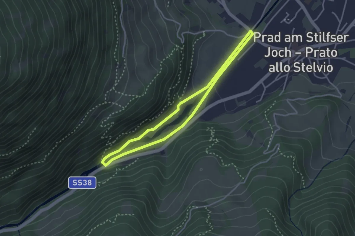
Easy · Trail
Suldenbachweg
2.8 km · ↑ 55 m · 49 min