Trails in Italy
25,219 hiking trails, each with its route, climb, walking time and grade.
All trails, page 199 of 526
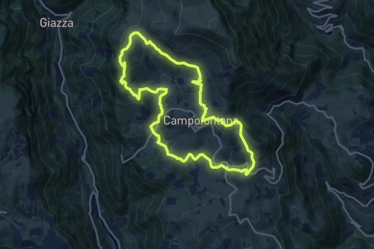
Medium · Trail
Sulle Antiche Vie dei Cimbri
10.0 km · ↑ 419 m · 3 h 24 min
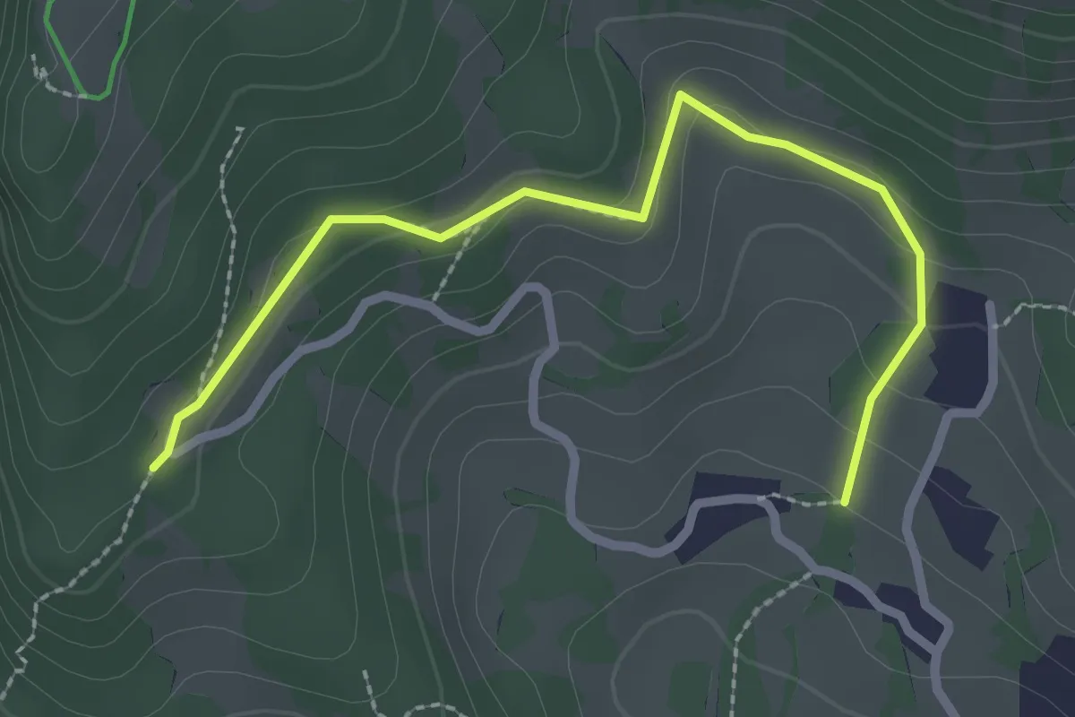
Easy · Trail
Sulle Antiche Vie dei Cimbri Variante
1.3 km · ↑ 93 m · 30 min
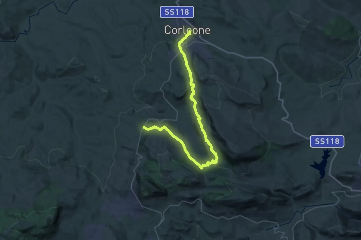
Demanding · Pilgrim path
Sulle orme di San Bernardo - Tappa 1
18.1 km · ↑ 709 m · 6 h
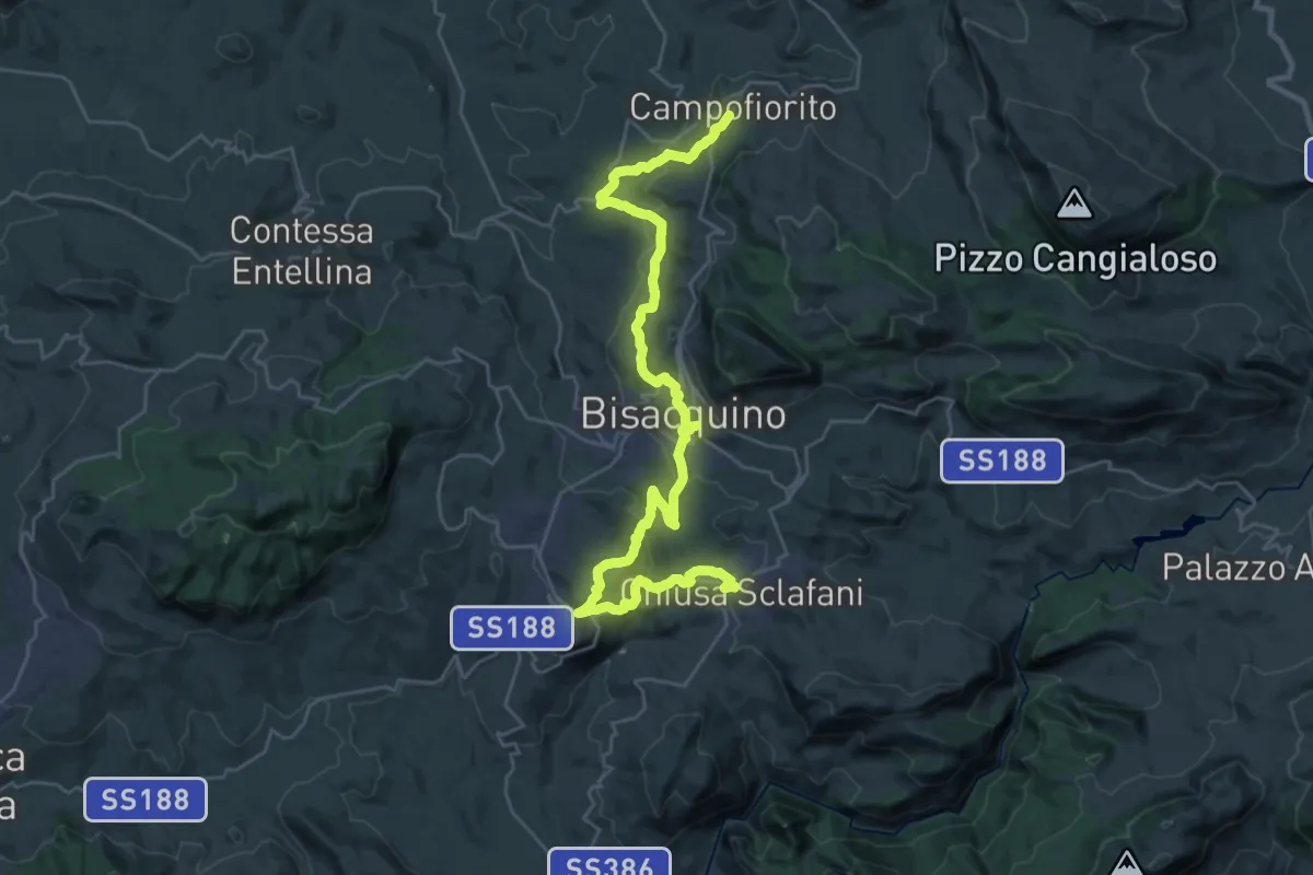
Demanding · Trail
Sulle orme di San Bernardo - Tappa 2
18.7 km · ↑ 702 m · 6 h 14 min
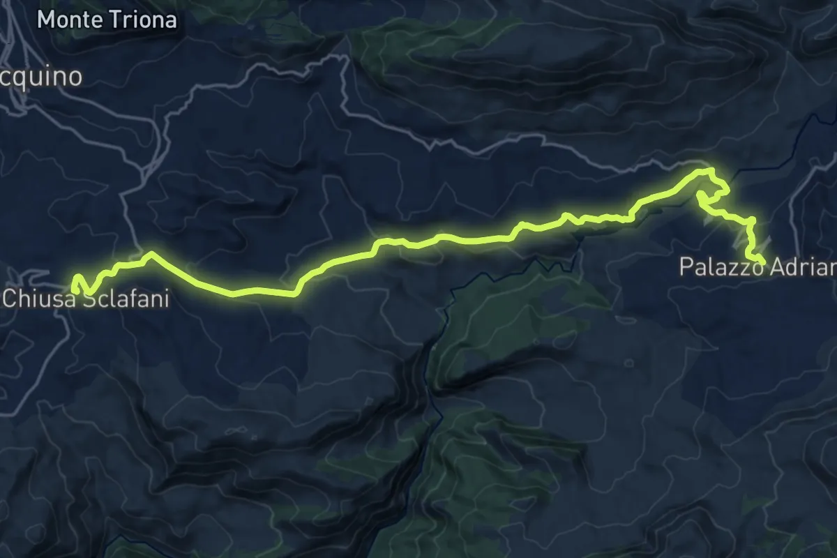
Medium · Trail
Sulle orme di San Bernardo - Tappa 3
13.4 km · ↑ 437 m · 4 h 15 min
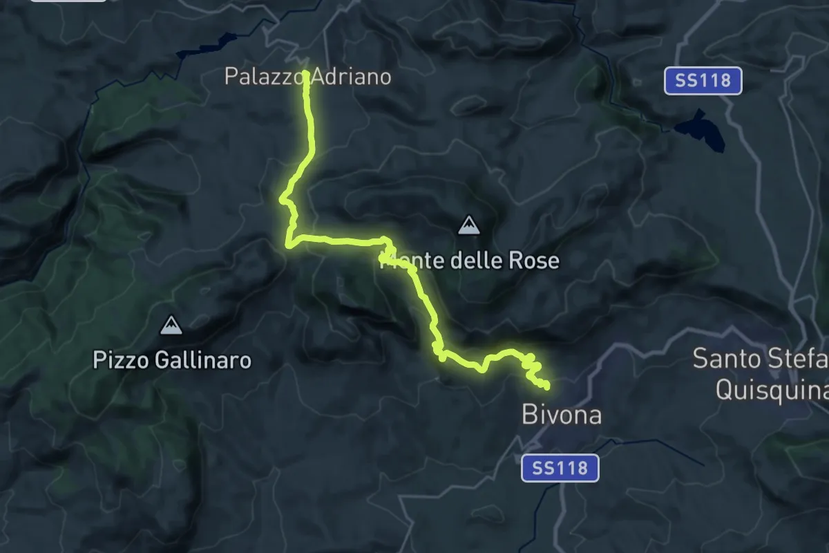
Medium · Trail
Sulle orme di San Bernardo - Tappa 4
14.0 km · ↑ 435 m · 4 h 30 min
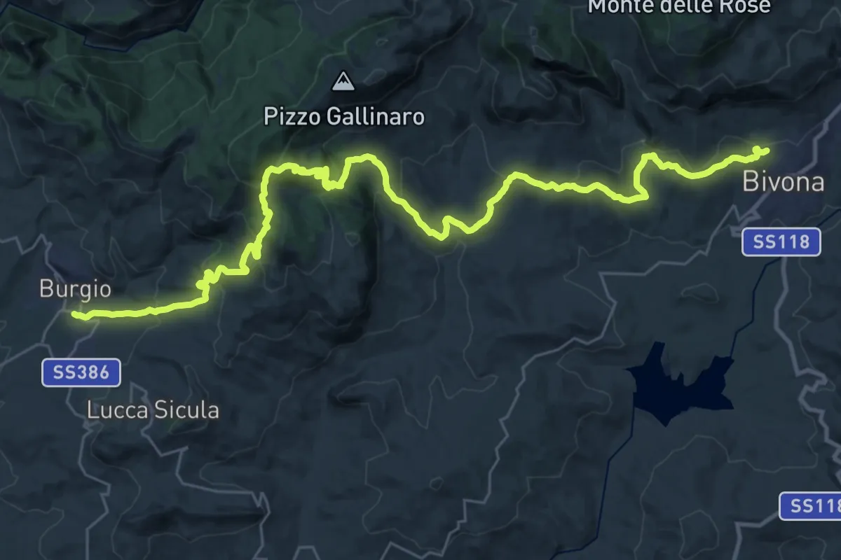
Demanding · Trail
Sulle orme di San Bernardo - Tappa 5
21.2 km · ↑ 878 m · 7 h 21 min
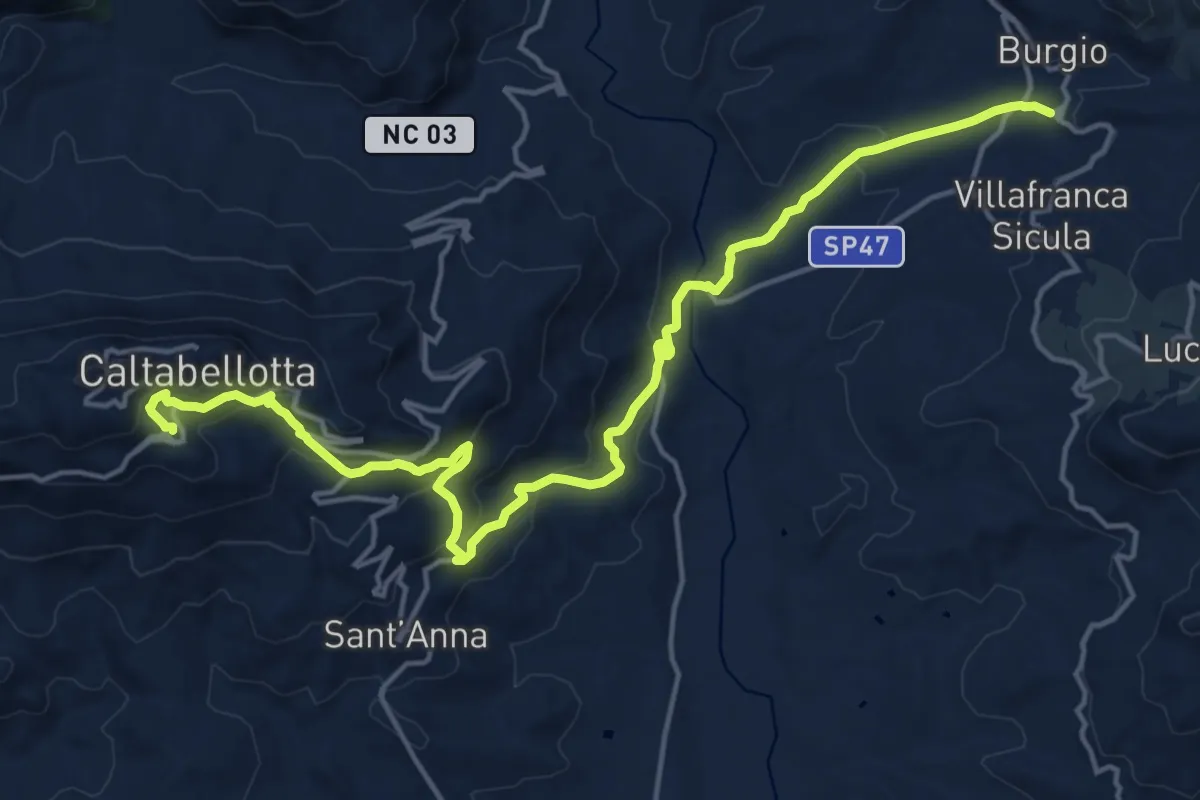
Demanding · Trail
Sulle orme di San Bernardo - Tappa 6
22.8 km · ↑ 868 m · 7 h 16 min
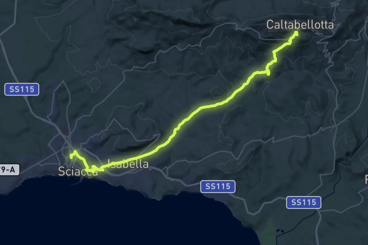
Medium · Trail
Sulle orme di San Bernardo - Tappa 7
18.0 km · ↑ 189 m · 5 h 15 min
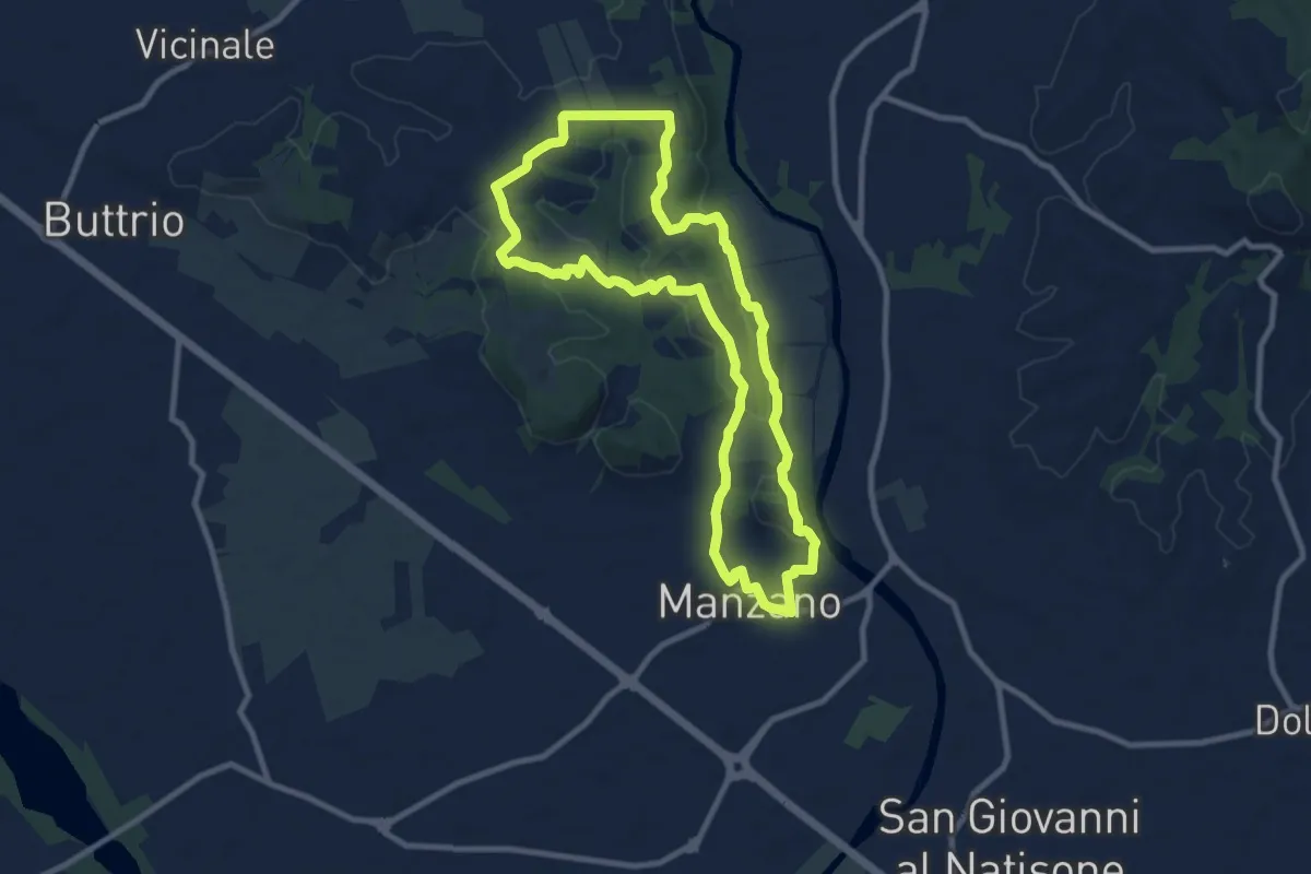
Medium · Trail
Sulle tracce degli arditi
9.3 km · ↑ 123 m · 2 h 35 min
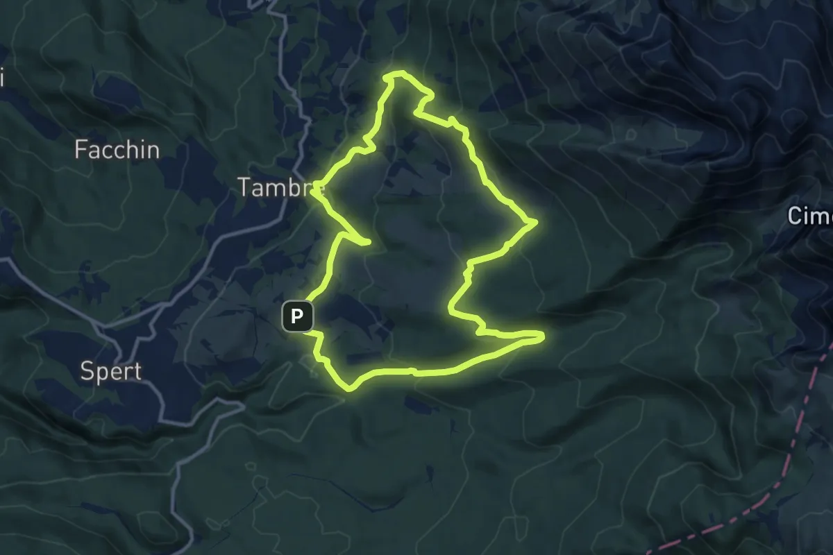
Medium · Trail
Sulle Tracce del Cervo
11.5 km · ↑ 546 m · 4 h 4 min
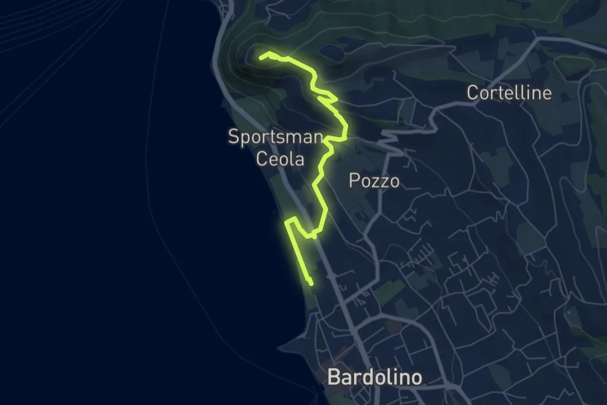
Medium · Summit
Sulle tracce della biodiversità
6.4 km · ↑ 218 m · 1 h 59 min
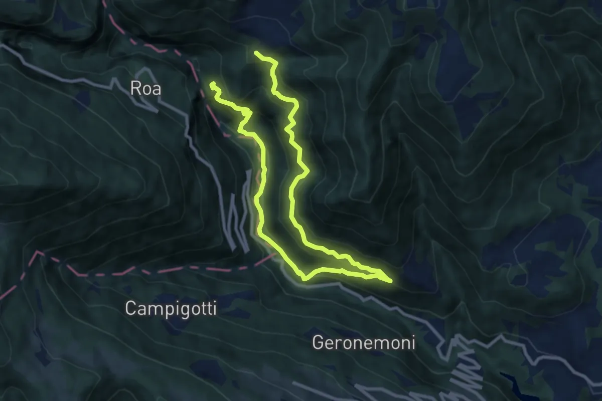
Demanding · Trail
Sulle tracce dell'Orso (Speleo)
12.7 km · ↑ 973 m · 5 h 7 min
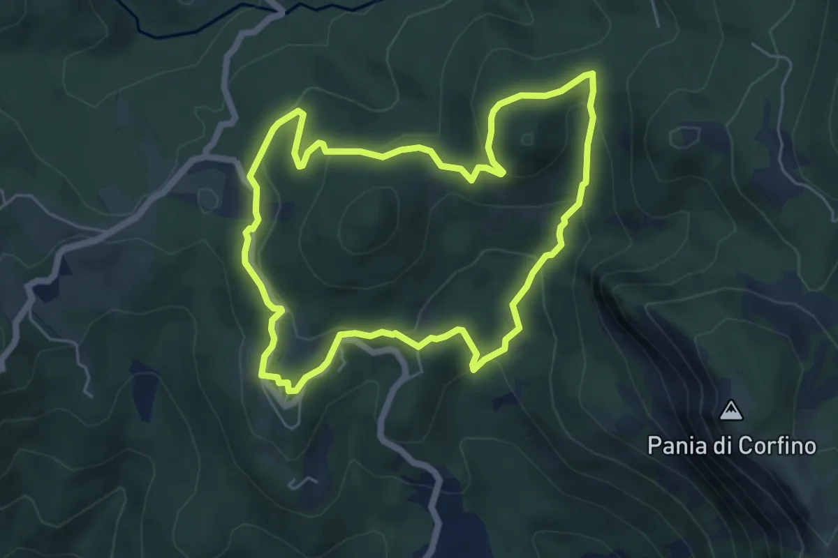
Medium · Trail
Sulle tracce del Lupo
5.4 km · ↑ 218 m · 1 h 50 min
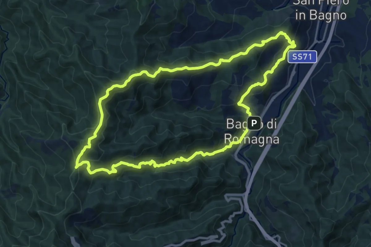
Demanding · Summit
Sul M.Carpano da S.Piero e Bagno di Romagna
14.0 km · ↑ 863 m · 5 h 21 min
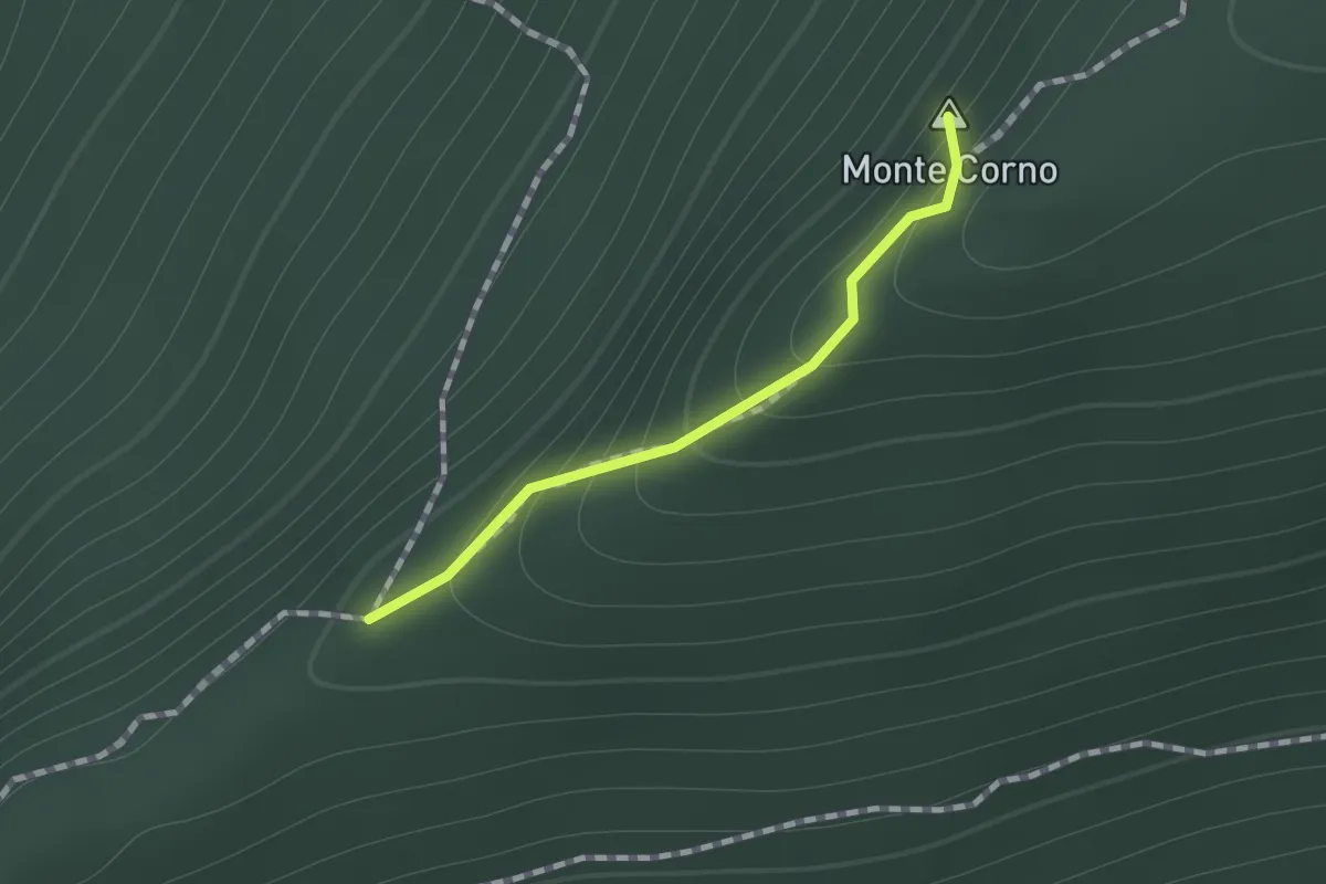
Easy · Summit
Sul percorso EE fra la Croce del Monte Corno ed il Campo d'Avene
0.7 km · ↑ 99 m · 23 min
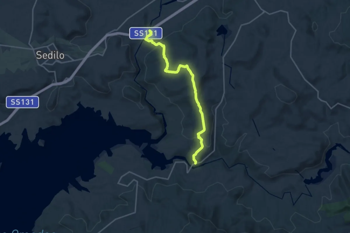
Medium · Trail
Su Mudregu
14.3 km · ↑ 438 m · 4 h 20 min
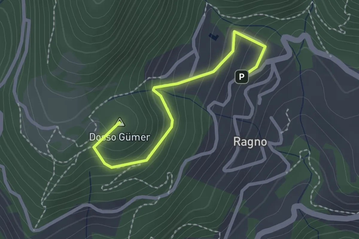
Easy · Summit
Sunclas (Tignale) - Dosso Gumer
2.1 km · ↑ 149 m · 49 min
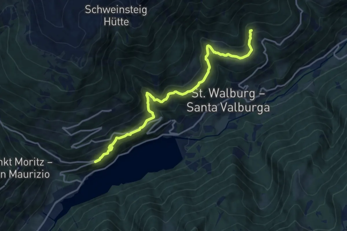
Medium · Trail
Sunnenseitnweg
12.1 km · ↑ 747 m · 4 h 28 min
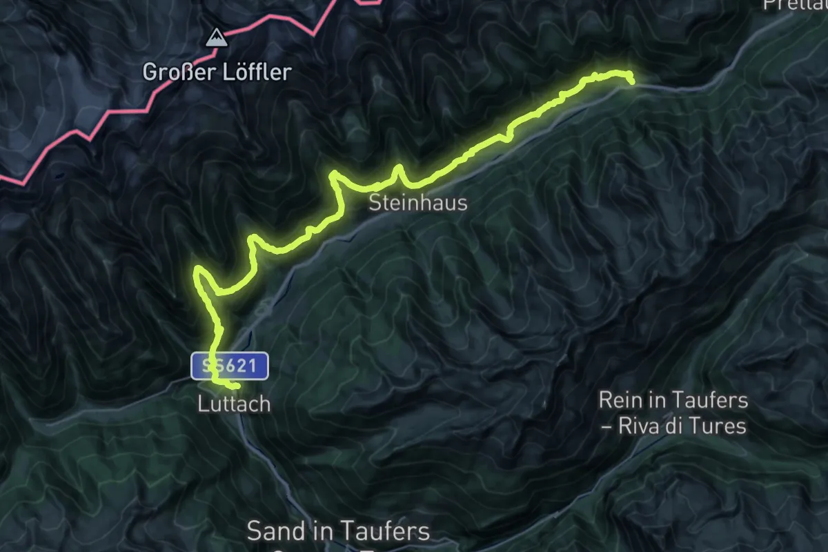
Demanding · Trail
Sunnsatweg
21.1 km · ↑ 1444 m · 8 h 14 min
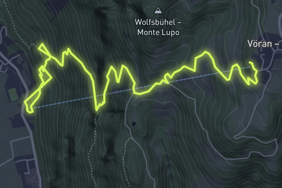
Demanding · Trail
Sunnseitensteig
10.4 km · ↑ 1151 m · 4 h 58 min
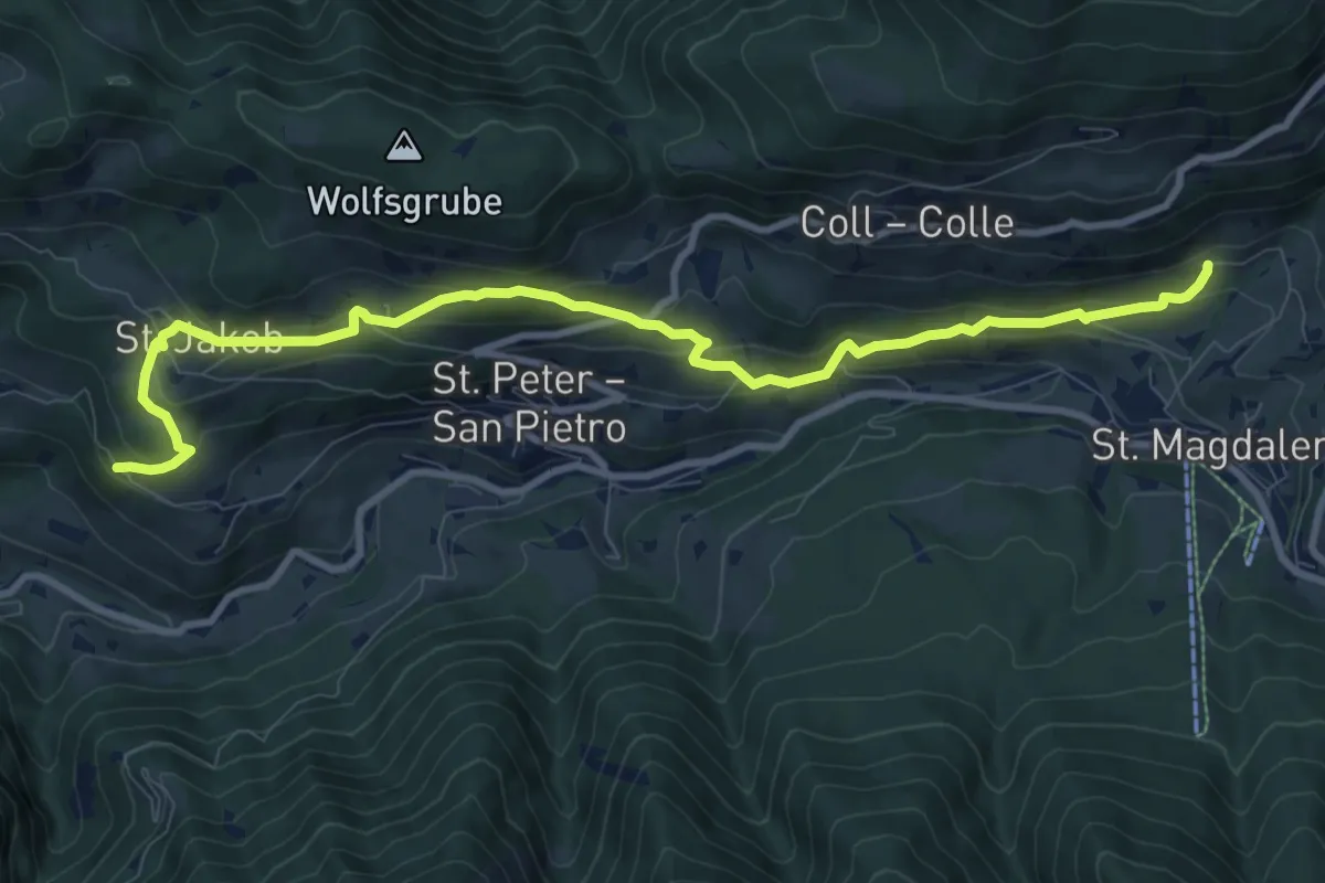
Medium · Trail
Sunnseitenweg
10.7 km · ↑ 610 m · 3 h 51 min
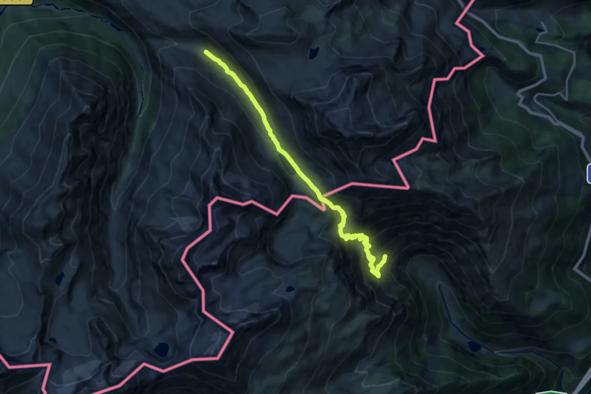
Demanding · Trail
Sur les traces d'Hannibal / Sulle tracce di Annibale
17.0 km · ↑ 1130 m · 6 h 28 min
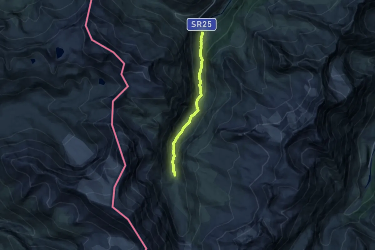
Medium · Cabin
Surrier, bivio poderali - Rifugio Bezzi
11.0 km · ↑ 507 m · 3 h 42 min
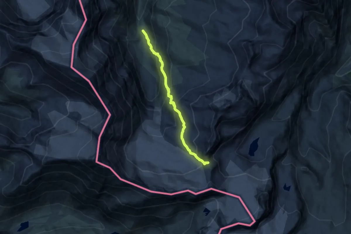
Expert · Trail
Surrier - Col Bassac Daré
10.6 km · ↑ 857 m · 4 h 22 min
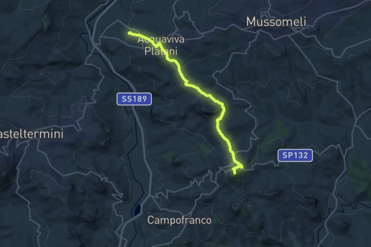
Demanding · Summit
Sutera - Acquaviva Platani
17.8 km · ↑ 852 m · 6 h 3 min
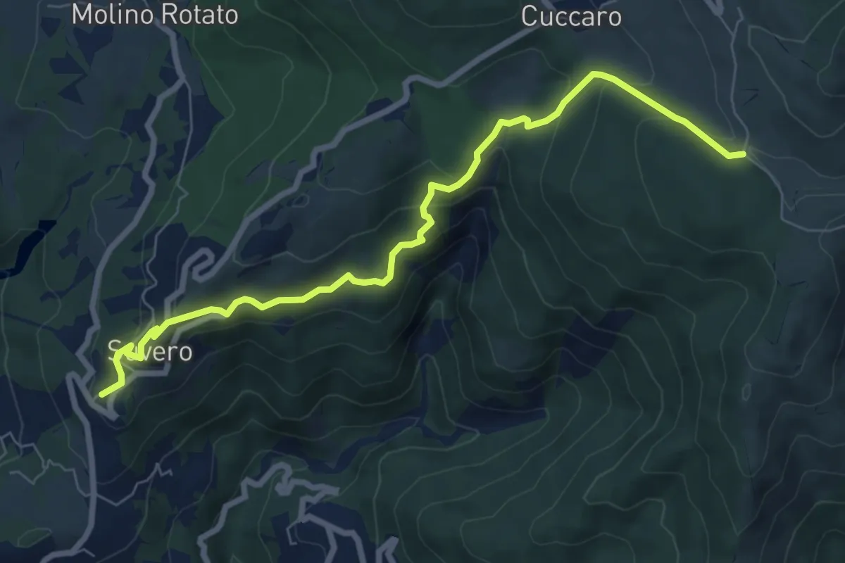
Medium · Trail
Suvero – Casoni (Bivio 152)
8.0 km · ↑ 462 m · 2 h 54 min
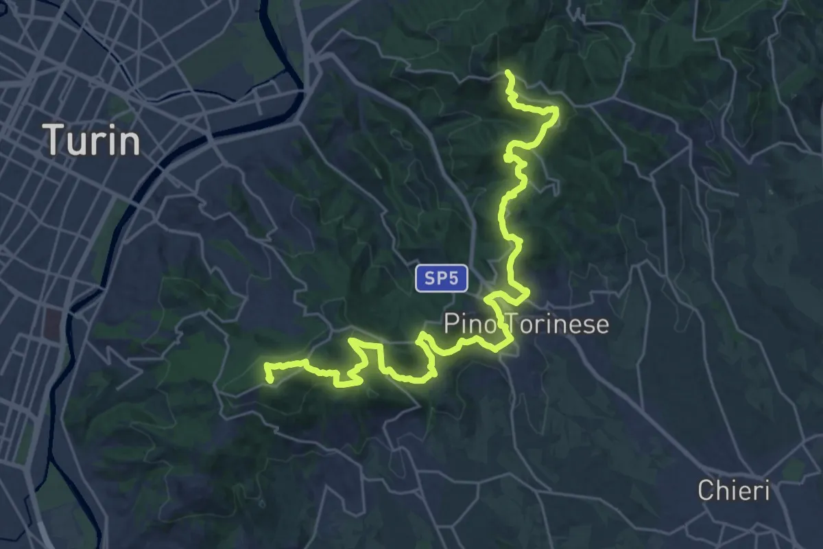
Demanding · Summit
SVC Variante Moncalieri
32.2 km · ↑ 1227 m · 10 h 16 min
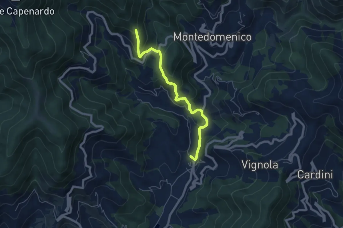
Medium · Trail
S. Vittoria - Campomoneto - Azaro
5.3 km · ↑ 267 m · 1 h 50 min
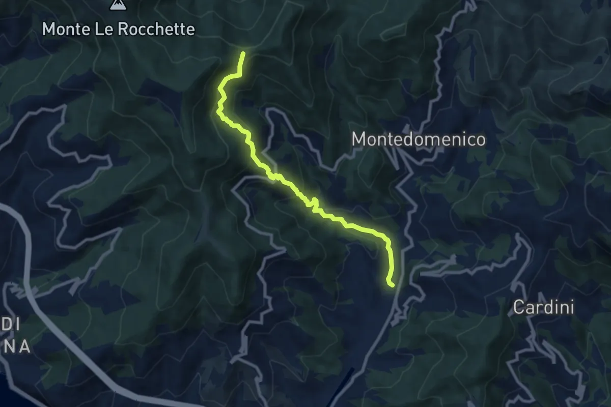
Medium · Trail
S. Vittoria - Ponzerone - Loto - Baixin
8.1 km · ↑ 575 m · 3 h 9 min
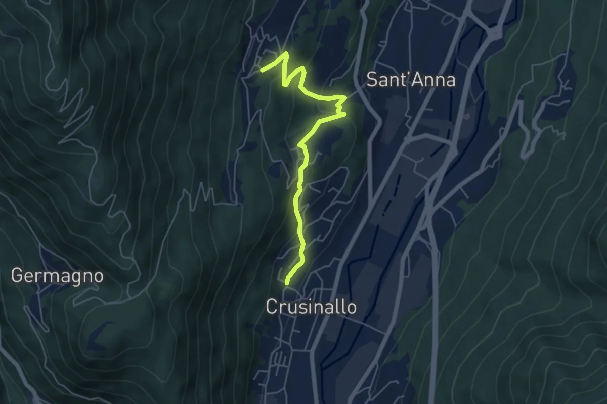
Easy · Trail
T00a - Crusinallo - Montebuglio
4.8 km · ↑ 288 m · 1 h 45 min
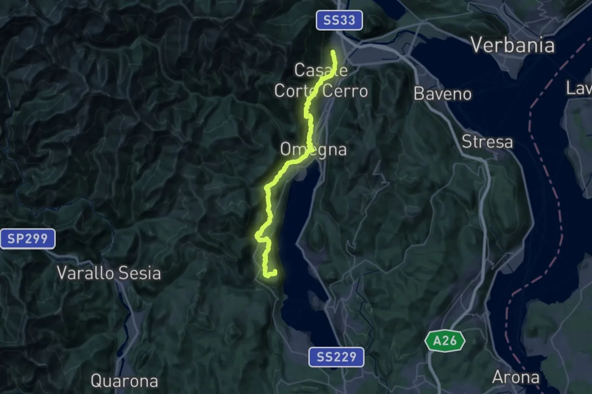
Demanding · Summit
T00 - Gravellona Toce - Pella
38.1 km · ↑ 1434 m · 12 h 7 min
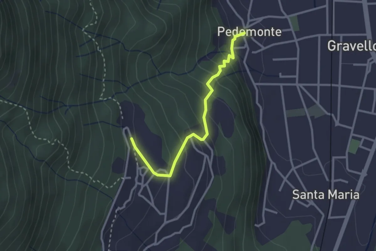
Easy · Trail
T02a - Pedemonte - Arzo
2.6 km · ↑ 207 m · 1 h 4 min
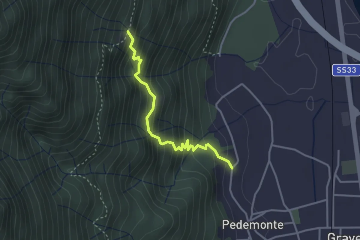
Medium · Trail
T02b - Pedemonte - Alpe Grandi
2.8 km · ↑ 316 m · 1 h 20 min
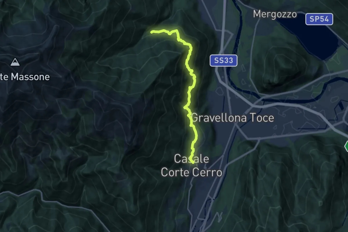
Demanding · Trail
T02 - Casale Corte Cerro - San Bartolomeo
13.4 km · ↑ 1195 m · 5 h 45 min
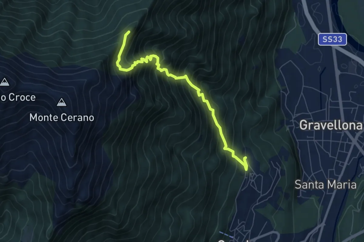
Demanding · Trail
T04 - Arzo - Sasso Supino
7.1 km · ↑ 939 m · 3 h 42 min
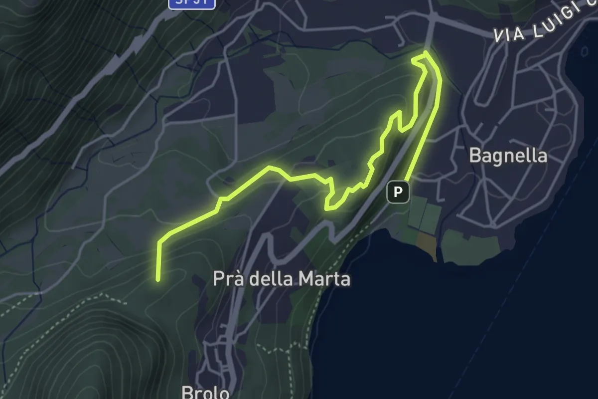
Medium · Summit
T05a - Omegna - Monte Zoli
3.7 km · ↑ 127 m · 1 h 9 min
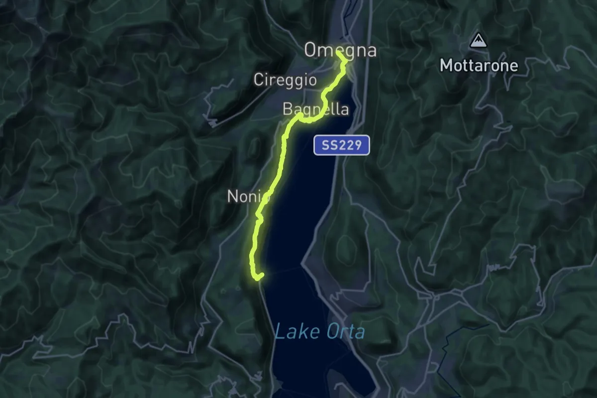
Medium · Trail
T05 - Omegna - Ronco Inferiore
16.5 km · ↑ 776 m · 5 h 34 min
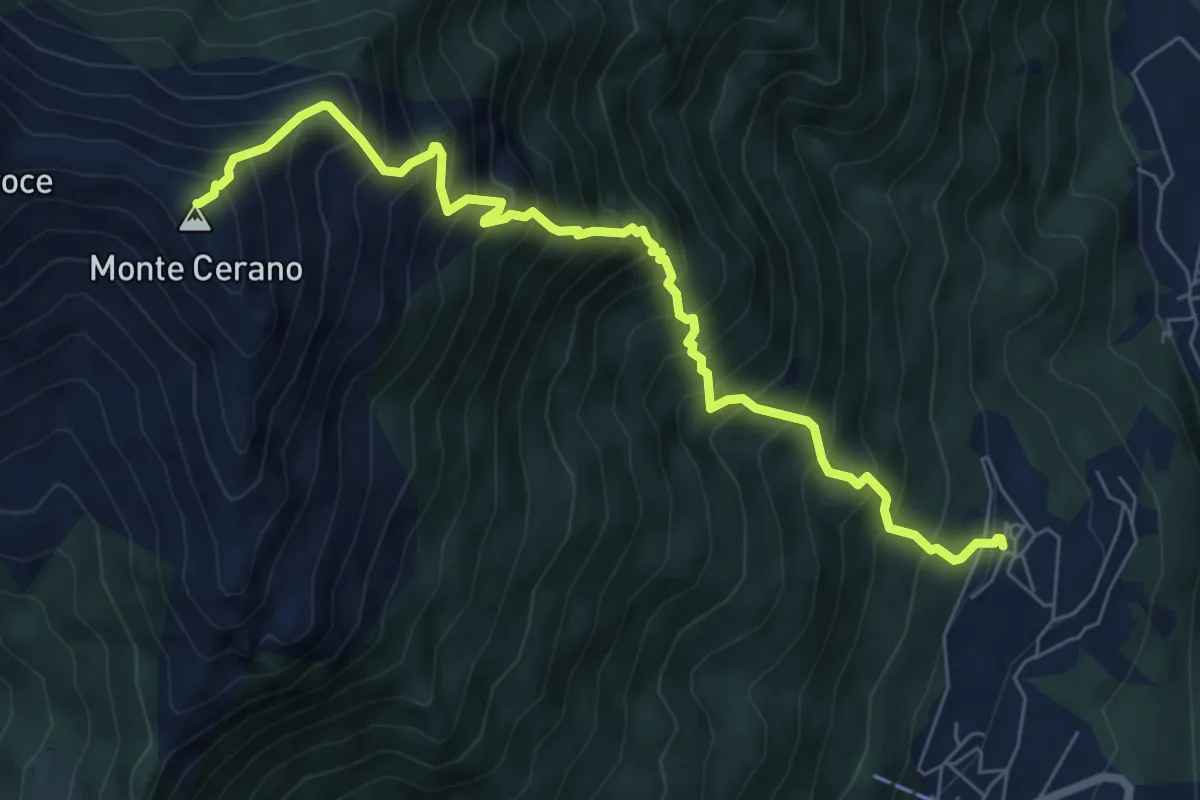
Demanding · Summit
T06 - Arzo - Monte Cerano
7.5 km · ↑ 1226 m · 4 h 25 min
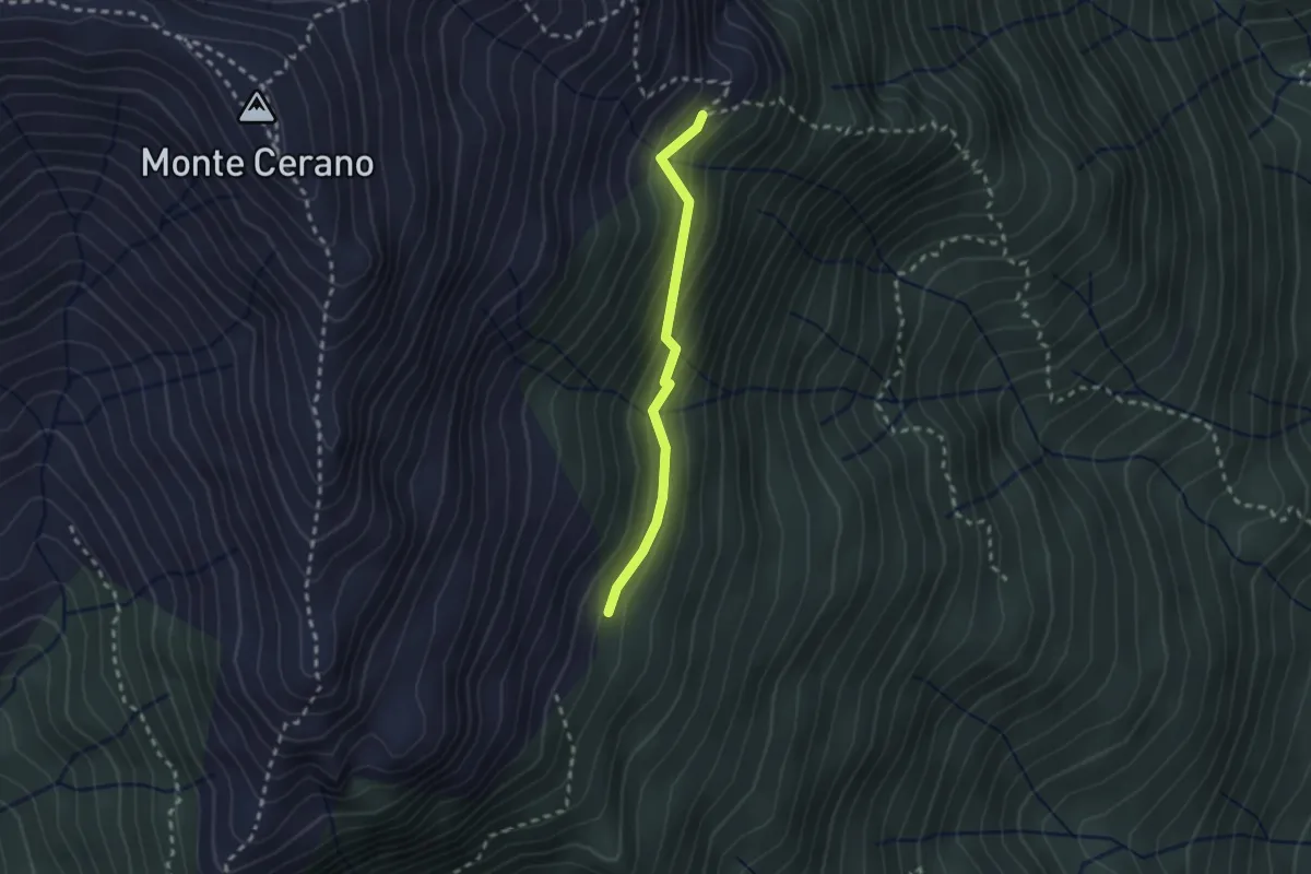
Medium · Trail
T06b - Alpe Pianelle - Alpe Colla
2.1 km · ↑ 164 m · 51 min
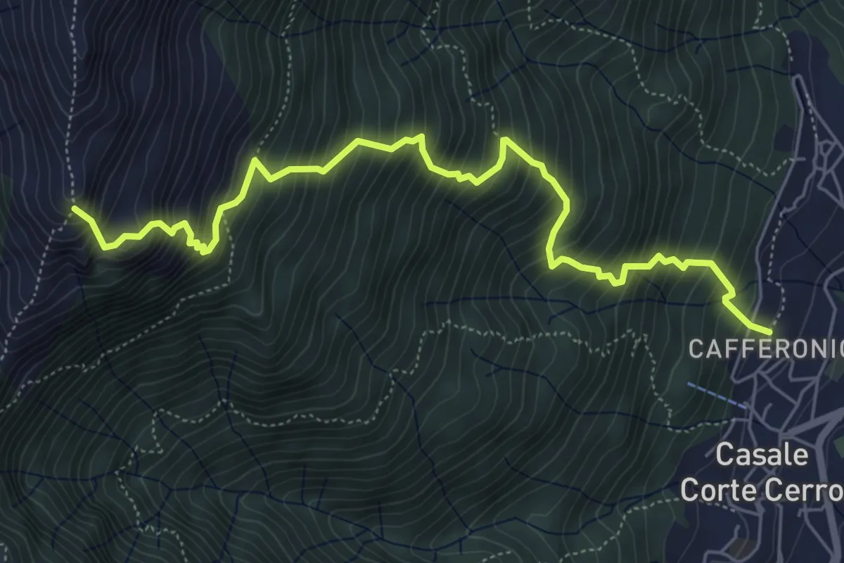
Demanding · Trail
T08 - Casale Corte Cerro - Bivio Z02
6.6 km · ↑ 1049 m · 3 h 50 min
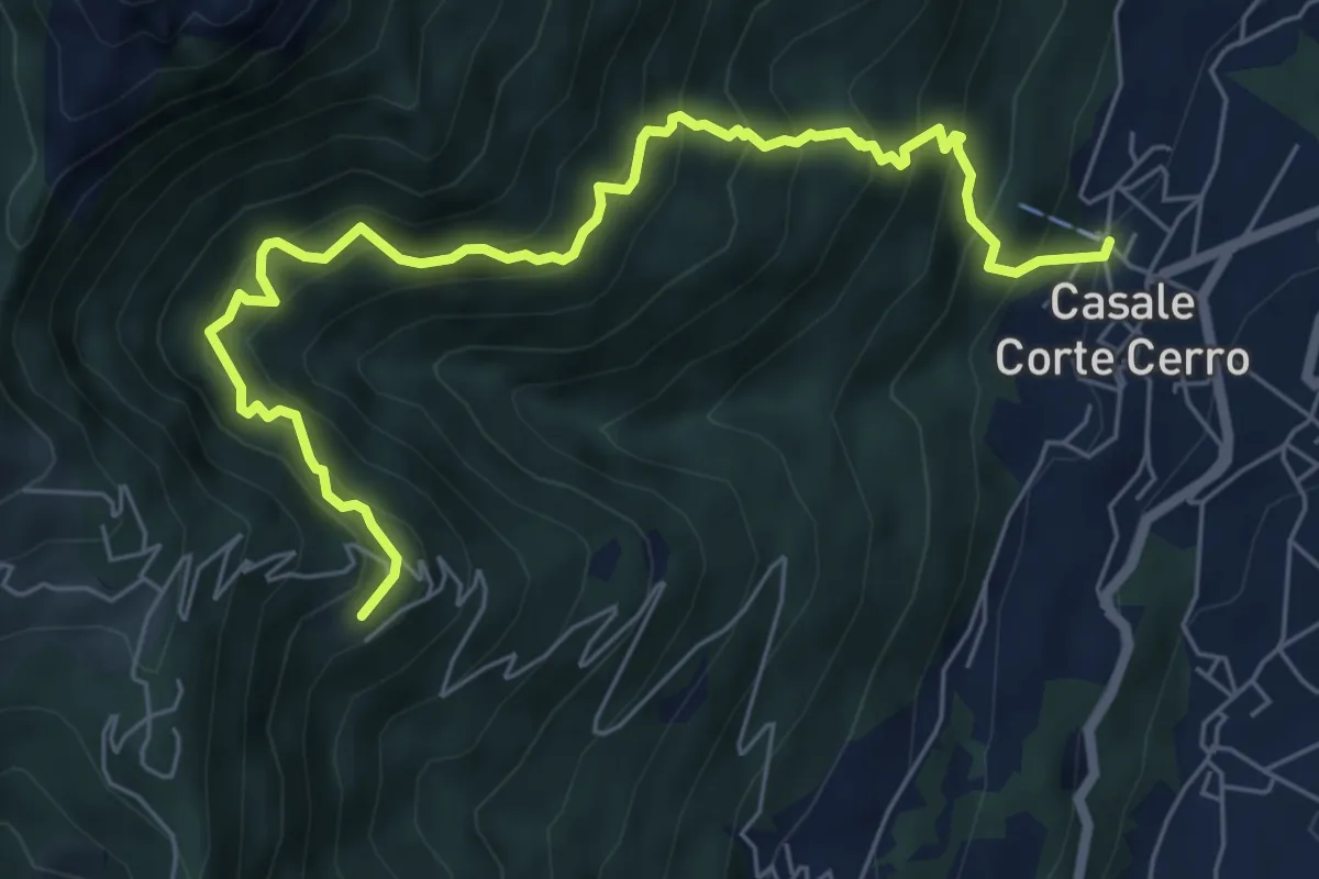
Demanding · Trail
T10 - Casale Corte Cerro - Alpe Rusa
7.5 km · ↑ 942 m · 3 h 49 min
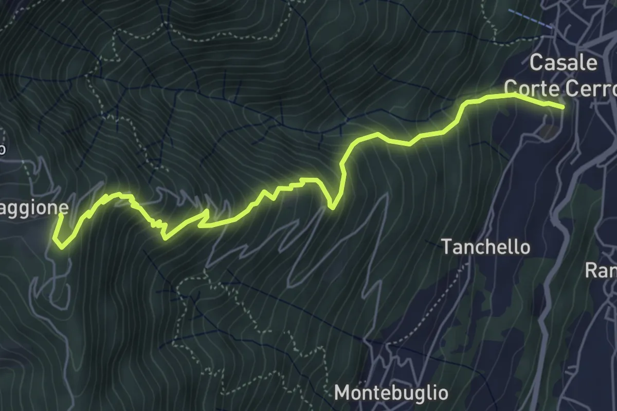
Medium · Trail
T12 - Casale Corte Cerro - Alpe Quaggione
6.4 km · ↑ 774 m · 3 h 11 min
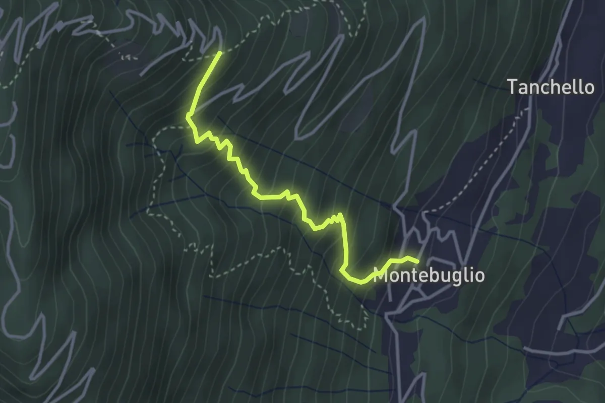
Medium · Trail
T14 - Montebuglio - Alpe Rusa
3.1 km · ↑ 404 m · 1 h 36 min
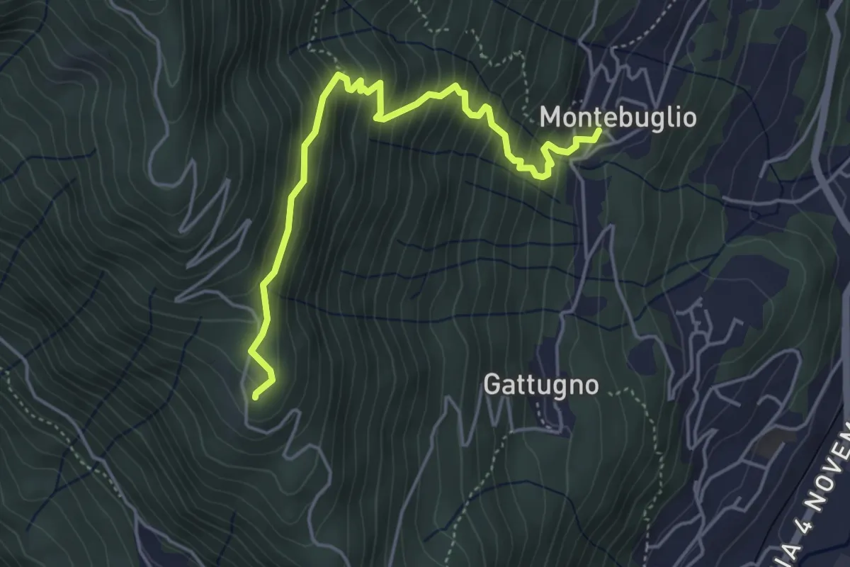
Medium · Trail
T16 - Montebuglio - AlpeCardello
4.8 km · ↑ 509 m · 2 h 13 min
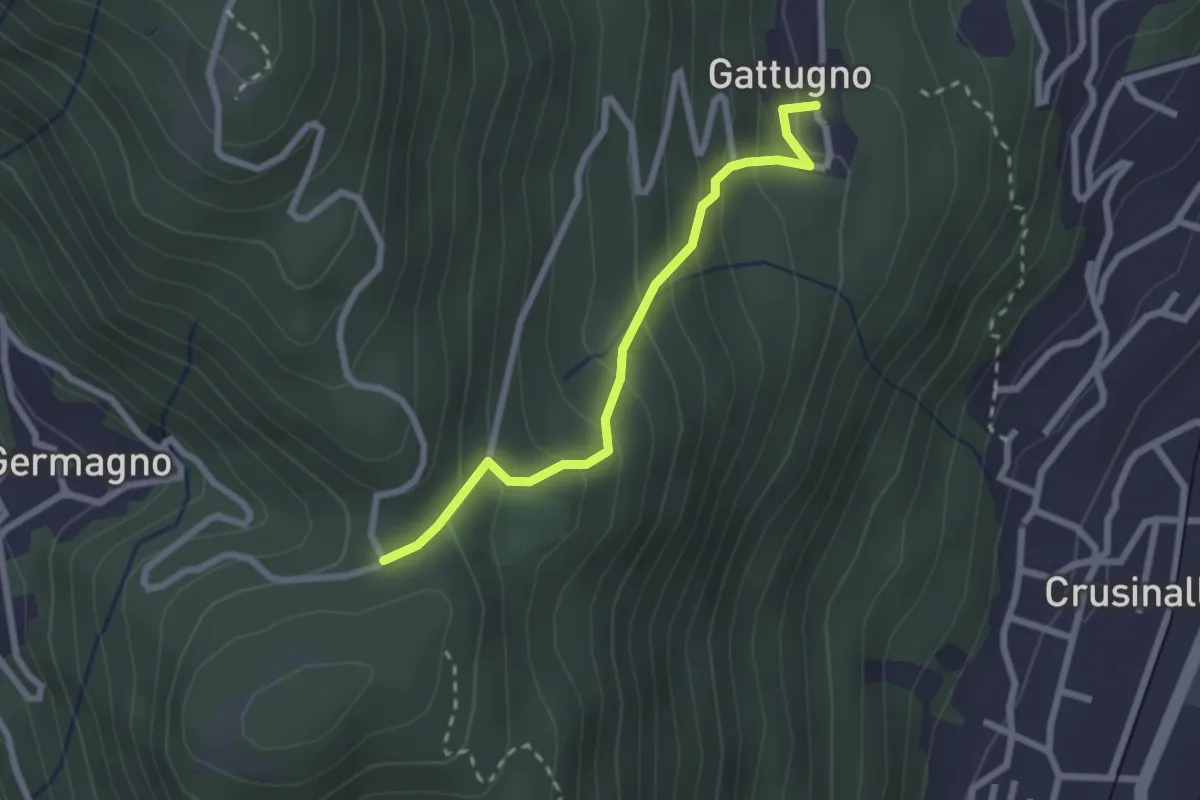
Medium · Trail
T18a - Gattugno - Alpe Colla
2.3 km · ↑ 205 m · 59 min
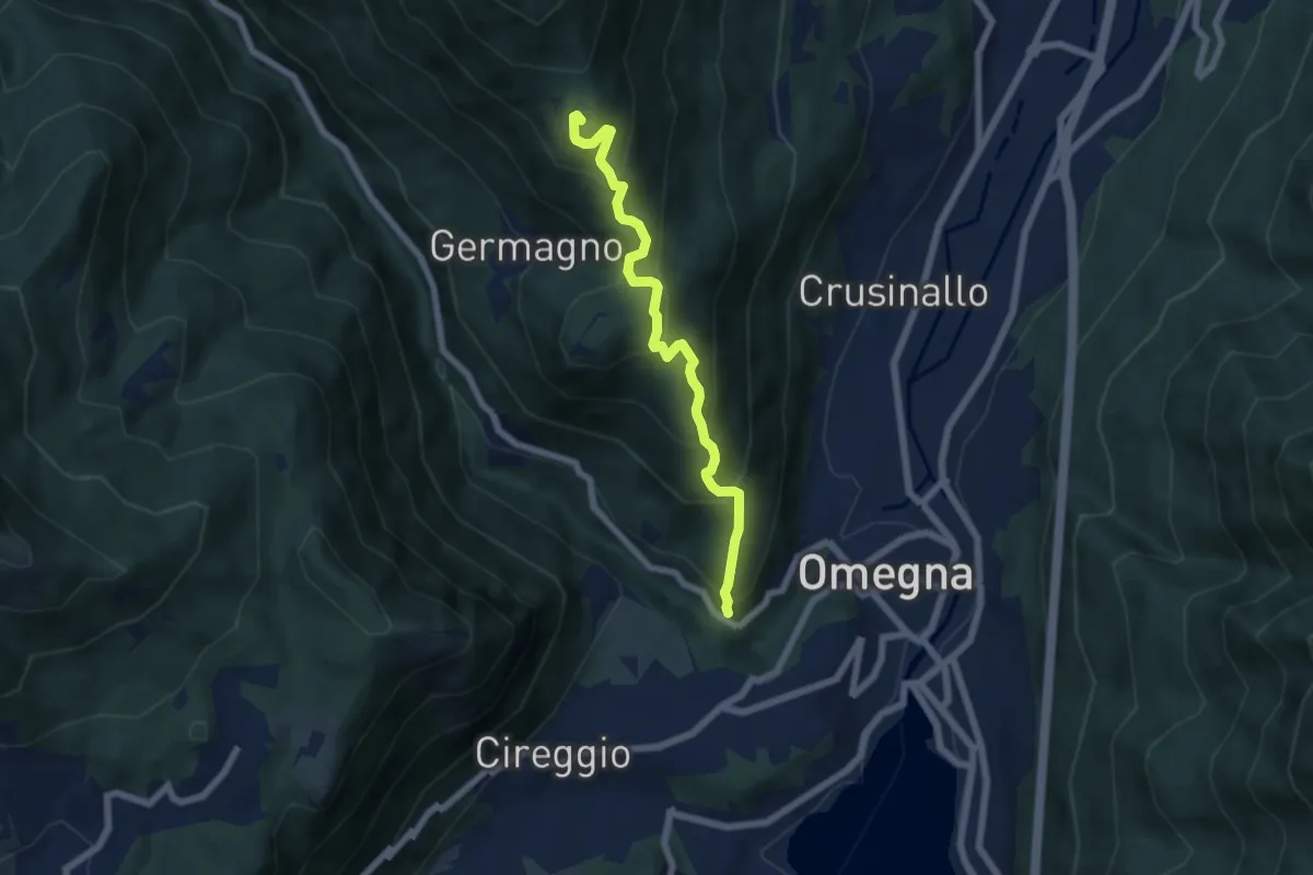
Medium · Trail
T18 - Omegna - Alpe Cardello
6.0 km · ↑ 534 m · 2 h 35 min
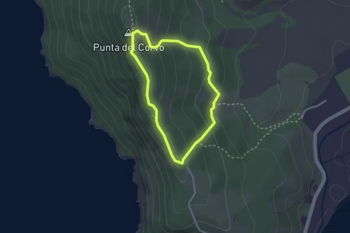
Easy · Summit
T1 Punta del Corvo
2.1 km · ↑ 109 m · 46 min