Trails in Italy
25,219 hiking trails, each with its route, climb, walking time and grade.
All trails, page 200 of 526
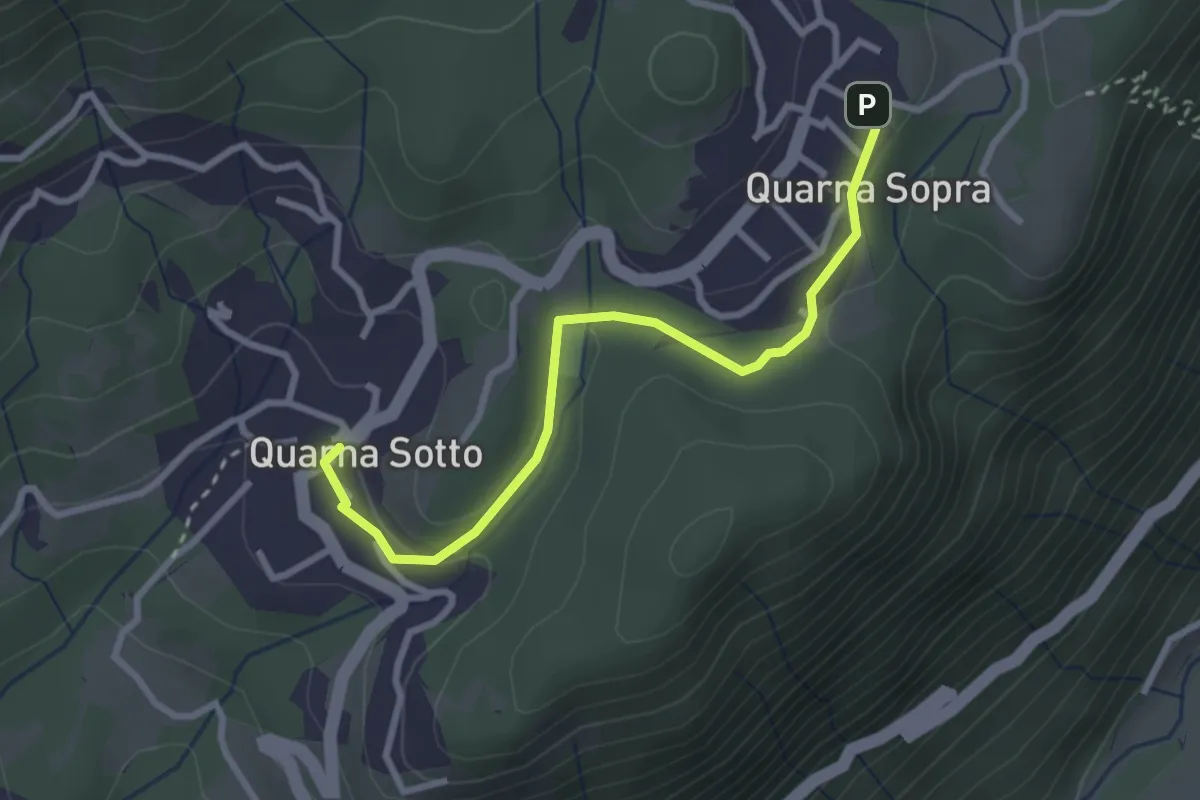
Easy · Trail
T20a - Quarna sotto - Quarna sopra
2.9 km · ↑ 54 m · 48 min
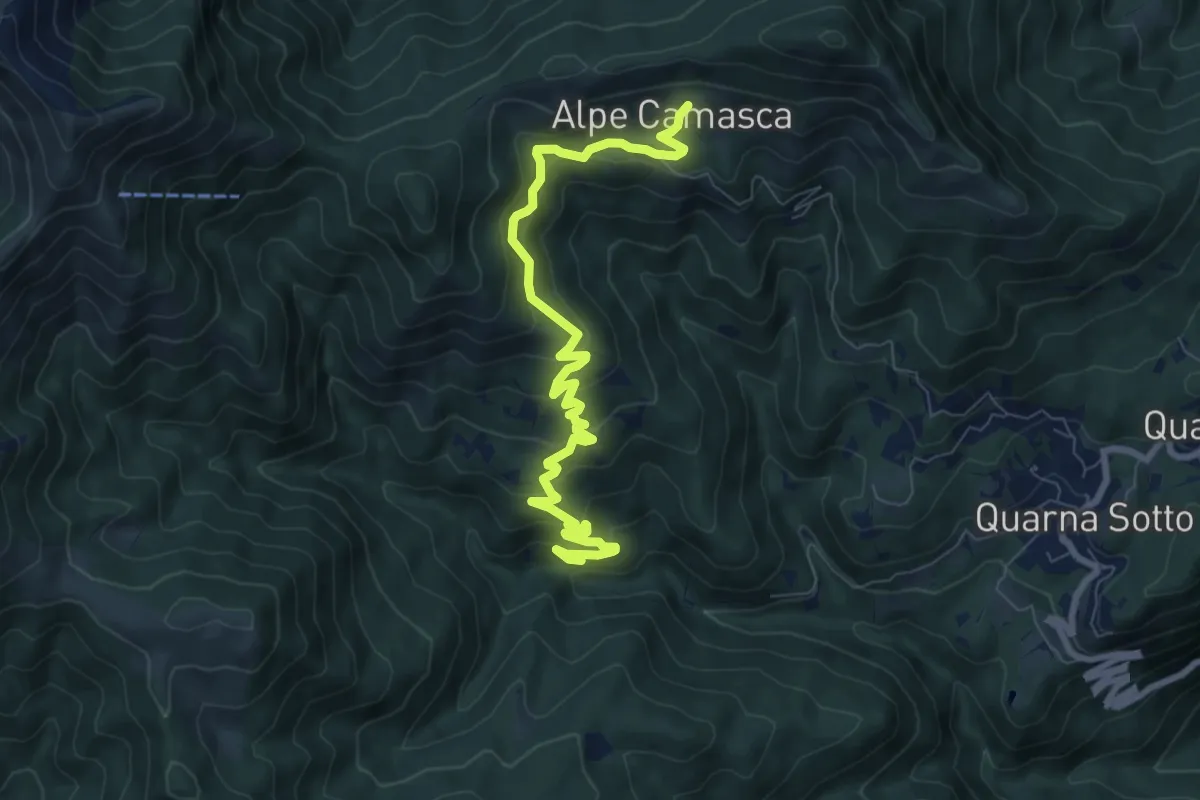
Medium · Trail
T20b - Bivio T22 - Alpe Camasca
9.1 km · ↑ 516 m · 3 h 16 min
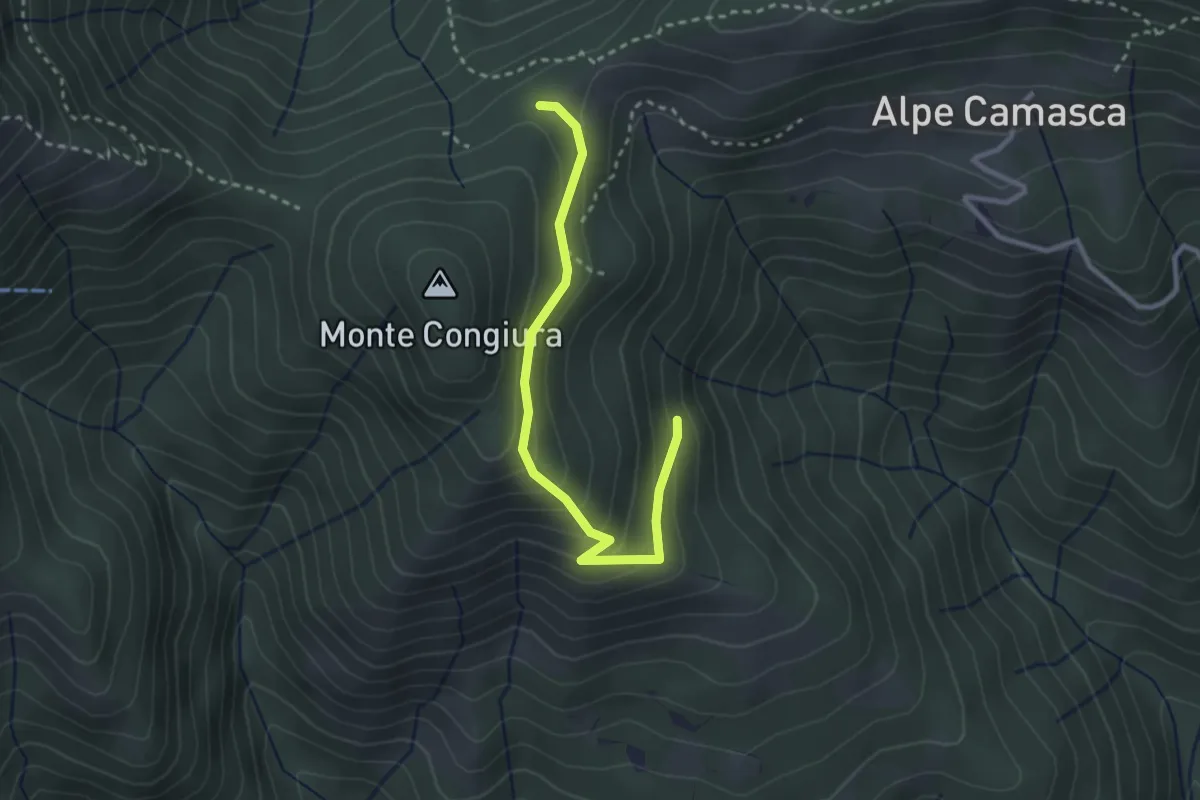
Demanding · Trail
T20c - Bivio T20b - Co di Stobj
2.9 km · ↑ 194 m · 1 h 7 min
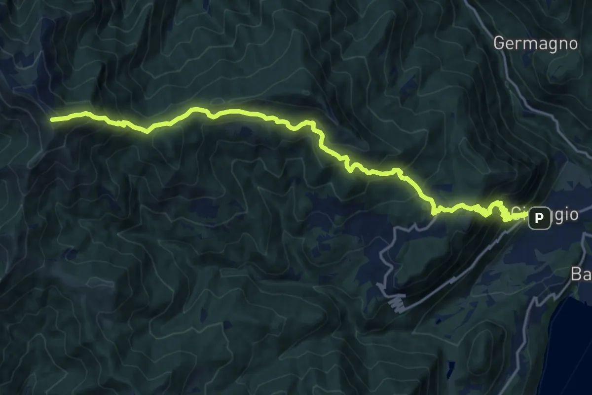
Demanding · Summit
T20 - Cireggio - Monte Croce
17.7 km · ↑ 1480 m · 7 h 24 min
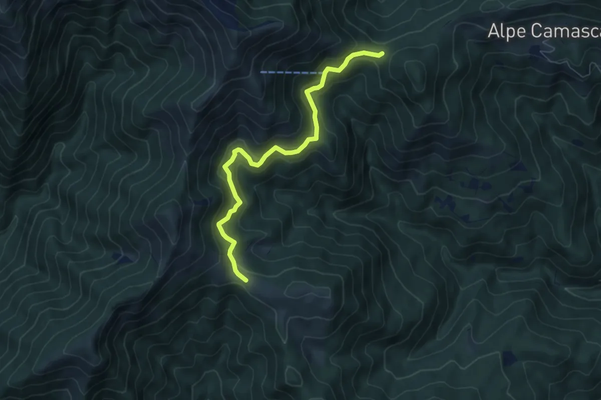
Medium · Trail
T22a - Bocchetta di Foglia - Colle del Ranghetto
6.6 km · ↑ 429 m · 2 h 29 min
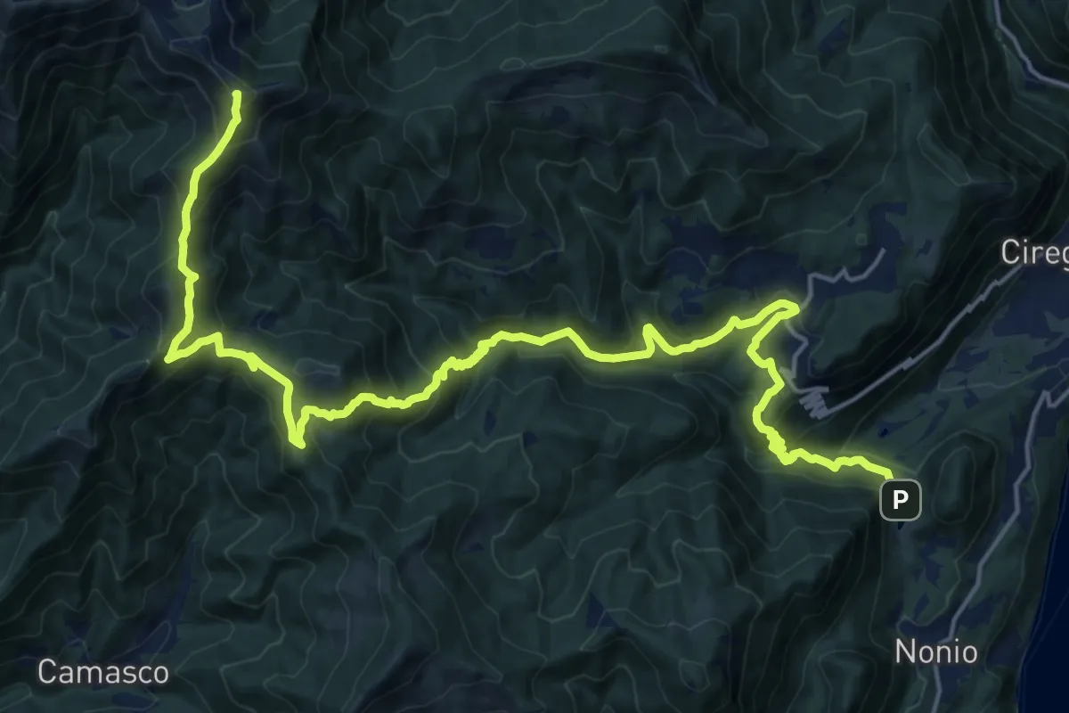
Demanding · Summit
T22 - Laghetti di Nonio - Monte Croce
25.0 km · ↑ 1493 m · 9 h 9 min
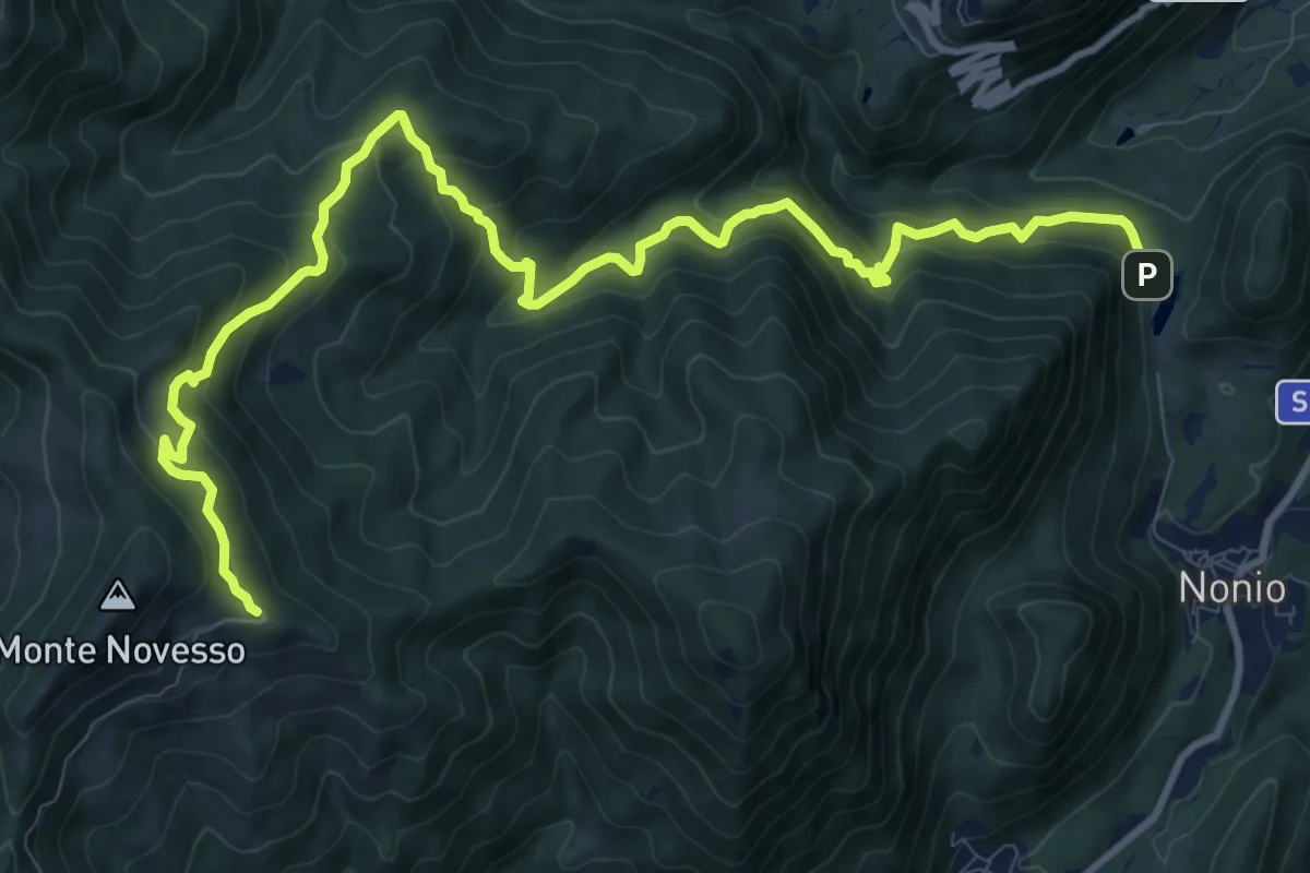
Demanding · Trail
T24 - Laghetti di Nonio - Monte Novesso
13.6 km · ↑ 962 m · 5 h 17 min
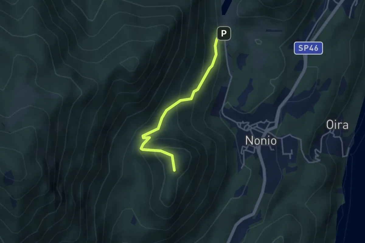
Medium · Summit
T26 - Nonio - Croce di Nonio
3.1 km · ↑ 237 m · 1 h 15 min
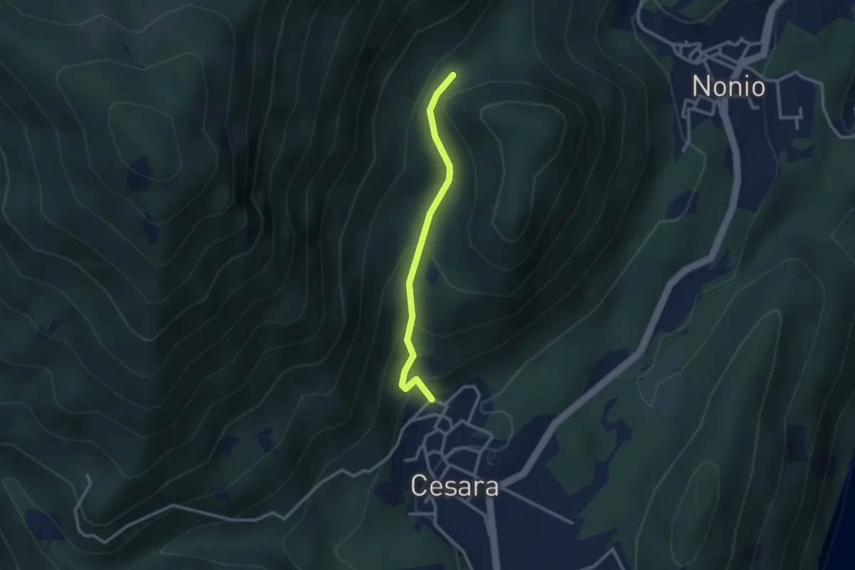
Easy · Trail
T28 - Cesara - Monte Castello (Il Pizzo)
2.4 km · ↑ 160 m · 55 min
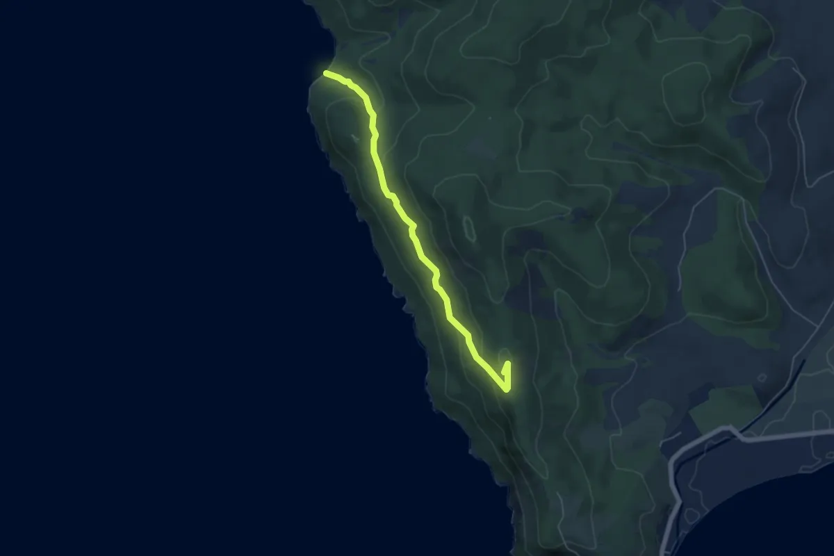
Easy · Summit
T2 Cannelle
5.5 km · ↑ 243 m · 1 h 50 min
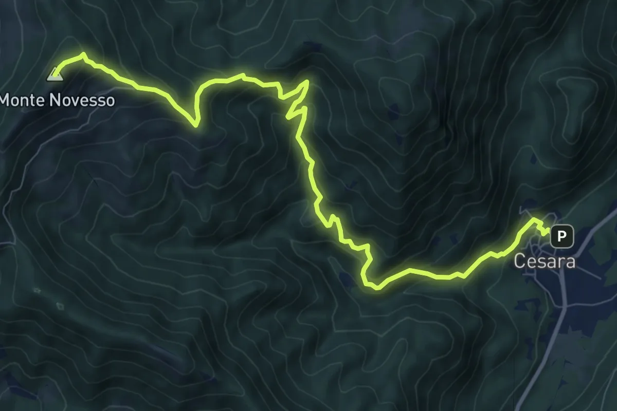
Demanding · Summit
T30 - Cesara - Monte Novesso
11.7 km · ↑ 993 m · 4 h 55 min
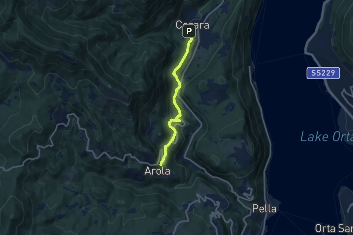
Medium · Trail
T32a - Cesara - Arola
6.7 km · ↑ 337 m · 2 h 19 min
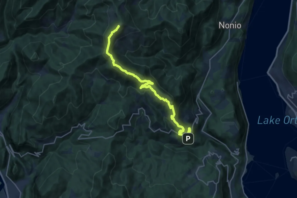
Demanding · Summit
T32 - Arola - Monte Novesso
17.1 km · ↑ 1060 m · 6 h 20 min
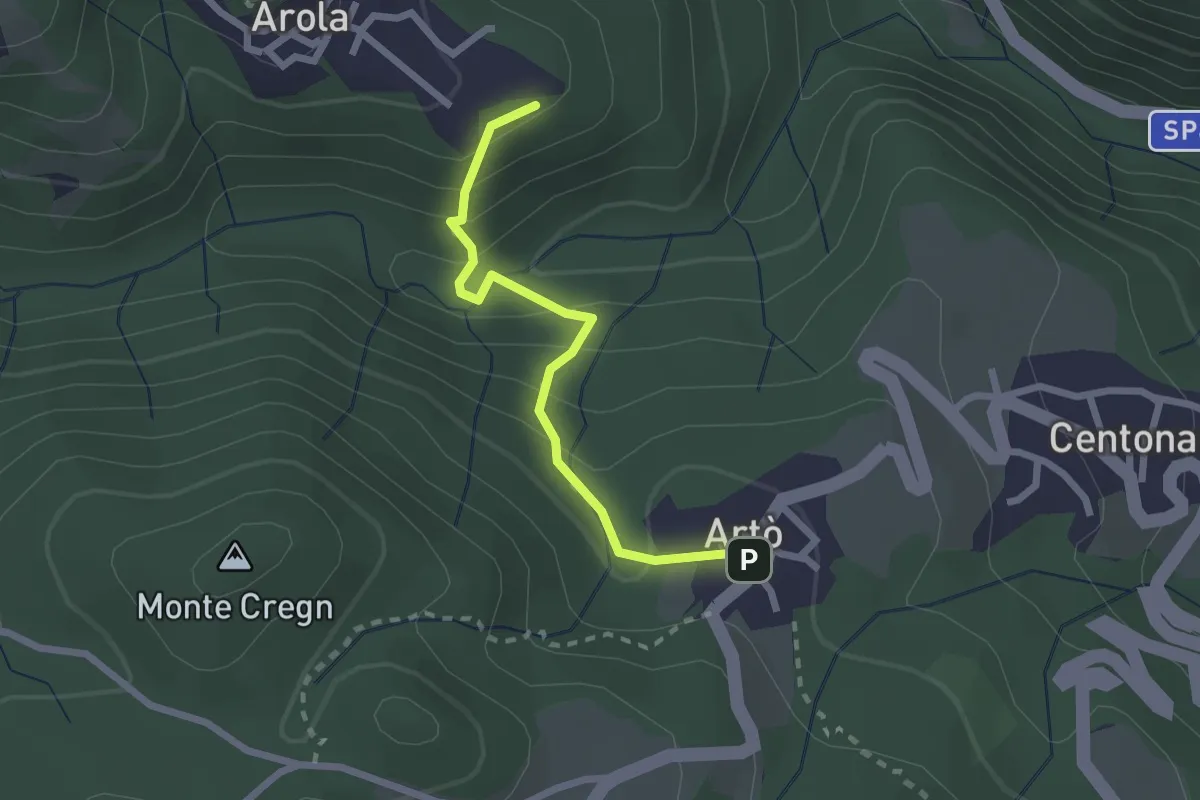
Medium · Trail
T34a - Arola - Artò
2.2 km · ↑ 171 m · 53 min
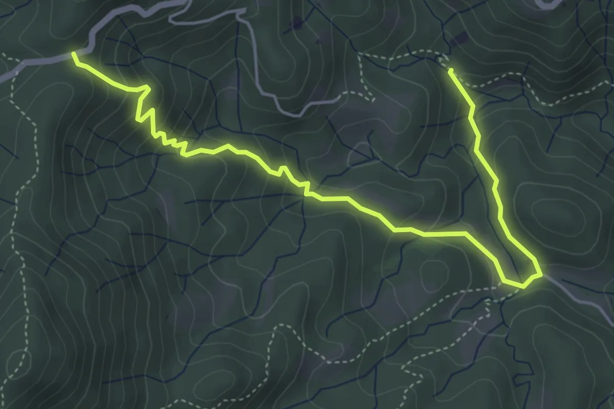
Medium · Trail
T34b - Bivio T34 - La Colma
5.8 km · ↑ 342 m · 2 h 6 min
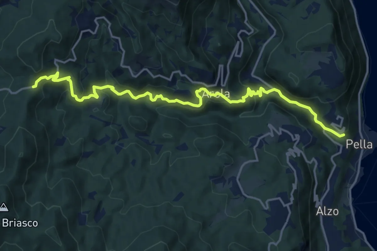
Demanding · Trail
T34 - Pella - La Colma
14.1 km · ↑ 990 m · 5 h 28 min
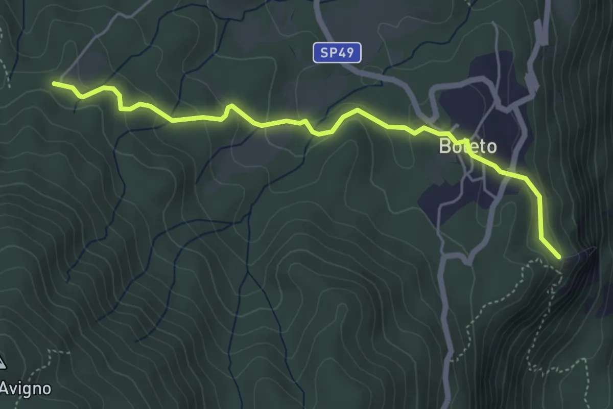
Easy · Trail
T36a - Madonna del Sasso - Bivio T36
4.9 km · ↑ 198 m · 1 h 35 min
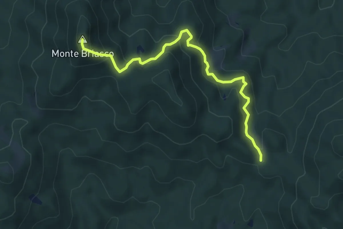
Medium · Summit
T36e - Passo di Cambocciolo - Monte Briasco
6.0 km · ↑ 323 m · 2 h 7 min
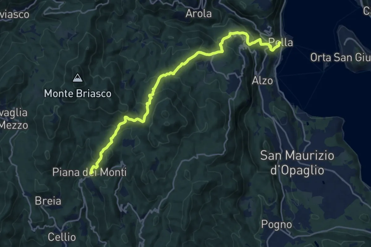
Demanding · Trail
T36 - Pella - Piana dei Monti
16.7 km · ↑ 935 m · 5 h 58 min
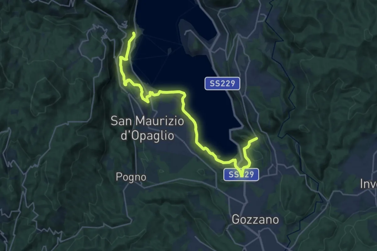
Demanding · Trail
T37 - Pella - Gozzano
21.4 km · ↑ 541 m · 6 h 14 min
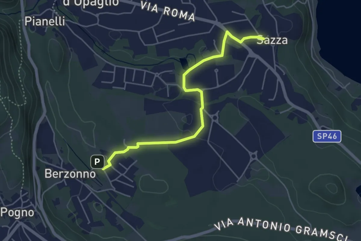
Easy · Trail
T38b - Torlacqua - Madonna delle Grazie
4.5 km · ↑ 48 m · 1 h 10 min
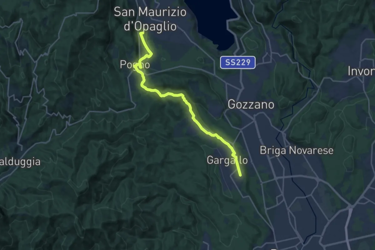
Medium · Summit
T38 - Gargallo - Madonna del Sasso
16.6 km · ↑ 356 m · 4 h 42 min
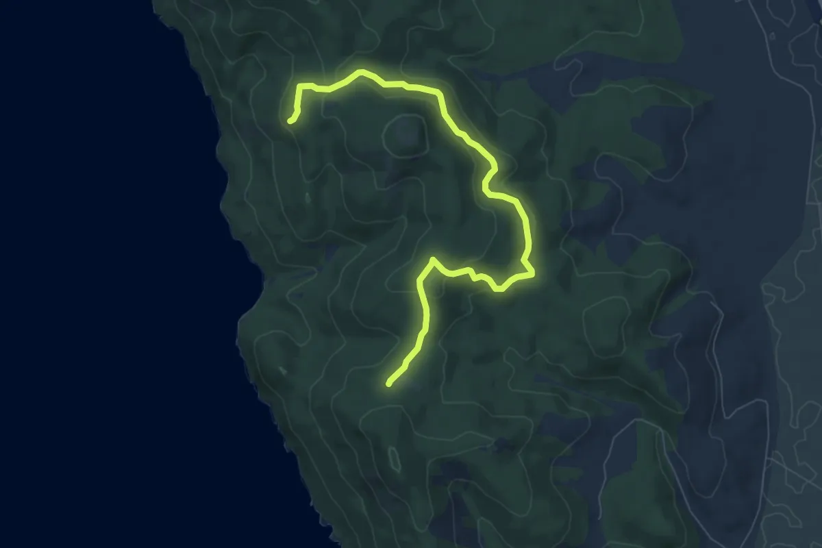
Medium · Trail
T3 Poggio Raso
9.0 km · ↑ 306 m · 2 h 48 min
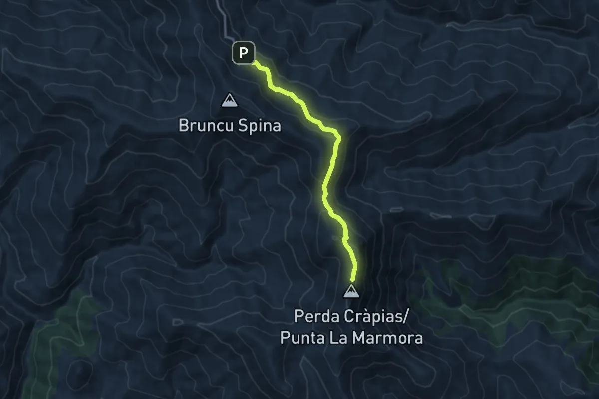
Demanding · Summit
T702 - Bruncu Spina - Punta La Marmora
9.7 km · ↑ 451 m · 3 h 16 min
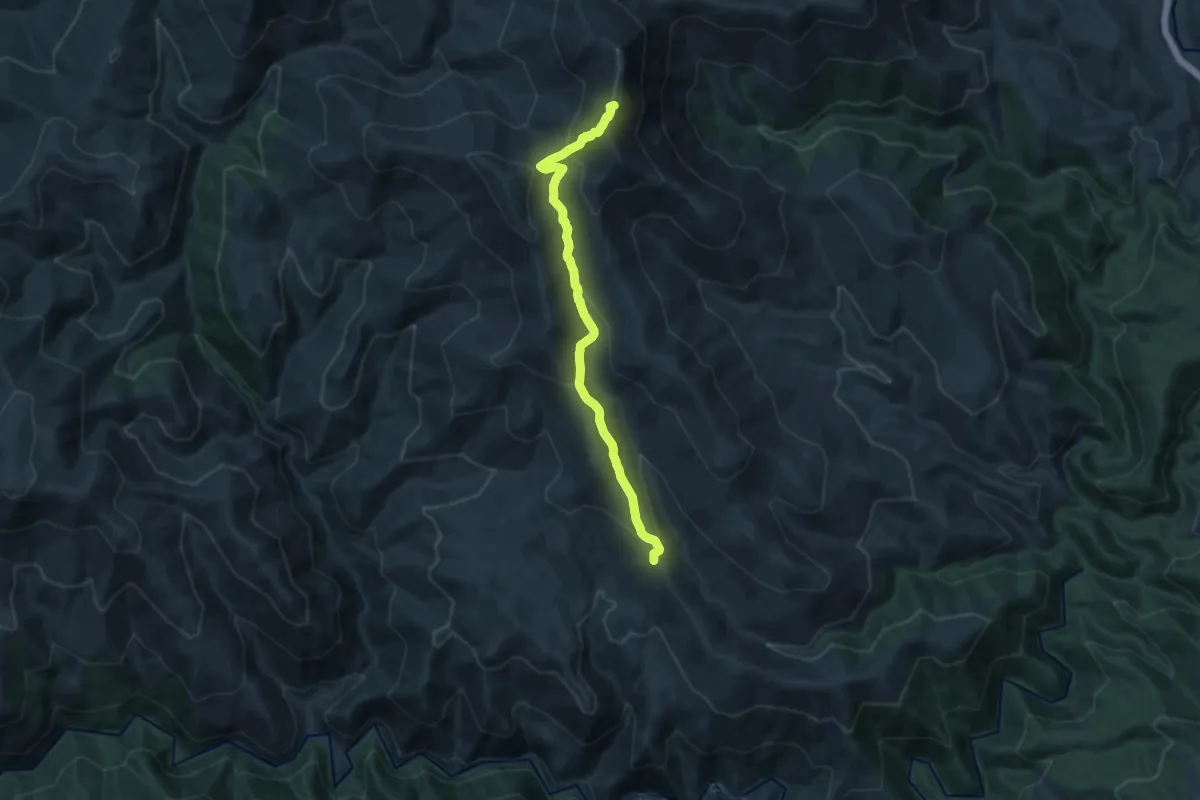
Medium · Summit
T741 - Ruinas - Punta La Marmora
14.3 km · ↑ 645 m · 4 h 47 min
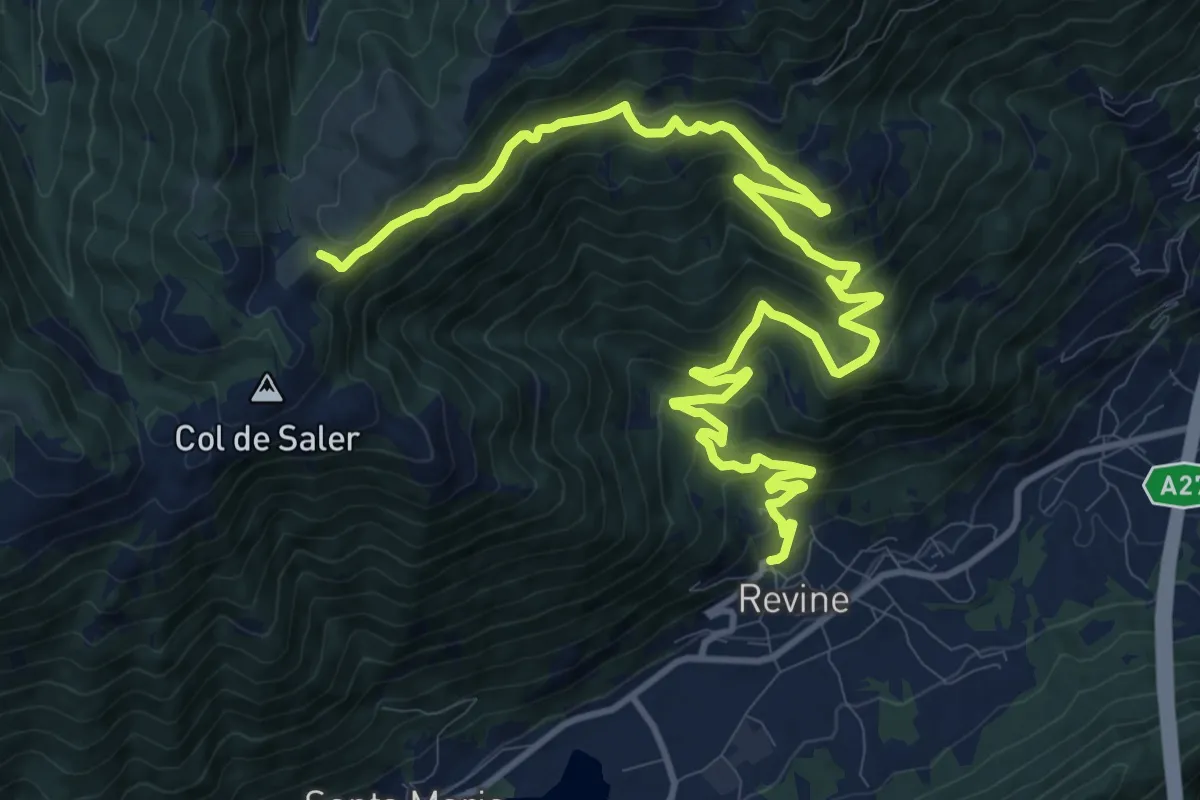
Demanding · Trail
Tag 24 V2 Traumpfad München Venedig
16.8 km · ↑ 994 m · 6 h 7 min
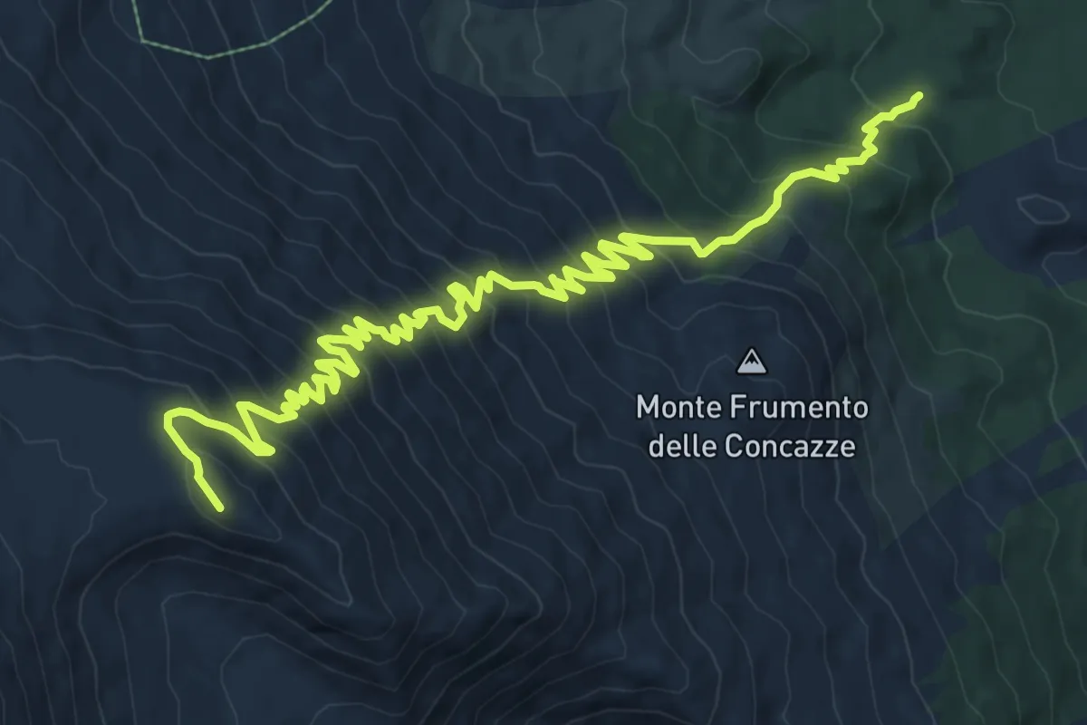
Demanding · Summit
Tagara del Leone
14.6 km · ↑ 1187 m · 6 h 2 min
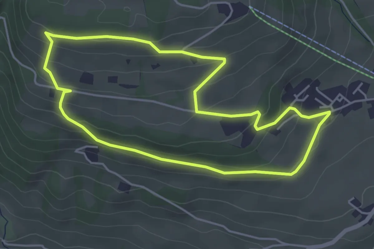
Easy · Trail
Taistner Sagenweg - Sentiero delle fiabe di Tesido
4.1 km · ↑ 163 m · 1 h 22 min
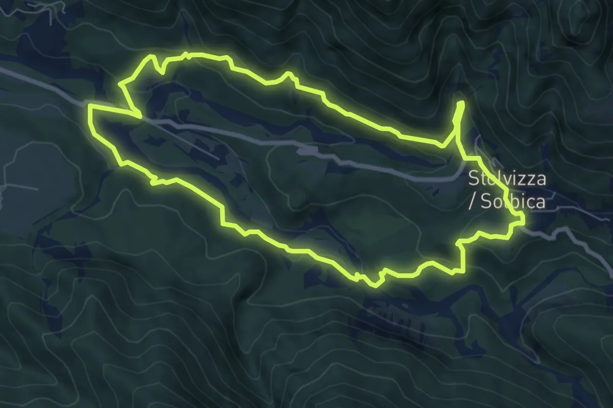
Medium · Trail
Ta Lipa Pot
7.5 km · ↑ 273 m · 2 h 28 min
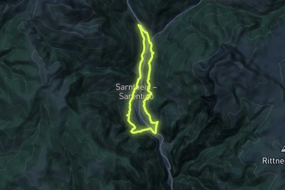
Medium · Trail
Talrundweg
15.6 km · ↑ 750 m · 5 h 31 min
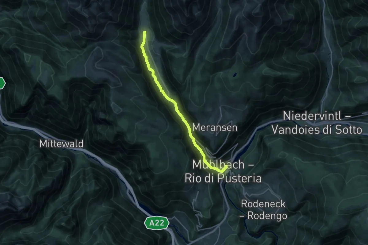
Medium · Trail
Talweg
15.9 km · ↑ 706 m · 5 h 17 min
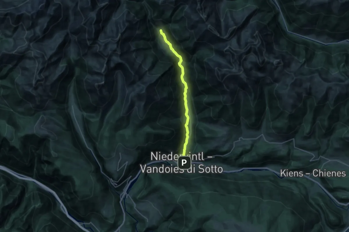
Demanding · Trail
Talweg
20.6 km · ↑ 596 m · 6 h 9 min
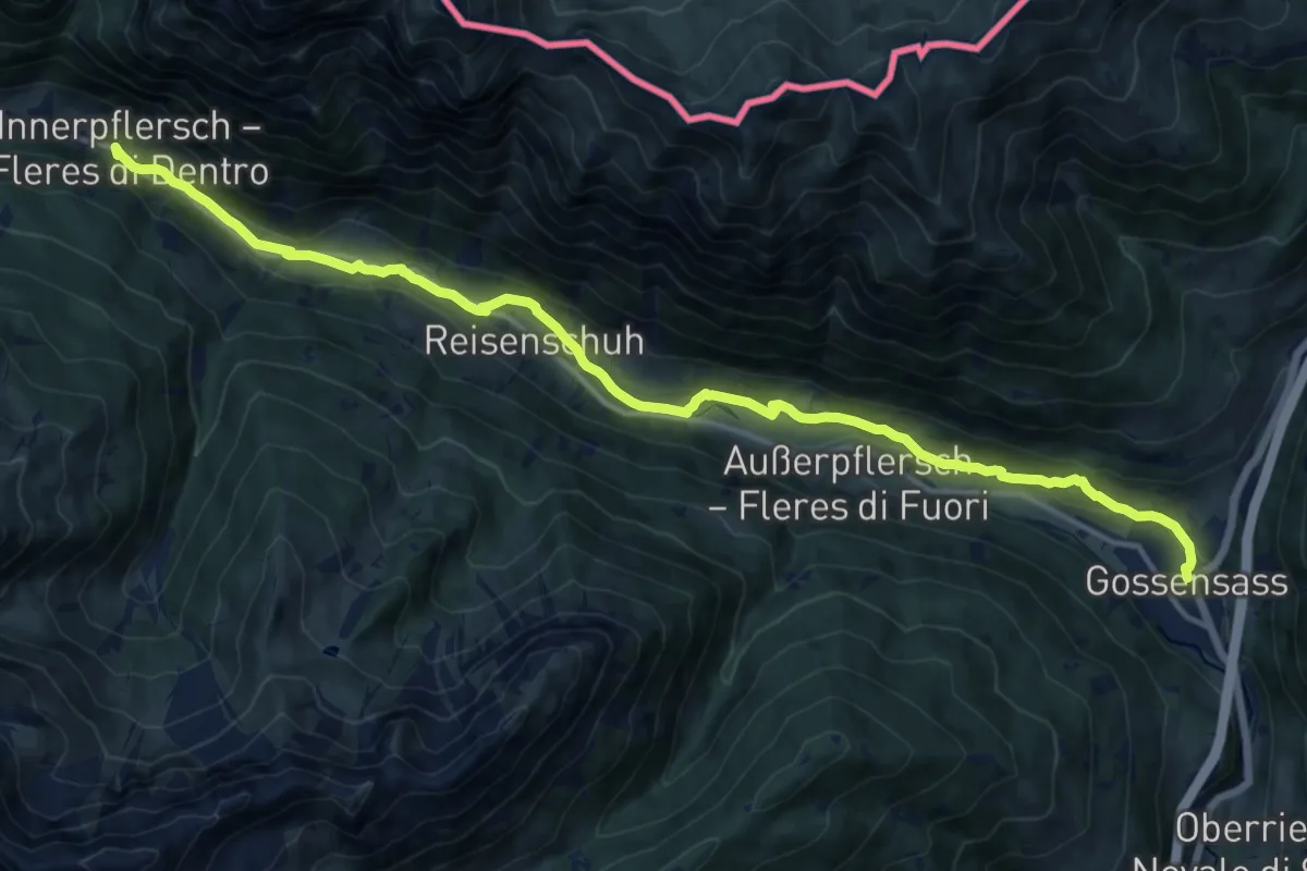
Medium · Trail
Talweg
17.1 km · ↑ 392 m · 4 h 53 min
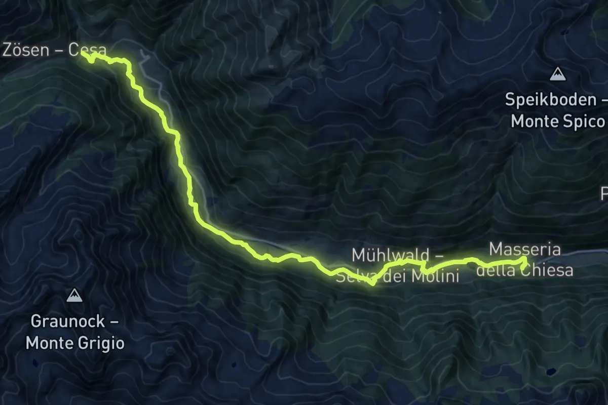
Demanding · Trail
Talweg
21.0 km · ↑ 634 m · 6 h 20 min
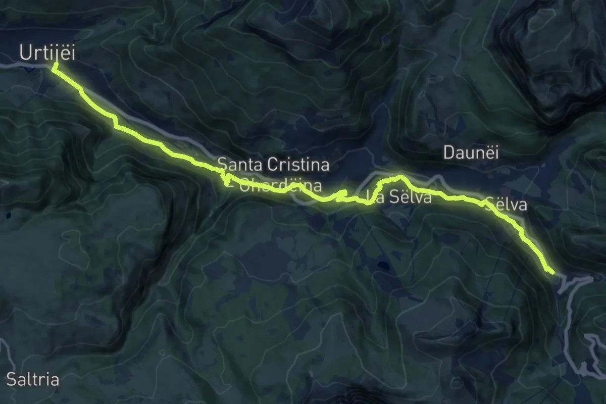
Demanding · Trail
Talweg
19.4 km · ↑ 605 m · 5 h 53 min
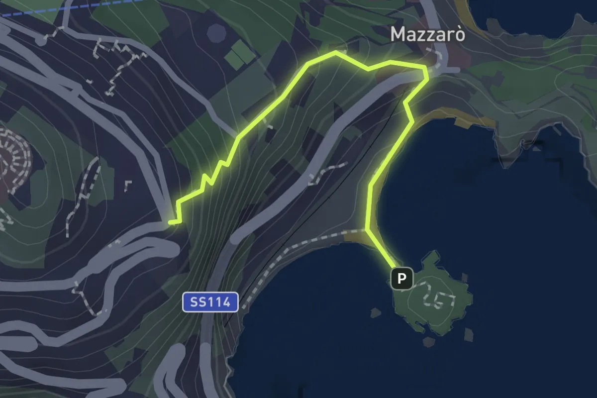
Easy · Trail
Taormina Isola Bella
2.1 km · ↑ 167 m · 52 min
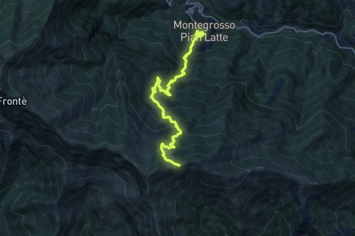
Demanding · Trail
Tappa10-Montegrosso Pianlatte-P.so Pianlatte
13.7 km · ↑ 1109 m · 5 h 39 min
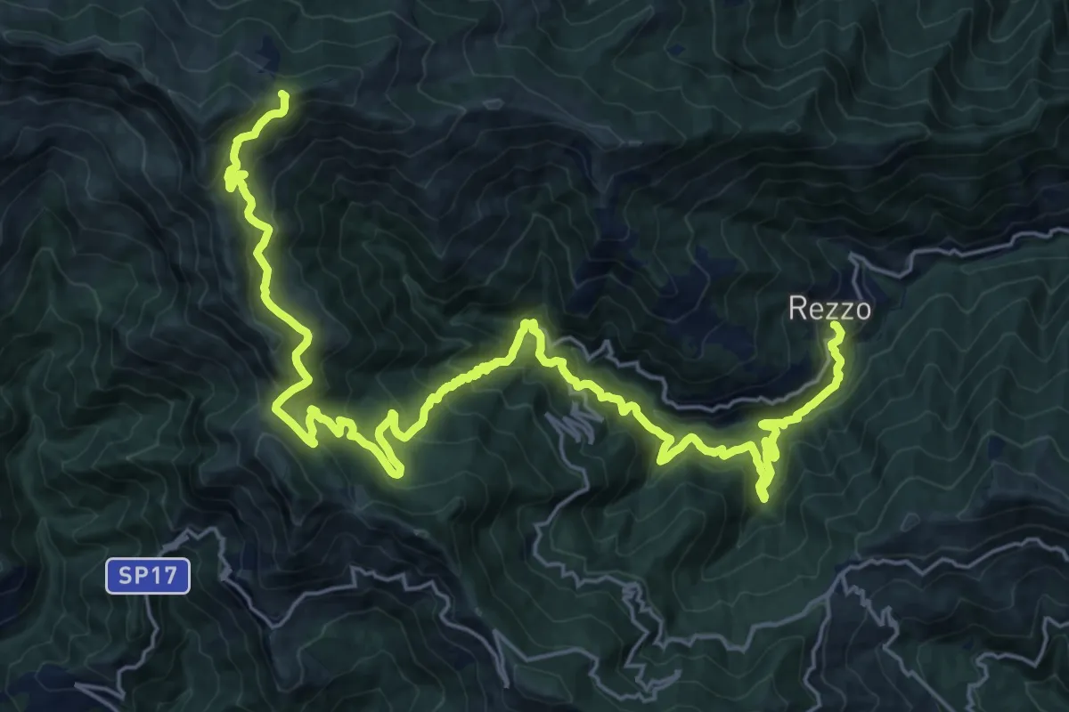
Medium · Trail
Tappa11-P.so Pianlatte-Rezzo
15.7 km · ↑ 420 m · 5 h 26 min
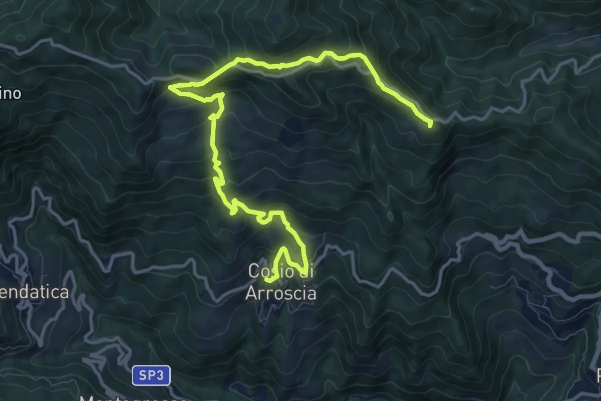
Demanding · Summit
Tappa12-Cosio Arroscia-C.le di Nava
13.1 km · ↑ 862 m · 4 h 57 min
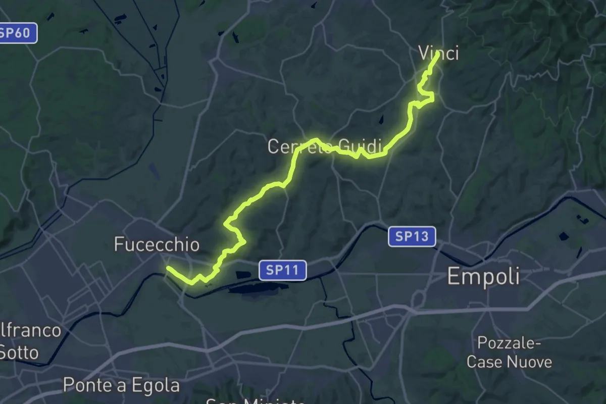
Medium · Trail
Tappa 1 - Da Fucecchio a Vinci
17.5 km · ↑ 304 m · 5 h 1 min
Medium · Trail
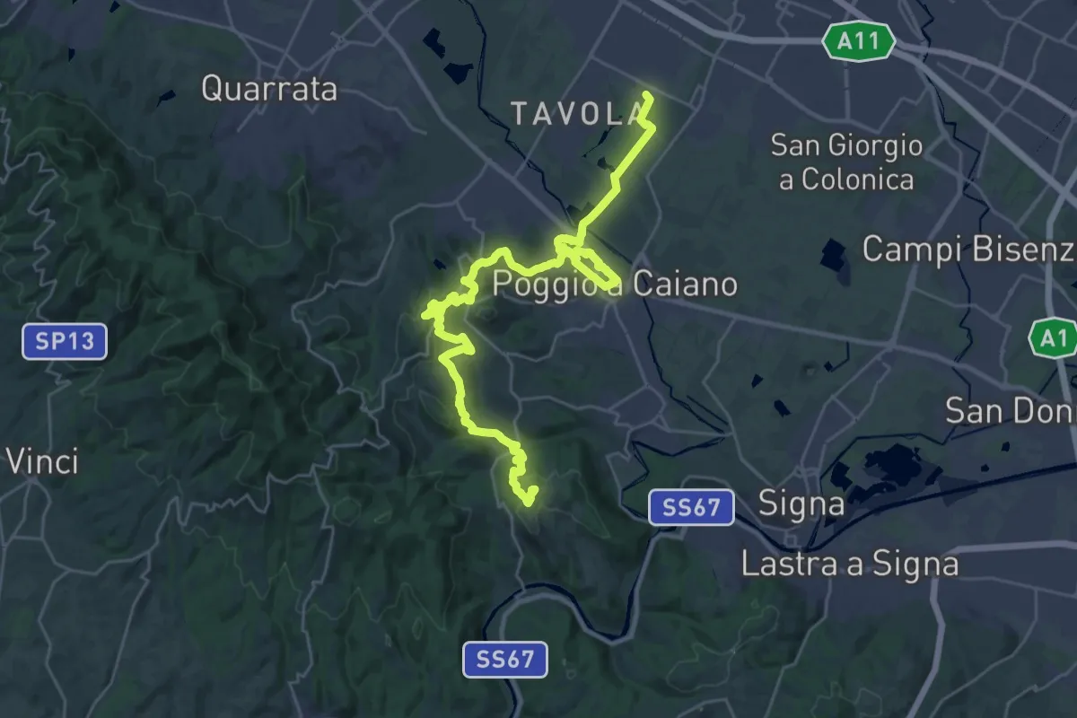
Tappa 1: Prato - Artimino
17.8 km · ↑ 608 m · 5 h 39 min
Demanding · Summit
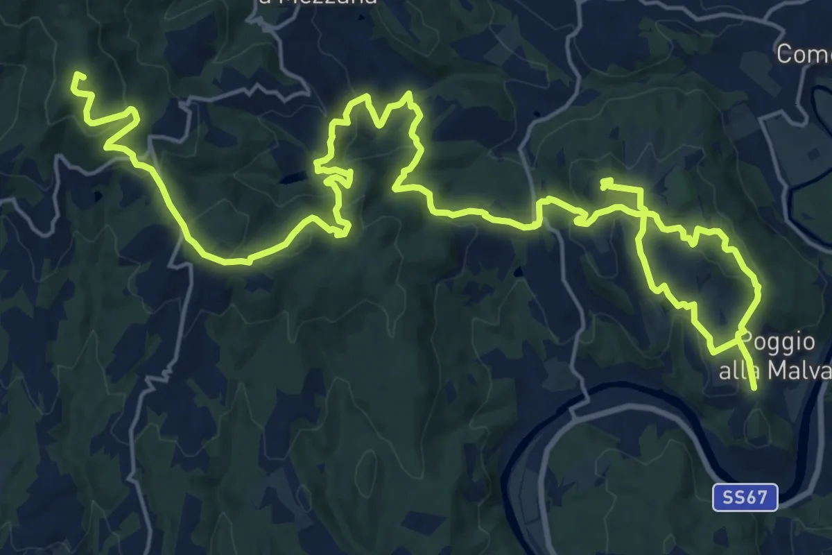
Tappa 2: Artimino - Bacchereto
33.2 km · ↑ 1329 m · 10 h 43 min
Medium · Trail
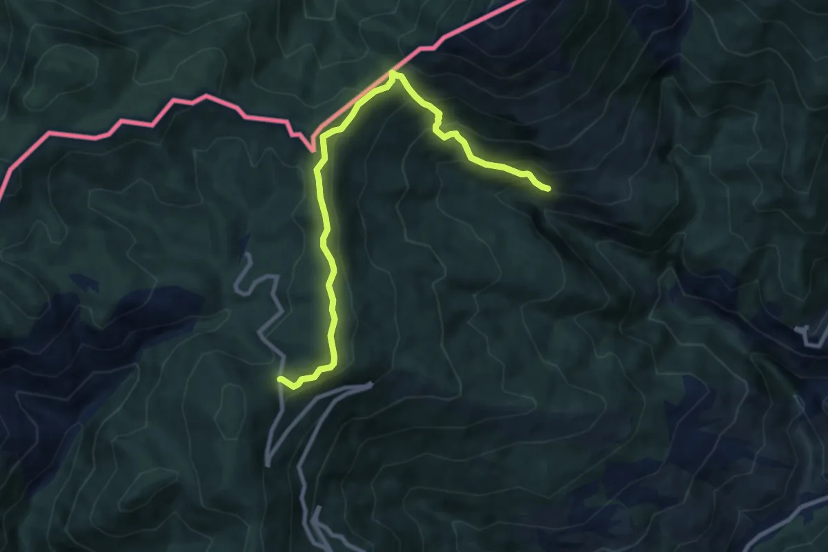
Tappa 2 - Da Vinci a Mignana
12.5 km · ↑ 514 m · 4 h 4 min
Medium · Trail
Tappa2 Gouta-Pigna
8.9 km · ↑ 543 m · 3 h 17 min
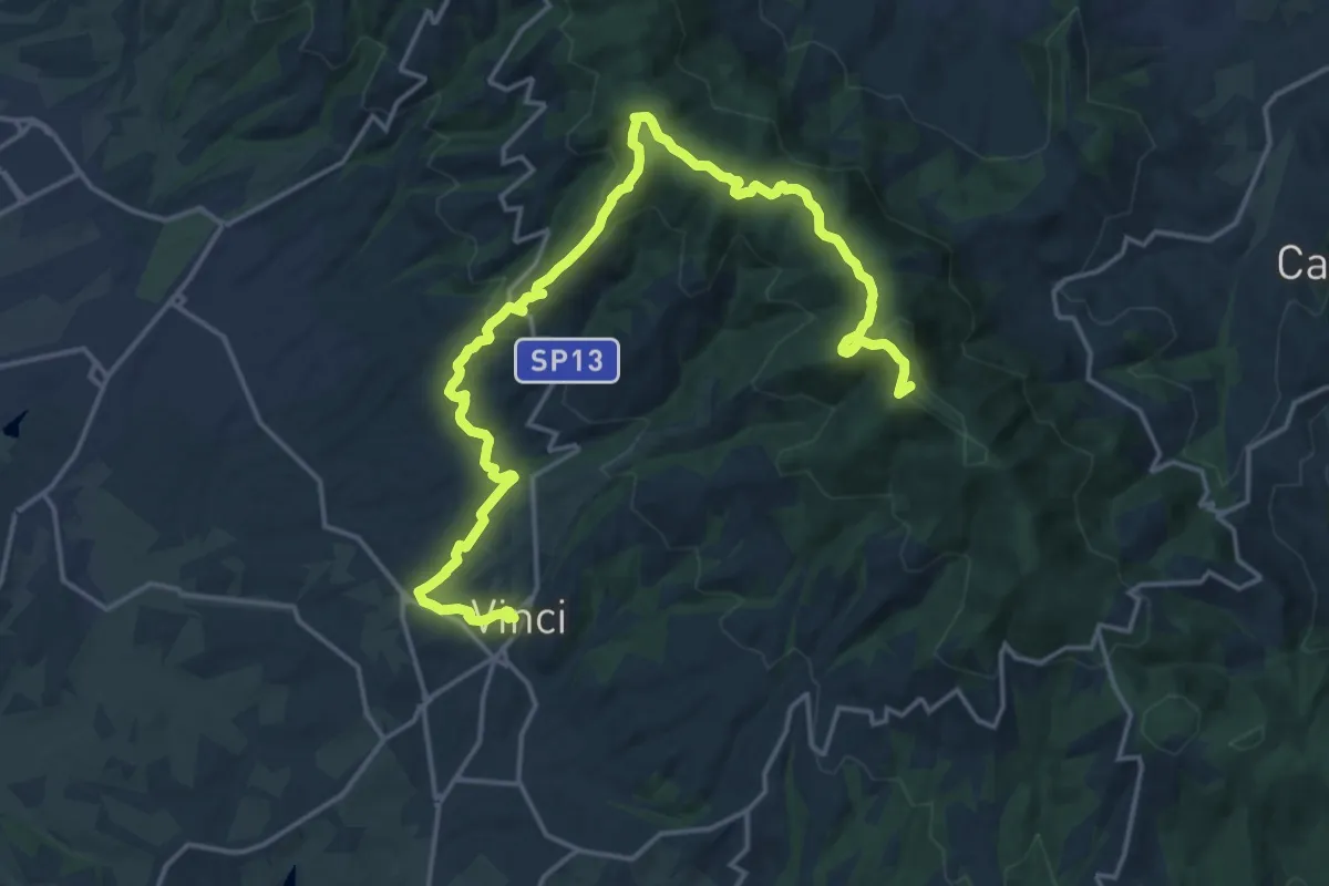
Demanding · Summit
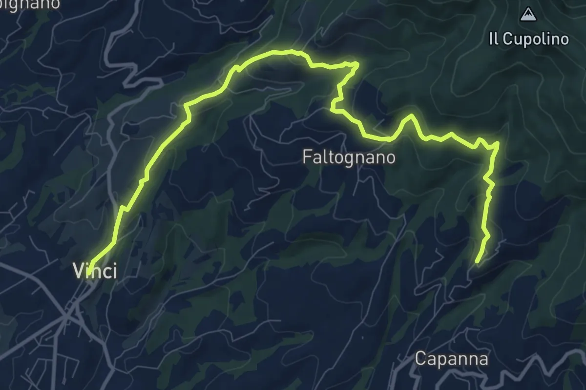
Tappa 3: Bacchereto - Vinci
23.1 km · ↑ 847 m · 7 h 17 min
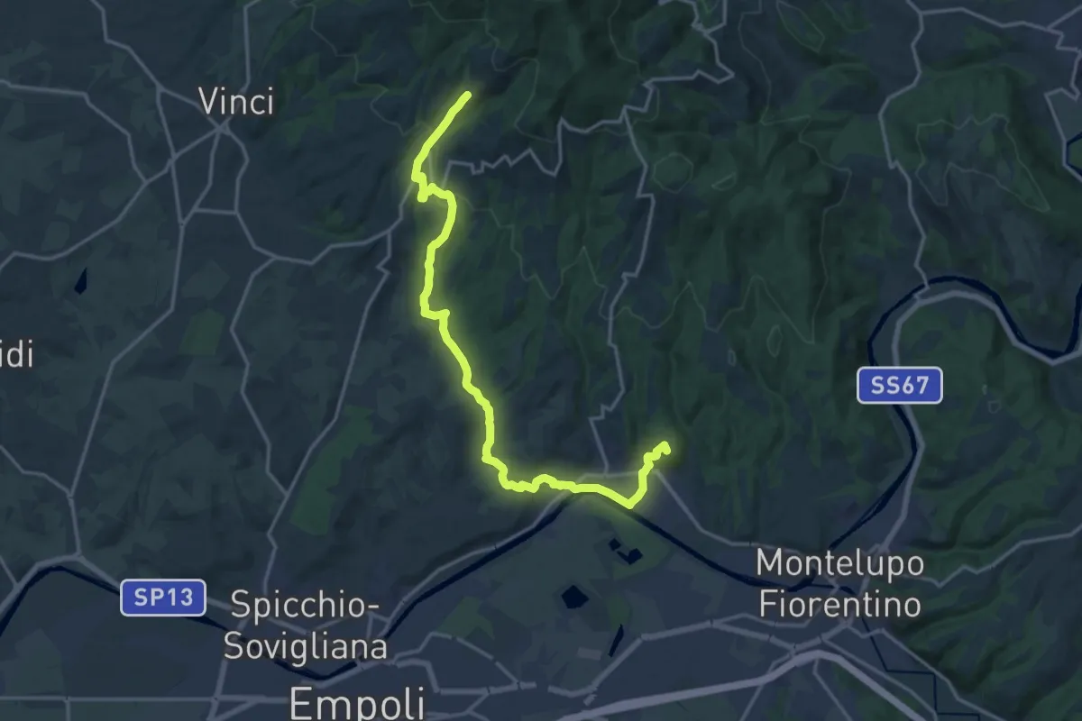
Demanding · Summit
Tappa 3 - Da Mignana a Montereggi
18.9 km · ↑ 516 m · 5 h 35 min
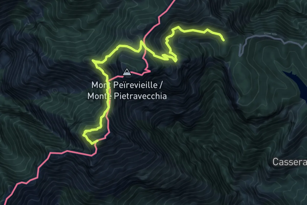
Demanding · Summit
Tappa3-Pigna-C.la Melosa
11.9 km · ↑ 1084 m · 5 h 10 min
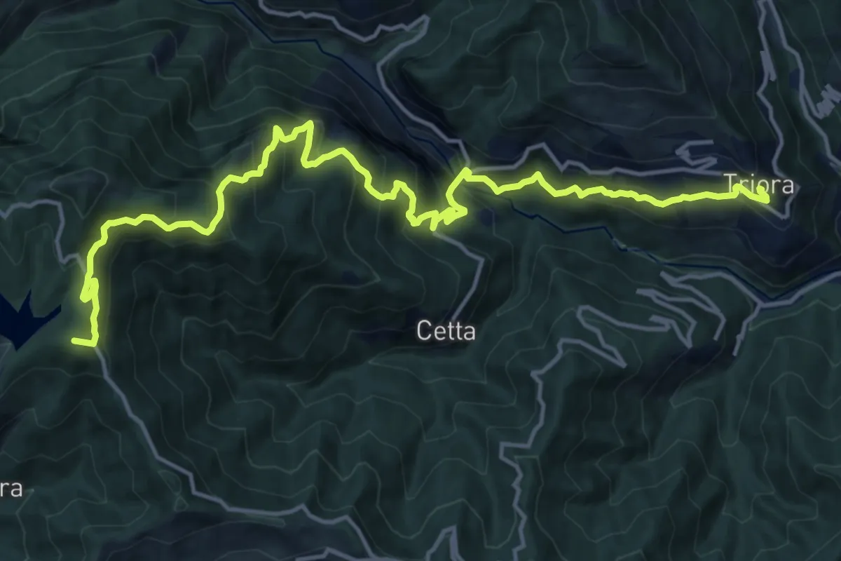
Demanding · Summit
Tappa 4-C.la Melosa-Triora
18.3 km · ↑ 1508 m · 7 h 36 min