Trails in Italy
25,219 hiking trails, each with its route, climb, walking time and grade.
All trails, page 201 of 526
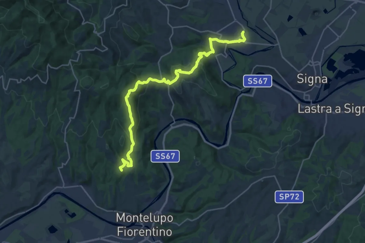
Demanding · Summit
Tappa 4 - Da Montereggi a Comeana
21.9 km · ↑ 781 m · 6 h 52 min
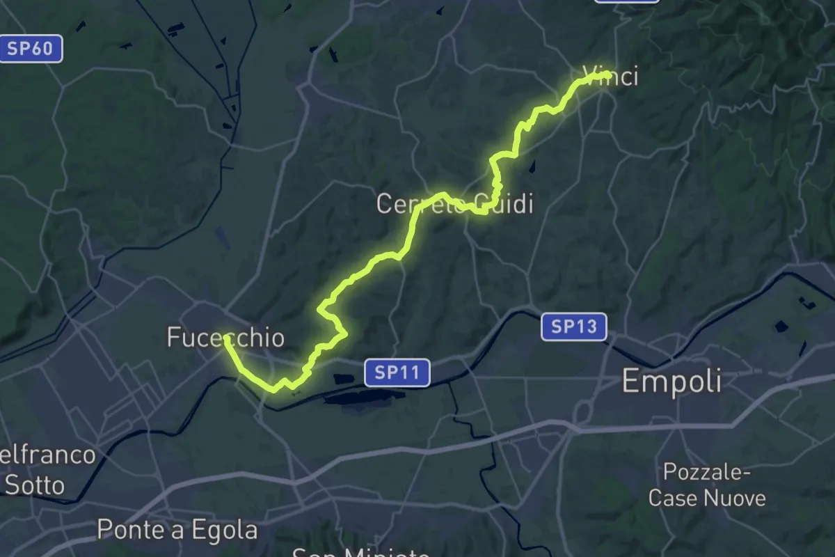
Medium · Trail
Tappa 4: Vinci - Fucecchio
17.7 km · ↑ 294 m · 5 h 5 min
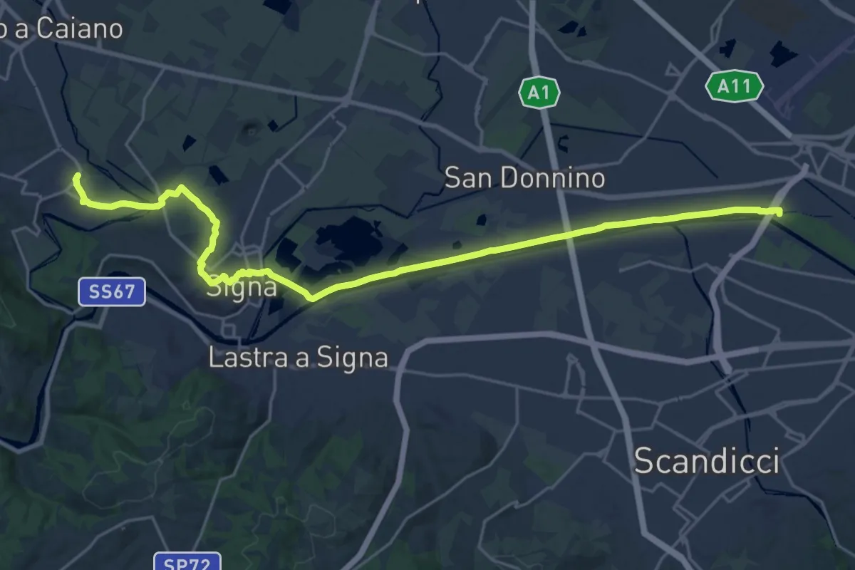
Demanding · Trail
Tappa 5 - Da Comeana a Firenze
26.8 km · ↑ 177 m · 6 h 42 min
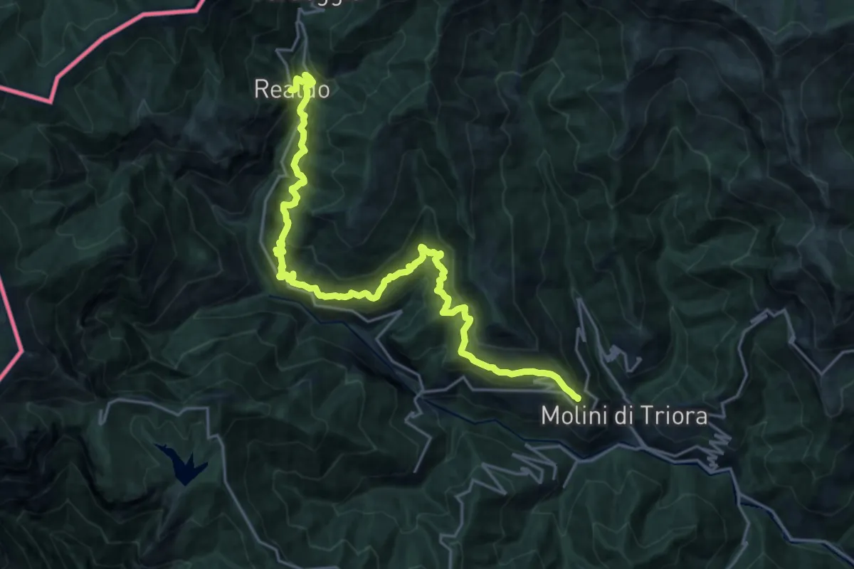
Demanding · Cabin
Tappa5-Realdo-Triora
11.5 km · ↑ 1050 m · 5 h 3 min
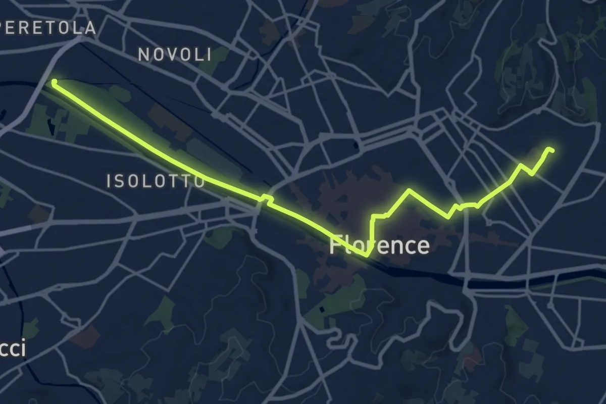
Demanding · Trail
Tappa 6 - Attraverso Firenze
18.6 km · ↑ 58 m · 4 h 31 min
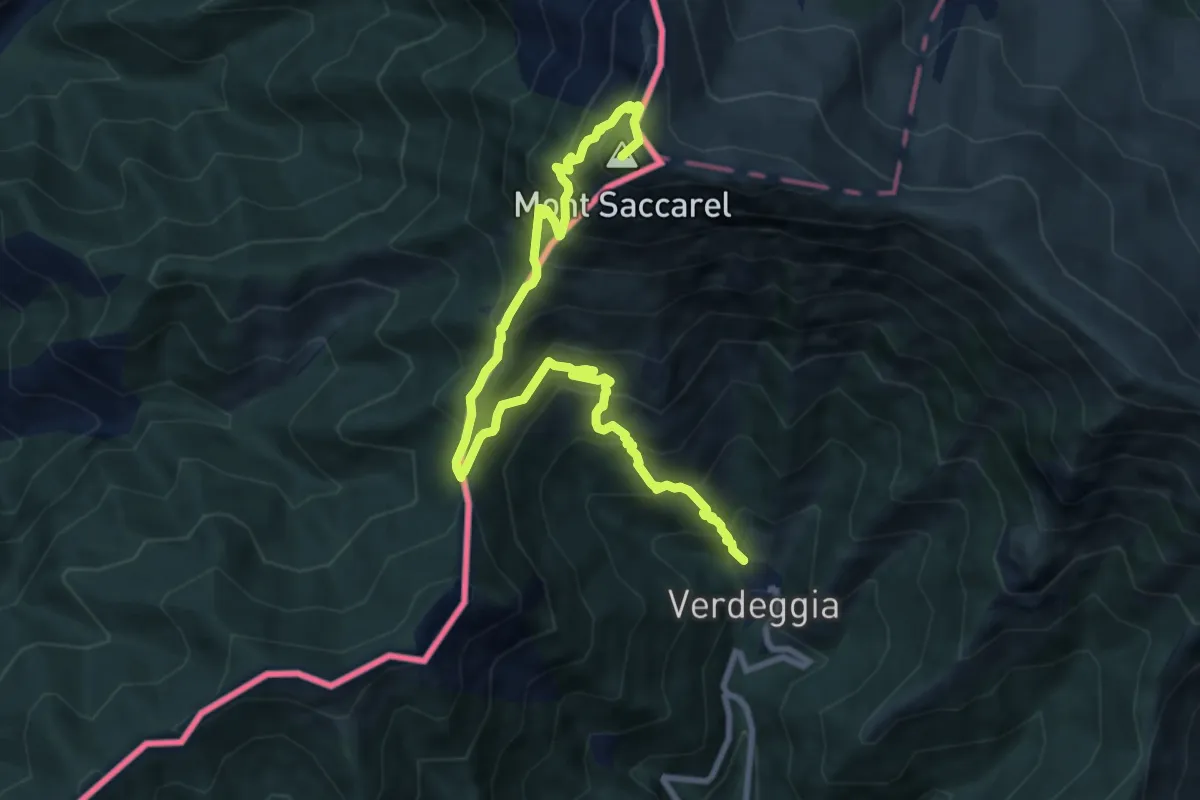
Demanding · Summit
Tappa6-Realdo-P.so Garlenda
10.9 km · ↑ 1170 m · 5 h 7 min
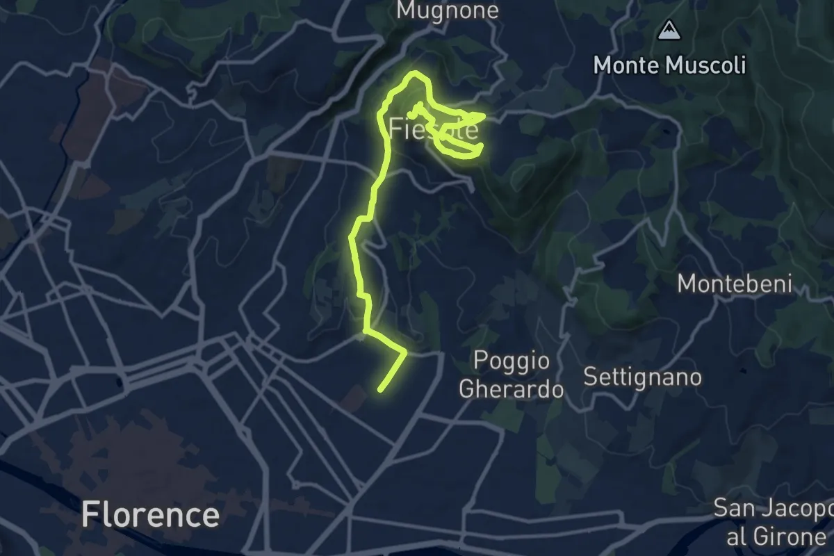
Medium · Summit
Tappa 7 - Da Firenze a Fiesole
15.1 km · ↑ 507 m · 4 h 39 min
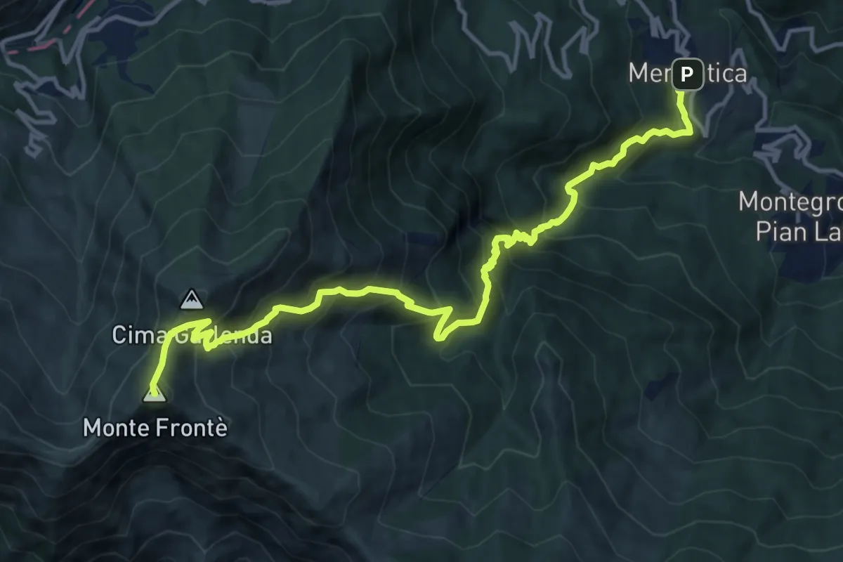
Demanding · Summit
Tappa 7-P.so Garlenda-Mendatica
15.0 km · ↑ 1619 m · 7 h 3 min
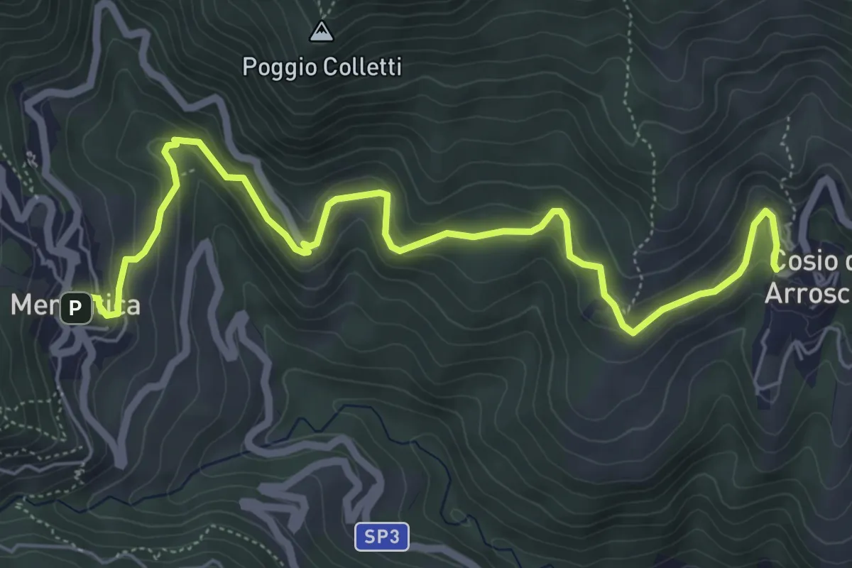
Medium · Trail
Tappa 8-Mendatica-Cosio Arroscia
7.3 km · ↑ 334 m · 2 h 26 min
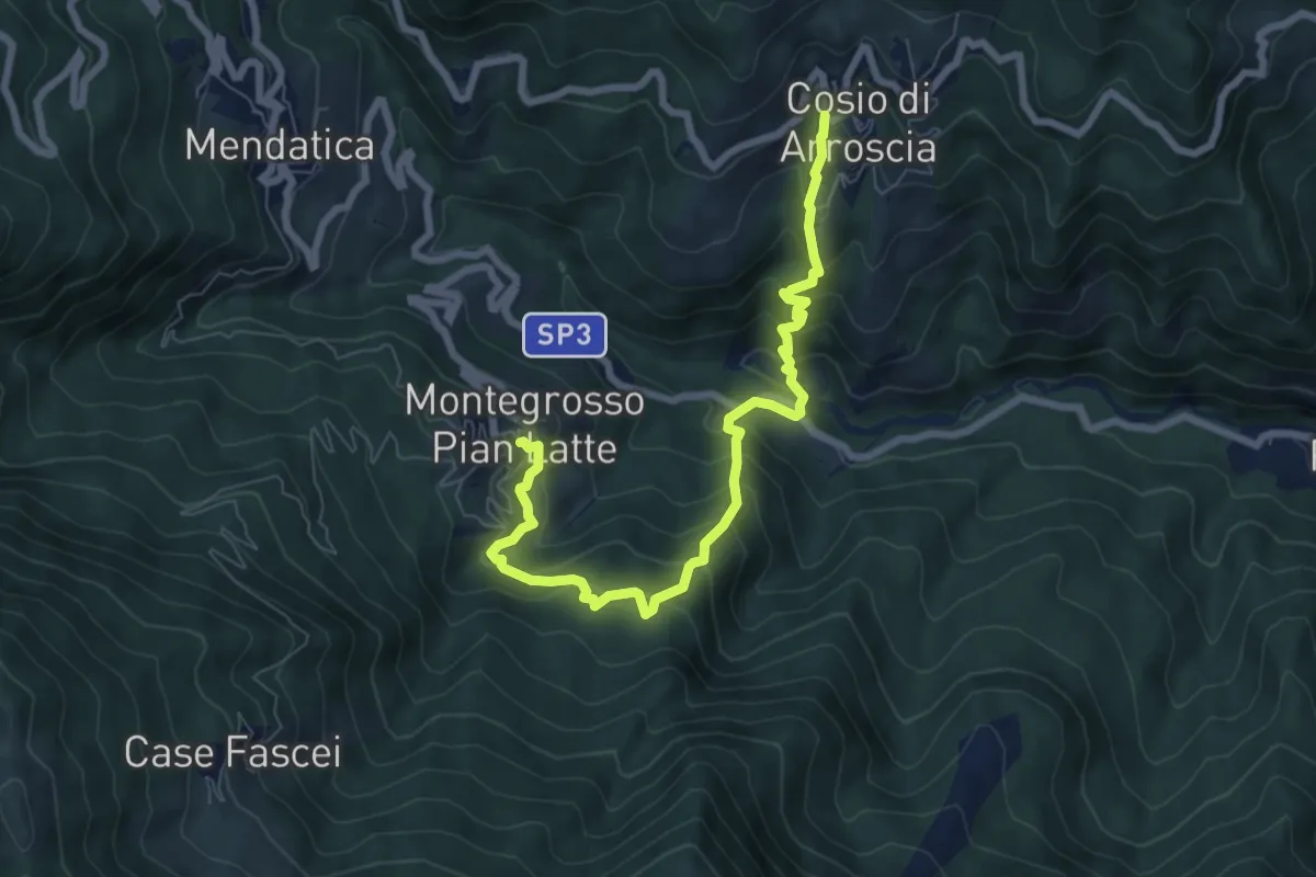
Medium · Trail
Tappa9-Montegrosso PL-Cosio Arroscia
8.3 km · ↑ 739 m · 3 h 34 min
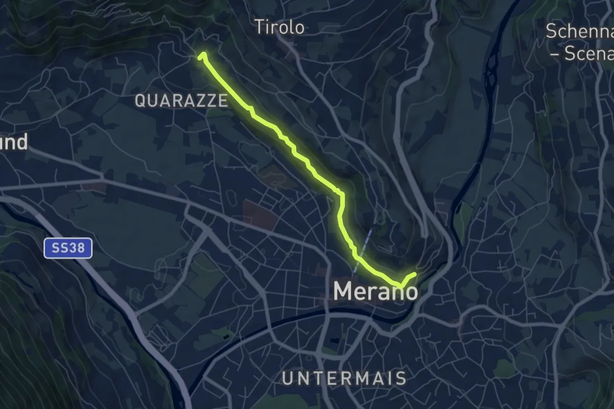
Medium · Trail
Tappeinerweg - Passeggiata Tappeiner
5.9 km · ↑ 349 m · 2 h 9 min
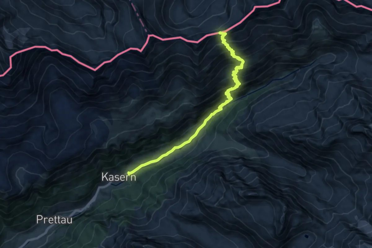
Demanding · Trail
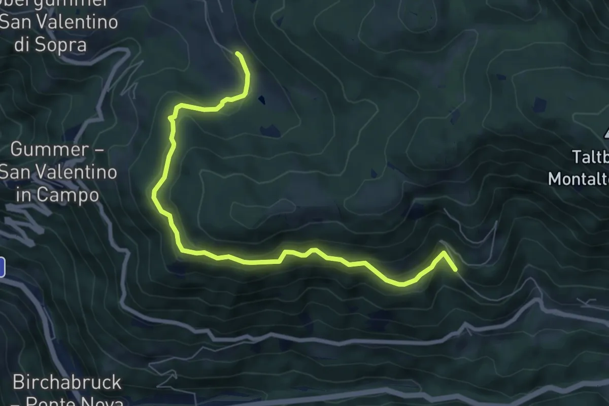
Tauernweg
14.8 km · ↑ 1056 m · 5 h 47 min
Medium · Trail
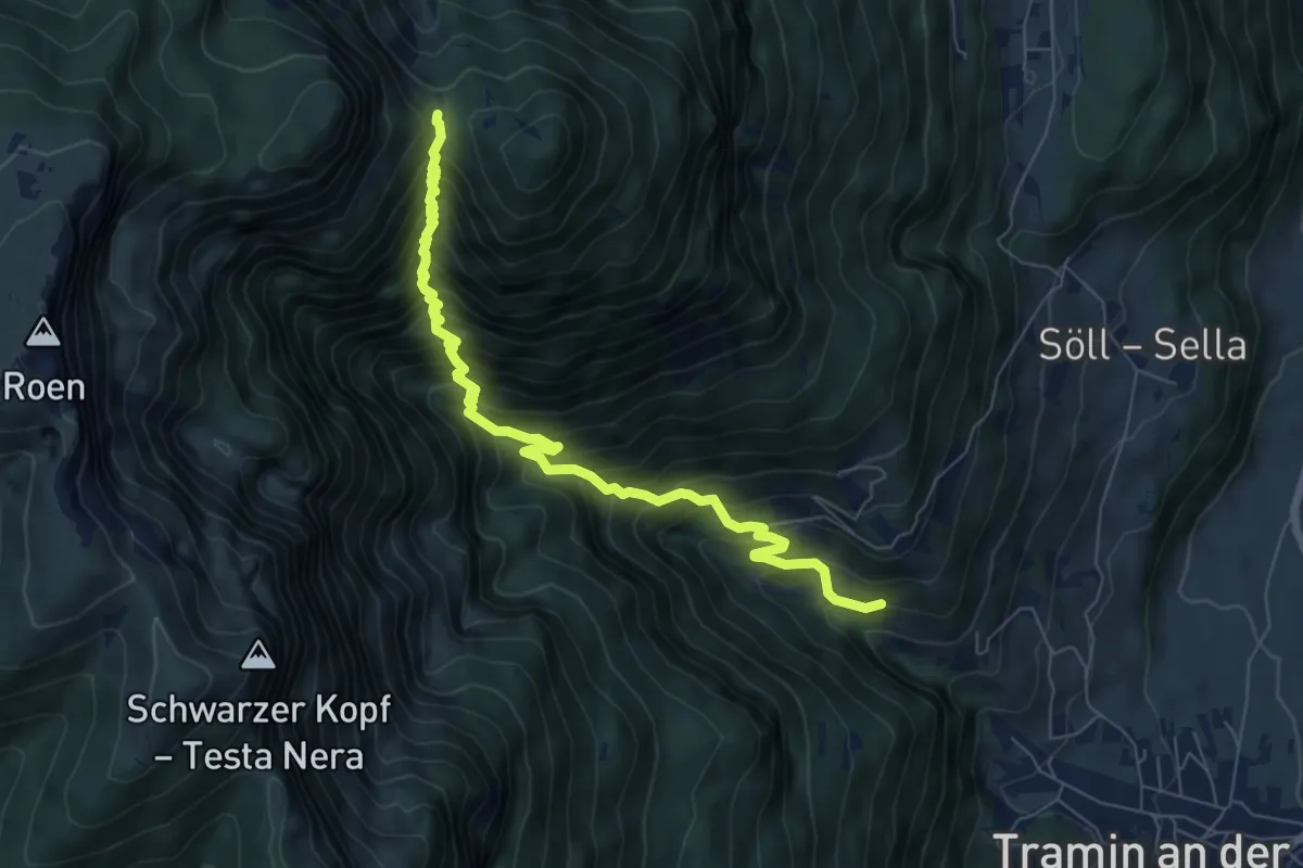
Taufenweg
7.7 km · ↑ 490 m · 2 h 53 min
Demanding · Trail
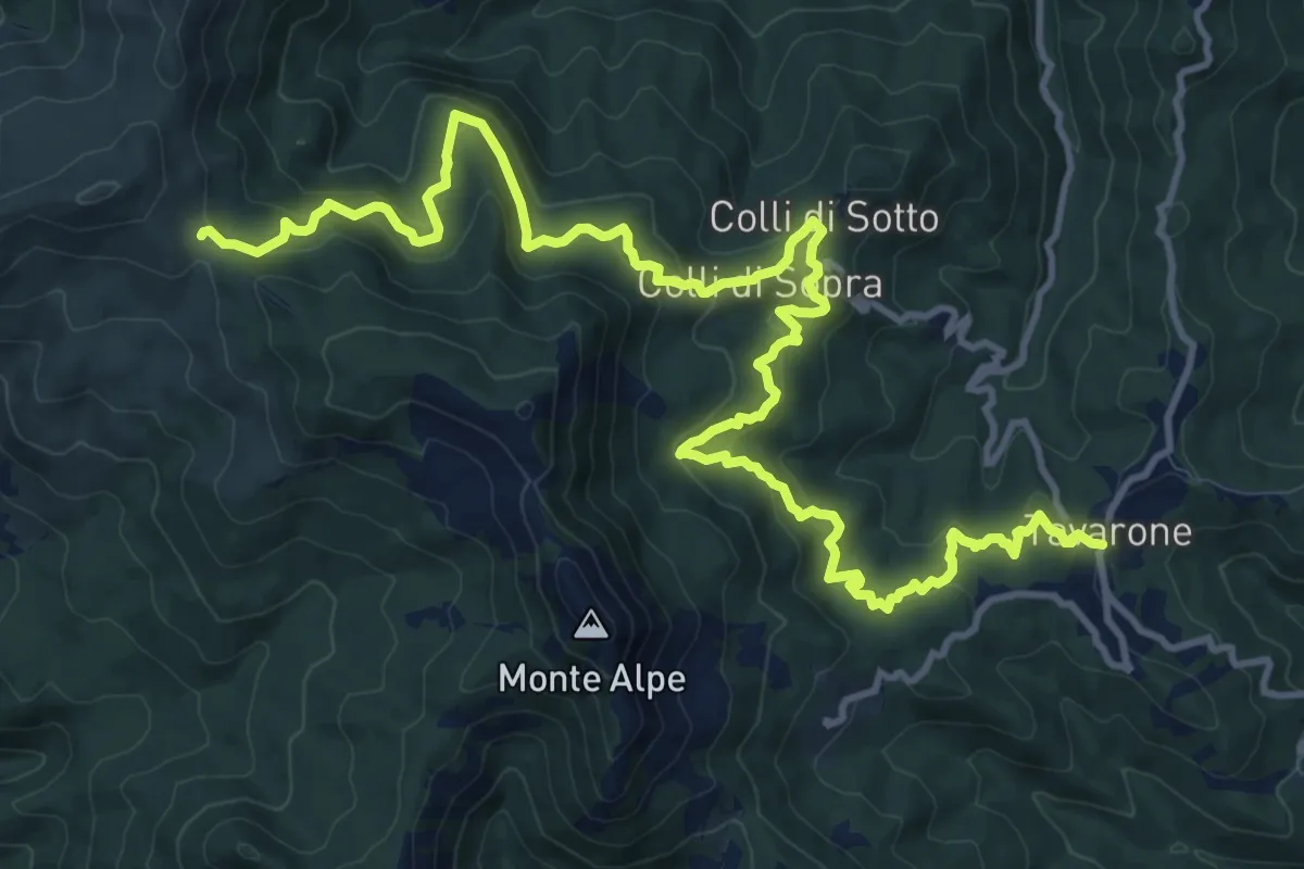
Taurisweg
7.4 km · ↑ 990 m · 3 h 54 min
Demanding · Trail
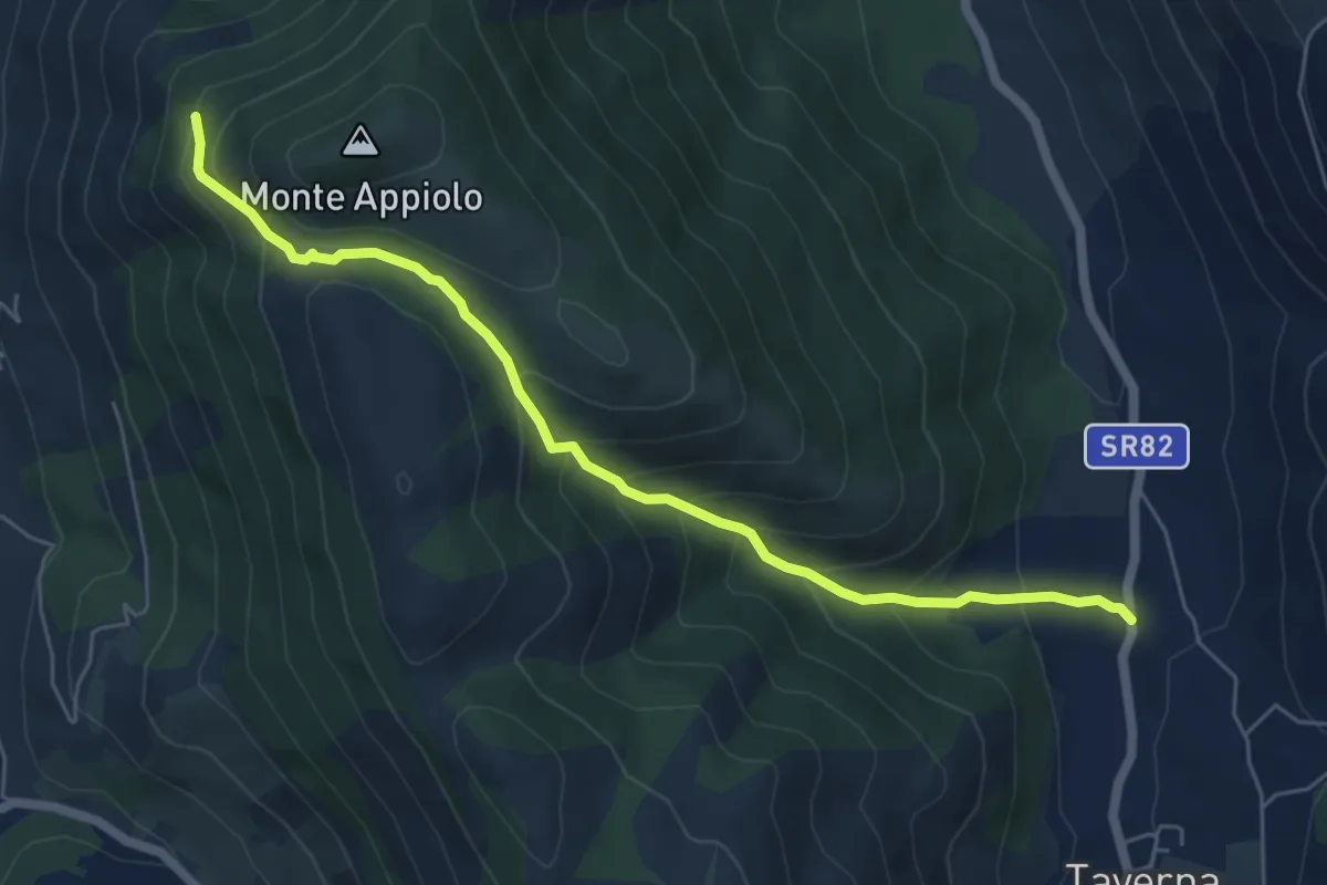
Tavarone - Villa Casoni - Colli di Sotto - Passo del Bocco di Bargone
17.2 km · ↑ 1043 m · 6 h 19 min
Medium · Trail
Taverna-Rifugio Monte Appiolo
6.7 km · ↑ 513 m · 2 h 42 min
Medium · Trail
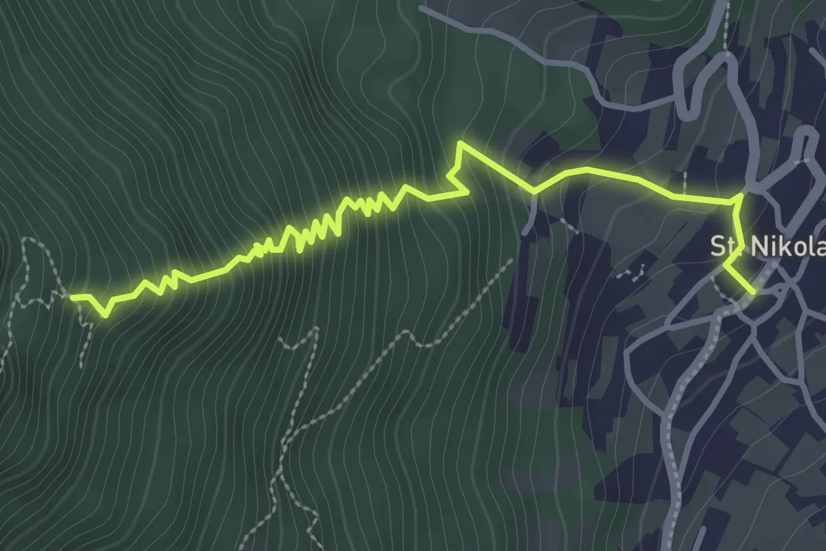
Telefonsteig
3.6 km · ↑ 446 m · 1 h 49 min
Demanding · Summit
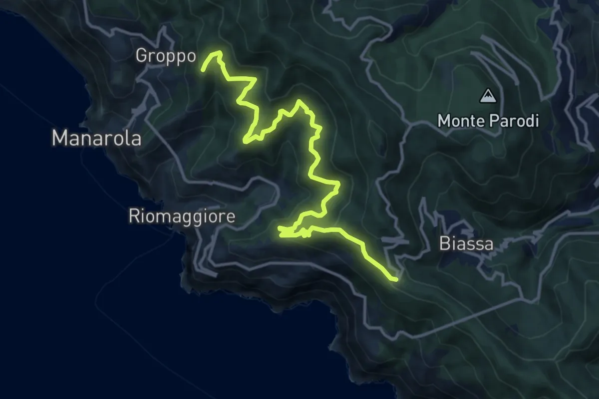
Telegrafo – Volastra (Strada dei Santuari)
13.5 km · ↑ 1102 m · 5 h 34 min
Medium · Trail
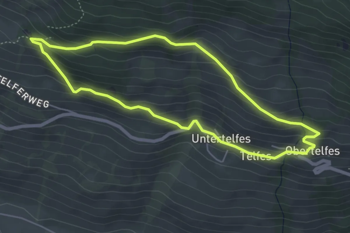
Telfer Rundweg
4.3 km · ↑ 266 m · 1 h 39 min
Demanding · Trail
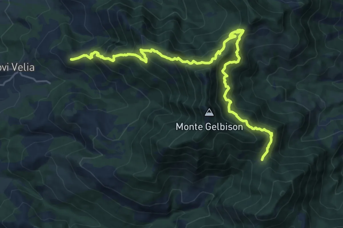
Tempa de lupo - Vaddilonga - Cresta / Uomo morto - Passo della Beta
9.6 km · ↑ 1103 m · 4 h 33 min
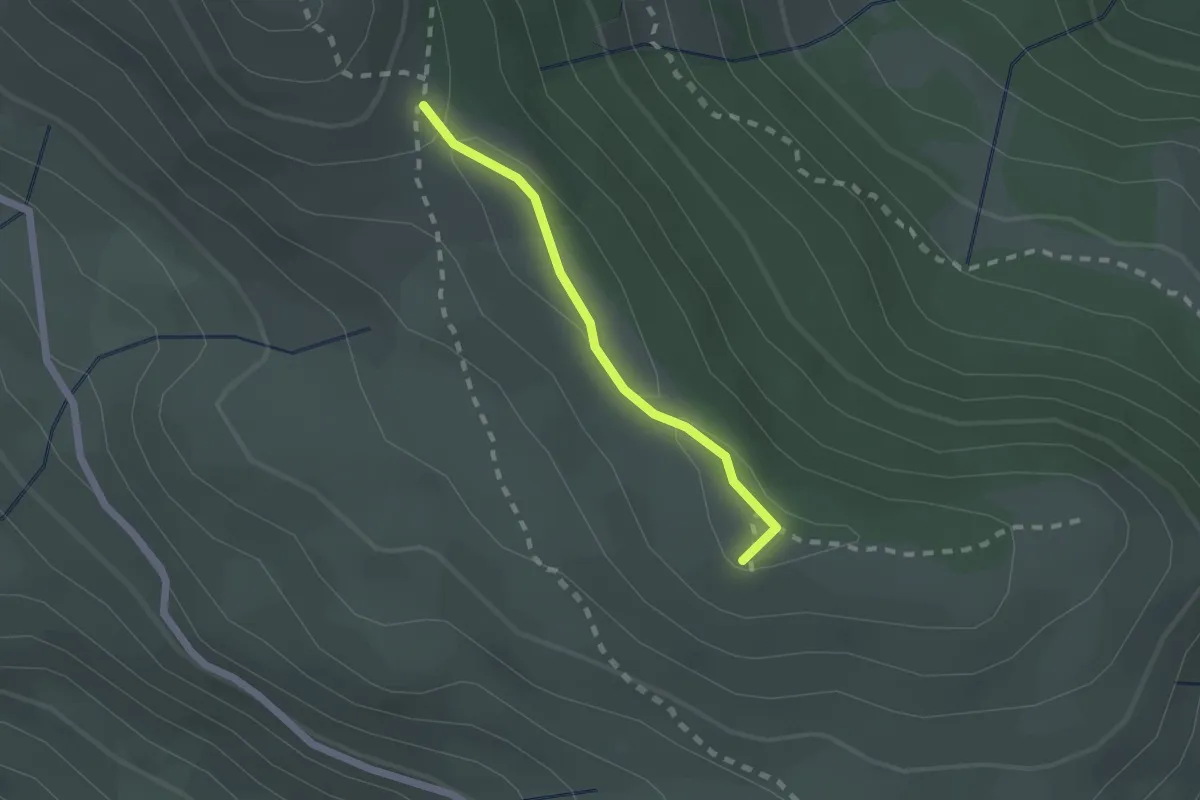
Medium · Summit
Tenneti – Poggio del Sasso Ritto
1.7 km · ↑ 30 m · 28 min
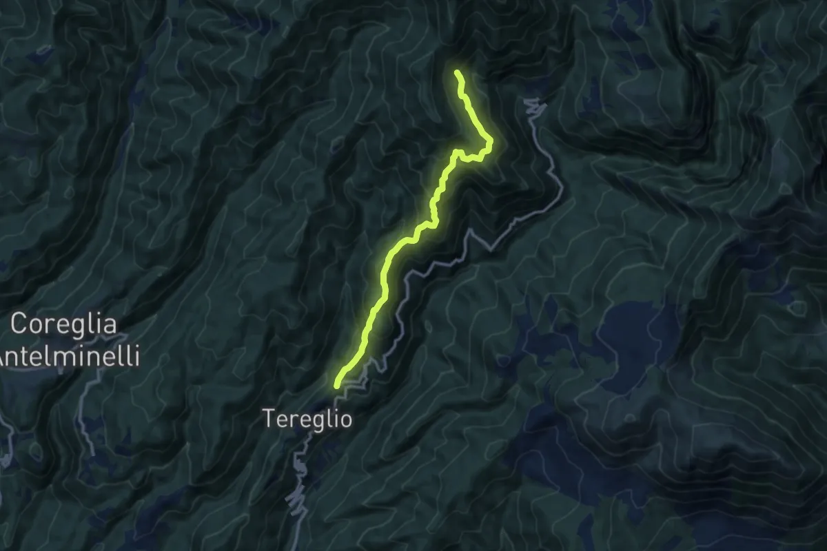
Demanding · Trail
Tereglio - Rifugiani
10.3 km · ↑ 883 m · 4 h 21 min
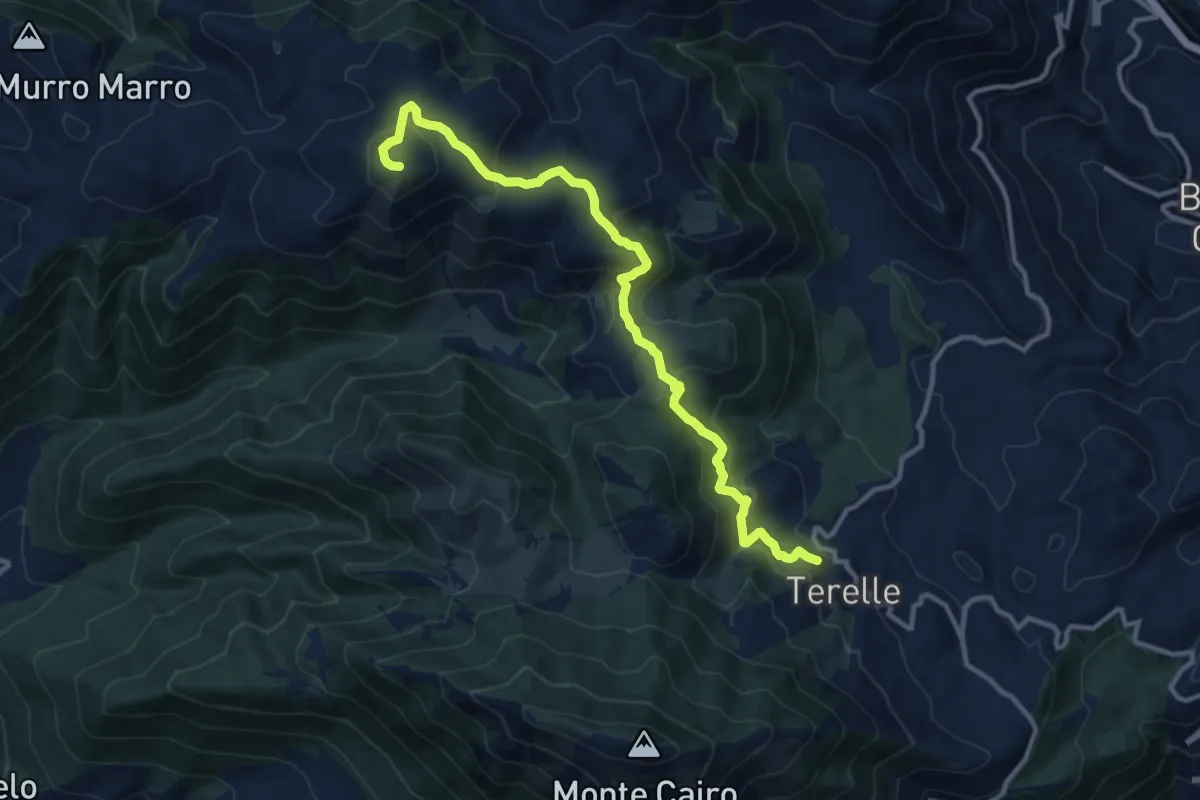
Medium · Summit
Terelle - Monte Obachelle
13.4 km · ↑ 670 m · 4 h 36 min
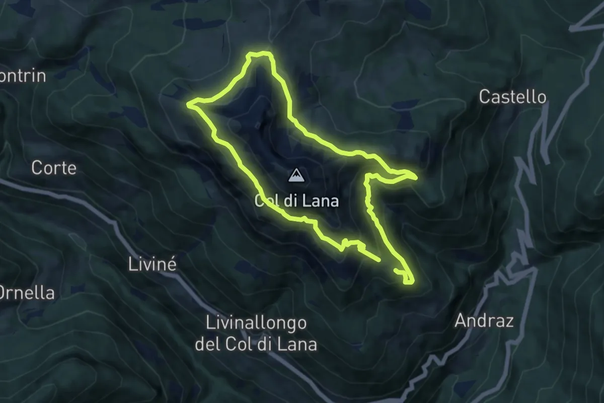
Medium · Trail
Teriol Ladin
8.3 km · ↑ 590 m · 3 h 22 min
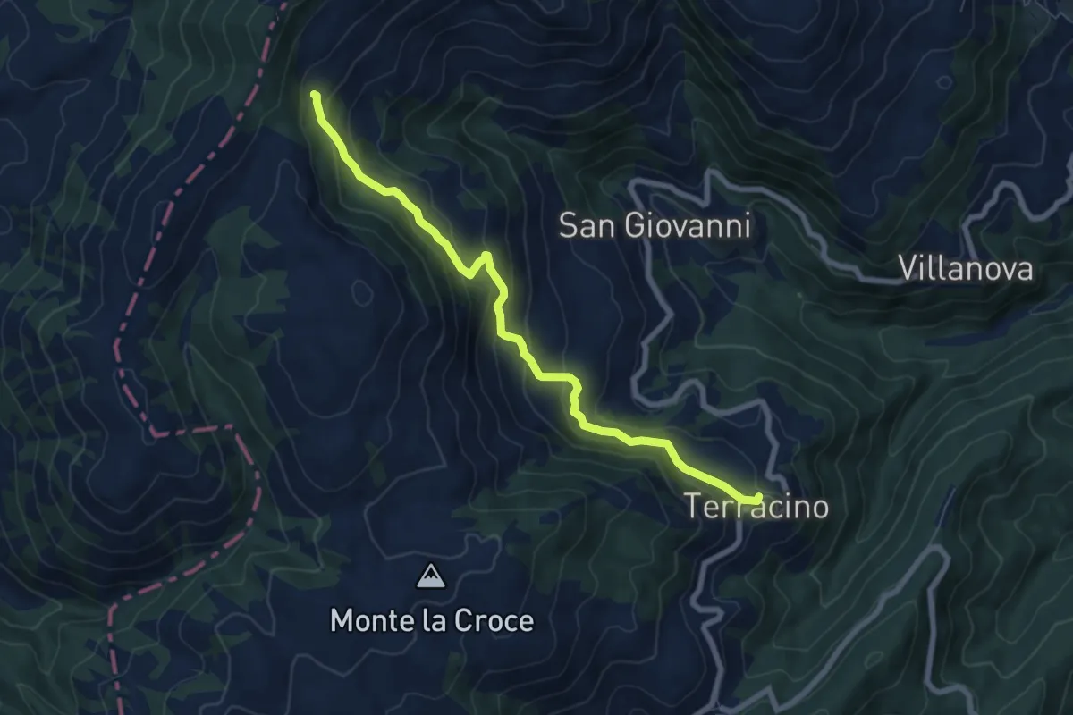
Medium · Cabin
Terracino - Rifugio Tosti
7.4 km · ↑ 411 m · 2 h 39 min
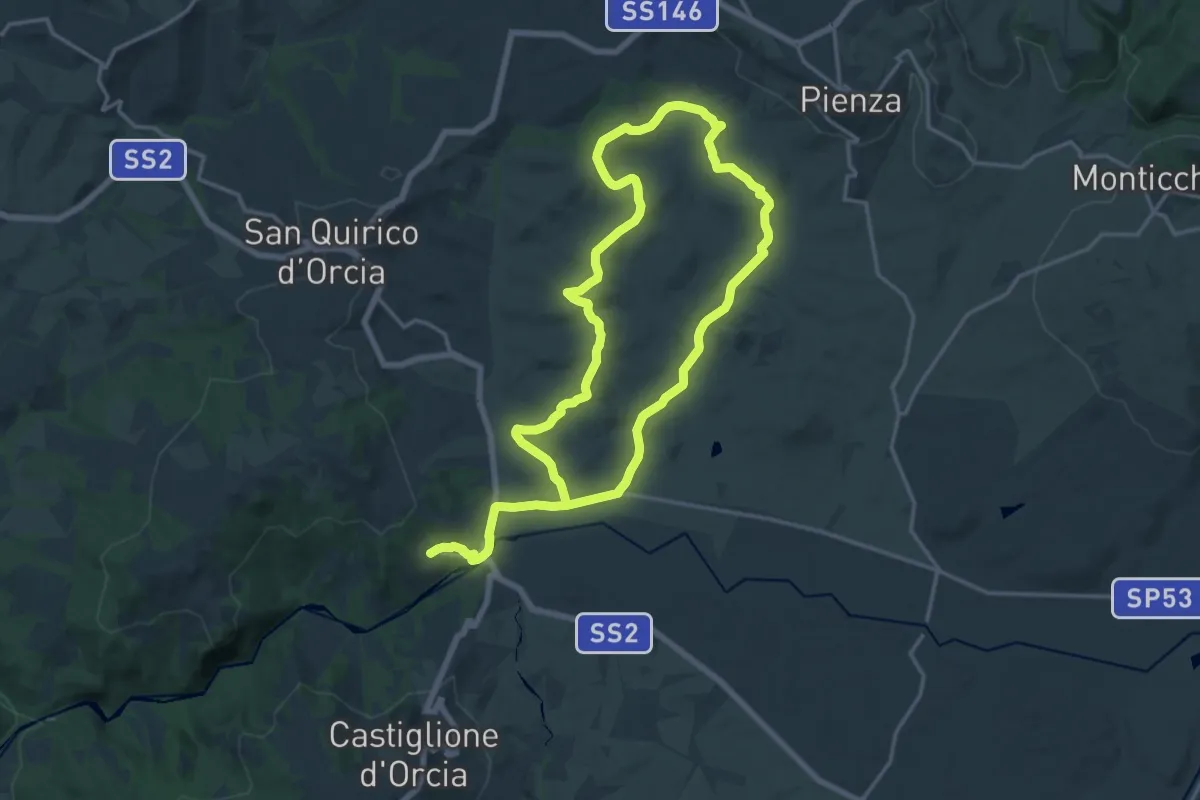
Medium · Trail
Terrapille
16.5 km · ↑ 327 m · 4 h 48 min
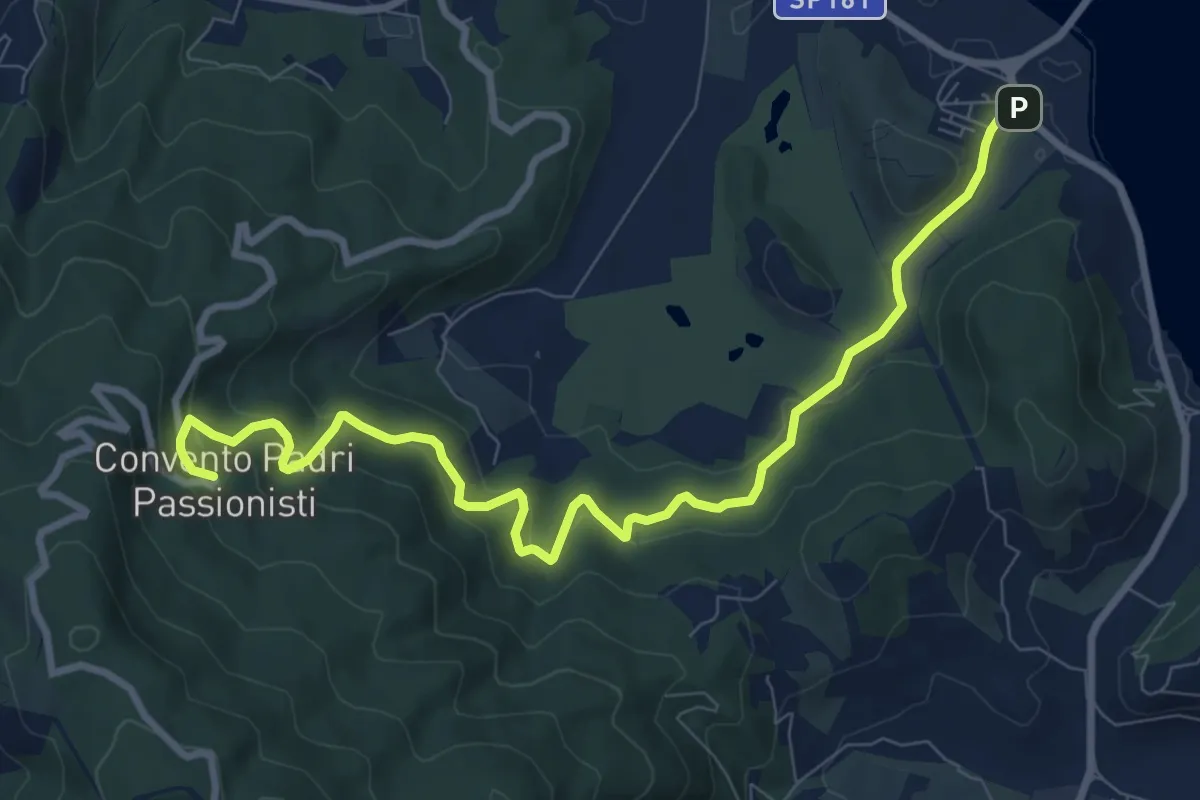
Medium · Trail
Terrarossa - Convento dei Passionisti
10.7 km · ↑ 420 m · 3 h 27 min
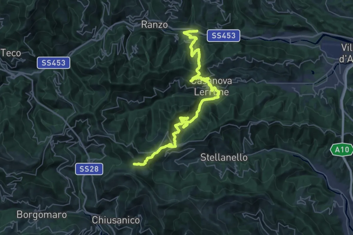
Demanding · Trail
Terre Alte
16.8 km · ↑ 1269 m · 6 h 38 min
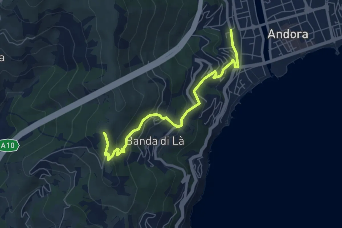
Medium · Trail
Terre Alte
6.2 km · ↑ 331 m · 2 h 10 min
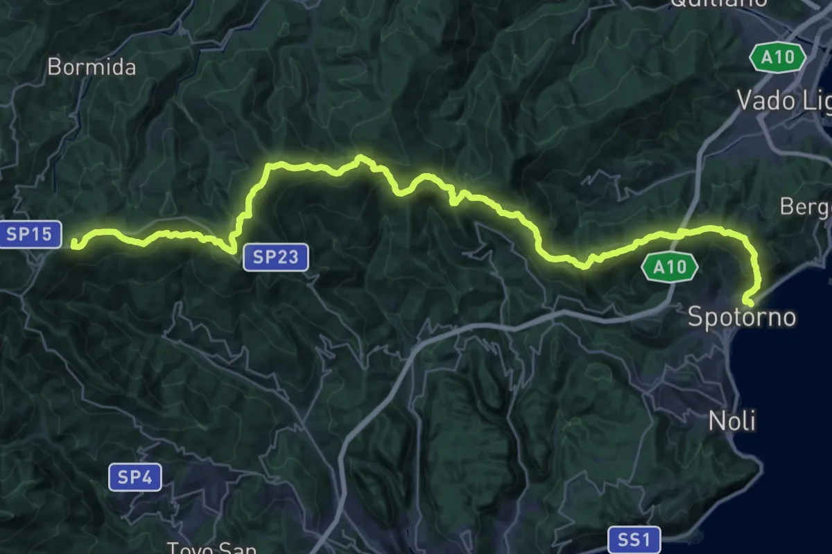
Demanding · Summit
Terre Alte
44.8 km · ↑ 2136 m · 15 h 12 min
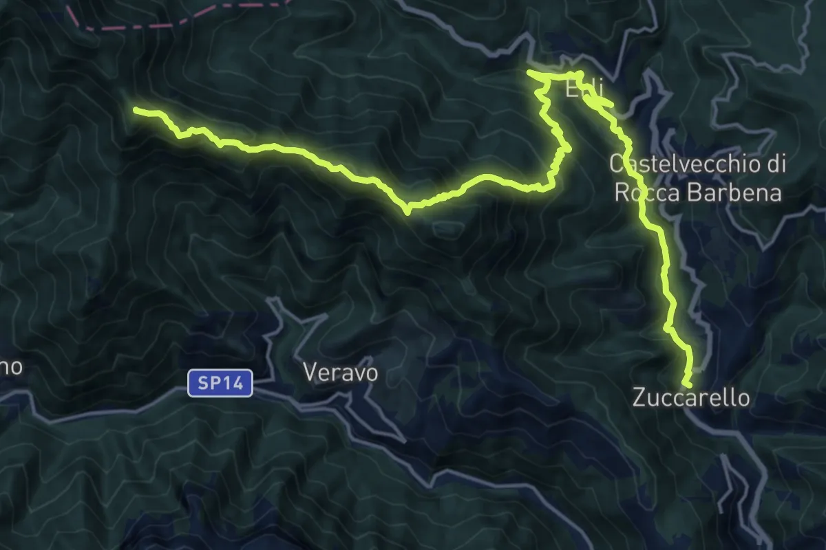
Demanding · Summit
Terre Alte (Ponterotto - Nasino - Monte Alpe - Erti - Zuccarello)
22.4 km · ↑ 1653 m · 8 h 52 min
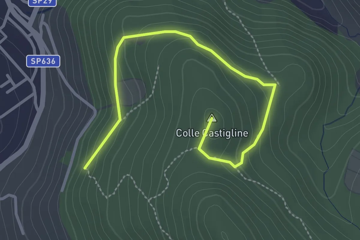
Easy · Summit
Terre Bianche-Castiglione
3.3 km · ↑ 123 m · 1 h 2 min
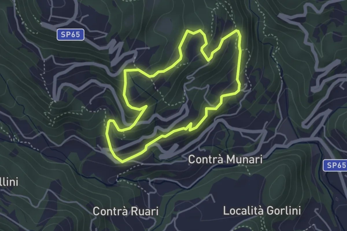
Medium · Trail
Terre e miniere
3.6 km · ↑ 251 m · 1 h 26 min
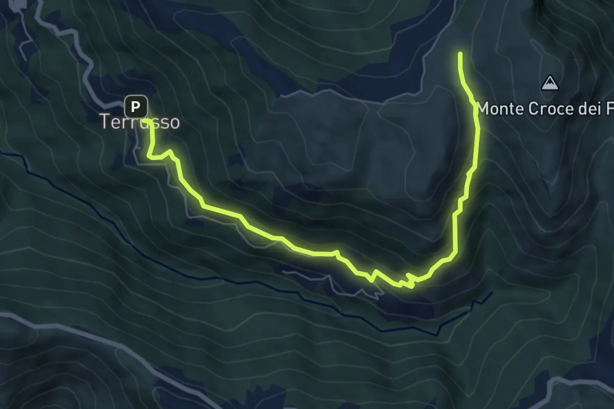
Medium · Trail
Terrusso - Cisiano - Piano della Speranza
7.6 km · ↑ 492 m · 2 h 51 min
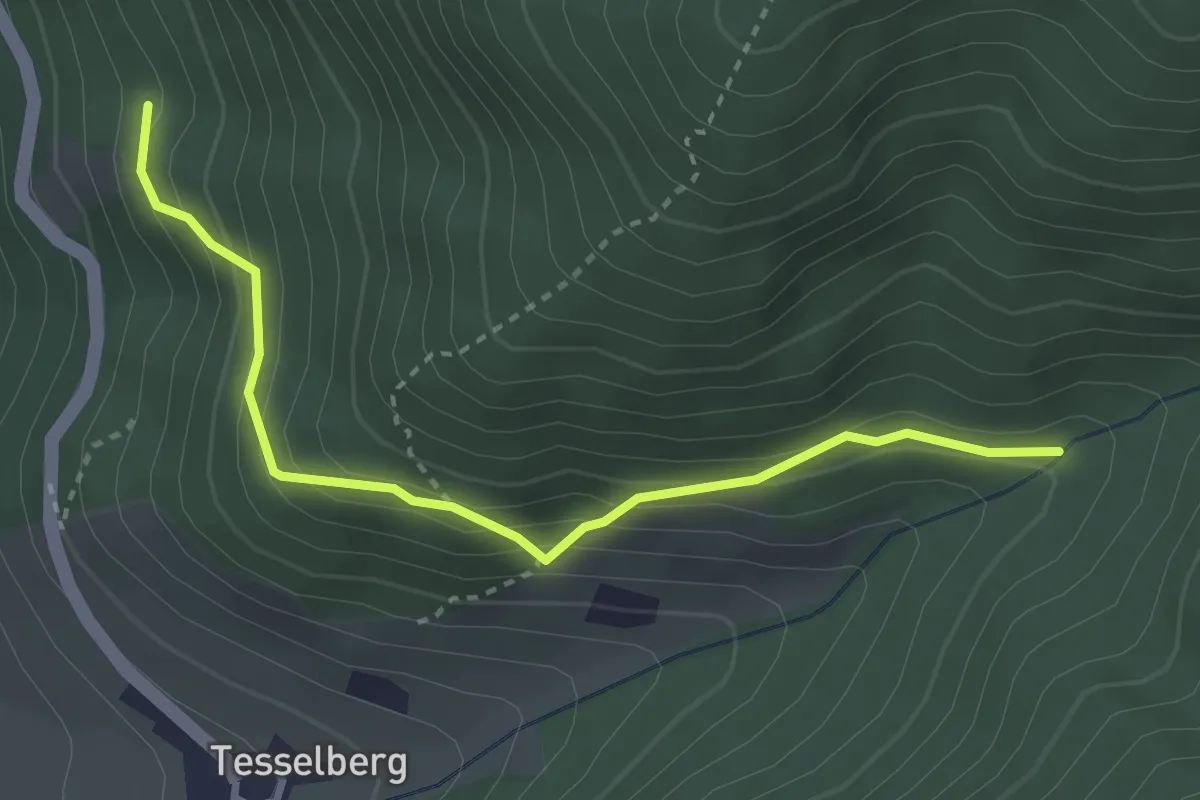
Medium · Trail
Tesselberg
3.2 km · ↑ 289 m · 1 h 23 min
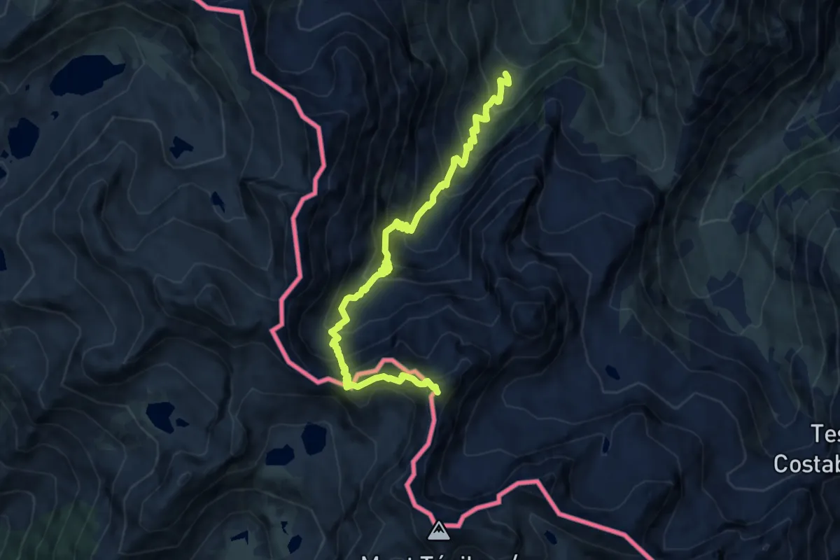
Expert · Summit
Testa dell'Ubac da Prati del Vallone
10.2 km · ↑ 1063 m · 4 h 43 min
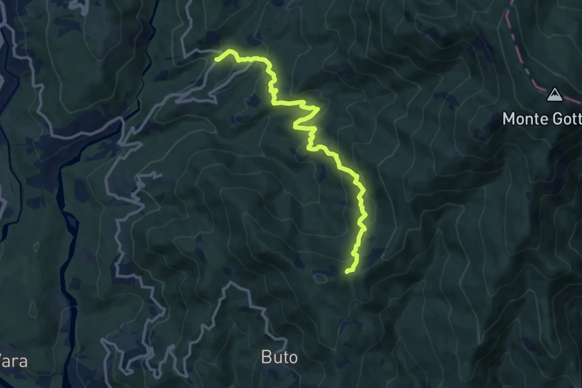
Medium · Trail
Teviggio - Cannelle - Pian di Lago
10.2 km · ↑ 552 m · 3 h 37 min
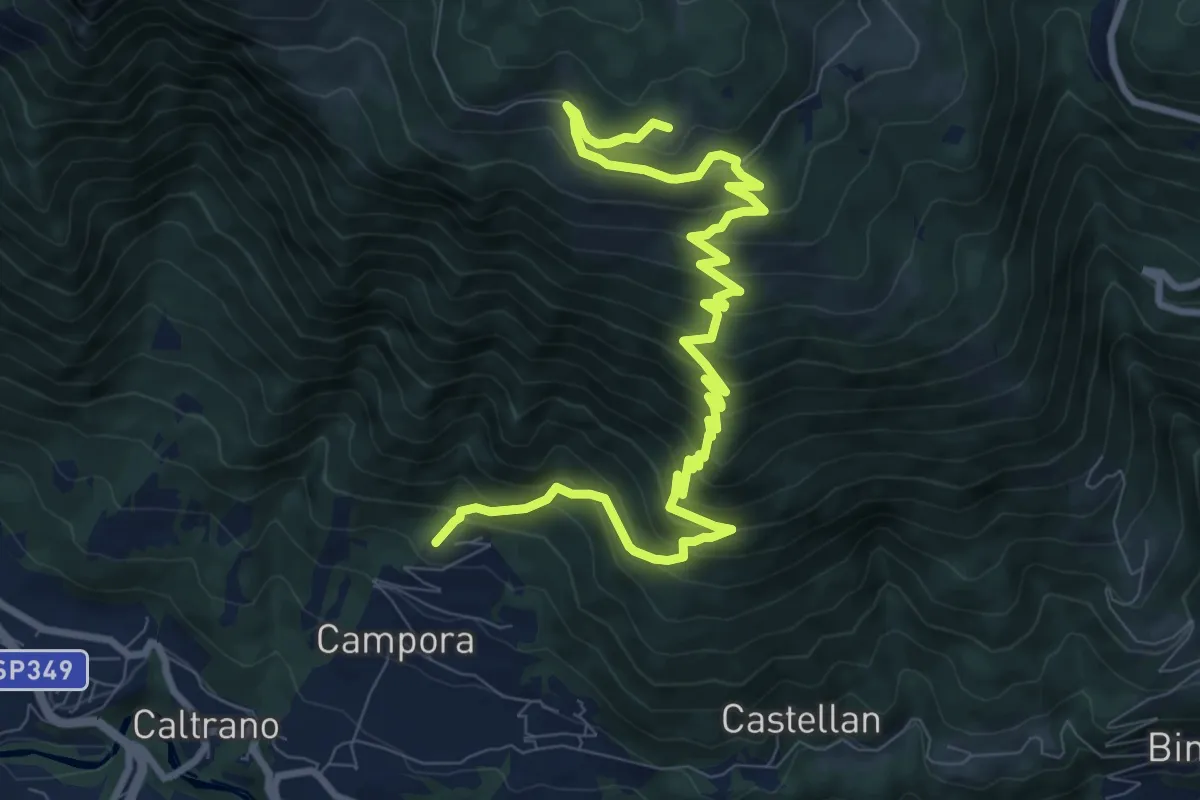
Demanding · Trail
Tezze di Caltrano - Malga Foraoro
12.2 km · ↑ 1011 m · 5 h 4 min
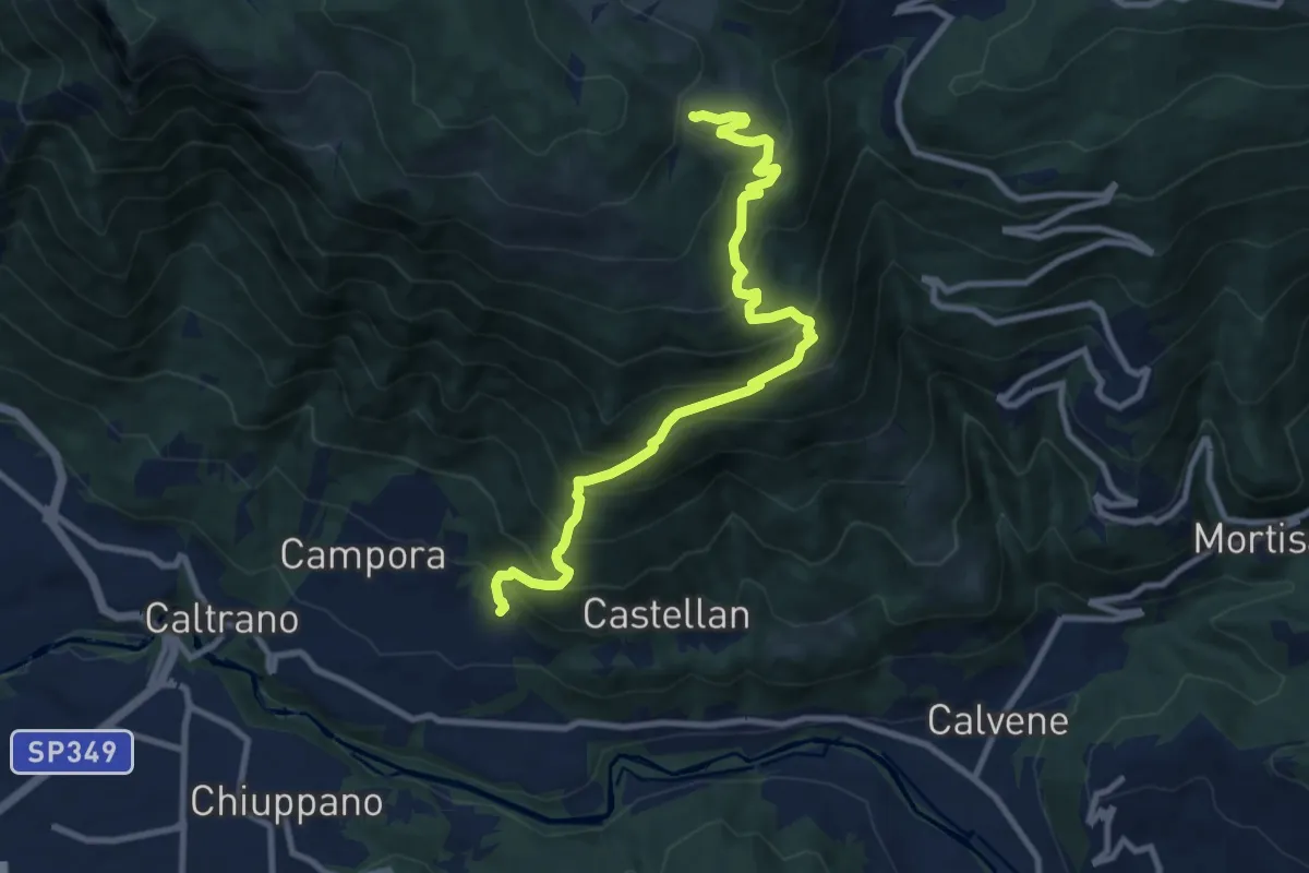
Demanding · Trail
Tezze di Caltrano - Malga Serona
10.5 km · ↑ 938 m · 4 h 30 min
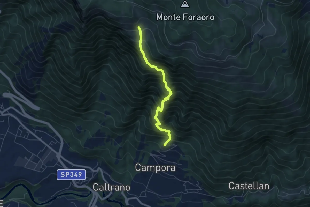
Demanding · Trail
Tezze di Caltrano - Malga Sunio
5.6 km · ↑ 857 m · 3 h 11 min
Medium · Trail
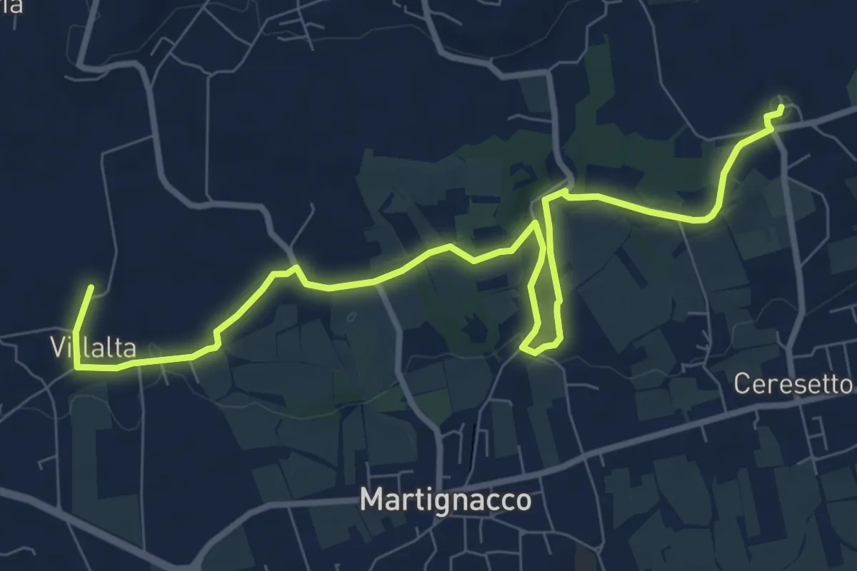
The castle and water mill route
10.3 km · ↑ 106 m · 2 h 40 min
Easy · Trail
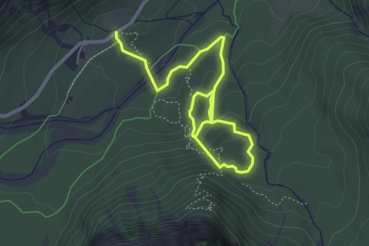
The Forest Sound Track
6.1 km · ↑ 288 m · 2 h 4 min
Medium · Summit
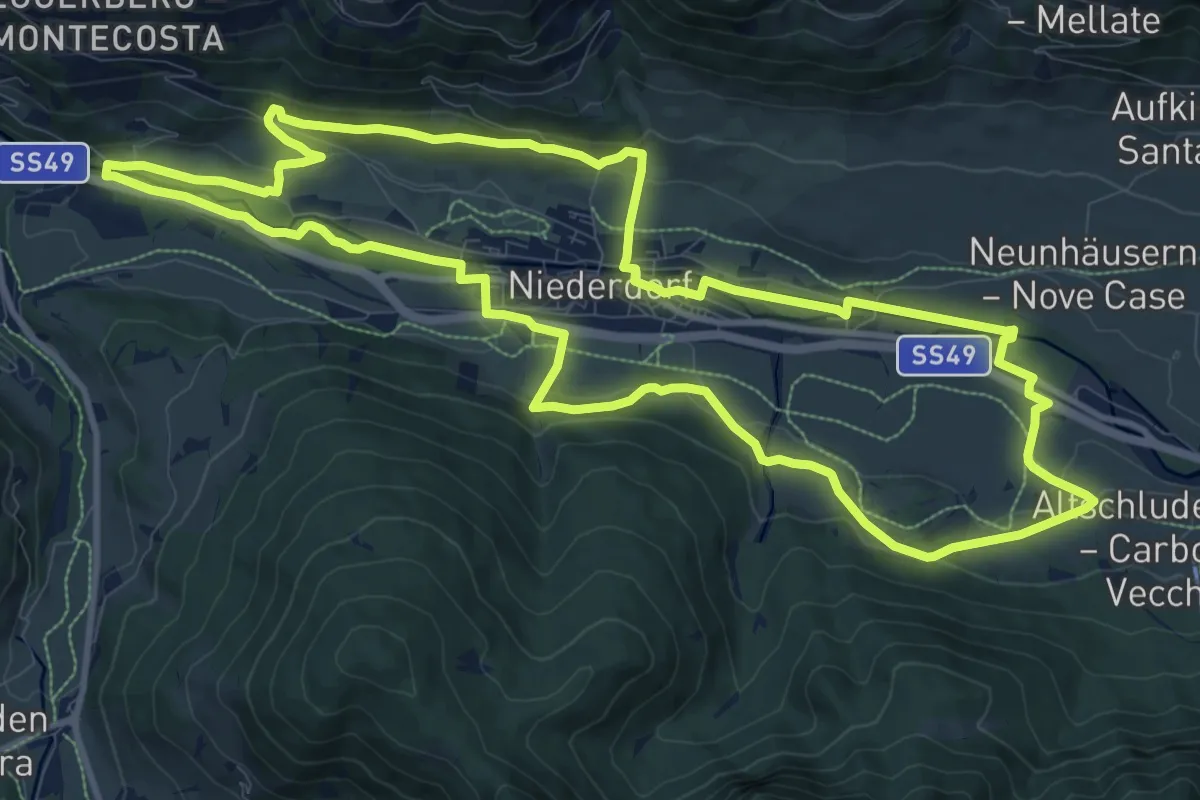
Themenweg Niederdorf
12.0 km · ↑ 248 m · 3 h 33 min
Easy · Trail
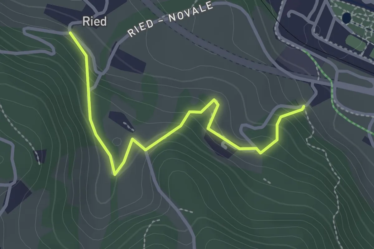
Themenweg vom Korn zum Brot
2.6 km · ↑ 153 m · 57 min
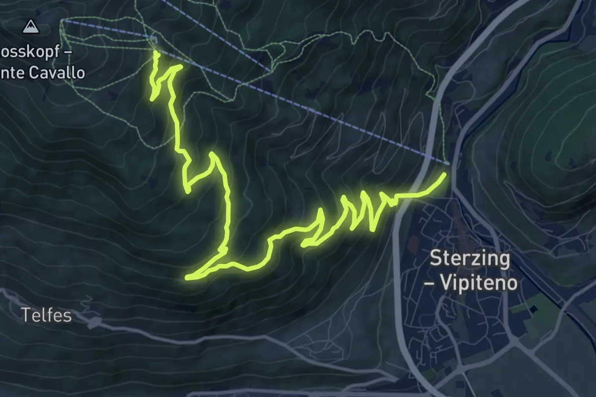
Demanding · Trail
Thuins
16.5 km · ↑ 1015 m · 6 h 5 min
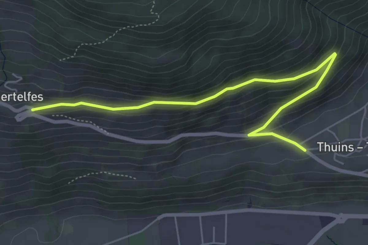
Easy · Trail
Thuins-Telfes
5.8 km · ↑ 244 m · 1 h 53 min
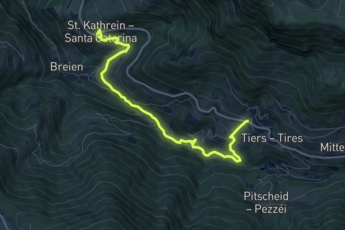
Demanding · Trail
Tierser Höfeweg
9.0 km · ↑ 508 m · 3 h 14 min
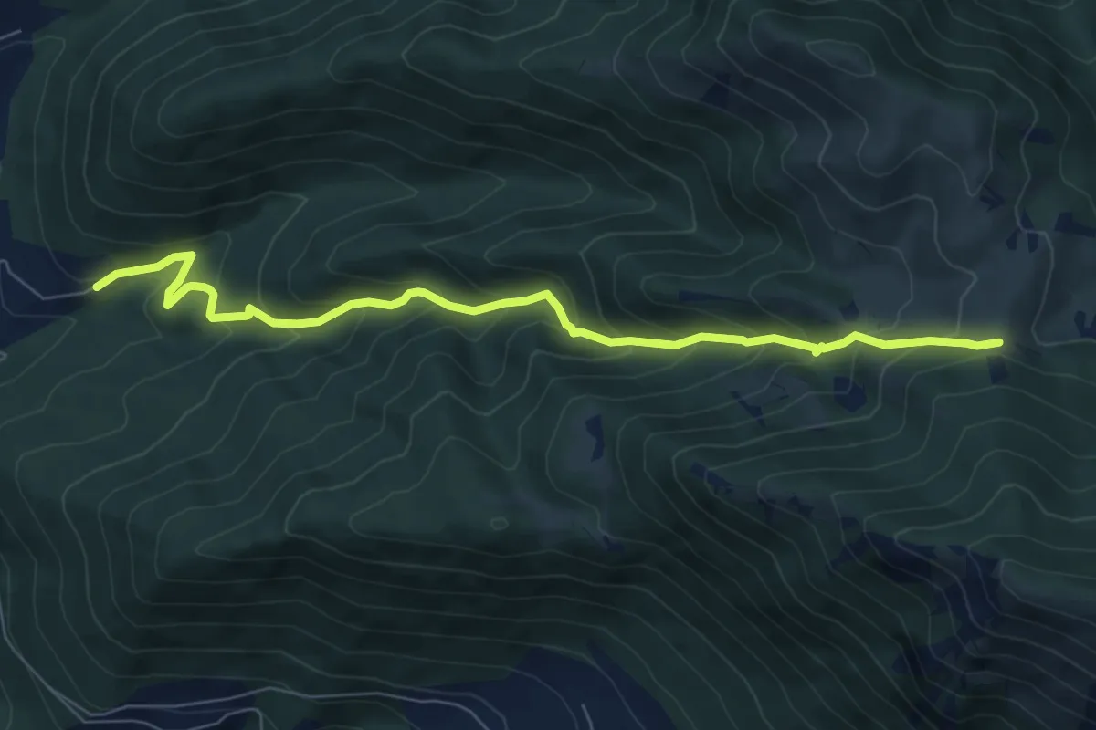
Medium · Cabin
Tigione - Pozzacone
8.2 km · ↑ 650 m · 3 h 20 min