Trails in Italy
25,219 hiking trails, each with its route, climb, walking time and grade.
All trails, page 202 of 526
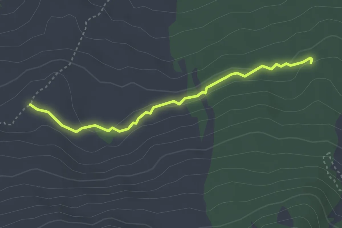
Medium · Cabin
Timparossa Grotta del Gelo
3.4 km · ↑ 73 m · 58 min
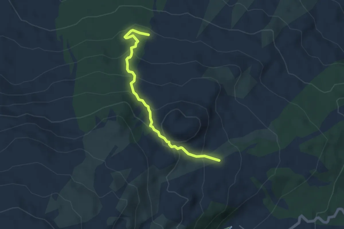
Expert · Trail
Timparossa - Piano Provenzana
4.9 km · ↑ 264 m · 1 h 43 min
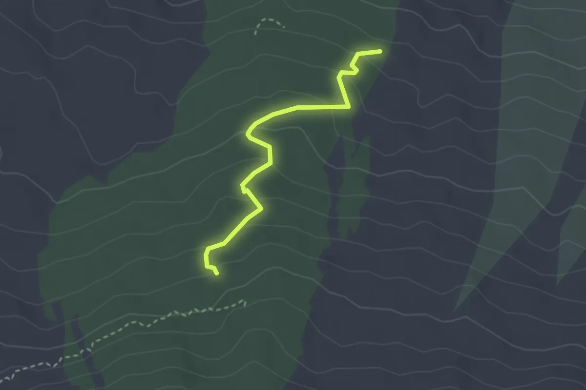
Easy · Trail
Timparossa - Pista Altomontana
2.9 km · ↑ 156 m · 1 h 2 min
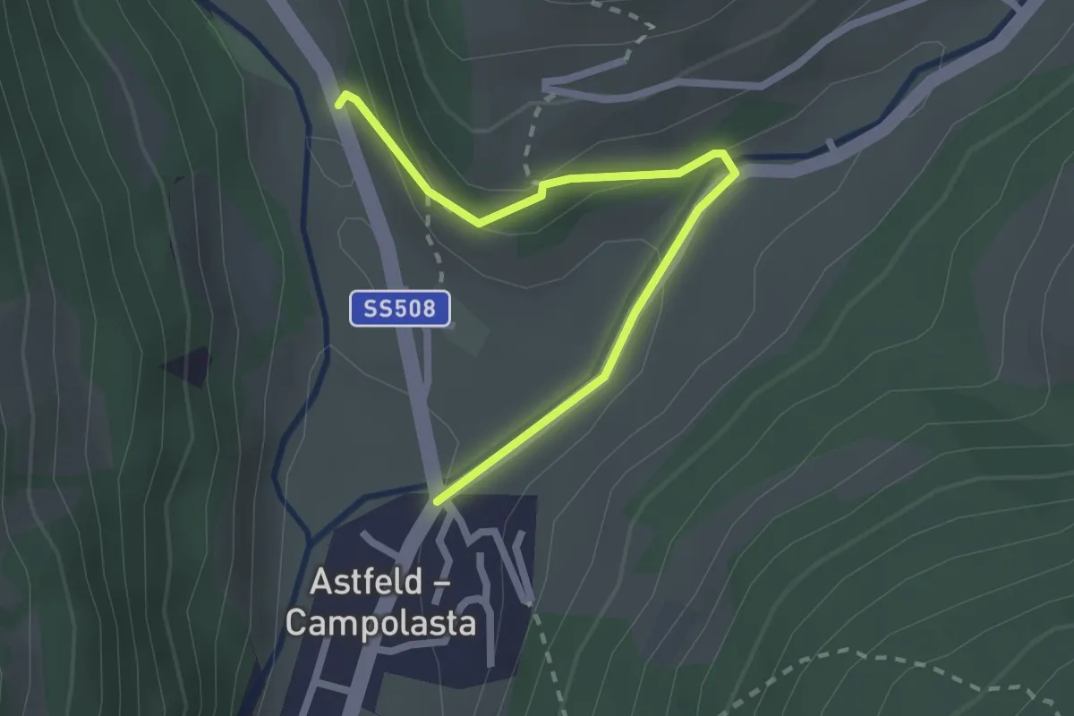
Medium · Trail
Timpfler Rundweg
2.3 km · ↑ 112 m · 48 min
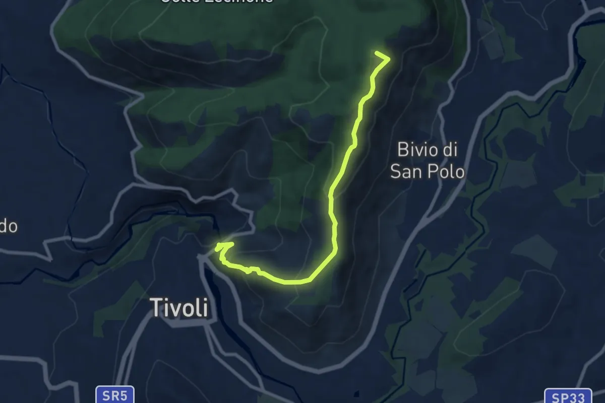
Medium · Summit
Tivoli-Colle Cucco
7.8 km · ↑ 414 m · 2 h 44 min
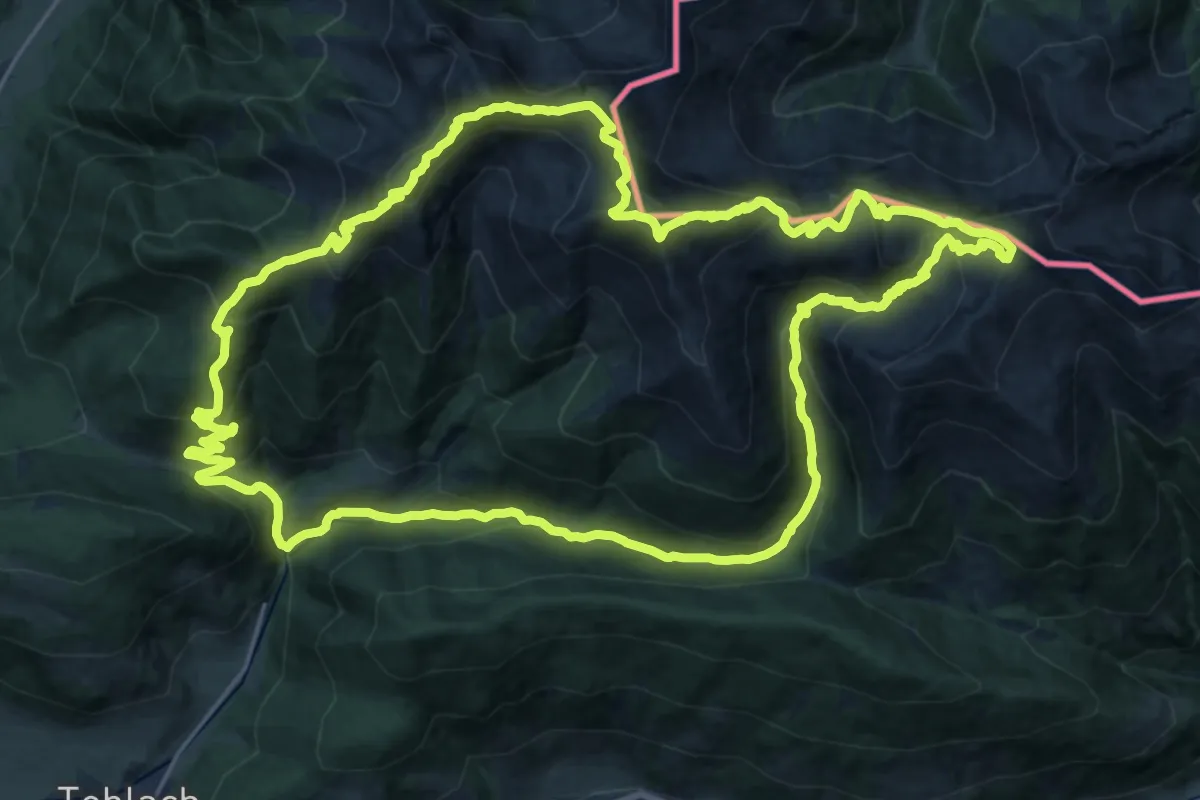
Demanding · Summit
Toblacher Höhenweg
26.1 km · ↑ 1599 m · 9 h 59 min
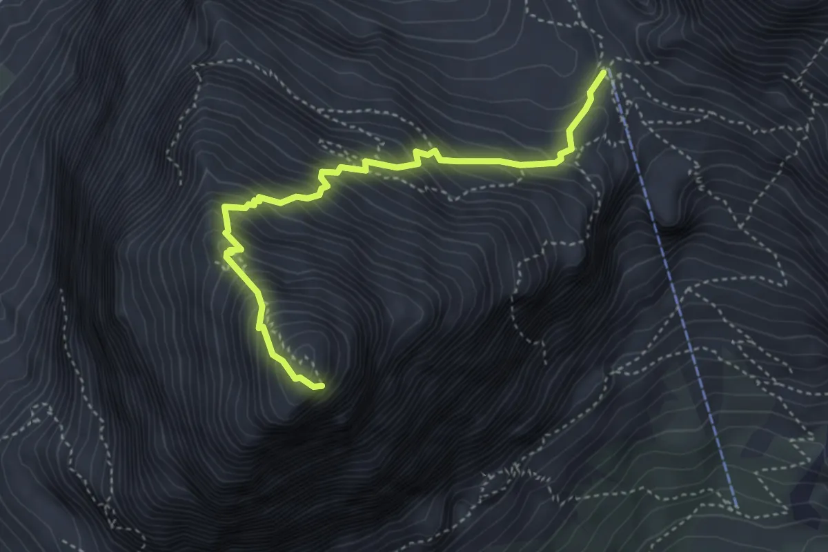
Expert · Summit
Tofana di Rozes (via normale)
4.1 km · ↑ 627 m · 2 h 19 min
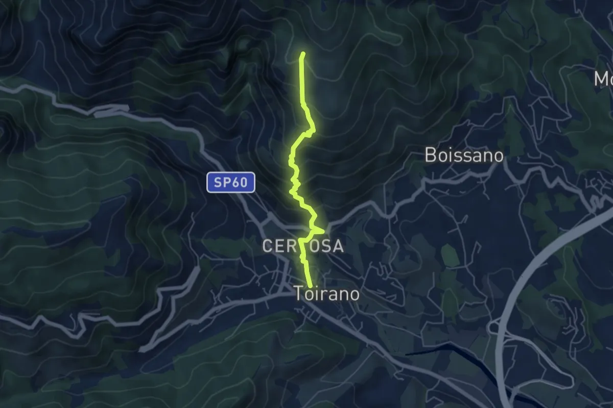
Medium · Trail
Toirano - Ca' dei Prati
4.7 km · ↑ 454 m · 2 h 6 min
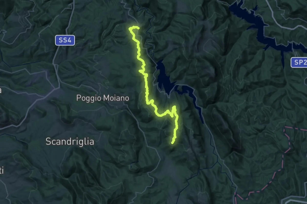
Demanding · Summit
Tomassella (Rocca Sinibada)-S.Maria del Piano (Orvinio)
39.9 km · ↑ 1868 m · 13 h 29 min
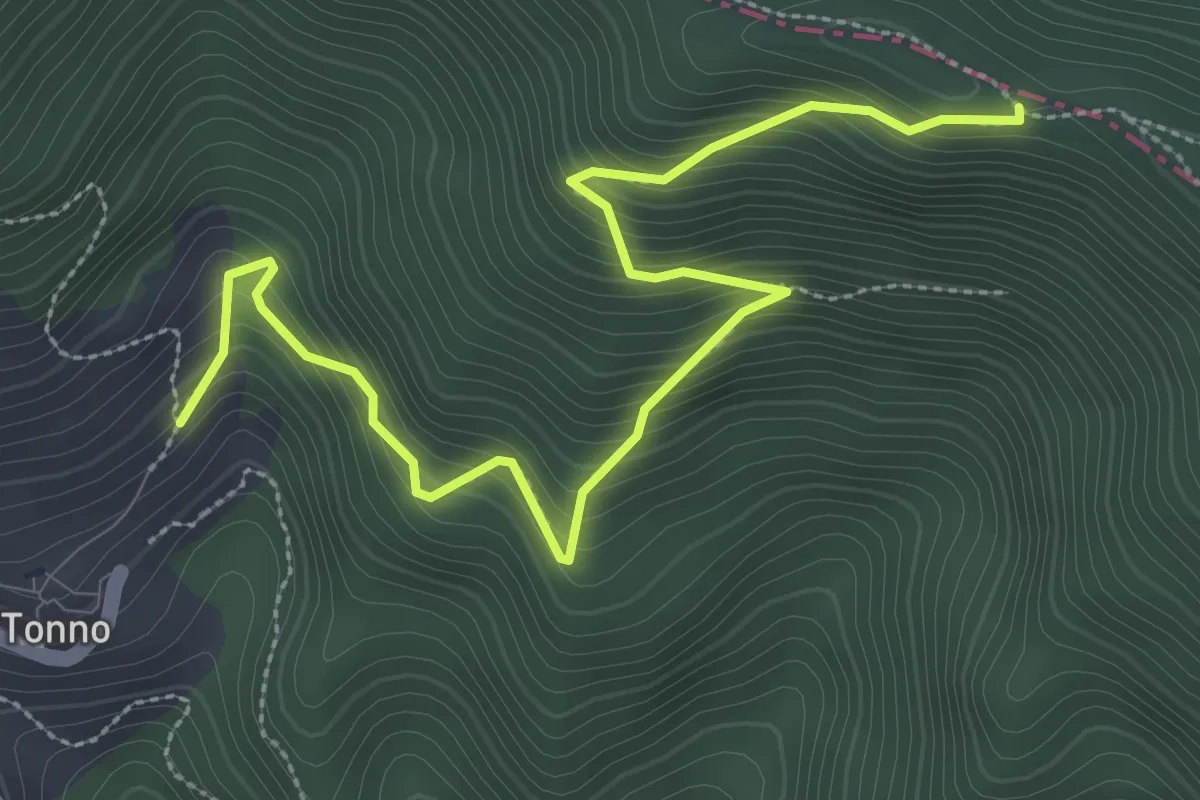
Medium · Trail
Tonno - Stazzone (Area di Sosta)
3.9 km · ↑ 446 m · 1 h 53 min
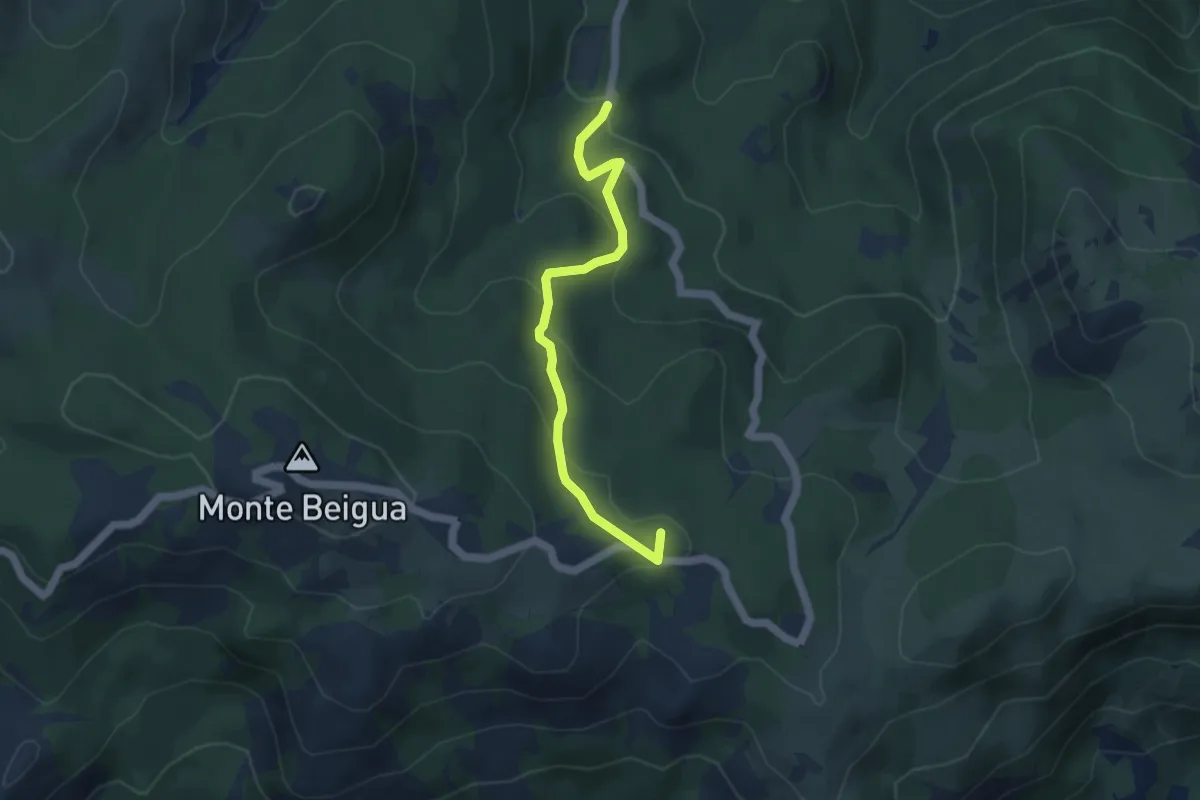
Medium · Summit
Torbiera del Laione - Pratorotondo
4.5 km · ↑ 190 m · 1 h 28 min
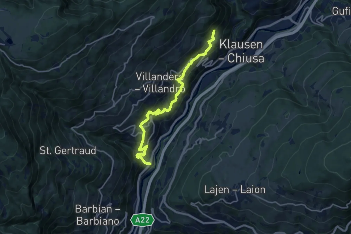
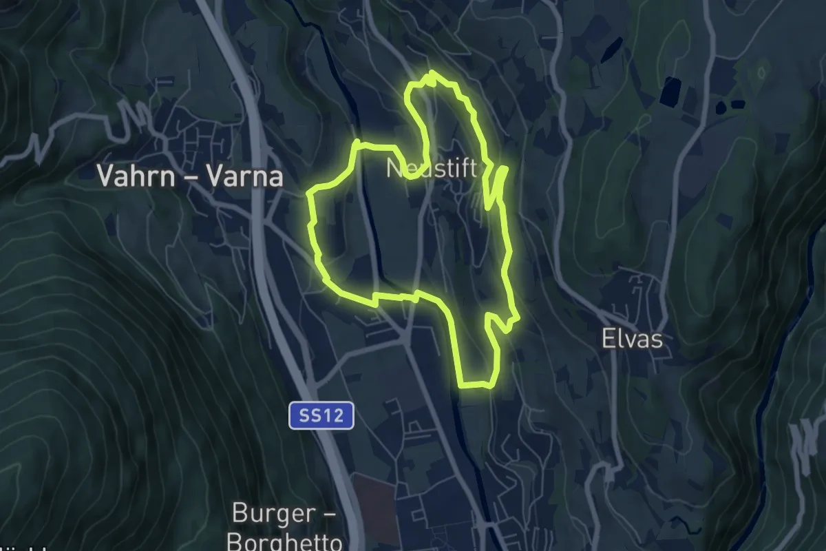
Demanding · Trail
Törggelesteig
11.7 km · ↑ 818 m · 4 h 31 min
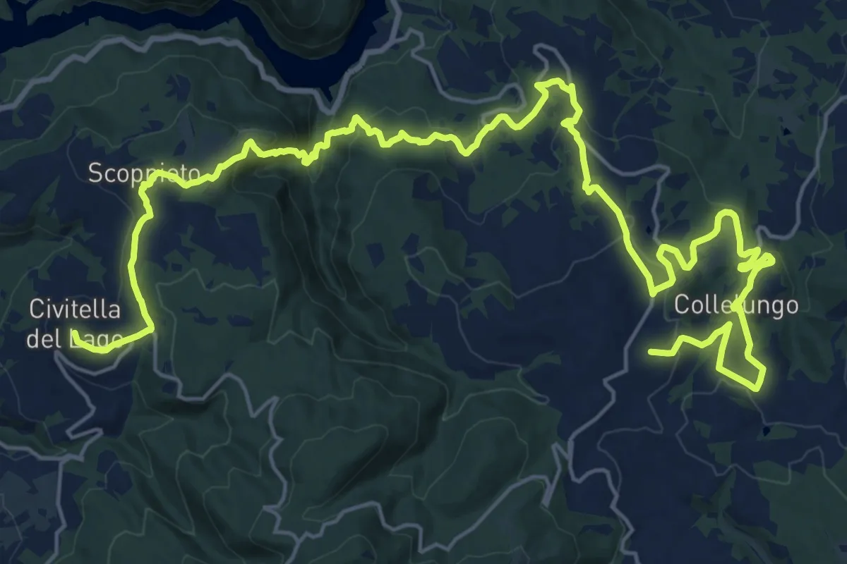
Easy · Trail
Törggeleweg
6.3 km · ↑ 209 m · 2 h 1 min
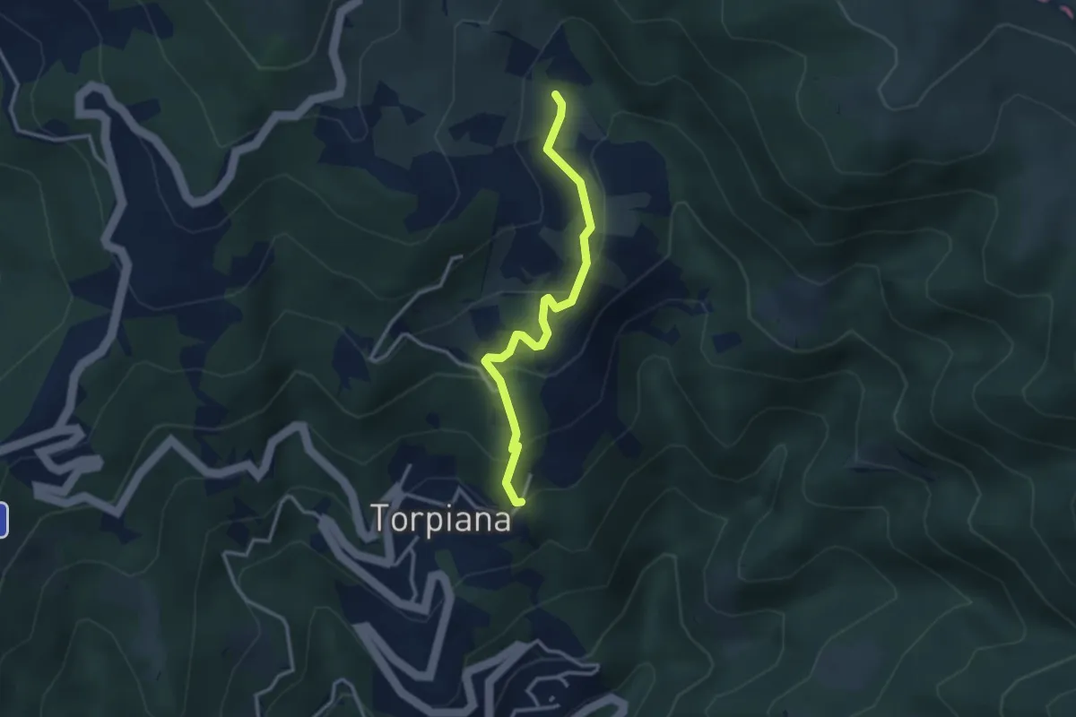
Medium · Trail
Tormento ed estasi
16.1 km · ↑ 578 m · 5 h 19 min
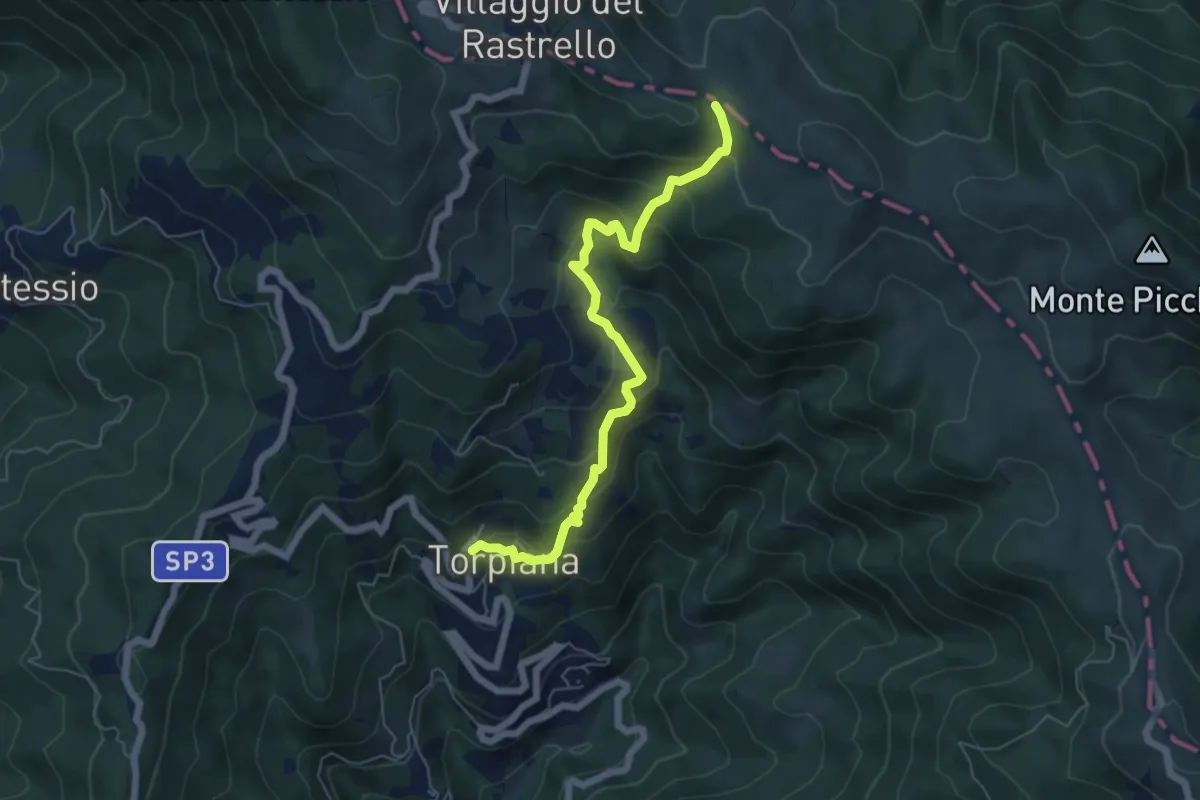
Medium · Trail
Torpiana - Case Erbazzana
2.9 km · ↑ 212 m · 1 h 9 min
Medium · Trail
Torpiana - Case Erbazzana - Foce di Cavagina
6.2 km · ↑ 512 m · 2 h 34 min
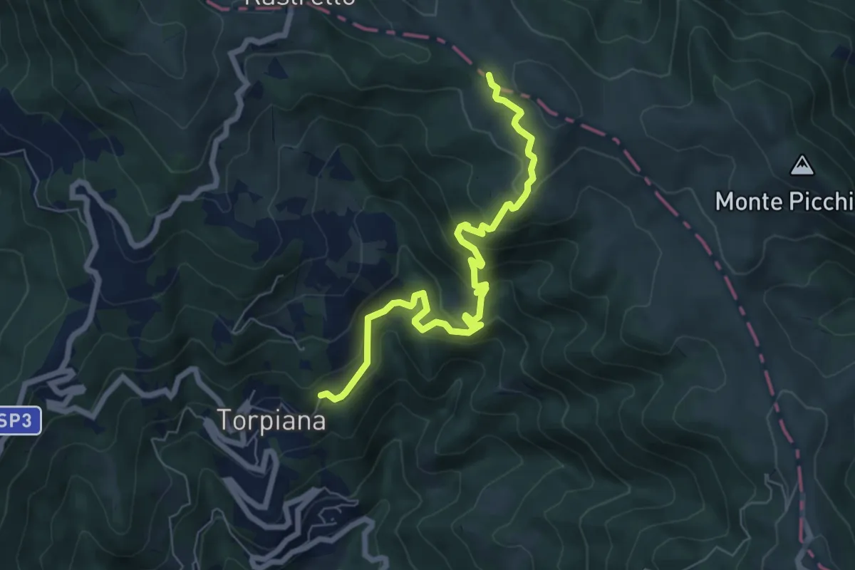
Medium · Trail
Torpiana – Costa Cavallara – Foce di Cavagina
7.1 km · ↑ 521 m · 2 h 48 min
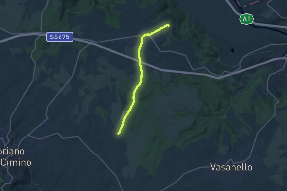
Medium · Trail
Torre di Luco
11.0 km · ↑ 95 m · 2 h 49 min
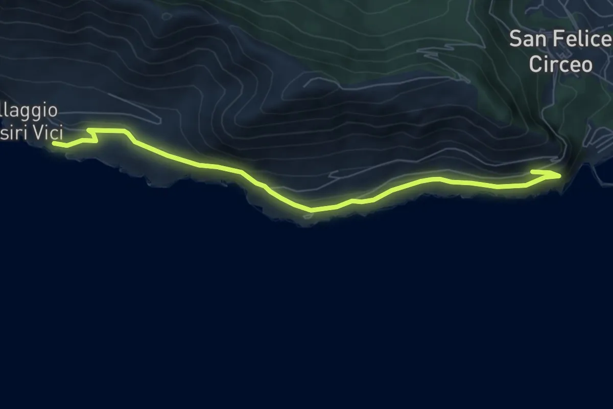
Easy · Trail
Torre Fico-La Batteria
8.0 km · ↑ 259 m · 2 h 27 min
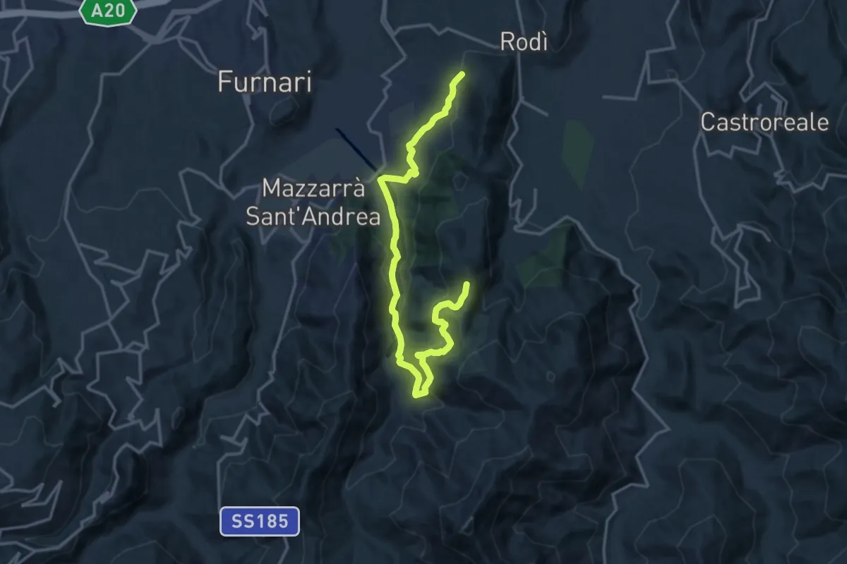
Demanding · Trail
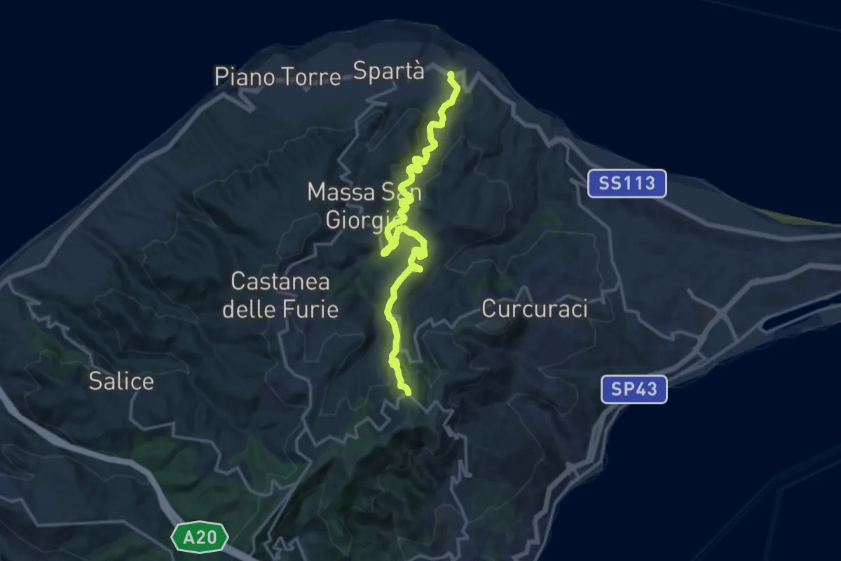
Torrente Brandino Urni
17.7 km · ↑ 828 m · 5 h 59 min
Medium · Trail
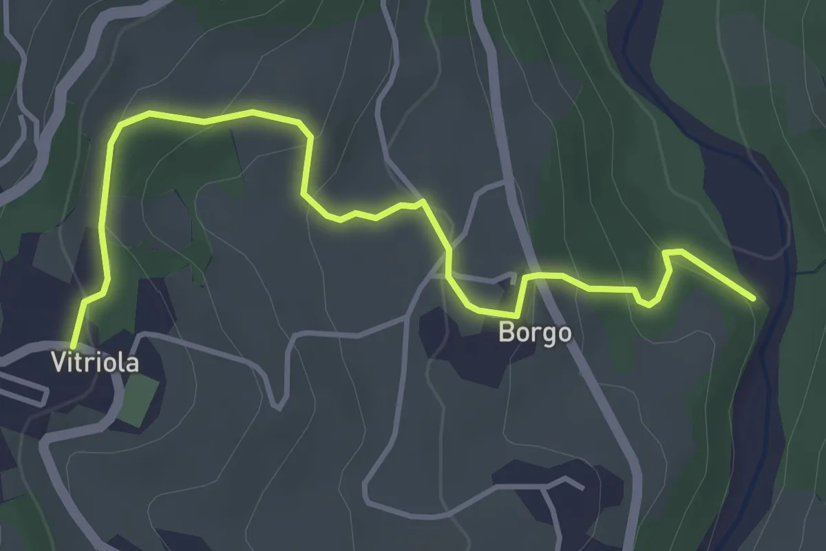
Torrente Corsari Masse Monte Ciccia
17.4 km · ↑ 665 m · 5 h 32 min
Easy · Trail
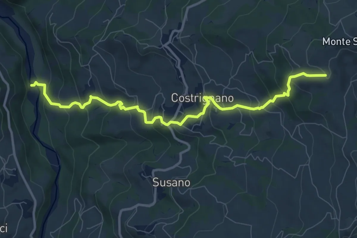
Torrente Dragone - Borgo di Vitriola - Vitriola
4.2 km · ↑ 203 m · 1 h 25 min
Medium · Trail
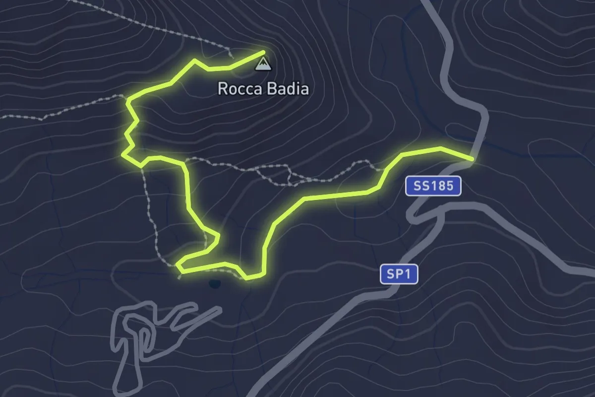
Torrente Dragone - Castellaccio - Costrignano - Croce di Costrignano
9.2 km · ↑ 618 m · 3 h 31 min
Easy · Summit
Torrente Iatro Rocca Badia
3.9 km · ↑ 155 m · 1 h 15 min
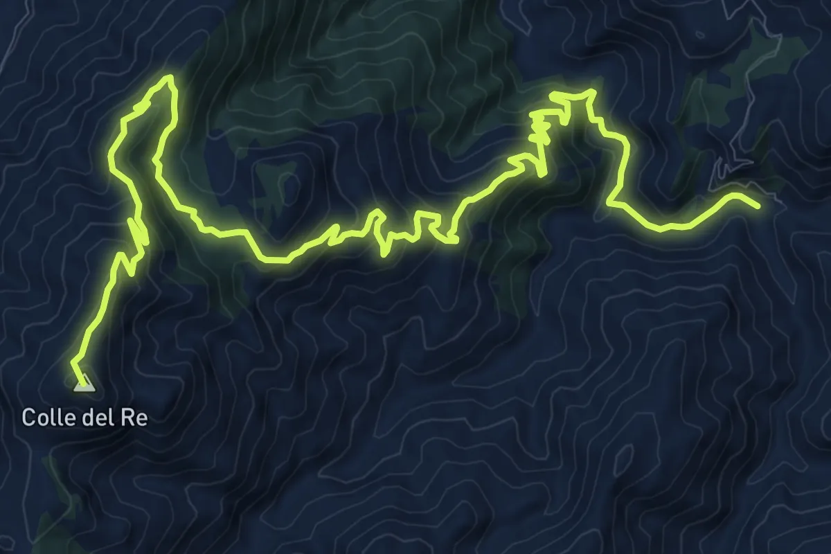
Demanding · Summit
torrente Mela Milioso colle del Re
21.9 km · ↑ 1097 m · 7 h 32 min
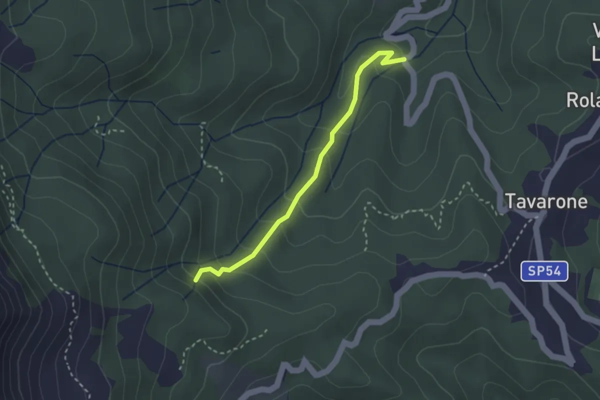
Medium · Trail
Torrente Orbora - Casa Alpe
2.6 km · ↑ 181 m · 1 h
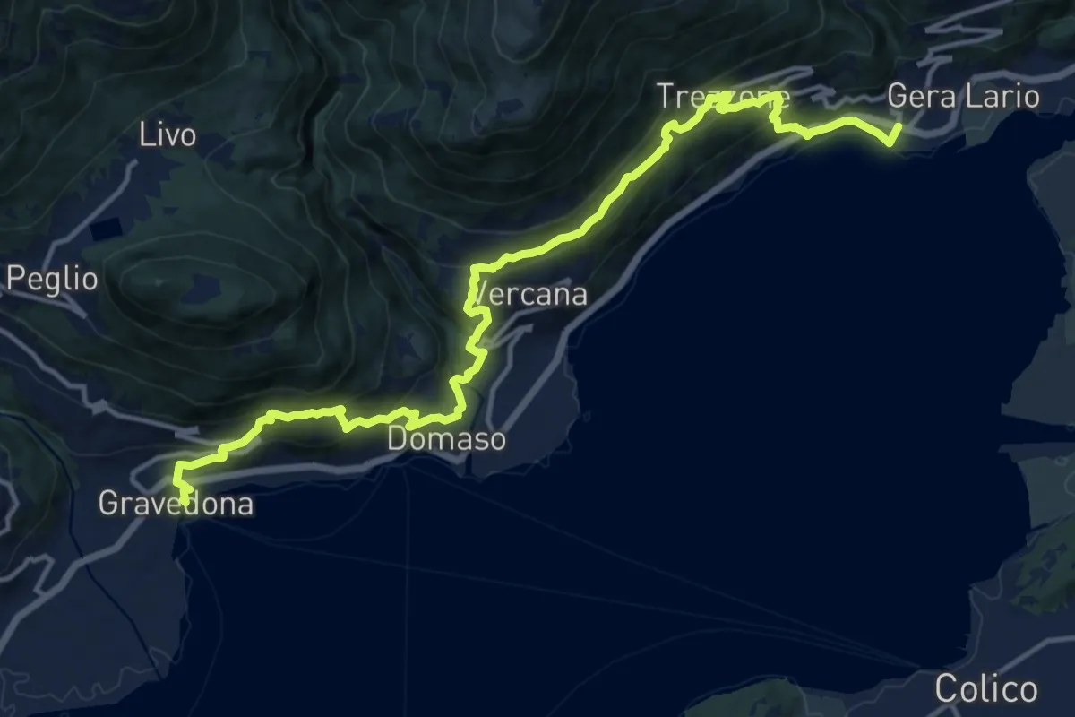
Demanding · Trail
Torre Nuova - San Carlo
16.2 km · ↑ 1058 m · 6 h 7 min
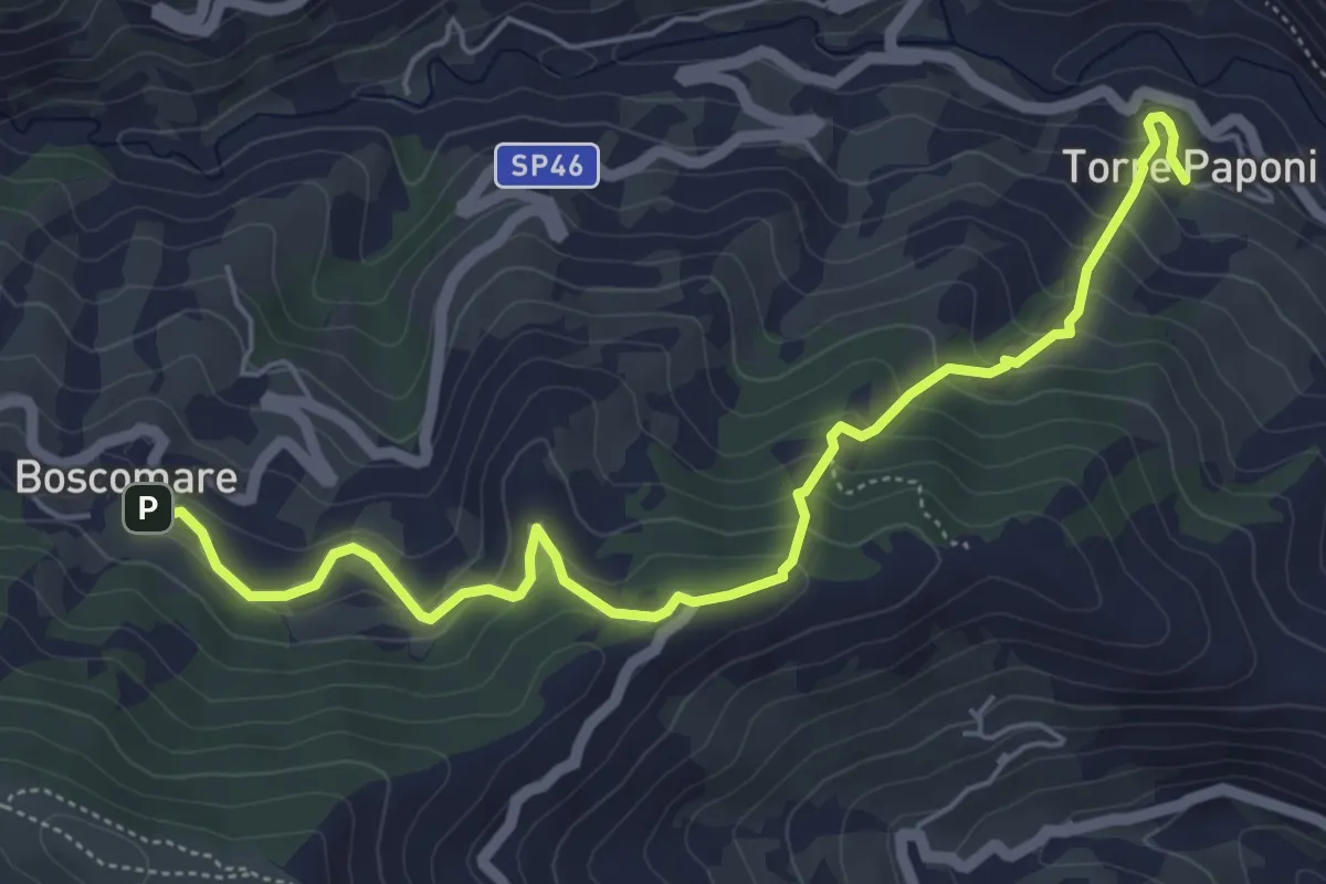
Medium · Trail
Torre Paponi - Boscomare
6.4 km · ↑ 447 m · 2 h 29 min
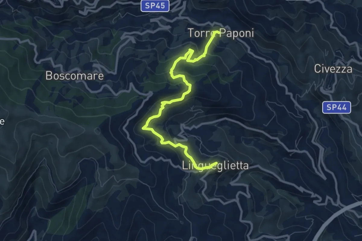
Medium · Trail
Torre Paponi - Lingueglietta
8.6 km · ↑ 497 m · 3 h 7 min
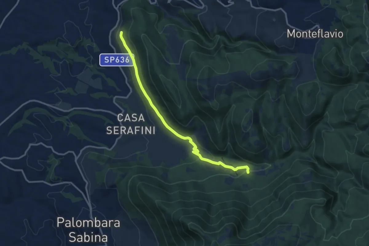
Demanding · Trail
Torretta-Molino Casoli
10.5 km · ↑ 206 m · 2 h 55 min
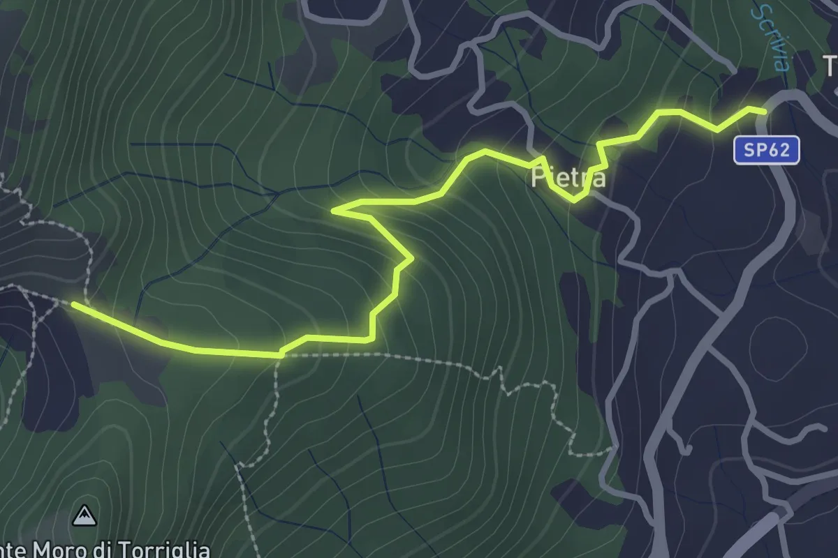
Medium · Trail
Torriglia - Cappelletta di Panteca
3.3 km · ↑ 212 m · 1 h 14 min
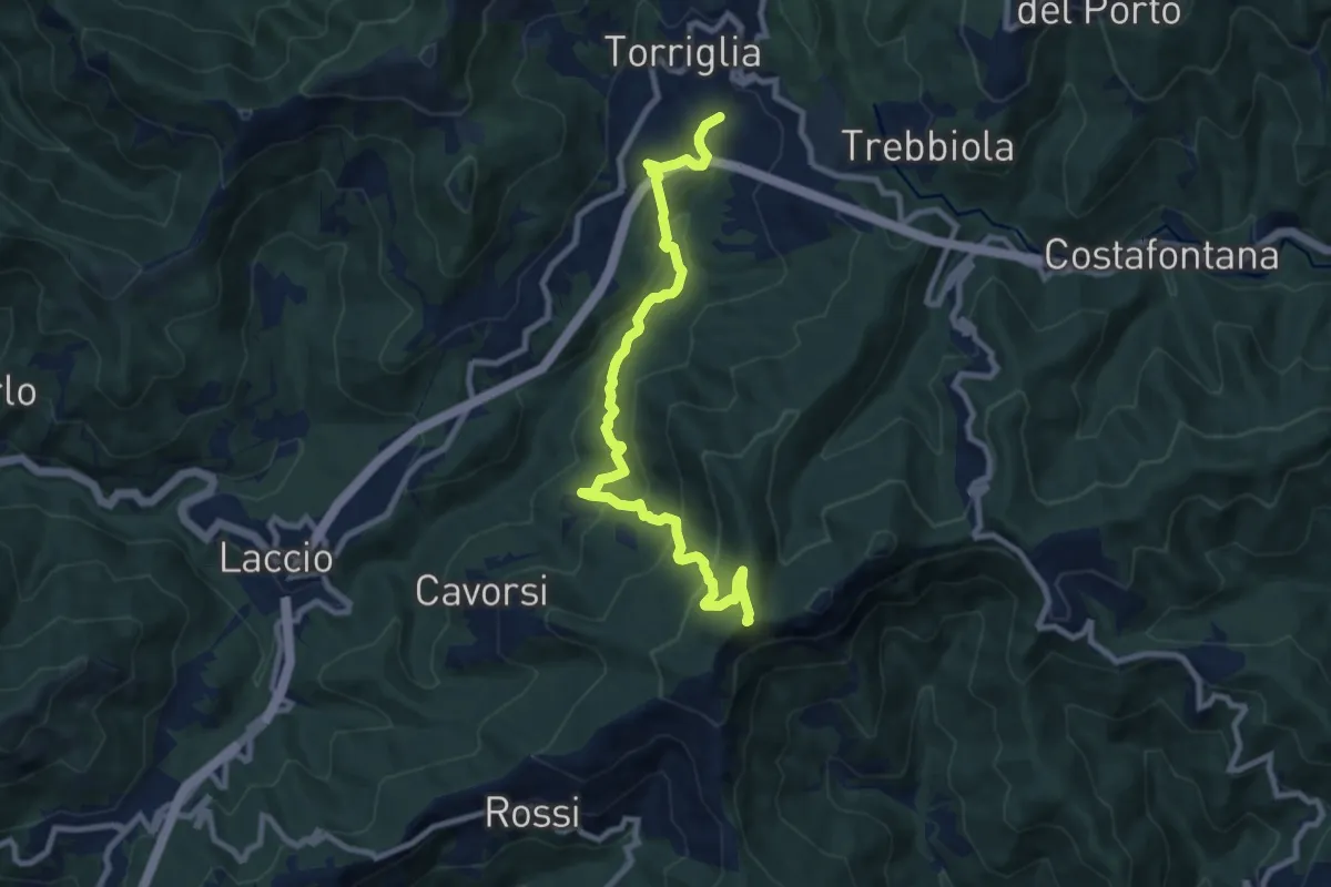
Medium · Summit
Torriglia (Centro Equestre) - Pian Selvaggio - Obbi - Pendici Monte Lavagnola
9.9 km · ↑ 601 m · 3 h 38 min
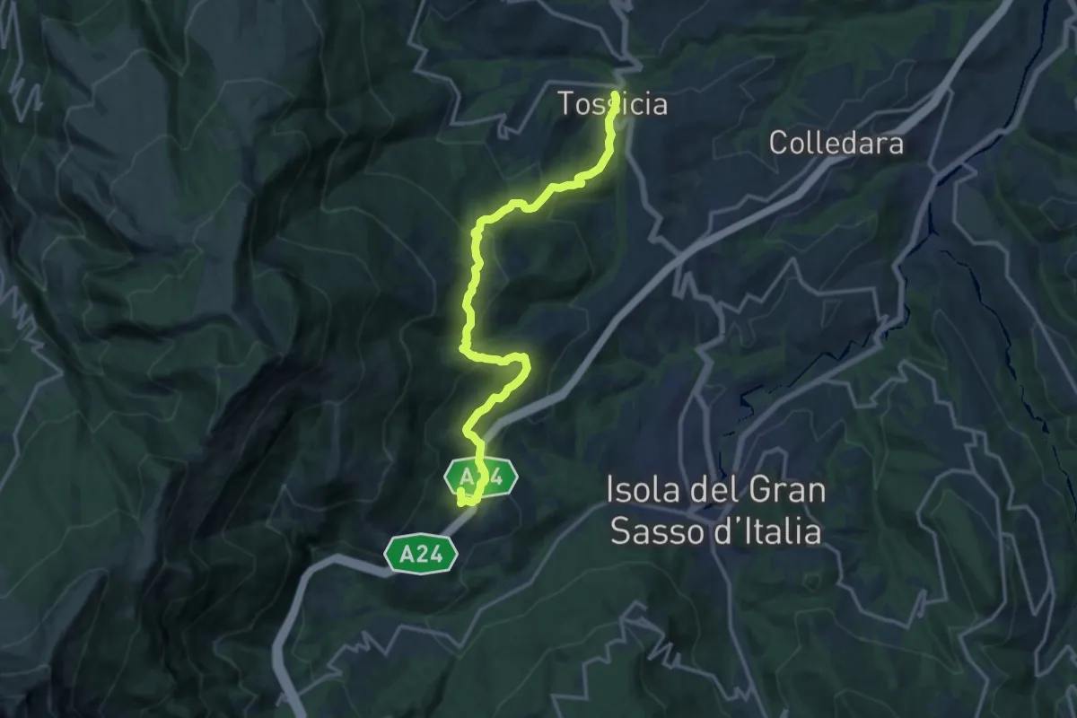
Demanding · Trail
Tossicia - Cerchiara
15.1 km · ↑ 852 m · 5 h 25 min
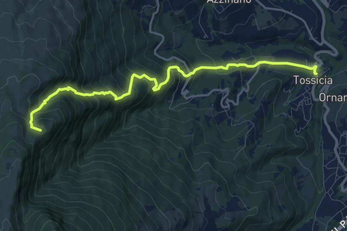
Demanding · Summit
Tossicia - Colle Cennone
11.5 km · ↑ 960 m · 4 h 48 min
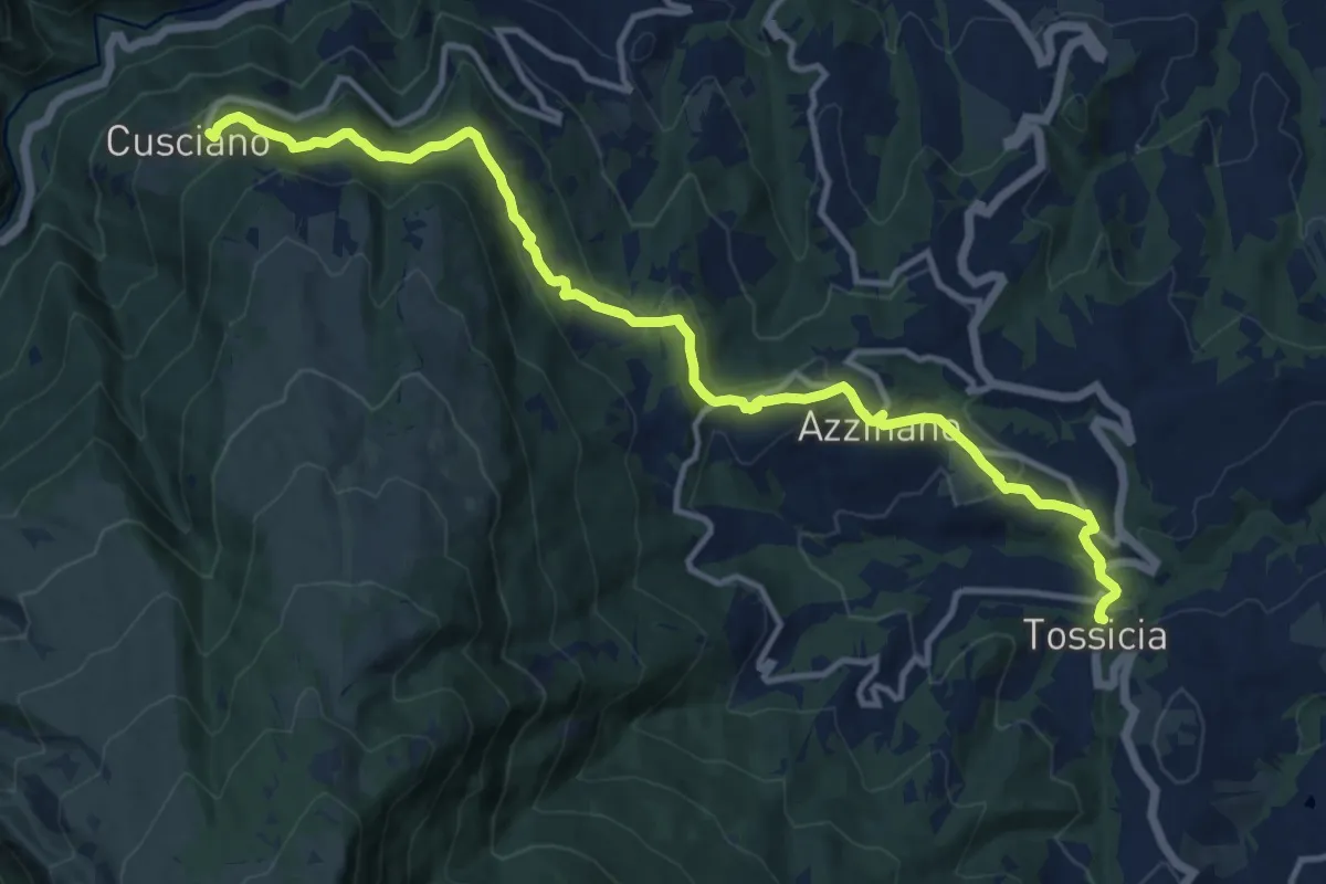
Medium · Trail
Tossicia - Cusciano
14.9 km · ↑ 640 m · 4 h 54 min
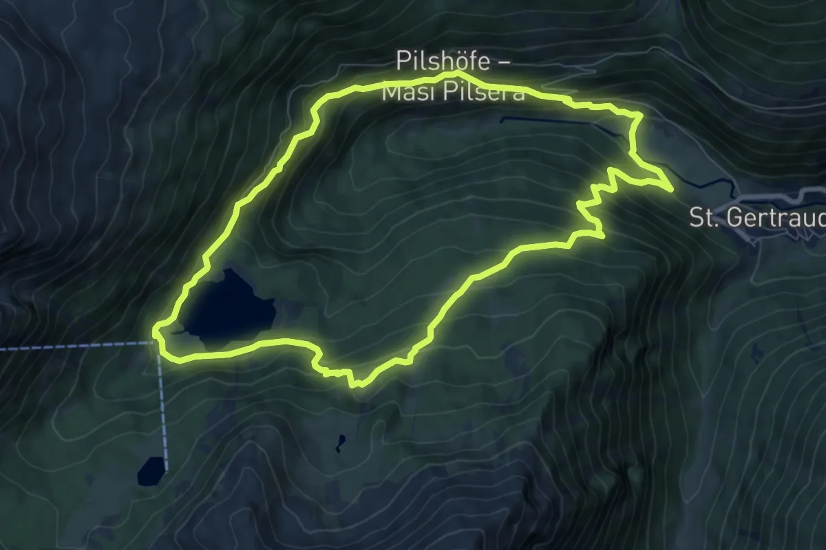
Medium · Trail
Tour 3 - Alter Weißbrunnweg
8.4 km · ↑ 626 m · 3 h 28 min
Medium · Trail
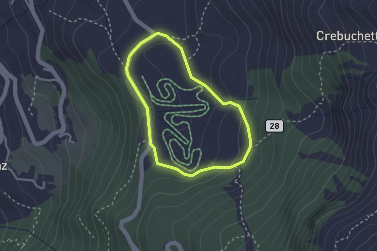
Tour de Champlève
1.9 km · ↑ 82 m · 39 min
Medium · Summit
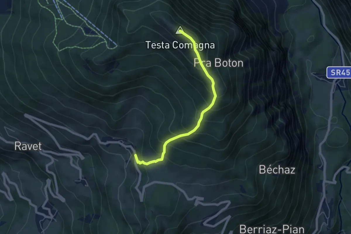
Tour de la Tête de Comagne
5.0 km · ↑ 534 m · 2 h 20 min
Demanding · Trail
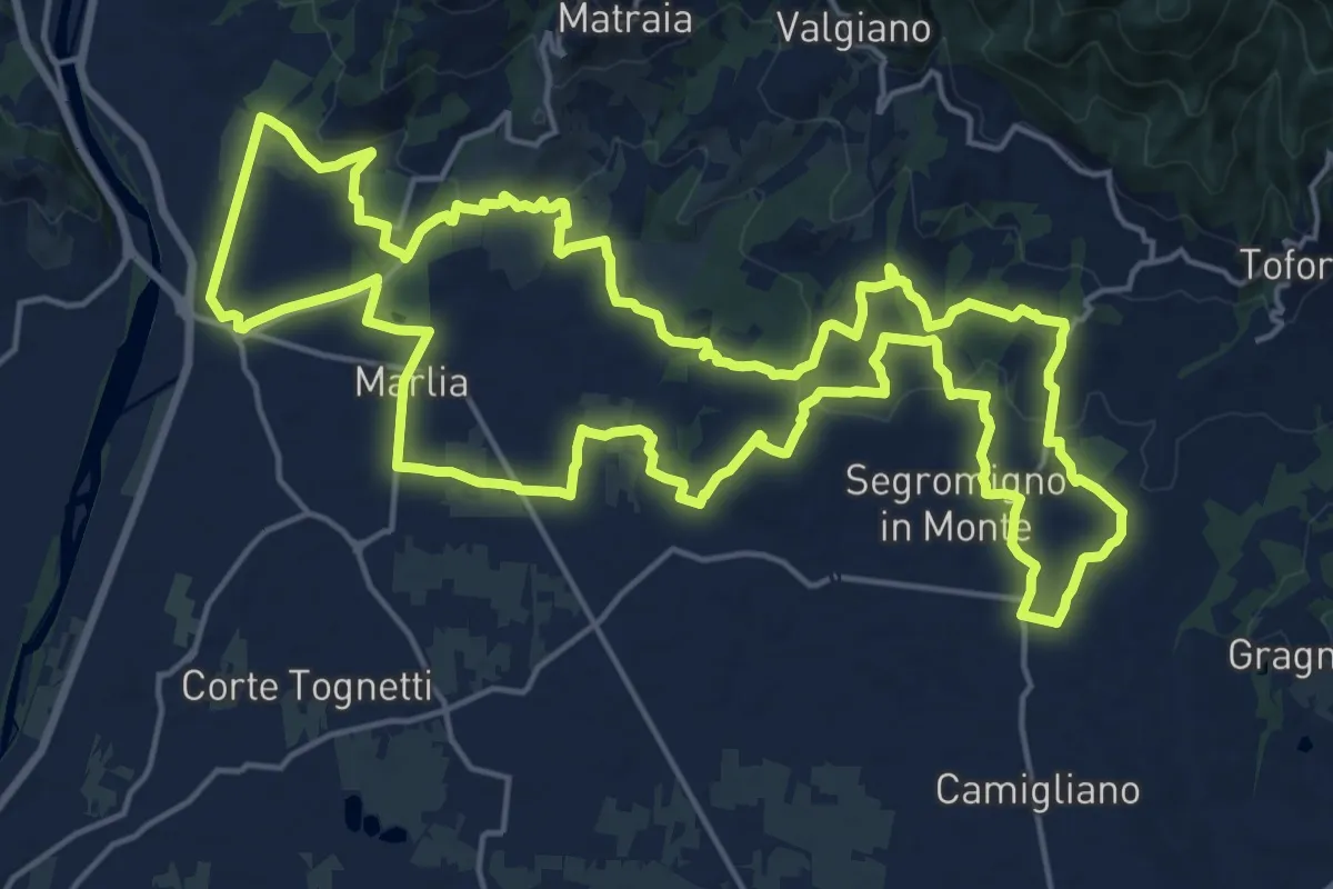
Tour delle Ville
22.5 km · ↑ 357 m · 6 h 25 min
Demanding · Trail
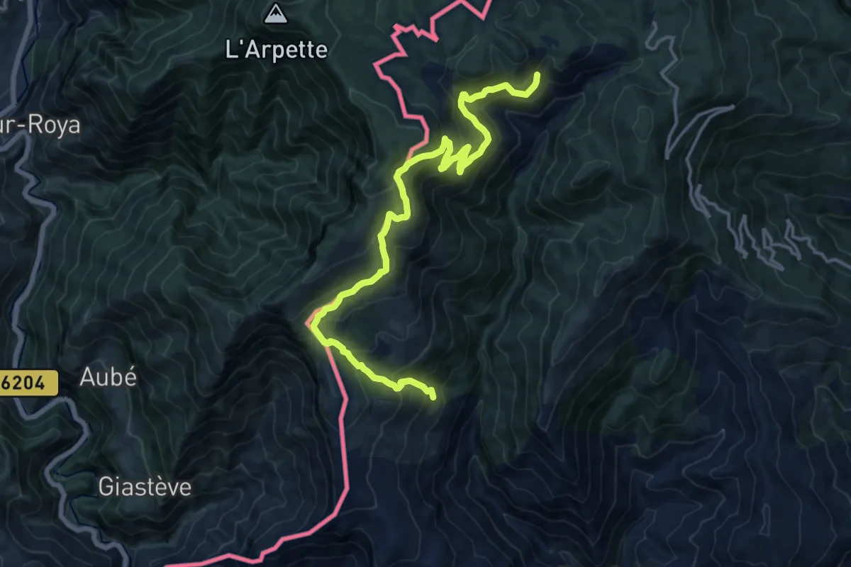
Tour del Parco Alpi Liguri
16.6 km · ↑ 1287 m · 6 h 42 min
Medium · Trail
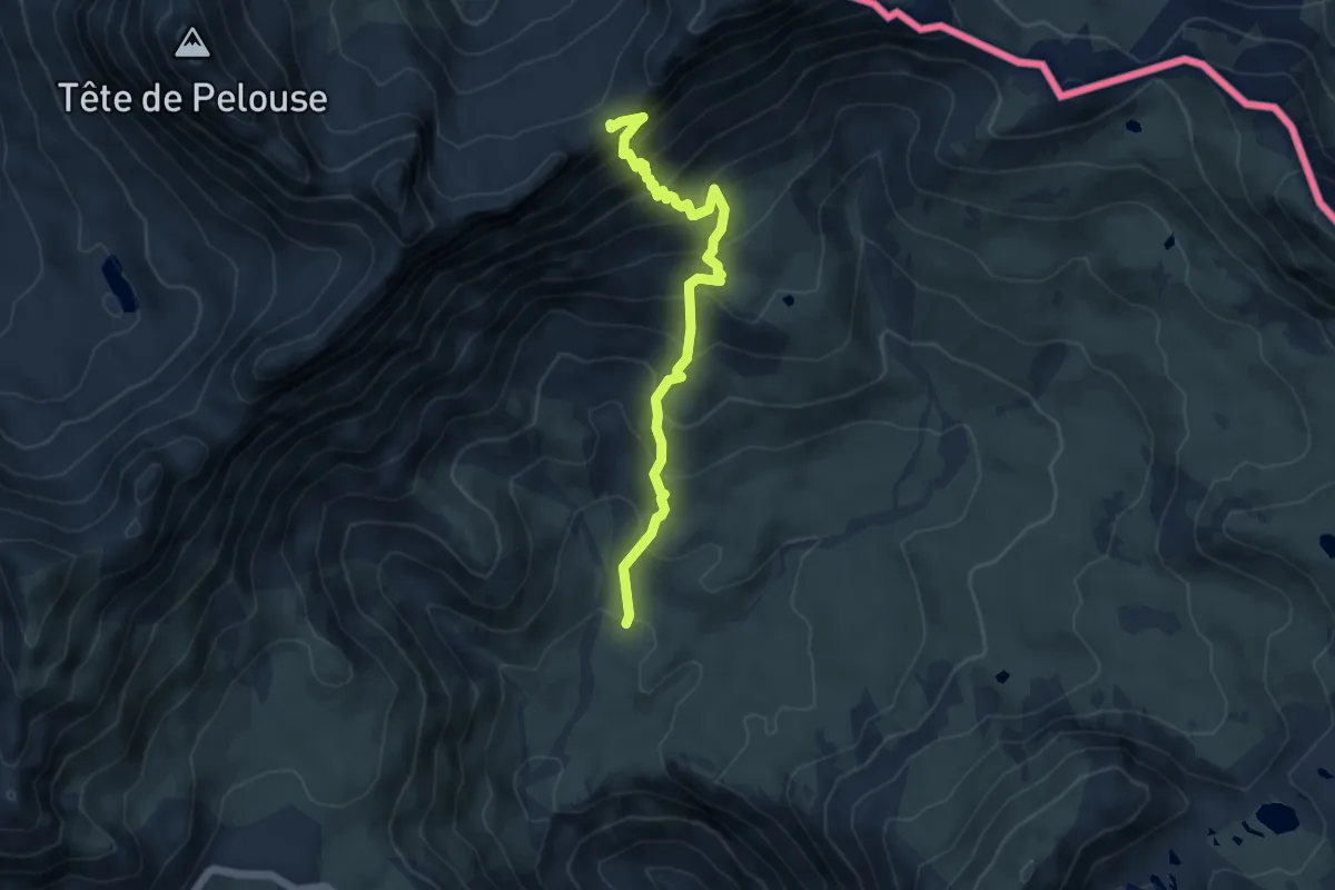
Tour de l'Ubaye
2.6 km · ↑ 0 m · 56 min
Expert · Summit
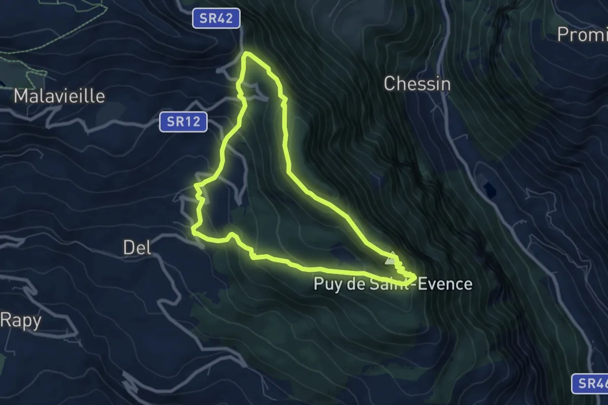
Tour de Saint-Evence
6.8 km · ↑ 486 m · 2 h 46 min
Medium · Trail
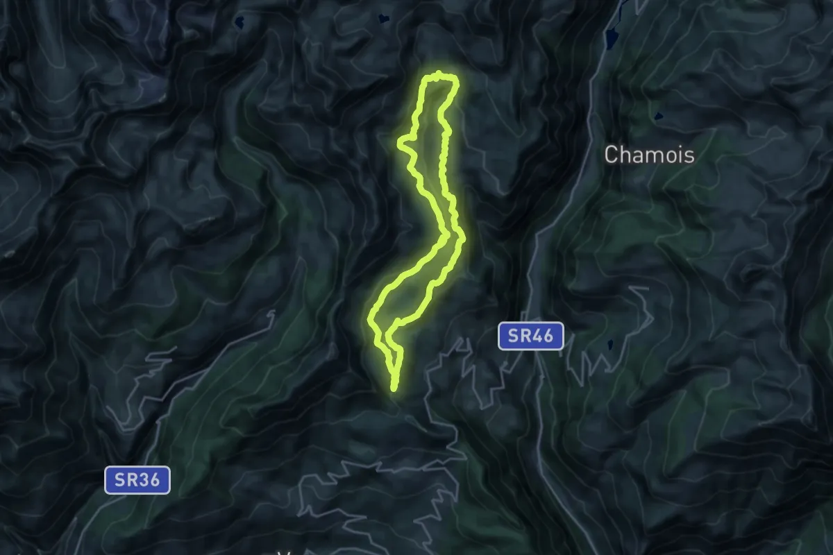
Tour des Alpages de Torgnon
17.4 km · ↑ 618 m · 5 h 41 min
Demanding · Cabin
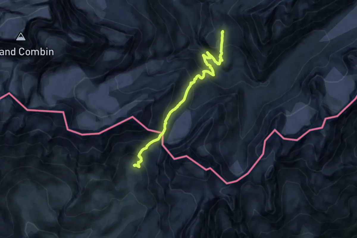
Tour des Combins - Stage 6 - CABANE CHANRION – CABANE LETEY À CHAMPILLON
15.6 km · ↑ 1218 m · 6 h 19 min
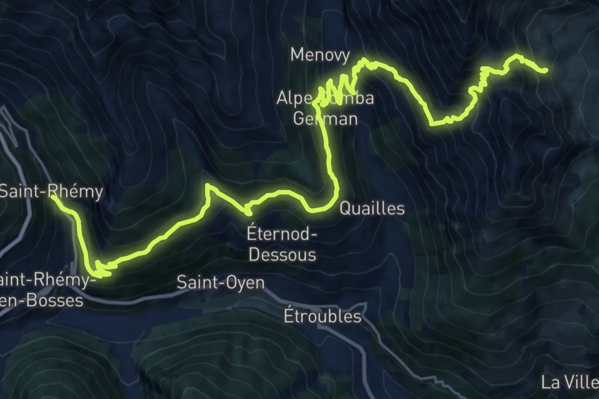
Demanding · Cabin
Tour des Combins - Stage 7 -CABANE LETEY À CHAMPILLON – SAINT-RHÉMY
14.7 km · ↑ 1417 m · 6 h 21 min
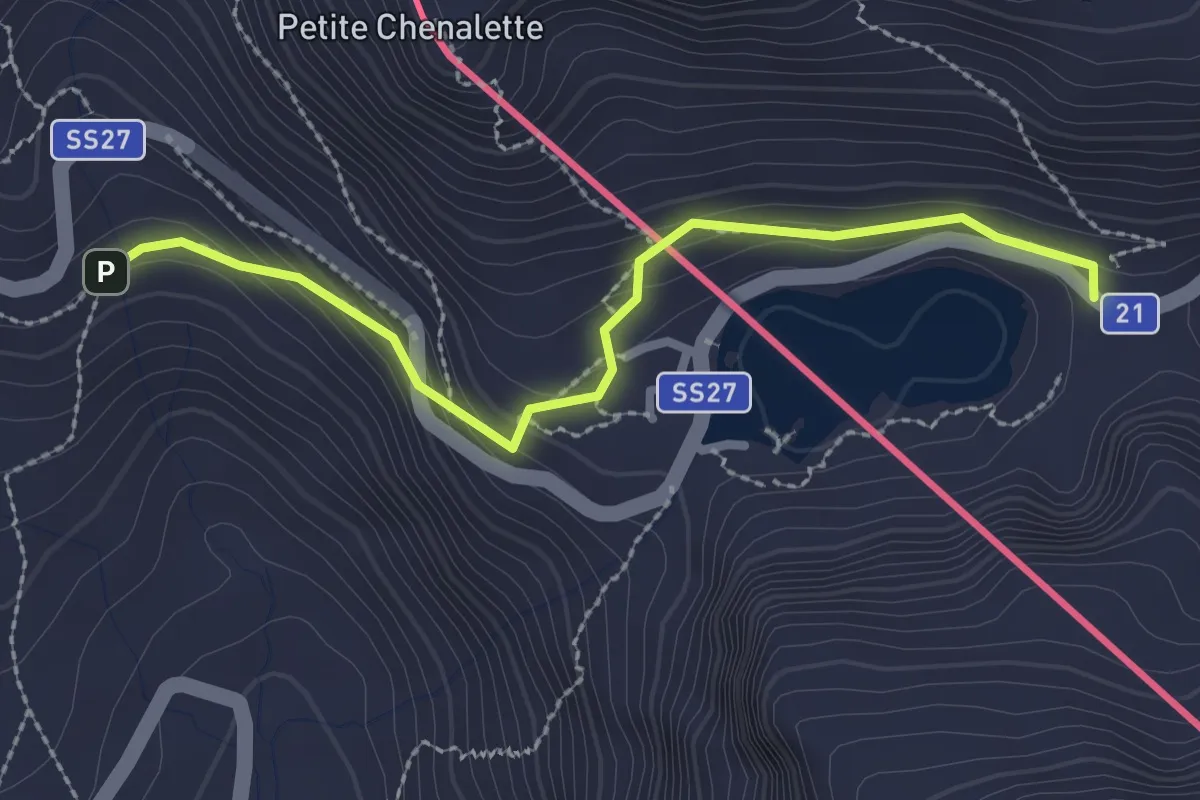
Easy · Cabin
Tour des Combins - Stage 8
2.6 km · ↑ 143 m · 55 min
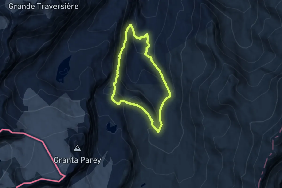
Medium · Summit
Tour de Truc de Tsanteleina
6.1 km · ↑ 399 m · 2 h 24 min
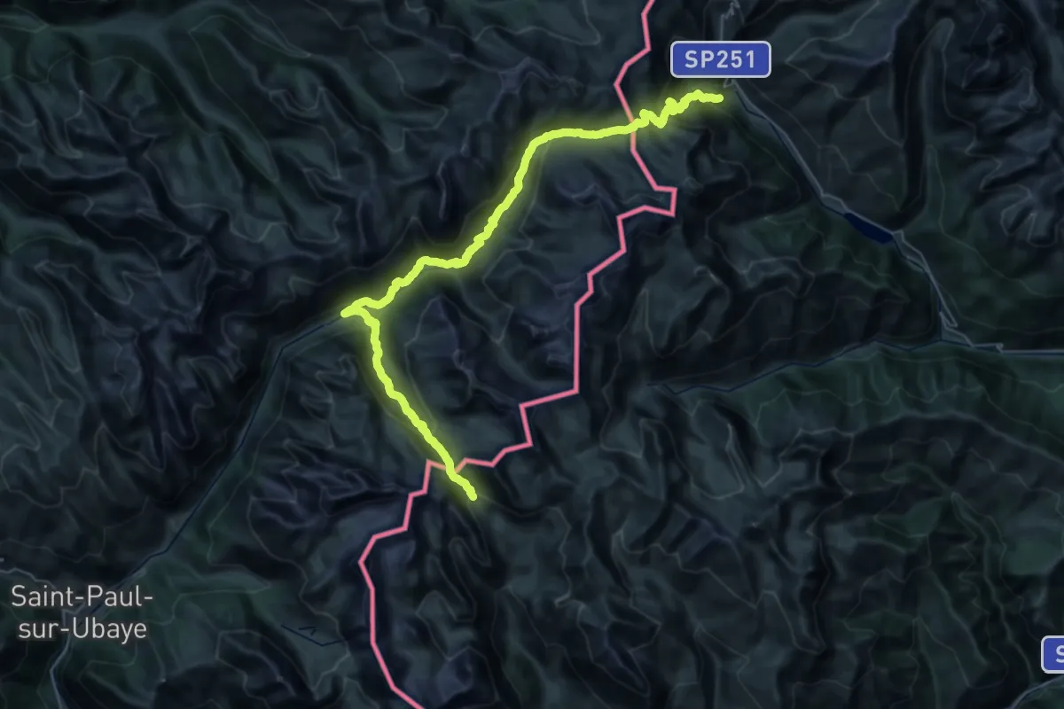
Demanding · Trail
Tour du Bric de Rubren
24.5 km · ↑ 1036 m · 8 h 39 min