Trails in Italy
25,219 hiking trails, each with its route, climb, walking time and grade.
All trails, page 203 of 526
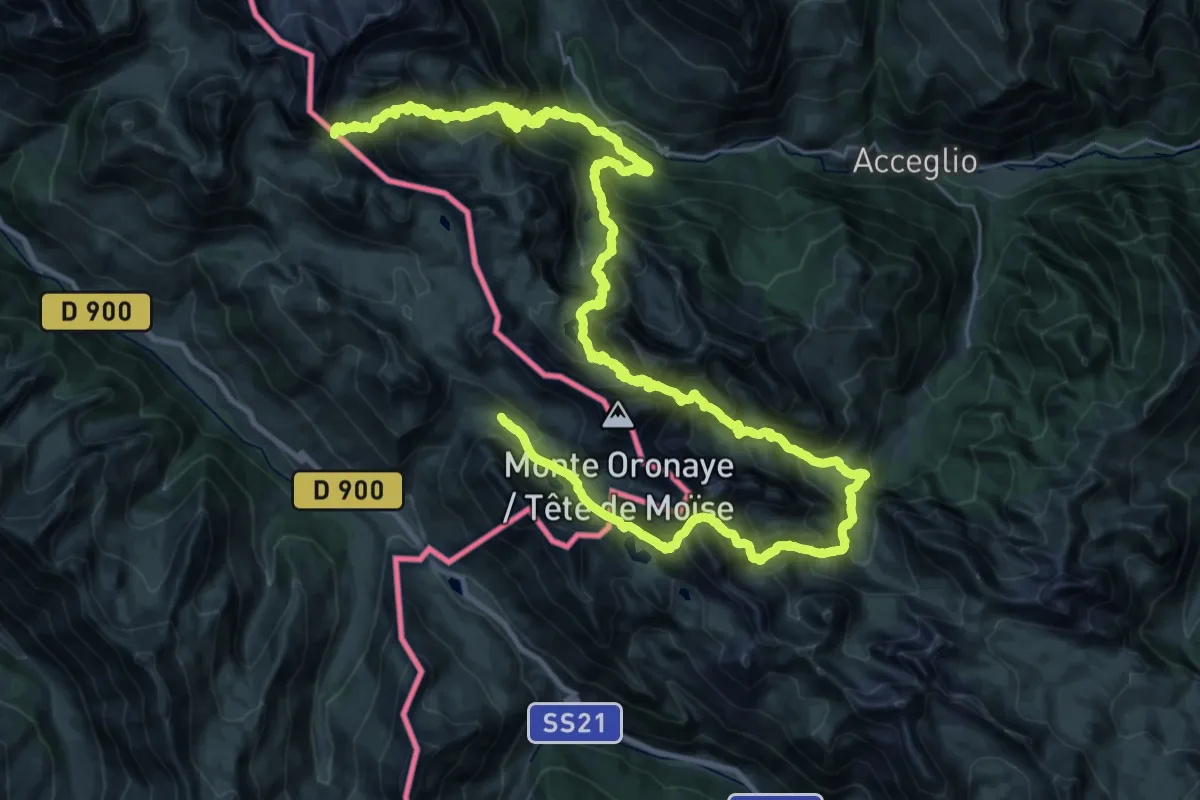
Demanding · Trail
Tour du Chambeyron
27.3 km · ↑ 2121 m · 11 h 35 min
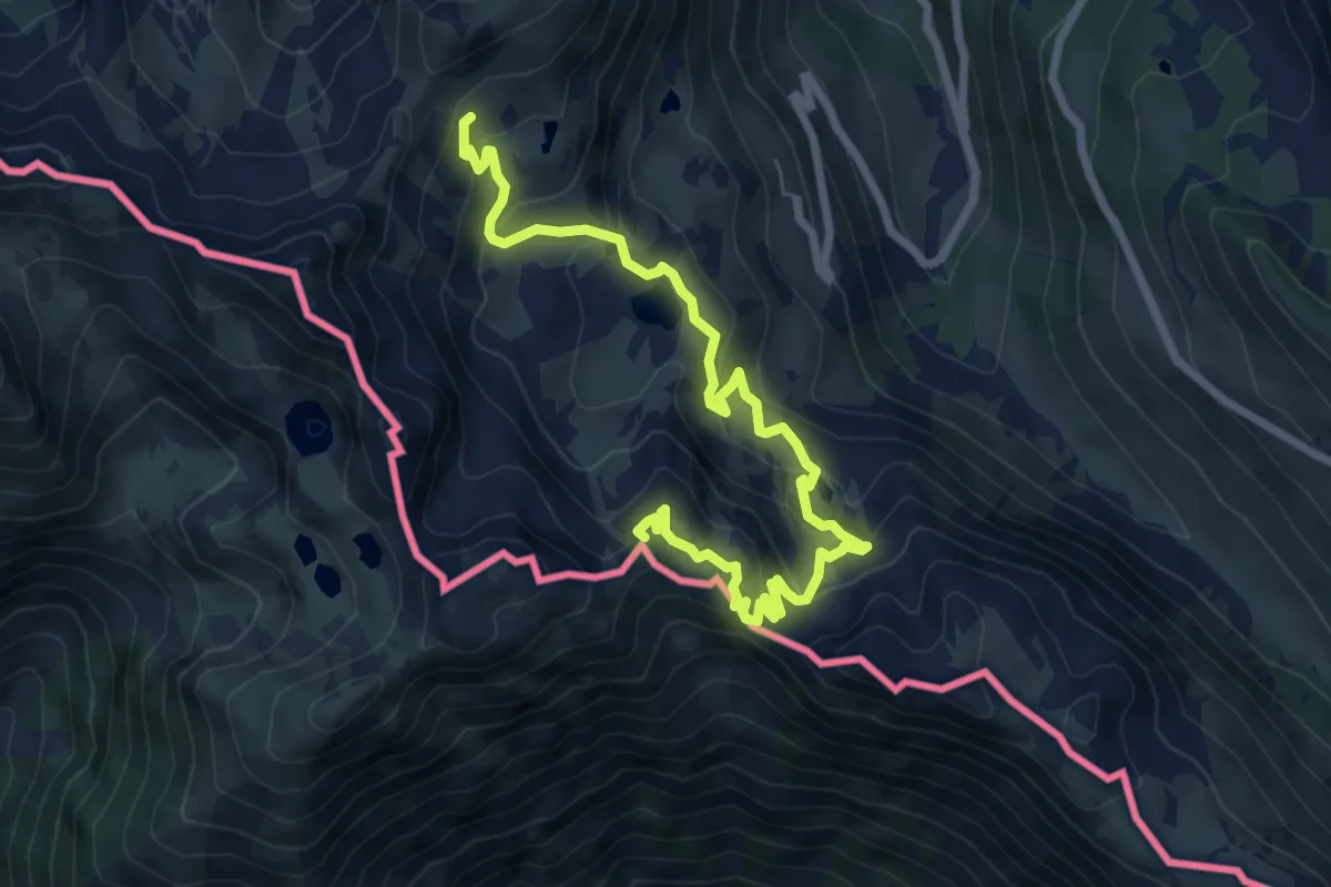
Medium · Summit
Tour du Lausfer
8.3 km · ↑ 610 m · 3 h 22 min
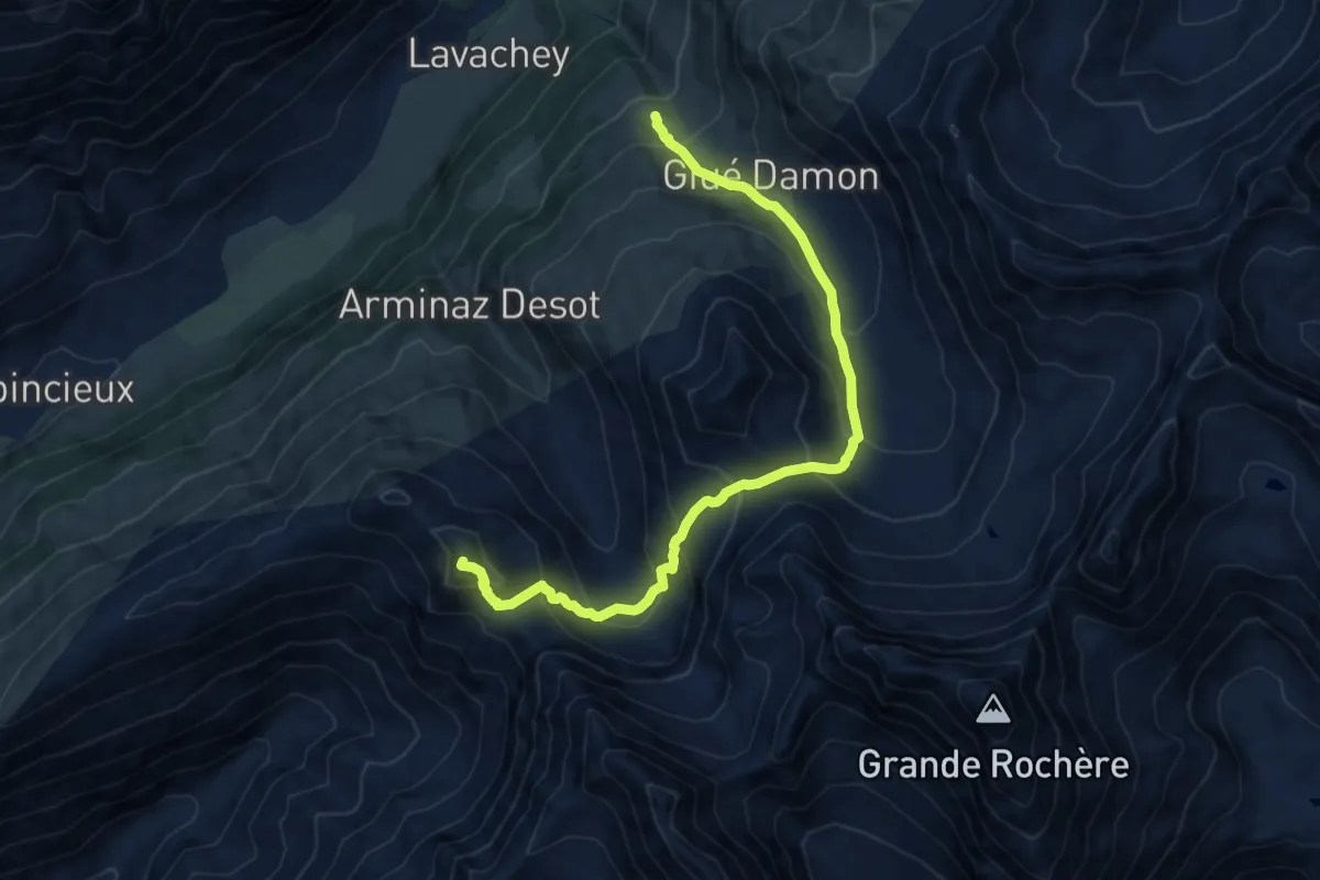
Demanding · Summit
Tour du Mont Blanc - Variante de la Tête Bernarda
11.9 km · ↑ 1031 m · 5 h 2 min
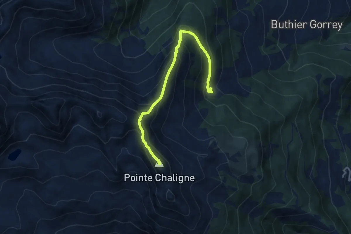
Demanding · Summit
Tour du Mont Fallère - Deuxième étape - 4/5h / Tour du Mont Fallère - Seconda tappa - 4/5h
8.7 km · ↑ 736 m · 3 h 39 min
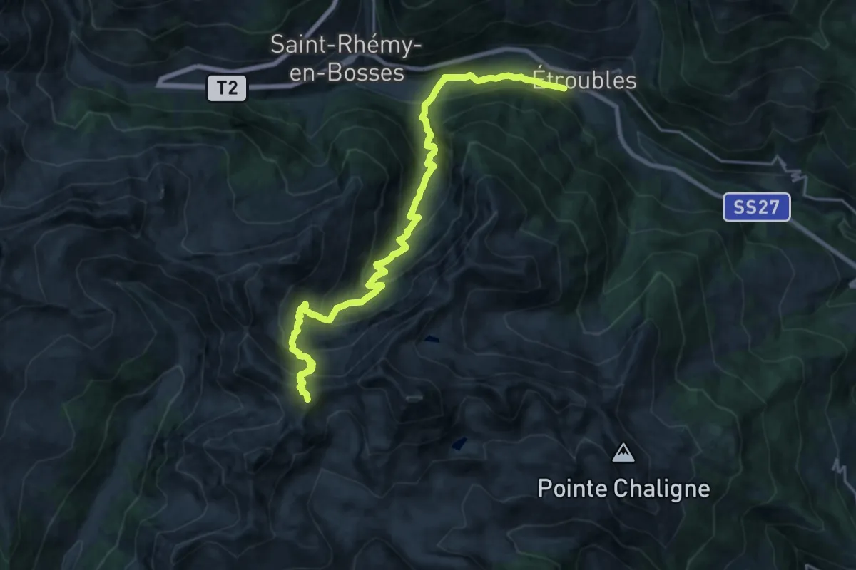
Demanding · Summit
Tour du Mont Fallère - Étape trois - 4h/5h30 / Tour du Mont Fallère - Terza tappa - 4h/5h30
21.4 km · ↑ 1528 m · 8 h 21 min
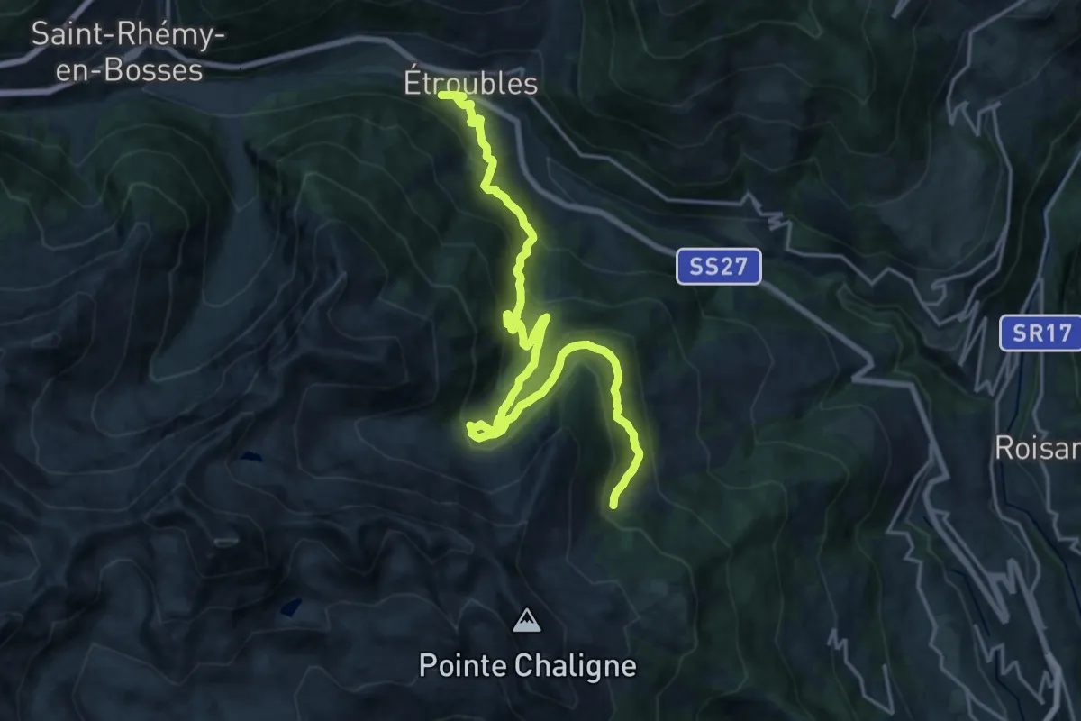
Demanding · Cabin
Tour du Mont Fallère - Première étape - 3h30/4h / Tour du Mont Fallère - Prima tappa - 3h30/4h
10.4 km · ↑ 1058 m · 4 h 34 min
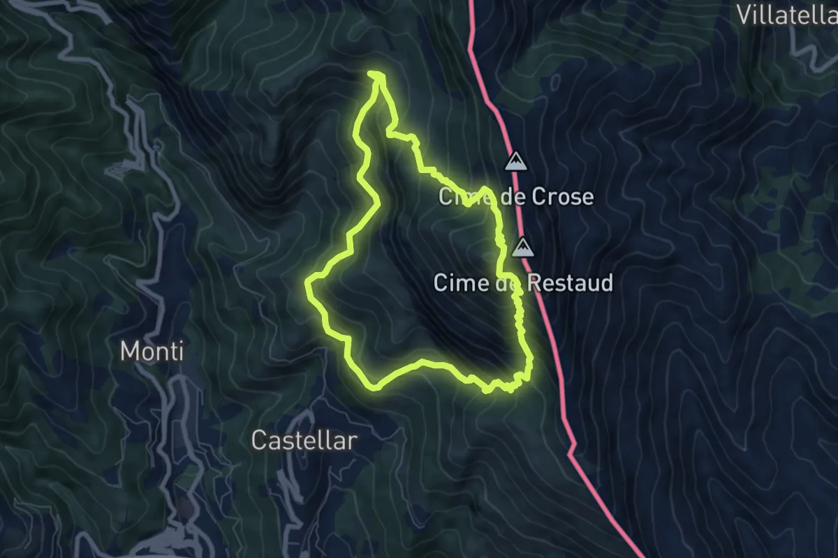
Medium · Summit
Tour du Roc d'Orméa
7.0 km · ↑ 753 m · 3 h 23 min
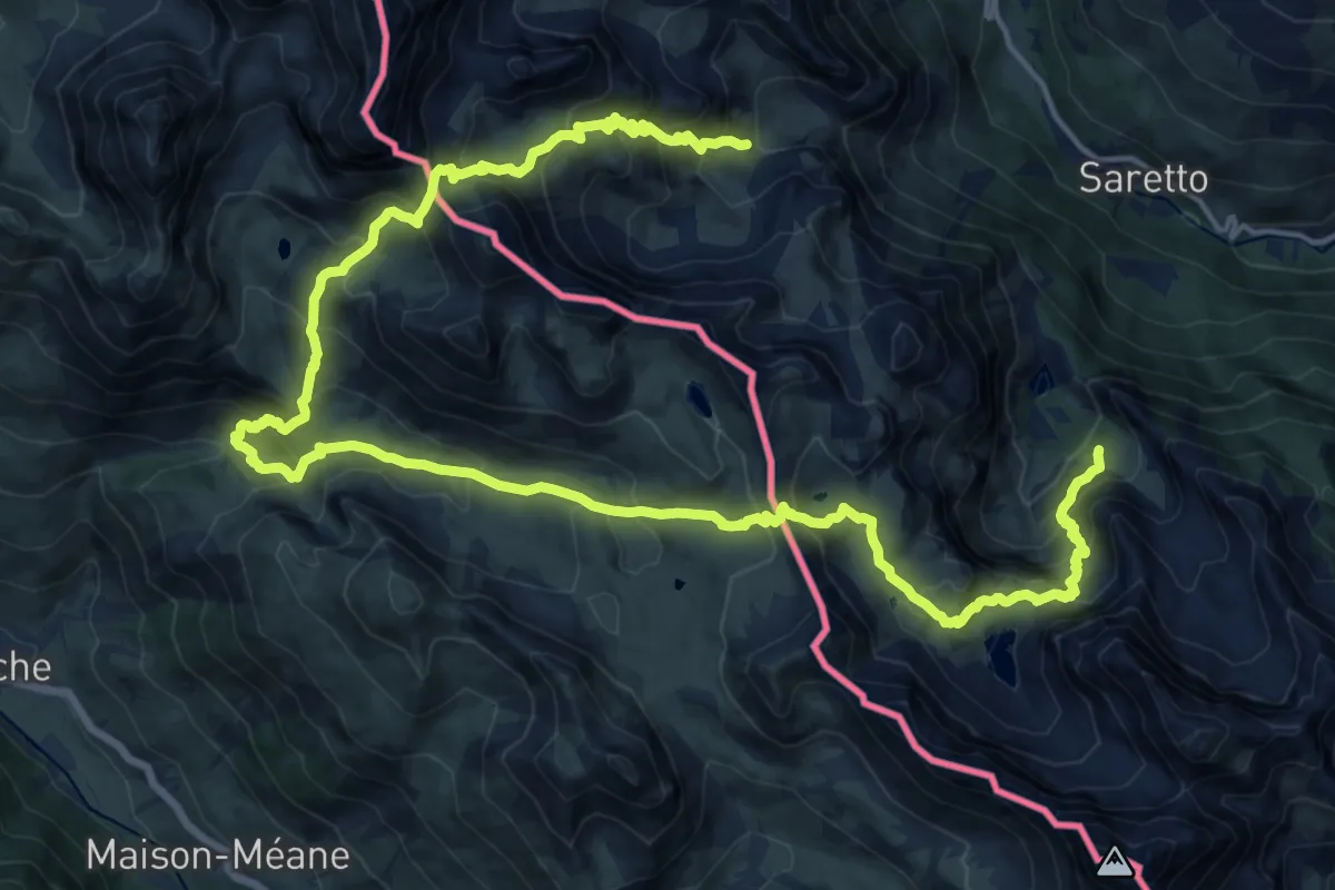
Demanding · Trail
Tour du Soubeyran
13.4 km · ↑ 962 m · 5 h 28 min
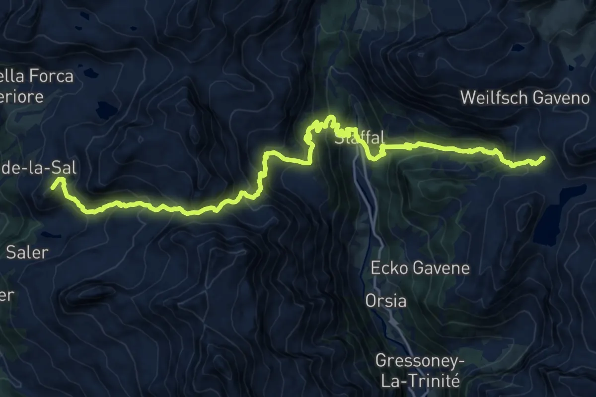
Demanding · Summit
Tour Monte Rosa tappa 3
22.2 km · ↑ 1901 m · 9 h 22 min
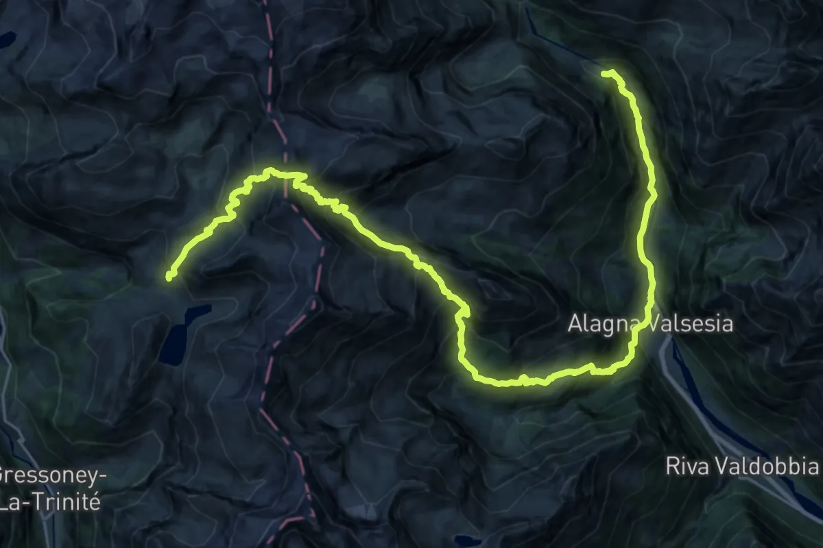
Demanding · Cabin
Tour Monte Rosa tappa 4
16.4 km · ↑ 1023 m · 6 h 43 min
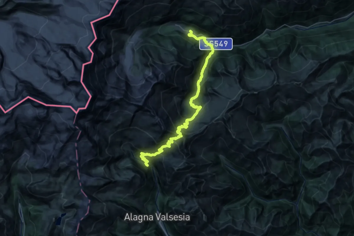
Demanding · Cabin
Tour Monte Rosa tappa 5
21.0 km · ↑ 1618 m · 8 h 37 min
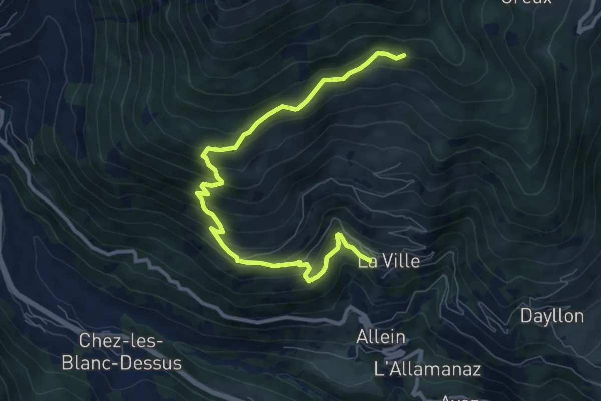
Medium · Cabin
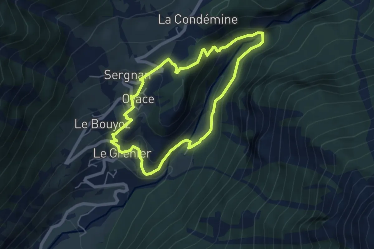
Tournalin
8.8 km · ↑ 647 m · 3 h 29 min
Medium · Trail
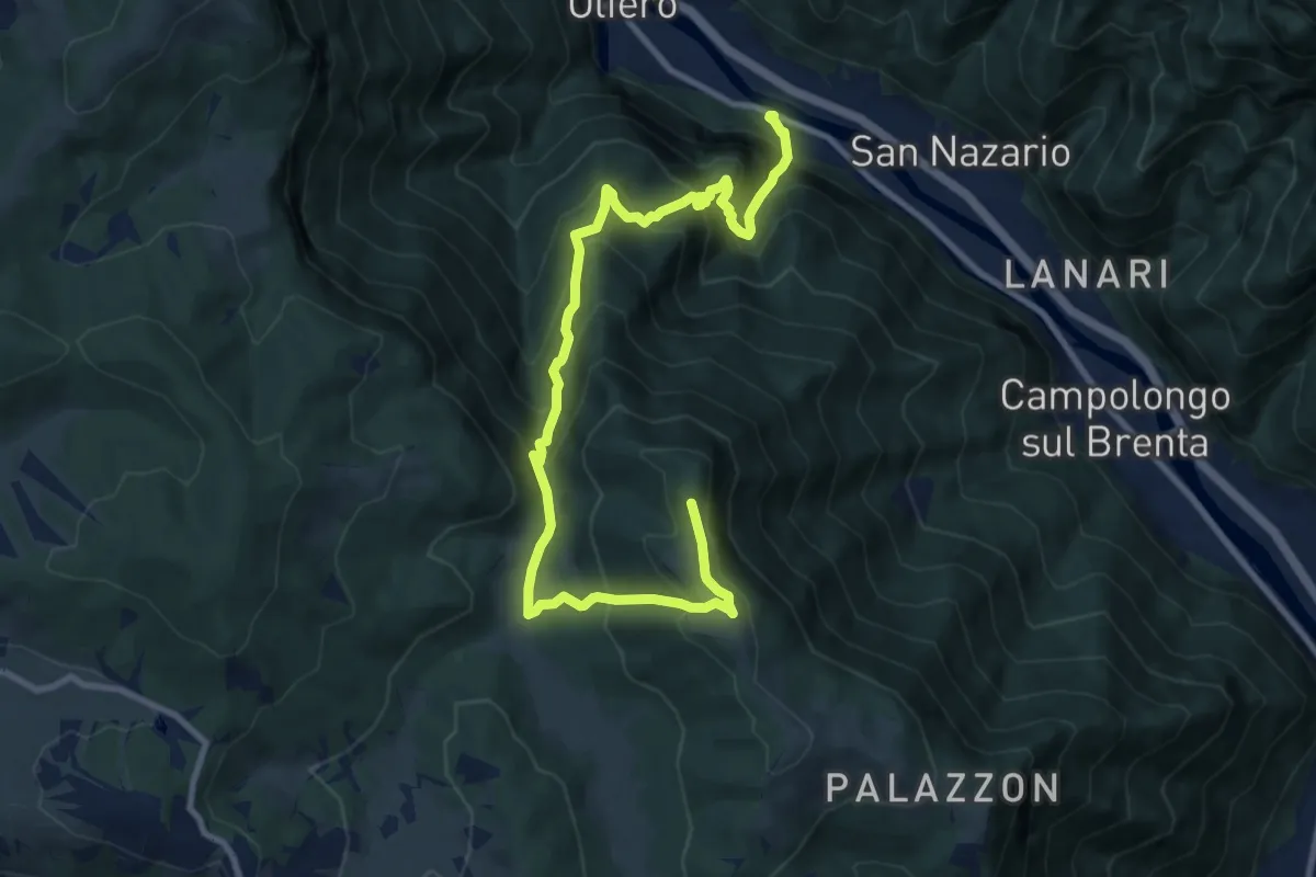
Tour Tornalla
4.0 km · ↑ 230 m · 1 h 30 min
Demanding · Summit
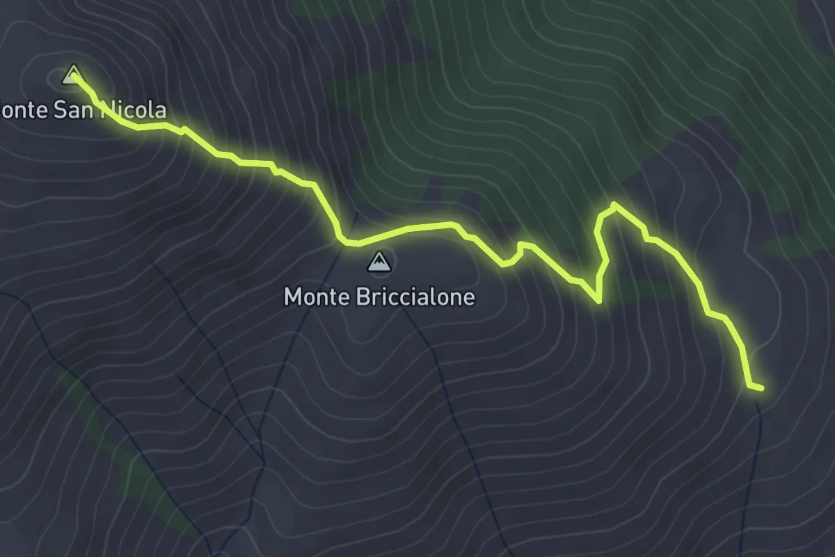
Tovi - Valleranetta - C. Ralova - Monte Campolongo
12.0 km · ↑ 1127 m · 5 h 16 min
Medium · Summit
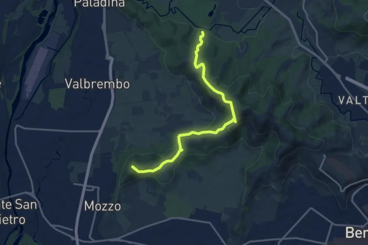
traccia di collegamento
4.8 km · ↑ 600 m · 2 h 26 min
Medium · Summit
Traccia Partigiana
9.0 km · ↑ 351 m · 2 h 54 min
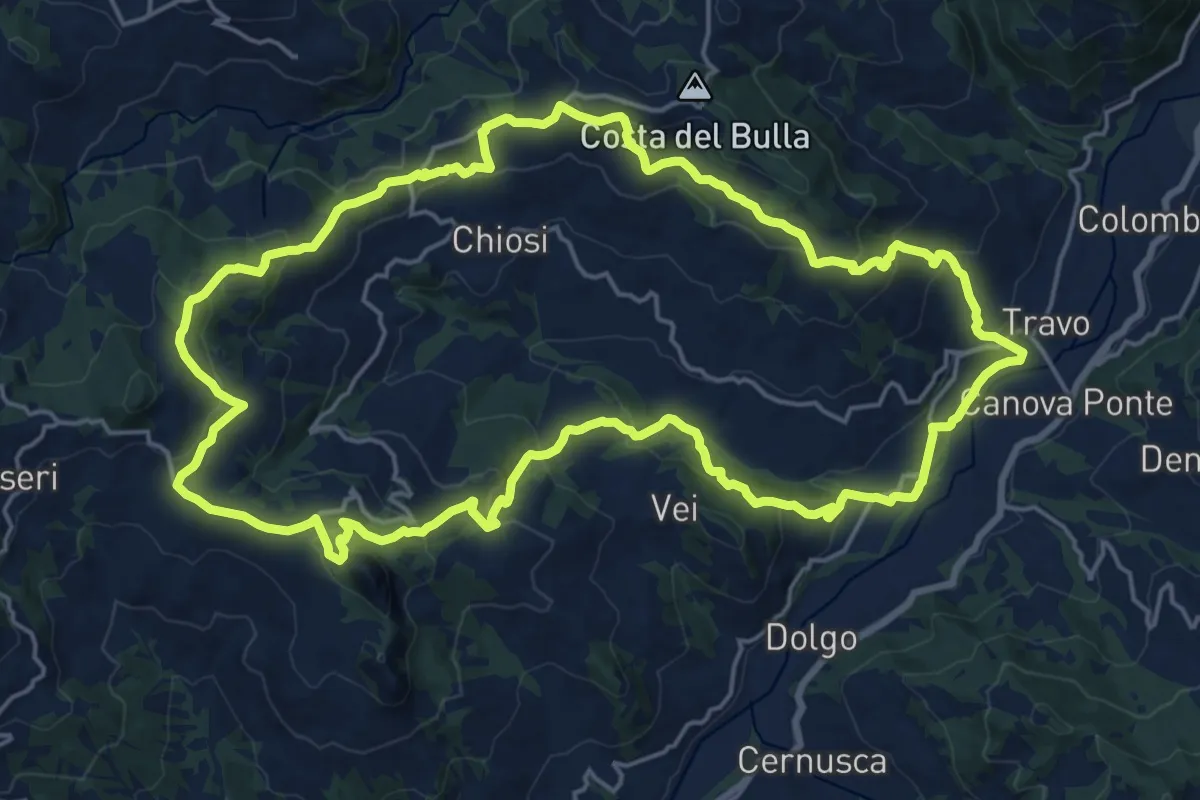
Demanding · Summit
Trail delle Pietre
21.4 km · ↑ 866 m · 7 h 14 min
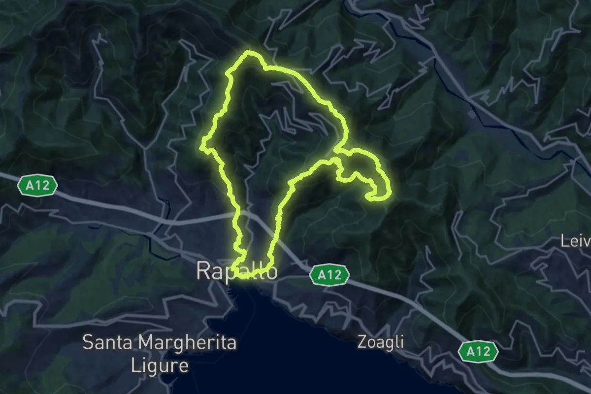
Demanding · Summit
Trail di Rapallo
16.8 km · ↑ 1227 m · 6 h 52 min
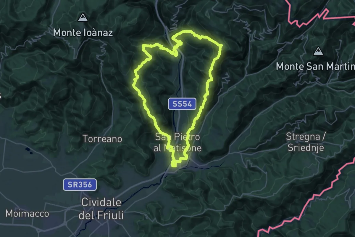
Demanding · Summit
Trail nelle valli del Natisone
26.1 km · ↑ 1468 m · 9 h 42 min
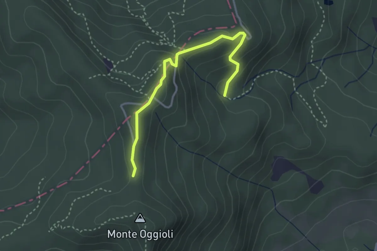
Medium · Trail
Trail Tre Cime
3.2 km · ↑ 146 m · 1 h 5 min
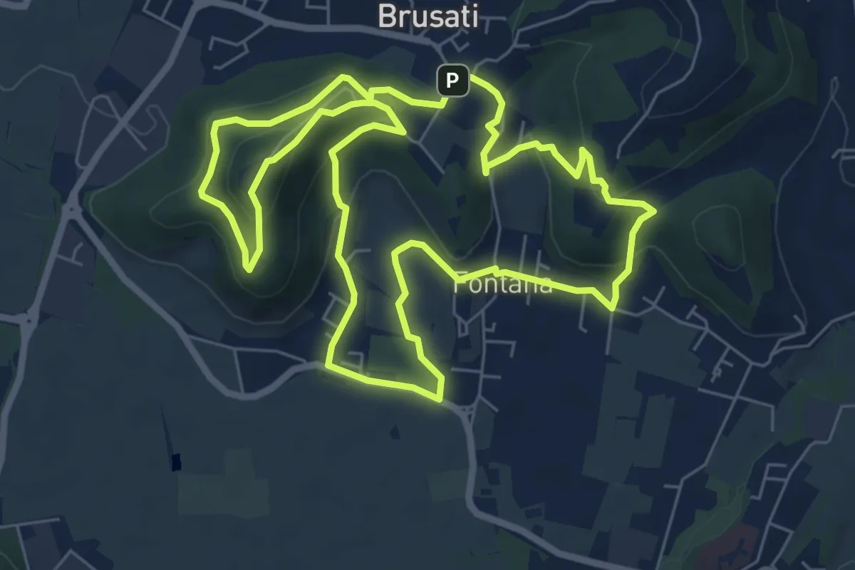
Easy · Trail
Tra il vecchio castello e la Madonna della Rosa
7.0 km · ↑ 299 m · 2 h 24 min
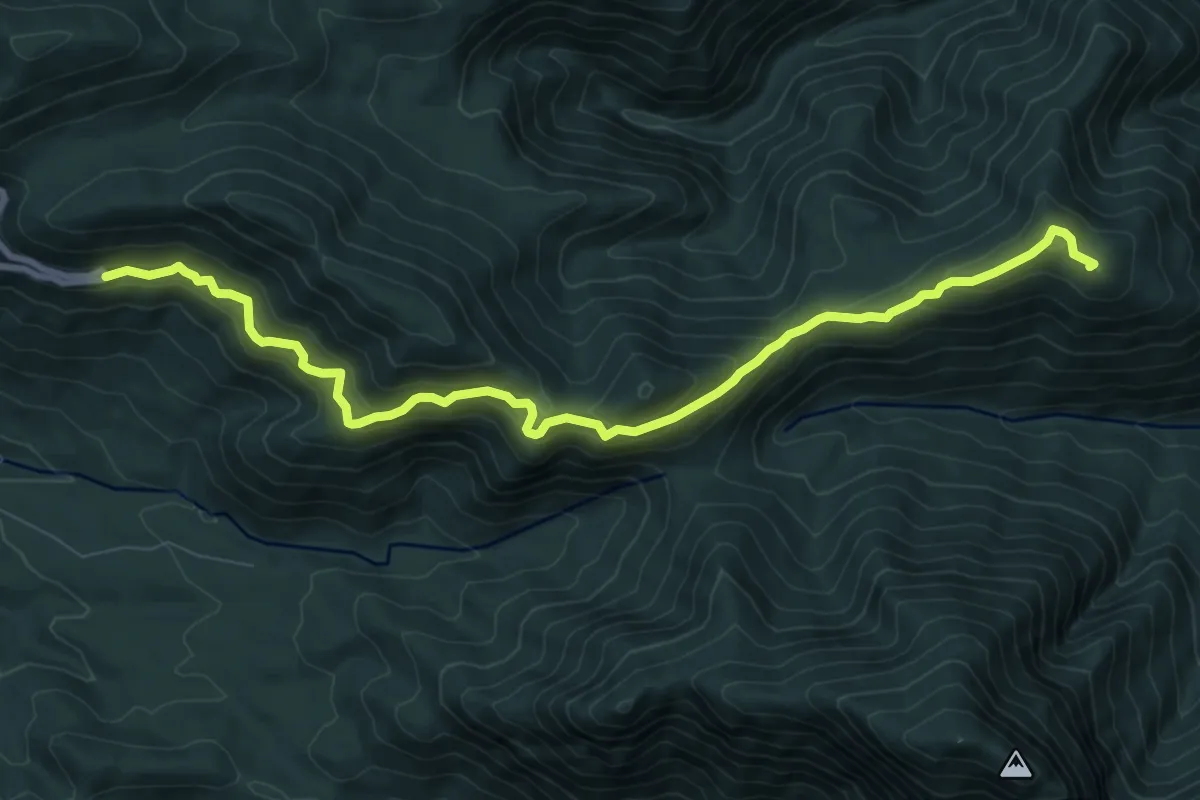
Medium · Summit
Tra le due valli del Sabato e del Calore
10.6 km · ↑ 716 m · 4 h 3 min
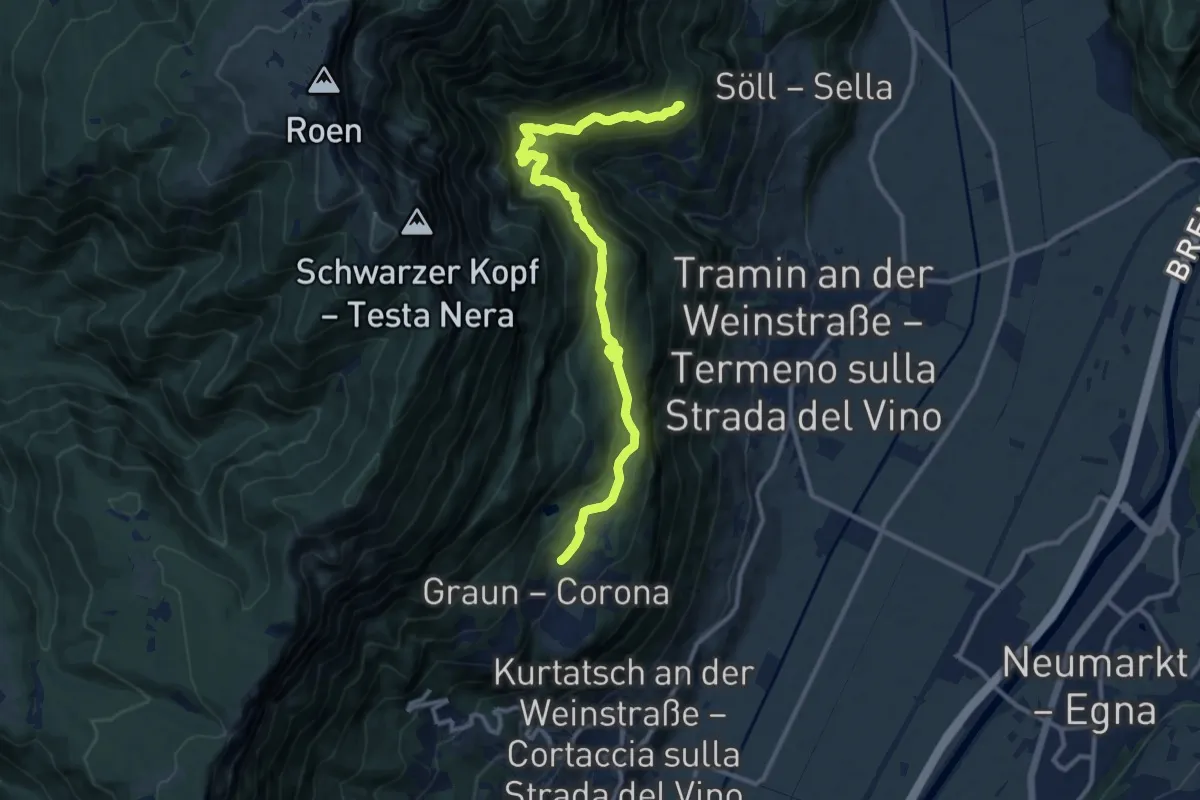
Medium · Trail
Traminer Höhenweg - Alta Via di Termeno
12.1 km · ↑ 660 m · 4 h 17 min
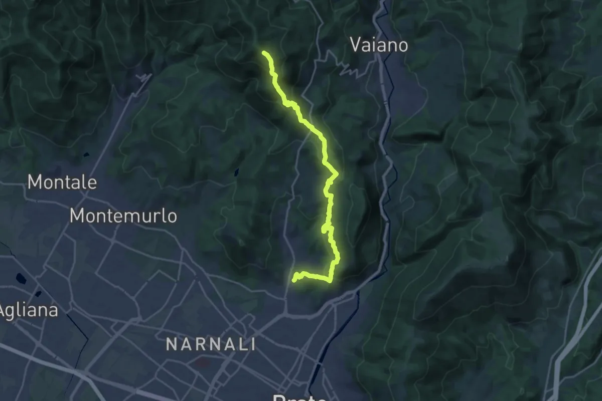
Demanding · Summit
Tramonto di un'Alba
19.9 km · ↑ 1090 m · 7 h 4 min
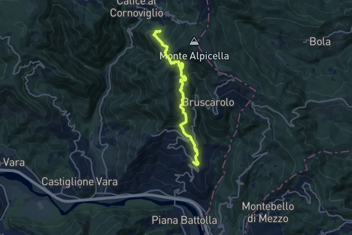
Demanding · Trail
Tranci di Sotto - Provedasco - Case Carzachi - Foce Carzachi - Nasso di Sopra
10.9 km · ↑ 841 m · 4 h 23 min
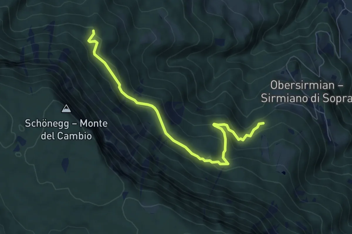
Medium · Trail
Tränksteig
7.2 km · ↑ 374 m · 2 h 30 min
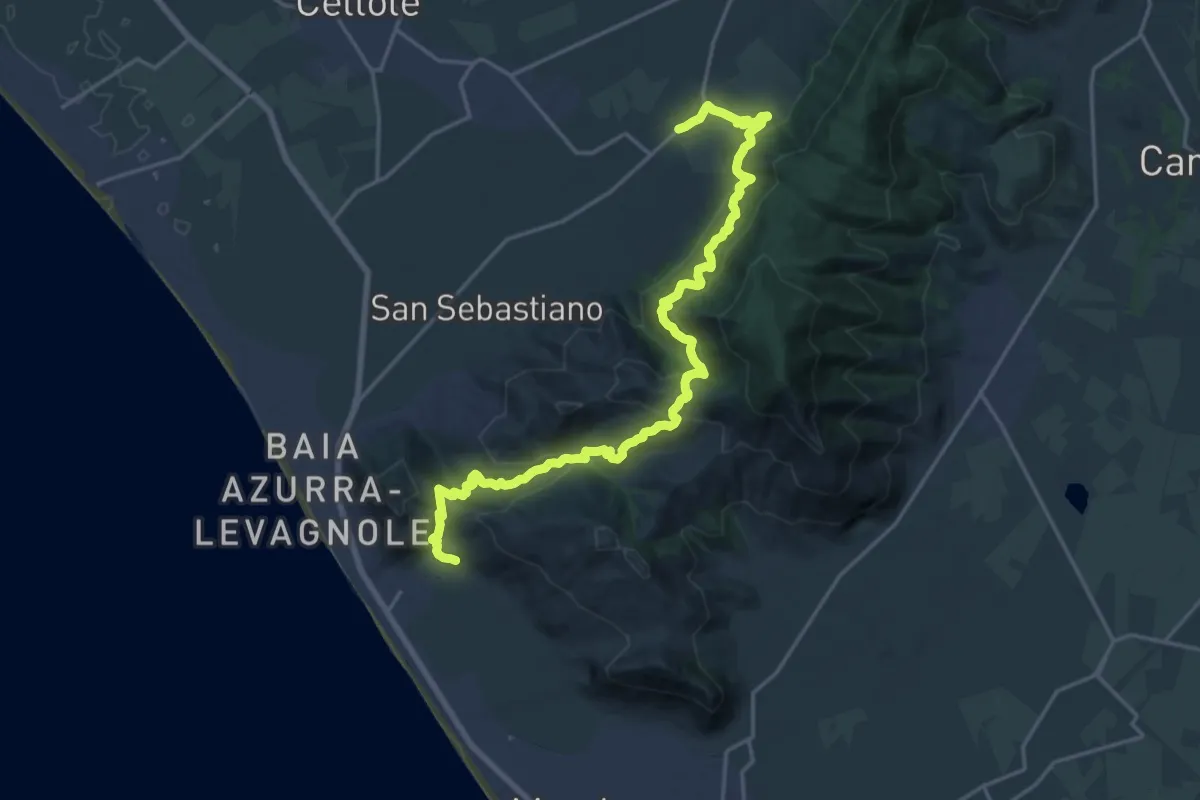
Medium · Trail
Transito: Mondragone - Venafro
12.4 km · ↑ 748 m · 4 h 44 min
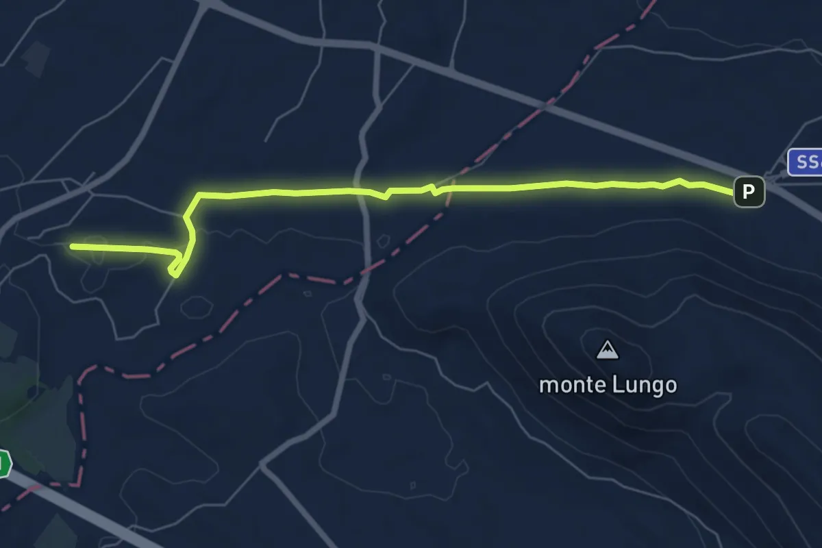
Easy · Trail
Transito - Via Micaelica
7.3 km · ↑ 36 m · 1 h 48 min
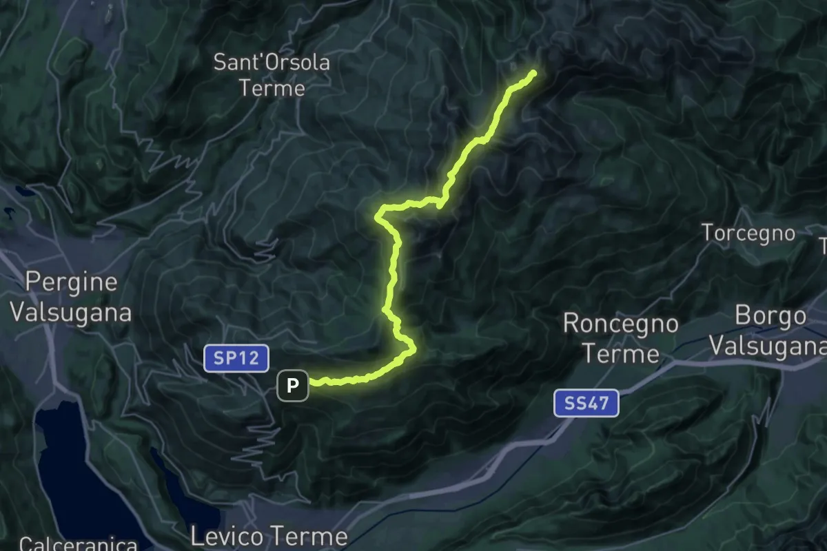
Demanding · Summit
TransLagorai - Tappa 1
27.3 km · ↑ 1669 m · 10 h 4 min
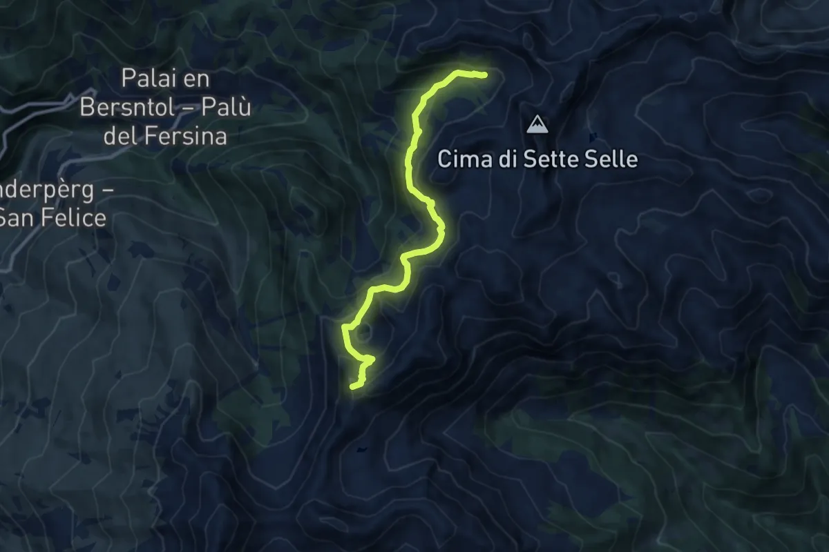
Medium · Summit
TransLagorai - Tappa 1 variante Erdemolo
9.3 km · ↑ 710 m · 3 h 44 min
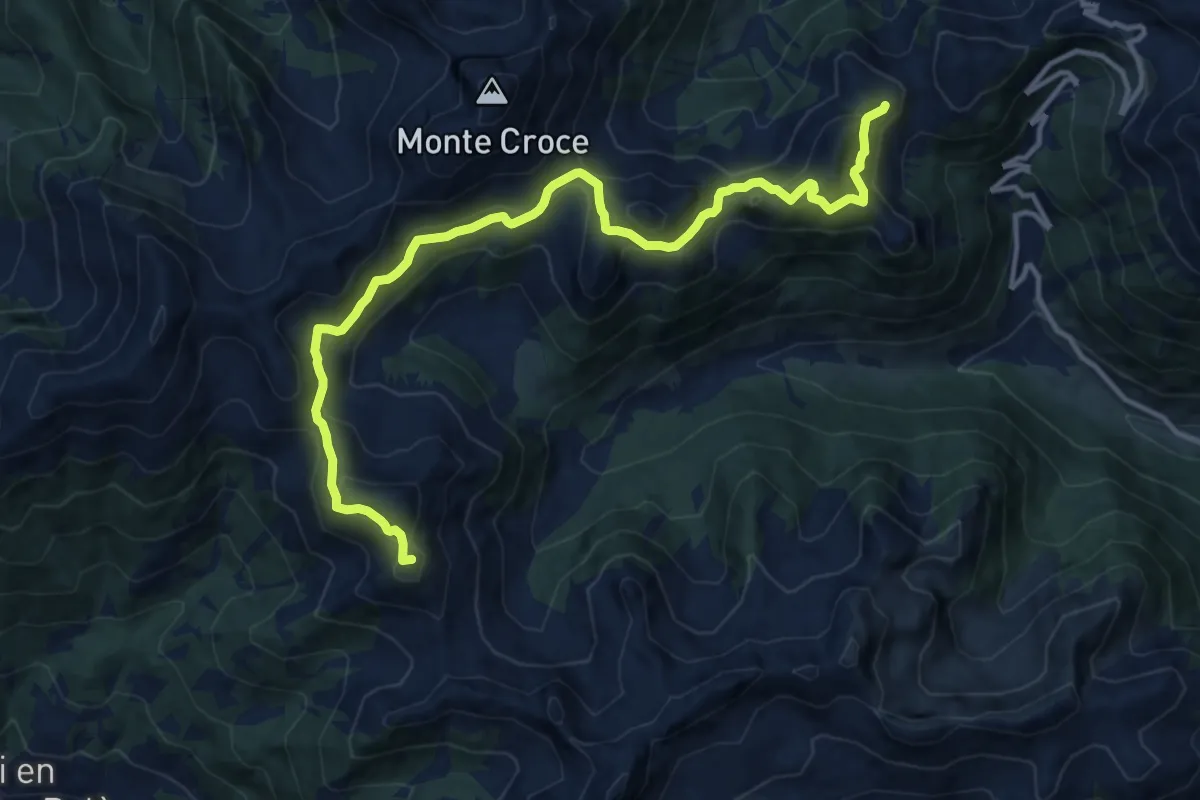
Demanding · Summit
TransLagorai - Tappa 2
14.1 km · ↑ 964 m · 5 h 25 min
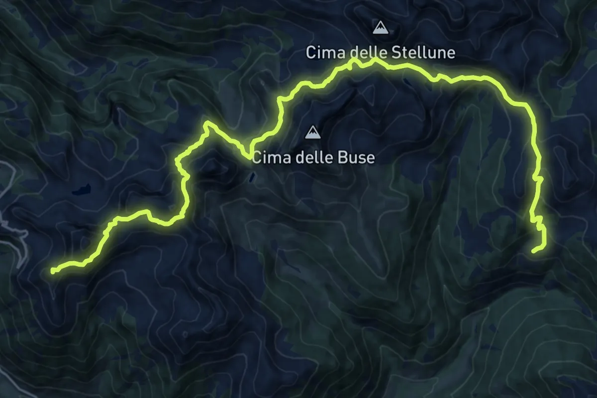
Demanding · Summit
TransLagorai - Tappa 3
26.8 km · ↑ 1680 m · 9 h 58 min
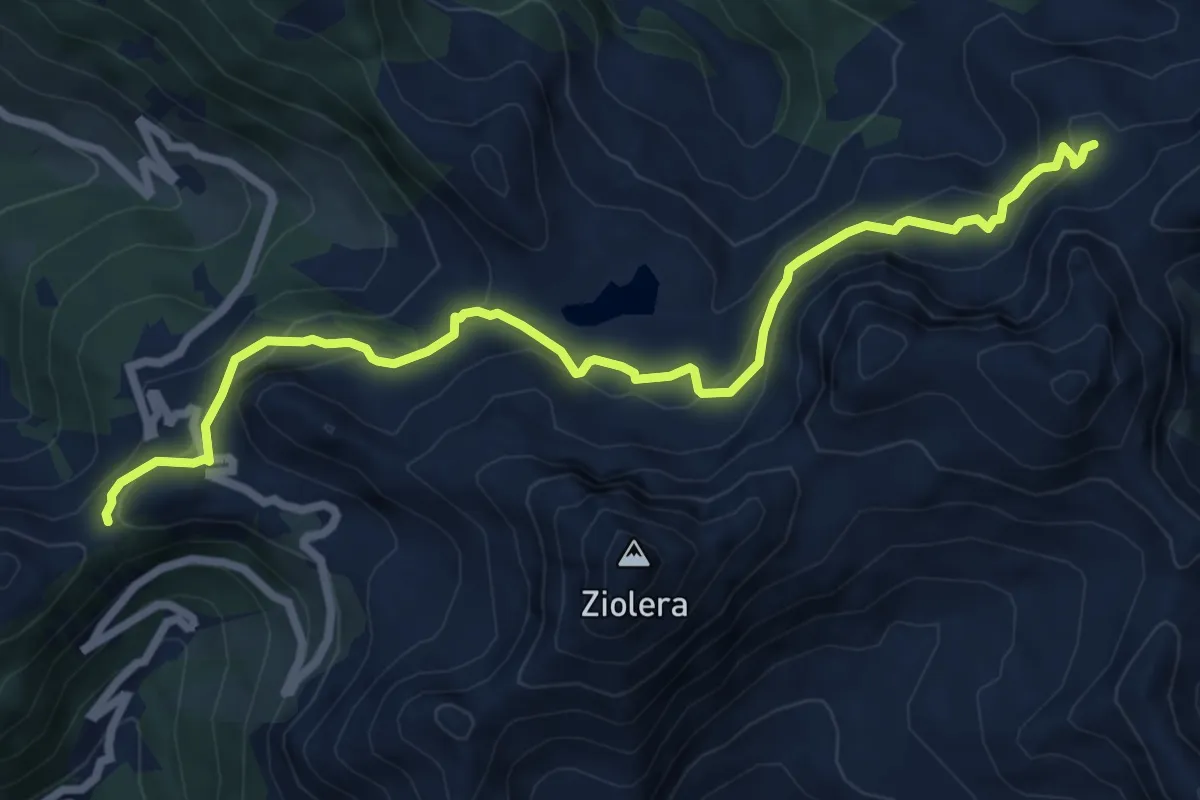
Medium · Trail
TransLagorai - Tappa 3 variante Lago Buse
7.9 km · ↑ 434 m · 2 h 48 min
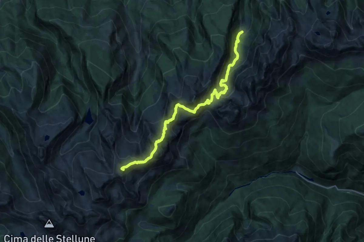
Demanding · Summit
TransLagorai - Tappa 4
19.3 km · ↑ 1328 m · 7 h 26 min
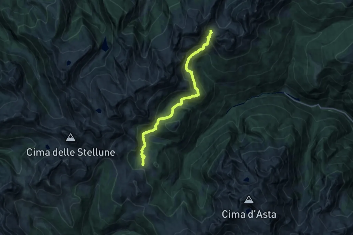
Demanding · Trail
TransLagorai - Tappa 4 variante Copolà
16.2 km · ↑ 974 m · 5 h 56 min
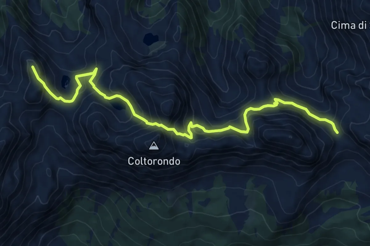
Demanding · Summit
TransLagorai - Tappa 5
10.4 km · ↑ 901 m · 4 h 25 min
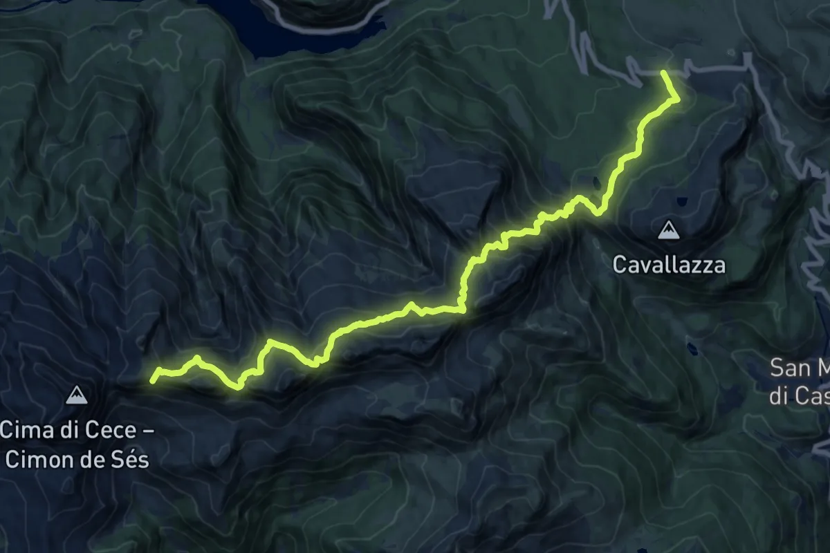
Expert · Summit
TransLagorai - Tappa 6
20.9 km · ↑ 1568 m · 8 h 20 min
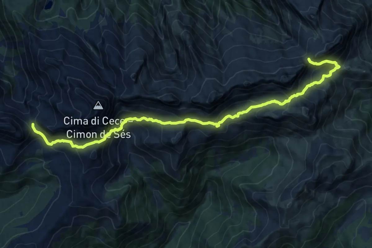
Expert · Cabin
TransLagorai - Tappa 6 variante Malacarne
18.5 km · ↑ 1438 m · 7 h 28 min
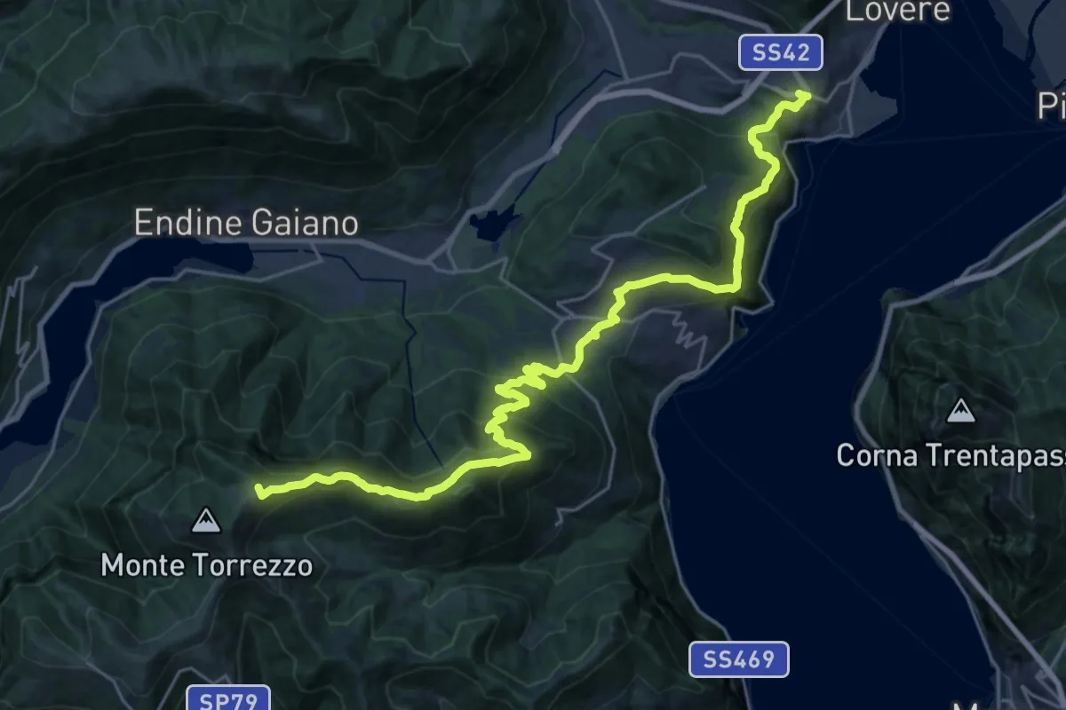
Demanding · Summit
Trans Padana Centrale
31.0 km · ↑ 1872 m · 11 h 23 min
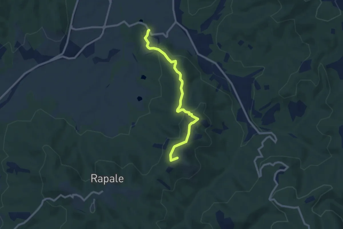
Easy · Summit
Tra sacro e profano
6.5 km · ↑ 203 m · 1 h 58 min
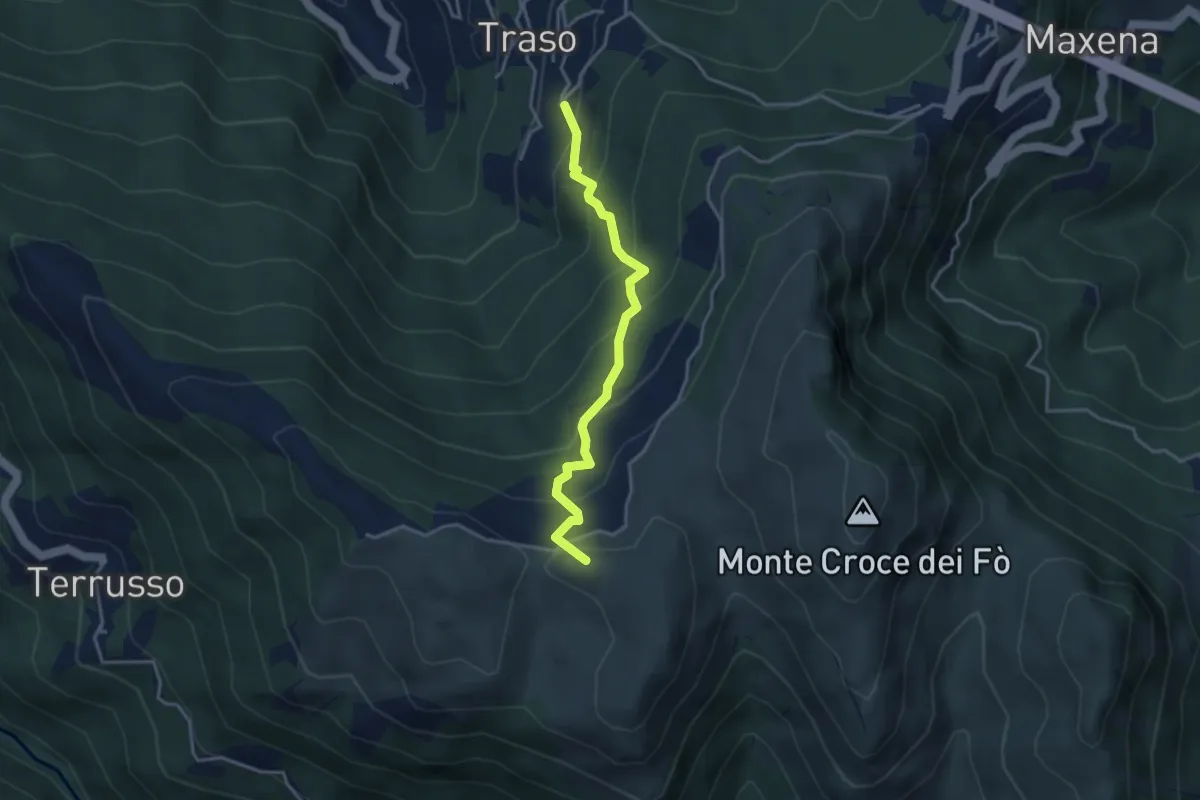
Medium · Summit
Traso Alta - Colle Speranza
3.5 km · ↑ 341 m · 1 h 34 min
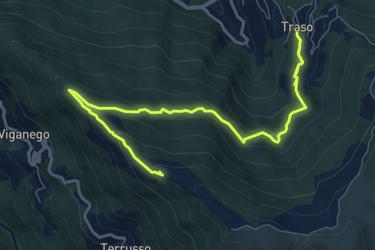
Medium · Summit
Traso - Colle Speranza
8.5 km · ↑ 567 m · 3 h 14 min
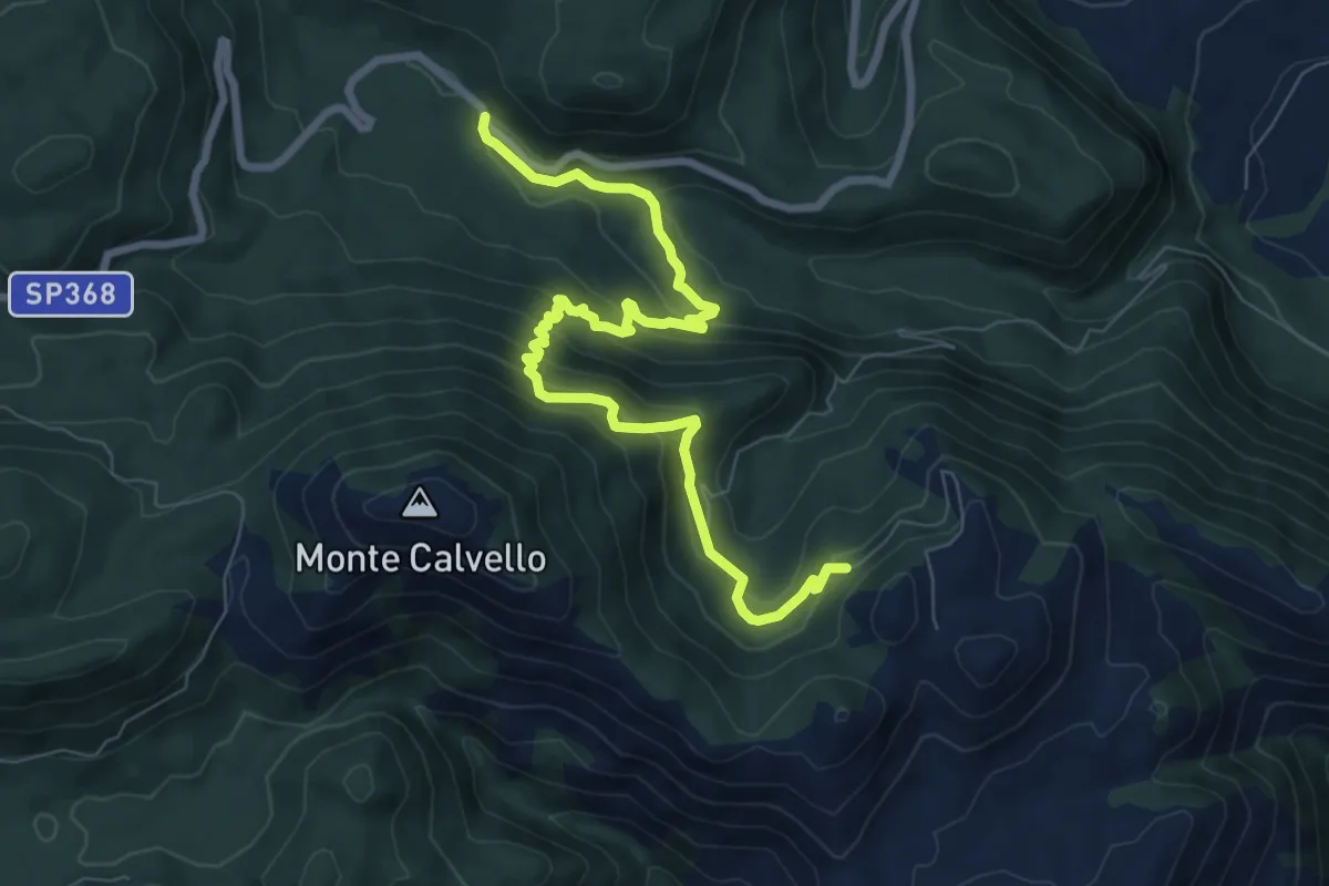
Medium · Trail
Tra sorgenti e Calvello
9.3 km · ↑ 619 m · 3 h 33 min
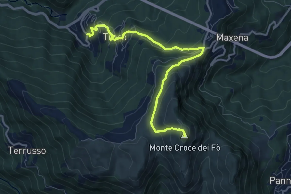
Medium · Summit
Traso - Sant'Alberto - Monte Croce dei Fo
8.8 km · ↑ 631 m · 3 h 27 min
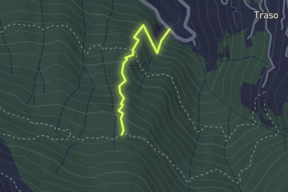
Medium · Trail
Traso - Trapena
1.9 km · ↑ 323 m · 1 h 10 min
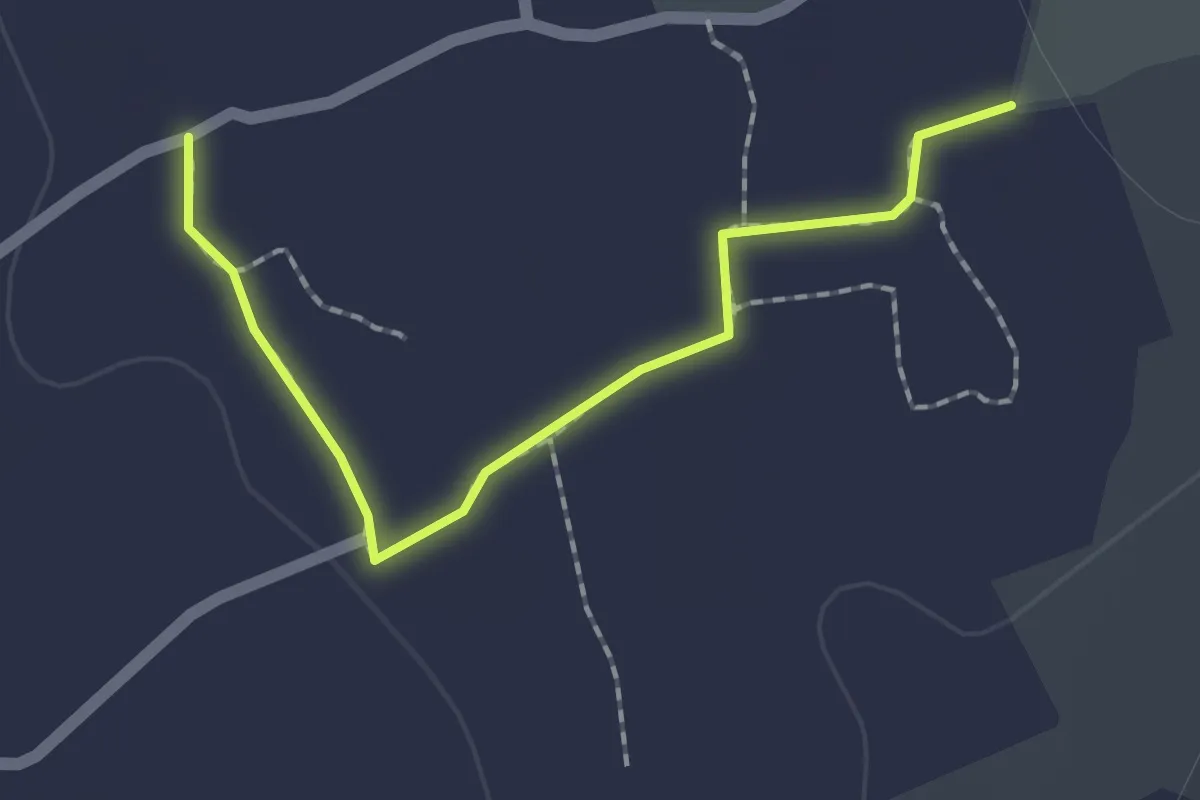
Easy · Trail
Tratturo Corte Guti
2.1 km · ↑ 8 m · 31 min
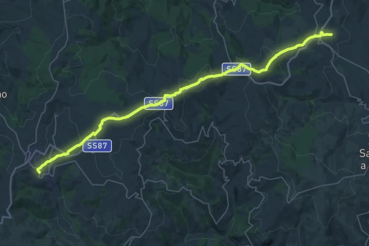
Demanding · Summit
Tratturo Cortile - Centocelle
30.5 km · ↑ 767 m · 8 h 51 min
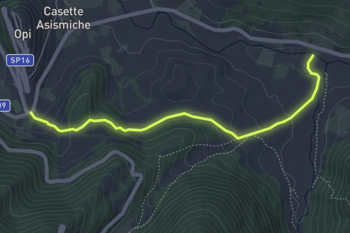
Medium · Trail
Tratturo Regio
5.7 km · ↑ 199 m · 1 h 46 min