Trails in Italy
25,219 hiking trails, each with its route, climb, walking time and grade.
All trails, page 204 of 526
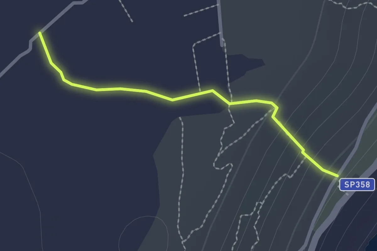
Easy · Trail
Tratturo Tutt'Osse
2.2 km · ↑ 59 m · 40 min
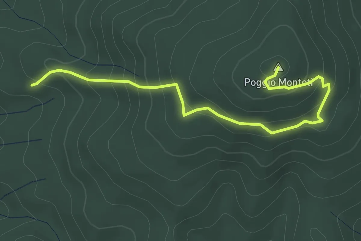
Easy · Summit
Traversa di poggio Monteti
4.4 km · ↑ 259 m · 1 h 36 min
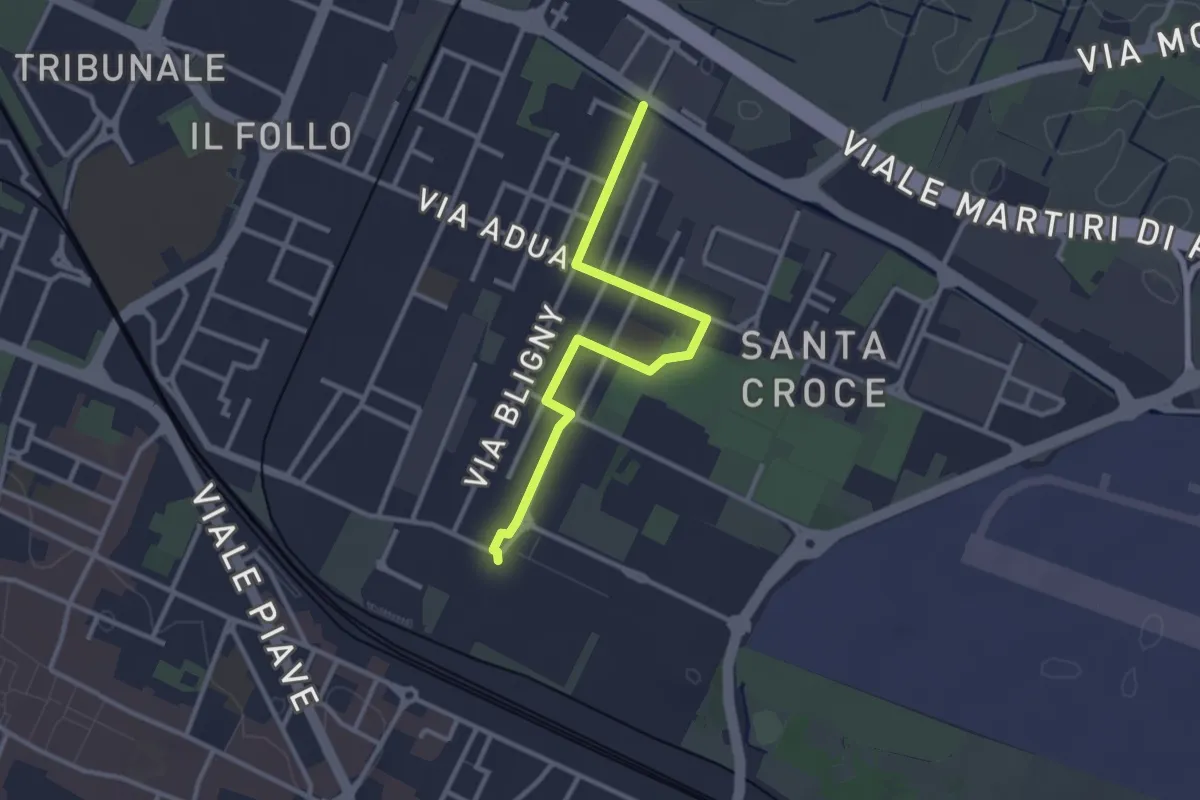
Easy · Trail
Traversa di Santa Croce
3.1 km · ↑ 4 m · 45 min
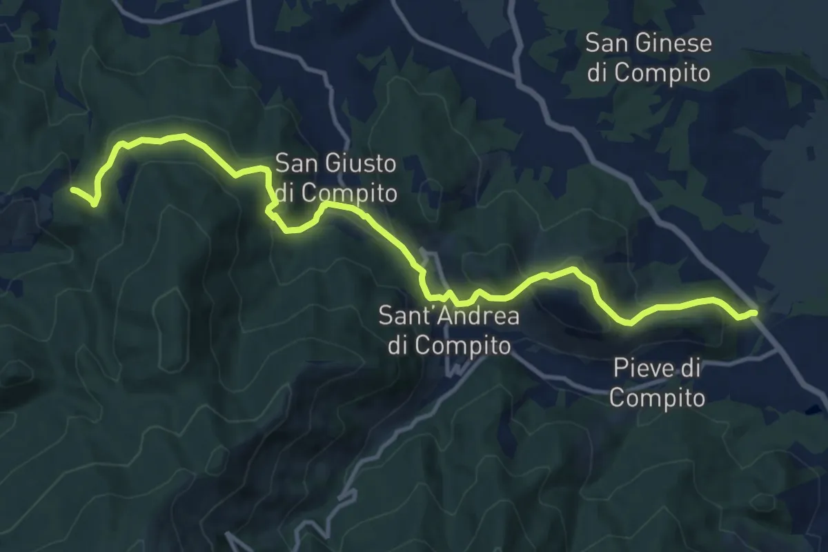
Medium · Trail
Traversale di Compito
13.8 km · ↑ 607 m · 4 h 34 min
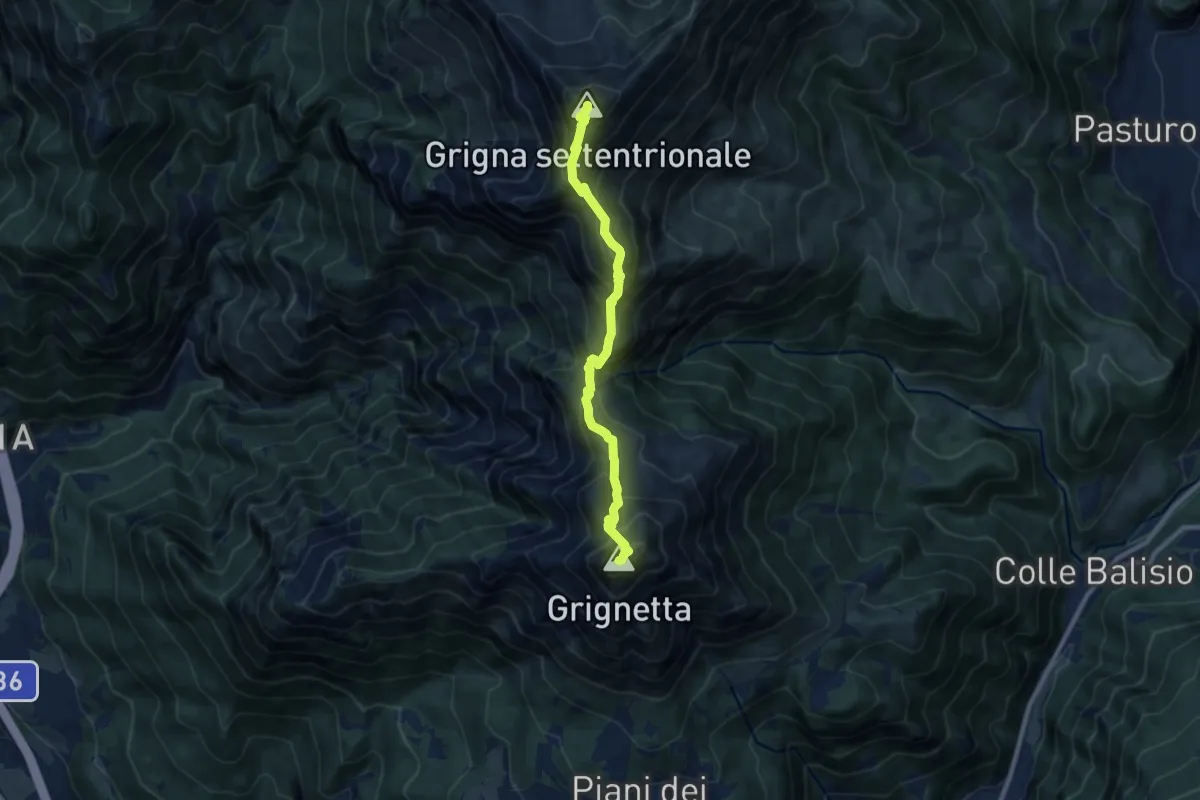
Expert · Summit
Traversata Alta delle Grigne
9.0 km · ↑ 1038 m · 4 h 22 min
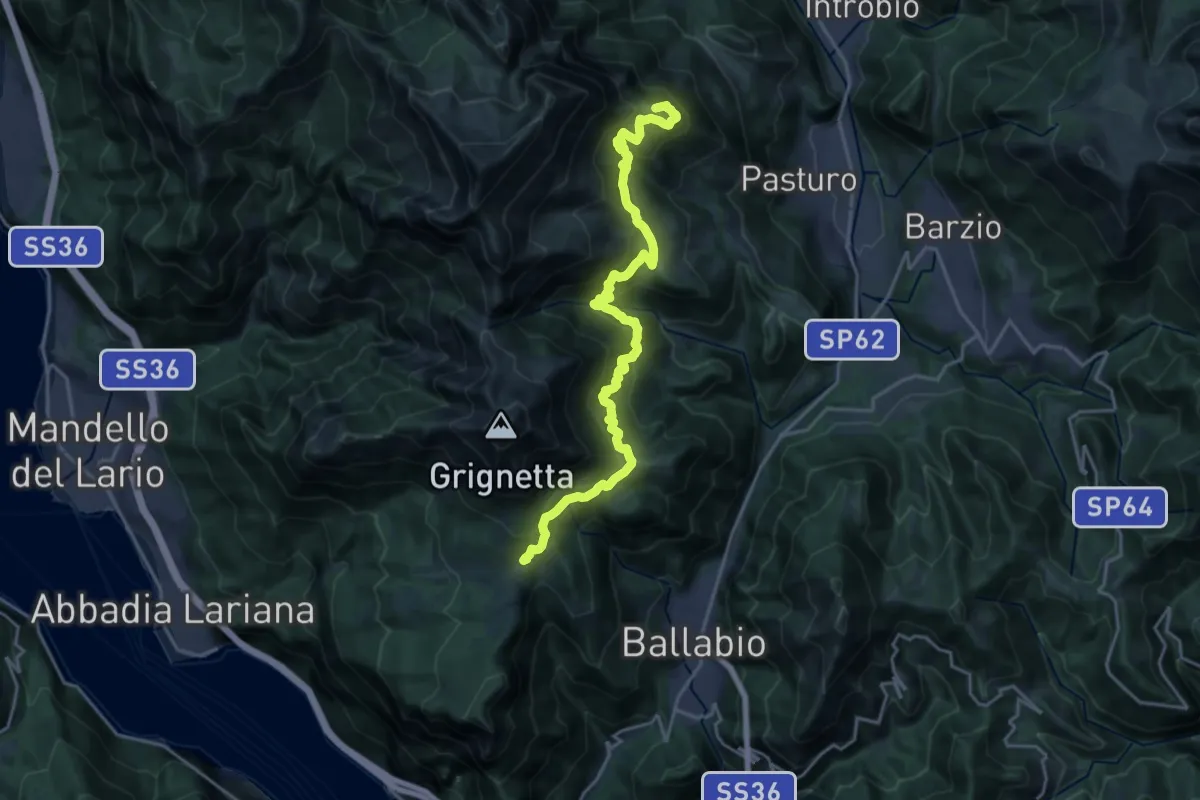
Demanding · Summit
Traversata Bassa delle Grigne
21.3 km · ↑ 1565 m · 8 h 25 min
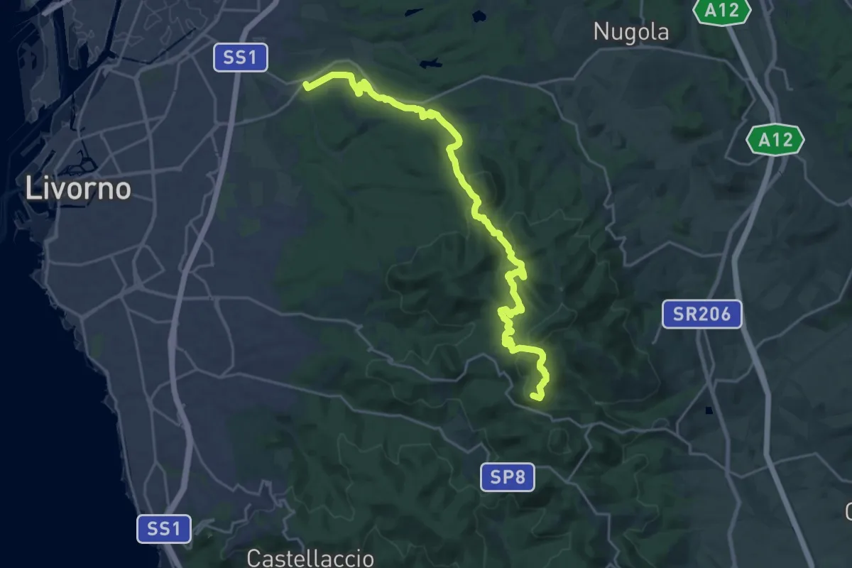
Demanding · Summit
Traversata dei Monti Livornesi
25.3 km · ↑ 714 m · 7 h 31 min
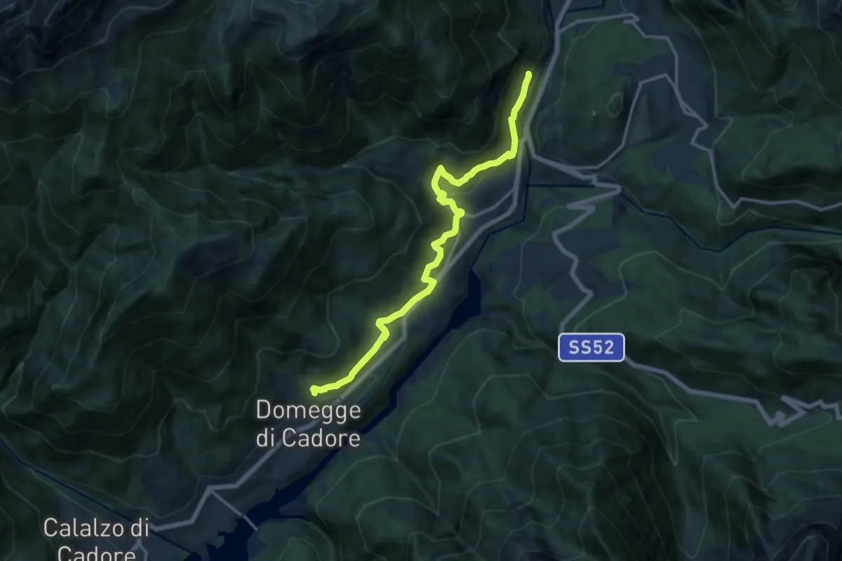
Medium · Trail
Traversata del Centro Cadore
14.0 km · ↑ 589 m · 4 h 35 min
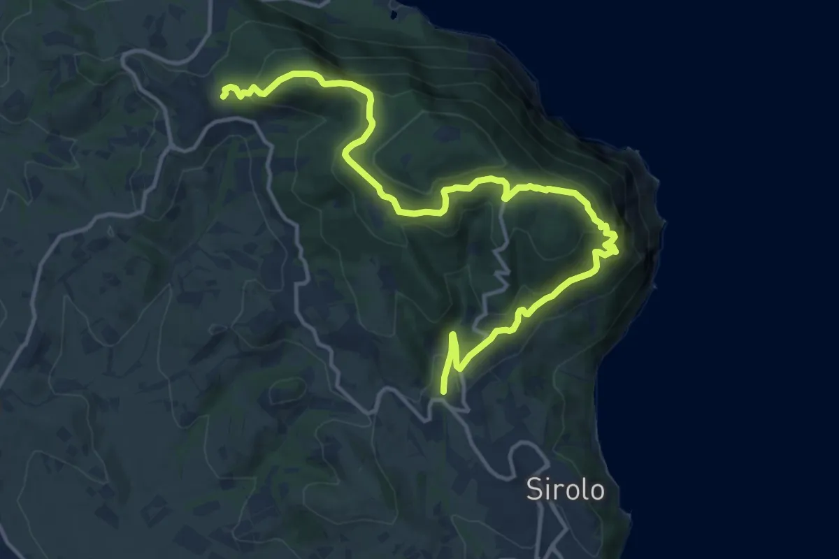
Demanding · Trail
Traversata del Conero
16.4 km · ↑ 864 m · 5 h 45 min
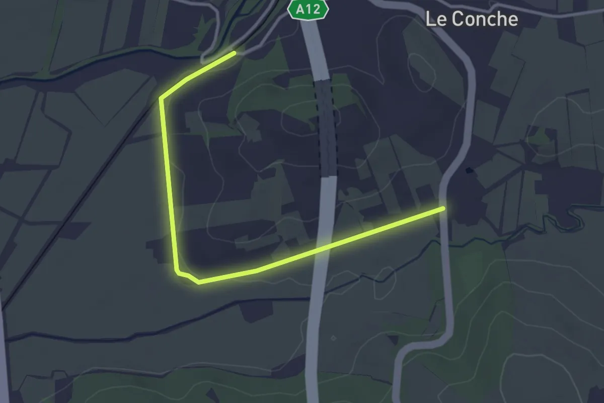
Easy · Trail
Traversata delle Colline Livornesi (100C - via Pie' di Grotti)
3.8 km · ↑ 9 m · 55 min
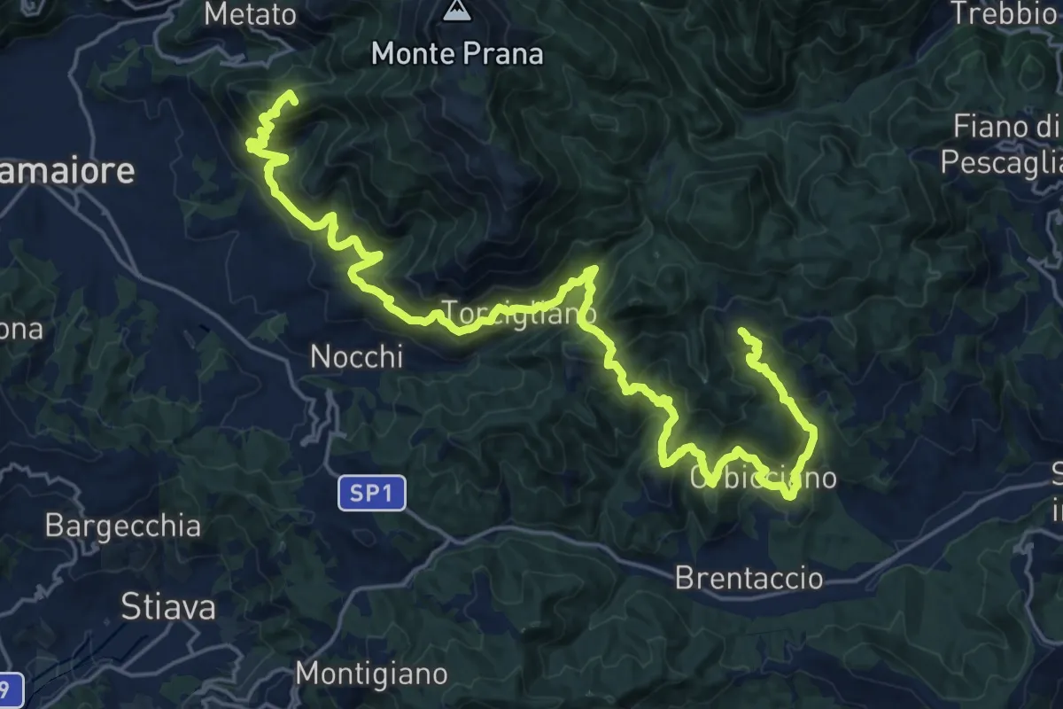
Demanding · Summit
Traversata delle Frazioni Camaioresi
30.0 km · ↑ 1890 m · 11 h 11 min
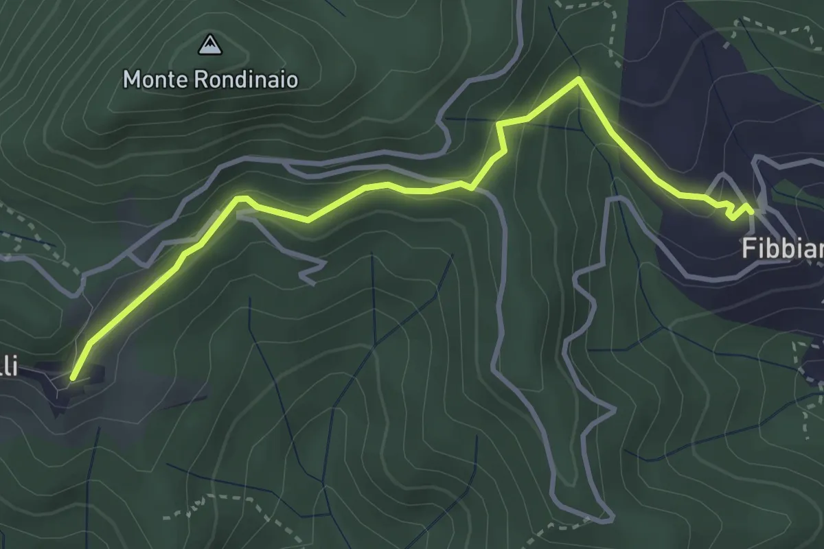
Easy · Trail
Traversata delle Frazioni Camaioresi (variante)
3.7 km · ↑ 194 m · 1 h 17 min
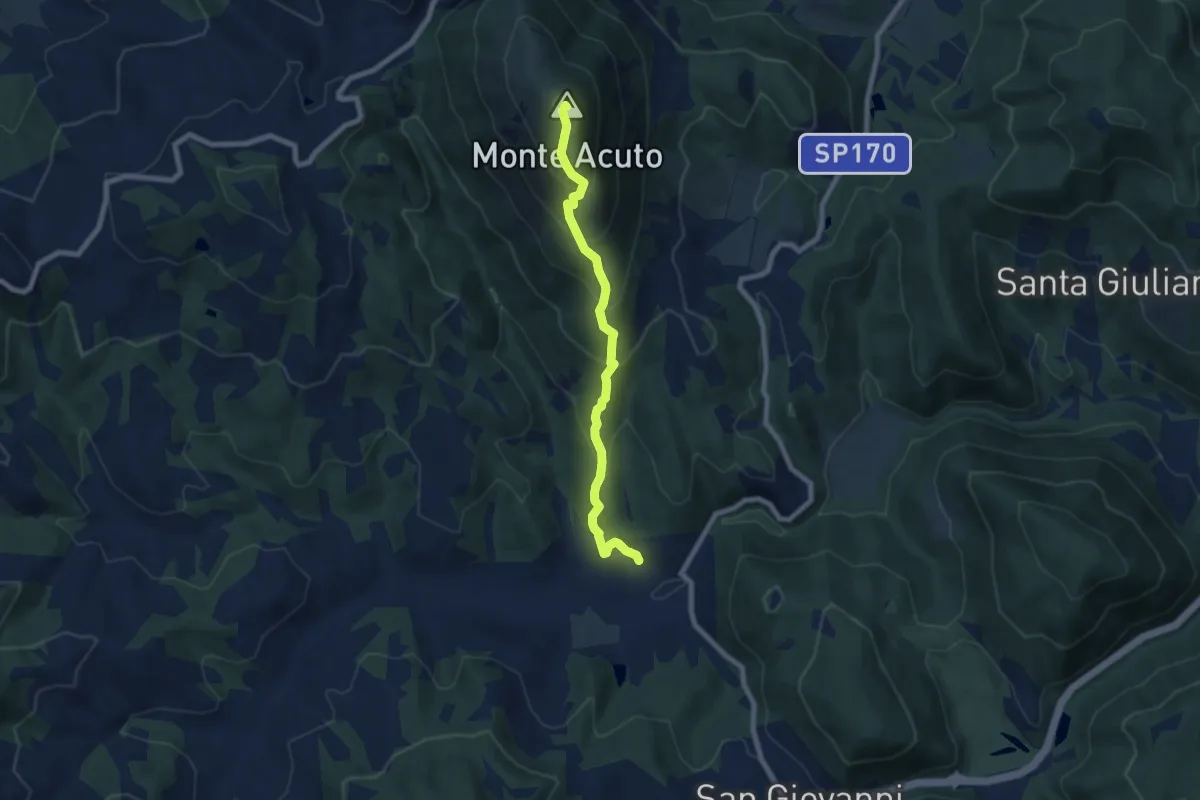
Medium · Summit
Traversata di Monte Acuto
7.4 km · ↑ 606 m · 3 h 4 min
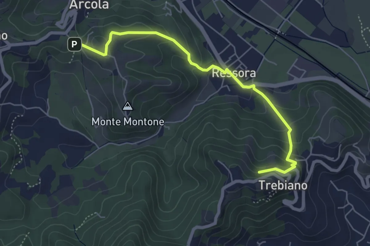
Easy · Summit
Trebiano - Ressora - Arcola (via delle Pievi)
5.3 km · ↑ 265 m · 1 h 50 min
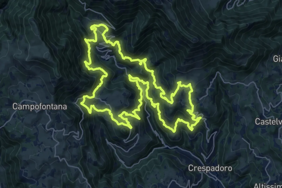
Demanding · Summit
Tre campanili al vento
25.0 km · ↑ 1721 m · 9 h 59 min
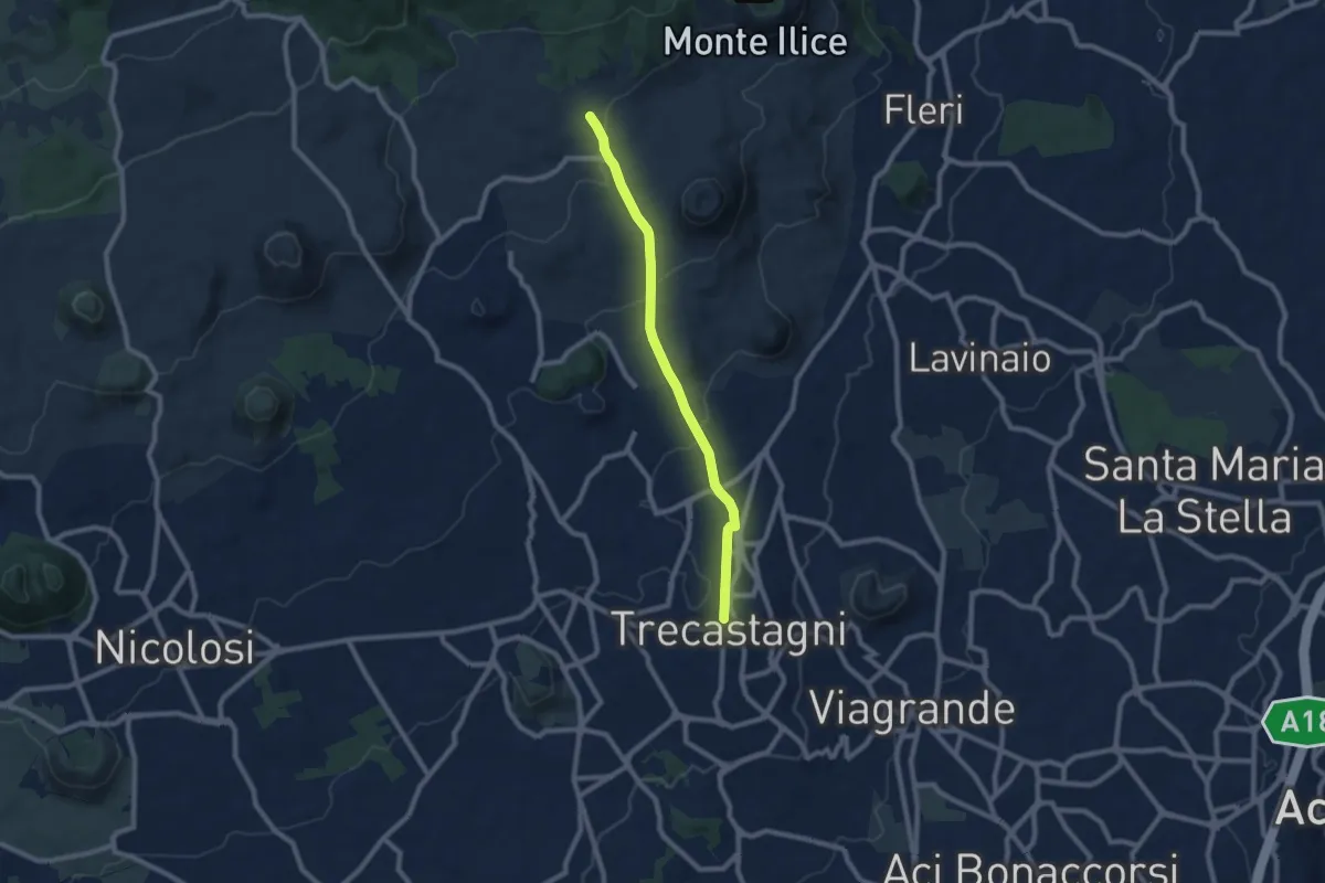
Medium · Trail
Trecastagni - Rete Sentieristica Parco Etna
9.1 km · ↑ 254 m · 2 h 43 min
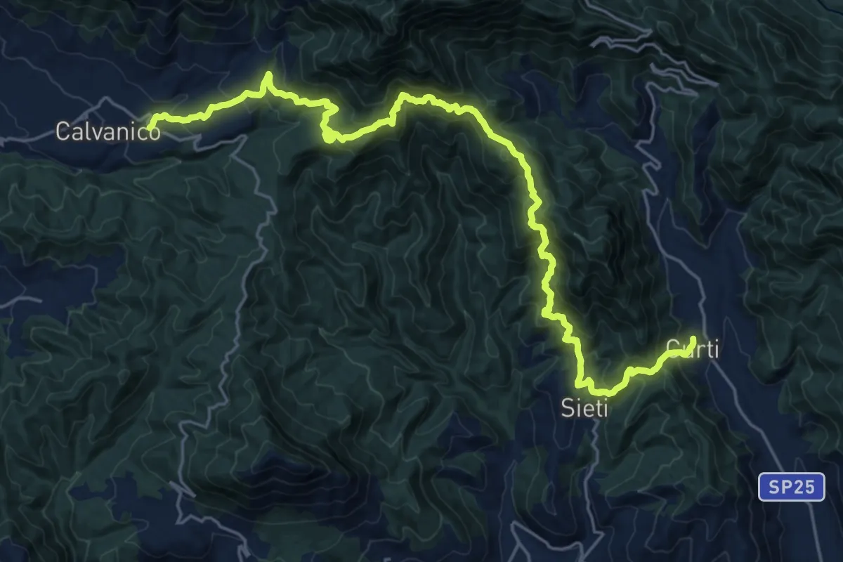
Demanding · Trail
Tre Comuni Trek
13.8 km · ↑ 1118 m · 5 h 48 min
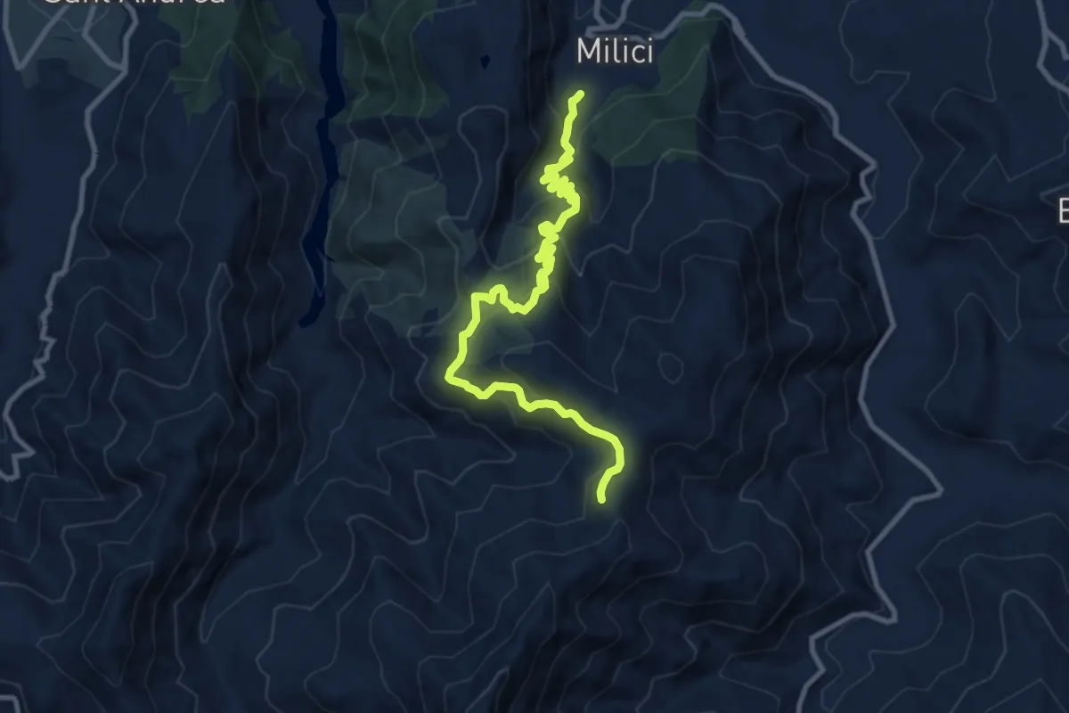
Demanding · Trail
Tre Croci
11.9 km · ↑ 936 m · 4 h 50 min
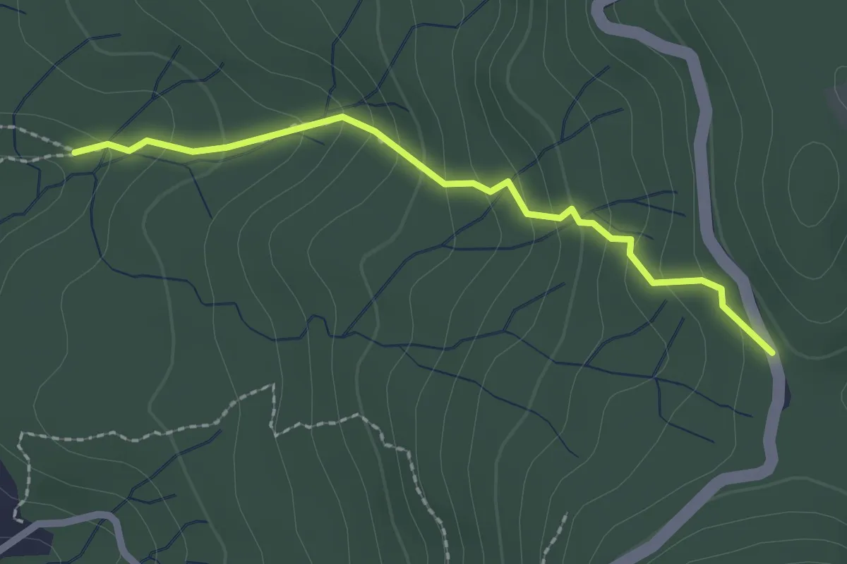
Medium · Trail
Tre Fontane – Foce di Vaggi
2.2 km · ↑ 162 m · 52 min
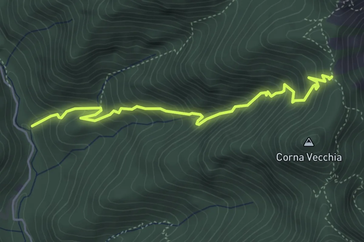
Medium · Trail
Tregadone piccola
4.7 km · ↑ 661 m · 2 h 32 min
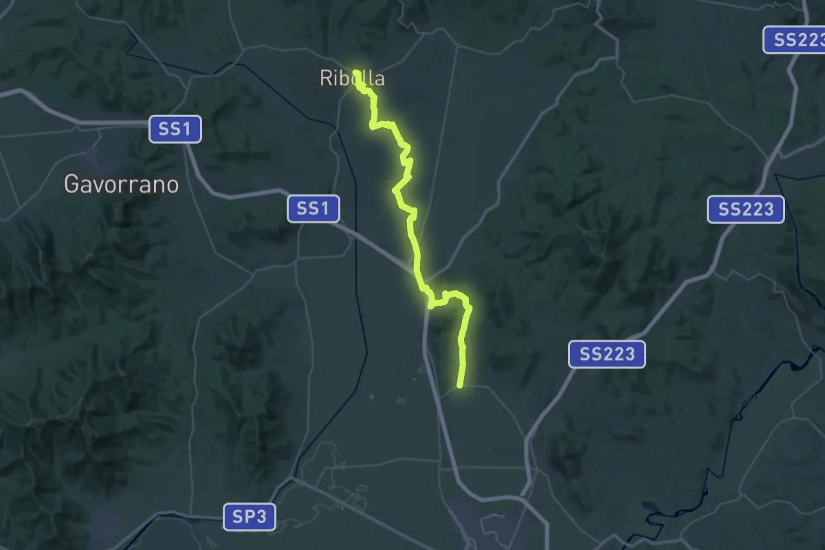
Demanding · Trail
Trek di Santa Barbara
21.3 km · ↑ 257 m · 5 h 52 min
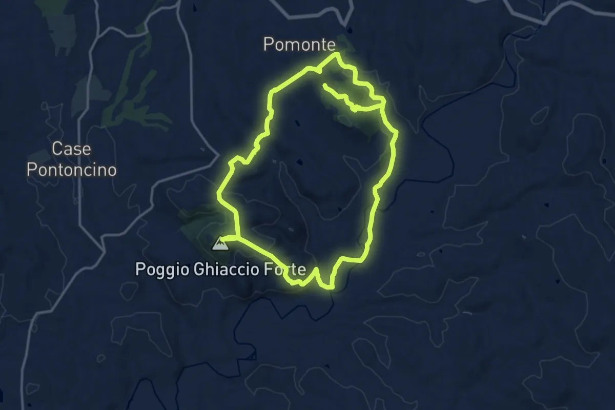
Medium · Summit
Trekking Chiaccio Forte Pomonte
13.4 km · ↑ 363 m · 4 h 5 min
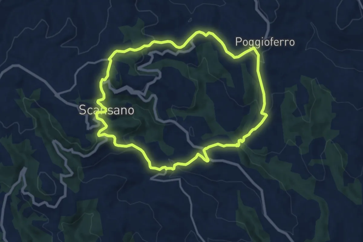
Medium · Trail
Trekking del Conventro
10.9 km · ↑ 429 m · 3 h 40 min
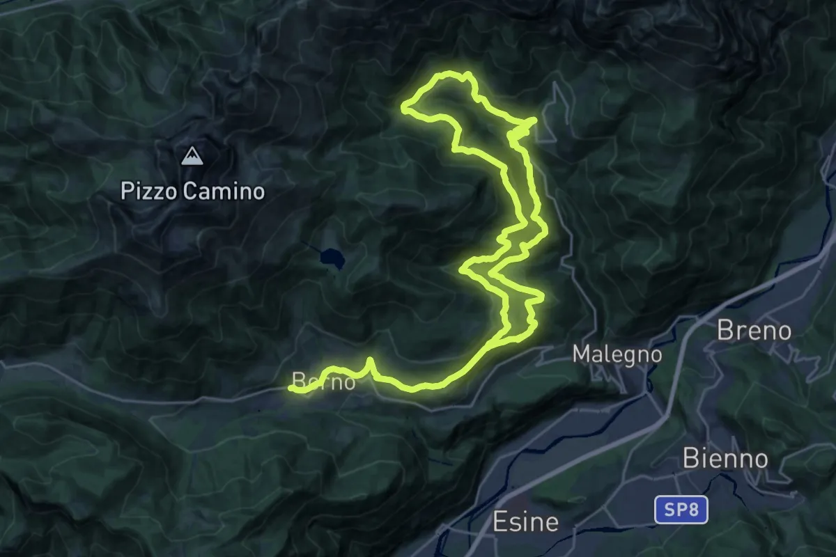
Demanding · Trail
Trekking dell'Altopiano del Sole
21.6 km · ↑ 949 m · 7 h 27 min
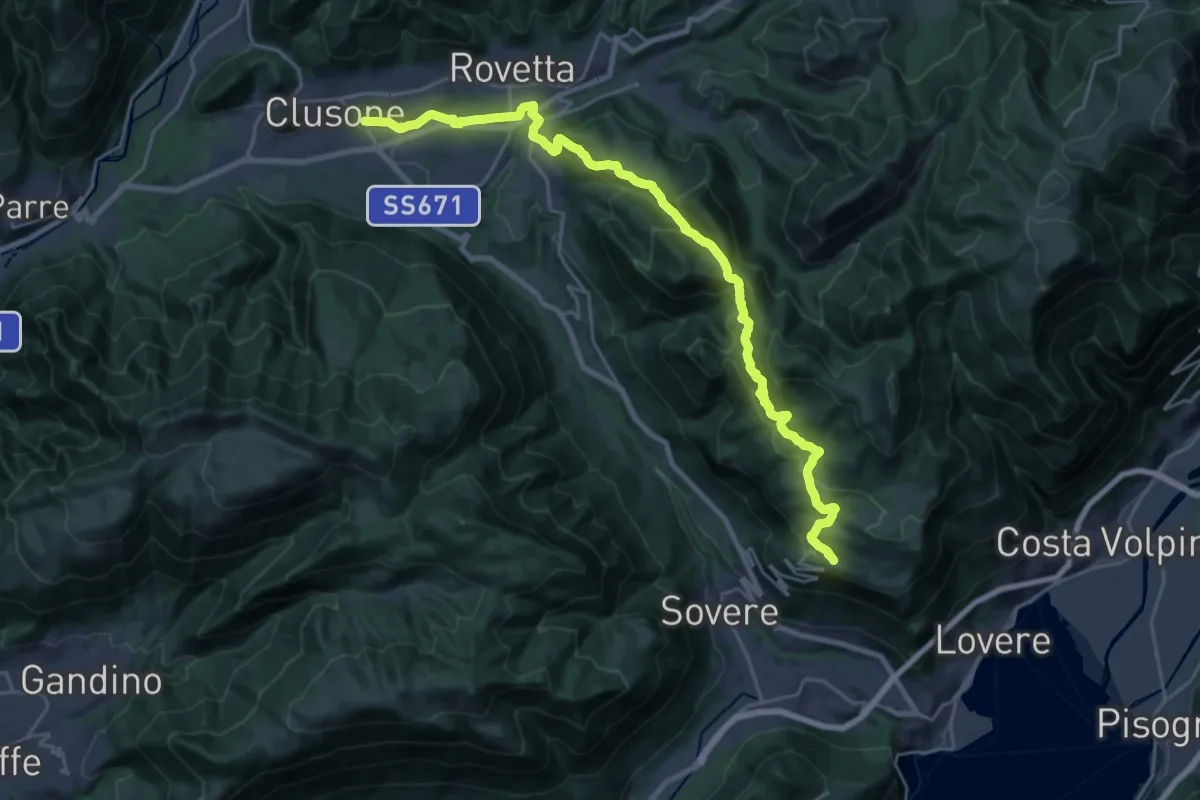
Medium · Trail
Trekking della Presolana - Tappa 1
13.4 km · ↑ 647 m · 4 h 38 min
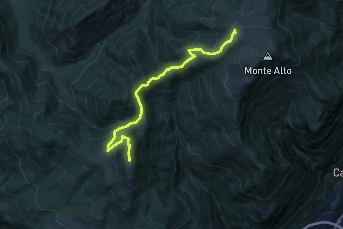
Expert · Summit
Trekking della Presolana - Tappa 2
10.7 km · ↑ 775 m · 4 h 13 min
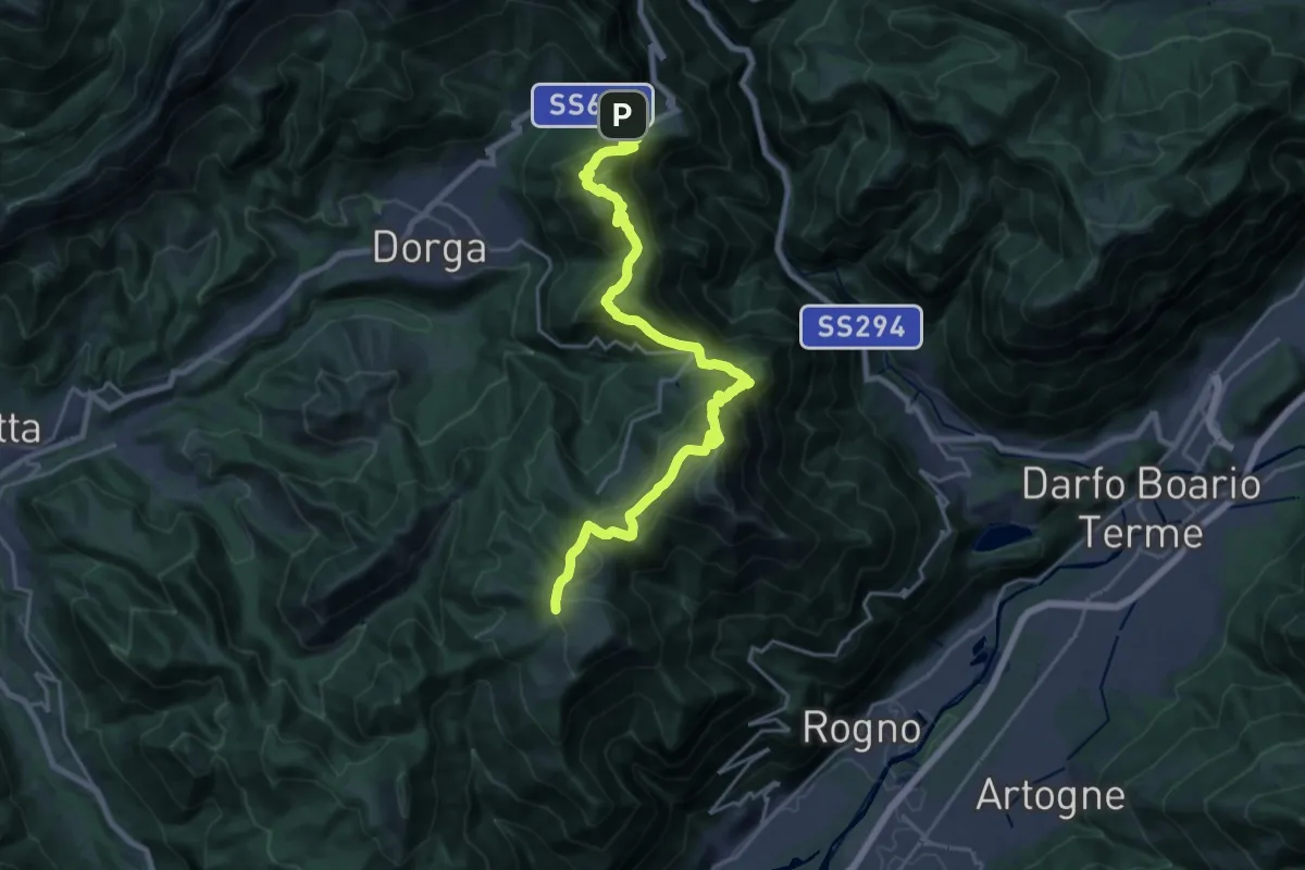
Demanding · Cabin
Trekking della Presolana - Tappa 3
12.2 km · ↑ 918 m · 4 h 53 min
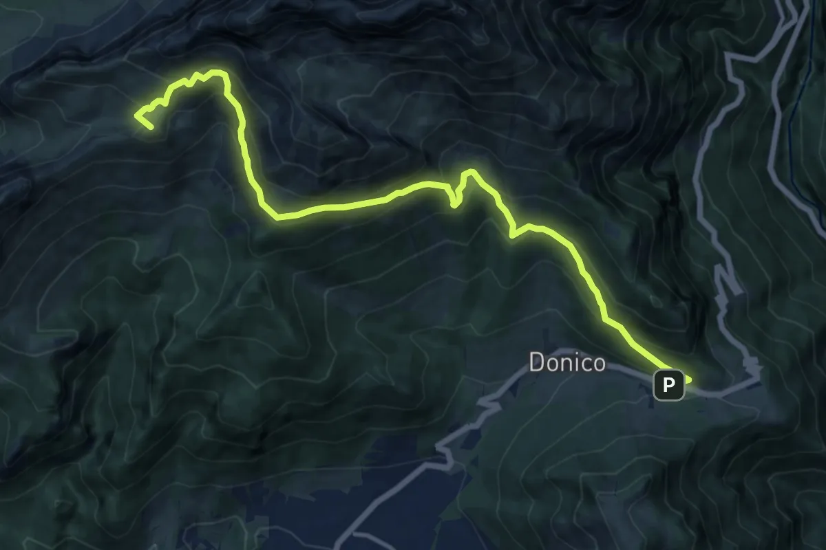
Demanding · Summit
Trekking della Presolana - Tappa 4
13.6 km · ↑ 1026 m · 5 h 27 min
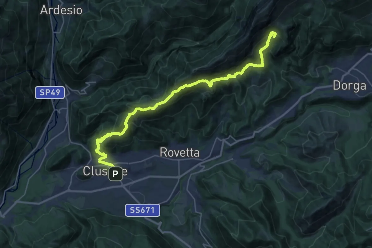
Expert · Summit
Trekking della Presolana - Tappa 5
23.3 km · ↑ 1627 m · 9 h 2 min
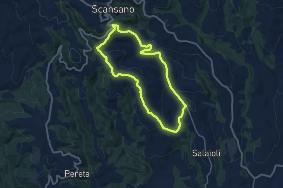
Medium · Trail
Trekking della Villa Romana
10.0 km · ↑ 354 m · 3 h 16 min
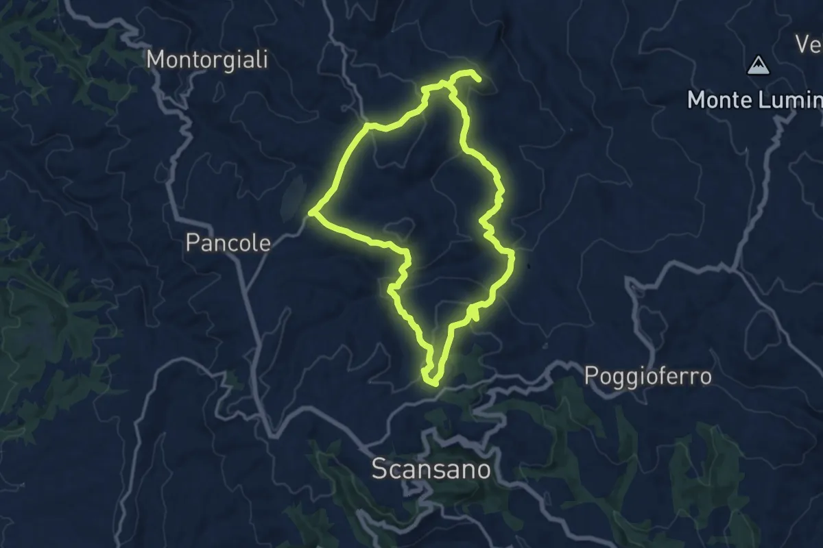
Medium · Trail
Trekking di Montepo
12.9 km · ↑ 449 m · 4 h 13 min
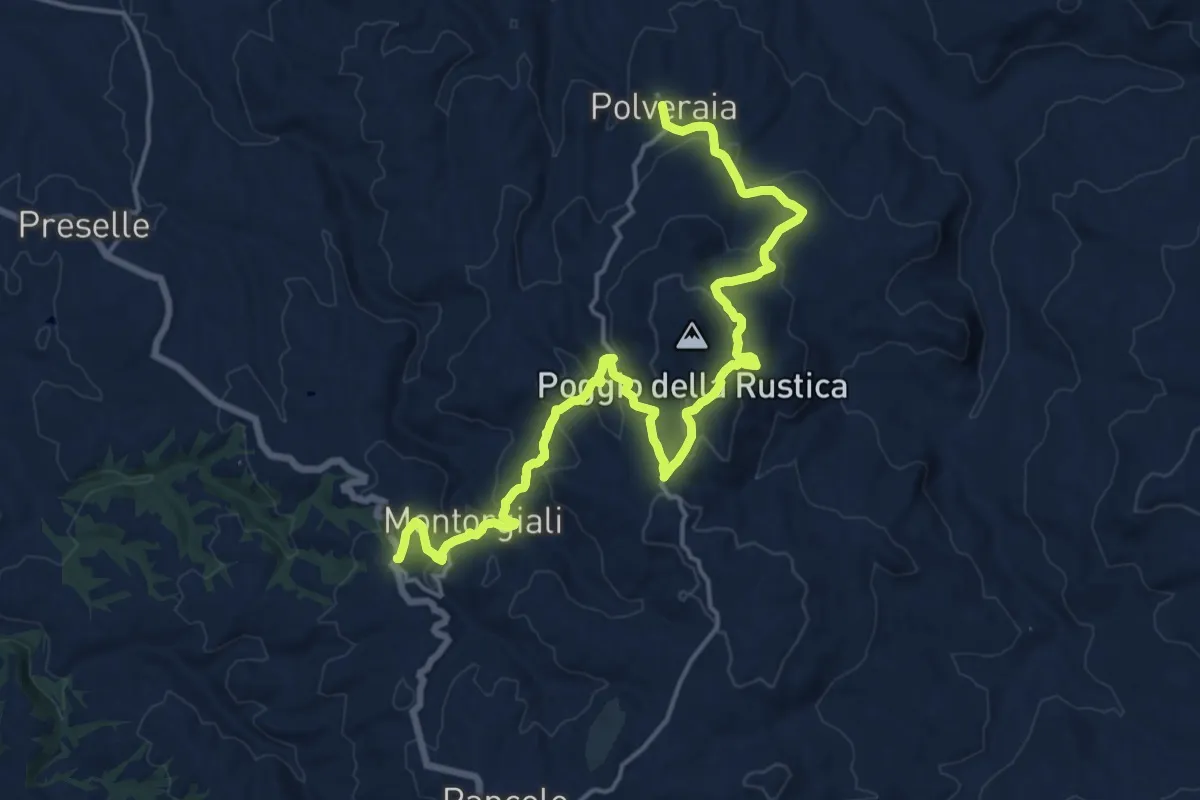
Demanding · Trail
Trekking di Montorgiali Polveraia
21.3 km · ↑ 834 m · 6 h 51 min
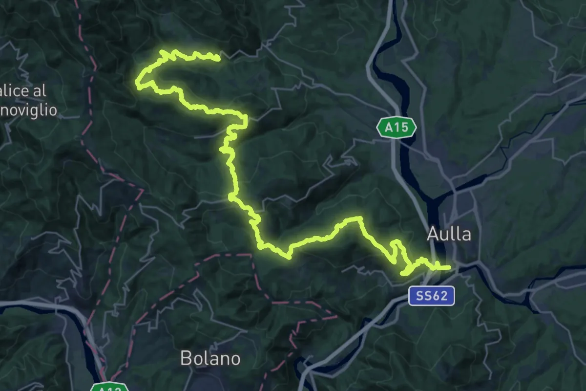
Demanding · Trail
Trekking Lunigiana 1
20.5 km · ↑ 1141 m · 7 h 29 min
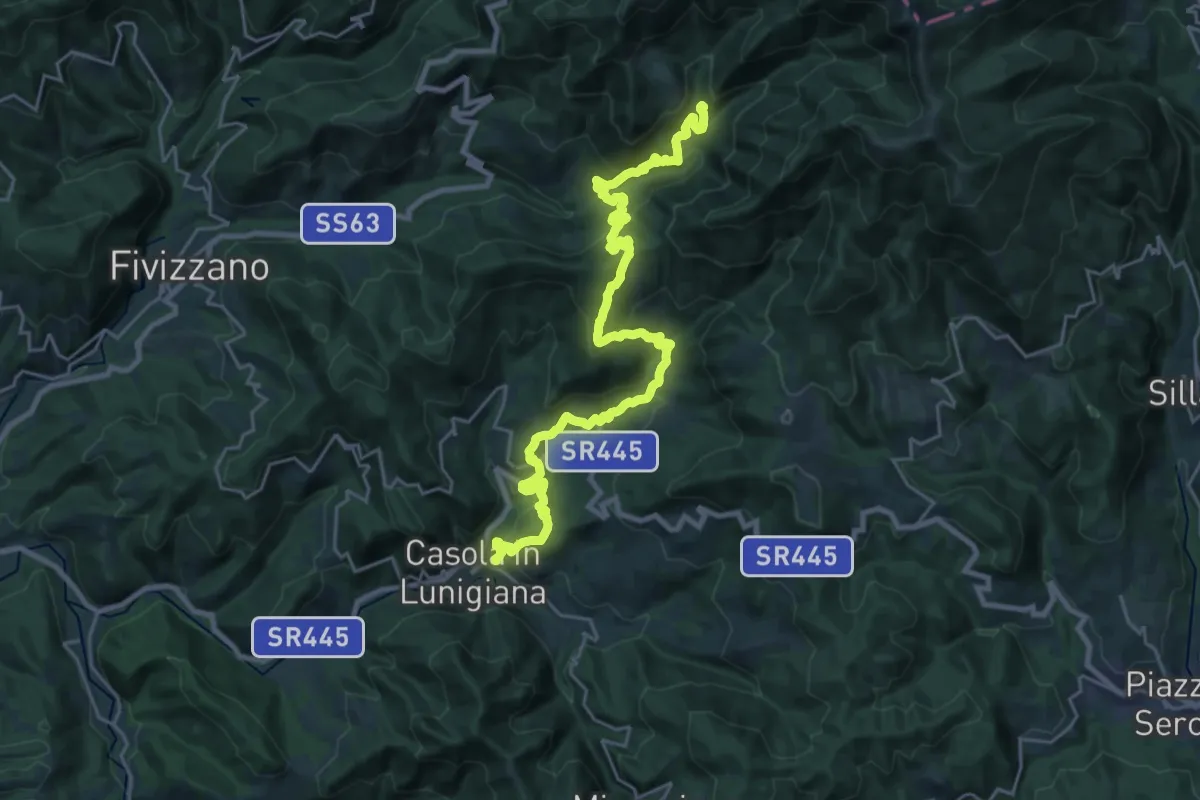
Demanding · Summit
Trekking Lunigiana 10
29.2 km · ↑ 1660 m · 10 h 30 min
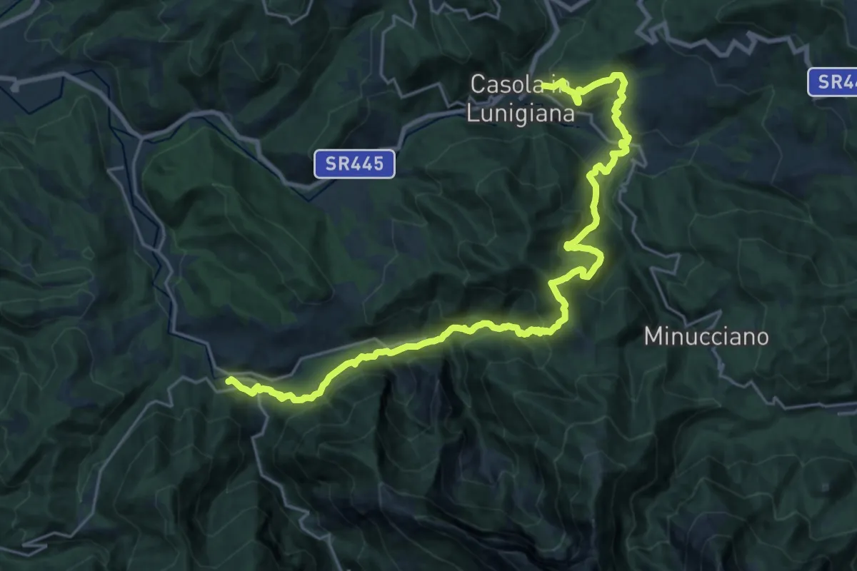
Medium · Trail
Trekking Lunigiana 11
12.9 km · ↑ 650 m · 4 h 43 min
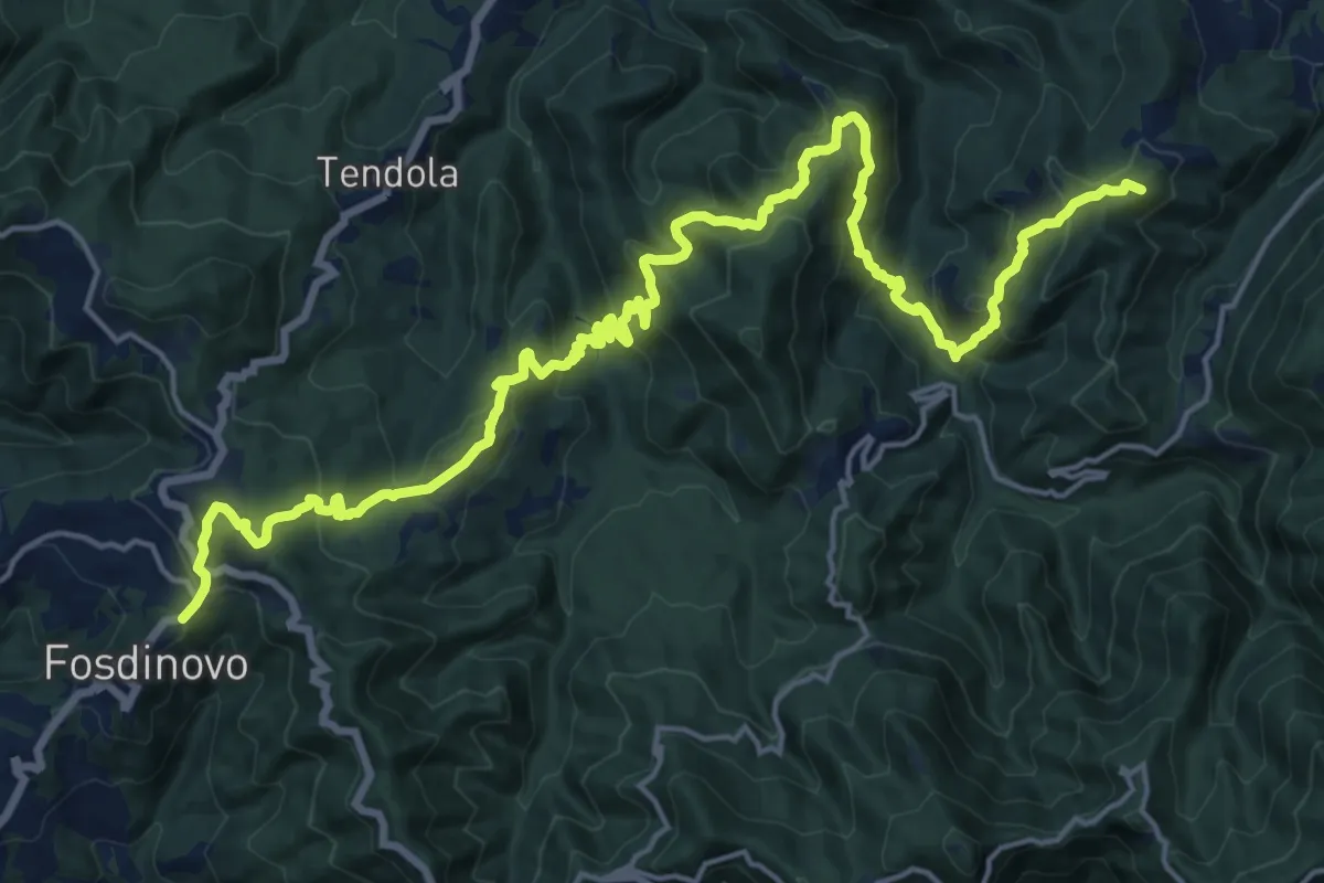
Demanding · Summit
Trekking Lunigiana 12
24.6 km · ↑ 1378 m · 8 h 48 min
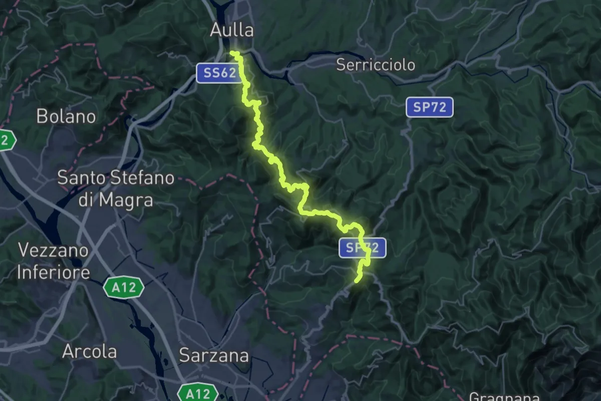
Demanding · Trail
Trekking Lunigiana 13
15.3 km · ↑ 597 m · 5 h 19 min
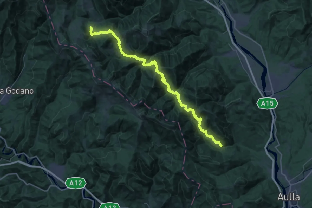
Demanding · Trail
Trekking Lunigiana 2
23.4 km · ↑ 1648 m · 9 h 14 min
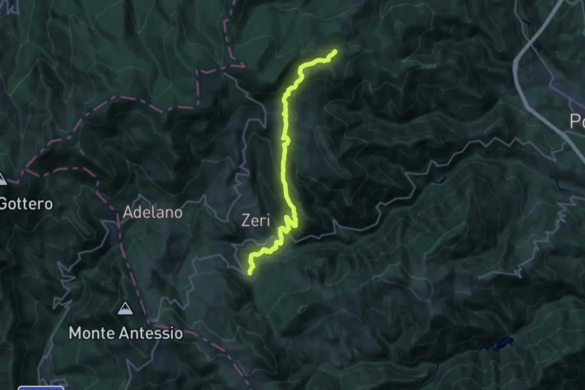
Demanding · Summit
Trekking Lunigiana 3
18.1 km · ↑ 946 m · 6 h 20 min
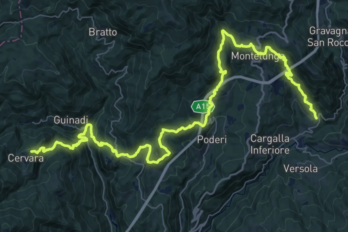
Demanding · Trail
Trekking Lunigiana 4
19.4 km · ↑ 844 m · 6 h 47 min
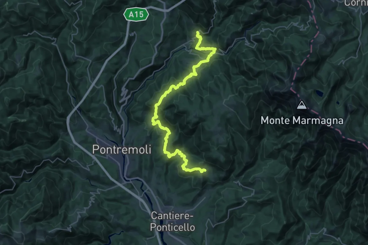
Medium · Trail
Trekking Lunigiana 5
14.7 km · ↑ 627 m · 5 h 2 min
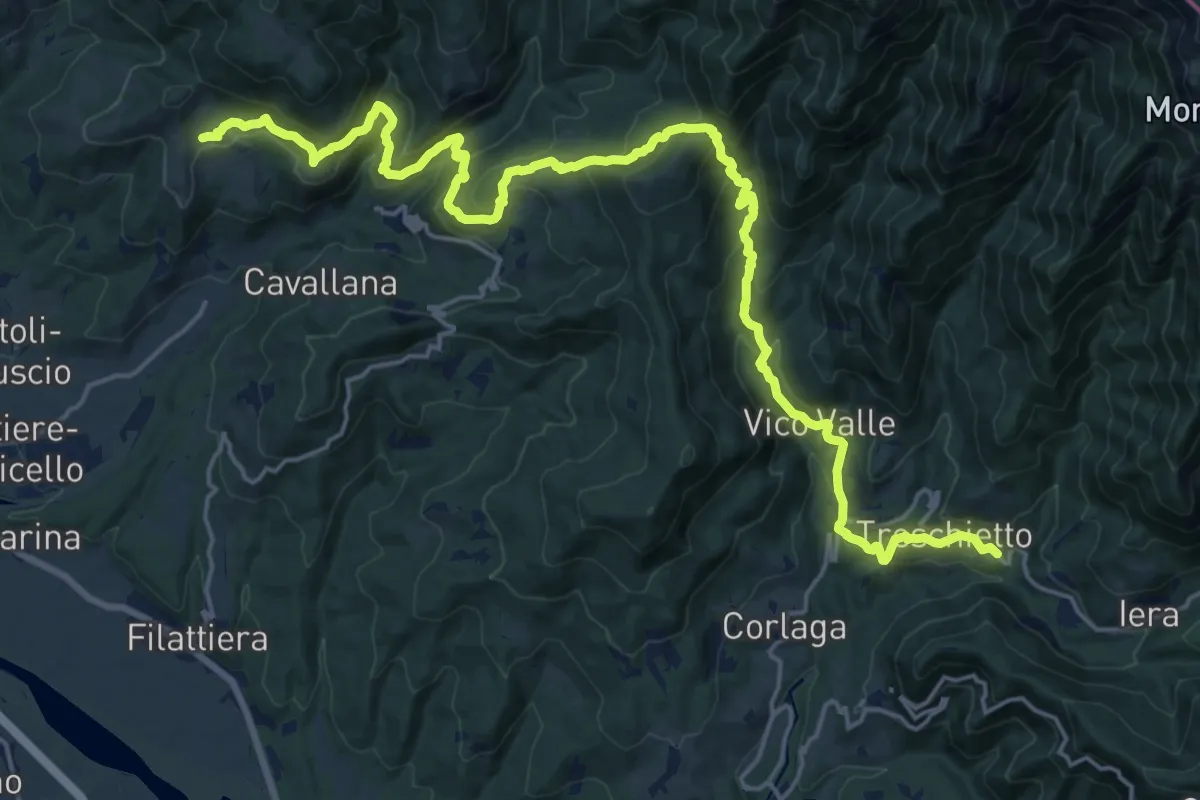
Demanding · Trail
Trekking Lunigiana 6
13.1 km · ↑ 669 m · 4 h 45 min
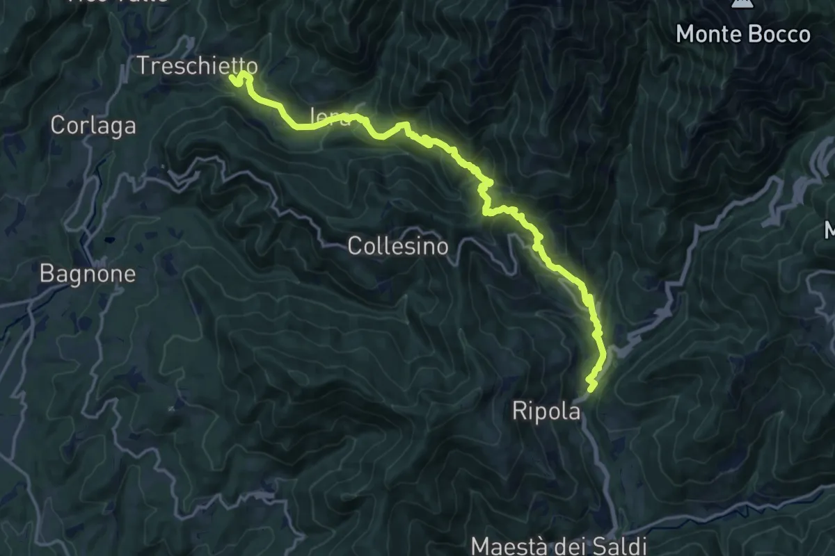
Demanding · Trail
Trekking Lunigiana 7
18.4 km · ↑ 1102 m · 6 h 44 min
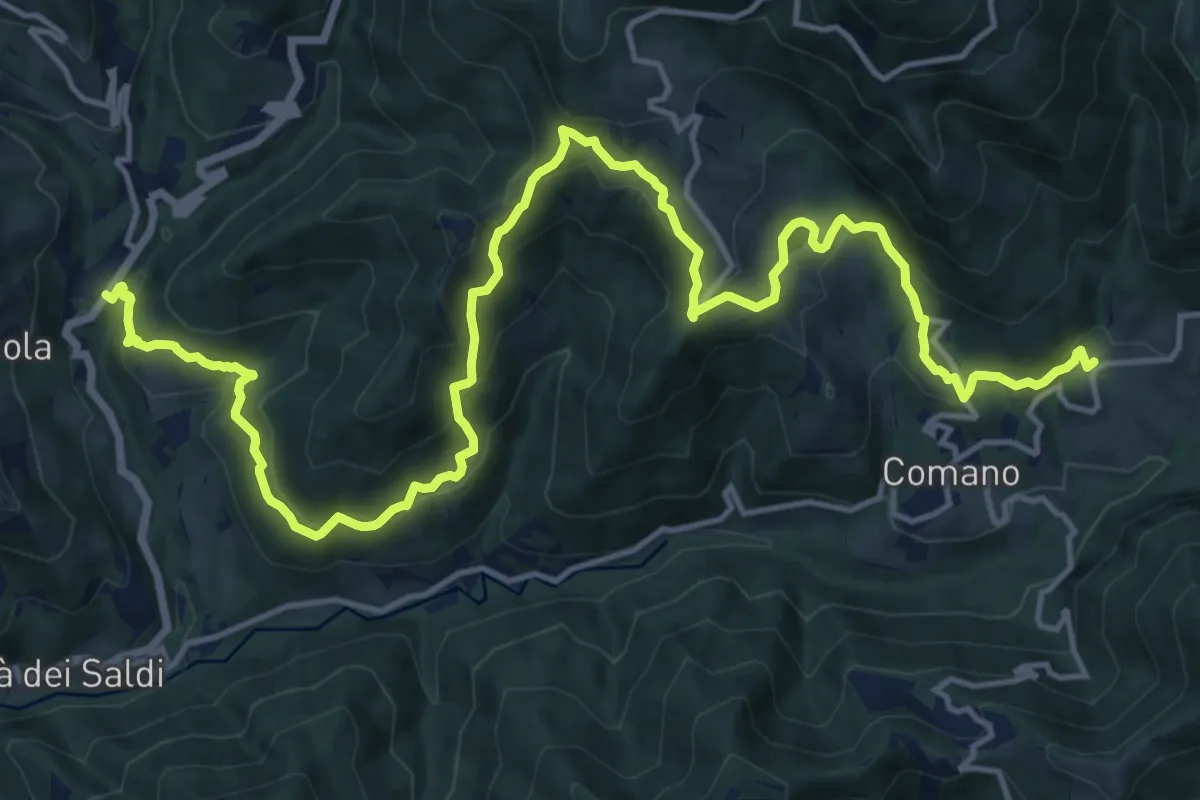
Demanding · Trail
Trekking Lunigiana 8
21.1 km · ↑ 1044 m · 7 h 15 min
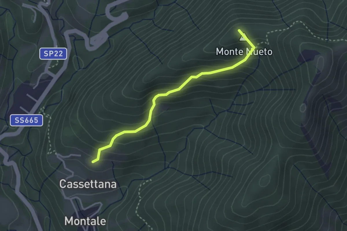
Medium · Summit
Trekking Lunigiana 8 Variante
3.1 km · ↑ 274 m · 1 h 19 min
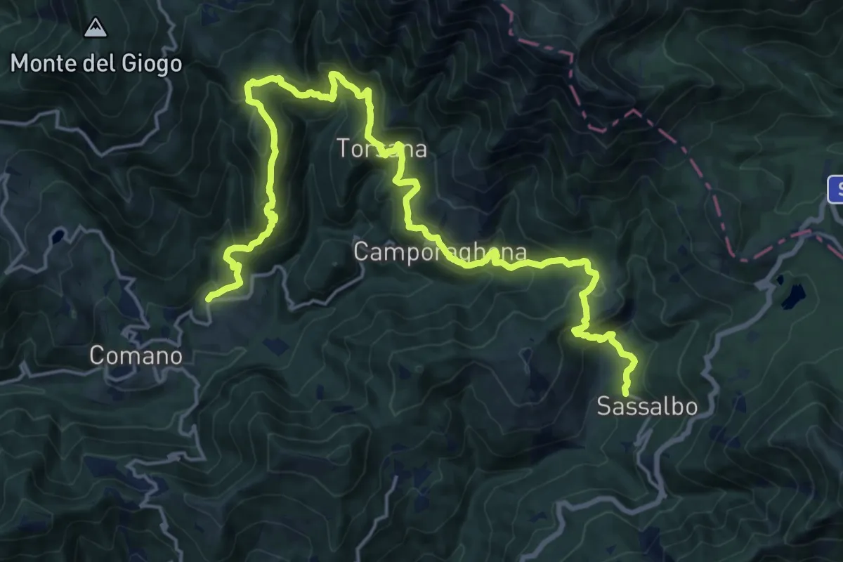
Demanding · Trail
Trekking Lunigiana 9
11.7 km · ↑ 900 m · 4 h 44 min
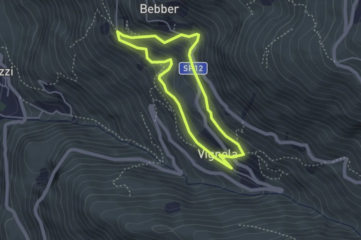
Easy · Trail
Trekking Minatore
3.0 km · ↑ 221 m · 1 h 14 min
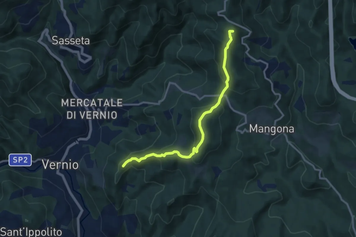
Medium · Summit
Trekking Parco Memoriale della Linea Gotica
8.1 km · ↑ 458 m · 2 h 55 min