Trails in Italy
25,219 hiking trails, each with its route, climb, walking time and grade.
All trails, page 205 of 526
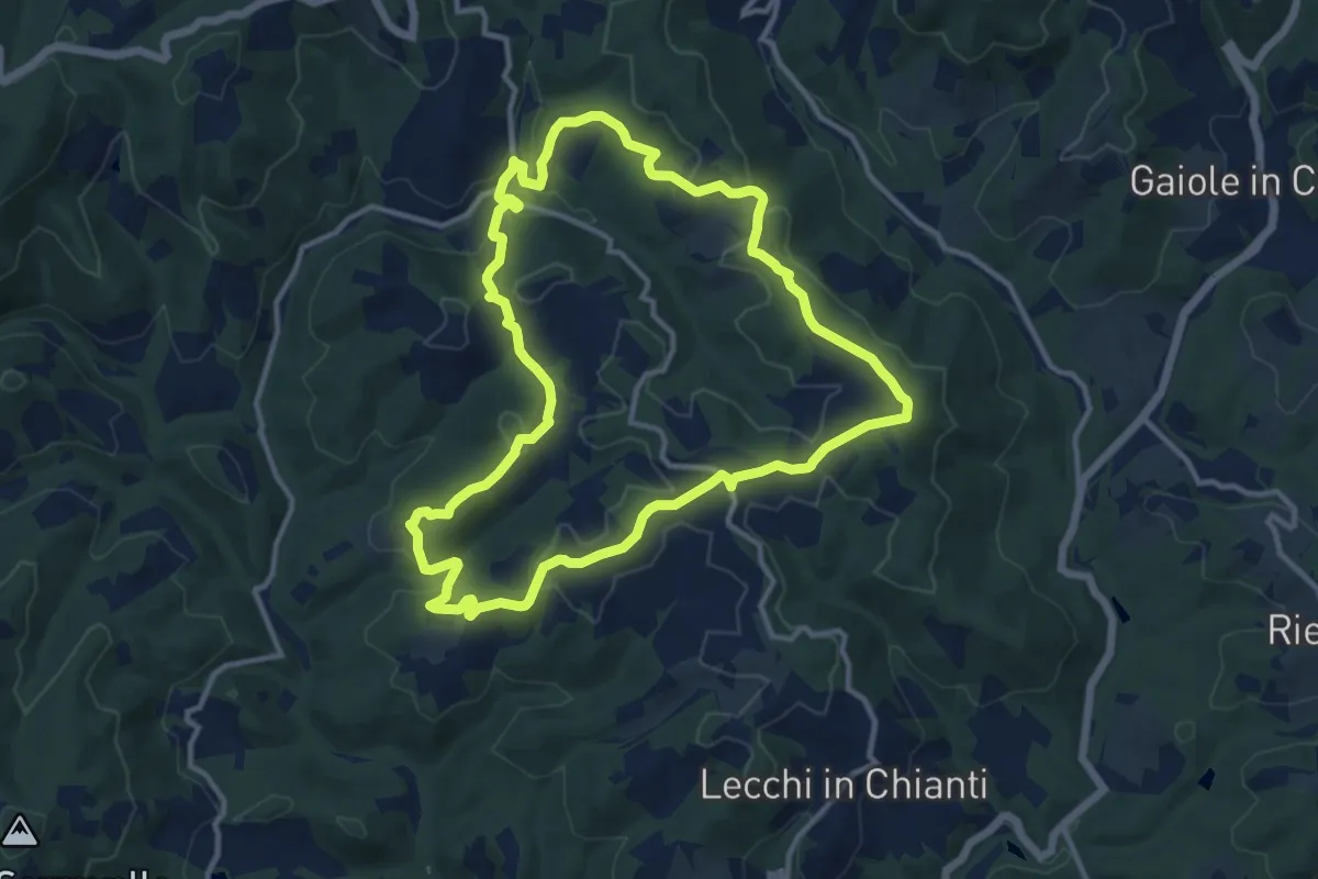
Medium · Summit
Trekking tra i castelli 10
12.4 km · ↑ 413 m · 4 h
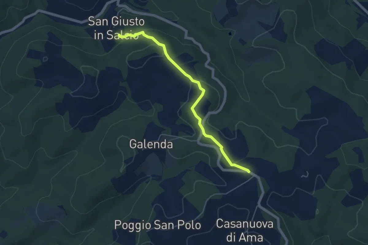
Easy · Trail
Trekking tra i castelli 10C
4.7 km · ↑ 124 m · 1 h 23 min
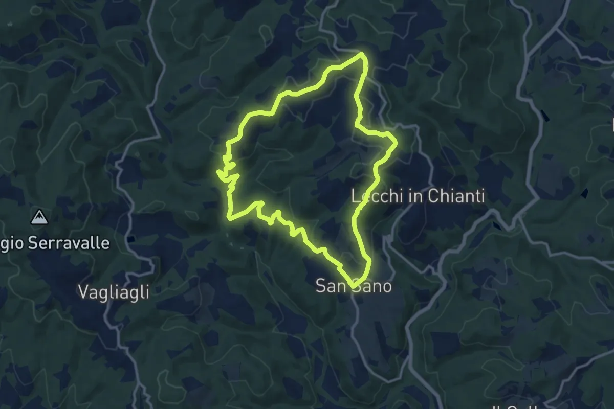
Medium · Trail
Trekking tra i castelli 11
11.3 km · ↑ 330 m · 3 h 33 min
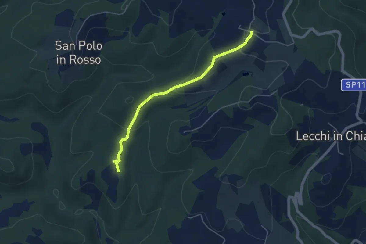
Easy · Trail
Trekking tra i castelli 11B
4.1 km · ↑ 137 m · 1 h 16 min
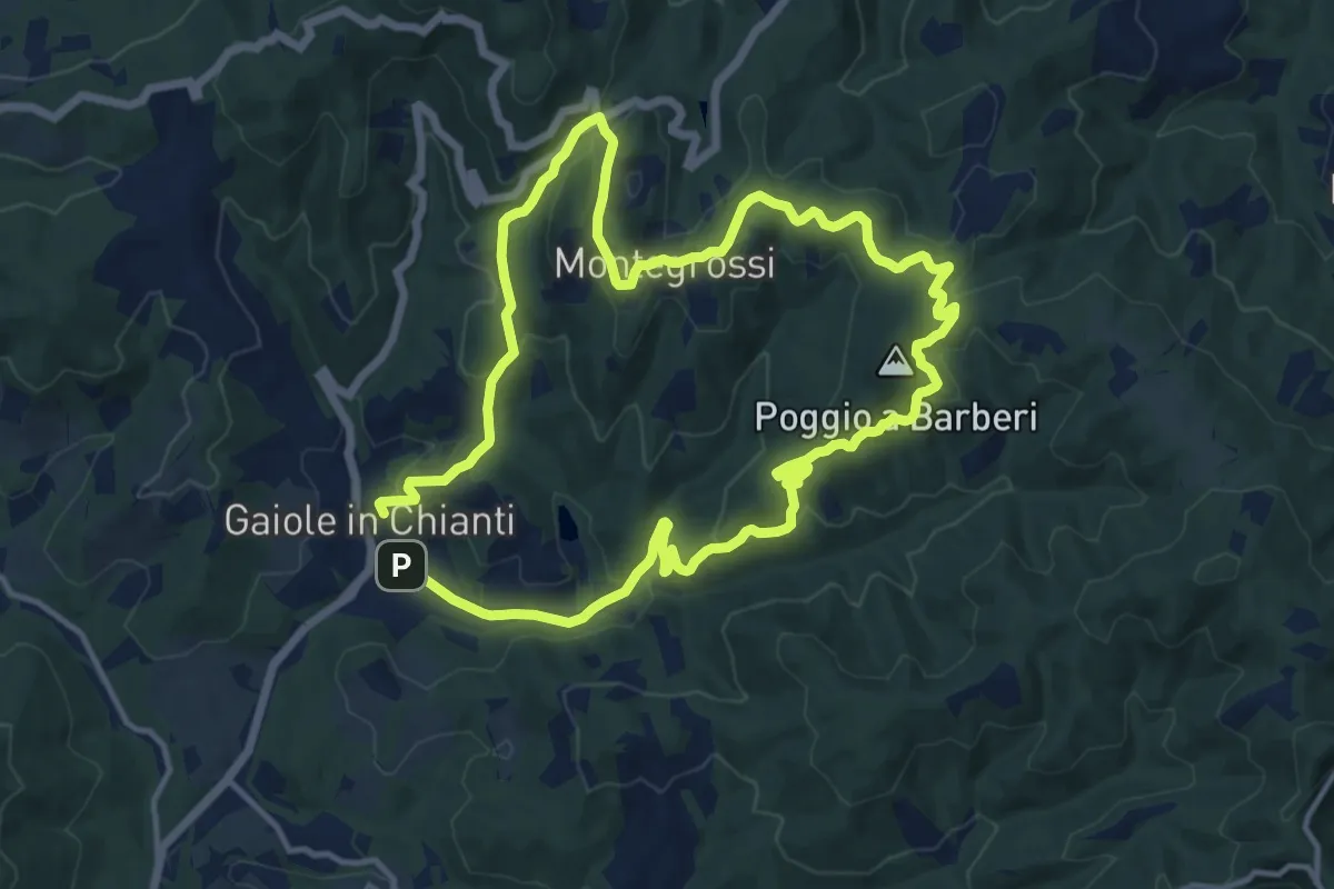
Medium · Summit
Trekking tra i castelli 1 (MONTEGROSSI)
13.1 km · ↑ 443 m · 4 h 13 min
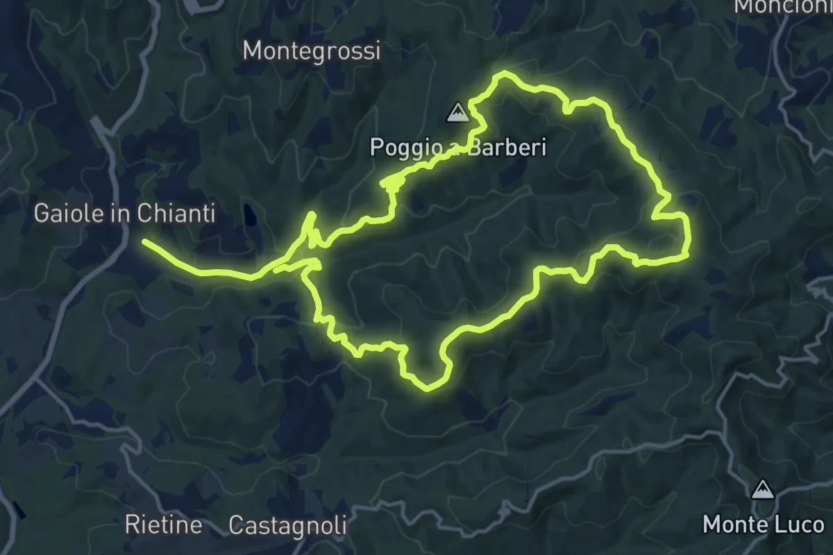
Medium · Summit
Trekking tra i castelli 2
15.3 km · ↑ 540 m · 5 h 1 min
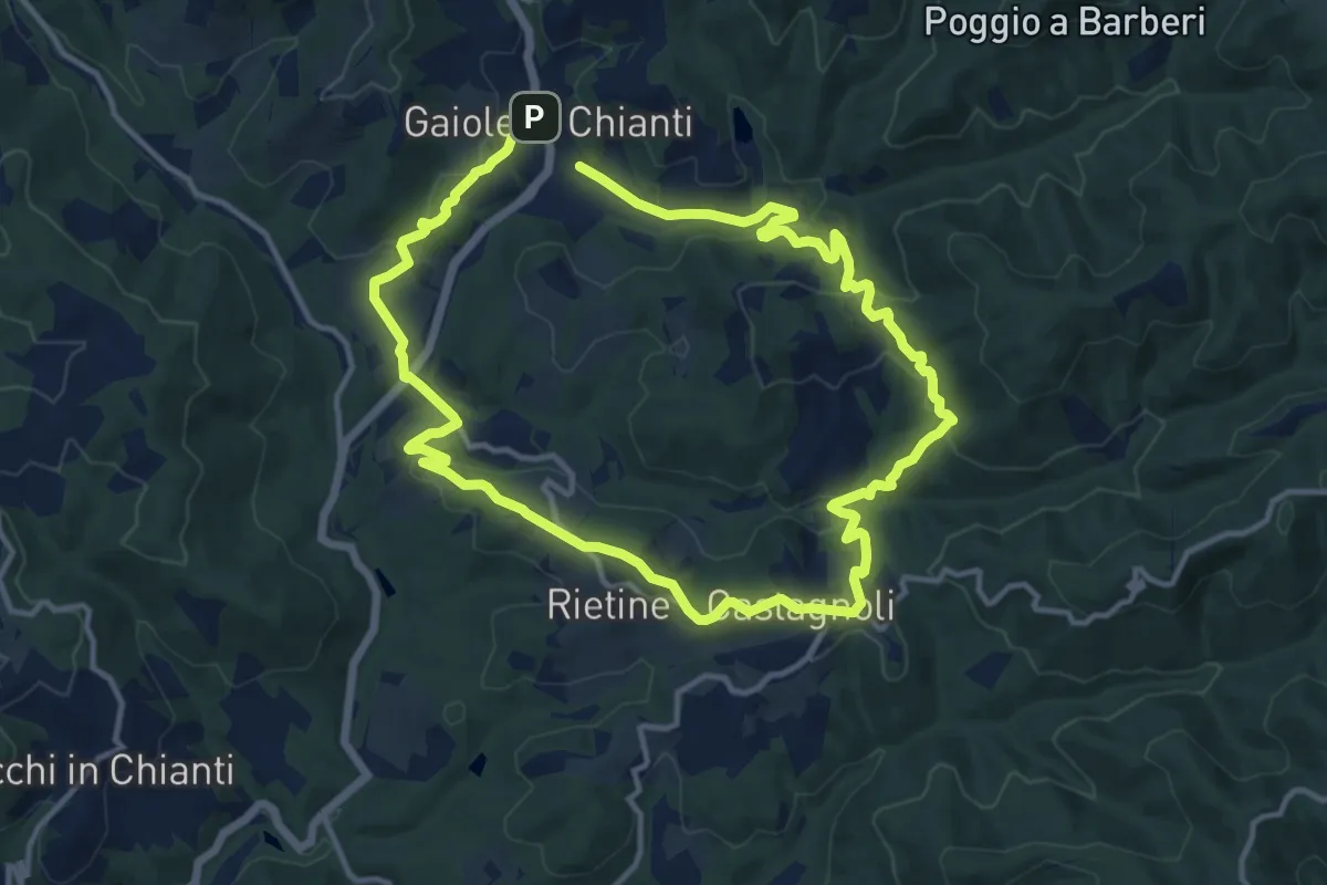
Medium · Trail
Trekking tra i castelli 3
12.2 km · ↑ 420 m · 3 h 58 min
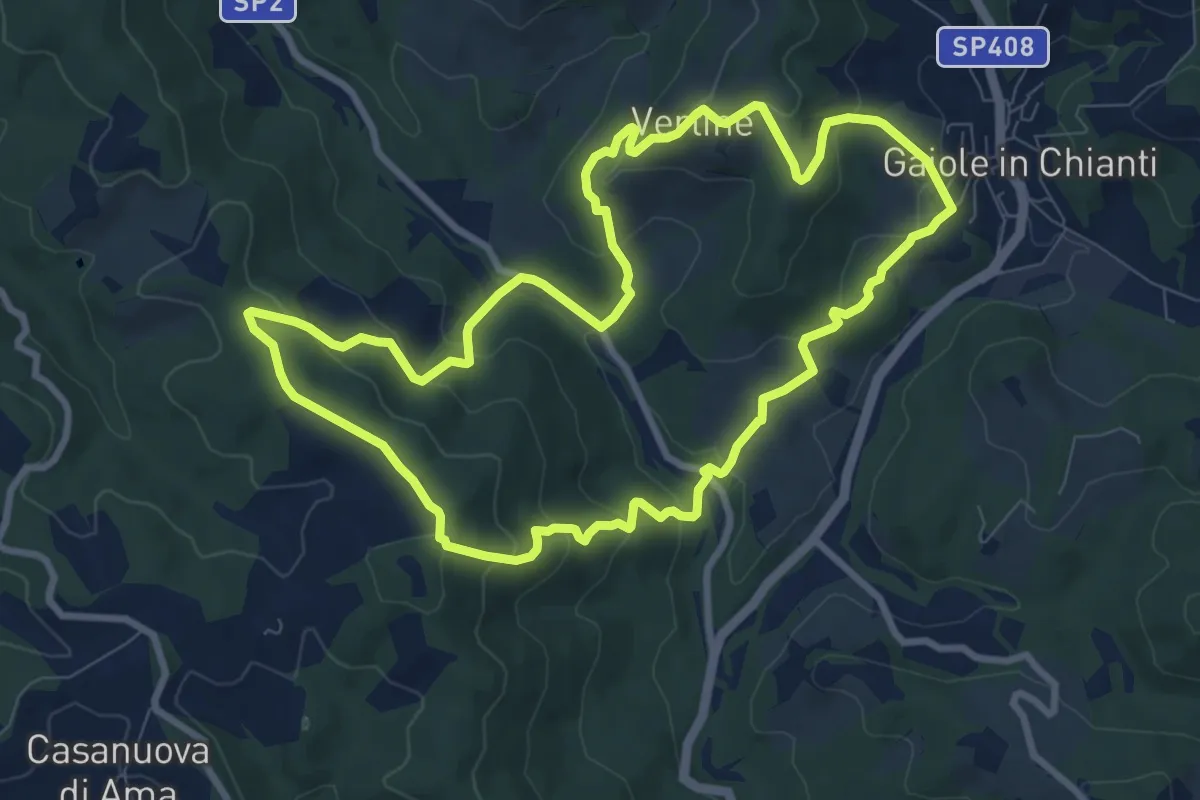
Medium · Trail
Trekking tra i castelli 4
9.4 km · ↑ 428 m · 3 h 17 min
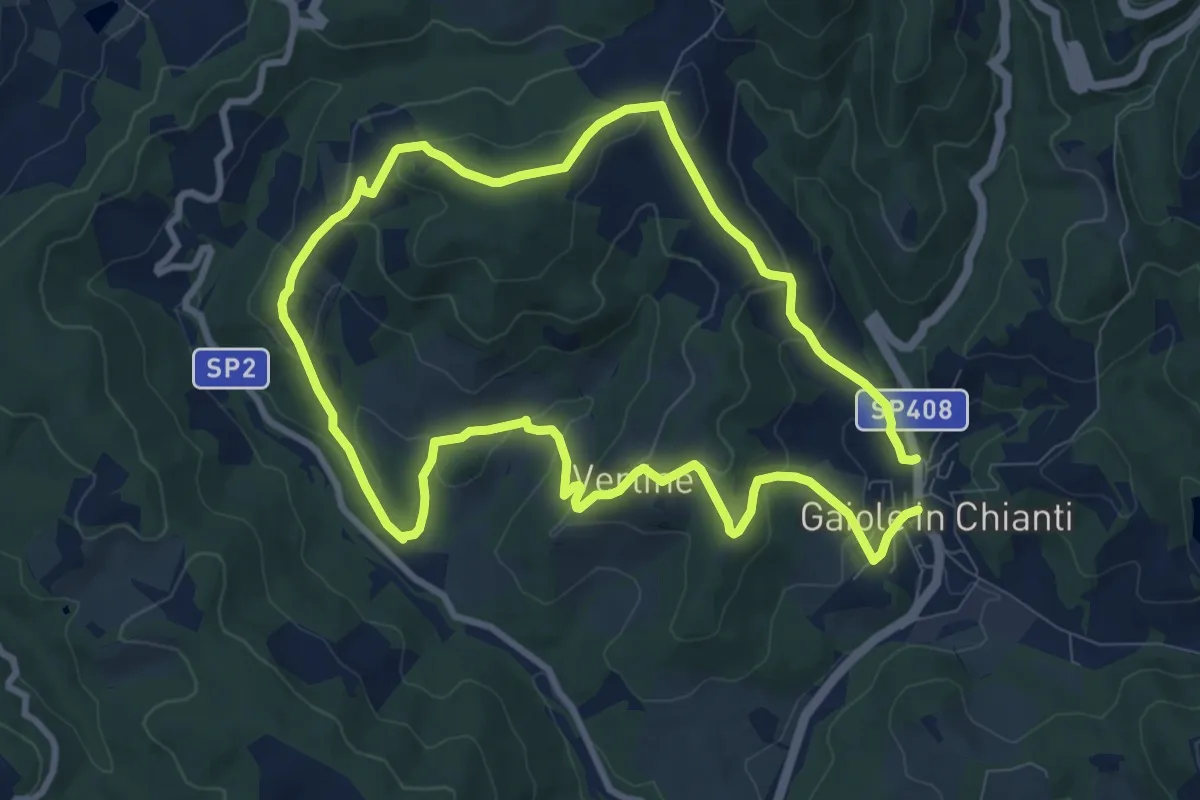
Medium · Trail
Trekking tra i castelli 5
9.2 km · ↑ 358 m · 3 h 5 min
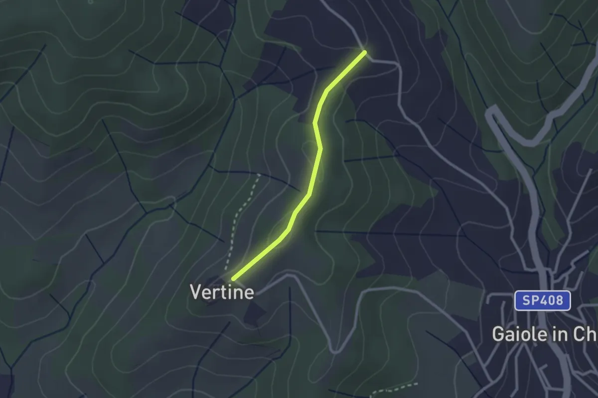
Easy · Trail
Trekking tra i castelli 5B
2.1 km · ↑ 70 m · 39 min
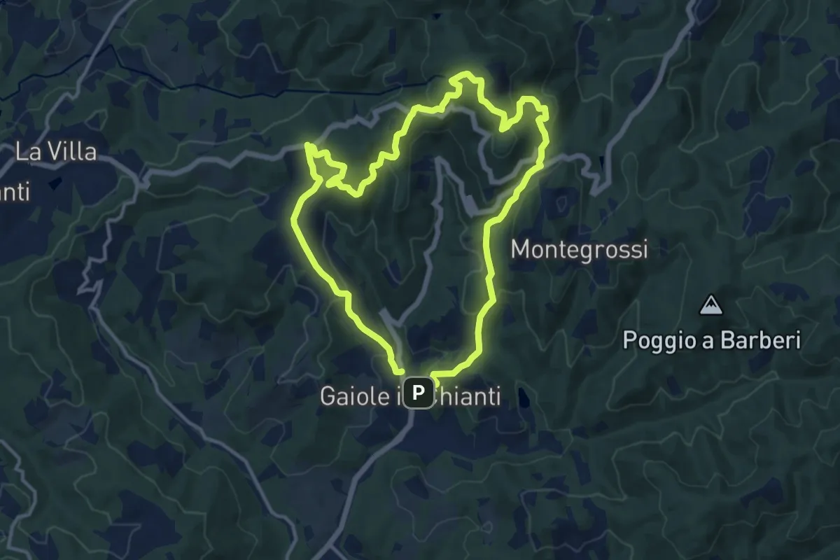
Medium · Summit
Trekking tra i castelli 6 (CETAMURA)
11.7 km · ↑ 526 m · 4 h 4 min
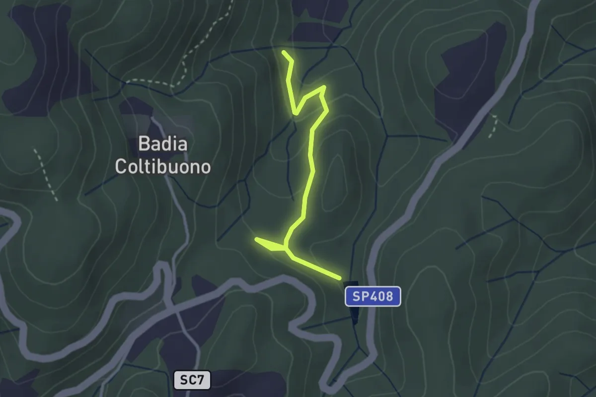
Easy · Trail
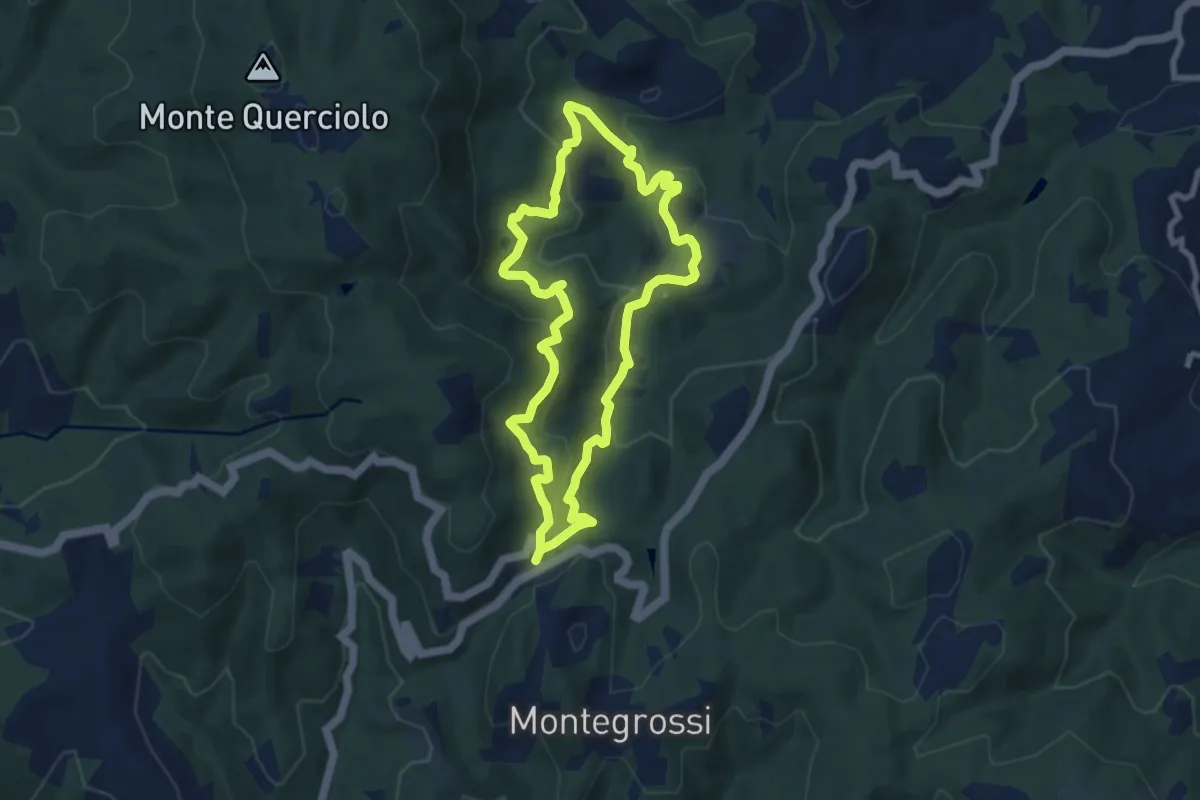
Trekking tra i castelli 7C (COLTIBUONO)
2.8 km · ↑ 129 m · 57 min
Medium · Trail
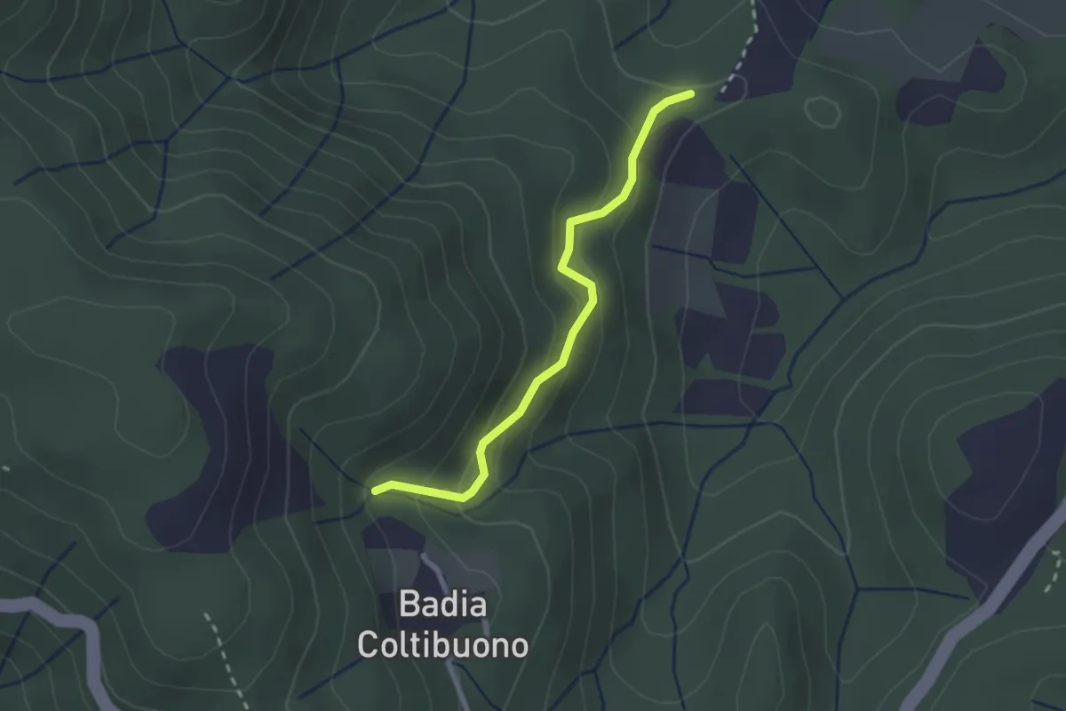
Trekking tra i castelli 7 (COLTIBUONO)
7.7 km · ↑ 356 m · 2 h 41 min
Easy · Trail
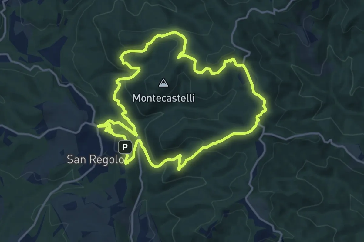
Trekking tra i castelli 7D (COLTIBUONO)
2.4 km · ↑ 197 m · 59 min
Medium · Trail
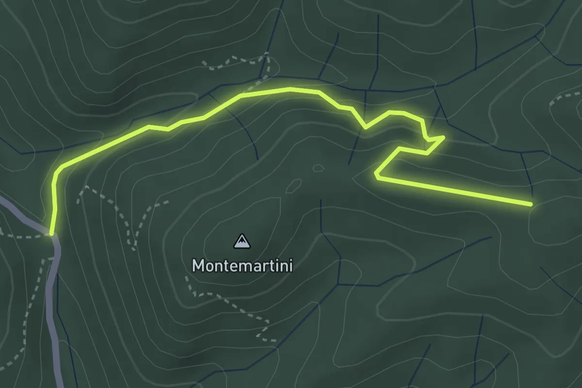
Trekking tra i castelli 8
11.2 km · ↑ 416 m · 3 h 42 min
Easy · Trail
Trekking tra i castelli 8B
4.2 km · ↑ 260 m · 1 h 34 min
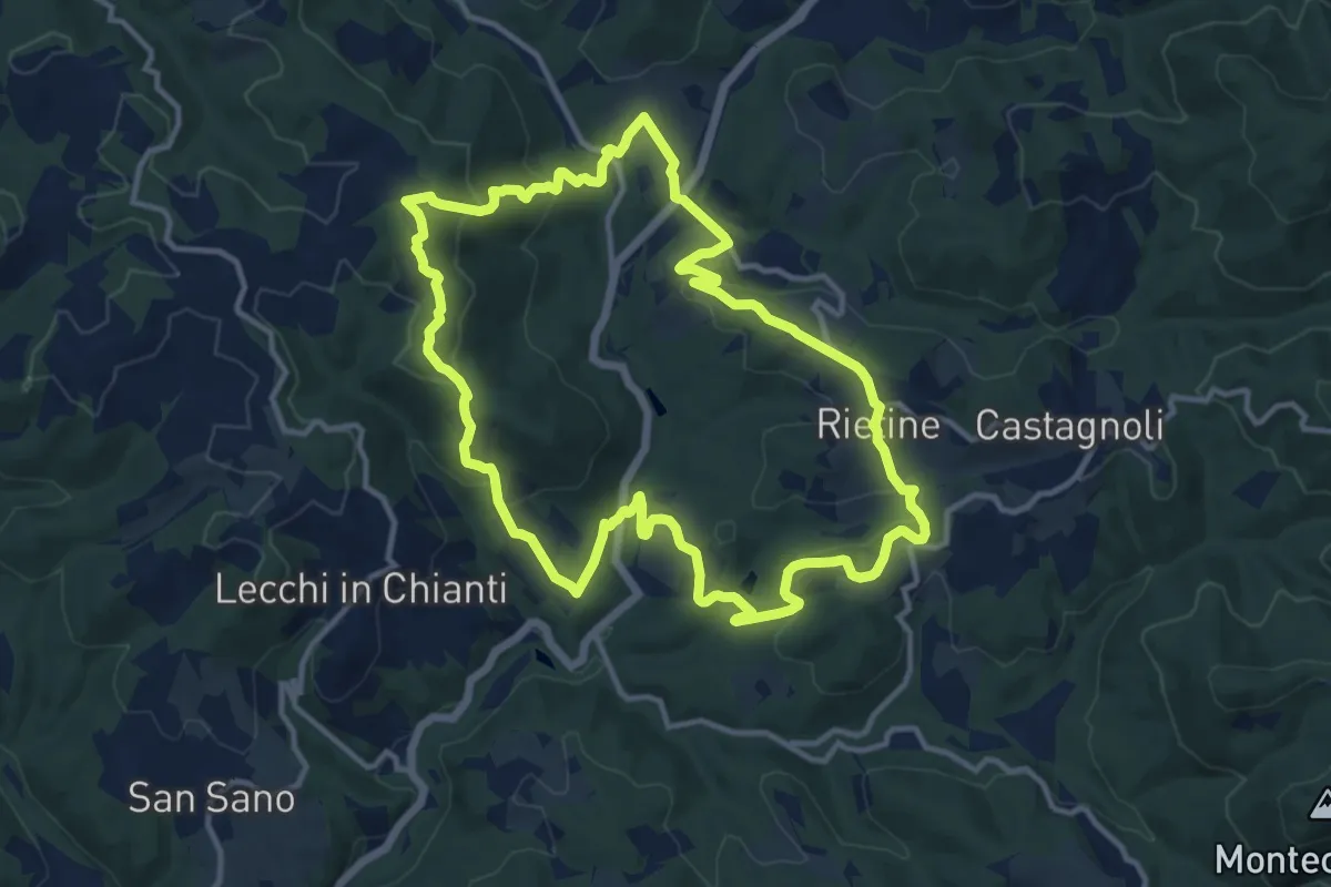
Medium · Trail
Trekking tra i castelli 9
13.0 km · ↑ 511 m · 4 h 21 min
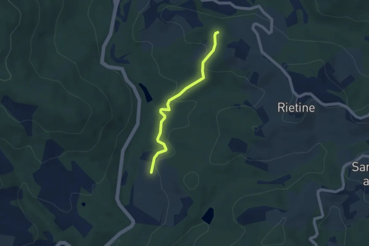
Easy · Trail
Trekking tra i castelli 9B
3.3 km · ↑ 119 m · 1 h 2 min
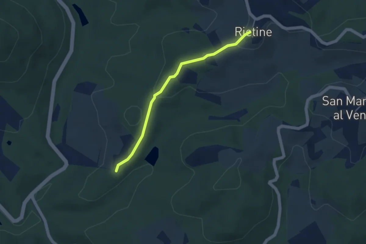
Easy · Trail
Trekking tra i castelli 9C
3.2 km · ↑ 92 m · 57 min
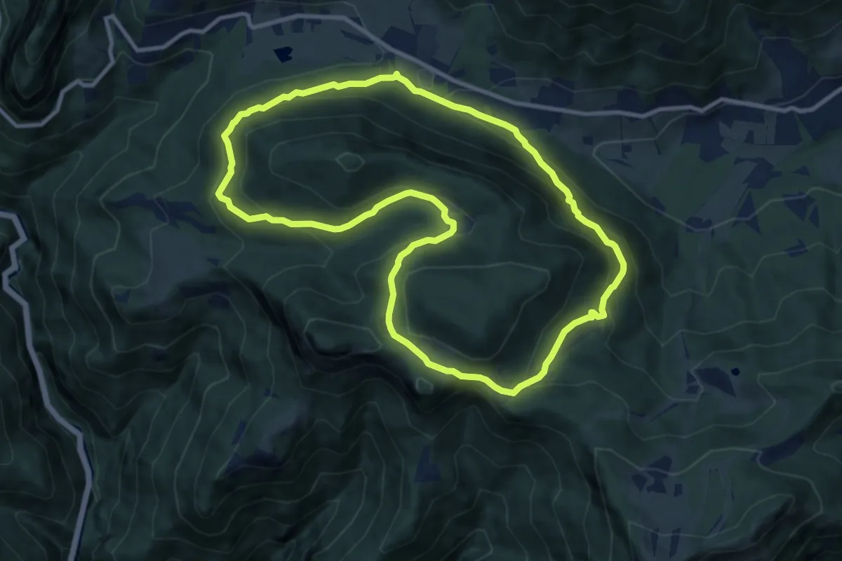
Medium · Summit
Trekking tra malghe e menhir anello 1: Salven - Val Sorda - Corvino - Triangolo
9.5 km · ↑ 511 m · 3 h 29 min
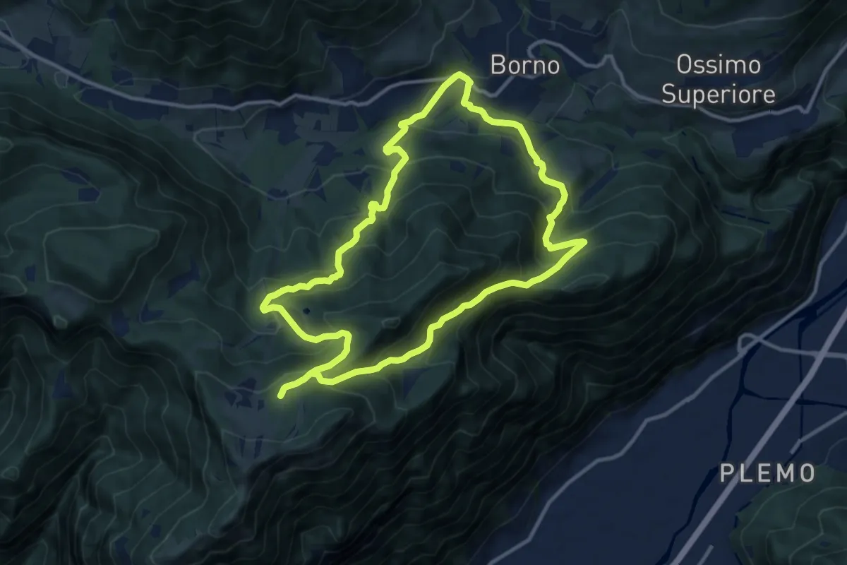
Medium · Trail
Trekking tra malghe e menhir anello 2: Mine - Monte Altissimo - Plai - Borno
11.3 km · ↑ 739 m · 4 h 26 min
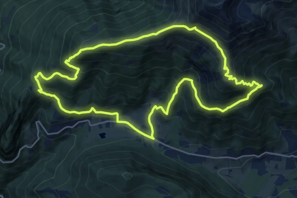
Demanding · Summit
Trekking tra malghe e menhir anello 3: Salven - Costone - San Fermo
13.4 km · ↑ 1009 m · 5 h 32 min
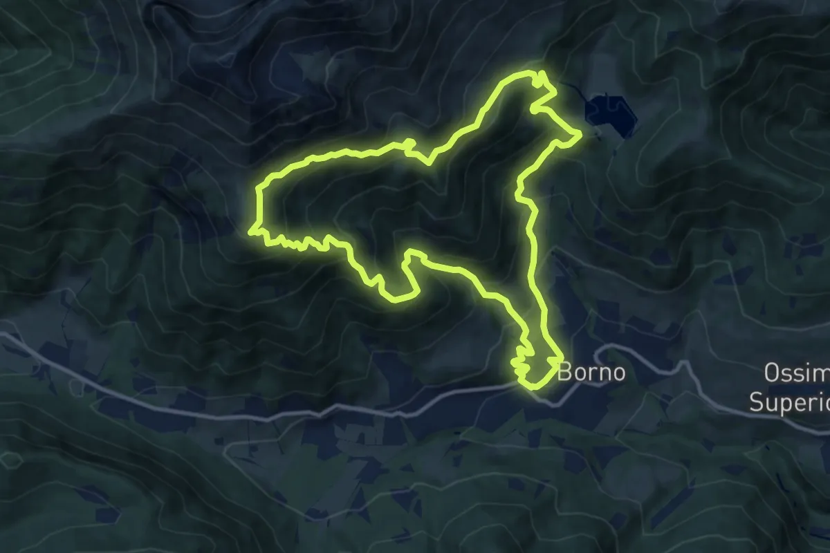
Demanding · Trail
Trekking tra malghe e menhir anello 4: Borno - Zumella - Moren
11.8 km · ↑ 990 m · 5 h 5 min
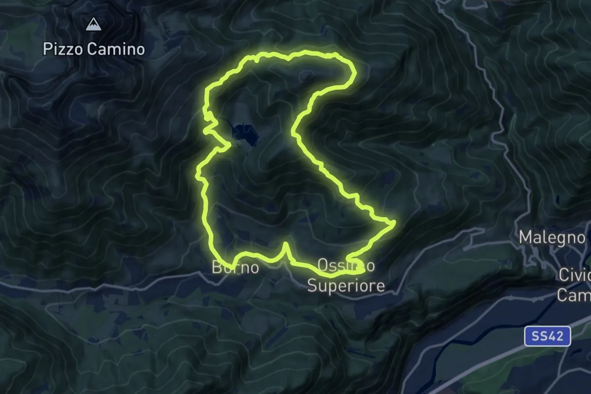
Demanding · Trail
Trekking tra malghe e menhir anello 5: Mignone - Agolo - Averta
15.0 km · ↑ 893 m · 5 h 41 min
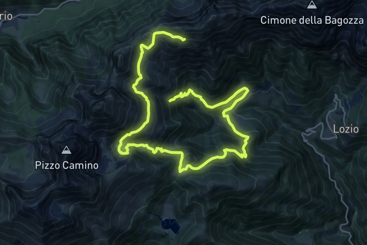
Demanding · Trail
Trekking tra malghe e menhir anello 6: Mignone - Valicla - Valli Piane
13.3 km · ↑ 1254 m · 5 h 48 min
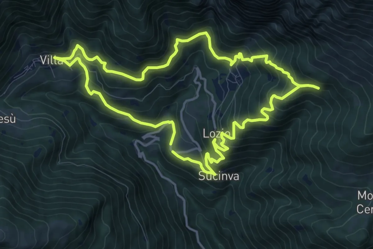
Medium · Trail
Trekking tra malghe e menhir anello 7: Dosso della Sella - Malga Rò
10.9 km · ↑ 719 m · 4 h 17 min
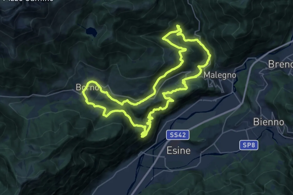
Demanding · Trail
Trekking tra malghe e menhir anello 8: Trekking menhir e incisioni rupestri
20.7 km · ↑ 1086 m · 7 h 32 min
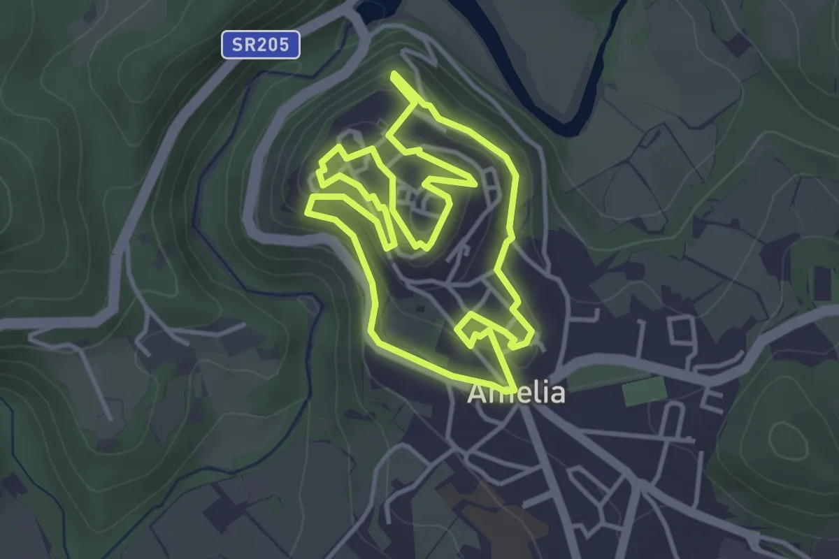
Easy · Trail
Trekking urbano Amelia
3.9 km · ↑ 168 m · 1 h 21 min
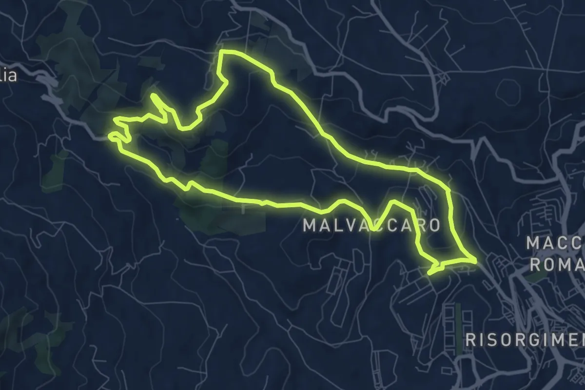
Medium · Trail
Trekking Urbano Montocchino Cerreta
9.7 km · ↑ 266 m · 3 h 1 min
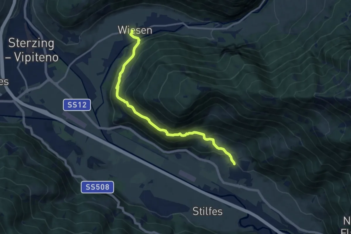
Medium · Trail
Trenser Höhenweg
9.5 km · ↑ 626 m · 3 h 37 min
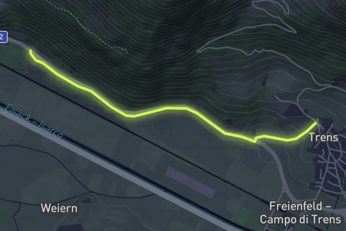
Easy · Trail
Trenser Pilgerweg - Sentiero del pellegrino
4.5 km · ↑ 102 m · 1 h 17 min
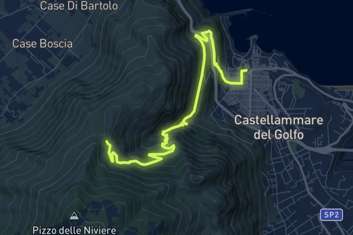
Medium · Trail
Tre Portelle Castellammare del Golfo
12.5 km · ↑ 723 m · 4 h 31 min
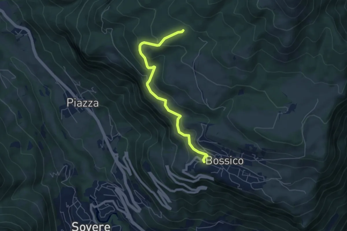
Medium · Trail
Tre Santelle
5.5 km · ↑ 331 m · 2 h 1 min
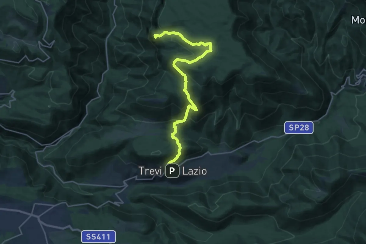
Demanding · Summit
Trevi nel Lazio - Le Fontane - Fontana Faito - Vallepietra
18.1 km · ↑ 945 m · 6 h 19 min
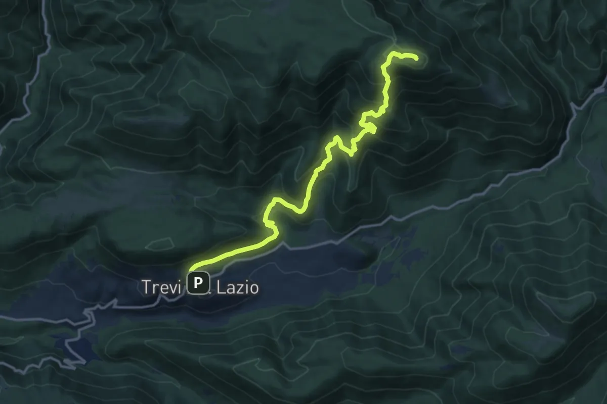
Demanding · Summit
Trevi nel Lazio - Monte San Leonardo - Filettino
13.9 km · ↑ 941 m · 5 h 19 min
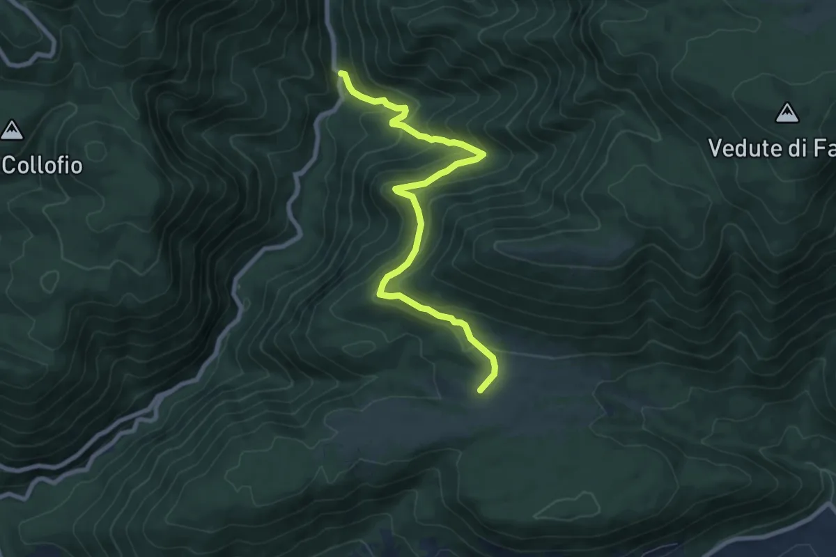
Medium · Summit
Trevi nel Lazio-Ponte Castello
8.2 km · ↑ 526 m · 3 h 4 min
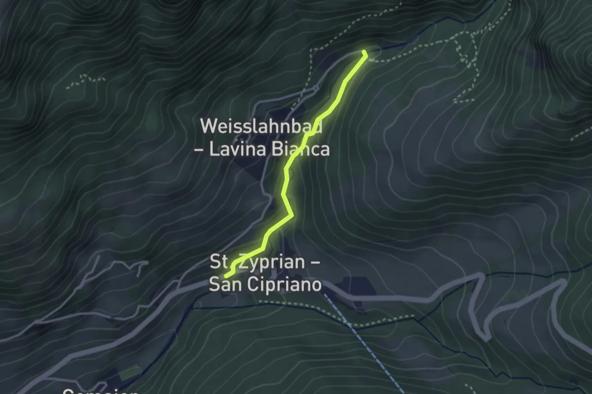
Easy · Trail
Trimm dich Pfad
2.5 km · ↑ 133 m · 52 min
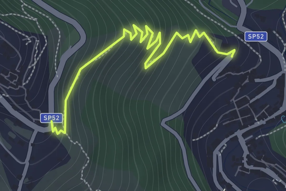
Easy · Trail
Triora-Molini
2.2 km · ↑ 288 m · 1 h 9 min
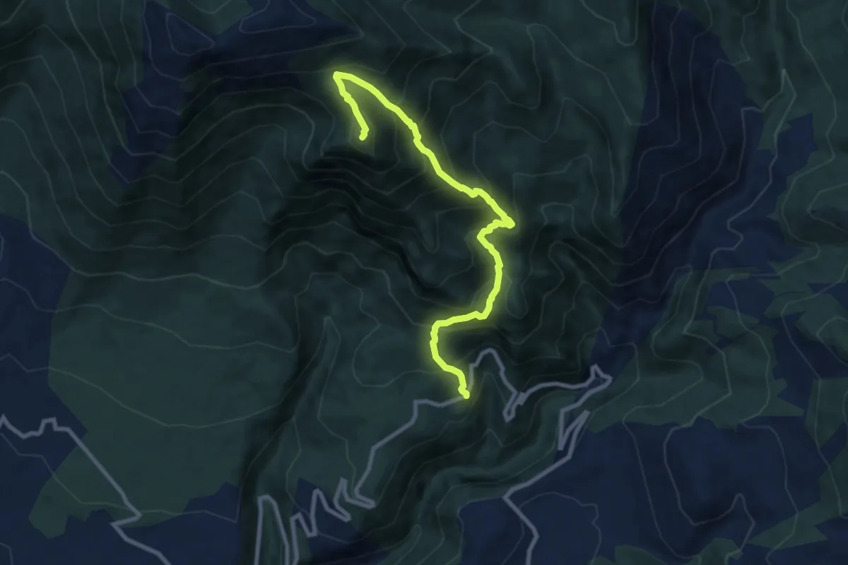
Demanding · Summit
Trisulti - Sella Faito - Monte Rotonaria
9.5 km · ↑ 929 m · 4 h 15 min
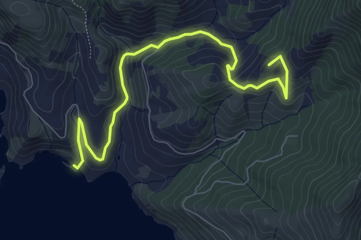
Medium · Summit
Trivio dell'Olmo - Mar Morto
7.8 km · ↑ 402 m · 2 h 42 min
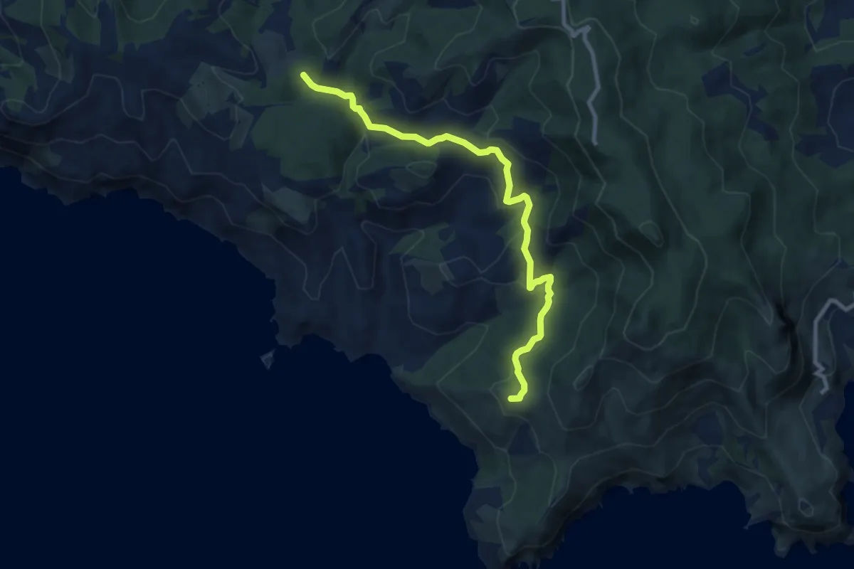
Medium · Summit
Trivio dell'Olmo - Punta Ciana
9.6 km · ↑ 420 m · 3 h 11 min
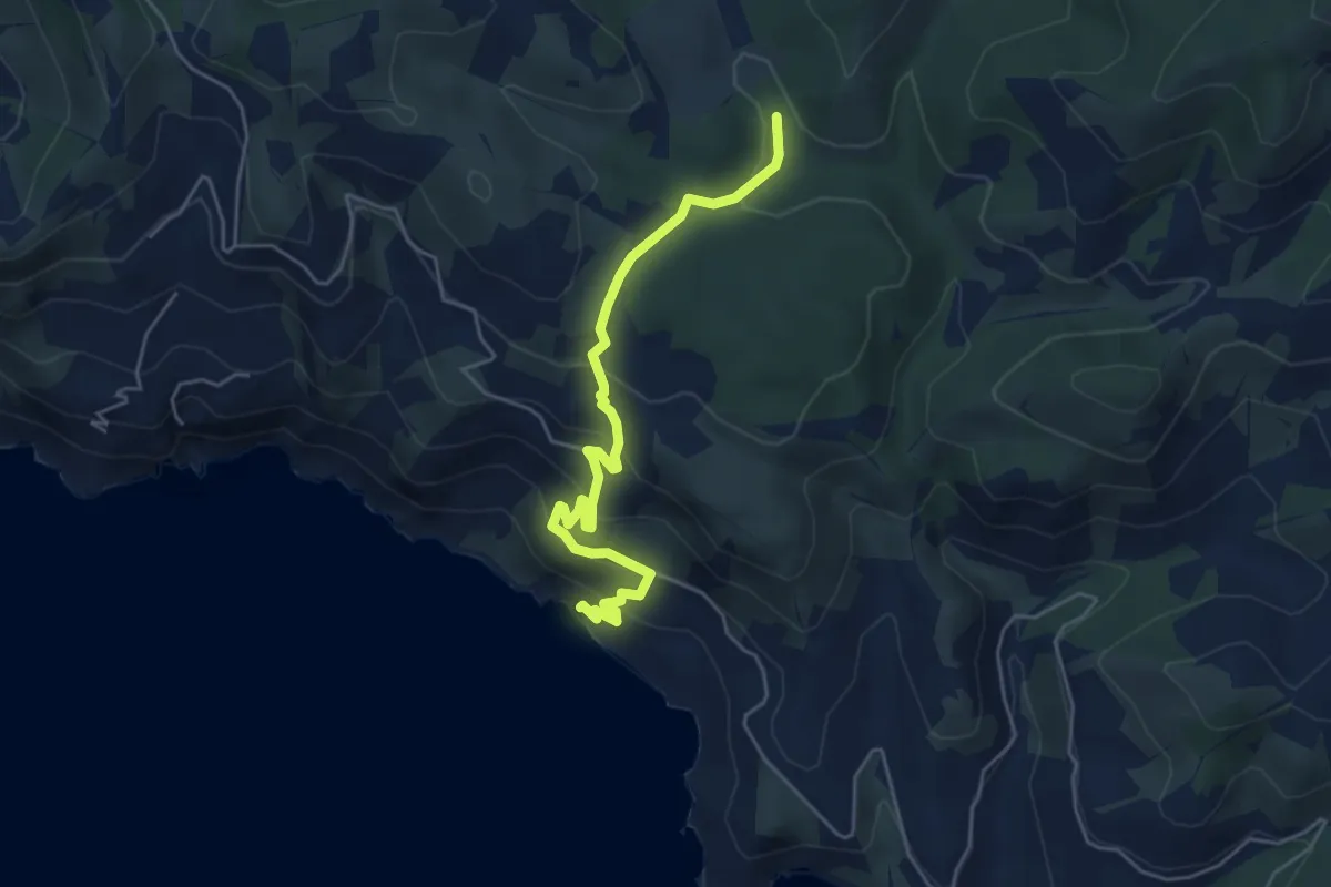
Medium · Trail
Trivio dell'Olmo - Sassi Verdi
5.5 km · ↑ 379 m · 2 h 7 min
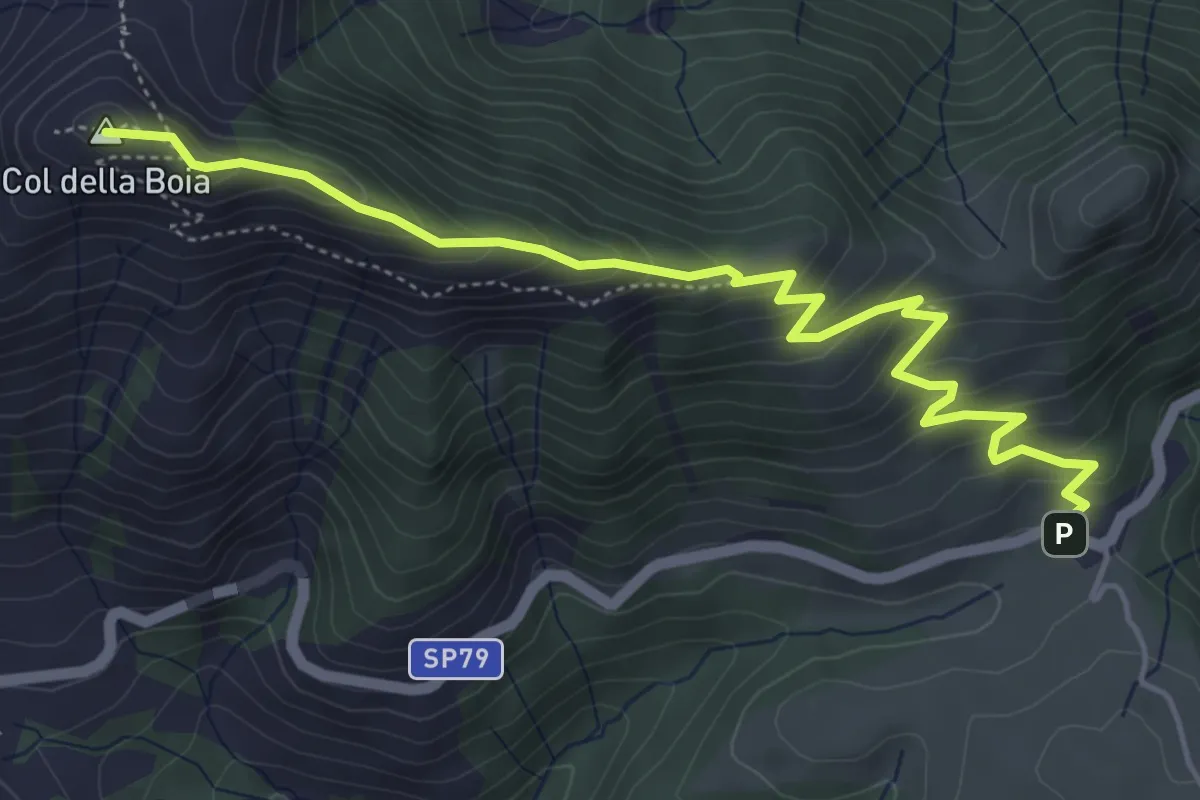
Medium · Summit
Trodo dei Fiori
5.7 km · ↑ 416 m · 2 h 15 min
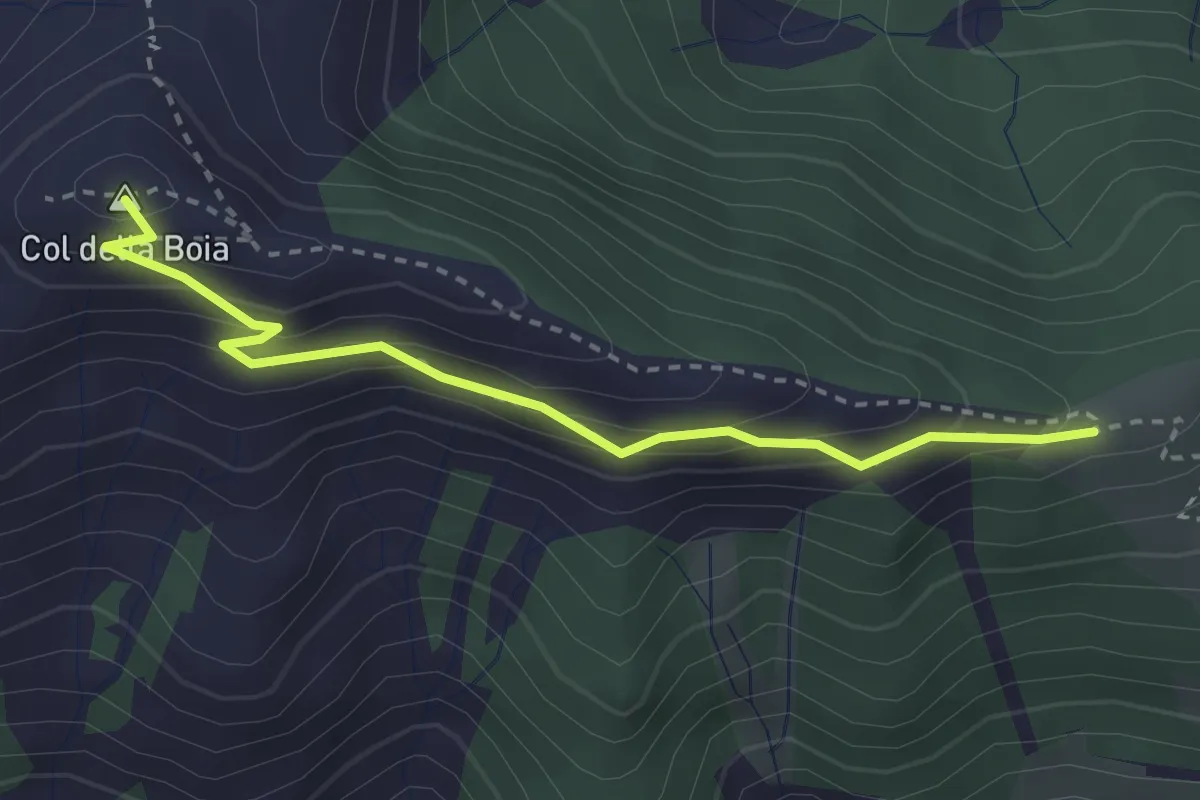
Easy · Summit
Trodo dei fiori basso
2.9 km · ↑ 237 m · 1 h 13 min
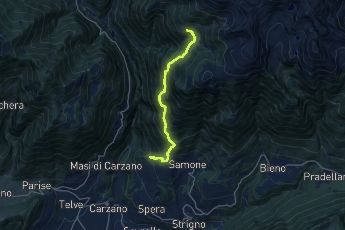
Demanding · Trail
Trodo dei Salti
10.7 km · ↑ 1095 m · 4 h 54 min
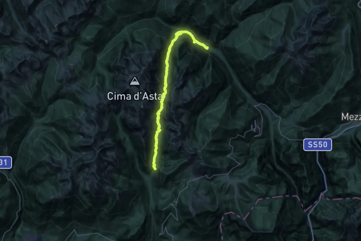
Demanding · Trail
Trodo de la Regana
14.8 km · ↑ 875 m · 5 h 47 min
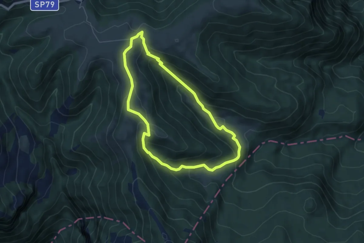
Easy · Trail
Trodo delle malghe
5.3 km · ↑ 261 m · 1 h 53 min
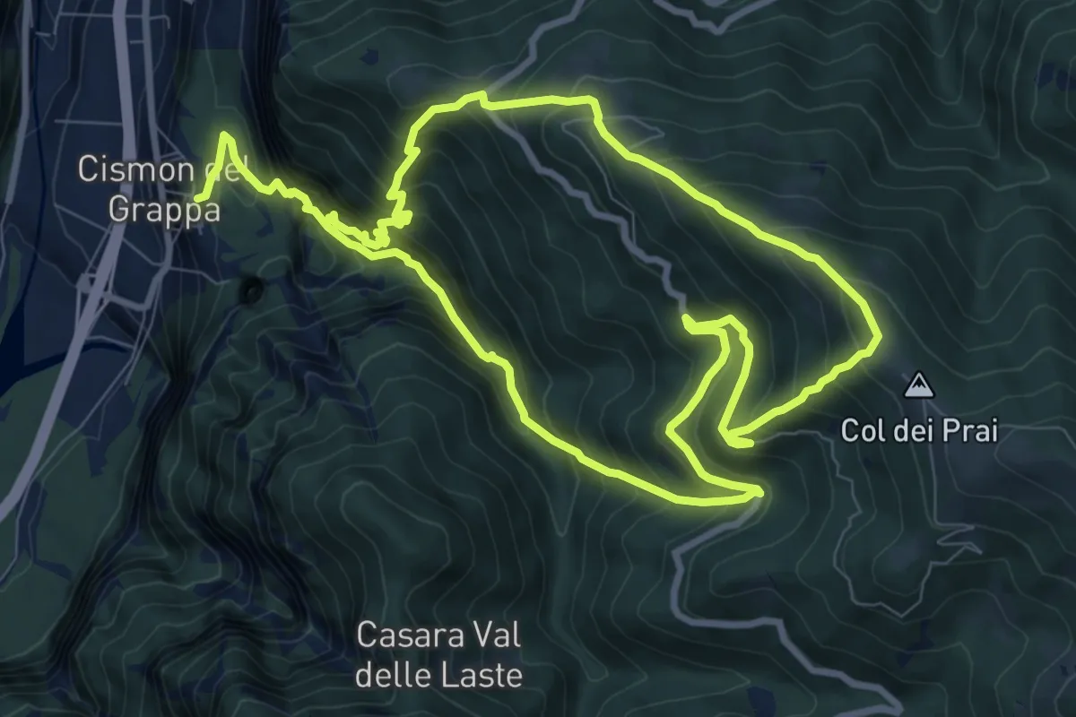
Demanding · Summit
Trodoi Trail 20
8.9 km · ↑ 976 m · 4 h 22 min