Trails in Italy
25,211 hiking trails, each with its route, climb, walking time and grade.
All trails, page 2 of 526
Demanding · Summit
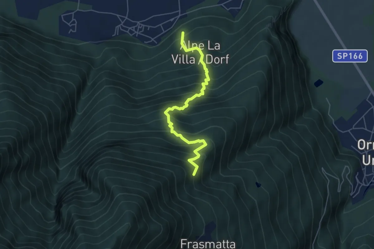
A26 - Cuzzego località Carale - bivio A24 Pizzo Colla Bassa
9.7 km · ↑ 1519 m · 5 h 35 min
Medium · Trail
A27 - Migiandone - Alpe Magigè
5.2 km · ↑ 669 m · 2 h 40 min
Medium · Trail
A28a - bivio A32 presso Alpe Ruscà - bivio A28 presso Alpe Prasaino
2.8 km · ↑ 183 m · 1 h 3 min
Expert · Summit
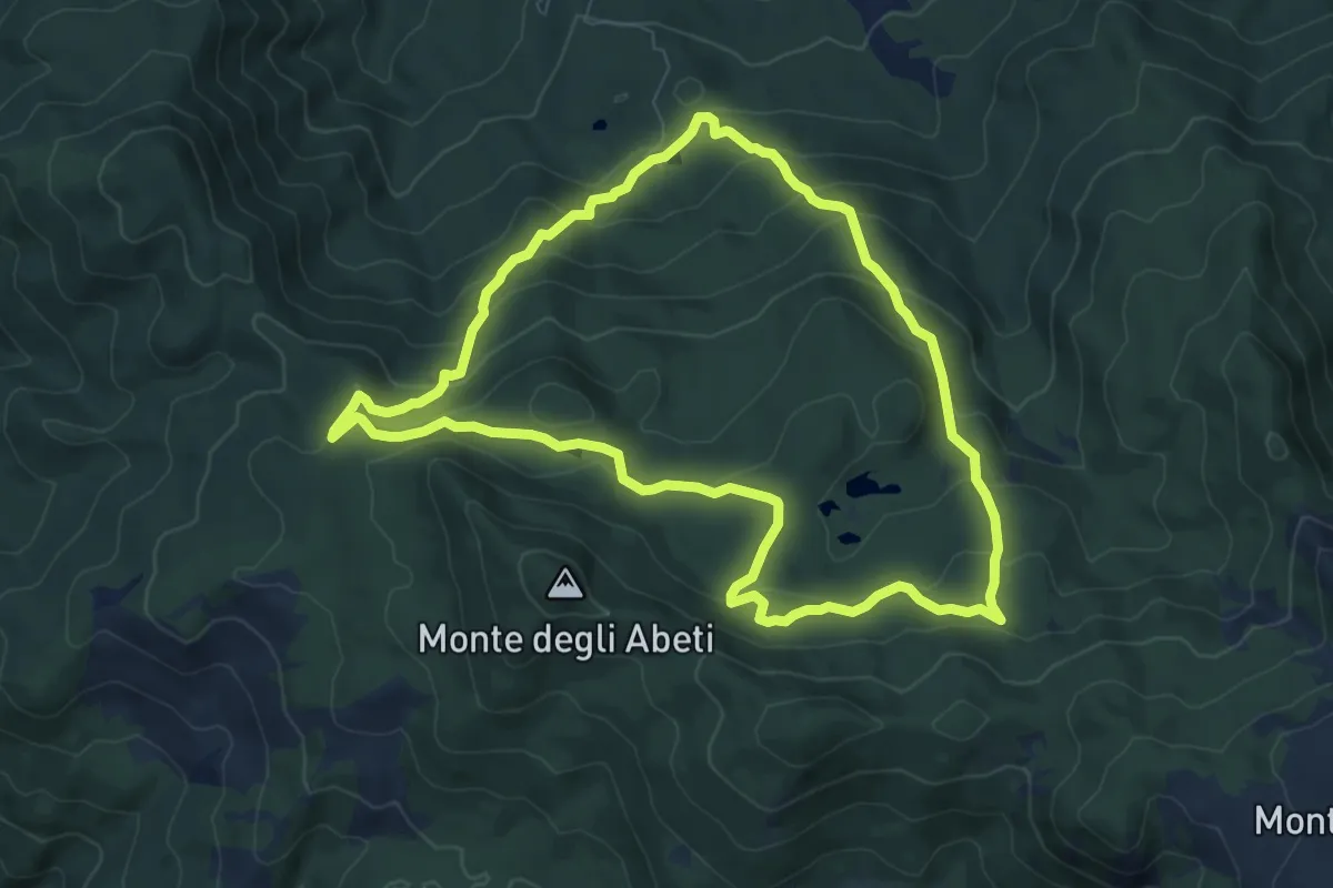
A28 - Prata - Pizzo Lacina
9.8 km · ↑ 1667 m · 5 h 56 min
Medium · Trail
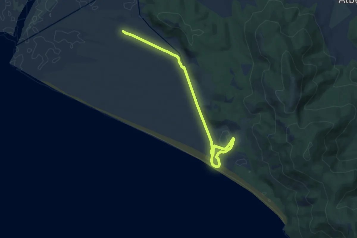
A2 - Anello delle Lame
8.3 km · ↑ 430 m · 3 h 1 min
Medium · Trail
A2 Le Torri
11.0 km · ↑ 48 m · 2 h 42 min
Medium · Trail
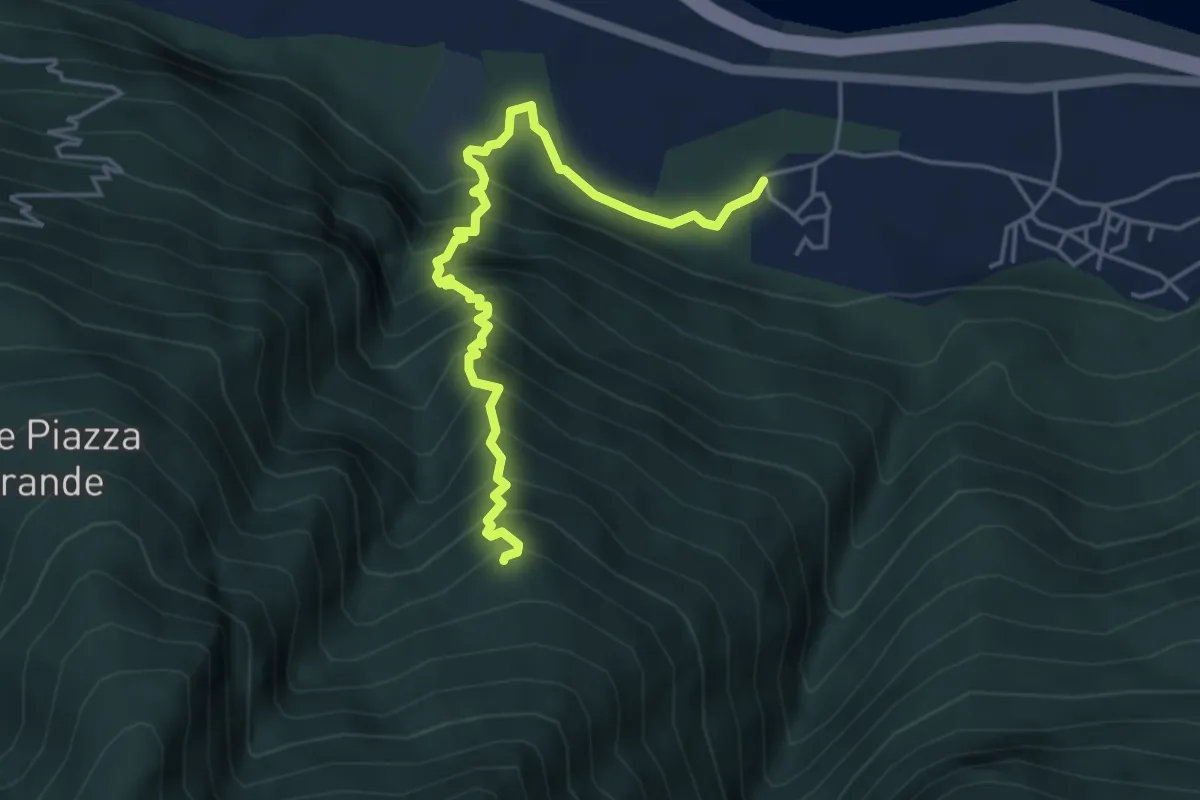
A30 - Vogogna località Dresio - Alpe Marona
4.1 km · ↑ 659 m · 2 h 23 min
Medium · Trail
A31 - Migiandone loc. Vadi - Alpe Grefa
4.8 km · ↑ 640 m · 2 h 31 min
Demanding · Trail
A32 - Vogogna - Alpe Ceresola - bivio A28
9.5 km · ↑ 1082 m · 4 h 35 min
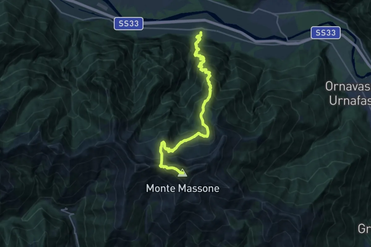
Demanding · Summit
A33 - Anzola - Monte Massone
18.8 km · ↑ 2144 m · 9 h 5 min
Medium · Trail
A34a - Vogogna - La Rocca - Genestredo
2.1 km · ↑ 220 m · 58 min
Expert · Summit
A34 - Vogogna - Pizzo Lacina
9.3 km · ↑ 1694 m · 5 h 52 min
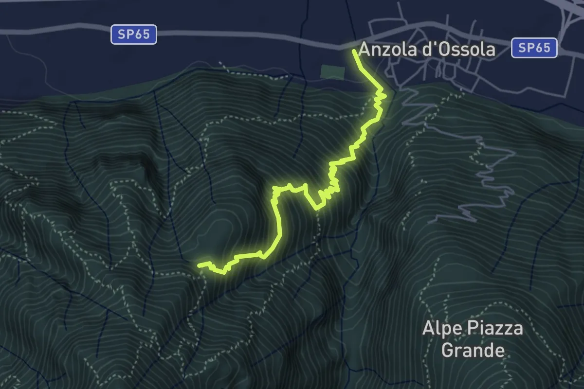
Demanding · Trail
A35 - Anzola - Pian del Baro
4.8 km · ↑ 702 m · 2 h 39 min
Medium · Trail
A36a - San Bernardo - Capraga
2.2 km · ↑ 176 m · 55 min
Demanding · Trail
A36 - Premosello - bivio A34 Alpe Pianoni
8.7 km · ↑ 1007 m · 4 h 15 min
Medium · Trail
A38a - bivio A38 Colloro - Alpe Lut bivio A40
3.0 km · ↑ 273 m · 1 h 18 min
Demanding · Summit
A38 - Premosello - Bocchetta di Saler
12.0 km · ↑ 1810 m · 6 h 46 min
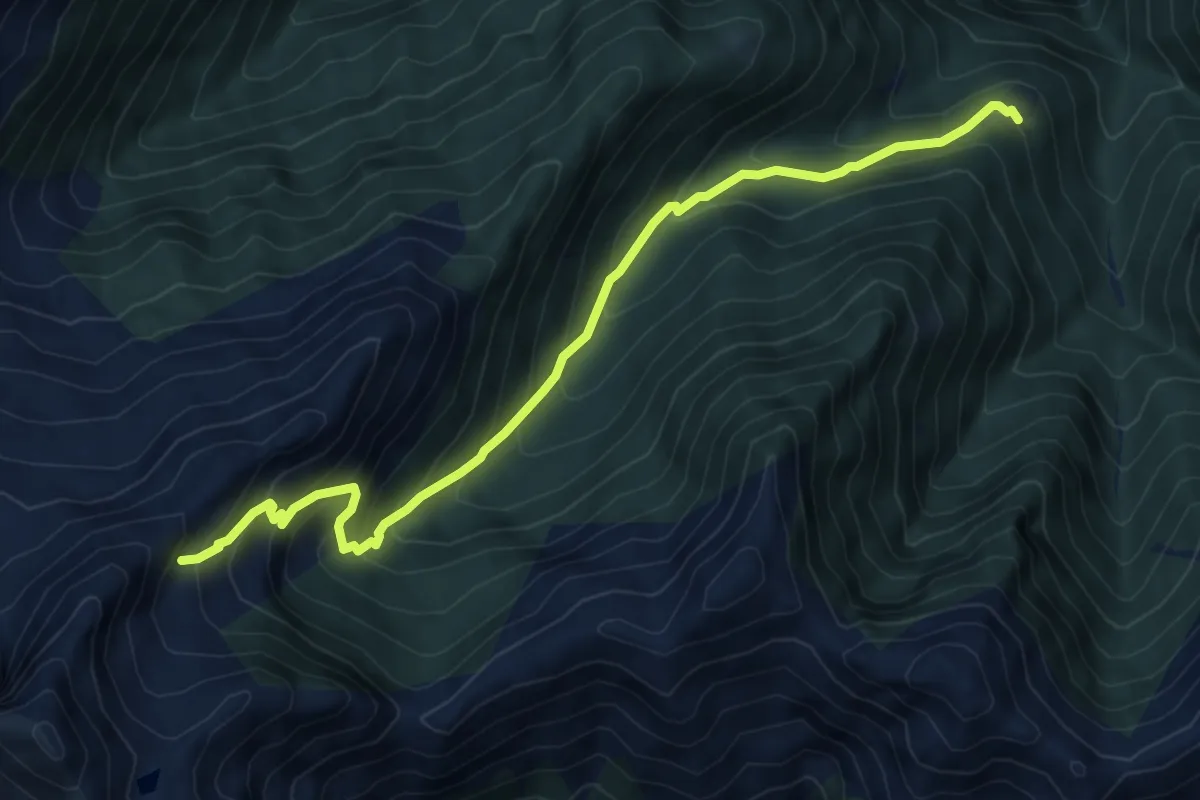
Medium · Trail
A39a - Alpe Orcocco - La Balma bivio B97
7.6 km · ↑ 759 m · 3 h 27 min
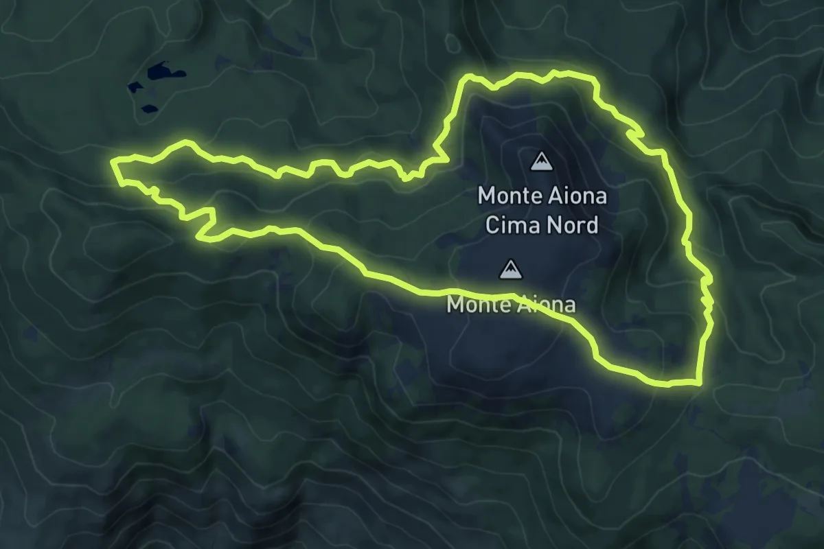
Medium · Summit
A3 - Anello del M. Aiona
9.7 km · ↑ 552 m · 3 h 37 min
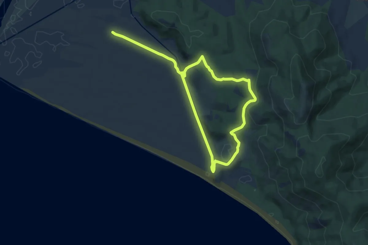
Medium · Trail
A3 Le Grotte
15.8 km · ↑ 232 m · 4 h 14 min
Demanding · Trail
A40b - bivio A40 - Bocchetta dell'Usciolo
3.8 km · ↑ 754 m · 2 h 32 min
Demanding · Summit
A40 - Premosello - Pizzo Proman
20.7 km · ↑ 2231 m · 9 h 44 min
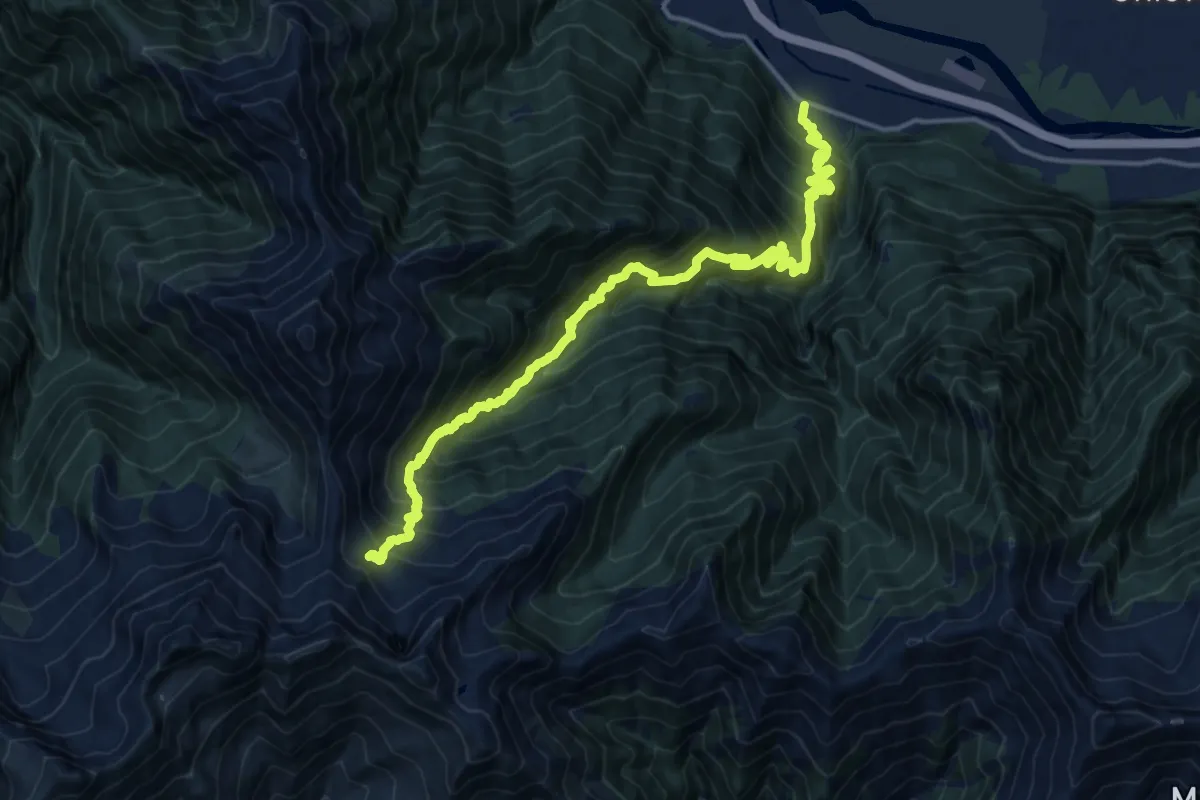
Demanding · Trail
A41 - Rumianca - Alpe Pian Lago bivio B97
9.0 km · ↑ 1747 m · 5 h 17 min
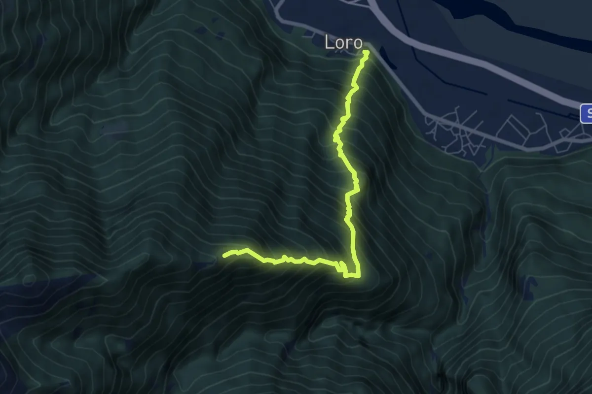
Demanding · Trail
A43 - Loro - Alpe Colla
6.5 km · ↑ 1062 m · 3 h 50 min
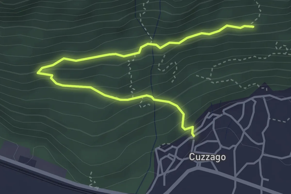
Medium · Trail
A44 - Cuzzago - Alpe Vargia
4.1 km · ↑ 276 m · 1 h 35 min
Demanding · Trail
A45 - Pieve Vergonte - bivio B97 Alpe Pian Lago
7.7 km · ↑ 1766 m · 5 h
Medium · Trail
A47a - Gulo - Ca Zaine
4.7 km · ↑ 415 m · 2 h
Demanding · Summit
A47 - Fomarco - Pizzo Camino
15.4 km · ↑ 1893 m · 7 h 44 min
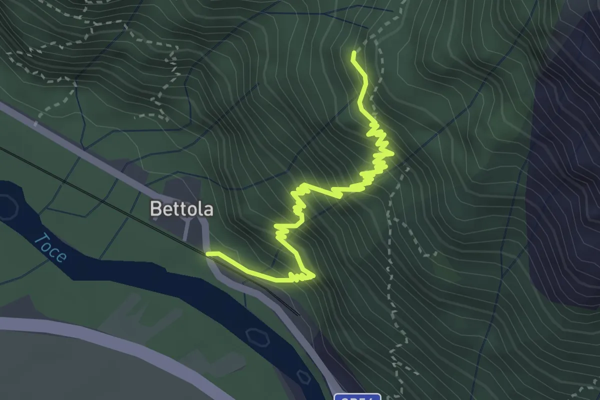
Demanding · Trail
A48 - Bettola - Strada Cadorna - Alpe Corte
4.0 km · ↑ 588 m · 2 h 13 min
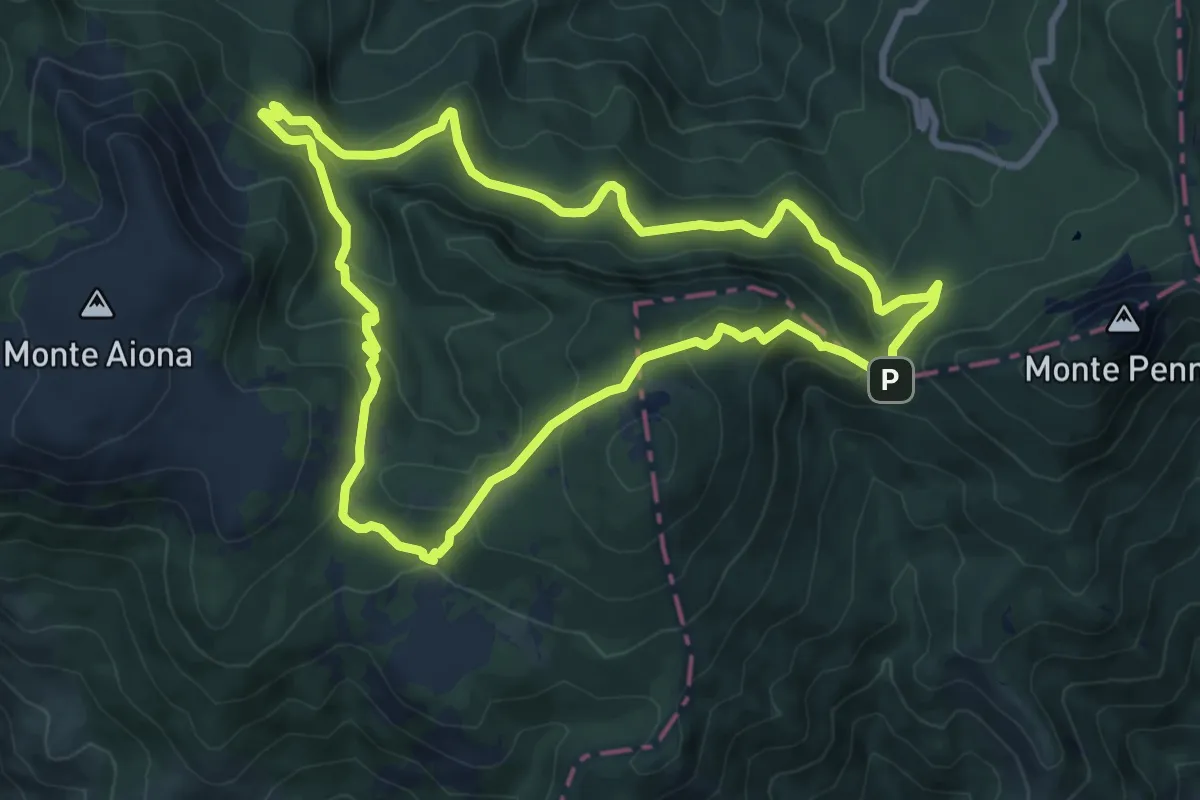
Medium · Trail
A4 - Anello di Prato Mollo
8.7 km · ↑ 414 m · 3 h 5 min
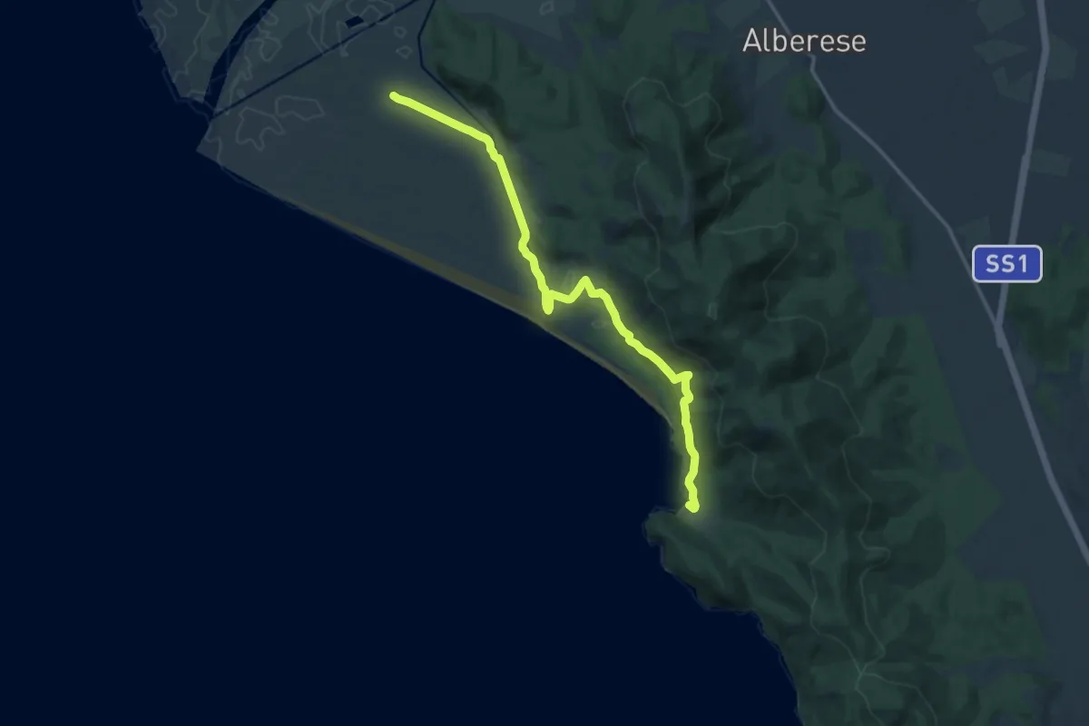
Medium · Trail
A4 Cala di Forno
16.3 km · ↑ 228 m · 4 h 21 min
Demanding · Summit
A51a - Moiachina - Alpe Propiano superiore
6.7 km · ↑ 1060 m · 3 h 53 min
Demanding · Summit
A51 - Cimamulera - Pizzo Castello
7.6 km · ↑ 1088 m · 4 h 9 min
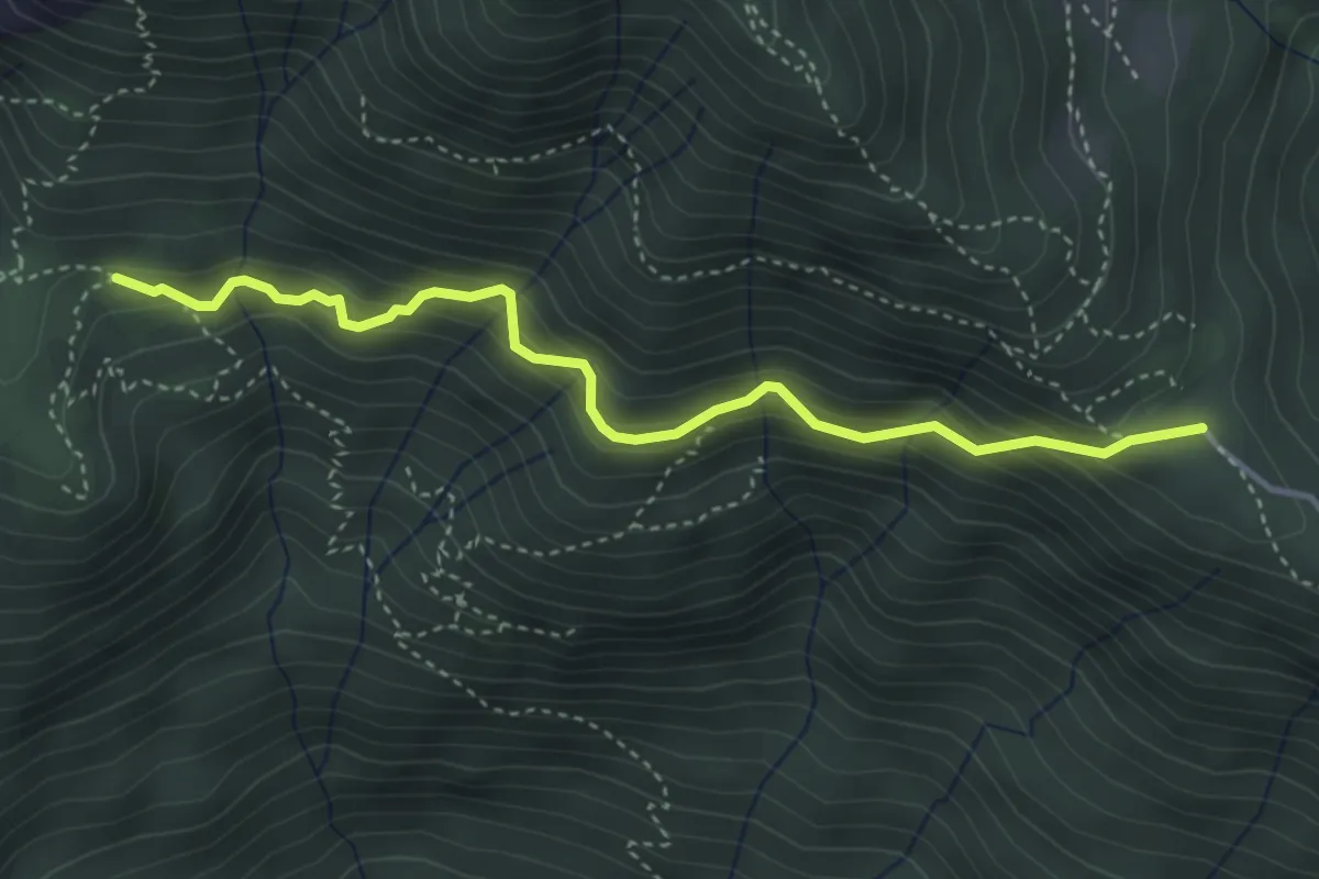
Expert · Trail
A51c - loc.tà Coloria, bivio A00a - Trogo - Colletto - Costa dell'Oraccio, bivio A51A
4.1 km · ↑ 573 m · 2 h 12 min
Medium · Trail
A52b - da Vercio a Alpe Ruspesso (Ompio)
3.9 km · ↑ 332 m · 1 h 39 min
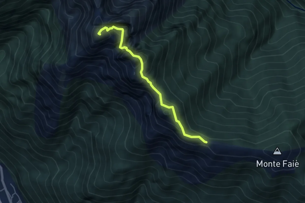
Demanding · Summit
A52c - Colma di Vercio - Cima Corte Lorenzo
4.3 km · ↑ 514 m · 2 h 7 min
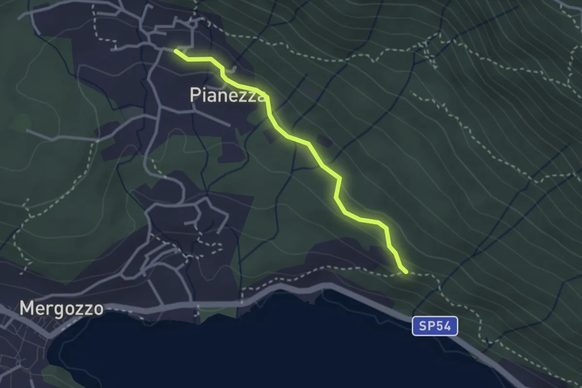
Easy · Trail
A52f - Bivio A00 - Bracchio bivio A52
2.5 km · ↑ 72 m · 45 min
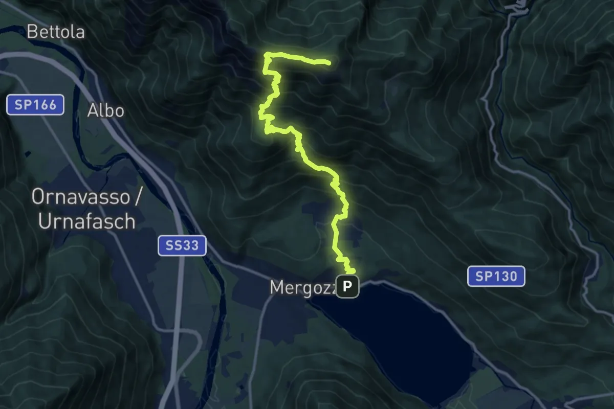
Demanding · Summit
A52 - Mergozzo - Bracchio - Vercio - Monte Faiè
12.6 km · ↑ 1272 m · 5 h 44 min
Demanding · Trail
A53d - ul Dric, Paset Cesar, bivio A53 (fontana) - Alpe Basciumo sopra, bivio C01
3.0 km · ↑ 712 m · 2 h 15 min
Expert · Trail
A53 - Pallanzeno-Alpe Corticcio
5.2 km · ↑ 616 m · 2 h 34 min
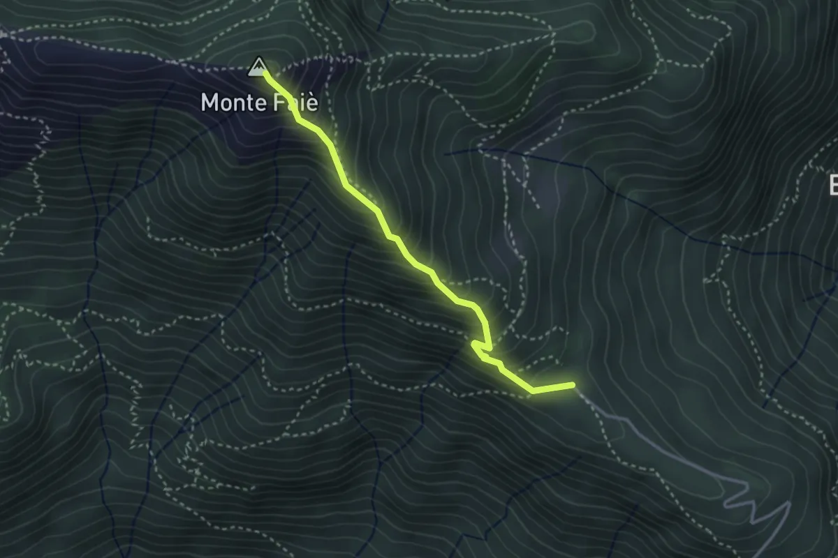
Medium · Summit
A54a - Alpe Ruspesso - Monte Faiè
3.0 km · ↑ 392 m · 1 h 34 min
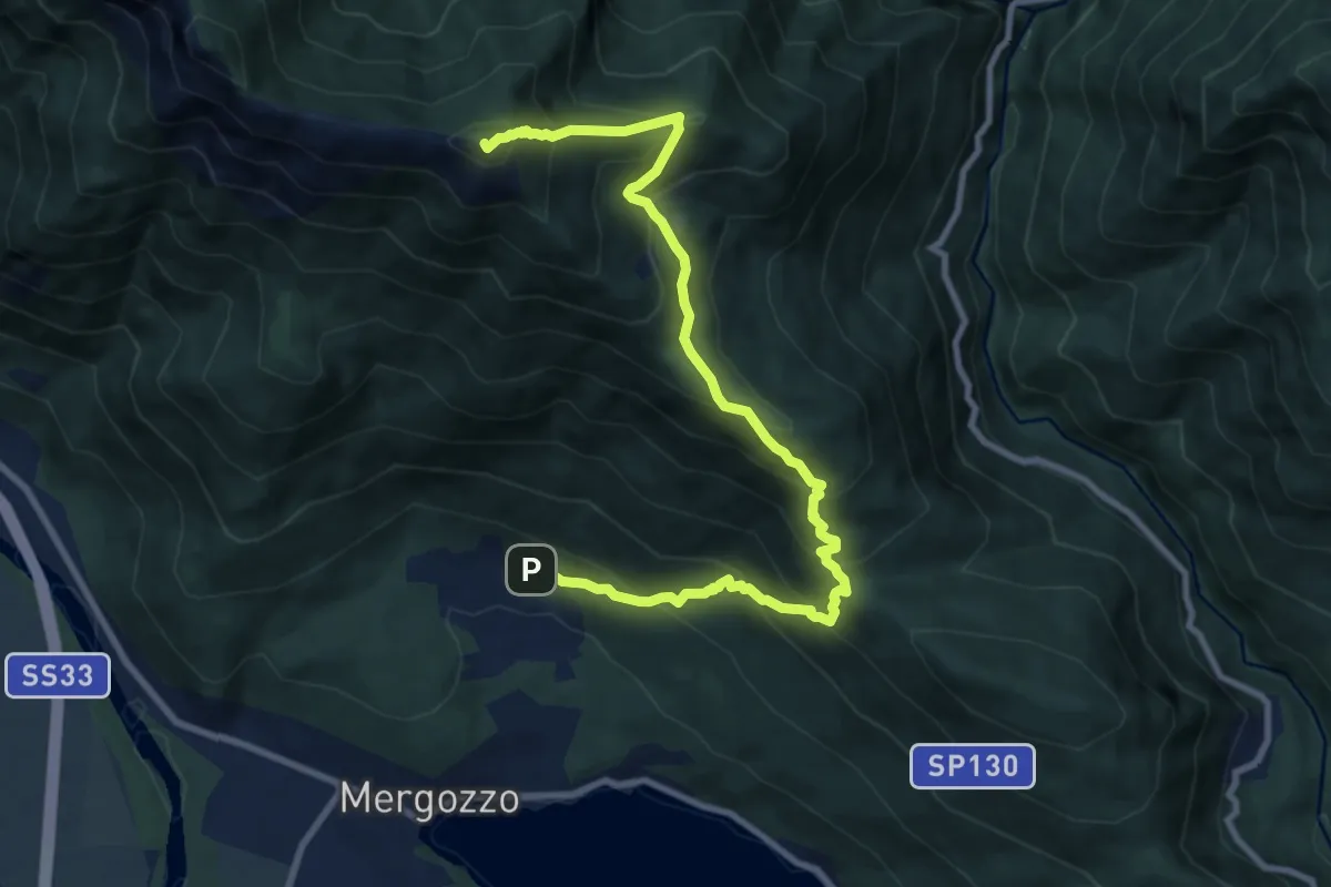
Demanding · Summit
A54 - Bracchio - Cappella di Erfo - Monte Faiè
10.9 km · ↑ 1016 m · 4 h 46 min
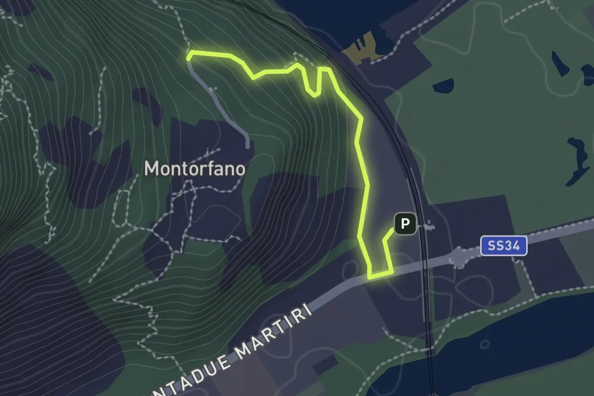
Easy · Trail
A56a - Stazione FS Verbania - Bivio A56 presso Montorfano paese
2.2 km · ↑ 127 m · 48 min
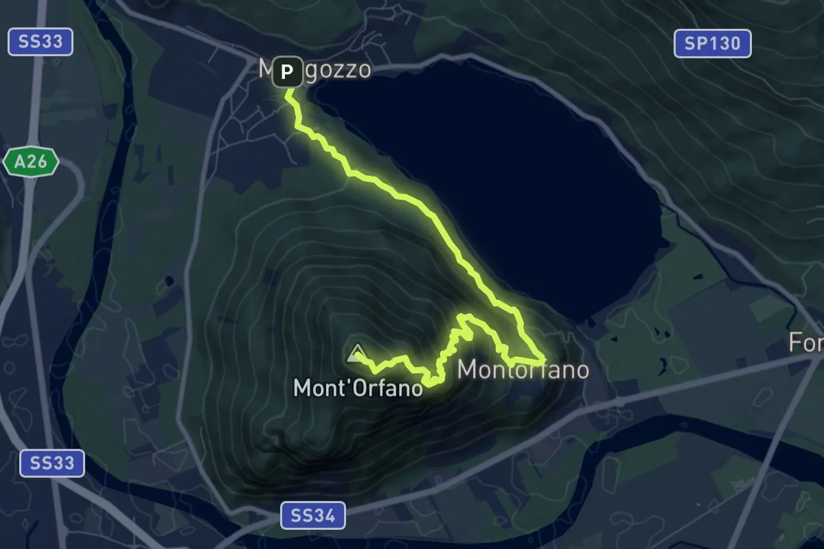
Medium · Summit
A56 - Mergozzo - Sentiero Azzurro - Mont'Orfano vetta
9.7 km · ↑ 750 m · 3 h 55 min
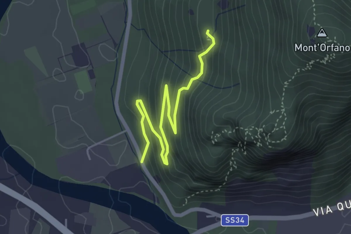
Easy · Trail
A58a - Prato Michelaccio - bivio A58
4.2 km · ↑ 254 m · 1 h 32 min
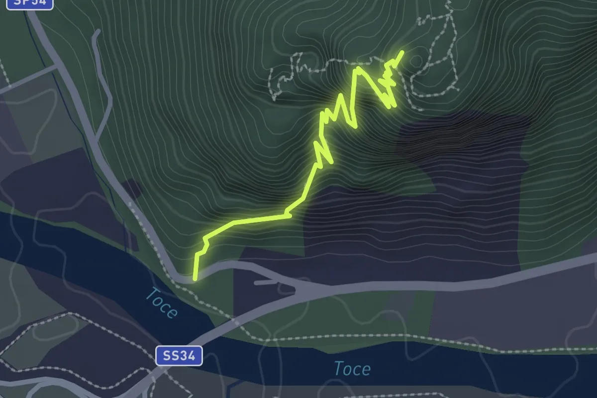
Demanding · Trail
A58b - Mulattiera militare parete sud del Montorfano
2.7 km · ↑ 671 m · 2 h 6 min
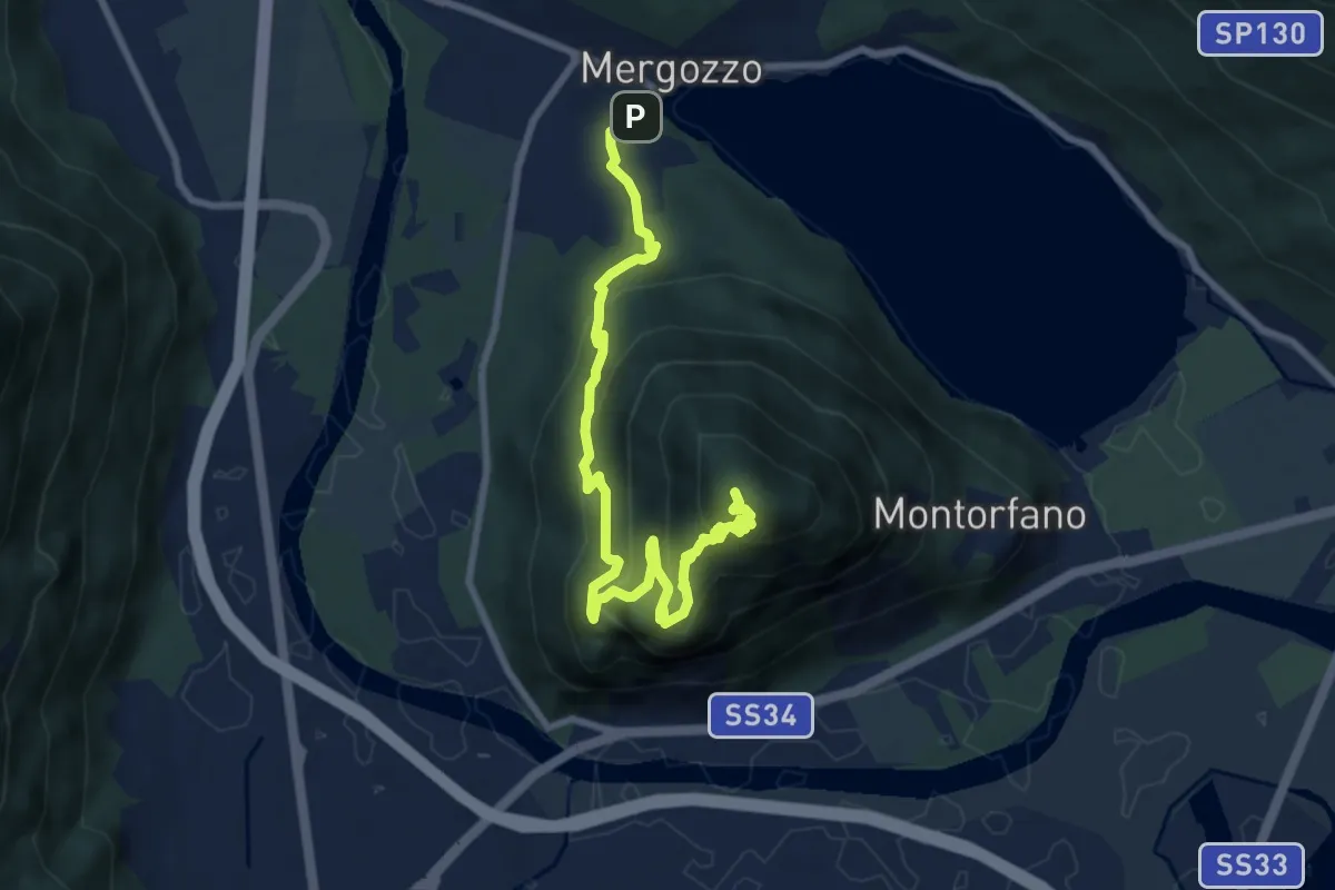
Medium · Summit
A58 - Mergozzo - Linea Cadorna - Mont'Orfano vetta
10.0 km · ↑ 770 m · 4 h 1 min
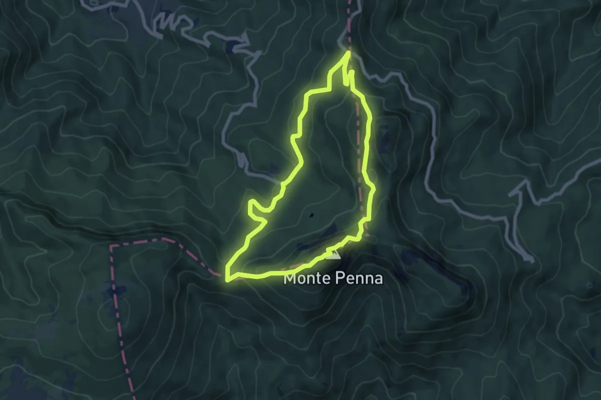
Expert · Summit
A5 - Anello del M. Penna
6.1 km · ↑ 359 m · 2 h 19 min