Trails in Italy
25,211 hiking trails, each with its route, climb, walking time and grade.
All trails, page 3 of 526
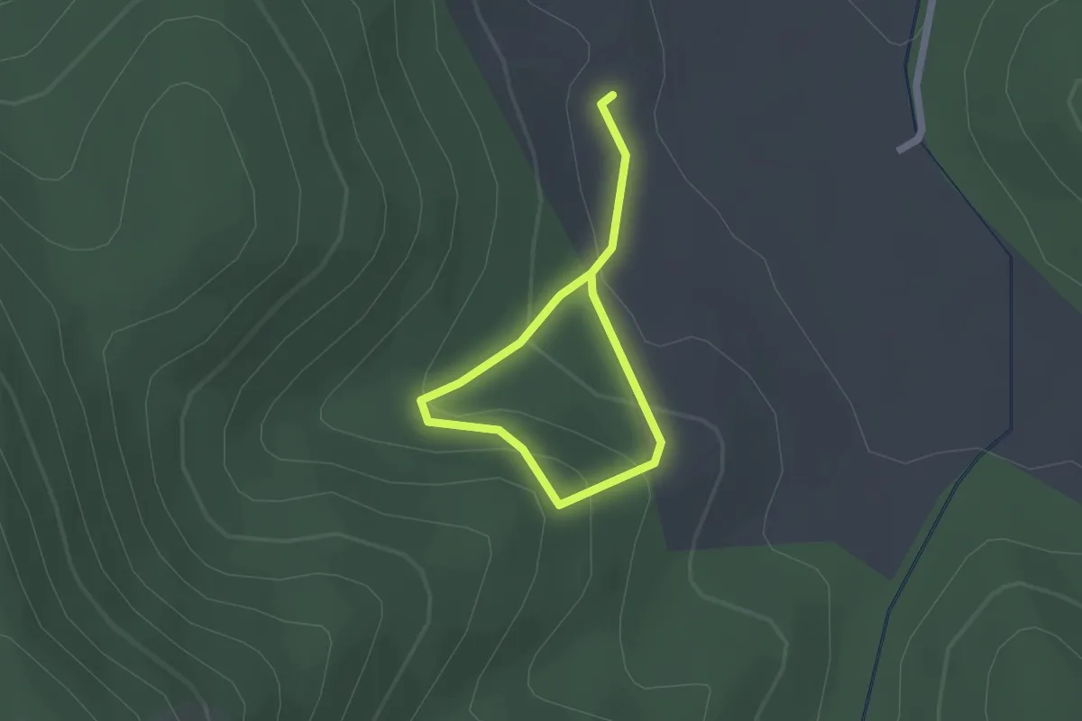
Easy · Trail
A5 Forestale e Faunistico
2.5 km · ↑ 130 m · 52 min
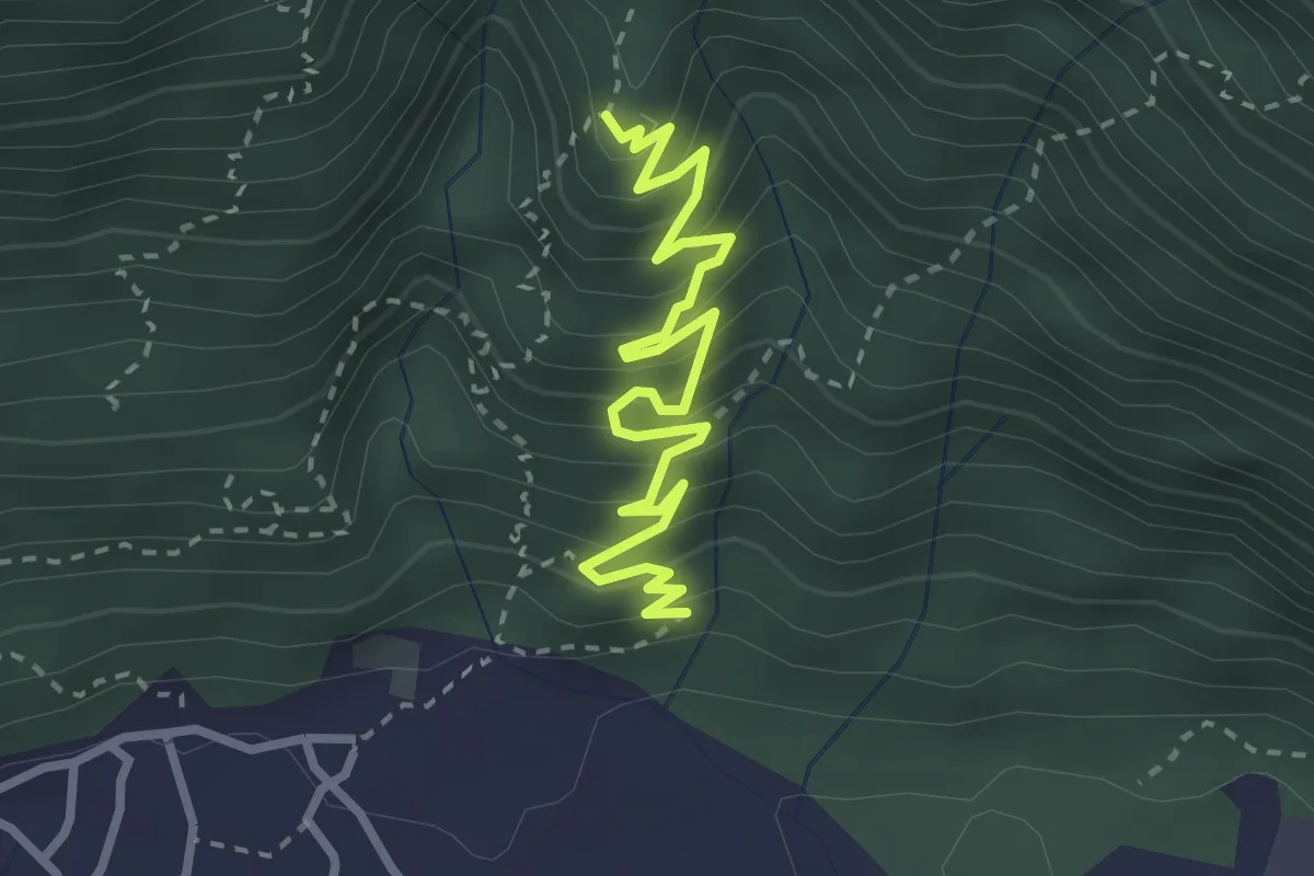
Medium · Trail
A60 - Linea Cadorna Cuzzago
3.3 km · ↑ 362 m · 1 h 33 min
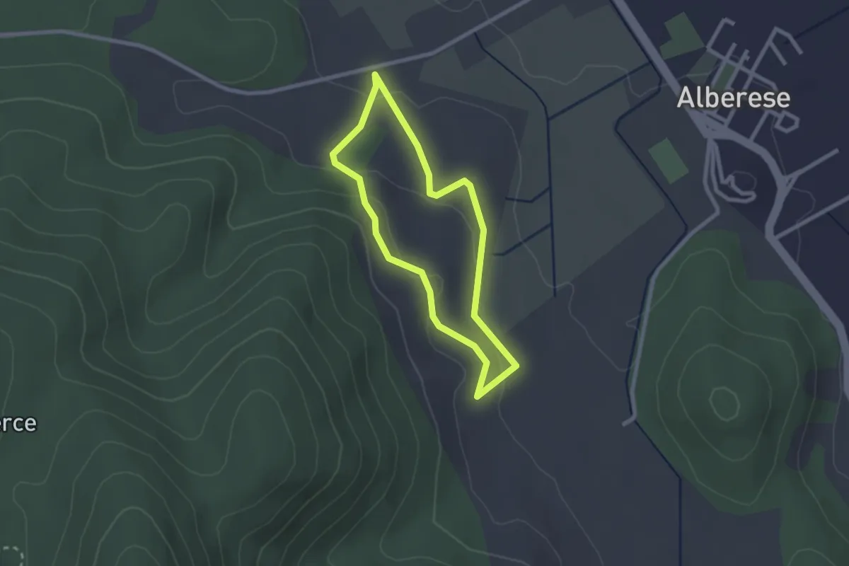
Easy · Trail
A6 Forestale e Faunistico
2.2 km · ↑ 64 m · 41 min
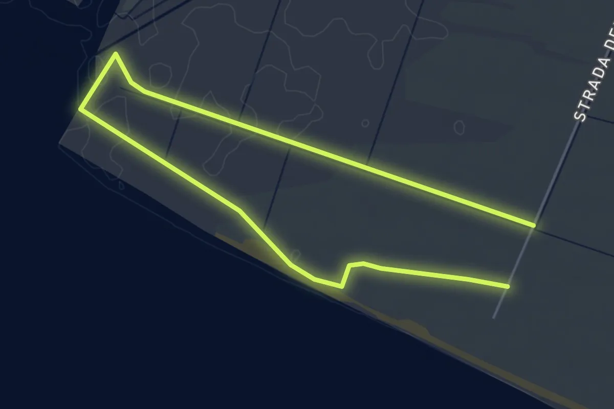
Medium · Trail
A7 Foce Ombrone
8.6 km · ↑ 4 m · 2 h 2 min
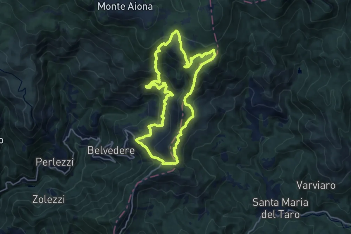
Demanding · Summit
A8 - Anello della Scaletta
12.2 km · ↑ 856 m · 4 h 55 min
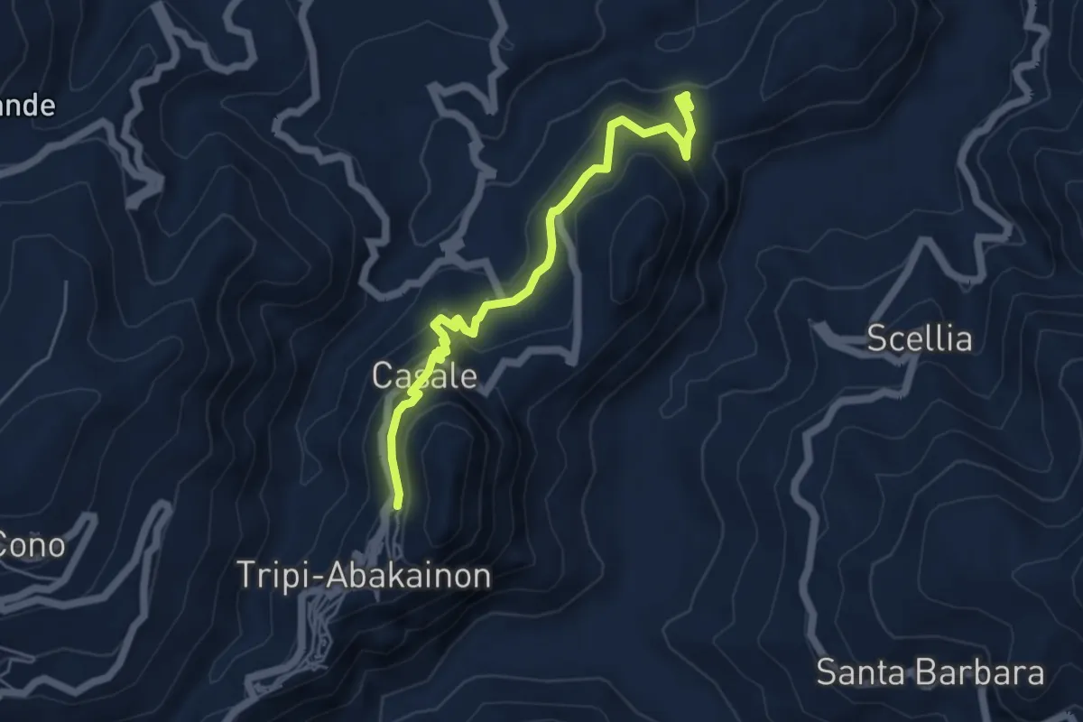
Medium · Trail
Abakainon - Tripi
5.7 km · ↑ 323 m · 2 h 3 min
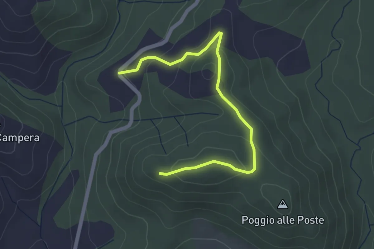
Easy · Trail
Abbazia di Monteverdi
4.2 km · ↑ 145 m · 1 h 19 min
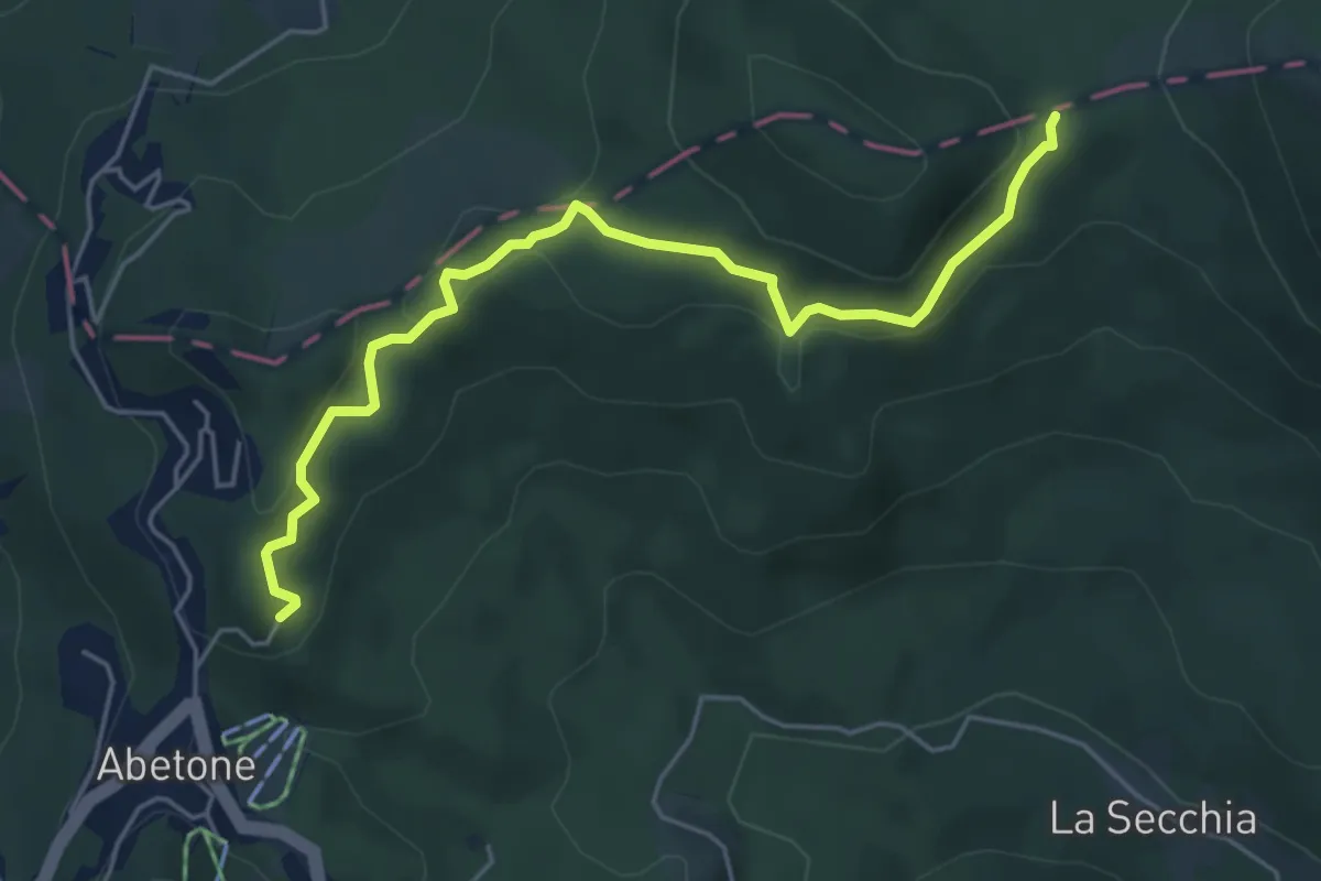
Easy · Trail
Abetone - La Verginetta
5.5 km · ↑ 220 m · 1 h 47 min
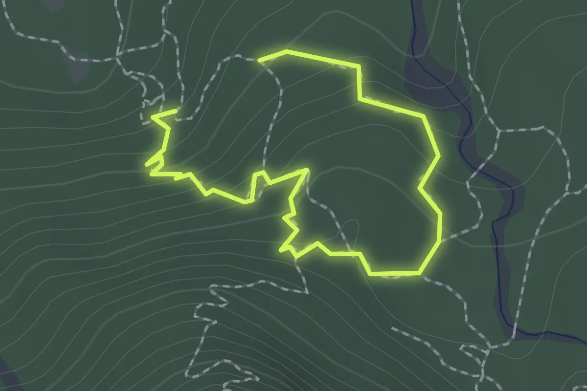
Easy · Trail
Abschnitt Seisera - Percorso blu
1.2 km · ↑ 87 m · 29 min
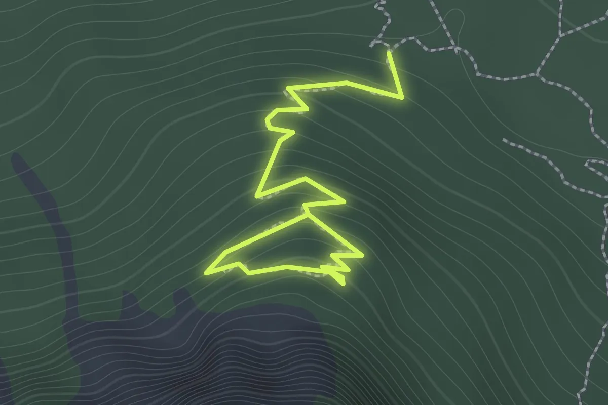
Demanding · Trail
Abschnitt Seisera - Percorso rosso
2.0 km · ↑ 193 m · 53 min
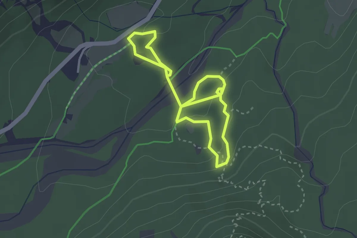
Demanding · Trail
Abschnitt Seisera - Percorso verde
4.3 km · ↑ 107 m · 1 h 15 min
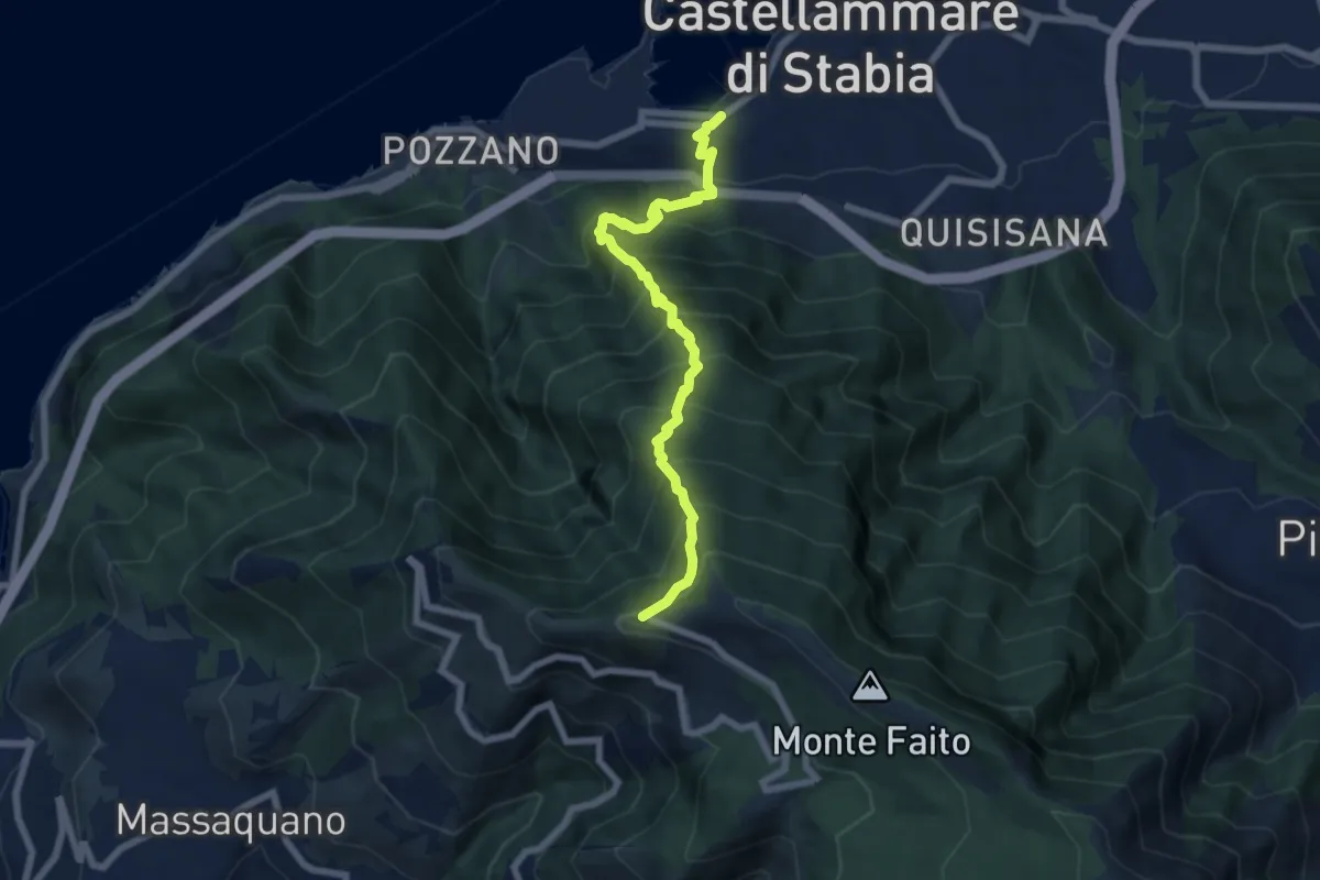
Demanding · Trail
'A casarella 'o monte
7.4 km · ↑ 1076 m · 4 h 5 min
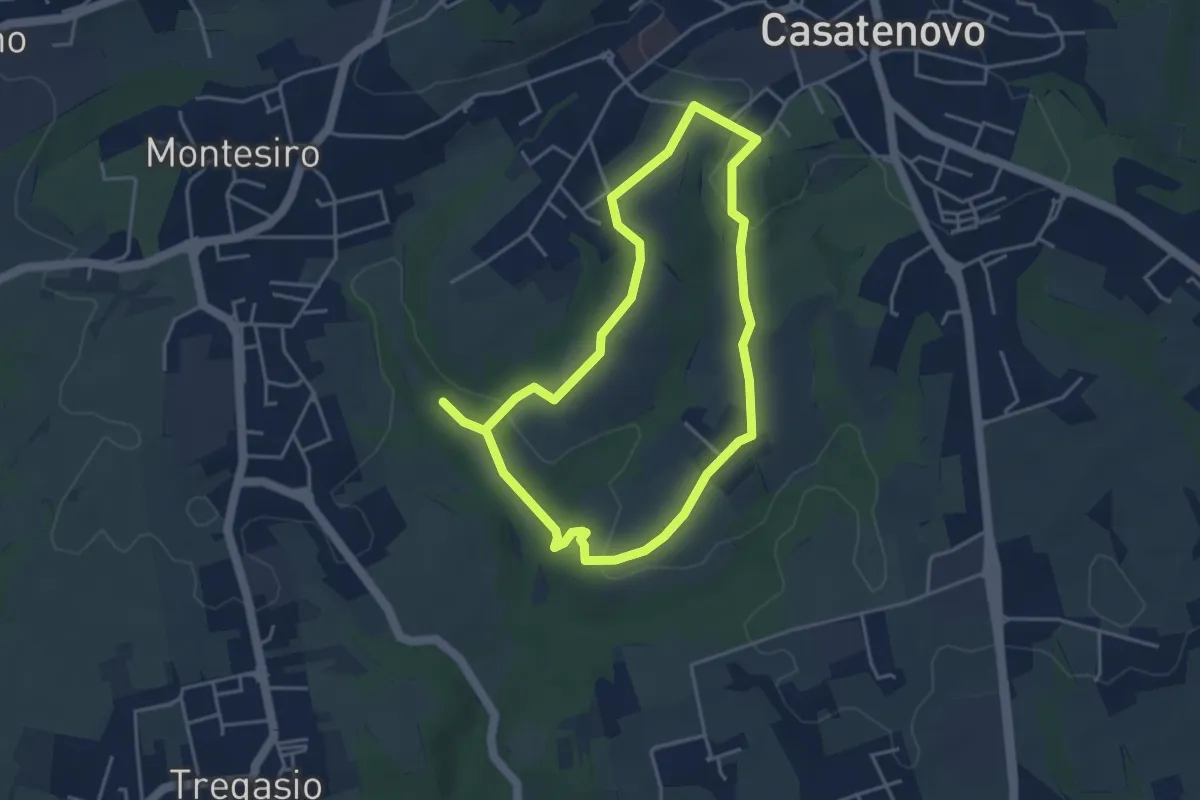
Easy · Trail
A Casatenovo tra ricchi e poveri
3.8 km · ↑ 74 m · 1 h 6 min
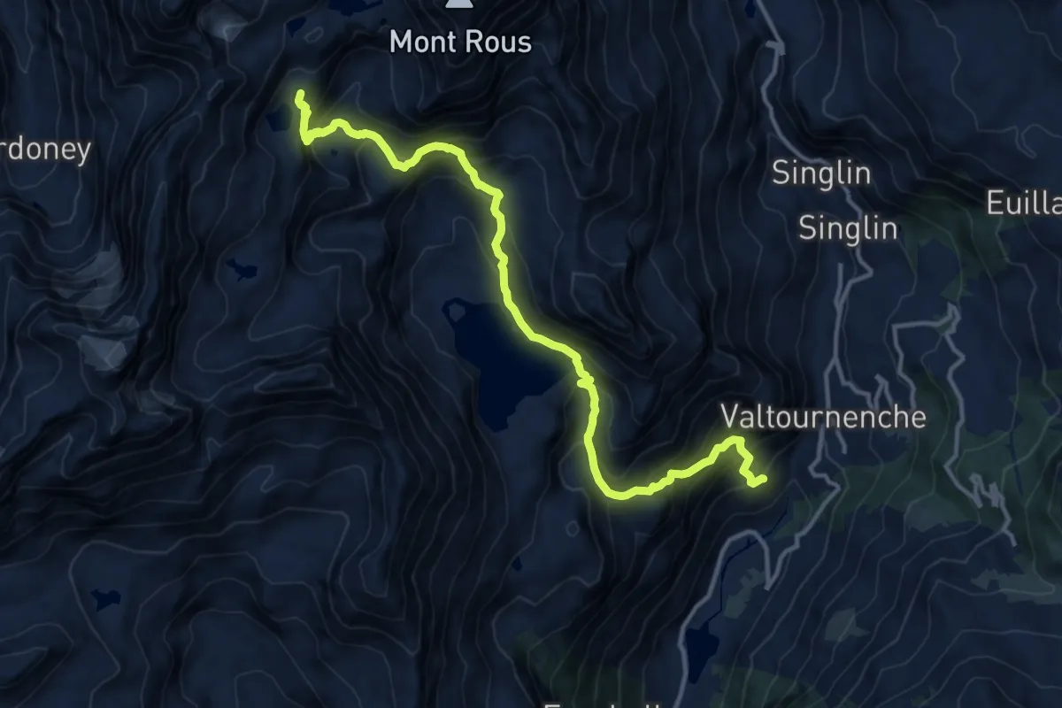
Demanding · Cabin
Accesso Bivacco Manenti
14.7 km · ↑ 1362 m · 6 h 25 min
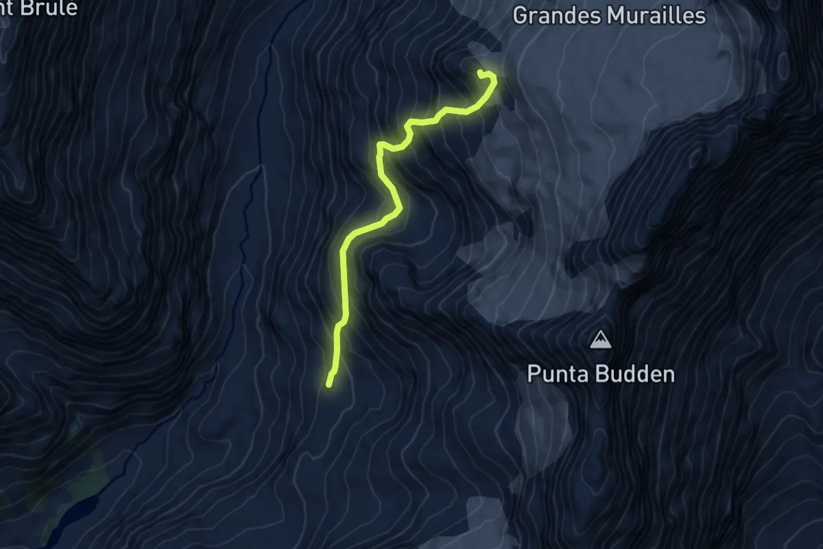
Expert · Summit
Accesso Bivacco Tete Des Roeses Da Alpe Bella Tsa
5.8 km · ↑ 747 m · 3 h
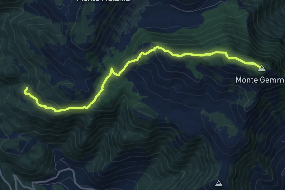
Medium · Summit
Acqua del Carpino-Monte Gemma
10.9 km · ↑ 597 m · 3 h 51 min
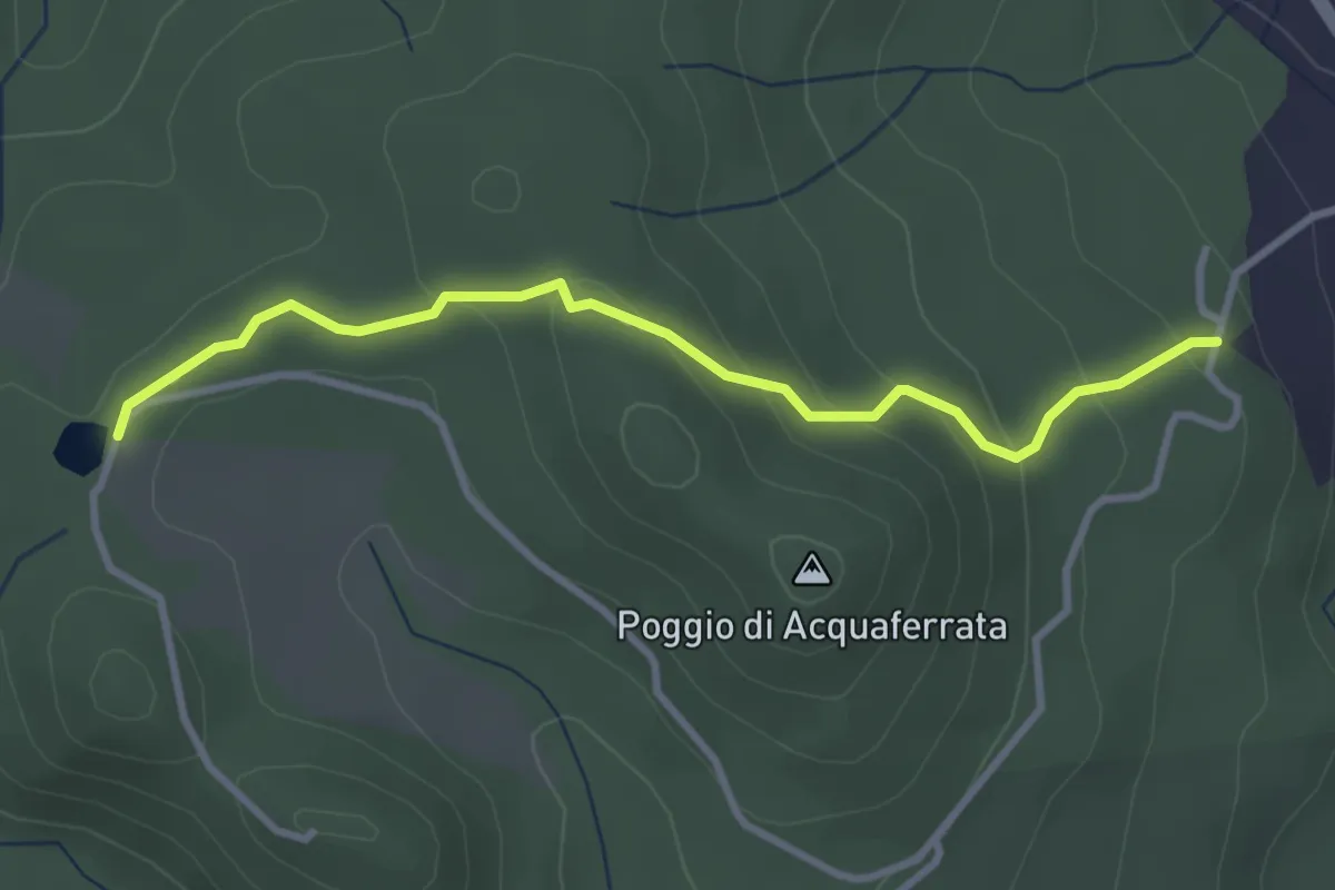
Easy · Trail
Acquaferrata
3.4 km · ↑ 164 m · 1 h 10 min
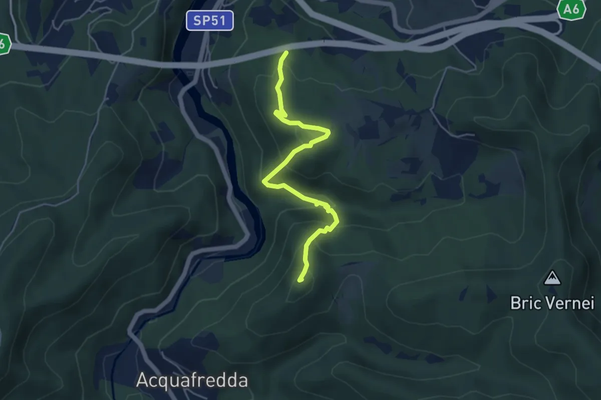
Easy · Summit
Acquafredda - Bric della Feia - Tana dell'Orpe
4.6 km · ↑ 314 m · 1 h 46 min
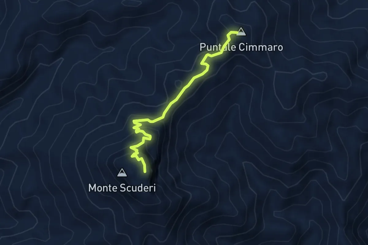
Easy · Summit
Acqua Lima SI - Monte Scuderi
4.7 km · ↑ 305 m · 1 h 46 min
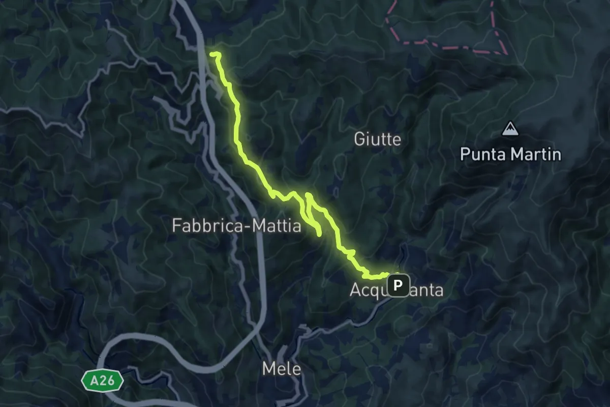
Medium · Trail
Acquasanta - Passo del Turchino
13.3 km · ↑ 680 m · 4 h 37 min
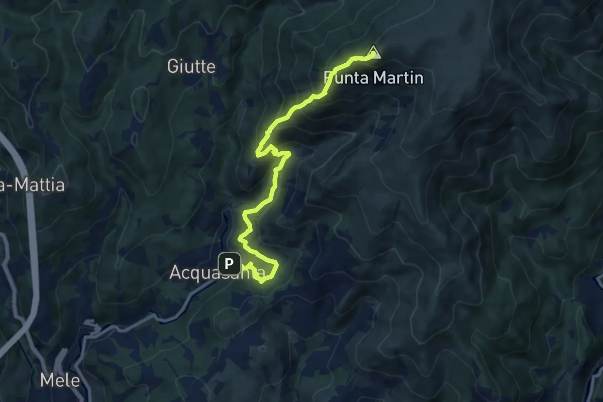
Expert · Summit
Acquasanta - Punta Martin
9.5 km · ↑ 923 m · 4 h 15 min
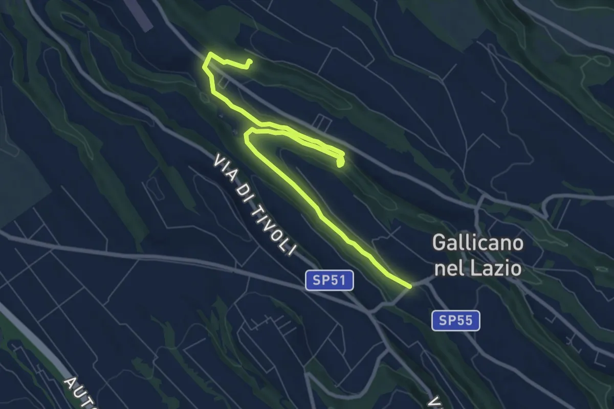
Medium · Trail
Acquedotti di Gallicano
9.7 km · ↑ 137 m · 2 h 35 min
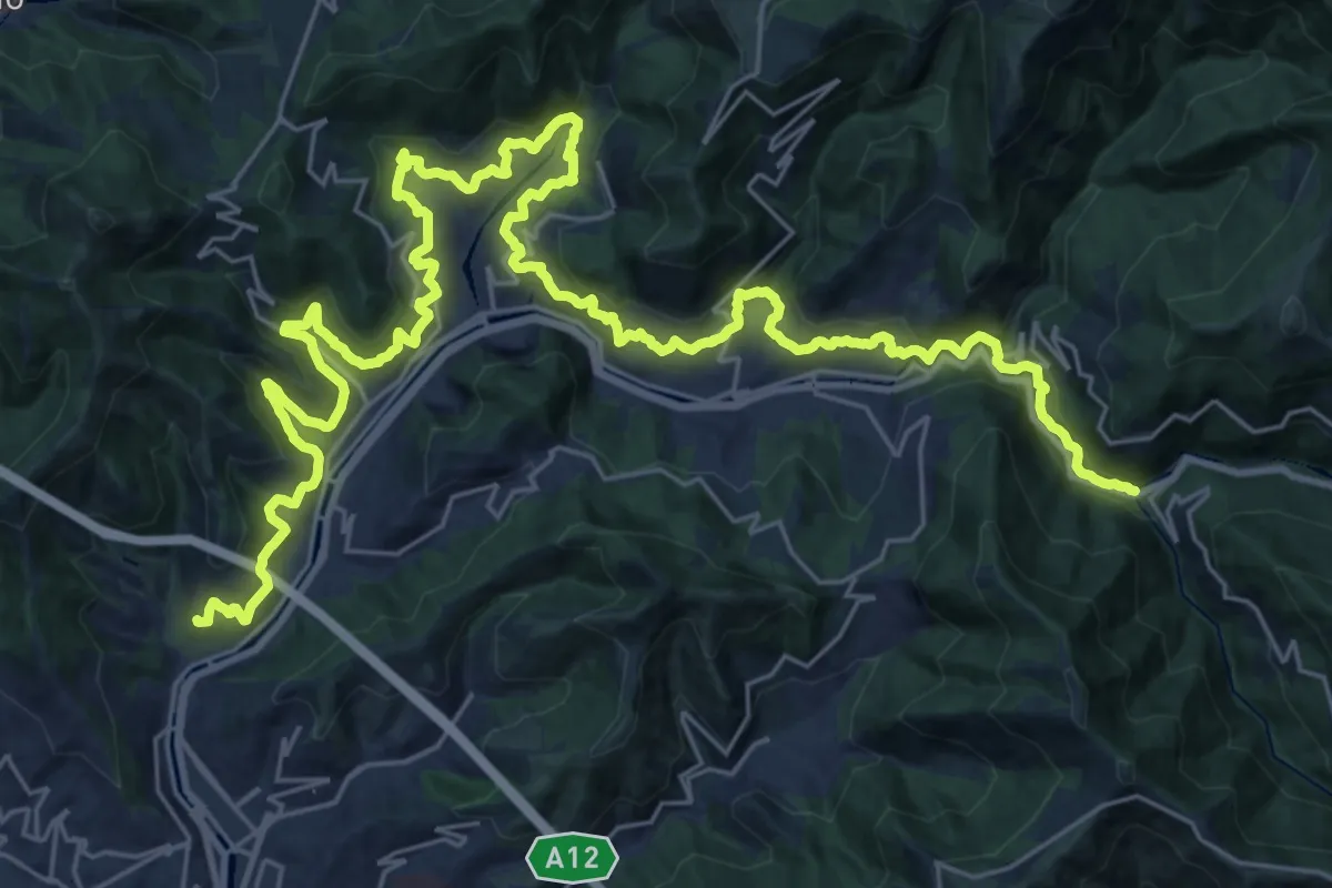
Demanding · Trail
Acquedotto storico di Genova
21.2 km · ↑ 969 m · 7 h 21 min
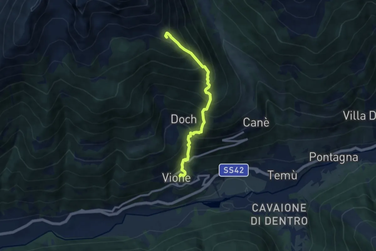
Demanding · Summit
Adamello Vertical kilometer
6.5 km · ↑ 993 m · 3 h 42 min
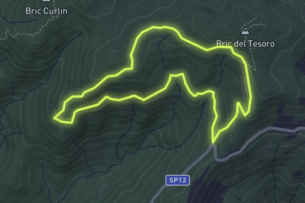
Medium · Summit
Adelasia - Sentiero 1
4.6 km · ↑ 230 m · 1 h 40 min
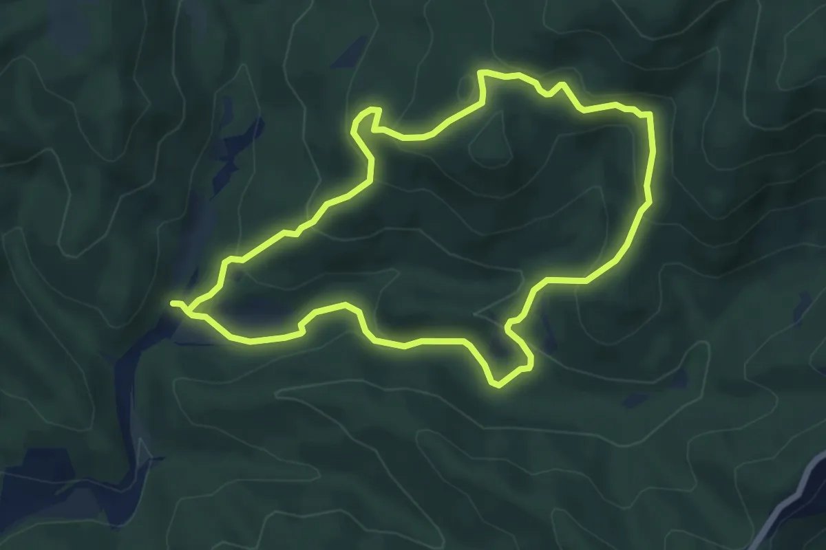
Easy · Summit
Adelasia - Sentiero 2
5.4 km · ↑ 251 m · 1 h 53 min
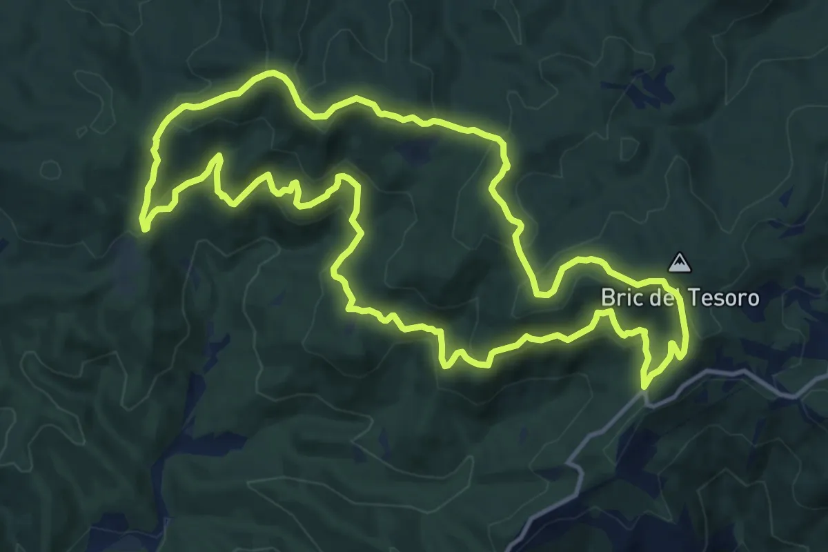
Medium · Summit
Adelasia - Sentiero 3
13.1 km · ↑ 614 m · 4 h 37 min
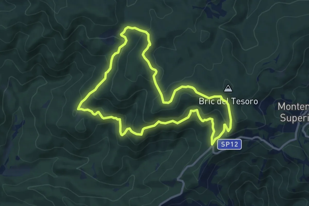
Medium · Summit
Adelasia - Sentiero Airone
8.2 km · ↑ 356 m · 2 h 49 min
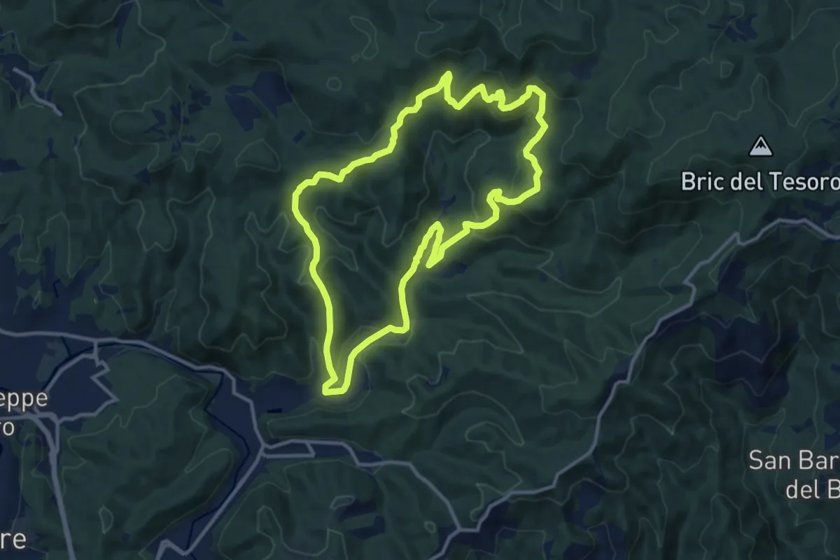
Medium · Summit
Adelasia Trail
11.6 km · ↑ 458 m · 3 h 53 min
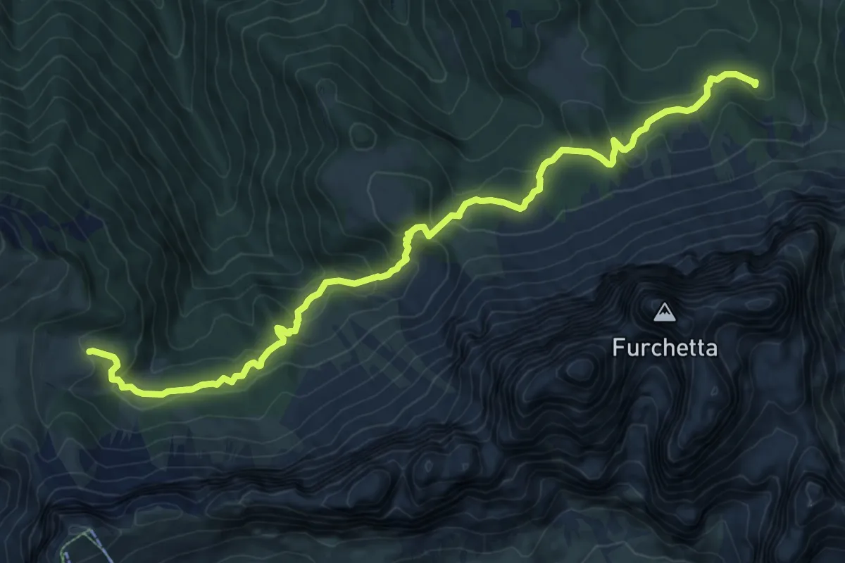
Medium · Cabin
Adolf Munkel Weg - Via delle Odle
11.9 km · ↑ 589 m · 4 h 5 min
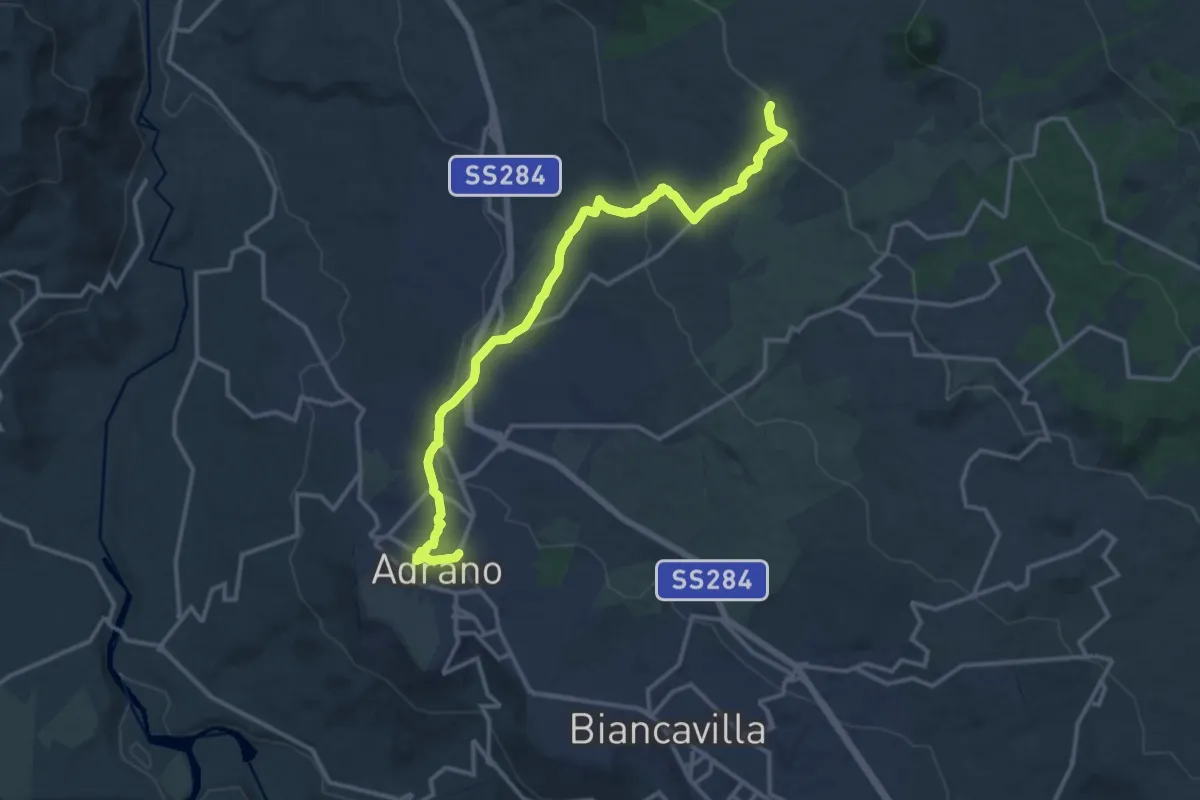
Medium · Trail
Adrano - Grotta del Santo
17.3 km · ↑ 455 m · 5 h 4 min
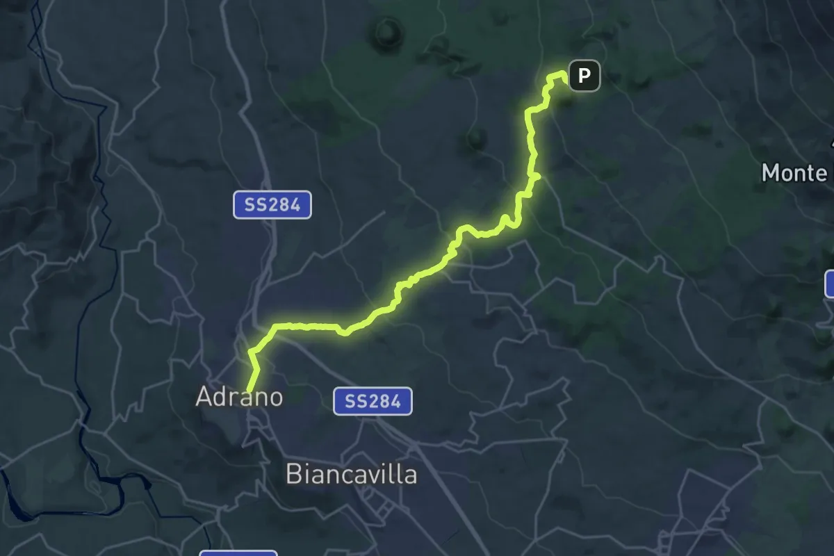
Medium · Trail
Adrano - Punto Base n. 3 Piano Fiera
14.4 km · ↑ 0 m · 4 h 6 min
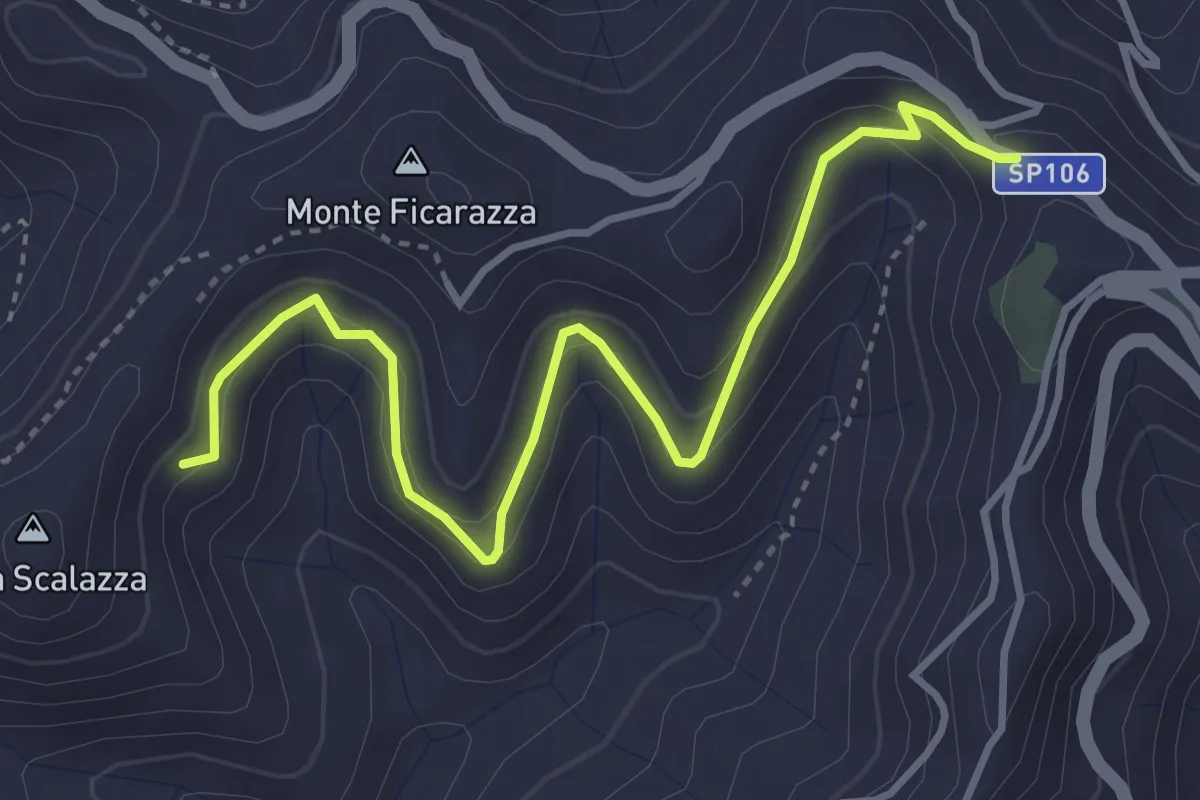
Medium · Trail
Affucamuli
4.8 km · ↑ 261 m · 1 h 42 min
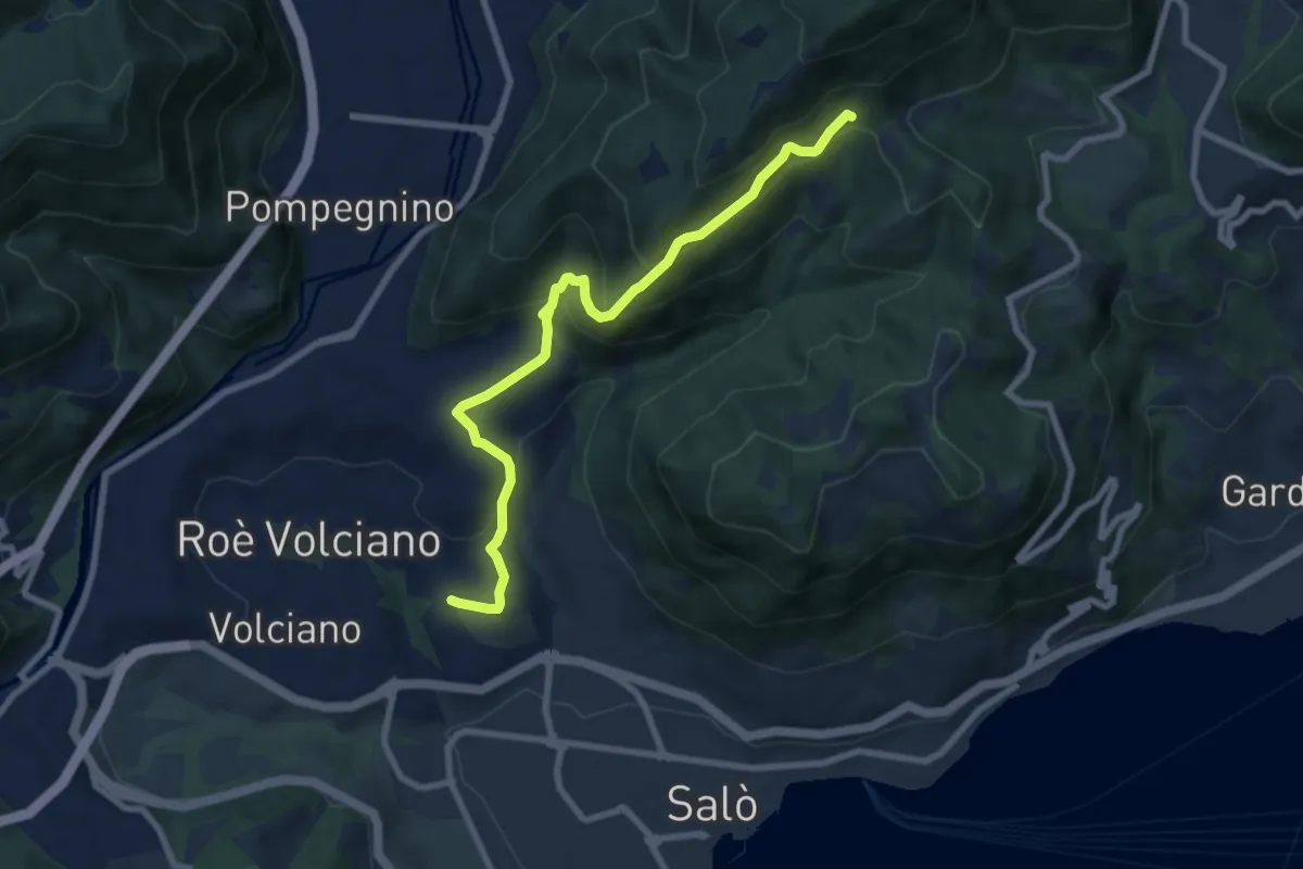
Medium · Trail
Agneto - Bagnolo
8.3 km · ↑ 511 m · 3 h 4 min
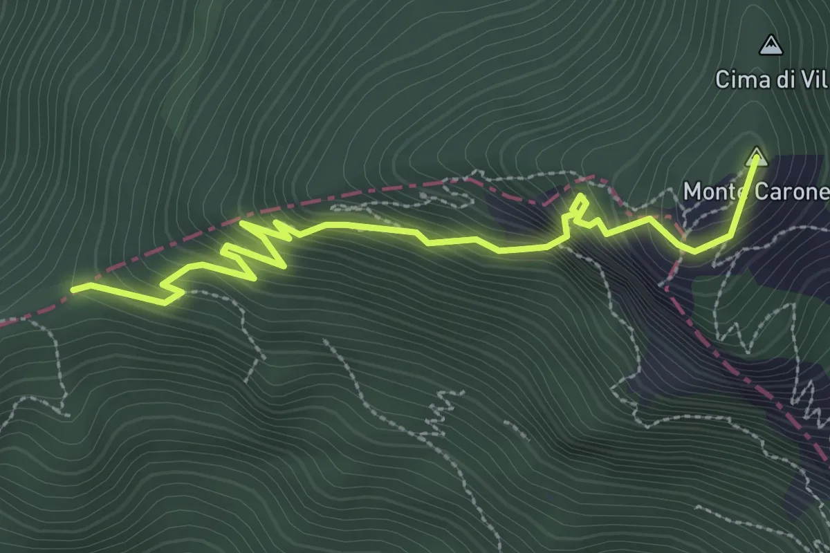
Expert · Summit
Agostino Tosi
3.3 km · ↑ 412 m · 1 h 40 min
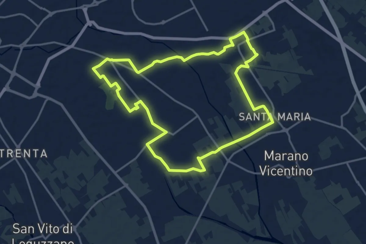
Medium · Trail
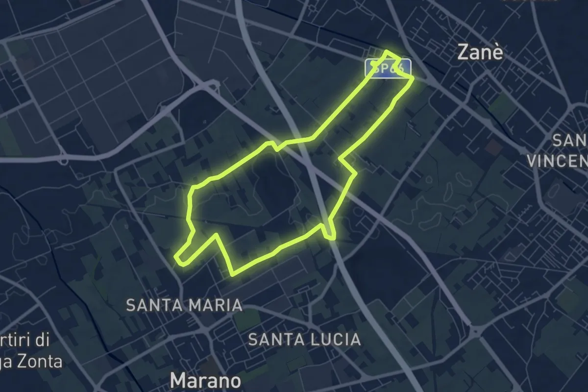
Agritour dea Molonara (percorso azzurro)
10.8 km · ↑ 35 m · 2 h 46 min
Easy · Trail
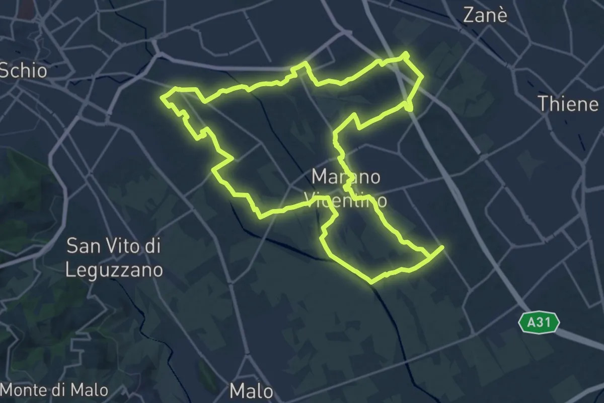
Agritour dea Molonara (percorso giallo)
7.3 km · ↑ 25 m · 1 h 52 min
Demanding · Trail
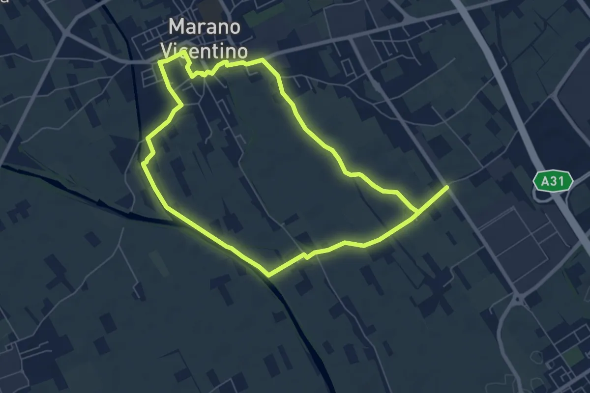
Agritour dea Molonara (percorso rosso)
20.9 km · ↑ 67 m · 5 h 22 min
Easy · Trail
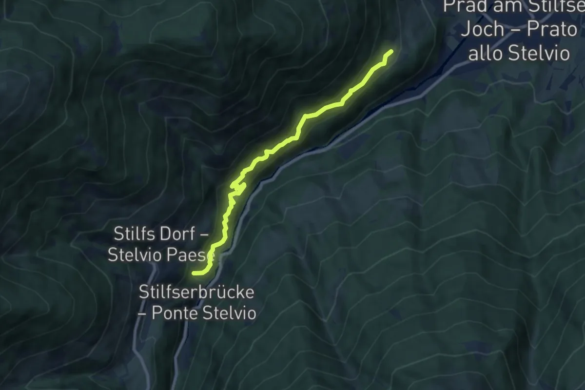
Agritour dea Molonara (percorso verde)
6.4 km · ↑ 17 m · 1 h 39 min
Medium · Trail
Agumser Bergwaal
7.3 km · ↑ 583 m · 2 h 59 min
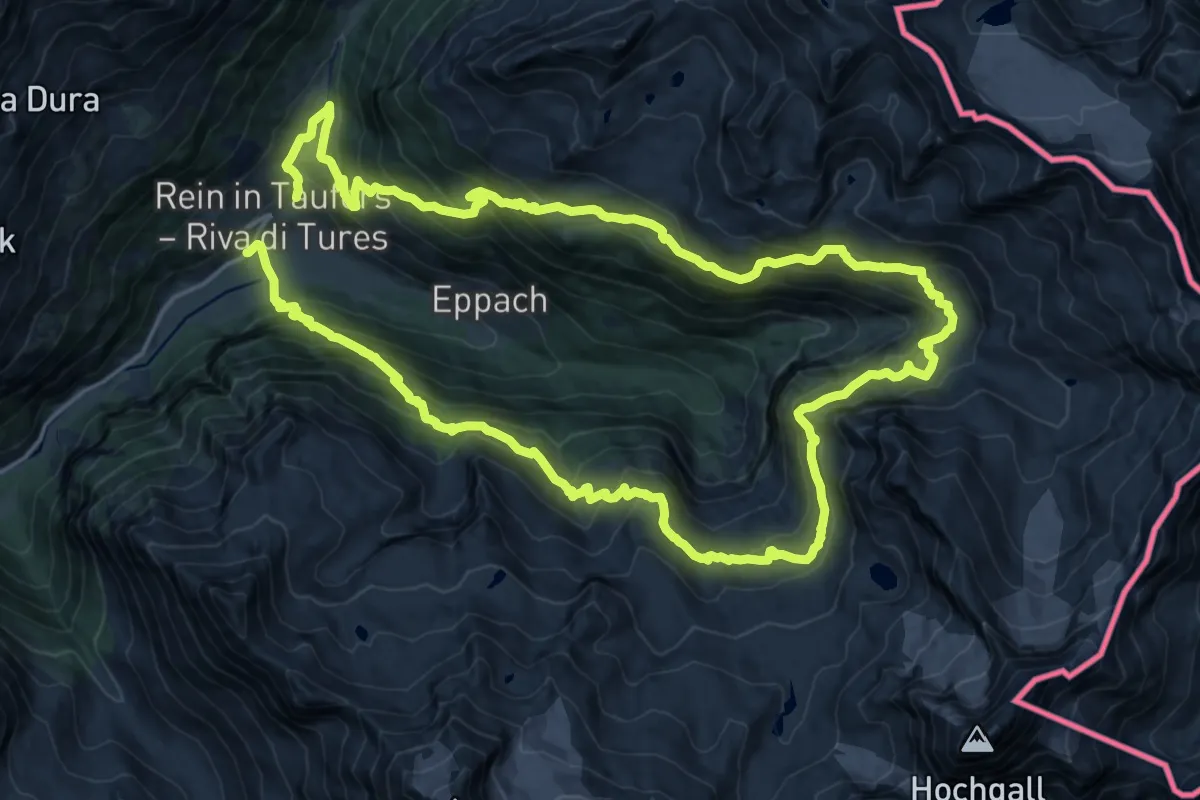
Demanding · Trail
A.-Hartdegen-Weg
18.3 km · ↑ 1223 m · 7 h 14 min
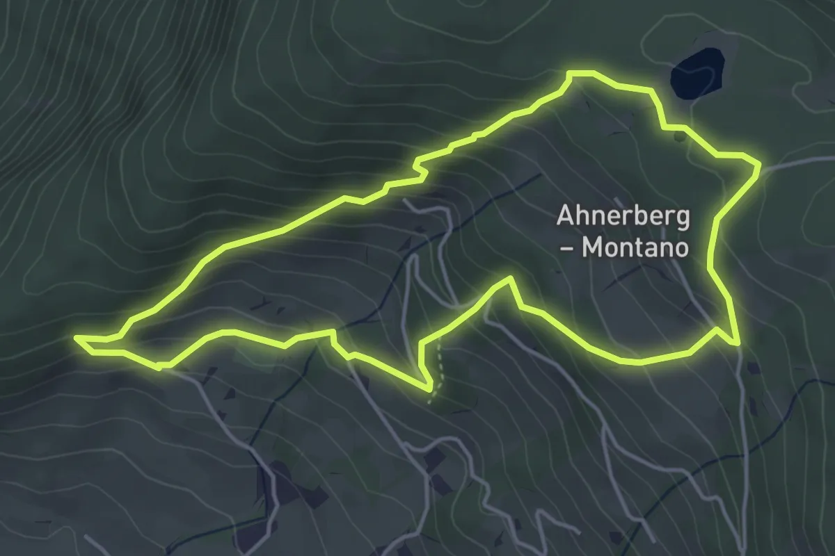
Medium · Trail
Ahnerbergrunde
4.7 km · ↑ 348 m · 1 h 55 min
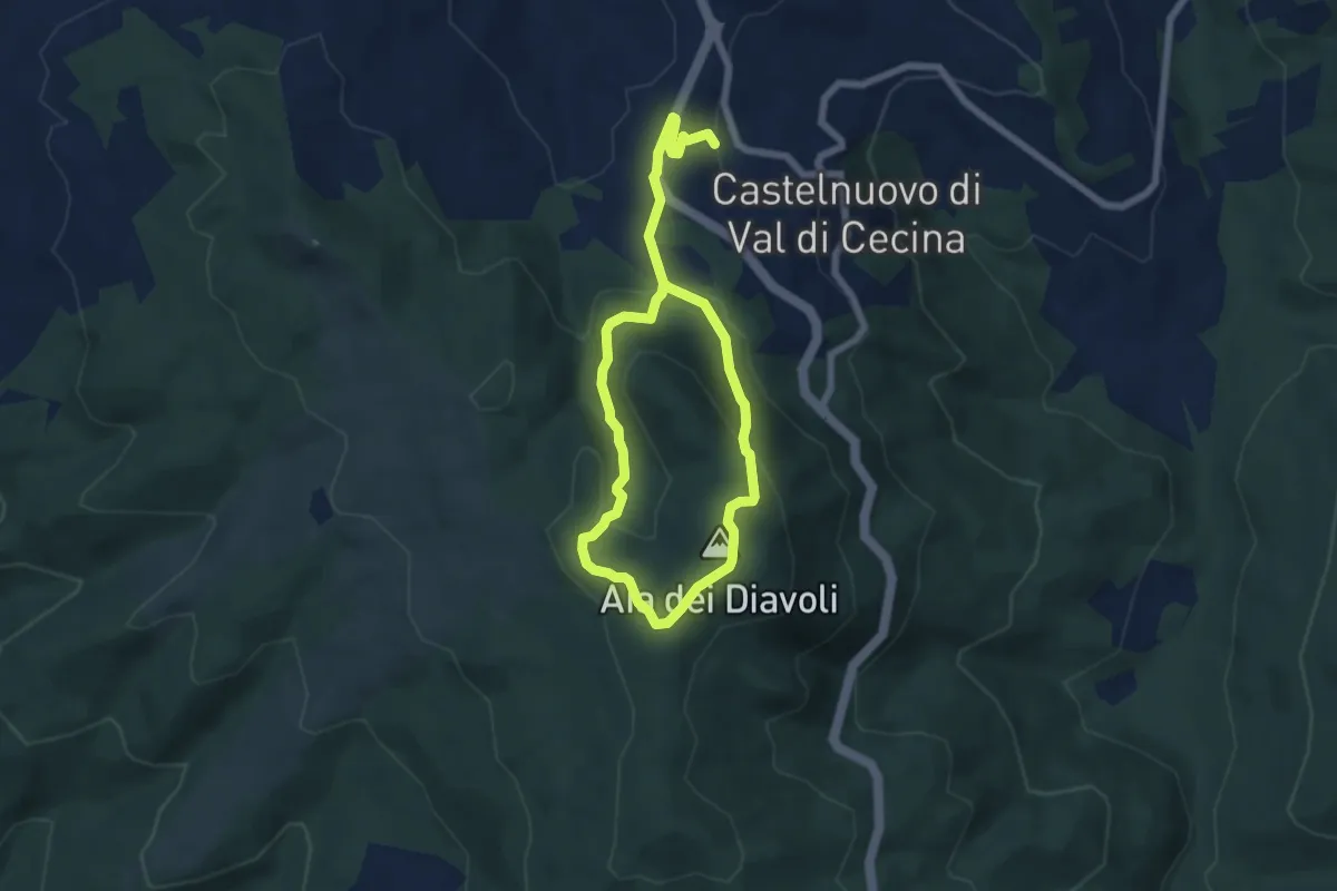
Easy · Summit
Aia dei Diavoli
5.1 km · ↑ 258 m · 1 h 47 min
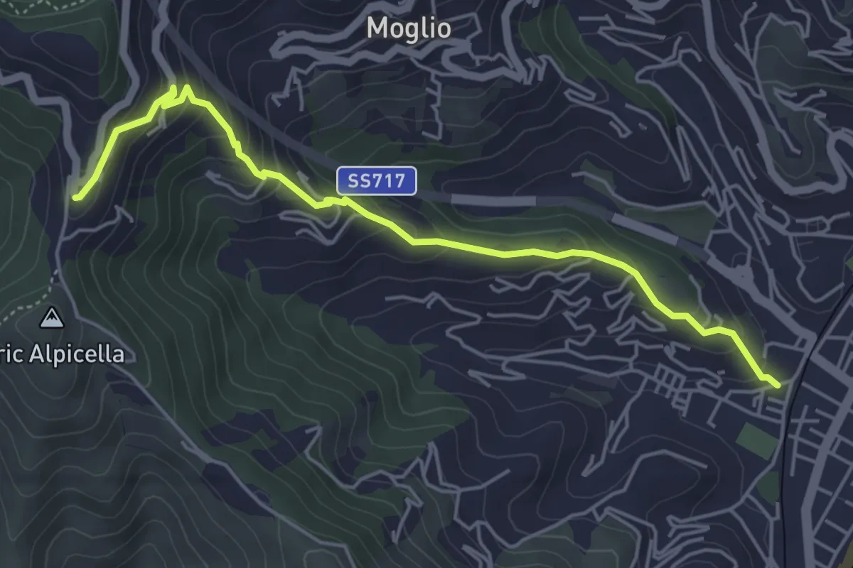
Medium · Trail
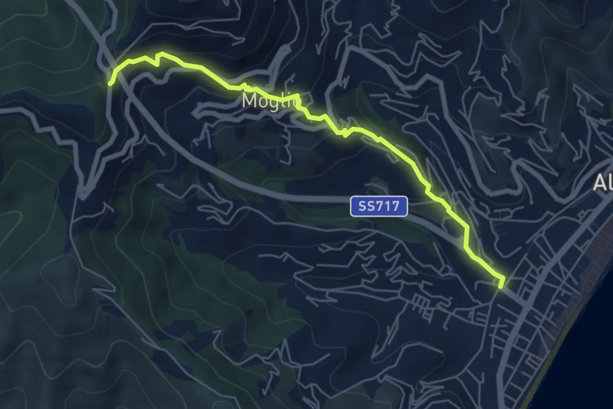
Alassio - Crocetta
5.3 km · ↑ 346 m · 2 h
Medium · Trail
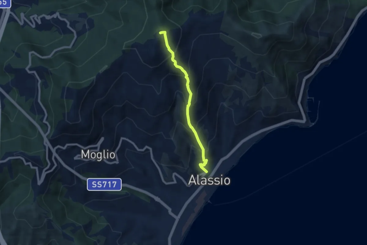
Alassio - Moglio
5.5 km · ↑ 400 m · 2 h 9 min
Medium · Summit
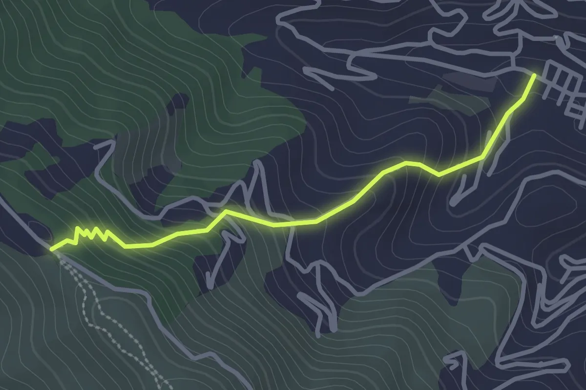
Alassio - Monte Pisciavino
5.4 km · ↑ 563 m · 2 h 30 min
Easy · Trail
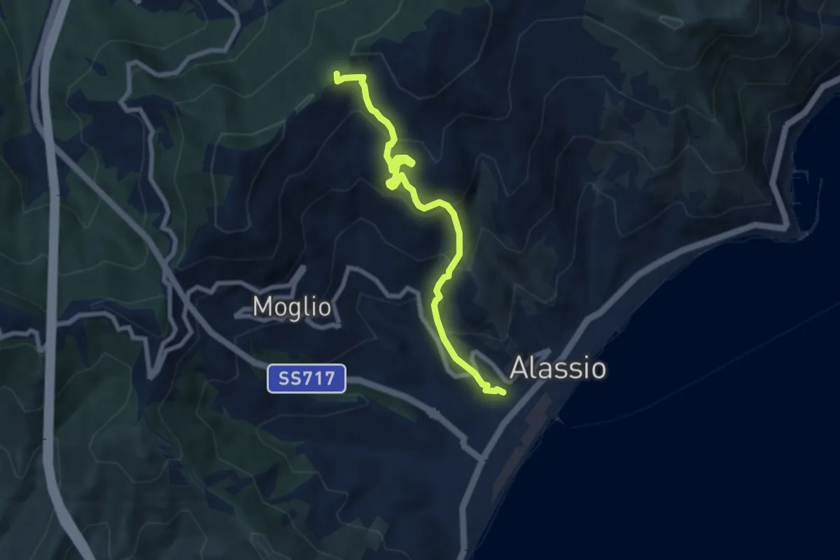
Alassio - San Bernardo
2.7 km · ↑ 248 m · 1 h 10 min
Medium · Trail
Alassio - Vegliasco - Sella di Caso
7.1 km · ↑ 538 m · 2 h 51 min