Trails in Italy
25,211 hiking trails, each with its route, climb, walking time and grade.
All trails, page 4 of 526
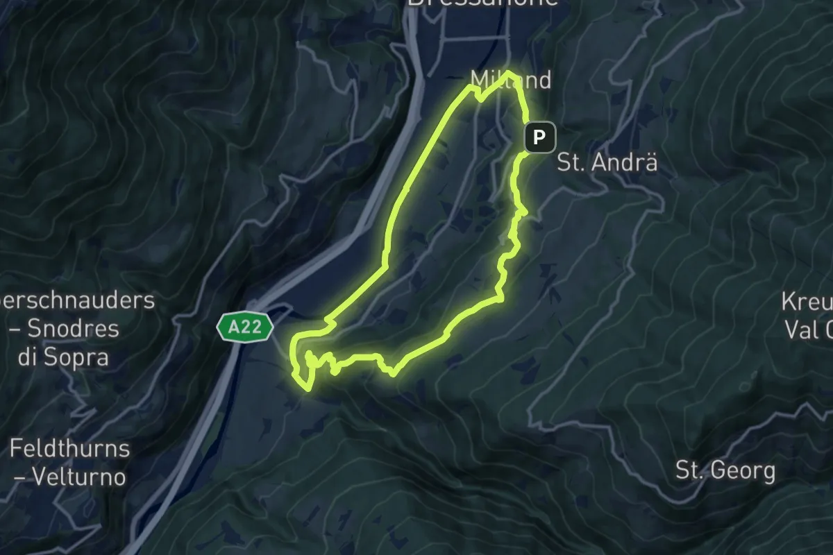
Medium · Summit
Albeins-Klerant-Milland - Albes-Cleran-Millan
11.5 km · ↑ 460 m · 3 h 53 min
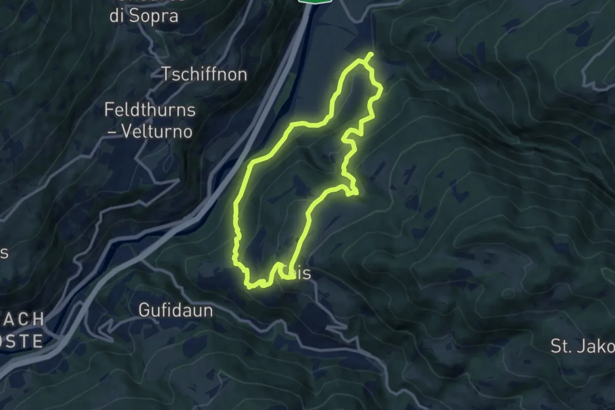
Medium · Trail
Albeins-Teis-Nafen - Albes-Tiso-Nave
8.6 km · ↑ 476 m · 3 h 11 min
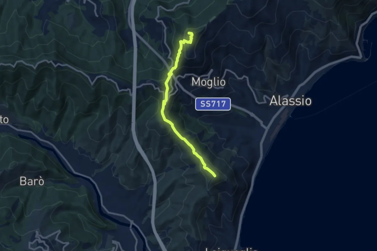
Medium · Summit
Albenga - Monte Bignone - Madonna della Guardia - Poggio Brea
8.6 km · ↑ 553 m · 3 h 13 min
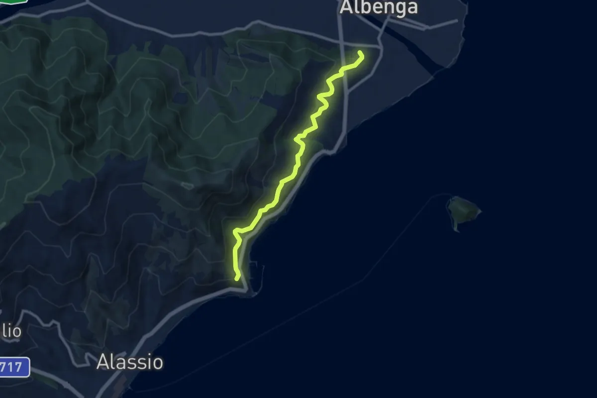
Medium · Trail
Albenga - Via Iulia Augusta - Santa Croce
8.4 km · ↑ 472 m · 3 h
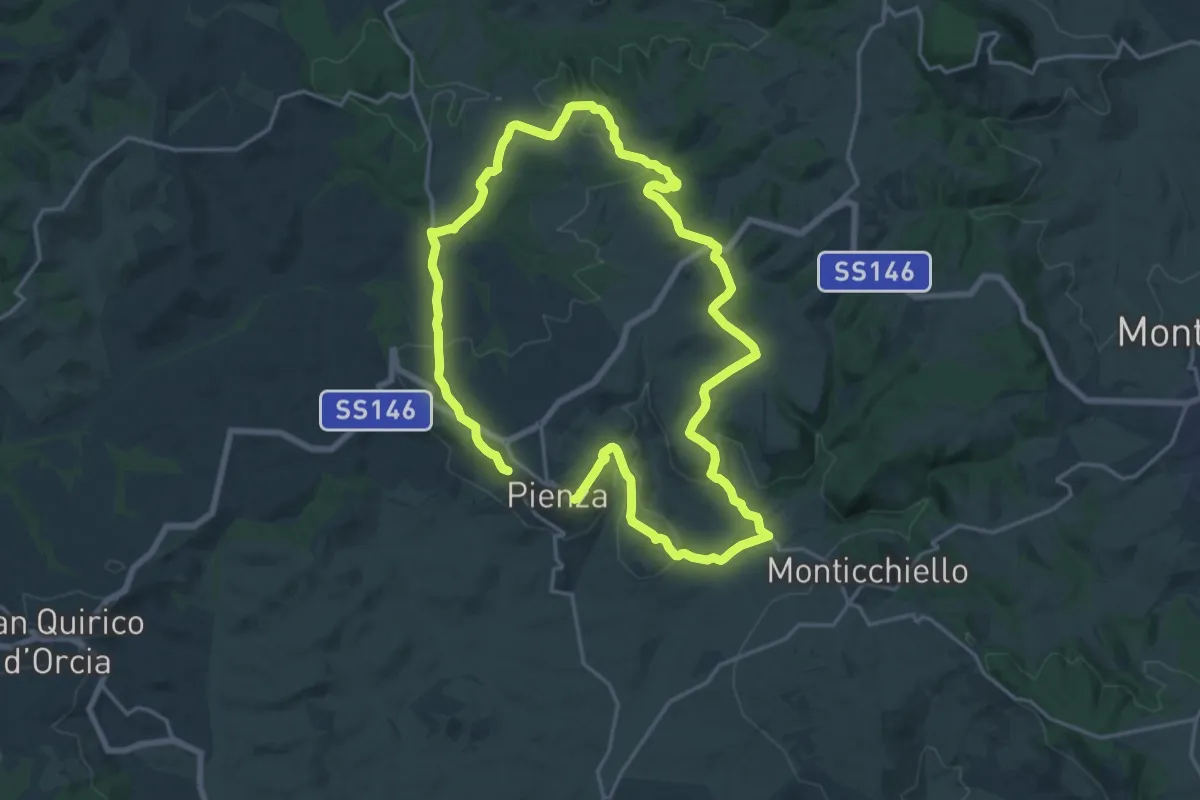
Demanding · Trail
Albergo
18.3 km · ↑ 374 m · 5 h 22 min
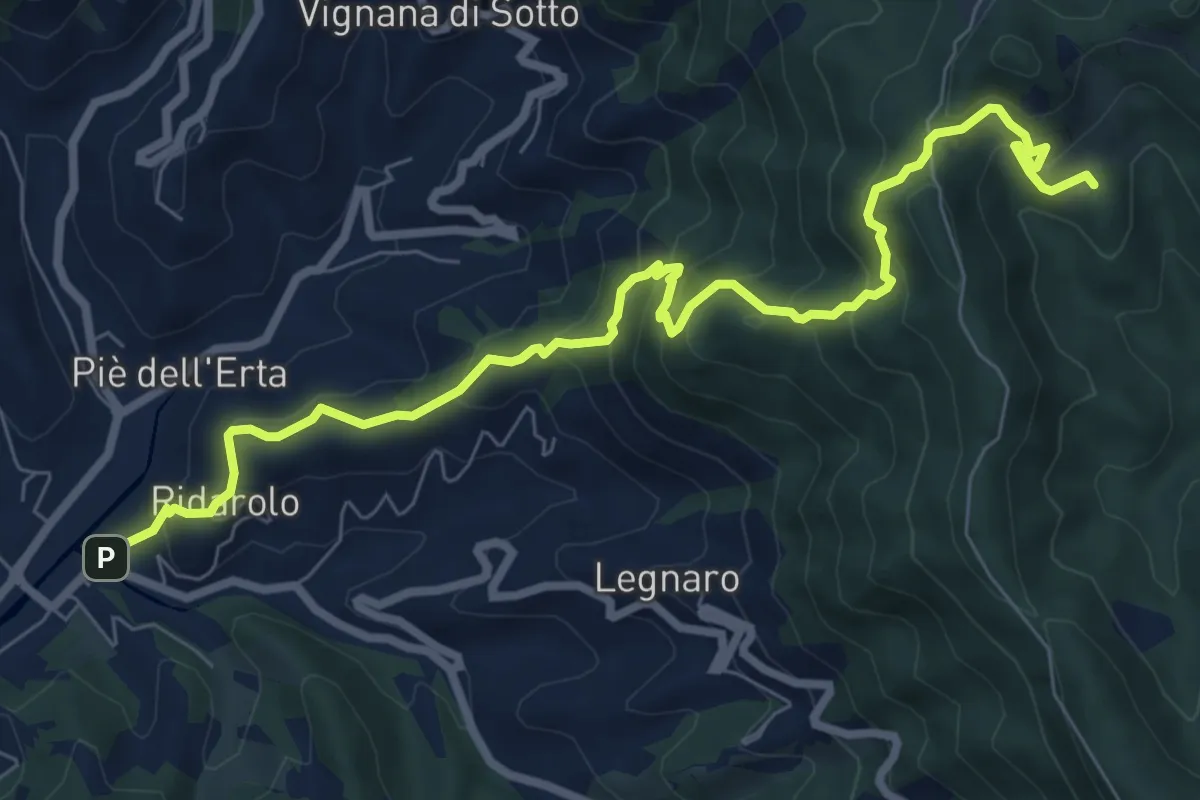
Medium · Trail
Albero d'Oro – San Bartolomeo – M.Bardellone - Campodonia
9.4 km · ↑ 738 m · 3 h 49 min
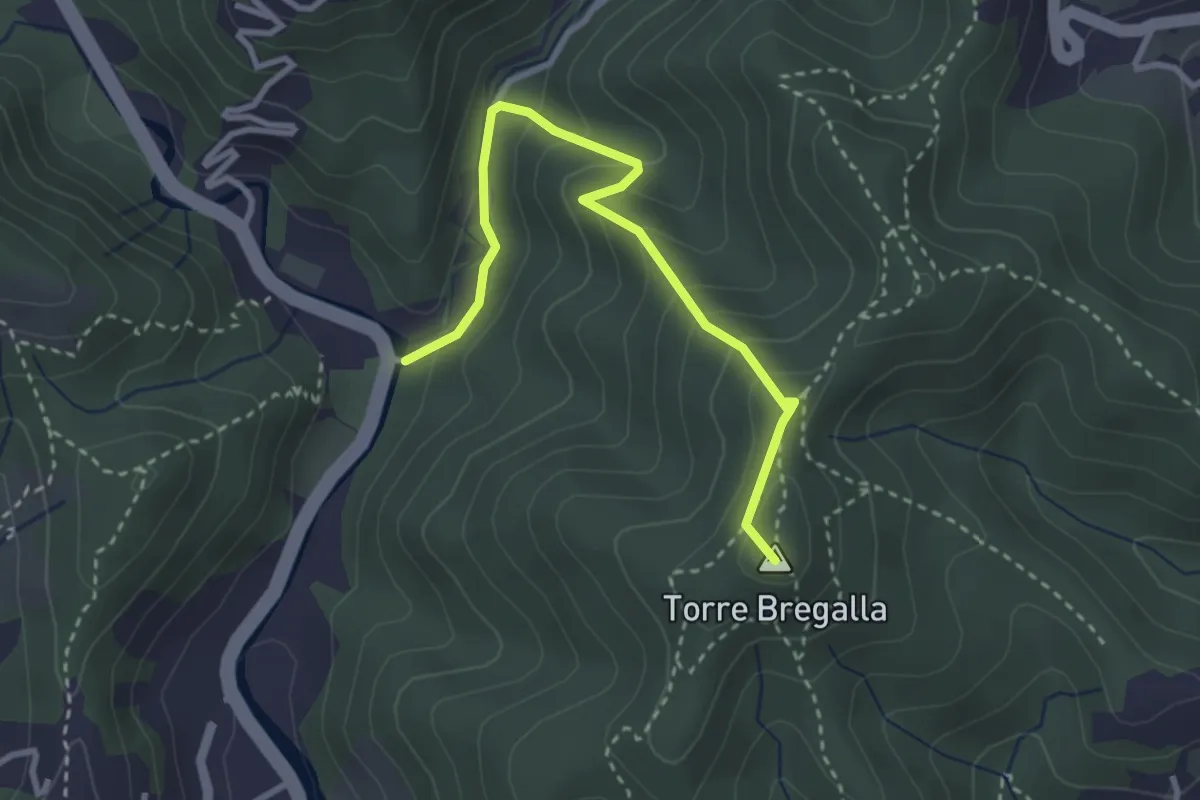
Demanding · Summit
Albisola - Via dei Siri - Torre Bregalla - Strada Santuario della Pace
3.3 km · ↑ 215 m · 1 h 15 min
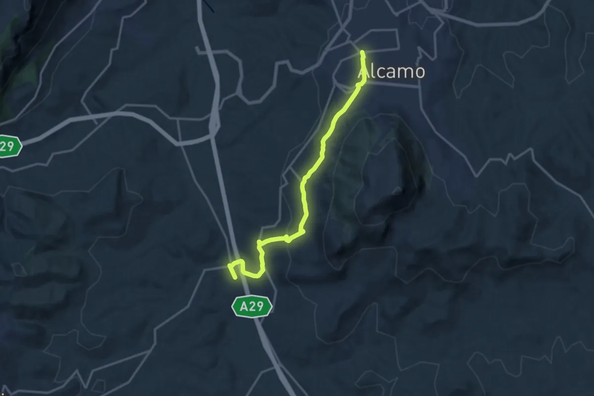
Medium · Trail
Alcamo Baglio Florio
14.3 km · ↑ 320 m · 4 h 5 min
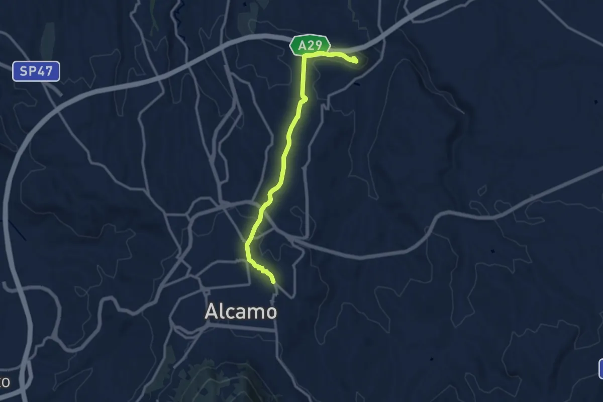
Medium · Trail
Alcamo Castello Calatubo
10.8 km · ↑ 188 m · 2 h 58 min
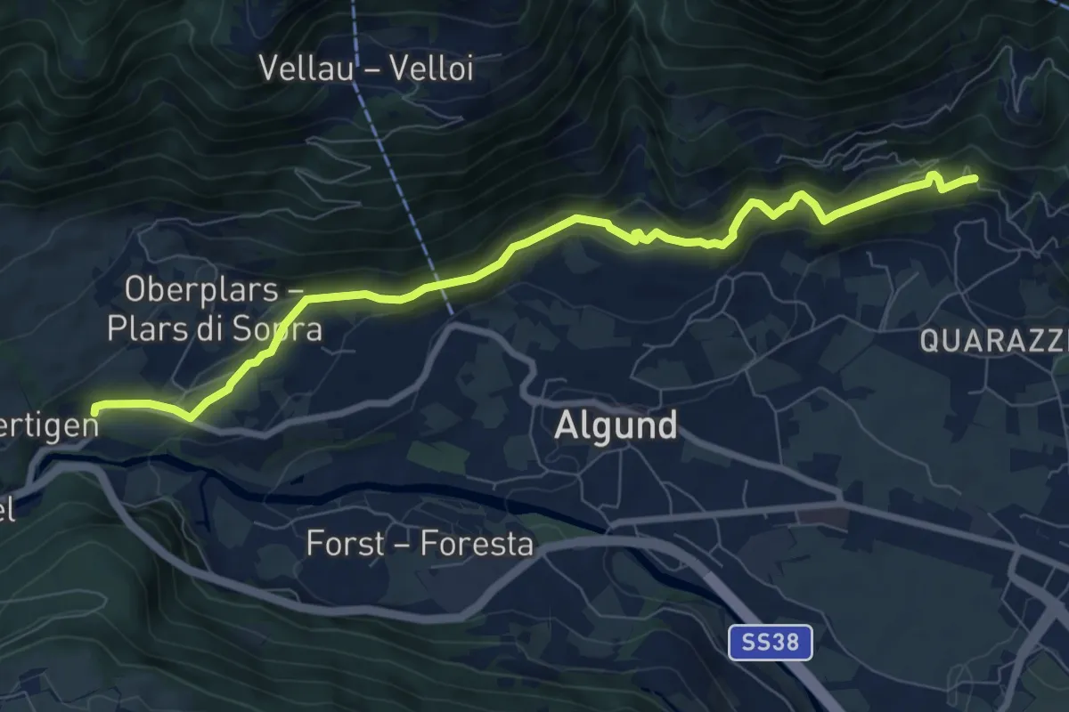
Medium · Trail
Algunder Waalweg
8.6 km · ↑ 416 m · 2 h 56 min
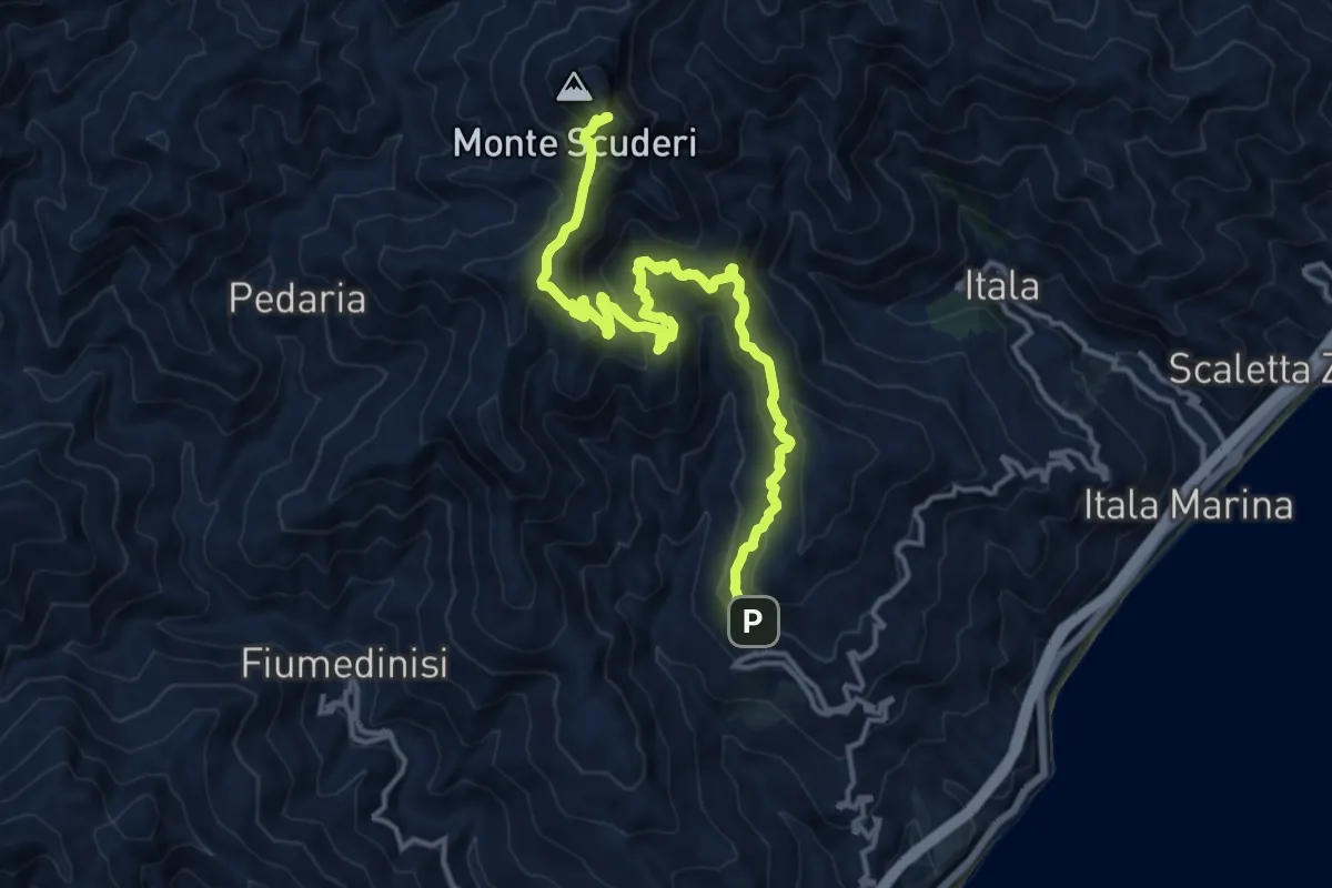
Expert · Summit
Alì Monte Scuderi
16.8 km · ↑ 1181 m · 6 h 32 min
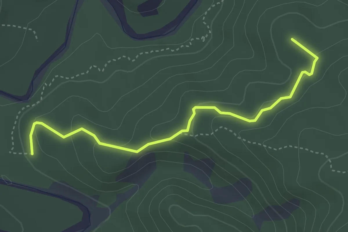
Easy · Summit
Allacc. Anello Deiva - Pian d'Erro
4.0 km · ↑ 126 m · 1 h 13 min
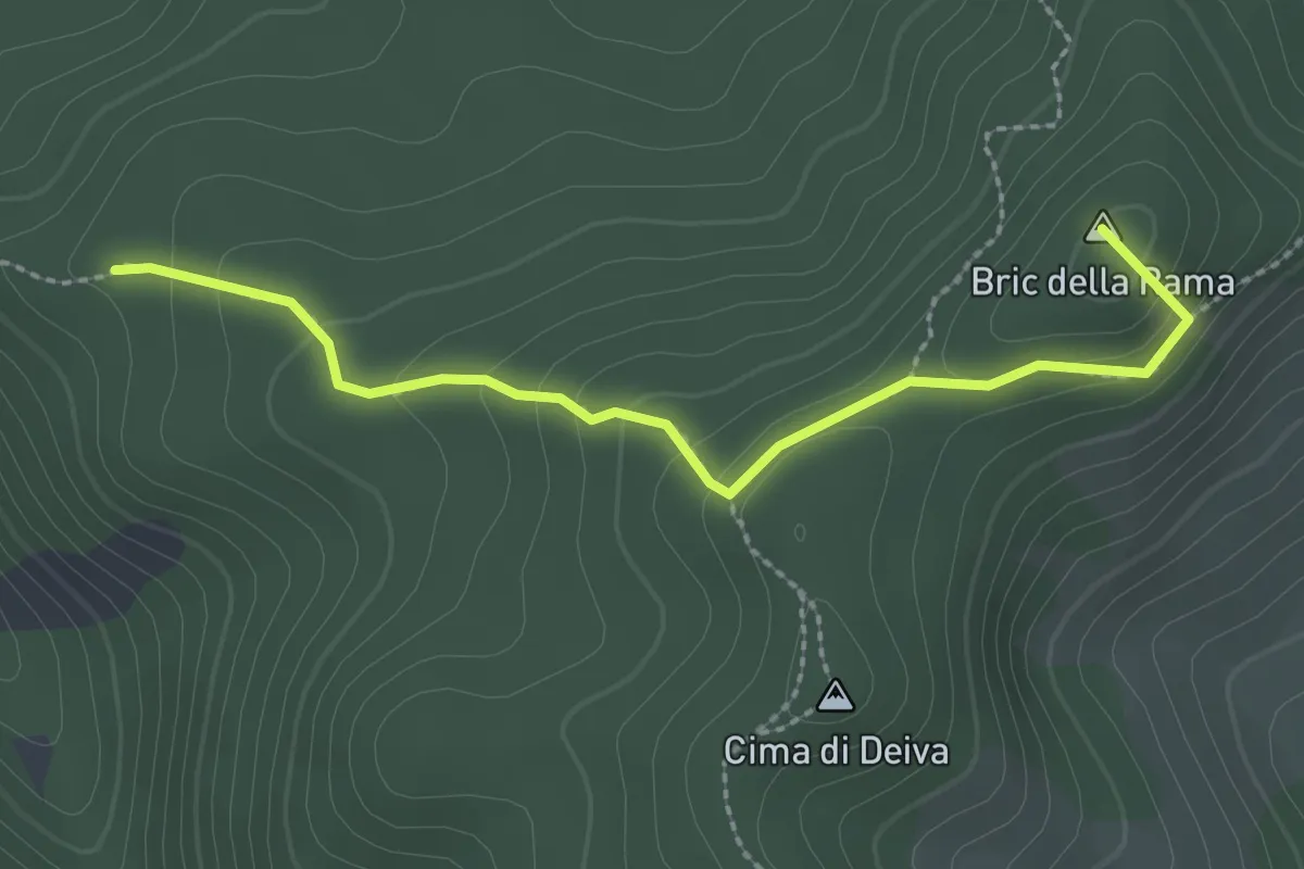
Medium · Summit
Allacc. Anello Deiva (Rocche Turchine) - Passo della Rama - Allacc. Anello Deiva (Sorite del Groppe)
2.7 km · ↑ 149 m · 57 min
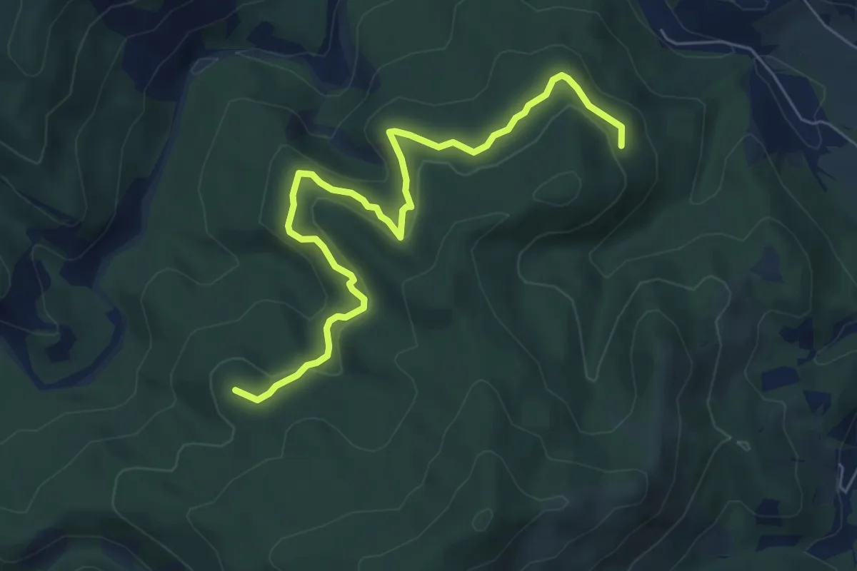
Medium · Summit
Allacc. Castello Bellavista - Lago dei Gulli - Allacc. Anello Deiva - Pian d'Erro
7.1 km · ↑ 280 m · 2 h 16 min
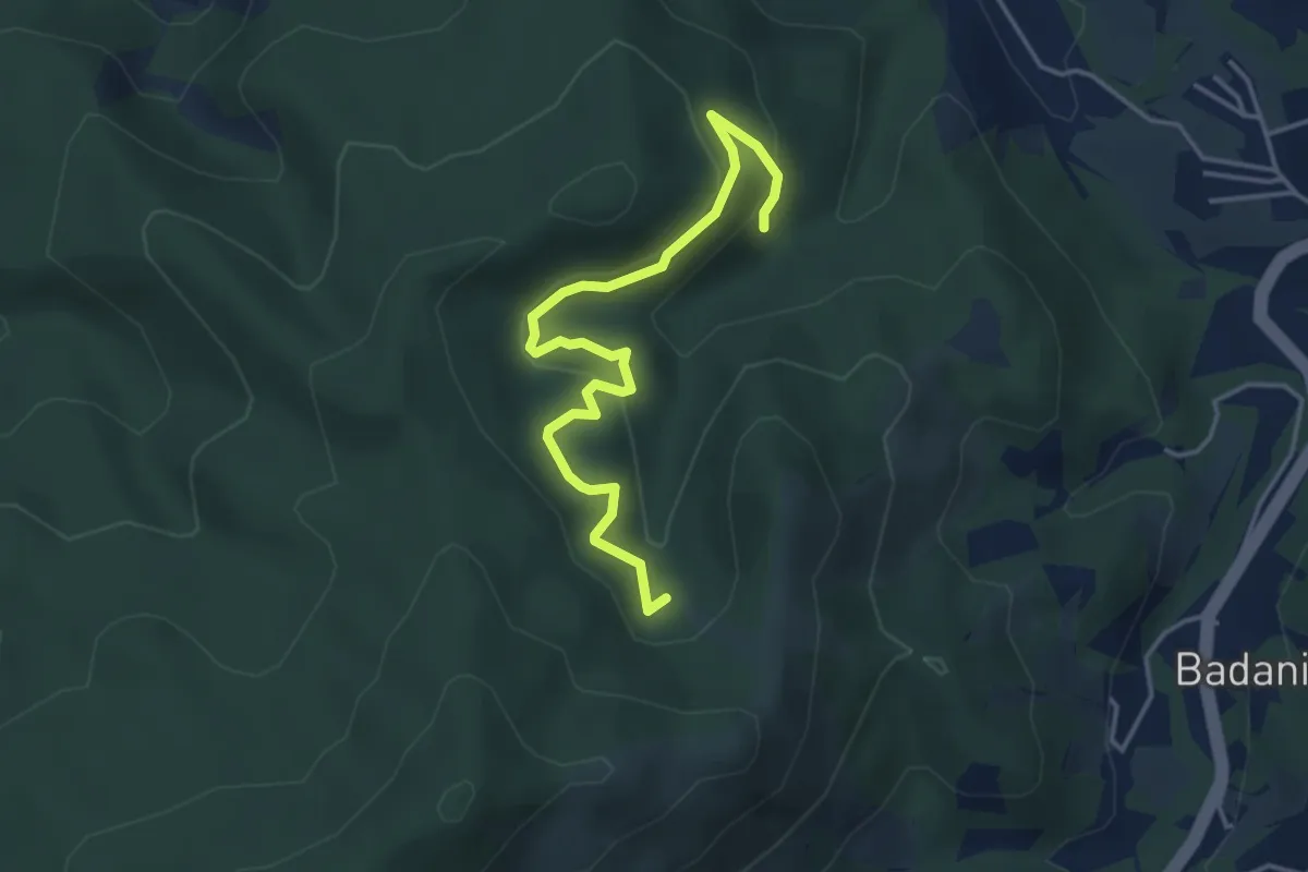
Medium · Trail
Allacc. Castello Bellavista - Lago dei Gulli - Giumenta - Allacc. Anello Deiva
4.4 km · ↑ 202 m · 1 h 29 min
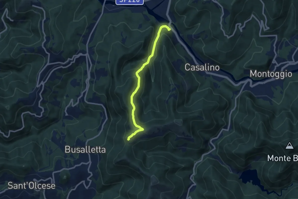
Medium · Trail
Allacciamento Sella-Avosso
7.3 km · ↑ 441 m · 2 h 40 min
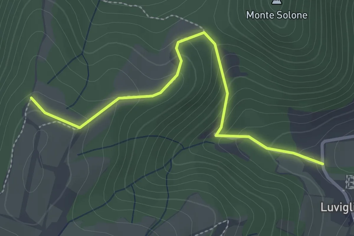
Easy · Trail
Allacciante "A" da Luvigliano
2.7 km · ↑ 161 m · 1 h
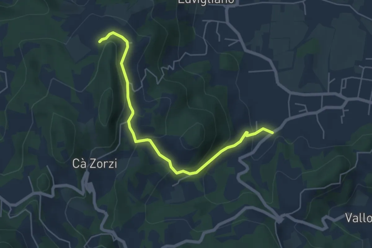
Easy · Trail
Allacciante "B" da Torreglia
4.8 km · ↑ 223 m · 1 h 37 min
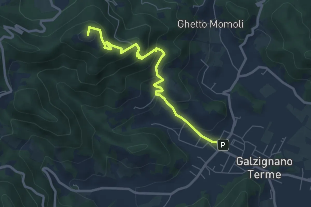
Medium · Summit
Allacciante "C" da Galzignano
5.9 km · ↑ 368 m · 2 h 11 min
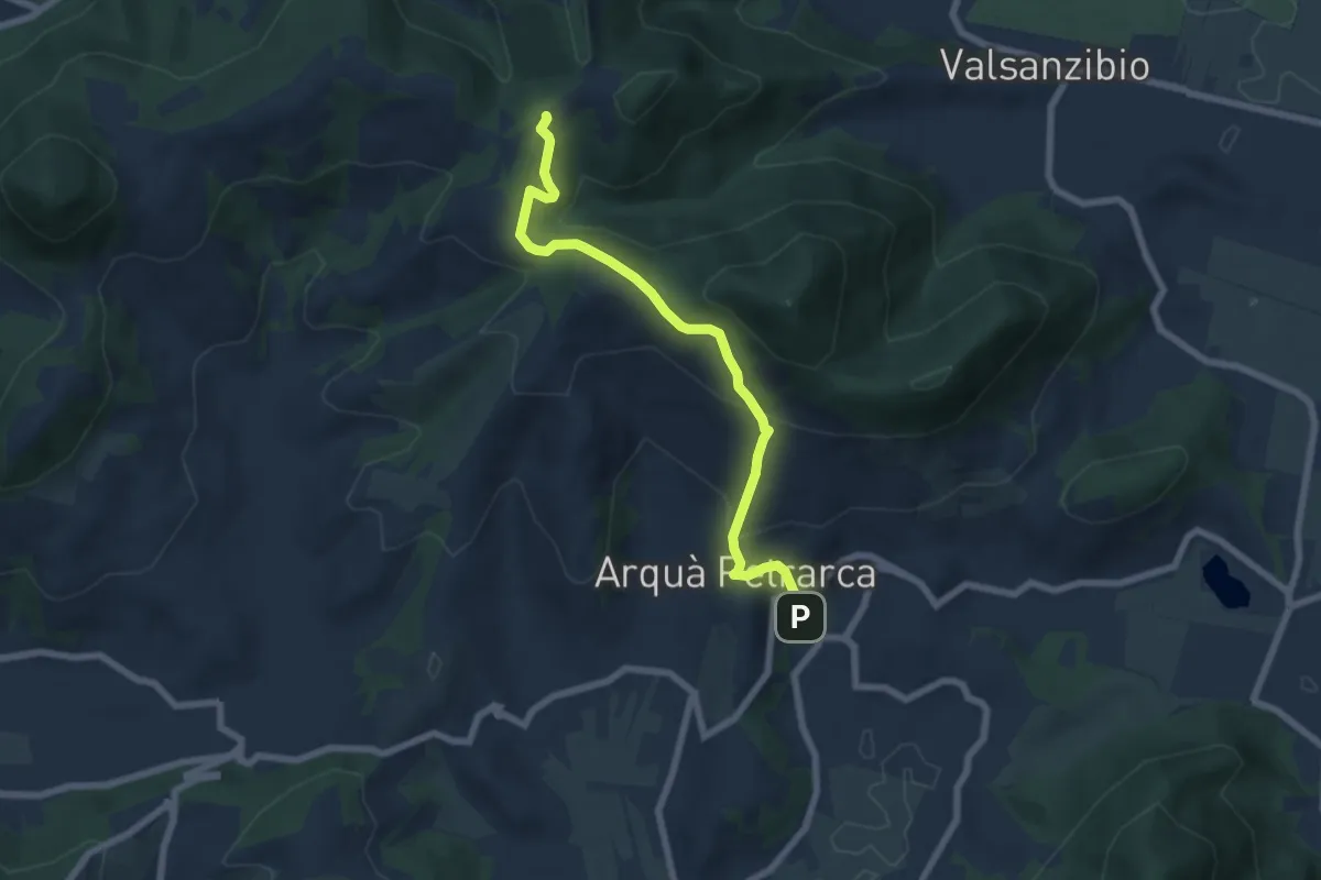
Medium · Trail
Allacciante "E" da Arquà
6.6 km · ↑ 358 m · 2 h 21 min
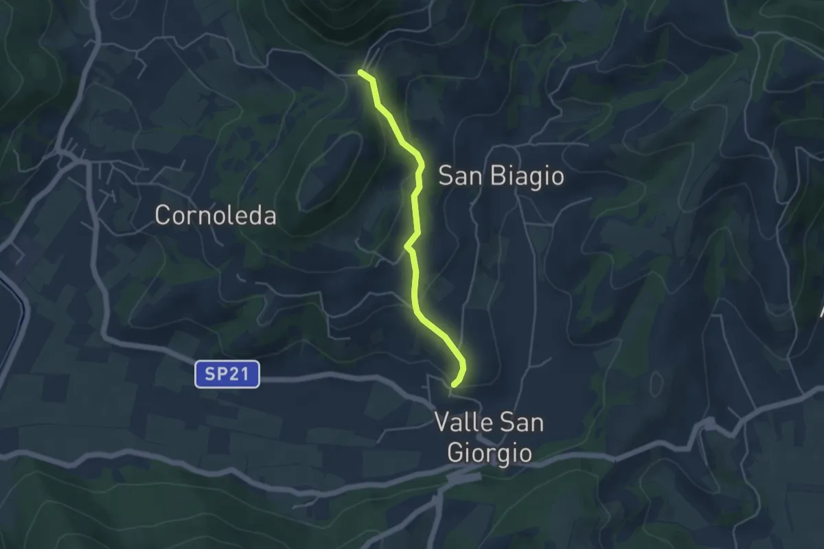
Easy · Trail
Allacciante "F" da Valle San Giorgio
3.8 km · ↑ 159 m · 1 h 14 min
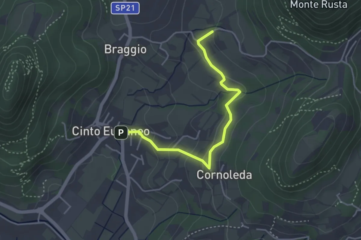
Easy · Trail
Allacciante "G" da Cinto Euganeo
3.6 km · ↑ 127 m · 1 h 8 min
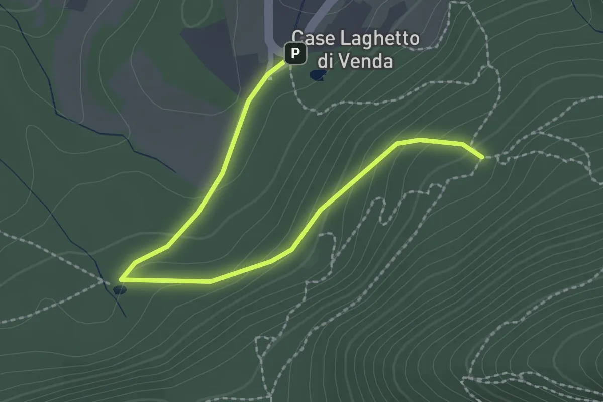
Easy · Trail
Allacciante "H" da Case Laghetto del Venda
2.6 km · ↑ 111 m · 51 min
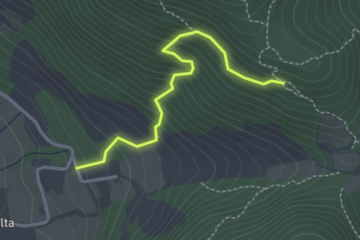
Medium · Trail
Allacciante "I" da Zovon
2.1 km · ↑ 261 m · 1 h 3 min
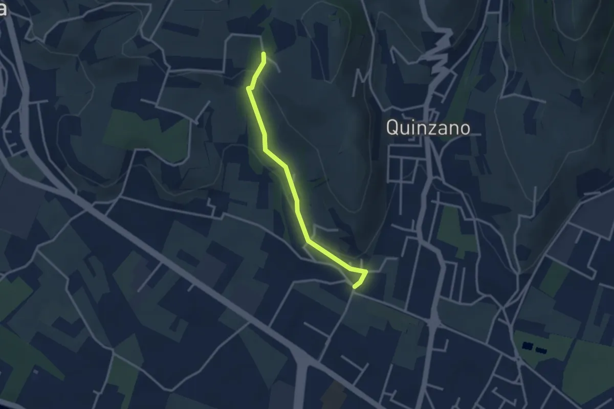
Easy · Trail
Allacciante n. 1
2.6 km · ↑ 80 m · 47 min
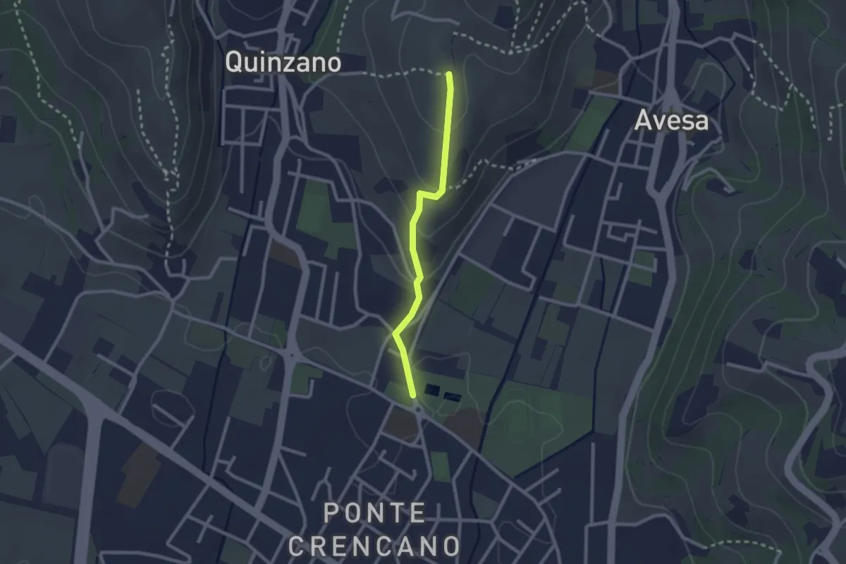
Easy · Trail
Allacciante n. 2
2.1 km · ↑ 85 m · 41 min
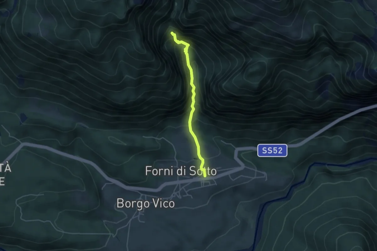
Medium · Trail
Alla scoperta di Faust
3.6 km · ↑ 407 m · 1 h 44 min
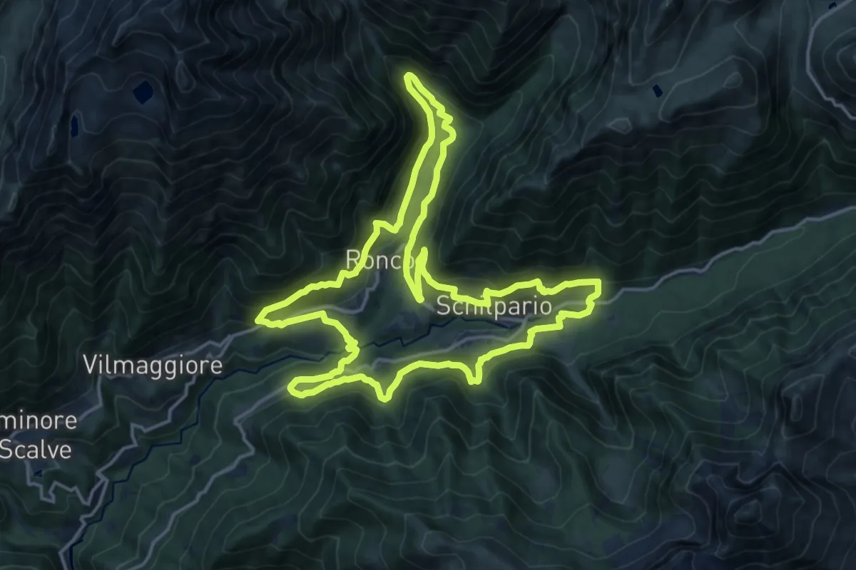
Demanding · Trail
Alla Scoperta di Schilpario
16.0 km · ↑ 836 m · 5 h 49 min
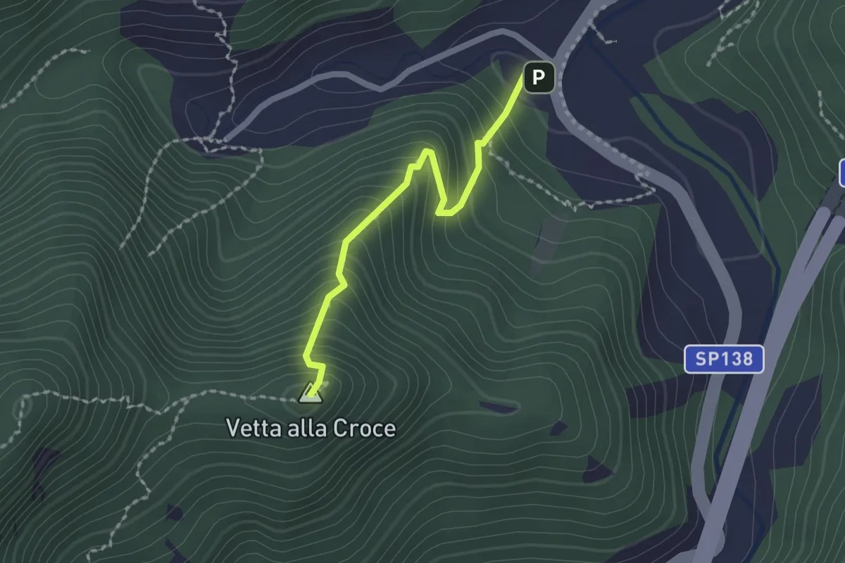
Easy · Summit
Alla vetta della "Crocina"
1.8 km · ↑ 274 m · 1 h 1 min
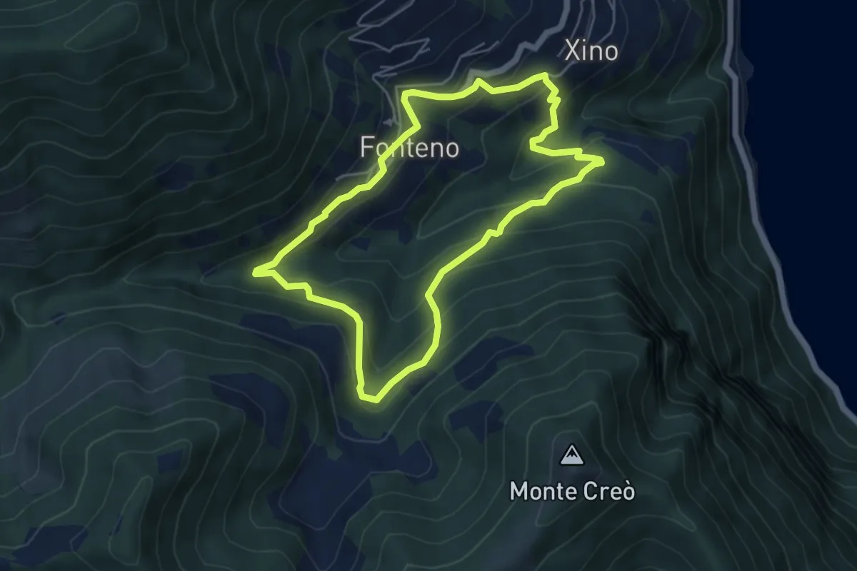
Medium · Trail
Alle Falde Del Creo
4.8 km · ↑ 392 m · 2 h 3 min
Medium · Trail
All' ombra degli abeti
6.1 km · ↑ 598 m · 2 h 44 min
Expert · Cabin
Almagellerhütte - Sonnigpass
7.1 km · ↑ 370 m · 2 h 29 min
Medium · Trail
Almenrunde
9.4 km · ↑ 588 m · 3 h 30 min
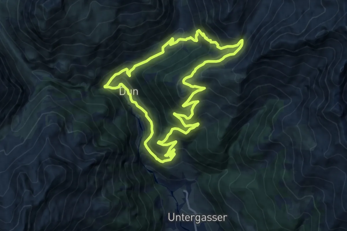
Demanding · Trail
Almenrundweg
11.8 km · ↑ 803 m · 4 h 42 min
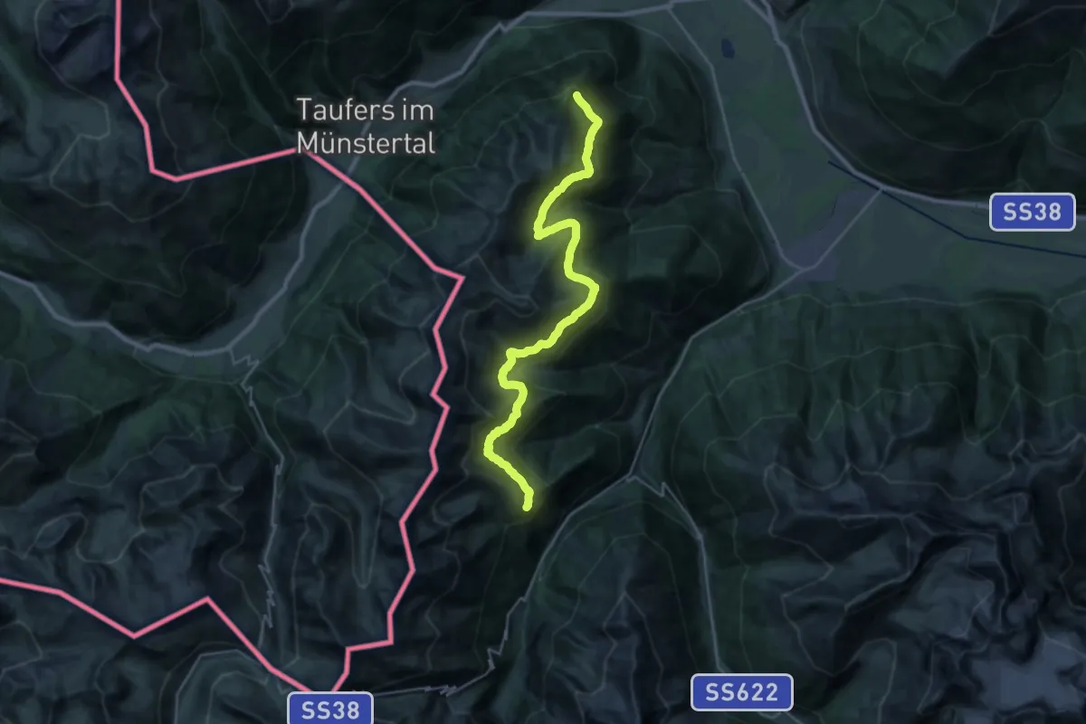
Medium · Trail
Almenweg
14.2 km · ↑ 603 m · 4 h 55 min
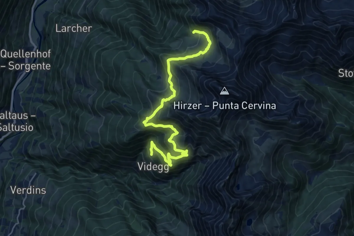
Demanding · Trail
Almenweg
18.1 km · ↑ 1295 m · 7 h 4 min
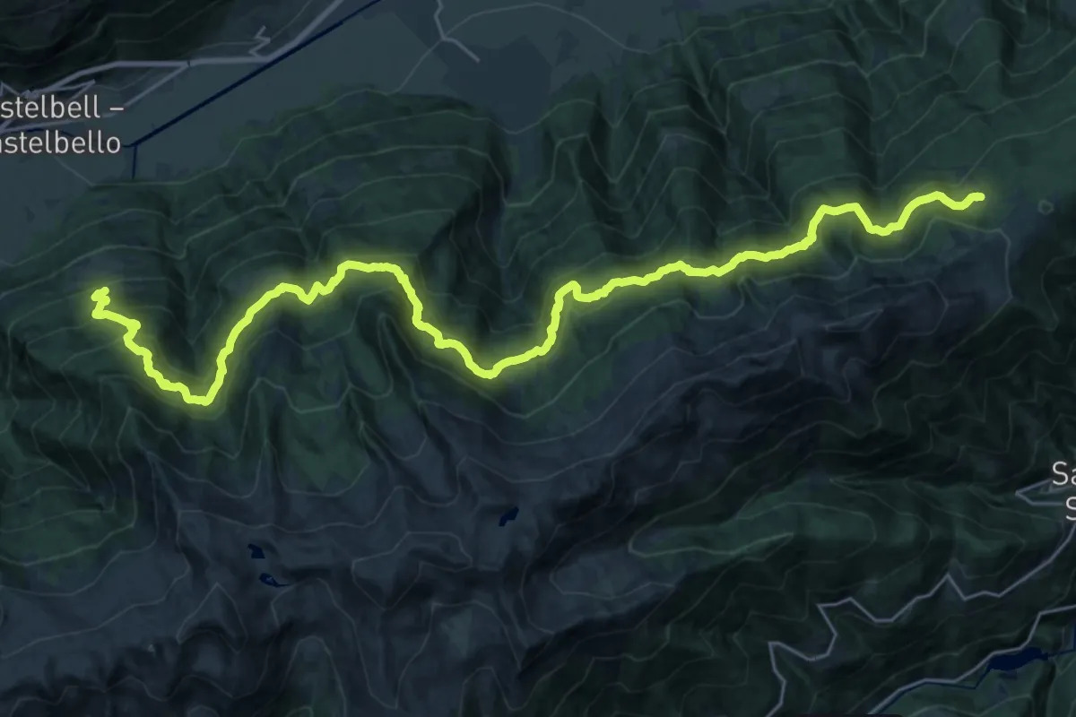
Demanding · Trail
Almenweg
17.2 km · ↑ 809 m · 6 h 22 min
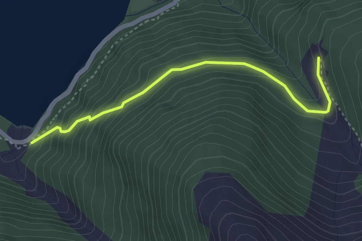
Easy · Trail
Almenweg
3.3 km · ↑ 293 m · 1 h 24 min
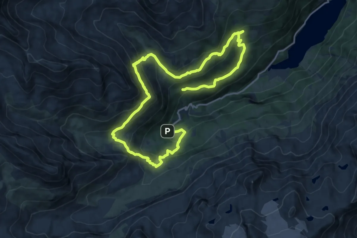
Demanding · Trail
Almenweg Martell
20.0 km · ↑ 1132 m · 7 h 10 min
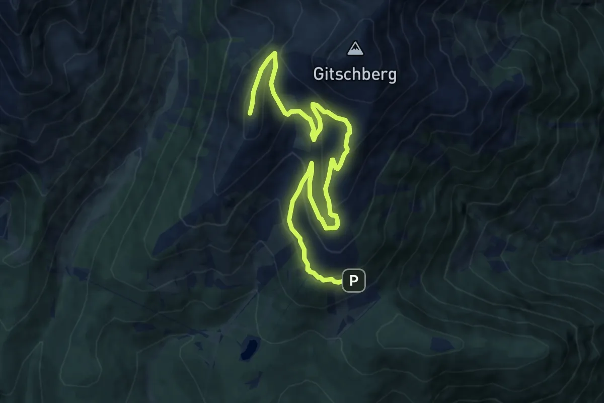
Medium · Summit
Almhüttenrundweg Gitschberg
12.2 km · ↑ 743 m · 4 h 30 min
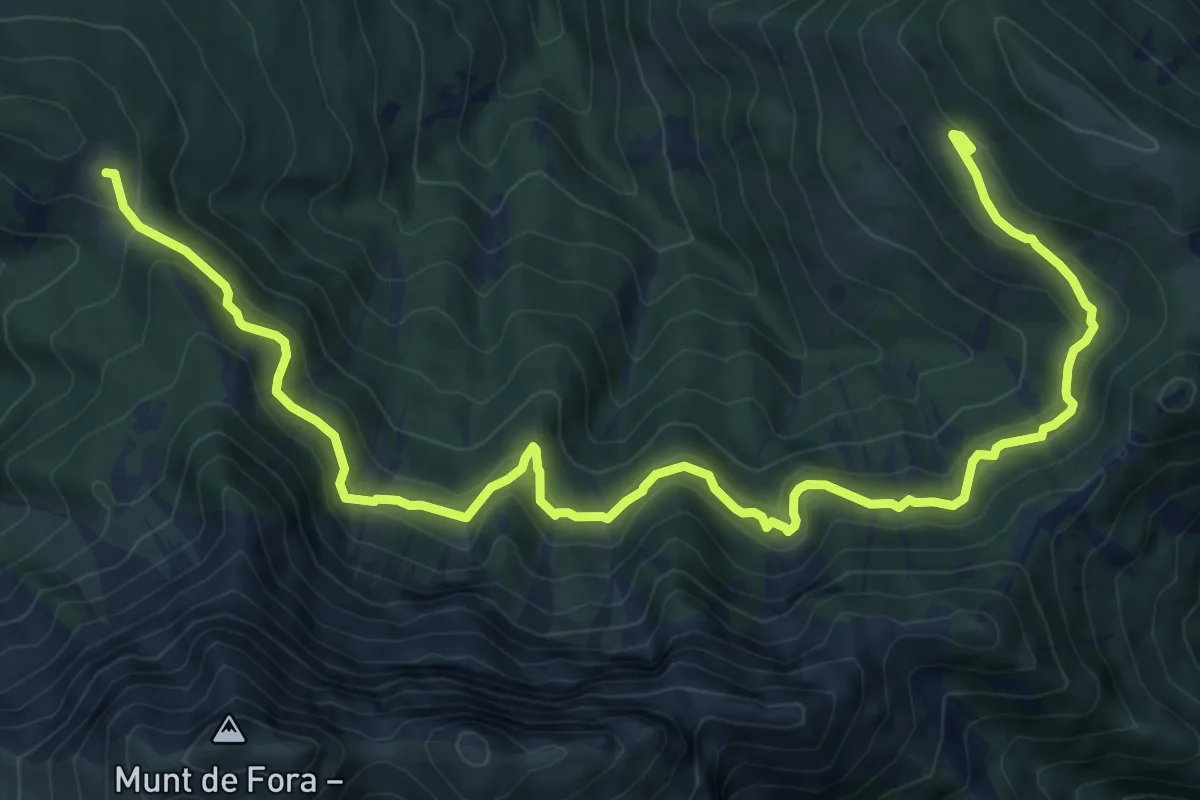
Demanding · Cabin
Almsteig
12.6 km · ↑ 667 m · 4 h 25 min
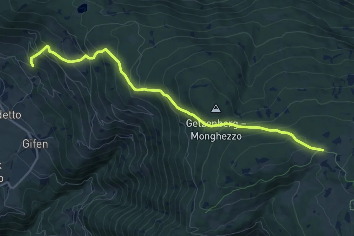
Medium · Trail
Almweg
9.6 km · ↑ 739 m · 3 h 52 min
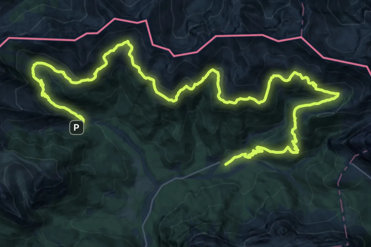
Demanding · Trail
Almweg
24.2 km · ↑ 1198 m · 8 h 42 min
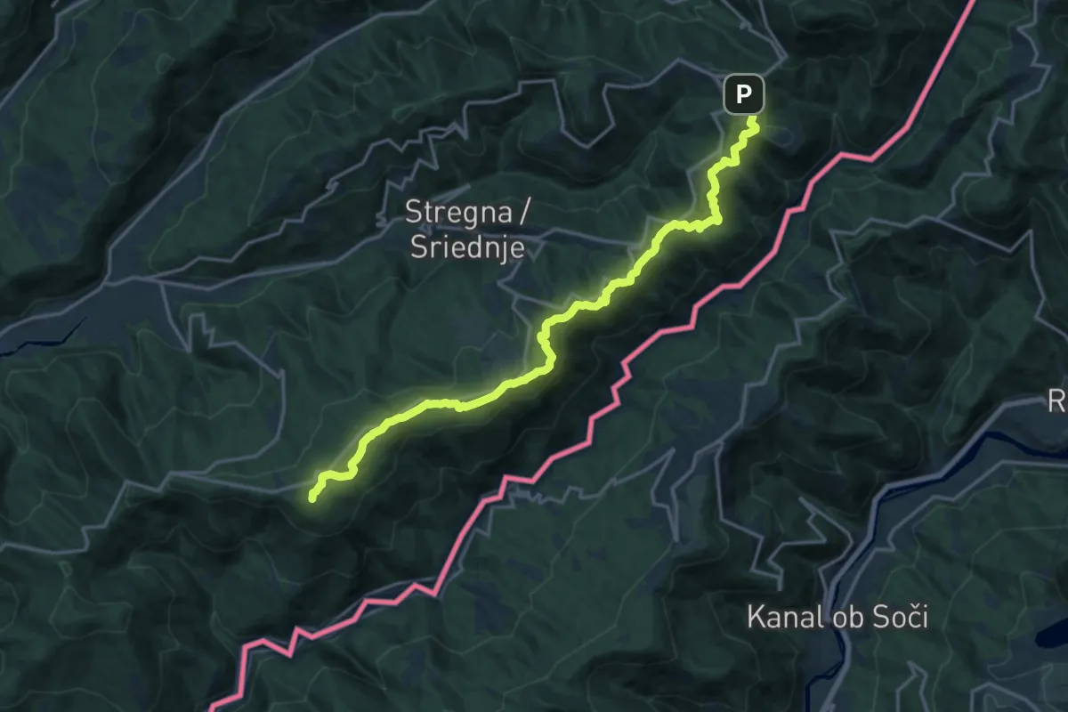
Demanding · Summit
Alpe Adria Trail E28
18.3 km · ↑ 635 m · 5 h 42 min
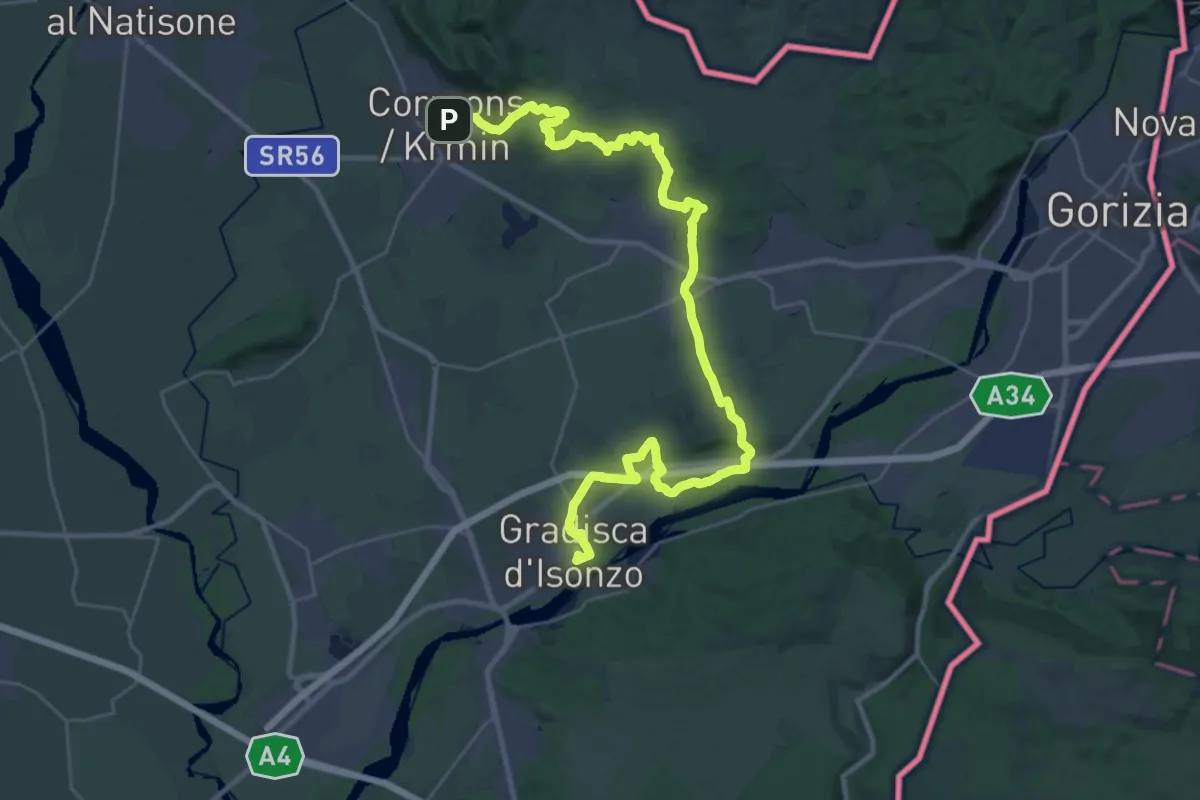
Demanding · Trail
Alpe Adria Trail E32
19.8 km · ↑ 193 m · 5 h 22 min
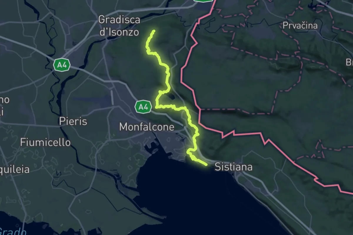
Demanding · Summit
Alpe Adria Trail E33
45.2 km · ↑ 1070 m · 13 h
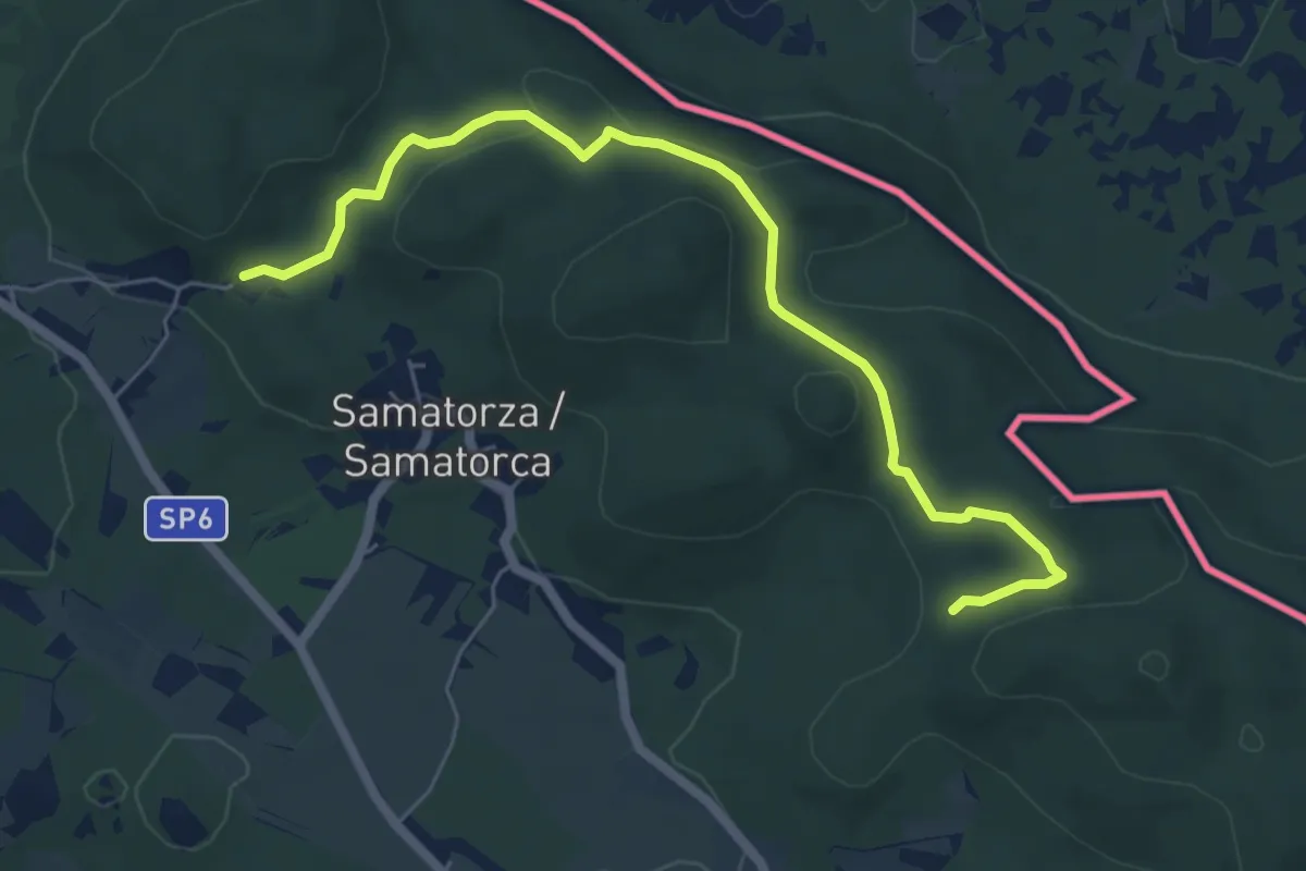
Medium · Trail
Alpe Adria Trail E34
6.6 km · ↑ 167 m · 1 h 55 min
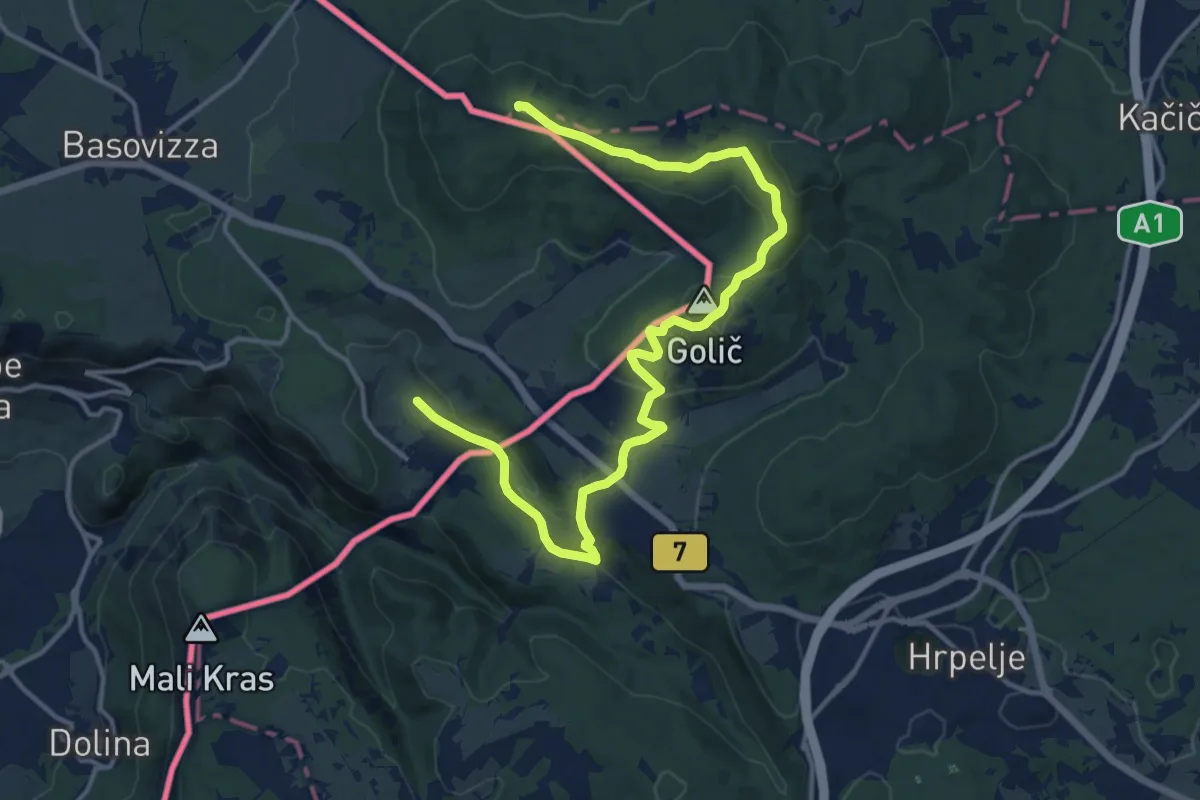
Medium · Summit
Alpe Adria Trail E36
17.4 km · ↑ 382 m · 4 h 56 min