Trails in Italy
25,211 hiking trails, each with its route, climb, walking time and grade.
All trails, page 20 of 526
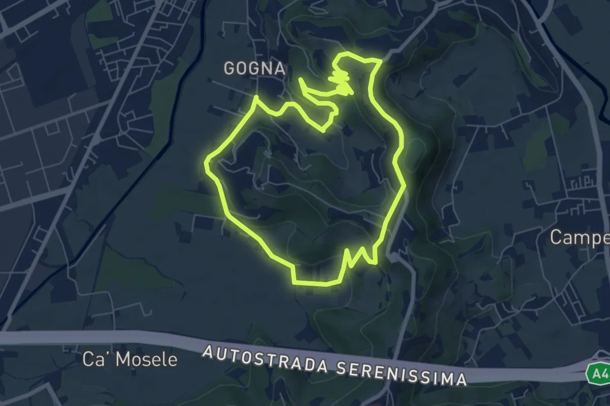
Easy · Trail
Anello Monte Berico
6.6 km · ↑ 136 m · 1 h 56 min
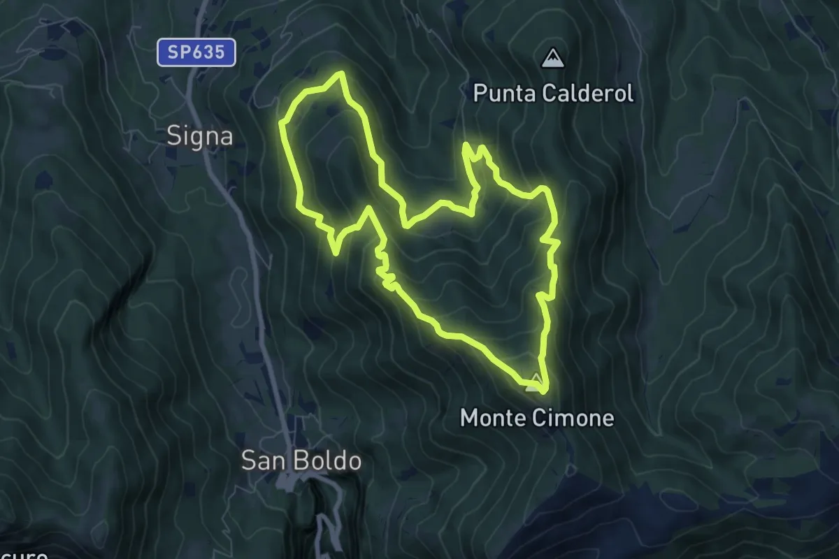
Medium · Summit
Anello Monte Cimone - Val de Scroa
7.7 km · ↑ 573 m · 3 h 10 min
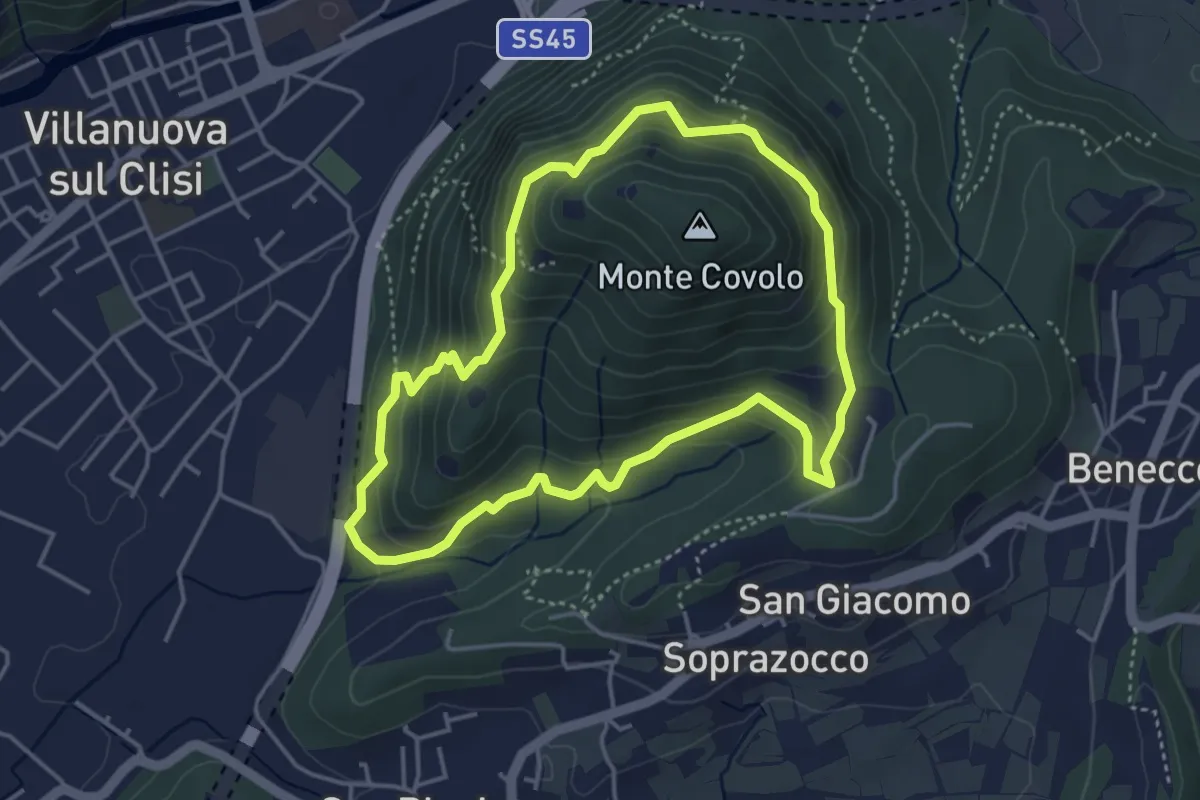
Medium · Trail
Anello Monte Covolo
4.0 km · ↑ 279 m · 1 h 36 min
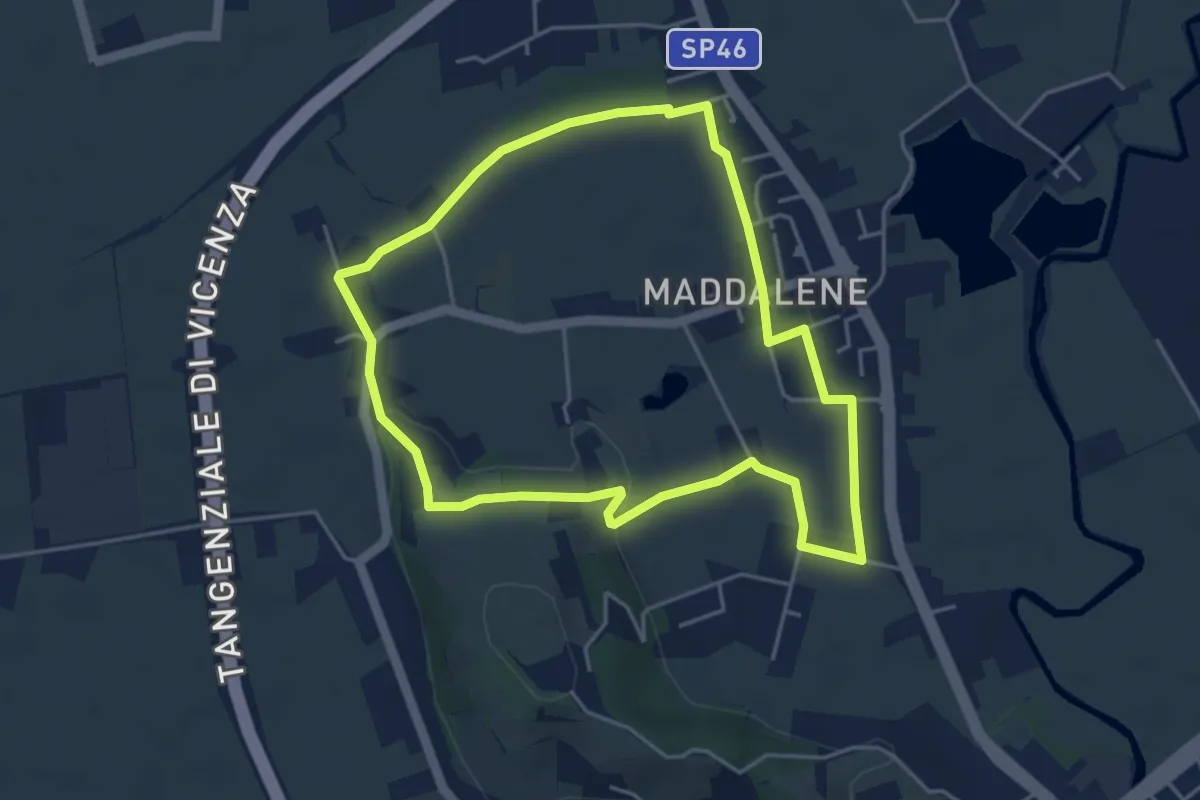
Easy · Trail
Anello Monte Crocetta
4.4 km · ↑ 34 m · 1 h 11 min
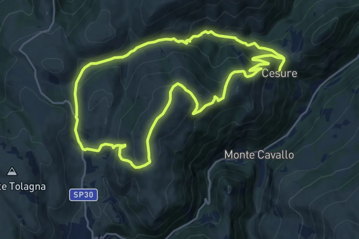
Medium · Summit
Anello Monte Fietone - Valcaldara
12.6 km · ↑ 705 m · 4 h 41 min
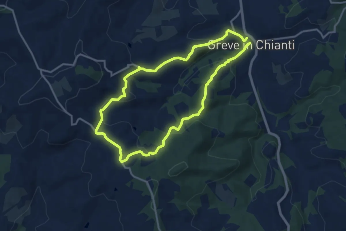
Easy · Trail
Anello Montefioralle
7.8 km · ↑ 290 m · 2 h 35 min
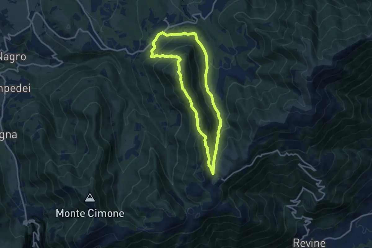
Medium · Summit
Anello Monte Frontal del "Cacciatore"
8.5 km · ↑ 463 m · 3 h 8 min
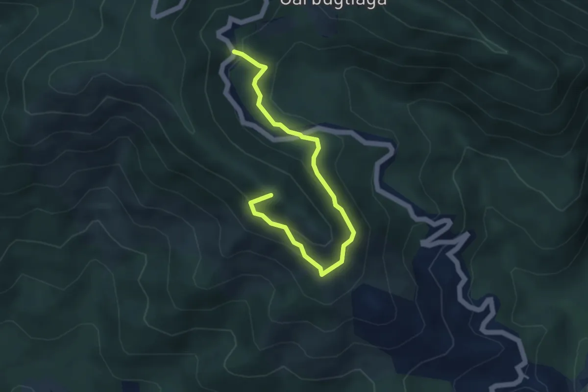
Easy · Summit
Anello Monte Gruzzo
4.1 km · ↑ 250 m · 1 h 31 min
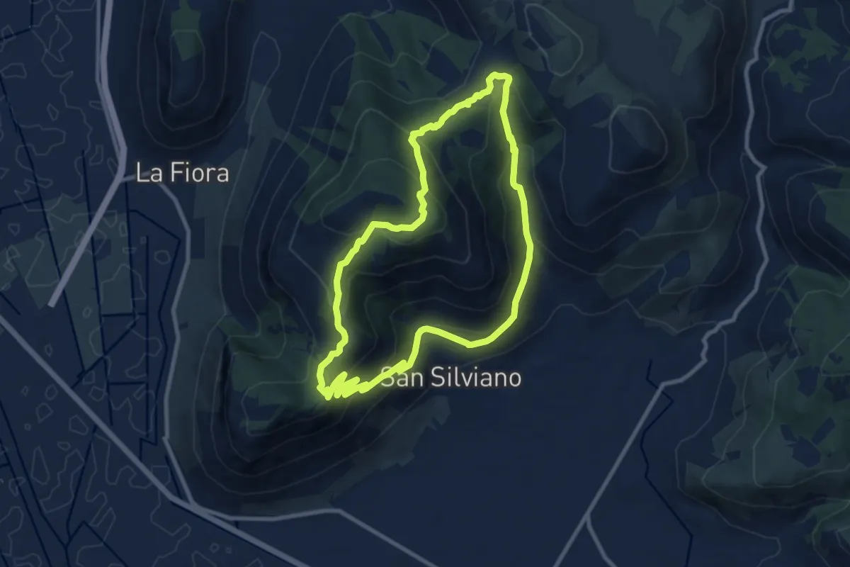
Medium · Trail
Anello Monte Leano
9.2 km · ↑ 530 m · 3 h 26 min
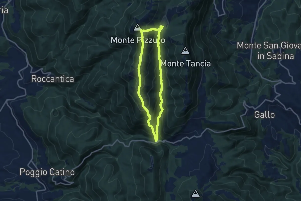
Medium · Summit
Anello Monte Pizzuto
8.0 km · ↑ 603 m · 3 h 19 min
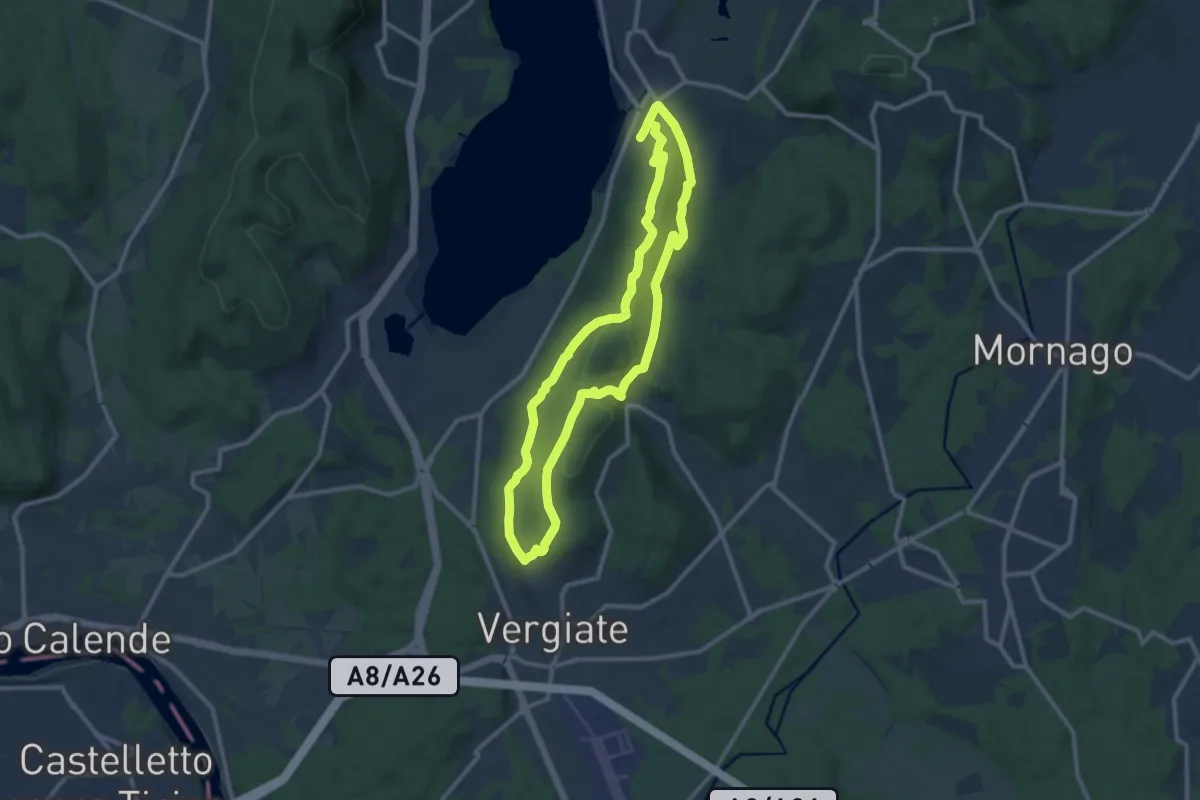
Medium · Trail
Anello Monte San Giacomo
10.6 km · ↑ 320 m · 3 h 20 min
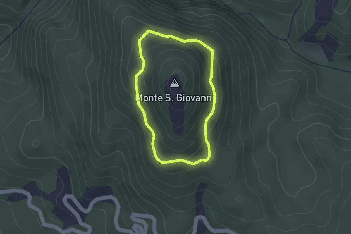
Easy · Trail
Anello Monte San Giovanni
2.0 km · ↑ 149 m · 49 min
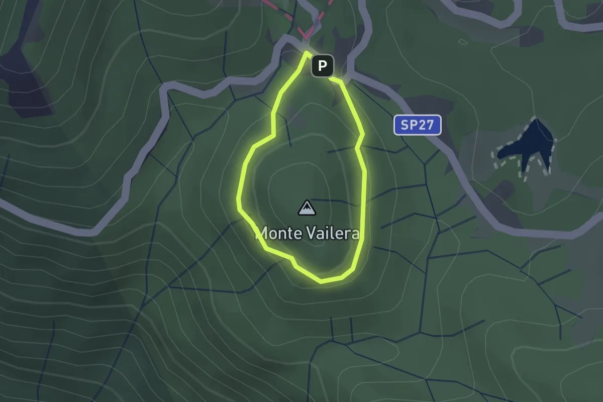
Easy · Summit
Anello Monte Vailera
1.3 km · ↑ 41 m · 25 min
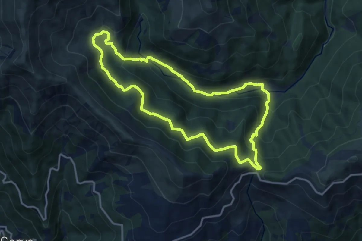
Medium · Trail
Anello Mühlhan
8.9 km · ↑ 566 m · 3 h 28 min
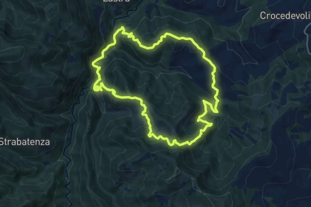
Medium · Summit
Anello "Nella valle di Rio Petroso"
11.5 km · ↑ 761 m · 4 h 32 min
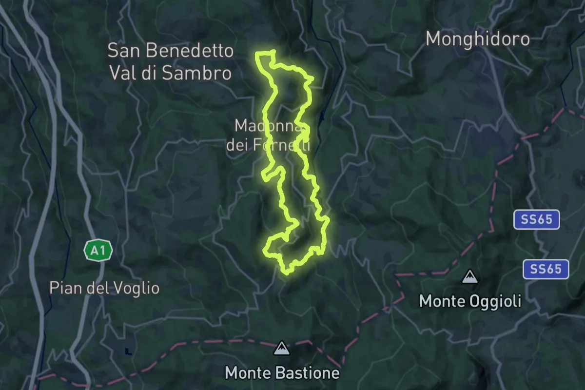
Demanding · Trail
Anello nero
16.4 km · ↑ 804 m · 5 h 51 min
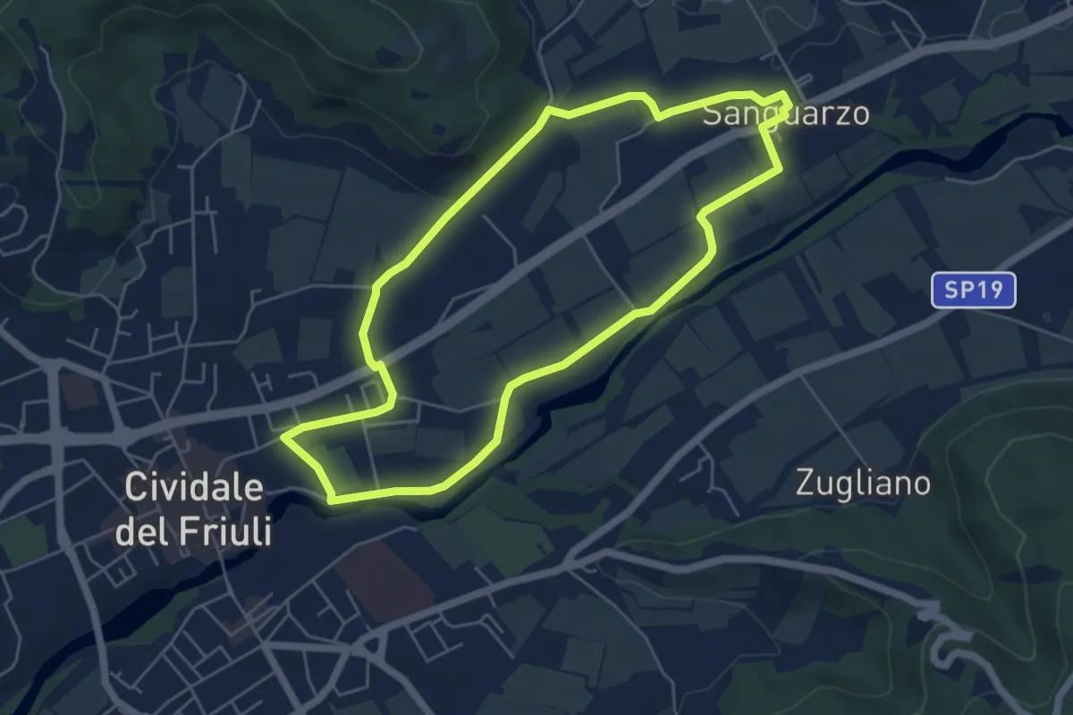
Easy · Trail
Anello Nord del Natisone
5.2 km · ↑ 40 m · 1 h 23 min
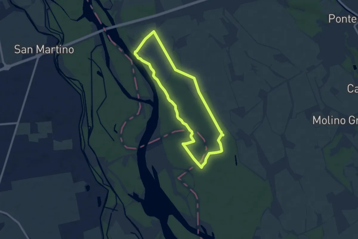
Easy · Trail
Anello Nord Fagiana
6.1 km · ↑ 10 m · 1 h 33 min
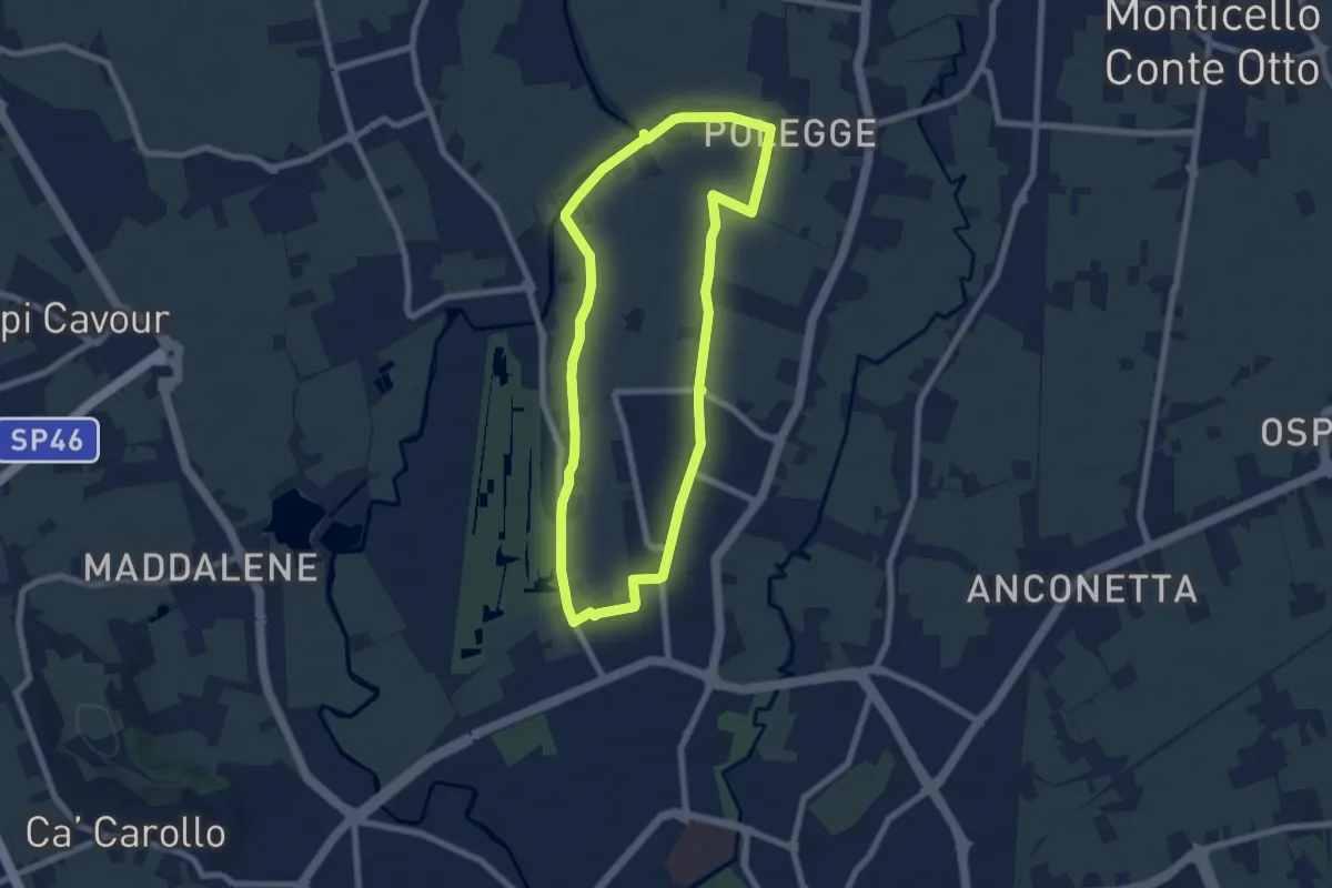
Easy · Trail
Anello Nord Laghetto
7.0 km · ↑ 0 m · 1 h 45 min
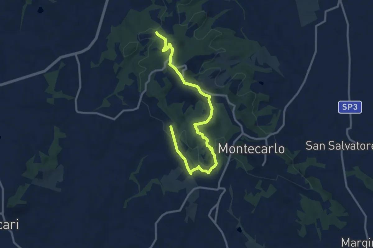
Medium · Trail
Anello Ovest di Montecarlo
9.4 km · ↑ 221 m · 2 h 42 min
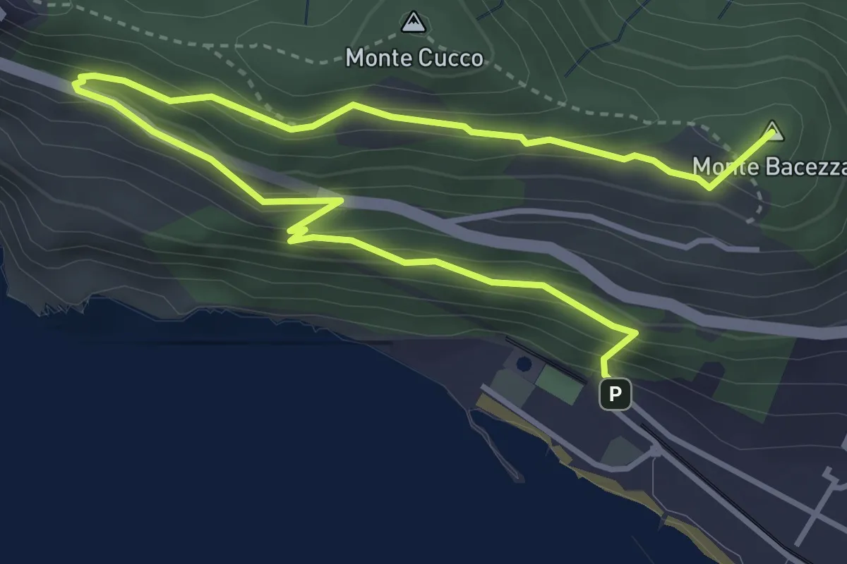
Medium · Summit
Anello panoramico "delle Grazie"
5.6 km · ↑ 400 m · 2 h 12 min
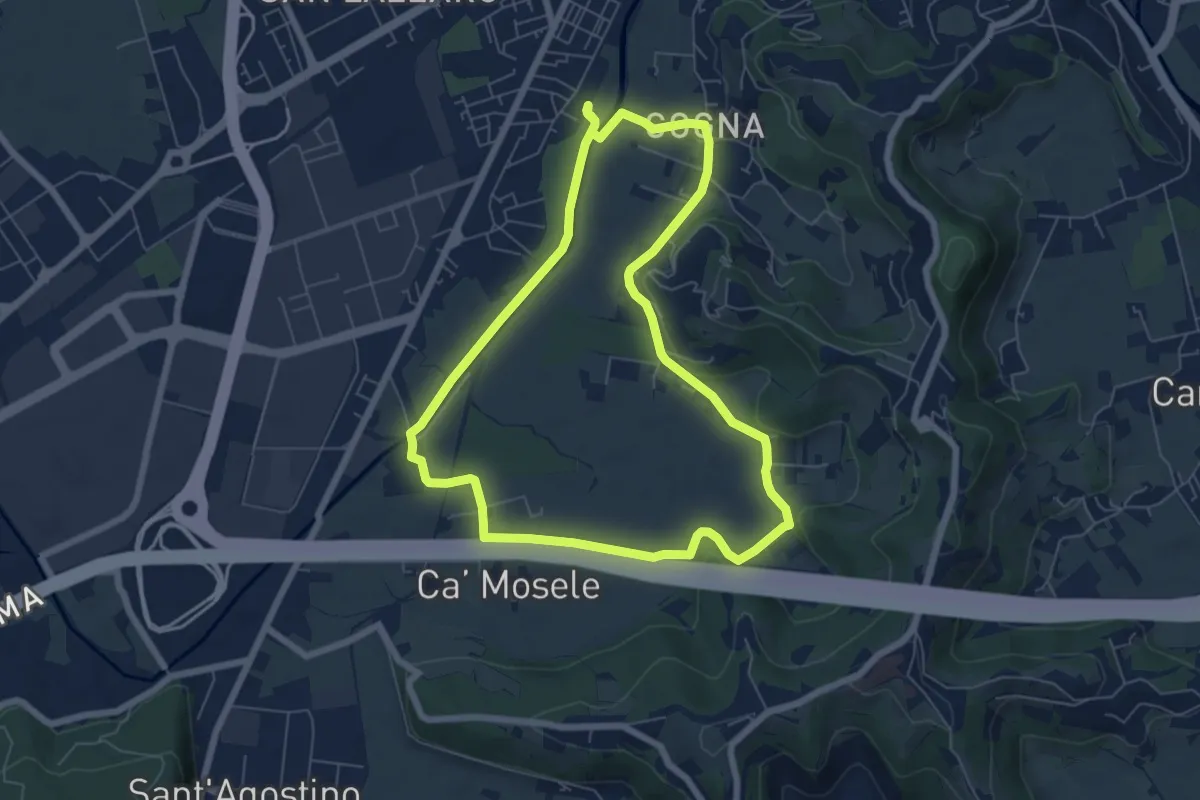
Easy · Trail
Anello Parco Retrone
6.6 km · ↑ 35 m · 1 h 43 min
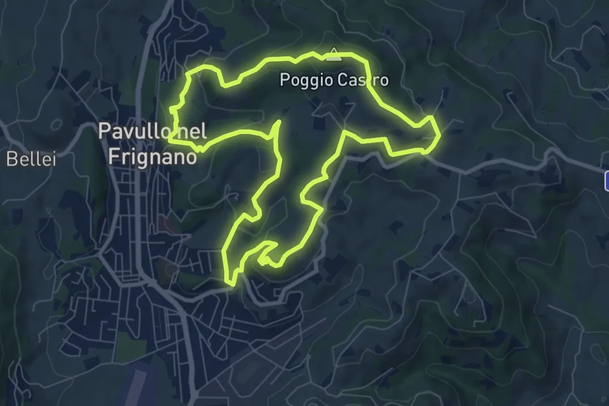
Medium · Summit
Anello Pavullo
8.1 km · ↑ 302 m · 2 h 40 min
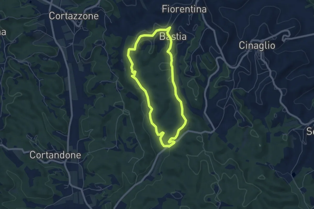
Easy · Trail
Anello pedonale verde lungo Gorghi / San Bartolomeo / San Grato
5.4 km · ↑ 100 m · 1 h 33 min
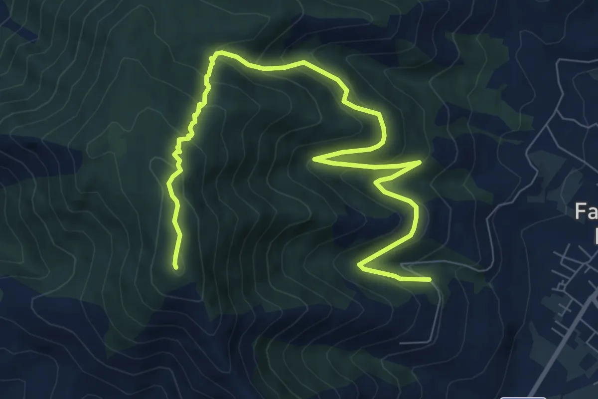
Medium · Summit
Anello per Monte Massico
11.0 km · ↑ 753 m · 4 h 14 min
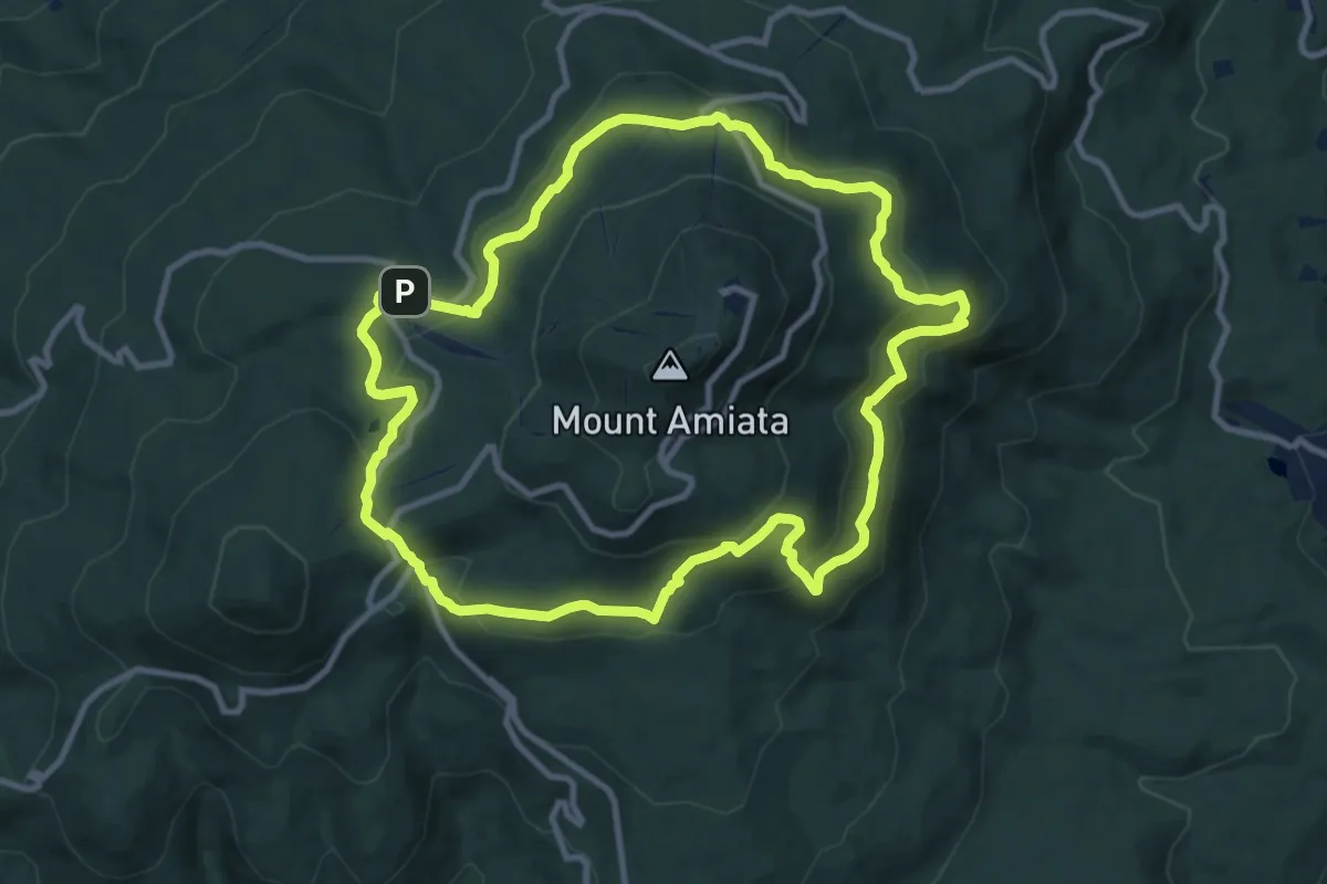
Medium · Trail
Anello Piccolo dell'Amiata
11.1 km · ↑ 400 m · 3 h 38 min
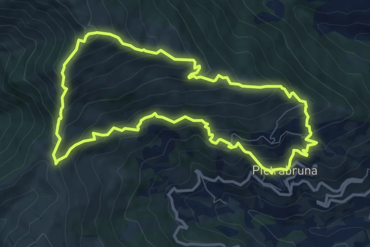
Demanding · Summit
Anello Pietrabruna - Monte Follia
7.9 km · ↑ 656 m · 3 h 24 min
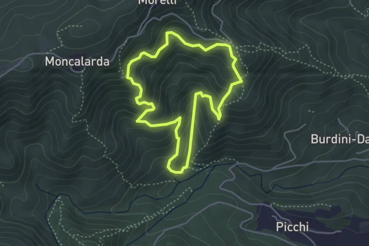
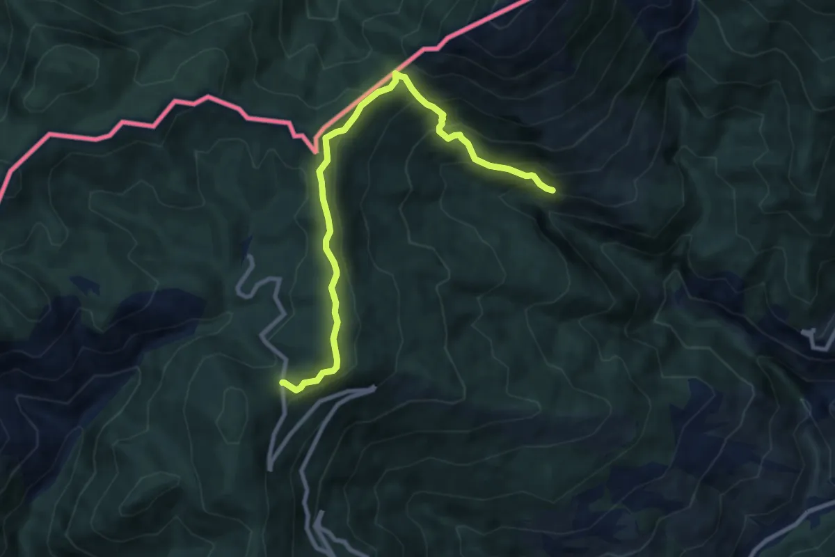
Medium · Trail
Anello Pietre Bianche
3.5 km · ↑ 291 m · 1 h 30 min
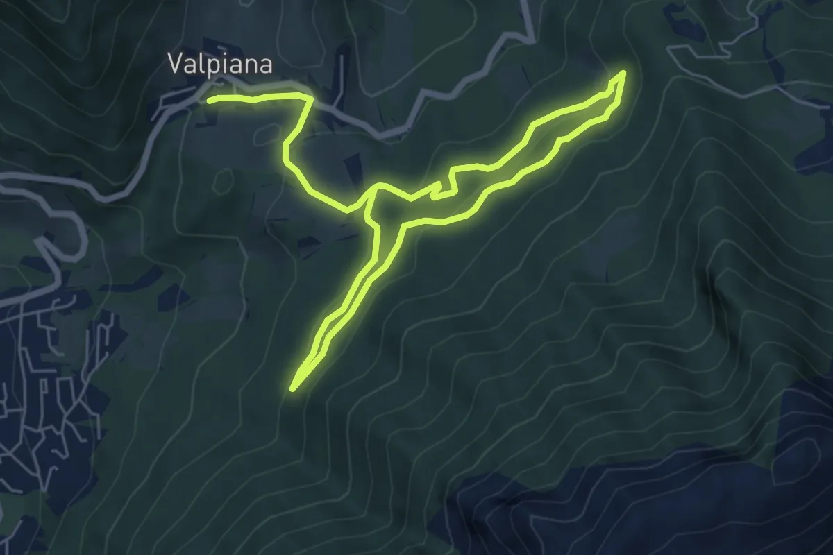
Medium · Trail
Anello Pigna
4.5 km · ↑ 62 m · 1 h 27 min
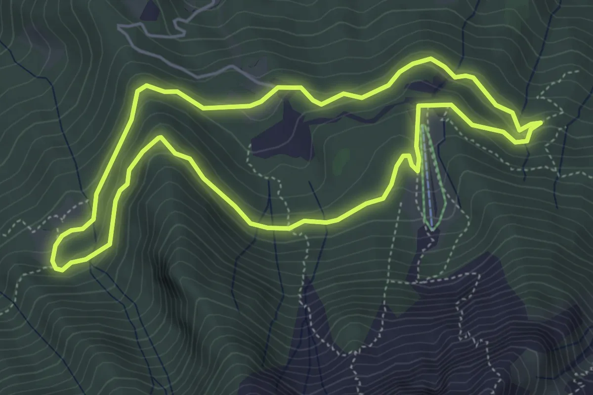
Easy · Trail
Anello Pista Cà di Zocc
5.0 km · ↑ 201 m · 1 h 38 min
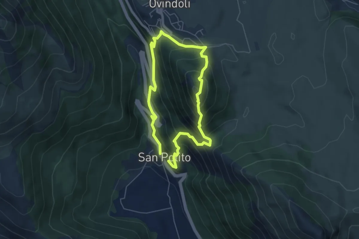
Easy · Trail
Anello Pista Conca dell’Alben
5.0 km · ↑ 198 m · 1 h 41 min
Medium · Trail
Anello Pizzo di Ovindoli
4.7 km · ↑ 422 m · 2 h 6 min
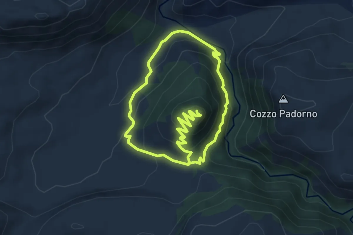
Easy · Trail
Anello Pizzo Potorno
5.0 km · ↑ 198 m · 1 h 45 min
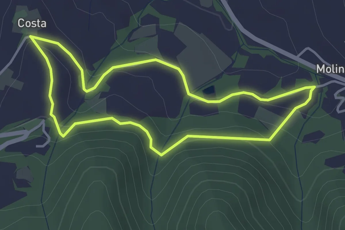
Easy · Trail
Anello Poggio Ferrato-Molino Cassano
3.1 km · ↑ 108 m · 1 h
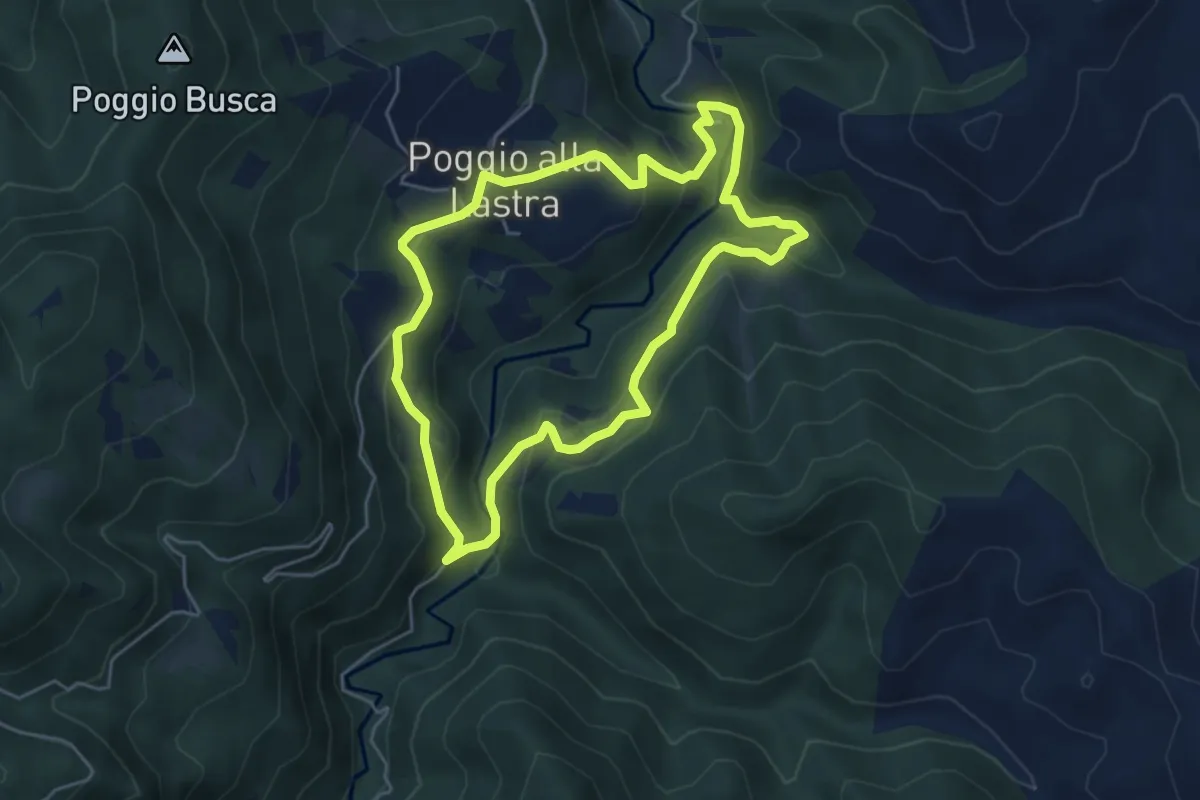
Medium · Trail
Anello Poggio la Lastra e i suoi "tesori"
5.0 km · ↑ 244 m · 1 h 47 min
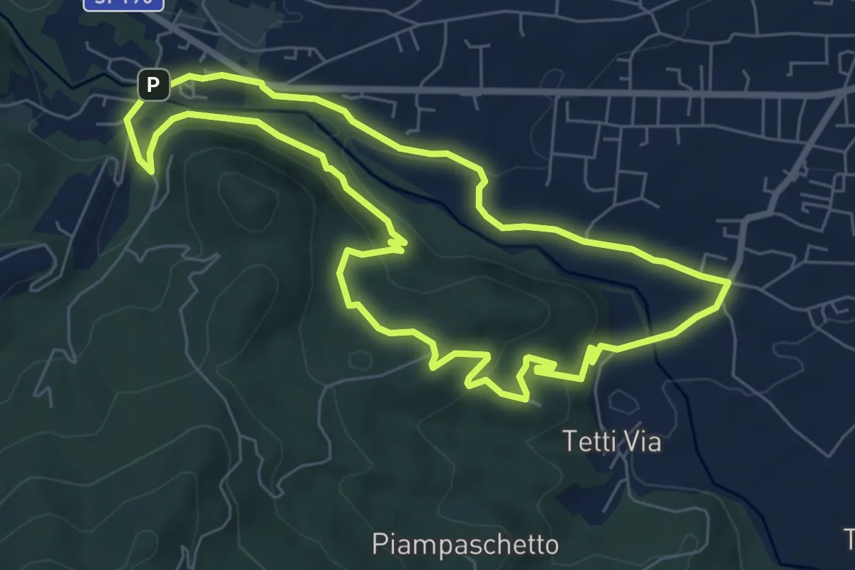
Easy · Summit
Anello Pontepietra
6.8 km · ↑ 179 m · 2 h 5 min
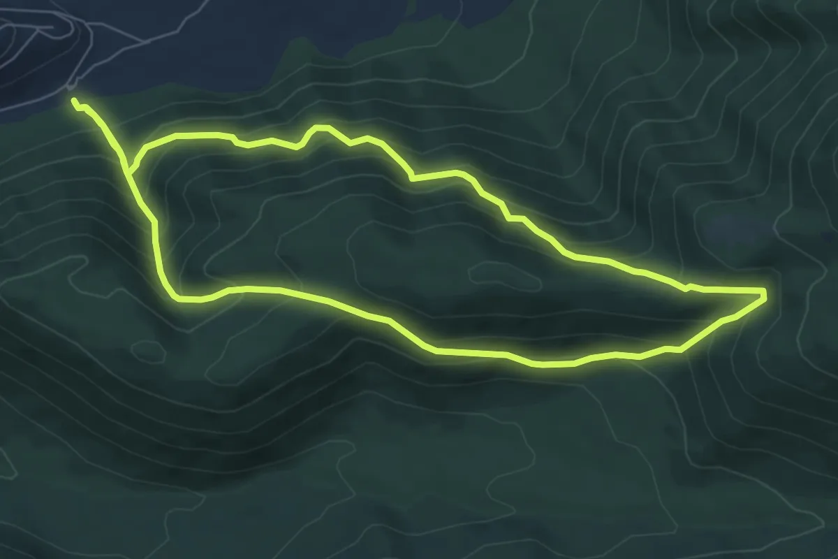
Medium · Trail
Anello Ponte San Teodoro
7.3 km · ↑ 640 m · 3 h 13 min
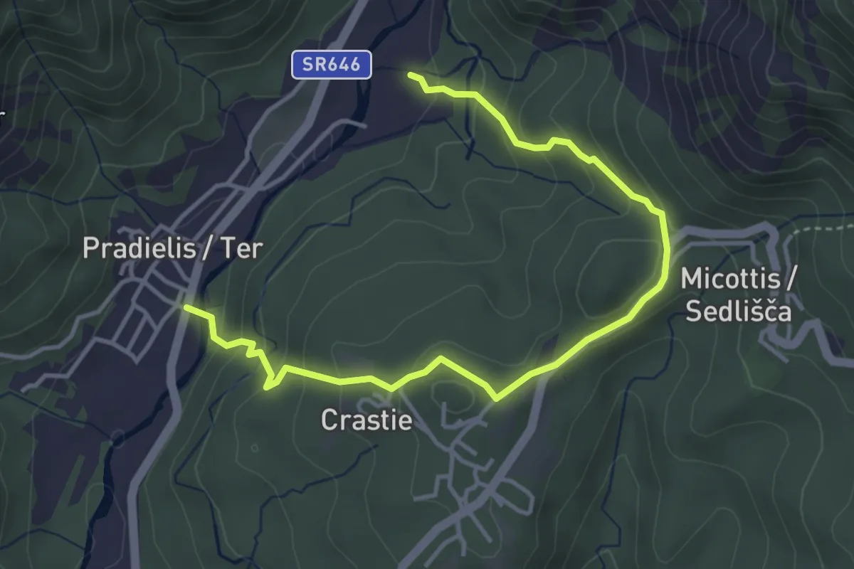
Easy · Trail
Anello Pradielis - Micottis
2.3 km · ↑ 140 m · 53 min
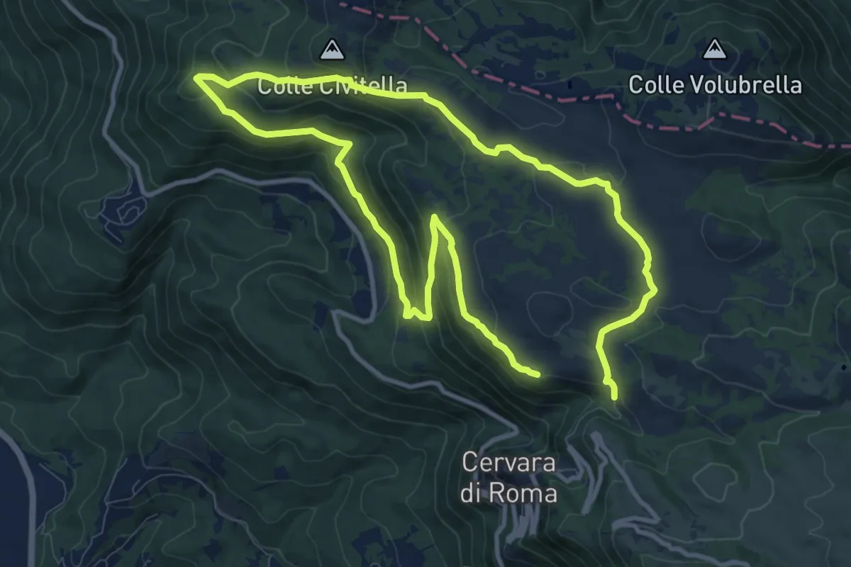
Medium · Summit
Anello Prataglia da Cervara di Roma
9.5 km · ↑ 389 m · 3 h 12 min
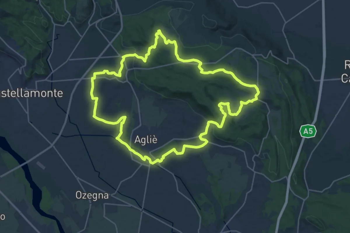
Demanding · Summit
Anello principale della morena ovest
22.3 km · ↑ 352 m · 6 h 20 min
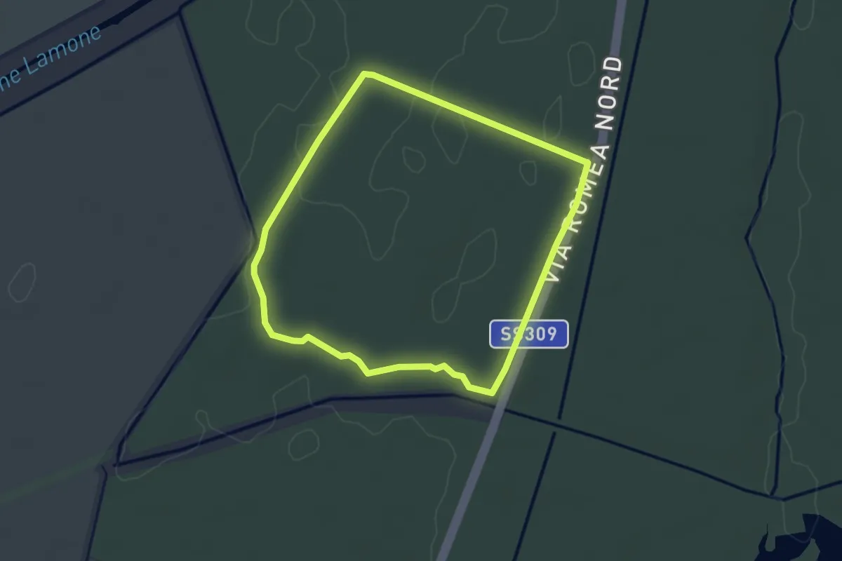
Easy · Trail
Anello Punte Alberete
3.2 km · ↑ 4 m · 48 min
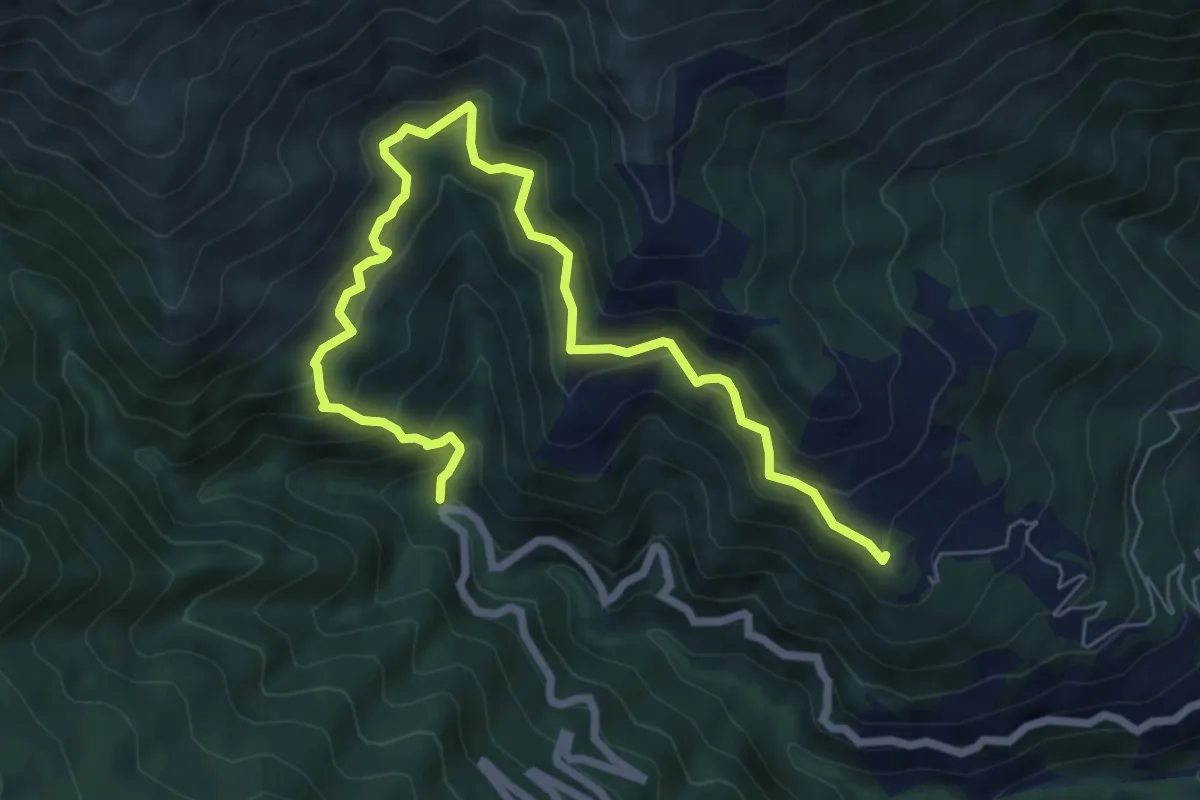
Demanding · Summit
Anello Rezzo
8.9 km · ↑ 881 m · 4 h 1 min
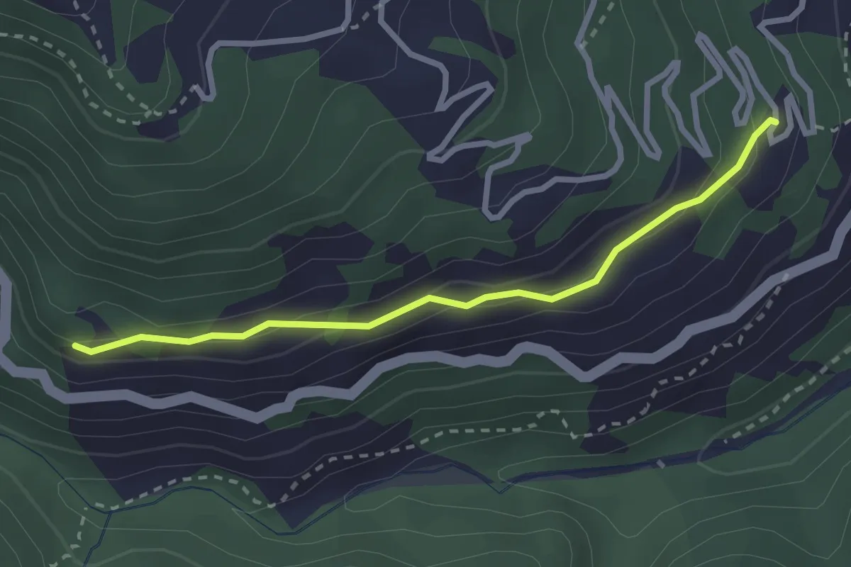
Easy · Trail
Anello Rezzo Torrente Giara
2.6 km · ↑ 123 m · 53 min
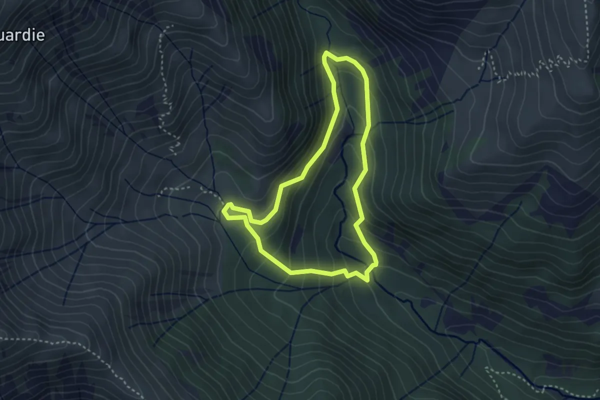
Easy · Trail
Anello Robilant
3.1 km · ↑ 204 m · 1 h 13 min
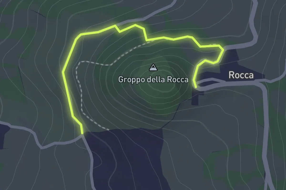
Easy · Summit
Anello Rocca di Varsi
1.1 km · ↑ 0 m · 19 min
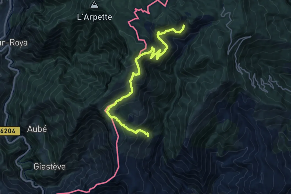
Demanding · Trail
Anello Rocchetta Nervina
16.6 km · ↑ 1287 m · 6 h 42 min
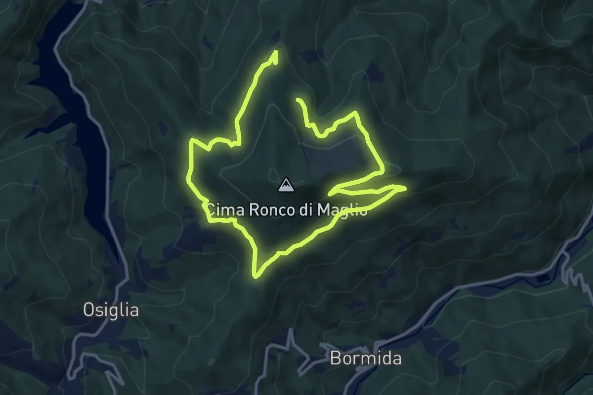
Medium · Trail
Anello Ronco di Maglio
8.3 km · ↑ 294 m · 2 h 42 min
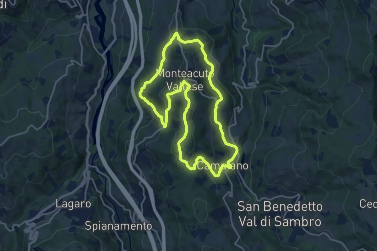
Medium · Summit
Anello rosso
11.3 km · ↑ 418 m · 3 h 44 min