Trails in Italy
25,211 hiking trails, each with its route, climb, walking time and grade.
All trails, page 21 of 526
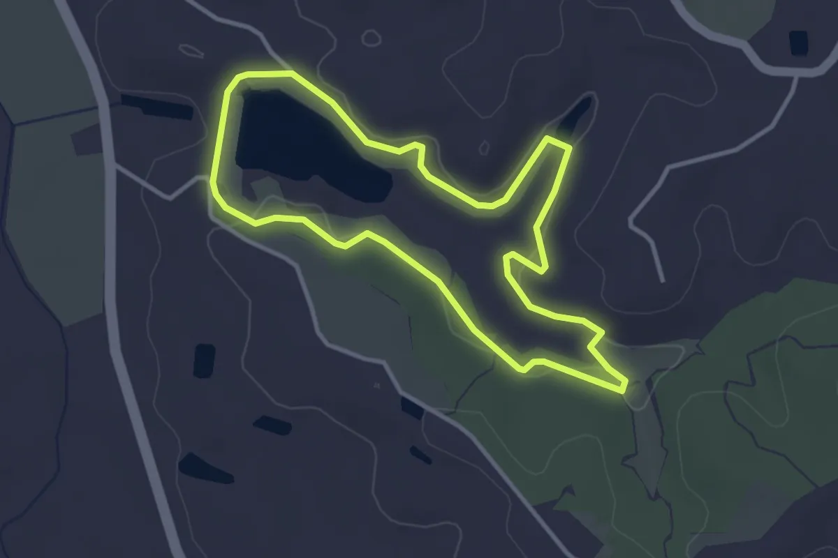
Easy · Trail
Anello Rosso
3.3 km · ↑ 41 m · 55 min
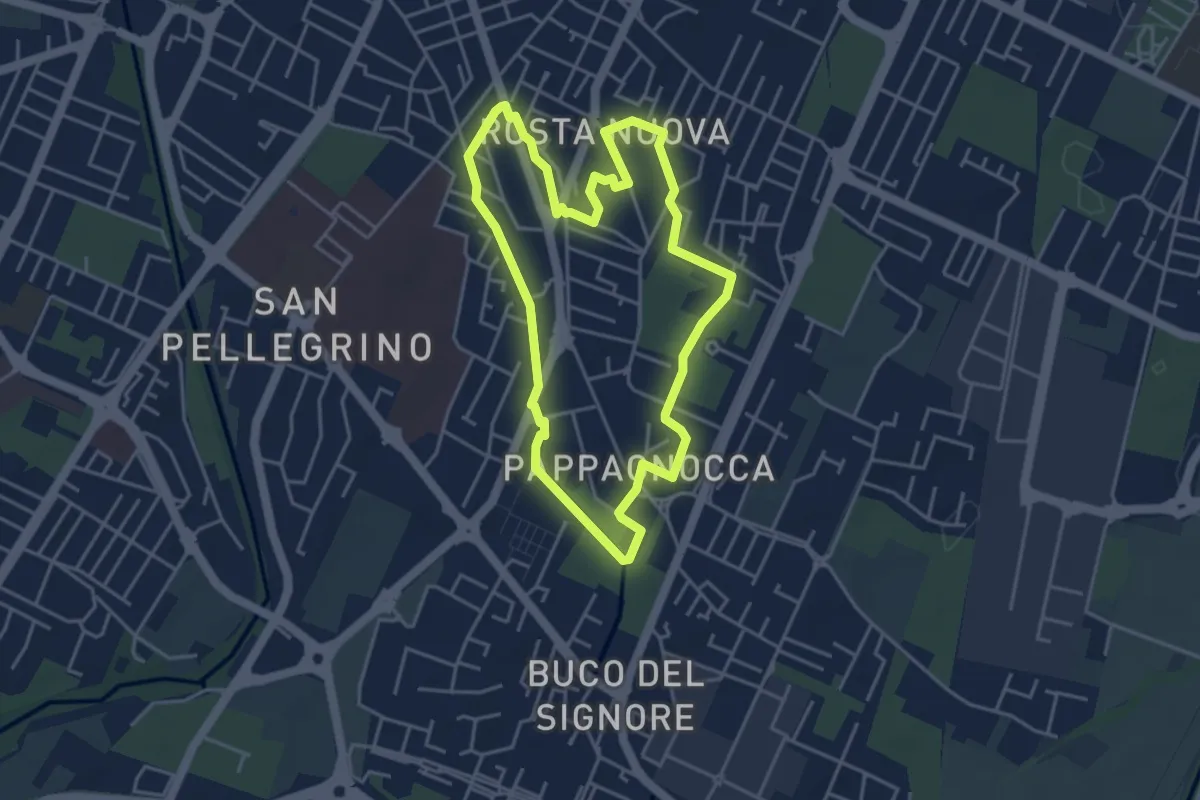
Easy · Trail
Anello Rosta Nuova
4.3 km · ↑ 4 m · 1 h 4 min
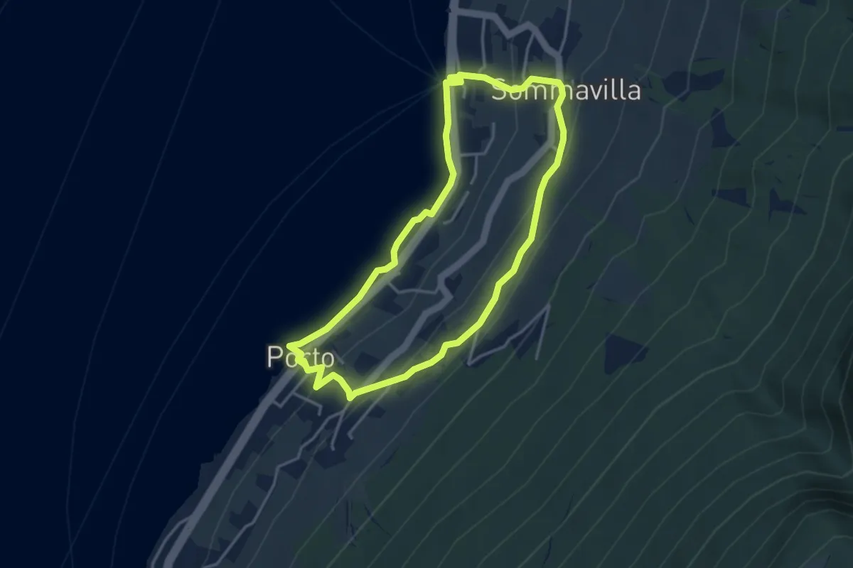
Easy · Trail
Anello San Nicola - 1 Nordic Walking Park
3.5 km · ↑ 132 m · 1 h 10 min
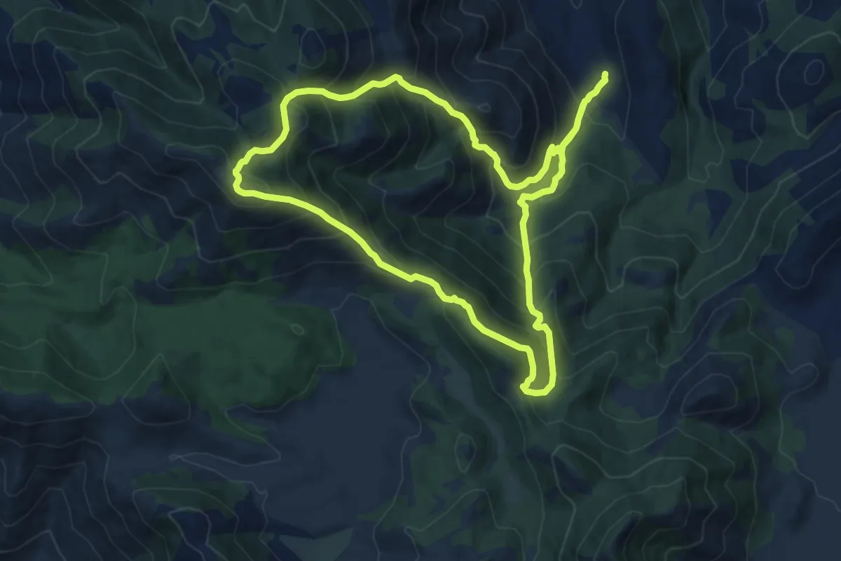
Demanding · Summit
Anello Sant'Ermo-Monte Faggeto
12.8 km · ↑ 1064 m · 5 h 30 min
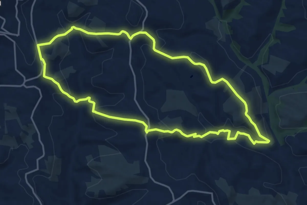
Medium · Trail
Anello Scordella - San Filippo
11.8 km · ↑ 479 m · 3 h 59 min
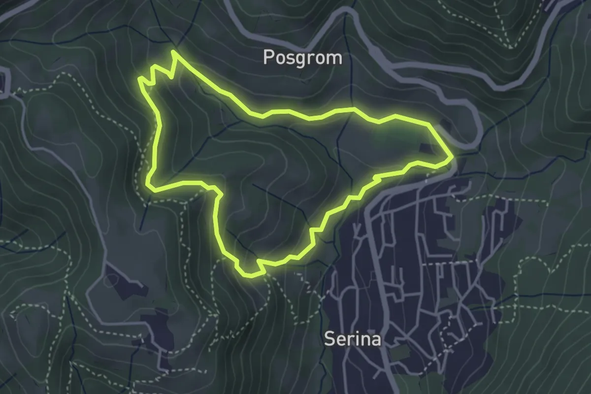
Medium · Trail
Anello Serina
3.7 km · ↑ 179 m · 1 h 19 min
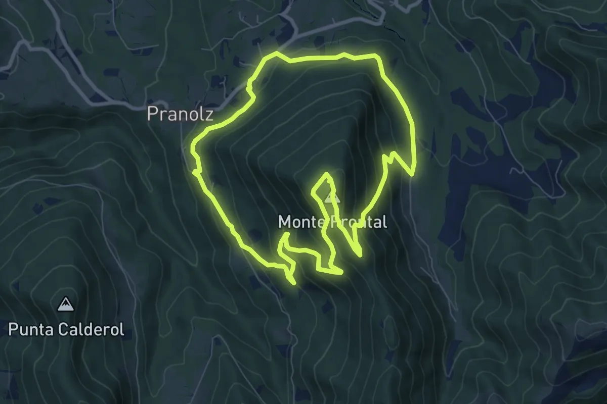
Medium · Summit
Anello Spelonca di Frontal
8.0 km · ↑ 496 m · 3 h 5 min
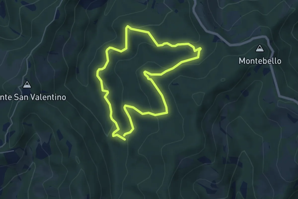
Easy · Trail
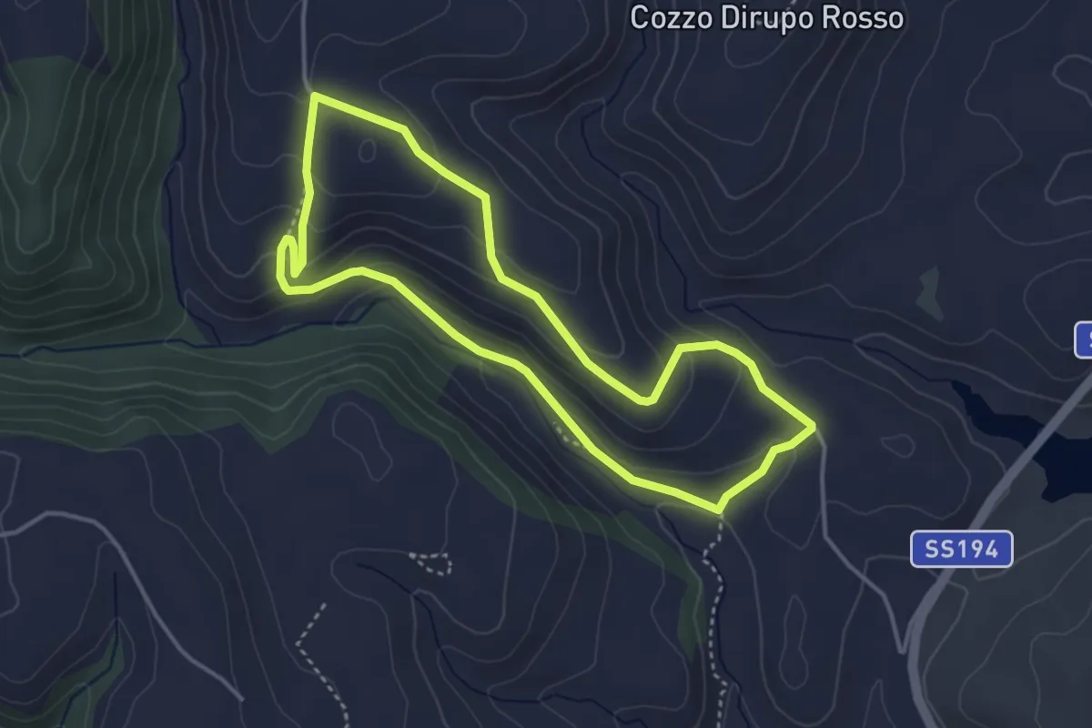
Anello Sponzola
4.7 km · ↑ 223 m · 1 h 39 min
Easy · Trail
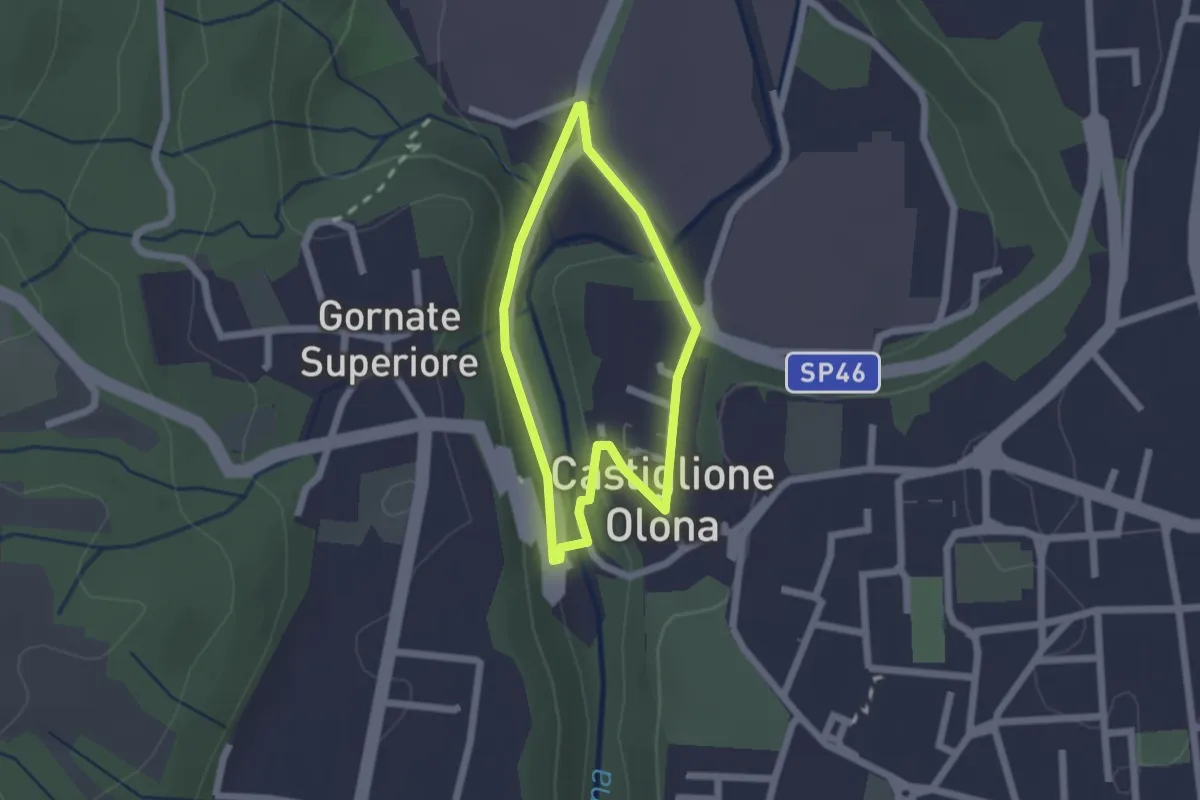
Anello S. Rosalia
4.2 km · ↑ 171 m · 1 h 25 min
Easy · Trail
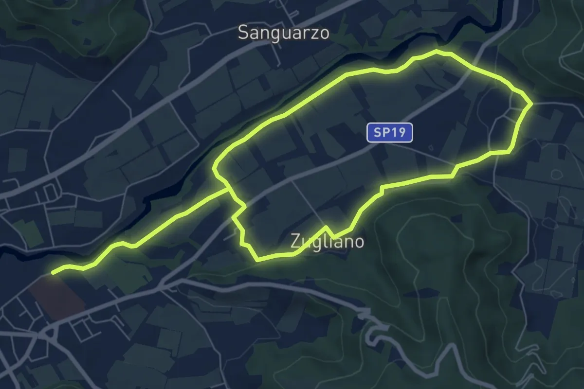
Anello Storico di Castiglione
1.6 km · ↑ 38 m · 29 min
Easy · Trail
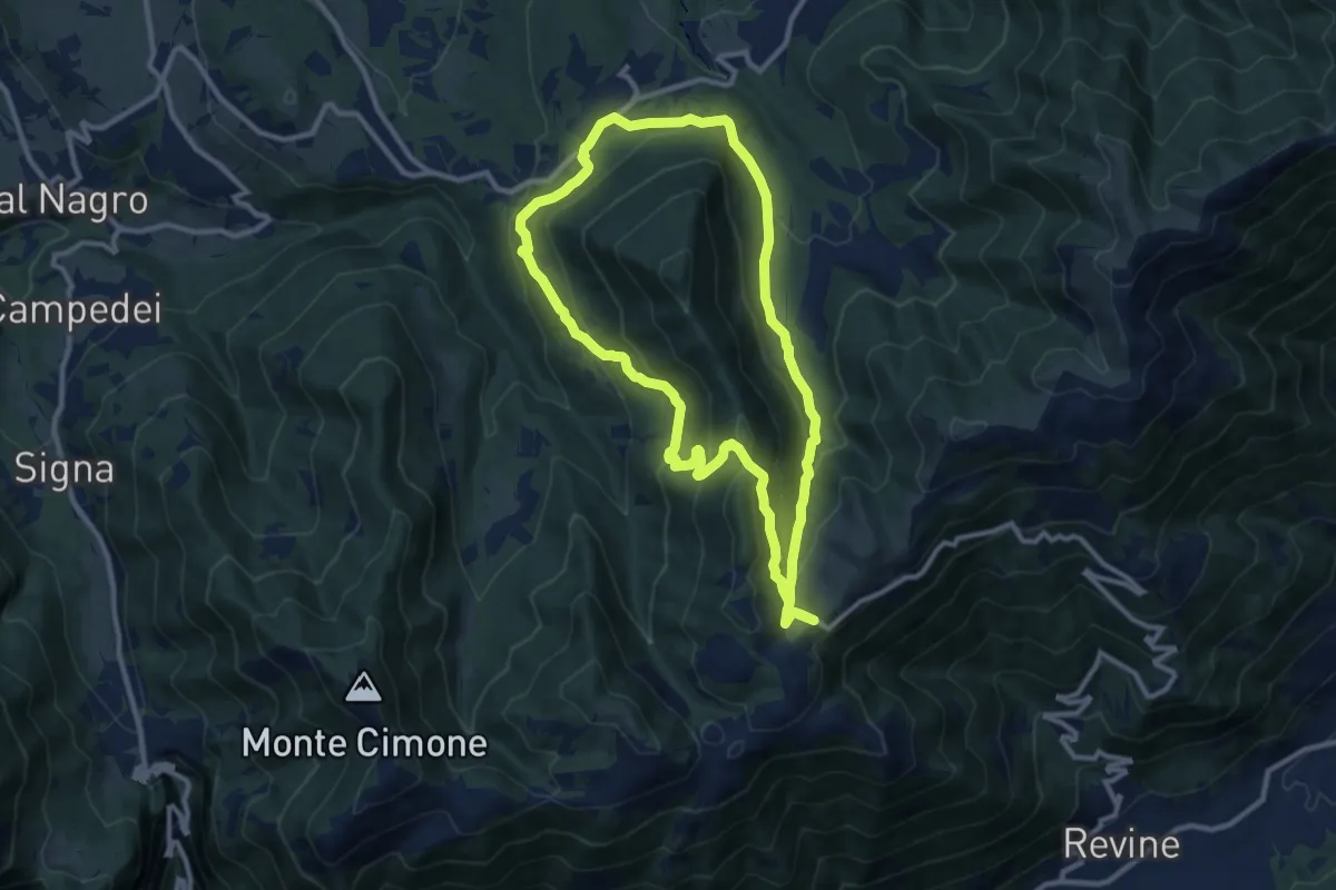
Anello Sud del Natisone
6.3 km · ↑ 60 m · 1 h 41 min
Medium · Trail
Anello sui luoghi della Resistenza
10.2 km · ↑ 457 m · 3 h 33 min
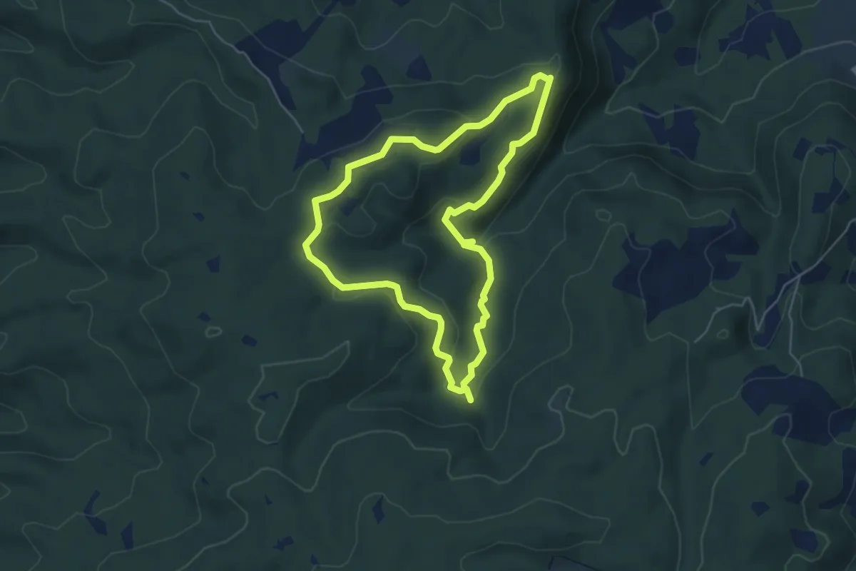
Easy · Trail
Anello Terre di Matilde
5.1 km · ↑ 138 m · 1 h 34 min
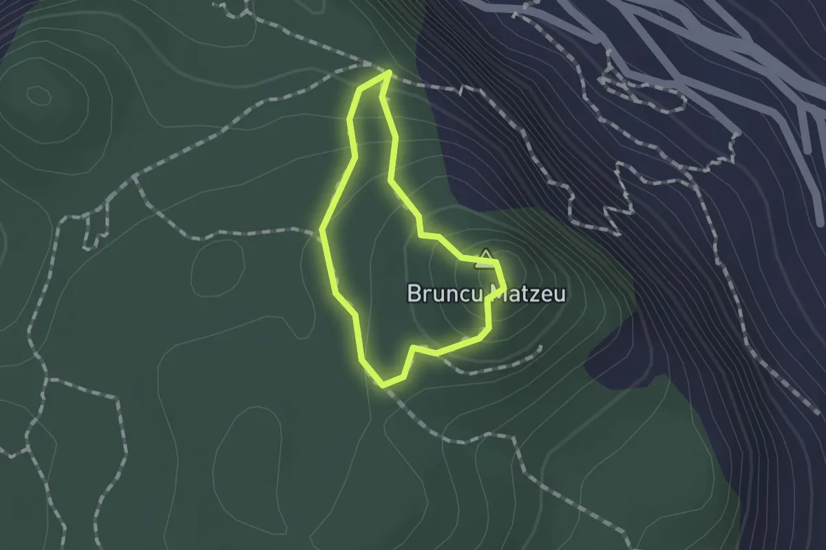
Easy · Summit
Anello Tisiddu
1.0 km · ↑ 112 m · 29 min
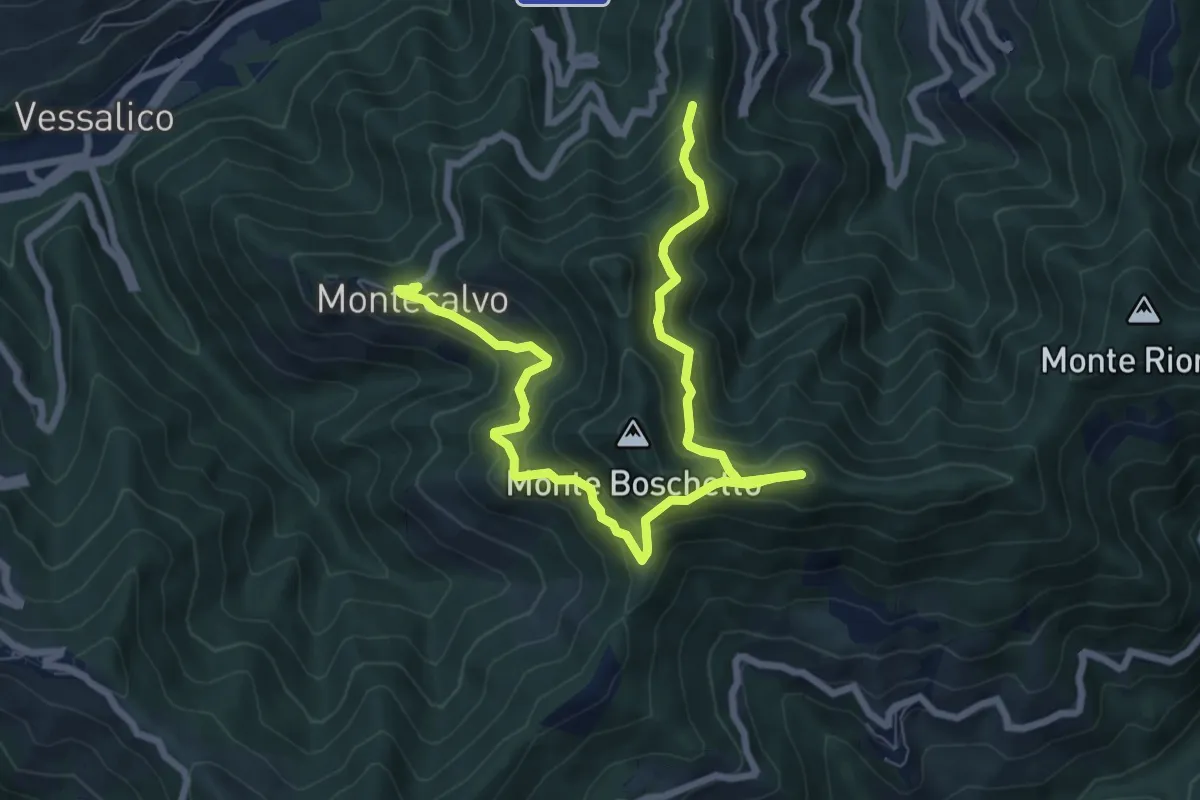
Demanding · Trail
Anello Torre d'Ubaga
9.9 km · ↑ 862 m · 4 h 12 min
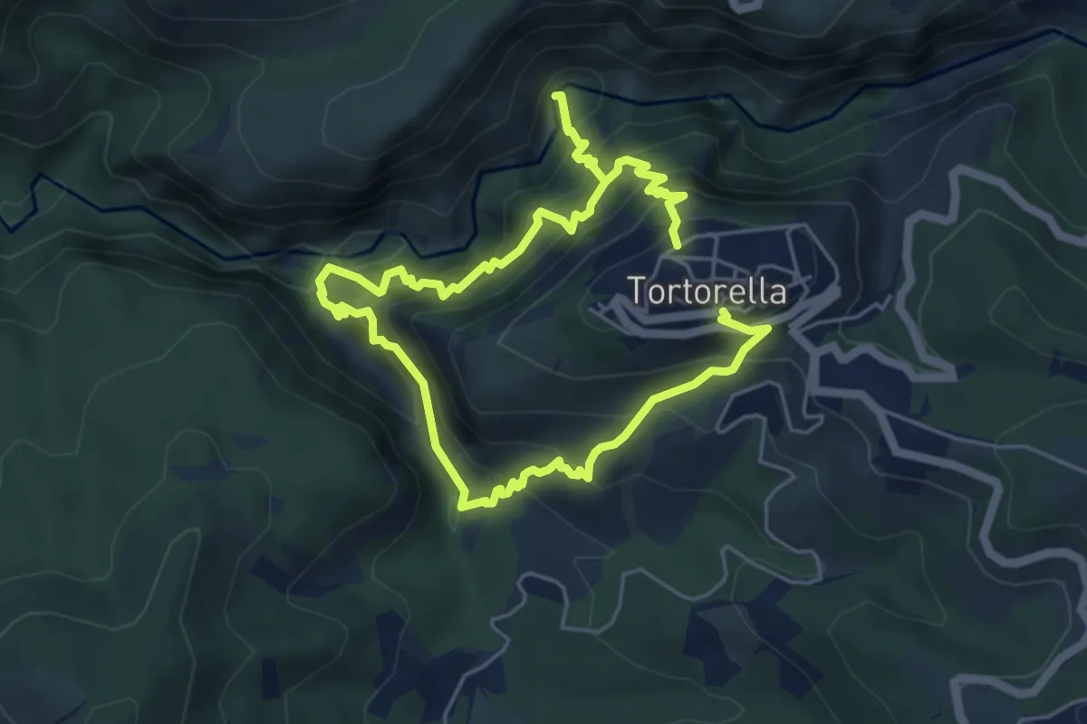
Expert · Trail
Anello Tortorella
9.8 km · ↑ 1142 m · 4 h 47 min
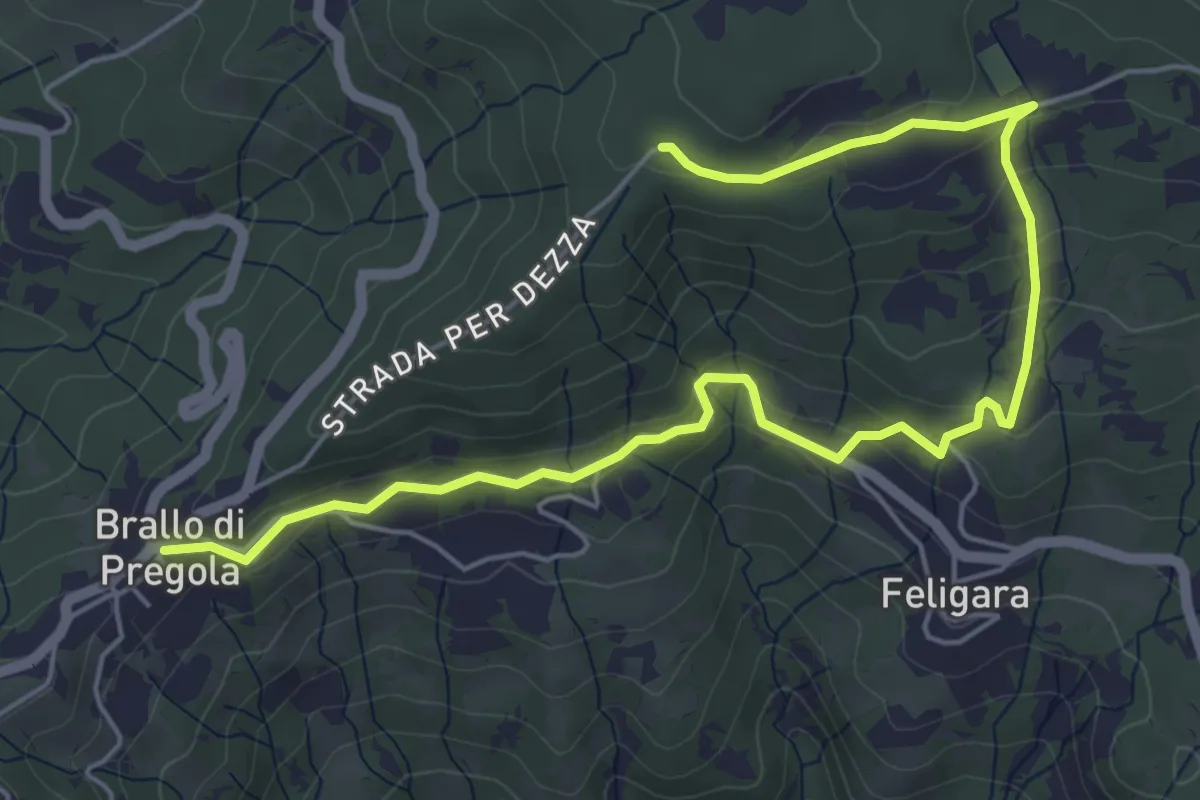
Easy · Trail
Anello Tre Fontane
7.1 km · ↑ 246 m · 2 h 12 min
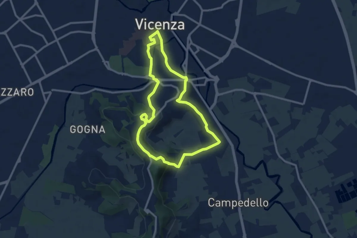
Easy · Trail
Anello Trekking urbano
6.4 km · ↑ 198 m · 2 h 2 min
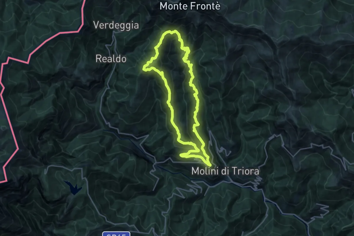
Demanding · Summit
Anello Triora
17.6 km · ↑ 1200 m · 6 h 59 min
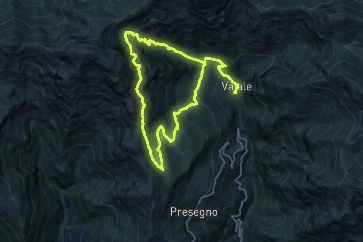
Expert · Trail
Anello Vaiale Corna Blacca Gardo
9.0 km · ↑ 720 m · 3 h 53 min
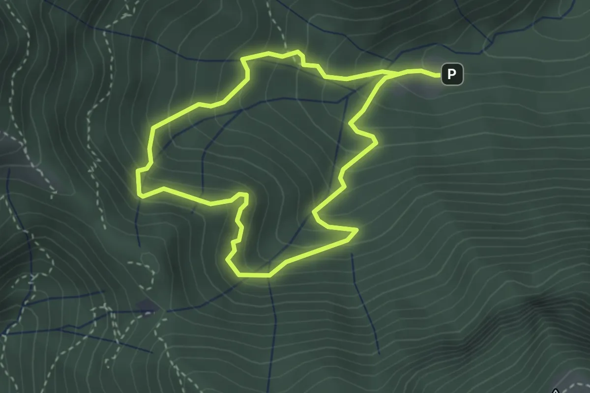
Easy · Trail
Anello Valle di Archesane
2.9 km · ↑ 315 m · 1 h 24 min
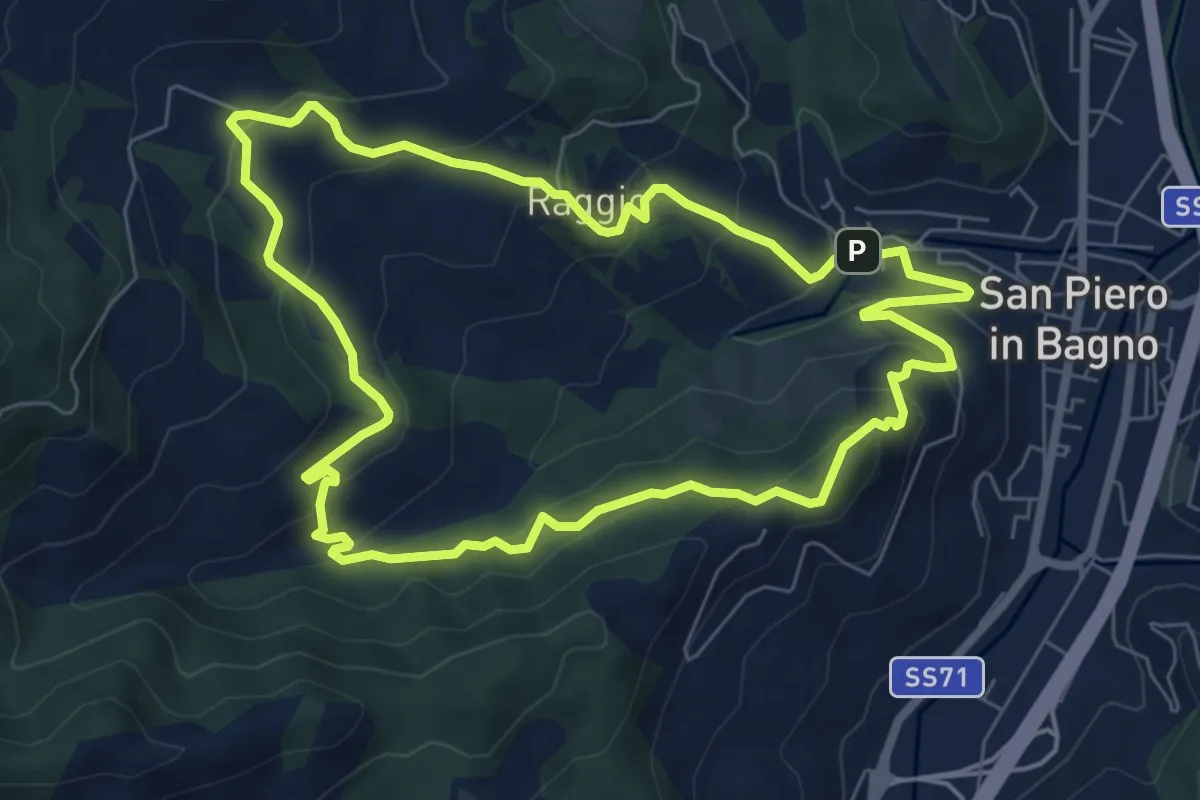
Medium · Trail
Anello Valle Paganico santuario di Corzano
7.3 km · ↑ 399 m · 2 h 42 min
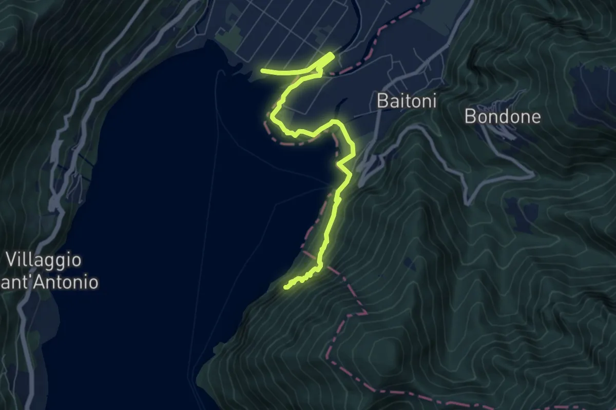
Demanding · Trail
Anello Valsabbino
4.0 km · ↑ 212 m · 1 h 25 min
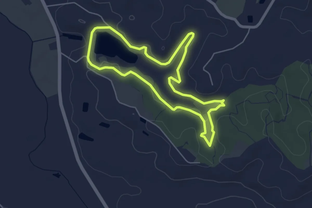
Easy · Trail
Anello Verde
4.4 km · ↑ 71 m · 1 h 15 min
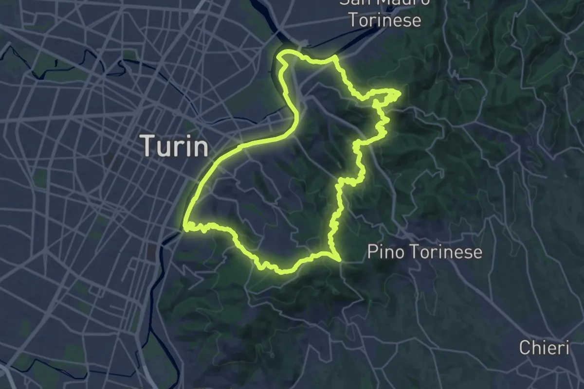
Demanding · Summit
Anello Verde
30.4 km · ↑ 1176 m · 10 h 8 min
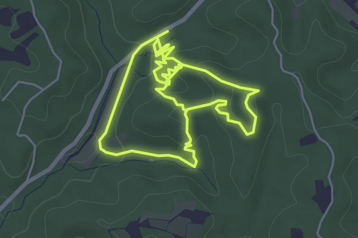
Easy · Trail
Anello verde Pineta - Pian d' Ariot
7.9 km · ↑ 216 m · 2 h 21 min
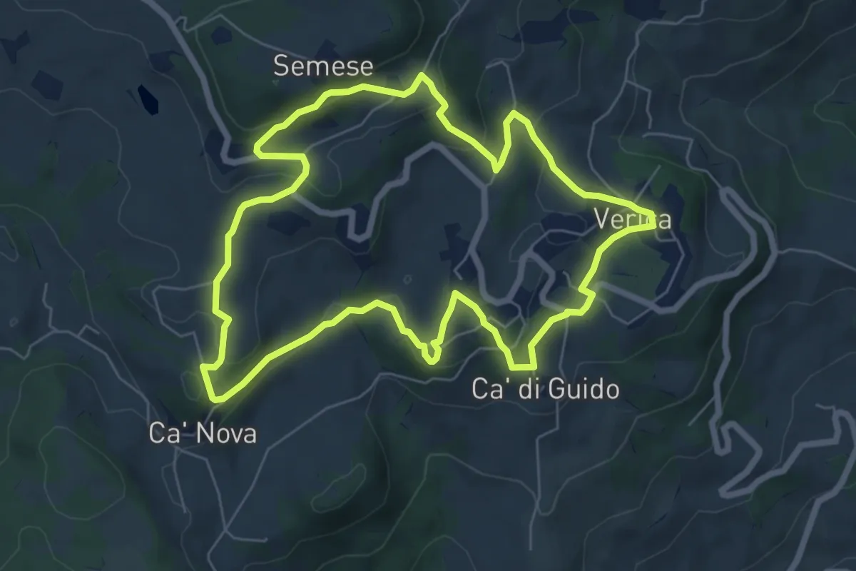
Medium · Trail
Anello Verica
6.6 km · ↑ 247 m · 2 h 11 min
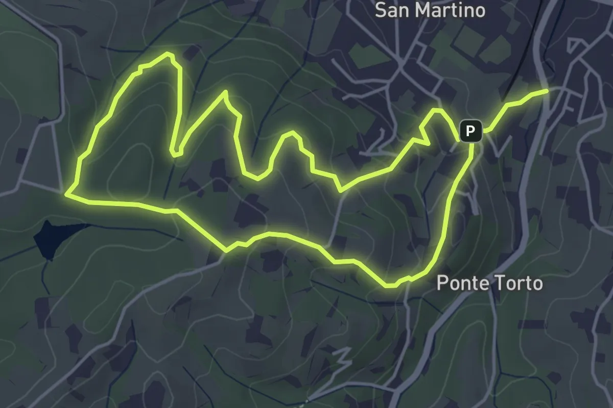
Easy · Trail
Anello Villa Caruso
4.9 km · ↑ 243 m · 1 h 46 min
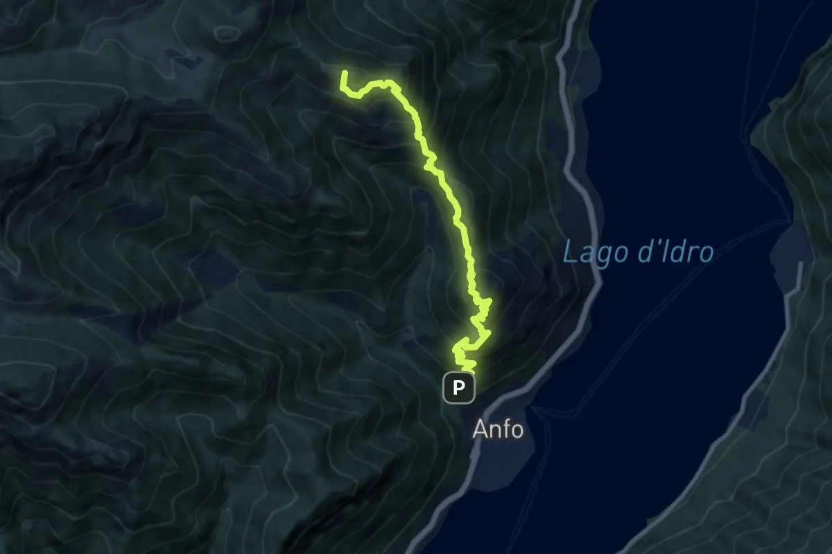
Demanding · Summit
Anfo (Santa Petronilla) - Baremone
9.2 km · ↑ 1166 m · 4 h 42 min
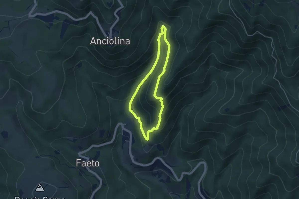
Easy · Trail
ANPI - Cammino partigiano
3.4 km · ↑ 211 m · 1 h 18 min
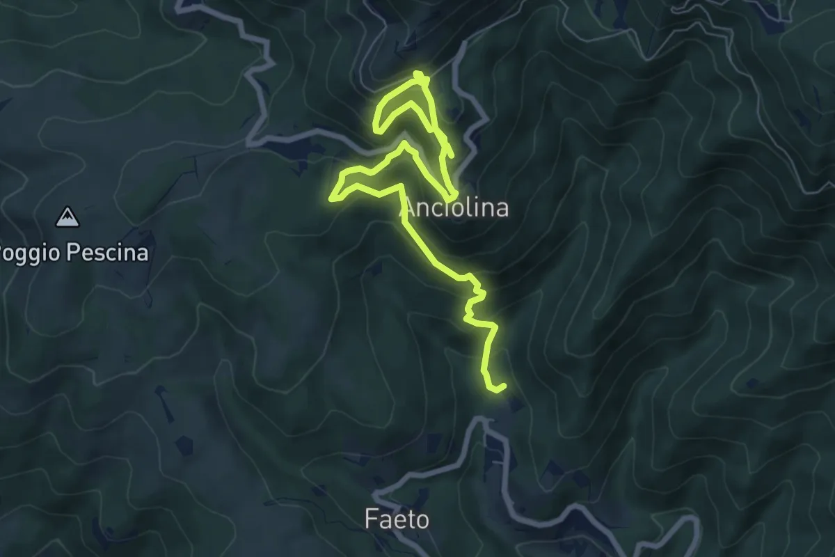
Medium · Trail
ANPI - Cammino partigiano
9.1 km · ↑ 759 m · 3 h 47 min
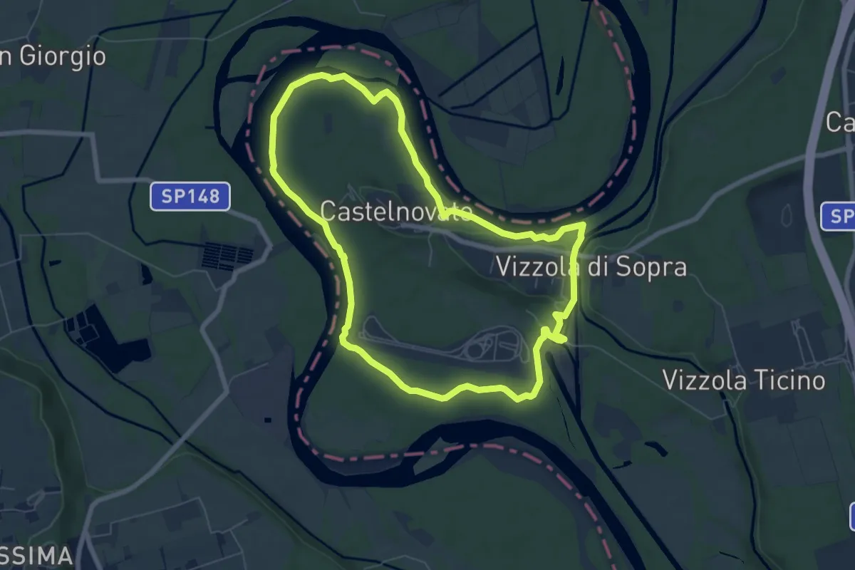
Easy · Trail
Ansa di Castelnovate
6.8 km · ↑ 92 m · 1 h 54 min
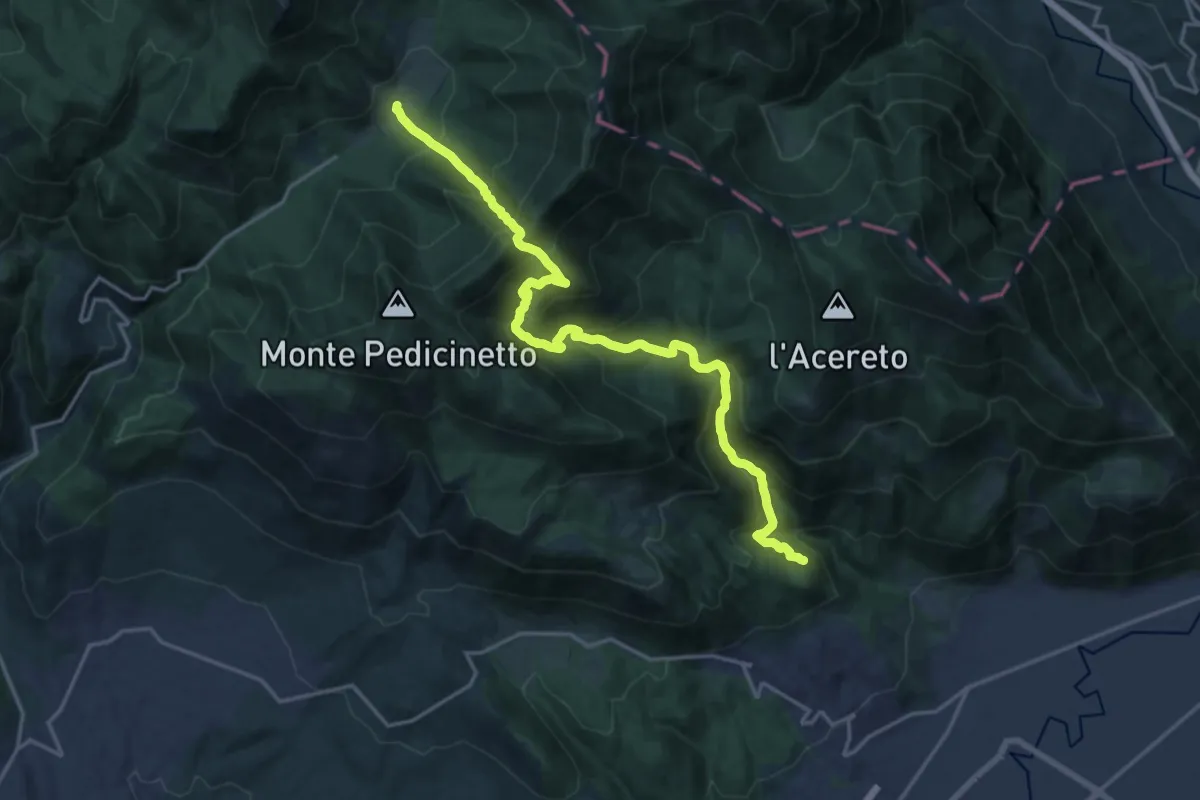
Demanding · Trail
Antenne - Passo del Melancoro - Prato di Campoli
10.2 km · ↑ 1046 m · 4 h 36 min
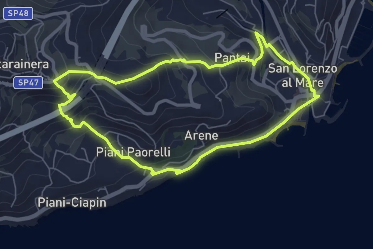
Easy · Trail
Antica mulattiera da San Lorenzo al Mare a Costarainera - Piani Paorelli
5.1 km · ↑ 232 m · 1 h 47 min
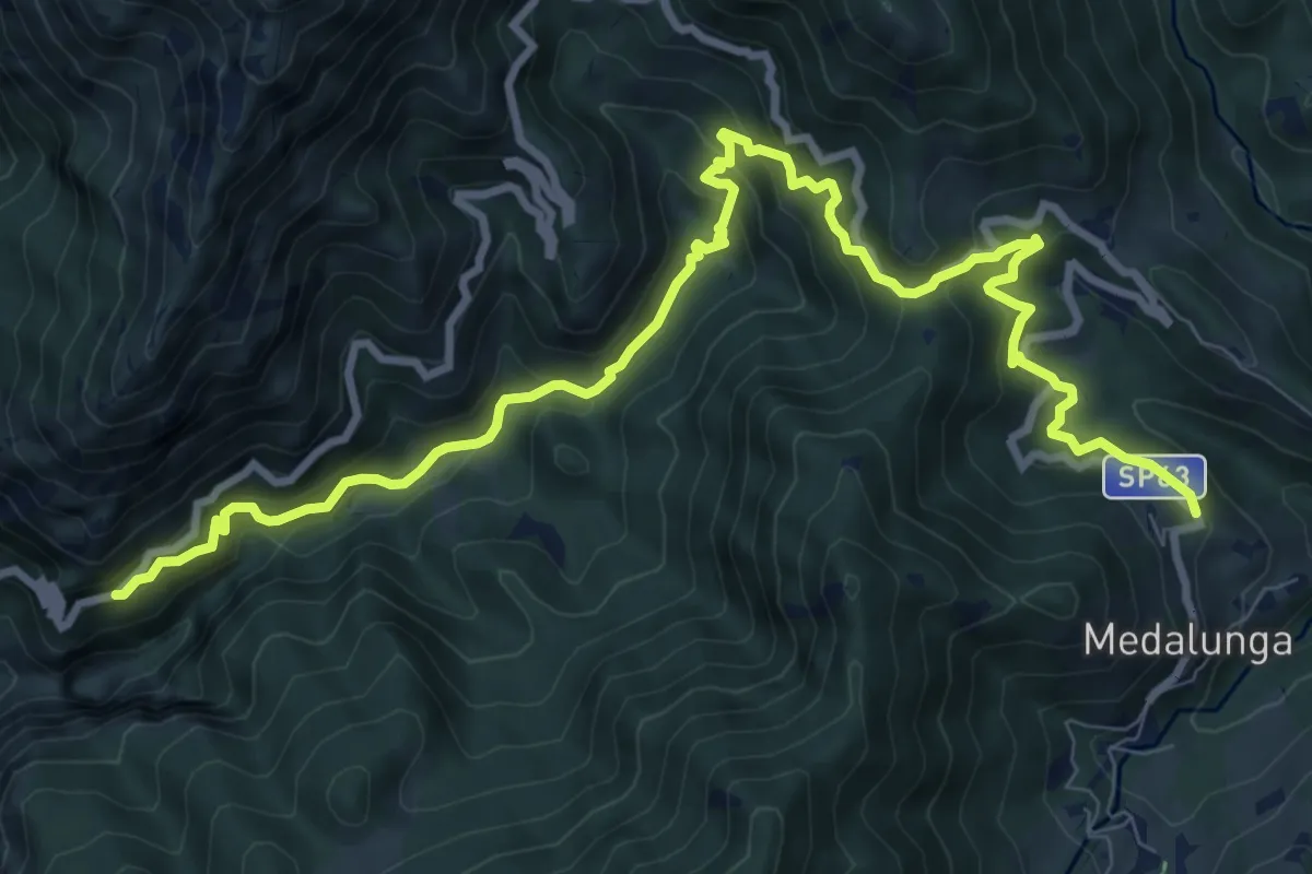
Demanding · Trail
Antica Strada Comunale di Morterone
11.9 km · ↑ 805 m · 4 h 33 min
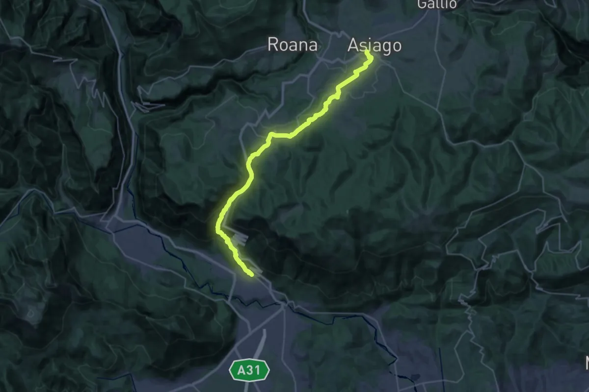
Medium · Trail
Antica Strada del Costo
15.8 km · ↑ 243 m · 4 h 50 min
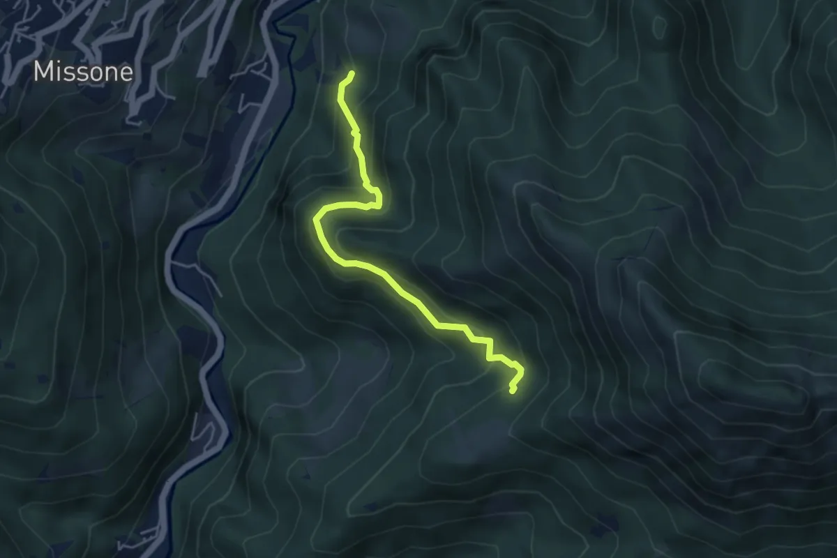
Medium · Trail
Antica Strada della Viola Alta
4.2 km · ↑ 367 m · 1 h 47 min
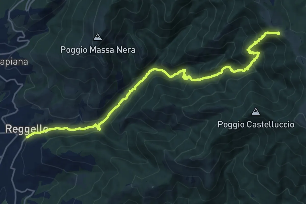
Demanding · Trail
Antica strada Reggellese
16.1 km · ↑ 1040 m · 6 h 4 min
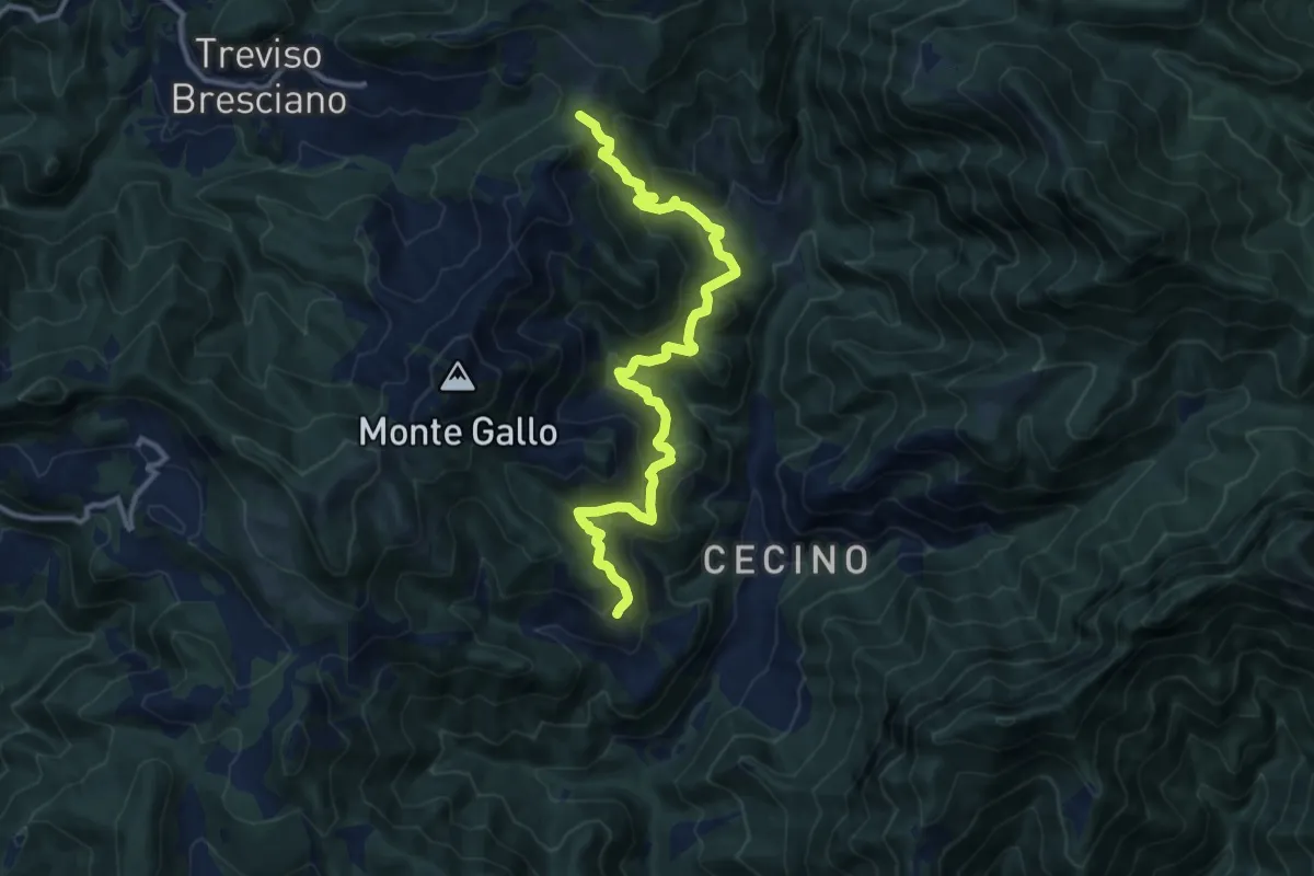
Demanding · Summit
Antica Strada Romana
12.3 km · ↑ 906 m · 4 h 52 min
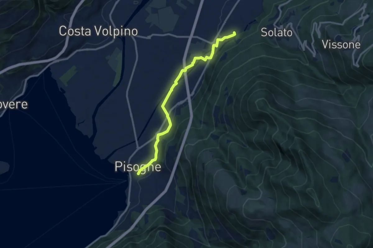
Medium · Trail
Antica strada Valeriana
8.3 km · ↑ 99 m · 2 h 10 min
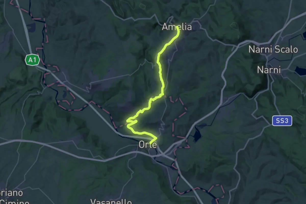
Medium · Trail
Antica Via Amerina - Tappa Amelia Orte
16.9 km · ↑ 438 m · 5 h 2 min
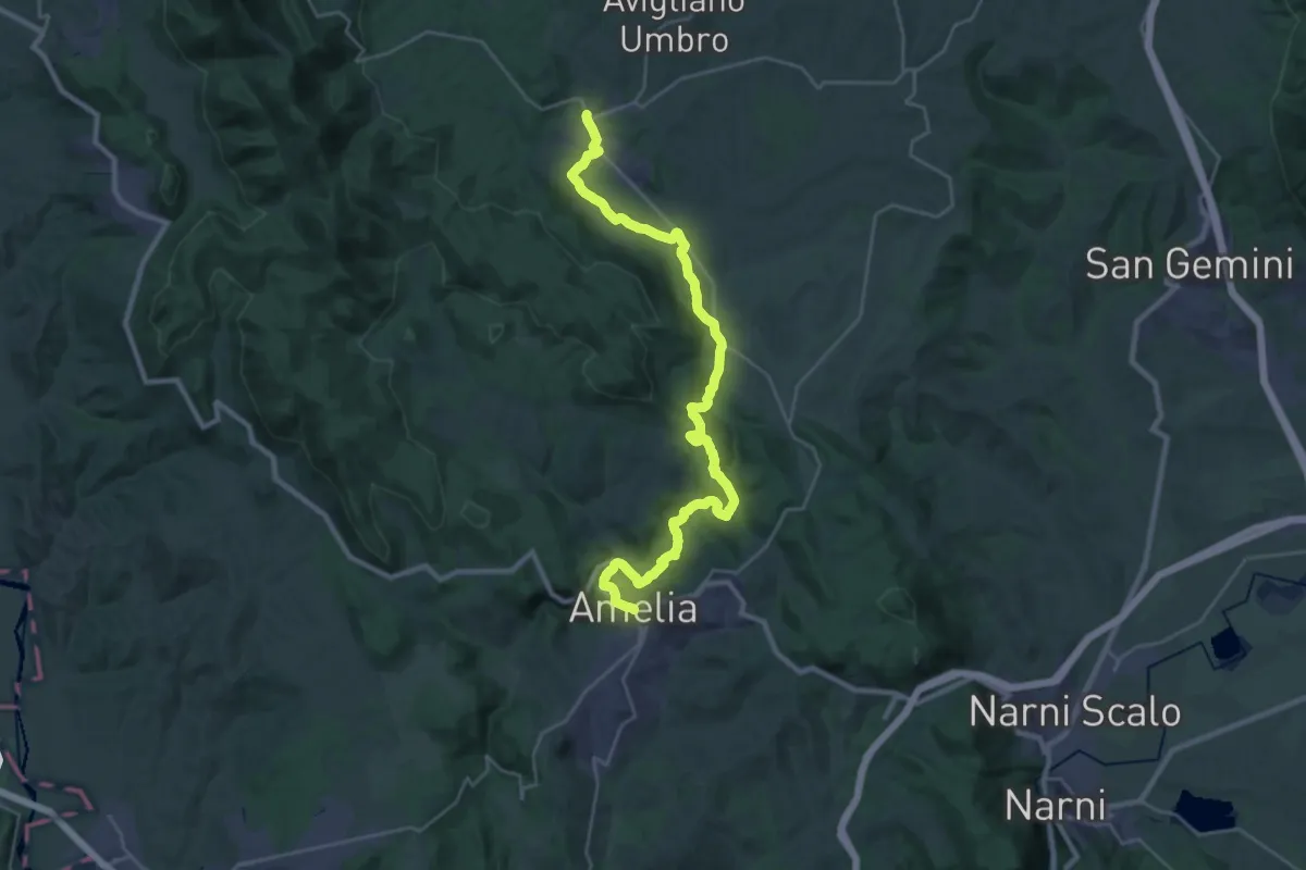
Medium · Trail
Antica Via Amerina - Tappa Castel dell'Aquila Amelia
16.1 km · ↑ 435 m · 4 h 59 min
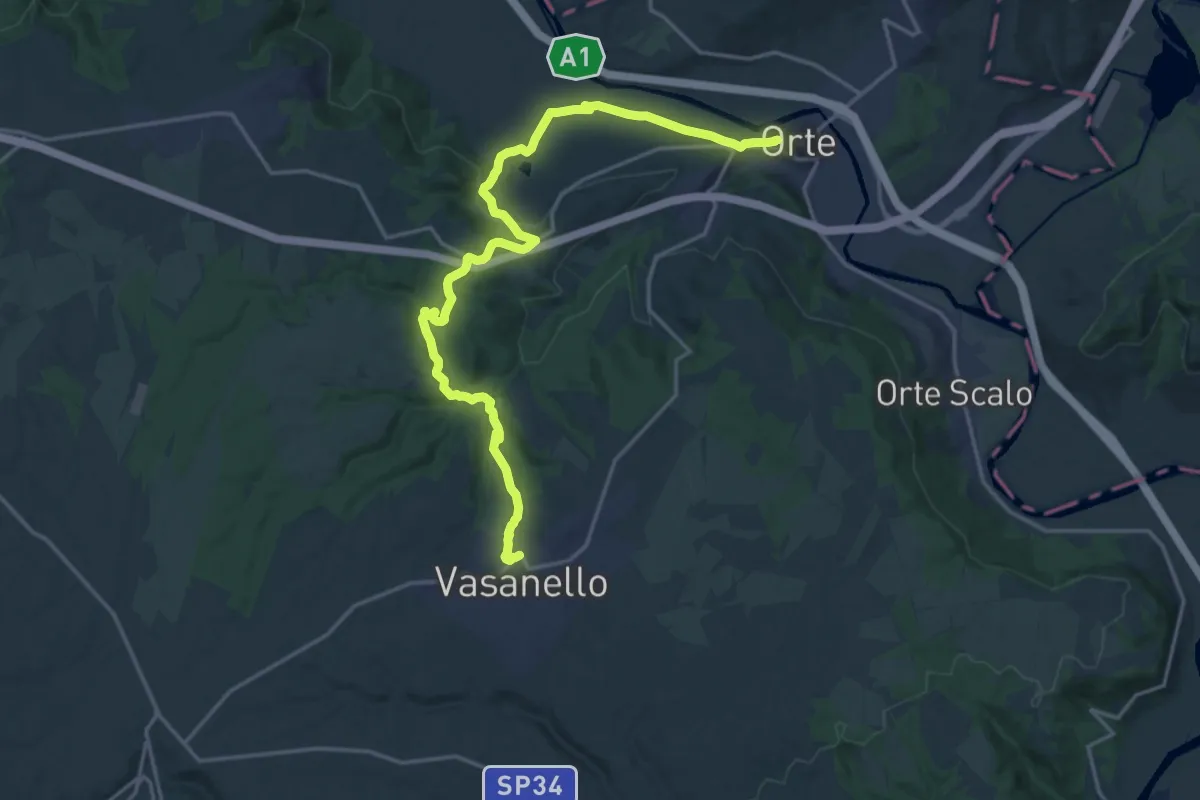
Demanding · Trail
Antica Via Amerina - tappa Orte Vasanello
22.6 km · ↑ 473 m · 6 h 22 min
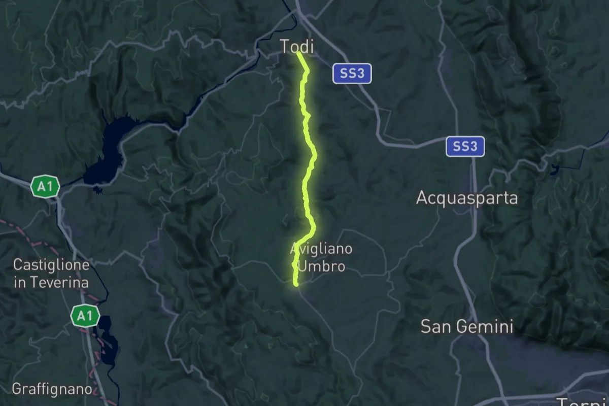
Medium · Trail
Antica Via Amerina - Tappa Todi Castel dell'Aquila
17.7 km · ↑ 443 m · 5 h 23 min
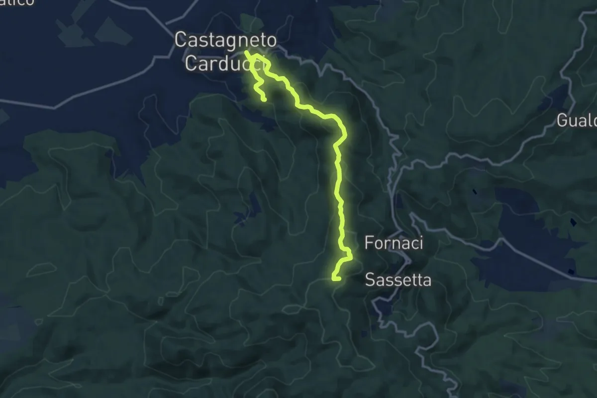
Medium · Summit
Antica Via Campigliese
12.2 km · ↑ 490 m · 3 h 57 min
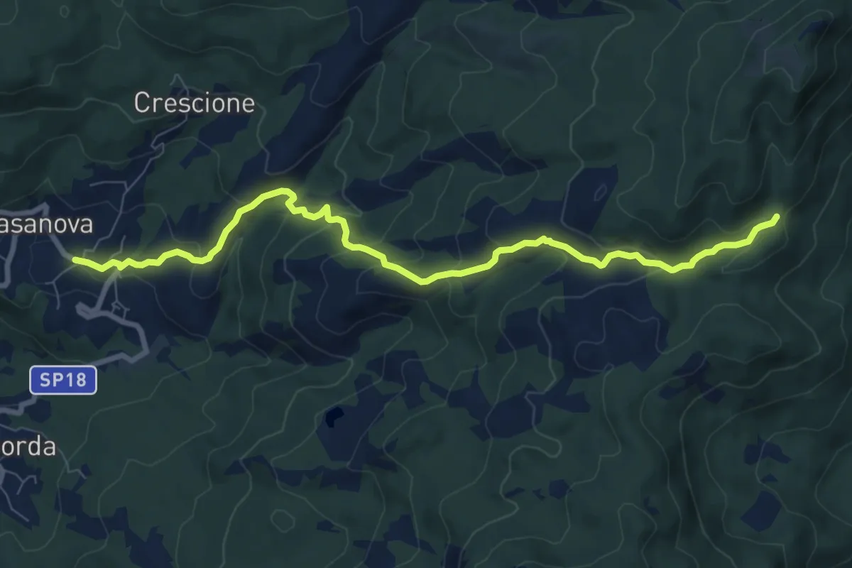
Medium · Trail
Antica Via del Cifalco - deviazione Casanova Rovegno
9.2 km · ↑ 456 m · 3 h 9 min
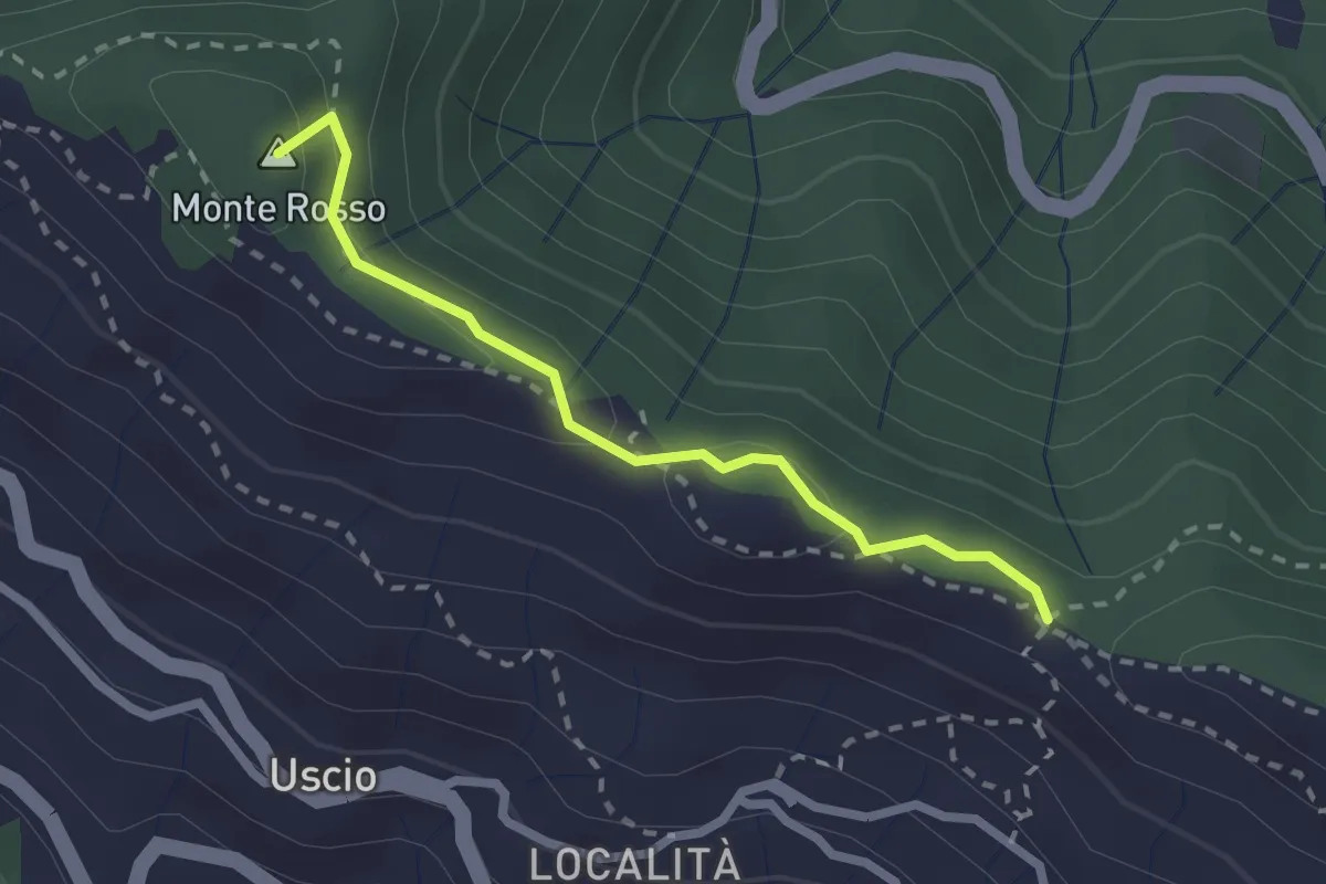
Medium · Summit
Antica Via del Cifalco - deviazione Colle Caprile
2.3 km · ↑ 65 m · 41 min
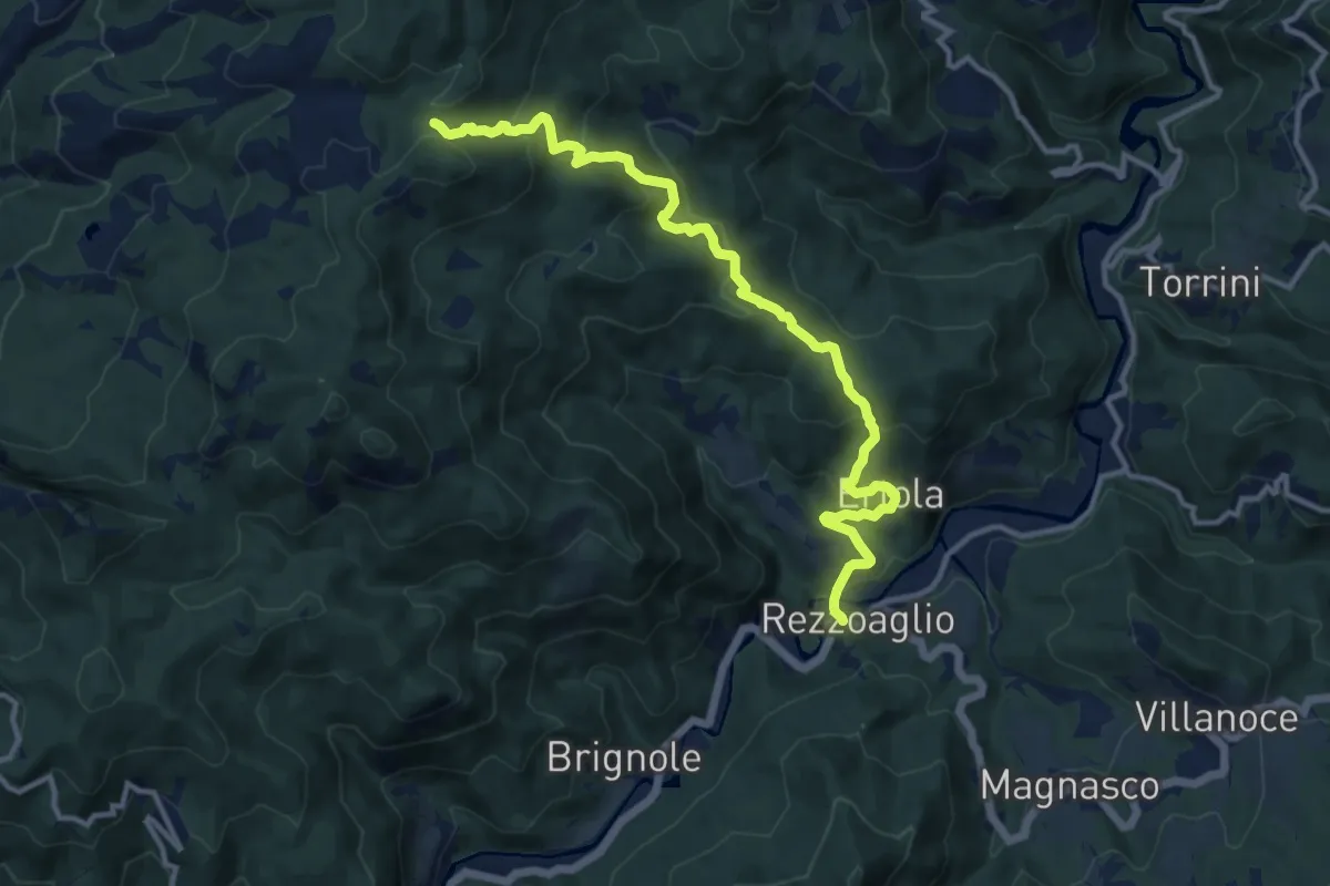
Medium · Trail
Antica Via del Cifalco - deviazione Ertola-Rezzoaglio
13.2 km · ↑ 749 m · 4 h 44 min