Trails in Italy
25,219 hiking trails, each with its route, climb, walking time and grade.
All trails, page 207 of 526
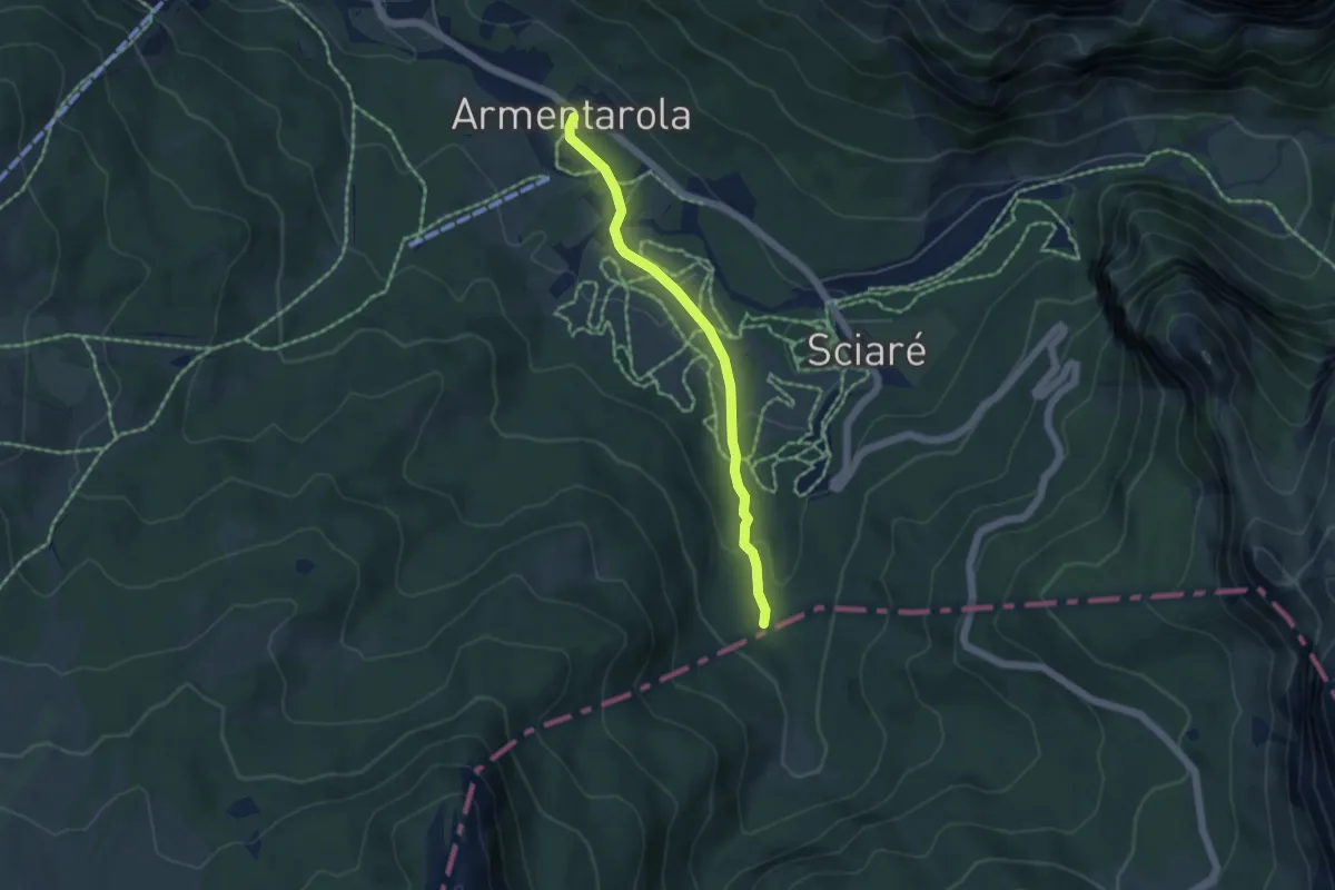
Easy · Trail
Tru dl Fër
4.3 km · ↑ 96 m · 1 h 14 min
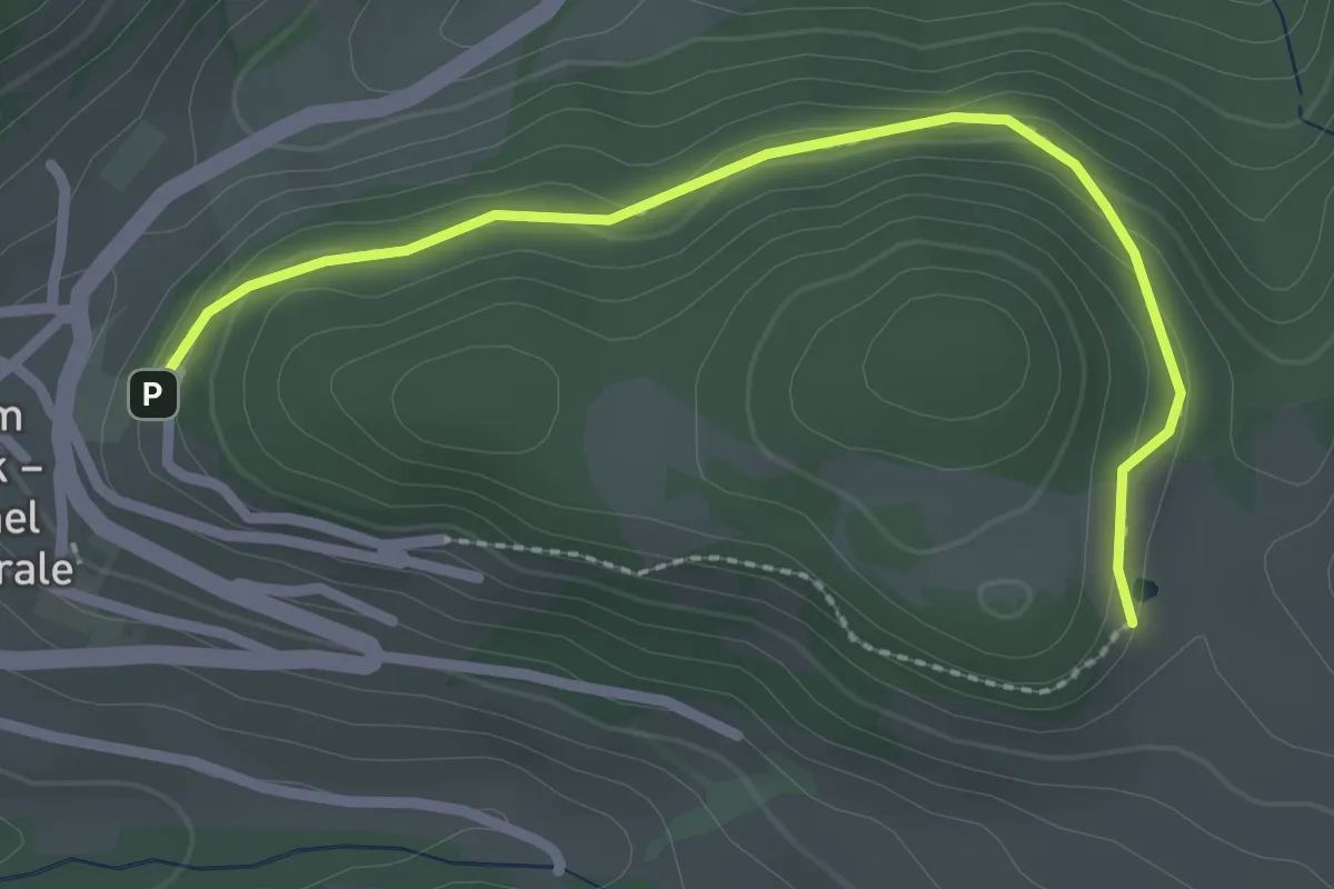
Easy · Trail
Trudner Sagenweg
2.6 km · ↑ 82 m · 47 min
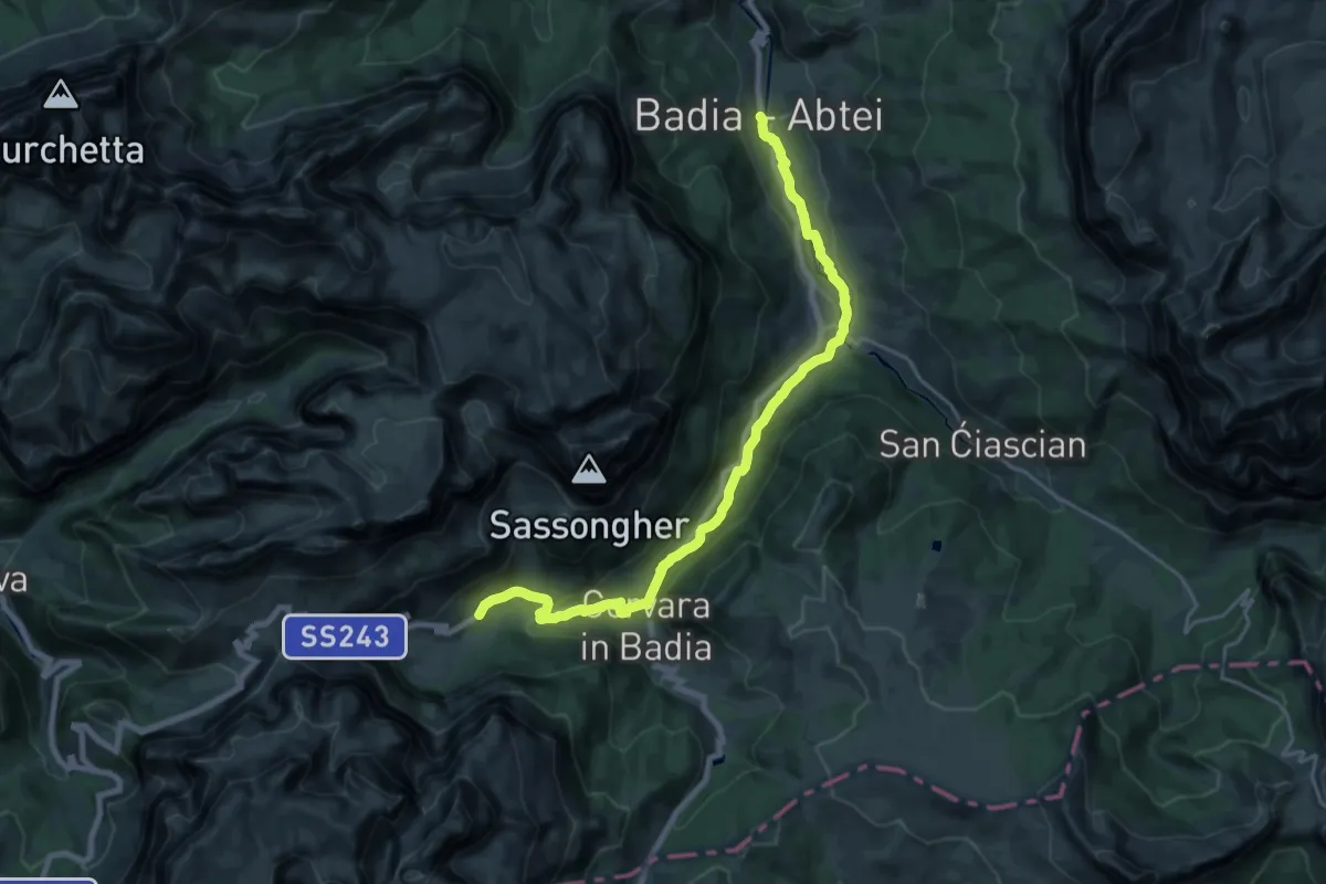
Demanding · Trail
Tru do l'ega
22.3 km · ↑ 412 m · 6 h 9 min
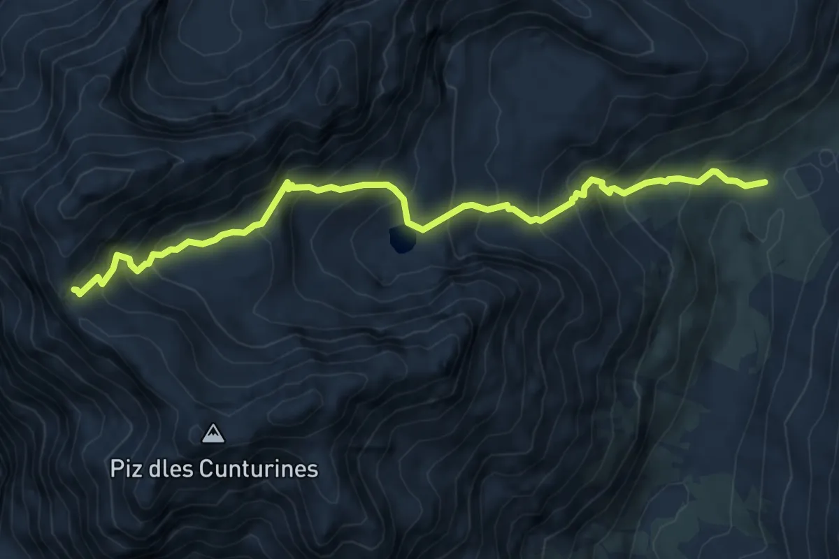
Demanding · Trail
Tru Dolomieu
7.2 km · ↑ 746 m · 3 h 20 min
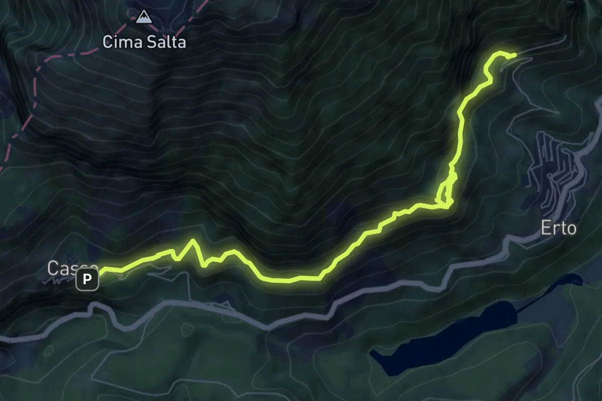
Demanding · Trail
Trui dal Sciarbon
9.4 km · ↑ 918 m · 4 h 12 min
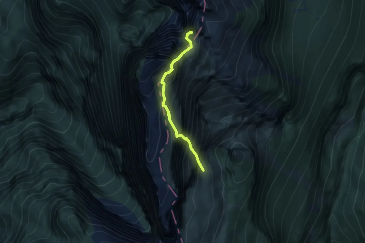
Demanding · Summit
Trui de Pintha
2.9 km · ↑ 899 m · 2 h 37 min
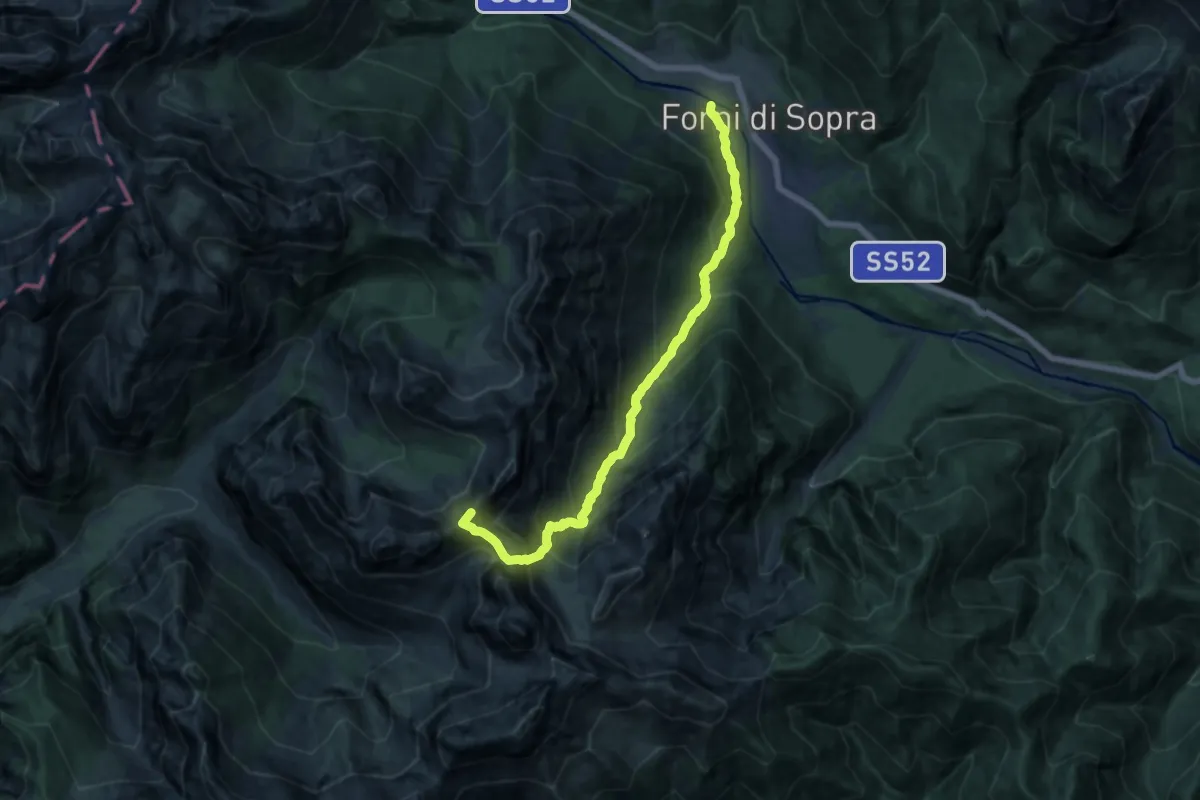
Demanding · Summit
Truoi dai Sclops
14.1 km · ↑ 1343 m · 6 h 14 min
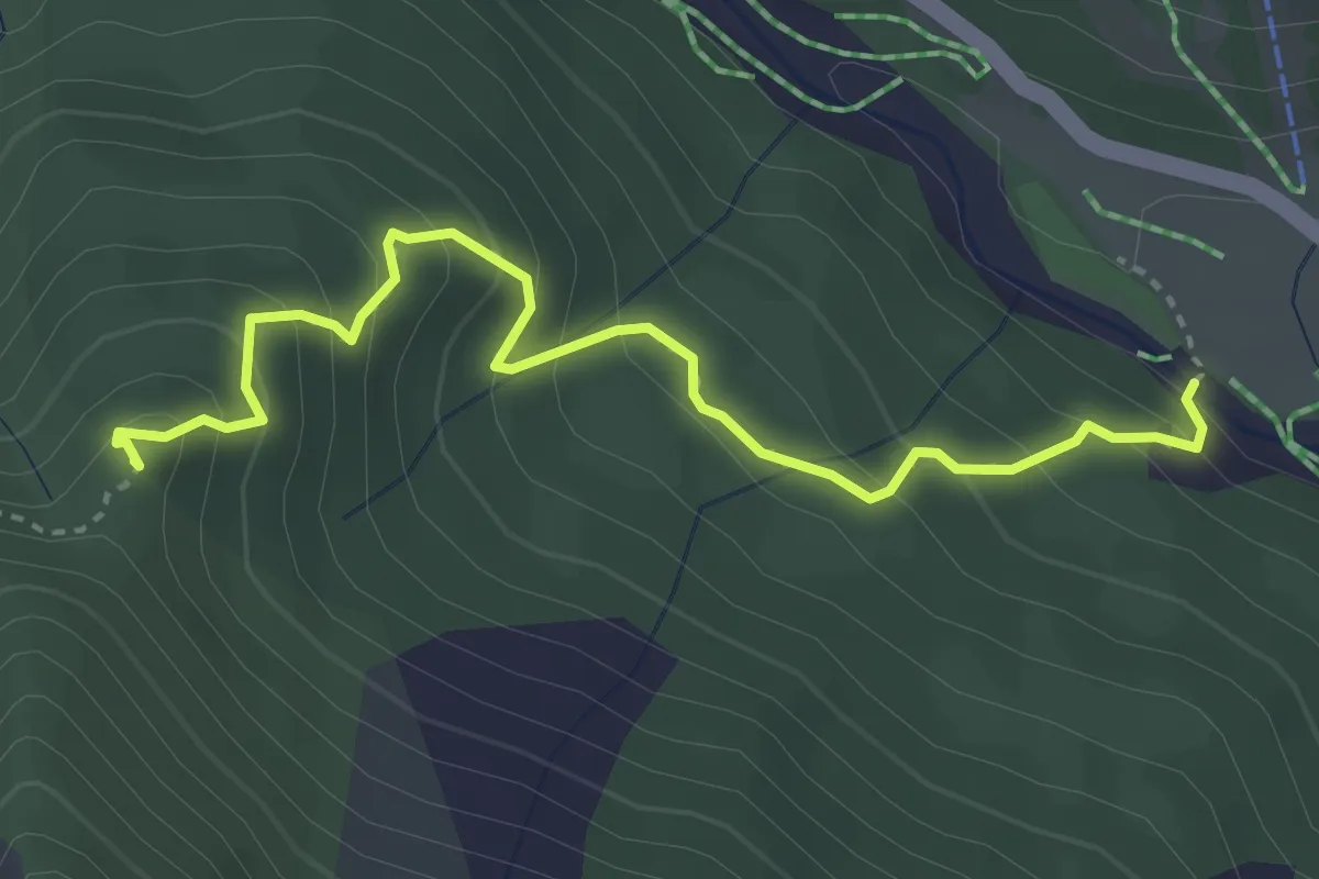
Medium · Summit
Truoi dal Von
3.8 km · ↑ 340 m · 1 h 38 min
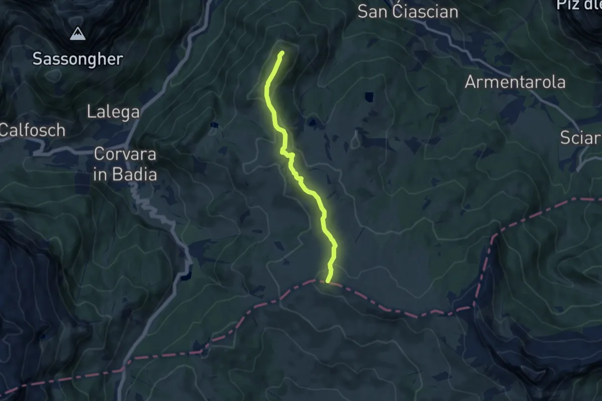
Medium · Summit
Tru Panoramic
8.6 km · ↑ 249 m · 2 h 34 min
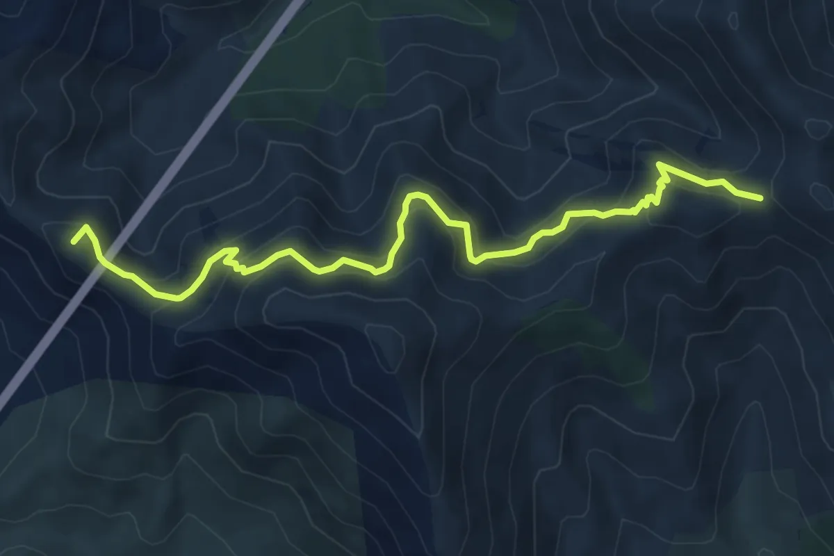
Medium · Summit
TS
7.5 km · ↑ 599 m · 3 h 4 min
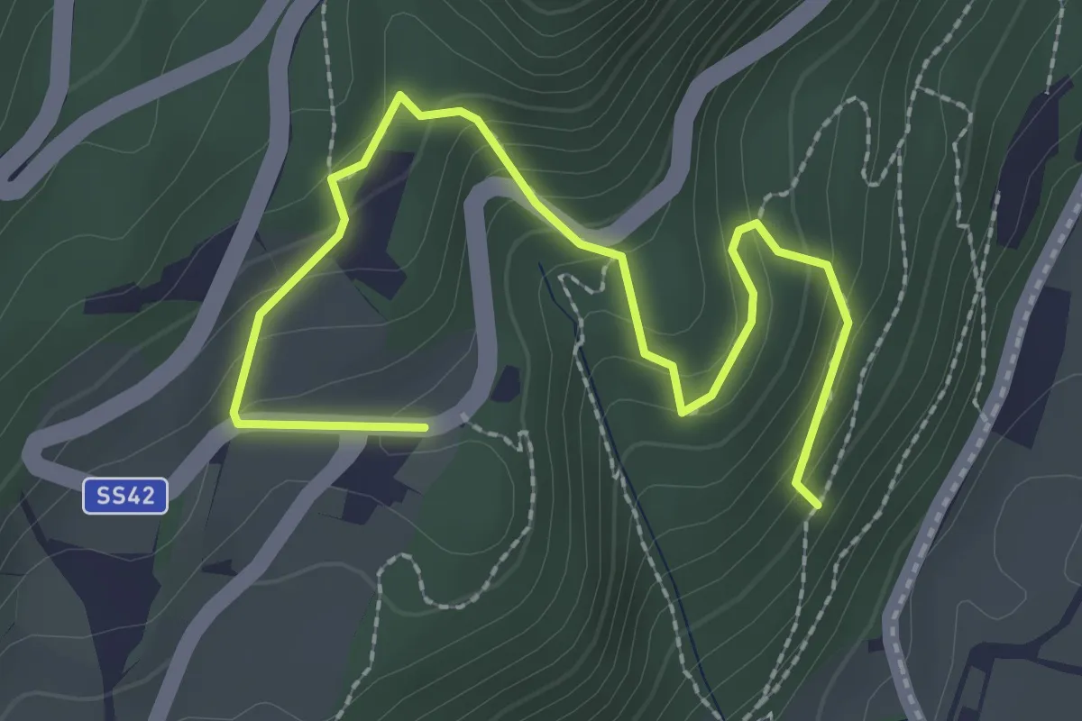
Medium · Trail
Tuiflslammerweg
3.0 km · ↑ 197 m · 1 h 8 min
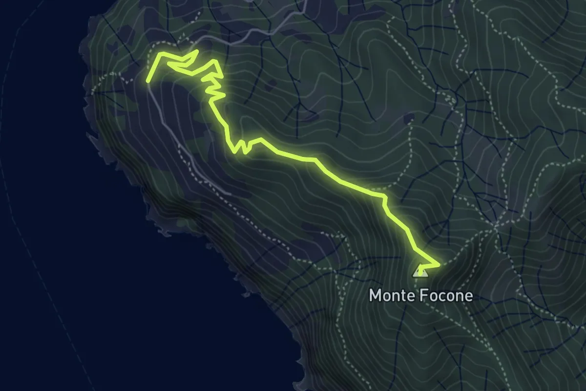
Medium · Summit
Tuvo – C.sa Massola – M.Focone - innesto 591
5.6 km · ↑ 420 m · 2 h 14 min
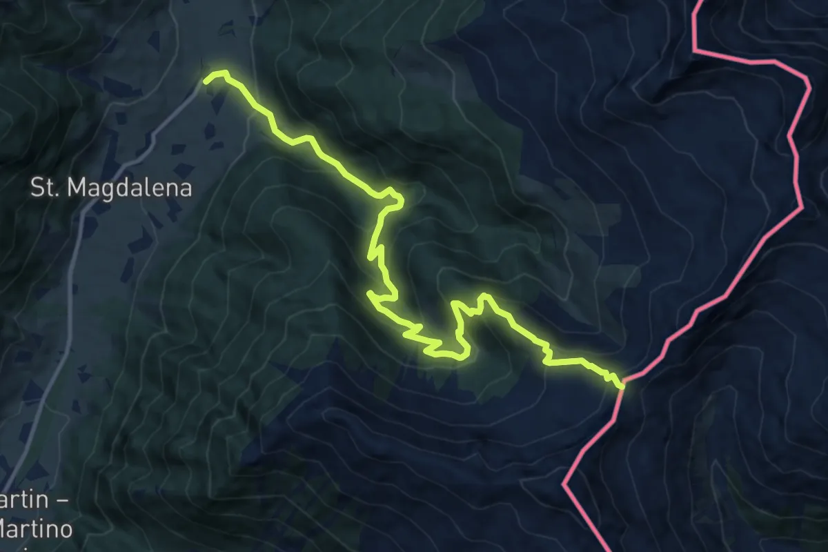
Demanding · Trail
Über die Jöcher
13.4 km · ↑ 930 m · 5 h 11 min
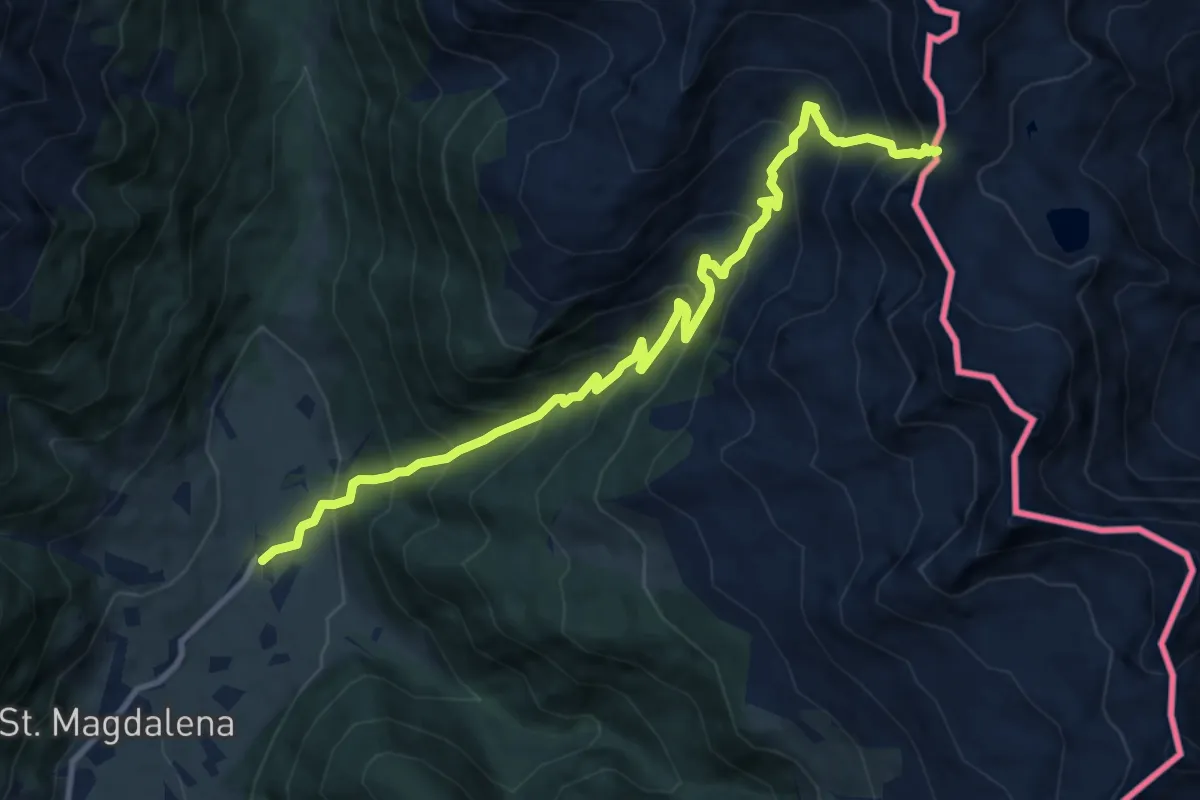
Demanding · Trail
Über die Jöcher
11.2 km · ↑ 1098 m · 5 h 1 min
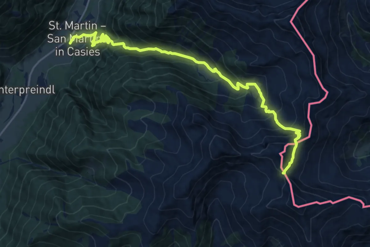
Demanding · Trail
Über die Jöcher
16.1 km · ↑ 1414 m · 6 h 52 min
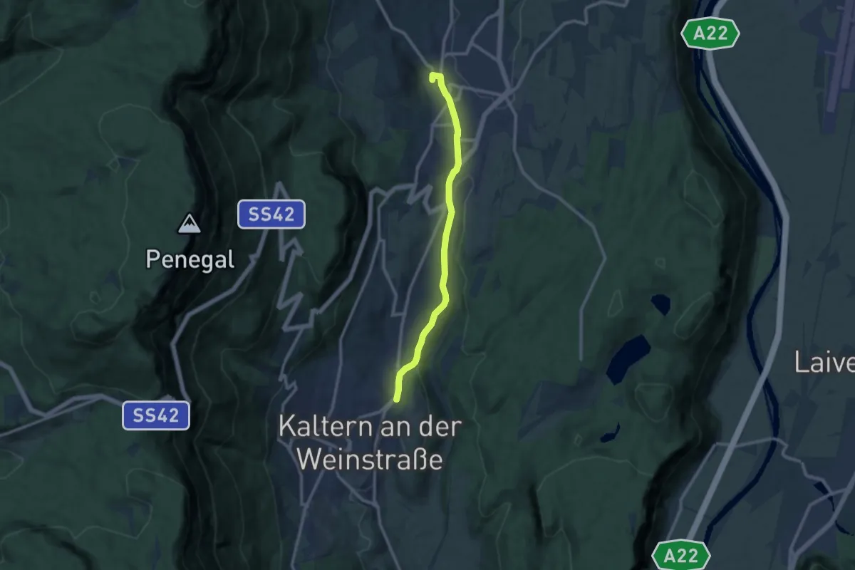
Medium · Trail
Überetscher Spazierweg
9.3 km · ↑ 96 m · 2 h 24 min
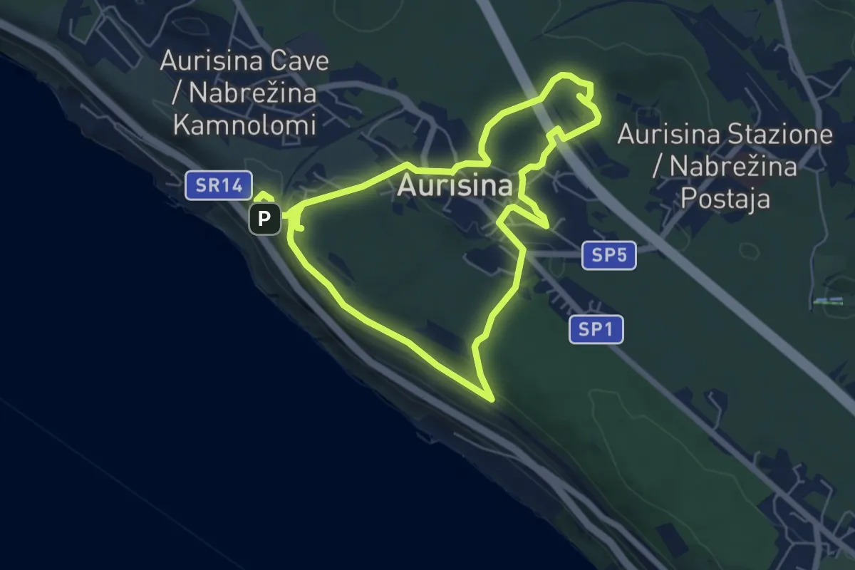
Easy · Summit
Učna pot Nabrežina / Percorso didattico Aurisina
5.5 km · ↑ 128 m · 1 h 38 min
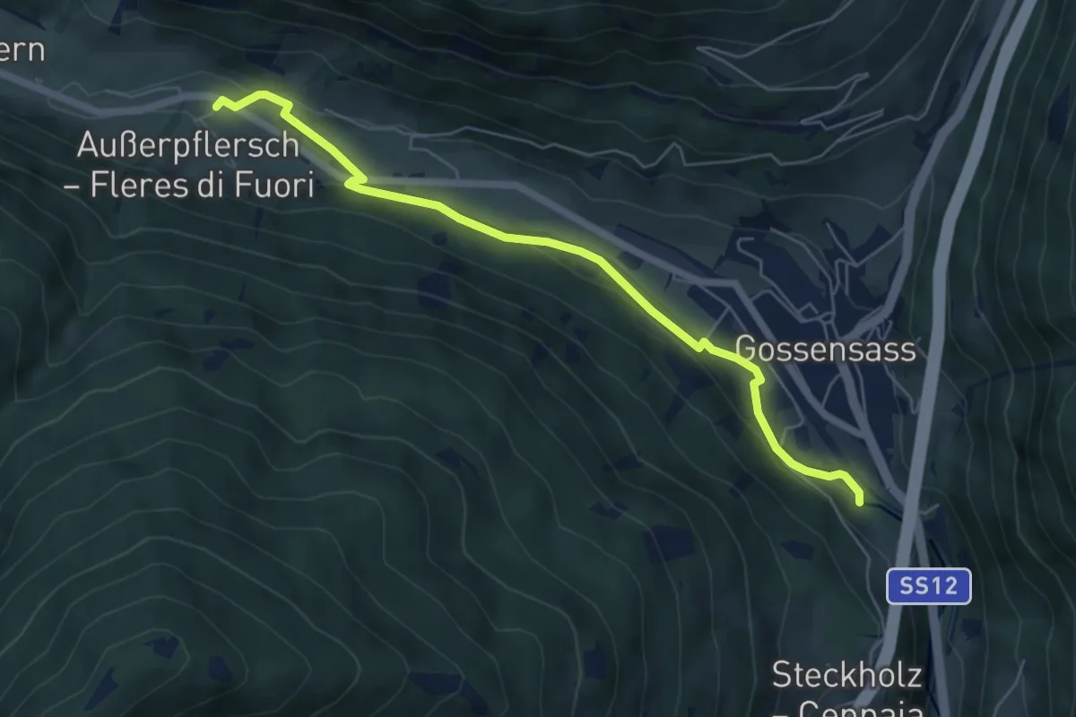
Easy · Trail
Uferpromenade - Lungofiume
6.0 km · ↑ 101 m · 1 h 39 min
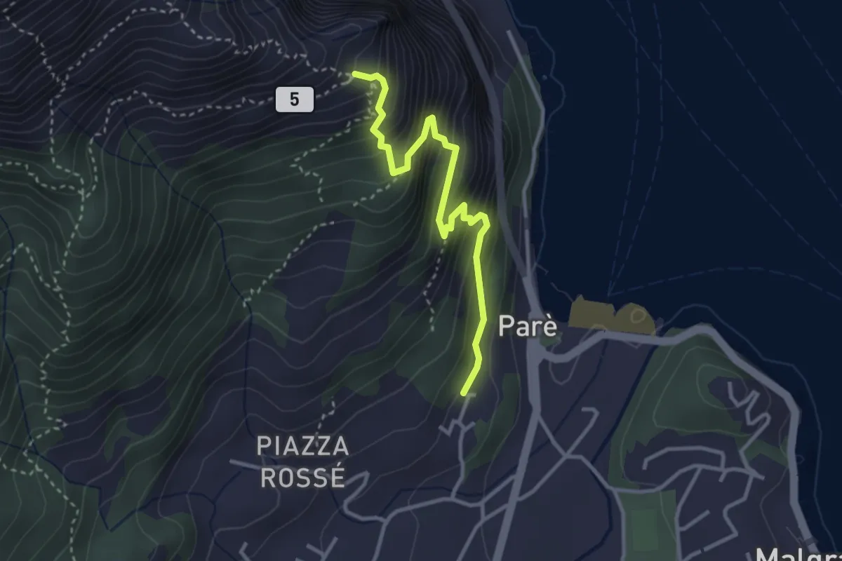
Demanding · Trail
Ul Sentee del Lach
3.2 km · ↑ 411 m · 1 h 39 min
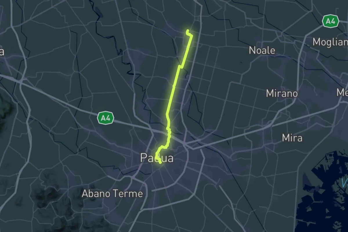
Demanding · Pilgrim path
Ultimo Cammino di Sant'Antonio
23.6 km · ↑ 34 m · 5 h 59 min
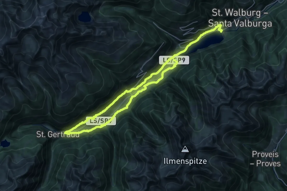
Demanding · Trail
Ultner Höfeweg
20.9 km · ↑ 833 m · 7 h 2 min
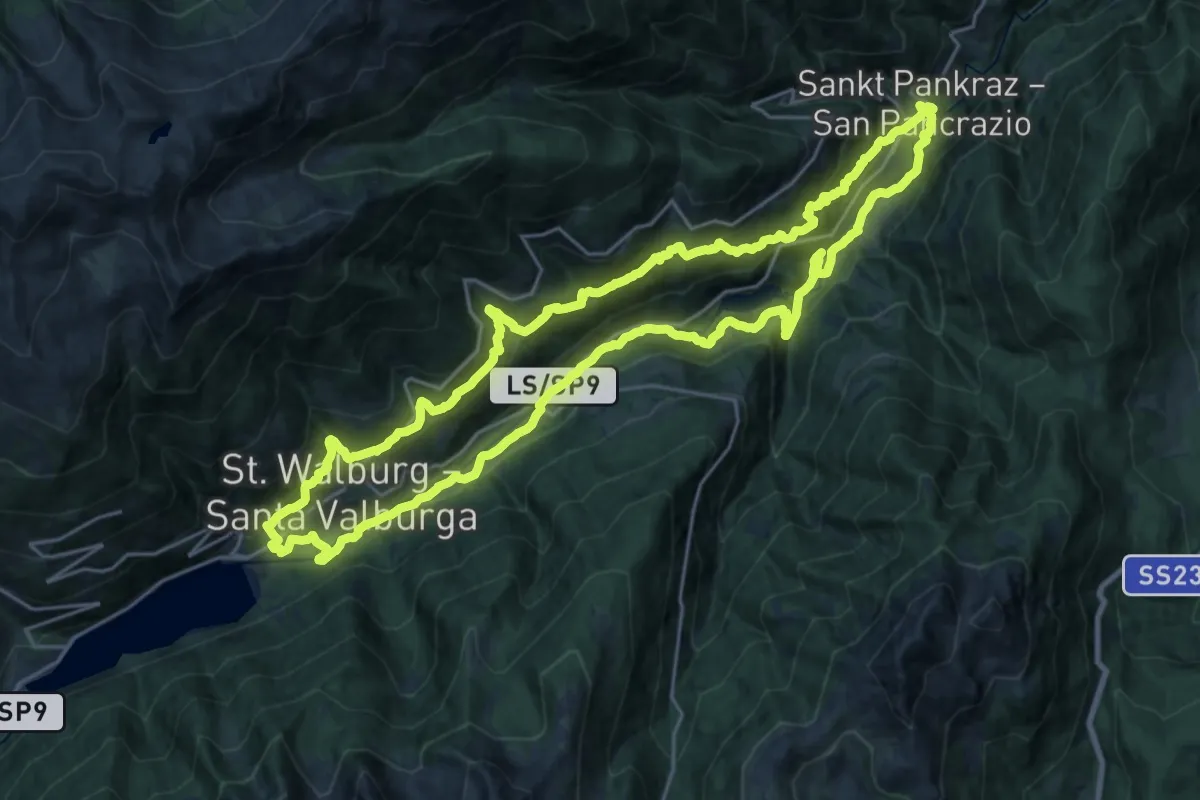
Demanding · Trail
Ultner Talweg
23.3 km · ↑ 1297 m · 8 h 38 min
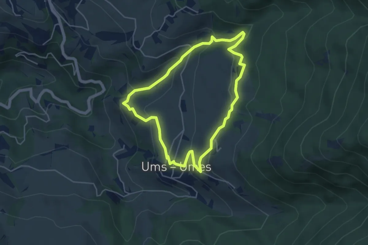
Easy · Trail
Umser Rundweg
3.8 km · ↑ 198 m · 1 h 22 min
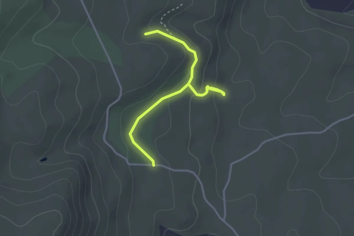
Easy · Trail
Un Bosco da Fiaba
3.5 km · ↑ 128 m · 1 h 6 min
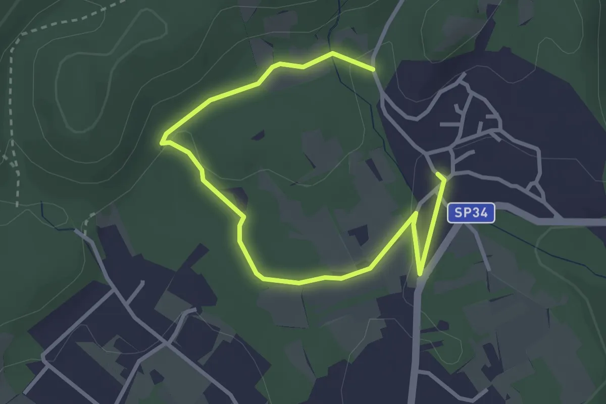
Easy · Trail
Un sentiero da favola - La via degli elfi
3.8 km · ↑ 51 m · 1 h
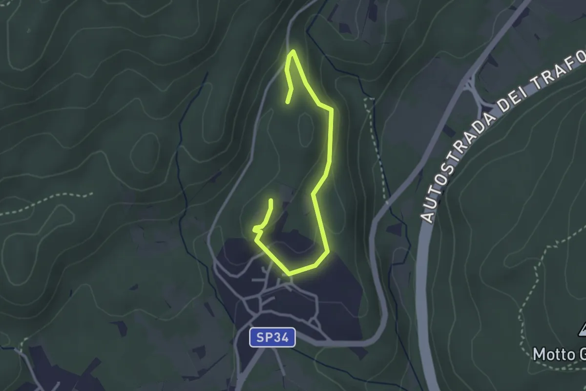
Easy · Trail
Un sentiero da favola - La via dei folletti
3.1 km · ↑ 87 m · 55 min
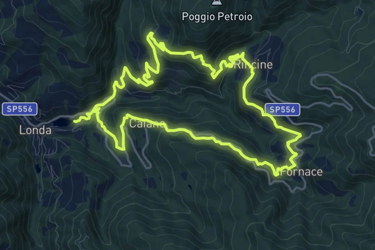
Medium · Trail
Un sentiero per Londa
12.3 km · ↑ 671 m · 4 h 33 min
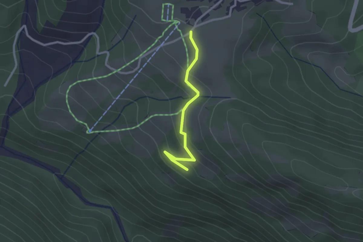
Easy · Trail
Unterankhlopfe
2.0 km · ↑ 98 m · 41 min
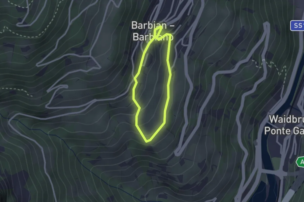
Easy · Trail
Unterdorf-Rundweg
1.7 km · ↑ 109 m · 40 min
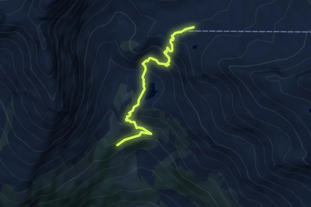
Demanding · Cabin
Unterer Erlebnispfad
4.5 km · ↑ 354 m · 1 h 50 min
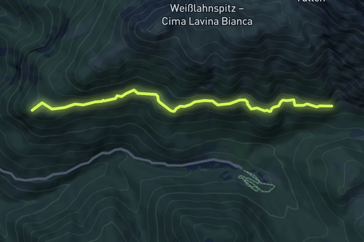
Medium · Summit
Unterer Herrensteig - Sentiero dei Signori inferiore
7.2 km · ↑ 525 m · 2 h 51 min
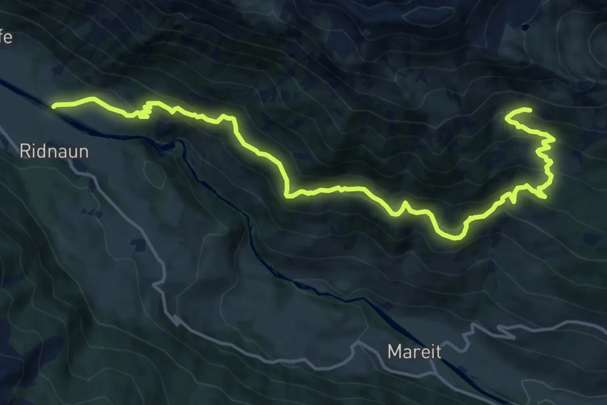
Demanding · Trail
Unterer Ridnauner Höhenweg
16.3 km · ↑ 1282 m · 6 h 37 min
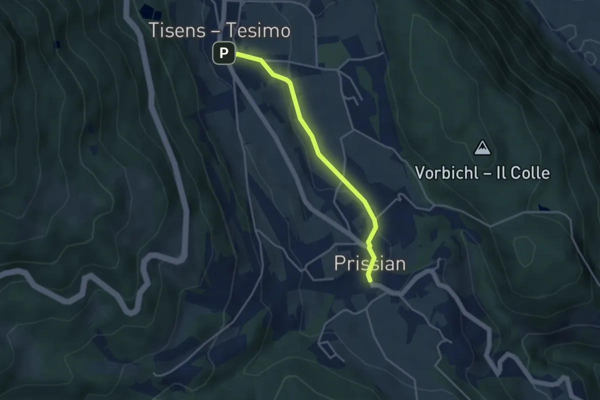
Easy · Trail
Unterer Wiesenweg
3.1 km · ↑ 61 m · 52 min
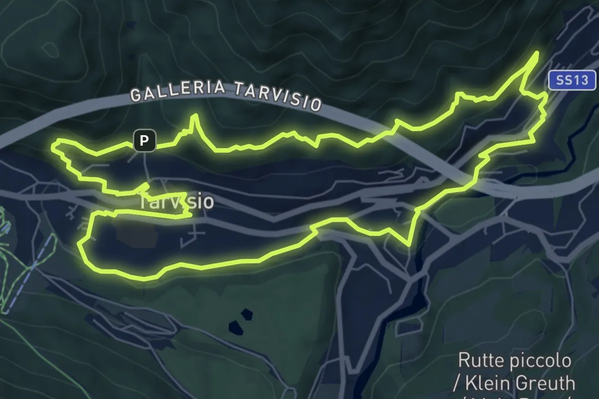
Medium · Trail
Urban Nature trekking biodiversità
7.8 km · ↑ 317 m · 2 h 38 min
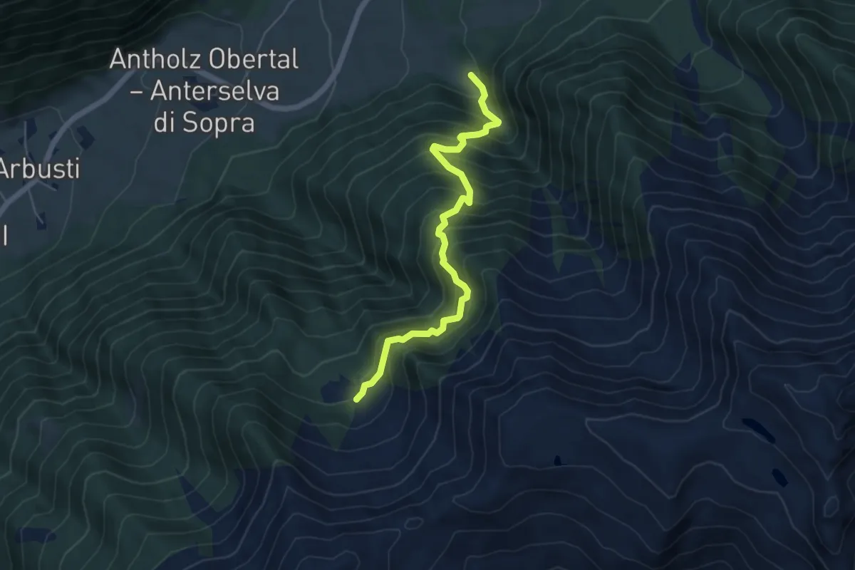
Medium · Trail
Uristeig
5.2 km · ↑ 742 m · 2 h 50 min
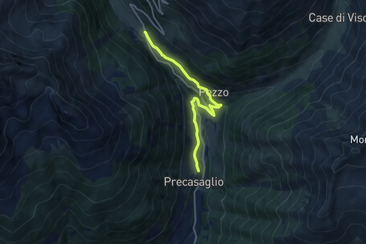
Easy · Trail
Urtìghe
4.1 km · ↑ 269 m · 1 h 31 min
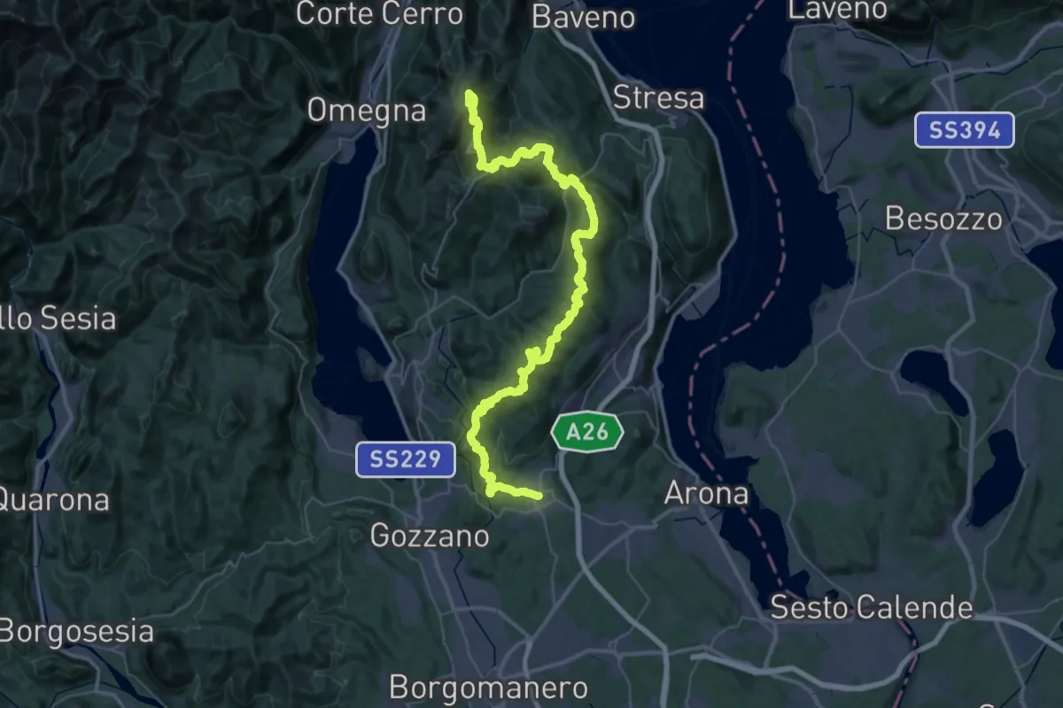
Demanding · Summit
V00 - Dorsale Vergante
57.1 km · ↑ 2393 m · 18 h 39 min
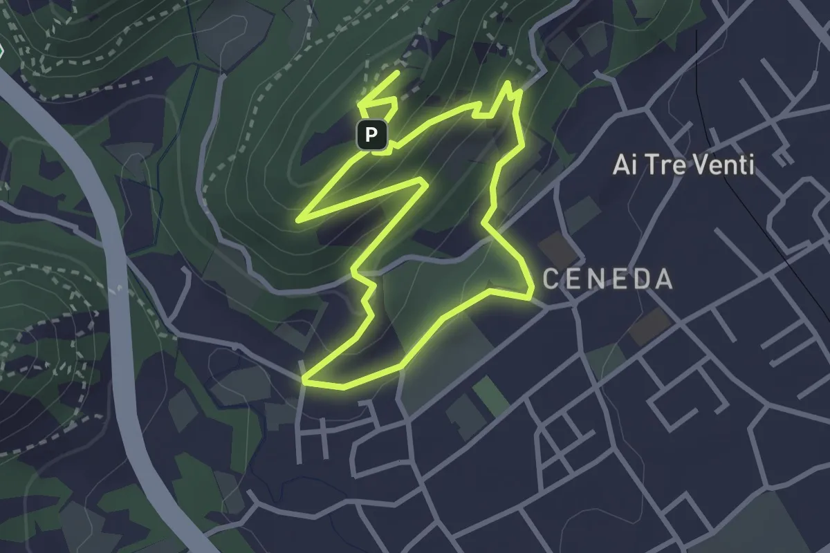
Easy · Summit
V11 - Colle San Paolo
2.7 km · ↑ 152 m · 1 h 1 min
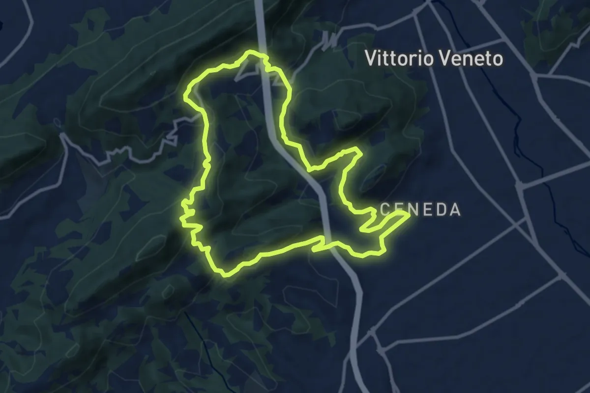
Medium · Summit
V13 - Perdonanzestellung
9.5 km · ↑ 496 m · 3 h 27 min
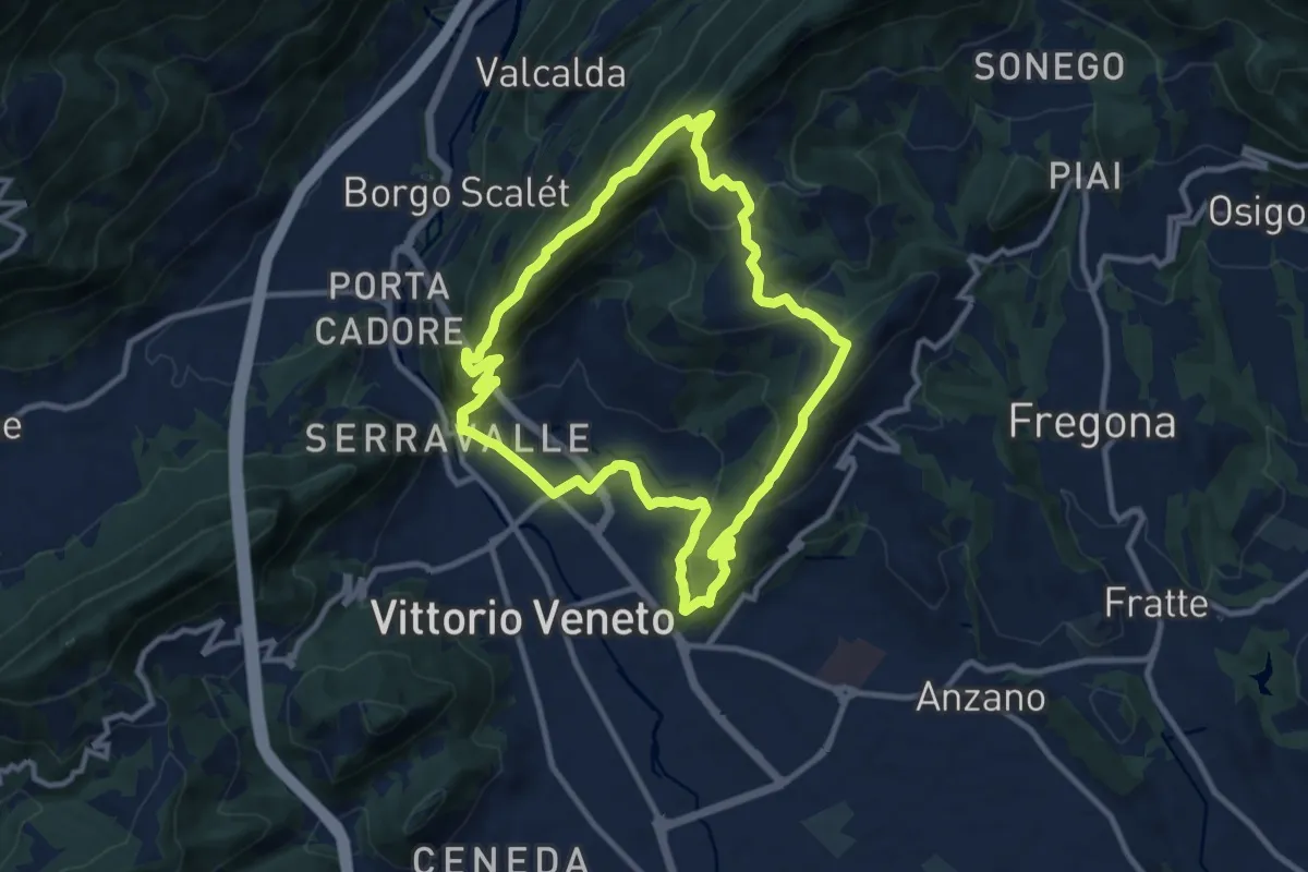
Medium · Trail
V2 - Il Giro delle Due Coste
10.1 km · ↑ 670 m · 3 h 59 min
Medium · Trail
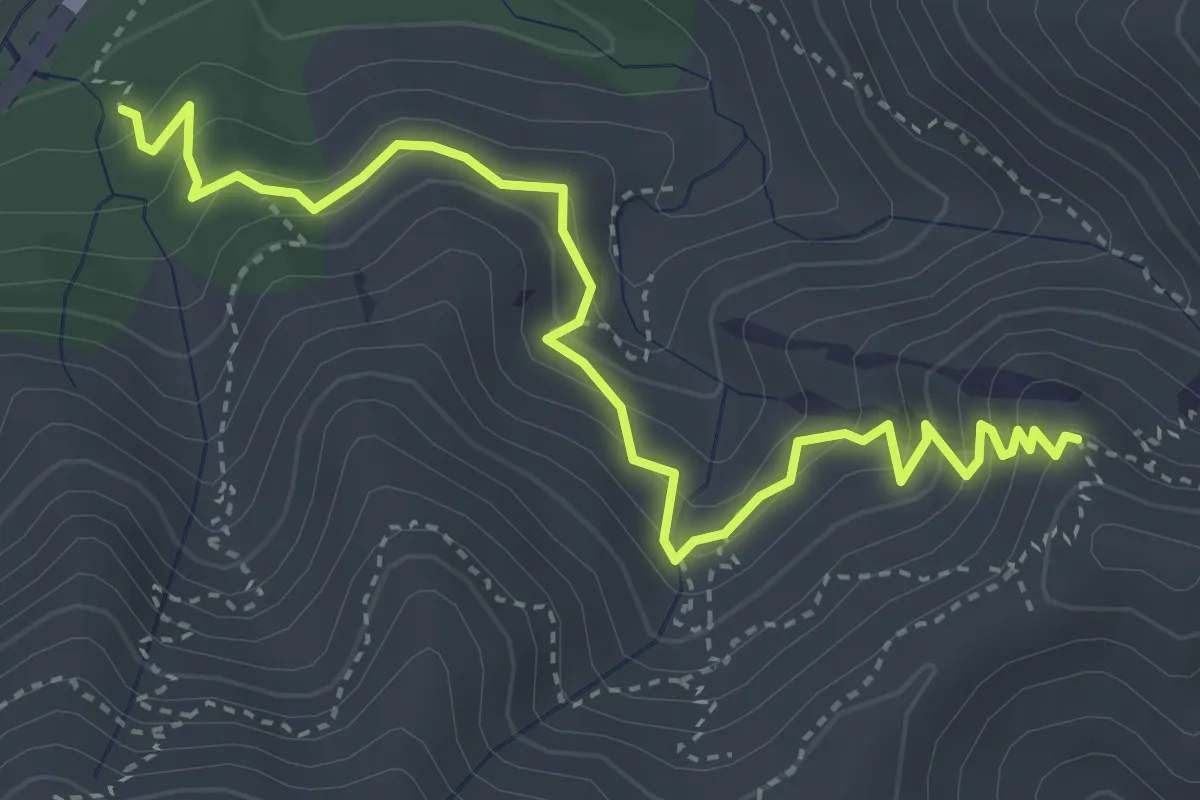
VA
4.9 km · ↑ 381 m · 2 h
Medium · Trail
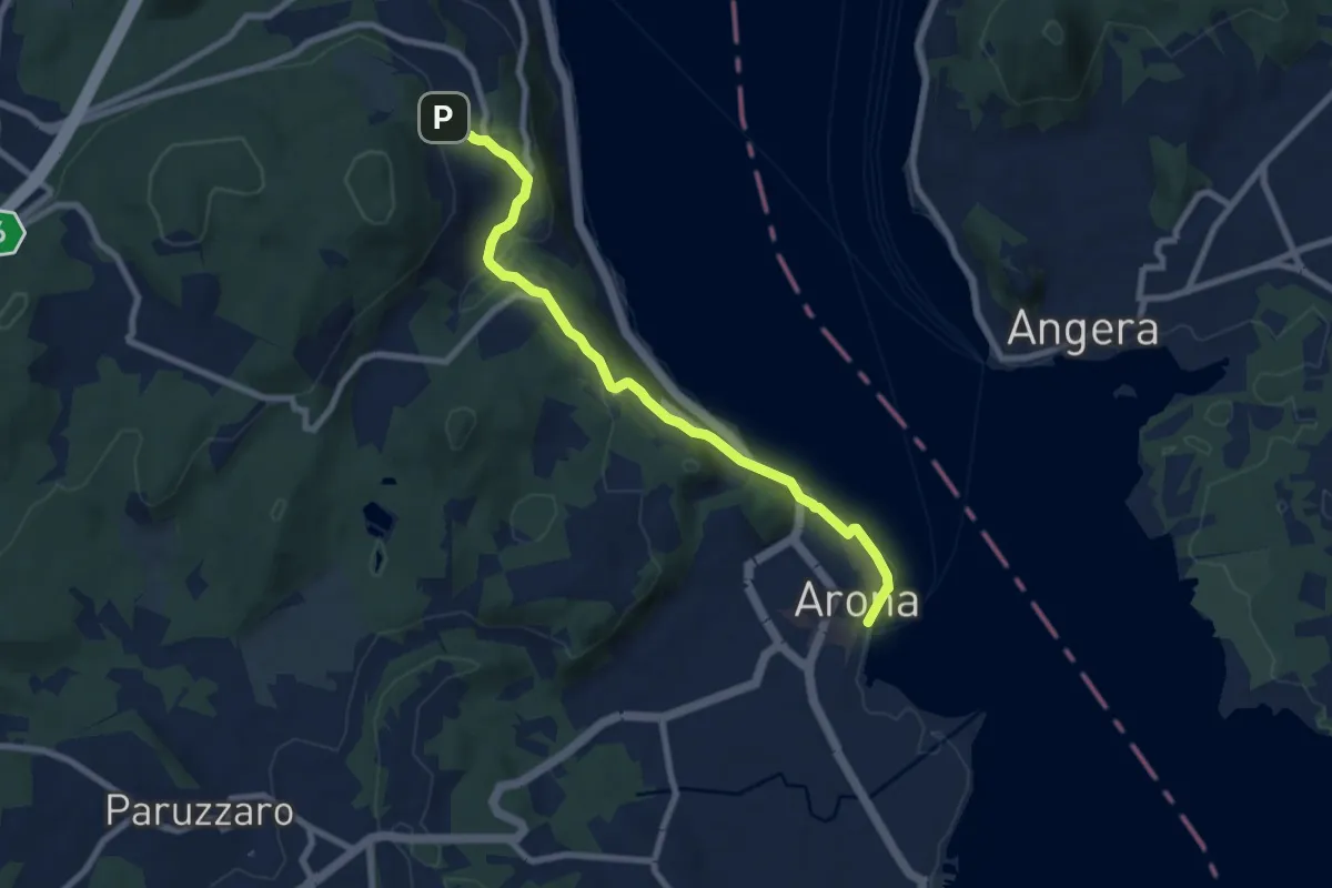
VA0 - Arona - Dagnente
8.1 km · ↑ 258 m · 2 h 28 min
Easy · Trail
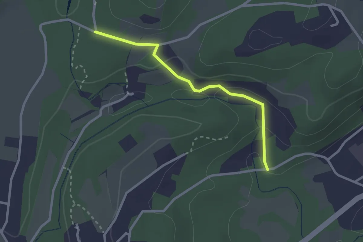
VA1a - Cascina Maglia - Cicognone di Sotto
2.2 km · ↑ 69 m · 40 min
Easy · Trail
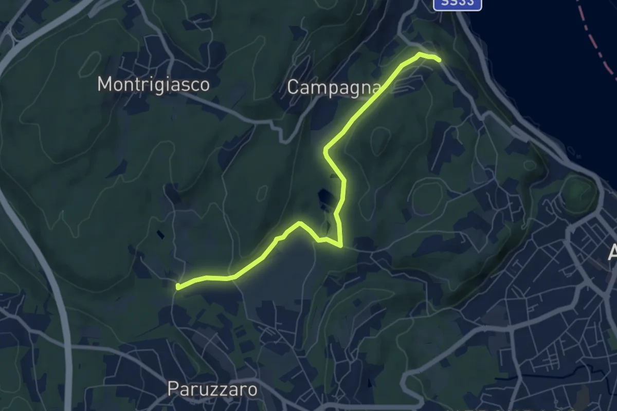
VA1 - Arona - Paruzzaro
7.1 km · ↑ 112 m · 1 h 55 min
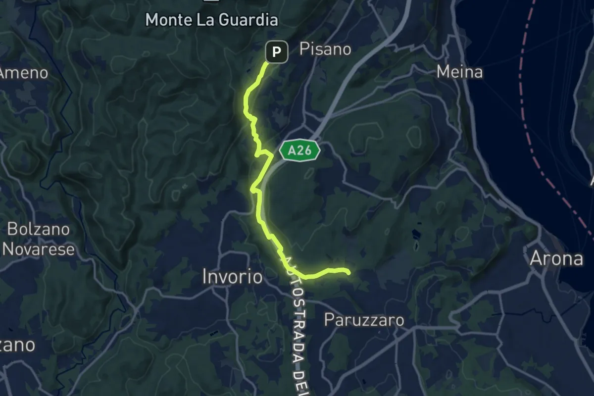
Medium · Trail
VA2 - Paruzzaro - Colazza
12.0 km · ↑ 334 m · 3 h 34 min
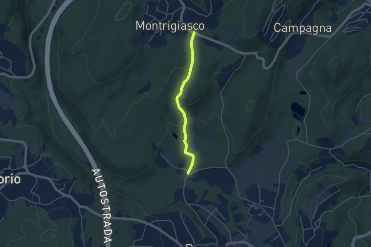
Easy · Trail
VA3 - Paruzzaro - Montrigiasco
3.3 km · ↑ 104 m · 1 h
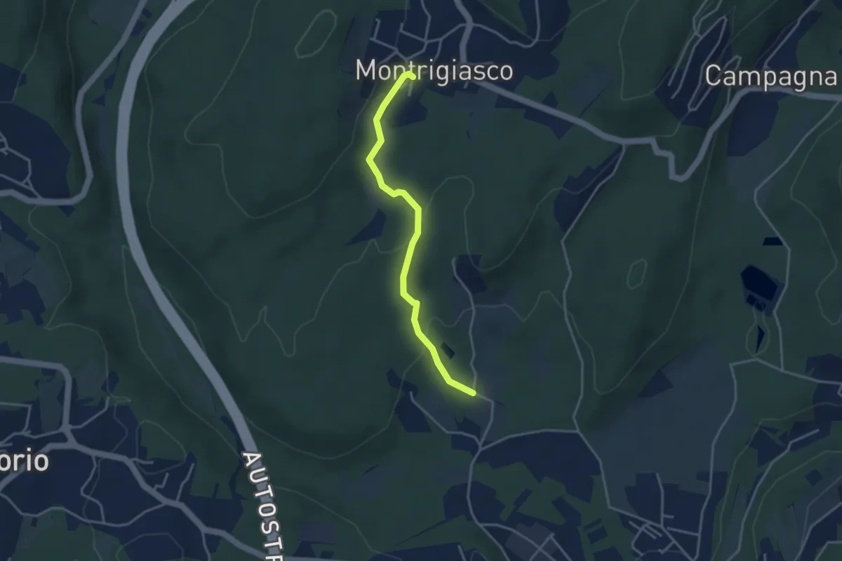
Easy · Trail
VA4 - Santa Eufemia - Montrigiasco
3.4 km · ↑ 118 m · 1 h 3 min
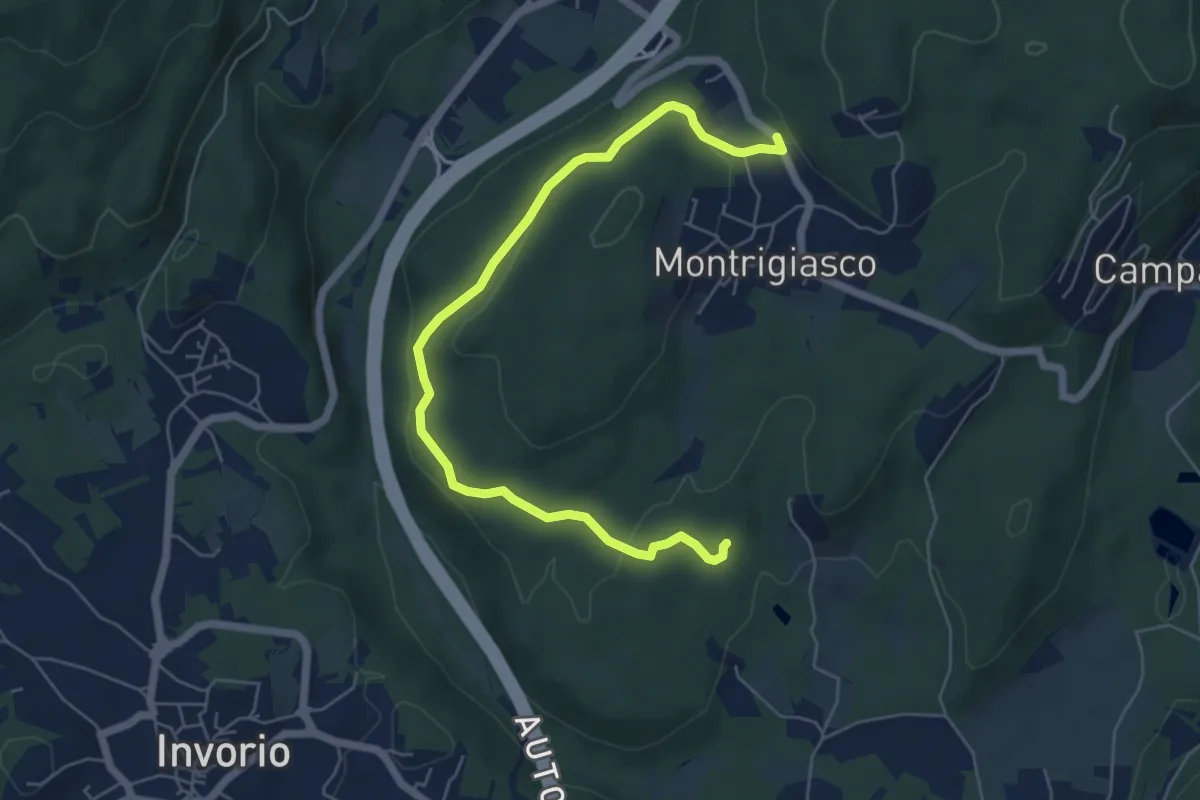
Easy · Trail
VA5 - Sant'Eufemia - Montrigiasco
6.6 km · ↑ 164 m · 1 h 55 min