Trails in Italy
25,219 hiking trails, each with its route, climb, walking time and grade.
All trails, page 208 of 526
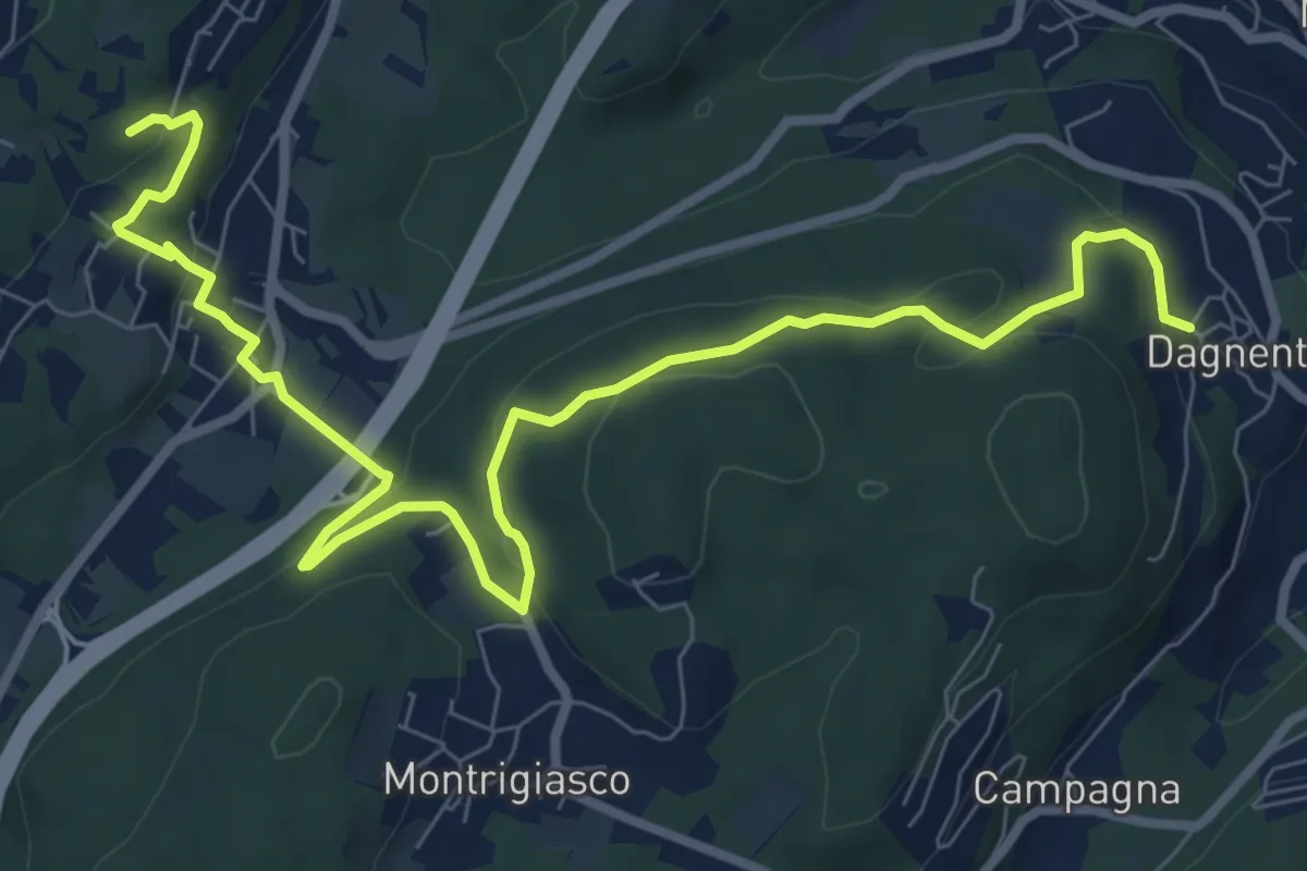
Medium · Trail
VA6 - Dagnente - Colazza
10.7 km · ↑ 321 m · 3 h 13 min
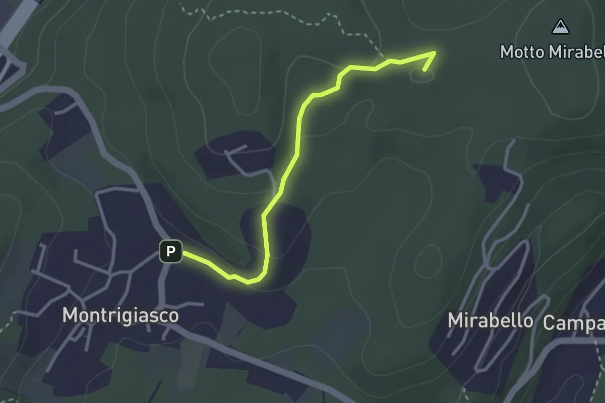
Easy · Summit
VA7 - Montrigiasco - Bivio VA8
2.7 km · ↑ 86 m · 50 min
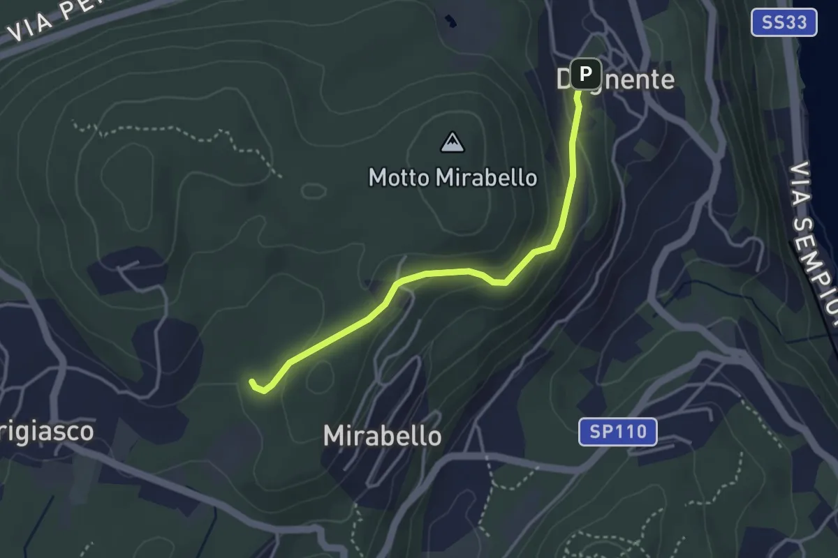
Easy · Trail
VA8 - Dagnente - Bivio VA9
3.3 km · ↑ 105 m · 1 h
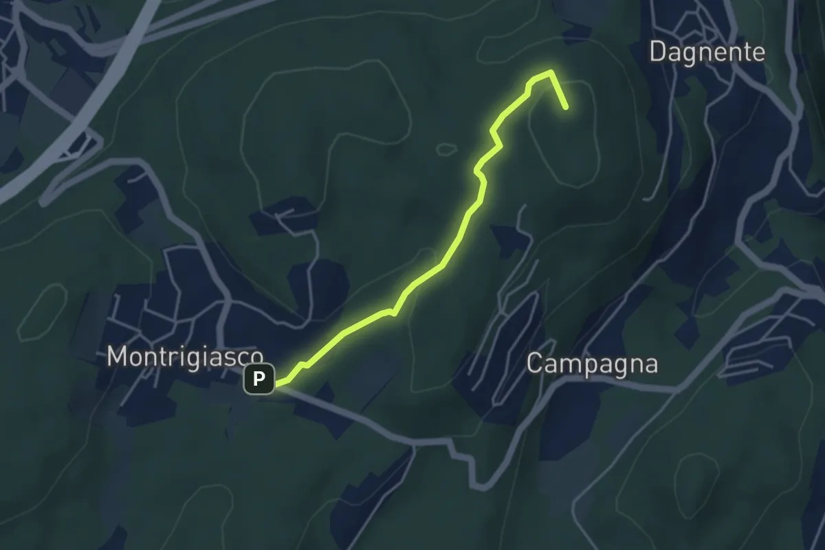
Medium · Summit
VA9 - Montrigiasco - Dagnente
3.6 km · ↑ 104 m · 1 h 4 min
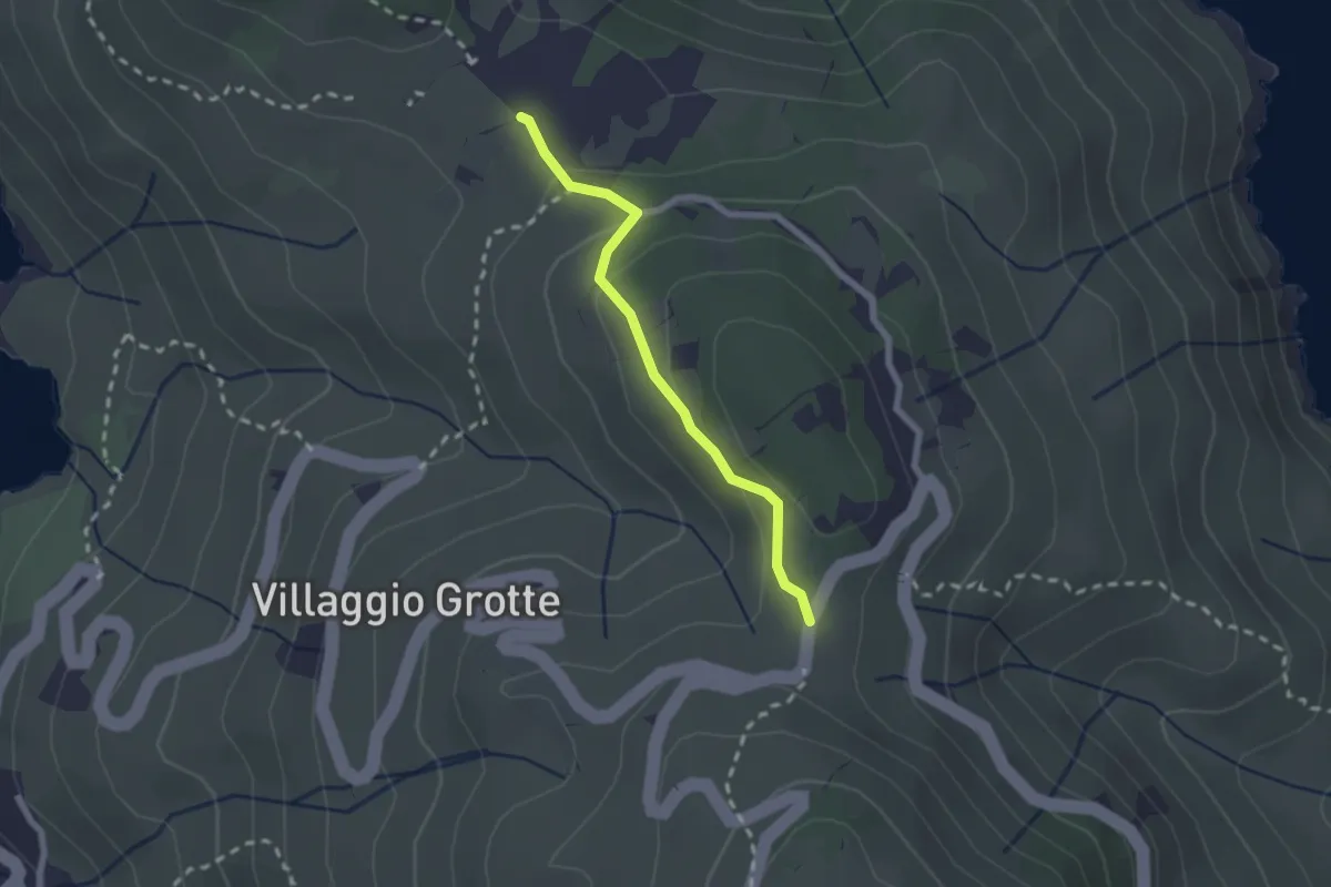
Easy · Trail
Vaccarecce - Scopeto
2.1 km · ↑ 89 m · 41 min
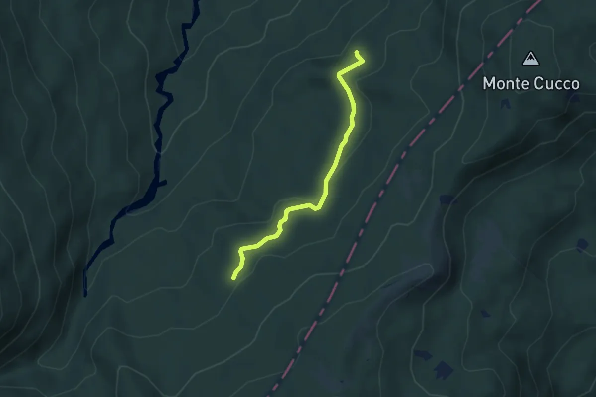
Easy · Trail
Vaccareccia - Ronco Matteo Ovest
3.5 km · ↑ 98 m · 1 h 3 min
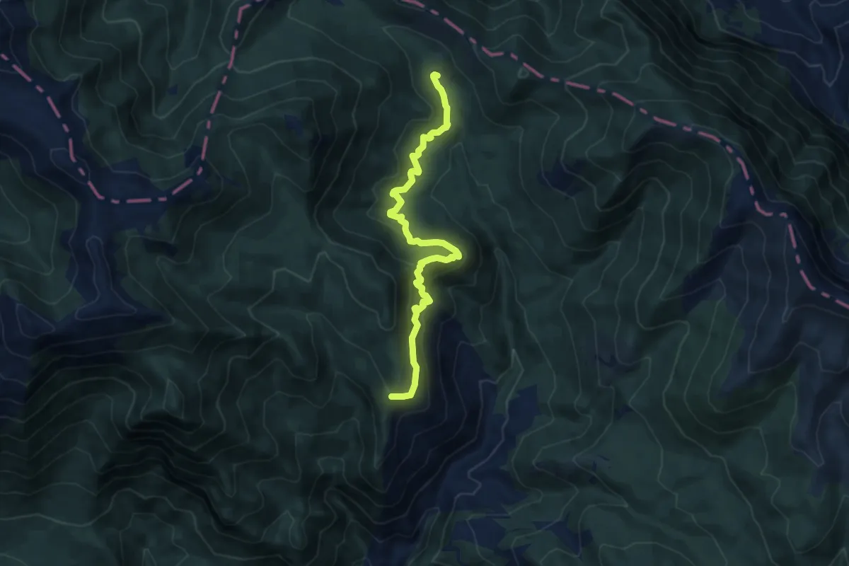
Medium · Cabin
Vado di Porca - Rifugio di Pietra Acquara
10.4 km · ↑ 600 m · 3 h 45 min
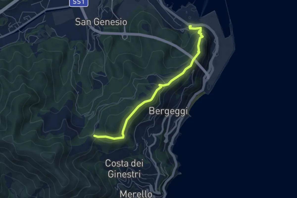
Medium · Trail
Vado Ligure - Gola di Sant'Elena
6.2 km · ↑ 360 m · 2 h 14 min
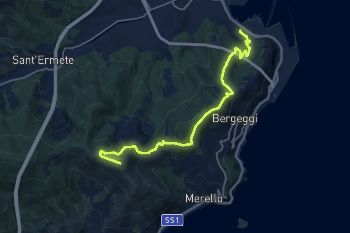
Medium · Summit
Vado Ligure - Monte Mao - Spotorno
10.6 km · ↑ 577 m · 3 h 45 min
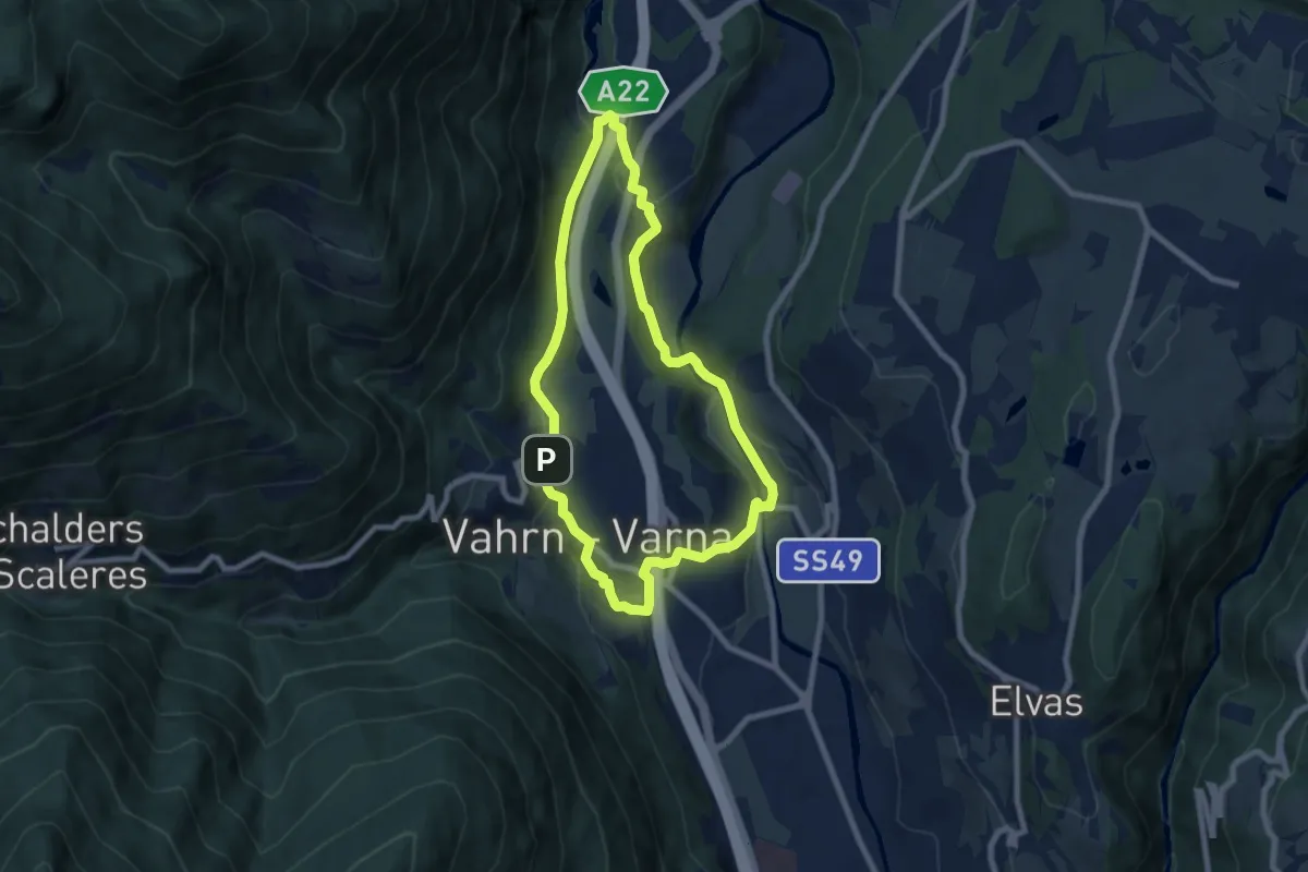
Easy · Trail
Vahrner Dorfrunde - Giro di Varna
7.0 km · ↑ 203 m · 2 h 12 min
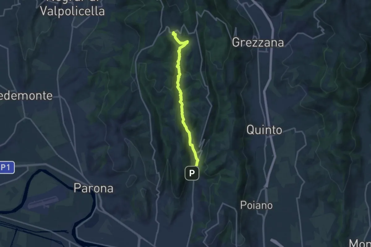
Demanding · Trail
Vajo Borago
11.3 km · ↑ 404 m · 3 h 33 min
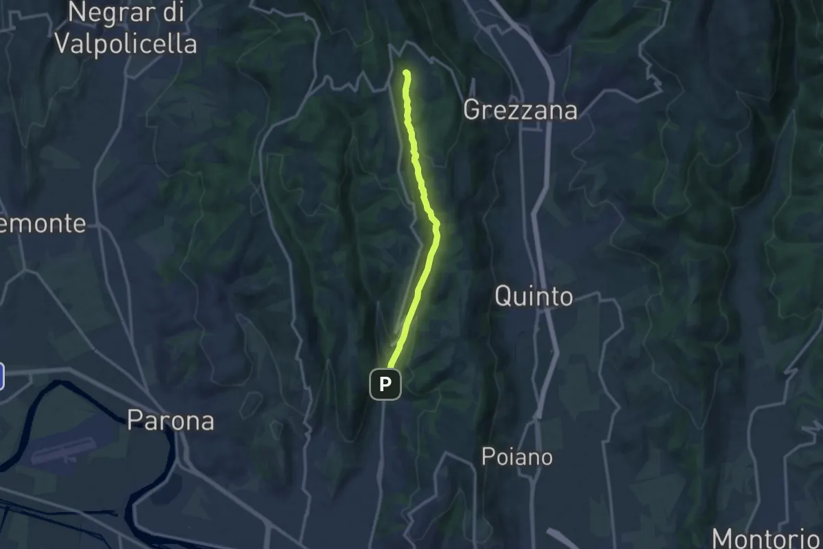
Medium · Trail
Vajo Galina
10.1 km · ↑ 334 m · 3 h 7 min
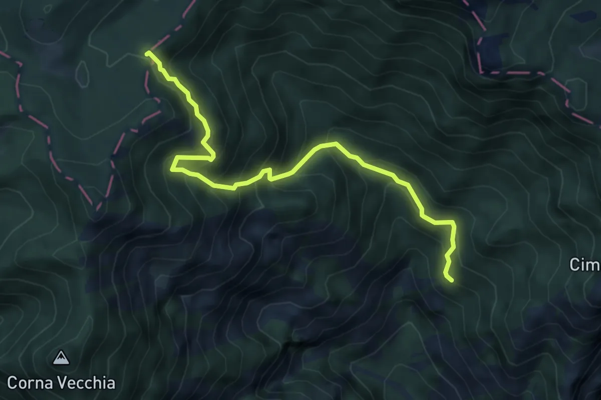
Medium · Trail
Valacco, Passo Bestana
6.2 km · ↑ 661 m · 2 h 54 min
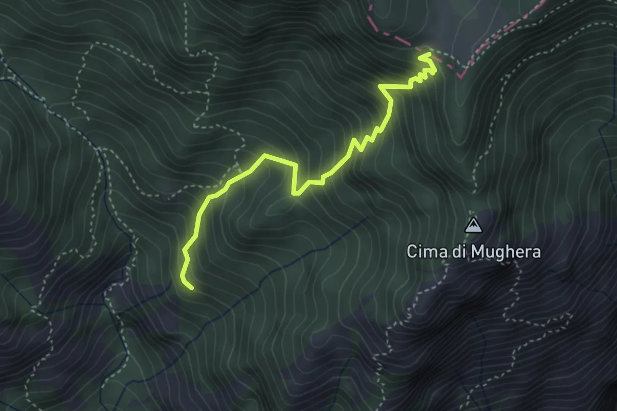
Medium · Trail
Valacco, Passo Gul
3.6 km · ↑ 513 m · 1 h 58 min
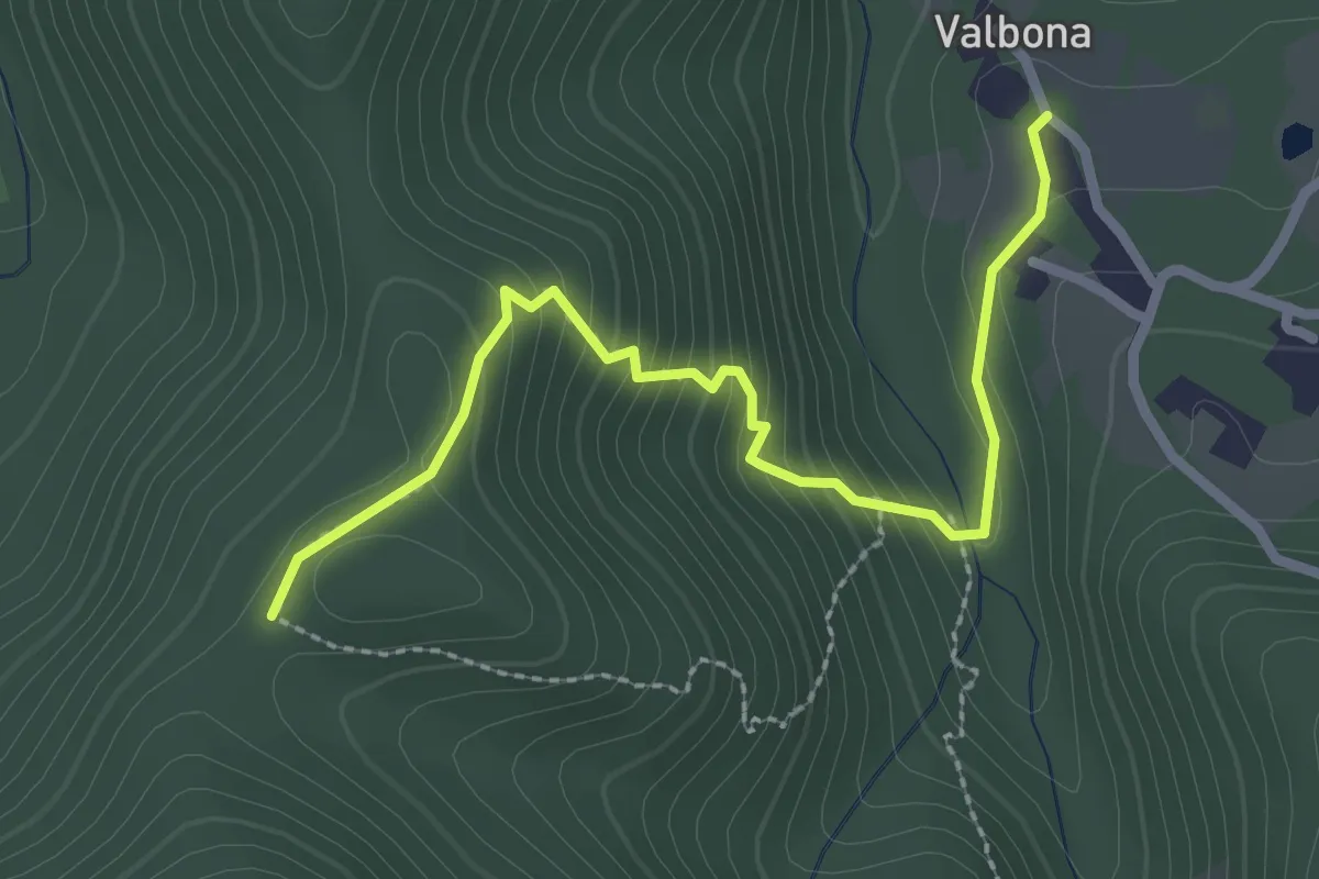
Easy · Trail
Valbona - Casa Findone
2.8 km · ↑ 200 m · 1 h 6 min
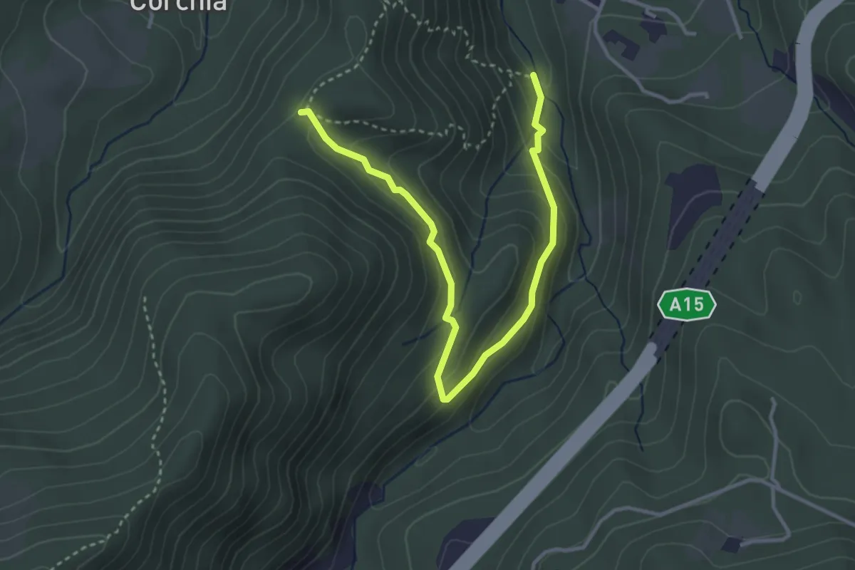
Easy · Trail
Valbona - Costa Mezzana - Casa Findone
4.1 km · ↑ 251 m · 1 h 30 min
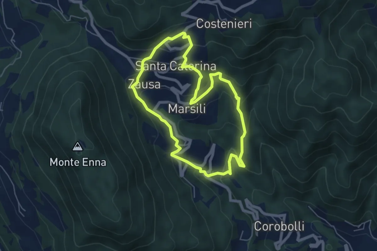
Medium · Trail
Valbona e Valmara
4.8 km · ↑ 323 m · 1 h 54 min
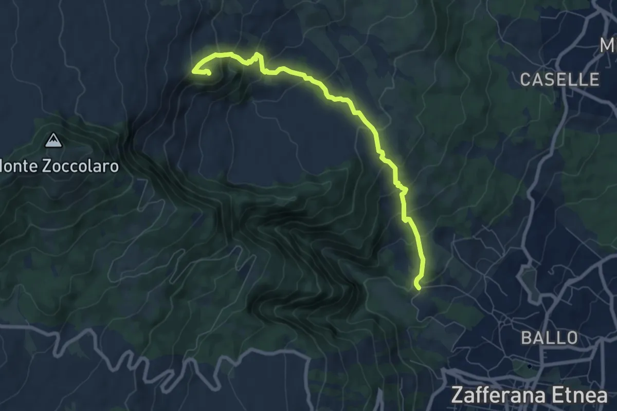
Medium · Summit
Val Calanna
8.3 km · ↑ 562 m · 3 h 11 min
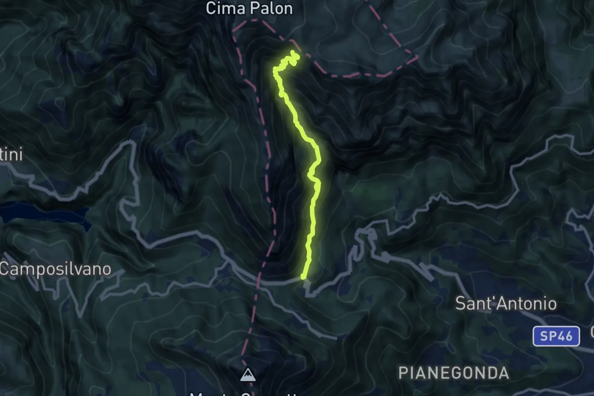
Demanding · Trail
Val Canale
8.4 km · ↑ 969 m · 4 h 5 min
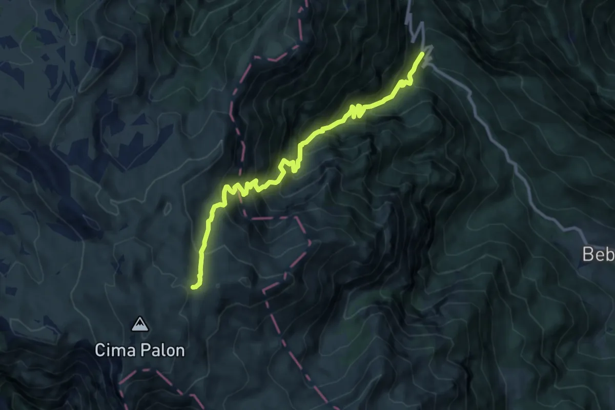
Demanding · Trail
Val Caprara
10.2 km · ↑ 1363 m · 5 h 22 min
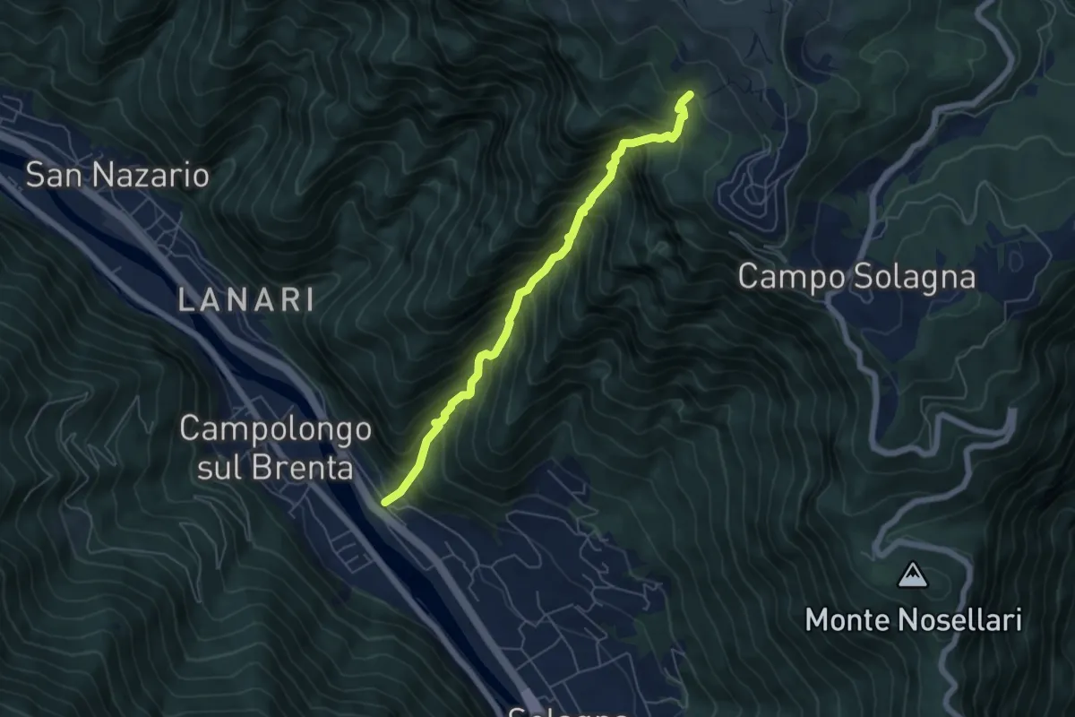
Demanding · Trail
Val dei Cavallini
5.5 km · ↑ 951 m · 3 h 22 min
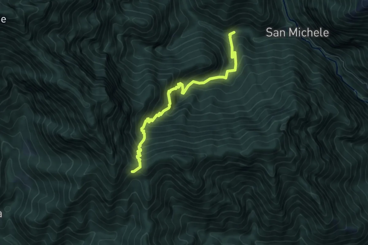
Demanding · Trail
Val della Puria
7.8 km · ↑ 883 m · 3 h 45 min
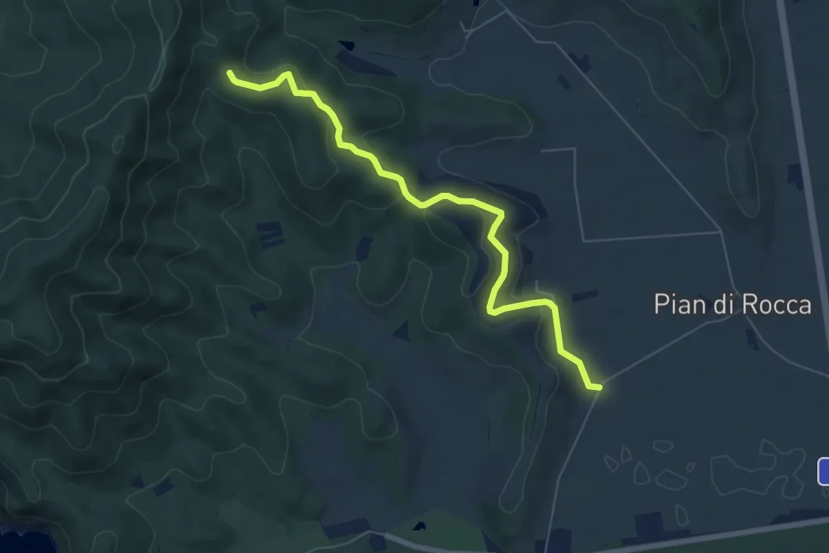
Easy · Trail
Val del Melo
6.7 km · ↑ 221 m · 2 h 3 min
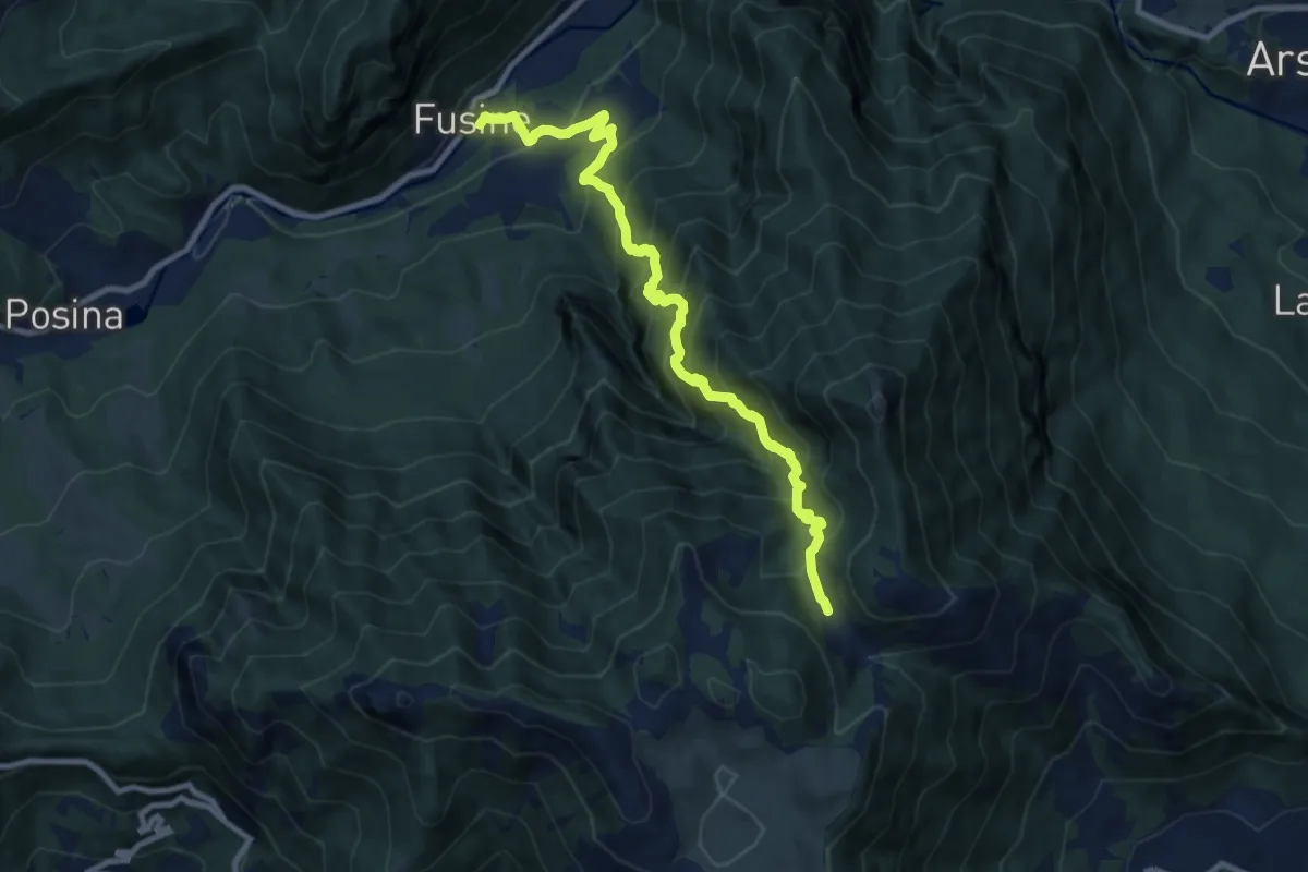
Demanding · Trail
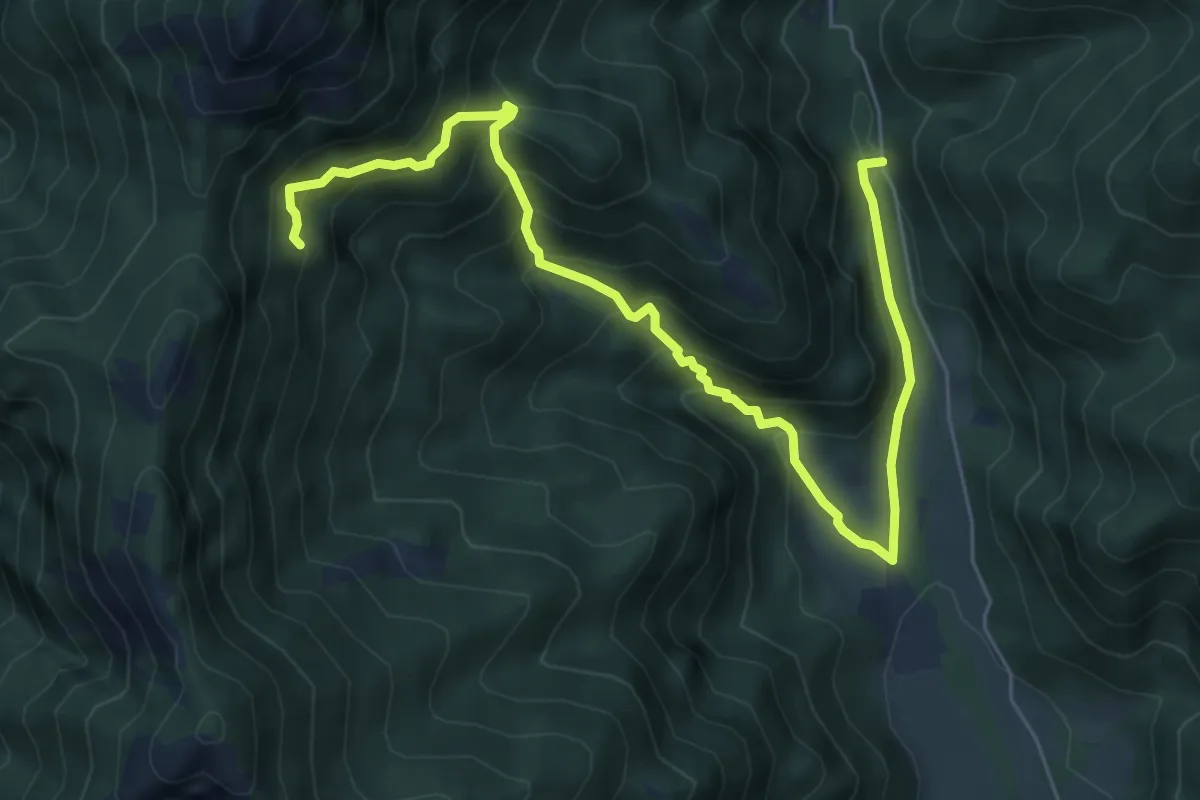
Val del Rio
10.1 km · ↑ 1198 m · 4 h 59 min
Medium · Trail
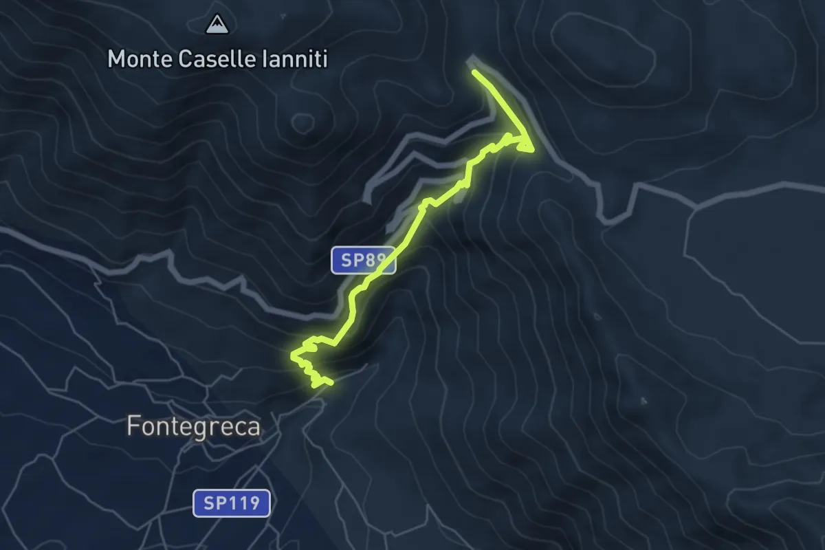
Val di Bondo, La Colma, Molvina
7.7 km · ↑ 667 m · 3 h 16 min
Medium · Trail
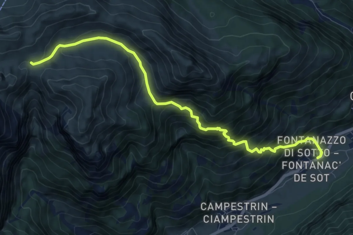
Val di conche
5.8 km · ↑ 572 m · 2 h 37 min
Demanding · Trail
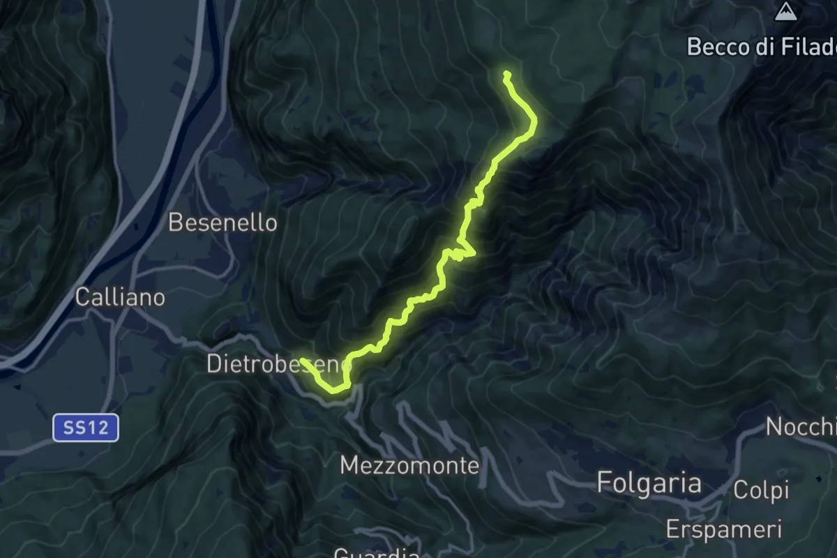
Val di Dona
10.1 km · ↑ 838 m · 4 h 12 min
Demanding · Trail
Val di Gola
12.8 km · ↑ 1335 m · 5 h 55 min
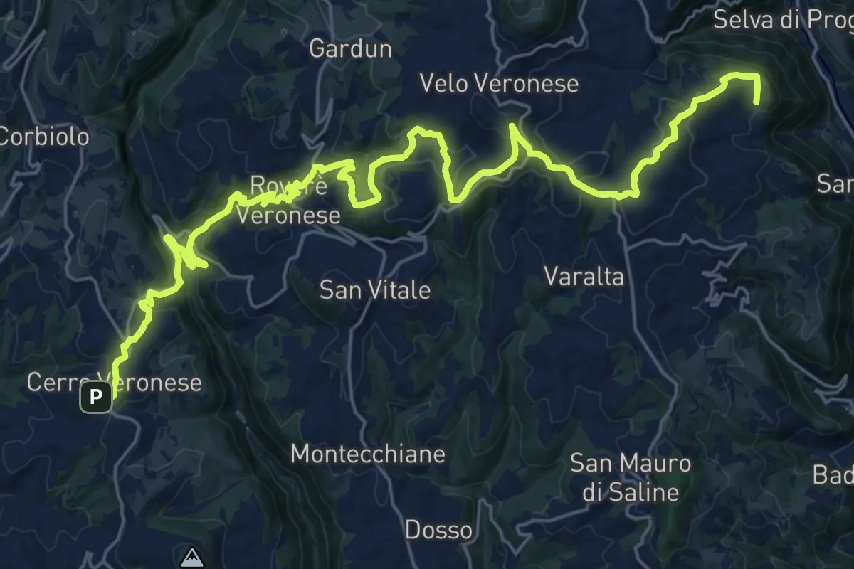
Medium · Trail
Val d'Illasi - Valpantena
15.6 km · ↑ 700 m · 5 h 19 min
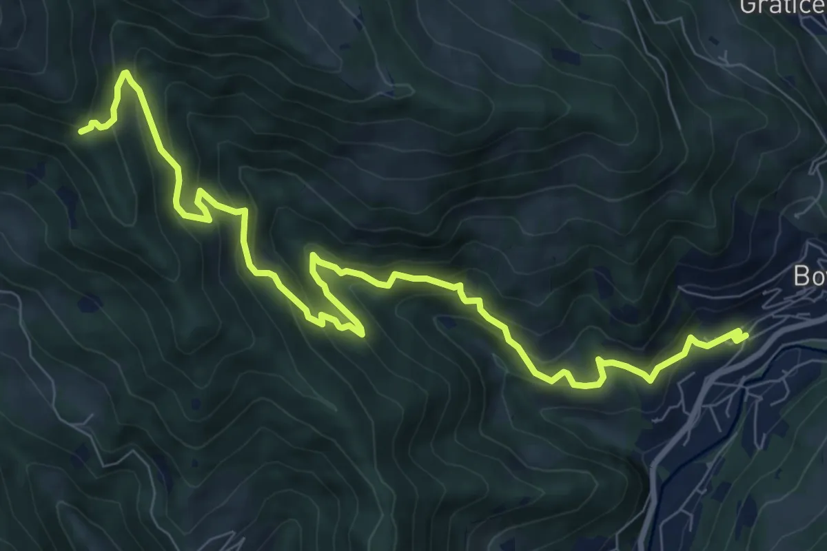
Demanding · Trail
Val di Mèola
10.8 km · ↑ 827 m · 4 h 21 min
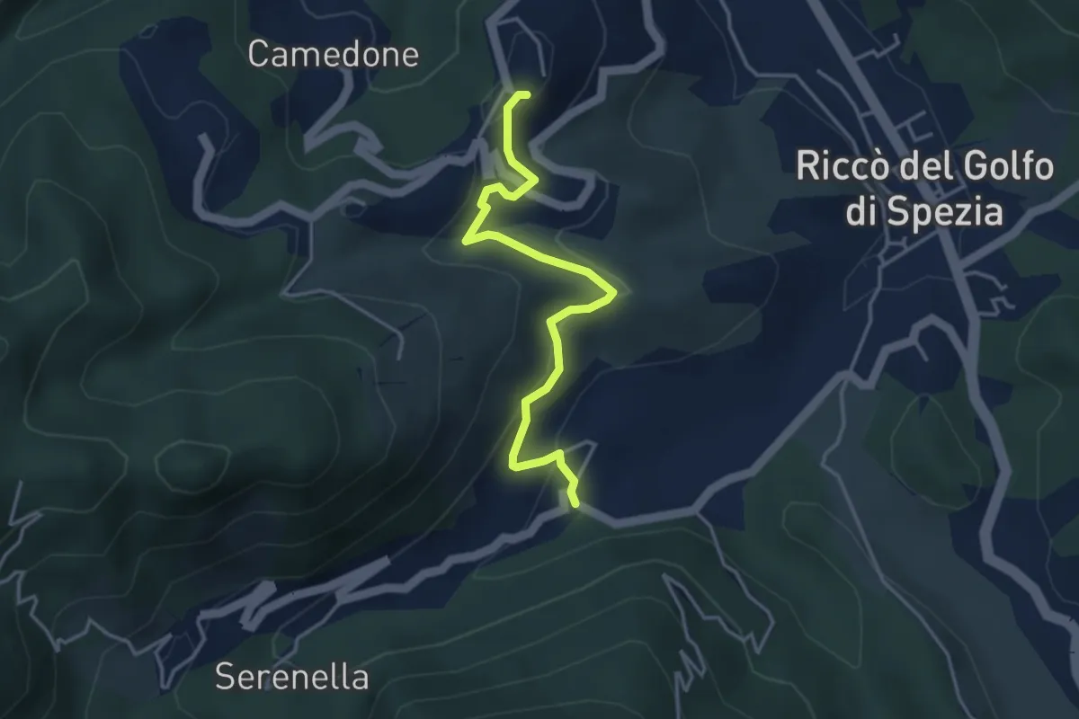
Easy · Trail
Valdipino – Ponzò
3.9 km · ↑ 204 m · 1 h 21 min
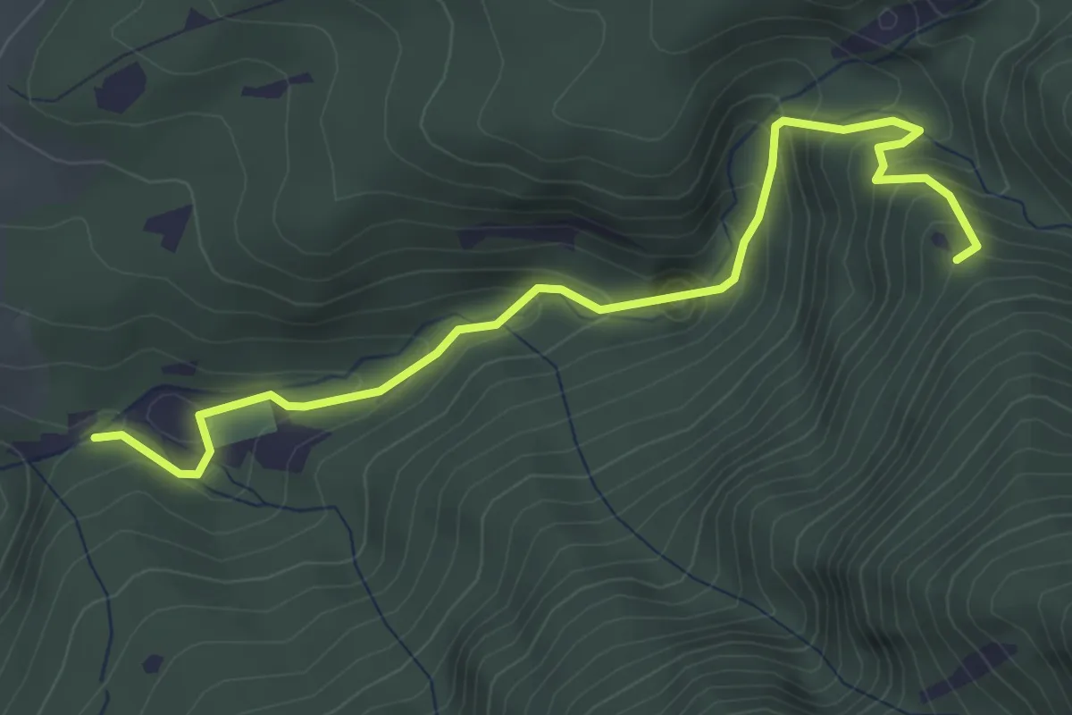
Easy · Trail
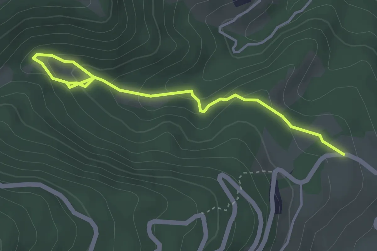
Val di San Pietro
4.2 km · ↑ 306 m · 1 h 39 min
Easy · Trail
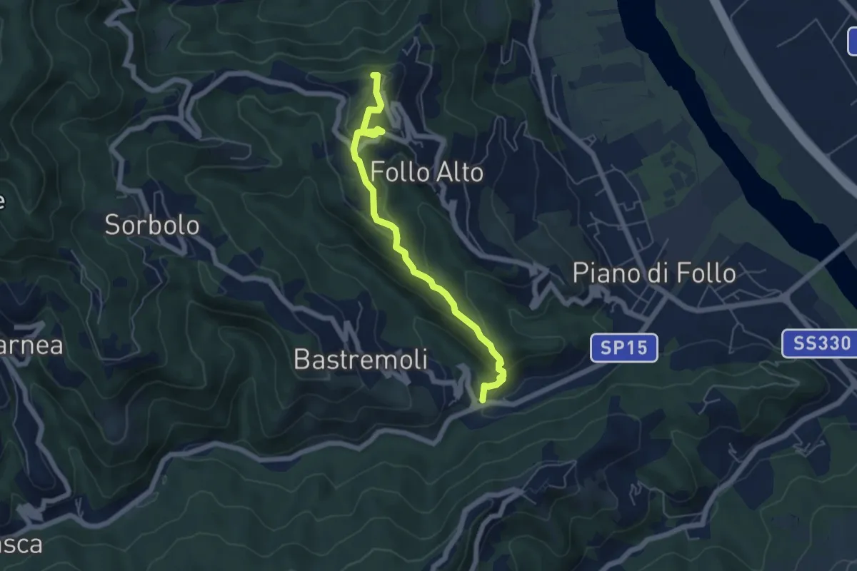
Val dl'Ert
3.7 km · ↑ 189 m · 1 h 17 min
Easy · Trail
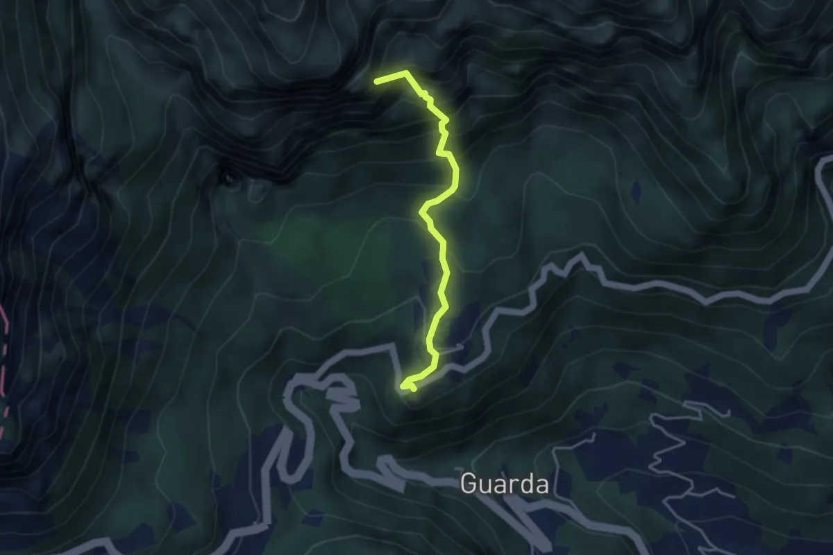
Val Durasca – Toracca – Follo
5.5 km · ↑ 297 m · 1 h 56 min
Demanding · Summit
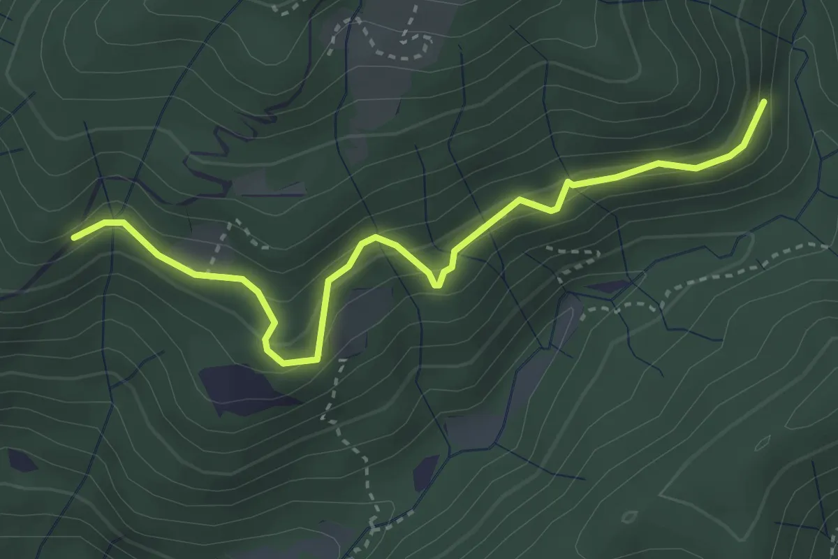
Val Fontana d'Oro
3.3 km · ↑ 453 m · 1 h 46 min
Medium · Trail
Val Frascarese - Lenzano
3.9 km · ↑ 331 m · 1 h 39 min
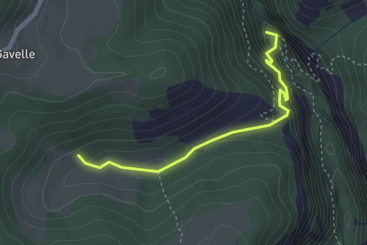
Demanding · Trail
Val Gadena
1.5 km · ↑ 198 m · 43 min
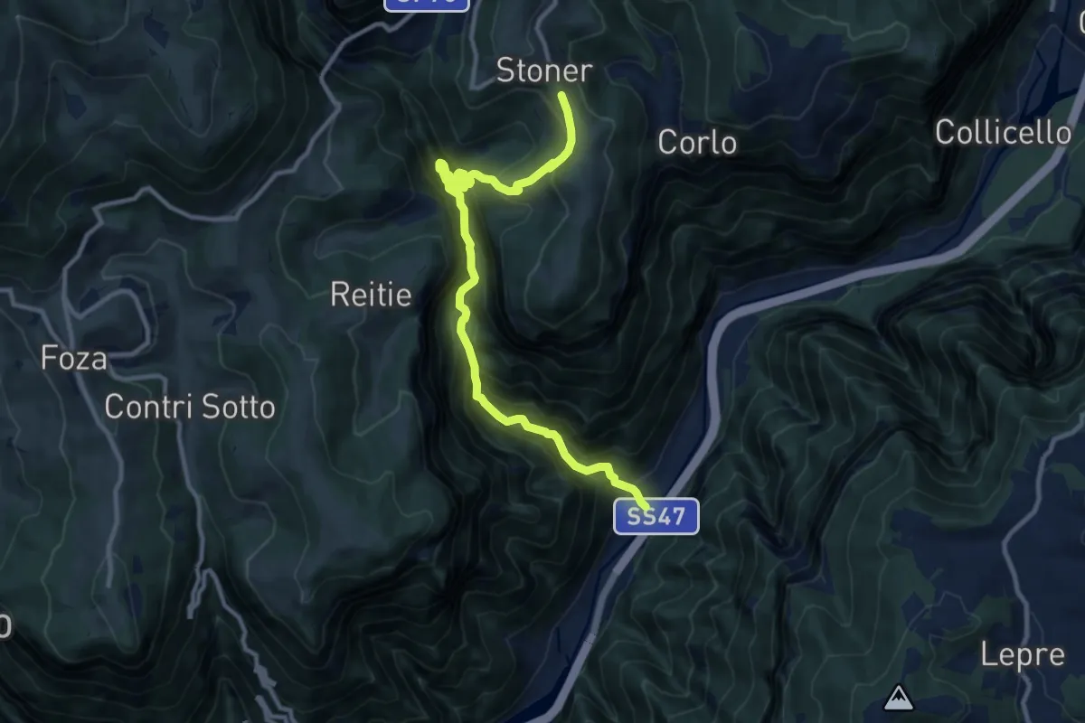
Demanding · Trail
Valgadena - Lessi - Stoner
11.3 km · ↑ 1110 m · 5 h 4 min
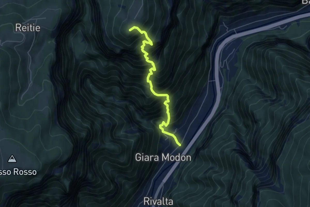
Demanding · Summit
Valgadena - Loke - Monte Spitz - Stoner
5.4 km · ↑ 1038 m · 3 h 31 min
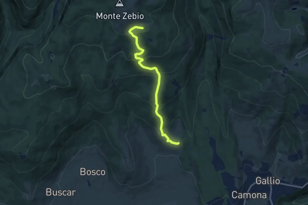
Medium · Summit
Val Giardini
7.4 km · ↑ 472 m · 2 h 46 min
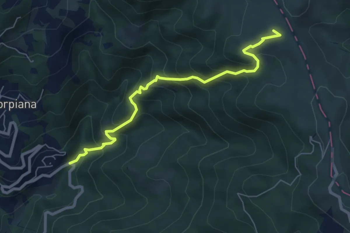
Medium · Summit
Valgiuncata - Casa la Foce - Serra Maggiore - Monte Stronzo (Bivio AVML)
5.7 km · ↑ 553 m · 2 h 32 min
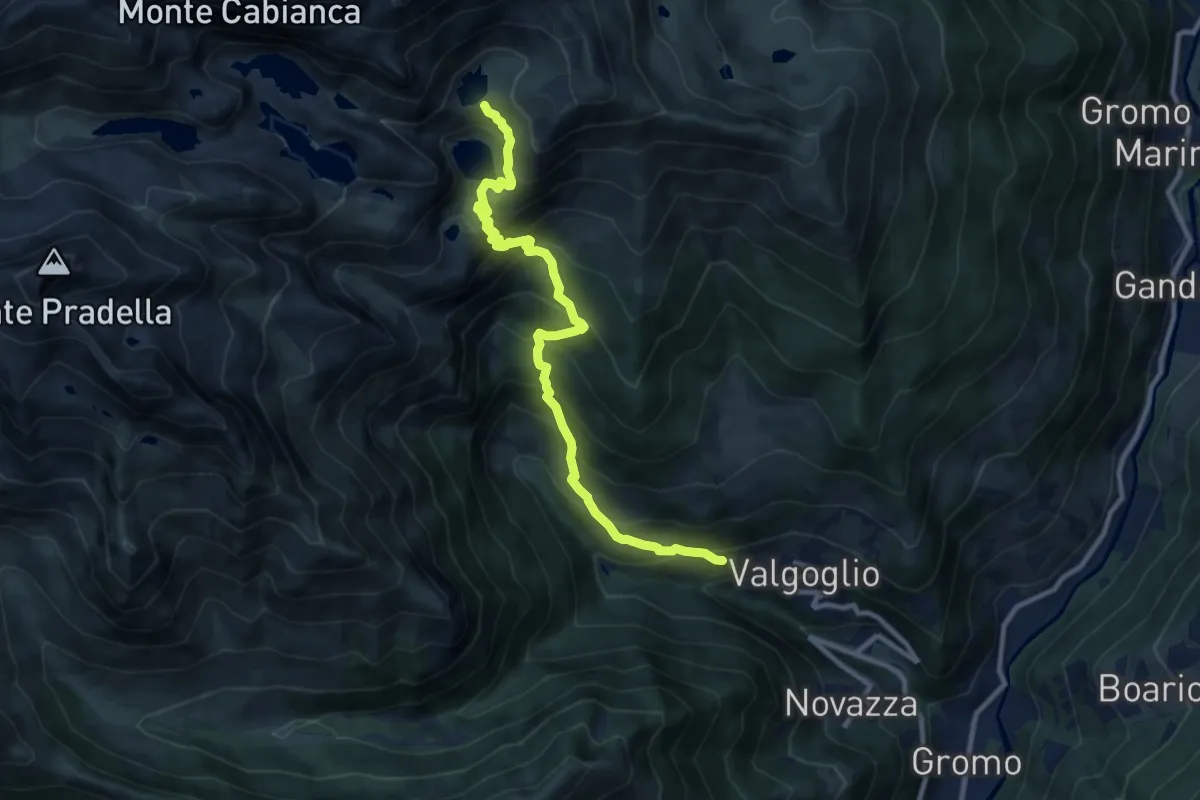
Demanding · Cabin
Valgoglio – Baita Cernello
10.3 km · ↑ 988 m · 4 h 35 min
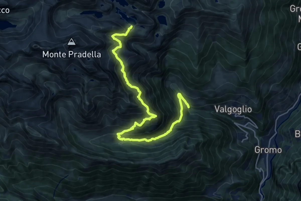
Demanding · Trail
Valgoglio (Centrale ENEL) – Val Sanguigno – Lago Nero
18.8 km · ↑ 1575 m · 7 h 51 min
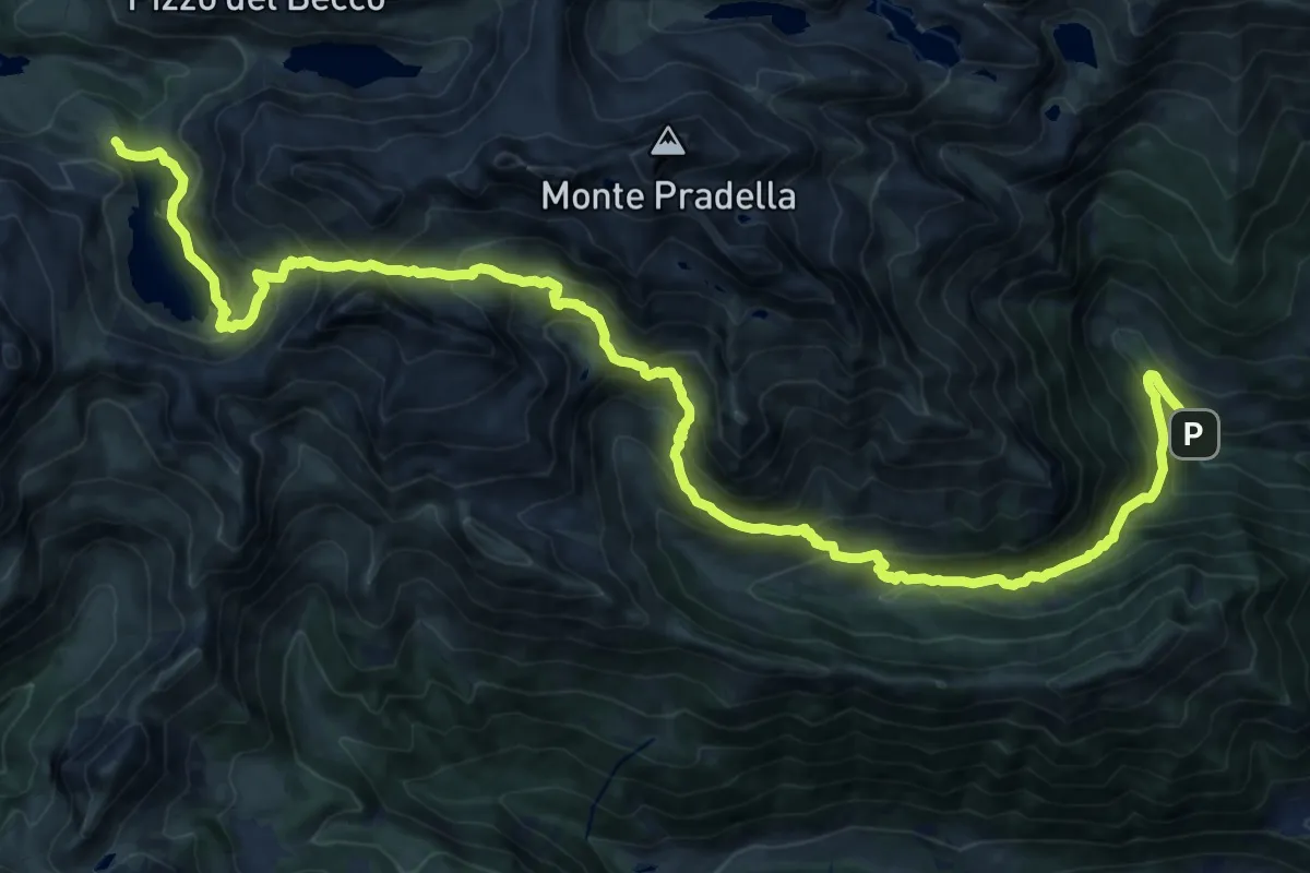
Demanding · Cabin
Valgoglio – Rifugio Laghi Gemelli
11.9 km · ↑ 1355 m · 5 h 26 min
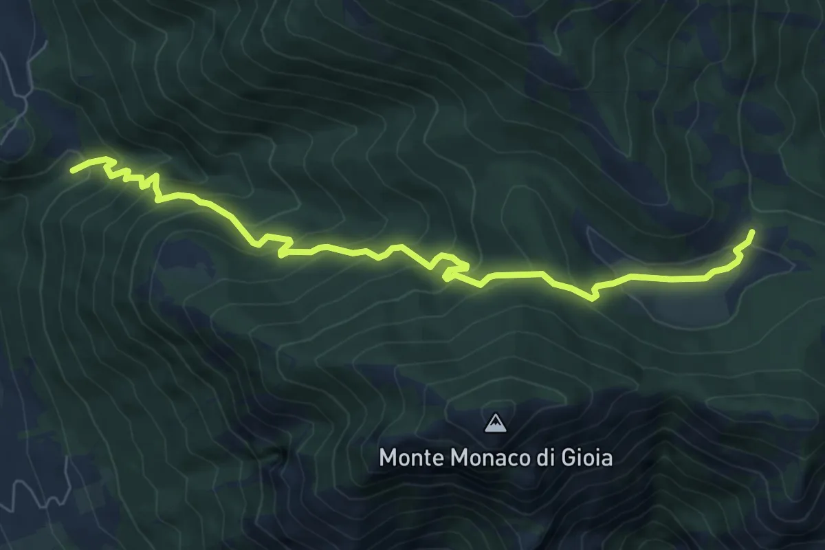
Demanding · Trail
Valico del Campo
8.3 km · ↑ 760 m · 3 h 36 min
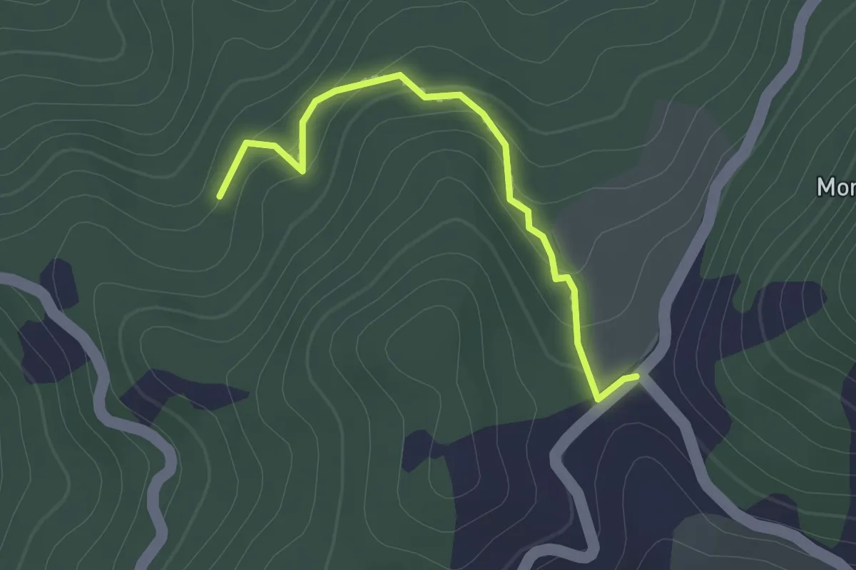
Easy · Trail
Valico della Foce – Bivio 624 via Case Bertolini
2.2 km · ↑ 104 m · 44 min
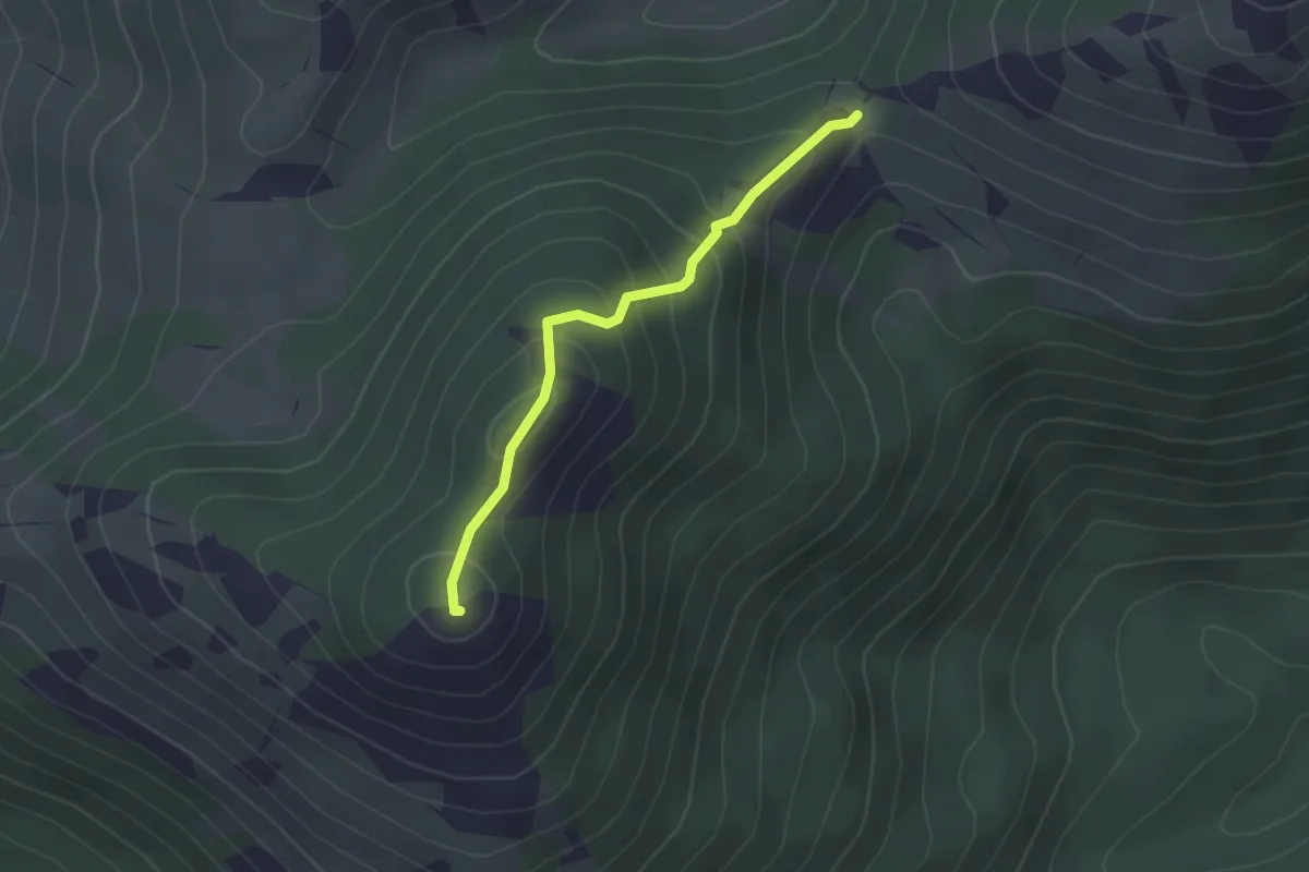
Easy · Summit
Valico delle due Monne – Monte Monna Acquafondata
2.3 km · ↑ 186 m · 56 min
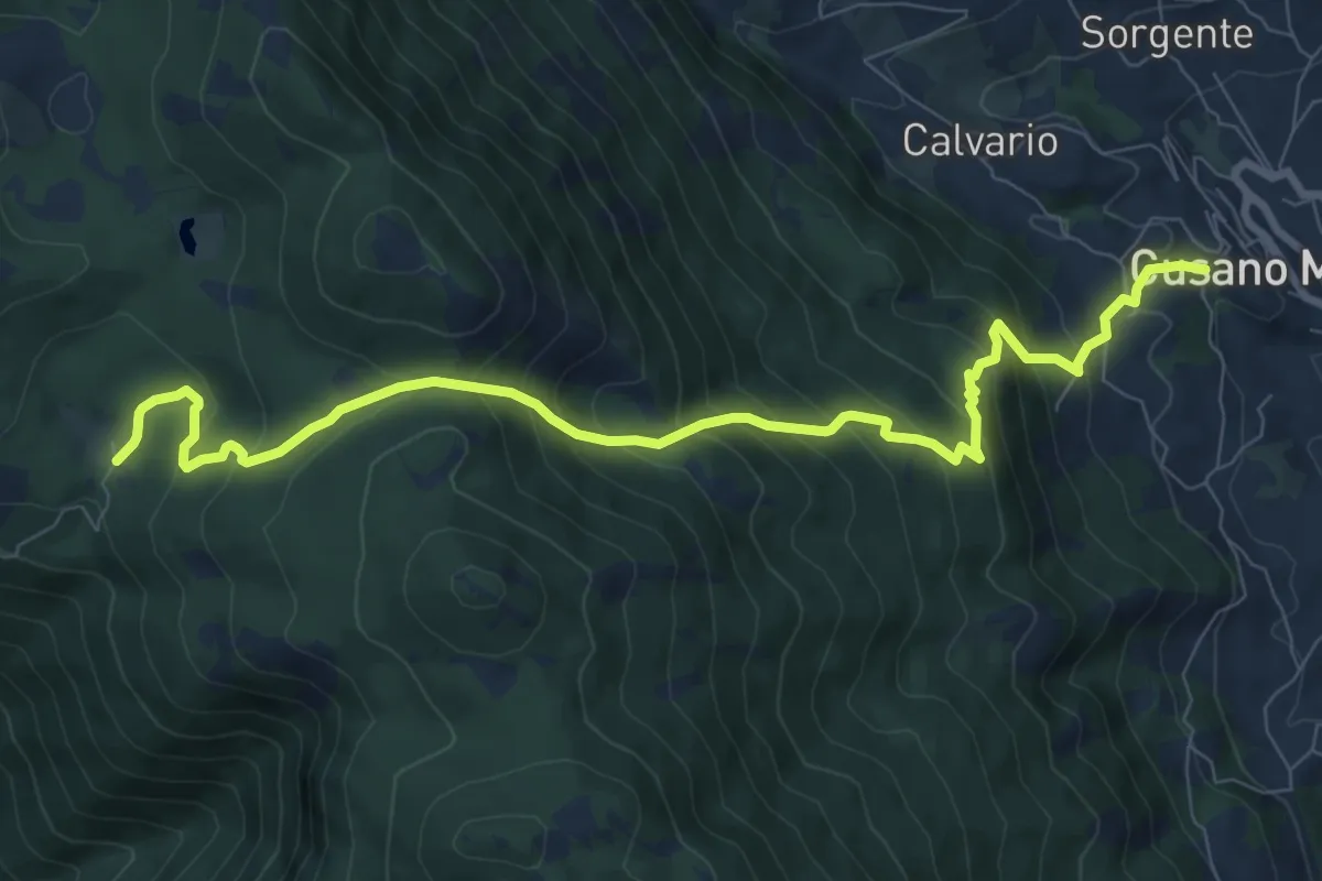
Demanding · Trail
Valico di confine
10.4 km · ↑ 891 m · 4 h 24 min