Trails in Italy
25,219 hiking trails, each with its route, climb, walking time and grade.
All trails, page 210 of 526
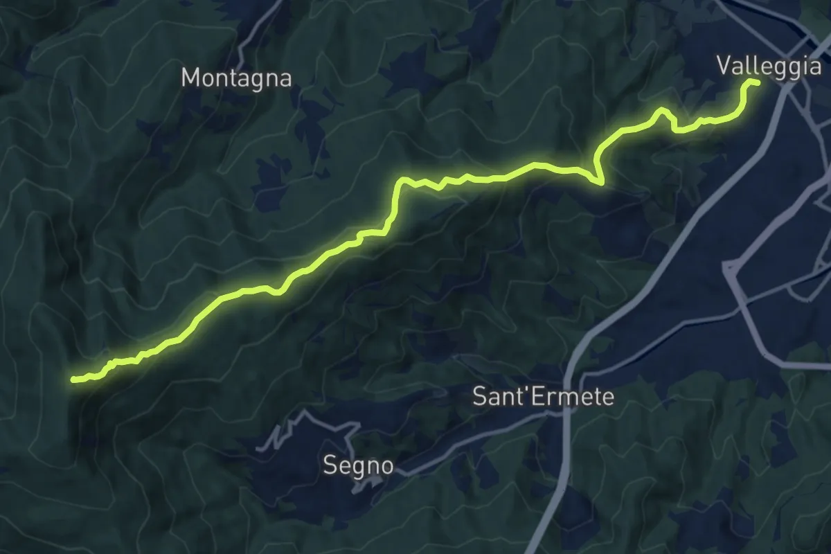
Demanding · Summit
Valleggia - Rocca dei Corvi - Rocche Bianche
15.3 km · ↑ 779 m · 5 h 19 min
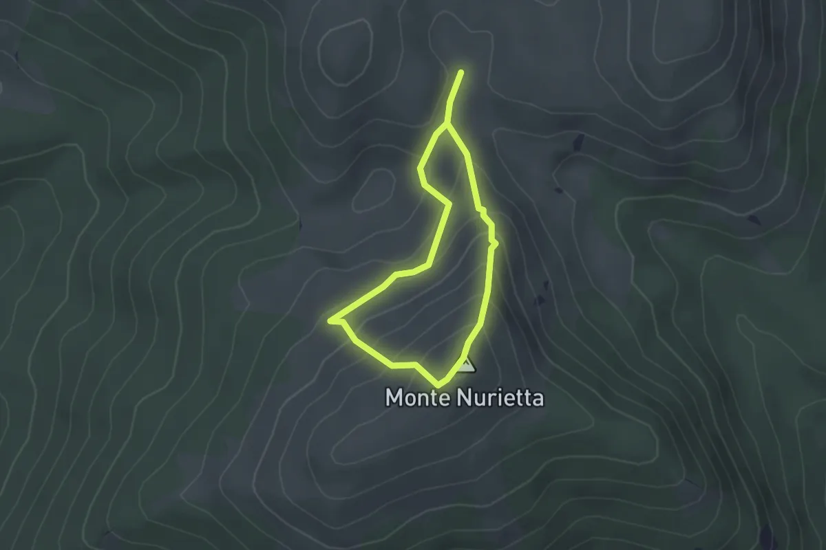
Easy · Summit
Valle Incoronata-Monte Nurietta
2.0 km · ↑ 131 m · 47 min
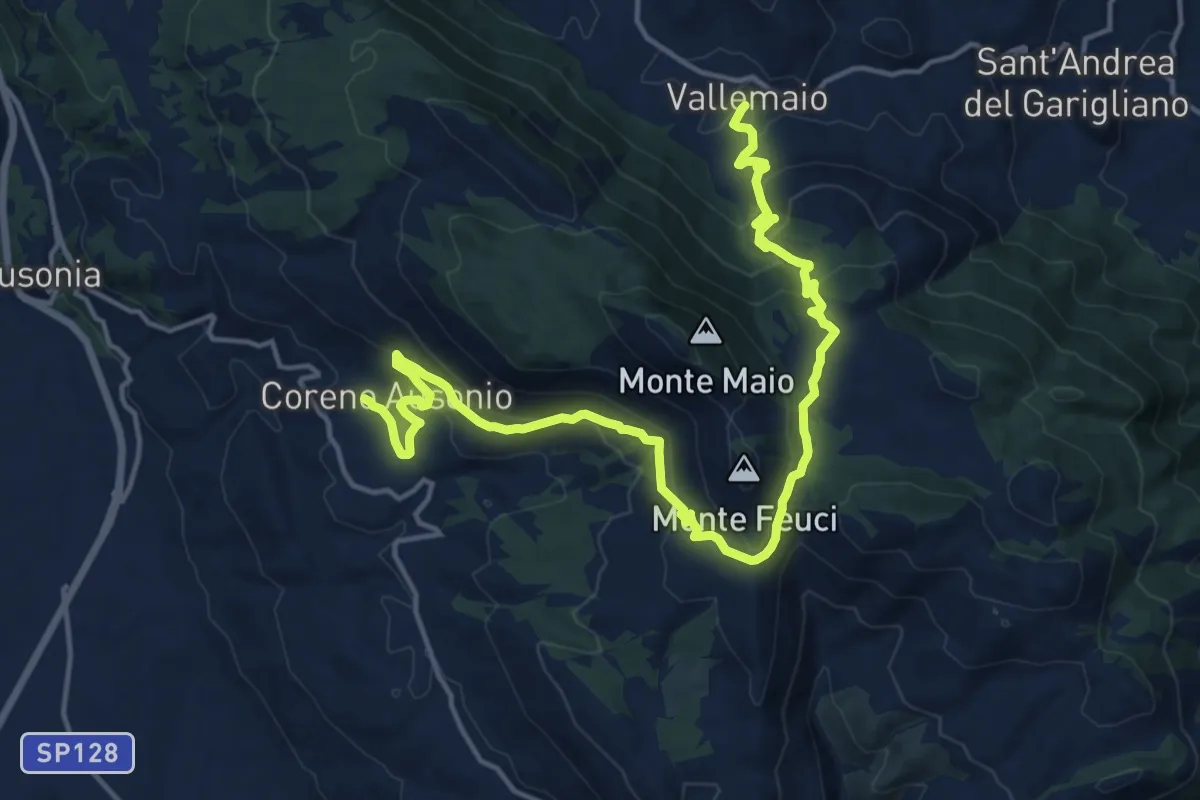
Demanding · Trail
Valle Maio-Coreno Ausonio
21.2 km · ↑ 939 m · 7 h 3 min
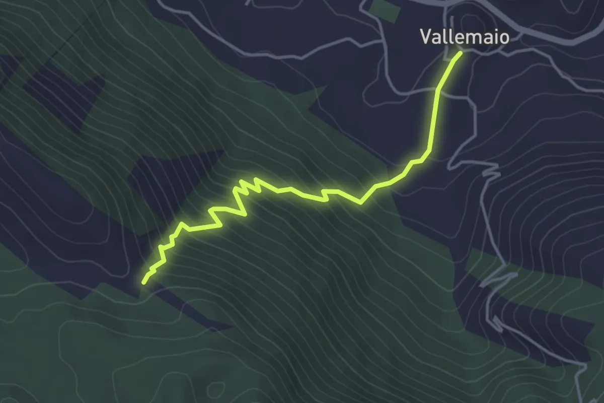
Medium · Trail
Vallemaio-Monte Maio
4.4 km · ↑ 391 m · 1 h 53 min
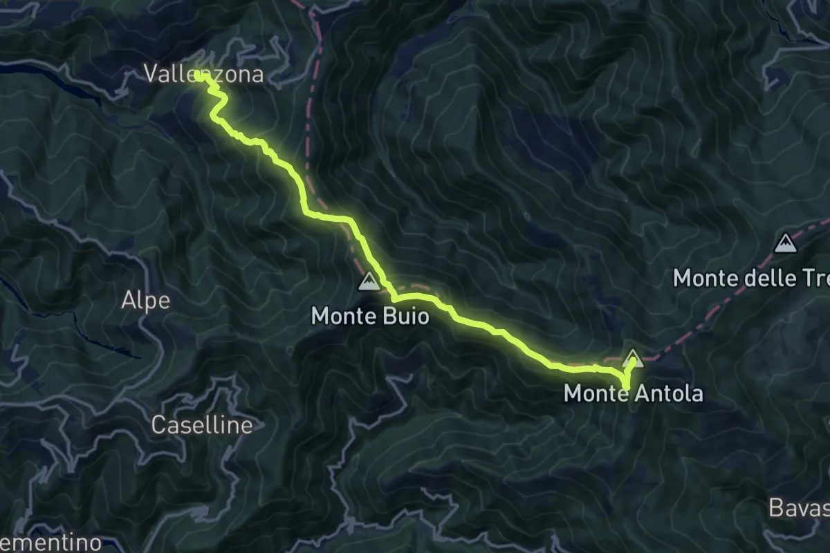
Demanding · Summit
Vallenzona - Passo Sesenelle - Monte Buio - Monte Antola
15.4 km · ↑ 1224 m · 6 h 17 min
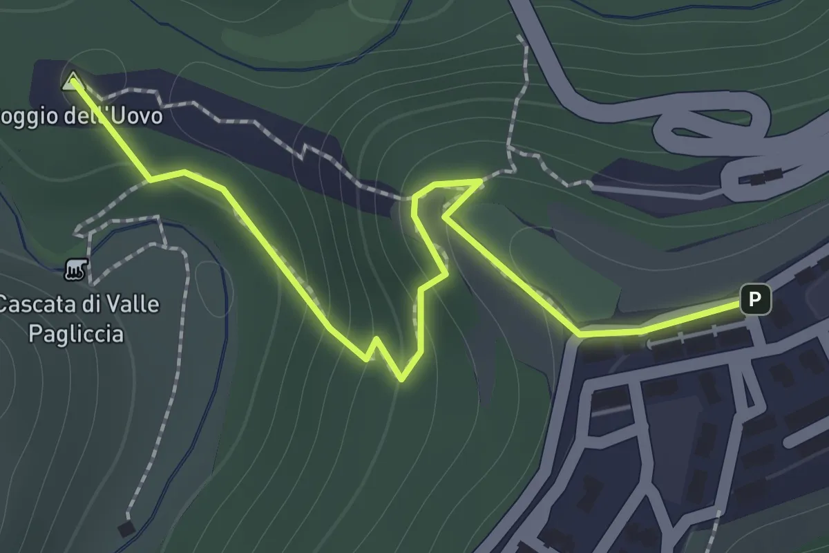
Easy · Summit
Valle Pagliccia
1.7 km · ↑ 124 m · 40 min
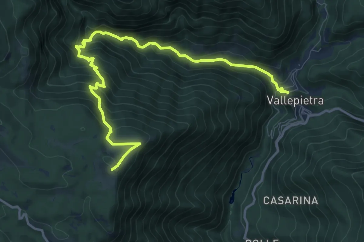
Medium · Trail
Vallepietra-Colle Campitellino
11.7 km · ↑ 761 m · 4 h 25 min
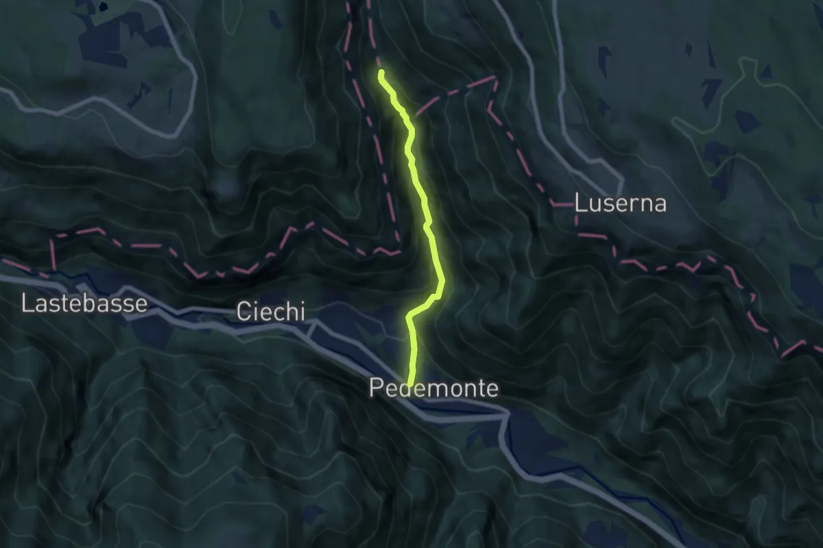
Medium · Trail
Valle Rio Torto
5.1 km · ↑ 445 m · 2 h 10 min
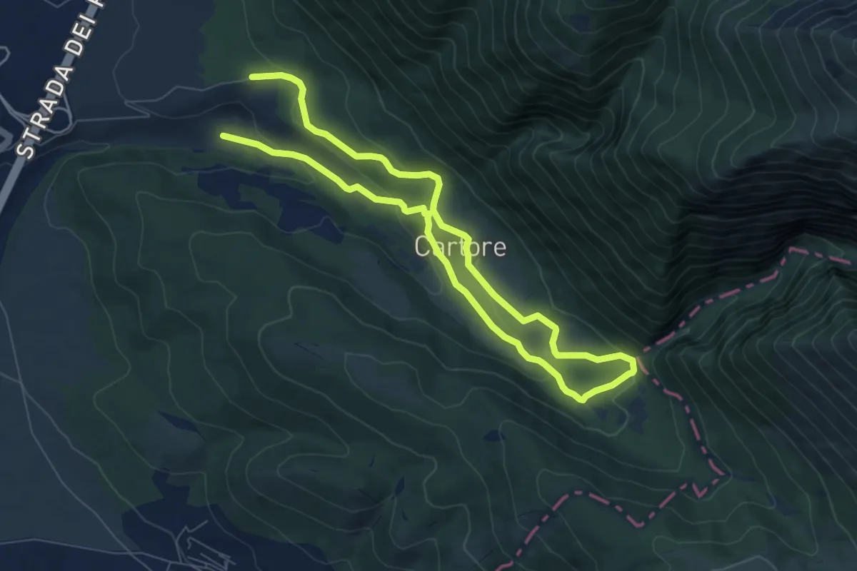
Easy · Trail
Valle Ruara
6.6 km · ↑ 182 m · 2 h 4 min
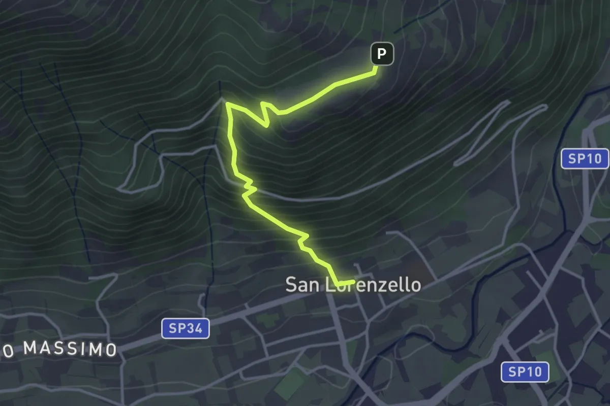
Demanding · Trail
Valle Santa
3.8 km · ↑ 358 m · 1 h 40 min
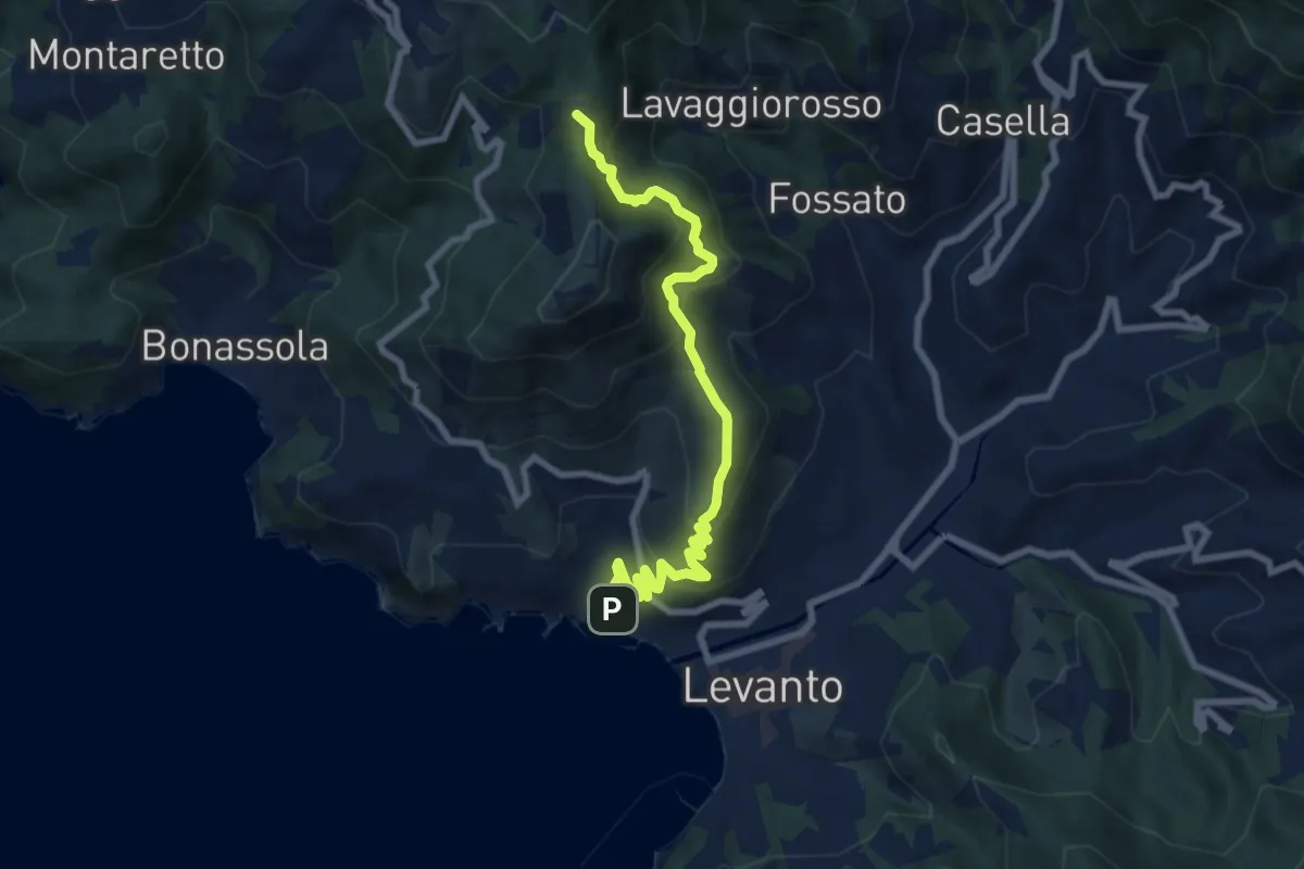
Medium · Summit
Vallesanta - Monte delle Streghe - Colletto
8.7 km · ↑ 547 m · 3 h 15 min
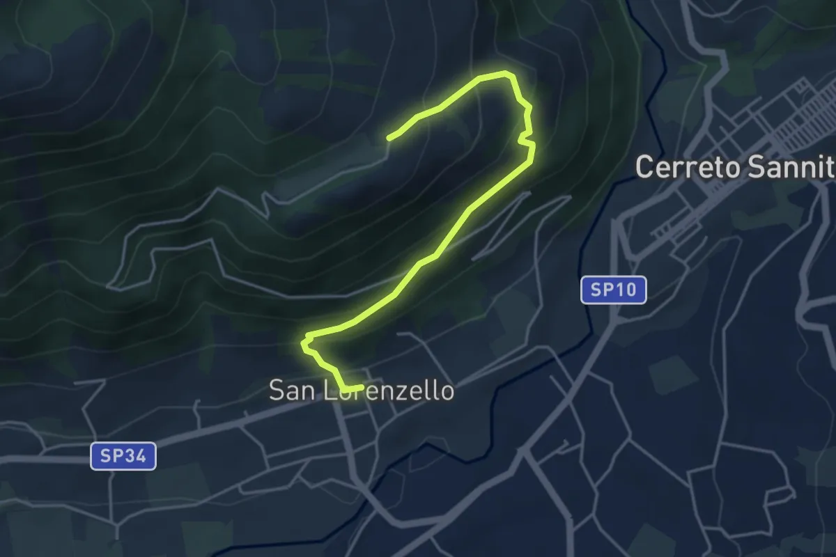
Medium · Trail
Valle Santa WTB
4.5 km · ↑ 350 m · 1 h 49 min
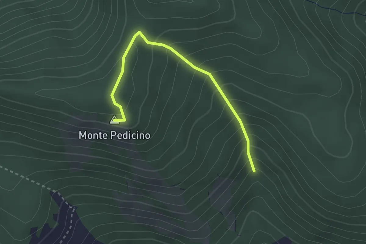
Easy · Summit
Valle Scura - Monte Pedicino
2.8 km · ↑ 279 m · 1 h 16 min
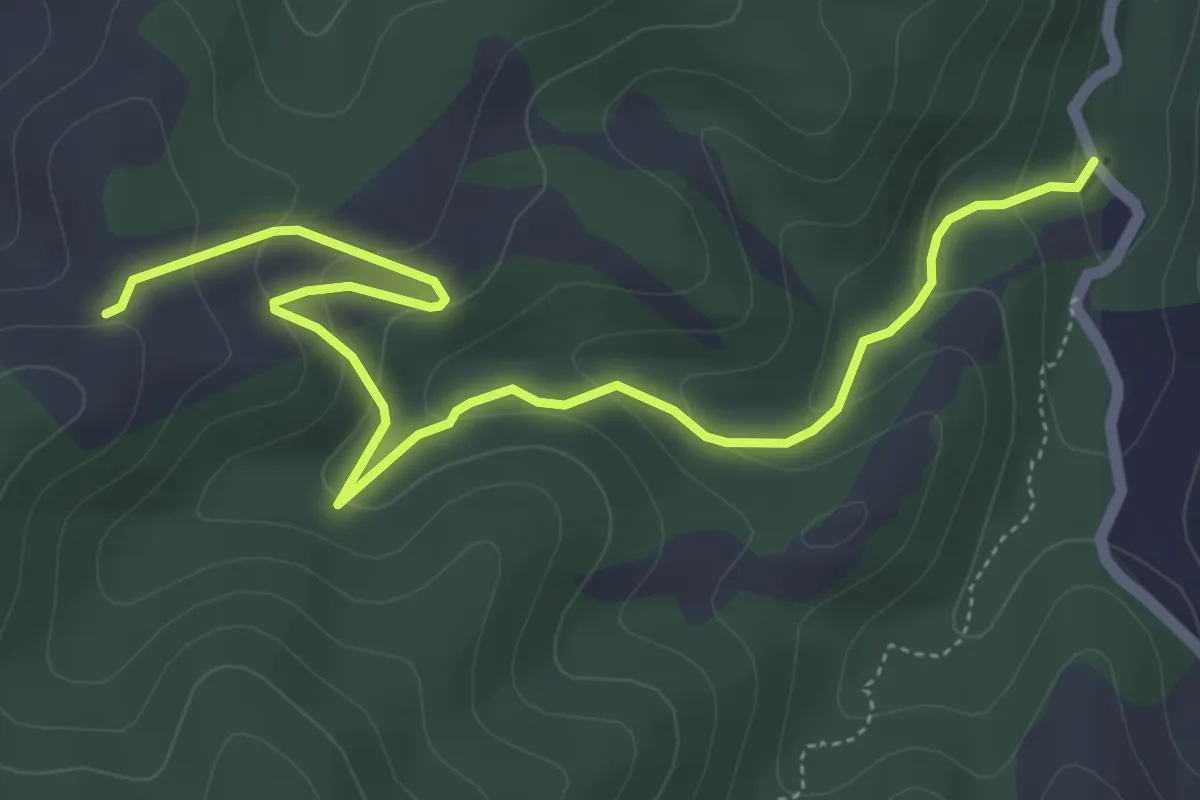
Easy · Trail
Valle Tacca del Lupo - La Baracca
6.7 km · ↑ 255 m · 2 h 7 min
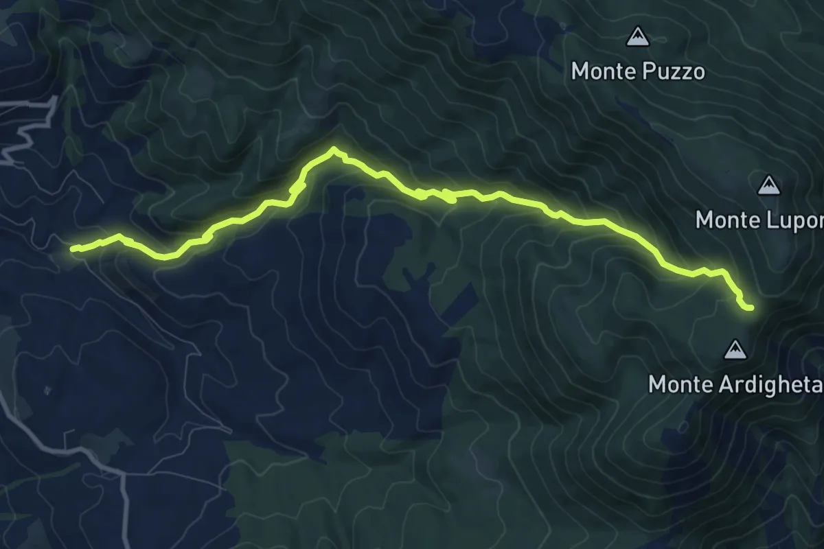
Demanding · Trail
Valle Vacche (Cori)-Valle dell'Inferno-Monte Erdigheta
12.3 km · ↑ 907 m · 4 h 52 min
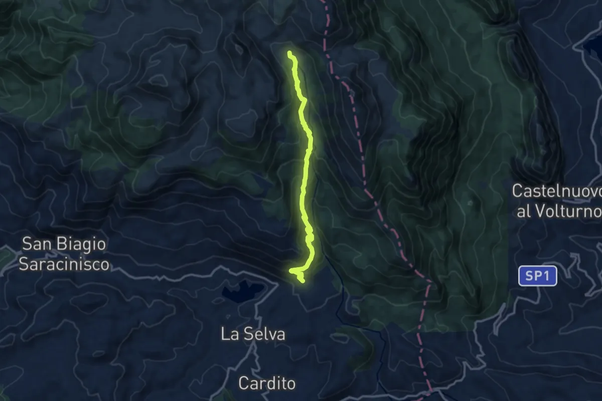
Medium · Trail
Valle Venafrana - Ponte Riparossa
11.4 km · ↑ 727 m · 4 h 15 min
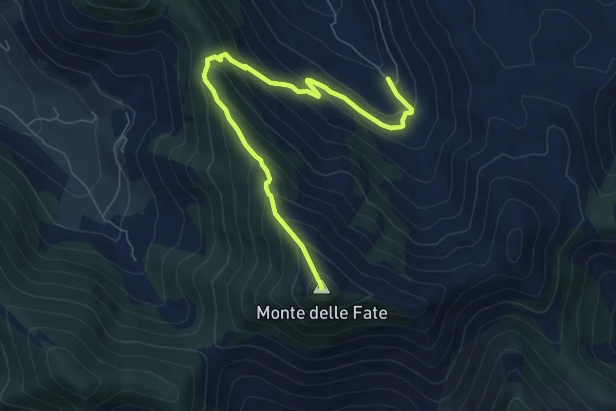
Medium · Summit
Valle Vettia(Ravicelle)-Monte delle Fate
7.6 km · ↑ 602 m · 3 h 7 min
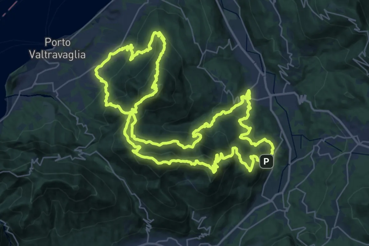
Demanding · Summit
Valli del Verbano Trail
32.3 km · ↑ 2314 m · 13 h 3 min
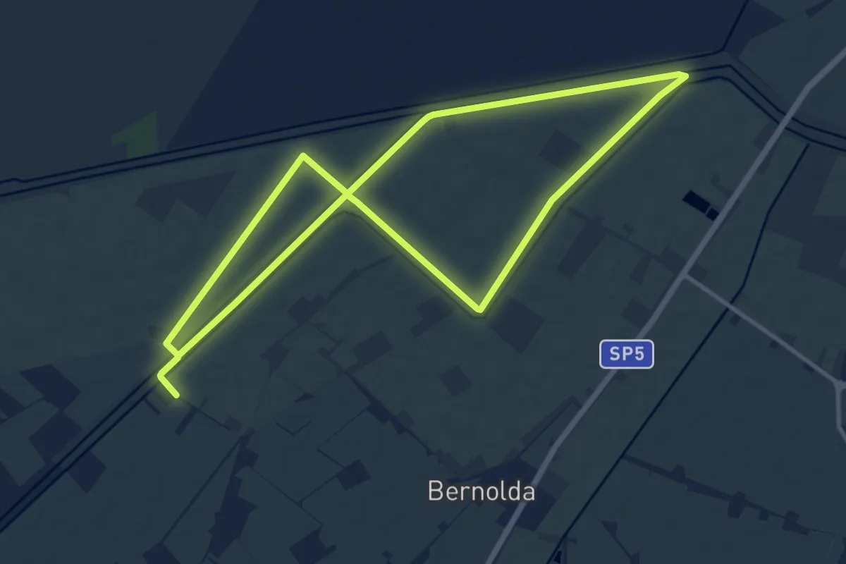
Medium · Trail
Valli di Novellara
10.6 km · ↑ 4 m · 2 h 40 min
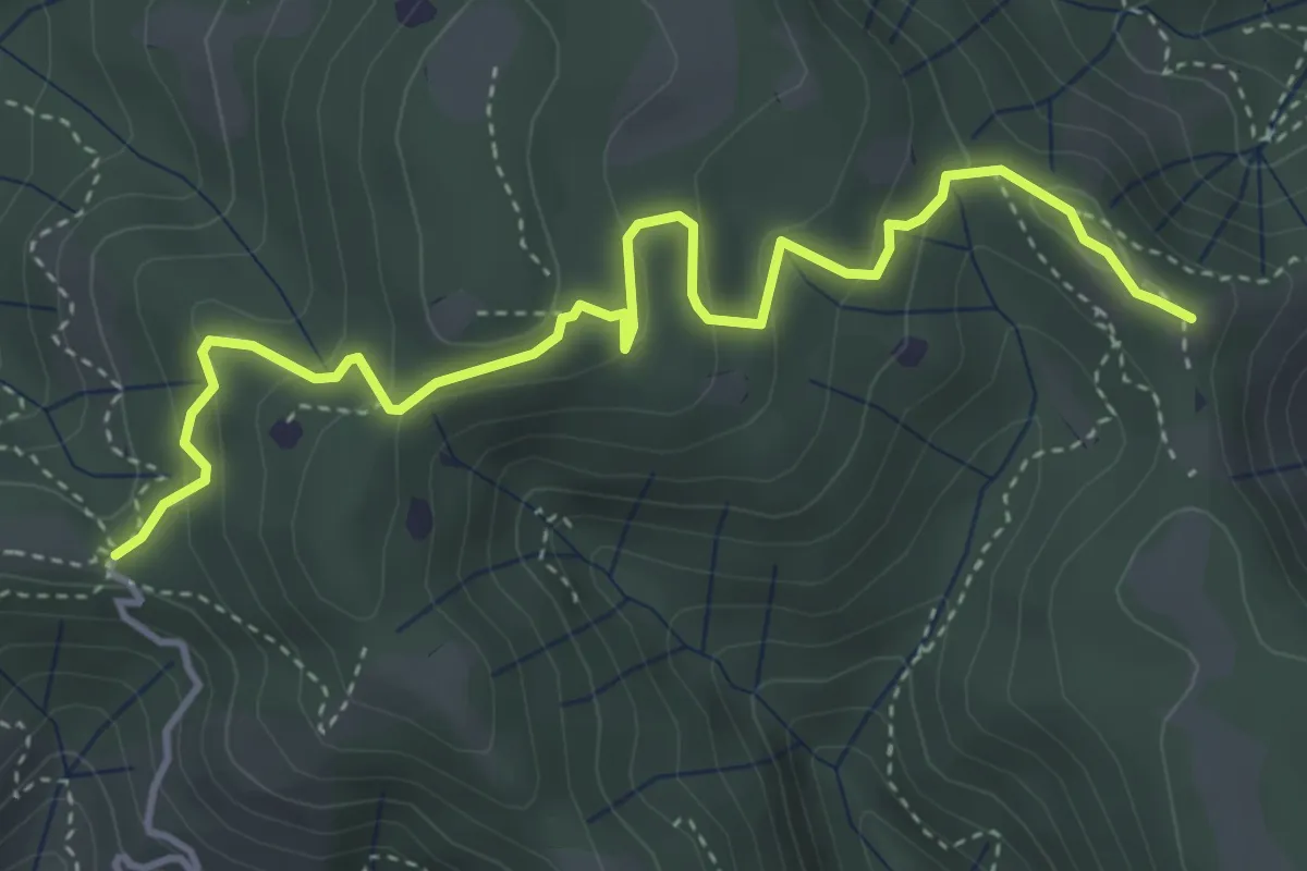
Easy · Summit
Vallio Terme (Barcolo) - Gavardo (Osteria Monte Magno)
4.7 km · ↑ 206 m · 1 h 33 min
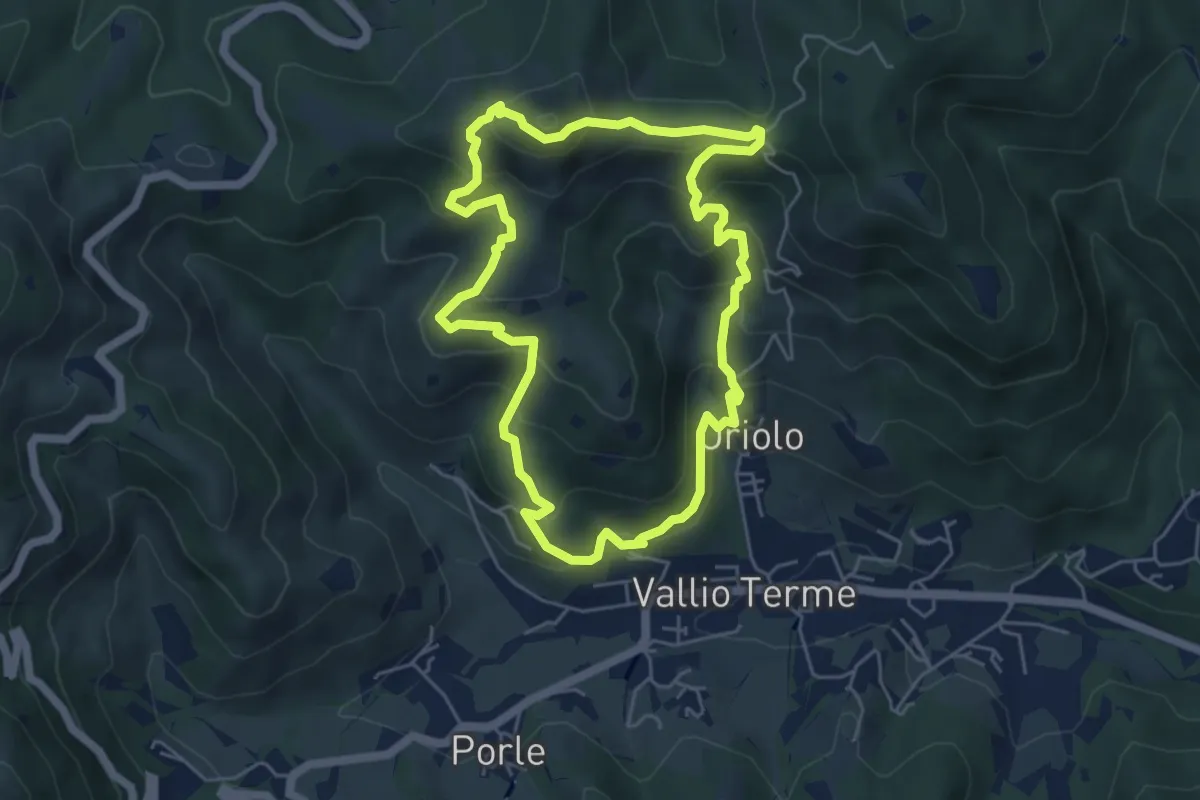
Medium · Summit
Vallio Terme (Vigle) - Rocca di Bernacco - Oriolo
5.2 km · ↑ 400 m · 2 h 11 min
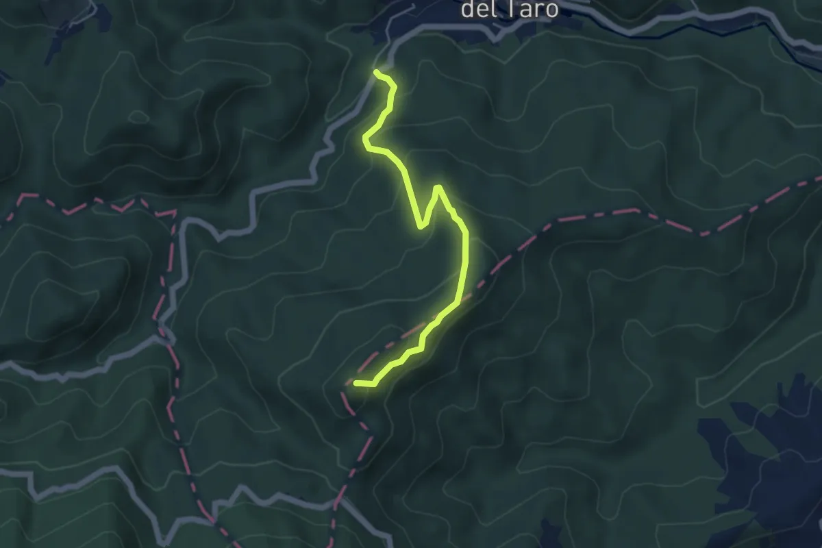
Medium · Summit
Vallombraria - Baracca (Costa di Malanotte)
4.5 km · ↑ 321 m · 1 h 46 min
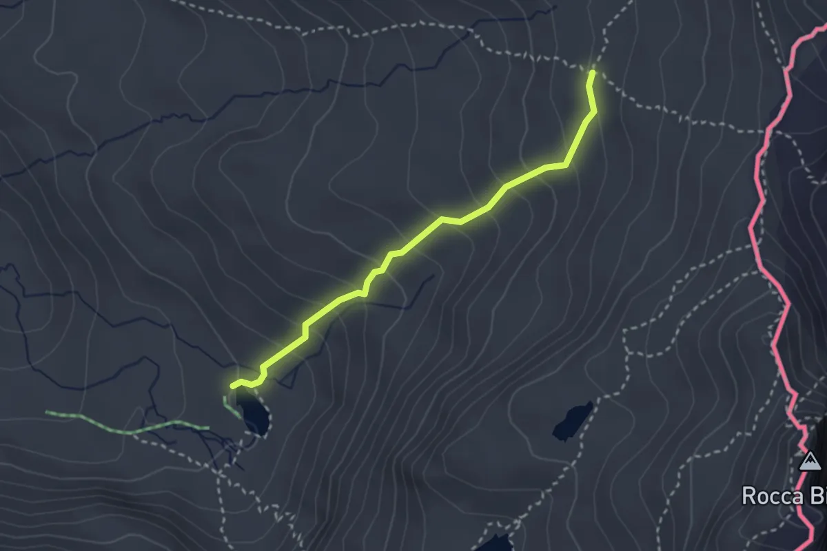
Medium · Cabin
Vallon de la Blanche - Refuge de La Blanche
2.8 km · ↑ 240 m · 1 h 10 min
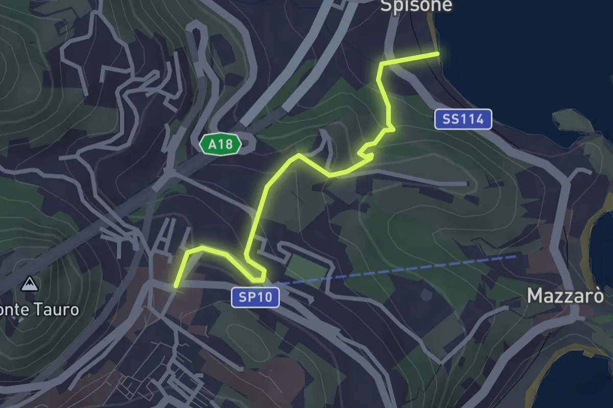
Easy · Trail
Vallone Castagna
2.9 km · ↑ 220 m · 1 h 9 min
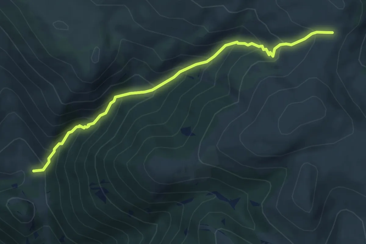
Medium · Trail
Vallone dei Romani
6.1 km · ↑ 616 m · 2 h 47 min
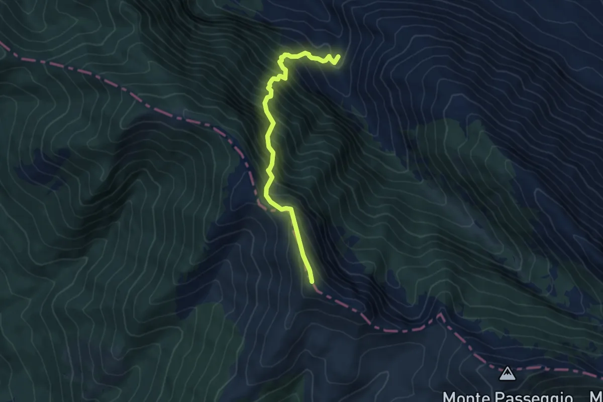
Demanding · Summit
Vallone del Rio - La Lota - Monte Ginepro - Monte Cappello - Sella del Brecciaro
6.2 km · ↑ 972 m · 3 h 34 min
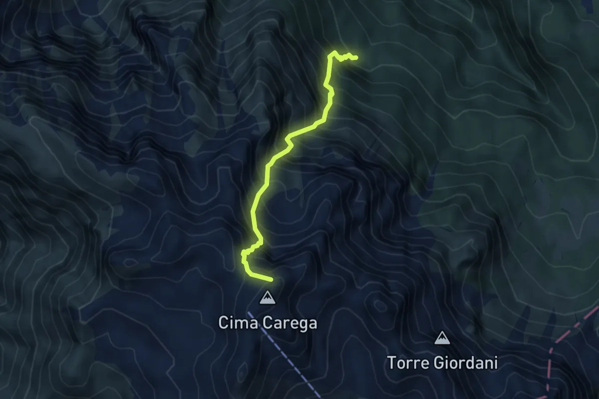
Demanding · Summit
Vallone di Pissavacca
4.4 km · ↑ 949 m · 3 h 6 min
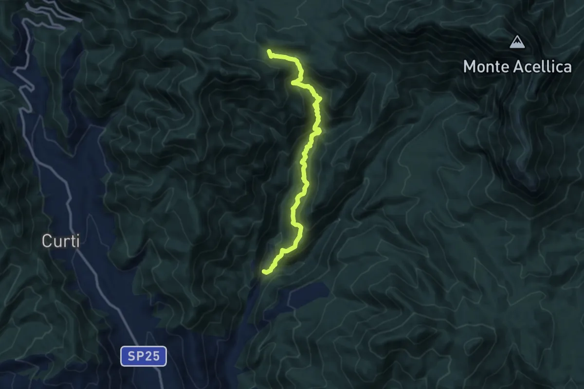
Demanding · Trail
Vallone Infrattata
10.7 km · ↑ 964 m · 4 h 37 min
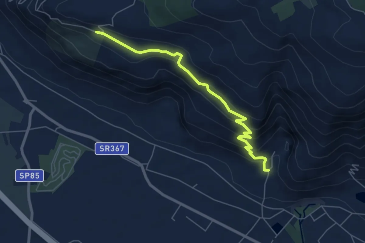
Medium · Trail
vallone monaco -salita delle pezze
5.8 km · ↑ 323 m · 2 h 4 min
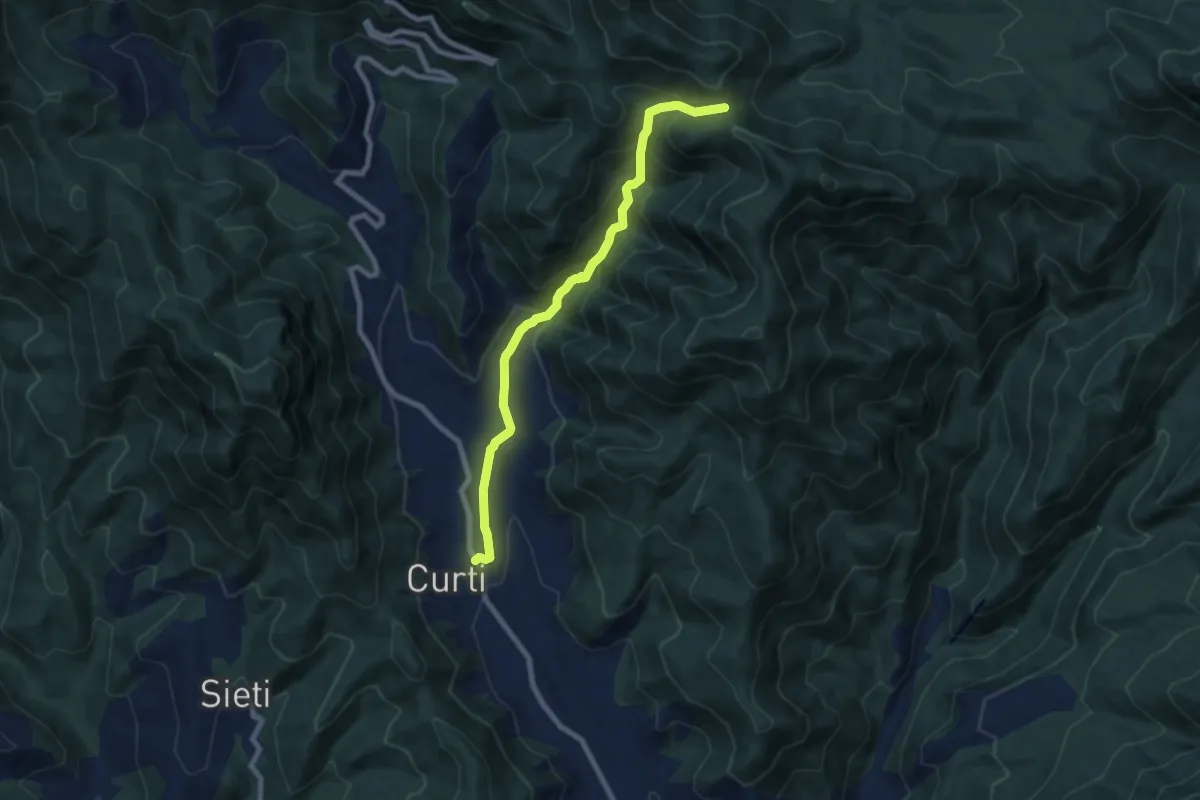
Medium · Trail
Vallone Pagliariello
8.4 km · ↑ 574 m · 3 h 14 min
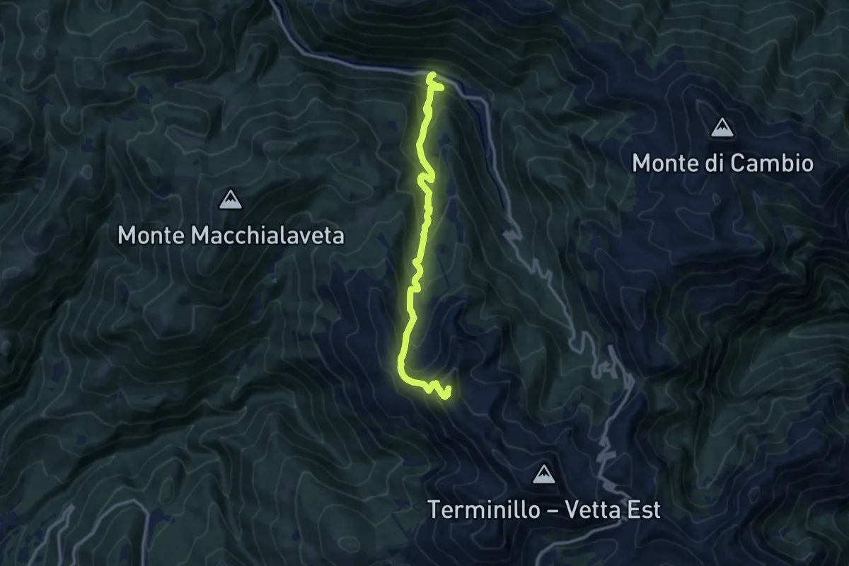
Demanding · Summit
Vallonina – Sella Vall’Organo
11.1 km · ↑ 941 m · 4 h 40 min
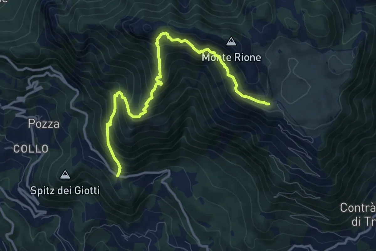
Demanding · Trail
Vallortigara - Busa del Novegno
9.4 km · ↑ 970 m · 4 h 19 min
Easy · Trail
Val Marina
4.2 km · ↑ 81 m · 1 h 9 min
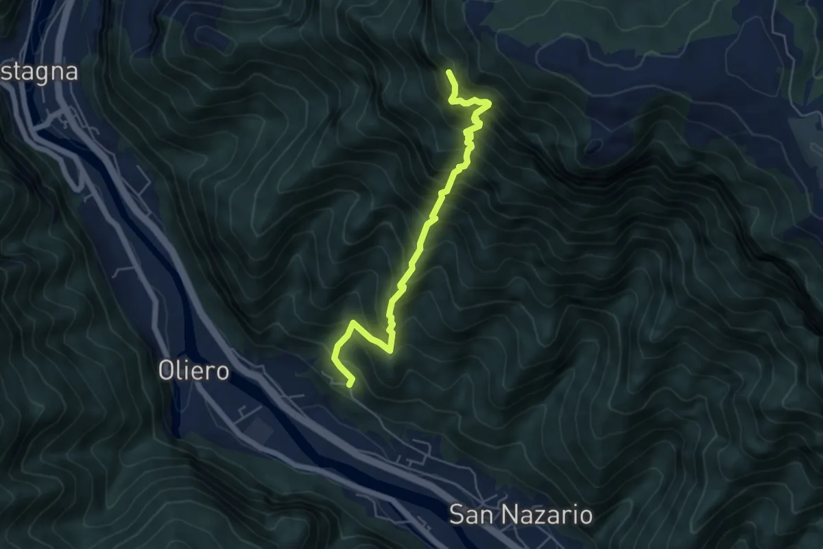
Demanding · Trail
Val Munare
5.1 km · ↑ 966 m · 3 h 18 min
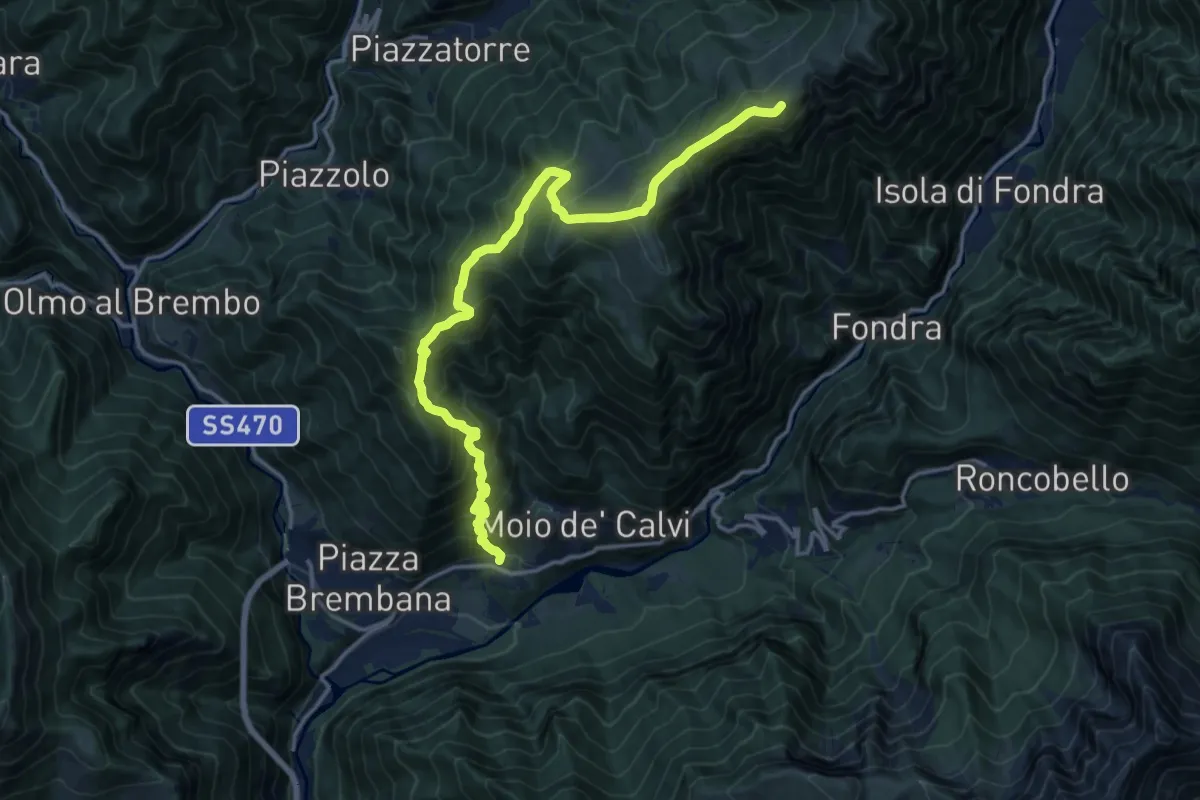
Demanding · Summit
Valnegra - Monte Torcola - Forcolino di Torcola Vaga
16.6 km · ↑ 1421 m · 6 h 59 min
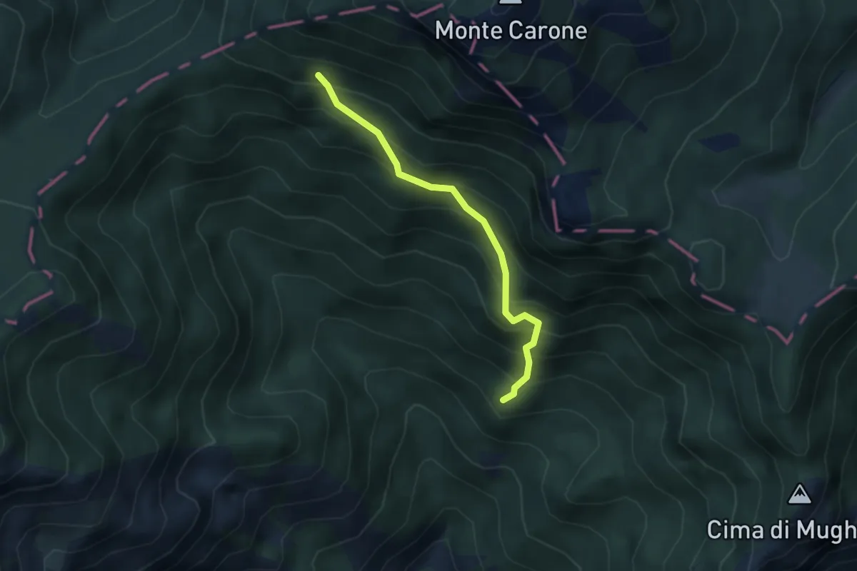
Medium · Summit
Val Piana, Baita Segala
3.0 km · ↑ 423 m · 1 h 38 min
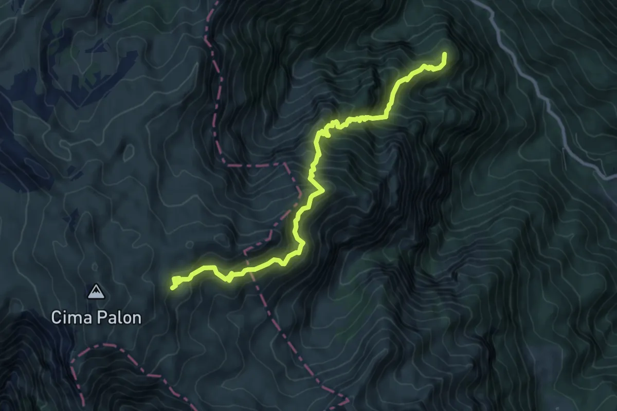
Demanding · Summit
Val Pruche
9.4 km · ↑ 1164 m · 4 h 44 min
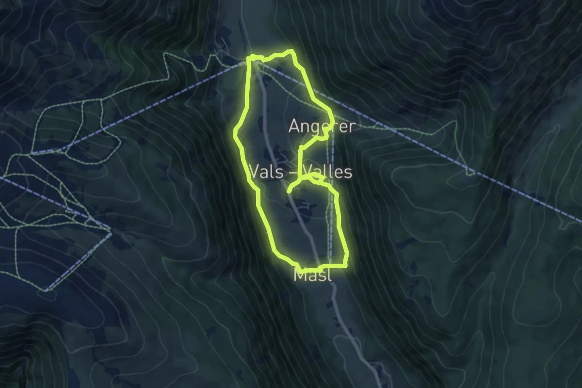
Easy · Trail
Valser Rundweg
5.7 km · ↑ 198 m · 1 h 52 min
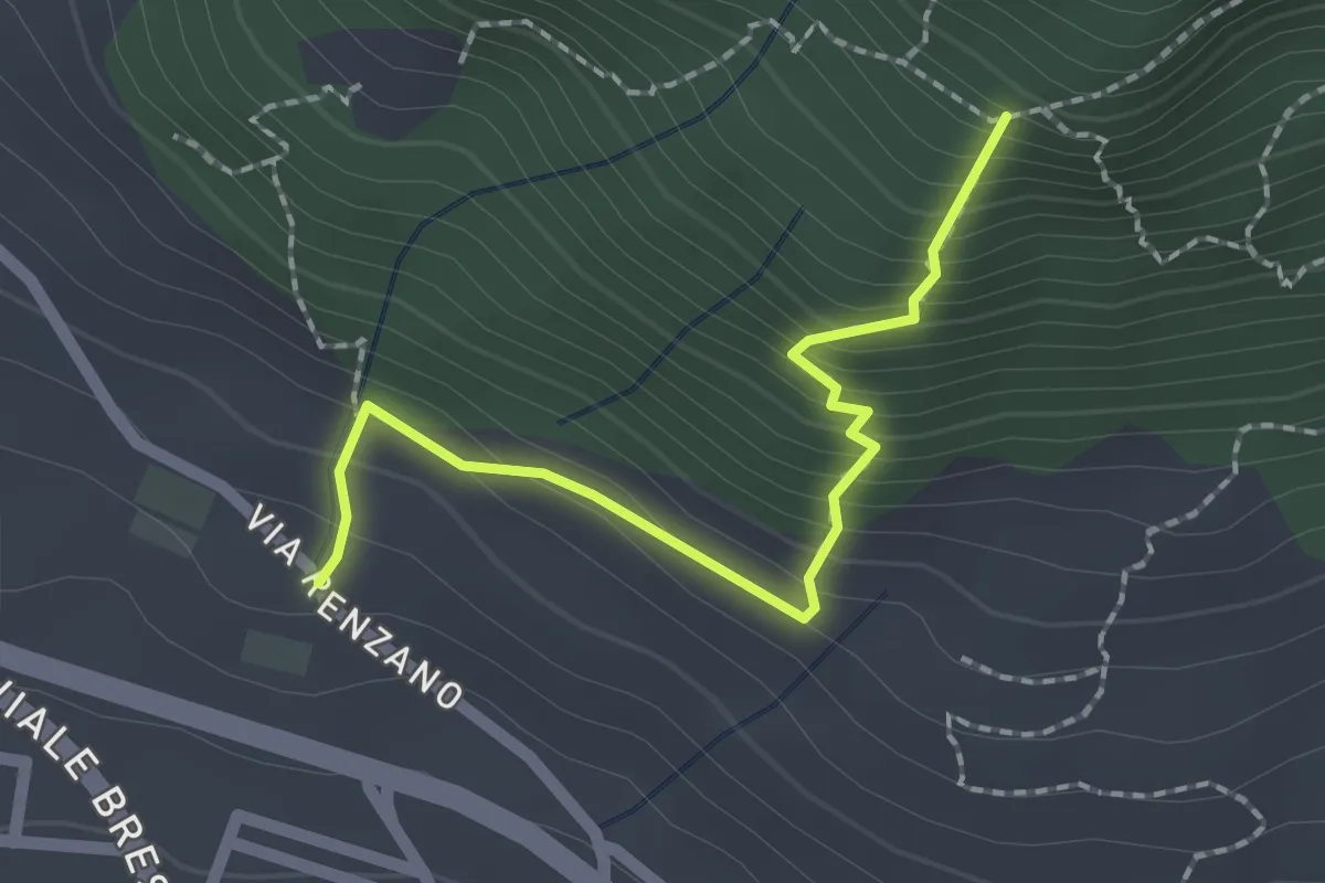
Easy · Trail
Valsiniga - La Corna
2.0 km · ↑ 263 m · 1 h 3 min
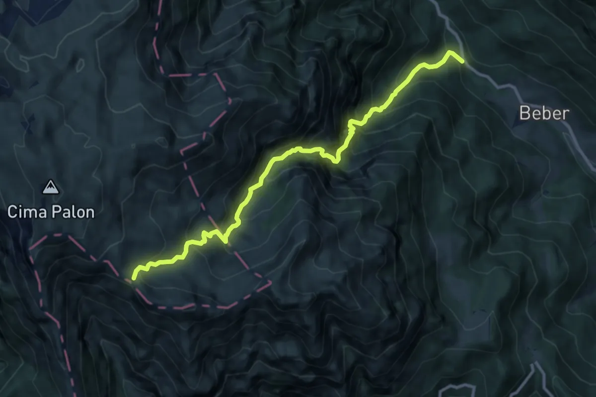
Demanding · Cabin
Val Sorapache
10.1 km · ↑ 1312 m · 5 h 14 min
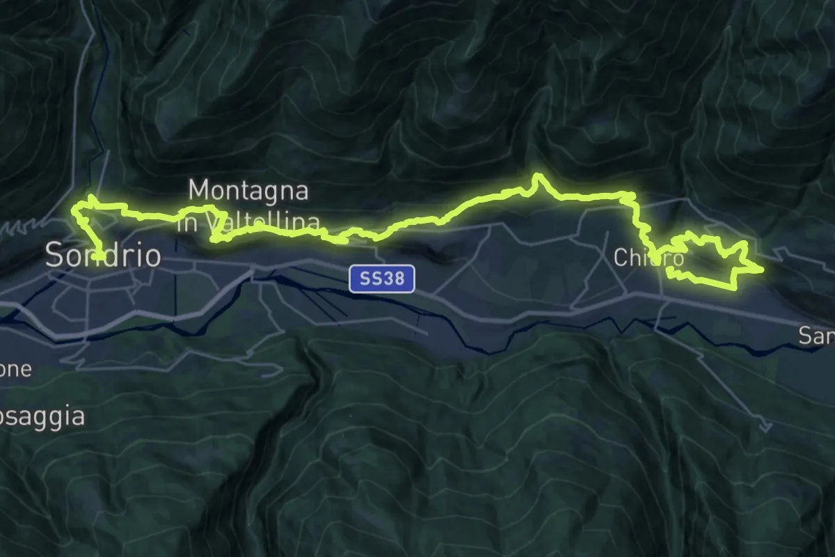
Demanding · Trail
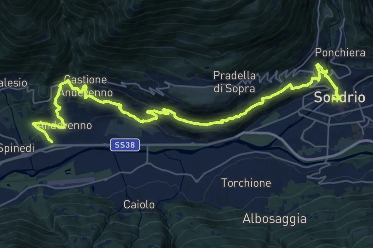
Valtellina Wine Trail Half Trail 21km
21.3 km · ↑ 939 m · 7 h 23 min
Demanding · Trail
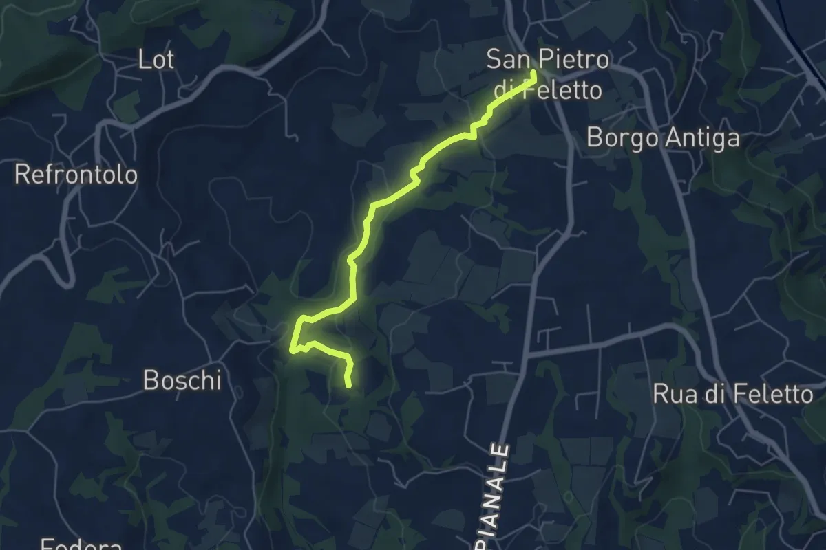
Valtellina Wine Trail Sassella Trail 13km
12.3 km · ↑ 654 m · 4 h 29 min
Easy · Trail
Val Trippera
5.2 km · ↑ 168 m · 1 h 36 min
Medium · Trail
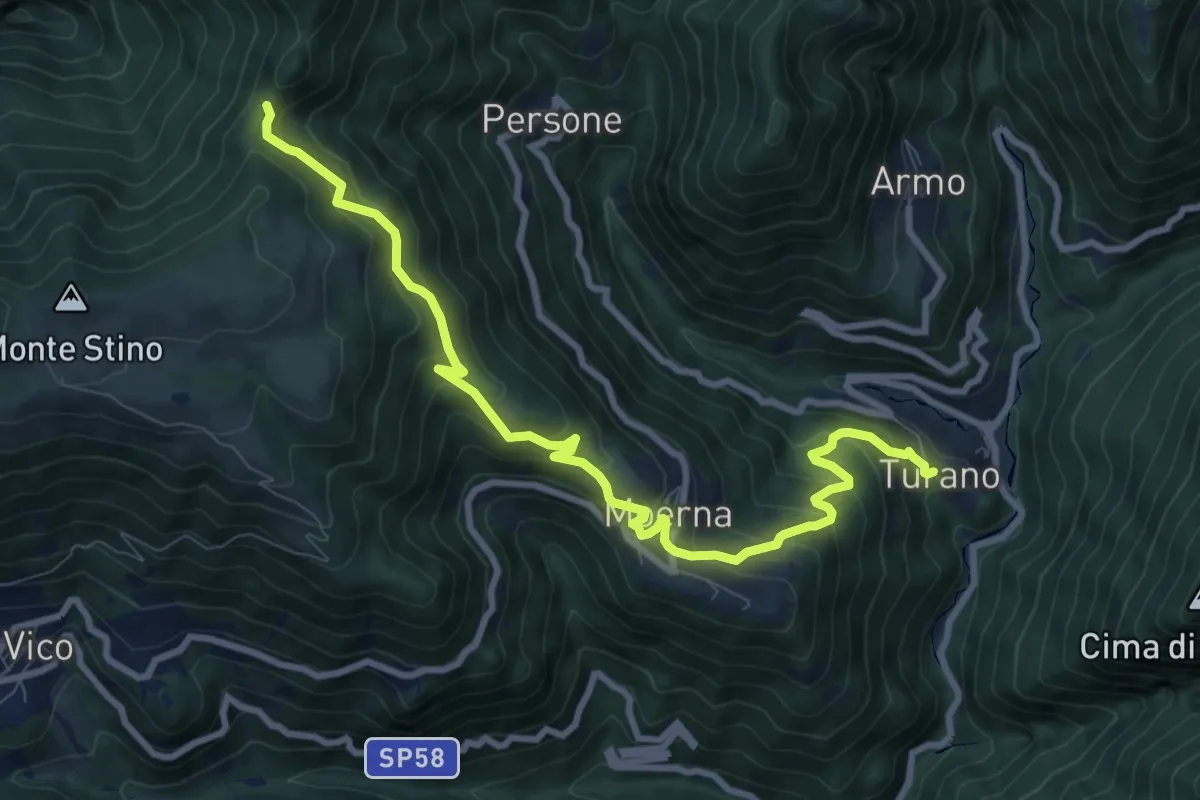
Valvestino (Turano) - Moerna - Bocca di Cocca
10.1 km · ↑ 741 m · 4 h
Demanding · Trail
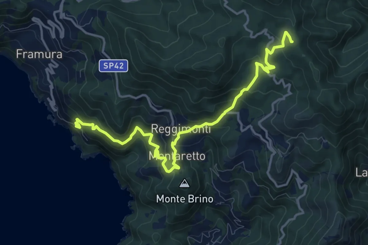
Vandarecca - Montaretto - Reggimonti – Bivio AV5T
11.7 km · ↑ 823 m · 4 h 33 min
Medium · Summit
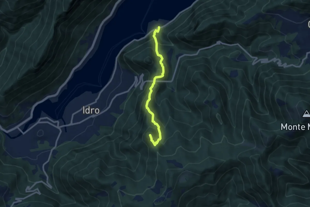
Vantone-F.le Meghè
6.9 km · ↑ 691 m · 3 h 8 min
Medium · Summit
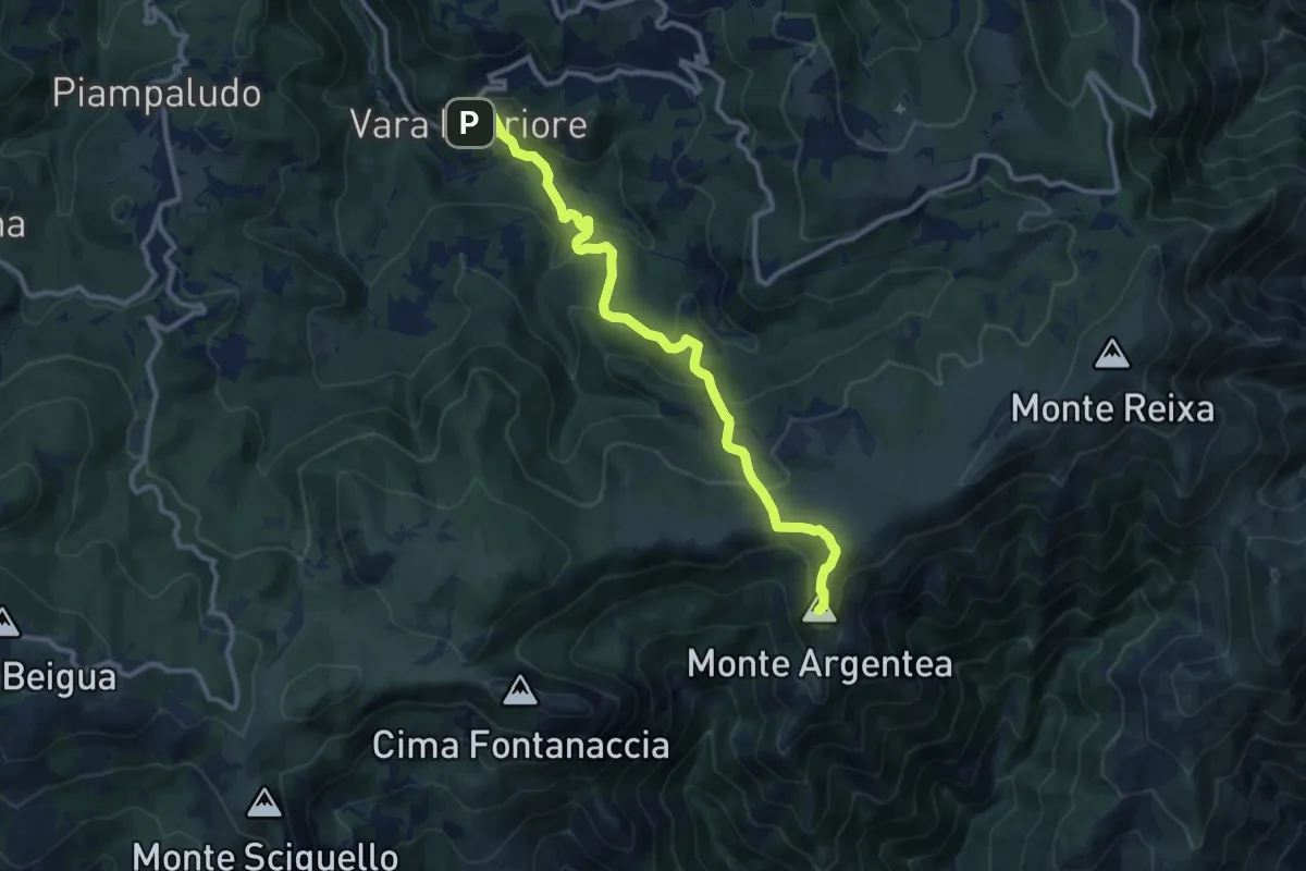
Vara Inferiore-Colla Pian di Lerca-Monte Argentea
5.7 km · ↑ 457 m · 2 h 14 min
Easy · Trail
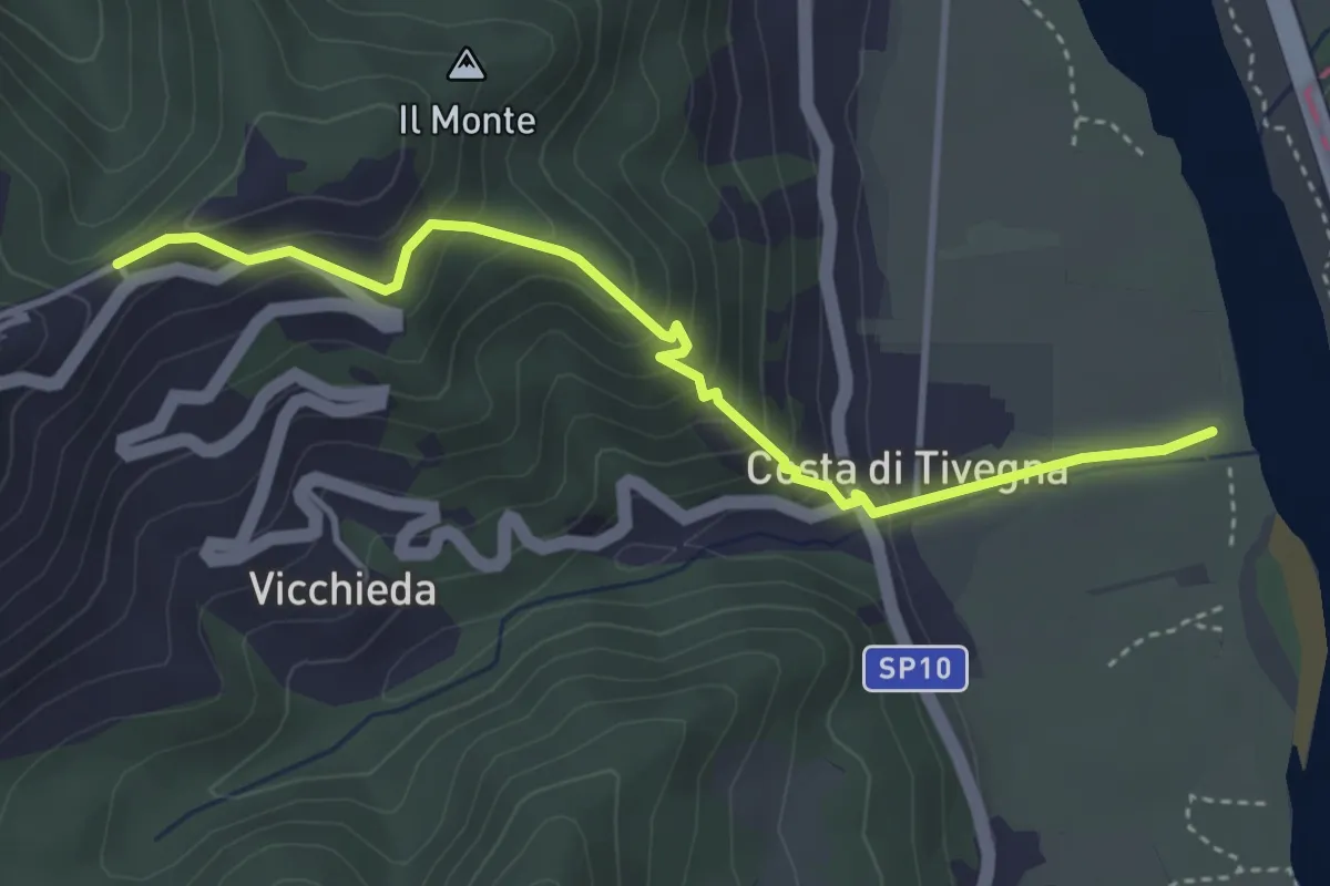
Vara – Pie’ di Foce
4.1 km · ↑ 292 m · 1 h 37 min