Trails in Italy
25,219 hiking trails, each with its route, climb, walking time and grade.
All trails, page 211 of 526
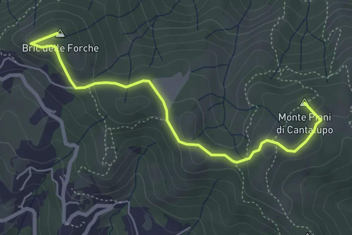
Medium · Summit
Varazze - Cantalupo - Bric delle Forche
4.8 km · ↑ 170 m · 1 h 30 min
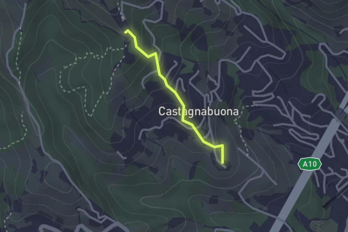
Easy · Summit
Varazze - Castagnabuona - Croce di Castagnabuona
1.9 km · ↑ 141 m · 45 min
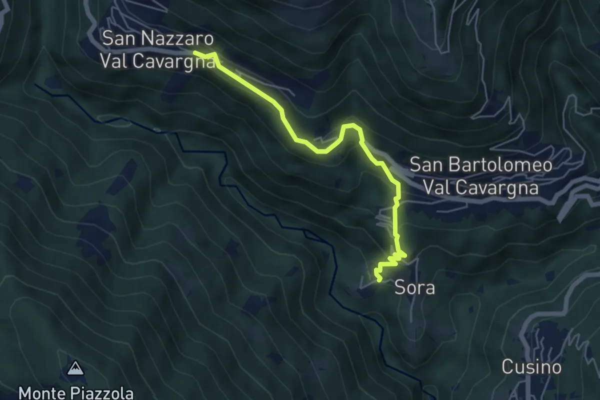
Easy · Trail
Variante
4.7 km · ↑ 318 m · 1 h 47 min
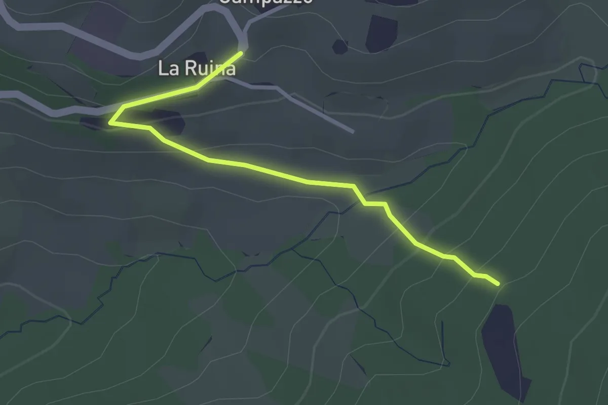
Easy · Trail
Variante 10
2.9 km · ↑ 141 m · 59 min
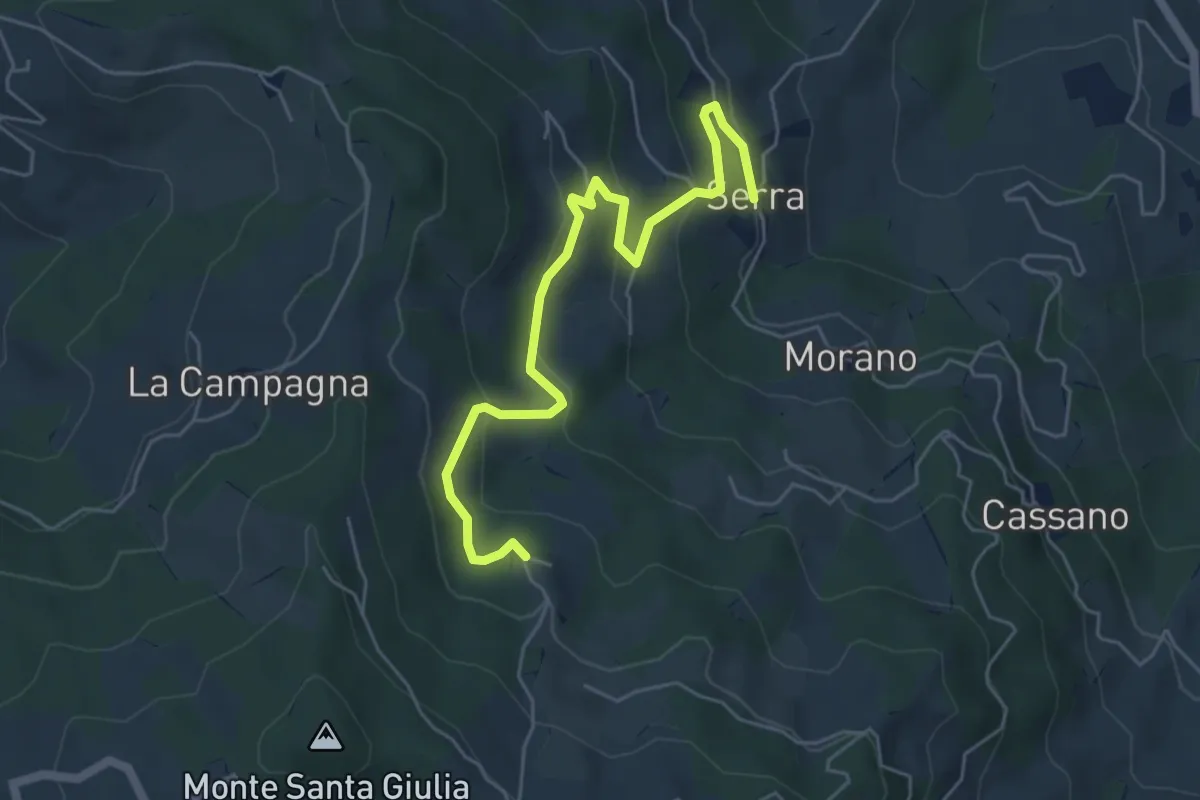
Easy · Trail
Variante 11
5.9 km · ↑ 277 m · 2 h
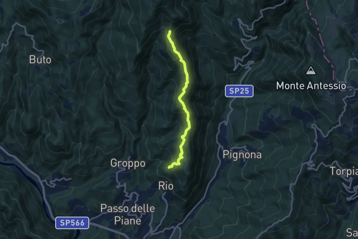
Medium · Trail
Variante 121 via Vetta Monte Faccio
8.3 km · ↑ 543 m · 3 h 8 min
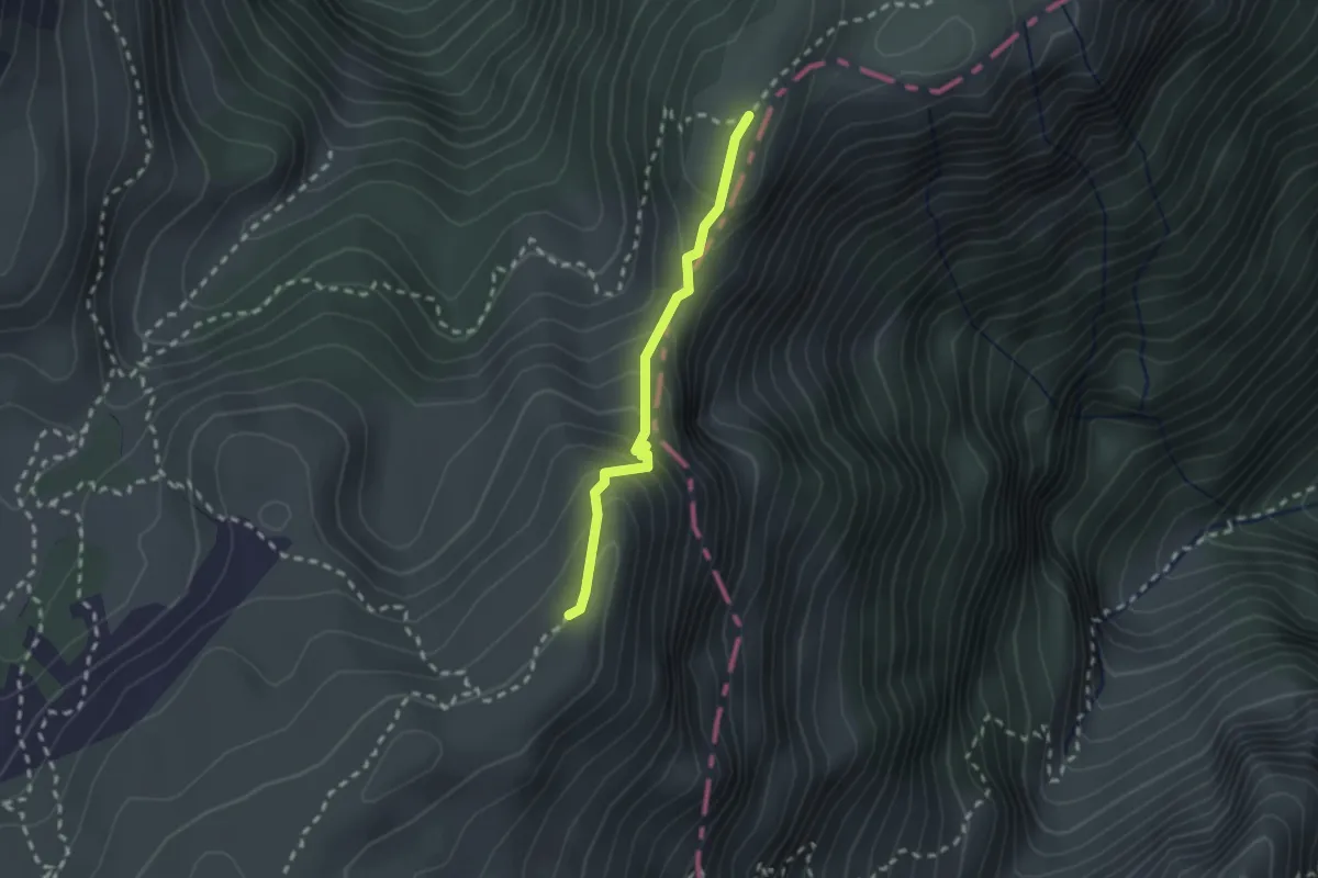
Medium · Trail
Variante 147 -E5
2.0 km · ↑ 206 m · 55 min
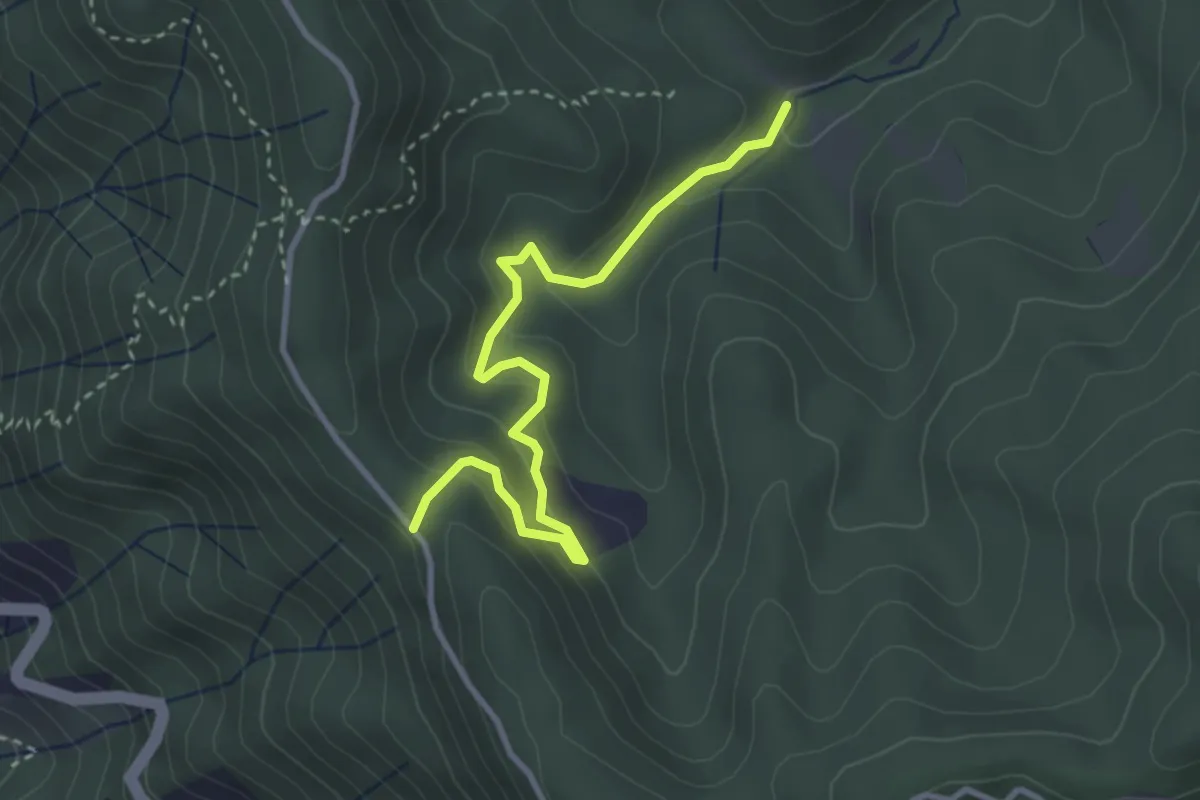
Easy · Trail
Variante 551 via S.Bernardo
3.6 km · ↑ 214 m · 1 h 18 min
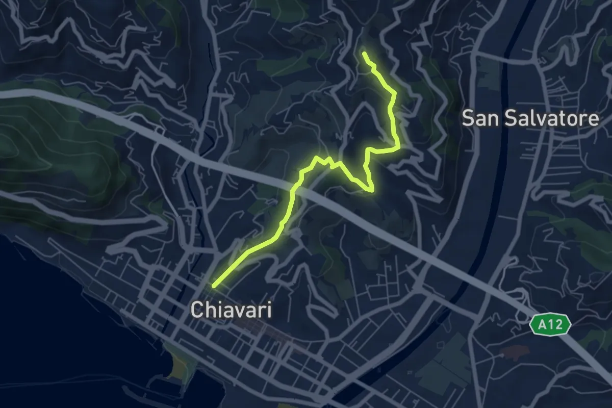
Medium · Trail
Variante al giro delle Cinque Torri fino al Curlo (Chiavari - Leivi)
6.0 km · ↑ 351 m · 2 h 11 min
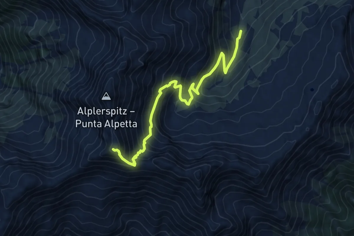
Demanding · Trail
Variante Alpennieder
8.7 km · ↑ 819 m · 3 h 49 min
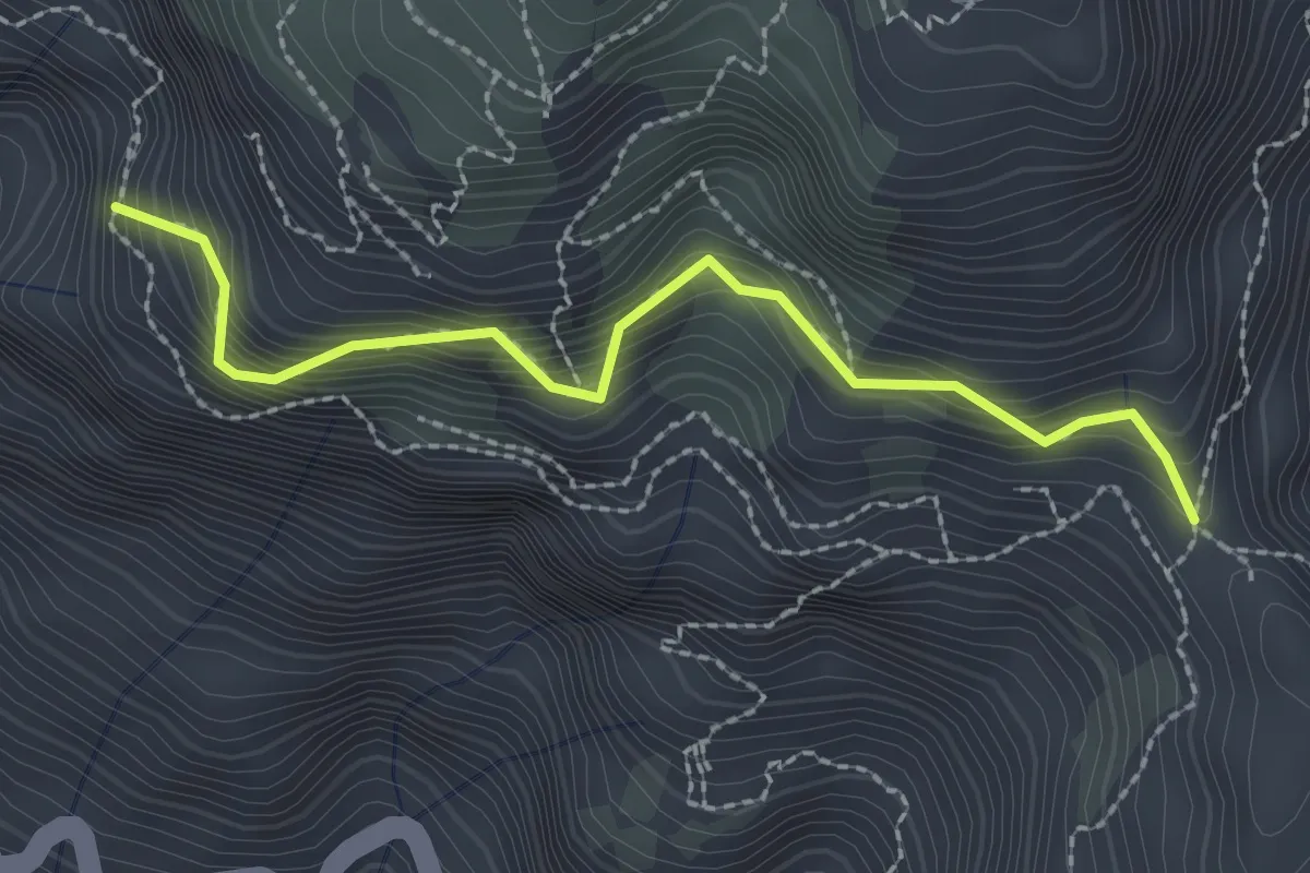
Medium · Trail
Variante alta del Sentiero degli Dei
2.6 km · ↑ 406 m · 1 h 29 min
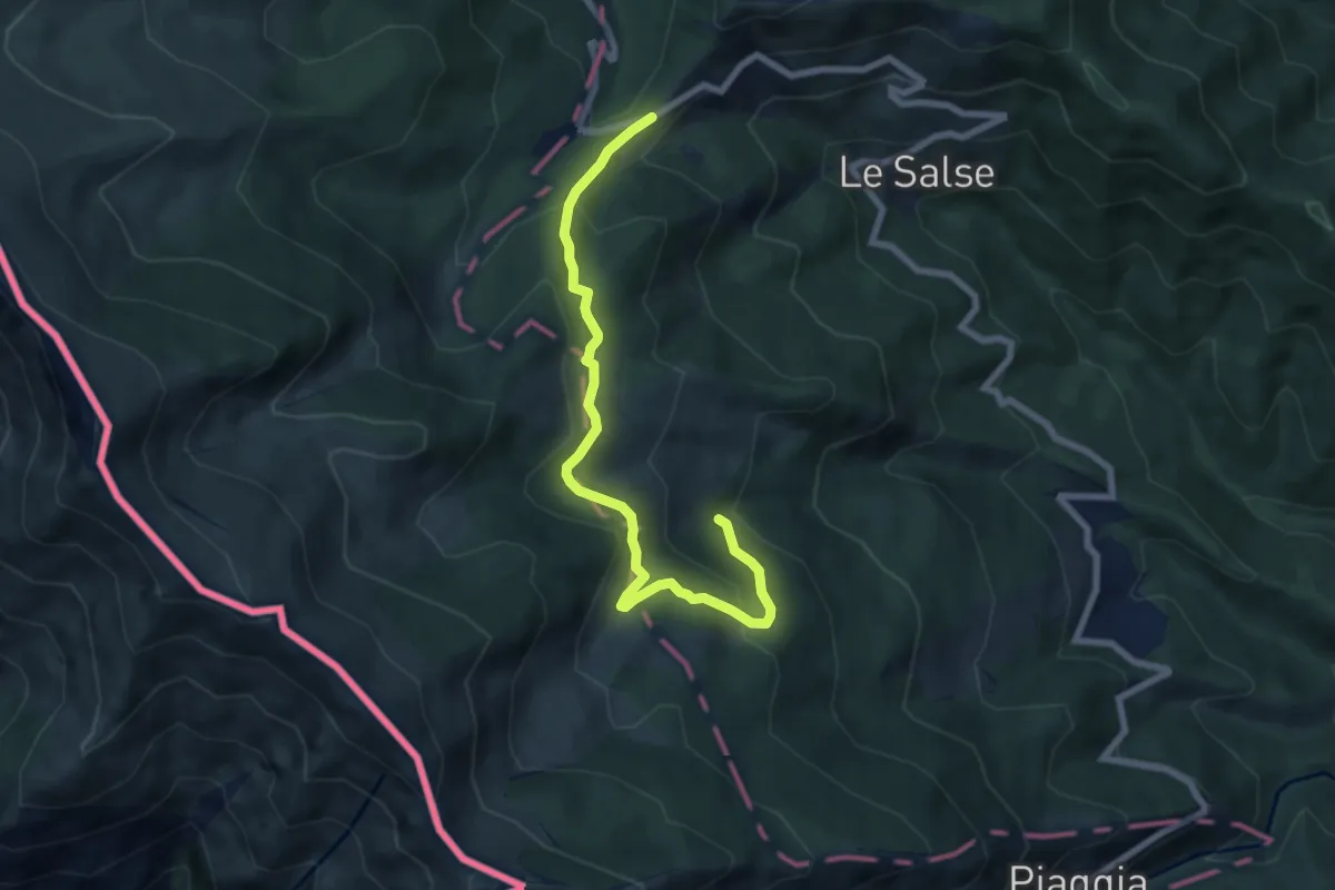
Medium · Trail
Variante Anello delle Malghe
7.8 km · ↑ 391 m · 2 h 41 min
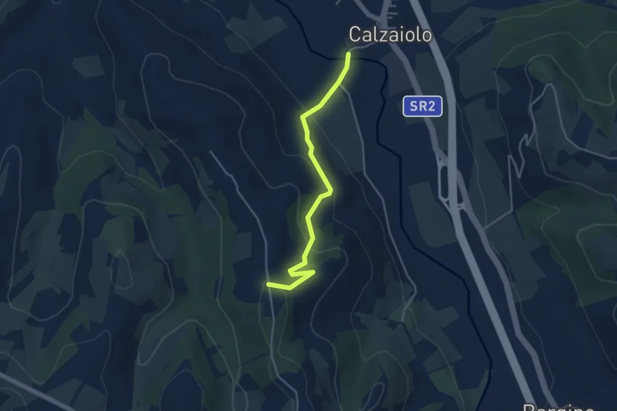
Easy · Trail
Variante anello di San Pancrazio
3.6 km · ↑ 183 m · 1 h 15 min
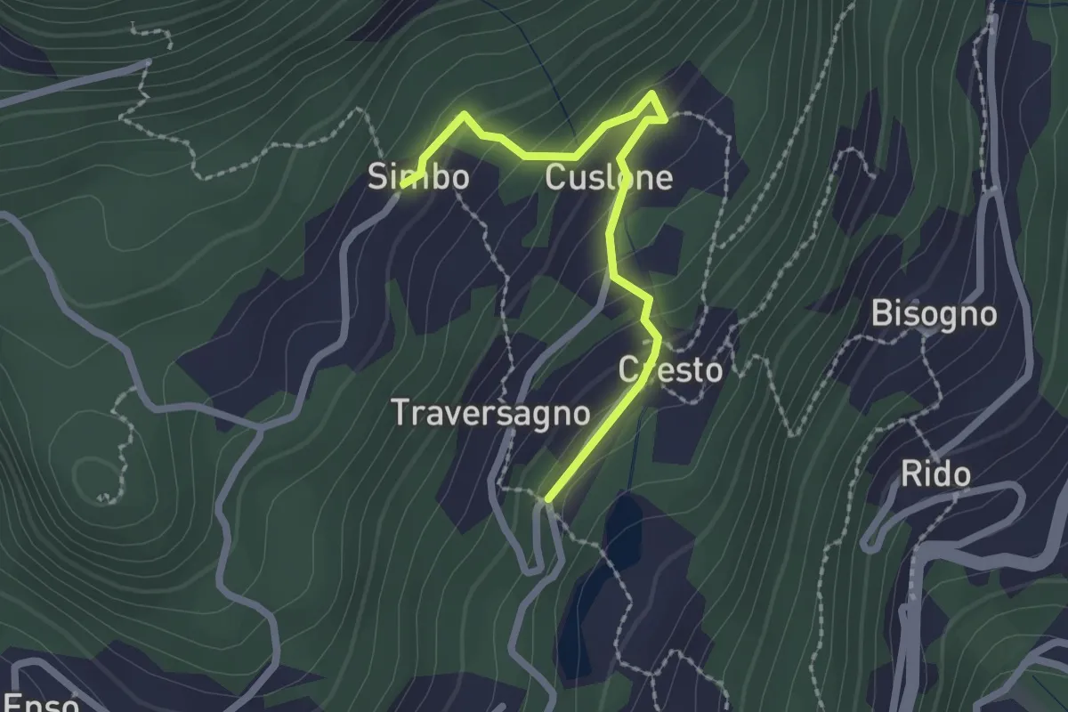
Easy · Trail
Variante a Sentiero delle Frazioni
2.0 km · ↑ 116 m · 44 min
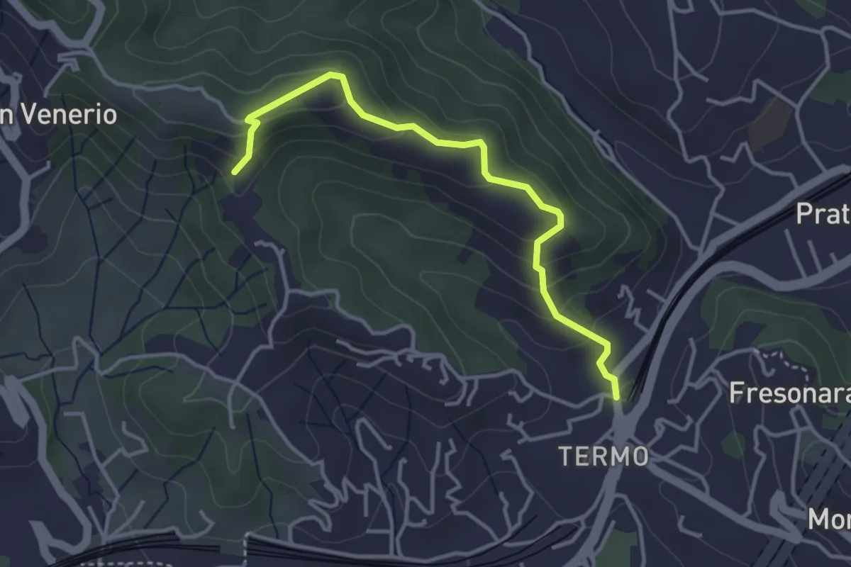
Easy · Trail
Variante AVG del Termo
3.7 km · ↑ 194 m · 1 h 18 min
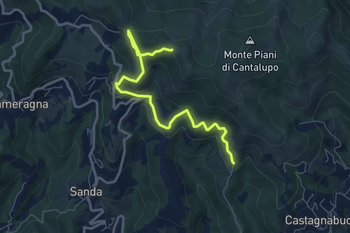
Easy · Trail
Variante Bassa Due Quadrati Rossi
6.7 km · ↑ 308 m · 2 h 15 min
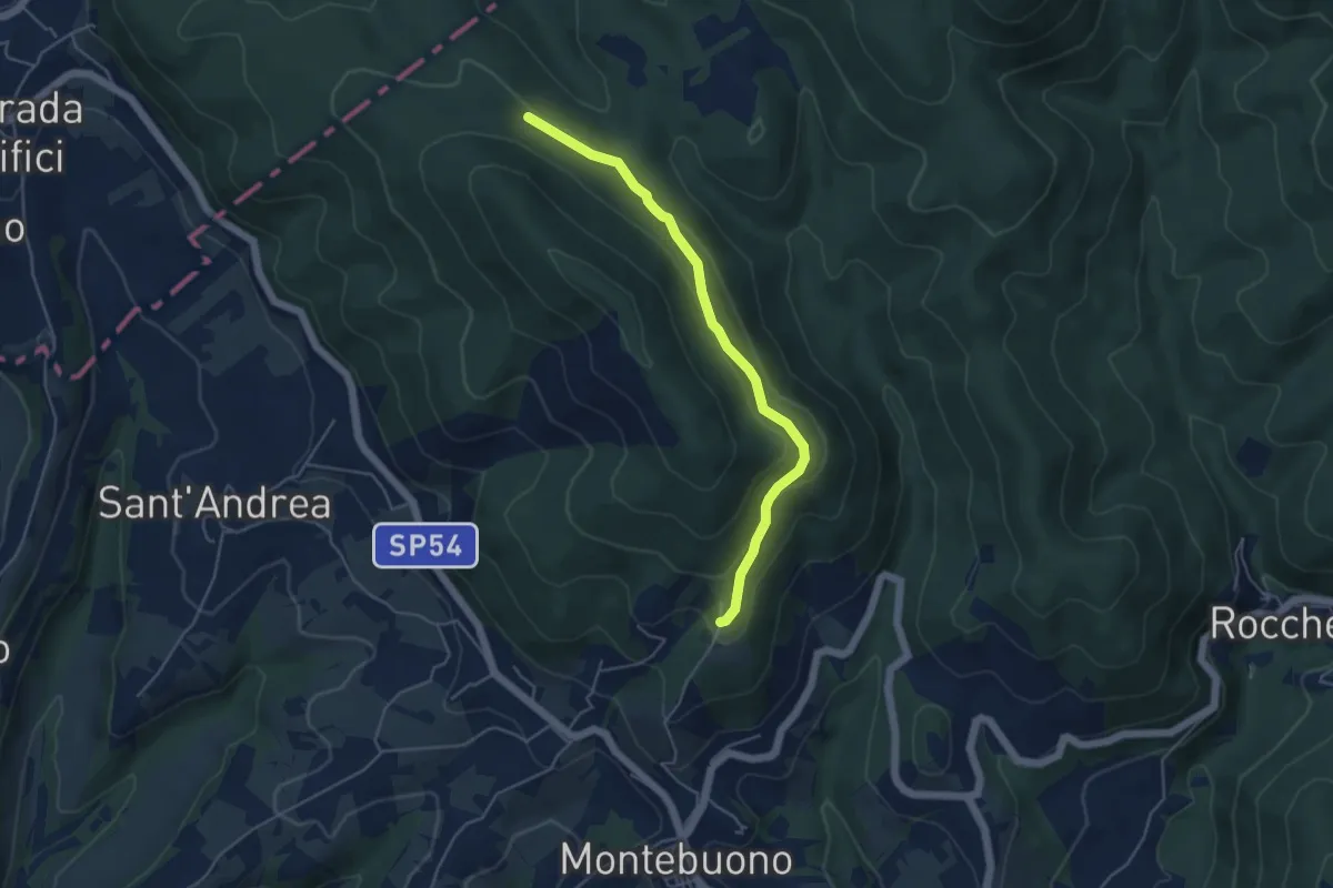
Easy · Trail
Variante bassa Montebuono
4.9 km · ↑ 159 m · 1 h 30 min
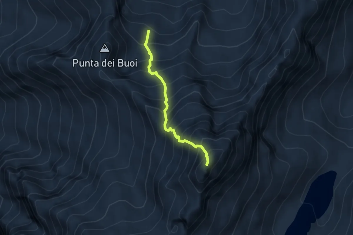
Expert · Summit
Variante Bocchetta di Valbione
3.0 km · ↑ 612 m · 2 h 2 min
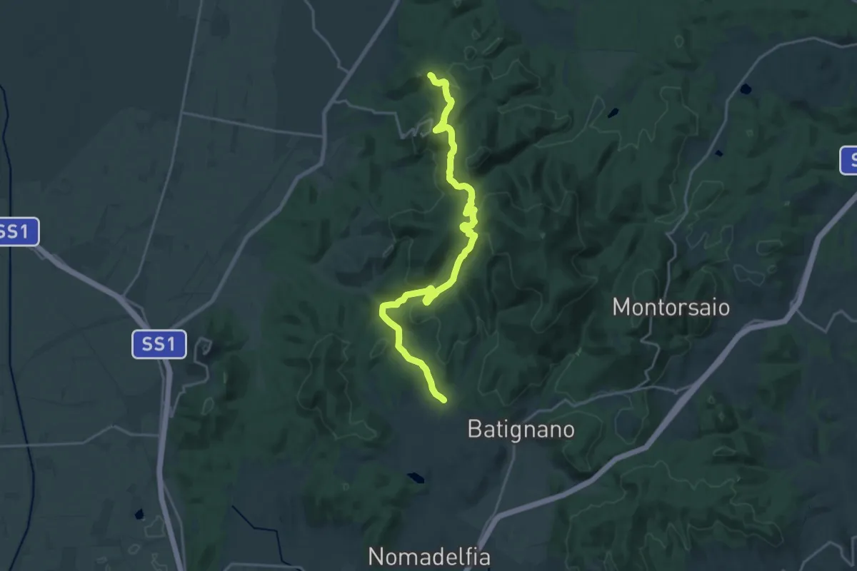
Demanding · Trail
Variante Cammino di Padre Giovanni Tappa 2
21.7 km · ↑ 728 m · 6 h 42 min
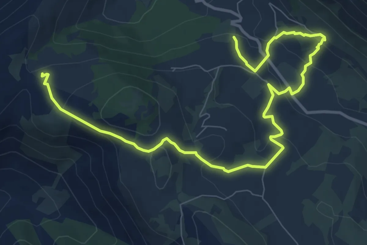
Medium · Trail
Variante Cavallo Bianco-Campo Soriano
11.0 km · ↑ 400 m · 3 h 28 min
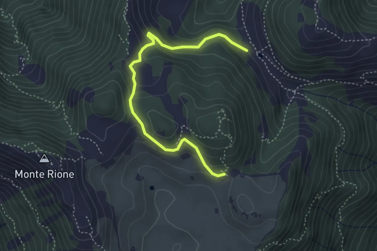
Easy · Trail
Variante Cima Alta
4.2 km · ↑ 238 m · 1 h 31 min
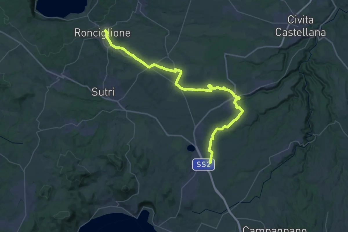
Demanding · Trail
Variante Cimina
23.6 km · ↑ 110 m · 6 h 14 min
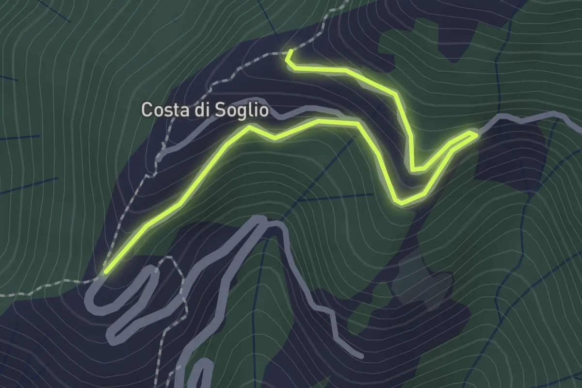
Easy · Trail
Variante Costa di Soglio
2.6 km · ↑ 252 m · 1 h 10 min
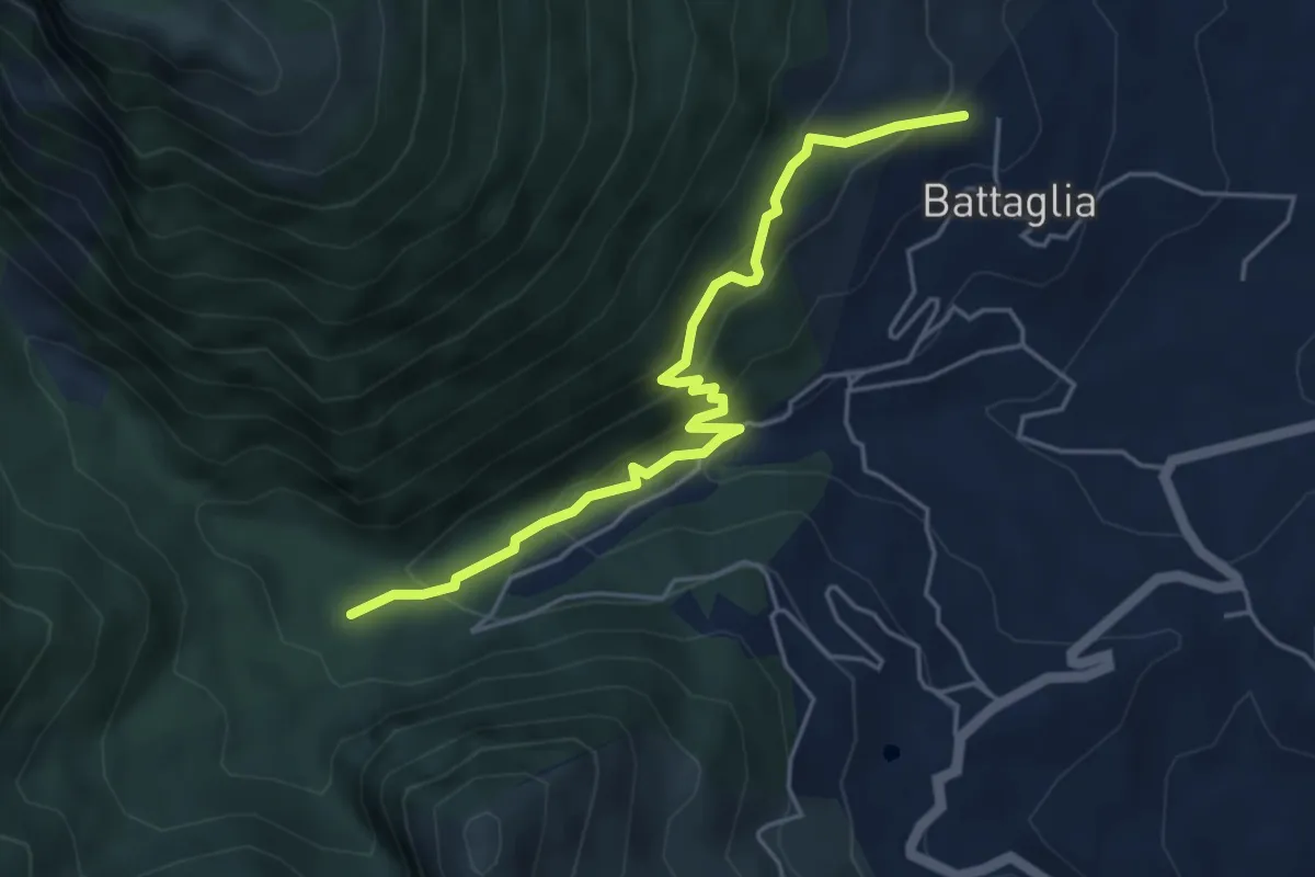
Medium · Trail
Variante della cascatella
5.2 km · ↑ 420 m · 2 h 8 min
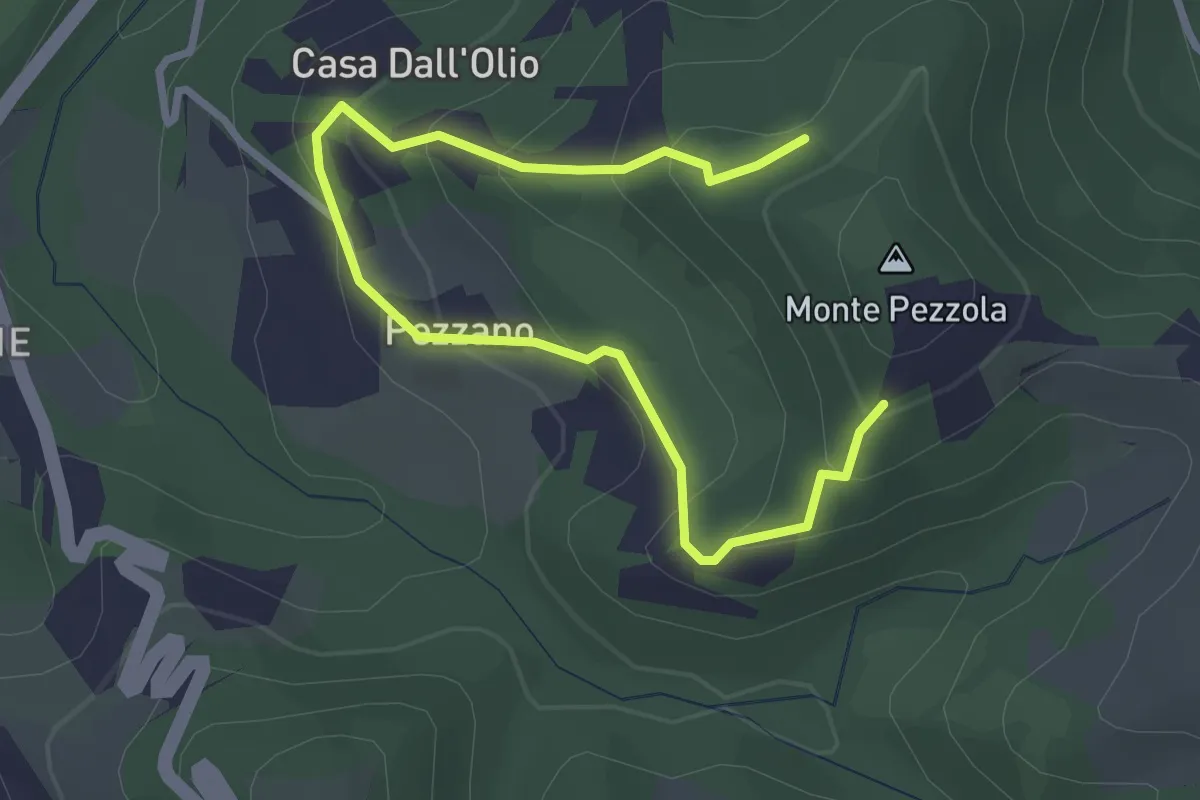
Easy · Trail
Variante di Pezzano
3.8 km · ↑ 220 m · 1 h 23 min
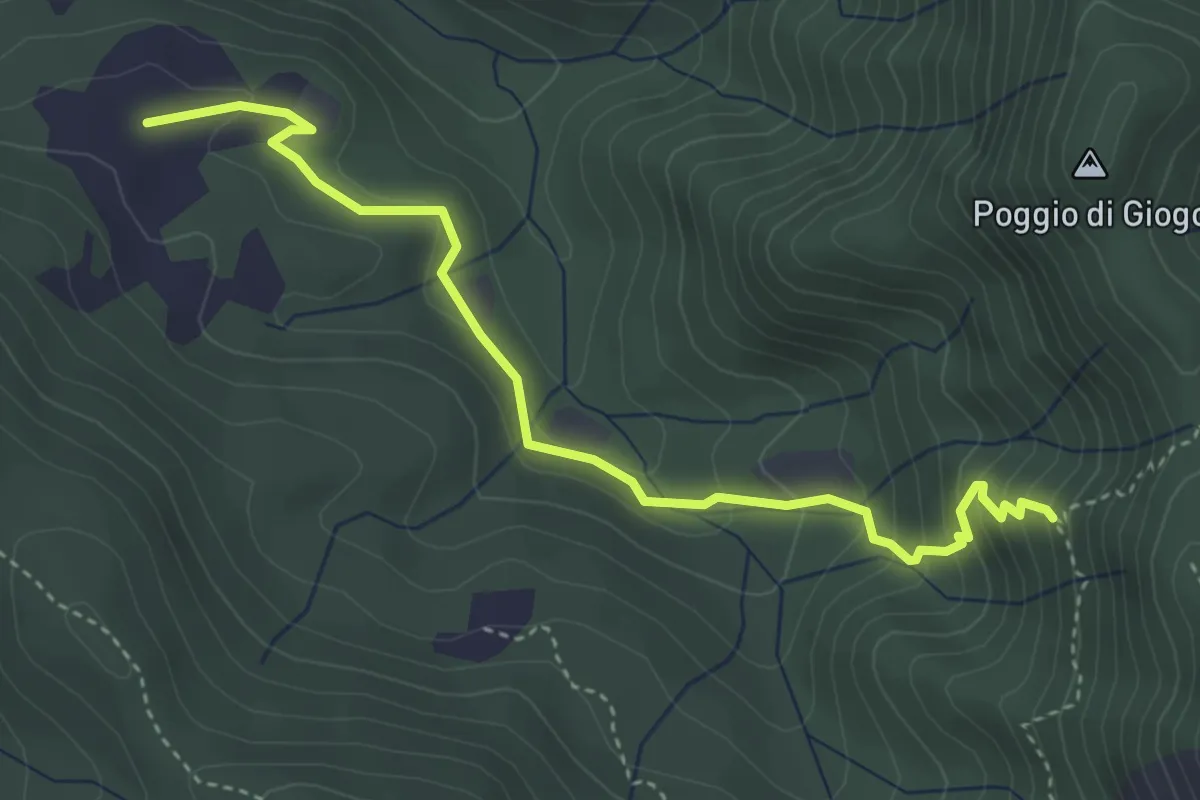
Demanding · Cabin
variante di Ripalta
4.4 km · ↑ 295 m · 1 h 41 min
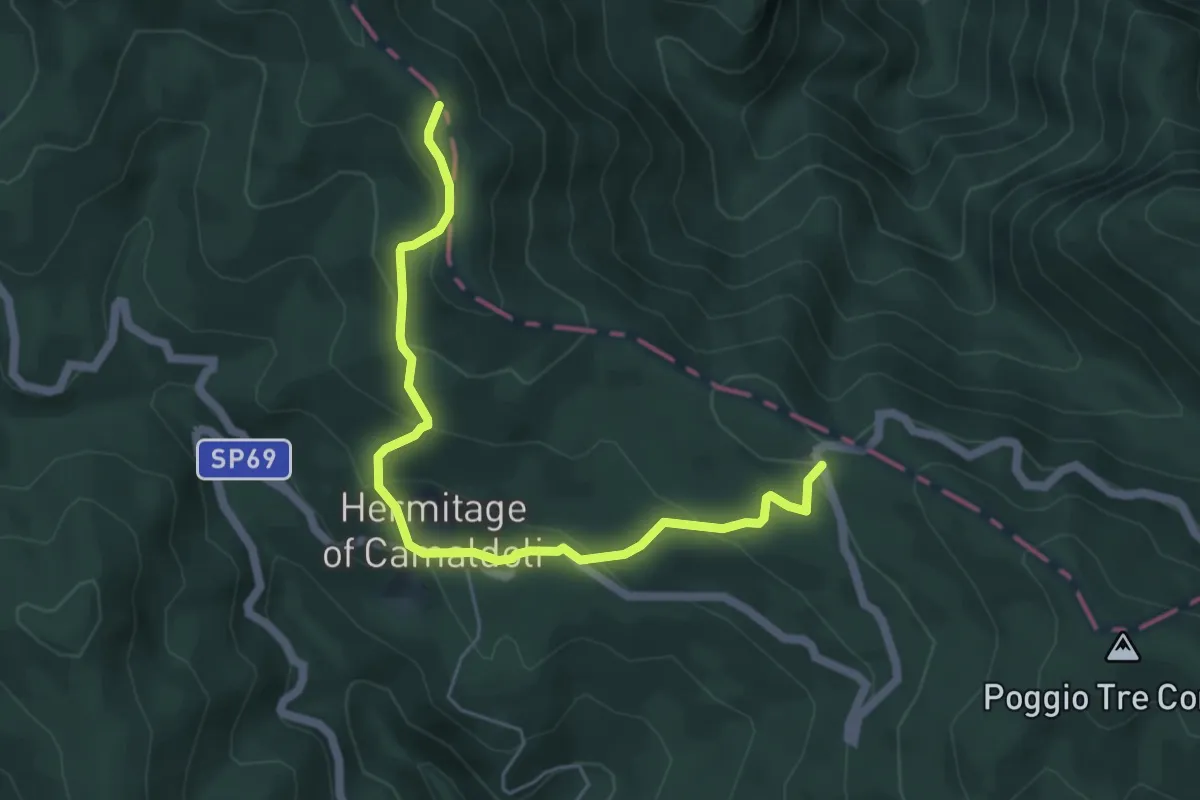
Medium · Trail
Variante Eremo di Camaldoli
5.9 km · ↑ 363 m · 2 h 11 min
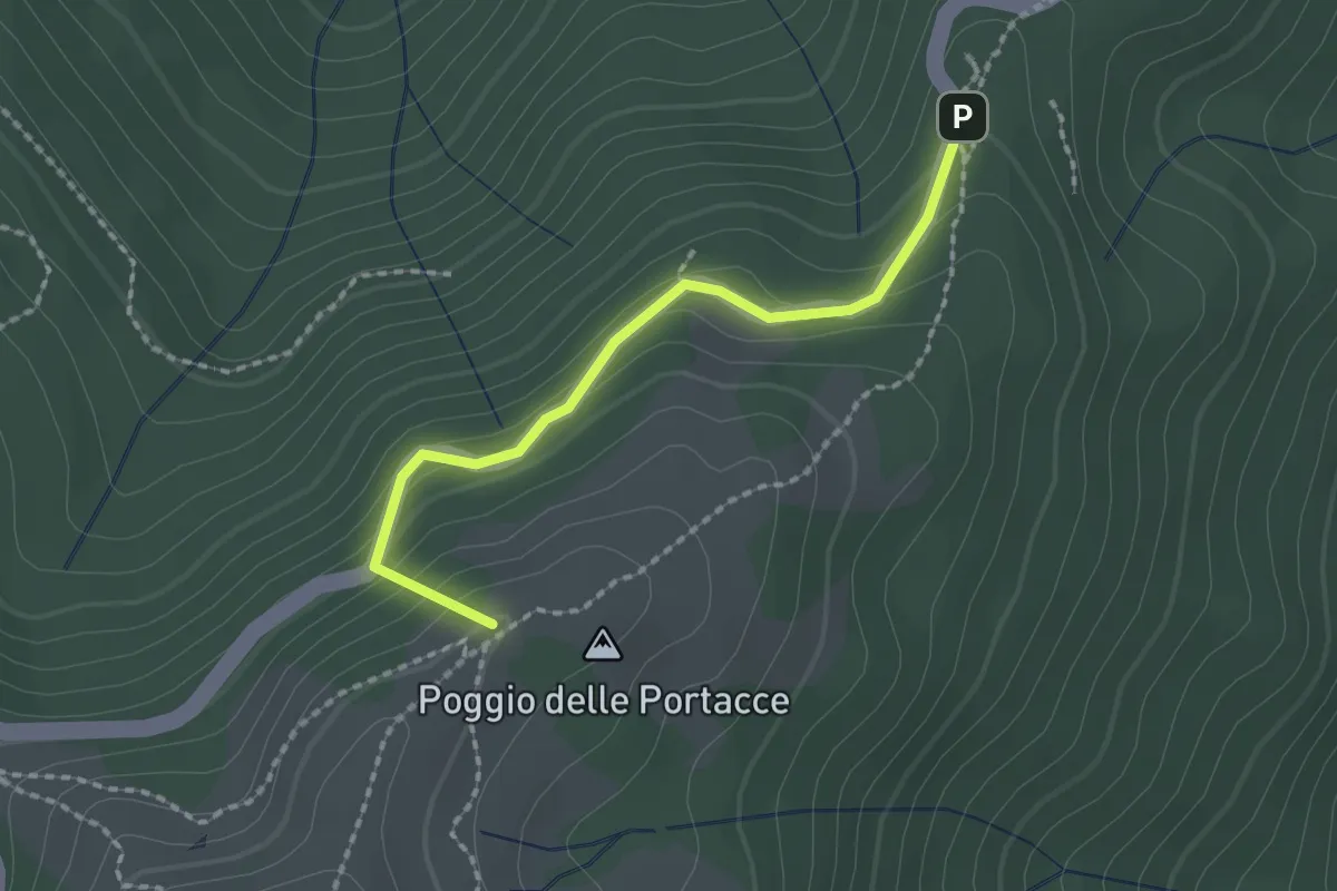
Easy · Summit
Variante Hinkler Ring A
2.0 km · ↑ 135 m · 45 min
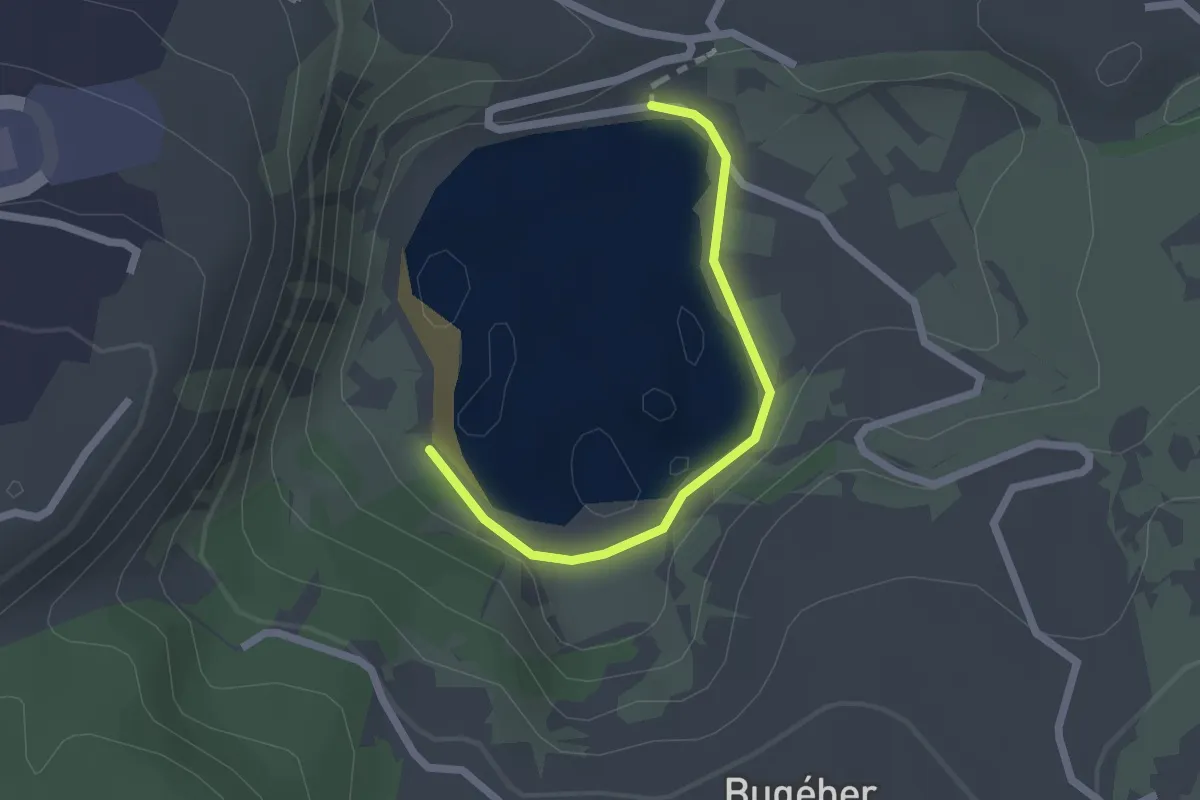
Easy · Trail
Variante Lungolago
2.3 km · ↑ 13 m · 34 min
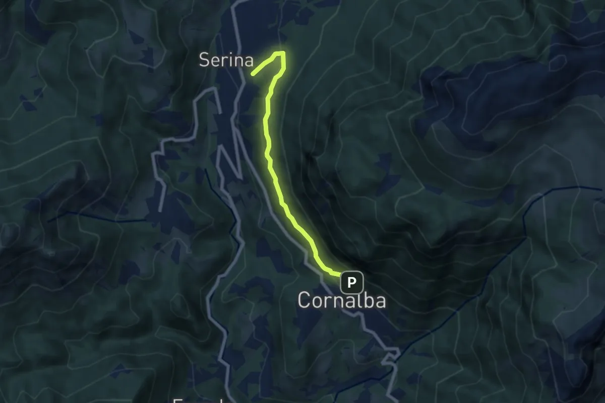
Medium · Trail
Variante Mercatorum
5.8 km · ↑ 321 m · 2 h 4 min
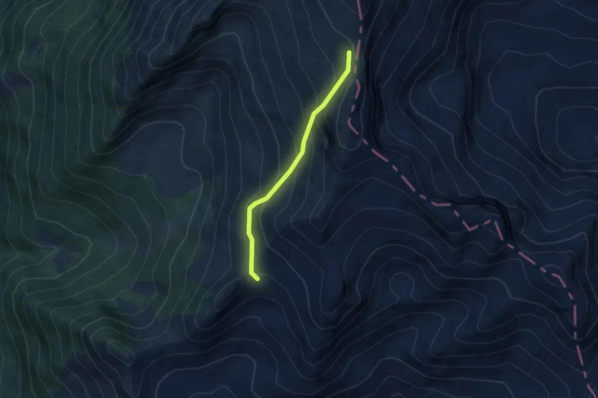
Easy · Trail
Variante Monte Bruffione
3.2 km · ↑ 291 m · 1 h 23 min
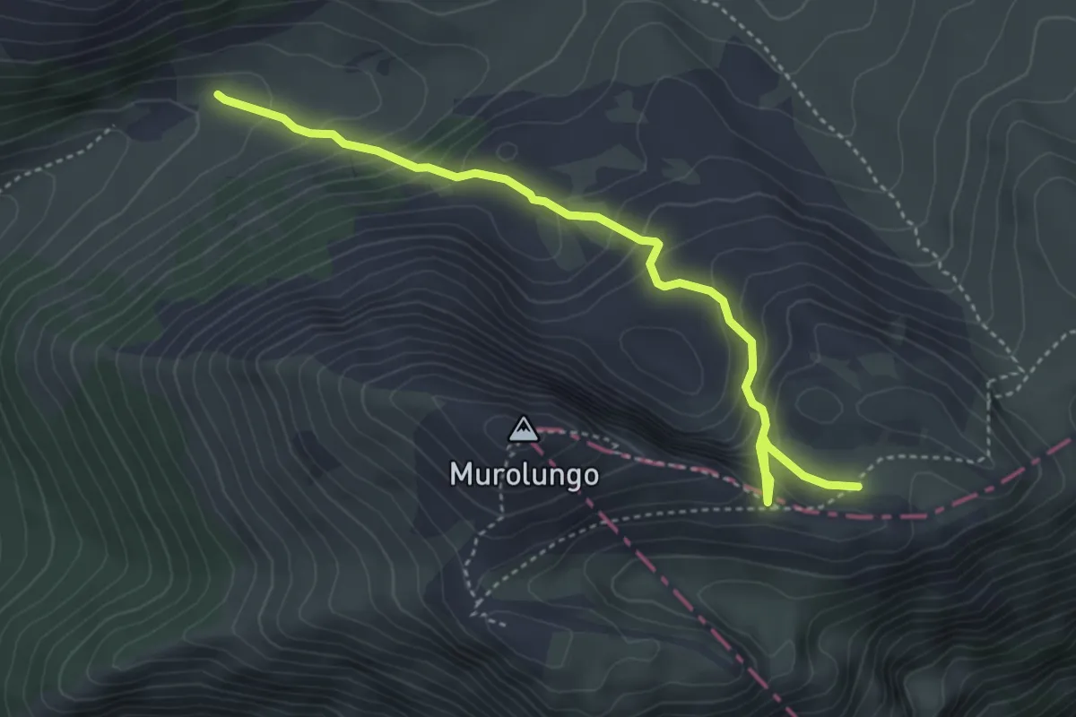
Medium · Cabin
Variante Murolungo
4.7 km · ↑ 382 m · 1 h 56 min
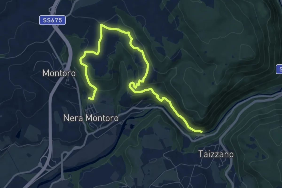
Medium · Trail
Variante per Montoro Vecchio
10.9 km · ↑ 426 m · 3 h 30 min
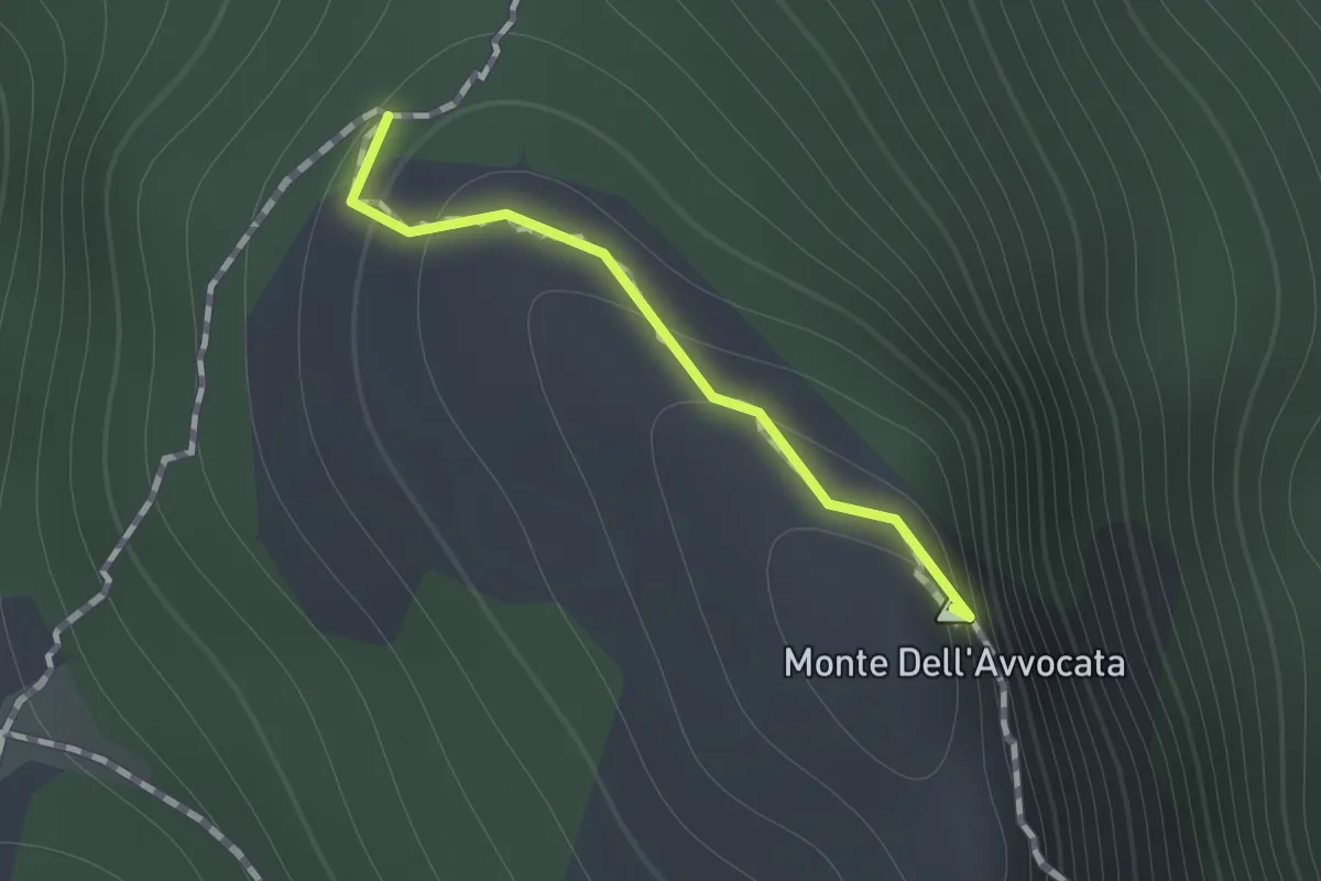
Medium · Summit
Variante per Vetta Avvocata
0.7 km · ↑ 86 m · 21 min
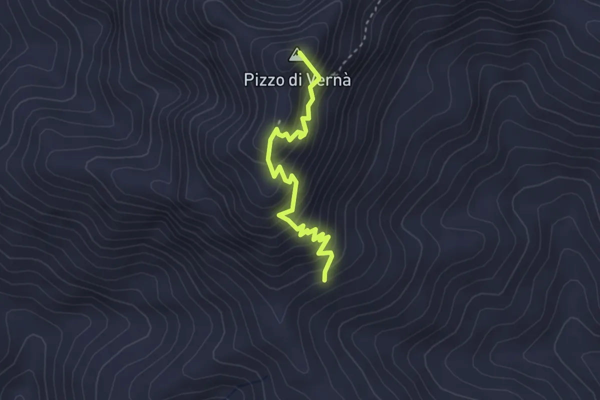
Expert · Summit
Variante Pizzo Vernà
3.1 km · ↑ 398 m · 1 h 36 min
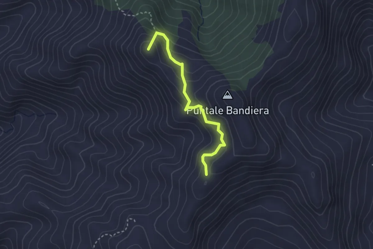
Medium · Summit
Variante Rometta SI (Via Pizzo Corvo)
2.9 km · ↑ 300 m · 1 h 20 min
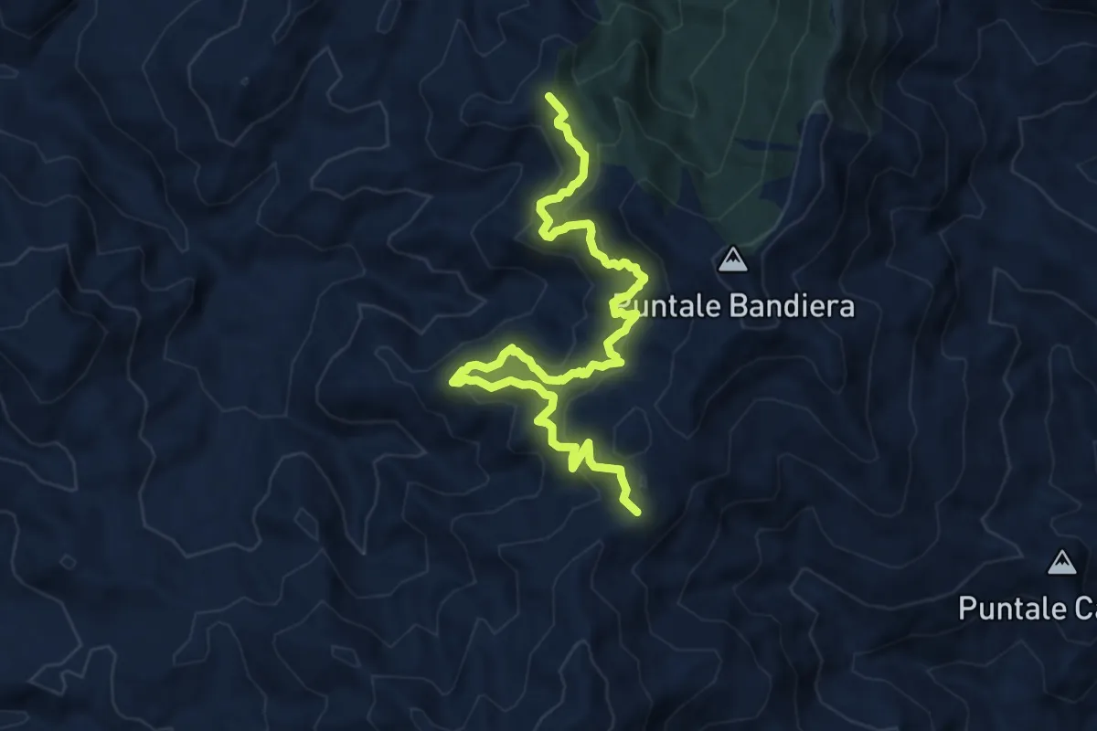
Demanding · Summit
Variante Rometta SI (Via Rifugio Girasì)
12.0 km · ↑ 924 m · 4 h 50 min
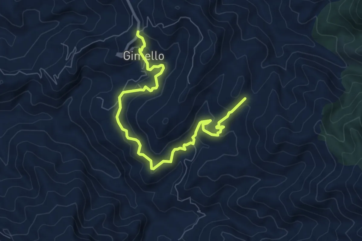
Medium · Trail
Variante Rometta SI (Via S. Leone)
9.4 km · ↑ 620 m · 3 h 34 min
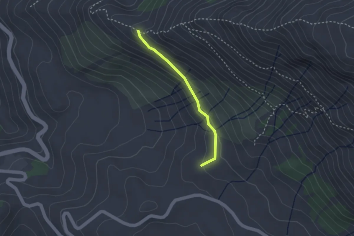
Medium · Trail
Variante San Franco
2.3 km · ↑ 114 m · 48 min
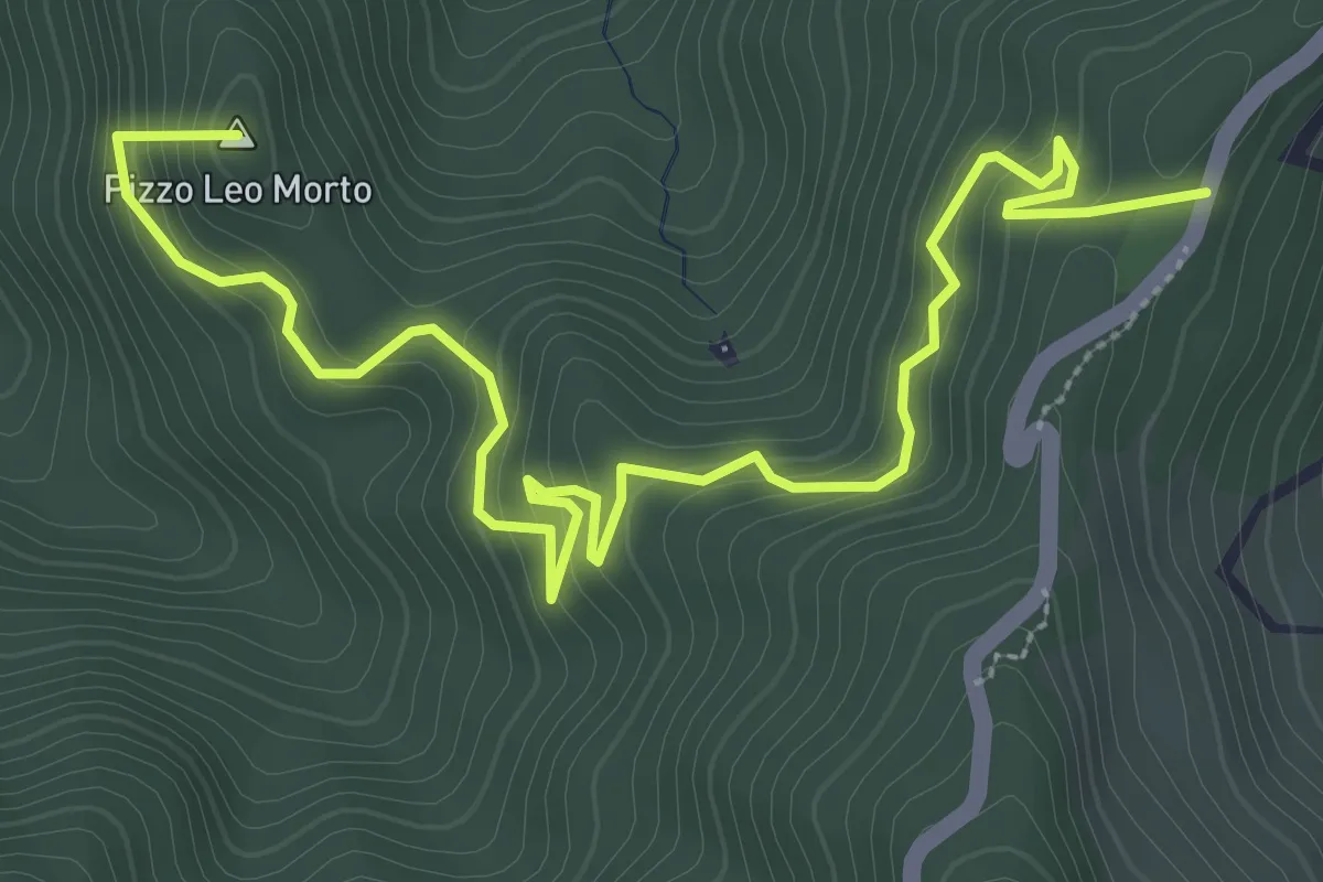
Medium · Summit
Variante Saponara Sentiero Italia (Via Piano Verde)
5.0 km · ↑ 370 m · 1 h 59 min
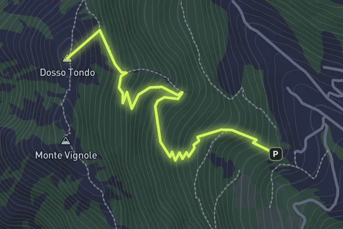
Medium · Summit
Variante Sentiero di Monte Vignole
3.2 km · ↑ 380 m · 1 h 35 min
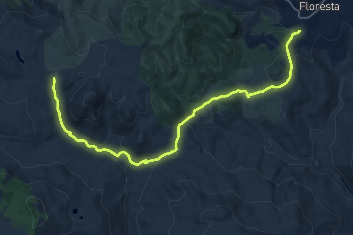
Medium · Trail
Variante Sentieroitalia
14.8 km · ↑ 347 m · 4 h 15 min
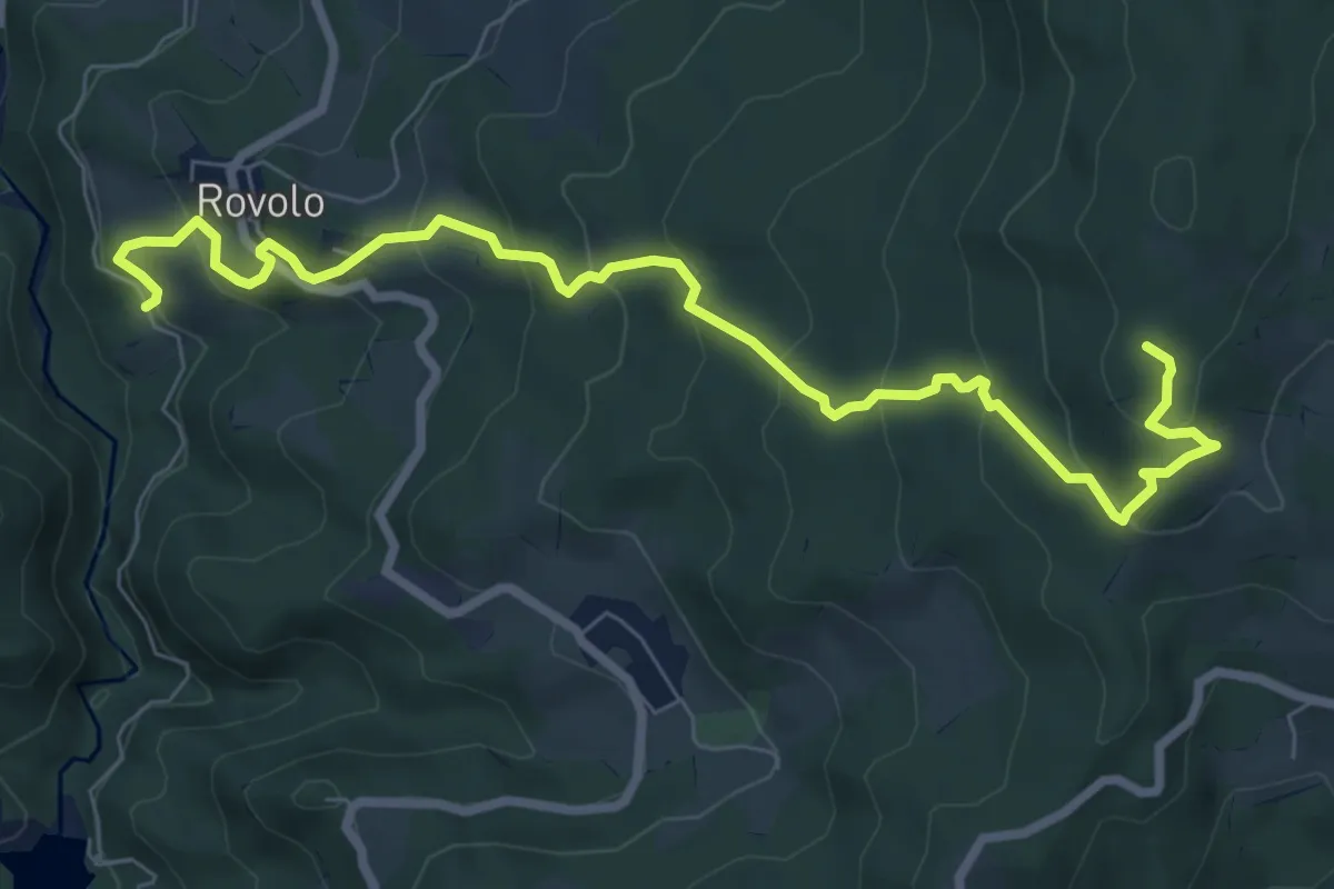
Medium · Summit
Variante Sentiero Matilde
9.3 km · ↑ 594 m · 3 h 30 min
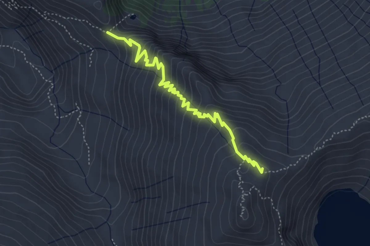
Medium · Summit
Variante - Sentiero Monsignor Giovanni Antonioli
5.0 km · ↑ 393 m · 2 h 1 min
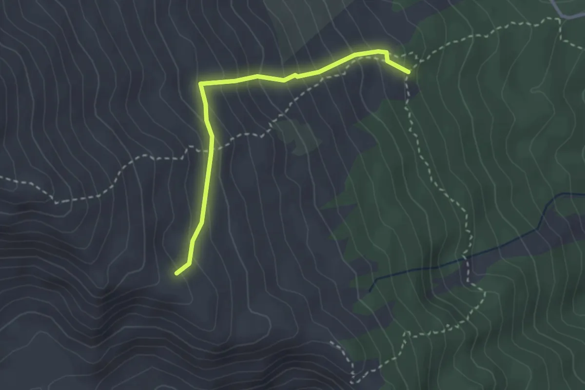
Demanding · Trail
Variante Serracozzo
3.0 km · ↑ 310 m · 1 h 23 min
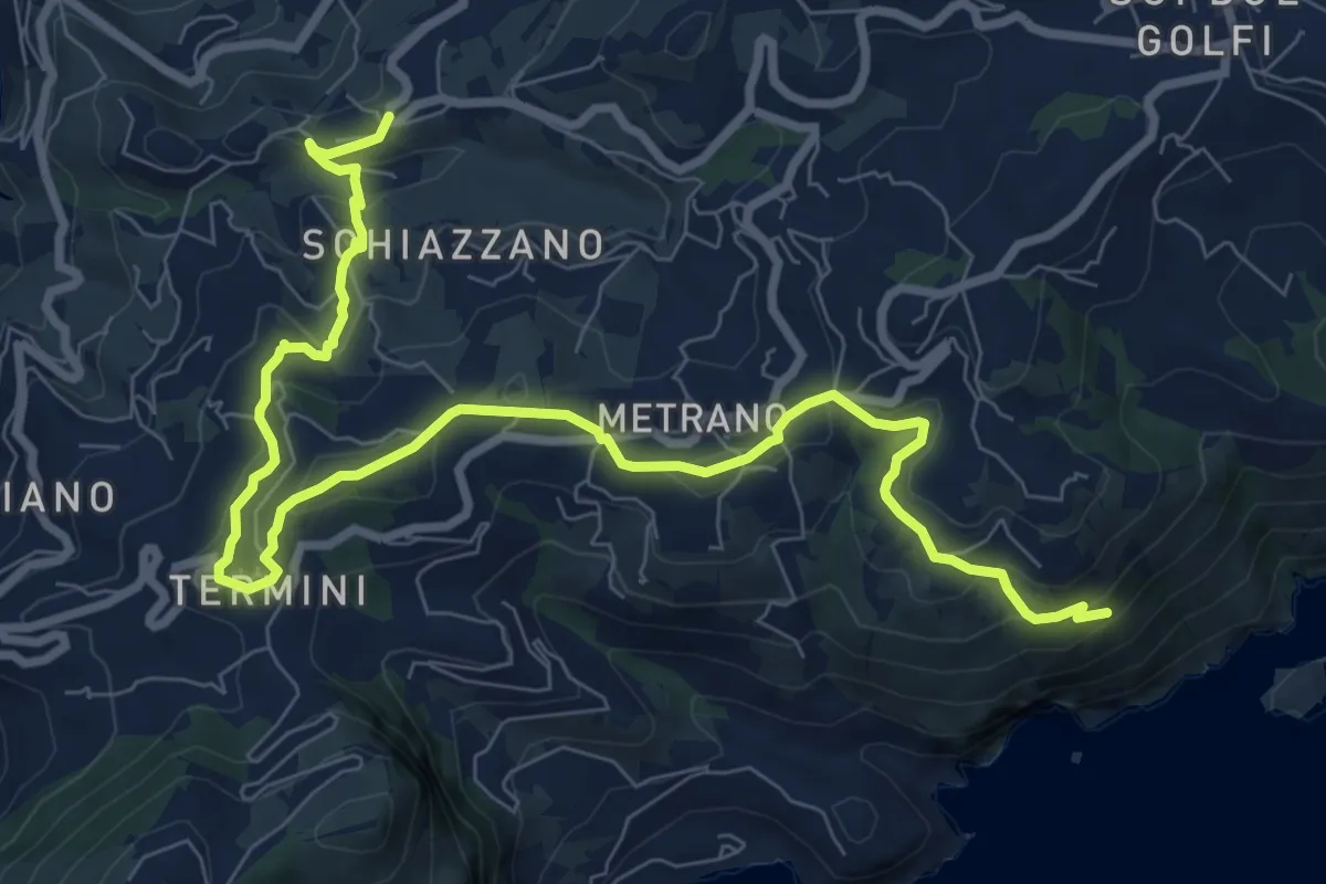
Medium · Trail
Variante Spina
11.9 km · ↑ 419 m · 3 h 43 min
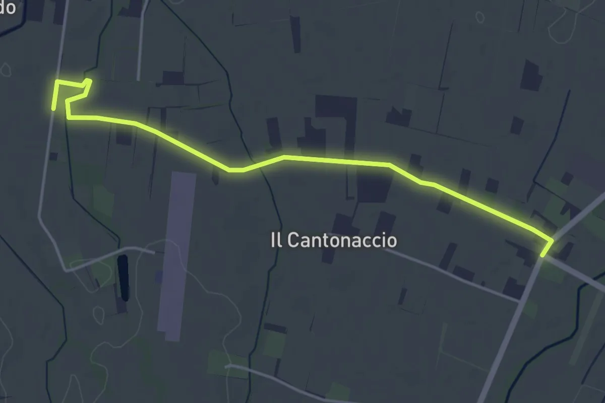
Easy · Trail
Variante Strada della Biodiversità
4.8 km · ↑ 9 m · 1 h 9 min
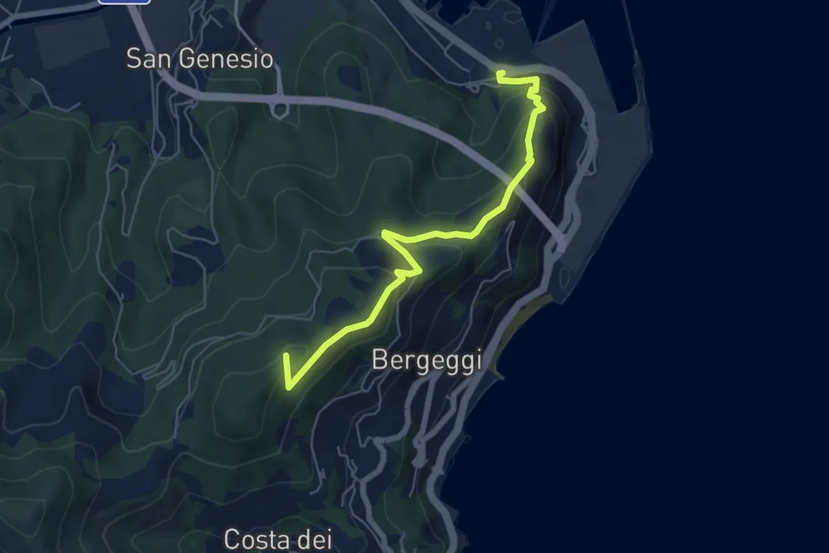
Medium · Summit
Variante Vado Ligure - Spotorno
5.7 km · ↑ 305 m · 2 h