Trails in Italy
25,219 hiking trails, each with its route, climb, walking time and grade.
All trails, page 212 of 526
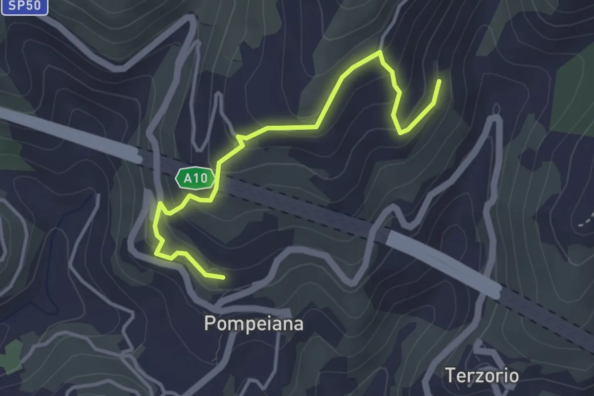
Easy · Trail
Varianti San Bernardo - Barbarasa
3.7 km · ↑ 280 m · 1 h 28 min
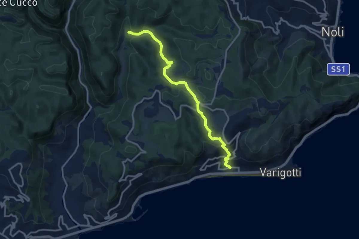
Medium · Trail
Varigotti - Manie
8.7 km · ↑ 406 m · 2 h 55 min
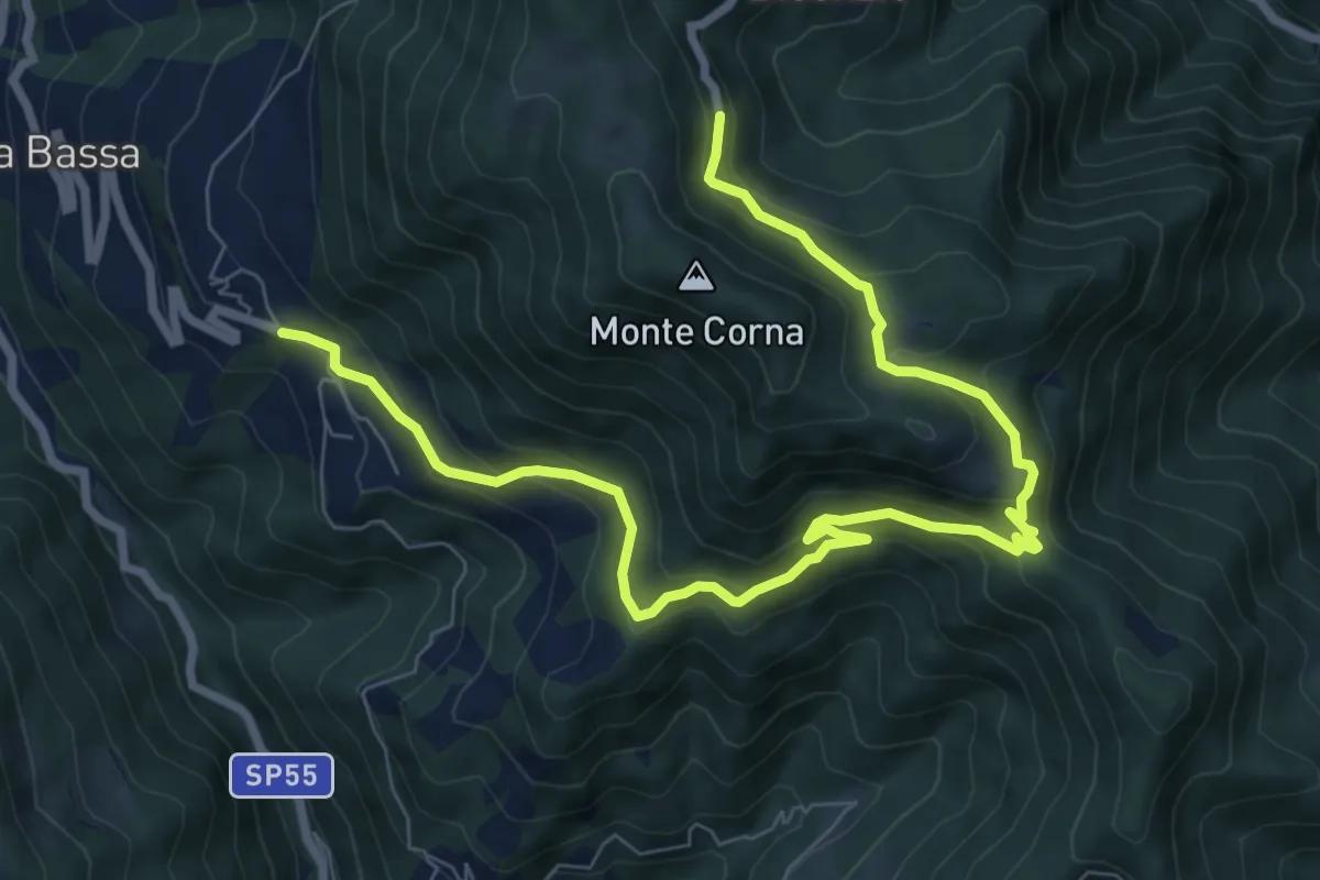
Easy · Trail
Var - Sentiero Brigata Fiamme Verdi Giacomo Perlasca
5.1 km · ↑ 128 m · 1 h 44 min
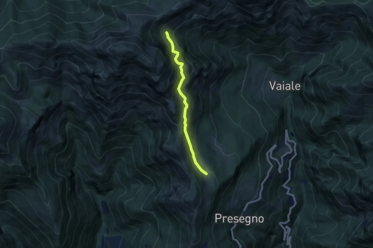
Medium · Trail
Var - Sentiero Brigata Fiamme Verdi Giacomo Perlasca
5.5 km · ↑ 526 m · 2 h 26 min
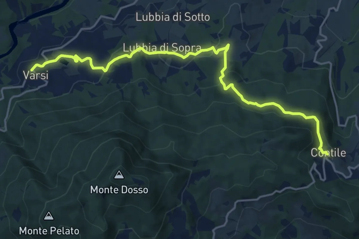
Medium · Trail
Varsi - Lago di Varsi - Lubbia - Montebello - Contile
13.7 km · ↑ 541 m · 4 h 25 min
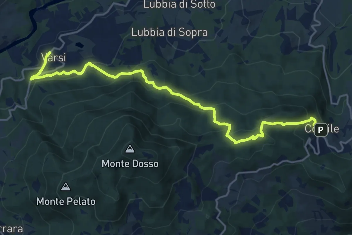
Demanding · Trail
Varsi - Peracchi - Passo Bandiera - Monte Lei - Contile
14.1 km · ↑ 808 m · 5 h 5 min
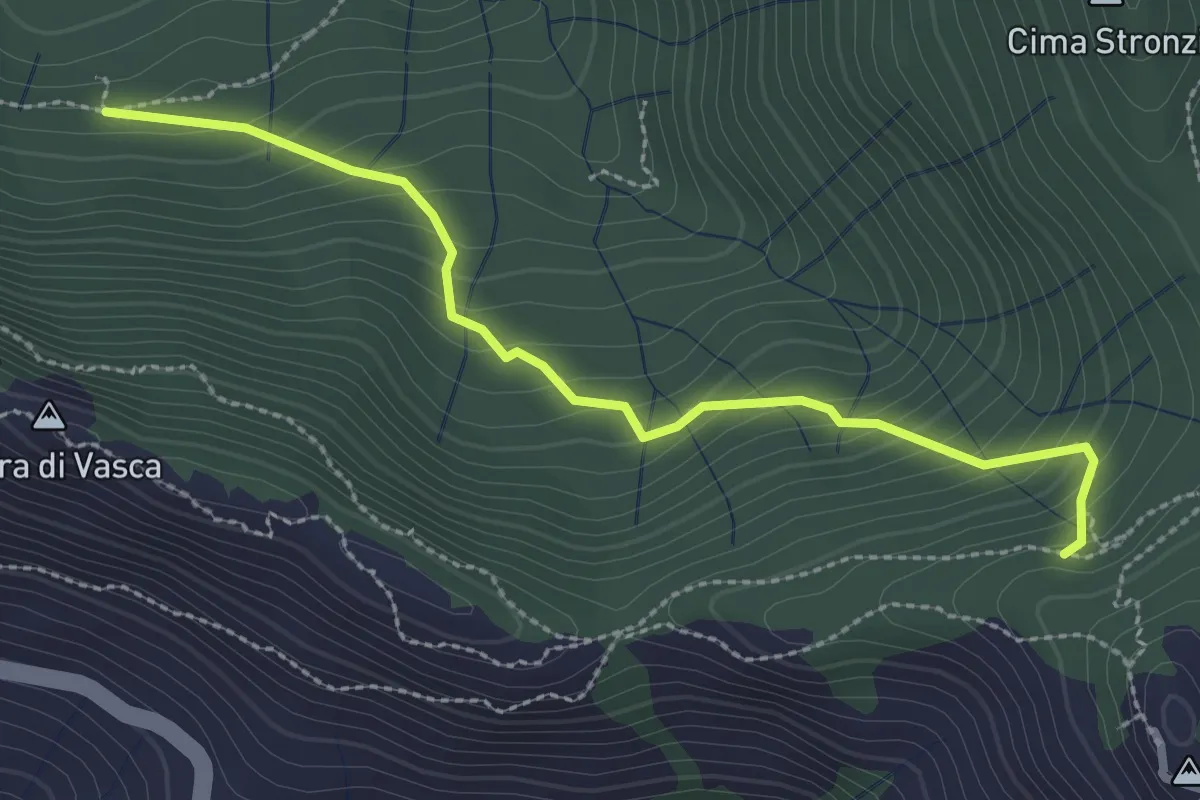
Medium · Trail
Vasca - Monte San Nicolao
2.8 km · ↑ 249 m · 1 h 13 min
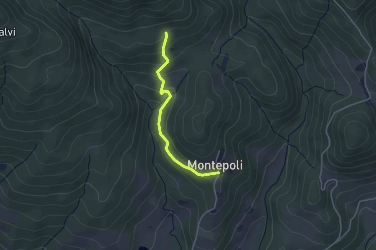
Easy · Trail
VD Variante per MTB
2.8 km · ↑ 138 m · 58 min
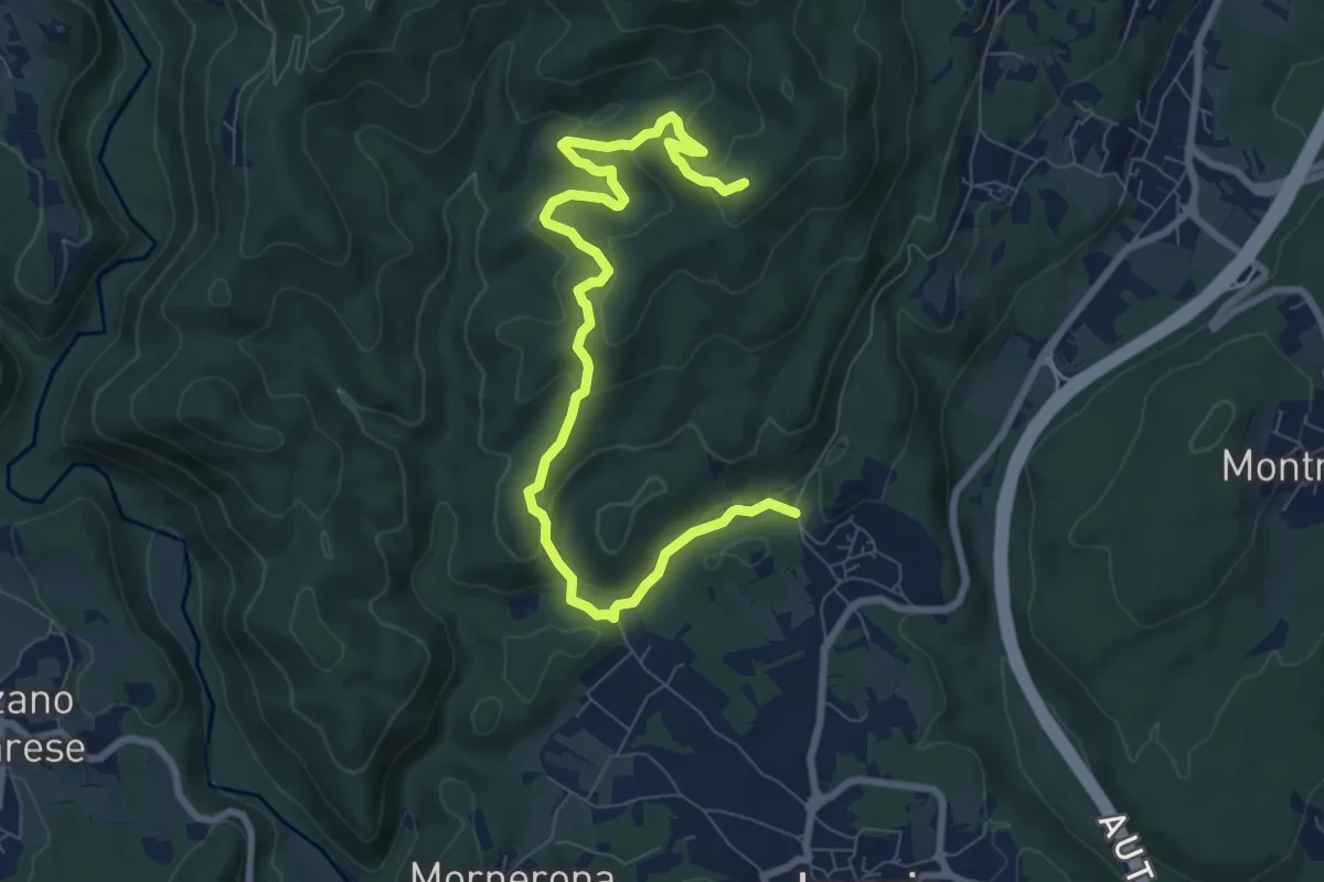
Demanding · Summit
VE1 - Invorio - Bocchetta Borsaga
9.8 km · ↑ 499 m · 3 h 23 min
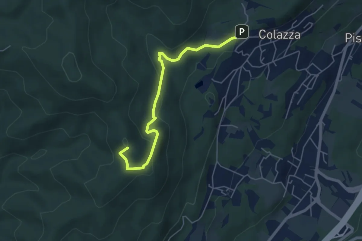
Easy · Summit
VE2 - Colazza - Cappella del Vago
4.5 km · ↑ 190 m · 1 h 28 min
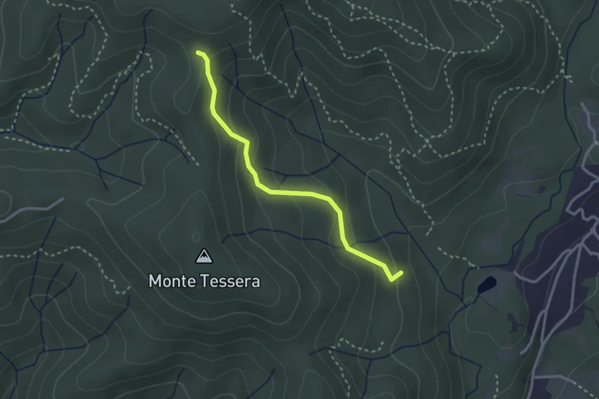
Medium · Trail
VE3 - Bivio VE2 - Viganate
2.6 km · ↑ 159 m · 57 min
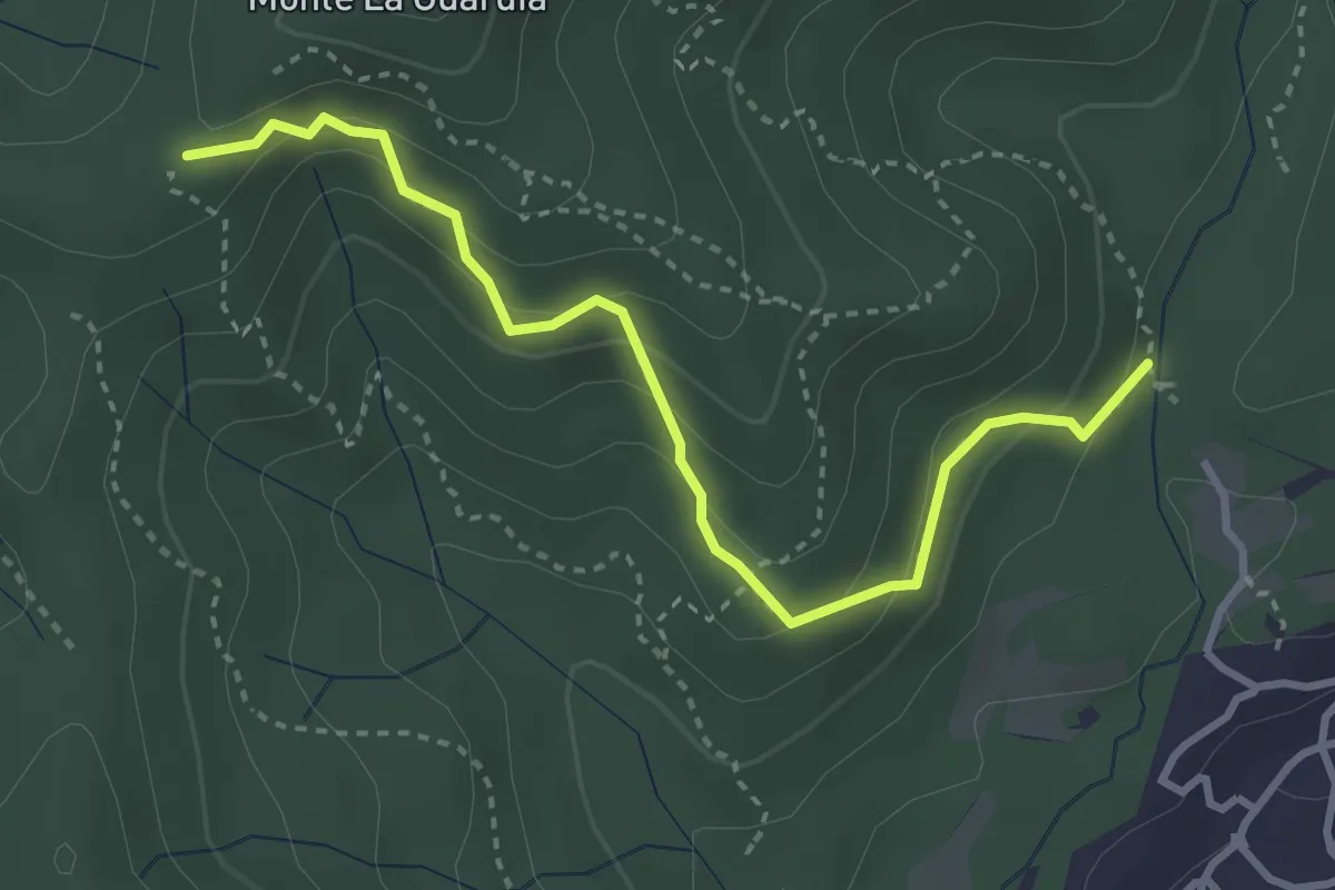
Easy · Trail
VE4 - Colazza - Alpe Gallone
3.6 km · ↑ 249 m · 1 h 23 min
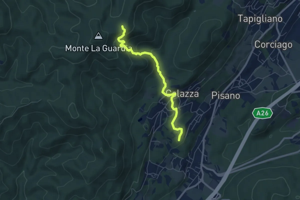
Medium · Trail
VE5 - Colazza - Alpe del Bosco
5.7 km · ↑ 319 m · 2 h 3 min
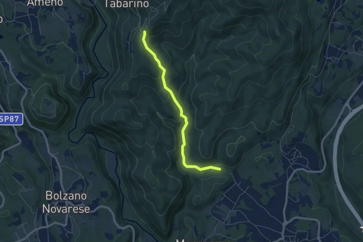
Easy · Trail
VE6 - Invorio - Pecorino
5.4 km · ↑ 193 m · 1 h 41 min
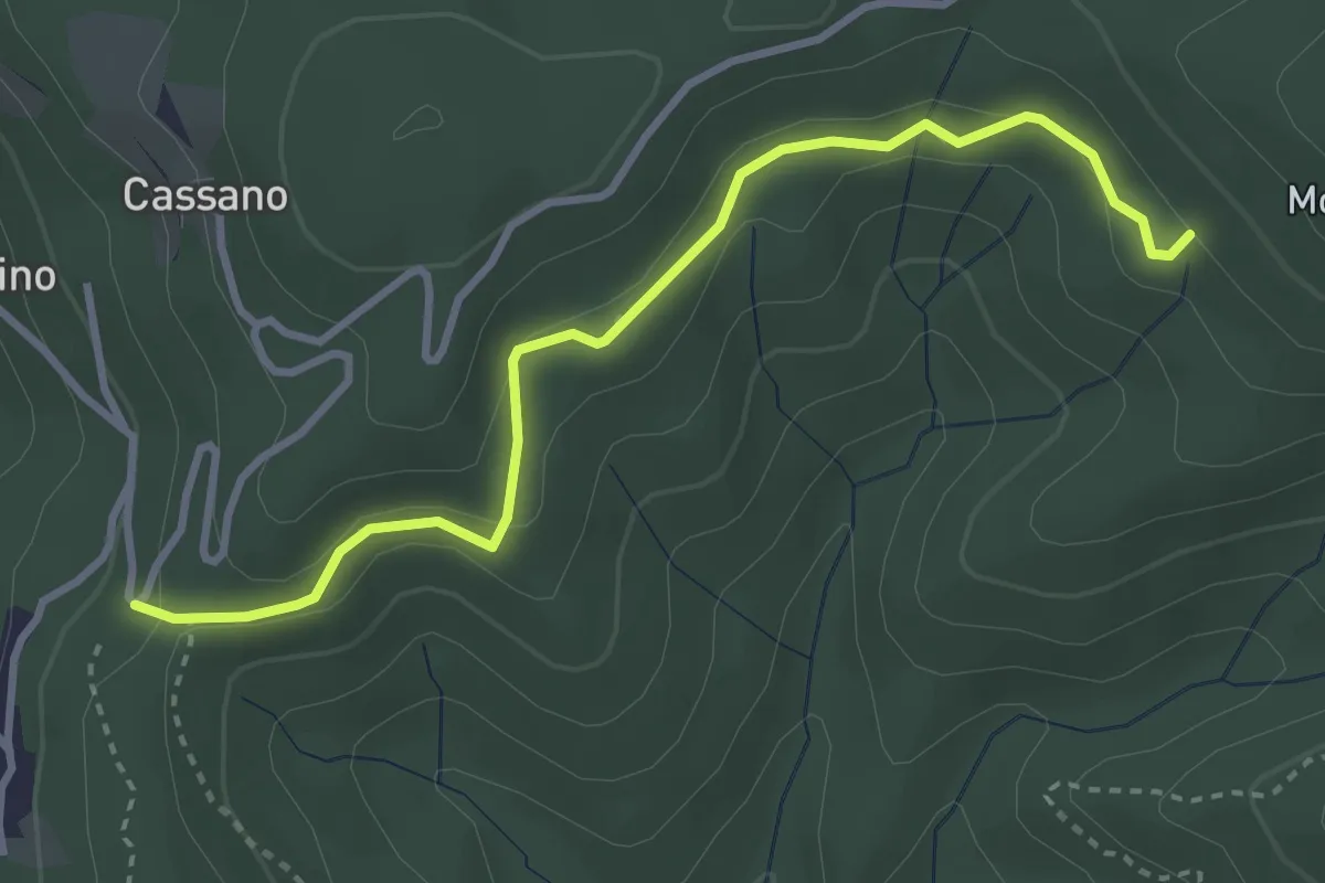
Easy · Trail
VE7 - Pecorino - Tre Fontane
3.6 km · ↑ 162 m · 1 h 12 min
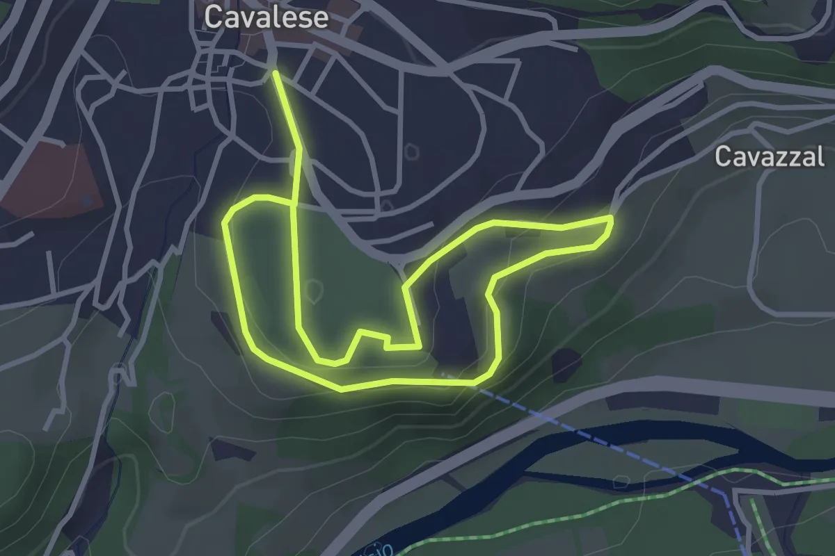
Easy · Trail
Vecchia Ferrovia Masi di Cavalese
2.6 km · ↑ 76 m · 49 min
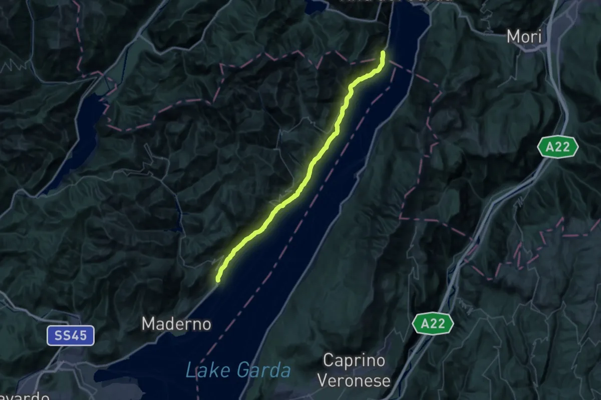
Demanding · Trail
Vecchia Gardesana
25.5 km · ↑ 2667 m · 12 h 9 min
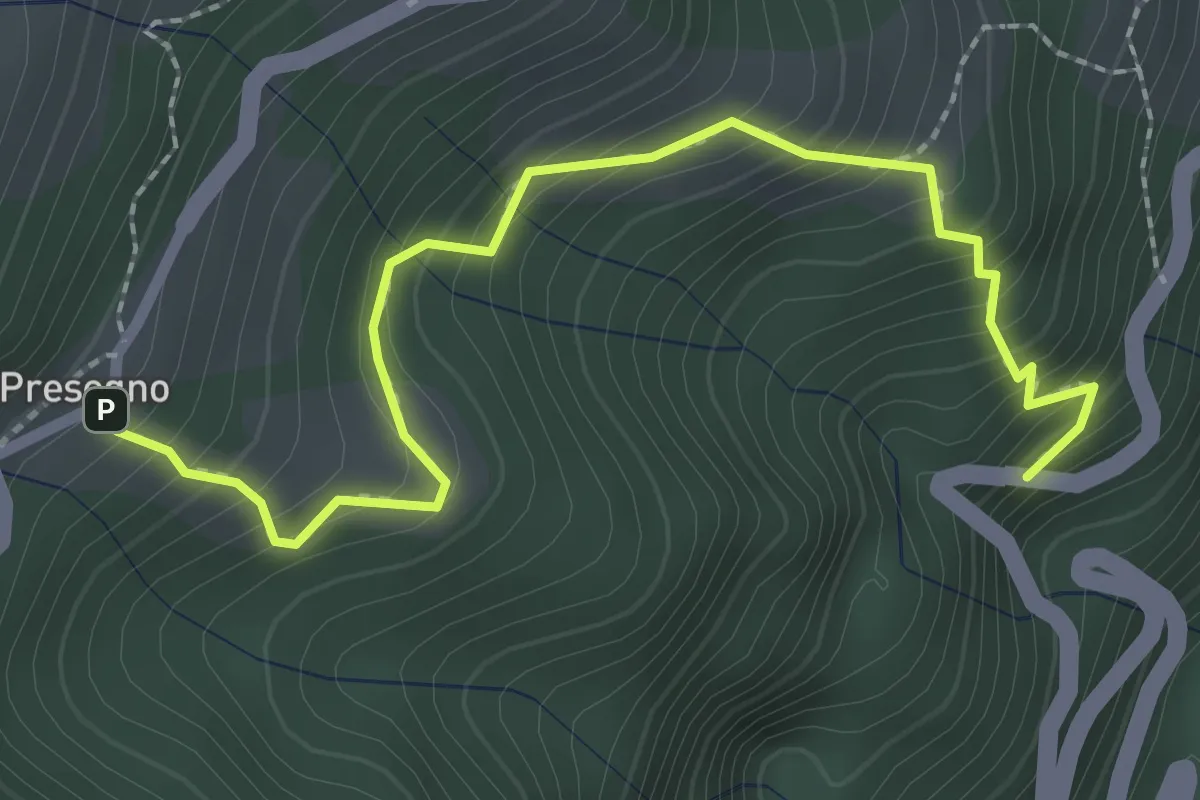
Medium · Trail
Vecchia Strada di Presegno
2.8 km · ↑ 342 m · 1 h 24 min
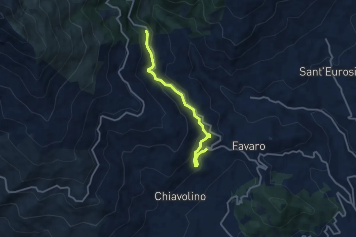
Medium · Trail
Vecchia tramvia Biella-Oropa
6.9 km · ↑ 468 m · 2 h 39 min
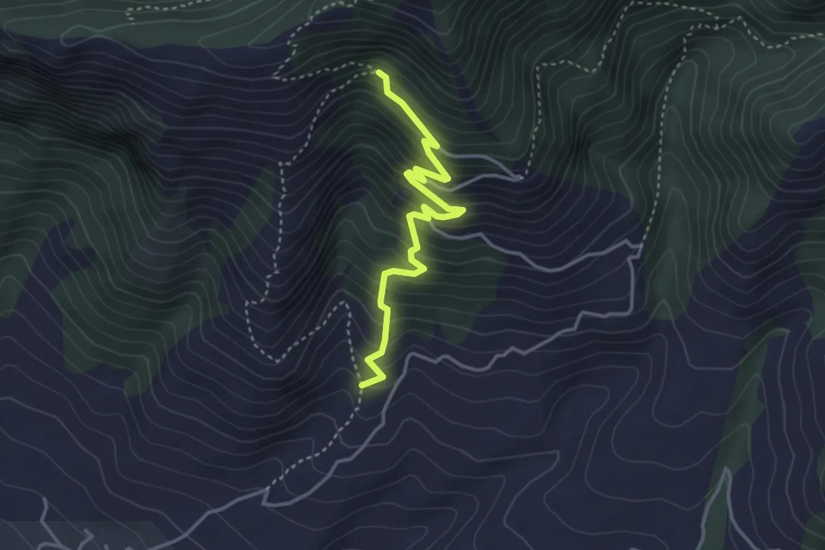
Medium · Trail
Vecchio sentiero dei pellegrini
3.8 km · ↑ 407 m · 1 h 47 min
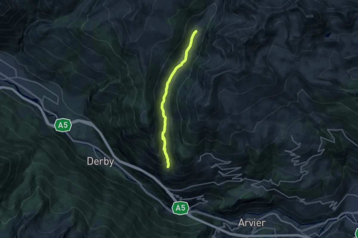
Medium · Trail
Vedun - Jovençan
12.1 km · ↑ 449 m · 3 h 50 min
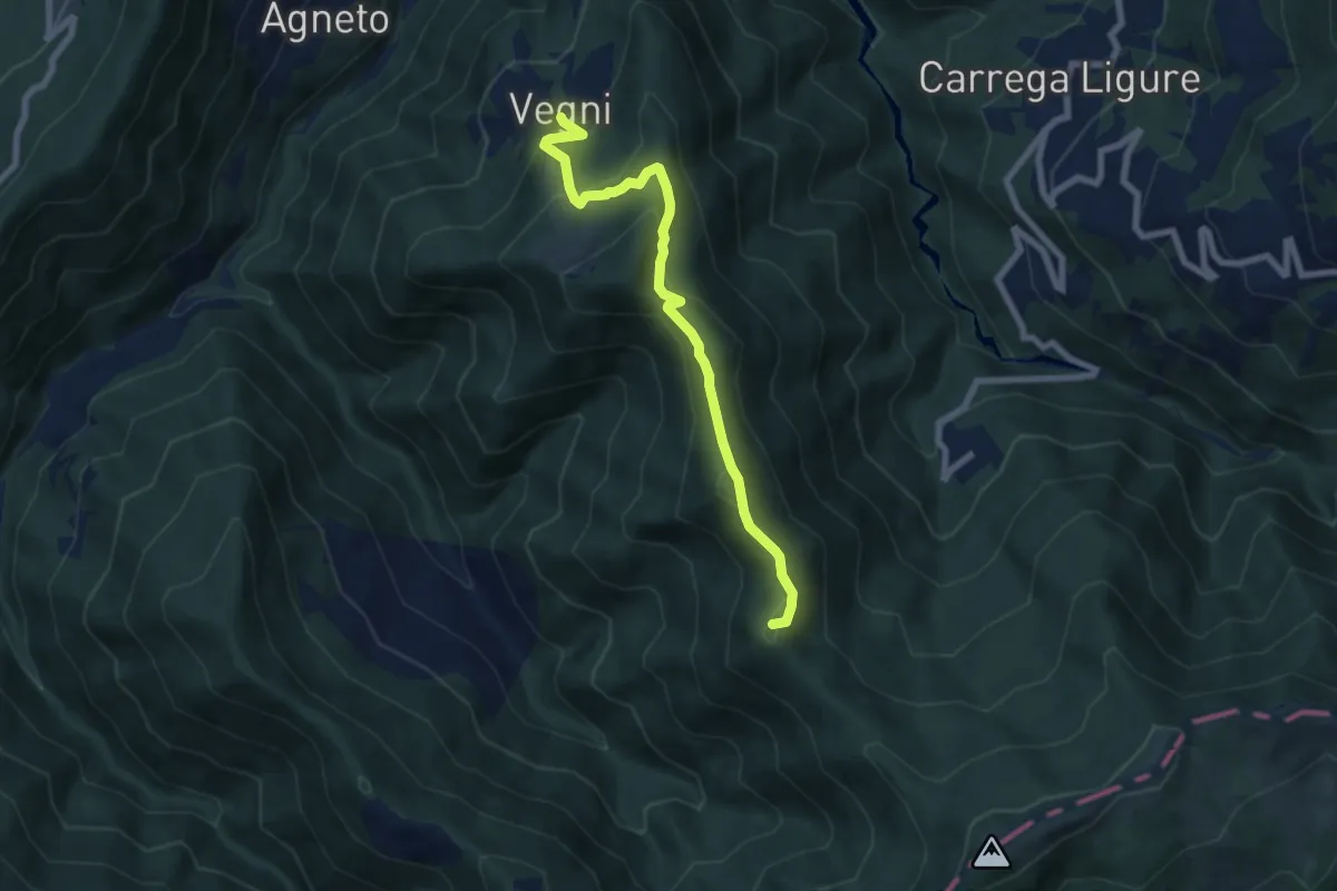
Medium · Summit
Vegni - Passo Tre Croci
7.3 km · ↑ 412 m · 2 h 36 min
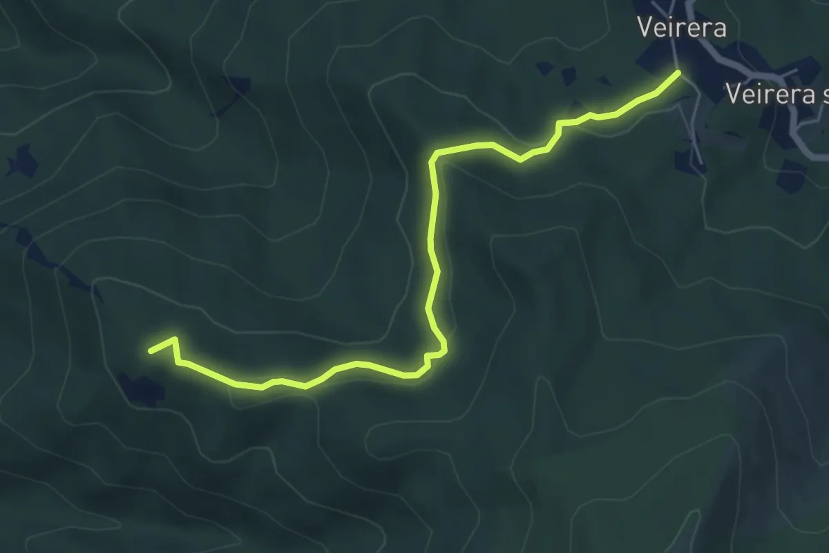
Easy · Summit
Veirera - Monte Avze'
5.7 km · ↑ 194 m · 1 h 47 min
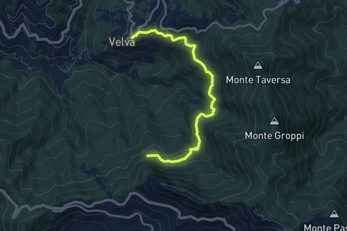
Medium · Trail
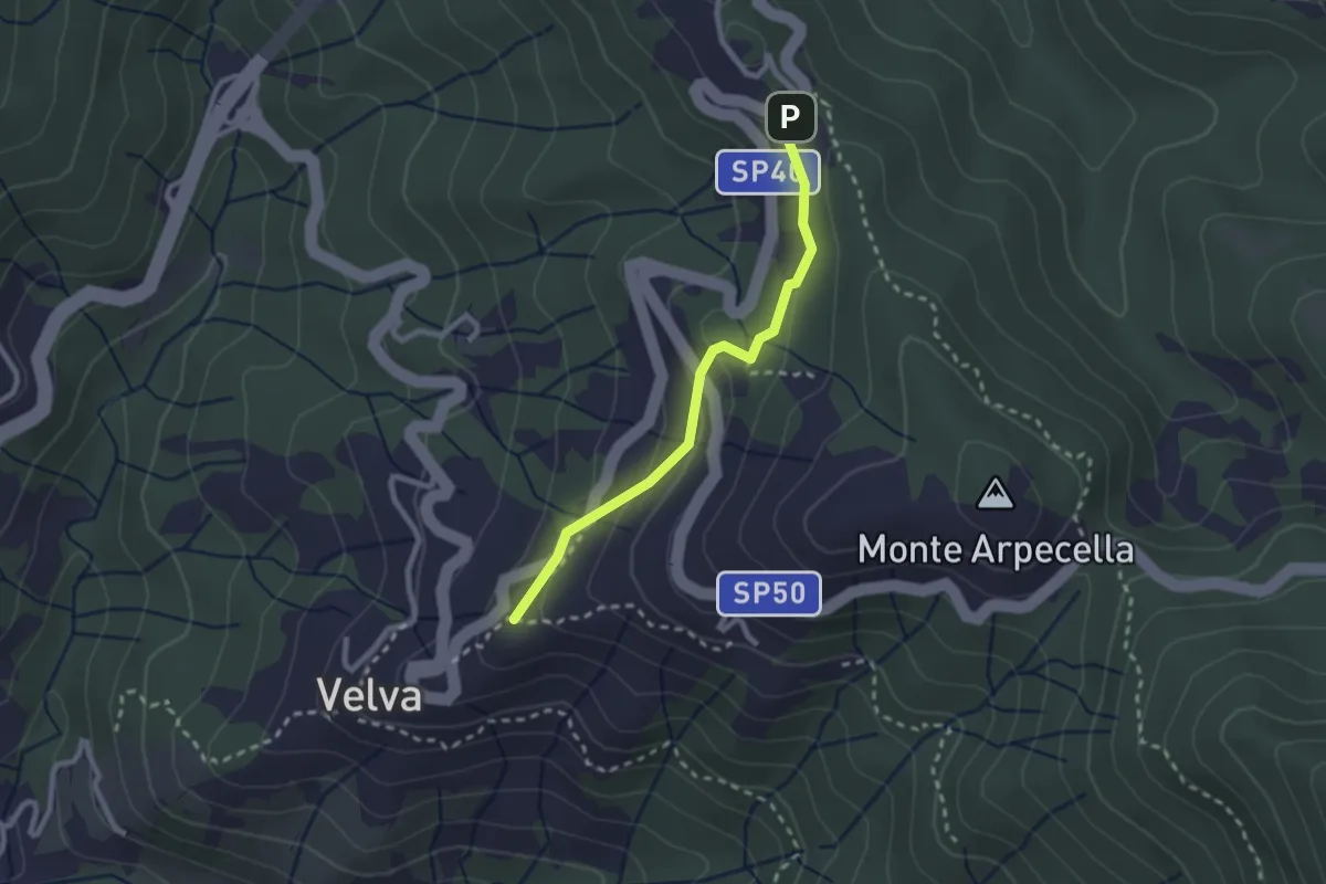
Velva - costa ovest Monte Pietra di Vasca
7.7 km · ↑ 419 m · 2 h 44 min
Easy · Trail
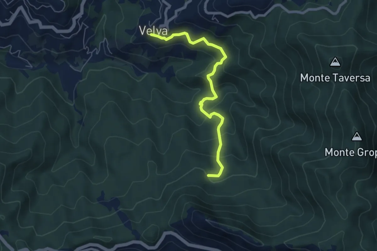
Velva - Madonna della Guardia
2.4 km · ↑ 96 m · 46 min
Medium · Trail
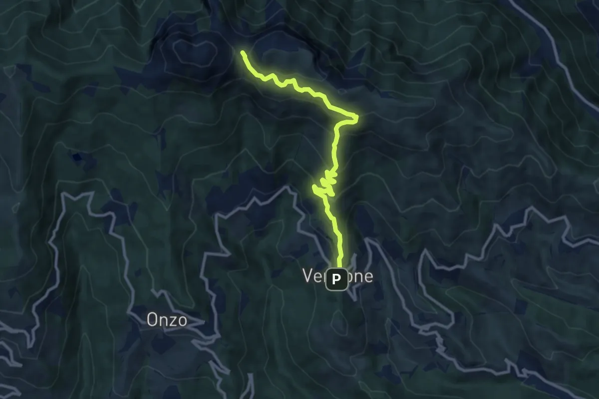
Velva - Rifugio dell’Orbo - Piani di Vasca
5.7 km · ↑ 382 m · 2 h 10 min
Medium · Trail
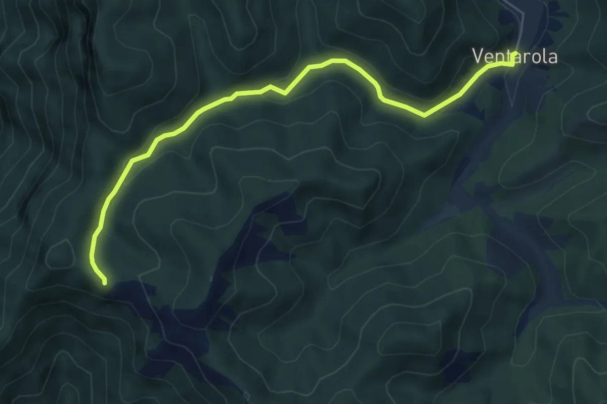
Vendone - Colla di Curenna
9.3 km · ↑ 599 m · 3 h 30 min
Medium · Cabin
Ventarola - Passo della Ventarola Nord
6.2 km · ↑ 151 m · 1 h 48 min
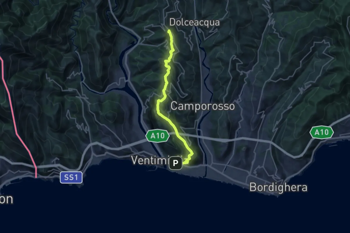
Demanding · Summit
Ventimiglia - La Colla
18.1 km · ↑ 968 m · 6 h 23 min
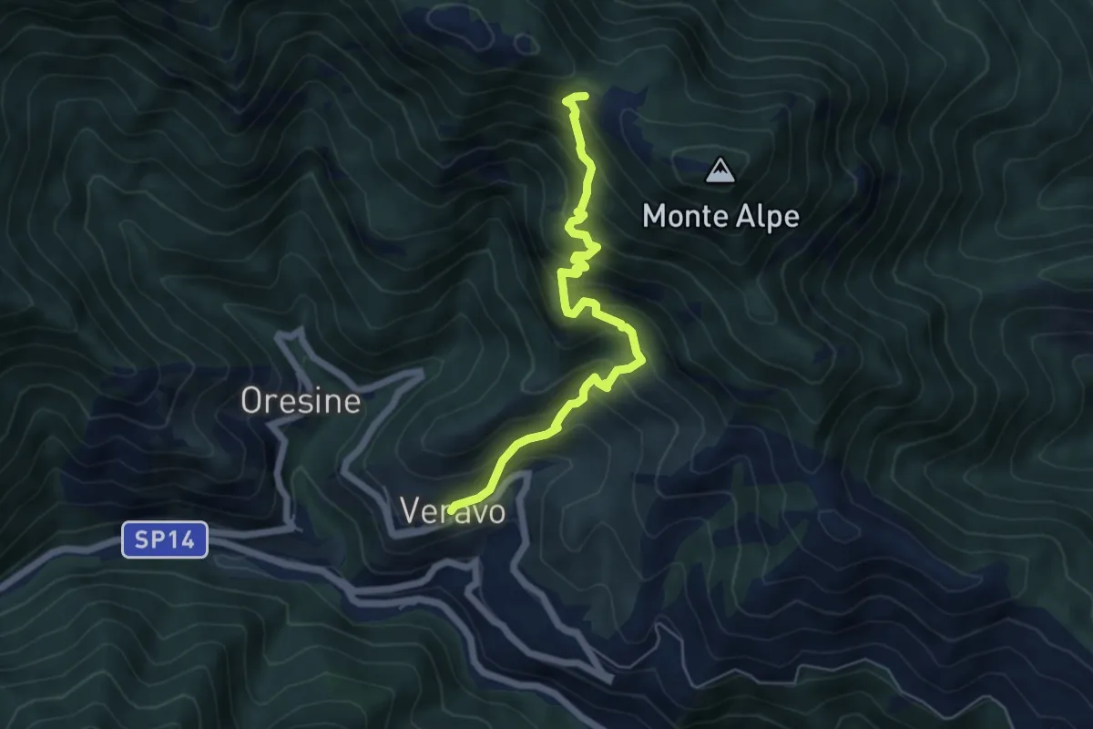
Medium · Trail
Veravo - Sella Alpe
5.7 km · ↑ 618 m · 2 h 42 min
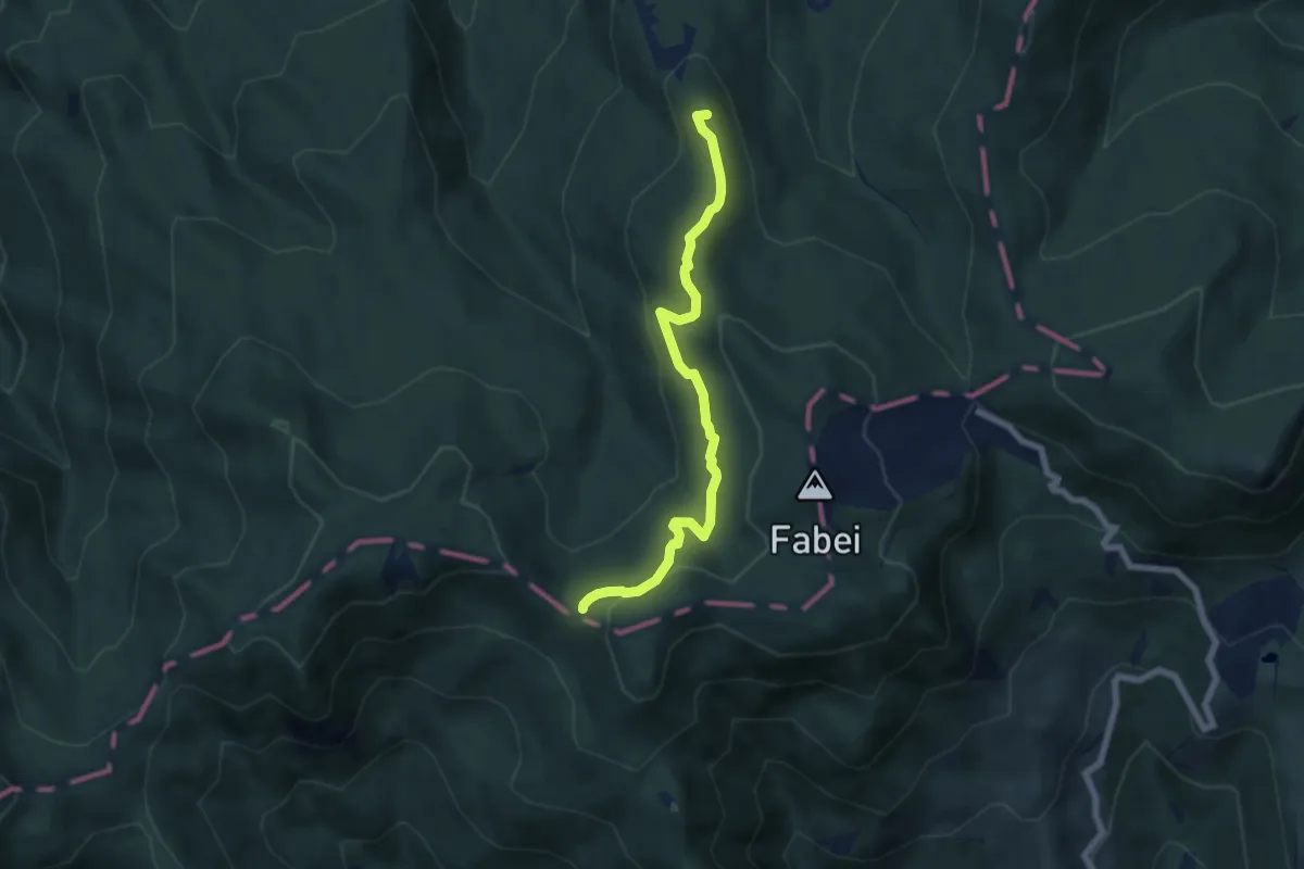
Medium · Summit
Vergastrelli - Il Focetto (Innesto AVML)
6.5 km · ↑ 228 m · 2 h 2 min
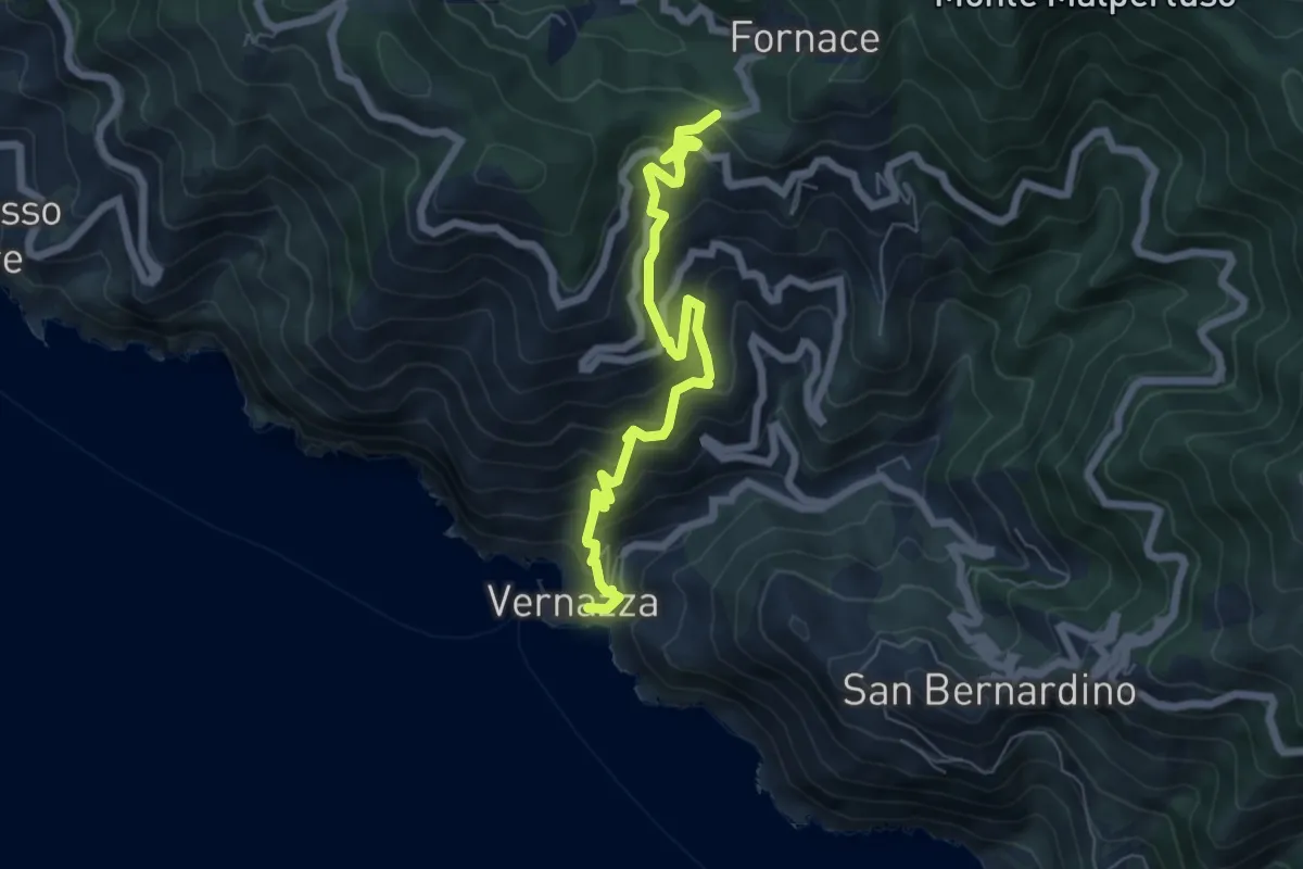
Medium · Trail
Vernazza – Mad. di Reggio – F.ce di Drignana
7.0 km · ↑ 636 m · 3 h 2 min
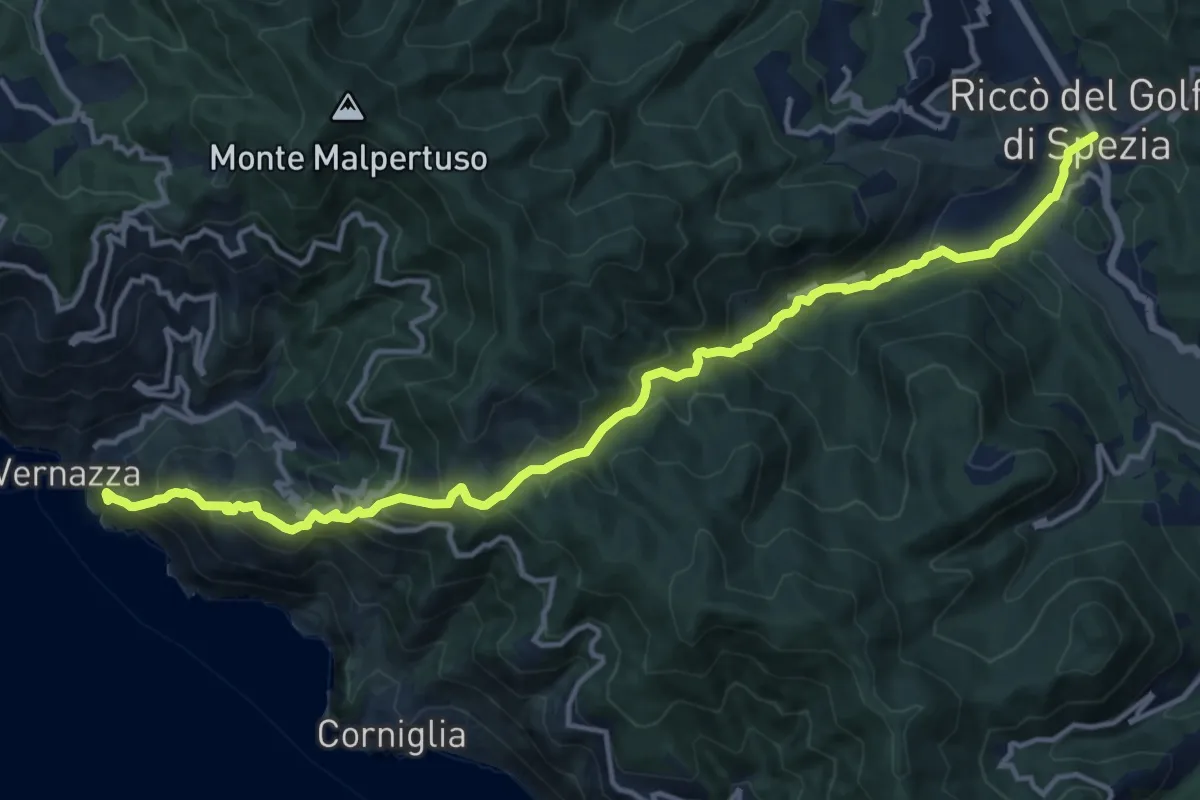
Demanding · Trail
Vernazza – S.Bernardino – La Cigoletta – Casella - Riccò del Golfo
16.1 km · ↑ 1079 m · 6 h 8 min
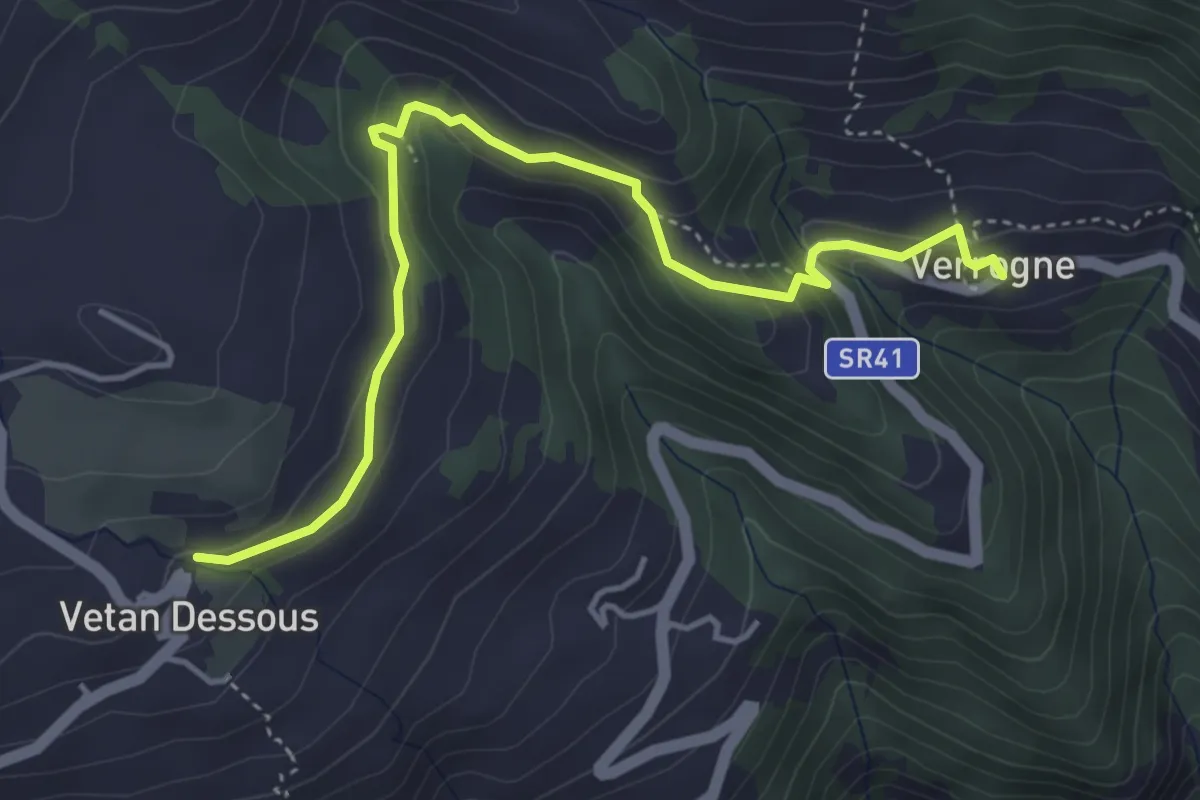
Easy · Trail
Verrogne - Vetan
4.7 km · ↑ 204 m · 1 h 33 min
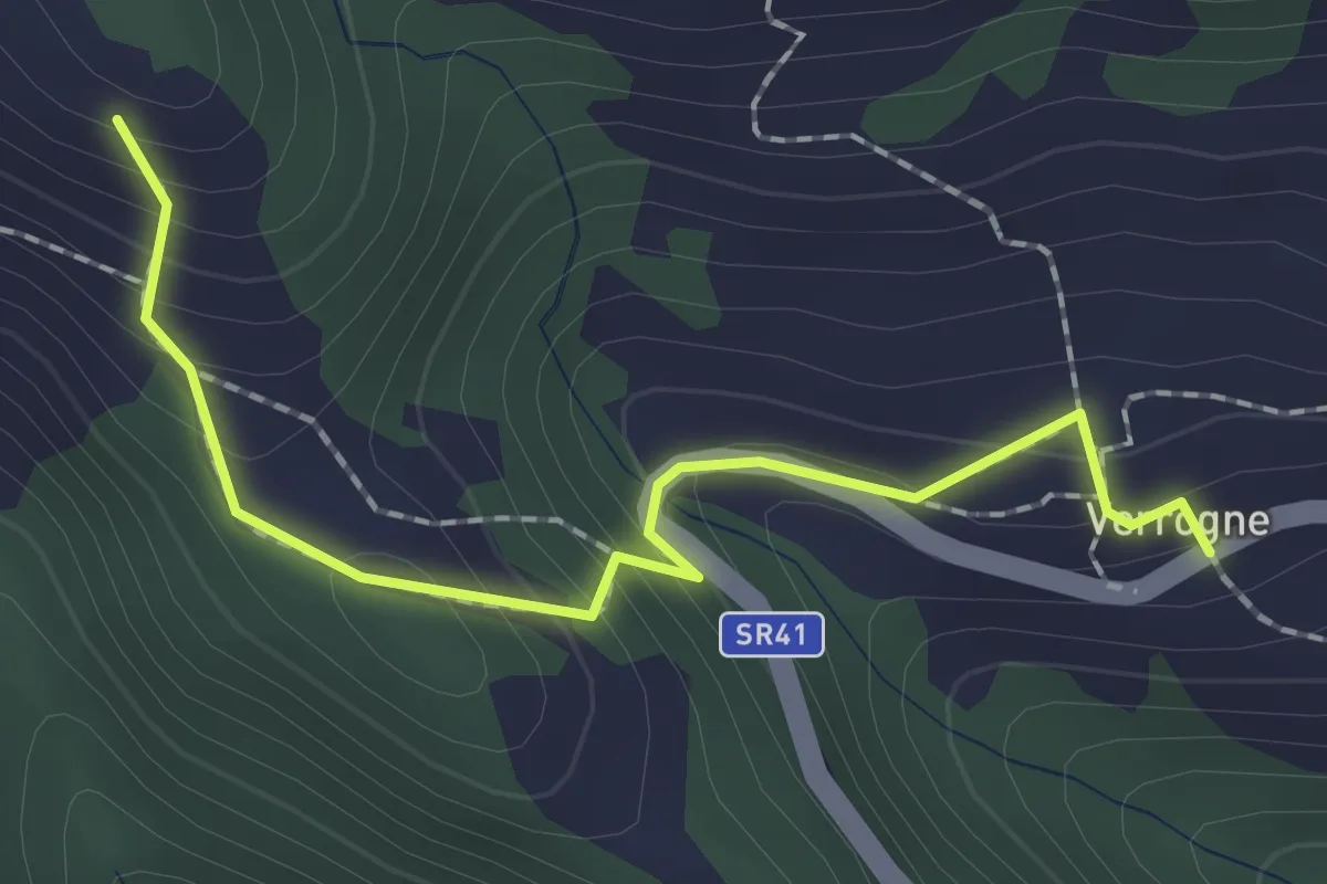
Easy · Trail
Verrogne - Vulmian
2.0 km · ↑ 160 m · 50 min
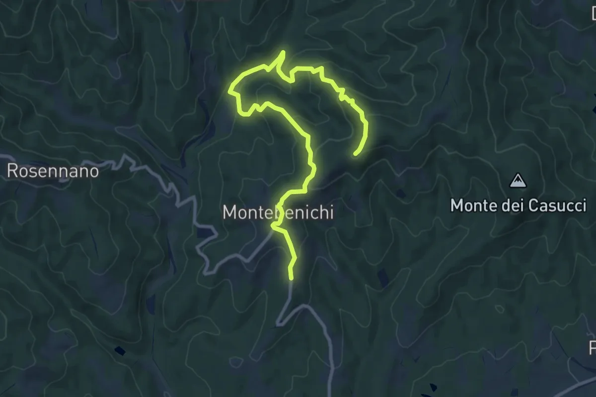
Medium · Trail
Verso la sorgente
10.5 km · ↑ 447 m · 3 h 27 min
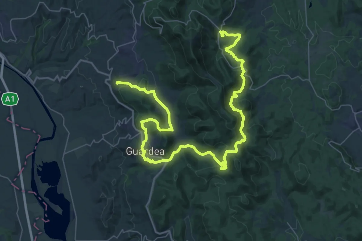
Demanding · Trail
Verso la Valle Incantata
21.9 km · ↑ 815 m · 7 h 7 min
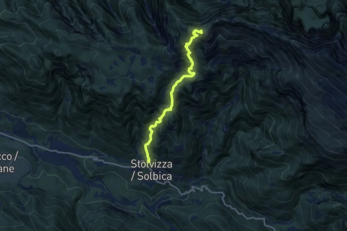
Demanding · Cabin
Vertical Kilometer
8.1 km · ↑ 1054 m · 4 h 12 min
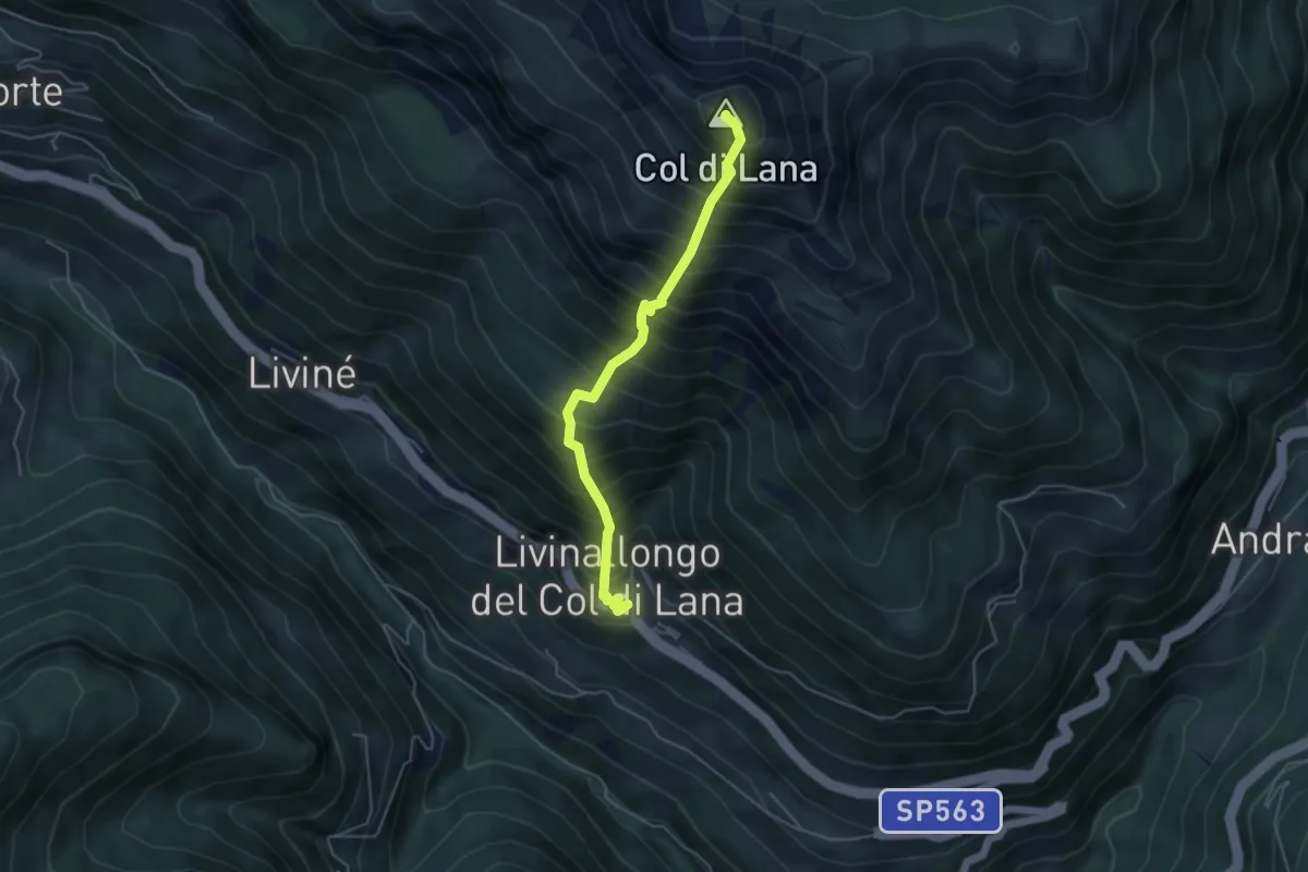
Demanding · Summit
vertical KM col de lana
4.4 km · ↑ 970 m · 3 h 8 min
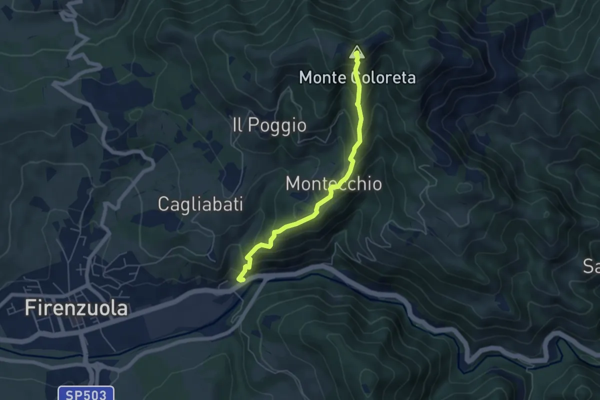
Medium · Summit
Vertical Monte Coloreta (VMC)
4.9 km · ↑ 484 m · 2 h 13 min
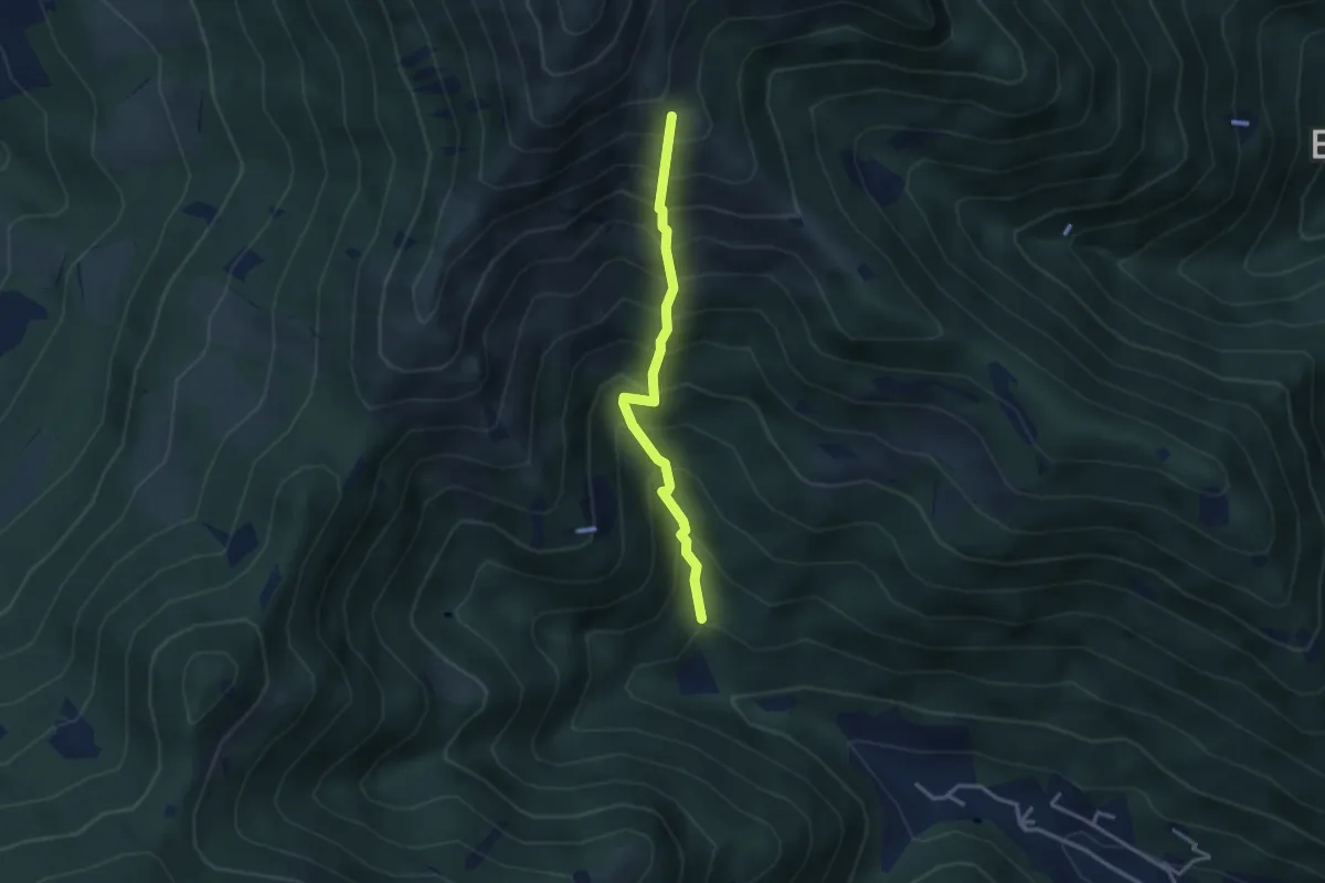
Medium · Trail
Vertical - Valle di Gardone
3.0 km · ↑ 567 m · 1 h 57 min
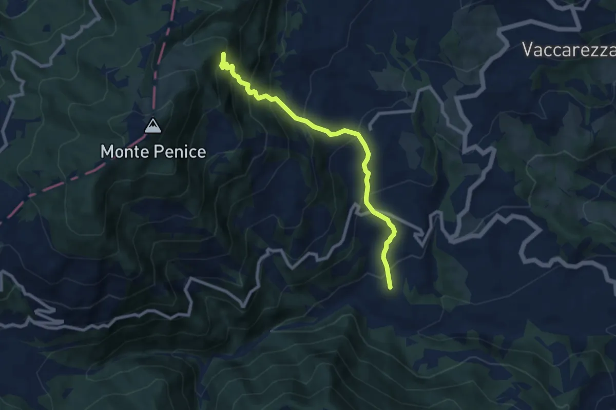
Medium · Trail
Vertikal Penice Vetta
7.2 km · ↑ 726 m · 3 h 17 min
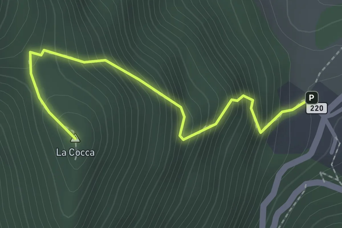
Expert · Summit
Vesio, La Cocca
2.2 km · ↑ 304 m · 1 h 10 min
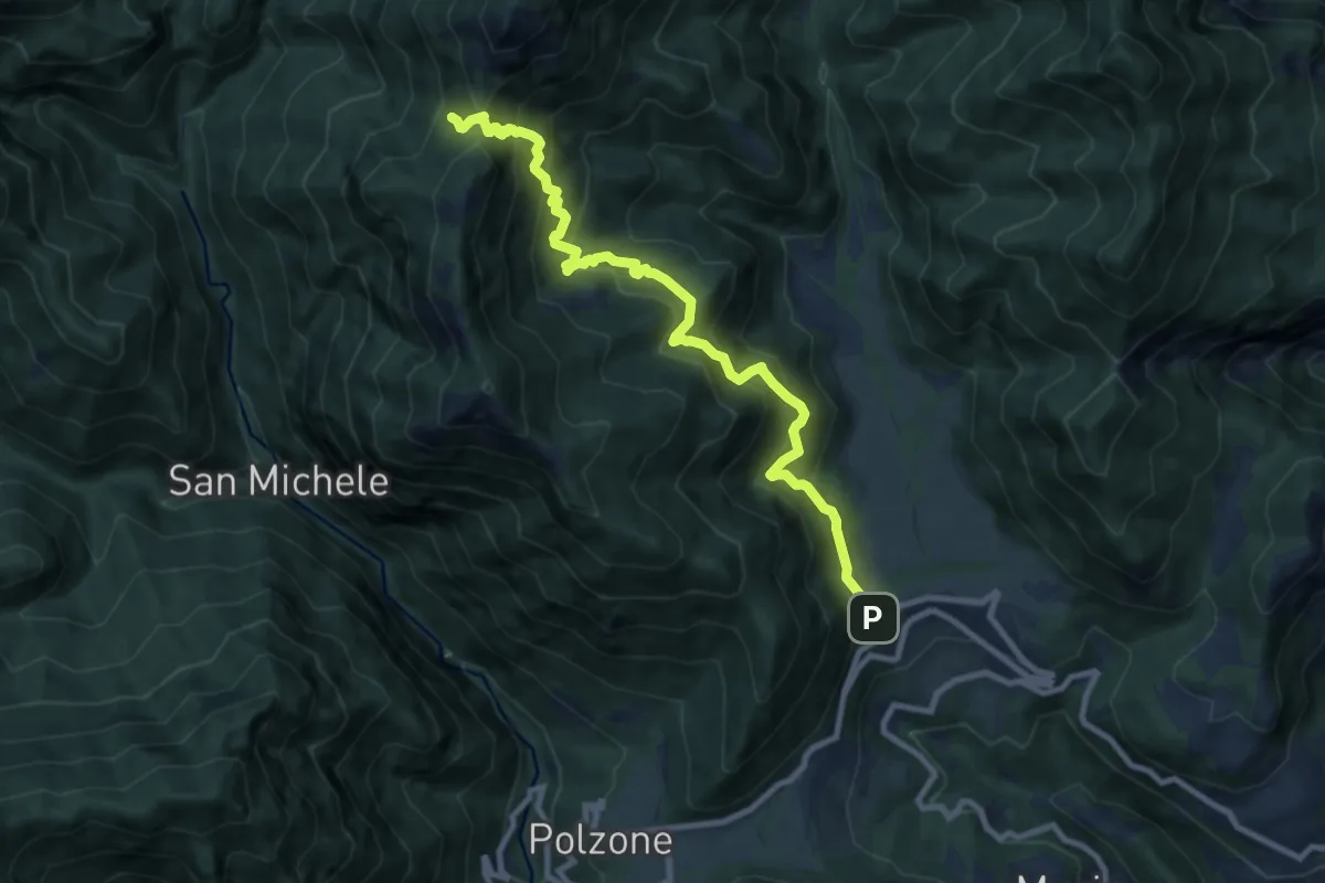
Demanding · Trail
Vesio, Piazzolo, Bocchette di Nansesa
9.9 km · ↑ 954 m · 4 h 24 min
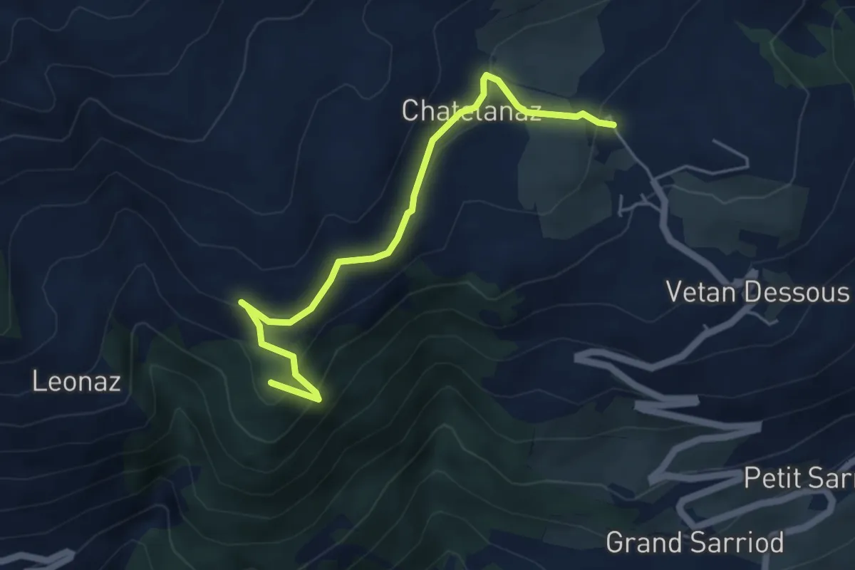
Medium · Summit
Vetan dessus - Leytanettaz (St-Nicolas)
4.9 km · ↑ 309 m · 1 h 50 min
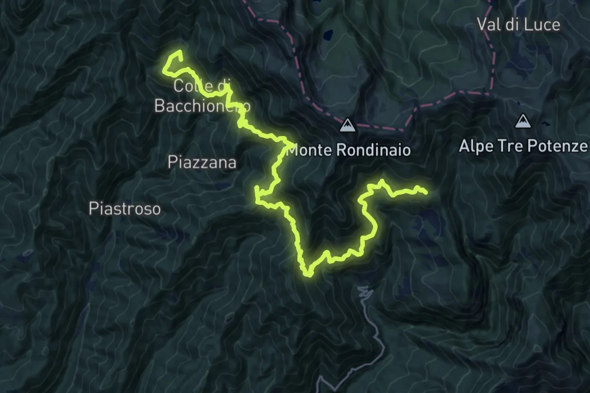
Demanding · Summit
Vetricia - Ospedaletto
25.7 km · ↑ 2511 m · 11 h 31 min
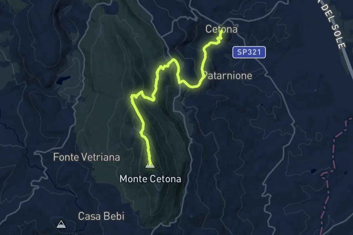
Demanding · Summit
Vetta del Monte Cetona
16.1 km · ↑ 829 m · 5 h 36 min
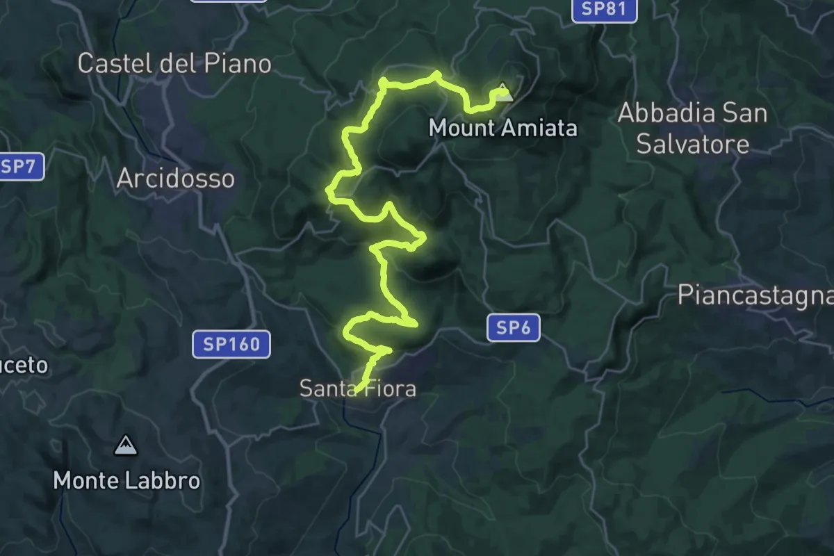
Demanding · Summit
Vetta Mare Tappa 1
34.7 km · ↑ 1440 m · 11 h 19 min