Trails in Italy
25,219 hiking trails, each with its route, climb, walking time and grade.
All trails, page 213 of 526
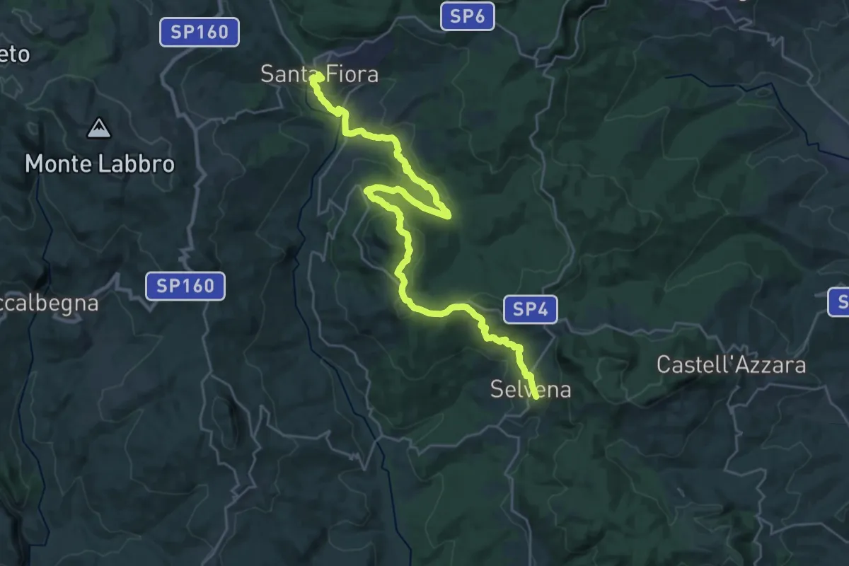
Medium · Trail
Vetta Mare Tappa 2
15.7 km · ↑ 479 m · 4 h 57 min
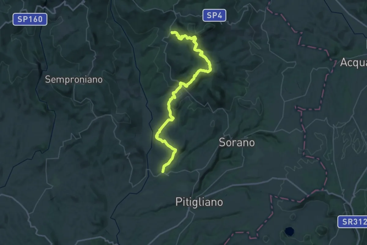
Demanding · Trail
Vetta Mare Tappa 3
22.4 km · ↑ 588 m · 7 h 5 min
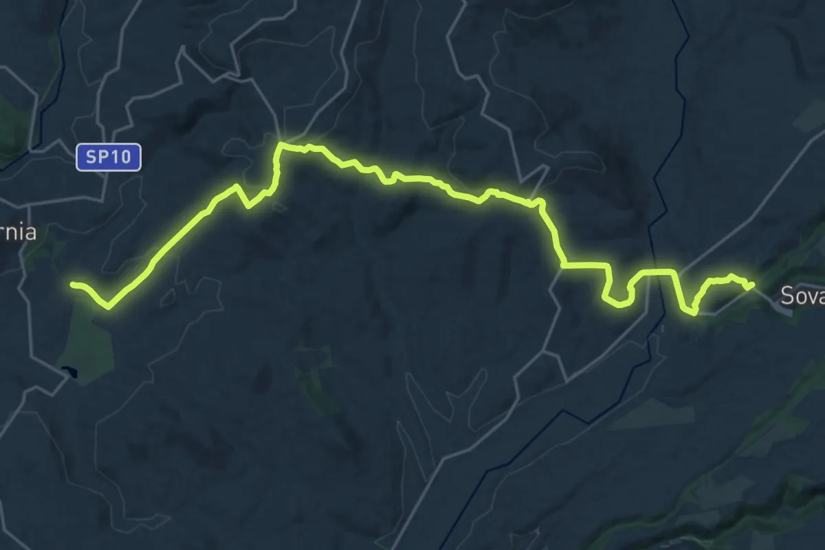
Medium · Trail
Vetta Mare Tappa 4
14.0 km · ↑ 412 m · 4 h 26 min
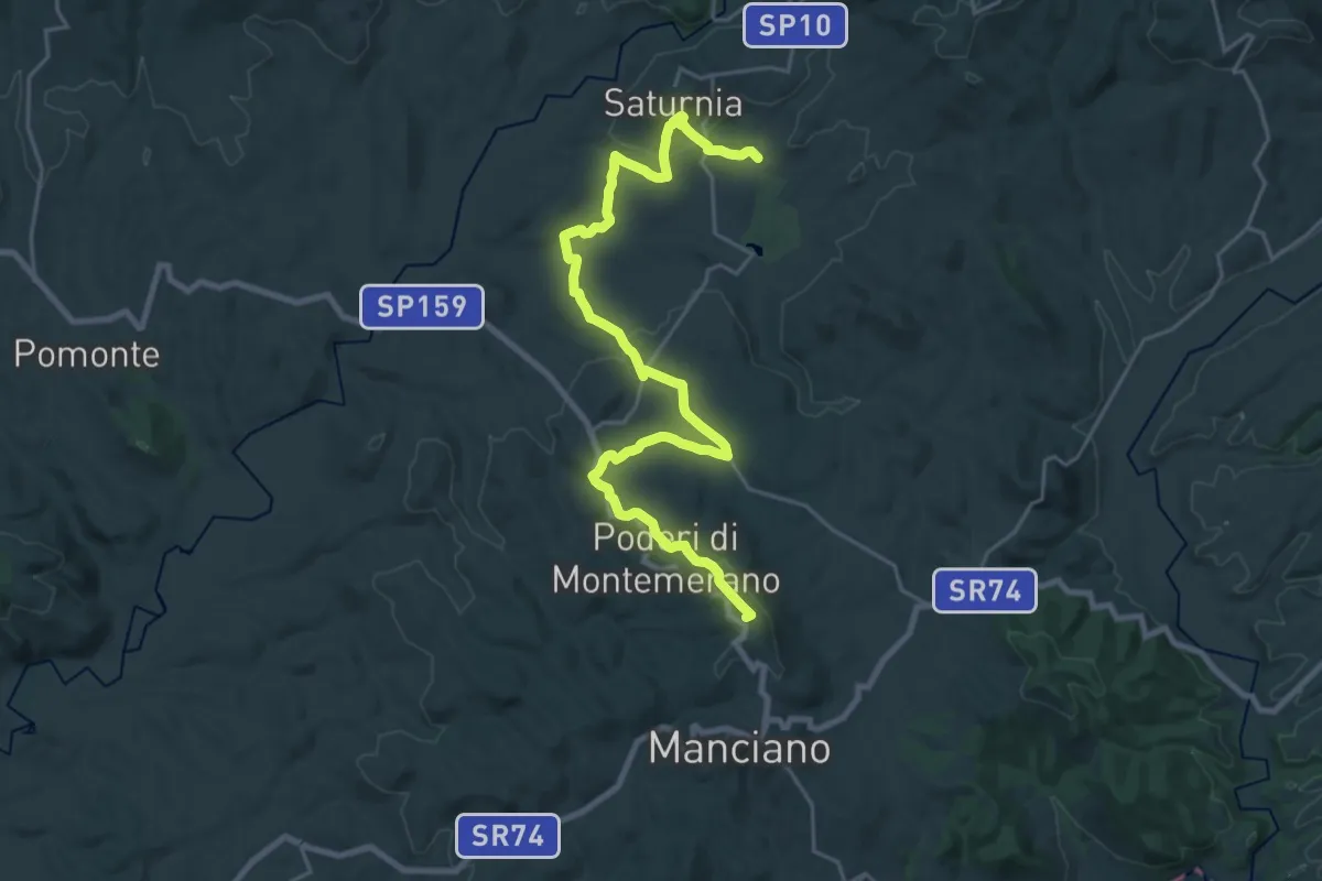
Demanding · Summit
Vetta Mare Tappa 5
28.6 km · ↑ 703 m · 8 h 16 min
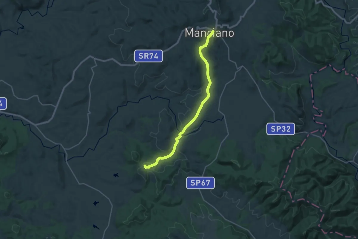
Demanding · Summit
Vetta Mare Tappa 6
18.5 km · ↑ 455 m · 5 h 21 min
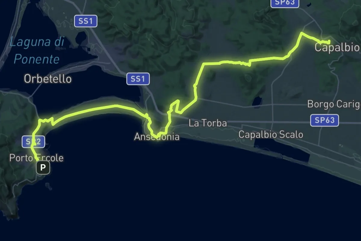
Demanding · Summit
Vetta Mare Tappa 7
57.8 km · ↑ 843 m · 15 h 29 min
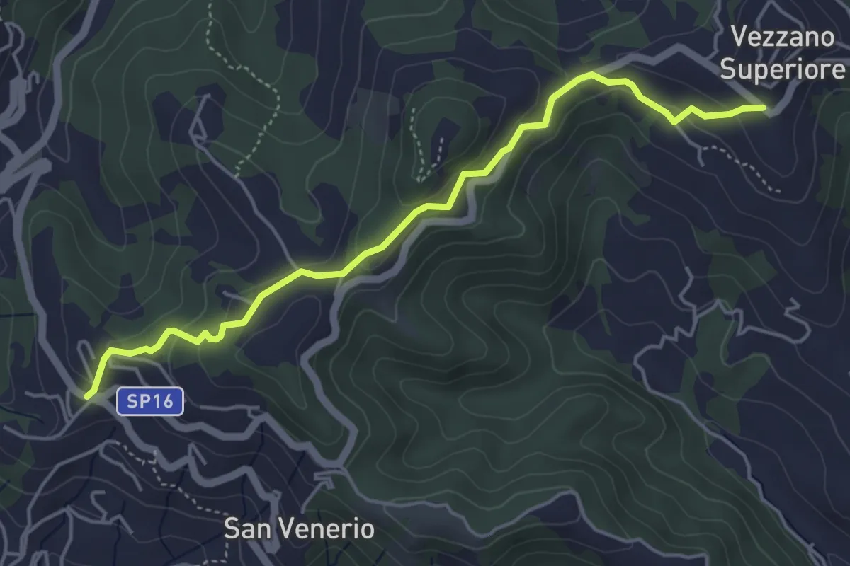
Easy · Trail
Vezzano Ligure – Forte Bastia – Beverone
5.0 km · ↑ 223 m · 1 h 40 min
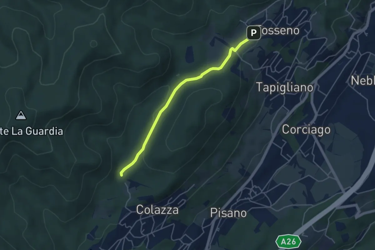
Easy · Trail
VF1 - Colazza - Fosseno
3.9 km · ↑ 58 m · 1 h 3 min
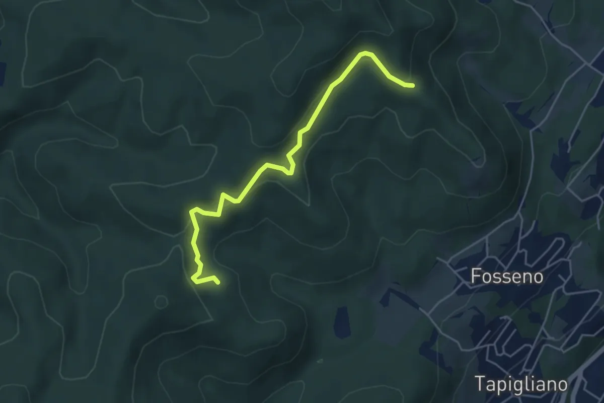
Easy · Trail
VF2 - Bivio VF3 - Bivio VF5
4.5 km · ↑ 230 m · 1 h 34 min
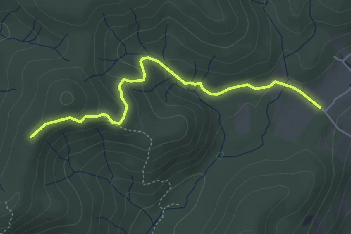
Easy · Trail
VF3 - Fosseno - Alpe del Bosco
4.1 km · ↑ 214 m · 1 h 26 min
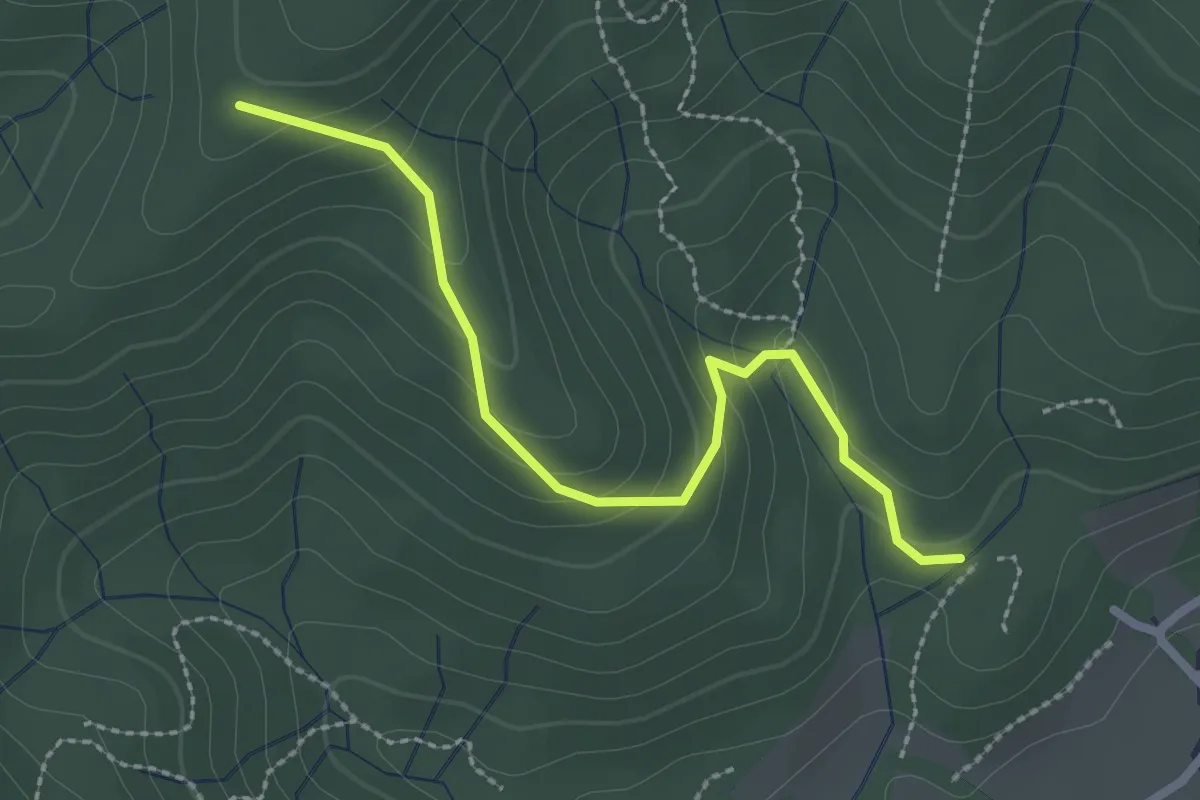
Easy · Trail
VF4 - Fosseno - Alpe Boccioli
2.6 km · ↑ 140 m · 55 min
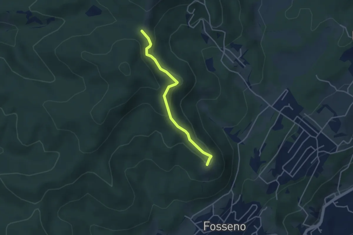
Easy · Summit
VF5 - Fosseno - Il Giogo
3.2 km · ↑ 143 m · 1 h 4 min
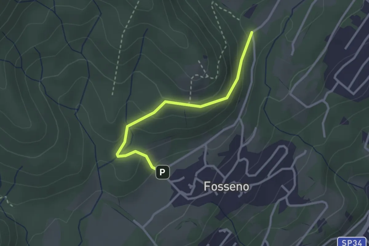
Easy · Trail
VF6 - Fosseno - Lavarina
2.5 km · ↑ 139 m · 54 min
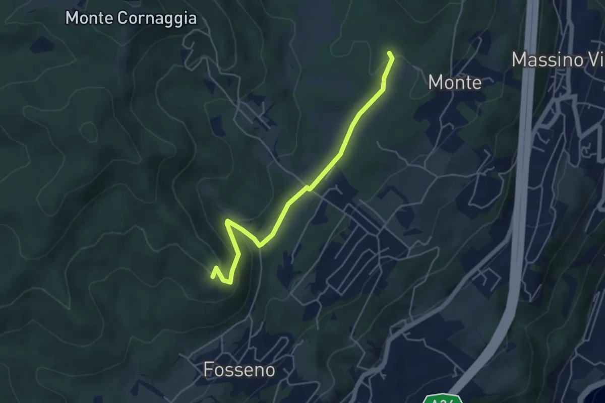
Easy · Summit
VF7a - Cascina Pianzaghi - Sasso del Pizzo
4.5 km · ↑ 154 m · 1 h 23 min
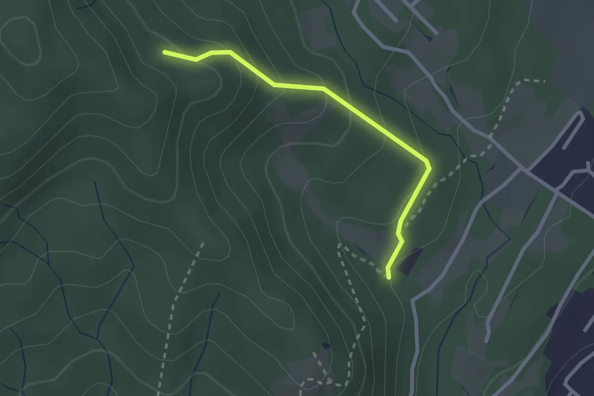
Easy · Trail
VF7 - Sasso del Pizzo - Alpe Cima
2.2 km · ↑ 158 m · 52 min
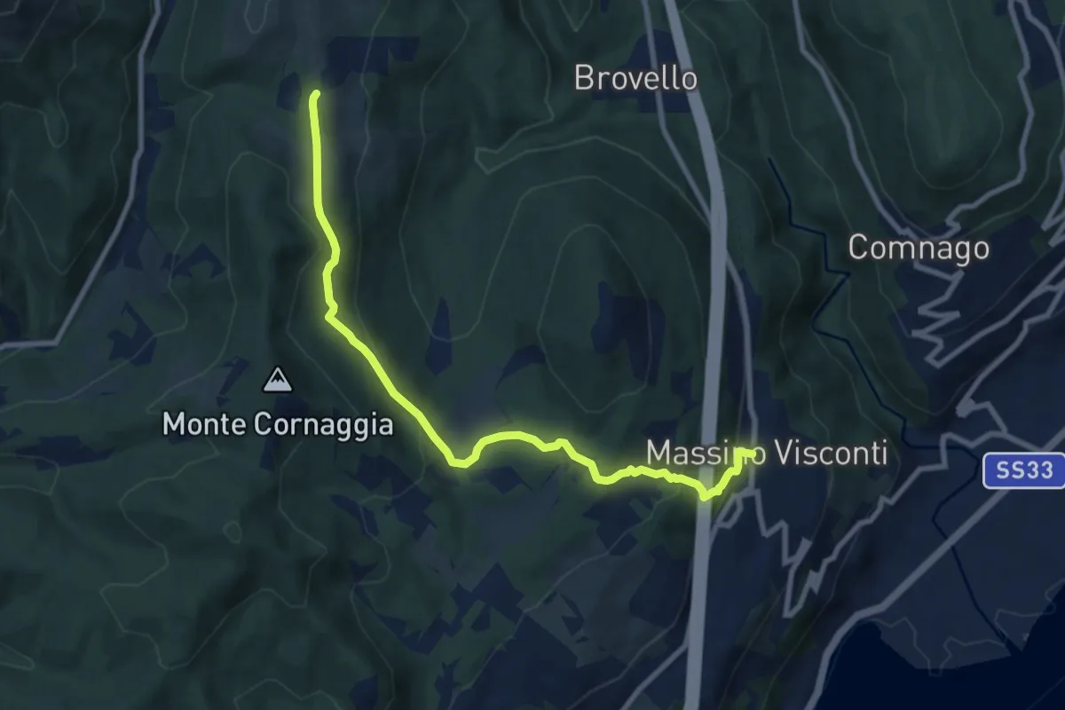
Medium · Trail
VH2 - Massino Visconti - Alpe Canà
8.8 km · ↑ 369 m · 2 h 53 min
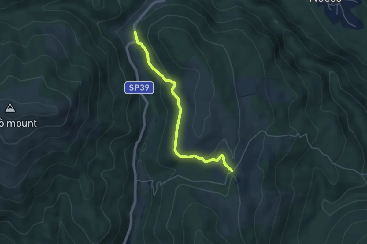
Easy · Trail
VH3 - Gignese - Alpe Canà
4.2 km · ↑ 161 m · 1 h 20 min
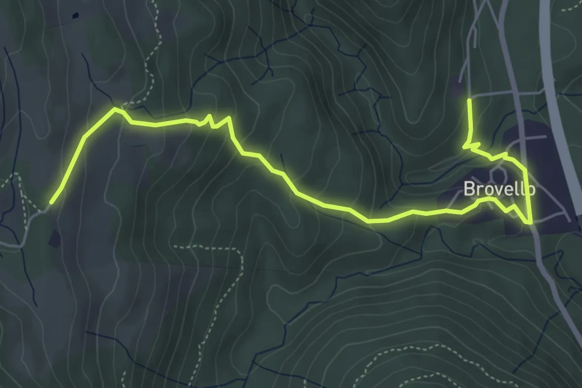
Medium · Trail
VH4 - Brovello - Alpe Canà
6.1 km · ↑ 335 m · 2 h 10 min
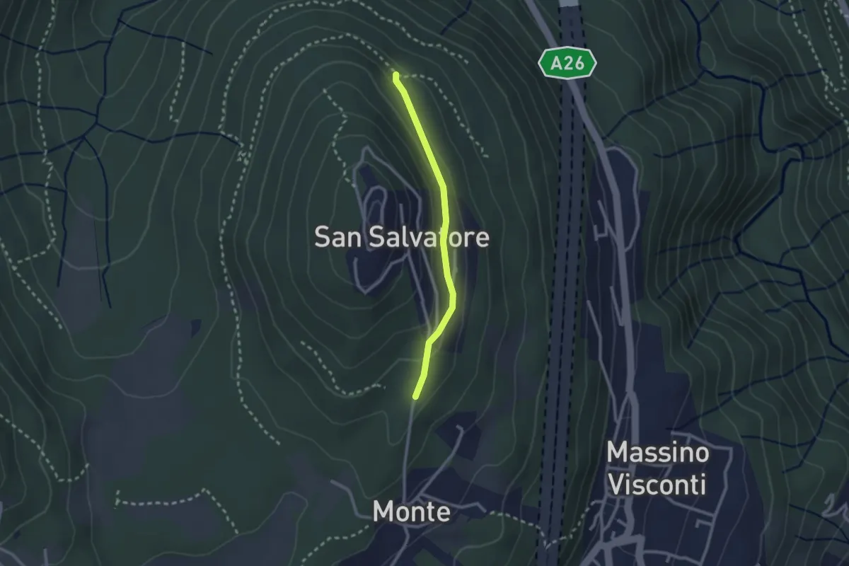
Easy · Trail
VH5a - Bivio VH6 - Bivio VH5
2.1 km · ↑ 83 m · 41 min
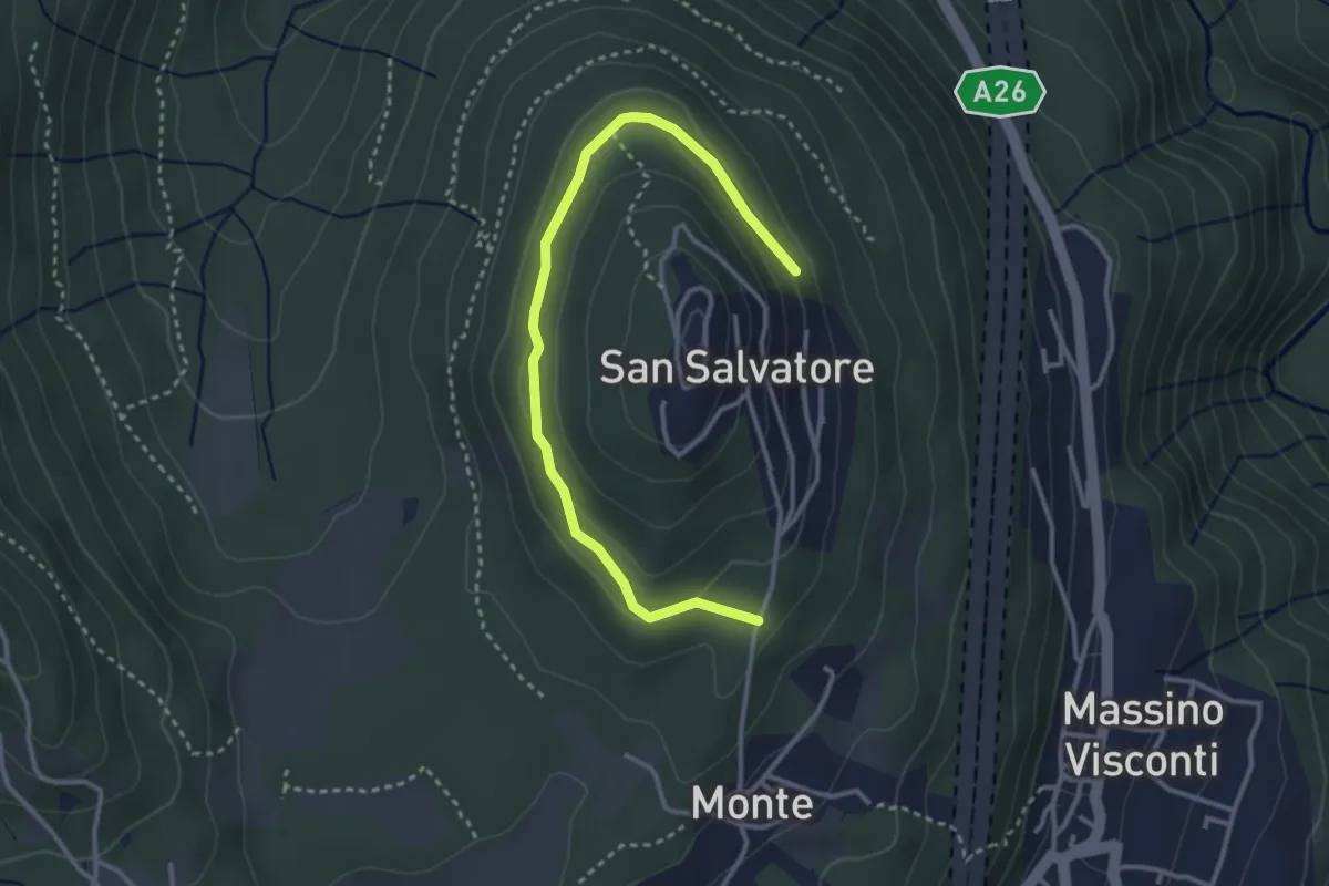
Easy · Trail
VH5 - Anello di mezzo di San Salvatore
3.6 km · ↑ 66 m · 59 min
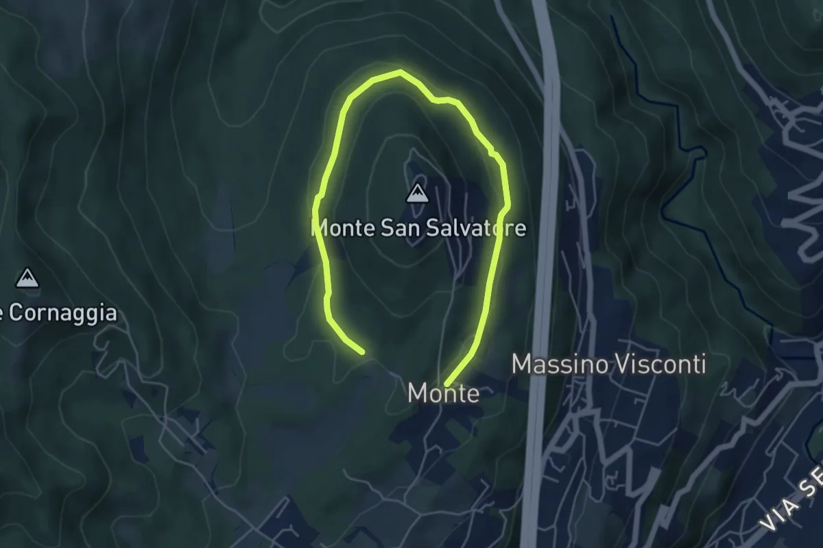
Easy · Trail
VH6 - Anello basso di San Salvatore
6.5 km · ↑ 140 m · 1 h 51 min
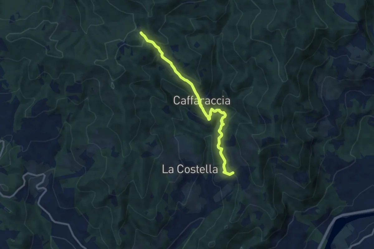
Medium · Trail
Via Abati Variante Caffaraccia
8.6 km · ↑ 615 m · 3 h 22 min
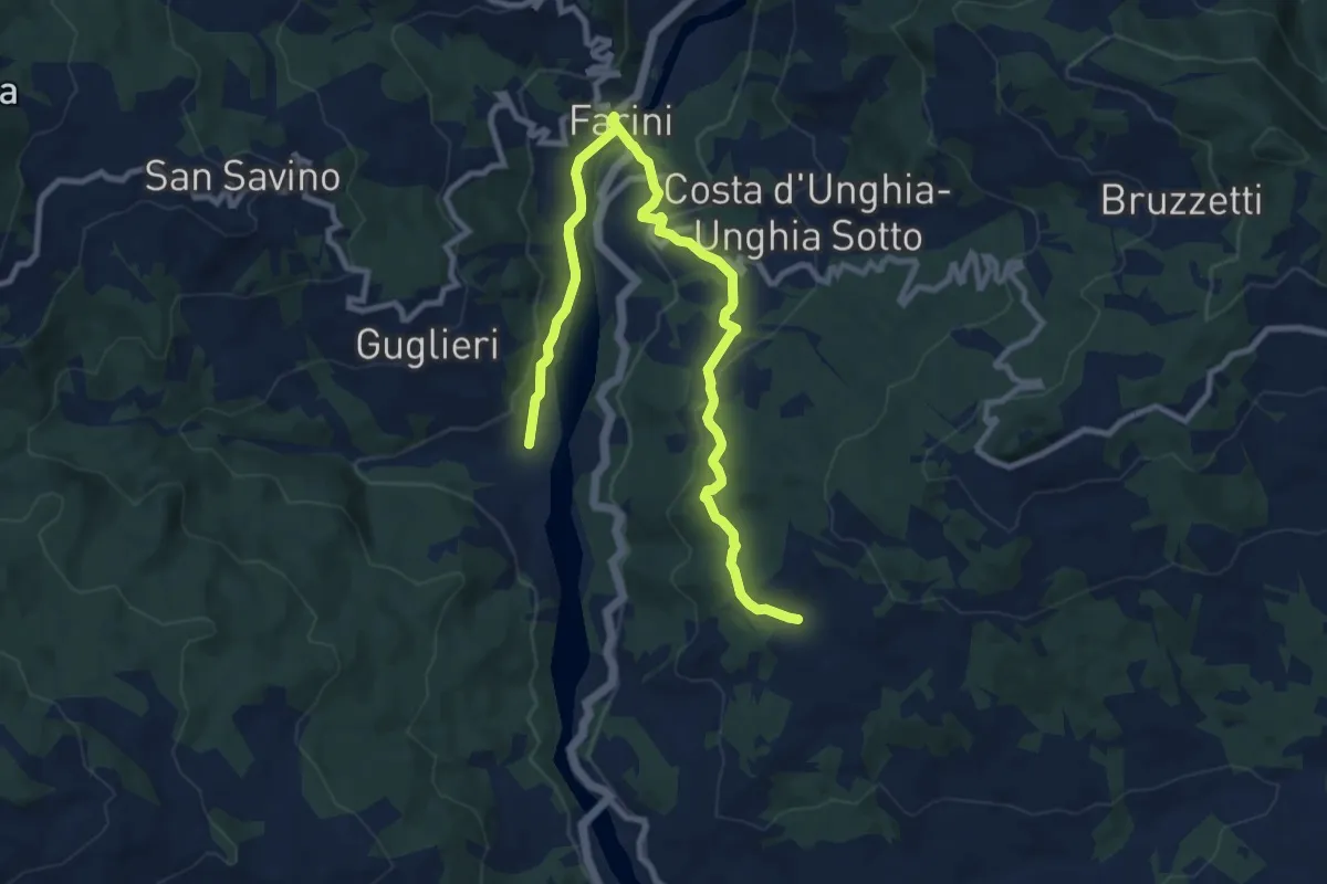
Medium · Trail
Via Abati Variante Farini
11.8 km · ↑ 443 m · 3 h 45 min
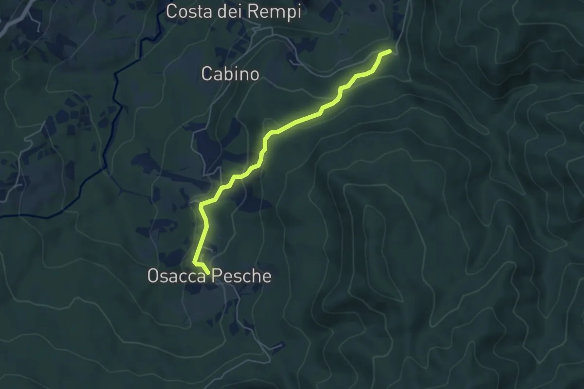
Easy · Trail
Via Abati Variante Osacca
4.8 km · ↑ 213 m · 1 h 36 min
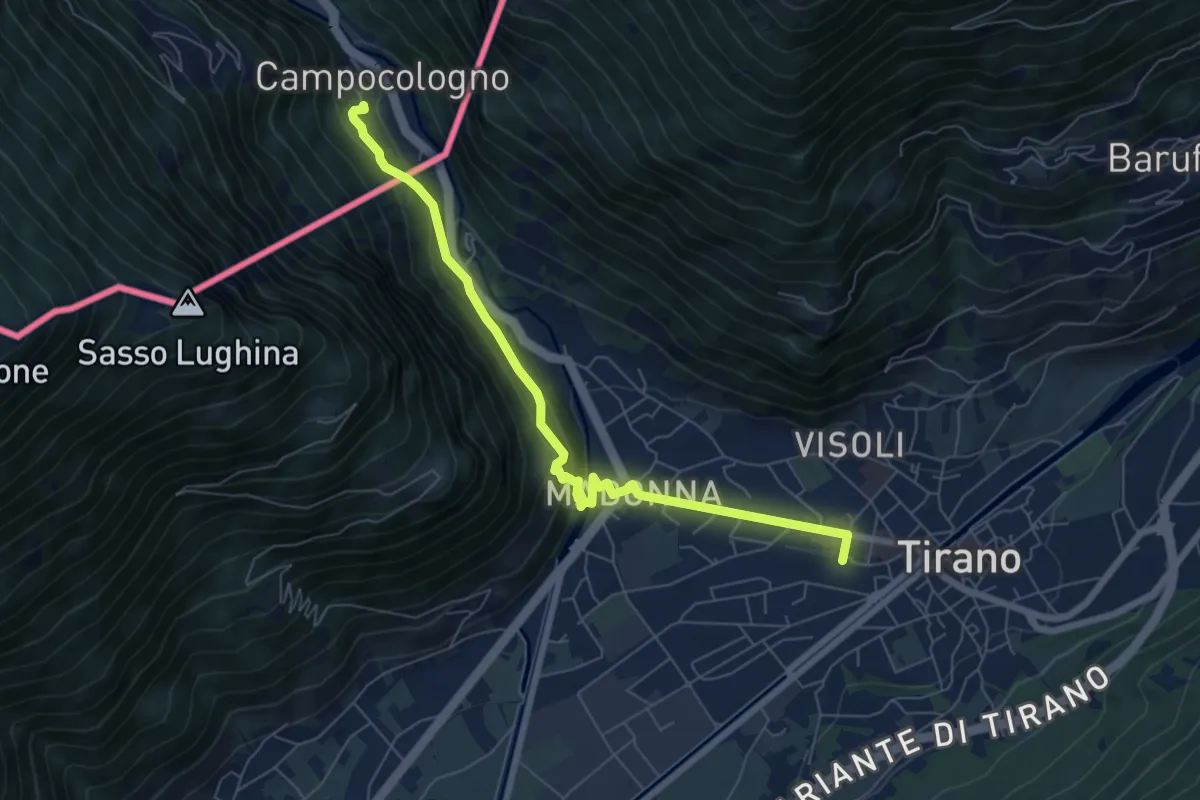
Medium · Trail
Via Albula/Bernina
7.1 km · ↑ 325 m · 2 h 23 min
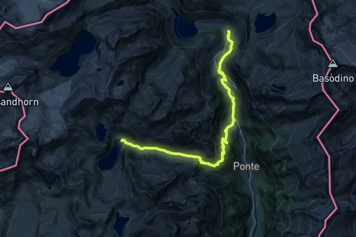
Demanding · Cabin
Via Alpina Blue D1
11.4 km · ↑ 869 m · 4 h 30 min
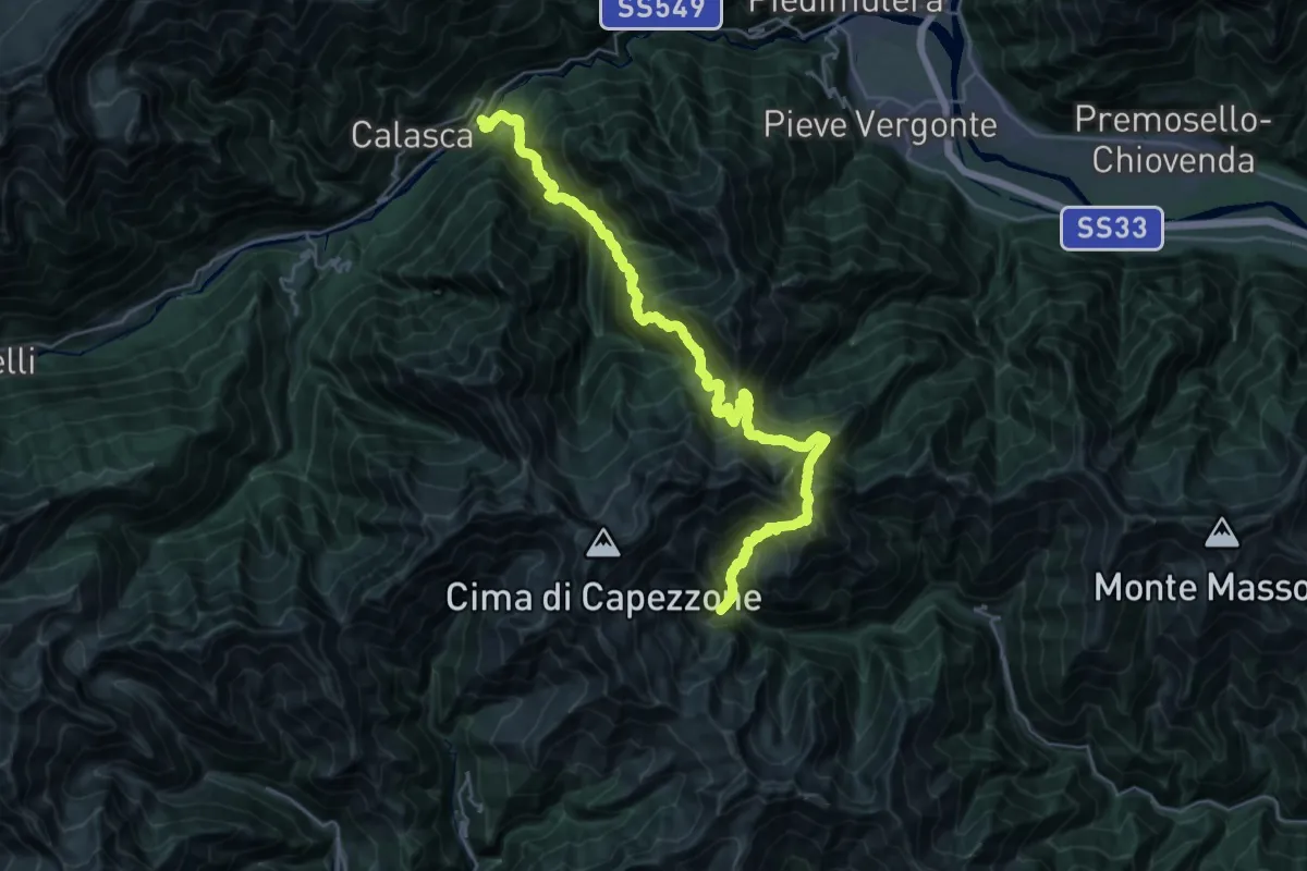
Demanding · Trail
Via Alpina Blue D11
15.9 km · ↑ 1198 m · 7 h 1 min
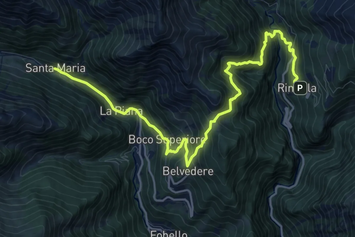
Demanding · Cabin
Via Alpina Blue D12
14.2 km · ↑ 1197 m · 5 h 57 min
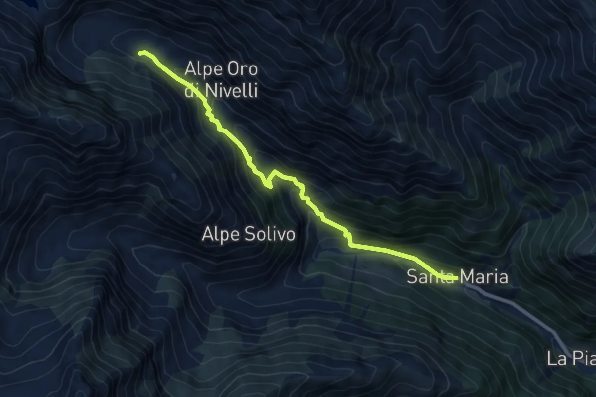
Medium · Cabin
Via Alpina Blue D13
6.5 km · ↑ 471 m · 2 h 34 min
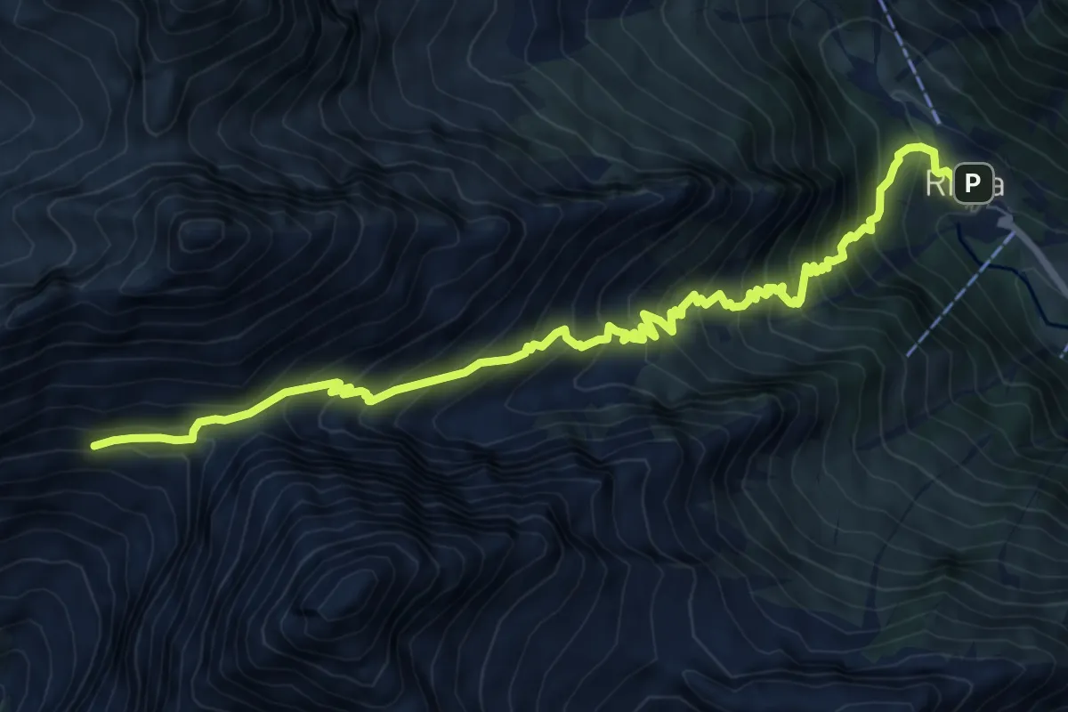
Demanding · Cabin
Via Alpina Blue D14
9.8 km · ↑ 1014 m · 4 h 30 min
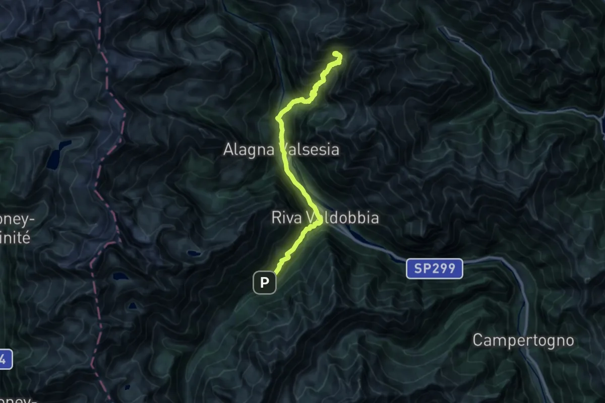
Demanding · Cabin
Via Alpina Blue D15
10.5 km · ↑ 1306 m · 5 h 1 min
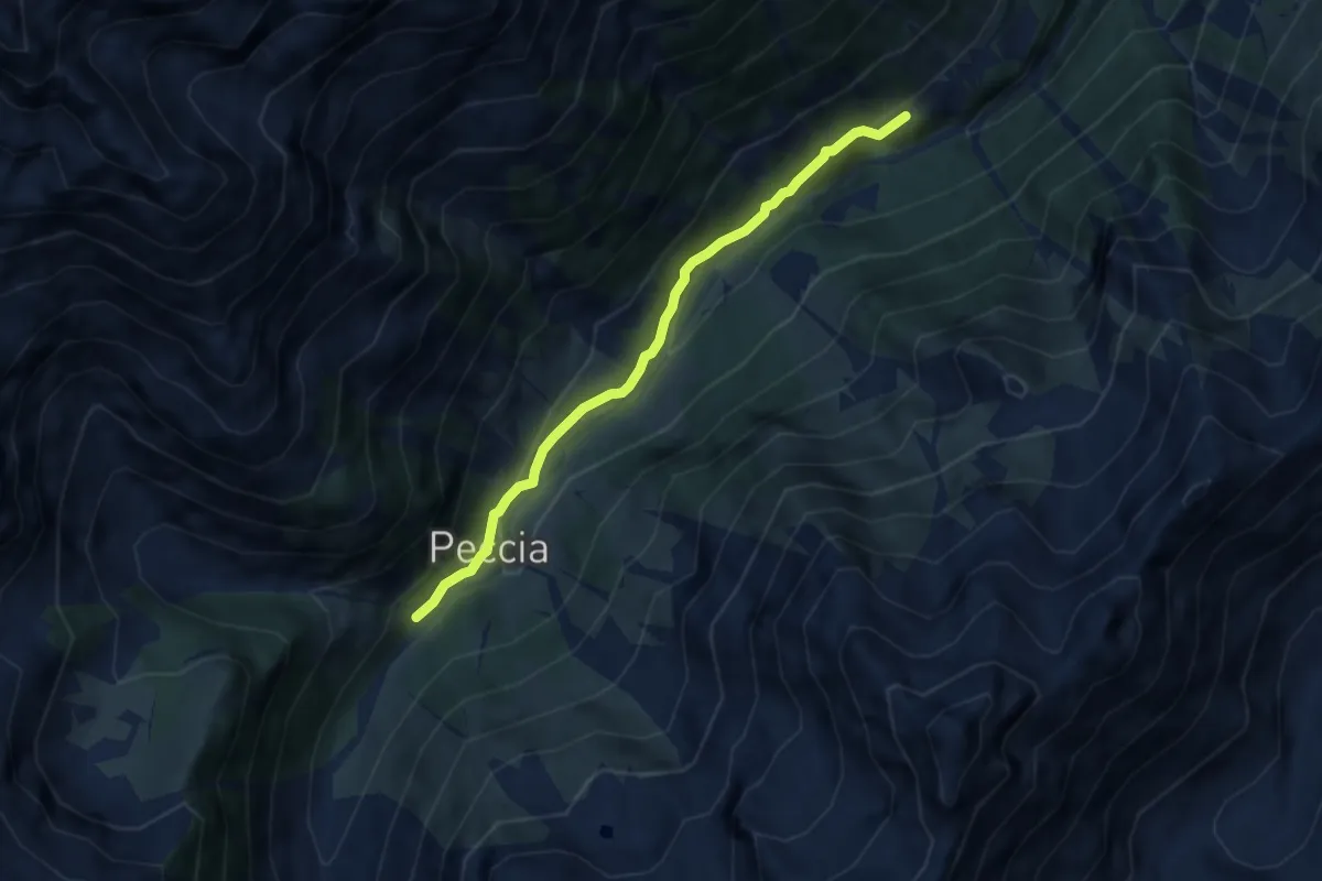
Easy · Cabin
Via Alpina Blue D16
6.1 km · ↑ 257 m · 2 h
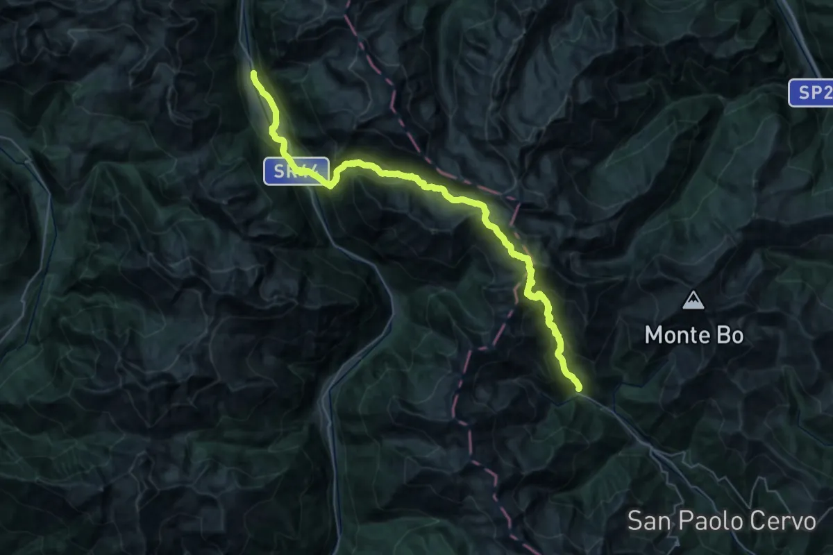
Demanding · Trail
Via Alpina Blue D17
19.8 km · ↑ 1229 m · 7 h 47 min
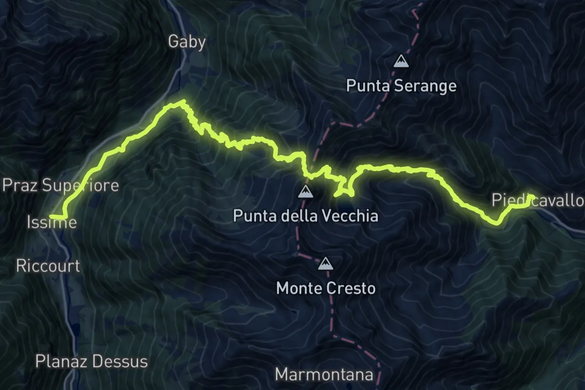
Demanding · Trail
Via Alpina Blue D18
15.7 km · ↑ 1280 m · 6 h 46 min
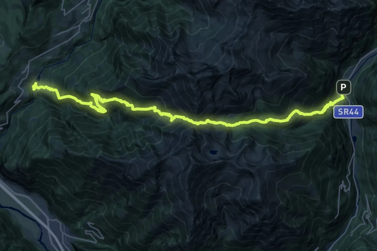
Demanding · Trail
Via Alpina Blue D19
17.4 km · ↑ 1581 m · 7 h 55 min
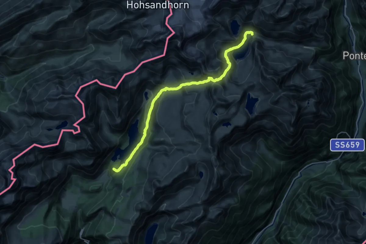
Demanding · Summit
Via Alpina Blue D2
22.0 km · ↑ 1350 m · 8 h 7 min
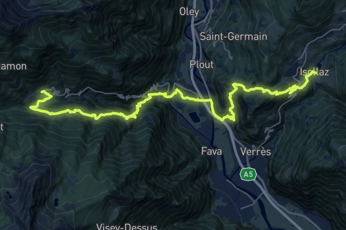
Demanding · Trail
Via Alpina Blue D20
14.0 km · ↑ 1318 m · 6 h 4 min
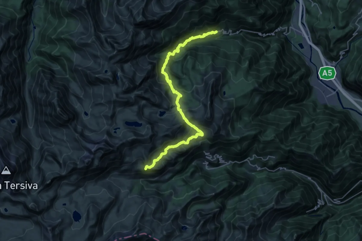
Demanding · Summit
Via Alpina Blue D21
26.7 km · ↑ 1885 m · 10 h 23 min
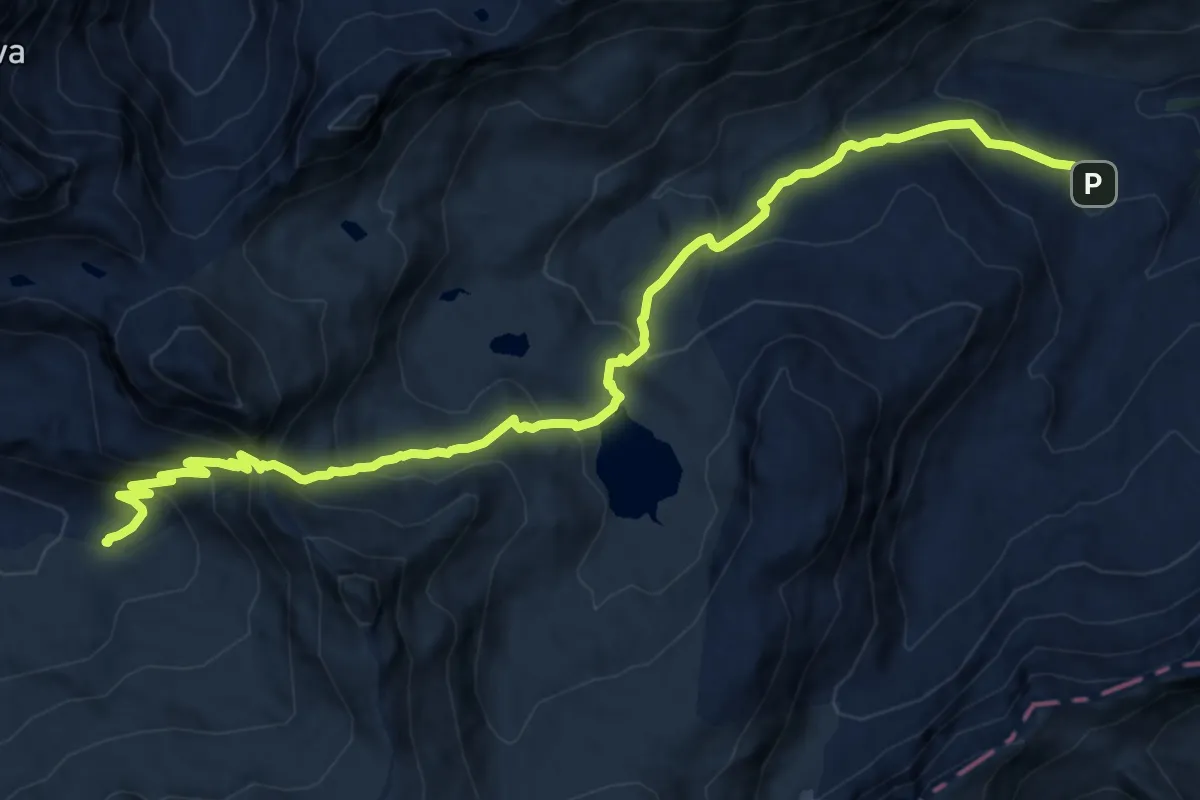
Demanding · Cabin
Via Alpina Blue D22
14.8 km · ↑ 919 m · 5 h 29 min
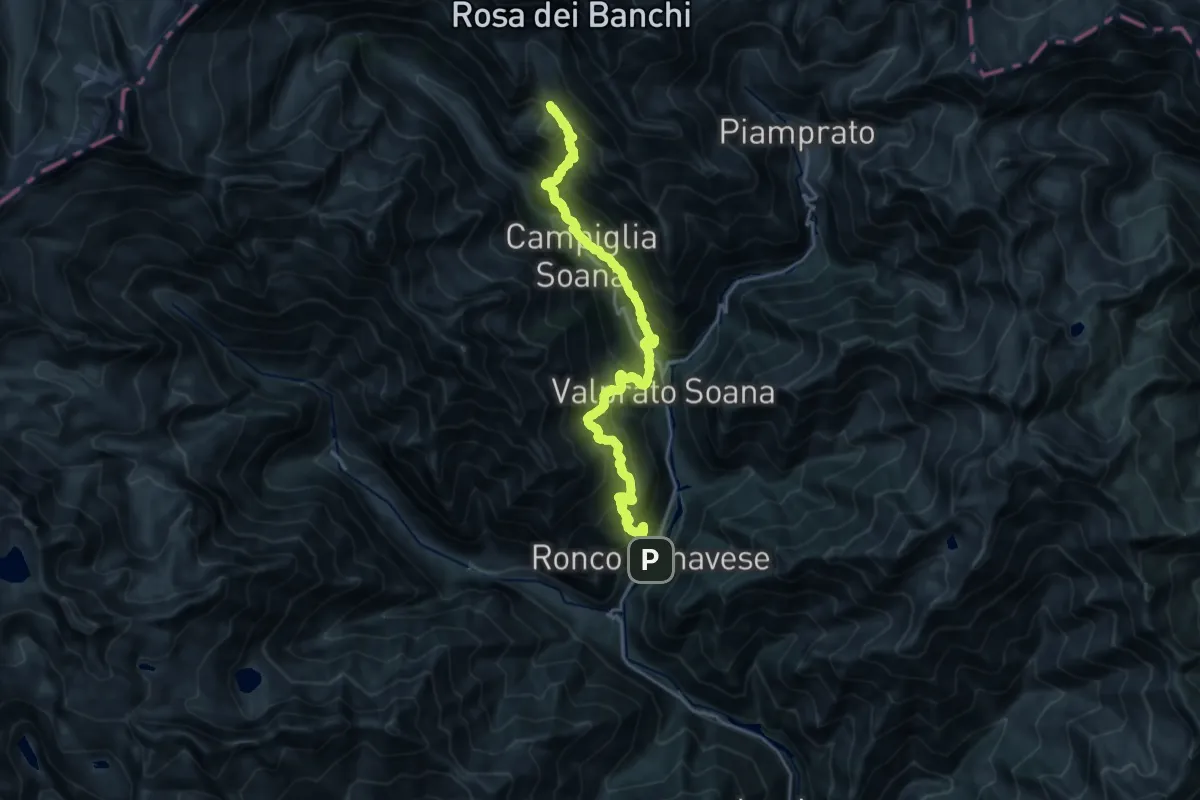
Demanding · Summit
Via Alpina Blue D24
21.7 km · ↑ 2231 m · 9 h 57 min
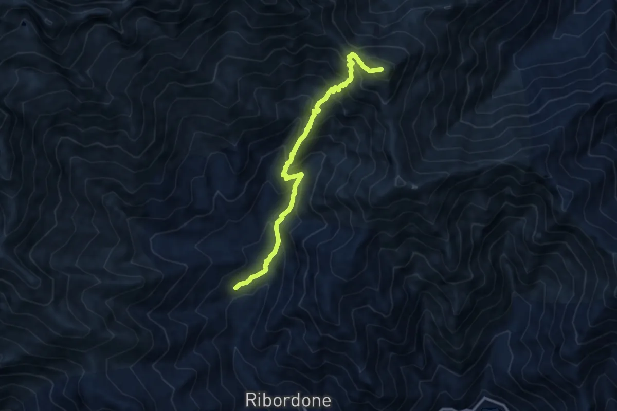
Demanding · Summit
Via Alpina Blue D25
9.5 km · ↑ 911 m · 4 h 13 min
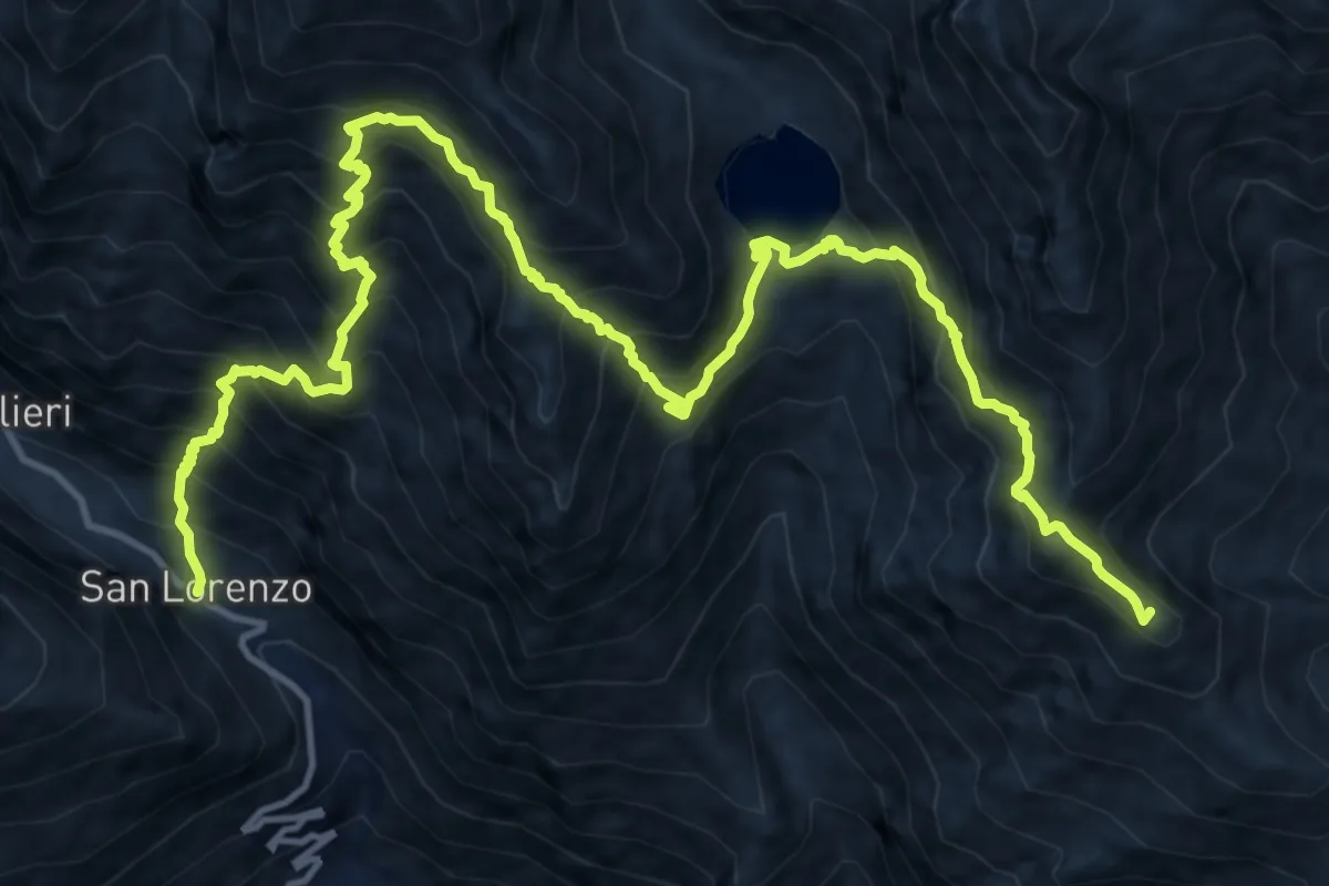
Demanding · Summit
Via Alpina Blue D26
18.7 km · ↑ 2155 m · 9 h 5 min
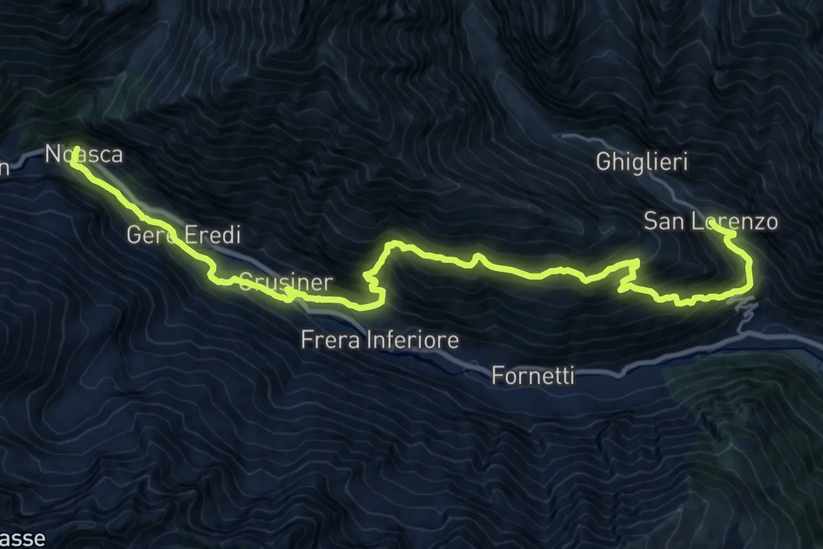
Demanding · Trail
Via Alpina Blue D27
12.7 km · ↑ 999 m · 5 h 20 min
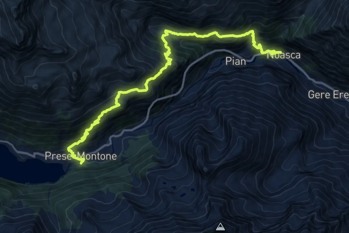
Demanding · Trail
Via Alpina Blue D28
10.4 km · ↑ 1133 m · 4 h 51 min
Demanding · Trail
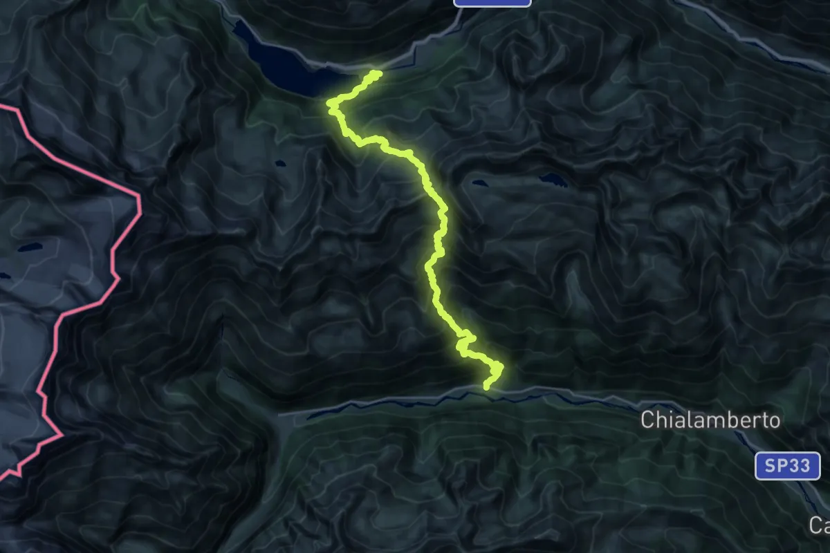
Via Alpina Blue D29
13.8 km · ↑ 1198 m · 6 h 15 min
Demanding · Trail
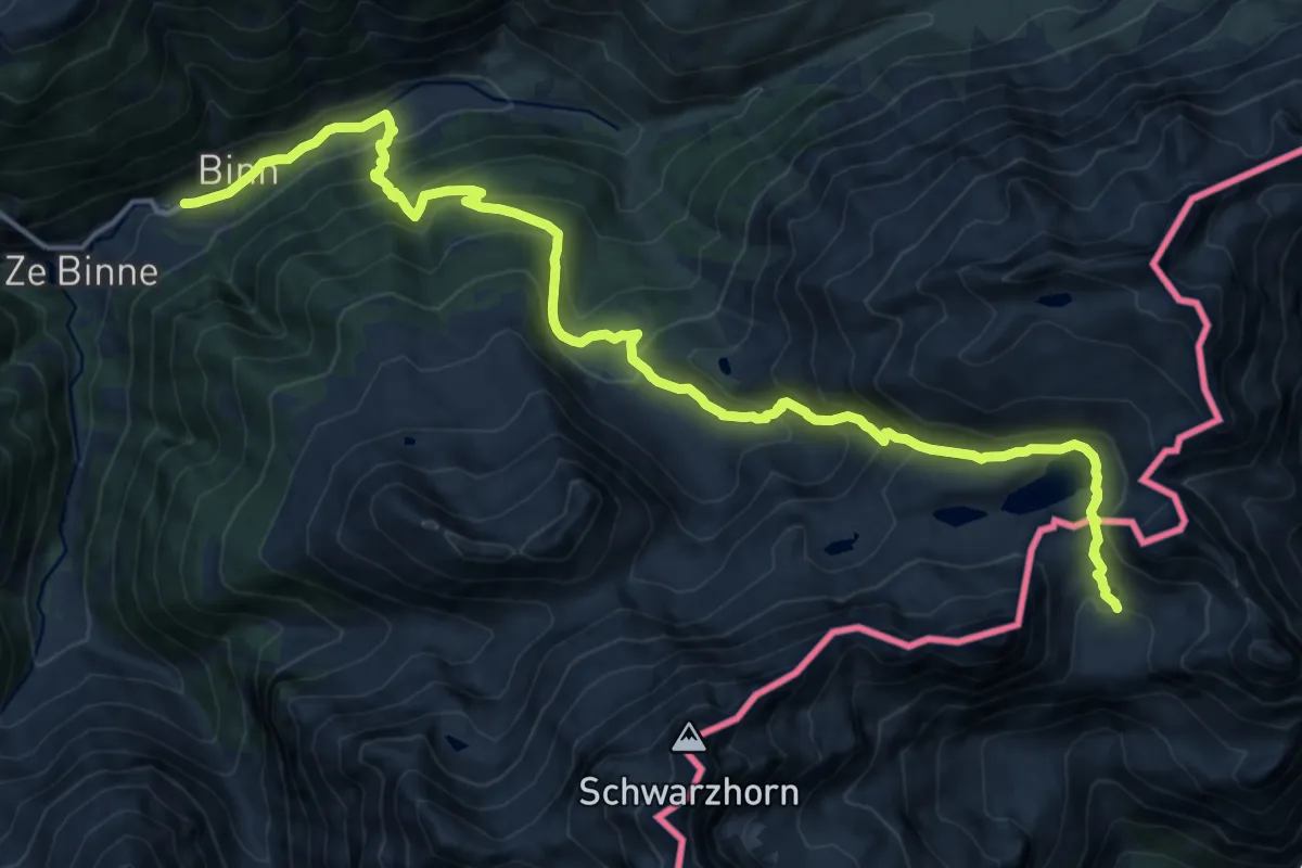
Via Alpina Blue D3
18.4 km · ↑ 1264 m · 7 h 4 min
Demanding · Trail
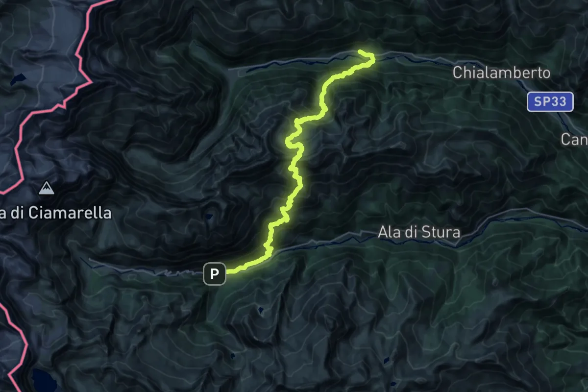
Via Alpina Blue D30
15.5 km · ↑ 1644 m · 7 h 14 min
Demanding · Trail
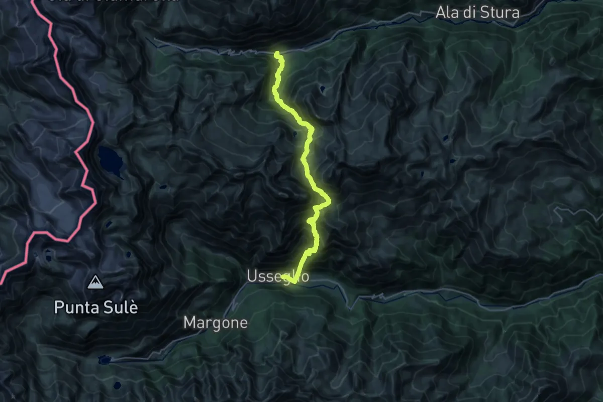
Via Alpina Blue D31
11.9 km · ↑ 1209 m · 5 h 41 min