Trails in Italy
25,219 hiking trails, each with its route, climb, walking time and grade.
All trails, page 228 of 526
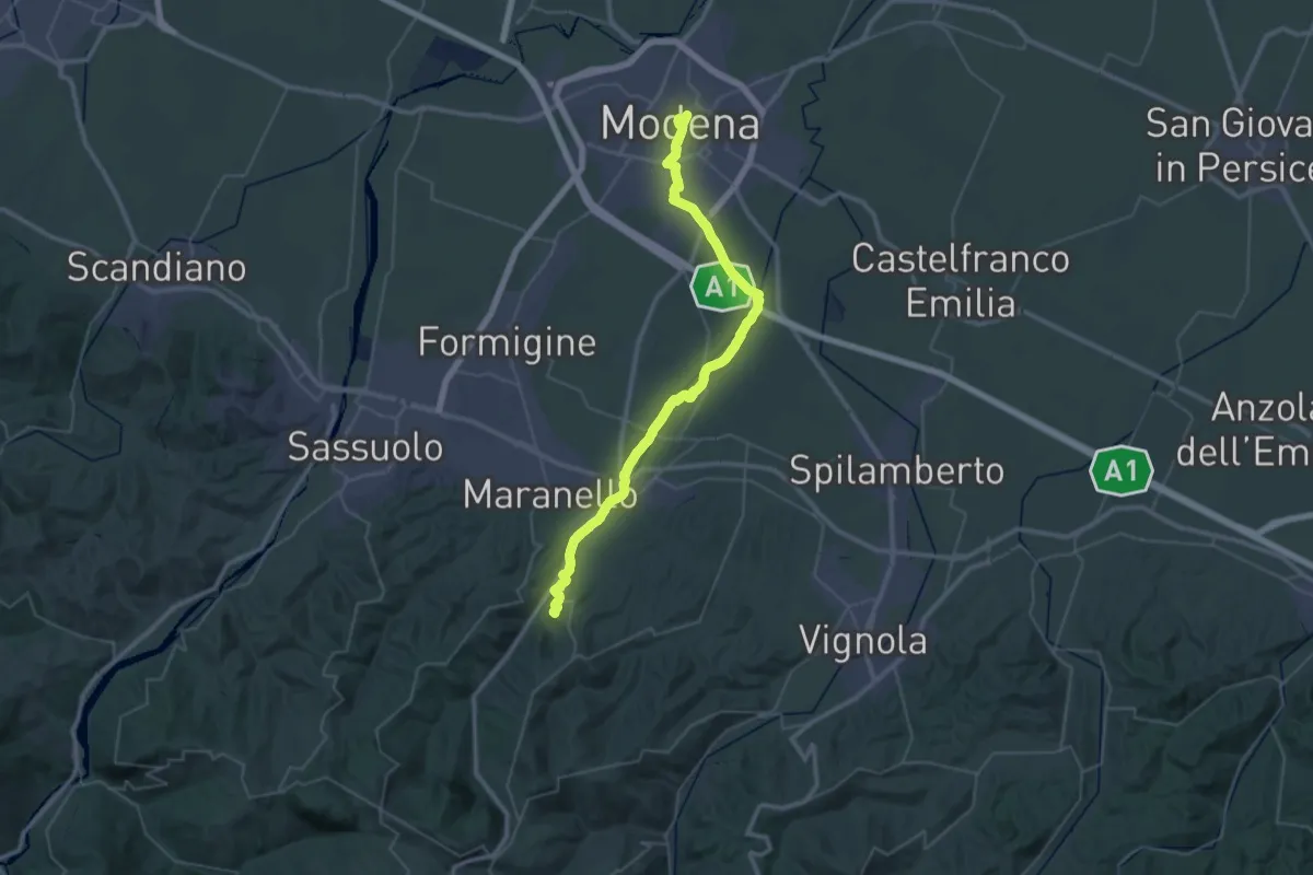
Demanding · Summit
Via Vandelli - Tappa 1
49.1 km · ↑ 257 m · 12 h 9 min
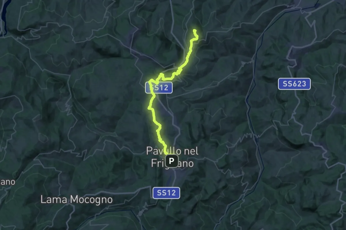
Demanding · Summit
Via Vandelli - Tappa 2
37.2 km · ↑ 1198 m · 11 h 22 min
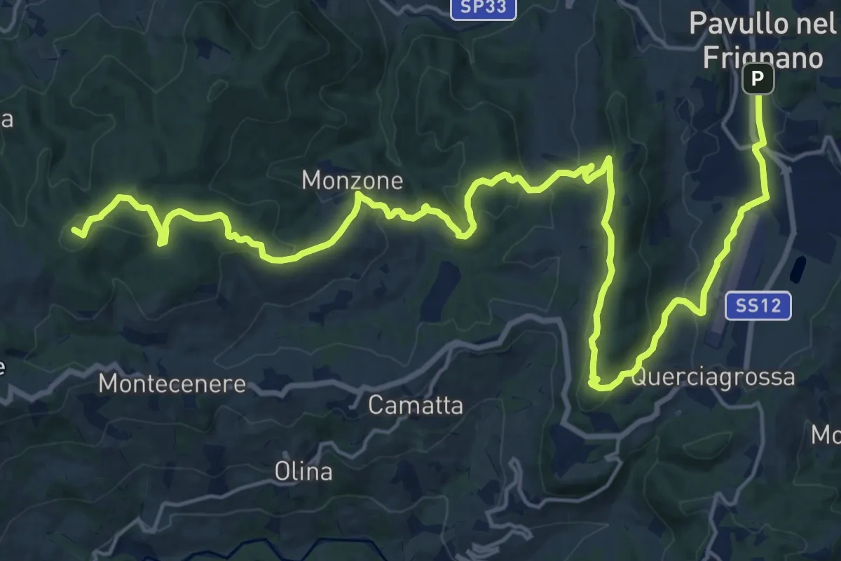
Demanding · Summit
Via Vandelli - Tappa 3
27.0 km · ↑ 948 m · 8 h 25 min
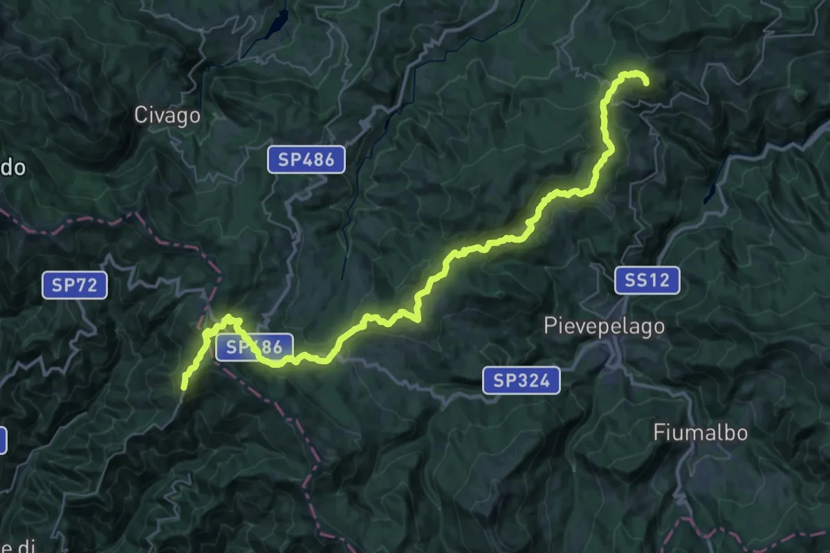
Demanding · Summit
Via Vandelli - Tappa 4
42.6 km · ↑ 1476 m · 13 h 15 min
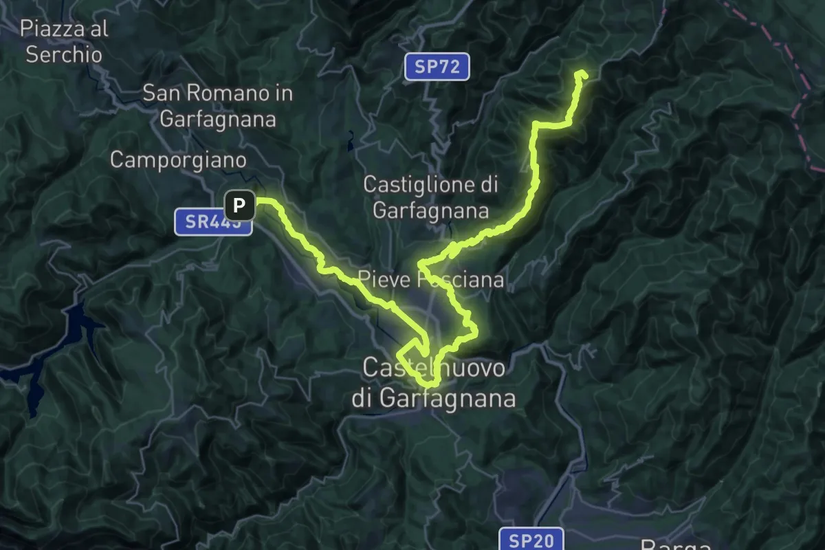
Demanding · Summit
Via Vandelli - Tappa 5
46.3 km · ↑ 1715 m · 14 h 39 min
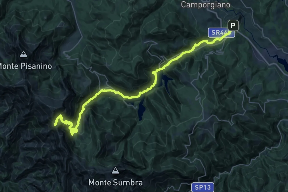
Demanding · Summit
Via Vandelli - Tappa 6
33.4 km · ↑ 2055 m · 12 h 20 min
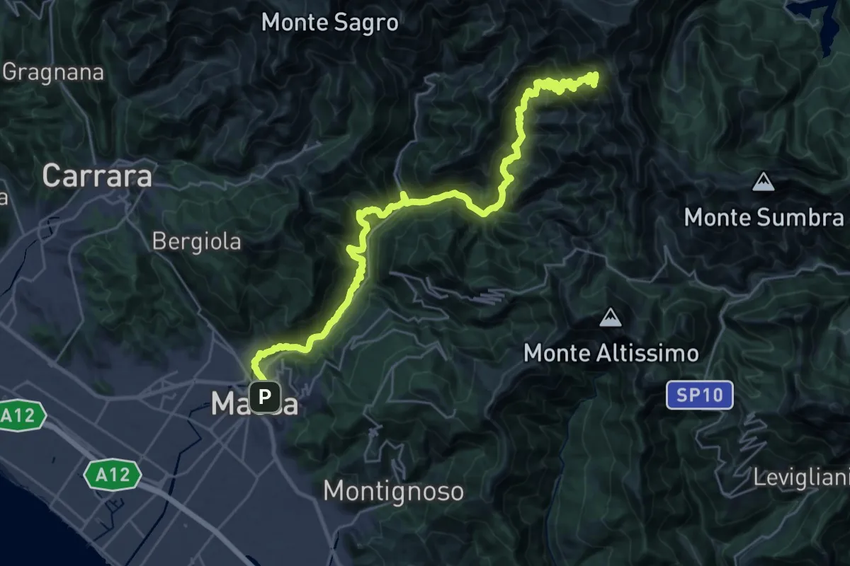
Demanding · Summit
Via Vandelli - Tappa 7
35.0 km · ↑ 2743 m · 14 h 12 min
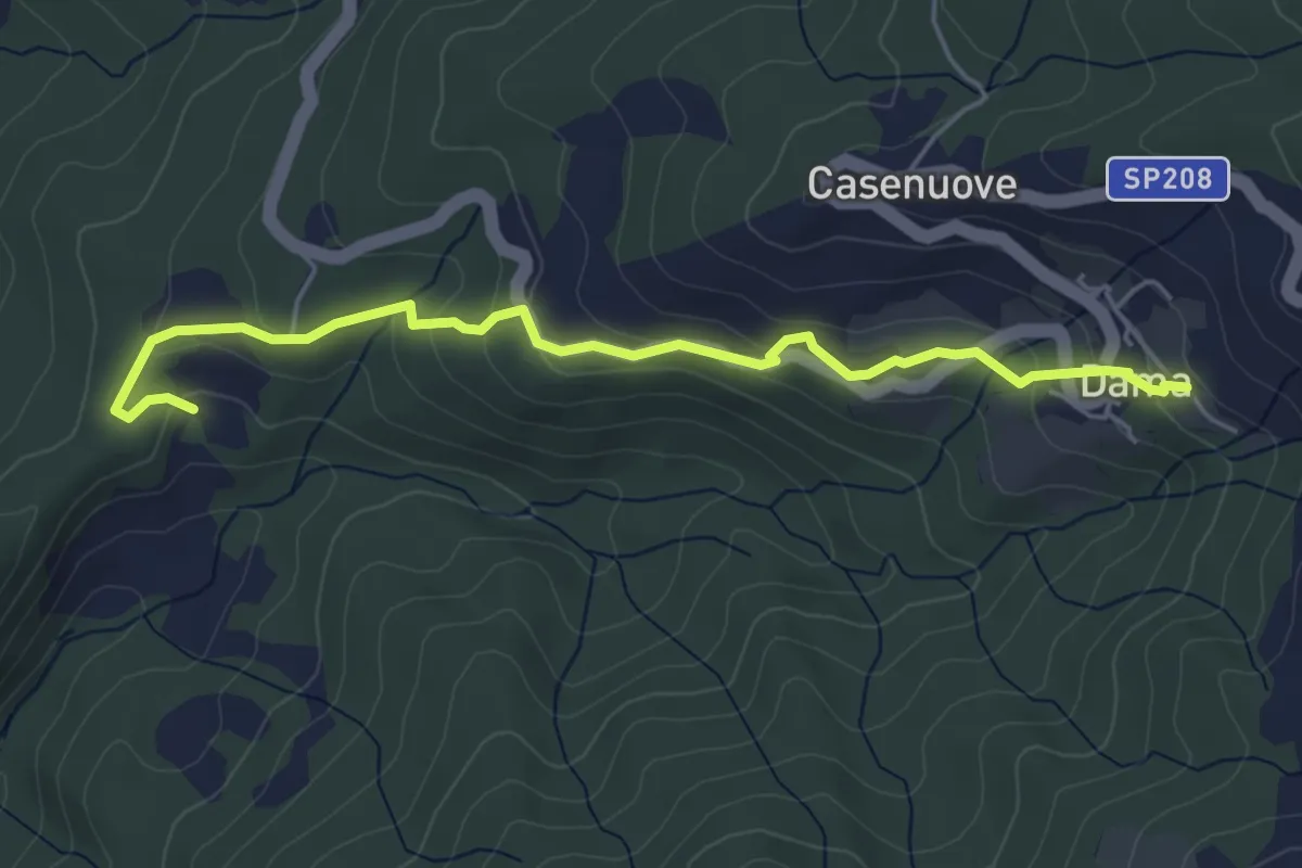
Easy · Trail
Via Vecchia Camparsolina Dama
5.5 km · ↑ 214 m · 1 h 45 min
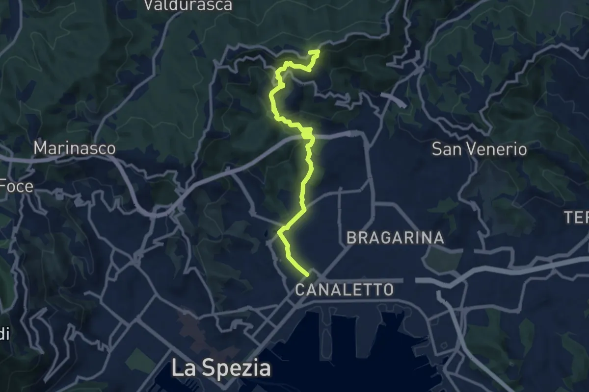
Medium · Trail
Via Veneto – Vailunga – Toracca – Isola – Montalbano
9.6 km · ↑ 427 m · 3 h 11 min
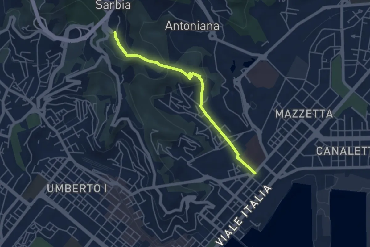
Easy · Trail
Via Veneto – Valdellora – Castellazzo – Sarbia
4.1 km · ↑ 153 m · 1 h 18 min
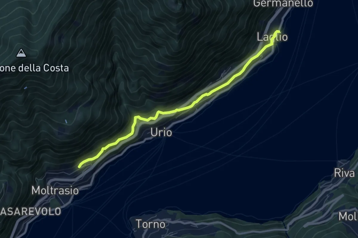
Medium · Trail
Via Verde
7.4 km · ↑ 362 m · 2 h 31 min
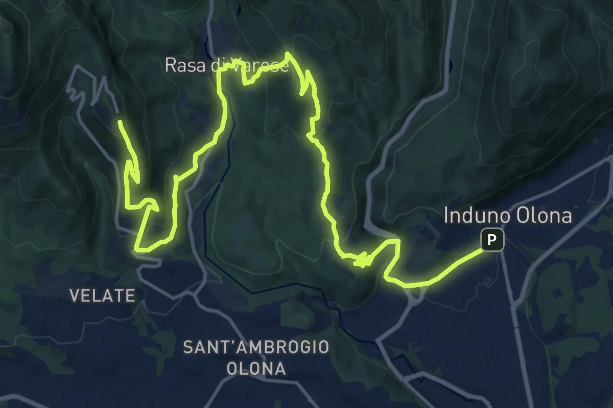
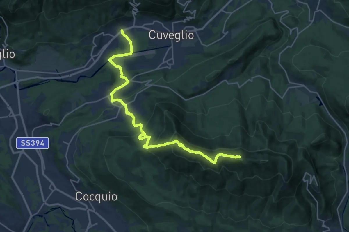
Demanding · Trail
Via Verde Varesina tappa 2
20.7 km · ↑ 902 m · 6 h 50 min
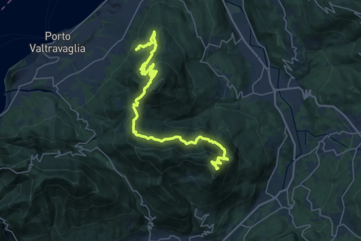
Demanding · Summit
Via Verde Varesina Tappa 3
20.6 km · ↑ 1094 m · 7 h 14 min
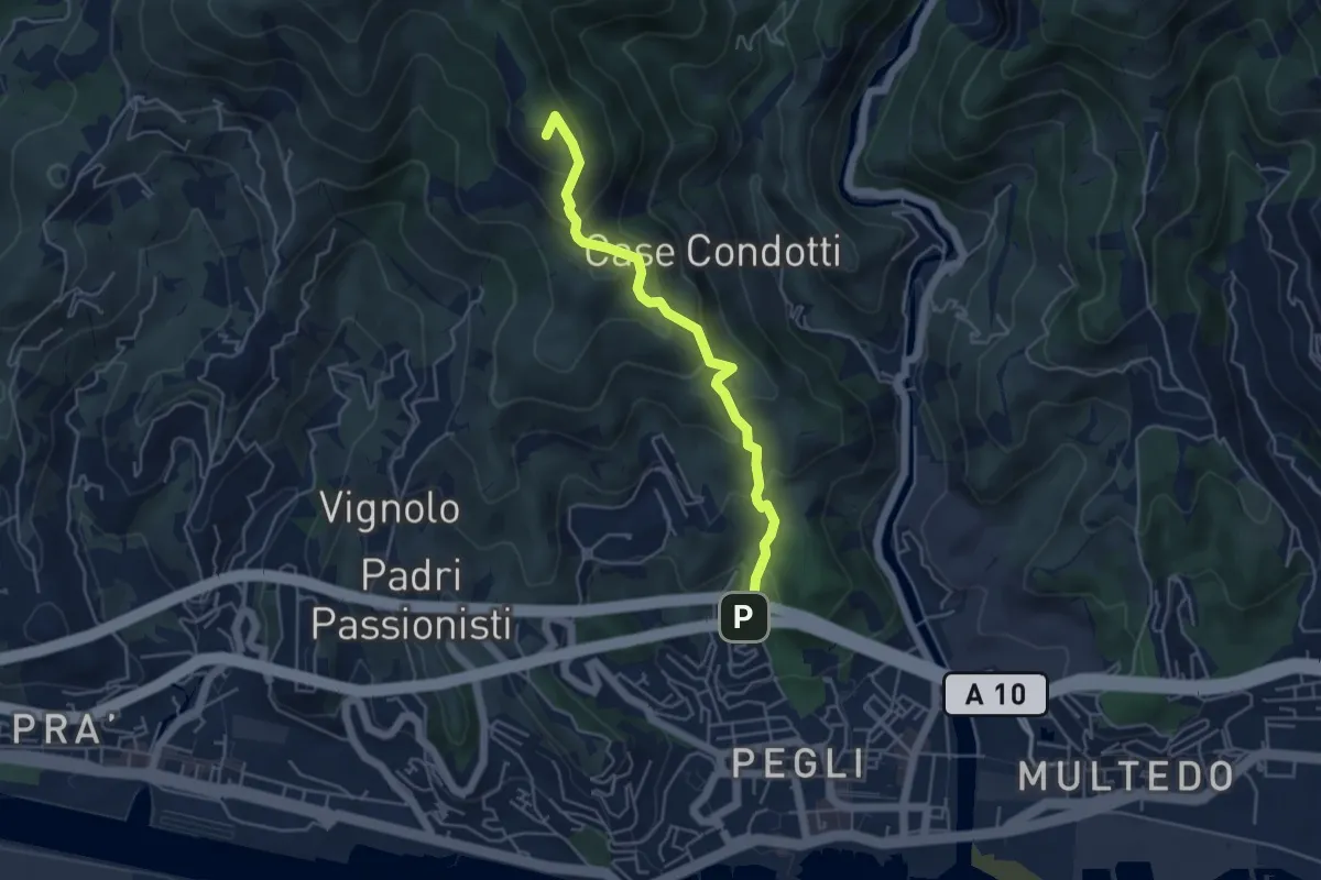
Demanding · Summit
Via Verde Varesina tappa 6
23.7 km · ↑ 1495 m · 8 h 50 min
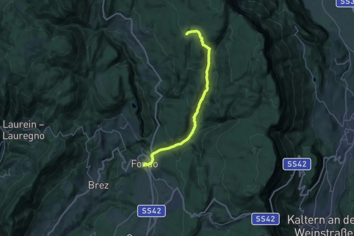
Medium · Summit
Via Vespucci - Fossa del Lupo
4.7 km · ↑ 354 m · 1 h 52 min
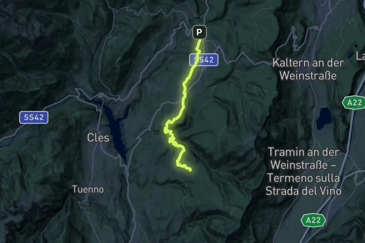
Demanding · Trail
Via Vigilius - Tappa 3
18.2 km · ↑ 821 m · 6 h 4 min
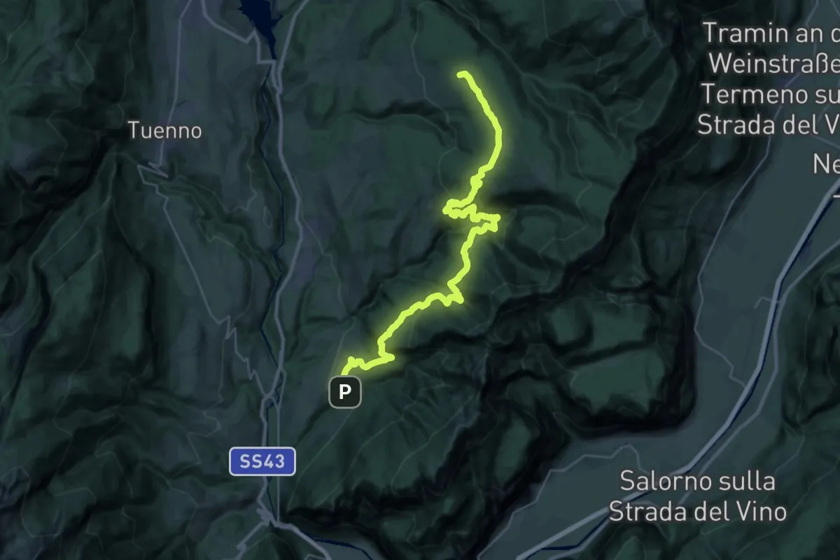
Medium · Trail
Via Vigilius - Tappa 4
16.6 km · ↑ 643 m · 5 h 28 min
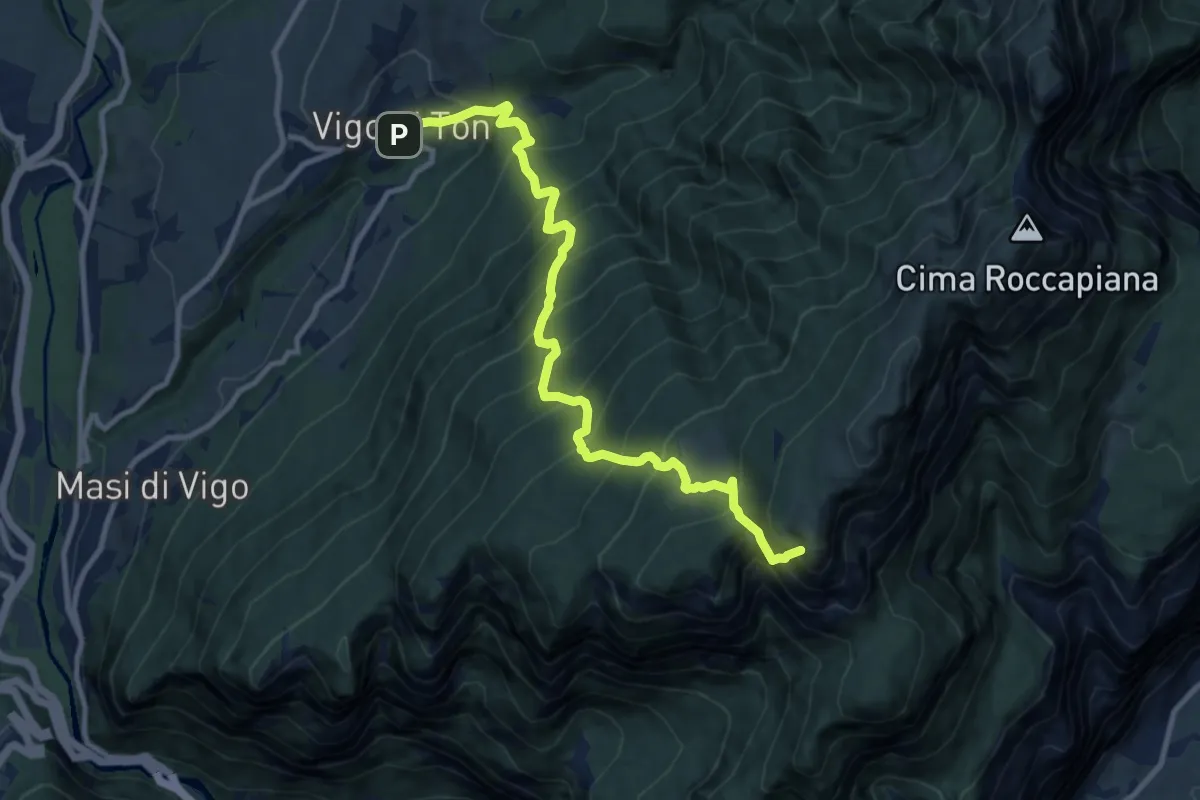
Demanding · Trail
Via Vigilius - Tappa 5
17.2 km · ↑ 1431 m · 7 h 4 min
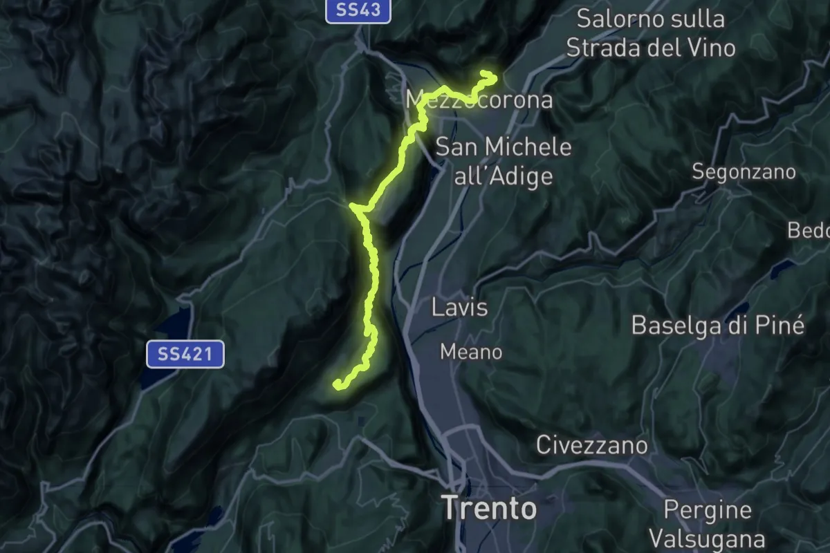
Expert · Summit
Via Vigilius - Tappa 6
10.9 km · ↑ 1313 m · 5 h 25 min
Demanding · Trail
Via Vigilius - Tappa 7
24.7 km · ↑ 1884 m · 10 h 12 min
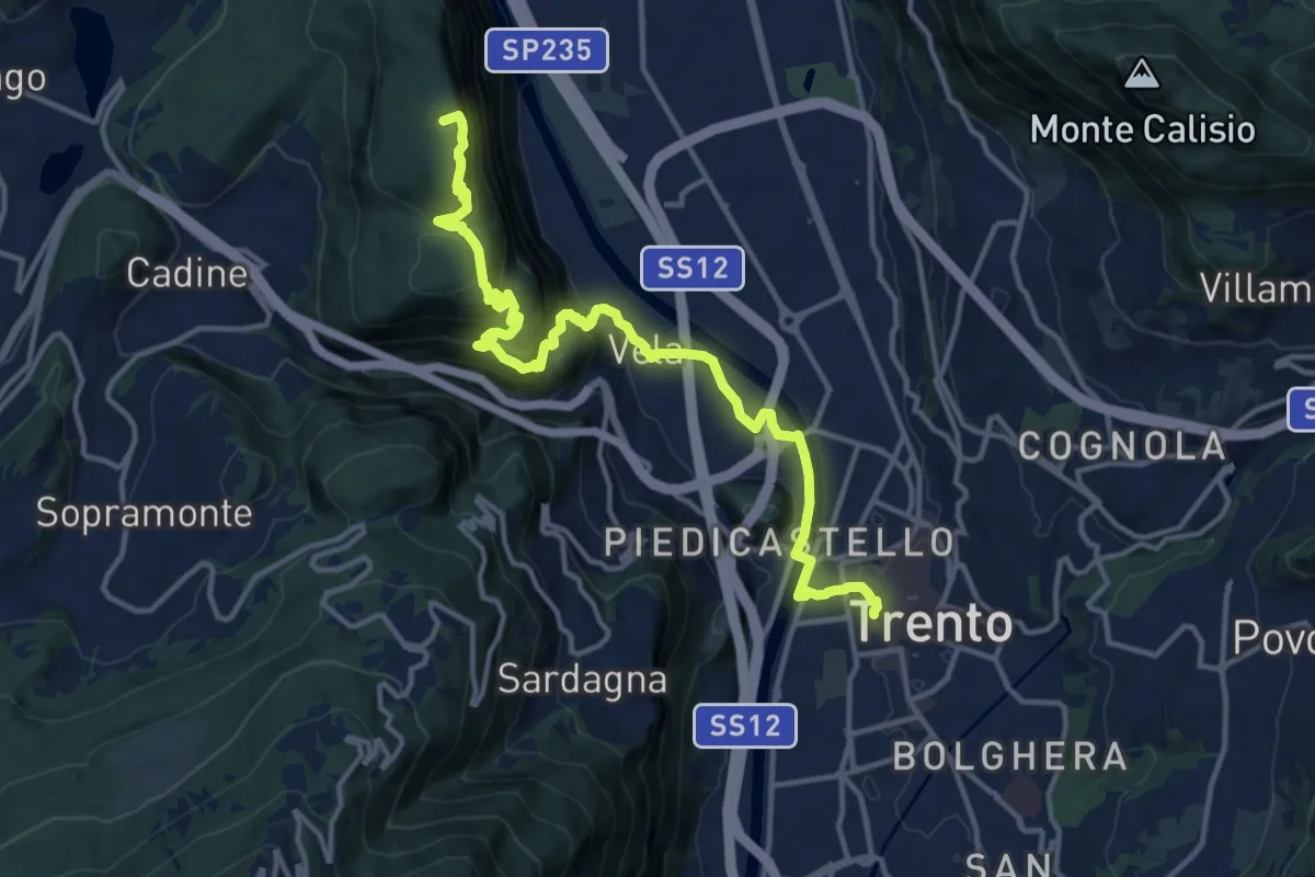
Medium · Summit
Via Vigilius - Tappa 8
16.0 km · ↑ 786 m · 5 h 29 min
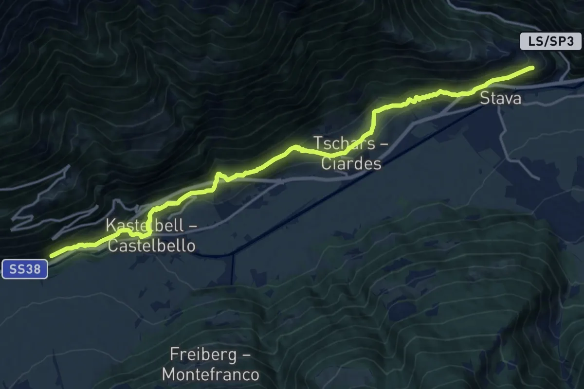
Demanding · Trail
Via Vinum Venostis
17.1 km · ↑ 860 m · 5 h 55 min
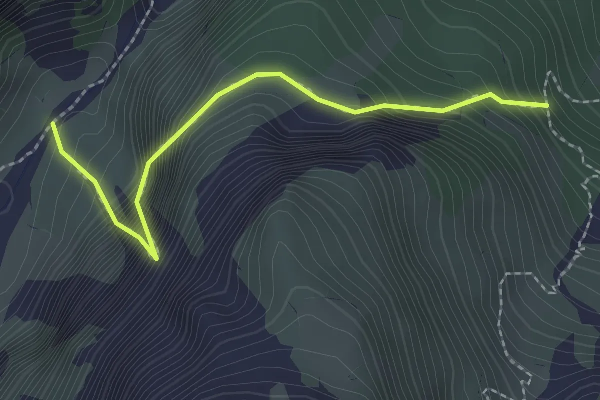
Demanding · Trail
Viaz del Bus
2.1 km · ↑ 500 m · 1 h 35 min
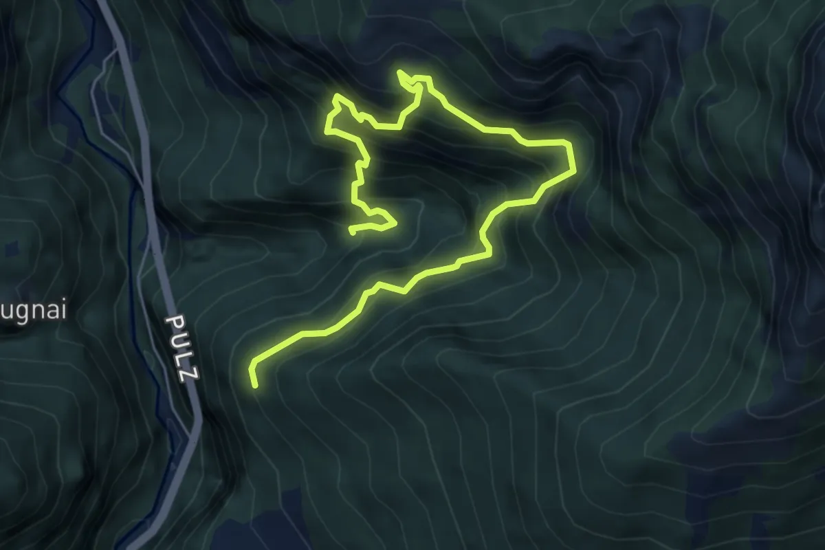
Demanding · Trail
Viaz del Tavernaz
7.3 km · ↑ 1189 m · 4 h 18 min
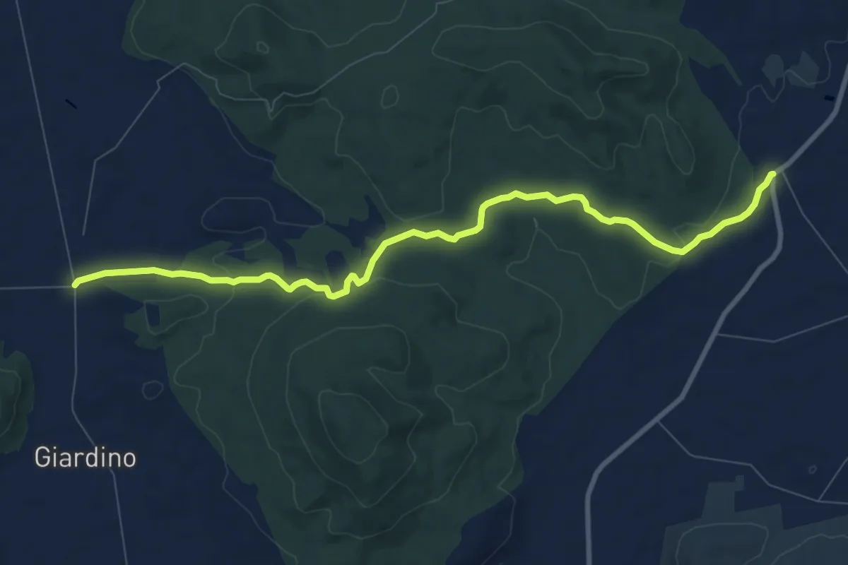
Medium · Trail
Vicinale Giardino
10.2 km · ↑ 203 m · 2 h 51 min
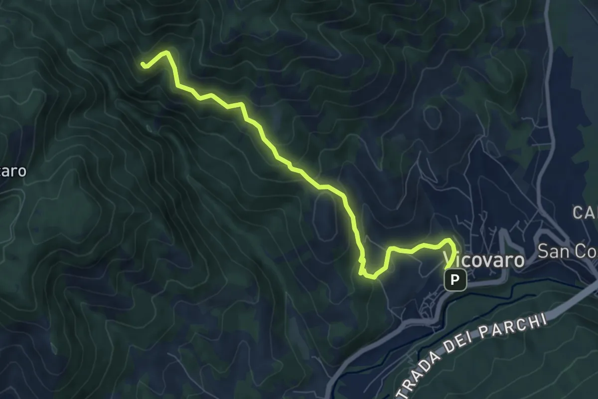
Medium · Trail
Vicovaro - Fosso di S. Martino
8.7 km · ↑ 464 m · 3 h 3 min
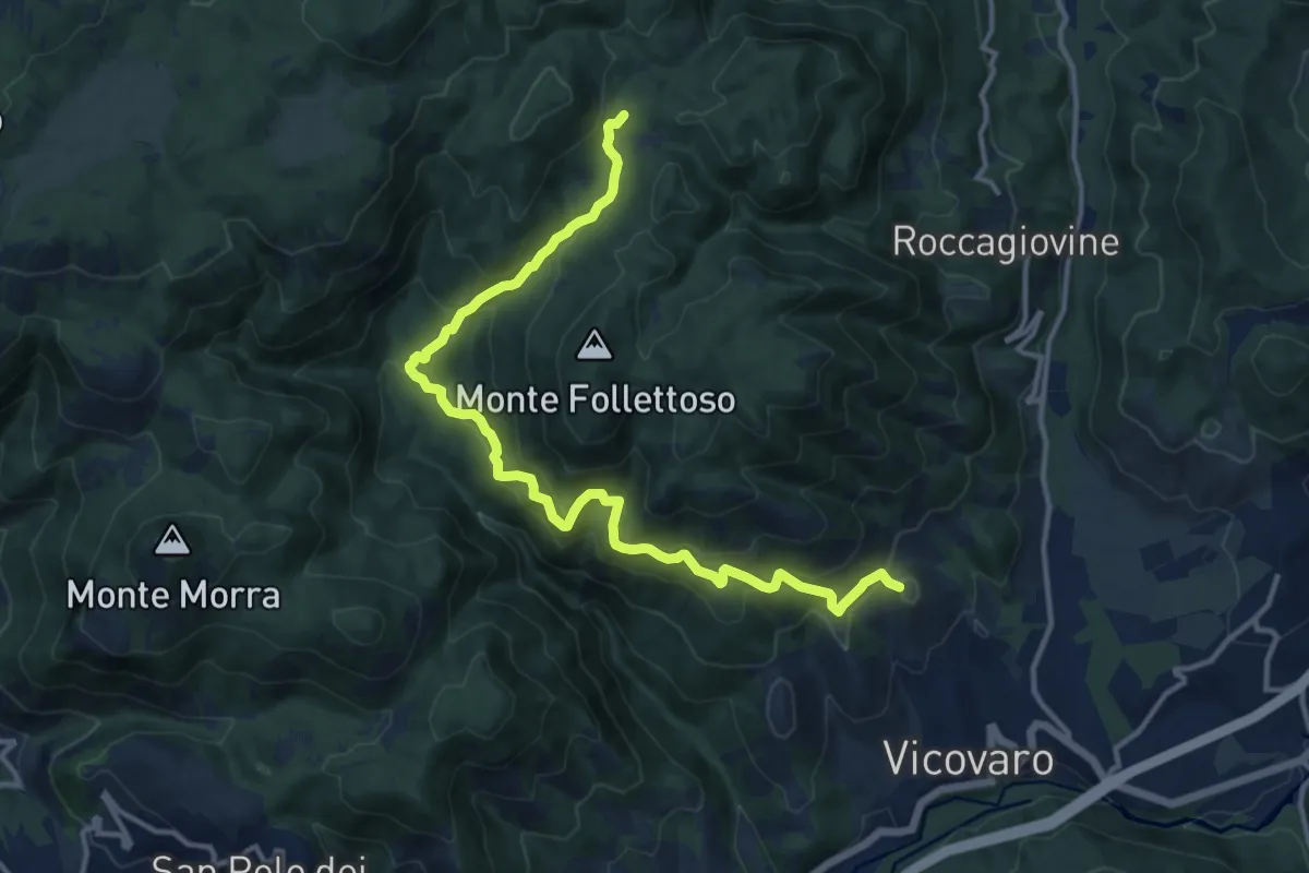
Demanding · Summit
Vicovaro - Mad. dei Ronci - Prato delle Forme
15.4 km · ↑ 864 m · 5 h 30 min
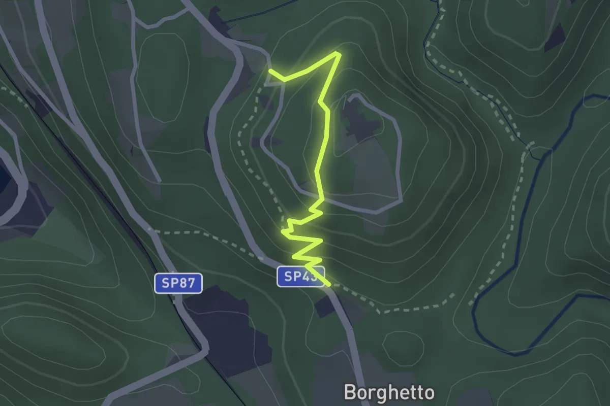
Easy · Trail
Vie Crucis Monte Mesma
2.3 km · ↑ 197 m · 58 min
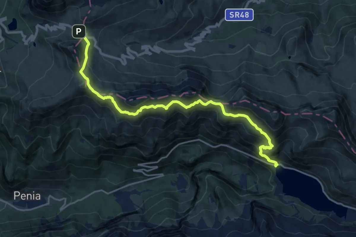
Demanding · Cabin
Viel del Pan
13.9 km · ↑ 894 m · 5 h 14 min
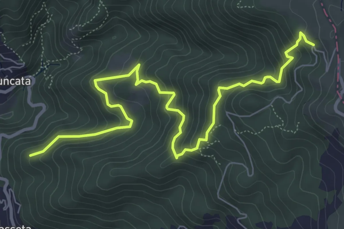
Medium · Trail
Vigà - Castagnolo - Martelletto - Foce di Colle Fiorito (Bivio AVML)
8.4 km · ↑ 663 m · 3 h 25 min
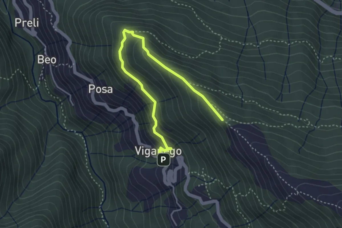
Medium · Trail
Viganego - costa Lione
4.2 km · ↑ 291 m · 1 h 37 min
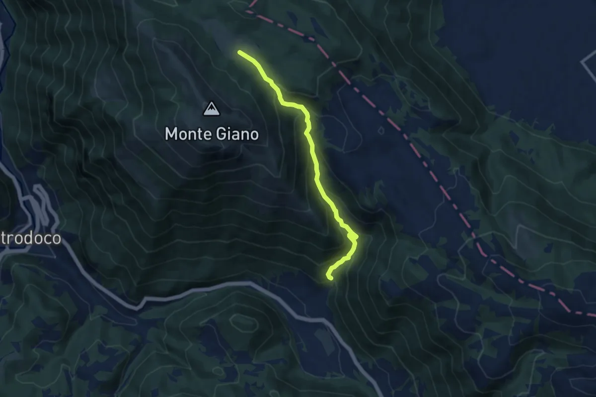
Medium · Trail
Vignola-La Mozza
8.3 km · ↑ 630 m · 3 h 20 min
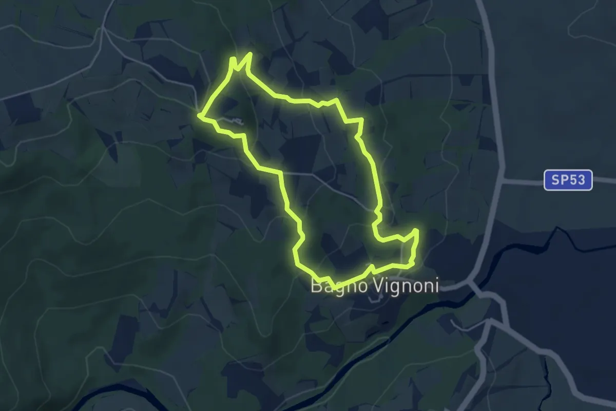
Easy · Trail
Vignoni Alto
4.7 km · ↑ 187 m · 1 h 35 min
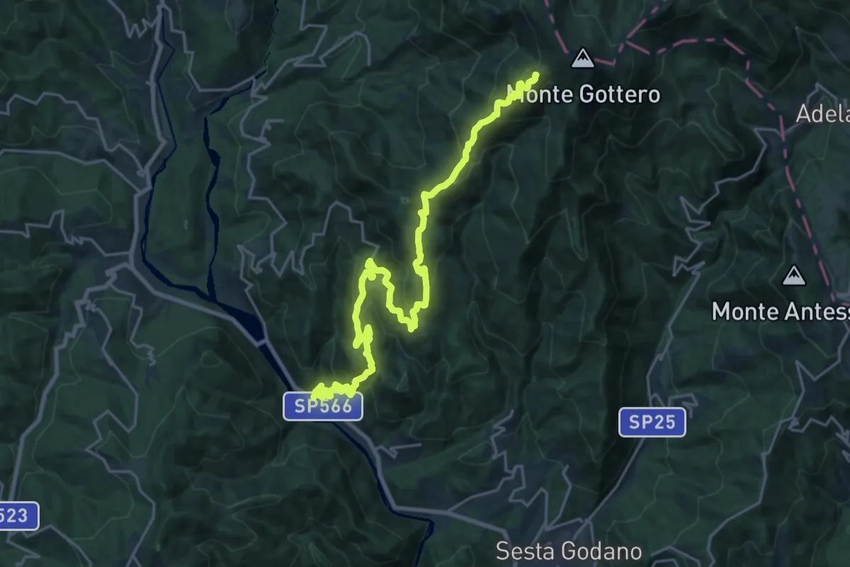
Demanding · Summit
Villa Campanile - Buto - Lisorno - Pizzo Freddo - Bivio 116 (Gottero)
25.1 km · ↑ 1593 m · 9 h 23 min
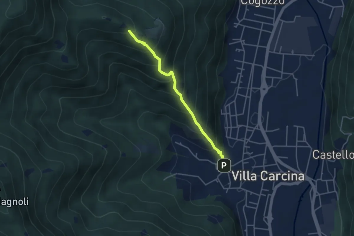
Medium · Trail
Villa Carcina - Campo Lupo
3.1 km · ↑ 389 m · 1 h 34 min
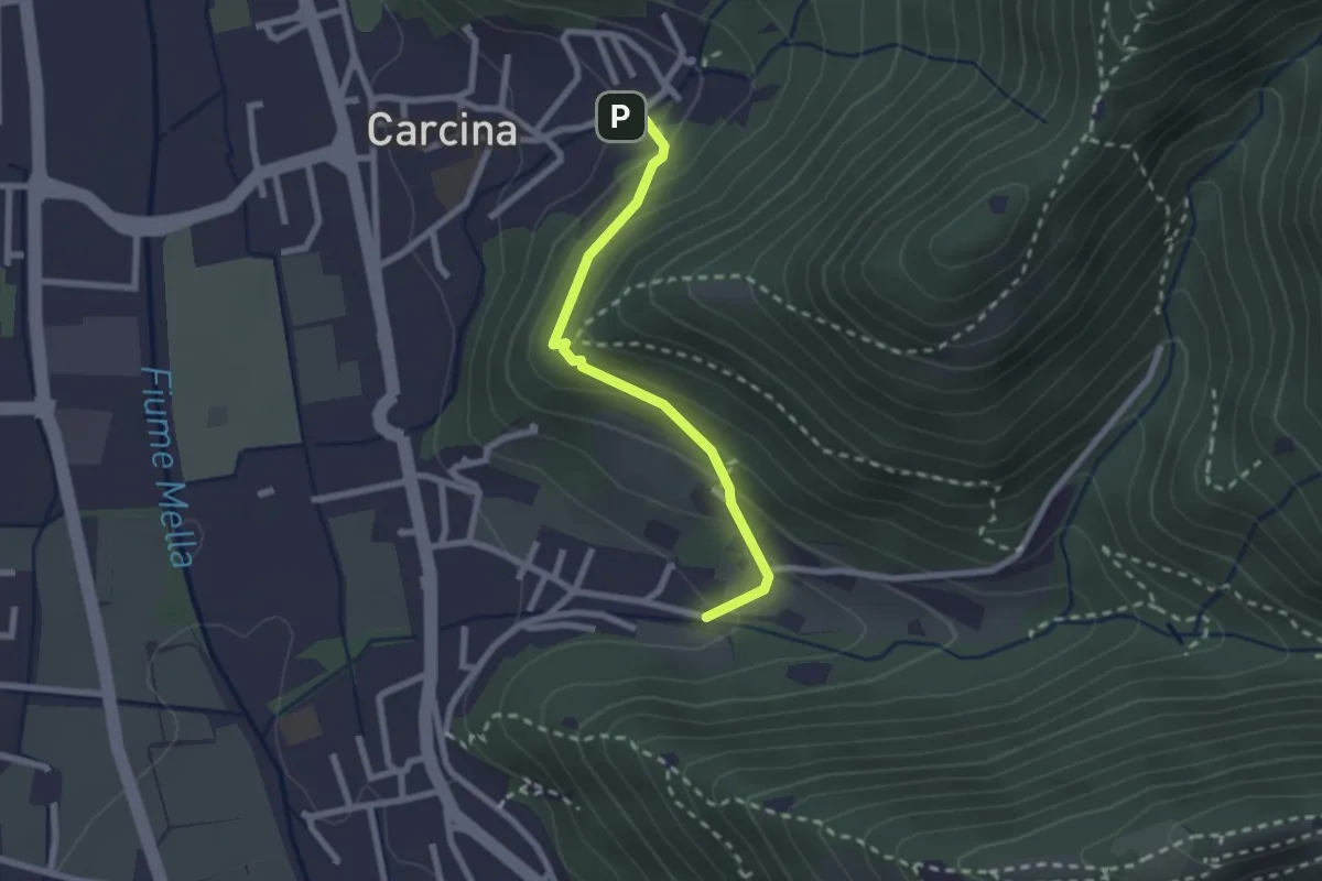
Easy · Trail
Villa Carcina (Carcina) - Costorio
2.2 km · ↑ 126 m · 48 min
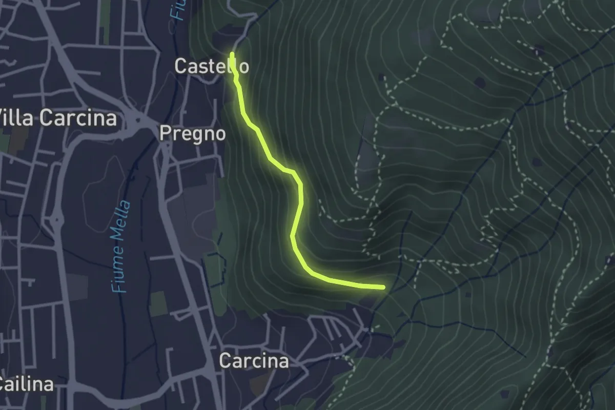
Medium · Trail
Villa Carcina (Carcina) - Pregno
2.2 km · ↑ 164 m · 53 min
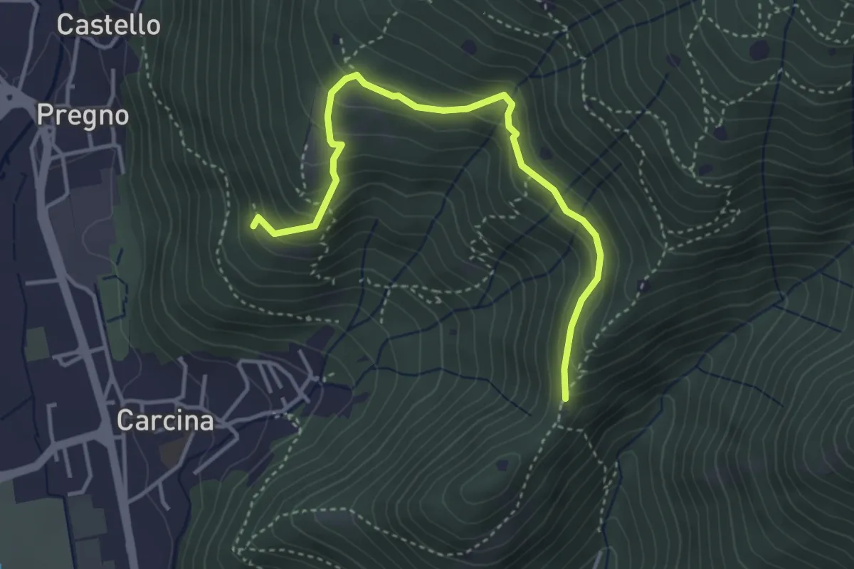
Demanding · Trail
Villa Carcina - Sentiero 16
4.0 km · ↑ 321 m · 1 h 38 min
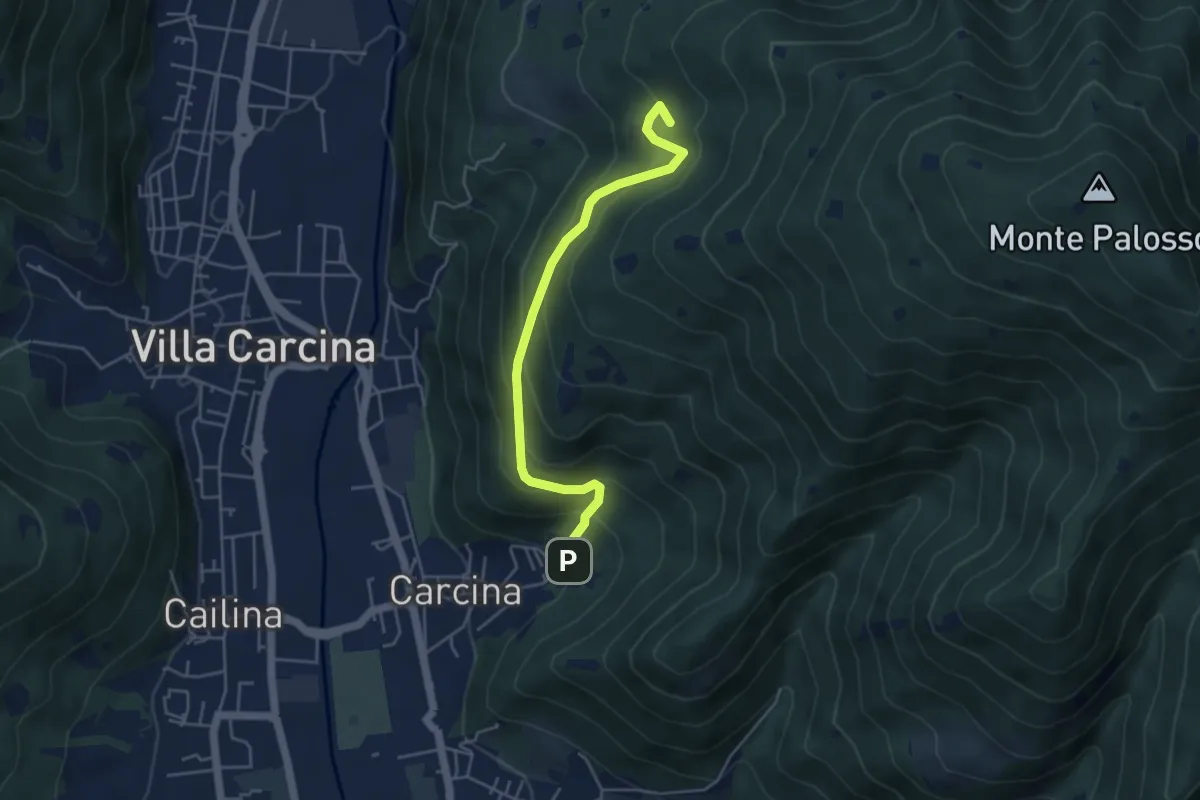
Medium · Summit
Villa Carcina - Sentiero 17
4.5 km · ↑ 395 m · 1 h 56 min
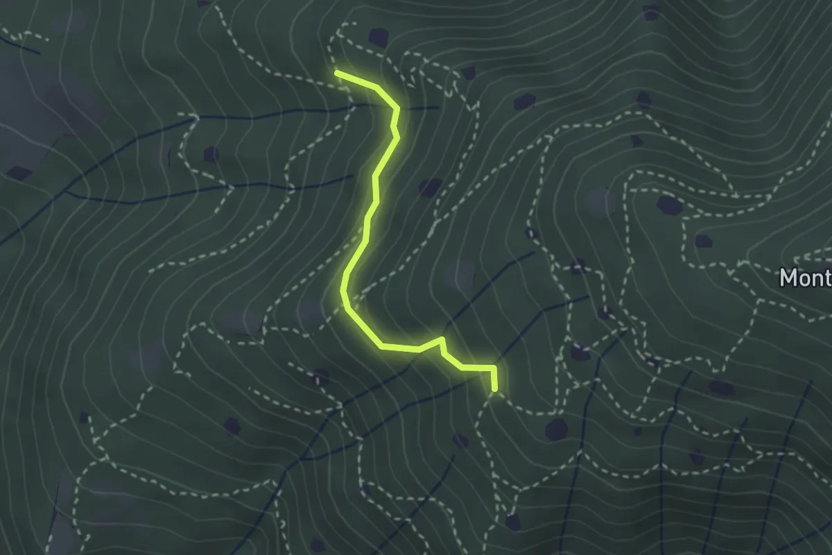
Easy · Trail
Villa Carcina - Sentiero 19
2.3 km · ↑ 210 m · 59 min
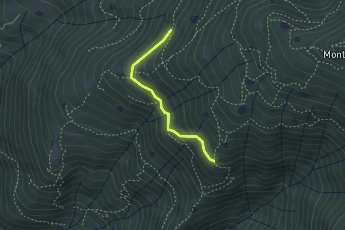
Easy · Trail
Villa Carcina - Sentiero 20
2.4 km · ↑ 169 m · 56 min
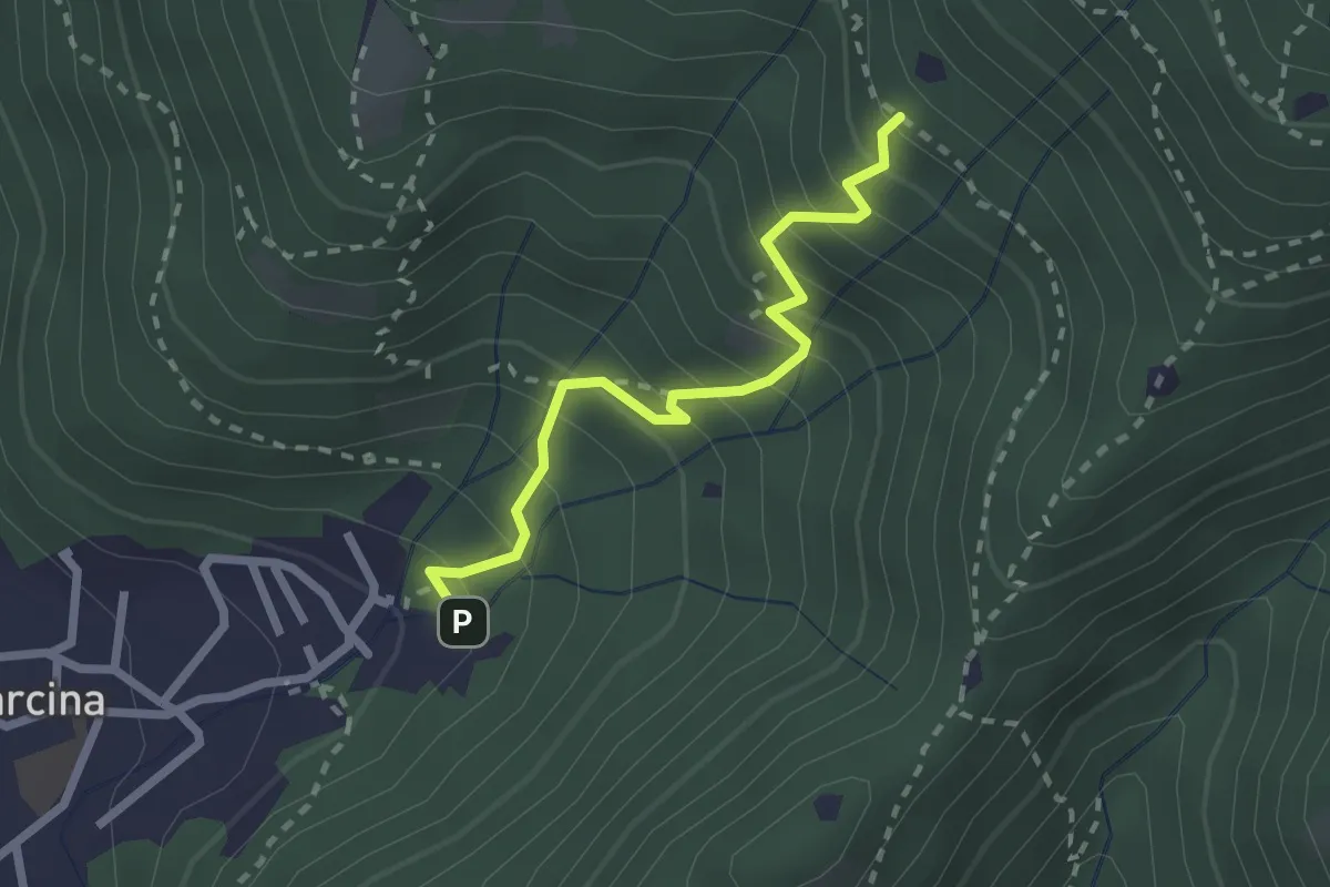
Medium · Trail
Villa Carcina - Sentiero 22
2.3 km · ↑ 303 m · 1 h 12 min
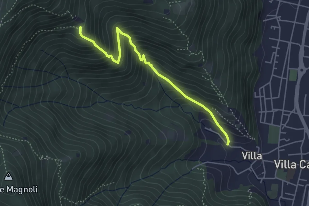
Medium · Trail
Villa Carcina (Villa) - Büs del Torcol
4.2 km · ↑ 438 m · 1 h 56 min
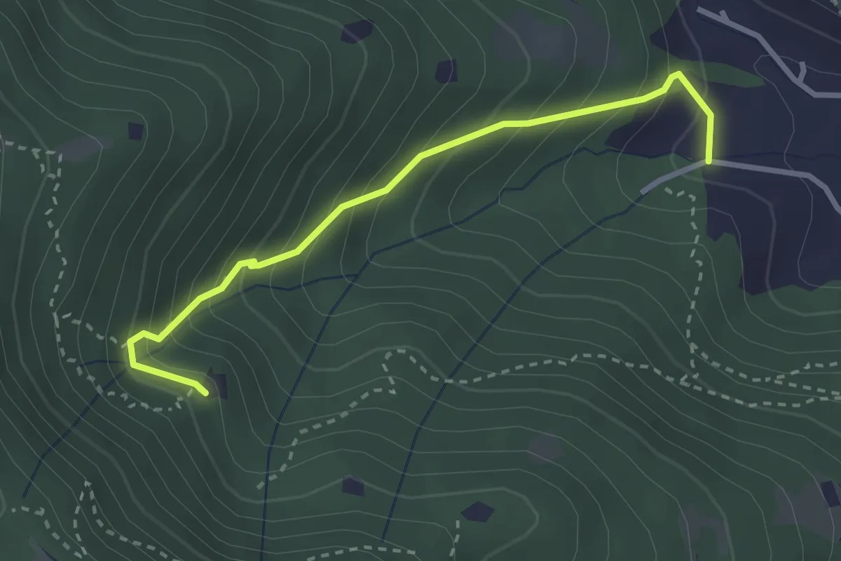
Medium · Trail
Villa Carcina (Villa) - Roccolo del Prete
2.9 km · ↑ 320 m · 1 h 23 min
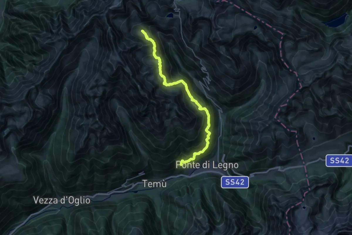
Expert · Cabin
Villa Dalegno-Baita di Somalbosco-Laghetto di Monticelli-Bivacco Linge
12.5 km · ↑ 1406 m · 5 h 44 min
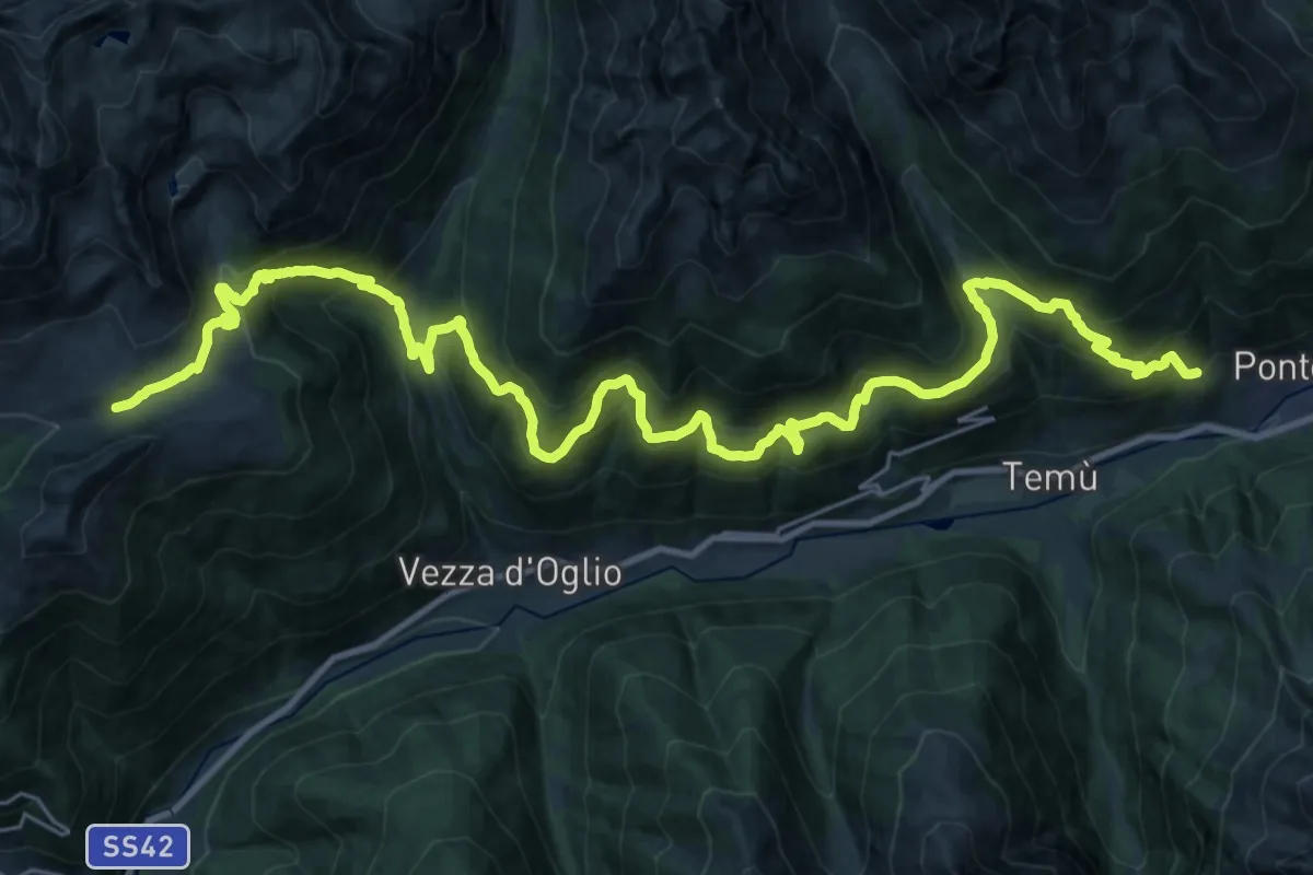
Demanding · Trail
Villa Dalegno - Val Canè - Premia - Borom - Val Grande - Val Bighera - Malga Salina
18.9 km · ↑ 1746 m · 8 h 10 min
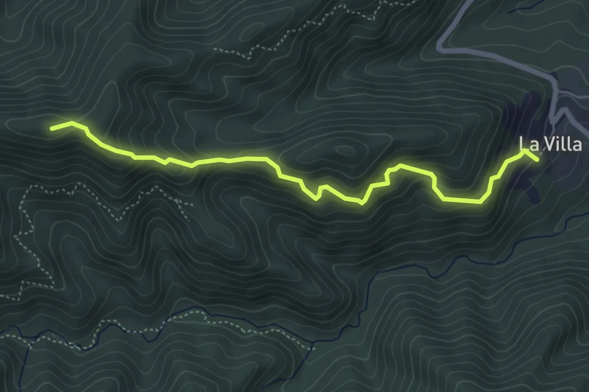
Medium · Summit
Villa di Casale – Sella Marveia
5.2 km · ↑ 497 m · 2 h 19 min
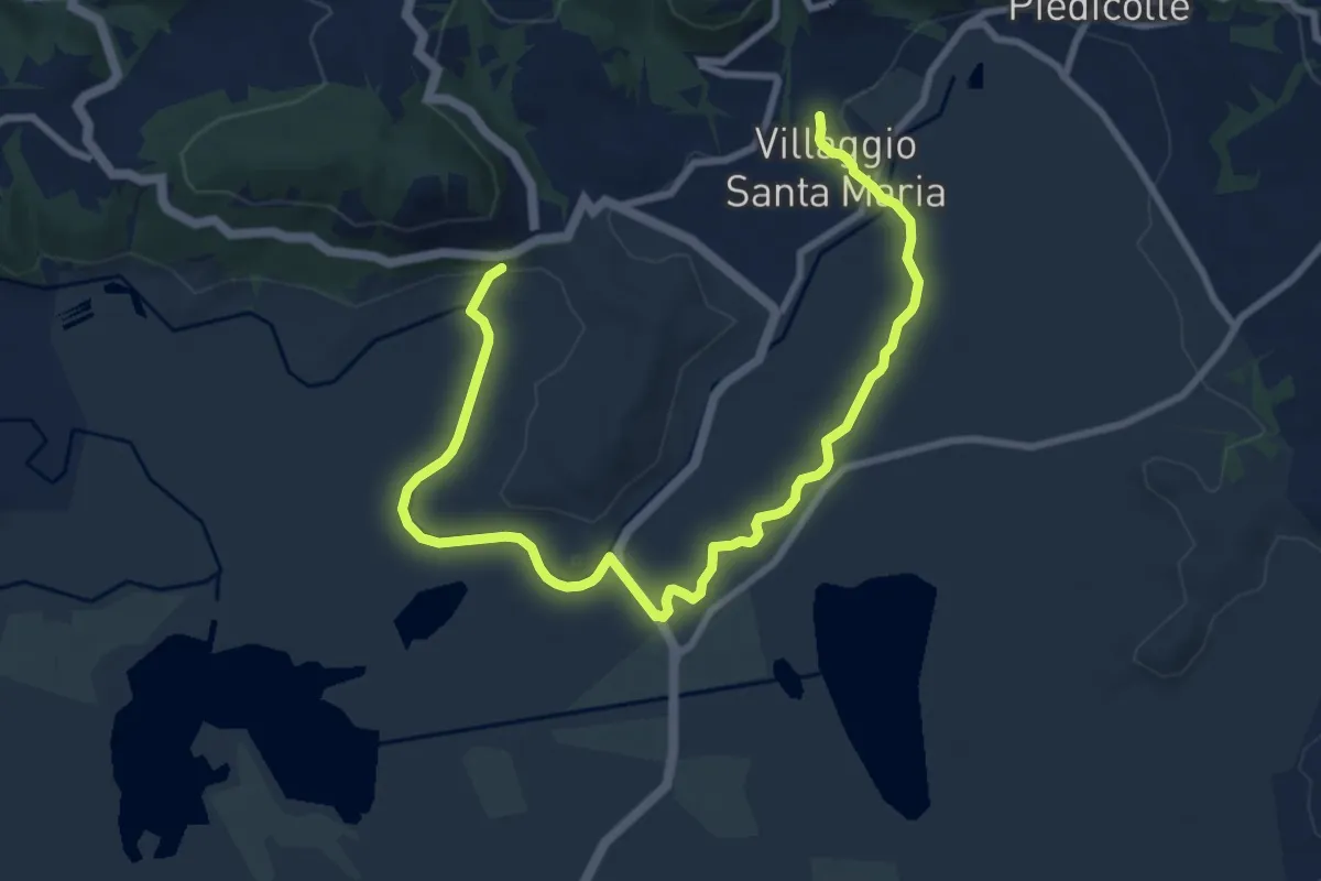
Medium · Trail
Villaggio Santa Maria-La Spera
11.8 km · ↑ 71 m · 2 h 56 min