Trails in Italy
25,219 hiking trails, each with its route, climb, walking time and grade.
All trails, page 229 of 526
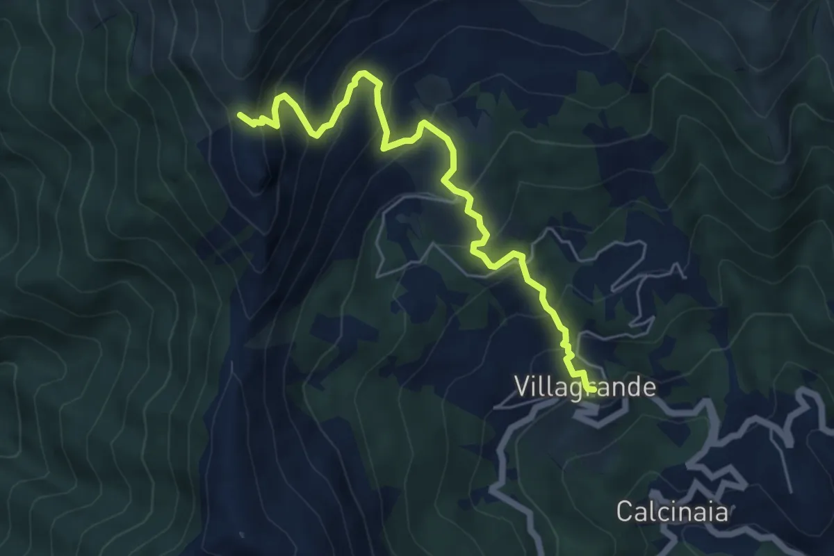
Medium · Trail
Villagrande di Cichero - Colla di Feia
5.9 km · ↑ 540 m · 2 h 33 min
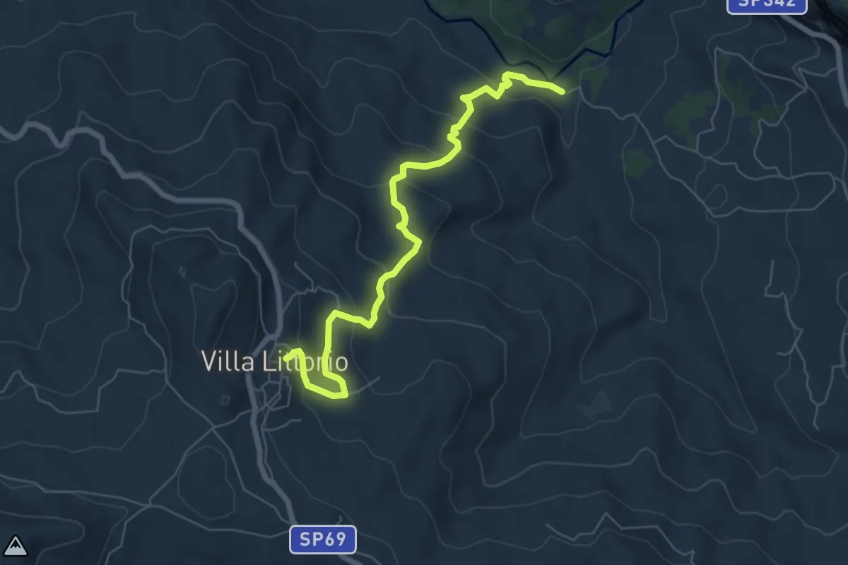
Medium · Trail
Villa Littorio - Fiume Sammaro
7.3 km · ↑ 348 m · 2 h 28 min
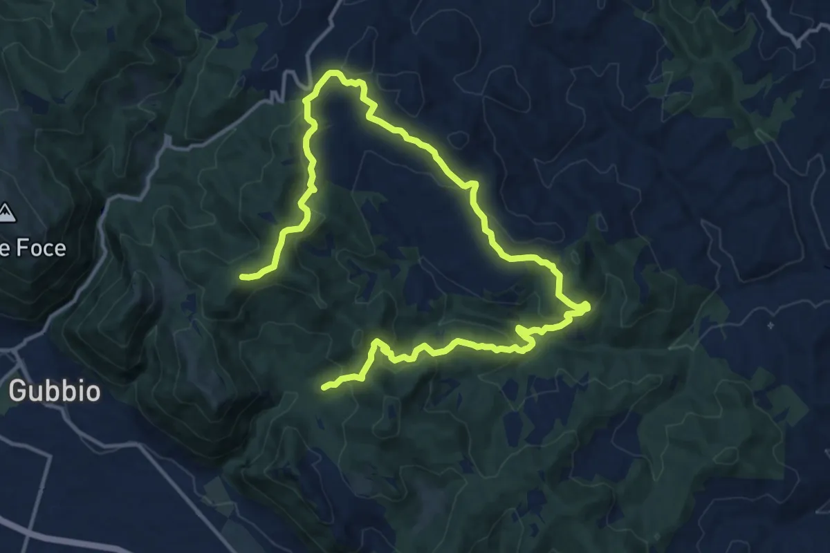
Demanding · Trail
Villamagna
20.2 km · ↑ 788 m · 6 h 28 min
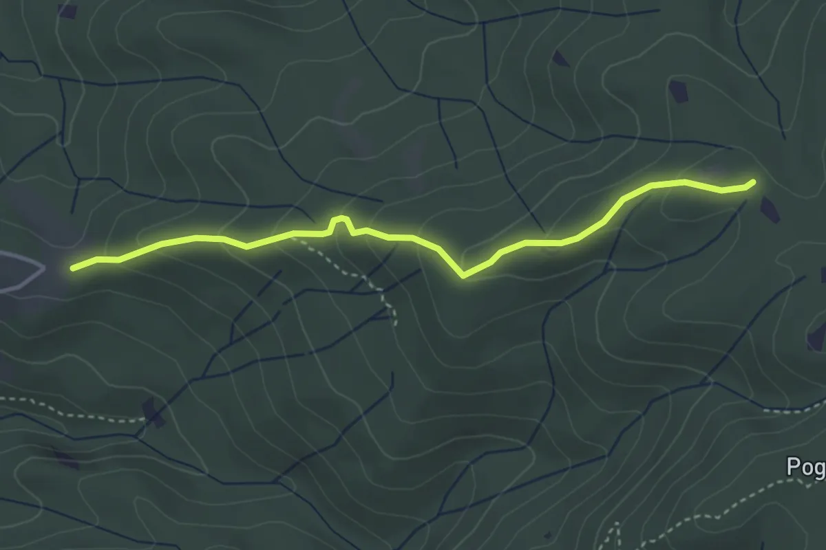
Easy · Trail
Villa Magra – Poggio al Ceraso
3.8 km · ↑ 200 m · 1 h 20 min
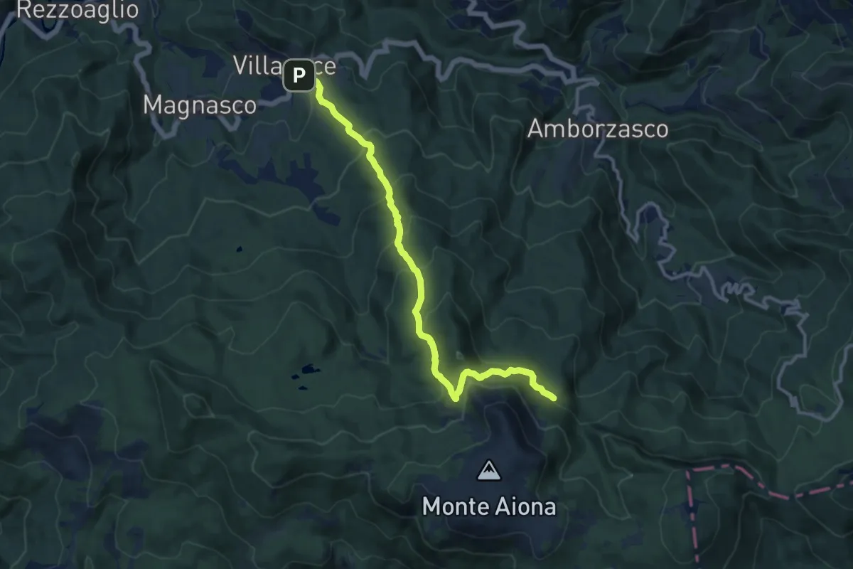
Medium · Trail
Villanoce - Passo del Cereghetto - Quadrivio ponte Re di Coppe
11.5 km · ↑ 687 m · 4 h 12 min
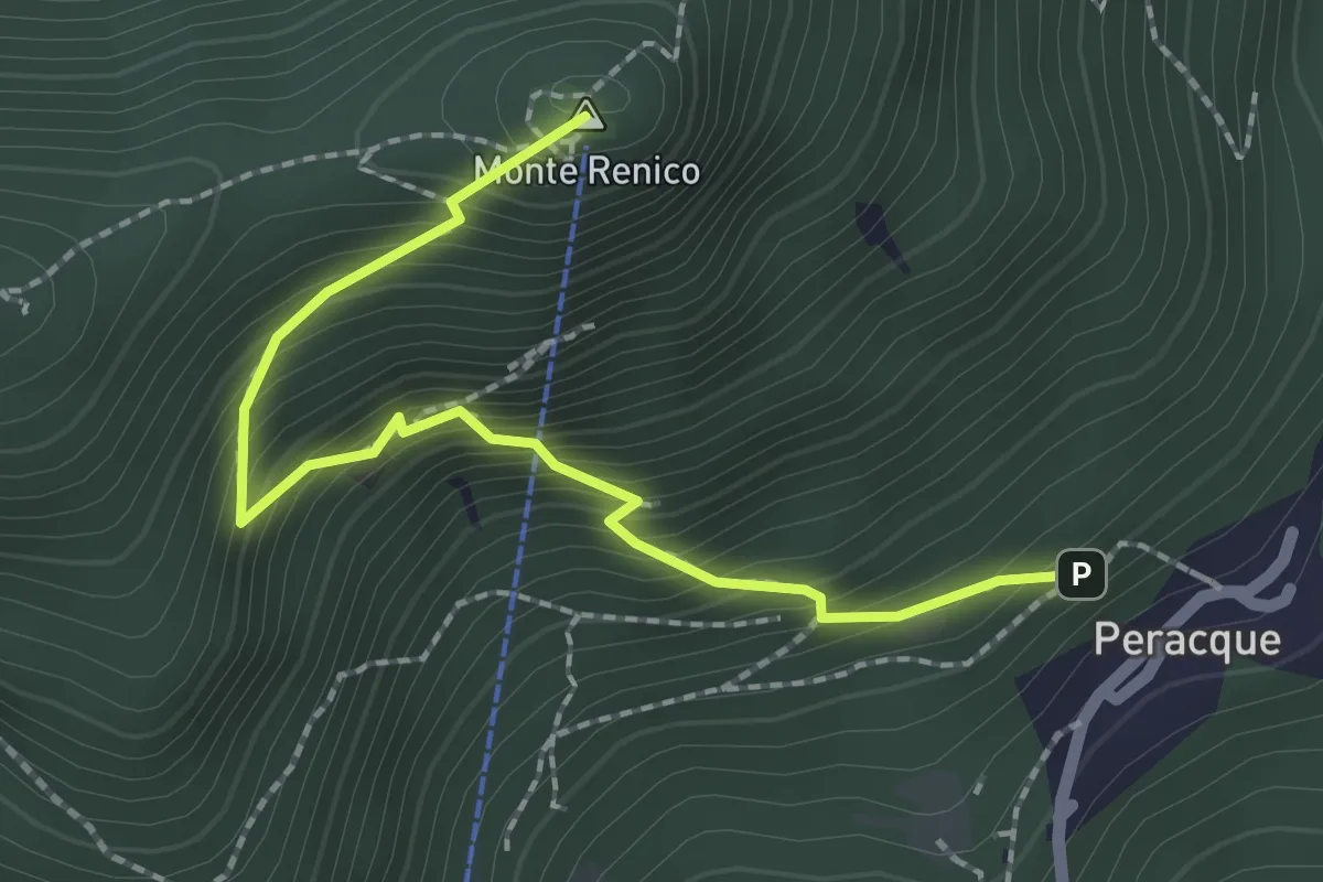
Medium · Summit
Villanuova sul Clisi (Peracque) - Madonna della Neve
2.3 km · ↑ 329 m · 1 h 16 min
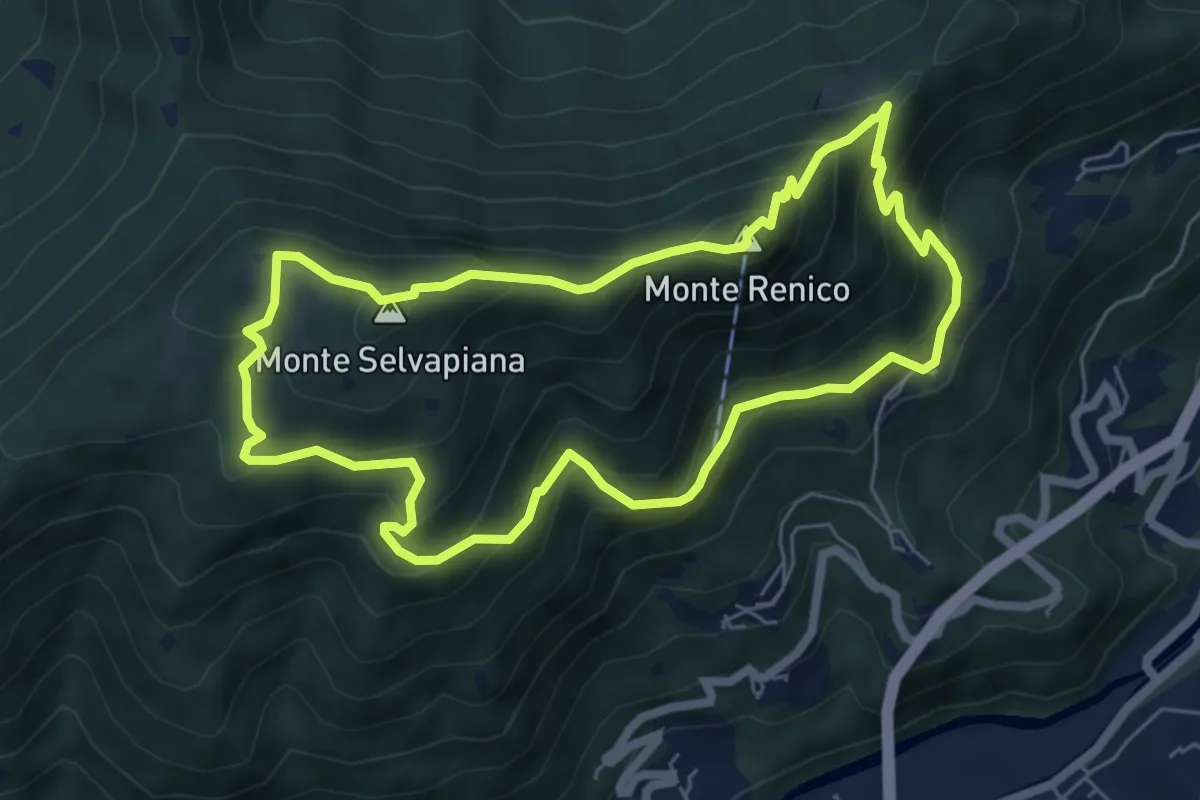
Medium · Summit
Villanuova sul Clisi (Peracque) - Madonna della Neve - Selvapiana - Peracque
6.2 km · ↑ 481 m · 2 h 35 min
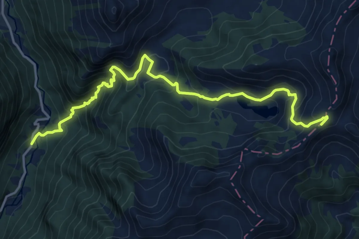
Demanding · Trail
Villa Roma - Passo Brealone
11.1 km · ↑ 855 m · 4 h 28 min
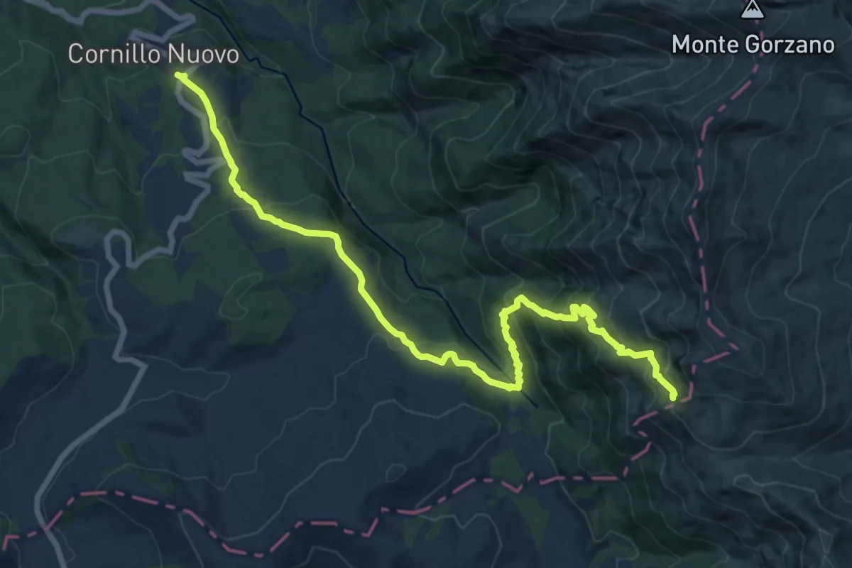
Demanding · Trail
Villa S.Cipriano - ponte Rionero Cornillo Nuovo - Rifugio Le Serre - Sorgenti del Tronto
16.1 km · ↑ 1103 m · 6 h 11 min
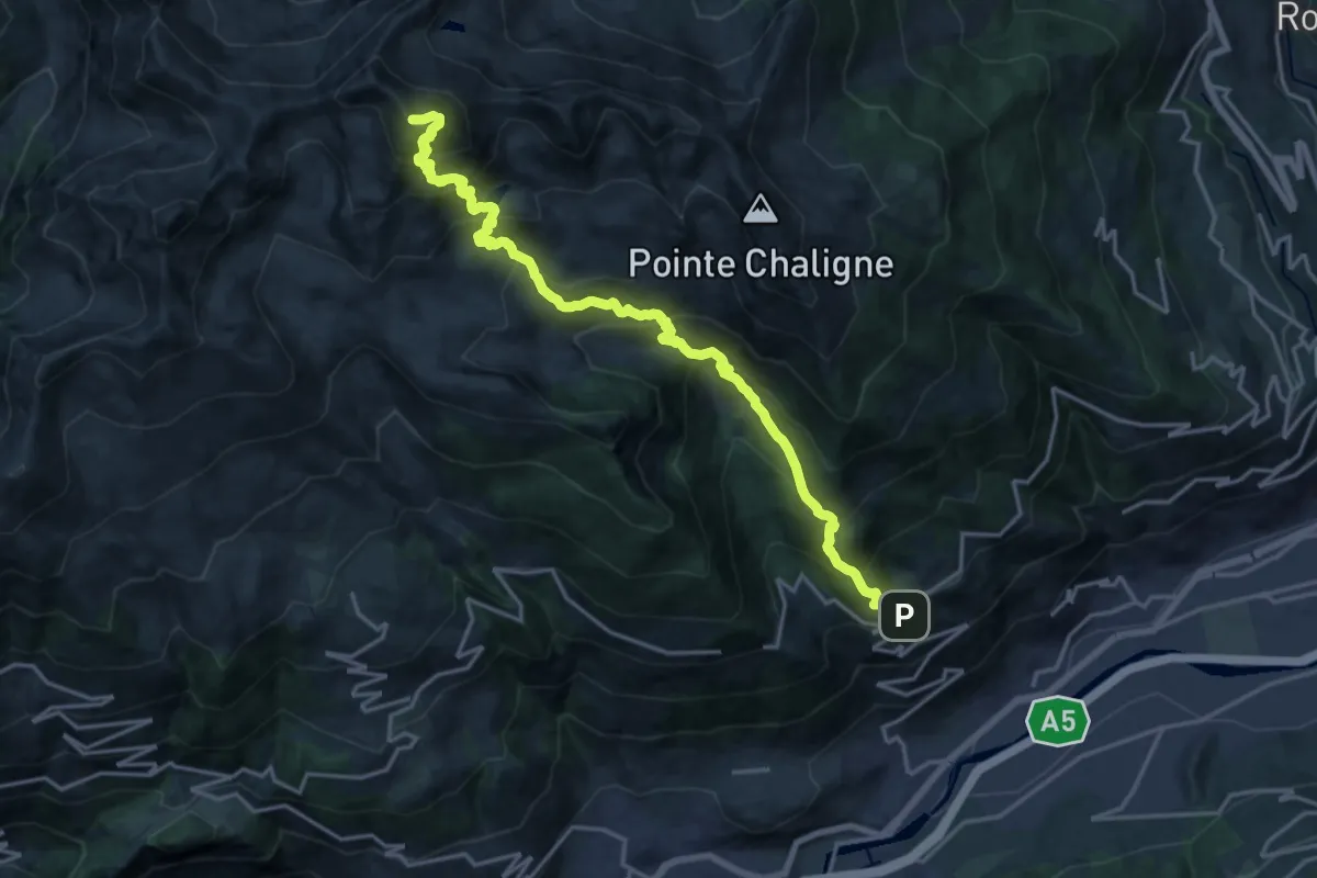
Expert · Summit
Ville-Sur-Sarre - Mont-Fallère
20.2 km · ↑ 1948 m · 8 h 59 min
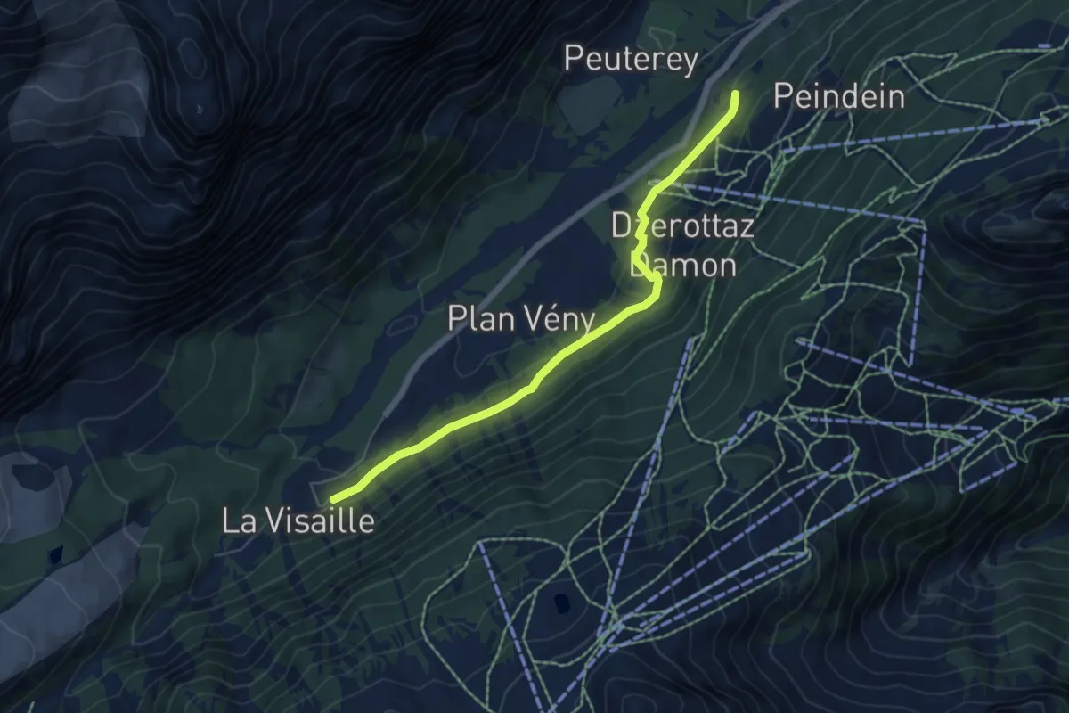
Easy · Trail
Visaille Dzergnes Zerotta
5.7 km · ↑ 231 m · 1 h 51 min
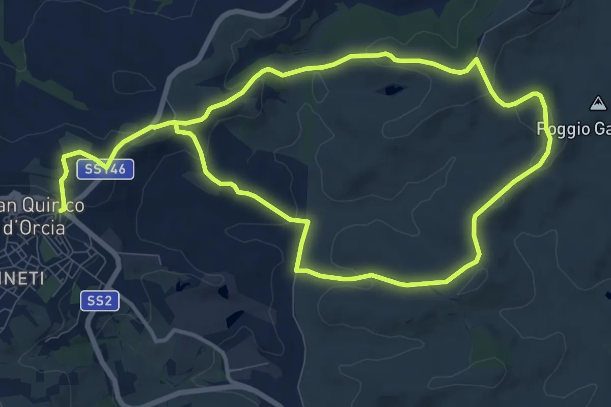
Medium · Trail
Vitaleta
17.7 km · ↑ 404 m · 5 h 3 min
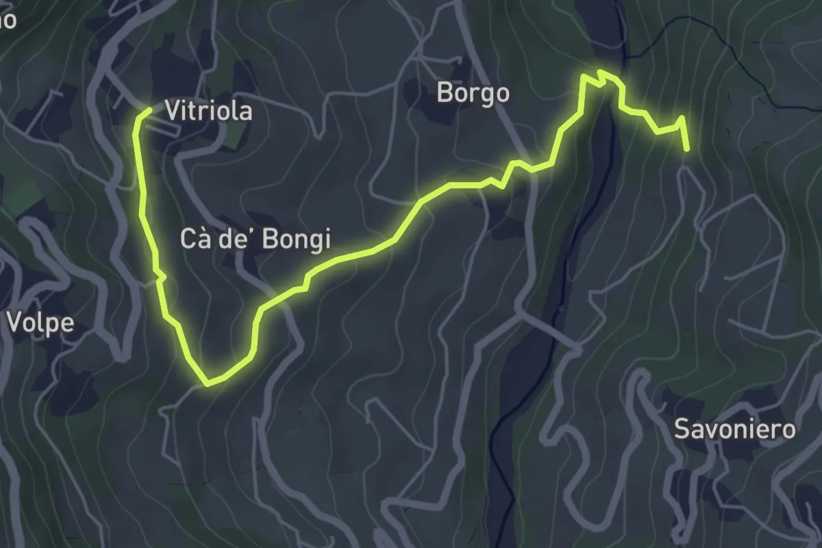
Easy · Trail
Vitriola - Ca' di Bellucci - Torrente Dragone
6.4 km · ↑ 298 m · 2 h 9 min
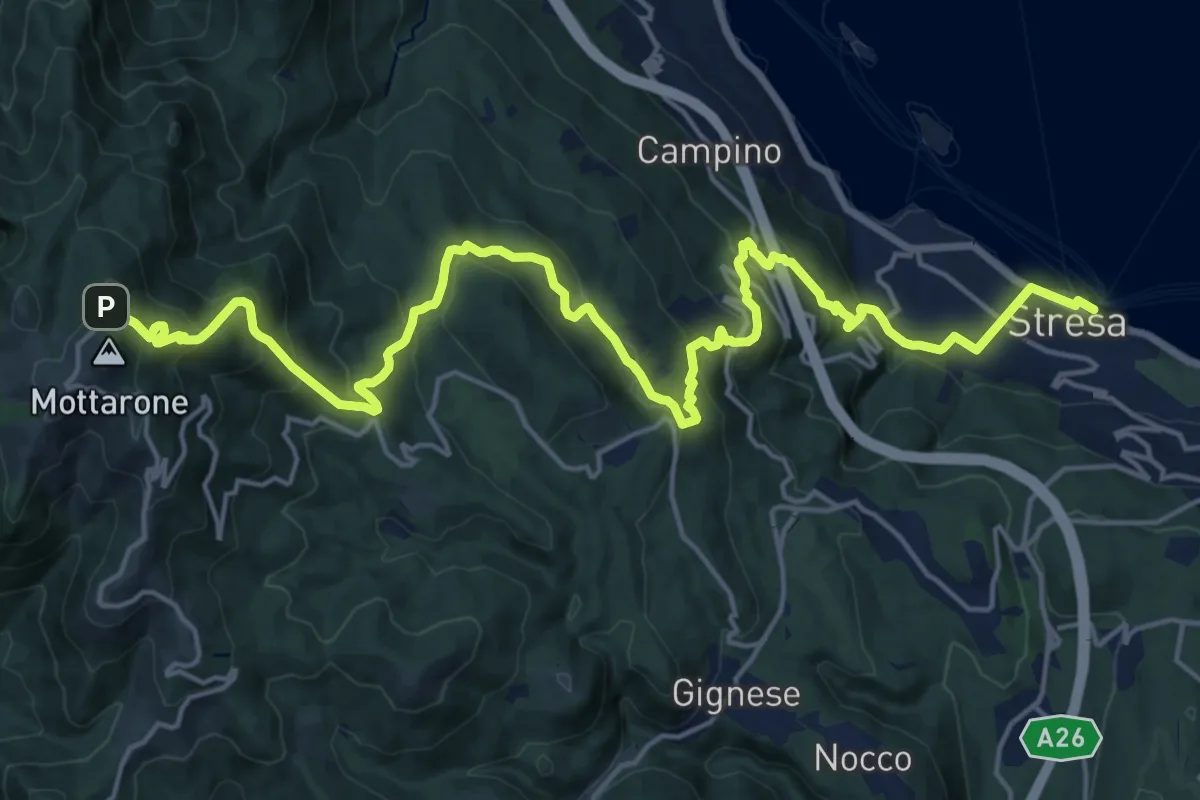
Demanding · Trail
VL1 - Stresa - Mottarone
12.0 km · ↑ 1312 m · 5 h 14 min
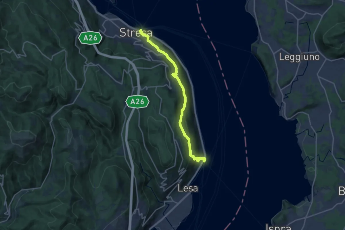
Medium · Trail
VL2 - Stresa - Belgirate
14.4 km · ↑ 630 m · 4 h 46 min
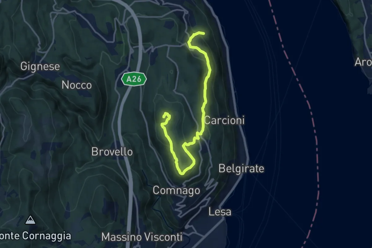
Medium · Summit
VL3 - Sant'Albino - Motta Rossa
13.0 km · ↑ 413 m · 3 h 57 min
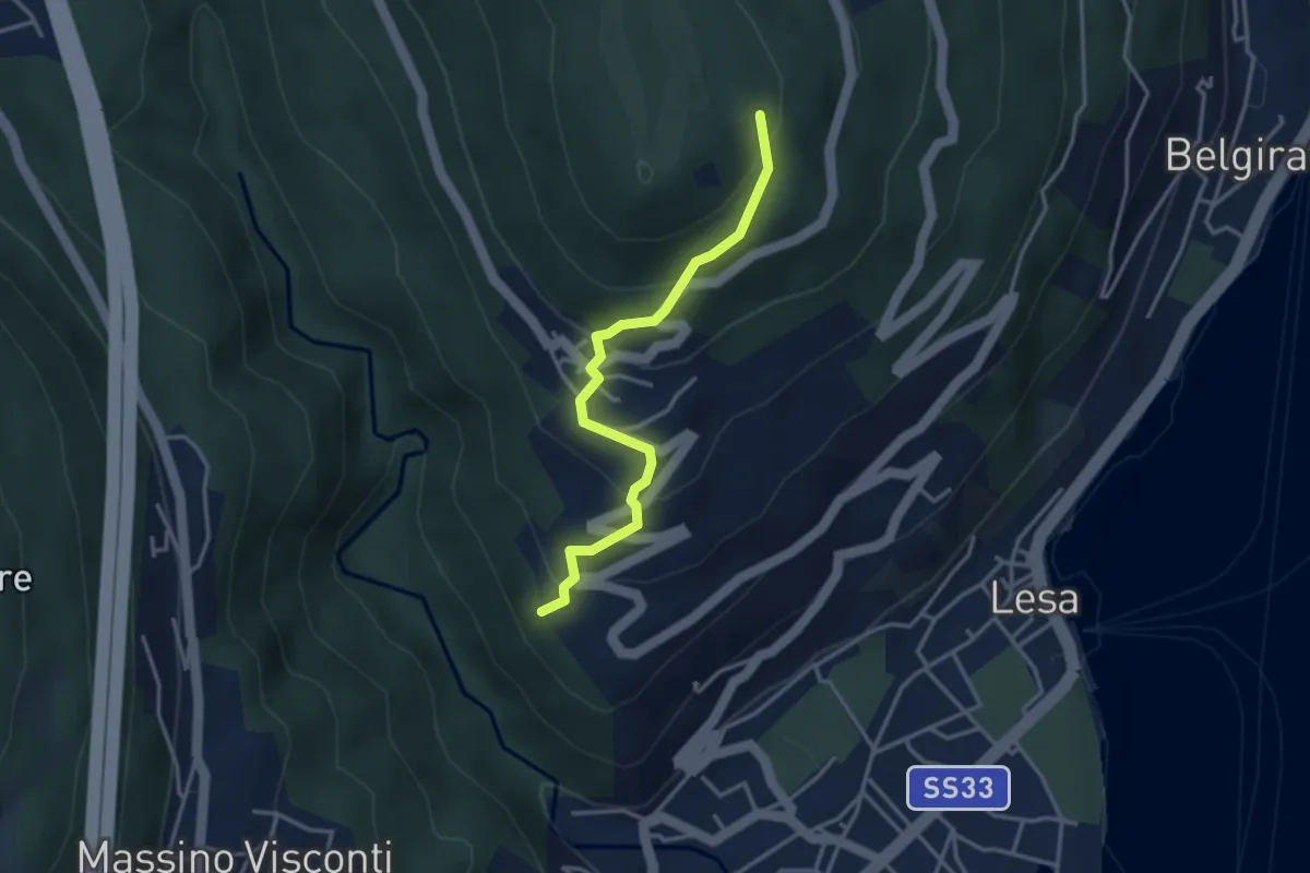
Easy · Trail
VL4 - Comnago - Calogna
3.4 km · ↑ 238 m · 1 h 19 min
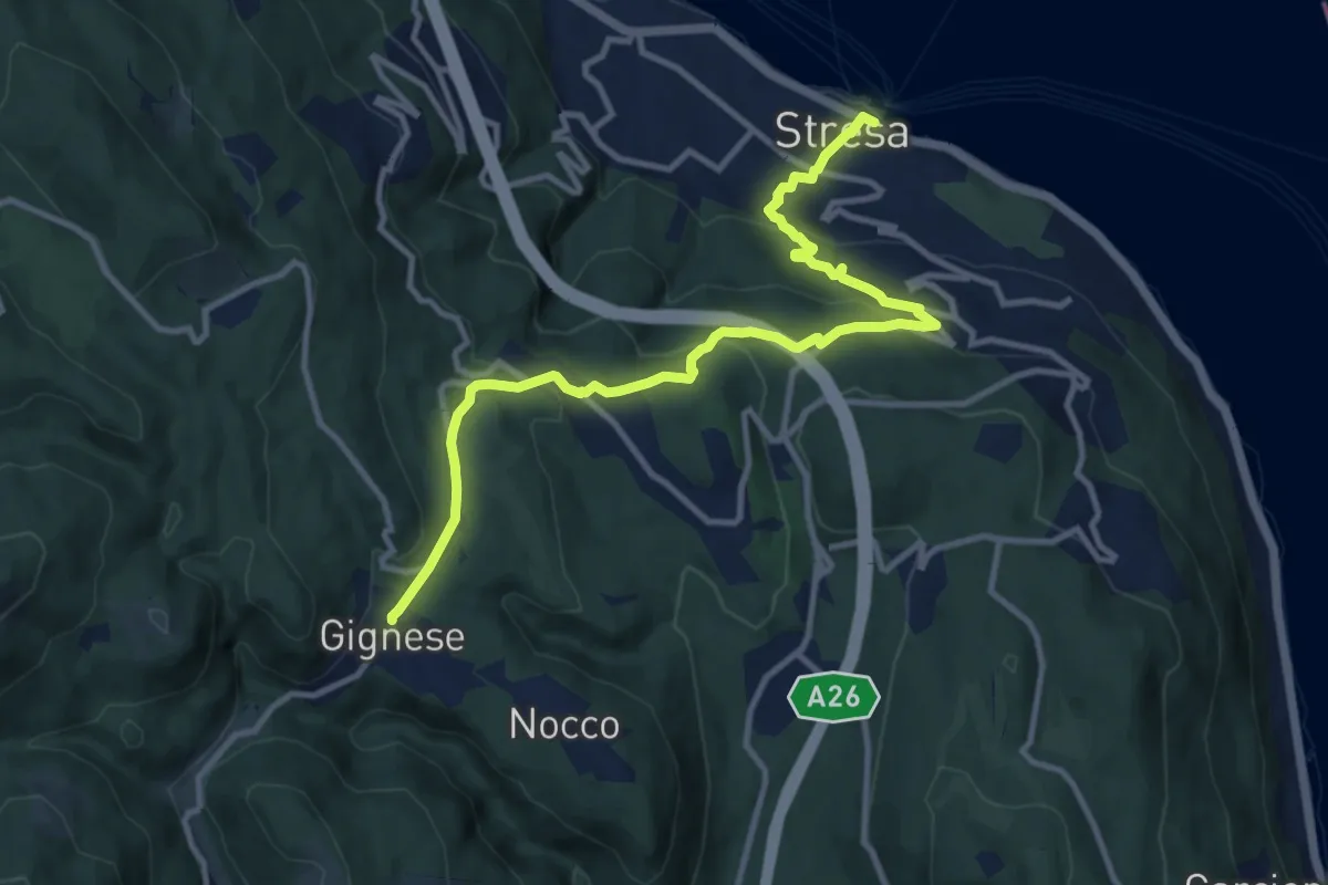
Medium · Trail
VL5 - Stresa - Gignese
12.2 km · ↑ 502 m · 3 h 59 min
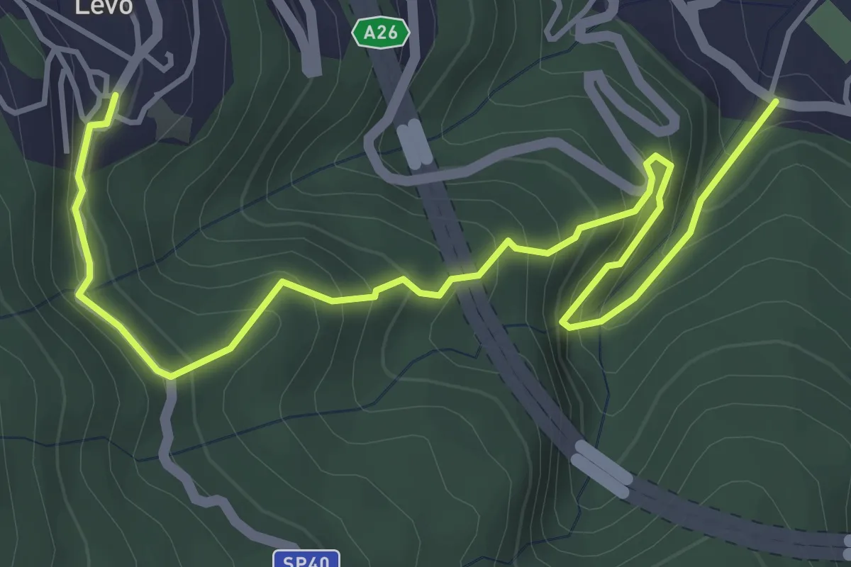
Medium · Trail
VL6 - Stresa - Levo
5.4 km · ↑ 565 m · 2 h 29 min
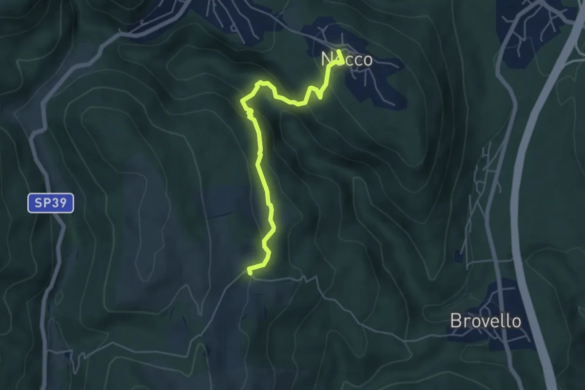
Medium · Trail
VL7a - Nocco - Alpe Martin
4.6 km · ↑ 259 m · 1 h 39 min
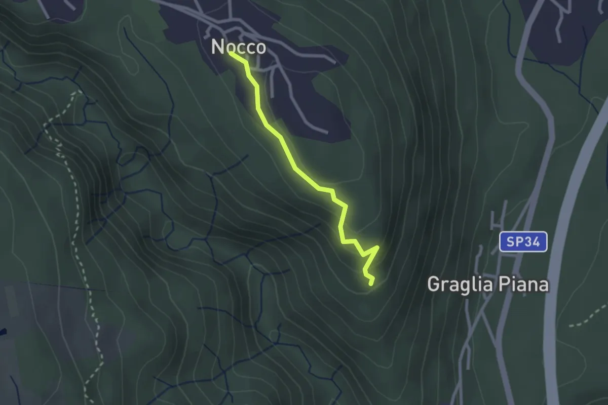
Easy · Trail
VL7b - Nocco - Bivio VL7
2.1 km · ↑ 83 m · 41 min
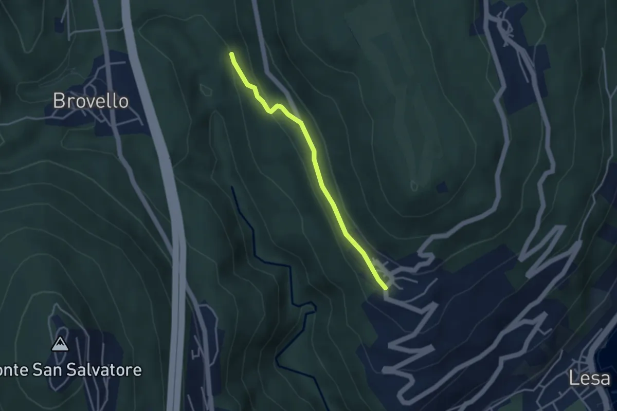
Easy · Trail
VL7c - Carpugnino - Comnago
3.1 km · ↑ 91 m · 55 min
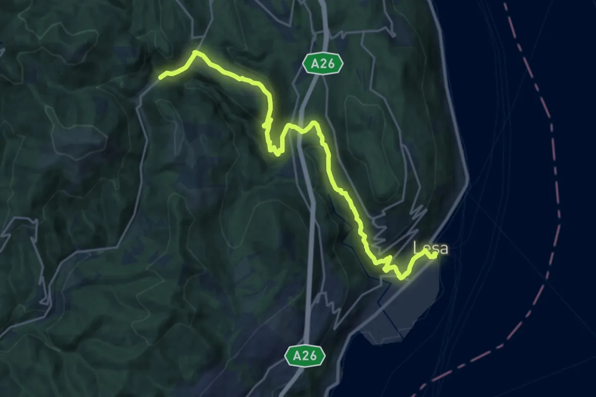
Demanding · Trail
VL7 - Lesa - Gignese
20.7 km · ↑ 724 m · 6 h 27 min
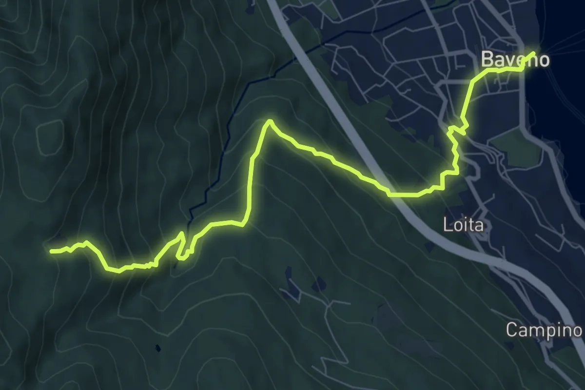
Demanding · Trail
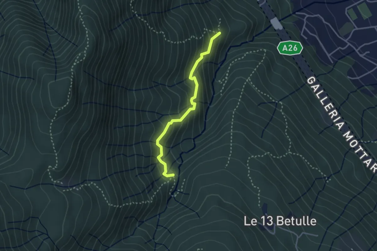
VM2 - Baveno - Alpe Vedabia
9.8 km · ↑ 819 m · 4 h 6 min
Demanding · Trail
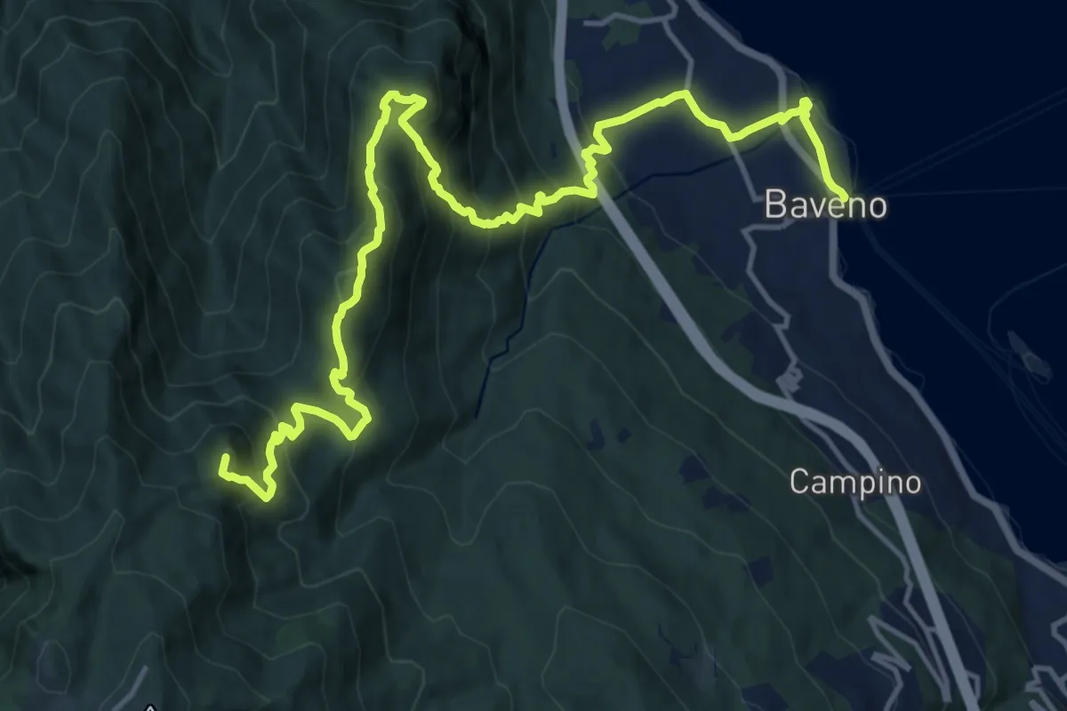
VM3a - Bivio VM3 - Bivio VM2
2.8 km · ↑ 281 m · 1 h 17 min
Demanding · Summit
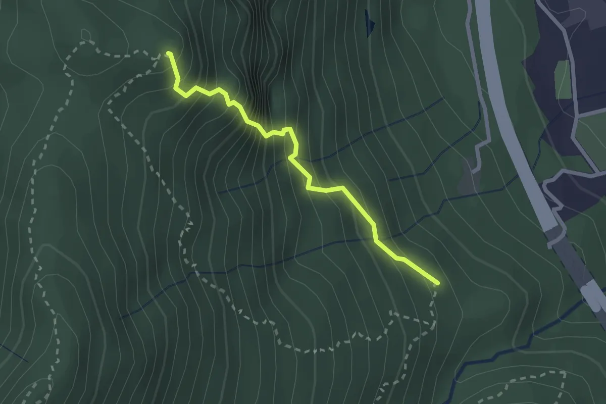
VM3 - Baveno - Mottarone
18.0 km · ↑ 1317 m · 7 h 6 min
Medium · Summit
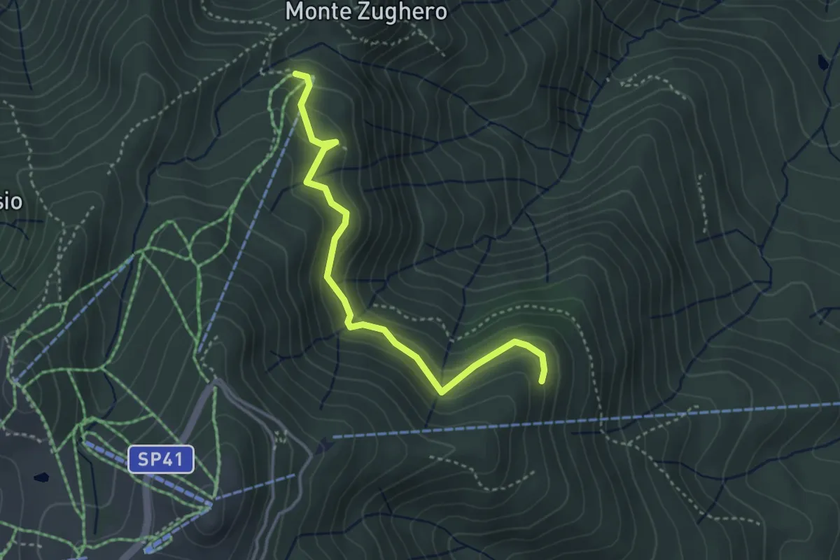
VM3b - Bivio VM3 - Croce Monte Camoscio
2.1 km · ↑ 406 m · 1 h 23 min
Medium · Cabin
VM3c - Alpe Nuovo - Bivio VL1
3.6 km · ↑ 263 m · 1 h 25 min
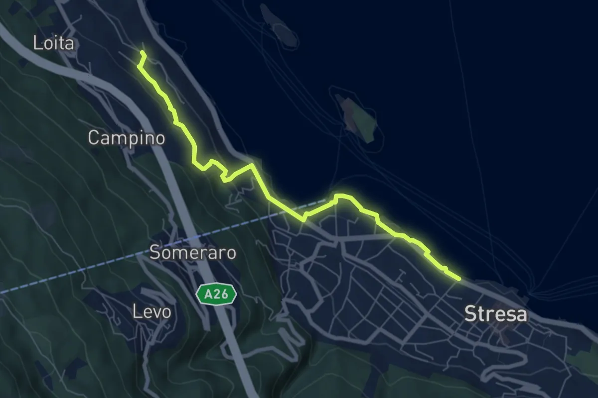
Easy · Trail
VM4 - Roncaro - Stresa
6.7 km · ↑ 236 m · 2 h 5 min
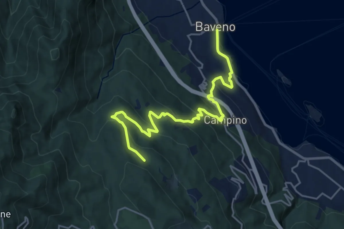
Medium · Trail
VM5 - Baveno - Bivio VL1
13.6 km · ↑ 709 m · 4 h 46 min
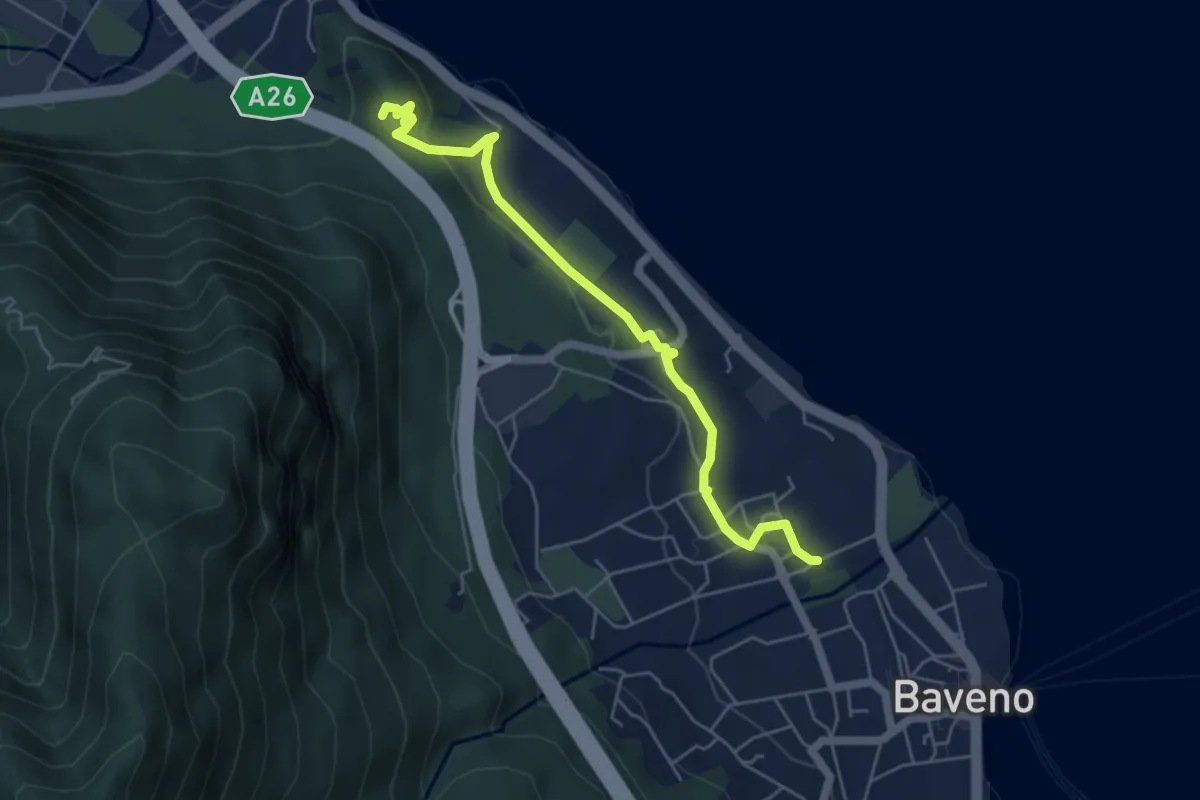
Easy · Trail
VM6 - Baveno - Torre di Feriolo
5.4 km · ↑ 121 m · 1 h 31 min
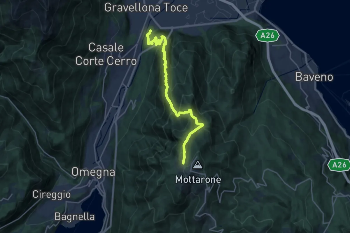
Demanding · Summit
VN1 - Gravellona - Mottarone
15.9 km · ↑ 1285 m · 6 h 33 min
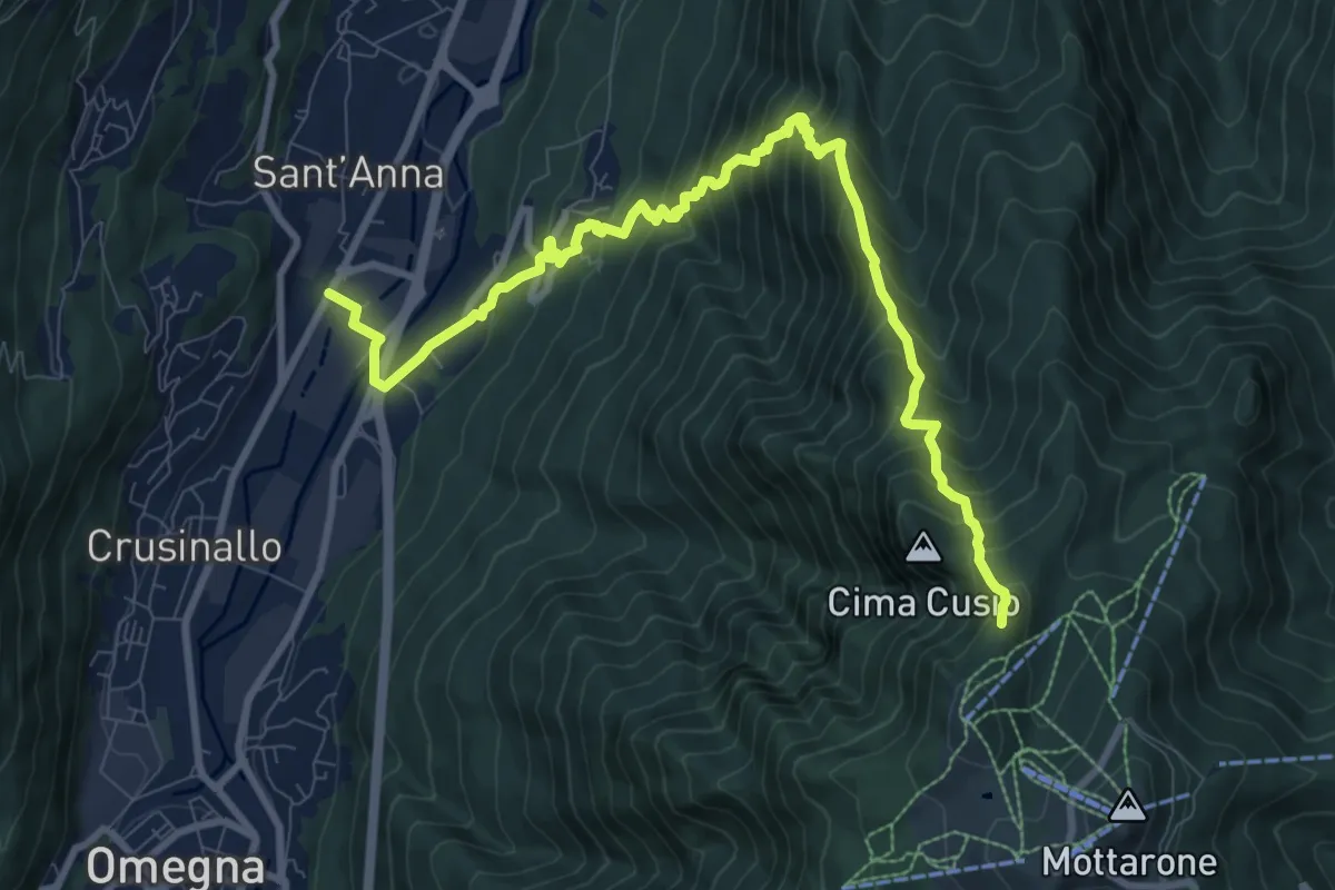
Demanding · Trail
VN3 - Crusinallo - Mottarone
10.9 km · ↑ 1143 m · 5 h 3 min
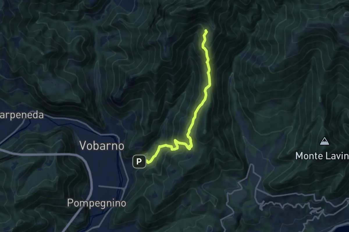
Demanding · Trail
Vobarno (Cascina Pozze) - Cascina Trat - Collio di Vobarno
10.8 km · ↑ 866 m · 4 h 26 min
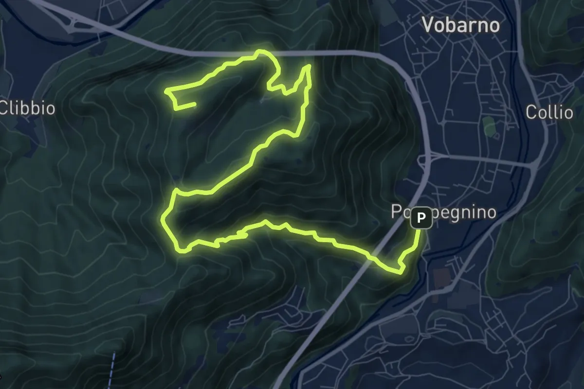
Demanding · Summit
Vobarno (Via Penella) - Passo della Fobbia - Pompegnino
13.8 km · ↑ 954 m · 5 h 19 min
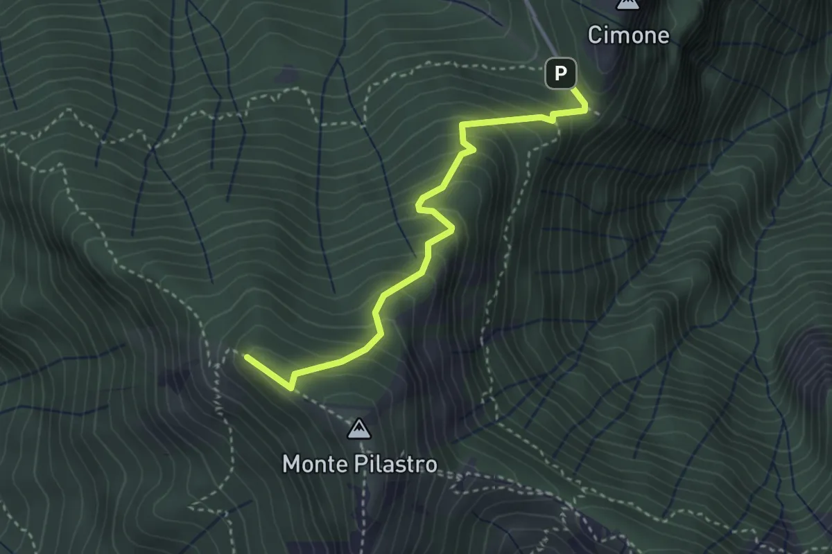
Medium · Summit
Vo di Moncodeno - Monte Croce
3.2 km · ↑ 355 m · 1 h 32 min
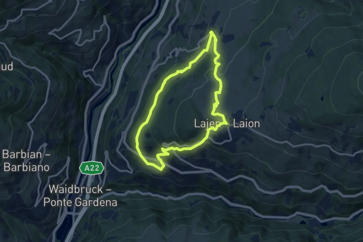
Medium · Summit
Vogelweider Rundweg
7.2 km · ↑ 424 m · 2 h 43 min
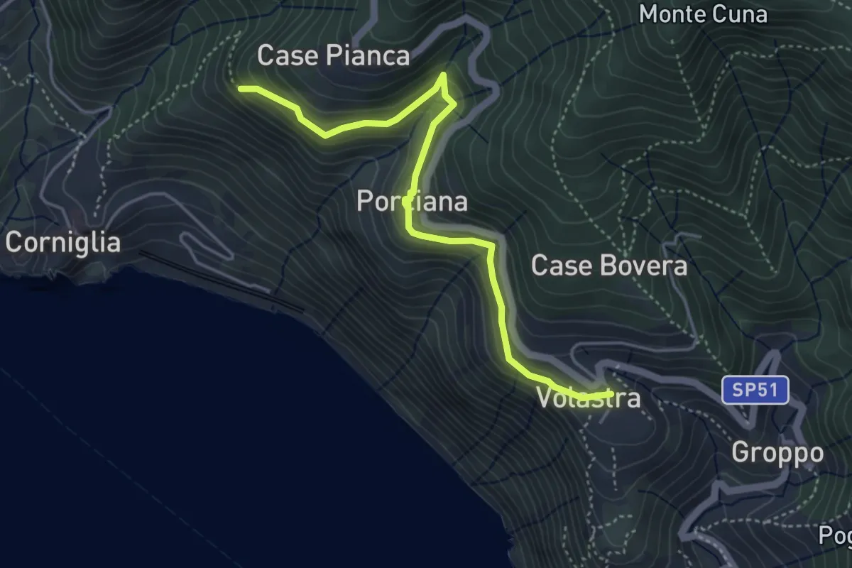
Medium · Trail
Volastra – Porciano – C.se Pianca
4.6 km · ↑ 328 m · 1 h 48 min
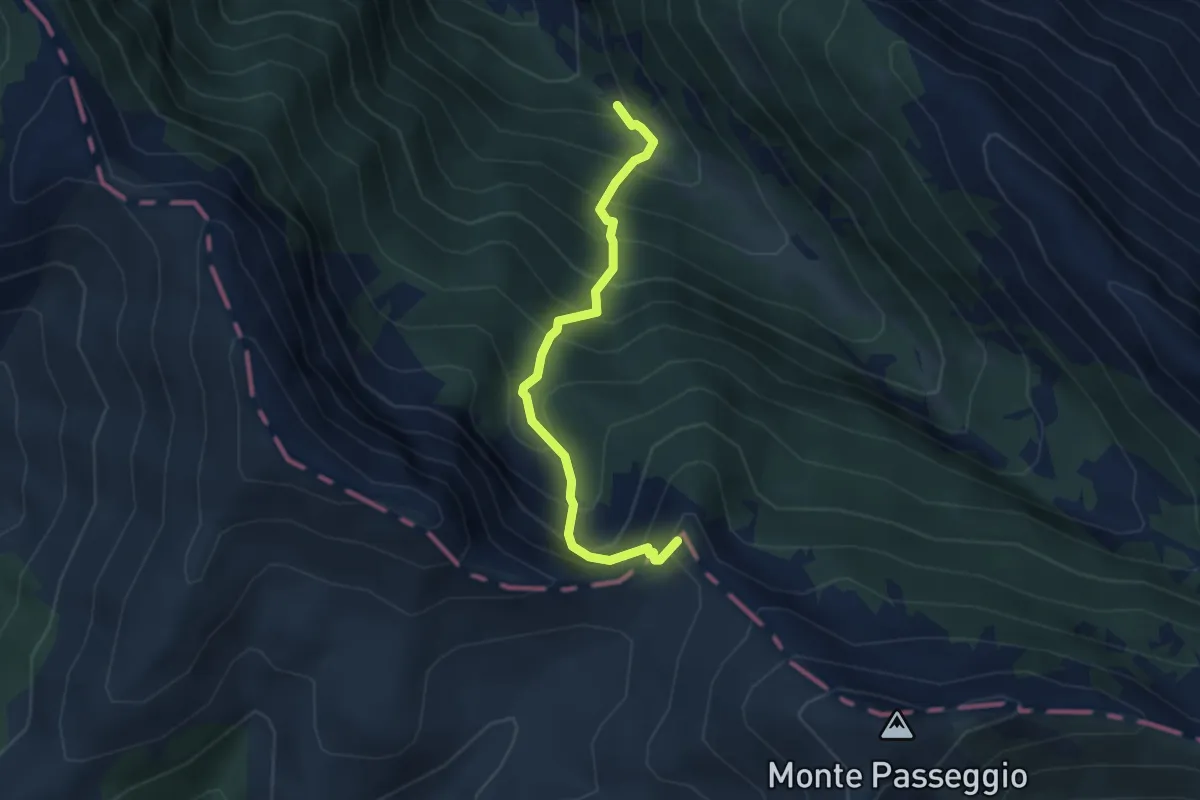
Medium · Summit
Vollene del Rio - Fosse Fracasse - Sella del Brecciaro
3.8 km · ↑ 529 m · 2 h 3 min
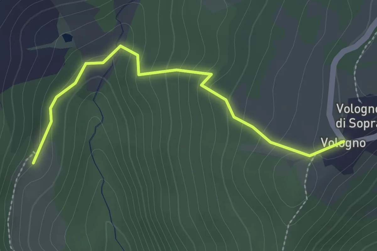
Easy · Trail
Vologno - Ca' Merlo
2.5 km · ↑ 141 m · 54 min
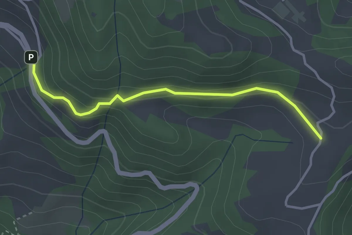
Easy · Trail
Volpera, Sermerio
2.8 km · ↑ 151 m · 59 min
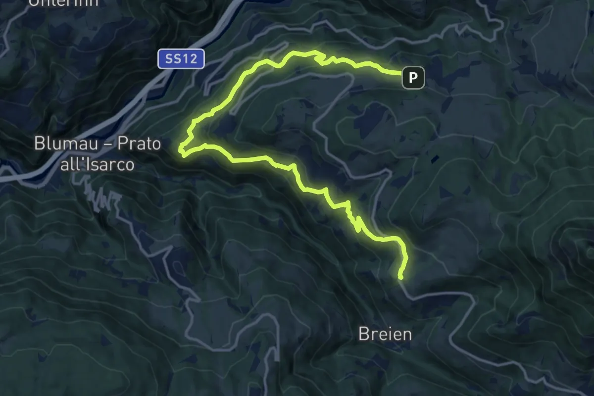
Demanding · Trail
Völser Höfeweg
16.4 km · ↑ 868 m · 5 h 45 min
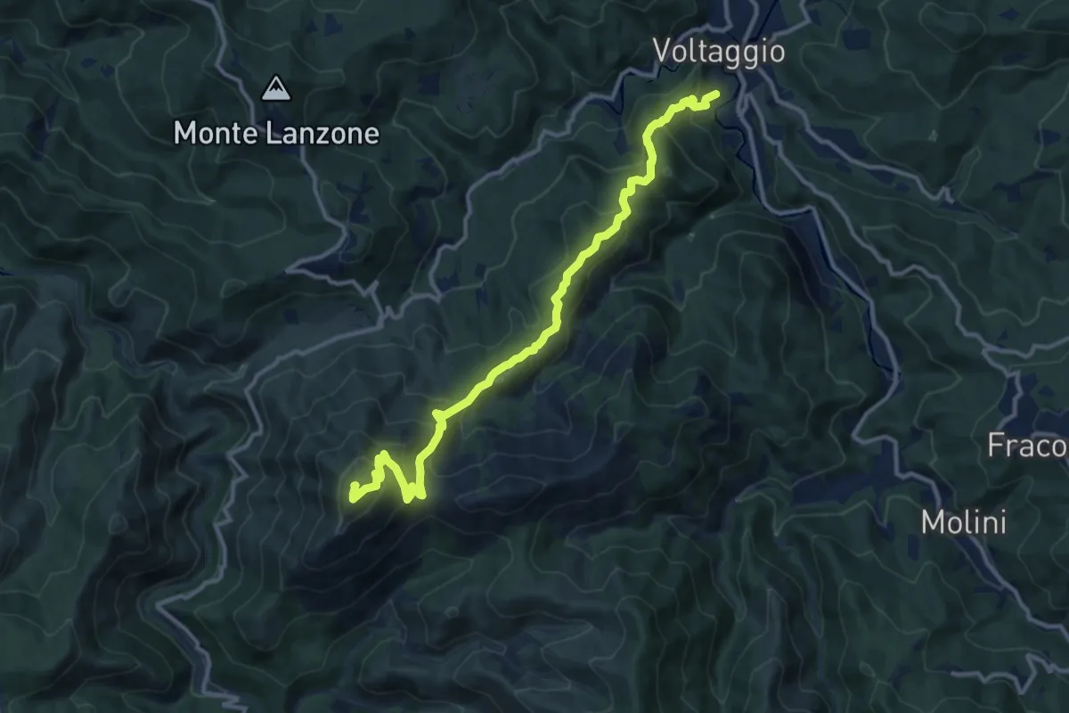
Demanding · Summit
Voltaggio - Monte Tobbio
13.0 km · ↑ 883 m · 4 h 58 min
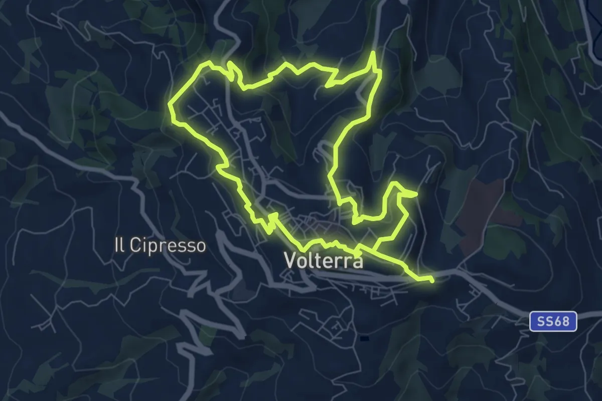
Medium · Trail
Volterra Urban Trekking
15.8 km · ↑ 719 m · 5 h 17 min
Easy · Trail
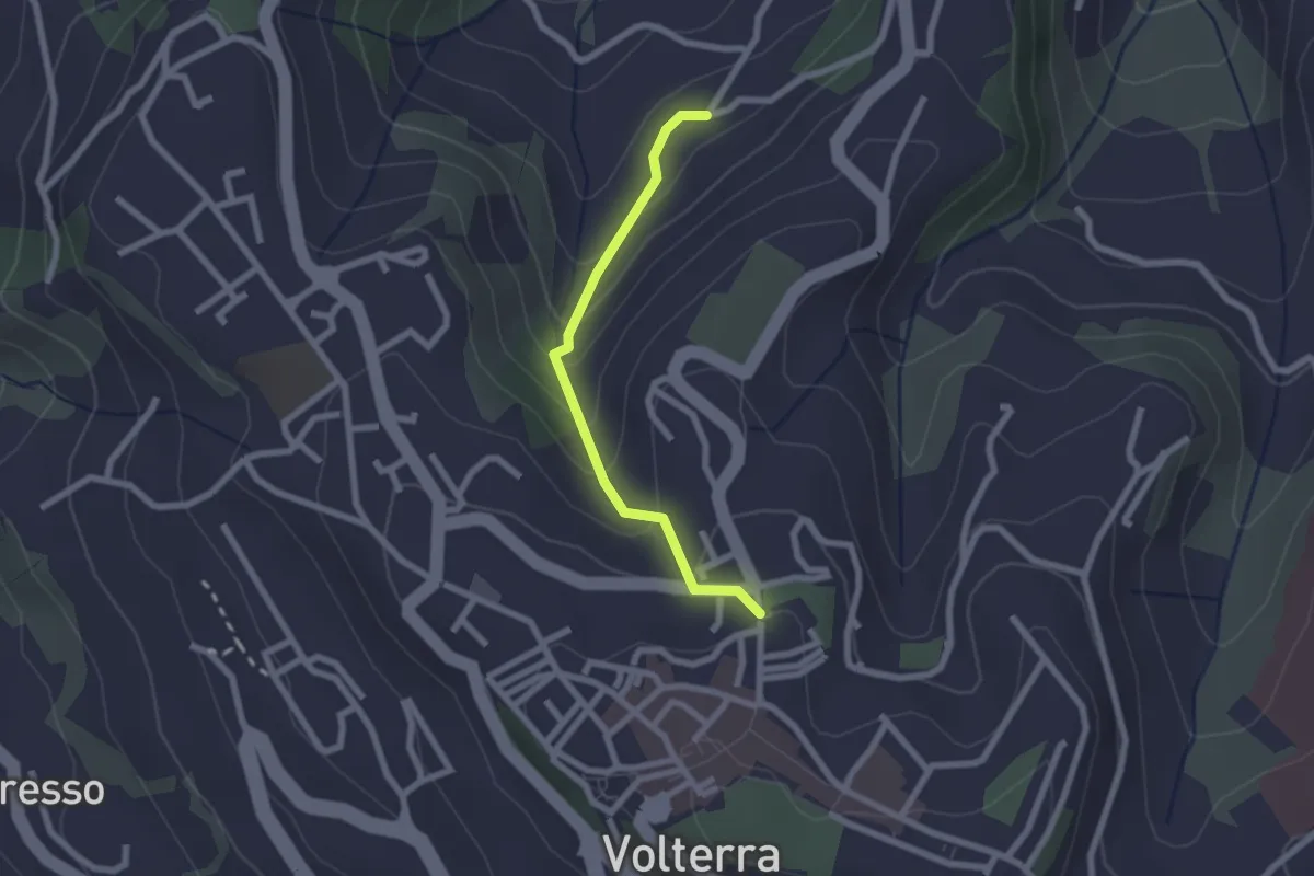
Volterra Urban Trekking - Variante
2.1 km · ↑ 168 m · 52 min
Medium · Trail
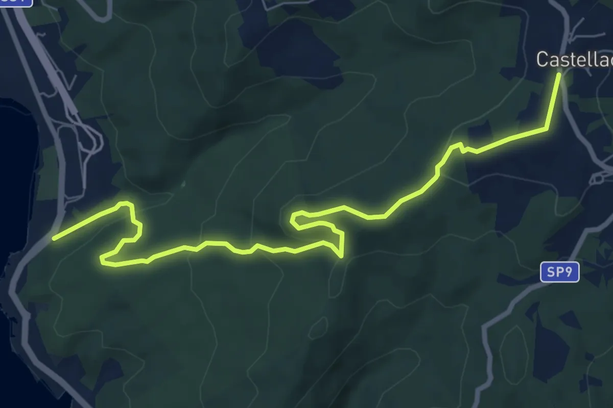
Voltina
8.4 km · ↑ 317 m · 2 h 40 min
Medium · Summit
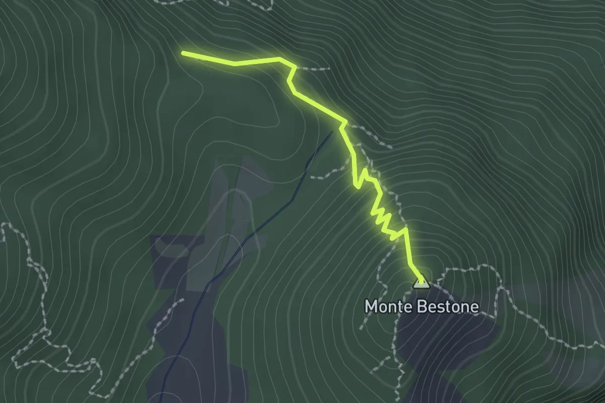
Voltino, Monte Bestone, BVG
1.8 km · ↑ 200 m · 52 min
Demanding · Summit
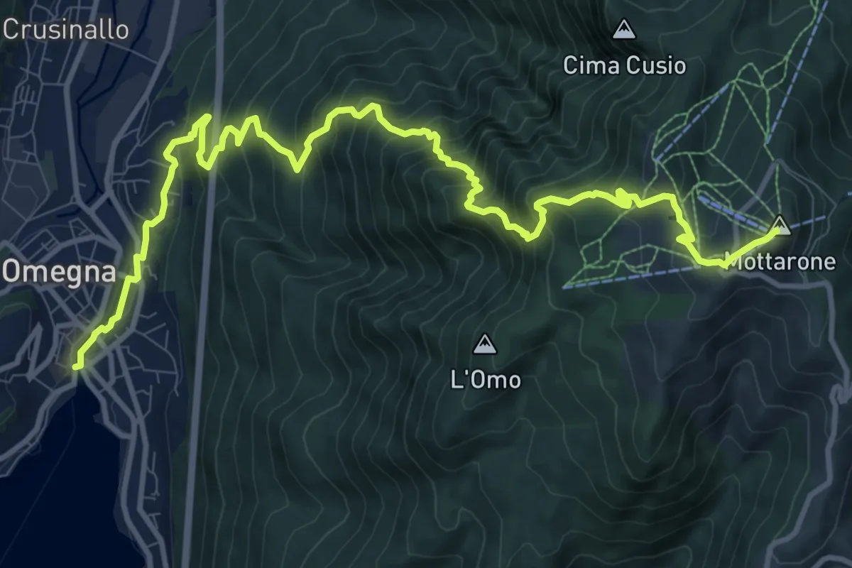
VP1 - Omegna - Mottarone
13.5 km · ↑ 1237 m · 5 h 52 min