Trails in Italy
25,219 hiking trails, each with its route, climb, walking time and grade.
All trails, page 230 of 526
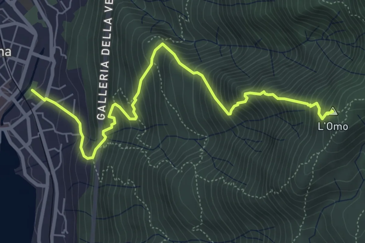
Demanding · Summit
VP2 - Omegna - Mottarone
6.5 km · ↑ 916 m · 3 h 31 min
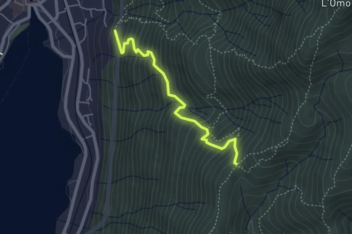
Medium · Trail
VP3 - Omegna - Tre Alberi
3.7 km · ↑ 502 m · 1 h 58 min
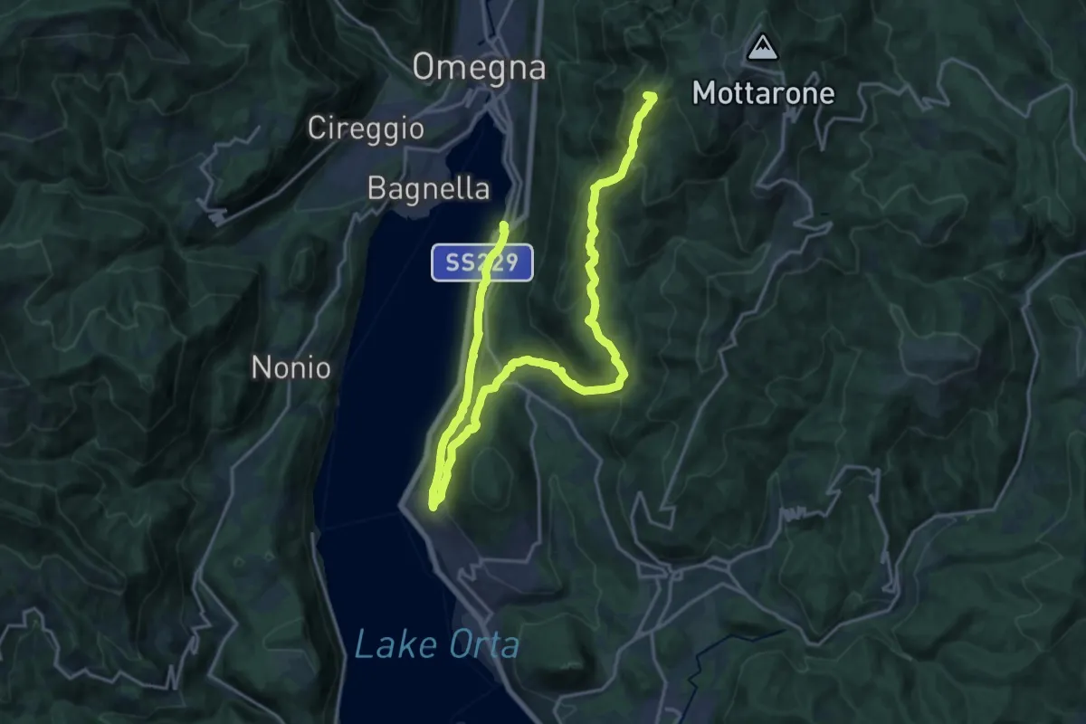
Demanding · Summit
VP4 - Borca - l'Omo
24.1 km · ↑ 1168 m · 8 h 13 min
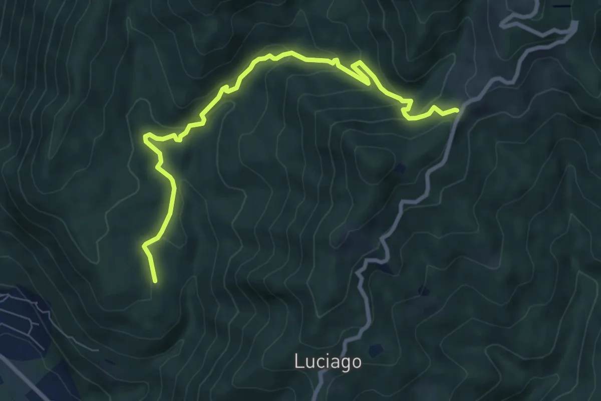
Medium · Trail
VP5 - Alpe Montepiano - Colle di Cortano
8.3 km · ↑ 450 m · 2 h 57 min
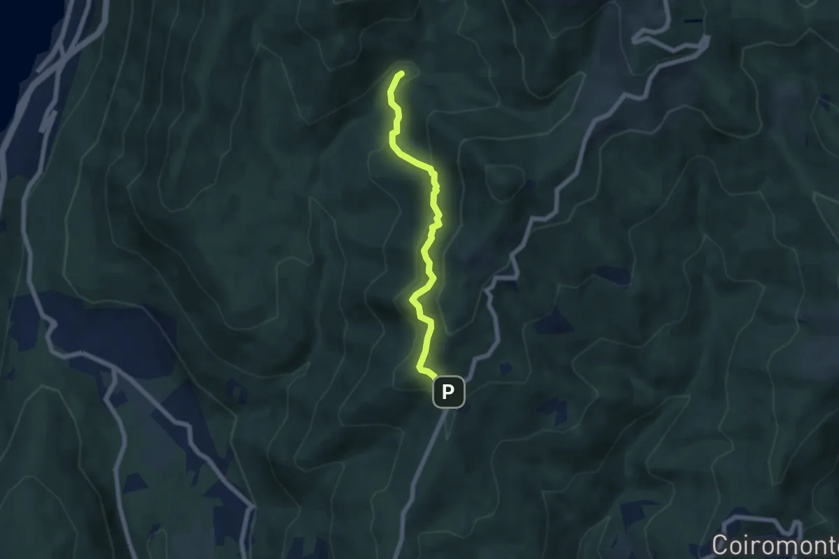
Medium · Trail
VP6 - Bivio VP5 - Madonna di Luciago
5.1 km · ↑ 338 m · 1 h 57 min
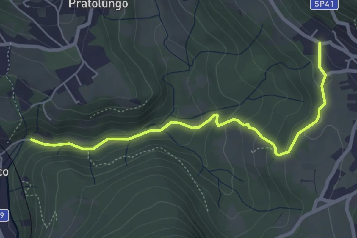
Easy · Trail
VP9a - Pettenasco - Armeno
4.9 km · ↑ 193 m · 1 h 34 min
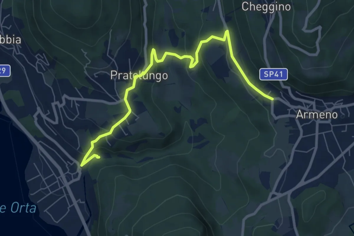
Medium · Trail
VP9 - Pettenasco - Armeno
7.4 km · ↑ 390 m · 2 h 35 min
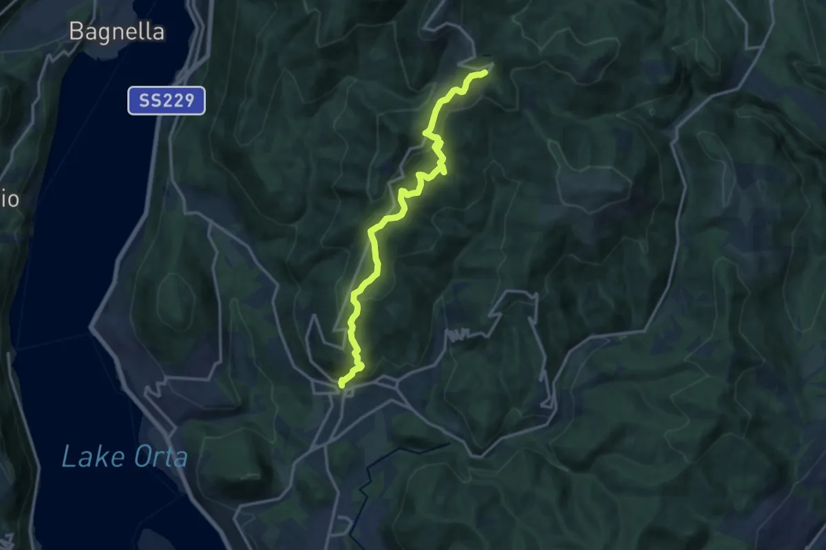
Medium · Trail
VR1 - Armeno - bivio V00 presso Alpe della Volpe
12.8 km · ↑ 763 m · 4 h 41 min
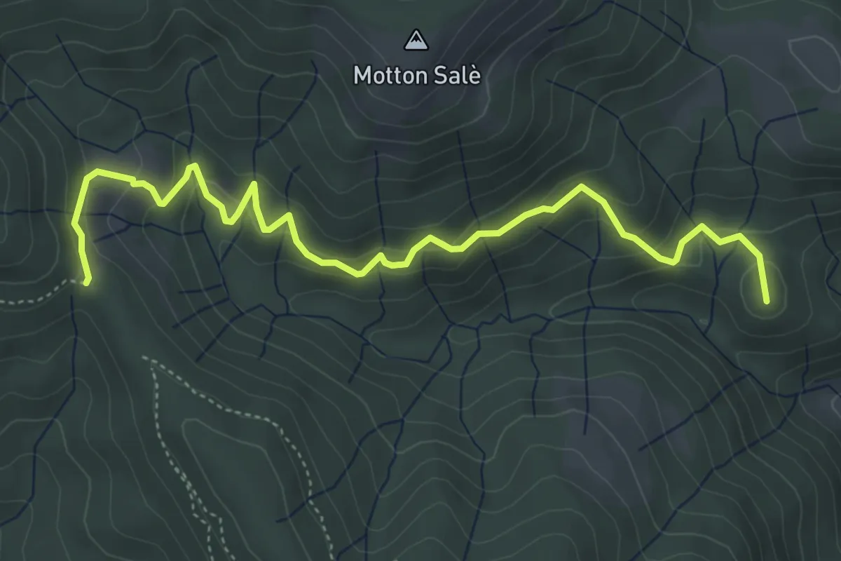
Medium · Summit
VR3a - Bivio VR3 - Bivio V00
5.6 km · ↑ 316 m · 2 h
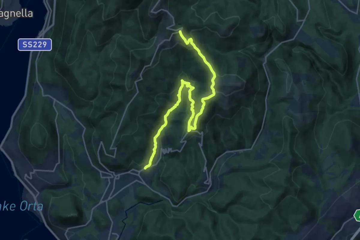
Demanding · Trail
VR3 - Armeno - Bivio V00
18.7 km · ↑ 862 m · 6 h 17 min
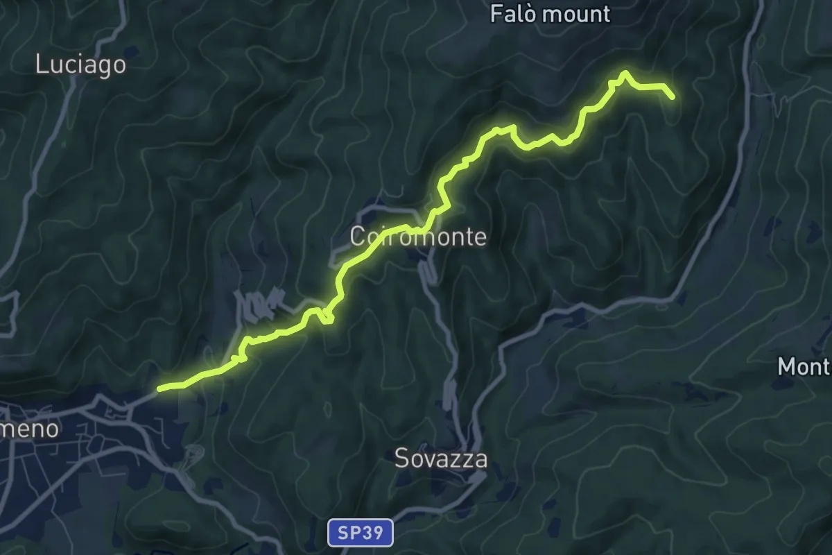
Medium · Summit
VR4 - Armeno - Gignese
9.6 km · ↑ 658 m · 3 h 41 min
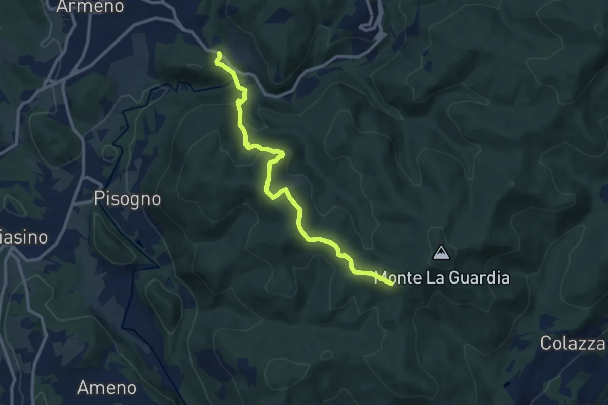
Medium · Trail
VS1 - Americano - Bivio V00
7.7 km · ↑ 437 m · 2 h 46 min
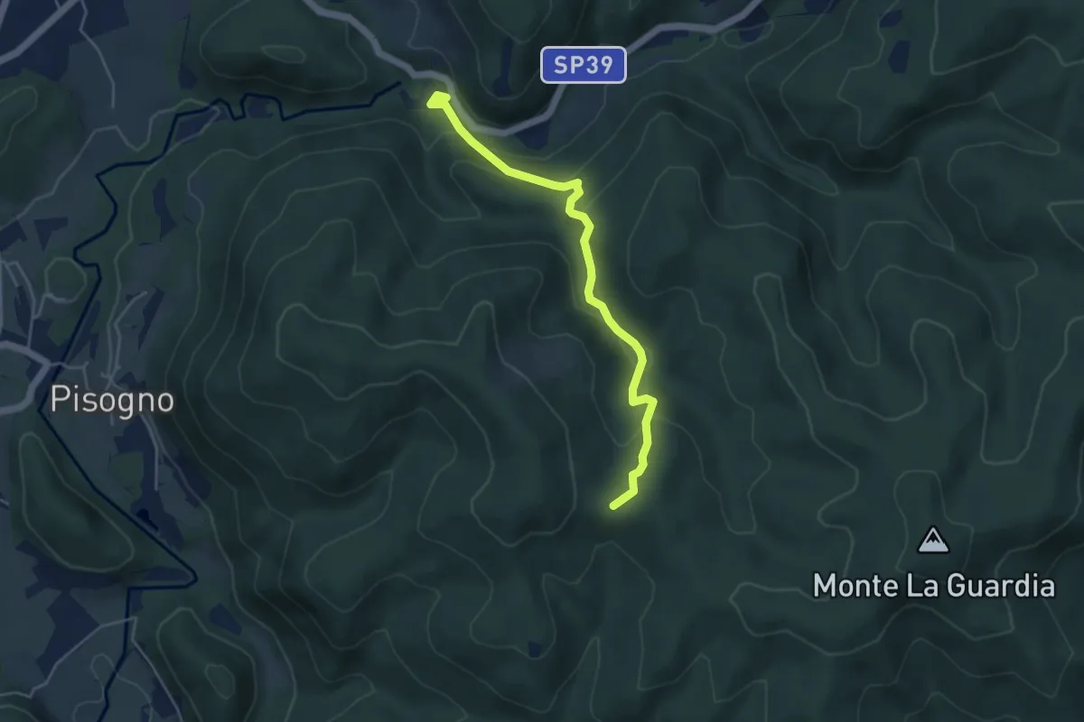
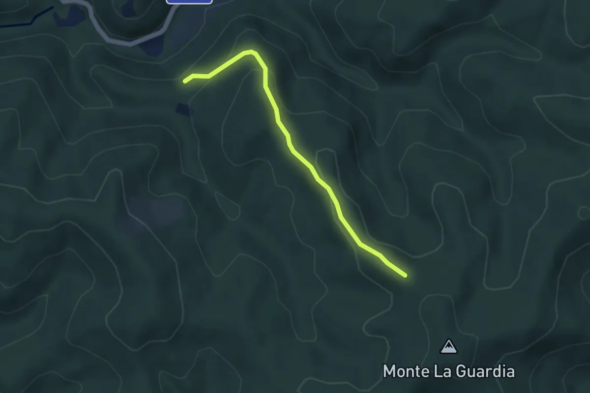
Easy · Trail
VS2 - Americano - Alpe Cascinone
4.6 km · ↑ 235 m · 1 h 35 min
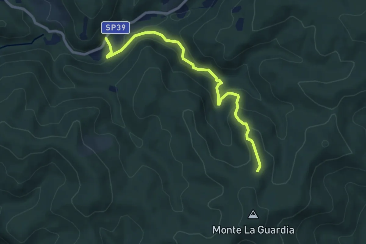
Easy · Trail
VS3 - Alpe Marzoli - Bivio V00
3.6 km · ↑ 161 m · 1 h 12 min
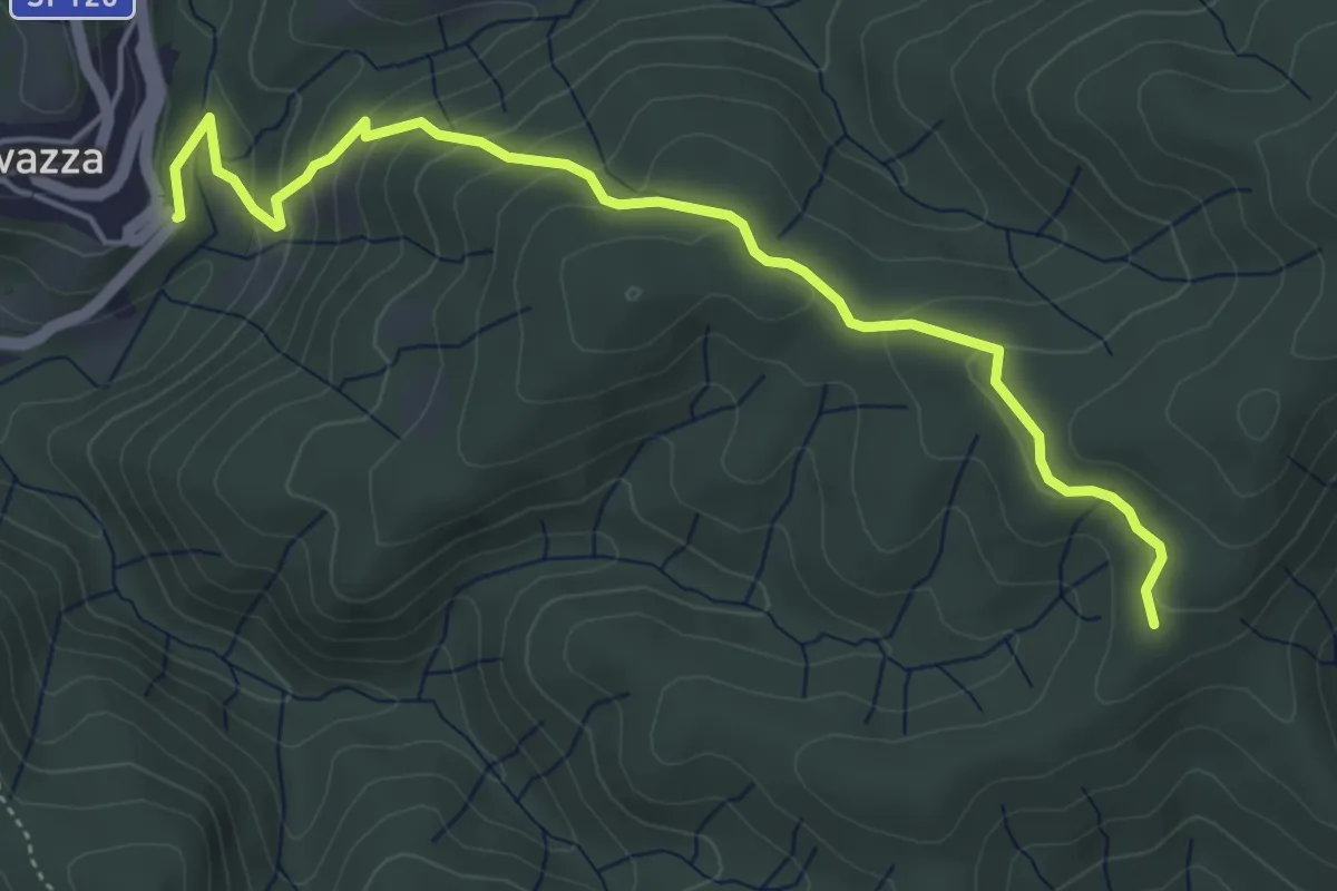
Easy · Trail
VS4 - Masseria Bernaggia - Alpe del Bosco
5.9 km · ↑ 272 m · 1 h 59 min
Easy · Trail
VS5 - Sovazza - Alpe Boccioli
5.2 km · ↑ 295 m · 1 h 52 min
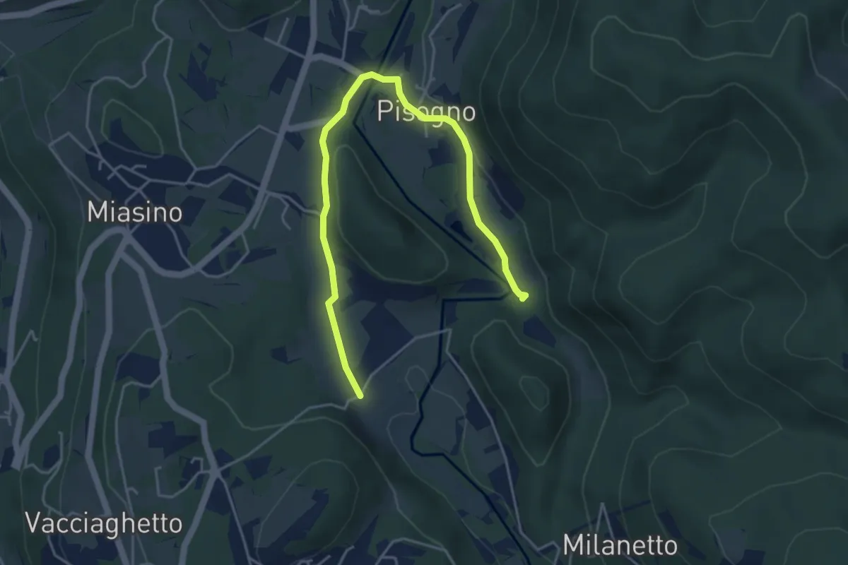
Easy · Trail
VU1a - Ameno - Ameno
5.0 km · ↑ 106 m · 1 h 24 min
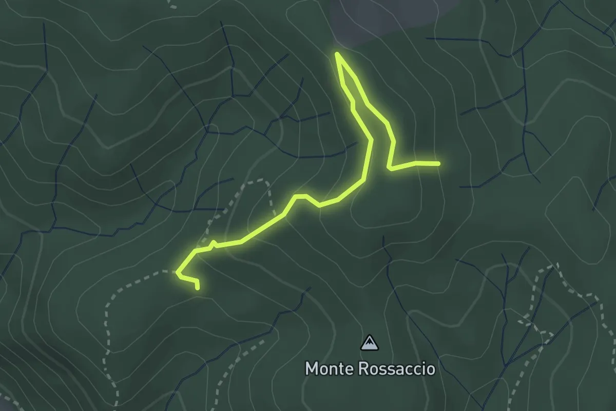
Easy · Trail
VU1b - Loc. Scullera - Alpe Cascinone
2.9 km · ↑ 126 m · 58 min
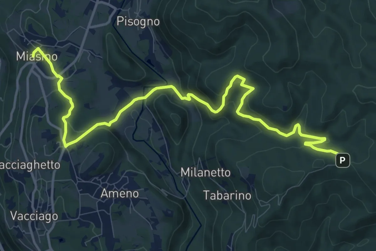
Medium · Trail
VU1 - Miasino - Cappella del Vago
12.9 km · ↑ 544 m · 4 h 13 min
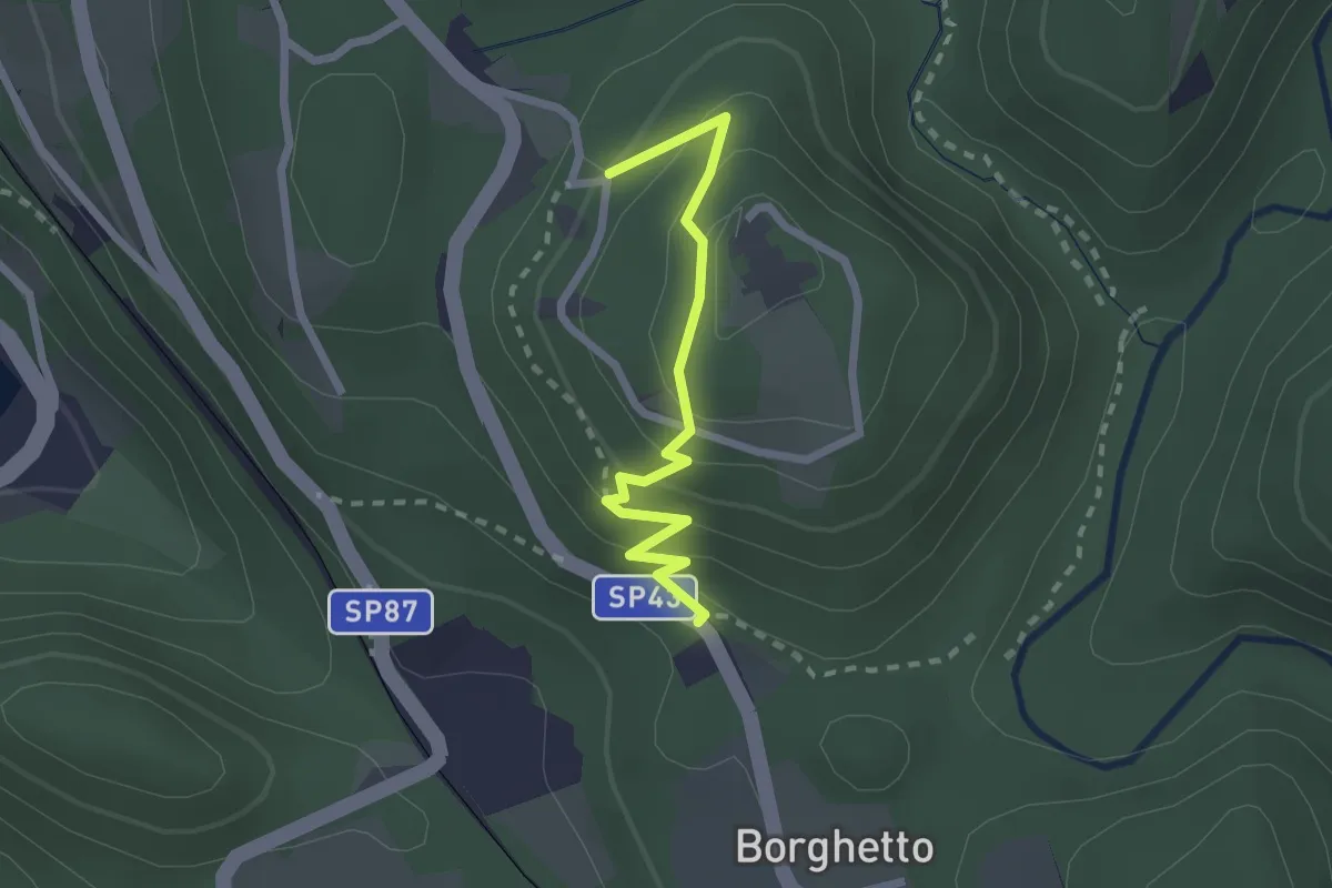
Easy · Trail
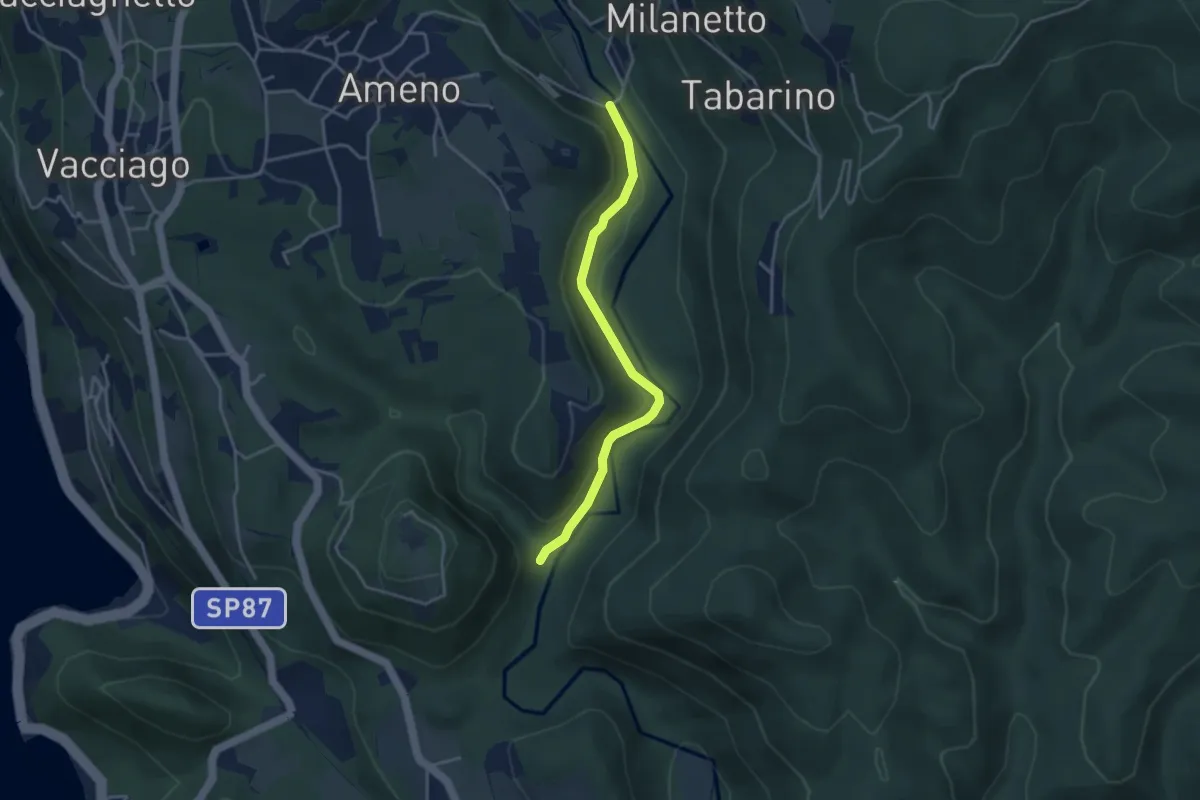
VU2a - Borghetto - Convento di Mesma
2.2 km · ↑ 183 m · 55 min
Easy · Trail
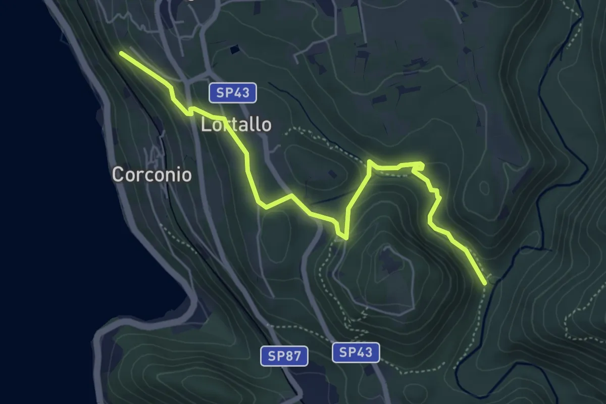
VU2b - La Fucina - Ameno
3.6 km · ↑ 104 m · 1 h 4 min
Easy · Trail
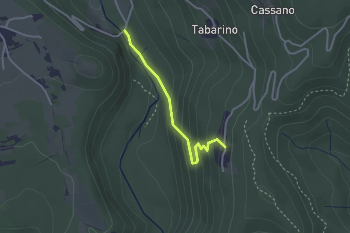
VU2 - Corconio - Località La Fucina
5.6 km · ↑ 189 m · 1 h 44 min
Easy · Trail
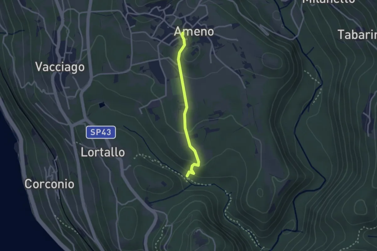
VU3 - Ameno - Pecorino
2.2 km · ↑ 158 m · 52 min
Easy · Trail
VU4 - Ameno - Monte Mesma
2.3 km · ↑ 72 m · 41 min
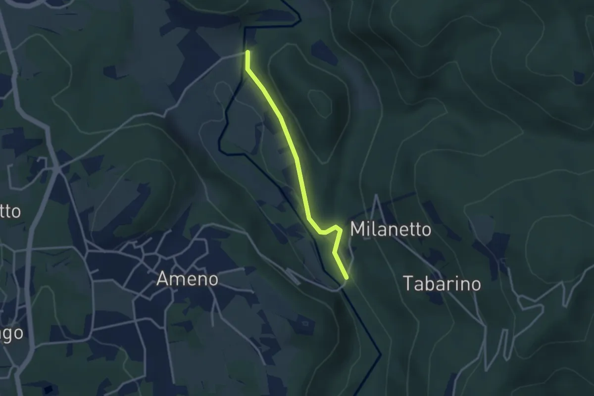
Easy · Trail
VU5c - Ameno - Ponte in Pietra
2.5 km · ↑ 62 m · 44 min
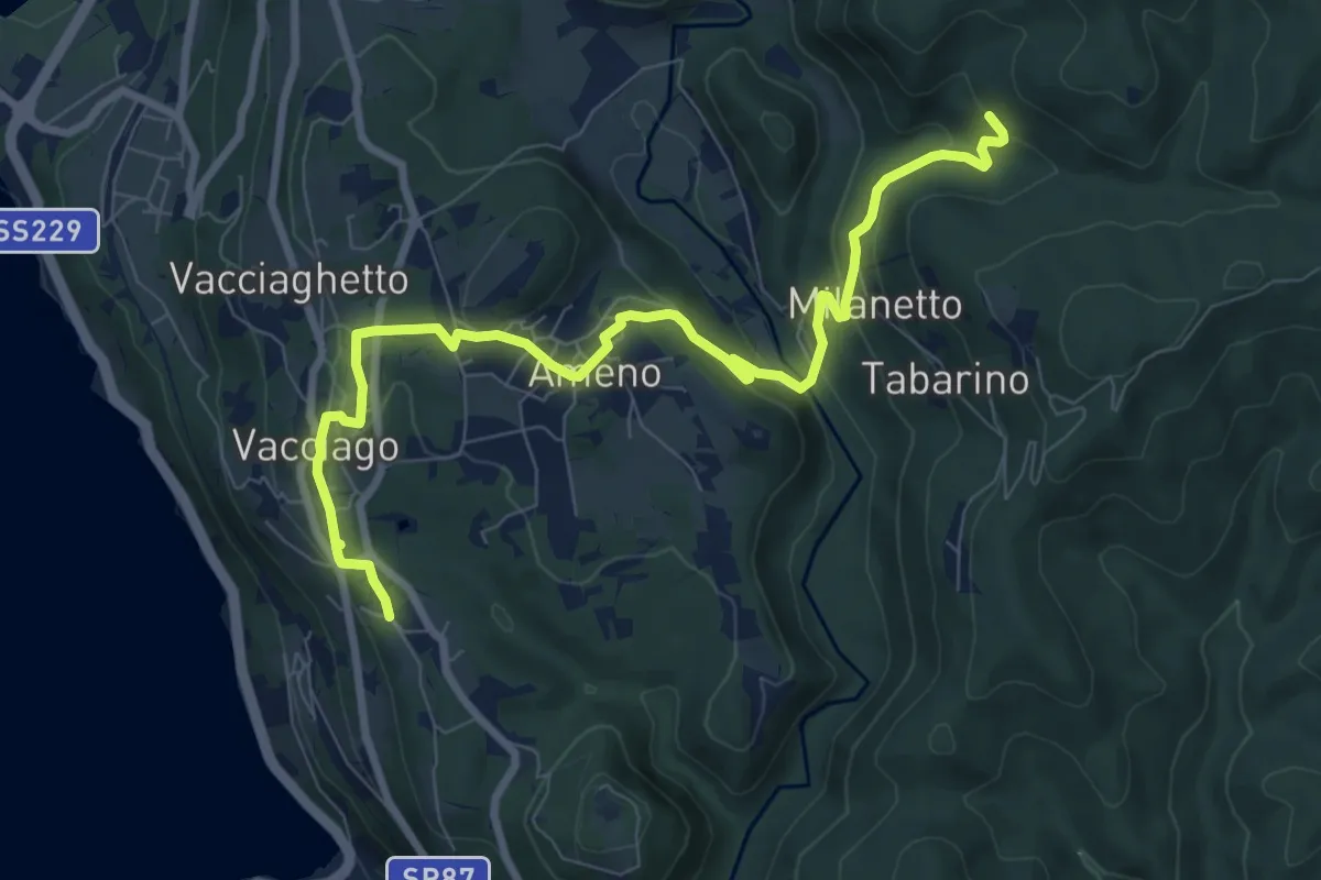
Medium · Trail
VU5 - Lortallo - Tacchino
9.5 km · ↑ 377 m · 3 h 3 min
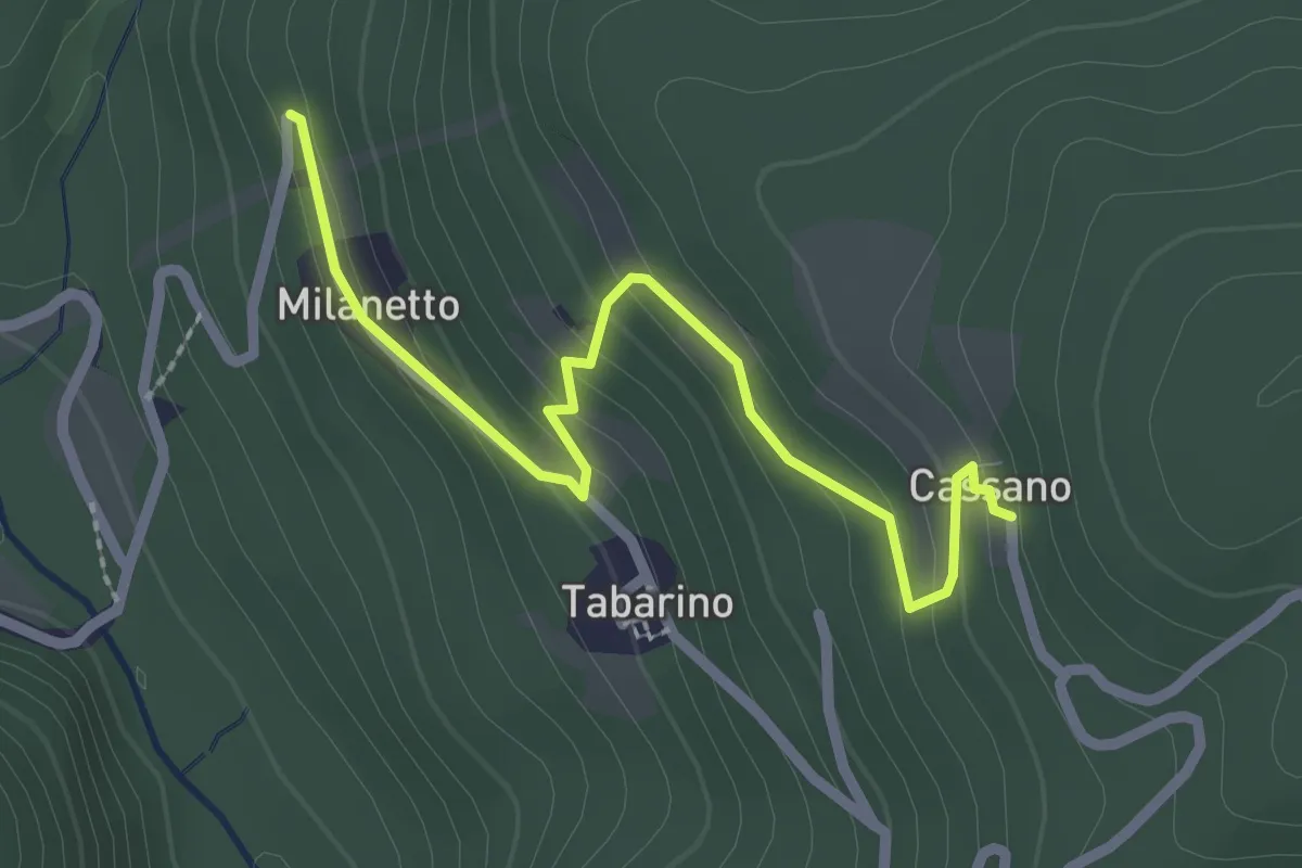
Easy · Trail
VU7a - Bivio VU5 - Cassano
2.5 km · ↑ 137 m · 54 min
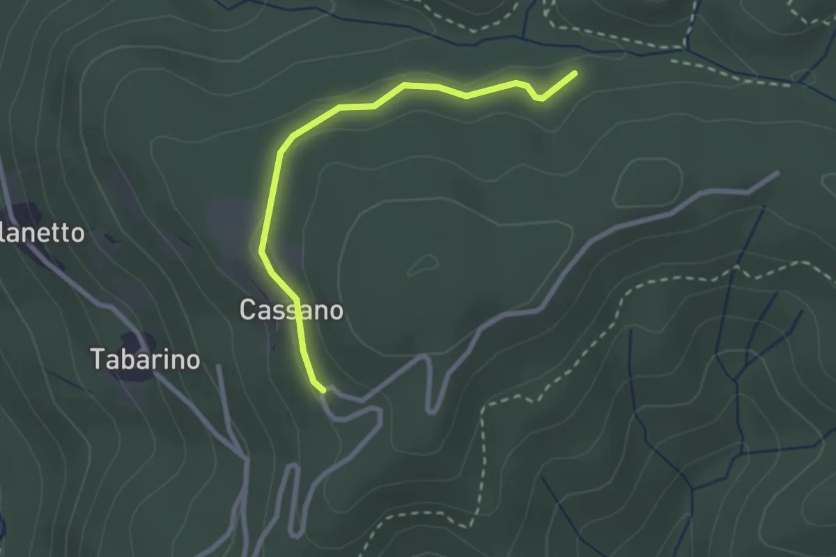
Easy · Trail
VU7 - Cassano - Cappella del Vago
2.3 km · ↑ 46 m · 39 min
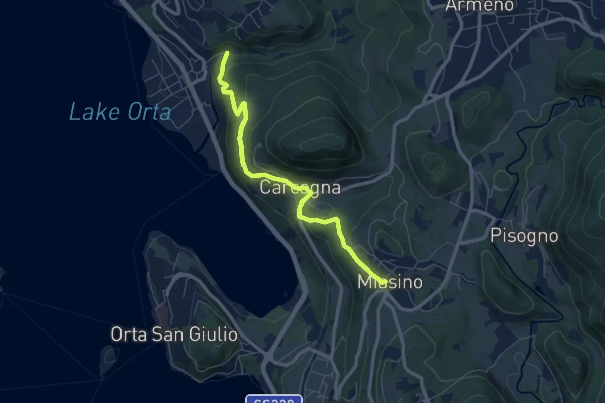
Easy · Trail
VU9 - Pettenasco - Miasino
6.3 km · ↑ 274 m · 2 h 5 min
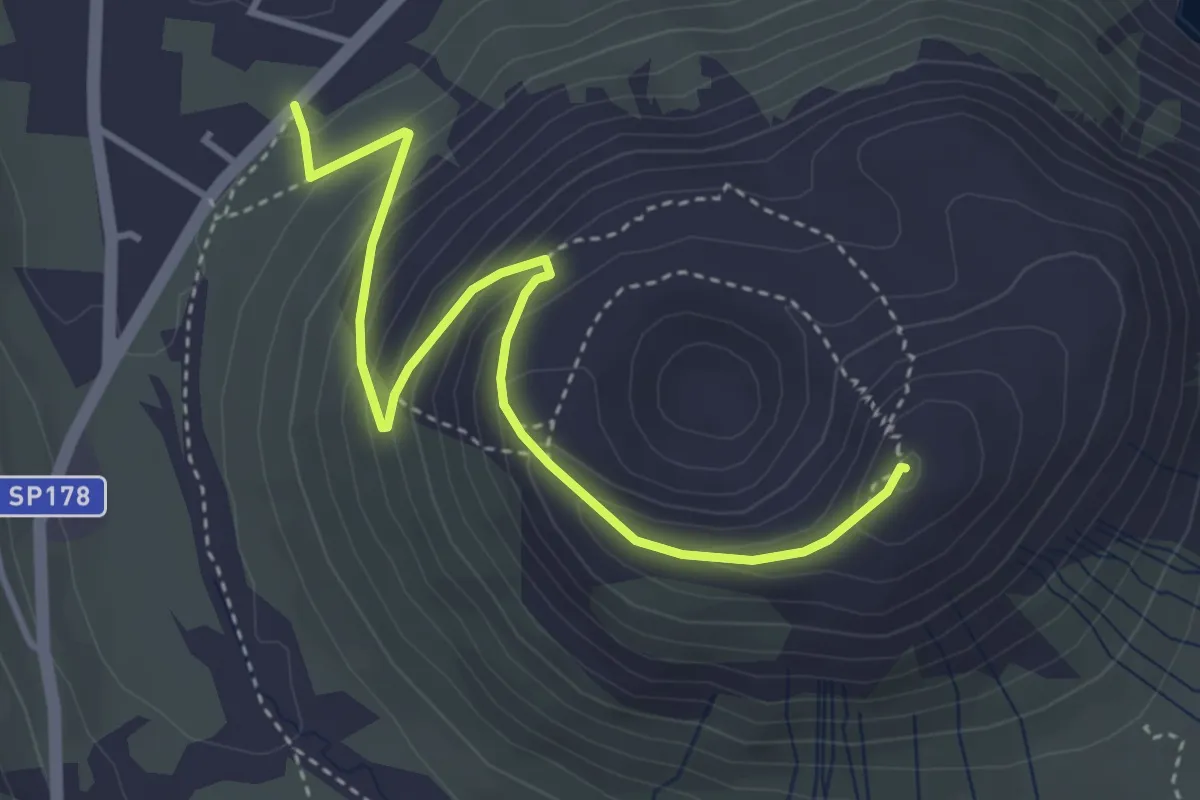
Expert · Summit
Vulcano
4.7 km · ↑ 350 m · 1 h 52 min
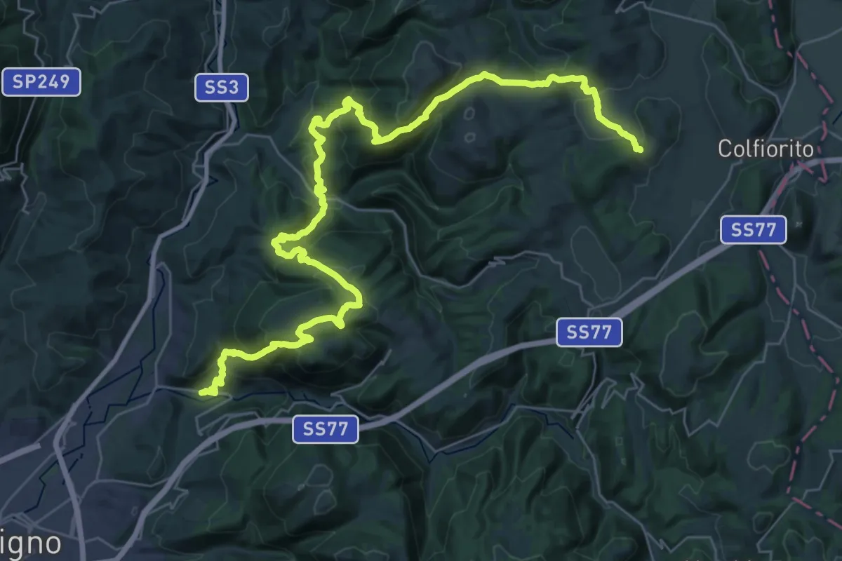
Demanding · Trail
VUT Valle Umbra Trekking
21.6 km · ↑ 875 m · 7 h 34 min
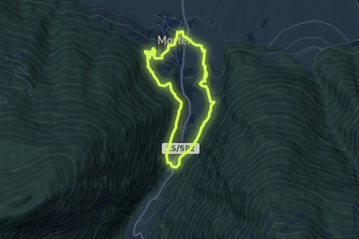
Medium · Trail
Waalrundweg
5.9 km · ↑ 280 m · 2 h 5 min
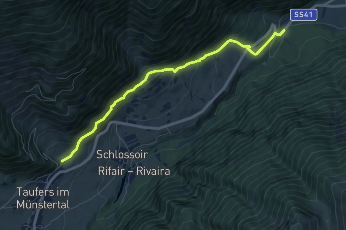
Medium · Trail
Waalweg
7.7 km · ↑ 438 m · 2 h 47 min
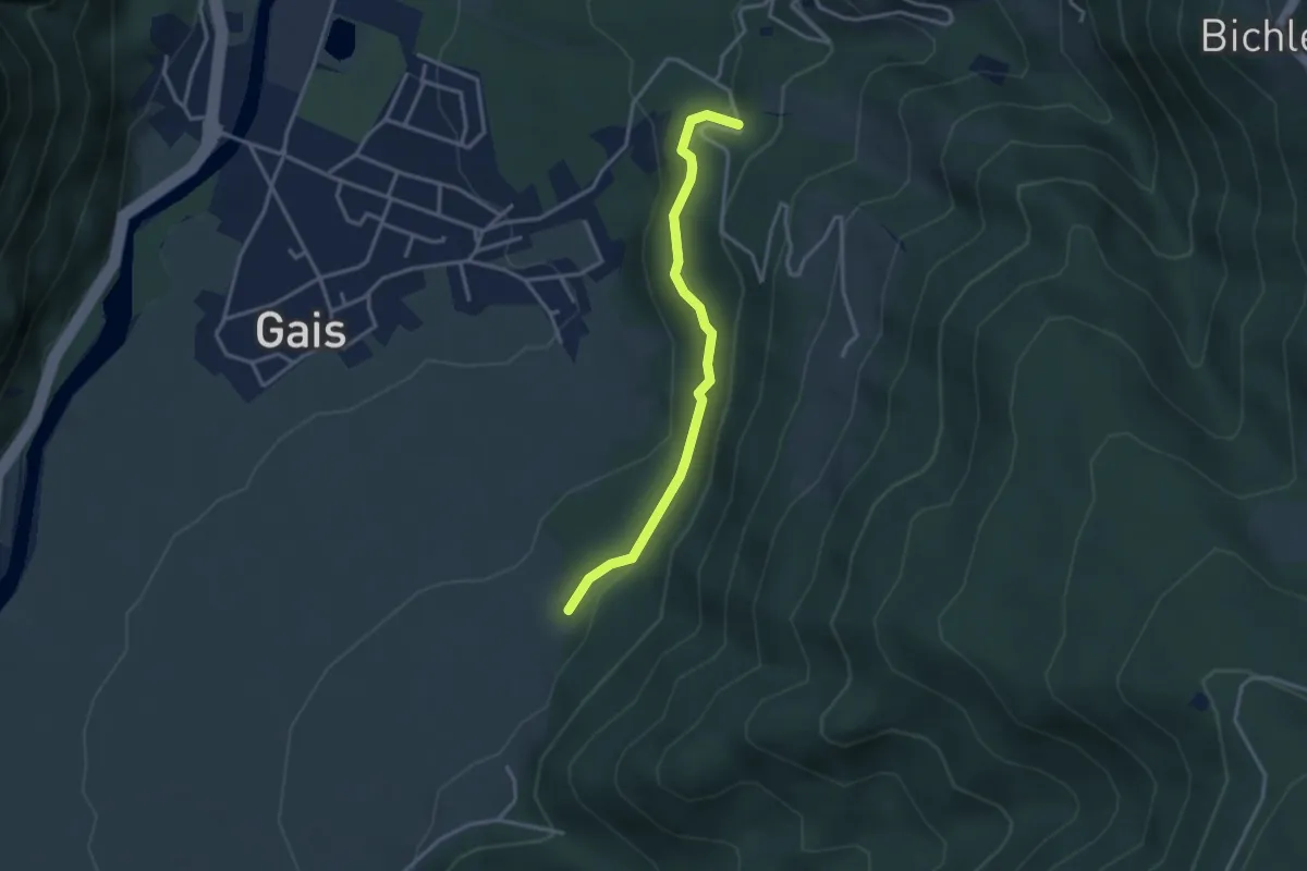
Easy · Trail
Waalweg
3.1 km · ↑ 181 m · 1 h 7 min
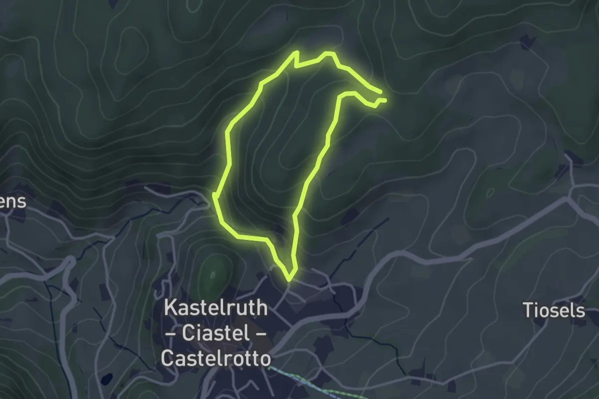
Easy · Trail
Waldackerweg
2.7 km · ↑ 159 m · 1 h 1 min
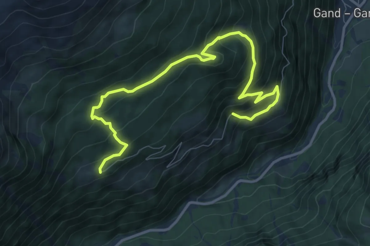
Medium · Trail
Waldbergbauer-Weg - Sentiero del contadino di montagna
4.9 km · ↑ 230 m · 1 h 50 min
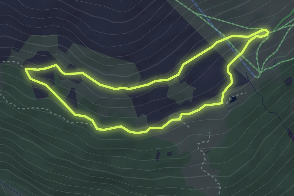
Easy · Trail
Waldbrunnen-Weg
3.1 km · ↑ 101 m · 59 min
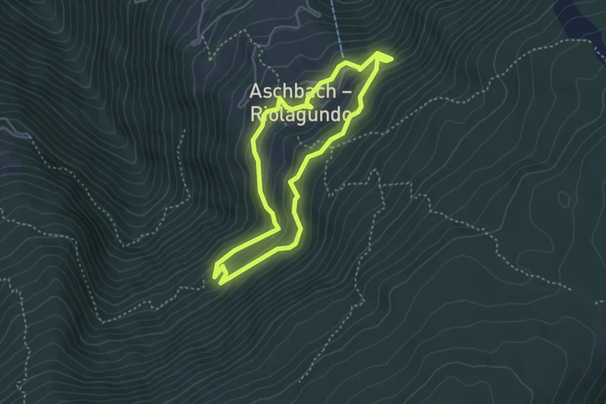
Medium · Trail
Walderlebnispfad Aschbach
3.2 km · ↑ 229 m · 1 h 18 min
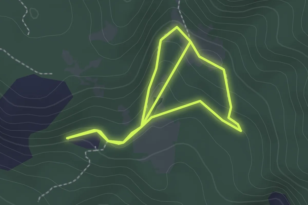
Easy · Trail
Waldlehrpfad (Bletterbach) - Il bosco
1.9 km · ↑ 73 m · 37 min
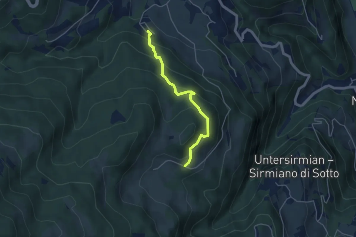
Easy · Trail
Waldsteig - Sentiero nel bosco
3.4 km · ↑ 291 m · 1 h 26 min
Medium · Trail
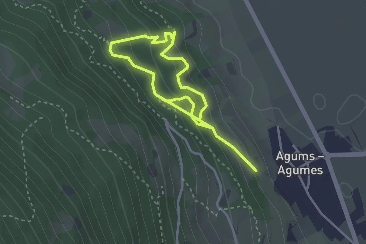
Waldtierpfad Gumperle
4.1 km · ↑ 547 m · 2 h 10 min
Medium · Trail
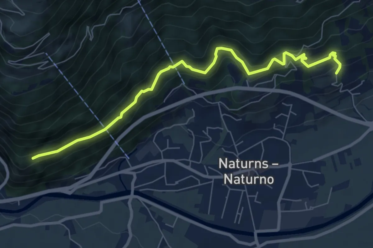
Wallburgweg
3.5 km · ↑ 179 m · 1 h 20 min
Demanding · Pilgrim path
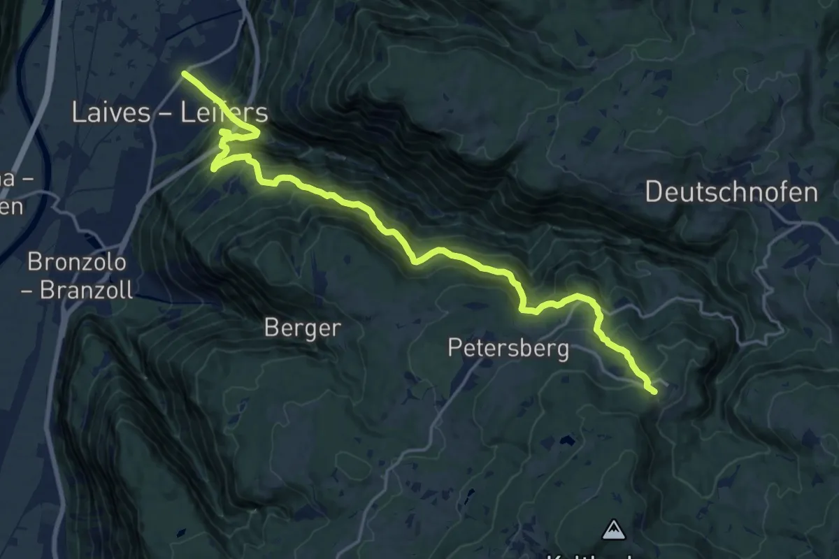
Wallfahrtsweg - Via Crucis
9.8 km · ↑ 1484 m · 5 h 2 min
Medium · Trail
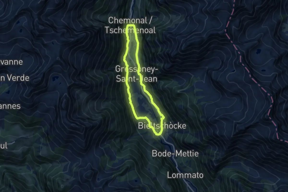
Walser-réng
8.6 km · ↑ 228 m · 2 h 39 min
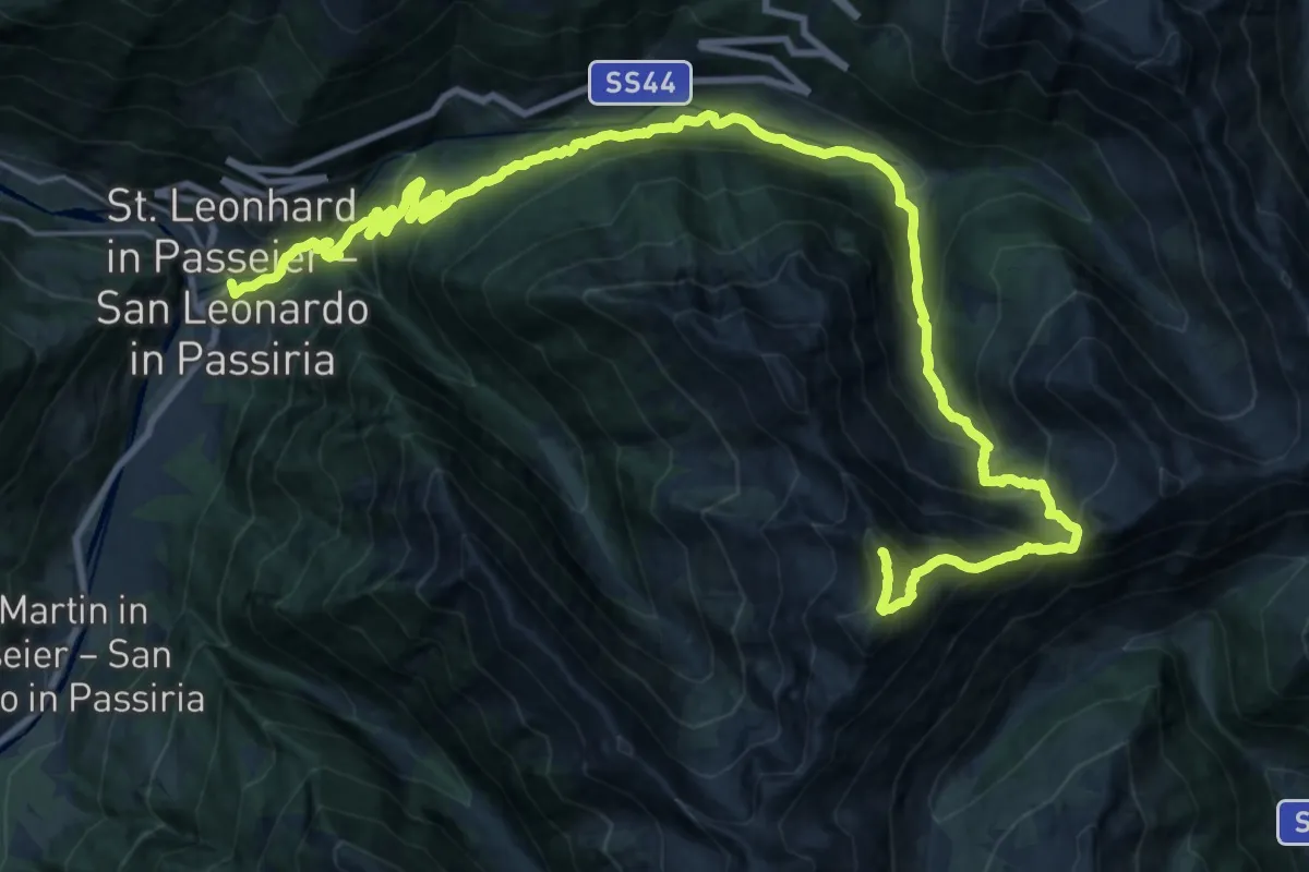
Expert · Summit
Waltner Rundweg - 12 - Sentiero circolare di Valtina - 12
30.5 km · ↑ 2265 m · 12 h 6 min
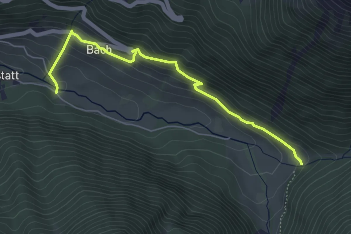
Easy · Trail
Waltner Rundweg 18
5.0 km · ↑ 271 m · 1 h 46 min
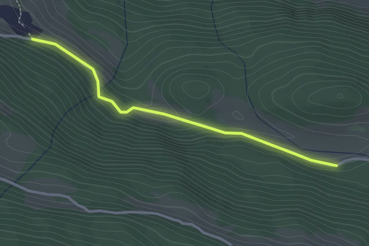
Easy · Trail
Wanderroute 15
2.4 km · ↑ 64 m · 43 min
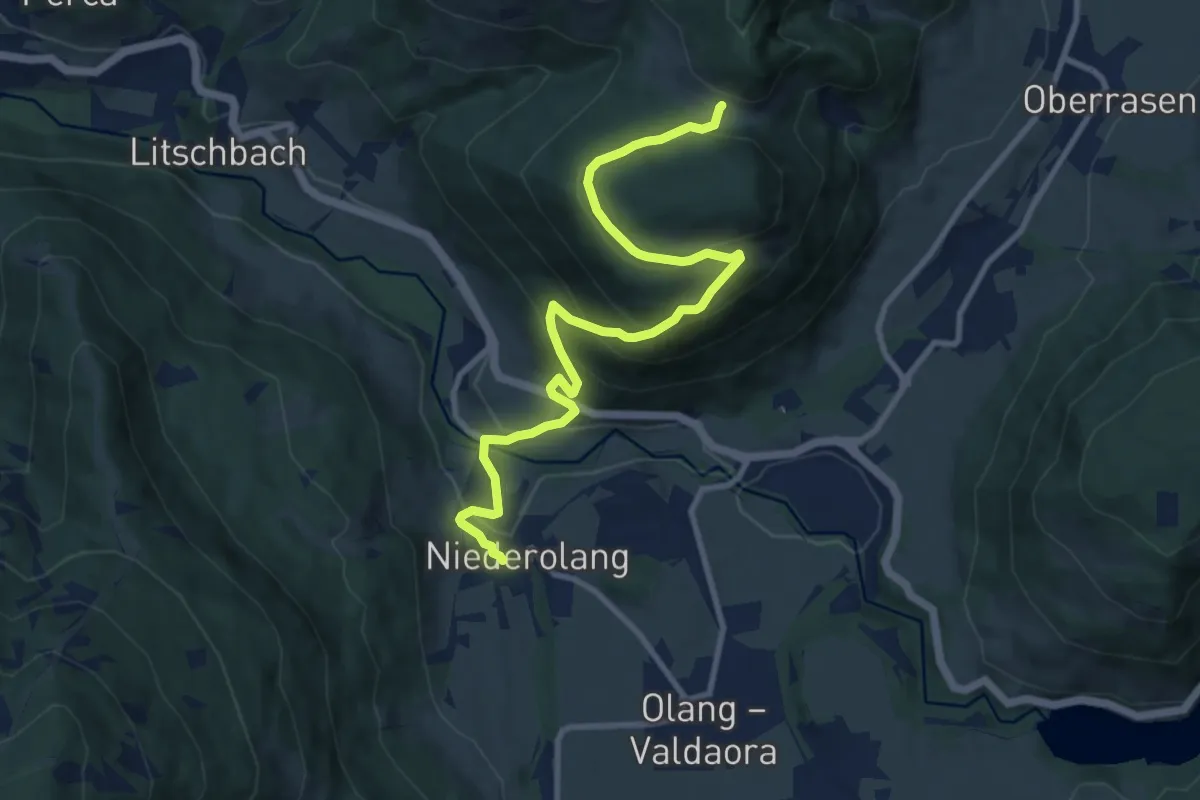
Medium · Trail
Wanderroute 22
10.9 km · ↑ 536 m · 3 h 44 min