Trails in Italy
25,219 hiking trails, each with its route, climb, walking time and grade.
All trails, page 231 of 526
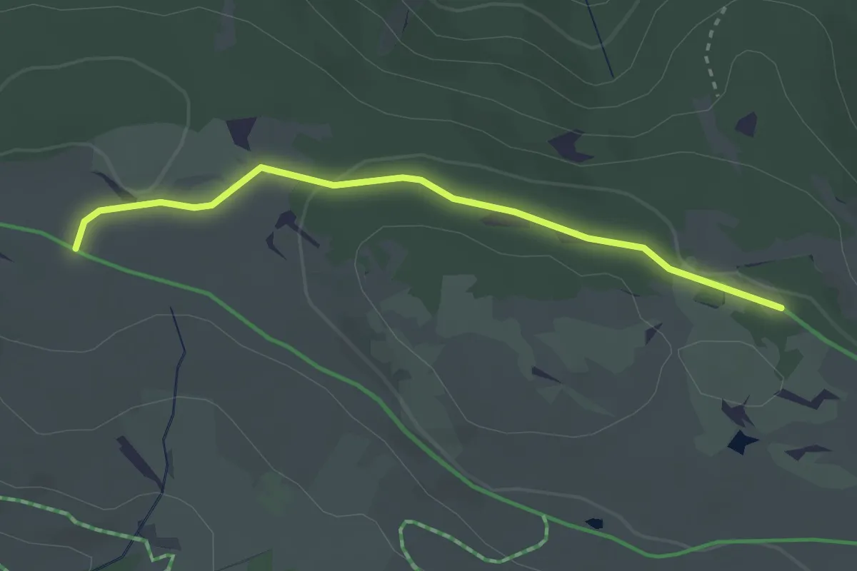
Easy · Trail
Wanderroute 68B
2.9 km · ↑ 36 m · 45 min
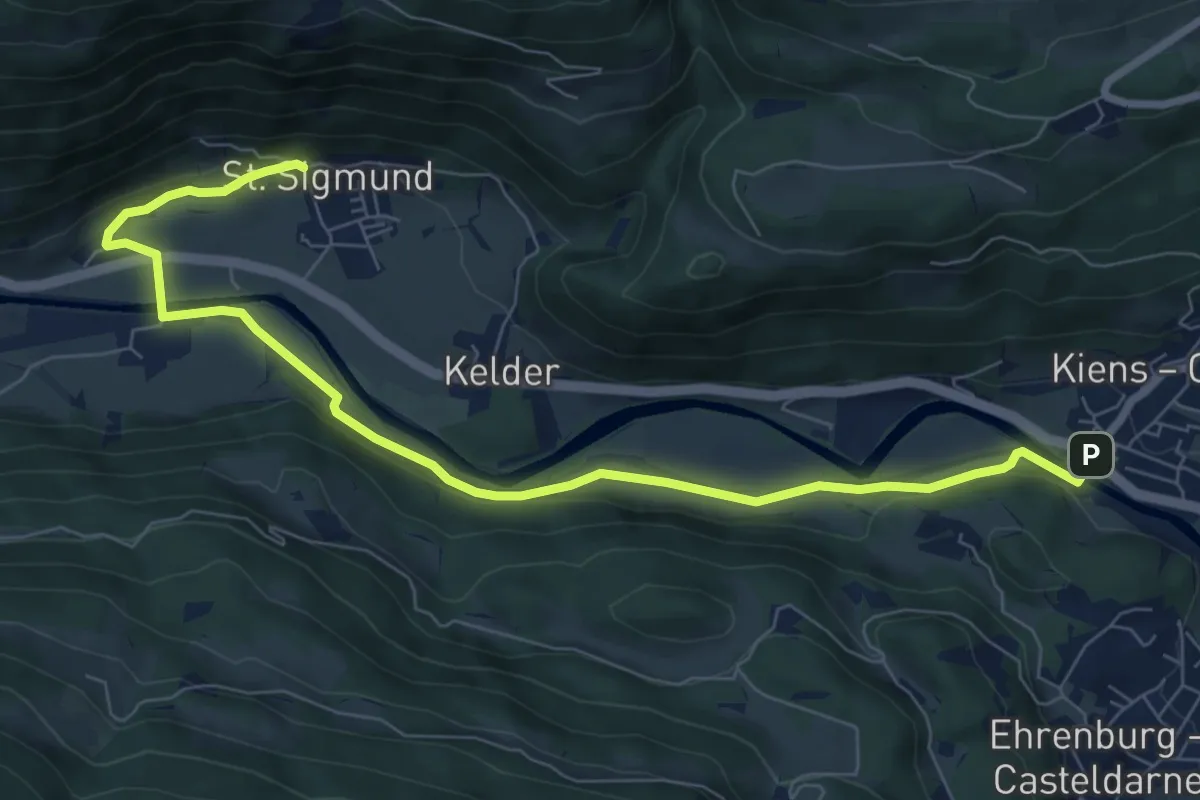
Medium · Trail
Wanderroute 7
8.8 km · ↑ 118 m · 2 h 20 min
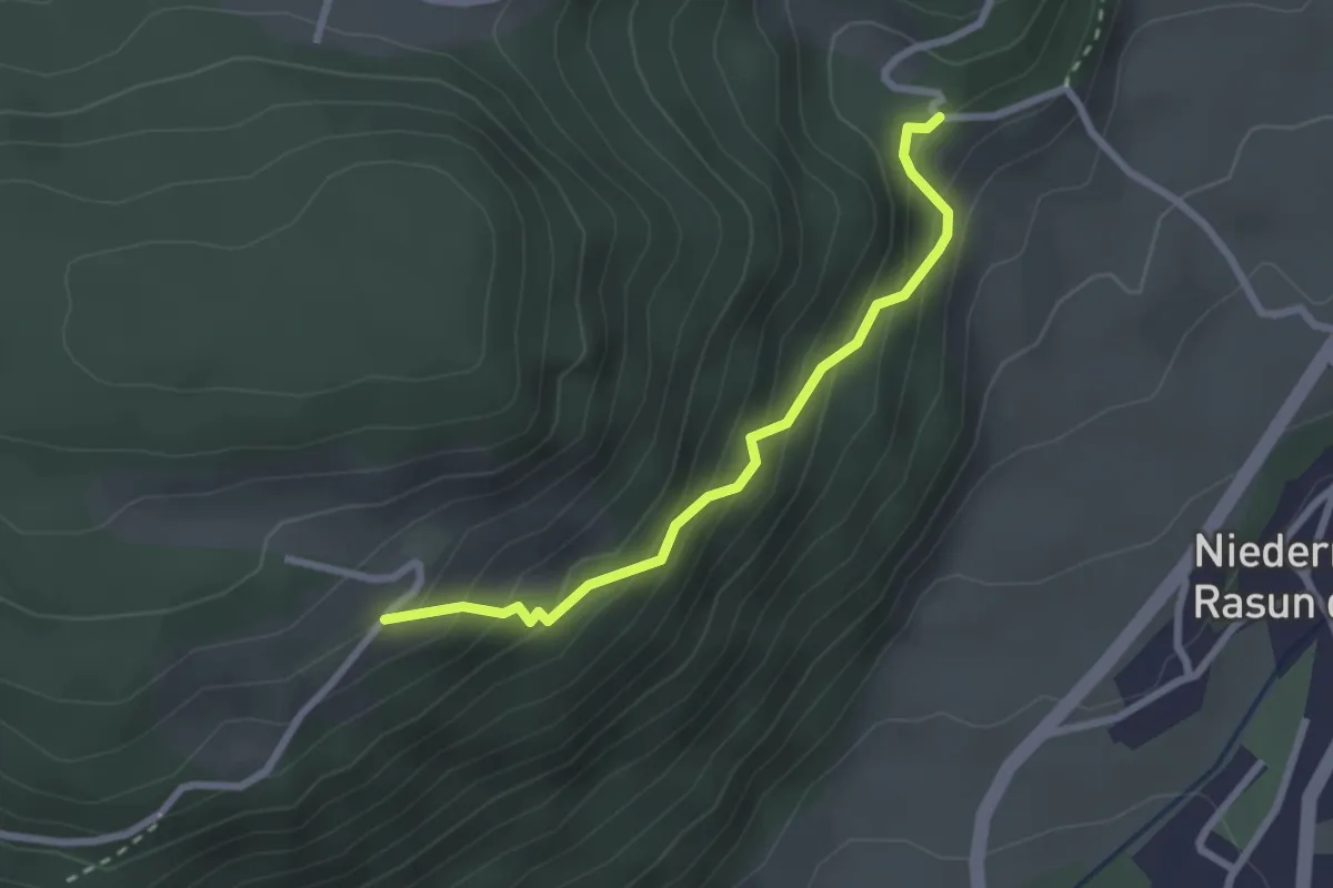
Easy · Trail
Wanderroute 8
2.4 km · ↑ 262 m · 1 h 8 min
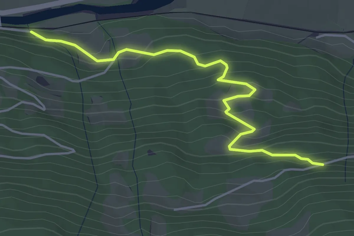
Easy · Trail
Wanderroute 8A
4.3 km · ↑ 300 m · 1 h 40 min
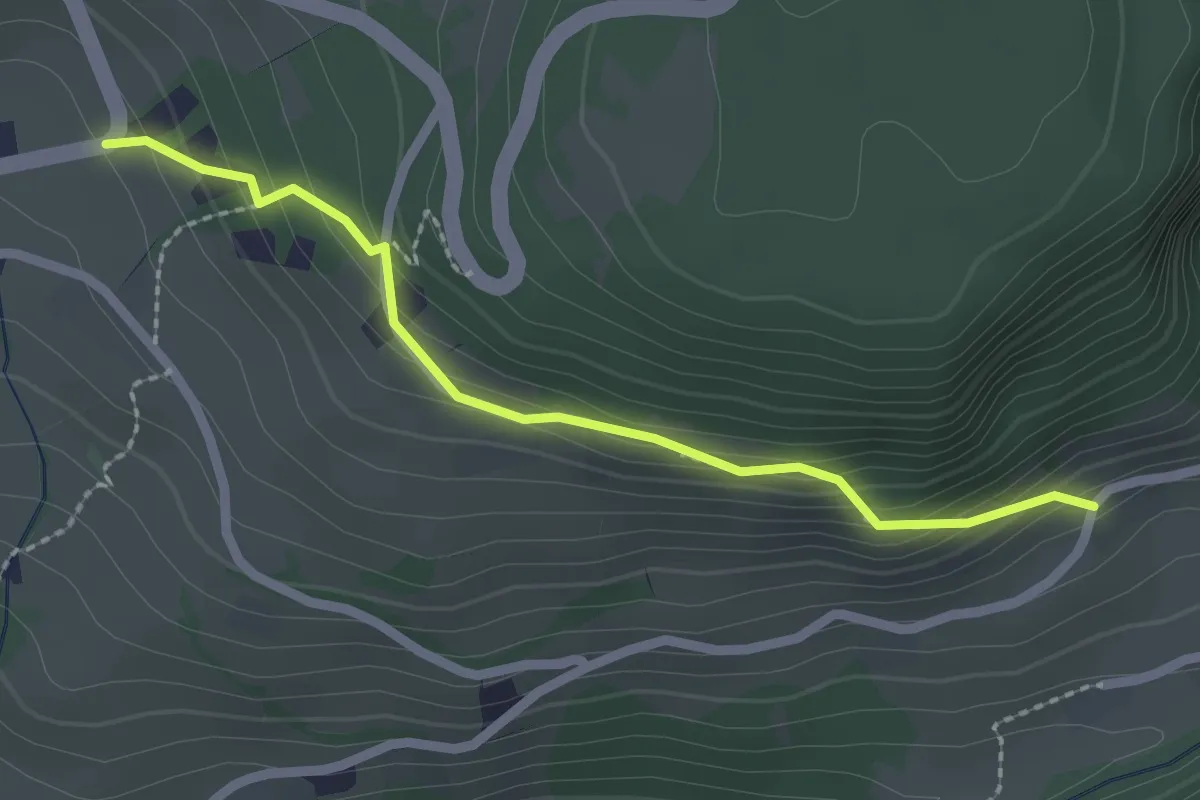
Easy · Trail
Wanderweg
2.2 km · ↑ 107 m · 45 min
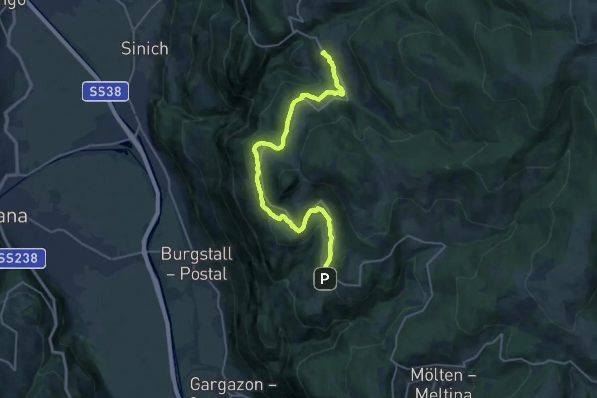
Medium · Trail
Wanderweg
15.9 km · ↑ 461 m · 4 h 45 min
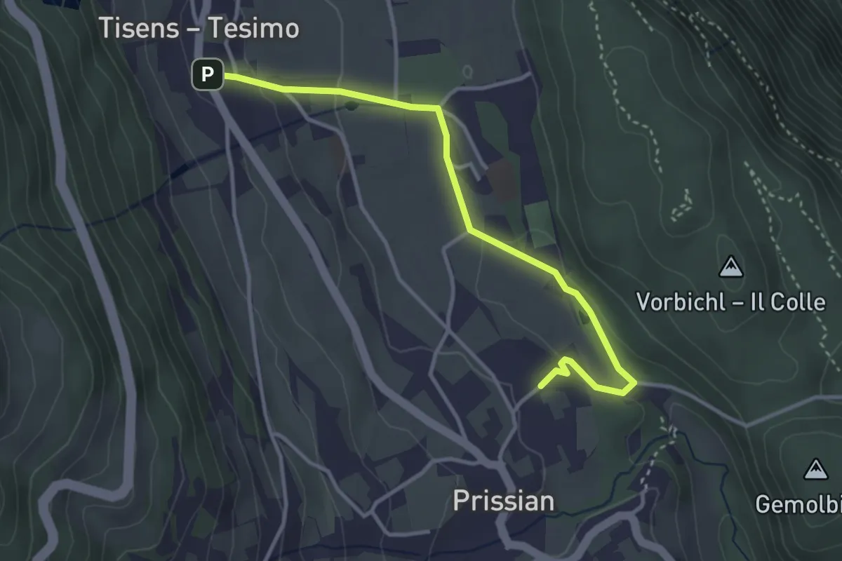
Easy · Trail
Wanderweg 1
3.6 km · ↑ 87 m · 1 h 3 min
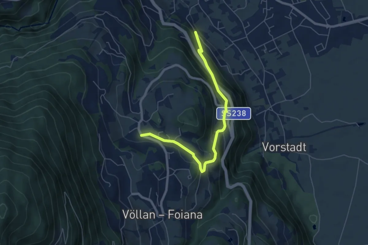
Medium · Trail
Wanderweg 1
5.6 km · ↑ 337 m · 2 h 3 min
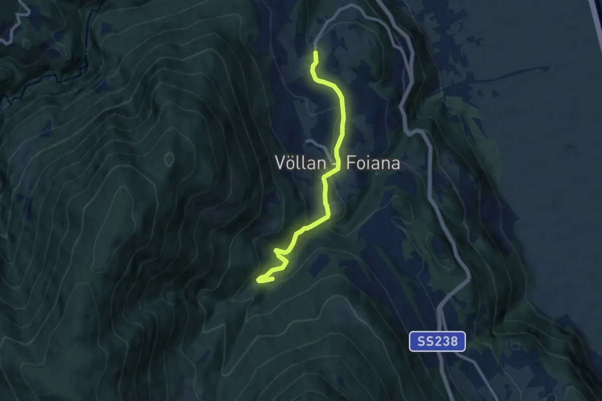
Medium · Trail
Wanderweg 10
7.1 km · ↑ 372 m · 2 h 28 min
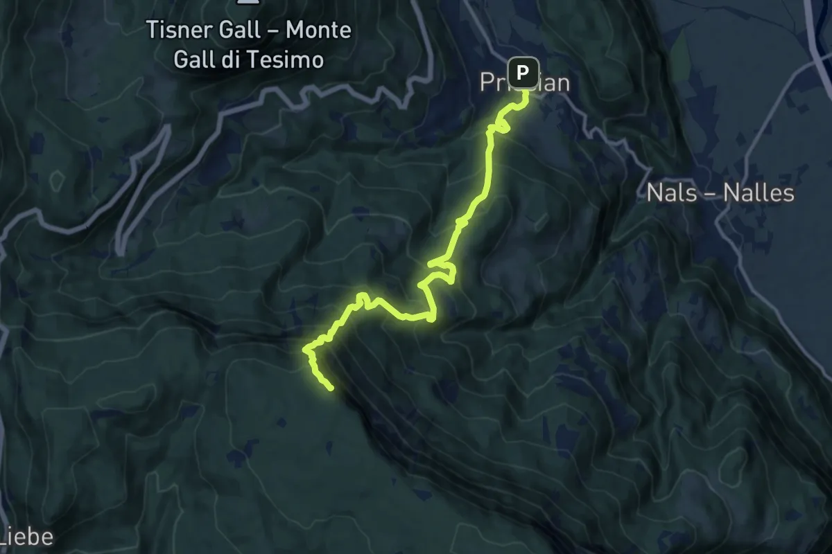
Demanding · Summit
Wanderweg 12
12.5 km · ↑ 1185 m · 5 h 31 min
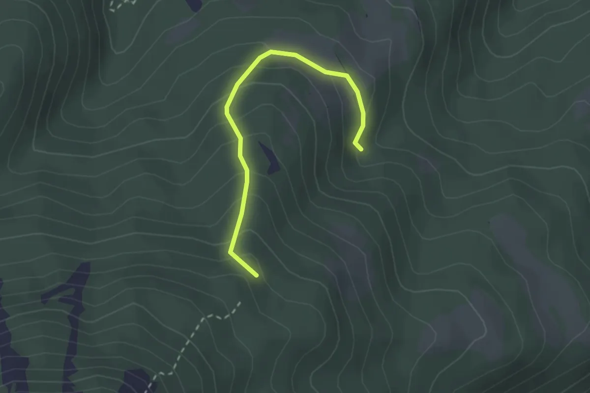
Easy · Trail
Wanderweg 12B
2.3 km · ↑ 184 m · 57 min
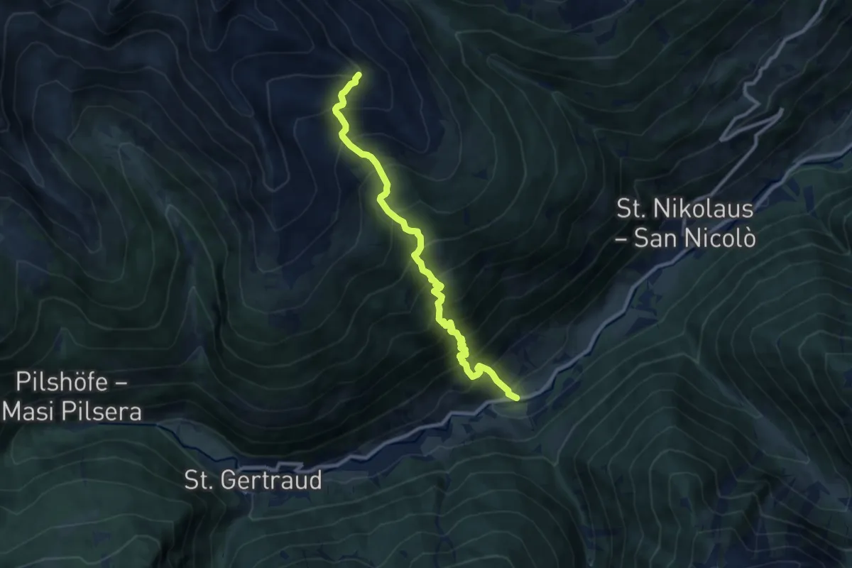
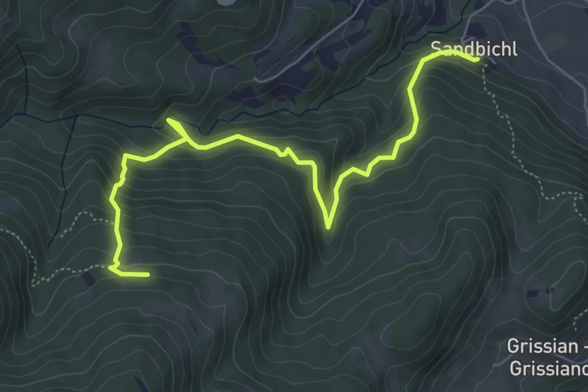
Demanding · Trail
Wanderweg 14A
9.4 km · ↑ 1244 m · 4 h 55 min
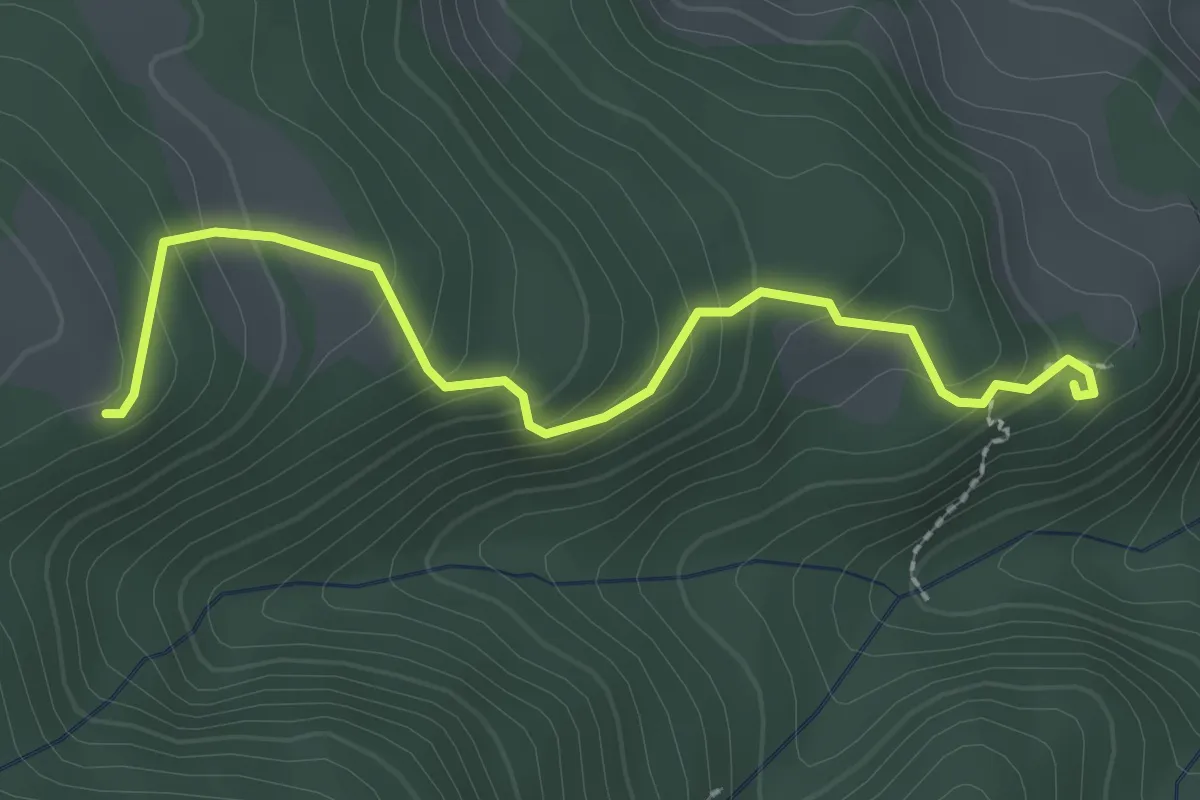
Demanding · Trail
Wanderweg 15
6.3 km · ↑ 477 m · 2 h 31 min
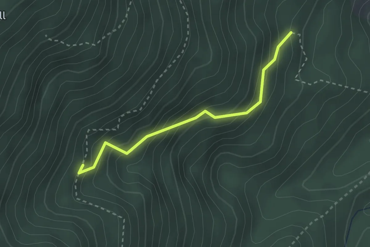
Easy · Trail
Wanderweg 19
2.5 km · ↑ 194 m · 1 h
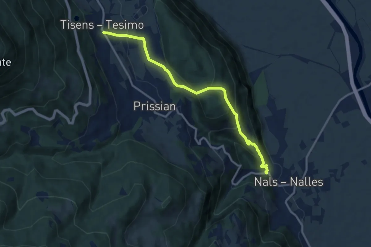
Medium · Trail
Wanderweg 2
2.3 km · ↑ 254 m · 1 h 6 min
Medium · Trail
Wanderweg 2
7.6 km · ↑ 393 m · 2 h 39 min
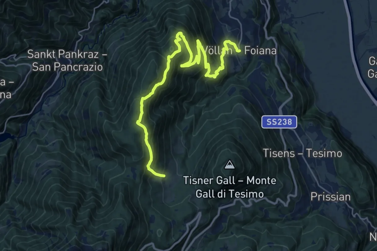
Demanding · Trail
Wanderweg 4
11.0 km · ↑ 1000 m · 4 h 37 min
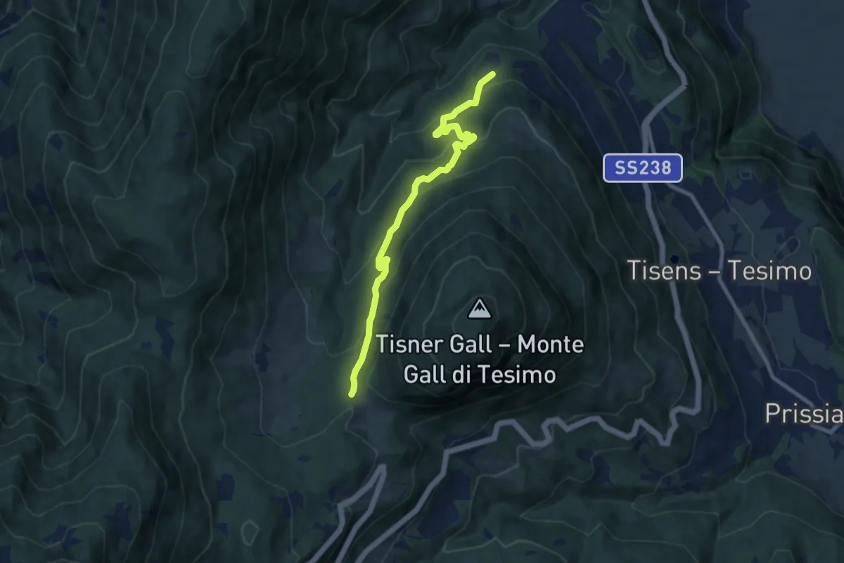
Medium · Trail
Wanderweg 4A
8.0 km · ↑ 505 m · 2 h 59 min
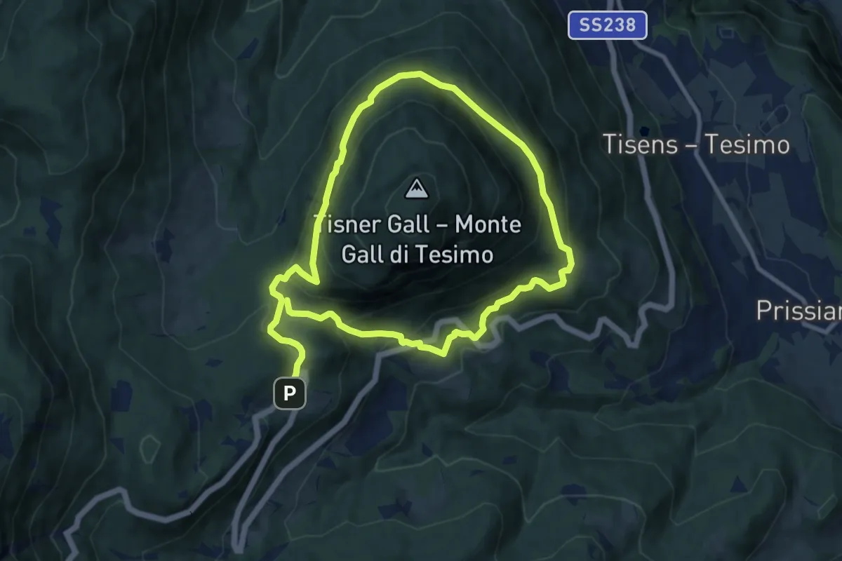
Demanding · Trail
Wanderweg 4B
15.5 km · ↑ 849 m · 5 h 30 min
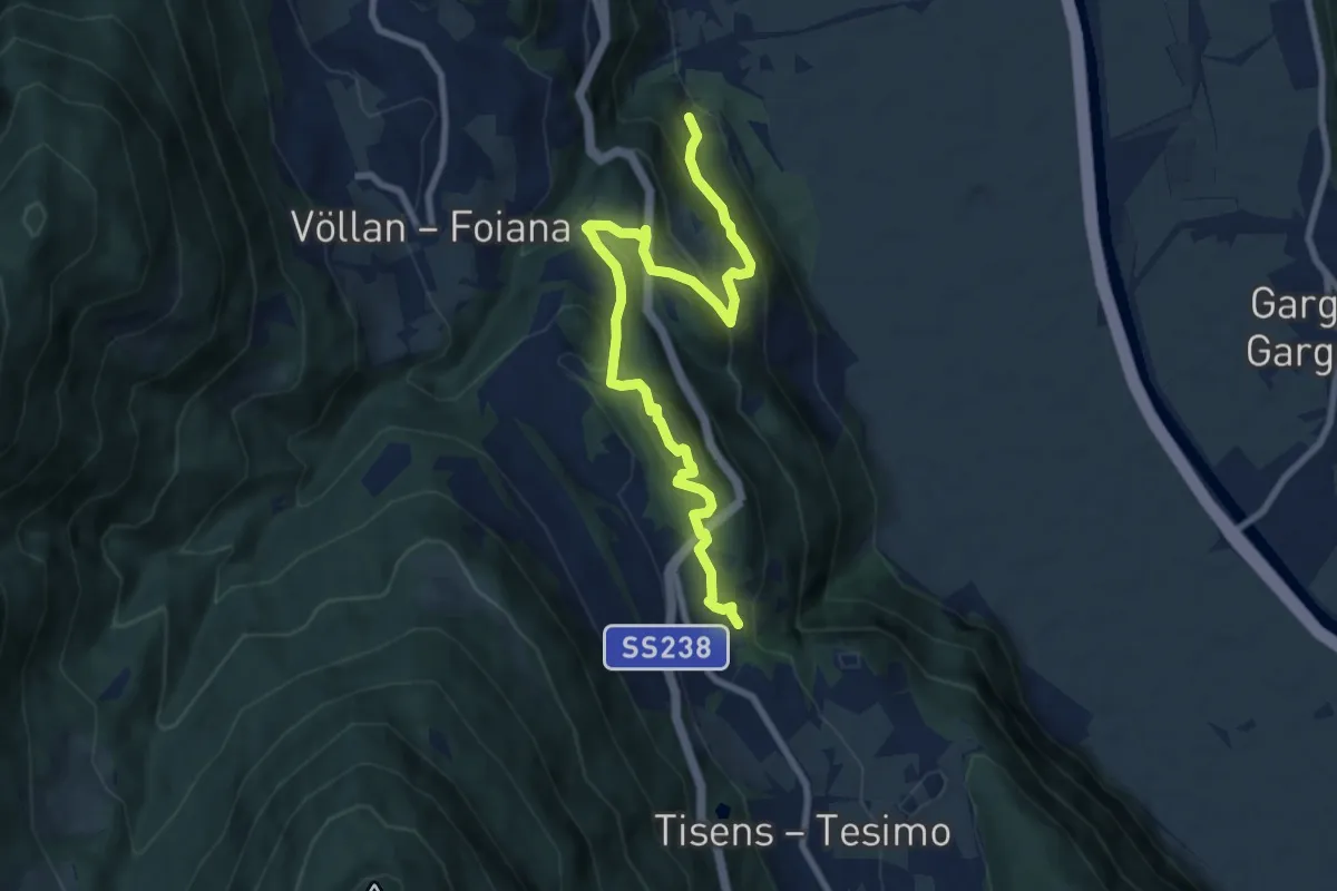
Medium · Trail
Wanderweg 5
9.3 km · ↑ 554 m · 3 h 24 min
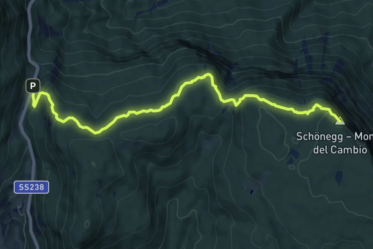
Medium · Summit
Wanderweg 50
9.3 km · ↑ 431 m · 3 h 8 min
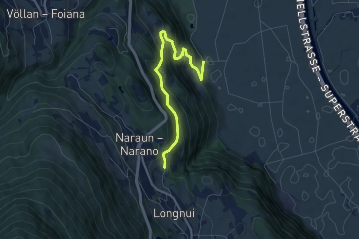
Medium · Trail
Wanderweg 5A
6.2 km · ↑ 394 m · 2 h 19 min
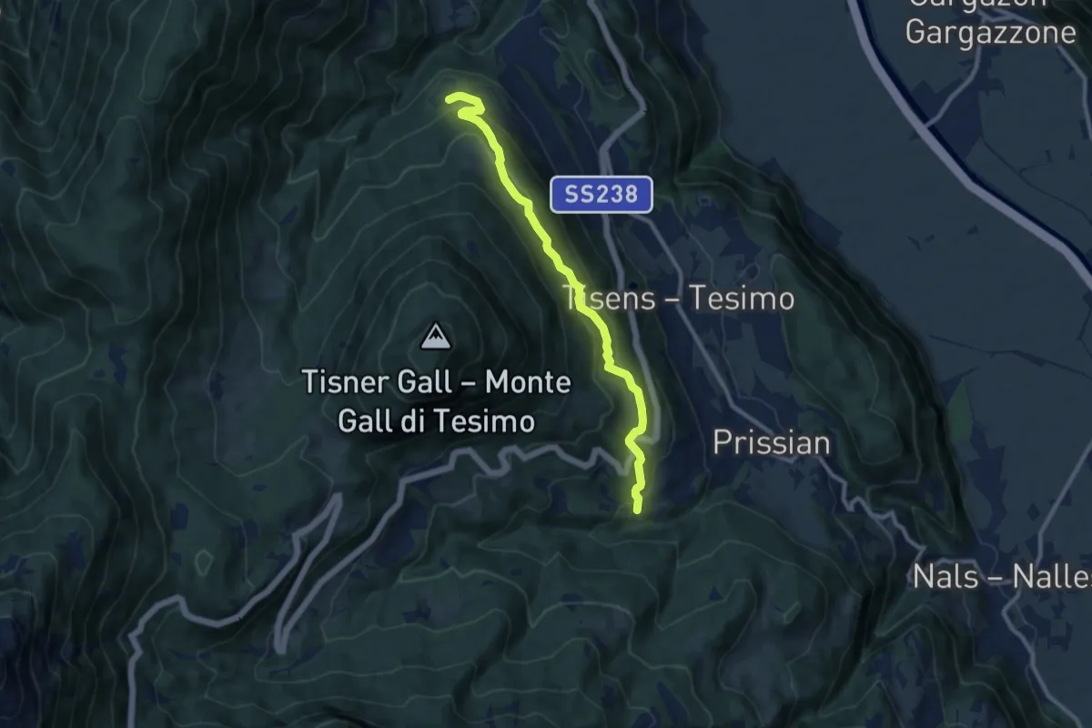
Medium · Trail
Wanderweg 6
9.0 km · ↑ 504 m · 3 h 13 min
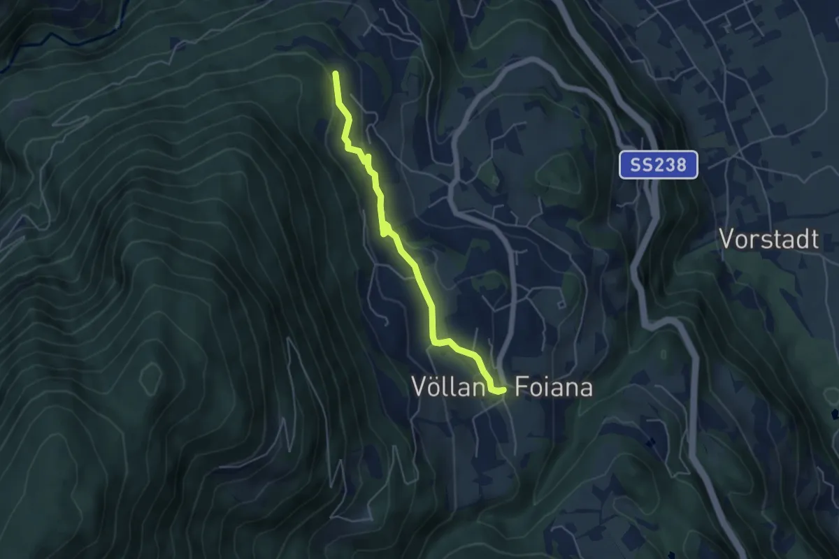
Easy · Trail
Wanderweg 6A
4.5 km · ↑ 111 m · 1 h 19 min
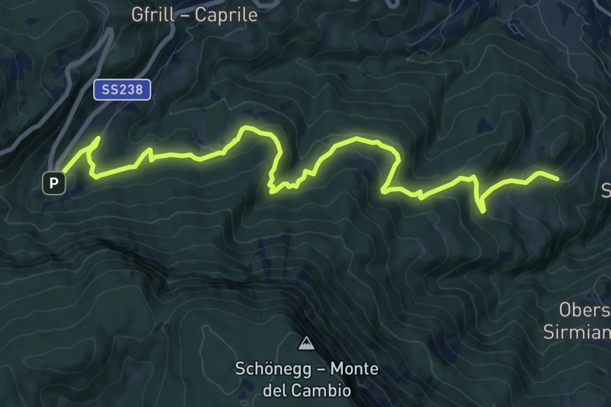
Medium · Trail
Wanderweg 7
13.7 km · ↑ 744 m · 4 h 51 min
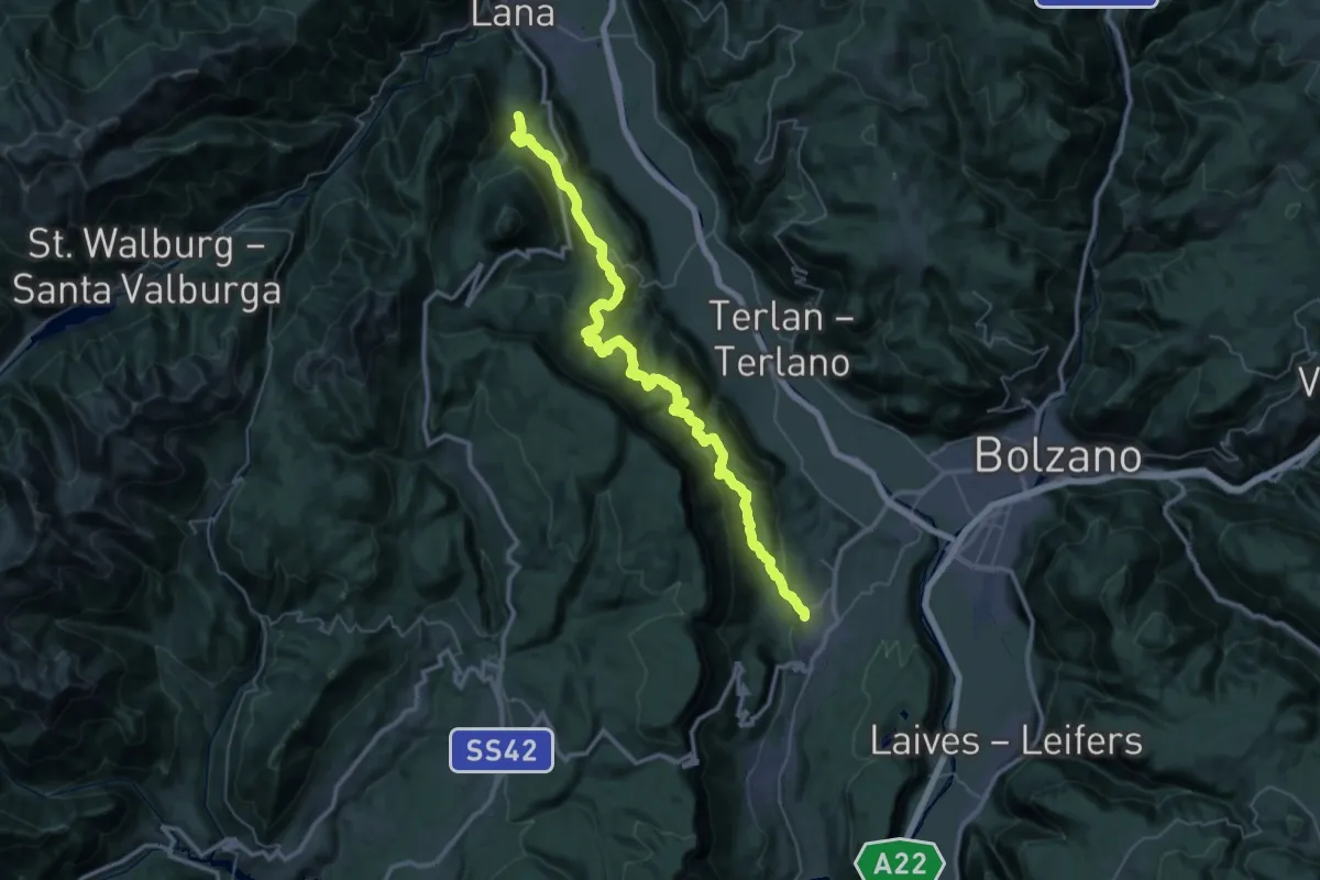
Demanding · Trail
Wanderweg 8
23.7 km · ↑ 1037 m · 8 h 19 min
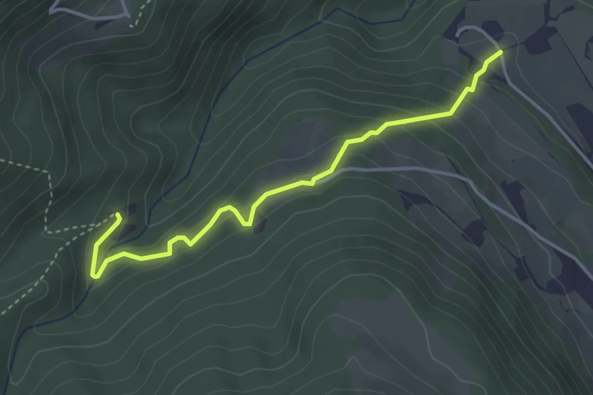
Easy · Trail
Wanderweg 8A
3.5 km · ↑ 255 m · 1 h 23 min
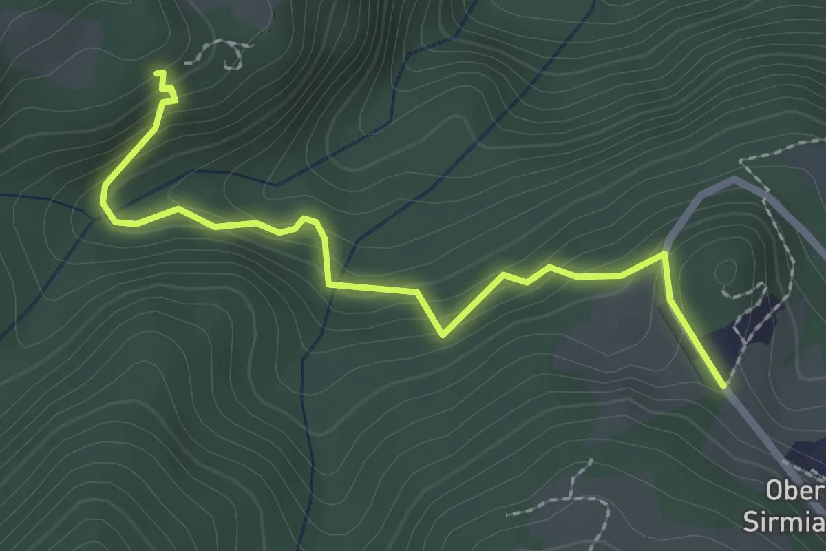
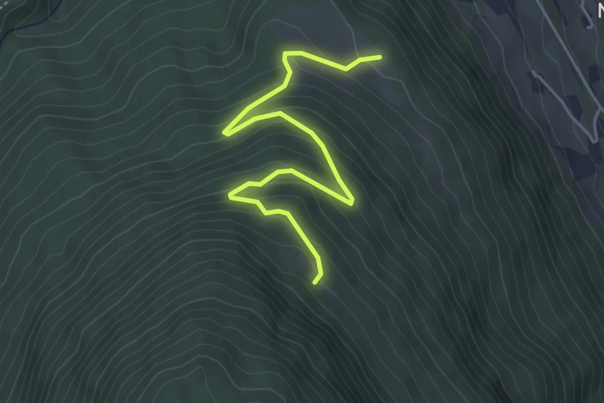
Easy · Trail
Wanderweg 8A
2.4 km · ↑ 184 m · 58 min
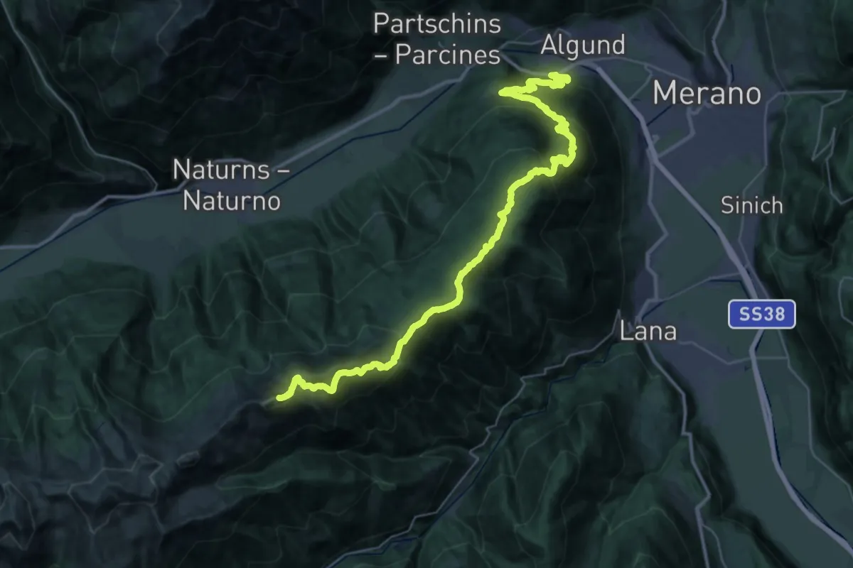
Easy · Trail
Wanderweg 9
4.5 km · ↑ 276 m · 1 h 39 min
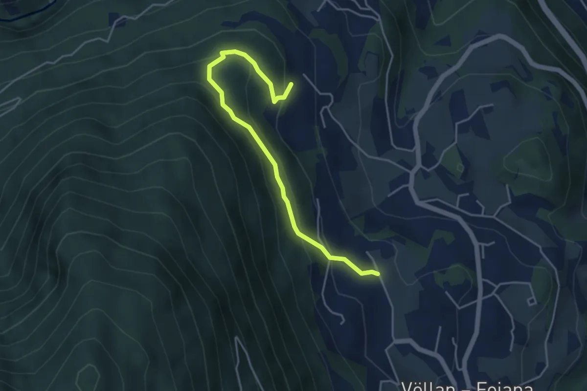
Demanding · Summit
Wanderweg 9
40.5 km · ↑ 2567 m · 15 h 7 min
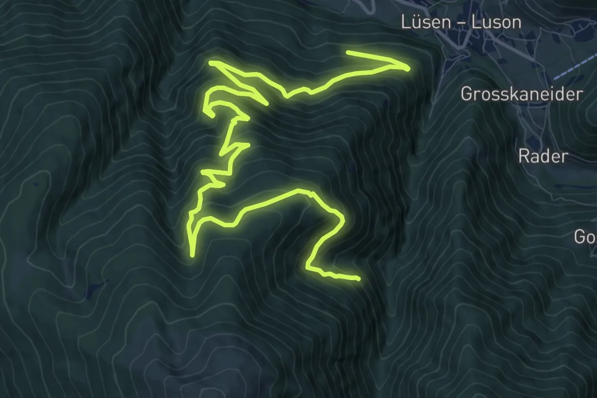
Medium · Trail
Wanderweg 9A
4.1 km · ↑ 308 m · 1 h 38 min
Demanding · Trail
Wanderweg G - Lüsen
18.0 km · ↑ 1290 m · 7 h 3 min
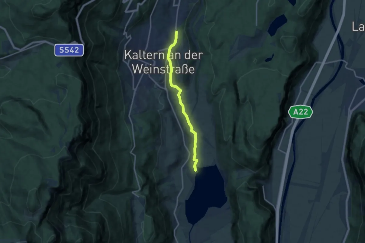
Medium · Trail
Wanderweg Kalterer See
9.2 km · ↑ 233 m · 2 h 41 min
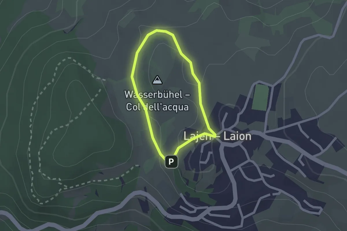
Easy · Summit
Wasserbühlrunde
1.4 km · ↑ 35 m · 26 min
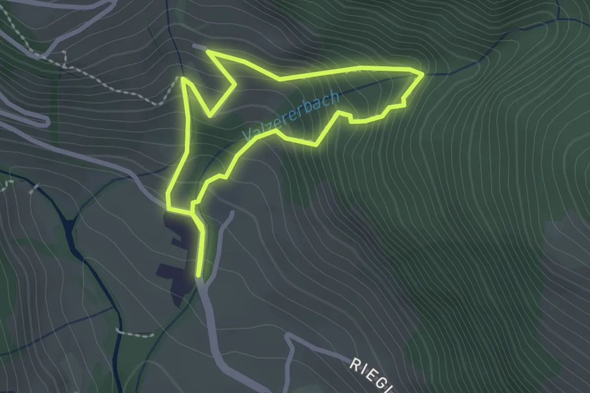
Easy · Trail
Wasserfall-Rundweg
1.9 km · ↑ 193 m · 54 min
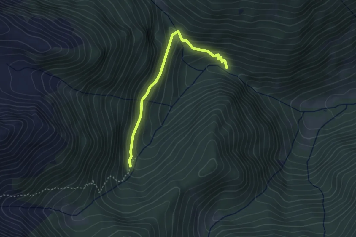
Easy · Trail
Wasserfallweg
3.2 km · ↑ 208 m · 1 h 12 min
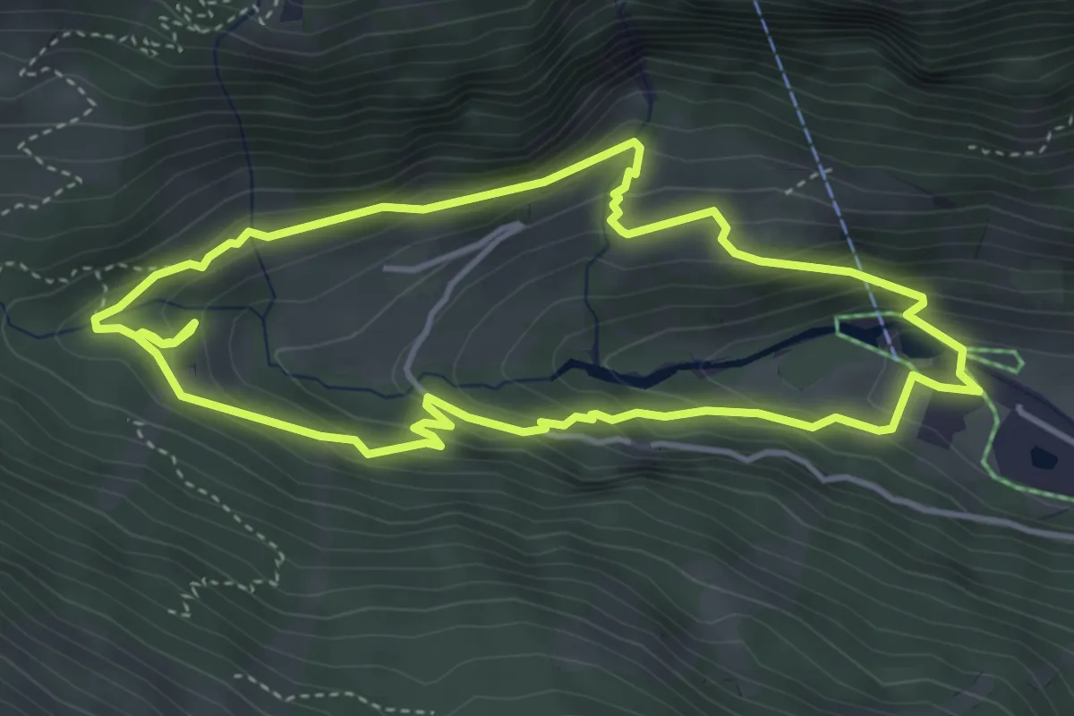
Demanding · Trail
Wasserfallweg
4.1 km · ↑ 280 m · 1 h 38 min
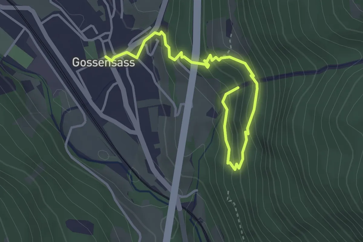
Medium · Trail
Wasserfallweg
3.7 km · ↑ 307 m · 1 h 33 min
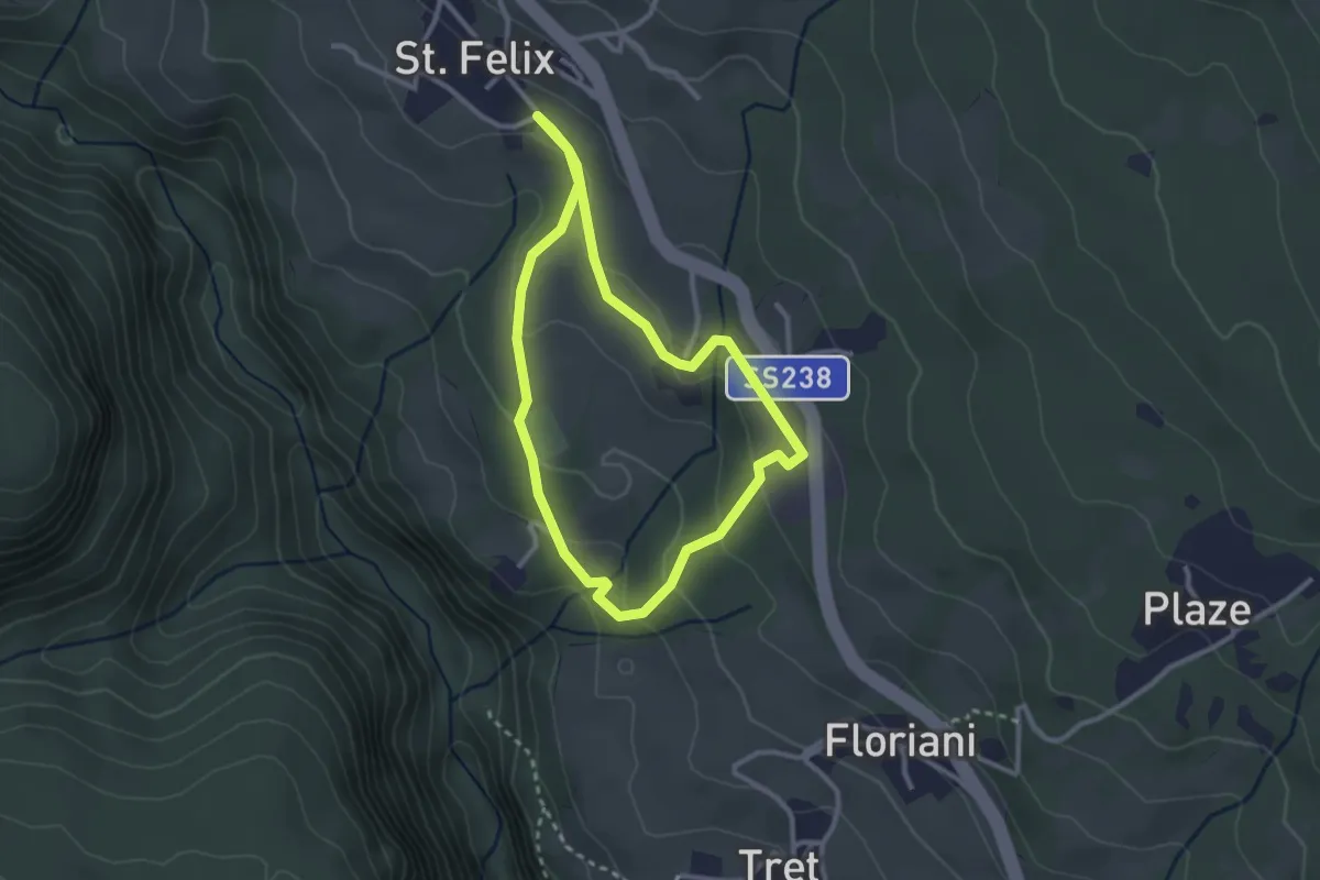
Easy · Trail
Wasserfallweg
2.5 km · ↑ 90 m · 49 min
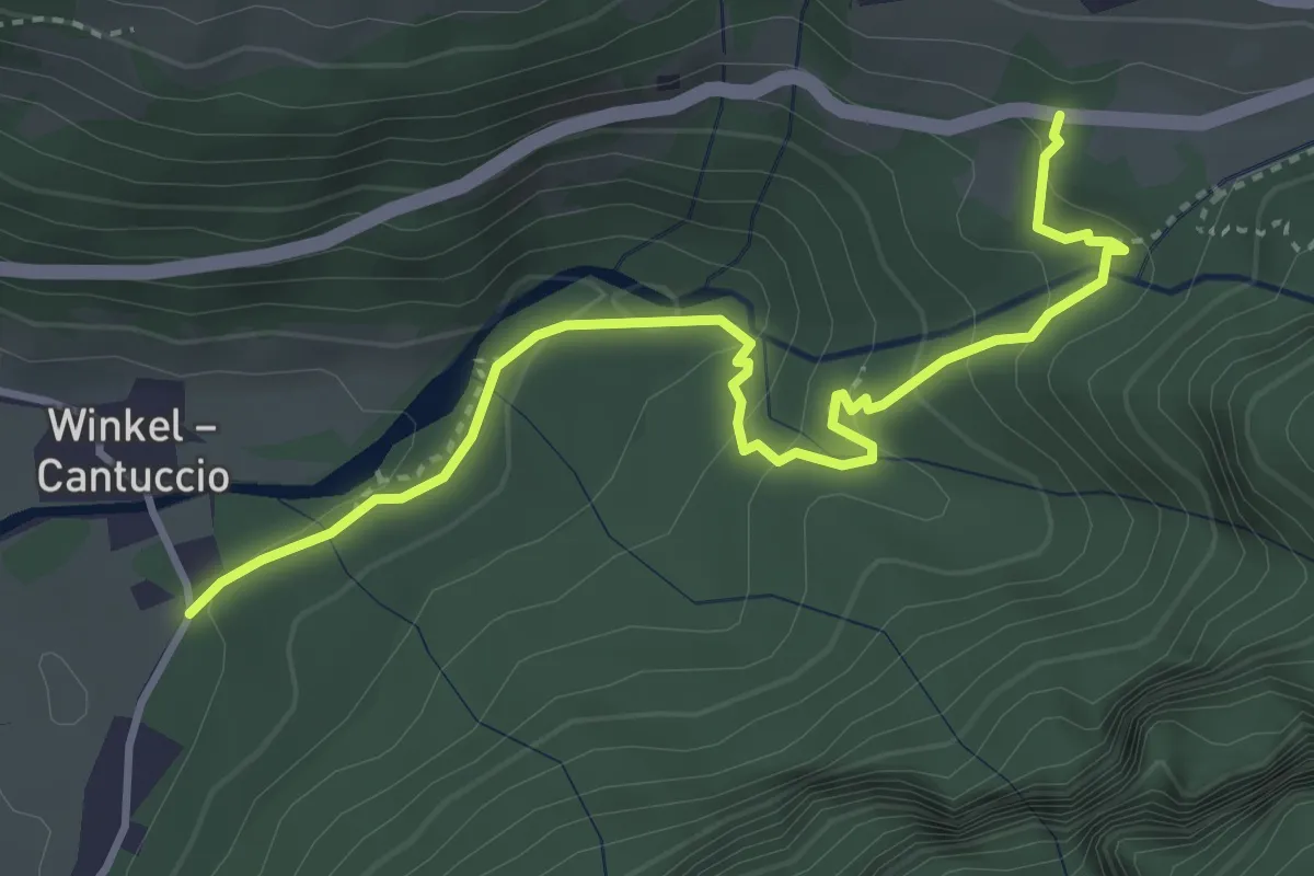
Medium · Trail
Wasserfallweg - Sentiero alle Cascate
4.0 km · ↑ 247 m · 1 h 29 min
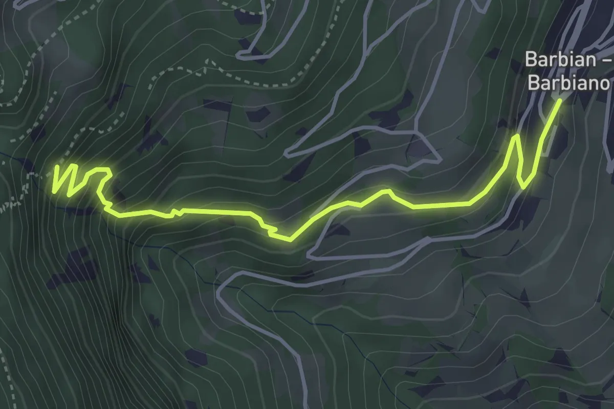
Medium · Trail
Wasserfallweg - Sentiero delle cascate
4.3 km · ↑ 429 m · 1 h 57 min
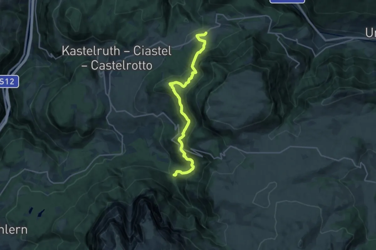
Demanding · Trail
Wassersteig
14.6 km · ↑ 923 m · 5 h 26 min
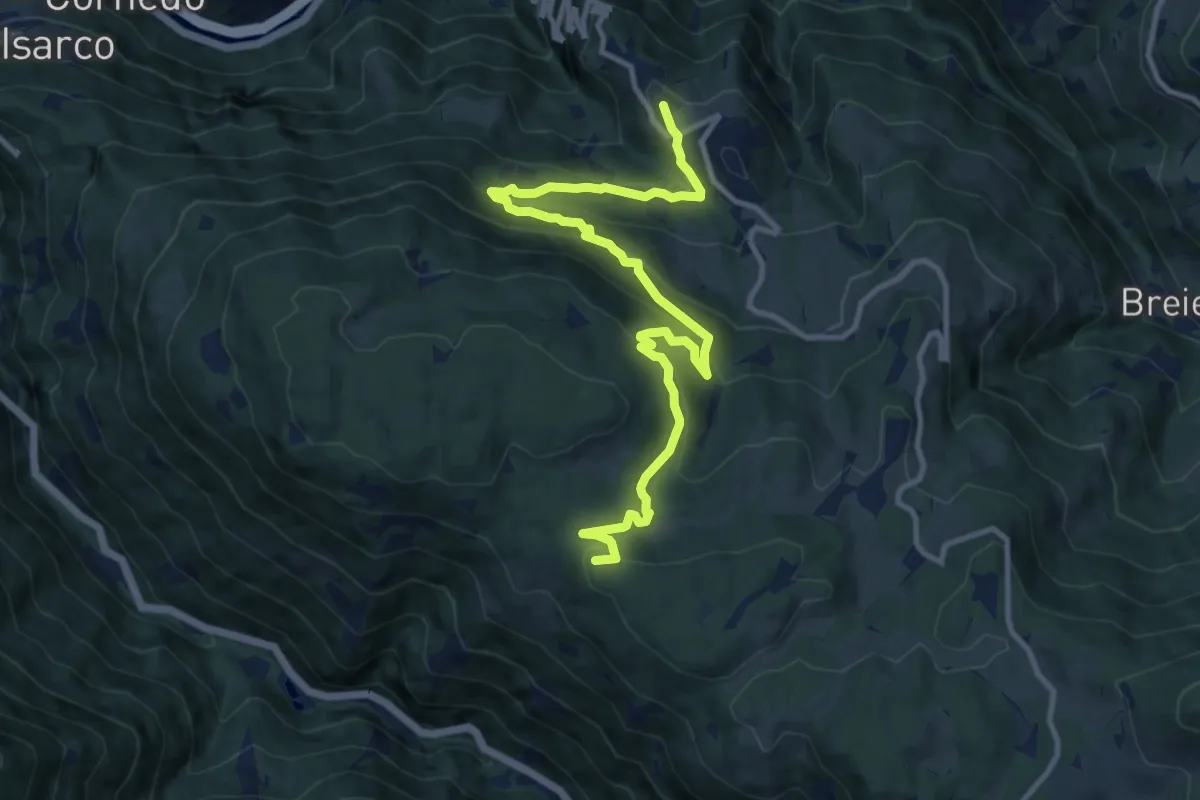
Medium · Summit
Weg der Sterne - Sentiero delle Stelle
12.7 km · ↑ 666 m · 4 h 26 min
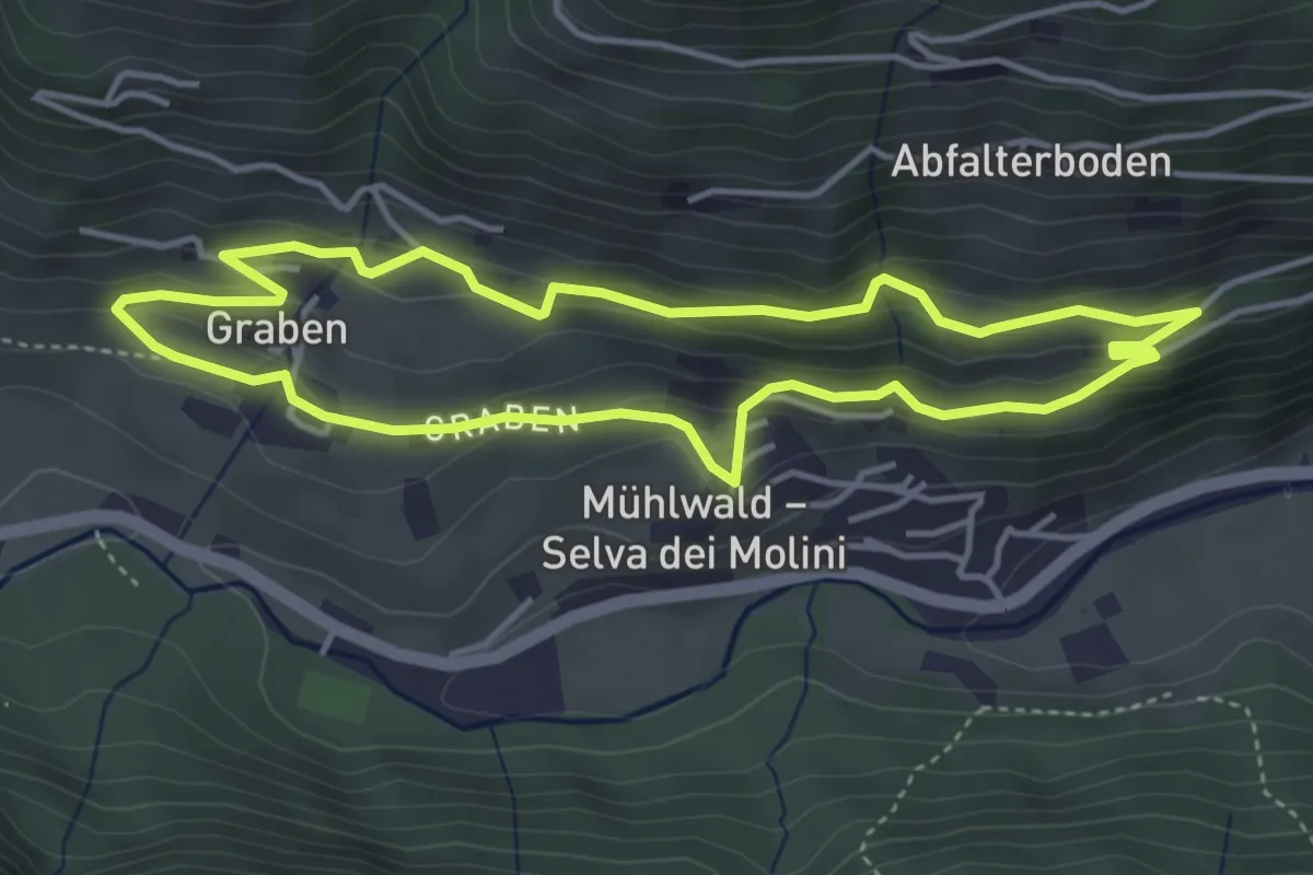
Easy · Trail
Weg übers Dorf
4.0 km · ↑ 199 m · 1 h 25 min
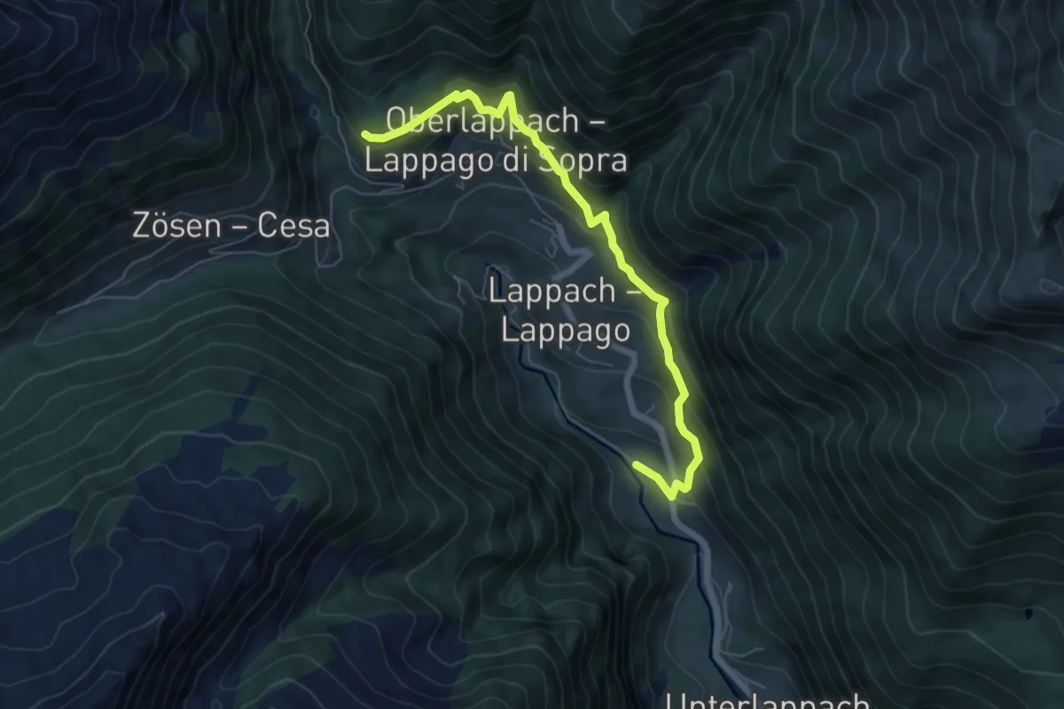
Medium · Trail
Weg übers Dorf
6.3 km · ↑ 586 m · 2 h 46 min
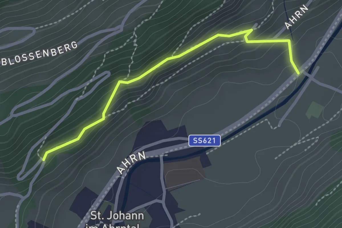
Easy · Trail
Weg übers Dorf
2.2 km · ↑ 137 m · 49 min
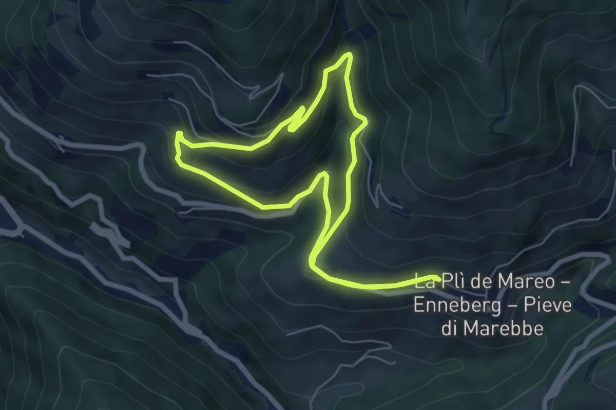
Easy · Trail
Weilerweg A
4.9 km · ↑ 233 m · 1 h 44 min
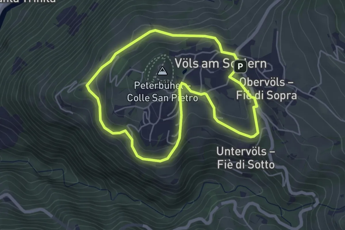
Easy · Trail
Weingartenweg
4.1 km · ↑ 166 m · 1 h 23 min