Trails in Italy
25,219 hiking trails, each with its route, climb, walking time and grade.
All trails, page 232 of 526
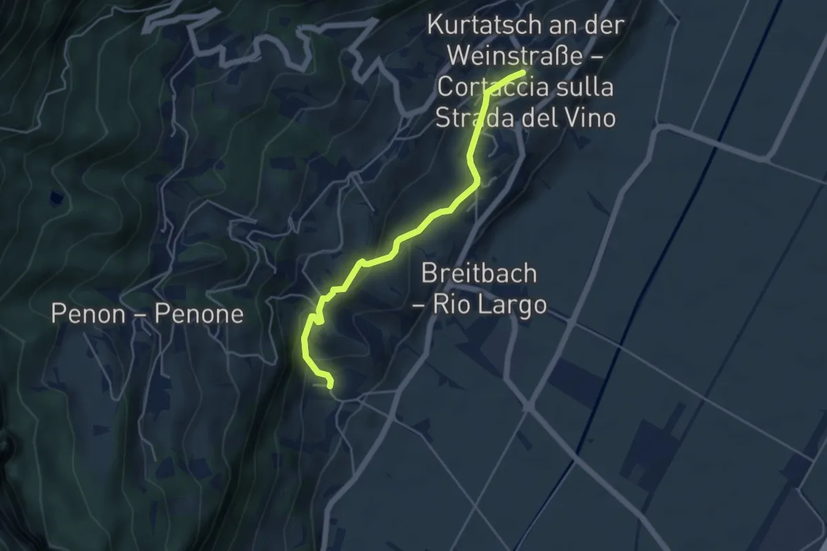
Easy · Trail
Weinlehrpfad
4.2 km · ↑ 237 m · 1 h 30 min
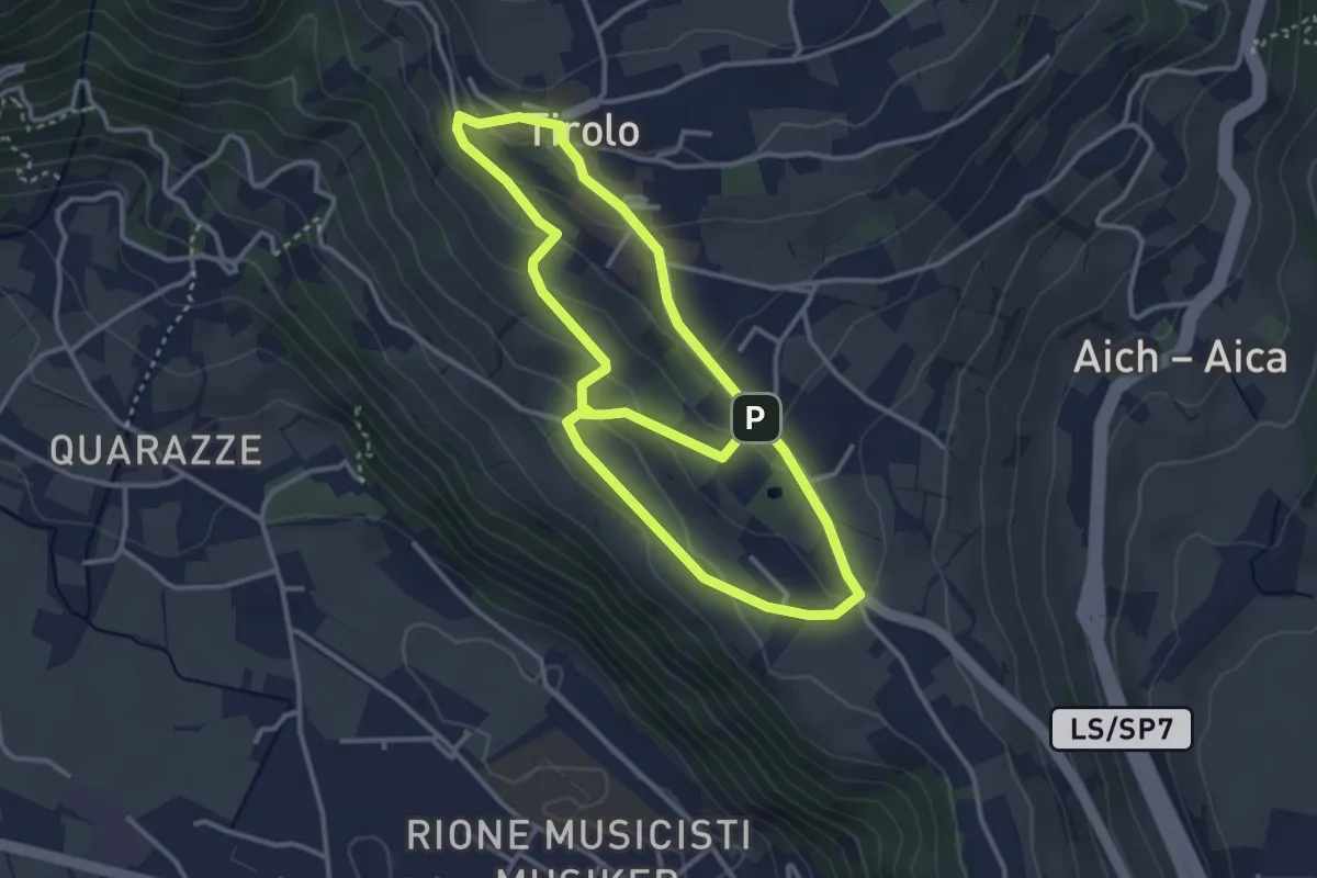
Easy · Trail
Weinweg
6.4 km · ↑ 301 m · 2 h 9 min
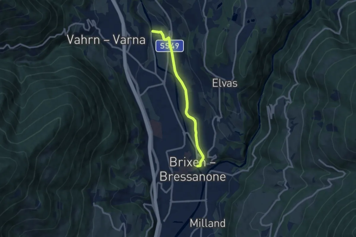
Easy · Trail
Weinweg Brixen-Neustift - Sentiero del Vino Bressanone-Novacella
6.7 km · ↑ 122 m · 1 h 50 min
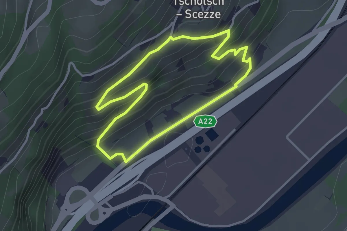
Easy · Trail
Weinweg - Sentiero del vino
2.7 km · ↑ 167 m · 1 h 3 min
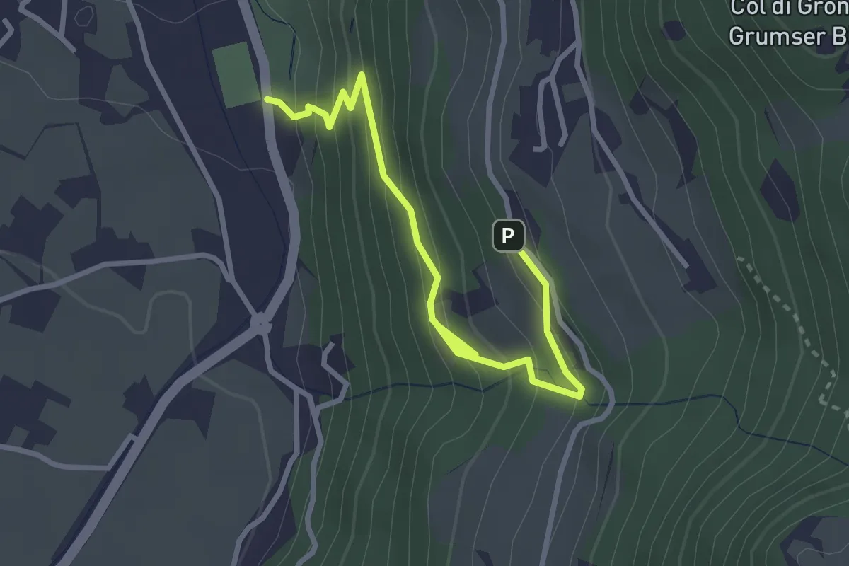
Medium · Trail
Weissplatter
3.3 km · ↑ 322 m · 1 h 28 min
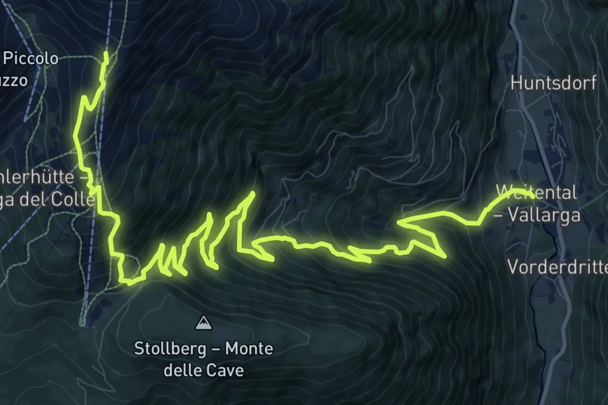
Demanding · Trail
Weitental => Gitschberg
18.9 km · ↑ 1496 m · 7 h 42 min
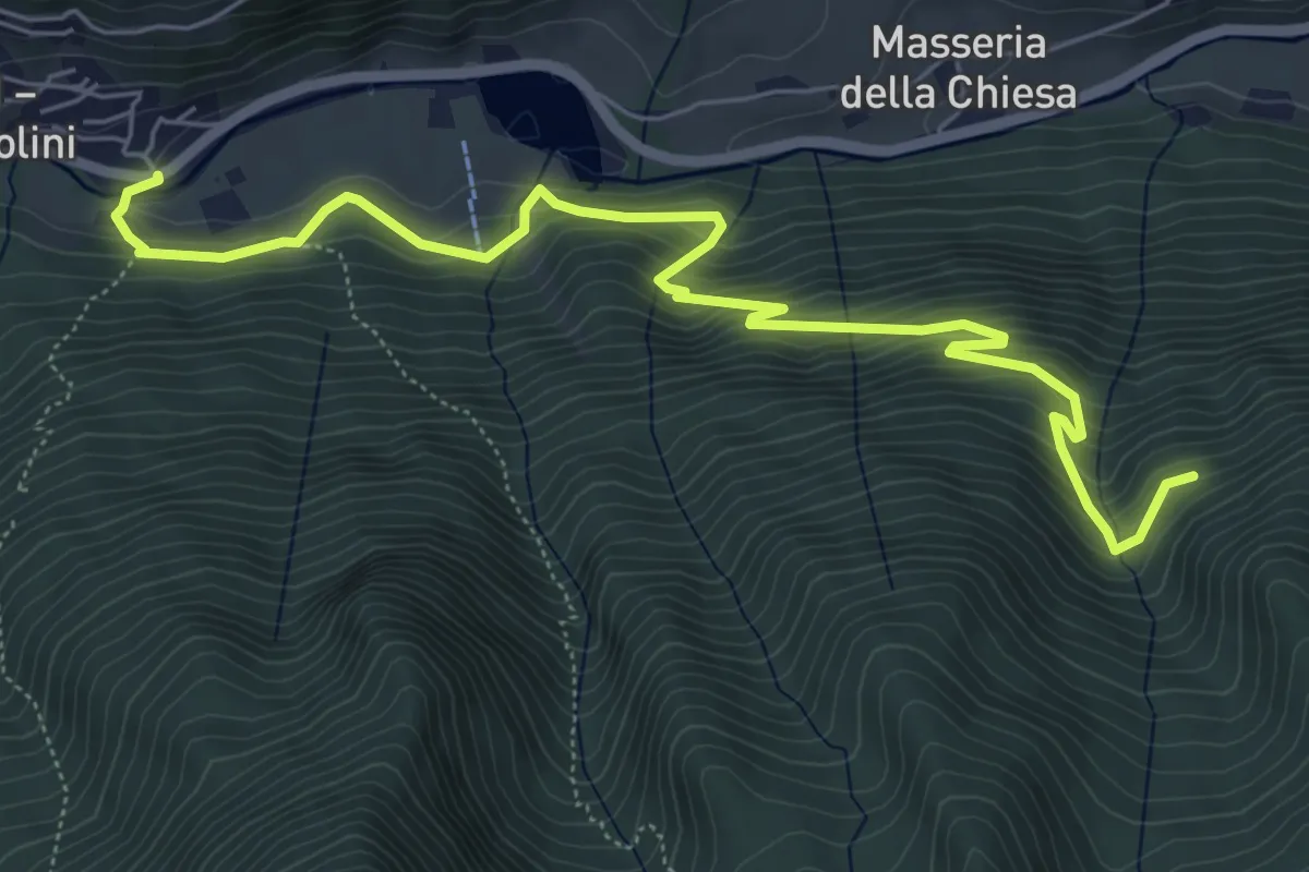
Medium · Trail
Wengsee - Lago di Venga
7.3 km · ↑ 510 m · 2 h 49 min
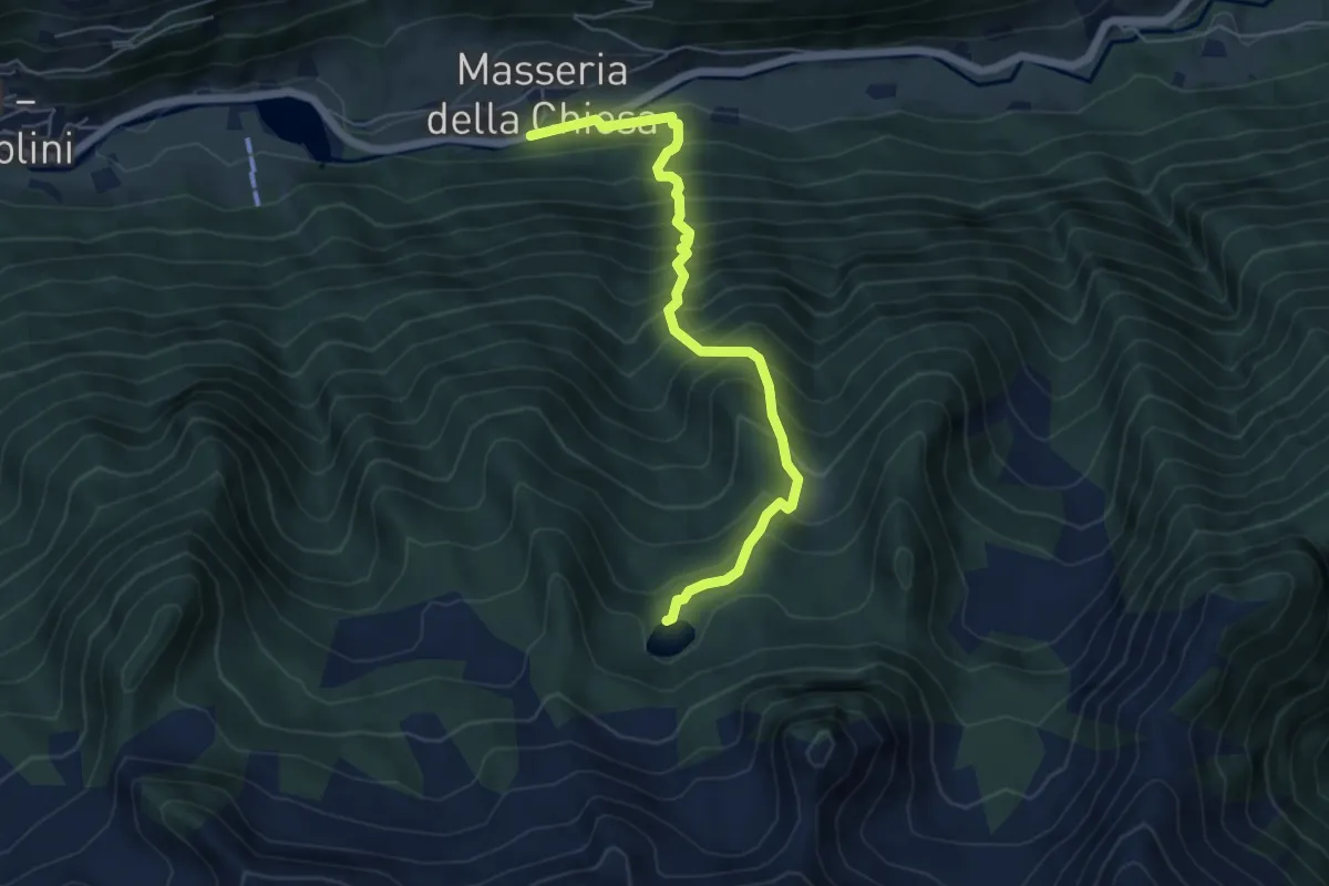
Medium · Trail
Wengsee - Lago di Venga
5.7 km · ↑ 789 m · 3 h 3 min
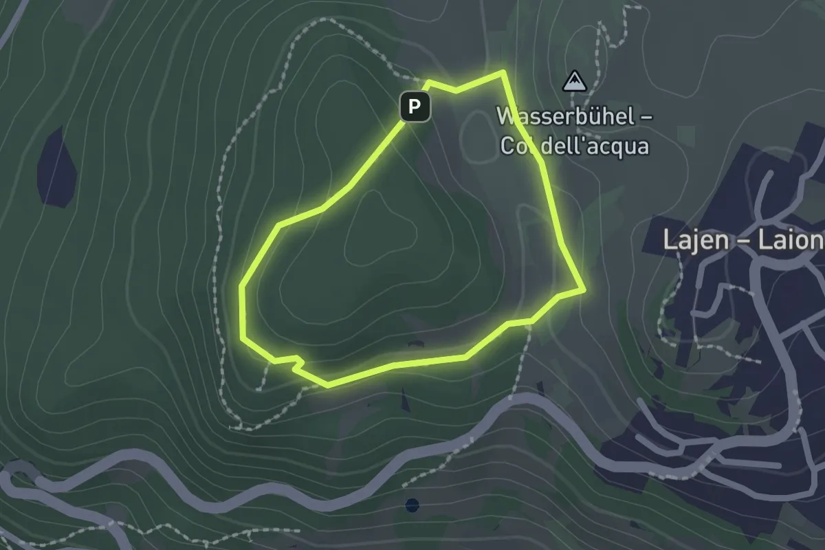
Easy · Summit
Wetterkreuzsteig
1.5 km · ↑ 41 m · 28 min
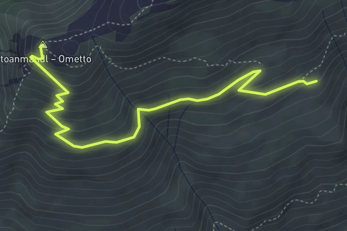
Medium · Summit
Wieges Rundweg
5.1 km · ↑ 300 m · 1 h 52 min
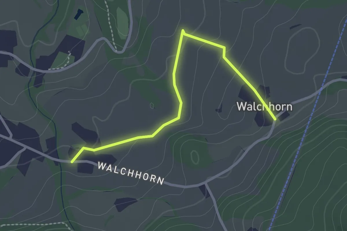
Easy · Trail
Wiesenweg
2.5 km · ↑ 64 m · 44 min
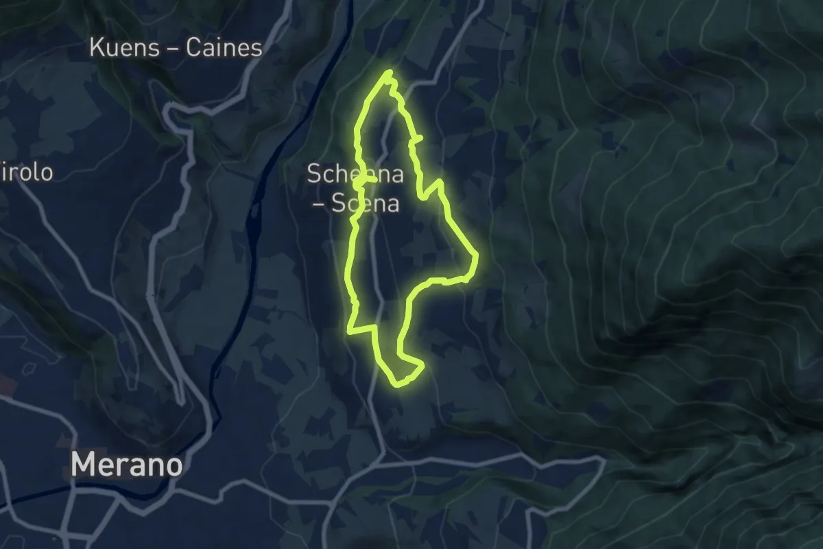
Easy · Trail
Wiesenweg
6.6 km · ↑ 285 m · 2 h 15 min
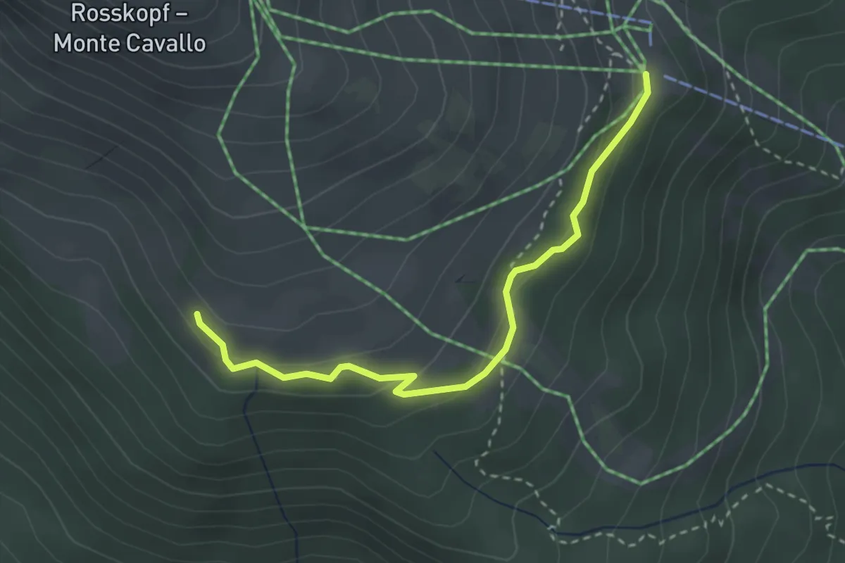
Medium · Trail
Winterwanderweg
3.0 km · ↑ 140 m · 1 h 1 min
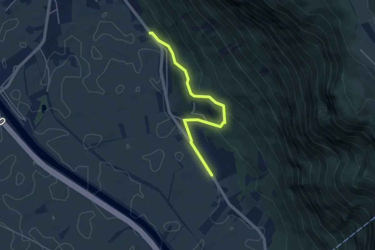
Easy · Trail
Wolfsgrubensteig
3.6 km · ↑ 229 m · 1 h 21 min
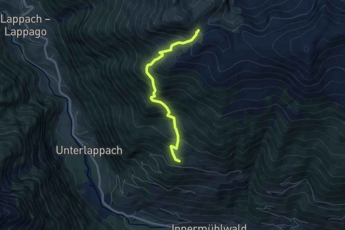
Medium · Trail
Wurmtaler Jöchl
5.4 km · ↑ 608 m · 2 h 35 min
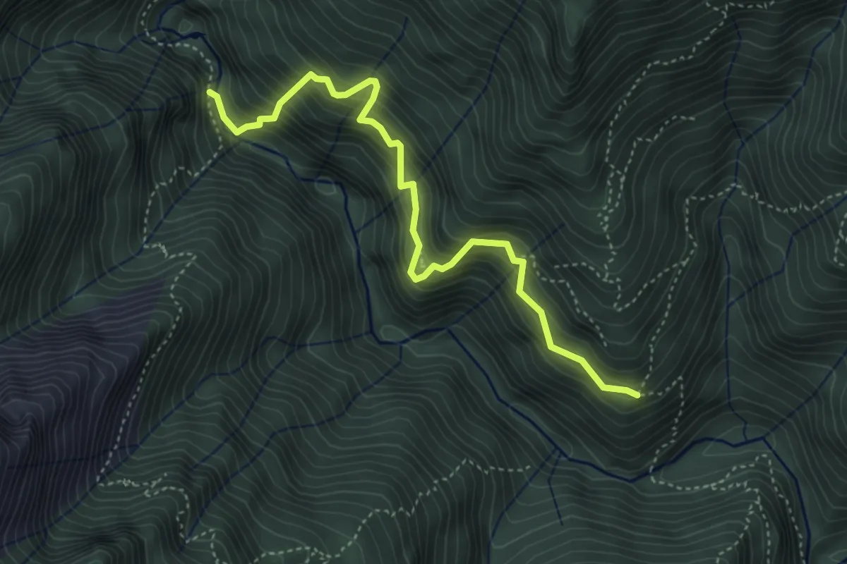
Demanding · Trail
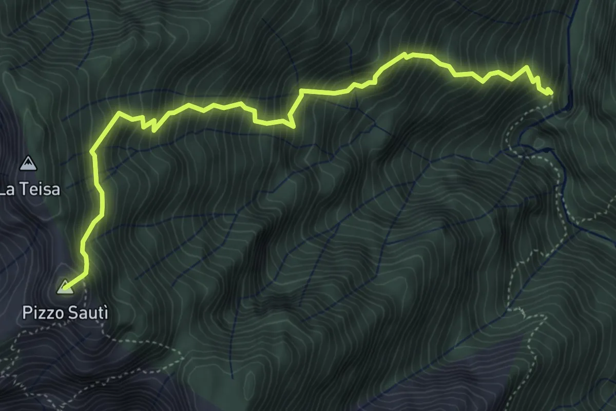
X01 - La strà di vacch
4.5 km · ↑ 655 m · 2 h 29 min
Expert · Summit
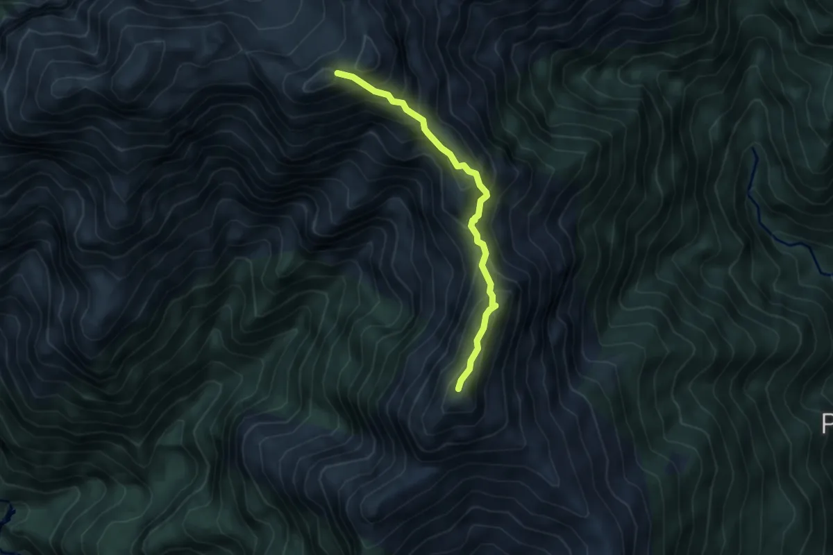
X06 - Orfalecchio - Alpe Rodugno - Bocchetta di Saltir
5.7 km · ↑ 1069 m · 3 h 40 min
Expert · Summit
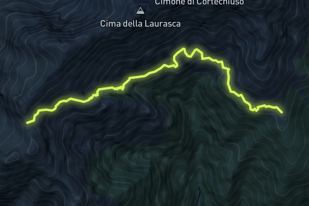
X07SN - Strette del Casè via Cima Sasso da Sud a Nord
4.1 km · ↑ 430 m · 1 h 54 min
Expert · Cabin
X14 - Alpe Busarasca - Bocchetta di Campo
8.2 km · ↑ 1084 m · 4 h 17 min
Expert · Summit
X7NS - Strette del Casè via Cima Sasso da Nord a Sud
4.1 km · ↑ 430 m · 1 h 54 min
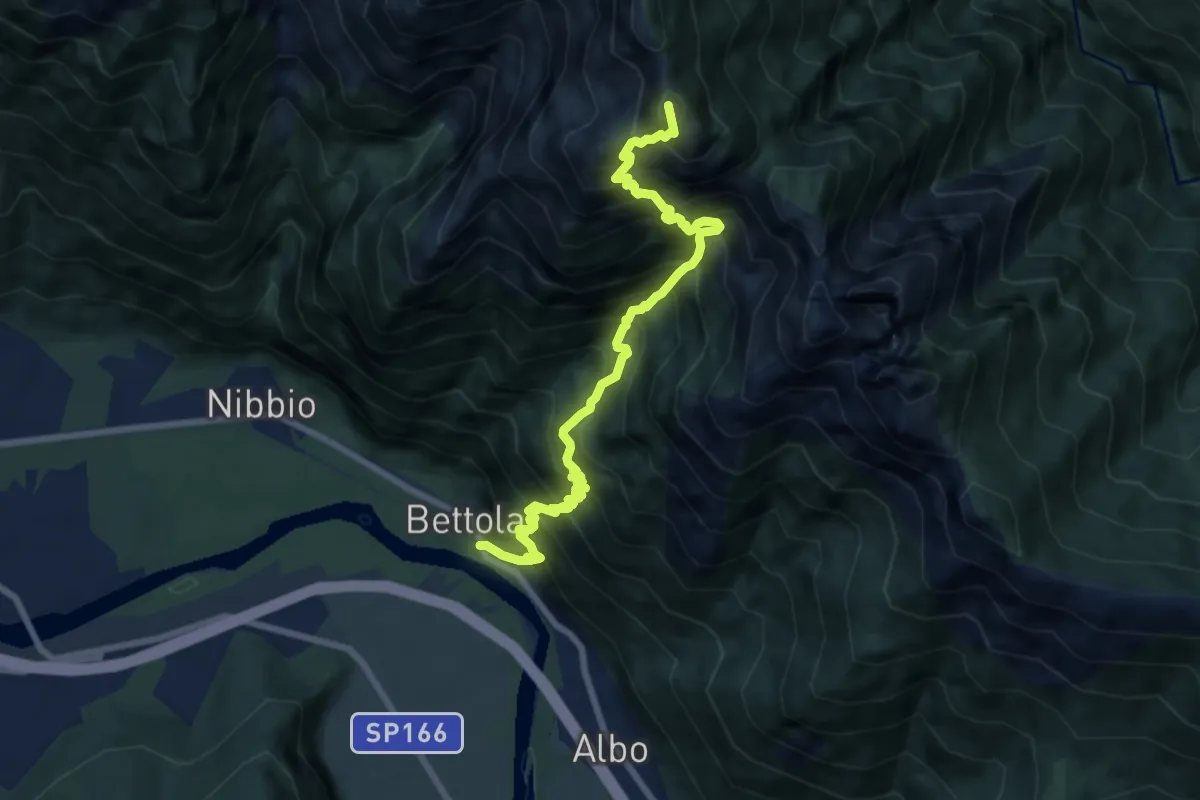
Demanding · Summit
XA48 - Bettola - Strada Cadorna - Alpe Corte - Bta di Saltir
9.2 km · ↑ 1685 m · 5 h 49 min
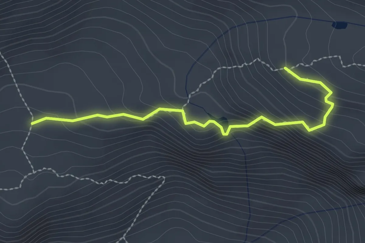
Medium · Cabin
XF4 - Pian d'Erbioi - Bivacco delle Guide Farello
2.5 km · ↑ 205 m · 1 h 2 min
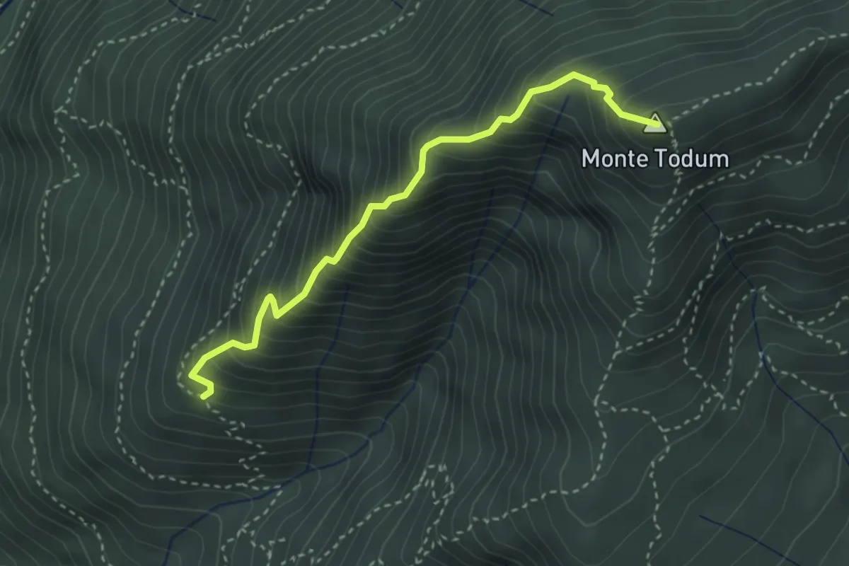
Expert · Summit
XP0B - Filo di Nolezzo
3.2 km · ↑ 543 m · 1 h 56 min
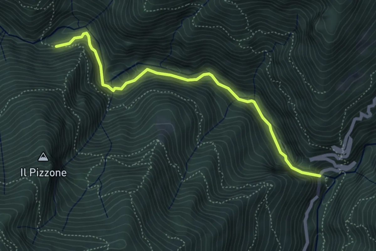
Demanding · Trail
XP1A - Ponte Casletto - Ponte Velina
5.2 km · ↑ 347 m · 1 h 58 min
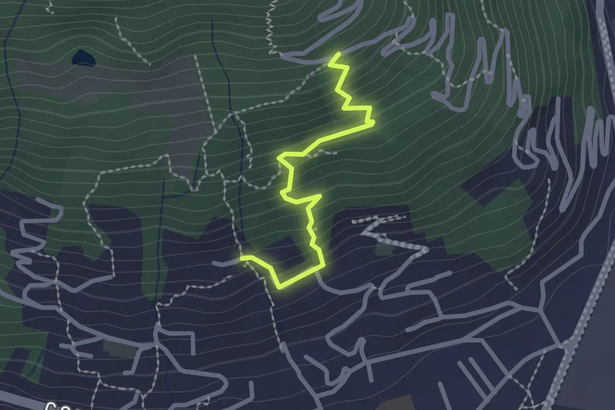
Medium · Trail
XP1B - Raccordo tra P01 e P01b visitando Villa Giuseppina
2.1 km · ↑ 201 m · 55 min
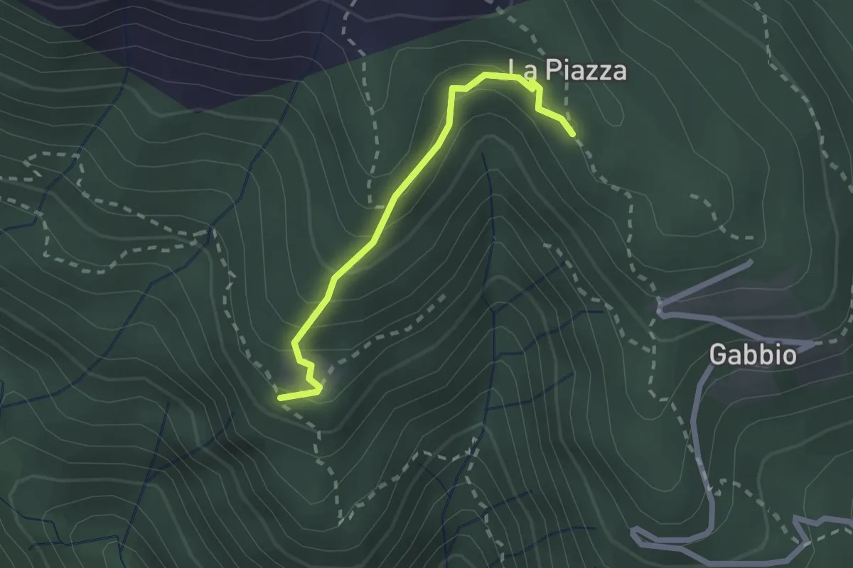
Medium · Trail
XR1A - Steppio - La Piazza
1.9 km · ↑ 173 m · 50 min
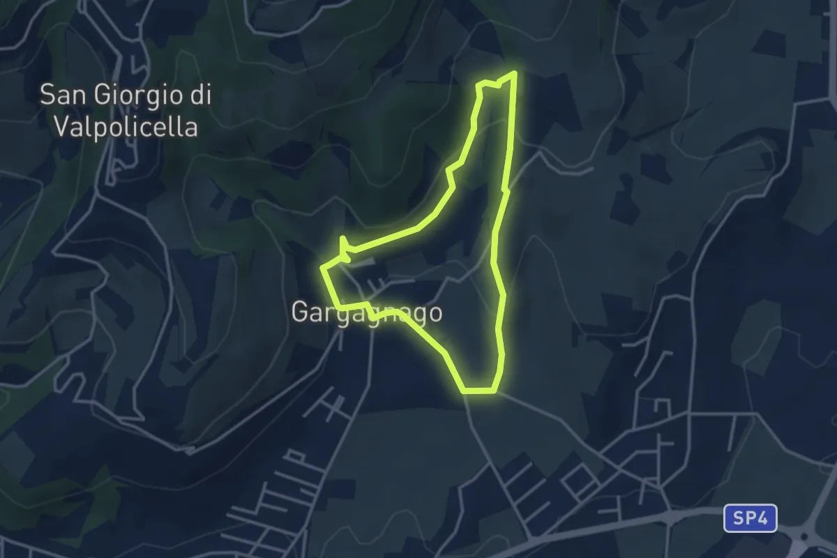
Easy · Trail
yellow "G" marked trail
2.9 km · ↑ 111 m · 59 min
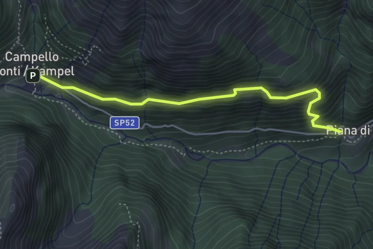
Medium · Trail
Z00b - Piana di Forno - Campello Monti
4.1 km · ↑ 352 m · 1 h 44 min
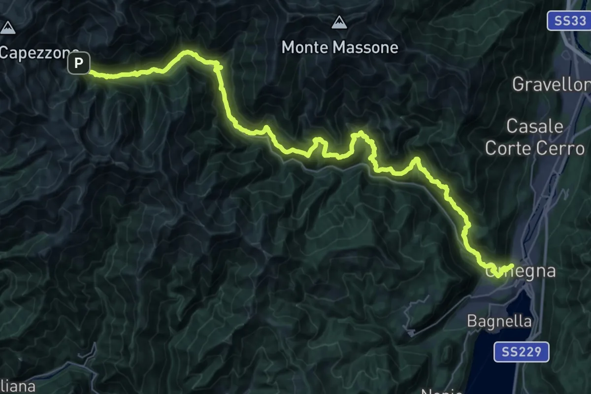
Demanding · Trail
Z00 - Strà Vegia
22.8 km · ↑ 1928 m · 9 h 23 min
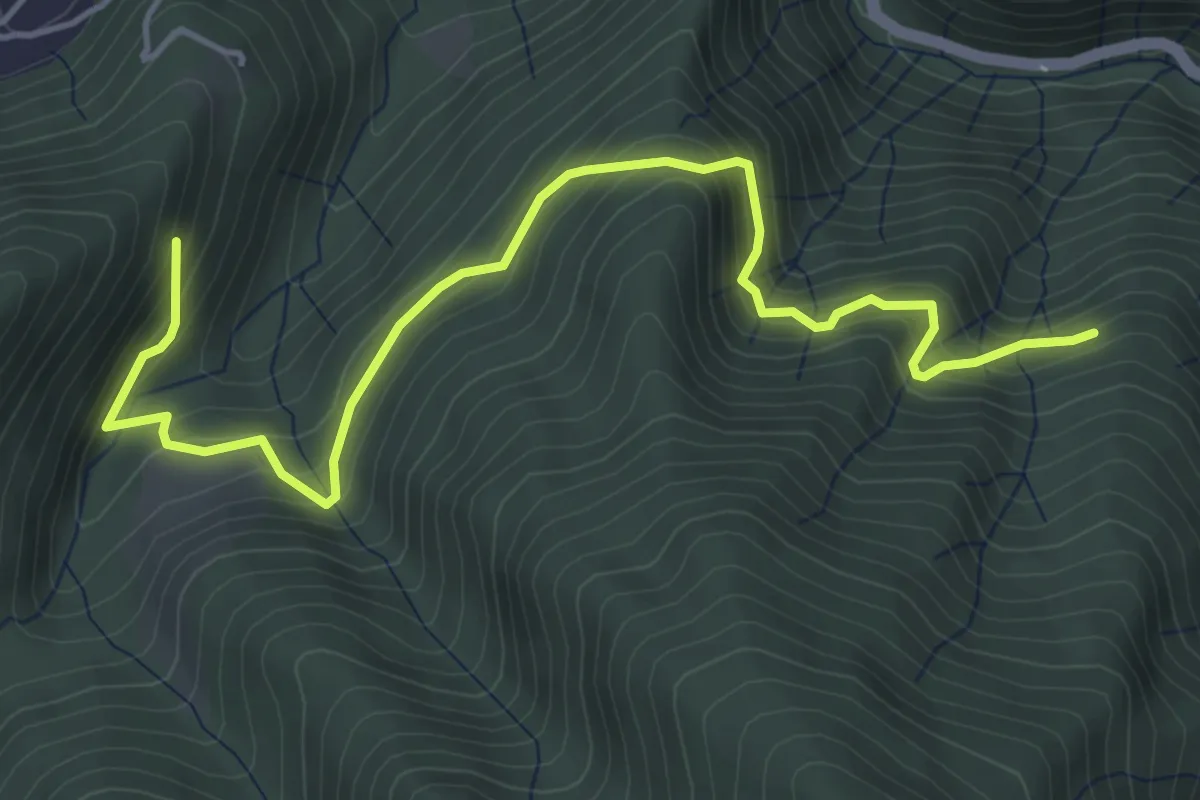
Medium · Trail
Z01a - Fornero - Bivio Z01
5.6 km · ↑ 534 m · 2 h 28 min
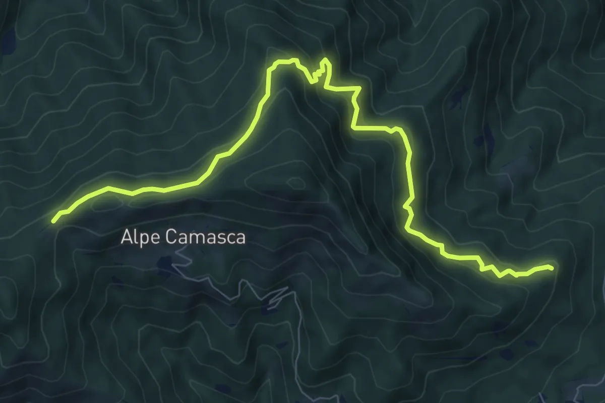
Medium · Trail
Z01b - er del Fi - Cò di Stobi
9.8 km · ↑ 698 m · 3 h 50 min
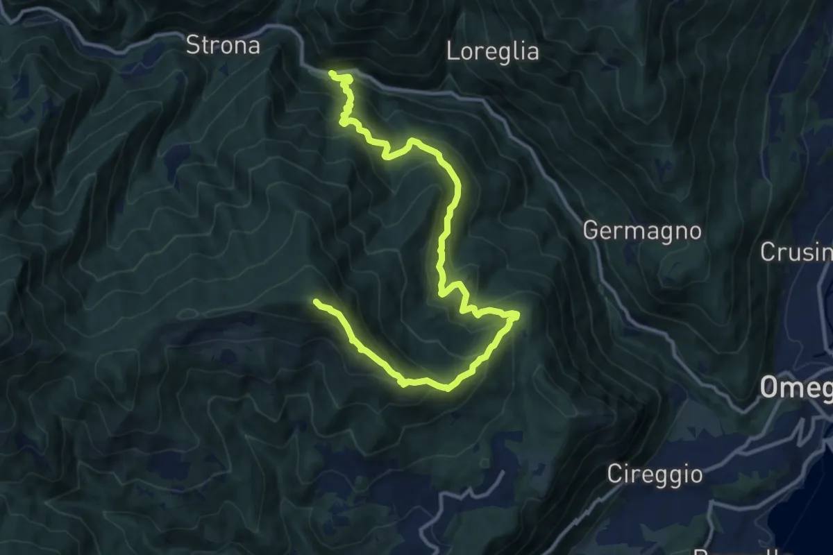
Demanding · Summit
Z01 - Strona - Monte Mazzoccone
13.7 km · ↑ 1306 m · 6 h 4 min
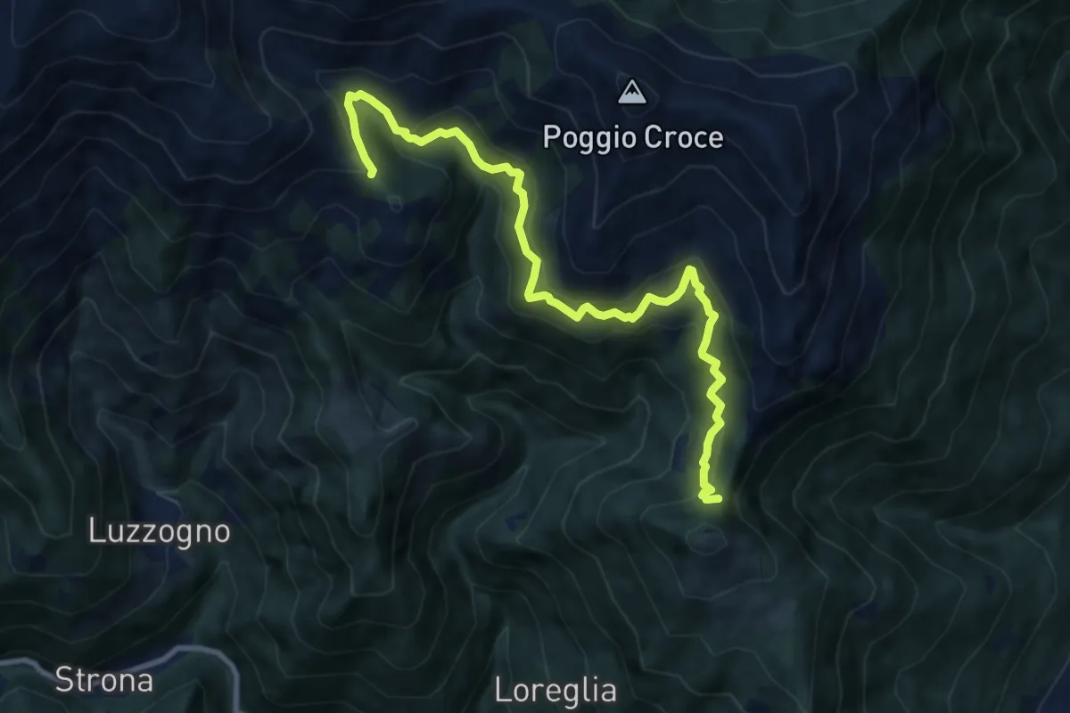
Demanding · Trail
Z02a - Colle Vallessa - Bocchetta Frera
10.0 km · ↑ 807 m · 4 h 6 min
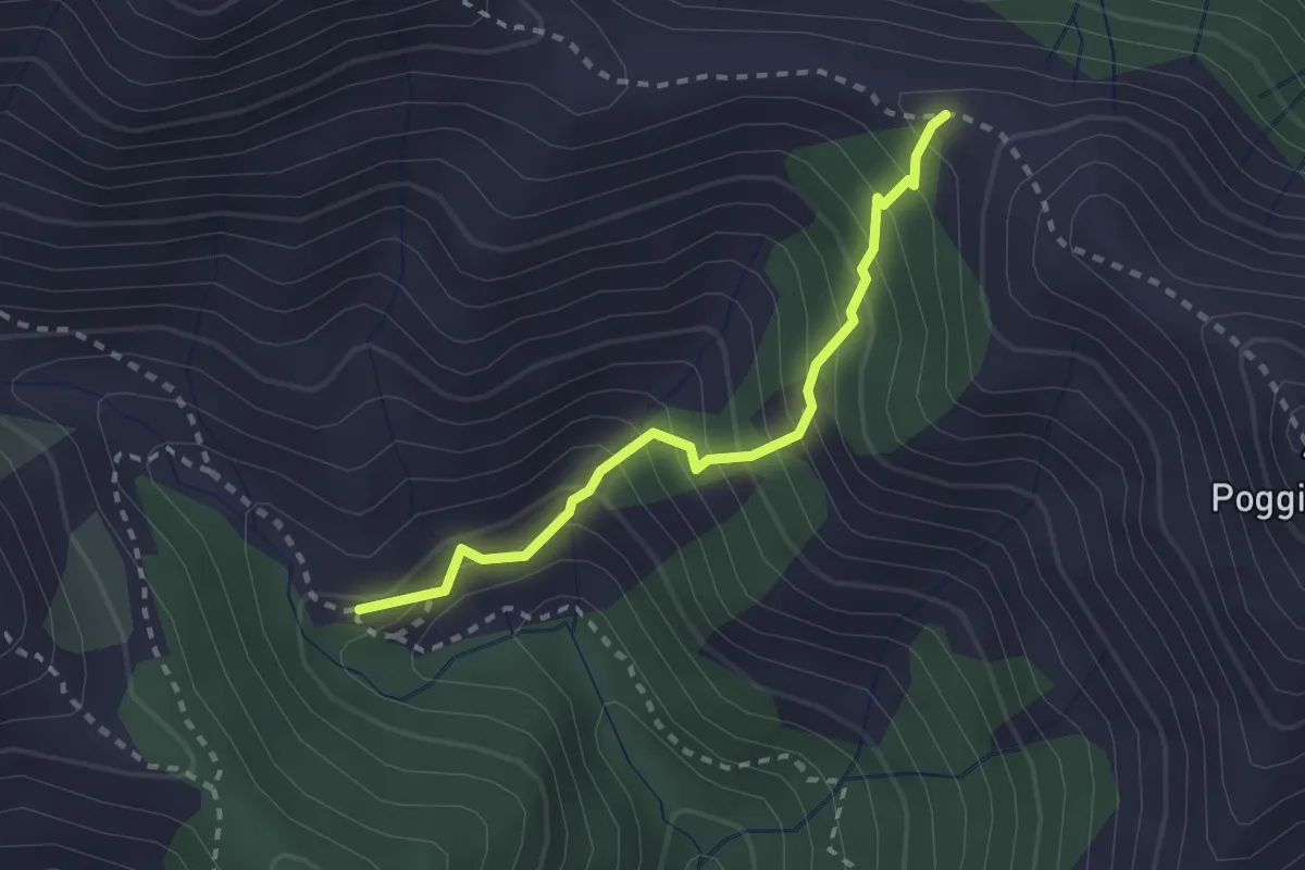
Medium · Trail
Z02b - Alpe Bagnone - Bocchetta di Bagnone
2.4 km · ↑ 298 m · 1 h 12 min
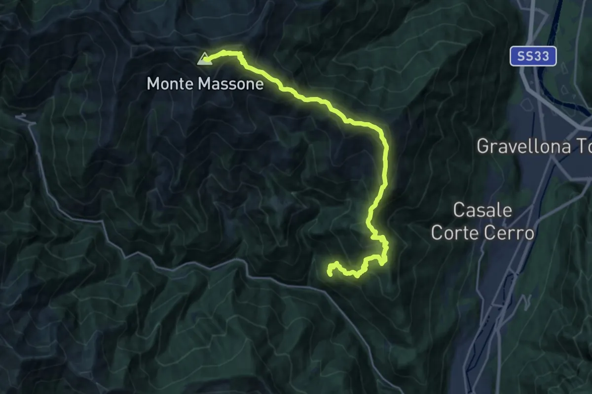
Demanding · Summit
Z02 - Loreglia - Monte Massone
21.3 km · ↑ 1970 m · 9 h 17 min
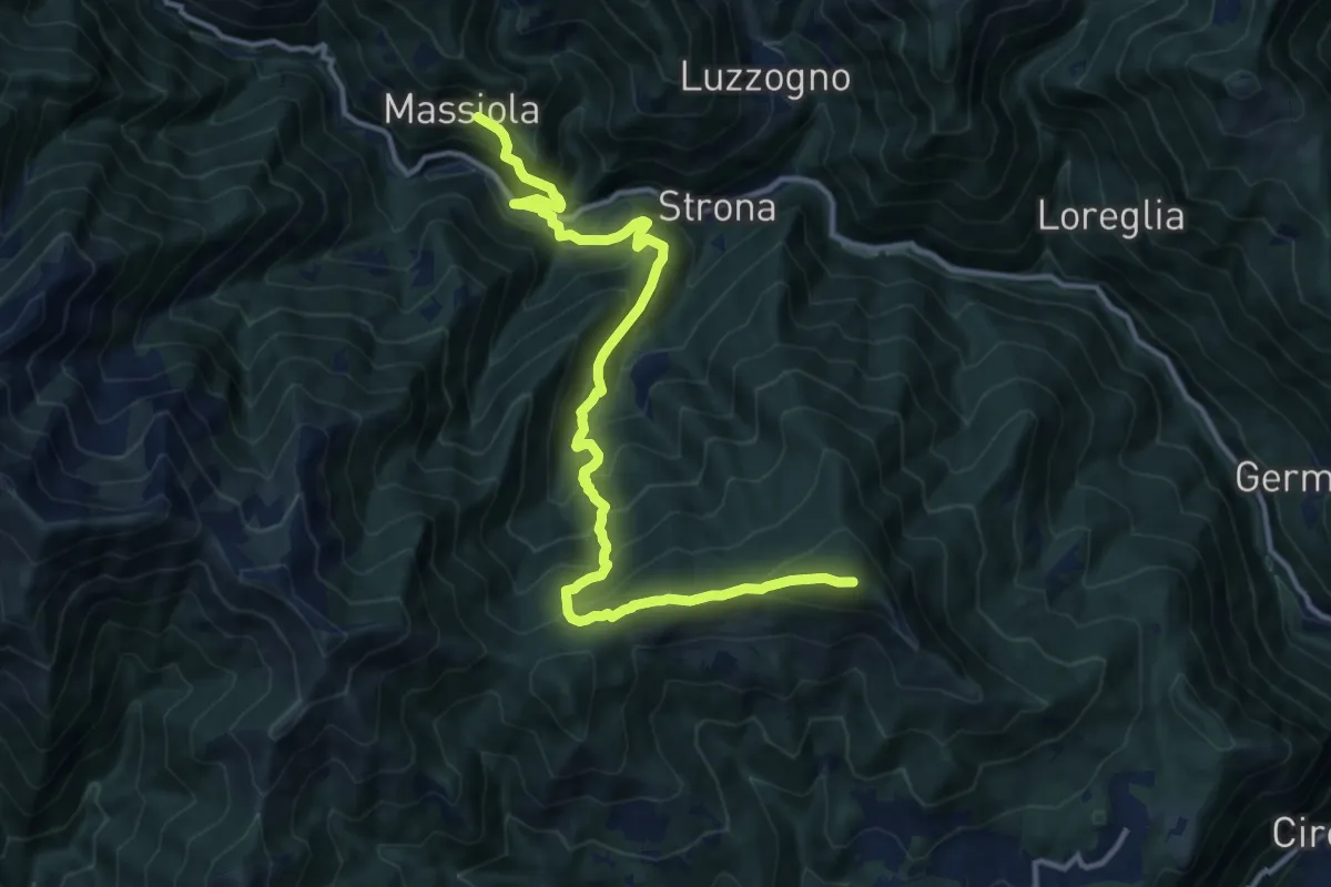
Demanding · Summit
Z03 - Massiola - Monte Mazzucone
14.3 km · ↑ 1122 m · 5 h 48 min
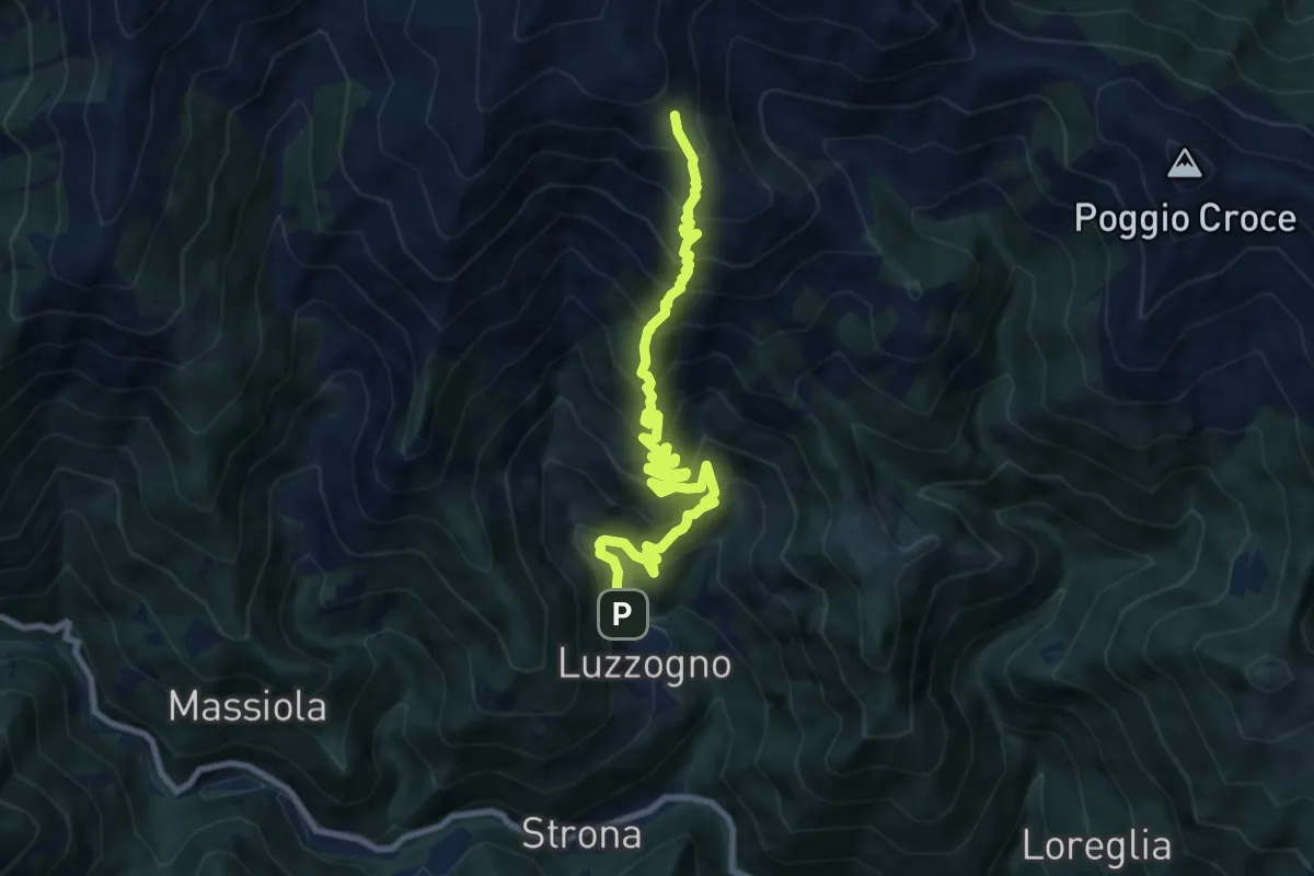
Demanding · Trail
Z04a - Luzzogno - Alpe Campallero
9.8 km · ↑ 1152 m · 4 h 48 min
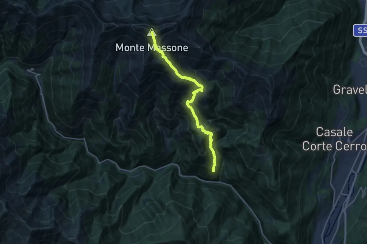
Demanding · Summit
Z04 - Chesio - Monte Massone
13.2 km · ↑ 1533 m · 6 h 26 min
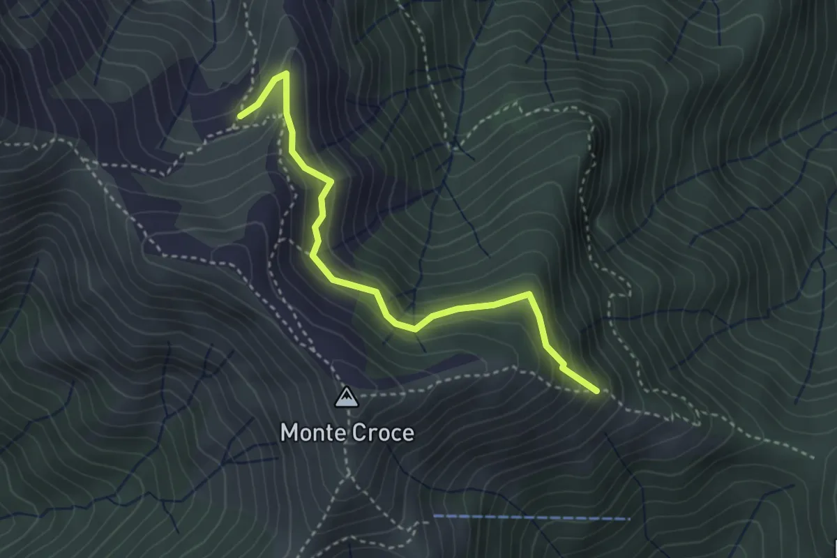
Demanding · Trail
Z05a - Alpe Campo - Bivio T20
3.4 km · ↑ 278 m · 1 h 24 min
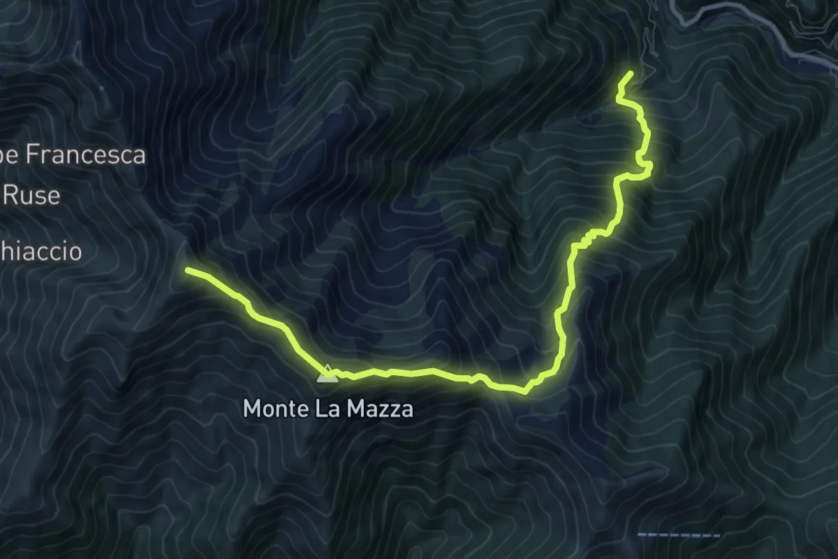
Demanding · Summit
Z05 - Sambughetto - Massa del Turlo
10.3 km · ↑ 1232 m · 5 h 6 min
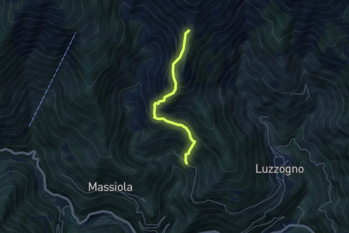
Demanding · Trail
Z06a - Inuggio - Bivio Z06
4.0 km · ↑ 682 m · 2 h 25 min
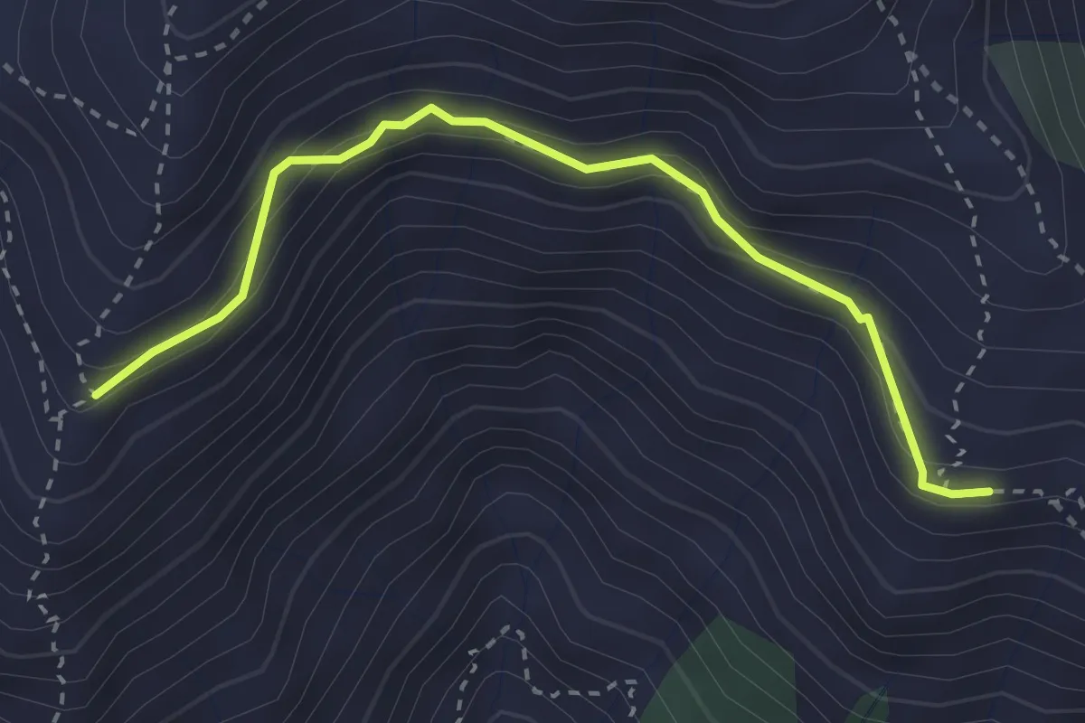
Demanding · Trail
Z06b - Alpe Toriggia - Alpe Campallero
3.1 km · ↑ 253 m · 1 h 17 min
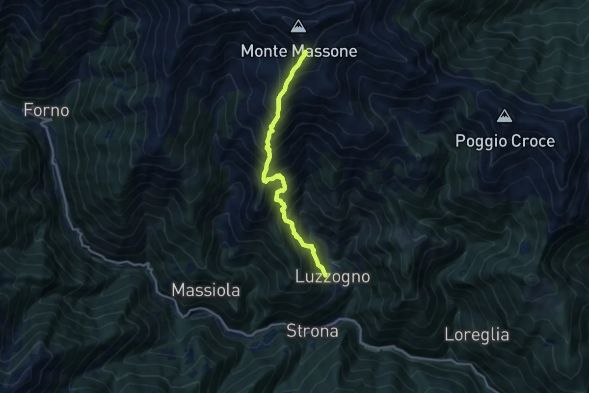
Demanding · Trail
Z06 - Luzzogno - Monte Massone
8.8 km · ↑ 1371 m · 5 h 3 min
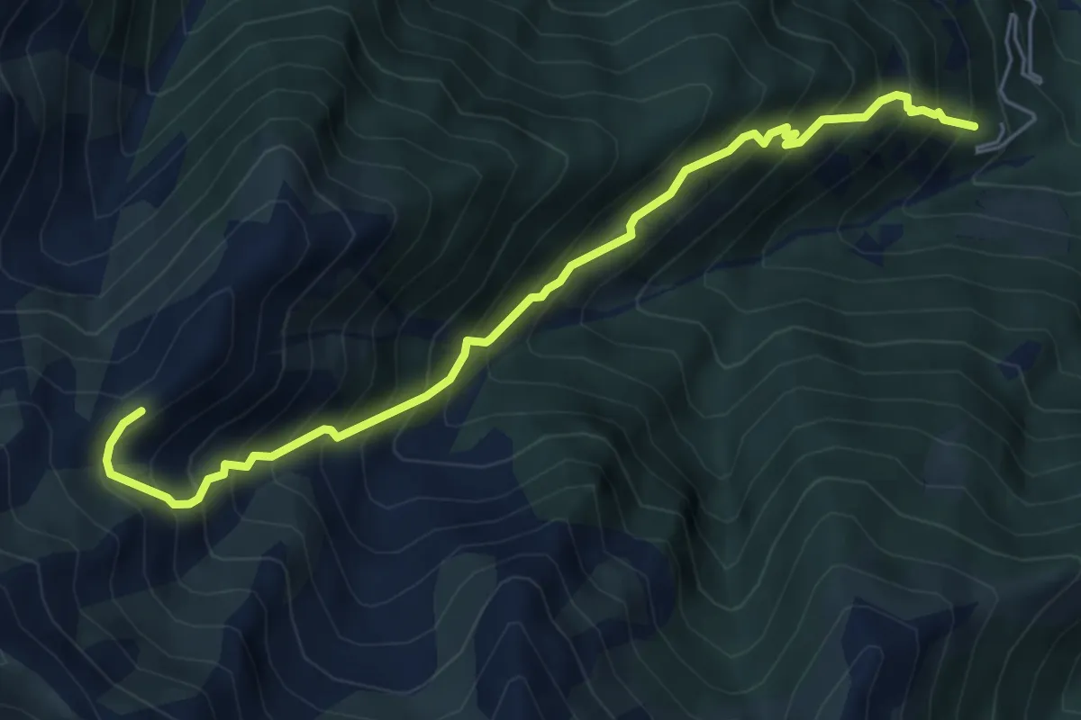
Demanding · Trail
Z07 - Sambughetto - Alpe Chignolo
6.0 km · ↑ 929 m · 3 h 26 min
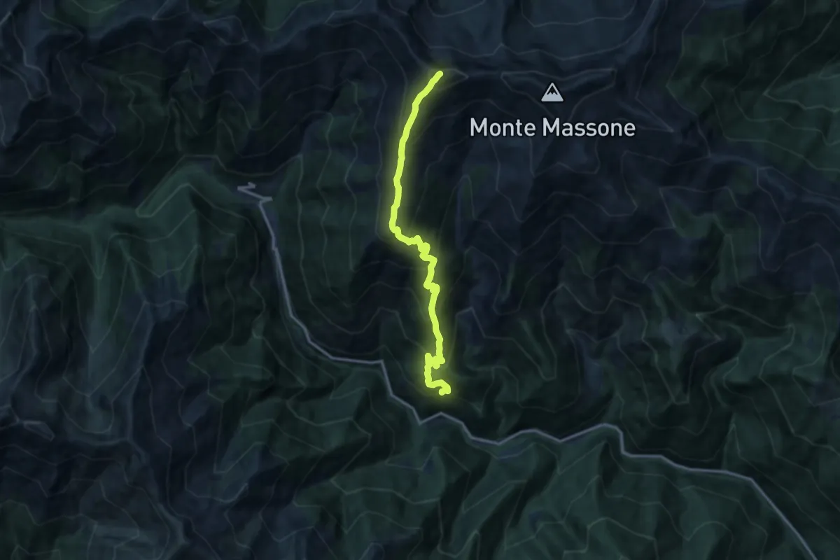
Demanding · Summit
Z08 - Massiola - Cima Scaravini
11.6 km · ↑ 1316 m · 5 h 36 min
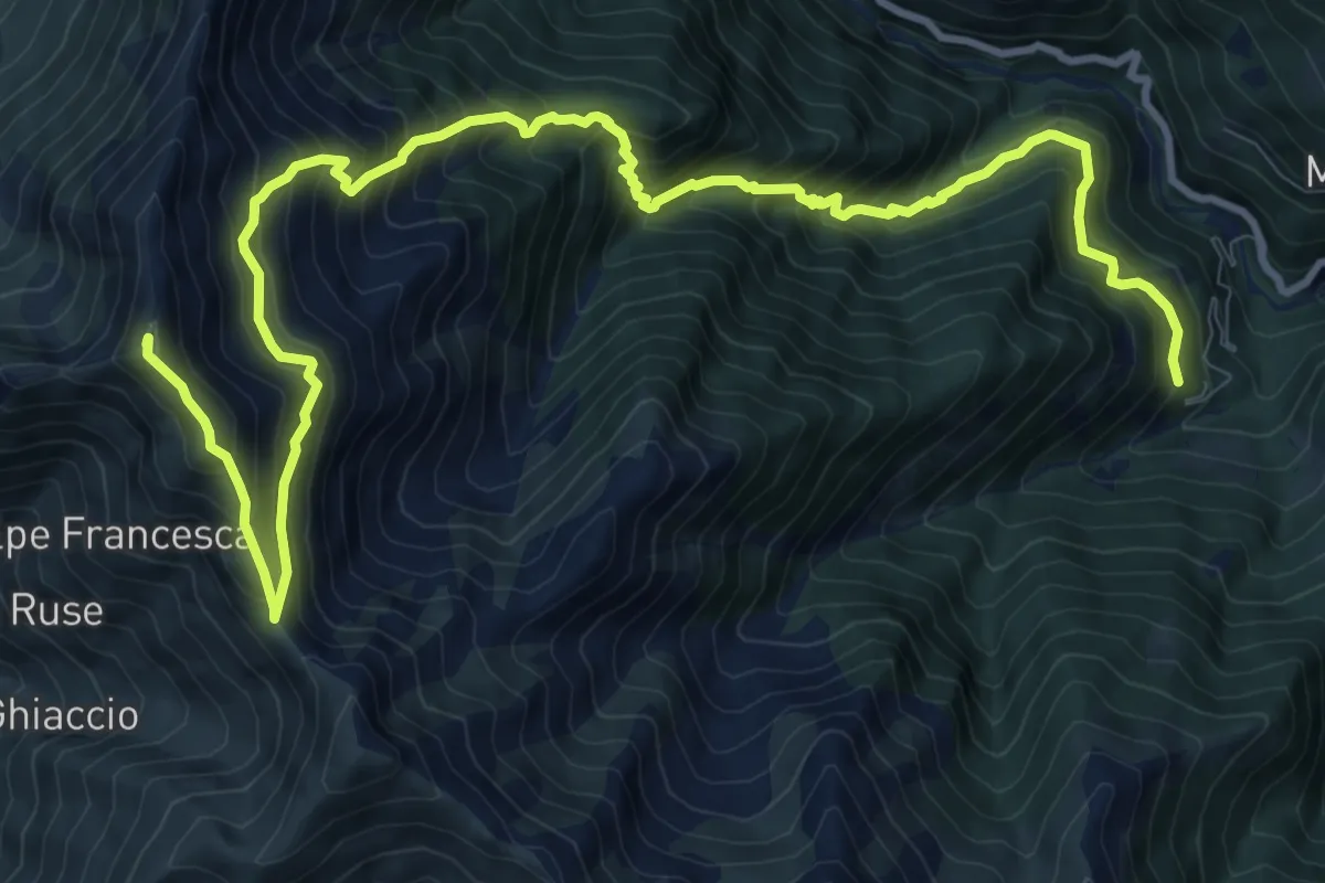
Demanding · Summit
Z09 - Sambughetto - Monte Forcolaccia
14.5 km · ↑ 1584 m · 6 h 51 min
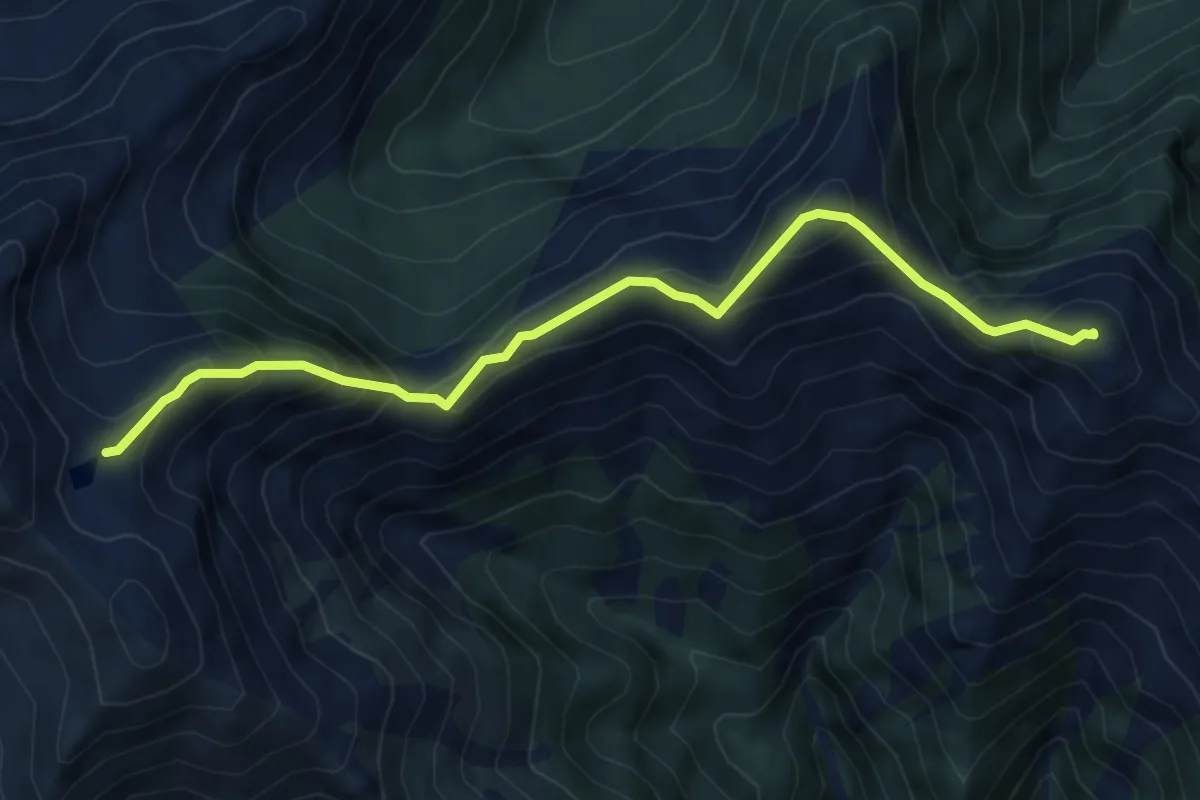
Expert · Summit
Z10a - Colle dell'Usciolo - Mazza dell'Inferno
6.0 km · ↑ 686 m · 2 h 54 min
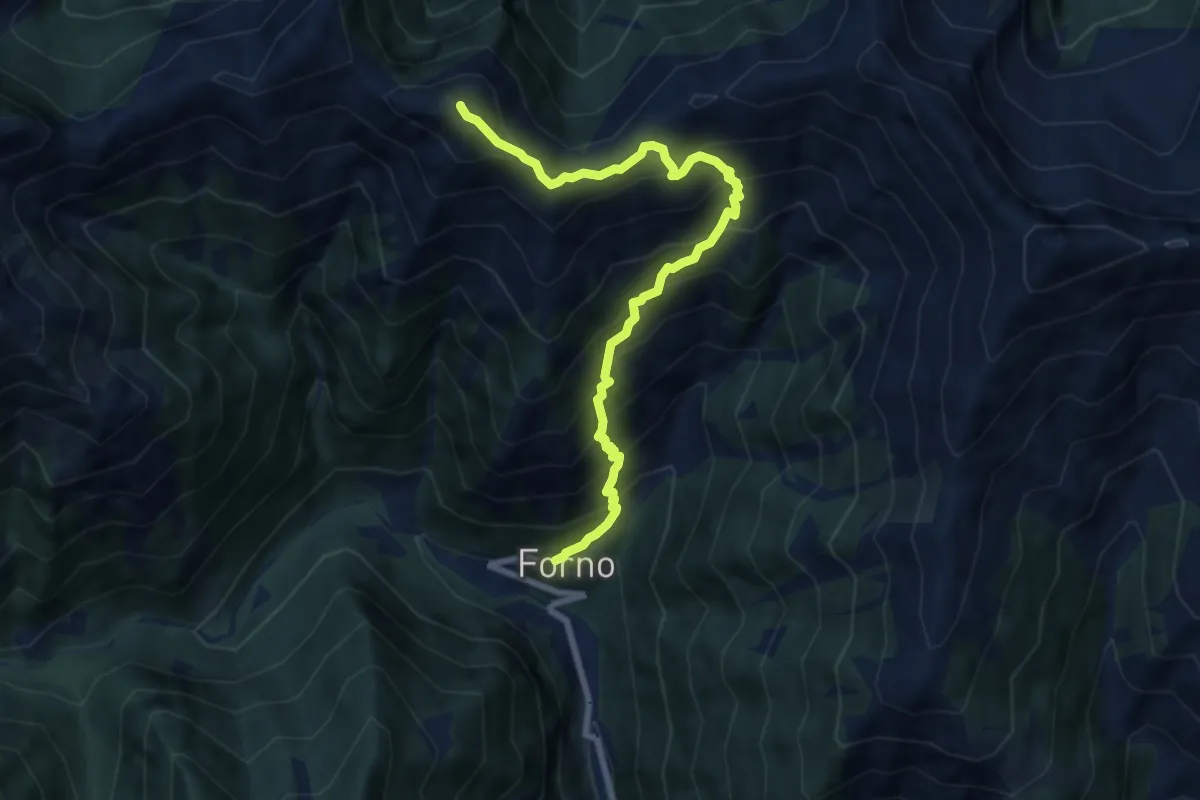
Demanding · Summit
Z10 - Forno - Mazza dell'Inferno
8.3 km · ↑ 1011 m · 4 h 9 min