Trails in Italy
25,219 hiking trails, each with its route, climb, walking time and grade.
All trails, page 233 of 526
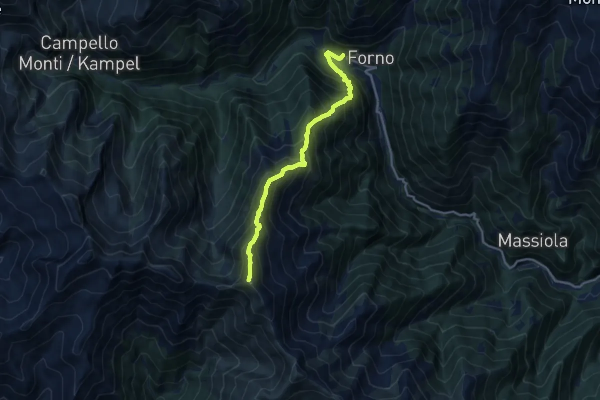
Expert · Summit
Z11 - Forno - Monte Forcolaccia
9.2 km · ↑ 1184 m · 4 h 45 min
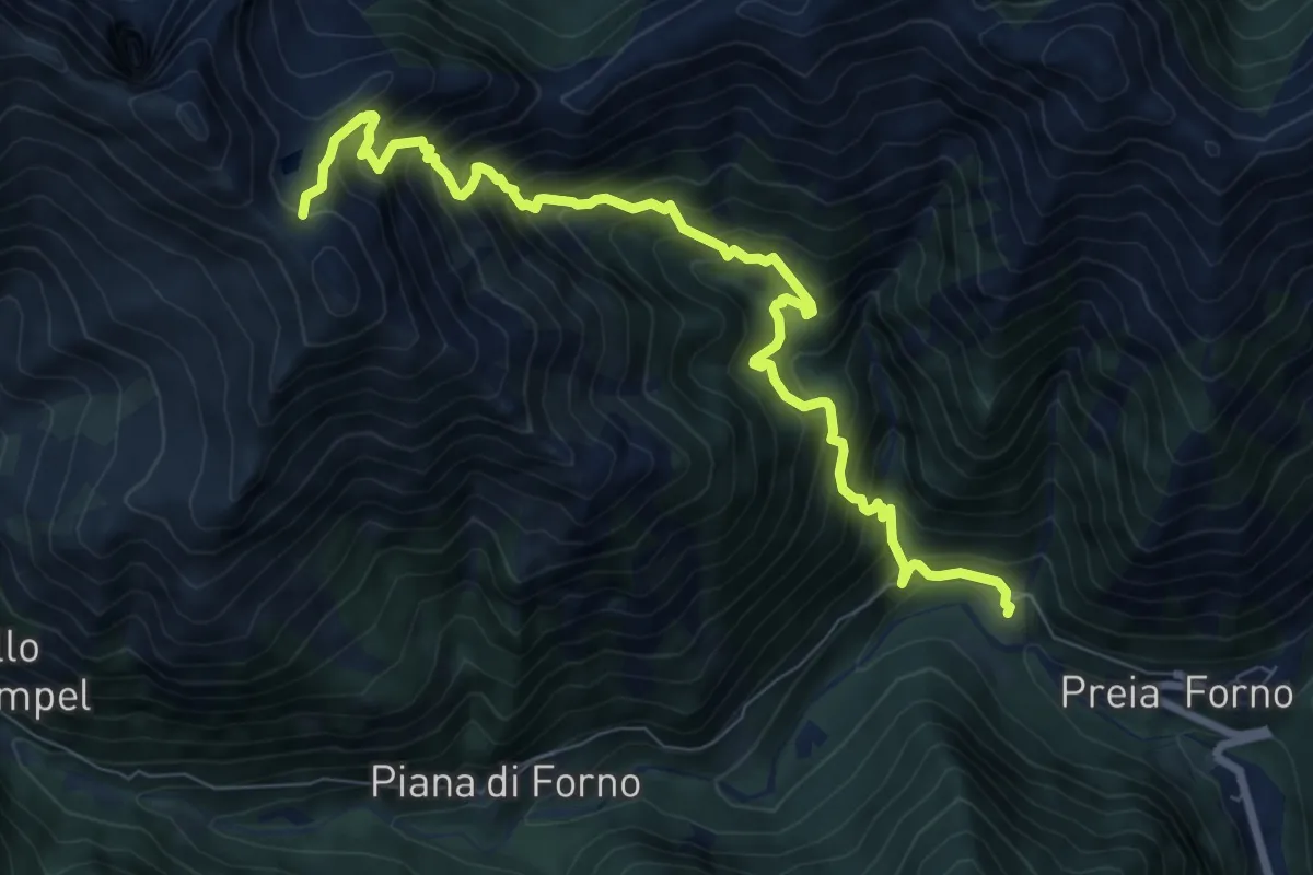
Demanding · Trail
Z12 - Forno - Colle dell'Usciolo
9.2 km · ↑ 1251 m · 4 h 54 min
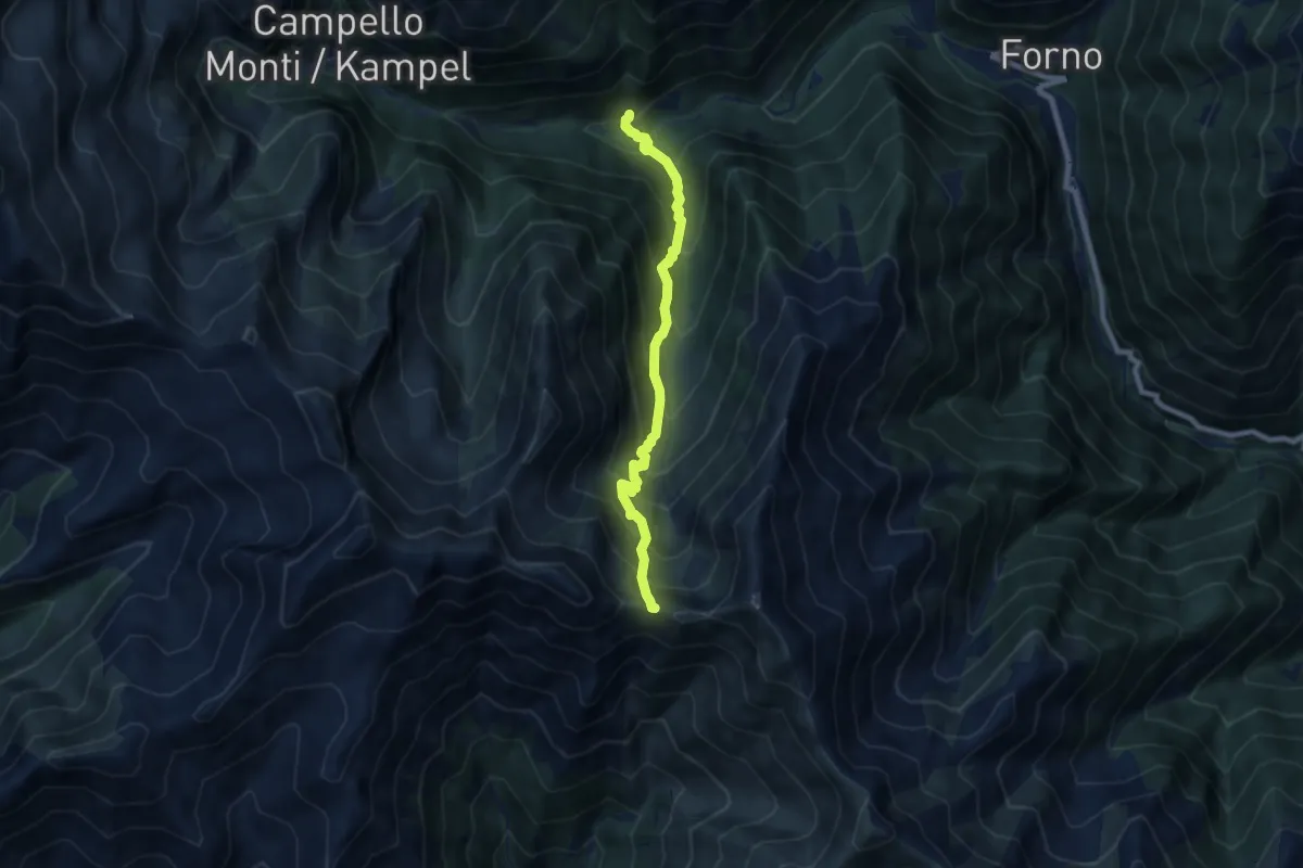
Demanding · Trail
Z13 - Piana di Forno - Bocchetta di Serra
7.2 km · ↑ 852 m · 3 h 33 min
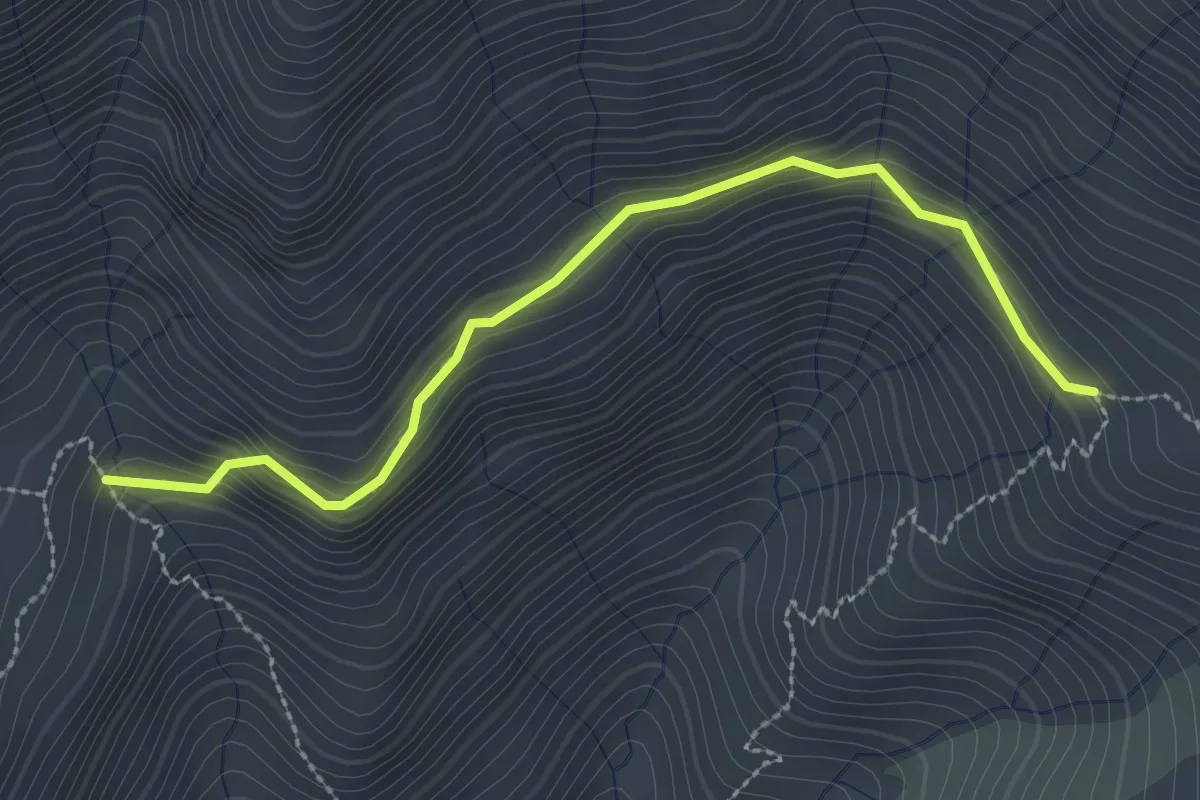
Demanding · Trail
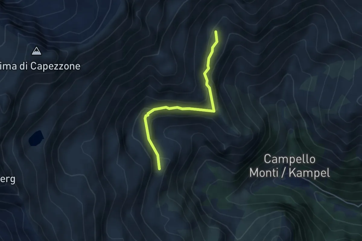
Z14a Alpe Cunetta sopra - Alpe Fornale sopra
2.8 km · ↑ 182 m · 1 h 3 min
Demanding · Trail
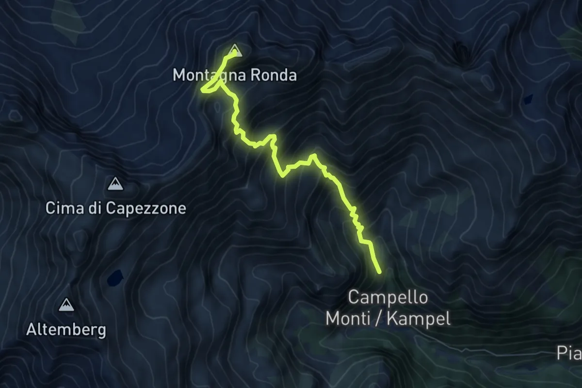
Z14b - Alpe Fornale sopra - Piana di Via
3.6 km · ↑ 172 m · 1 h 14 min
Demanding · Summit
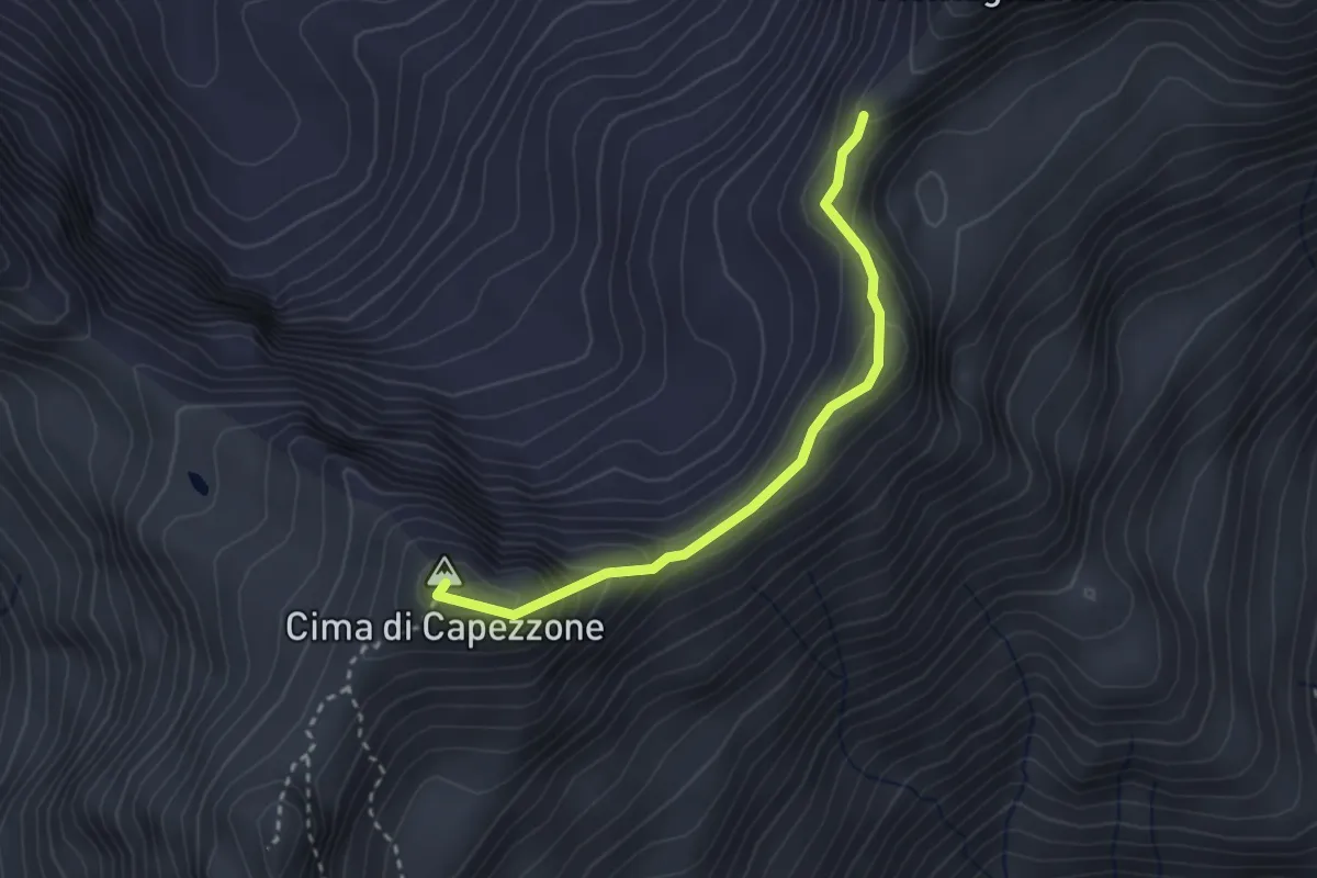
Z14 - Campello Monti - Montagna Ronda
6.8 km · ↑ 973 m · 3 h 43 min
Demanding · Summit
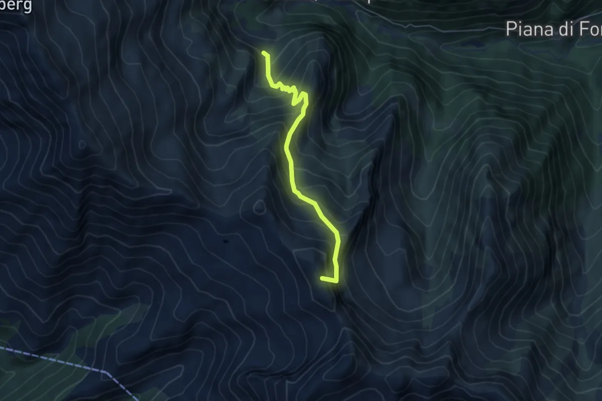
Z14c - Montagna Ronda - Cima di Capezzone
2.7 km · ↑ 236 m · 1 h 9 min
Expert · Summit
Z15a - Alpe del Vecchio - Passo del Crac
4.9 km · ↑ 592 m · 2 h 27 min
Expert · Summit
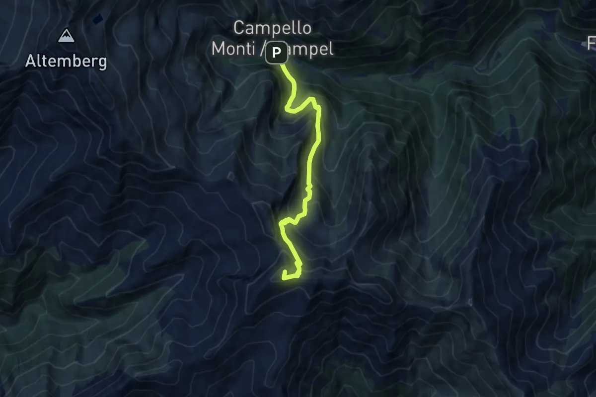
Z15 - Campello Monti - Monte Capio
8.4 km · ↑ 896 m · 3 h 56 min
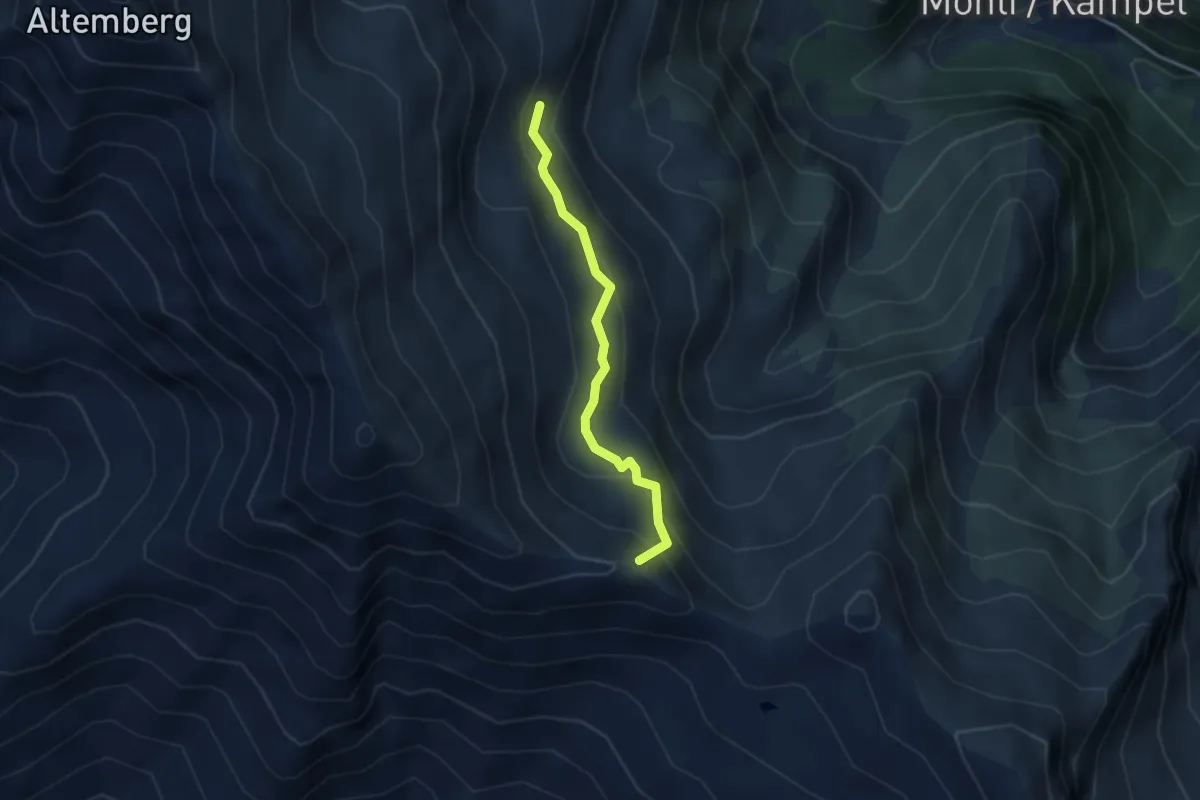
Demanding · Summit
Z17a Alpe Capezzone - Bocchetta di Campello
3.0 km · ↑ 204 m · 1 h 9 min
Demanding · Summit
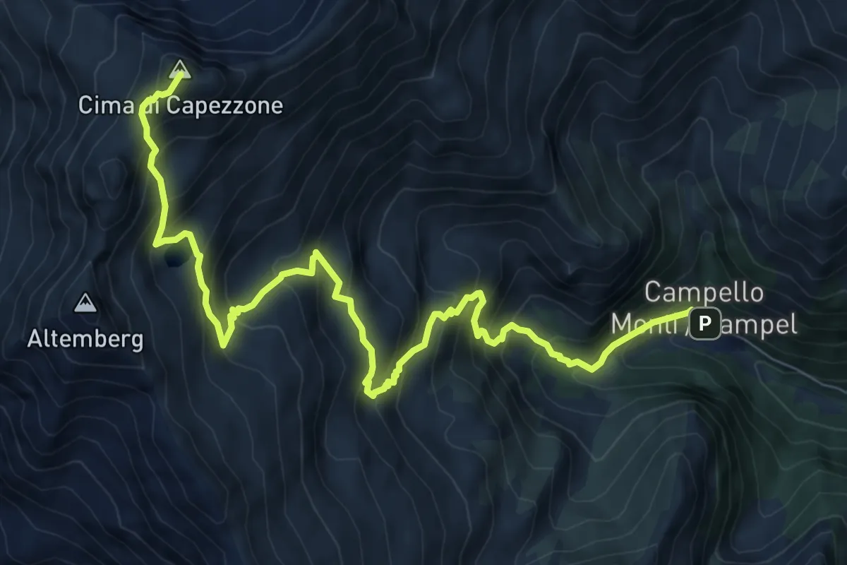
Z17 - Campello Monti - Cima di Capezzone
10.1 km · ↑ 1078 m · 4 h 43 min
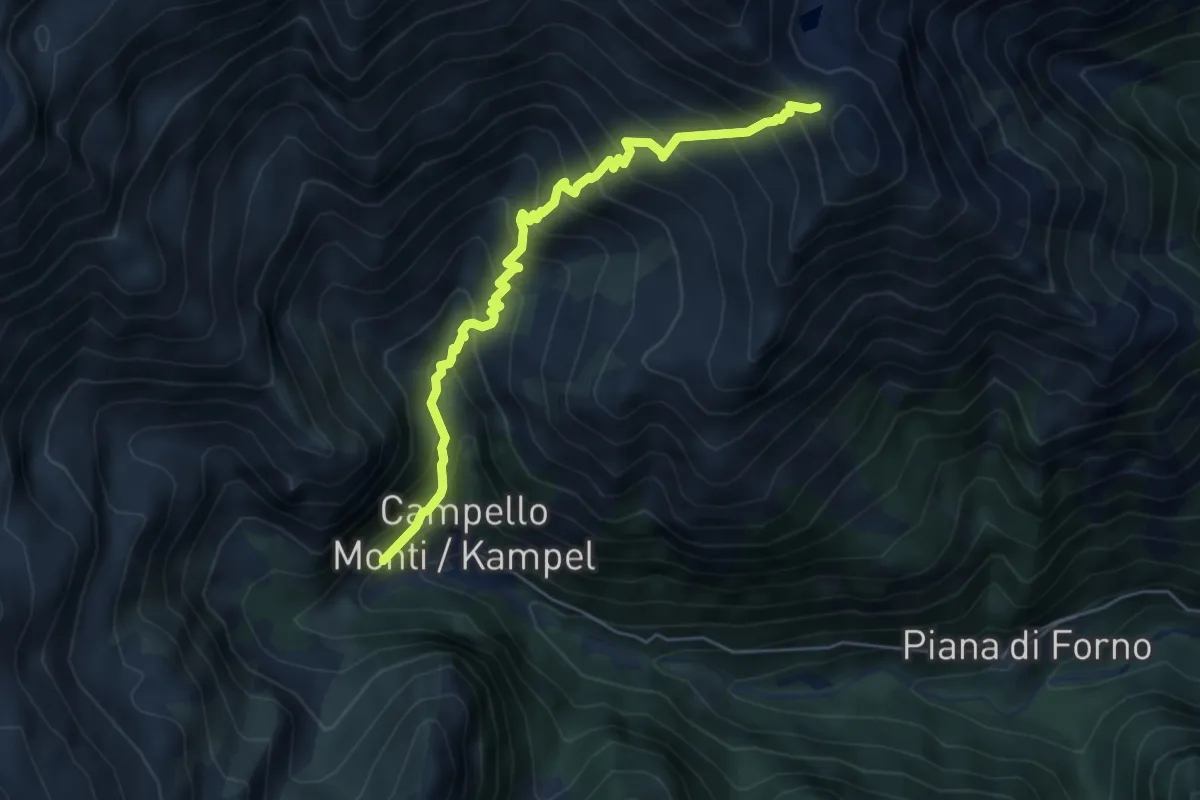
Medium · Trail
Z99 - Campello Monti - Colle dell'Usciolo
5.7 km · ↑ 688 m · 2 h 50 min
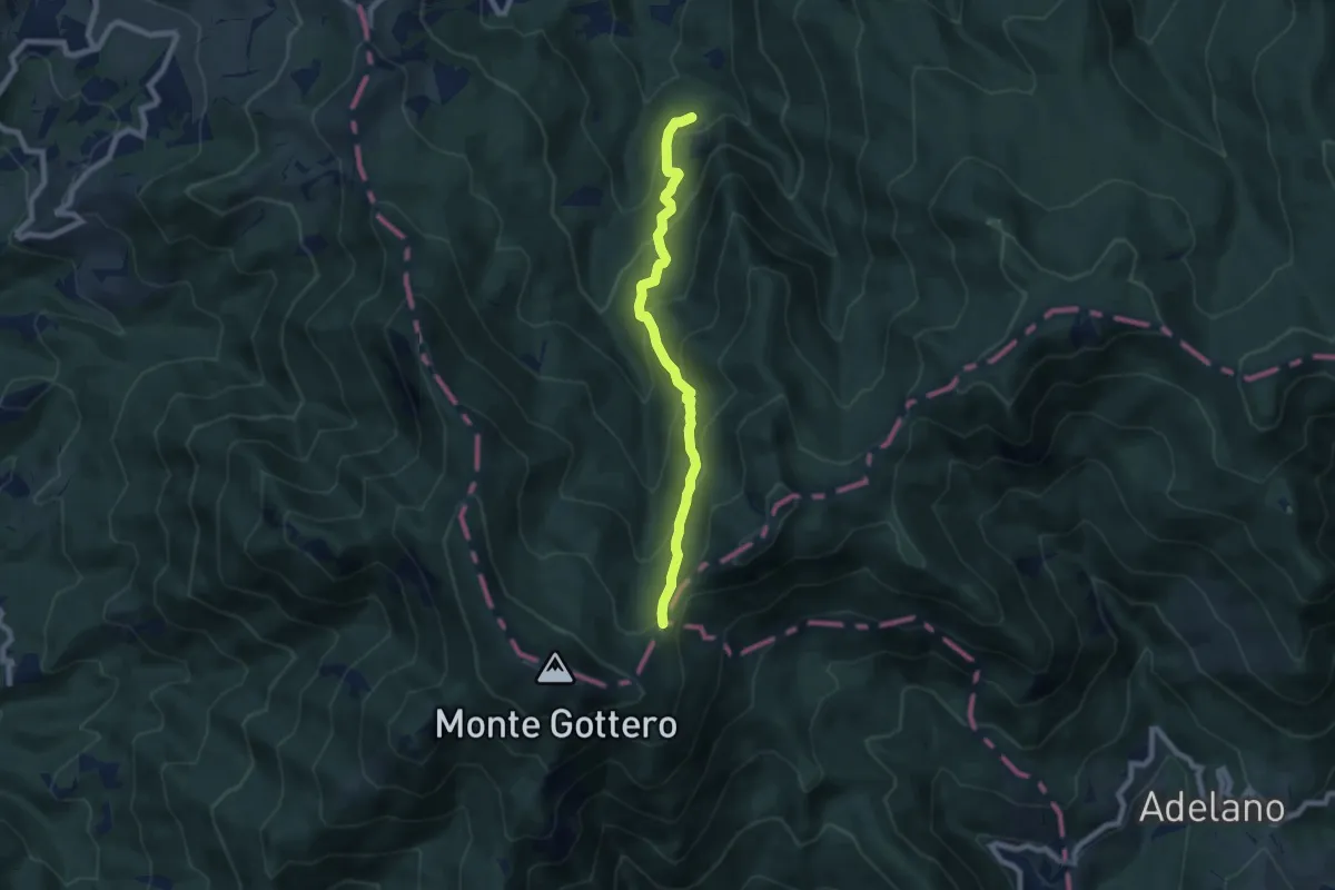
Medium · Trail
Zalloni - Foce dei Tre Confini
7.3 km · ↑ 554 m · 2 h 55 min
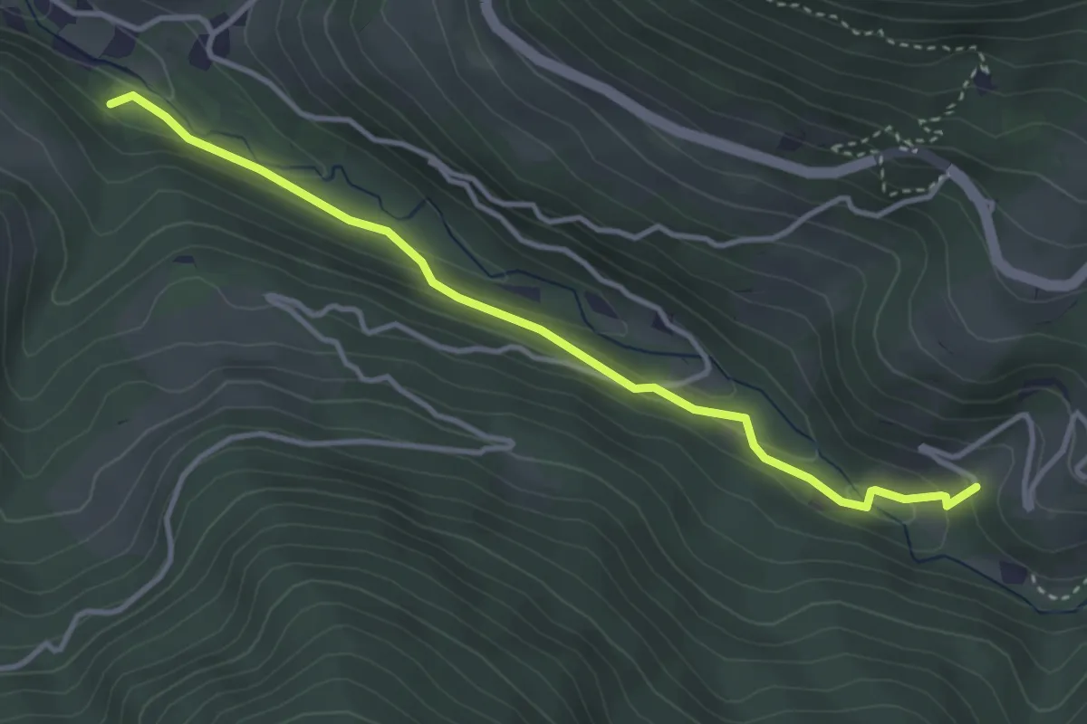
Medium · Trail
Zauberwaldweg
3.7 km · ↑ 152 m · 1 h 12 min
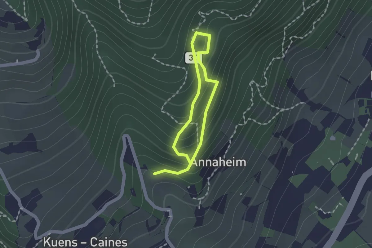
Medium · Trail
Zauberweg
1.0 km · ↑ 120 m · 30 min
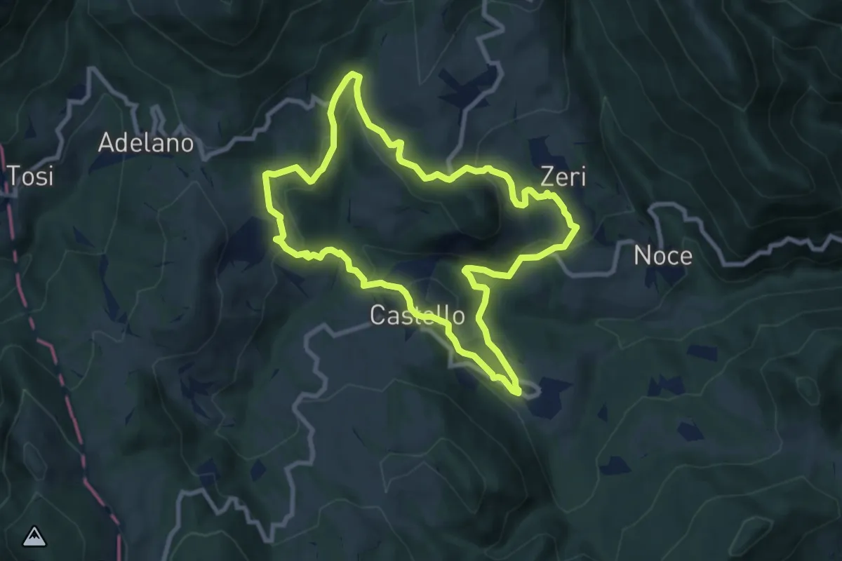
Medium · Trail
Zeri No 1
8.1 km · ↑ 334 m · 2 h 44 min
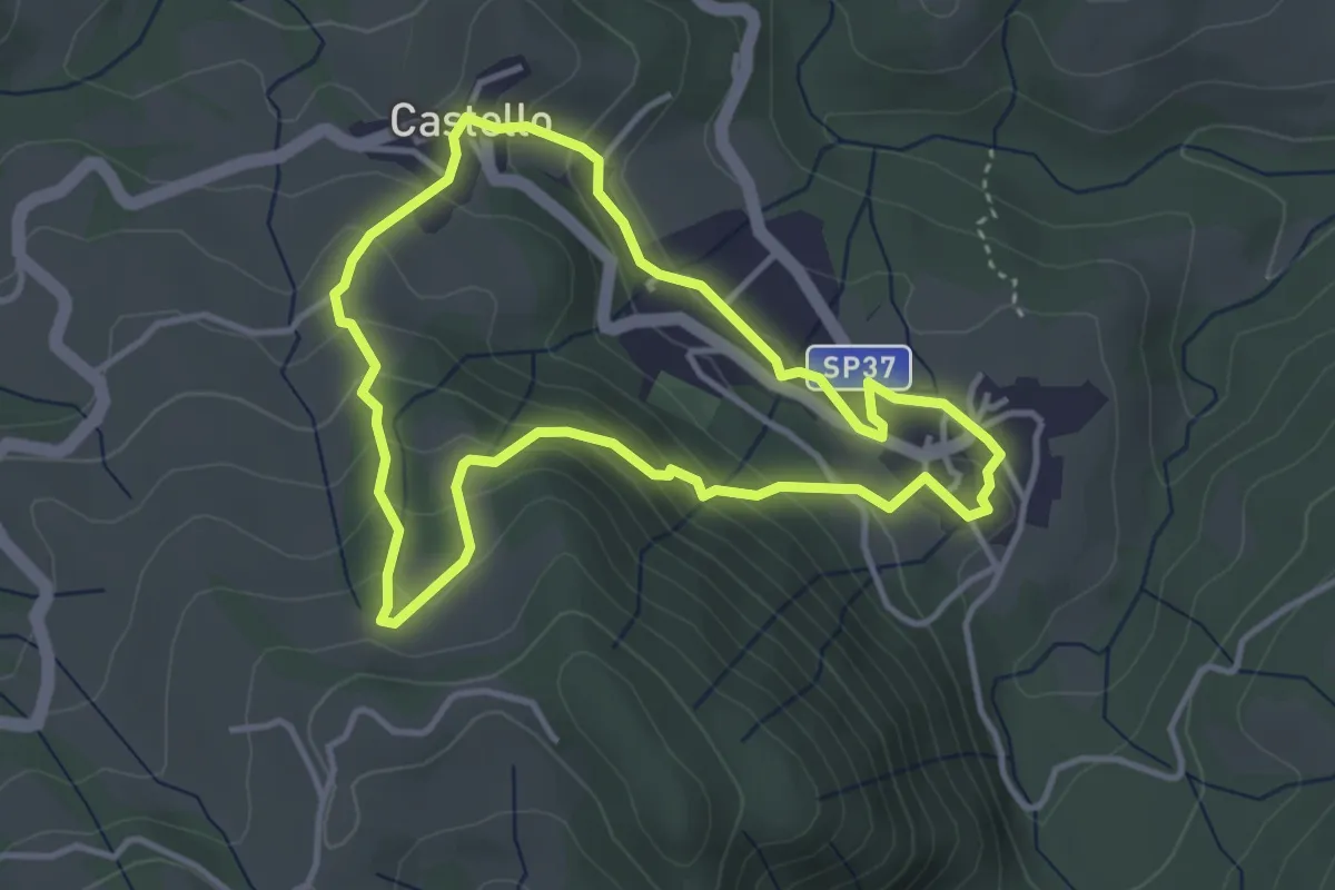
Medium · Trail
Zeri No 2
3.6 km · ↑ 213 m · 1 h 22 min
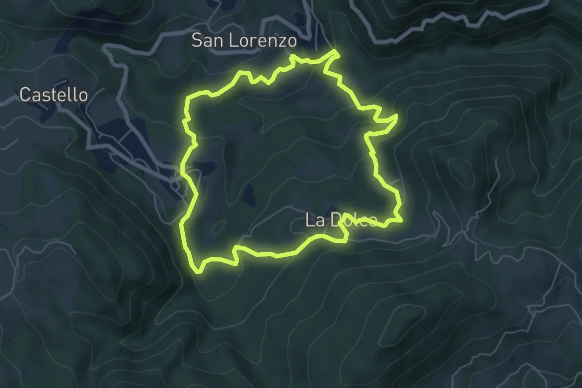
Easy · Trail
Zeri No 3
5.9 km · ↑ 269 m · 2 h 3 min
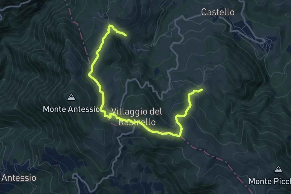
Medium · Summit
Zeri No 4
4.8 km · ↑ 227 m · 1 h 42 min
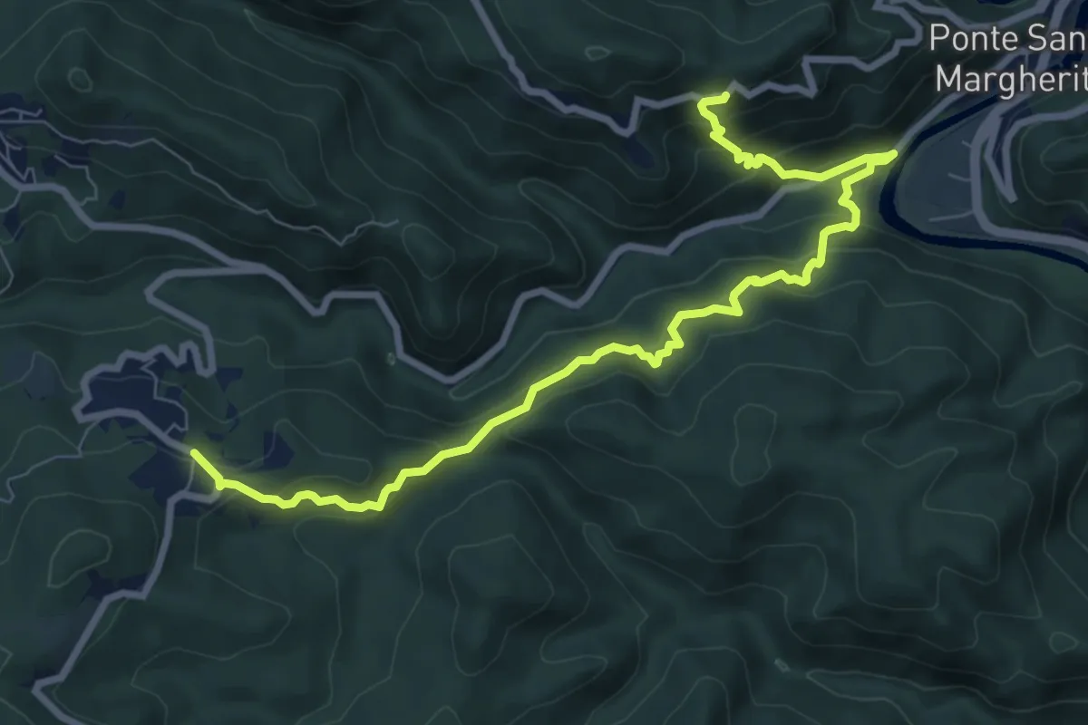
Medium · Trail
Ziona – Cian da Moa – Bivio 625 (Cerreta)
9.4 km · ↑ 625 m · 3 h 34 min
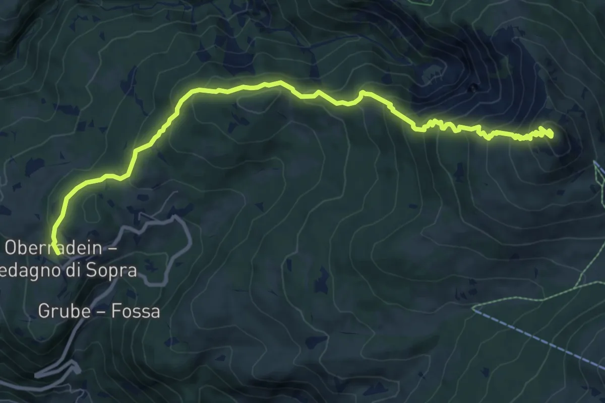
Demanding · Summit
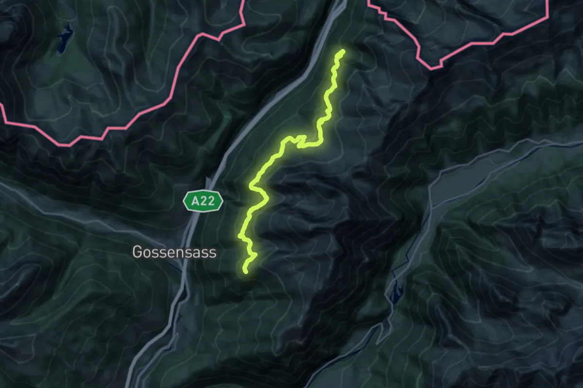
Zirmersteig
10.4 km · ↑ 738 m · 4 h 4 min
Demanding · Trail
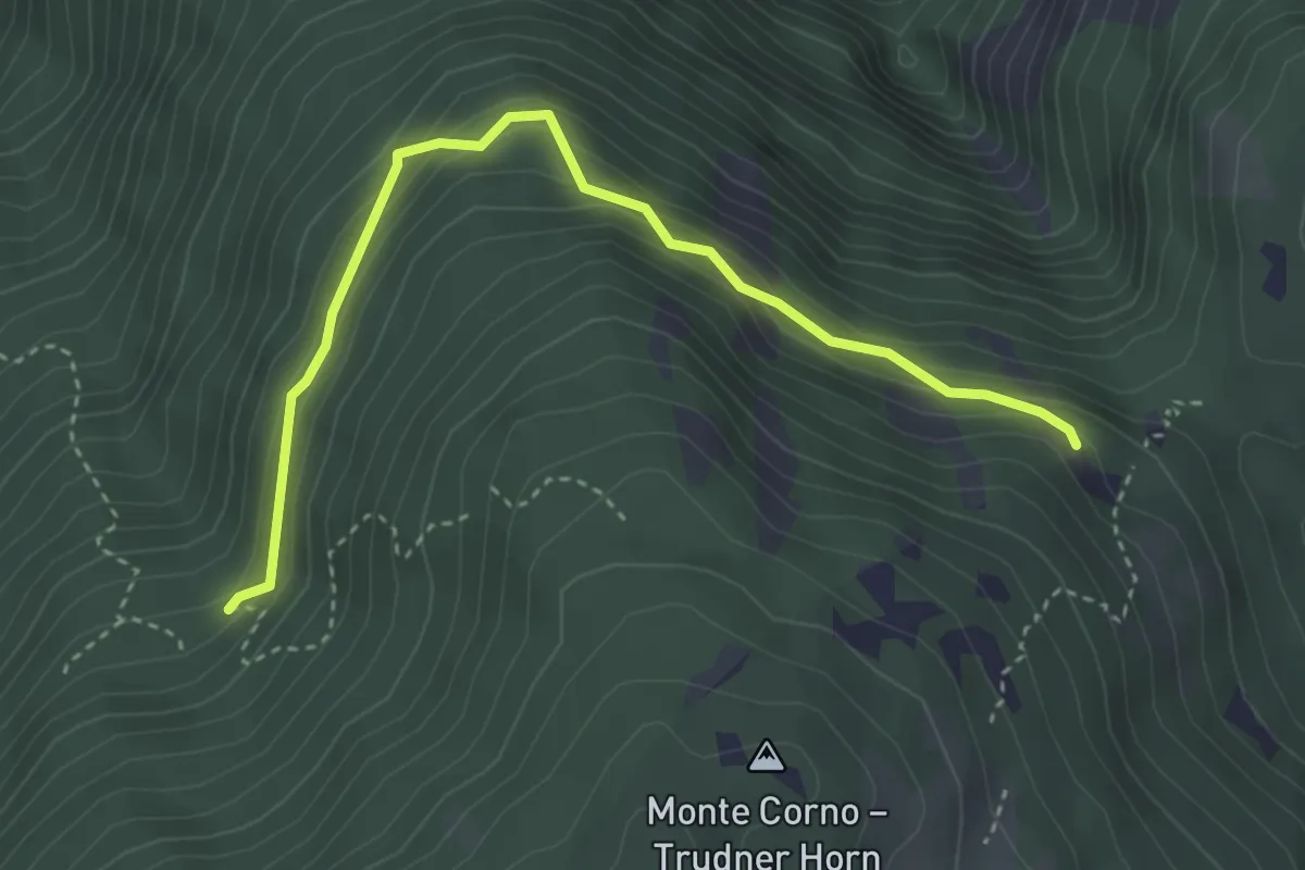
Ziroger Höhenweg
21.0 km · ↑ 1216 m · 7 h 36 min
Easy · Trail
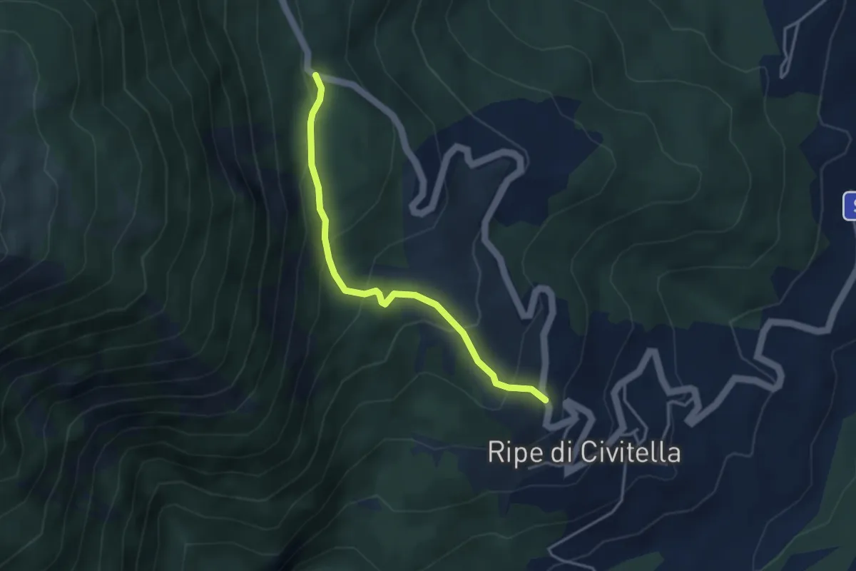
Zissweg
3.8 km · ↑ 319 m · 1 h 35 min
Easy · Trail
Zona Casali
3.6 km · ↑ 243 m · 1 h 22 min
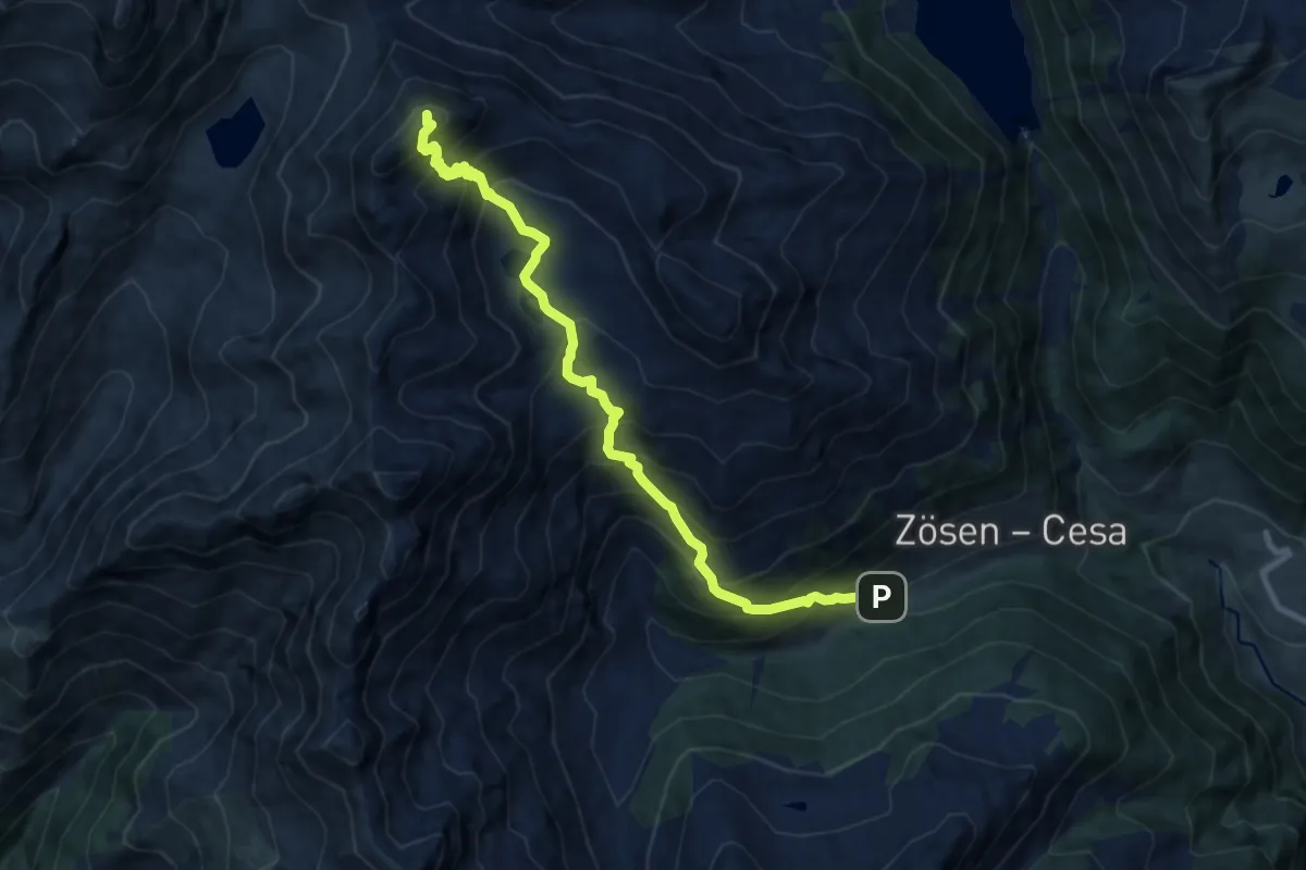
Demanding · Summit
Zösen - Neves
10.1 km · ↑ 1111 m · 4 h 47 min
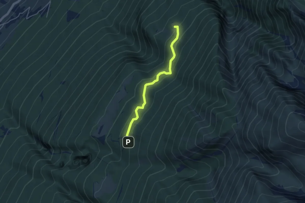
Medium · Trail
Zovel - Malga Brione
3.5 km · ↑ 319 m · 1 h 31 min
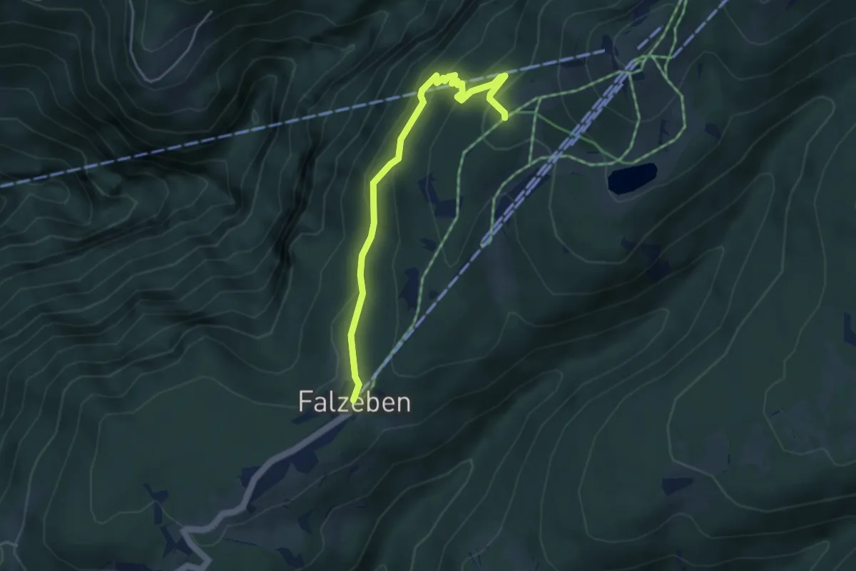
Medium · Trail
Zueggsteig
4.1 km · ↑ 265 m · 1 h 32 min
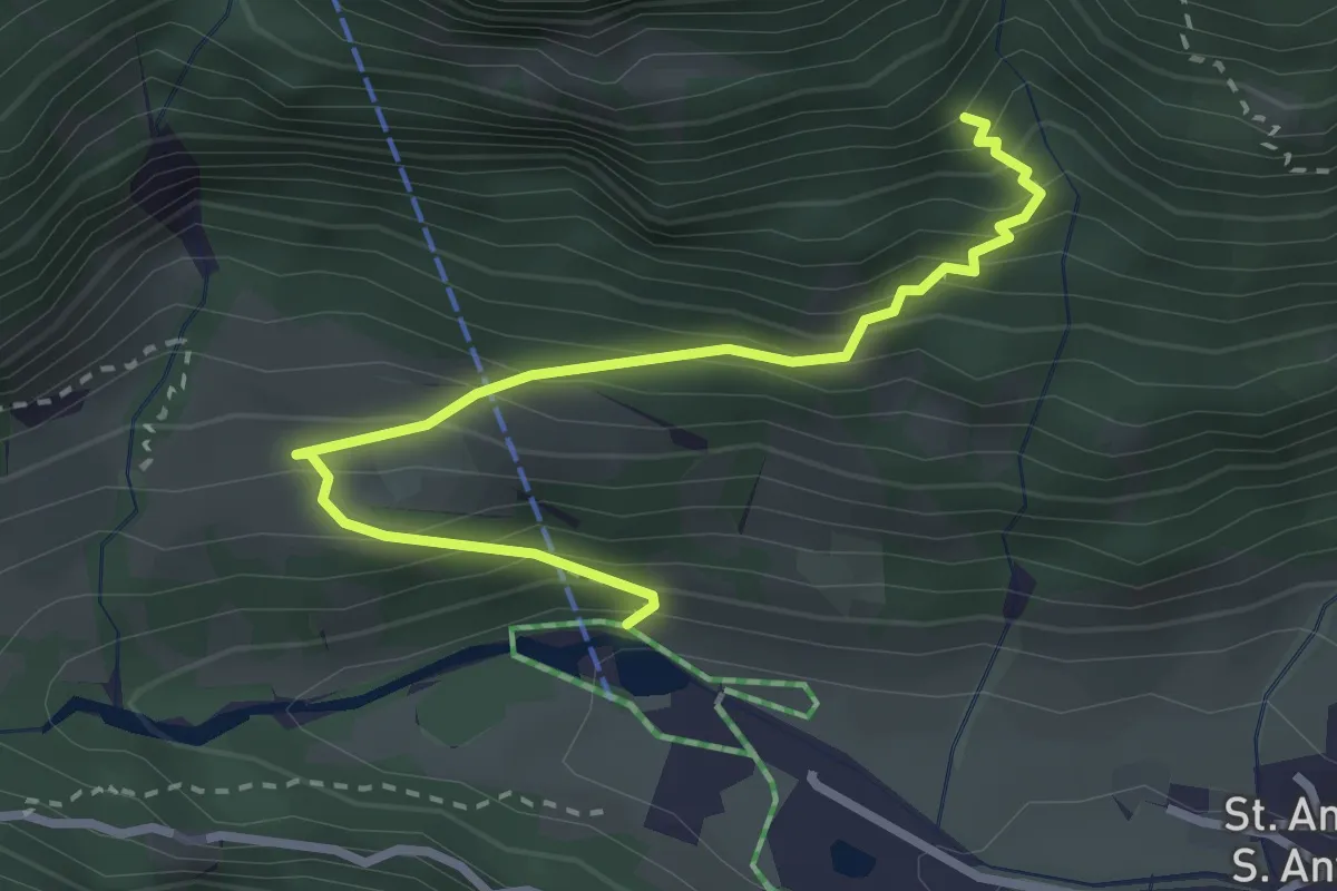
Demanding · Trail
Zum Klettersteig
3.0 km · ↑ 369 m · 1 h 30 min
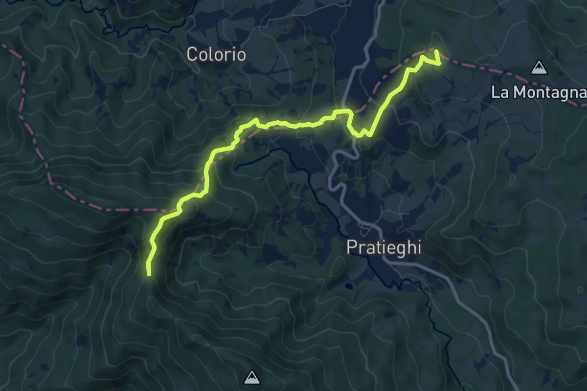
Medium · Summit
00 Tratto Viamaggio - Poggio Tre Vescovi
9.1 km · ↑ 557 m · 3 h 21 min
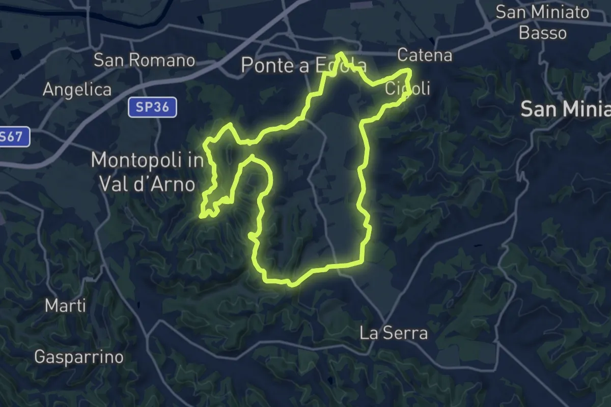
Medium · Trail
01 - Anello dei Castelli
16.8 km · ↑ 402 m · 5 h 3 min
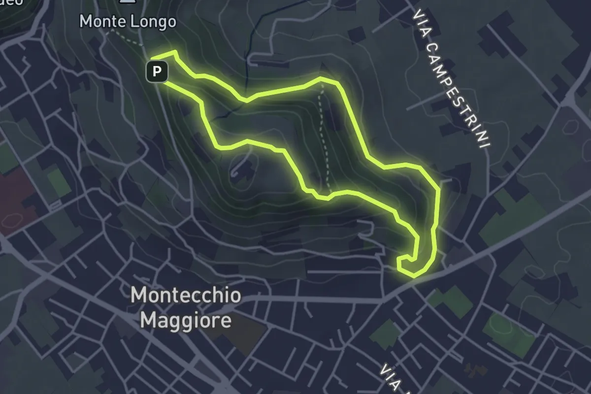
Easy · Trail
01-Fontana della Nova, Castelli e Montenero
3.6 km · ↑ 155 m · 1 h 14 min
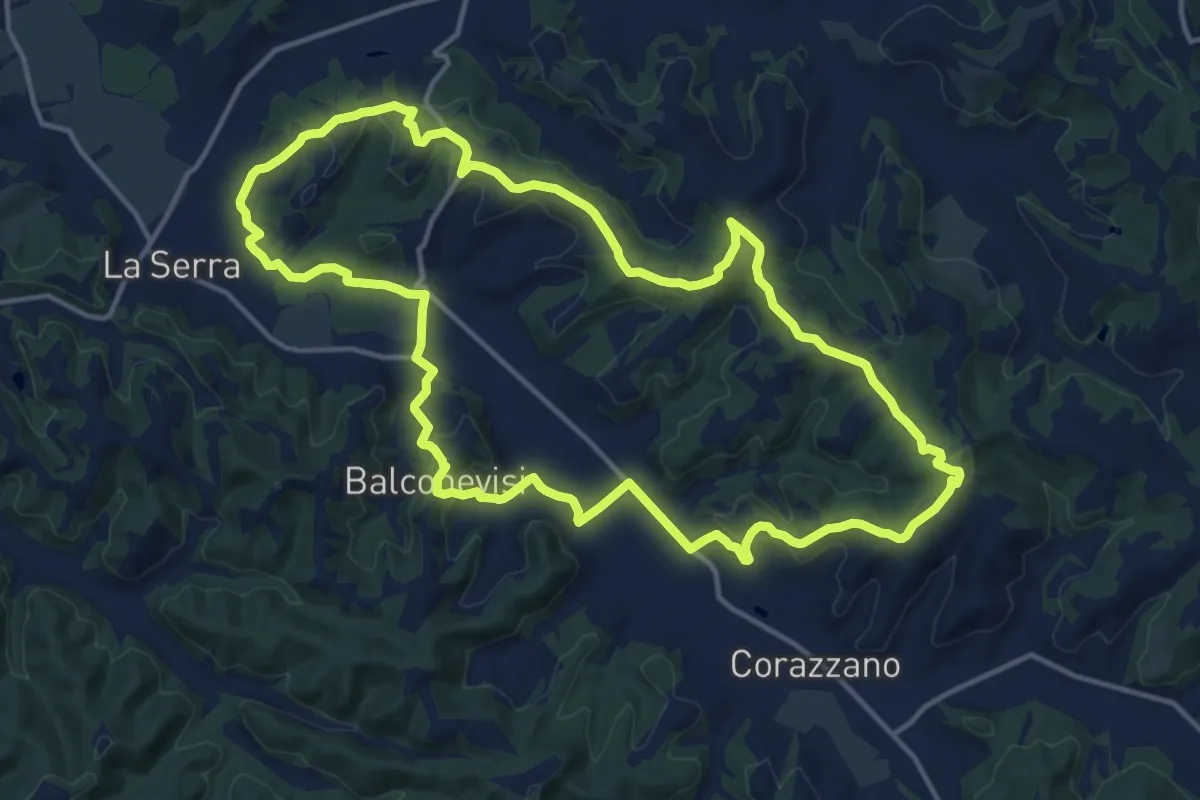
Medium · Trail
02 - Anello della Pieve
15.8 km · ↑ 380 m · 4 h 47 min
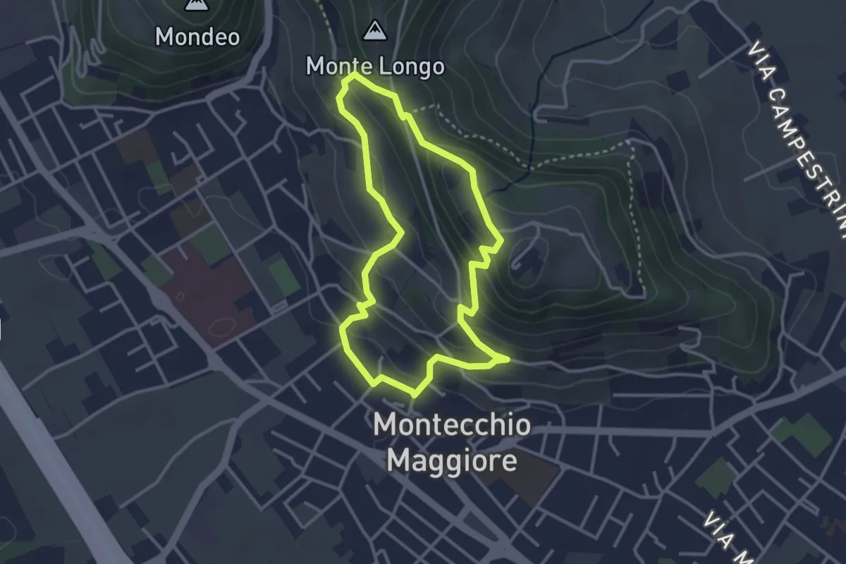
Easy · Summit
02-Fontana Alta e Fontana Giuliani
3.0 km · ↑ 150 m · 1 h 4 min
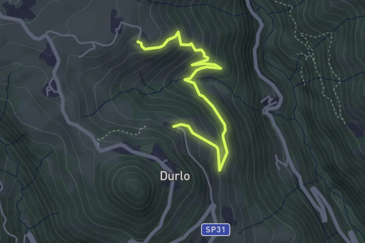
Medium · Trail
02 Sentiero del Proneche
4.2 km · ↑ 371 m · 1 h 48 min
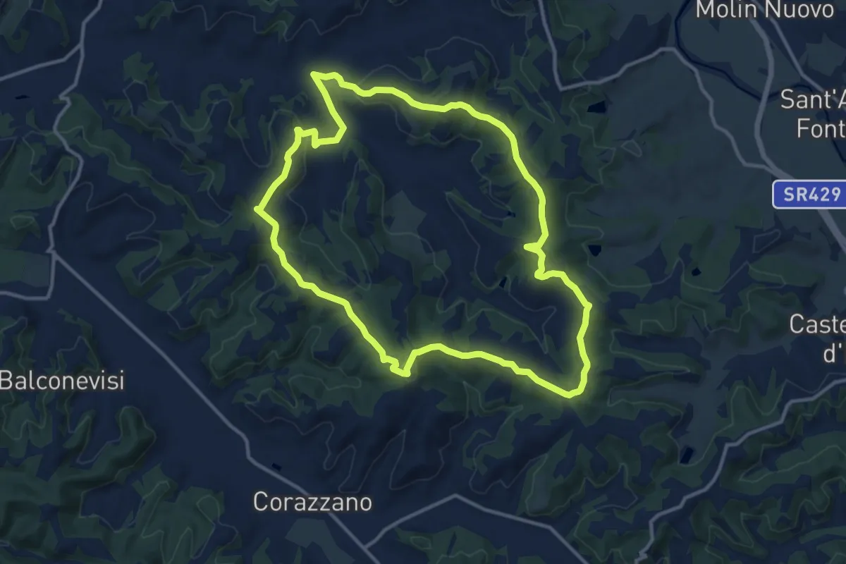
Medium · Trail
03 - Anello della Via Francigena
12.9 km · ↑ 285 m · 3 h 50 min
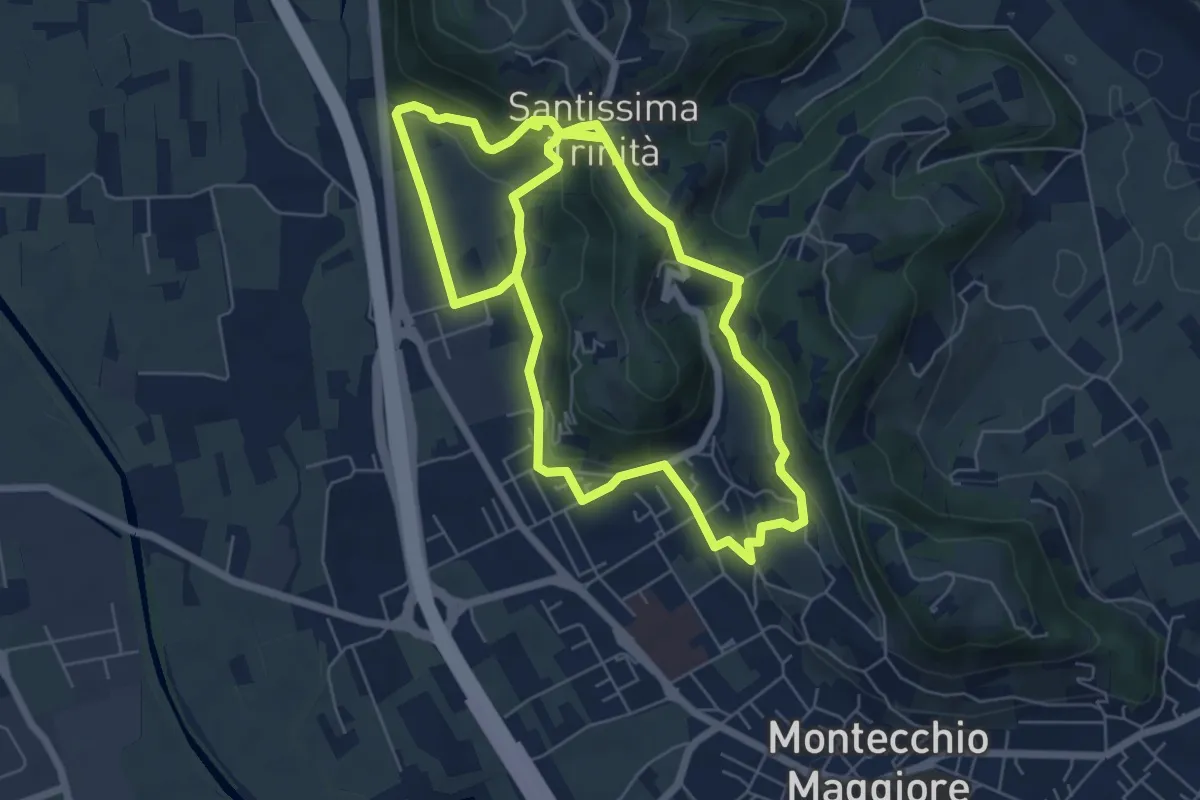
Easy · Summit
03-Strada Carpiana e valle San Clemente
6.4 km · ↑ 305 m · 2 h 13 min
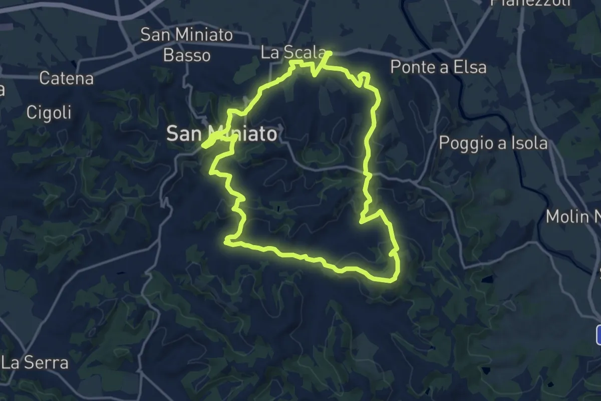
Medium · Trail
04 - Anello dei Buonaparte
15.6 km · ↑ 457 m · 4 h 53 min
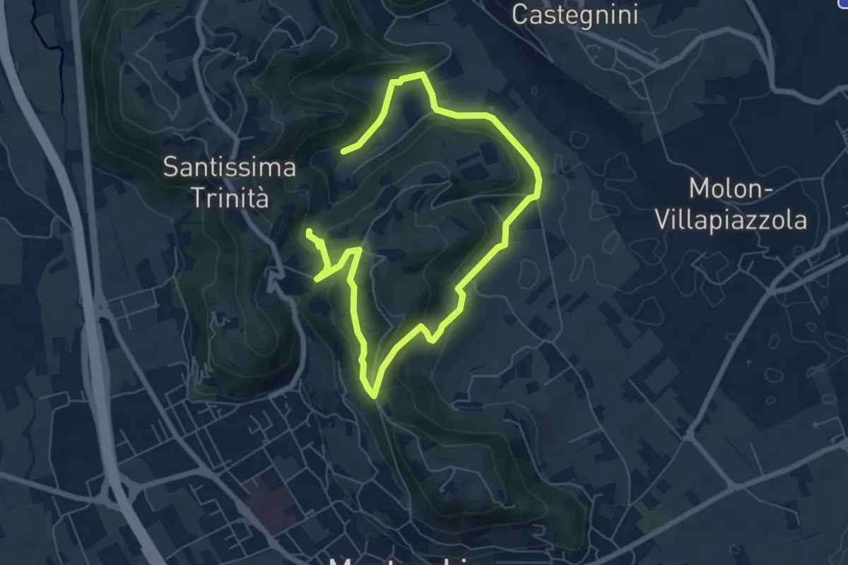
Easy · Summit
04-Bastia e Campestrini
4.8 km · ↑ 201 m · 1 h 36 min
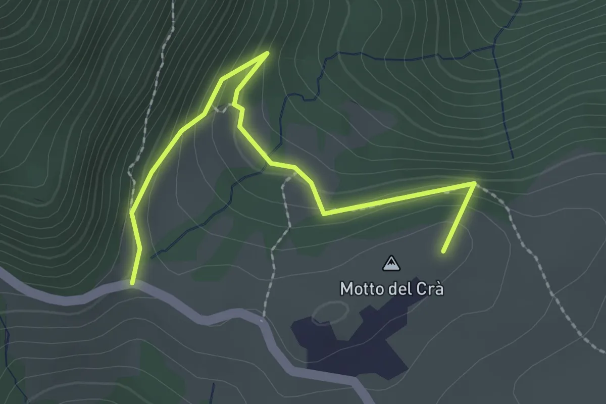
Easy · Summit
04 Sentiero dei busi
2.4 km · ↑ 169 m · 55 min
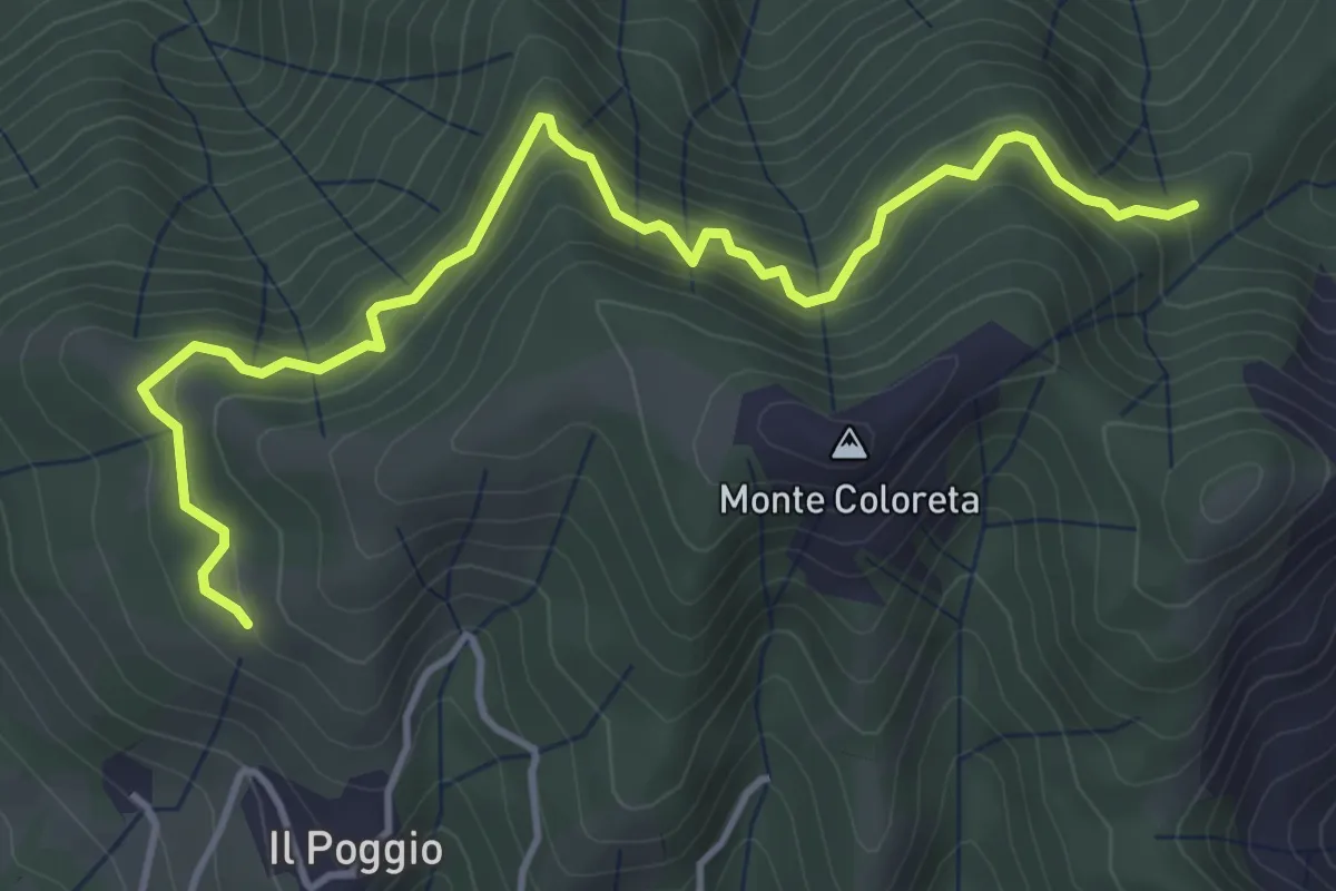
Easy · Trail
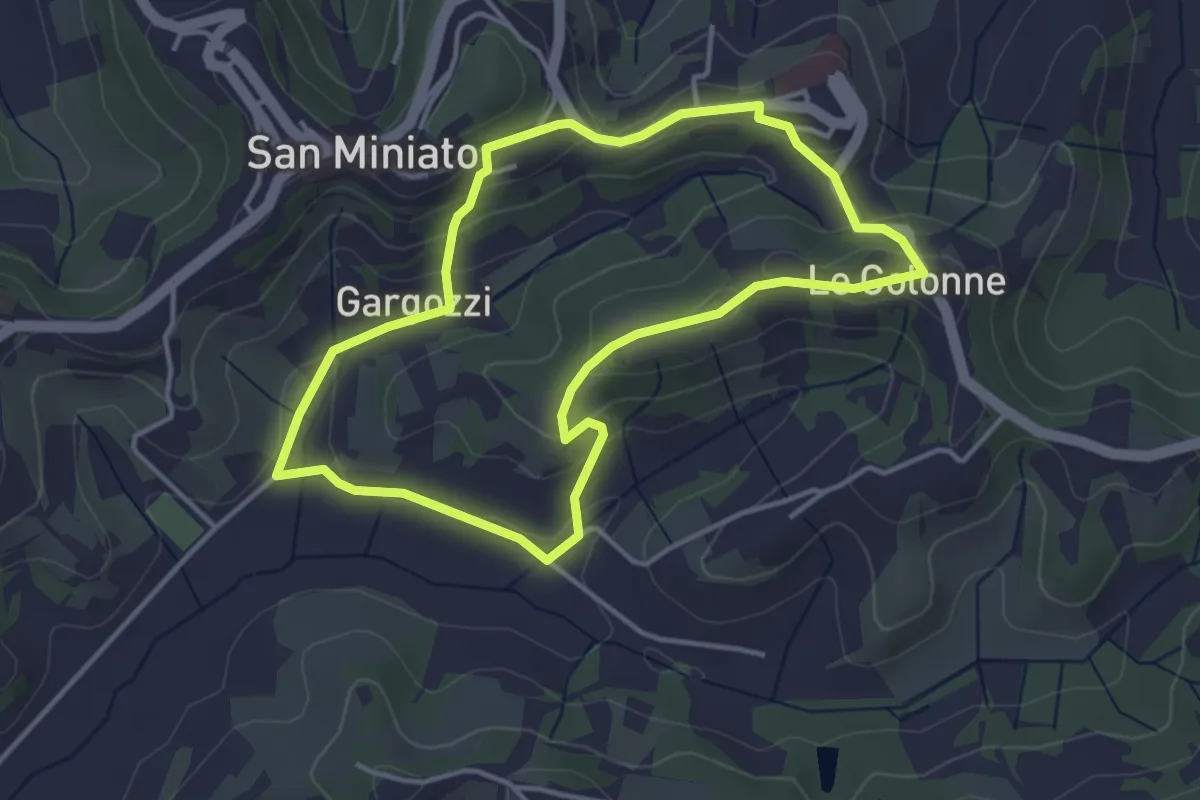
059A variante delle Cocolle
2.5 km · ↑ 230 m · 1 h 7 min
Easy · Trail
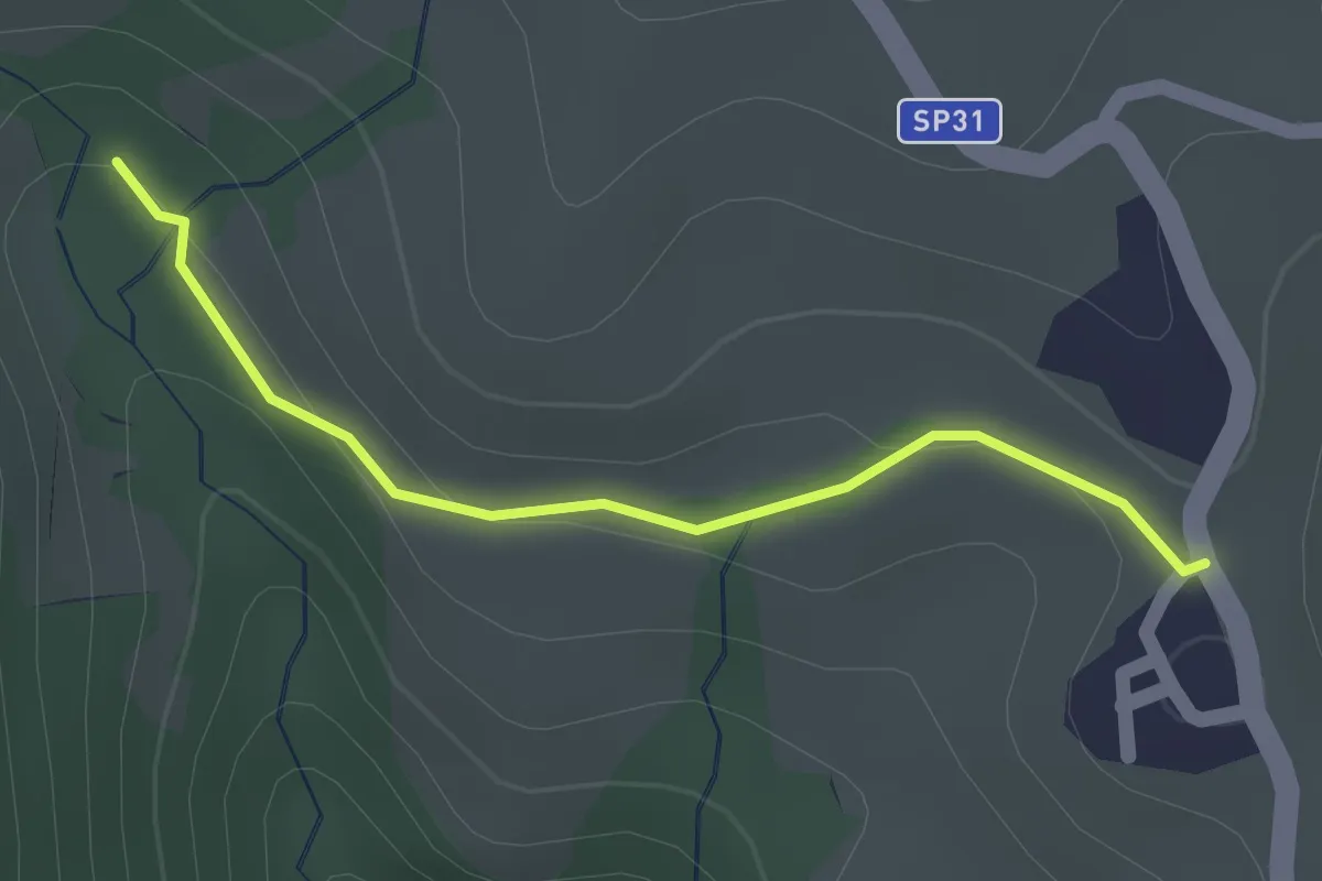
05 - Anello di Scacciapuce
3.8 km · ↑ 138 m · 1 h 15 min
Easy · Summit
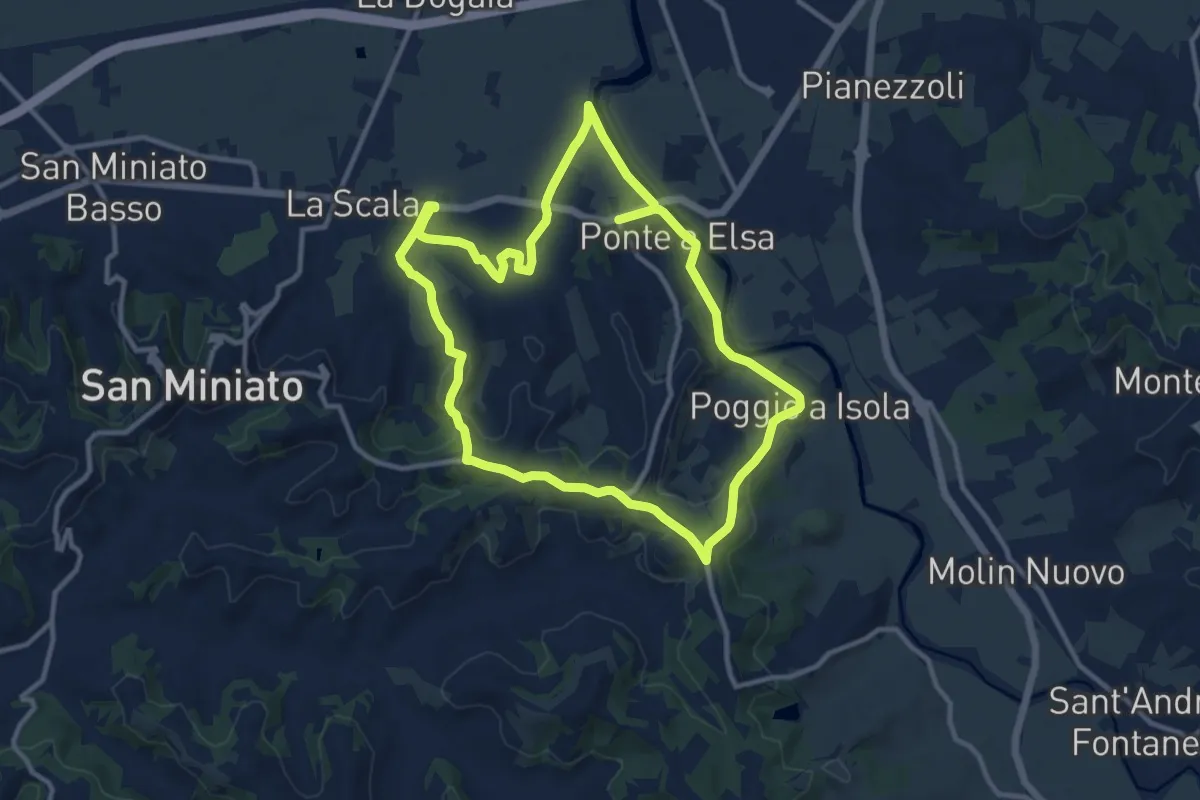
05 Sentiero del Golge
1.5 km · ↑ 26 m · 24 min
Medium · Trail
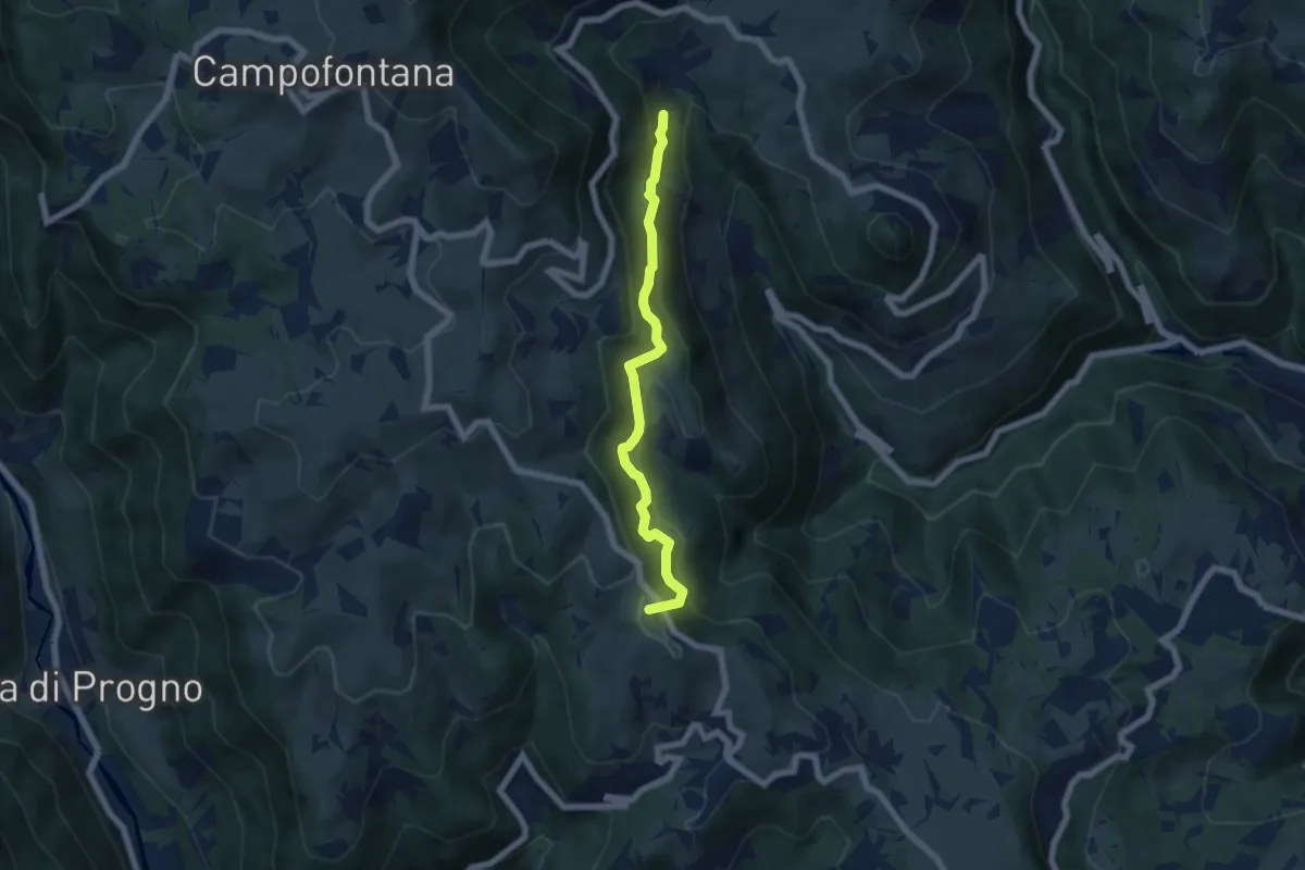
06 - Anello di San Genesio
11.6 km · ↑ 212 m · 3 h 22 min
Medium · Summit
06 Sentiero del vaio dell'orco
5.9 km · ↑ 399 m · 2 h 15 min
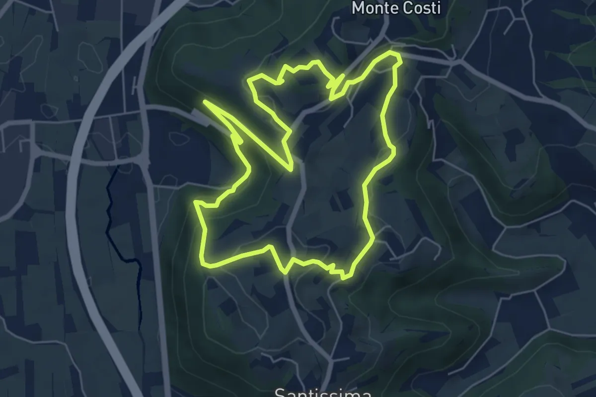
Easy · Trail
06-Sentiero Giaragù e priare di S. Urbano
5.7 km · ↑ 217 m · 1 h 53 min
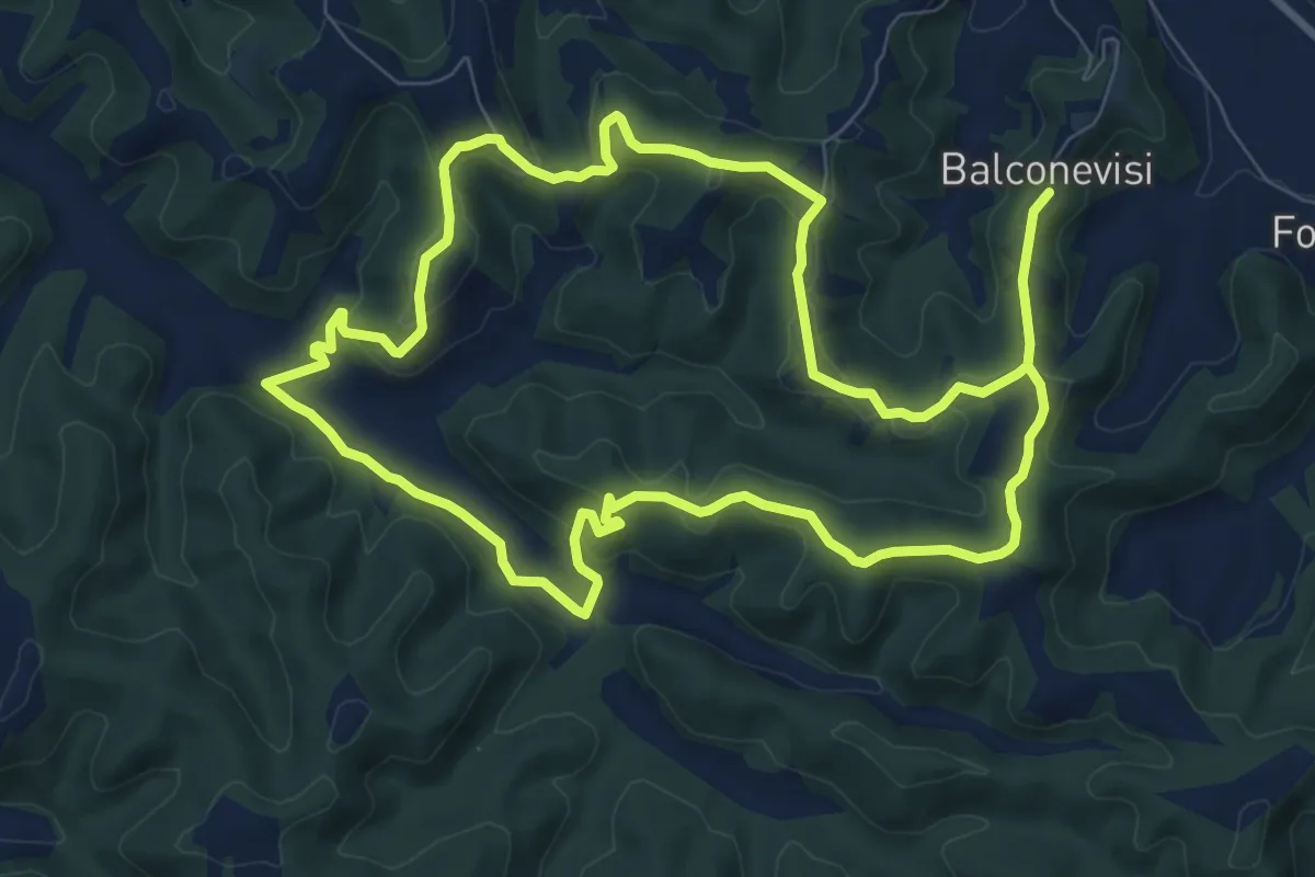
Medium · Trail
07 - Anello del Tartufo
9.2 km · ↑ 294 m · 2 h 56 min
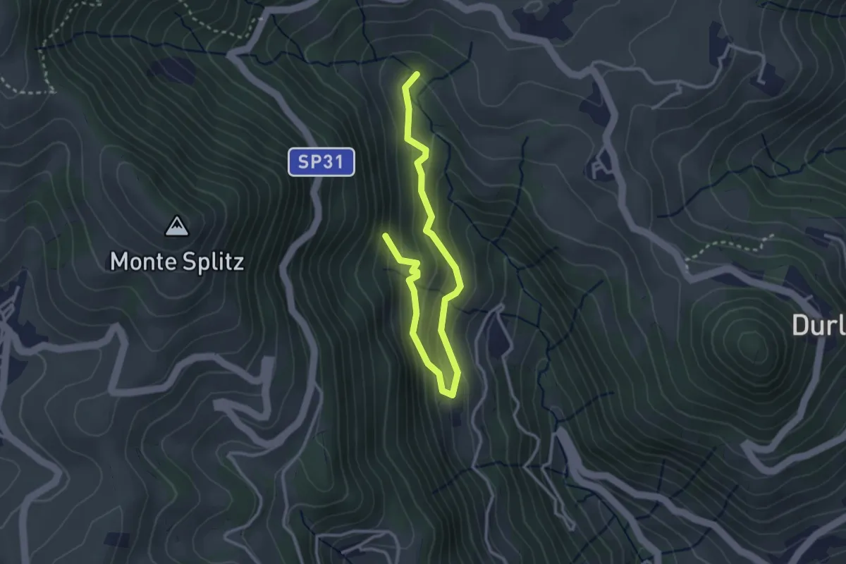
Easy · Summit
07 Sentiero del bosco delle piogne
3.5 km · ↑ 287 m · 1 h 27 min
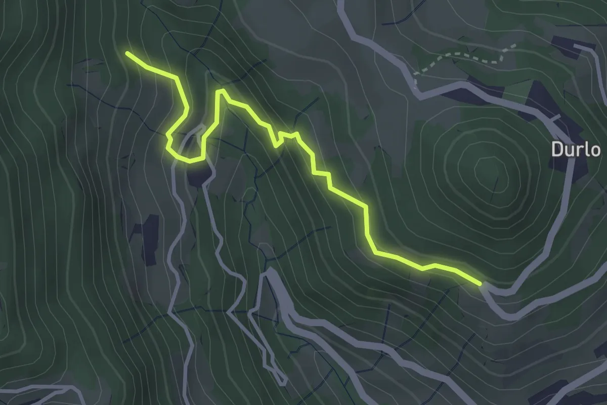
Easy · Trail
08 Sentiero dei Sengi
3.4 km · ↑ 269 m · 1 h 23 min