Trails in Italy
25,219 hiking trails, each with its route, climb, walking time and grade.
All trails, page 234 of 526
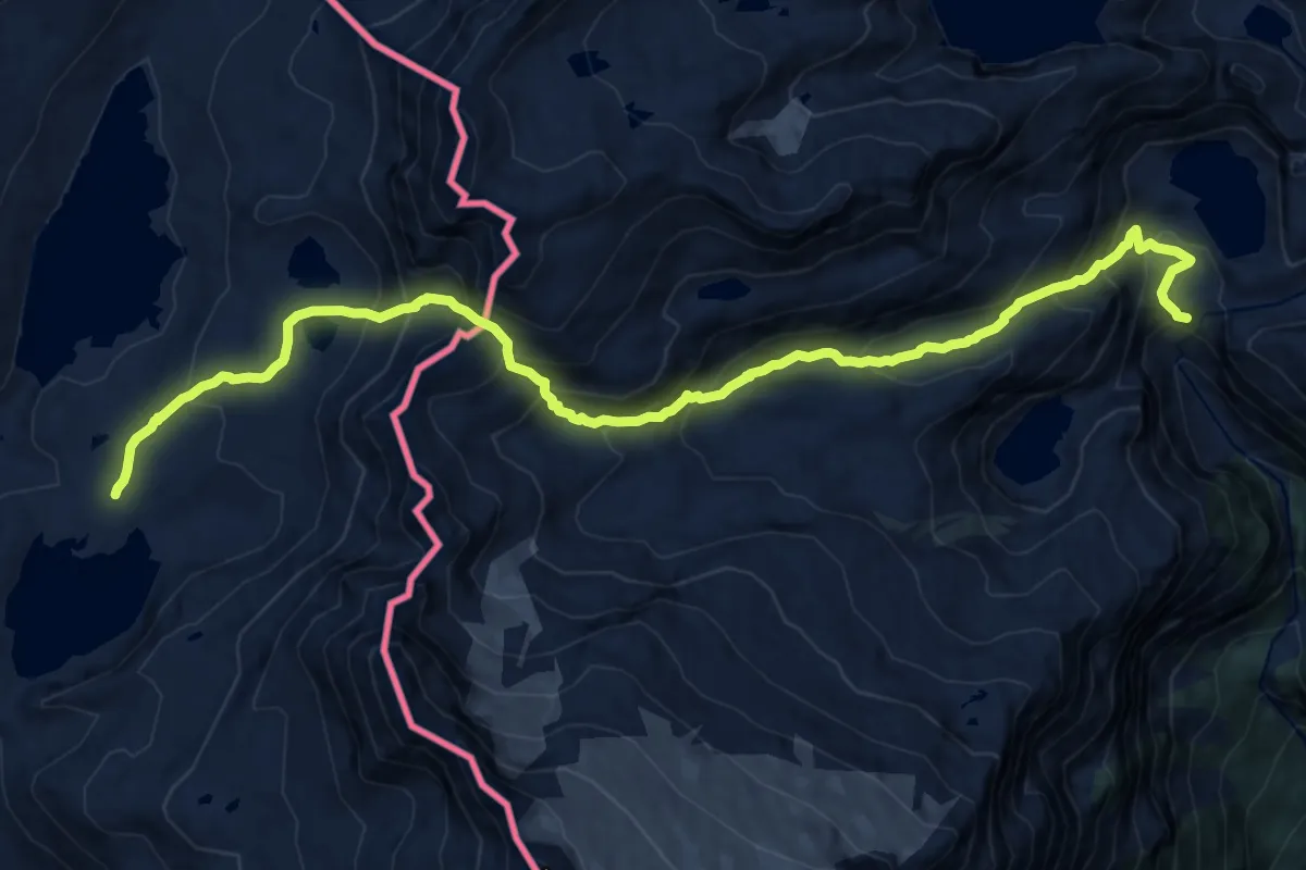
Demanding · Cabin
09S - Robiei - Rifugio Maria Luisa
15.8 km · ↑ 1274 m · 6 h 30 min
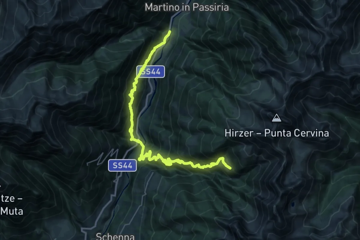
Demanding · Trail
1
15.2 km · ↑ 1683 m · 6 h 57 min
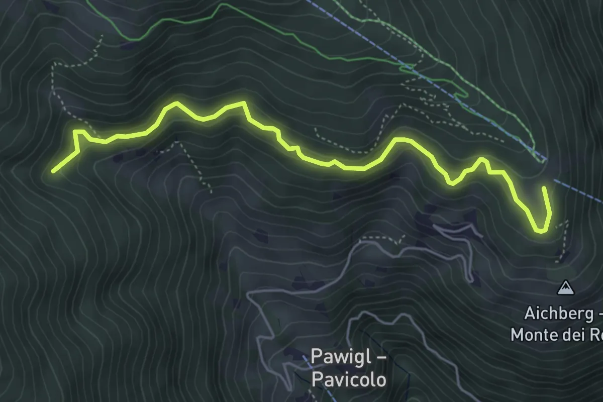
Medium · Trail
1
5.4 km · ↑ 387 m · 2 h 8 min
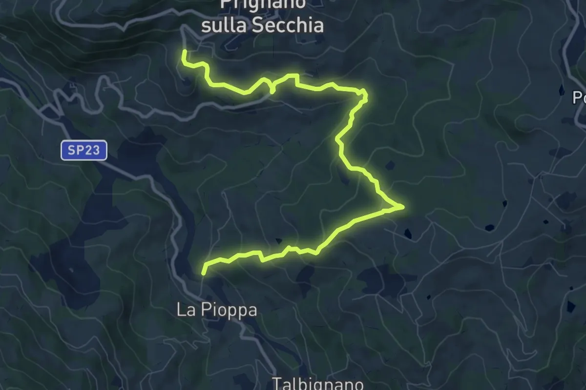
Medium · Trail
10
11.7 km · ↑ 590 m · 4 h 3 min
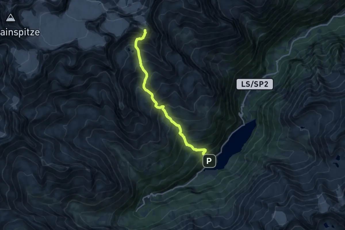
Demanding · Summit
10
11.3 km · ↑ 1408 m · 5 h 43 min
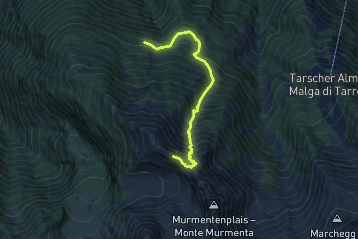
Demanding · Trail
10
7.5 km · ↑ 888 m · 3 h 41 min
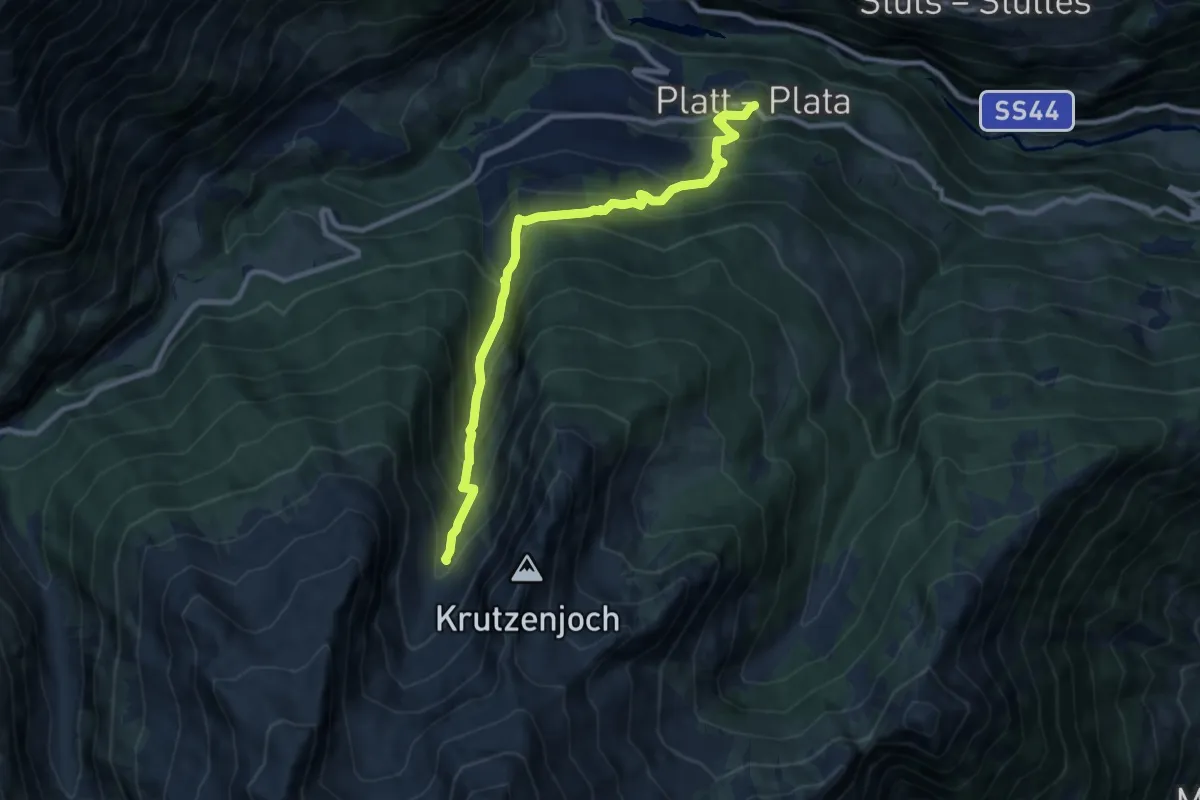
Medium · Trail
10
9.5 km · ↑ 787 m · 3 h 57 min
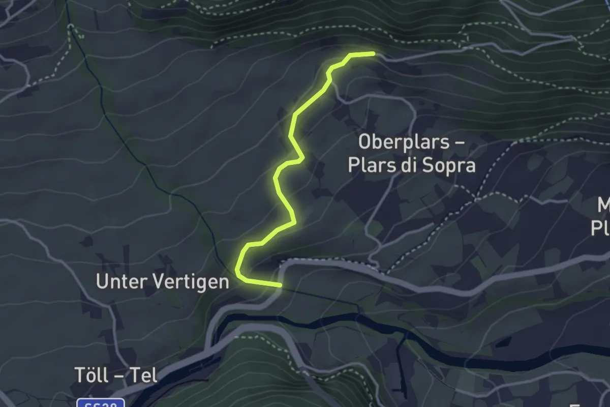
Easy · Trail
10
2.7 km · ↑ 129 m · 55 min
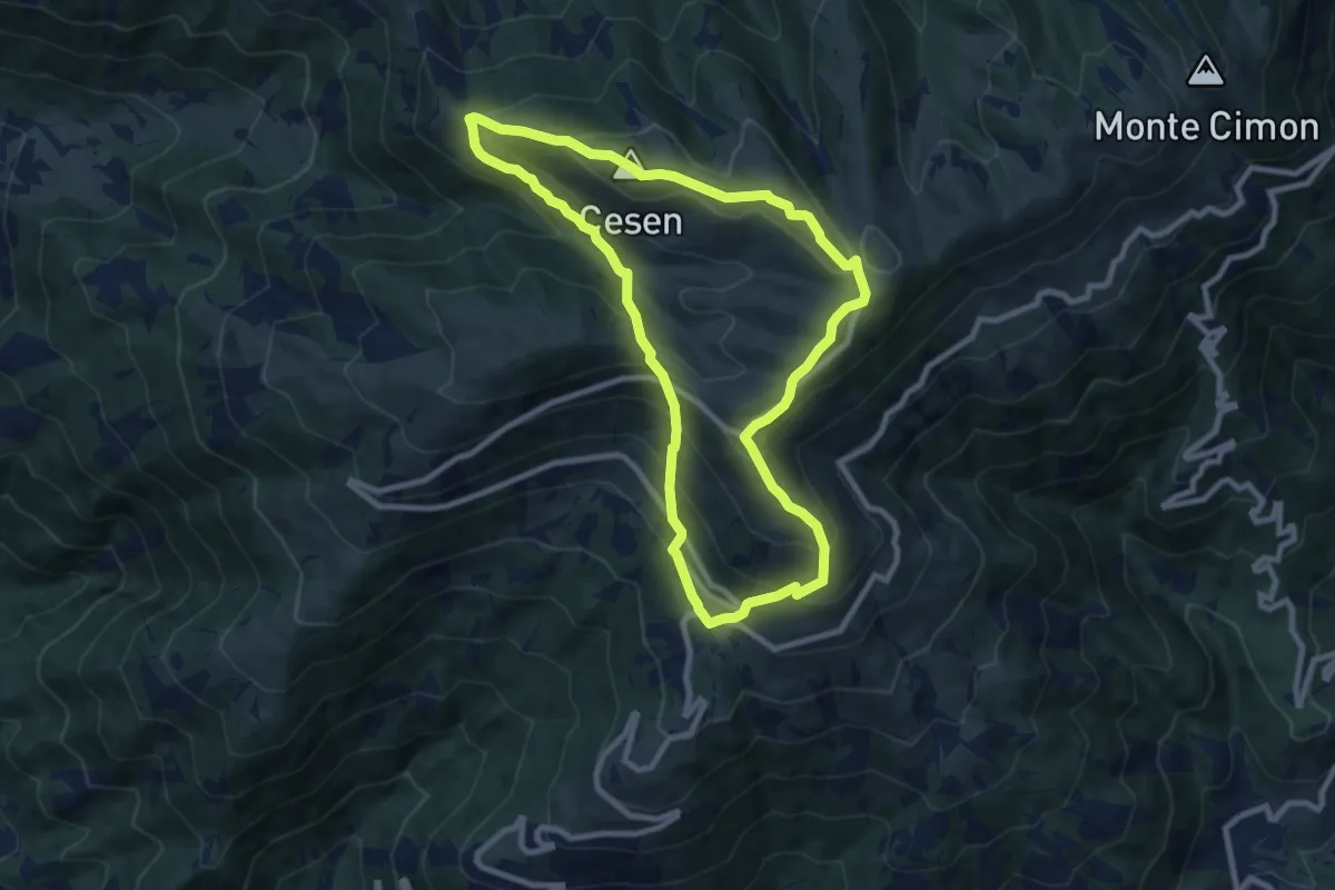
Medium · Summit
1008 Anello del Cesen
8.6 km · ↑ 641 m · 3 h 32 min
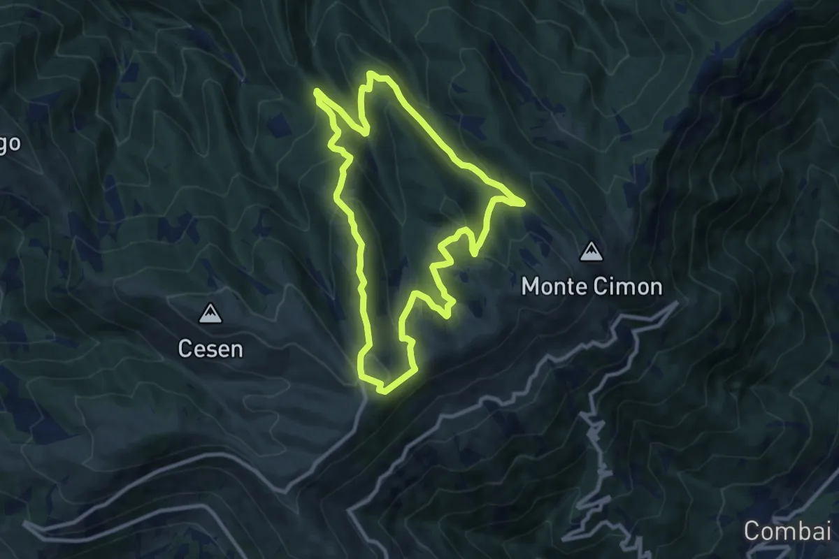
Medium · Trail
1011 Anello di Mariech
9.0 km · ↑ 454 m · 3 h 14 min
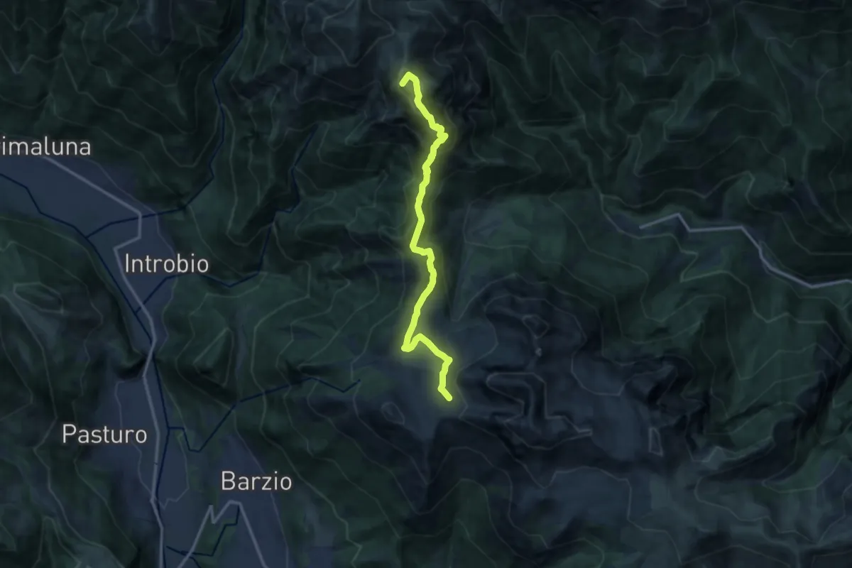
Demanding · Summit
101 - Tappa 3
12.2 km · ↑ 639 m · 4 h 16 min
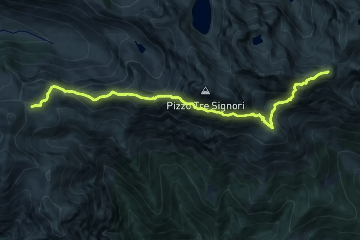
Demanding · Summit
101 - Tappa 4
12.2 km · ↑ 1015 m · 5 h 4 min
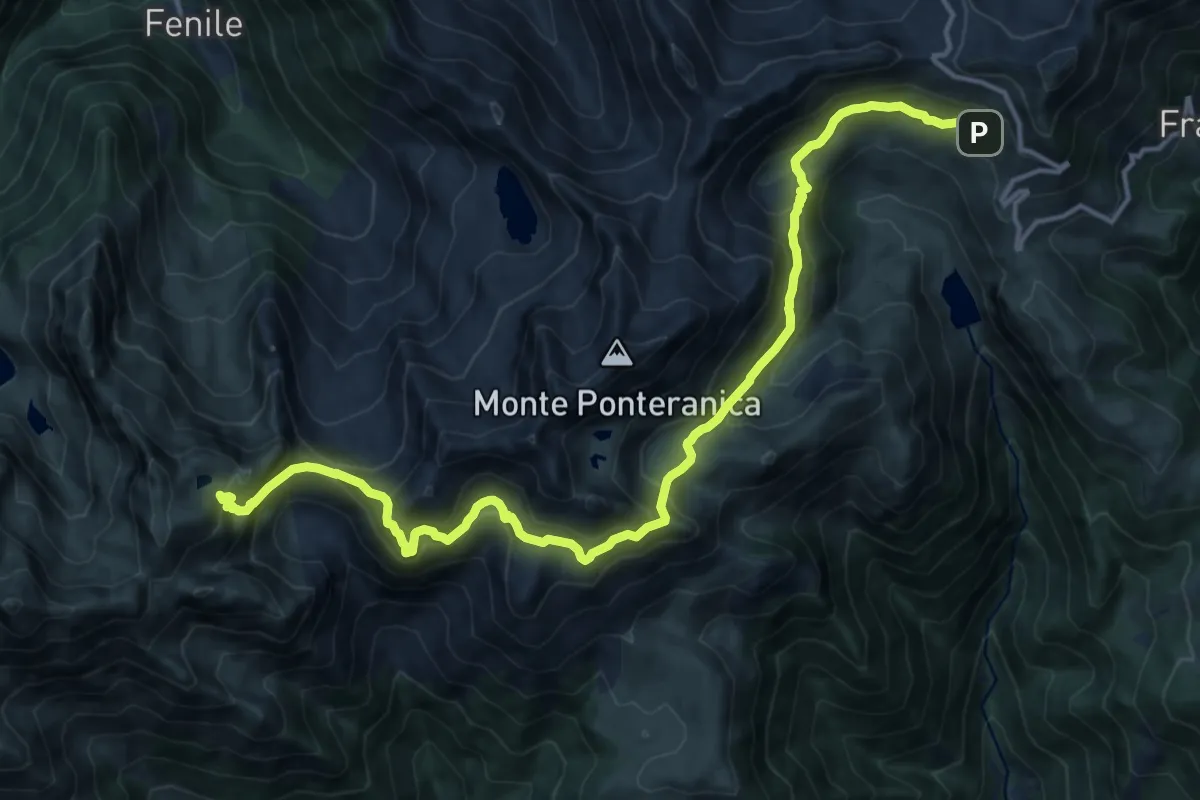
Demanding · Cabin
101 - Tappa 5
17.2 km · ↑ 1118 m · 6 h 29 min
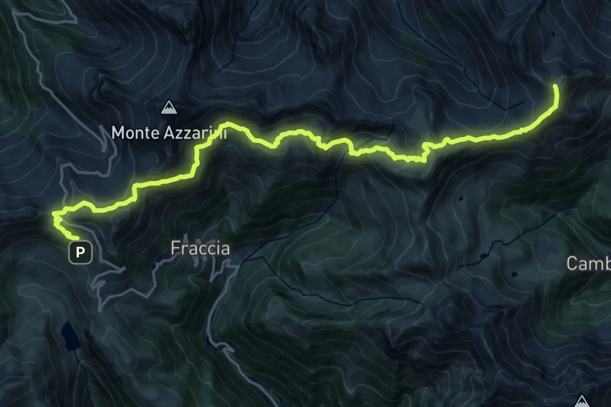
Demanding · Summit
101 - Tappa 6
19.9 km · ↑ 1417 m · 7 h 46 min
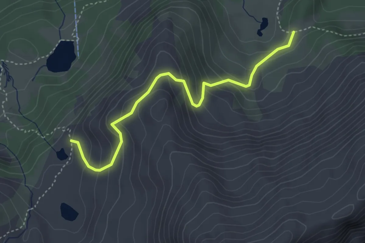
Medium · Trail
104
4.0 km · ↑ 299 m · 1 h 35 min
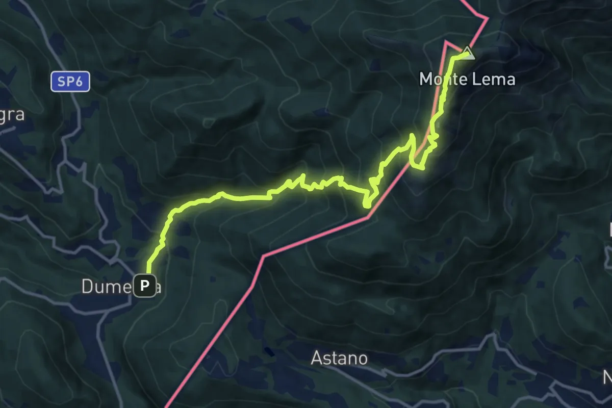
Demanding · Summit
108 3V (Tappa 8 Via Verde Varesina)
13.6 km · ↑ 1196 m · 5 h 49 min
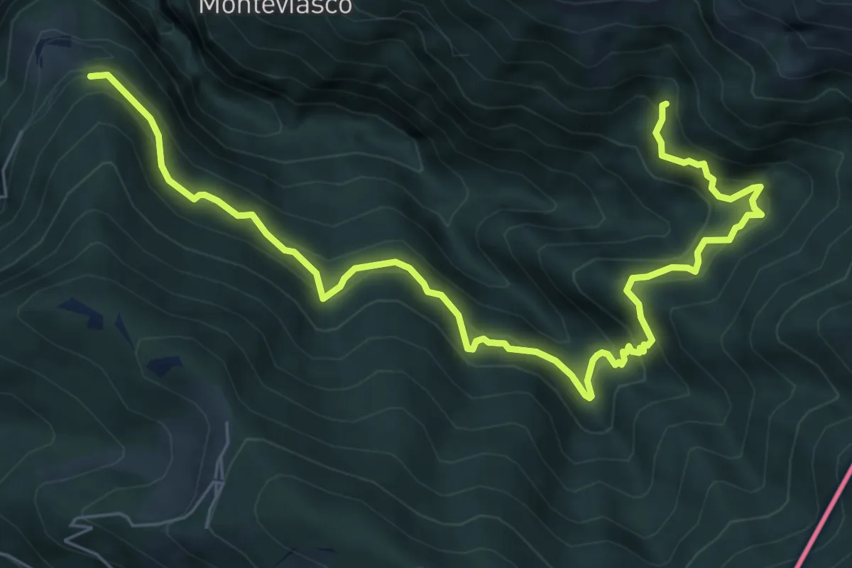
Demanding · Trail
109 3V (Tappa 9 Via Verde Varesina)
8.5 km · ↑ 830 m · 3 h 48 min
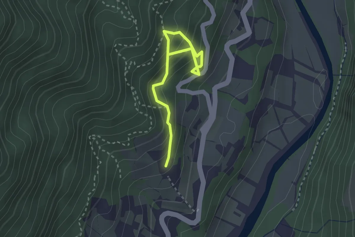
Medium · Trail
10A
2.6 km · ↑ 352 m · 1 h 22 min
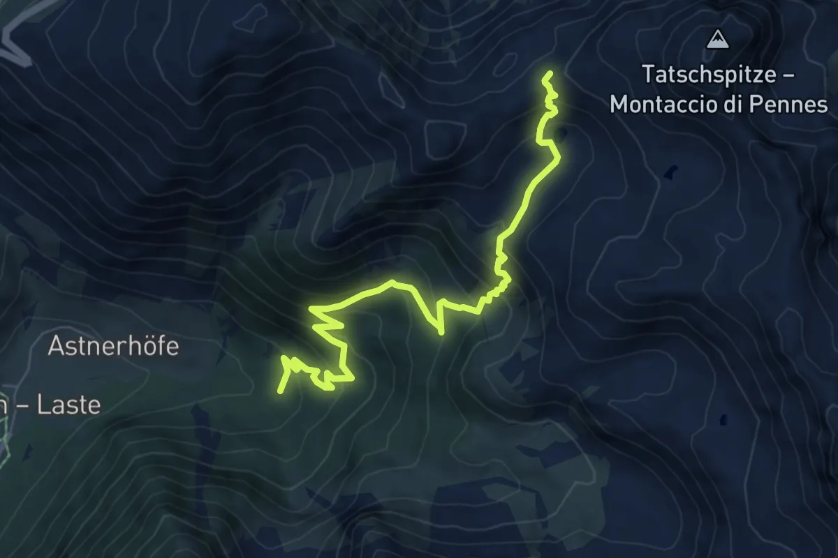
Medium · Trail
10 - (Asten) - Tramintal
8.0 km · ↑ 611 m · 3 h 13 min
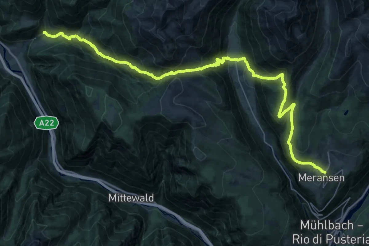
Demanding · Trail
10 - => Meransen
16.8 km · ↑ 1360 m · 6 h 57 min
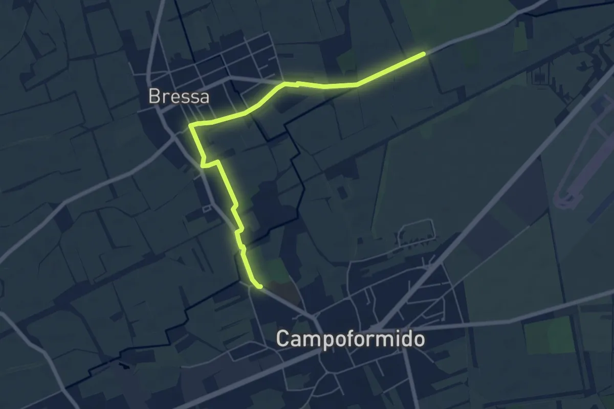
Easy · Trail
10mila passi Campoformido - Cjaminade de boschete furlane
6.3 km · ↑ 8 m · 1 h 30 min
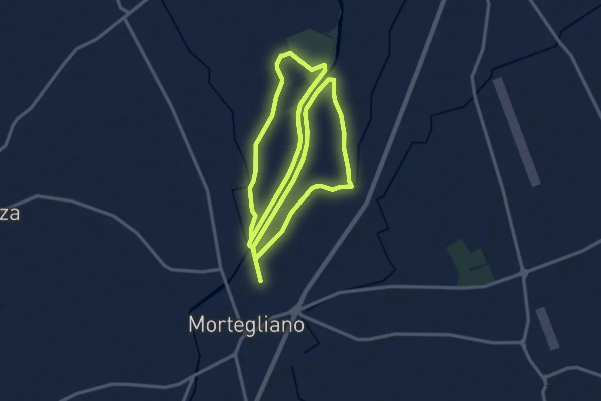
Medium · Trail
10mila passi Mortegliano - Anello del Cormor
16.9 km · ↑ 21 m · 4 h 2 min
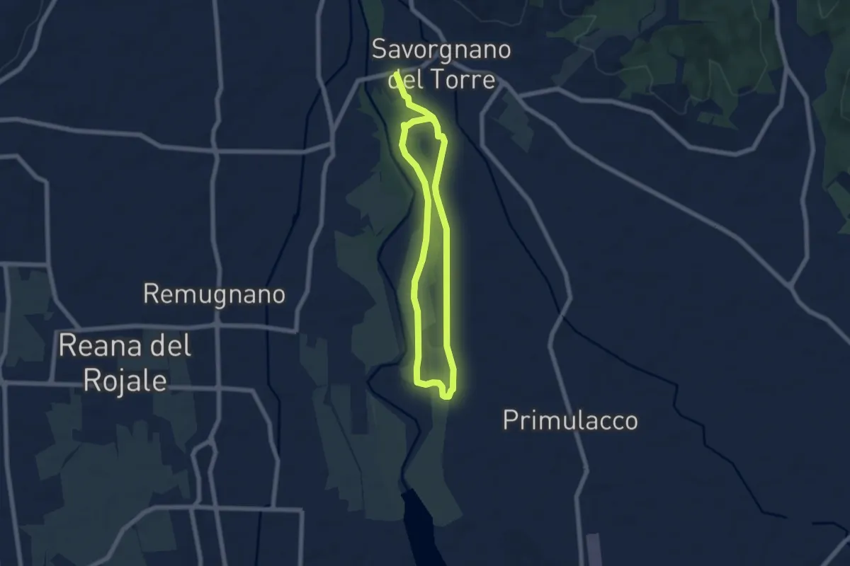
Medium · Trail
10mila passi Povoletto - Lungo il torrente Torre
9.8 km · ↑ 21 m · 2 h 22 min
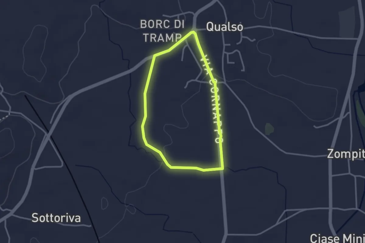
Easy · Trail
10mila passi Reana del Rojale
2.4 km · ↑ 14 m · 38 min
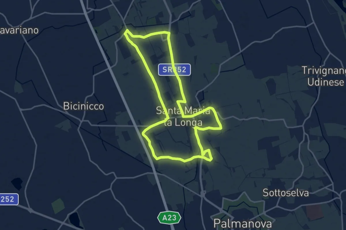
Medium · Trail
10mila passi Santa Maria la Longa - Il pasat... mi ilumine
13.8 km · ↑ 13 m · 3 h 29 min
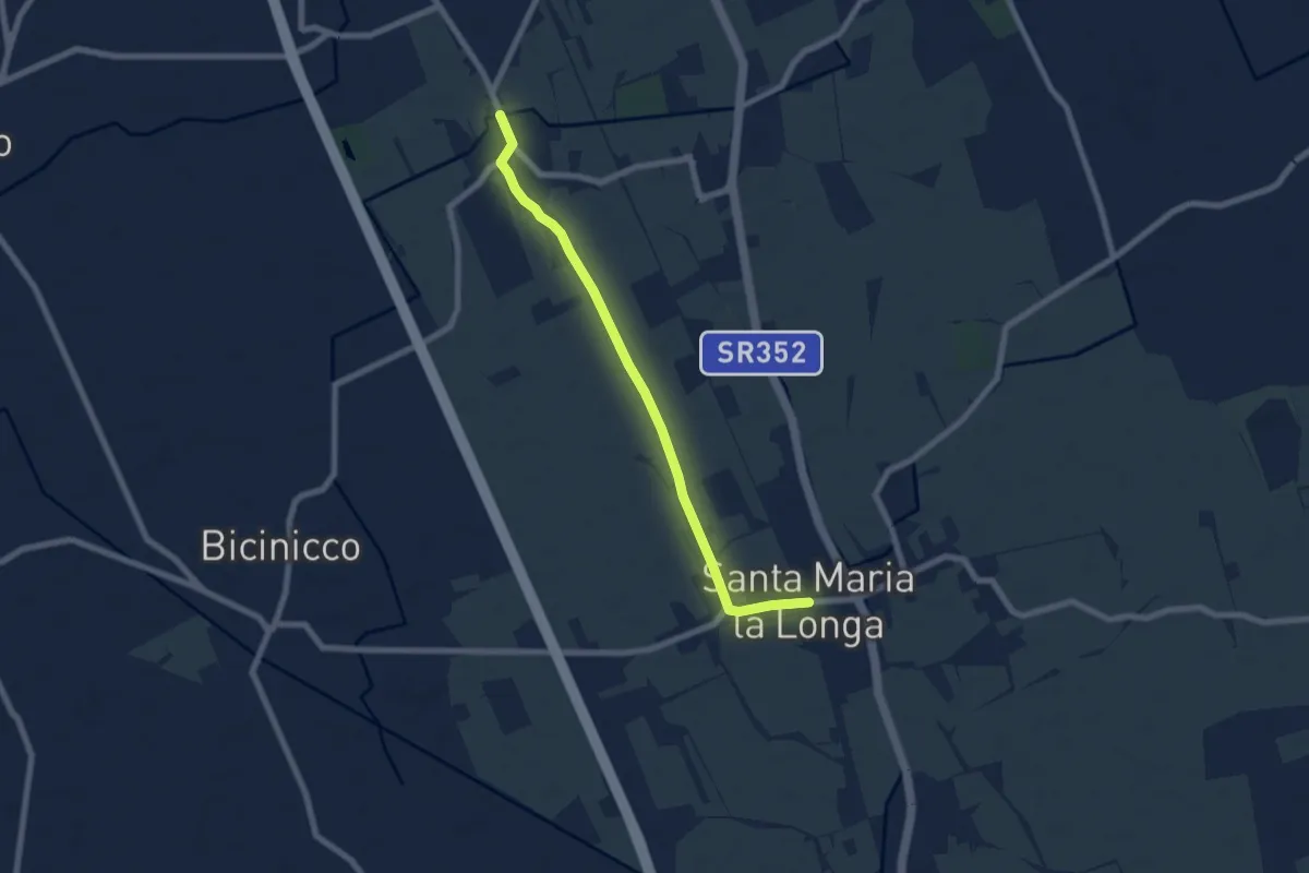
Easy · Trail
10mila passi S.Maria la Longa - La via delle ville - nord
6.9 km · ↑ 8 m · 1 h 39 min
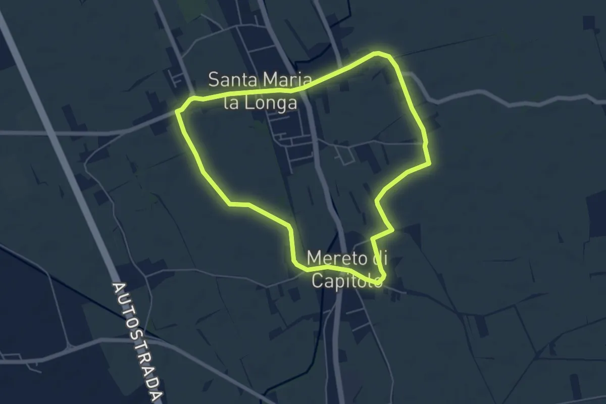
Easy · Trail
10mila passi S.Maria la Longa - La via delle ville - sud
5.3 km · ↑ 4 m · 1 h 20 min
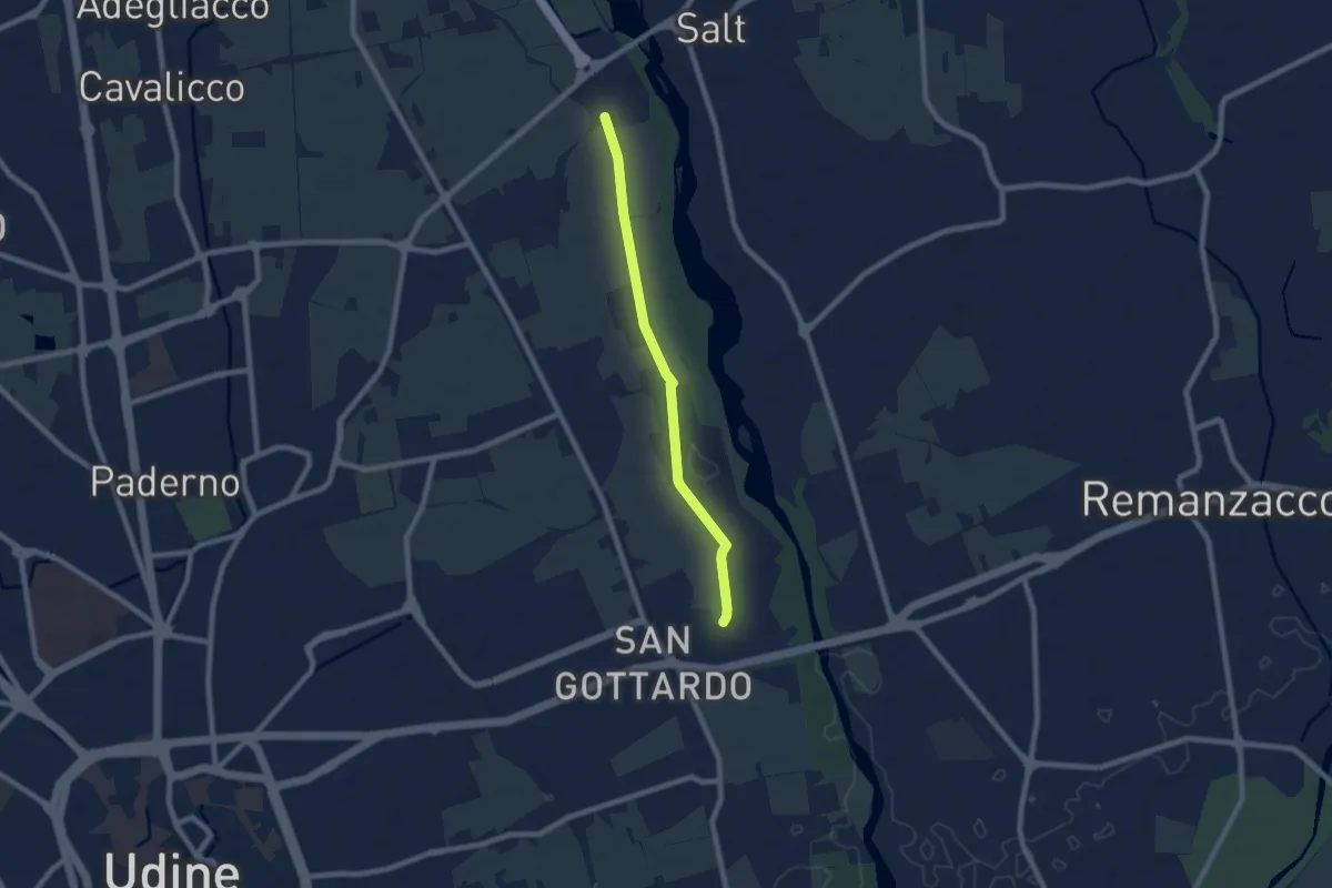
Easy · Trail
10mila passi Udine - La memoria dell'acqua - Parco del Torre
7.1 km · ↑ 17 m · 1 h 42 min
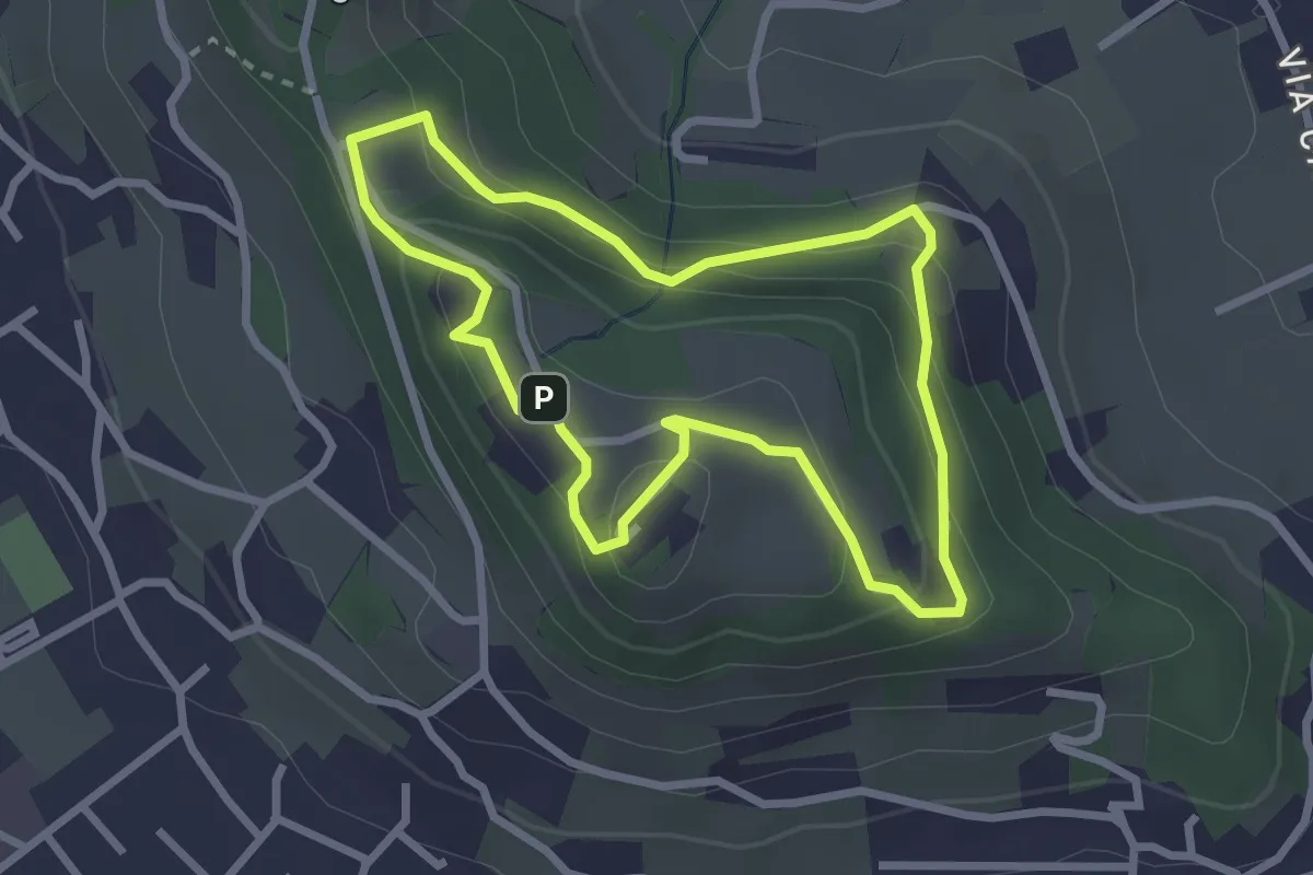
Easy · Trail
10-Percorso Natura
2.6 km · ↑ 128 m · 55 min
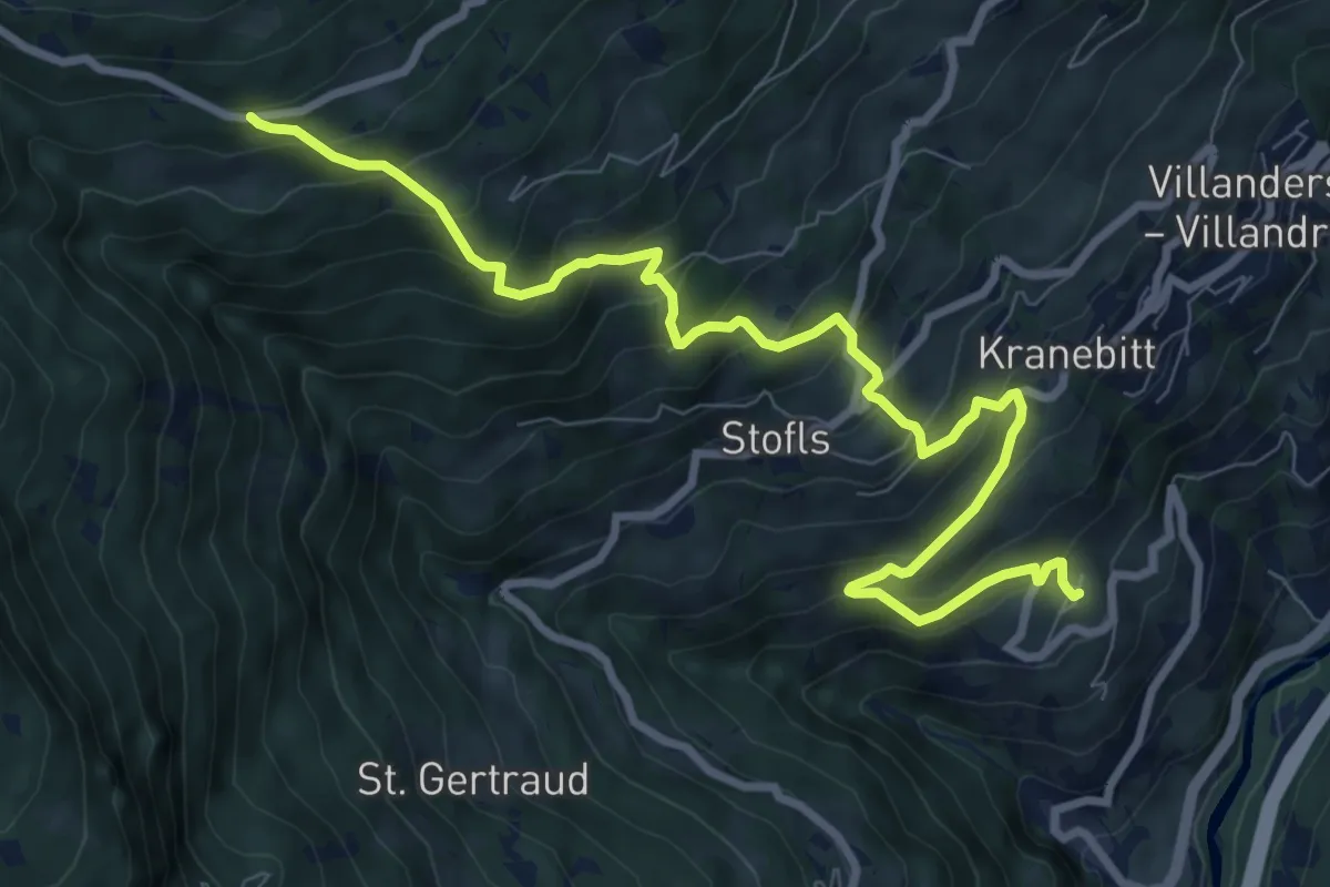
Demanding · Trail
10 - Sauderer Almweg
10.0 km · ↑ 831 m · 4 h 9 min
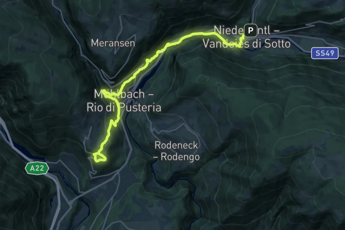
Demanding · Trail
10 => Spinges => Mühlbach => Vintl
21.9 km · ↑ 951 m · 7 h 14 min
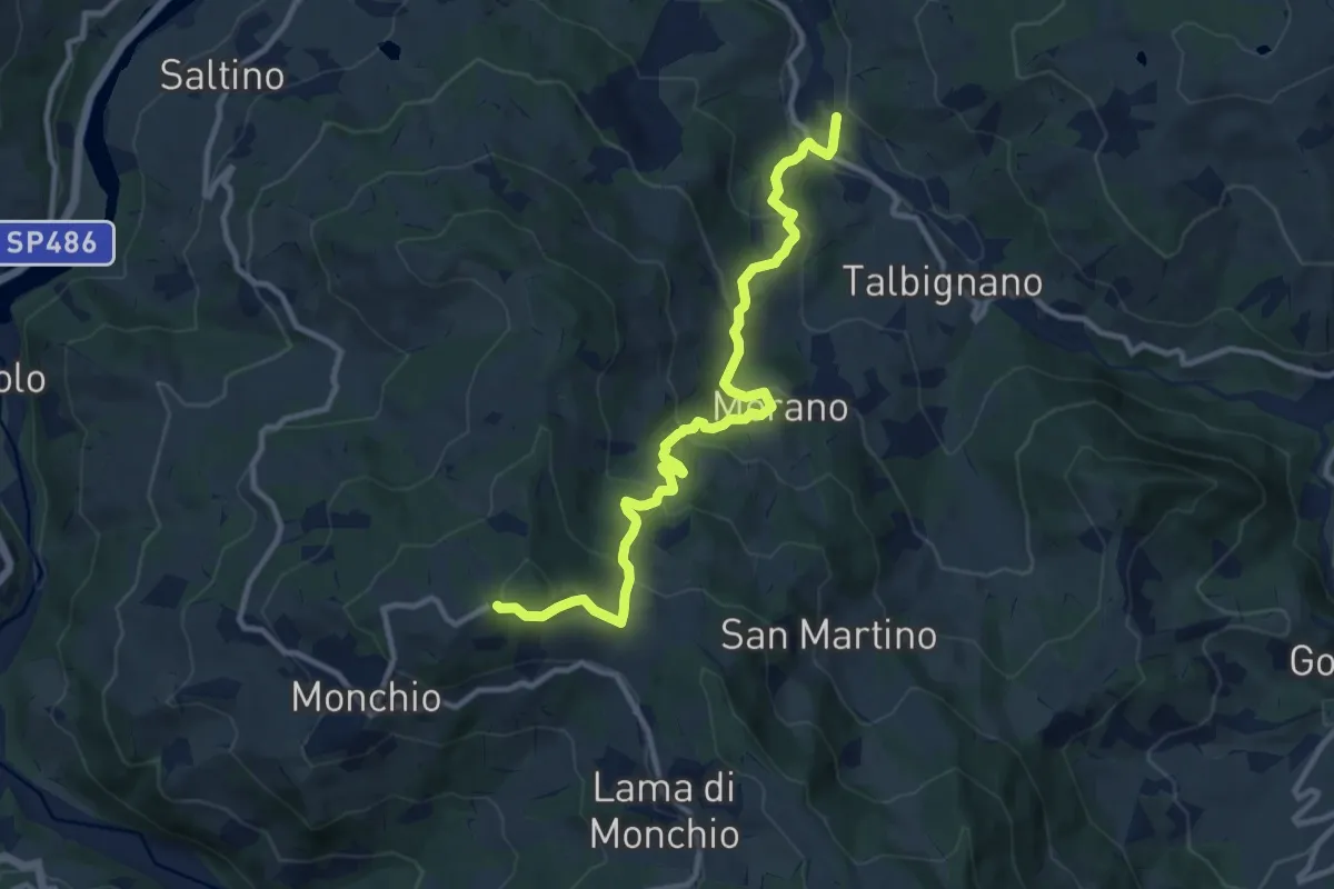
Medium · Trail
11
11.8 km · ↑ 649 m · 4 h 12 min
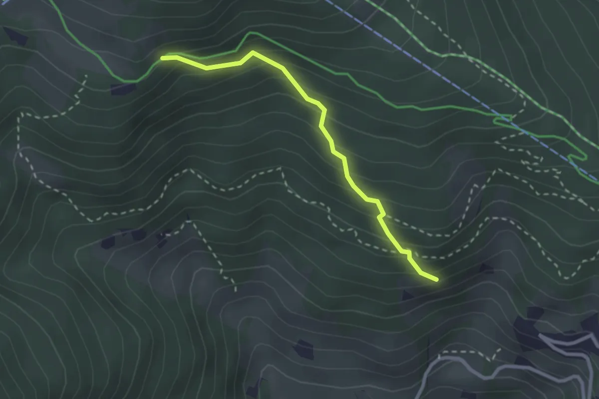
Medium · Trail
11
2.3 km · ↑ 258 m · 1 h 6 min
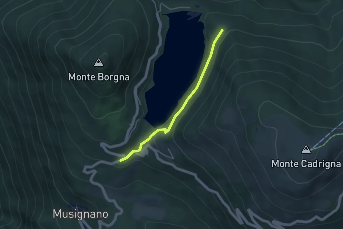
Medium · Trail
110B Variante EST Lago Delio
3.0 km · ↑ 115 m · 57 min
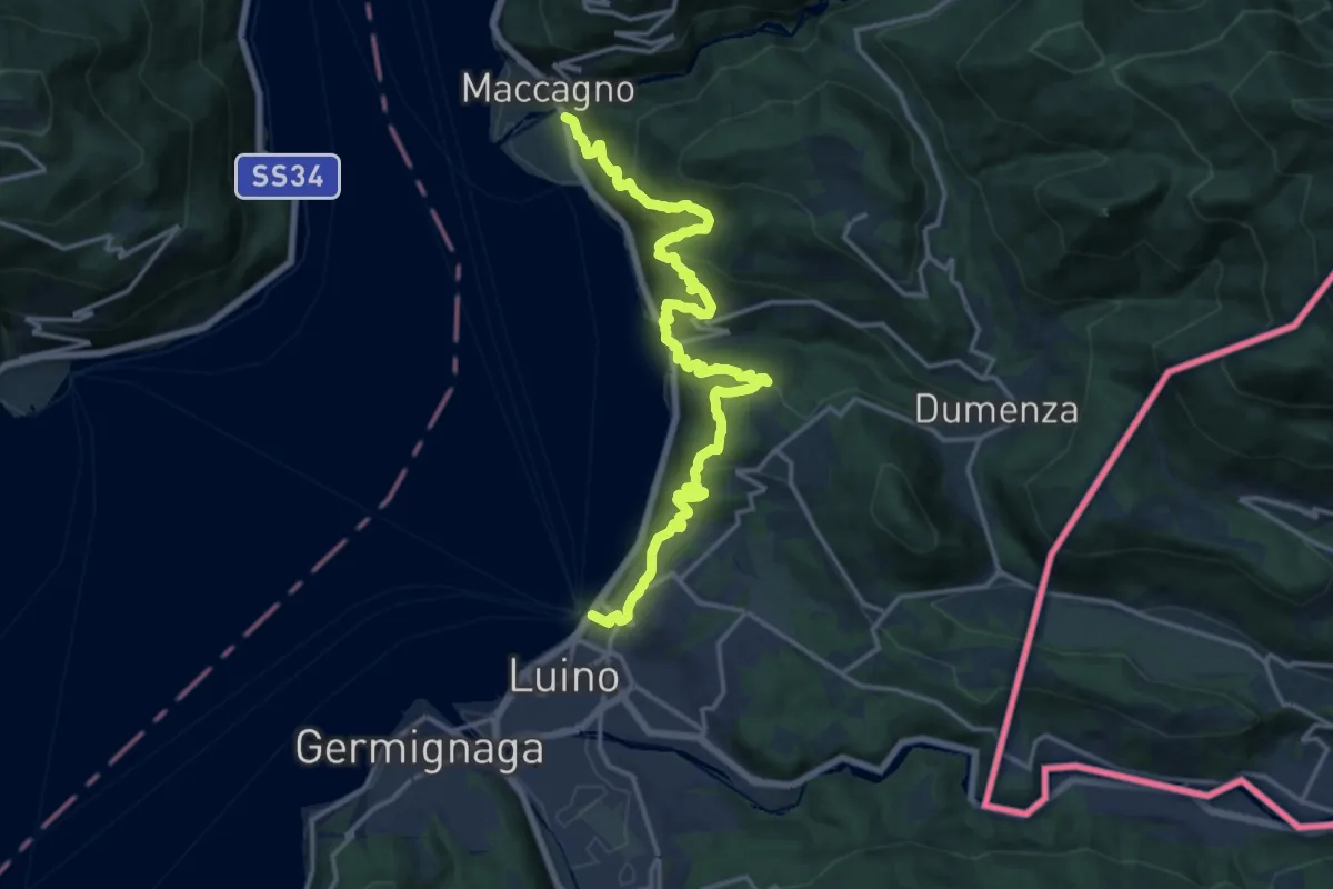
Demanding · Trail
111 3V (Variante Via Verde Varesina)
18.3 km · ↑ 1229 m · 6 h 58 min
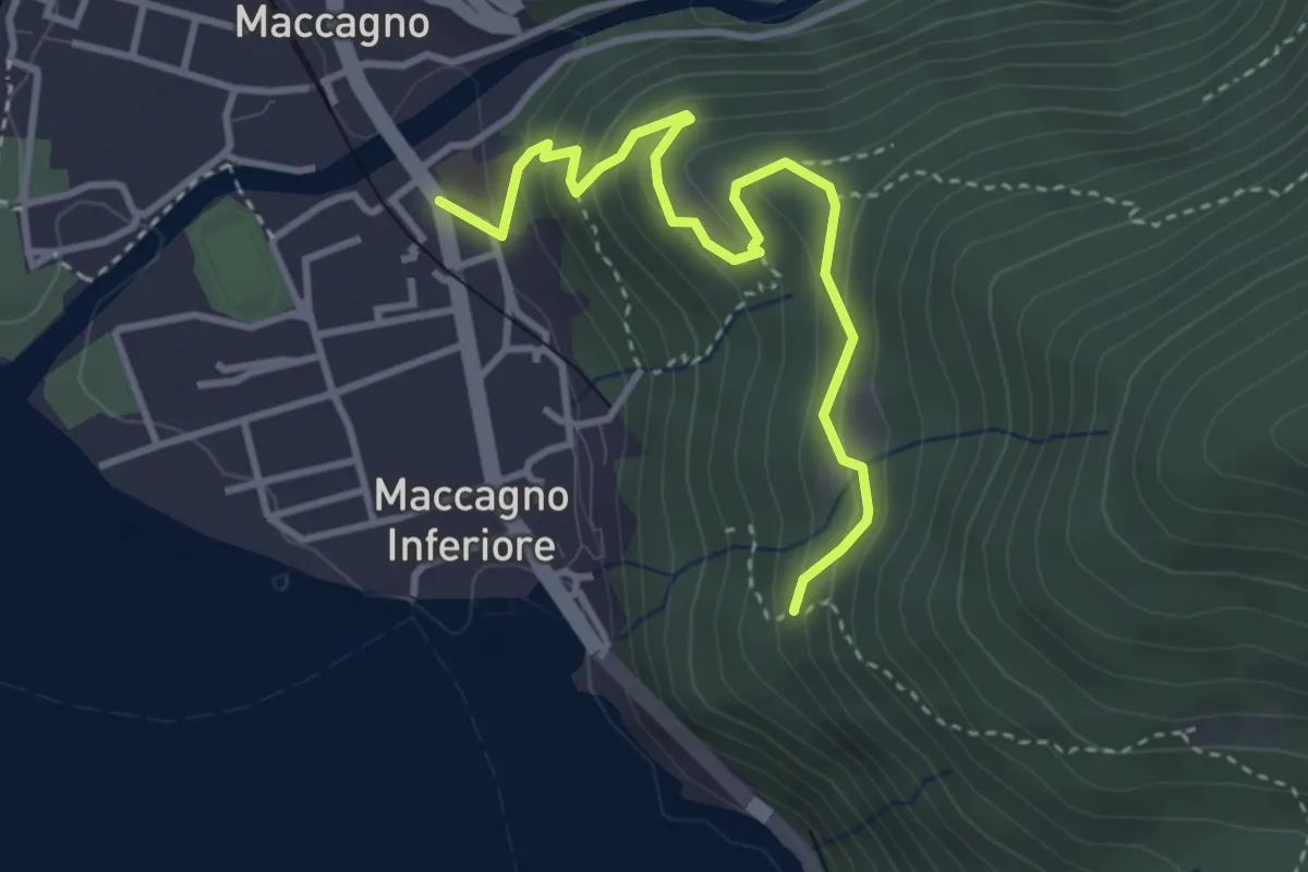
Medium · Trail
111A Variante Monte Venere
3.6 km · ↑ 251 m · 1 h 24 min
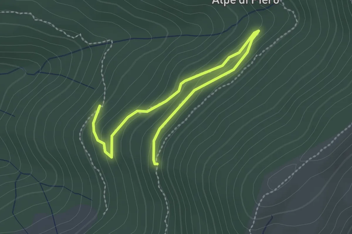
Easy · Trail
115B Variante Alpe Quadra
3.0 km · ↑ 116 m · 58 min
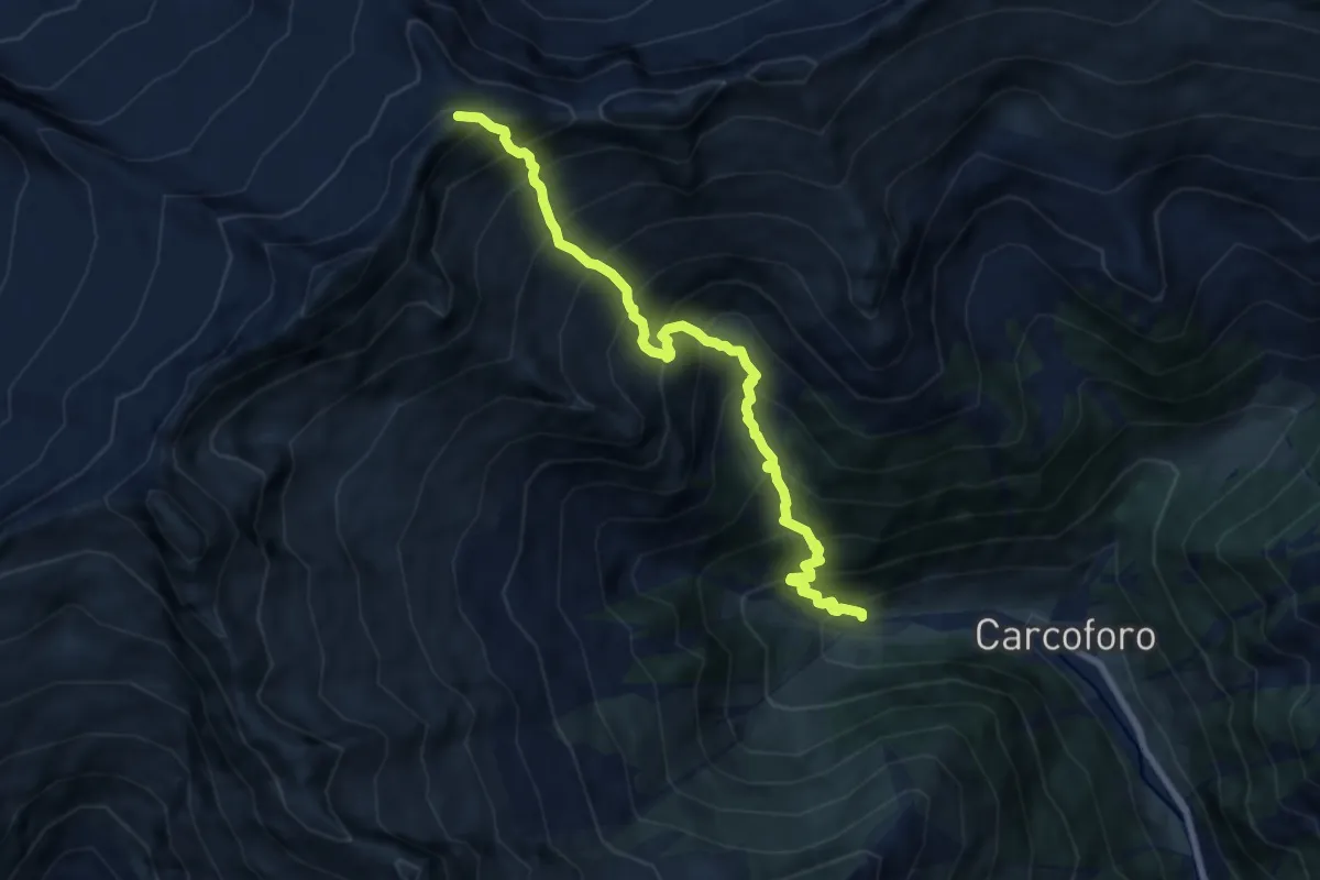
Demanding · Summit
117 - Parte verso Carcoforo del Sentiero Genoni
8.1 km · ↑ 1254 m · 4 h 38 min
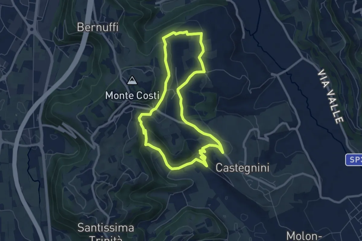
Easy · Trail
11-Carbonara, Vigo e S. Urbano
6.4 km · ↑ 177 m · 1 h 59 min
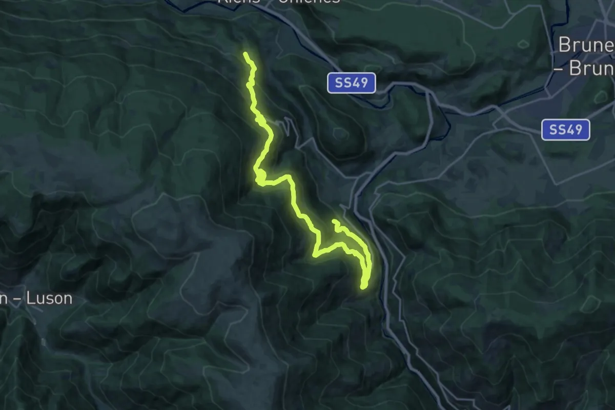
Demanding · Trail
11 - Ehrenburg
11.5 km · ↑ 803 m · 4 h 33 min
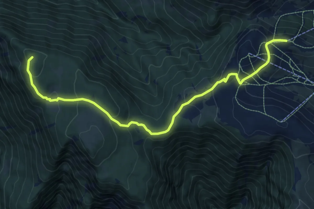
Medium · Summit
11 - Mauls => Jochtal
10.6 km · ↑ 420 m · 3 h 25 min
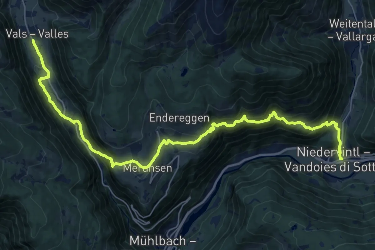
Medium · Trail
11 - Vals => Meransen => Niedervintl
12.3 km · ↑ 474 m · 4 h 25 min
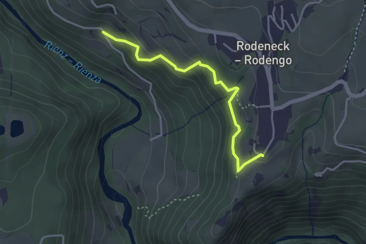
Easy · Trail
11 - Yweinweg
3.1 km · ↑ 219 m · 1 h 12 min
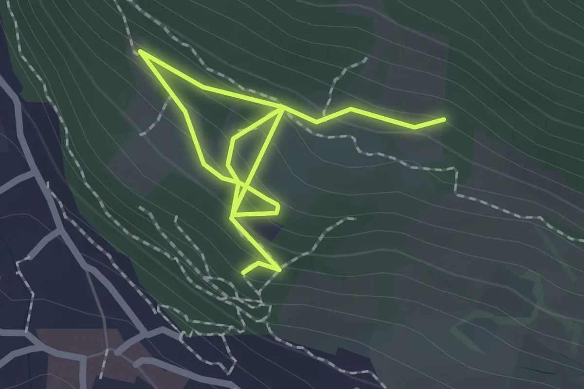
Medium · Trail
12
2.5 km · ↑ 186 m · 59 min
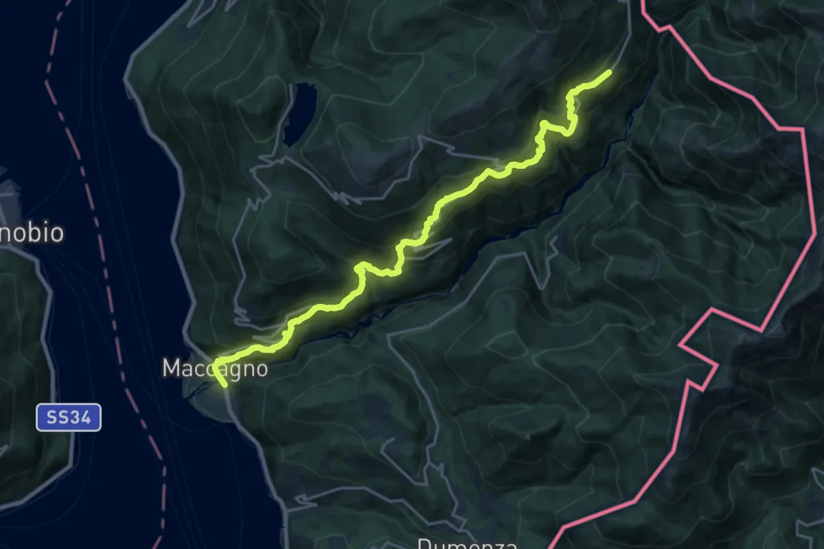
Medium · Trail
121 ASV (Antica strada della Veddasca)
10.2 km · ↑ 392 m · 3 h 46 min
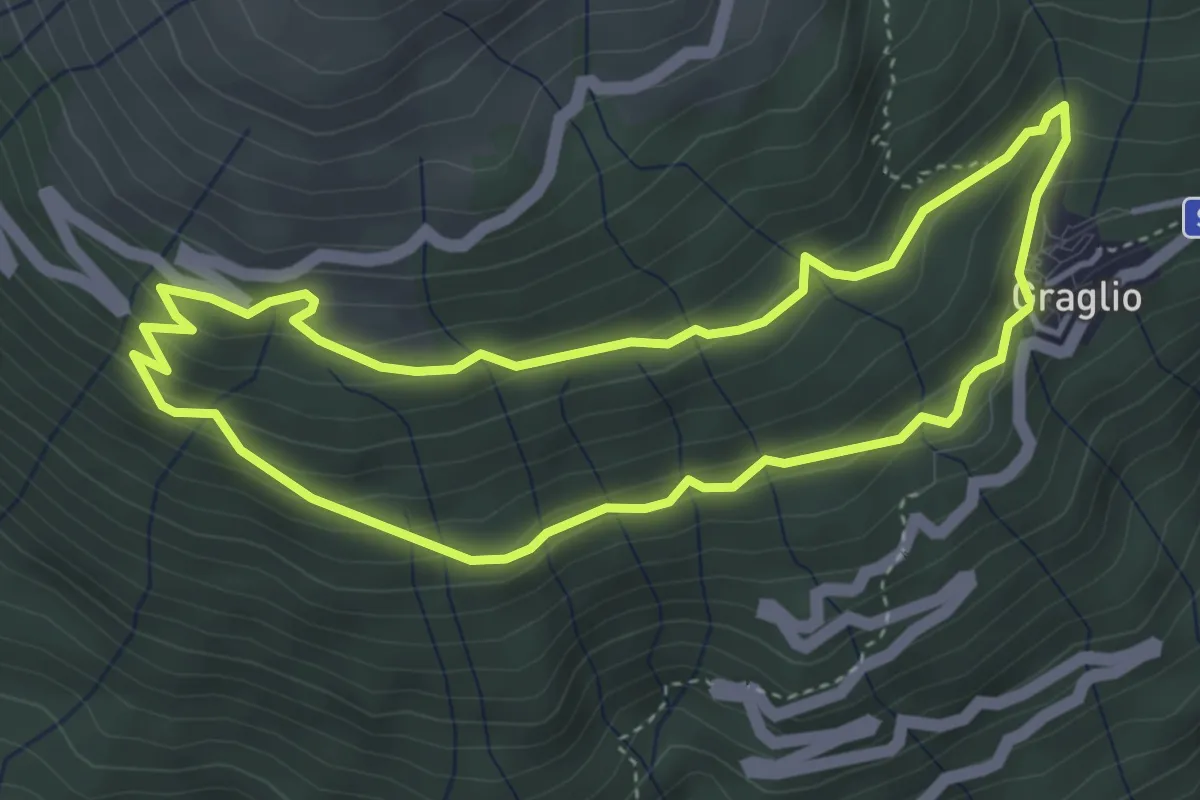
Medium · Trail
121F Giro Panoramico
3.9 km · ↑ 253 m · 1 h 31 min
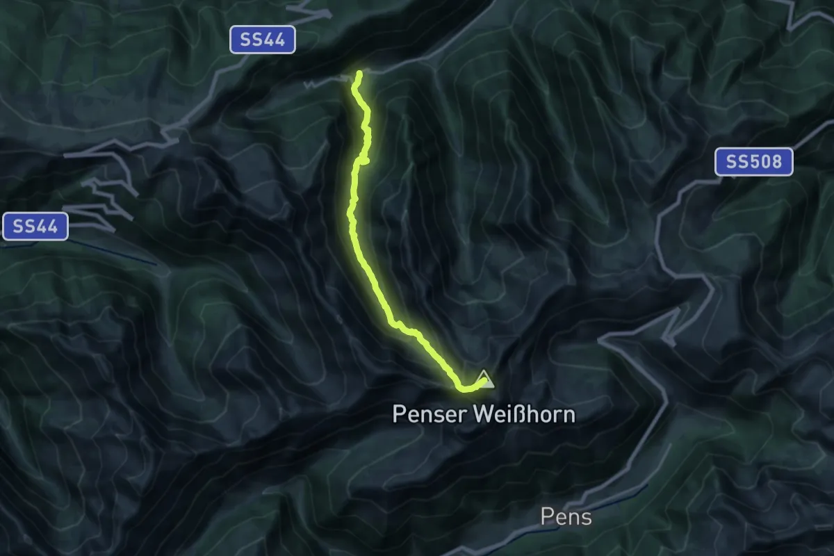
Demanding · Summit
12A - Obertal => Sarner Weißhorn => Penser Joch
15.3 km · ↑ 1376 m · 6 h 36 min
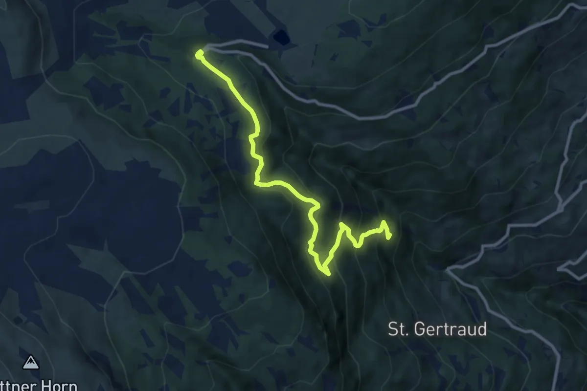
Medium · Trail
12 - Florweg
8.9 km · ↑ 580 m · 3 h 21 min