Trails in Italy
25,219 hiking trails, each with its route, climb, walking time and grade.
All trails, page 235 of 526
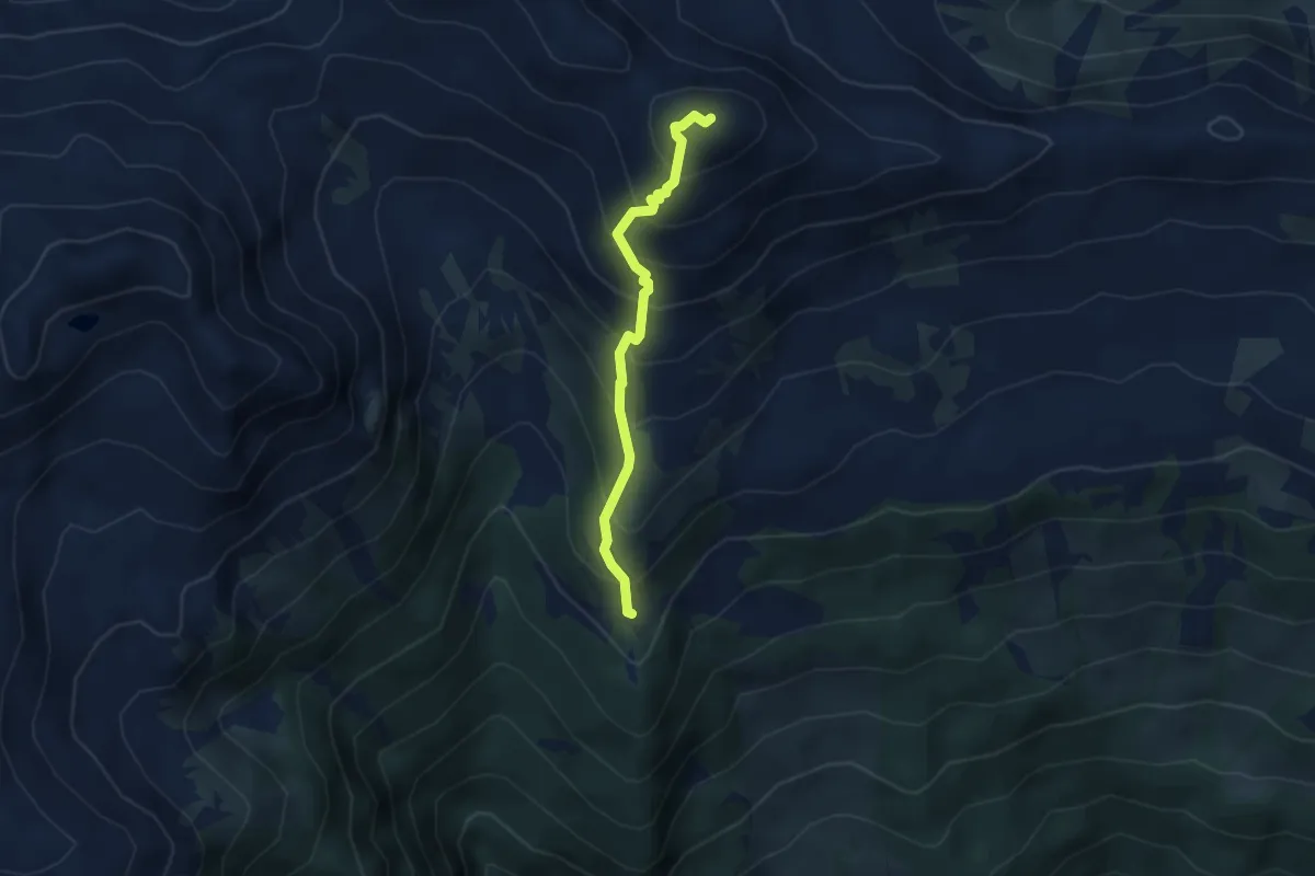
Medium · Summit
12 - Lorenzen
3.6 km · ↑ 416 m · 1 h 45 min
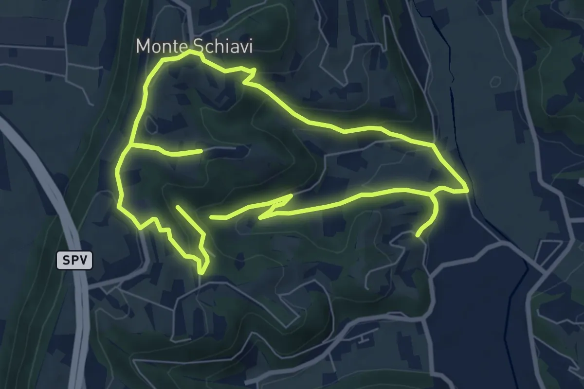
Easy · Trail
12-Maso, Vallarona, Monteschiavi, Valle del Podestà
6.9 km · ↑ 232 m · 2 h 15 min
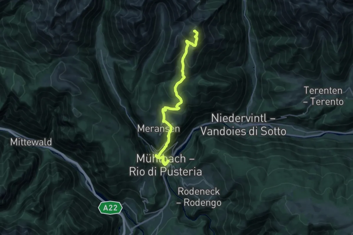
Demanding · Summit
12 - Mühlbach => Pfunders
22.5 km · ↑ 1788 m · 9 h 11 min
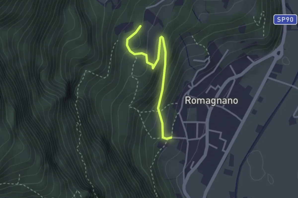
Easy · Trail
13
2.6 km · ↑ 203 m · 1 h 3 min
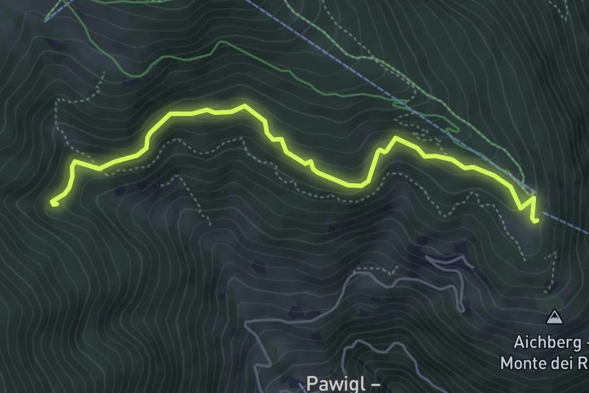
Medium · Trail
13
5.3 km · ↑ 332 m · 1 h 58 min
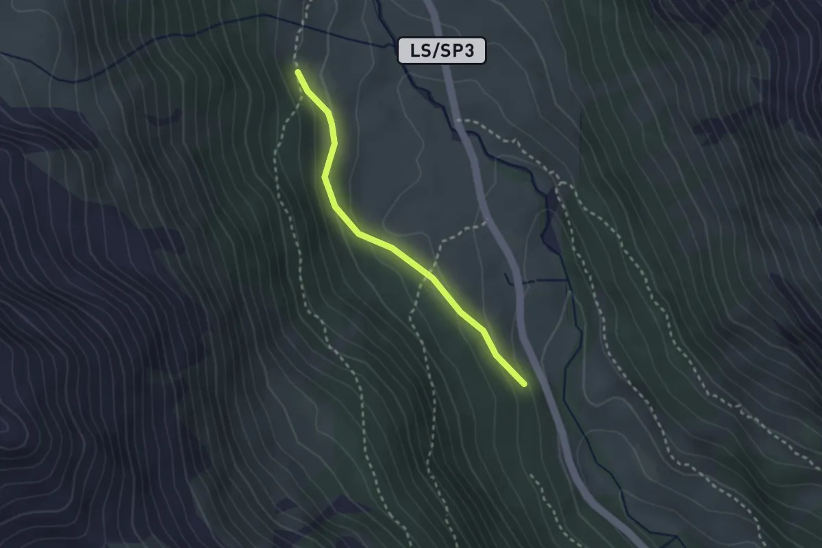
Easy · Trail
13A
2.3 km · ↑ 112 m · 48 min
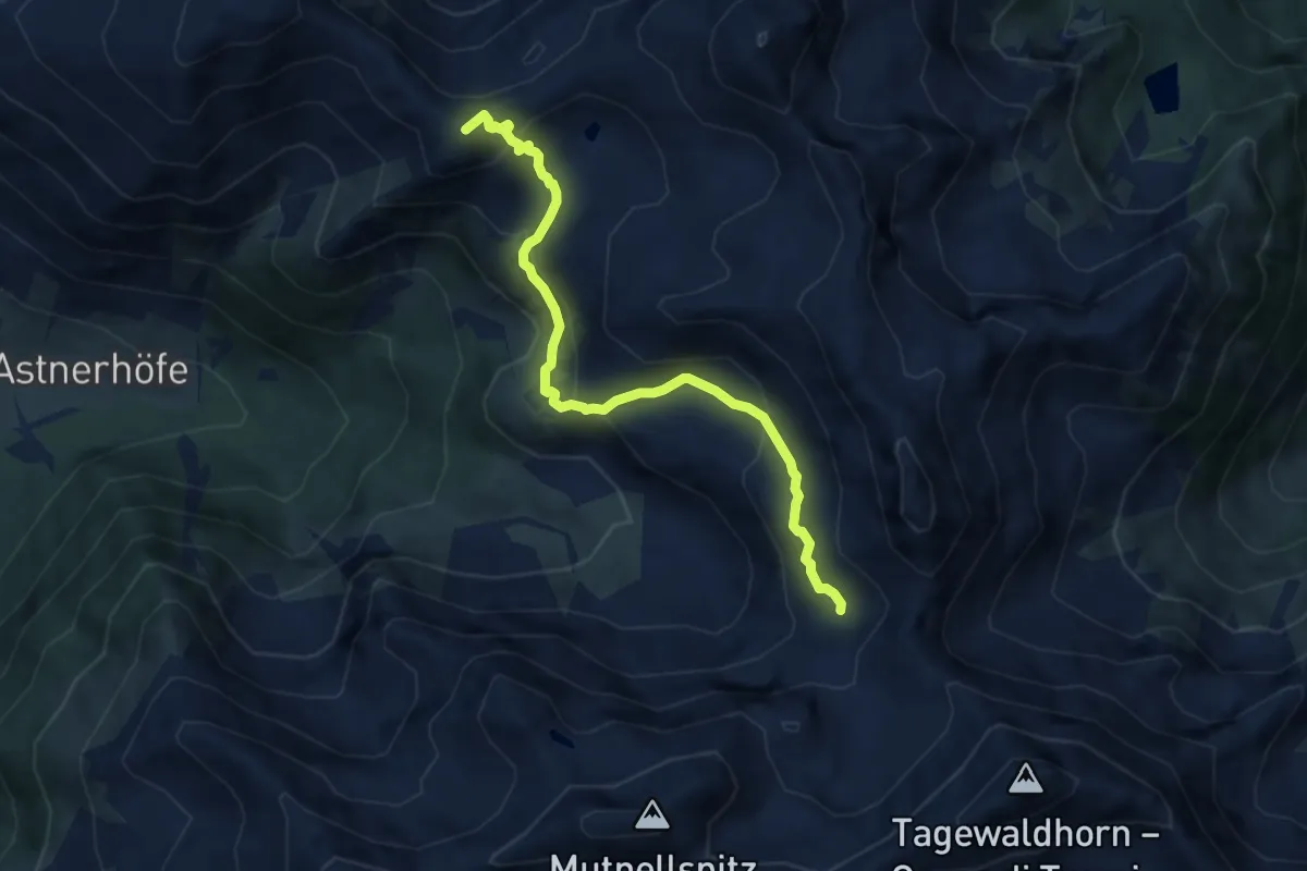
Medium · Summit
13A - Weg 14 A (Penser Joch) - ... - Traminer Scharte
7.2 km · ↑ 446 m · 2 h 40 min
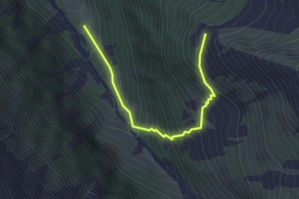
Medium · Trail
13B
3.7 km · ↑ 489 m · 1 h 55 min
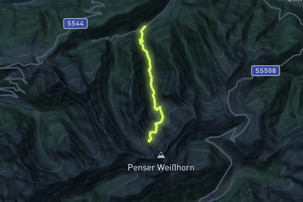
Demanding · Summit
13 - Mittertal =>
14.3 km · ↑ 1178 m · 5 h 56 min
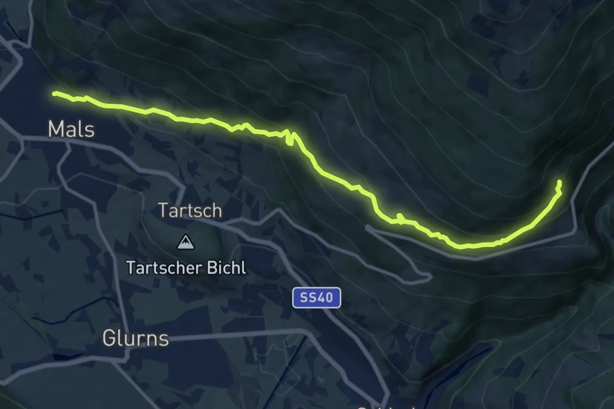
Medium · Trail
14
11.1 km · ↑ 718 m · 4 h 11 min
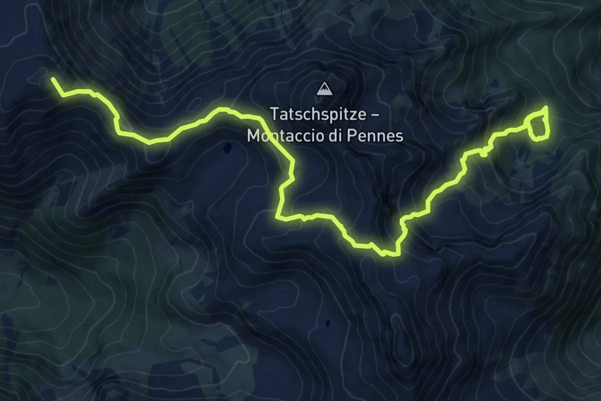
Demanding · Summit
14A - Penser Joch => Puntleider Joch => Puntleider See
13.2 km · ↑ 1121 m · 5 h 32 min
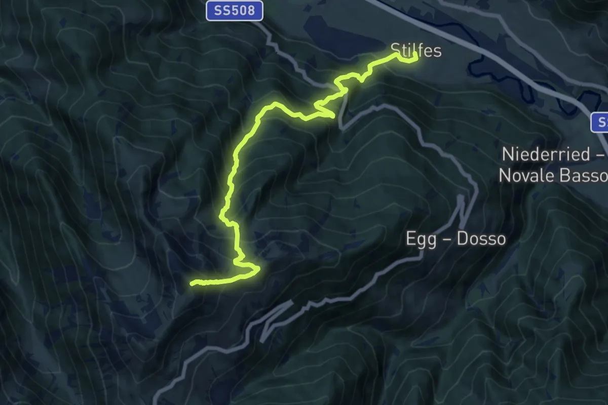
Demanding · Summit
14A - Stilfes => Zinseler
13.4 km · ↑ 1453 m · 6 h 19 min
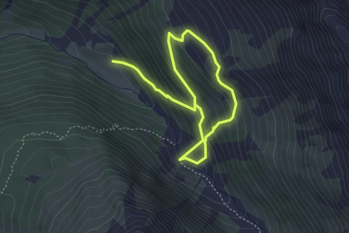
Medium · Trail
14B
5.5 km · ↑ 579 m · 2 h 33 min
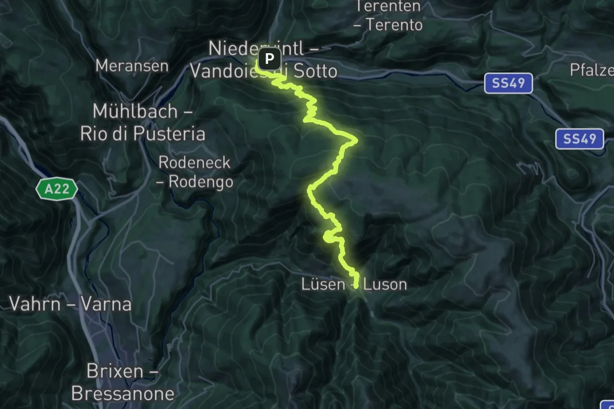
Demanding · Trail
14 - Lüsen
16.8 km · ↑ 1296 m · 6 h 53 min
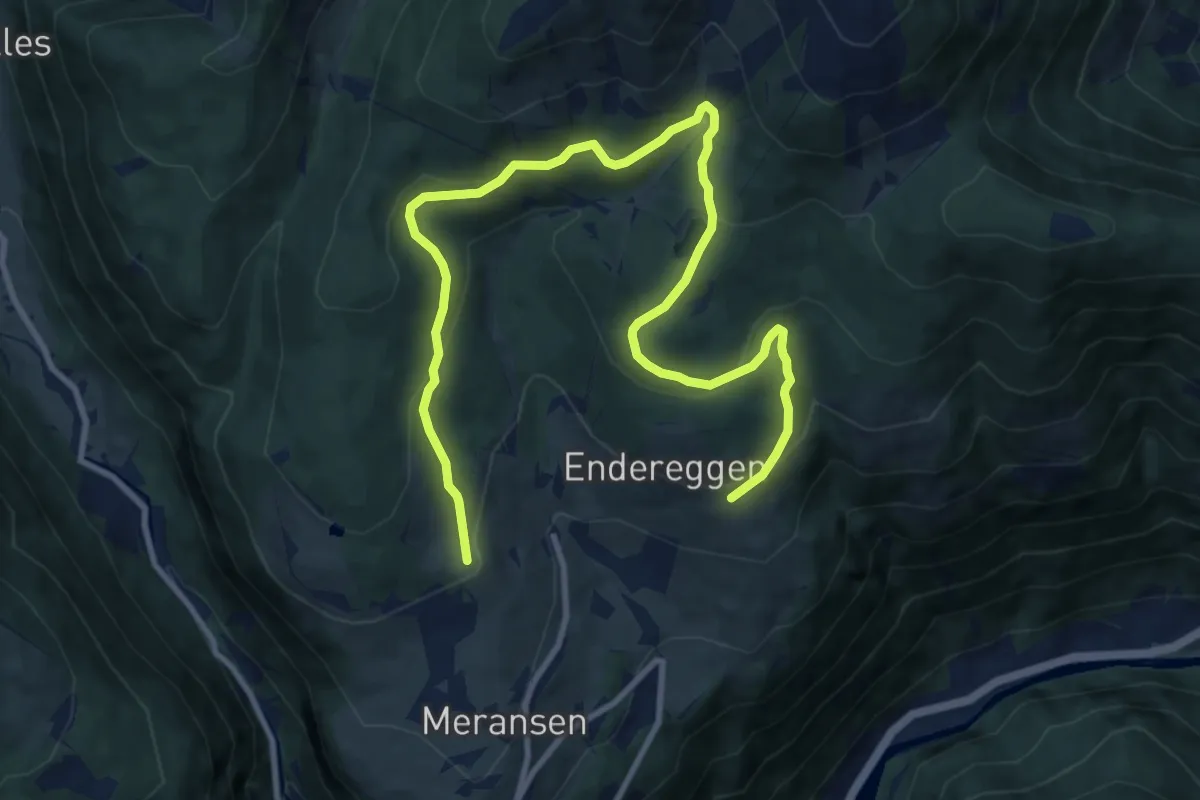
Medium · Trail
14 - Möserweg
13.2 km · ↑ 563 m · 4 h 20 min
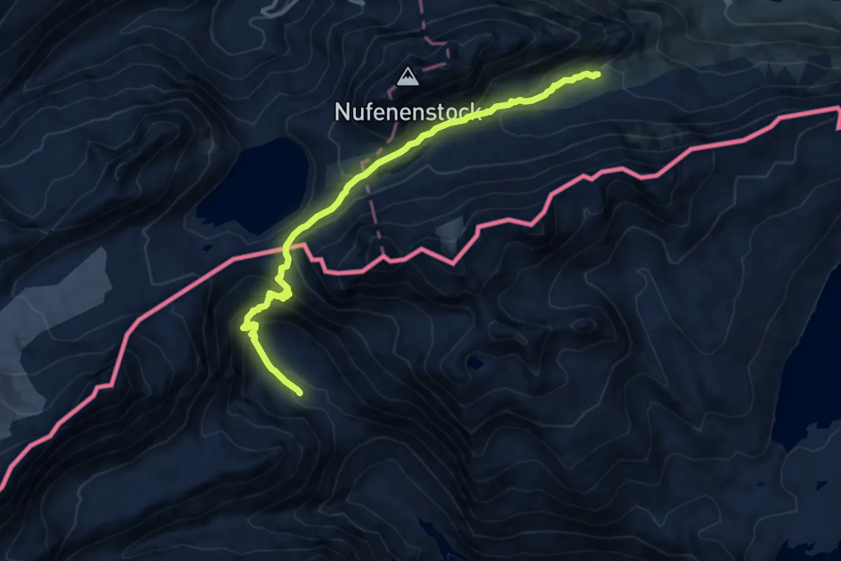
Expert · Cabin
14-Sentiero dei passi alpini
11.4 km · ↑ 699 m · 4 h 12 min
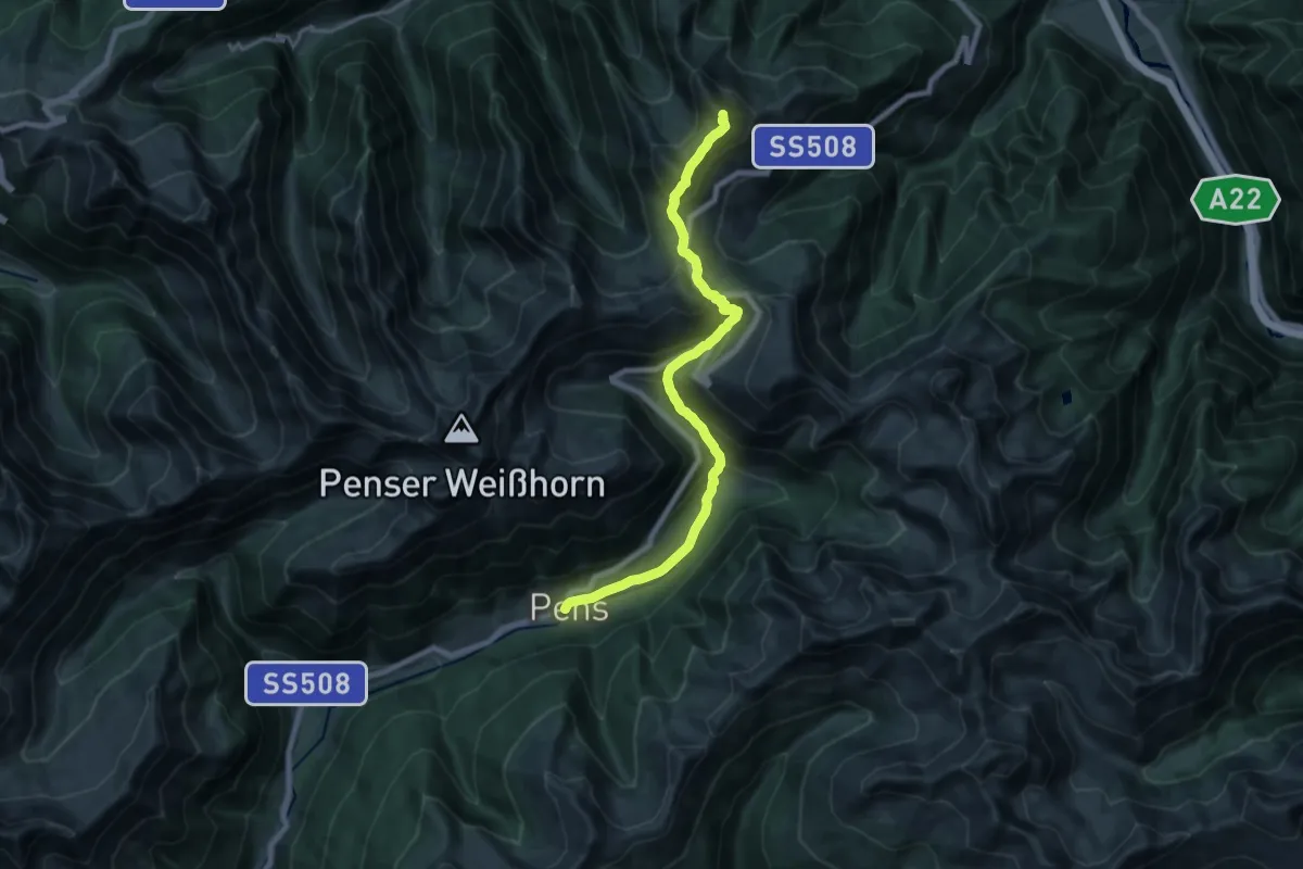
Demanding · Summit
14 - Sterzing => Pens
19.3 km · ↑ 1170 m · 7 h 5 min
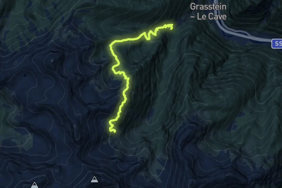
Demanding · Trail
14 - Weg 15 (Grasstein) => Puntleider Alm - Puntleider See => Weg 15 (Traminer Scharte)
11.7 km · ↑ 1221 m · 5 h 24 min
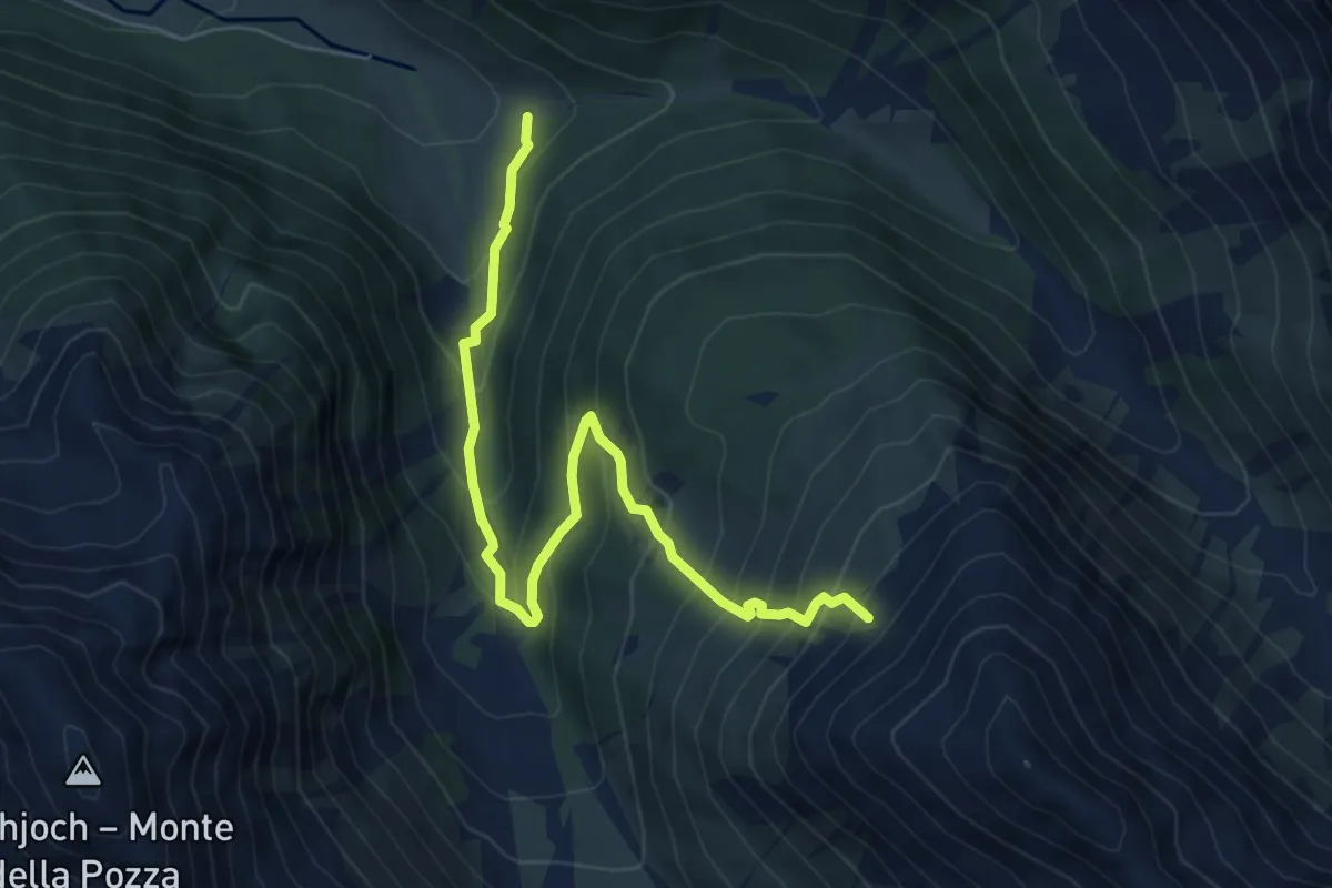
Medium · Trail
15
6.6 km · ↑ 685 m · 3 h 3 min
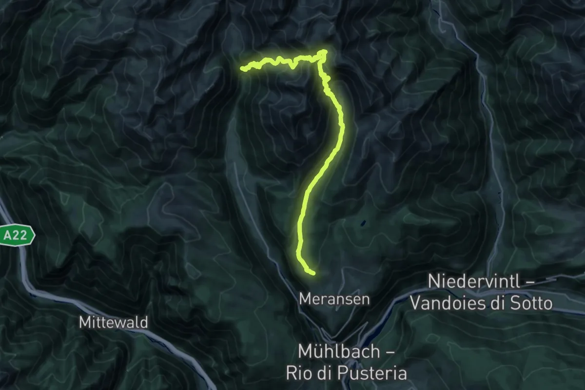
Demanding · Trail
15 - 6 => 17
12.7 km · ↑ 1008 m · 5 h 19 min
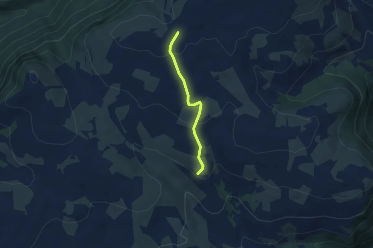
Easy · Cabin
15A - Stofflhütte => 1
3.0 km · ↑ 105 m · 56 min
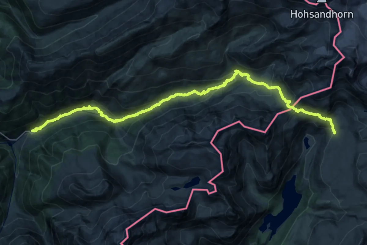
Medium · Trail
15-Chemin des cols alpins
13.7 km · ↑ 333 m · 4 h 33 min
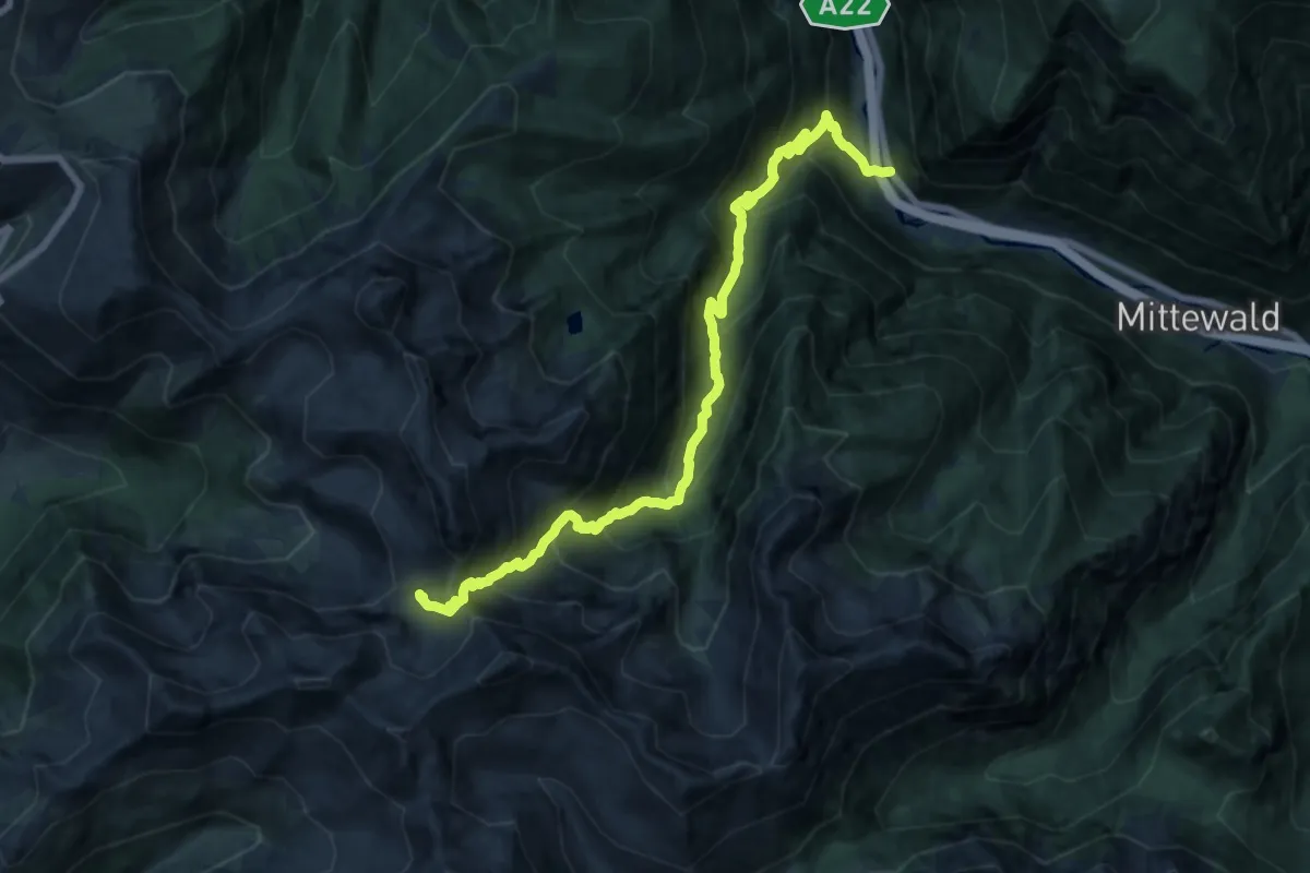
Demanding · Trail
15 - Grasstein => Traminer Scharte
17.4 km · ↑ 1631 m · 7 h 39 min
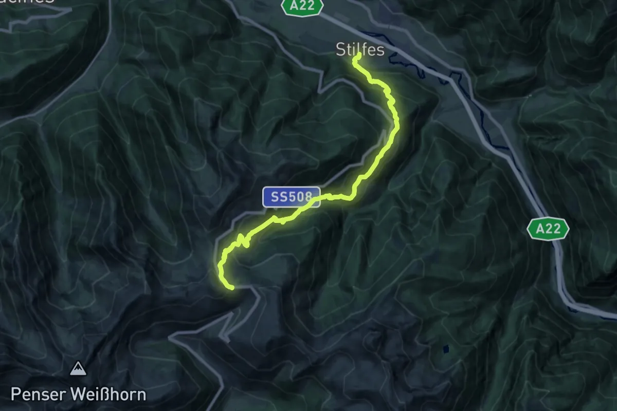
Demanding · Trail
15 - Kirchsteig
19.2 km · ↑ 1459 m · 7 h 42 min
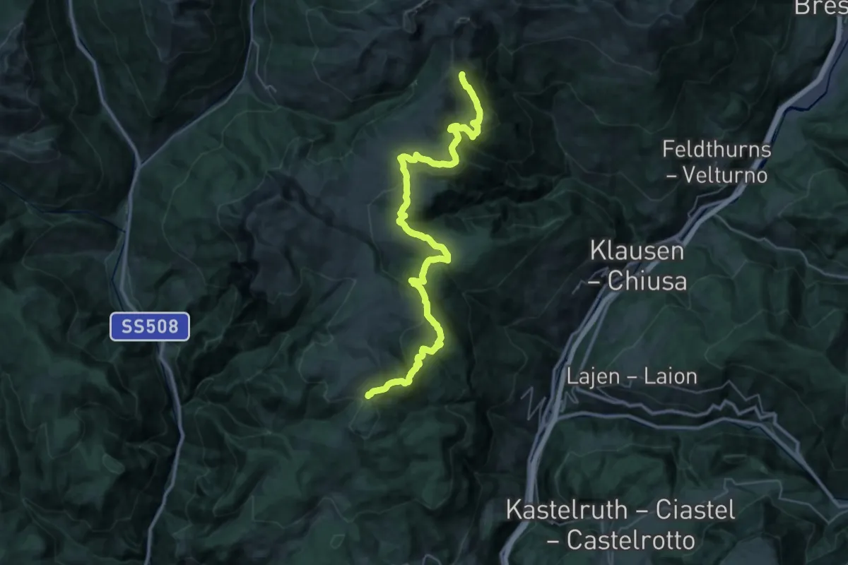
Demanding · Trail
15 - Unterhorn => 1
18.4 km · ↑ 672 m · 6 h 13 min
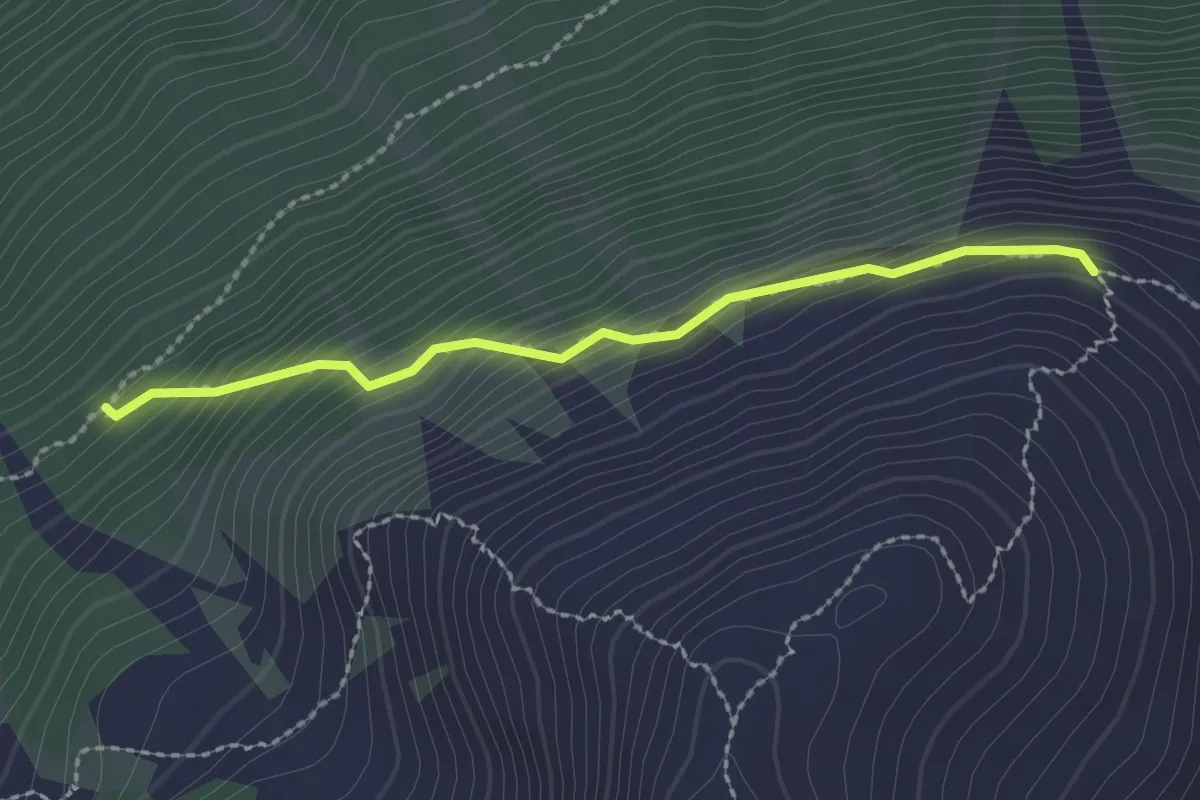
Easy · Trail
16
2.1 km · ↑ 235 m · 1 h 1 min
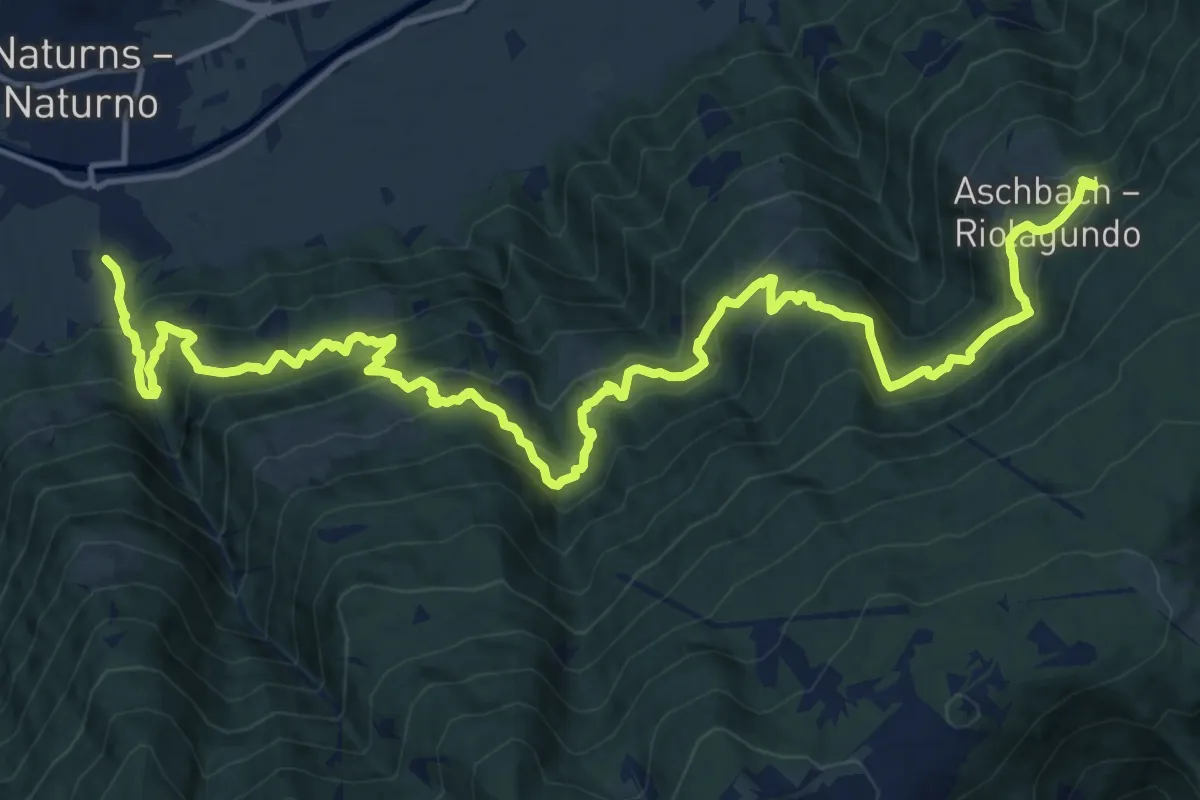
Demanding · Trail
16
10.3 km · ↑ 1327 m · 5 h 3 min
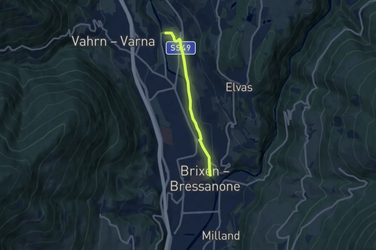
Easy · Trail
16 - Brixen => Neustift
6.3 km · ↑ 53 m · 1 h 36 min
Demanding · Trail
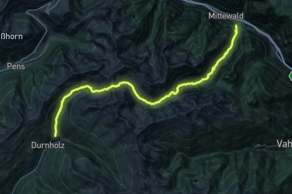
16 - Durnholz => Flaggerscharte => Mittewald
17.1 km · ↑ 1719 m · 7 h 39 min
Demanding · Summit
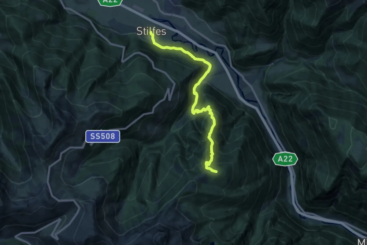
16 - Stilfes => Puntleider Alm
15.3 km · ↑ 1201 m · 6 h 13 min
Demanding · Trail
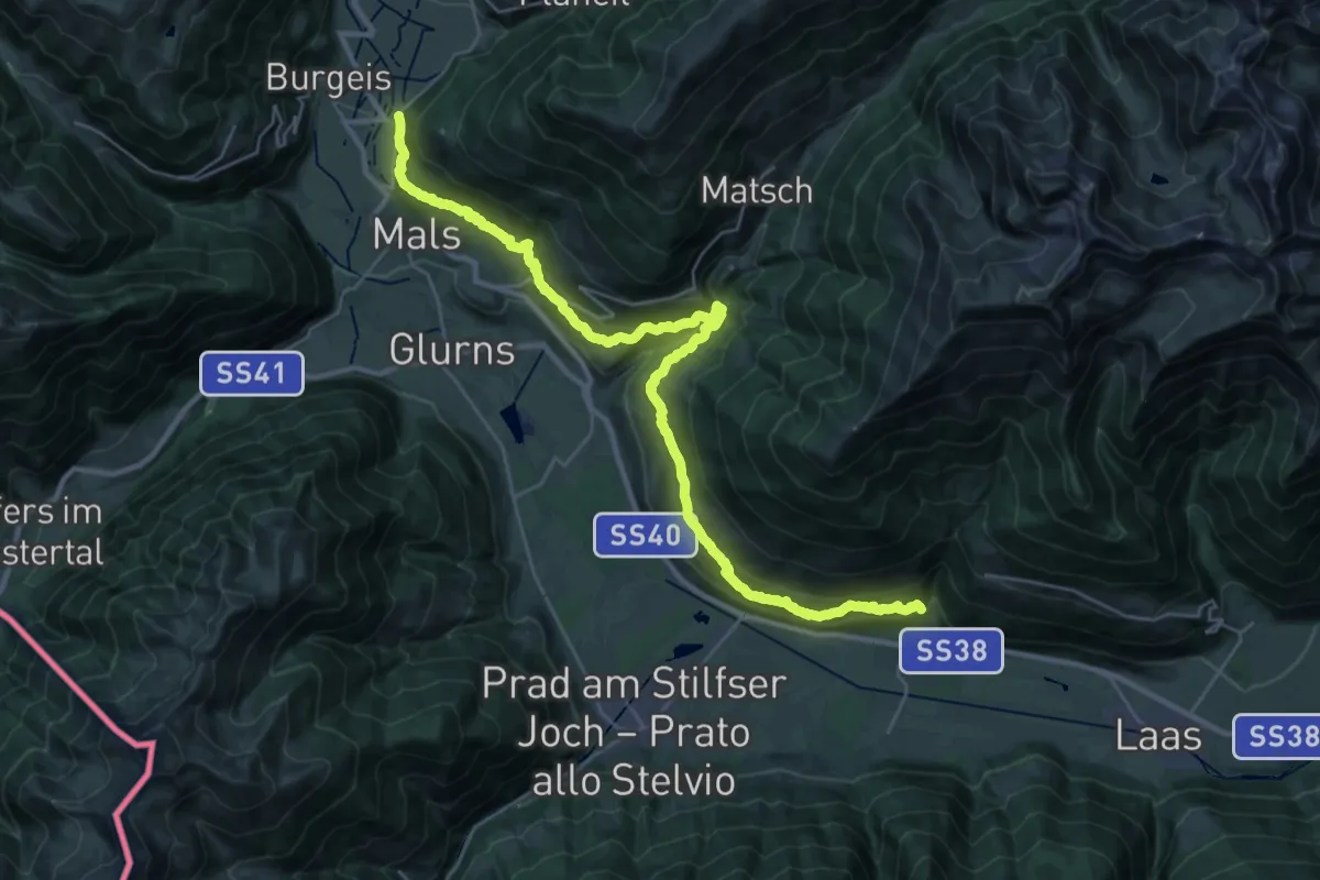
17
17.3 km · ↑ 897 m · 6 h 23 min
Medium · Trail
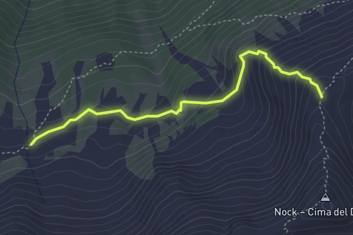
17B
3.6 km · ↑ 317 m · 1 h 32 min
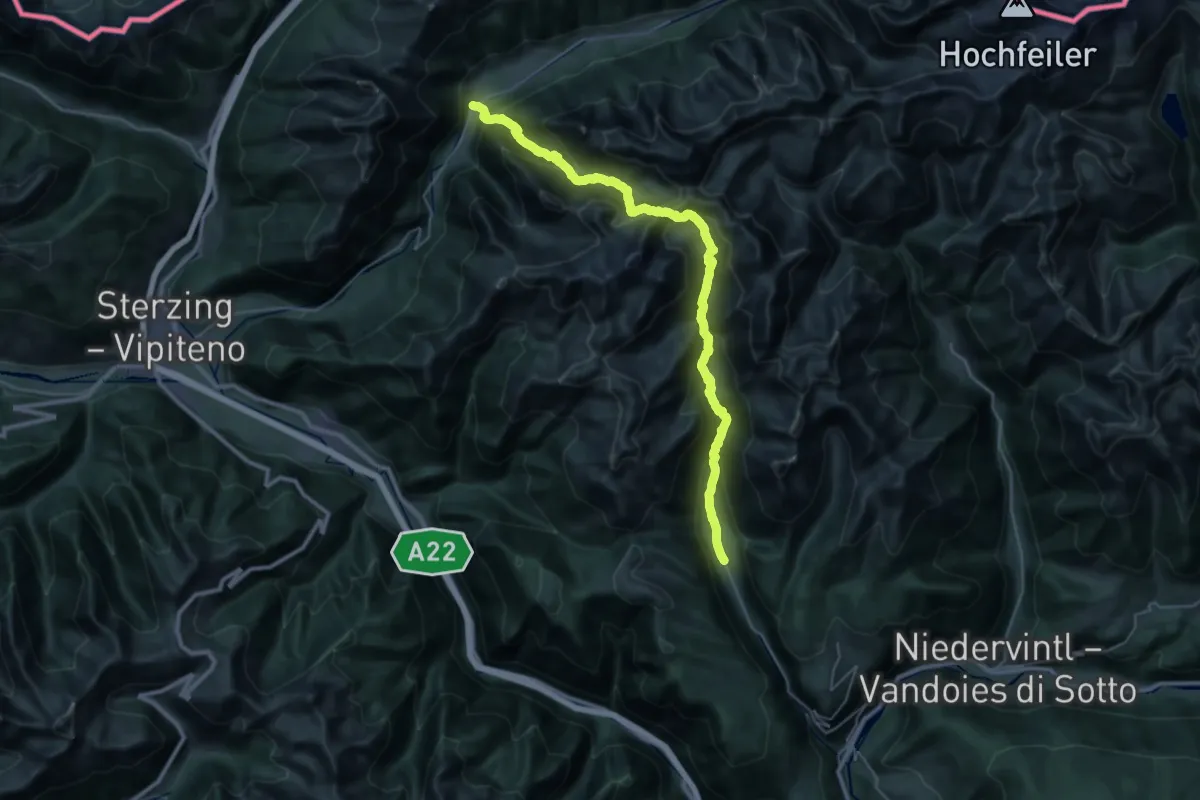
Demanding · Trail
17 - Vals => Fußendraß
18.8 km · ↑ 1346 m · 7 h 36 min
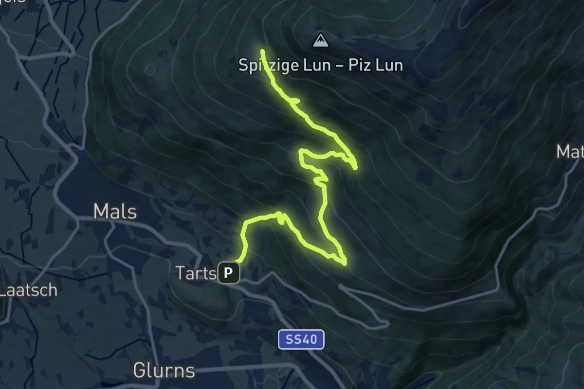
Demanding · Trail
18
13.3 km · ↑ 1020 m · 5 h 21 min
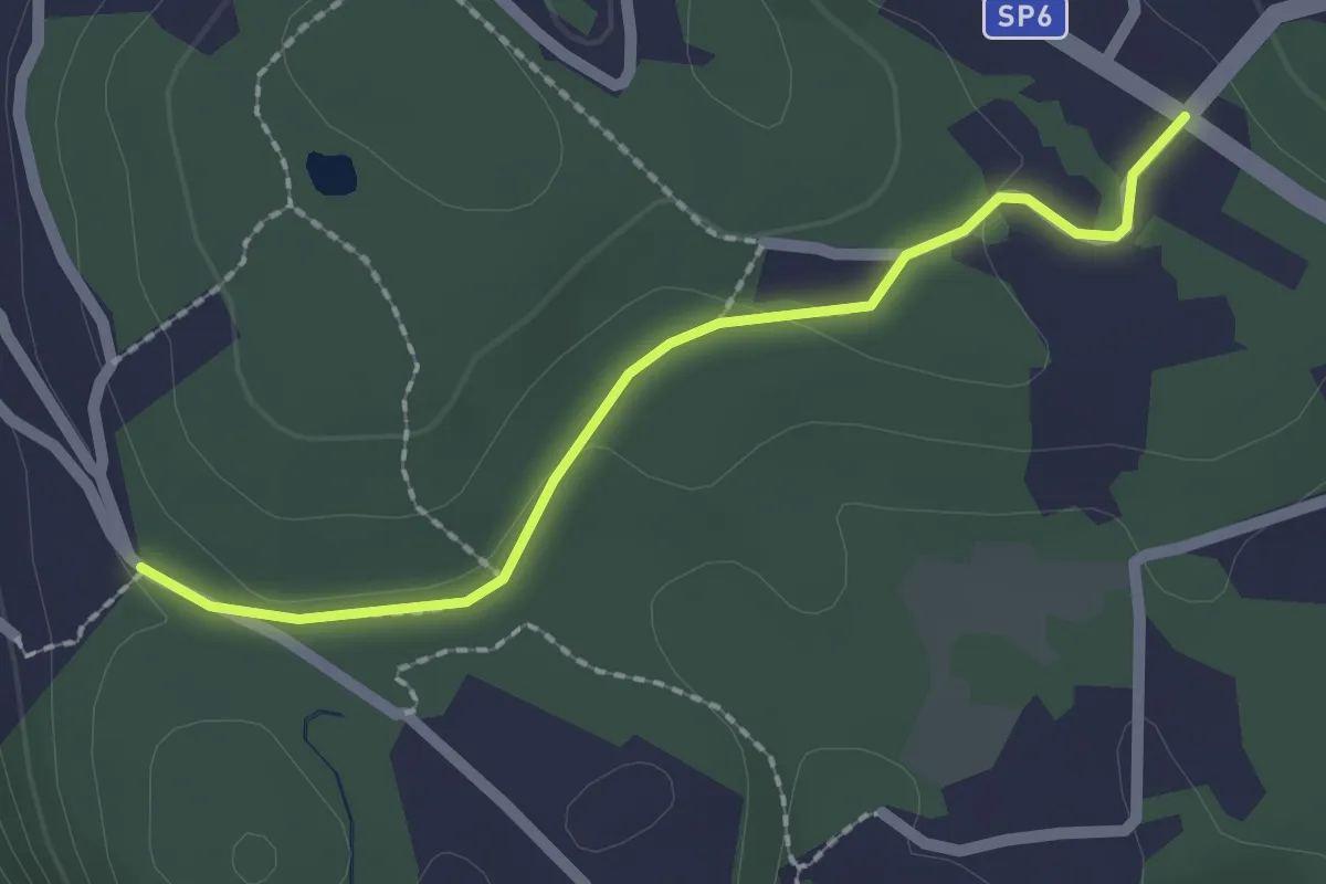
Easy · Trail
181A Variante Trebedora
2.0 km · ↑ 24 m · 32 min
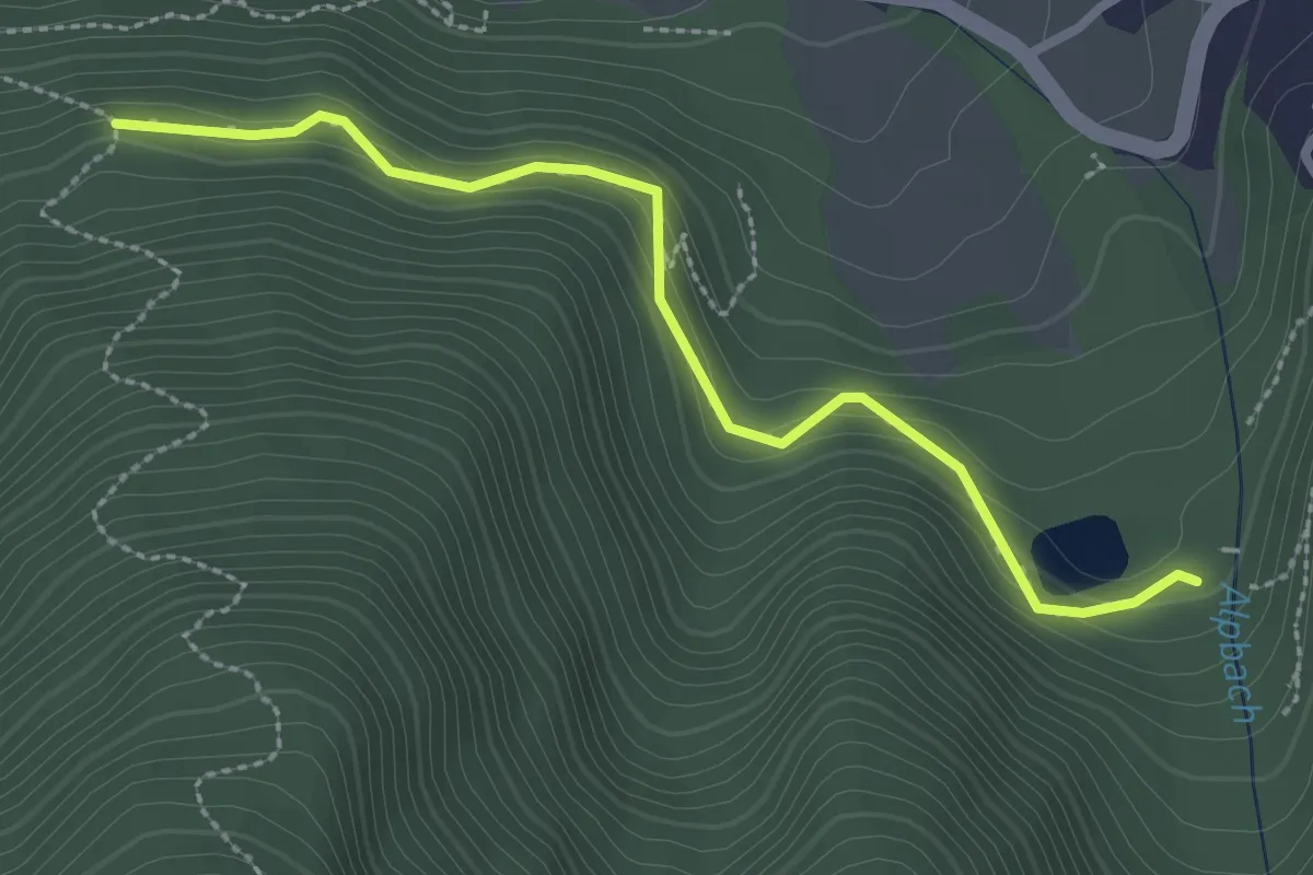
Easy · Trail
18A
2.7 km · ↑ 209 m · 1 h 6 min
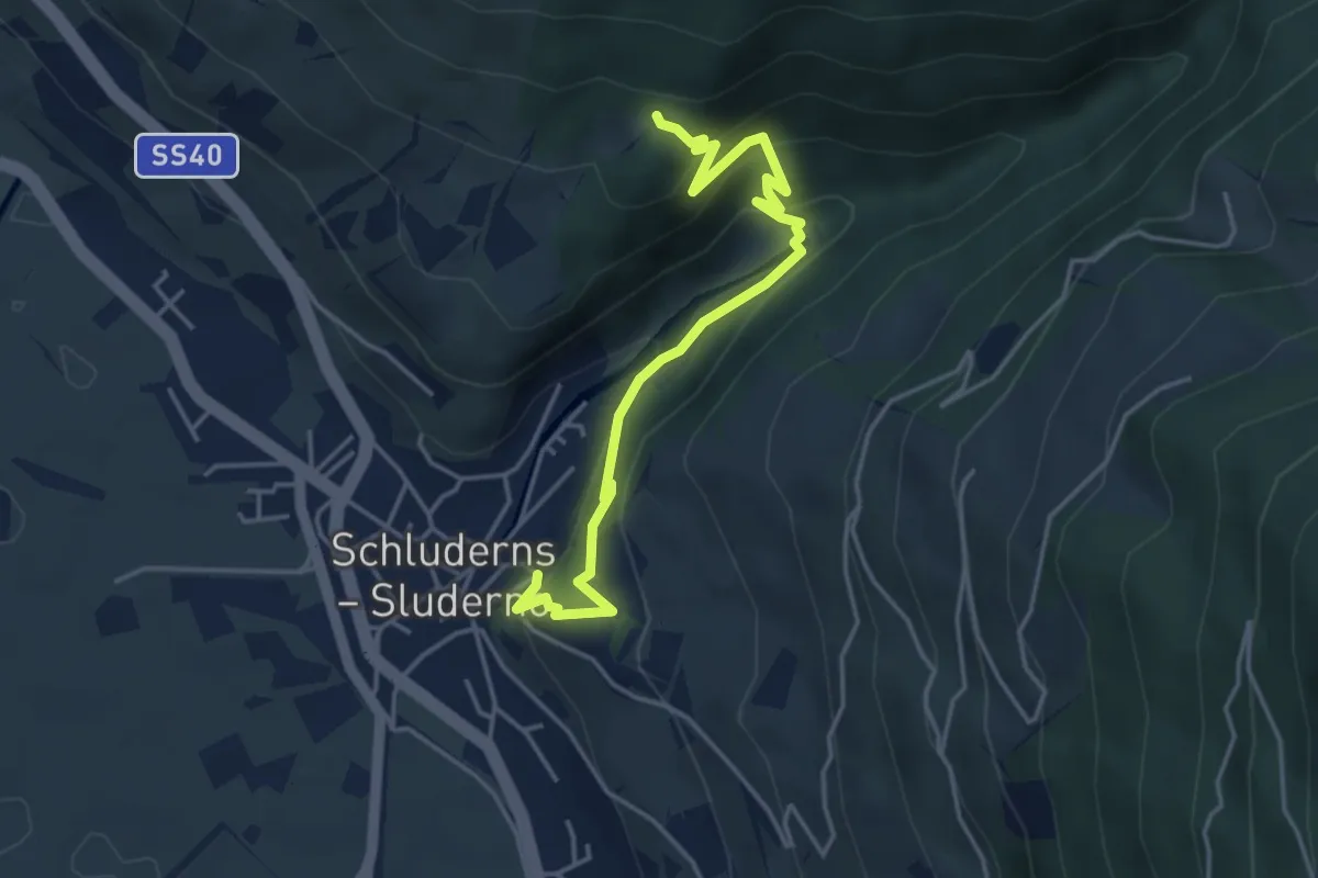
Easy · Trail
18A
4.6 km · ↑ 296 m · 1 h 43 min
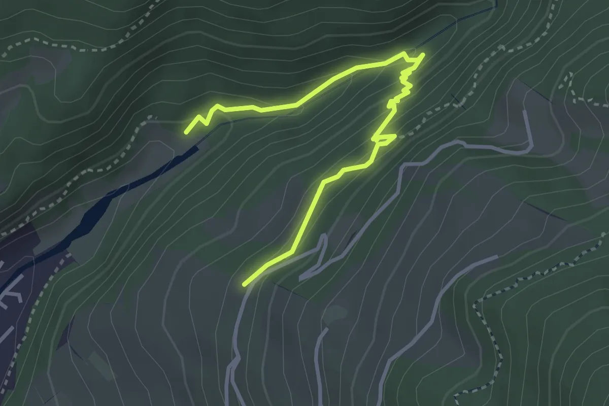
Medium · Trail
18B
3.5 km · ↑ 269 m · 1 h 25 min
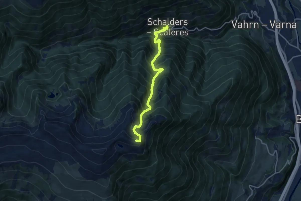
Demanding · Summit
18 - Schalders => Radlseehütte
10.5 km · ↑ 1362 m · 5 h 25 min
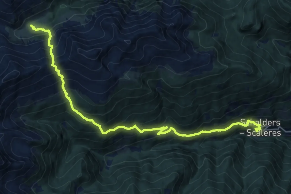
Demanding · Trail
19 - Schalders => Flaggeralm
9.3 km · ↑ 1305 m · 4 h 45 min
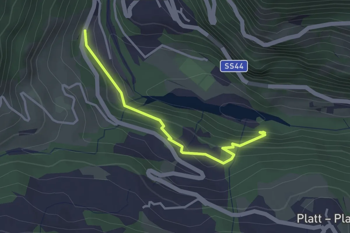
Easy · Trail
1A
2.7 km · ↑ 151 m · 57 min
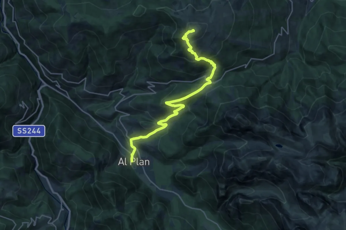
Demanding · Summit
1 - Al Plan de Mareo => Kronplatz
19.0 km · ↑ 1163 m · 7 h 1 min
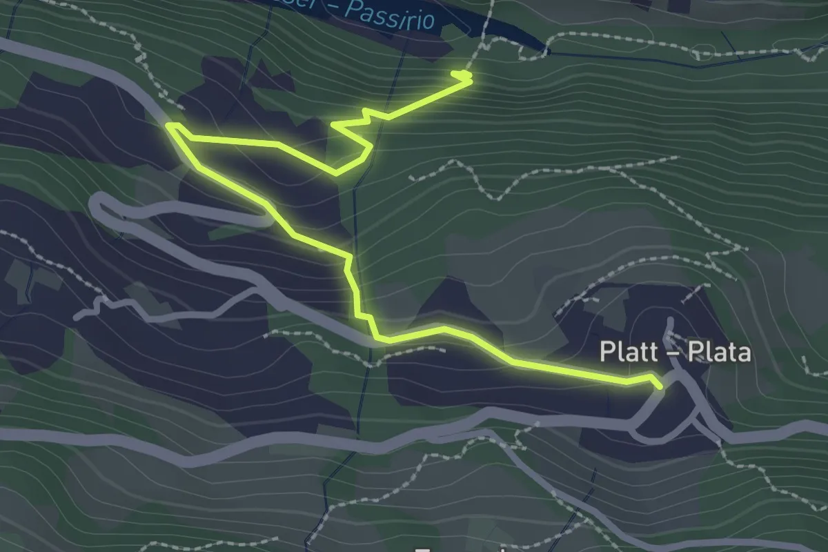
Easy · Trail
1B
2.9 km · ↑ 189 m · 1 h 6 min
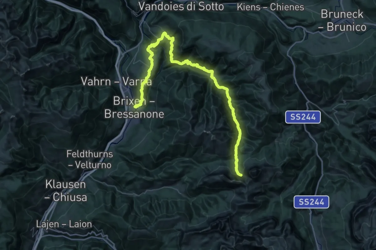
Demanding · Trail
1 - Brixen => Natz => Rodeneck => Lüsen => AV2
34.1 km · ↑ 2488 m · 13 h 12 min
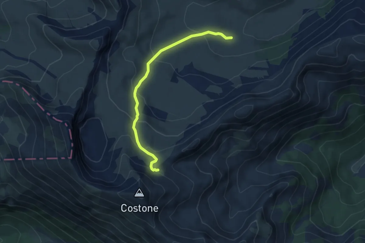
Easy · Cabin
1C
5.4 km · ↑ 280 m · 1 h 52 min
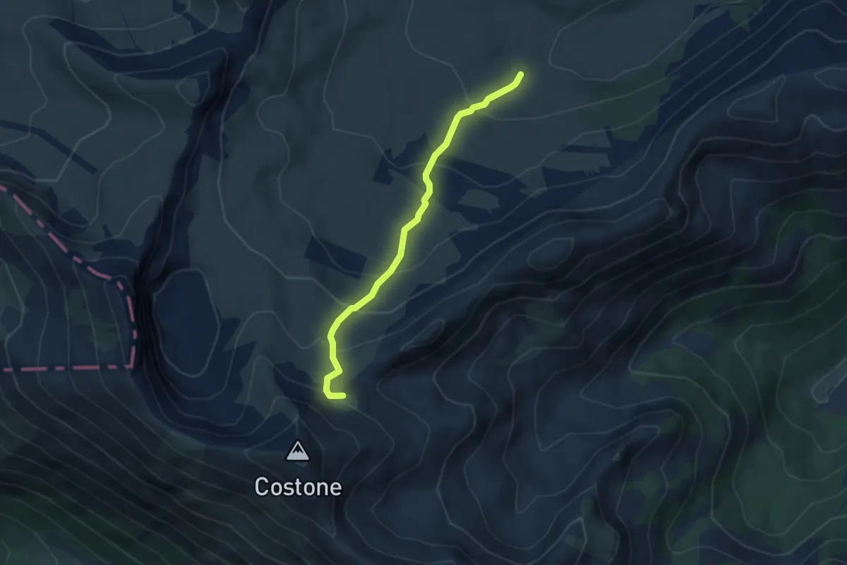
Medium · Cabin
1Cbis
4.2 km · ↑ 290 m · 1 h 37 min
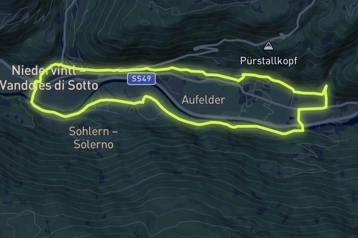
Medium · Trail
1 - Dörferrundweg (Vintl)
9.6 km · ↑ 185 m · 2 h 48 min
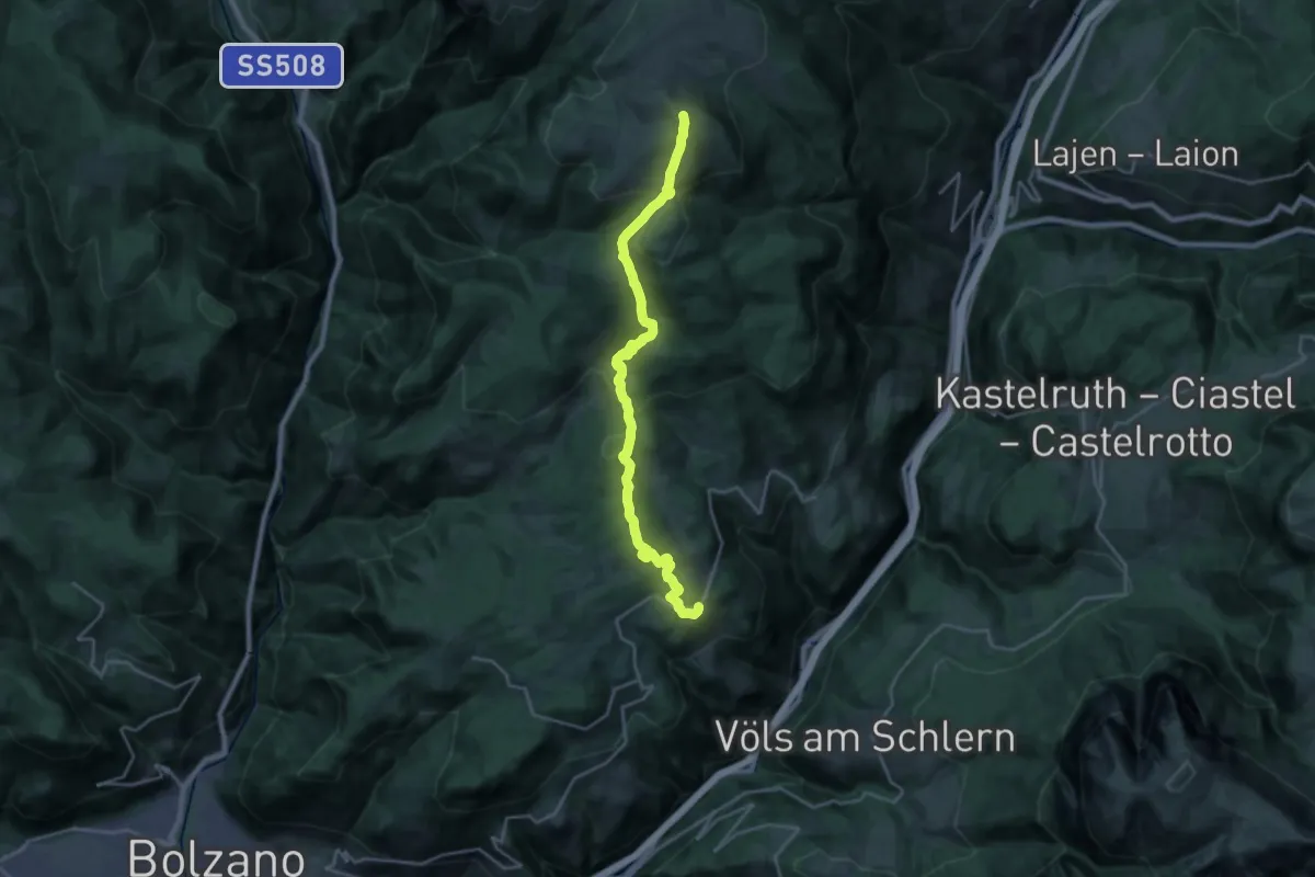
Demanding · Summit
1 - Klobenstein => Rittner Horn
23.5 km · ↑ 1138 m · 8 h 1 min