Trails in Italy
25,219 hiking trails, each with its route, climb, walking time and grade.
All trails, page 236 of 526
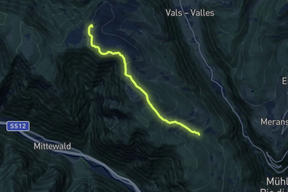
Medium · Trail
1 - Knappensteig
10.8 km · ↑ 574 m · 3 h 48 min
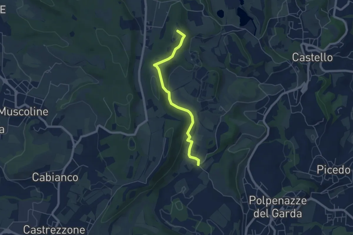
Easy · Summit
1 - Percorsi delle Colline Moreniche di Puegnago
4.8 km · ↑ 137 m · 1 h 26 min
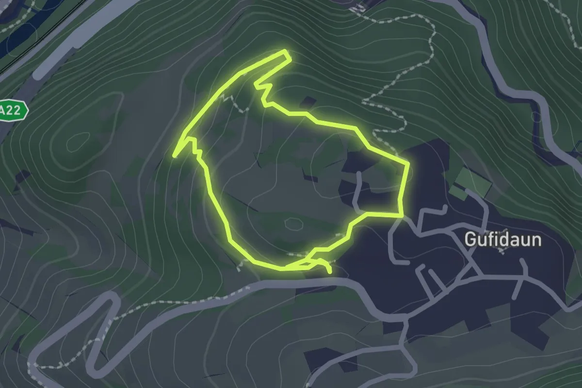
Easy · Trail
1 - Rafeil-Rundweg
1.7 km · ↑ 66 m · 35 min
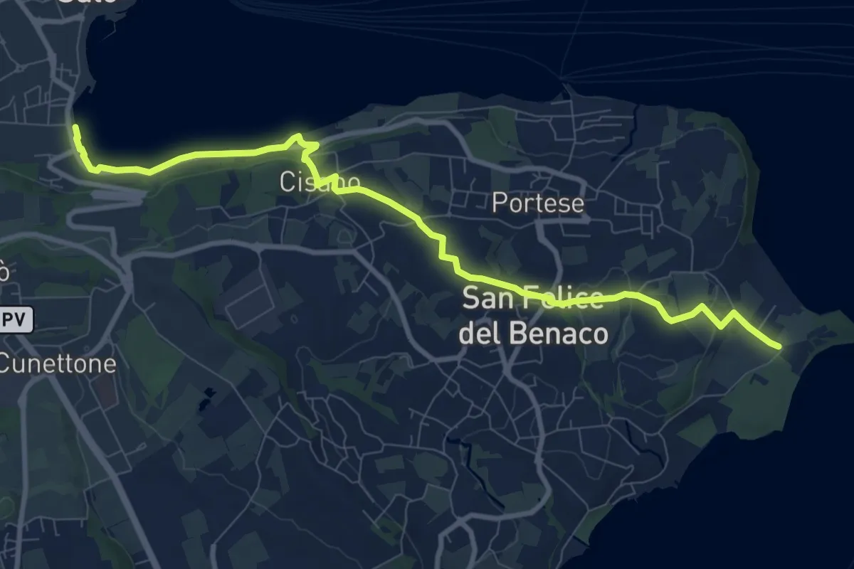
Medium · Trail
1 San Felice del Benaco
10.1 km · ↑ 174 m · 2 h 46 min
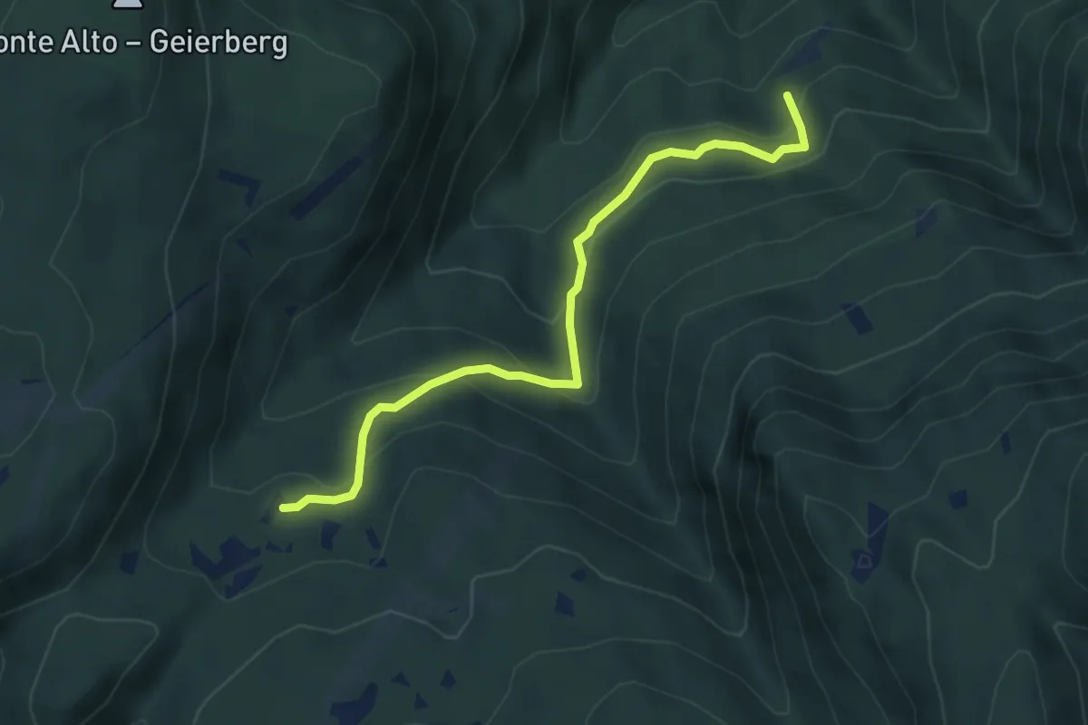
Medium · Cabin
1 - Sauch
4.5 km · ↑ 311 m · 1 h 44 min
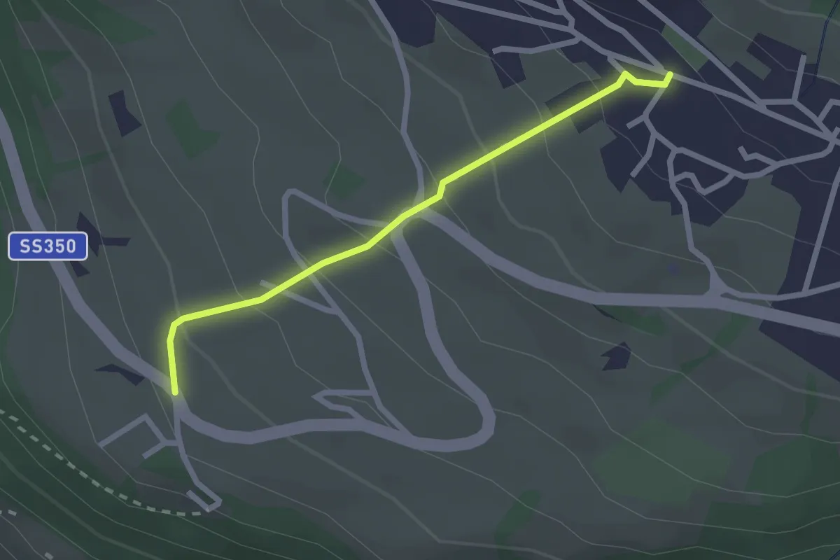
Easy · Trail
2
2.1 km · ↑ 173 m · 53 min
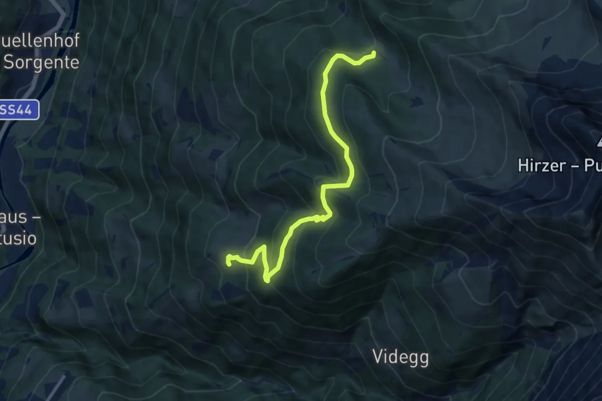
Demanding · Trail
2
8.5 km · ↑ 522 m · 3 h 9 min
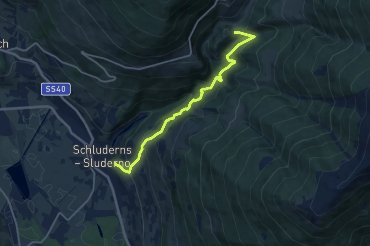
Medium · Trail
20
8.6 km · ↑ 738 m · 3 h 38 min
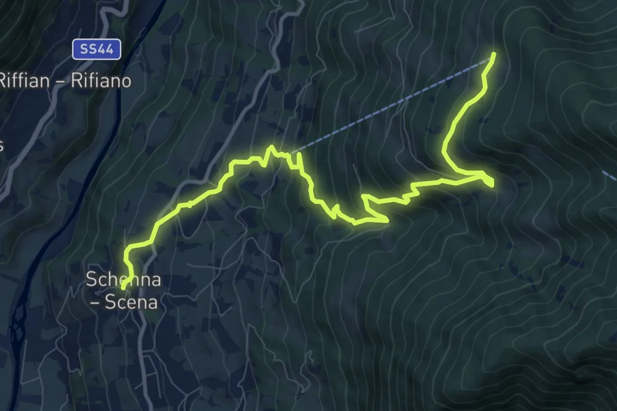
Demanding · Trail
20
12.1 km · ↑ 935 m · 4 h 53 min
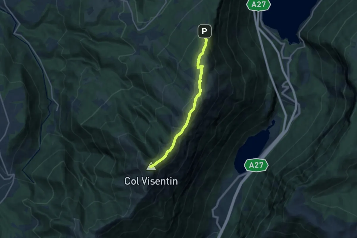
Medium · Summit
2000creste
10.2 km · ↑ 515 m · 3 h 31 min
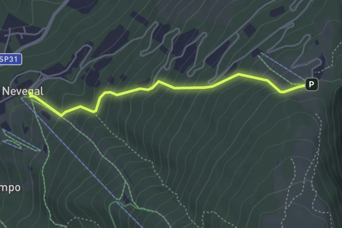
Medium · Trail
2003
3.8 km · ↑ 340 m · 1 h 39 min
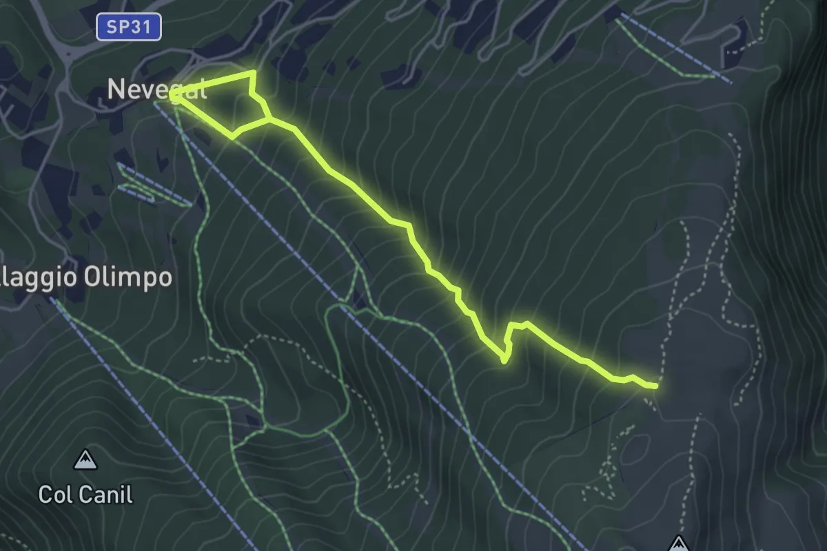
Medium · Trail
2004
5.0 km · ↑ 538 m · 2 h 21 min
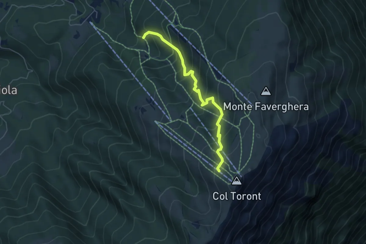
Medium · Cabin
2005
4.9 km · ↑ 446 m · 2 h 7 min
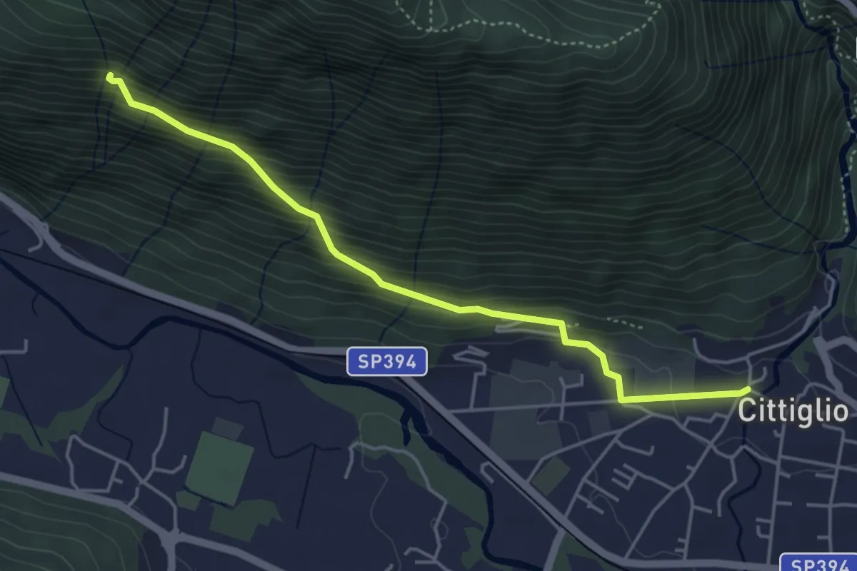
Medium · Trail
204 3V variante
4.6 km · ↑ 385 m · 1 h 55 min
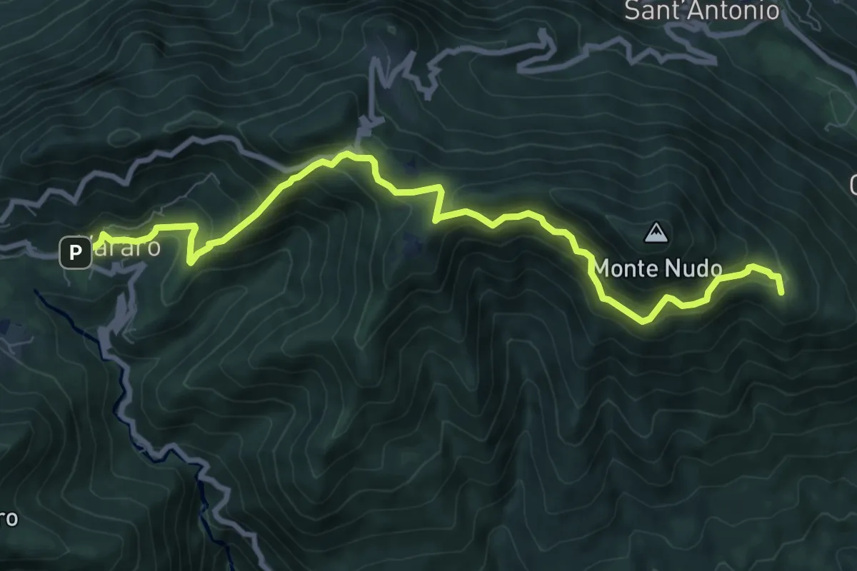
Medium · Summit
205 3V (Tappa 5 Via Verde Varesina)
9.7 km · ↑ 797 m · 4 h 1 min
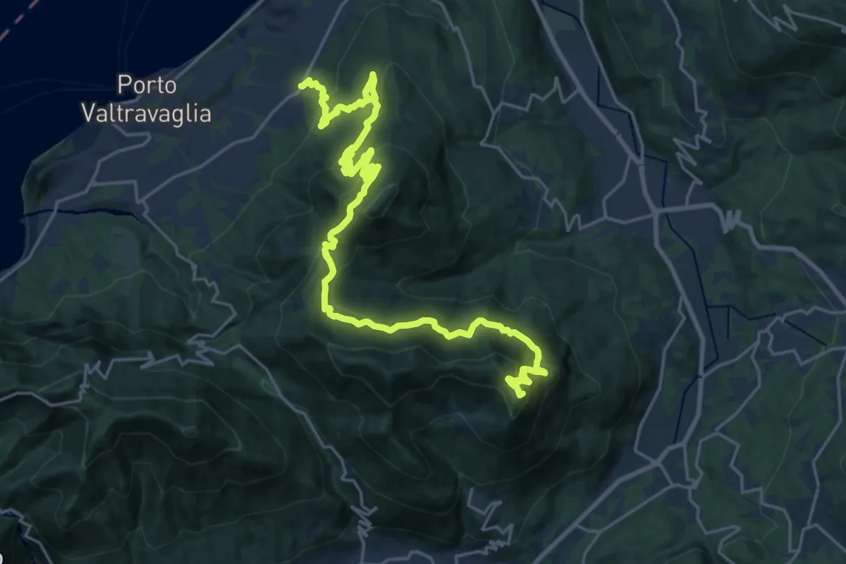
Demanding · Summit
206 3V (Tappa 6 Via Verde Varesina)
26.4 km · ↑ 1745 m · 10 h 1 min
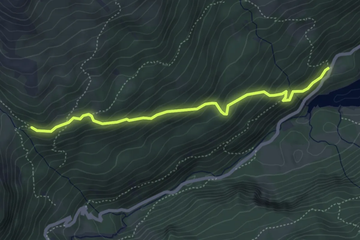
Medium · Trail
20A
4.9 km · ↑ 382 m · 1 h 59 min
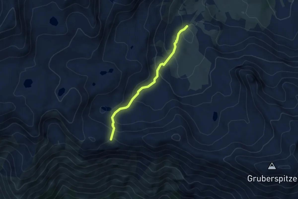
Medium · Trail
20B
3.7 km · ↑ 256 m · 1 h 26 min
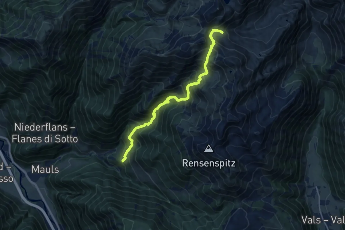
Demanding · Trail
20 - Gansöhr
12.1 km · ↑ 1377 m · 5 h 51 min
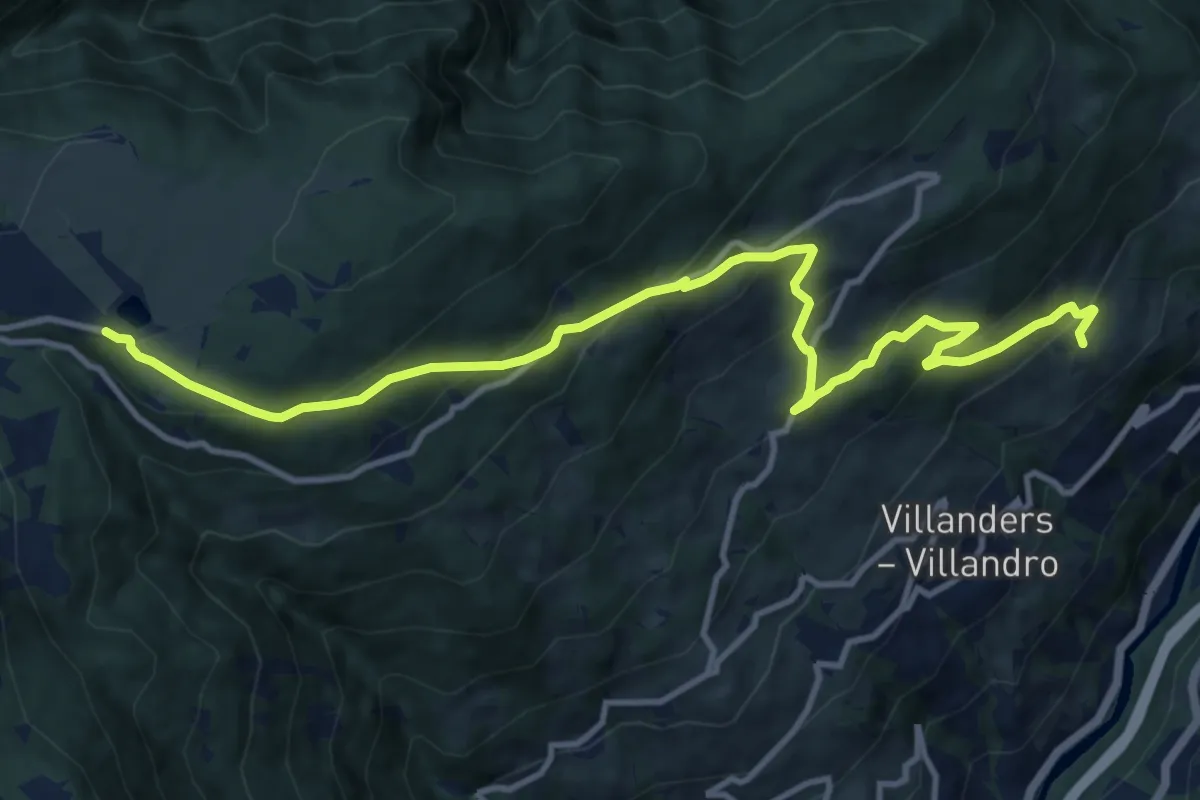
Medium · Trail
20 - Gravetscher Almweg
13.2 km · ↑ 792 m · 4 h 50 min
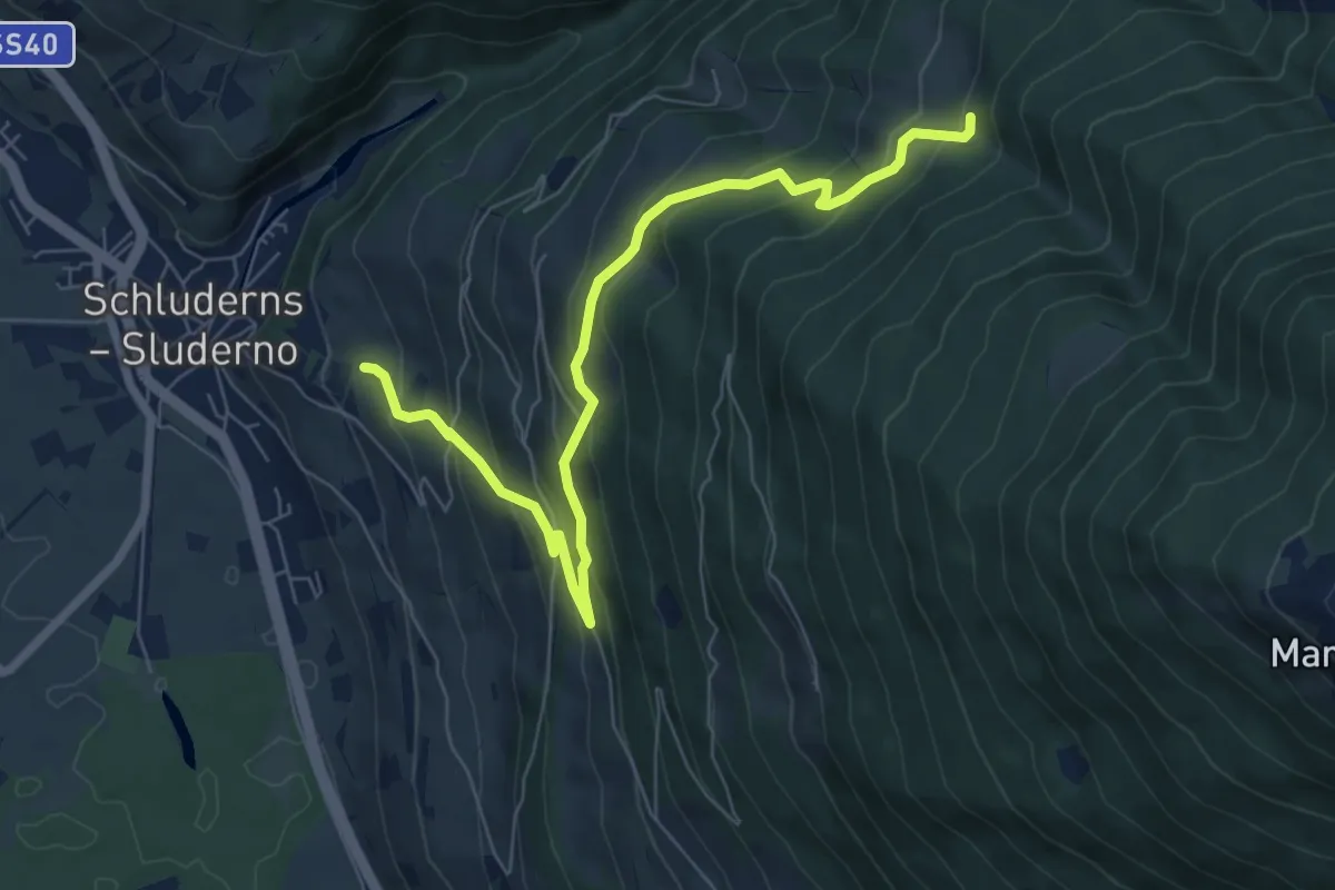
Medium · Trail
21
7.8 km · ↑ 567 m · 3 h 4 min
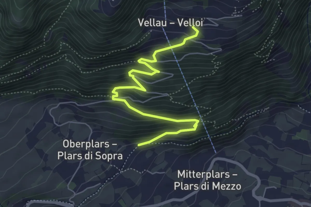
Medium · Trail
21
5.7 km · ↑ 429 m · 2 h 17 min
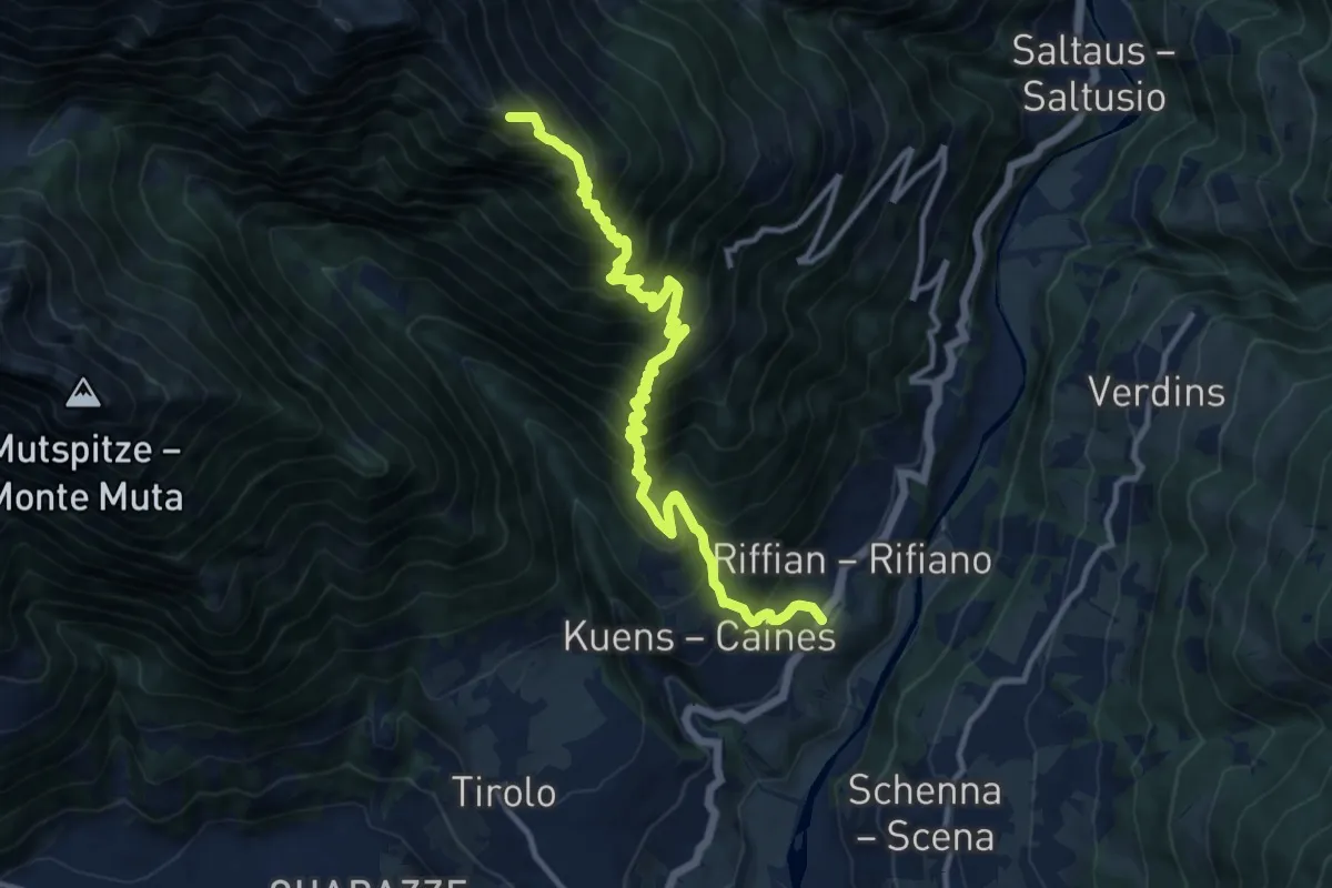
Demanding · Summit
21
12.9 km · ↑ 1592 m · 6 h 30 min
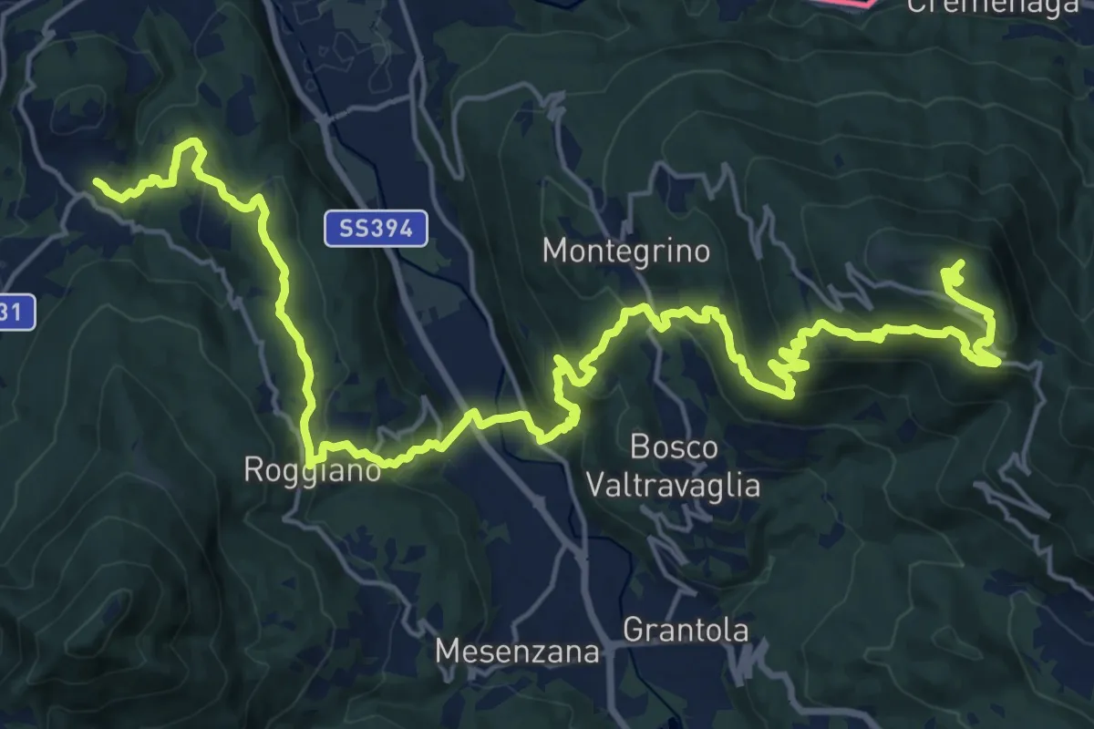
Demanding · Summit
214 3V (Variante Tappa 7 Via Verde Varesina)
27.9 km · ↑ 1247 m · 9 h 17 min
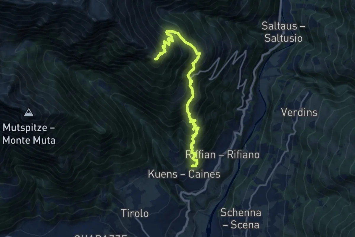
Demanding · Trail
21A
12.7 km · ↑ 1367 m · 5 h 58 min
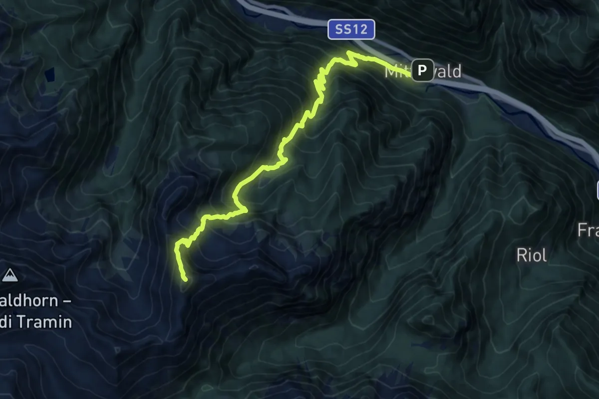
Demanding · Summit
21 - Mittewald => Kreuzjoch => Flaggeralm
15.2 km · ↑ 1746 m · 7 h 22 min
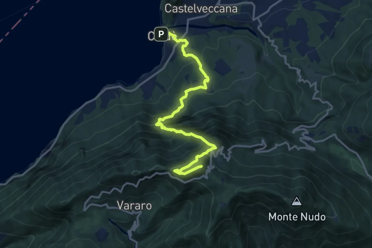
Demanding · Summit
225 Caldè-Rif. Adamoli-P.so Cuvignone
10.6 km · ↑ 1074 m · 4 h 49 min
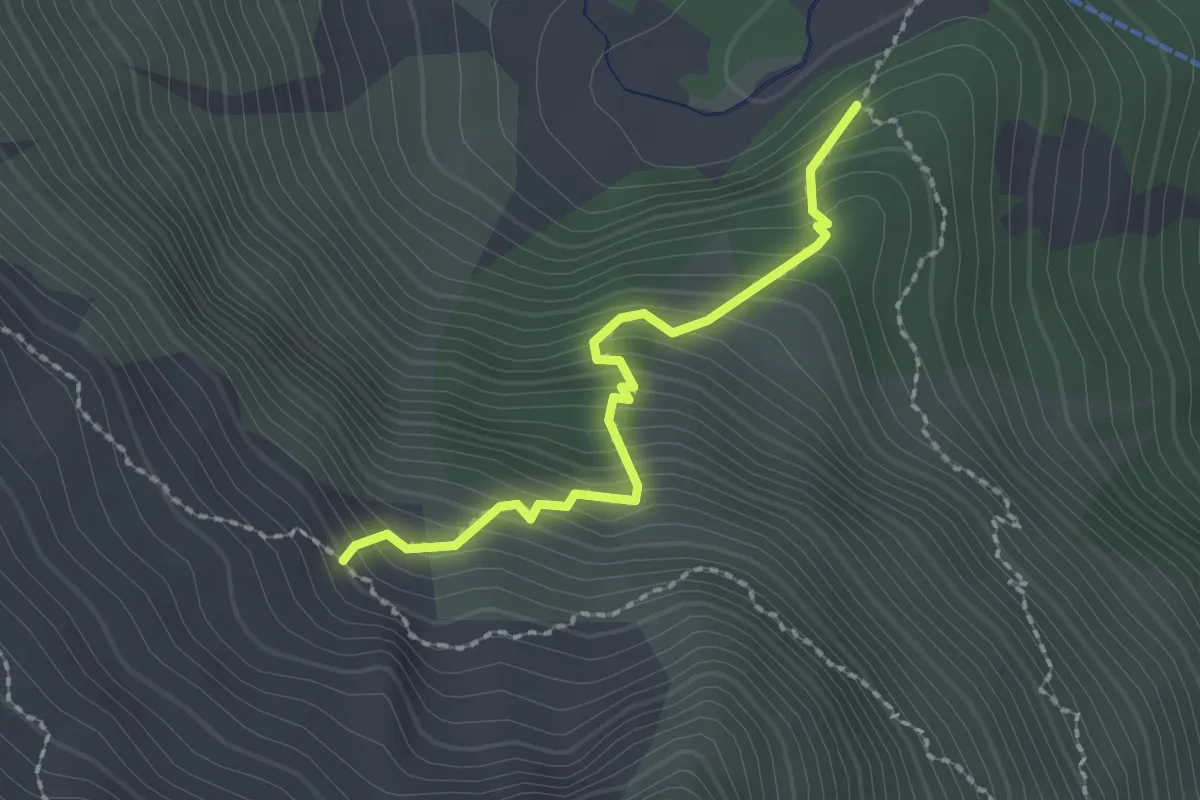
Demanding · Trail
22A
2.0 km · ↑ 292 m · 1 h 6 min
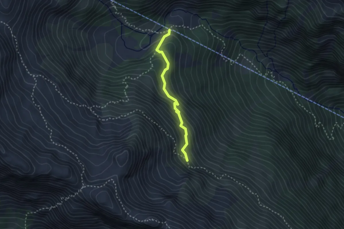
Medium · Cabin
22B
2.5 km · ↑ 240 m · 1 h 6 min
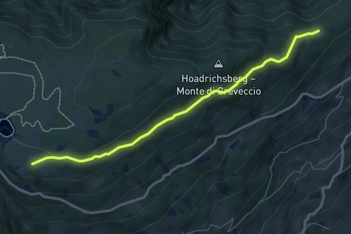
Easy · Trail
22 - Wasserwaal
6.0 km · ↑ 276 m · 2 h 1 min
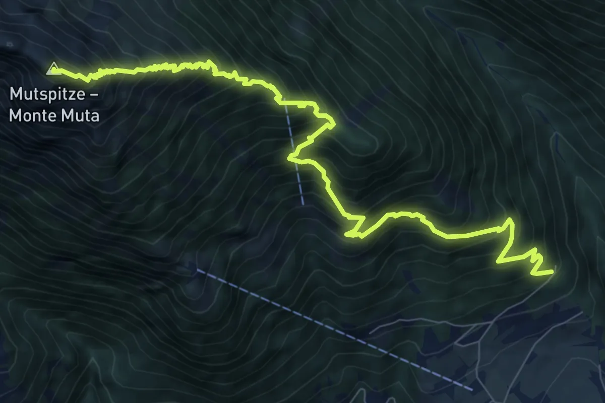
Demanding · Summit
23
10.9 km · ↑ 1474 m · 5 h 46 min
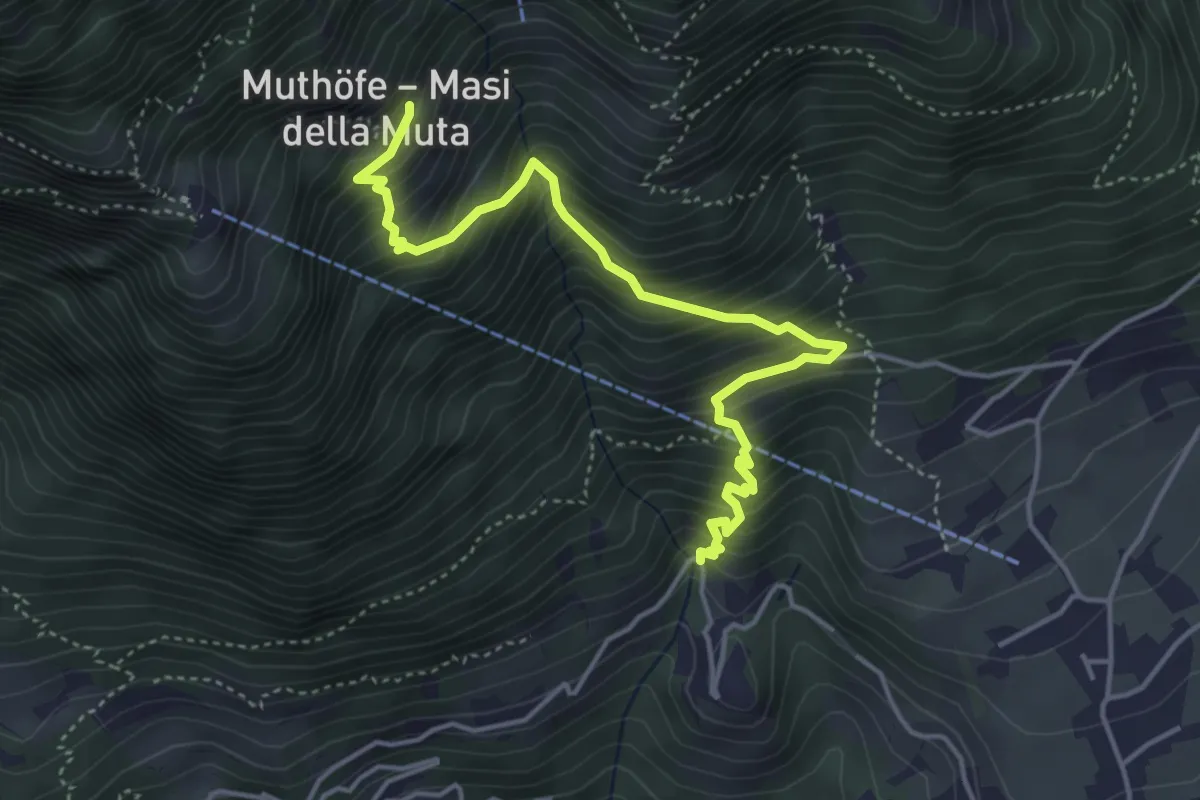
Medium · Trail
23A
4.7 km · ↑ 649 m · 2 h 32 min
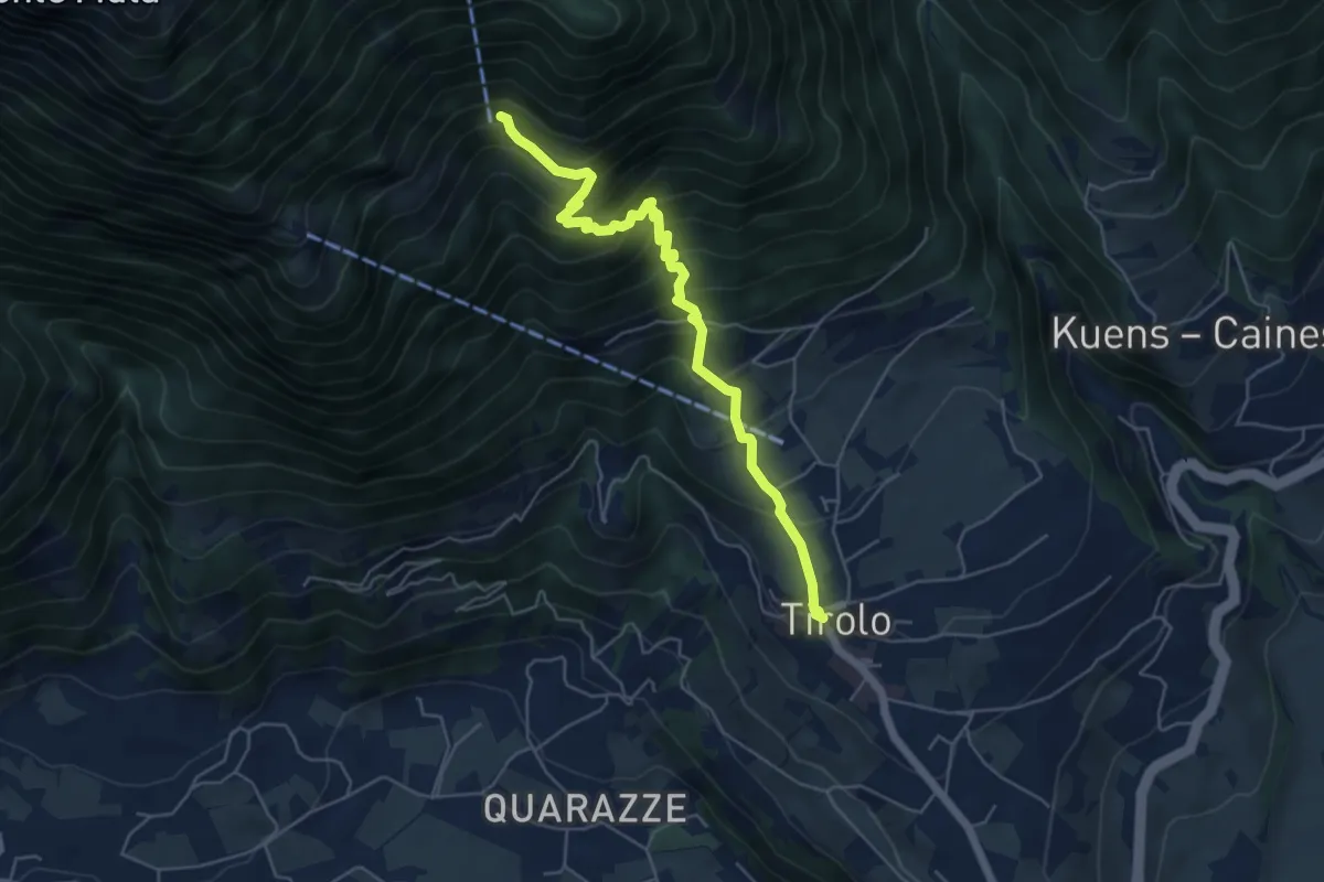
Medium · Trail
23B
5.5 km · ↑ 598 m · 2 h 36 min
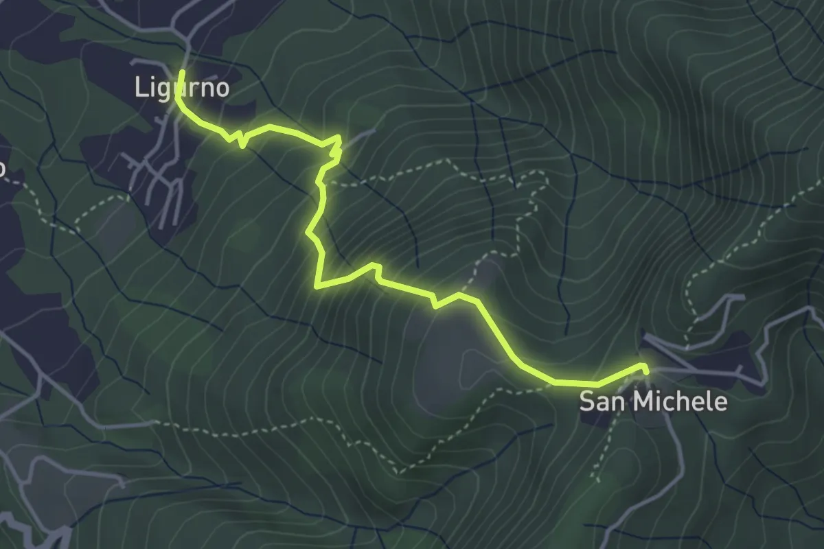
Medium · Trail
241 Sentiero dei Sassi
4.0 km · ↑ 460 m · 1 h 57 min
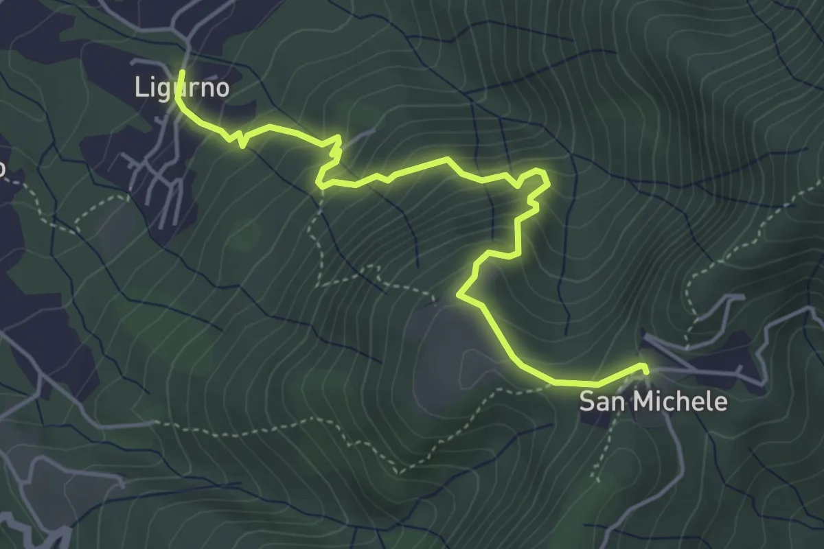
Medium · Trail
242 Sentiero della Gogna
4.8 km · ↑ 493 m · 2 h 12 min
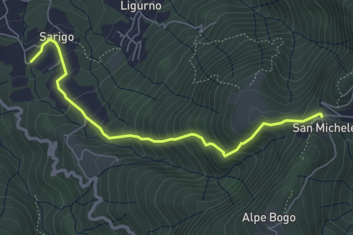
Medium · Trail
243A Sentiero della valle
5.1 km · ↑ 485 m · 2 h 16 min
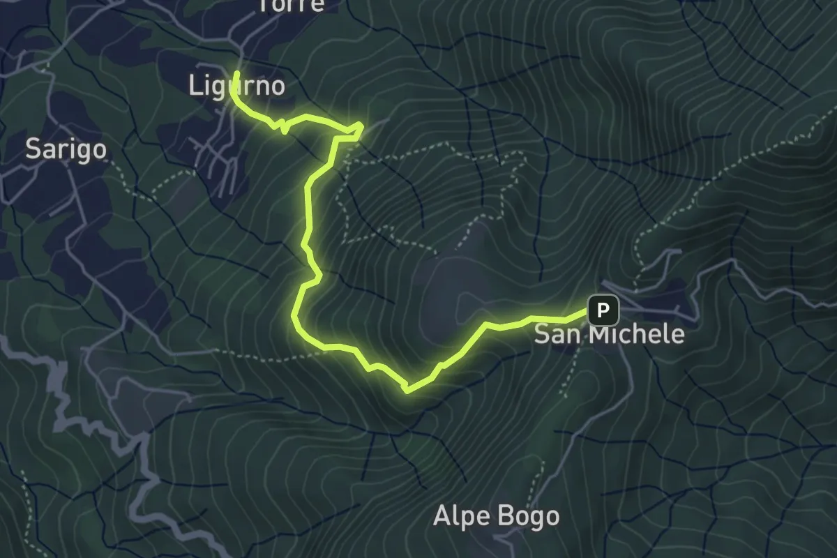
Medium · Trail
243 Sentiero della Valle
5.0 km · ↑ 500 m · 2 h 16 min
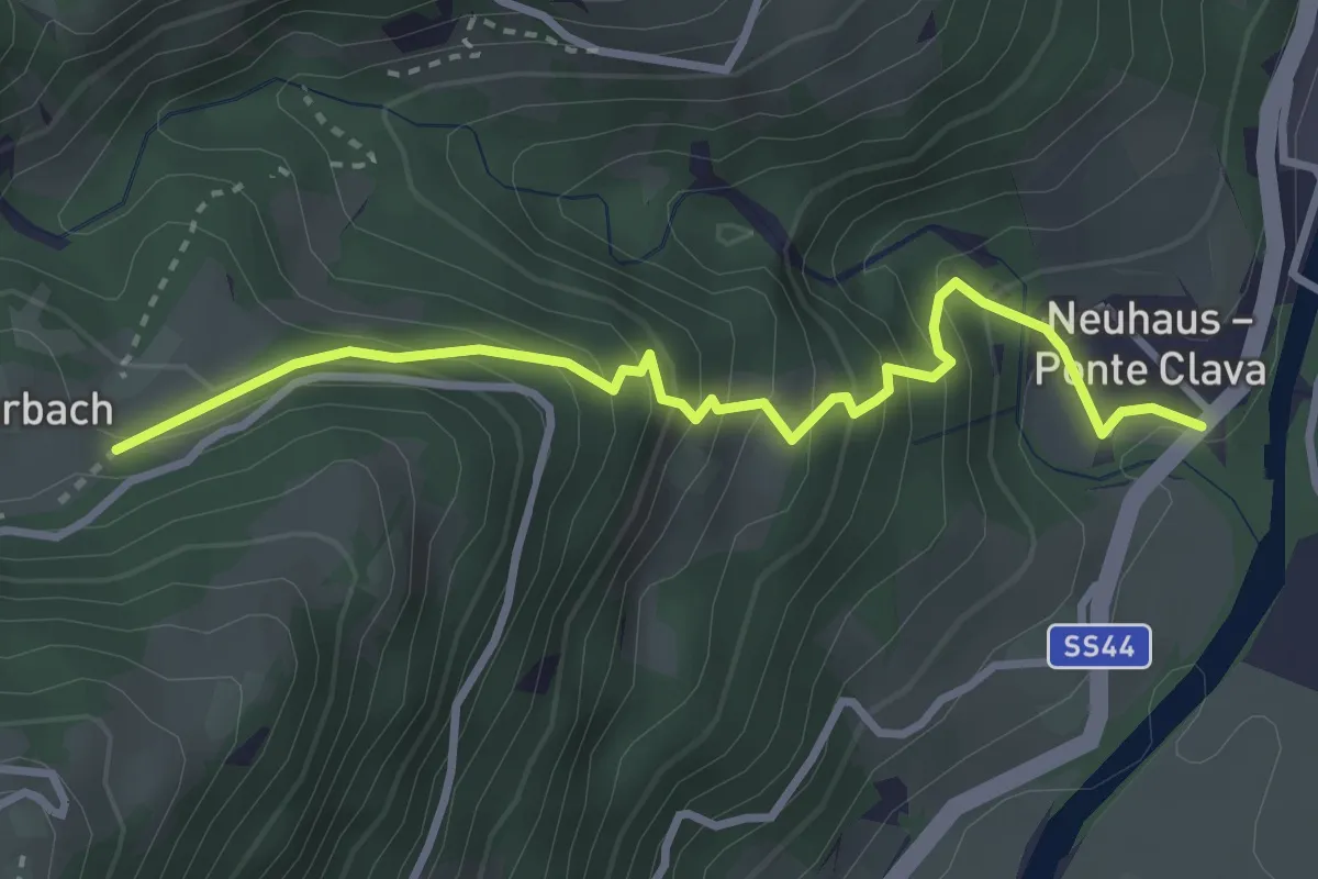
Medium · Trail
24A
3.3 km · ↑ 357 m · 1 h 34 min
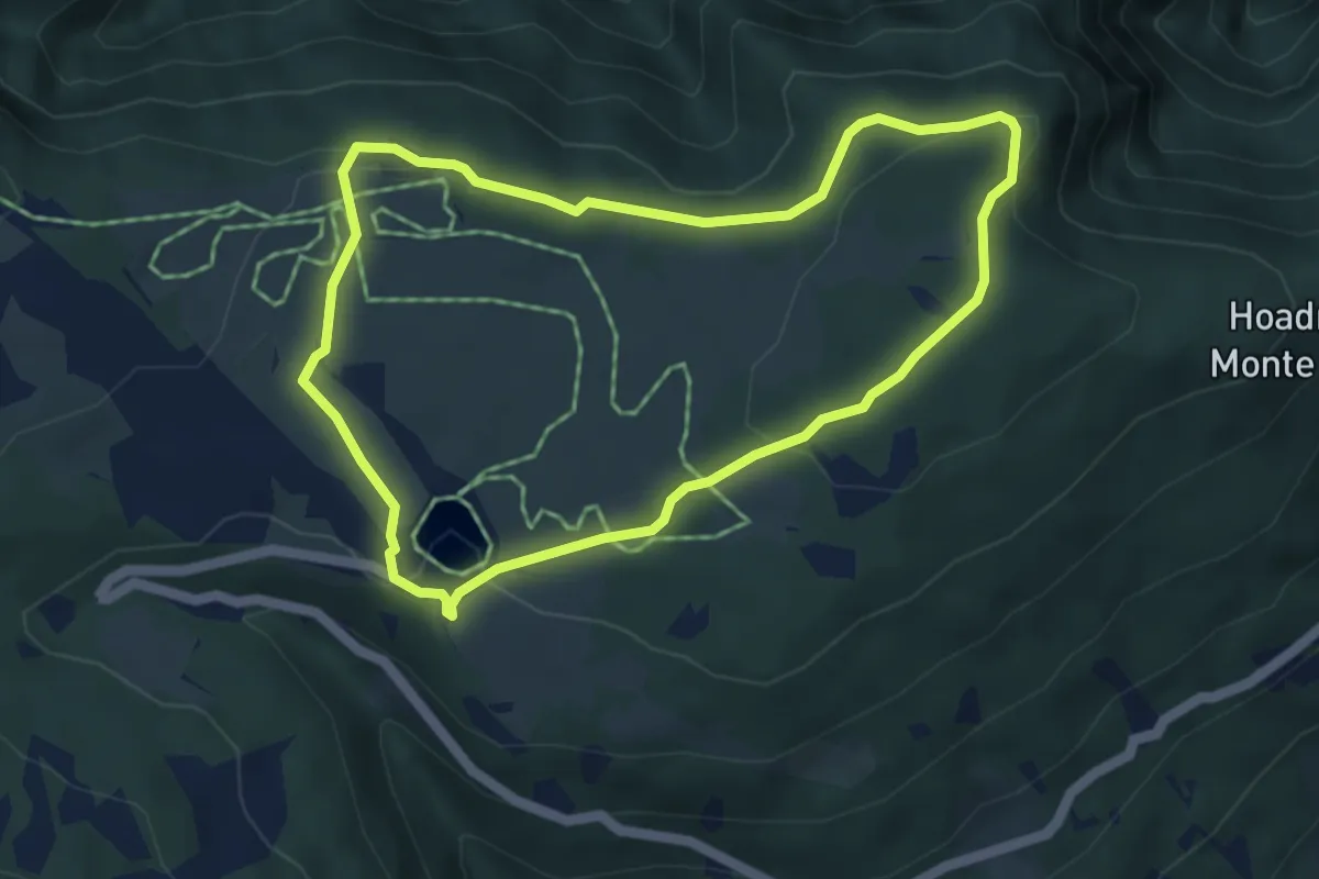
Easy · Summit
24 - Rundweg Sam
4.4 km · ↑ 122 m · 1 h 22 min
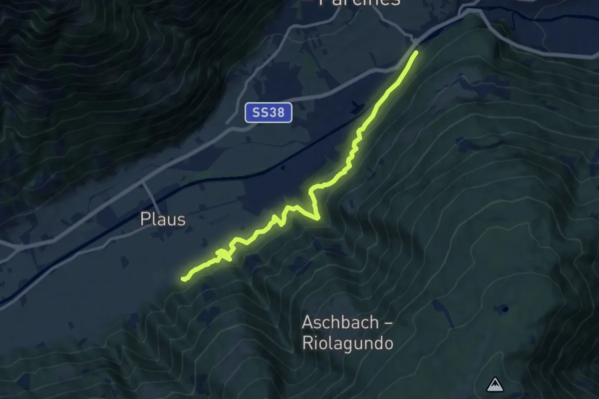
Medium · Trail
25
11.5 km · ↑ 497 m · 3 h 48 min
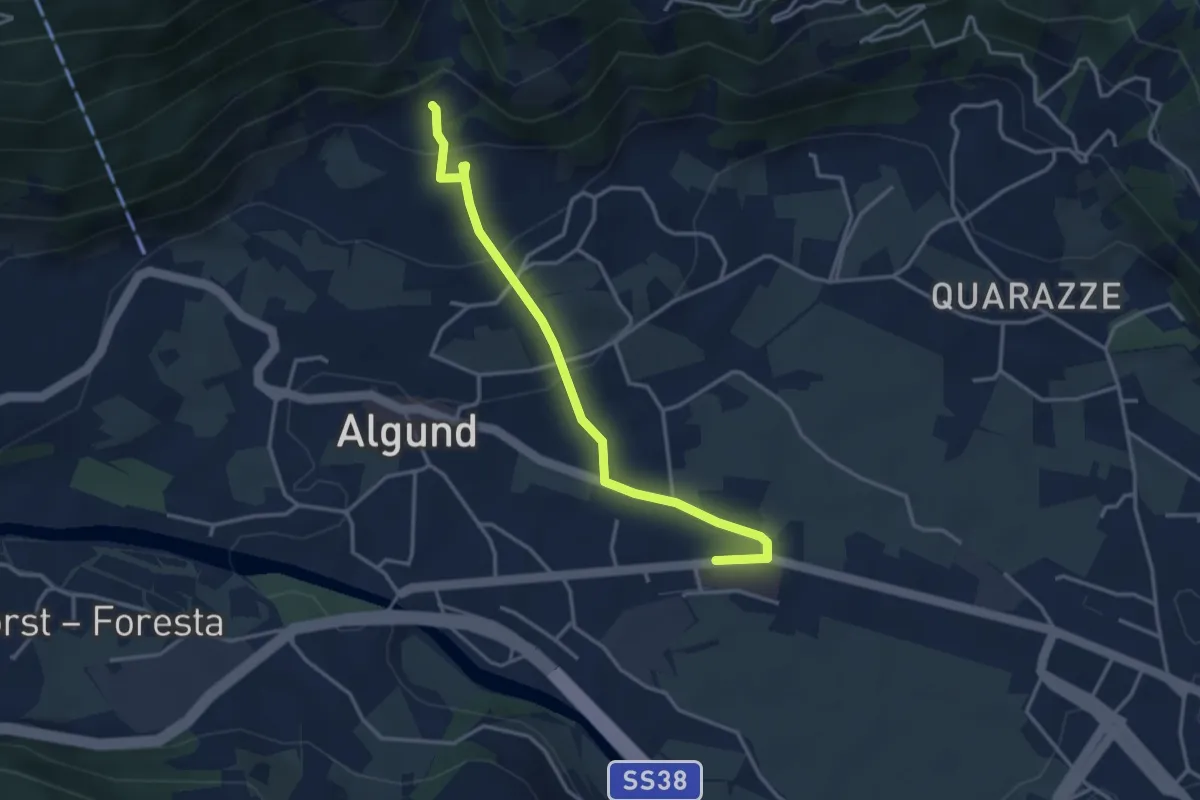
Easy · Trail
25
3.6 km · ↑ 162 m · 1 h 12 min
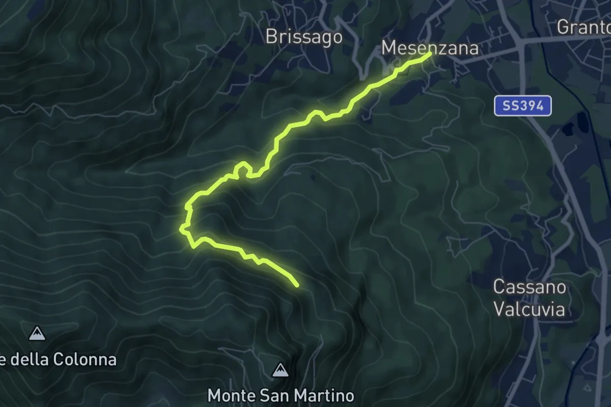
Medium · Trail
250A Strada dei Moianchi
7.6 km · ↑ 710 m · 3 h 19 min
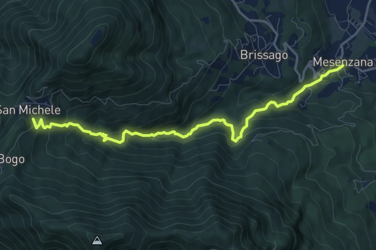
Medium · Trail
250 Sentiero Insubrico
9.8 km · ↑ 740 m · 3 h 55 min
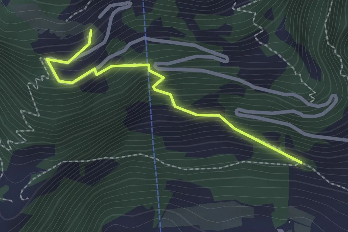
Medium · Trail
25A
2.1 km · ↑ 271 m · 1 h 4 min
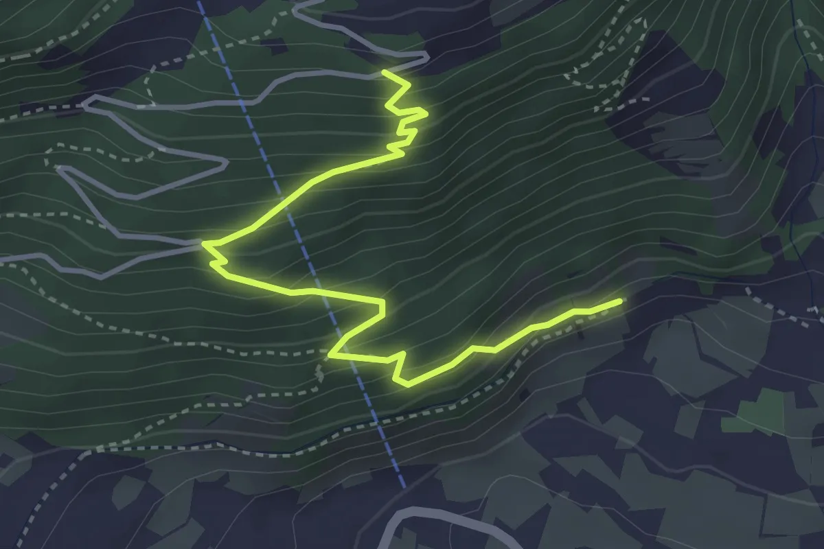
Medium · Trail
25A
3.9 km · ↑ 389 m · 1 h 46 min
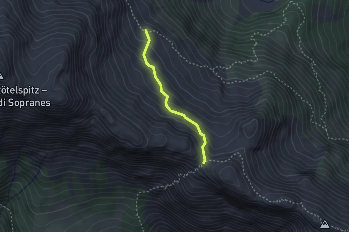
Medium · Trail
25B
2.1 km · ↑ 142 m · 48 min
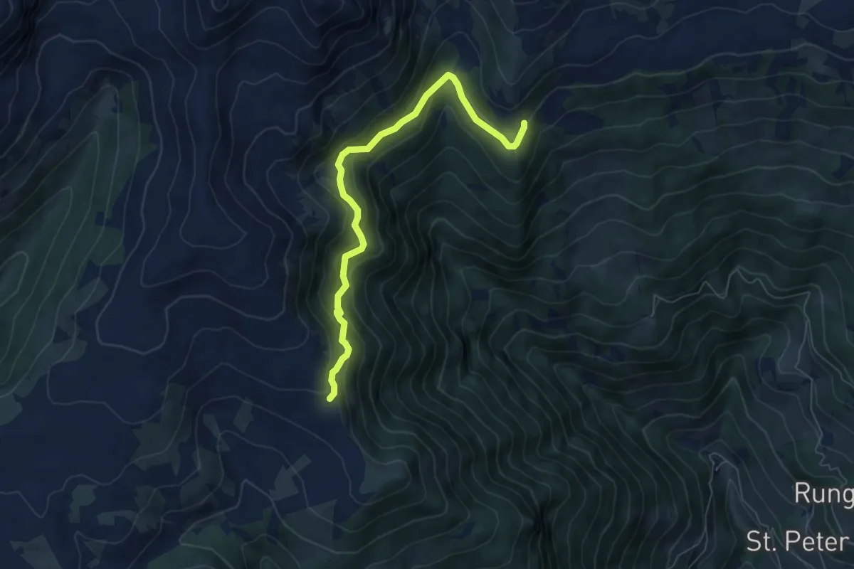
Medium · Trail
25 - Jagersteig
6.6 km · ↑ 425 m · 2 h 28 min
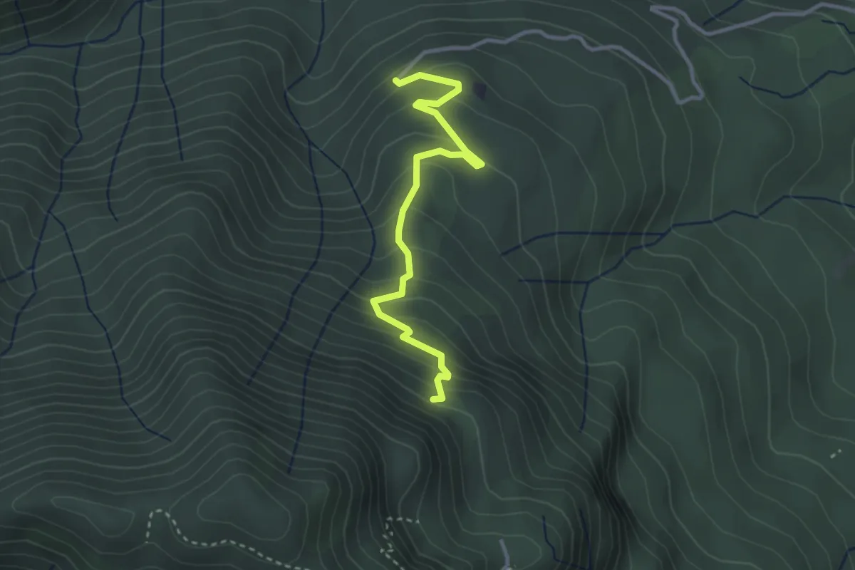
Easy · Trail
260B Sentiero delle Trincee
3.1 km · ↑ 266 m · 1 h 19 min