Trails in Italy
25,219 hiking trails, each with its route, climb, walking time and grade.
All trails, page 237 of 526
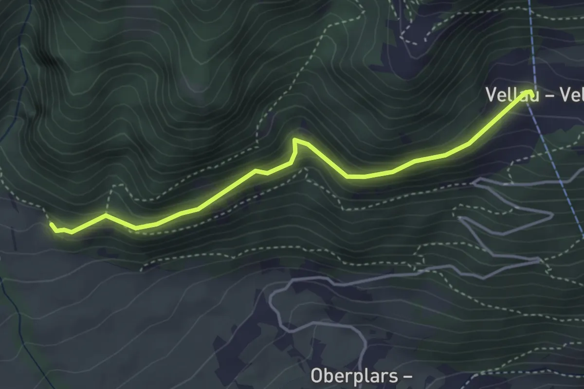
Medium · Trail
26A
3.8 km · ↑ 214 m · 1 h 22 min
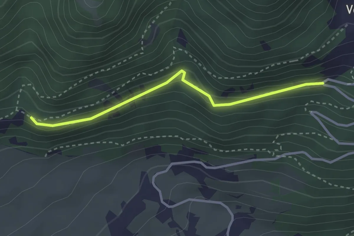
Medium · Trail
26B
2.6 km · ↑ 140 m · 56 min
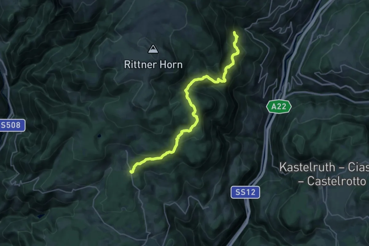
Demanding · Trail
27 - Tann => 11
21.0 km · ↑ 1213 m · 7 h 35 min
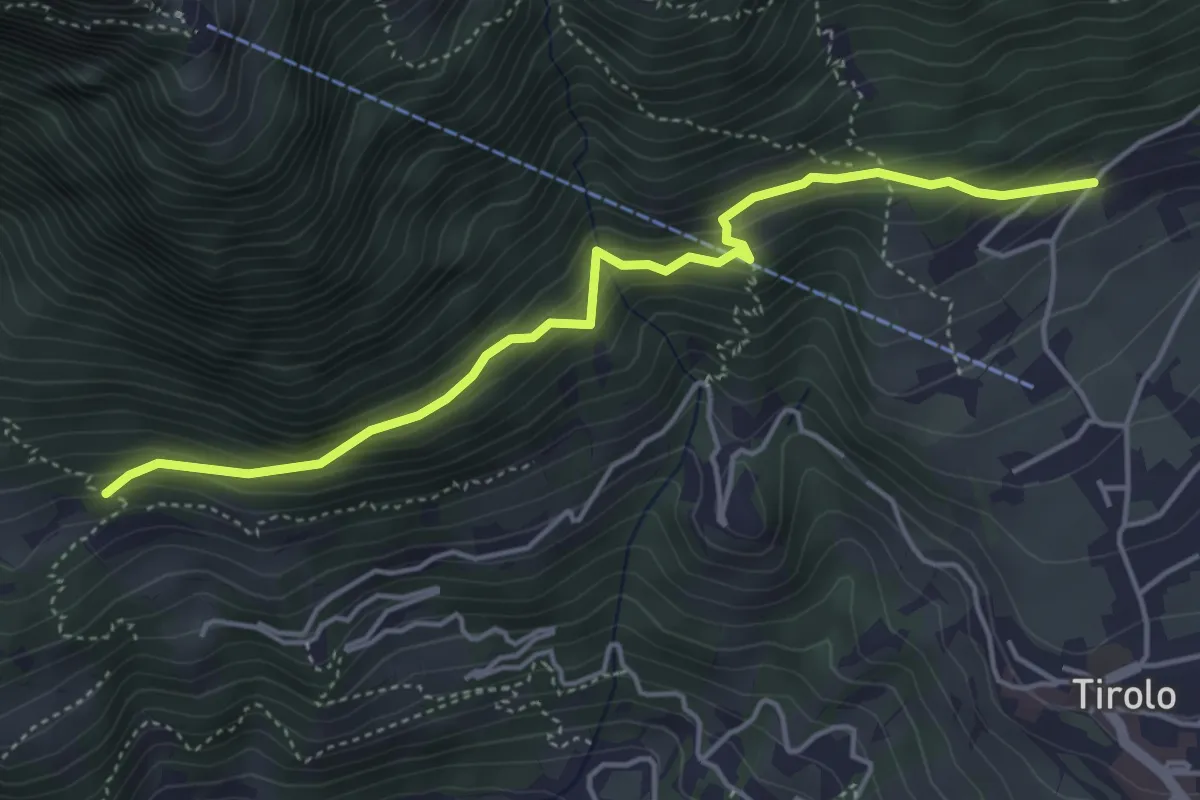
Medium · Trail
28
4.6 km · ↑ 402 m · 1 h 57 min
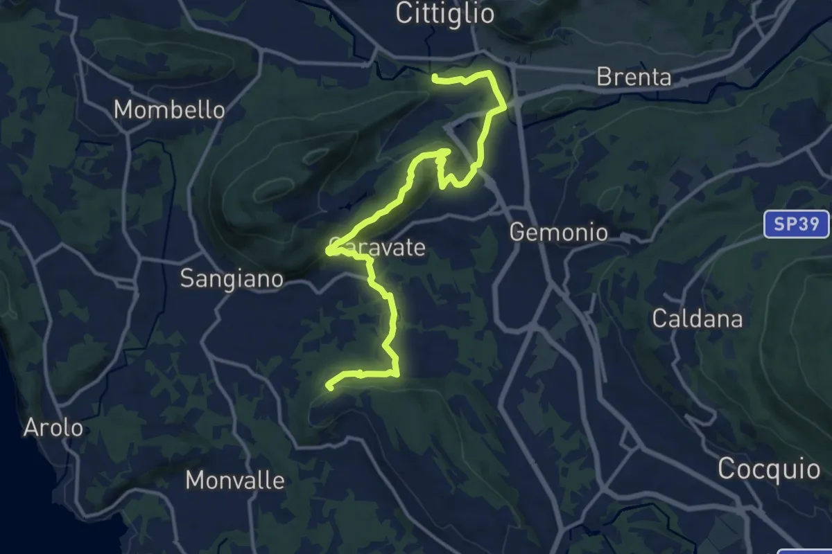
Medium · Trail
285 Cittiglio/Cascina Gravezzano
14.1 km · ↑ 394 m · 4 h 11 min
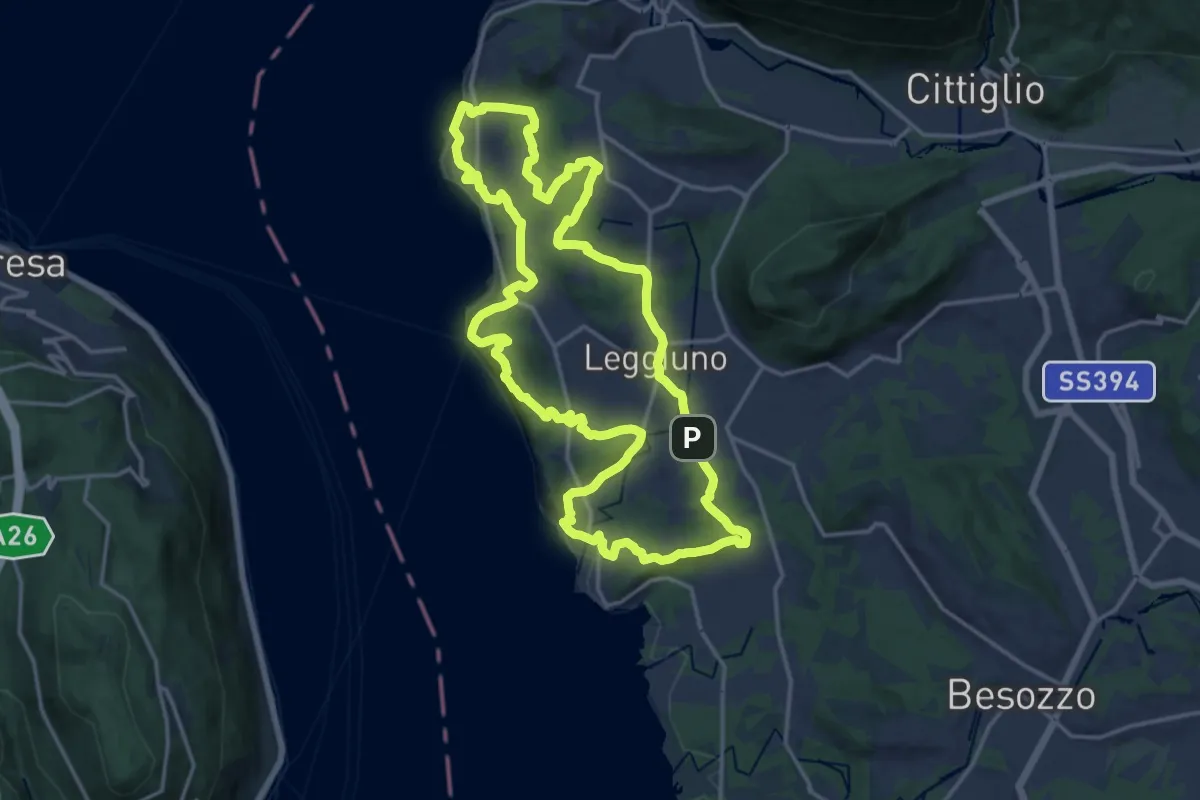
Medium · Summit
289A Anello di Santa Caterina
17.4 km · ↑ 385 m · 5 h 11 min
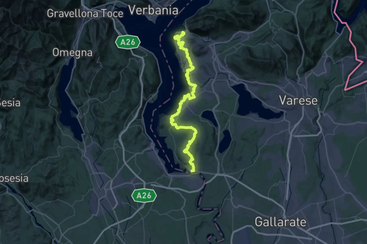
Demanding · Summit
289 Dorsale del Verbano - Agenda21Laghi
75.4 km · ↑ 1295 m · 20 h 37 min
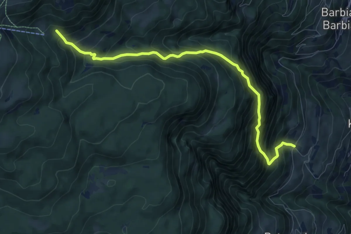
Demanding · Trail
28 - Saubacher Kofelweg
9.7 km · ↑ 1061 m · 4 h 35 min
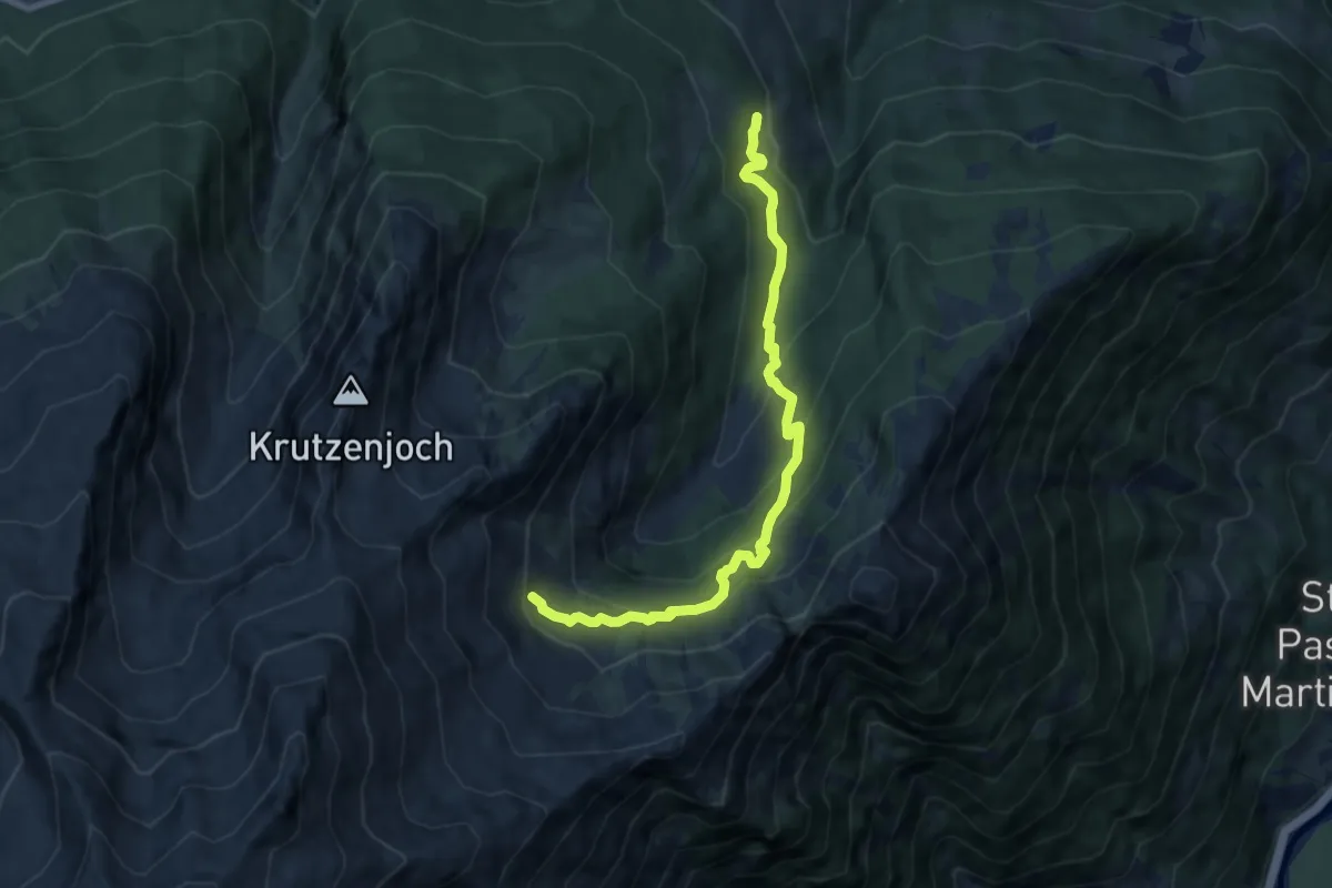
Medium · Trail
2A
8.3 km · ↑ 622 m · 3 h 19 min
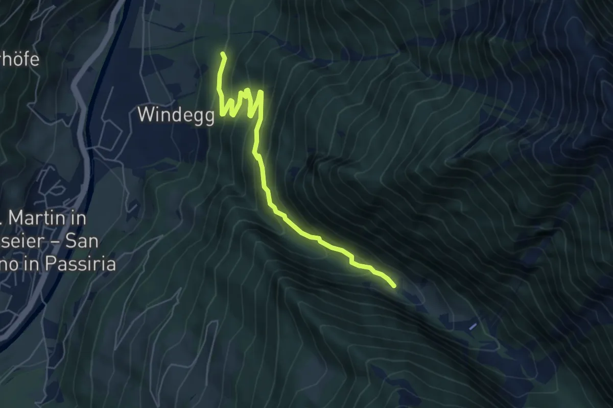
Medium · Trail
2A
5.7 km · ↑ 423 m · 2 h 16 min
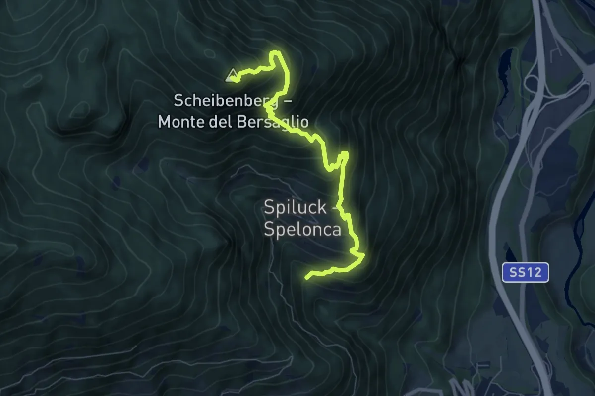
Demanding · Summit
2A - Spiluck => Zirmaitalm
7.3 km · ↑ 867 m · 3 h 36 min
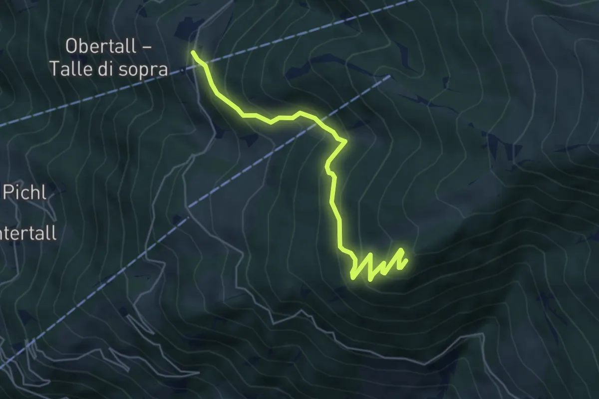
Medium · Trail
2B
5.1 km · ↑ 460 m · 2 h 12 min
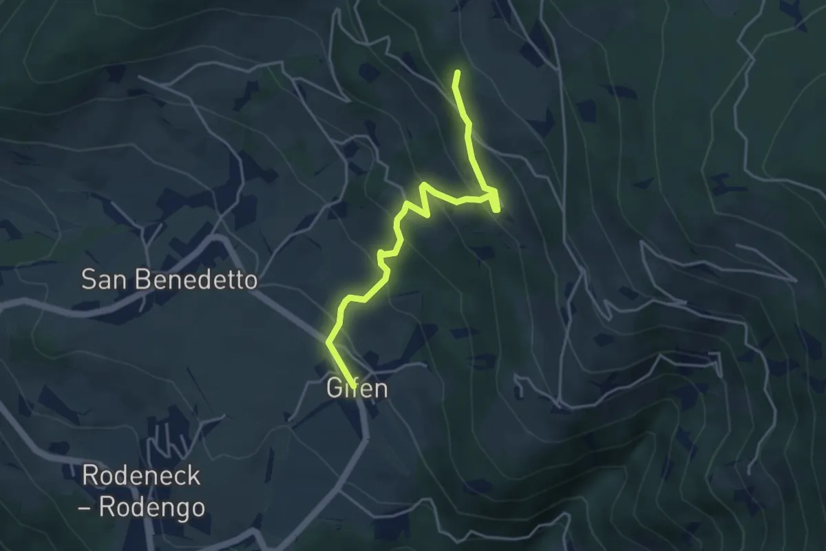
Easy · Trail
2B - Gifen => 2
3.9 km · ↑ 302 m · 1 h 35 min
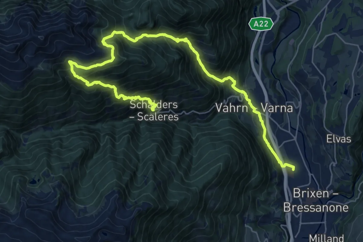
Demanding · Trail
2 - Brixen => Schalders
15.1 km · ↑ 1606 m · 6 h 58 min
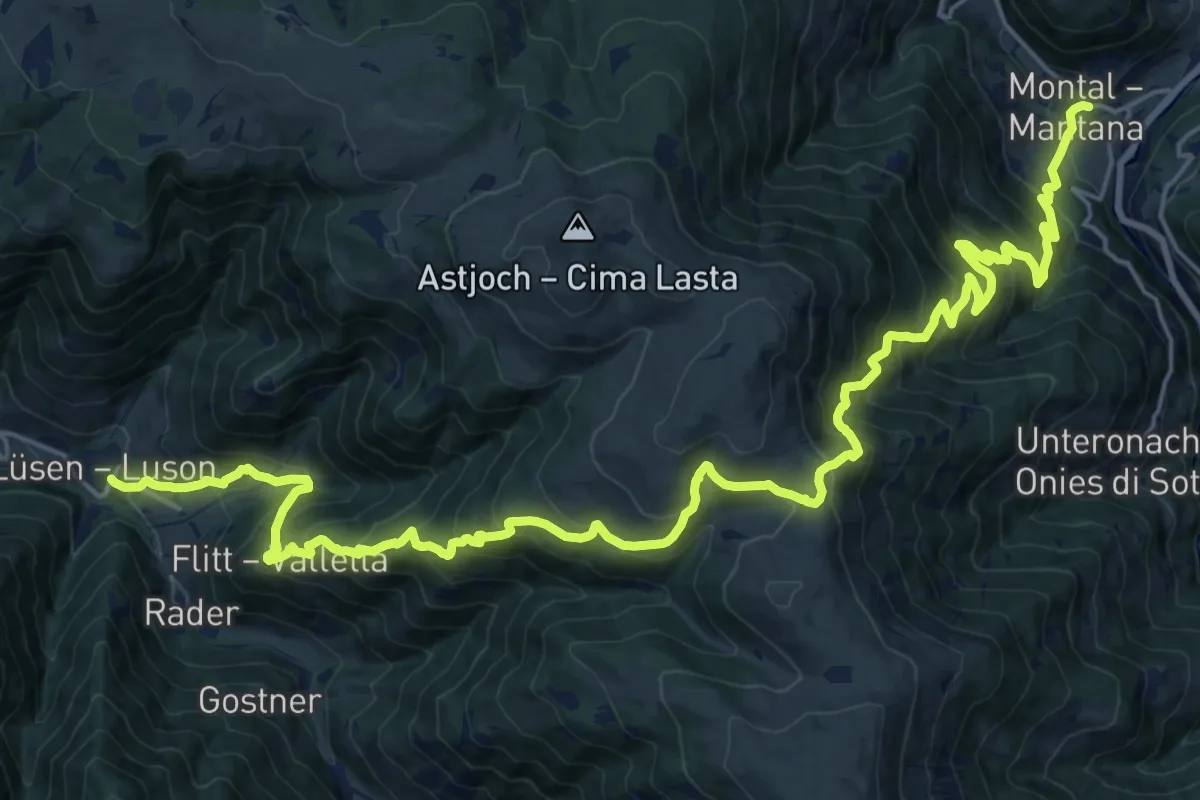
Demanding · Trail
2 - Lüsen => Montal
14.9 km · ↑ 1119 m · 6 h 12 min
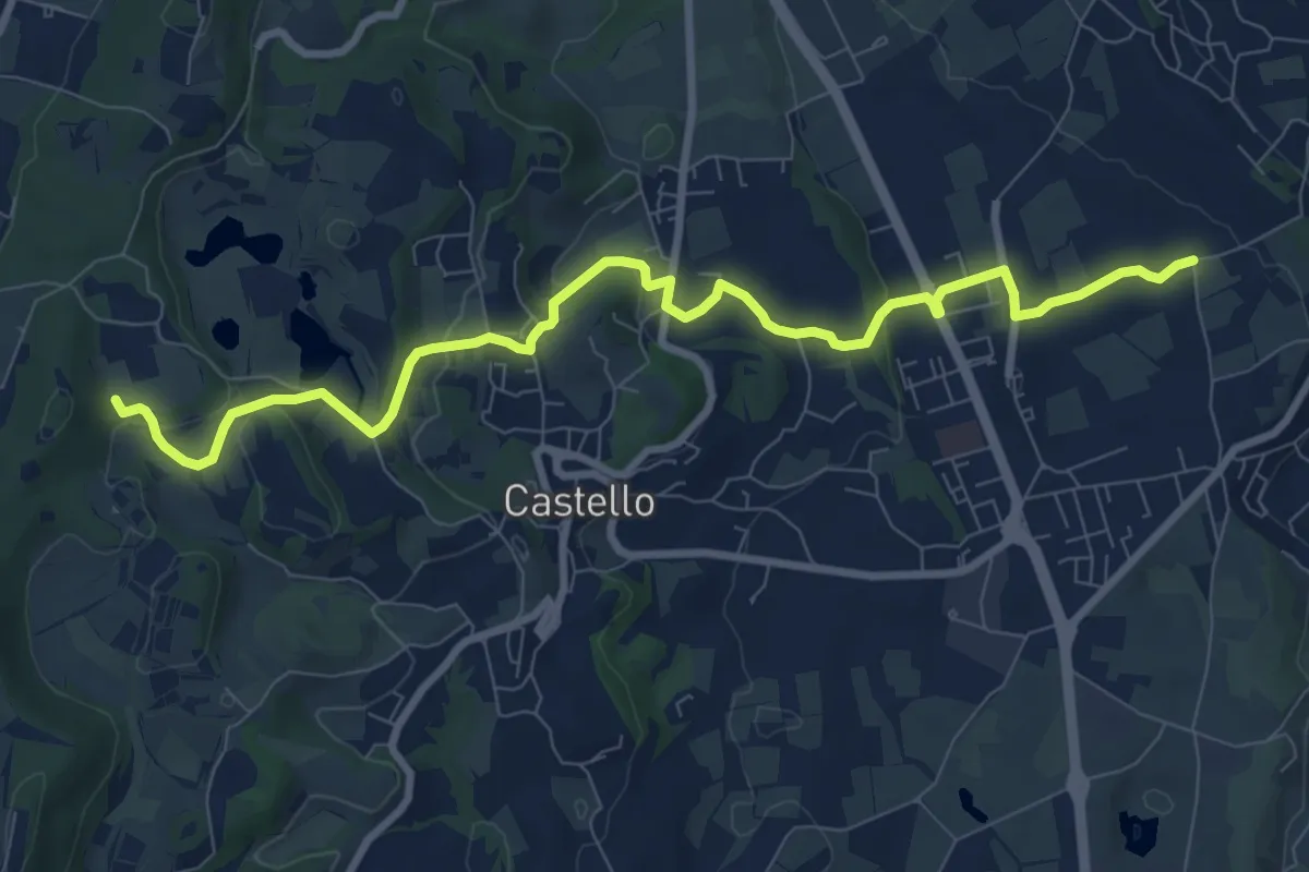
Medium · Trail
2 - Percorsi delle Colline Moreniche di Puegnago
10.1 km · ↑ 195 m · 2 h 48 min
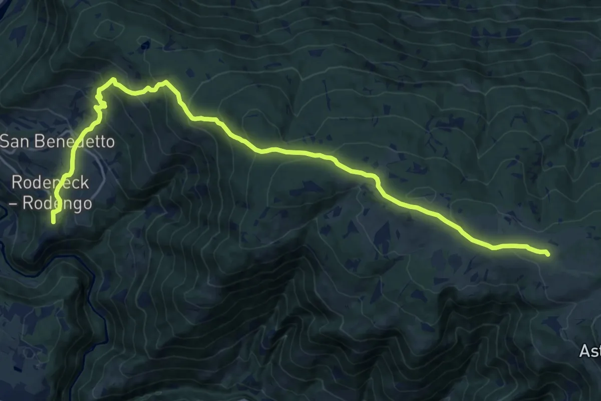
Demanding · Trail
2 - Rodeneck => Starkenfeldhütte
21.0 km · ↑ 1109 m · 7 h 22 min
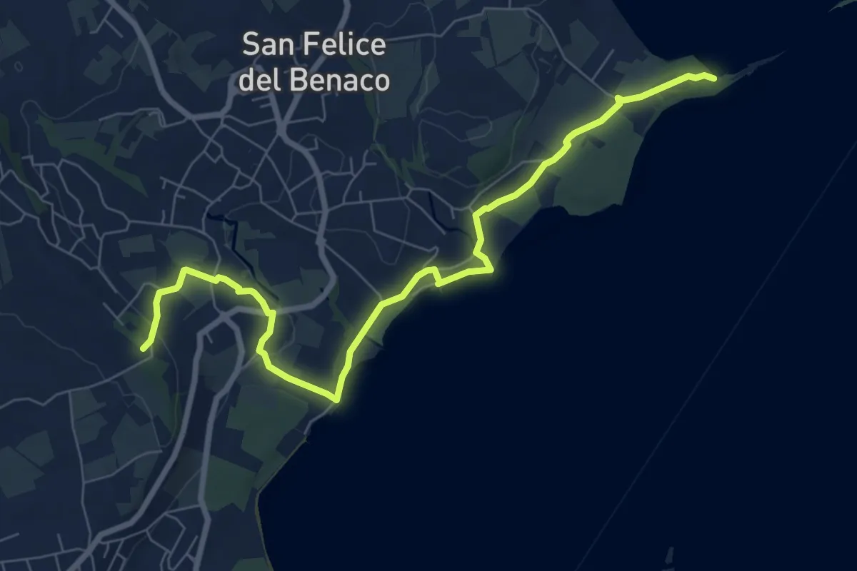
Medium · Summit
2 San Felice del Benaco
8.5 km · ↑ 171 m · 2 h 23 min
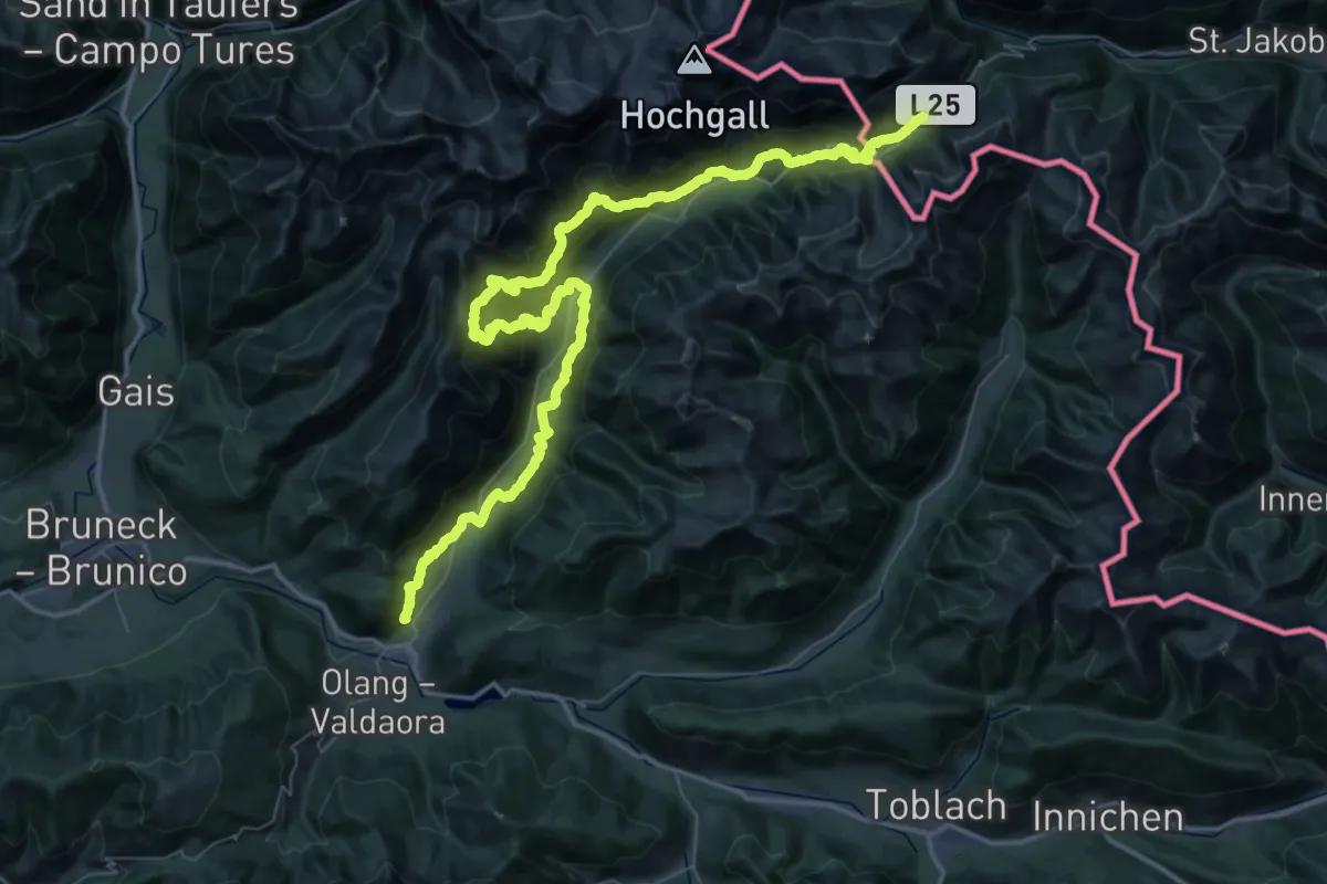
Demanding · Trail
2-Täler-Trail
35.6 km · ↑ 2559 m · 13 h 59 min
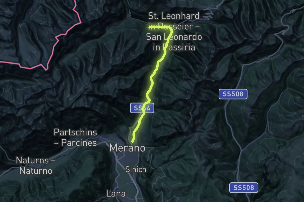
Demanding · Trail
30
20.8 km · ↑ 842 m · 6 h 42 min
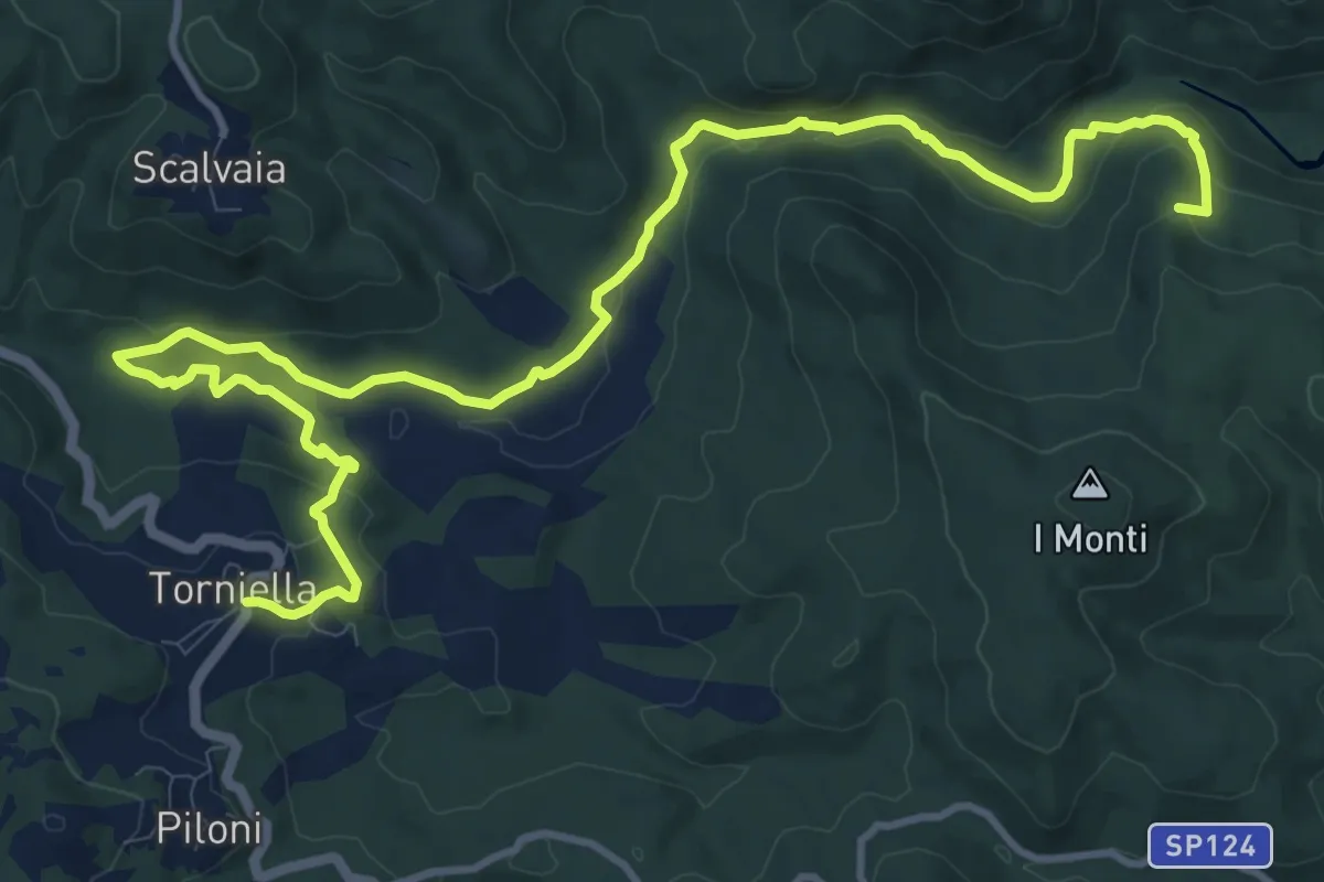
Medium · Summit
303 -Castello di Belagaio-Torniella
16.1 km · ↑ 498 m · 4 h 53 min
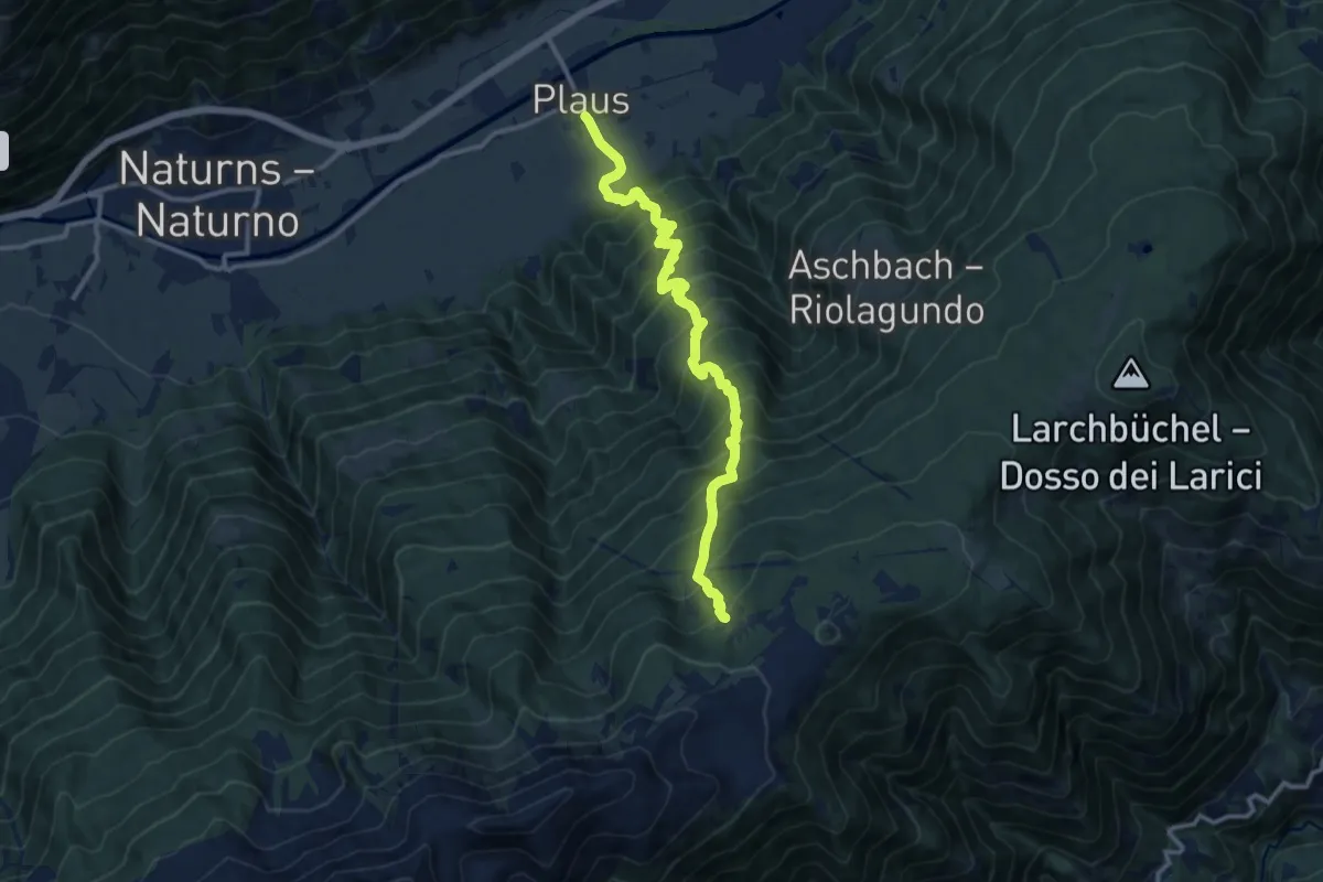
Demanding · Trail
30A
12.5 km · ↑ 1421 m · 6 h 2 min
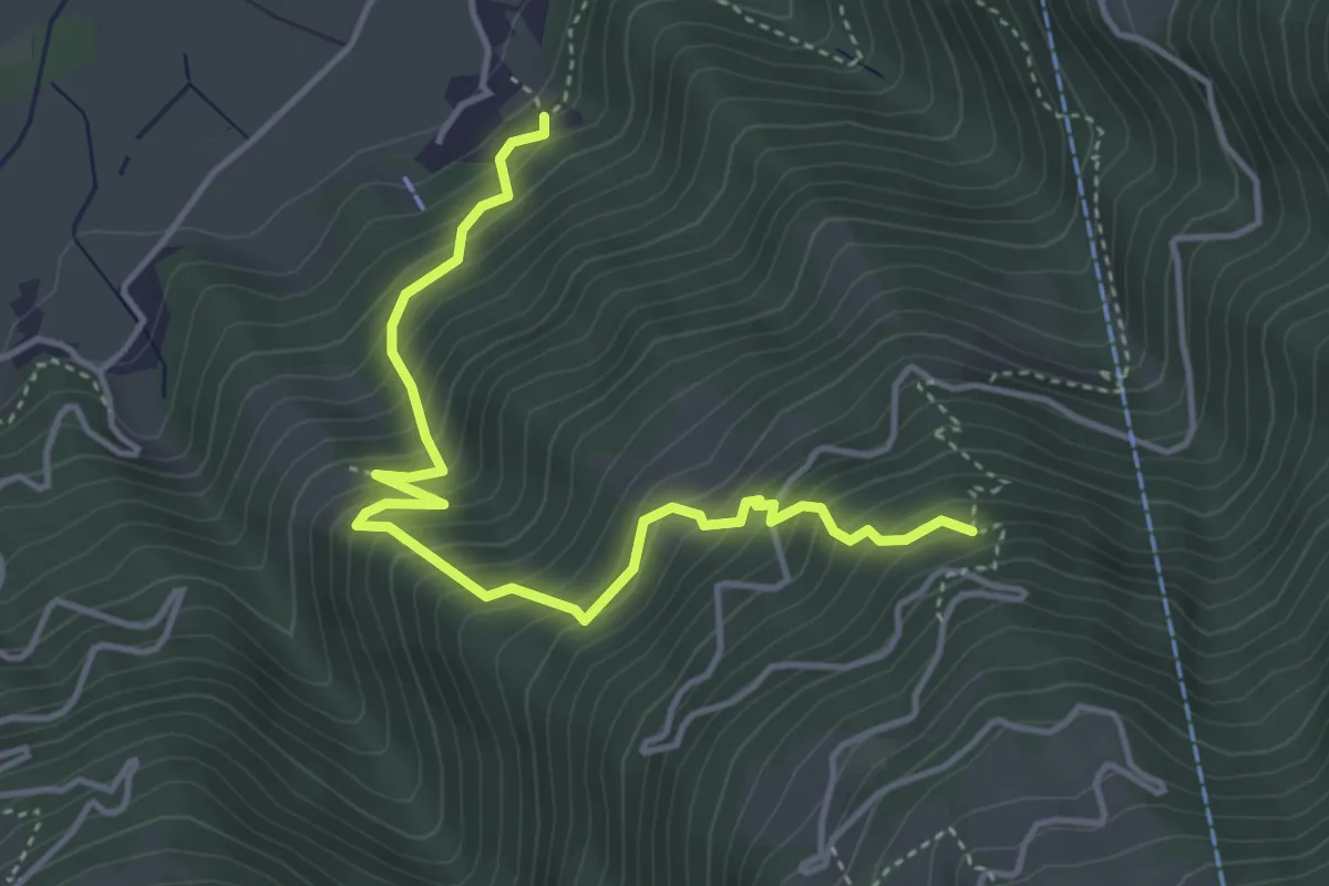
Medium · Trail
30B
4.6 km · ↑ 583 m · 2 h 20 min
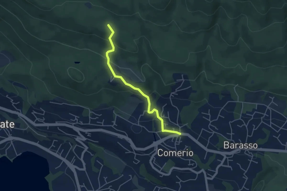
Easy · Trail
311 Comerio - Sentiero 310A
4.1 km · ↑ 197 m · 1 h 24 min
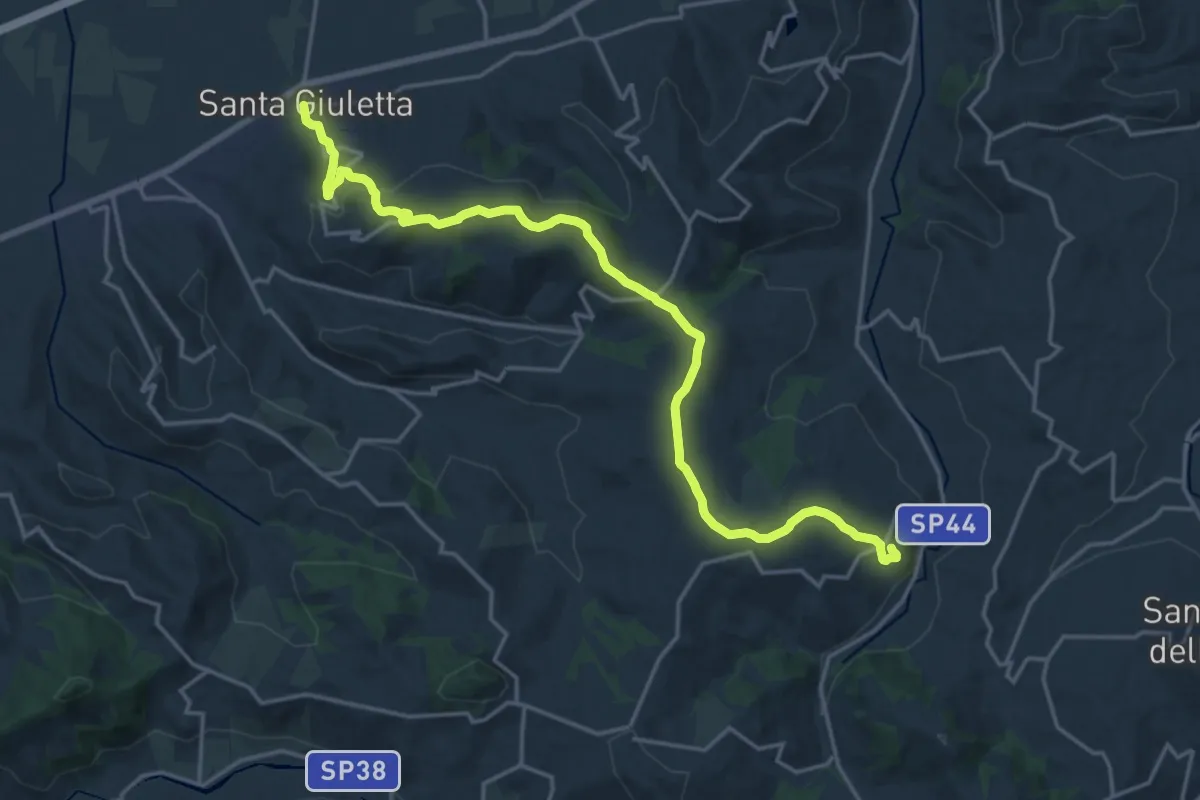
Demanding · Trail
315
21.0 km · ↑ 646 m · 6 h 22 min
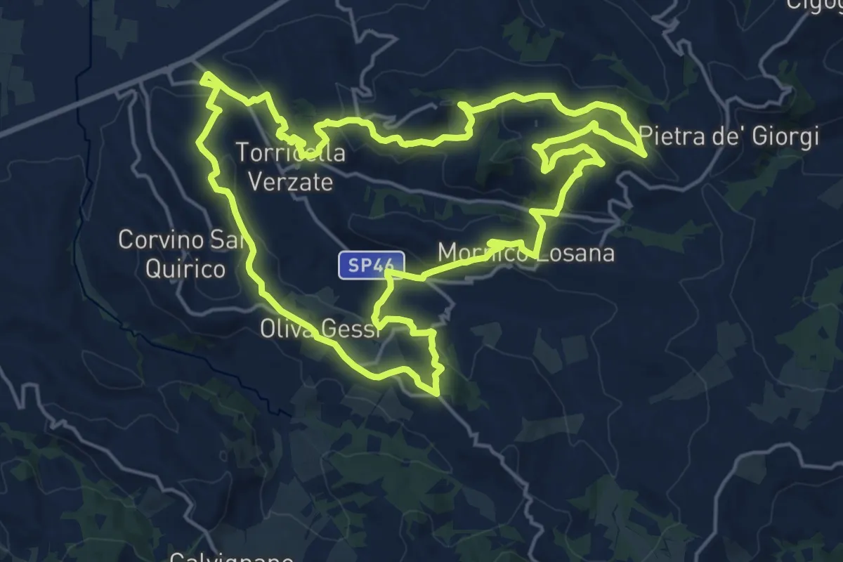
Demanding · Summit
315A
19.1 km · ↑ 582 m · 6 h 3 min
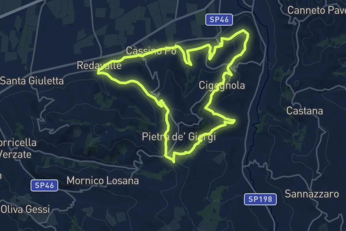
Medium · Summit
315b
15.9 km · ↑ 479 m · 5 h 1 min
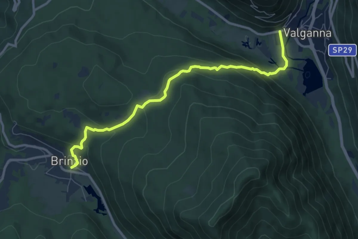
Demanding · Trail
315 - Brinzio-Badia di Ganna
7.7 km · ↑ 385 m · 2 h 39 min
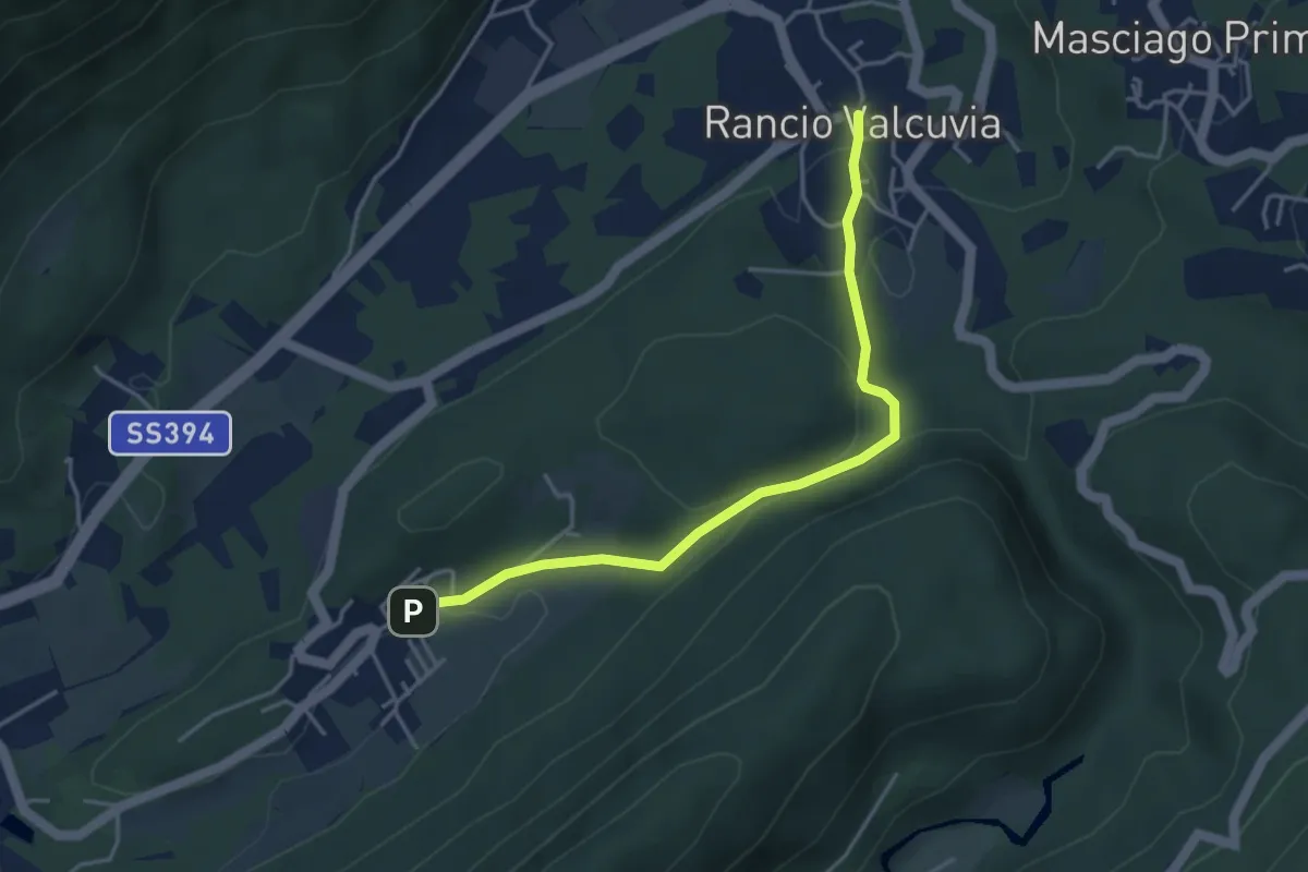
Demanding · Trail
325A Sentiero della Valcanasca
4.1 km · ↑ 131 m · 1 h 15 min
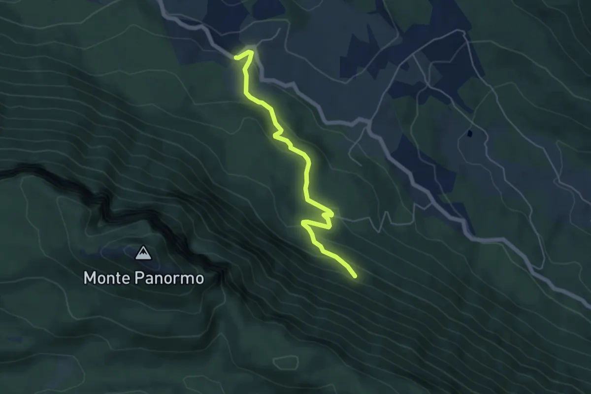
Easy · Trail
326
5.2 km · ↑ 291 m · 1 h 51 min
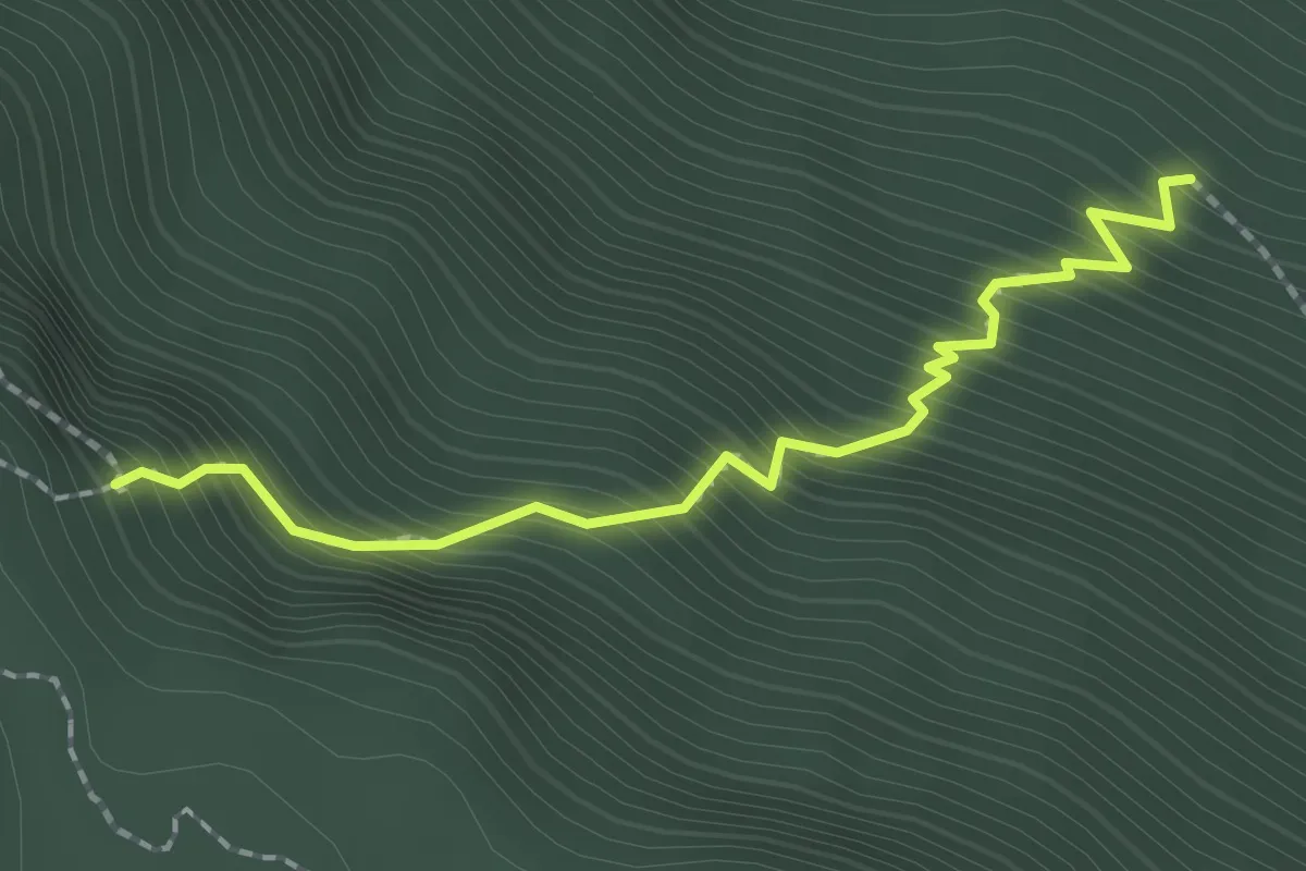
Demanding · Trail
326
2.2 km · ↑ 410 m · 1 h 24 min
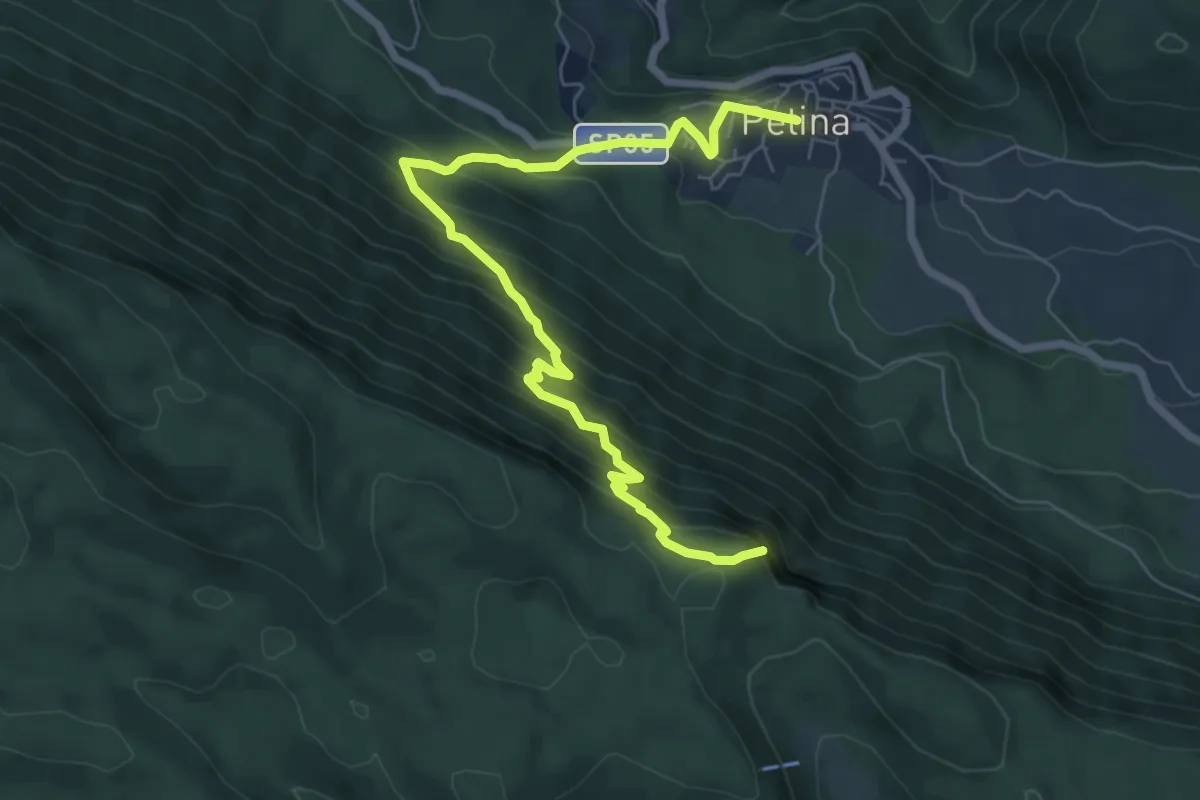
Demanding · Summit
327
8.7 km · ↑ 804 m · 3 h 47 min
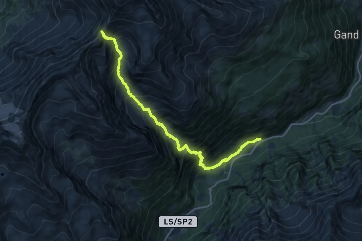
Demanding · Trail
34
11.9 km · ↑ 1439 m · 5 h 55 min
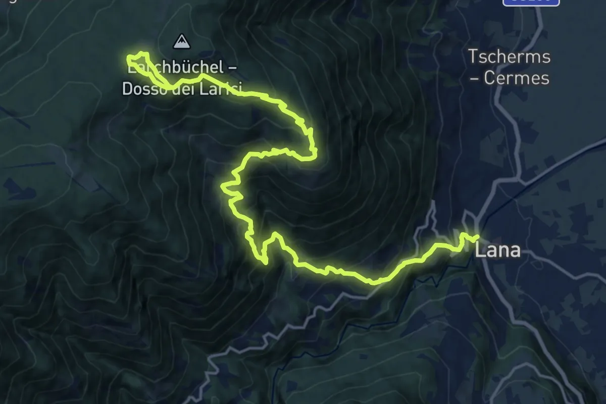
Medium · Trail
34
10.3 km · ↑ 135 m · 3 h 33 min
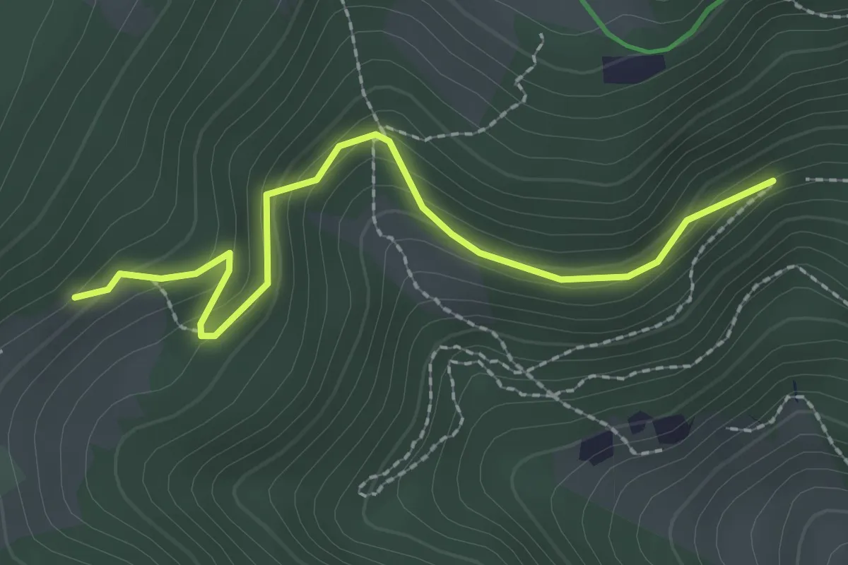
Easy · Trail
34B
2.4 km · ↑ 167 m · 56 min
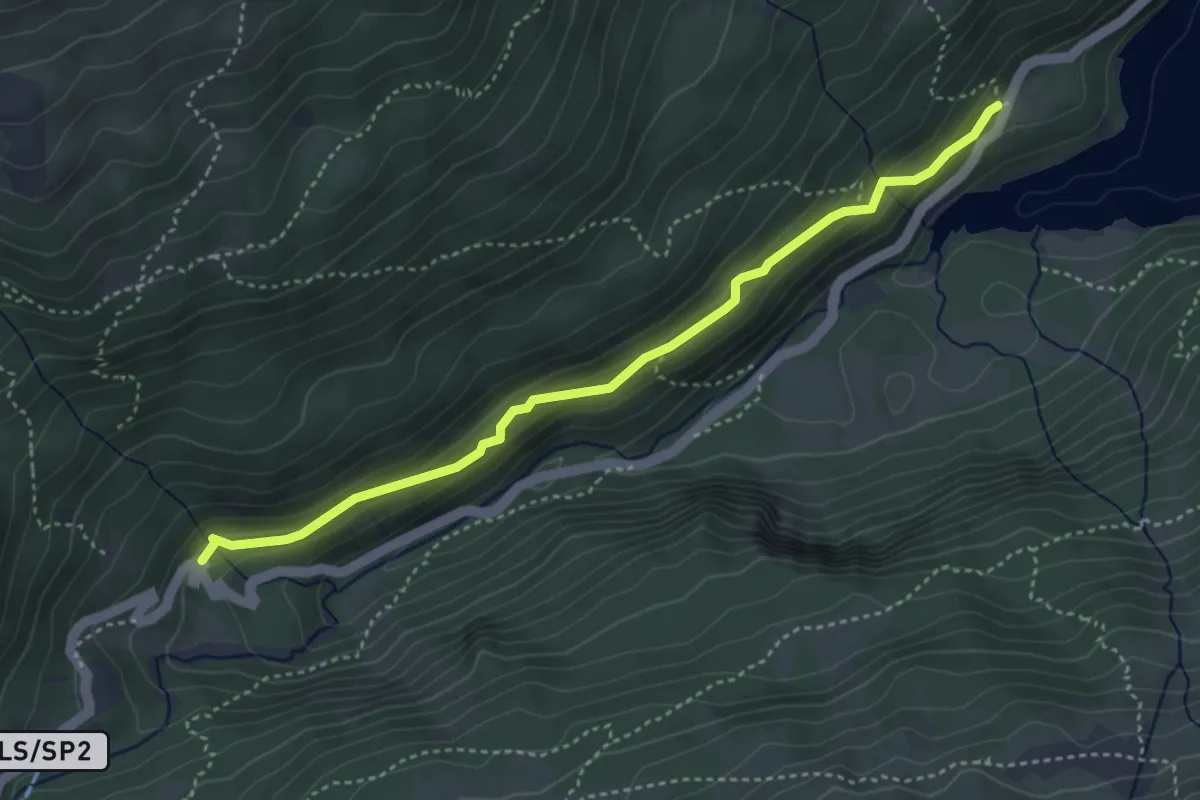
Medium · Trail
38
4.1 km · ↑ 274 m · 1 h 34 min
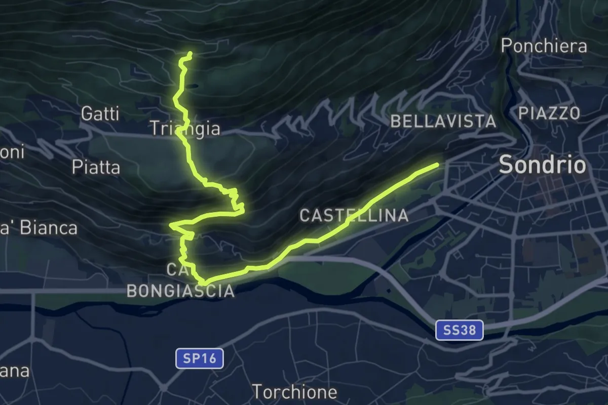
Demanding · Trail
385
11.5 km · ↑ 830 m · 4 h 31 min
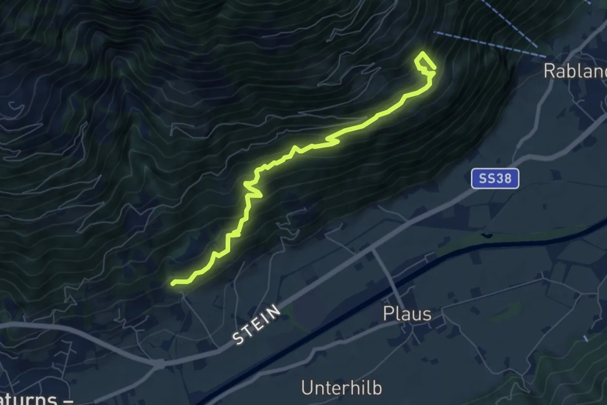
Medium · Trail
39A
7.4 km · ↑ 773 m · 3 h 25 min
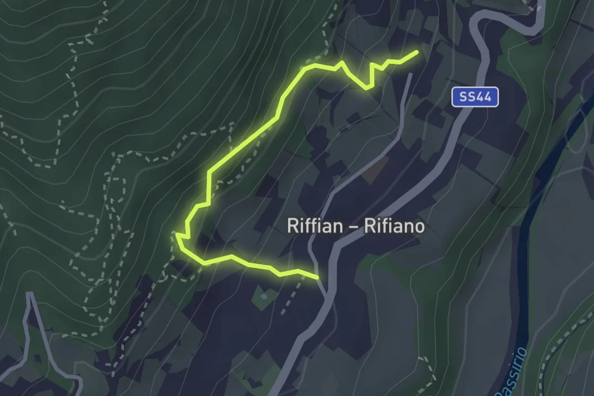
Medium · Trail
3A
2.7 km · ↑ 280 m · 1 h 14 min
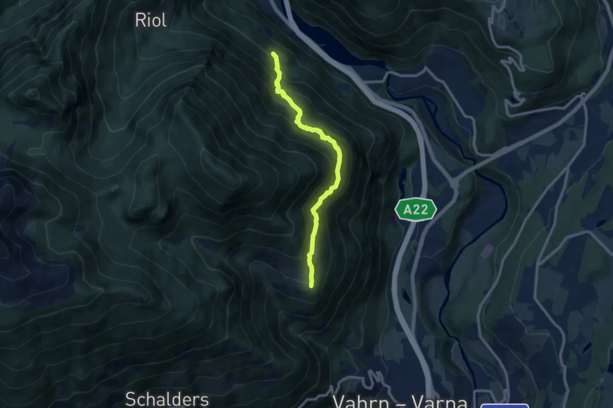
Medium · Trail
3A - Franzensfeste => Schalders
7.5 km · ↑ 765 m · 3 h 25 min
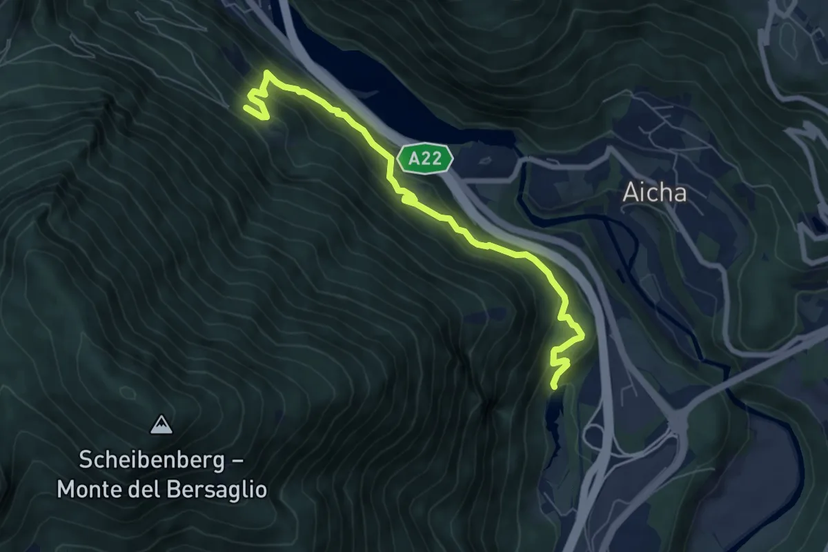
Medium · Trail
3B - Franzensfeste => Vahrner See
6.9 km · ↑ 534 m · 2 h 48 min
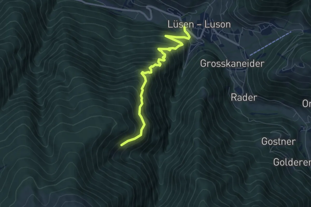
Medium · Trail
3B - Lüsen
7.0 km · ↑ 728 m · 3 h 14 min
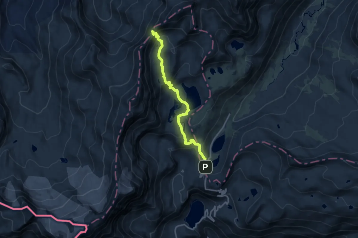
Demanding · Trail
3C, Col Rosset
9.6 km · ↑ 462 m · 3 h 16 min
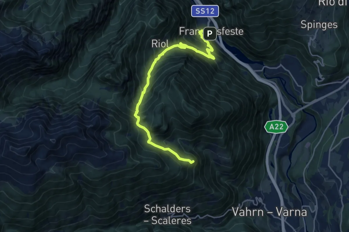
Demanding · Summit
3 - Franzensfeste => Schalders
16.2 km · ↑ 1311 m · 6 h 40 min
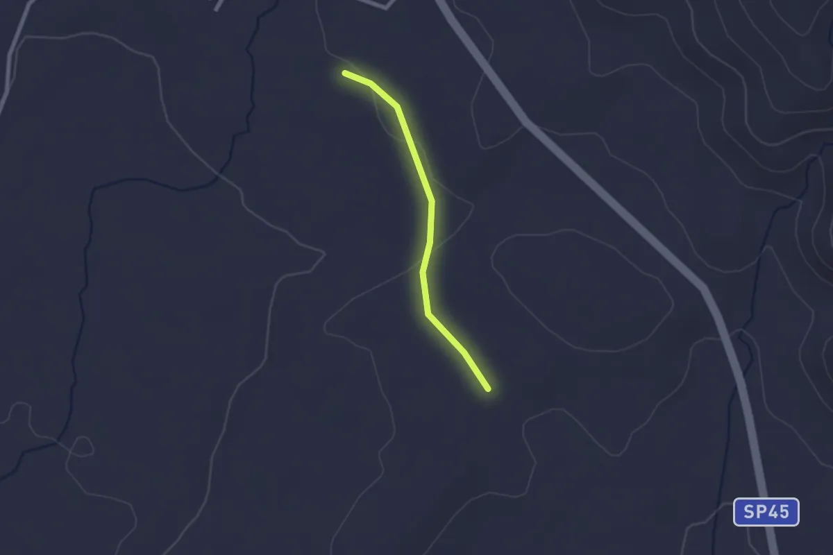
Easy · Trail
3 itinerari pedo-corsistici
2.1 km · ↑ 19 m · 32 min
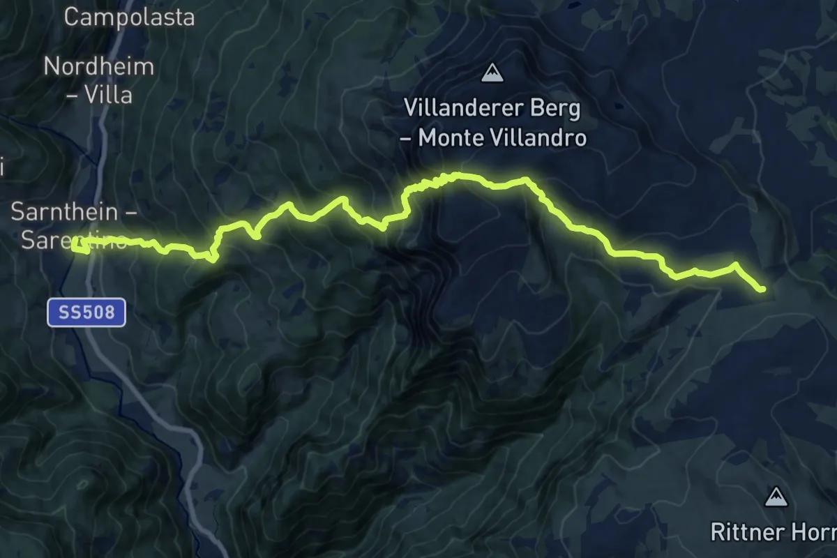
Demanding · Trail
3 - Sarnthein => Gasteiger Sattel
11.0 km · ↑ 1451 m · 5 h 21 min
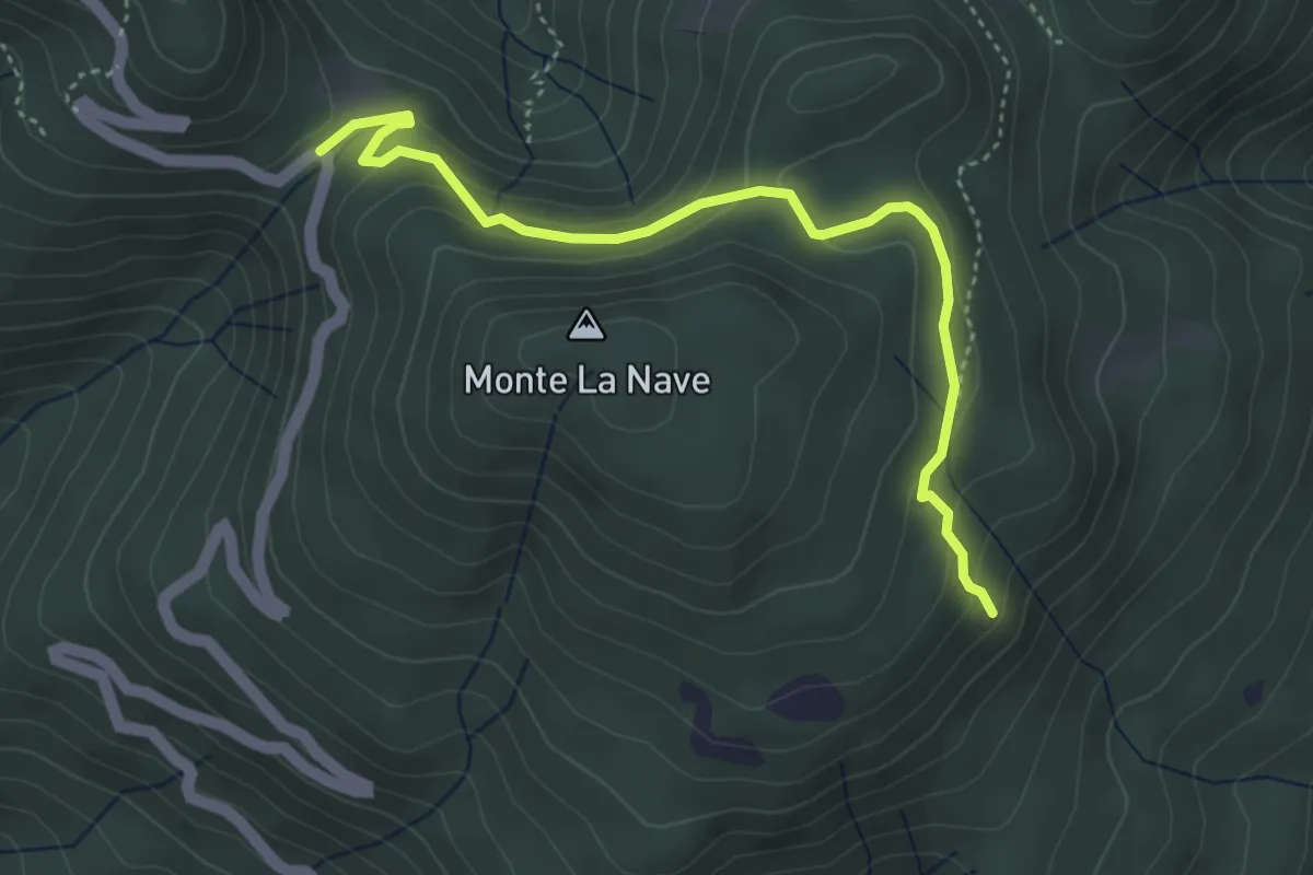
Easy · Trail
3 Valli Varesine
4.3 km · ↑ 227 m · 1 h 30 min
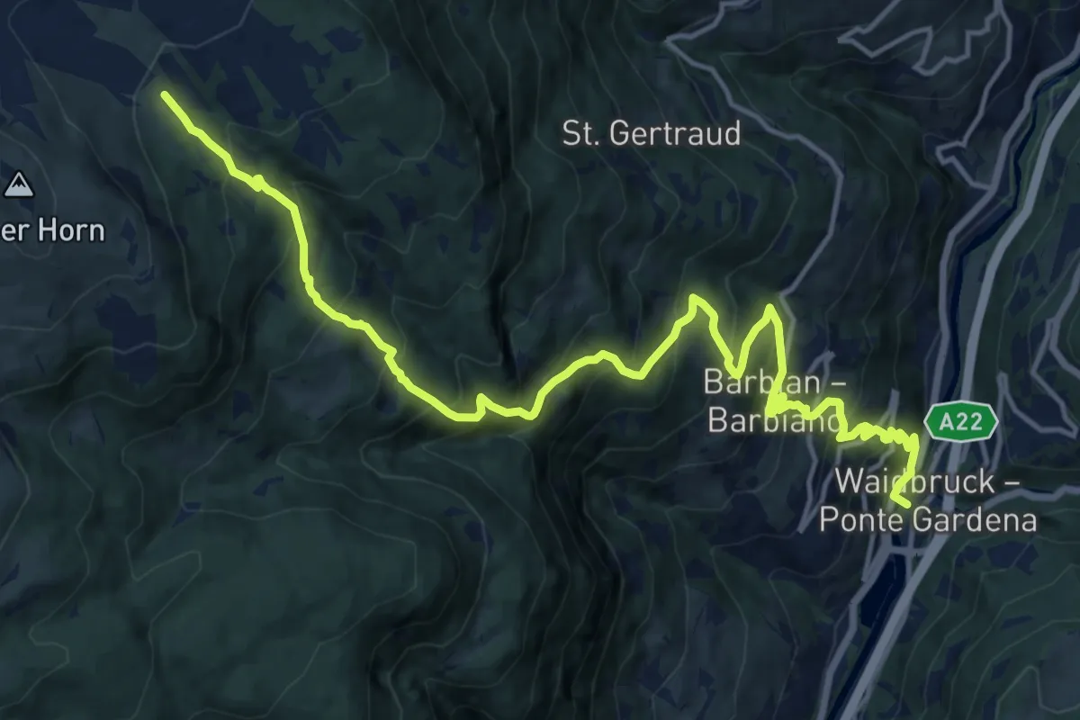
Demanding · Trail
3 - Waidbruck => Barbian => 4
17.6 km · ↑ 1561 m · 7 h 32 min