Trails in Italy
25,219 hiking trails, each with its route, climb, walking time and grade.
All trails, page 238 of 526
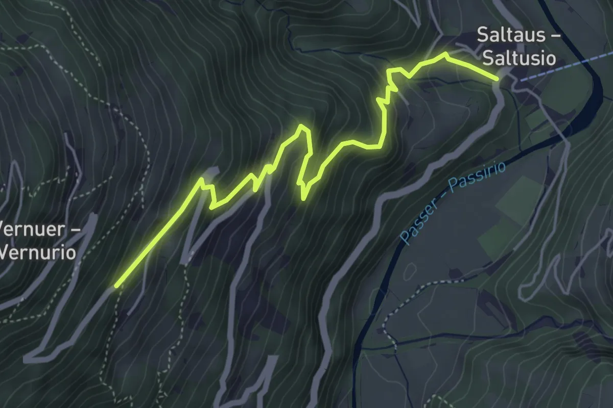
Medium · Trail
4
5.4 km · ↑ 478 m · 2 h 19 min
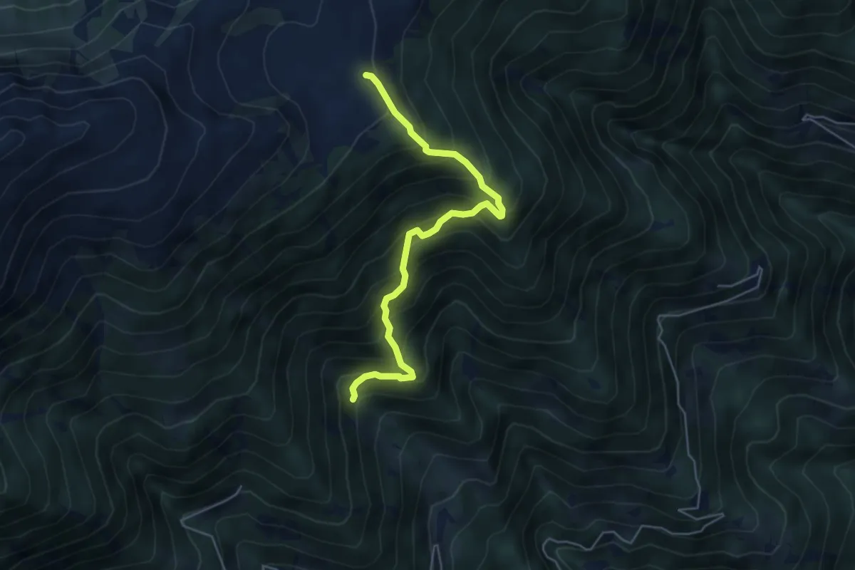
Medium · Trail
4
4.9 km · ↑ 690 m · 2 h 39 min
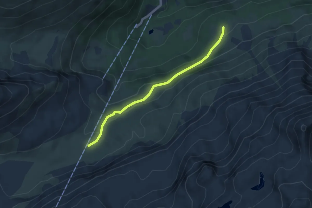
Medium · Trail
40
3.8 km · ↑ 160 m · 1 h 15 min
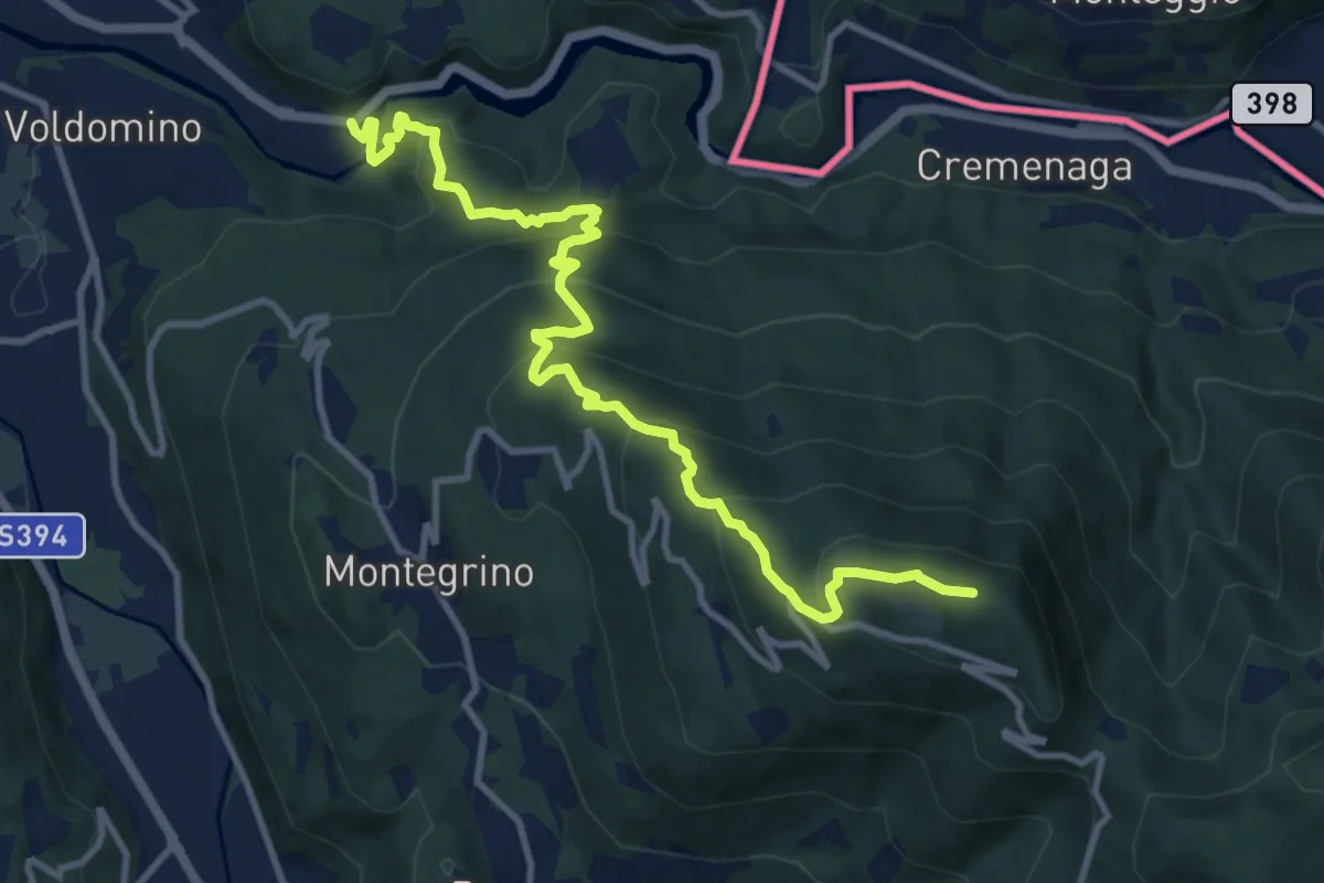
Demanding · Summit
413 3V (Variante Tappa 7 Via Verde Varesina)
12.1 km · ↑ 800 m · 4 h 35 min
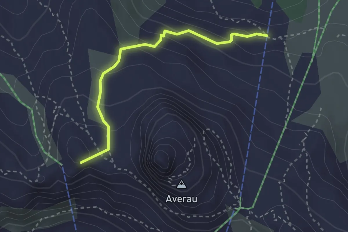
Medium · Summit
436 Sentiero Delle Trincee
2.5 km · ↑ 190 m · 1 h
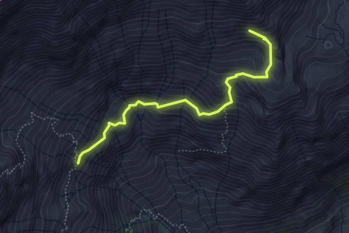
Medium · Trail
47
4.6 km · ↑ 494 m · 2 h 10 min
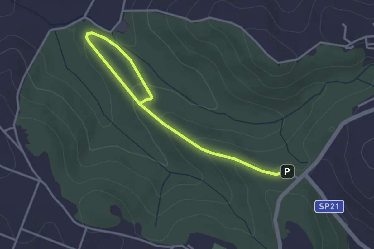
Easy · Trail
491 Sentiero di Collelungo
3.7 km · ↑ 131 m · 1 h 9 min
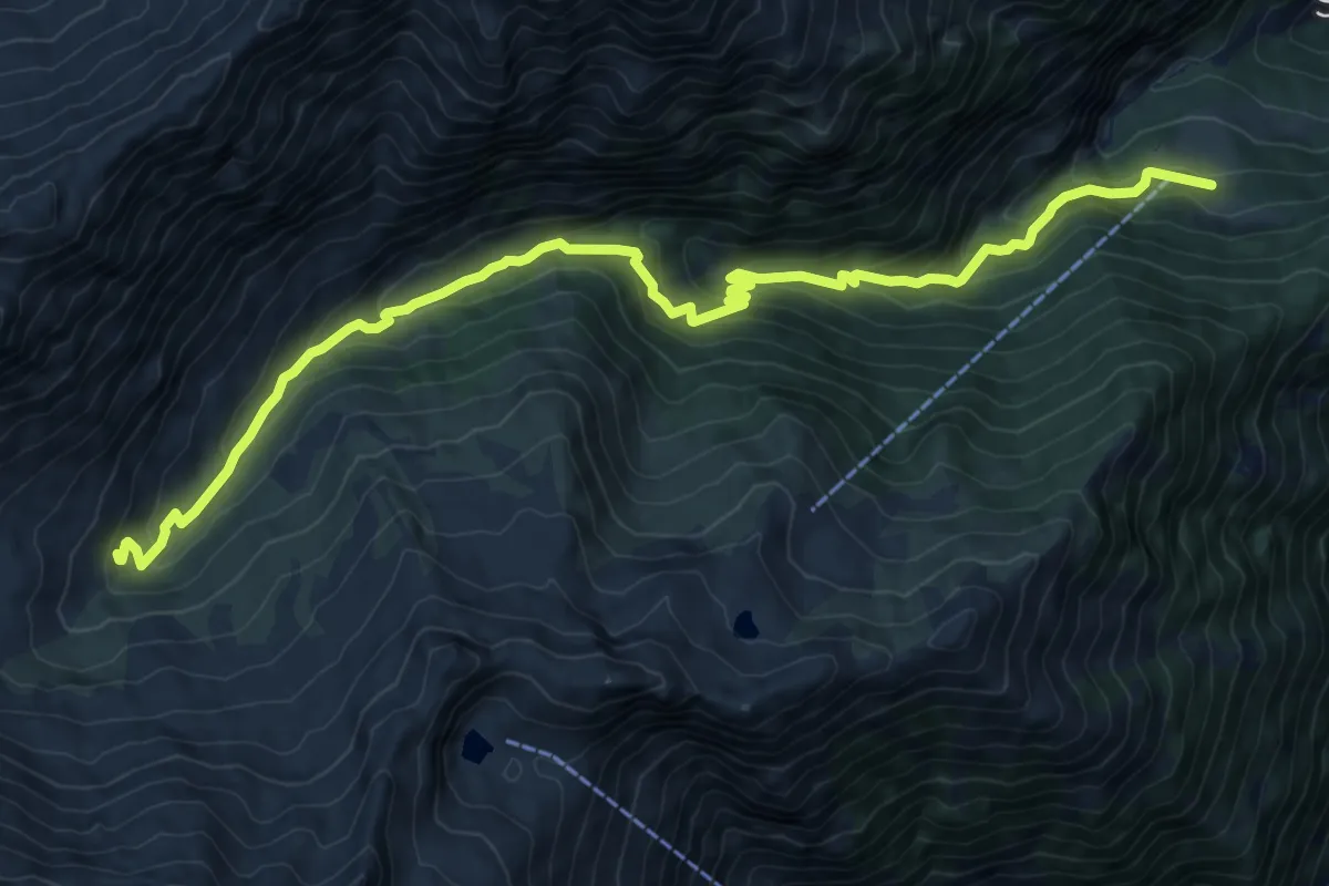
Medium · Trail
4A
11.8 km · ↑ 702 m · 4 h 19 min
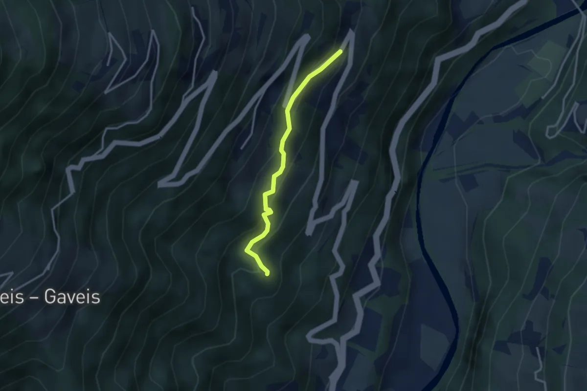
Medium · Trail
4A
2.6 km · ↑ 212 m · 1 h 4 min
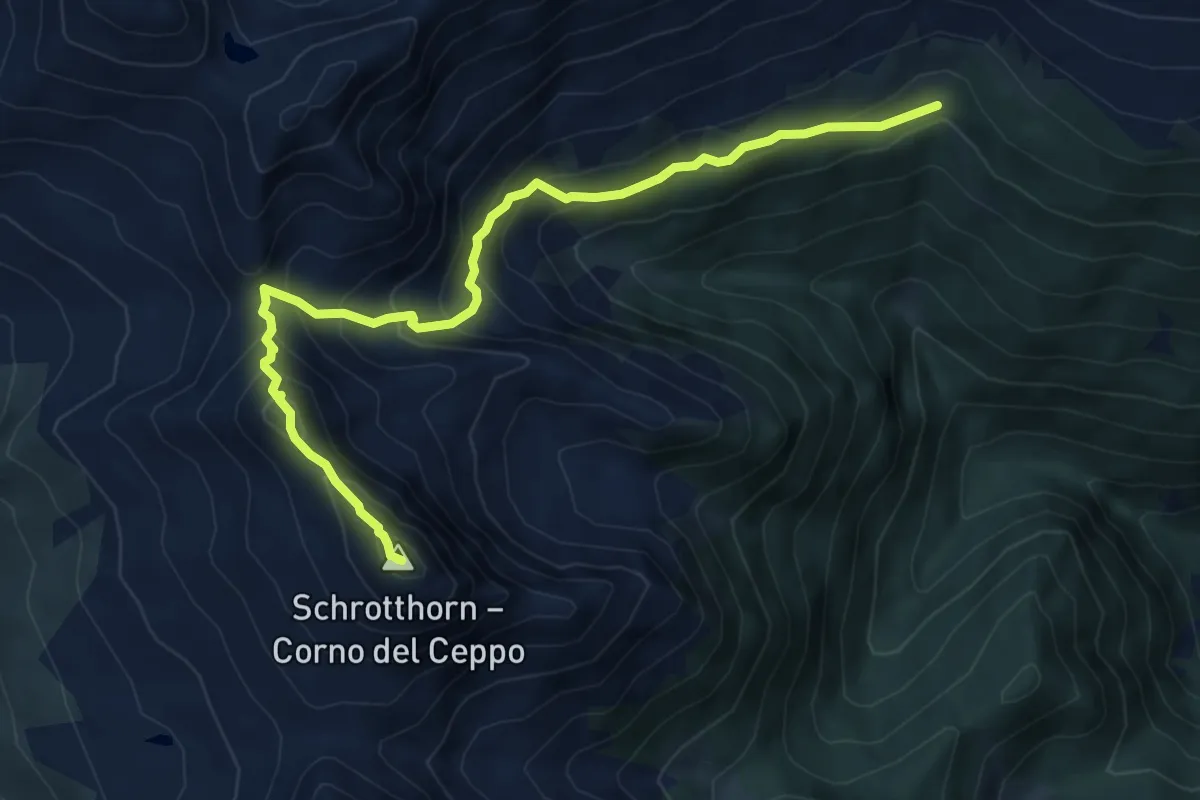
Demanding · Summit
4B - Pfannscharte => Schalderer Scharter
7.7 km · ↑ 661 m · 3 h 15 min
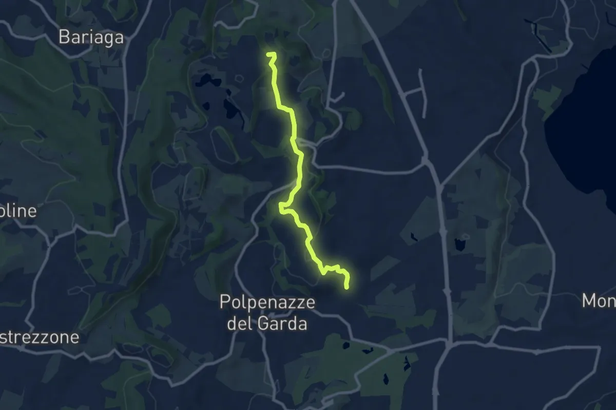
Easy · Summit
4 - Percorsi delle Colline Moreniche di Puegnago
7.9 km · ↑ 166 m · 2 h 14 min
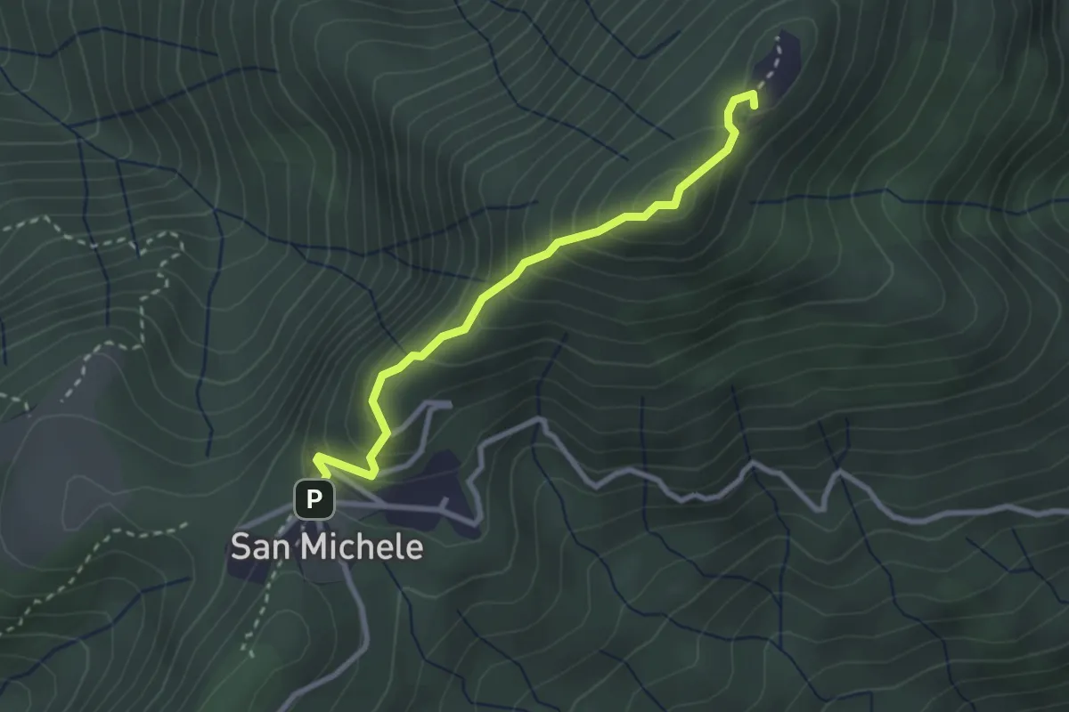
Medium · Summit
4 San Michele_Monte Pian Nave NORD e SUD
2.7 km · ↑ 268 m · 1 h 13 min
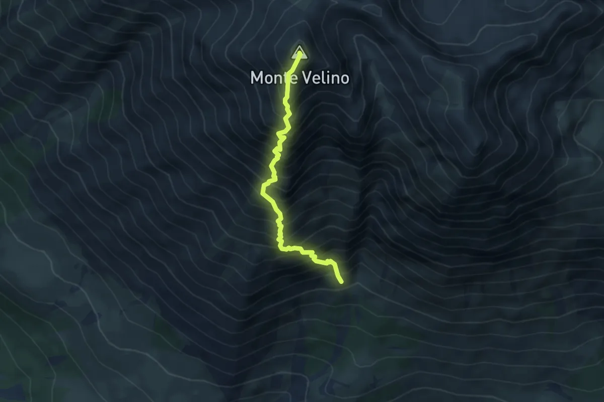
Demanding · Summit
5
4.6 km · ↑ 926 m · 3 h 5 min
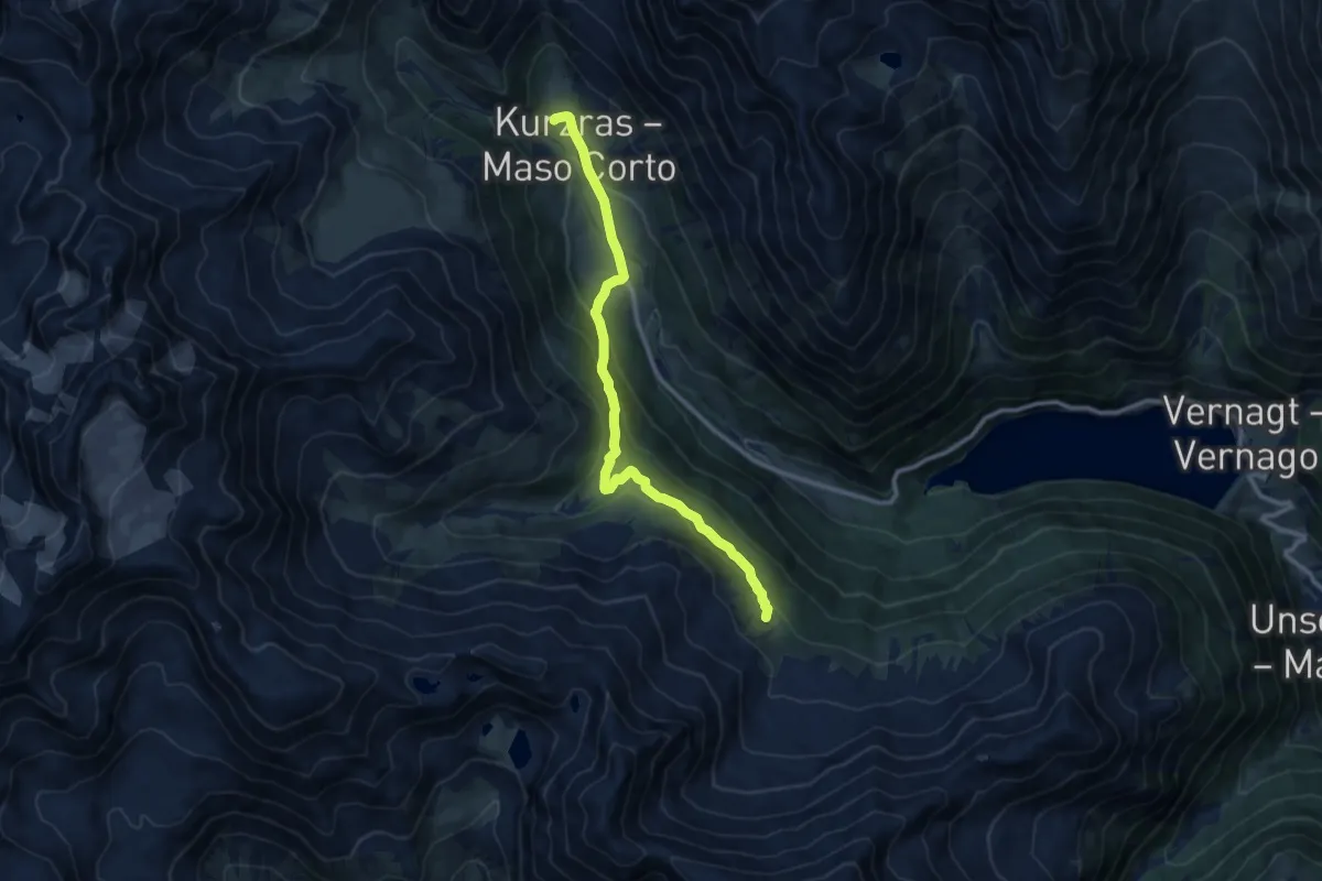
Medium · Trail
5
10.2 km · ↑ 450 m · 3 h 24 min
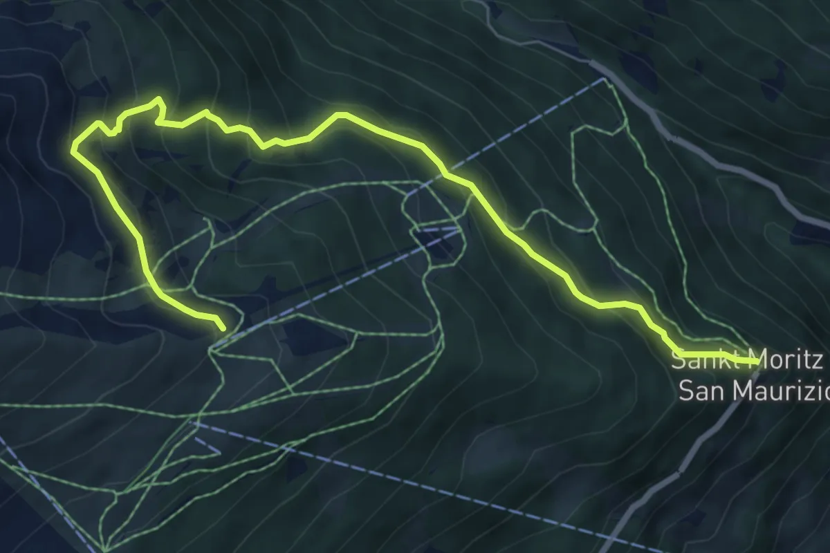
Medium · Trail
5
8.1 km · ↑ 643 m · 3 h 18 min
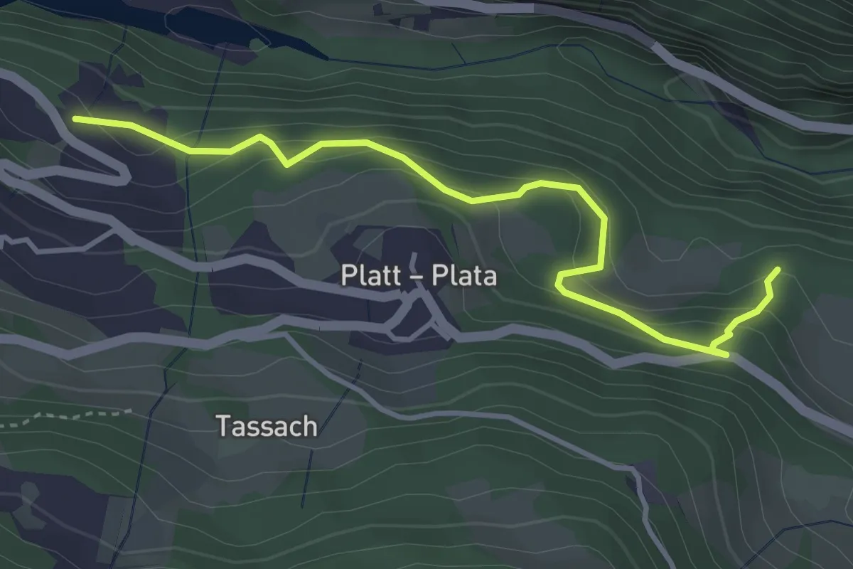
Easy · Trail
5
3.8 km · ↑ 298 m · 1 h 32 min
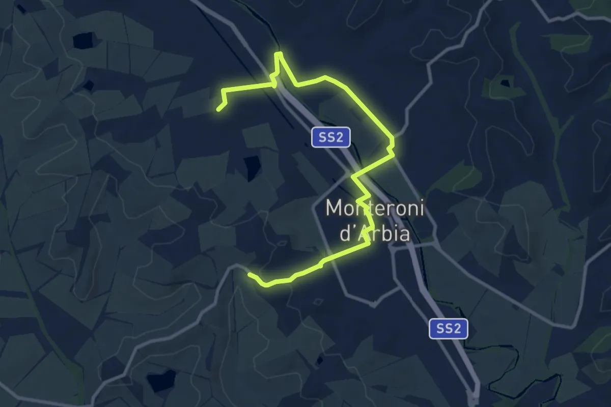
Medium · Trail
500a Variante Cuna-Monteroni d'Arbia
10.8 km · ↑ 80 m · 2 h 43 min
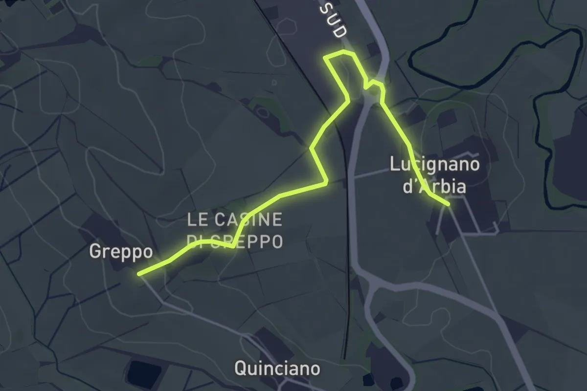
Easy · Trail
500b Deviazione Lucignano
4.8 km · ↑ 66 m · 1 h 17 min
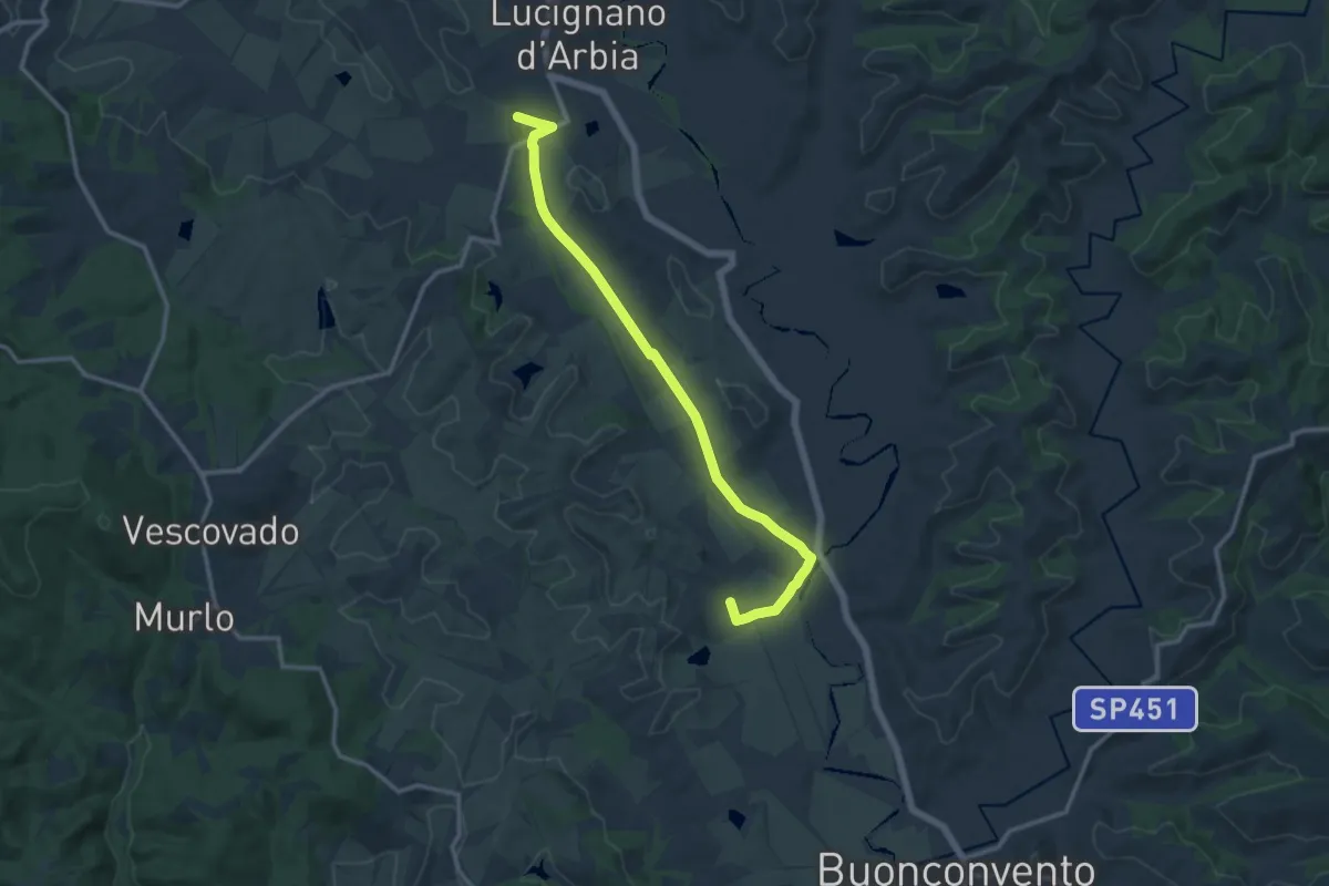
Medium · Trail
500c Variante Quinciano- Ponte d'Arbia
14.0 km · ↑ 69 m · 3 h 27 min
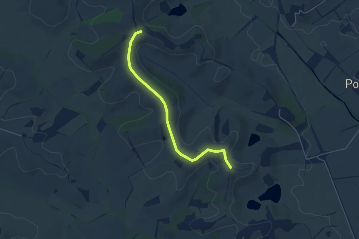
Easy · Trail
500 Variante
4.3 km · ↑ 37 m · 1 h 6 min
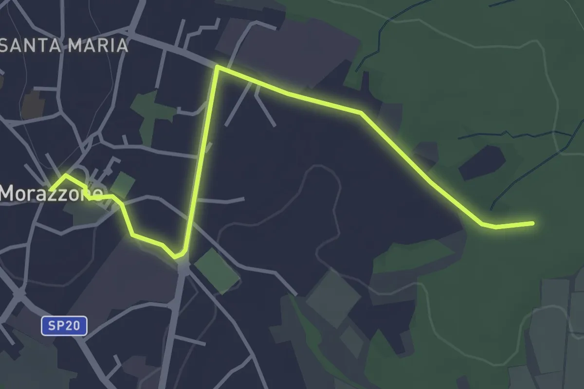
Easy · Trail
520C Collegmaento Morazzone-Dorsale RTO
3.8 km · ↑ 31 m · 58 min
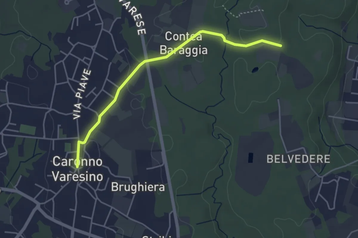
Easy · Trail
520D Collegamento Caronno Varesino-Dorsale RTO
4.0 km · ↑ 32 m · 1 h
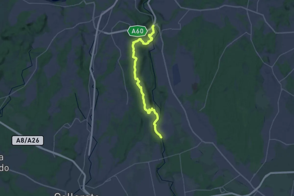
Demanding · Trail
520 Dorsale RTO
25.9 km · ↑ 424 m · 7 h 2 min
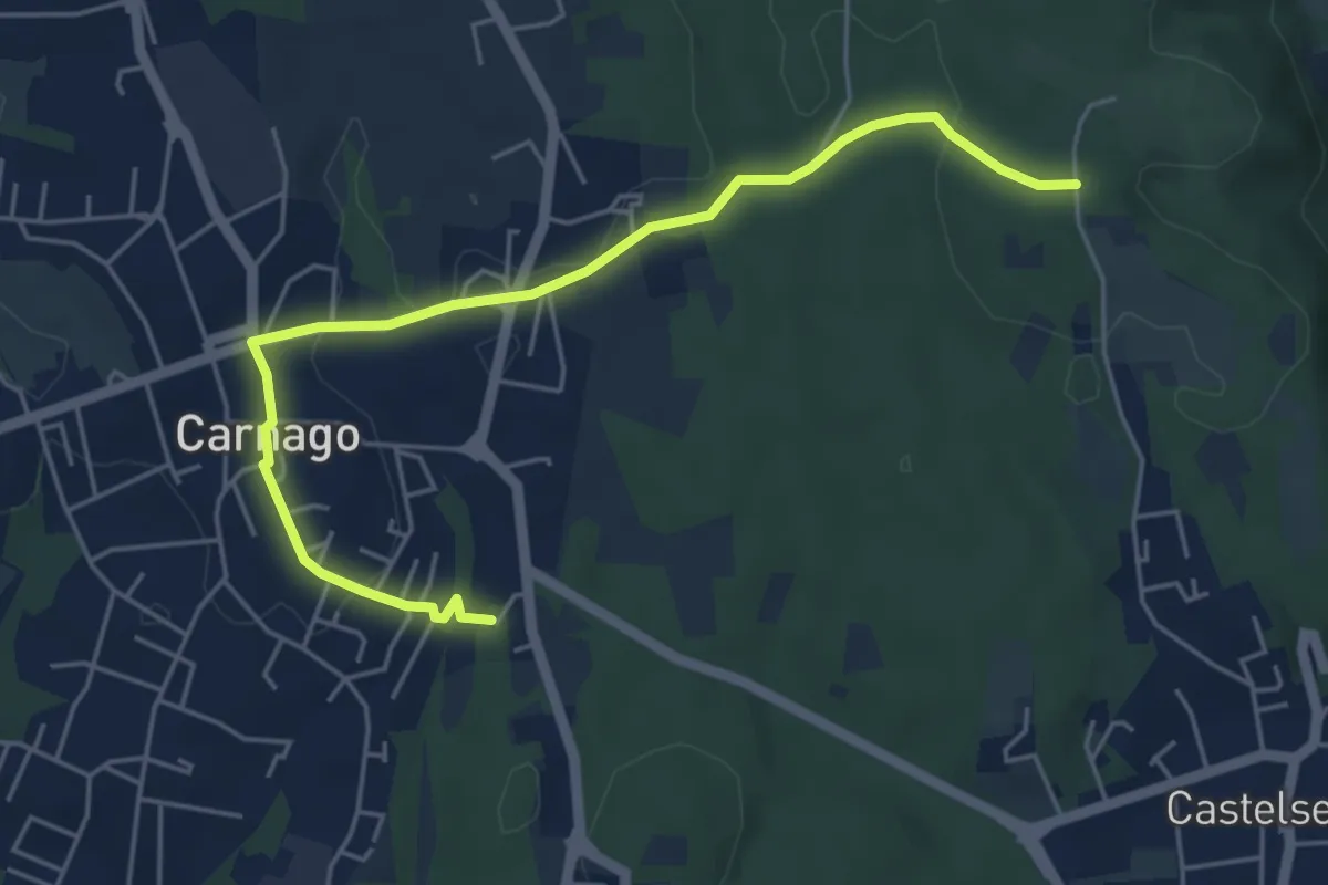
Easy · Trail
520E Collegamento Carnago
5.6 km · ↑ 78 m · 1 h 30 min
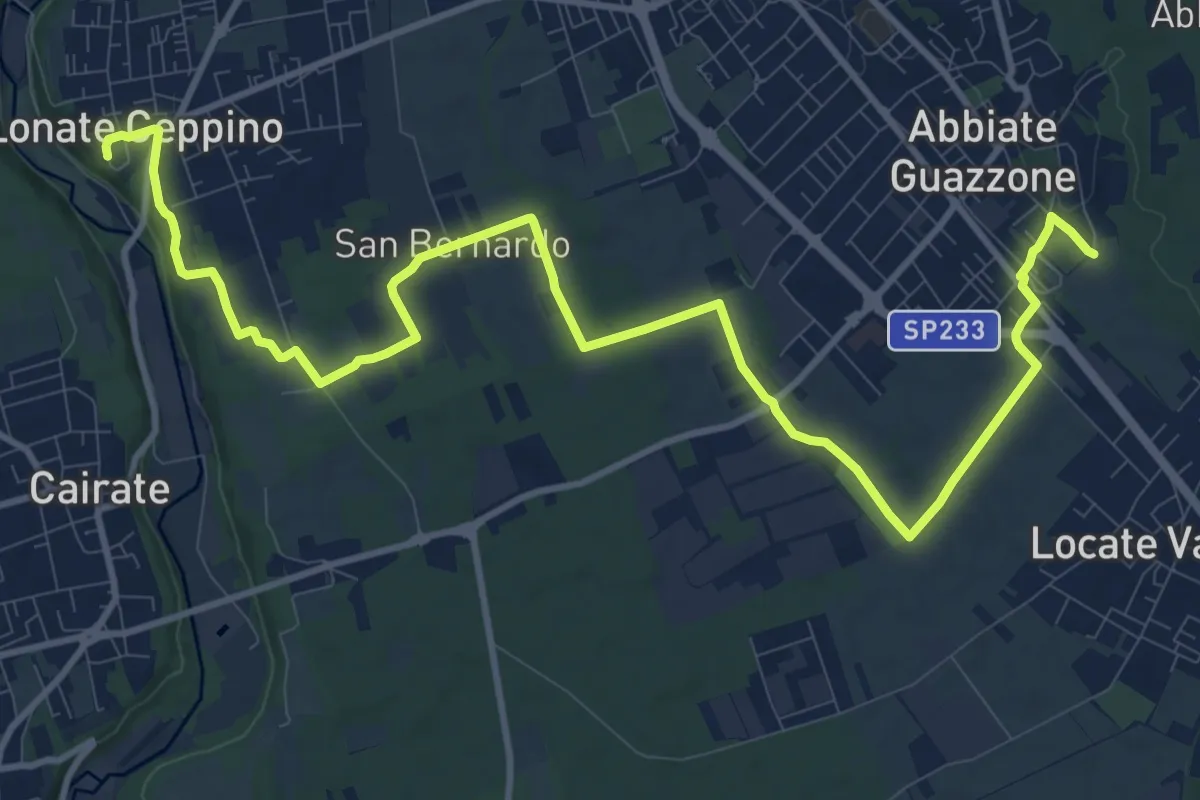
Medium · Trail
520F Collegamento RTO-Pineta
15.1 km · ↑ 102 m · 3 h 47 min
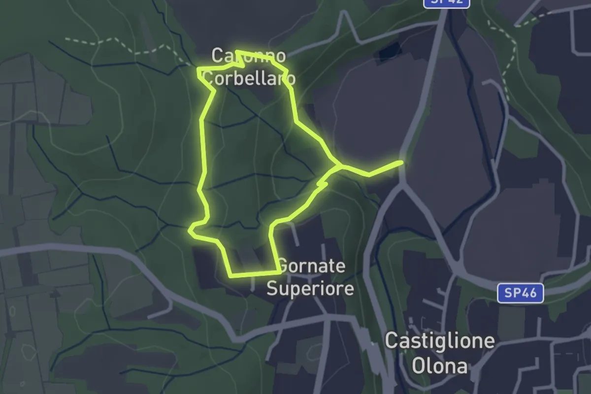
Easy · Trail
521 Anello dei Lavatoi
2.4 km · ↑ 66 m · 45 min
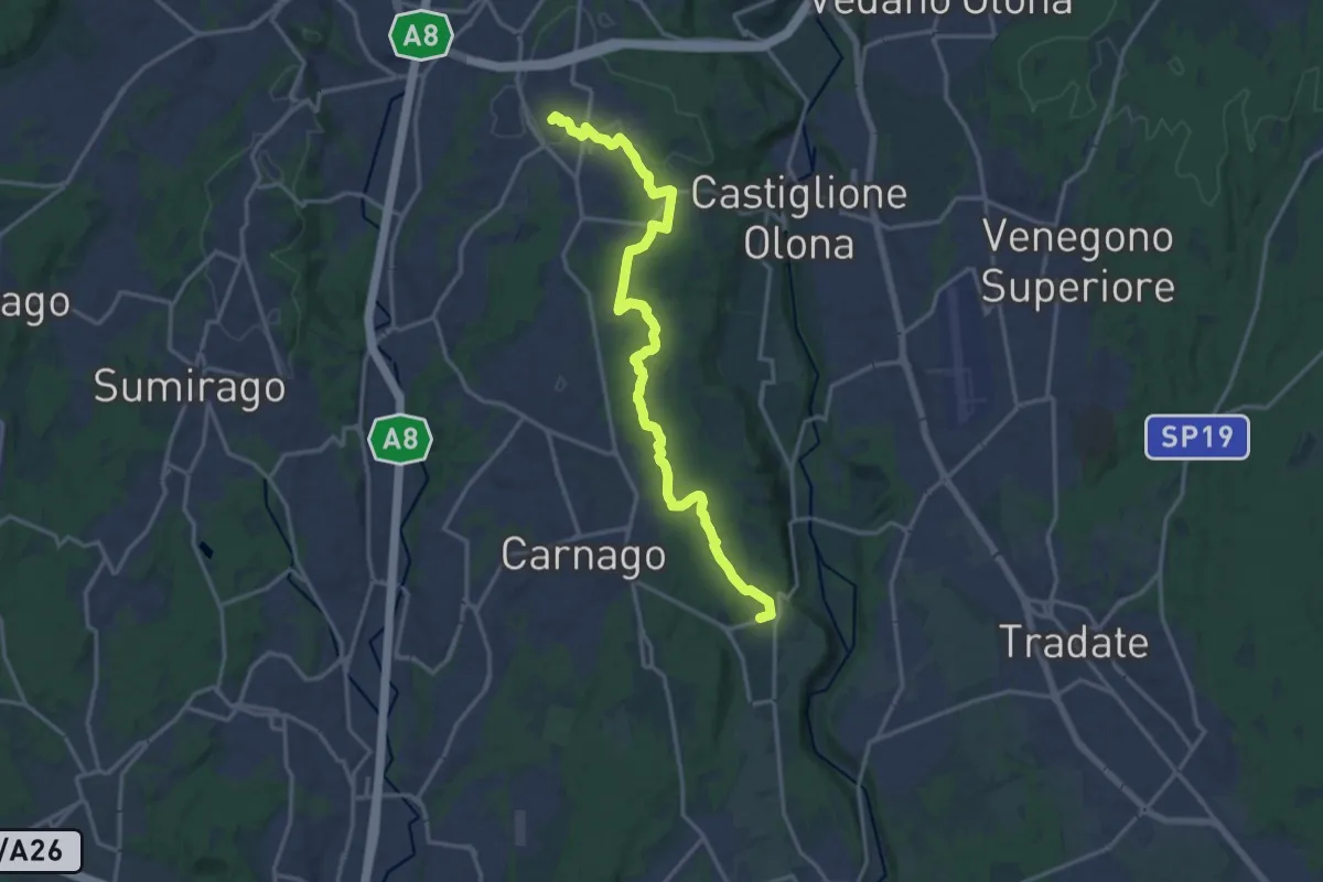
Medium · Trail
522 Sentiero del Tenore
17.2 km · ↑ 160 m · 4 h 24 min
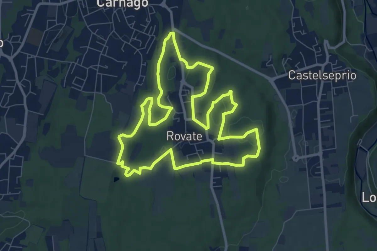
Easy · Trail
523 Anello del Rile
7.9 km · ↑ 91 m · 2 h 10 min
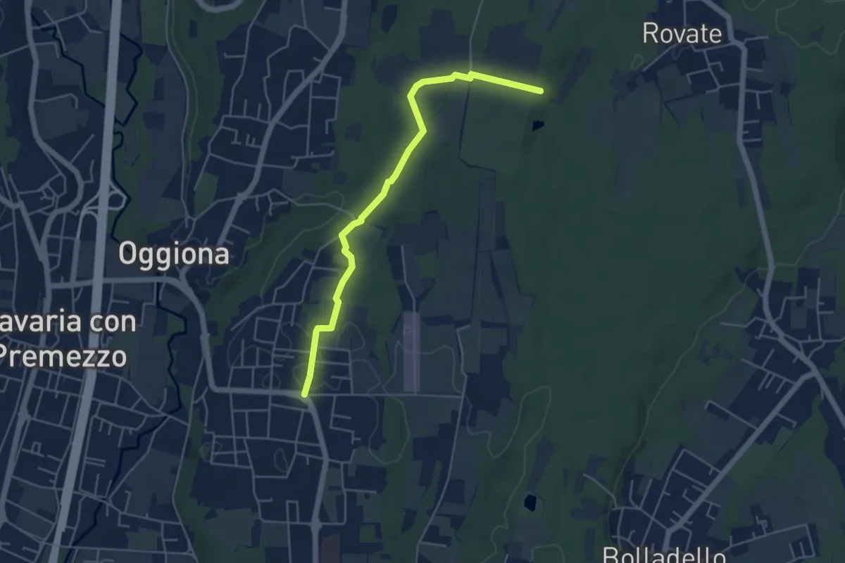
Easy · Trail
523A Sentiero Rio Freddo
4.9 km · ↑ 36 m · 1 h 15 min
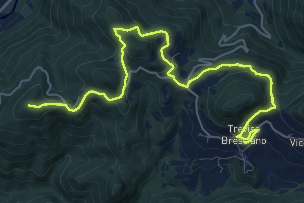
Medium · Summit
550V AVS variante
11.9 km · ↑ 593 m · 4 h 5 min
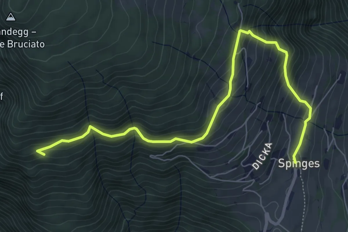
Medium · Trail
5 - 7 => Spinges
7.2 km · ↑ 524 m · 2 h 50 min
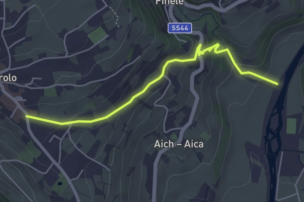
Medium · Trail
5A
4.4 km · ↑ 211 m · 1 h 30 min
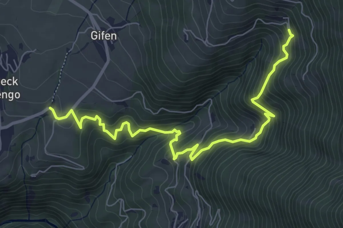
Medium · Trail
5A - Rodeneck => 5
7.3 km · ↑ 571 m · 2 h 57 min
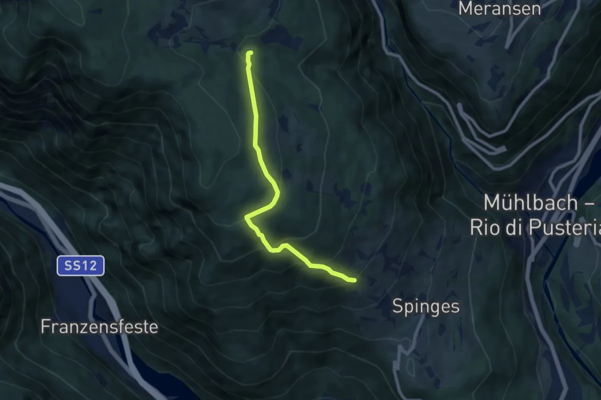
Medium · Trail
5A - Samweg
6.2 km · ↑ 442 m · 2 h 25 min
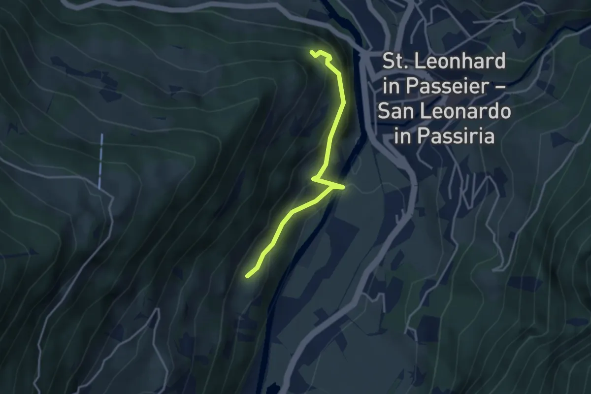
Medium · Trail
5B
2.9 km · ↑ 241 m · 1 h 12 min
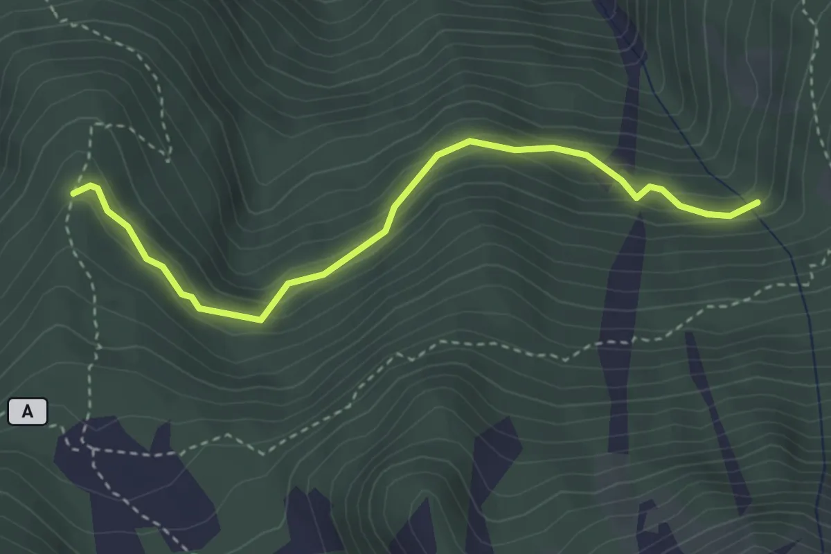
Easy · Trail
5B
3.4 km · ↑ 233 m · 1 h 18 min
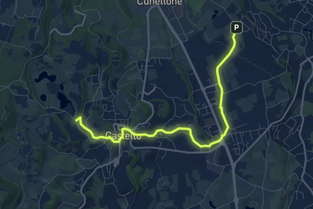
Medium · Trail
5 - Percorsi delle Colline Moreniche di Puegnago
9.5 km · ↑ 198 m · 2 h 40 min
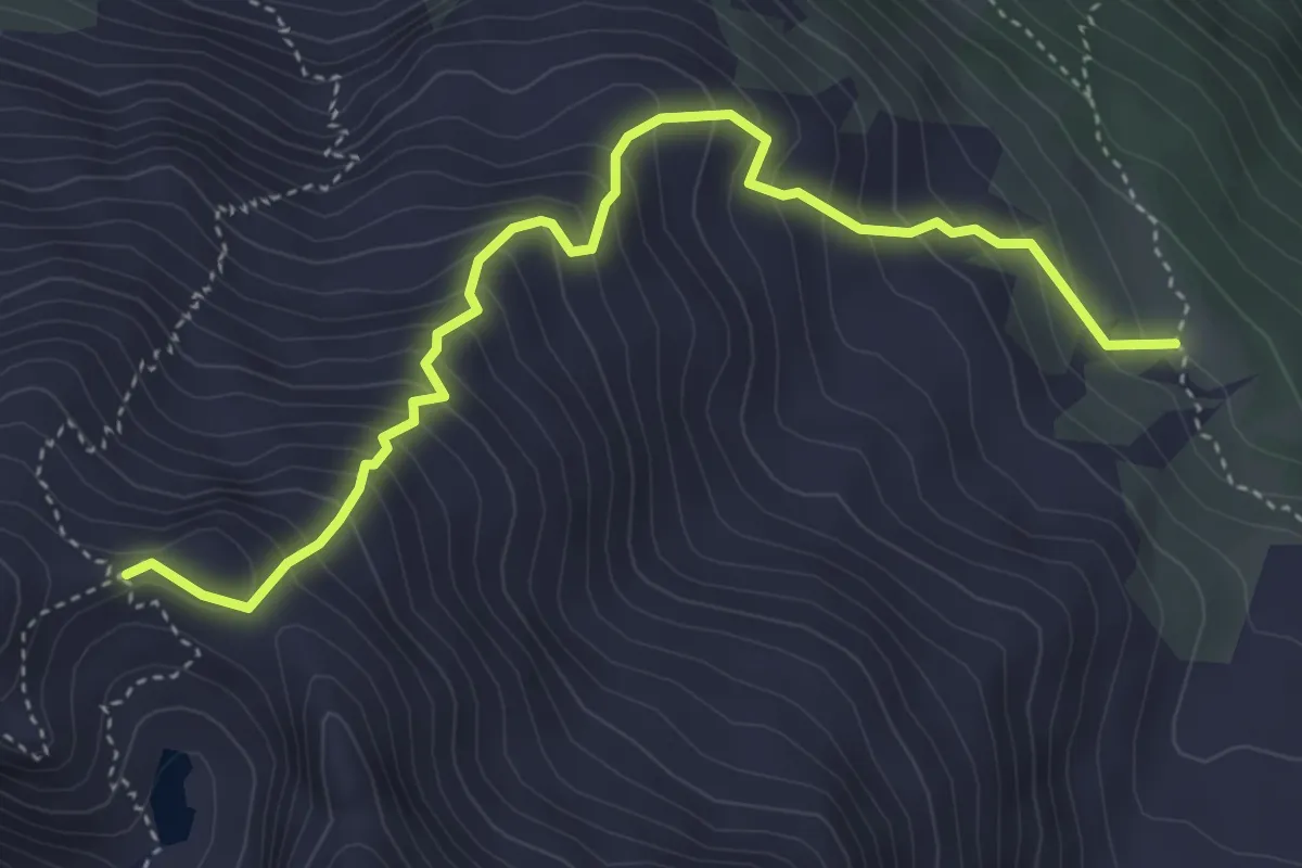
Medium · Trail
6
4.6 km · ↑ 538 m · 2 h 15 min
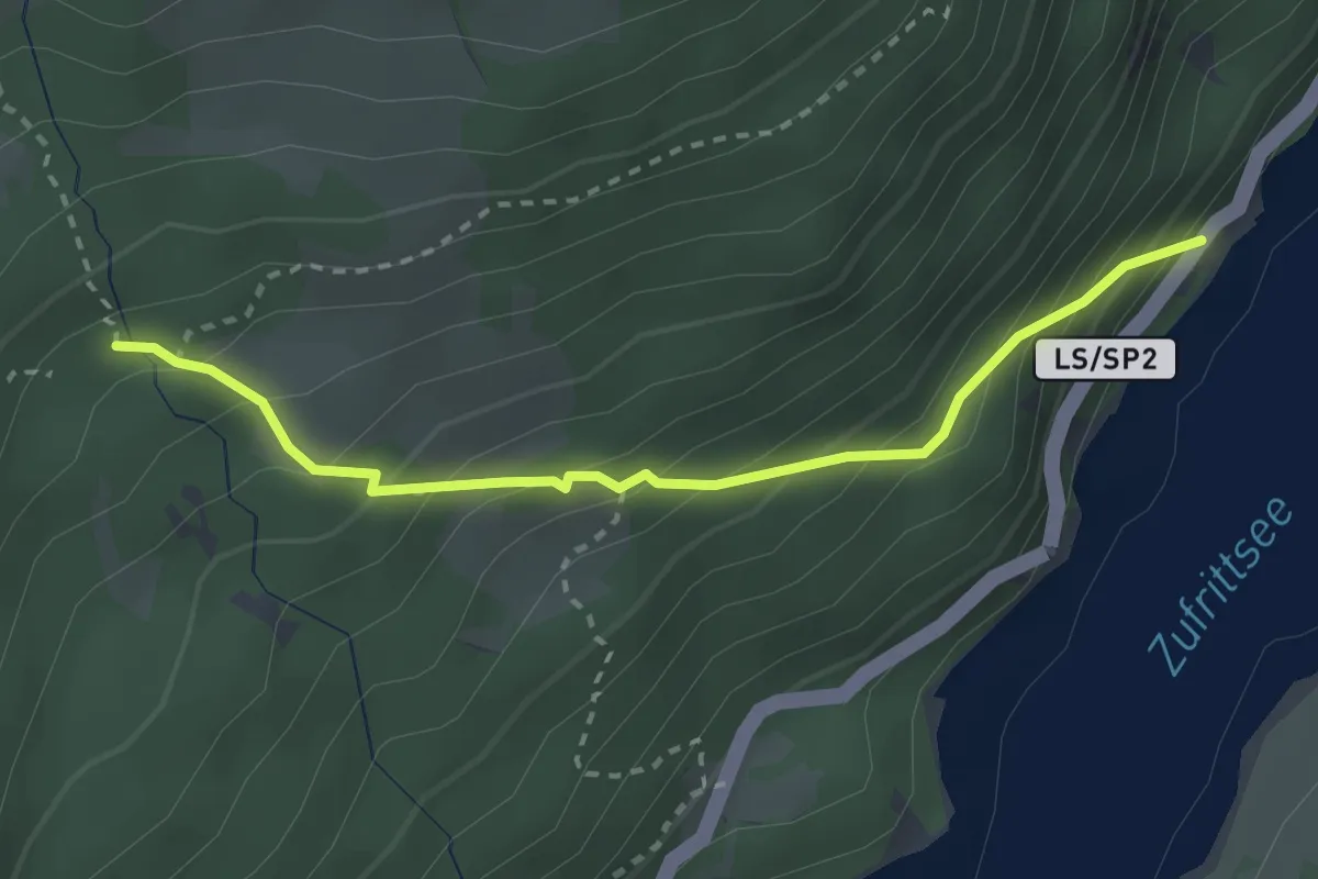
Medium · Cabin
6
2.7 km · ↑ 285 m · 1 h 16 min
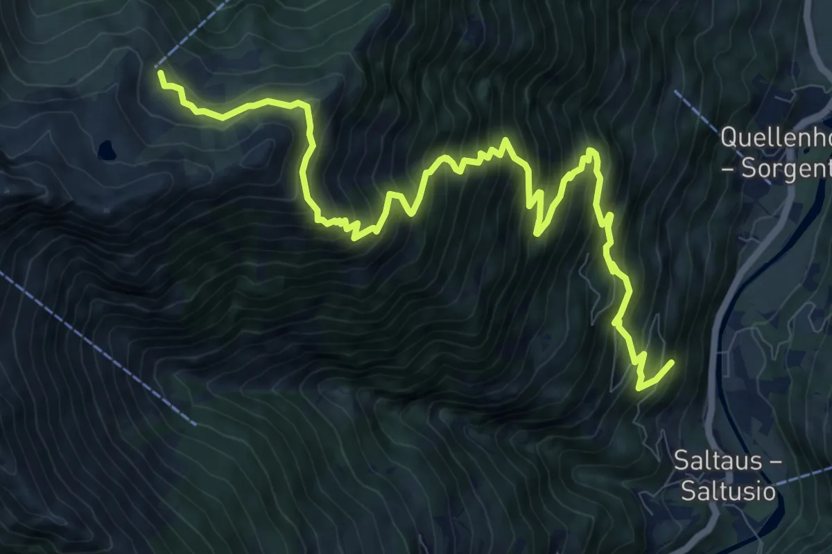
Demanding · Cabin
6
13.2 km · ↑ 1408 m · 6 h 11 min
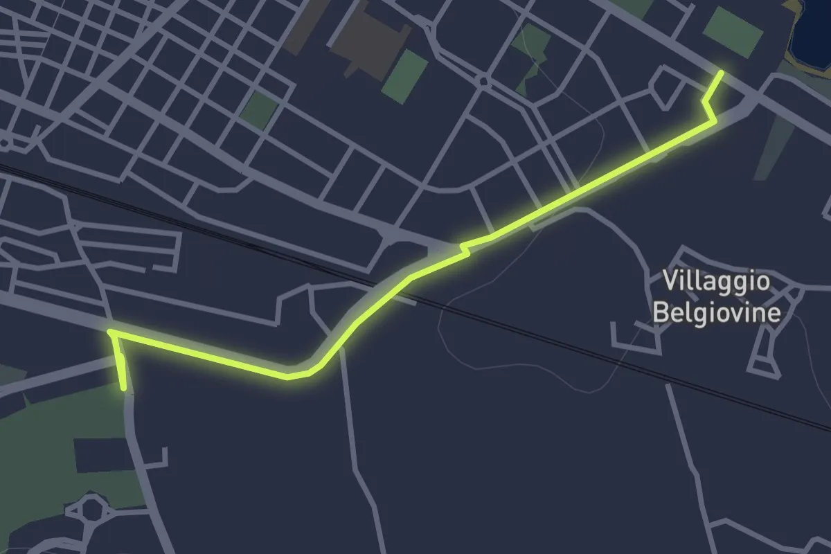
Easy · Trail
610_1
3.3 km · ↑ 17 m · 49 min
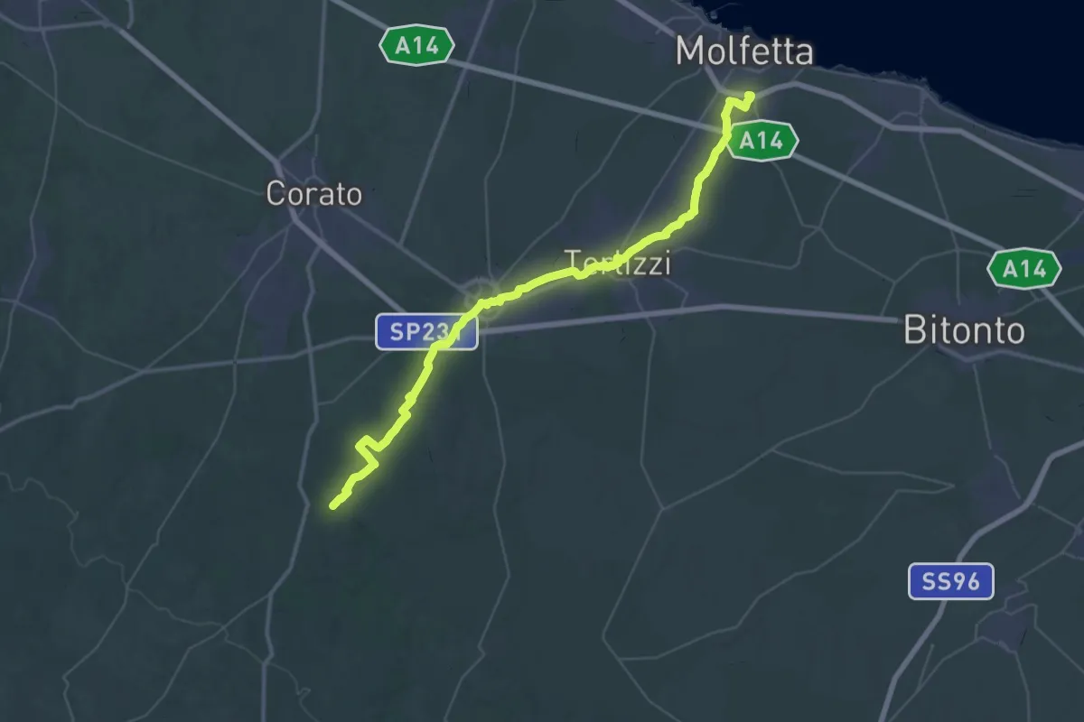
Demanding · Trail
610_X
26.4 km · ↑ 363 m · 7 h 15 min
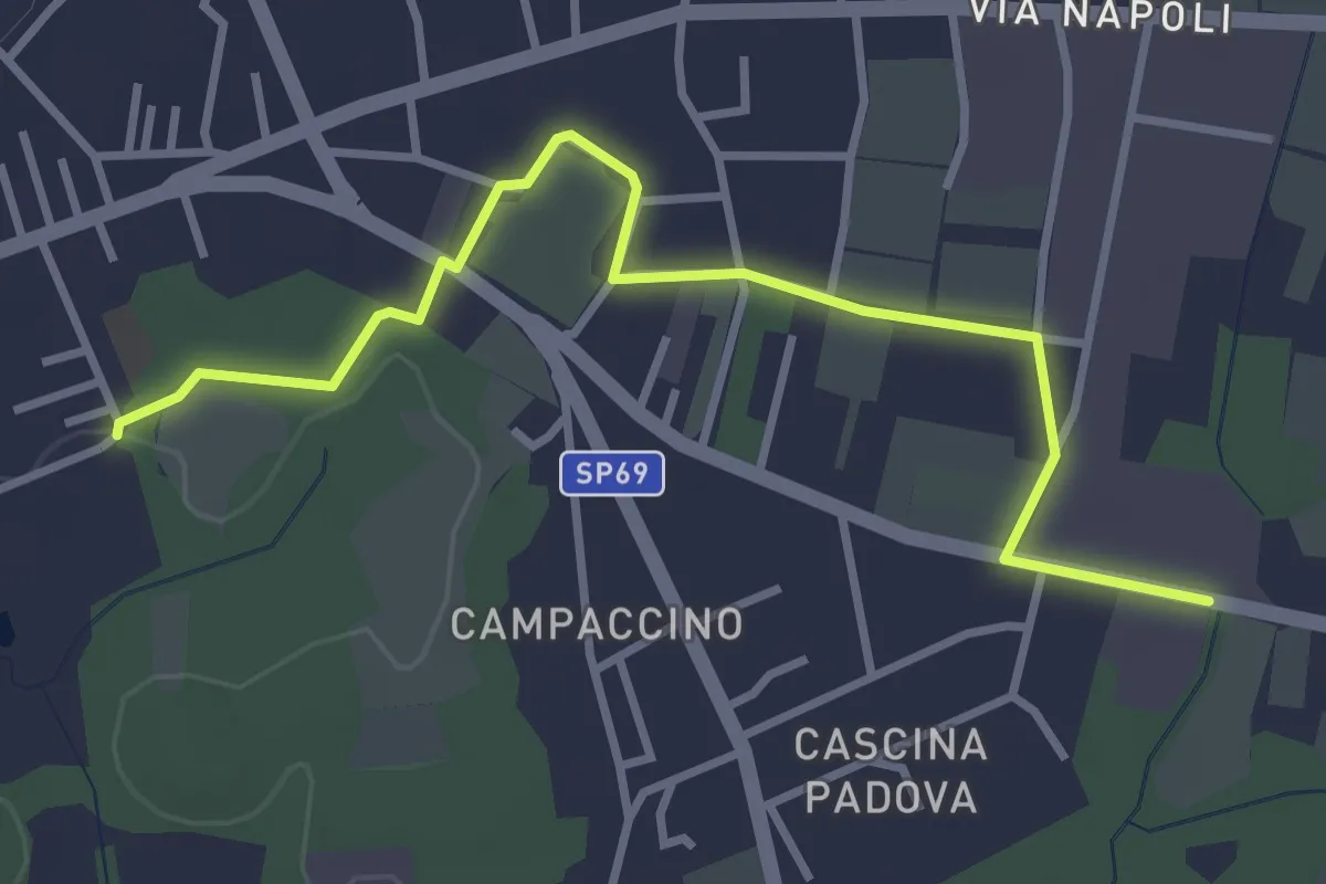
Easy · Trail
613D Sentiero dell'Oasi della Bruschera - Variante D
3.7 km · ↑ 9 m · 54 min
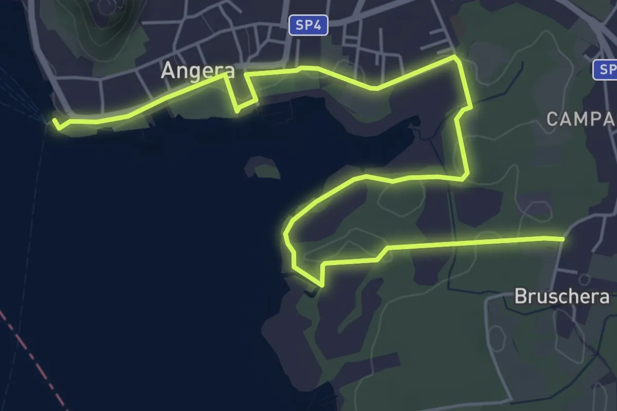
Easy · Trail
613 Sentiero dell'Oasi della Bruschera
7.7 km · ↑ 43 m · 1 h 55 min
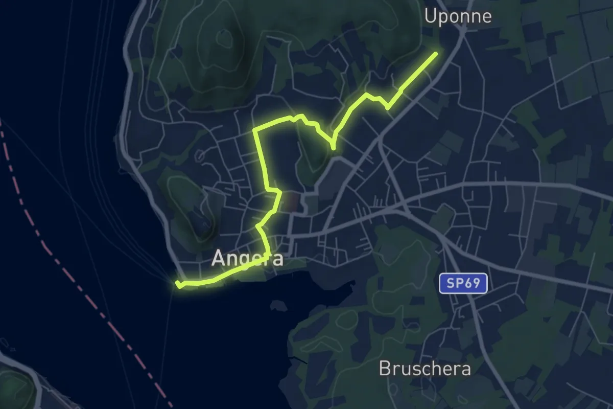
Easy · Trail
614E Sentiero delle Erbe e degli Alberi
7.0 km · ↑ 111 m · 1 h 54 min
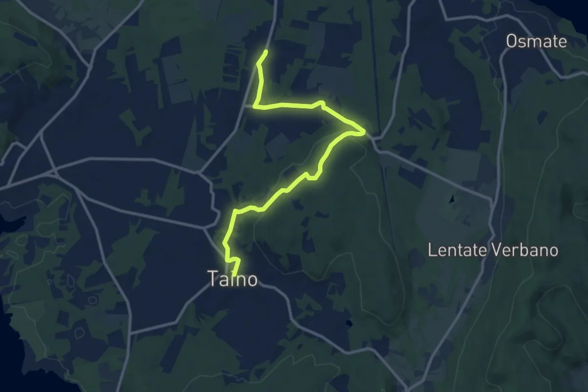
Medium · Trail
617 Sentiero della Lungo un filo di seta
9.9 km · ↑ 237 m · 2 h 51 min
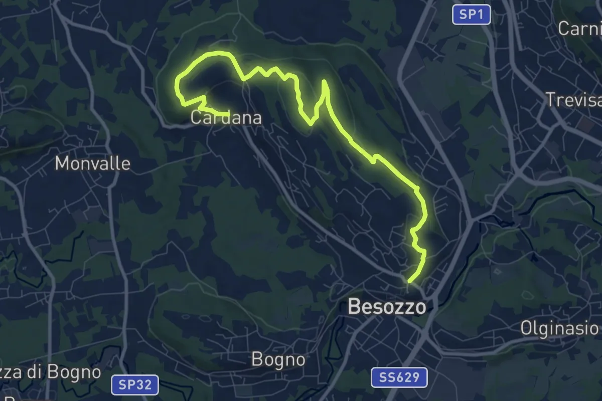
Medium · Trail
630 Anello di Besozzo - Besozzo/Cardana
10.7 km · ↑ 272 m · 3 h 6 min
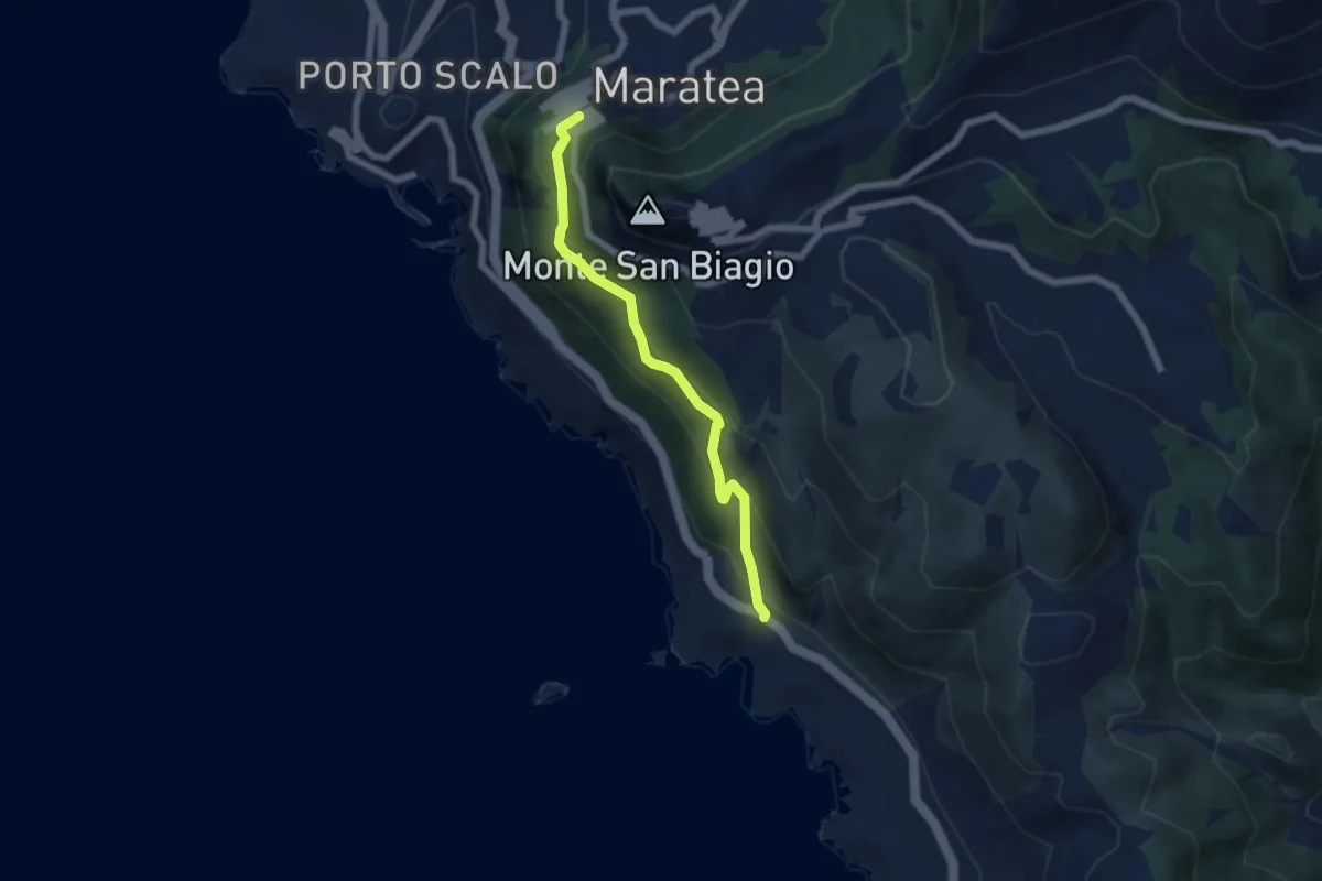
Medium · Trail
635
6.0 km · ↑ 399 m · 2 h 17 min