Trails in Italy
25,219 hiking trails, each with its route, climb, walking time and grade.
All trails, page 239 of 526
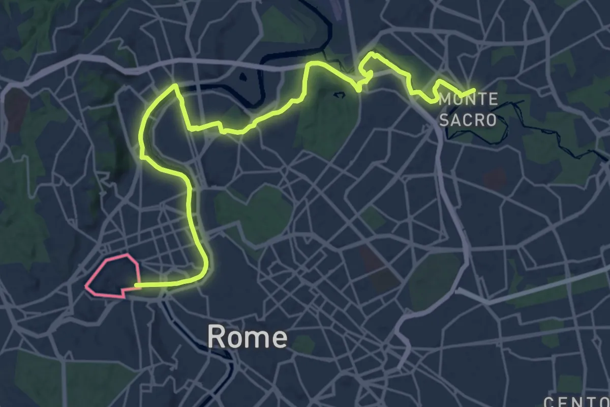
Demanding · Trail
686 Via di Francesco Tappa 22
31.0 km · ↑ 233 m · 7 h 50 min
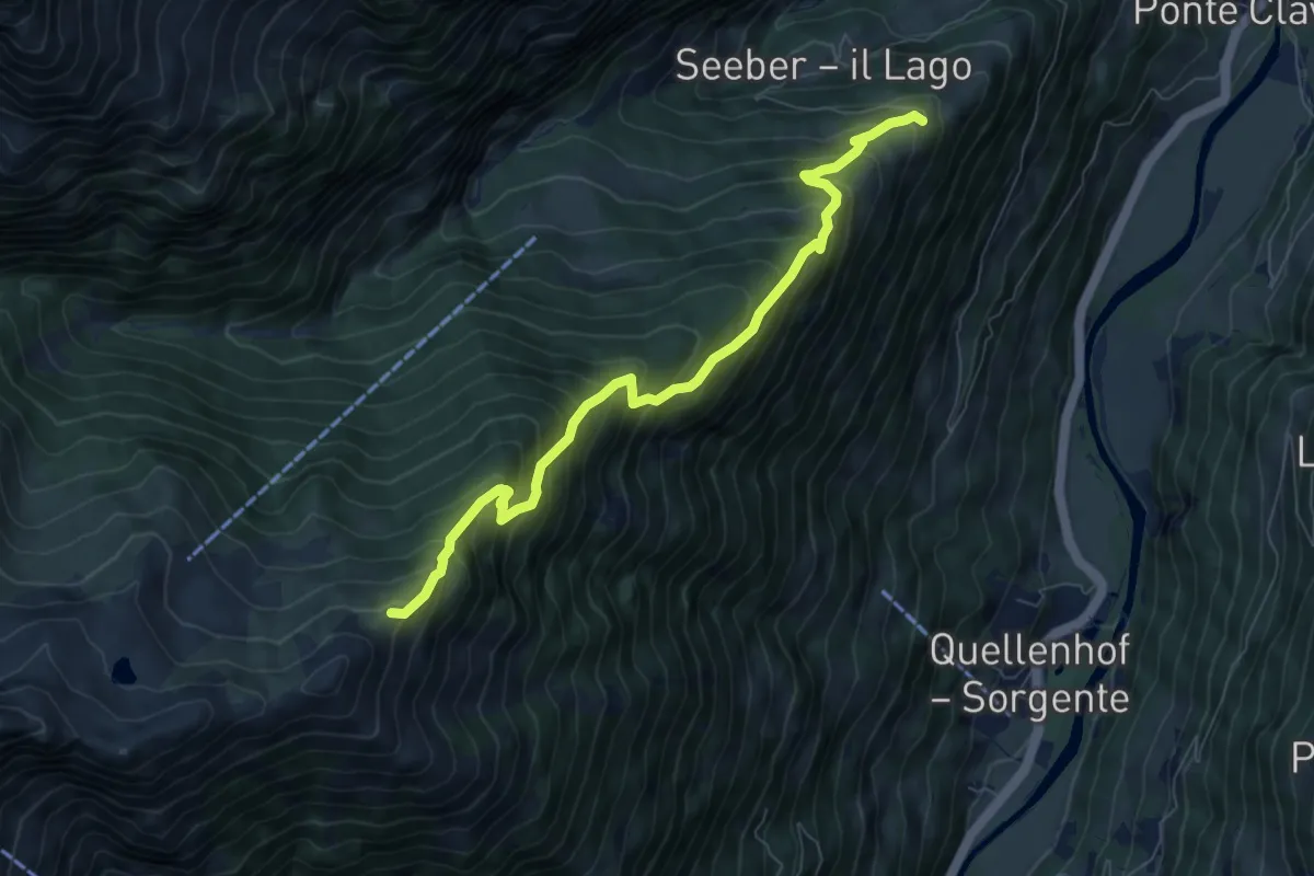
Demanding · Trail
6A
7.6 km · ↑ 894 m · 3 h 44 min
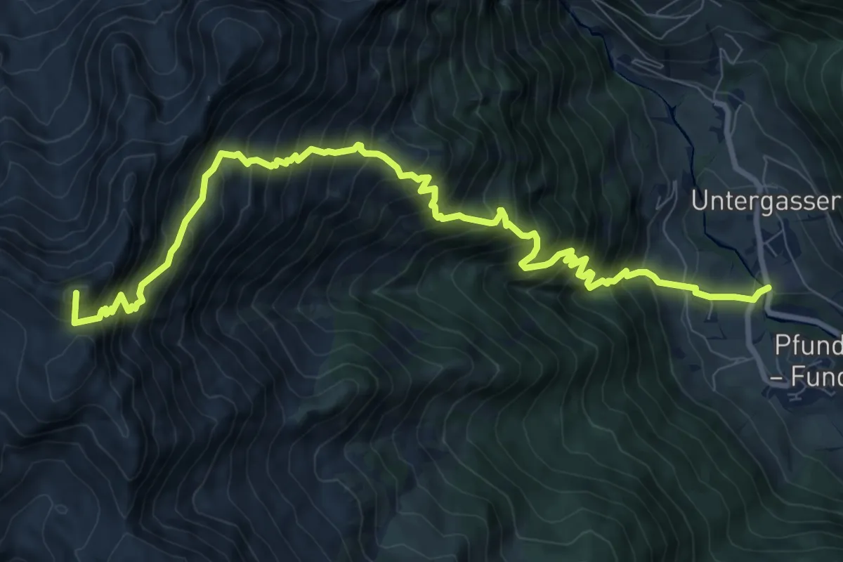
Demanding · Summit
6A - 6 => Pfunders
11.1 km · ↑ 1555 m · 5 h 59 min
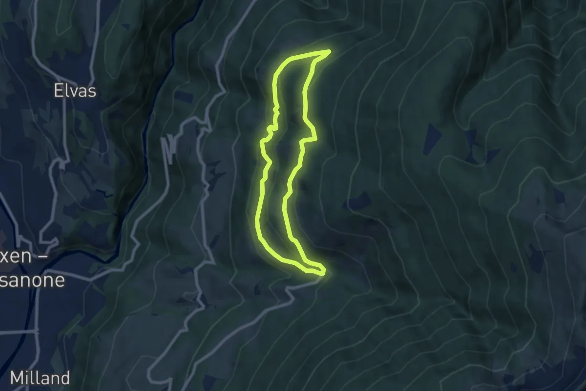
Medium · Trail
6A - St. Leonharder Rundweg
5.9 km · ↑ 343 m · 2 h 13 min
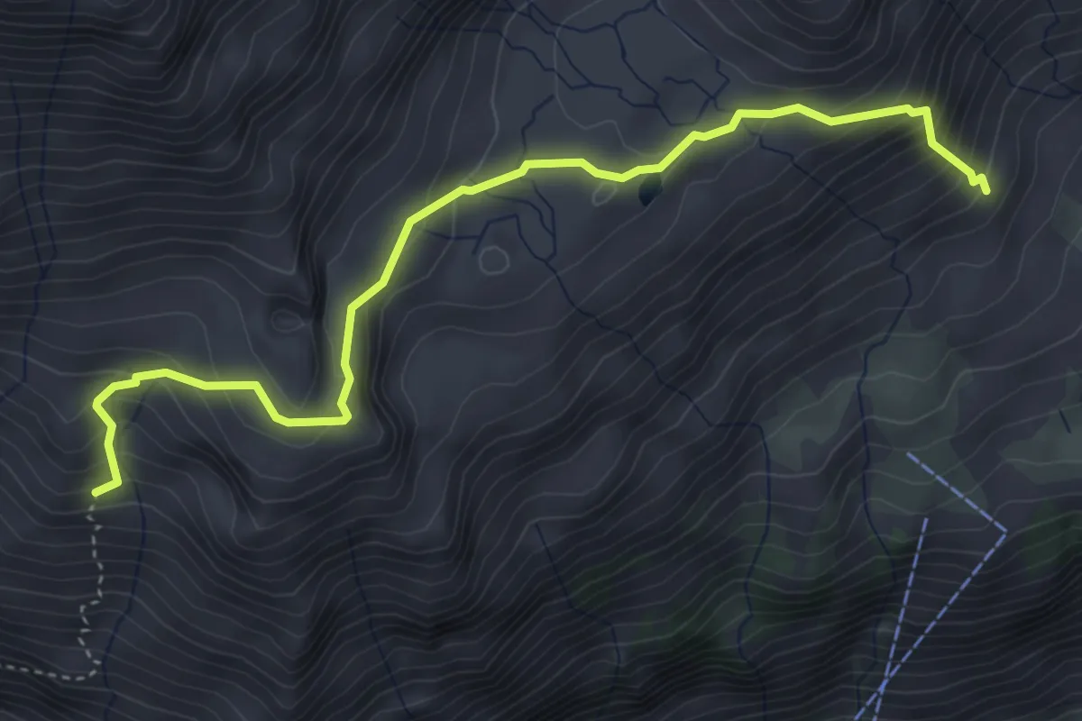
Medium · Trail
6B
4.6 km · ↑ 415 m · 1 h 59 min
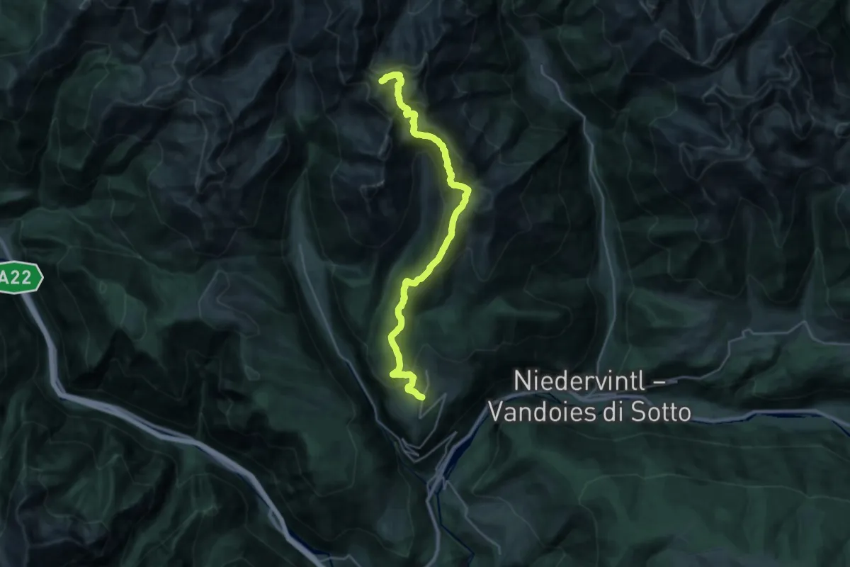
Demanding · Summit
6 - Meransen => Pfunders
24.6 km · ↑ 1762 m · 9 h 38 min
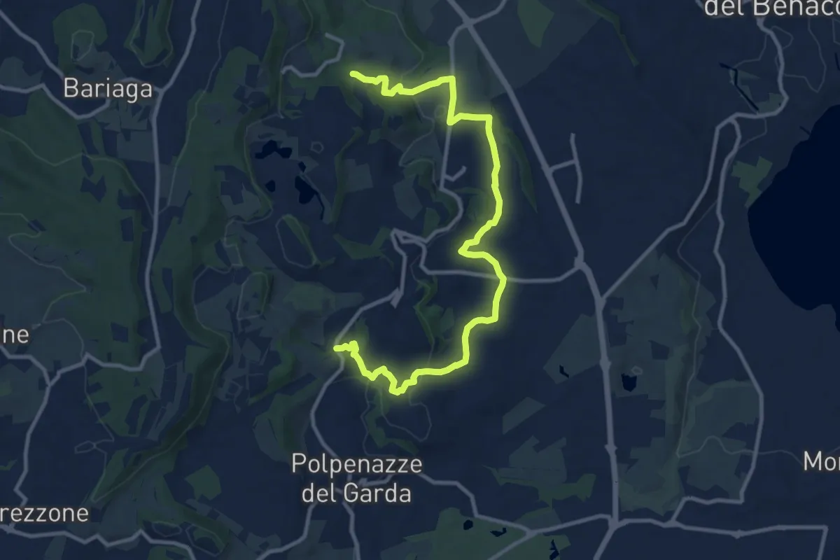
Medium · Trail
6 - Percorsi delle Colline Moreniche di Puegnago
12.6 km · ↑ 267 m · 3 h 34 min
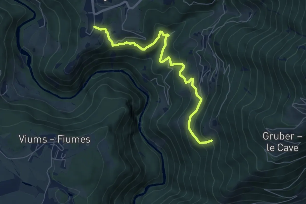
Medium · Trail
6 - Rodeneck => 1
6.4 km · ↑ 503 m · 2 h 36 min
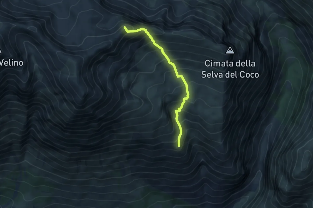
Demanding · Summit
7
4.8 km · ↑ 540 m · 2 h 18 min
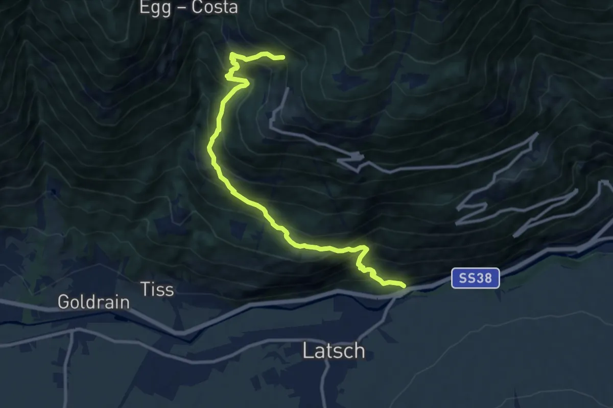
Demanding · Trail
7
10.0 km · ↑ 1104 m · 4 h 45 min
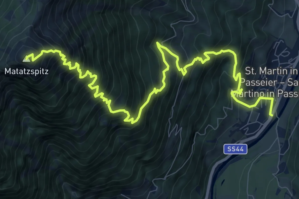
Demanding · Summit
7
13.5 km · ↑ 1690 m · 6 h 50 min
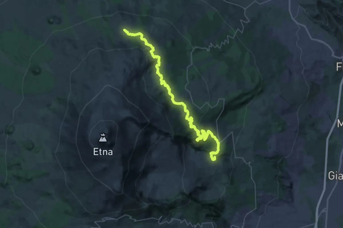
Demanding · Summit
724 Case Pietracannone - Piano Provenzana - Passo dei Dammusi
40.4 km · ↑ 1569 m · 12 h 57 min
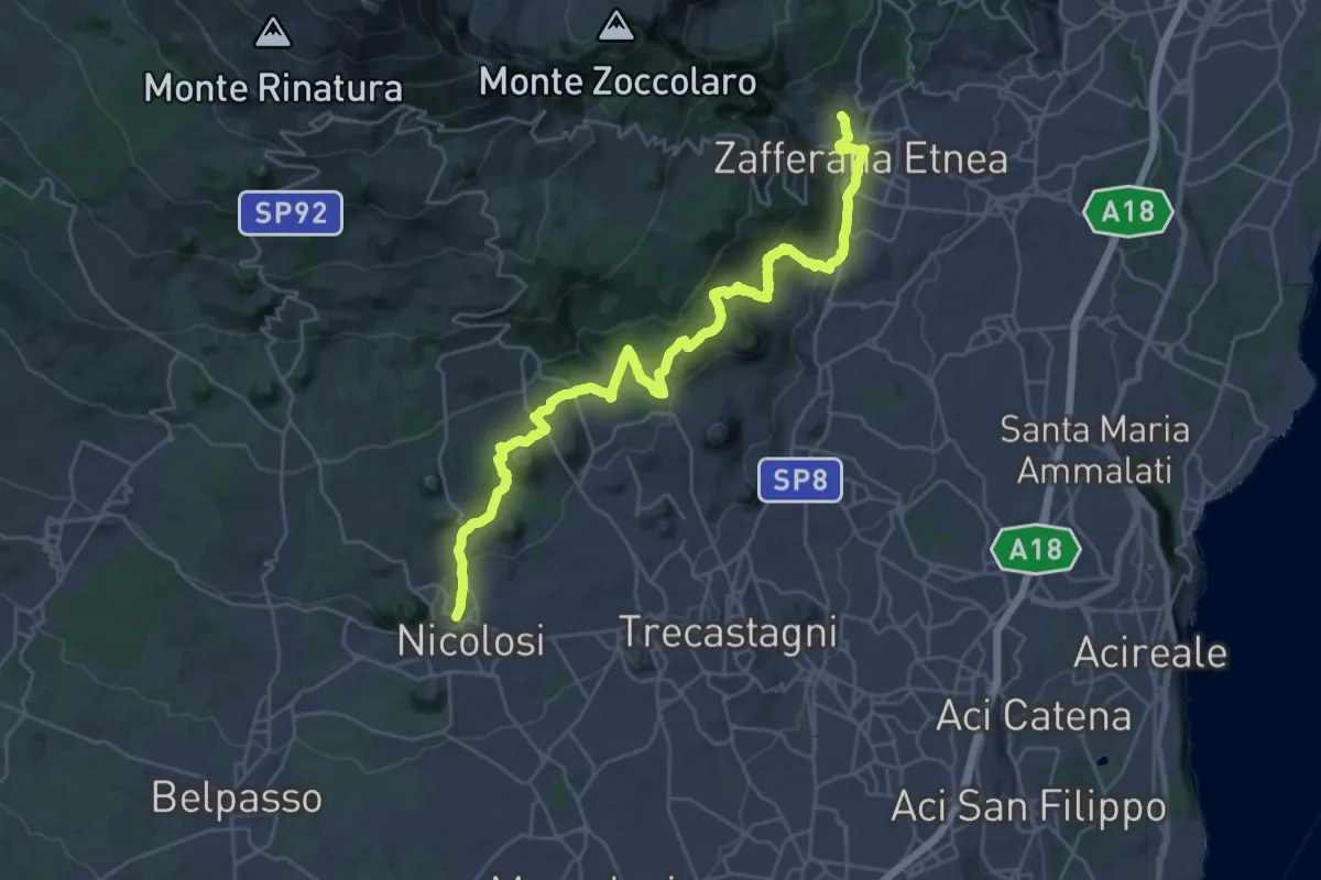
Demanding · Trail
731 - Sentiero delle Ginestre - parte Sud
18.1 km · ↑ 616 m · 5 h 55 min
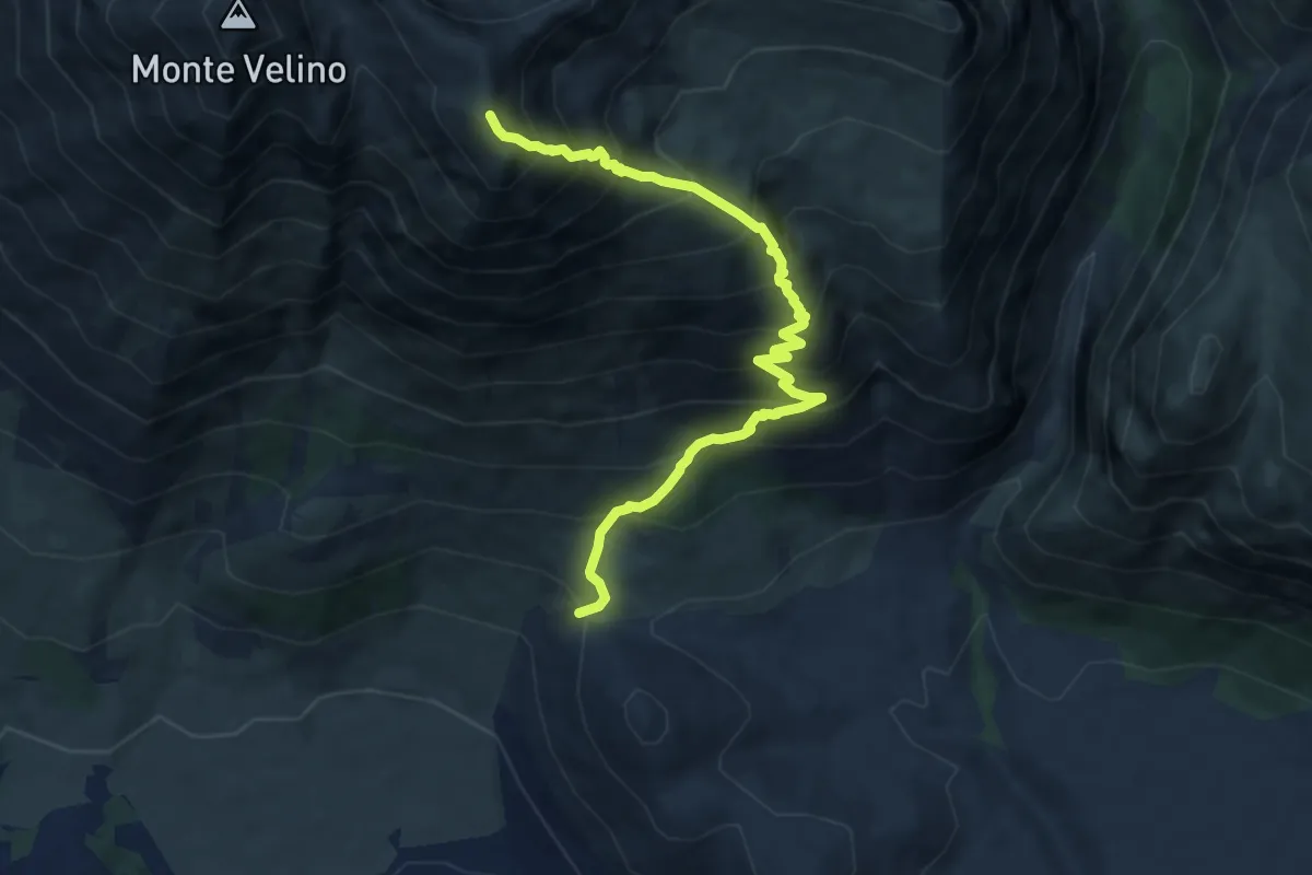
Demanding · Summit
7A
9.3 km · ↑ 1180 m · 4 h 46 min
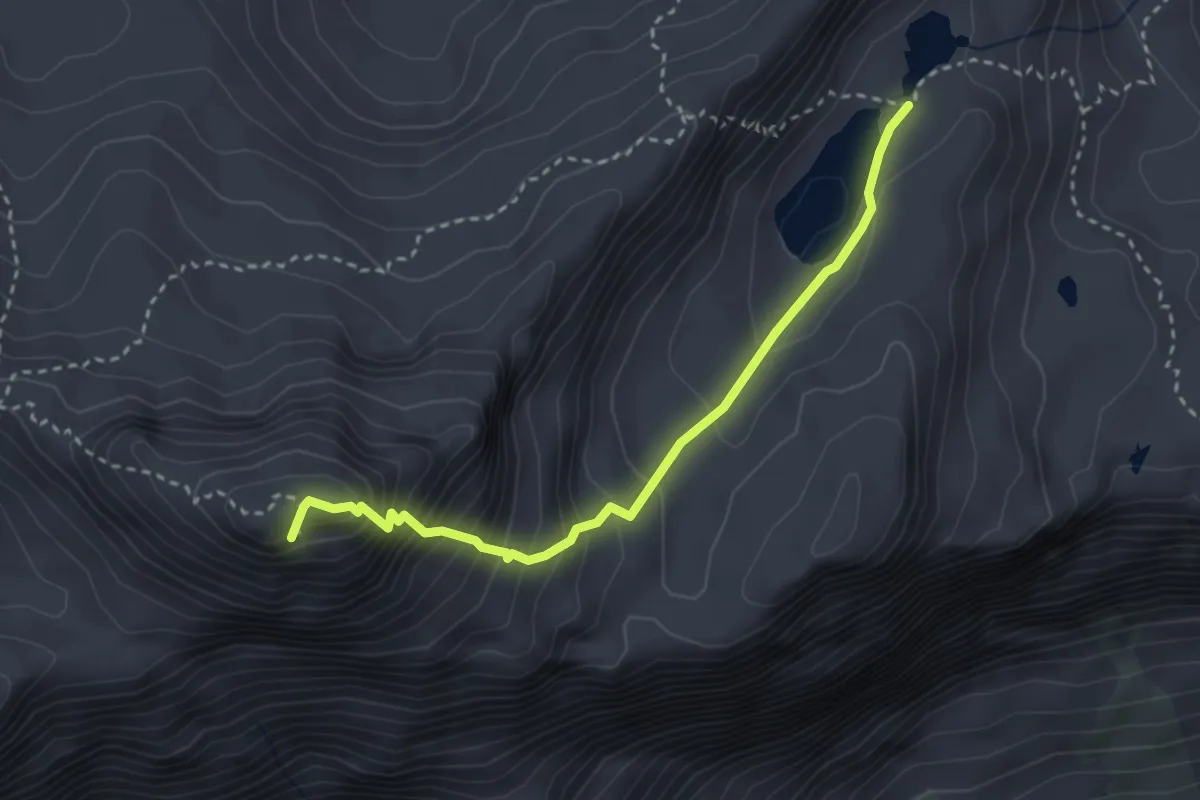
Expert · Summit
7A
3.1 km · ↑ 401 m · 1 h 36 min
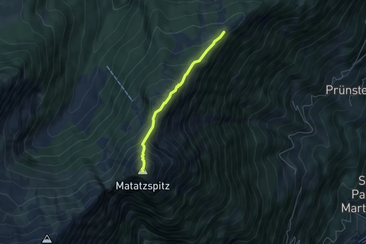
Medium · Summit
7A
3.7 km · ↑ 375 m · 1 h 42 min
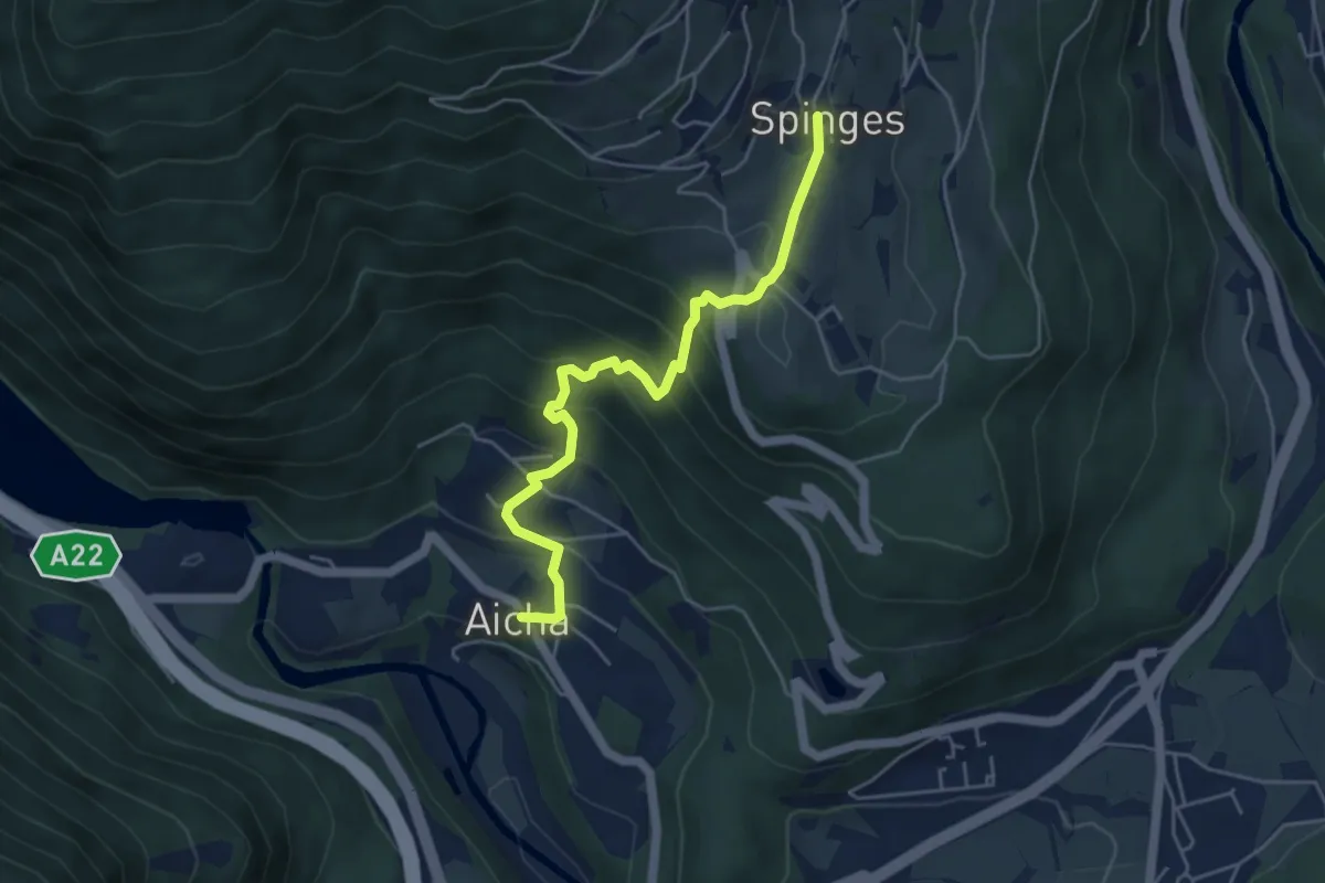
Medium · Trail
7A - Aicha => Spinges
4.9 km · ↑ 391 m · 2 h
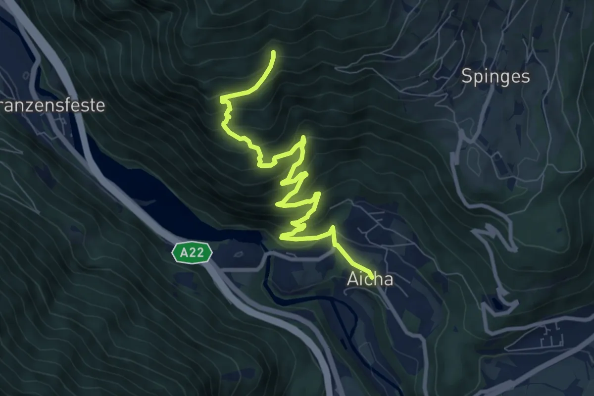
Medium · Trail
7B - Aicha => 7
8.4 km · ↑ 623 m · 3 h 20 min
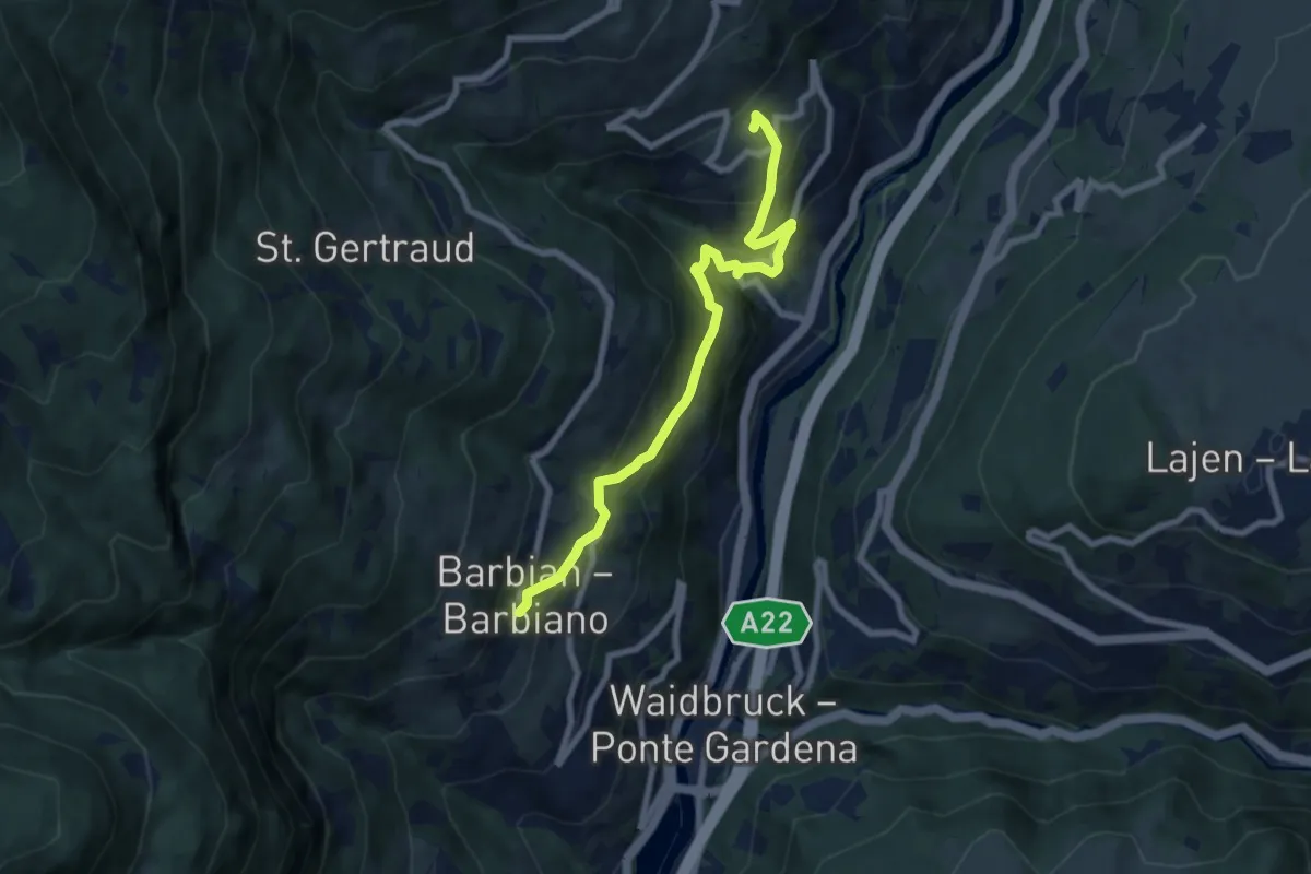
Medium · Trail
7 - Barbian => Sauders
7.5 km · ↑ 545 m · 2 h 57 min
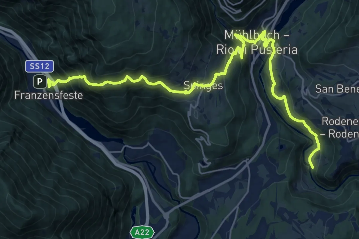
Medium · Trail
7 - Franzensfeste => Mühlbach
10.9 km · ↑ 720 m · 4 h 20 min
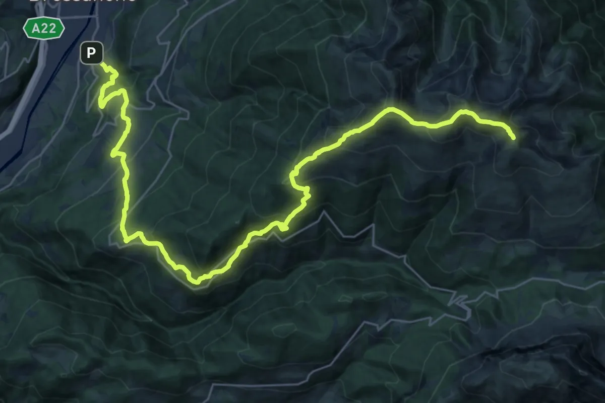
Demanding · Summit
7 - Gablersteig
32.5 km · ↑ 2382 m · 12 h 50 min
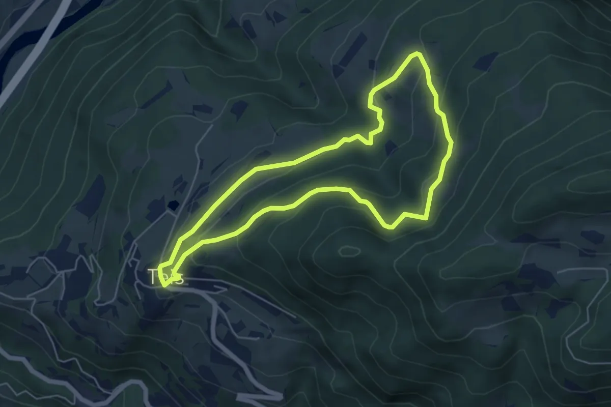
Easy · Trail
7 - Gratschenbergrunde
4.9 km · ↑ 263 m · 1 h 47 min
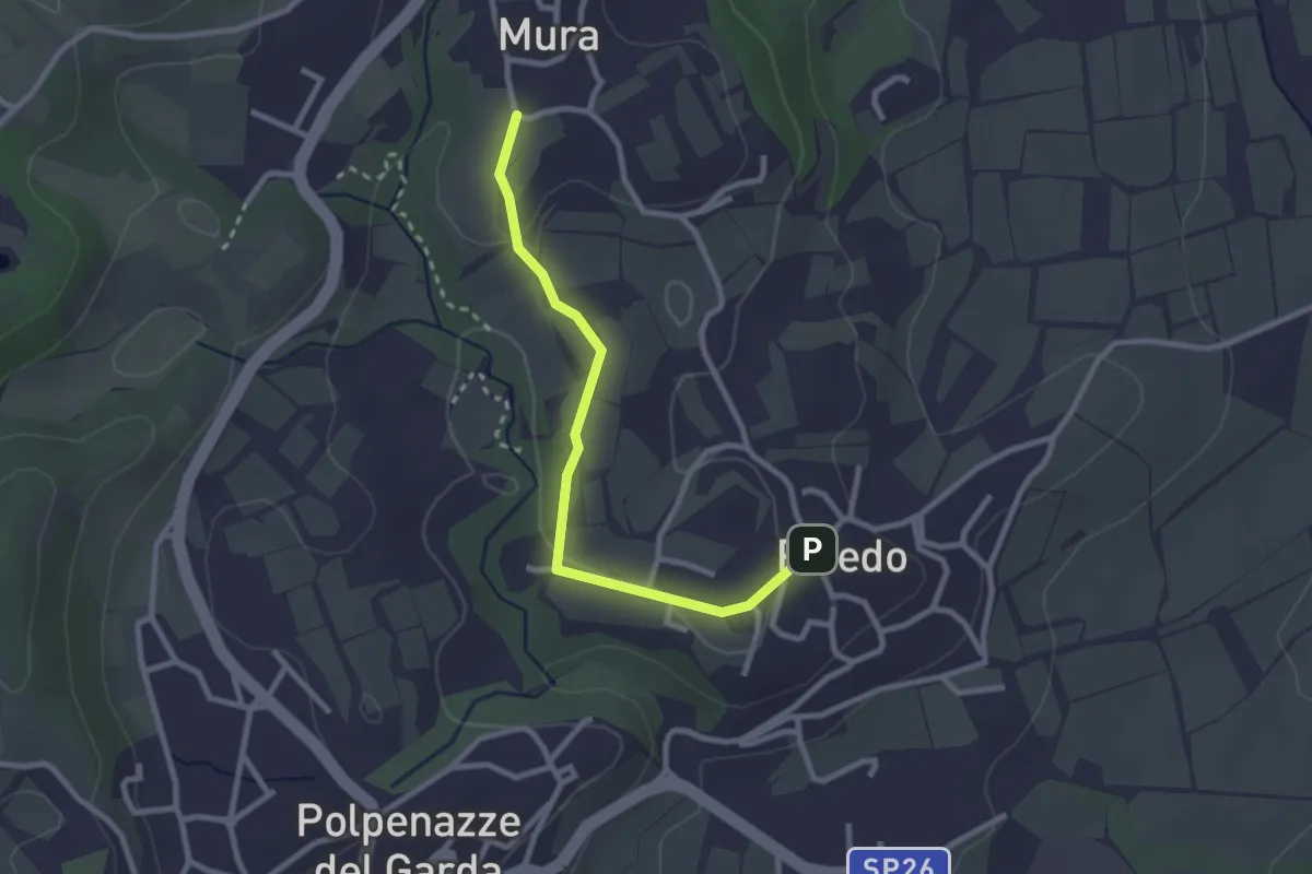
Easy · Trail
7 - Percorsi delle Colline Moreniche di Puegnago
2.7 km · ↑ 36 m · 42 min
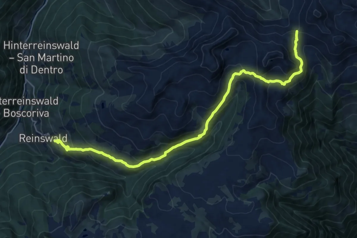
Demanding · Trail
7 - Reinswald => Latzfonser Kreuz
19.7 km · ↑ 1147 m · 7 h 9 min
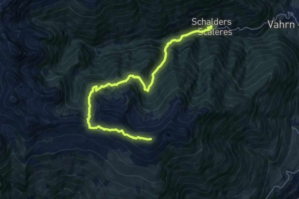
Demanding · Summit
7 - Schalders => Königsanger => Radlseehütte
20.0 km · ↑ 1605 m · 8 h 11 min
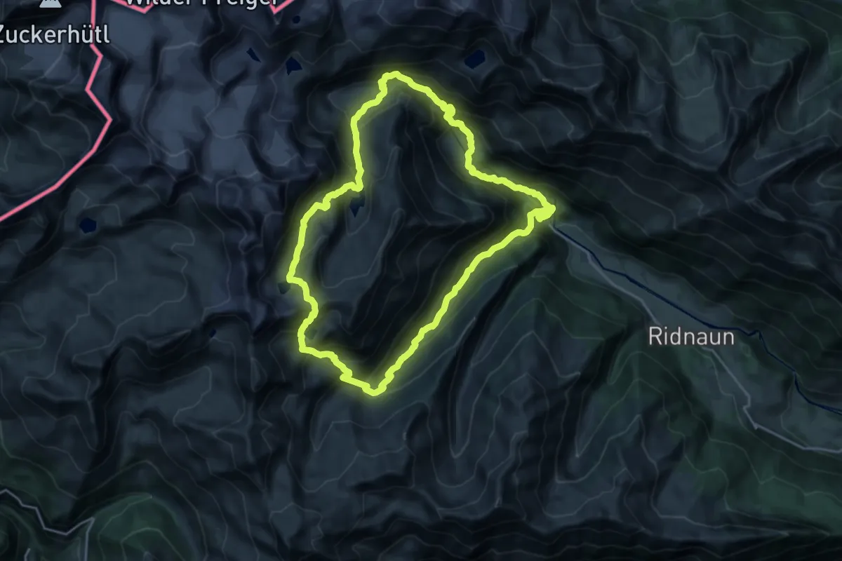
Demanding · Trail
7-Seen-Tour
19.3 km · ↑ 1452 m · 7 h 59 min
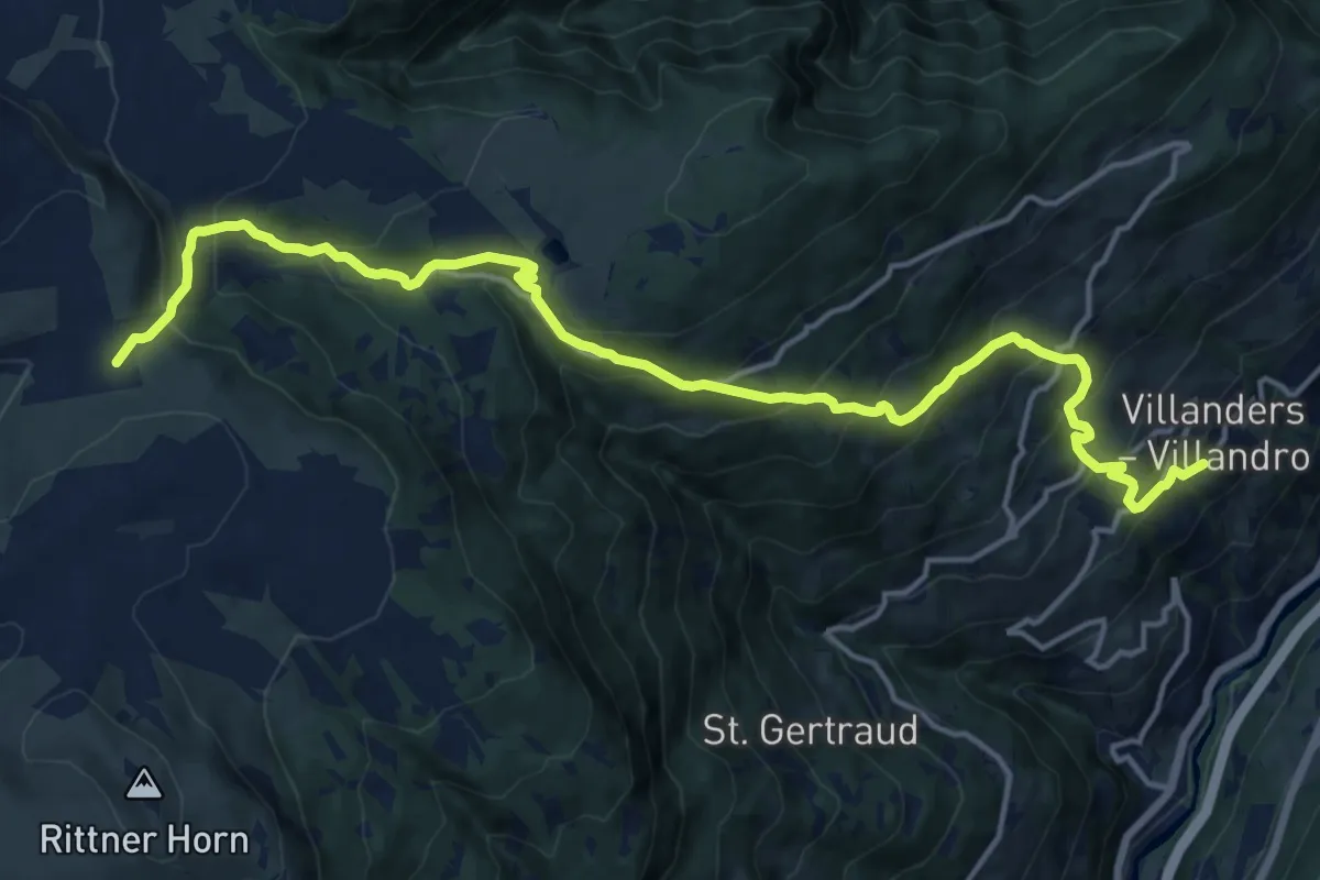
Demanding · Trail
7 - Villanders => Gasteiger Sattel
17.7 km · ↑ 1257 m · 6 h 54 min
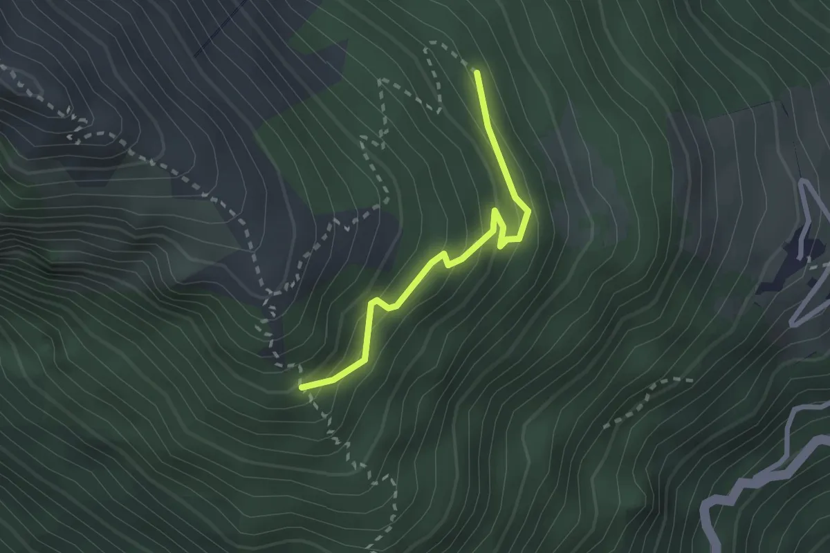
Medium · Trail
8
2.1 km · ↑ 222 m · 59 min
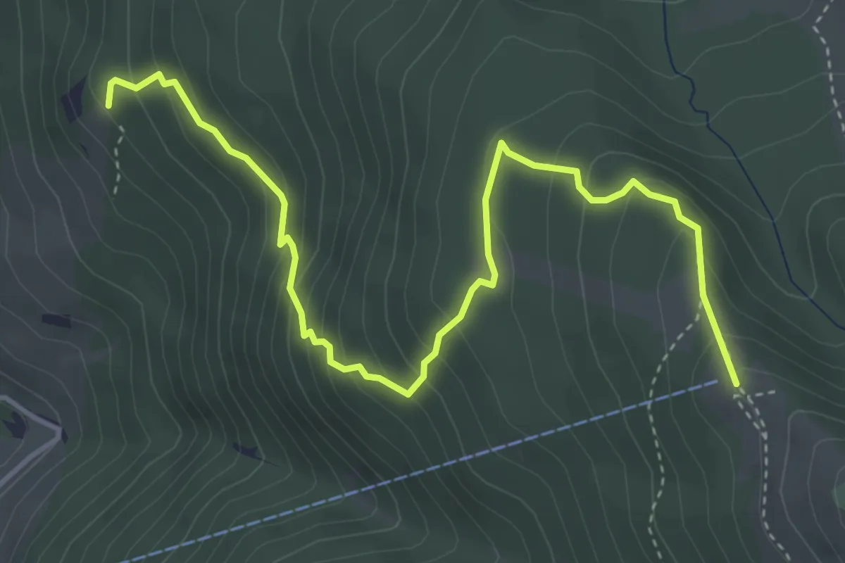
Medium · Trail
8
4.9 km · ↑ 411 m · 2 h 3 min
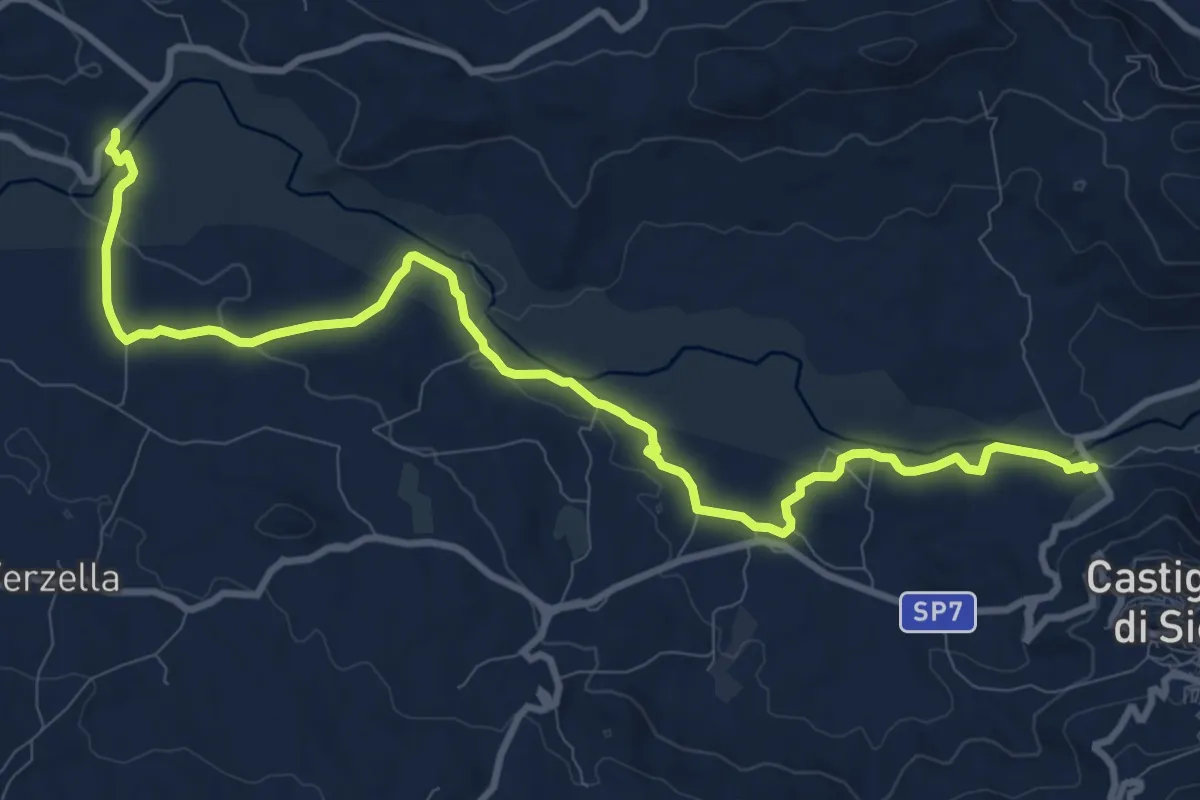
Medium · Trail
842 Sentiero della Cuba
13.5 km · ↑ 147 m · 3 h 31 min
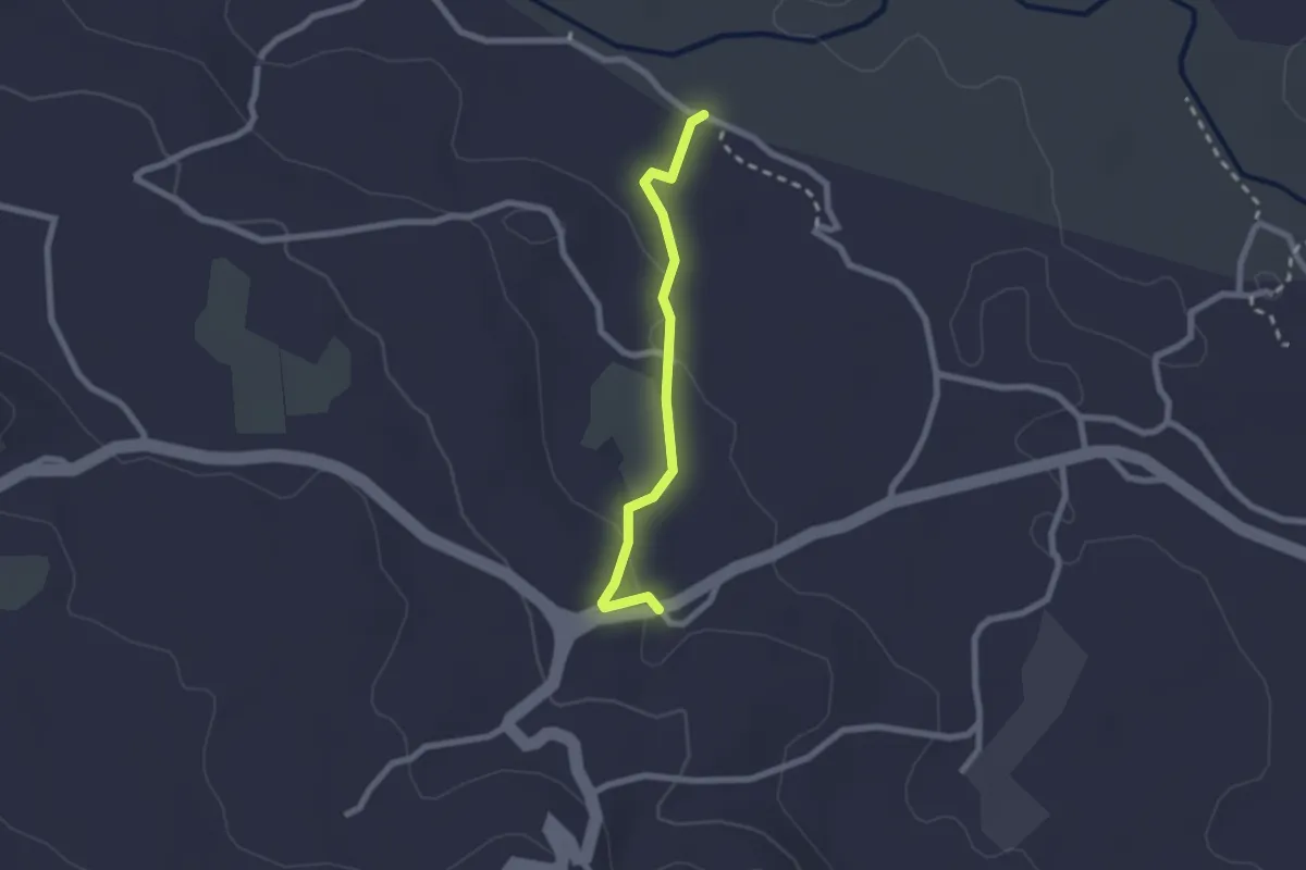
Easy · Trail
844 Sentiero della Cuba - Raccordo Provinciale
2.3 km · ↑ 42 m · 38 min
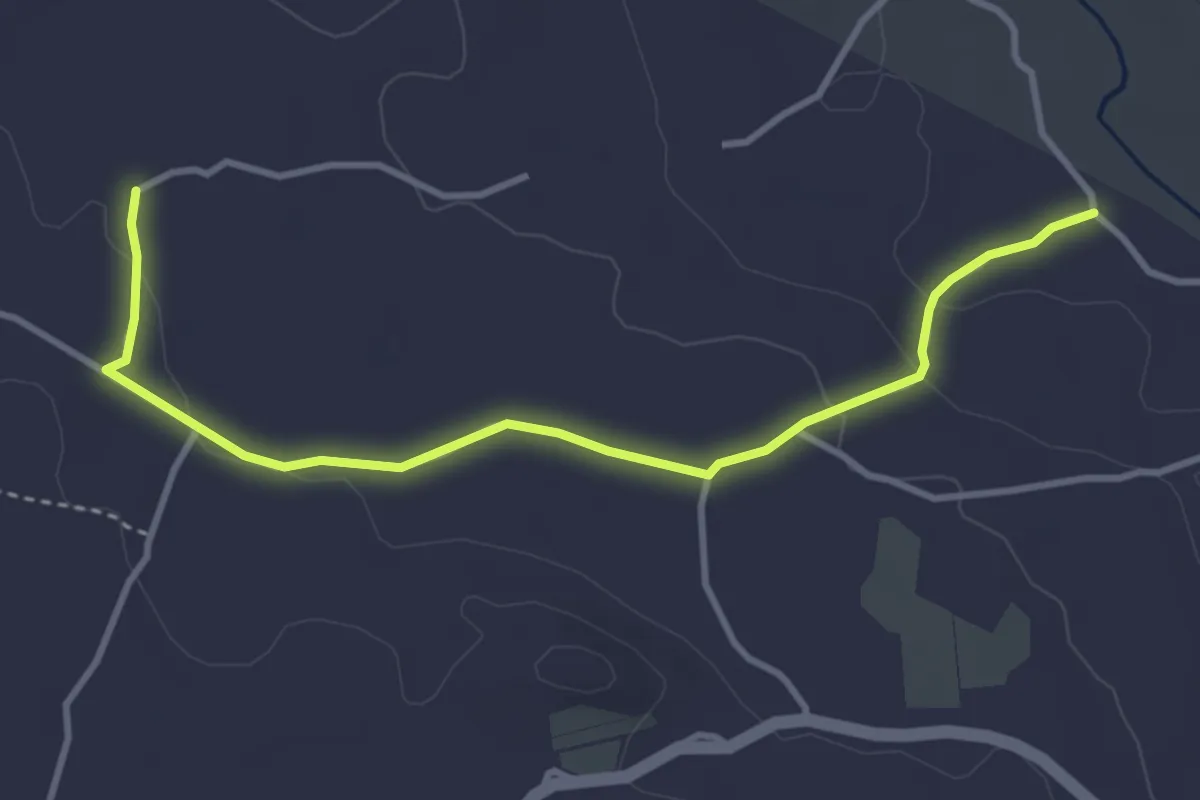
Easy · Trail
845 Sentiero della Cuba - Variante B
4.5 km · ↑ 83 m · 1 h 14 min
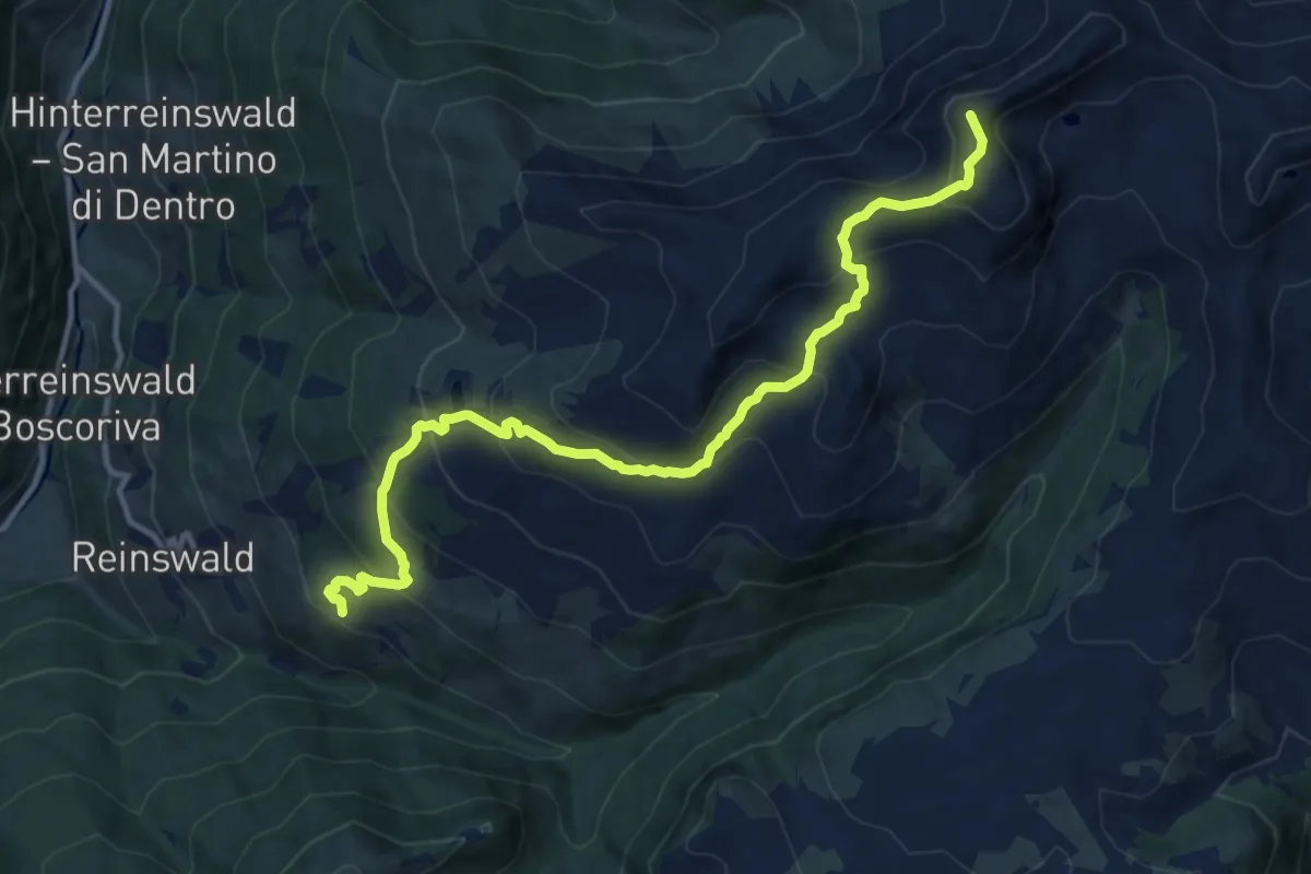
Demanding · Summit
8 - 7 => Plankenhorn => Bischofer
12.9 km · ↑ 857 m · 4 h 54 min
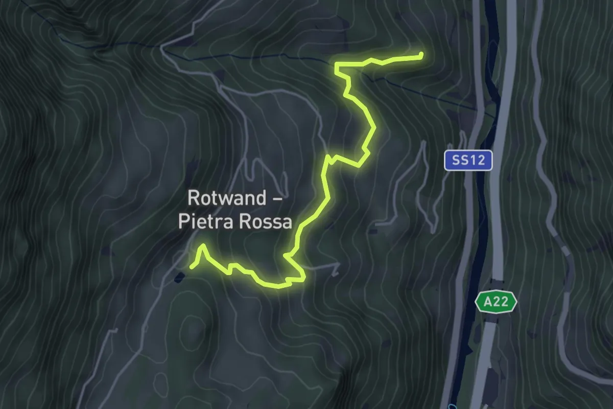
Medium · Trail
8B - Kaiserweg
4.4 km · ↑ 325 m · 1 h 44 min
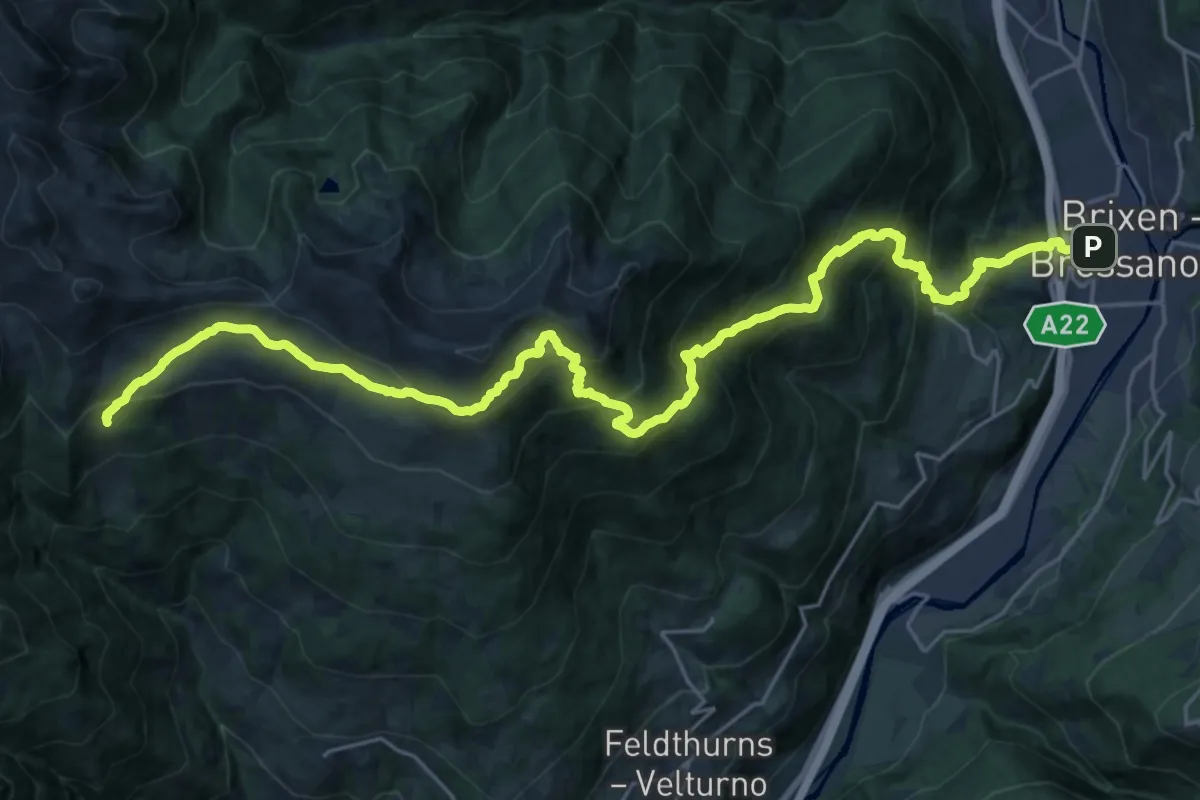
Demanding · Cabin
8 - Brixen => Radlseehütte => Klausner Hütte
14.8 km · ↑ 1822 m · 6 h 59 min
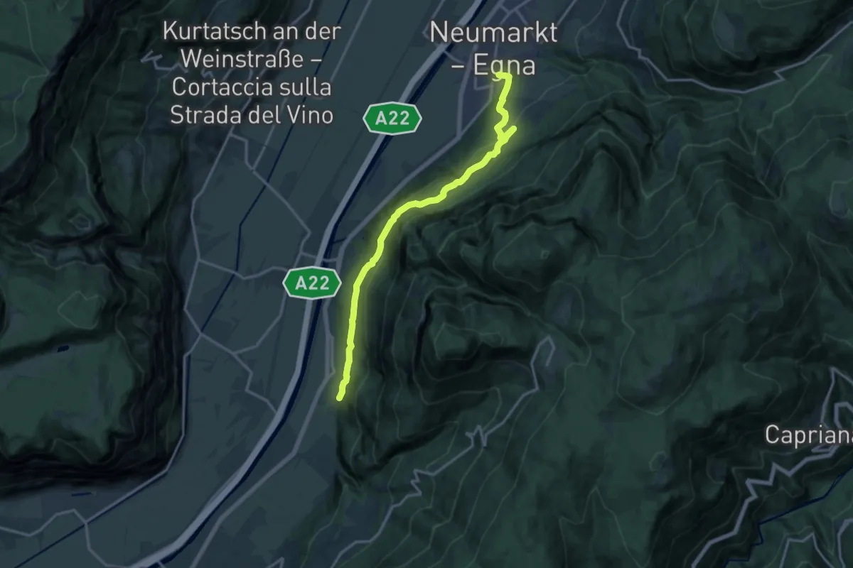
Medium · Trail
8 - Neumarkt => Laag => Gfrill
14.3 km · ↑ 696 m · 4 h 53 min
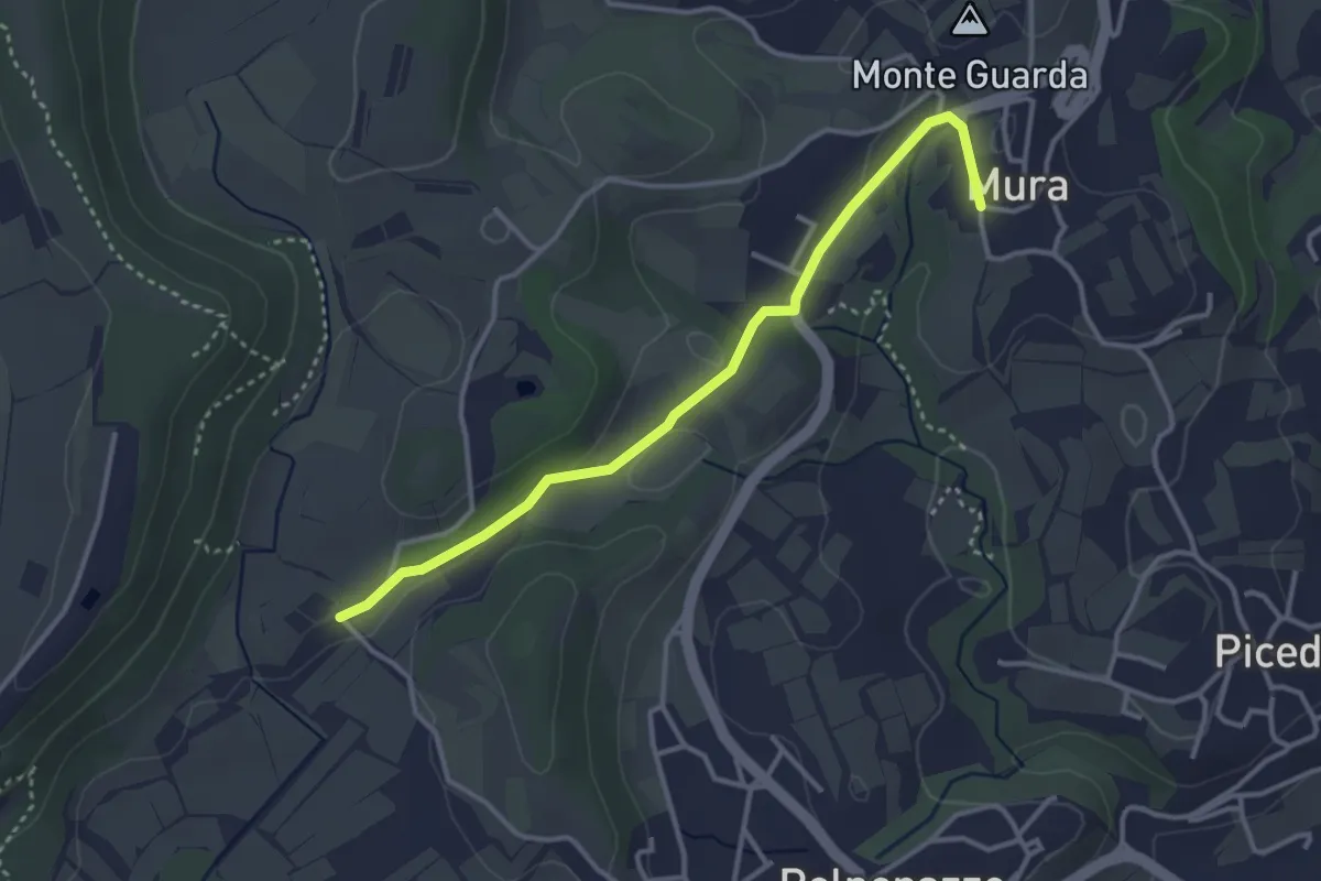
Easy · Trail
8 - Percorsi delle Colline Moreniche di Puegnago
3.5 km · ↑ 41 m · 55 min
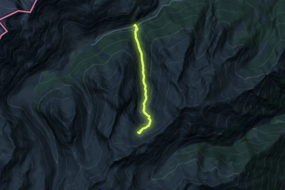
Medium · Trail
9
10.9 km · ↑ 776 m · 4 h 15 min
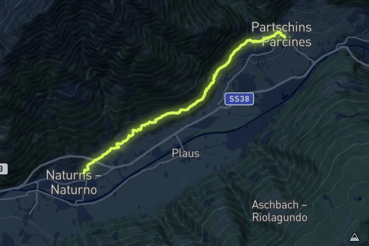
Demanding · Trail
91
14.7 km · ↑ 1044 m · 5 h 44 min
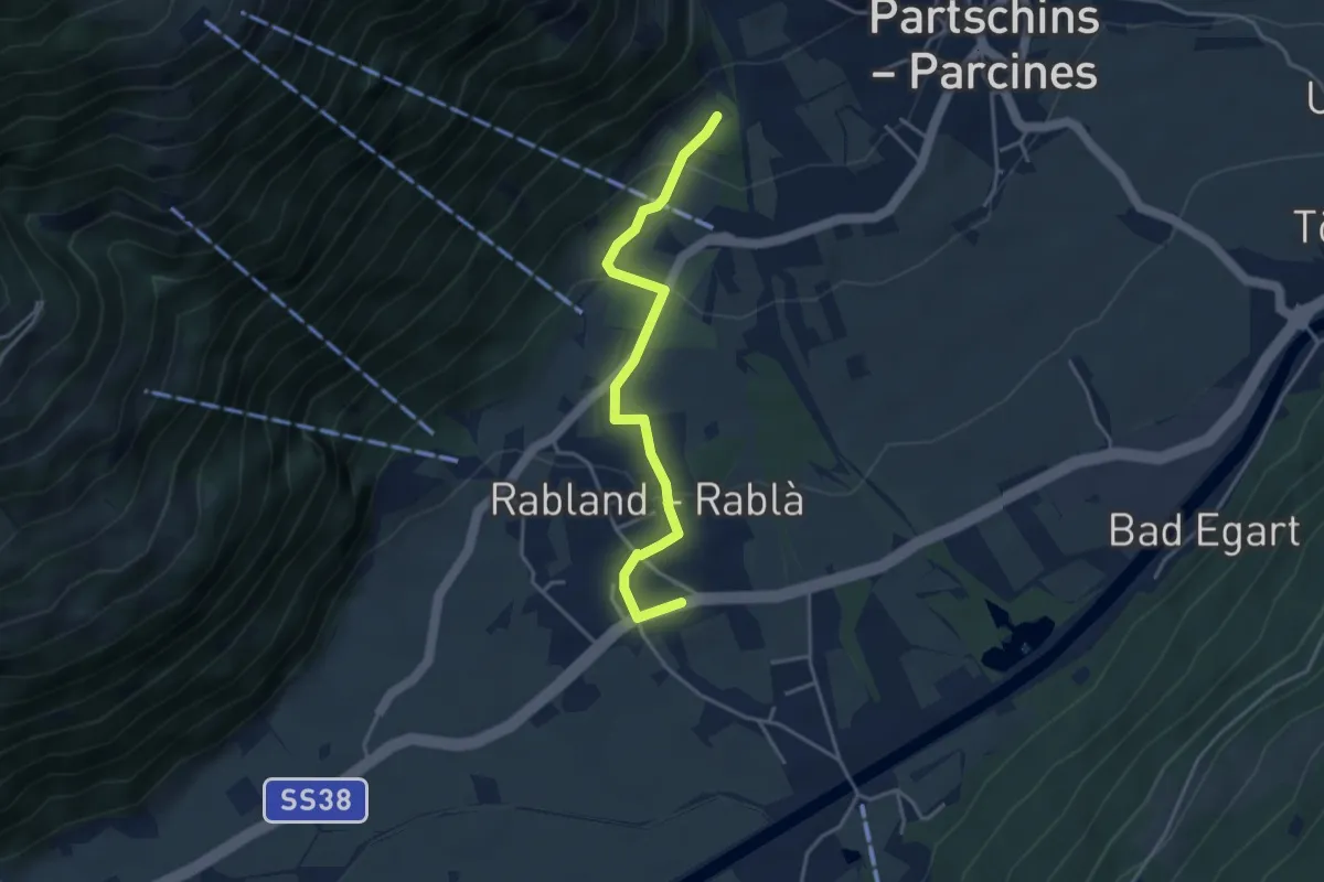
Easy · Trail
91A
3.8 km · ↑ 146 m · 1 h 13 min
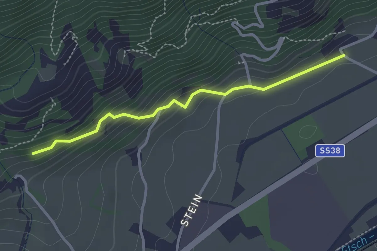
Easy · Trail
91B
2.4 km · ↑ 139 m · 52 min
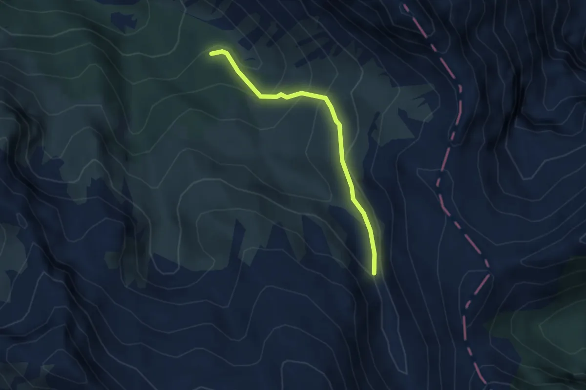
Medium · Trail
924 Variante
3.2 km · ↑ 234 m · 1 h 15 min
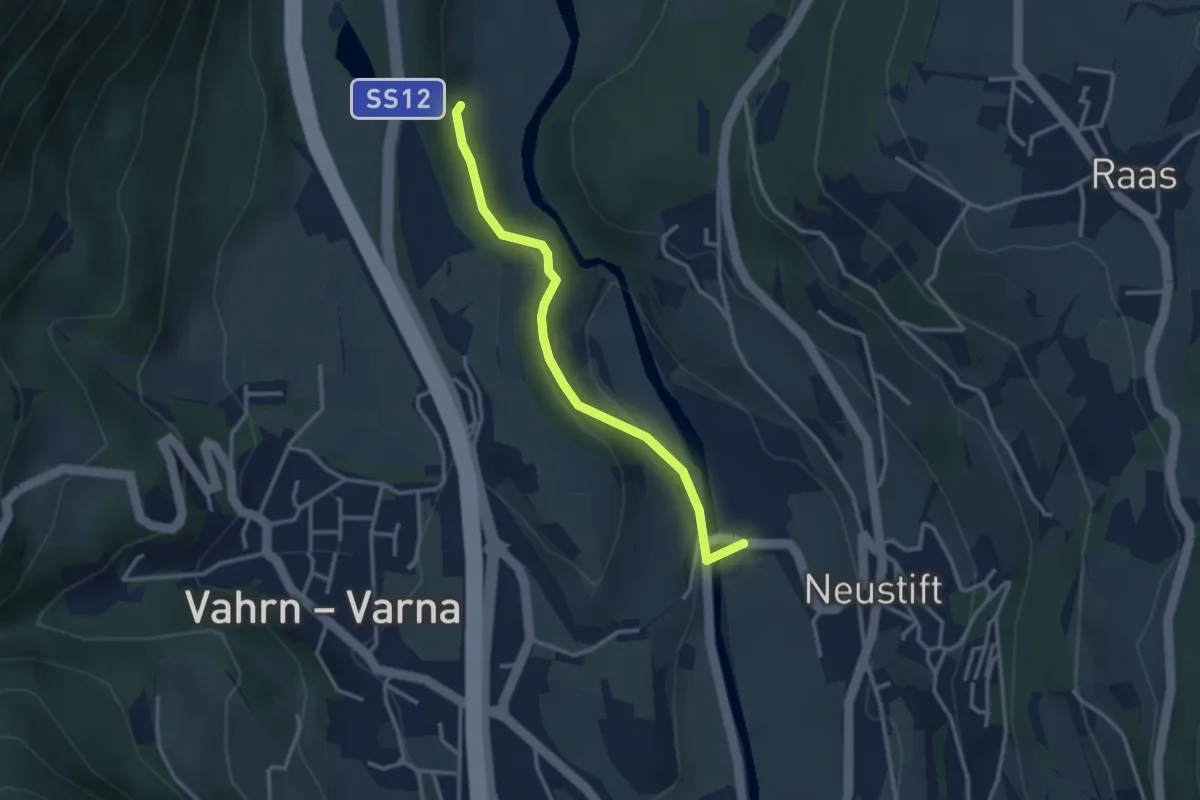
Easy · Trail
9A - Hartmannsteig
3.0 km · ↑ 91 m · 54 min
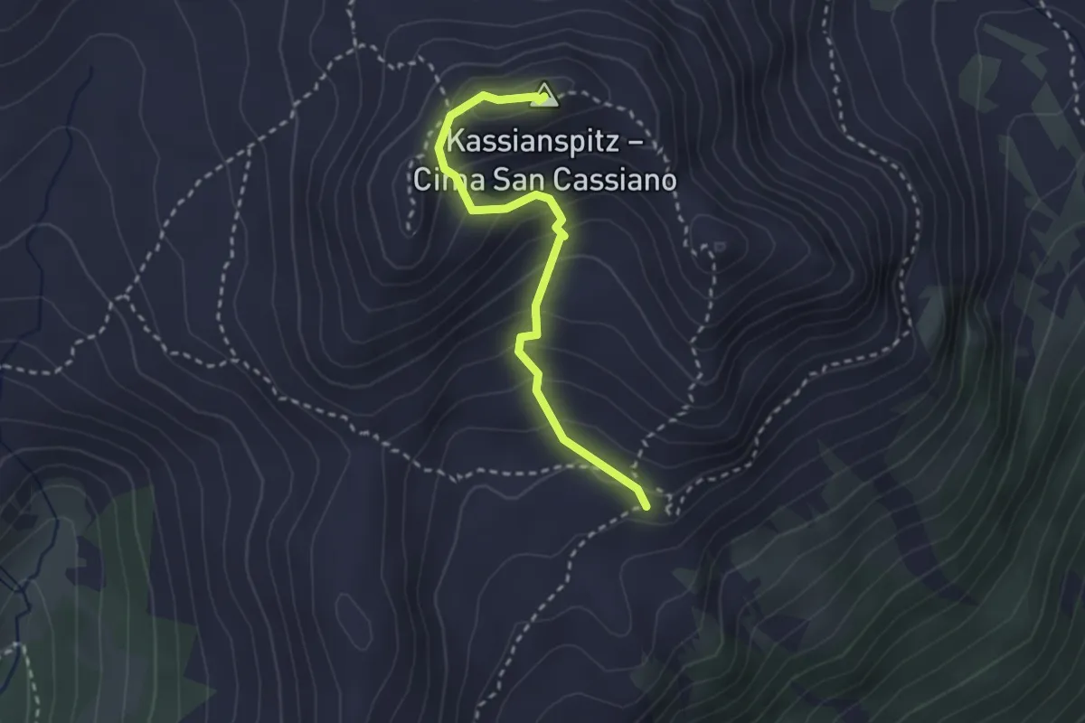
Medium · Summit
9 - Latzfonser Kreuz => Kassianspitz
2.6 km · ↑ 258 m · 1 h 11 min
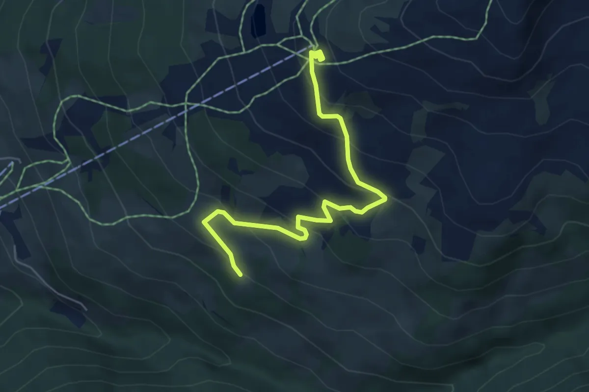
Medium · Trail
9 - => Pichlberg
5.3 km · ↑ 368 m · 2 h 3 min
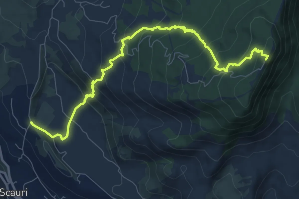
Medium · Summit
Zighidi – Monte Gibéle
9.8 km · ↑ 646 m · 3 h 44 min
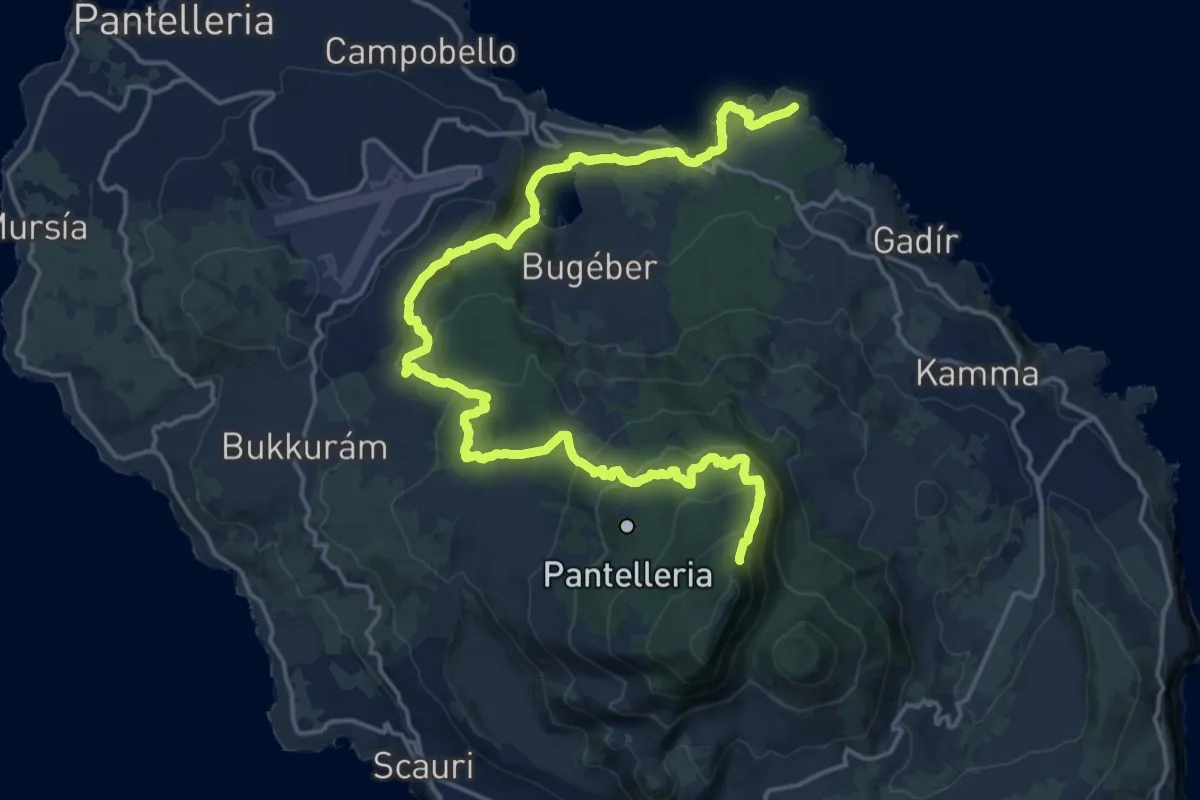
Demanding · Trail
Punta Spadíllo – Montagna Grande
12.9 km · ↑ 943 m · 4 h 55 min
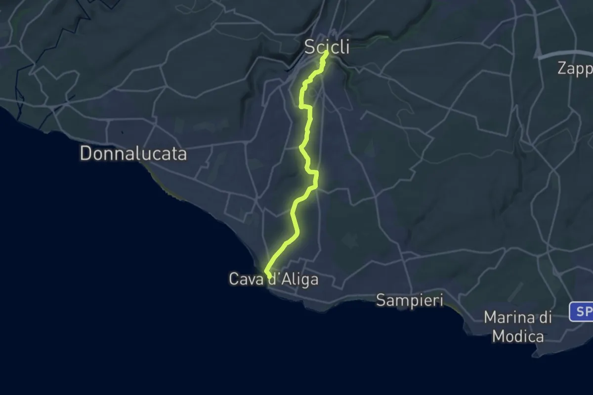
Demanding · Trail
Scicli – Cava d'Aliga
18.4 km · ↑ 345 m · 5 h 6 min