Trails in Italy
25,219 hiking trails, each with its route, climb, walking time and grade.
All trails, page 240 of 526
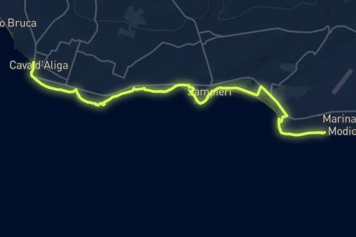
Demanding · Trail
Cava d'Aliga – Marina di Modica
21.1 km · ↑ 66 m · 5 h 7 min
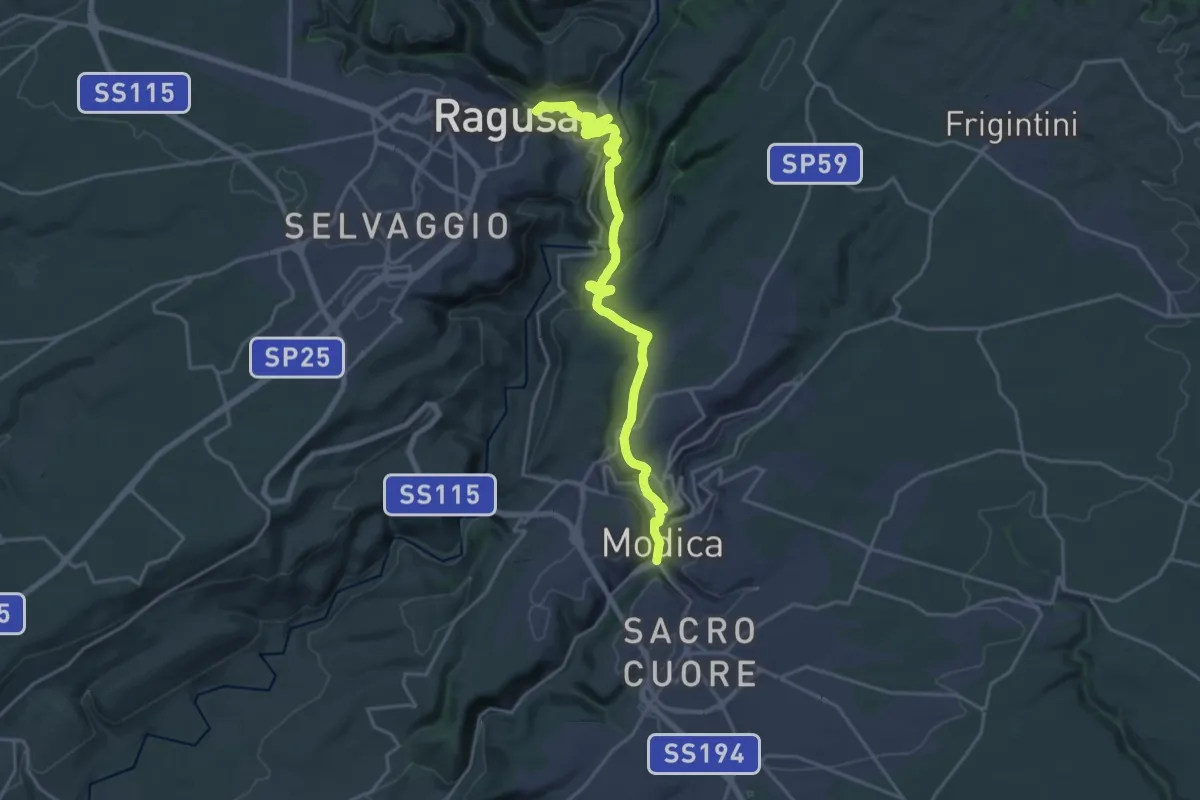
Demanding · Trail
Modica – Ragusa Ibla
26.4 km · ↑ 805 m · 7 h 58 min
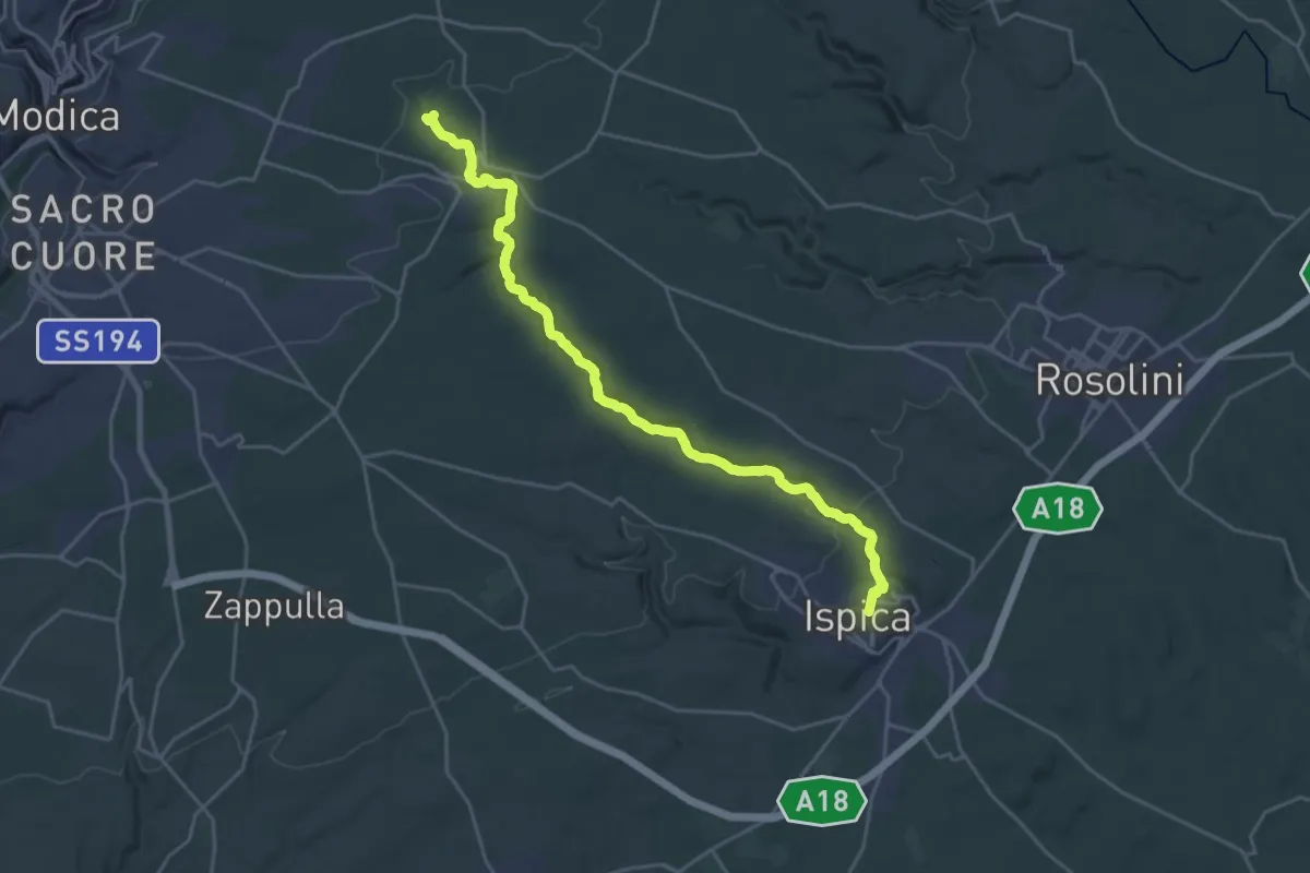
Demanding · Trail
Ispica – Baravitalla
27.6 km · ↑ 493 m · 7 h 35 min
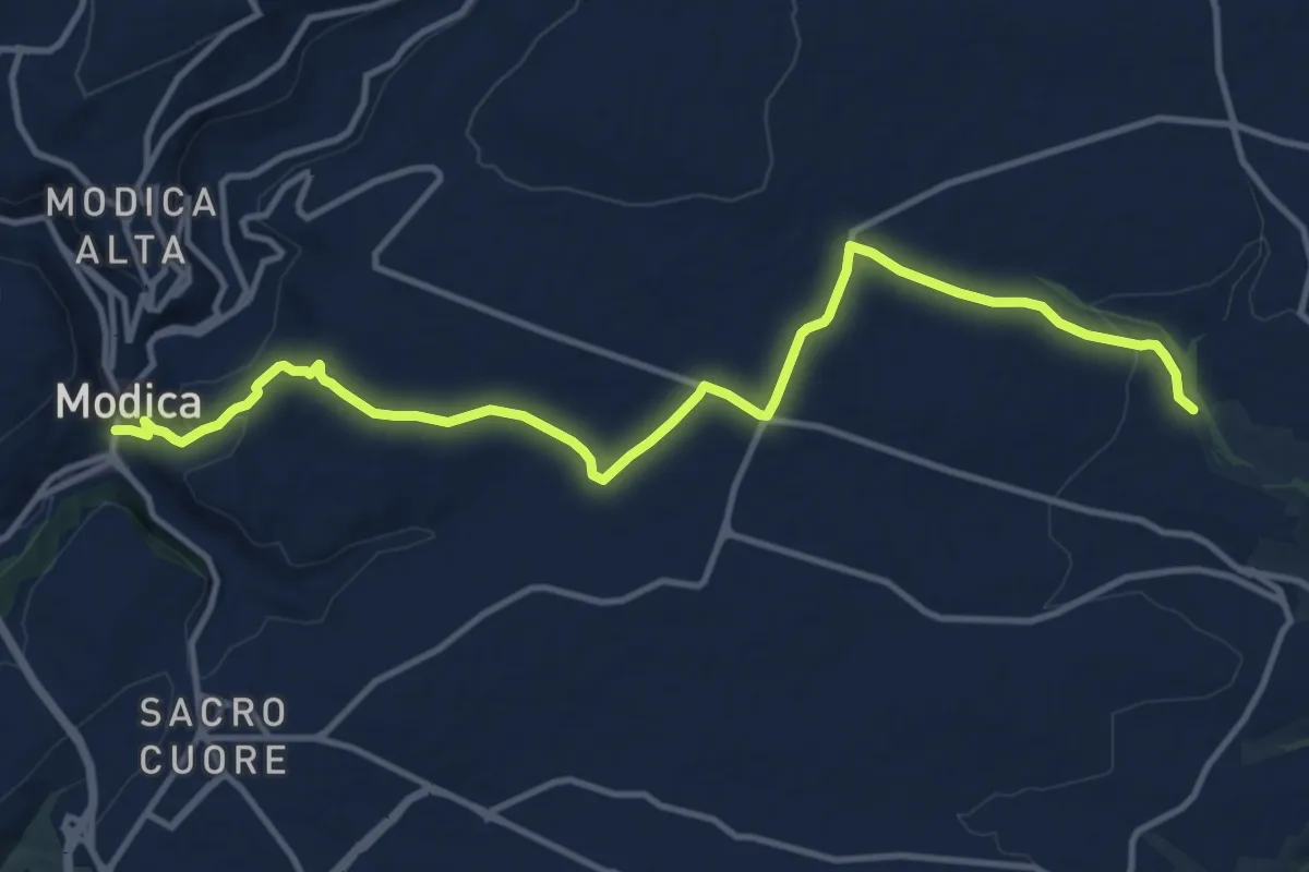
Medium · Trail
Baravitalla – Modica
16.1 km · ↑ 303 m · 4 h 28 min
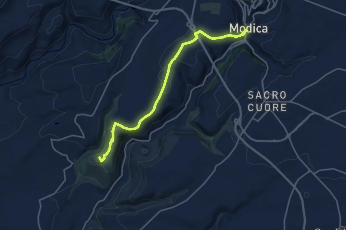
Medium · Summit
Scicli – Modica
13.1 km · ↑ 237 m · 3 h 37 min
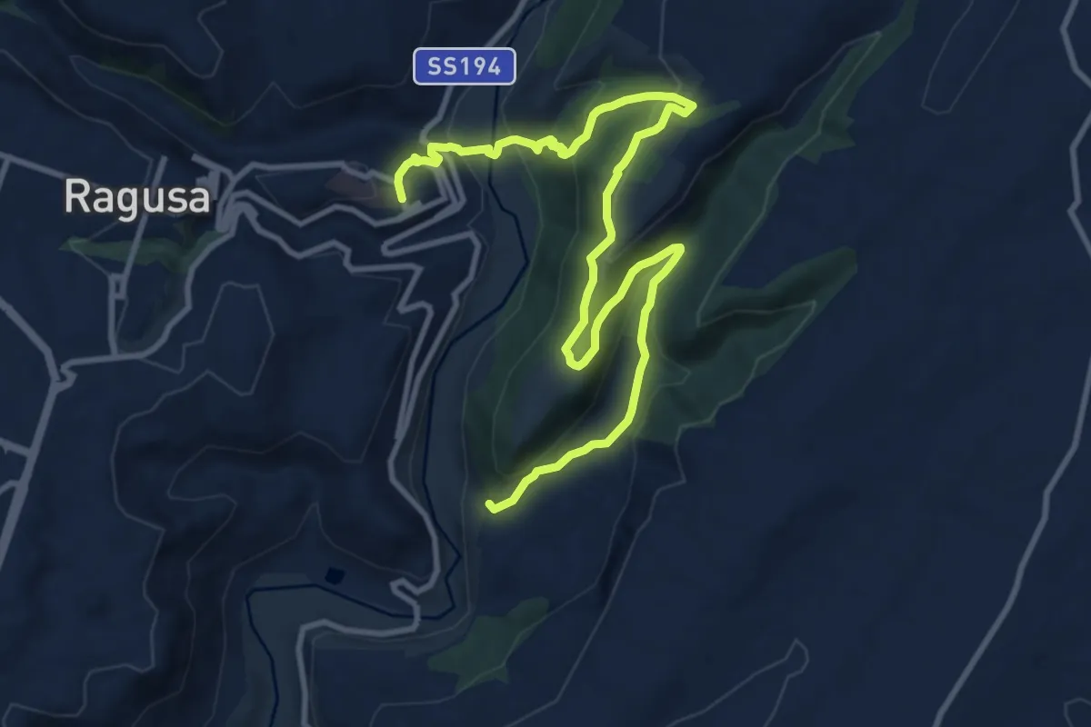
Medium · Trail
Contrada Capra d'Oro – Ragusa Ibla
14.6 km · ↑ 606 m · 4 h 46 min
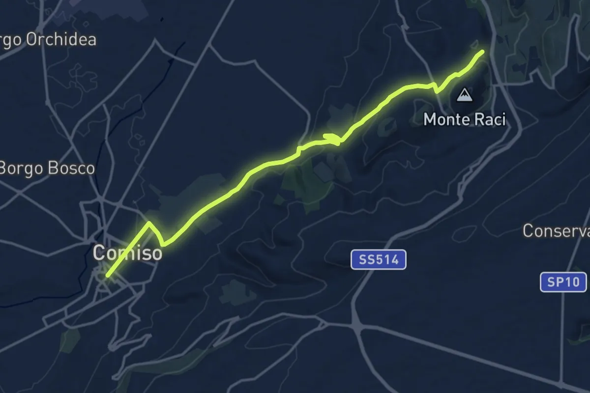
Medium · Trail
Monte Raci – Comiso
17.3 km · ↑ 315 m · 4 h 47 min
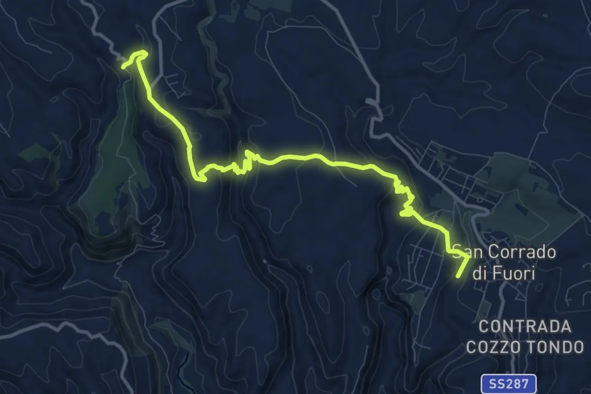
Expert · Trail
Eremo di San Corrado di Fuori – Noto Antica
12.9 km · ↑ 389 m · 3 h 53 min
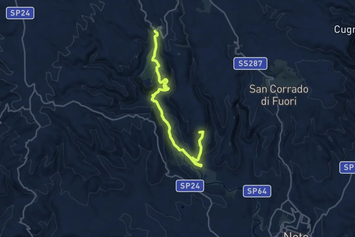
Medium · Summit
Noto Antica – Cugno Vasco
15.1 km · ↑ 586 m · 4 h 51 min
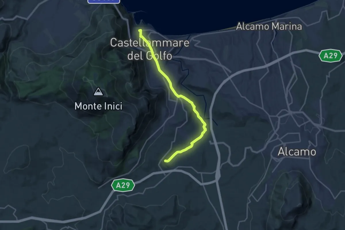
Medium · Trail
Castellammare del Golfo – Terme Segestane
16.9 km · ↑ 253 m · 4 h 33 min
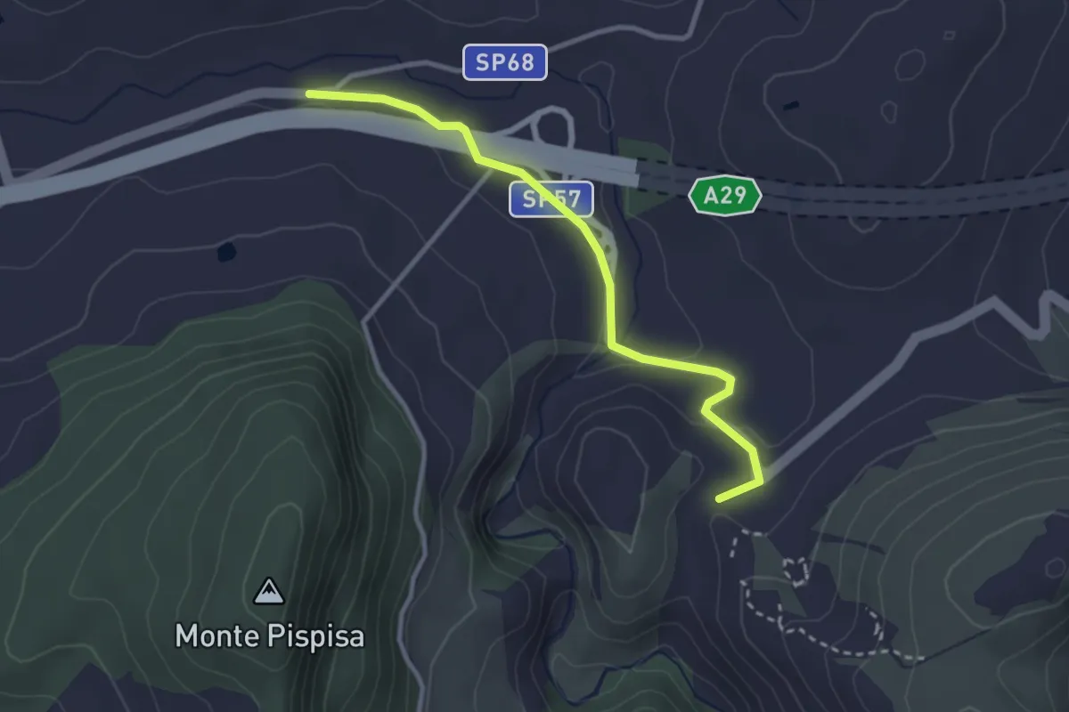
Easy · Trail
Fine Tappa S.I. V05 – Parco Archeologico Segesta
3.4 km · ↑ 58 m · 56 min
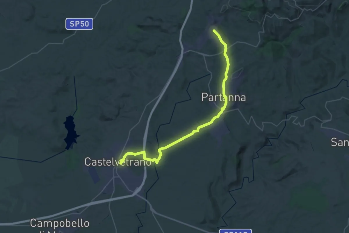
Demanding · Trail
Santa Ninfa – Castelvetrano
18.5 km · ↑ 218 m · 5 h 15 min
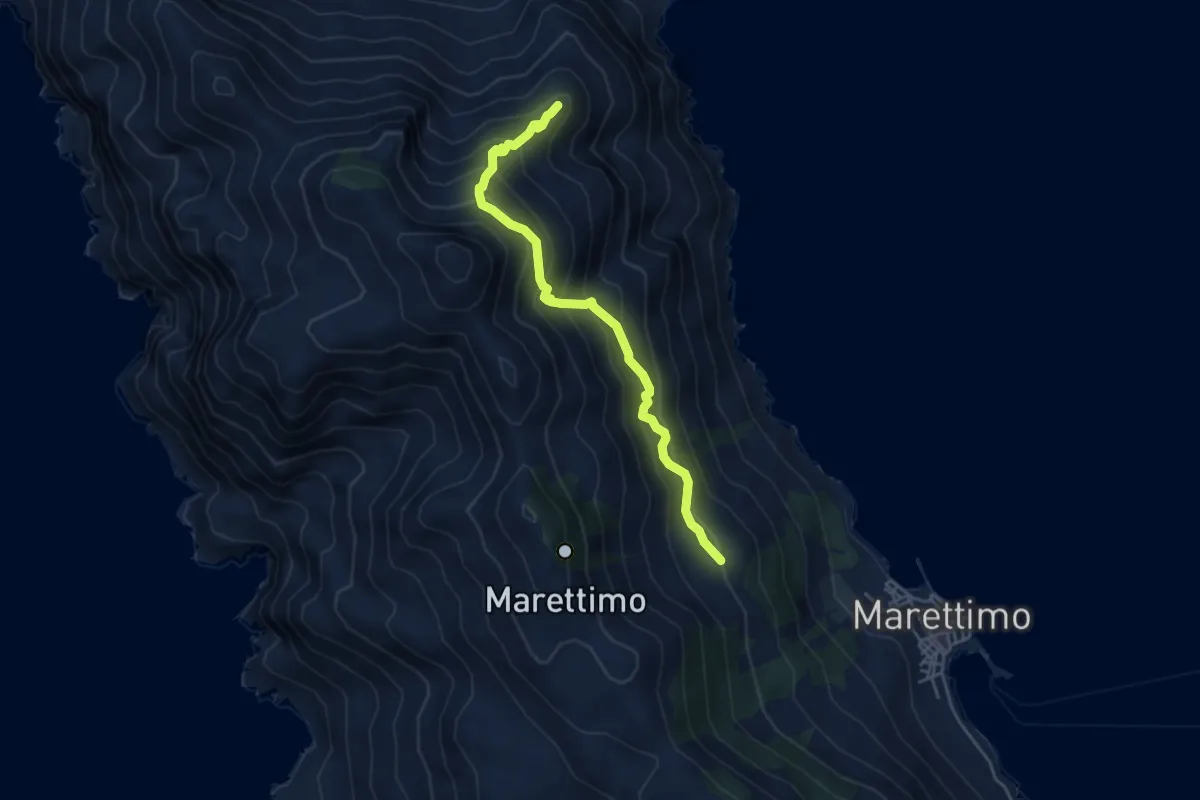
Medium · Summit
Case Romane – Quota 155 (Est Rumurale)
5.1 km · ↑ 549 m · 2 h 23 min
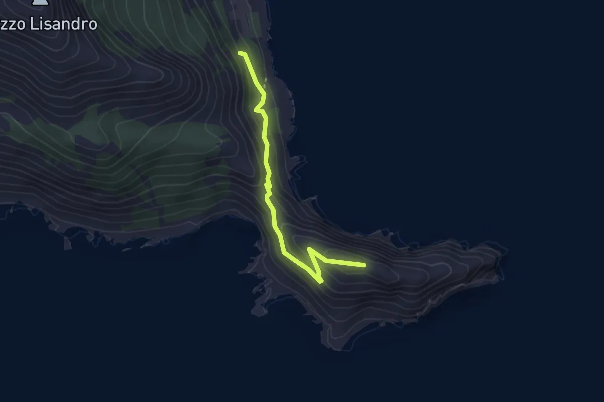
Demanding · Trail
Cimitero – Punta Bassana
3.1 km · ↑ 280 m · 1 h 21 min
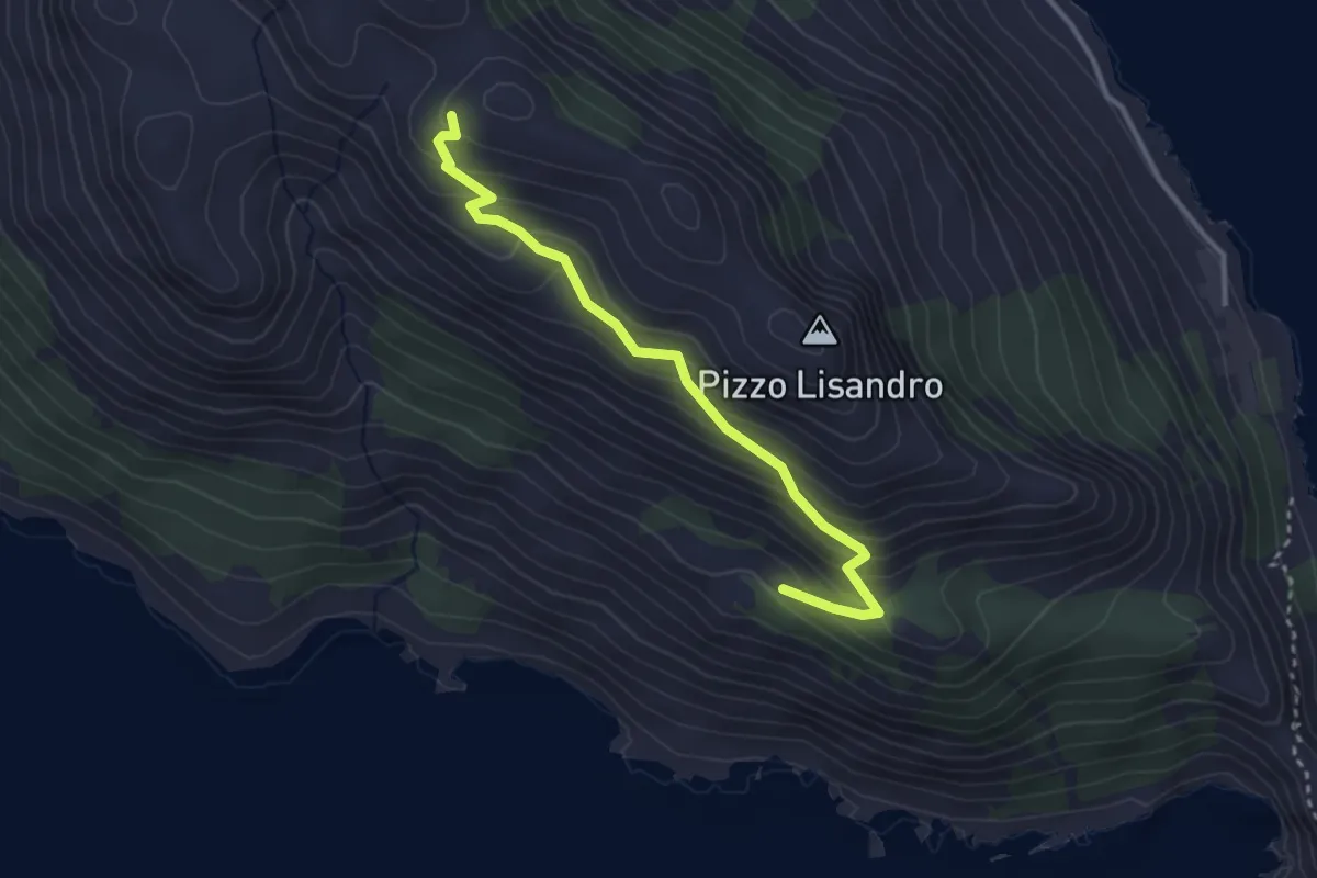
Easy · Trail
Contrada Cisternola – Portella Anzini
3.5 km · ↑ 295 m · 1 h 28 min
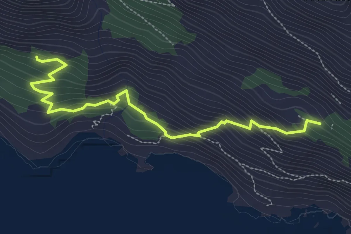
Medium · Trail
Jardinedda – Faro Punta Libeccio
3.7 km · ↑ 331 m · 1 h 35 min
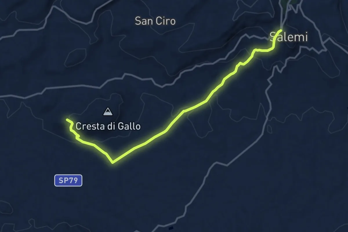
Medium · Trail
Salemi – Mokarta
12.8 km · ↑ 420 m · 3 h 56 min
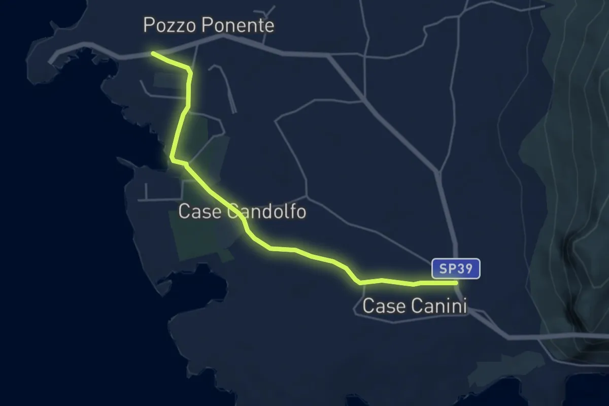
Easy · Trail
Contrada Stornello – Punta Sottile
5.4 km · ↑ 46 m · 1 h 22 min
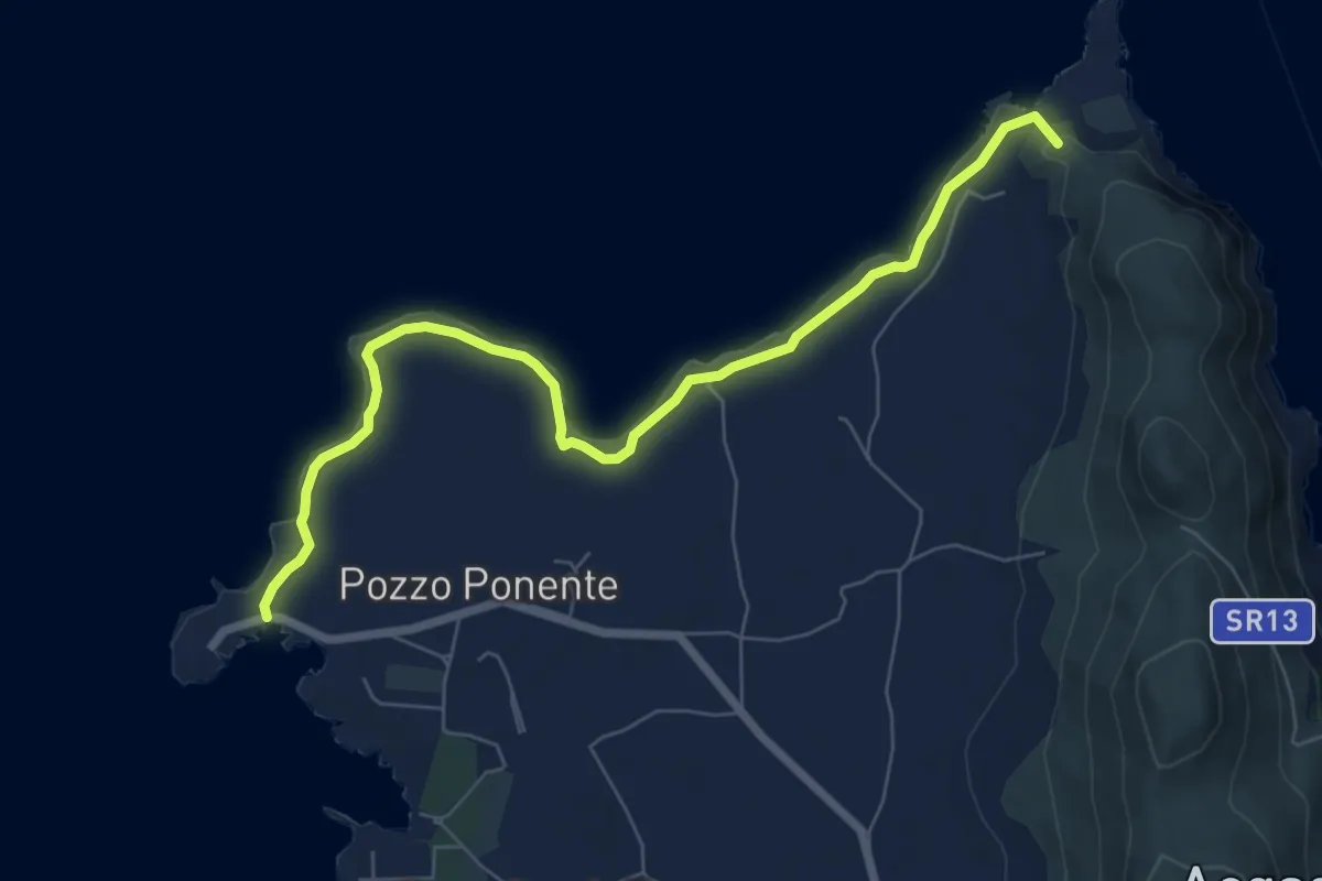
Medium · Summit
Punta Sottile – Punta Faraglione
8.6 km · ↑ 47 m · 2 h 8 min
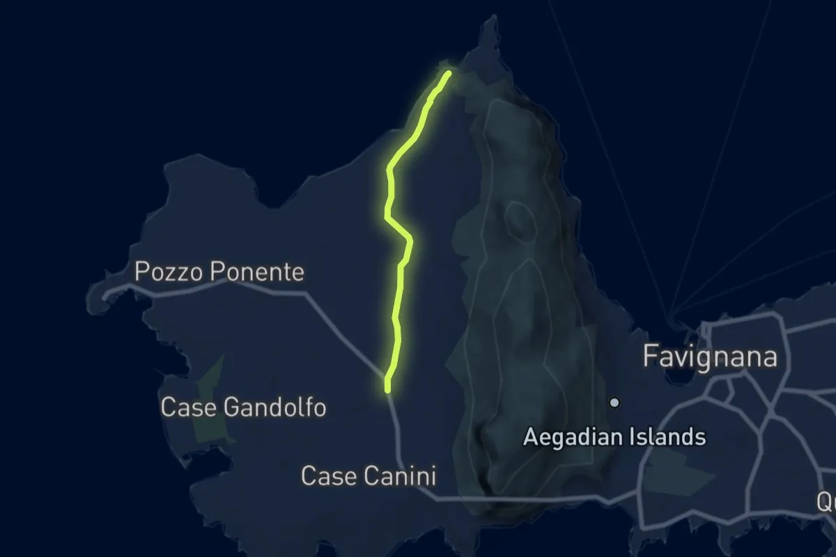
Easy · Trail
Case Canini – Punta Faraglione
5.6 km · ↑ 34 m · 1 h 23 min
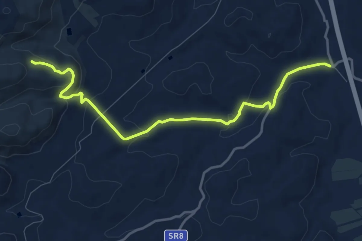
Medium · Trail
Baglio Florio – Angimbè
10.2 km · ↑ 275 m · 3 h 1 min
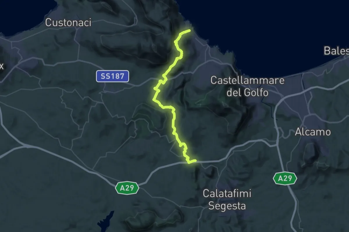
Demanding · Trail
Scopello – Segesta
21.8 km · ↑ 777 m · 7 h 4 min
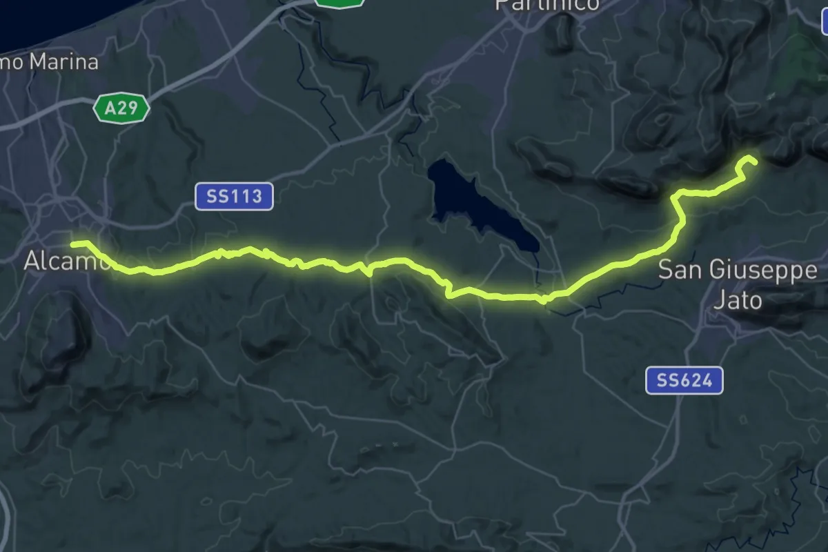
Demanding · Trail
Alcamo – Masseria Dammusi
24.8 km · ↑ 712 m · 7 h 37 min
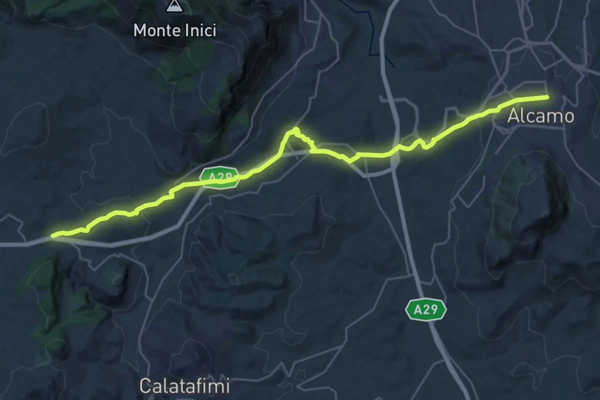
Medium · Trail
Segesta – Alcamo
14.8 km · ↑ 298 m · 4 h 20 min
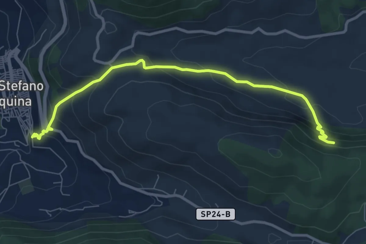
Medium · Trail
Eremo di Santa Rosalia alla Quisquina – Santo Stefano Quisquina
8.2 km · ↑ 485 m · 2 h 59 min
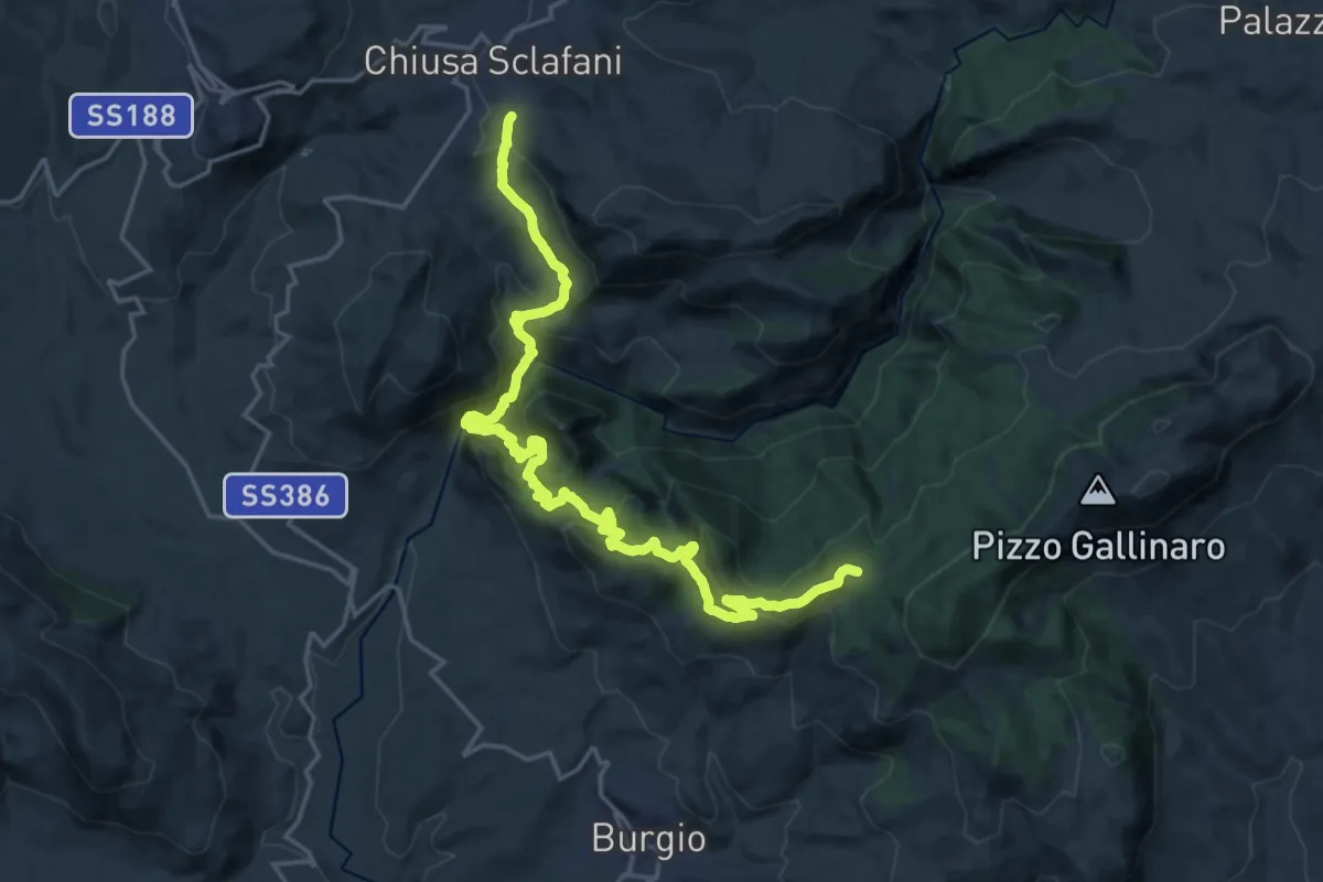
Medium · Trail
Portella San Adriano – Chiusa Sclafani
13.7 km · ↑ 578 m · 4 h 47 min
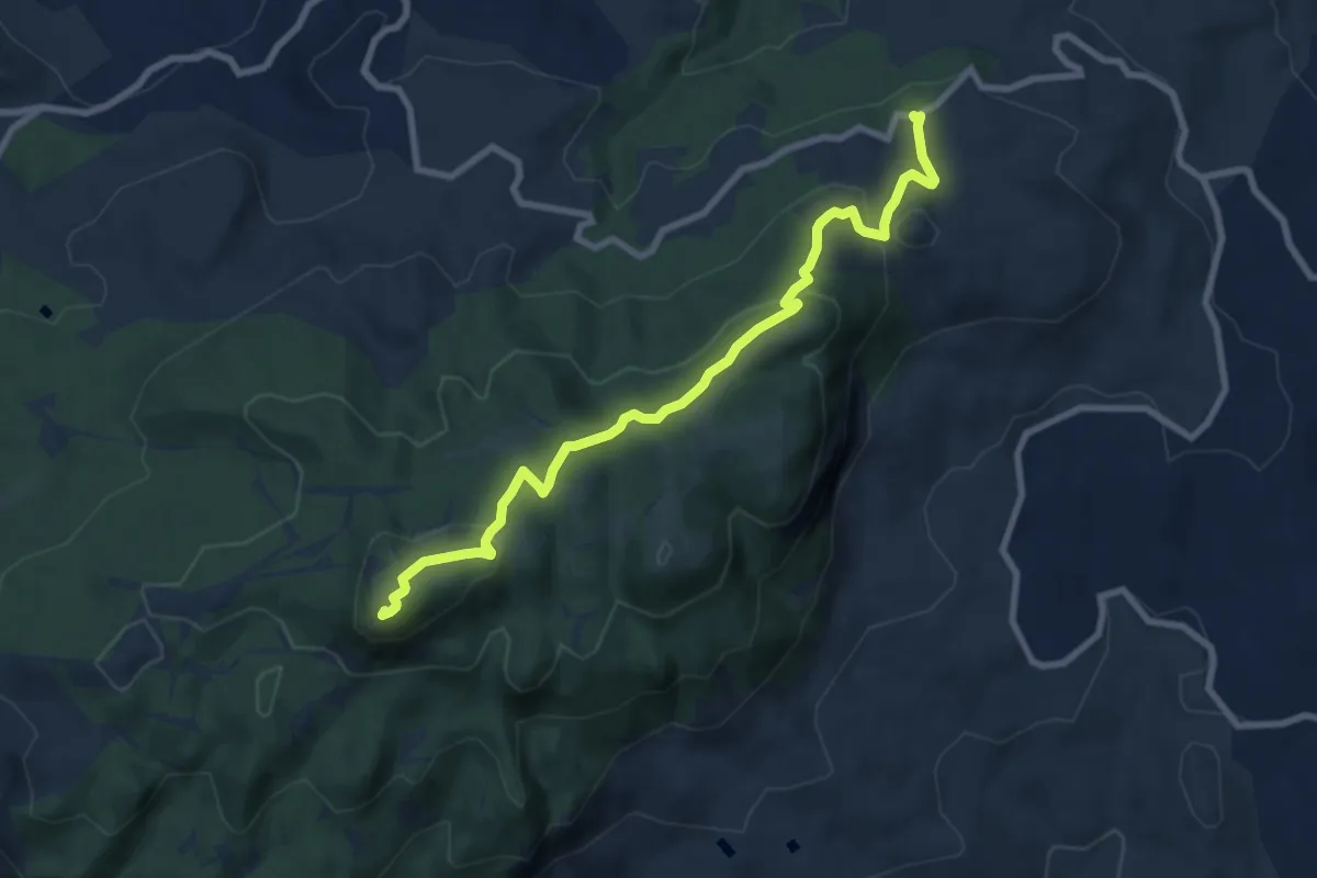
Medium · Summit
Abbazia di Santa Maria del Bosco – Area Attrezzata Pomo-Castagnola
10.0 km · ↑ 361 m · 3 h 8 min
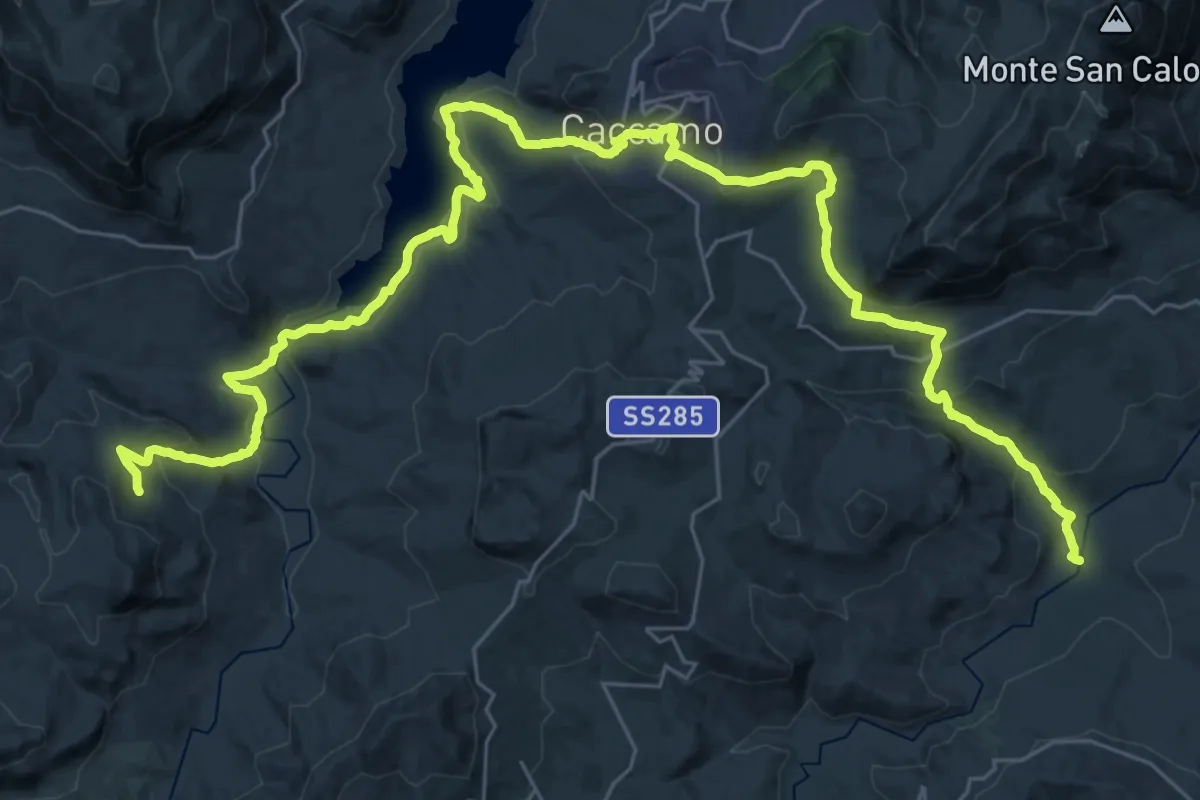
Demanding · Trail
Casa Buonadonna – Guado sul fiume Torto
24.3 km · ↑ 659 m · 7 h 41 min
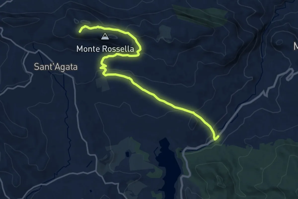
Medium · Summit
Piana degli Albanesi – Ponte Arcera - SS118
15.9 km · ↑ 547 m · 4 h 57 min
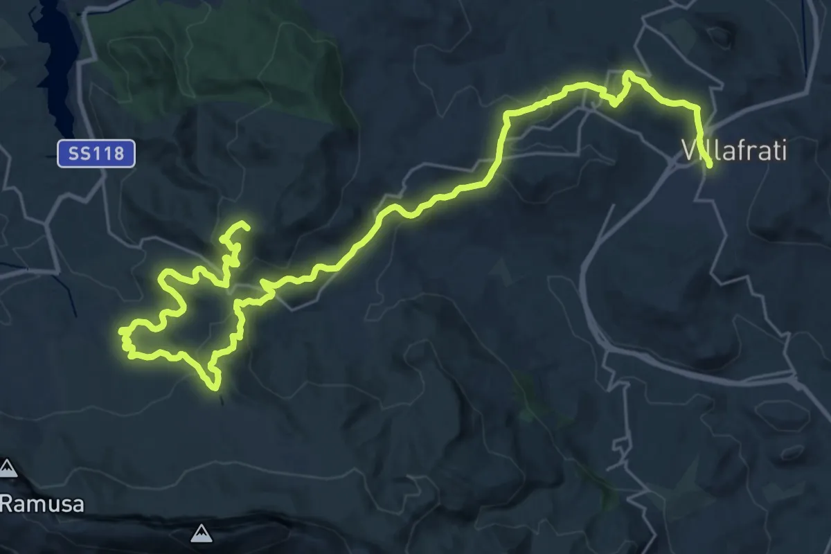
Demanding · Summit
Ponte Arcera - SS 118 – Villafrati
40.1 km · ↑ 1404 m · 12 h 30 min
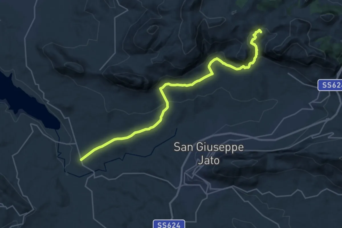
Demanding · Summit
Case Coloniche Fellamonica – Piana degli Albanesi
22.5 km · ↑ 739 m · 6 h 55 min
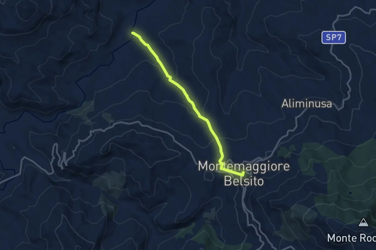
Medium · Trail
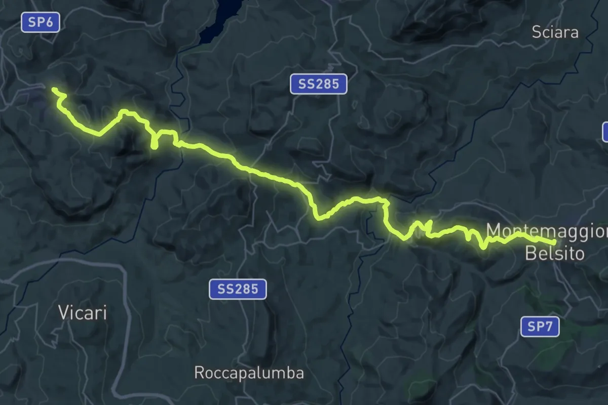
Guado Sul Fiume Torto – Montemaggiore Belsito
10.6 km · ↑ 423 m · 3 h 25 min
Demanding · Trail
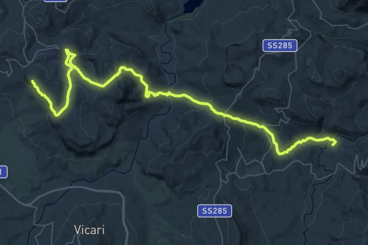
Ciminna – Montemaggiore Belsito
26.7 km · ↑ 1072 m · 8 h 58 min
Demanding · Summit
Villafrati – Fiume Torto - Stazione di Montemaggiore Belsito
44.2 km · ↑ 1955 m · 14 h 41 min
Easy · Trail
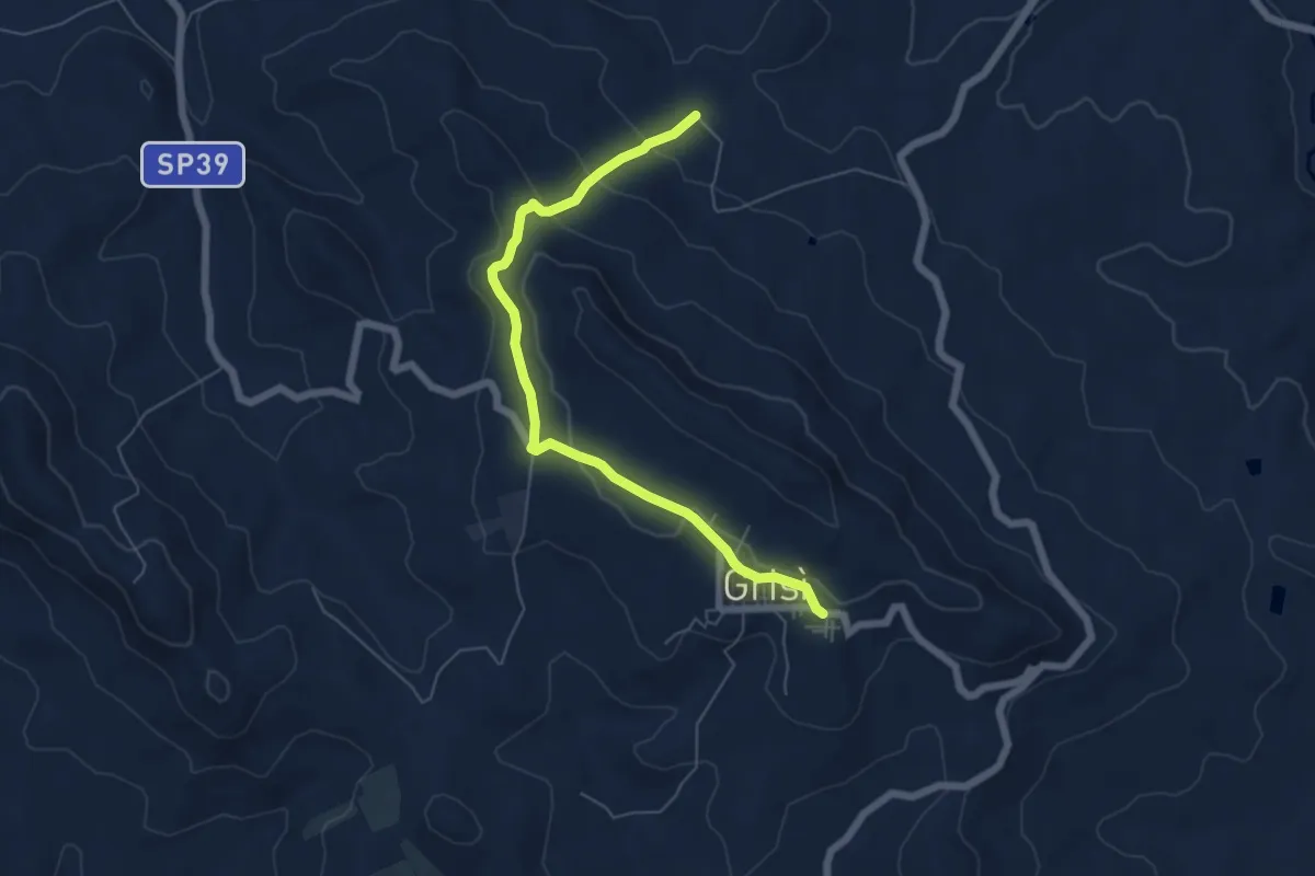
Sentiero Italia - Cambuca – Grisì
7.0 km · ↑ 206 m · 2 h 6 min
Demanding · Trail
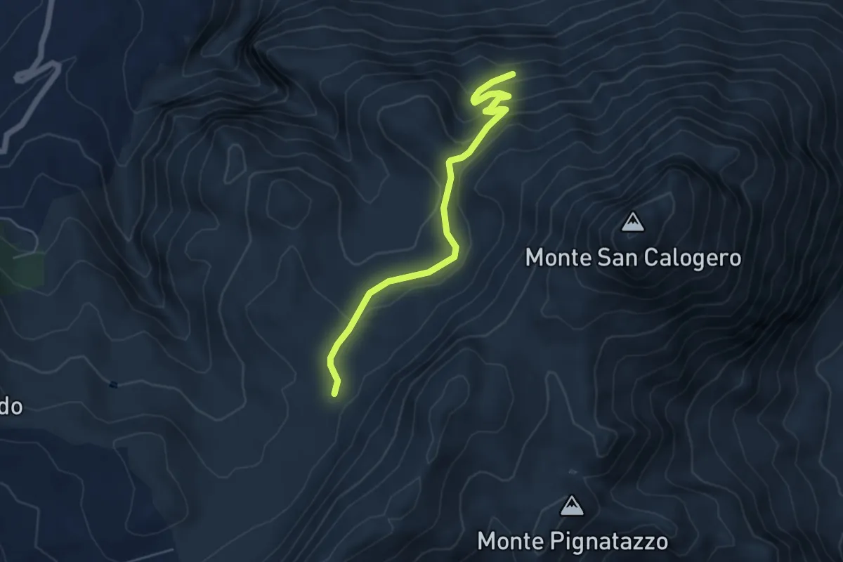
Sentiero 401 – Punto di Osservazione
5.7 km · ↑ 270 m · 1 h 56 min
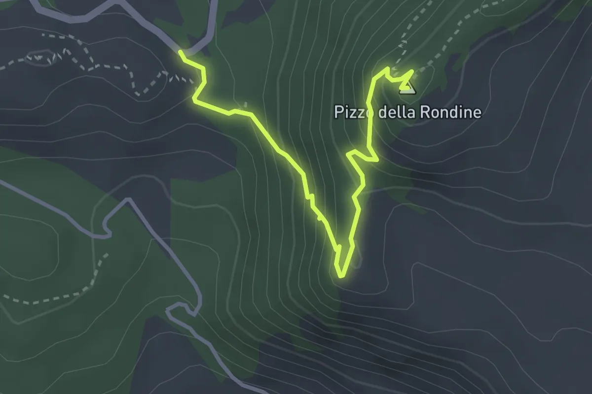
Expert · Summit
Portella dei Daini – Portella Ferraro
3.7 km · ↑ 274 m · 1 h 28 min
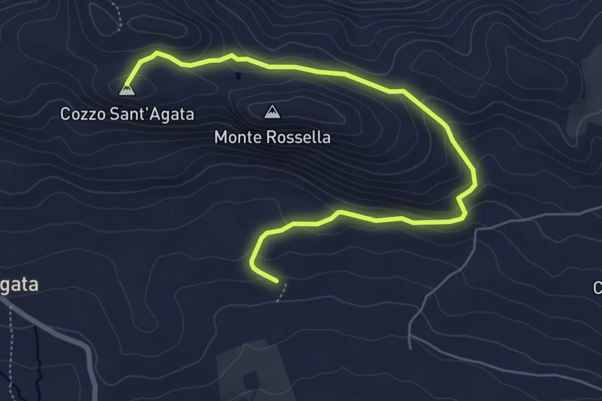
Easy · Summit
Piana degli Albanesi – Masseria Rossella
7.2 km · ↑ 299 m · 2 h 20 min
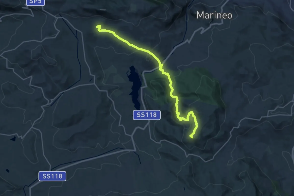
Demanding · Summit
Masseria Rossella – Ficuzza
21.5 km · ↑ 707 m · 6 h 36 min
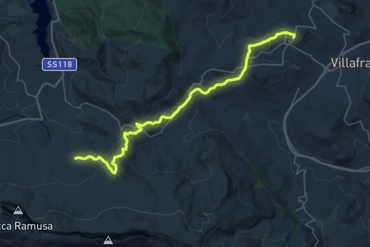
Demanding · Trail
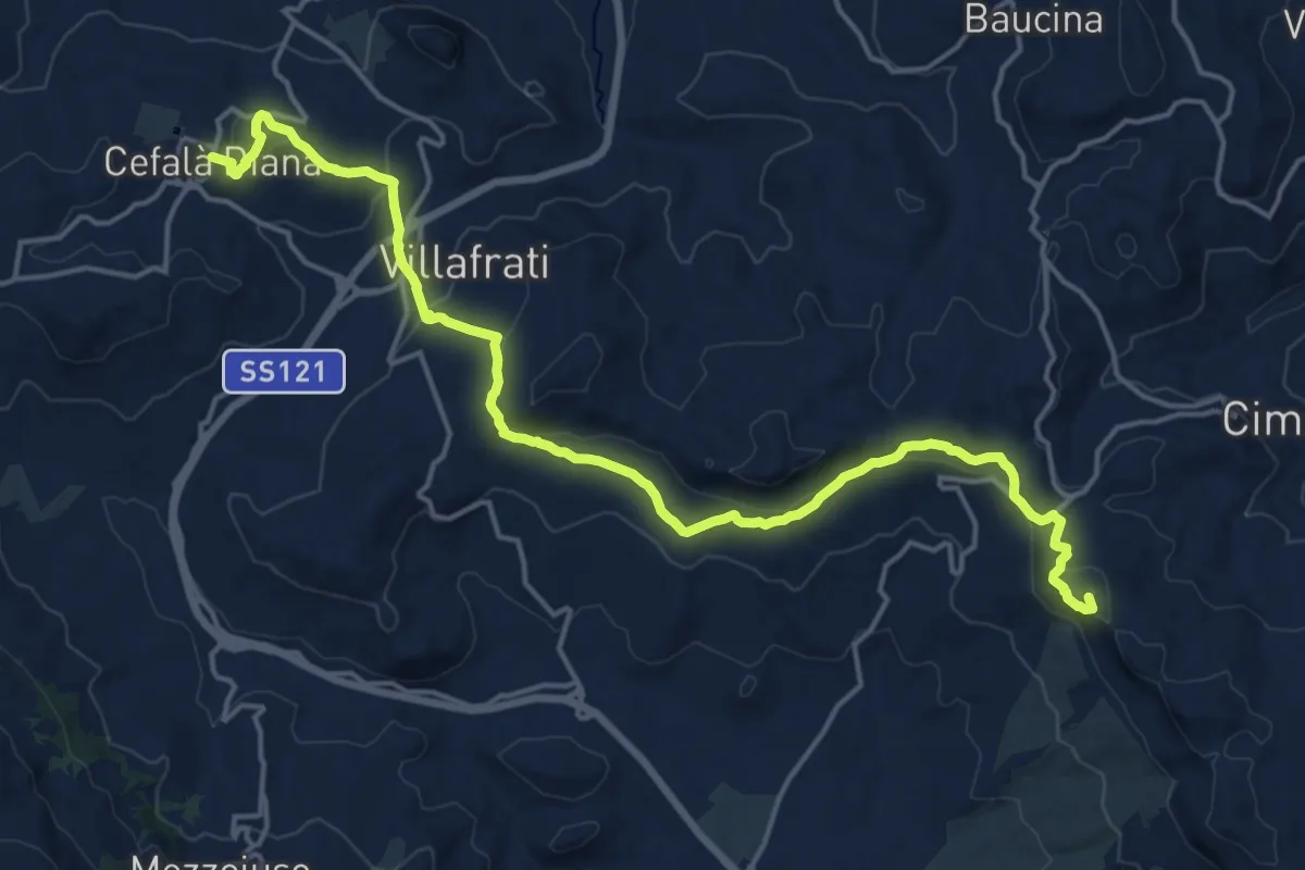
Ficuzza – Cefalà Diana
22.6 km · ↑ 741 m · 6 h 56 min
Demanding · Summit
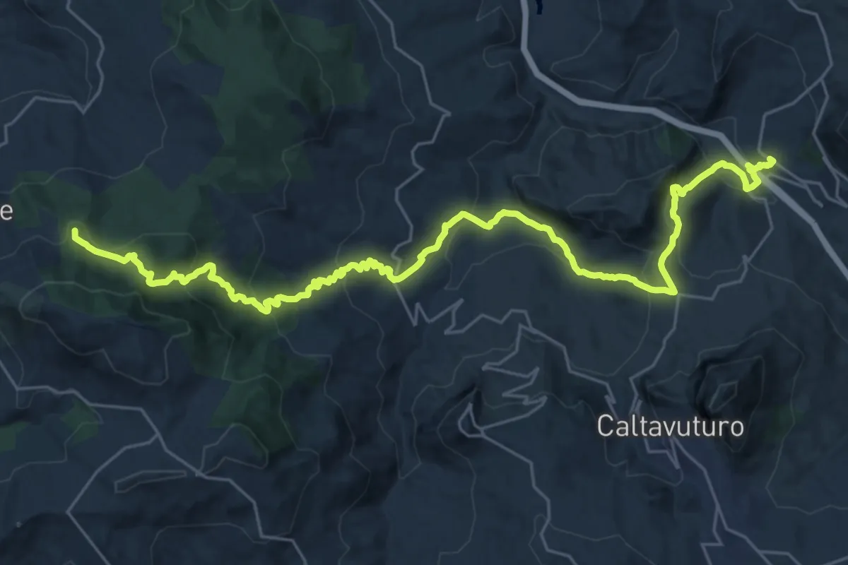
Cefalà Diana – Ciminna
22.4 km · ↑ 824 m · 7 h 5 min
Demanding · Summit
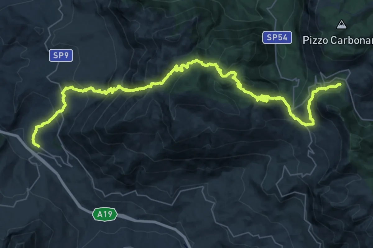
Montemaggiore Belsito – Scillato
34.3 km · ↑ 1544 m · 11 h 26 min
Demanding · Cabin
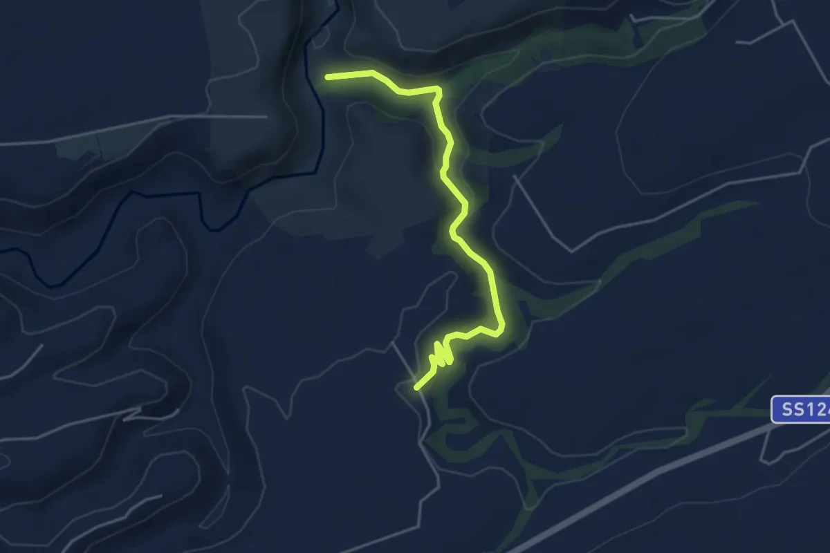
Scillato – Piano Battaglia
18.7 km · ↑ 1764 m · 7 h 50 min
Demanding · Trail
Mulino Bibbinello Base Scout – Valle dell'Anapo
4.8 km · ↑ 108 m · 1 h 22 min
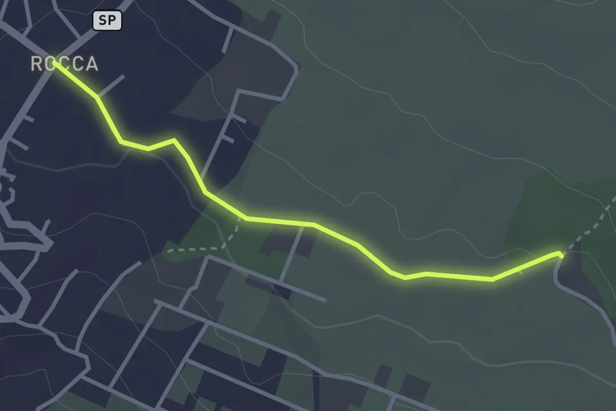
Easy · Trail
Piazza Rocca (Ragalna) – Sentiero 786
3.2 km · ↑ 23 m · 48 min
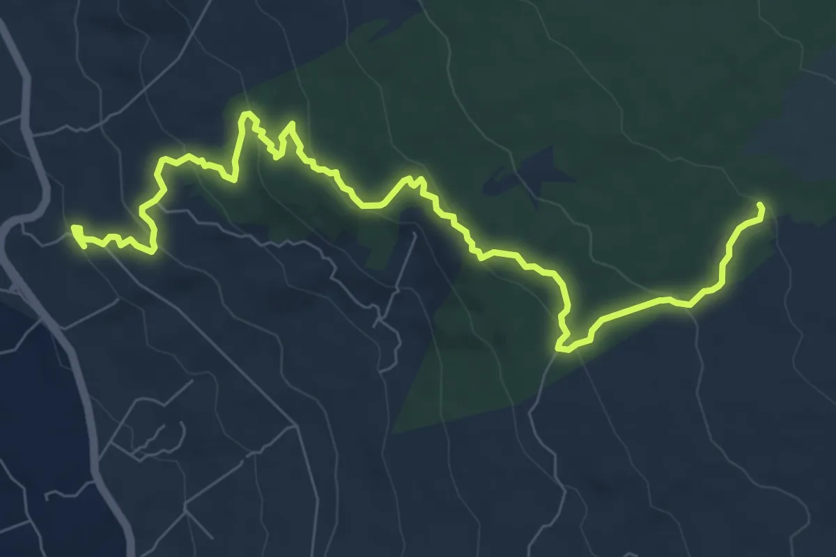
Medium · Trail
Stazione FCE Passo Zingaro – Inizio Sentiero 708 Case Bosco Prato Fiorito
11.0 km · ↑ 429 m · 3 h 32 min
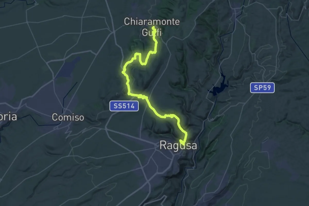
Demanding · Trail
Ragusa Ibla – Chiaramonte Gulfi
24.0 km · ↑ 965 m · 7 h 56 min
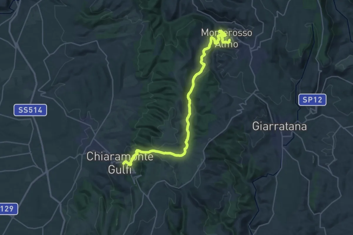
Medium · Trail
Chiaramonte Gulfi – Monterosso Almo
13.8 km · ↑ 486 m · 4 h 30 min