Trails in Italy
25,219 hiking trails, each with its route, climb, walking time and grade.
All trails, page 241 of 526
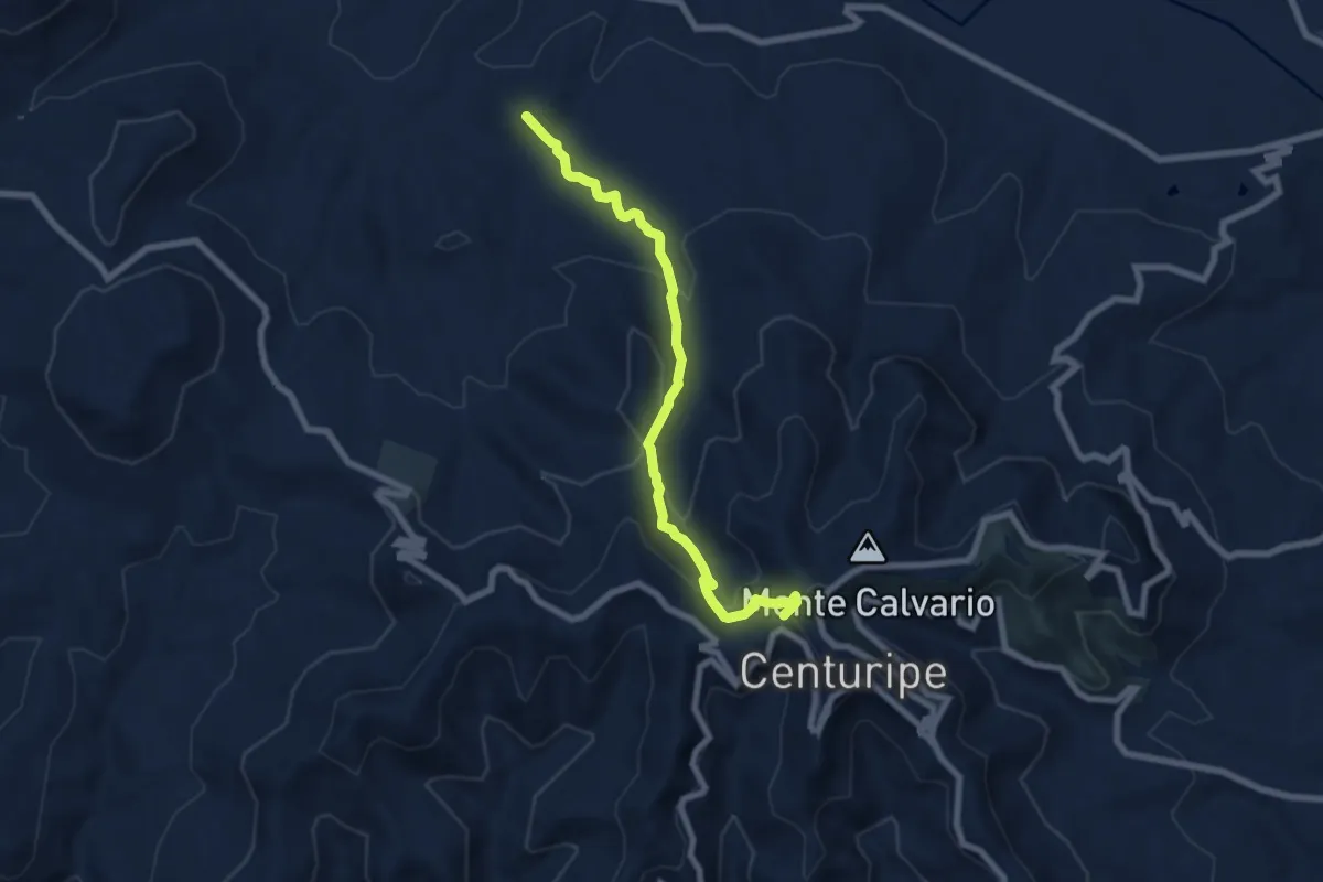
Medium · Summit
SS121 – Centuripe
8.1 km · ↑ 407 m · 2 h 48 min
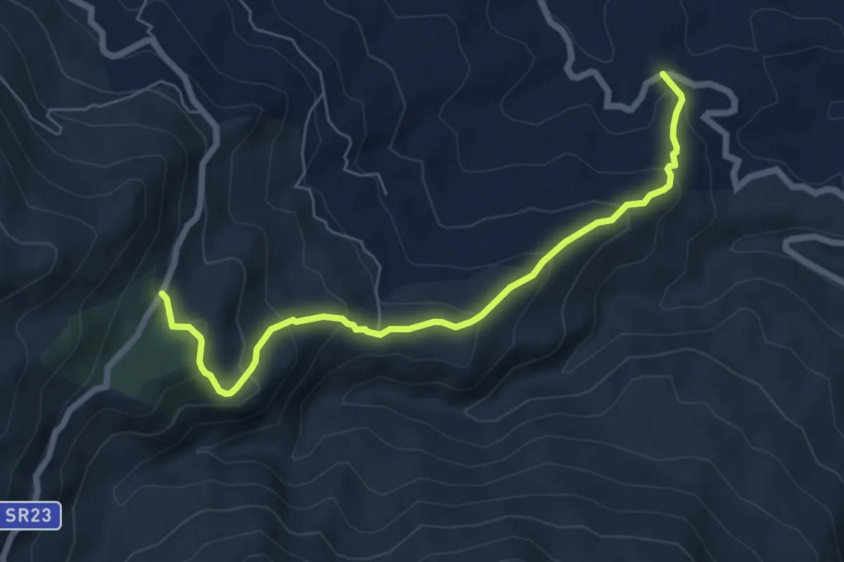
Medium · Trail
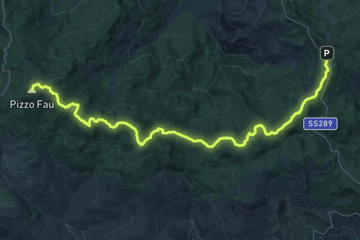
SR 23 – Pizzo S. Focà
6.9 km · ↑ 439 m · 2 h 35 min
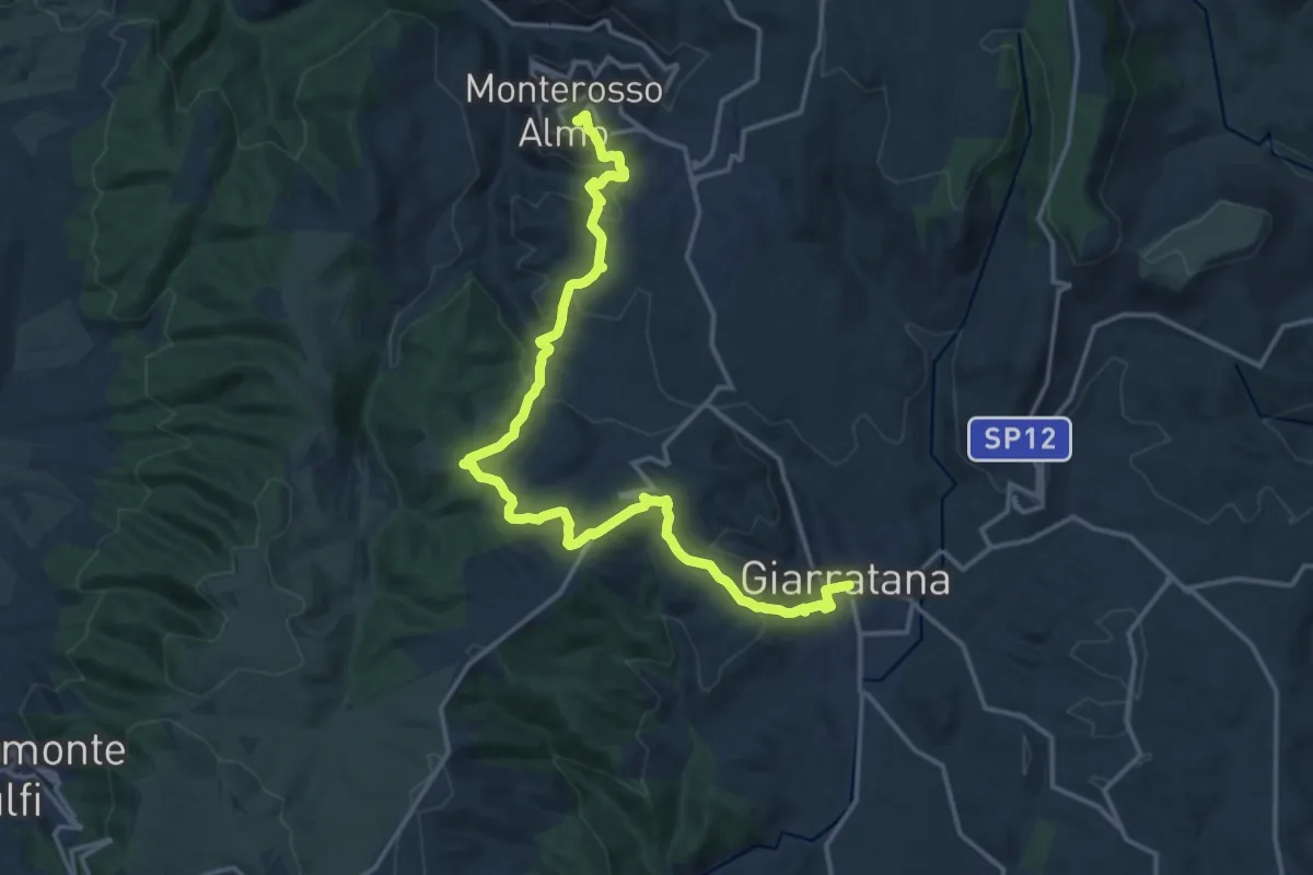
Demanding · Trail
Monterosso Almo – Giarratana
21.2 km · ↑ 717 m · 6 h 33 min
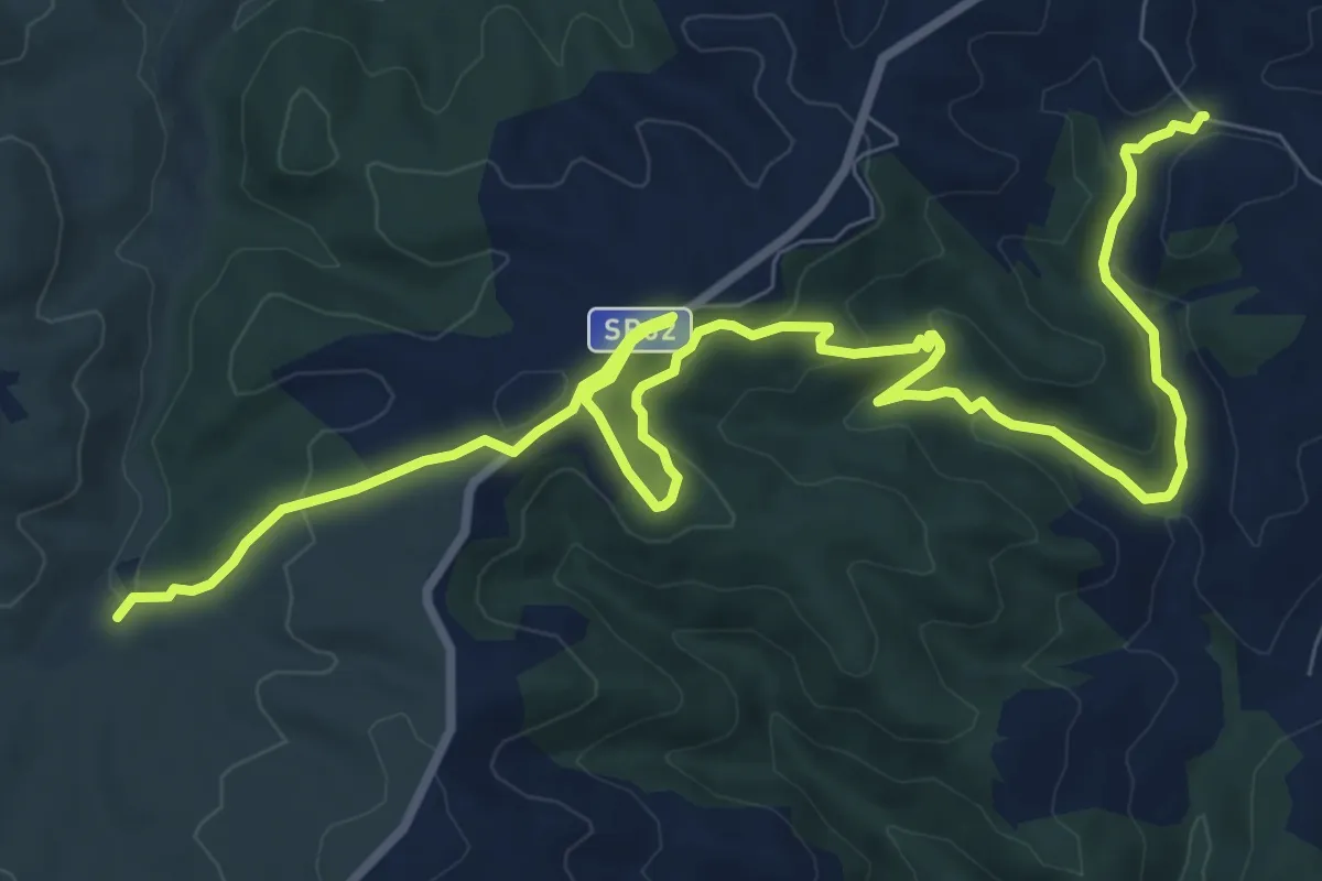
Medium · Trail
Corulla – Strada Comunale Calaforno
14.4 km · ↑ 470 m · 4 h 25 min
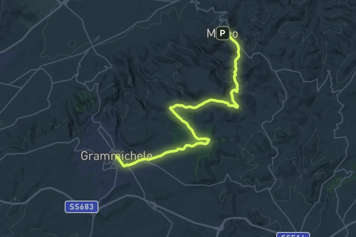
Medium · Trail
Grammichele – Mineo
15.3 km · ↑ 459 m · 4 h 49 min
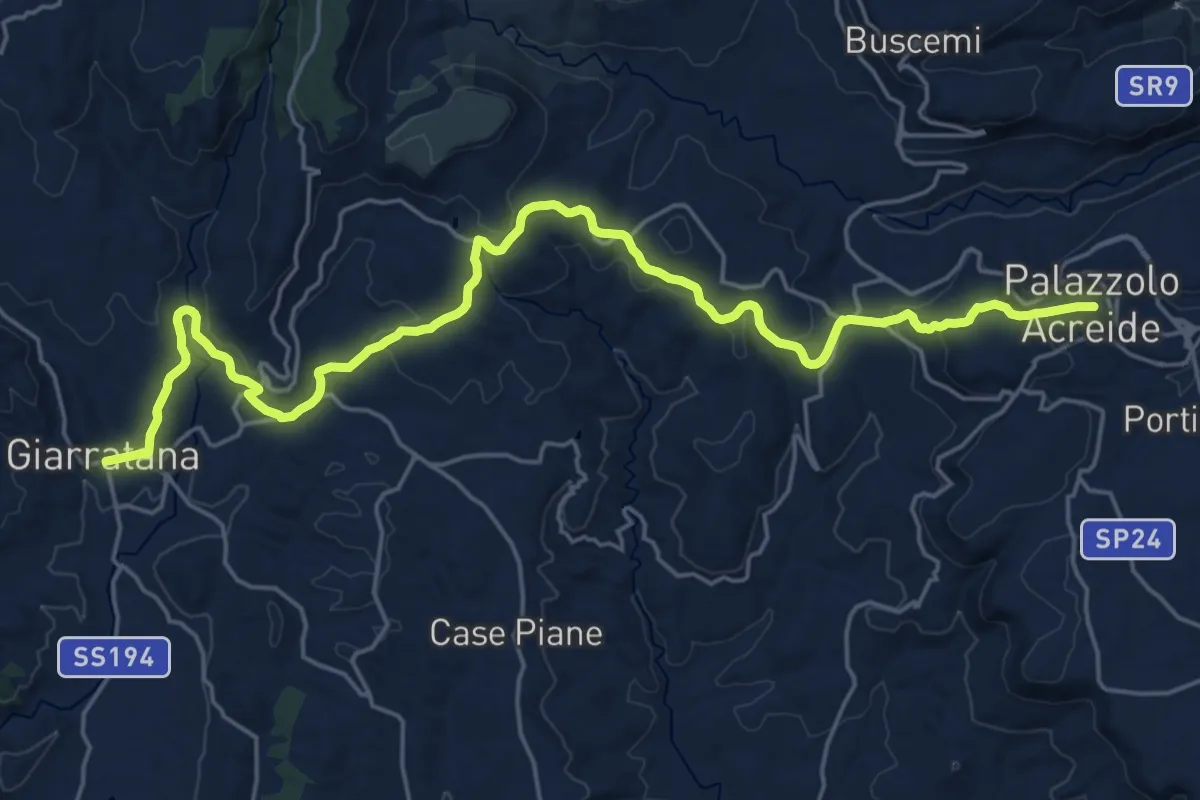
Medium · Trail
Giarratana – Palazzolo Acreide
14.7 km · ↑ 429 m · 4 h 32 min
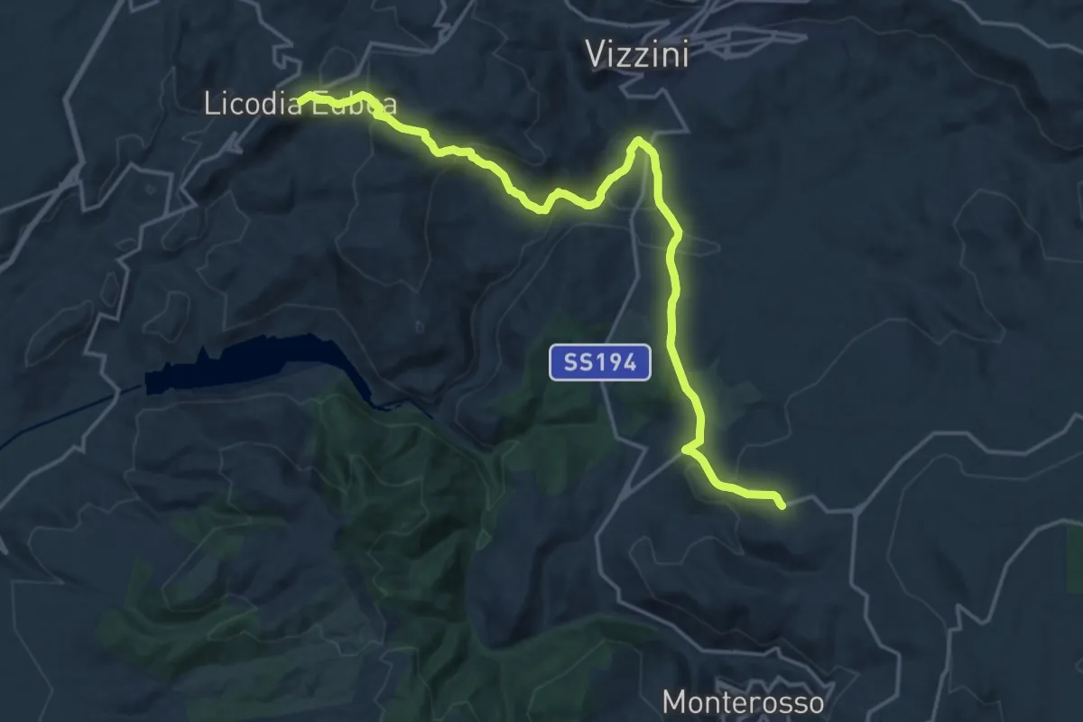
Demanding · Trail
Contrada Alia – Licodia Eubea
22.1 km · ↑ 881 m · 7 h 7 min
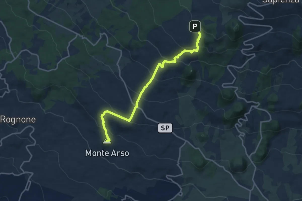
Medium · Summit
Piazza Rocca (Ragalna) – Pista Altomontana (701A)
12.5 km · ↑ 641 m · 4 h 20 min
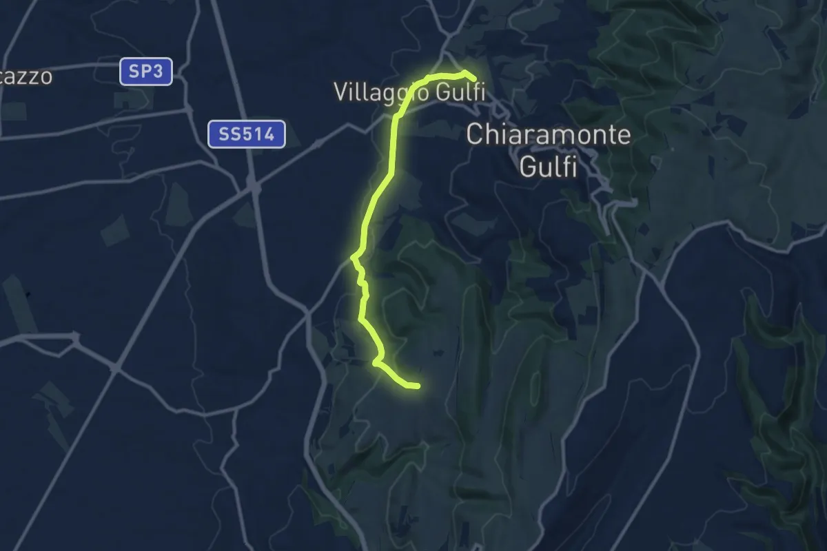
Medium · Trail
C.da S. Marco – Santuario di Gulfi
10.8 km · ↑ 259 m · 3 h 7 min
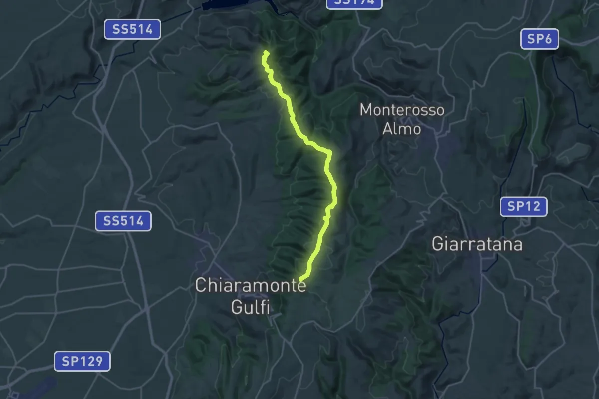
Demanding · Summit
C.da Rizzarello (Percorso 803) – Lago Dirillo
20.4 km · ↑ 568 m · 6 h 3 min
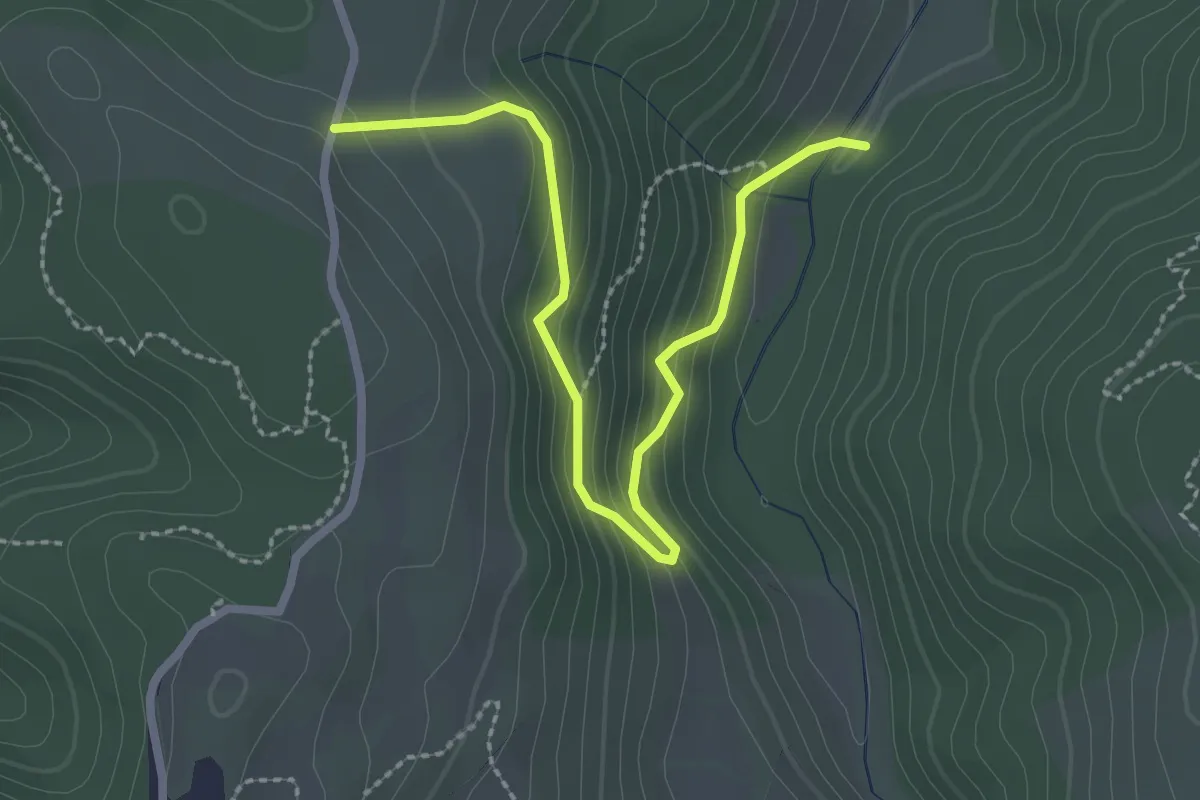
Easy · Trail
C.da Scalona (Percorso 841) – Serra Rossa (Percorso 803)
3.3 km · ↑ 240 m · 1 h 18 min
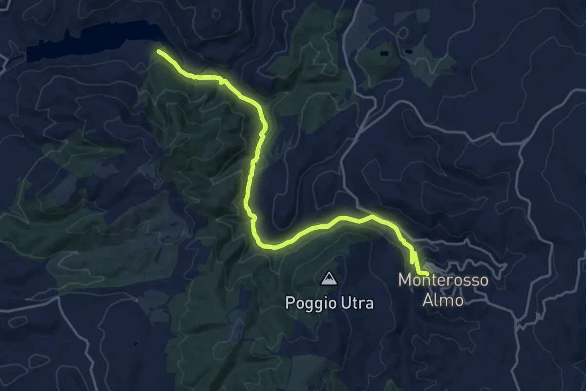
Medium · Trail
Monterosso Almo – Lago Dirillo
17.3 km · ↑ 503 m · 5 h 10 min
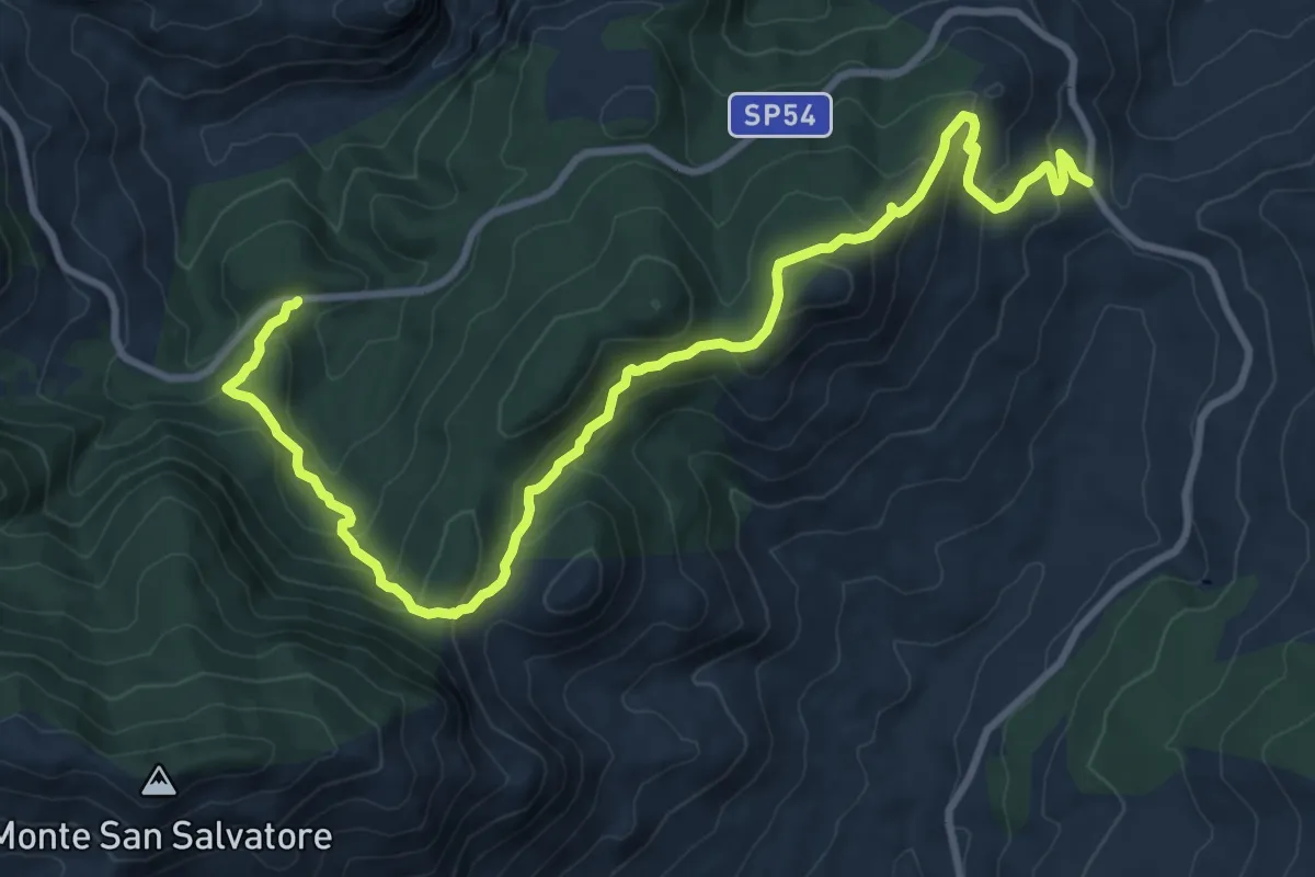
Medium · Trail
passo canali Portella mele poi portella Mandarini – Sp 54
13.4 km · ↑ 724 m · 4 h 44 min
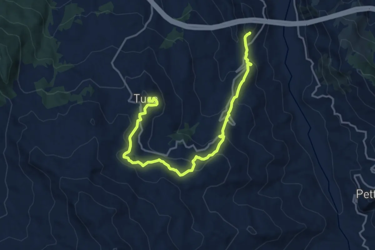
Medium · Trail
Tusa – Scavi di Halesa
14.6 km · ↑ 638 m · 4 h 50 min
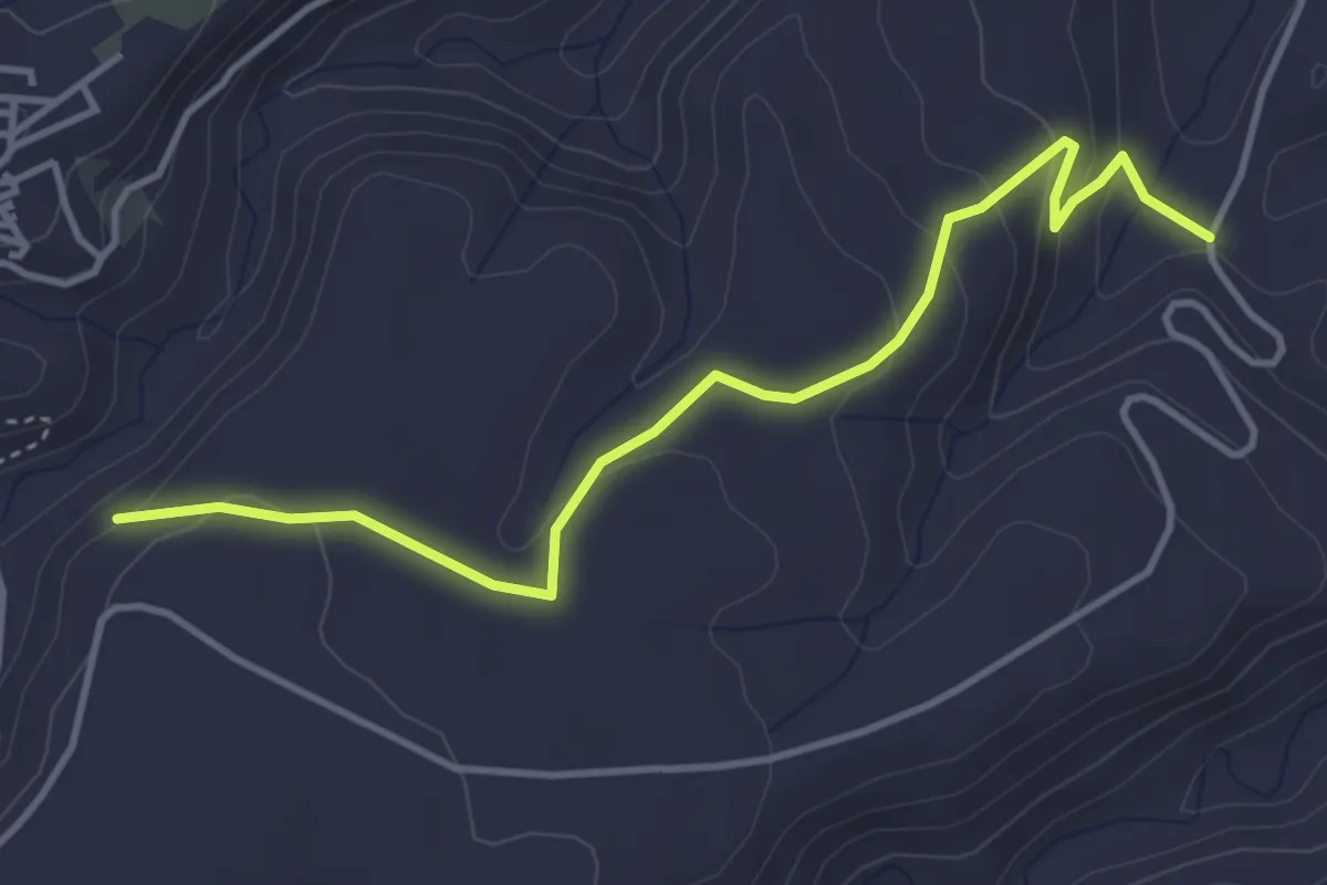
Easy · Trail
Grotte Sante Barbara – Case Magnini
4.9 km · ↑ 187 m · 1 h 34 min
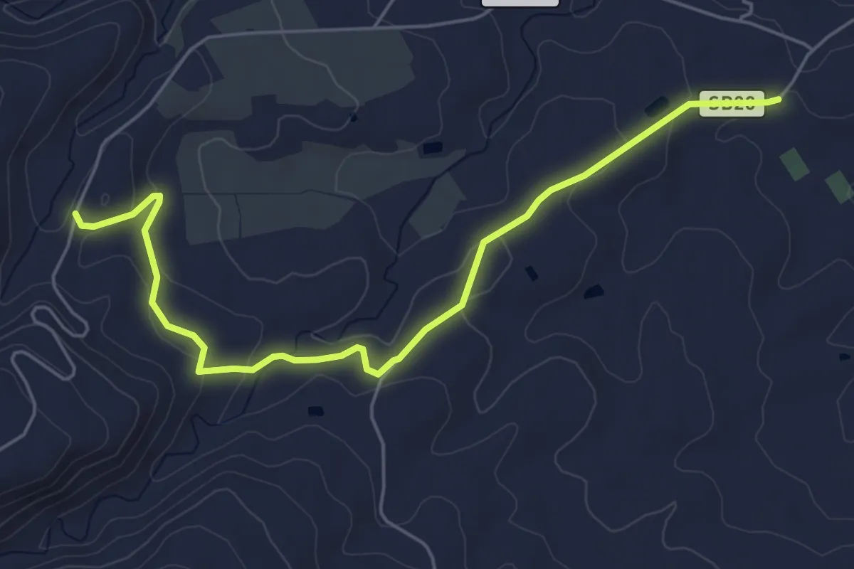
Easy · Trail
Case Magnini – Tenuta Ambelia
6.9 km · ↑ 141 m · 1 h 56 min
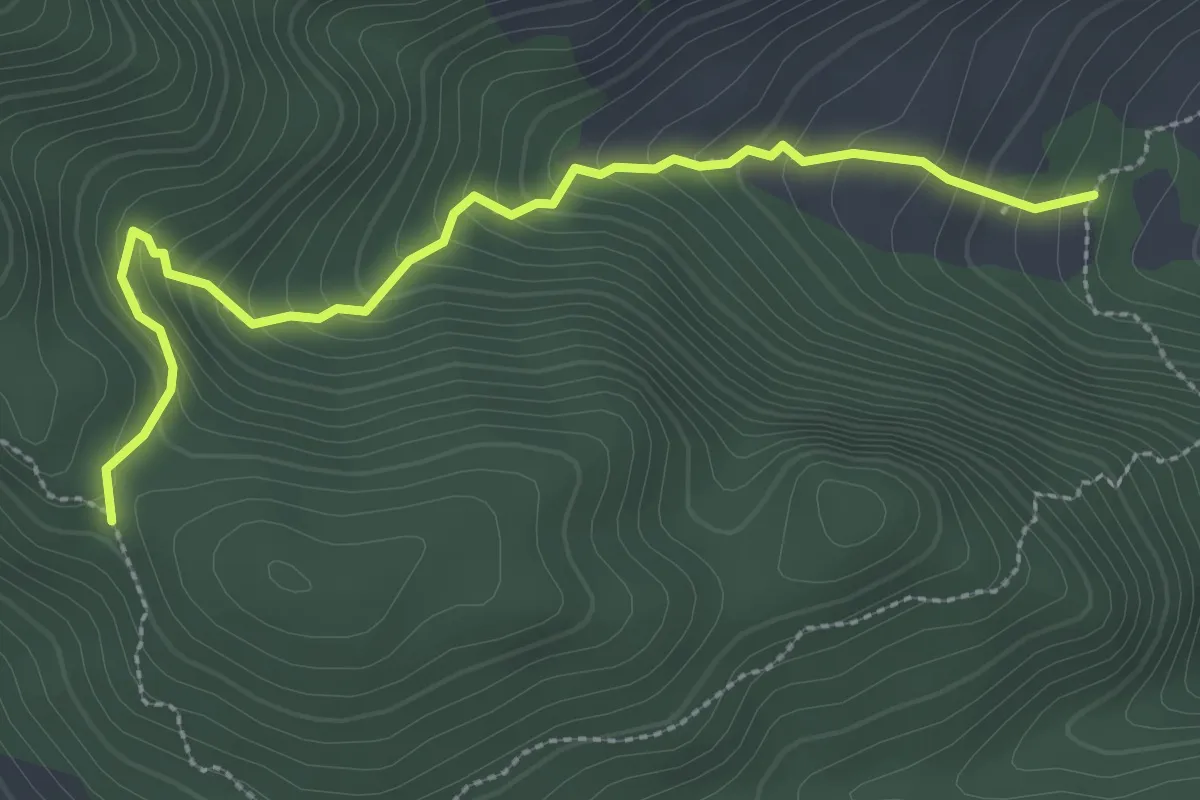
Easy · Trail
Vallone Fra Paolo – Contrada Inforcatore
3.5 km · ↑ 280 m · 1 h 26 min
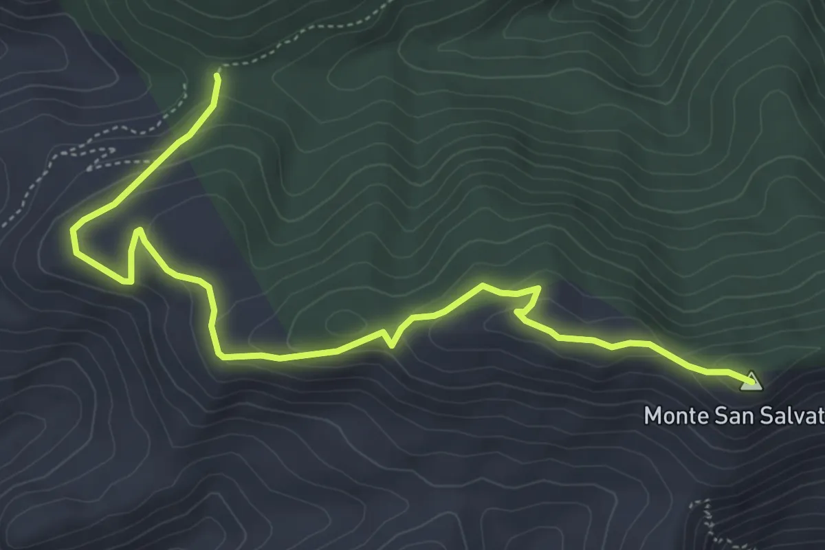
Easy · Summit
Sentiero Italia – Sentiero 588 Quacella
6.9 km · ↑ 282 m · 2 h 15 min
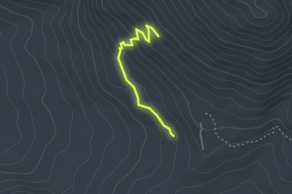
Easy · Trail
Portella Fatuzza – Contrada Subarelle
2.5 km · ↑ 163 m · 57 min
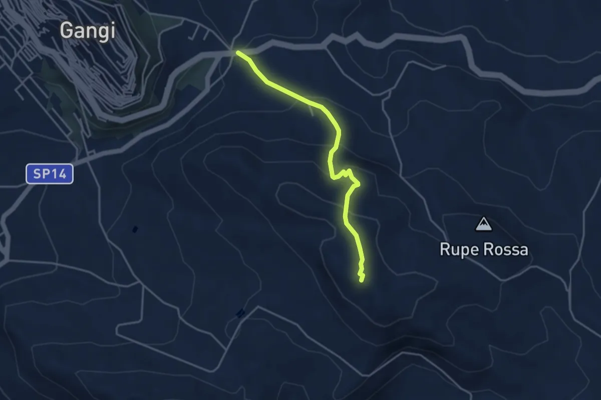
Easy · Trail
Gangi (SS 120) – Balza di Pezzalunga (Monte San Calogero Gangi)
3.9 km · ↑ 254 m · 1 h 28 min
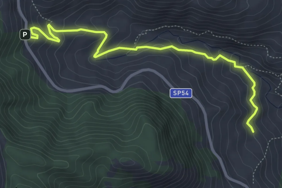
Medium · Trail
Piano Battaglia – Petralia Sottana
7.0 km · ↑ 454 m · 2 h 38 min
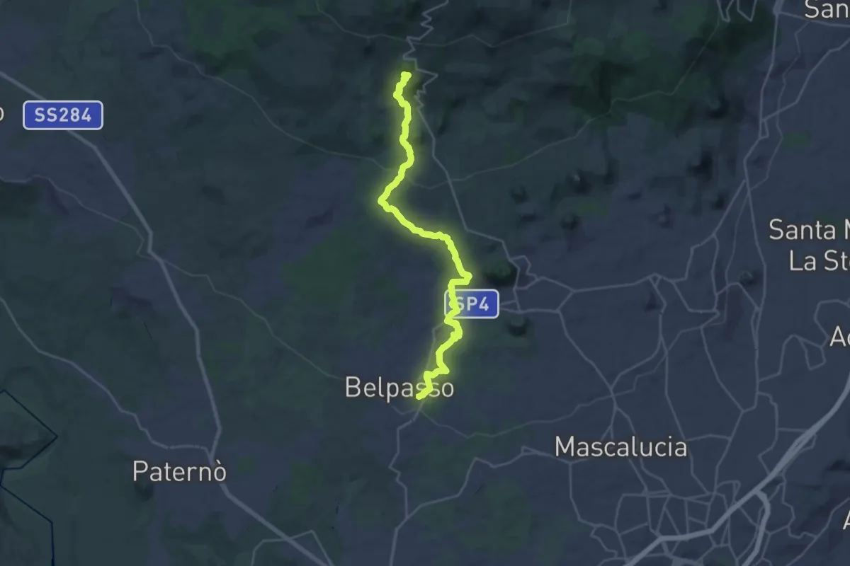
Demanding · Cabin
Belpasso – Rifugio di Monte Manfrè
14.4 km · ↑ 836 m · 5 h 1 min
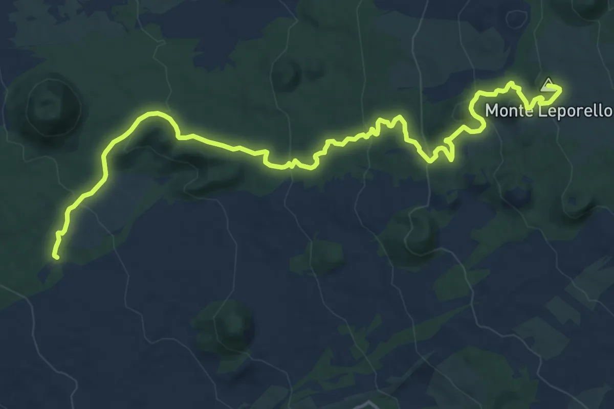
Demanding · Summit
Case Bosco Prato Fiorito – Rifugio Poggio la Caccia
18.9 km · ↑ 707 m · 5 h 59 min
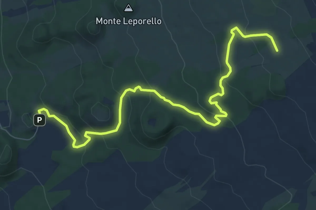
Medium · Cabin
Piano Fiera – Rifugio della Galvarina
10.3 km · ↑ 378 m · 3 h 15 min
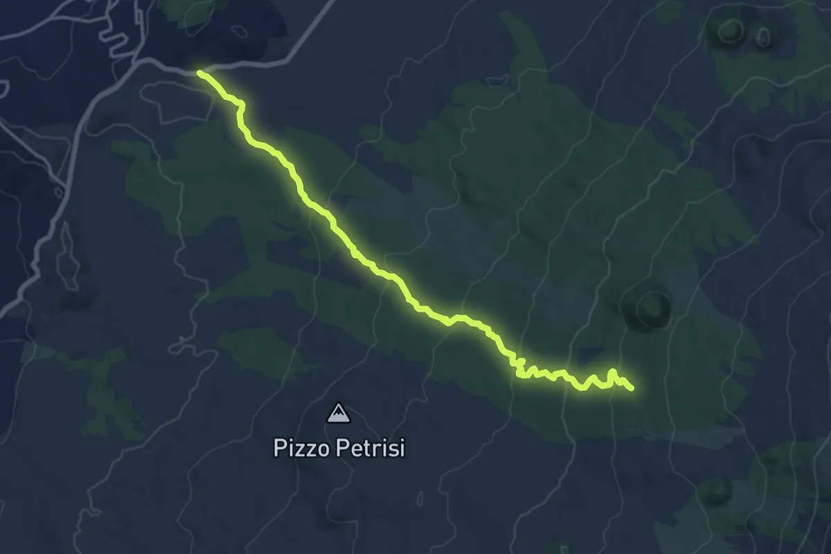
Medium · Trail
Strada Statale Occidentale Etnea – Pista Altomontana 701
17.3 km · ↑ 635 m · 5 h 28 min
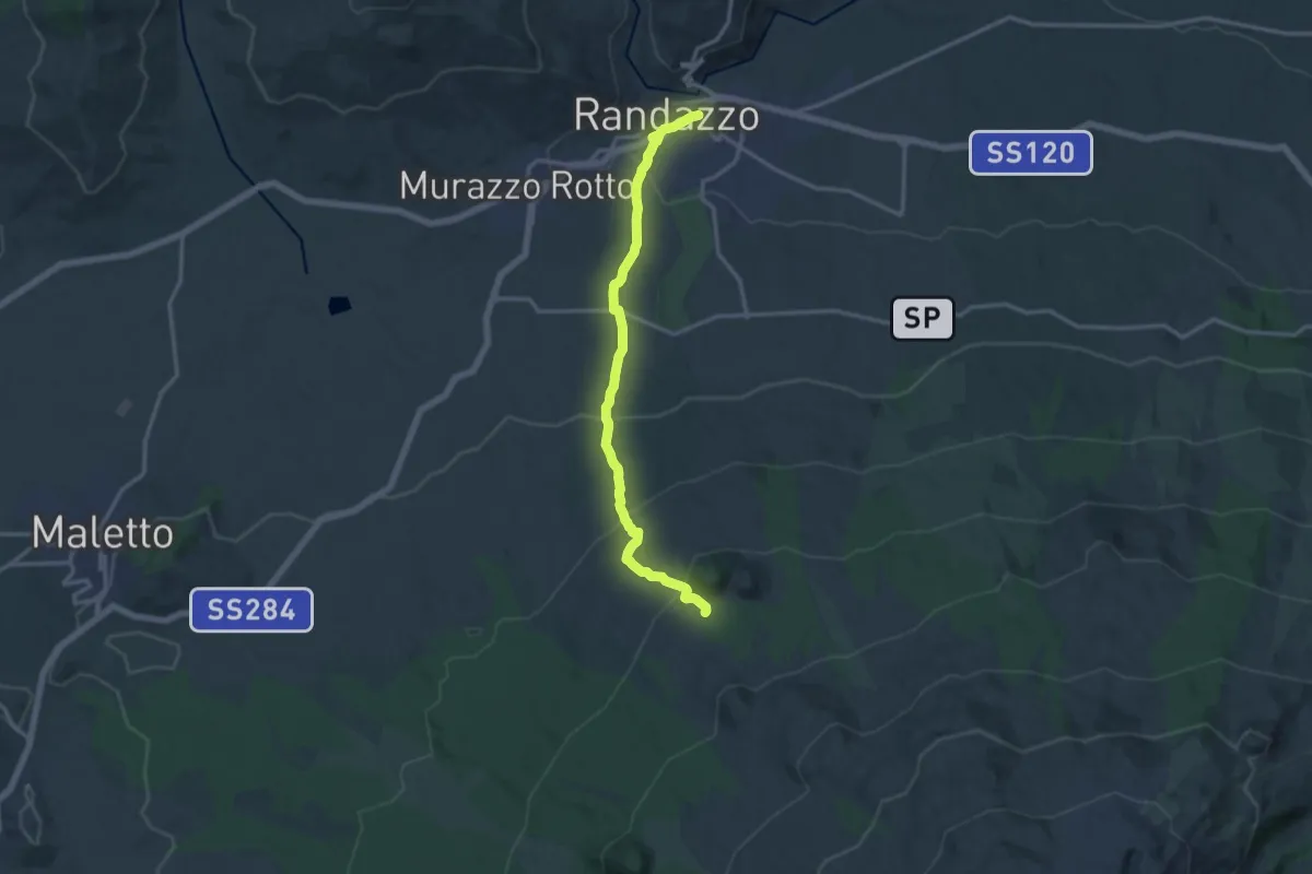
Medium · Trail
Randazzo – Monte Spagnolo
15.7 km · ↑ 700 m · 5 h 13 min
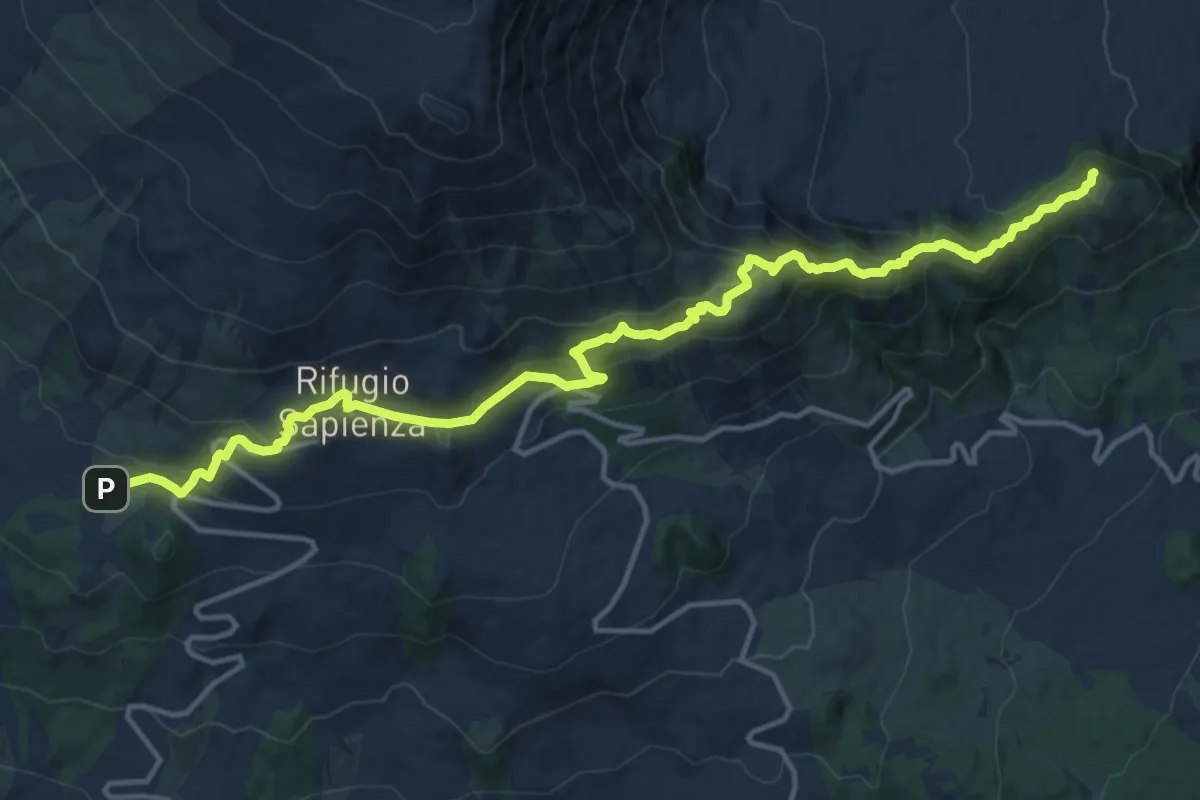
Demanding · Summit
Piano Vetore – Piano dell'Acqua
18.6 km · ↑ 1011 m · 6 h 35 min
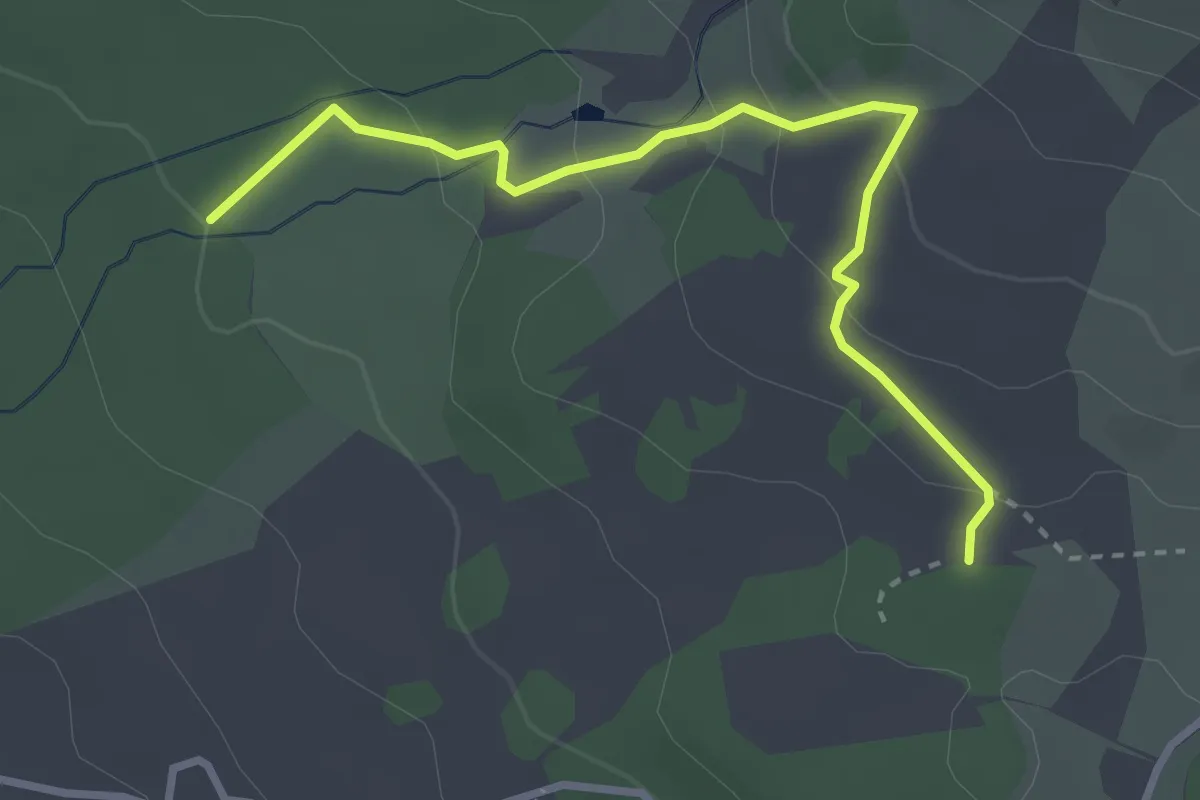
Easy · Trail
Piano Vetore – Nuova Gussonea
3.7 km · ↑ 156 m · 1 h 13 min
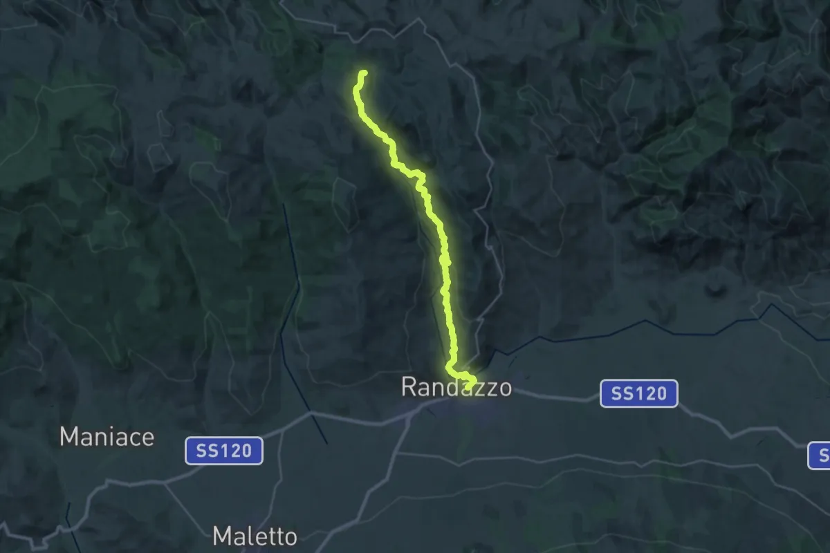
Demanding · Summit
Randazzo – Floresta
30.3 km · ↑ 975 m · 9 h 17 min
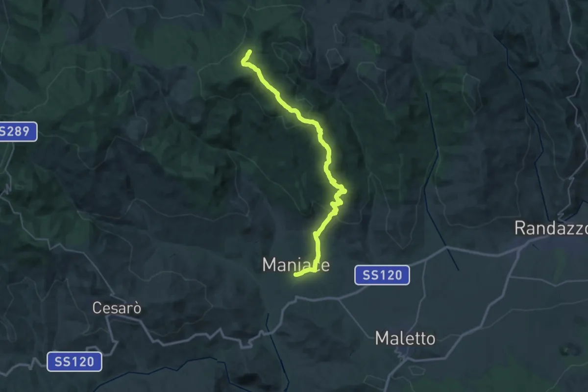
Demanding · Trail
Maniace-Fondaco – Sorgente di Favotorto
16.3 km · ↑ 1046 m · 5 h 53 min
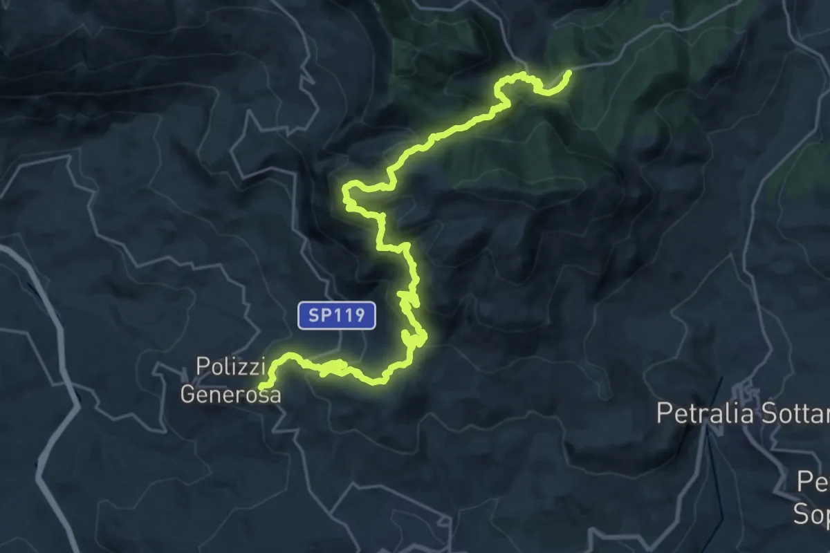
Demanding · Trail
Polizzi Generosa – Pomieri
16.2 km · ↑ 1193 m · 6 h 25 min
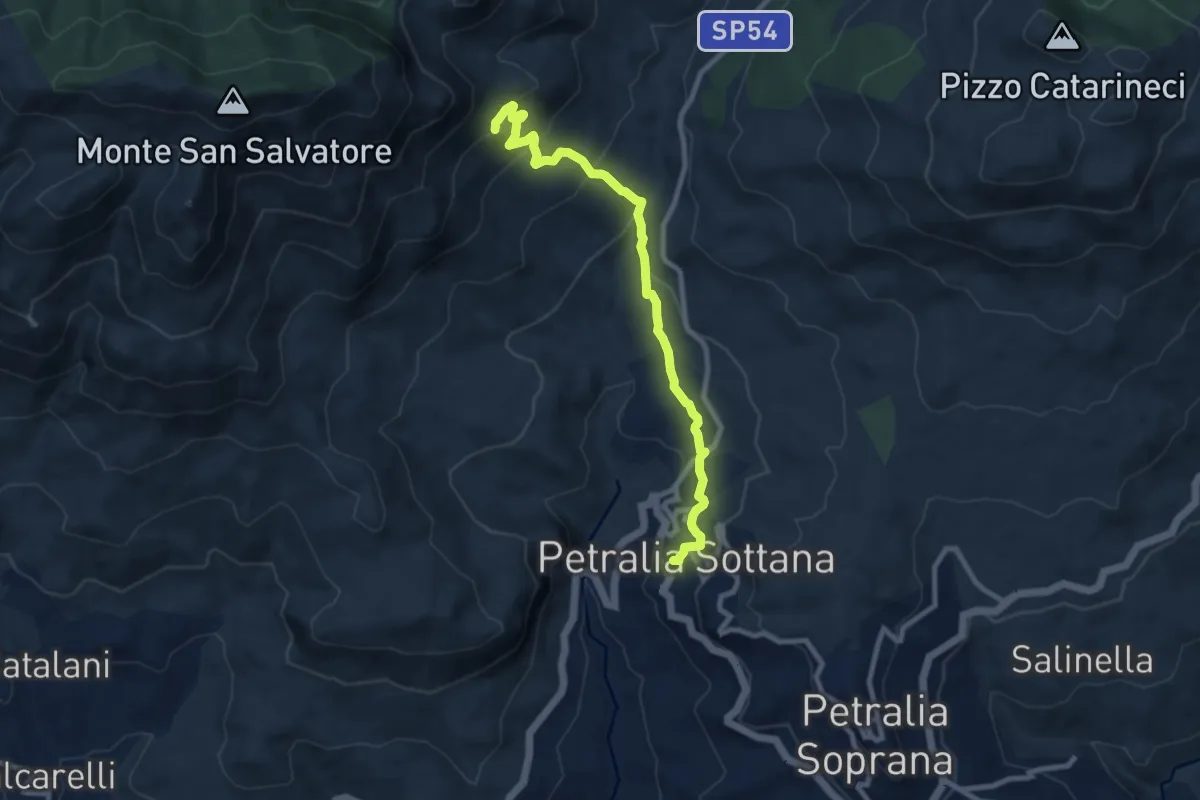
Medium · Summit
Piano Battaglia – Petralia Sottana
10.5 km · ↑ 477 m · 3 h 30 min
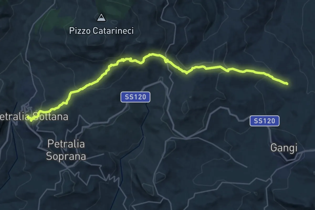
Medium · Trail
Petralia Sottana – Contrada Raino'
13.0 km · ↑ 429 m · 4 h 17 min
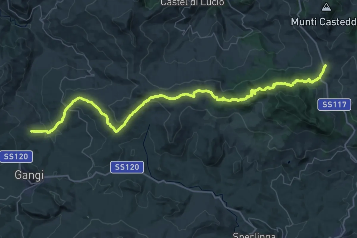
Demanding · Trail
Contrada Raino' – Sella del Contrasto
23.1 km · ↑ 950 m · 7 h 38 min
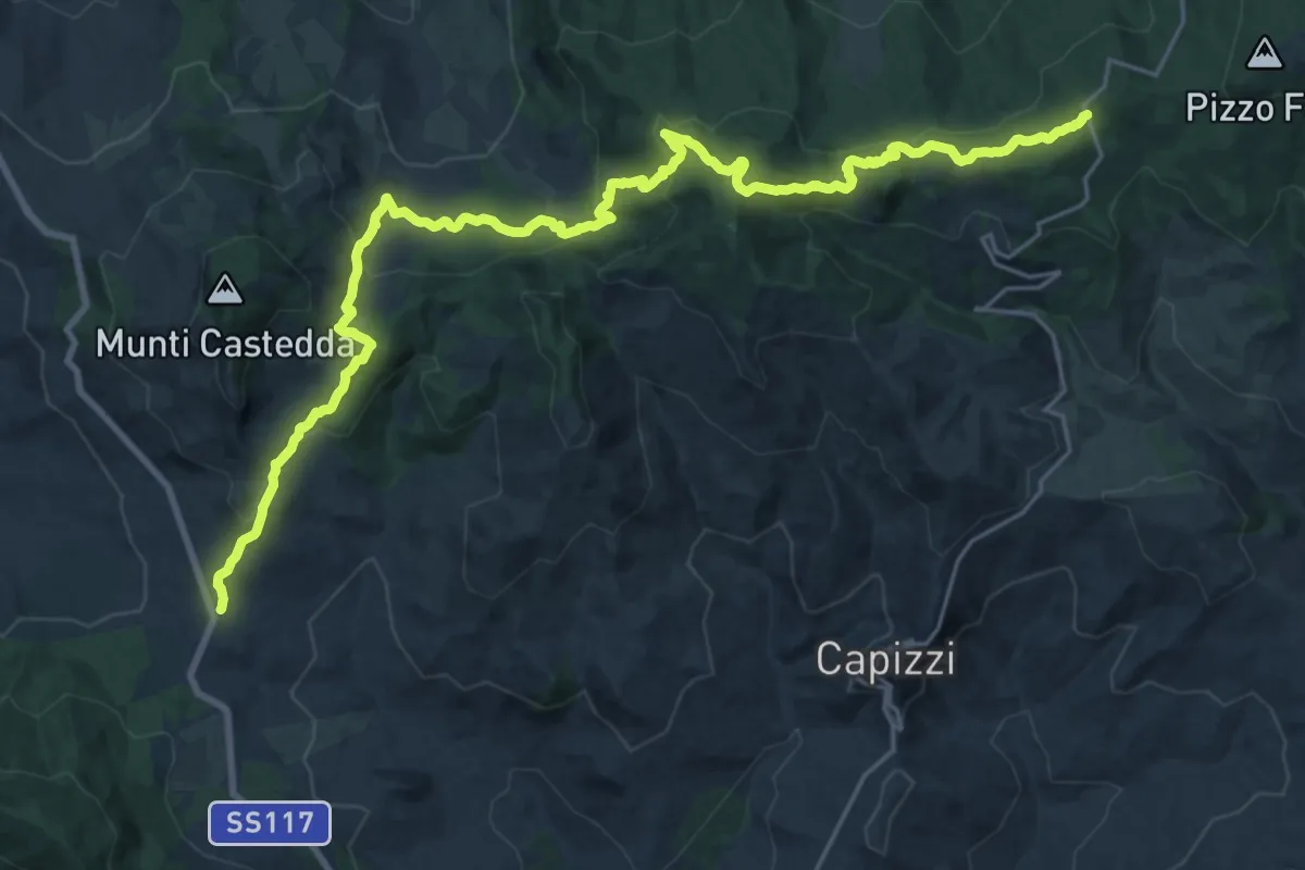
Demanding · Trail
Sella Contrasto – Portella dell'Obolo
16.1 km · ↑ 891 m · 5 h 46 min
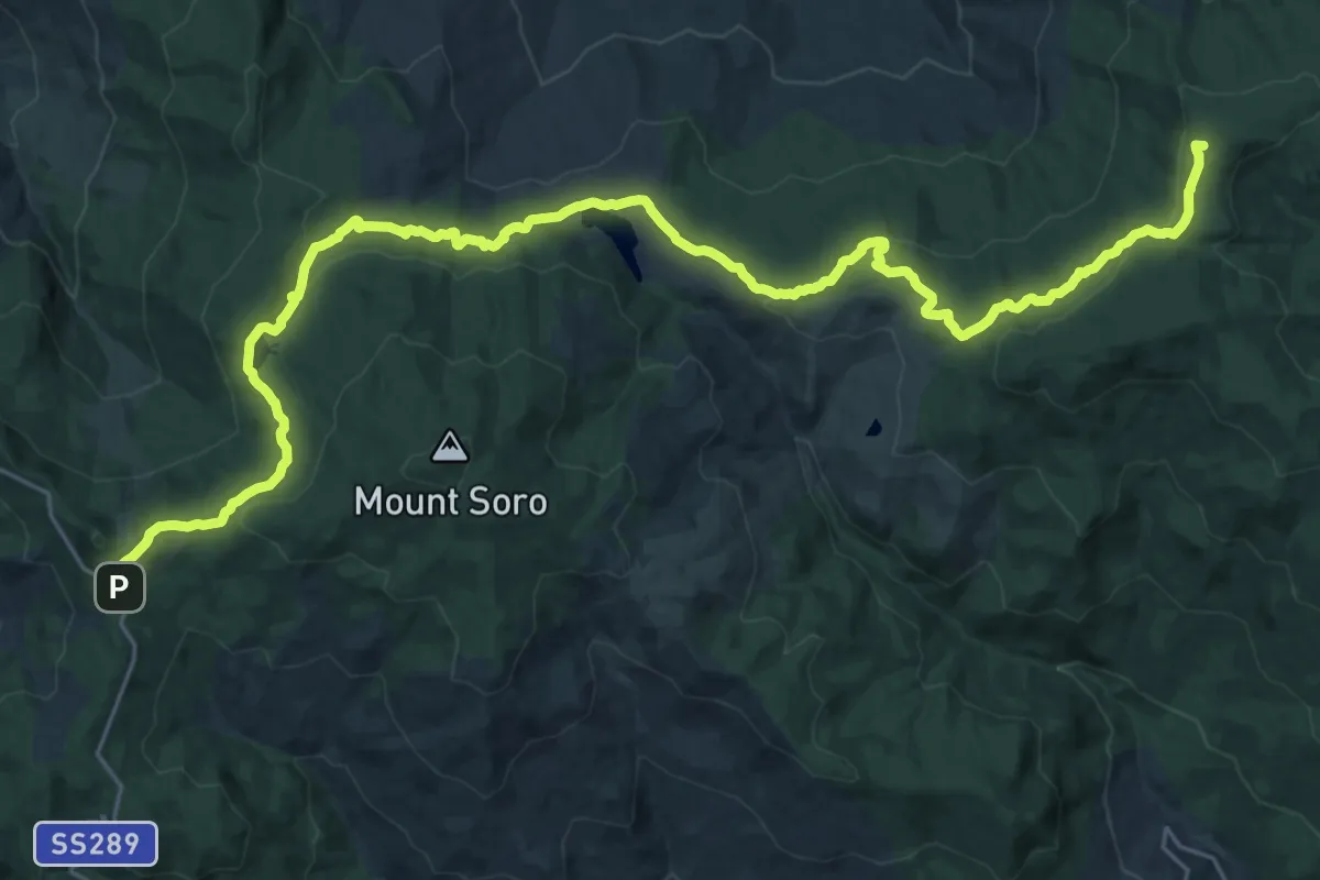
Demanding · Summit
Portella Femmina Morta – Casa Cartolari Liperni
37.2 km · ↑ 987 m · 10 h 55 min
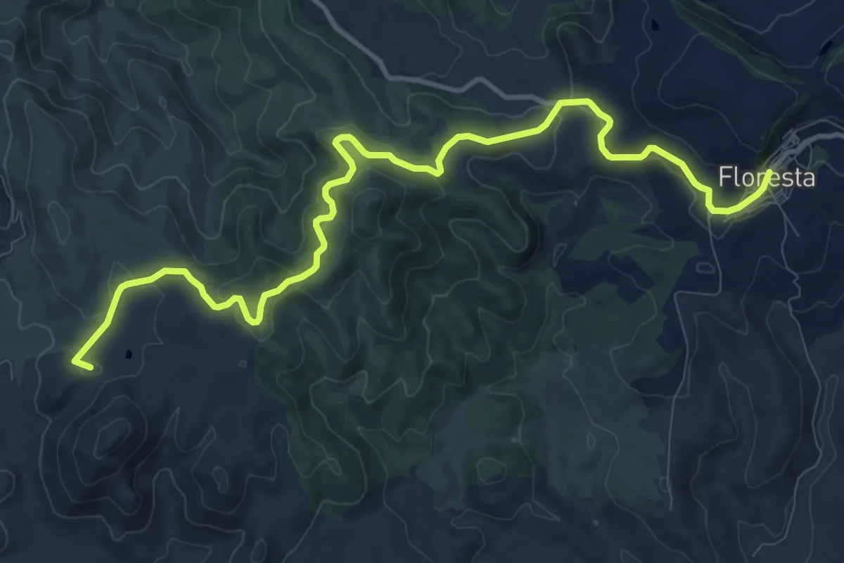
Medium · Summit
Casa Cartolari Liperni – Floresta
14.4 km · ↑ 406 m · 4 h 16 min
Demanding · Summit
Portella dell'Obolo – Portella Femmina Morta
36.4 km · ↑ 1029 m · 10 h 50 min
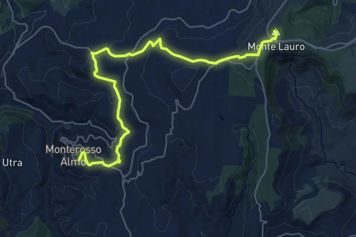
Demanding · Summit
Buccheri – Monterosso Almo
21.6 km · ↑ 633 m · 6 h 28 min
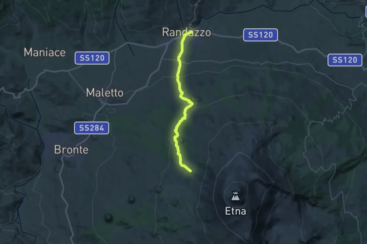
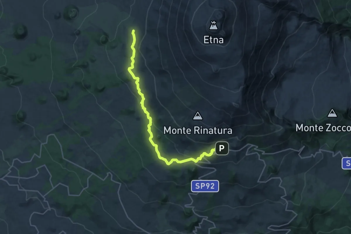
Demanding · Cabin
Randazzo – Bivacco Forestale di Monte Scavo
15.3 km · ↑ 1003 m · 5 h 32 min
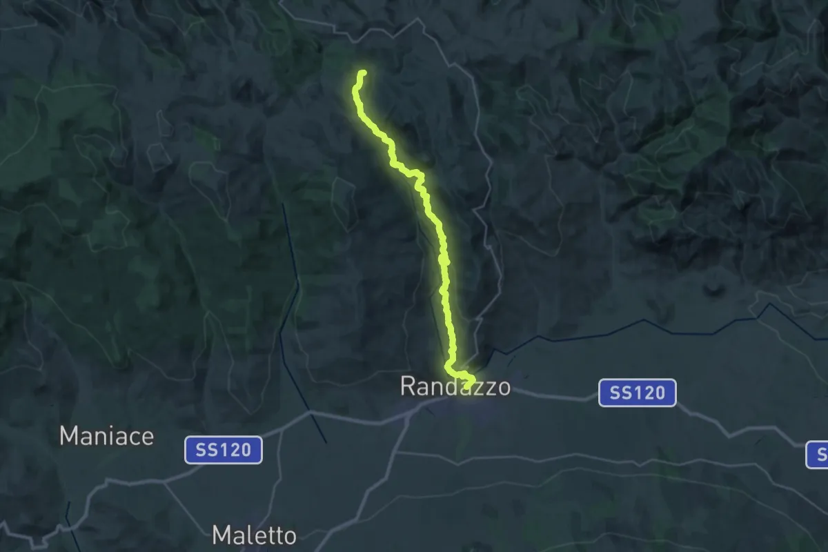
Demanding · Summit
Bivacco Forestale di Monte Scavo – Rifugio CAI Giovannino Sapienza
21.8 km · ↑ 600 m · 6 h 27 min
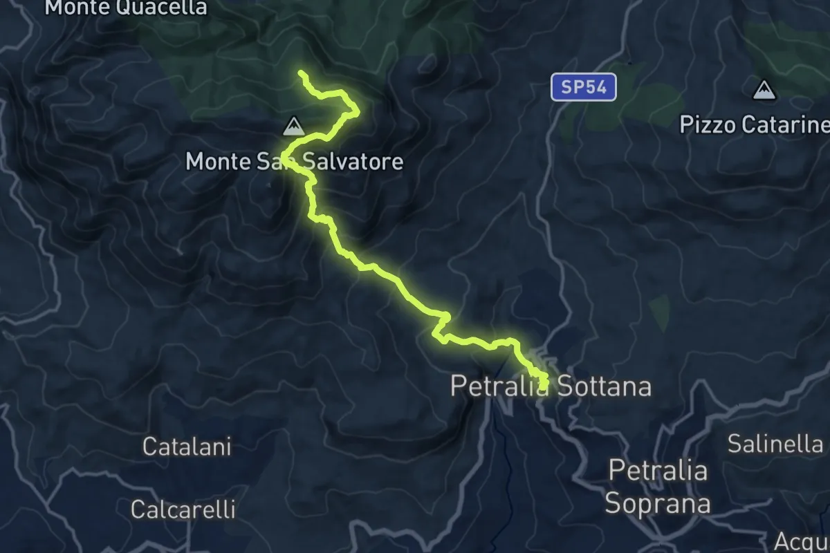
Demanding · Summit
Floresta – Randazzo
30.3 km · ↑ 975 m · 9 h 17 min
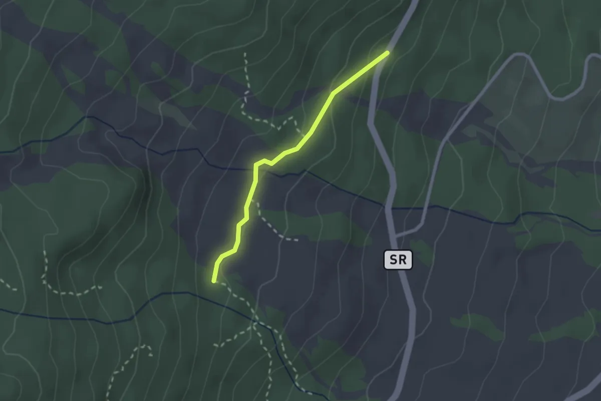
Demanding · Summit
Piano Battaglia – Petralia Sottana
17.5 km · ↑ 1309 m · 6 h 59 min
Easy · Cabin
Mareneve di Fornazzo – Case Paternò
2.2 km · ↑ 60 m · 39 min
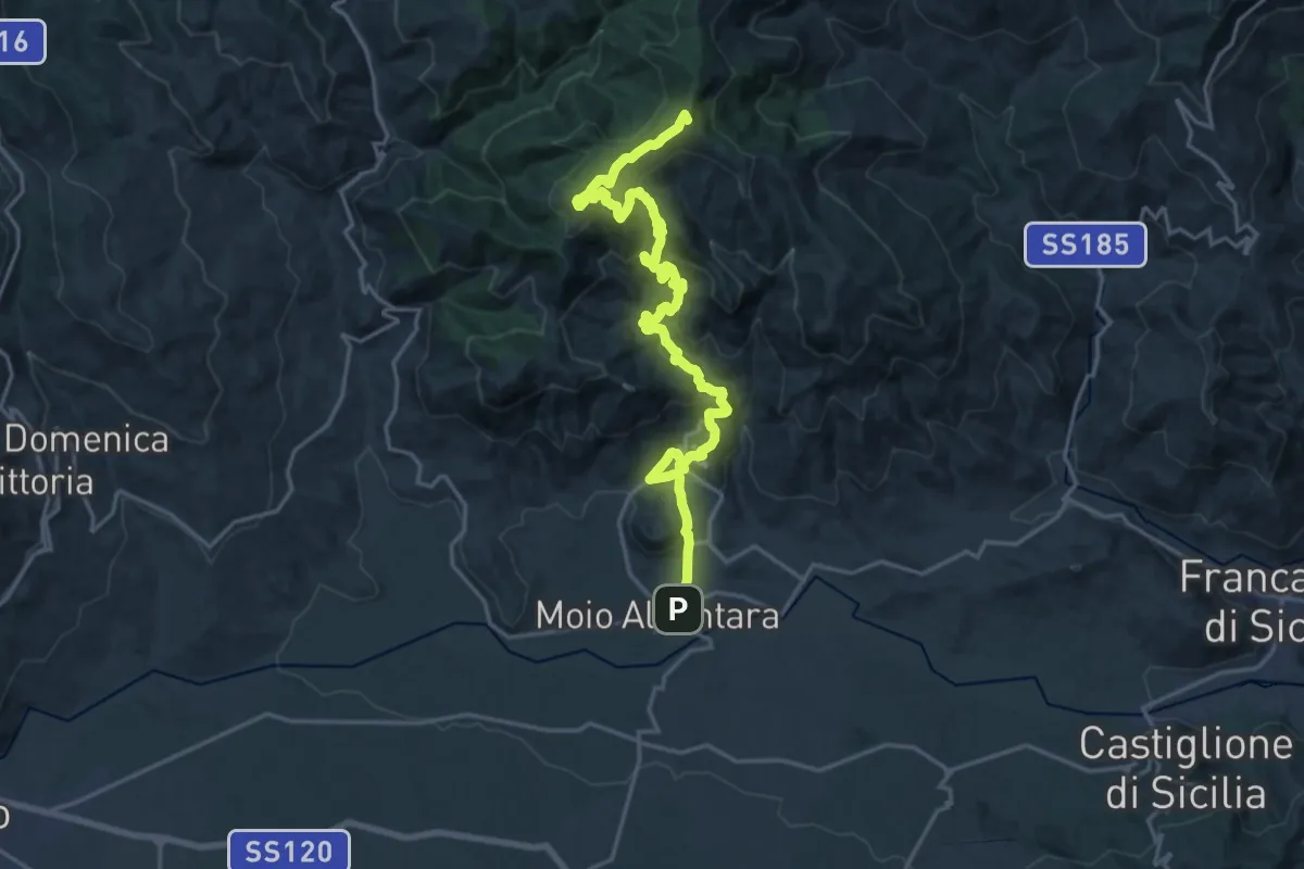
Demanding · Summit
Moio Alcantara – Contrada Fradaro
25.1 km · ↑ 1389 m · 8 h 56 min
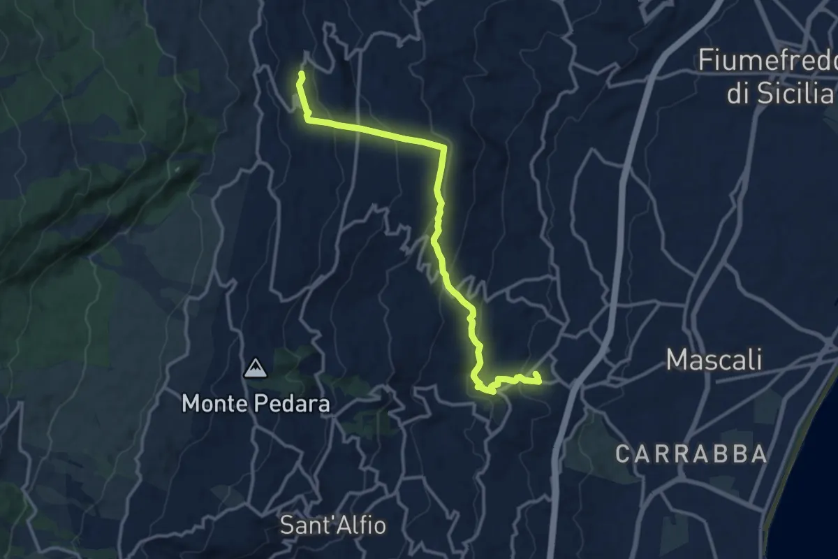
Medium · Trail
Nunziata – Presa
13.7 km · ↑ 637 m · 4 h 37 min
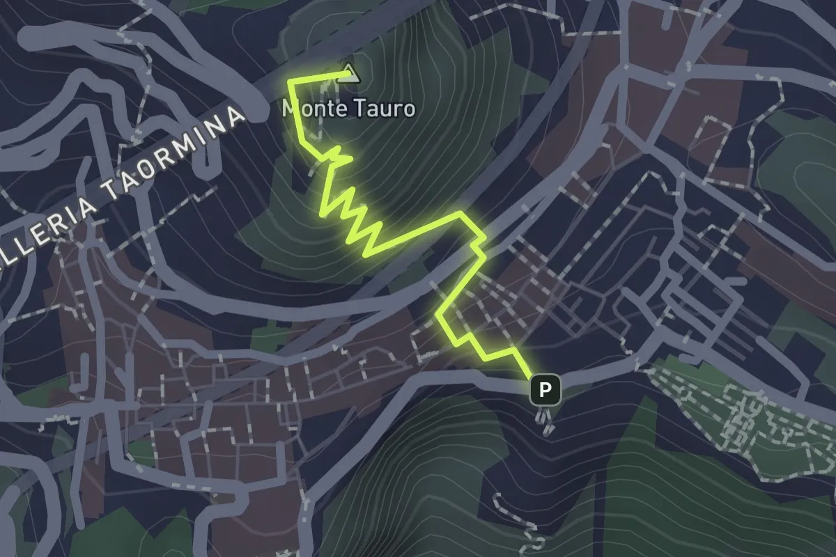
Easy · Summit
Taormina – Castelmola
2.0 km · ↑ 183 m · 52 min
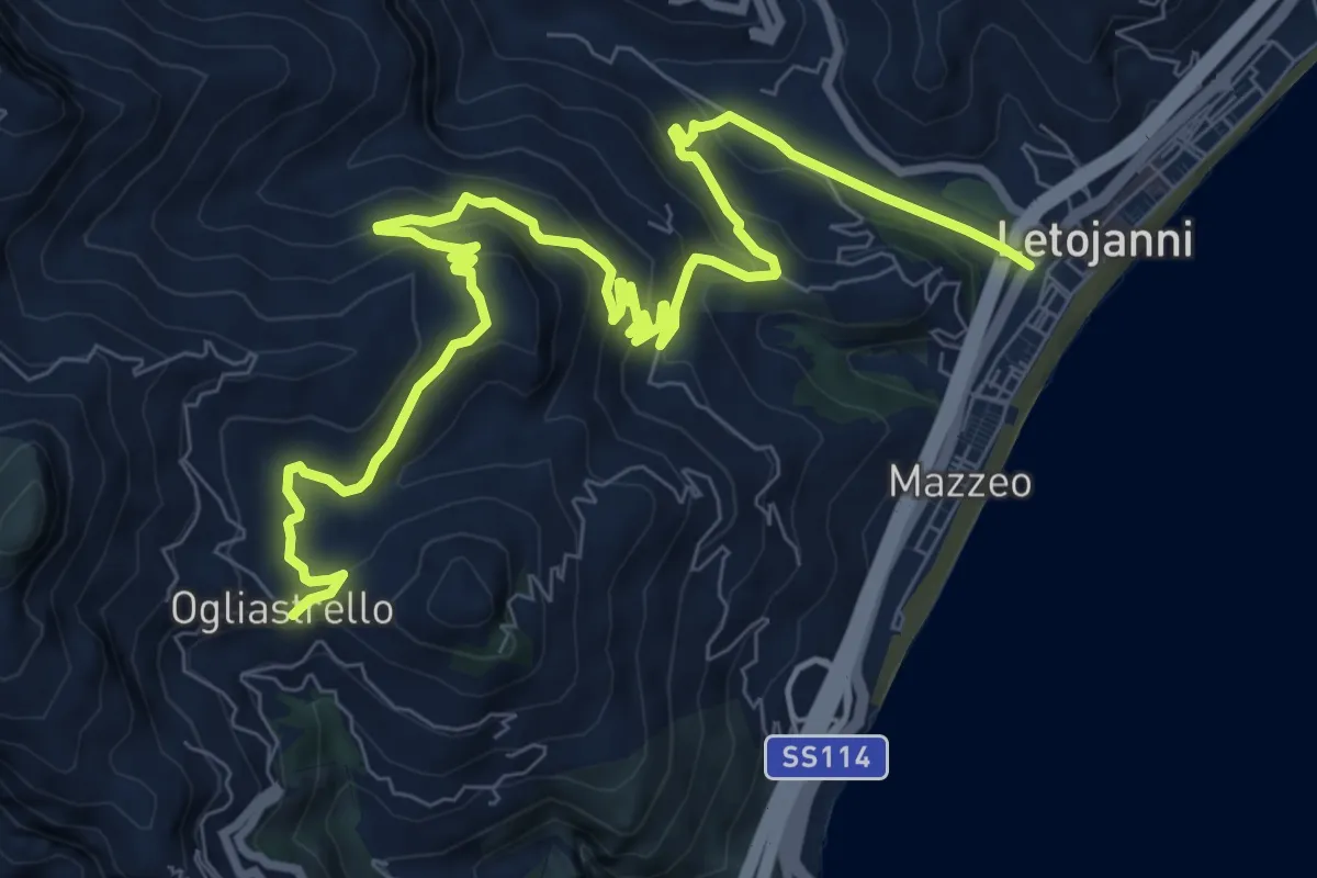
Medium · Trail
Ogliastrello – Letojanni
13.4 km · ↑ 768 m · 4 h 50 min