Trails in Italy
25,219 hiking trails, each with its route, climb, walking time and grade.
All trails, page 242 of 526
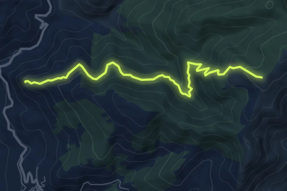
Medium · Summit
Roccella Valdemone – Sentiero 202 - S I
7.8 km · ↑ 510 m · 2 h 57 min
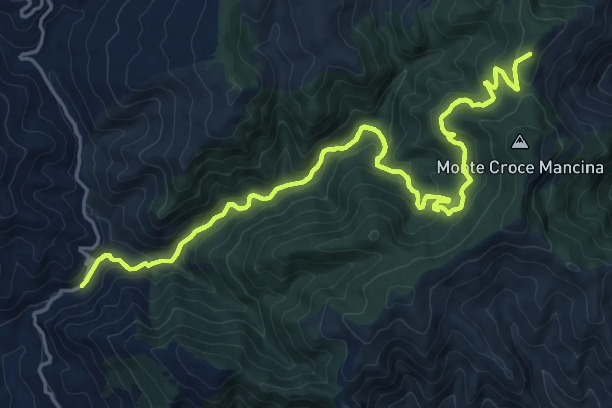
Medium · Summit
Torrente Licopeti – Monte Cerreto - SI
15.7 km · ↑ 734 m · 5 h 18 min
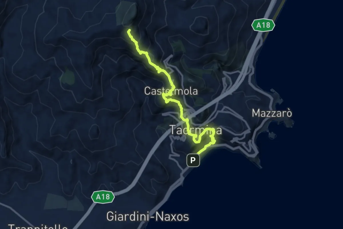
Demanding · Summit
Taormina Stazione FF.SS. – Gallodoro
11.4 km · ↑ 965 m · 4 h 47 min
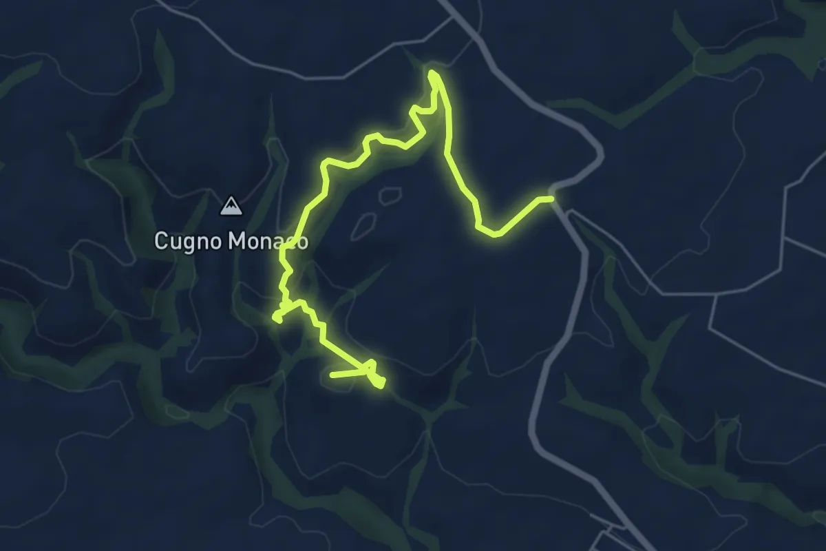
Medium · Summit
Sant'Alfano – Case vecchie
7.1 km · ↑ 224 m · 2 h 9 min
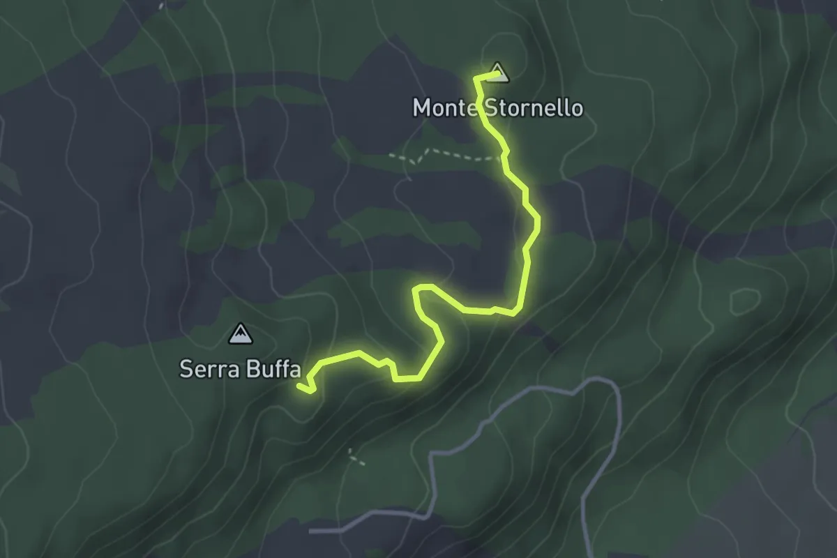
Easy · Summit
Case Bevacqua – Piazzale Serra Buffa
3.5 km · ↑ 128 m · 1 h 7 min
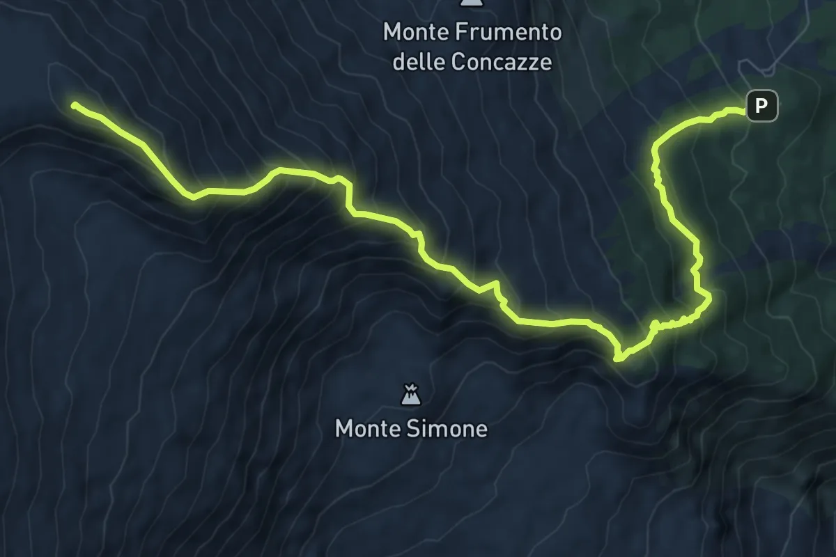
Demanding · Summit
Rifugio Citelli (Serracozzo) – Pizzi Deneri
11.9 km · ↑ 1115 m · 5 h 14 min
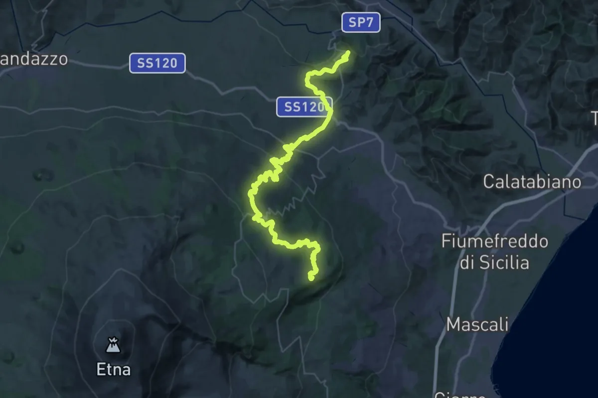
Demanding · Summit
Case Pietracannone – Castiglione di Sicilia
52.1 km · ↑ 1466 m · 15 h 29 min
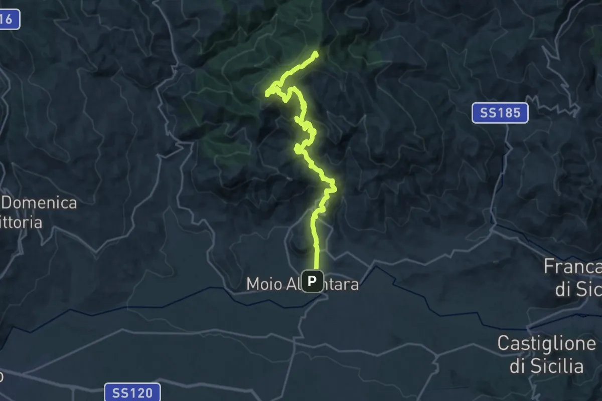
Demanding · Summit
Mojo Alcantara – Contrada Fradaro (Innesto Sentiero Italia)
23.0 km · ↑ 1352 m · 8 h 22 min
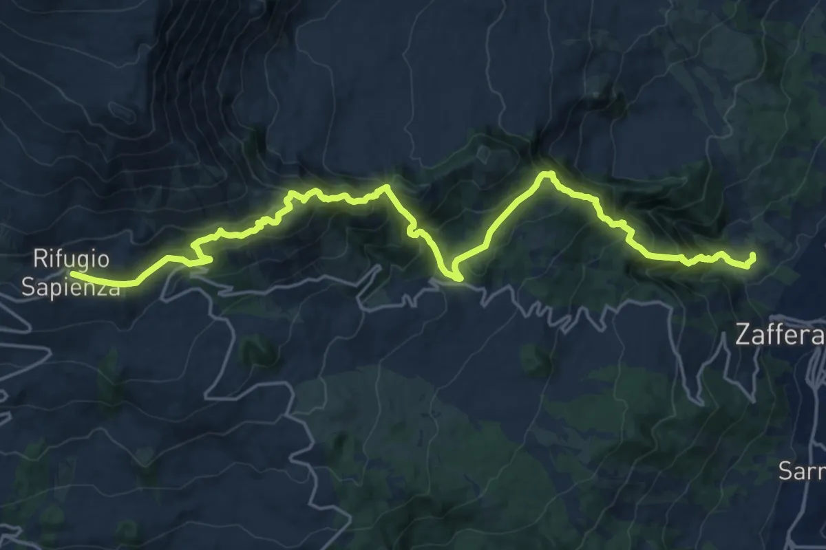
Demanding · Trail
Rifugio CAI Giovannino Sapienza – Zafferana Etnea frazione Ballo
12.6 km · ↑ 1548 m · 5 h 55 min
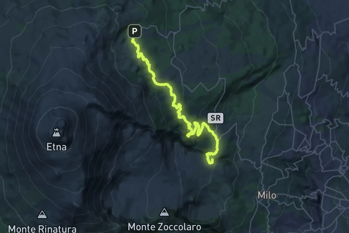
Demanding · Summit
Zafferana Etnea frazione Ballo – Piano Provenzana
30.6 km · ↑ 1152 m · 9 h 43 min
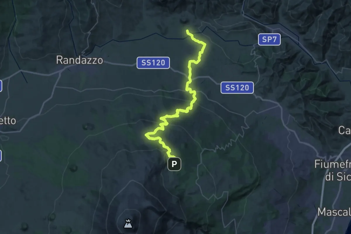
Demanding · Trail
Piano Provenzana – Moio Alcantara
22.8 km · ↑ 208 m · 6 h 47 min
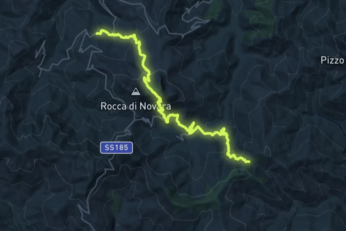
Demanding · Trail
Novara di Sicilia – Bivio Colla Bassa
13.7 km · ↑ 993 m · 5 h 25 min
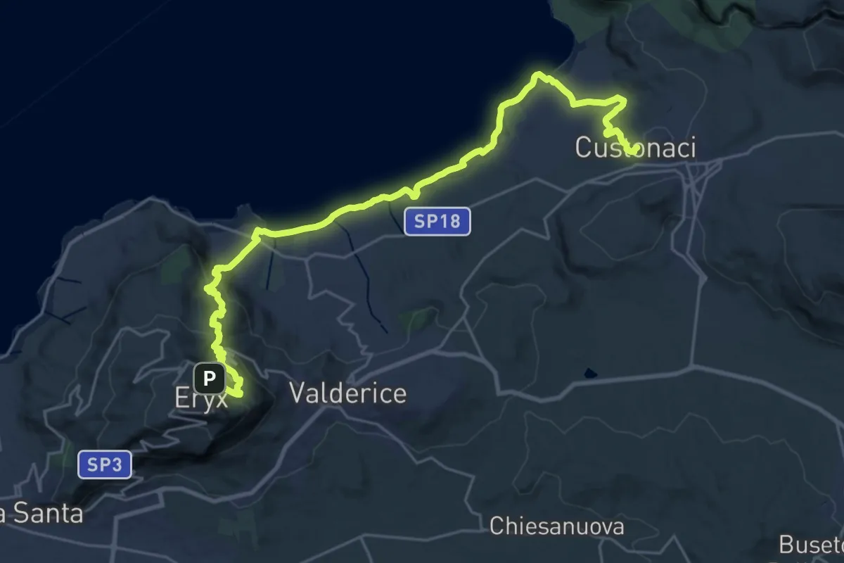
Medium · Trail
Erice – Custonaci
15.7 km · ↑ 287 m · 4 h 49 min
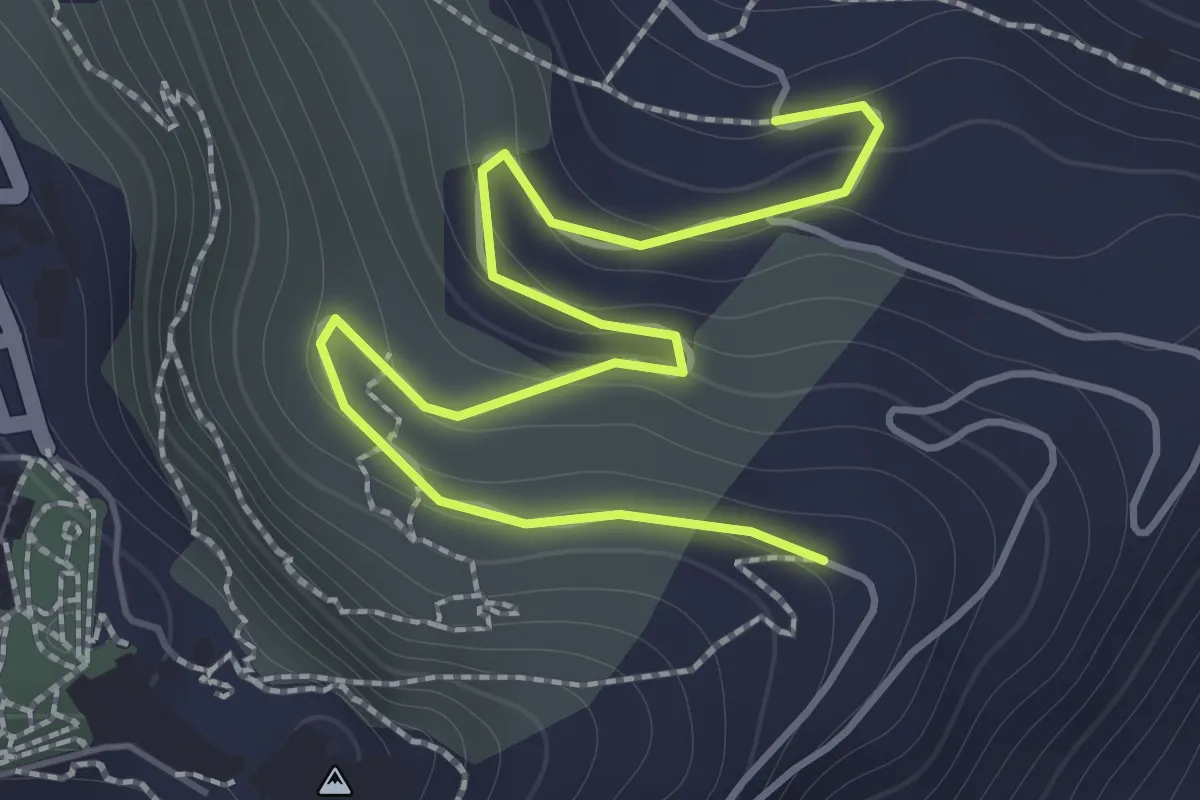
Easy · Trail
Castello di Venere – Chiesa di Santa Maddalena
2.3 km · ↑ 100 m · 45 min
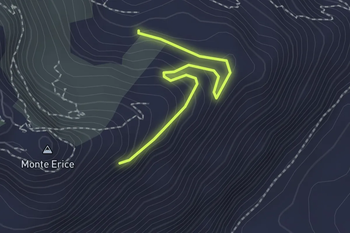
Easy · Trail
Castello di Venere – Chiesa di Santa Maddalena
2.1 km · ↑ 129 m · 47 min
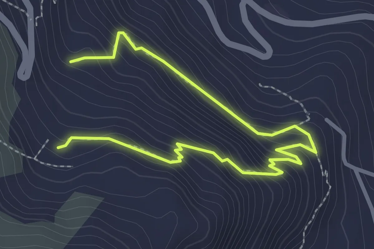
Medium · Trail
Caposcale – Chiesa di Santa Maddalena
3.7 km · ↑ 280 m · 1 h 29 min
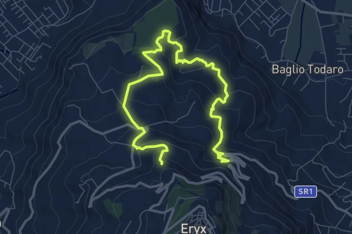
Medium · Trail
Visconte – Chiara Mosta
11.5 km · ↑ 651 m · 4 h 7 min
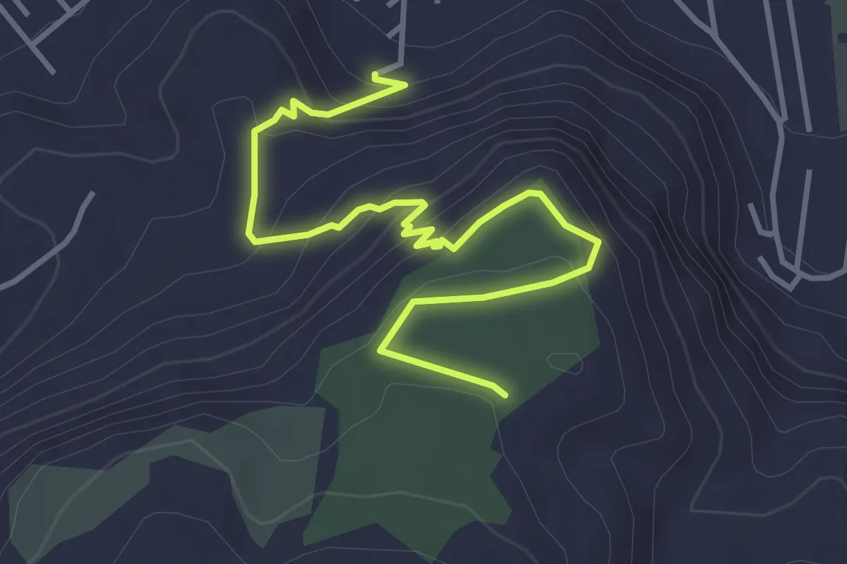
Easy · Trail
Via Polifemo – Museo di San Matteo
4.7 km · ↑ 254 m · 1 h 40 min
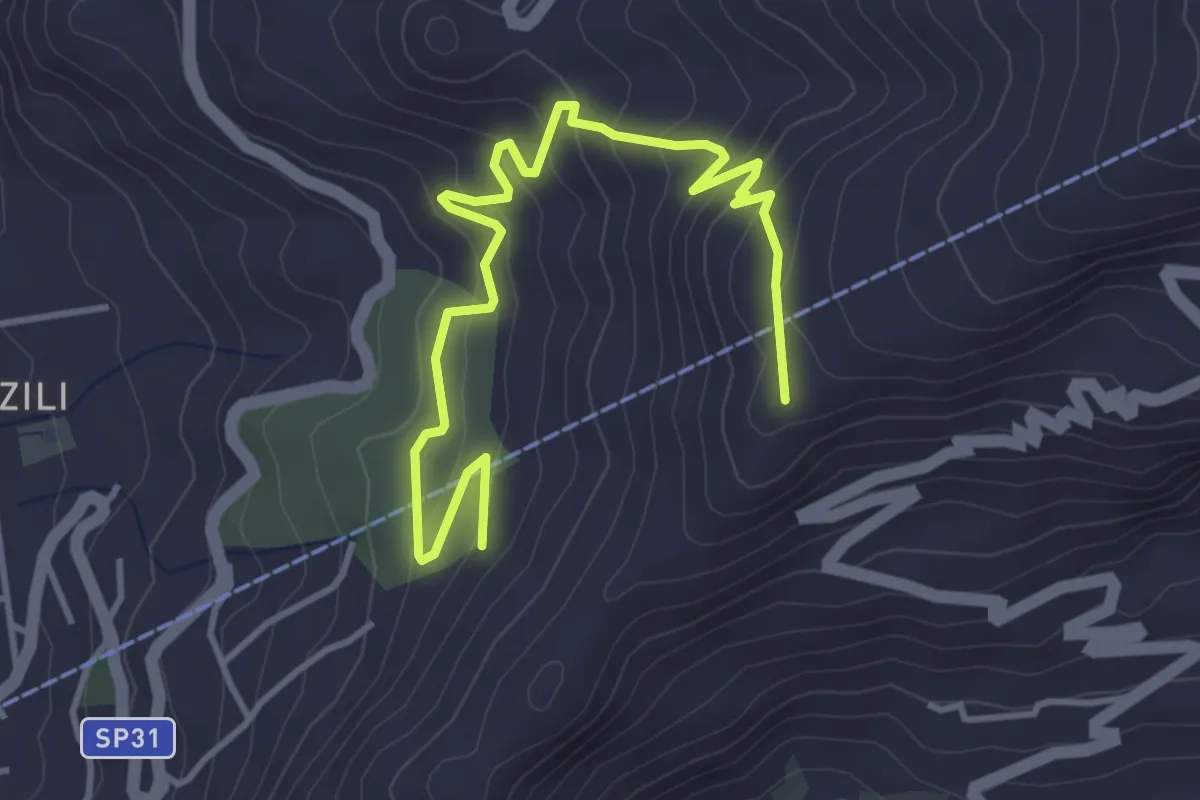
Medium · Trail
Area Demaniale Martogna – Rocce del Calderaro
5.4 km · ↑ 342 m · 2 h 1 min
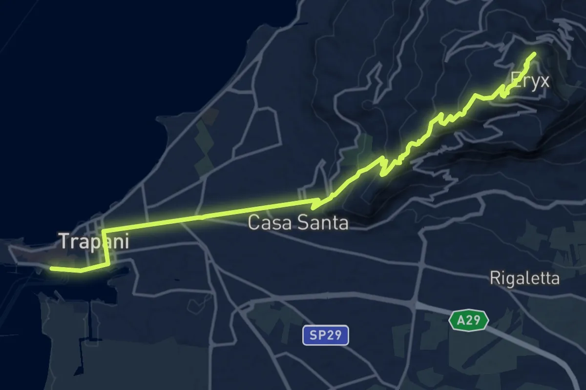
Demanding · Trail
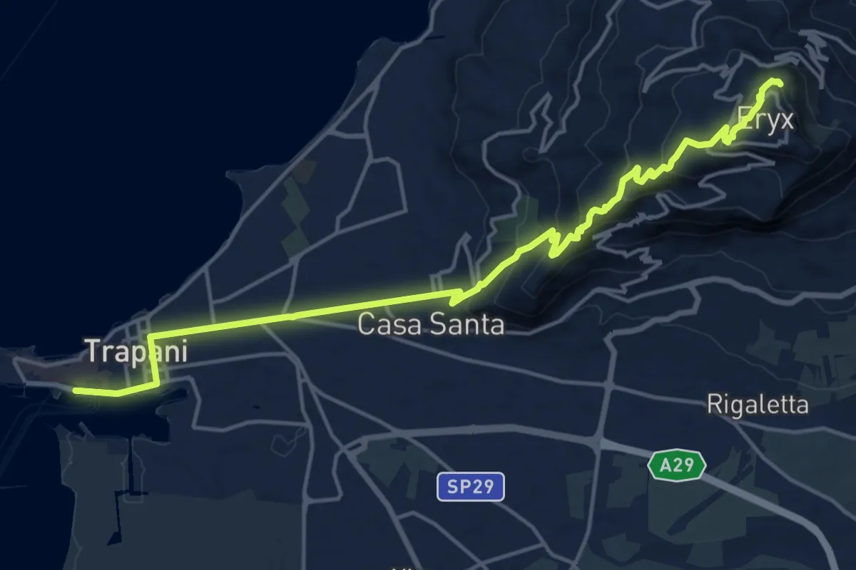
Trapani – Erice
20.0 km · ↑ 786 m · 6 h 26 min
Demanding · Trail
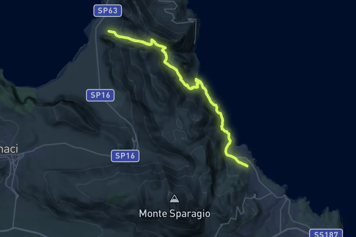
Macari – Scopello
13.3 km · ↑ 888 m · 5 h 14 min
Demanding · Trail
Trapani – Erice
20.2 km · ↑ 795 m · 6 h 30 min
Demanding · Trail
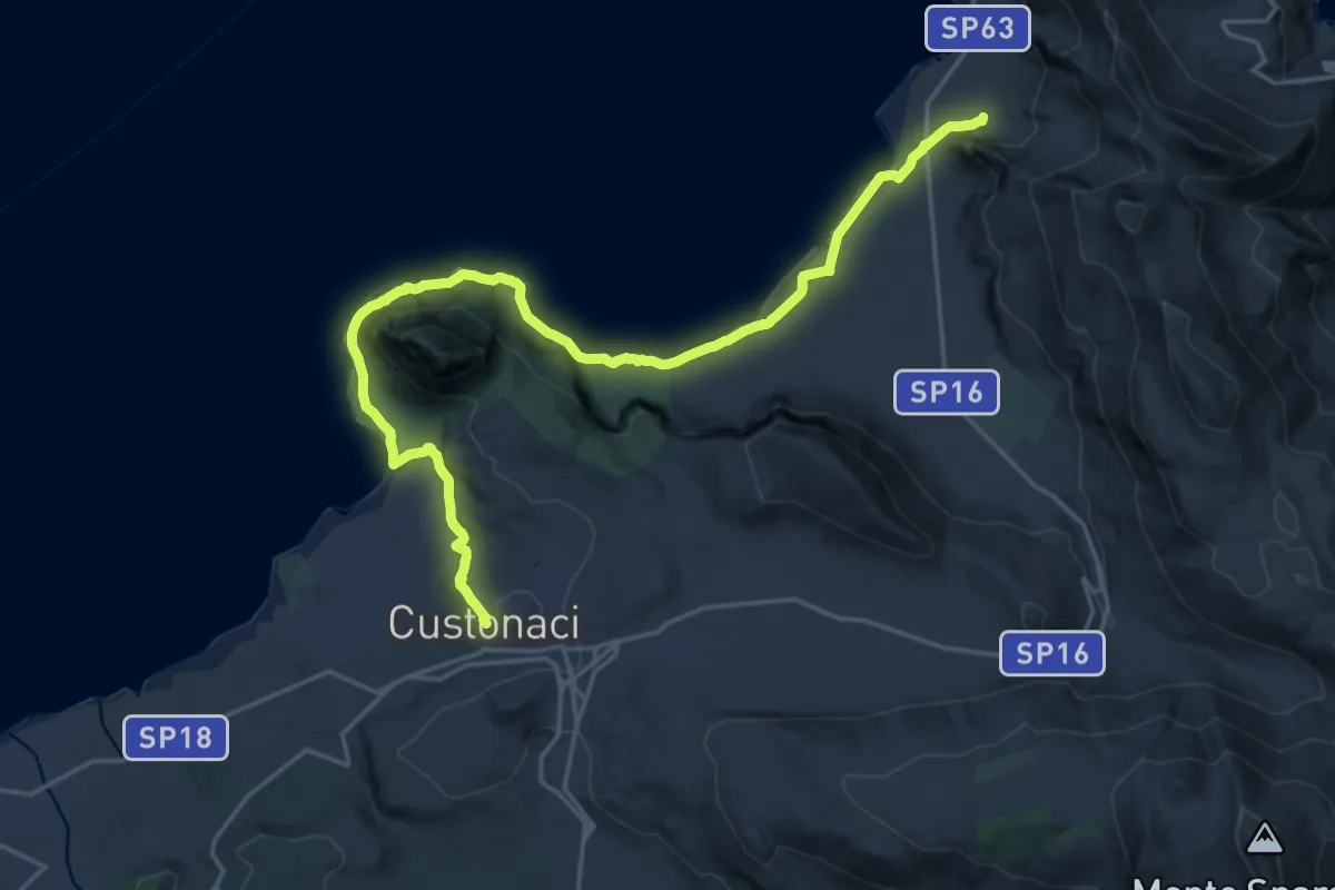
Custonaci – Macari
28.2 km · ↑ 449 m · 7 h 38 min
Easy · Trail
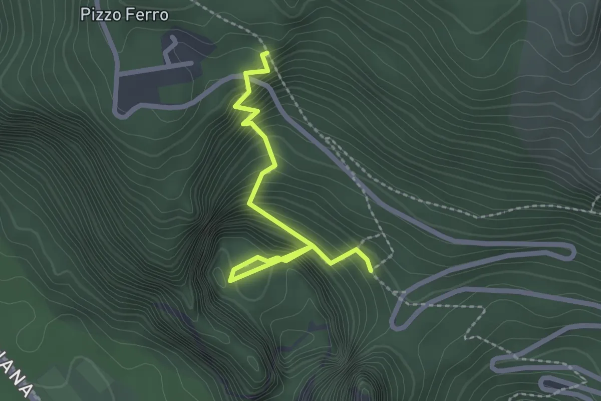
Sentiero 104 – Piano di Bernardo
2.5 km · ↑ 314 m · 1 h 16 min
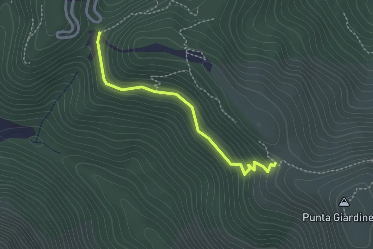
Easy · Trail
Sentiero 146 – Sentiero 147
2.2 km · ↑ 102 m · 45 min
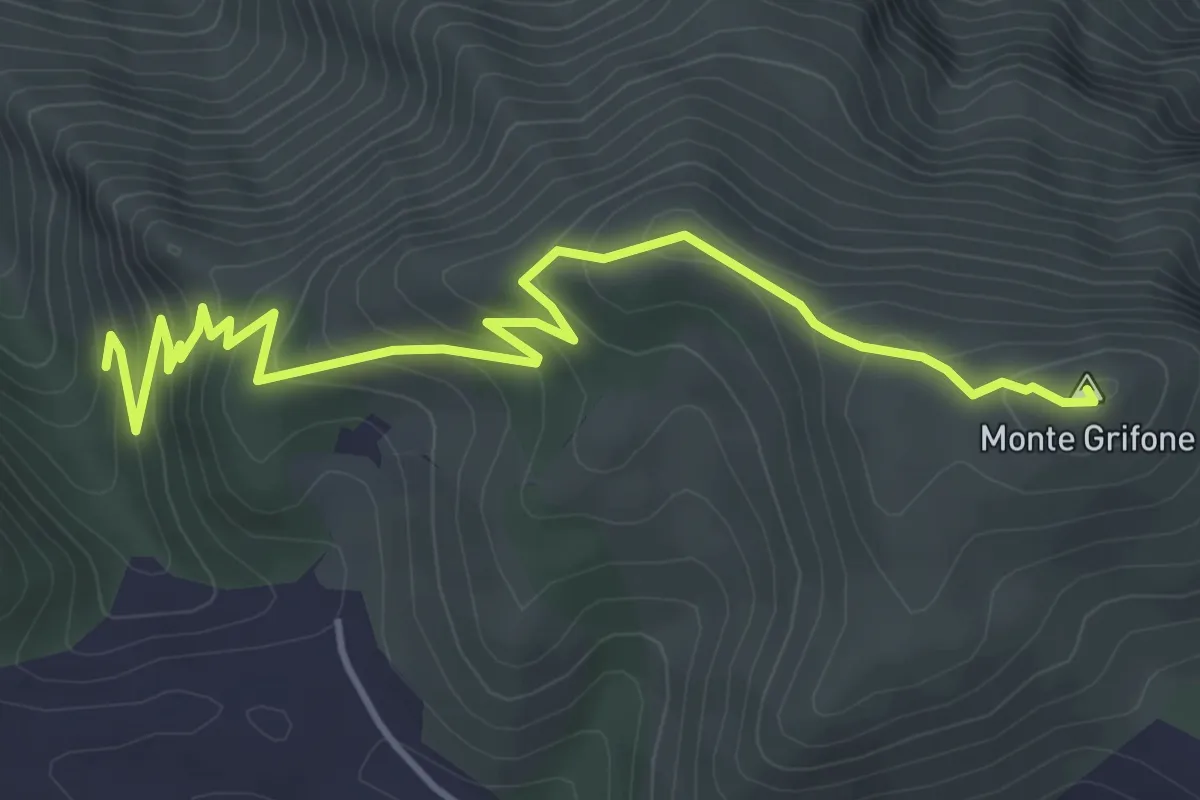
Medium · Summit
Scala dei Muli – Monte Grifone
5.8 km · ↑ 364 m · 2 h 10 min
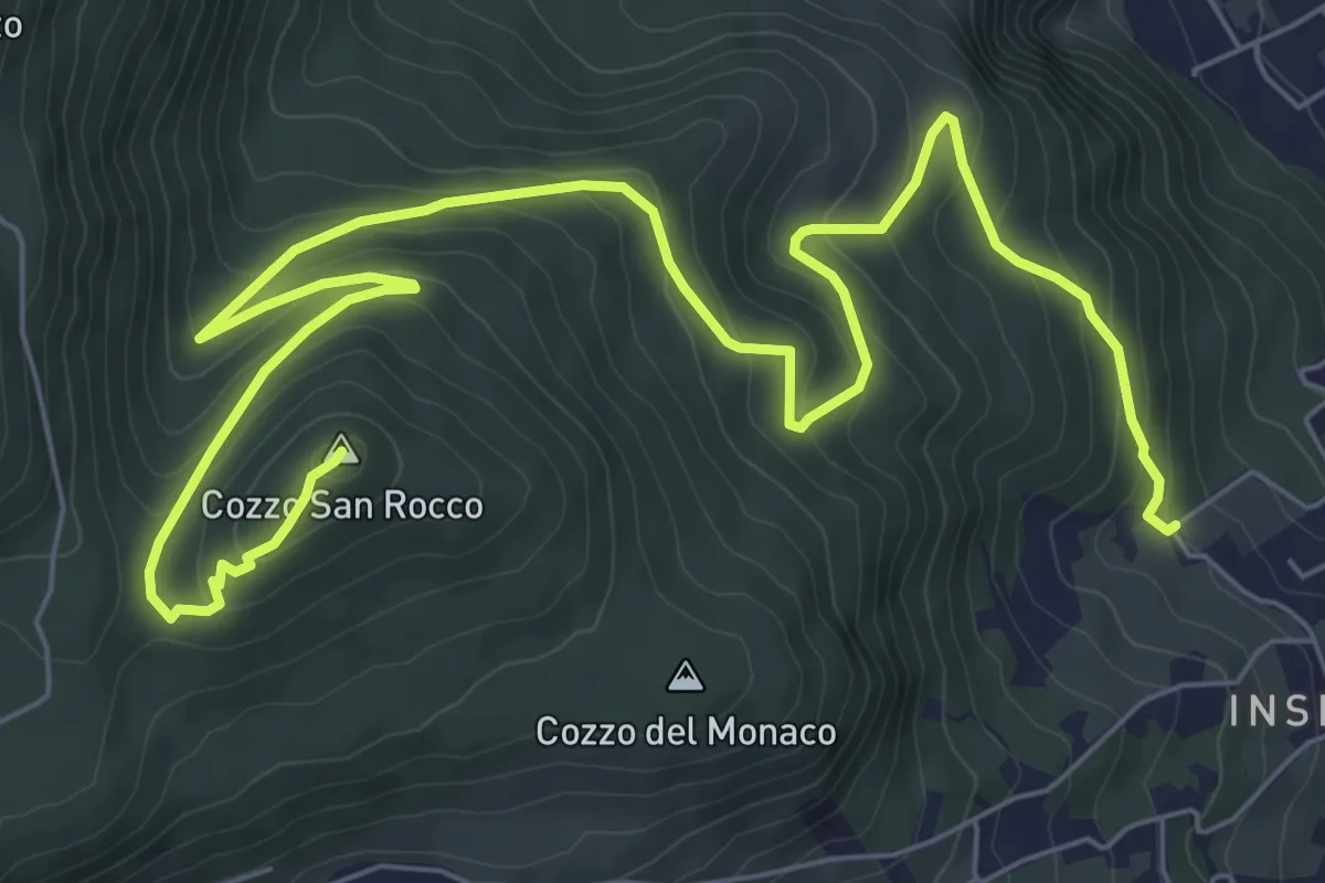
Medium · Summit
via Falzone – Cozzo S. Rocco
11.8 km · ↑ 493 m · 3 h 51 min
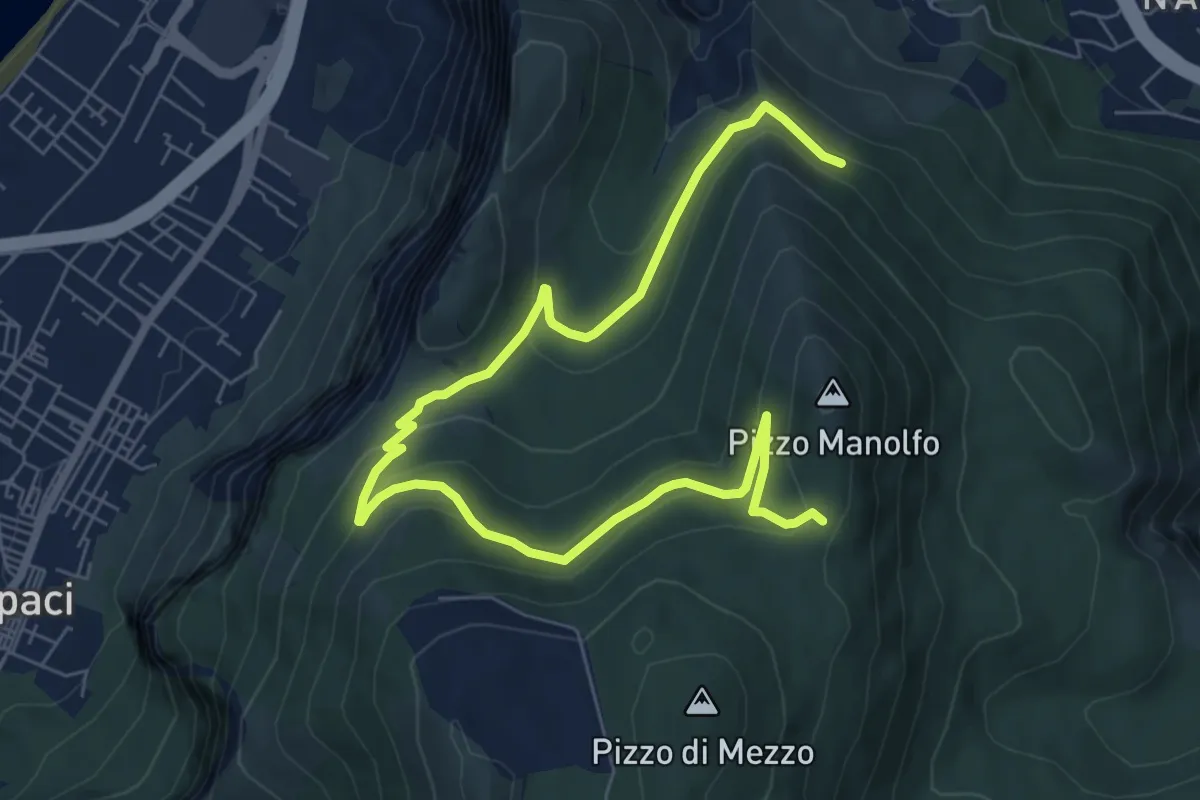
Medium · Trail
Punta Matese – Pizzo Manolfo
10.6 km · ↑ 422 m · 3 h 25 min
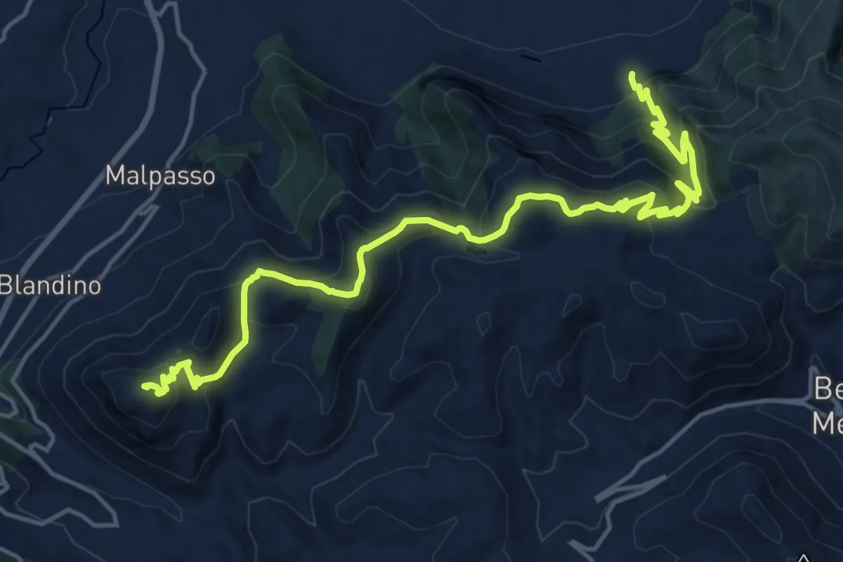
Demanding · Summit
Salita Belmonte – Pizzo Valle Fico
19.8 km · ↑ 1404 m · 7 h 43 min
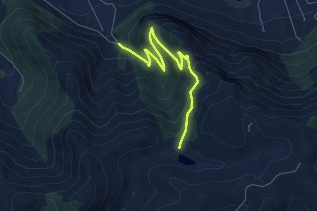
Medium · Trail
Villagrazia - Scala Masello – Portella Salvatore
6.0 km · ↑ 444 m · 2 h 23 min
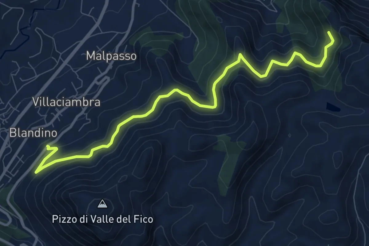
Medium · Trail
Scala Masello - sentiero 113 – Ingresso Demanio Villaciambra
11.1 km · ↑ 521 m · 3 h 44 min
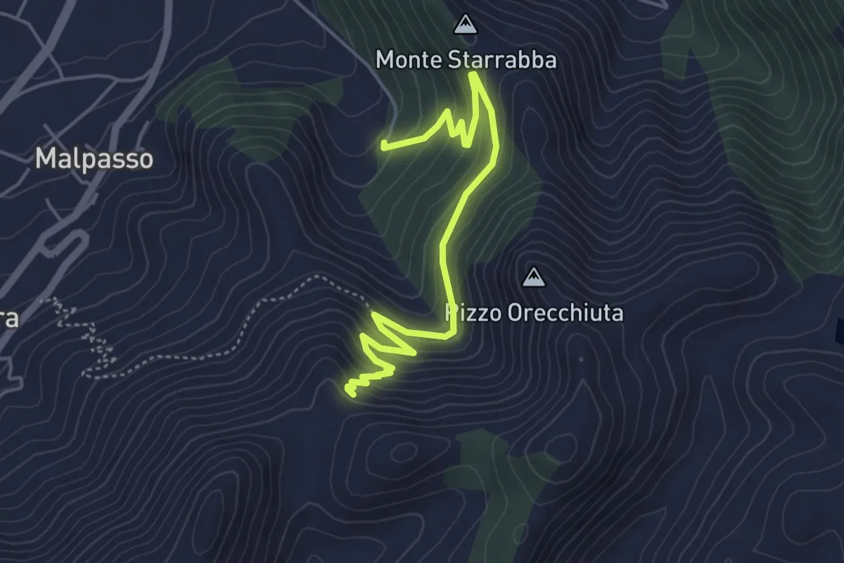
Medium · Trail
Ingresso Demaniale di Via Orecchiuta – sentiero 110 - falde di Cozzo Orecchiuta
5.6 km · ↑ 380 m · 2 h 8 min
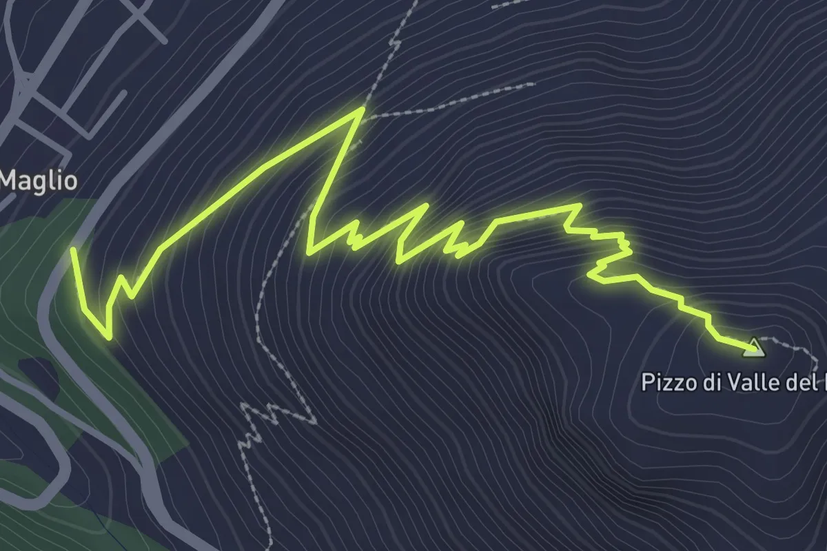
Medium · Summit
Accesso Demanio Valle Fico – Pizzo Valle Fico
4.7 km · ↑ 446 m · 2 h 5 min
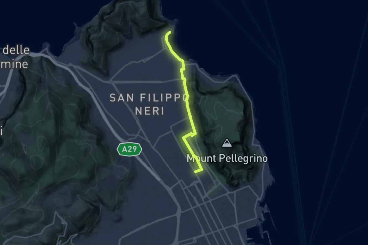
Medium · Trail
Stadio delle Palme – Mondello
14.4 km · ↑ 138 m · 3 h 42 min
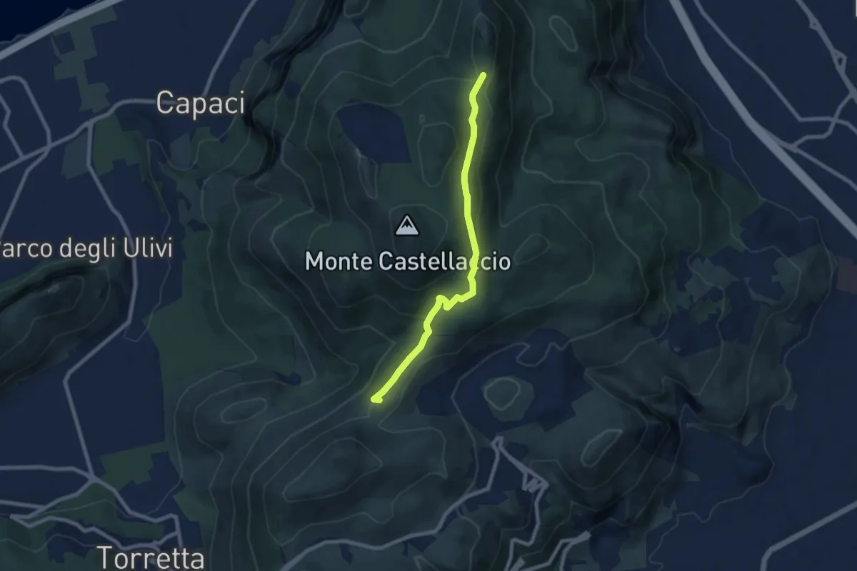
Easy · Summit
Portella Torretta – Pizzo Manolfo
8.0 km · ↑ 229 m · 2 h 23 min
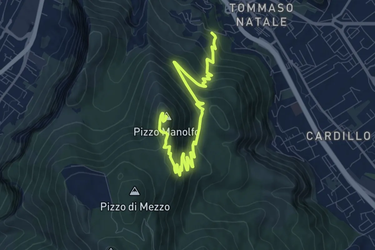
Medium · Summit
Contrada Luoghiceddi – Pizzo Manolfo
13.0 km · ↑ 655 m · 4 h 30 min
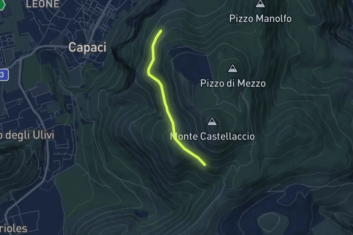
Easy · Trail
Sentiero 167 – Sentiero 165
5.2 km · ↑ 152 m · 1 h 34 min
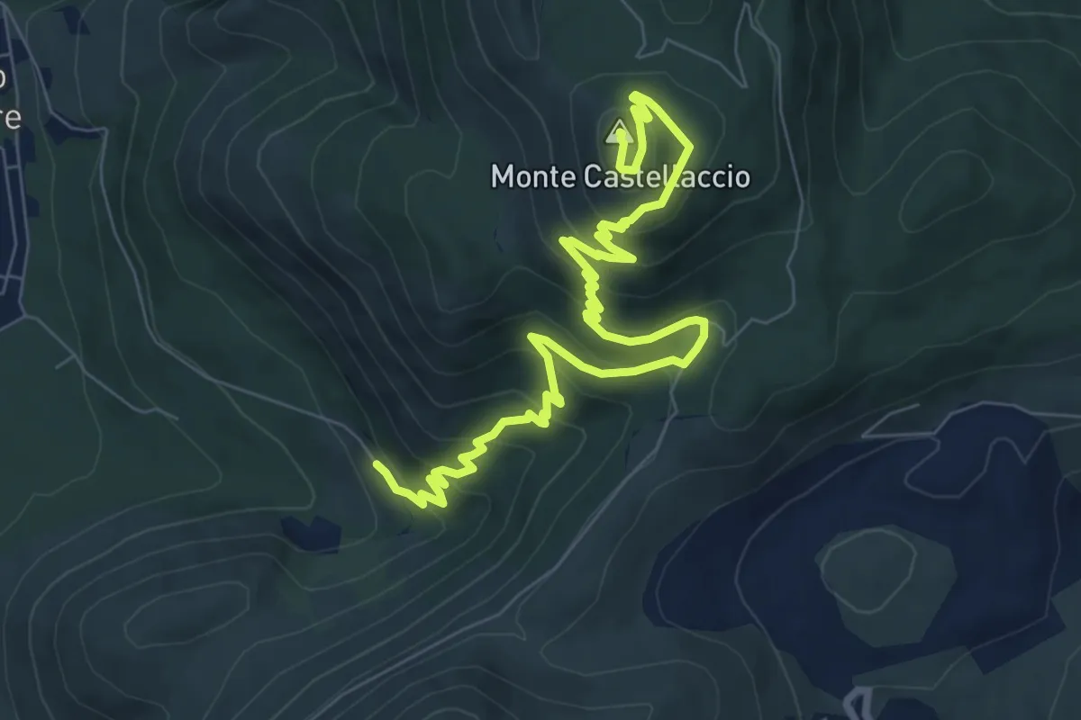
Medium · Summit
Capaci - Cda Soprabanco – Monte Castellaccio
11.2 km · ↑ 576 m · 3 h 54 min
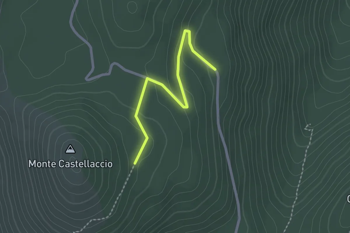
Easy · Trail
Piano Subbaco – Monte Castellaccio
2.2 km · ↑ 77 m · 42 min
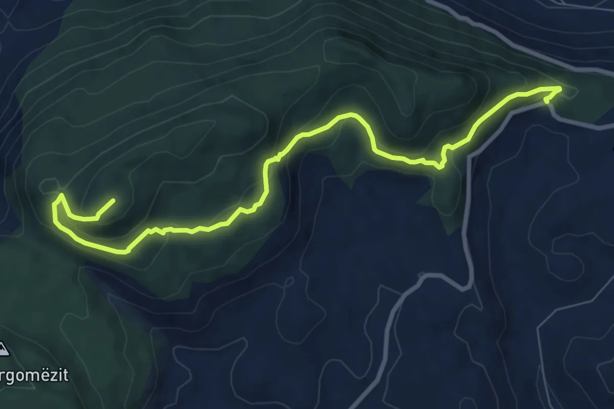
Medium · Trail
Portella di Rebuttone – Punte Moarda
10.2 km · ↑ 503 m · 3 h 29 min
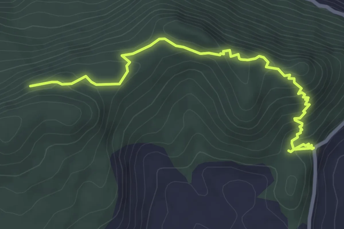
Easy · Trail
Casa forestale Moarda – Punta Sesto Cielo ed innesto sentiero 125
6.3 km · ↑ 302 m · 2 h 8 min
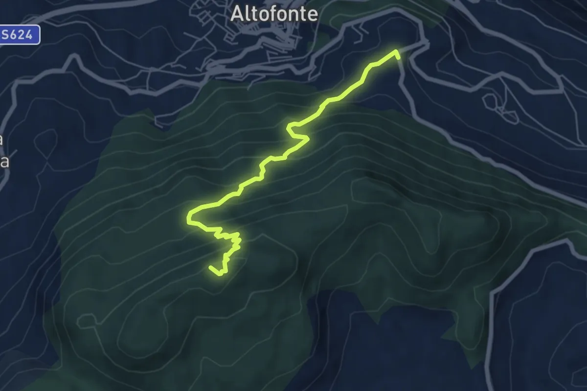
Medium · Summit
Cozzo di Castro – Punta Moarda
6.4 km · ↑ 520 m · 2 h 39 min
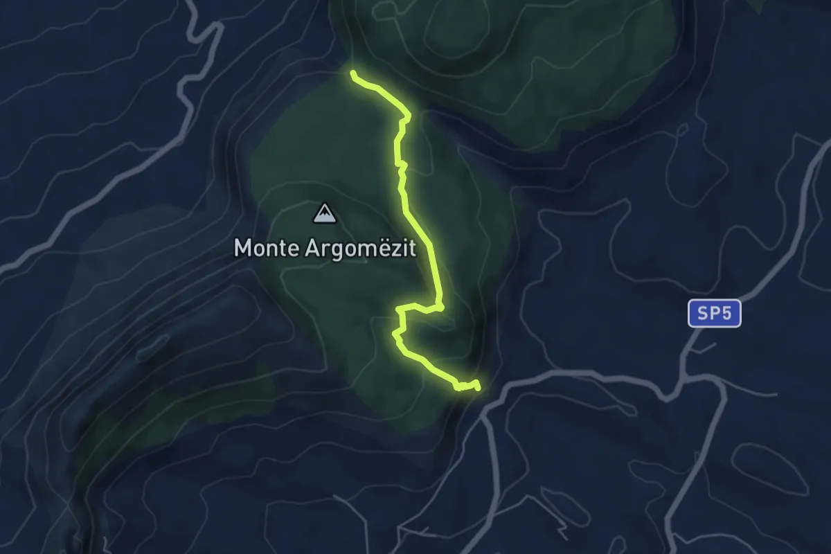
Easy · Trail
Case Lombino – Portella del Pozzillo
5.0 km · ↑ 259 m · 1 h 45 min
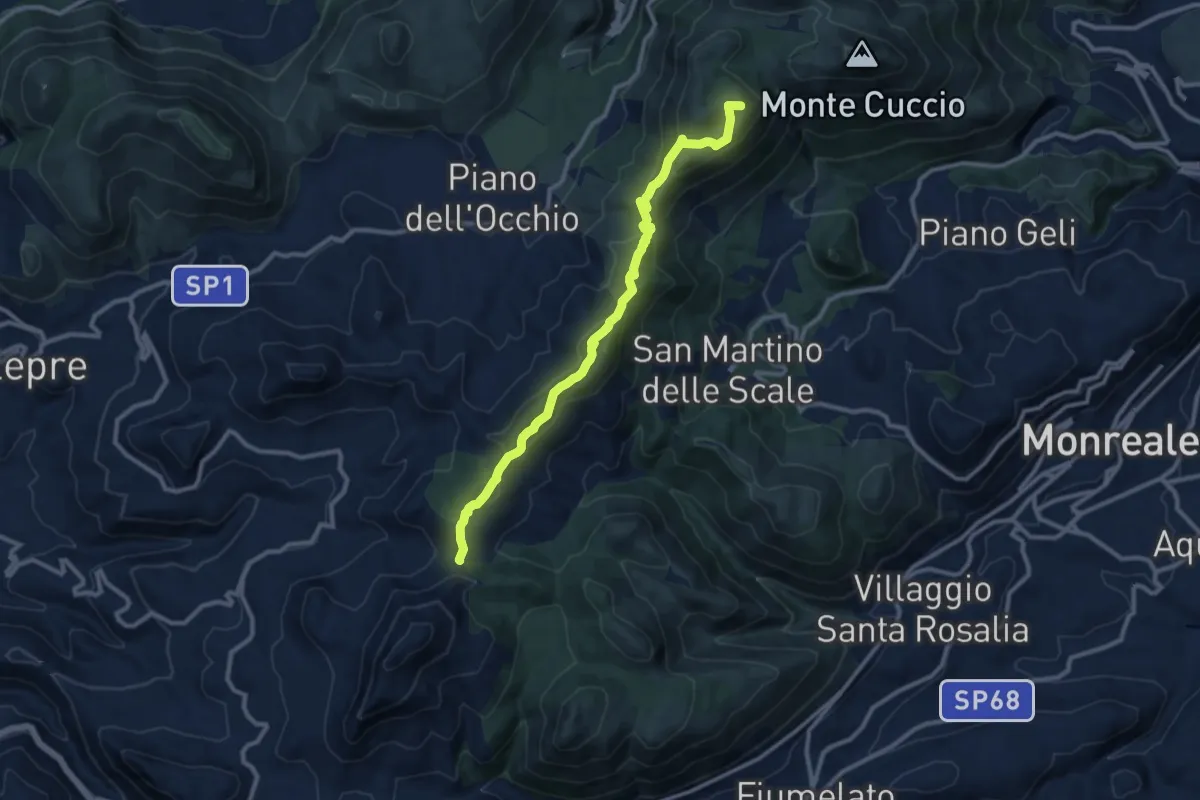
Medium · Summit
Portella Bianca – Portella Torretta
12.2 km · ↑ 579 m · 4 h 8 min
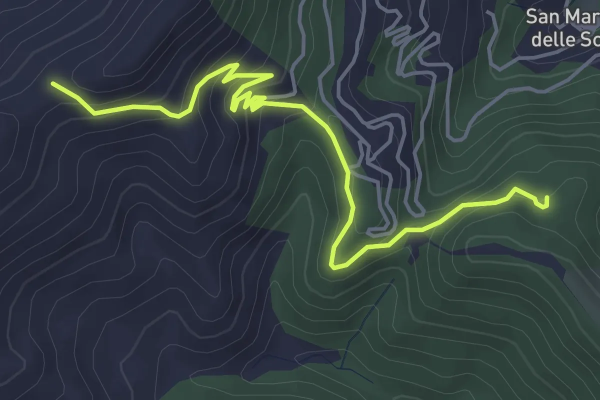
Easy · Trail
Case Neviera – Serra Dell'Occhio
5.5 km · ↑ 314 m · 1 h 59 min
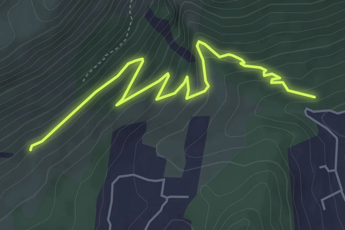
Medium · Trail
Sentiero 152 – Grotta del Vallone d’Inverno e Sentiero 148
5.7 km · ↑ 359 m · 2 h 7 min
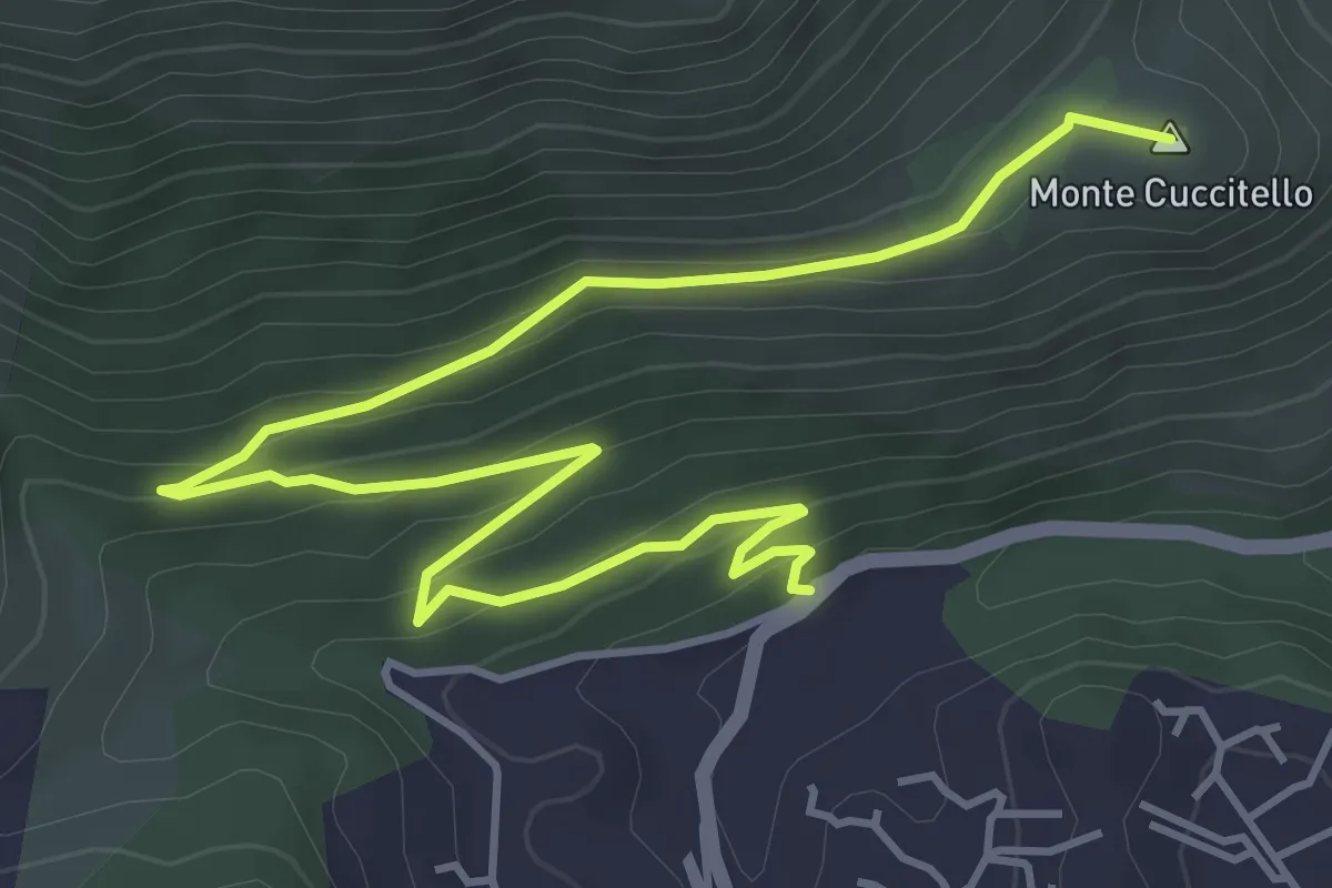
Easy · Summit
Ingresso Forestale valle del Paradiso – Casa Forestale Monte Cuccitello
6.8 km · ↑ 256 m · 2 h 10 min
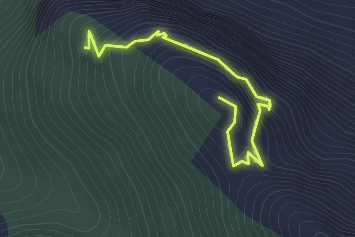
Easy · Trail
Scala Masello – Balzo Cavallo
2.2 km · ↑ 220 m · 59 min