Trails in Italy
25,219 hiking trails, each with its route, climb, walking time and grade.
All trails, page 243 of 526
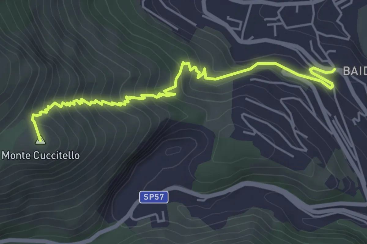
Medium · Summit
Baida – Abbeveratoio della Montagna
5.8 km · ↑ 447 m · 2 h 20 min
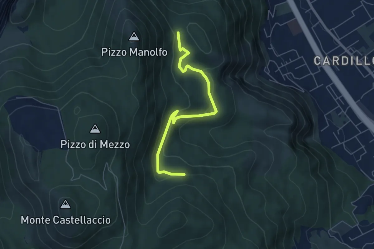
Easy · Trail
Mandra Megna - semt. 161 – Piano Cardone - sent. 163
6.2 km · ↑ 228 m · 1 h 58 min
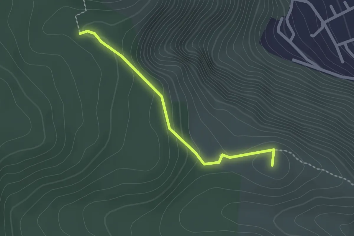
Easy · Summit
Bivio Sentiero 162 e 162A – Cozzo di Paola
2.1 km · ↑ 97 m · 42 min
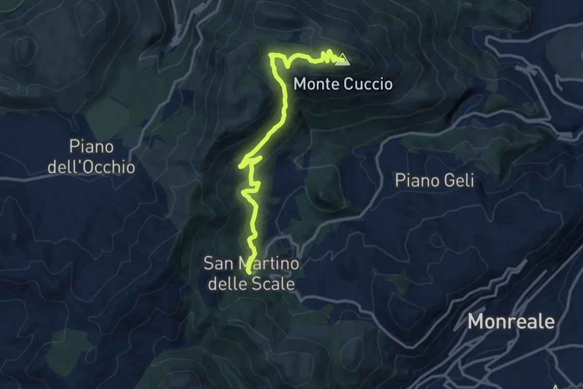
Medium · Summit
S. Martino delle Scale – Monte Cuccio
11.8 km · ↑ 563 m · 4 h
Easy · Trail
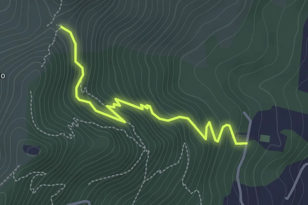
Istituto Padre Francesco Spoto – Portella S. Anna.
3.3 km · ↑ 252 m · 1 h 20 min
Easy · Summit
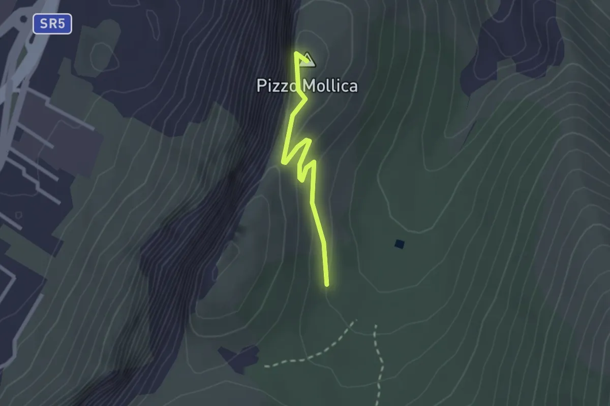
Mandria Raffo Rosso – Pizzo Mollica
2.2 km · ↑ 154 m · 52 min
Medium · Summit
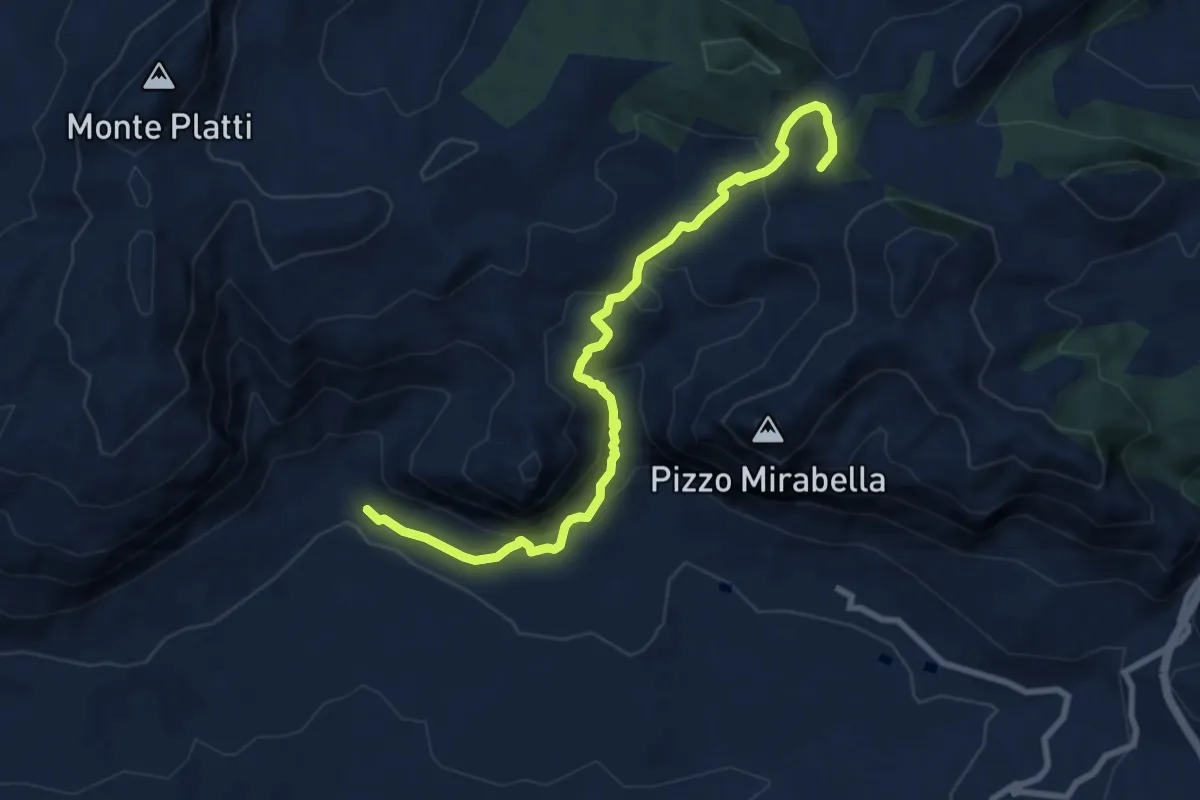
Masseria Dammusi – Piana degli Albanesi
10.3 km · ↑ 538 m · 3 h 36 min
Medium · Trail
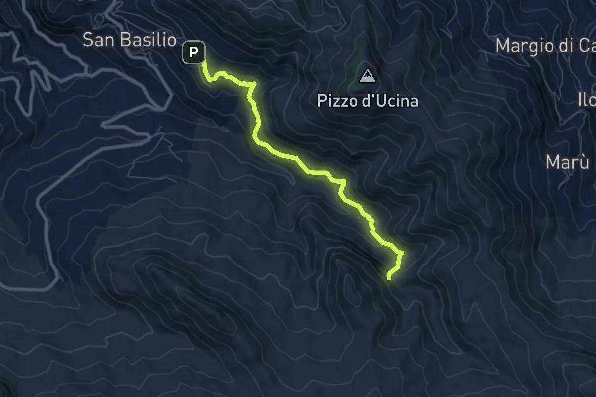
Galini – Cascata del Catafurco
7.4 km · ↑ 425 m · 2 h 40 min
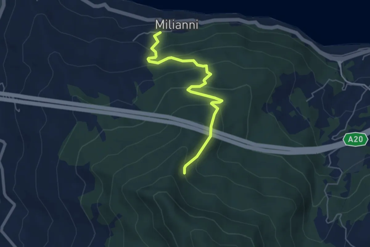
Medium · Trail
Milianni – Area Attrezzata San Felice
5.3 km · ↑ 333 m · 1 h 59 min
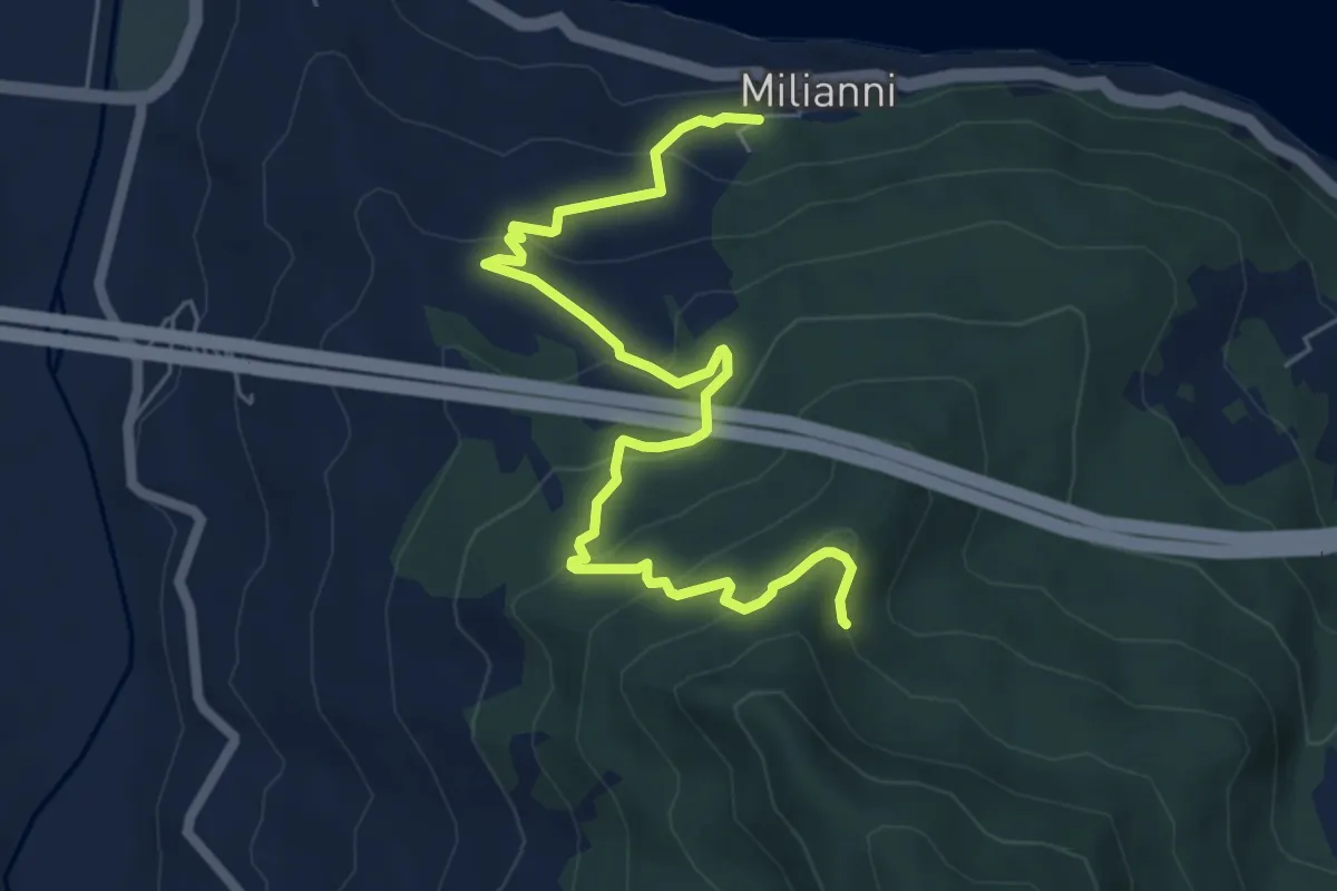
Medium · Trail
Milianni – Area Attrezzata San Felice
7.8 km · ↑ 370 m · 2 h 38 min
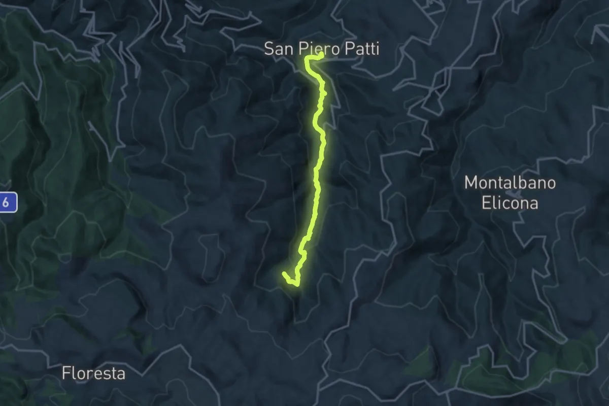
Medium · Trail
San Piero Patti – Garì
13.3 km · ↑ 678 m · 4 h 36 min
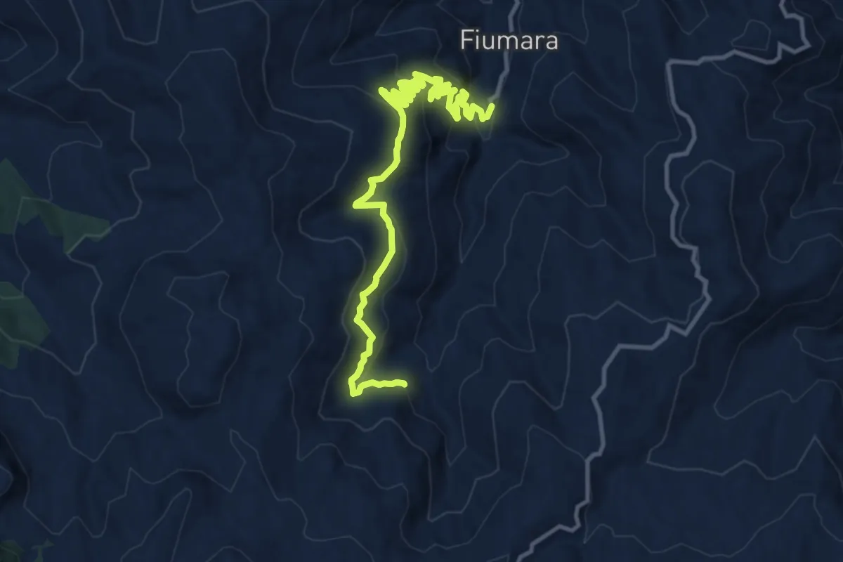
Medium · Trail
C.da Spaditta – C.da Garì
14.8 km · ↑ 785 m · 5 h 11 min
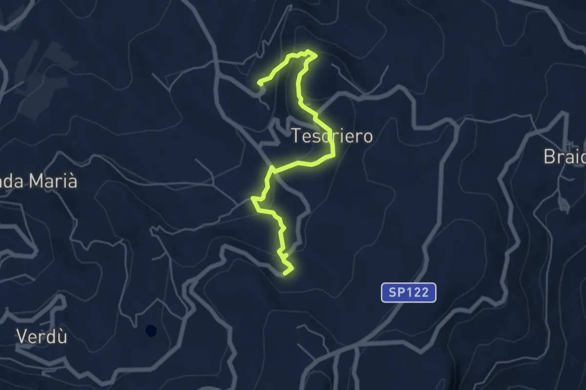
Medium · Trail
Balze – Valdoria
5.4 km · ↑ 322 m · 1 h 59 min
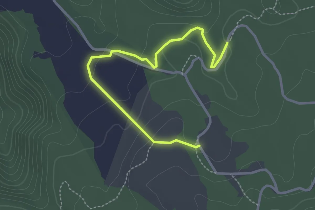
Easy · Trail
Sanatorio – Piani di Zervò
3.1 km · ↑ 67 m · 53 min
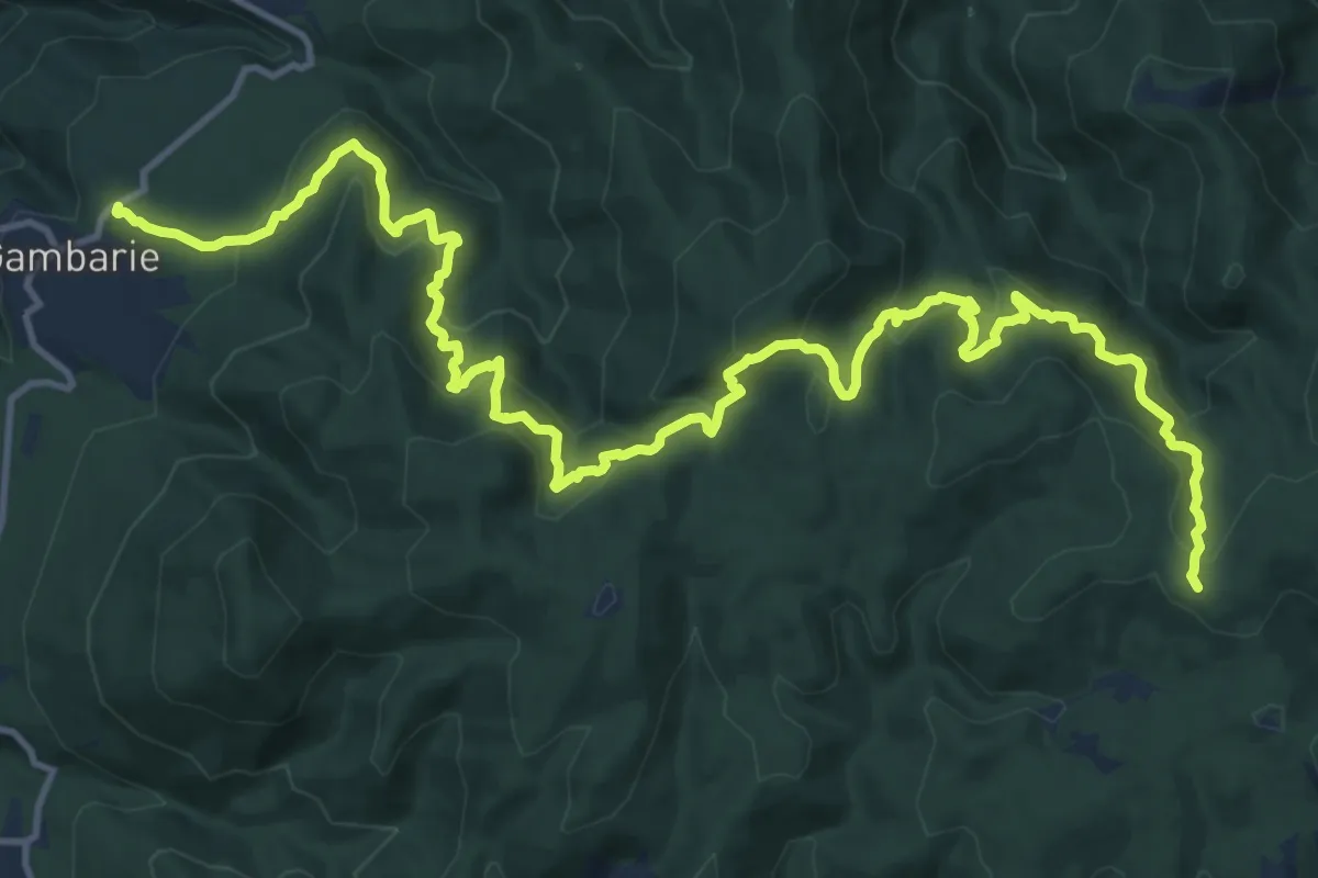
Demanding · Trail
Gambarie – Materazzelli
20.7 km · ↑ 1272 m · 7 h 39 min
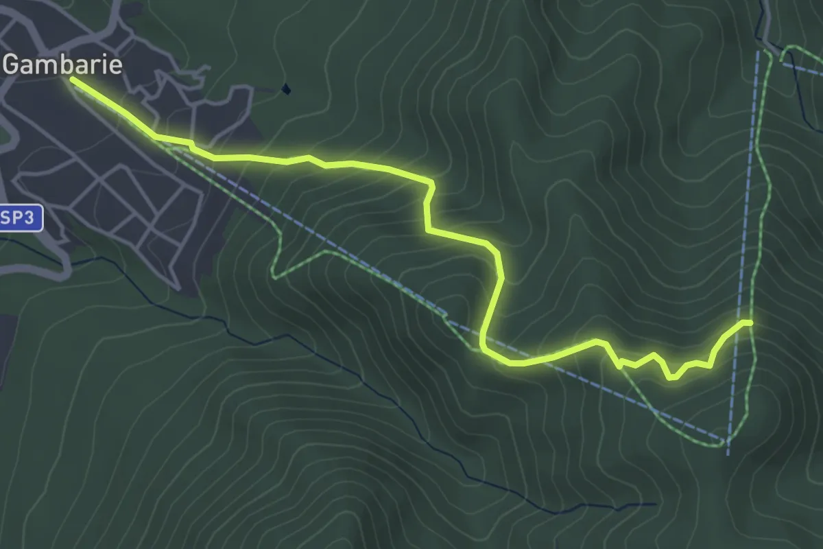
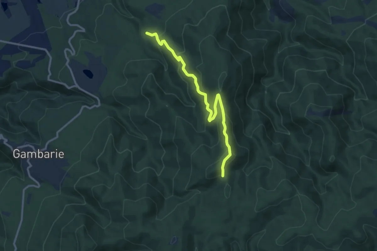
Medium · Trail
Gambarie – Pista Telese
5.5 km · ↑ 455 m · 2 h 17 min
Medium · Trail
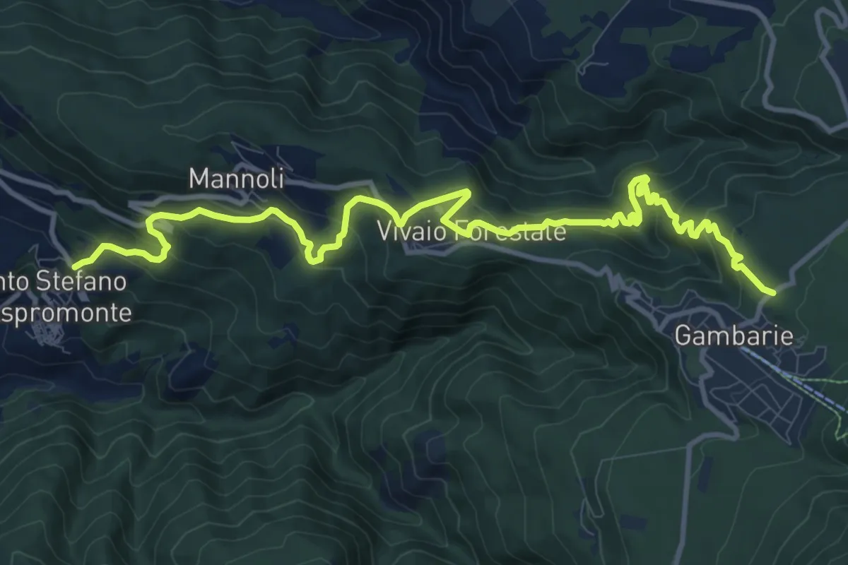
Quarti – Piazza Nino Martino
9.3 km · ↑ 535 m · 3 h 22 min
Medium · Trail
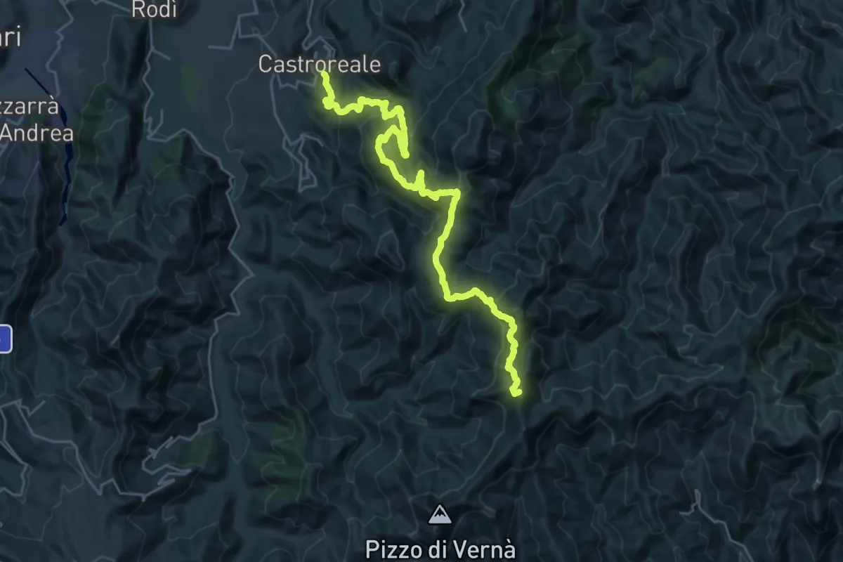
Gambarie – Santo Stefano
14.2 km · ↑ 791 m · 5 h 4 min
Demanding · Summit
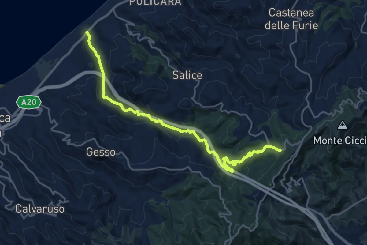
Castroreale – Pizzo Batteddu SI
30.9 km · ↑ 1489 m · 10 h 31 min
Medium · Trail
Tarantonio – Candelara SI
16.3 km · ↑ 436 m · 4 h 47 min
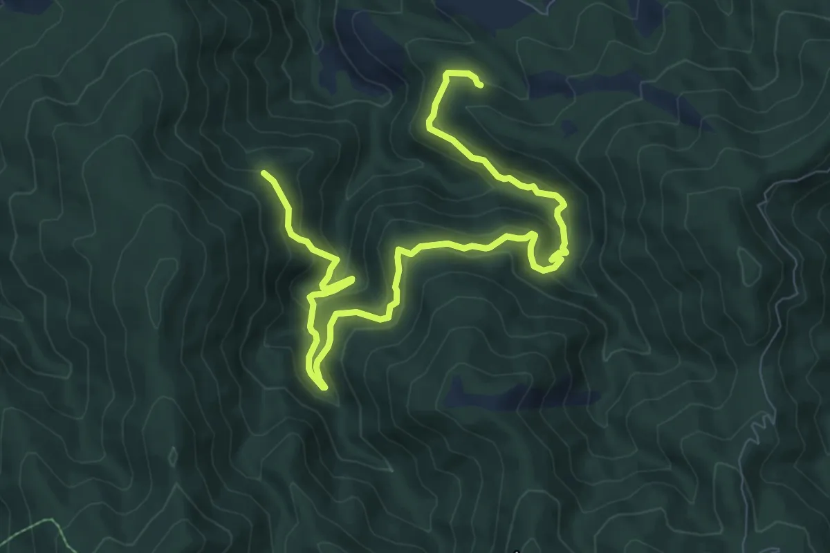
Medium · Trail
Piano La Melia – Piano Salomone
12.2 km · ↑ 549 m · 4 h 4 min
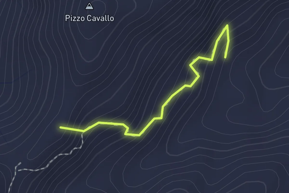
Demanding · Summit
Sentiero D117 – Portella Zaffarana
1.8 km · ↑ 160 m · 46 min
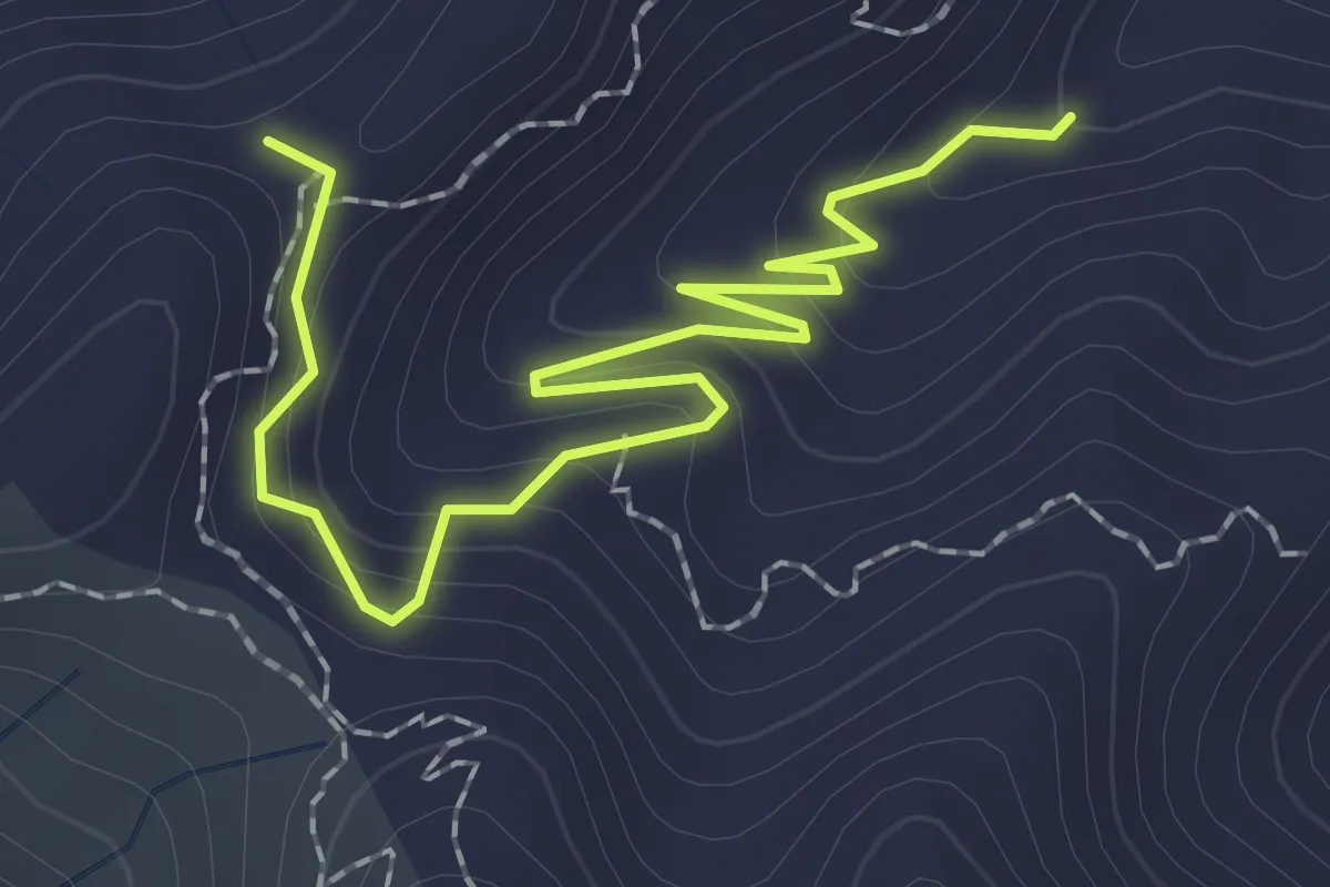
Easy · Trail
Sentiero D117 – Portella Zaffarana
2.8 km · ↑ 169 m · 1 h 2 min
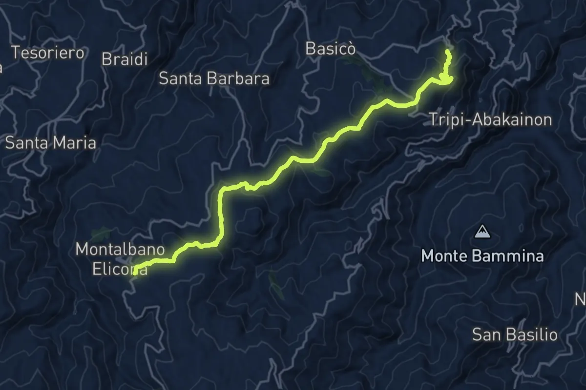
Demanding · Trail
Tripi (SP 110) – Montalbano Elicona
20.2 km · ↑ 648 m · 6 h 10 min
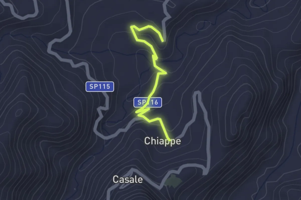
Easy · Trail
Bivio Sentiero 252 – Chiappe
3.3 km · ↑ 123 m · 1 h 3 min
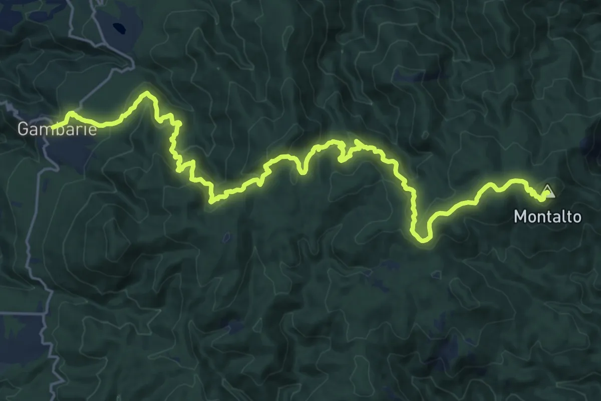
Demanding · Summit
Gambarie – Polsi
27.4 km · ↑ 1492 m · 9 h 42 min
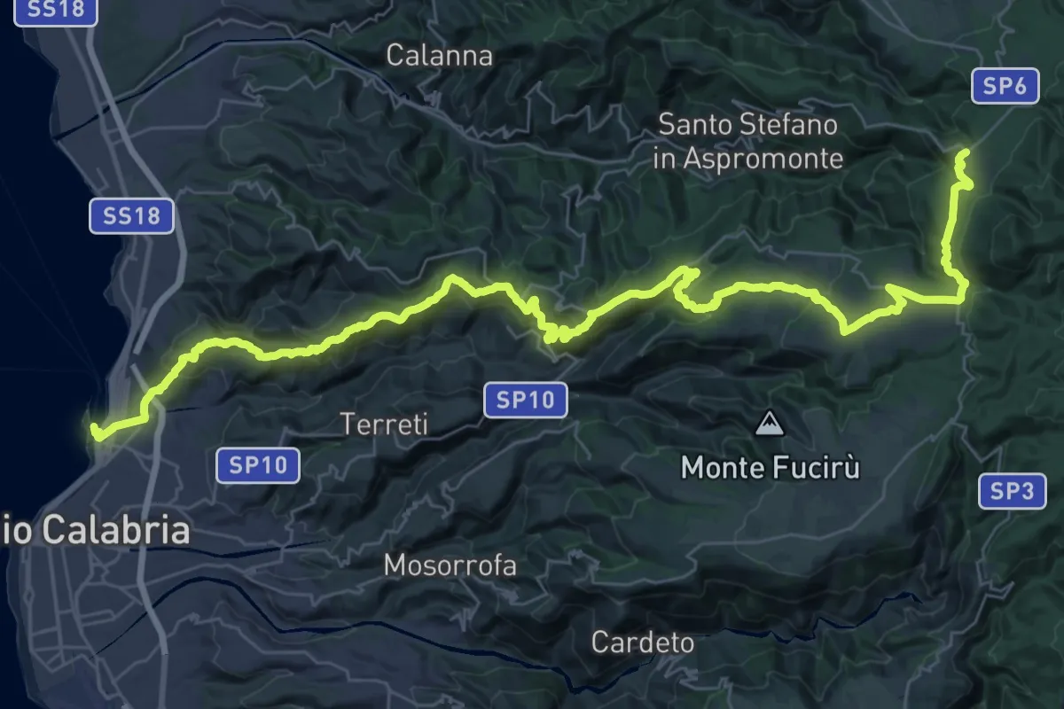
Demanding · Trail
Reggio Calabria – Gambarie
27.6 km · ↑ 1760 m · 10 h 4 min
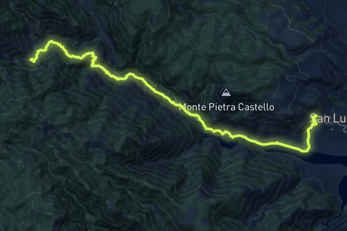
Medium · Trail
Polsi – San Luca
13.0 km · ↑ 518 m · 4 h 40 min
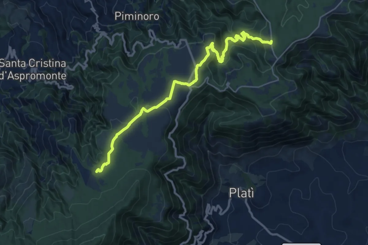
Demanding · Trail
Piani di Zervò – Trepitò
21.4 km · ↑ 663 m · 6 h 30 min
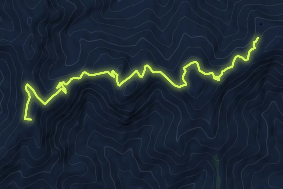
Demanding · Summit
Bivio Colla Bassa – Cantoniera Postoleoni
11.7 km · ↑ 672 m · 4 h 13 min
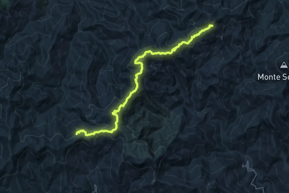
Demanding · Summit
Cantoniera Postoleoni – Piano Margi
23.0 km · ↑ 1141 m · 7 h 54 min
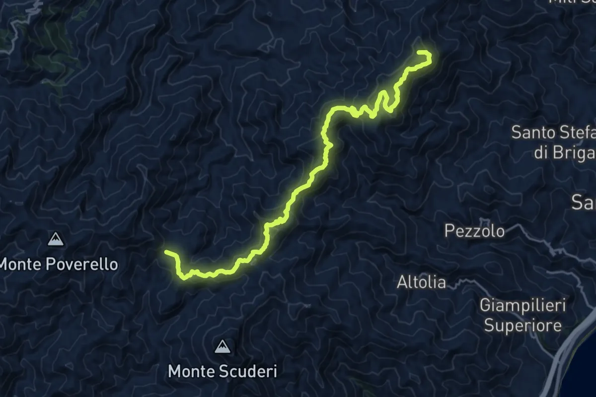
Demanding · Summit
Piano Margi – Portella Armacera
22.0 km · ↑ 1309 m · 8 h 2 min
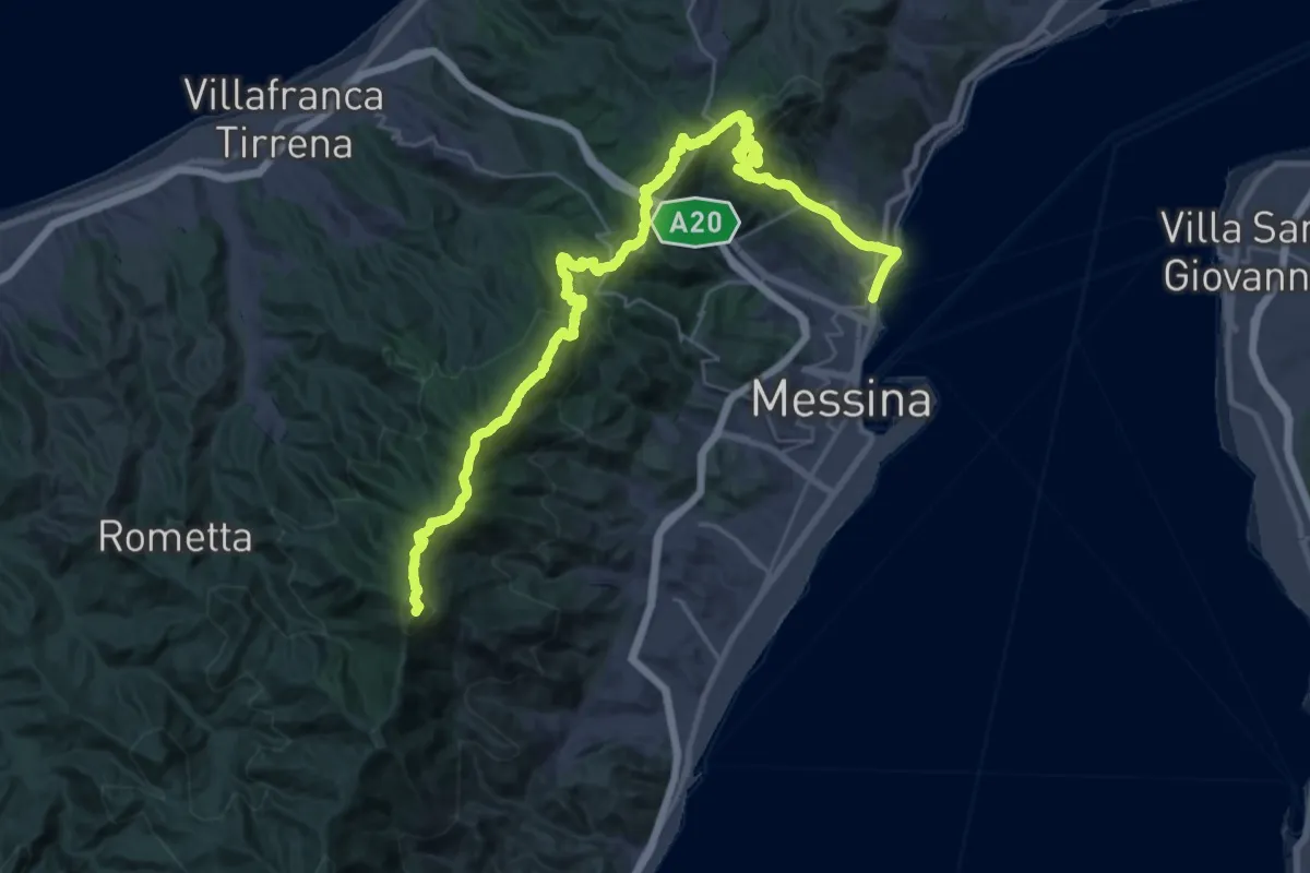
Demanding · Summit
Portella Armacera Casa Maressa – Annunziata
44.8 km · ↑ 2317 m · 15 h 37 min
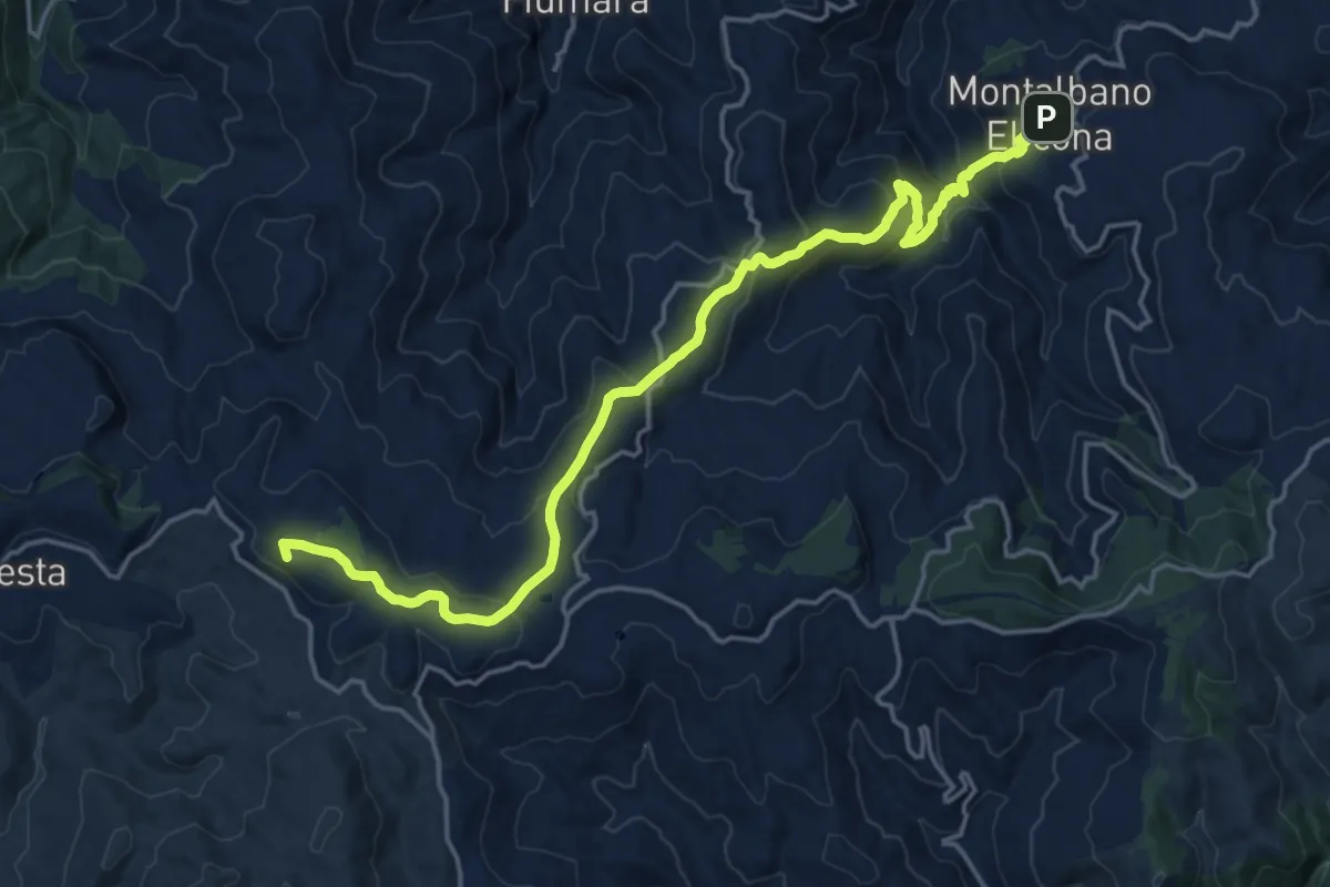
Demanding · Summit
Floresta – Montalbano Elicona
22.3 km · ↑ 951 m · 7 h 20 min
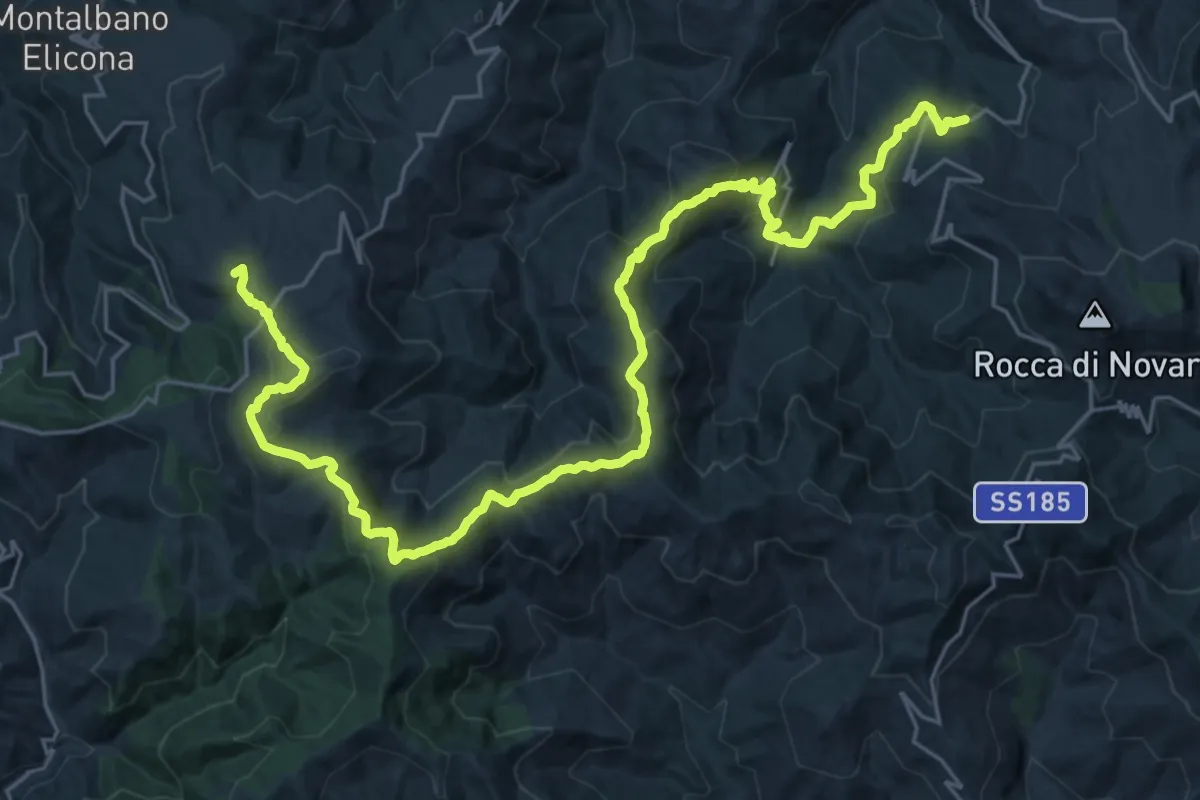
Demanding · Summit
Montalbano Elicona – Novara di Sicilia
36.6 km · ↑ 1508 m · 11 h 55 min
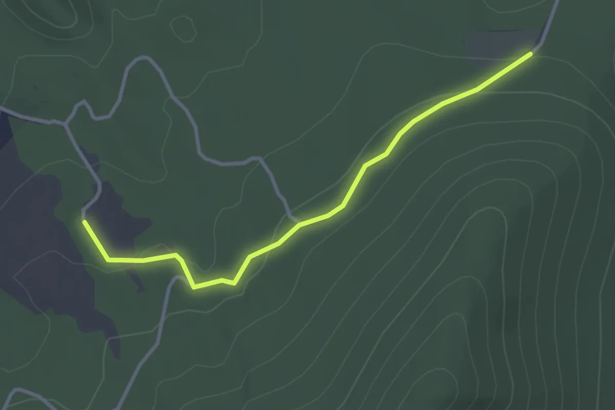
Easy · Trail
Sanatorio di Zervò – Fontana dell'Abete
3.5 km · ↑ 64 m · 58 min
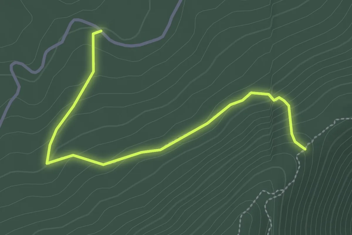
Easy · Trail
Panacuma – Scalone
3.3 km · ↑ 169 m · 1 h 9 min
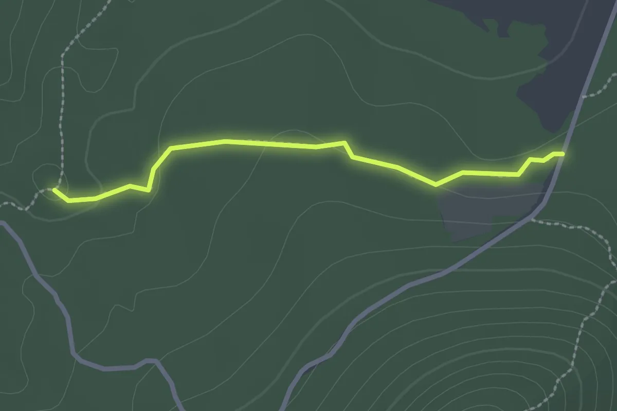
Easy · Trail
Piani di Zervò – Vaccarizzo
2.5 km · ↑ 33 m · 40 min
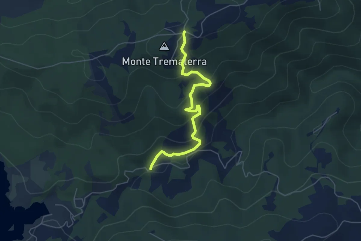
Easy · Trail
Casermetta – Intersezione con Strada provinciale
5.5 km · ↑ 320 m · 2 h
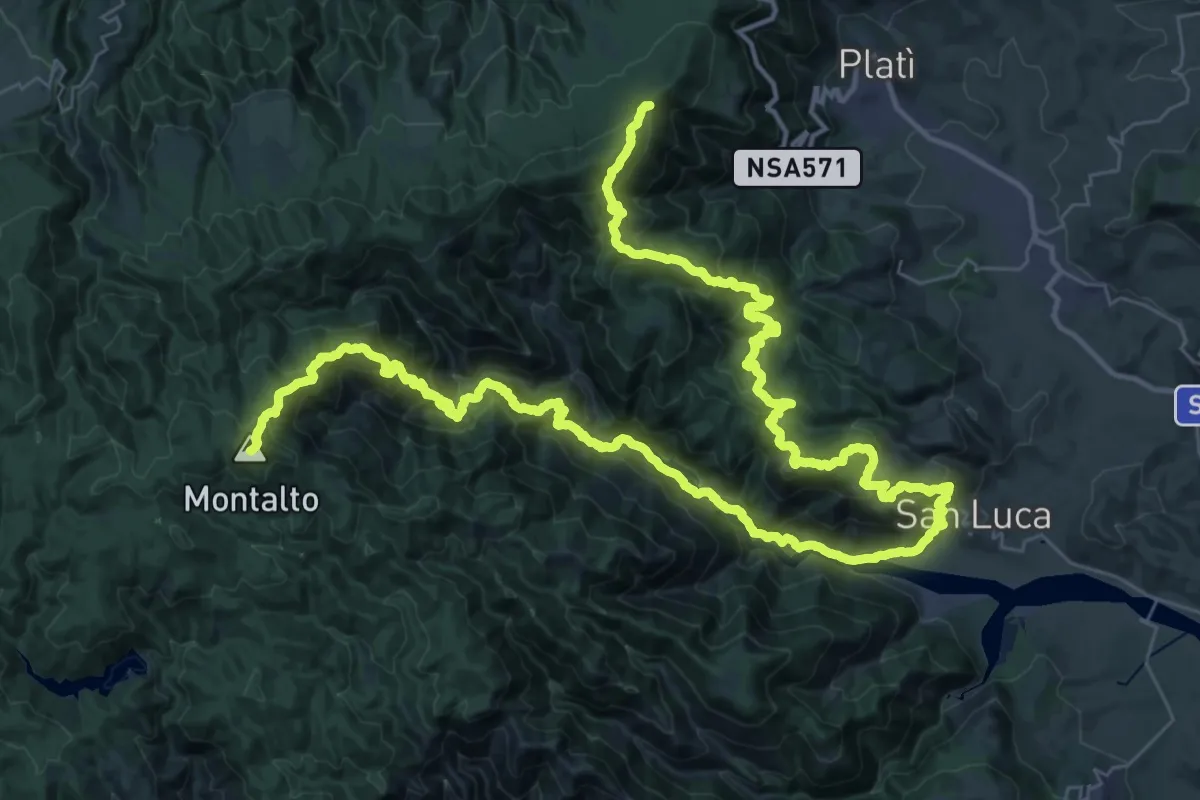
Demanding · Summit
Serro Schiavo – San Luca
73.1 km · ↑ 4884 m · 27 h 51 min
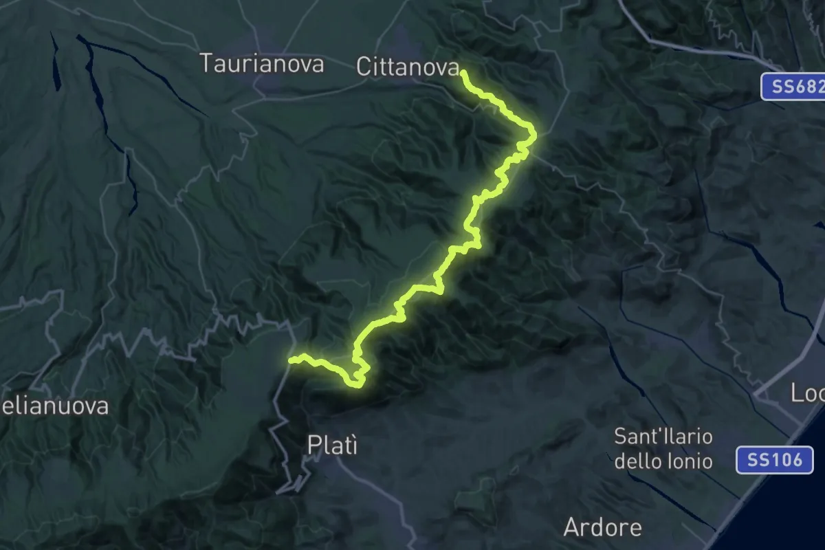
Demanding · Summit
Zillastro – Cittanova
53.4 km · ↑ 1431 m · 15 h 43 min
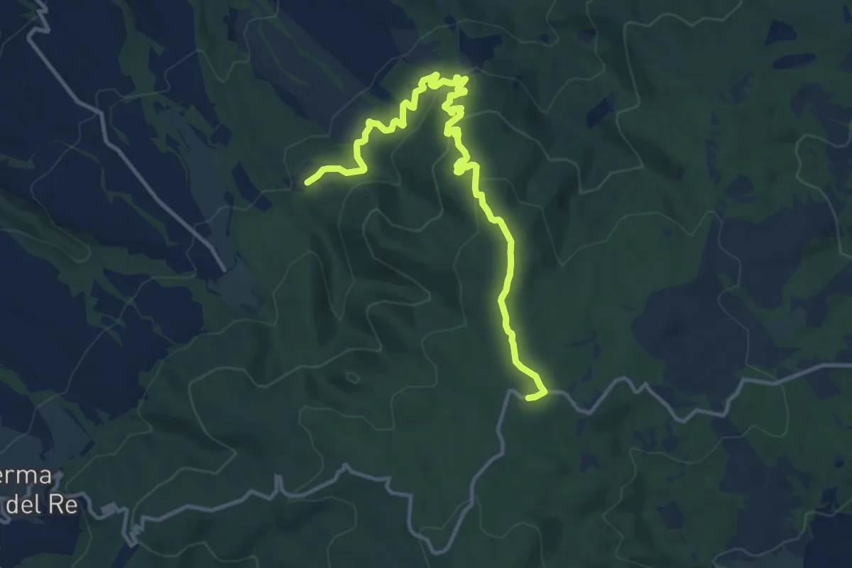
Medium · Trail
Caserma Faggio del Re – Cerasera-Speranza
15.1 km · ↑ 578 m · 4 h 49 min
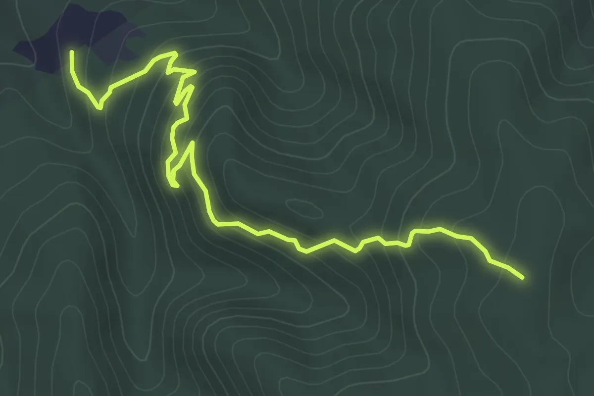
Medium · Trail
Piano della Salute – Fontana Speranza
7.6 km · ↑ 390 m · 2 h 39 min
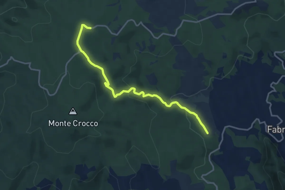
Medium · Trail
Caserma del Faggio del Re – Passo dell'Abate
10.3 km · ↑ 293 m · 3 h 4 min
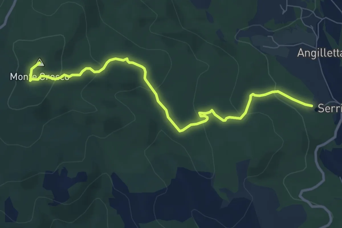
Medium · Summit
Faggio del Re – Passo dell'Abate
9.1 km · ↑ 327 m · 2 h 51 min
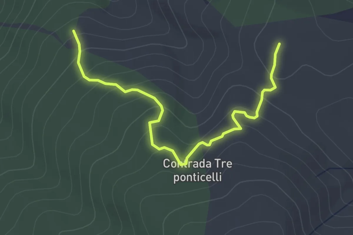
Easy · Trail
SP 43 Lacina – Casermetta Lu Bellu
5.1 km · ↑ 252 m · 1 h 45 min
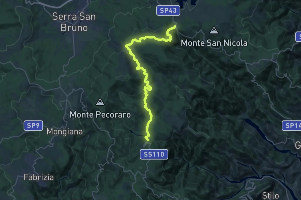
Medium · Trail
SP 43 - Lacina – Ferdinandea (Stilo)
13.9 km · ↑ 450 m · 4 h 26 min
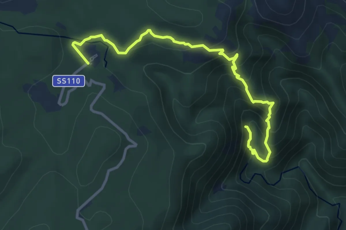
Medium · Trail
Ferdinandea – Cascate del Marmarico
8.9 km · ↑ 592 m · 3 h 23 min