Trails in Italy
25,211 hiking trails, each with its route, climb, walking time and grade.
All trails, page 23 of 526
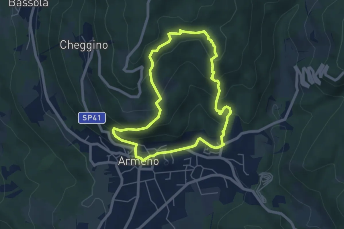
Easy · Trail
Armeno, anello Campei
4.3 km · ↑ 255 m · 1 h 38 min
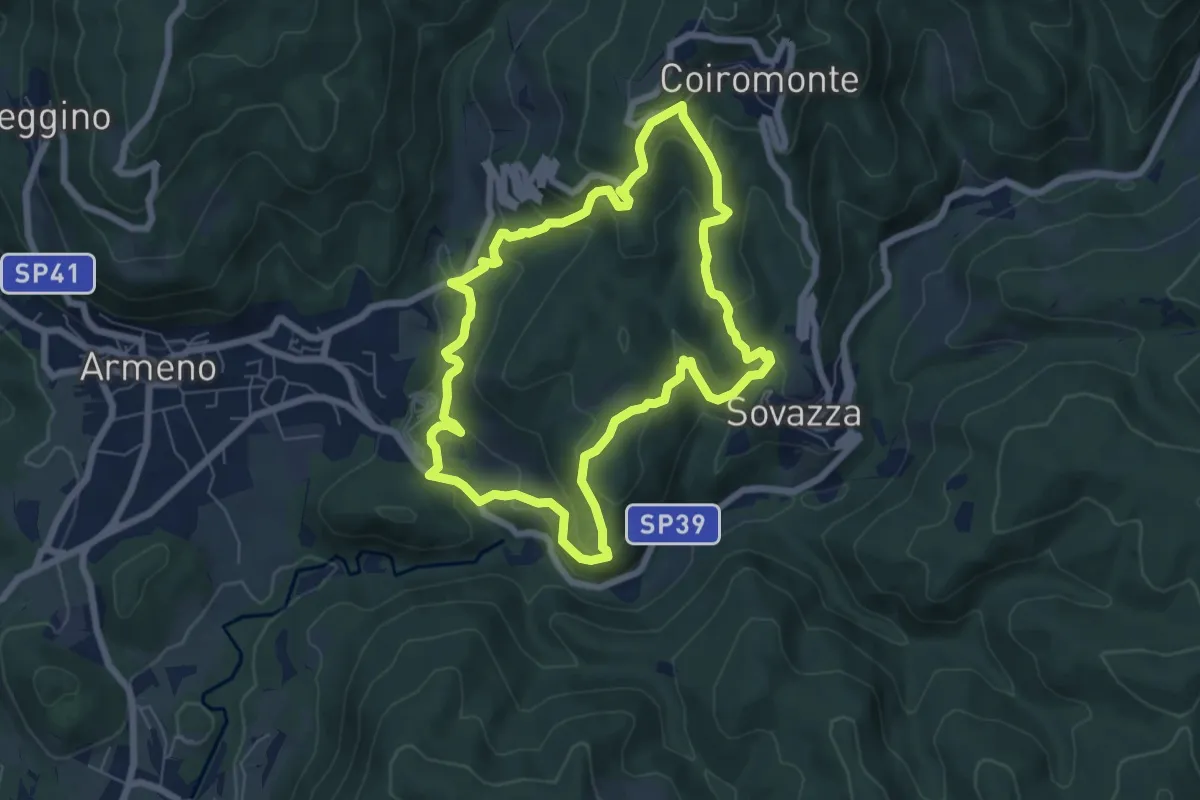
Medium · Trail
Armeno, anello Coiro-Sovazza
6.6 km · ↑ 355 m · 2 h 25 min
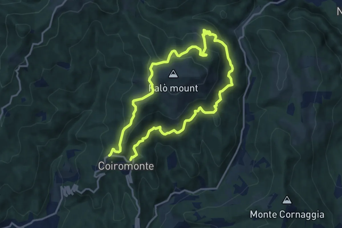
Medium · Summit
Armeno, anello Falò
8.3 km · ↑ 475 m · 3 h 6 min
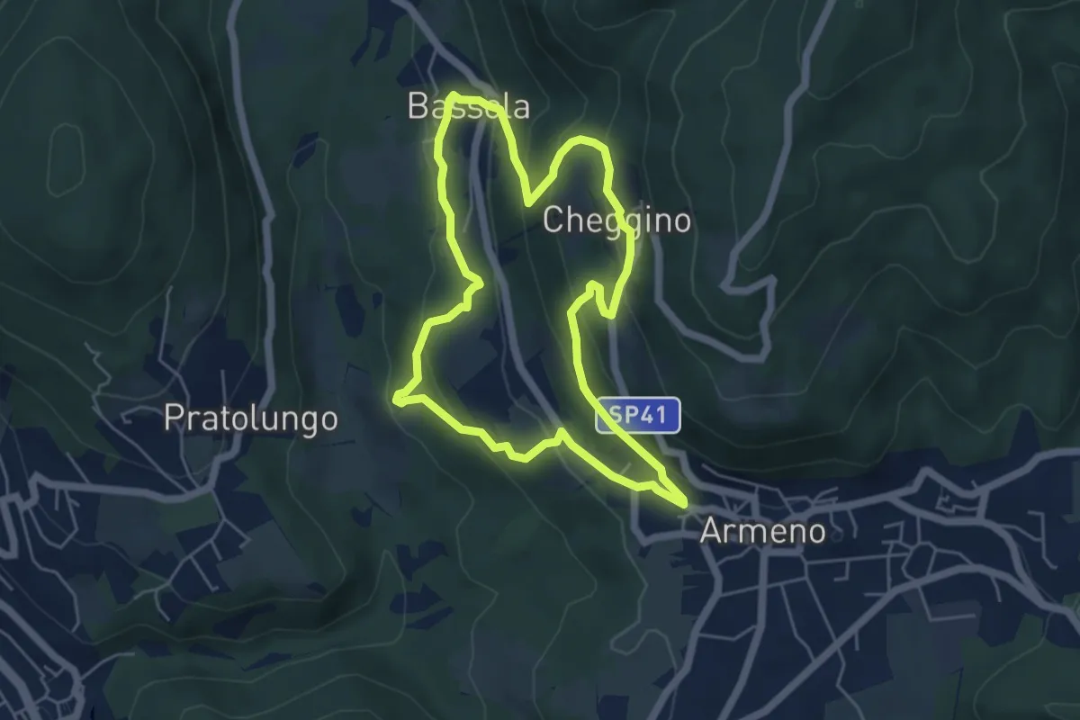
Easy · Trail
Armeno, anello Frazioni
4.8 km · ↑ 286 m · 1 h 50 min
Medium · Trail
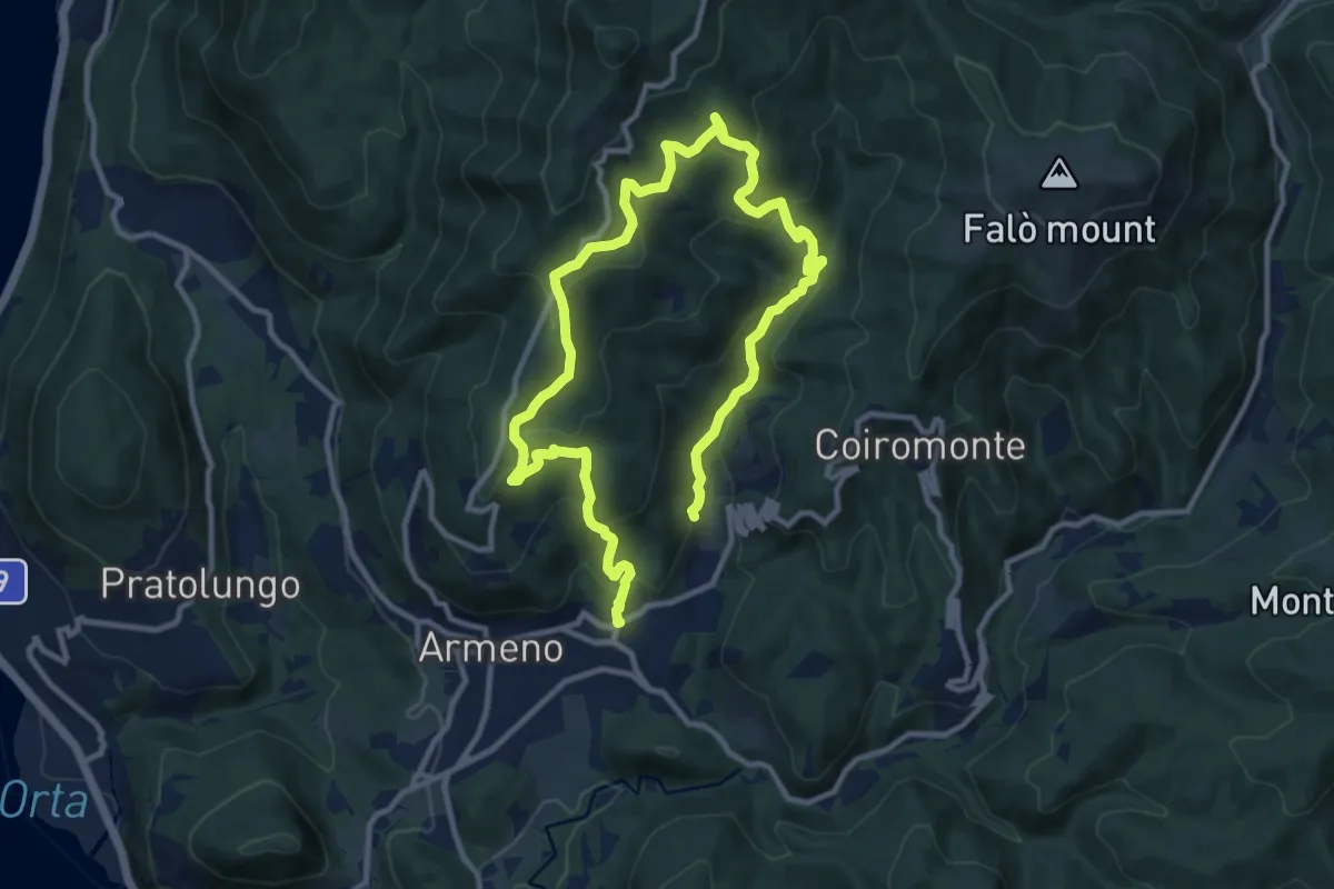
Armeno, anello Luciago
8.6 km · ↑ 486 m · 3 h 13 min
Easy · Trail
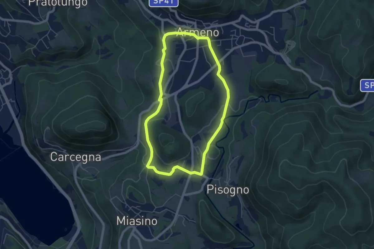
Armeno, anello Piscina
4.8 km · ↑ 105 m · 1 h 26 min
Easy · Trail
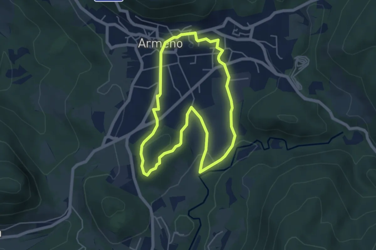
Armeno, anello Prati
4.2 km · ↑ 95 m · 1 h 16 min
Easy · Trail
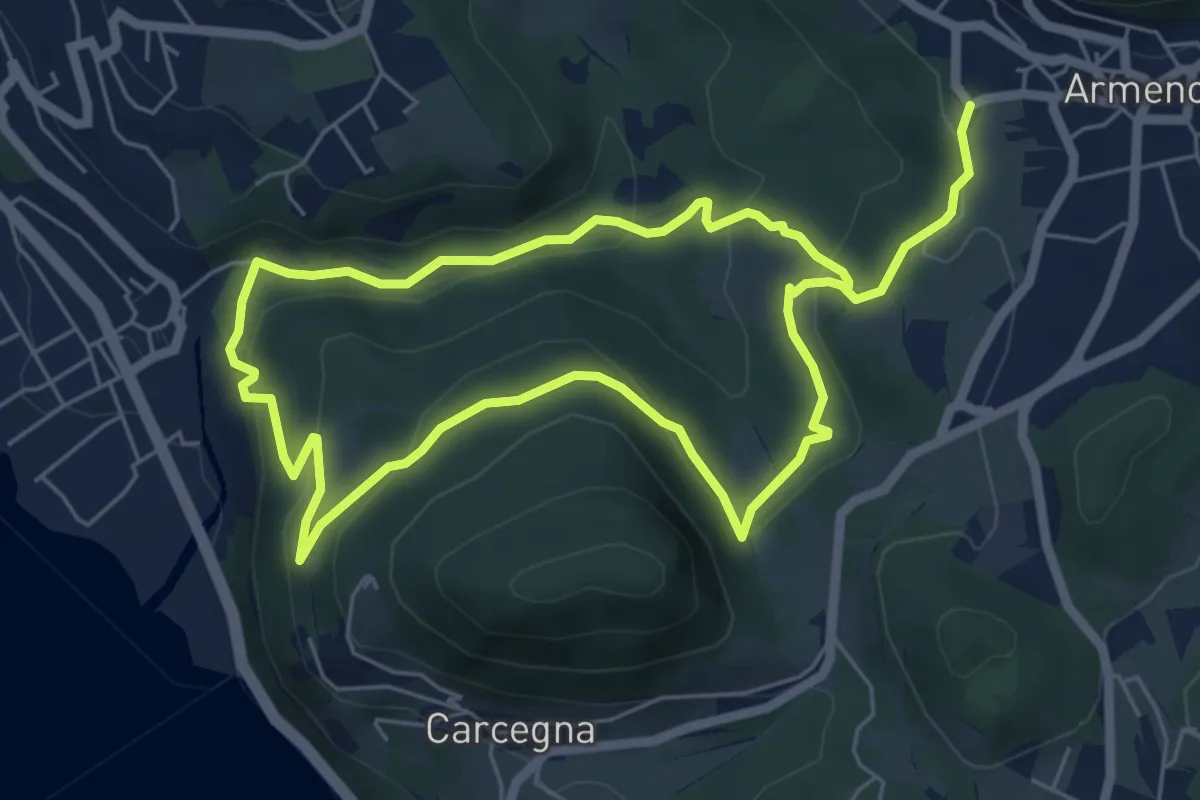
Armeno, anello Rusa
5.5 km · ↑ 267 m · 1 h 57 min
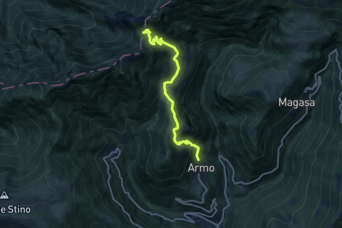
Medium · Trail
Armo - Bocca di Valle
8.1 km · ↑ 706 m · 3 h 26 min
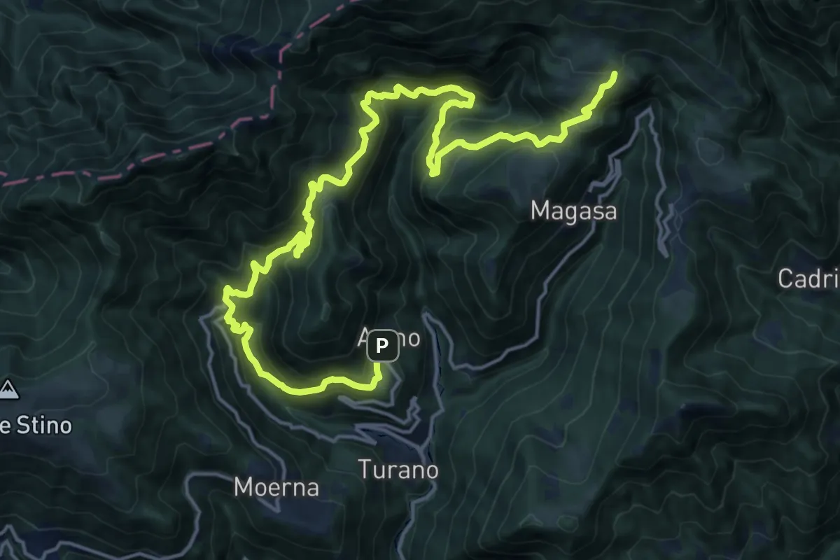
Demanding · Trail
Armo (Valvestino) - Ponte Franato - Denai (Magasa)
10.6 km · ↑ 1036 m · 4 h 41 min
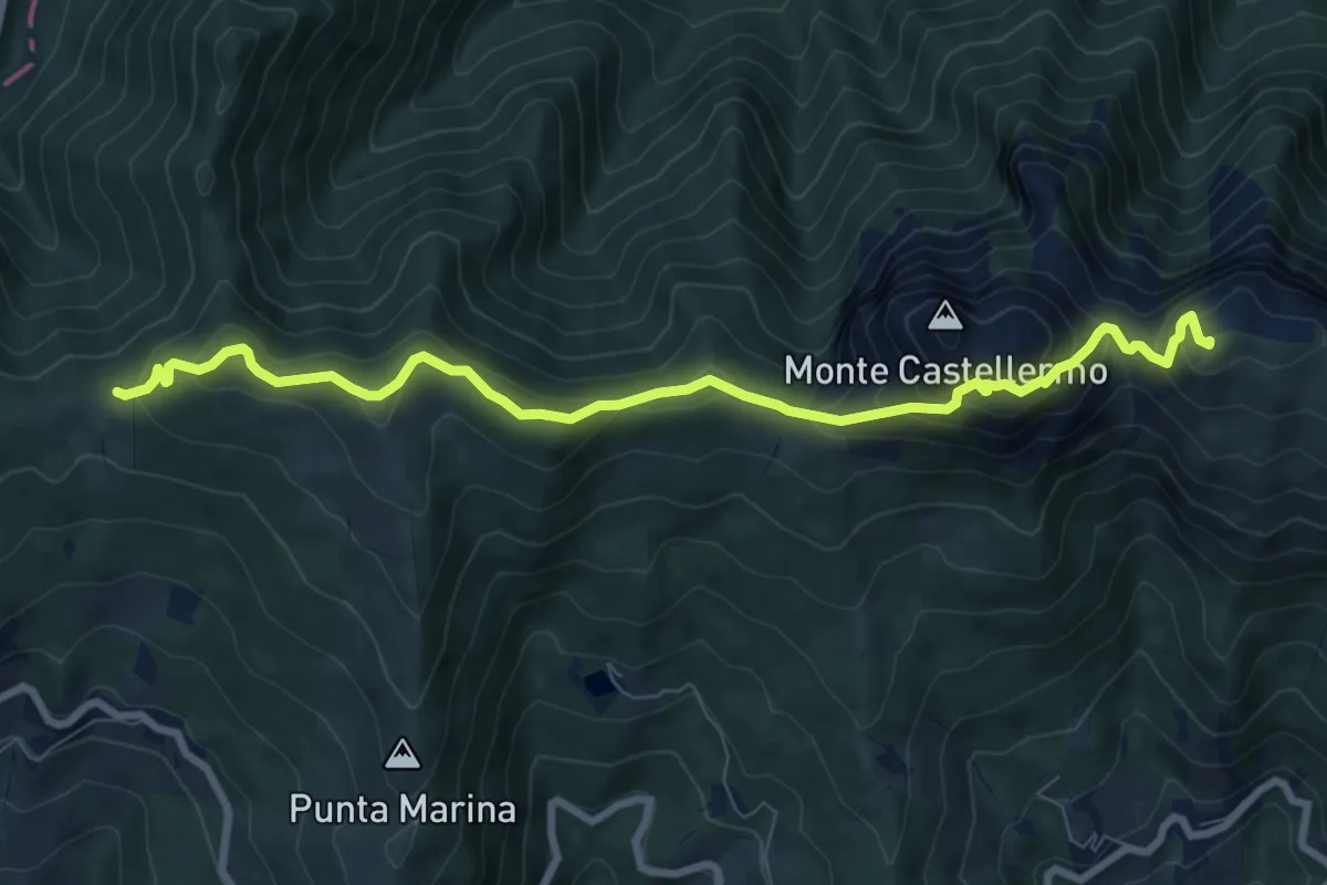
Medium · Summit
Arnasco - Cappella di San Calogero - Prati di Bacelega
9.2 km · ↑ 660 m · 3 h 36 min
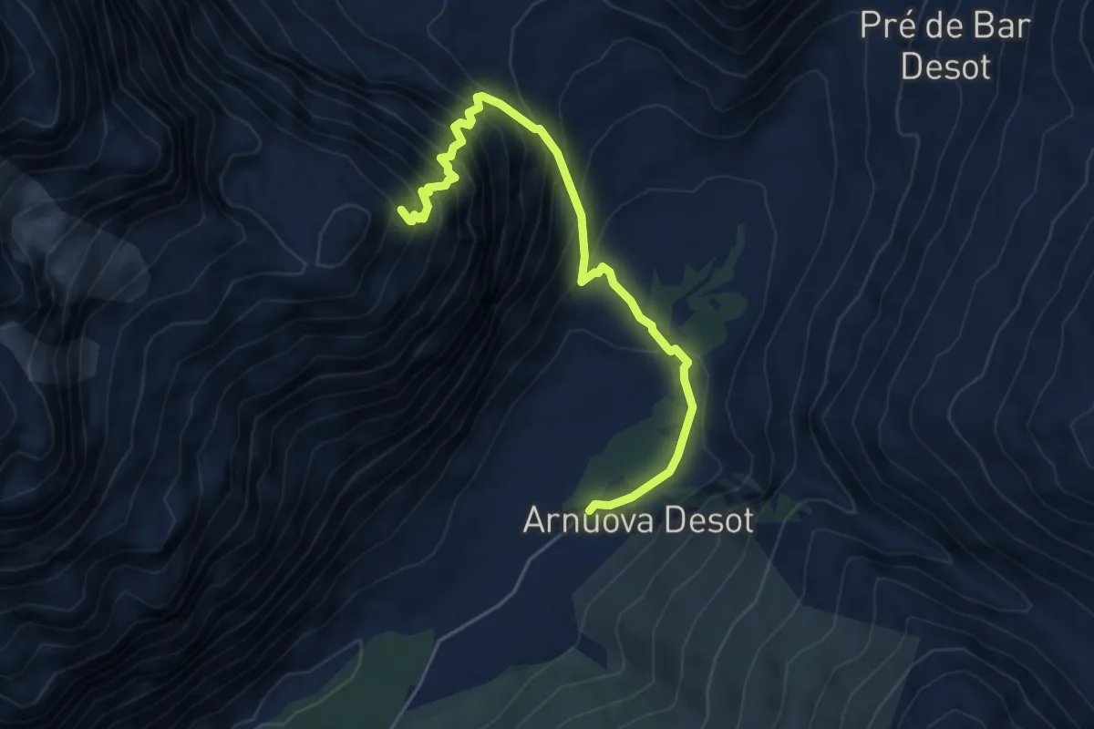
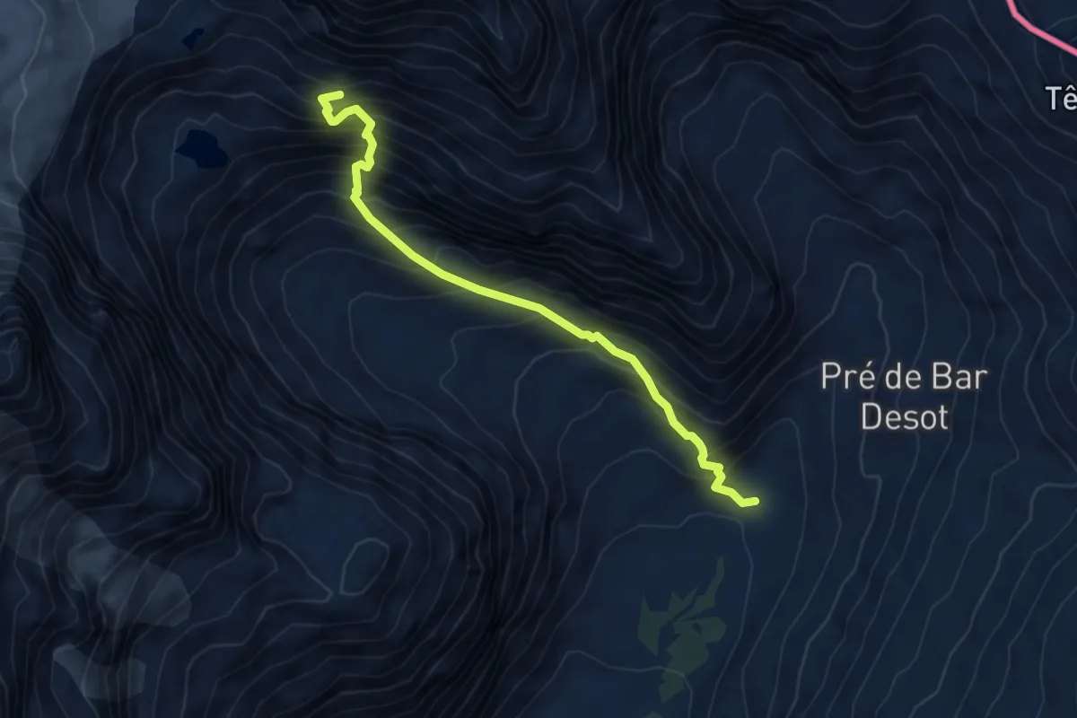
Expert · Cabin
Arp Nouva - Bivacco Comino
5.2 km · ↑ 685 m · 2 h 43 min
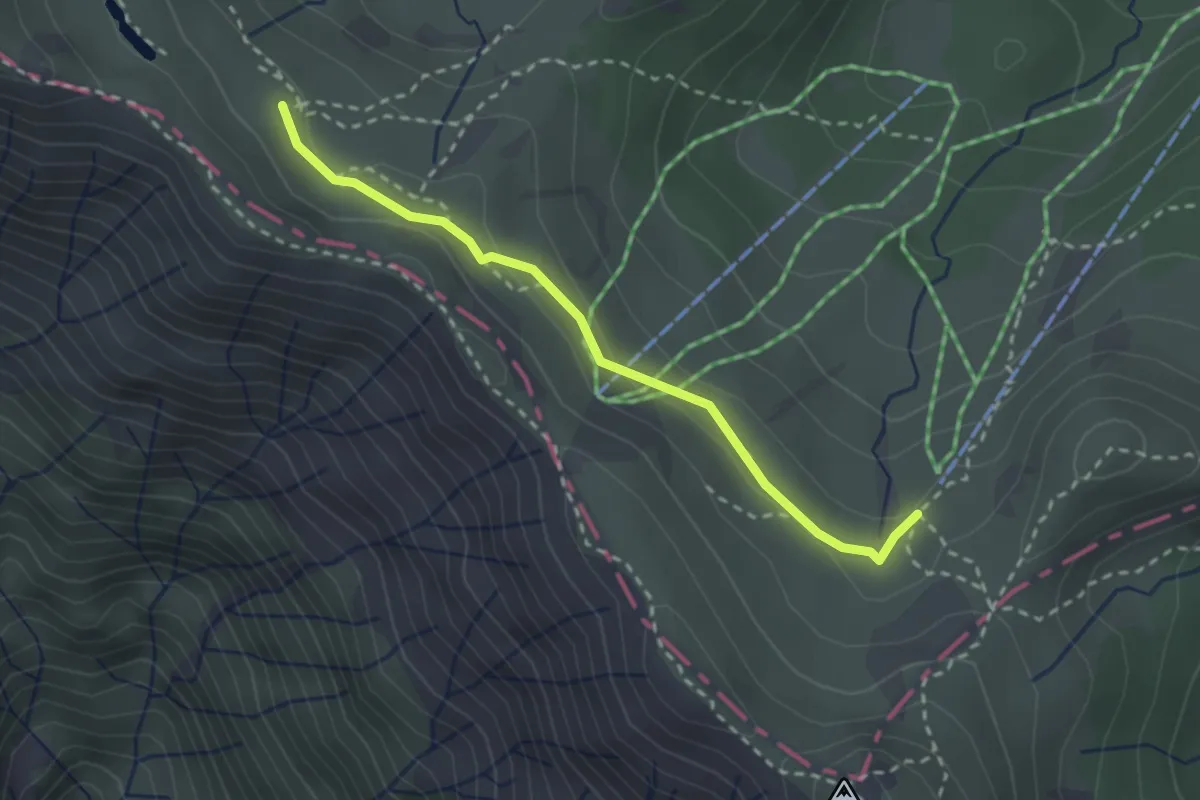
Expert · Cabin
Arp Nouva - Rifugio Dalmazzi
5.2 km · ↑ 792 m · 2 h 56 min
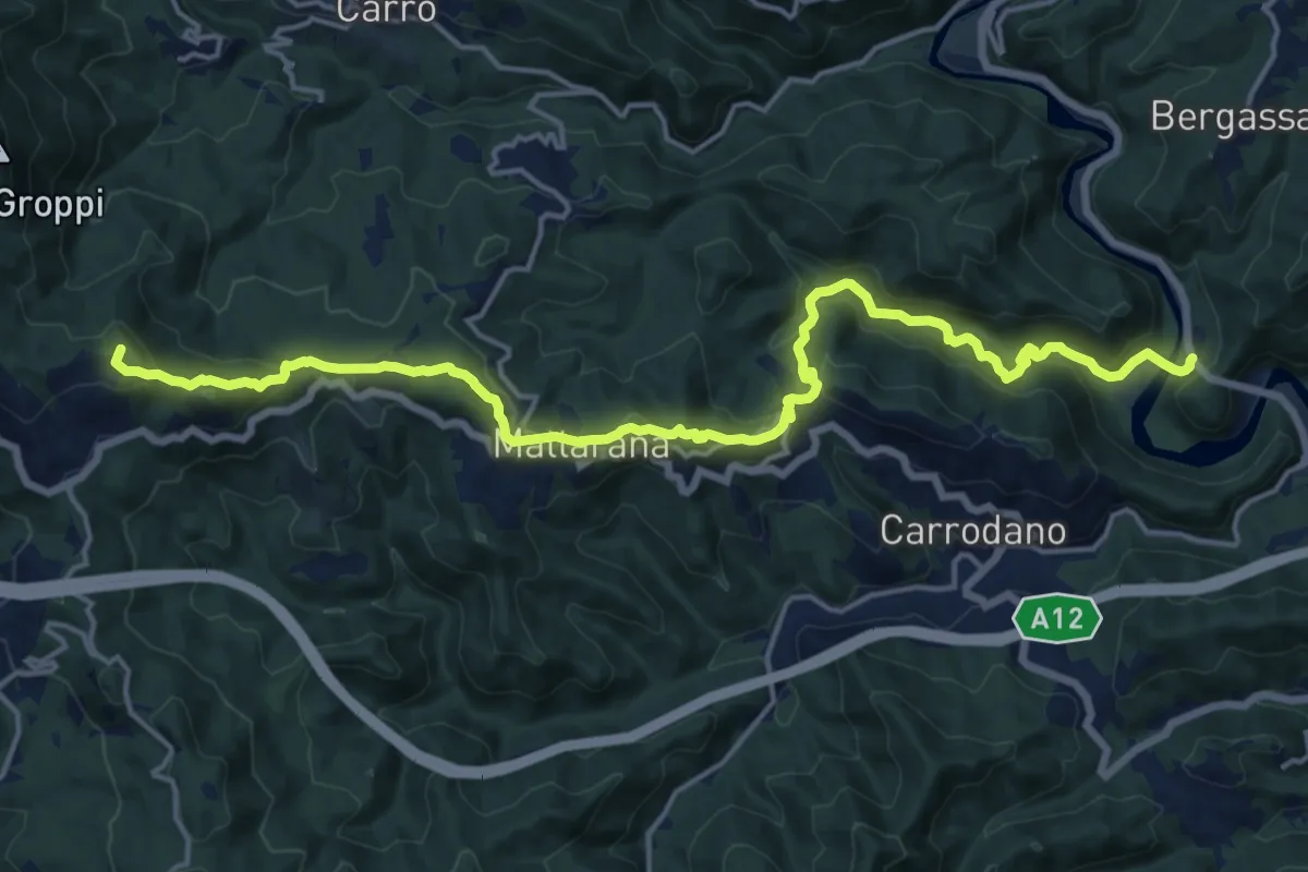
Medium · Trail
Arrivo seggiovia Prato Spilla - percorso 705
2.7 km · ↑ 83 m · 48 min
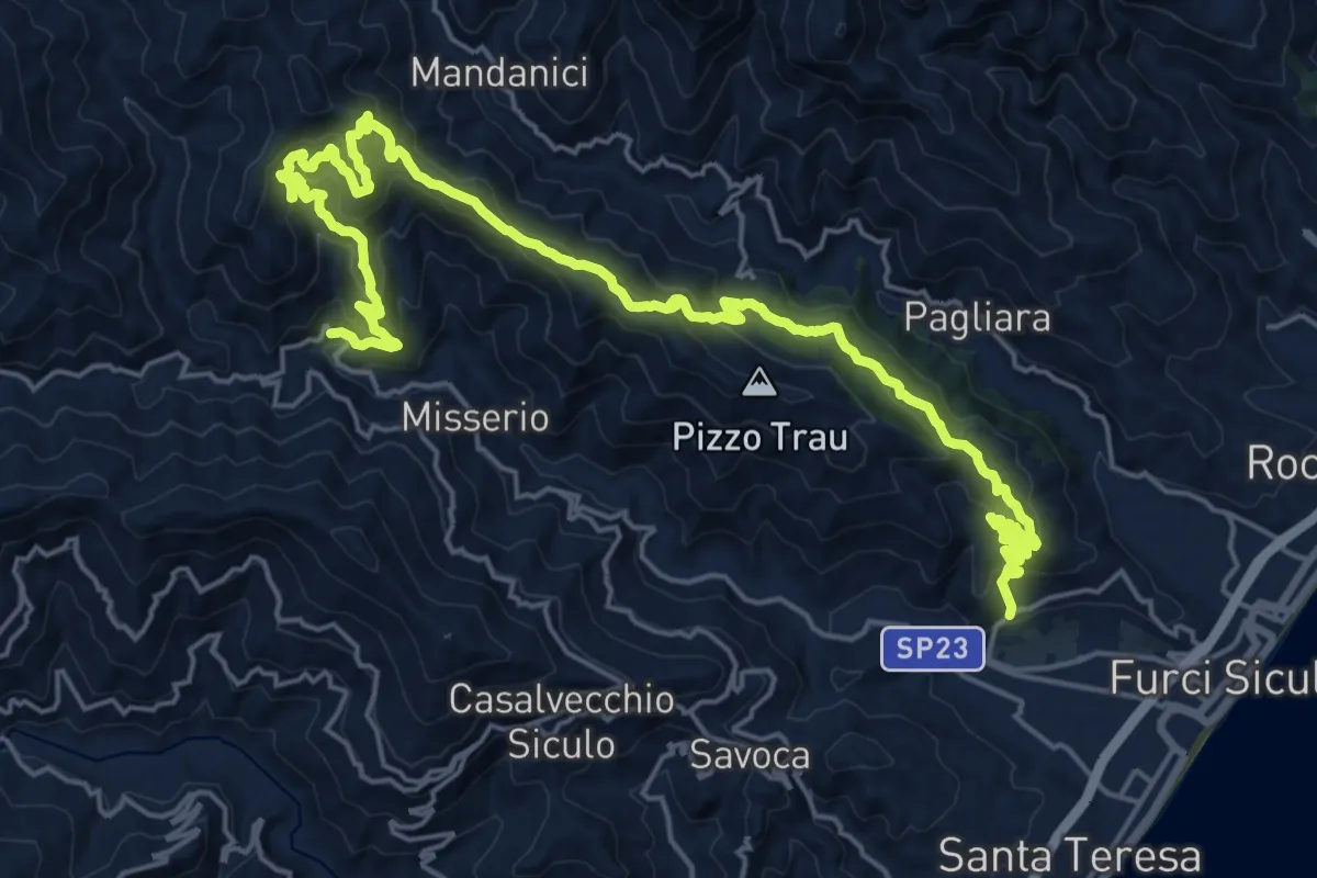
Demanding · Summit
Arsina - Carrodano Superiore - Mattarana - Colle Gruzze - San Nicolao
19.5 km · ↑ 801 m · 6 h 20 min
Demanding · Trail
Artale Locadi Grotte
15.3 km · ↑ 1027 m · 5 h 57 min
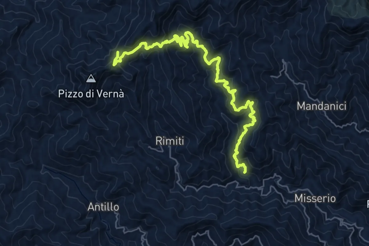
Demanding · Trail
Artale Sentiero Italia
13.0 km · ↑ 1166 m · 5 h 26 min
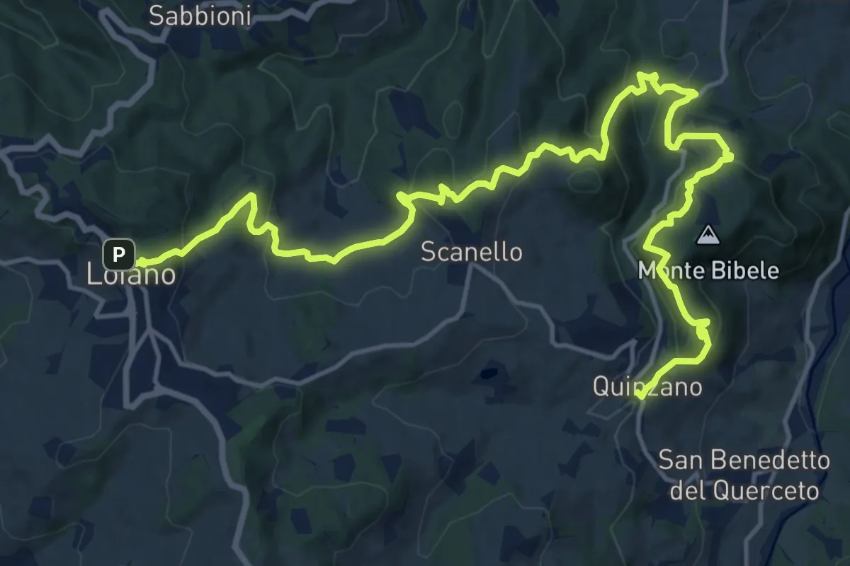
Demanding · Trail
Art Trail Tappa 1/6
20.0 km · ↑ 926 m · 6 h 43 min
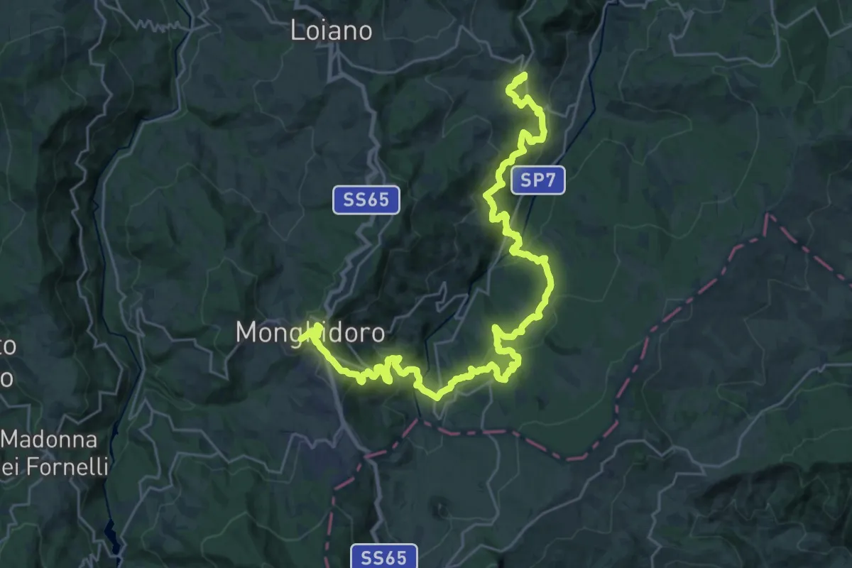
Demanding · Trail
Art Trail Tappa 2/6
17.4 km · ↑ 964 m · 6 h 15 min
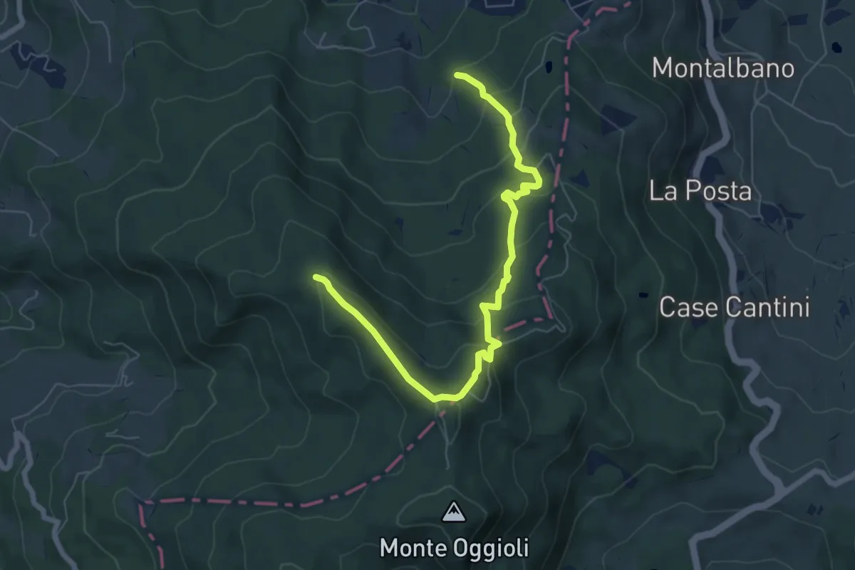
Medium · Trail
Art Trail Tappa 3/6
7.1 km · ↑ 433 m · 2 h 37 min
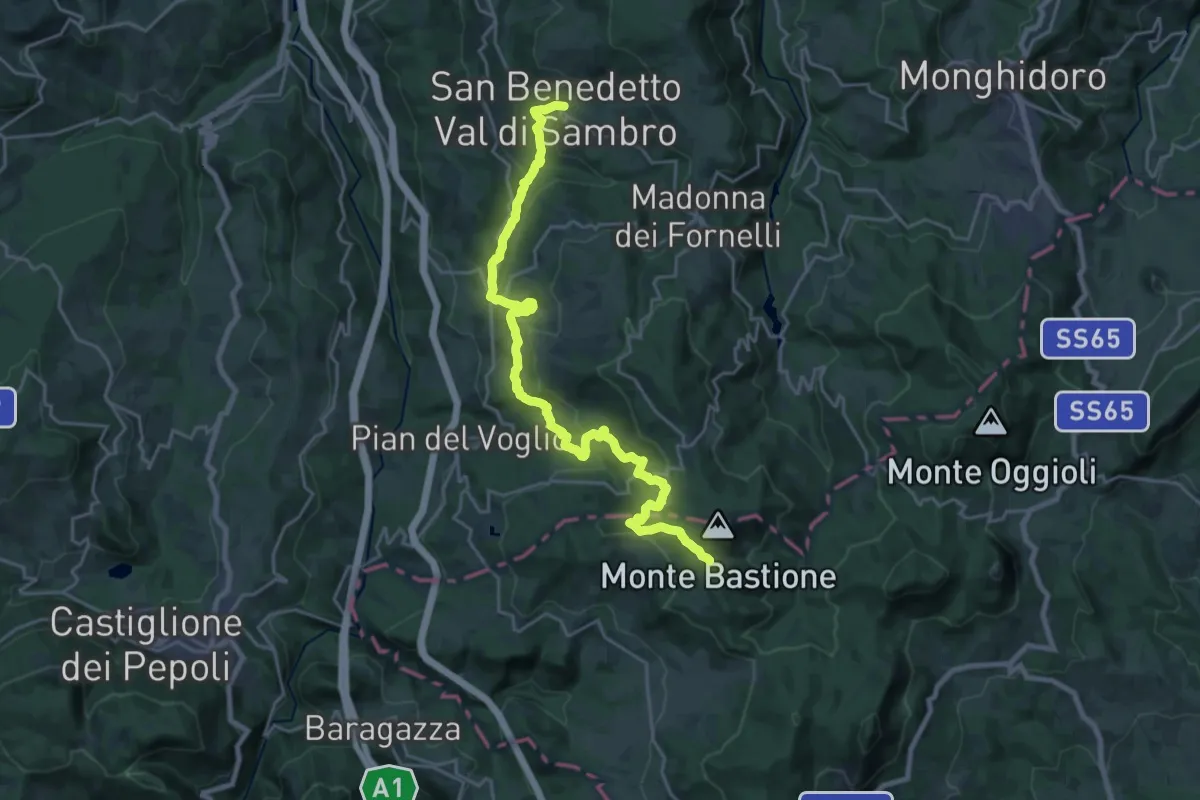
Medium · Trail
Art Trail Tappa 4/6
12.7 km · ↑ 748 m · 4 h 33 min
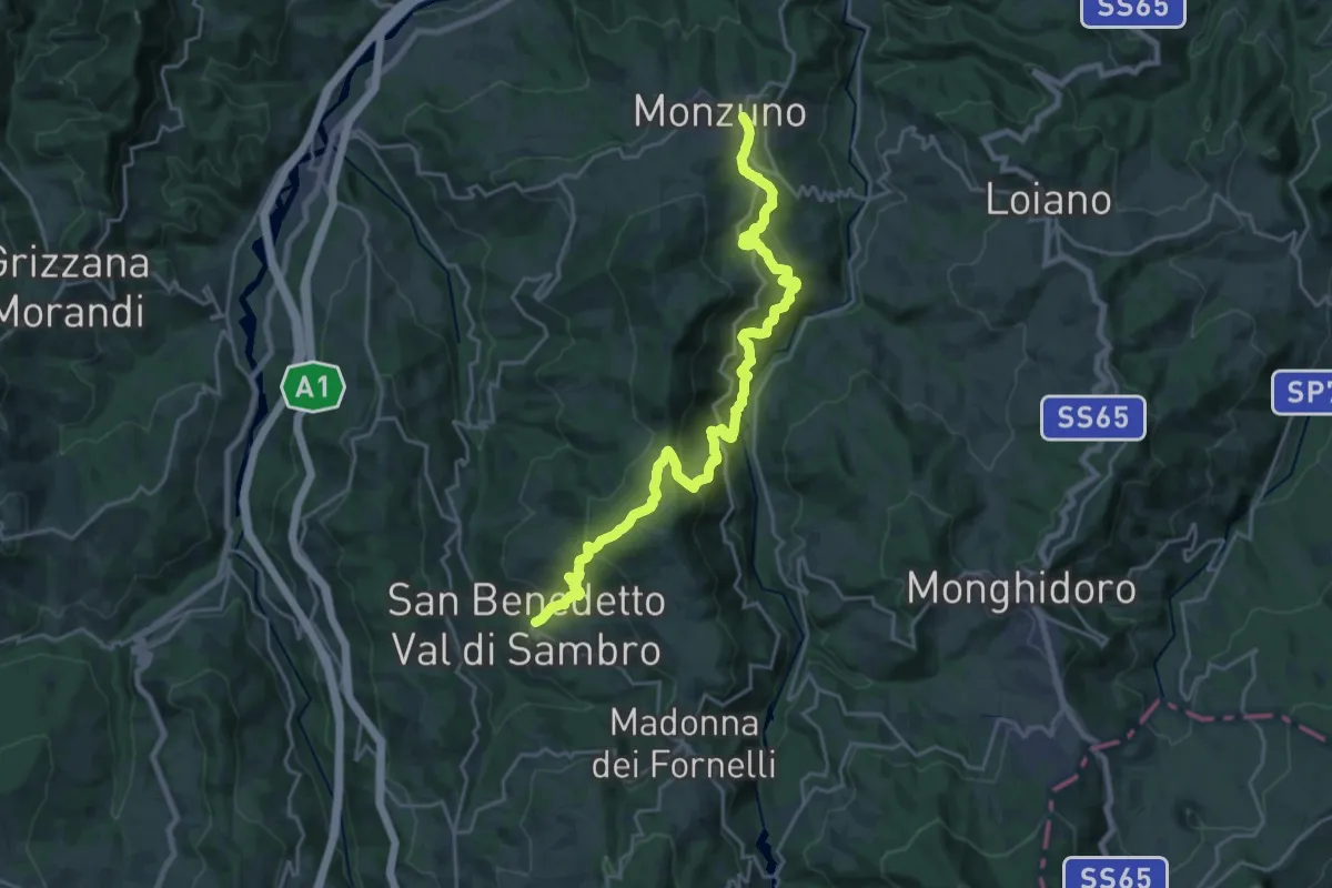
Medium · Trail
Art Trail Tappa 5/6
12.3 km · ↑ 631 m · 4 h 28 min
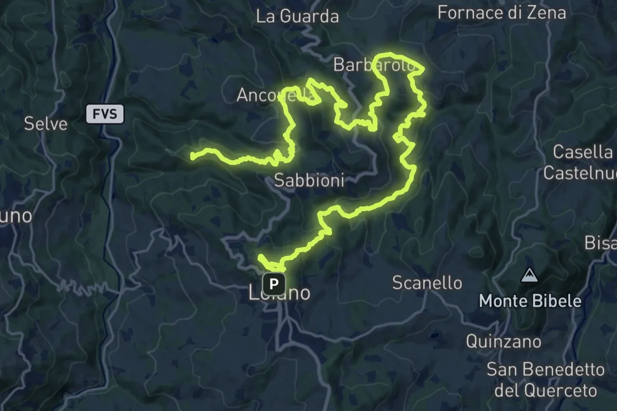
Demanding · Summit
Art Trail Tappa 6/6
33.5 km · ↑ 1547 m · 11 h 15 min
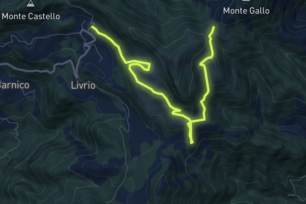
Medium · Trail
Arveaco - Passo del Cul
9.5 km · ↑ 674 m · 3 h 43 min
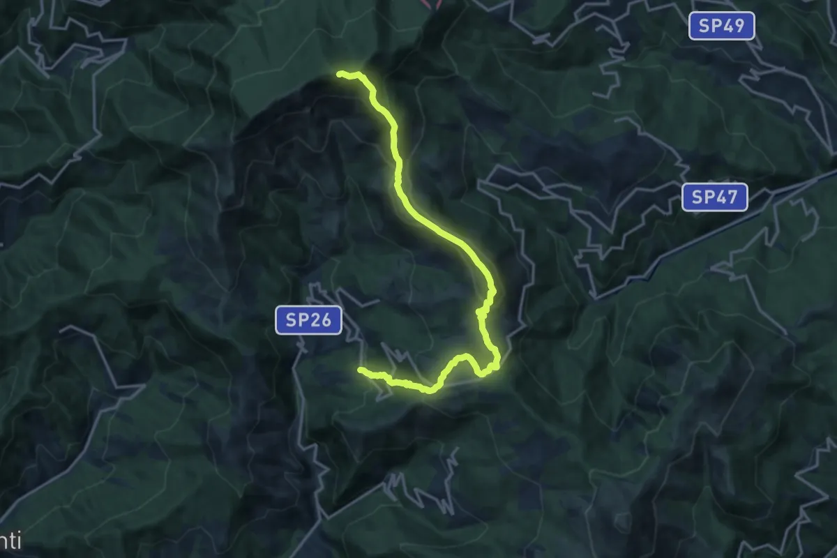
Demanding · Summit
Arzeno - Monte Chiappozzo - Monte Zatta
15.9 km · ↑ 1004 m · 5 h 56 min
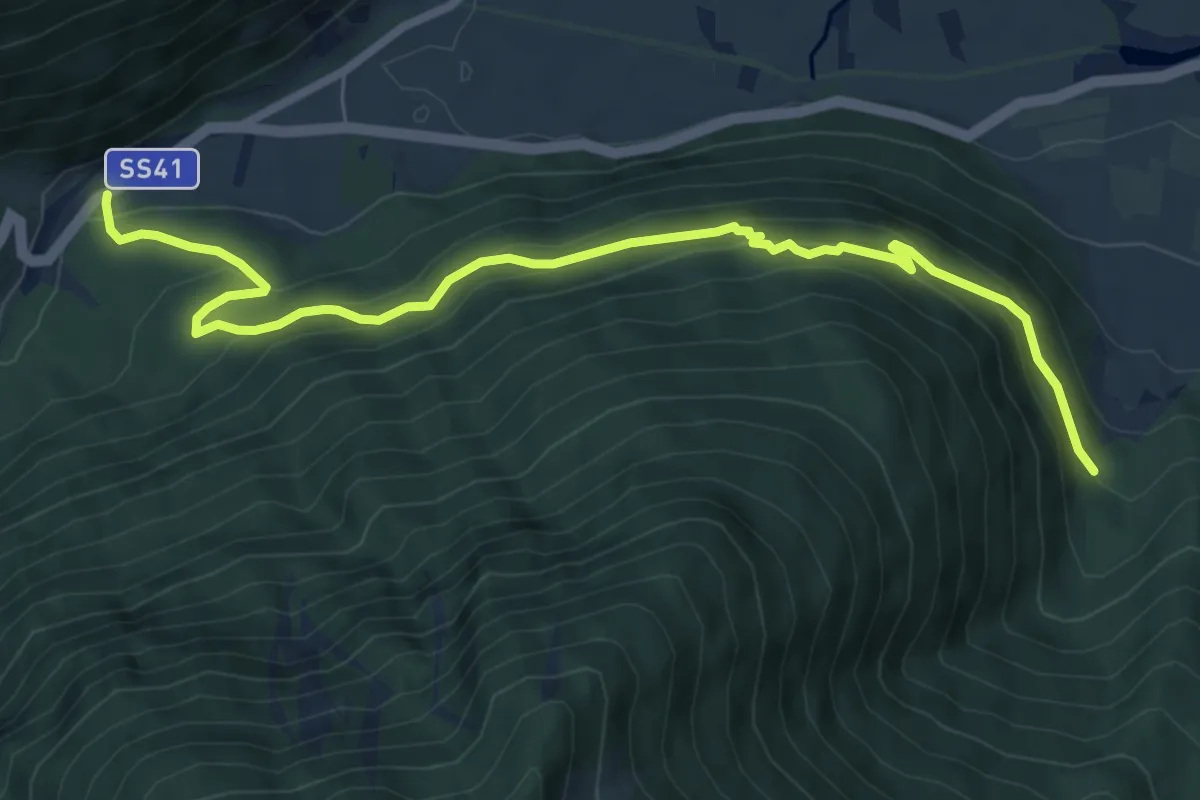
Medium · Trail
Arzweg
8.3 km · ↑ 509 m · 3 h 3 min
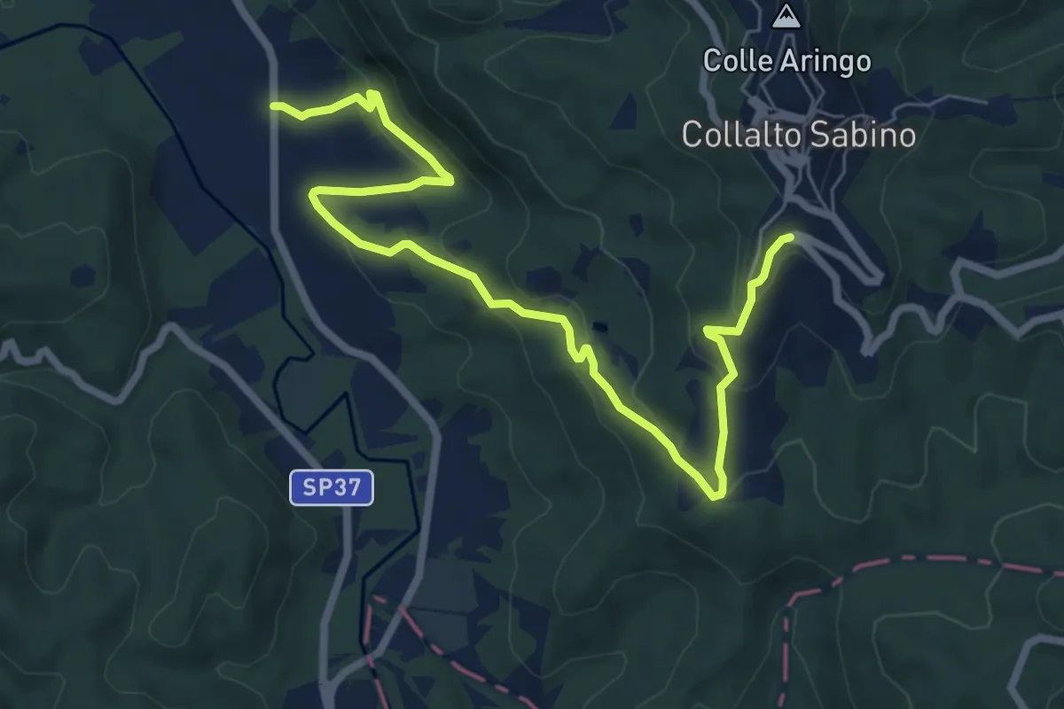
Medium · Trail
Ascrea - Collalto Sabino
8.6 km · ↑ 360 m · 2 h 48 min
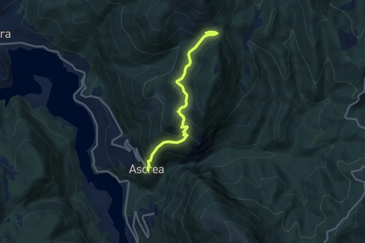
Medium · Trail
Ascrea - Mirandella - F.te le Forche
7.0 km · ↑ 544 m · 2 h 49 min
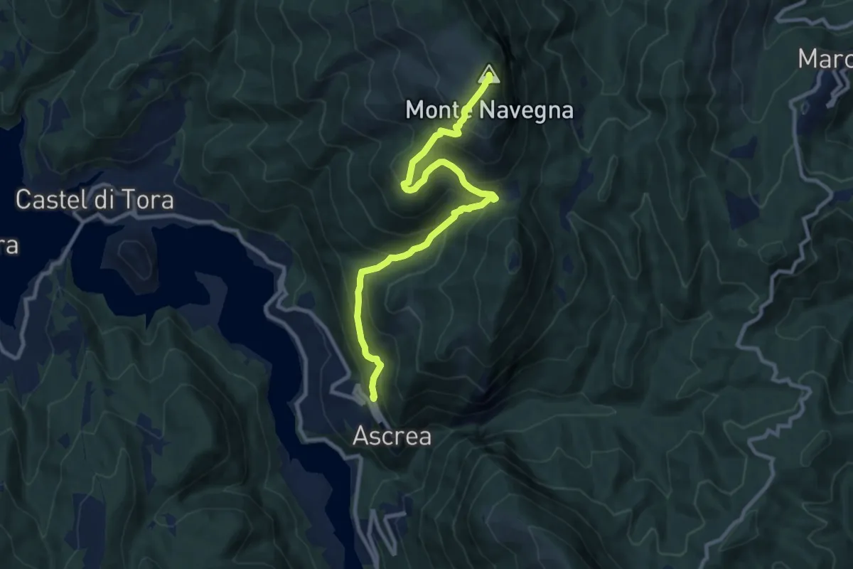
Demanding · Summit
Ascrea-Monte Navegna
10.6 km · ↑ 816 m · 4 h 16 min
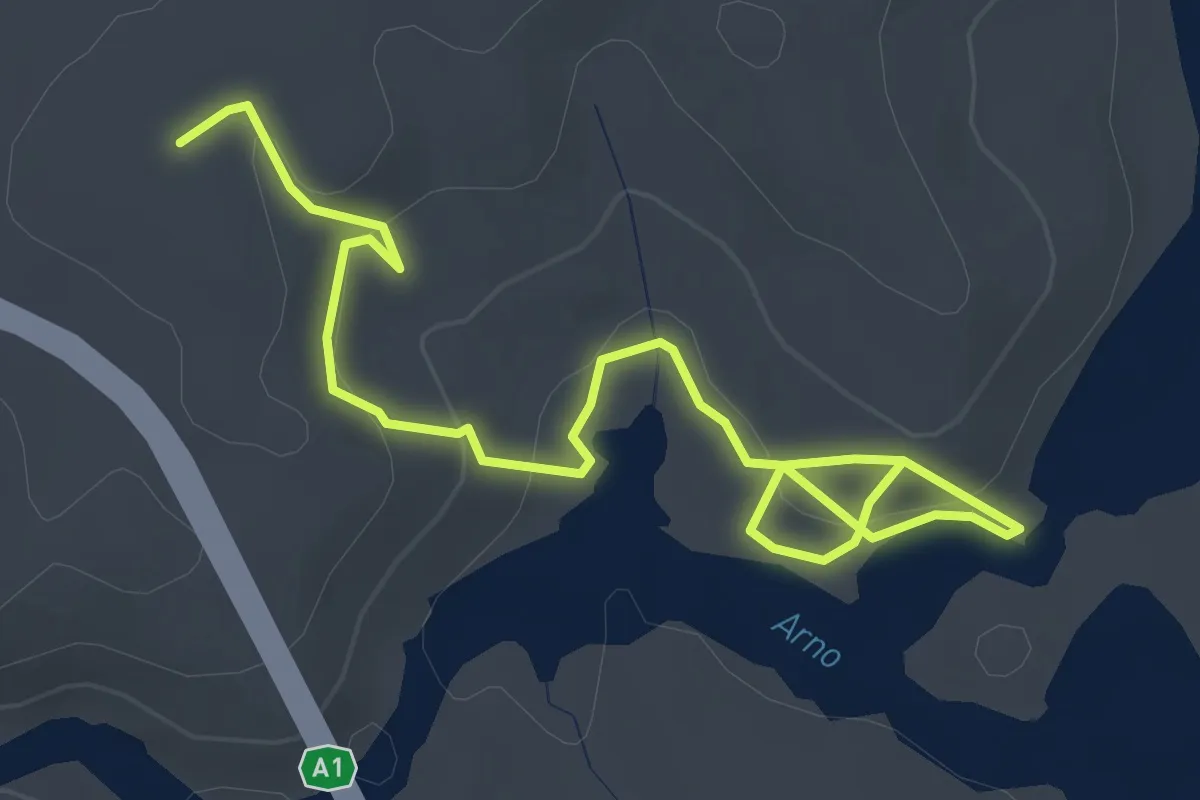
Easy · Trail
A - Sentiero dei Vignali
4.8 km · ↑ 186 m · 1 h 32 min
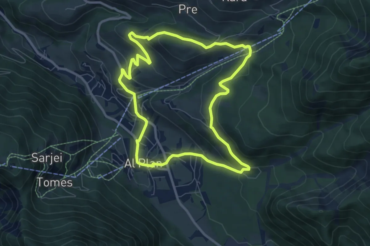
Easy · Trail
A Soredl
7.0 km · ↑ 249 m · 2 h 17 min
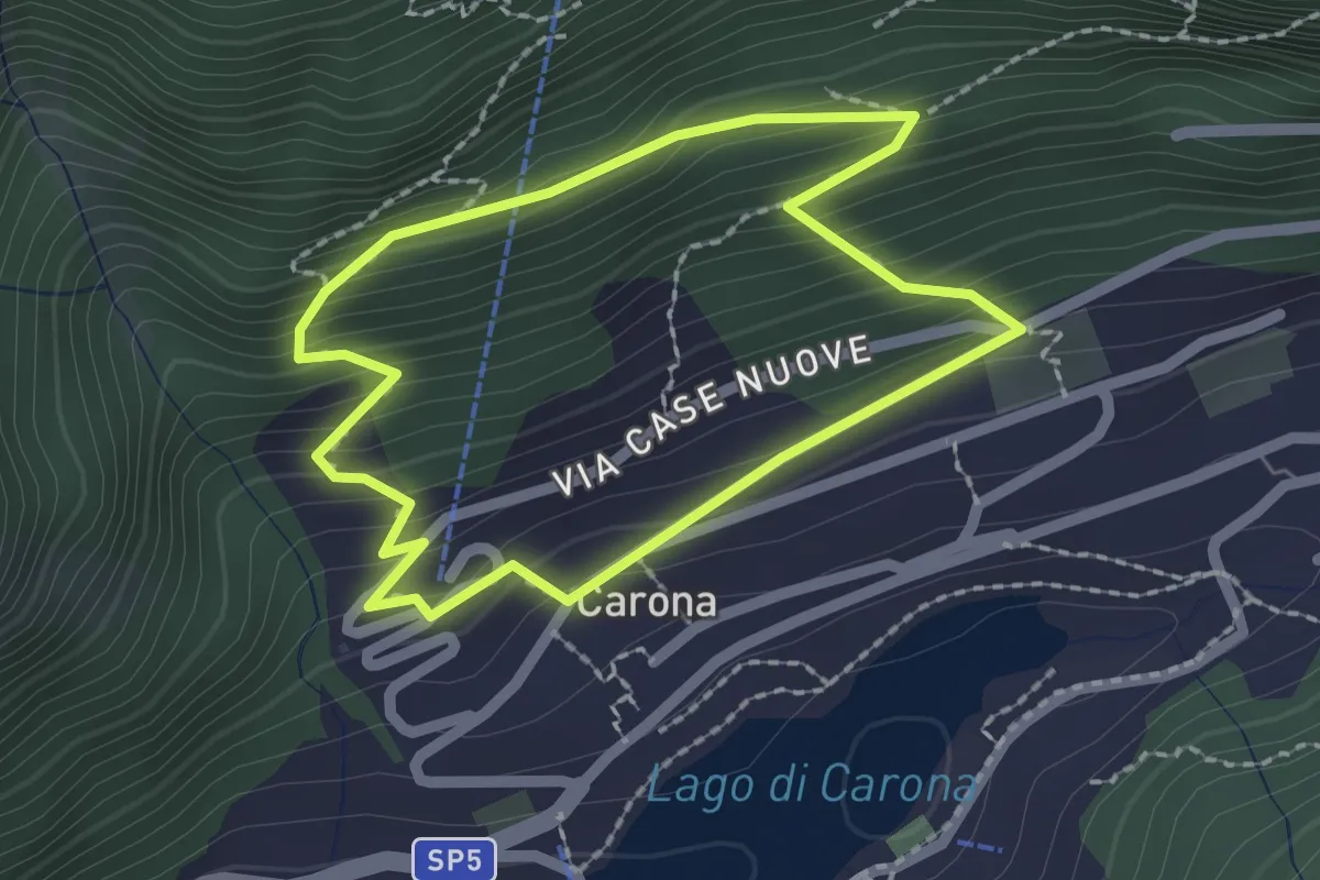
Medium · Trail
A spasso nel tempo
1.9 km · ↑ 169 m · 51 min
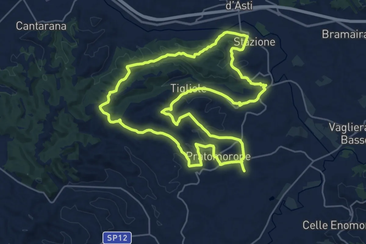
Demanding · Trail
A Spasso per Tigliole
18.7 km · ↑ 362 m · 5 h 28 min
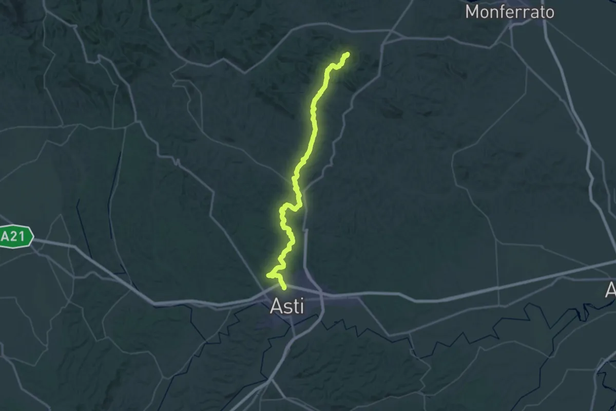
Demanding · Summit
Asti Crea
57.9 km · ↑ 890 m · 15 h 36 min
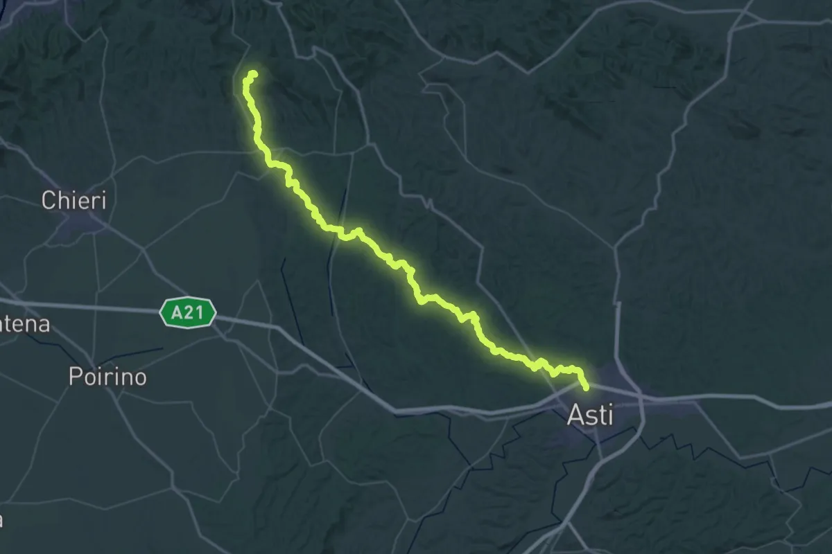
Demanding · Trail
Asti Vezzolano
38.2 km · ↑ 655 m · 11 h 6 min
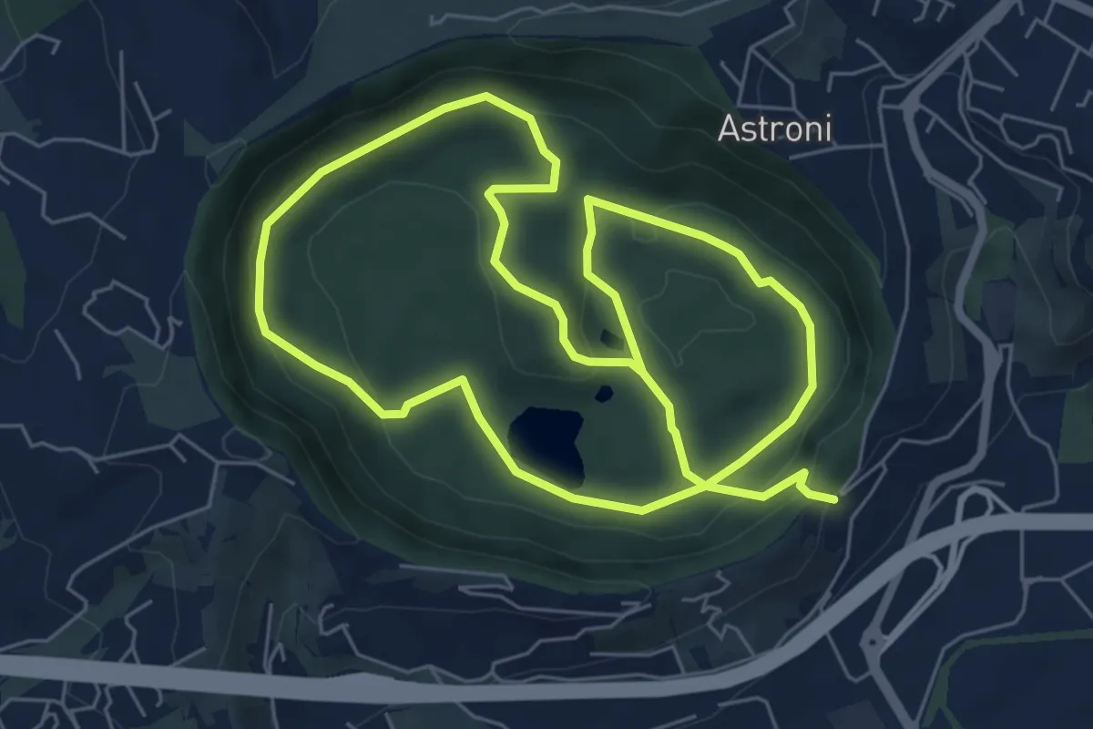
Medium · Trail
Astroni
13.5 km · ↑ 421 m · 4 h 7 min
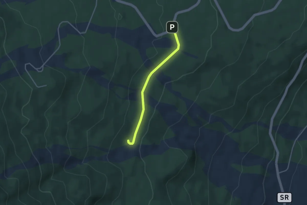
Easy · Trail
A Trofa du Camperi
2.9 km · ↑ 41 m · 46 min
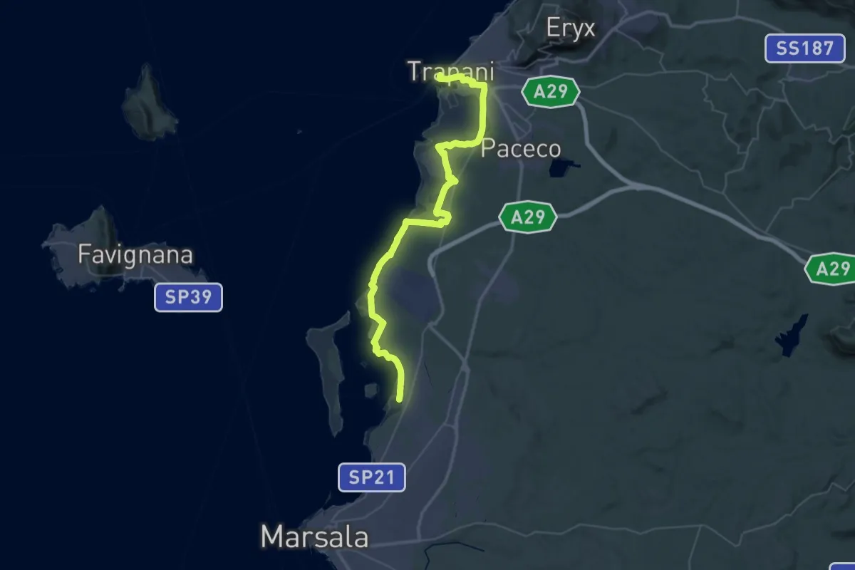
Demanding · Trail
ATS Antica Trasversale Sicula - Tappa 01
27.2 km · ↑ 78 m · 6 h 59 min
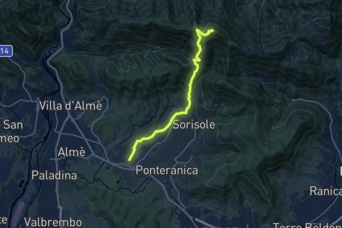
Demanding · Summit
Attacco al Canto Alto
12.5 km · ↑ 818 m · 4 h 44 min
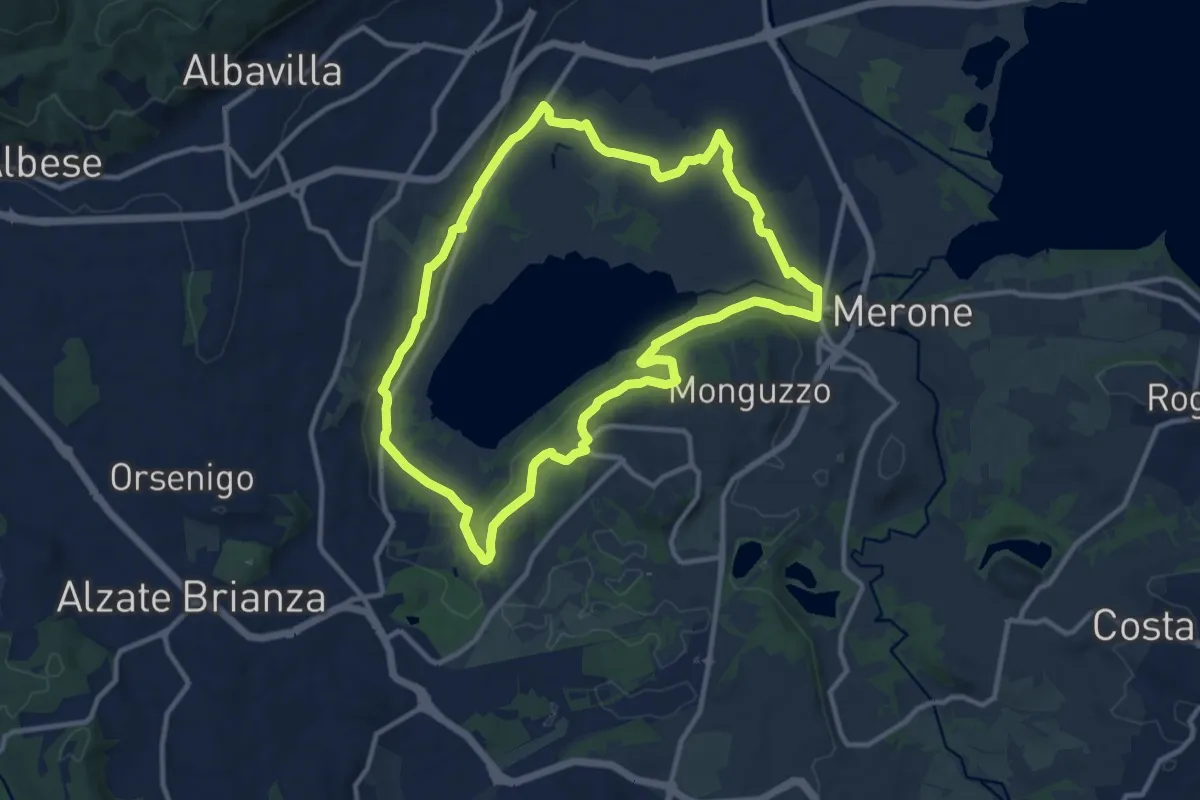
Medium · Trail
Attorno al lago di Alserio
11.3 km · ↑ 162 m · 3 h 11 min
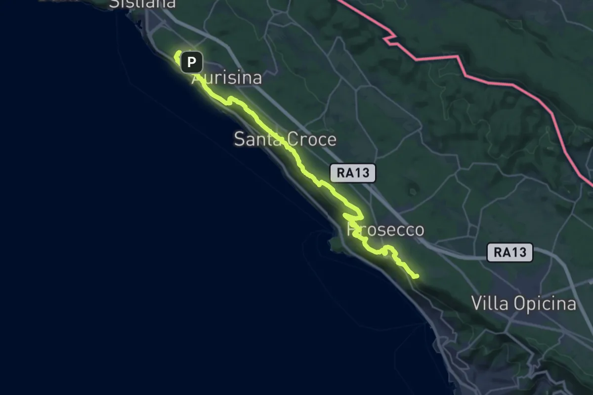
Demanding · Summit
Aurisina - Opicina
29.3 km · ↑ 763 m · 8 h 34 min
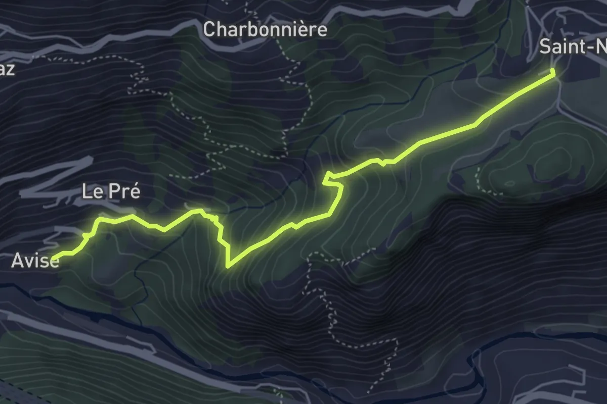
Medium · Trail
Avise - Saint-Nicolas
5.4 km · ↑ 470 m · 2 h 18 min
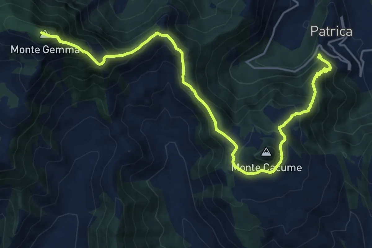
Demanding · Summit
AVLO
18.1 km · ↑ 1515 m · 7 h 34 min
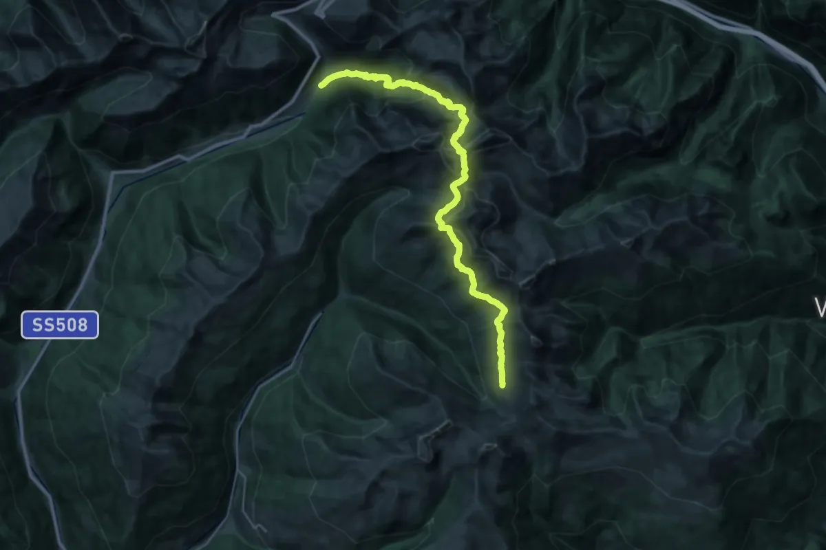
Demanding · Trail
AVS 13 - Asten - Hörtlahner Scharte - Marburger Hütte (Flaggerschartenhütte) - Tellerjoch - (Fortschellscharte)
14.4 km · ↑ 1337 m · 6 h 11 min
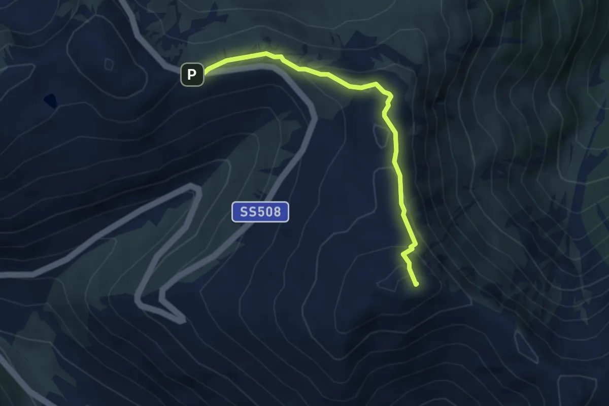
Medium · Summit
AVS 14B - Penser Joch - Astenberg
4.2 km · ↑ 183 m · 1 h 24 min
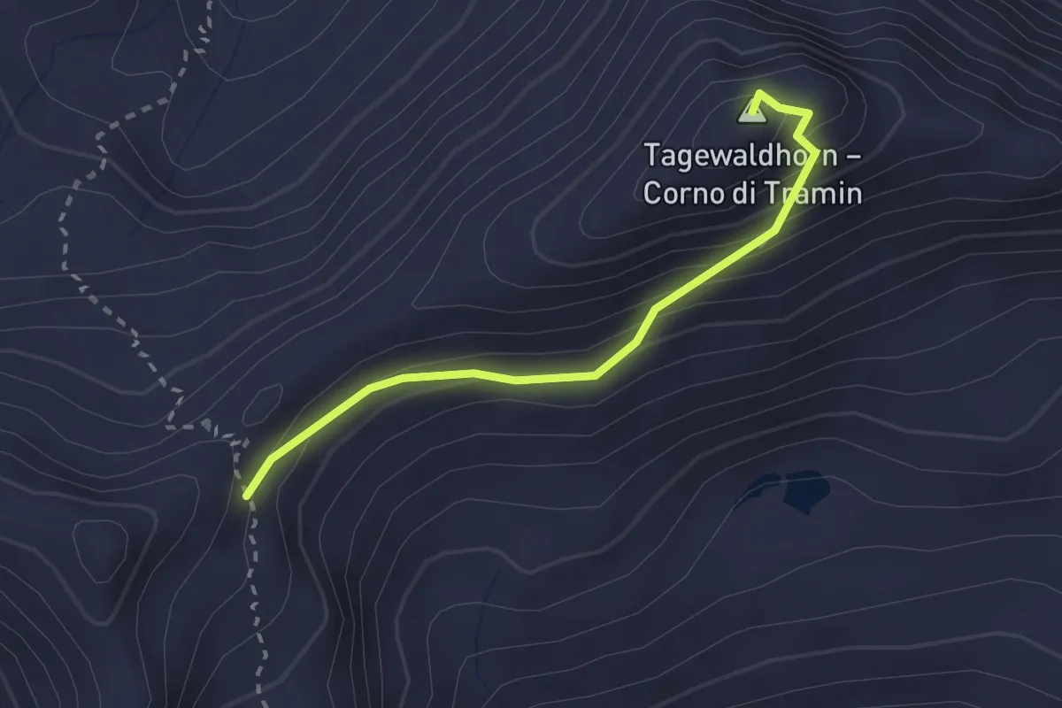
Expert · Summit
AVS 15A - Traminer Scharte - Tagewaldhorn - AVS13
2.3 km · ↑ 198 m · 59 min
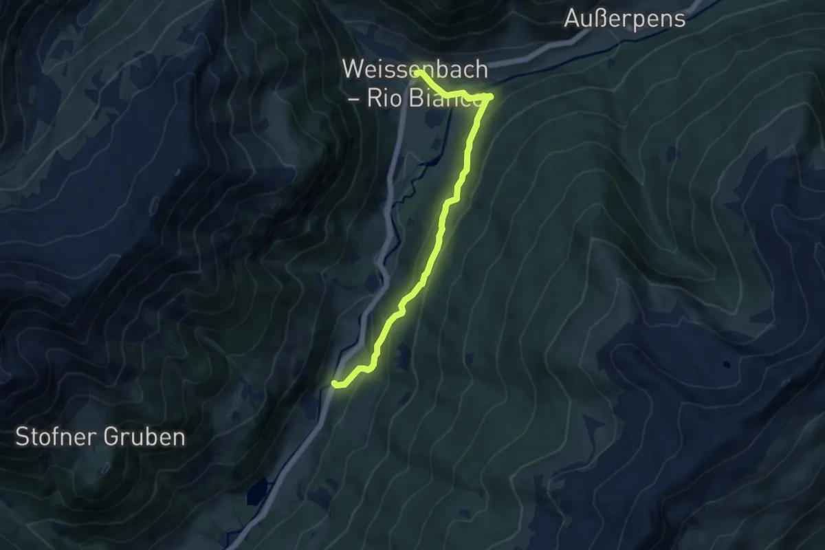
Medium · Trail
AVS 26 - Feldrand - Weissenbach
8.1 km · ↑ 472 m · 2 h 56 min
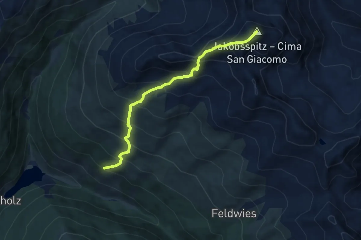
Demanding · Summit
AVS 5A - Durnholz - Tellerjoch - Jakobsspitze
7.7 km · ↑ 915 m · 3 h 49 min