Trails in Italy
25,211 hiking trails, each with its route, climb, walking time and grade.
All trails, page 24 of 526
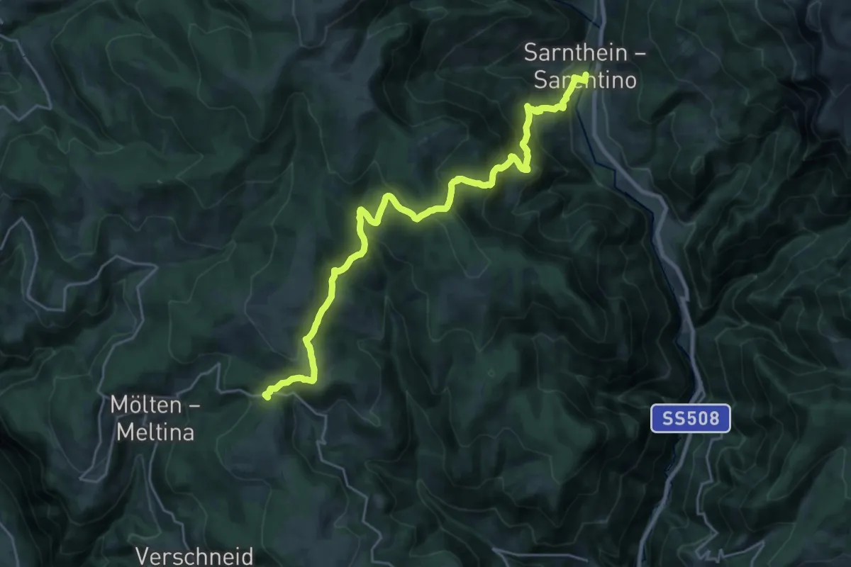
Medium · Trail
AVS 5 - Sarnthein - Premstall - Putzer Kreuz - Jenesier Jöchl - Fahrerhöfe - Schermoss
12.1 km · ↑ 476 m · 4 h 18 min
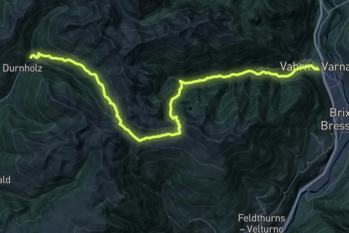
Demanding · Trail
AVS 5 - Vahrn - Bad Schalders - Lorenzischarte - Fortschellscharte - Durnholz
22.0 km · ↑ 938 m · 7 h 58 min
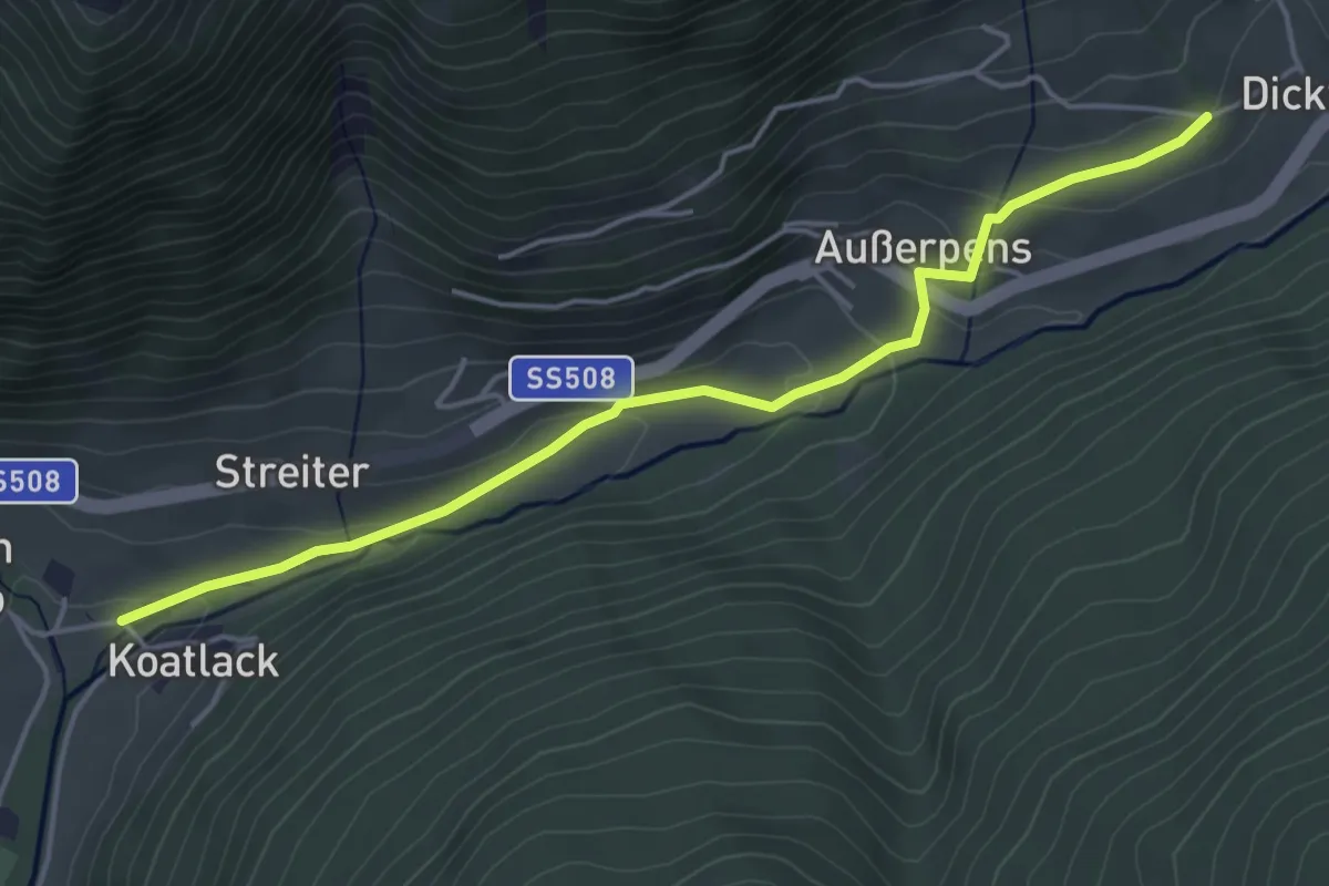
Easy · Trail
AVS 6A - Weissenbach - Außerpens - (Pens)
4.7 km · ↑ 154 m · 1 h 27 min
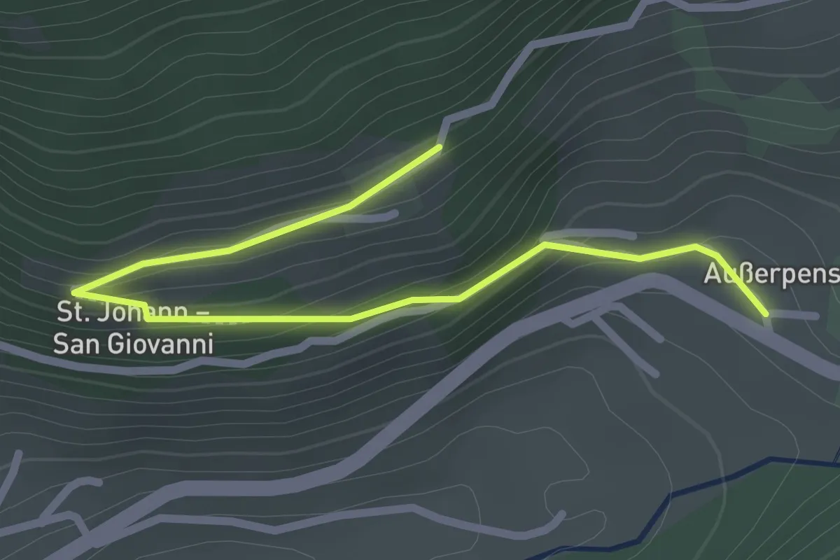
Easy · Trail
AVS 6B - St. Johann - Außerpens
2.5 km · ↑ 129 m · 53 min
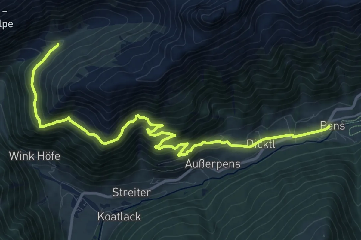
Medium · Trail
AVS 6 - Oberberg - Sieben Schupfen - Pens
15.2 km · ↑ 799 m · 5 h 19 min
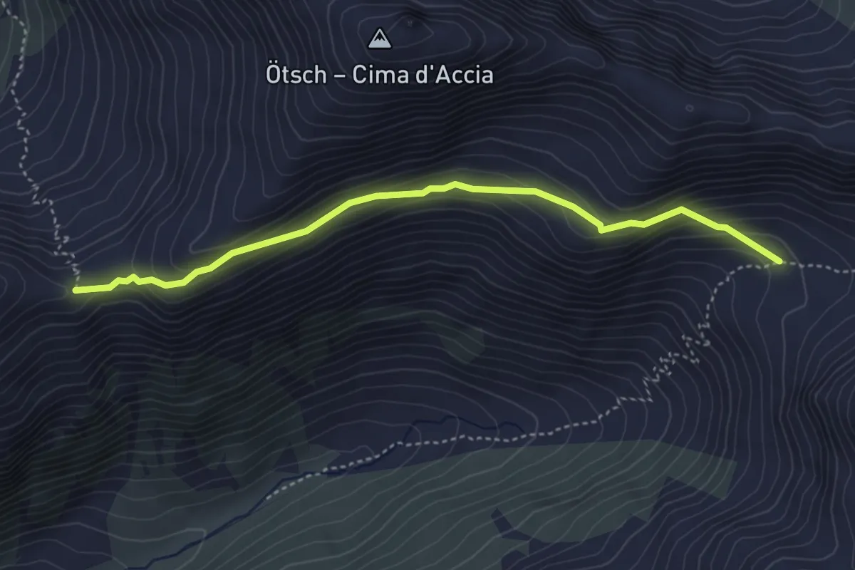
Easy · Trail
AVS 8A - Wannser Joch
4.2 km · ↑ 266 m · 1 h 34 min
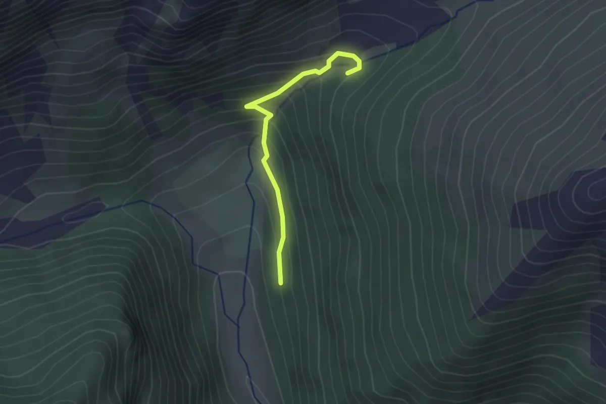
Easy · Trail
AVS 8B - (Weissenbach) - Oberberg Alm via Wandersteig
2.1 km · ↑ 180 m · 53 min
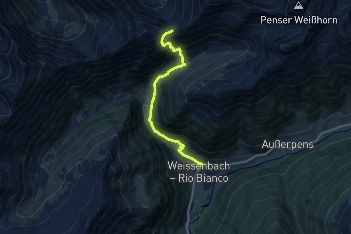
Demanding · Trail
AVS 8 - Weissenbach - Wannser Joch
9.6 km · ↑ 961 m · 4 h 21 min
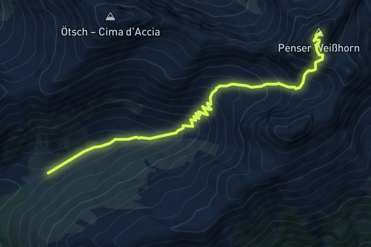
Demanding · Summit
AVS 9 - Sarner Weißhorn - Oberberg Alm
7.6 km · ↑ 840 m · 3 h 36 min
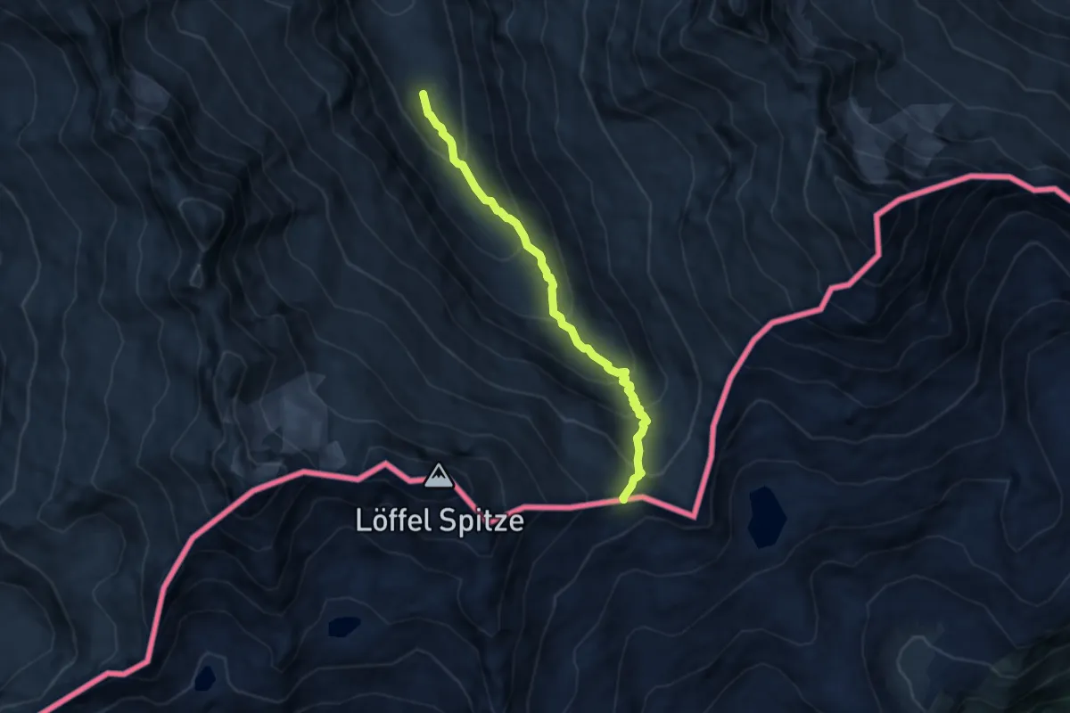
Medium · Trail
AV Weg 516
6.9 km · ↑ 618 m · 2 h 57 min
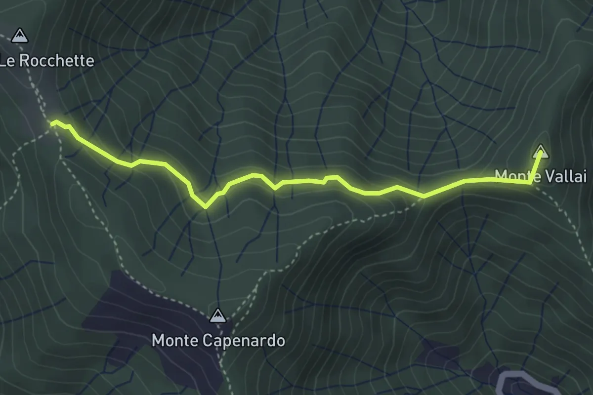
Easy · Summit
Azaro - Innesto Anello San Giacomo
3.8 km · ↑ 243 m · 1 h 25 min
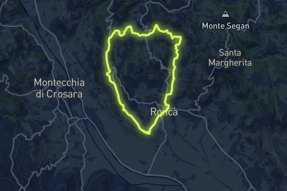
Medium · Summit
B
9.2 km · ↑ 352 m · 3 h 4 min
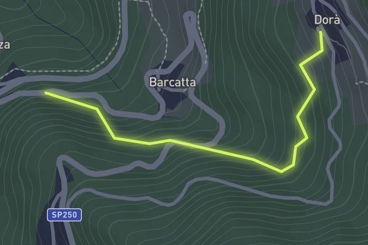
Easy · Trail
B
2.3 km · ↑ 212 m · 1 h
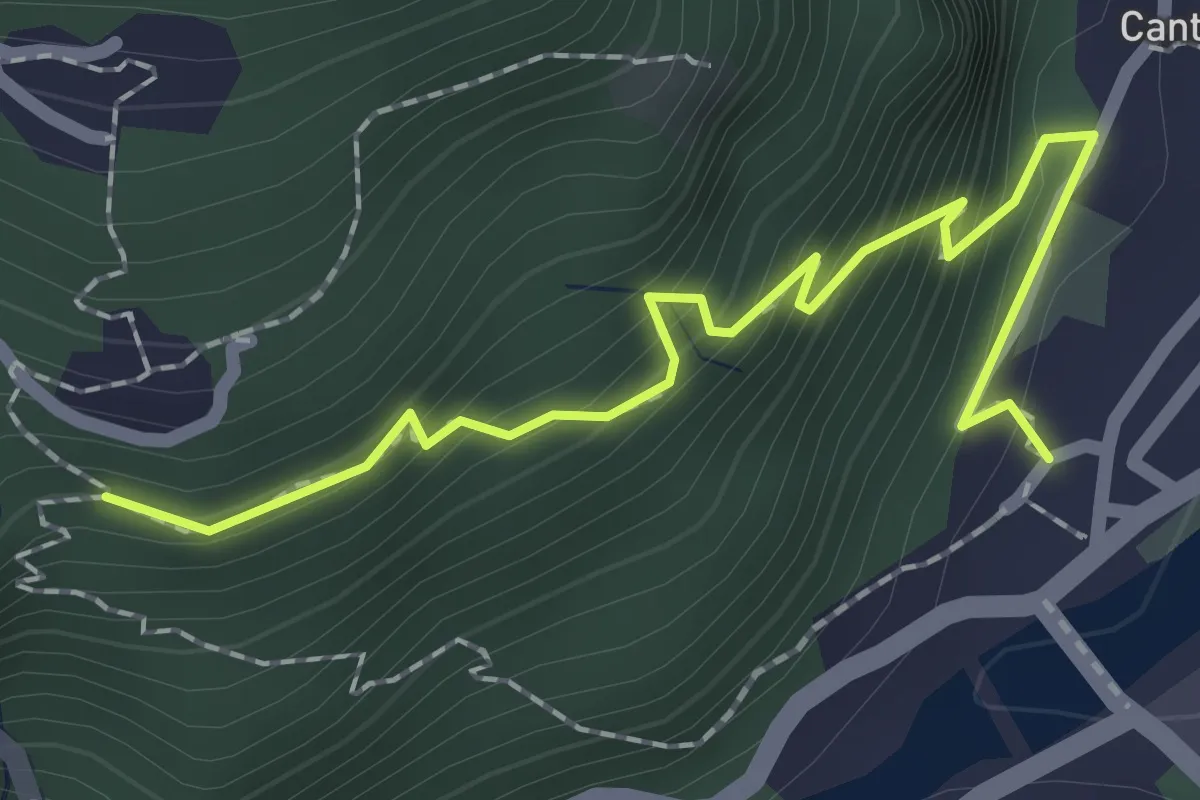
Medium · Trail
B00a - Piedimulera - Cimamulera
2.2 km · ↑ 251 m · 1 h 4 min
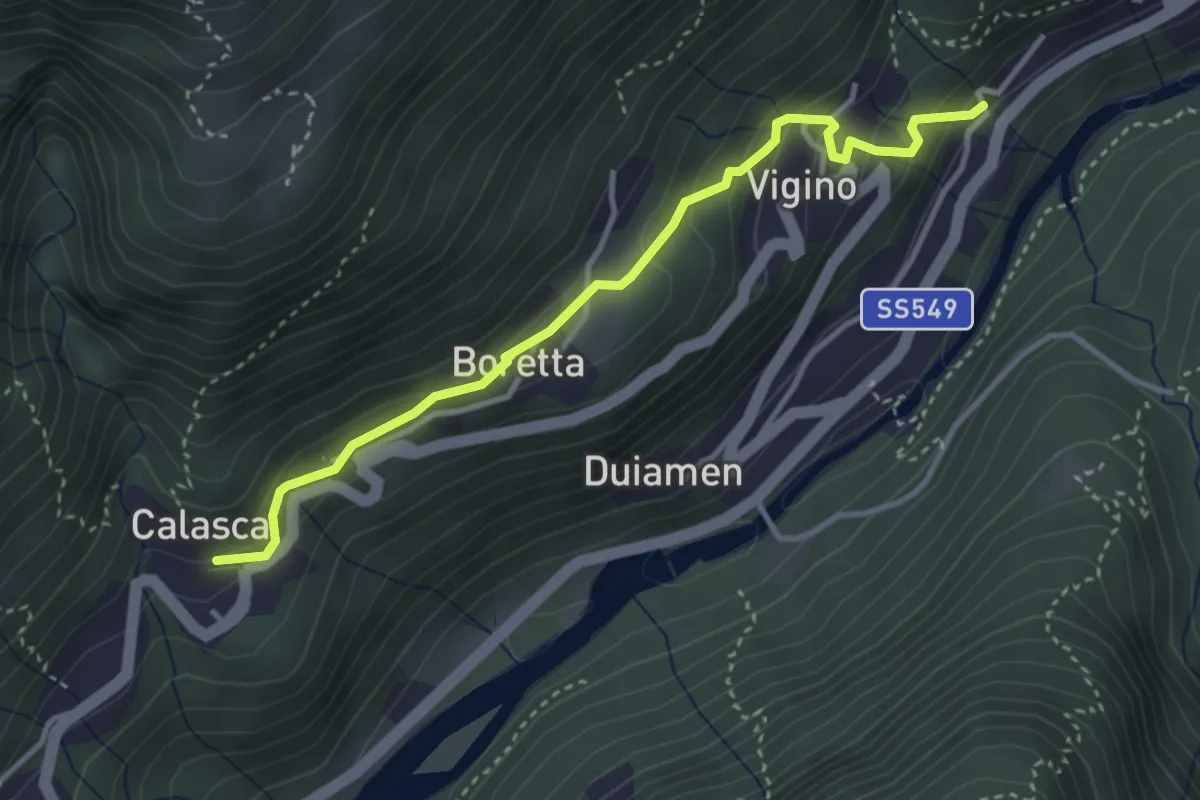
Easy · Trail
B00b - Molini - Antrogna
3.6 km · ↑ 251 m · 1 h 23 min
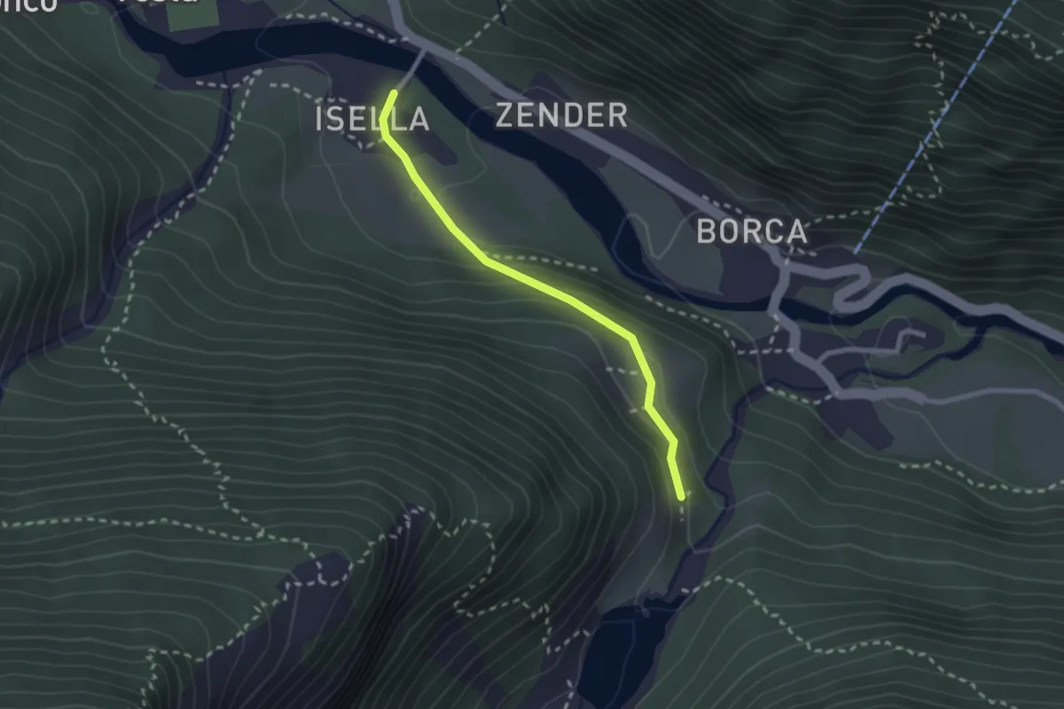
Easy · Trail
B00c - Isella - Quarazza
2.2 km · ↑ 102 m · 45 min
Medium · Trail
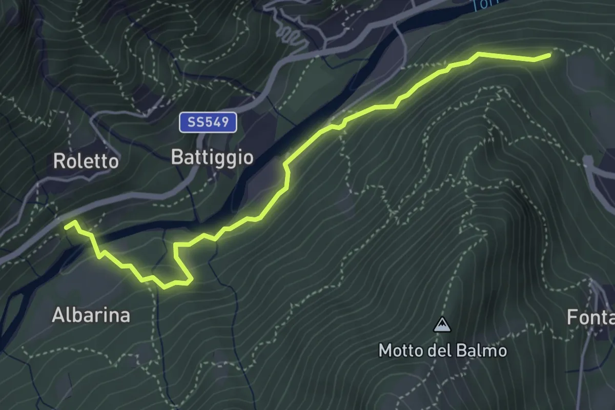
B00e - Bivio B00 - Madonna della Neve
4.7 km · ↑ 275 m · 1 h 42 min
Demanding · Trail
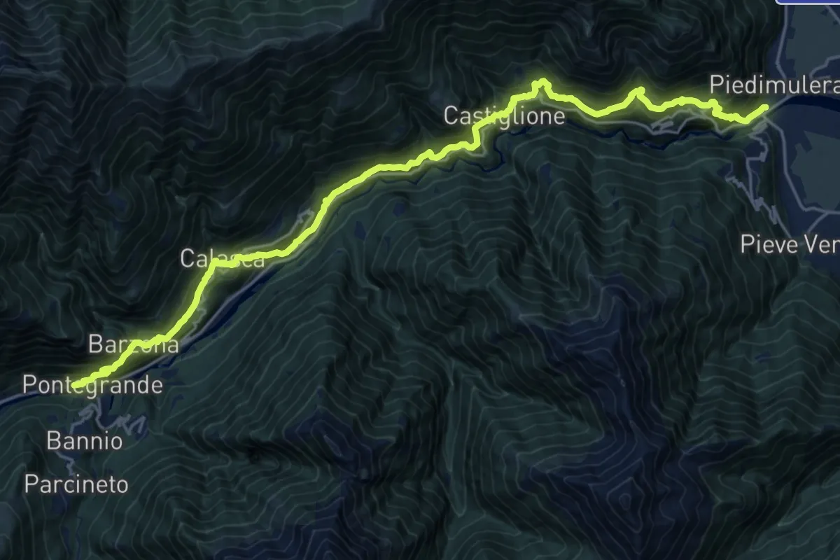
B00 - Stra Granda tappa 1
12.4 km · ↑ 1054 m · 5 h 14 min
Demanding · Trail
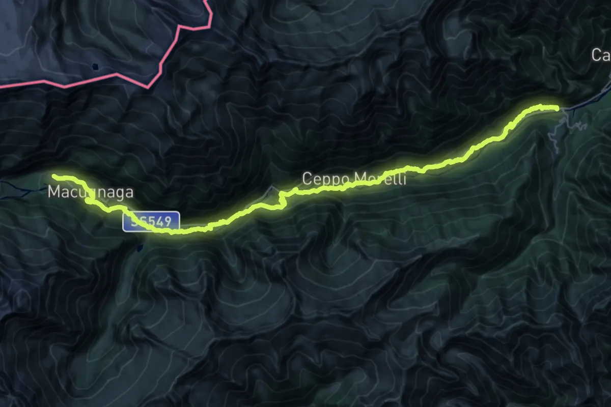
B00 - Stra Granda tappa 2
19.5 km · ↑ 1168 m · 6 h 59 min
Expert · Trail
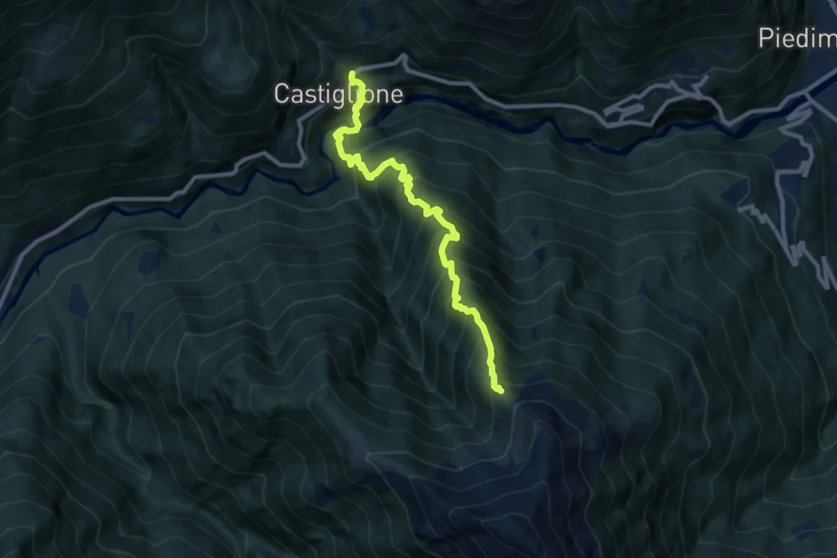
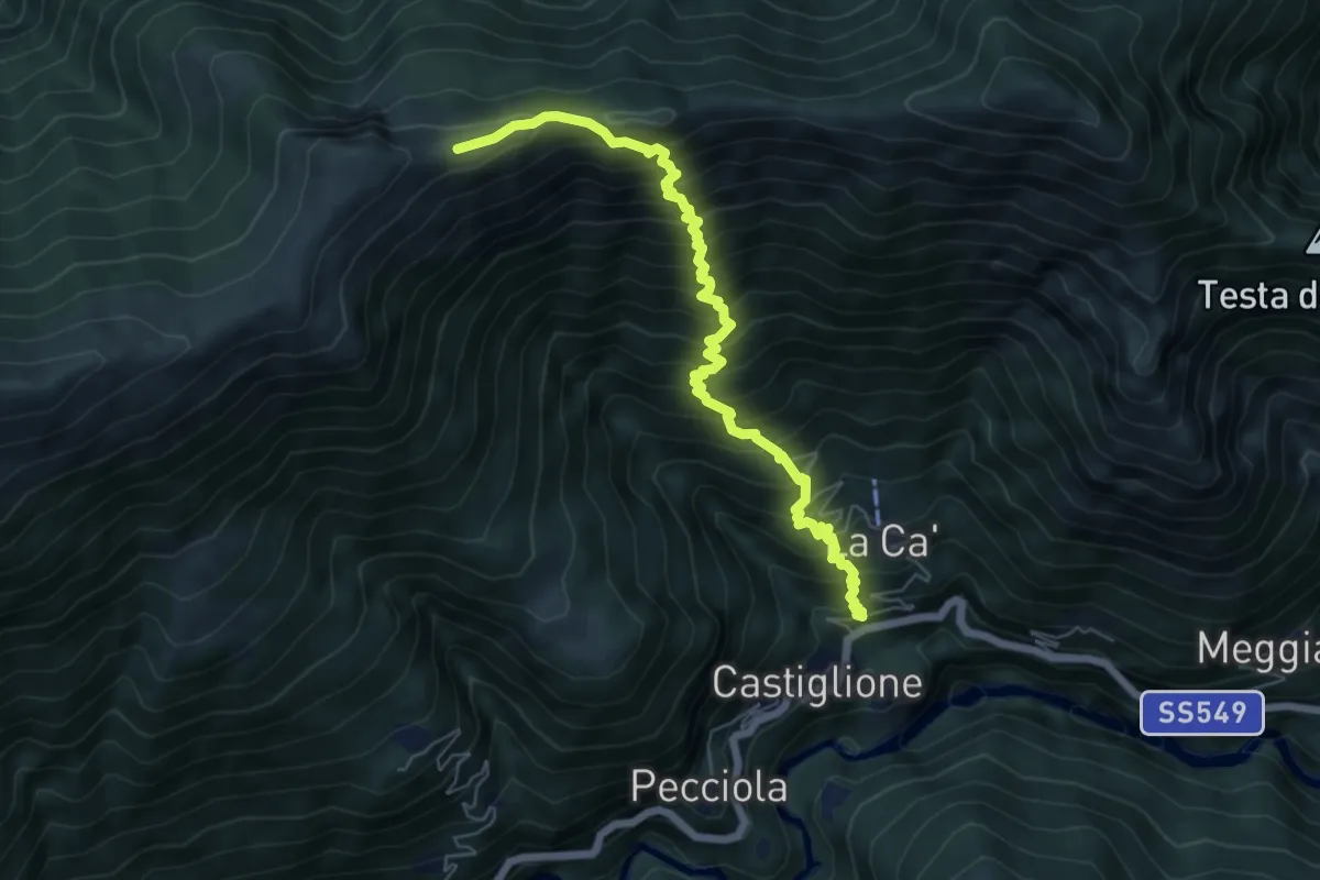
B01 - Castiglione - Alpe Marmazzuolo fuori
7.9 km · ↑ 1114 m · 4 h 16 min
Demanding · Trail
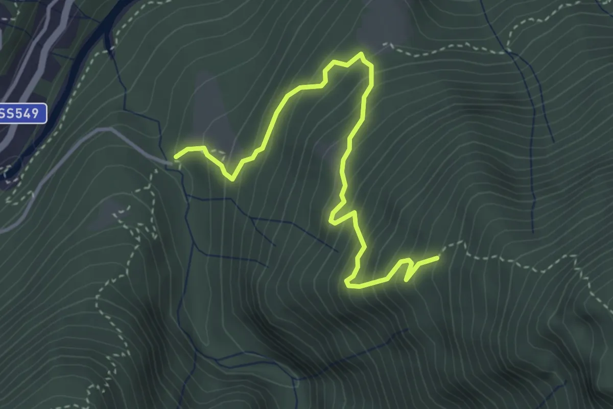
B02 - Castiglione - Laghetto della Colma - Erbalunga
6.7 km · ↑ 1002 m · 3 h 45 min
Expert · Trail
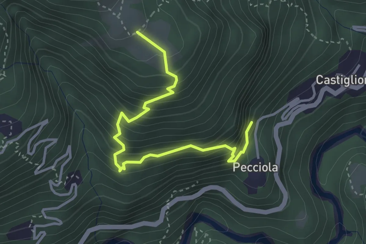
B03 - Alpe Patelli - Alpe Graiccia
3.9 km · ↑ 447 m · 1 h 53 min
Medium · Trail
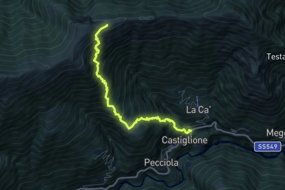
B04a - Pecciola - Drocala
3.4 km · ↑ 419 m · 1 h 42 min
Demanding · Trail
B04 - Castiglione - Erbalunga
7.3 km · ↑ 1032 m · 3 h 58 min
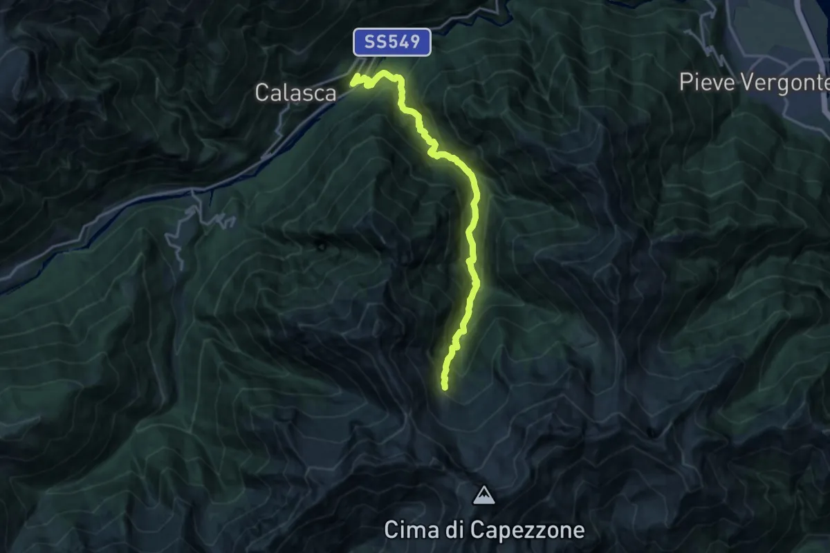
Demanding · Trail
B05 - Molini - Alpe Motte
15.6 km · ↑ 1400 m · 6 h 43 min
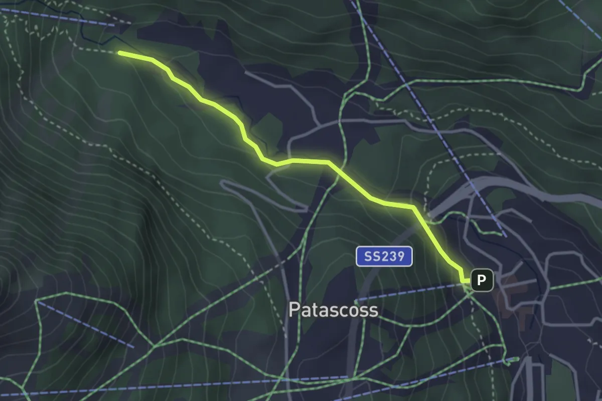
Easy · Trail
B06
3.1 km · ↑ 128 m · 1 h 1 min
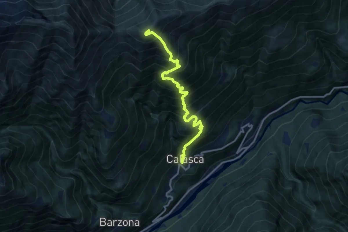
Demanding · Summit
B06 - Antrogna - Croce del Cavallo
8.8 km · ↑ 1304 m · 4 h 55 min
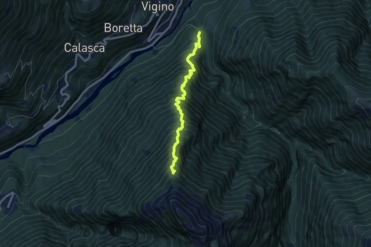
Demanding · Trail
B07 - Bivio Oliago - Alpe Corte
5.6 km · ↑ 966 m · 3 h 24 min
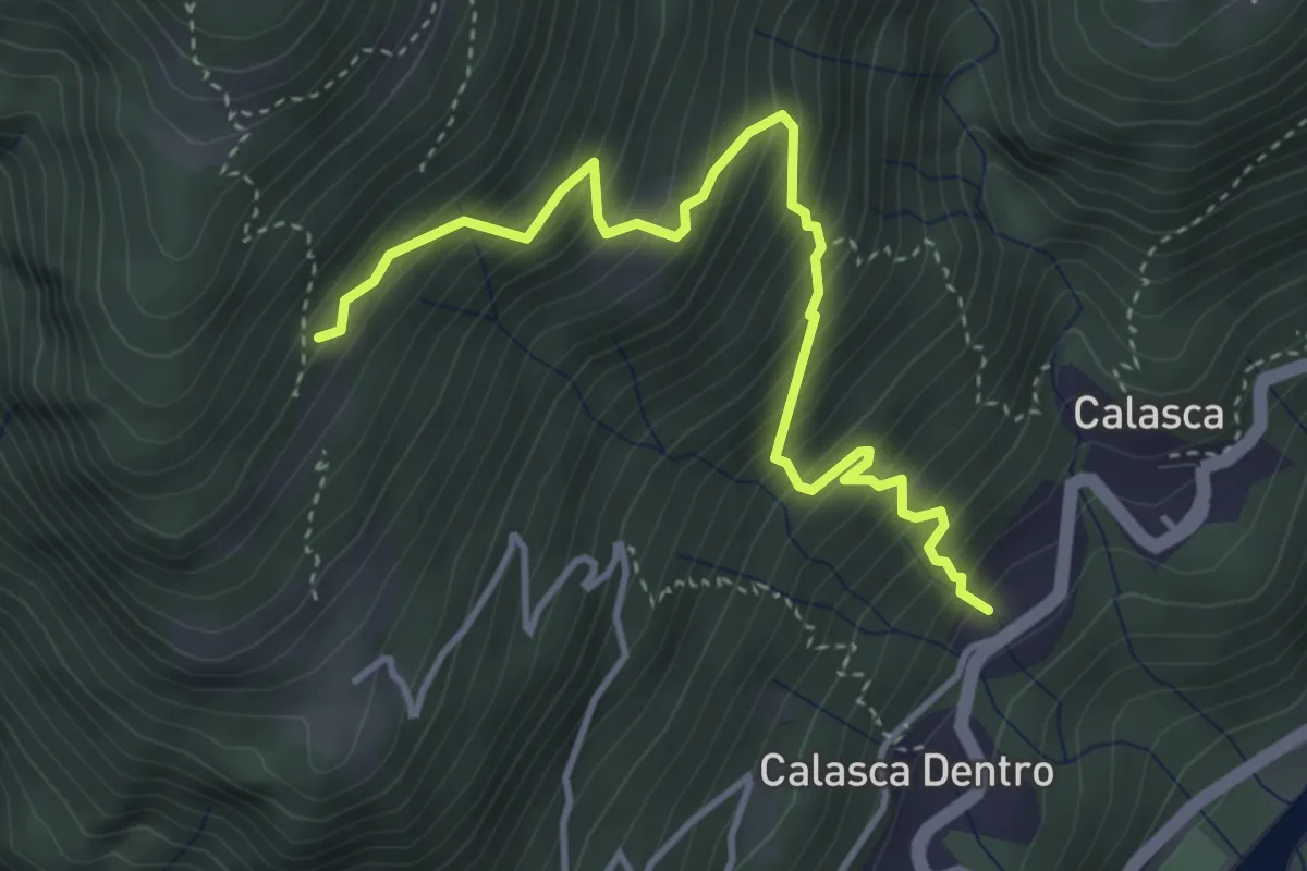
Medium · Trail
B08b - Calasca dentro - Bivio B08
4.2 km · ↑ 589 m · 2 h 16 min
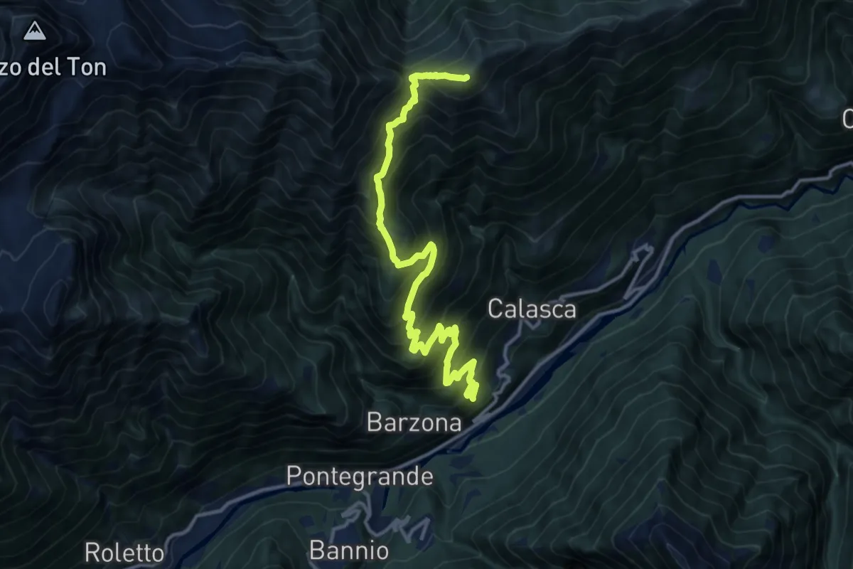
Demanding · Summit
B08 - Calasca Dentro - Passo di Salarioli - Croce del Cavallo - Alpi della Colma
13.7 km · ↑ 1321 m · 6 h 6 min
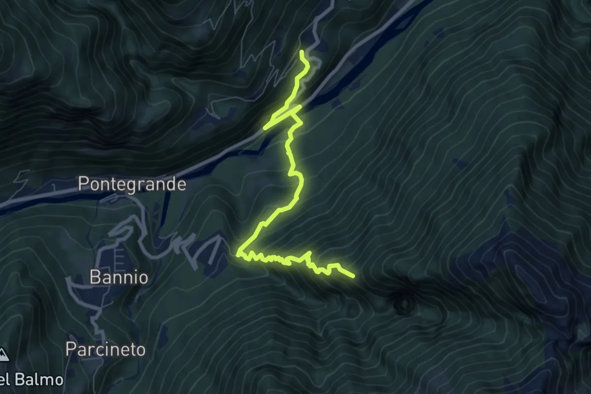
Demanding · Trail
B09 - Calasca Dentro - Cresta d'Anzino
8.0 km · ↑ 790 m · 3 h 36 min
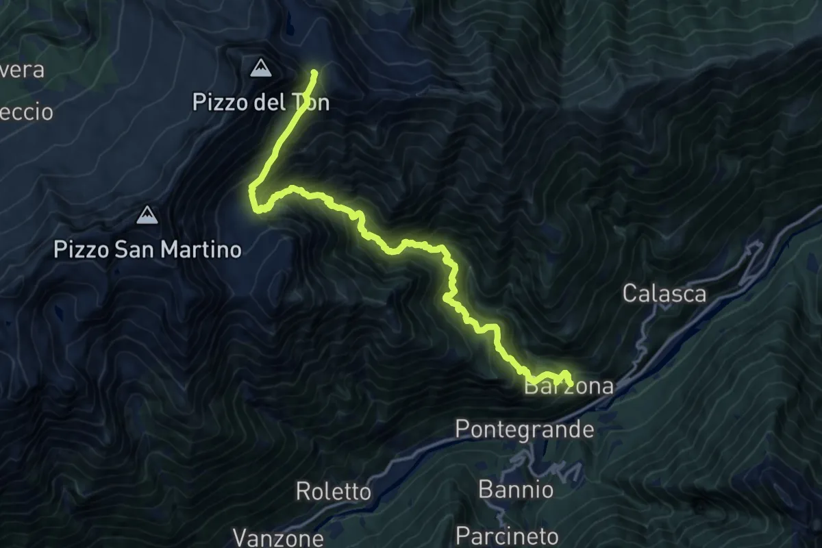
Medium · Trail
B10 - Barzone di Calasca - Passo del Mottone
8.4 km · ↑ 213 m · 3 h 21 min
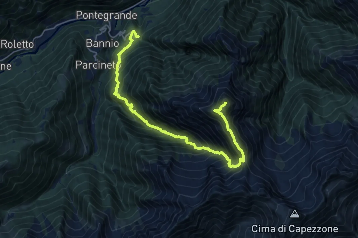
Demanding · Summit
B11 - Anzino - Corno Scarpignano
17.7 km · ↑ 1990 m · 8 h 30 min
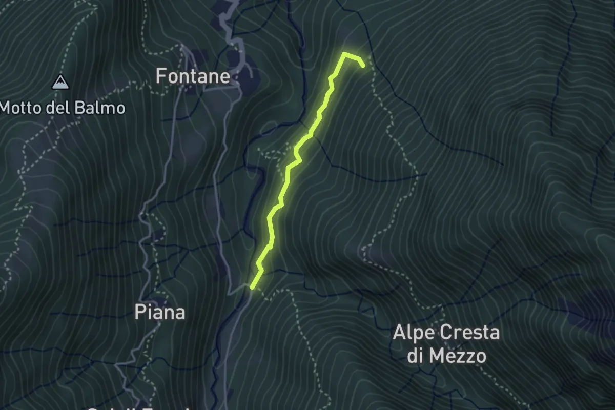
Medium · Trail
B11a - Valpiana - Croso
2.5 km · ↑ 170 m · 58 min
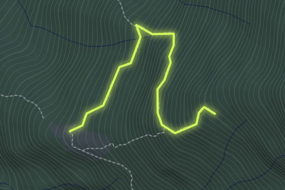
Medium · Trail
B11b - Rondirenco - Alpe Zuna
2.3 km · ↑ 330 m · 1 h 16 min
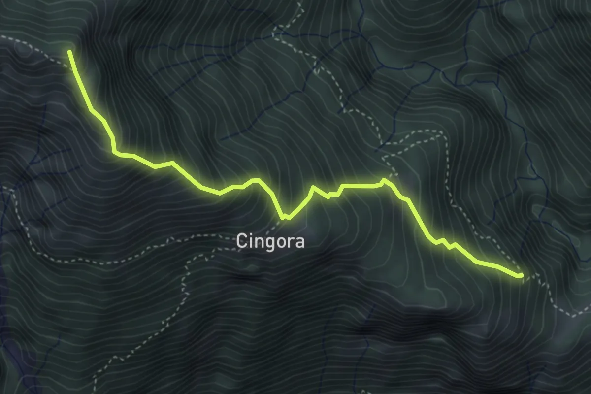
Demanding · Summit
B12 - Madonna del Sassello - Alpe Vallar
4.4 km · ↑ 743 m · 2 h 39 min
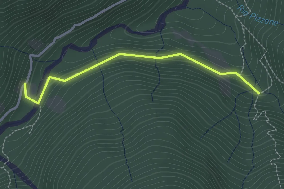
Medium · Trail
B13a - Bivio B13 - Alpe Scalvata
2.3 km · ↑ 123 m · 49 min
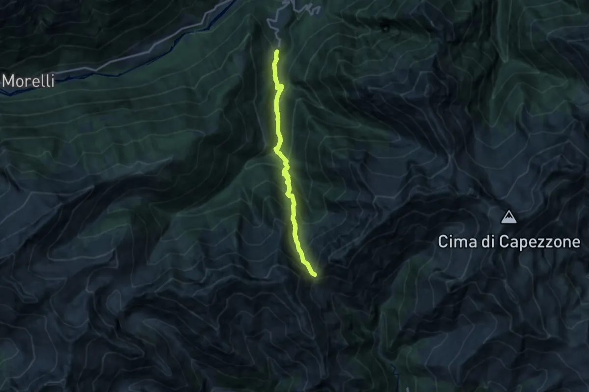
Demanding · Trail
B13 - Parcineto - Colle Dorchetta
11.4 km · ↑ 1166 m · 5 h 14 min
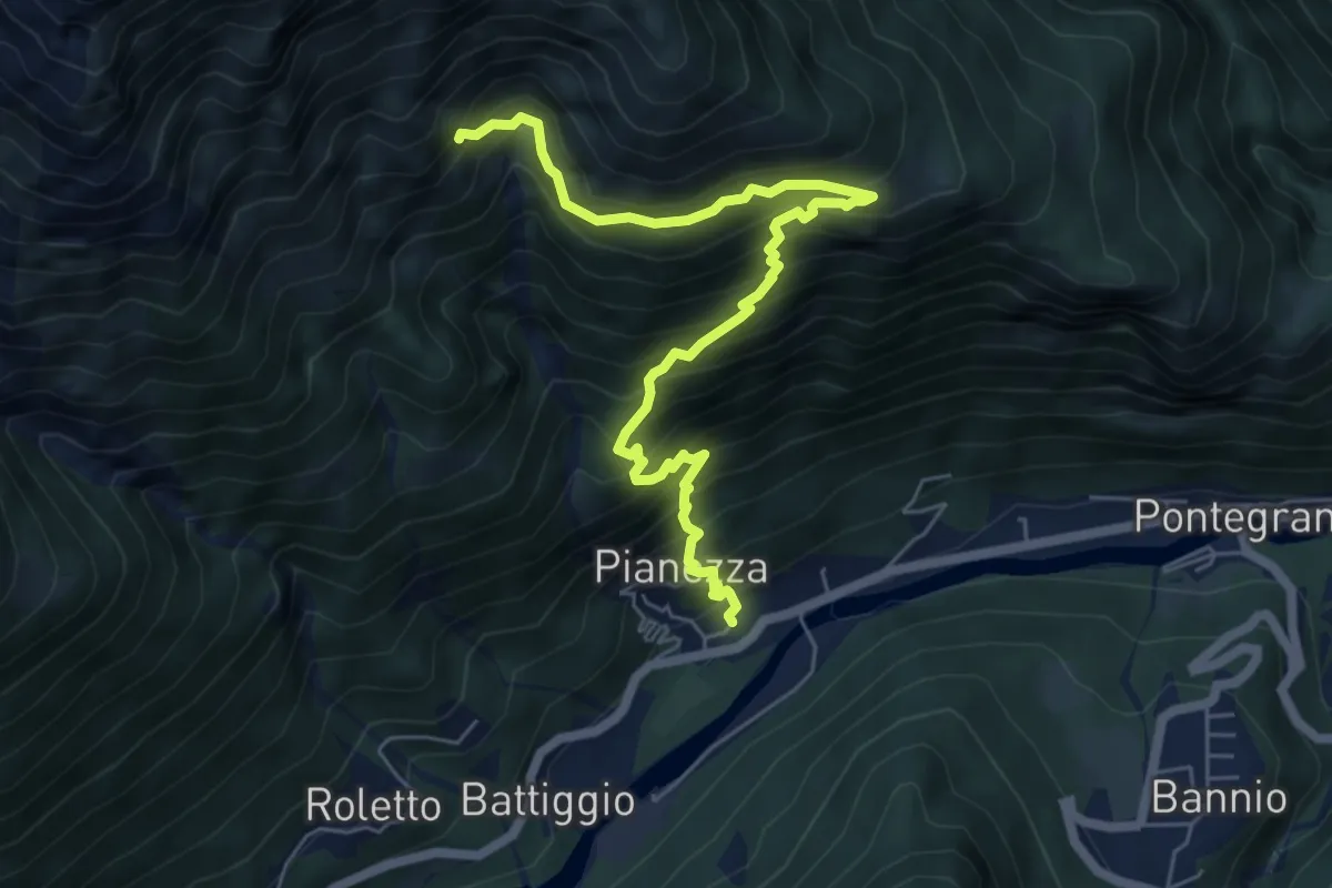
Demanding · Trail
B14 - San Carlo - Miniera dei Cani
6.9 km · ↑ 1017 m · 3 h 49 min
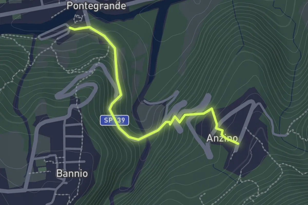
Medium · Trail
B15a - Pontegrande - Anzino
2.6 km · ↑ 235 m · 1 h 7 min
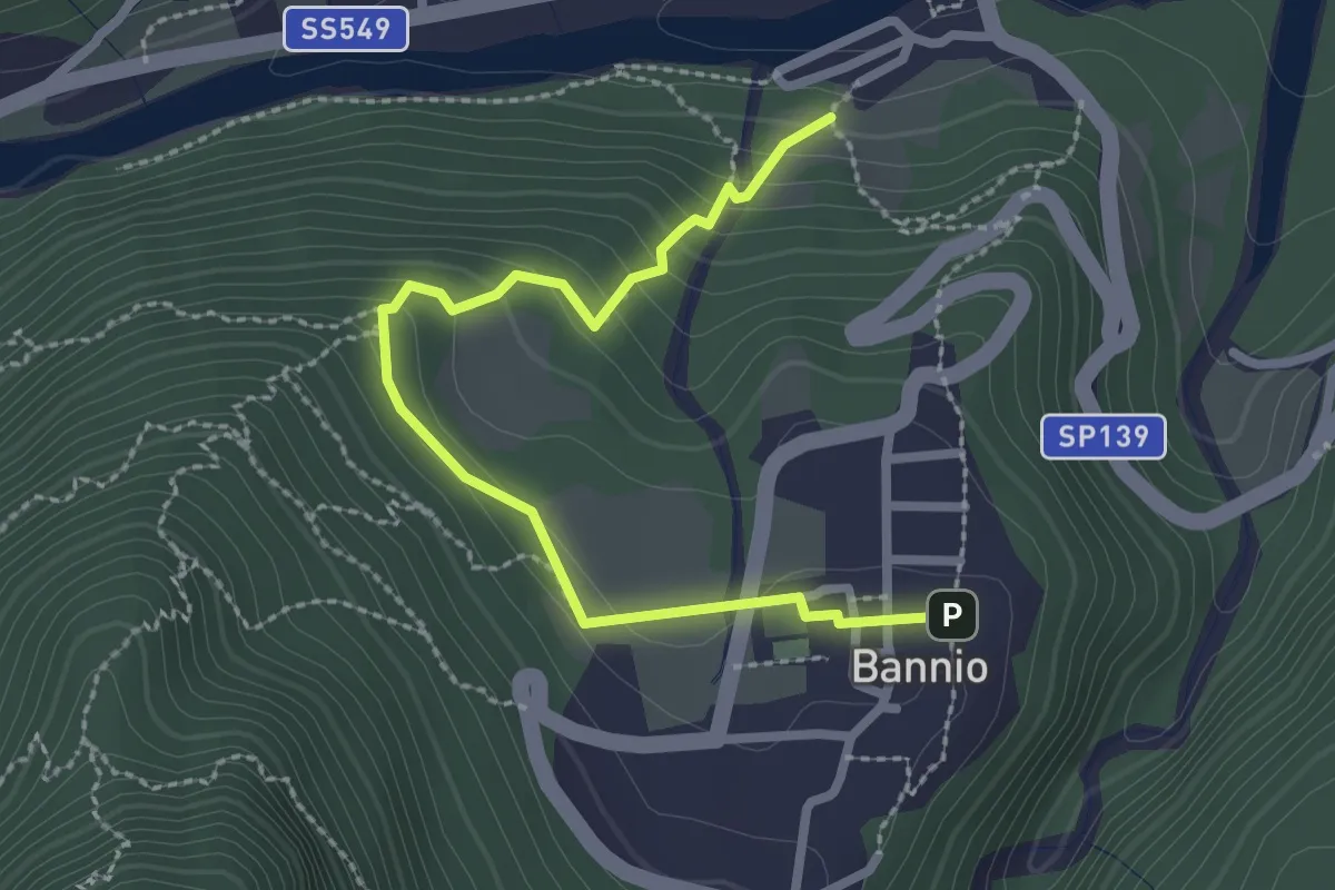
Medium · Trail
B15b - Pontegrande - Bannio
2.7 km · ↑ 191 m · 1 h 4 min
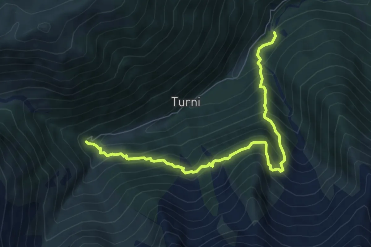
Expert · Trail
B15c - Bocchetto - Alpe Pie di Baranca
7.3 km · ↑ 863 m · 3 h 35 min
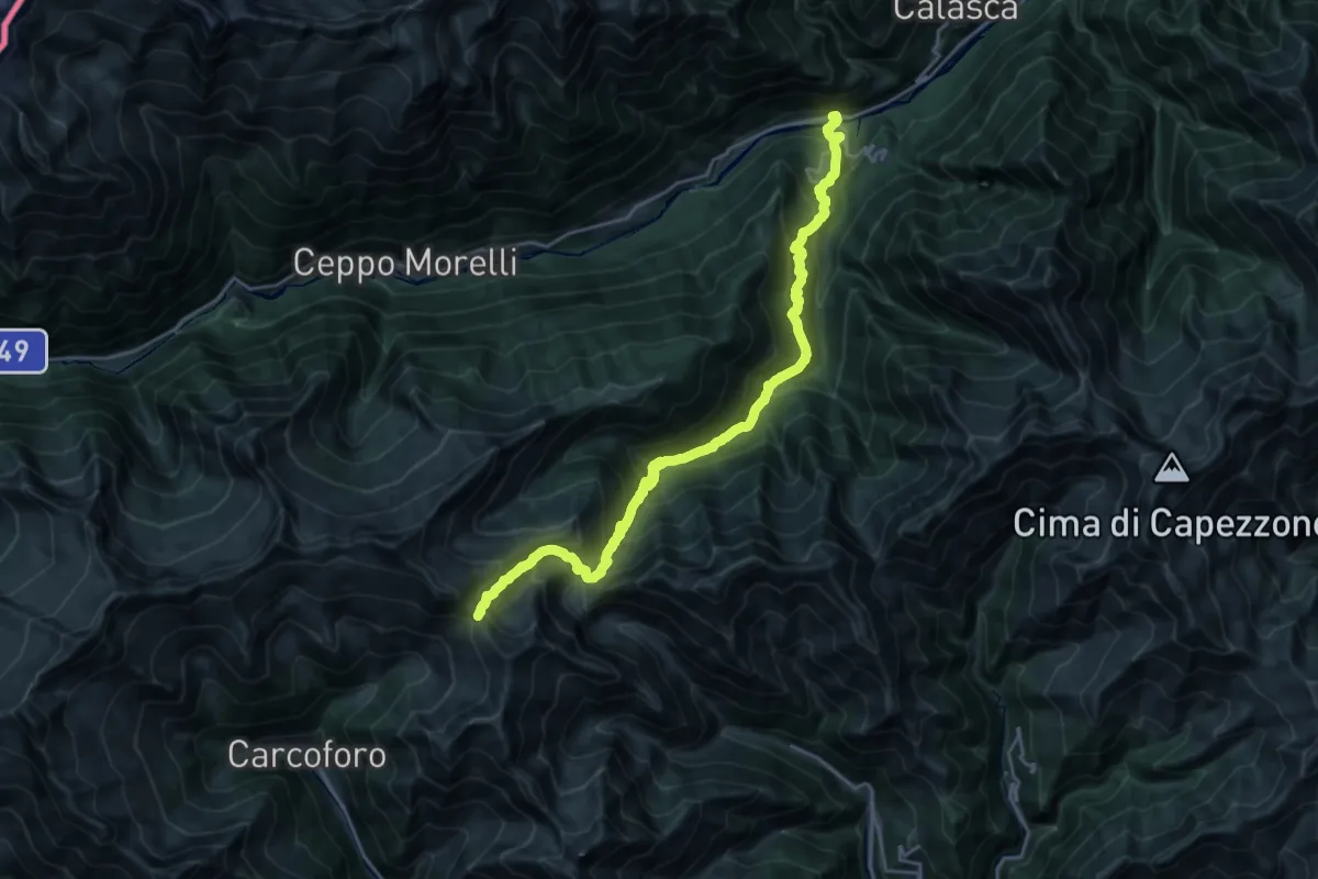
Demanding · Cabin
B15 - Pontegrande - Colle d'Egua
12.3 km · ↑ 1844 m · 6 h 14 min
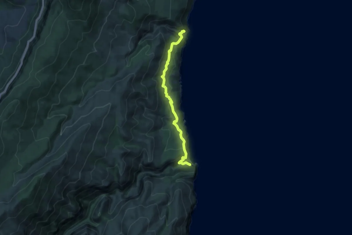
Medium · Trail
B162 - Parcheggio Fuili - Cala Luna
9.9 km · ↑ 448 m · 3 h 18 min
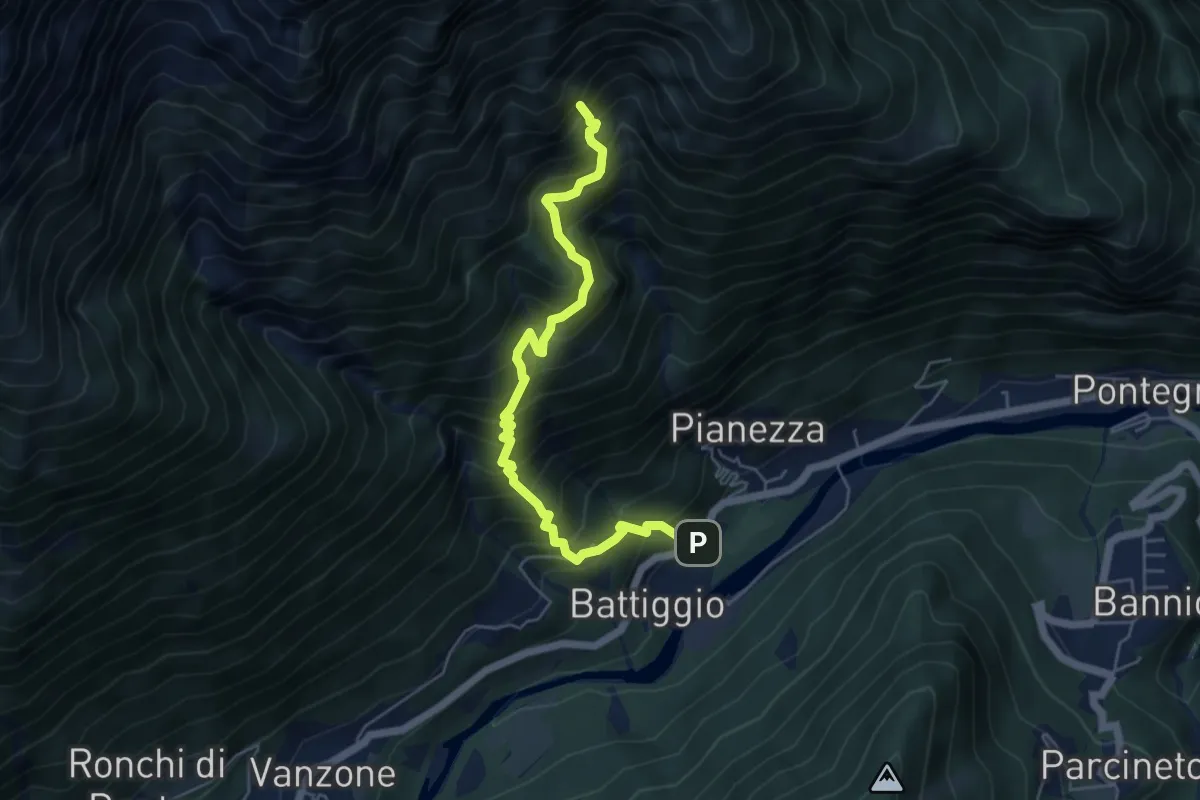
Demanding · Trail
B16 - Battiggio - Miniera dei Cani
5.6 km · ↑ 937 m · 3 h 21 min
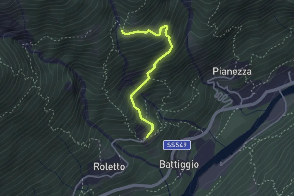
Medium · Trail
B16b - Ronchi di fuori - Alpe Albera
2.5 km · ↑ 377 m · 1 h 25 min
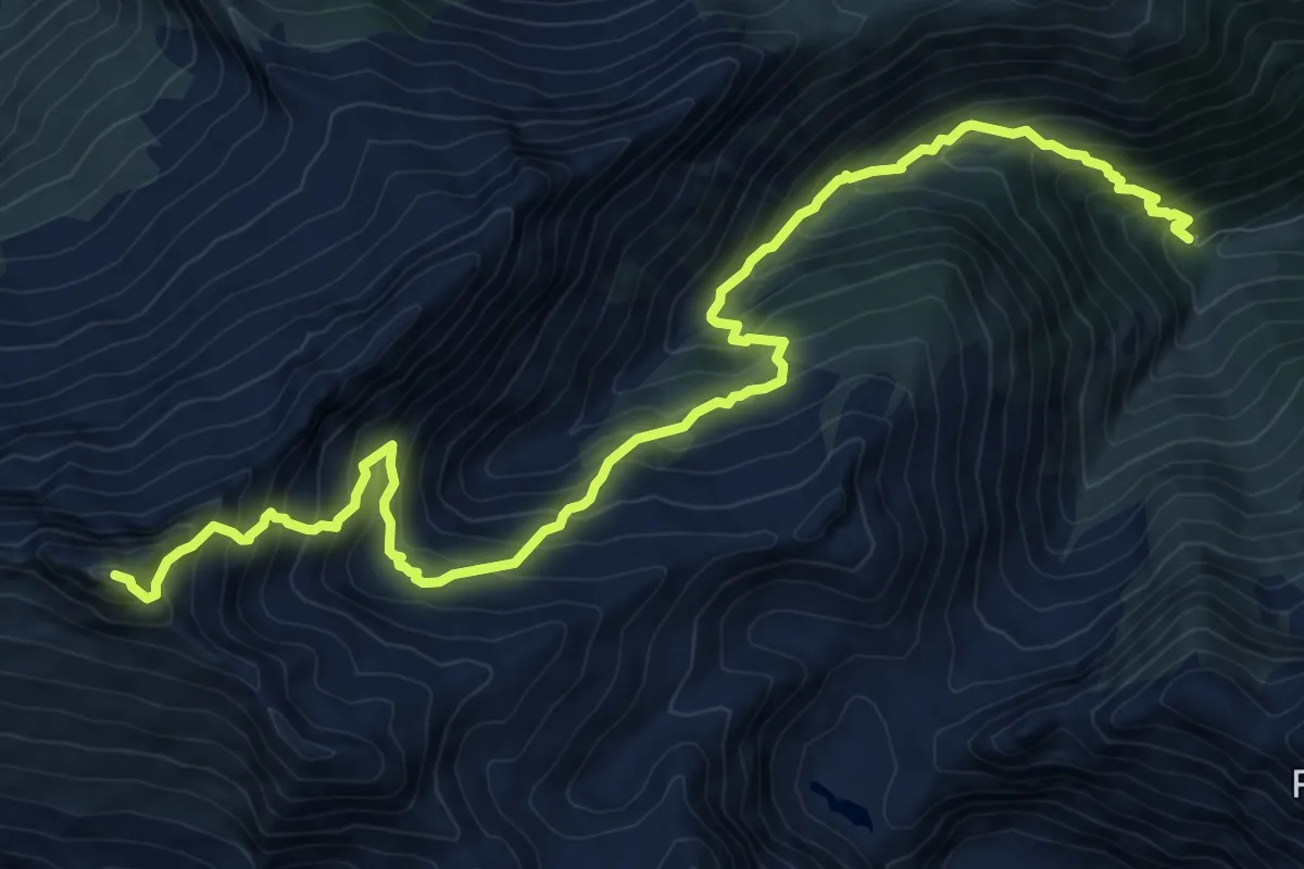
Expert · Summit
B17 - Bivio B15 - Pizzo Tignaga
12.9 km · ↑ 1425 m · 6 h 8 min
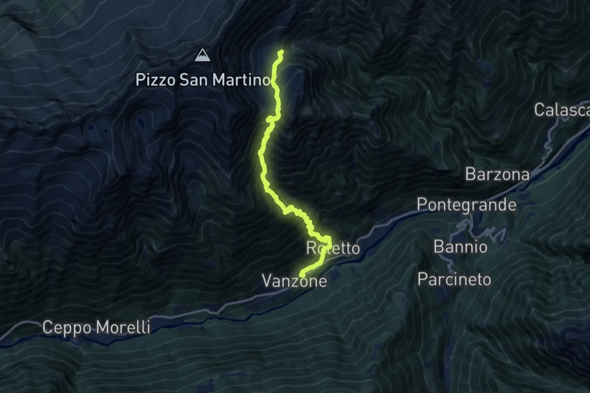
Demanding · Trail
B18 - Vanzone - Alpe Lavazzero
12.3 km · ↑ 1777 m · 6 h 45 min