Trails in Italy
25,211 hiking trails, each with its route, climb, walking time and grade.
All trails, page 25 of 526
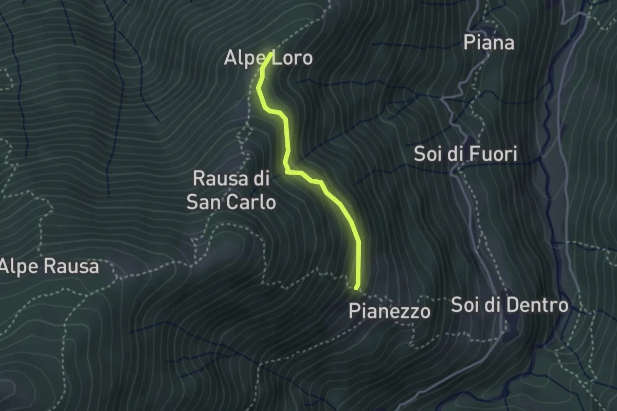
Medium · Trail
B19a - Pianezzo - Alpe Loro
2.3 km · ↑ 150 m · 53 min
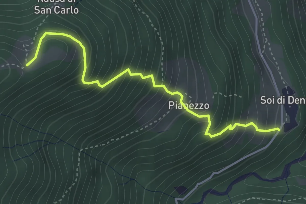
Medium · Trail
B19b - Soi di dentro - Alpe Ielbi
3.7 km · ↑ 584 m · 2 h 9 min
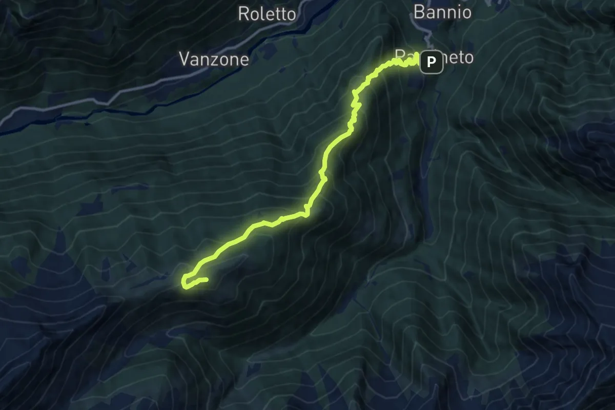
Demanding · Summit
B19 - Parcineto - Pizzetto
11.5 km · ↑ 1099 m · 5 h 6 min
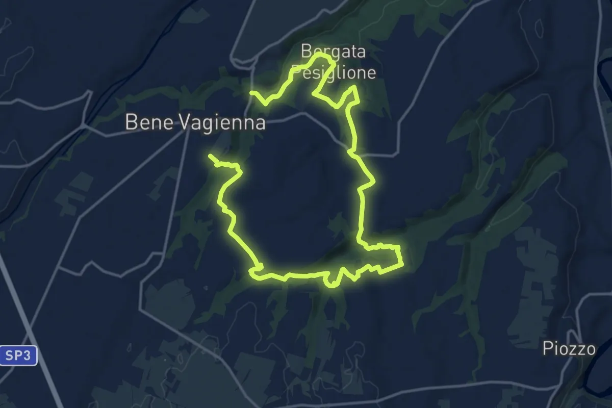
Demanding · Trail
B1 I Boschi dei Tartufai
22.9 km · ↑ 395 m · 6 h 15 min
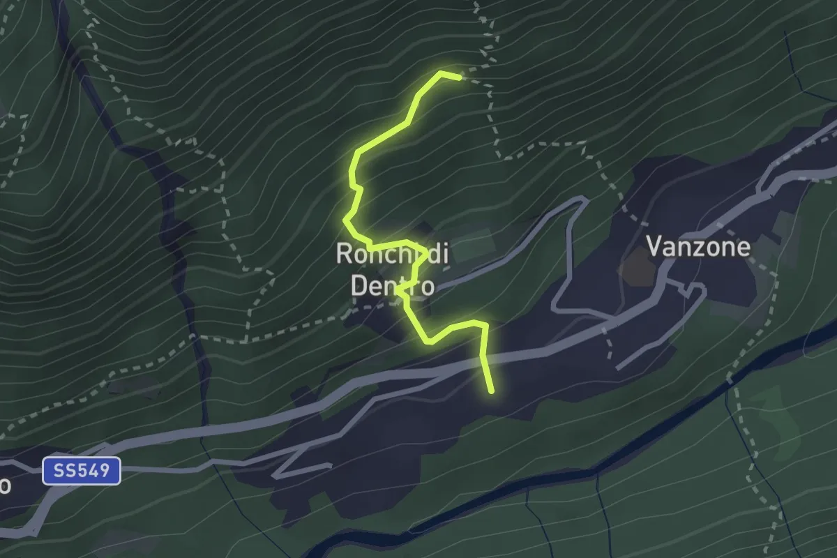
Medium · Trail
B20a - Ronchi di dentro - Bivio B20
2.2 km · ↑ 285 m · 1 h 8 min
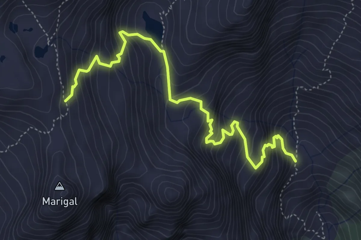
Demanding · Trail
B20b - Alpe Asinello - Bivio B24
5.4 km · ↑ 721 m · 2 h 50 min
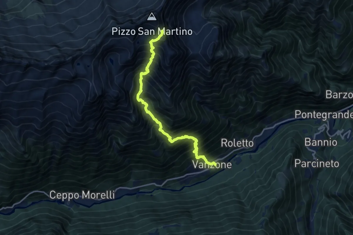
Demanding · Trail
B20 - Vanzone - Bivio C21 presso Pizzo San Martino
12.4 km · ↑ 1949 m · 7 h 10 min
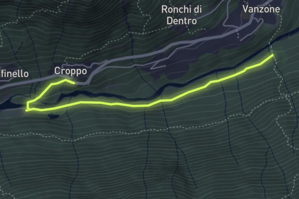
Easy · Trail
B21a - Croppo - bivio B21
4.8 km · ↑ 142 m · 1 h 26 min
Medium · Trail
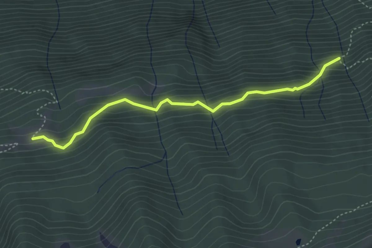
B21b - Genziane - Alpe Laveggio
3.9 km · ↑ 344 m · 1 h 41 min
Demanding · Trail
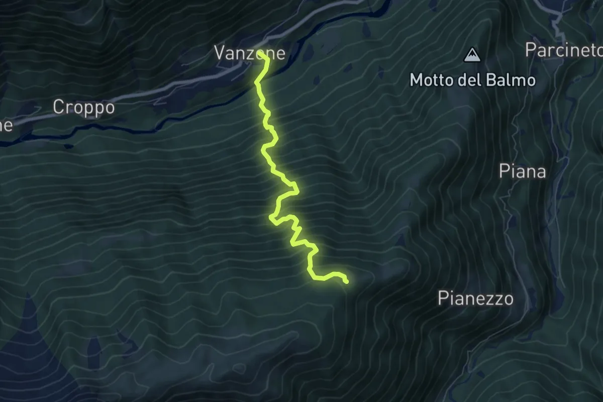
B21 - Vanzone - Villa Samonini
6.6 km · ↑ 1059 m · 3 h 51 min
Medium · Trail
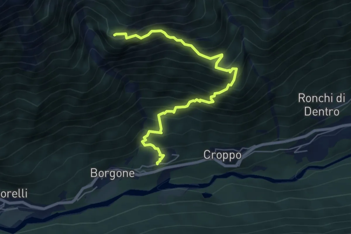
B22 - Canfinello - Alpe Loccia
6.0 km · ↑ 771 m · 3 h 6 min
Medium · Trail
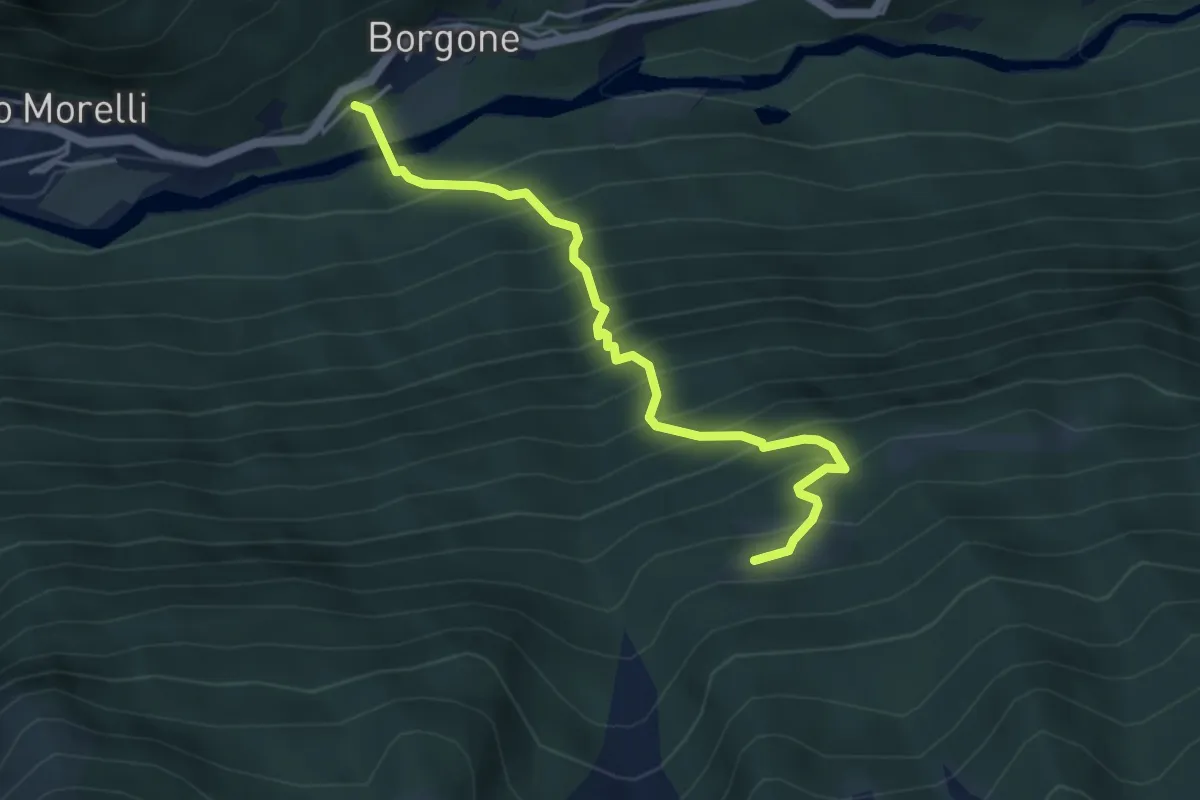
B23a - Borgone - Alpe Laveggio
4.4 km · ↑ 681 m · 2 h 31 min
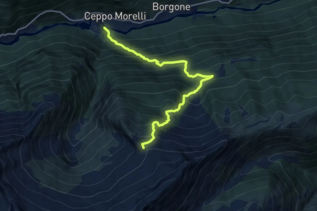
Demanding · Trail
B23 - Ceppo Morelli - Passo del Tignaga
9.9 km · ↑ 1304 m · 5 h 9 min
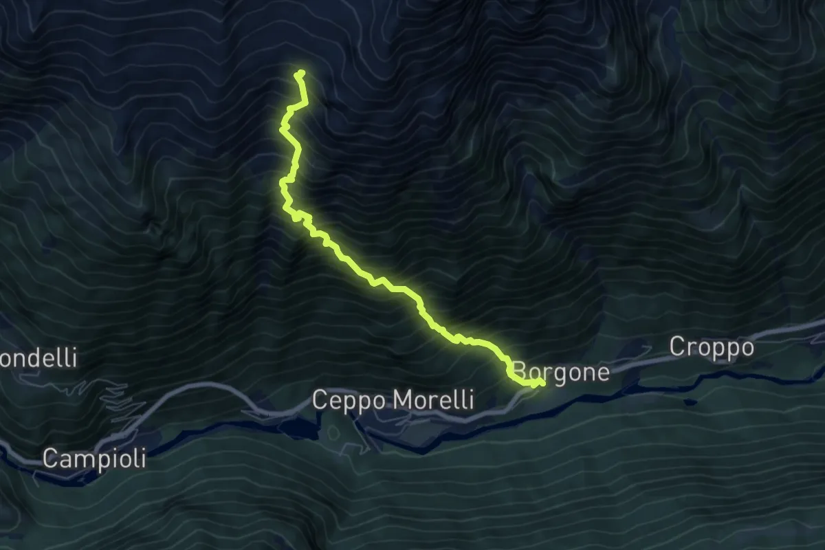
Demanding · Cabin
B24a - Borgone - Alpe Cortenero
6.8 km · ↑ 1392 m · 4 h 37 min
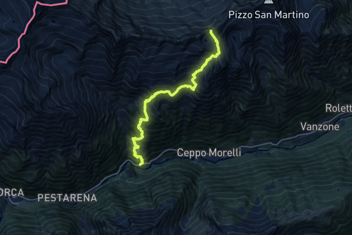
Expert · Trail
B24 - Campioli - Passo Lareccio
15.3 km · ↑ 1816 m · 7 h 33 min
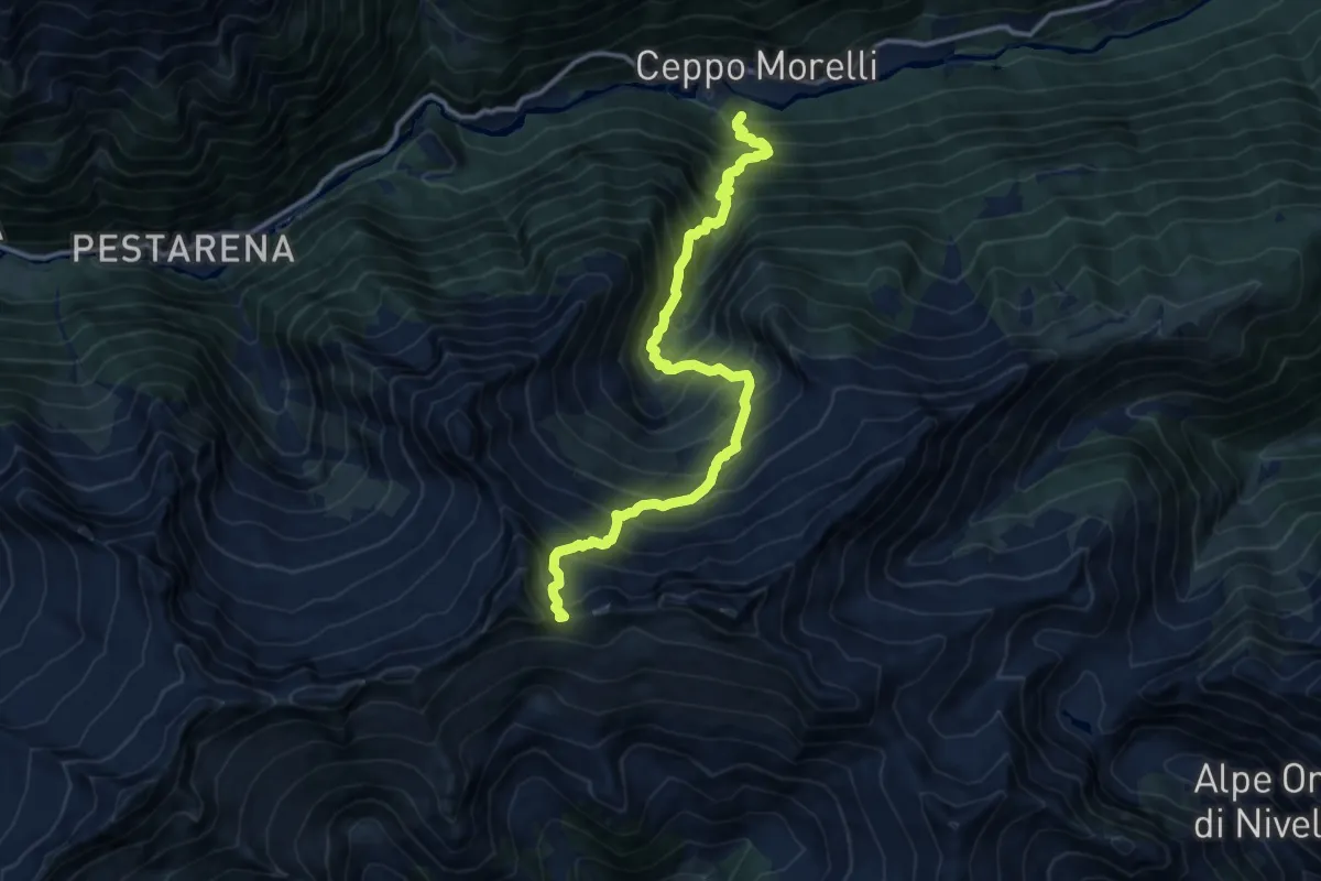
Demanding · Trail
B25 - Ceppo Morelli - Passo del Laghetto
13.0 km · ↑ 1710 m · 6 h 47 min
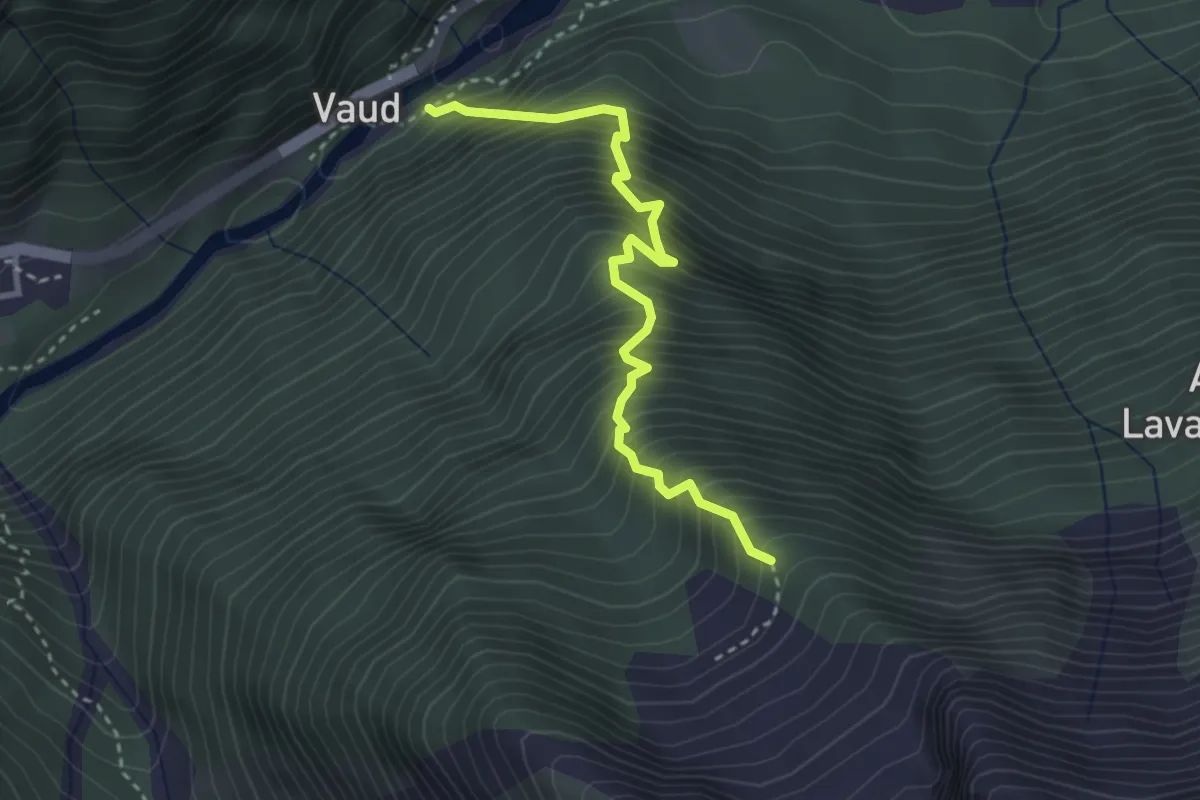
Medium · Trail
B27 - Vaud - Miniera di Lavanchetto
3.3 km · ↑ 702 m · 2 h 18 min
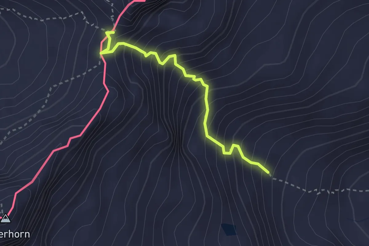
Expert · Trail
B28 - Mondelli - Passo Mondelli
2.5 km · ↑ 393 m · 1 h 27 min
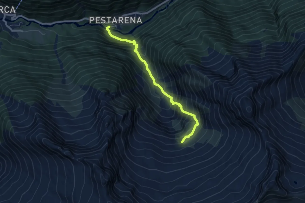
Medium · Cabin
B29 - Pestarena - Alpe Moriana
5.8 km · ↑ 760 m · 3 h 1 min
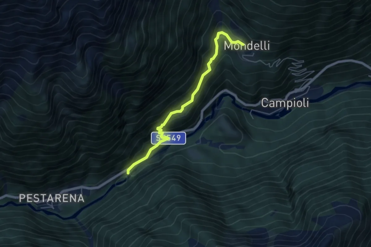
Medium · Trail
B30 - Vaud - Mondelli
4.9 km · ↑ 356 m · 1 h 56 min
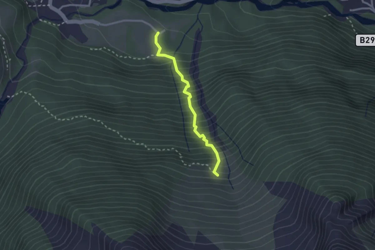
Medium · Trail
B31 - Sentiero Da Boit
2.0 km · ↑ 418 m · 1 h 23 min
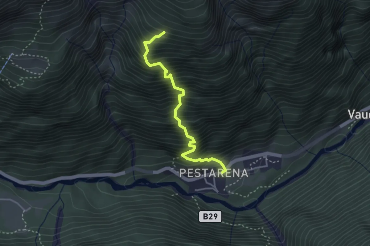
Medium · Trail
B32 - Pestarena - Alpe di Garda
3.1 km · ↑ 669 m · 2 h 10 min
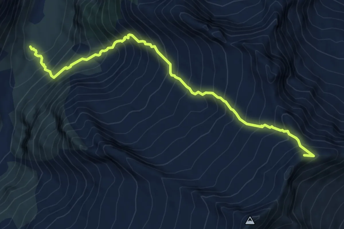
Demanding · Summit
B33 - Parte verso Macugnaga del Sentiero Genoni
8.5 km · ↑ 1229 m · 4 h 40 min
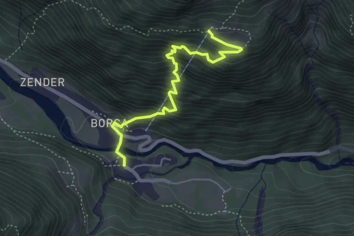
Medium · Trail
B34 - Borca - Alpe cicerwald
4.1 km · ↑ 546 m · 2 h 8 min
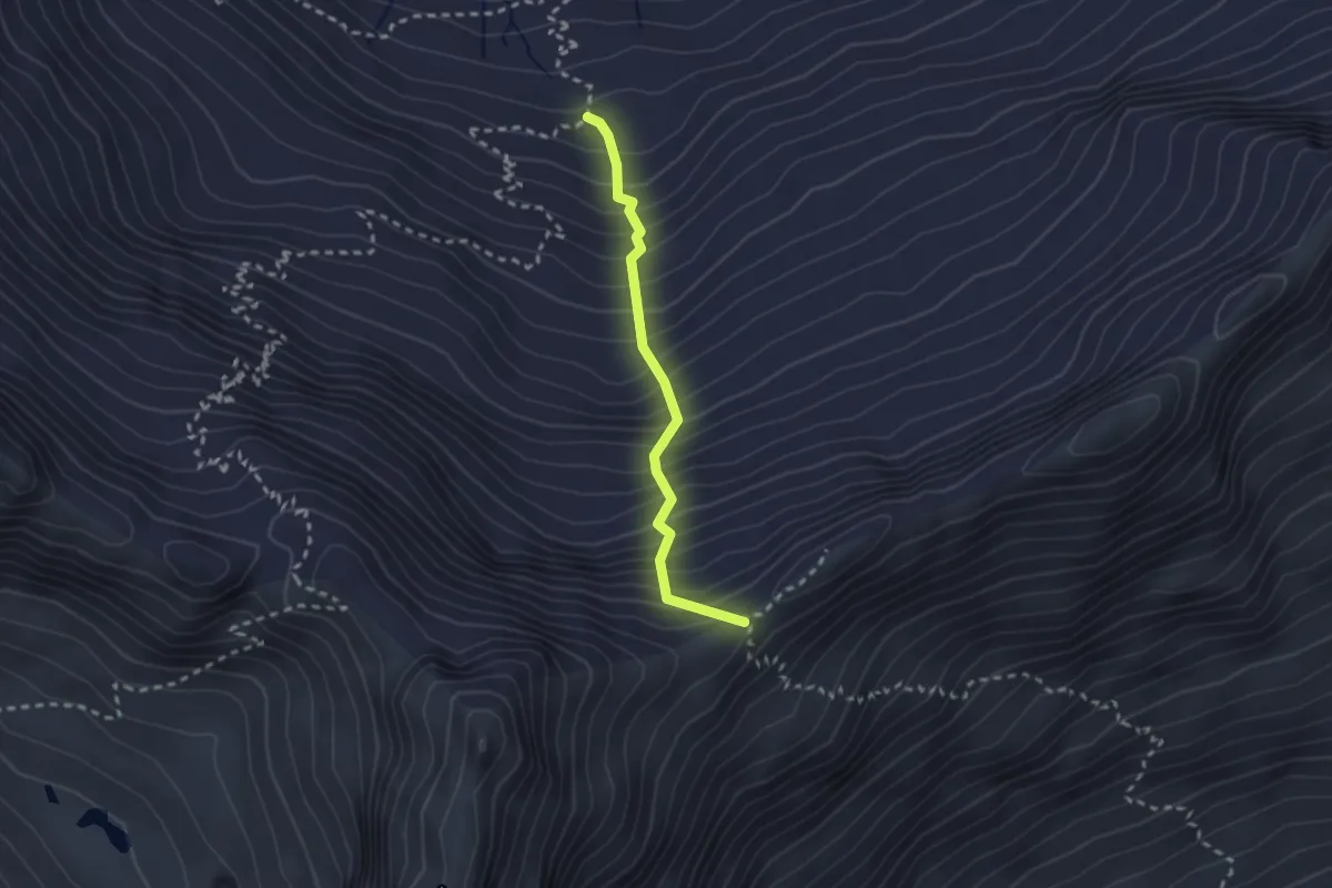
Expert · Cabin
B35 - Bivacco E. Lanti bivio B98 - Colle del Piccolo Altare
2.2 km · ↑ 446 m · 1 h 29 min
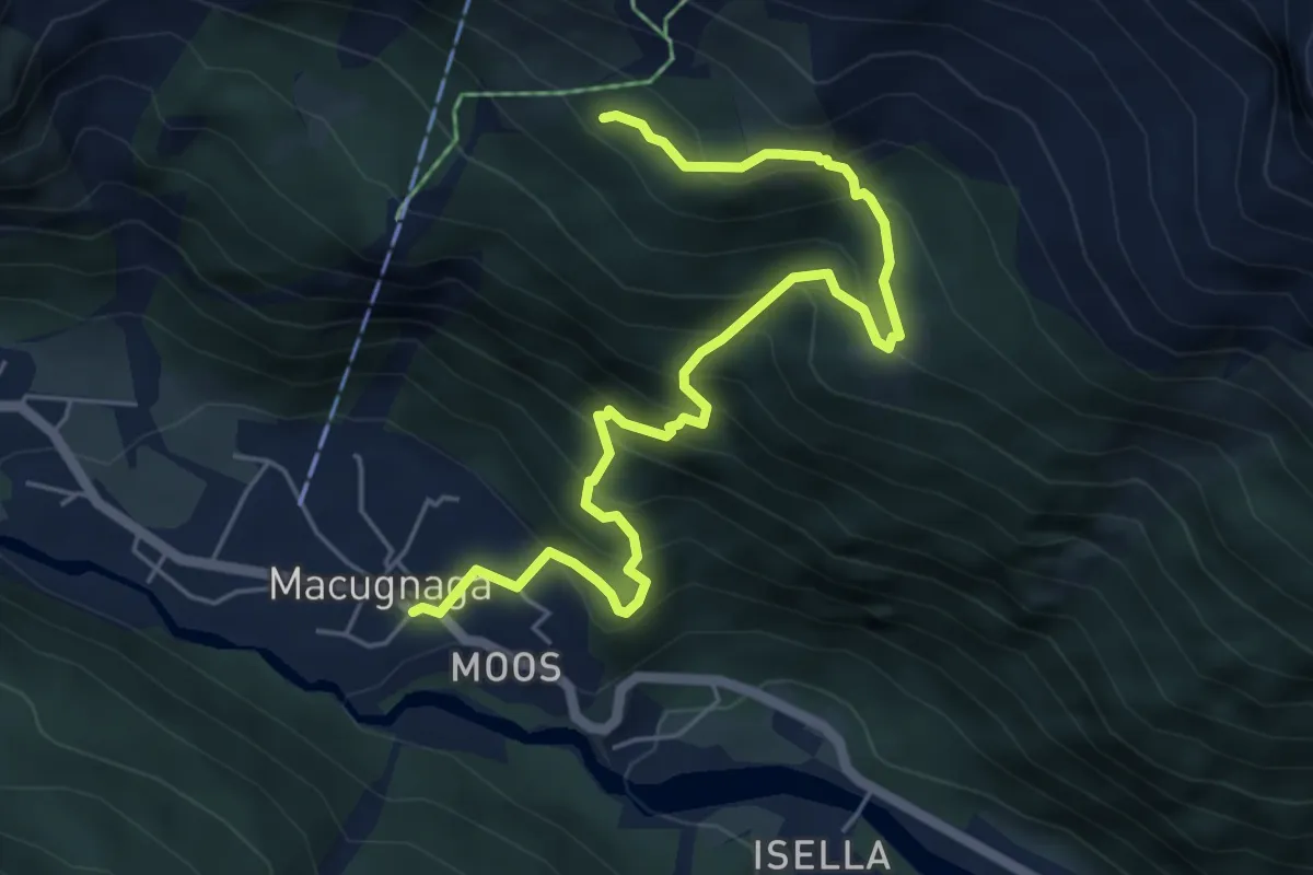
Medium · Trail
B36 - Sentiero Spagnolli
6.4 km · ↑ 690 m · 3 h 1 min
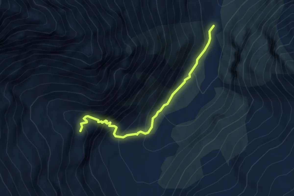
Expert · Trail
B37 - Pra' di Lanti bivio B98 - Alpe La Pissa
4.6 km · ↑ 436 m · 2 h 2 min
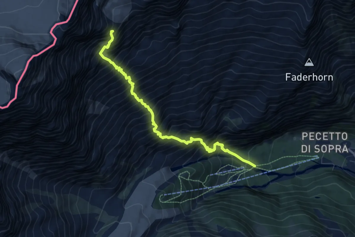
Demanding · Cabin
B38 - Bivio B45 - Capanna Eugenio Sella
8.7 km · ↑ 1694 m · 5 h 43 min
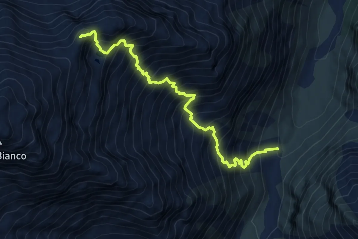
Demanding · Trail
B39 - Crocette - Colletto del Pizzo Nero
7.5 km · ↑ 1304 m · 4 h 36 min
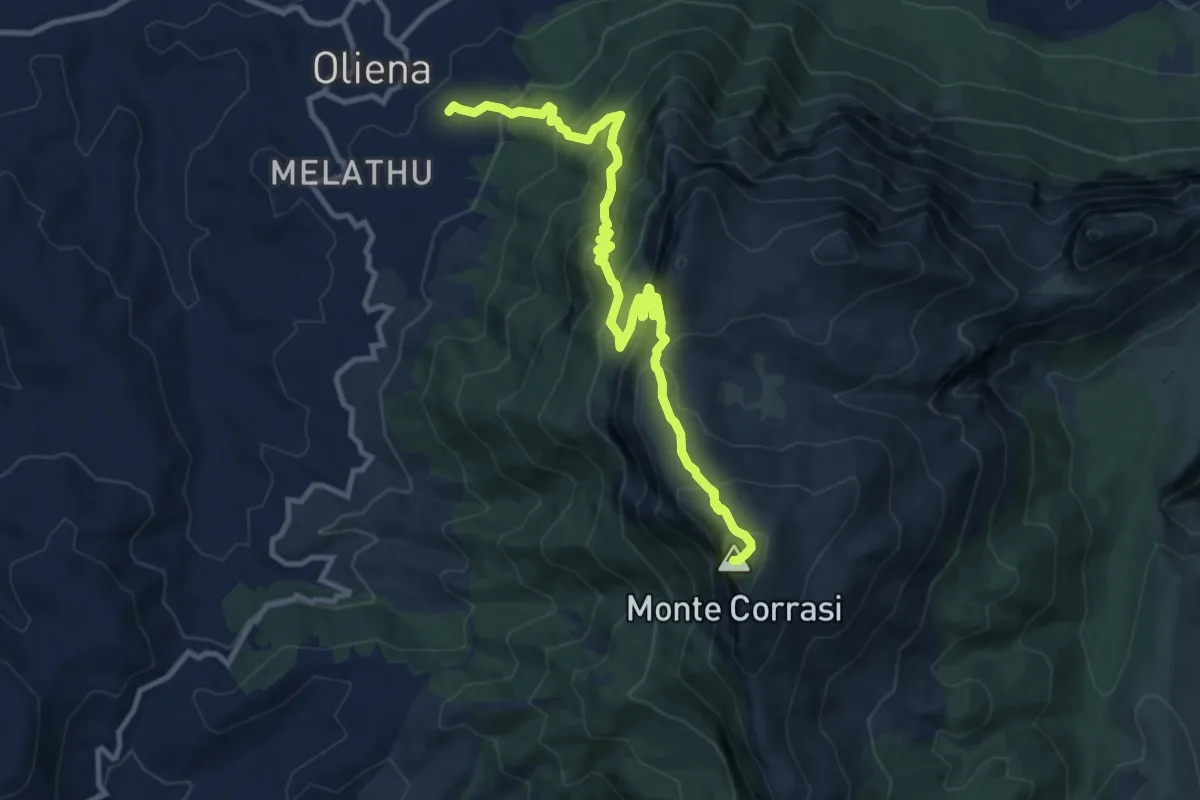
Demanding · Summit
B401 - Oliena - Monte Corrasi
13.0 km · ↑ 1067 m · 5 h 22 min
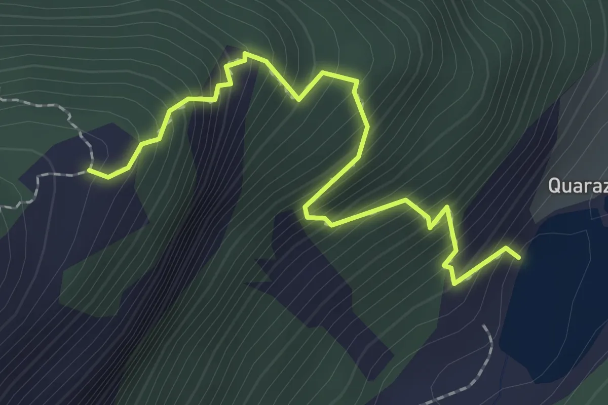
Medium · Trail
B41a - Quarazza - Alpe Bletza
2.3 km · ↑ 358 m · 1 h 18 min
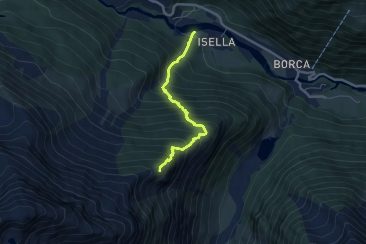
Demanding · Cabin
B41 - Isella - Alpe Schiena
4.6 km · ↑ 682 m · 2 h 34 min
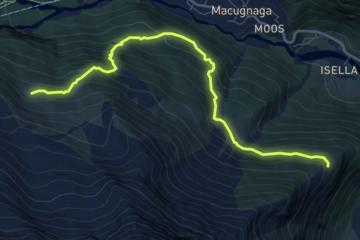
Medium · Trail
B46 - Alpe Bleza - Alpe Rosareccio
8.7 km · ↑ 672 m · 3 h 30 min
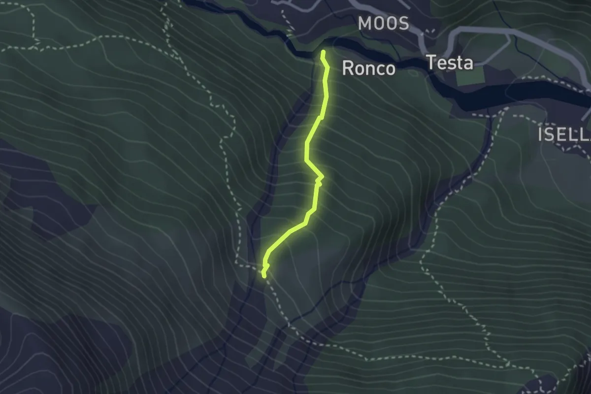
Medium · Trail
B46a - Ronco - Schilt
2.0 km · ↑ 307 m · 1 h 8 min
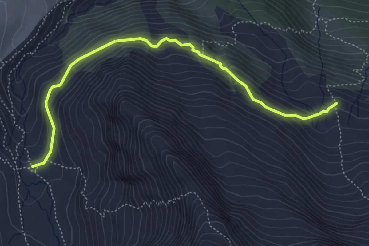
Medium · Cabin
B47 - Sentiero Saglio
5.3 km · ↑ 376 m · 2 h 4 min
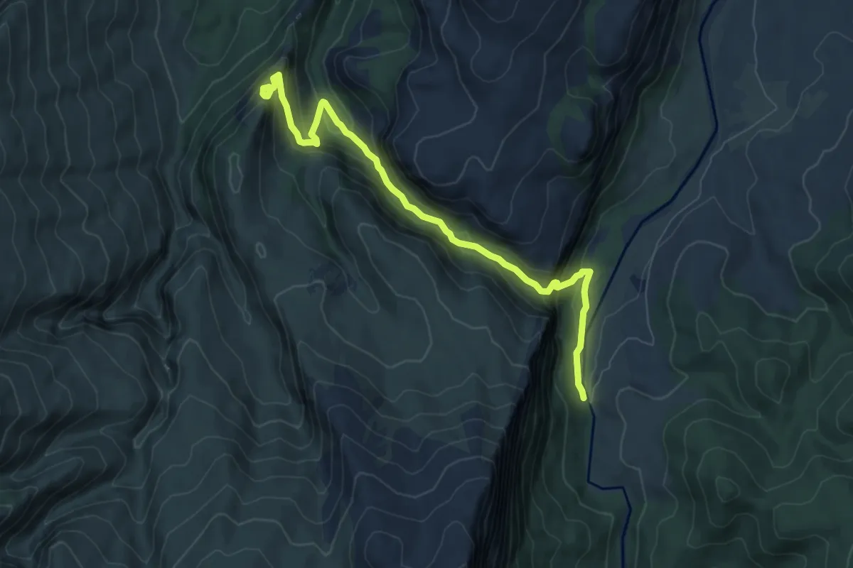
Demanding · Trail
B481 - Ponte S'Abba Arva - Tiscali
8.7 km · ↑ 499 m · 3 h 7 min
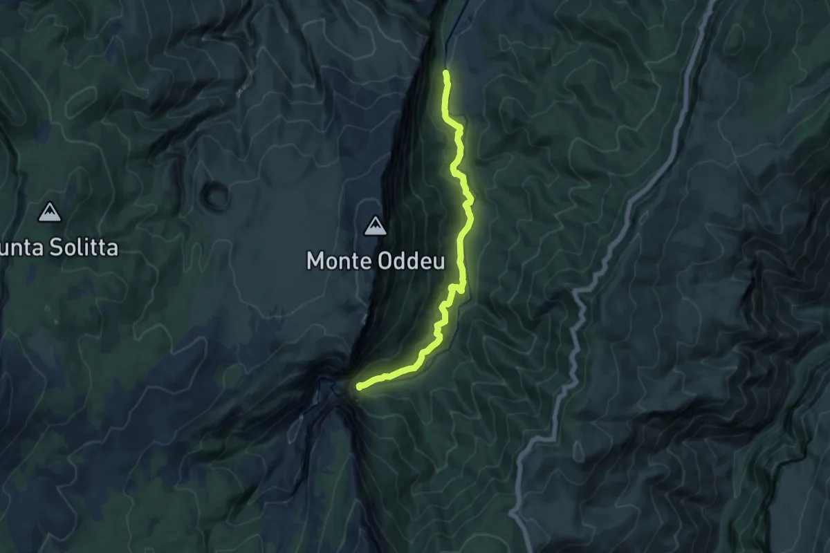
Medium · Trail
B485 - Ponte S'Abba Arva - Gola di Gorropu
11.7 km · ↑ 391 m · 3 h 36 min
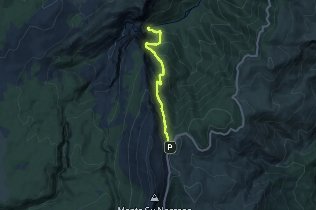
Demanding · Trail
B505 - Ghenna Silana - Gorropu
8.1 km · ↑ 1006 m · 4 h 6 min
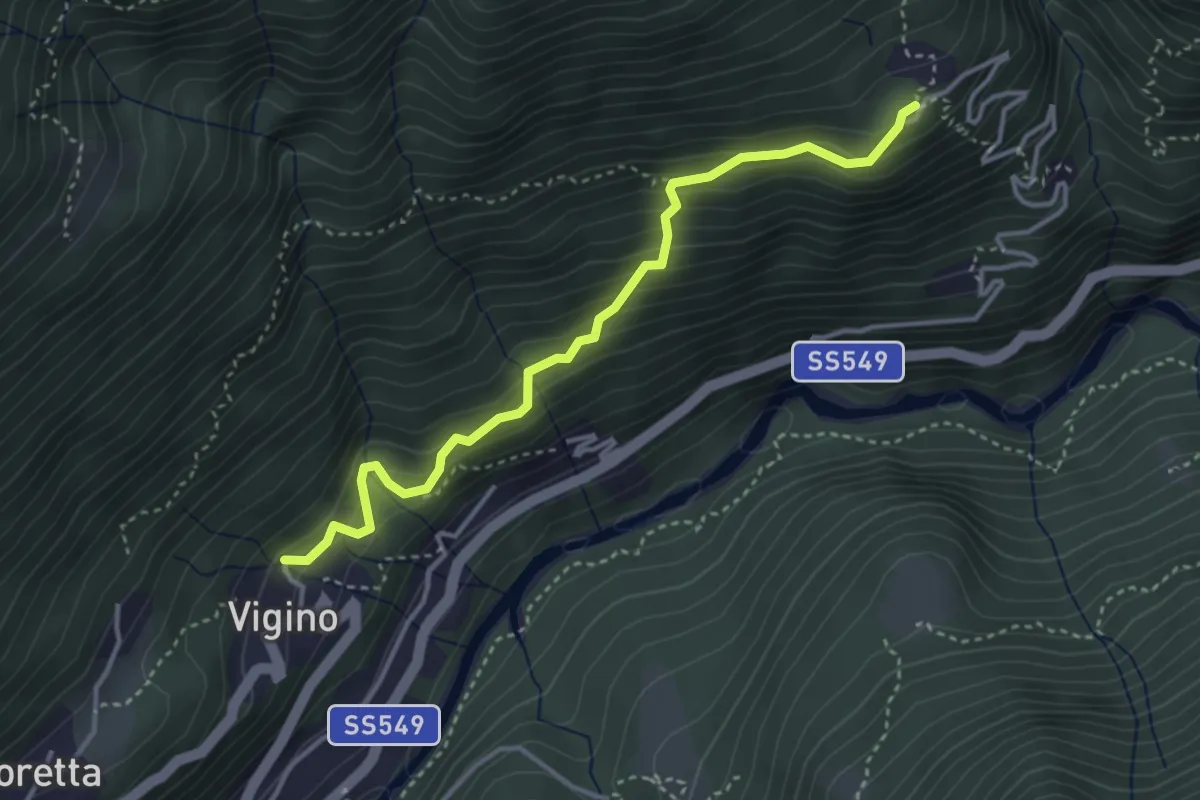
Medium · Trail
B96a - Vigino - Olino
3.7 km · ↑ 389 m · 1 h 44 min
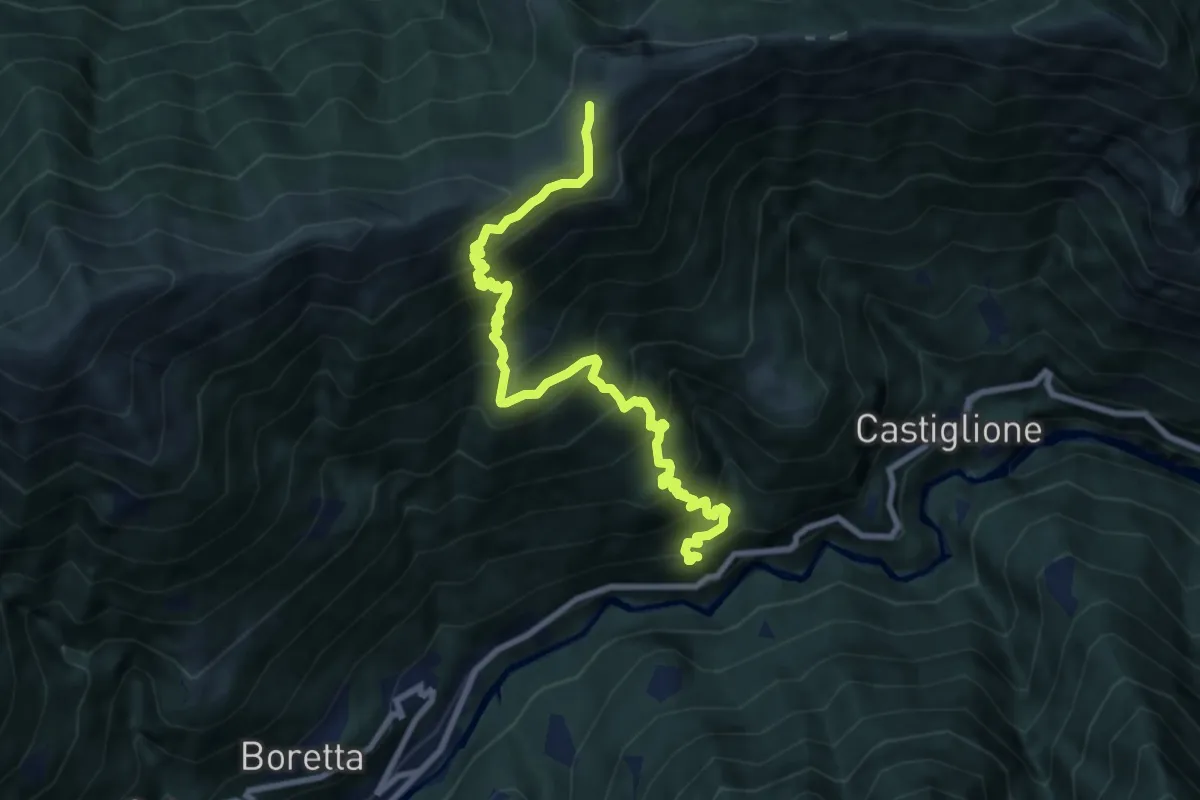
Demanding · Cabin
B96 - Porcareccia - Alpe della Colma
9.5 km · ↑ 1060 m · 4 h 33 min
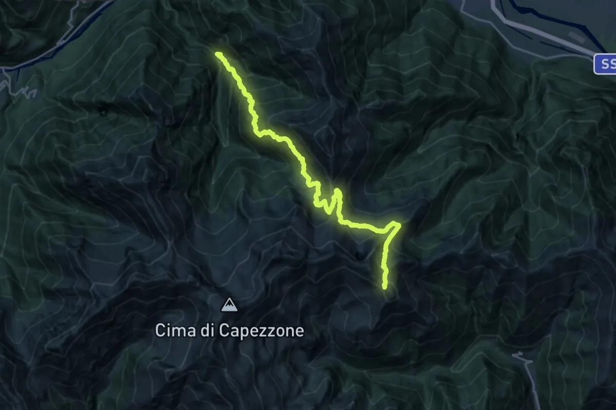
Demanding · Trail
B97 - Ca Pioda - Colle dell'Usciolo
9.7 km · ↑ 1643 m · 5 h 21 min
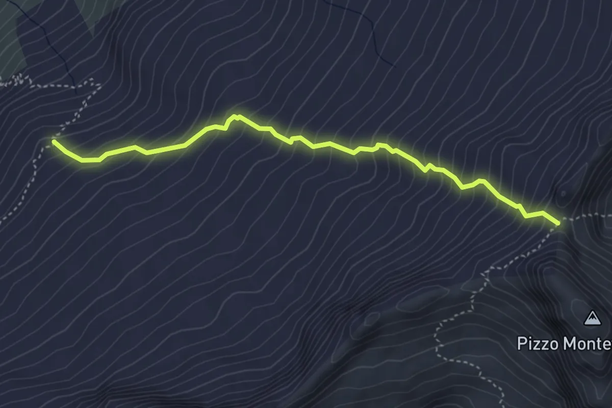
Demanding · Trail
B98a - Alpe Schena - Colle della Bottiggia
4.2 km · ↑ 614 m · 2 h 20 min
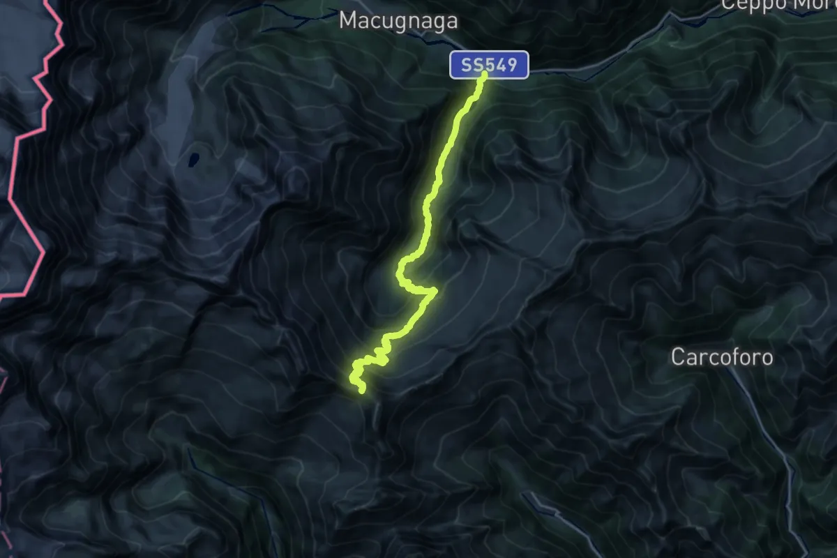
Demanding · Trail
B98 - Fornarelli, bivio B00 - Colle del Turlo
11.6 km · ↑ 1569 m · 5 h 33 min
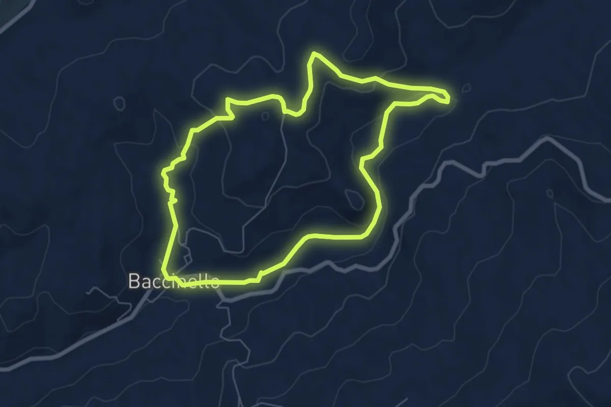
Easy · Trail
Baccinello
6.6 km · ↑ 165 m · 2 h
Medium · Trail
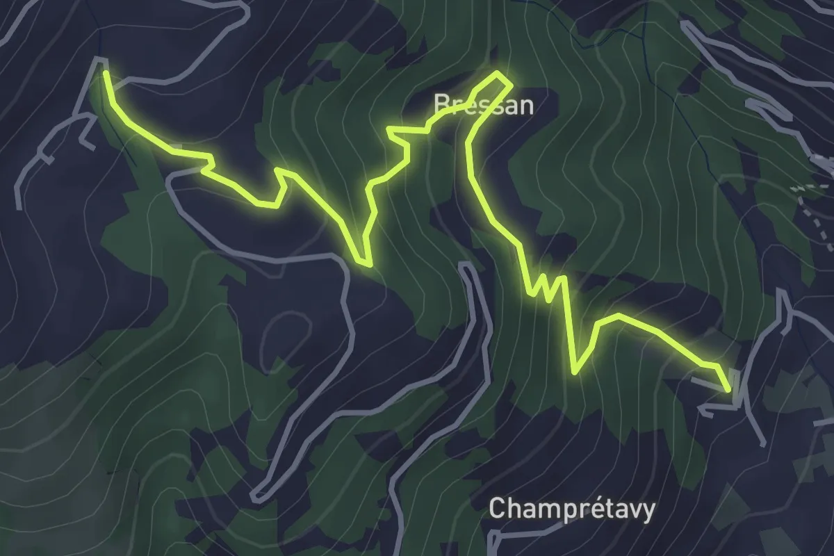
Bachaud - Rumiod la Chapelle (Remiod)
4.9 km · ↑ 426 m · 2 h 4 min
Medium · Trail
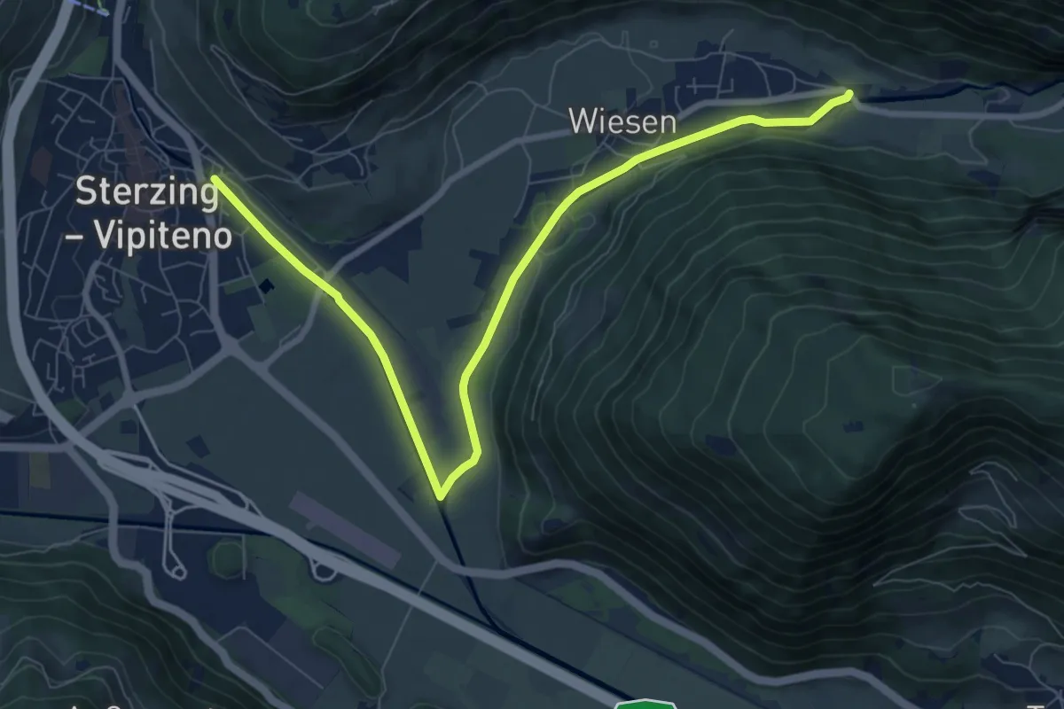
Bachdammweg
9.3 km · ↑ 66 m · 2 h 20 min
Easy · Trail
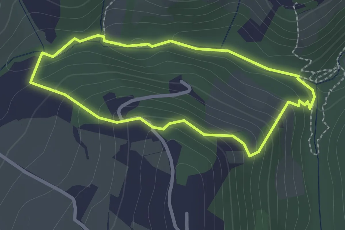
Bacucco
2.0 km · ↑ 98 m · 42 min
Demanding · Trail
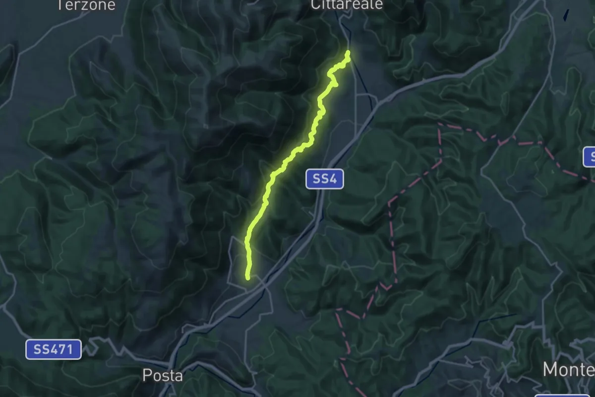
Bacugno-Collenasso
17.5 km · ↑ 859 m · 5 h 59 min