Trails in Italy
25,219 hiking trails, each with its route, climb, walking time and grade.
All trails, page 245 of 526
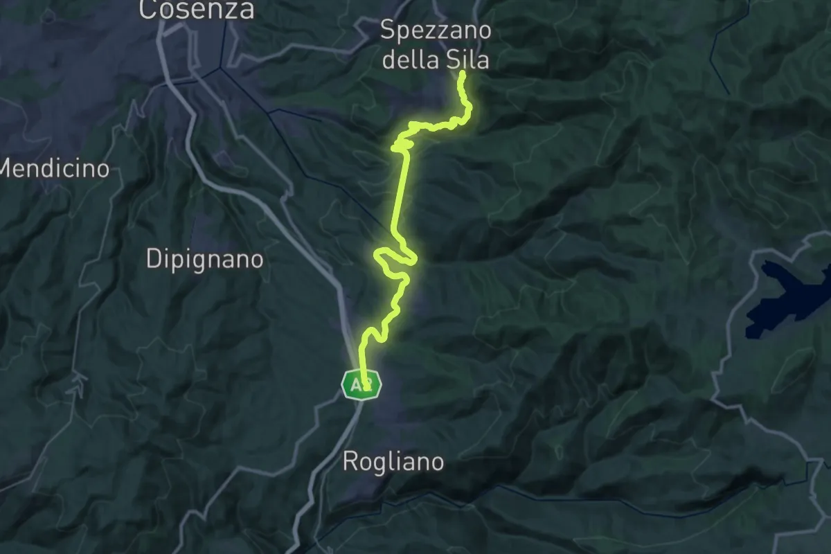
Demanding · Trail
Spezzano Piccolo – Piano Lago
18.4 km · ↑ 528 m · 5 h 52 min
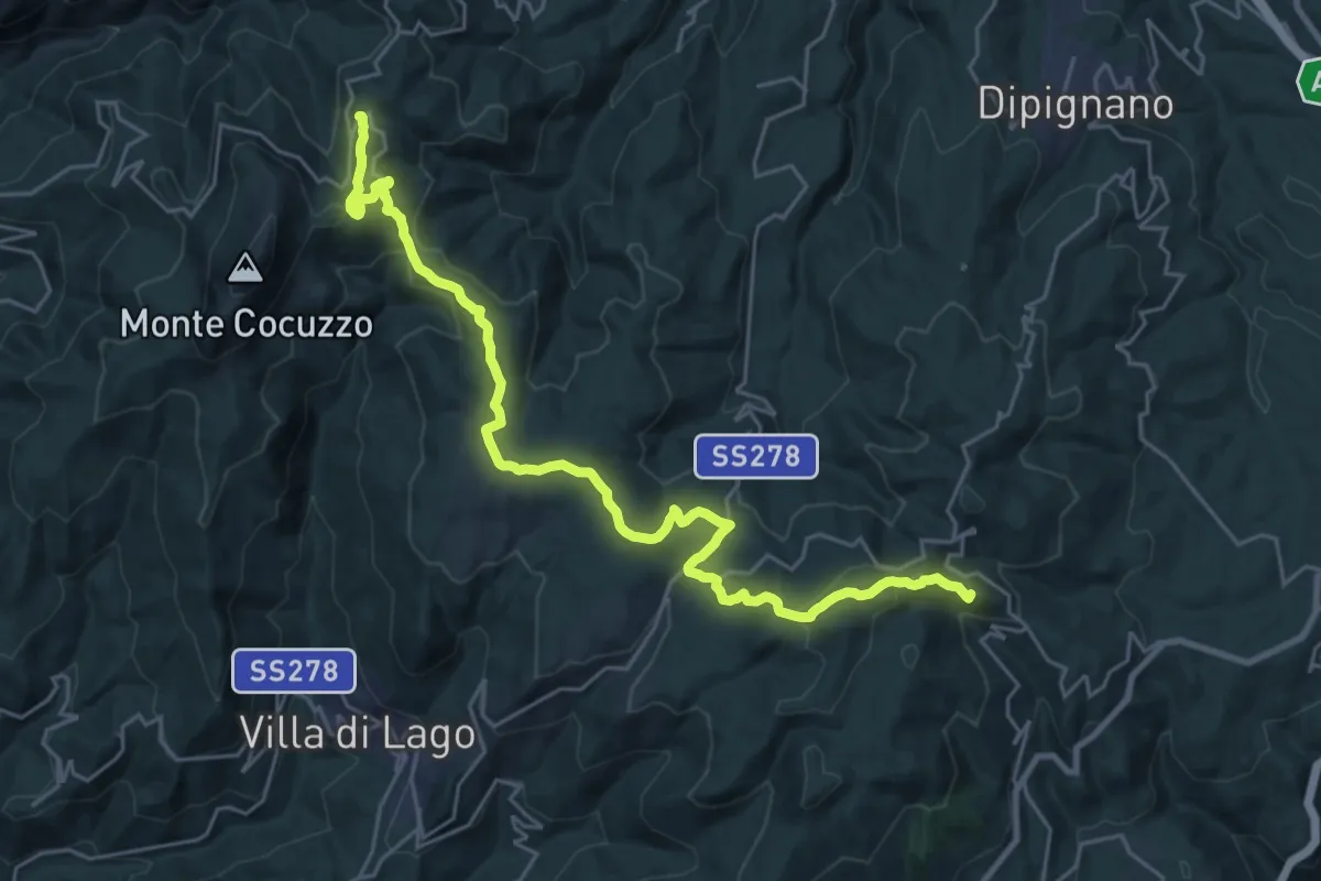
Demanding · Summit
Piano Lago – Casellone Forestale di Monte Cocuzzo
31.0 km · ↑ 976 m · 9 h 26 min
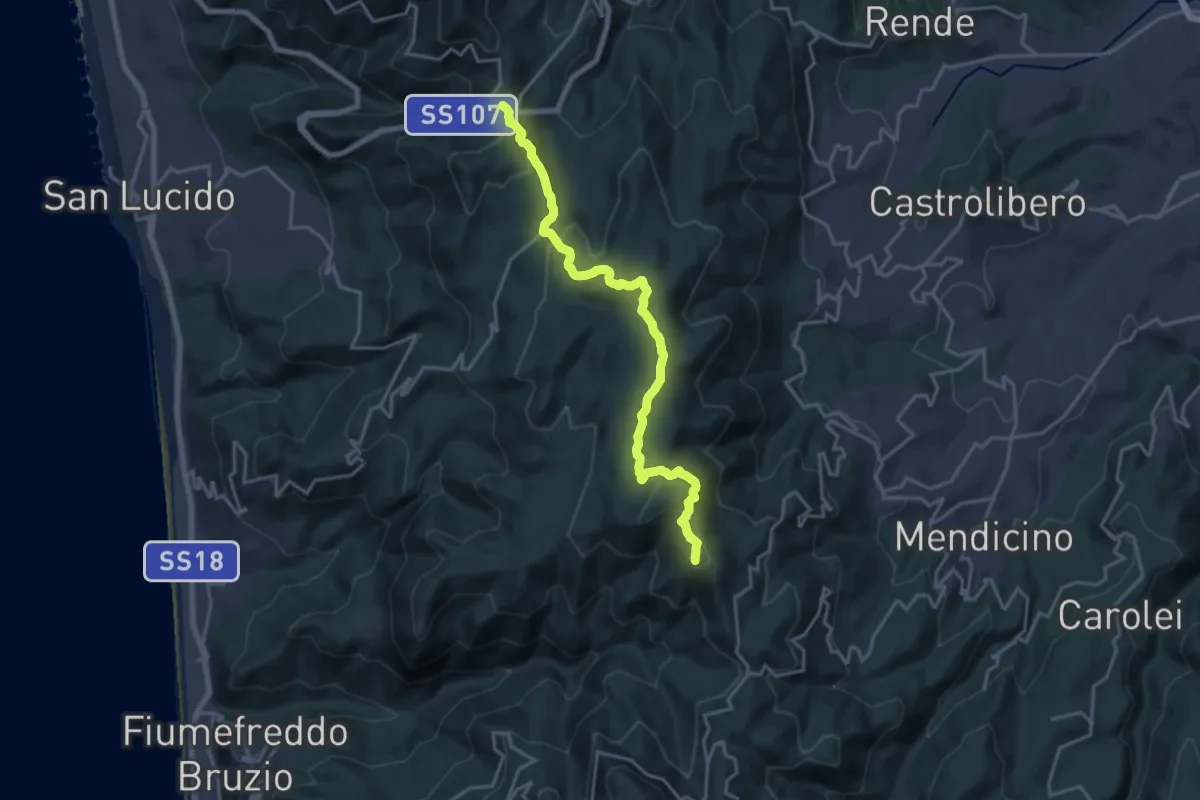
Demanding · Summit
Casellone Forestale di Monte Cocuzzo – Passo della Crocetta
19.9 km · ↑ 672 m · 6 h 9 min
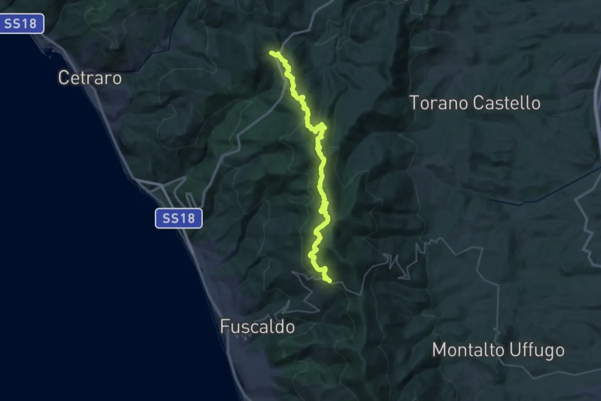
Demanding · Cabin
Caserma Forestale di Cinquemiglia – Pietrabianca
17.1 km · ↑ 914 m · 6 h 6 min
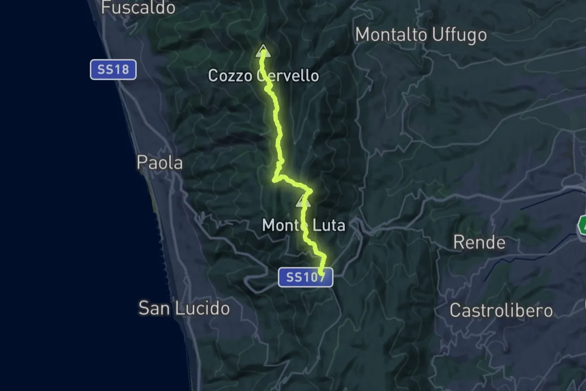
Demanding · Summit
Passo della Crocetta – Caserma Forestale di Cinquemiglia
23.4 km · ↑ 864 m · 7 h 23 min
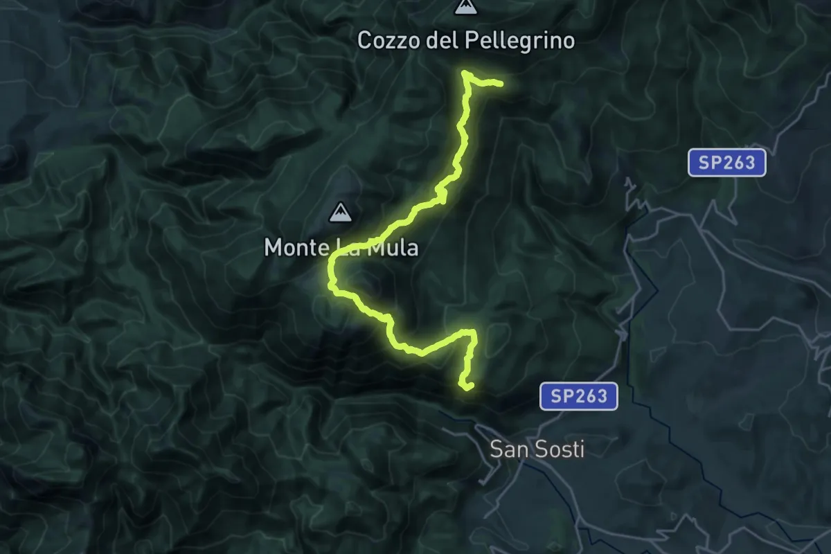
Demanding · Summit
Madonna del Pettoruto – Piano di Lanzo
26.5 km · ↑ 1561 m · 9 h 39 min
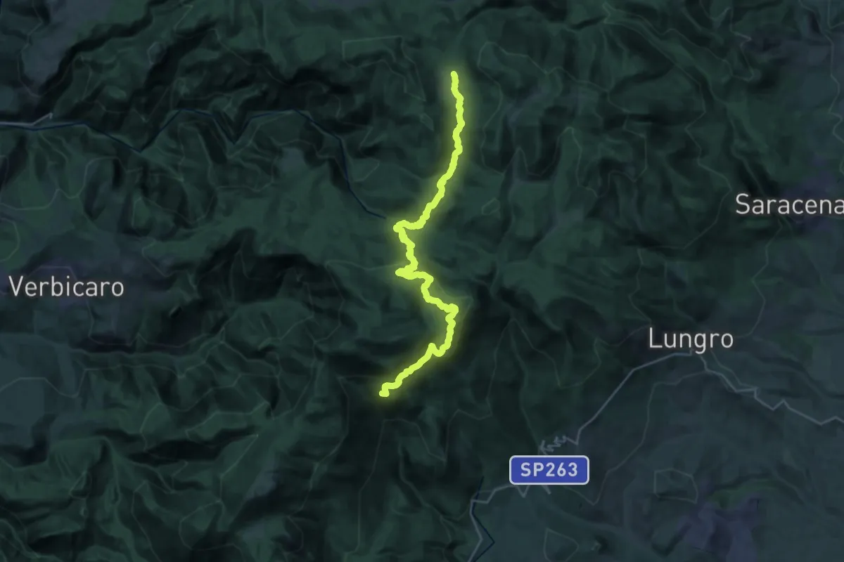
Medium · Cabin
Piano di Lanzo – Piano Novacco
15.5 km · ↑ 649 m · 5 h 16 min
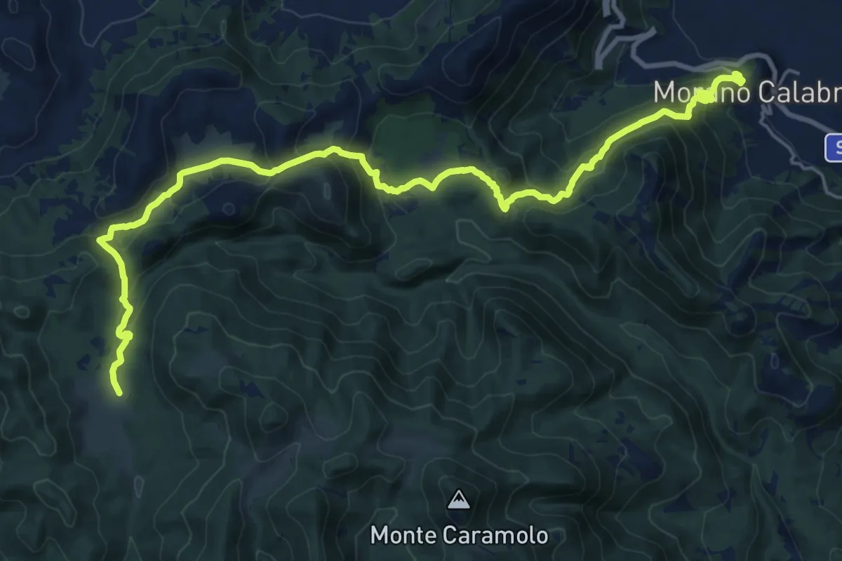
Medium · Trail
Piano Novacco – Morano Calabro
13.3 km · ↑ 377 m · 4 h 28 min
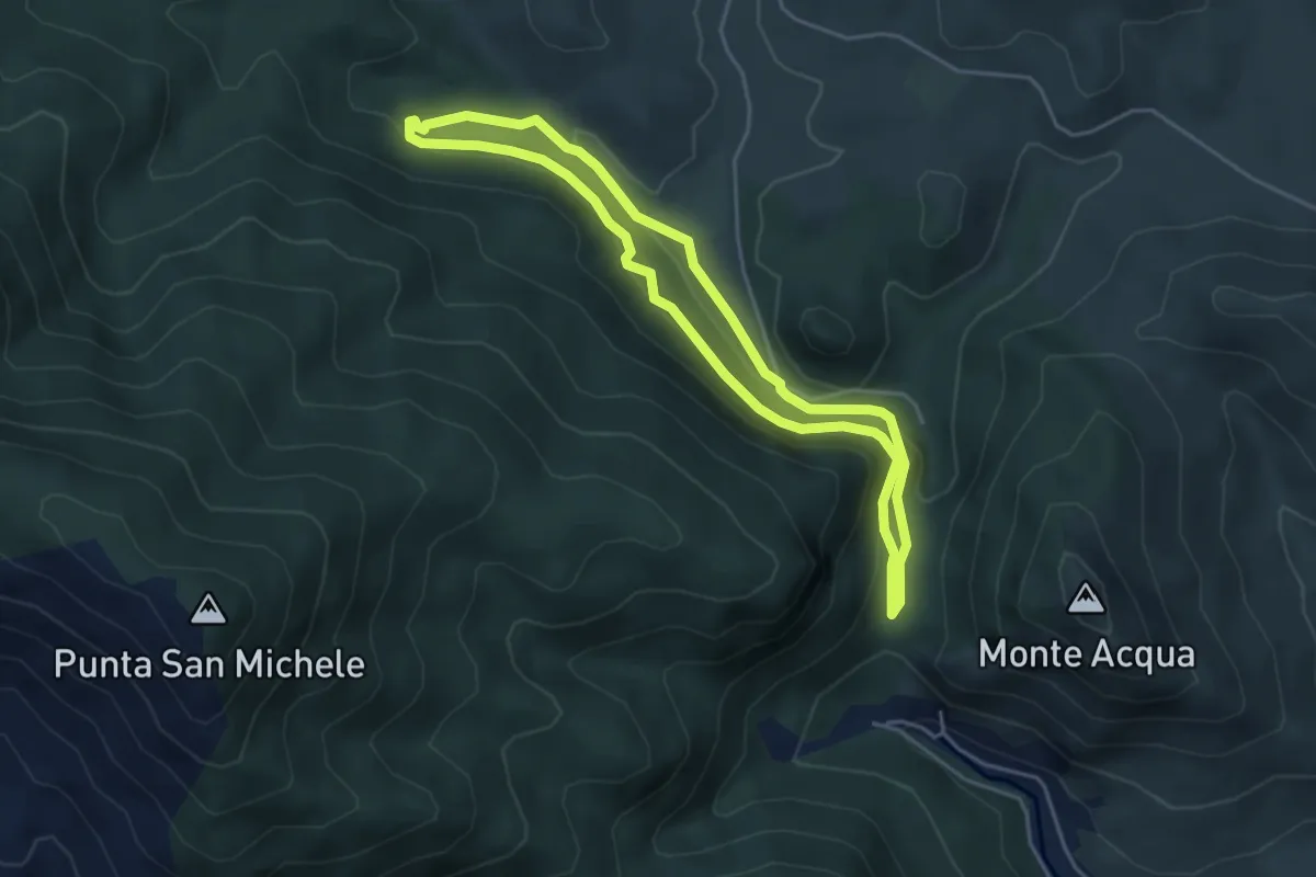
Easy · Trail
Sa Ia 'e Su Vagoni – Sa Ia 'e Su Vagoni
4.6 km · ↑ 154 m · 1 h 29 min
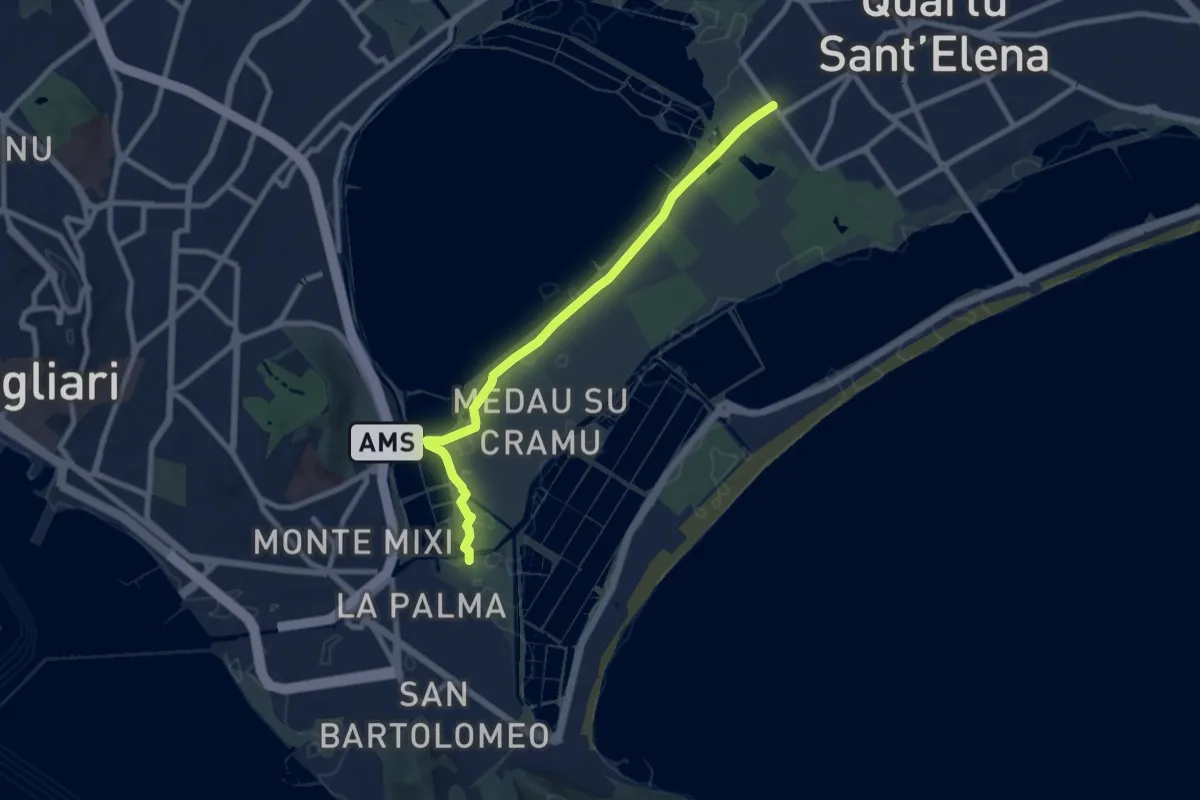
Medium · Trail
La Palma – Via della Musica
9.2 km · ↑ 4 m · 2 h 11 min
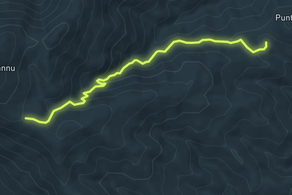
Medium · Trail
Is Prunixeddas – Area Archeologica Matzanni
8.0 km · ↑ 416 m · 2 h 48 min
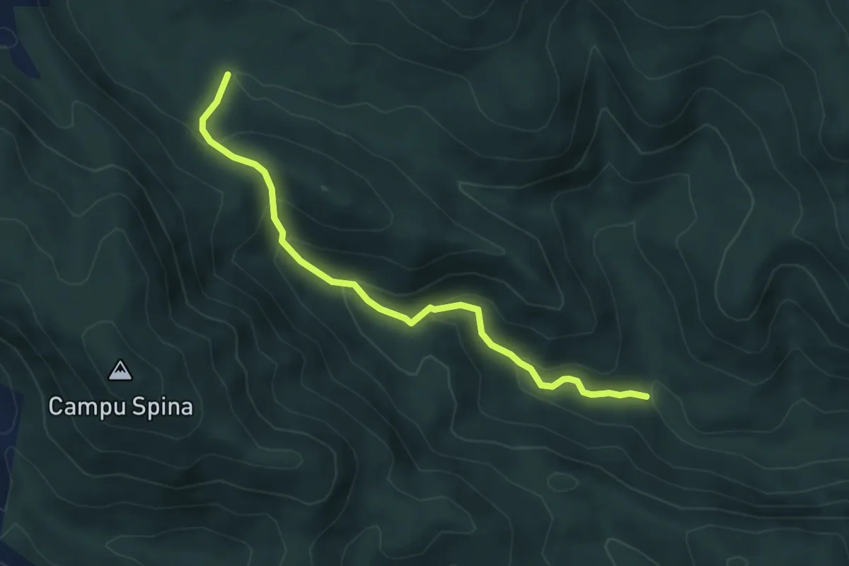
Medium · Trail
Borgo Sa Duchessa – Riu Tinnì
5.5 km · ↑ 337 m · 2 h 2 min
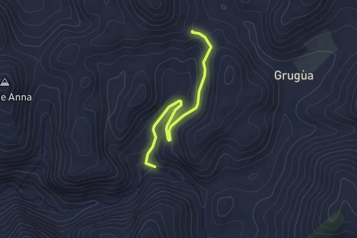
Easy · Trail
Bivio Pranu Dentis - Sentiero 302 – Bivio Miniera San Luigi
3.9 km · ↑ 150 m · 1 h 14 min
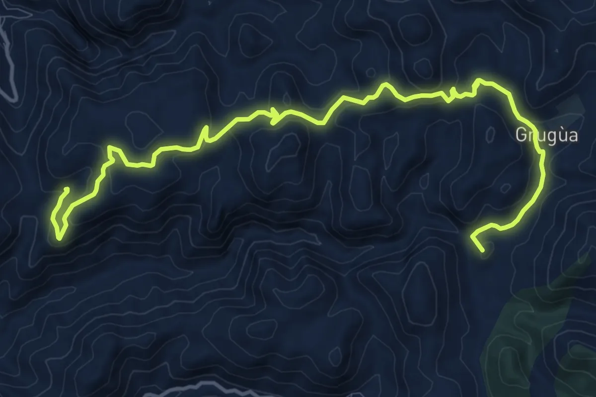
Medium · Summit
Gutturu Cardaxius – Genna Arenas
15.5 km · ↑ 535 m · 4 h 50 min
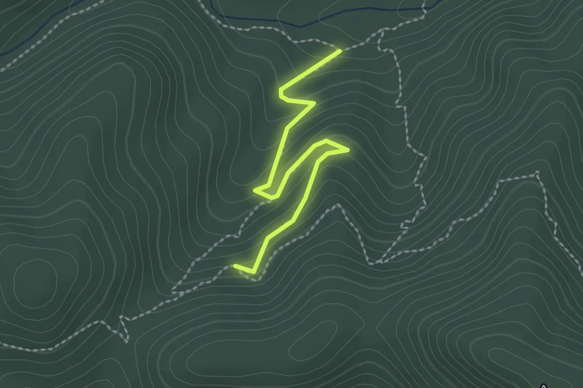
Demanding · Trail
Sorgente detta Mitza su Suergiu – crocevia 220A-220
2.4 km · ↑ 146 m · 53 min
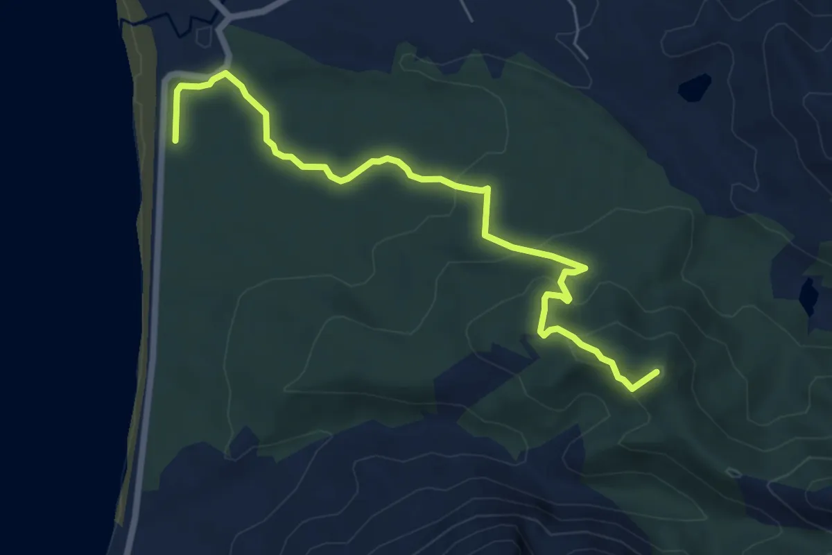
Easy · Summit
Cantiere forestale Portixeddu – Arcu su Ludragu
7.3 km · ↑ 264 m · 2 h 17 min
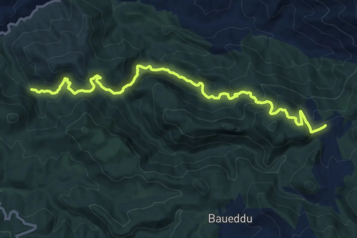
Demanding · Trail
Su Mannau – Miniera Arenas
17.5 km · ↑ 1099 m · 6 h 30 min
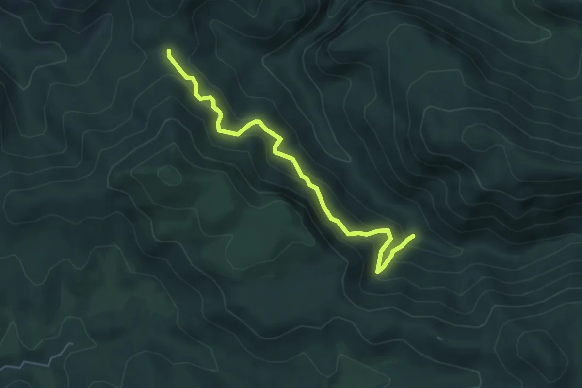
Medium · Trail
Terranieddas – Rio Maccioni
5.3 km · ↑ 604 m · 2 h 34 min
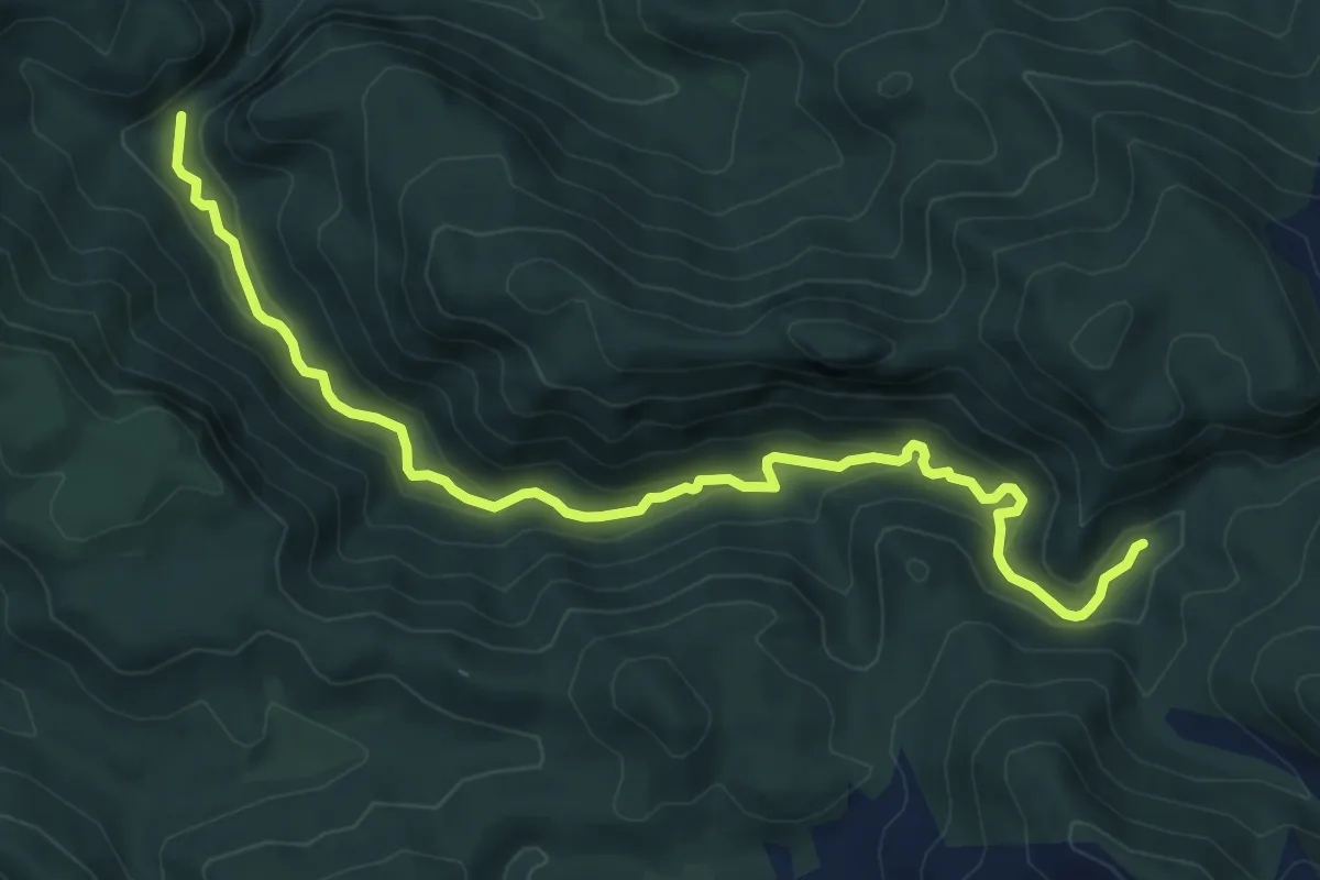
Medium · Trail
Roia is Codis (Gutturu Pala) – Area Picnic Pilocca
9.2 km · ↑ 374 m · 2 h 59 min
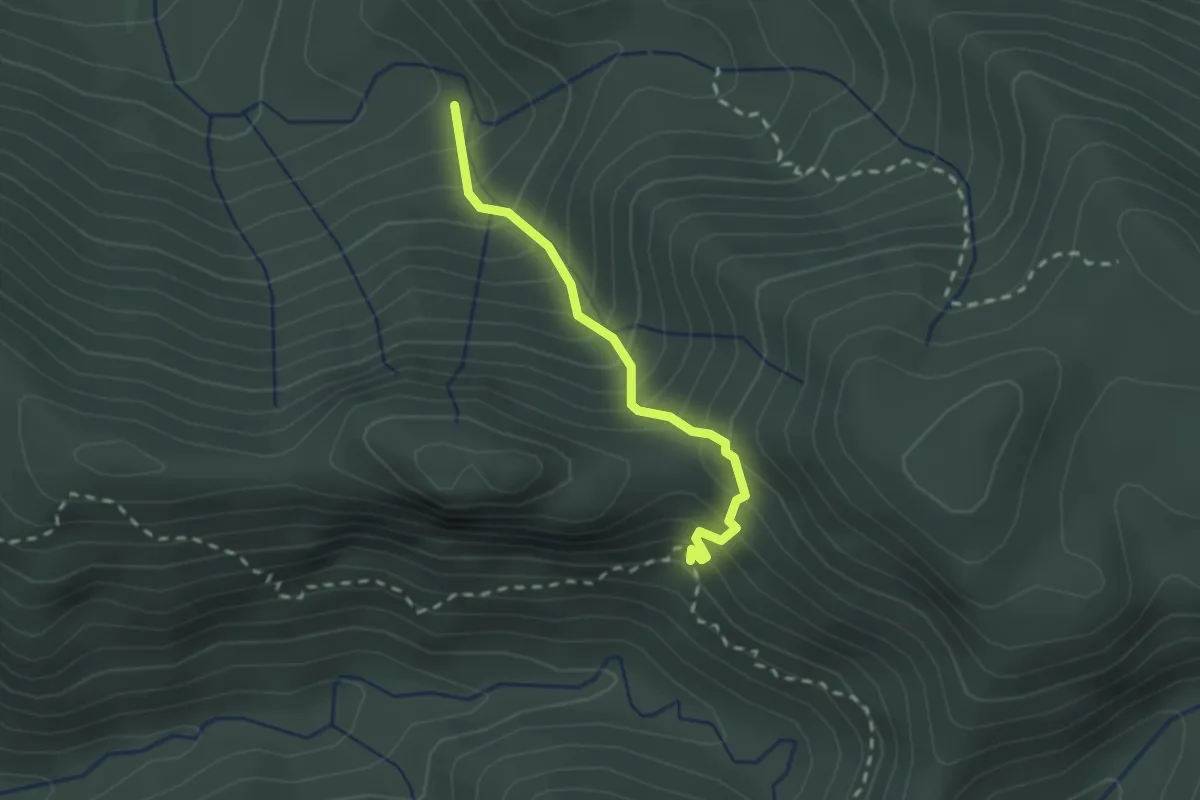
Easy · Trail
Arcu Sa Nebada – Genn’e Carru
2.2 km · ↑ 316 m · 1 h 12 min
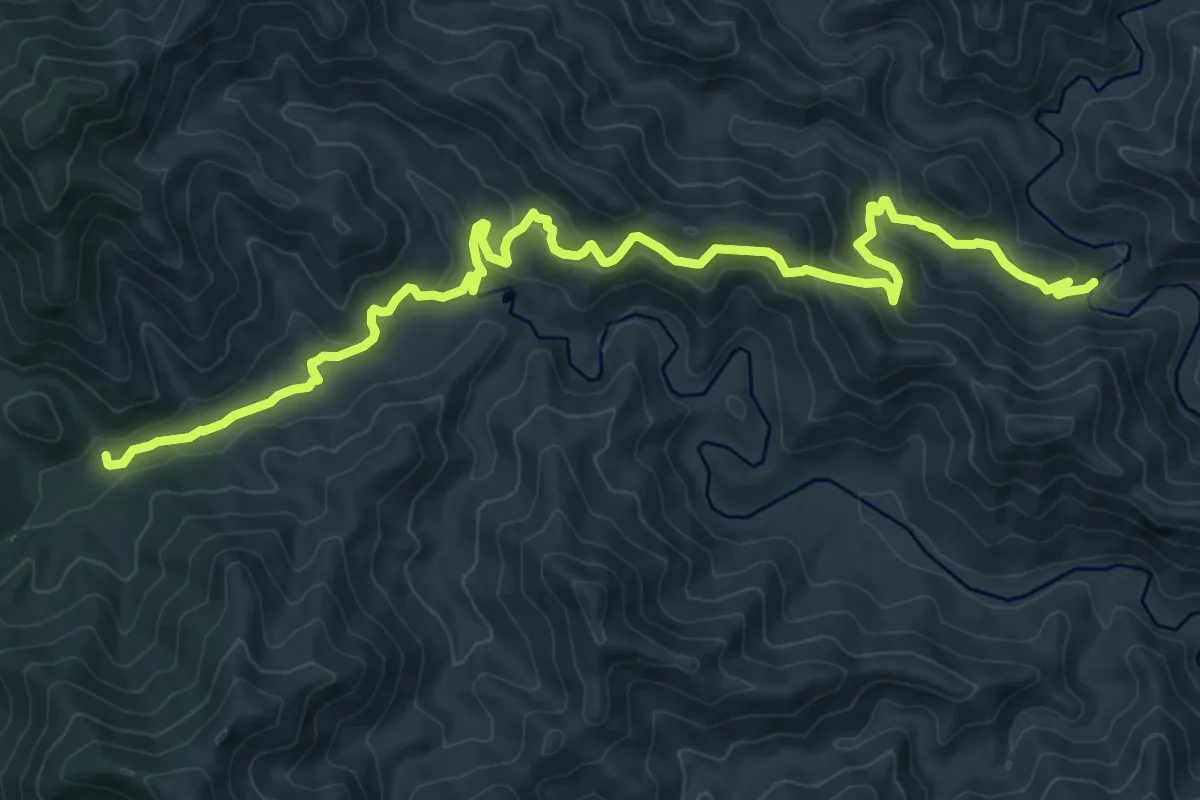
Medium · Trail
Canale Is Canargius – Sa Galanza-Ponte Serpi
14.8 km · ↑ 710 m · 5 h 2 min
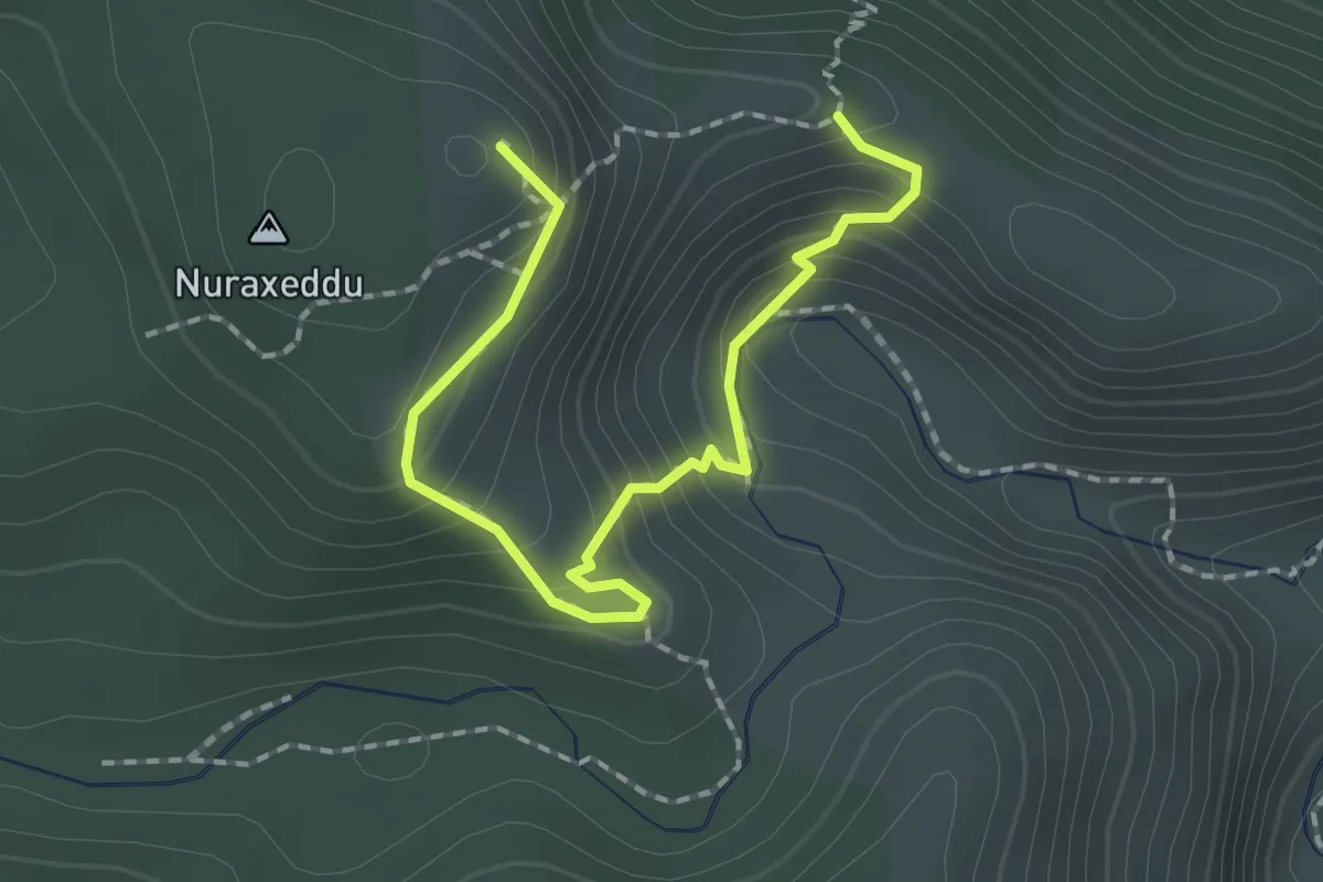
Demanding · Summit
Punta Piscina Irgas – Genna Piscina Irgas
2.4 km · ↑ 181 m · 58 min
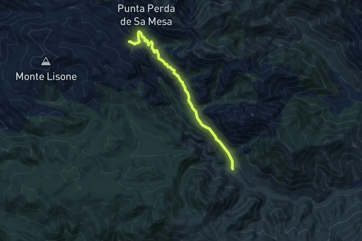
Medium · Trail
Cantina Ferraris - Punto di partenza D-112 – Ovile Linas - punto di arrivo D-112 e D-115
12.8 km · ↑ 606 m · 4 h 20 min
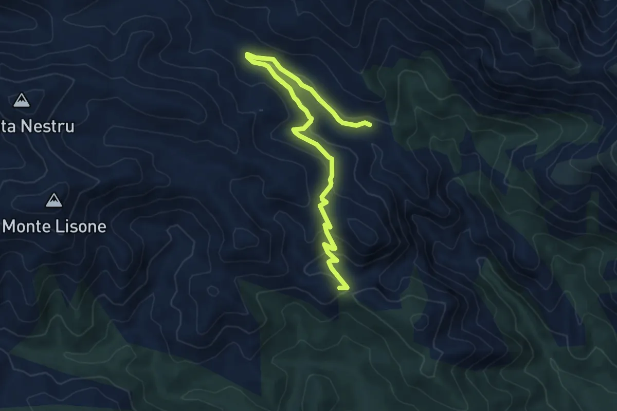
Easy · Trail
Genna Muru Mannu – Ovile Linas
8.0 km · ↑ 282 m · 2 h 30 min
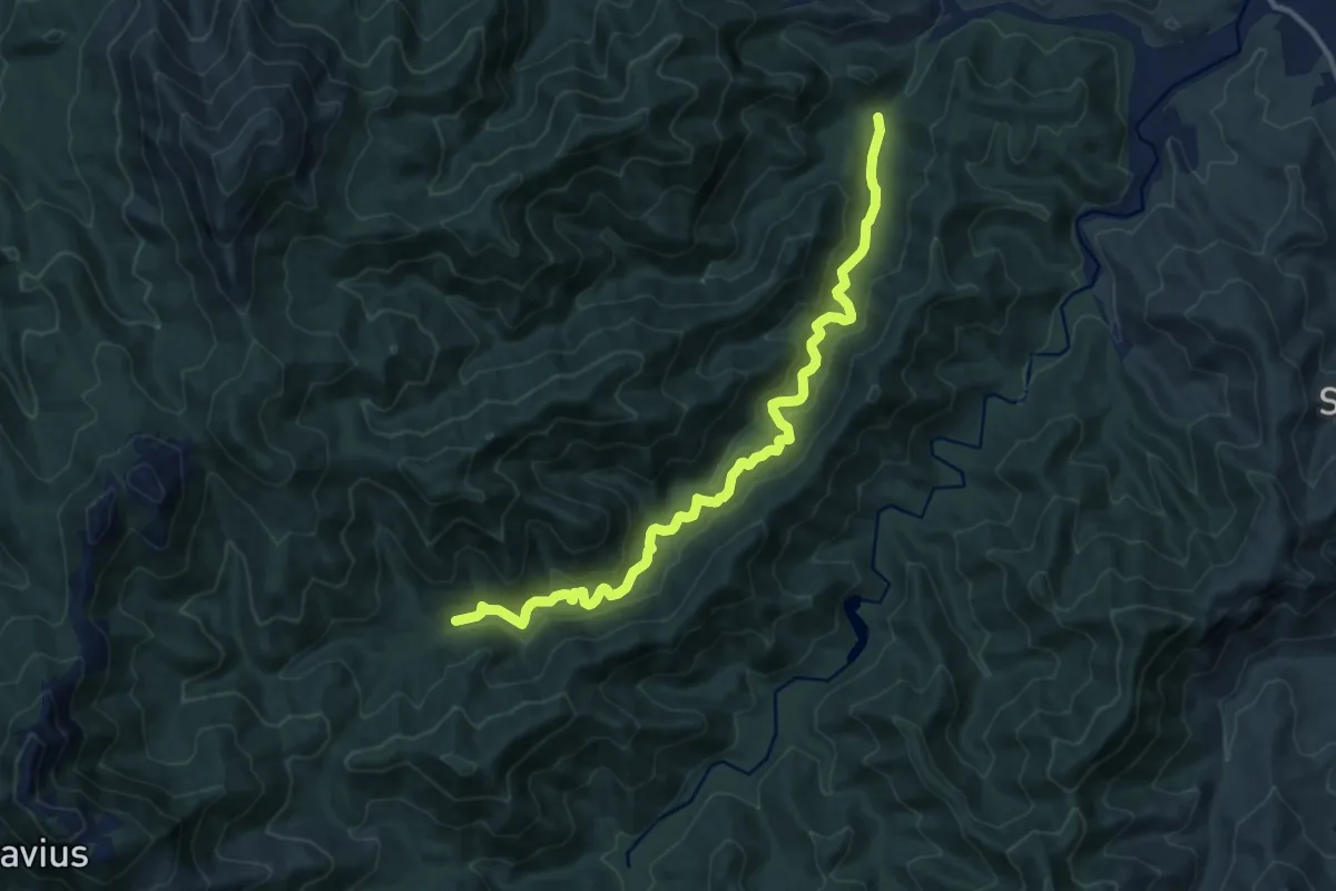
Medium · Cabin
Perdu Melis – Sa Canna
13.8 km · ↑ 437 m · 4 h 12 min
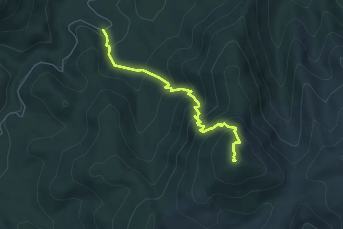
Medium · Summit
Is Pauceris – Is Pauceris Mannus
5.1 km · ↑ 458 m · 2 h 11 min
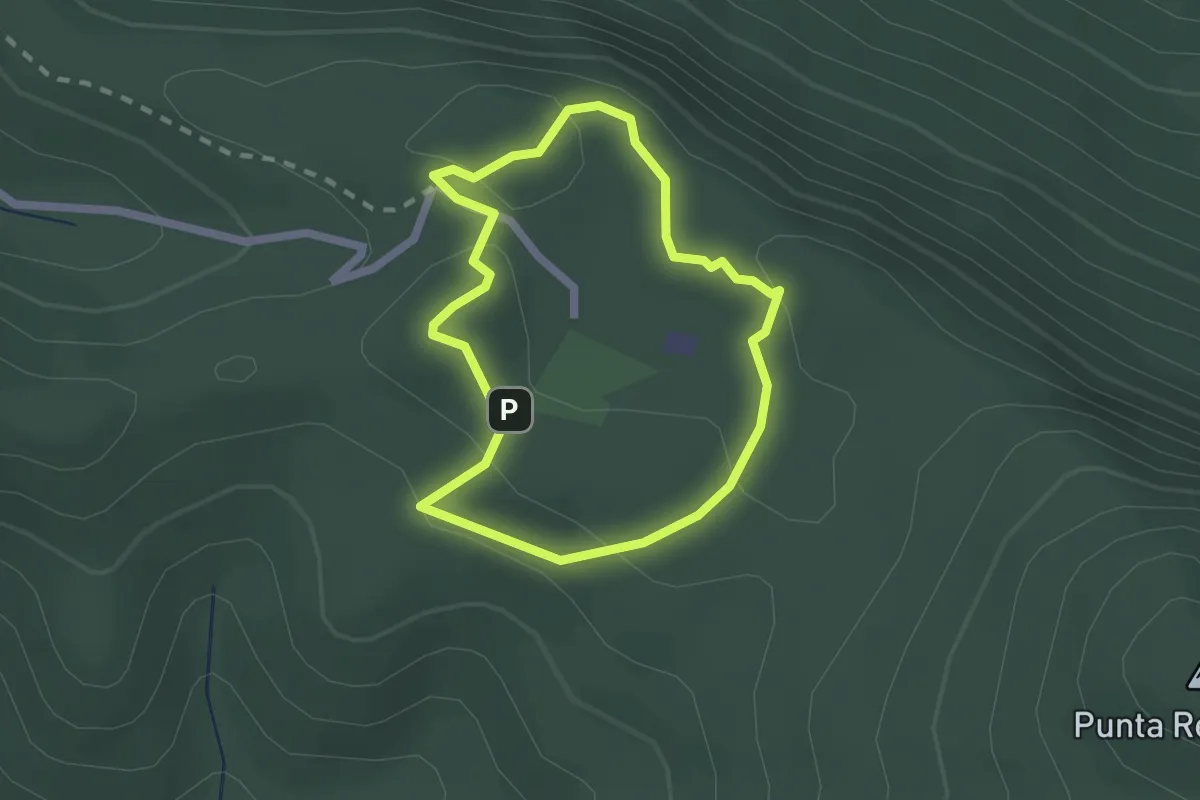
Easy · Summit
Case Marganai – Carbonaia didattica
2.0 km · ↑ 81 m · 40 min
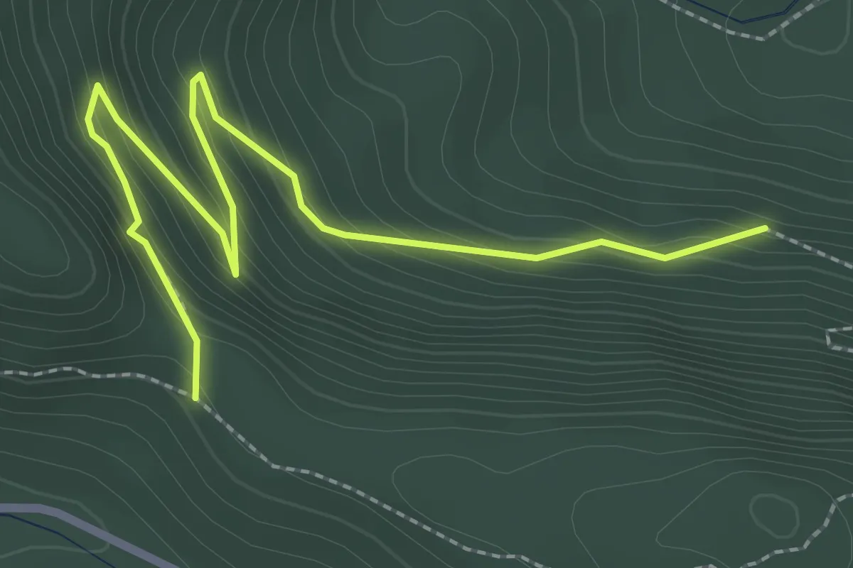
Easy · Trail
Bivio Percorso 324 – Genna Ollioni
3.4 km · ↑ 264 m · 1 h 22 min
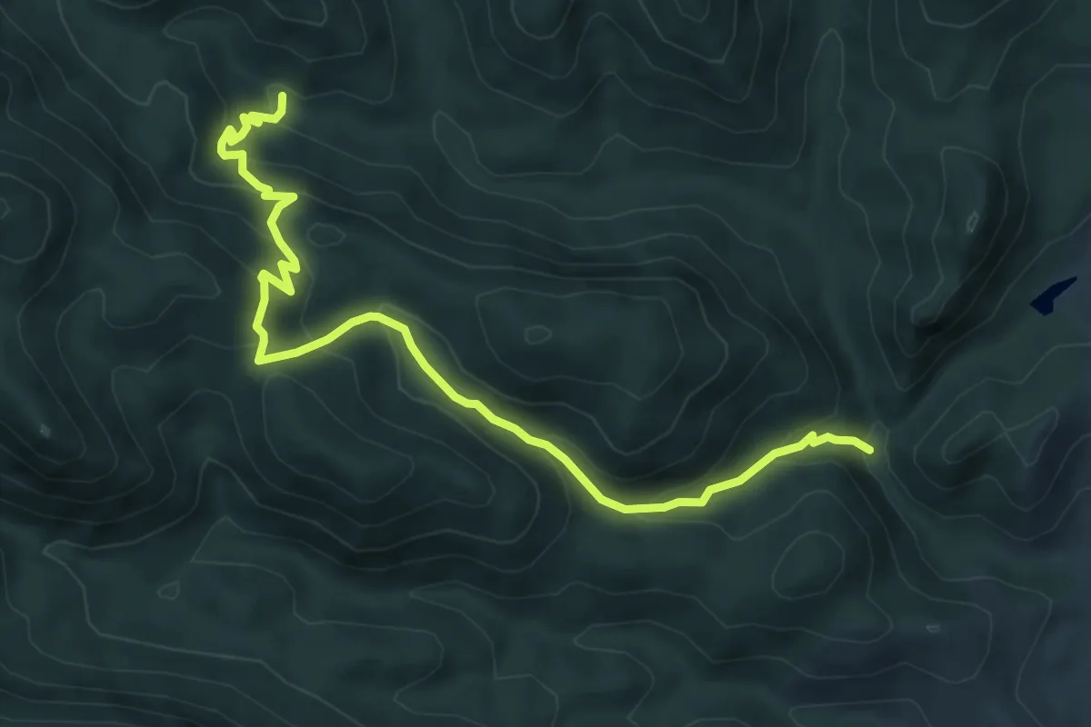
Medium · Trail
Barraxiutta – Maremma
8.5 km · ↑ 539 m · 3 h 10 min
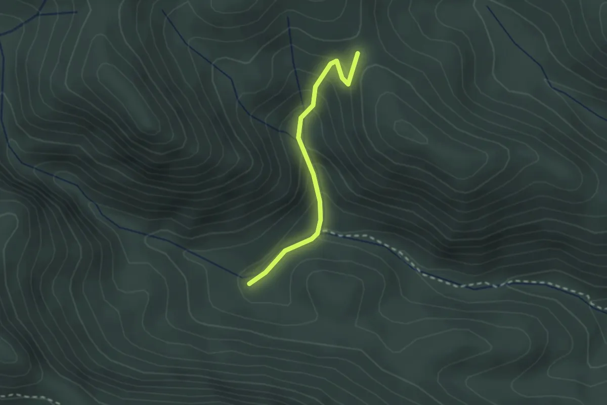
Easy · Trail
Cea Manna – Arcu Montinoi
2.3 km · ↑ 141 m · 51 min
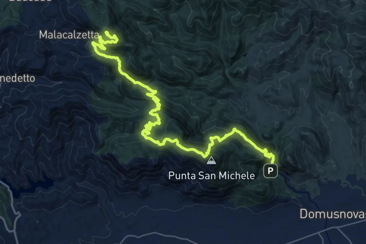
Demanding · Summit
Chiesa di San Giovanni – Tinnì
31.8 km · ↑ 2018 m · 11 h 52 min
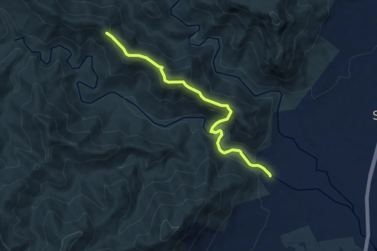
Medium · Trail
Arcu su Lillu – Sa Tuppa
9.4 km · ↑ 629 m · 3 h 35 min
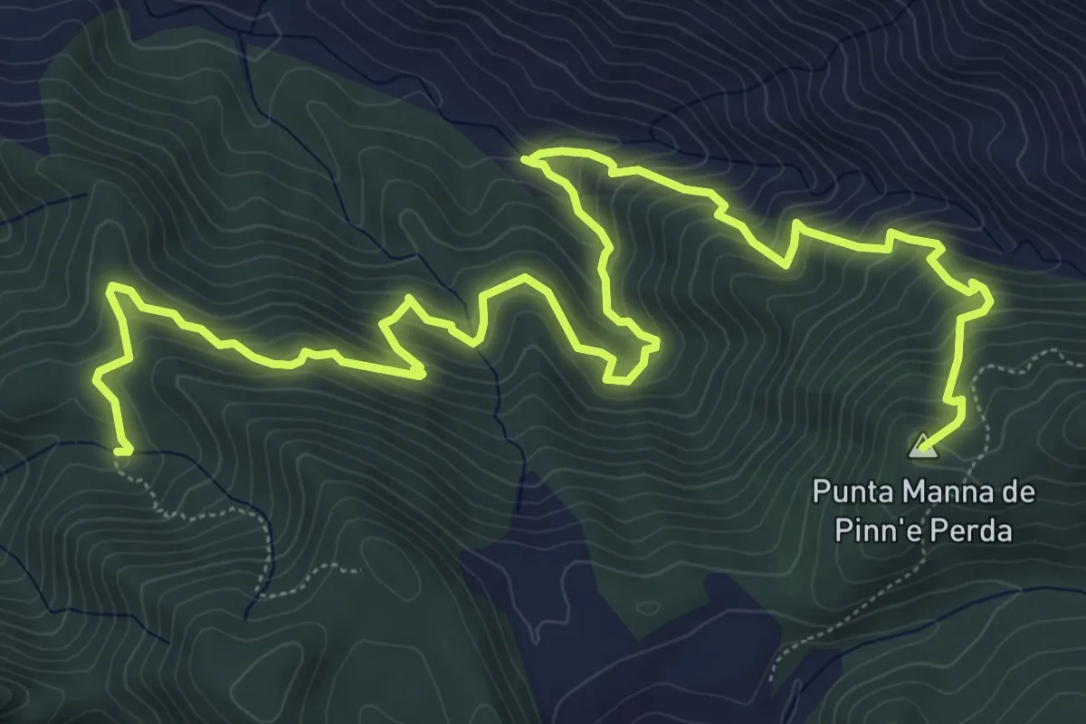
Demanding · Summit
Miniera di Monti Serrau – Perdu Marras
11.6 km · ↑ 968 m · 4 h 50 min
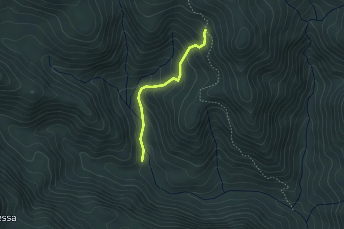
Easy · Trail
Sa Duchessa – Su Cabriolu
3.0 km · ↑ 207 m · 1 h 10 min
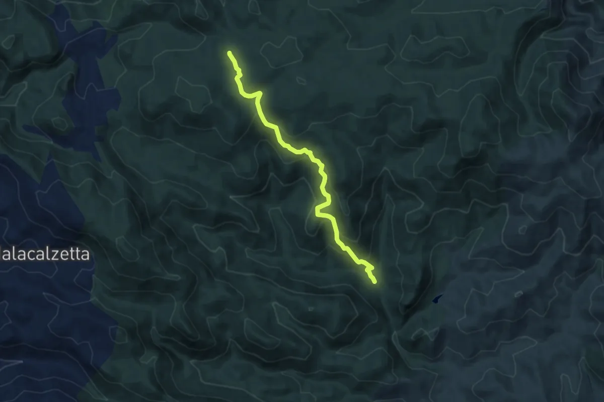
Medium · Trail
Gutturu Melsi – Si Barracconi
9.4 km · ↑ 501 m · 3 h 19 min
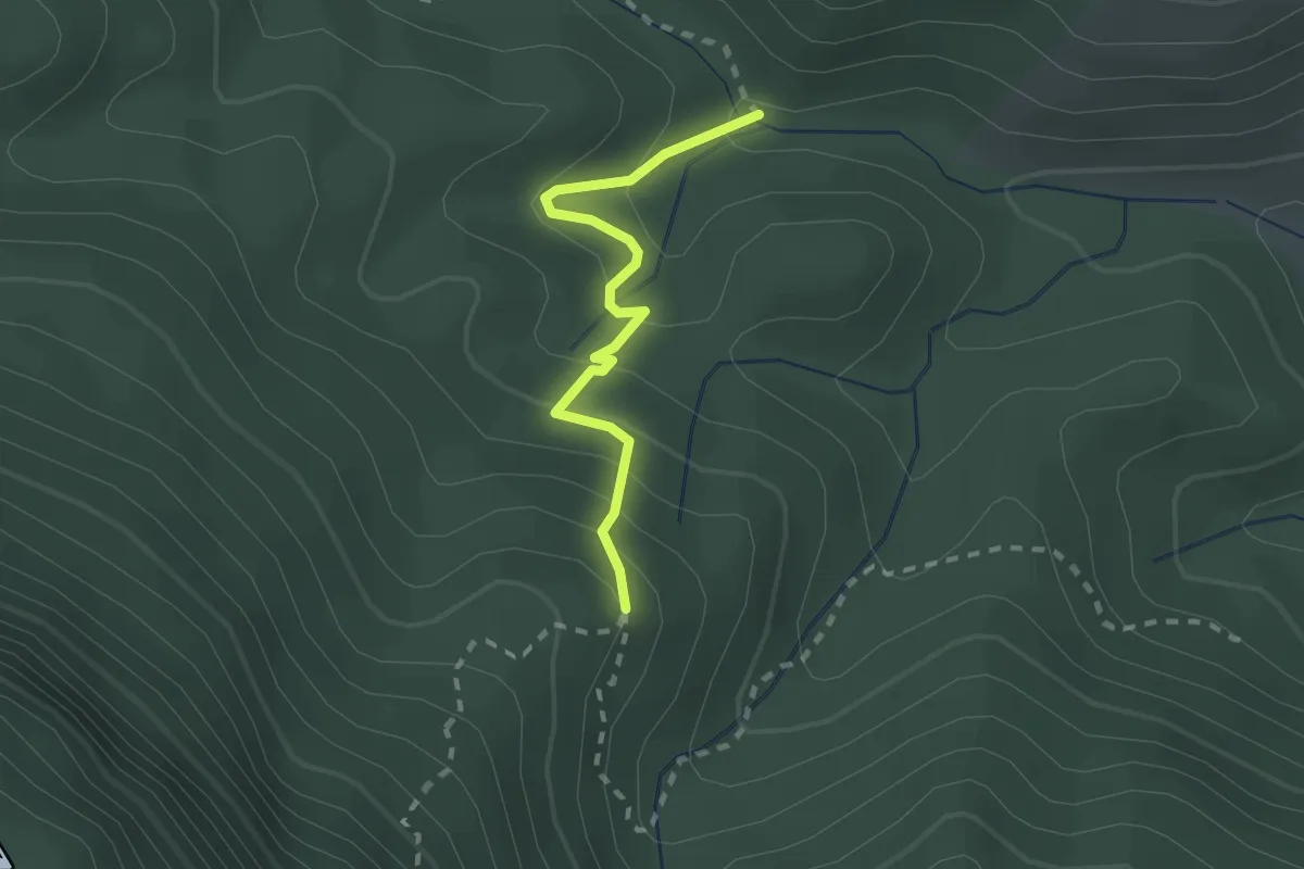
Easy · Trail
Gutturu Farris – Bivio Percorso 326
2.2 km · ↑ 156 m · 52 min
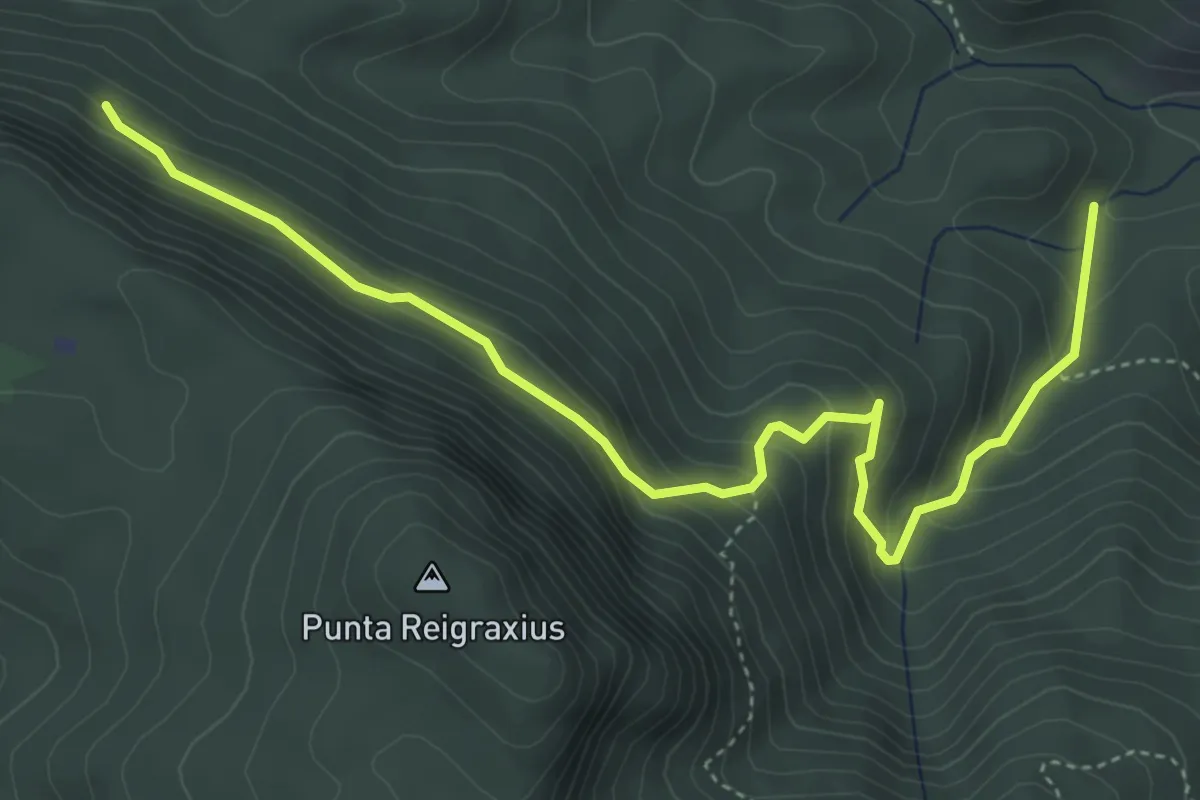
Medium · Trail
Is Acacias – Antiogu 'e Pau
5.8 km · ↑ 397 m · 2 h 13 min
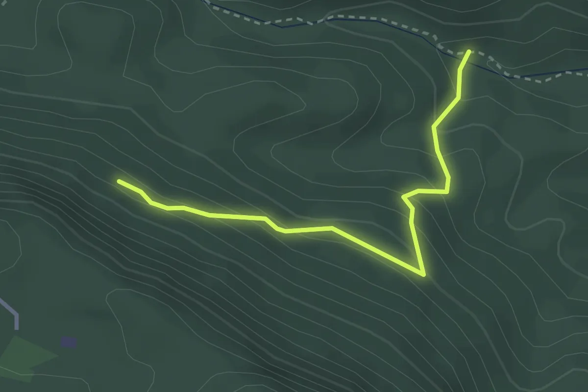
Easy · Trail
Is Acacias – Guitturu Farris
3.1 km · ↑ 240 m · 1 h 15 min
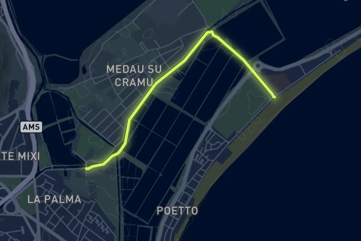
Easy · Trail
La Palma – Ippodromo
6.1 km · ↑ 0 m · 1 h 26 min
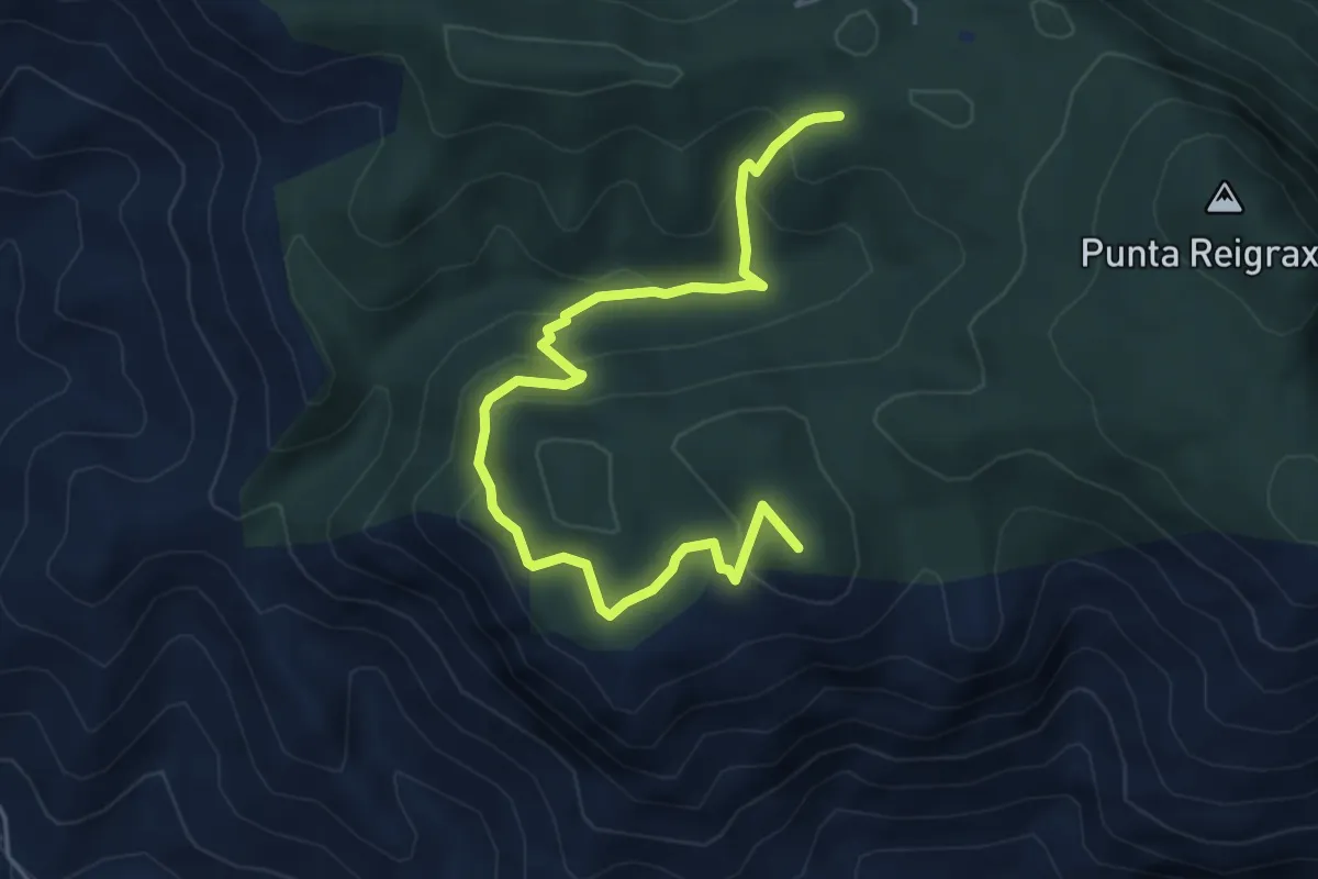
Medium · Summit
Bivio 324 – Case Marganai
6.5 km · ↑ 355 m · 2 h 18 min
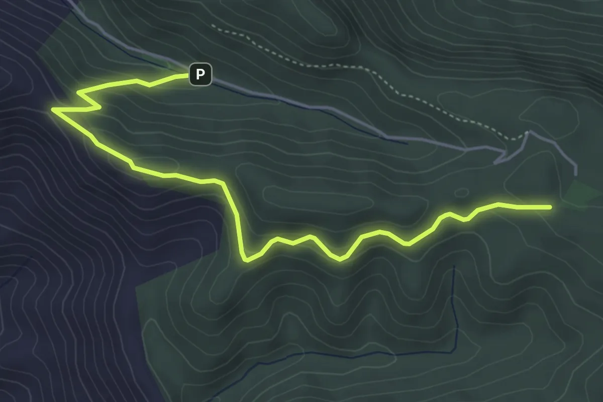
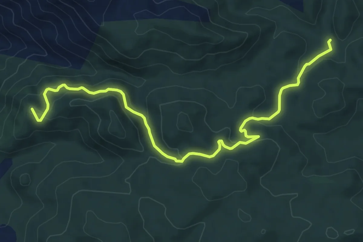
Easy · Trail
Case Marganai – Mamenga
6.1 km · ↑ 297 m · 2 h 5 min
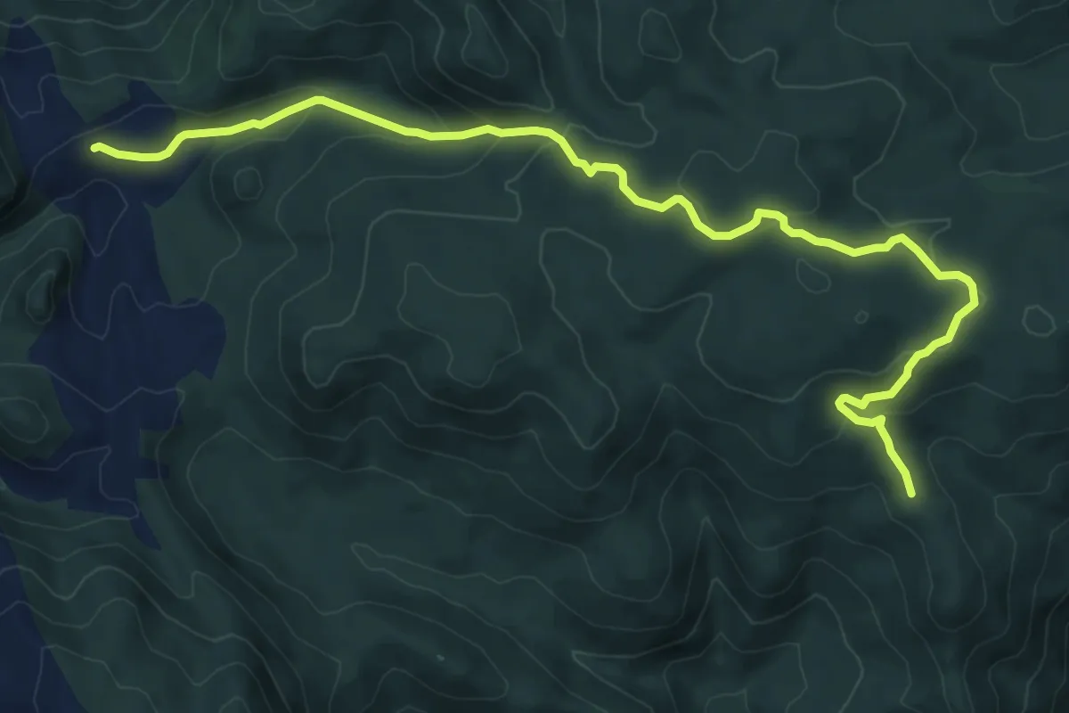
Medium · Summit
Tinnì – Scoveri
10.9 km · ↑ 469 m · 3 h 35 min
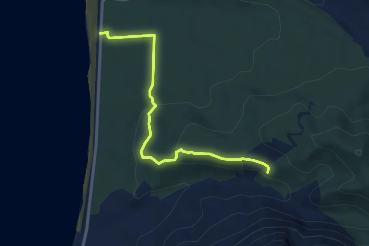
Medium · Trail
Perda Niedda – Miniera Arenas
11.4 km · ↑ 408 m · 3 h 35 min
Easy · Trail
Cantiere forestale Portixeddu – S'arroga de is Barraccas
5.4 km · ↑ 142 m · 1 h 36 min
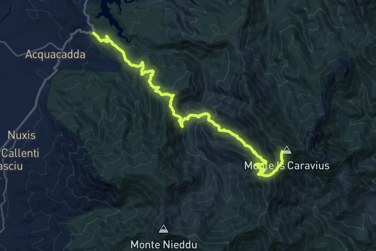
Demanding · Summit
Partenza D-221 sulla SS 293 - Km 49100 – Monte Is Caravius
22.9 km · ↑ 1503 m · 8 h 41 min
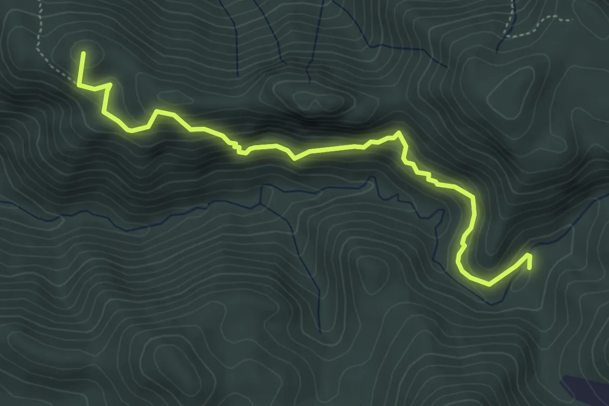
Medium · Summit
Miniera Arenas – Tramogge Pubusinu
5.9 km · ↑ 441 m · 2 h 21 min
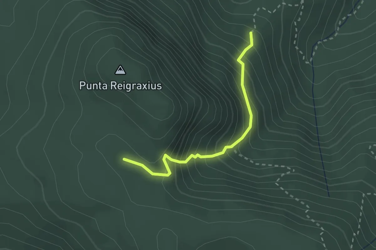
Medium · Trail
Sca Martini – Ollastus
2.4 km · ↑ 324 m · 1 h 16 min
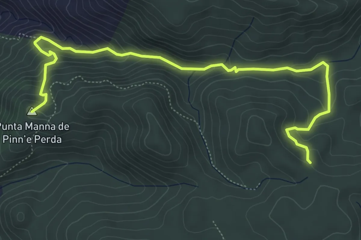
Medium · Summit
Miniera Nebidedda – Punta Manna de Pinn'e Perda
8.2 km · ↑ 479 m · 2 h 59 min