Trails in Italy
25,219 hiking trails, each with its route, climb, walking time and grade.
All trails, page 246 of 526
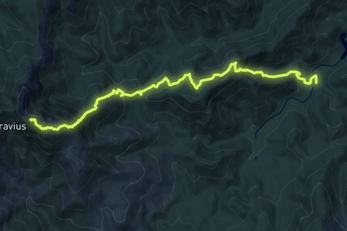
Demanding · Summit
Gutturu Mannu - Caserma Gambarussa – Monte Lattias
16.0 km · ↑ 1289 m · 6 h 34 min
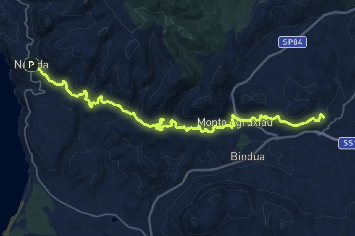
Demanding · Trail
Monteponi (Iglesias) – Nebida
19.9 km · ↑ 998 m · 6 h 51 min
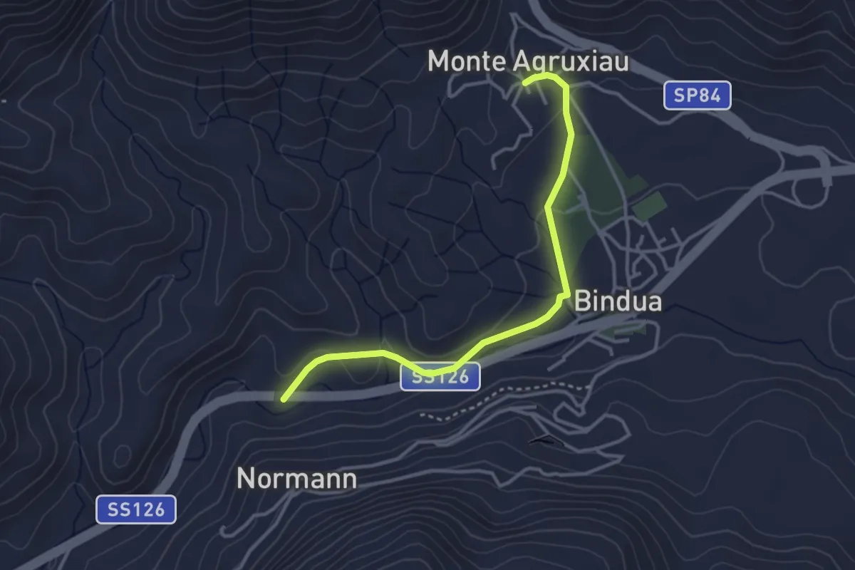
Easy · Trail
Monte Agruxiau – Fontana Coperta
3.8 km · ↑ 77 m · 1 h 3 min
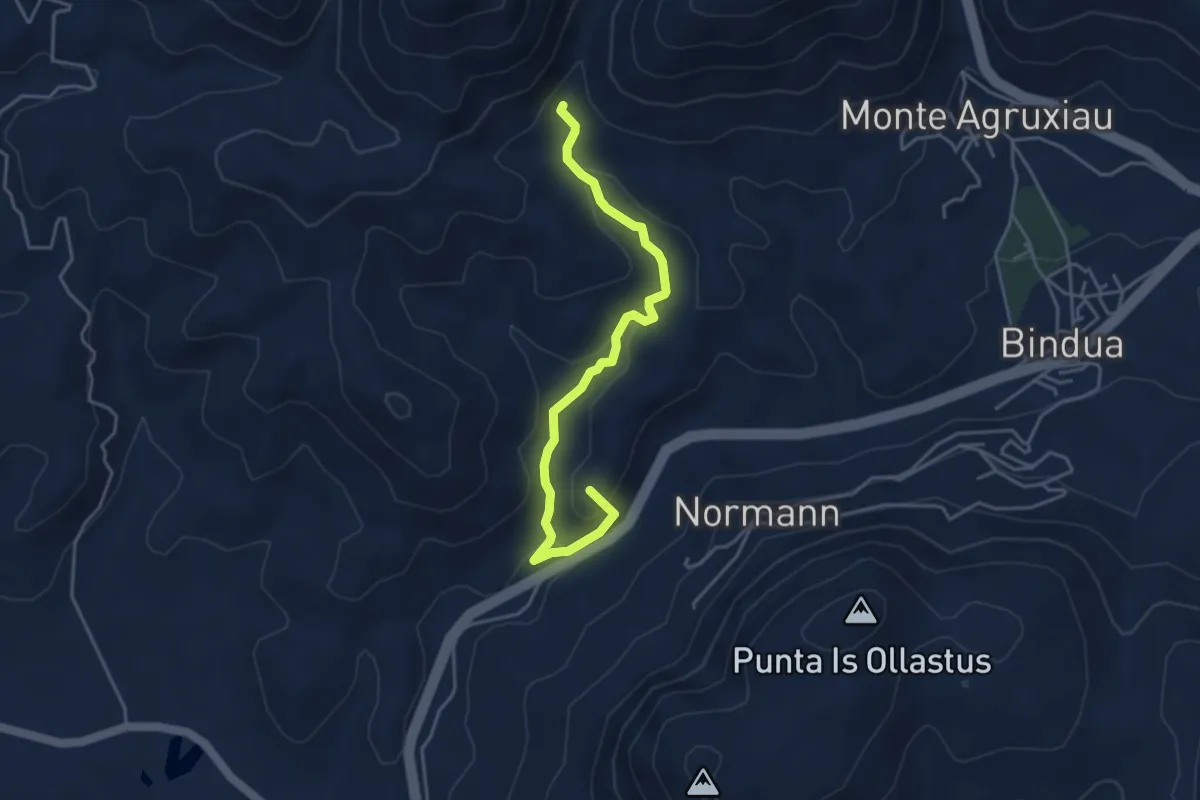
Easy · Summit
Monte Scorra – Funtana Coperta
4.8 km · ↑ 248 m · 1 h 41 min
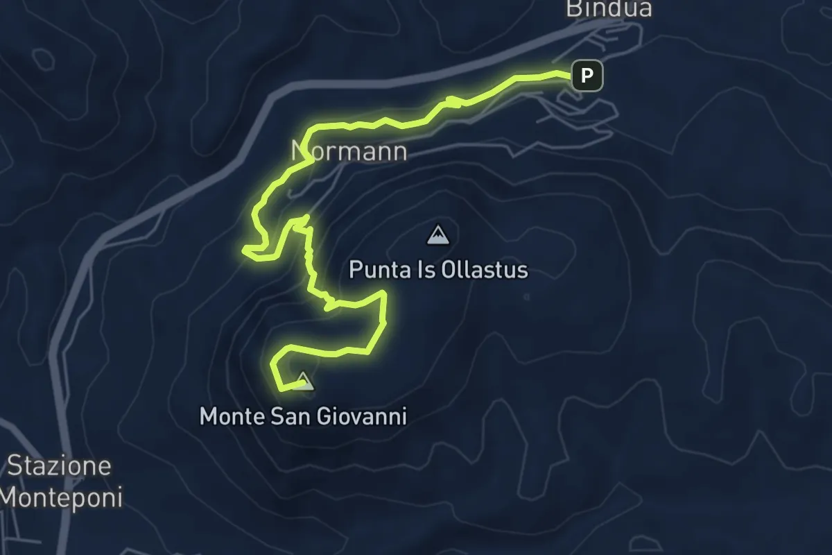
Medium · Summit
Miniera San Giovanni – Gonnesa
7.8 km · ↑ 517 m · 2 h 57 min
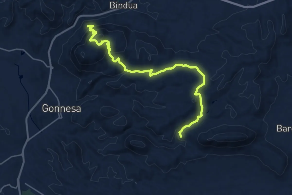
Medium · Summit
Villaggio Normann – Gonnesa
17.2 km · ↑ 715 m · 5 h 36 min
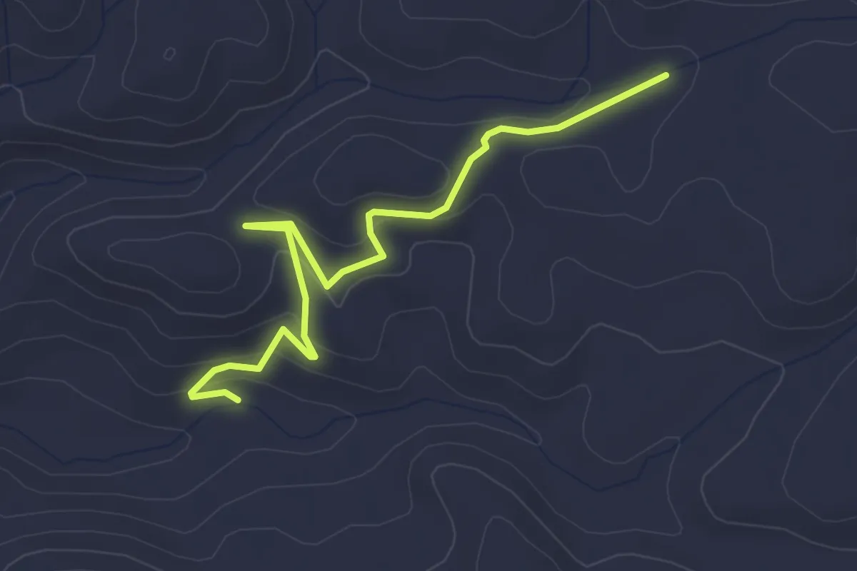
Easy · Trail
Percorso 512 – Laveria Seddas Moddizzis
4.2 km · ↑ 152 m · 1 h 19 min
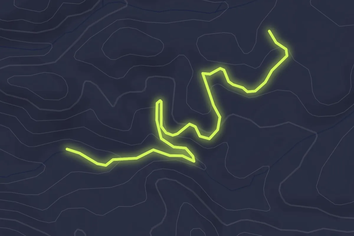
Easy · Trail
Laveria Seddas Moddizzis – 512
4.9 km · ↑ 153 m · 1 h 29 min
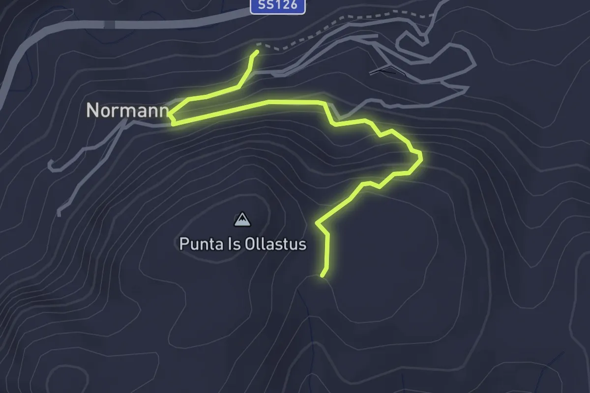
Easy · Trail
Carreggio 120 Laveria Vecchia – Is Guardianus
3.7 km · ↑ 297 m · 1 h 30 min
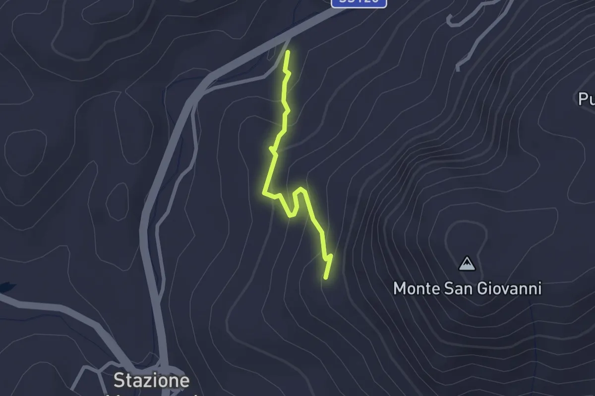
Easy · Trail
Ortu Coccu – Stazione Ripetitori
2.0 km · ↑ 135 m · 46 min
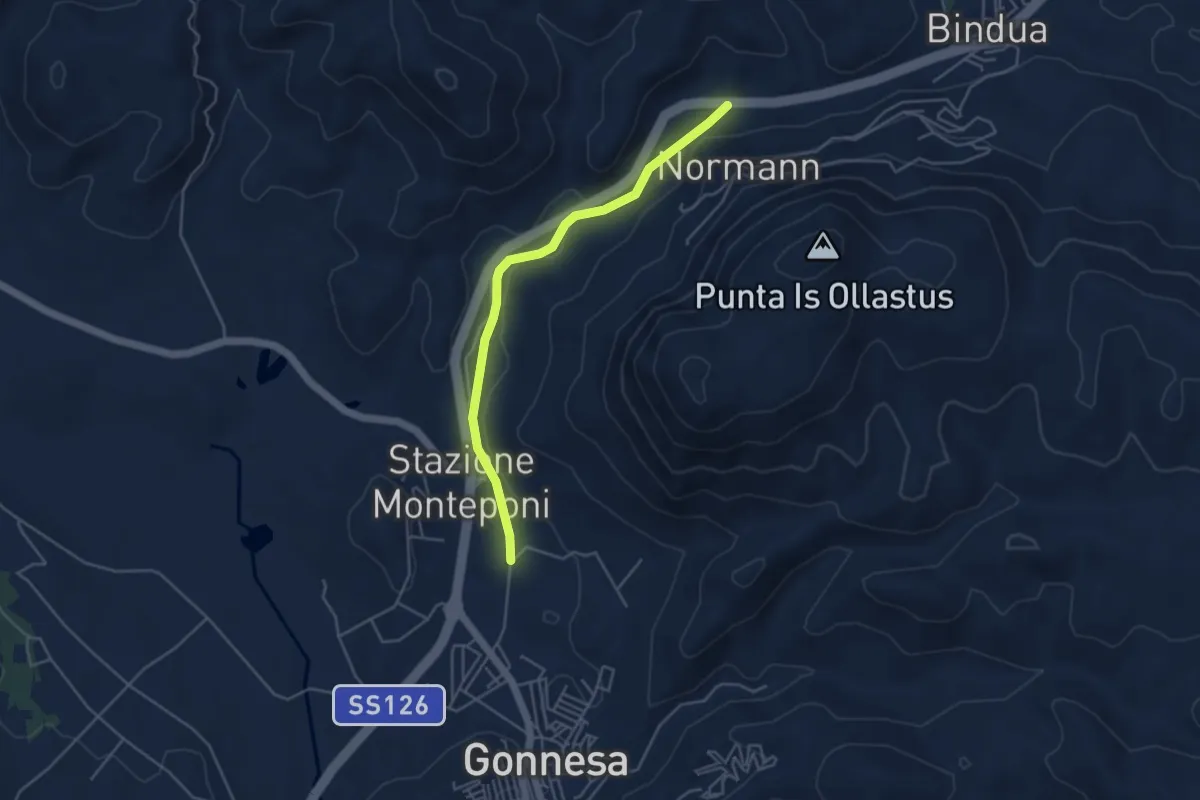
Easy · Trail
Funtana Coperta – Gonnesa (stadio)
4.9 km · ↑ 75 m · 1 h 19 min
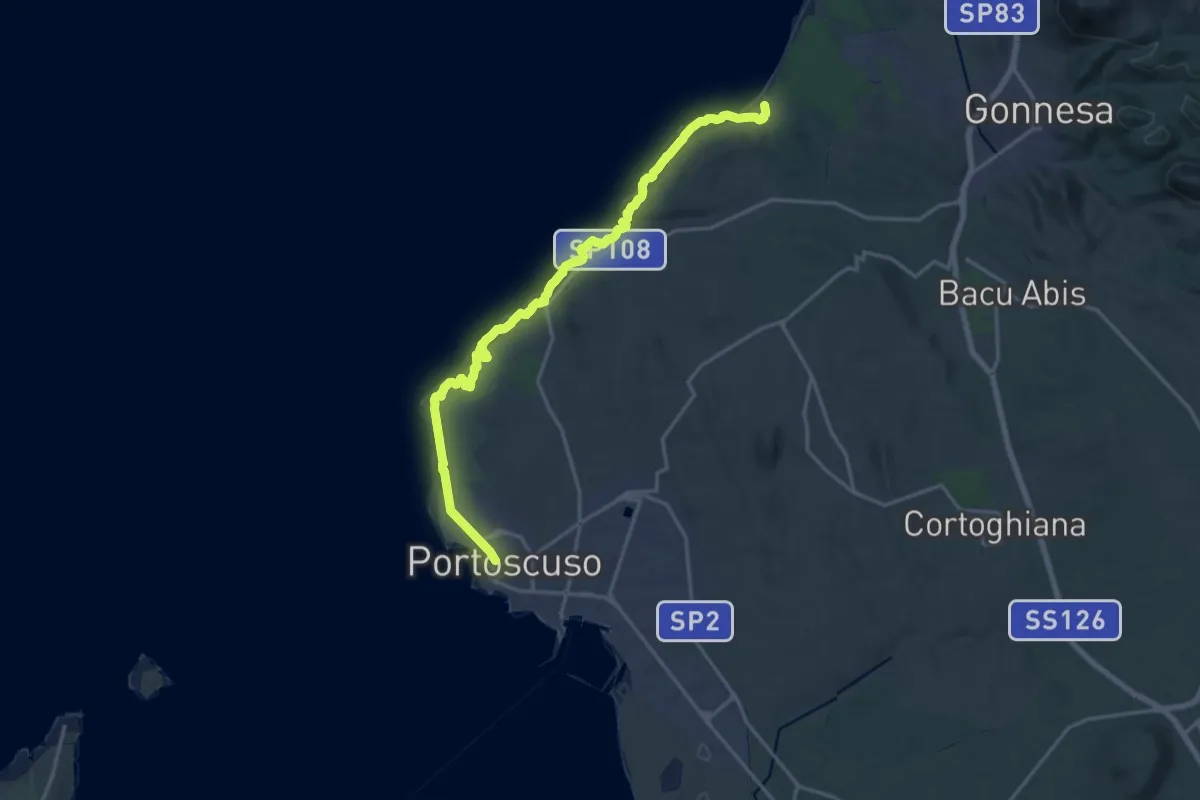
Demanding · Trail
Portoscuso – Porto Paglia
21.9 km · ↑ 975 m · 7 h 17 min
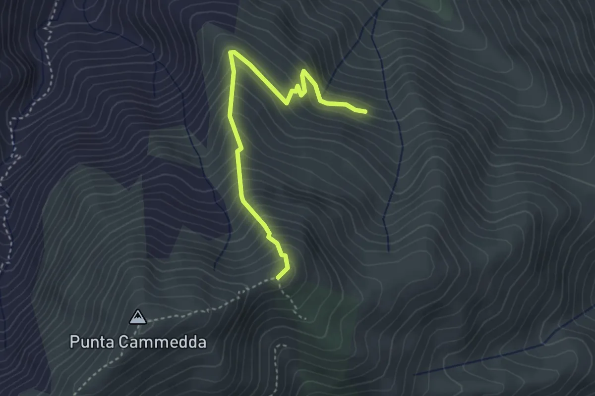
Medium · Trail
Bivio sentiero 105 – Conca de sa Rutta
3.8 km · ↑ 406 m · 1 h 47 min
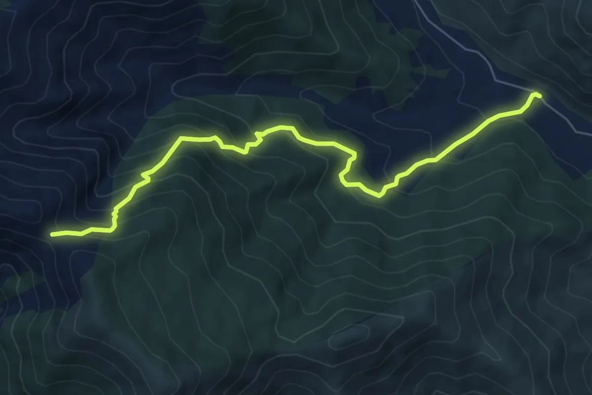
Medium · Trail
BiddaScema – Genna Sambucu (crocevia 101-111)
7.7 km · ↑ 712 m · 3 h 21 min
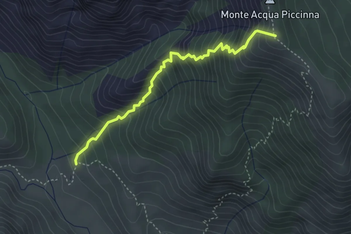
Medium · Summit
Cantina Ferraris-punto di partenza D-112 – Genna Sambucu (crocevia 101-111)
4.1 km · ↑ 601 m · 2 h 16 min
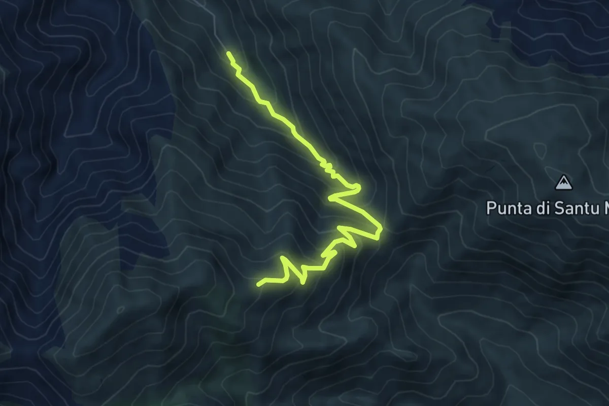
Medium · Trail
Perd'e Pibera – Genn'e Spina
8.1 km · ↑ 618 m · 3 h 15 min
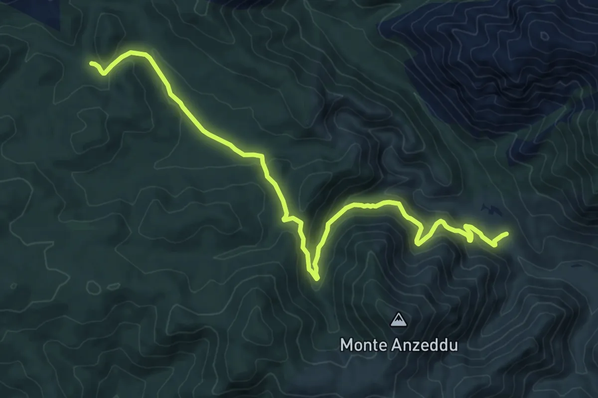
Medium · Trail
Gutturu Abis – Scoveri-Valle di Oridda arrivo D-332
13.2 km · ↑ 586 m · 4 h 24 min
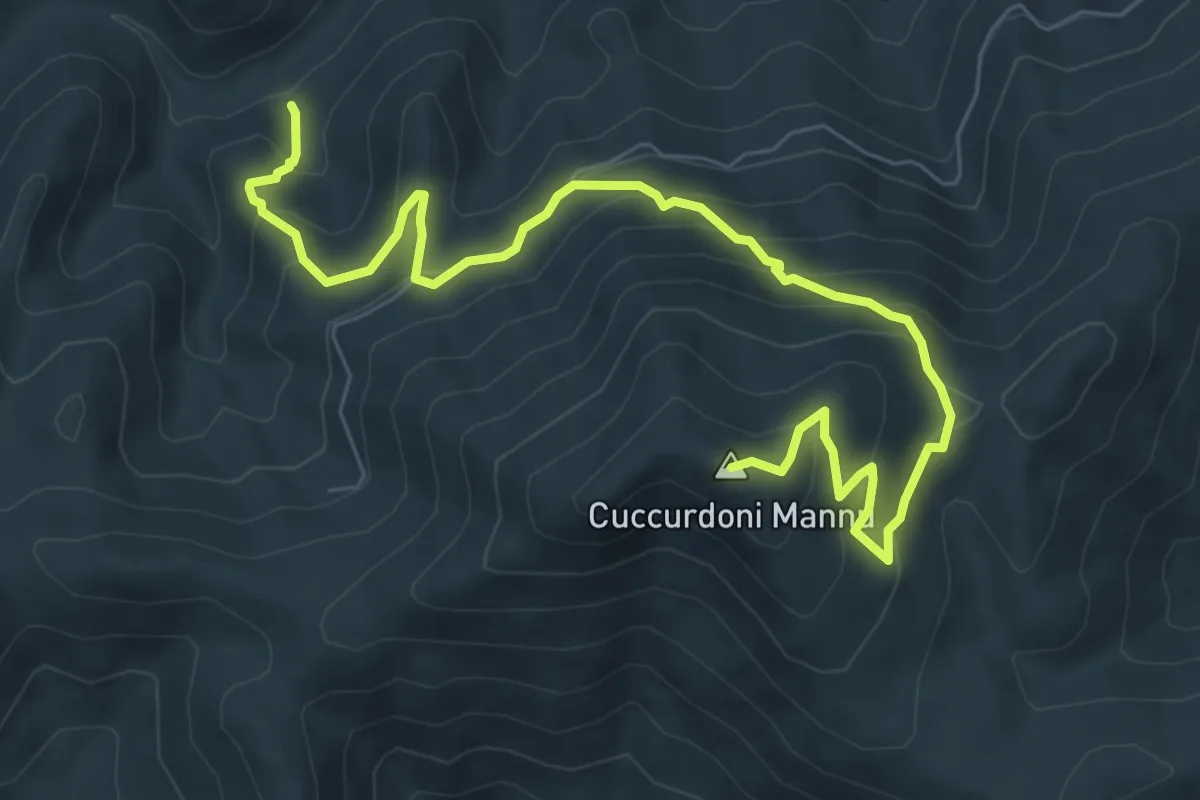
Medium · Summit
Sorgente S'Ega Bogas – Cuccurdoni Mannu-Rifugio Muntoni
9.9 km · ↑ 738 m · 3 h 57 min
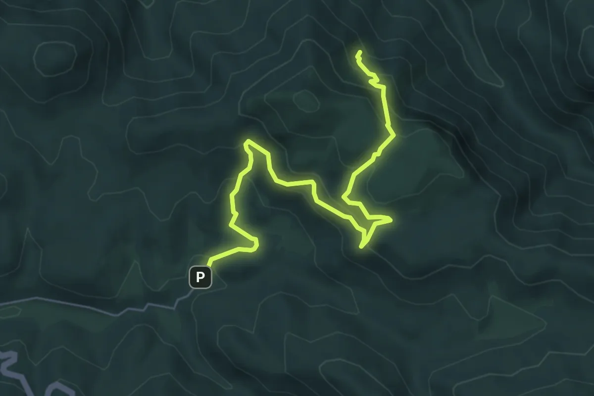
Medium · Trail
Tempio di Antas – Sa Corona Arrubia
7.4 km · ↑ 521 m · 2 h 52 min
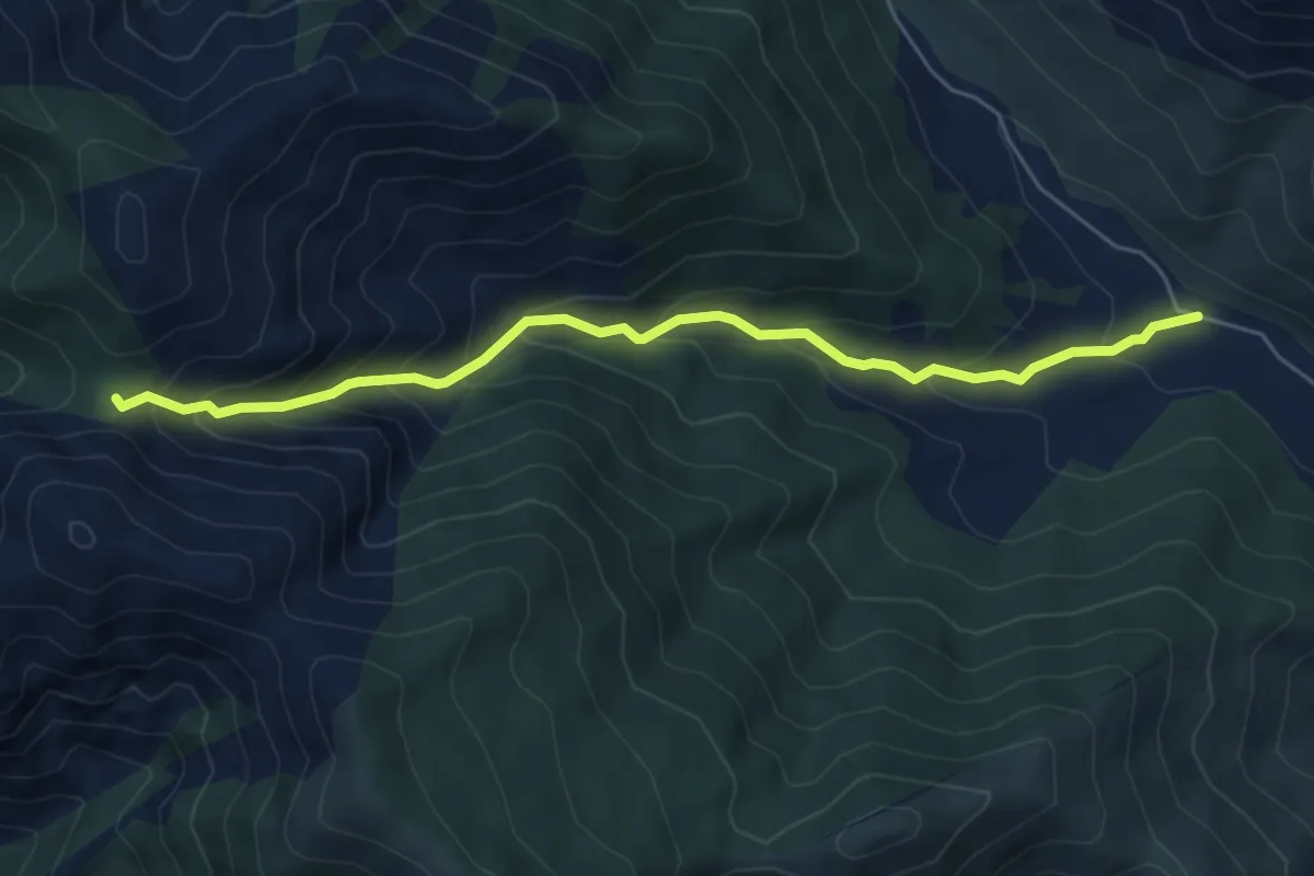
Medium · Trail
Bidda Scema – Genna s'Ega Manna
6.6 km · ↑ 555 m · 2 h 45 min
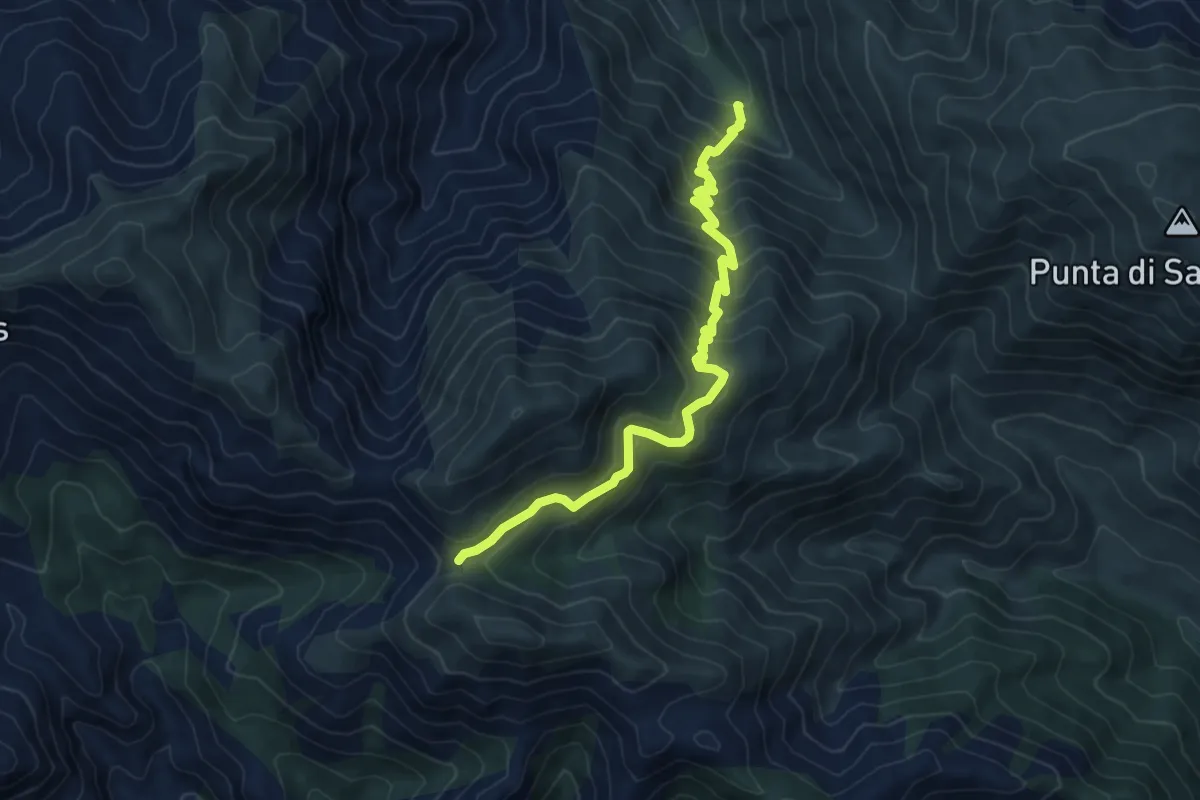
Medium · Trail
Perd'e Pibera – Genna Eidadi
8.2 km · ↑ 665 m · 3 h 22 min
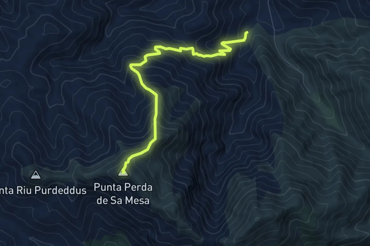
Demanding · Summit
Ponte Riu Piras – Perda de sa Mesa
9.2 km · ↑ 978 m · 4 h 18 min
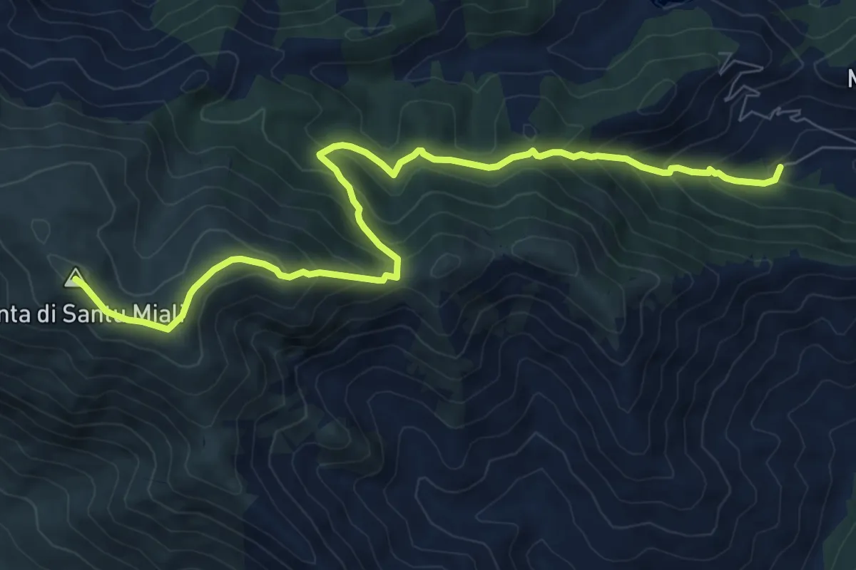
Medium · Summit
Castangias (Villacidro) – Santu Miali
10.1 km · ↑ 787 m · 4 h 6 min
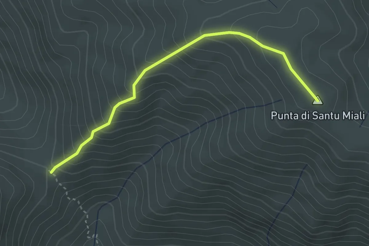
Medium · Summit
Genna Farracceus – Punta Santu Miali
3.5 km · ↑ 357 m · 1 h 35 min
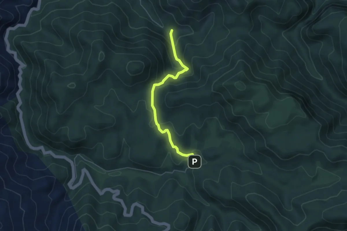
Easy · Trail
Tempio di Antas – grotta Su Mannau
5.1 km · ↑ 281 m · 1 h 48 min
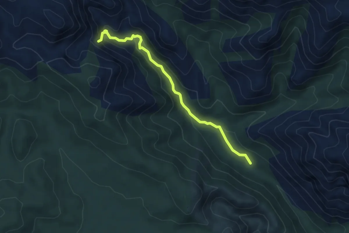
Easy · Trail
Filareddus – Cascata Muru Mannu
5.5 km · ↑ 196 m · 1 h 43 min
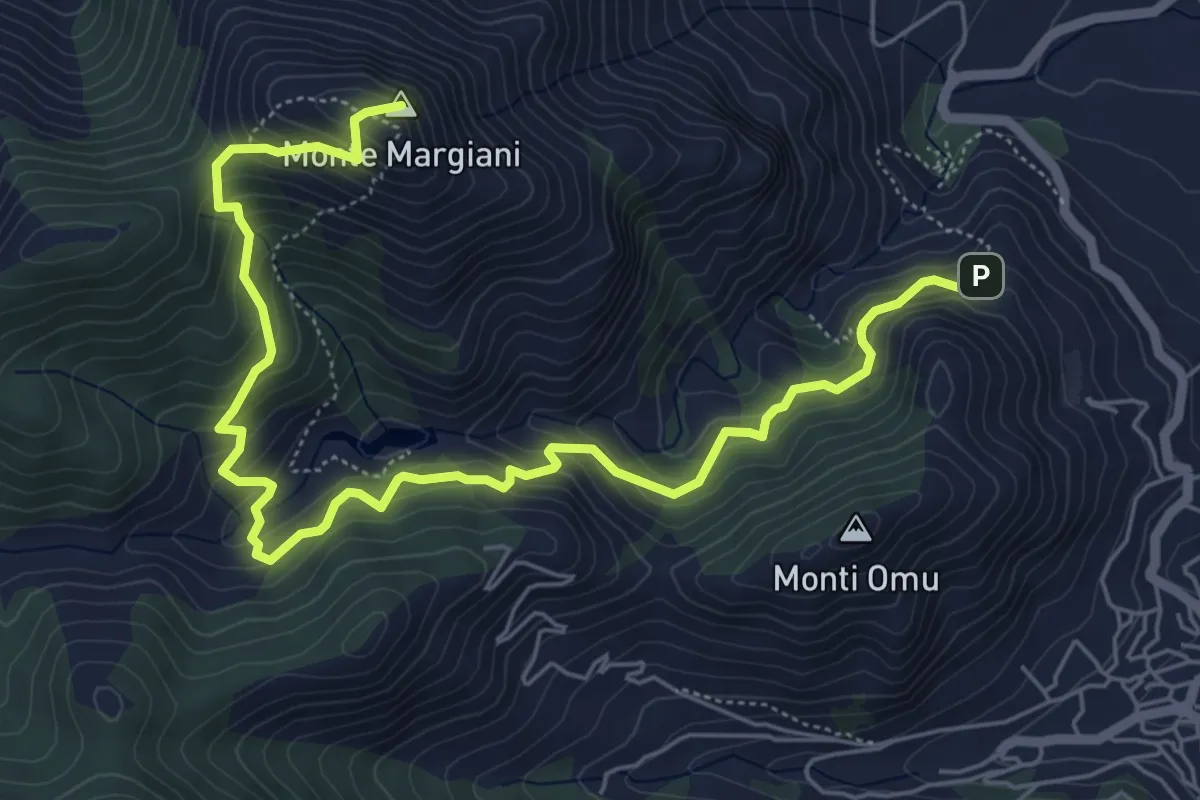
Medium · Summit
Villacidro - Piazzale RAI – Monte Margiani
8.5 km · ↑ 615 m · 3 h 20 min
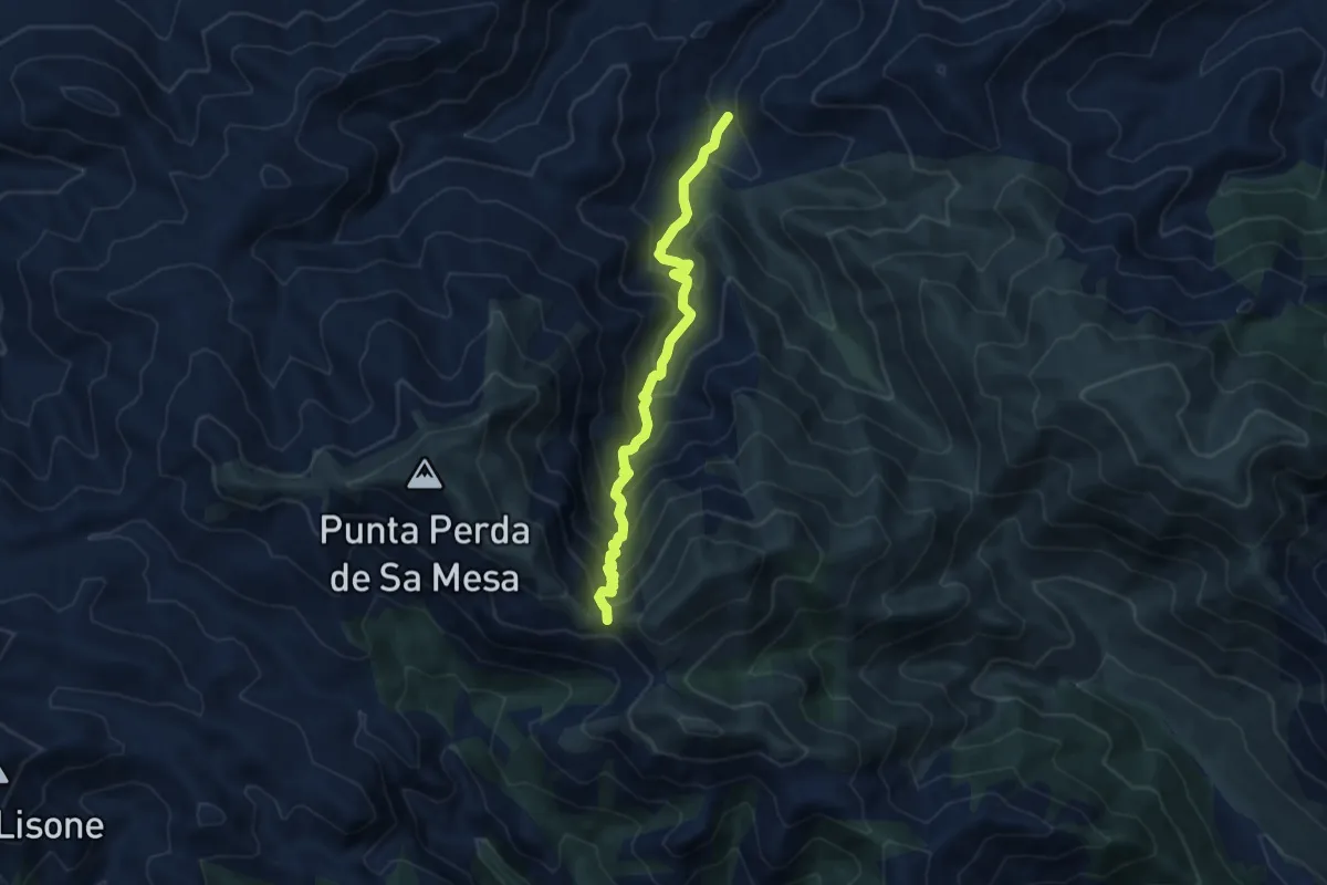
Demanding · Trail
Ponte Riu Piras – Genn'e Impi
9.1 km · ↑ 795 m · 3 h 52 min
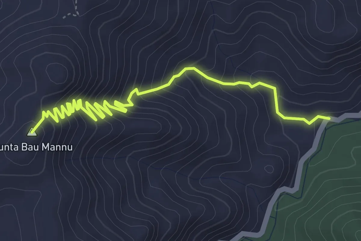
Medium · Summit
Su Fundu Mannu Km 57.200 SS 126 – Monte Gennargentu
5.7 km · ↑ 498 m · 2 h 25 min
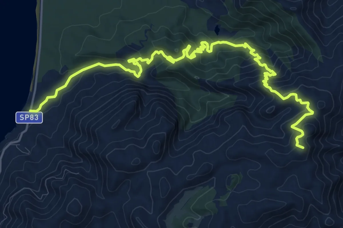
Demanding · Summit
Portixeddu SP 83 – Bivio su Solu
19.3 km · ↑ 1259 m · 7 h 16 min
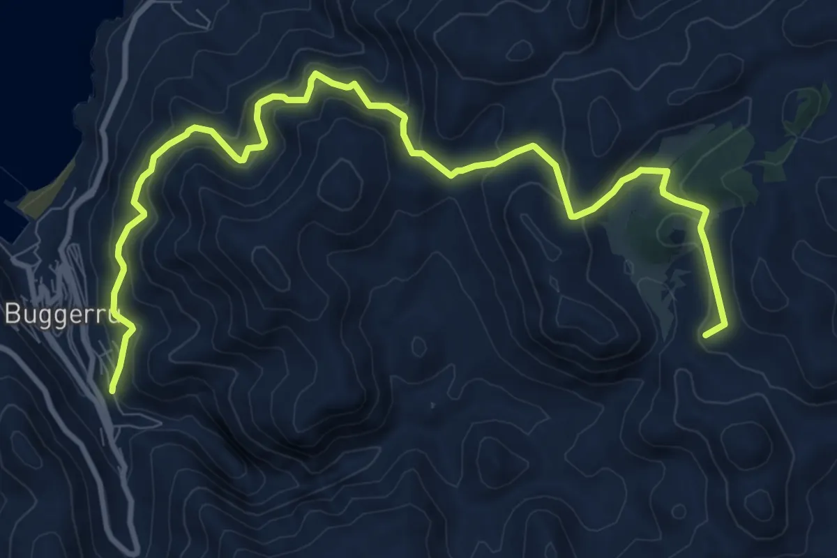
Medium · Summit
Buggerru – Pranu Dentis
13.1 km · ↑ 791 m · 4 h 48 min
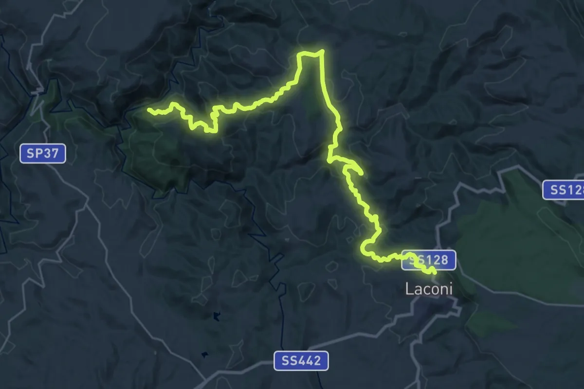
Demanding · Trail
Castello di Medusa – Laconi
17.9 km · ↑ 843 m · 6 h 9 min
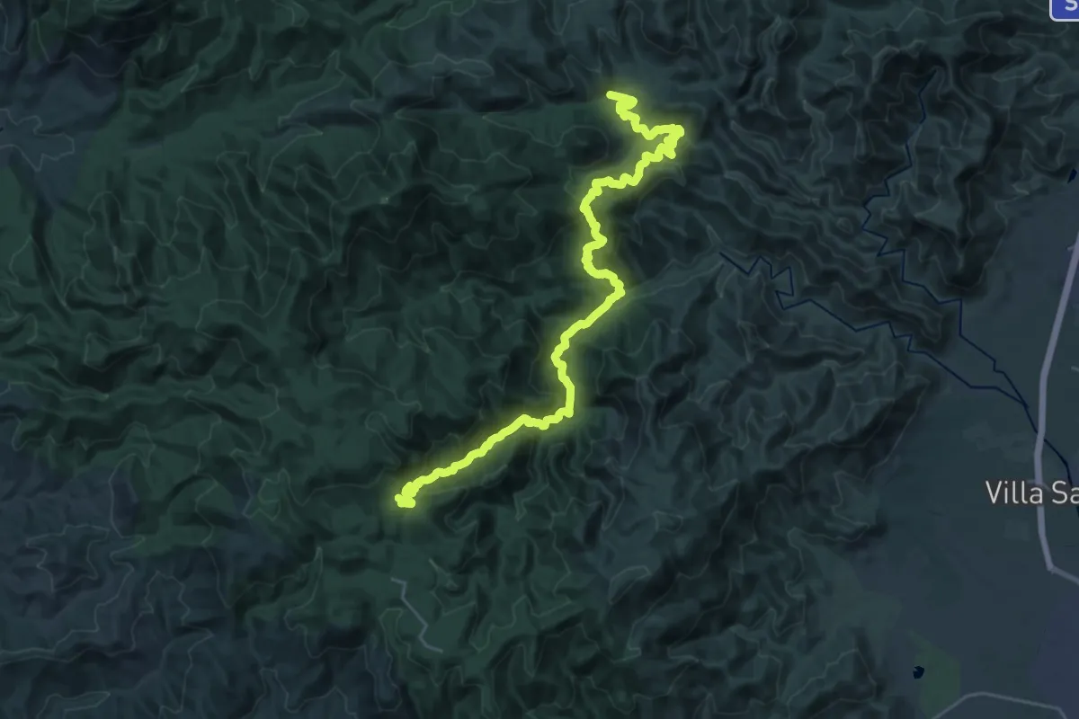
Medium · Trail
Is Cannoneris – Monte Nieddu
16.1 km · ↑ 640 m · 5 h 39 min
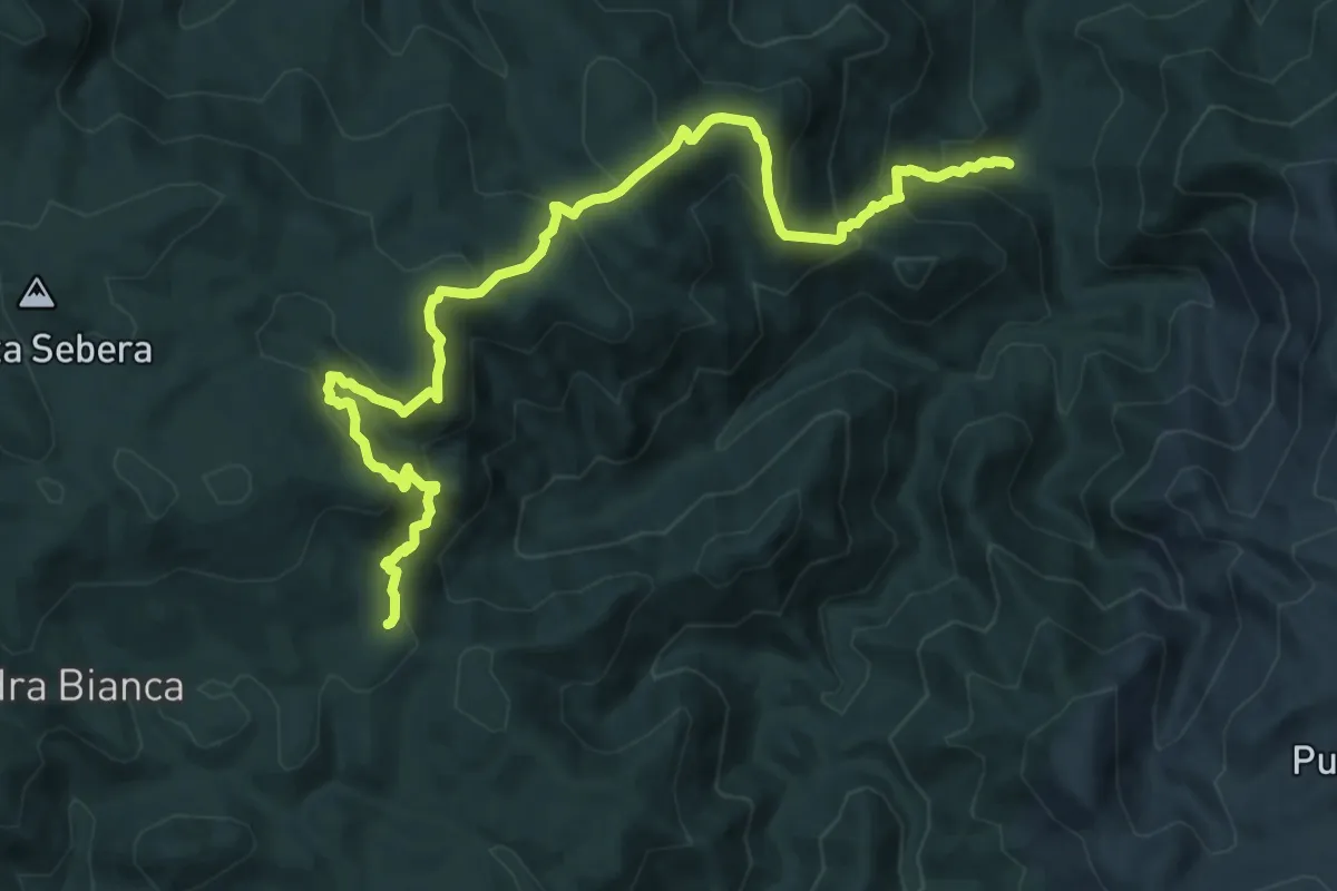
Demanding · Trail
Is Cannoneris – Su Paganu
14.2 km · ↑ 955 m · 5 h 25 min
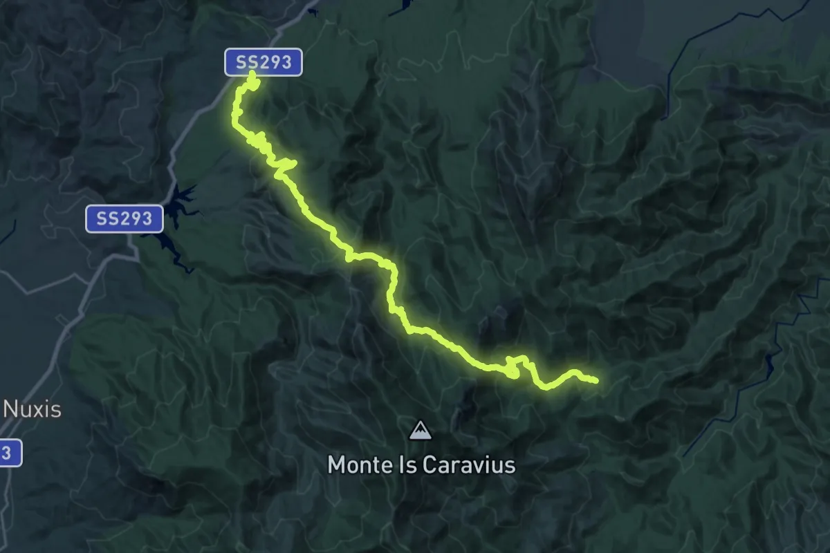
Medium · Trail
Perdu Melis – Burdoni
15.9 km · ↑ 795 m · 5 h 46 min
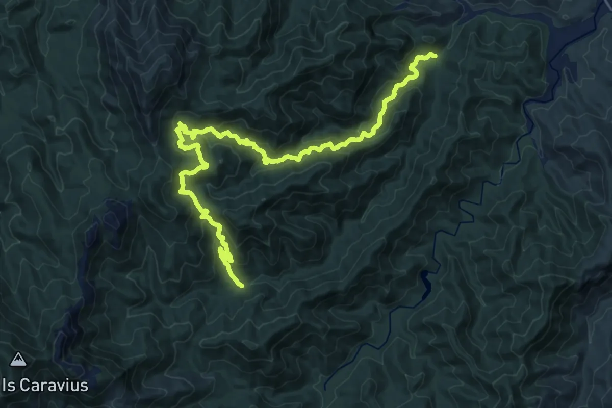
Medium · Cabin
Sa Canna – Perdu Melis
11.8 km · ↑ 797 m · 4 h 35 min
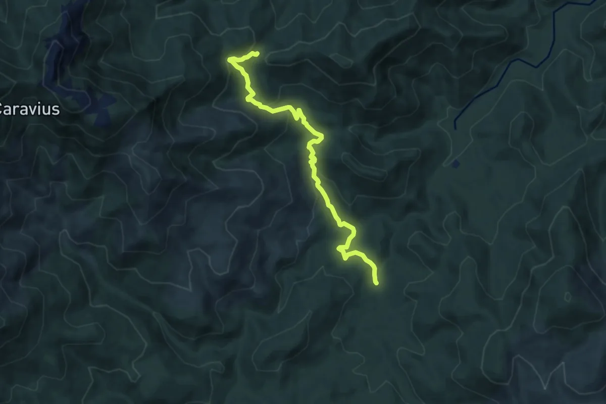
Demanding · Trail
Is Antiogus – Arcu Su Suergiu
9.3 km · ↑ 369 m · 3 h
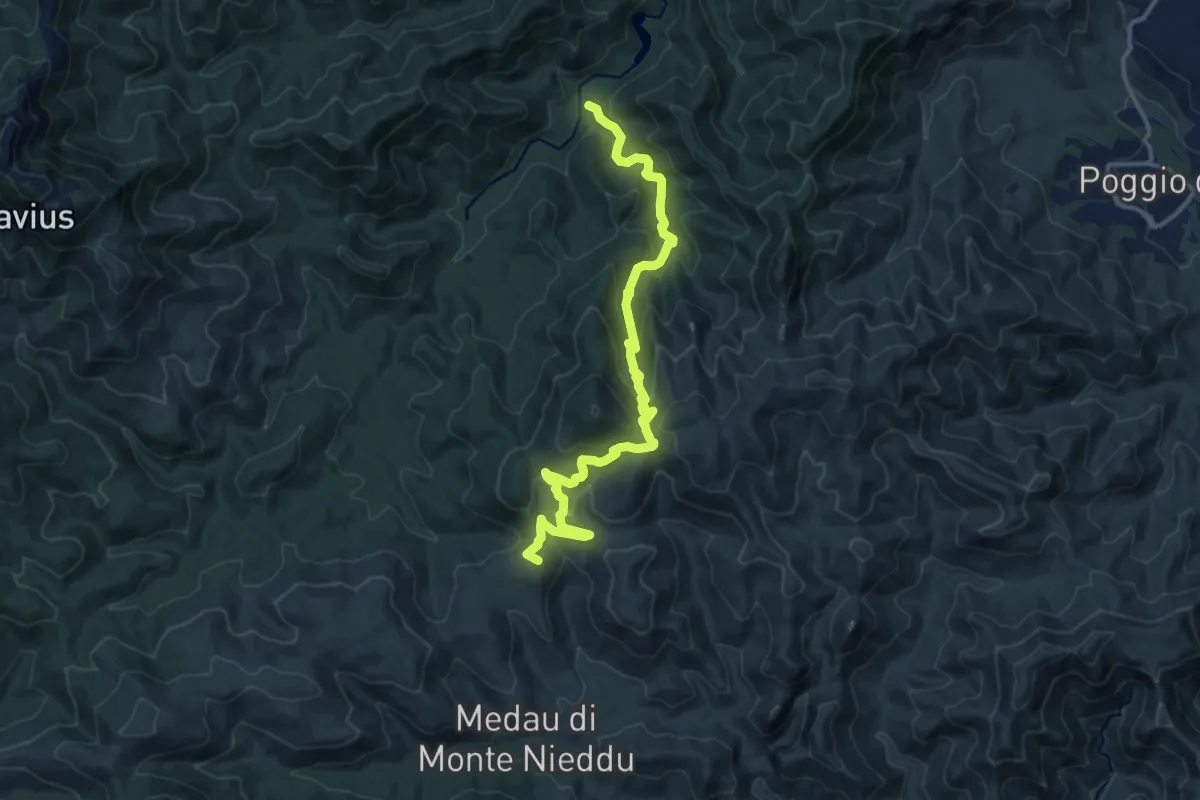
Medium · Summit
Dispensa Gambarussa – Medau Monte Nieddu
16.6 km · ↑ 624 m · 5 h 16 min
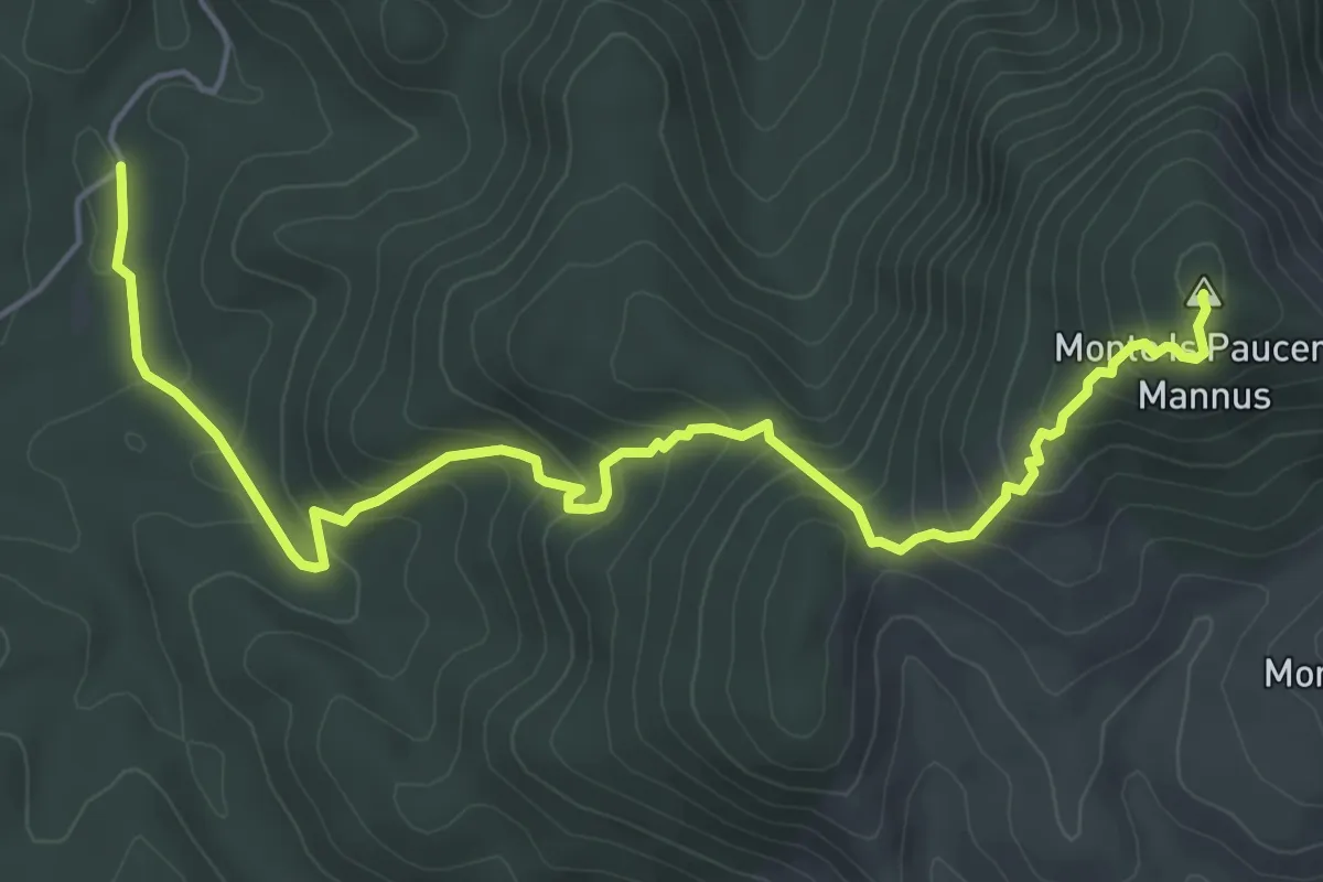
Medium · Summit
Is Antiogus – Is Pauceris Mannus
7.0 km · ↑ 451 m · 2 h 38 min
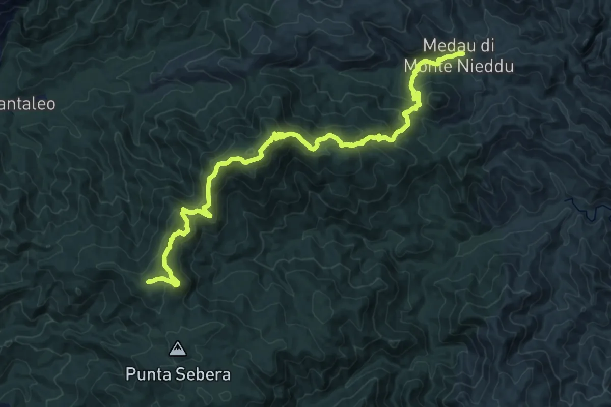
Medium · Trail
Tuppa Granella – Medau Monte Nieddu
12.0 km · ↑ 259 m · 3 h 54 min
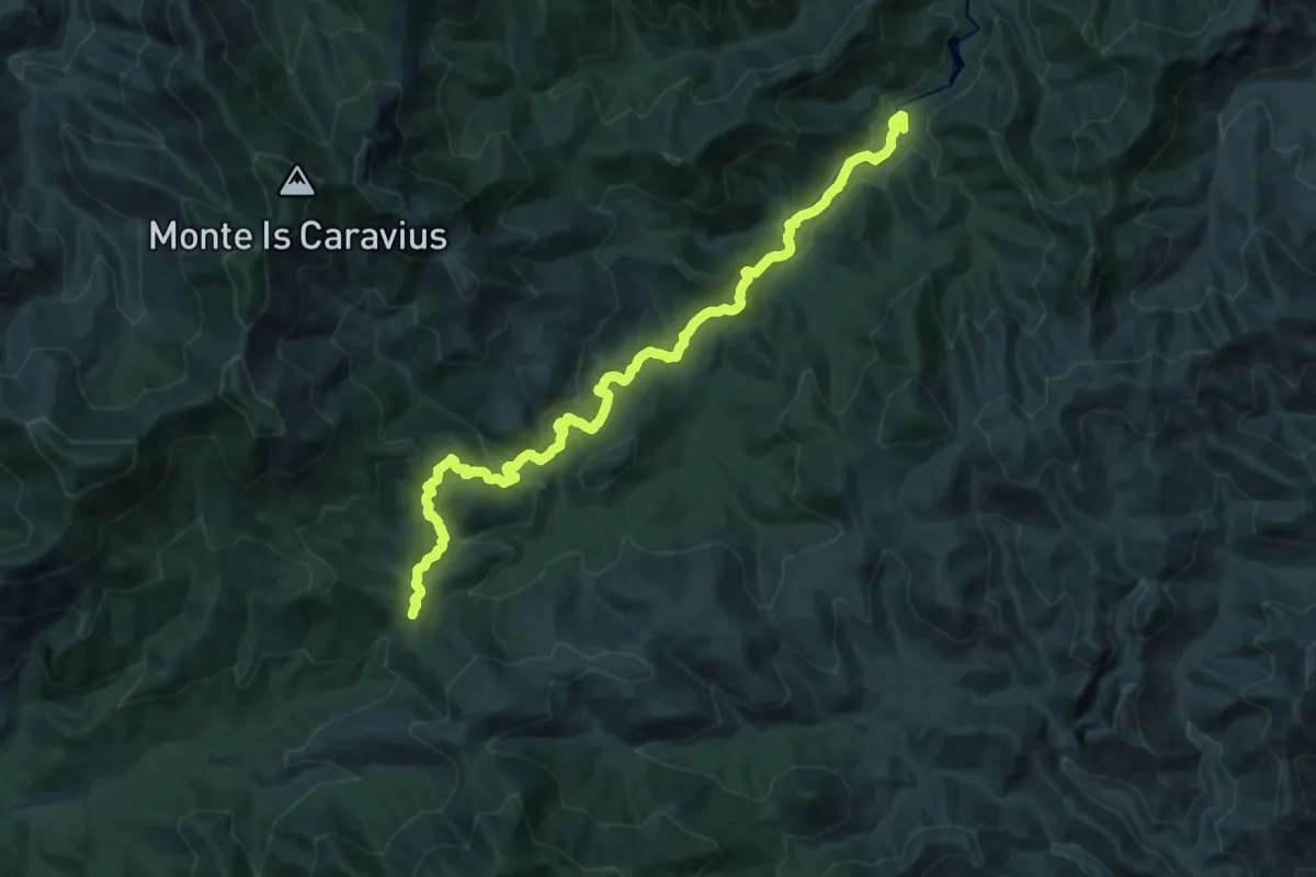
Demanding · Summit
Dispensa Gambarussa – Serra Tingiosa
20.8 km · ↑ 782 m · 6 h 37 min
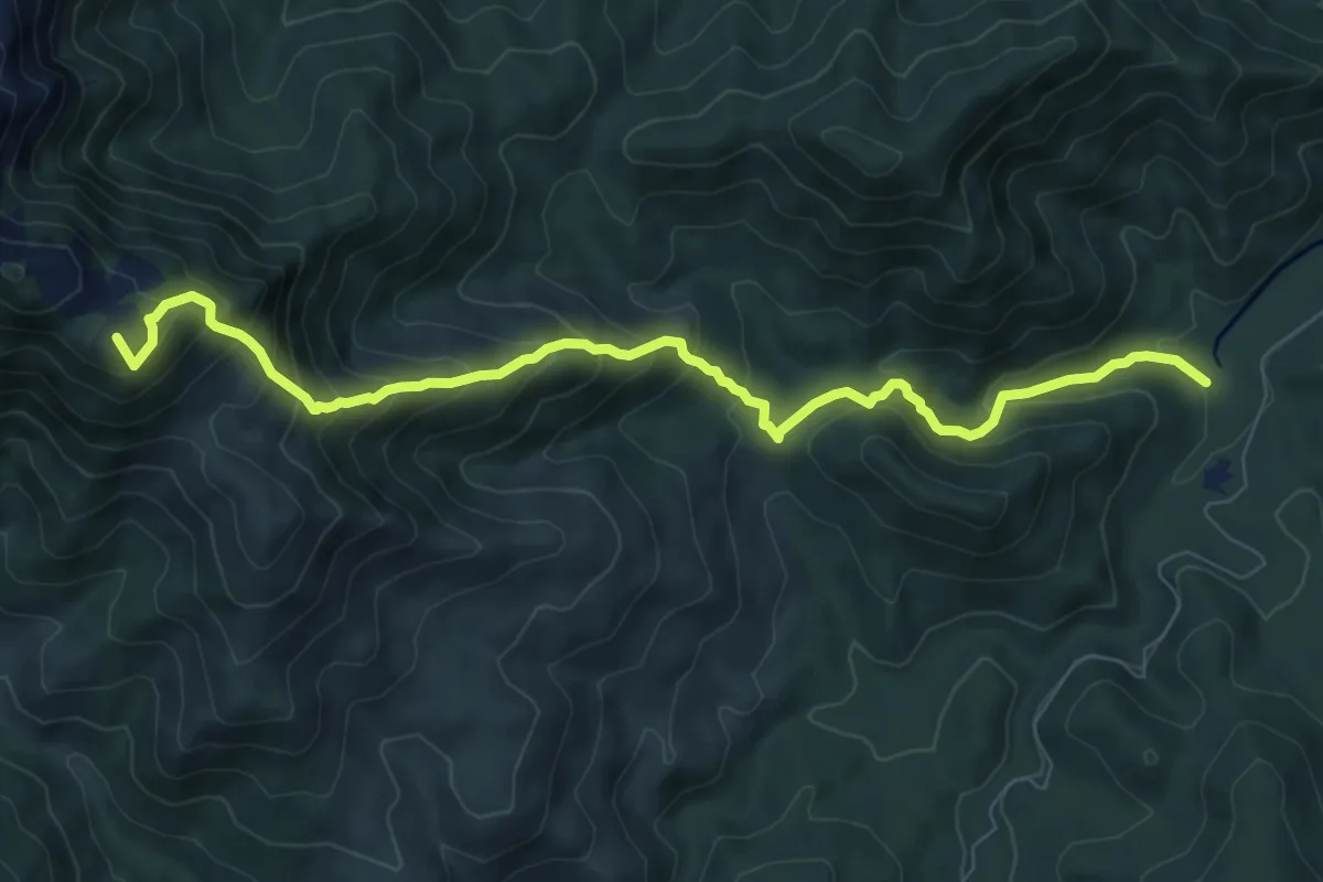
Demanding · Summit
Porcili Isidori – Is Pauceris
9.9 km · ↑ 838 m · 4 h 10 min
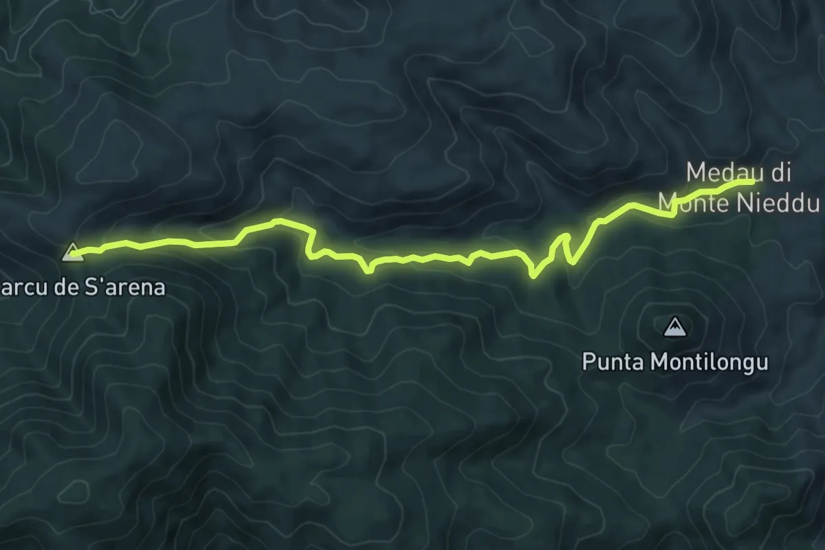
Medium · Summit
Monte Nieddu – Is Allineddus
10.3 km · ↑ 406 m · 3 h 19 min
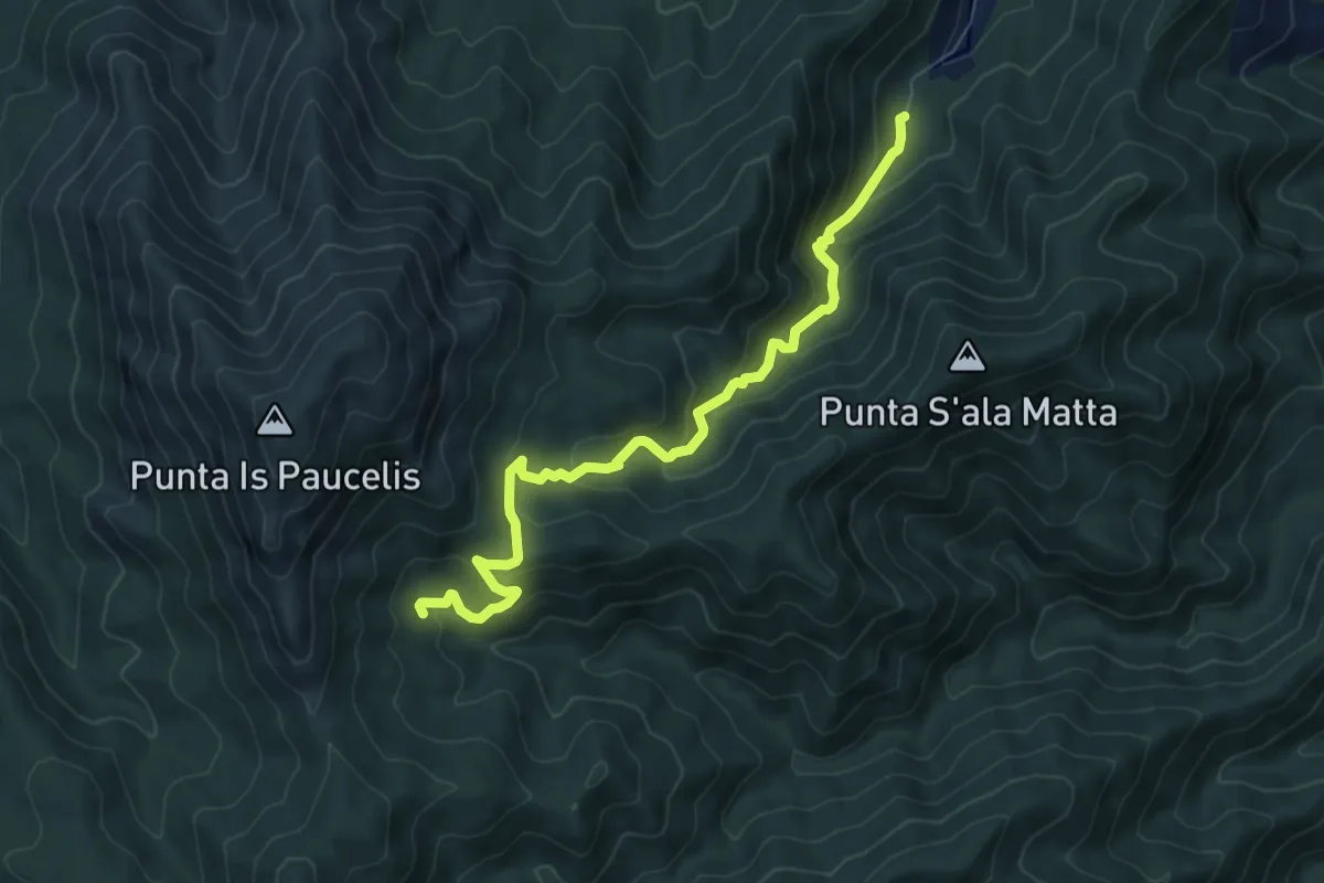
Medium · Trail
Sa Spindula – Riu Frociddus
8.2 km · ↑ 533 m · 3 h 5 min
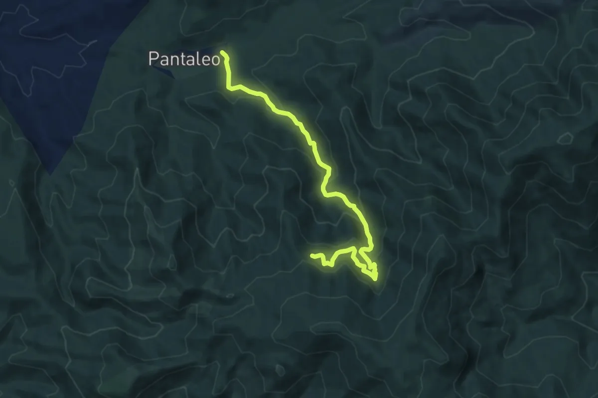
Medium · Trail
Pantaleo – sorgente Is Arrus
10.3 km · ↑ 573 m · 3 h 40 min
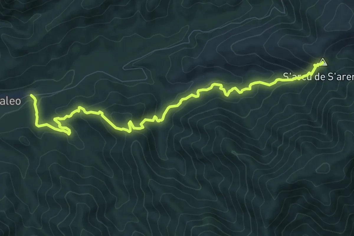
Medium · Summit
Pantaleo – S'arcu e S'Arena
12.6 km · ↑ 663 m · 4 h 25 min
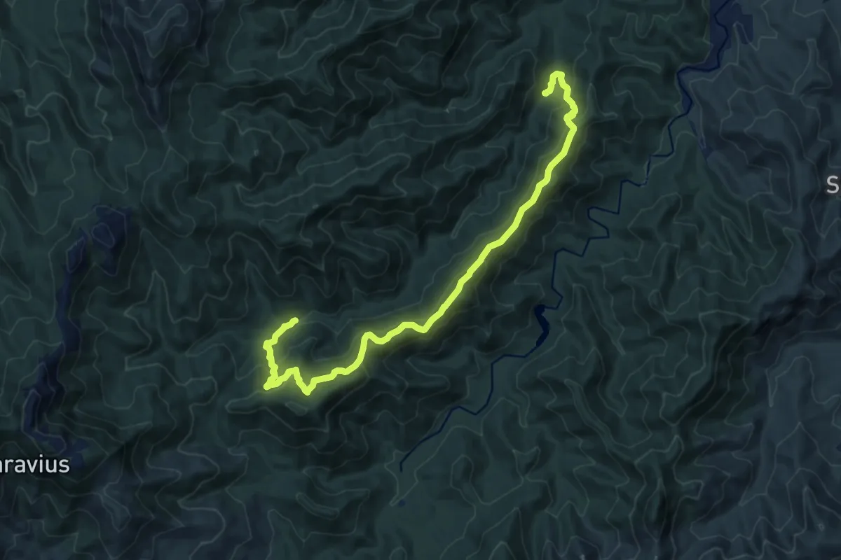
Demanding · Cabin
Perdu Melis – Sa Canna
16.6 km · ↑ 976 m · 6 h 2 min
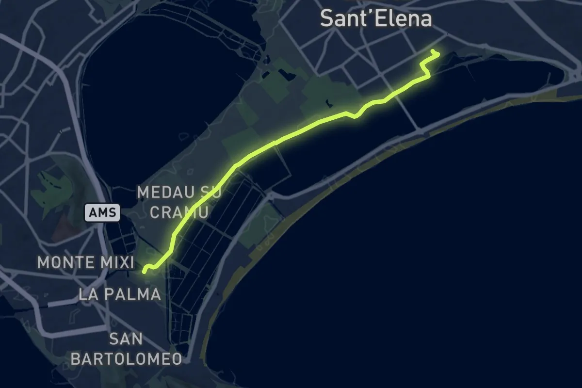
Medium · Trail
Via Bonn, Quartu SE – La Palma, Cagliari
11.5 km · ↑ 5 m · 2 h 44 min