Trails in Italy
25,219 hiking trails, each with its route, climb, walking time and grade.
All trails, page 248 of 526
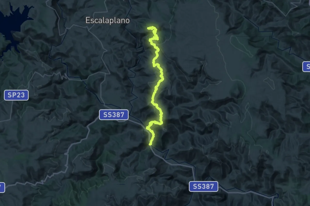
Demanding · Trail
Cuile Is Arrantas – Viadotto Flumendosa (Ciurixedda)
20.4 km · ↑ 554 m · 6 h 27 min
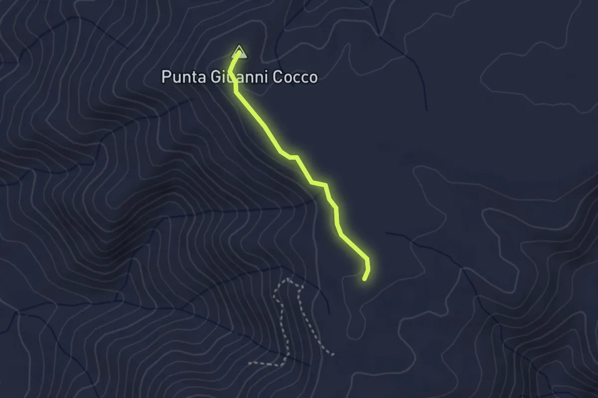
Easy · Summit
Sentiero Italia (C 200) – Cuile Giuanni Coccu
2.5 km · ↑ 27 m · 39 min
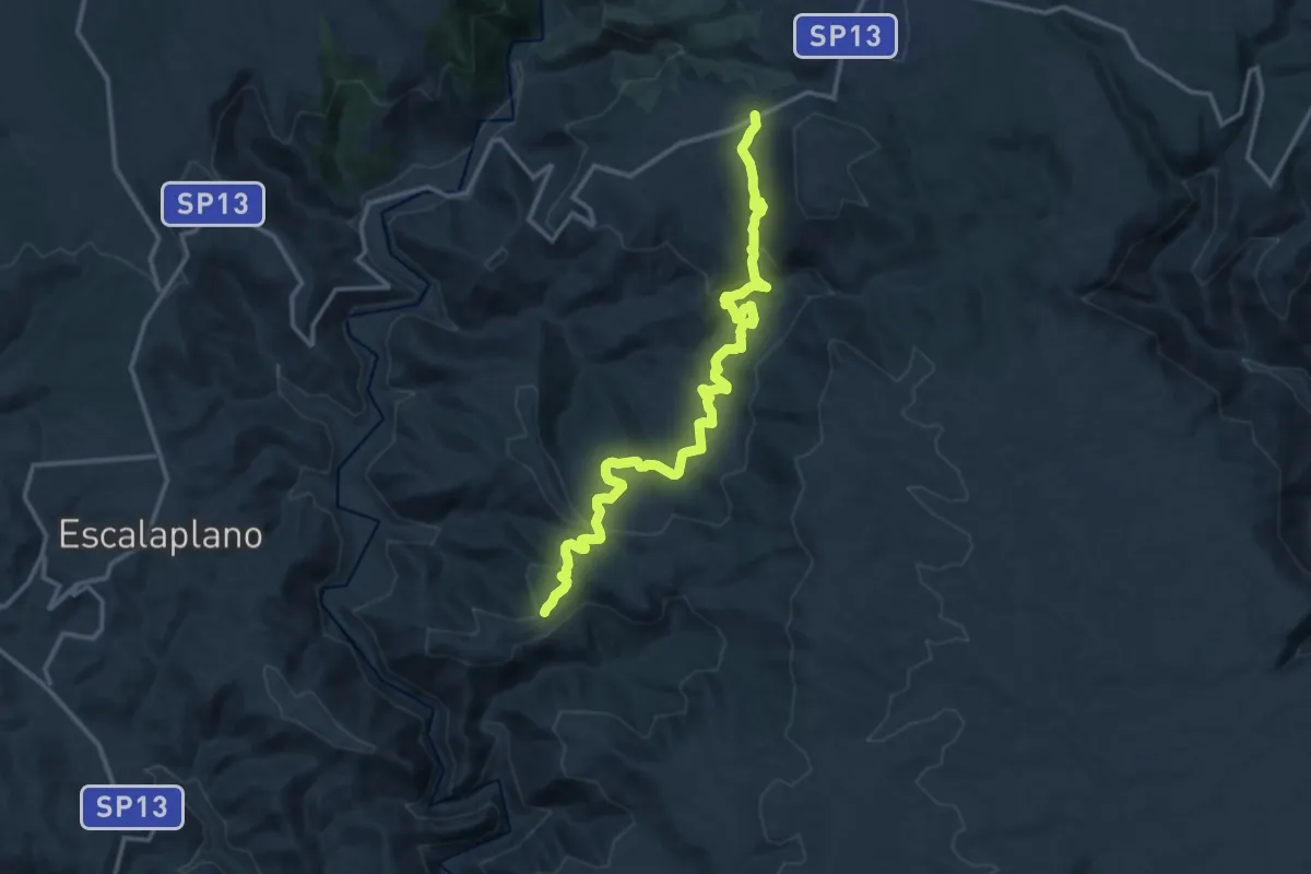
Medium · Trail
Santa Barbara Perdasdefogu – Cuile Arrantas
17.6 km · ↑ 607 m · 5 h 28 min
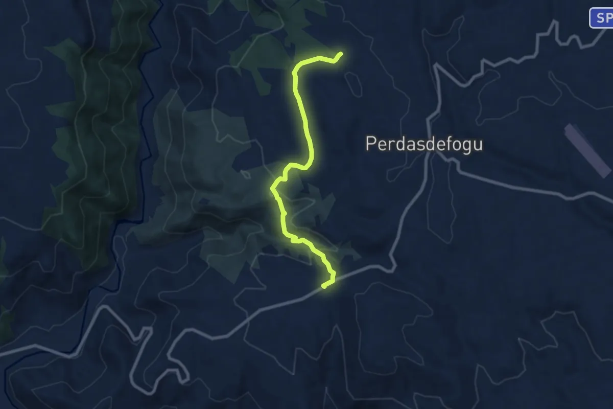
Medium · Trail
Santa Barbara Perdasdefogu – SP13 Intersezione Sent. 200 per Cuile Arrantas
8.1 km · ↑ 239 m · 2 h 25 min
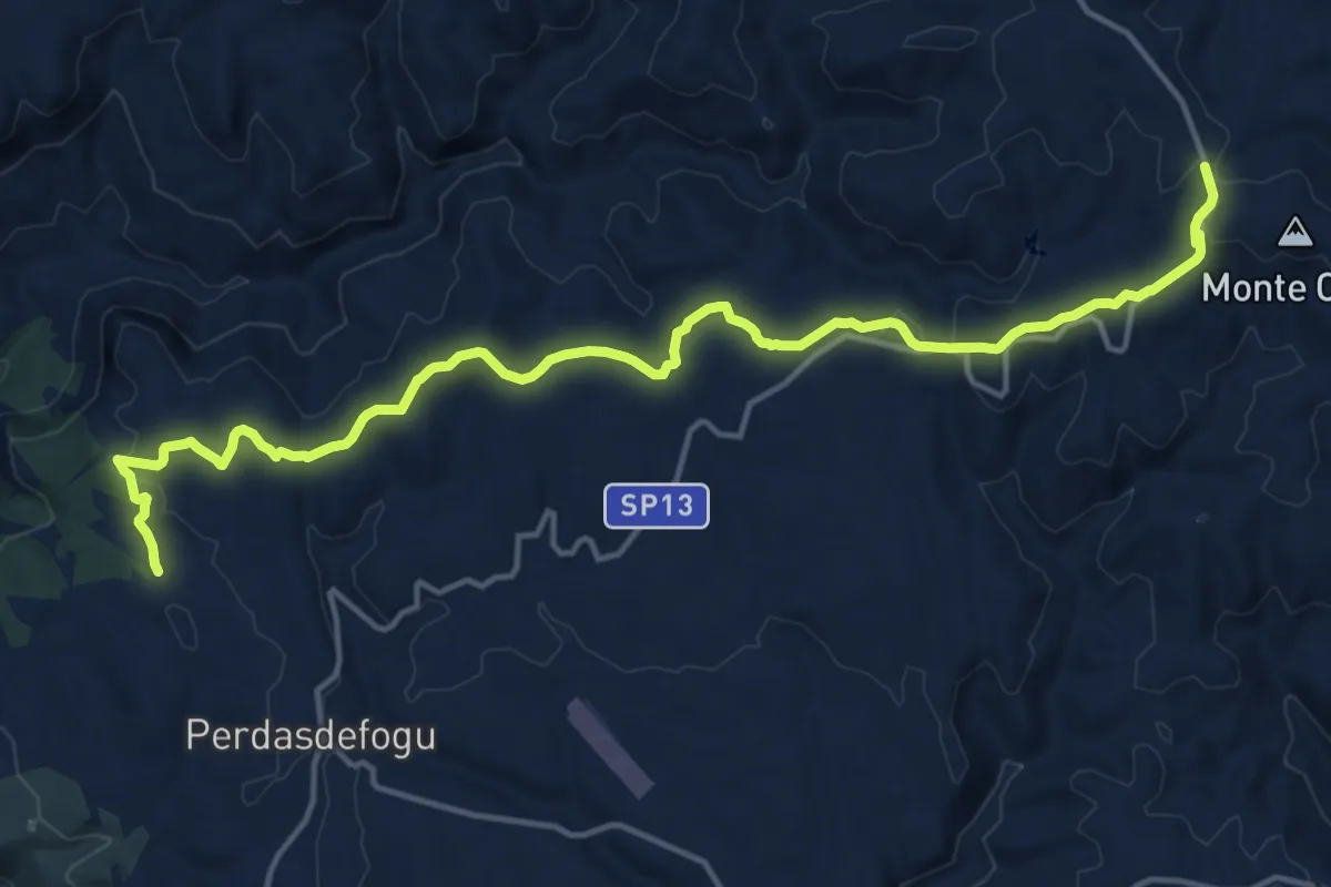
Demanding · Trail
Cale Cuaddu (C-500) – Chiesa Santa Barbara (Perdasdefogu) (C-500)
20.1 km · ↑ 381 m · 5 h 34 min
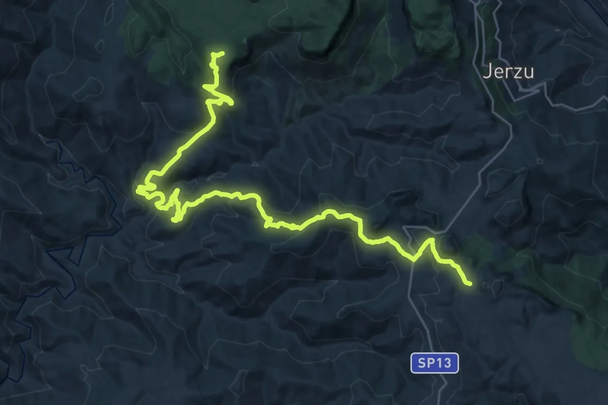
Medium · Trail
Muvroni (C-510) – Sa Canna
17.0 km · ↑ 596 m · 5 h 34 min
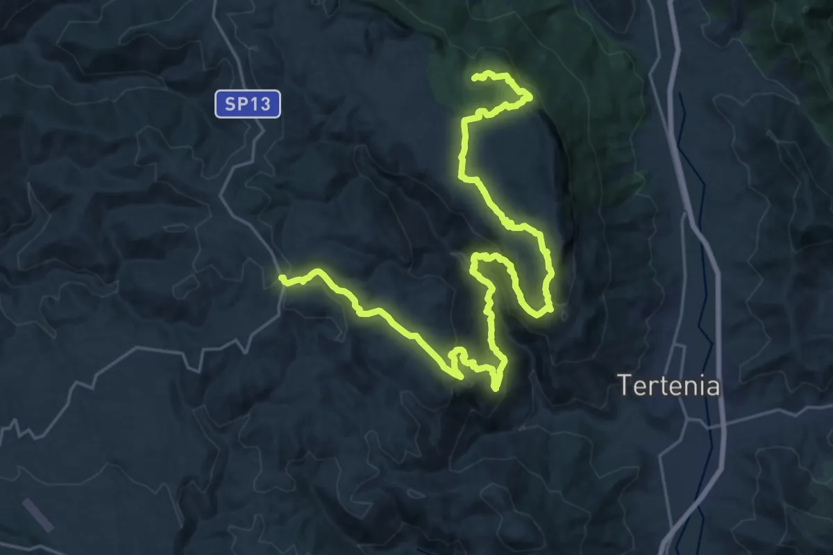
Demanding · Summit
Sant' Antonio di Jerzu – Monte Codi (Bivio SP13)
33.1 km · ↑ 1412 m · 10 h 53 min
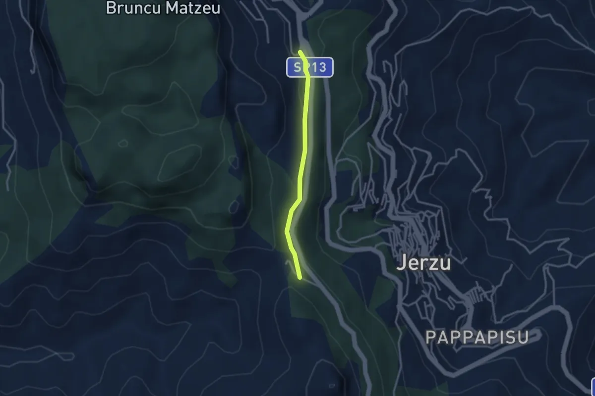
Easy · Trail
Bau Arena – Stazione dell'Arte
2.6 km · ↑ 65 m · 45 min
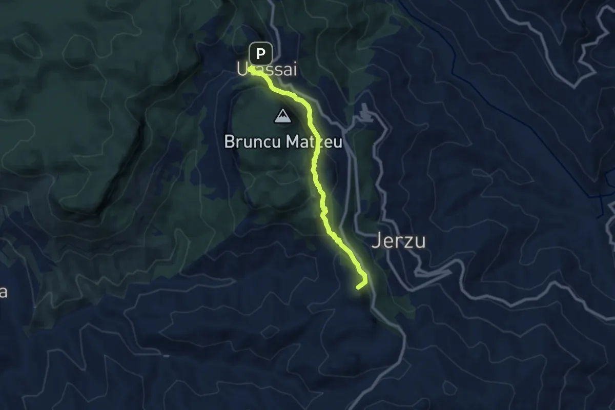
Medium · Summit
Ulassai – Erriu Pessiu
7.9 km · ↑ 453 m · 2 h 51 min
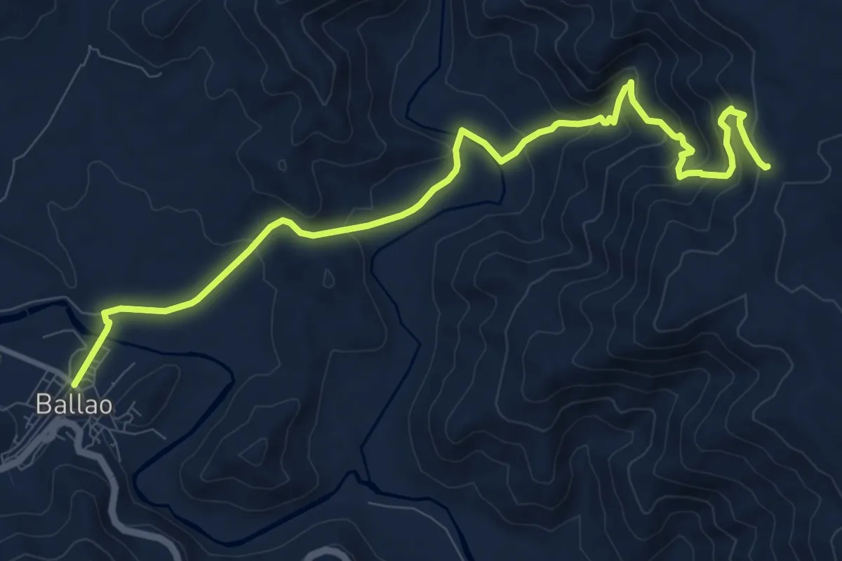
Medium · Trail
Ballao (Via Rio Bintinoi) – Sentiero Italia (C-200)
12.6 km · ↑ 600 m · 4 h 16 min
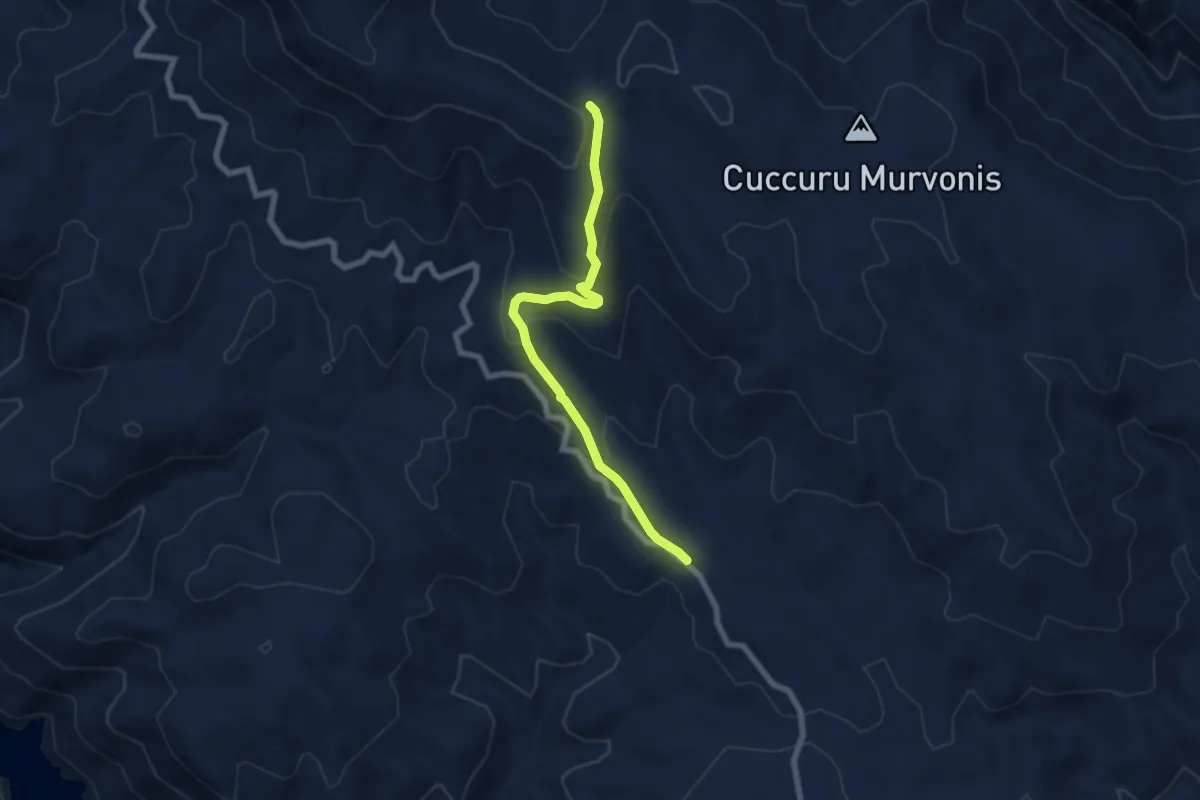
Medium · Trail
Domu de Urxia – Corti de Luceta
7.5 km · ↑ 336 m · 2 h 30 min
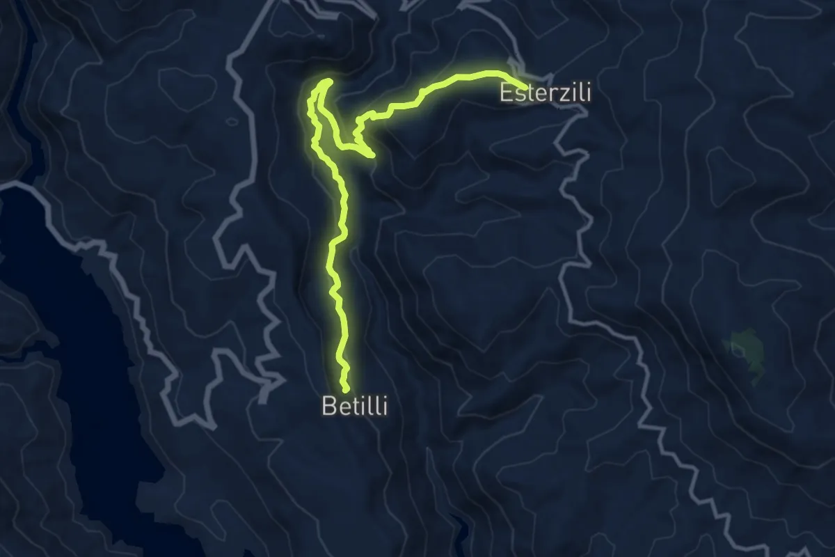
Medium · Trail
Esterzili – Stazione di Betilli (C551)
13.3 km · ↑ 697 m · 4 h 39 min
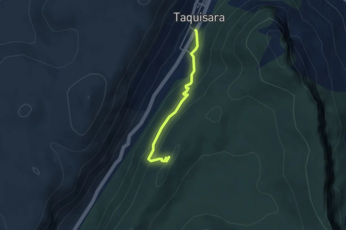
Easy · Trail
Gairo Tarquisara – Nuraghe Serbissi (Osini)
3.3 km · ↑ 207 m · 1 h 13 min
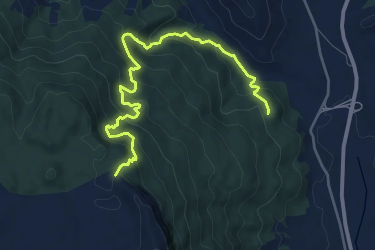
Medium · Summit
Scala de Alistu – Foresta Bingionniga (Jerzu)
9.7 km · ↑ 685 m · 3 h 47 min
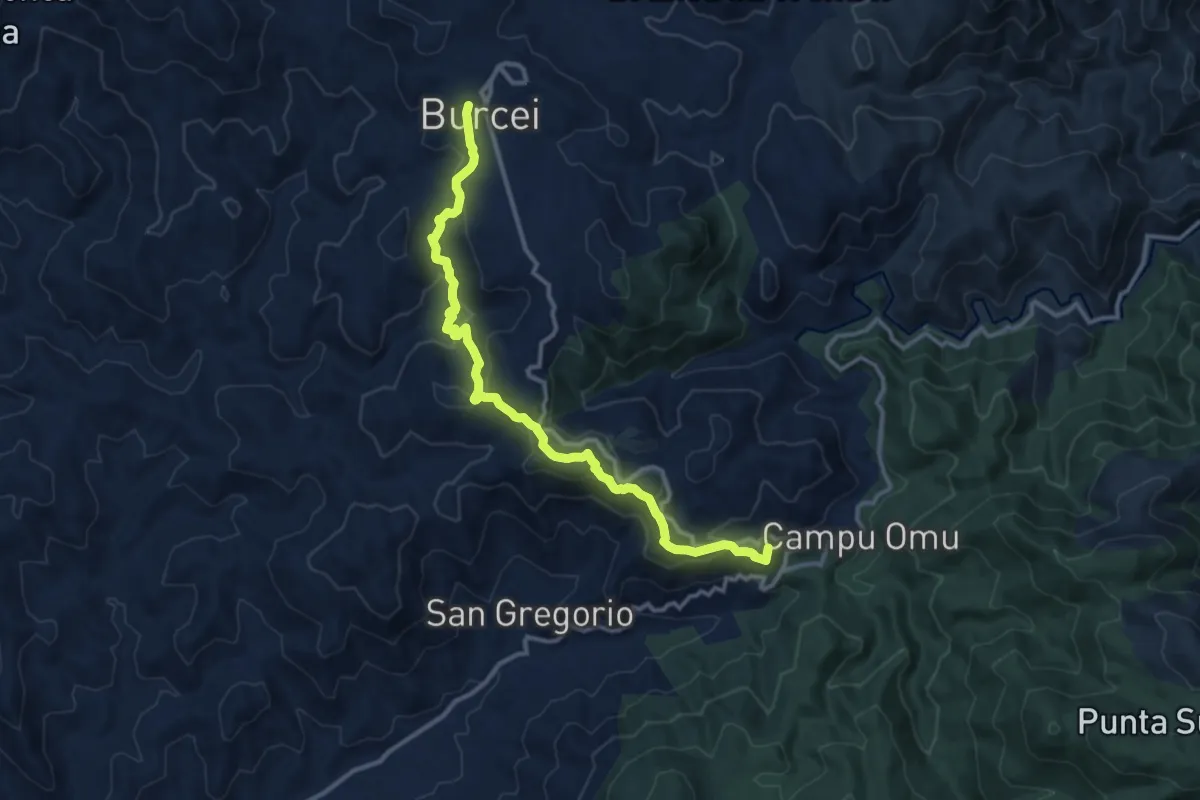
Medium · Summit
Brucei/Burcei – Arcu Genn'e Tidu
14.1 km · ↑ 568 m · 4 h 34 min
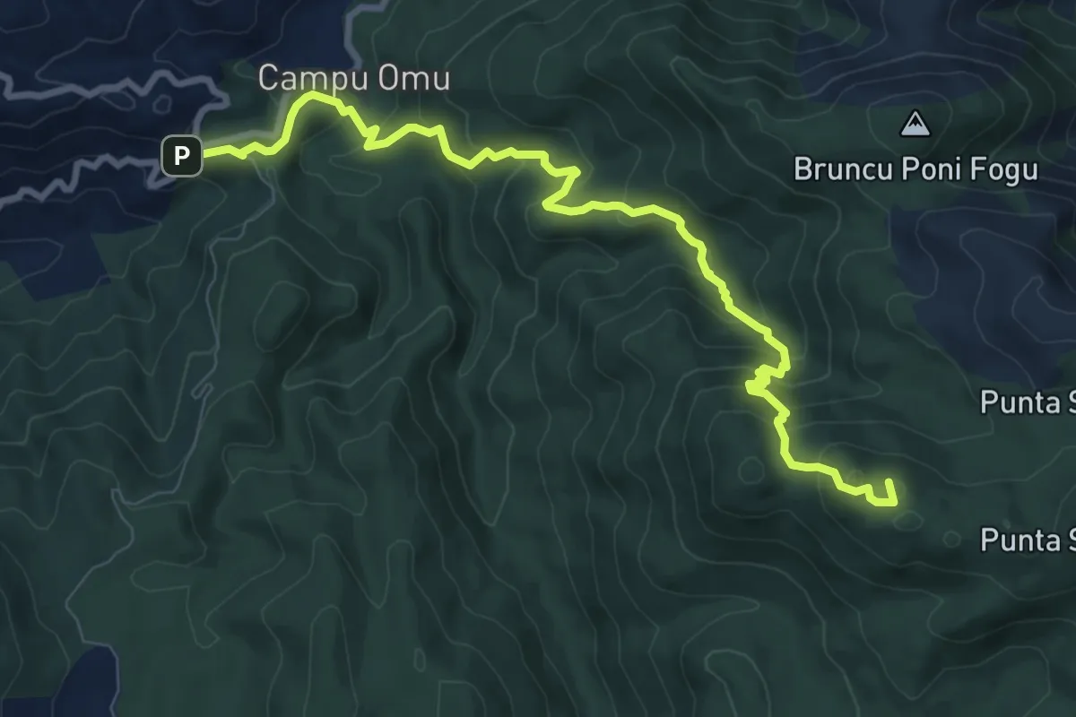
Demanding · Summit
Arcu Genn'e Tidu – Su Cabudu de S'Arridelaxiu
11.1 km · ↑ 664 m · 4 h 3 min
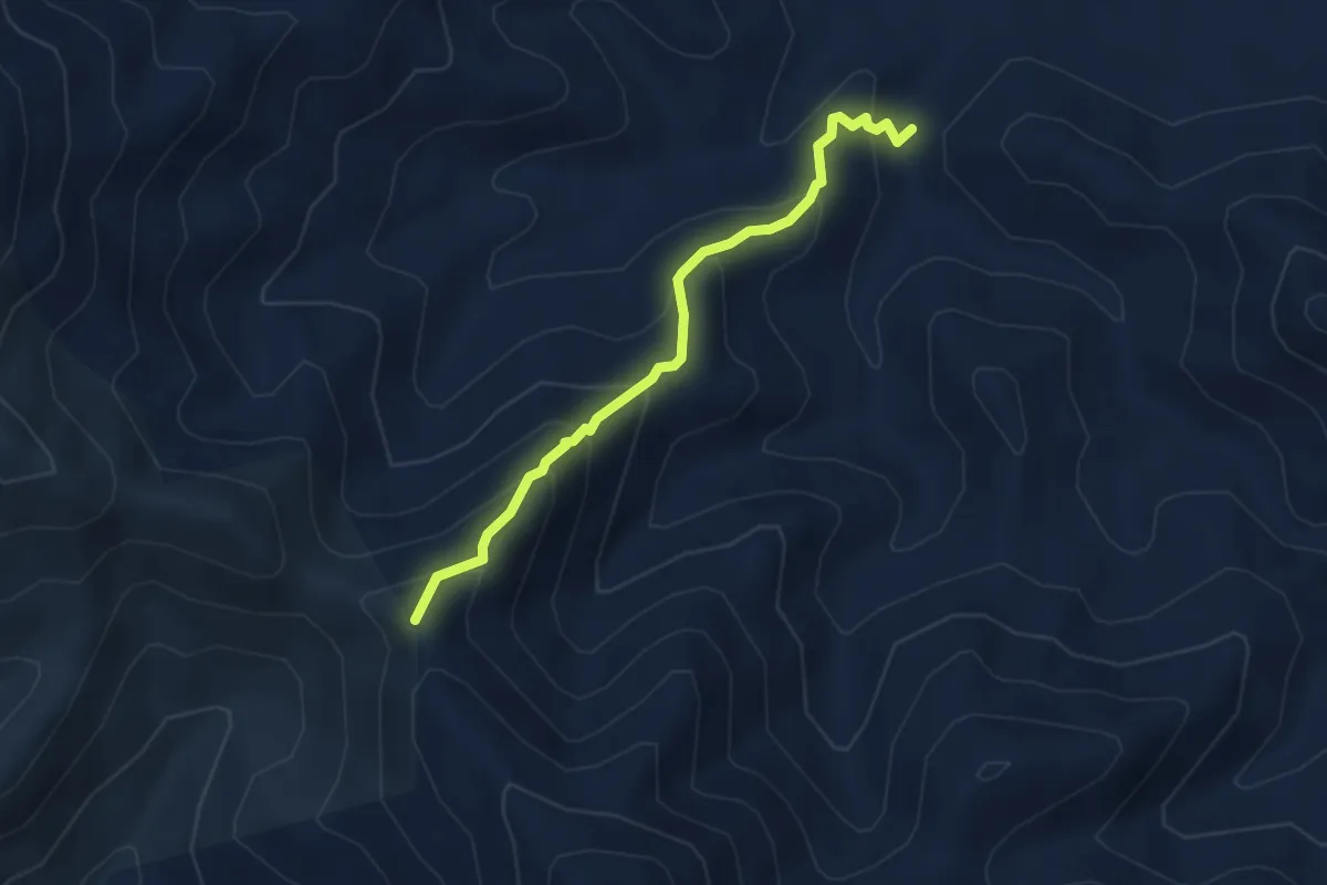
Medium · Summit
Bau Riu Pibilia – Arcu Genna de Didu
4.0 km · ↑ 333 m · 1 h 40 min
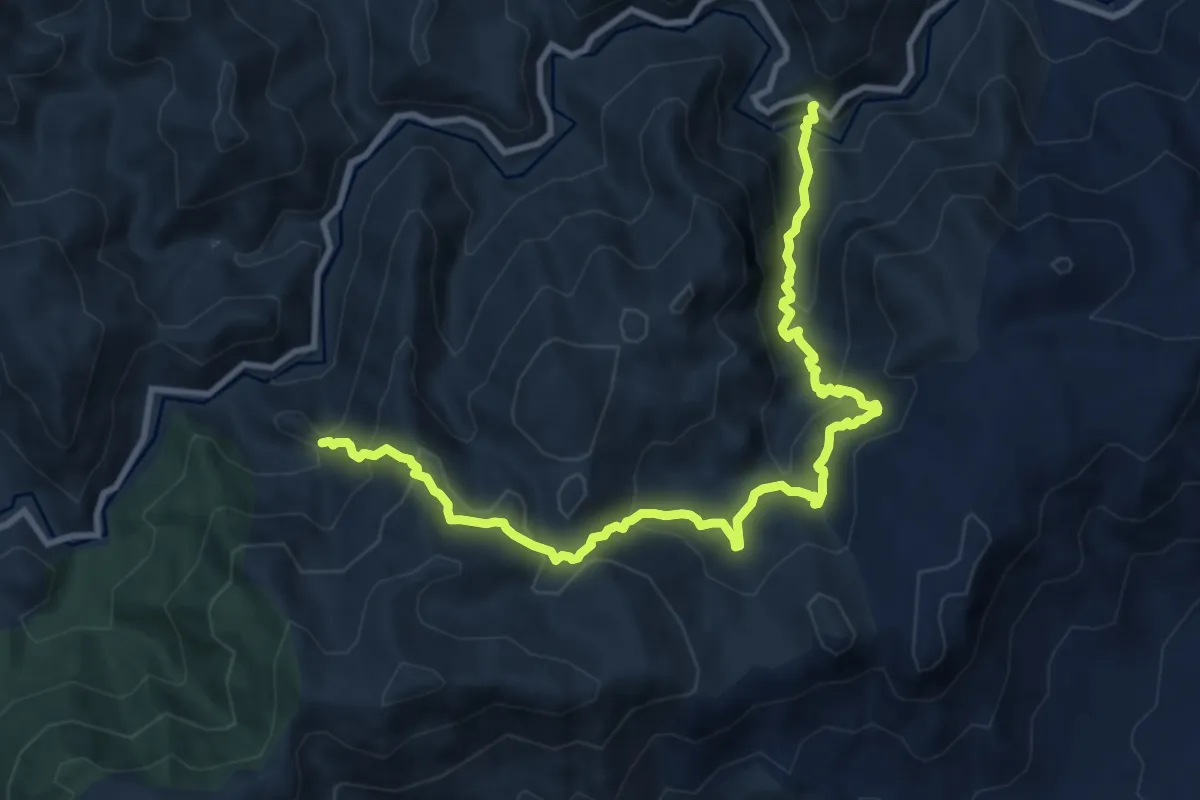
Demanding · Trail
Cuili de Brebexili - Arcu Pittianu – Bacu Sa Idda - Bacu de Angius
12.7 km · ↑ 912 m · 4 h 58 min
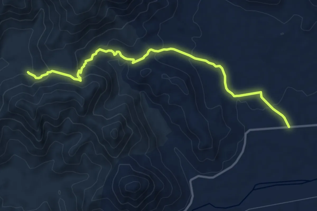
Medium · Trail
Fassoni – Su Presoni
10.6 km · ↑ 340 m · 3 h 14 min
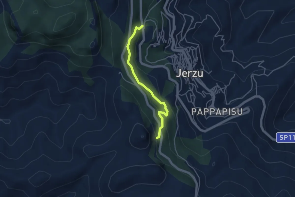
Easy · Trail
Ierzu – Località Porcu e Ludu
3.3 km · ↑ 225 m · 1 h 17 min
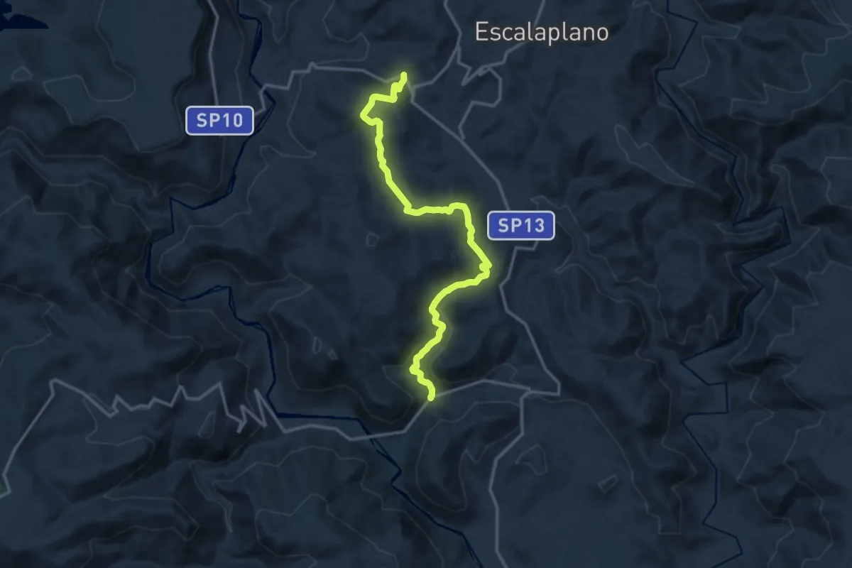
Medium · Trail
S'Arcu Atzinnuri – Genn'e Pira
15.0 km · ↑ 437 m · 4 h 30 min
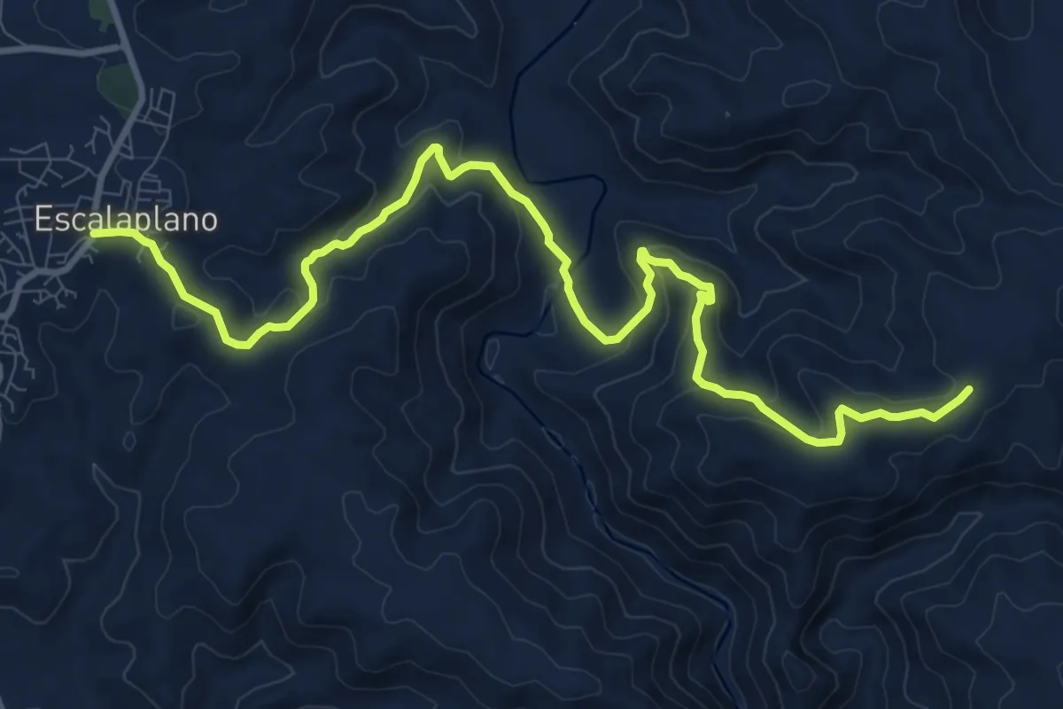
Medium · Trail
Escalaplano – Is Arrantas, Sentiero Italia
13.4 km · ↑ 492 m · 4 h 14 min
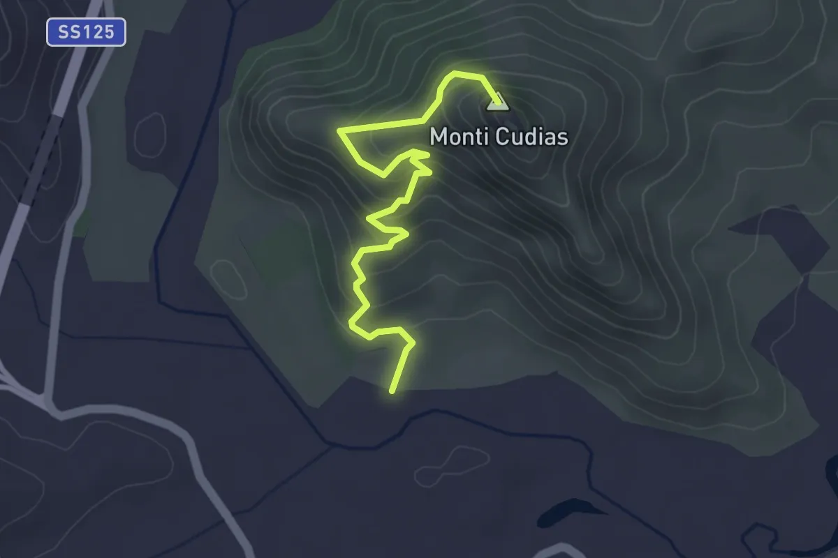
Easy · Summit
Sa Pala de Cirredis – Monti Codias
3.9 km · ↑ 289 m · 1 h 33 min
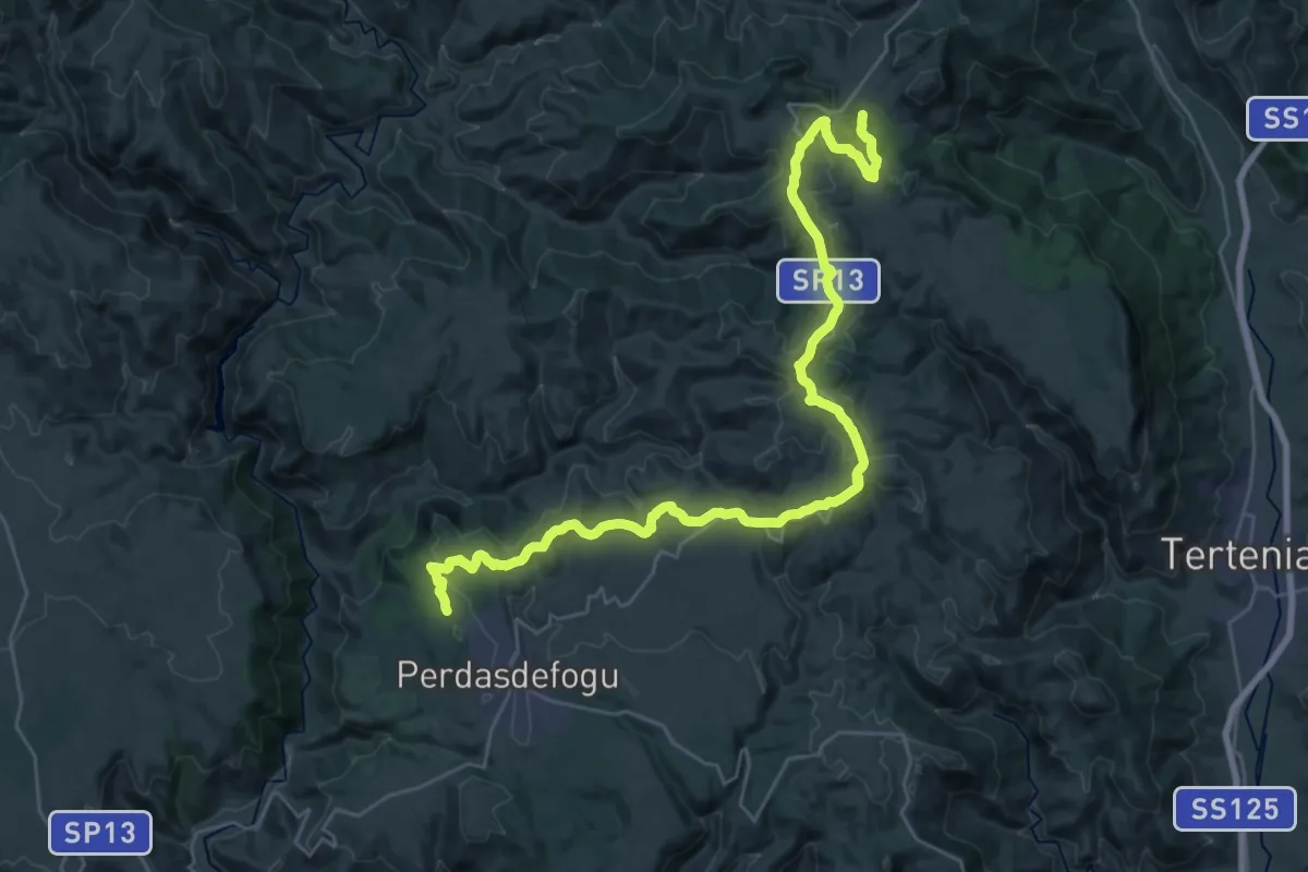
Demanding · Trail
Sant’Antonio di Jerzu – Santa Barbara Perdasdefogu
19.2 km · ↑ 452 m · 5 h 41 min
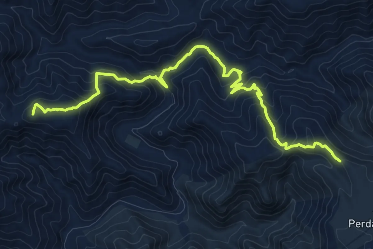
Demanding · Summit
Pranu de Létus – Arcu Su Stalladroxiu (Dispensa Scartabelli)
15.9 km · ↑ 857 m · 5 h 37 min
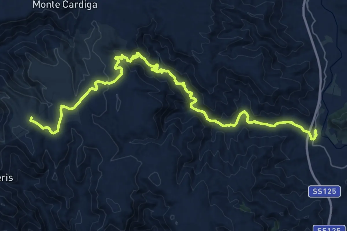
Demanding · Summit
Stalladroxiu – Bàcu Locci - San Nicola di Quirra
31.9 km · ↑ 878 m · 9 h 26 min
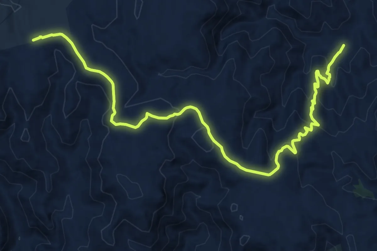
Demanding · Trail
Bau Corru de Cerbu – Sa Lilla
20.7 km · ↑ 646 m · 6 h 18 min
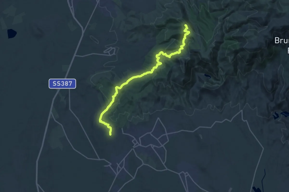
Demanding · Trail
Chiesa campestre San Pietro (Settimo S.Pietro) – Bruncu Barracca
22.1 km · ↑ 933 m · 7 h 14 min
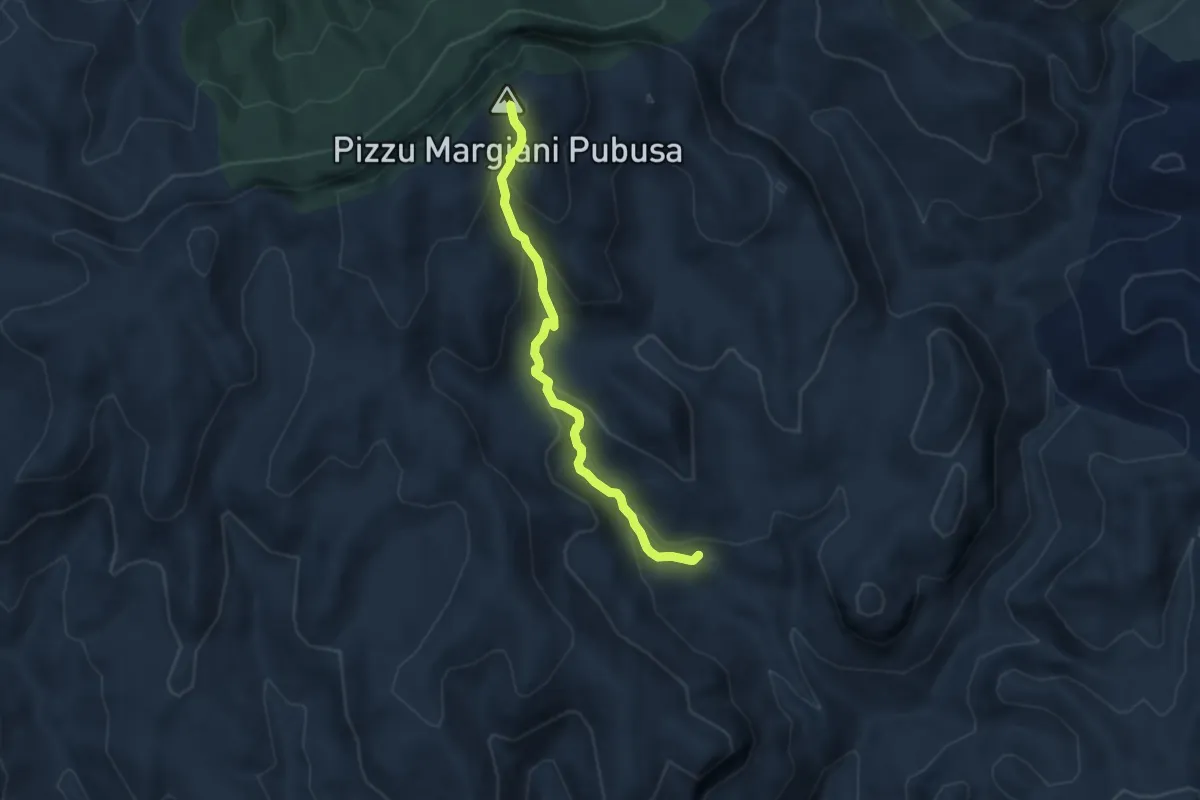
Medium · Summit
Montarbu – Perda Liana
7.1 km · ↑ 437 m · 2 h 37 min
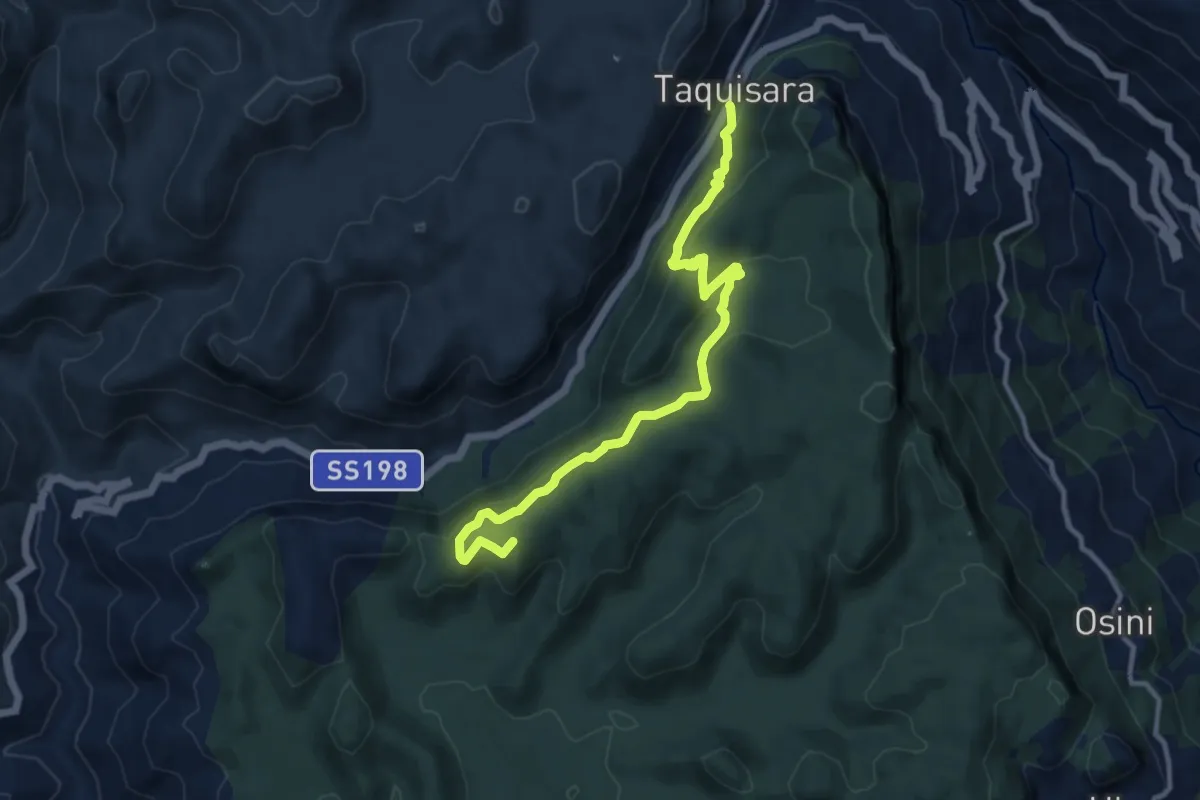
Medium · Summit
Taquisara – Ulassai
12.4 km · ↑ 523 m · 4 h 4 min
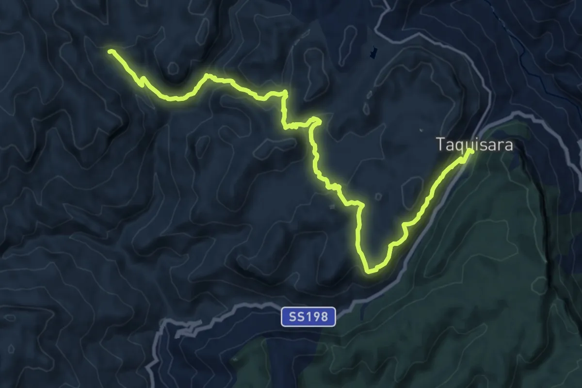
Demanding · Trail
Caserma Forestale Montarbu – Taquisara
22.6 km · ↑ 960 m · 7 h 26 min
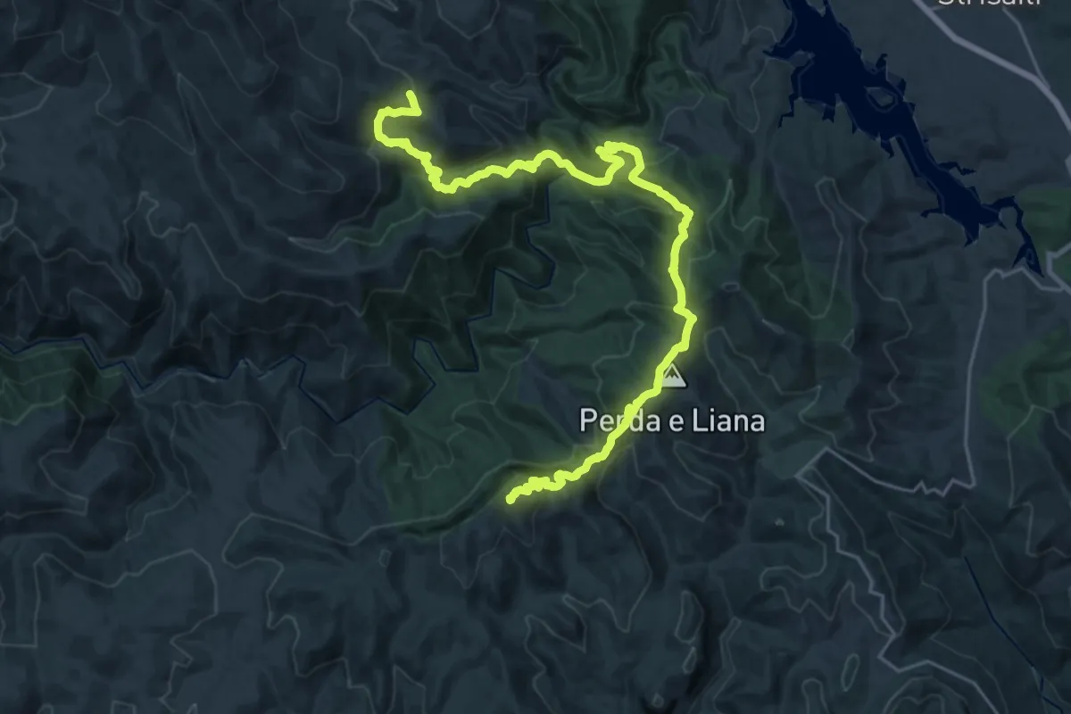
Demanding · Summit
Terra Ona – Caserma Forestale Montarbu
31.2 km · ↑ 1785 m · 11 h 14 min
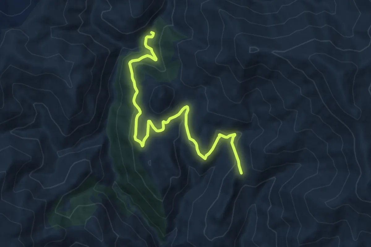
Medium · Trail
Bau ‘e Jacca – Arcu Genna Eragas
13.5 km · ↑ 446 m · 4 h 9 min
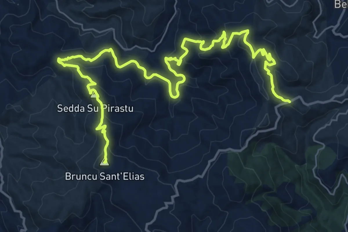
Demanding · Summit
Is Muralleddas – Su Meseddu de Texile
31.8 km · ↑ 1387 m · 10 h 31 min
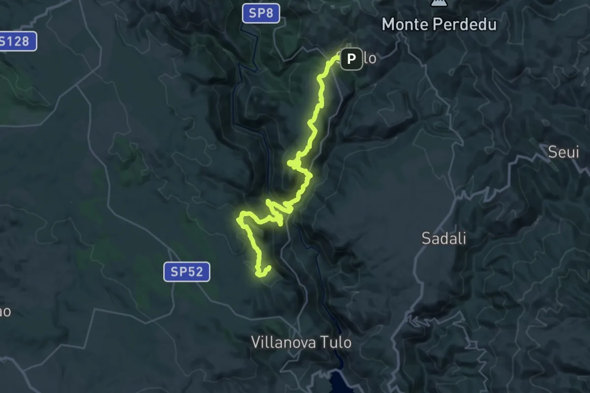
Demanding · Summit
Villanovatulo – Seulo
33.0 km · ↑ 1674 m · 11 h 26 min
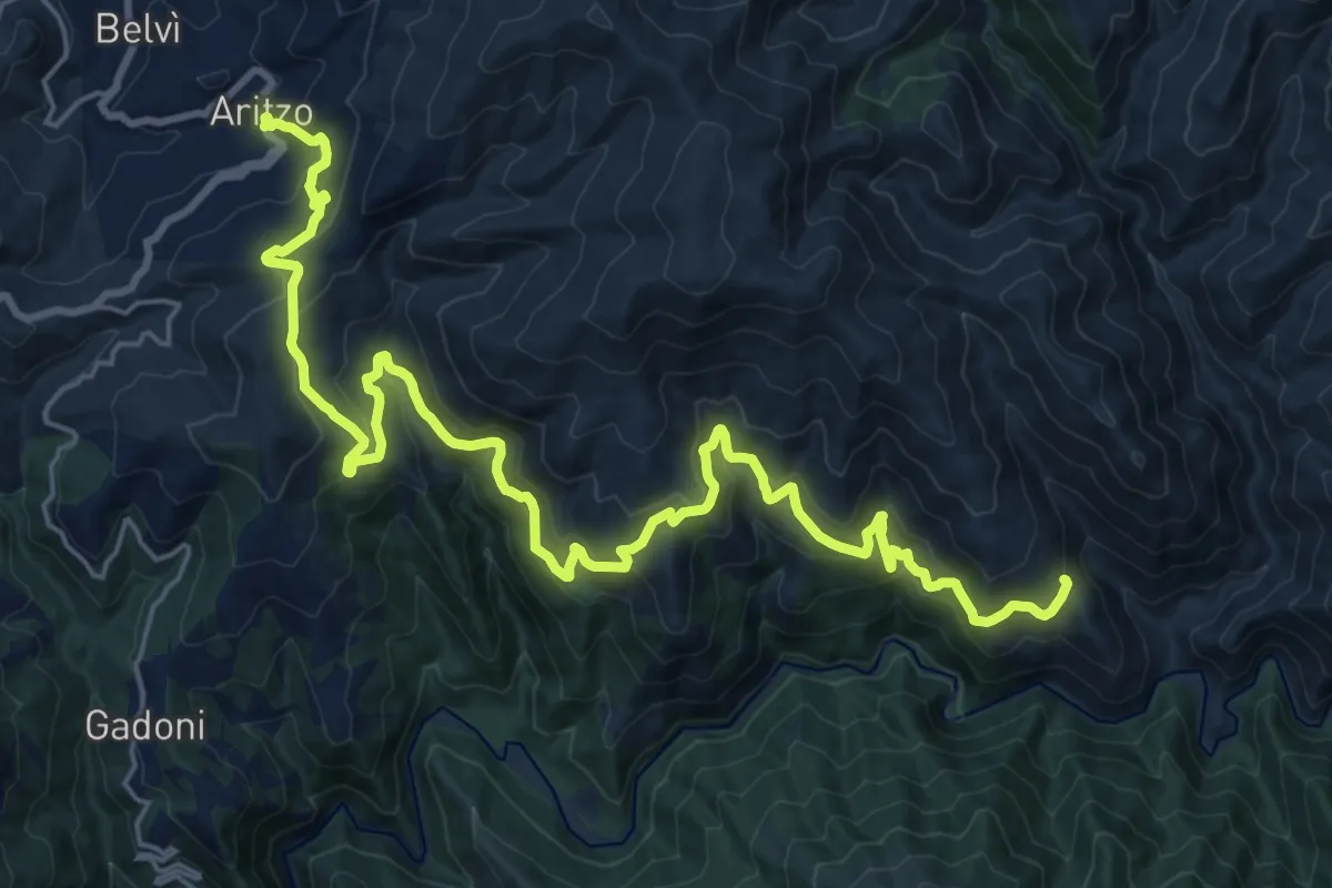
Medium · Trail
Leustra – Aritzo
15.4 km · ↑ 617 m · 5 h 11 min
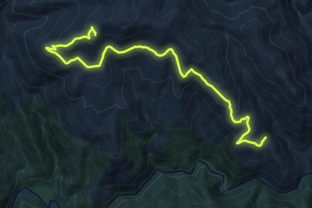
Medium · Summit
Chiesa Santa Maria – Leustra
17.3 km · ↑ 760 m · 5 h 45 min
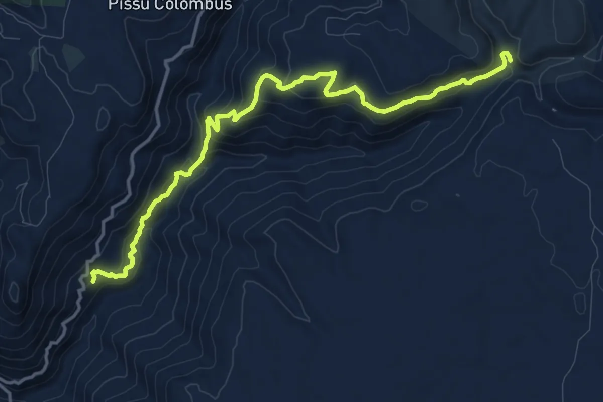
Medium · Trail
Cussarea – Funtana de Pedassu
13.1 km · ↑ 747 m · 4 h 43 min
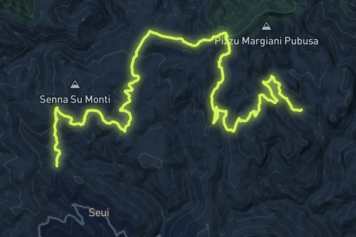
Demanding · Trail
Montarbu – San Sebastiano
23.7 km · ↑ 880 m · 7 h 51 min
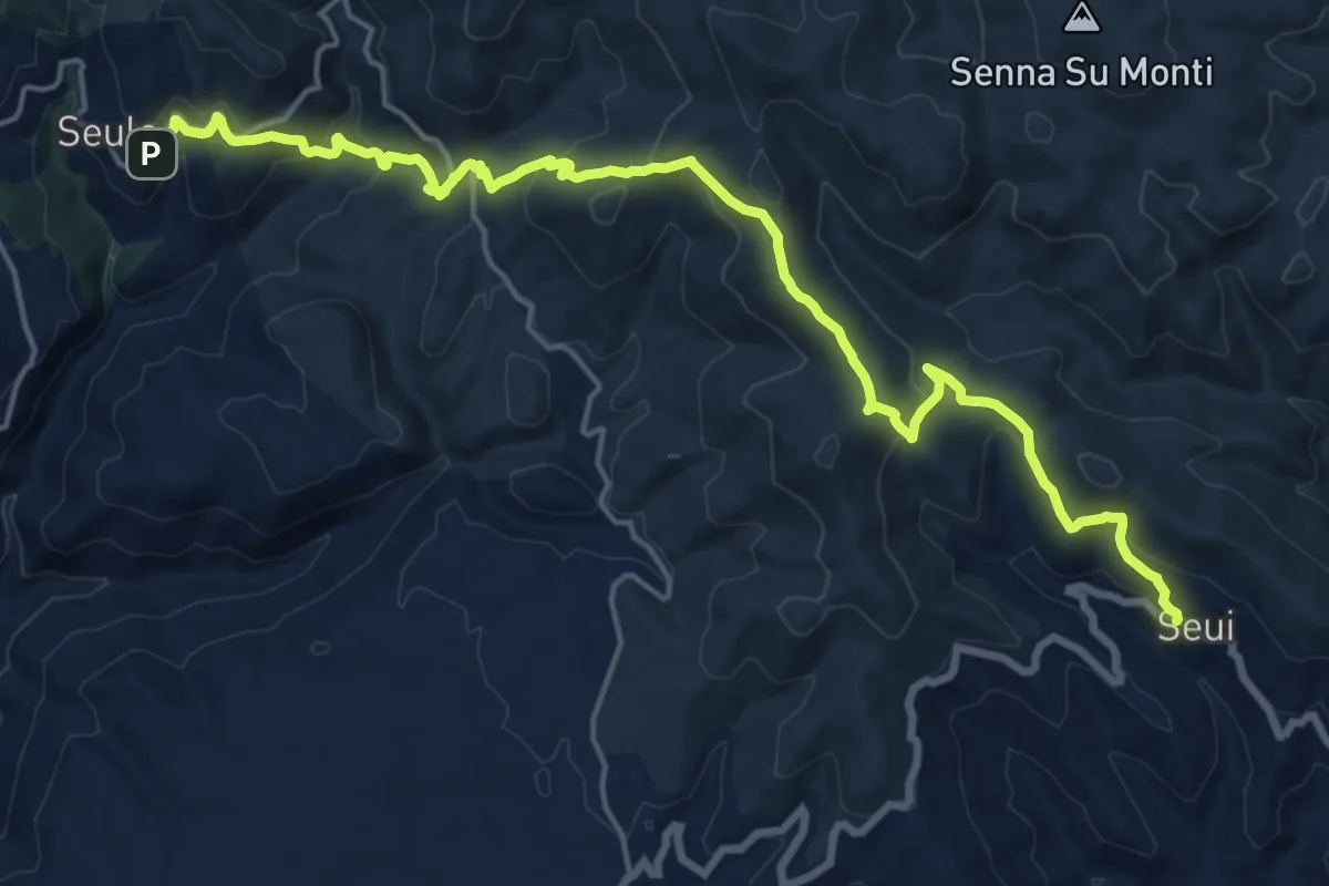
Demanding · Trail
Seui – Seulo - arrivo sentiero 110
22.0 km · ↑ 986 m · 7 h 20 min
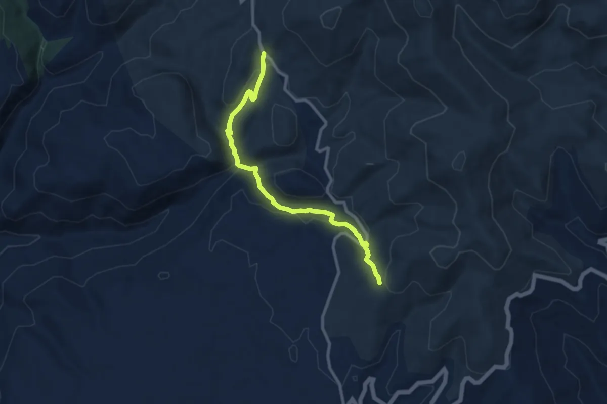
Demanding · Trail
Pala de Nuraxi – Bivio Addolì
8.6 km · ↑ 326 m · 2 h 43 min
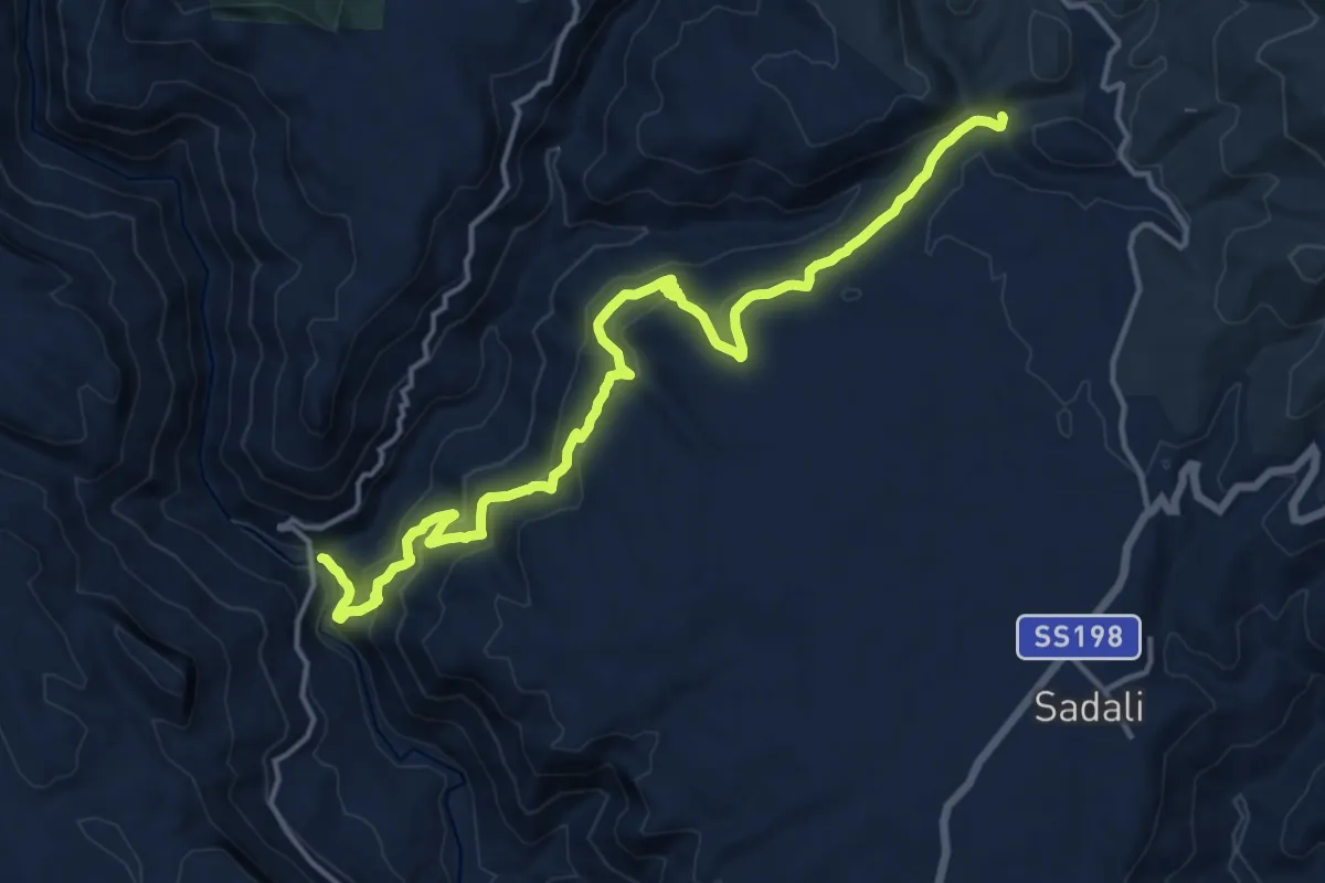
Demanding · Trail
Su Stampu de Su Turrunu – Guado Salassi
18.7 km · ↑ 988 m · 6 h 33 min
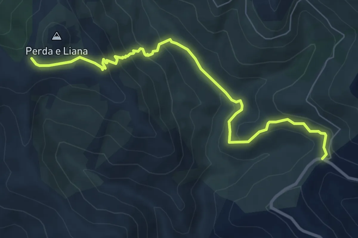
Easy · Summit
Genna Filixi – Anello Perda Liana sentiero T-113
4.0 km · ↑ 104 m · 1 h 20 min
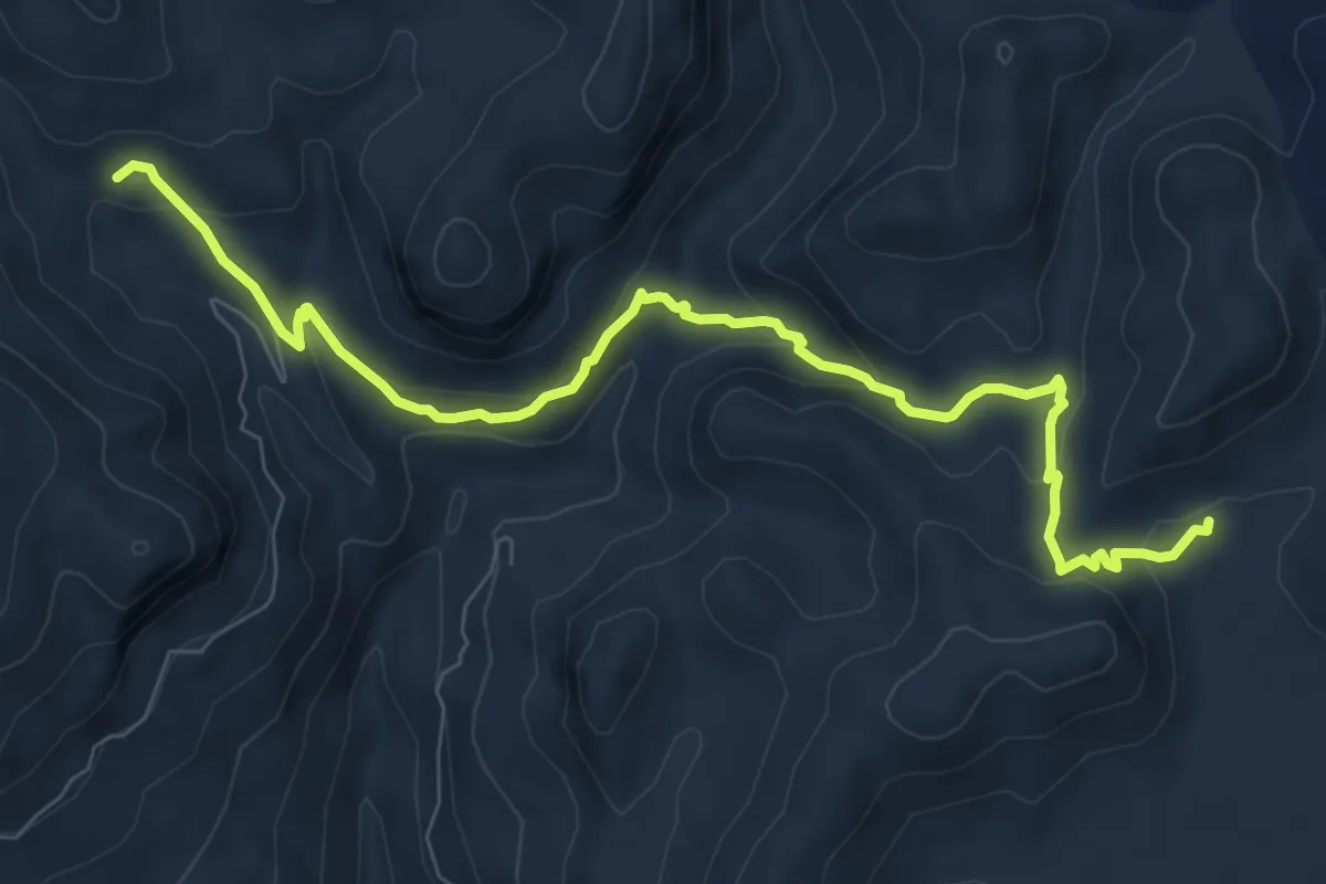
Medium · Trail
Montarbu – Niala (Donna Pruna)
10.1 km · ↑ 424 m · 3 h 18 min
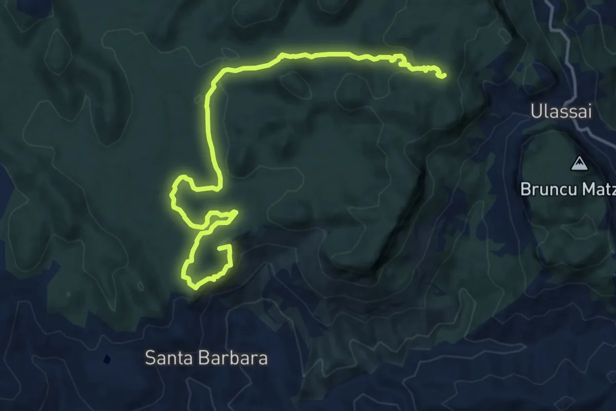
Medium · Summit
Grotta Su Marmuri – Su Postorgiu 'e mesu
16.7 km · ↑ 429 m · 4 h 53 min
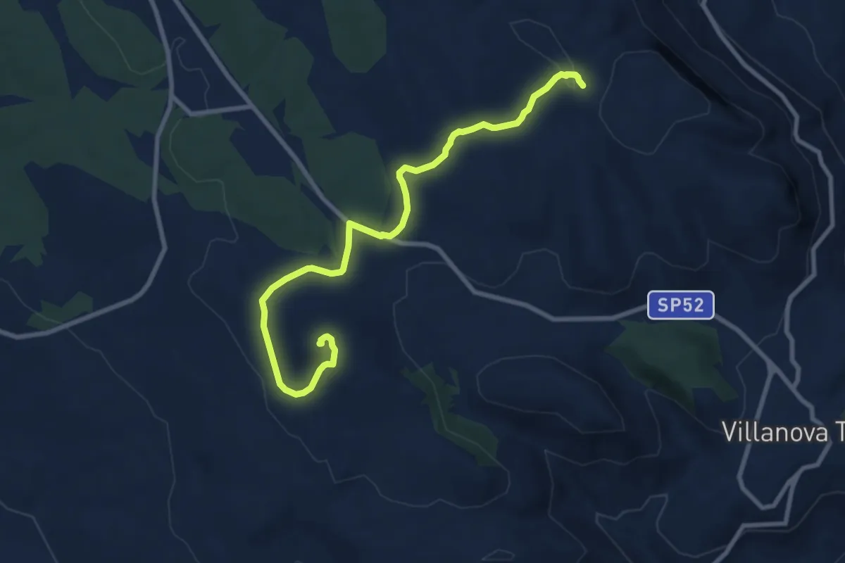
Medium · Trail
Pranedda Ollastu – Nuraghe Adoni
9.7 km · ↑ 173 m · 2 h 40 min
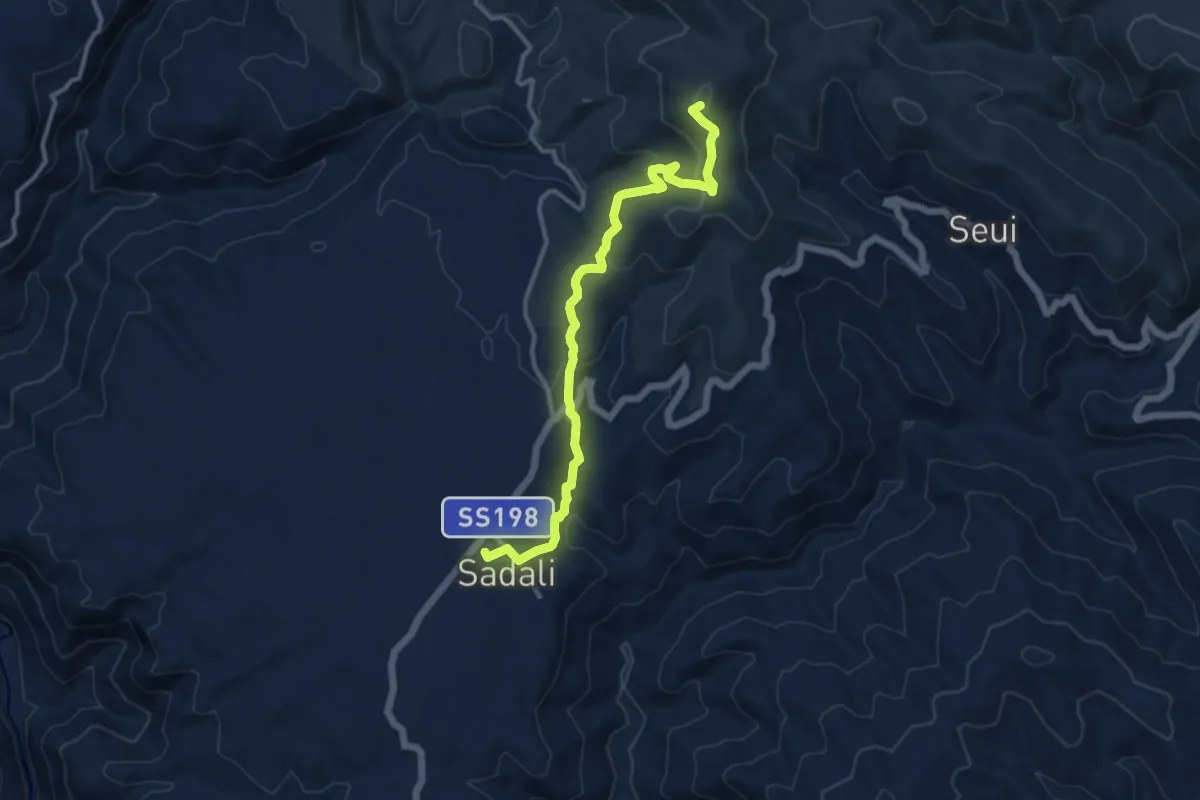
Medium · Summit
Sadali – Arcu e Spineddai
13.2 km · ↑ 534 m · 4 h 16 min
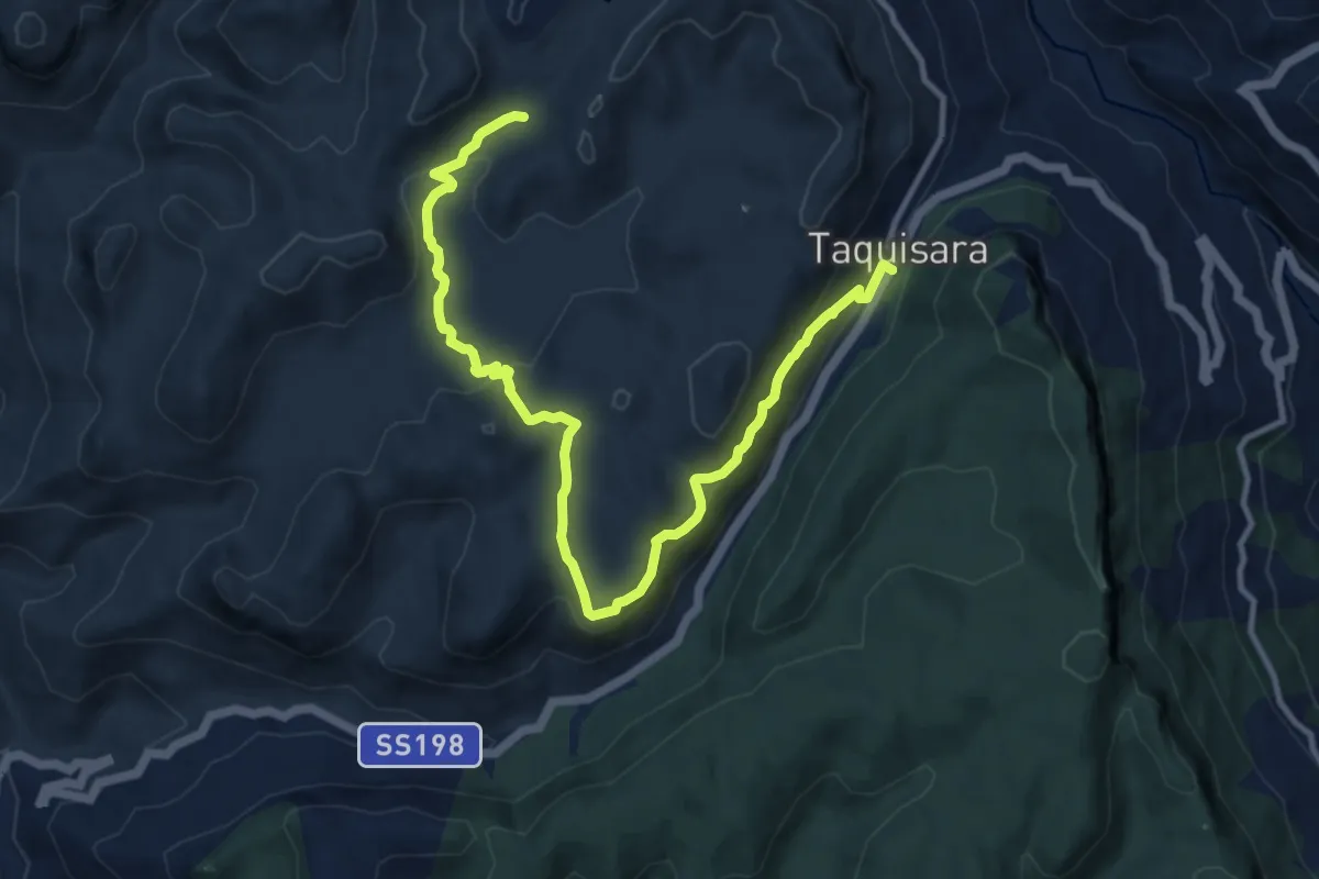
Easy · Trail
Gairo Taquisara – Gairo Taquisara
7.0 km · ↑ 232 m · 2 h 18 min