Trails in Italy
25,219 hiking trails, each with its route, climb, walking time and grade.
All trails, page 249 of 526
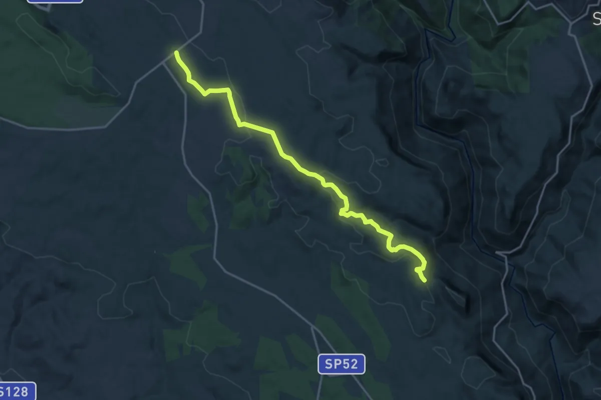
Demanding · Trail
Borgata di Santa Sofia – Foresta Pantaleu incrocio sentiero T-201
18.2 km · ↑ 307 m · 4 h 58 min
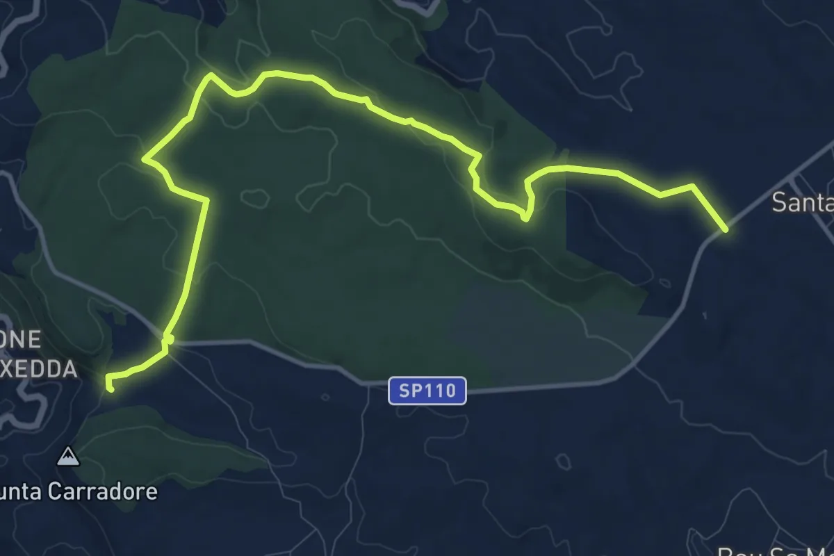
Medium · Trail
Sa Nebriazza – Genna 'e Teula
15.4 km · ↑ 316 m · 4 h 19 min
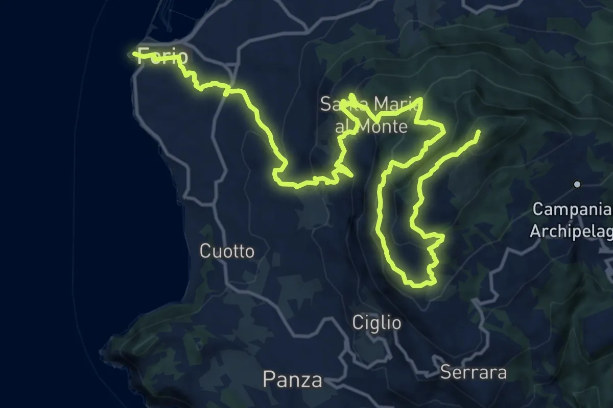
Demanding · Summit
Fontana – Forio
21.8 km · ↑ 1200 m · 7 h 45 min
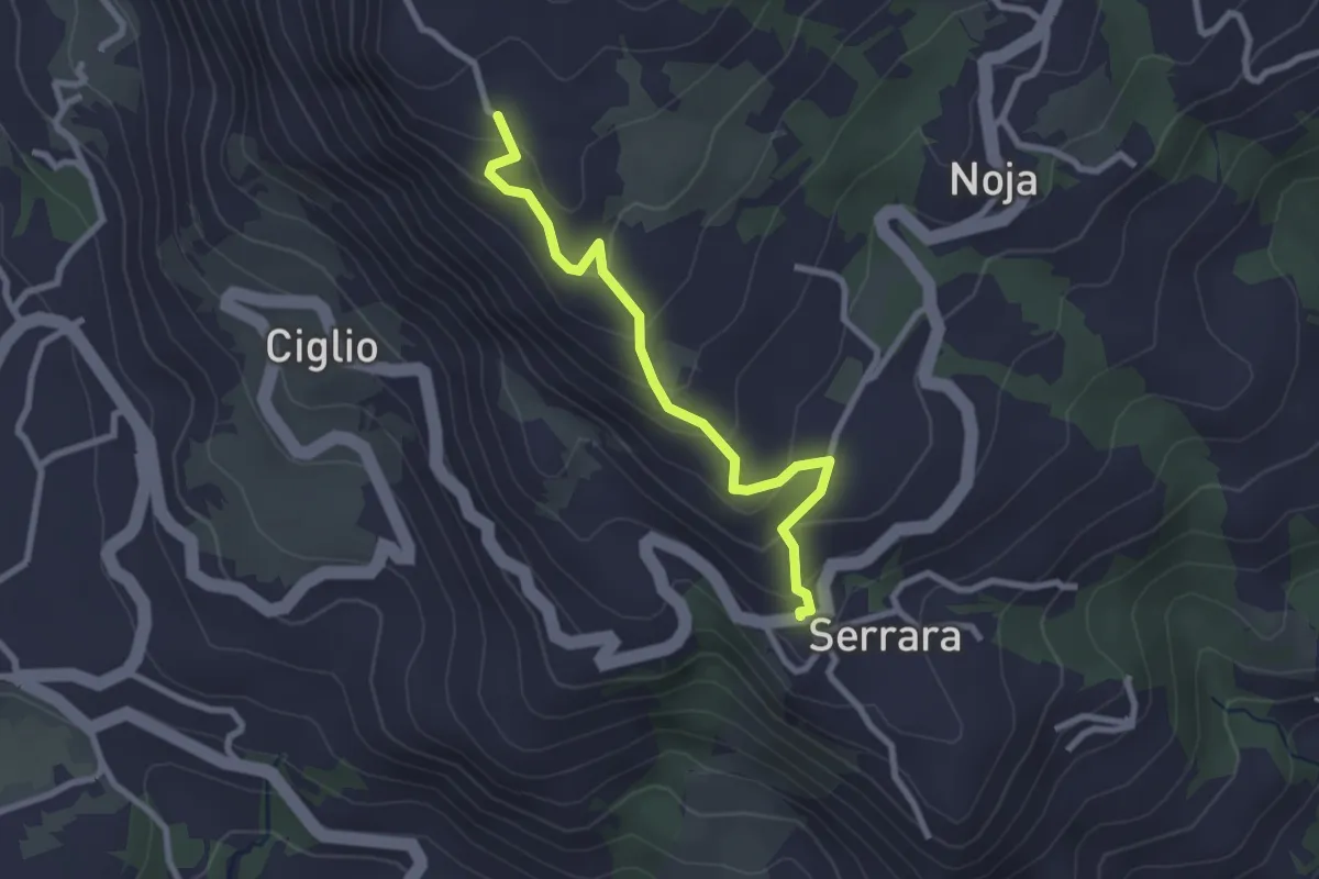
Easy · Trail
Pantano – Bagnulo
2.8 km · ↑ 196 m · 1 h 6 min
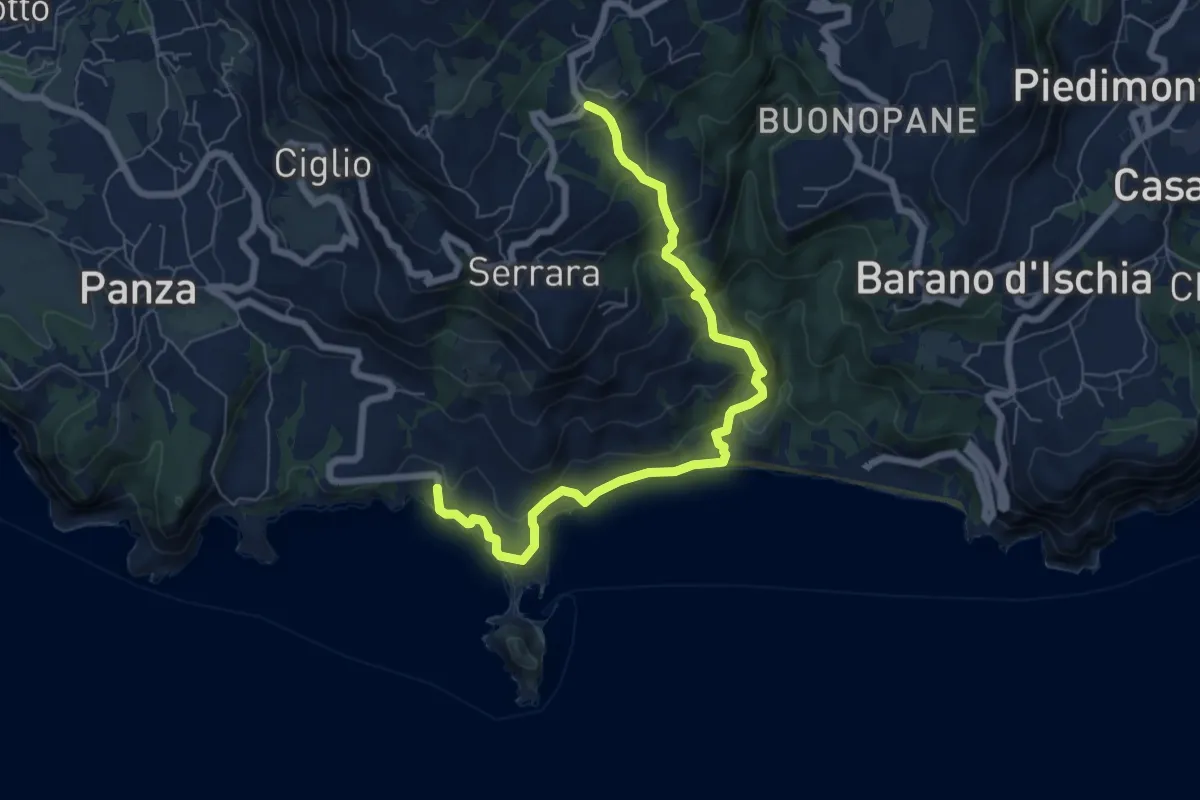
Medium · Trail
Noia – Sant'Angelo
7.9 km · ↑ 588 m · 3 h 9 min
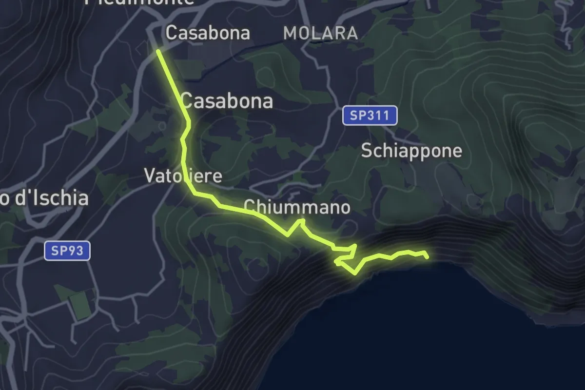
Medium · Trail
Vatoliere – Base Scarrupata
4.1 km · ↑ 451 m · 1 h 57 min
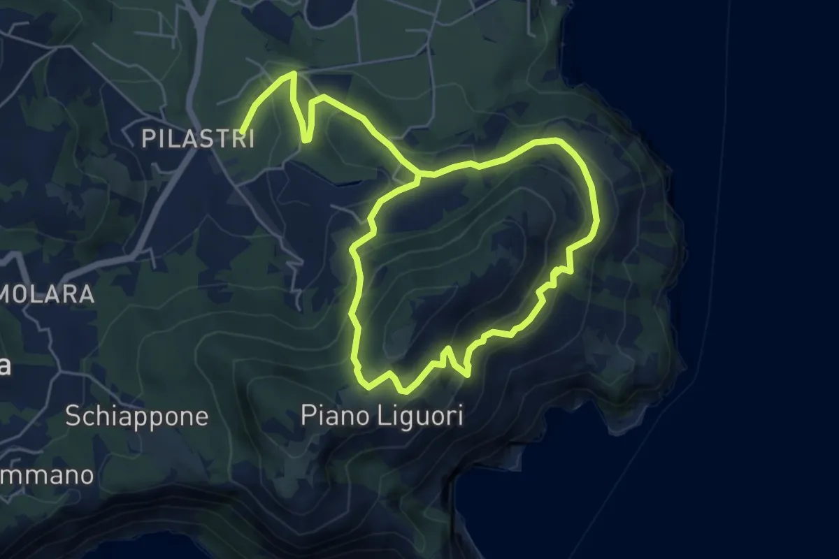
Medium · Trail
via Arenella Campagnano – via Arenella Campagnano
5.1 km · ↑ 344 m · 1 h 58 min
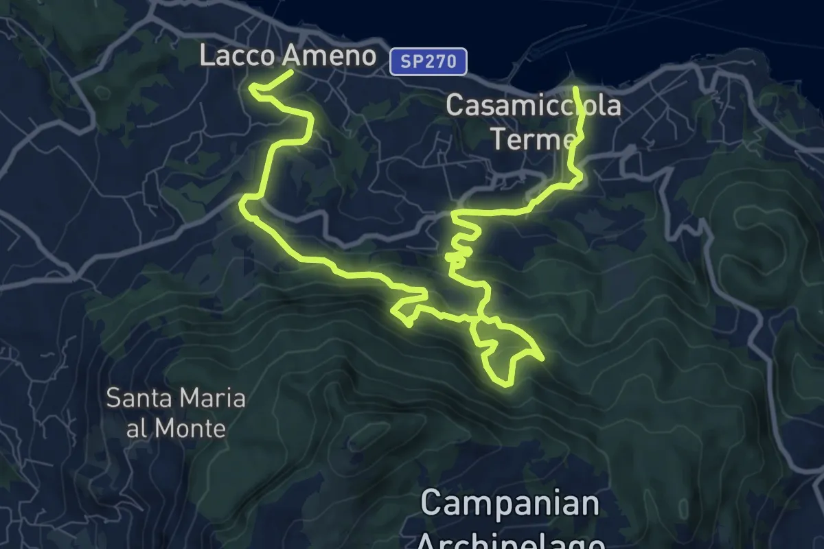
Demanding · Trail
Lacco Ameno – Casamicciola
15.8 km · ↑ 915 m · 5 h 43 min
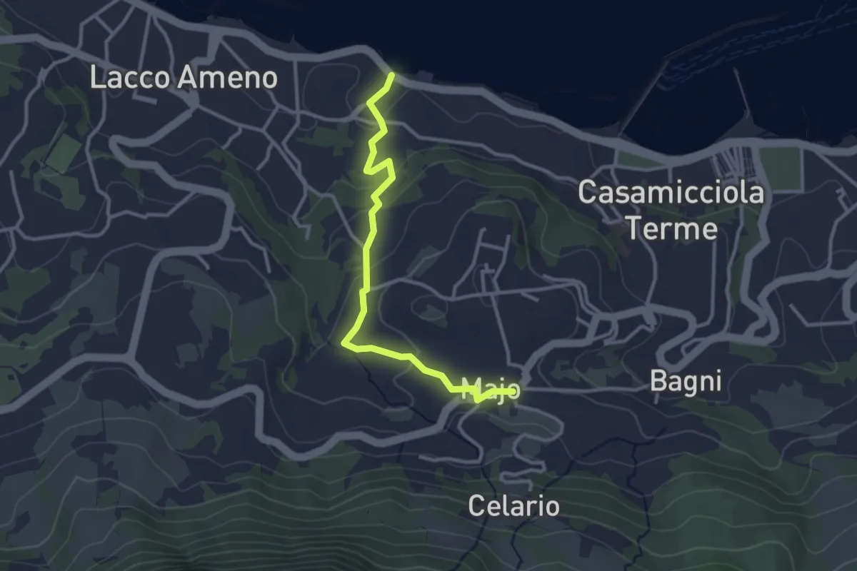
Easy · Trail
Lacco Ameno – Maio
3.3 km · ↑ 118 m · 1 h 2 min
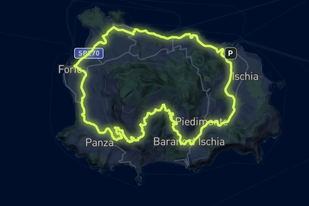
Demanding · Trail
Ischia porto – Ischia porto
28.5 km · ↑ 849 m · 8 h 57 min
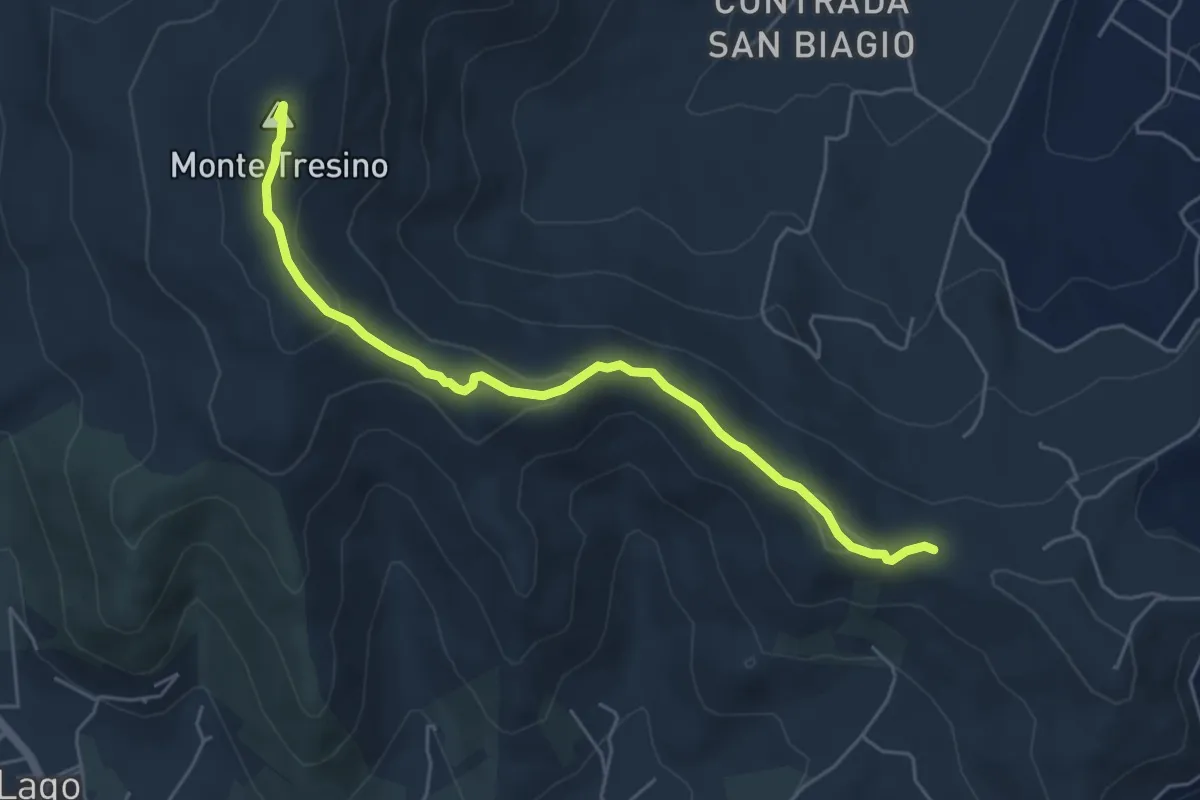
Easy · Summit
Loc. Sella dell'Alano (Castellabate) – Loc. Casa Passolare (Agropoli)
5.9 km · ↑ 222 m · 1 h 52 min
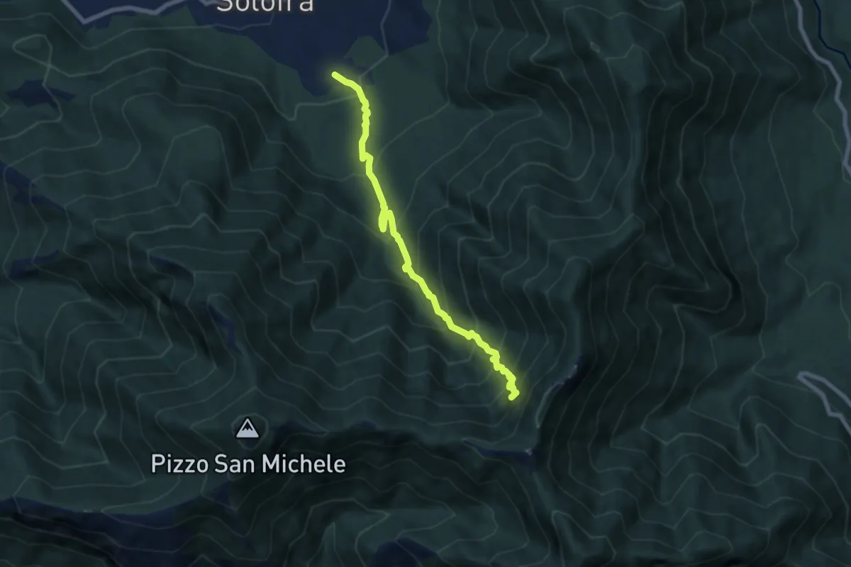
Demanding · Trail
Arco – Neviere
7.3 km · ↑ 900 m · 3 h 41 min
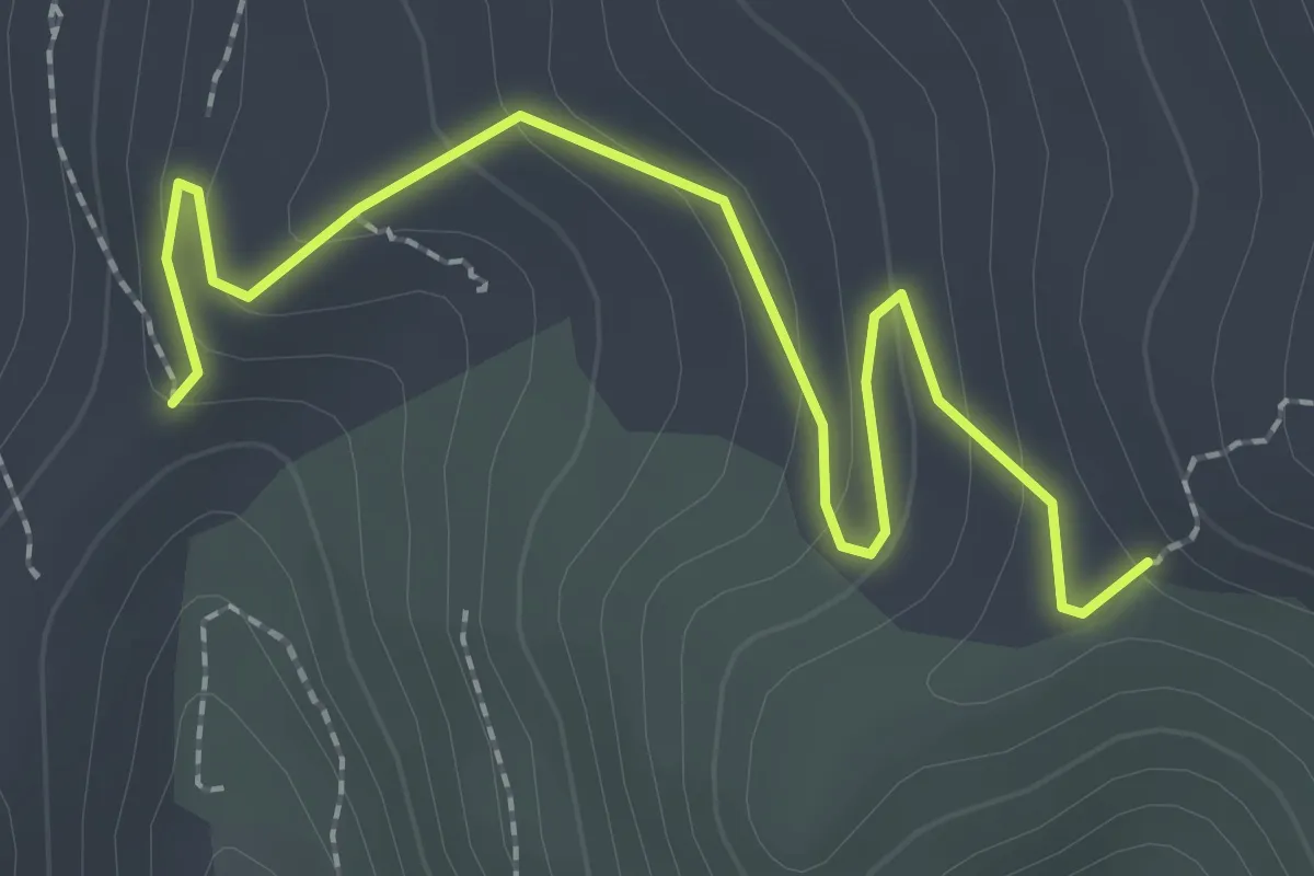
Easy · Trail
Incrocio 700 – Incrocio 701
2.9 km · ↑ 124 m · 57 min
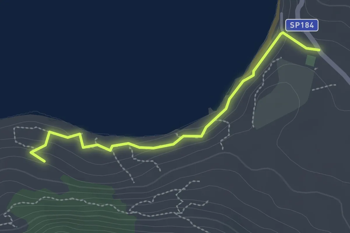
Easy · Trail
Loc. Trentova (Agropoli) – Incrocio 700
3.0 km · ↑ 88 m · 54 min
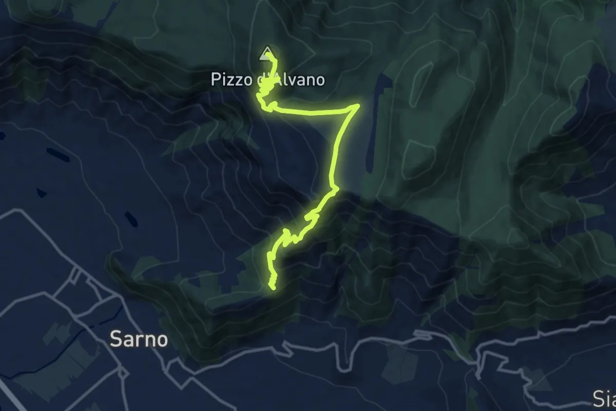
Demanding · Summit
Pian della Colla (Sarno) – Pizzo d'Alvano
13.2 km · ↑ 807 m · 4 h 52 min
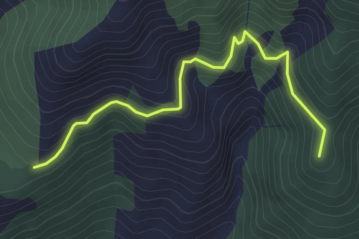
Medium · Summit
Pian della Colla (Sarno) – Cappella di Siano
4.0 km · ↑ 419 m · 1 h 52 min
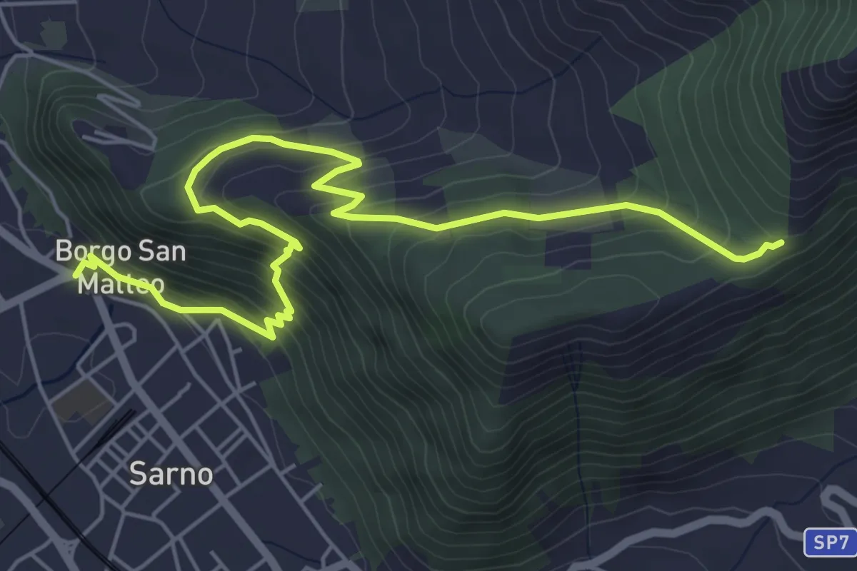
Medium · Trail
Sarno (Piazza Garibaldi) – Pian della Colla
7.4 km · ↑ 519 m · 2 h 52 min
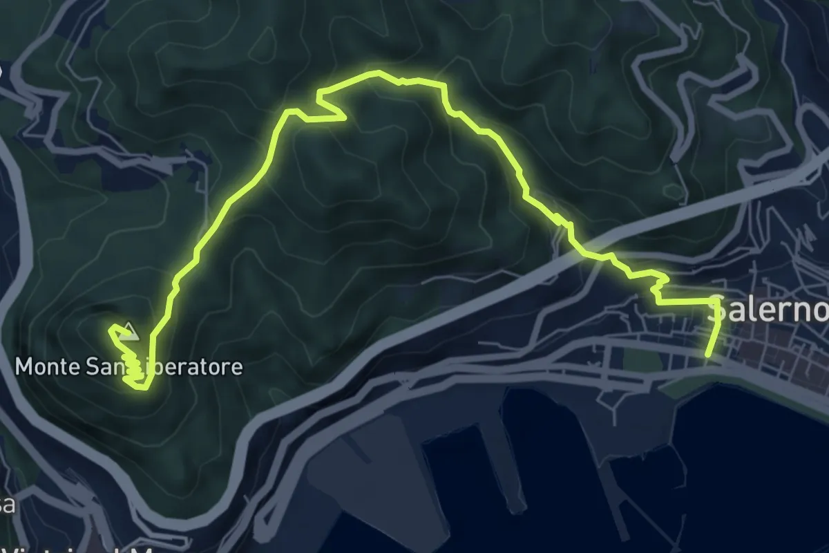
Medium · Summit
Salerno – Monte S. Liberatore
9.4 km · ↑ 658 m · 3 h 39 min
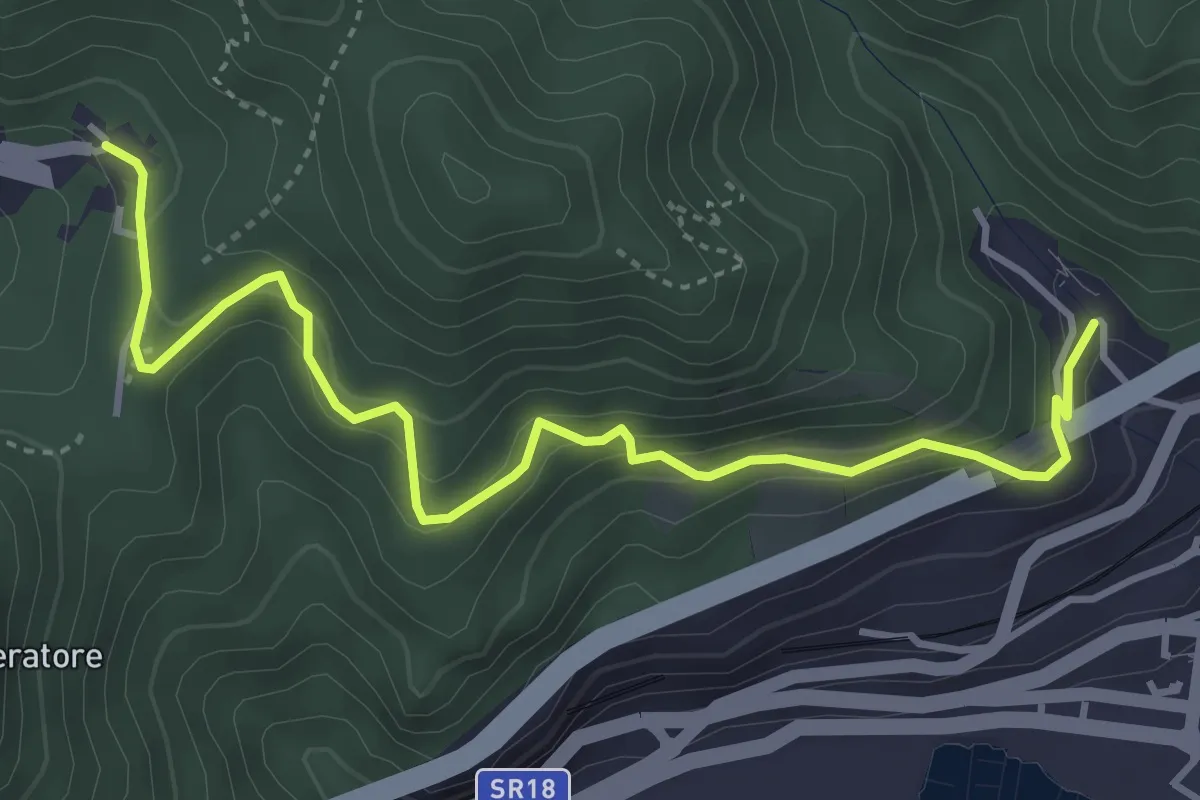
Medium · Trail
Alessia (Cava de' Tirreni) – Canalone (Salerno)
5.0 km · ↑ 335 m · 1 h 54 min
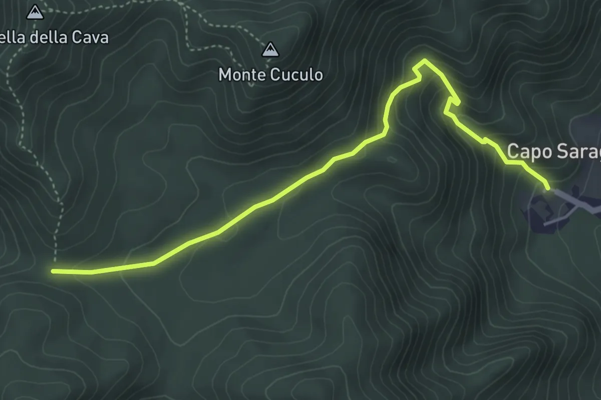
Medium · Trail
Capo Saragnano (Baronissi) – Varco Diecimare
5.1 km · ↑ 351 m · 1 h 58 min
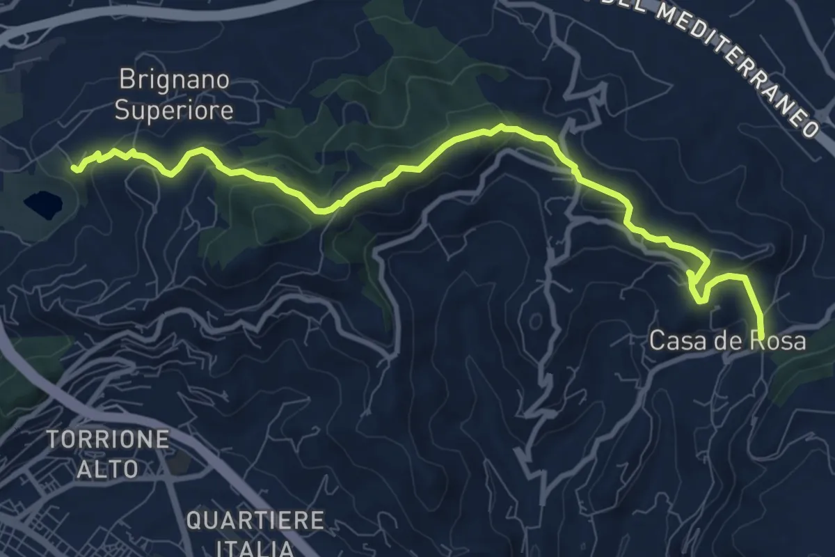
Medium · Trail
Brignano – Giovi
11.1 km · ↑ 485 m · 3 h 40 min
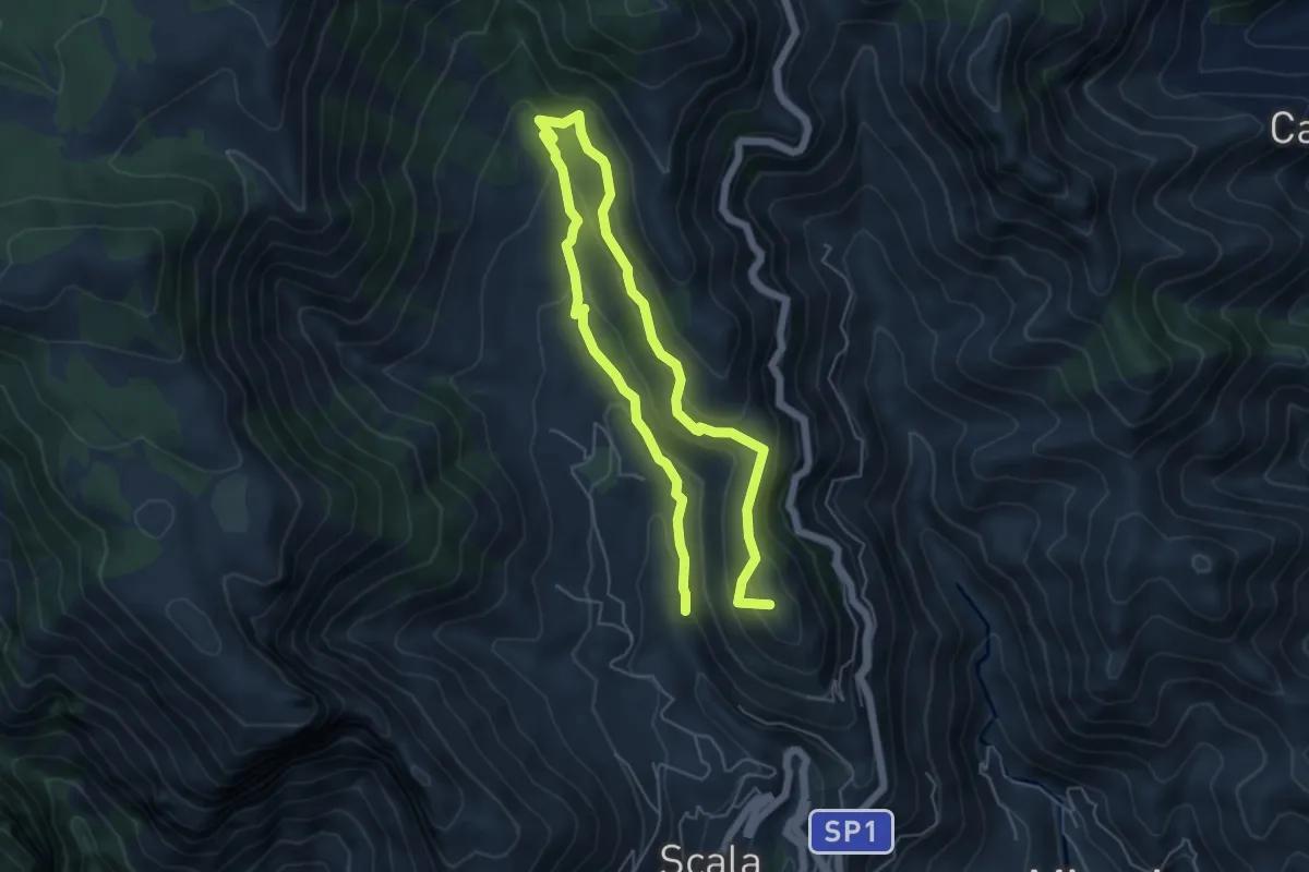
Medium · Summit
Incrocio 353 (Loc. Santa Caterina) – Incrocio 315
4.7 km · ↑ 291 m · 1 h 45 min
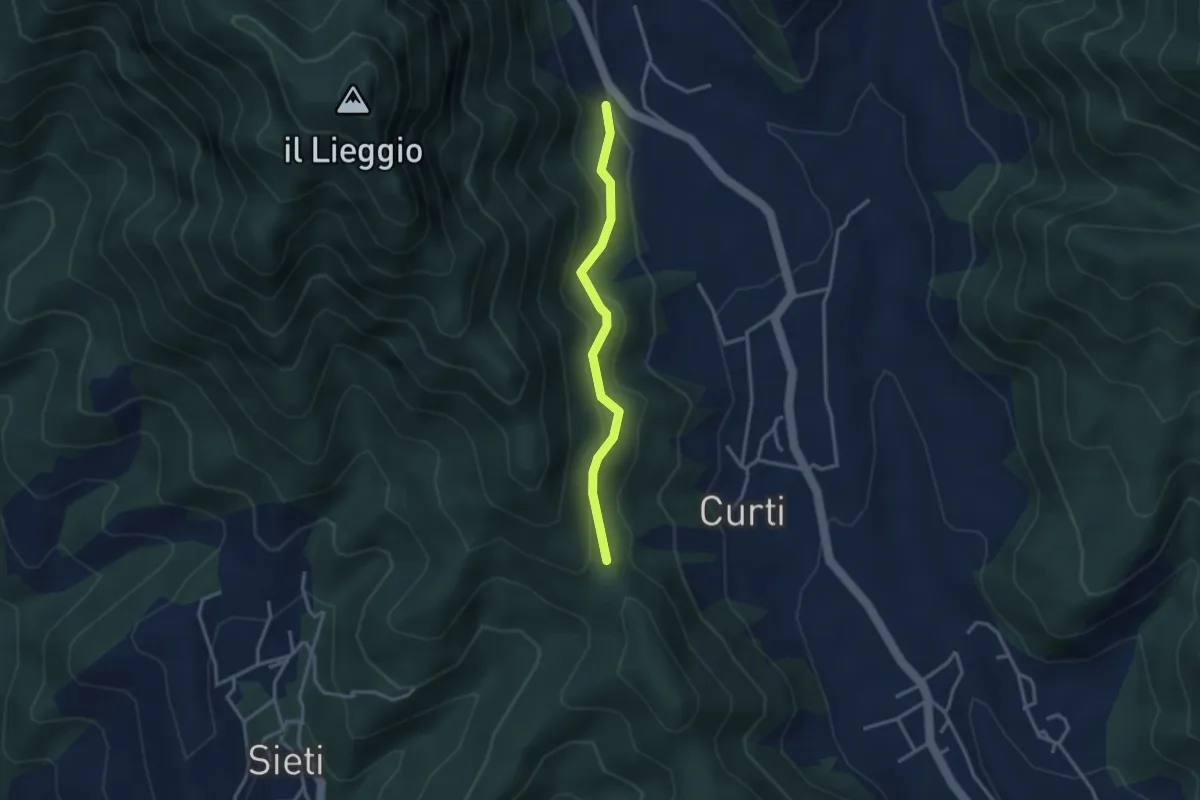
Easy · Trail
Innesto 168B – Varco Santa Caterina (innesto 168)
3.1 km · ↑ 195 m · 1 h 9 min
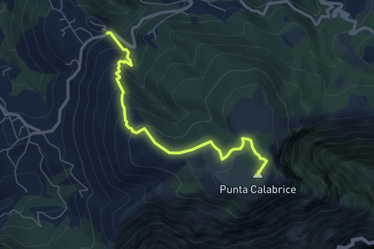
Medium · Summit
Via San Giovanni Bosco Preazzano – Incrocio 300 monte Comune
6.1 km · ↑ 430 m · 2 h 23 min
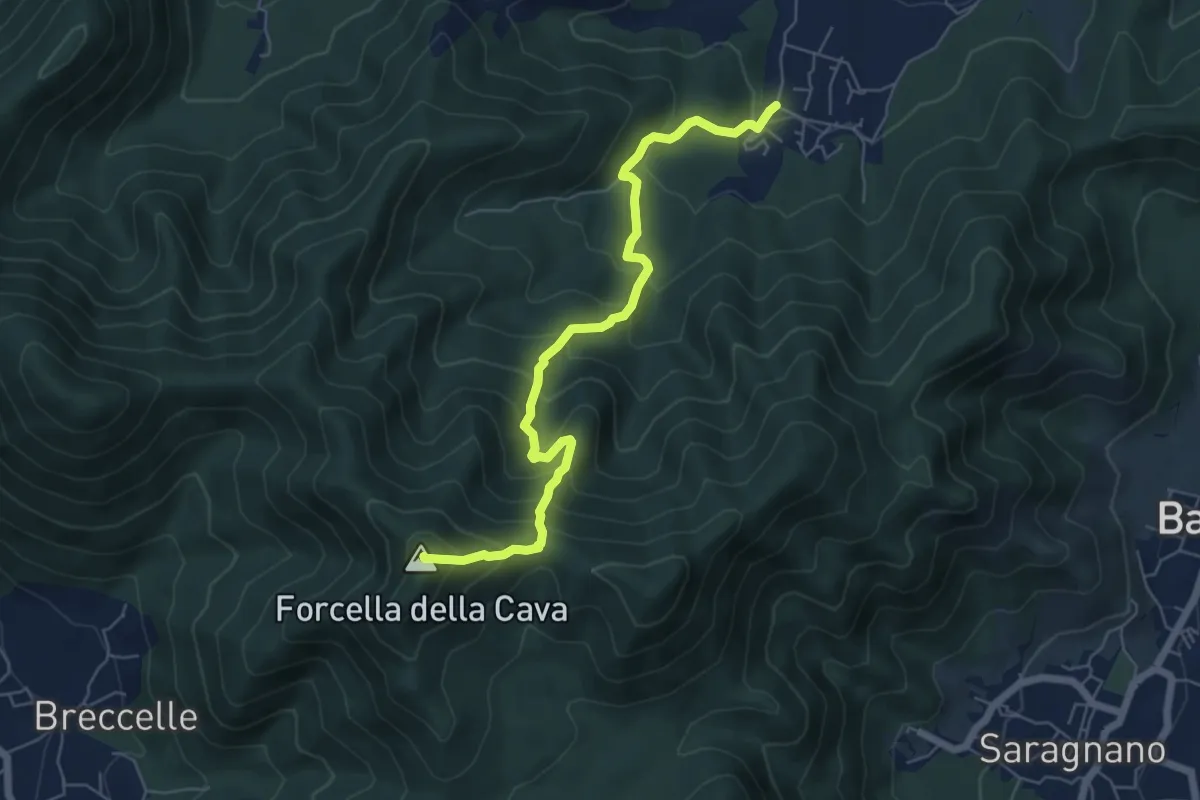
Medium · Summit
Spiano (Mercato S. Severino) – Salerno
6.8 km · ↑ 586 m · 2 h 53 min
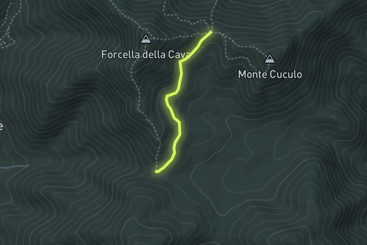
Easy · Trail
Varco Ceraso – Varco Diecimare
2.5 km · ↑ 116 m · 50 min
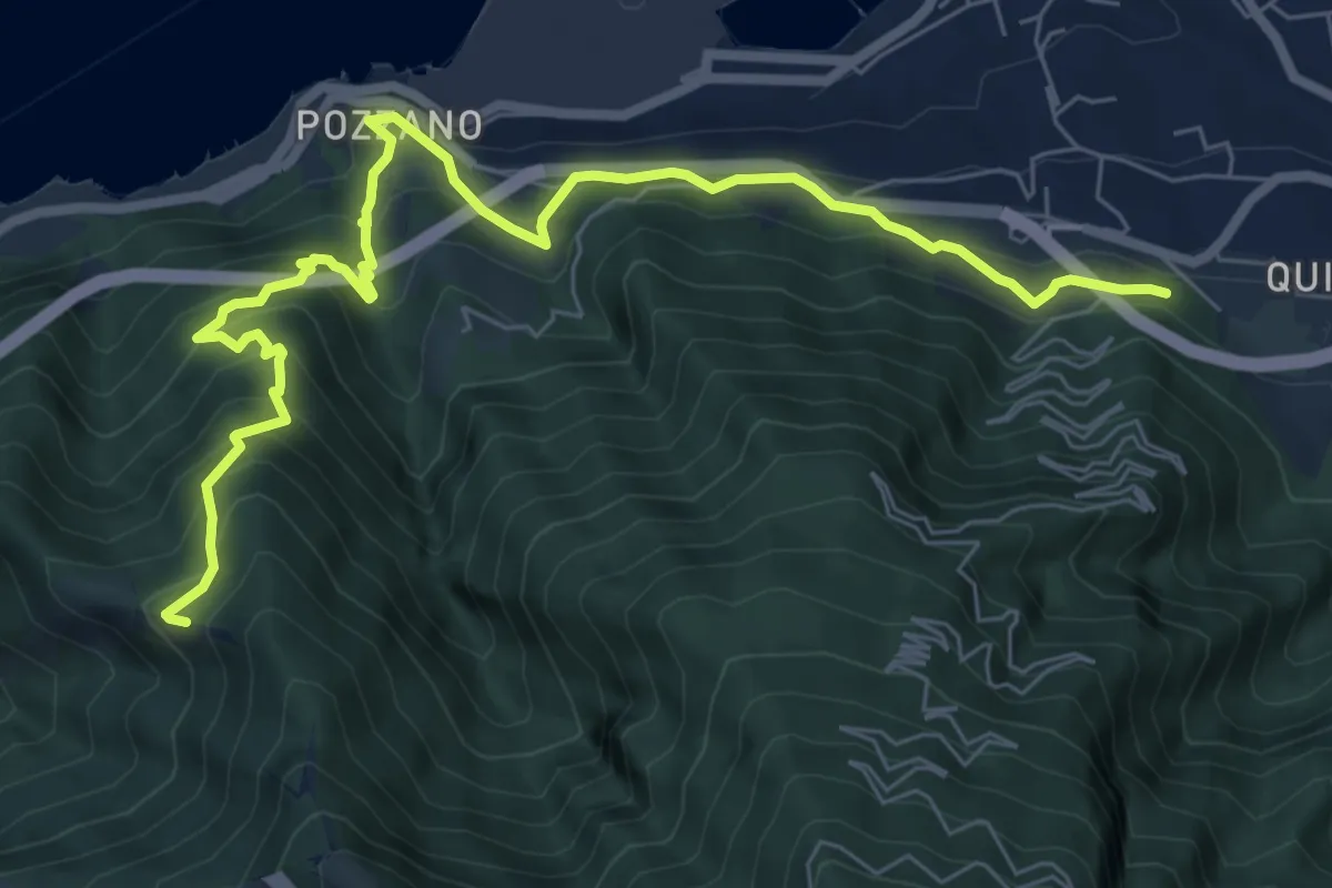
Medium · Trail
Quisisana – Capo d'Acqua (Innesto 336)
9.6 km · ↑ 795 m · 3 h 59 min
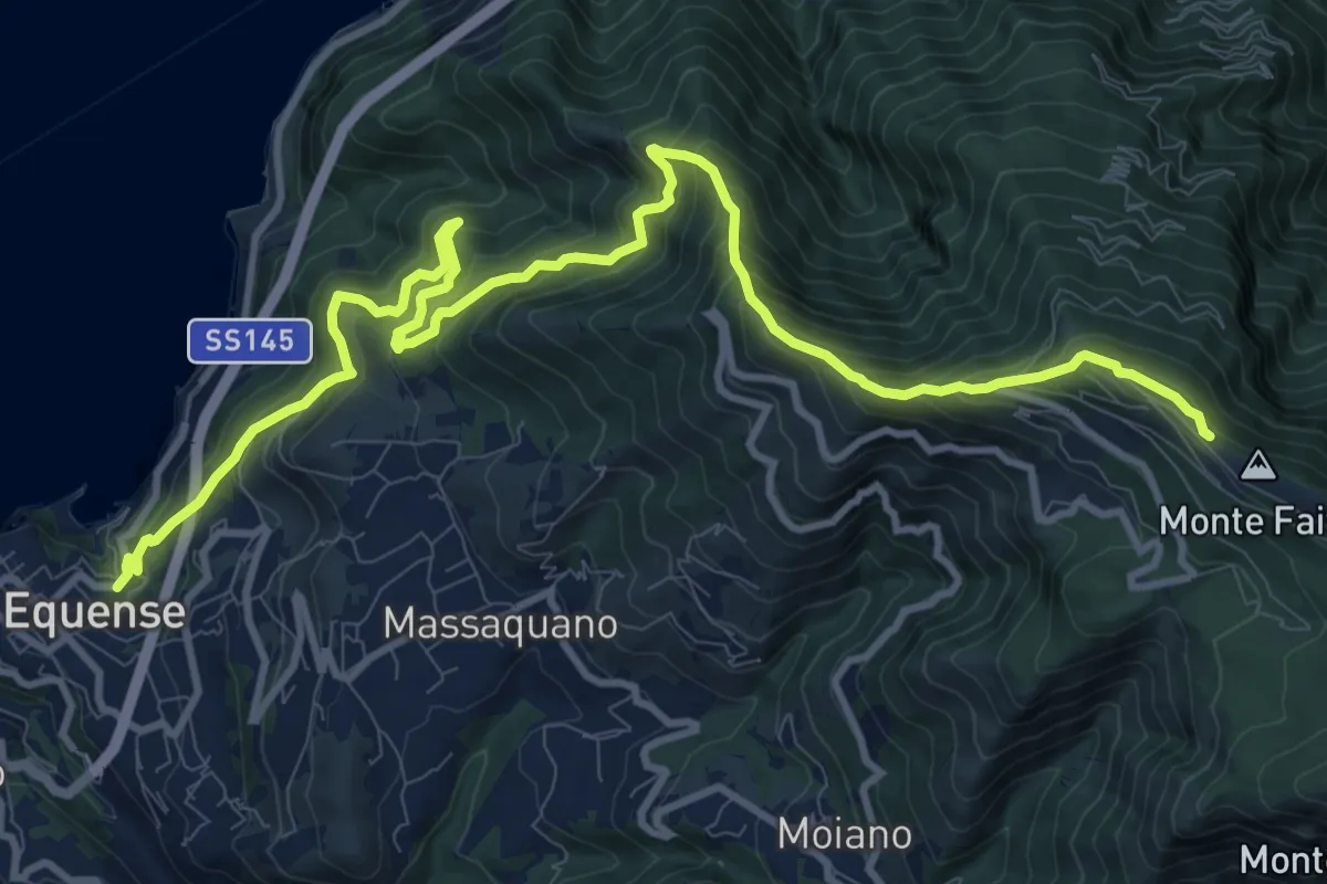
Demanding · Trail
Stazione Vesuviana (Vico Equense) – Cresta del M.Faito (incrocio 350)
15.4 km · ↑ 1424 m · 6 h 43 min
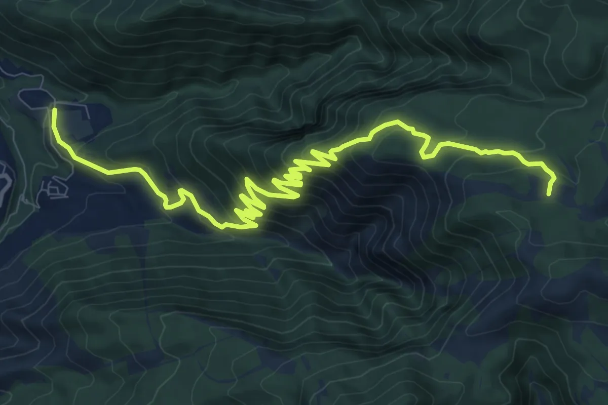
Demanding · Trail
Chiesa Aurano di Gragnano – Incrocio 300 Megano
14.1 km · ↑ 980 m · 5 h 28 min
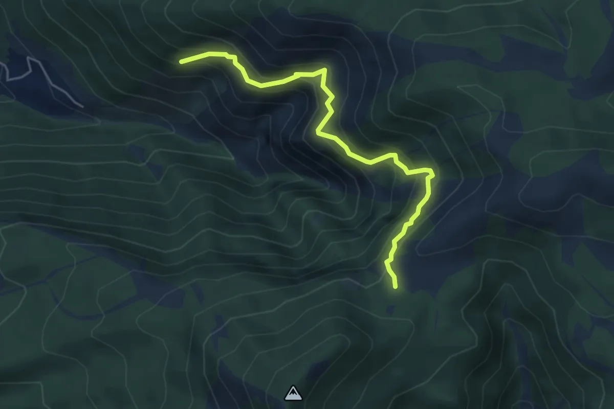
Medium · Trail
Incrocio 326 – Incrocio con 332 nei pressi dell'acqua Vrecciara
5.1 km · ↑ 550 m · 2 h 24 min
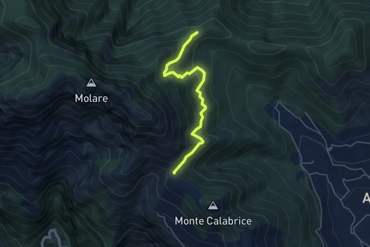
Medium · Summit
Capo Muro – Incrocio 300 Colle Garofalo
4.5 km · ↑ 476 m · 2 h 6 min
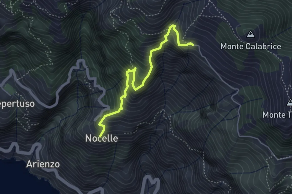
Medium · Trail
Paipo – Nocelle
4.3 km · ↑ 709 m · 2 h 34 min
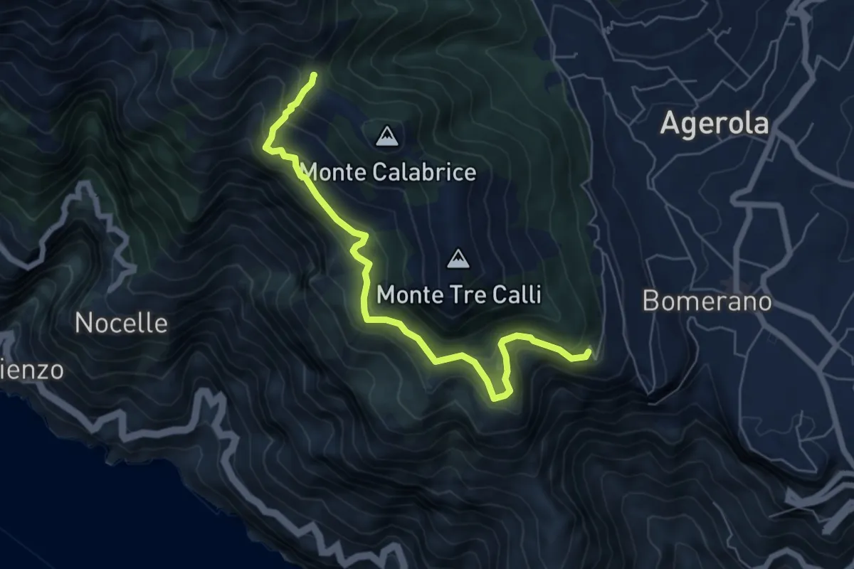
Medium · Summit
Via Paipo (Bomerano) – Capo Muro
6.7 km · ↑ 444 m · 2 h 33 min
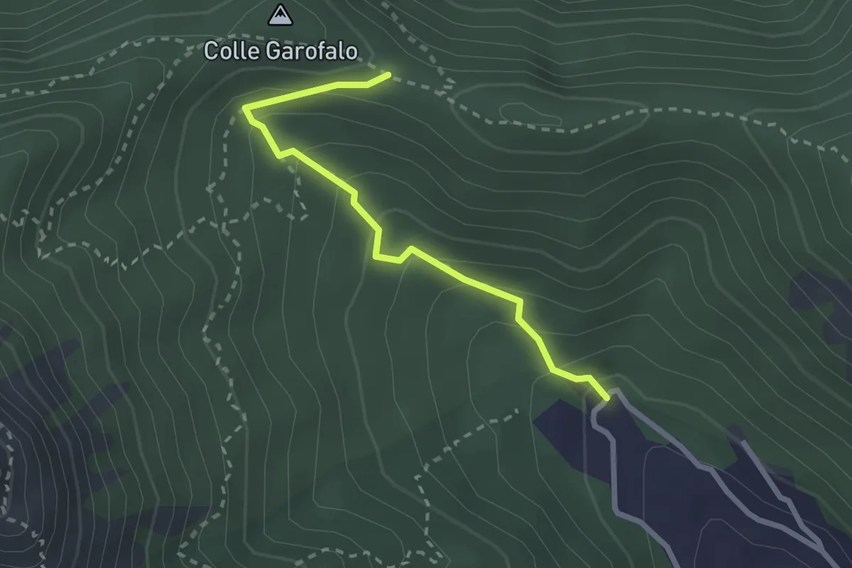
Medium · Trail
Mattatoio di Agerola – Crocella
2.6 km · ↑ 189 m · 1 h 1 min
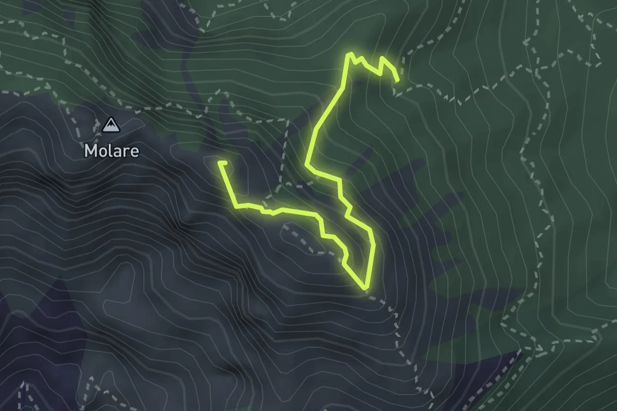
Expert · Summit
Capo Muro – Canino
3.0 km · ↑ 364 m · 1 h 29 min
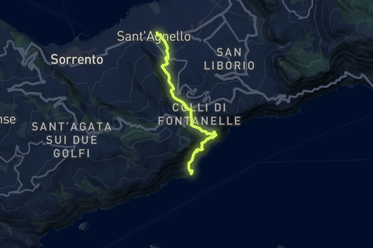
Demanding · Trail
Stazione Circumvesuviana (S.Agnello) – Punta S.Elia
10.7 km · ↑ 1084 m · 4 h 53 min
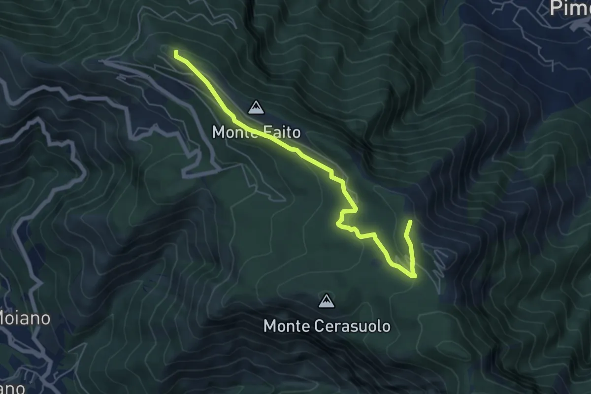
Easy · Trail
Piazzale della funivia – Cercasole
6.0 km · ↑ 251 m · 1 h 58 min
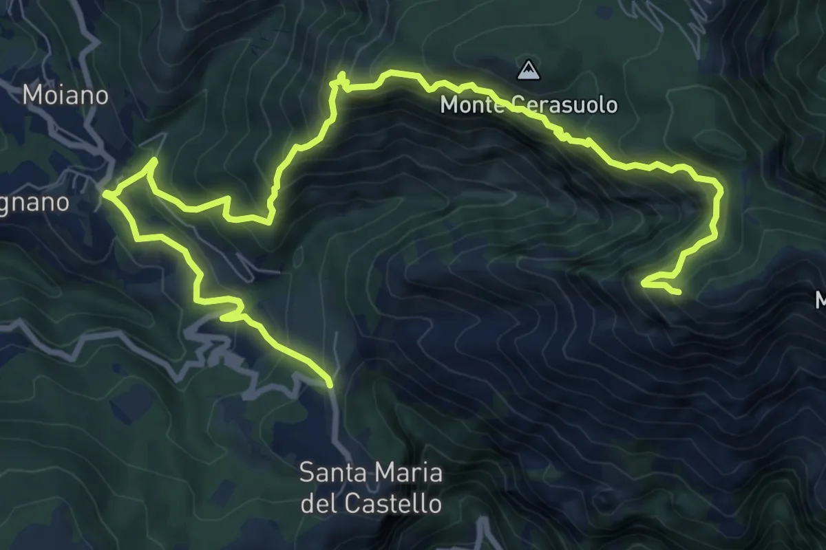
Expert · Trail
via Gradoni, S.M. del Castello – incrocio 300
13.3 km · ↑ 1294 m · 5 h 56 min
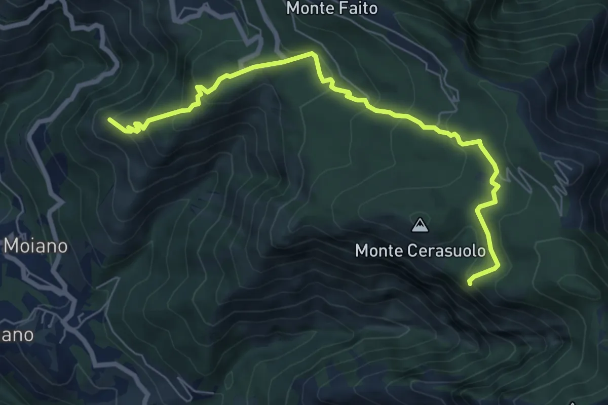
Expert · Summit
Moiano – incrocio 338
7.4 km · ↑ 486 m · 2 h 48 min
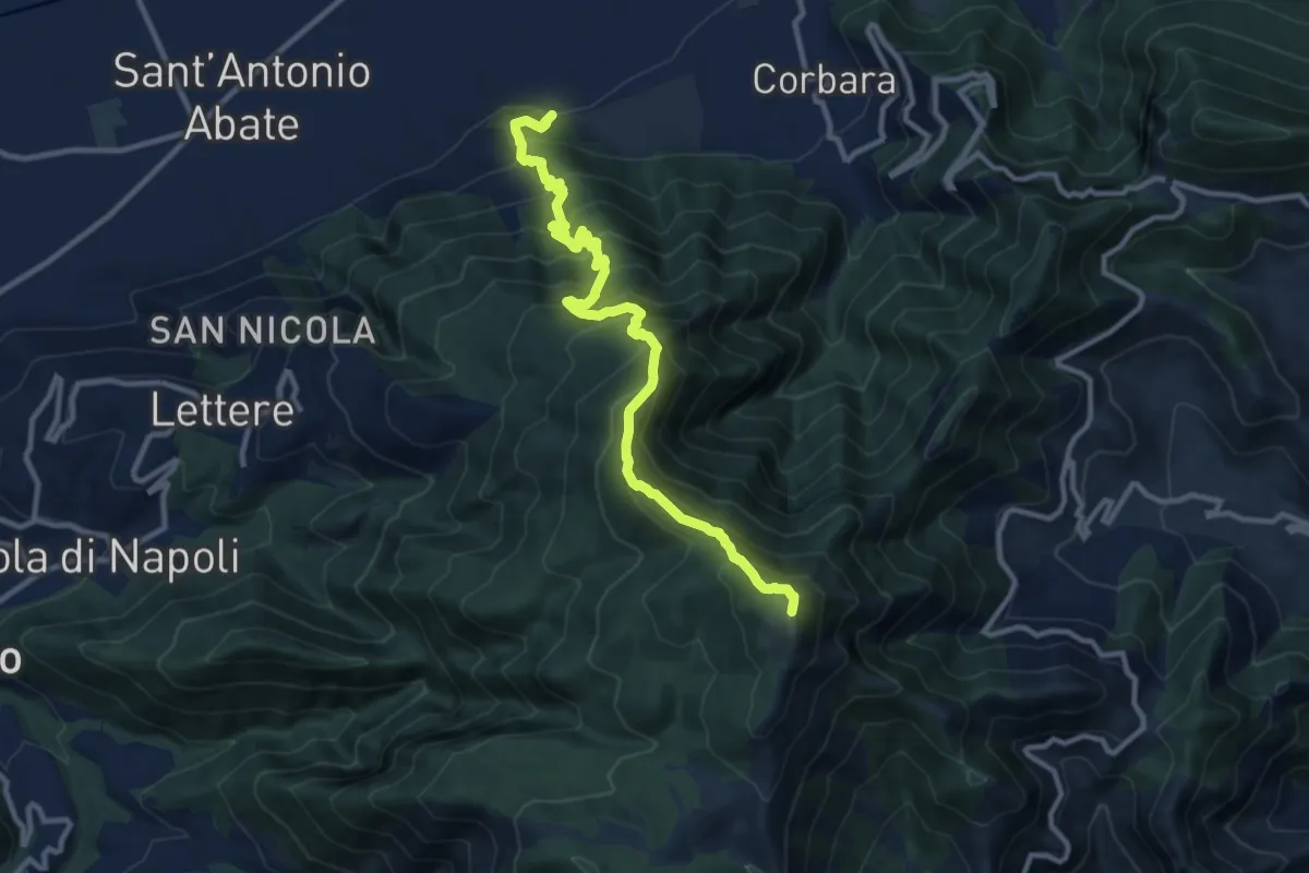
Demanding · Summit
Cimitero Vecchio di Angri – M.Cerreto
12.7 km · ↑ 1374 m · 5 h 59 min
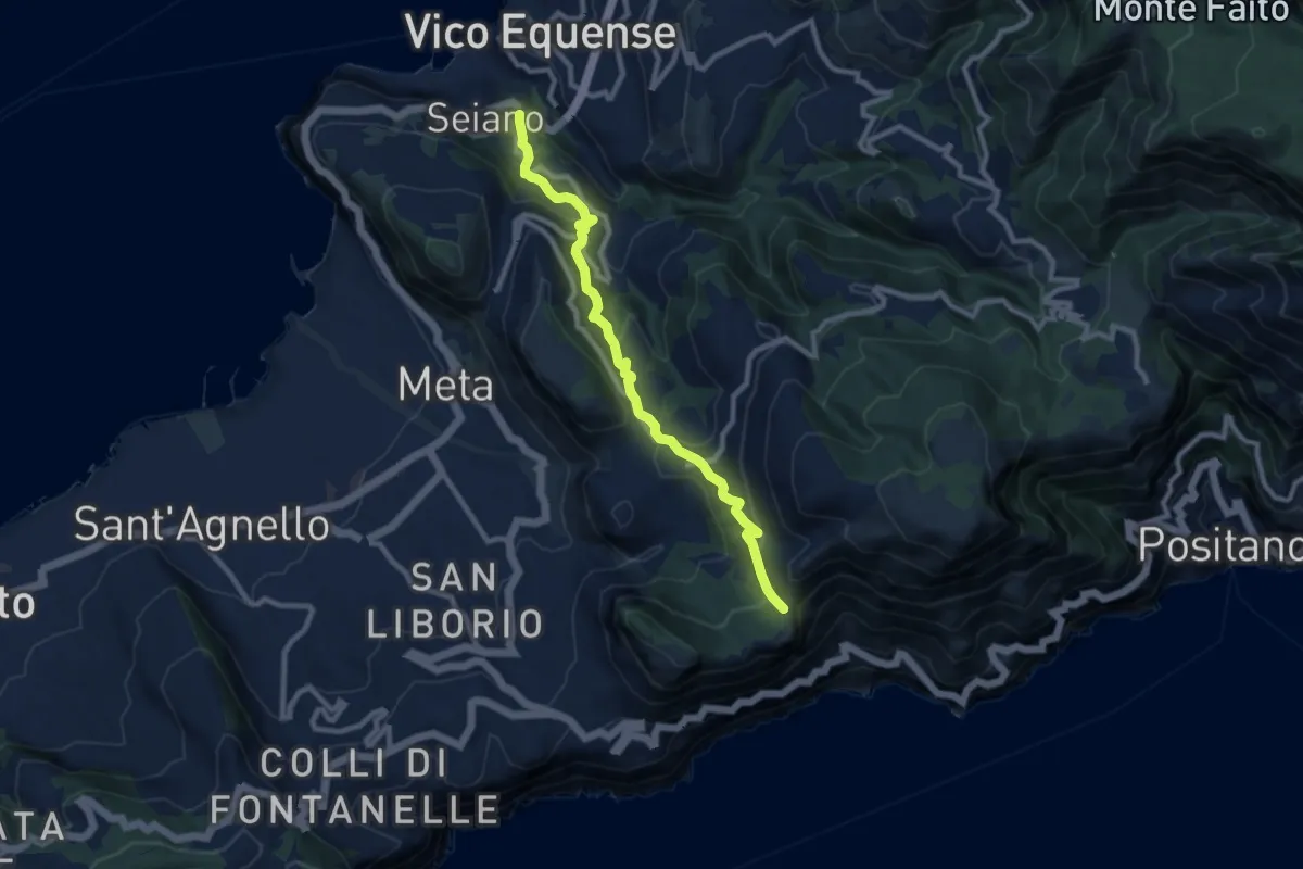
Medium · Trail
Seiano di Vico Equense – Incrocio 300
10.0 km · ↑ 564 m · 3 h 35 min
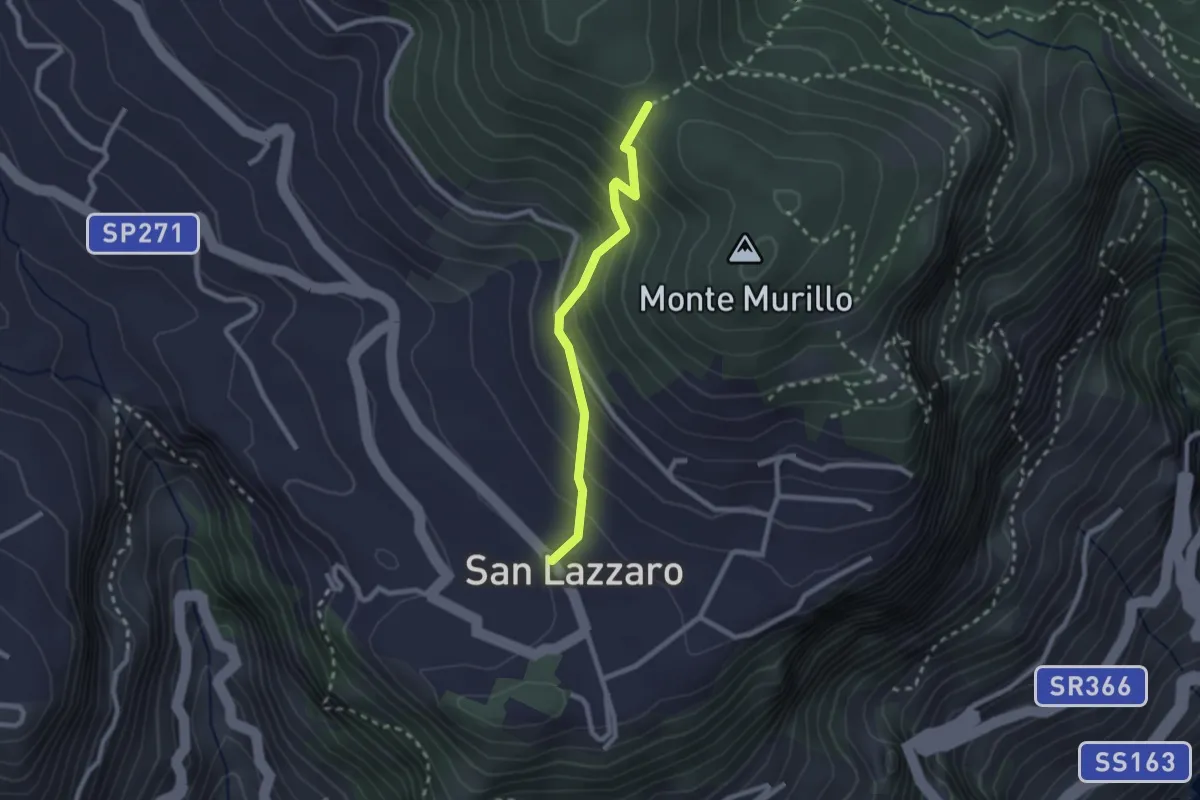
Medium · Trail
S.Lazzaro Piazza Avitabile – Incrocio 301 Monte
2.4 km · ↑ 226 m · 1 h 3 min
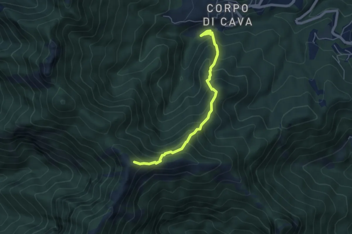
Medium · Trail
Pertone – Aria del Grano
4.9 km · ↑ 531 m · 2 h 18 min
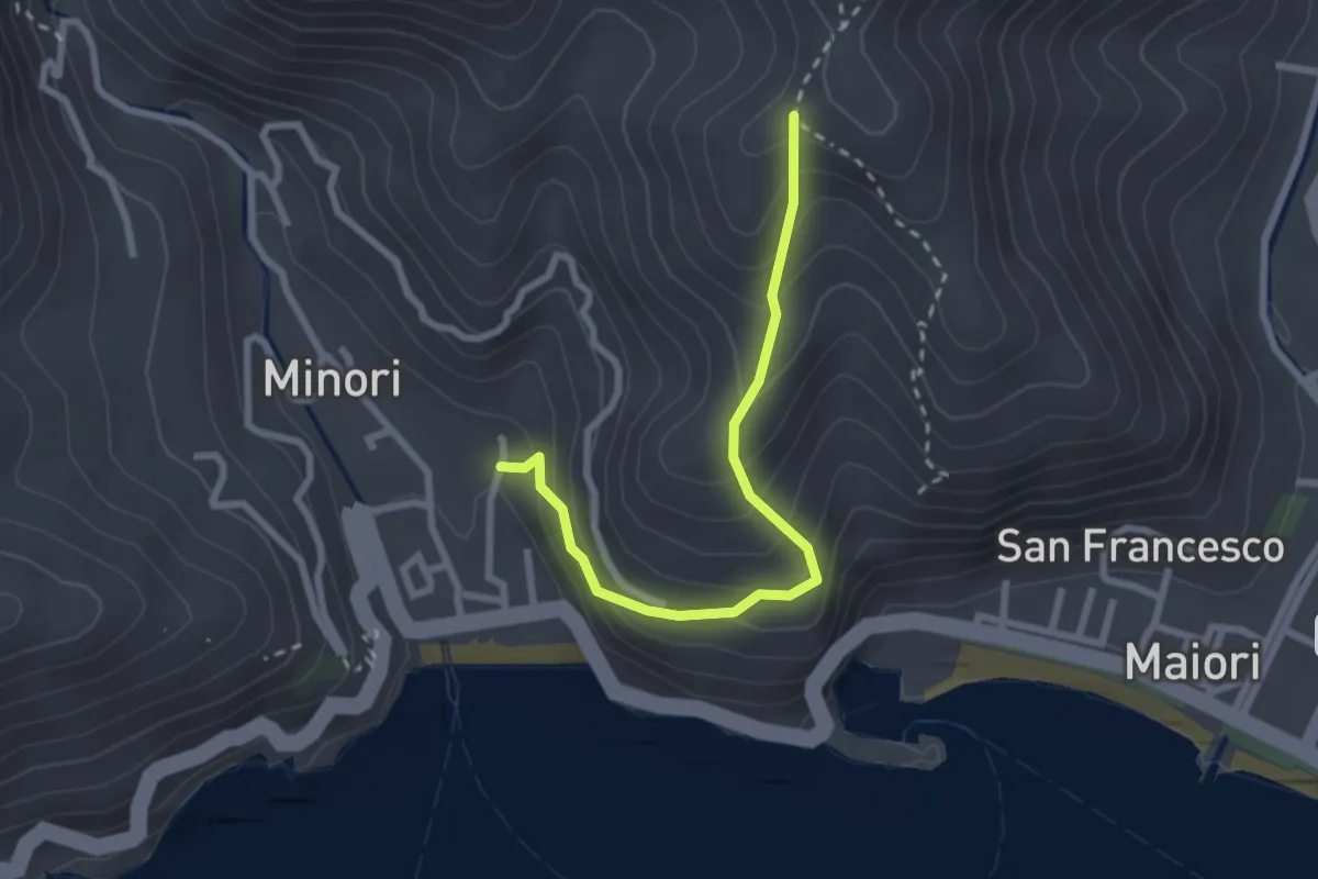
Medium · Trail
Minori – Incrocio 315a
2.8 km · ↑ 266 m · 1 h 14 min
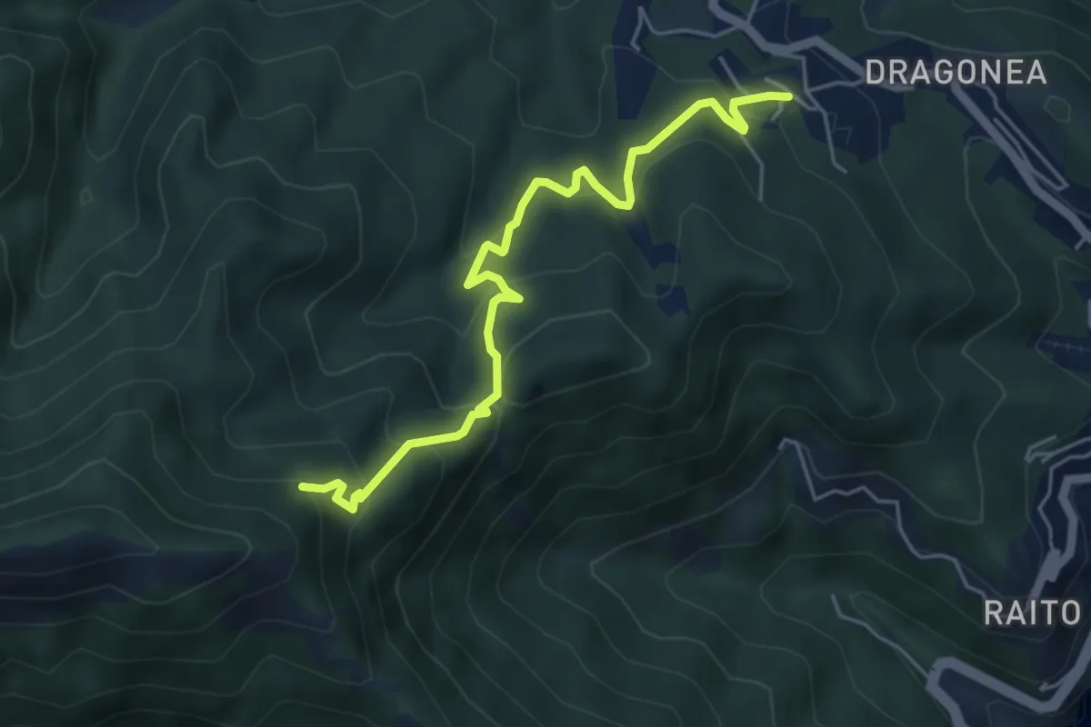
Medium · Trail
Iaconti (Dragonea) – Capodacqua
5.5 km · ↑ 404 m · 2 h 10 min
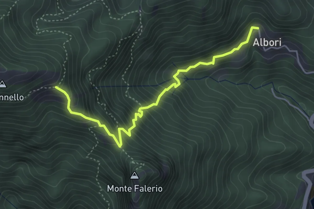
Medium · Trail
Albori – Monte Falerio / Cappella Vecchia
4.7 km · ↑ 479 m · 2 h 9 min
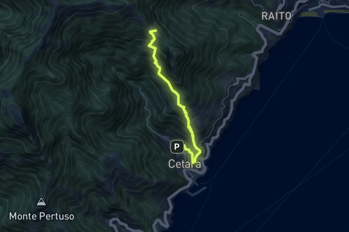
Medium · Trail
Cetara – Sella del Monte Falerio
5.8 km · ↑ 676 m · 2 h 50 min
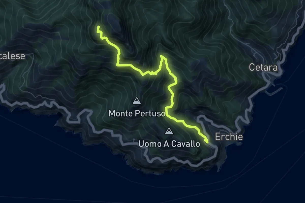
Demanding · Trail
Erchie – Santuario dell'Avvocata
8.1 km · ↑ 972 m · 4 h