Trails in Italy
25,219 hiking trails, each with its route, climb, walking time and grade.
All trails, page 250 of 526
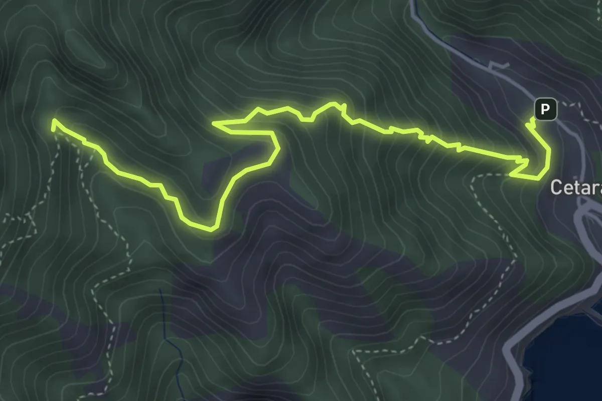
Medium · Trail
Cetara – Incrocio 305
5.7 km · ↑ 573 m · 2 h 36 min
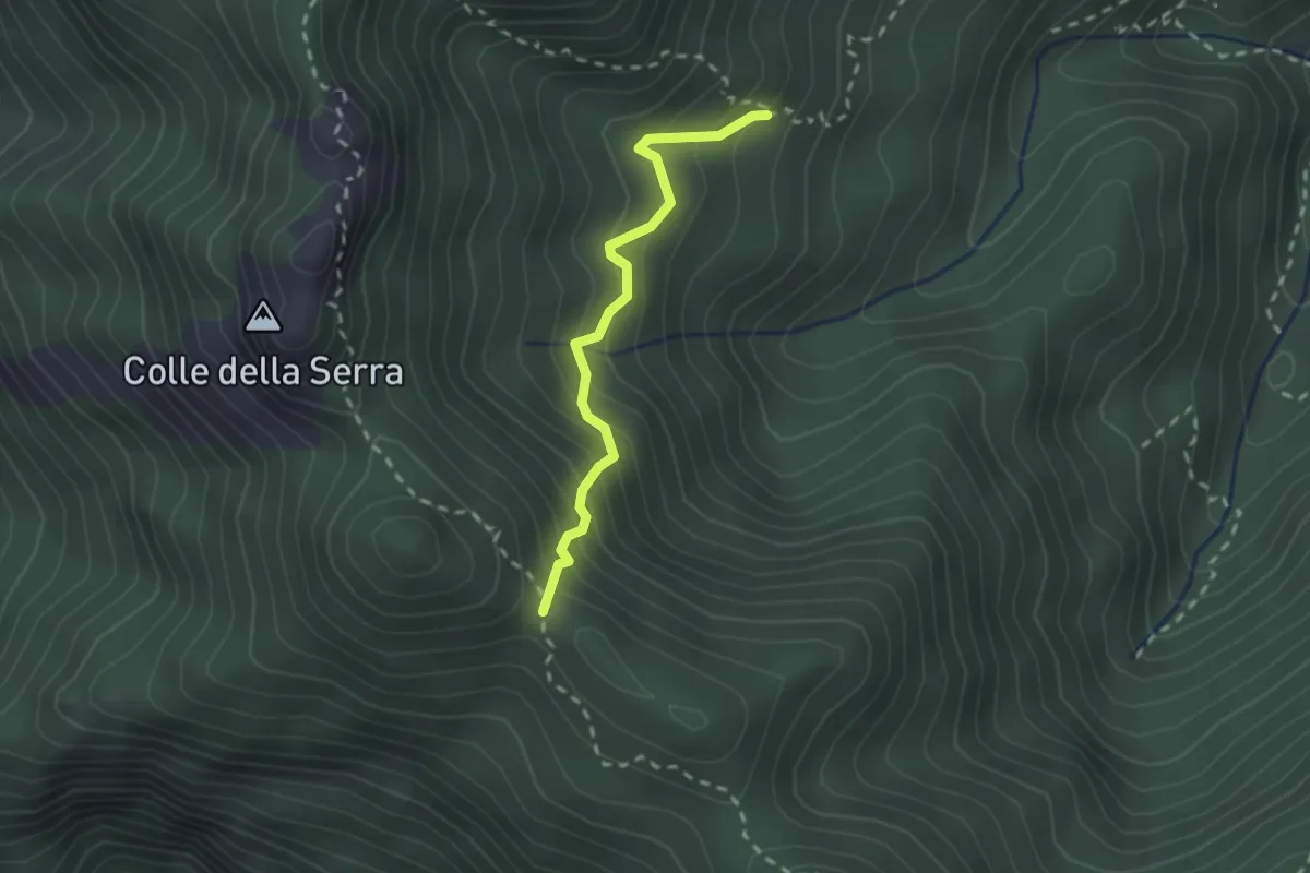
Medium · Trail
Innesto 306 – Foce di Pucara
2.2 km · ↑ 281 m · 1 h 8 min
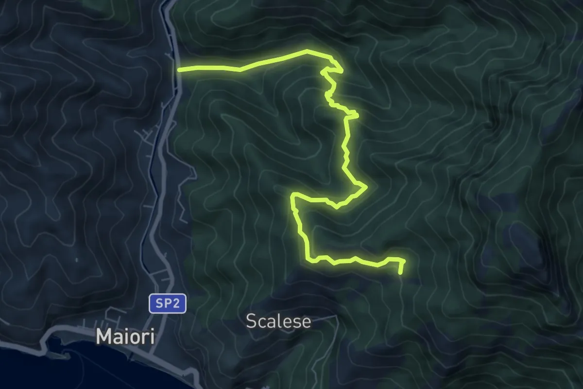
Medium · Trail
Vecite (Maiori) – Incrocio 307
8.7 km · ↑ 652 m · 3 h 28 min
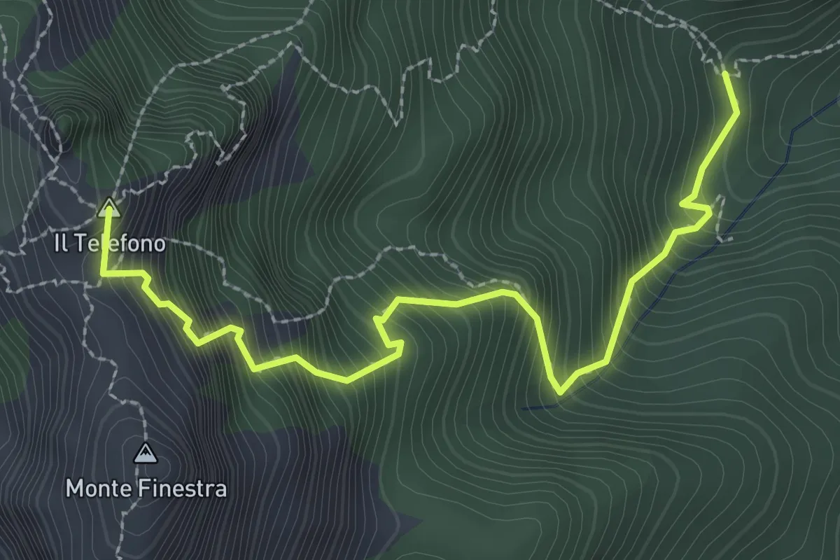
Demanding · Summit
Incrocio 308 – Incrocio 300 (Forcella di Monte Finestra)
3.2 km · ↑ 607 m · 2 h 5 min
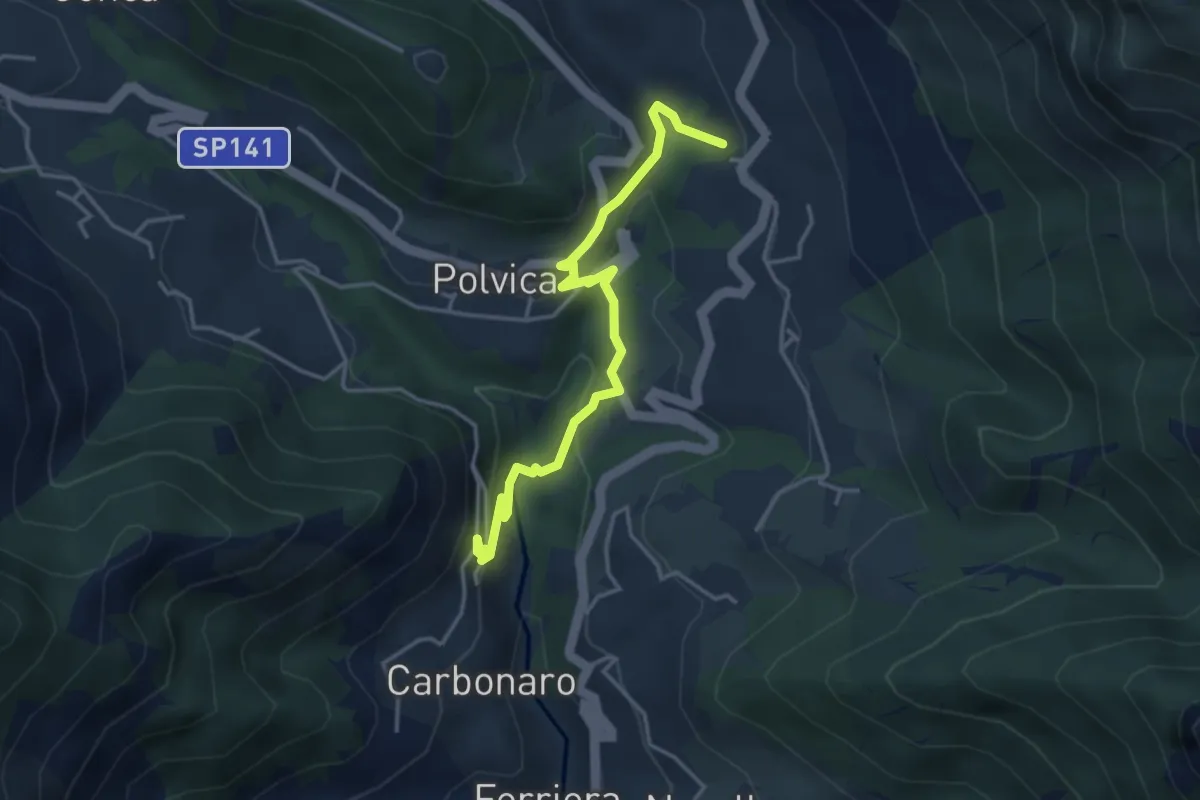
Medium · Trail
Incrocio 310 – Incrocio 310 (Paterno Sant'Arcangelo)
4.4 km · ↑ 211 m · 1 h 30 min
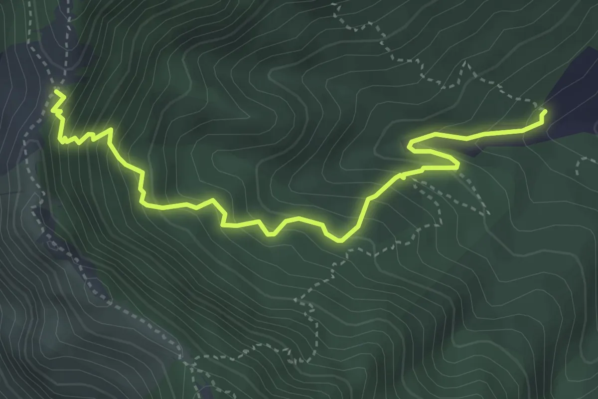
Medium · Trail
Incrocio 312 – Tuoro Sant'Angelo
4.9 km · ↑ 555 m · 2 h 22 min
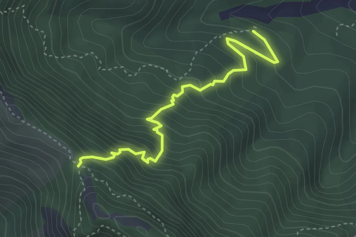
Medium · Trail
Incrocio 312a – Pietrapiana
3.9 km · ↑ 455 m · 1 h 54 min
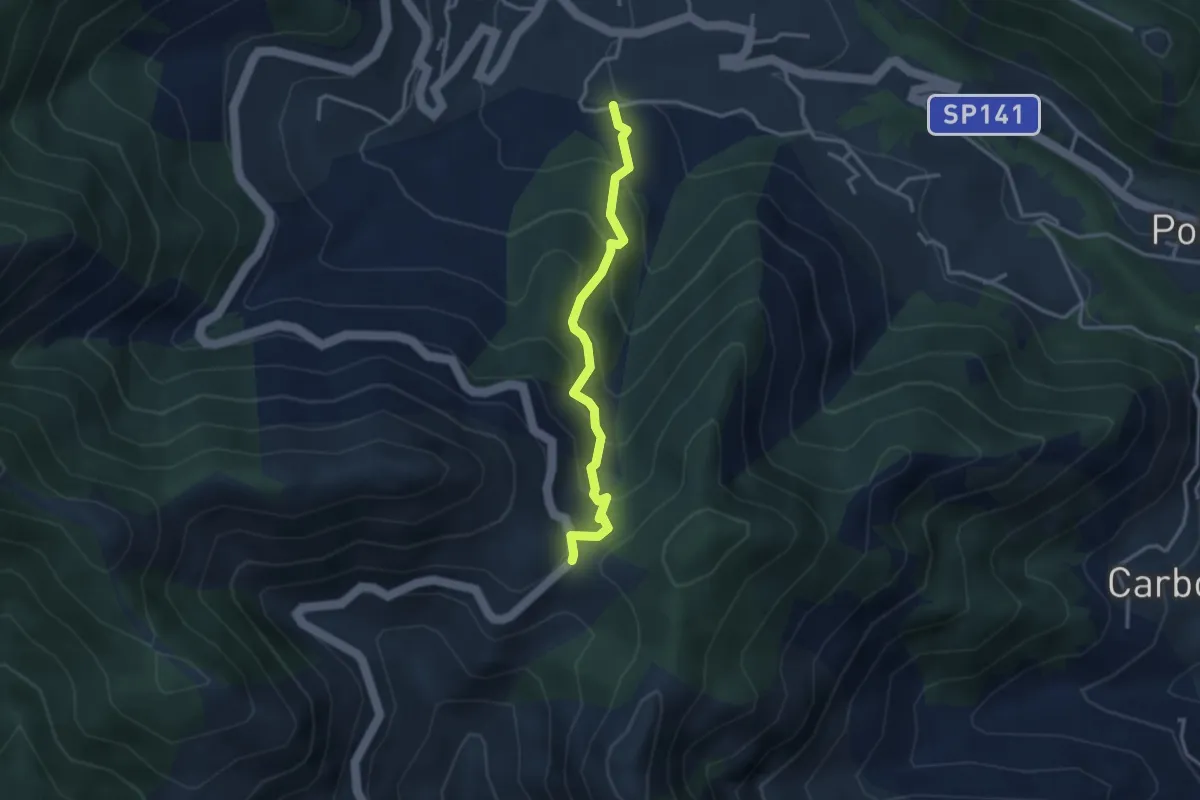
Medium · Trail
Loc. Frescale (Tramonti) – Loc. Passo
3.3 km · ↑ 329 m · 1 h 30 min
Medium · Trail
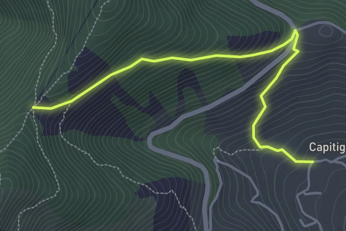
Capitignano (Tramonti) – Tuoro di Cesarano
3.8 km · ↑ 360 m · 1 h 40 min
Demanding · Summit
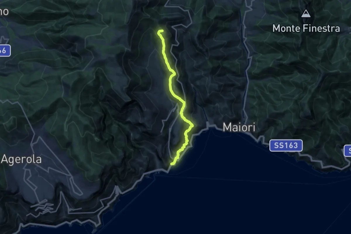
Atrani – Loc. Cerreto
13.7 km · ↑ 1139 m · 5 h 42 min
Demanding · Trail
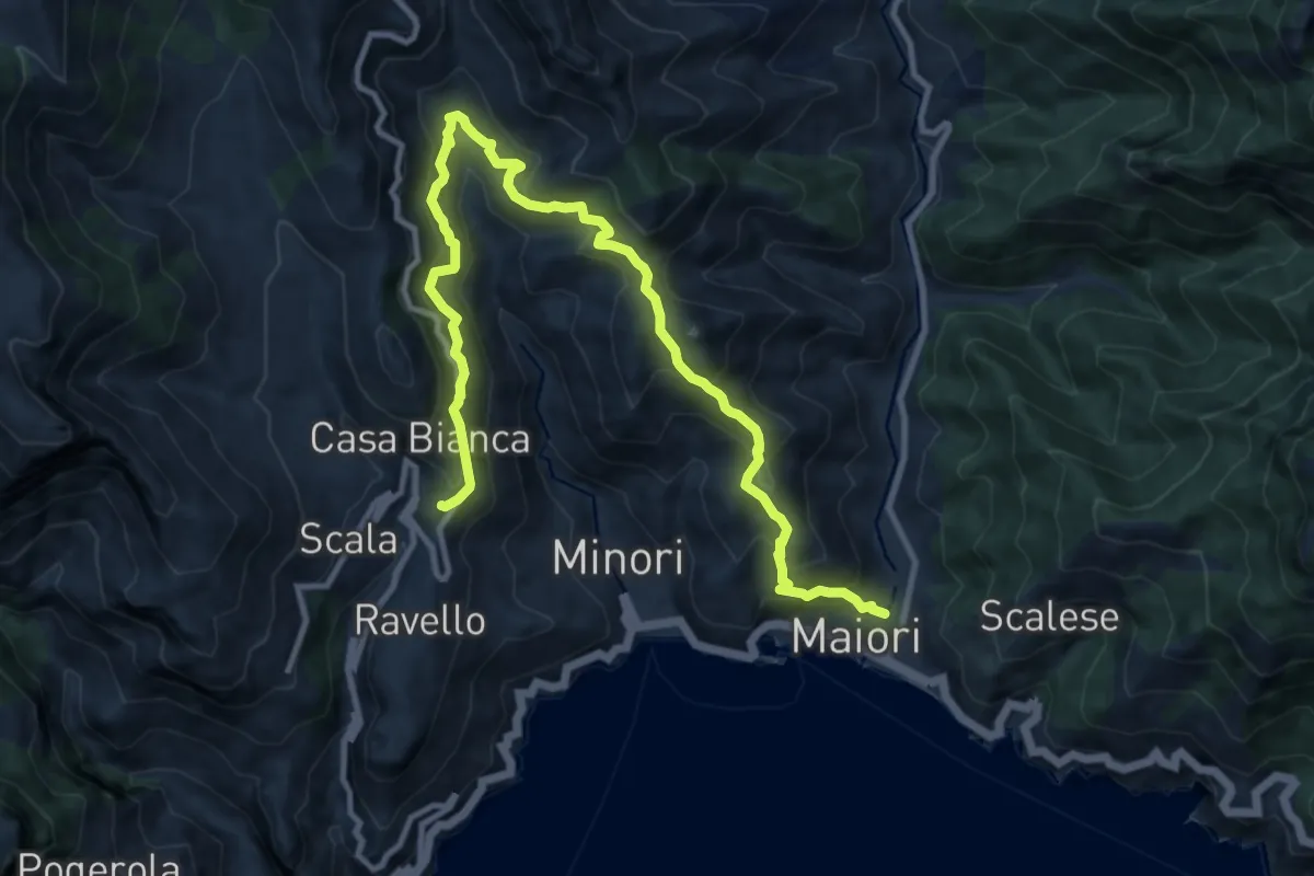
Maiori – Ravello
14.2 km · ↑ 1089 m · 5 h 43 min
Medium · Summit
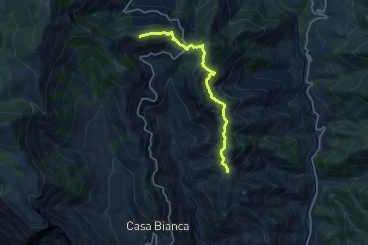
Innesto 315a (Loc. Mandrino) – Incrocio 300
8.2 km · ↑ 733 m · 3 h 32 min
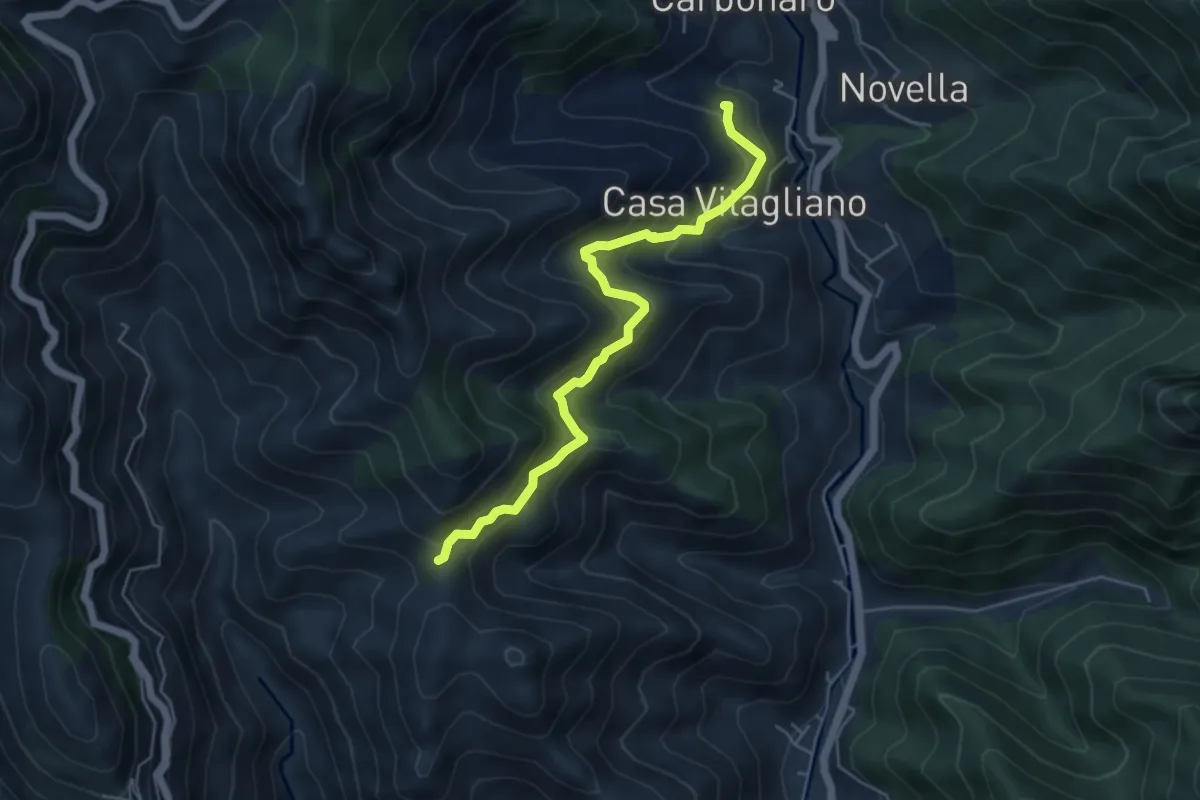
Medium · Trail
Paterno Sant'Elia (Tramonti) – Località Mandrino
5.6 km · ↑ 513 m · 2 h 26 min
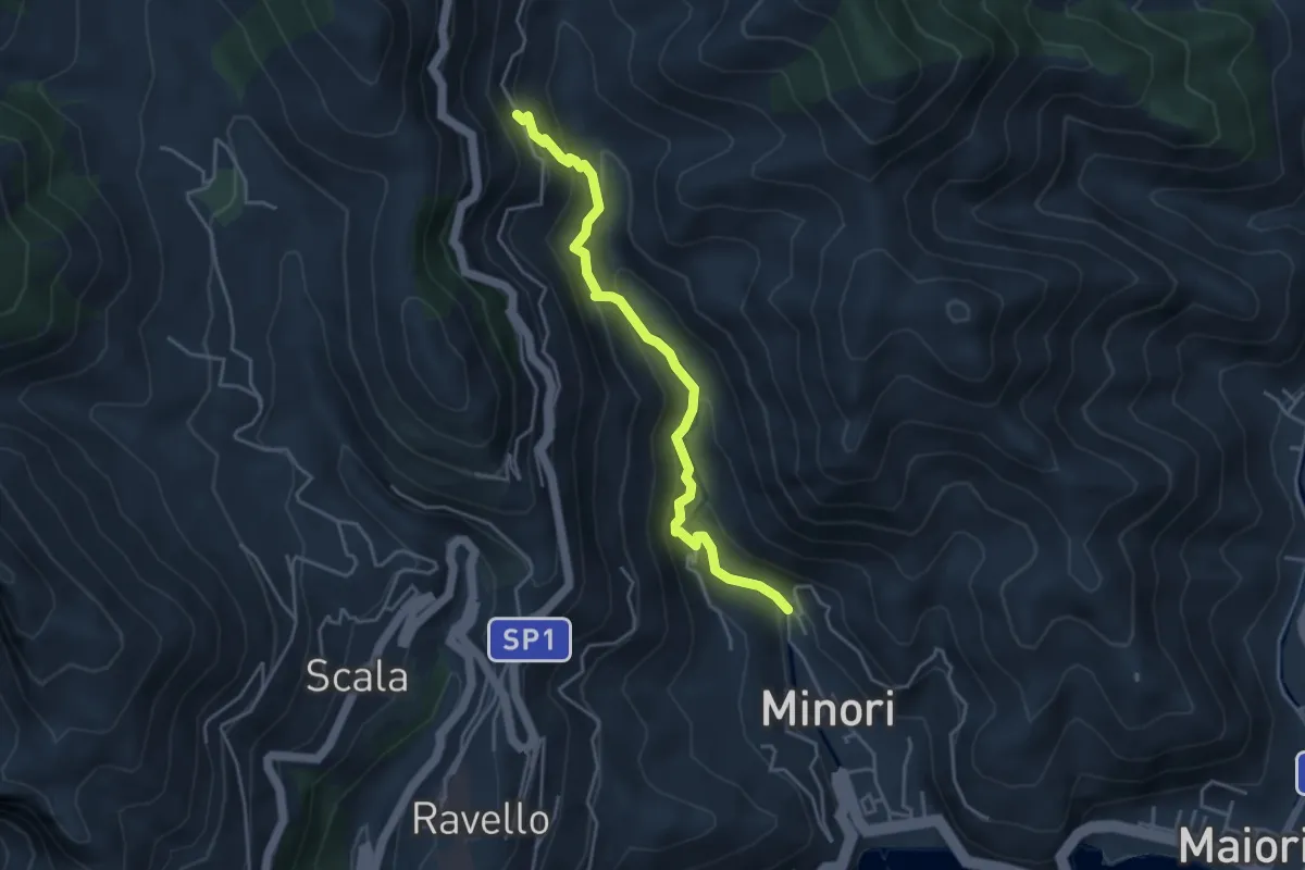
Medium · Trail
Loc. Villamena (Minori) – Loc. Sambuco
4.5 km · ↑ 332 m · 1 h 47 min
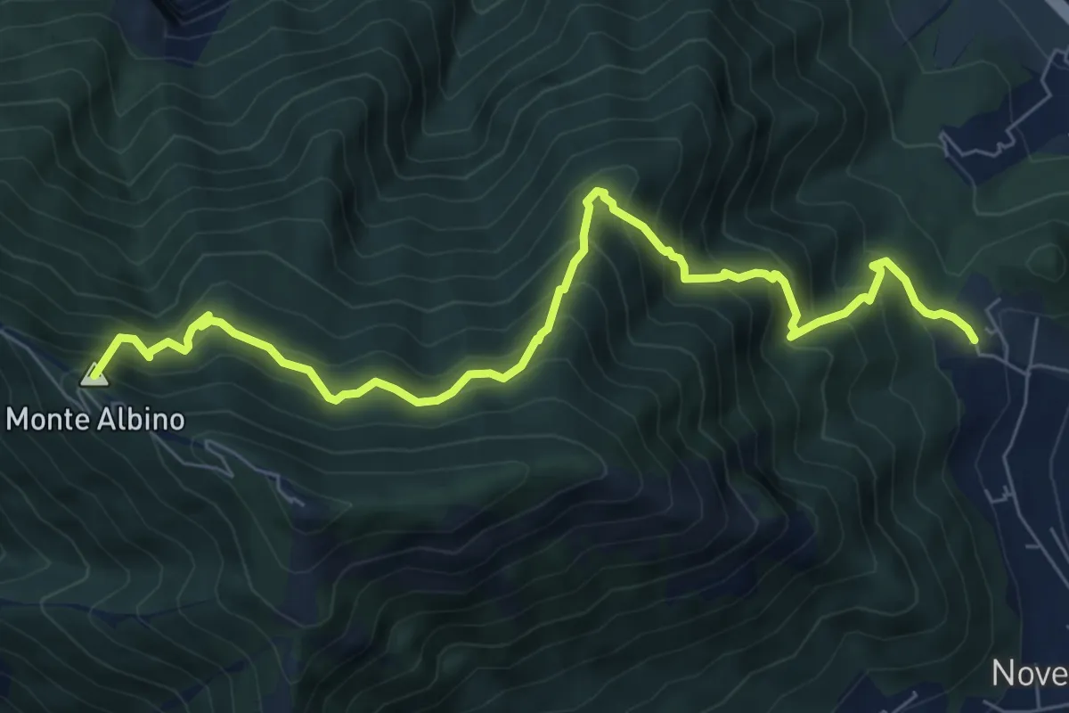
Demanding · Summit
San Martino (Cava de' Tirreni) – Loc. Le Chiancolelle
8.8 km · ↑ 1007 m · 4 h 15 min
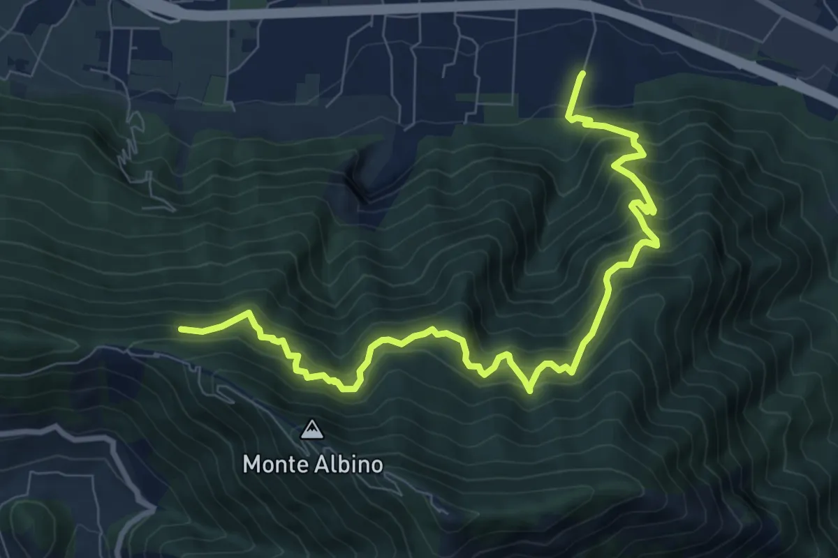
Demanding · Trail
Loc. Petraro Pucciano (Nocera Inf.) – Incrocio 316
10.7 km · ↑ 1362 m · 5 h 29 min
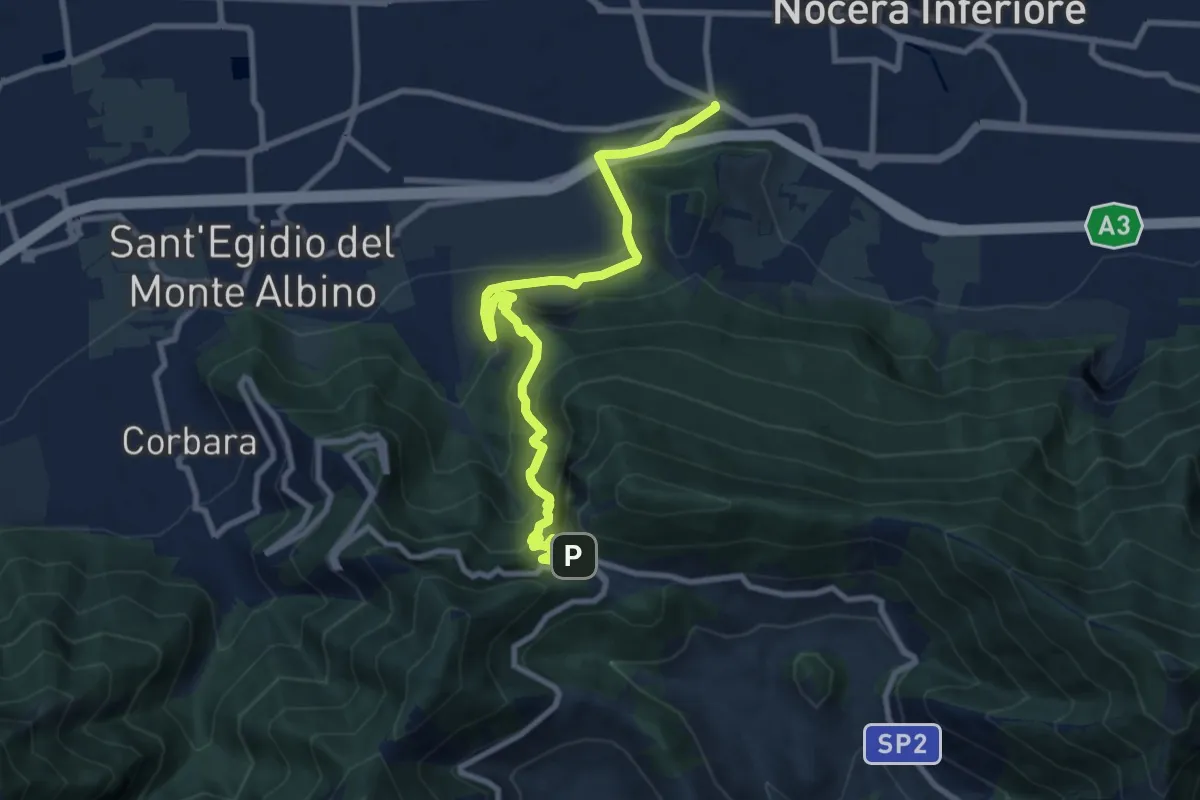
Demanding · Trail
Santa Chiara (Nocera Inferiore) – Valico di Chiunzi
10.9 km · ↑ 833 m · 4 h 23 min
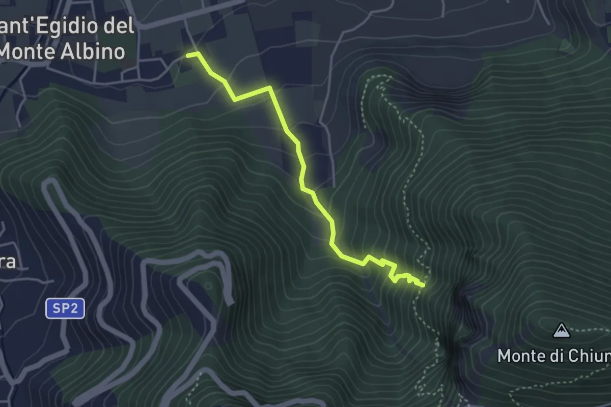
Medium · Trail
Sant'Egidio del Monte Albino – Incrocio 320
3.8 km · ↑ 305 m · 1 h 34 min
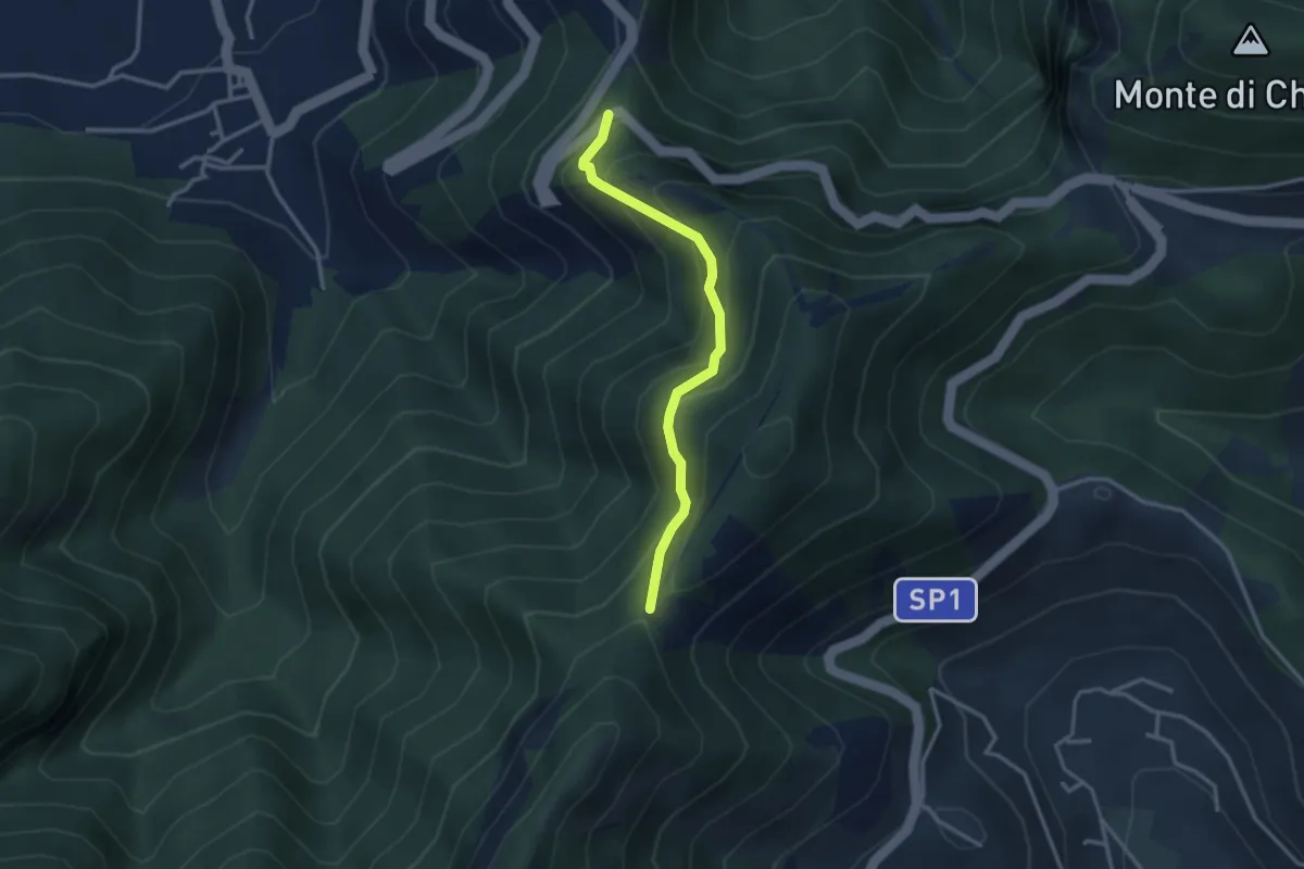
Medium · Trail
Corbara – Tuoro di Cesarano
3.1 km · ↑ 293 m · 1 h 22 min
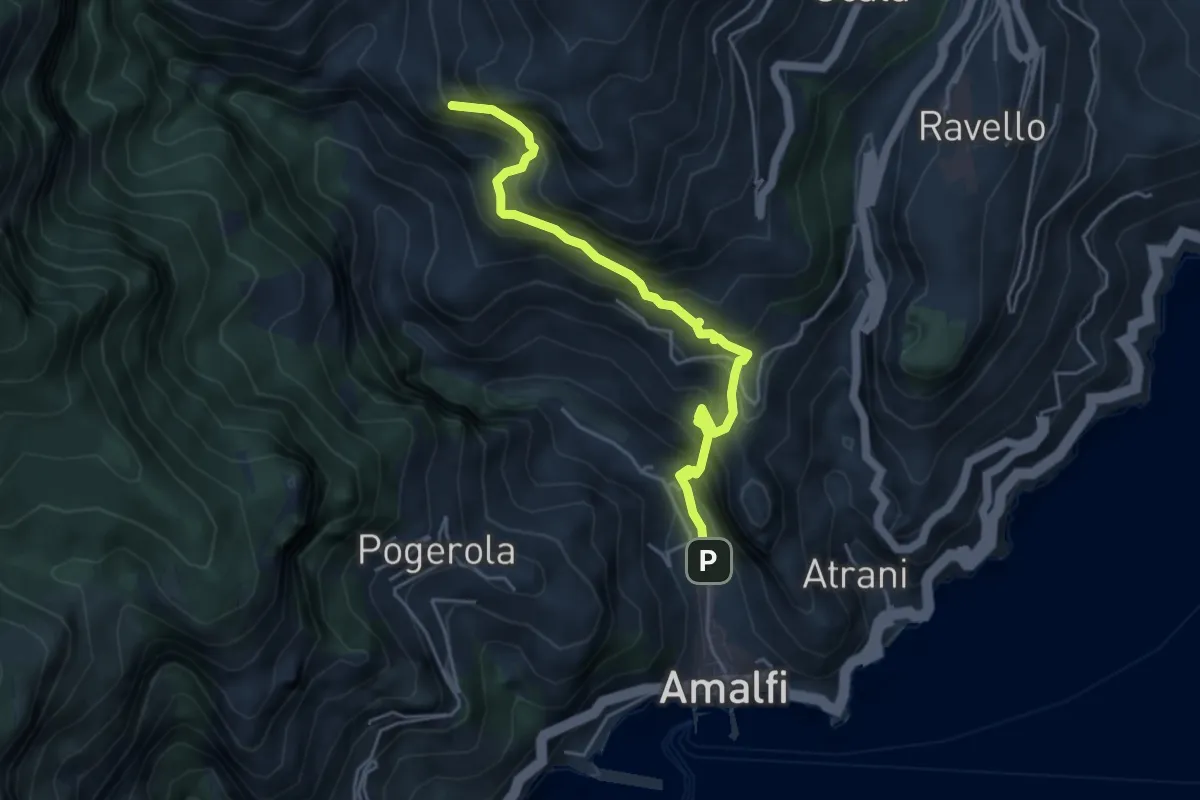
Medium · Trail
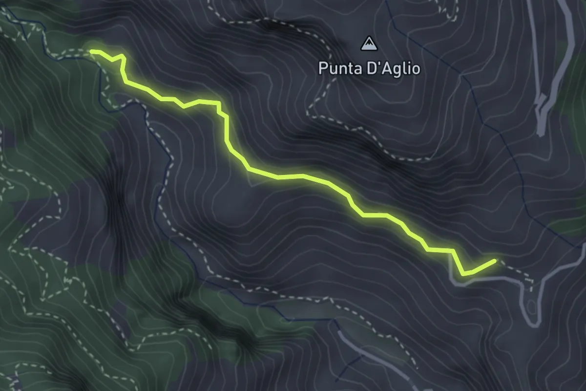
Amalfi – Punta D'Aglio
5.2 km · ↑ 623 m · 2 h 35 min
Medium · Trail
Pontone (Scala) – Incrocio 325 (Rudere dela Ferriera)
3.3 km · ↑ 273 m · 1 h 22 min
Demanding · Trail
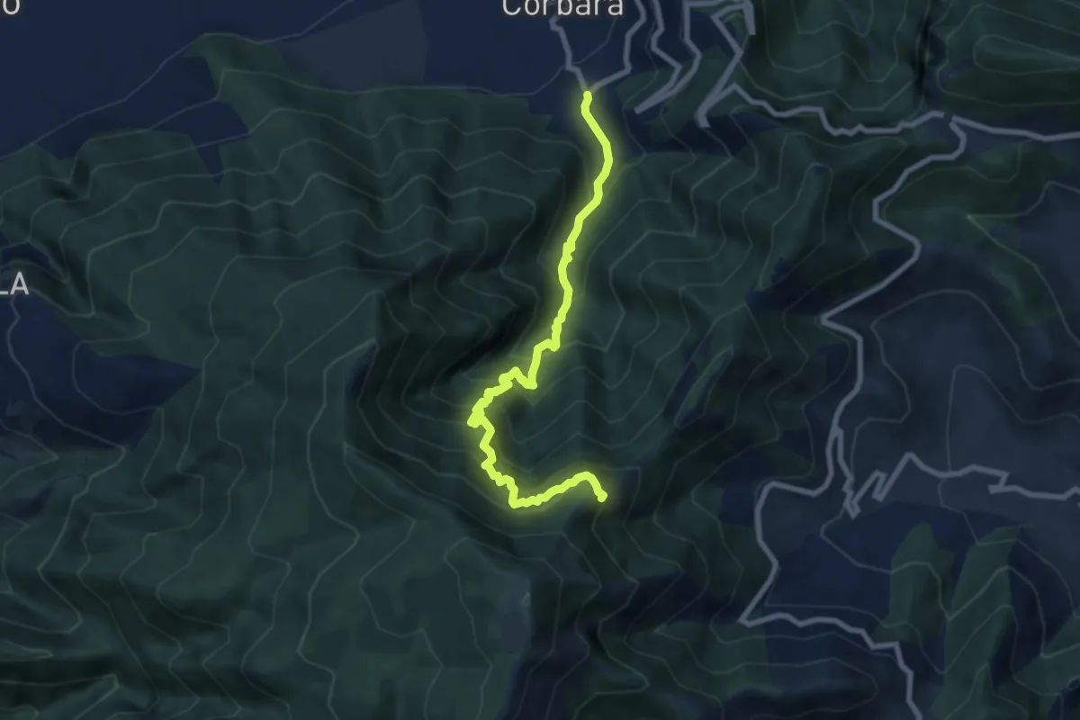
Località Sala (Corbara) – Incrocio 300 (Vena Scalandrone)
8.8 km · ↑ 1089 m · 4 h 26 min
Medium · Summit
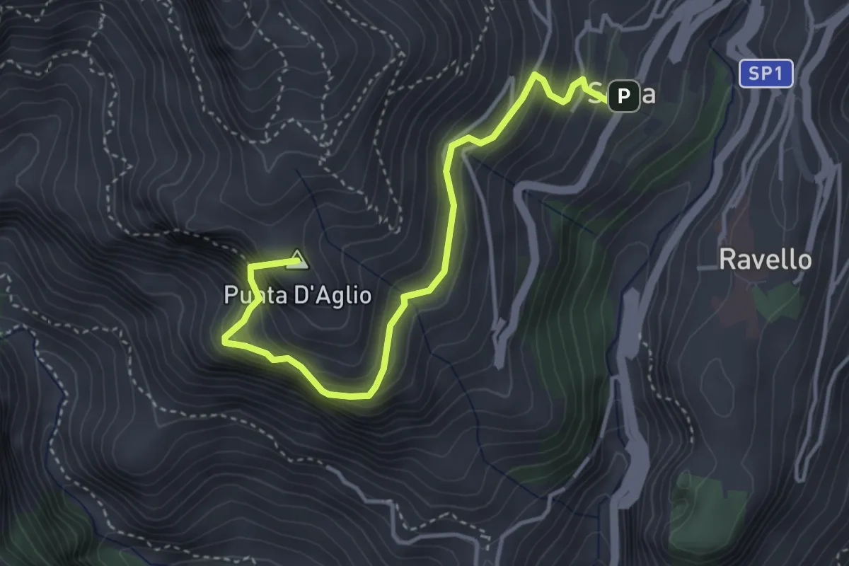
Scala – Incrocio 301 (loc. Pellagra)
4.4 km · ↑ 683 m · 2 h 32 min
Medium · Trail
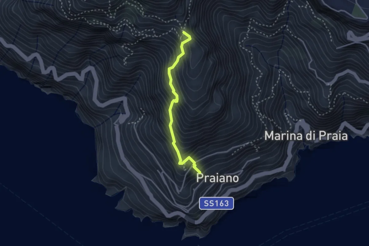
Praiano – Il Pinnacolo
2.9 km · ↑ 372 m · 1 h 30 min
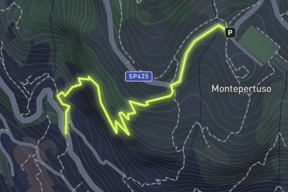
Medium · Trail
Località Montepertuso – Positano
2.3 km · ↑ 336 m · 1 h 17 min
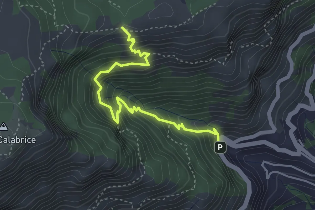
Medium · Trail
Bivio Montepertuso (Positano) – Incrocio 300
4.1 km · ↑ 527 m · 2 h 7 min
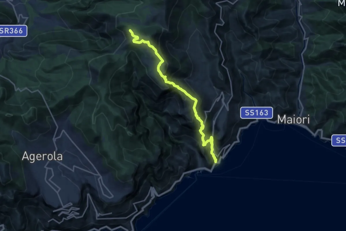
Demanding · Trail
Atrani – Incrocio 300
15.2 km · ↑ 1463 m · 6 h 45 min
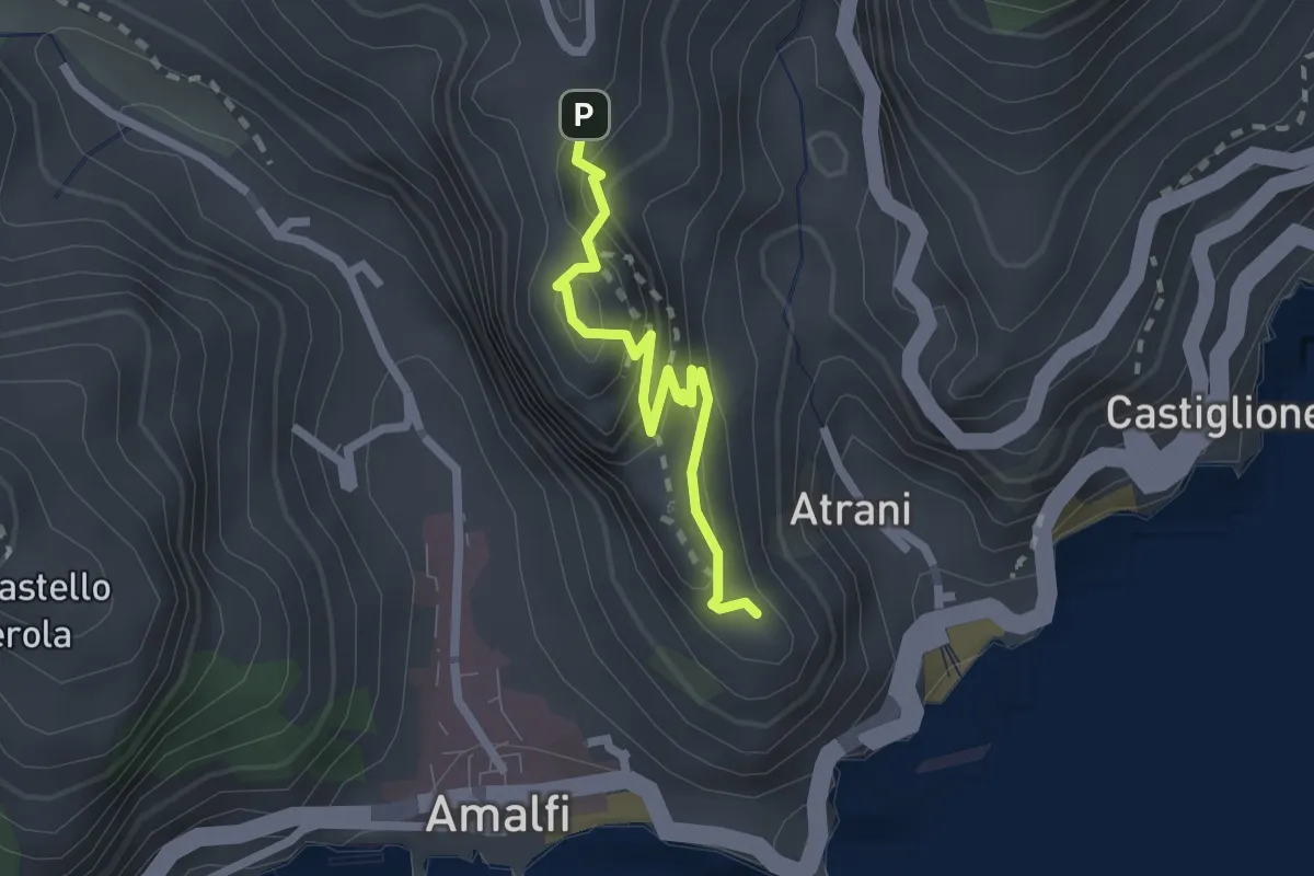
Easy · Trail
Pontone (Scala) – Torre dello Ziro
2.2 km · ↑ 152 m · 51 min
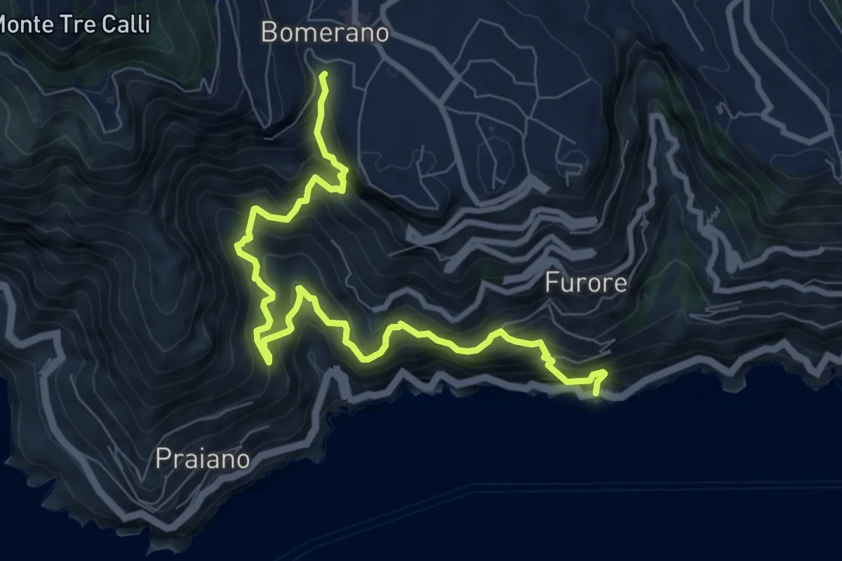
Demanding · Trail
Fiordo di Furore – Bomerano
9.8 km · ↑ 1335 m · 5 h 12 min
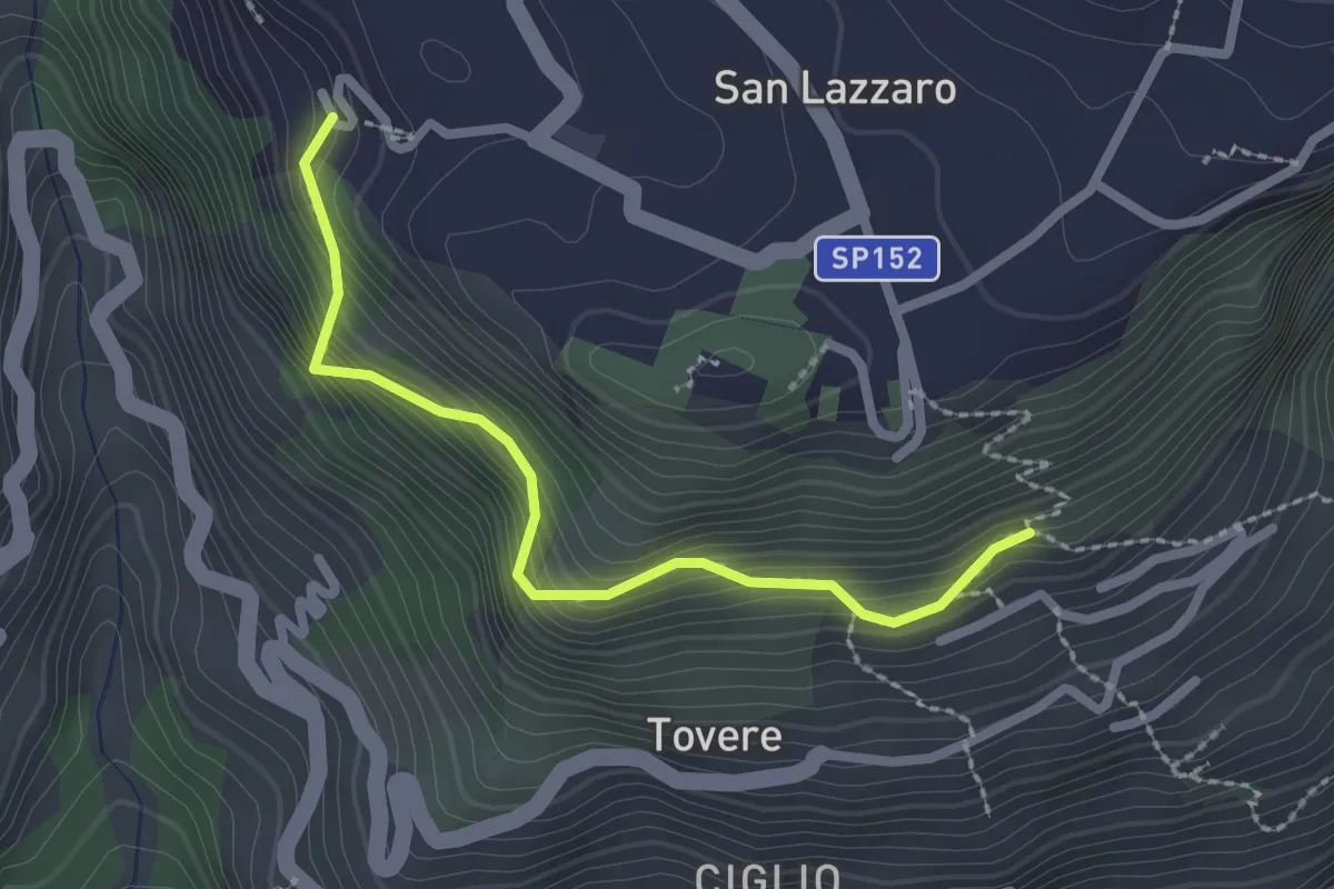
Medium · Trail
San Lazzaro (Agerola) - Incrocio 361 – Incrocio 354a
2.5 km · ↑ 312 m · 1 h 16 min
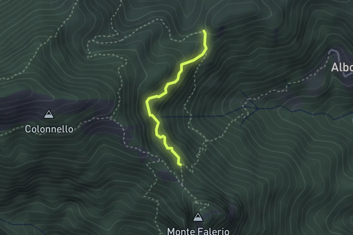
Demanding · Trail
Cappella Nuova – Sella del Monte Falerio
2.3 km · ↑ 272 m · 1 h 8 min
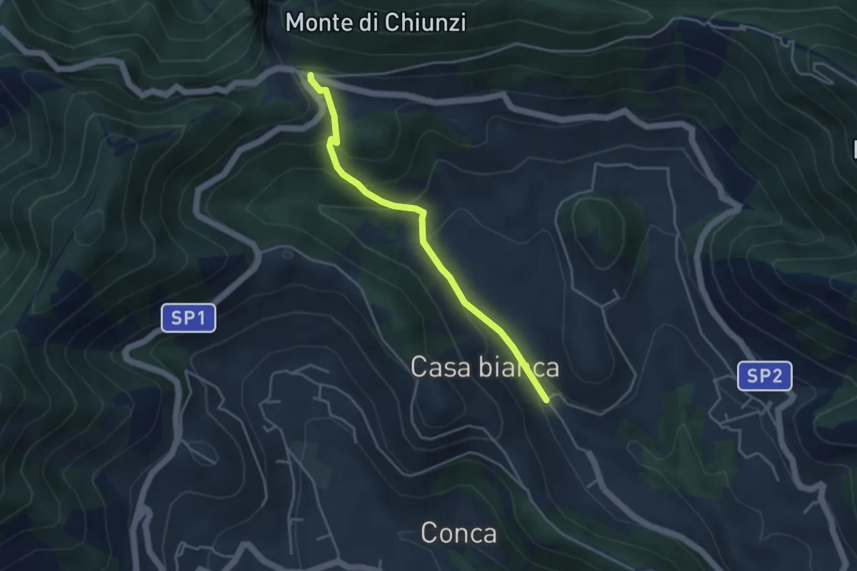
Easy · Trail
Incrocio 310 (Loc. Casa Lauro) – Valico di Chiunzi
3.8 km · ↑ 243 m · 1 h 26 min
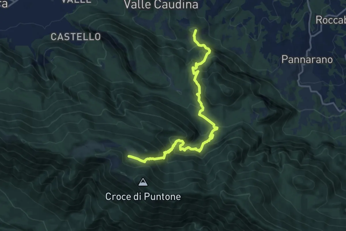
Demanding · Summit
Rifugio Piano di Lauro – Bucciano
13.6 km · ↑ 1044 m · 5 h 29 min
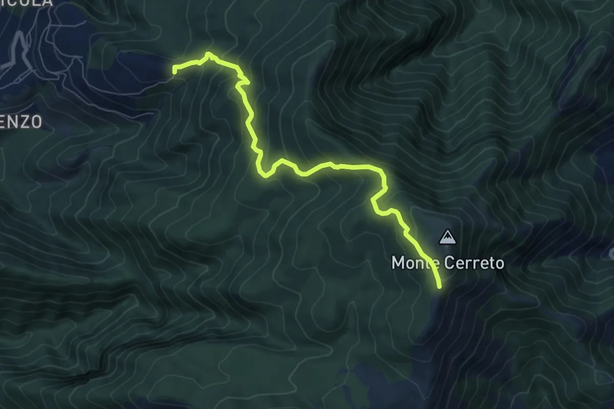
Medium · Trail
Incrocio 330 – Incrocio 300
8.0 km · ↑ 678 m · 3 h 21 min
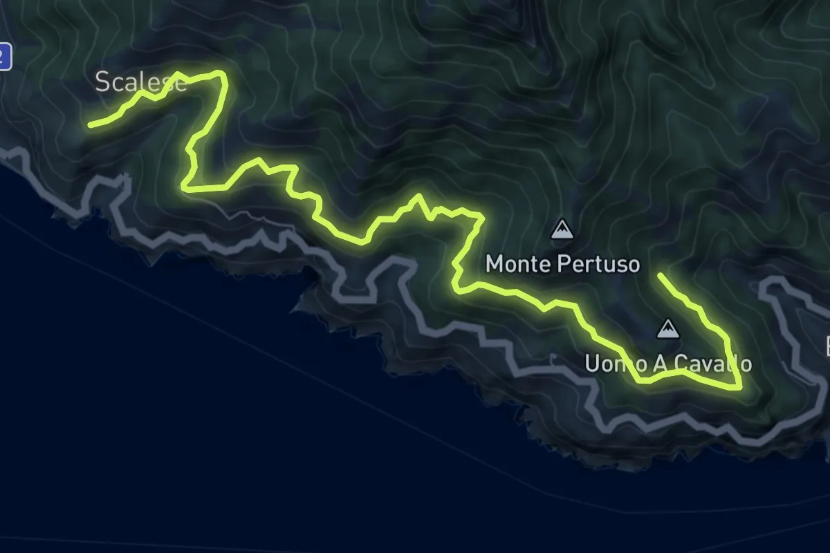
Demanding · Trail
San Vito (Maiori) – Incrocio 305 (Erchie)
12.4 km · ↑ 1116 m · 5 h 21 min
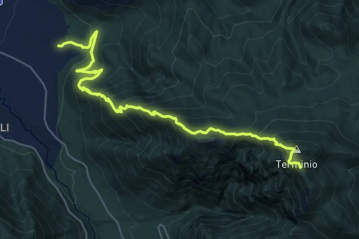
Demanding · Summit
Piano di Verteglia – Serino
16.5 km · ↑ 1574 m · 7 h 19 min
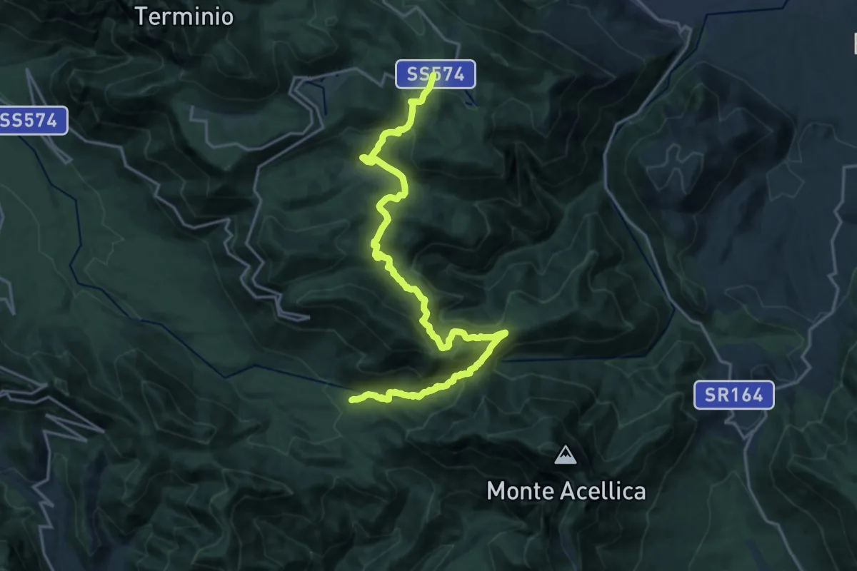
Demanding · Trail
Bivio Casa Rocchi – Piano di Verteglia
21.5 km · ↑ 1148 m · 7 h 33 min
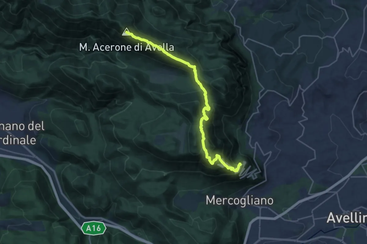
Expert · Summit
Bivio Ospedaletto – Rifugio Piano di Lauro
19.4 km · ↑ 1137 m · 7 h 2 min
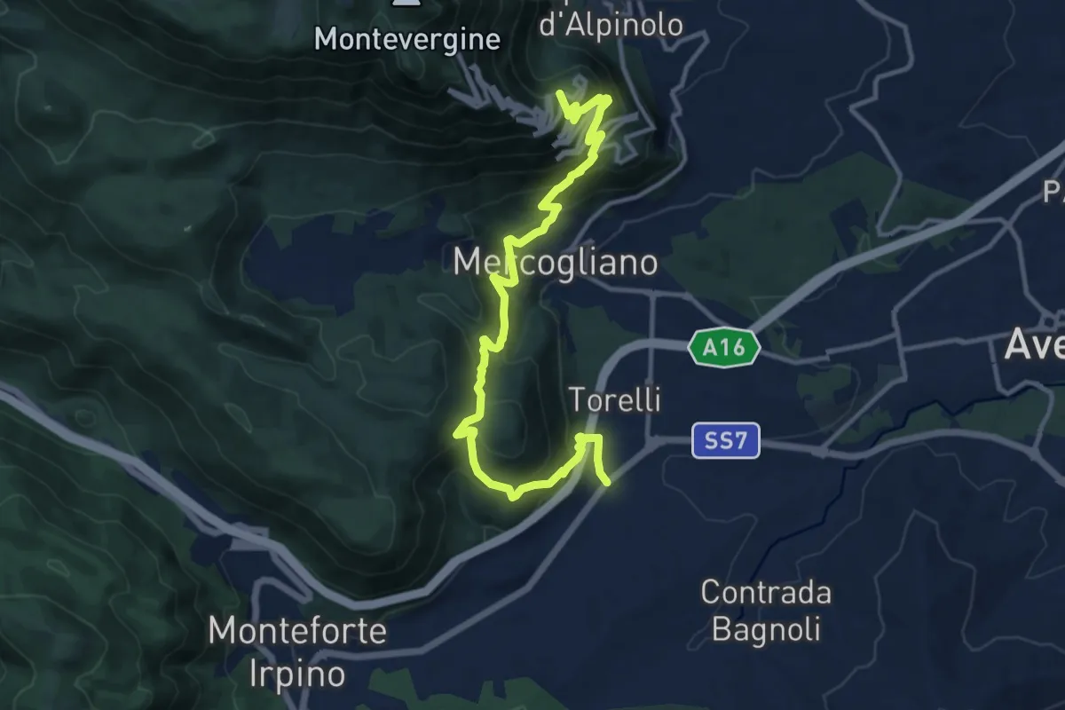
Demanding · Trail
Monteforte (Alvanella) – Bivio Ospedaletto
14.6 km · ↑ 964 m · 5 h 33 min
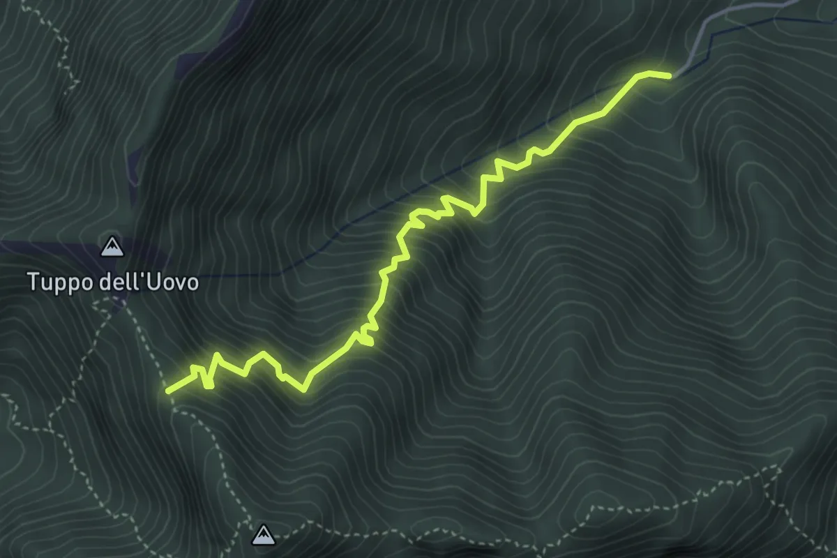
Medium · Trail
Acqua della Tornola – Varco della Teglia (innesto 116)
5.0 km · ↑ 741 m · 2 h 47 min
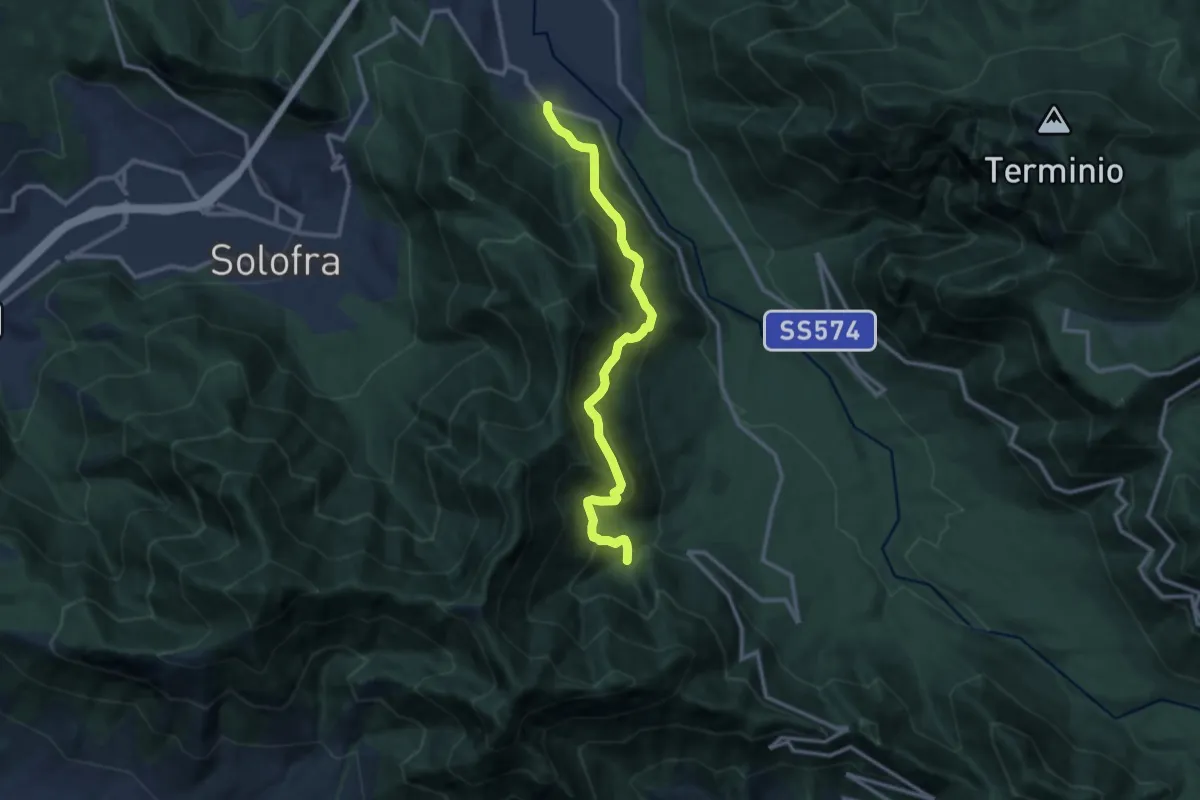
Demanding · Trail
Ribottoli – Acqua della Tornola
12.1 km · ↑ 1091 m · 5 h 14 min
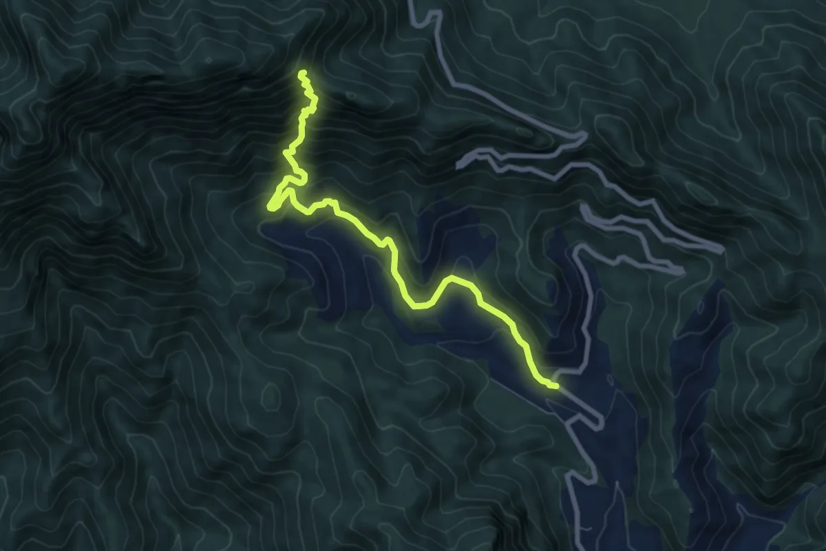
Demanding · Trail
SP25 Giffoni-Serino – Varco di sua Eccellenza (innesto 116)
8.3 km · ↑ 801 m · 3 h 42 min
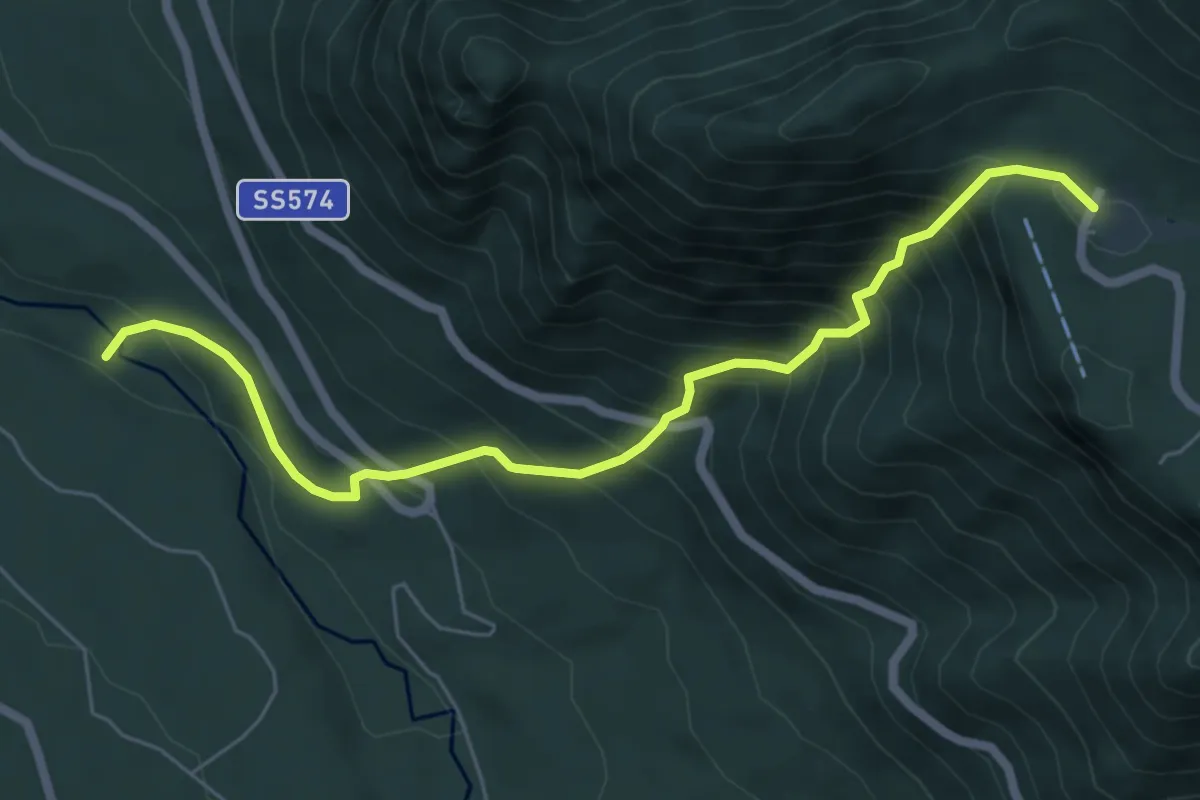
Medium · Trail
Fiume Sabato – Campolaspierto
7.0 km · ↑ 779 m · 3 h 21 min
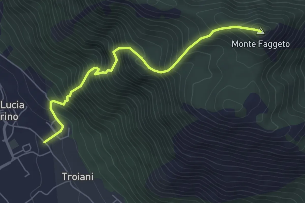
Medium · Summit
Santa Lucia di Serino – Monte del Faggeto
5.8 km · ↑ 749 m · 2 h 59 min
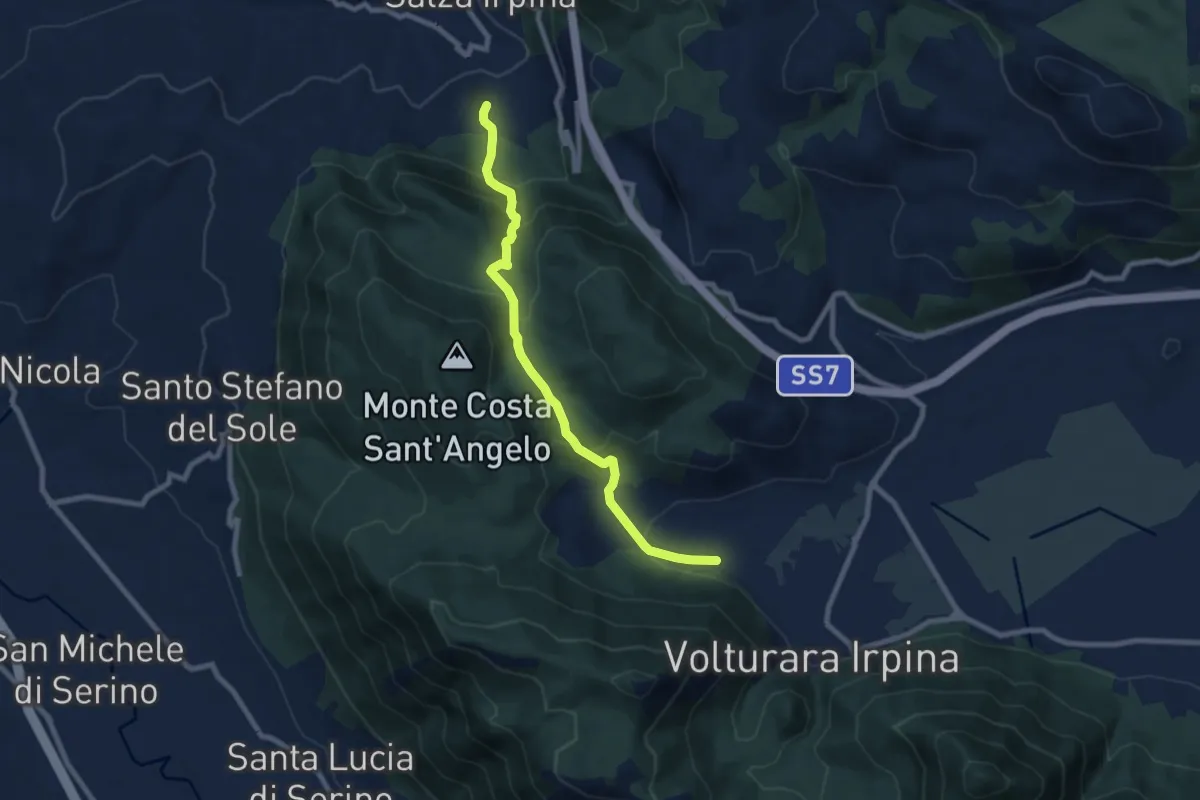
Medium · Trail
Sorbo Serpico – Volturara (Fontana Serpico)
8.8 km · ↑ 501 m · 3 h 9 min
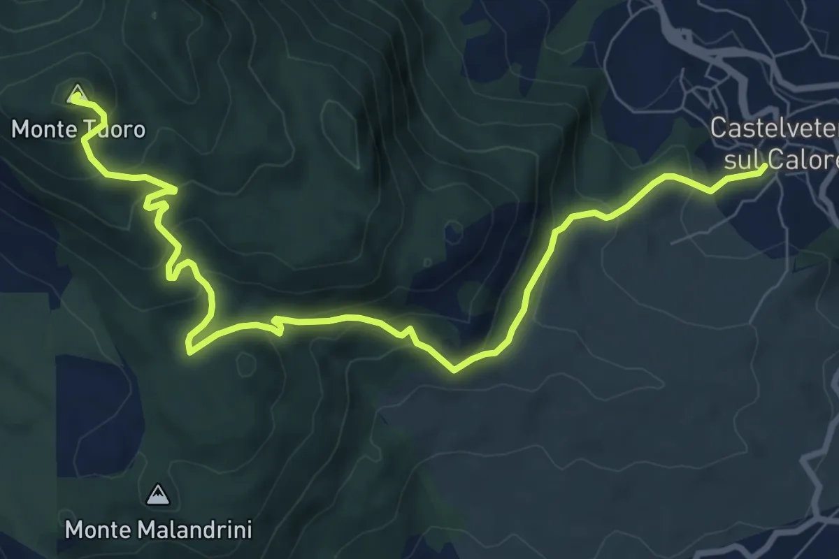
Medium · Summit
Castelvetere – Monte Tuoro
10.5 km · ↑ 645 m · 3 h 53 min
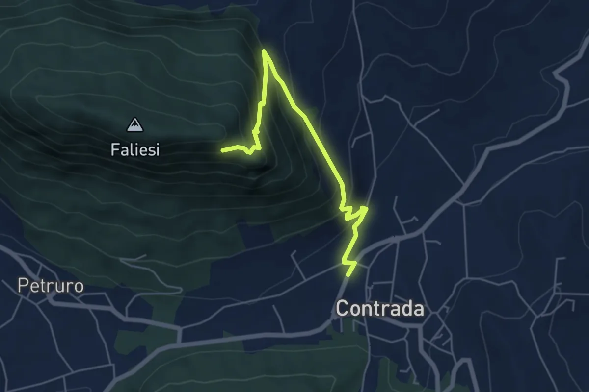
Medium · Trail
Contrada – Monte Faliesi
5.3 km · ↑ 451 m · 2 h 13 min
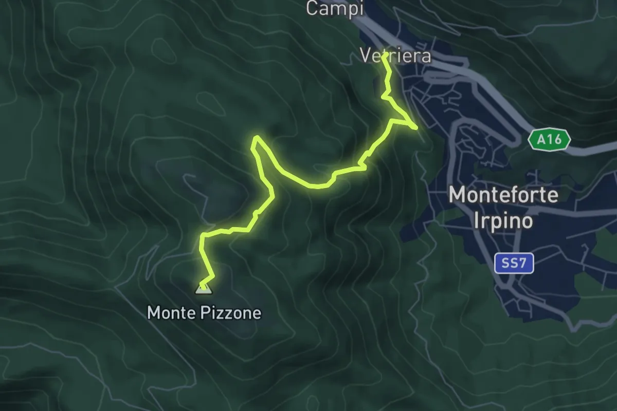
Medium · Summit
Monteforte Irpino – Monte Pizzone
7.1 km · ↑ 531 m · 2 h 49 min